


Fin Del Mundo: Bikepacking The End of The World
Distance
390 Mi.
(628 KM)Days
10
% Unpaved
93%
% Singletrack
1%
% Rideable (time)
94%
Total Ascent
17,487'
(5,330 M)High Point
1,387'
(423 M)Difficulty (1-10)
5?
- 3Climbing Scale Fair45 FT/MI (8 M/KM)
- -Technical Difficulty
- -Physical Demand
- -Resupply & Logistics
Contributed By
Taneli Roininen
Gone Bikefishing
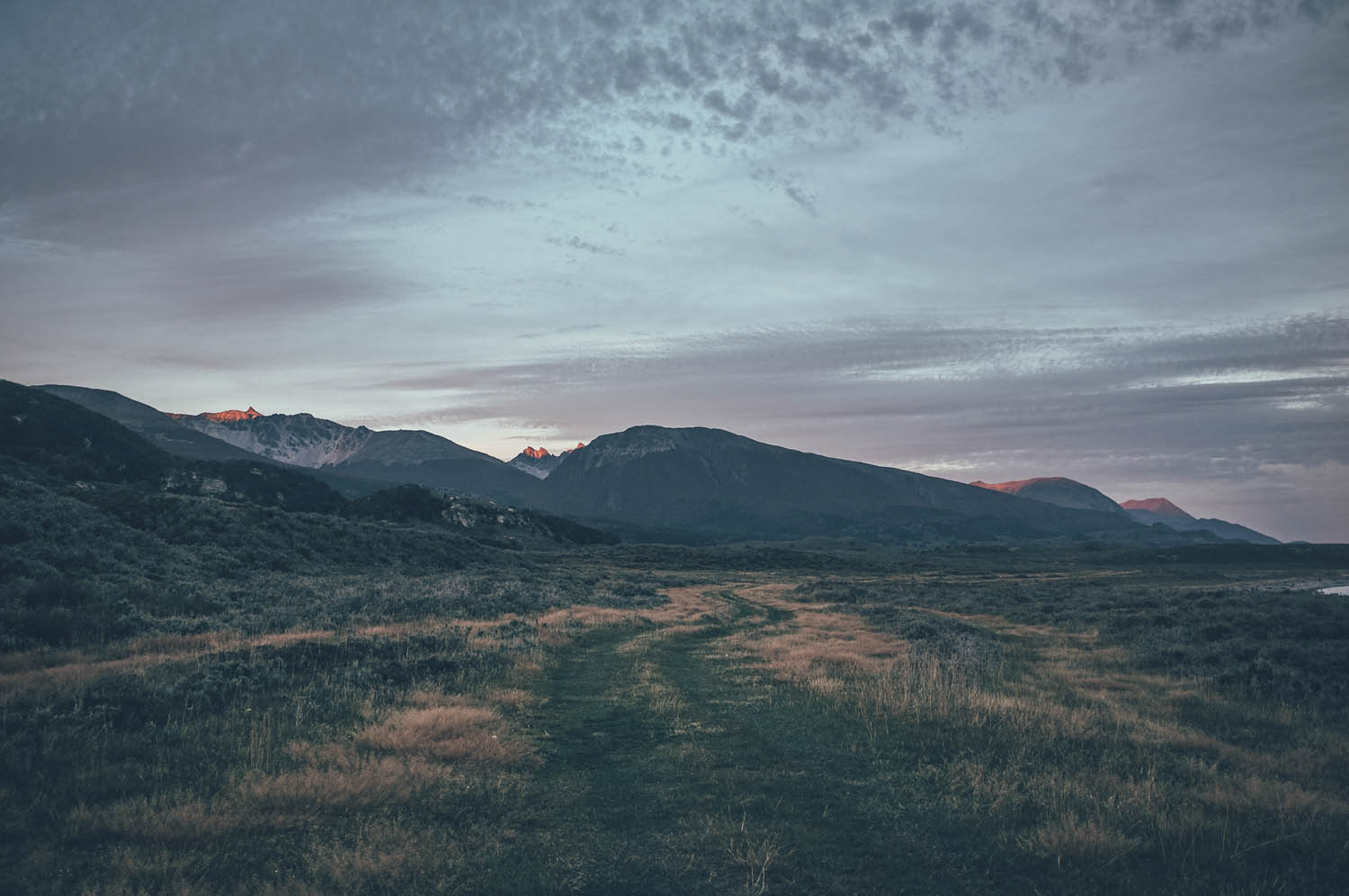
Located at the far end of South America close to Cape horn, the island of Tierra del Fuego is the finishing point for many Pan-American bike tourists coming from the north, or the starting point for those brave enough to tackle the northwest headwinds of Patagonia. The island is divided roughly in half; the eastern part belongs to Argentina and the western part to Chile. Ushuaia, on the Argentinian side, is considered to be the southernmost city in the world and is often referred to as the ‘Fin del mundo’, the end of the world. The national road network continues 25km further south from Ushuaia to the National Park of Tierra del Fuego, which is the true ending point of the route. This is as close to Antarctica as it is easily and affordably possible to get. The total route is rideable in full only when the Paso Bellavista in central Tierra del Fuego is open, usually from the beginning of November to the end of March.
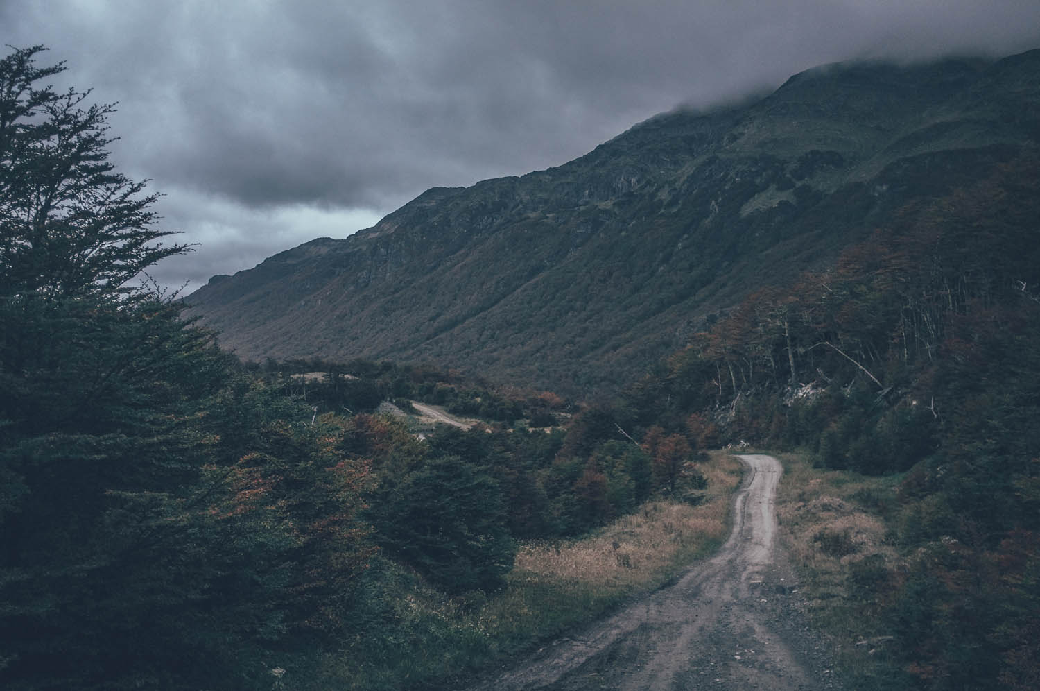
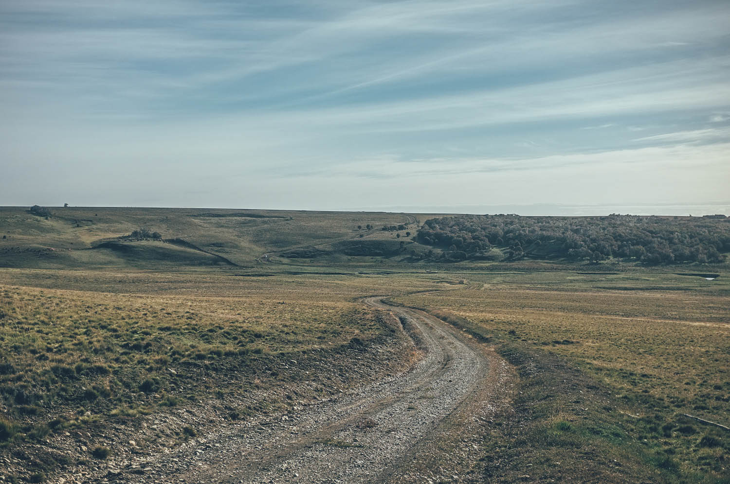
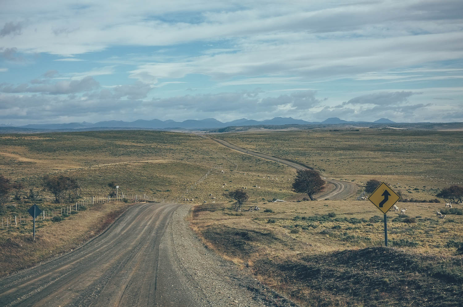
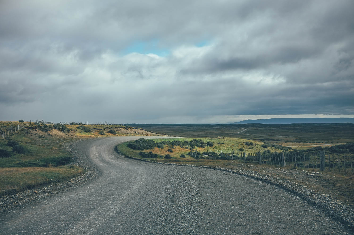
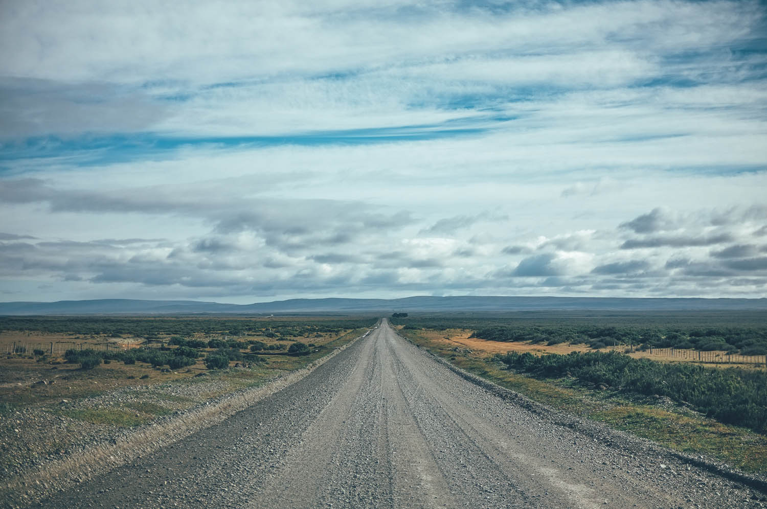
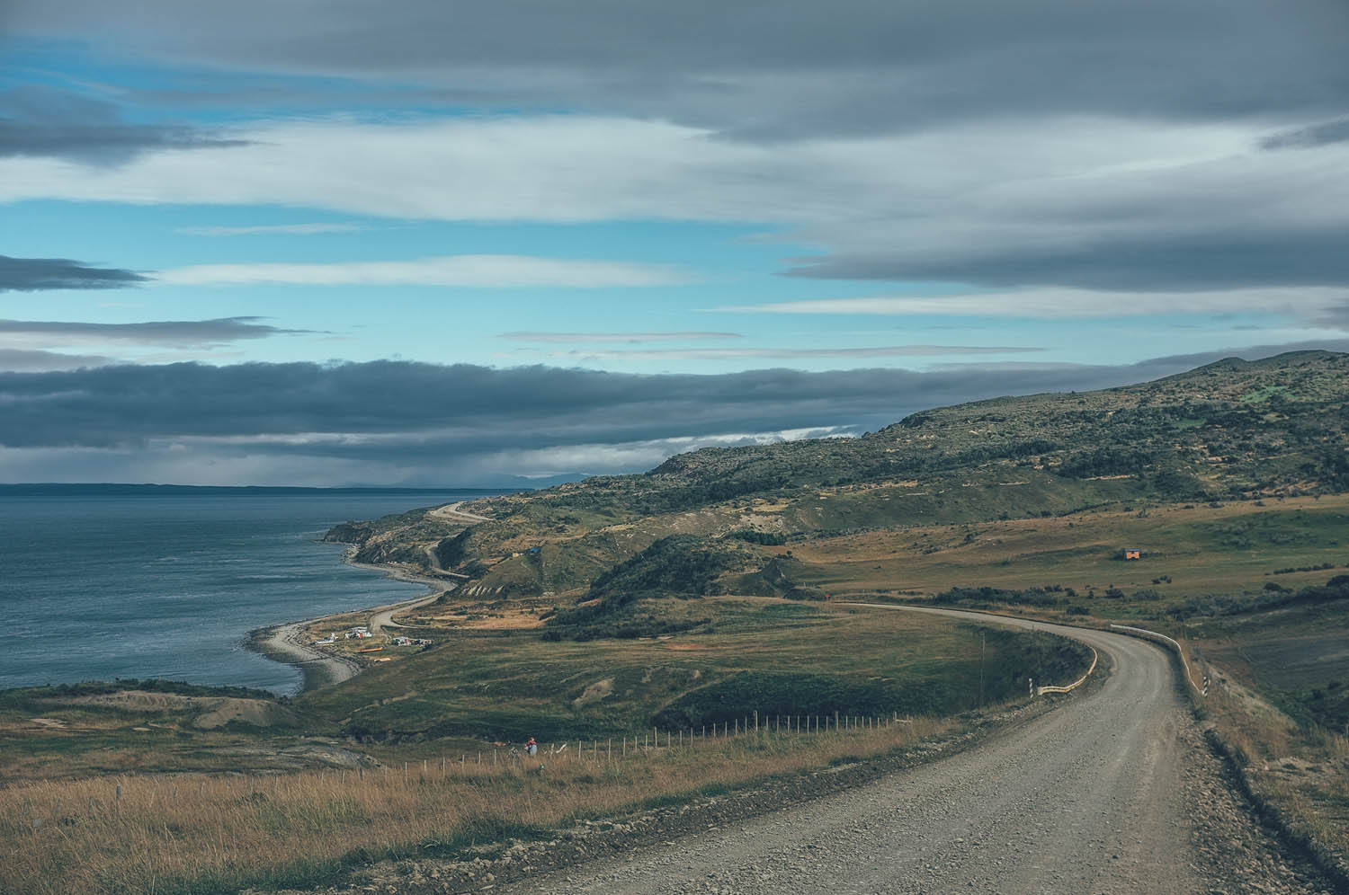
Atlantic gales blast Southern Patagonia and Cape Horn. Sailors call the winds in these high latitudes the ‘roaring forties’ and ‘furious fifties’. Doing the route from north to south, starting from Porvenir (a two and half hour ferry ride from Punta Arenas), the winds make you fly across the open steppe. Doing the route from south to north, starting from Ushuaia in Argentina, however, the winds can slow your pace to walking speed or even stop your progress completely. The route goes through some very remote areas; there are only two places to stock up food on this 600km+ route. Water is a scarce commodity in the central parts of the island as well, so refills should be planned in advance, especially if riding south to north into a headwind. The route could be divided into two sections: the steppe from Punta Arenas to Tolhuin, and the lake and sea sides from Tolhuin to Ushuaia. Find the detailed route description, from north to south, under ‘Trail Notes’ below…
If taking the advantage of the strong northwest winds, the route can be a fairly easy ride through some extremely remote wilderness, despite some short challenging sections. However, the unpredictable Patagonian weather will define the difficulty of this route once you are on it. Doing the route from north to south can take you up to 10 days when the weather turns nasty.
Route Development: I was definitely not the first to ride this route, except some short sections maybe. Especially the beach route out of Ushuaia has been well documented and shared in the past by Cass Gilbert (While Out Riding), Dan and Gina (Fat Cycling) and Paul Griffiths (The Ride South).


Submit Route Alert
As the leading creator and publisher of bikepacking routes, BIKEPACKING.com endeavors to maintain, improve, and advocate for our growing network of bikepacking routes all over the world. As such, our editorial team, route creators, and Route Stewards serve as mediators for route improvements and opportunities for connectivity, conservation, and community growth around these routes. To facilitate these efforts, we rely on our Bikepacking Collective and the greater bikepacking community to call attention to critical issues and opportunities that are discovered while riding these routes. If you have a vital issue or opportunity regarding this route that pertains to one of the subjects below, please let us know:
Highlights
Must Know
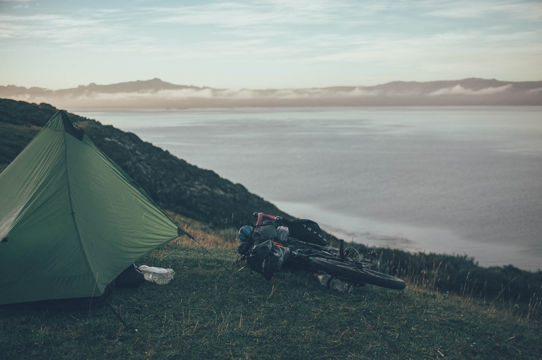
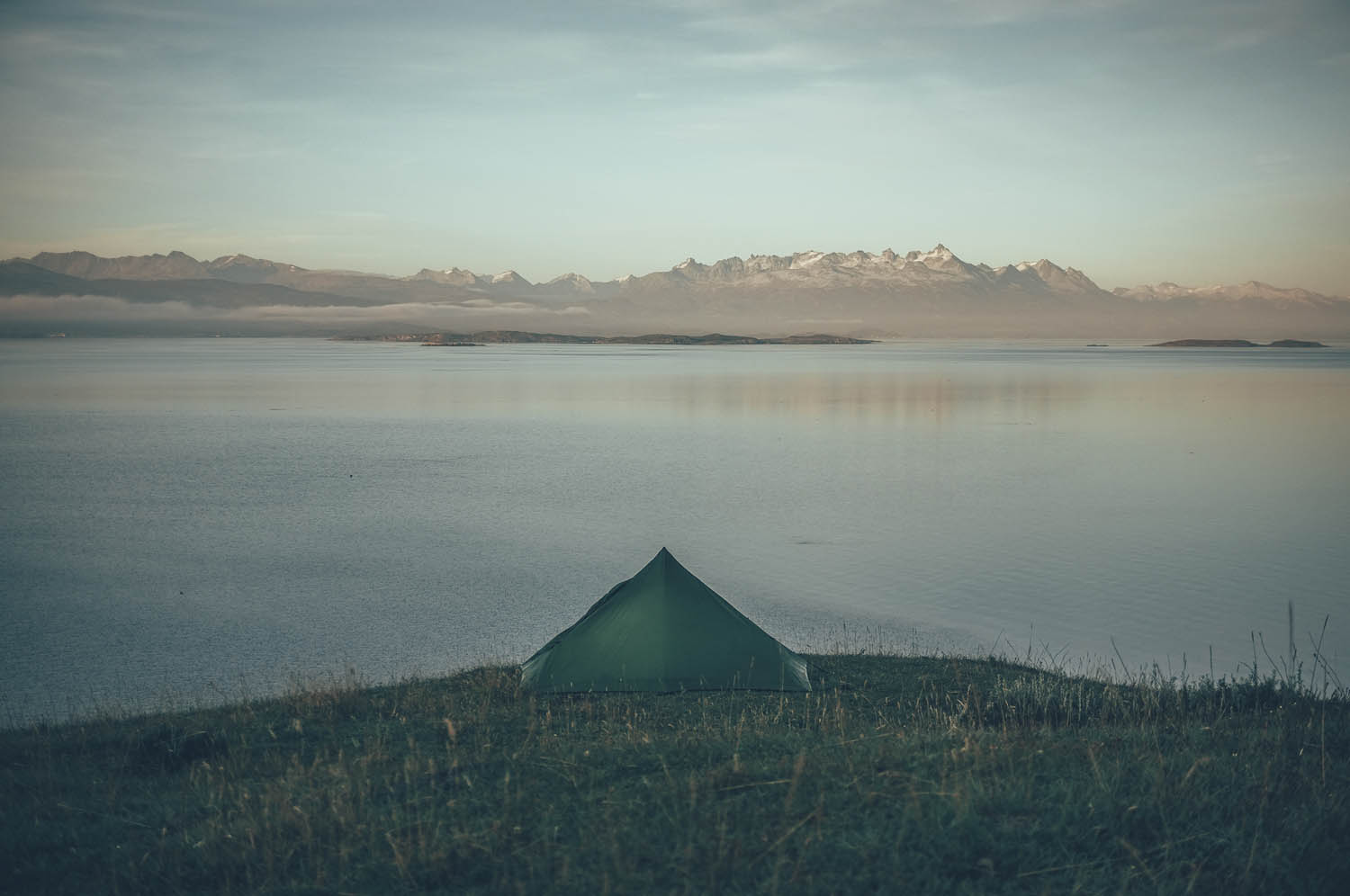
Camping
Food/H2O
Trail Notes
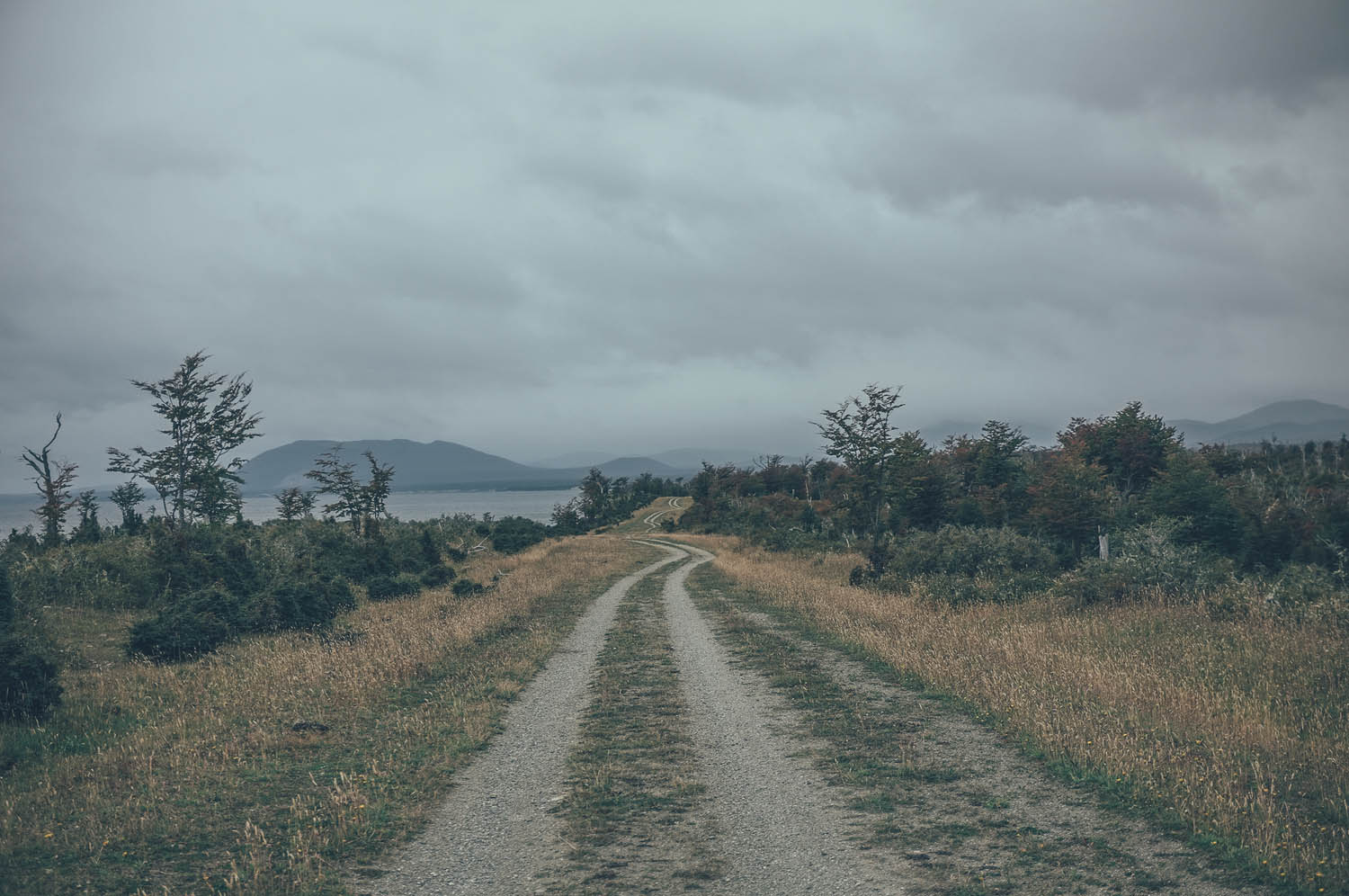
- Remote Patagonian steppe, hundreds of kilometres of open wilderness.
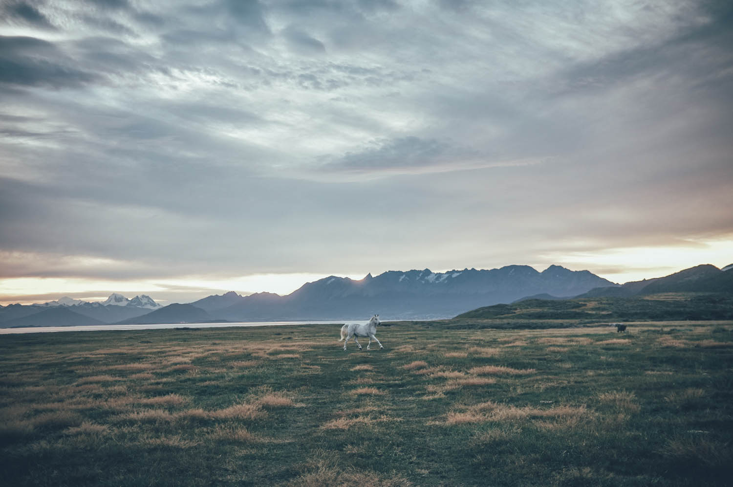
- Wildlife and sealife along the route, quanacos, condors, hawks, foxes, beavers, pingquinos, dolphins, whales and tuna may be spotted.
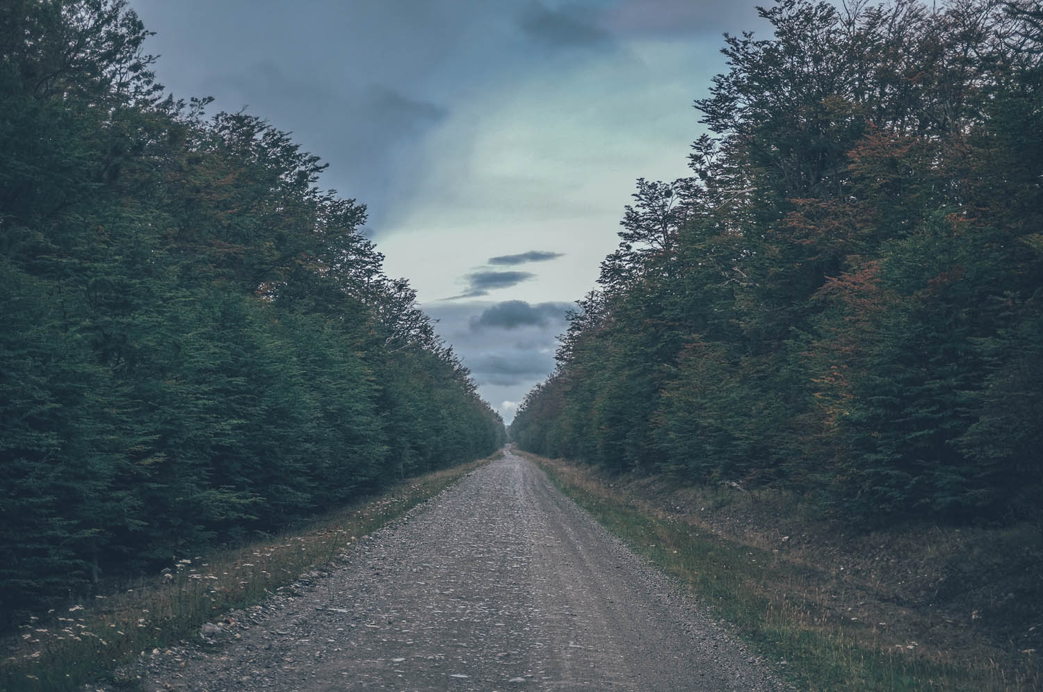
- Riding across the cordillera of the Ushuaia region.
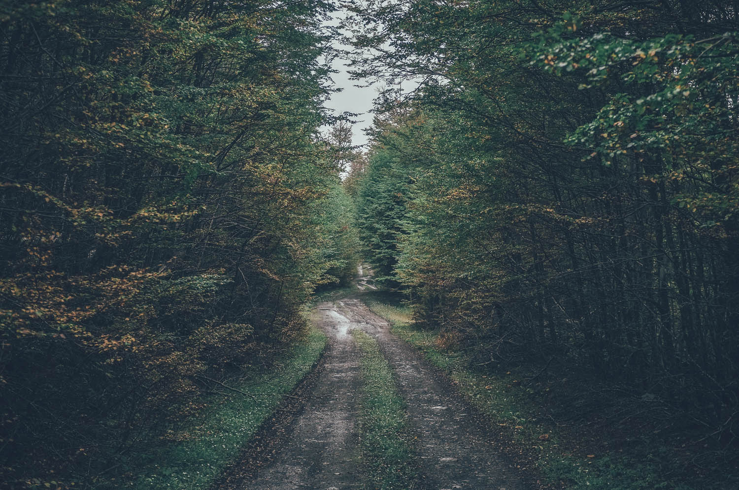
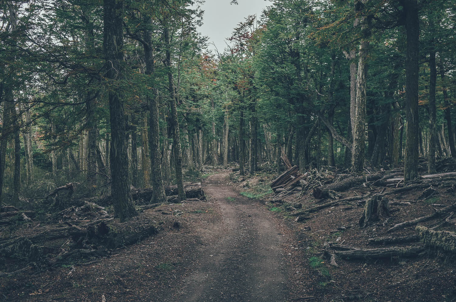
- Riding through ancient primary forests.
- A night or two in the legendary back room of the Panaderia La Union bakery in Tolhuin.
- The route can be ridden only when the Paso Rio Bellavista is open, from the beginning of November to the end of April.
- The route passes through two countries, Chile and Argentina. Check your visa status.
- Prevailing northwest winds can reach over 100km/h. The route is usually much easier from north to south.
- After rain the roads turn to mud and will slow you down significantly.
- Be prepared to carry food for 300km, which could take you up to a week if the weather gets nasty and roads turn into mud.
- Chile and Argentina have extremely strict food import regulations, for instance importing any fresh food, meat in any form or nuts, is not allowed. Check the latest import regulations. You are allowed to consume the food which cannot be imported at the border.
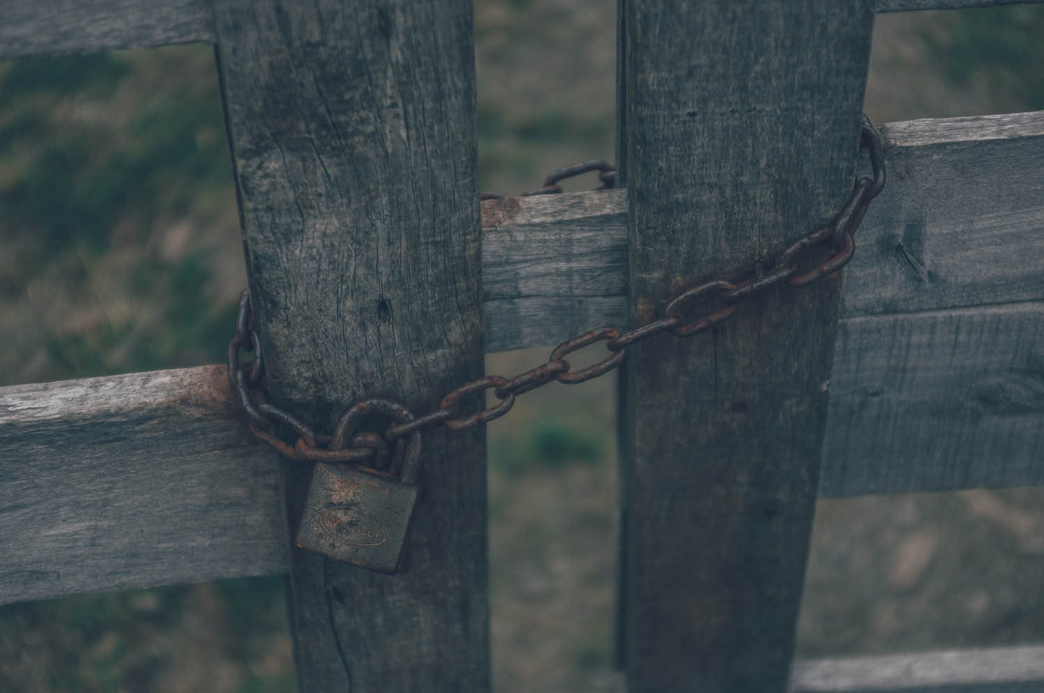
- The route crosses private land a couple of times. Be respectful and ask a permission to cross if possible.
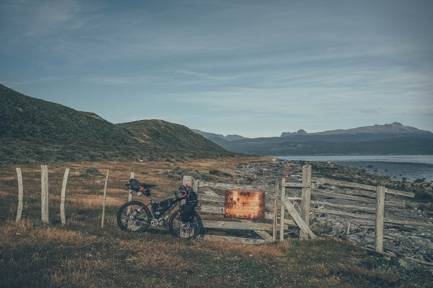
- The route crosses an rarely used military area 30km from Ushuaia, if you detect any military activity, do not cross!
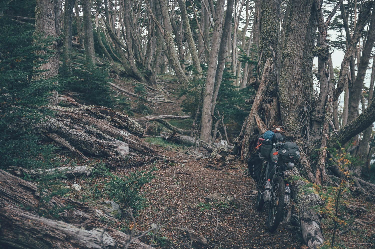
- 4-6 hours of hike-a-biking close to Ushuaia is extremely demanding, the lighter your setup the better.
There is no phone signal outside the few villages in the region.
Additional Information
- There are international airports in both in Punta Arenas and Ushuaia, flights in and out from Punta Arenas are usually cheaper.
- There is a pricy ferry connecting Punta Arenas and Ushuaia as well, though some cyclists have managed to hitch a ride with fisherman too.
- Southern Patagonia is extremely expensive. Expect similar prices as in US or Northern Europe.
- ‘Blue market’ exchange rate in Argentina is history since 2016. Changing and withdrawing money in Ushuaia is straightforward and cheap as money changers use a fixed exchange rate, very closed to the official one.
- In Ushuaia, bicycle shop Ushuaia Extremo will wash and pack your bike for 25USD. Cardboard box included.
- The best camping spots are marked on the map, but there are others too, especially outside the steppe.
- On the steppe from Porvenir to Tolhuin fences alongside the road can make finding a good place to camp take longer than usual.
- On the steppe from Porvenir to Tolhuin winds can make camping tricky as wind shelters are rare.
- From Tolhuin to Ushuaia camping is generally great and finding a spot is fairly easy.
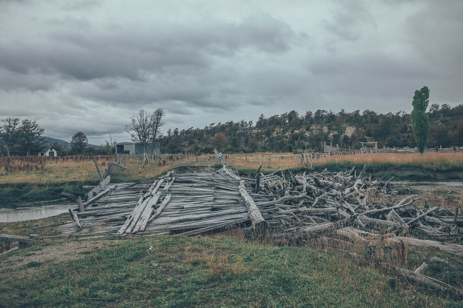
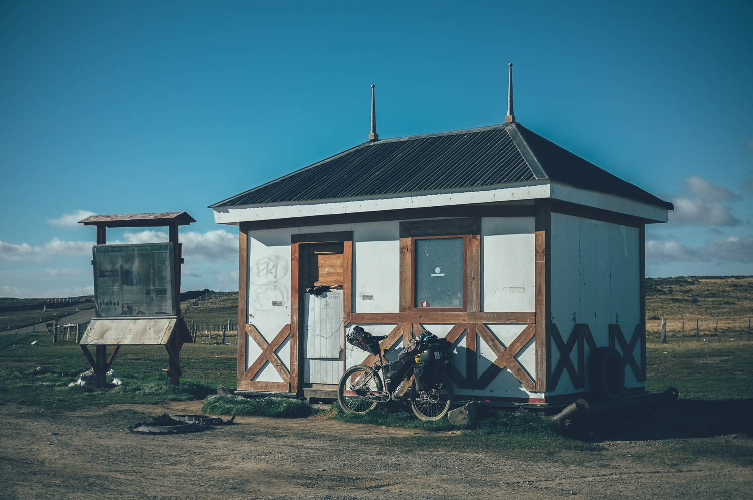
- Farms along the road are known to help travellers in need of a place to sleep, though many on the Chilean side are very run down.
- The owner of the Panaderia La Union in Tolhuin lets cyclists sleep in the back room of the bakery for free. Tell any of the bakery staff that you are a cyclist looking for a place to sleep, they know the drill.
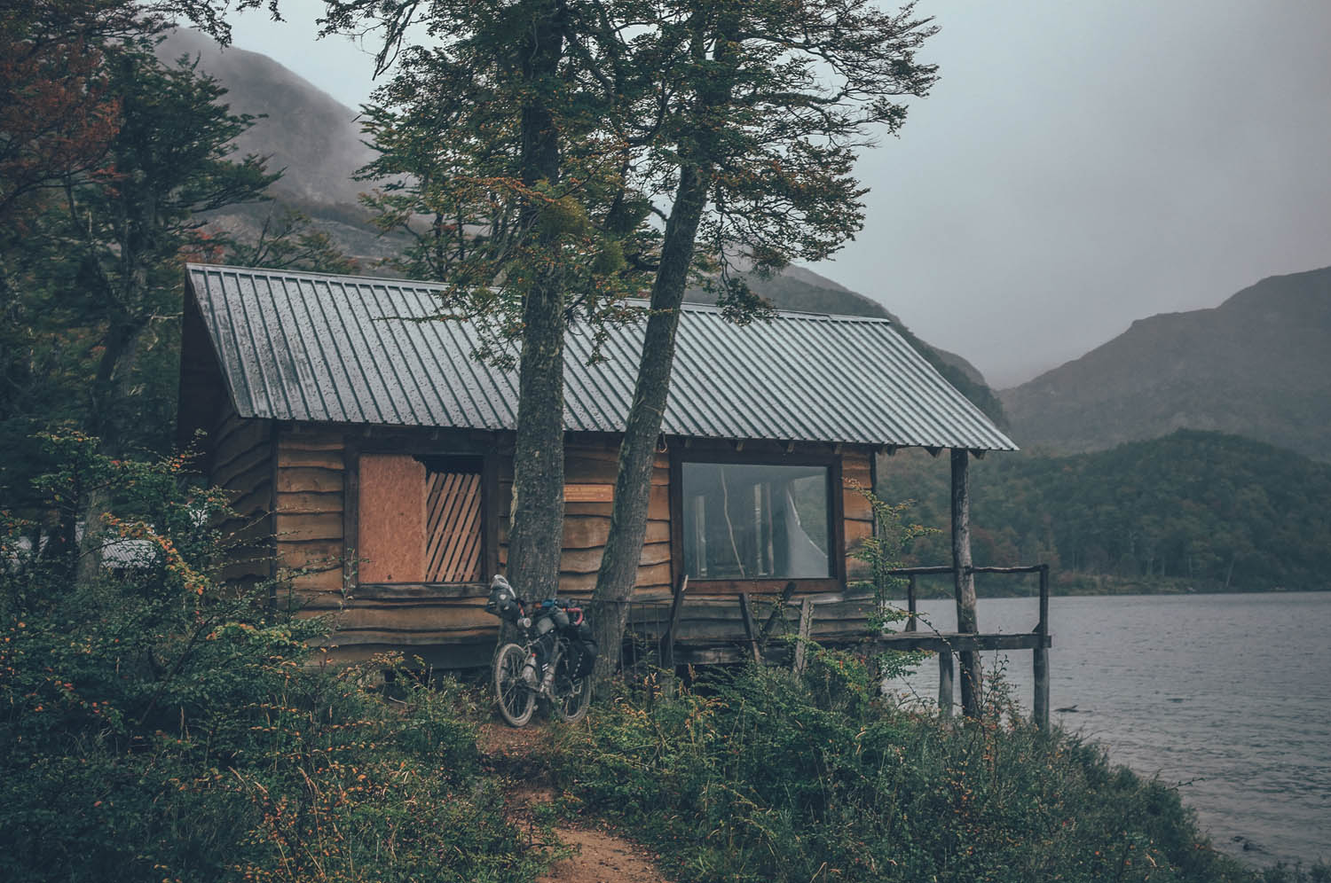
- The cabañas of the closed hotel at Lago Escondido are great shelter for the night. Number 4 used to be the best.
- There is great camping at the end of the route in the National Park of Tierra del Fuego.
- There are plenty of sleeping options available in Punta Arenas, Porvenir, Tolhuin and Ushuaia. Cameron is a small village, but might have a simple hospedaje as well. Prices for a dormitory bed start from around 20USD, room prices from around double that.
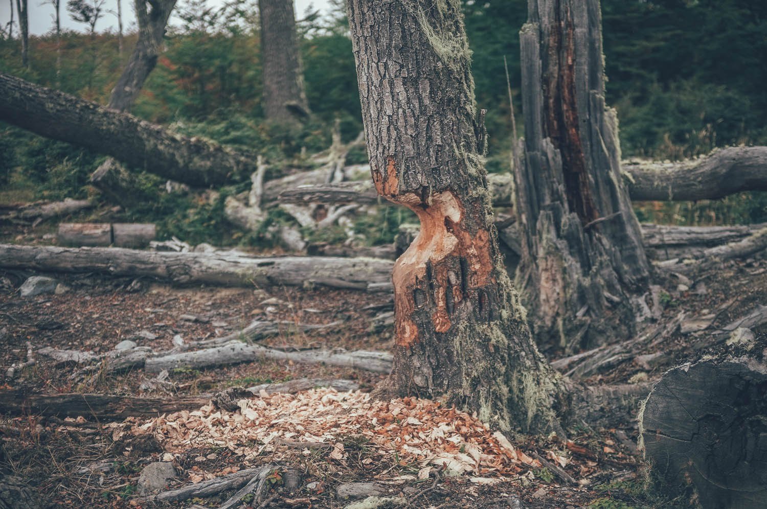
- Southern Patagonia is nowadays a giardia zone due to the exploding North American beaver population.
- Giardiasis is nasty: all water should be filtered or boiled before consumption.
- Water sources are rare in the Pampa from Porvenir to Tolhuin. Not all the rivers and ponds on the map exist and some ponds are saline. Places to get water are marked on the map, however other water sources may exist along the route as well. Maximum distance between water sources is 60km.
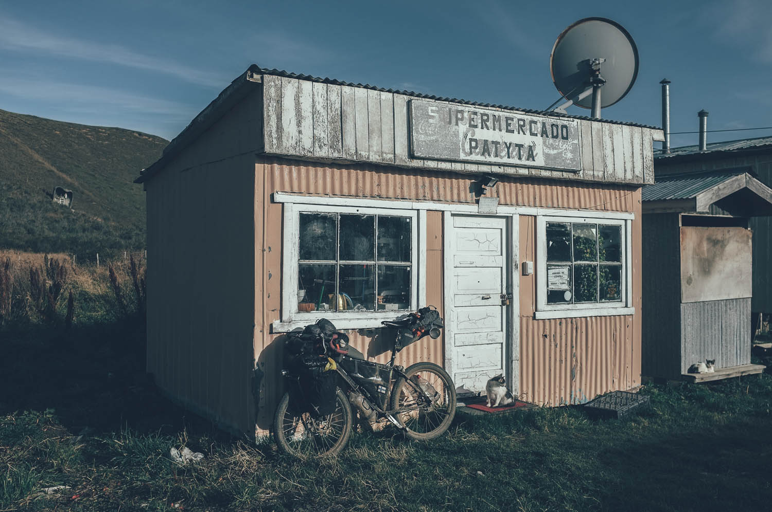
- Food can be stocked up only in Ushuaia, Tolhuin, Camerón and Porvenir. The longest distance between resupply points is 300km (Tolhuin-Cameron). Farms might be willing to sell you food in case of emergency as well.
- There are multiple road side restaurants along the route from Tolhuin to Ushuaia, prices on the expensive side though.
- Chile and Argentina have extremely strict food import regulations, for instance importing any fresh food, meat in any form or nuts, for instance is not allowed. Check the latest import regulations. You are allowed to consume the food which cannot be imported at the border.
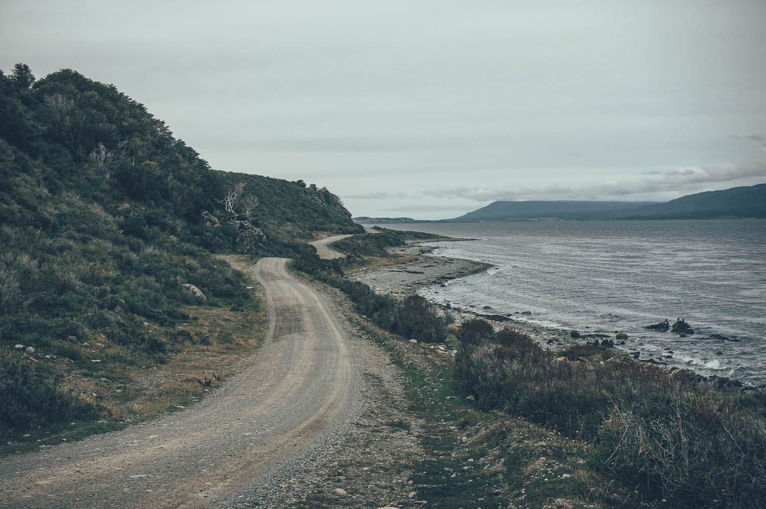
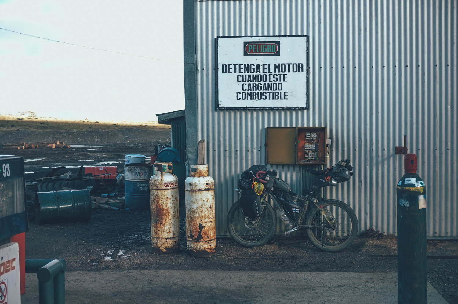
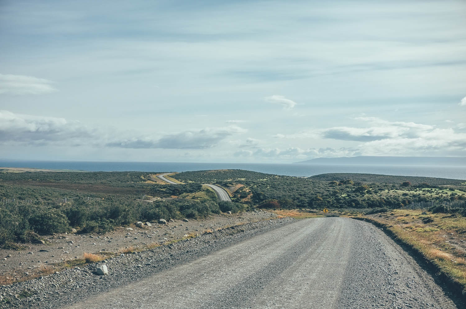
The ferry from Punta Arenas and the South American mainland to Porvenir in Tierra del Fuego goes several times a day and takes 2.5 hours. A 450km section of windy desert-like steppe begins here. A rough, but non-technical gravel road follows the coastline for 150km going up and down gently, giving gorgeous views of the bay. Dolphins, tuna and whales can be seen occasionally from the road. Natural water sources are very poor and rare. Fishermen’s huts at the beach and occasional estancias (ranches) a couple of kilometres off the road are the best bets for better quality fresh water. There is not much shelter from the wind for camping, trees are nearly non-existent. There is a little traffic during the first 100km, but it soon drops down to a couple of cars an hour. A windy 50km section to the village of Cameron gives a flavour of how riding the whole route into headwind would feel.
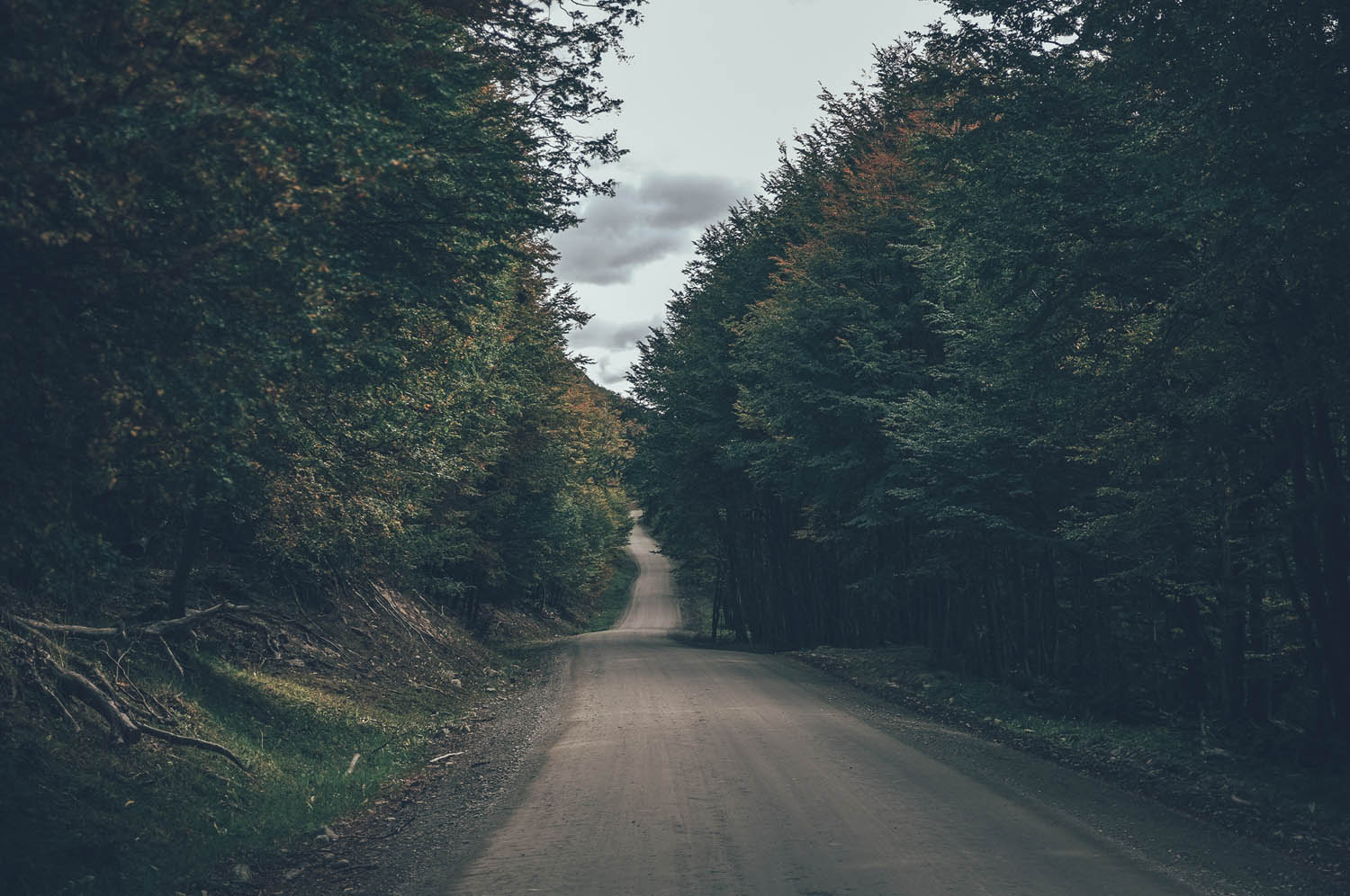
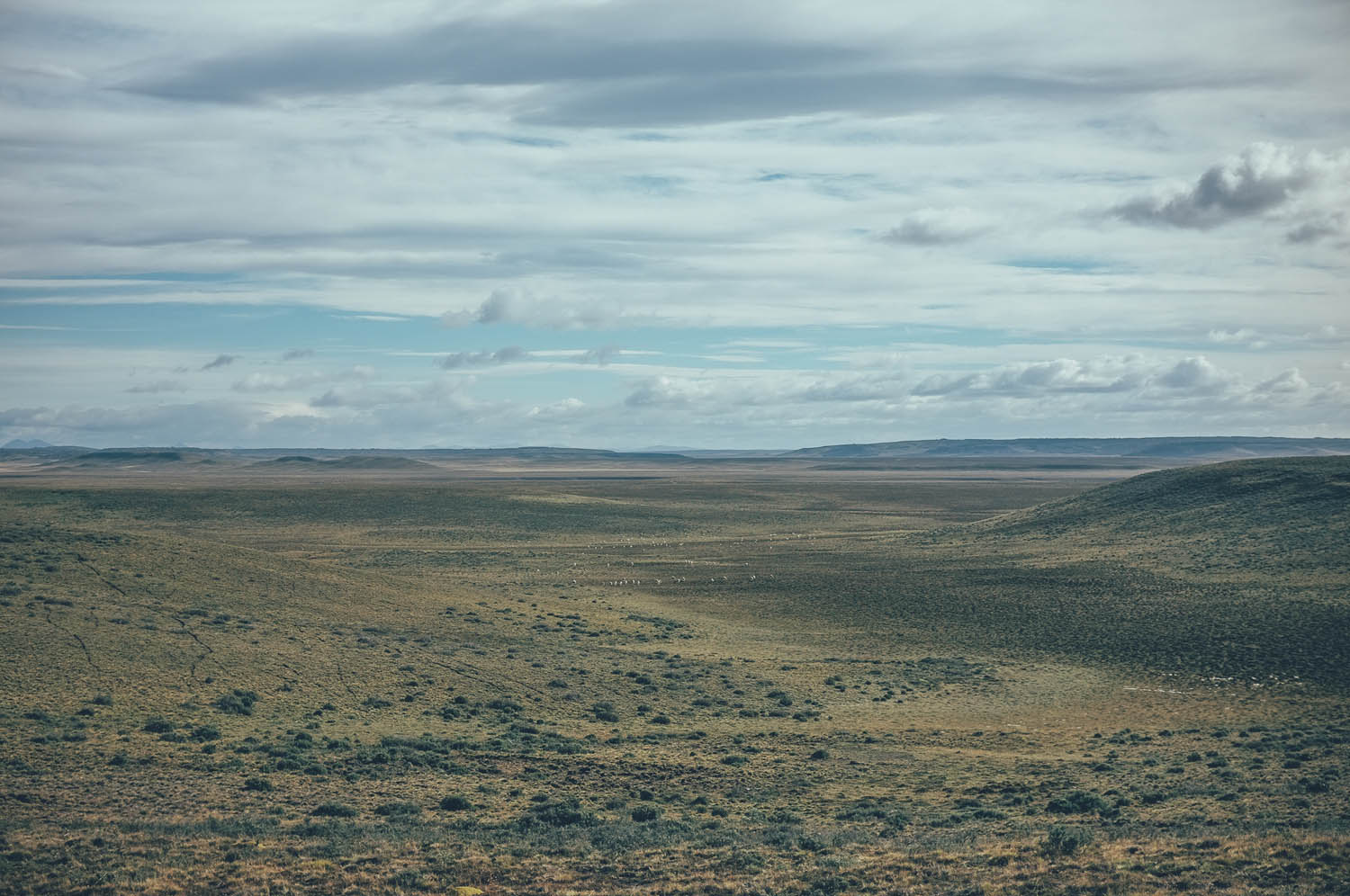
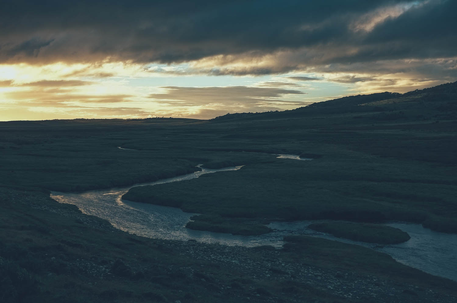
The following 300km through the island from Cameron to Tolhuin is mostly wild, untouched nature on fairly smooth gravel roads, which might get soft after rain though. Birds of prey and guanacos are numerous. The few rivers as well as the border stations of Paso Bellavista provide water. Rivers stock multiple species of trout, too. Fences on both side of the road mean patience is required when looking for a spot to camp. A 26km section of the route goes through private lands in a beautiful old forest of lengas. The route requires getting over several locked gates. If coming from the south, it is polite to ask for an permission of entry from Estancia Rubi as the route goes close to buildings of the ranch.
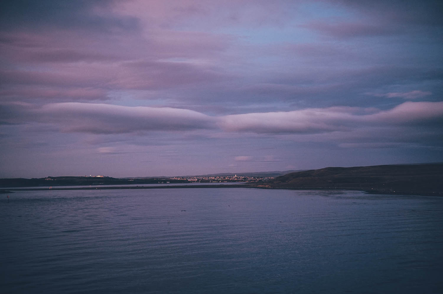
The village of Tolhuin, where the section of arid steppe ends, is a true cyclist’s heaven: the bakery La Panaderia La Union hosts cyclists for free and empanadas and facturas taste fantastic after a simplified diet, forced by food importing regulations of Chile and Argentina.
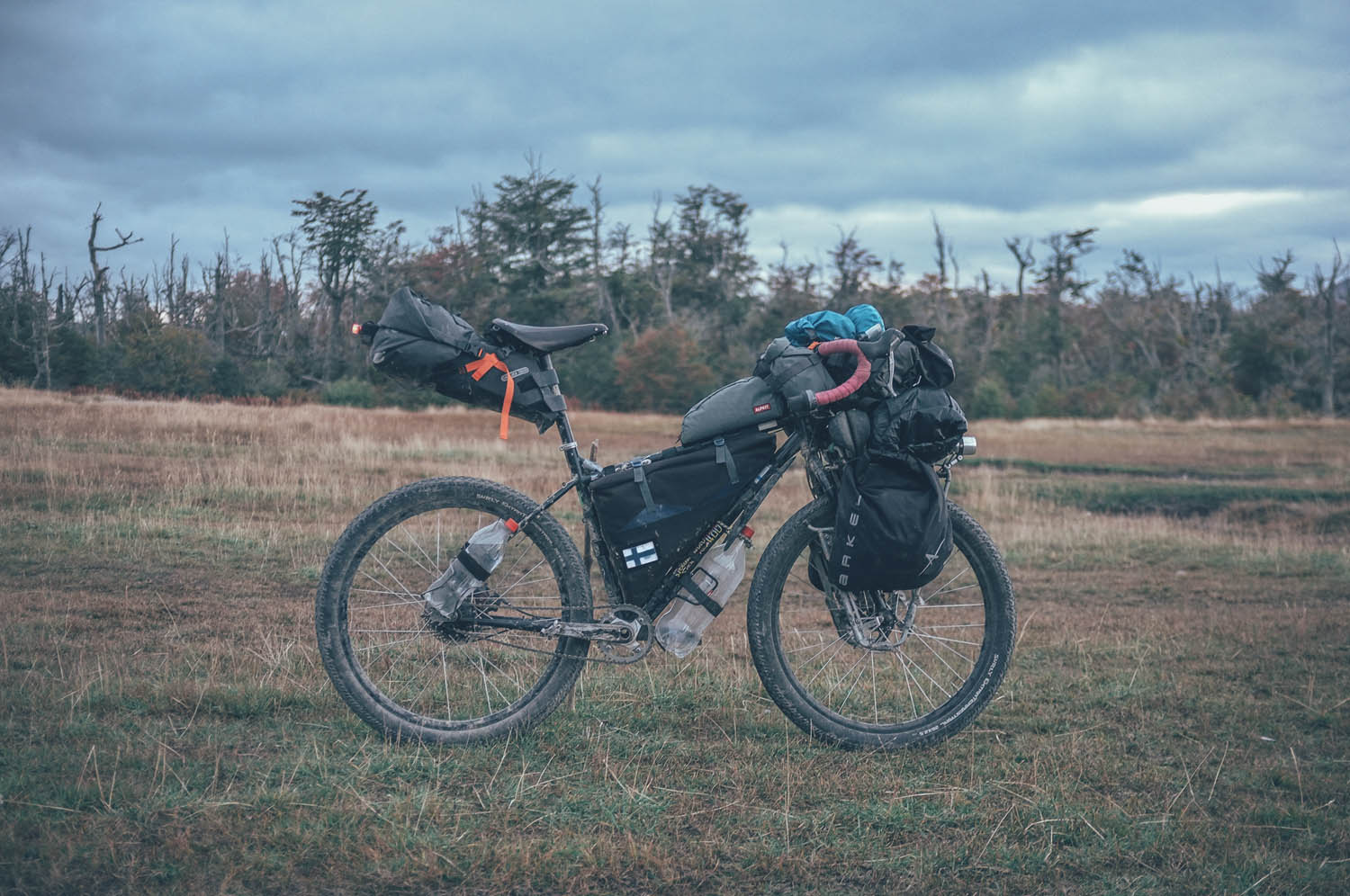
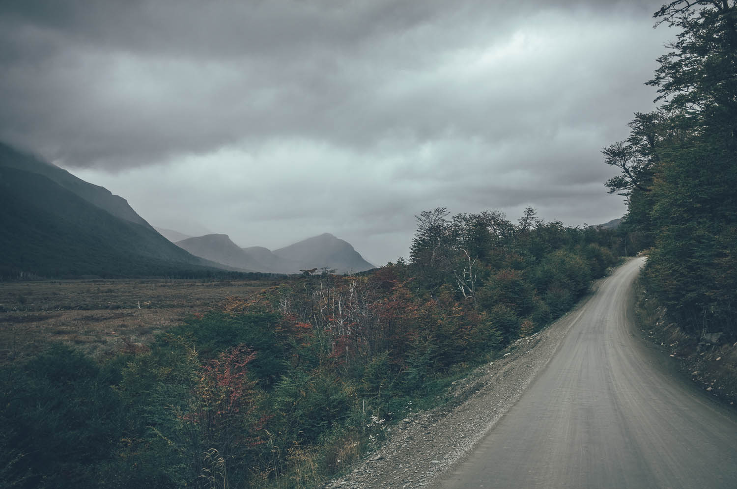
The second section of the route from Tolhuin to Ushuaia follows the banks of Lago Fagnado for 50km mostly on doubletrack and animal trails, occasionally visiting the main road for a couple of kilometers at the time. A couple of lockedgates and a river crossing on a beaver damn are the main challenges of this otherwise easy and gorgeous lakeside ride. Camping is great nearly anywhere, though a closed hotel and its cabañas at the south end of Lago Escondido are worth staying a night in. The gin clear Lago Escondido has big trout too.
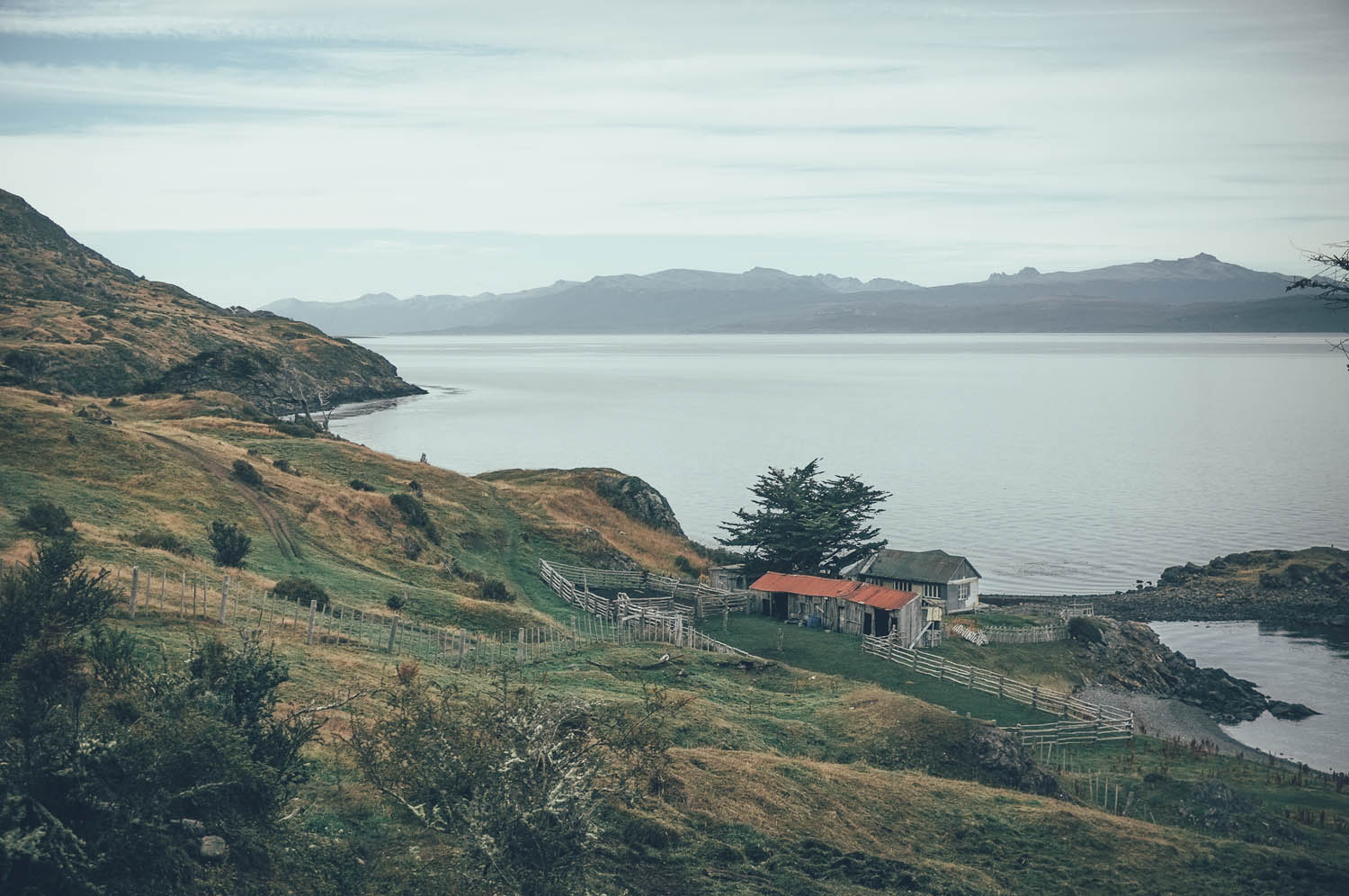
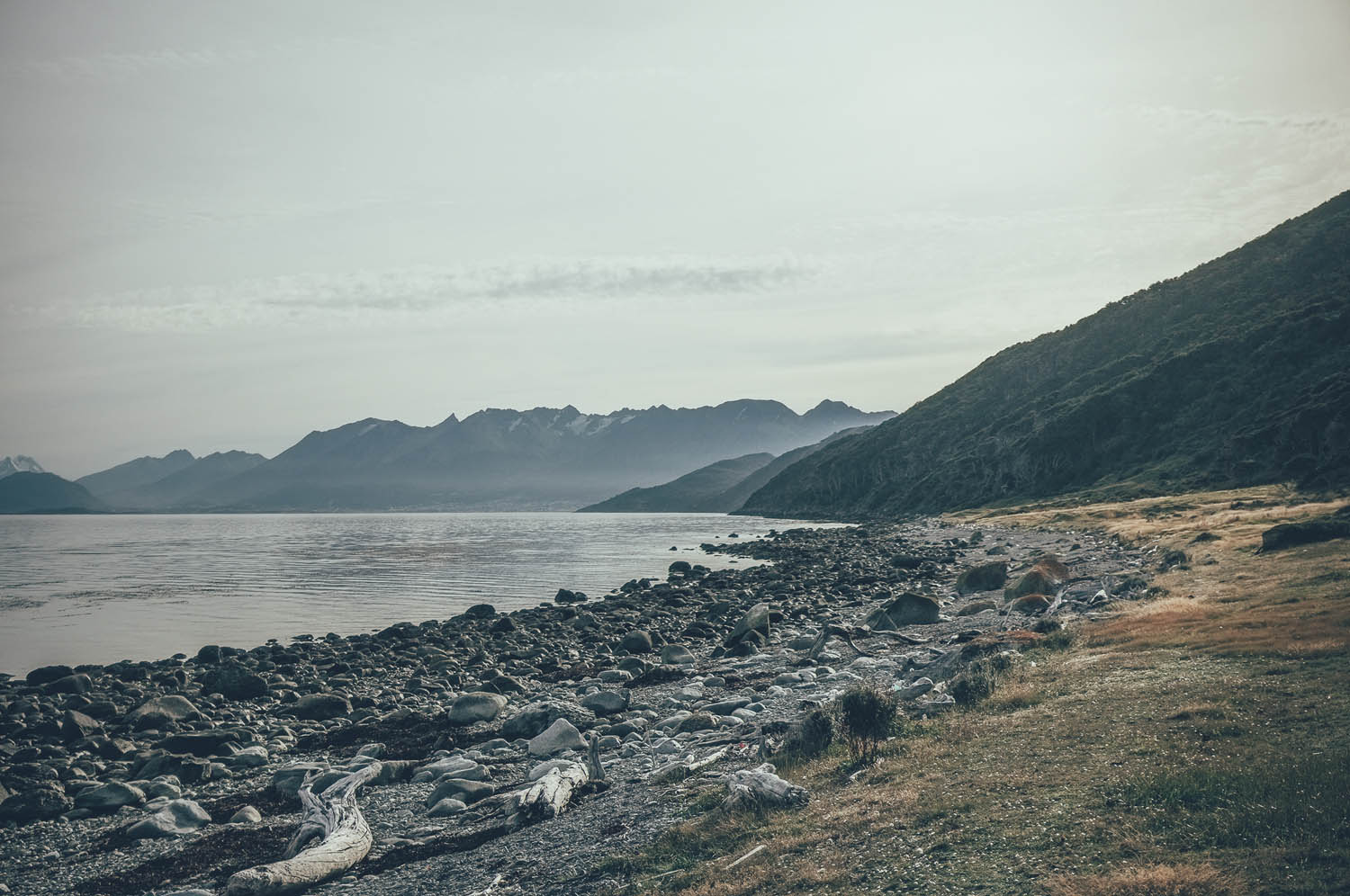
The 330m climb to the Paso Garibaldi, the highest point of the route at 460m, on the old road to Ushuaia is steep and rough. The old main road continues from the pass as a dirt track down the valley, until it joins the new main road for the rest of the descent. Smooth and fast gravel road continues toward the historical Estancia Harberton, a potentially worthwhile side tour from the route. The coast road toward Ushuaia has incredible views of the Beagle Channel and the snowy peaks of the island of Navarino on the other side. Whales can be seen in the channel, with some luck.
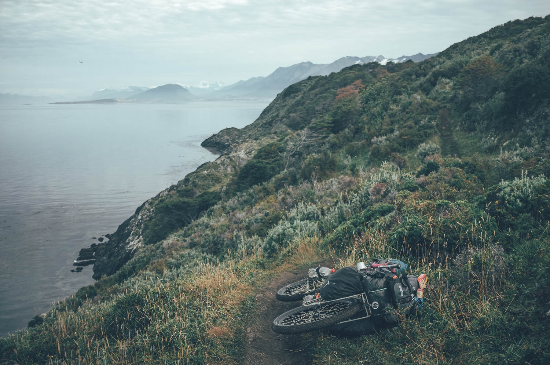
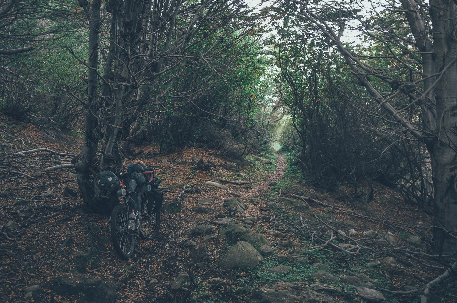
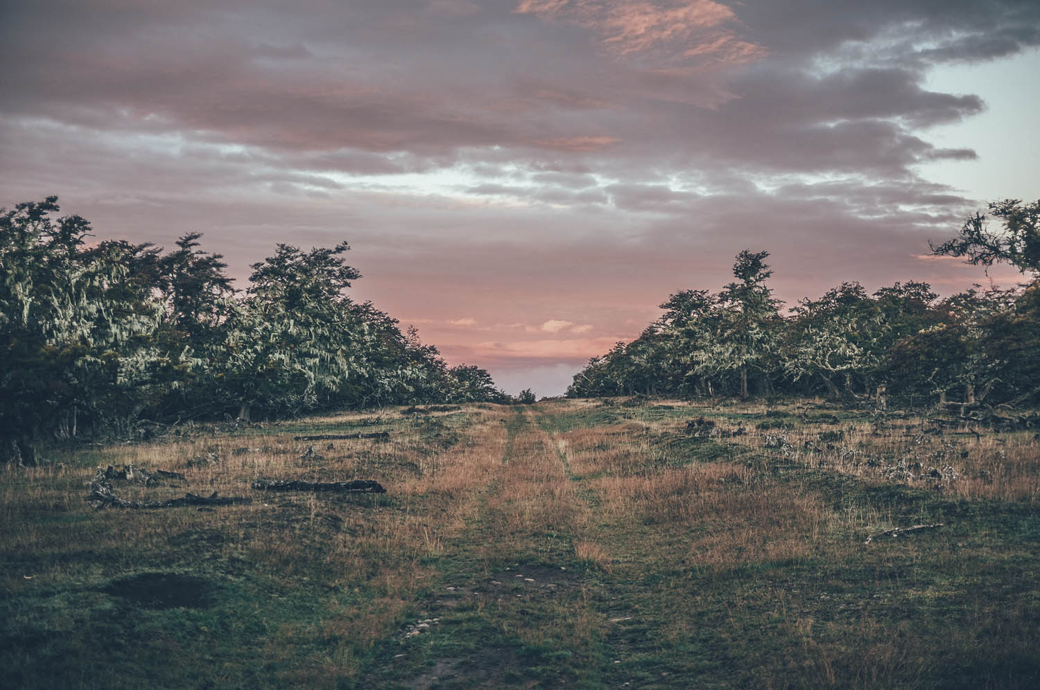
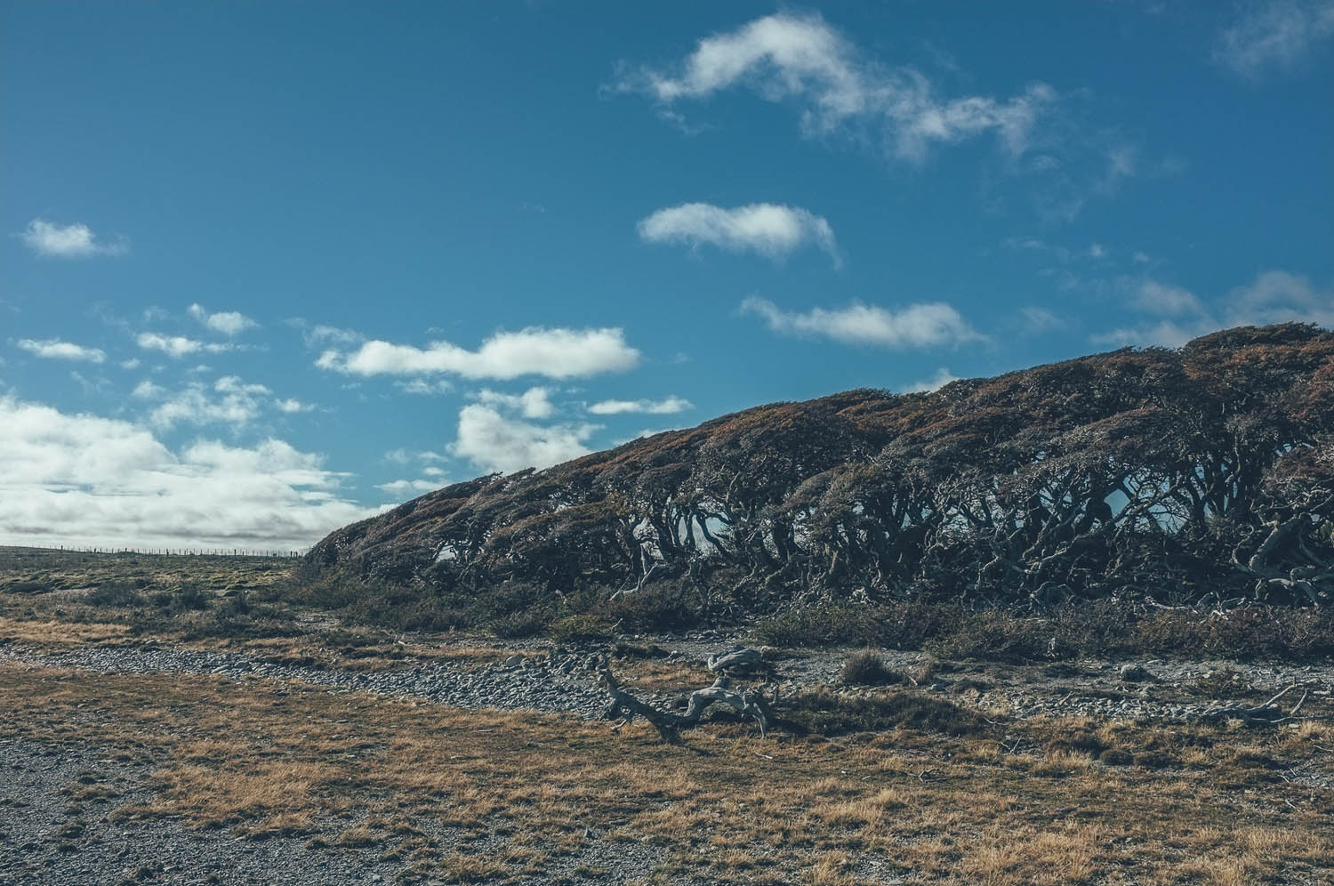
The coast road starts as a fast hard-packed gravel road but eventually turns into fun double-track with multiple easy river crossings. There is great camping by the rivers, as well as several empty shacks to sleep in in the area. The route enters an unused military area, before finally turning into single-track and disappearing into dense old-growth forest. Hike-a-biking and dragging the bike along a narrow trail hemmed in by thorn bushes for 4-6 hours is extremely hard work, but reaching or leaving Ushuaia on this route is more than worth it. If you do not stop in the center of Ushuaia to enjoy the tasty ales of an Irish pub, camping is great in the beautiful National Park of Tierra del Fuego, literally in the end of the world, next to 1000 year old lenga forest.


Terms of Use: As with each bikepacking route guide published on BIKEPACKING.com, should you choose to cycle this route, do so at your own risk. Prior to setting out check current local weather, conditions, and land/road closures. While riding, obey all public and private land use restrictions and rules, carry proper safety and navigational equipment, and of course, follow the #leavenotrace guidelines. The information found herein is simply a planning resource to be used as a point of inspiration in conjunction with your own due-diligence. In spite of the fact that this route, associated GPS track (GPX and maps), and all route guidelines were prepared under diligent research by the specified contributor and/or contributors, the accuracy of such and judgement of the author is not guaranteed. BIKEPACKING.com LLC, its partners, associates, and contributors are in no way liable for personal injury, damage to personal property, or any other such situation that might happen to individual riders cycling or following this route.
Please keep the conversation civil, constructive, and inclusive, or your comment will be removed.