


GAWR Segment 3 (Steppe)
Distance
541 Mi.
(871 KM)Days
7
% Unpaved
52%
% Singletrack
0%
% Rideable (time)
100%
Total Ascent
27,474'
(8,374 M)High Point
6,618'
(2,017 M)Difficulty (1-10)
3?
- 3Climbing Scale Fair51 FT/MI (10 M/KM)
- 4Technical Difficulty Fair
- 4Physical Demand Fair
- 3Resupply & Logistics Fair
Contributed By

Dana McKnight
Guest Contributor
Dana is retired and passionate about bikepacking and multi-day touring adventures. He spends much of his time developing and exploring routes in West Virginia, where he grew up, and Virginia, where he now lives. In 2024 and 2025, Dana completed the Great American Wheel Route, one of his bucket-list goals, over the course of two years. You can find more recaps of Dana’s adventures at Gravel Ride Recaps on Ohio Gravel Grinders.
B/W photos by Cody Johnson; Color photos by Cody Johnson, Dana McKnight, Mike Miller, Luke Kocher, Jen Kelly, Mike Miller, Evan Deutsch, and Evan Finton
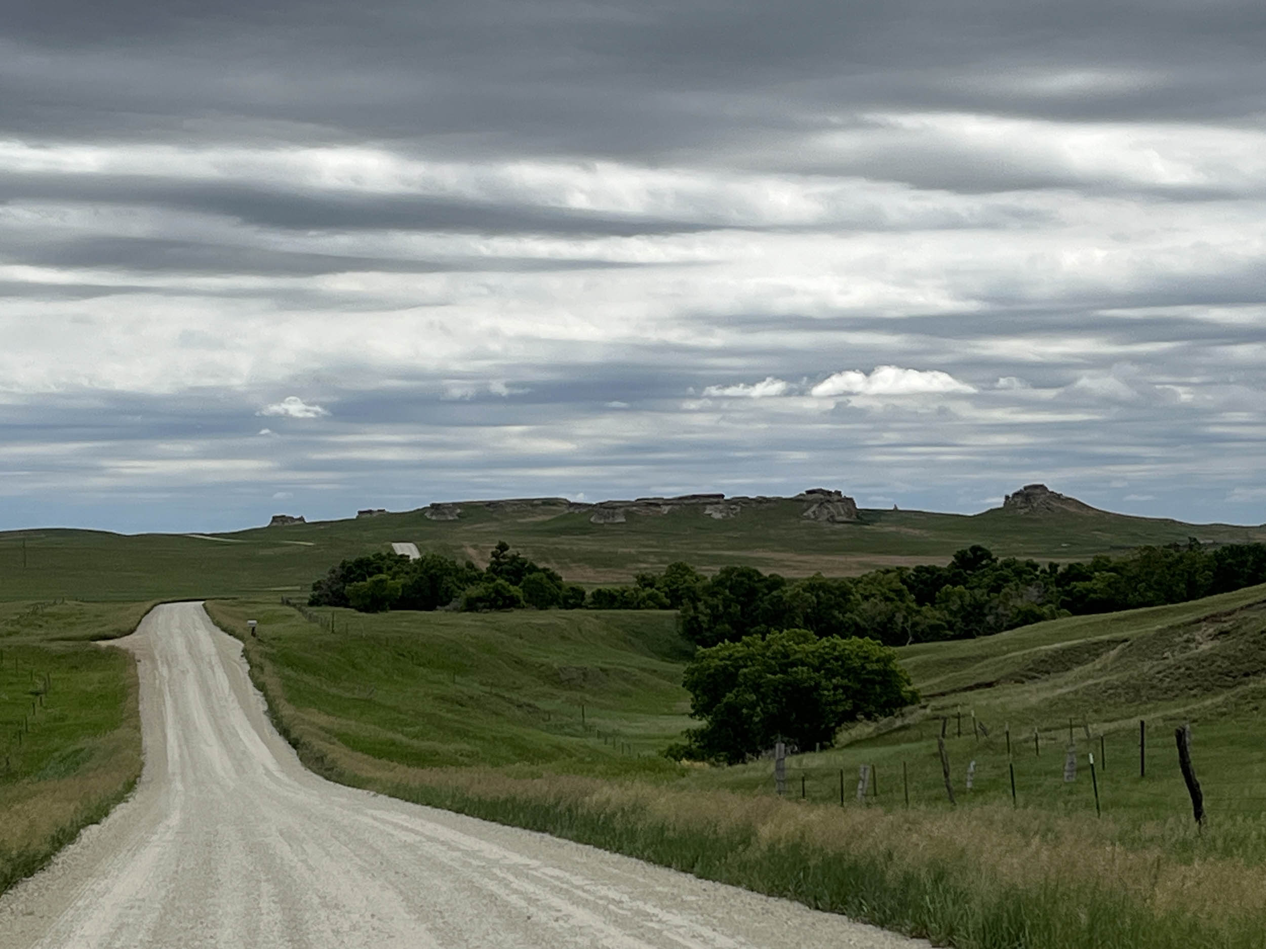
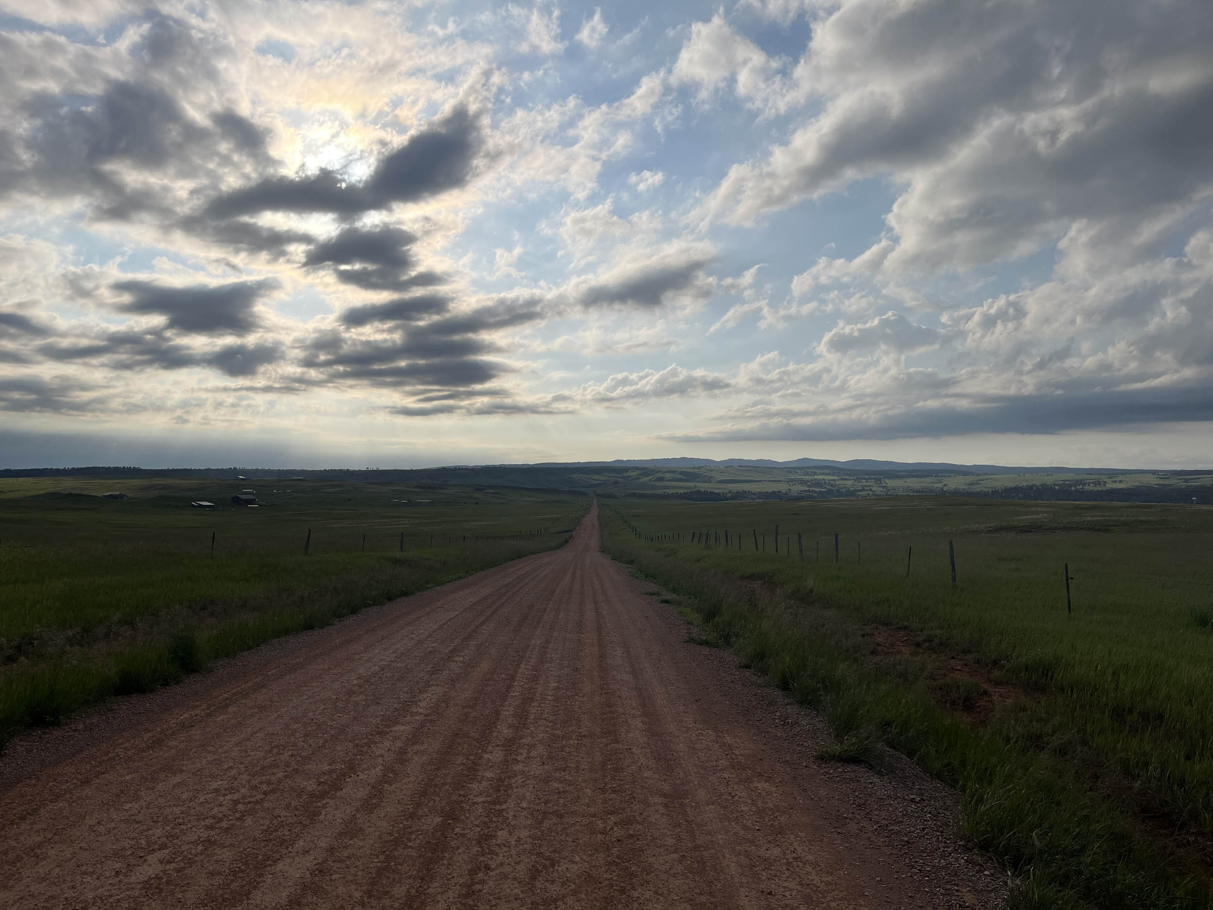
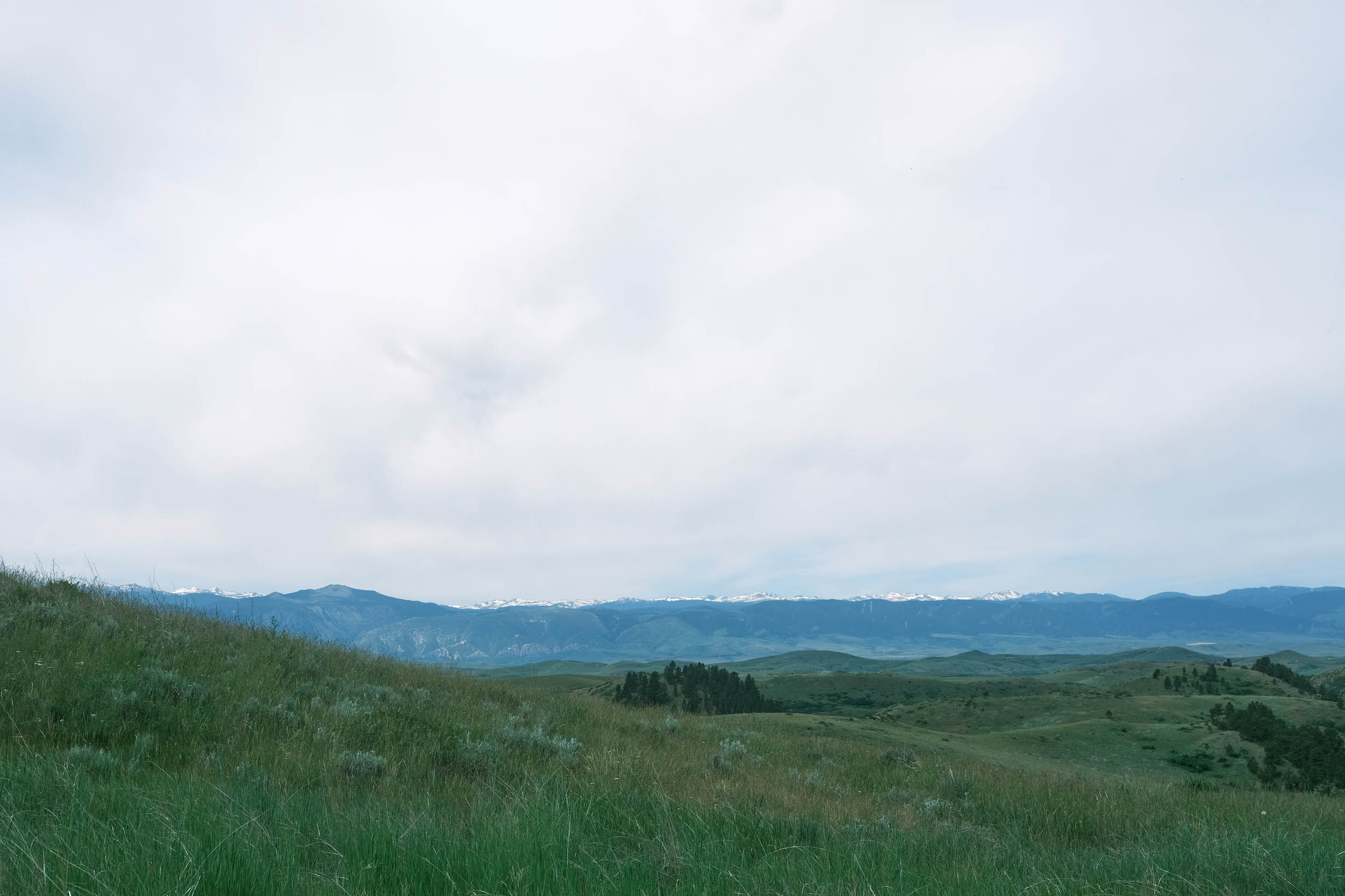
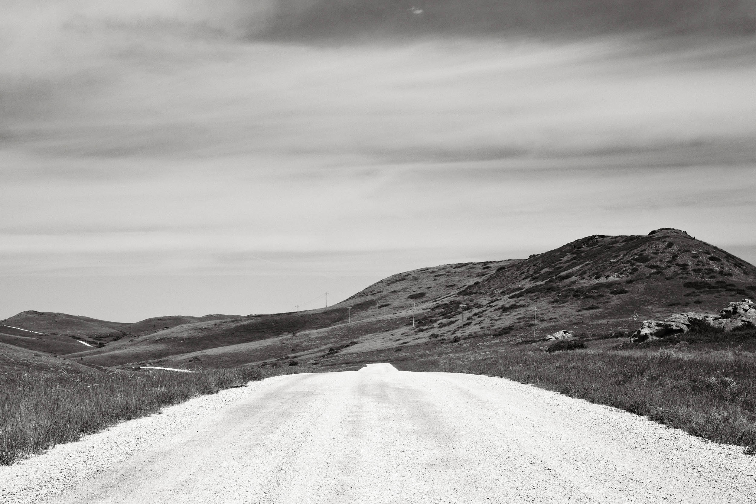
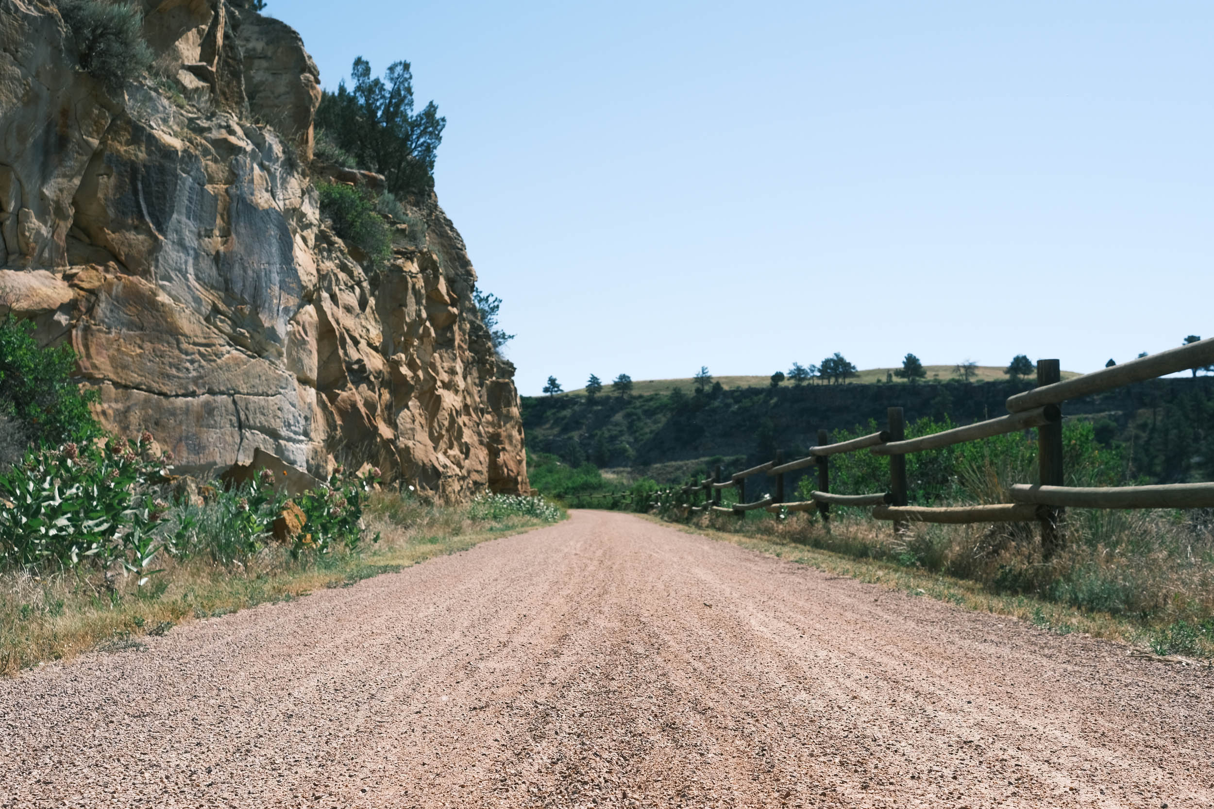
The name of Segment 3 of the Great American Wheel Route, Steppe, describes the landscape that dominates the riding in this portion of the route. North America’s steppes are dry, short grass plains over rolling, higher altitude hills with cold winters and warm summers. The route includes long stretches on rolling paved roads with generous berms, as well as multiple 50+ mile sections of uninterrupted meandering gravel roads over and around undulating hills and valleys.
The Crow and Northern Cheyenne Reservations dominate the western portion of this segment, offering opportunities to engage with and learn about the fascinating history of these two Native American tribes. The Crow reservation is the homeland of the Apsáalooke (Crow) tribe, who were famous for having some of the largest horse herds on the Northern Great Plains. The Northern Cheyenne call themselves Tsistsistas and were a nomadic tribe known for their skilled, powerful mounted warriors. Riders will pass by Chief Plenty Coups State Park and the Little Bighorn Battlefield, providing excellent opportunities to learn more about the Crow and nearby Northern Cheyenne tribes. The Little Bighorn Battlefield National Monument is where an overconfident Lieutenant Colonel George Custer showed poor military leadership and got over 200 of his soldiers and Crow scouts killed by a superior force of Lakota Sioux, Northern Cheyenne, and Arapaho.


The route passes by the impressive Devils Tower in Wyoming, which was established in 1906 as the first National Monument in the United States and rises almost 1,000 feet above the surrounding trees. The climb up Warren Peak follows, offering expansive 360-degree views of the surrounding landscapes. Look to the northwest, and you’ll see Devils Tower and realize how much climbing you just experienced.
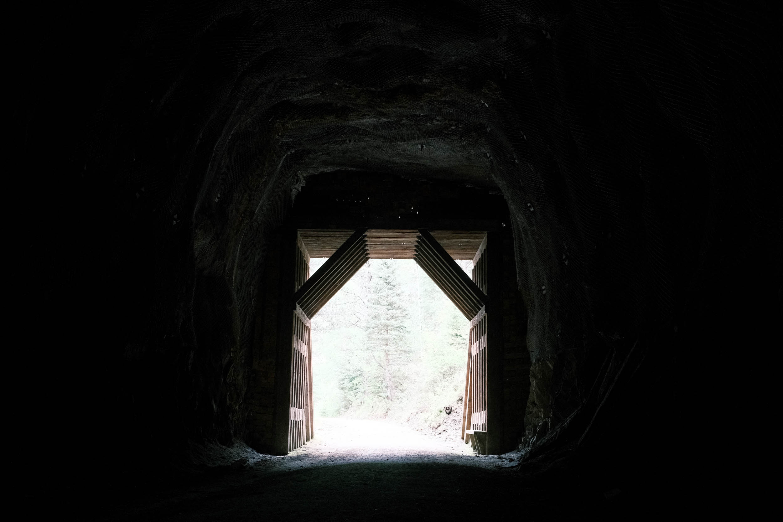
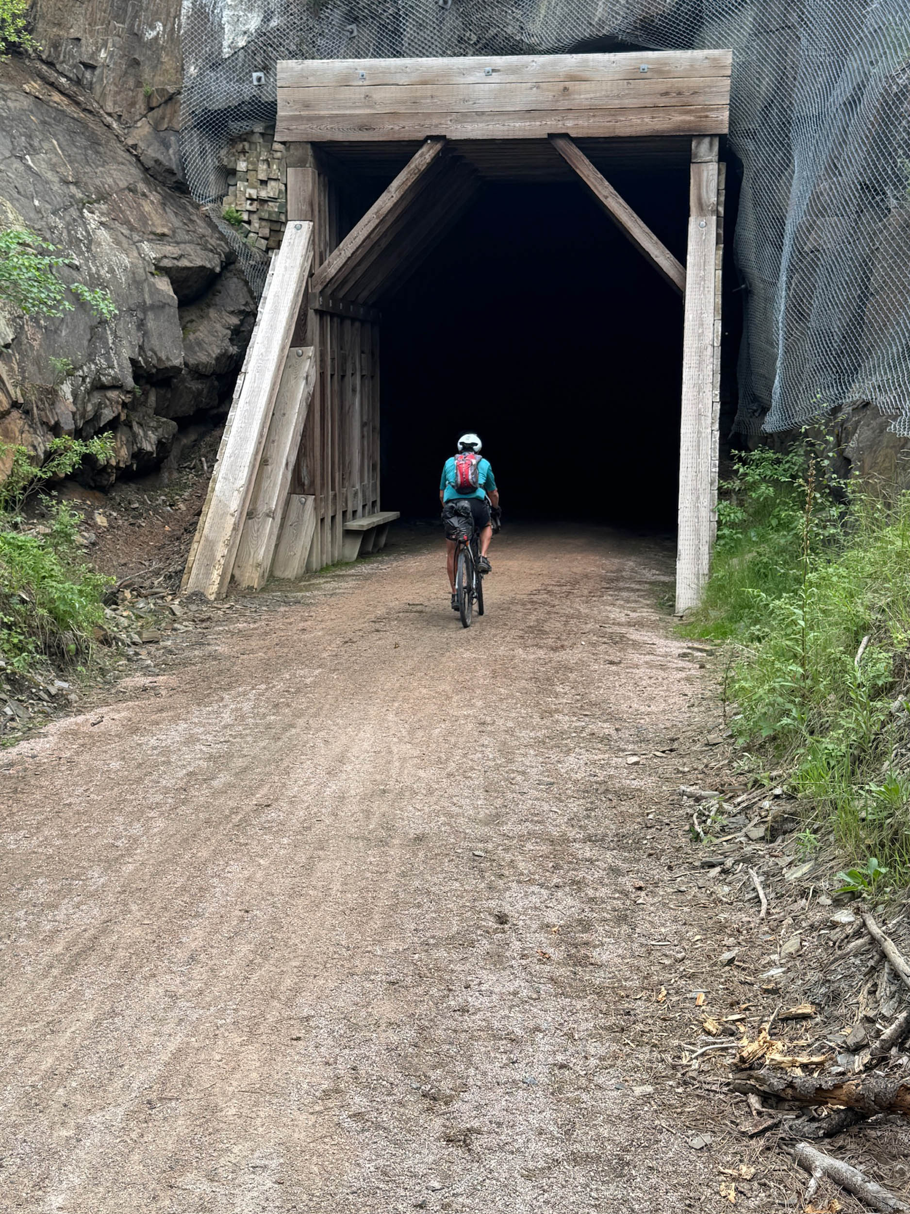
The Black Hills of South Dakota include the fantastic Spearfish Canyon before intersecting with one of the rail trail highlights of the entire route, the George Mickelson Trail. The Mickelson Trail is a 100+ mile rail trail that traverses the Black Hills. Visiting the tourist-rich towns along the trail, such as Deadwood, Hill City, and Custer, provides ample opportunities for good food, lodging, and resupply. This is also an opportunity to take a day or two off and visit some of the United States’ premier tourist destinations. They include Badlands National Park, Mount Rushmore, Custer State Park, Crazy Horse Memorial, Jewel Cave National Monument, and Wind Cave National Monument.
Route Difficulty
We are assigning an overall difficulty of 4 to this segment due to the remoteness, potential exposure to the elements, significant steep climbs, and the distance between resupply points and facilities. Most riding surfaces are either asphalt or good gravel, but there are sections in the Black Hills that are rough gravel. There is also the potential for sticky mud that clogs your drivetrains during and shortly after heavy rains.
Overall, Steppe is not extremely technical, but there are some areas that are rough or have sticky peanut butter mud when wet. Additionally, there are very long downhills where, if desired, speeds can reach over 30 miles per hour with a loaded bike, so maximum skill and concentration are needed.
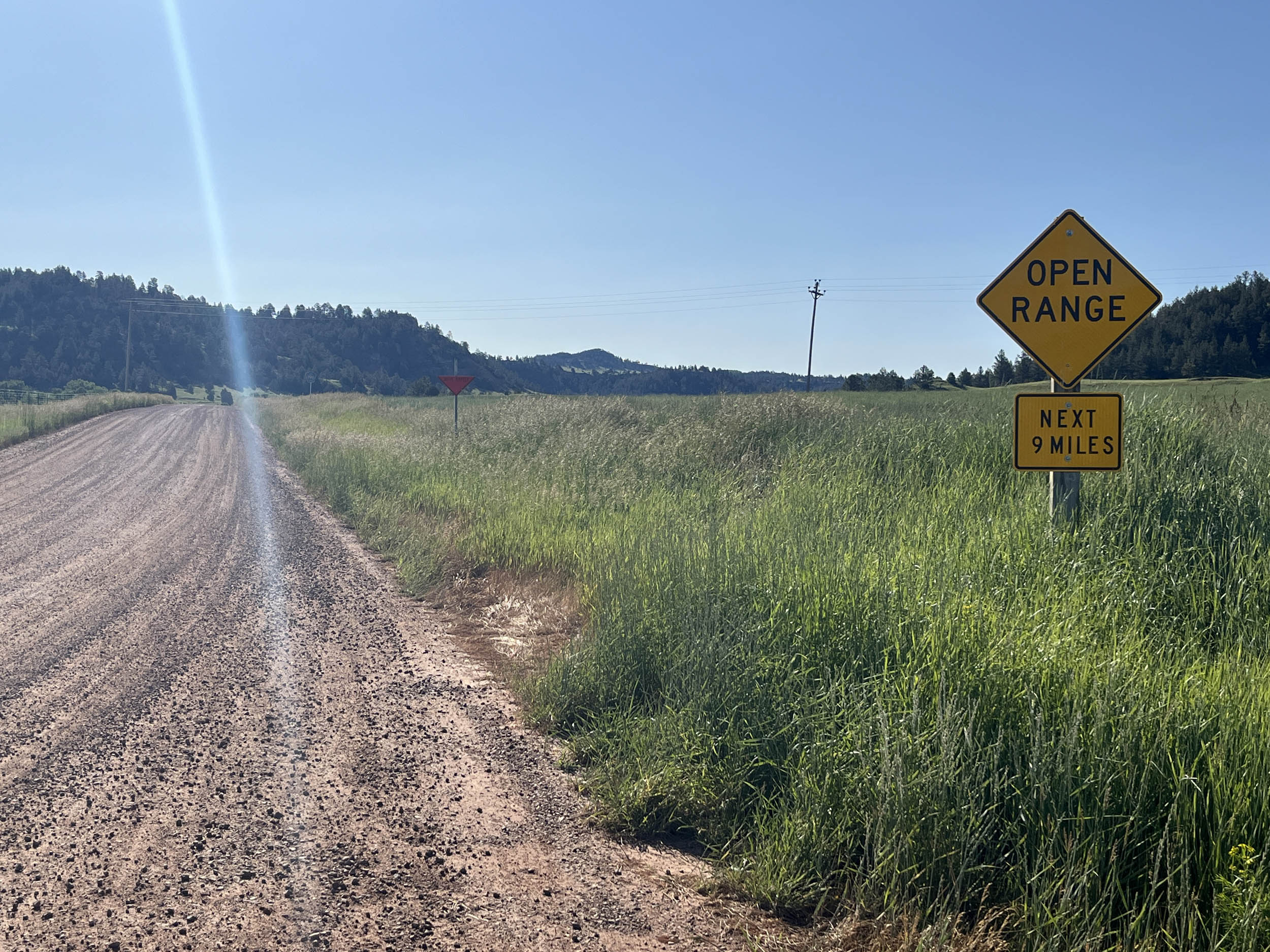
There is a level of remoteness and continuous elevation changes in the Steppe. Riders will also encounter multiple long-distance segments, and there are long and sometimes steep (6-10%) climbs in the Black Hills. A high frequency of climbs in the steppe also contributes to this being one of the highest elevation-gained segments on the entire route. Also, the Mickelson Rail Trail is not flat as it traverses through the Black Hills.
Resupply and logistics are mostly straightforward, as the route routinely goes through small towns and resupply points. There are sections where resupply is over 50 miles apart, so adequate planning is required. POIs defining resupply, camping, and lodging locations are provided and have been very well received by previous riders.
One of the challenges, especially in Montana, is the ability to reroute due to weather, forest fires, and construction. Due to the length of the route, predicting these issues is nearly impossible, so having the skill to safely reroute yourself when the route is blocked is paramount.
The Great American Wheel Route (GAWR) is an expansive 3,700-mile mixed-terrain bicycle route traversing the United States. Beginning at the Space Needle in Seattle and concluding at the Washington Monument in Washington, D.C., the GAWR guides riders across the country via an elaborate network of gravel roads and paths, paved trails, and low-traffic backroads, prioritizing separation from motorized vehicles. Find the full GAWR route here.
Route Development: The GAWR was finalized in 2024, with many people contributing to its creation and maintenance. It was inspired by and incorporates multiple segments of Rails to Trails Conservancy’s Great American Rail Trail (GART) route, linking them with dirt to create a more gravel-focused experience across the country. Find details at the main route page here.


Submit Route Alert
As the leading creator and publisher of bikepacking routes, BIKEPACKING.com endeavors to maintain, improve, and advocate for our growing network of bikepacking routes all over the world. As such, our editorial team, route creators, and Route Stewards serve as mediators for route improvements and opportunities for connectivity, conservation, and community growth around these routes. To facilitate these efforts, we rely on our Bikepacking Collective and the greater bikepacking community to call attention to critical issues and opportunities that are discovered while riding these routes. If you have a vital issue or opportunity regarding this route that pertains to one of the subjects below, please let us know:
Highlights
Must Know
Camping
Food/H2O
Trail Notes
- Stopping by and admiring the calm waters of Cooney Reservoir near Columbus, MT, a 1,078-acre lake on Red Lodge Creek, renowned for its excellent walleye and rainbow trout fishing opportunities.
- Visiting Chief Plenty Coups State Park, a National Historic Landmark located within the Crow Indian Reservation. The park preserves the log home, sacred spring, and farmstead of Chief Plenty Coups, who was a man of war and then a man of peace. The park offers the opportunity to learn about Chief Plenty Coups’ life and Native American culture.
- Stop at the Bighorn County Historical Museum in Hardin, MT that focuses on the diverse heritage of the Big Horn region including Native American cultures and the pioneer and homesteading eras.
- Visit the Little Bighorn Battlefield National Monument in Crow Agency, MT and learn about the major battle of the Great Sioux War often called “Custer’s Last Stand,” The monument is the location where Lakota, Cheyenne, and Arapaho warriors defeated the U.S. Army’s 7th Cavalry and their Crow scouts.
- Have a steak at the Stockman’s Club in Broadus, MT where the steaks are huge and cooked to perfection.
- Ride by Devils Tower National Monument, WY a striking almost 1000 foot geological feature and the first U.S. National Monument, established by Theodore Roosevelt in 1906.
- Admire the panoramic views from Warren Peak, WY the highest peak in the Bear Lodge Mountains of the Black Hills National Forest.
- Riding through the Spearfish Canyon, SD with steep and vertical rock walls surrounding you on both sides of the narrow canyon.
- Stop by and admire Roughlock Falls in the Spearfish Canyon, SD, a multi-tiered waterfall set in lush green vegetation fed by the Little Spearfish Creek.
- Stay in the town of Deadwood where the entire town is a National Historical Landmark that feels like you are stepping back into the rugged mining era of the old west.
- Visit the Crazy Horse Monument right off the route near Hill City, SD. It is a massive carving depicting Chief Crazy Horse and contains a museum that honors the culture, traditions and living heritage of North American Native Americans.
- The following sites are off route in the general Black Hills area of South Dakota but can be accessed by bicycle if planned correctly and are well worth the effort to visit them. The caves require reservations to tour: Mt. Rushmore National Memorial, SD, a colossal sculpture depicting George Washington, Thomas Jefferson, Theodore Roosevelt and Abraham Lincoln. Wind Cave National Monument, SD, one of the longest and most complex cave systems in the United States with over 168 miles explored. Jewel Cave National Monument, SD, the second longest cave system in the United States with over 220 miles explored. Custer State Park, SD, a massive state park with unique rock formations called the needles and an expansive wildlife rich valley.
- Visit Badlands National Park, SD a unique area characterized by a surreal landscape of jagged buttes, spires, and deep canyons. Note: this is a good distance from the route. A rental car or other form of transportation is recommended. Rental cars are available in Spearfish via Enterprise Car Rental.
When to go
- Summer to early fall
Logistics
- Primary information about the Grand Depart and race can be found at The Unsupported Cycling.
- Some trails require a fee – The George Mickelson Trail requires a fee and permit from the South Dakota State Parks system.
Dangers and Annoyances
- Dogs – dogs may be encountered anywhere along the route especially in rural areas where owners don’t properly contain them. It is recommended that you carry pepper spray, an air horn, etc. to help deter them.
- Ad-hoc route deviations – The ability and skill to reroute due to flooding, fires, weather, construction, etc. will enhance your ride and improve your odds of completing the adventure.
Travel basics
- Airports in Billings, MT and Rapid City, SD.
- Car rentals at both airports and in Spearfish, SD.
- U-Haul available in all cities and many towns. A rental car to explore the Black Hills area is recommended.
- U.S. Visa requirements – U.S. Tourism & Visit Visa
What bike?
- Any comfortable endurance, gravel, adventure, touring type bike that can carry your gear and is durable. You will most likely experience mechanicals due to the length and gravel conditions of the route. Know basic skills and be able to find a bike shop when necessary. You may have to rig a solution until you get to the shop.
- Tire size – 40 mm to 2.2 inches with durable compounds and less aggressive tread patterns are recommended.
- Gearing – at least a 1:1 gear ratio between the crank and cassette for the lowest gear. Lower is better.
- Suspension – many riders have completed the route without any suspension components. Stem and seat suspensions may provide additional comfort depending on riders’ preferences. Knowing how to and when to adjust your tire pressure for different riding conditions is probably more important than having suspension components.
- Campgrounds and established campsites are scarcer along this segment of the route especially in the western portion of the segment while traveling through the Crow and Northern Cheyenne reservations. Once past Ashland, MT east of the Northern Cheyenne reservation camping becomes more common as the route enters national forest and BLM public lands providing dispersed camping options as well as National Forest Campgrounds. Many prominent options are noted in the downloadable GPX file and the available services spreadsheet, but there are more.
- The most significant stretch devoid of camping is approximately 100 miles between Cooney Reservoir and Hardin, MT as the route passes through and near the enormous Crow Reservation where any type of camping is absolutely forbidden. Finding lodging in Joliet or diverting to Billings is recommended.
- The 80 mile stretch between Broadus, MT and Hulett, WY is also devoid of defined camping, however the route is near or passes through BLM land and some state lands where camping is legal. There are a few small outfitters and Bed and Breakfast prior to reaching Hulett where lodging may be available.
- Especially out west, there are ample opportunities to camp on public lands that include National Forest, Bureau of Land Management (BLM) and National Grass Lands. You will also legally ride through private land areas on public accessible roads and paths. Understanding whether you are on public or private lands is imperative especially while camping. Private land ownership is taken very seriously in the United States so it is of most importance that you understand when you will or won’t trespass on private lands along the entire route. The Gaia GPS app is a good app for determining potential public lands where camping is legal.
- If wild camping is a must, we recommend setting up after dusk and leaving at dawn. Churches, parks, and other public places are usually safe options, but use your own judgment and leave no trace. Again, do not camp on the reservations.
- There are hotels/motels/lodging in Joliet, off route in Billings, Hardin, Ashland, and Broadus, MT, Hulett, WY as well as Deadwood, Hill City, Custer and Edgemont, SD.
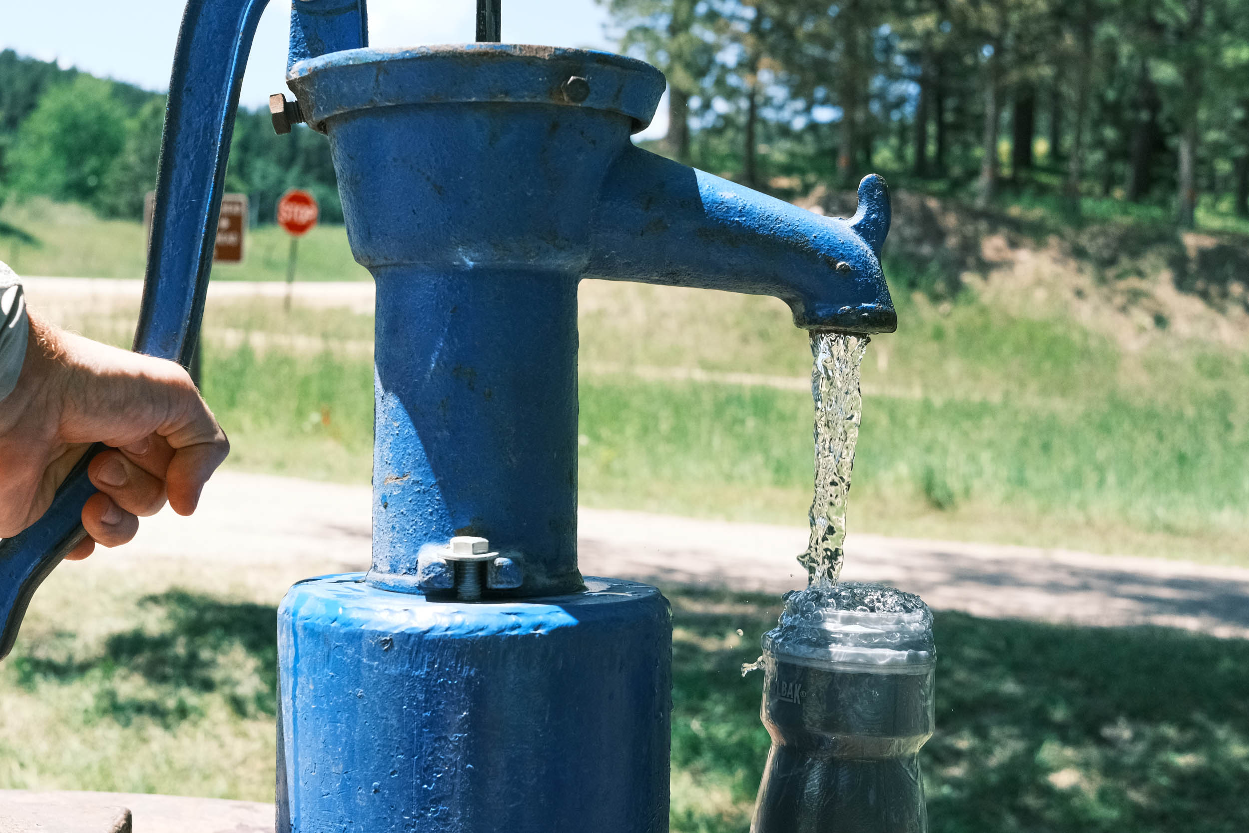
- Filterable water can also be scarce on this portion of the route as the landscape is arid with natural water sources being far and few between. Those available, may be frequented by livestock so choose your sources carefully if filtering is necessary. Water is available in most towns along the route and riders have also asked local residents for water and most are more than happy to accommodate. Ask before using private water sources.
- Churches and fire stations are a good source of drinking water as there are usually spigots available. Make sure to ask if there is someone on site.
- Resupply options are more spread out on this segment requiring more planning and carrying heavier loads of water and food on your bike. Resupply points are identified as POIs in the downloadable GPX file and the available services spreadsheet. The longest stretches without resupply are between Chief Plenty Coups State Park and Hardin, MT reaching approximately 60 miles and between Biddle, MT and Hulett, WY also approximately 60 miles.
- The main resupply points with significant options are Columbus, Joliet, Hardin, Crow Agency, Lame Deer, Ashland, Broadus, MT, Hulett, Sundance, WY, Deadwood, Hill City, Custer and Edgemont, SD
Here’s an example itinerary based on 60–100 mile days. Some riders may prefer shorter days, while others might average longer distances, but this serves as a solid baseline for a thrurider planning a reasonable bikepacking itinerary. This assumes you’re a fairly seasoned rider carrying a medium load.
location Columbus, MT to Hardin, MT
Day 1 (113 mi +4,200 ft)
This is a very long ride to Hardin, MT, but the distance can be broken up by staying in Joliet at the Botts Family Motel, approximately 30 miles from Columbus, or by going off route about halfway and staying in Billings. Camping is also available at Cooney Reservoir, though it’s only a short distance from the start.
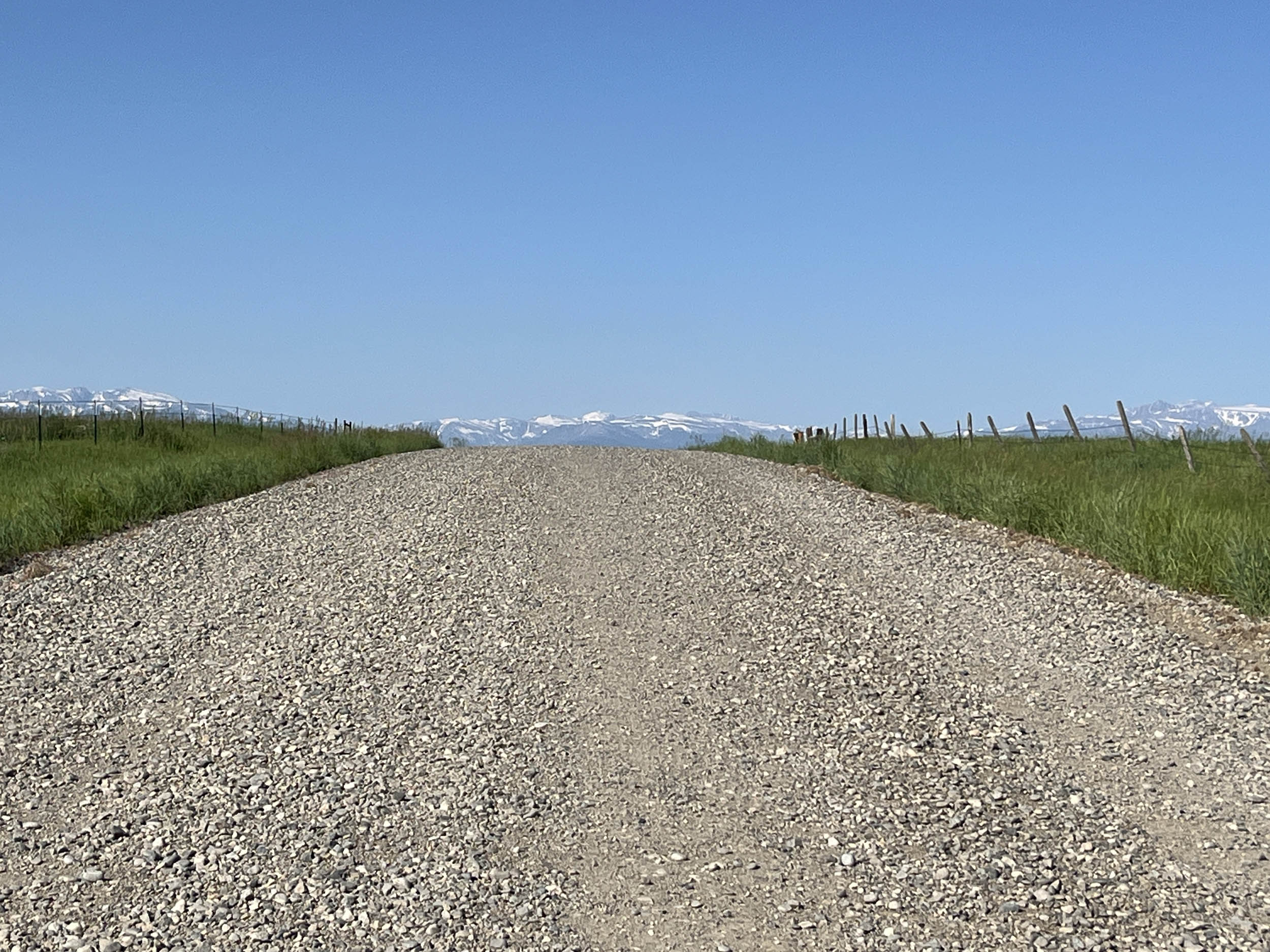
Between Columbus and Cooney Reservoir, one of the last views of the majestic Rocky Mountains appears while cresting a hill, exposing the impressive Beartooth Mountain Range in the distance.
After leaving Joliet, the route passes through large portions of the Crow Reservation, where camping is not allowed. Stop by Chief Plenty Coups State Park to learn about the history of this important Crow leader. There is also a high probability of seeing antelope and prairie dogs in this area. While observing the antelope, notice that they won’t jump fences—they prefer to go under them.
location Hardin, MT to Ashland, MT
Day 2 (78 mi +3,400 ft)
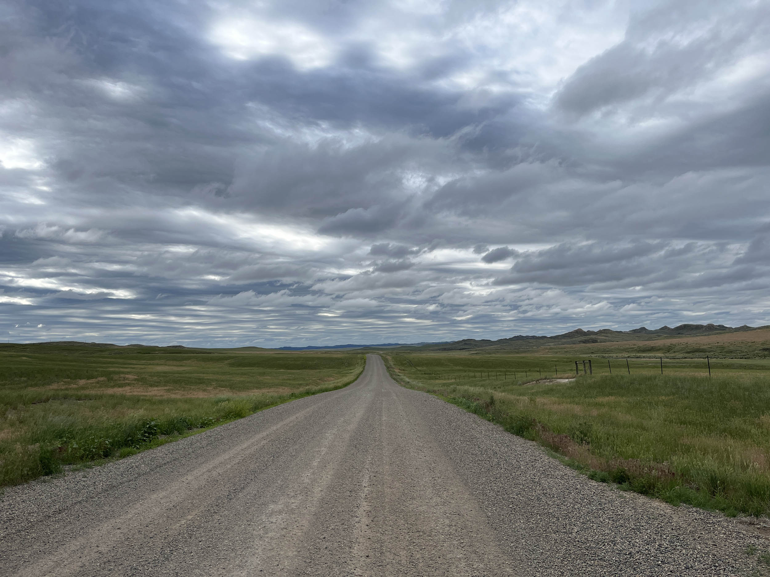
Goodbye Rocky Mountains and hello to the high plains of the United States. This is the land of big ranches, cattle, and a whole lot of prairie dogs. The high, rolling shortgrass plains (steppes) provide endless views of expansive pastures that dominate the landscape.
The route passes by the Little Bighorn Battlefield National Monument, where an overconfident Custer badly misread the strength of his opponents. He combined serious tactical errors and questionable leadership, at least on that day, resulting in the loss of hundreds of his men. Additionally, Native American forces were highly skilled and effectively used their numerical advantage.
The remainder of the ride follows Hwy 212, which has a decent shoulder and plenty of rolling hills. Grades generally range from 3–6%, making them manageable.
The route continues through both the Crow and Northern Cheyenne Reservations on the way to Ashland. Take some time to engage with locals and learn about the culture of these proud communities.
Ashland offers lodging at the Western 8 Motel and limited resupply options. Camping is available at Red Shale National Forest Campground farther east on Route 212.
location Ashland, MT to Broadus, MT
Day 3 (70 mi +3,000 ft)
Leaving Ashland on Route 212, the route then dives south into the picturesque Tongue River Breaks and Custer National Forest, where ample dispersed camping is available. This is another remote yet beautiful section with no resupply options, so plan accordingly.
Broadus offers full services with the exception of camping. Stay at the very nice Sagebrush Inn Hotel and treat yourself to an excellent steak at the Stockman’s Club.
location Broadus, MT to Hulett, WY
Day 4 (89 mi +5,000 ft)
Another long day with significant climbing as the route passes through a very remote section of southeastern Montana on the way to Wyoming. Limited resupply continues to be a theme, so don’t miss the Cross Ranch gas station, slightly off route in Biddle, MT.
Expect extensive, generally wellmaintained gravel as the route weaves across a lonely landscape dotted with wideopen ranches and pastureland. Many local ranching families have been here for over 100 years and consider it paradise. This is likely the most remote stretch of the entire crosscountry route.
About 70 miles into the ride, there are a few small outfitters, bedandbreakfast options, and camping opportunities. Riders can choose to stop here or continue on to Hulett, which offers full services, including lodging, camping, and restaurants. Hulett is also very close to Devils Tower, making it a worthwhile place to spend some extra time exploring.
location Hulett, WY to Sundance, WY
Day 5 (36 mi +3,600 ft)
This day and the next can be combined into a single ride of approximately 80 miles with over 6,000 feet of climbing, featuring two major climbs.
Leaving Hulett, the route immediately passes next to Devils Tower, offering spectacular views of the National Monument. A long climb up to Wallace Peak follows, featuring some of the steepest grades of the route so far. The effort is rewarded with expansive 360degree views stretching to the horizon. As usual, the climb is followed by a long, fast descent all the way into Sundance.
Sundance is a fullservice town and well worth some extra time to explore.
location Sundance, WY to George Mickelson Trail, SD
Day 6 (44 mi +3,500 ft)
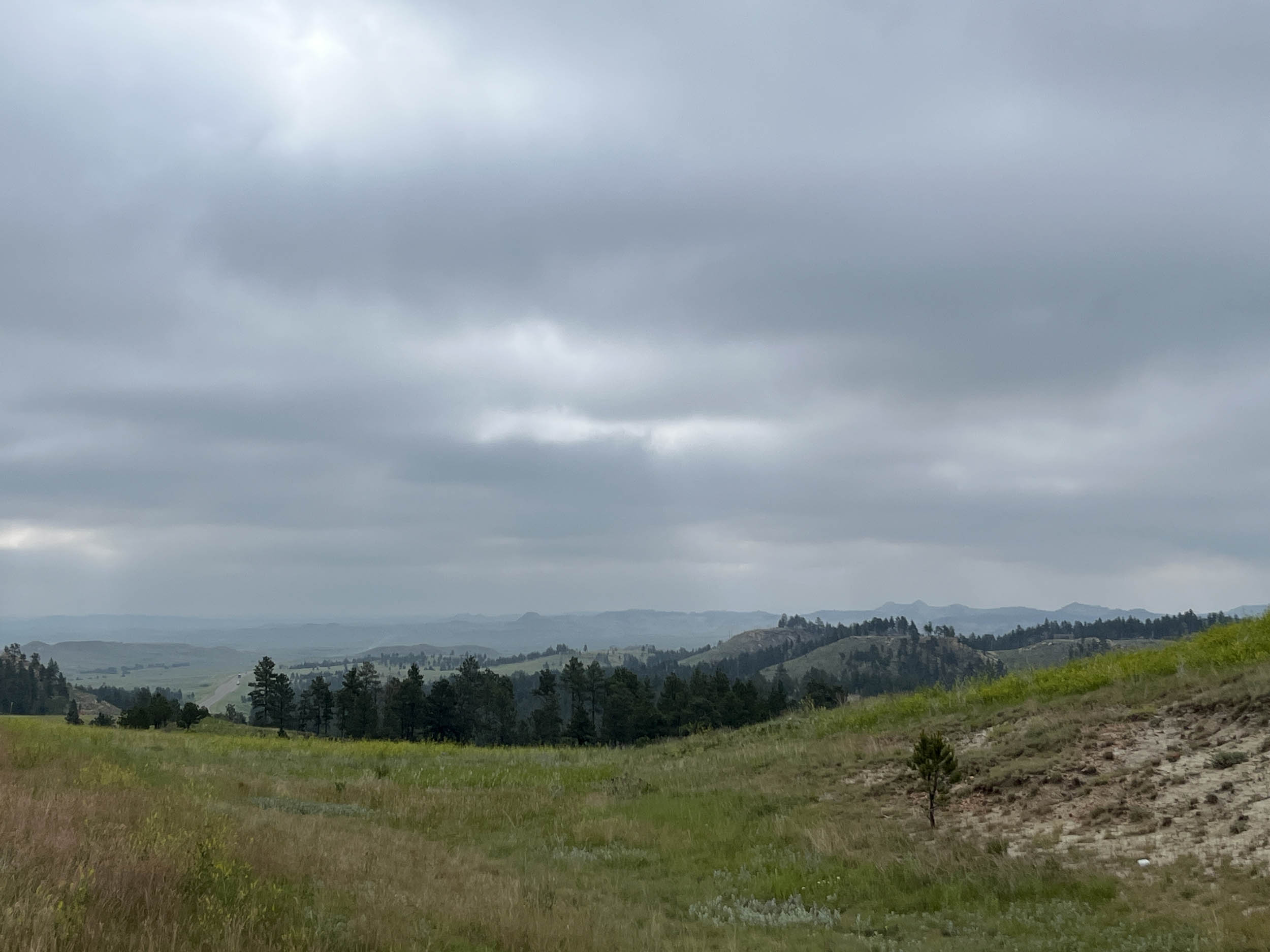
Another state down as the route enters South Dakota after a lengthy, but not overly steep, climb. Timon Campground in Black Hills National Forest and dispersed camping options are available along this section.
After the climb, enjoy an outstanding 10mile descent through Spearfish Canyon, featuring dramatic vertical rock walls. This area includes one of the filming locations for Dances with Wolves and a stop at the beautiful Roughlock Falls is well worth the time.
The Black Hills are an excellent place to take a few rest days and explore. Deadwood lies just a few miles up the Mickelson Trail. Custer State Park, Mount Rushmore, Crazy Horse Memorial, Wind Cave National Park, and Jewel Cave National Monument are all located here. Badlands National Park is also within reasonable driving distance if you choose to rent a car.
location Deadwood, SD to Edgemont, SD
Day 7 (110 mi +4,200 ft)
This day assumes the rider diverted to Deadwood for sightseeing and begins riding from the northern terminus of the George Mickelson Trail.
This is a long day, but completing the entire trail in one push is feasible, as most riders are in excellent shape by the time they reach the Black Hills. The Mickelson Trail earns its place in the RailTrail Hall of Fame, traversing nearly the full length of the Black Hills before ending in Edgemont.
The trail is not flat and includes several sustained climbs, particularly in the wooded and hilly northern section. As the route heads south, it passes near the Crazy Horse Memorial and through Hill City and Custer—both fullservice towns with excellent food options. Either makes a solid stop if needed.
At the southern terminus, the trail drops out of the Black Hills into the Great Plains, where the route continues east.

Terms of Use: As with each bikepacking route guide published on BIKEPACKING.com, should you choose to cycle this route, do so at your own risk. Prior to setting out check current local weather, conditions, and land/road closures. While riding, obey all public and private land use restrictions and rules, carry proper safety and navigational equipment, and of course, follow the #leavenotrace guidelines. The information found herein is simply a planning resource to be used as a point of inspiration in conjunction with your own due-diligence. In spite of the fact that this route, associated GPS track (GPX and maps), and all route guidelines were prepared under diligent research by the specified contributor and/or contributors, the accuracy of such and judgement of the author is not guaranteed. BIKEPACKING.com LLC, its partners, associates, and contributors are in no way liable for personal injury, damage to personal property, or any other such situation that might happen to individual riders cycling or following this route.
Further Riding and Reading
Here are some connected/nearby routes and related reports...

Please keep the conversation civil, constructive, and inclusive, or your comment will be removed.