


GAWR Segment 4 (Plains)
Distance
699 Mi.
(1,125 KM)Days
10
% Unpaved
57%
% Singletrack
0%
% Rideable (time)
100%
Total Ascent
17,908'
(5,458 M)High Point
4,327'
(1,319 M)Difficulty (1-10)
3?
- 2Climbing Scale Easy26 FT/MI (5 M/KM)
- 2Technical Difficulty Easy
- 3Physical Demand Fair
- 2Resupply & Logistics Easy
Contributed By

Dana McKnight
Guest Contributor
Dana is retired and passionate about bikepacking and multi-day touring adventures. He spends much of his time developing and exploring routes in West Virginia, where he grew up, and Virginia, where he now lives. In 2024 and 2025, Dana completed the Great American Wheel Route, one of his bucket-list goals, over the course of two years. You can find more recaps of Dana’s adventures at Gravel Ride Recaps on Ohio Gravel Grinders.
B/W photos by Cody Johnson; Color photos by Cody Johnson, Dana McKnight, Mike Miller, Luke Kocher, Jen Kelly, Mike Miller, Evan Deutsch, and Evan Finton
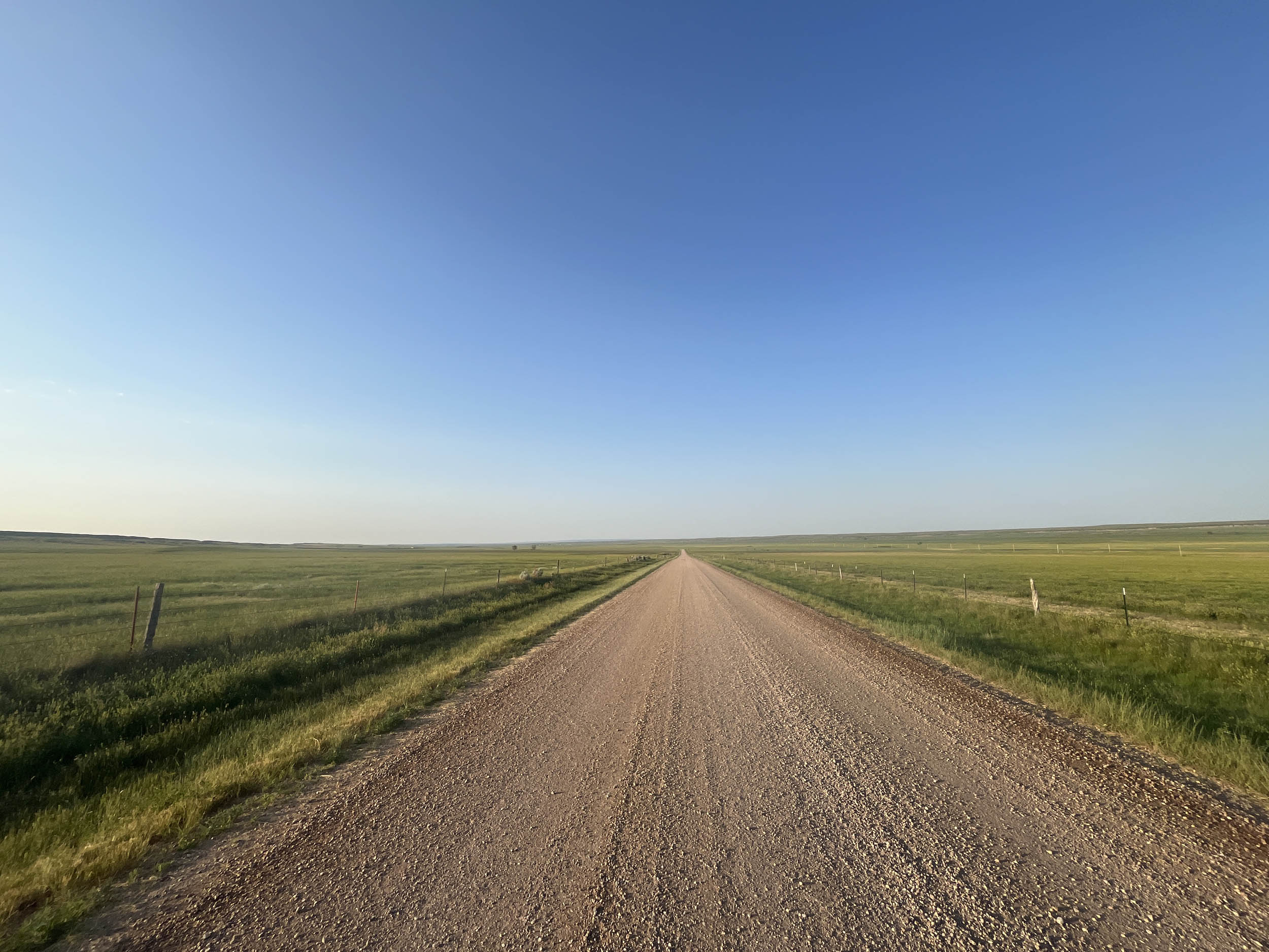
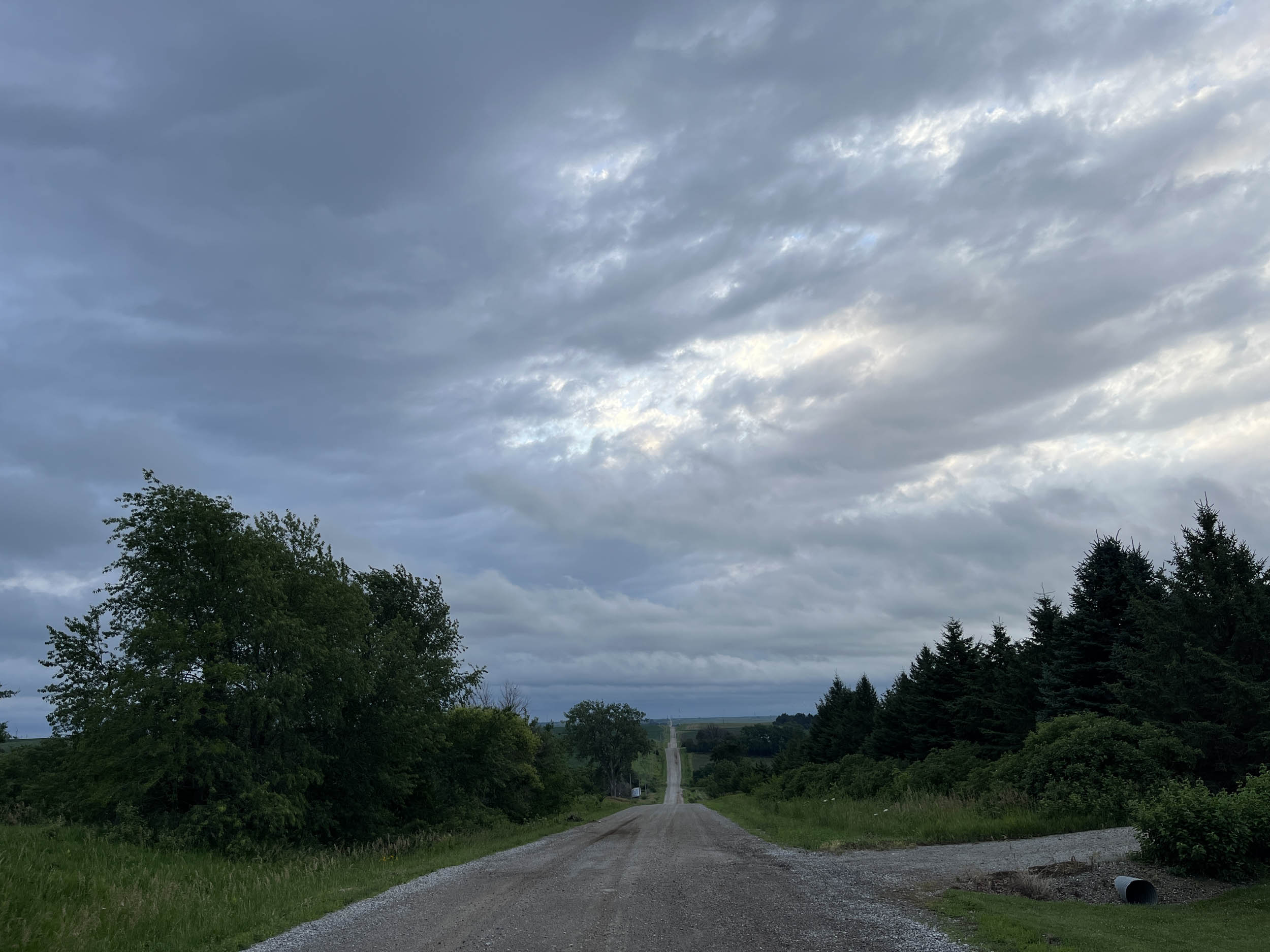
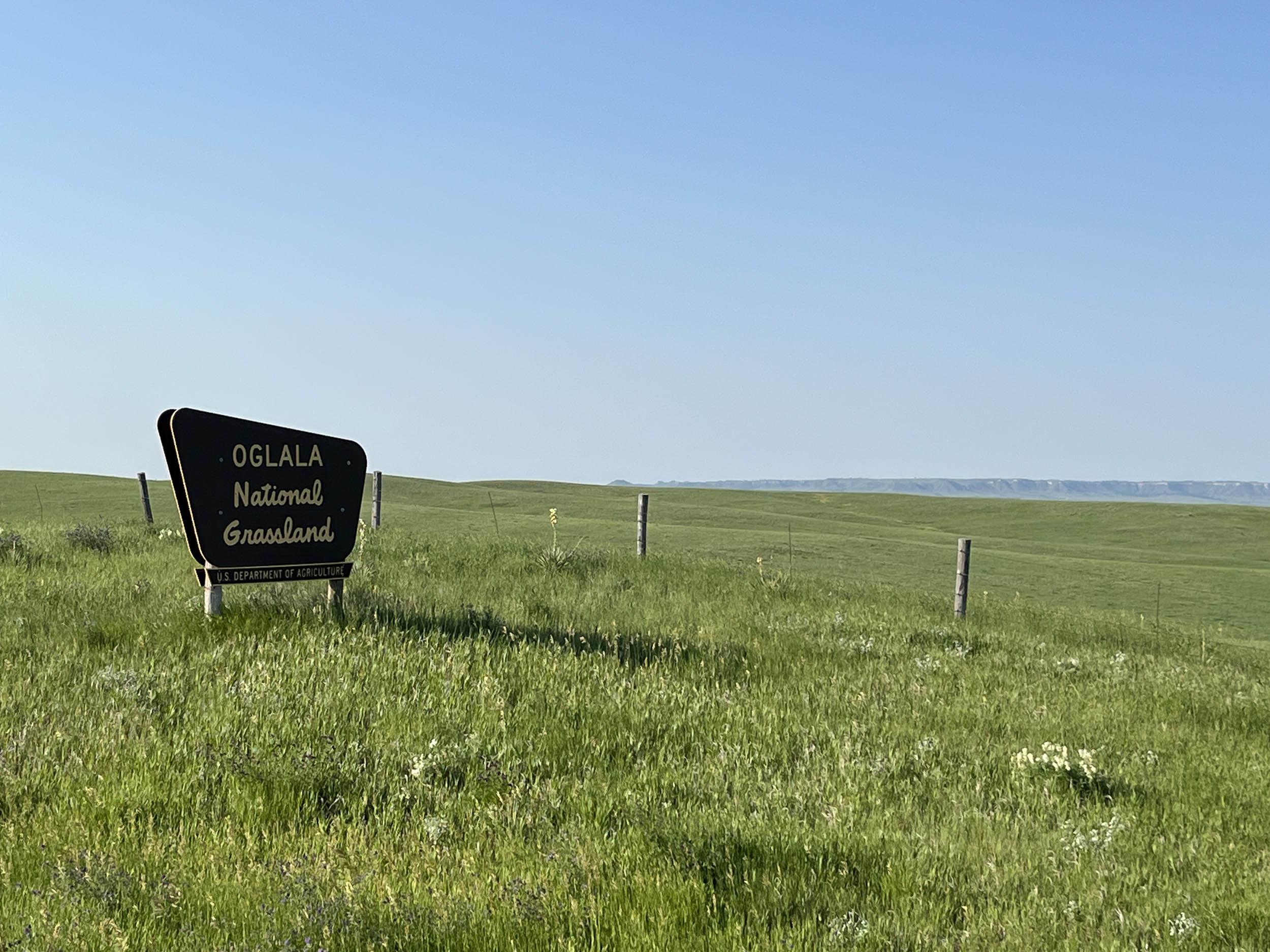
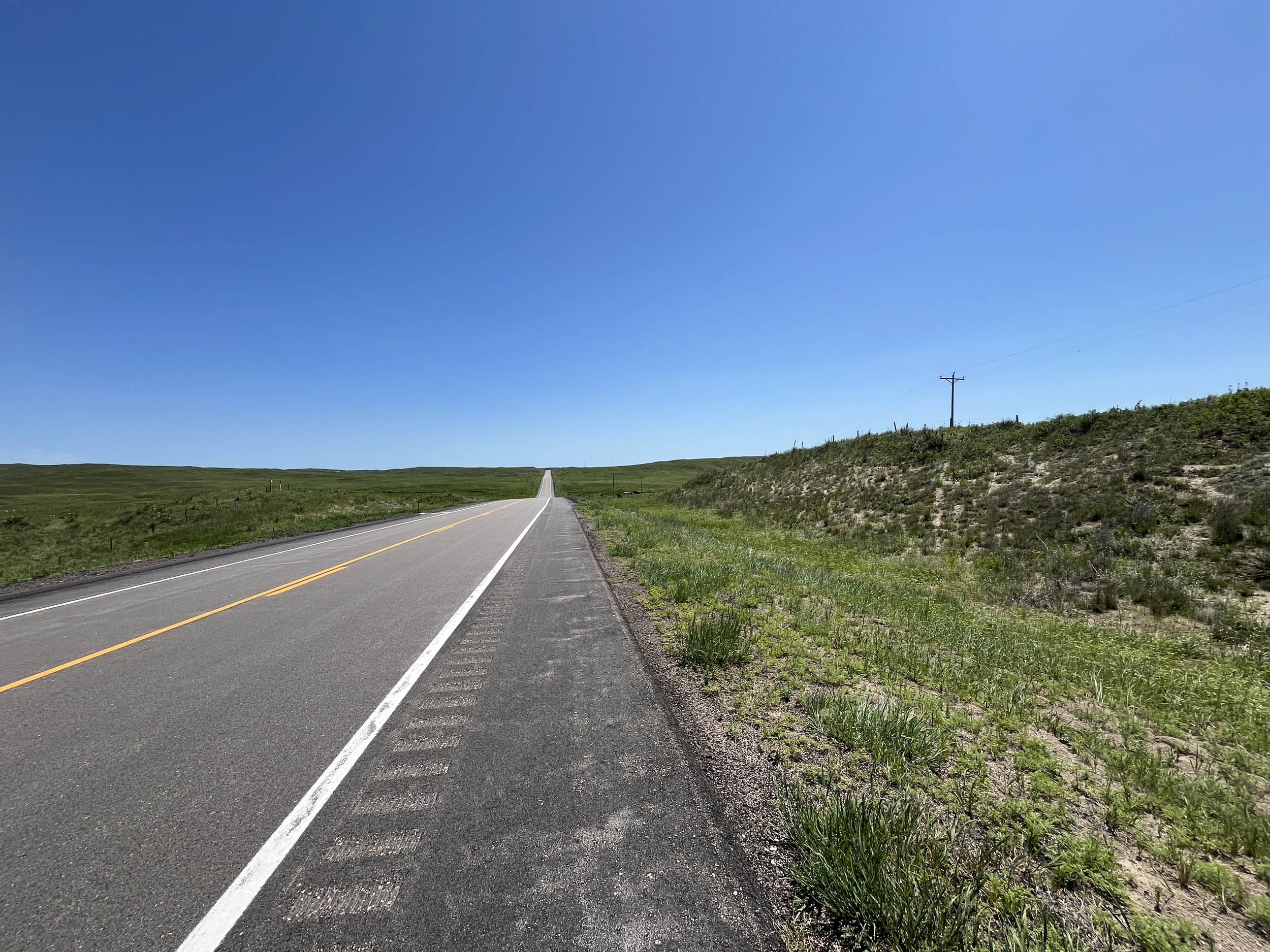
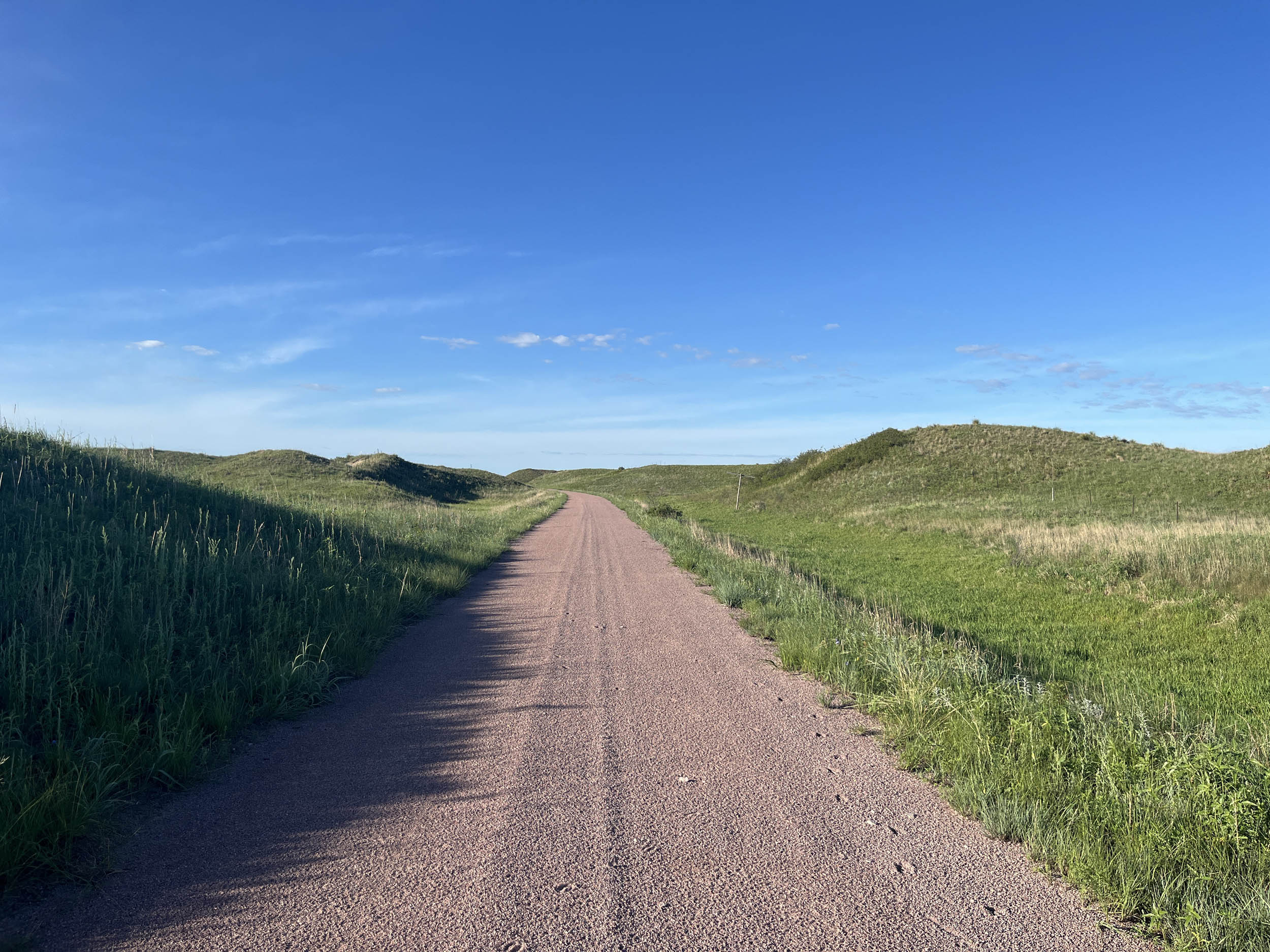
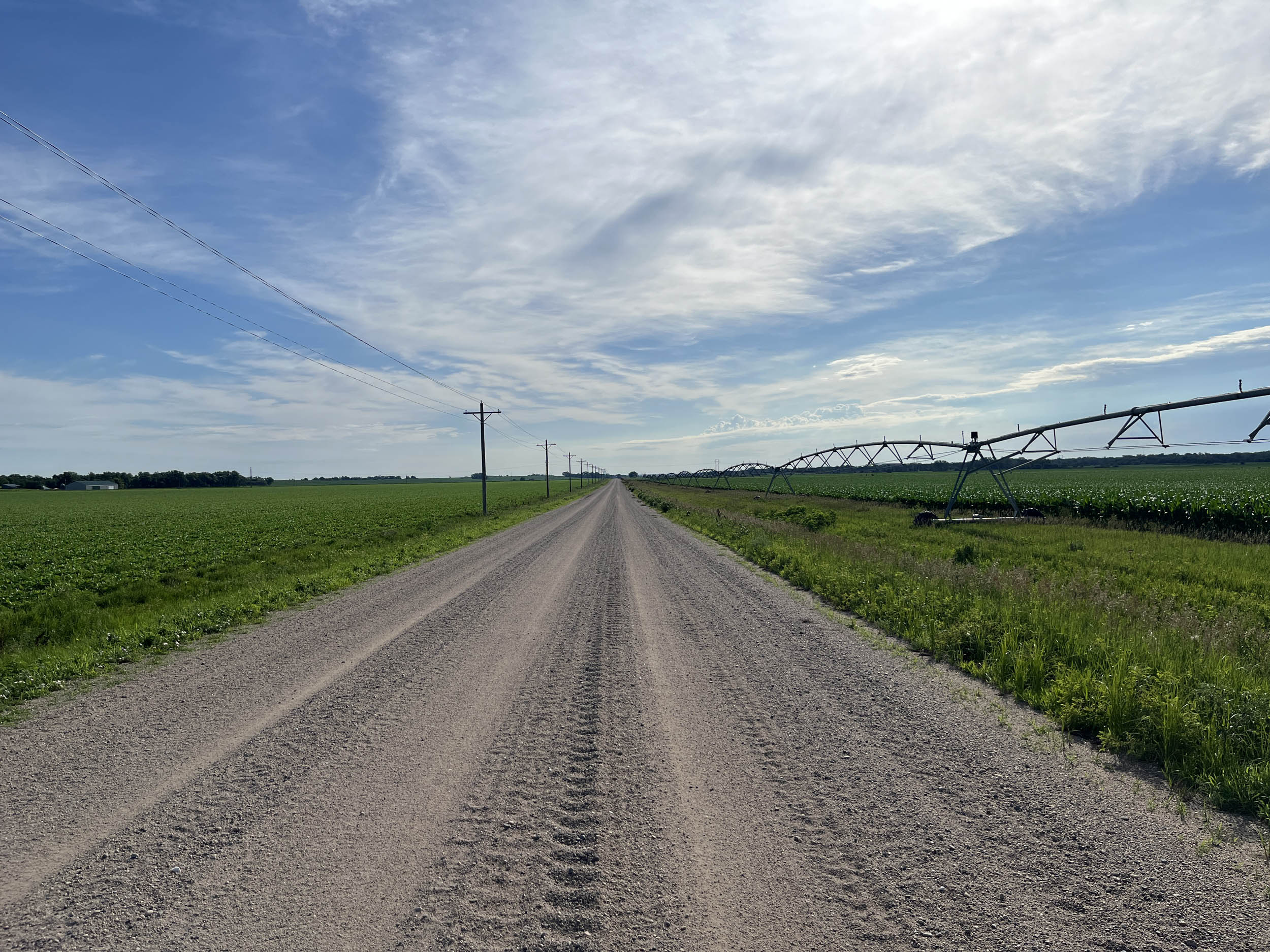
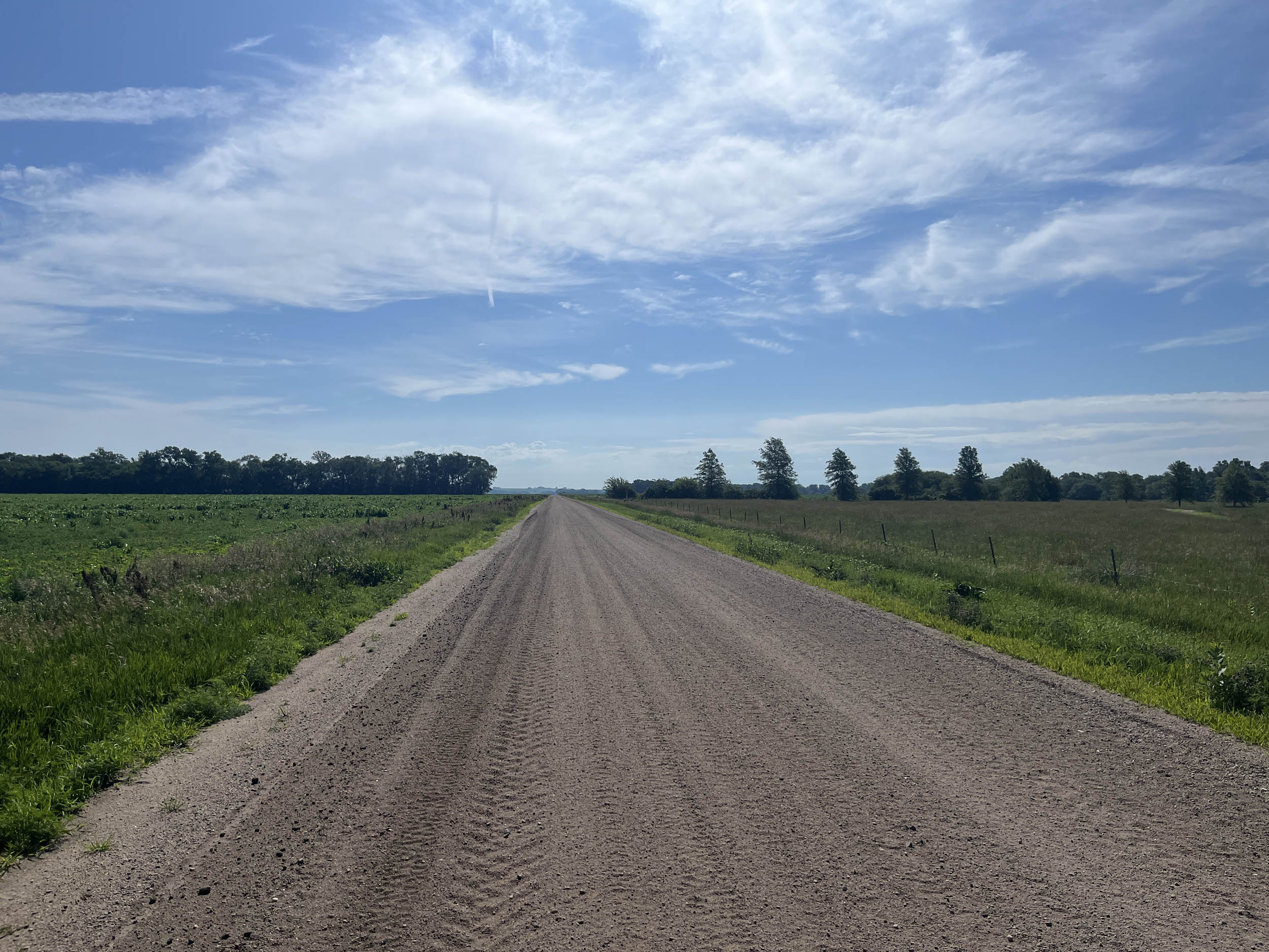
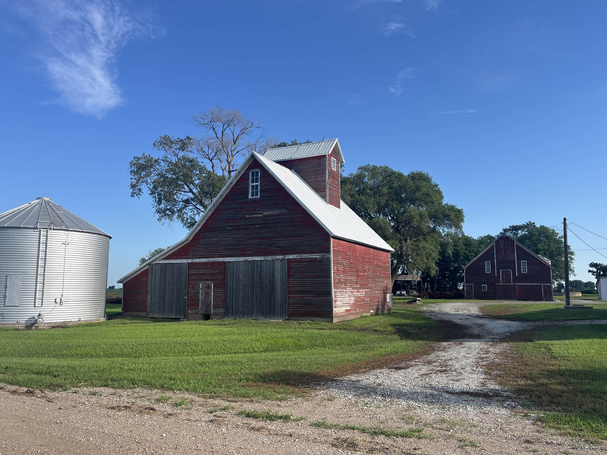
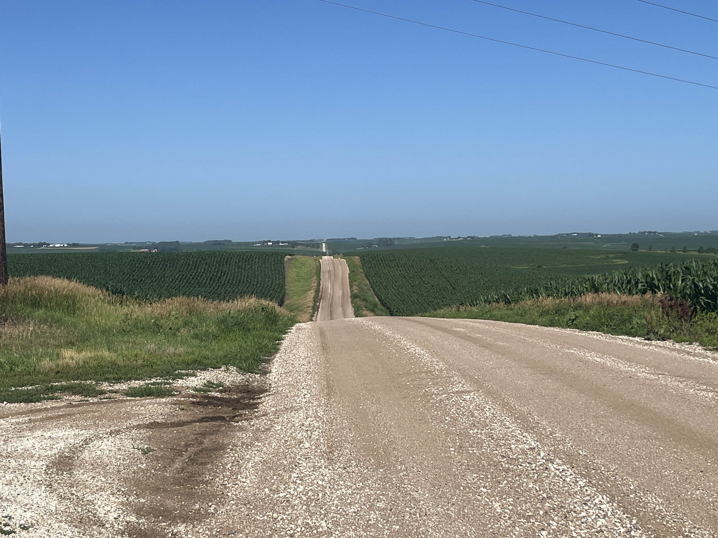
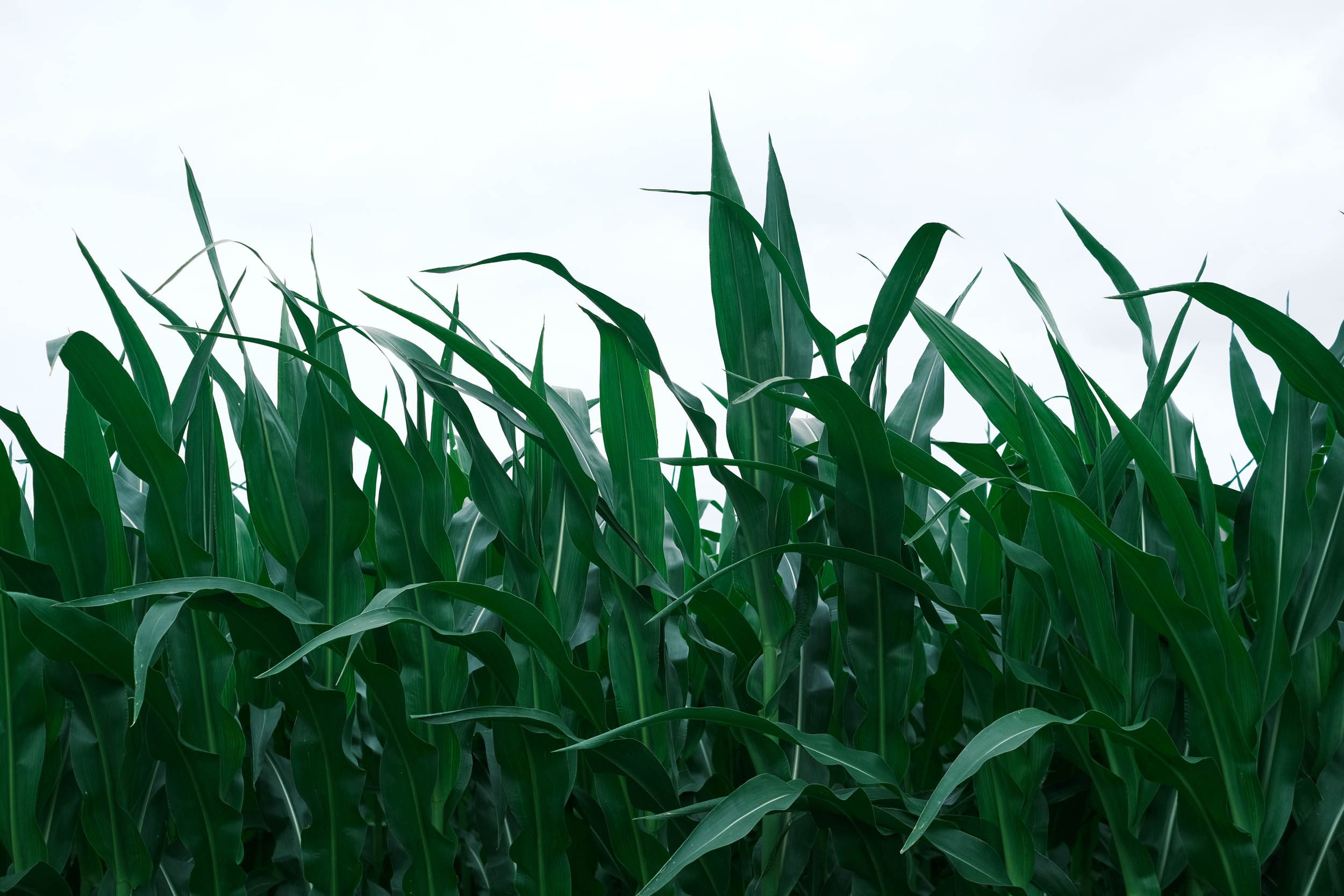
In the Midwest, the gravel becomes a little easier as you enter the land of the open plains and modernized farming. Segment 4 of the Great American Wheel Route, Plains, rolls along endless gravel roads in the Oglala National Grasslands, known for unique geological formations such as Toadstool Park, the Hudson-Meng Bison Kill Bed, and rugged badlands. The grasslands then transition to the Nebraska Sand Hills, which are grass-stabilized dunes creating the largest sand dune formation in the Western Hemisphere.
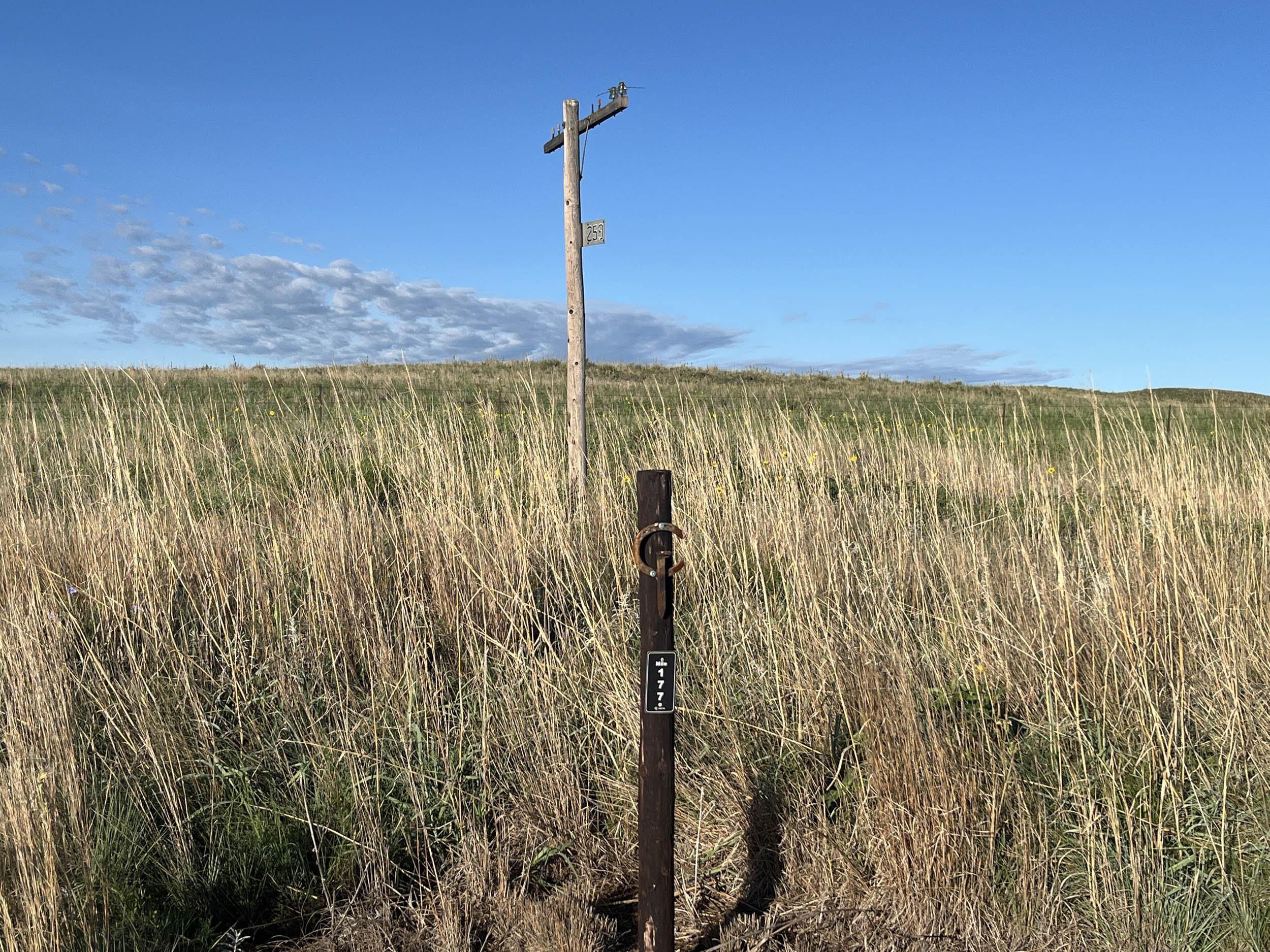
Riding across Nebraska is dominated by the Cowboy Trail, a 187-mile rail trail that stretches from Valentine to Norfolk. The trail provides ample resupply oases that are marked by tall grain silos and water towers. Both can be seen from many miles away, offering a beacon to the next small town where locals are waiting to engage and learn about your adventures. The towns are about 10 miles apart because this spacing was required to allow the old steam trains to refill their water tanks.
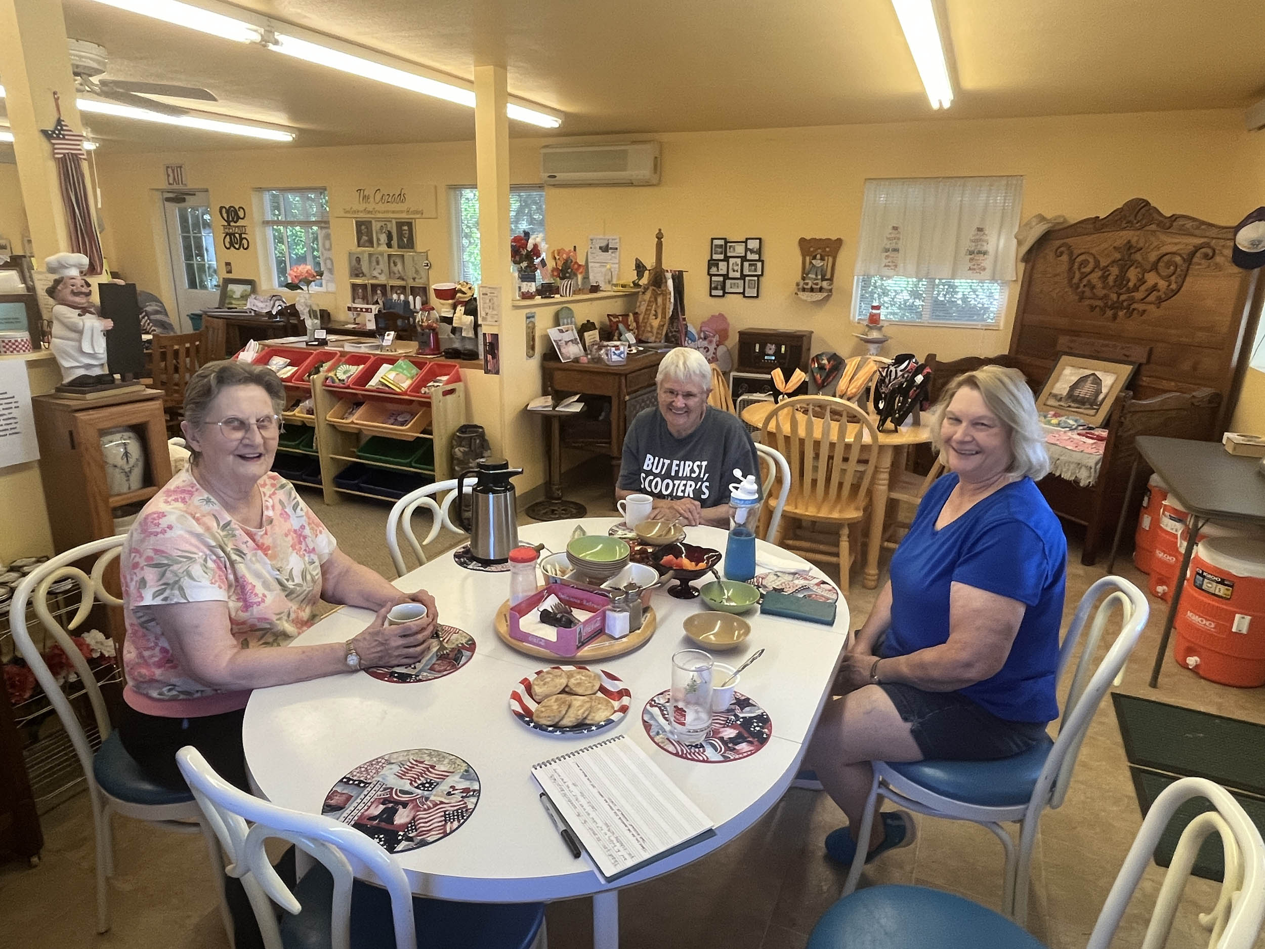
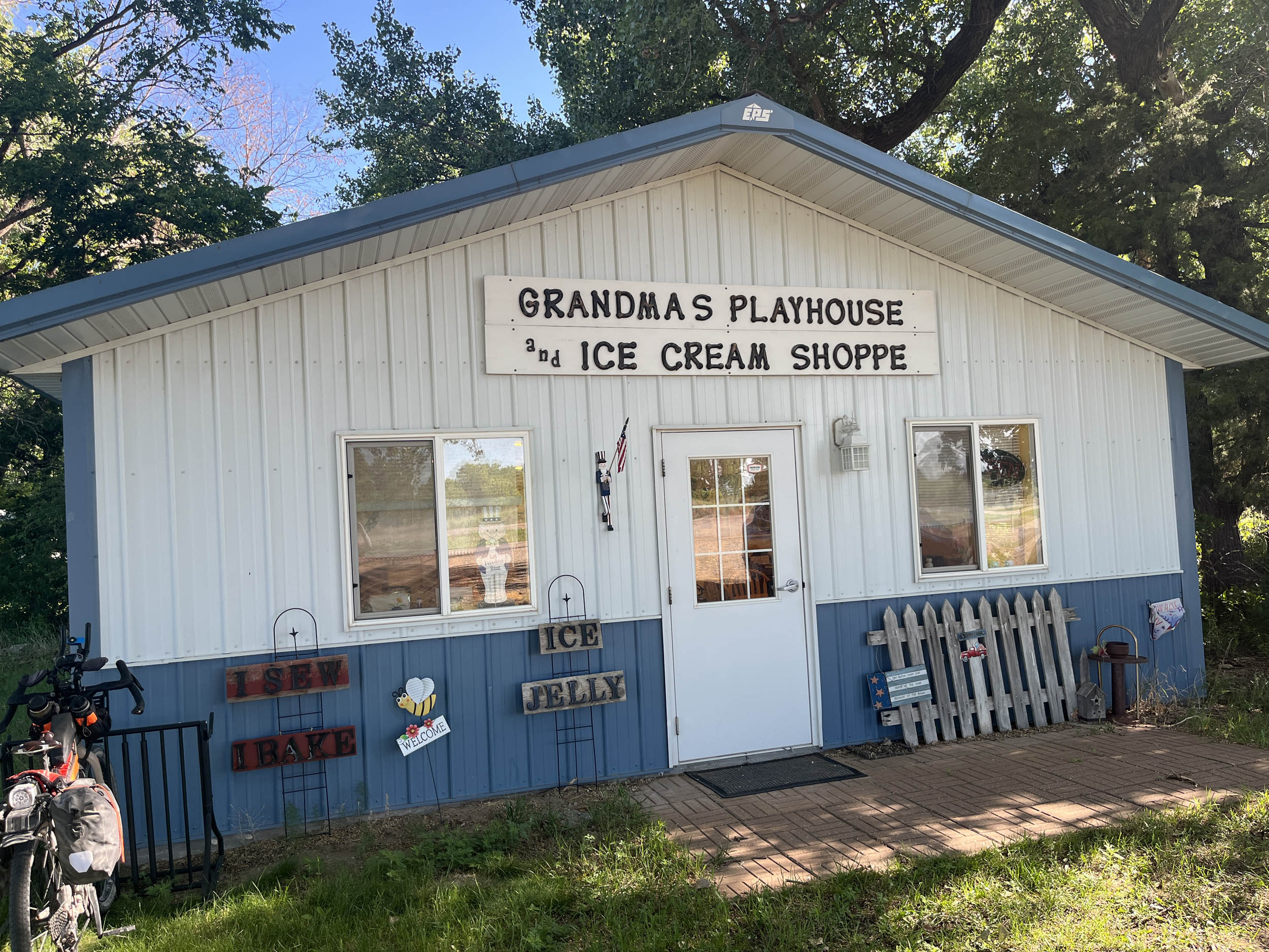
Stop by Grandma’s Playhouse and Ice Cream Shop in Woodlake, Nebraska, and step back in time just like when you were visiting your grandmother. Have a seat at the kitchen table, relax, and enjoy the discussion about life and Nebraska. Lucky ones will also get a treat of homemade cookies with their ice cream, and before you know it, an hour of engaging discussion will have passed.
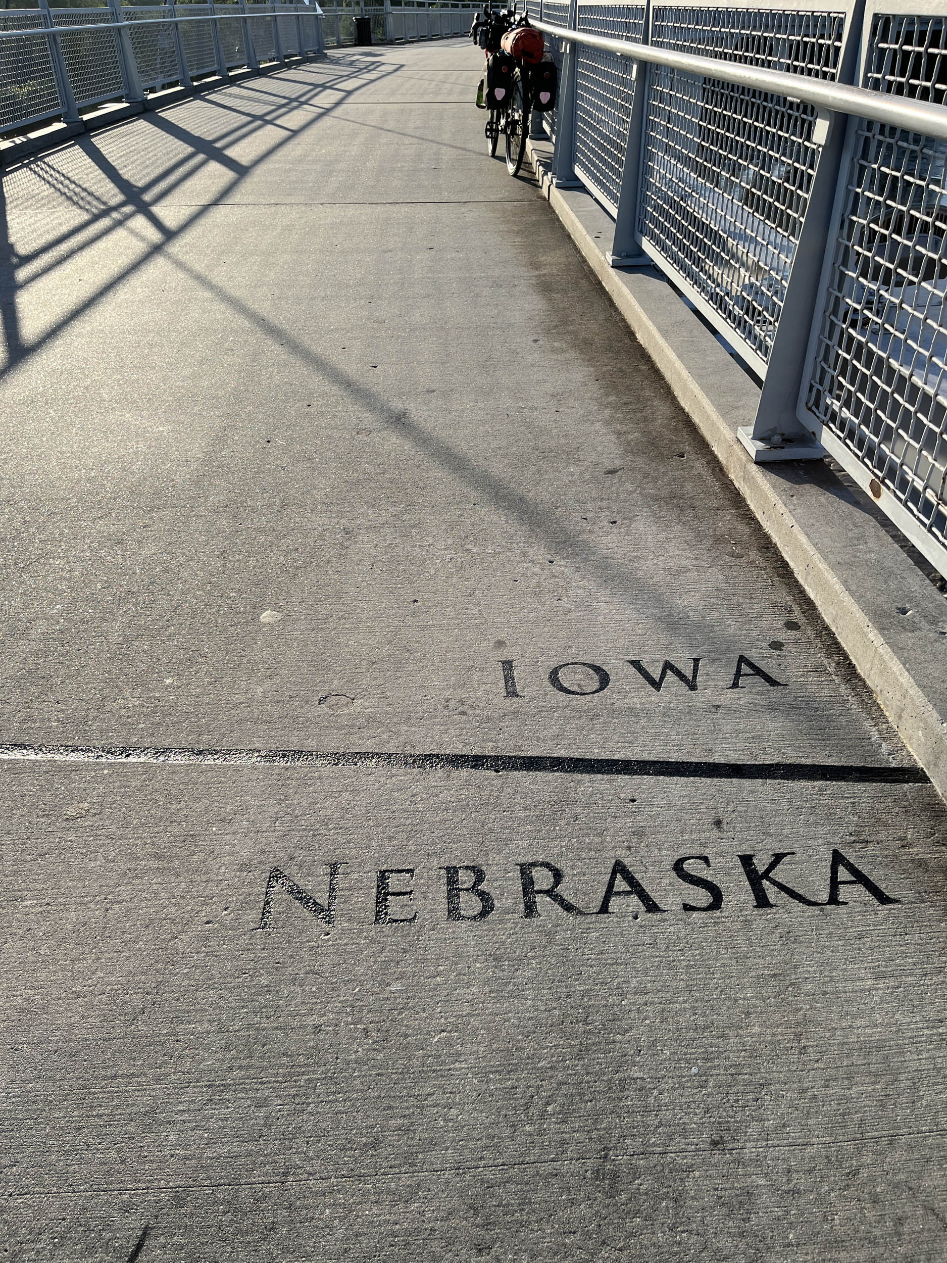
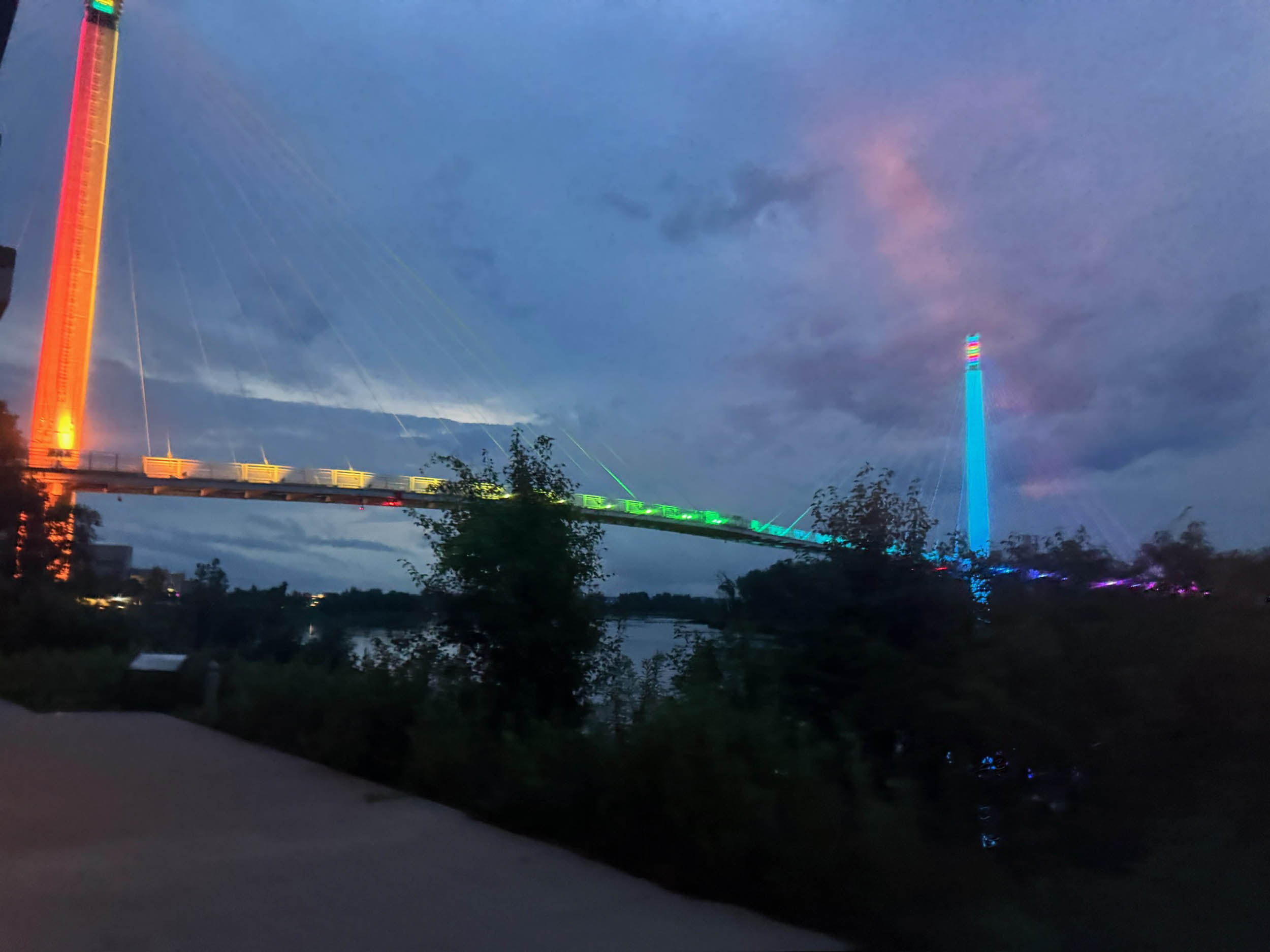
Many small towns in the Midwest offer free camping in their parks, so check ahead to take advantage of this hospitality. After leaving the Cowboy Trail, eastern Nebraska and Western Iowa turn into rolling hills with a patchwork of corn and soybeans growing on them. The Missouri River valley slices through these hills, affording an opportunity to cross this major river on the Bob Kerry pedestrian bridge in Omaha, Nebraska. At night, the bridge is washed in multiple colors, offering a visual spectacle.
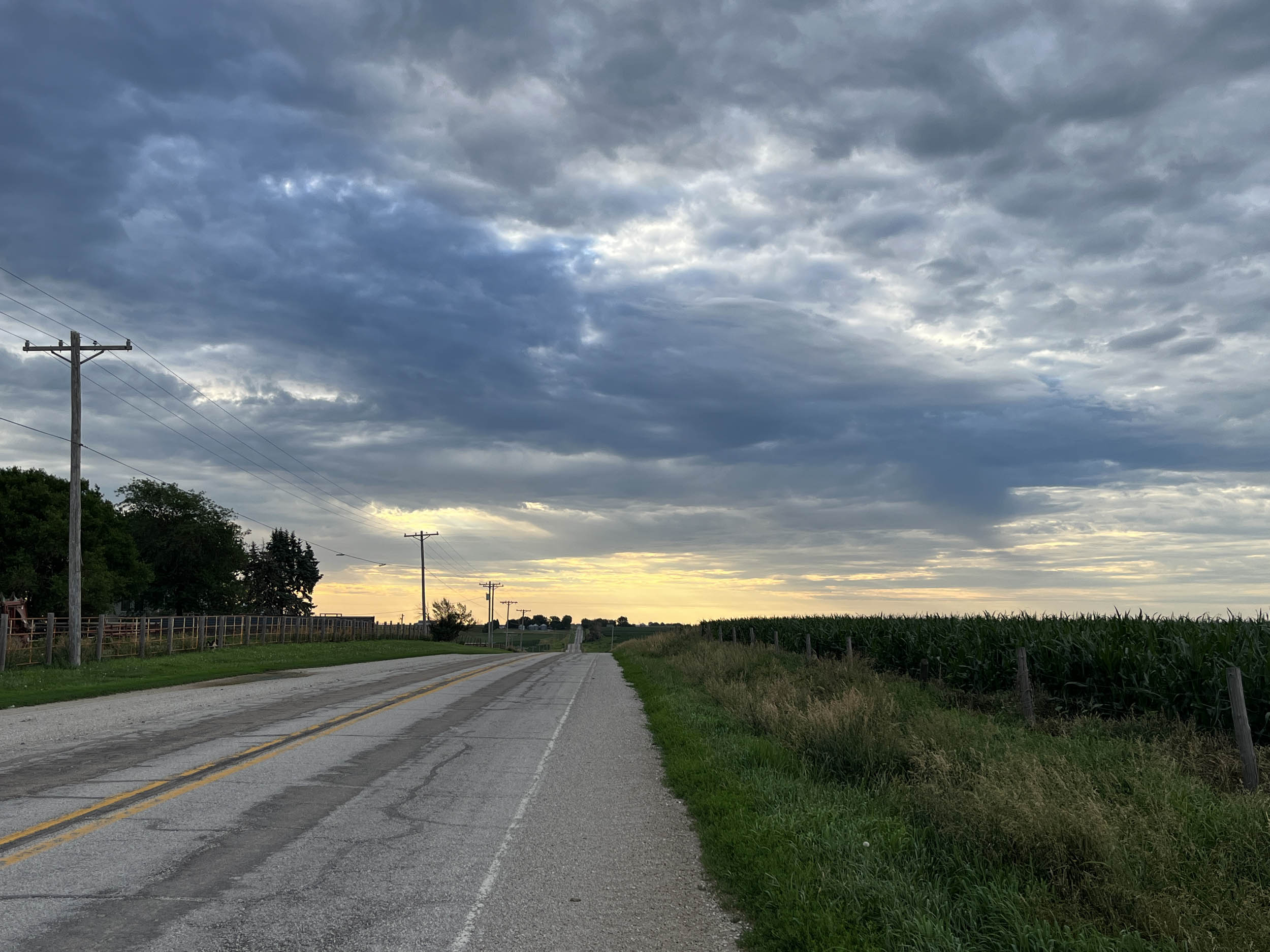
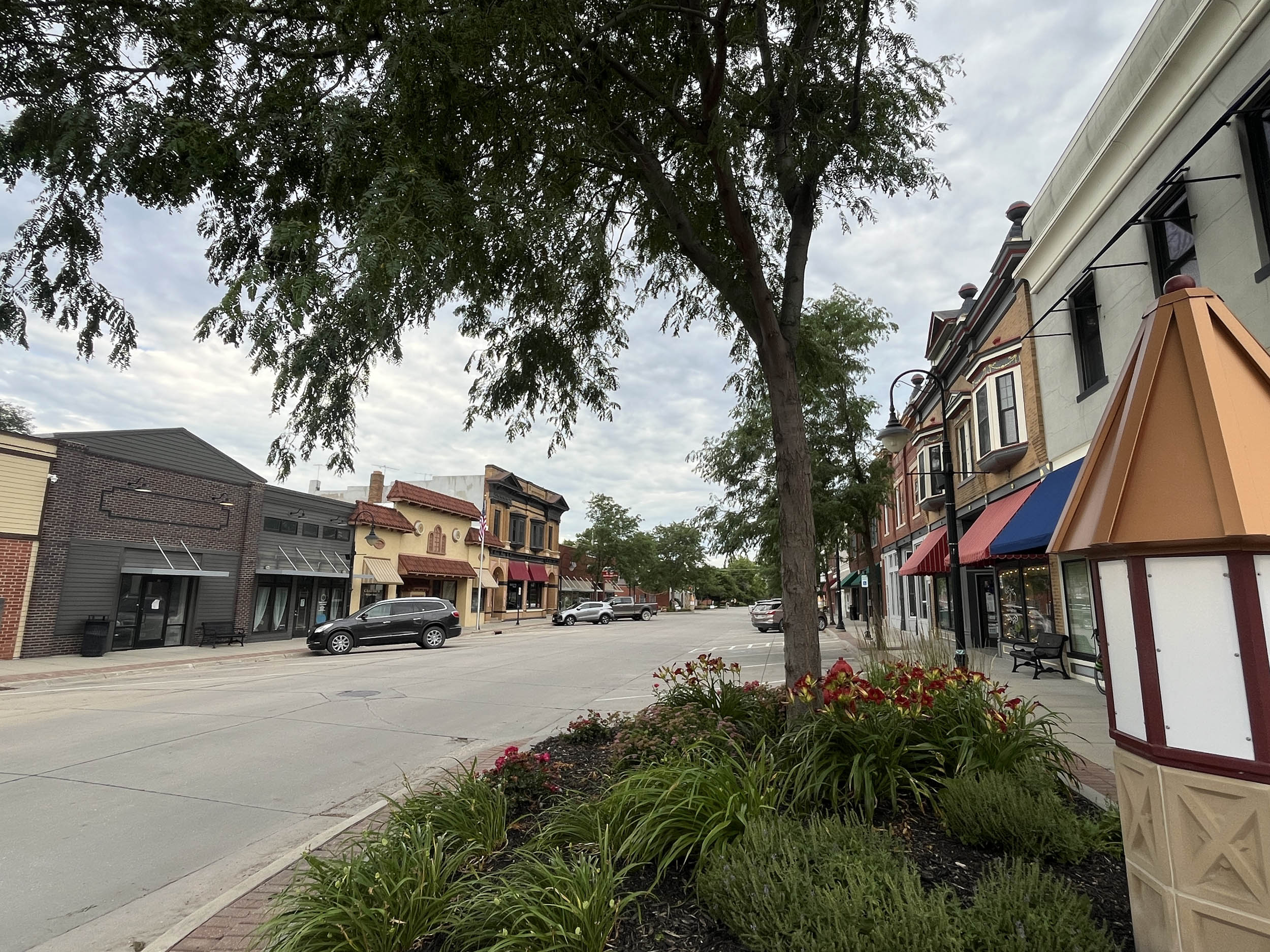
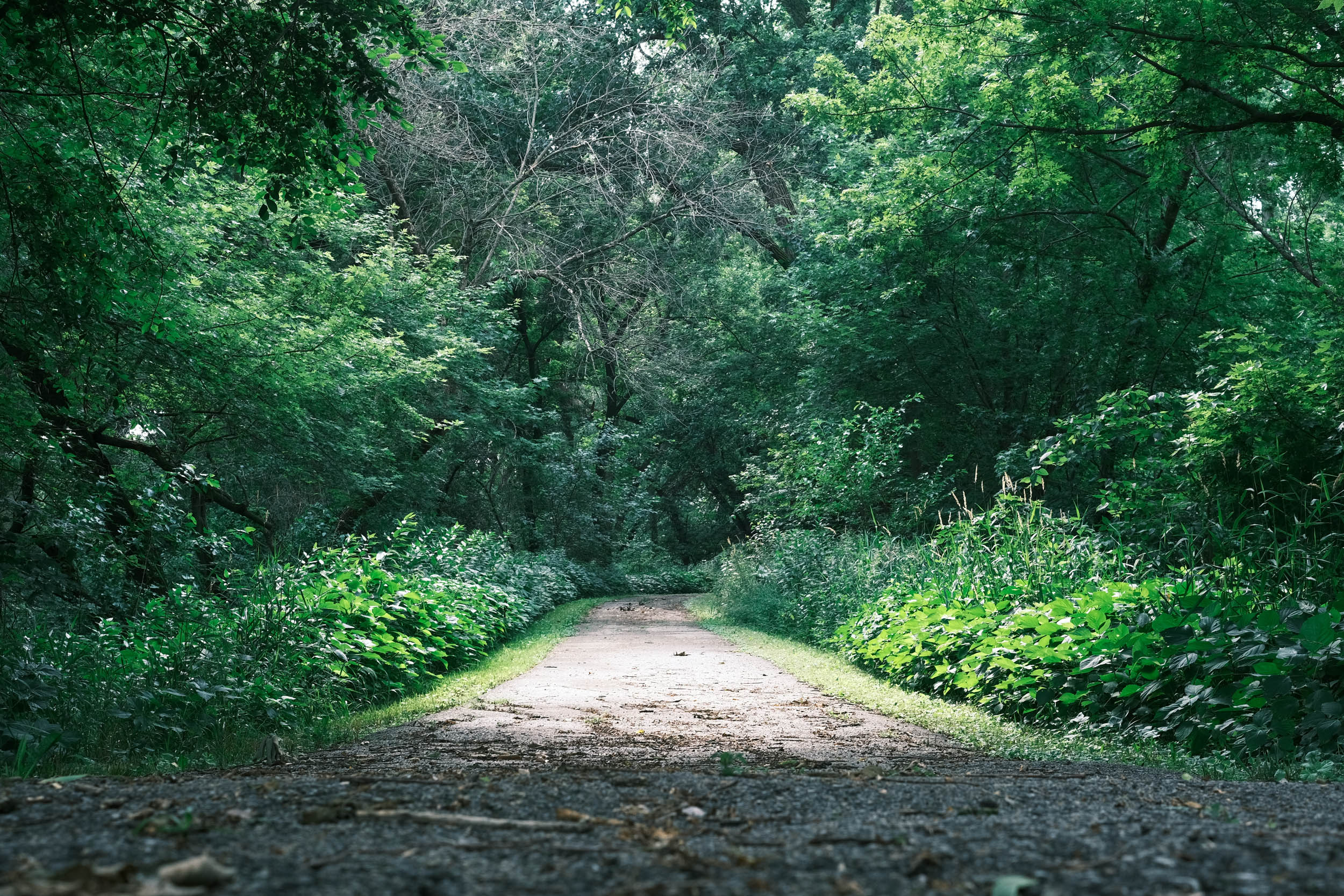
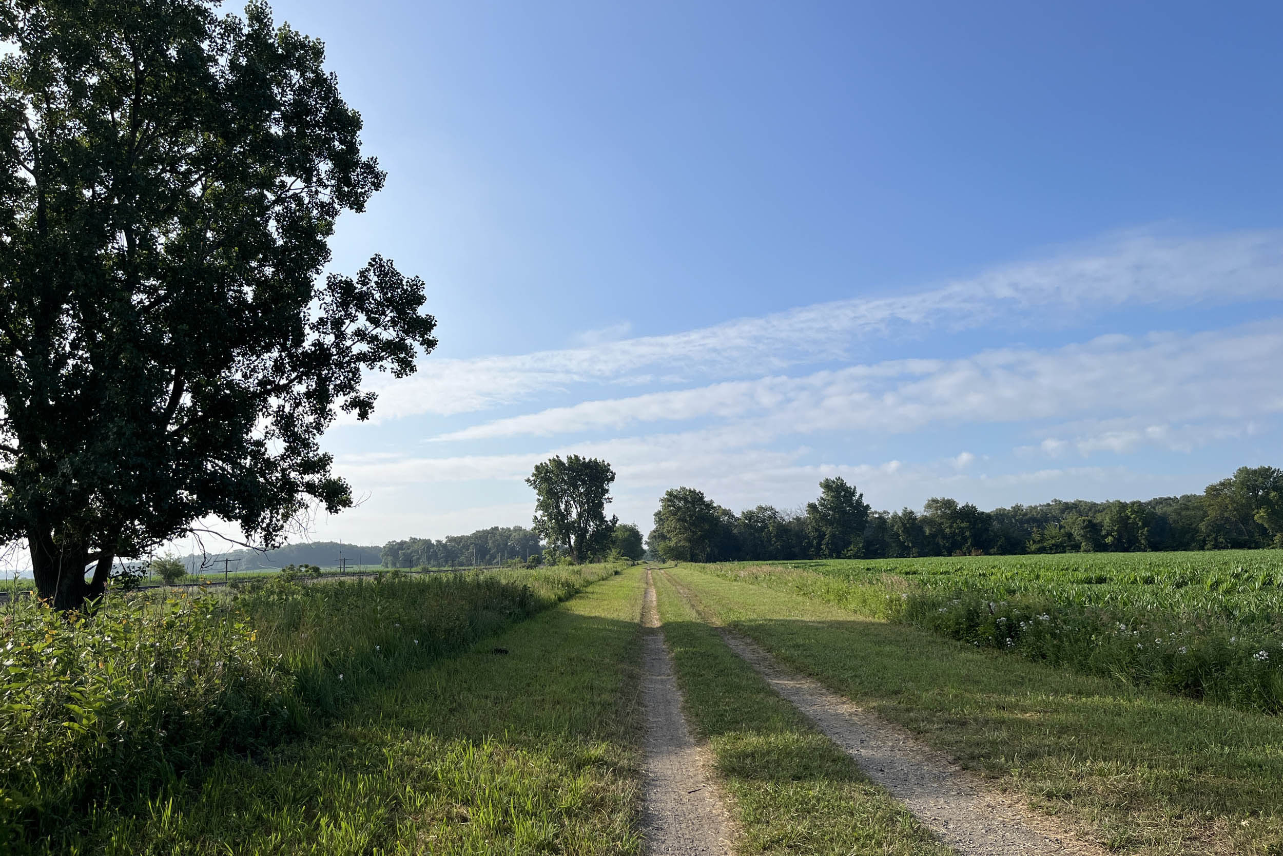
The rolling hills of Iowa are a haven for large, picturesque farms, many of which are century farms that have been in operation by the same family for over a hundred years. This area has a less densely populated rural character, with numerous small towns scattered across the open countryside, creating a peaceful, uncongested environment. There are many remote gravel roads that cross this region, providing excellent connections to Iowa’s superb bike path infrastructure.
Mother Nature can be very unpredictable in the Midwest, so your ability to understand the weather will enhance your riding by helping you adjust to wind and potential storms. Additionally, with the landscape starting to level out, you’ll also realize that you are now in amazing shape, and the distance you can ride in a day grows significantly.
Route Difficulty
We are assigning an overall difficulty of 3 to this segment due to exposure to weather and the high frequency of climbing in the hills of eastern Nebraska and western Iowa. The rolling hills create a continuous up-and-down scenario with moderate grades and very little overall elevation gain.
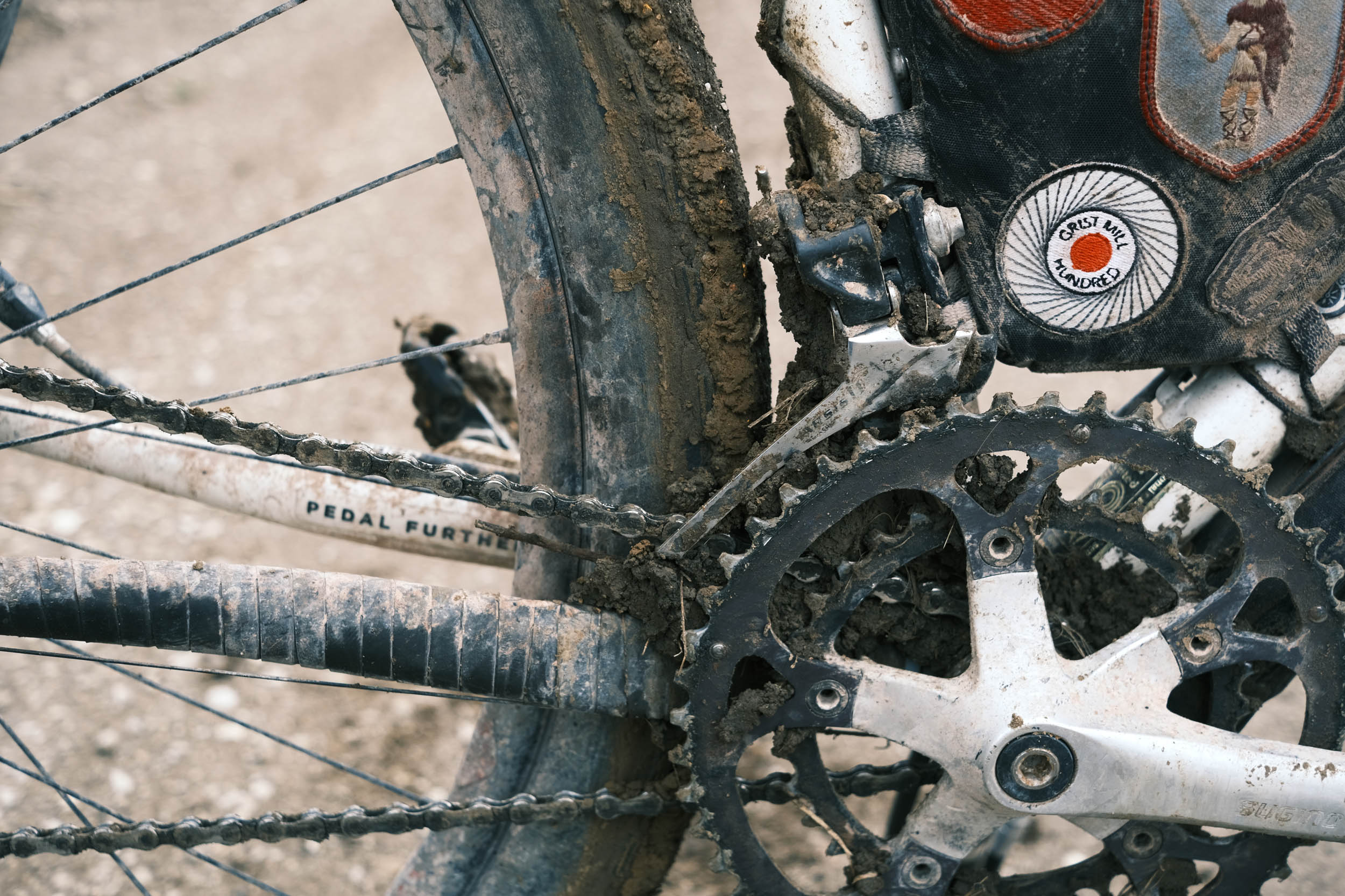
Overall, the segment is not extremely technical, but some sections of the Cowboy Trail in Nebraska can be soft. Plus, the length of the segment requires quite a number of days to complete. The continuous climbing with quick descents in the rolling hills can be challenging on the body, too. There is a high frequency of climbs in eastern Nebraska and western Iowa, with many having moderate 4-7% grades. They are relatively short climbs but occur often.
Resupply and logistics are mostly straightforward, as the route routinely goes through small towns and resupply points. In the flat portion of Nebraska, small towns with some form of resupply dominate this segment as they are remnants of the old railroad infrastructure.
One of the challenges is the ability to reroute due to weather, flooding, fire, construction, etc. Due to the length of the route, predicting these issues is nearly impossible, so having the skill to safely reroute yourself when the route is blocked is paramount. In 2024, major flooding of the Missouri and Mississippi rivers required significant reroutes.
The Great American Wheel Route (GAWR) is an expansive 3,700-mile mixed-terrain bicycle route traversing the United States. Beginning at the Space Needle in Seattle and concluding at the Washington Monument in Washington, D.C., the GAWR guides riders across the country via an elaborate network of gravel roads and paths, paved trails, and low-traffic backroads, prioritizing separation from motorized vehicles. Find the full GAWR route here.
Route Development: The GAWR was finalized in 2024, with many people contributing to its creation and maintenance. It was inspired by and incorporates multiple segments of Rails to Trails Conservancy’s Great American Rail Trail (GART) route, linking them with dirt to create a more gravel-focused experience across the country. Find details at the main route page here.


Submit Route Alert
As the leading creator and publisher of bikepacking routes, BIKEPACKING.com endeavors to maintain, improve, and advocate for our growing network of bikepacking routes all over the world. As such, our editorial team, route creators, and Route Stewards serve as mediators for route improvements and opportunities for connectivity, conservation, and community growth around these routes. To facilitate these efforts, we rely on our Bikepacking Collective and the greater bikepacking community to call attention to critical issues and opportunities that are discovered while riding these routes. If you have a vital issue or opportunity regarding this route that pertains to one of the subjects below, please let us know:
Highlights
Must Know
Camping
Food/H2O
Trail Notes
Resources
- Visit the Toadstool Geological Park and Campground, Nebraska located in the Oglala National Grasslands known for its unique geological formations including toadstool-shaped rock structures and fossil deposits.
- Stop at the Hudson-Meng Bison Kill Bed also located in the Oglala National Grassland. It is one of the most important paleo-archeological discoveries in North America. Visitors can tour the bonebed enclosure and discover the mysterious past of the Bison antiquus (extinct bison) that died here.
- Visit Fort Robinson State Park in Crawford, Nebraska and learn about the history the Fort played in the westward expansion and conflicts with Native Americans. It was even a prisoner of war camp during World War II.
- Riding through the unique Sand Hills of northwest Nebraska. The Sand Hills are stabilized sand dunes and mixed-grass prairie covering approximately 19,300 square miles, making it one of the largest intact native grassland ecosystems in the United States.
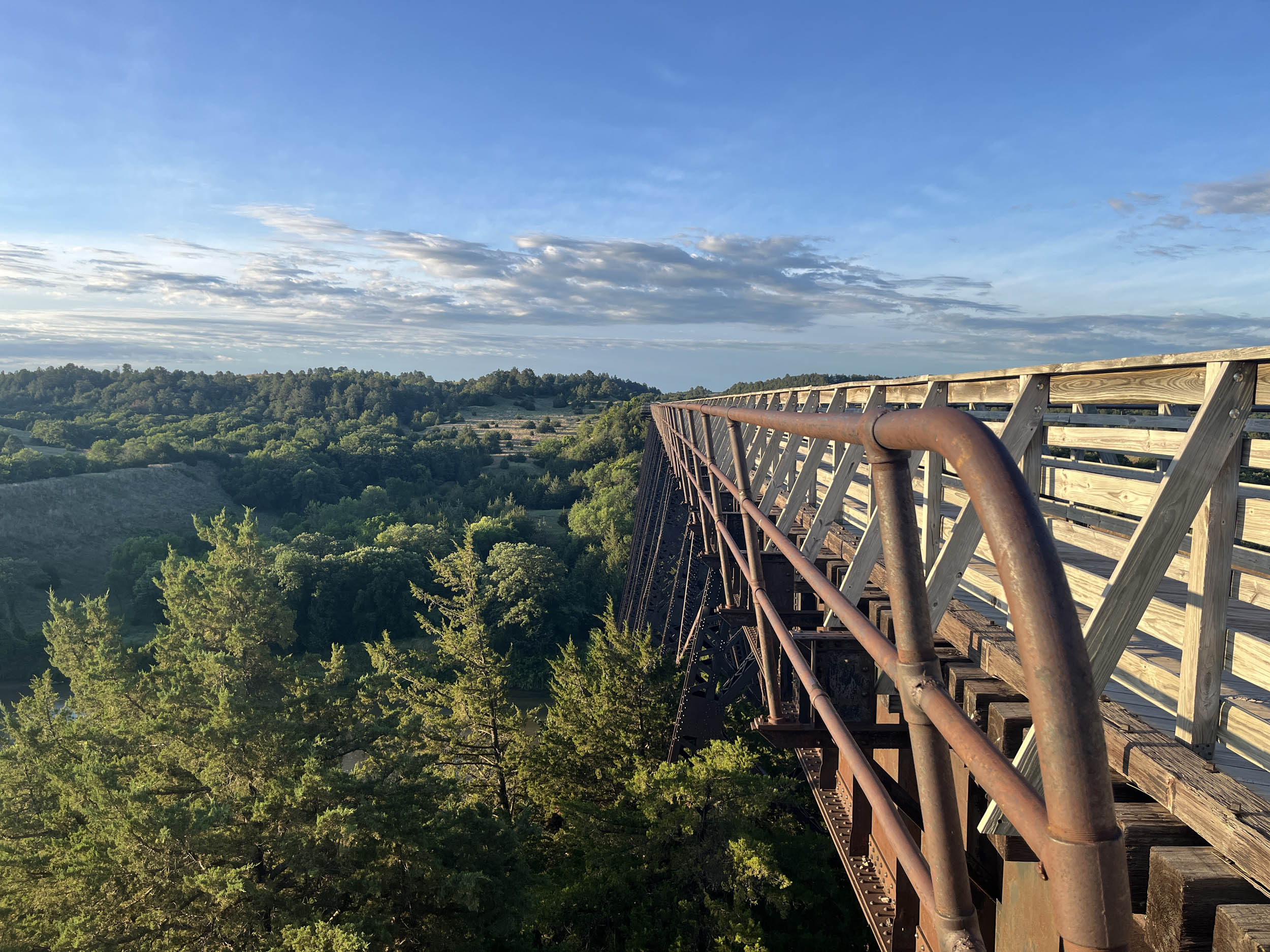
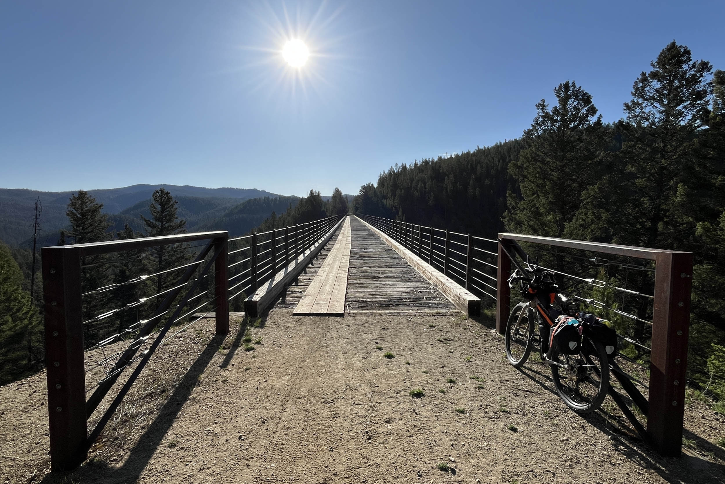
- Stop on the Niobrara River Bridge on the Cowboy Trail east of Valentine, Nebraska. It is one of the most iconic spots on the Cowboy Trail with the quarter mile trestle bridge rising 150 feet above the Niobrara River.
- Stop at Grandma’s Playhouse and Ice Cream shop in Wood Lake, Nebraska and step back in time while enjoying excellent conversation, ice cream, baked goods and jams.
- Reflect at the White Buffalo Girl Grave Site in Neligh, Nebraska. The grave site in the Laurel Hill Cemetery at Neligh and is a poignant reminder of the Ponca tribe’s forced relocation during the “Trail of Tears.” Her grave symbolizes hope and the enduring commitment of the town of Neligh to remember and care for her legacy.
- Visit Fort Atkinson State Historical Site, Fort Calhoun, Nebraska. It is the first United States Army post to be established west of the Missouri River in the unorganized region of the Louisiana Purchase of the United States. Lewis and Clark met with Native Americans here and recommended the location for a fort.
- Visit the Lewis and Clark Visitor Center in Omaha, Nebraska. The visitor center is a central hub for those interested in the Lewis and Clark Expedition, providing an opportunity to tie all of the previously visited sites together.
- Crossing the Missouri River on the “The Bob.” The Bob Kerry Pedestrian Bridge is a 3000 foot cable-stayed bridge providing a protected crossing of the river between Nebraska and Iowa.
- Ride past Albert the Bull in Audubon, Iowa. Albert is a giant concrete sculpture and is recognized as the World’s Largest Bull. He stands 30 feet tall and weighs 45 tons, with a 15-foot span between his horns.
- Treat yourself and stay in the RAGBRAI Room at the Hotel Pattee in Perry Iowa. The room is tastefully decorated with a bicycle theme honoring the annual RAGBRAI bicycle ride across Iowa that had over 50,000 riders on its 50th anniversary in 2023.
When to go
- Late spring to early fall – severe weather with tornadoes is always a threat with spring being the highest risk
Logistics
- Transport to Edgemont, SD can be tricky due to the remoteness of the town. Rapid City, SD is probably the closest airport to Edgemont and using the Mickelson Trail from the Black Hills is probably the best option.
- Gaining access to Perry, IA is relatively easy by flying into Des Moines, IA and riding one of the many bike paths that intersect in Perry. The Des Moines airport is a modern airport with rental cars available.
- Omaha, NE is a major city along the route with a modern airport, rental cars and U-hauls available throughout the city. There are also shuttle services available in Norfolk, Nebraska for the Cowboy Trail portion of this segment.
Dangers and Annoyances
- Dogs – dogs may be encountered anywhere along the route especially in rural areas where owners don’t properly contain them. It is recommended that you carry pepper spray, an air horn, etc. to help deter them. Dogs have been encountered in rural Washington, Montana, Ohio and West Virginia but can be found anywhere.
- Ad-hoc route deviations – The ability and skill to reroute due to flooding, fires, weather, construction, etc. will enhance your ride and improve your odds of completing the adventure.
Travel basics
- Rapid City, SD, Omaha, NE and Des Moines, IA airports are options.
- U.S. Visa requirements – U.S. Tourism & Visit Visa
What bike?
- Any comfortable endurance, gravel, adventure, touring type bike that can carry your gear and is durable. You will most likely experience mechanicals due to the length and gravel conditions of the route. Know basic skills and be able to find a bike shop when necessary. You may have to rig a solution until you get to the shop.
- Tire size – 40 mm to 2.2 inches with durable compounds and less aggressive tread patterns are recommended.
- Gearing – at least a 1:1 gear ratio between the crank and cassette for the lowest gear. Lower is better.
- Suspension – many riders have completed the route without any suspension components. Stem and seat suspensions may provide additional comfort depending on riders’ preferences. Knowing how to and when to adjust your tire pressure for different riding conditions is probably more important than having suspension components.
- Campgrounds and established campsites are readily available along this segment of the route including state park campgrounds in Nebraska. Many of the small towns in the Midwest allow camping in their town parks but check with local officials before camping. Many prominent options are noted in the downloadable GPX file and the available services spreadsheet, but there are more.
- In the western section of this segment, there are ample opportunities to camp on public lands that include National Forest, Bureau of Land Management (BLM) and National Grass Lands. You will also legally ride through private land areas on public accessible roads and paths. Understanding whether you are on public or private lands is imperative especially while camping. Private land ownership is taken very seriously in the United States so it is of most importance that you understand when you will or won’t trespass on private lands along the entire route. The Gaia GPS app is a good app for determining potential public lands where camping is legal.
- If wild camping is a must, we recommend setting up after dusk and leaving at dawn. Churches, parks, and other public places are usually safe options, but use your own judgment and leave no trace.
- There are hotels/motels/lodging in Crawford, Chadron, Rushville, Gordon, Valintine, Ainsworth, Bassett, Stuart, Neligh, Norfolk, Wisner, West Point, Omaha, NE, Avoca, Audubon and Perry, IA.
- Filtering water is not necessary on this segment of the route except potentially in the western section between Edgemont, South Dakota and Hay Springs, Nebraska. Water and resupply are available in Crawford and Chadron but even filterable water outside of these towns can be difficult to find especially in the approximately 60 miles between Edgemont South Dakota and Crawford, Nebraska. Water is available in most towns along the route and riders have also asked local residents for water and most are more than happy to accommodate. Ask before using private water sources. There are a fair number of resupply options on this route, as noted in the POIs of the downloadable GPX file and the available services spreadsheet.
- Churches are a good source of drinking water as there are usually spigots available. Make sure to ask if there is someone on site.
- The main resupply points with significant options are Crawford, Chadron, Hay Springs, Rushville, Gordon, Cody, Valentine, Woodlake, Ainsworth, Long Pine, Bassett, Newport, Stuart, Atkinson, O’Neill, Ewing, Clearwater, Neligh, Norfolk, Stanton, Wisner, West Point, Fort Calhoun, Omaha, Nebraska, Neola, Minden, Avoca, Walnut, Exira, Audubon, and Perry, IA.
There are a few recommended places for food and drink. West to East include:
- Grab an Ice Cream at the Dairy Sweet in Crawford, NE
- Have a Twisted Turtle Pub custom pizza in Rushville, NE
- Sample the beer at the Bolo Beer Company, Valentine, NE
- Meet the matriarchs of Wood Lake, NE at Grandma’s Playhouse and Ice Cream and enjoy some complimentary baked goods with your ice cream while have fascinating conversations.
- Have a fresh and juicy hamburger at the D&B Café in Ainsworth, NE
- Order a hearty meal at the Cast Iron Bar & Grille in Stuart, NE
- Indulge in the best BLT you will ever have at the Neligh Deli in Neligh, NE.
- Have a stack of their enormous pancakes at The Rustic in Fort Calhoun, NE
- Try Dorothy Lynch salad dressing in most restaurants in Nebraska. It’s a Nebraska staple and you won’t regret it.
- Just order the special. It will be good and filling at The Feed Mill Restaurant in Audubon, IA
Here’s an example itinerary based on 60 to 100-mile days. Some riders might prefer shorter days, while others may average longer distances, but this is a solid baseline that a thru-rider might consider for a reasonable bikepacking itinerary. This assumes you’re a fairly seasoned rider carrying a medium load.
location Edgemont, SD to Chadron, NE
Day 1 (69 mi +2,100 ft)
Say goodbye to South Dakota and hello to Nebraska as the route leaves the Black Hills and enters the Great Plains. Views in the Oglala National Grasslands are expansive, with seemingly endless plains flowing over gently rolling hills.
The route passes Toadstool Geological Park, where camping is available, though water is not. Camping with water and services can be found at Fort Robinson State Park just outside of Crawford. Continuing on to Chadron provides full services, including lodging.
location Chadron, NE to Gordon, NE
Day 2 (55 mi +2,250 ft)
Leaving Chadron, the route heads south into the Nebraska National Forest, where dispersed camping is an option. It then loops back to Highway 20, weaving between the highway and the Cowboy Rail Trail.
Highway 20 offers a generous shoulder, but the expansion cracks every 20 yards create a jolt that can become wearing over time. The route passes through the small town of Hay Springs, where camping is allowed in Sunset Park. Gordon offers many necessary services, including lodging.
location Gordon, NE to Valentine, NE
Day 3 (92 mi +1,900 ft)
After leaving Gordon, the route continues on Highway 20 and enters the unique northwest Nebraska landscape known as the Sandhills. This region is defined by stabilized sand dunes and mixed-grass prairie. Covering more than 19,000 square miles, it is one of the largest intact native grassland ecosystems in the United States, featuring shallow lakes, wetlands, and abundant wildlife.
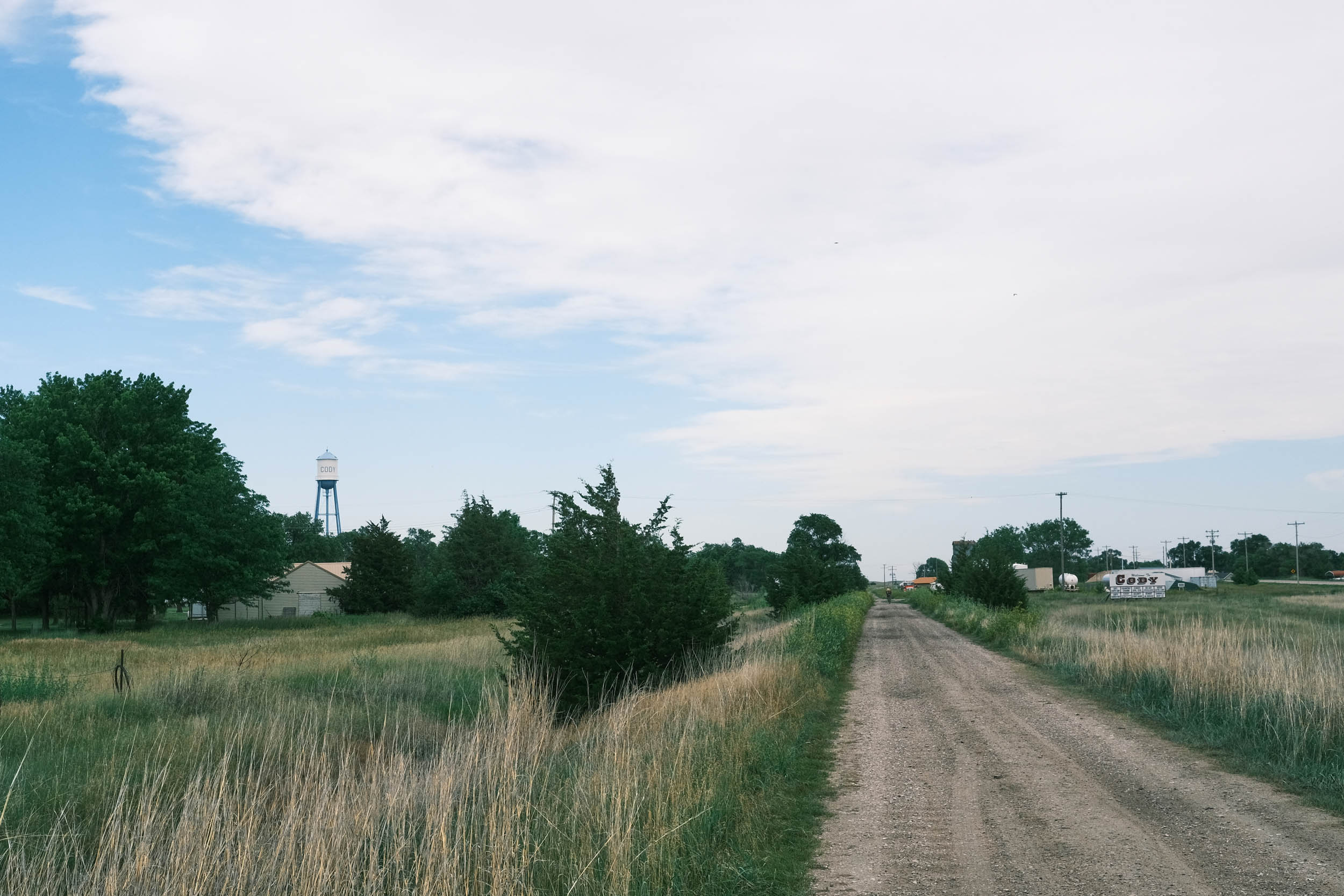
The small town of Cody provides the only major resupply opportunity along this stretch, with services and camping available in the town park. Valentine is a decently sized town with most services, including lodging and camping in the city park.
location Valentine, NE to Stuart, NE
Day 4 (88 mi +700 ft)
Valentine serves as the western terminus of the Cowboy Rail Trail. From here, the route follows the Cowboy Trail, which is mostly flat and continuous all the way to Norfolk, nearly 200 miles away.
Shortly after leaving Valentine, the trail crosses the Niobrara River via the Niobrara Bridge, offering stunning views of the river valley some 150 feet below. The Cowboy Trail passes through many small towns spaced roughly 10 miles apart, originally established as water stops for steam locomotives. These towns offer a variety of services, with many allowing camping in town parks.
Be sure to stop at Grandma’s Fun House and Ice Cream Shop in Wood Lake and visit with the town’s matriarchs. The conversation, ice cream, baked goods, and jams are often a cherished memory. Newport is home to a well-known pool hall that has long supported touring cyclists and is worth a visit.
location Stuart, NE to Norfolk, NE
Day 5 (103 mi +360 ft)
This is a long day, but with flat surfaces and peak fitness, the miles tend to come easily. The Cowboy Trail remains in good condition, aside from a few minor soft spots with excessive crushed limestone.
Stop at the Neligh Deli in downtown Neligh for an excellent meal and break. Numerous small towns along the trail offer camping, lodging, and resupply. Water towers and grain elevators are often visible from afar, signaling that services are close at hand.
Norfolk is a large town with full services and marks the eastern terminus of the Cowboy Trail.
location Norfolk, NE to West Point, NE
Day 6 (48 mi +380 ft)
A short day on quality gravel roads, with a couple of resupply opportunities and camping near Wisner at River Park Campground. Riders will need to detour slightly off route and cross the Elkhorn River to reach services in West Point.
This abbreviated day sets up a longer ride into Omaha.
location West Point, NE to Omaha, NE
Day 7 (83 mi +3,400 ft)
A longer day of riding leads into the metropolitan area of Omaha. The route leaves the Elkhorn River Valley, crosses a series of ridges, and drops into the Missouri River Valley. Expect plentiful gravel roads and constant climbing, with terrain resembling a rolling roller coaster.
This section offers a preview of the riding found in western Iowa. Fort Calhoun is an excellent resupply stop, and the Rustic Restaurant serves an outstanding menu for hungry riders.
The route follows the Missouri River into downtown Omaha, where plentiful lodging is available. After encountering many Lewis and Clark historical sites earlier in the route, Omaha provides an excellent deep dive into their expedition at the Lewis and Clark National Historic Trail Headquarters and Visitor Center along the downtown riverfront.
location Omaha, NE to Avoca, IA
Day 8 (52 mi +1,200 ft)
Leaving Omaha, the route immediately crosses the Missouri River on the Bob Kerrey Pedestrian Bridge (often referred to as “The Bob”), entering Iowa roughly halfway across. This is arguably one of the best Missouri river crossings in the United States for cyclists.
In Council Bluffs, the route passes several casinos that may be worth a stop if luck is on your side. The remainder of the day winds through suburbs on bike paths and eventually makes its way to quiet backcountry roads surrounded by picturesque farmland.
location Avoca, IA to Audubon, IA
Day 9 (63 mi +2,500 ft)
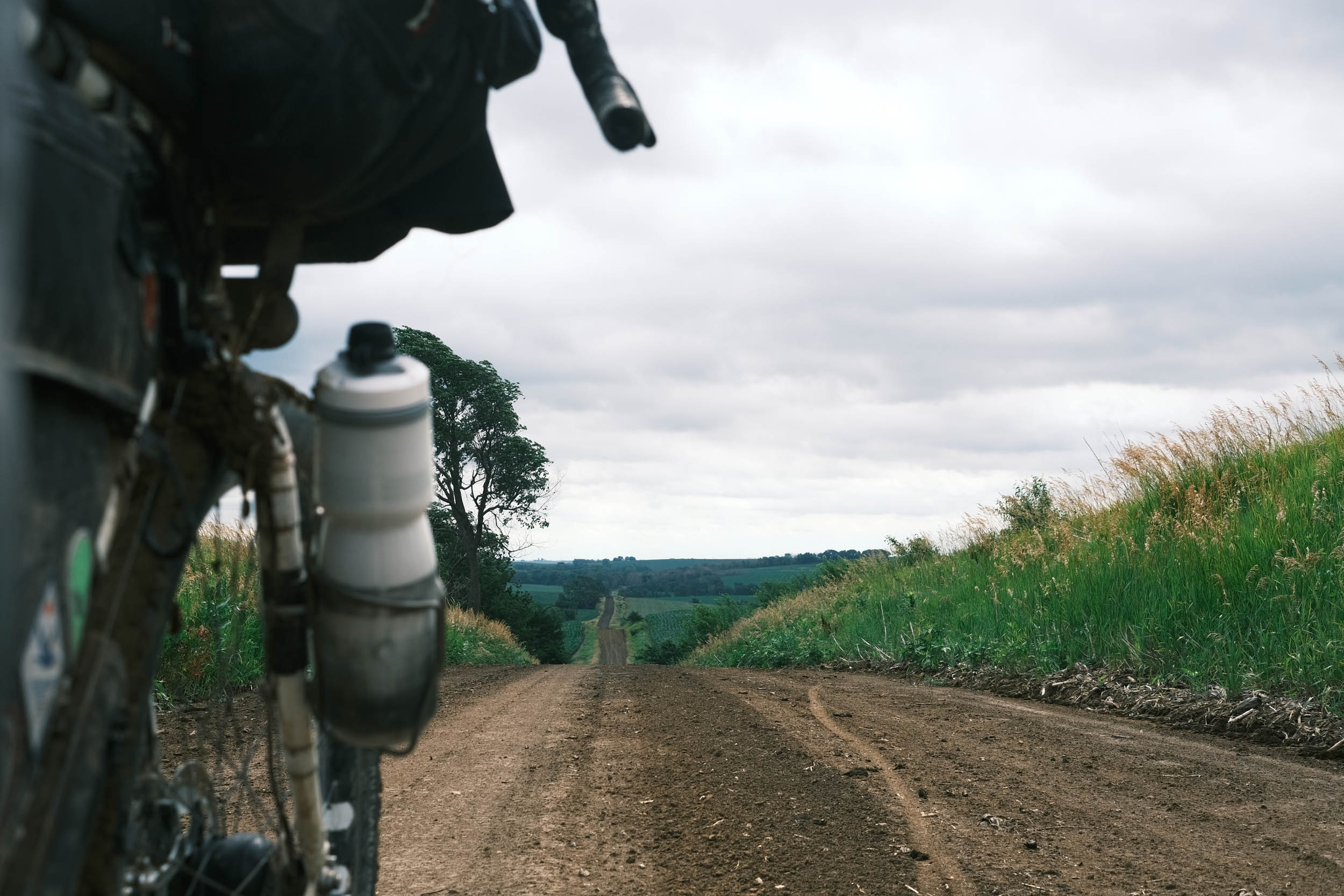
Iowa’s hills and gravel roads make their presence known immediately, with near-constant climbing and coasting. The state’s grid layout means roads run straight but rarely flat.
Stop in the quaint town of Walnut, known for its antique shops. The final miles of the day follow the T-Bone Rail Trail, which provides a noticeably flatter ride compared to the previous 40 miles.
location Audubon, IA to Perry, IA
Day 10 (58 mi +2,600 ft)
After leaving Audubon, home of Albert the Bull, the world’s largest bull, the route delivers another healthy dose of Iowa gravel and climbing. The first 25 miles are particularly demanding, with most grades ranging from 6% to 9%.
Eventually, the route joins the flat, paved Raccoon River Valley Trail and follows it all the way to Perry. A stay at the historic Hotel Pattee, especially in the RAGBRAI-themed bicycle room can be a memorable treat for the long distances previously ridden.
- Here is a comprehensive list of lodging and resupply locations along the entire route. There is also a tab for specific information on individual rail trail segments.
- Visit the Great American Wheel Adventure Facebook page to connect to other riders and racers.


Terms of Use: As with each bikepacking route guide published on BIKEPACKING.com, should you choose to cycle this route, do so at your own risk. Prior to setting out check current local weather, conditions, and land/road closures. While riding, obey all public and private land use restrictions and rules, carry proper safety and navigational equipment, and of course, follow the #leavenotrace guidelines. The information found herein is simply a planning resource to be used as a point of inspiration in conjunction with your own due-diligence. In spite of the fact that this route, associated GPS track (GPX and maps), and all route guidelines were prepared under diligent research by the specified contributor and/or contributors, the accuracy of such and judgement of the author is not guaranteed. BIKEPACKING.com LLC, its partners, associates, and contributors are in no way liable for personal injury, damage to personal property, or any other such situation that might happen to individual riders cycling or following this route.
Further Riding and Reading
Here are some connected/nearby routes and related reports...


Please keep the conversation civil, constructive, and inclusive, or your comment will be removed.