


Goat Mountain Gusto Overnighter
Distance
37 Mi.
(60 KM)Days
2
% Unpaved
100%
% Singletrack
100%
% Rideable (time)
90%
Total Ascent
8,460'
(2,579 M)High Point
5,150'
(1,570 M)Difficulty (1-10)
6?
- 10Climbing Scale Very Strenuous229 FT/MI (43 M/KM)
- -Technical Difficulty
- -Physical Demand
- -Resupply & Logistics
Contributed By

Ben Handrich
Guest Contributor
Ben is a High School Counselor, Vegan, exercise addict, and mountain biking enthusiast who uses the dark and dreary days of winter to dream up future bikepacking trips for the spring and summer, with a few winter bikepacking mistakes thrown in for good measure. Follow Ben’s blog at Pedals Packs and Pinots.
A few years ago the Goat Mountain Trail system was a little-used and even lesser-known bit of trail on the northern outskirts of the Mount St. Helens National Monument, part of the larger Gifford Pinchot National Forest. At the time, the trail was used by hikers, bikers, and hunters alike, but was overshadowed by trails just south of the Goat Mountain Trail system—The Mount Margaret trail just north of St. Helens (for hikers), Ape Canyon, and the Plains of Abraham just south of St. Helens (for bikers), to name a few—due to their easier access and better views of St. Helens and the Cascade Range. As a result, the trails were wild and less maintained than these southern gems.
However, all that changed in the summer of 2018 when the Trans-Cascadia crew dialed this trail system in for its 4-day annual event in September. If you haven’t heard of Trans-Cascadia, visit their site. Their mission is to help preserve and sustain some of the Pacific Northwest’s pristine backcountry singletrack, and every year, they hold a 4-day blind race on trails that the Trans-Cascadia crew has worked to revitalized all spring, from primitive trails that have fallen victim to lack of trail maintenance and disuse to IMBA Epic-quality trails. The Trans-Cascadia is the kind of organization that trail users dream of, and long may their vision and sustainable nonprofit work continue!
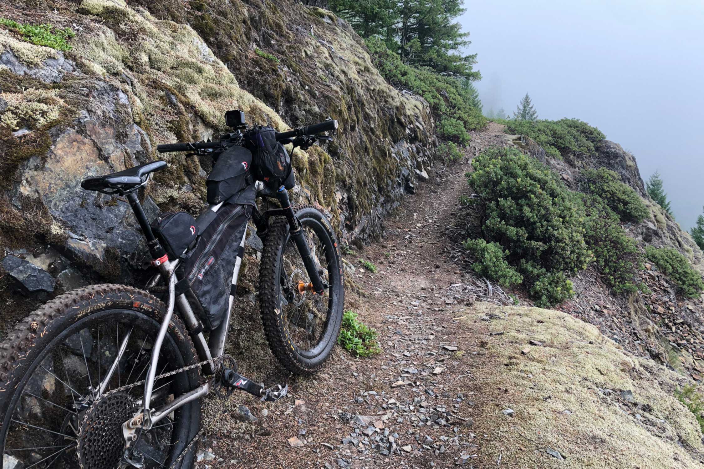
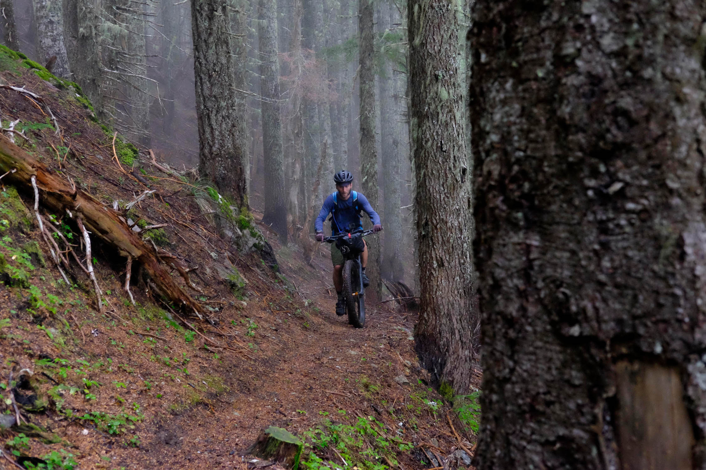
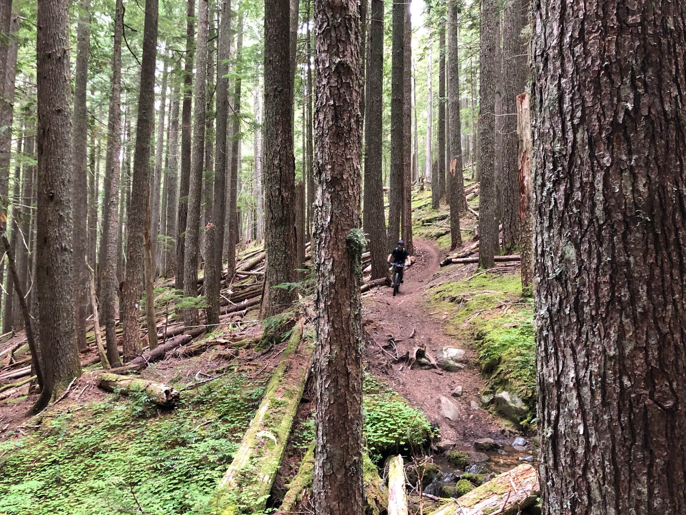
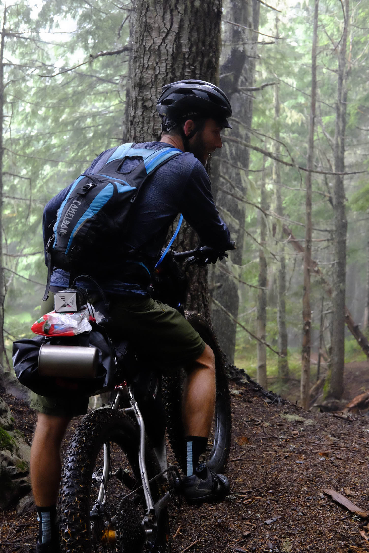
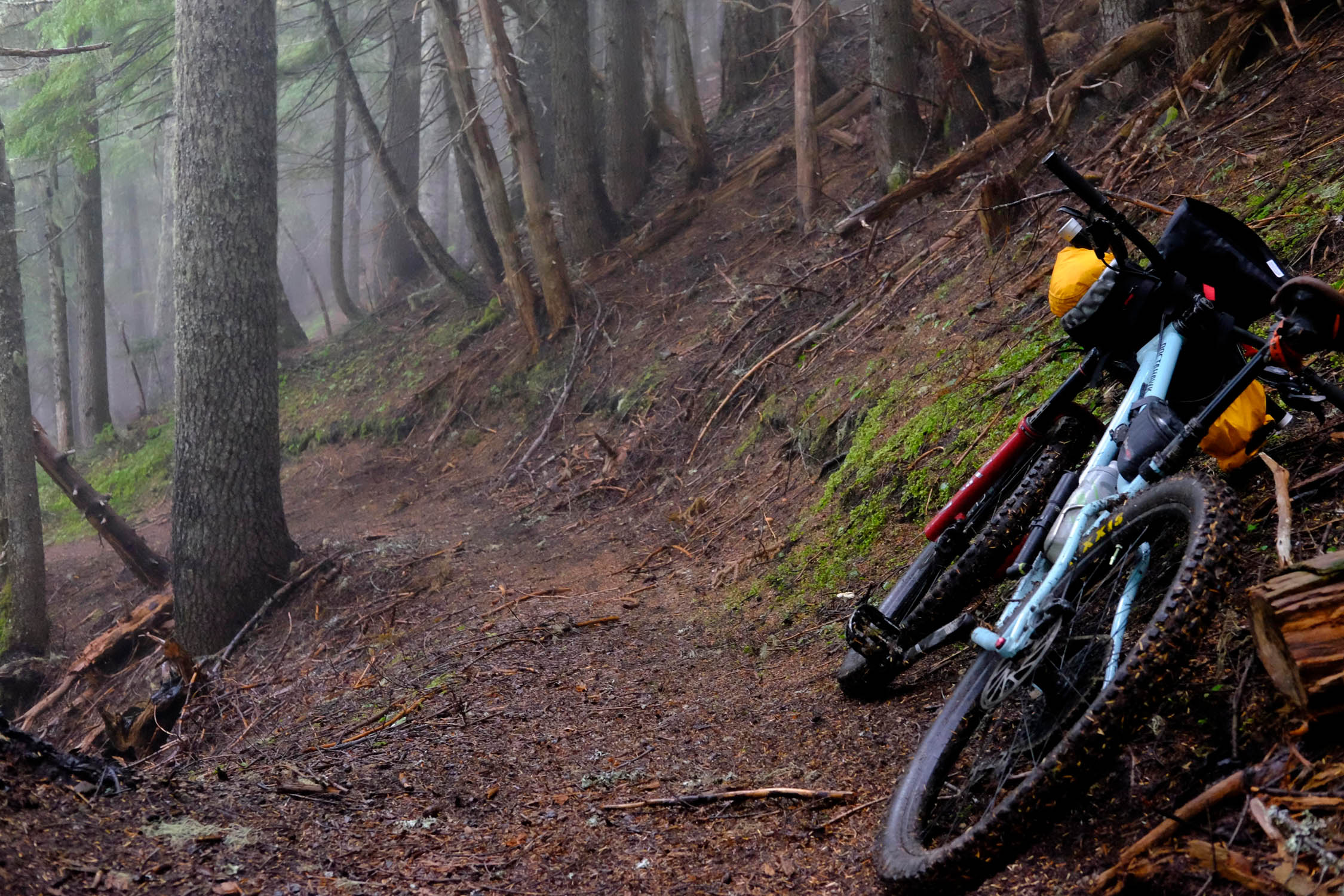
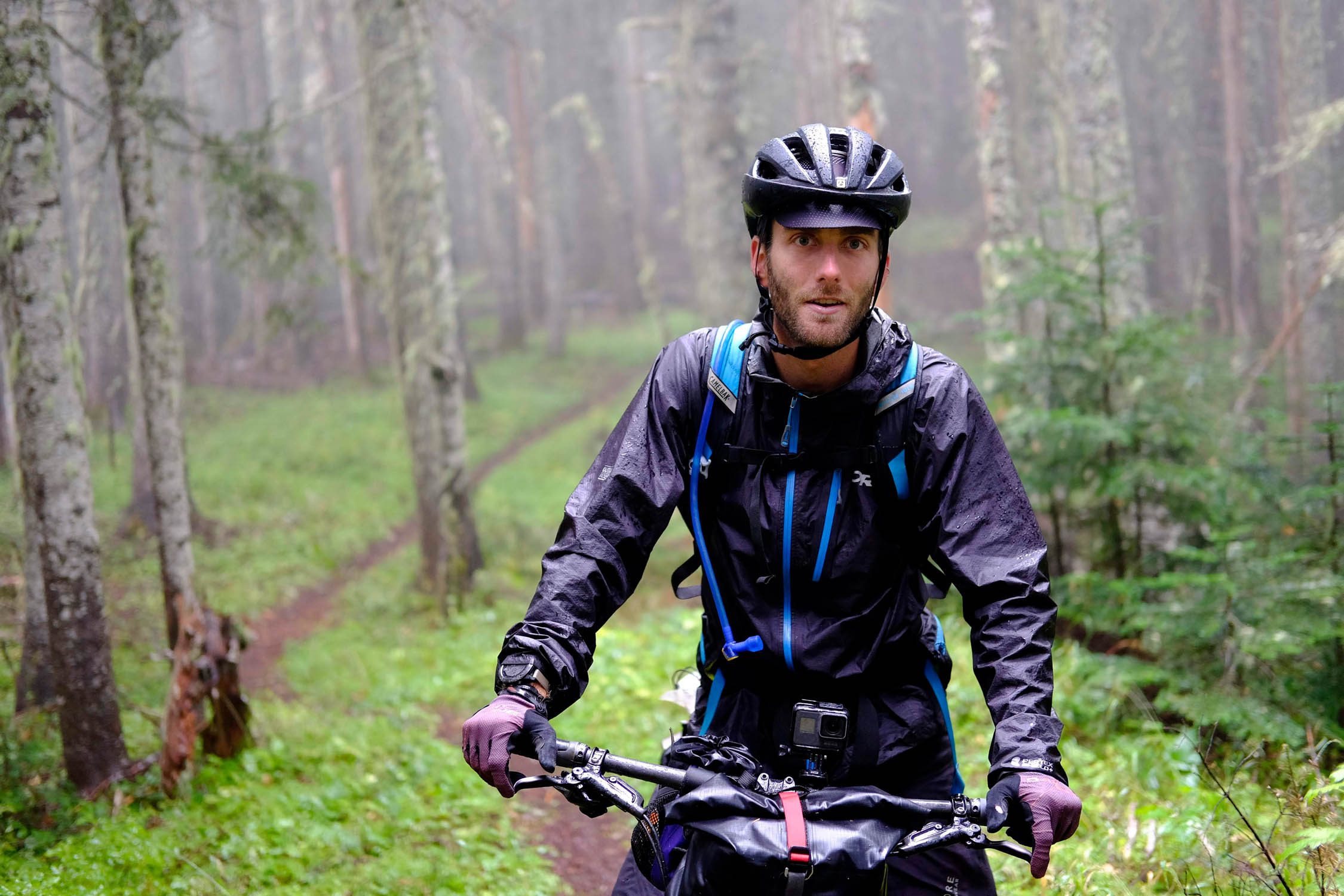
The revitalization of this trail system has absolutely transformed the singletrack into a MTB rider’s paradise. While there aren’t the huge sweeping views that Ape Canyon and the Plains of Abraham have, riders are treated to absolutely pristine singletrack with lots of natural features built into the ride, including small jumps, whoops, and drops. And perhaps the biggest benefit of all, the trail is not nearly as highly trafficked as those other systems south of St. Helens. During our visit, we only saw two other bike groups the entire weekend. Granted, the forecast called for rain and thunderstorms Saturday night and Sunday and didn’t disappoint, but still, to have the quality of trails the Goat Mountain Trail system offers almost to yourself is an unbelievable gift.
As with any trail system, there are threats to the preservation of this beautiful area, as the BLM has approved initial permits for mining in the area. Hopefully with the revitalization of these trails and more users, this decision is reversed or arrested, but in the meantime, go out and ride this trail system soon in case it disappears.
Difficulty
The route difficulty is a 6 out of 10, as its biggest challenge centers on it lung-busting elevation gain. But if you’re not too proud to hike-a-bike a bit, this route is easy to navigate and has loads of water options throughout, so you never have to worry about running low. The other perk is that your campsite at Deadman’s Lake is only seven miles into the ride and, once there, you can set up camp and ride the next loop unloaded. Additionally, while there are some steep sections of riding, particularly in the last seven miles of the route (a technical descent), the riding overall is doable for most skill-levels.
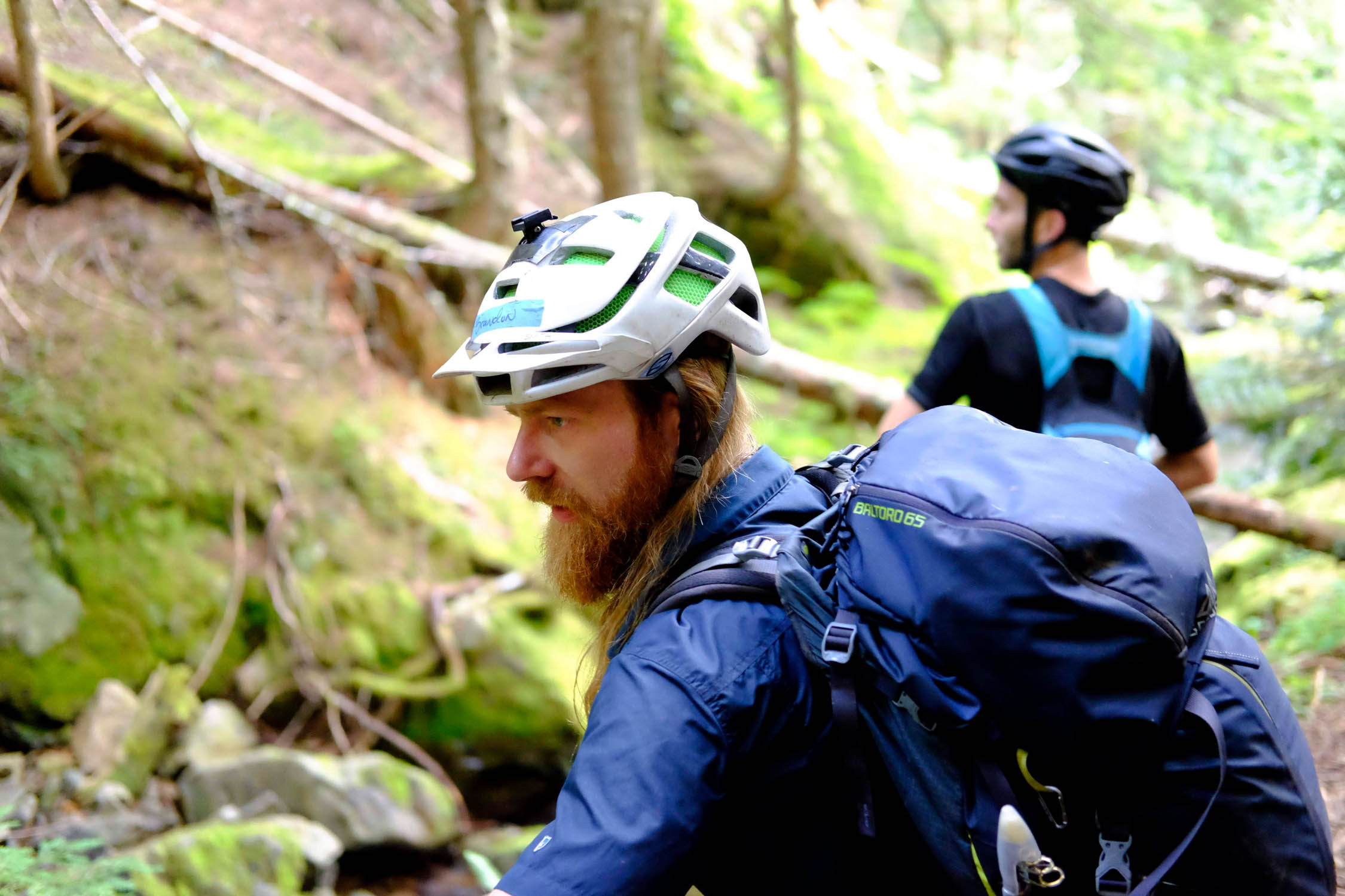
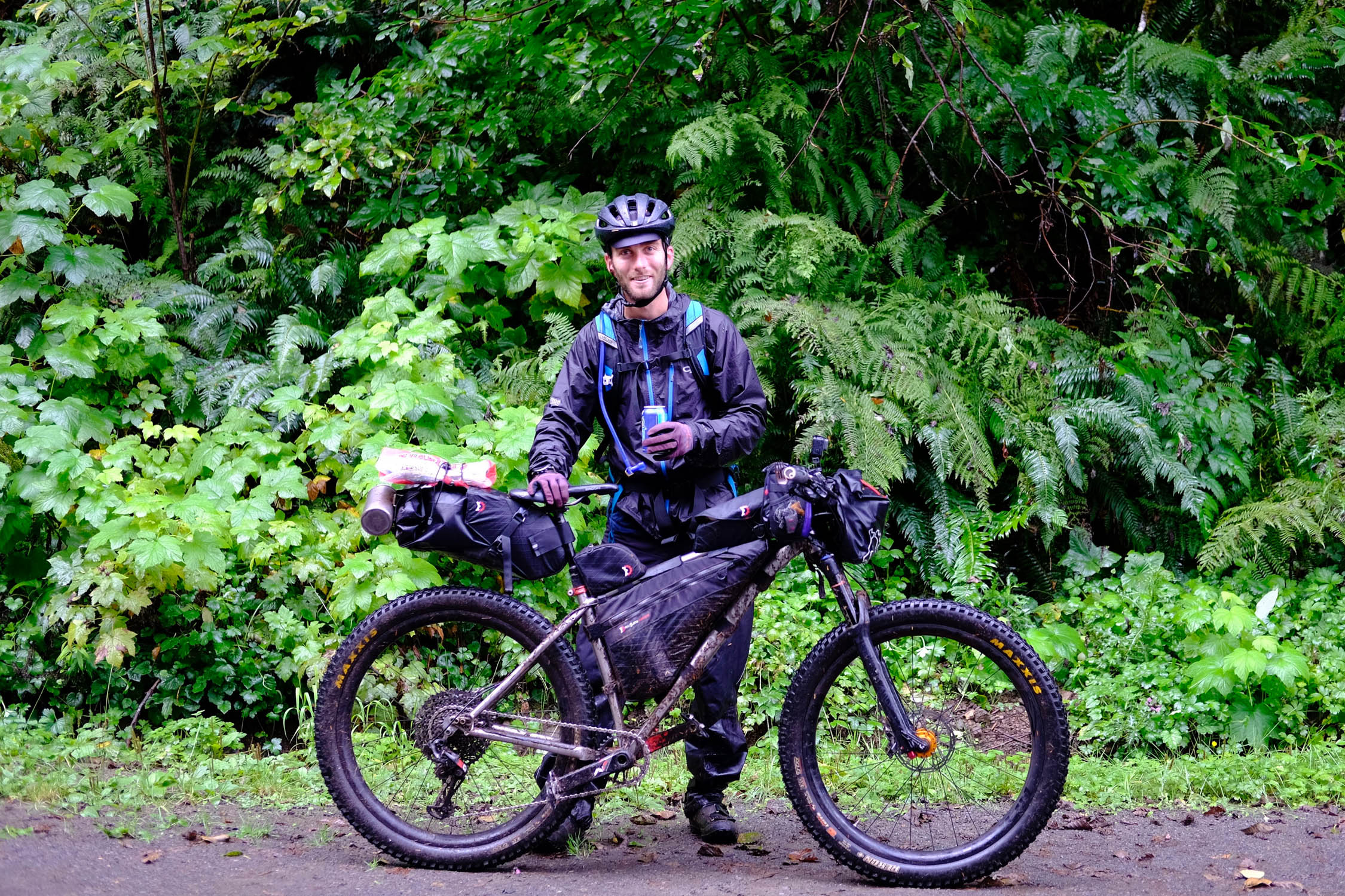
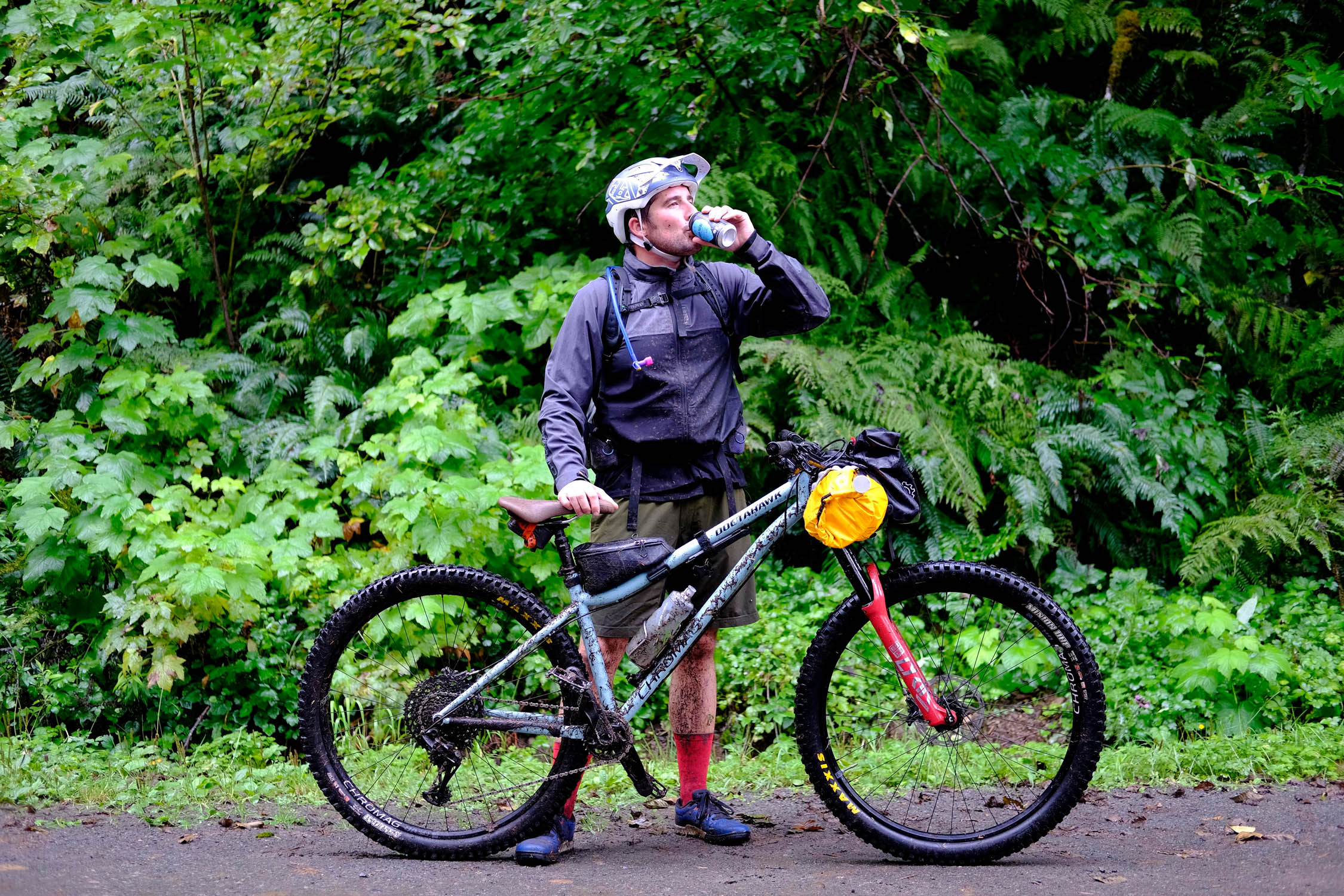
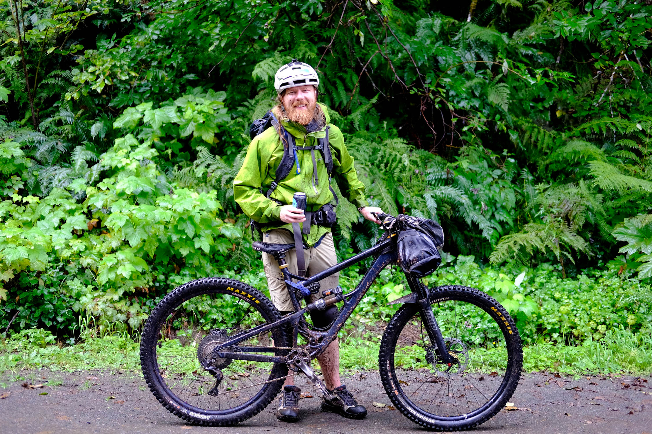
Route Development: While the route itself was built based on maps of the area and local intel from friends, Washington’s Evergreen Mountain Bike Alliance is a great resource for learning more about the area and how the trail system developed. Most of the photos (at least the good ones) were taken by Dan Casioppo, a Seattle local and hobby photographer. Another shout-out goes to Brandon Davis, who initially pitched the route so that all three of us could scour the map to fine-tune the details.


Submit Route Alert
As the leading creator and publisher of bikepacking routes, BIKEPACKING.com endeavors to maintain, improve, and advocate for our growing network of bikepacking routes all over the world. As such, our editorial team, route creators, and Route Stewards serve as mediators for route improvements and opportunities for connectivity, conservation, and community growth around these routes. To facilitate these efforts, we rely on our Bikepacking Collective and the greater bikepacking community to call attention to critical issues and opportunities that are discovered while riding these routes. If you have a vital issue or opportunity regarding this route that pertains to one of the subjects below, please let us know:
Highlights
Must Know
Camping
Food/H2O
Resources
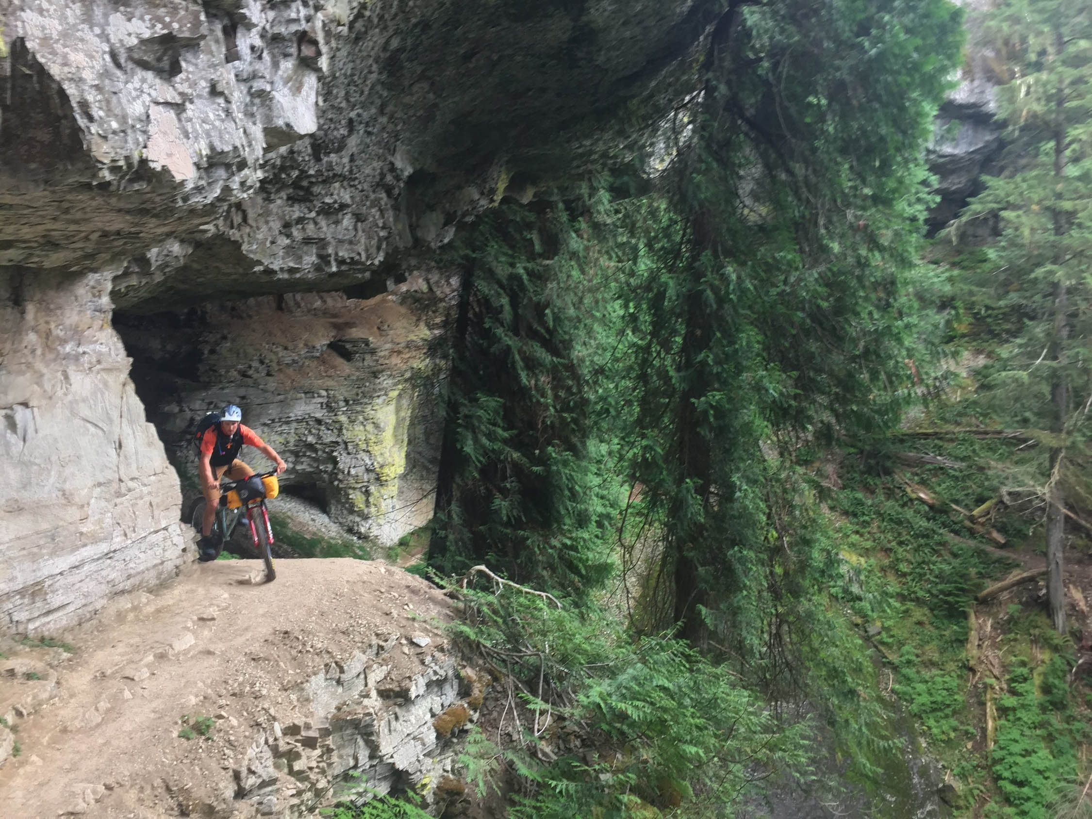
- The first two miles are incredible, with small waterfalls and caves littered throughout.
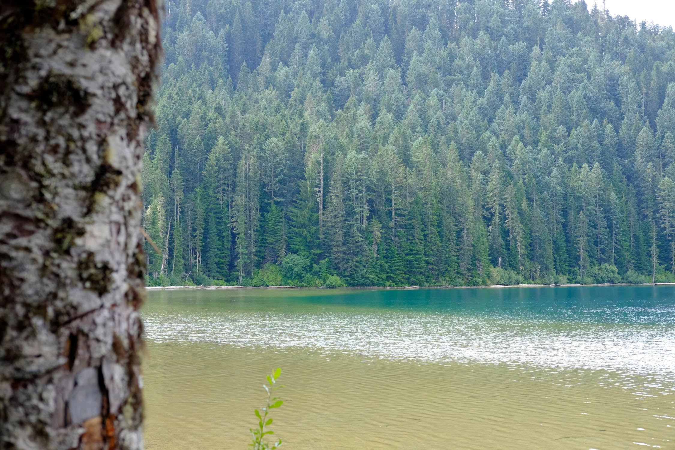
- Deadman’s Lake is a swimmer’s paradise, and the fish are biting if you bring your Tenkara rod.
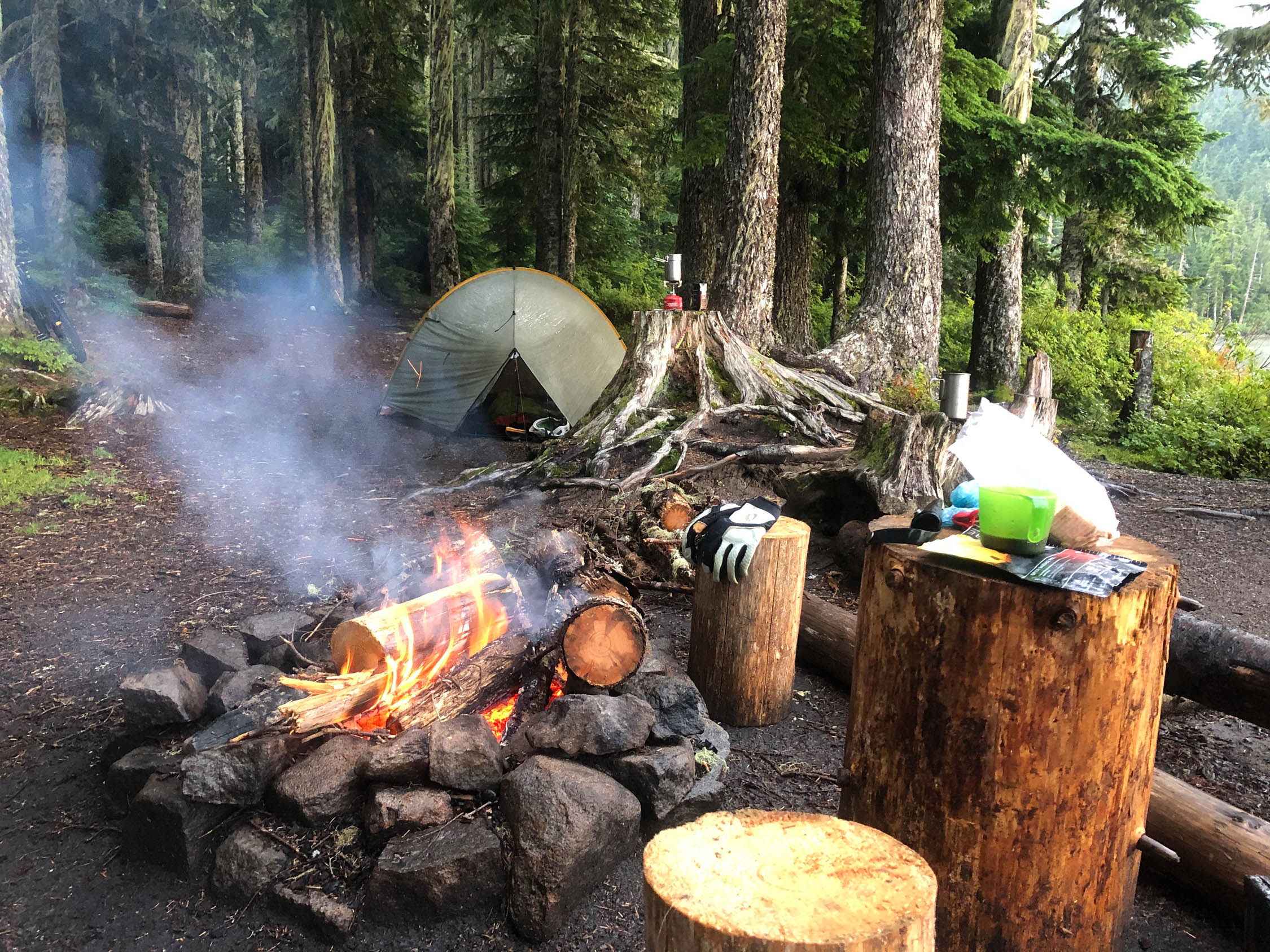
- The campsites at Deadman’s Lake are absolutely pristine, with logs cut as seats and firepits, all overlooking the lake and surrounding forest.
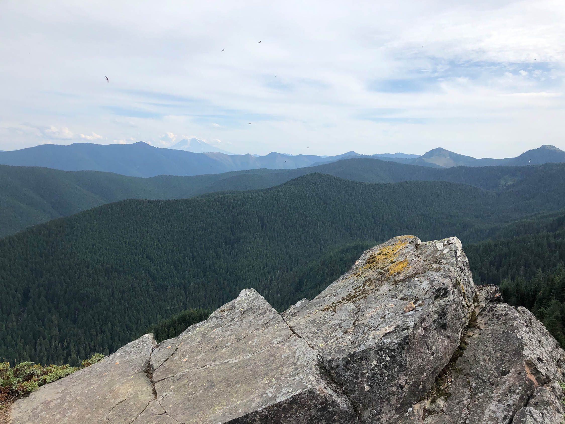
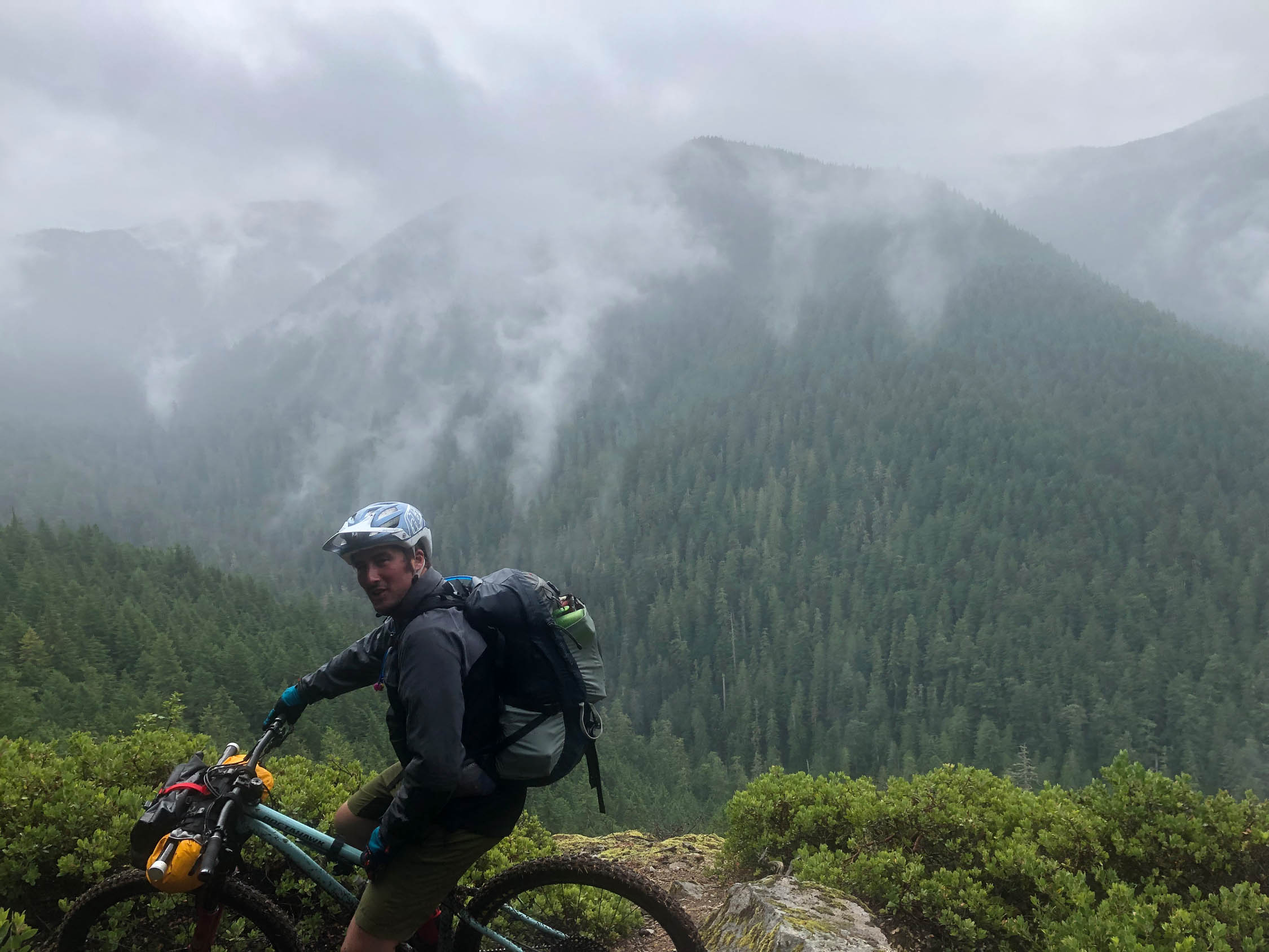
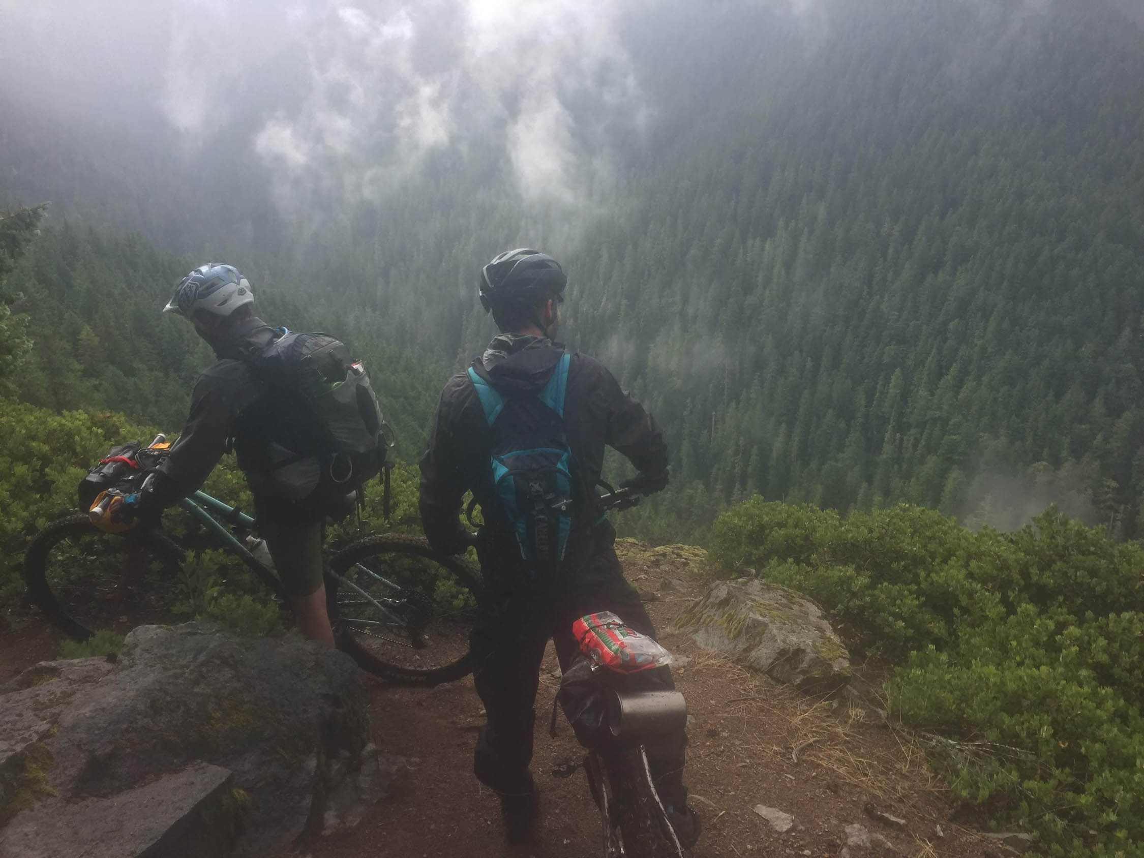
- The viewpoint just after mile 10 on Vanson Ridge Trail is definitely worth a visit, with a rocky outcropping that can be traversed to find views of the surrounding Cascade Range, all enjoyed while swallows dive bomb each other just off of the cliff
- The descent along the Vanson Ridge Trail is the highlight of the entire ride: fast and flowy for miles.
- The Tumwater ascent and descent are both noteworthy, as they’re rideable the entire way and an absolute blast to ride, with sneaky views of the Cascades as you fly around corners and up ridges.
- While there are low points around 2,200 feet, most of the Goat Mountain Trail system sits above 4,000 feet, which means weather is always a factor, especially since the trail system is on the doorstep of St. Helens.
- Ideal riding months for this route completely depend on snowfall in the winter. It could be ridden as late as November and as early as April, but the ideal riding time would be late May-early October.
- This trail is part of the Gifford Pinchot National Forest, so a Northwest Forest Pass is required.
- To get to the trailhead, head east on highway 12 from Morton for about 5 miles before turning right on Kosmos road, and then an almost immediate left onto Champion Haul Road. Drive past Taidnapam Park and over a bridge. Just after the bridge at the fork in the road, turn right onto Forest Road 27 for .8 miles, and then turn left onto NF 2750. From there, it’s a 3.5 mile gravel drive up to the Goat Creek Trailhead, which is the start of the ride.
- The first 7 miles of the route are a true lung-buster, climbing for about 7 miles before giving riders a small reprieve down to Deadman’s Lake around mile 7.5. Deadman’s Lake is a swimmer’s paradise, with shallow water and soft, silty shores. We opted to set up camp at Deadman’s Lake and the do the southern loop unloaded along the Vanson Ridge and Green River Trail, before reconnecting with the Goat Mountain Trail and back to Deadman’s Lake. Our next day had us riding the northern portion of the route along Tumwater Trail, before reconnecting with the Goat Mountain Trail back to the cars.
- Expect arduous climbs and rewarding descents, sneak-a-peak views of the Cascade Range, ethereal creek features including numerous small ‘creek falls,’ and flowy, groomed singletrack.
- By far the best place to camp is Deadman’s Lake, with multiple primitive camp sites and no fees.
- The smaller Vanson Lake may also have camping options, but venture there at your own risk.
- There is a rustic general store at Taidnapum park right before the turn-off for NFD 27, but outside of that, Morton is the closest town for purchasing food.
- Creeks abound on this route, so water shouldn’t be a problem. Each of us carried at least 2 liters at a time to avoid stopping, but that really isn’t necessary if you’re willing to filter periodically.
Additional Resources
- My personal writeup of the route
- Evergreen Mountain Bike Alliance
- National Geographic’s Mount St. Helens and Mount Adams Topographic Map is a great purchase if you’re wanting to visually explore the trail system and surrounding area.


Terms of Use: As with each bikepacking route guide published on BIKEPACKING.com, should you choose to cycle this route, do so at your own risk. Prior to setting out check current local weather, conditions, and land/road closures. While riding, obey all public and private land use restrictions and rules, carry proper safety and navigational equipment, and of course, follow the #leavenotrace guidelines. The information found herein is simply a planning resource to be used as a point of inspiration in conjunction with your own due-diligence. In spite of the fact that this route, associated GPS track (GPX and maps), and all route guidelines were prepared under diligent research by the specified contributor and/or contributors, the accuracy of such and judgement of the author is not guaranteed. BIKEPACKING.com LLC, its partners, associates, and contributors are in no way liable for personal injury, damage to personal property, or any other such situation that might happen to individual riders cycling or following this route.
Please keep the conversation civil, constructive, and inclusive, or your comment will be removed.