


The Gorgany Trail, Ukraine
Distance
98 Mi.
(158 KM)Days
3
% Unpaved
95%
% Singletrack
35%
% Rideable (time)
89%
Total Ascent
8,561'
(2,609 M)High Point
4,750'
(1,448 M)Difficulty (1-10)
8?
- 6Climbing Scale Moderate87 FT/MI (17 M/KM)
- -Technical Difficulty
- -Physical Demand
- -Resupply & Logistics
Contributed By
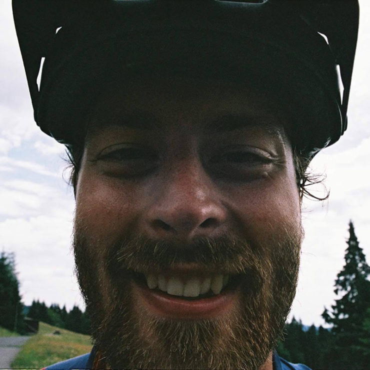
Ales Tajtak
Guest Contributor
Aleš Tajták is based in Central Europe and has a passion for searching experiences in the wilderness — long miles, places withouth civilization, endless forests, long ridges, and traditional culture drives his bikepacking trips. follow him on Facebook at BikeAdventuresSlovensko or Instagram @ales.tajtak
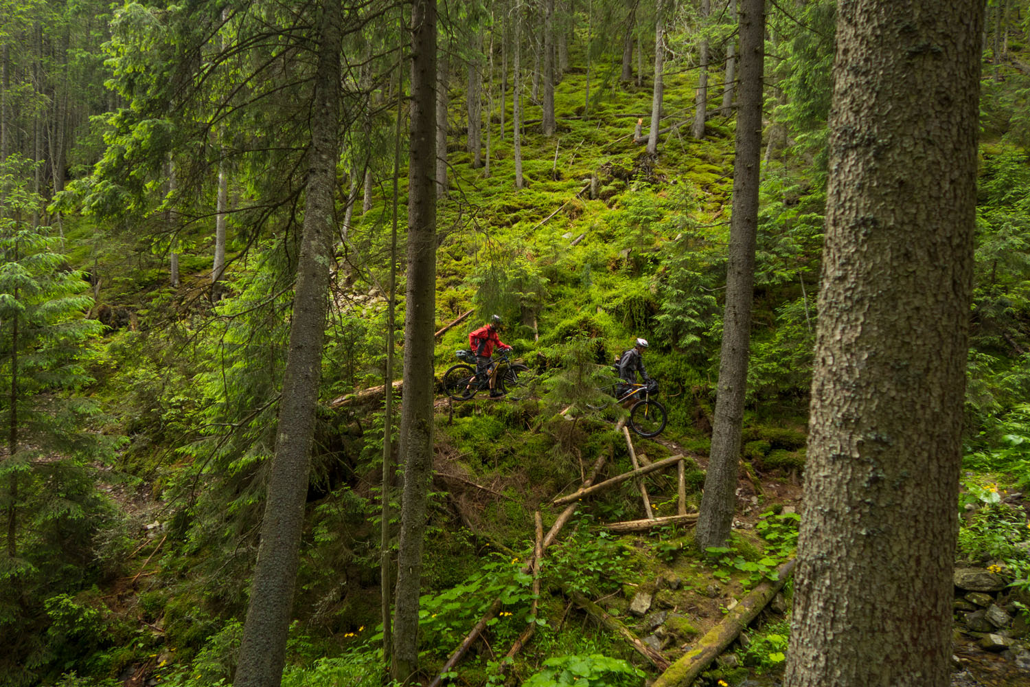
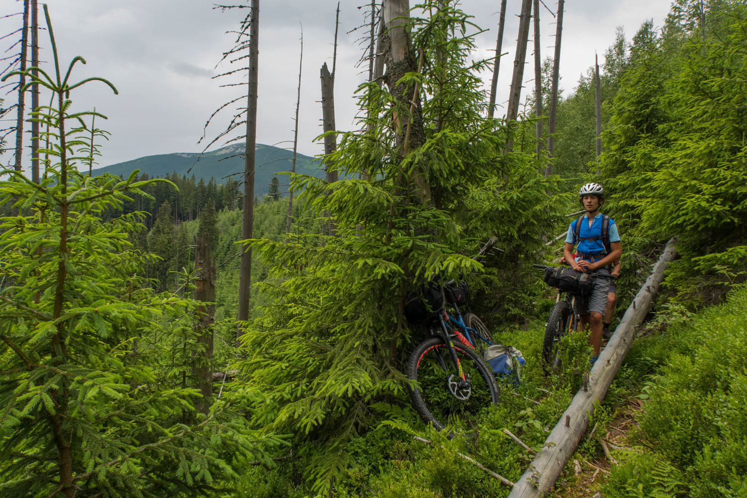
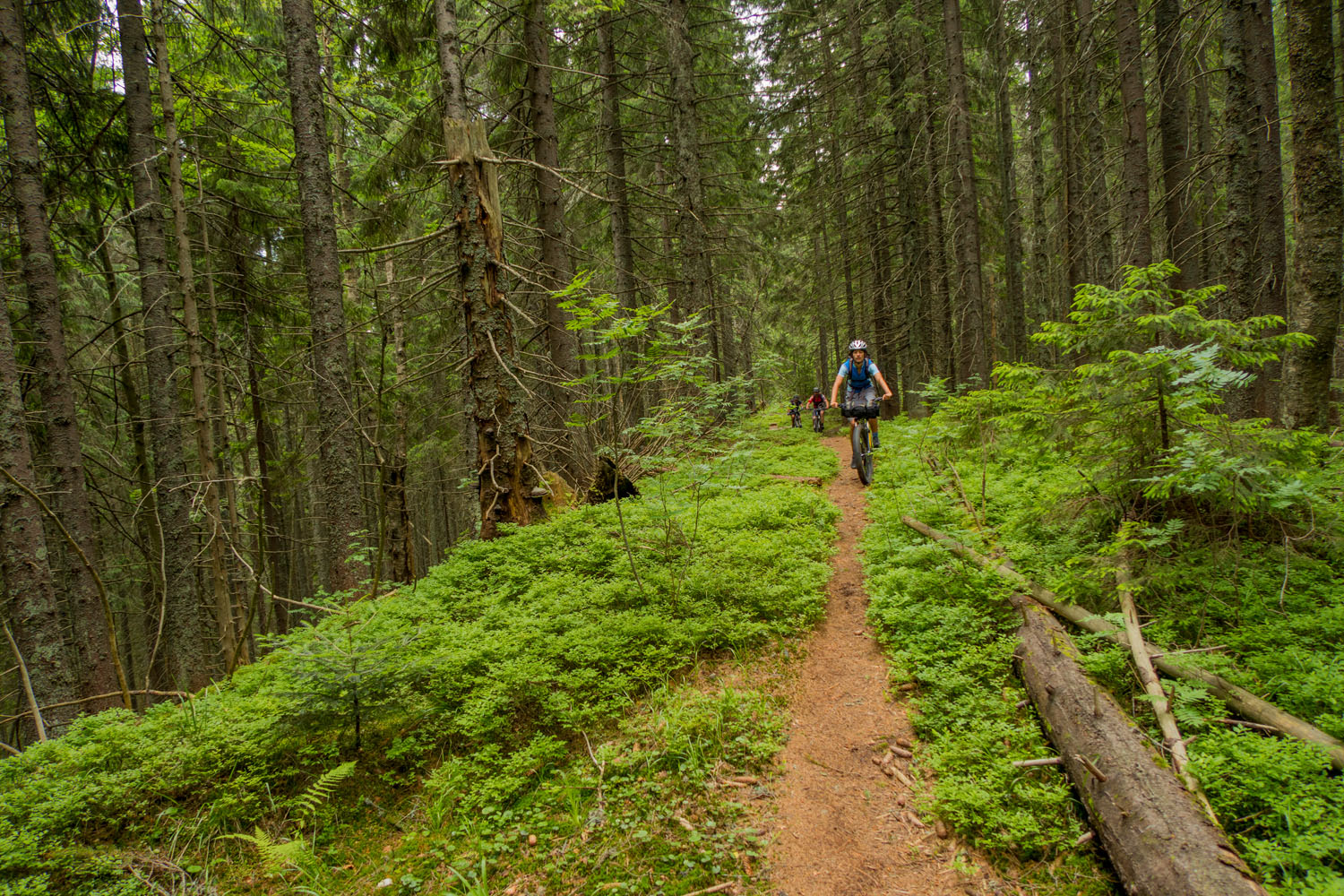
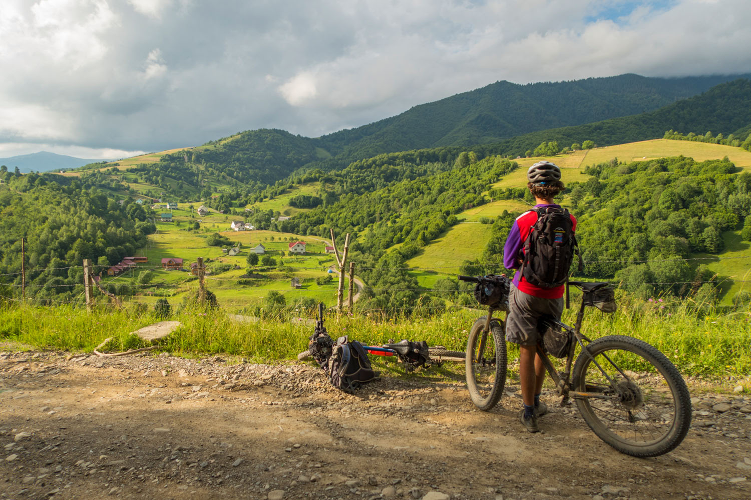
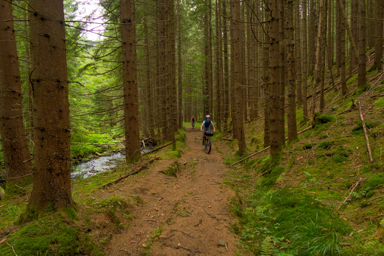
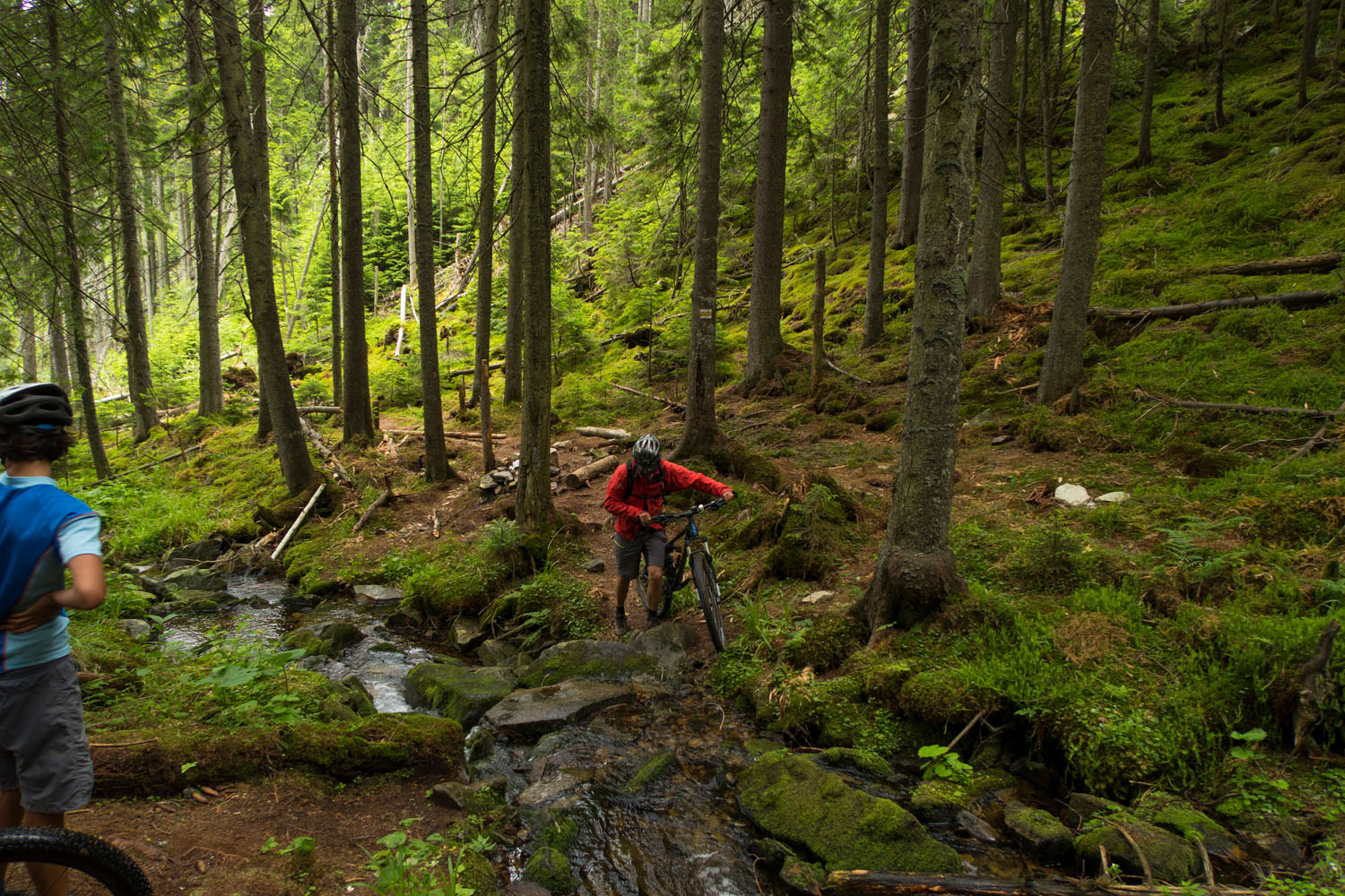
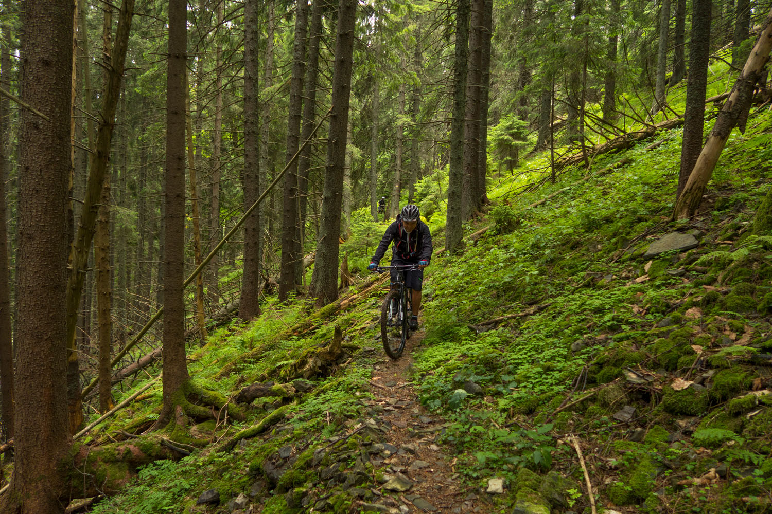
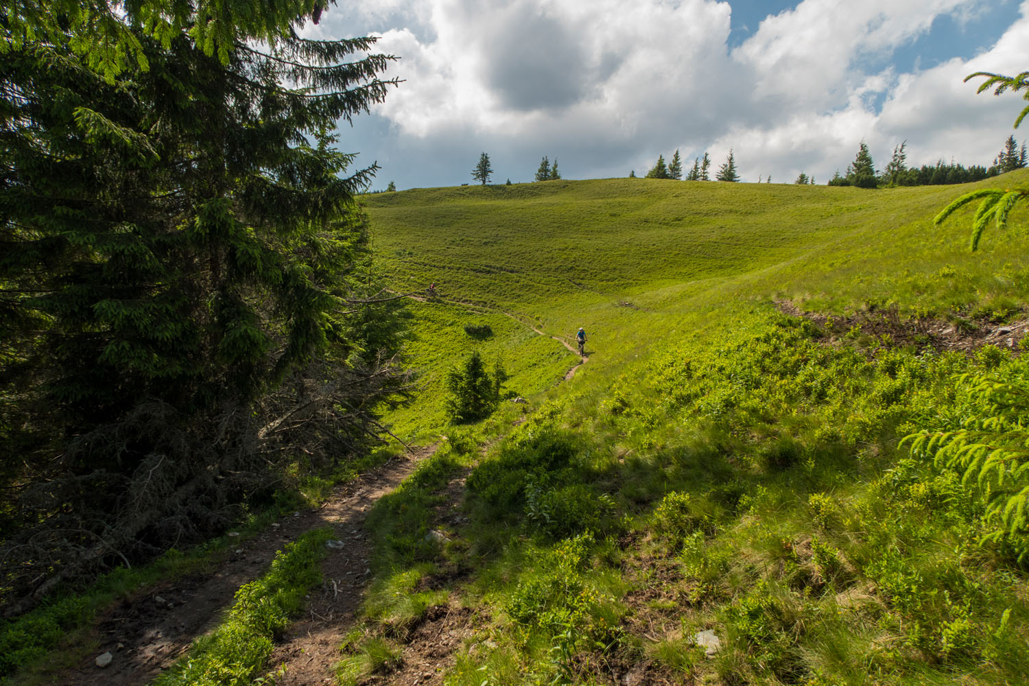
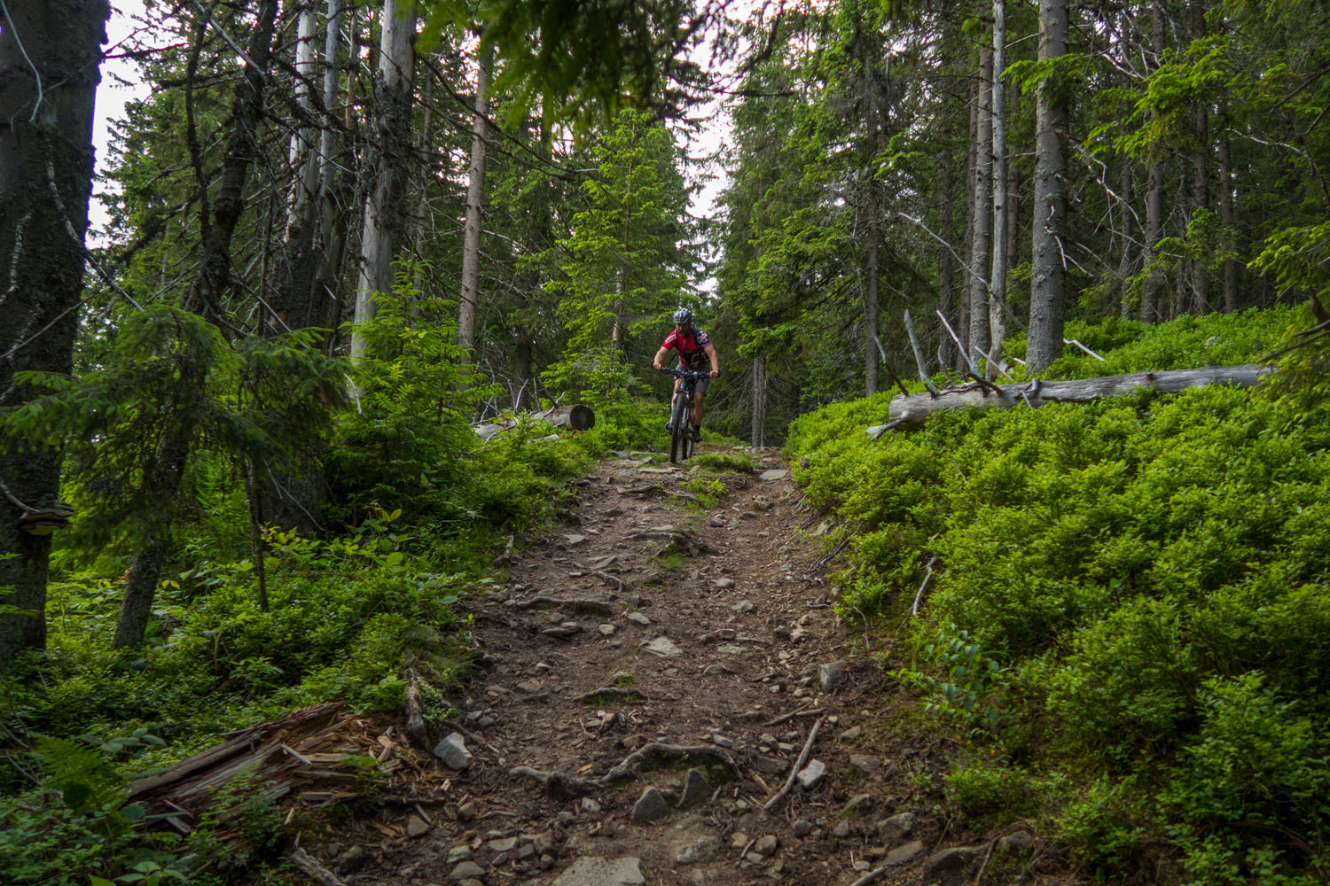
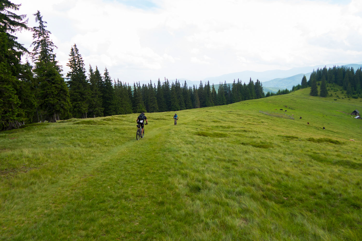
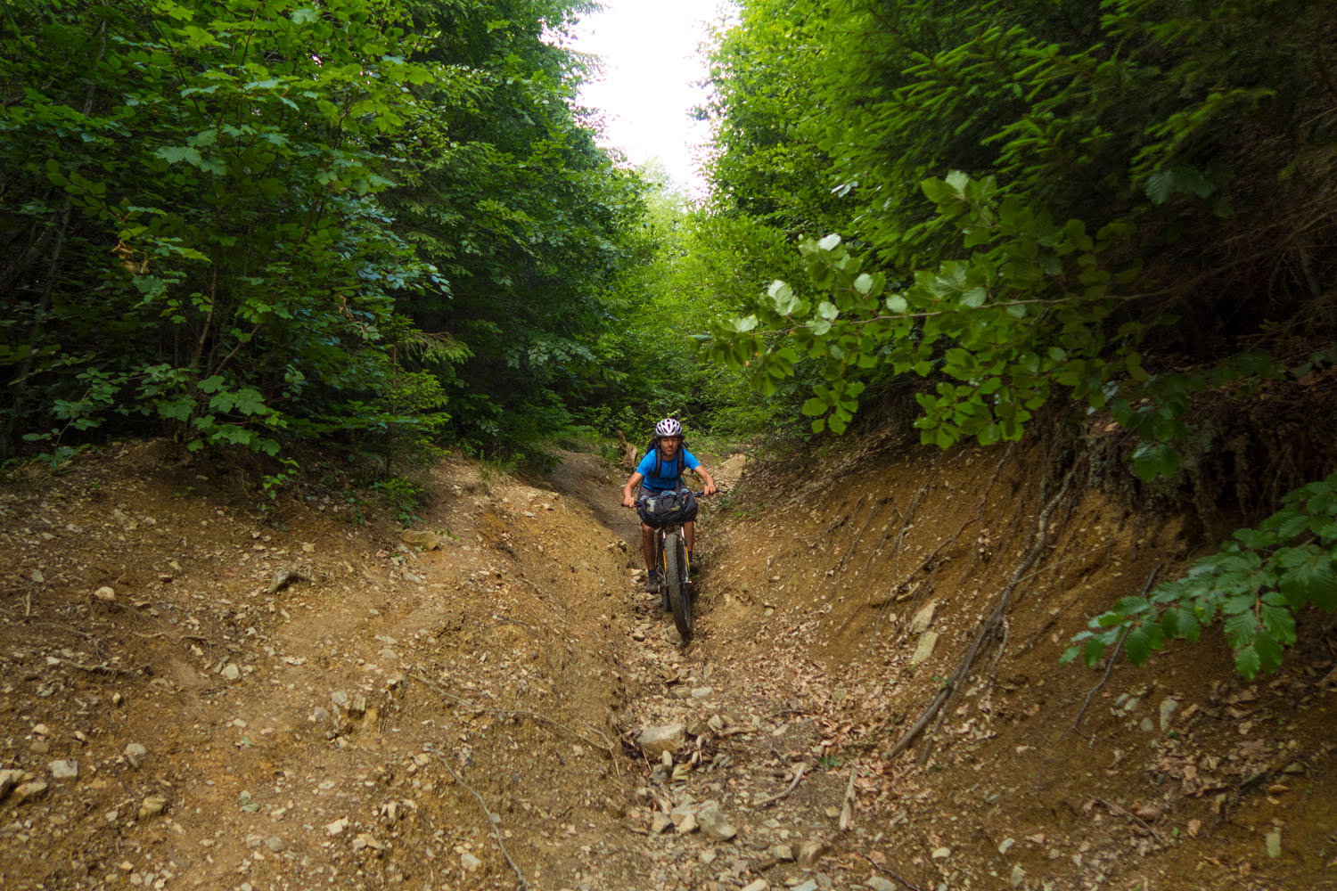
The Gorgany range lies within the Zakarpattia region in southwest Ukraine in the Outer Eastern Carpathian Mountains. The surroundings are largely traditional farmland with rolling pastures and villages dotting the hillsides, but otherwise the area is quite remote. The lower reaches of the Gorgany Mountains are made up of lush and green spruce forests while the higher altitudes become rocky. This is the perfect setting for a big adventure and it’s extraordinary to find such a place this remote and sparsely populated in Europe.
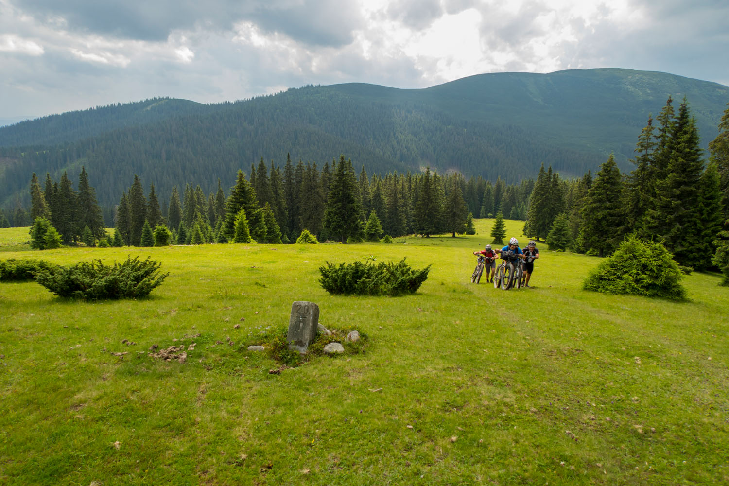
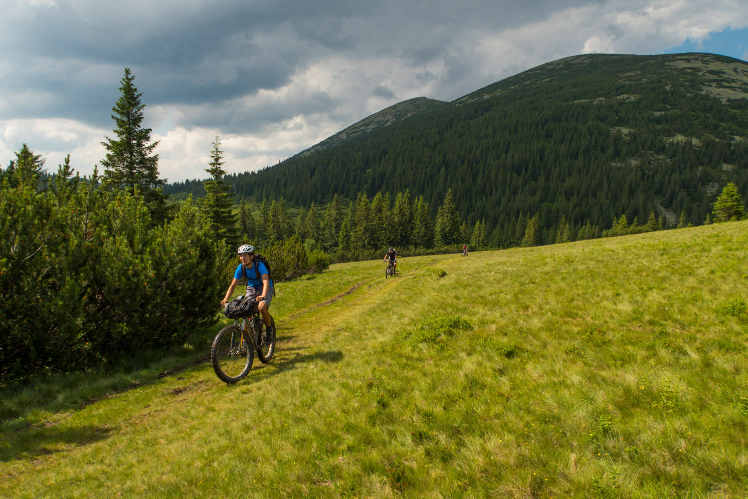
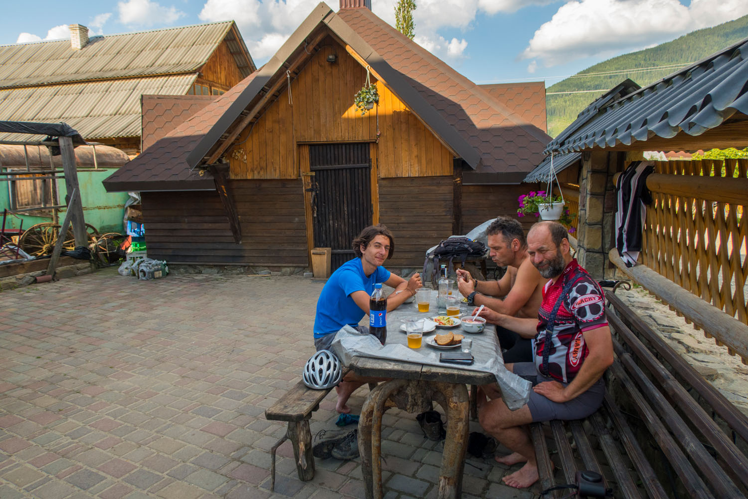
The route itself is comprised of several long valley climbs that crest at beautiful and scenic overlooks of the mountains. It often crosses an old border denoted with stones from year 1919 when Zakarpattia was within the Czech Republic and Poland. The start of the route and entrance to the mountains is difficult, but once you set out it’s highly unlikely you’ll meet any other tourists. Even so, there are small villages peppered throughout the route for resupply or a stop for snacks.
Route Development: When initially planning this route I was looking for a grand adventure in one of the last wild places within Europe. I found the Gorgany Mountains on Google Earth when looking for a large forested tract without much civilization. I was most interested in traversing these mountains after village Myslivka, where the moss wildwood is rare. The Gorgany Trail is a ROUT3 Challenge Runner Up winner.


Submit Route Alert
As the leading creator and publisher of bikepacking routes, BIKEPACKING.com endeavors to maintain, improve, and advocate for our growing network of bikepacking routes all over the world. As such, our editorial team, route creators, and Route Stewards serve as mediators for route improvements and opportunities for connectivity, conservation, and community growth around these routes. To facilitate these efforts, we rely on our Bikepacking Collective and the greater bikepacking community to call attention to critical issues and opportunities that are discovered while riding these routes. If you have a vital issue or opportunity regarding this route that pertains to one of the subjects below, please let us know:
Highlights
Must Know
Camping
Food/H2O
Trail Notes
Resources
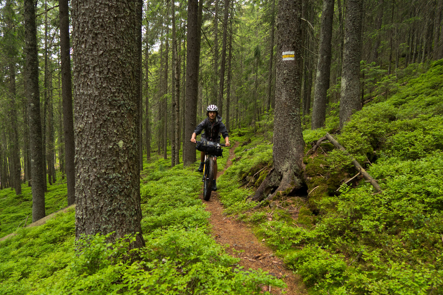
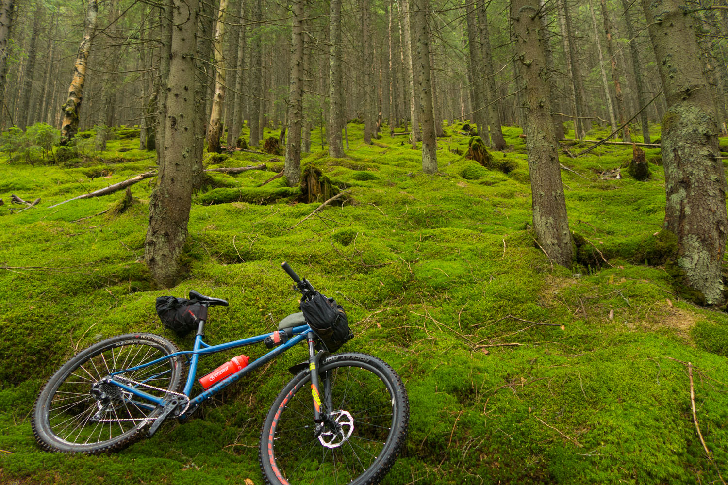
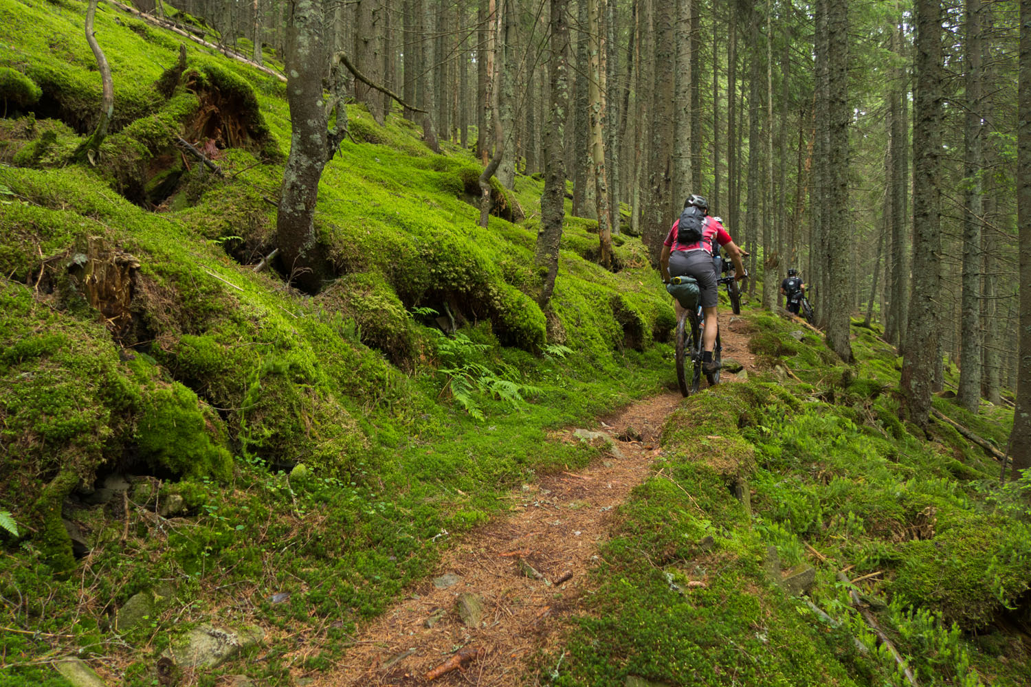
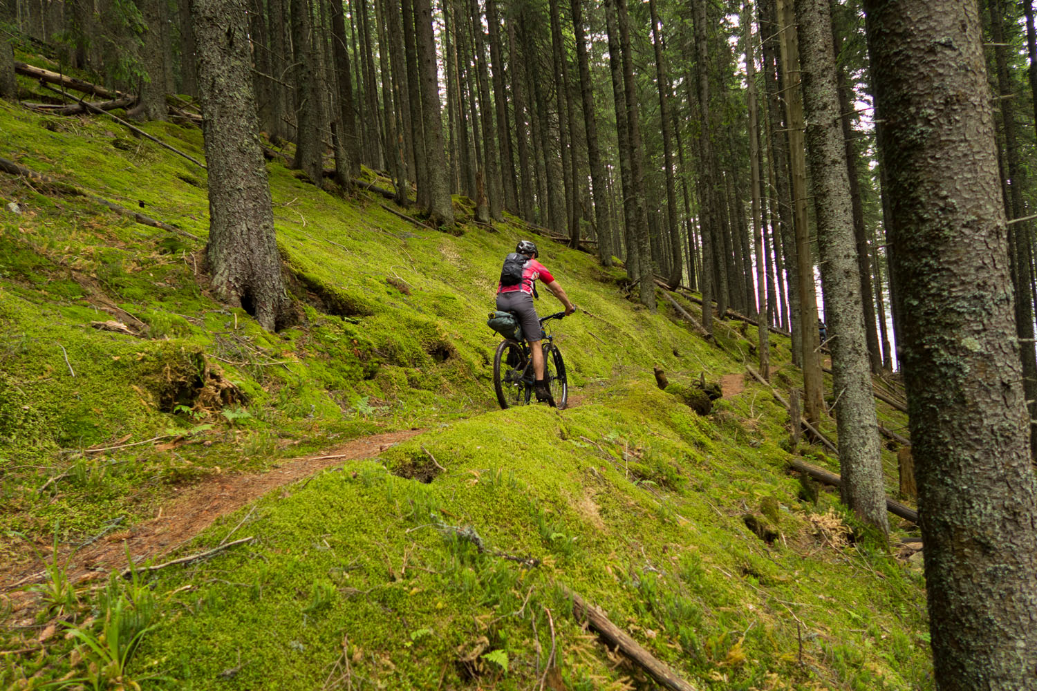
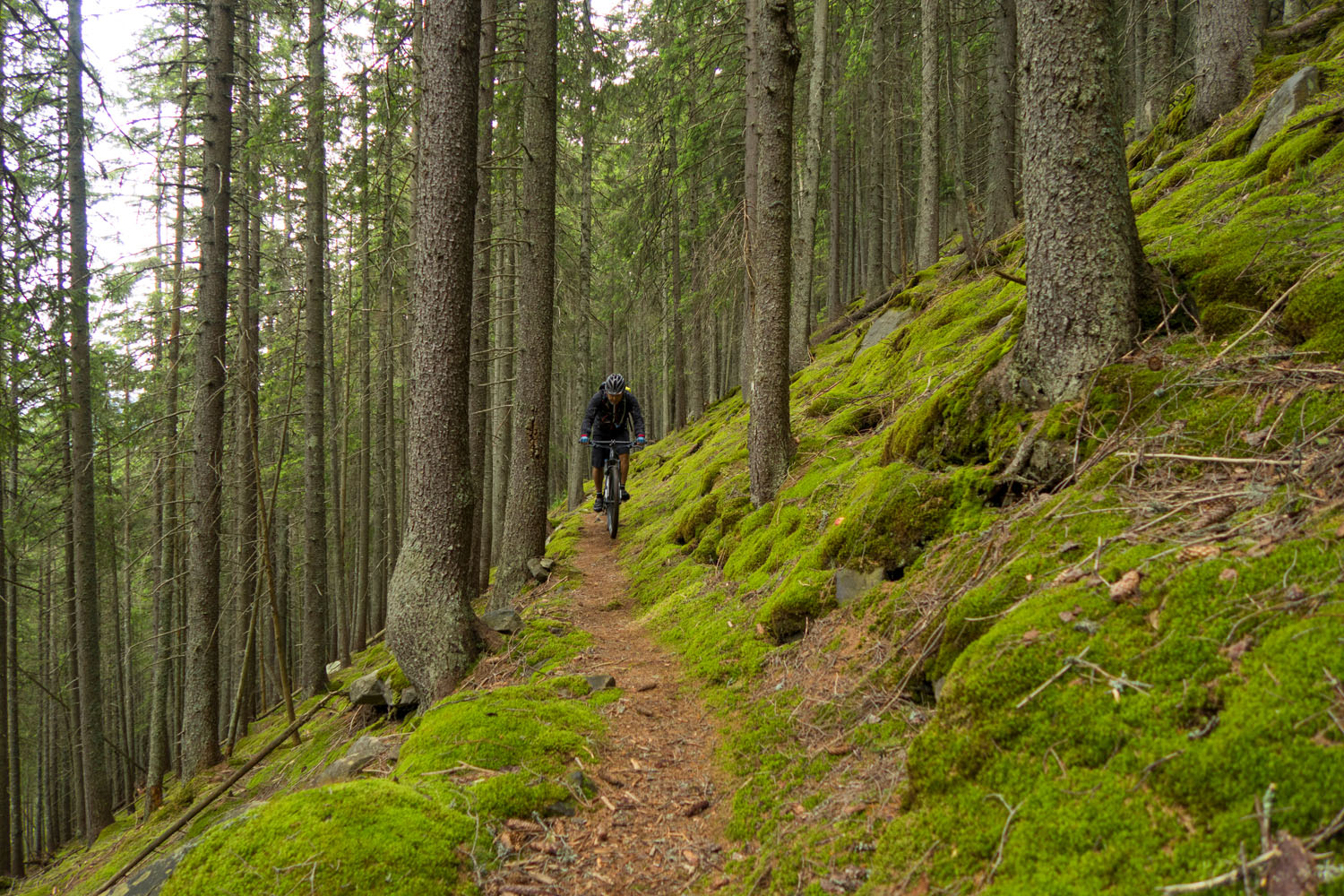
- Beautiful old growth Carpathian forests with spruce and moss wildwood.
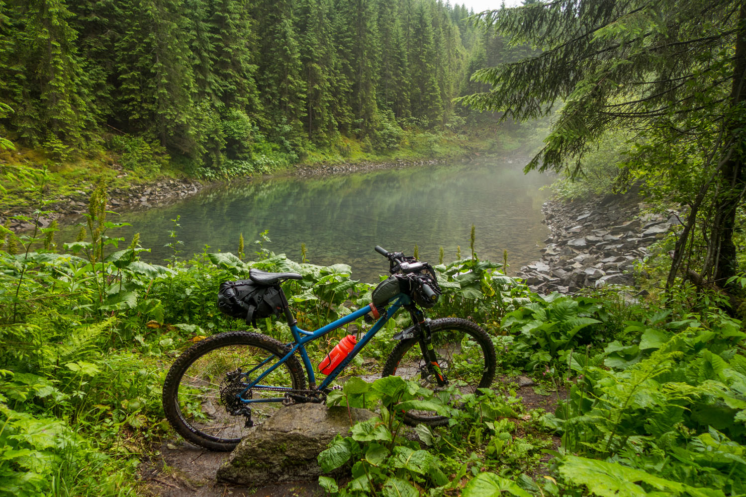
- Lake Rosohan, an atypical small lake within a spruce forest.
- The traditional farmer villages of Osmoloda and Bystritsia.
- The old border from year 1919 marked by stones in an otherwise untapped wilderness.
- Local food and drink such as Borsc or Pelmene.
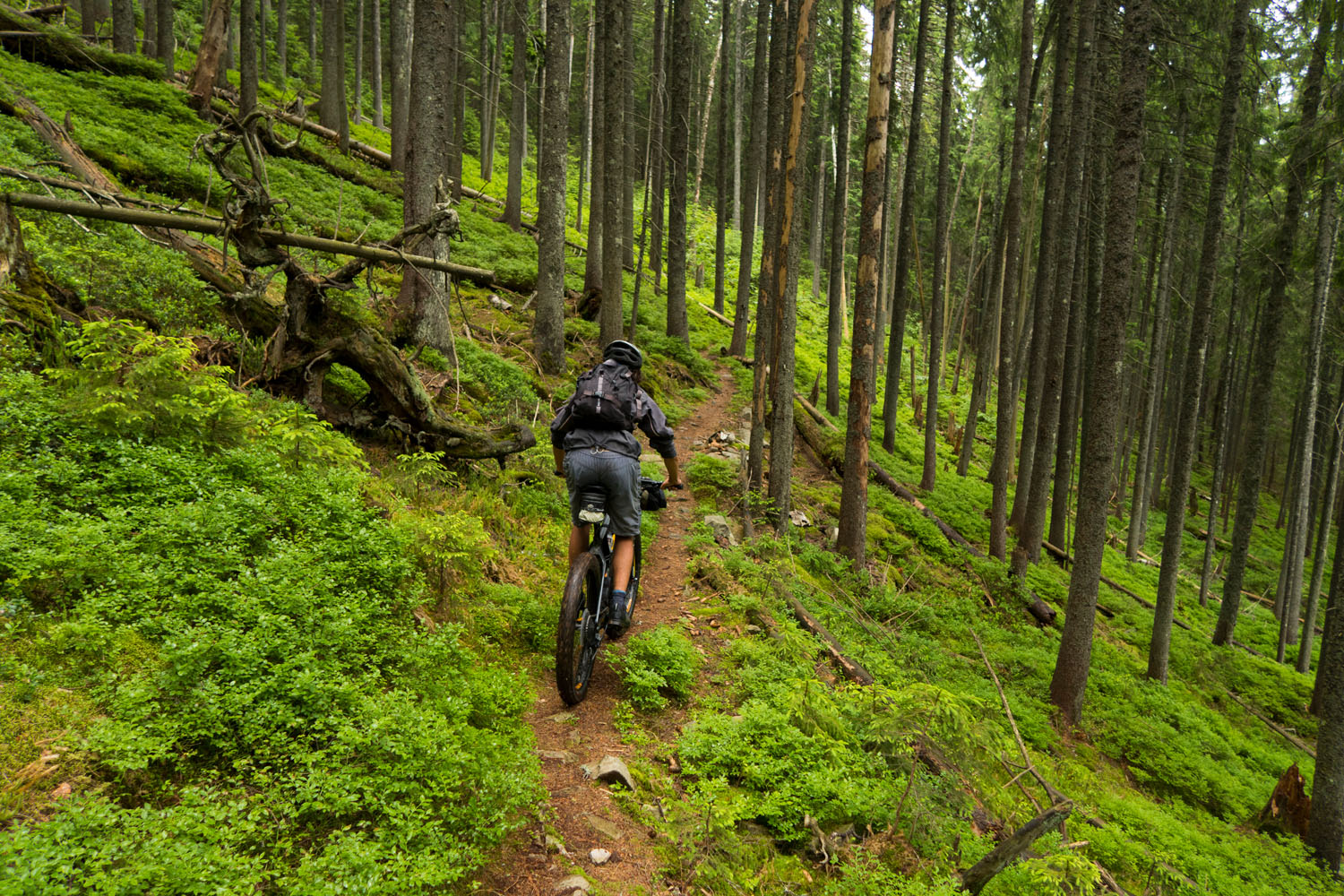
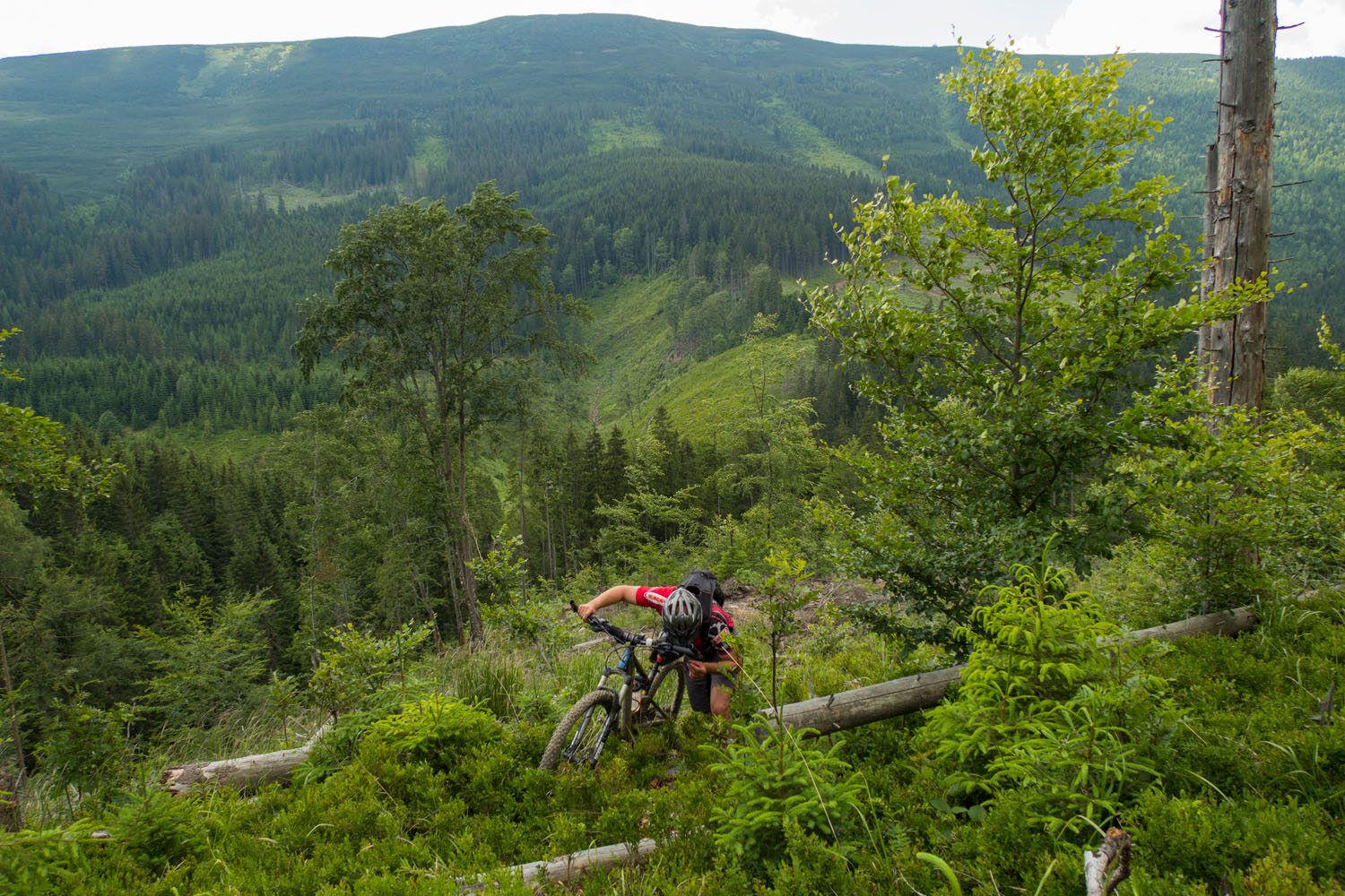
- Technical singletrack riding in the first part of the route.
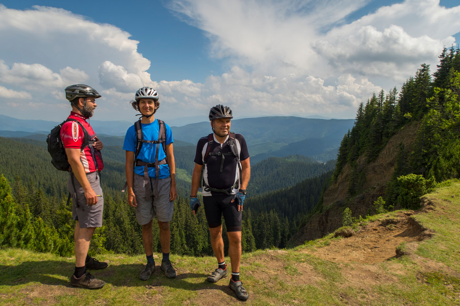
- Scenic views of the Gorgany Mountains.
- When to go: June-October is the best time period to ride this route. However, both June and October can be very cold in the mountains.
- There are usually daily rain showers toward the end of summer in July and August.
- We got a taxi from Slovakia-Ukrainian border, but you can also get a train from Uzhorod to Volovets. Another option is to start and finish in Vyshkiv and make a circuit, but that will extend your trip longer than 3 days.
- For EU and USA citizens a Visa is not necessary. Other citizens can check at mfa.gov.ua
- It’s worth noting that logging can be big problem in eastern European forests. Be sure to check for area closures..
- On the first night in you can camp at mile 51.7 on the left side (see POI on map). The place is located about 1km from the village of Osmoloda.
- On the second day there many options for camping; there are a couple marked on the map.
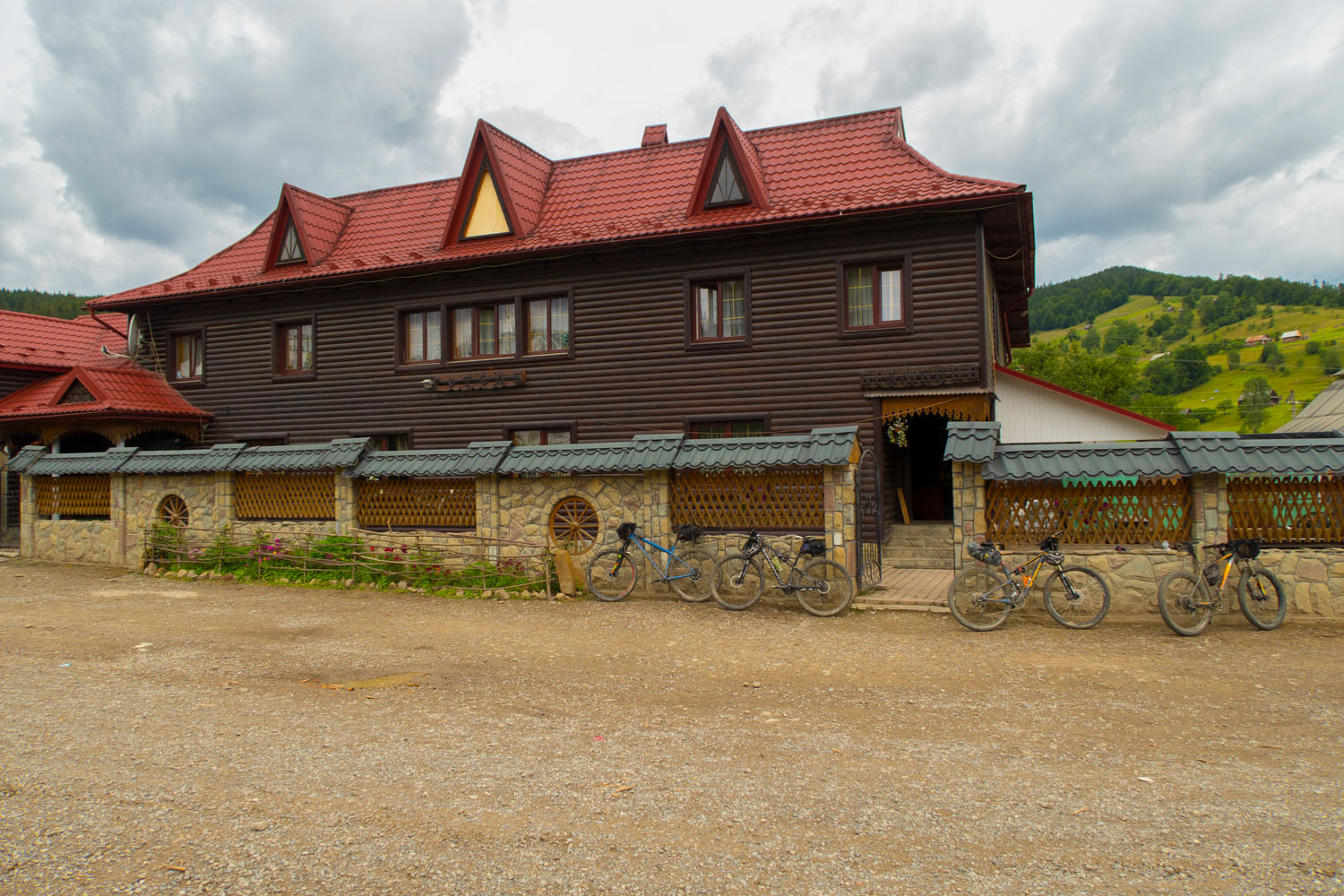
- At times the rain showers can be very strong. As such, there are accommodation options in Osmoloda and Bystritsia. In addition, locals will often offer accomodation..
- Kolochava has many pensions for rent.
- The local food is very good. The most typical option is Pierogy — filled dumplings common in Central and Eastern European countries.
- Borscht is a sour soup popular in several Eastern European cuisines.
- You can get the water from mountains streams. We didnt filter the water from the streams, because in the Gorgany mountains there isn’t much livestock. However, it might be worth the precaution.
We parked our car in Ubla, Ubla is 5km from the Slovakia-Ukrainian border. On the Ukrainian side we hired a taxi to Vishkiv, where we stayed in a pension for one night prior to riding.
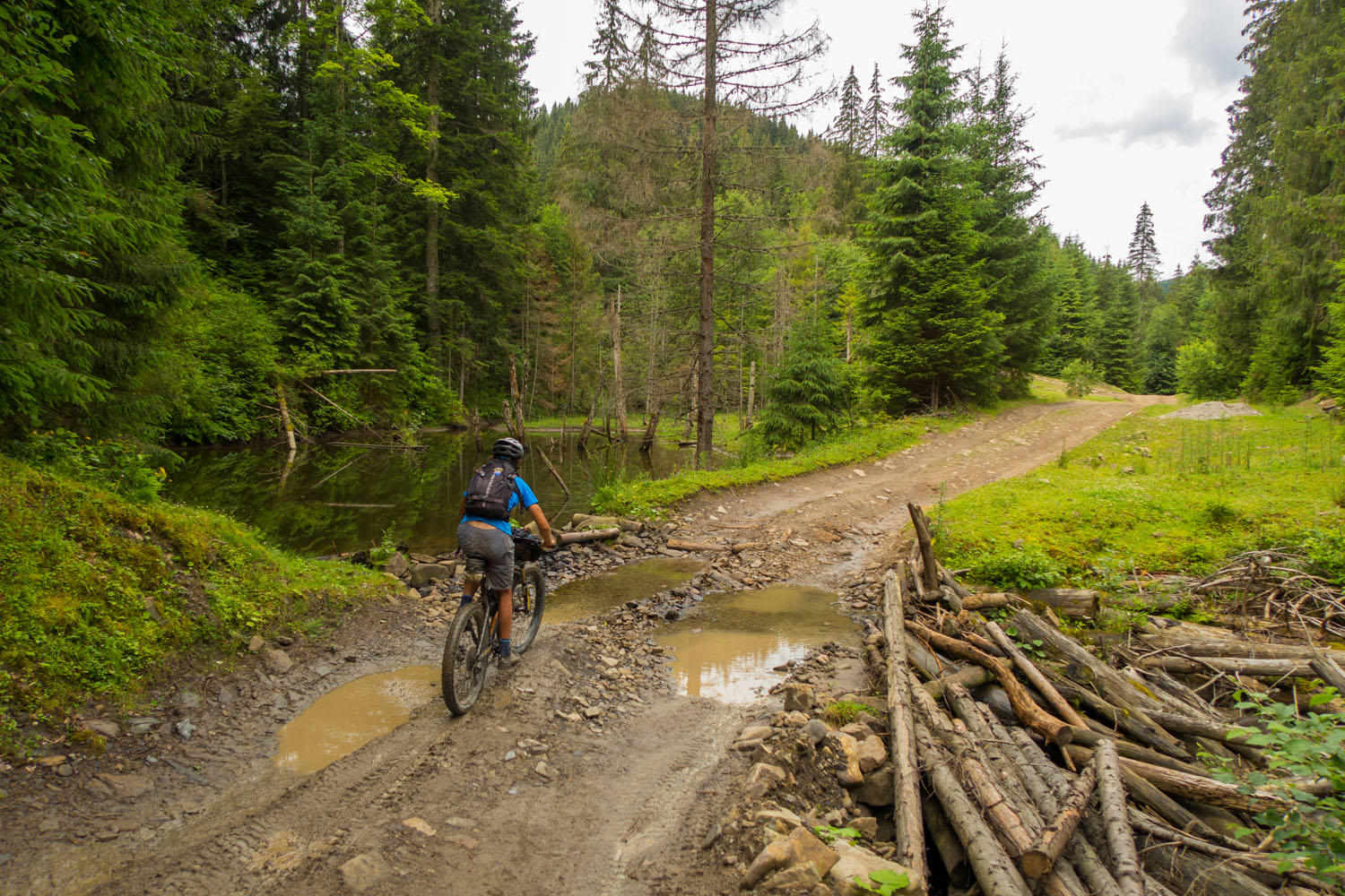
The first day from Vishkiv was very hard because of the technical trails and the need to lift the bike over several fallen trees. But the nature and atmosphere here is a very special and worth the difficulty.
There are many options to make a bigger loop in and around the Gorgany mountains. For example, Polonina Svidovets, Polonina Borzhava, Chornohora Mountains and other crests near the Gorgany Mountains. Mountains in west Ukraine are the one of the best for exploring new and remote bikepacking routes in with very little civilization.
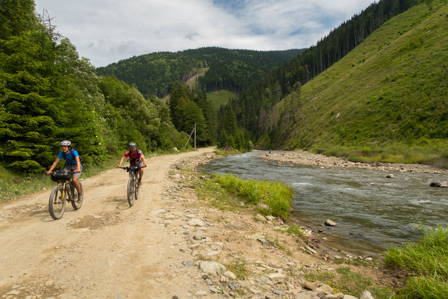
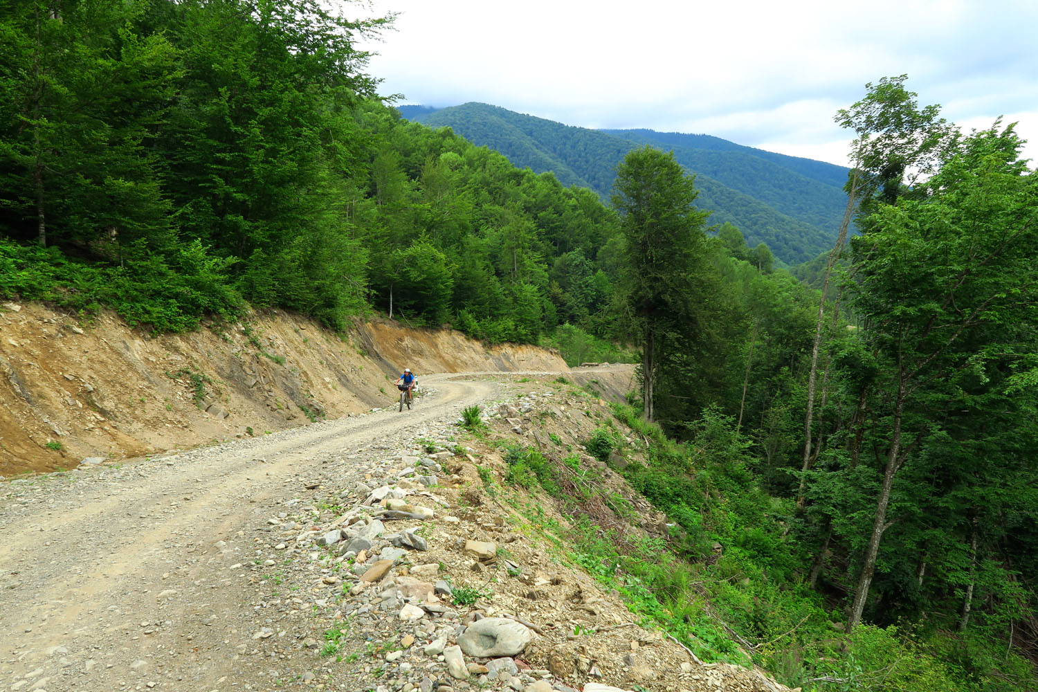
Day two has an estimated difficulty of 6-7. It begins on a dirt road along a long valley and continues in beautiful traverse on singletrack. The third and final day continuous across two passes.
Additional Resources


Terms of Use: As with each bikepacking route guide published on BIKEPACKING.com, should you choose to cycle this route, do so at your own risk. Prior to setting out check current local weather, conditions, and land/road closures. While riding, obey all public and private land use restrictions and rules, carry proper safety and navigational equipment, and of course, follow the #leavenotrace guidelines. The information found herein is simply a planning resource to be used as a point of inspiration in conjunction with your own due-diligence. In spite of the fact that this route, associated GPS track (GPX and maps), and all route guidelines were prepared under diligent research by the specified contributor and/or contributors, the accuracy of such and judgement of the author is not guaranteed. BIKEPACKING.com LLC, its partners, associates, and contributors are in no way liable for personal injury, damage to personal property, or any other such situation that might happen to individual riders cycling or following this route.
Please keep the conversation civil, constructive, and inclusive, or your comment will be removed.