


Grand Island Overnighter Loop
Distance
22 Mi.
(35 KM)Days
1
% Unpaved
100%
% Singletrack
10%
% Rideable (time)
100%
Total Ascent
903'
(275 M)High Point
885'
(270 M)Difficulty (1-10)
2?
- 3Climbing Scale Fair41 FT/MI (8 M/KM)
- -Technical Difficulty
- -Physical Demand
- -Resupply & Logistics
Contributed By
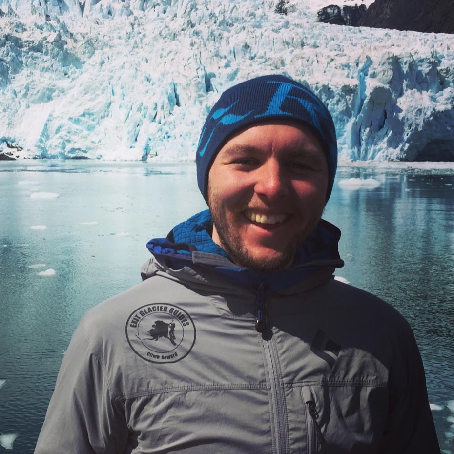
Bryan LaRue
Guest Contributor
Bryan grew up in Michigan where he fell in love with biking and camping. After a couple failed first attempts at combining the two sports he now fully enjoys the time spent pedaling loaded bikes. Follow Bryan and his journey on Instagram @bryanglarue.
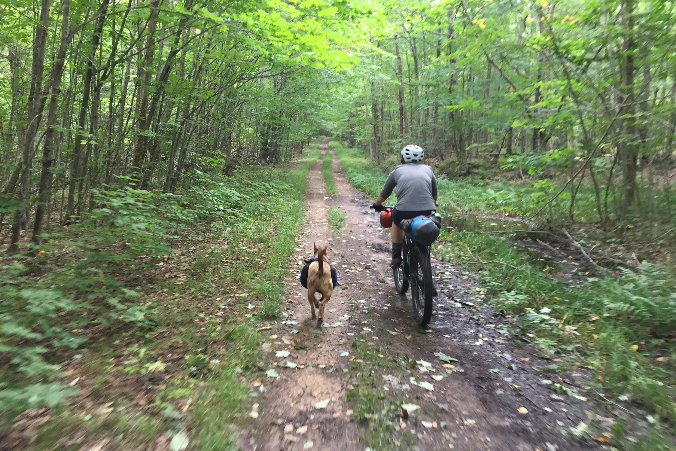
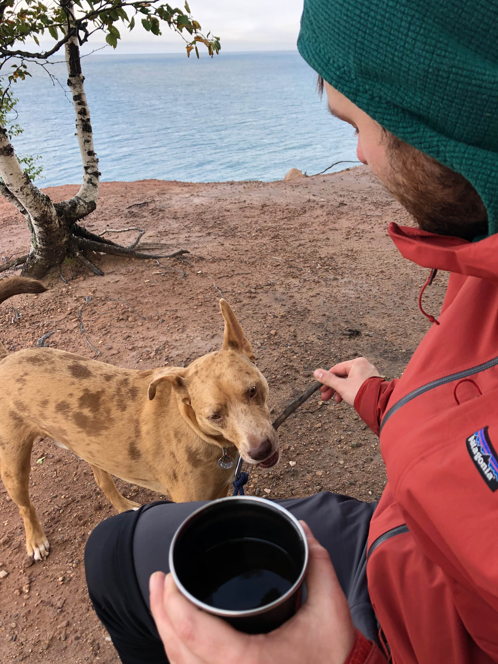
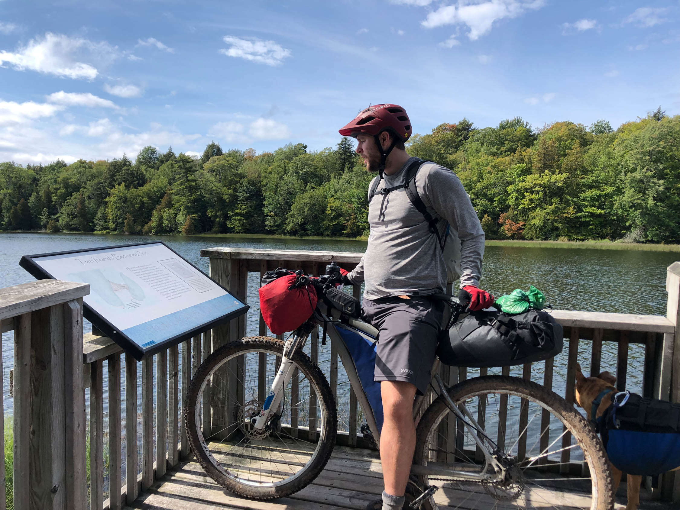
Grand Island is just outside the small town of Munising MI in the Upper Peninsula. The Grand Island Overnighter Loop is 22 miles long and is in the Grand Island National Recreation Area which is part of the Hiawatha National Forest. To get to the island you have to either take a passenger ferry or a private watercraft.
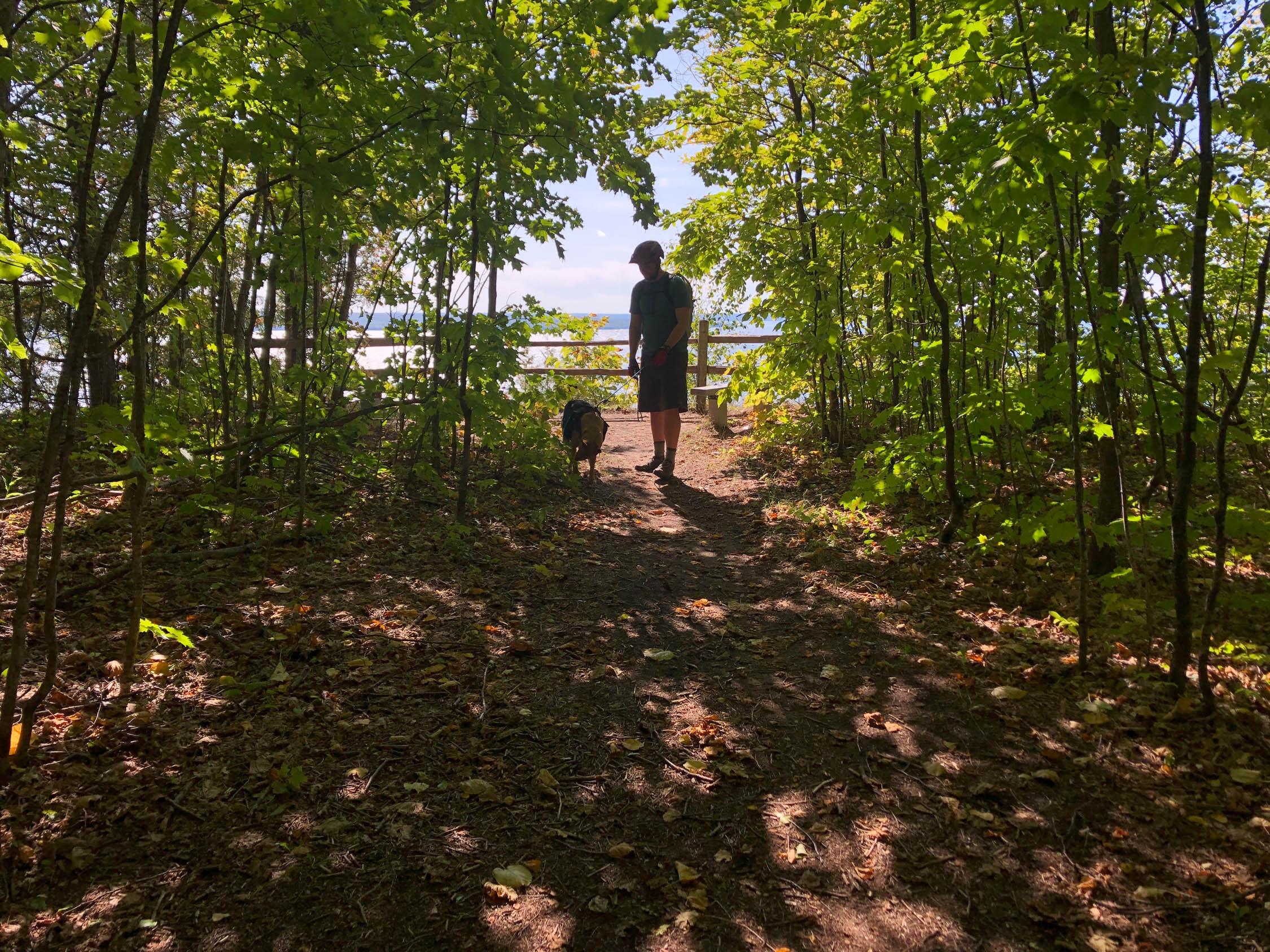
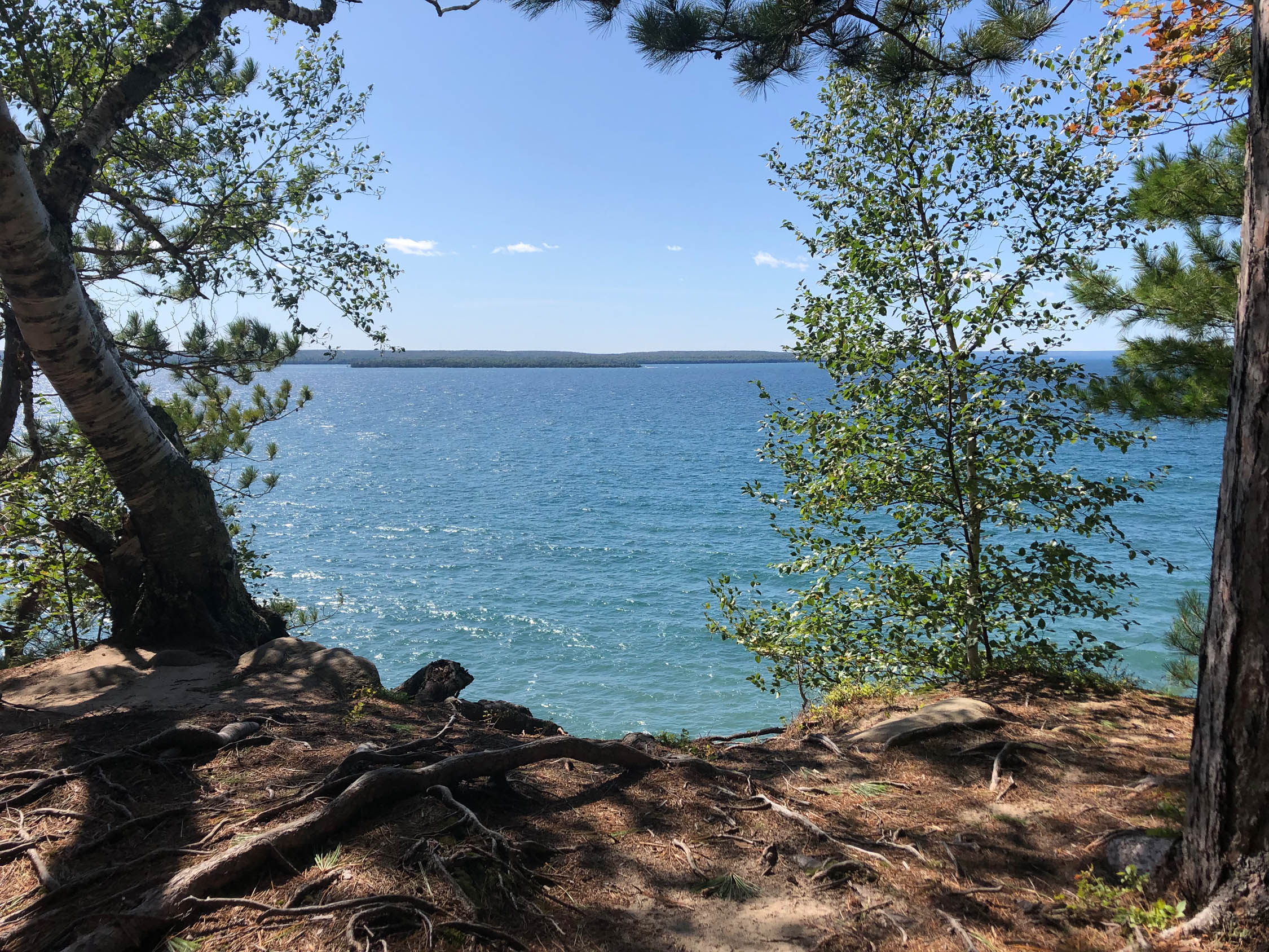
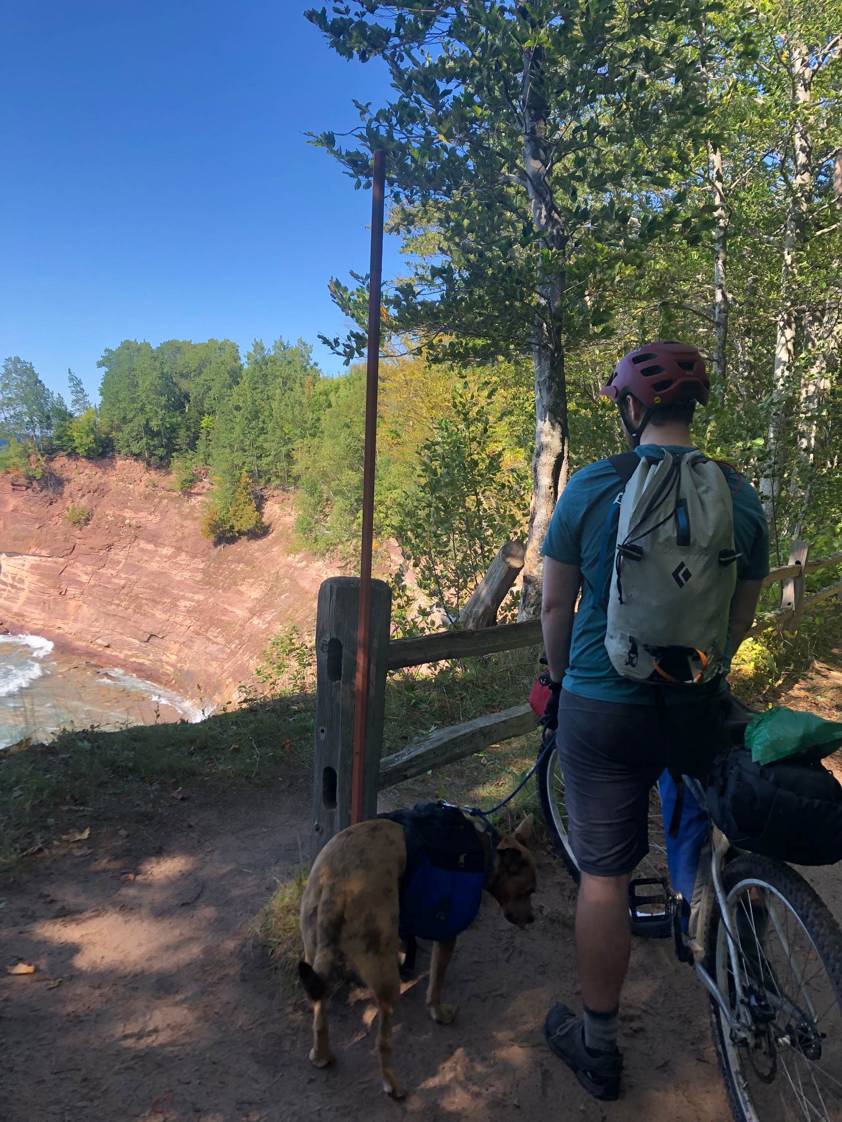
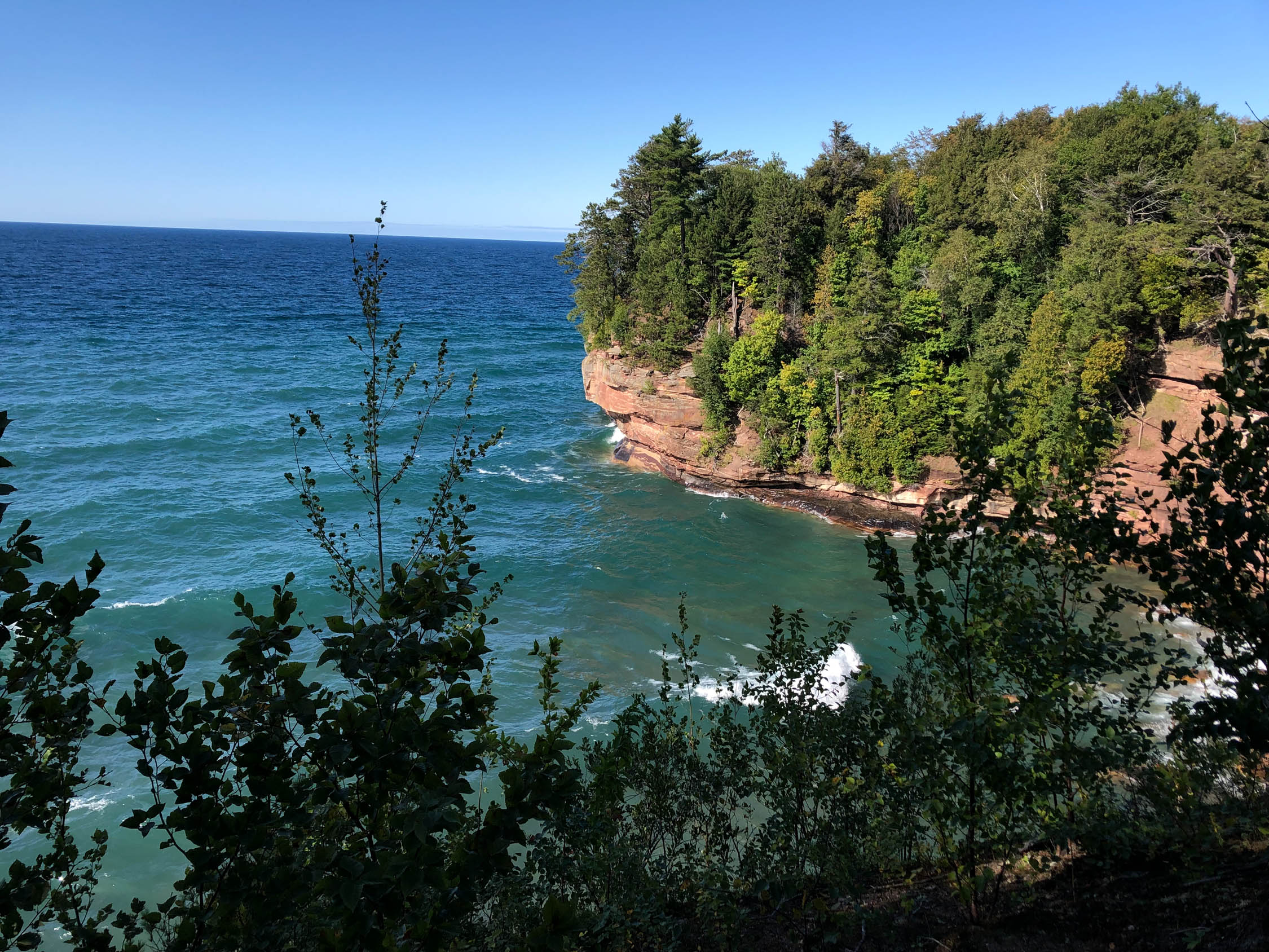
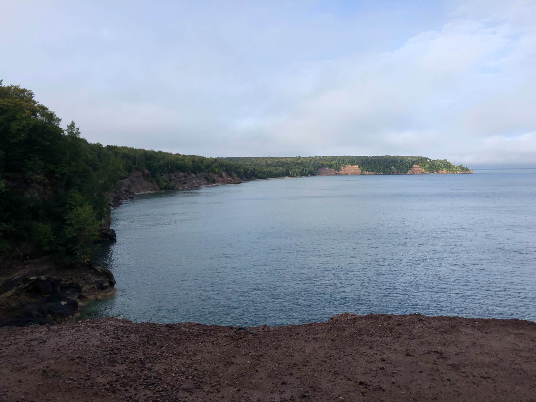
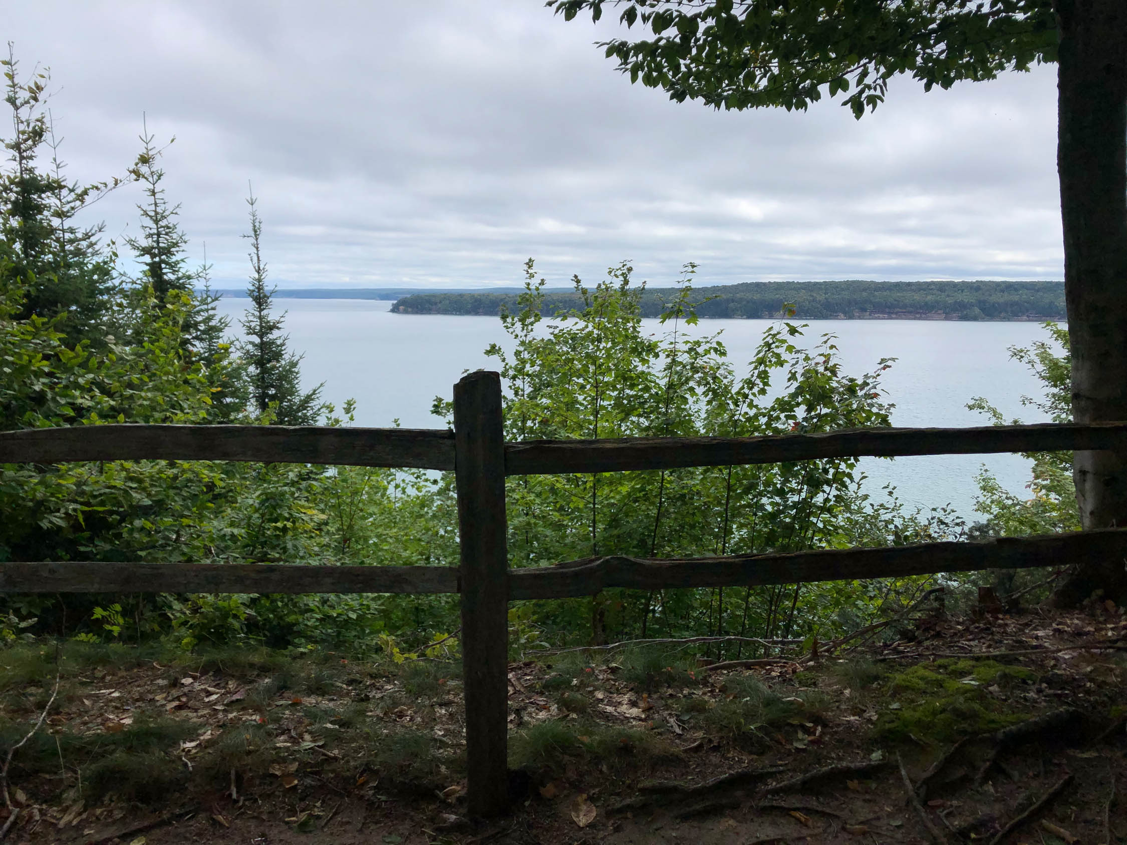
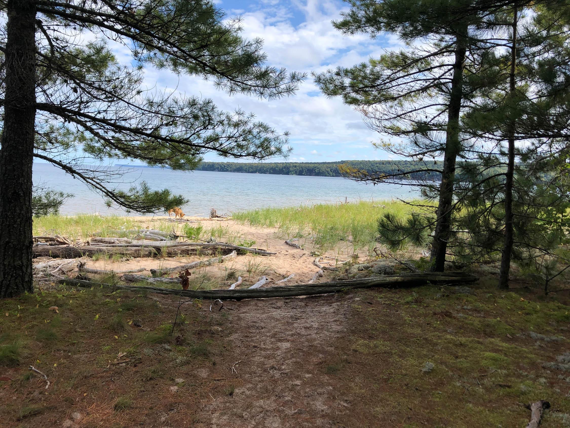
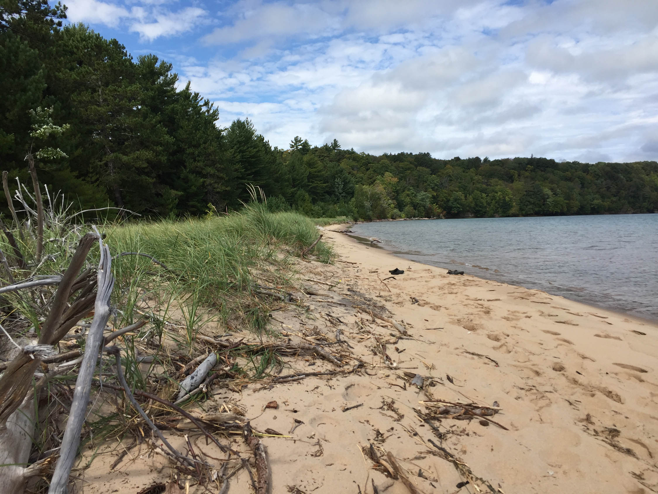
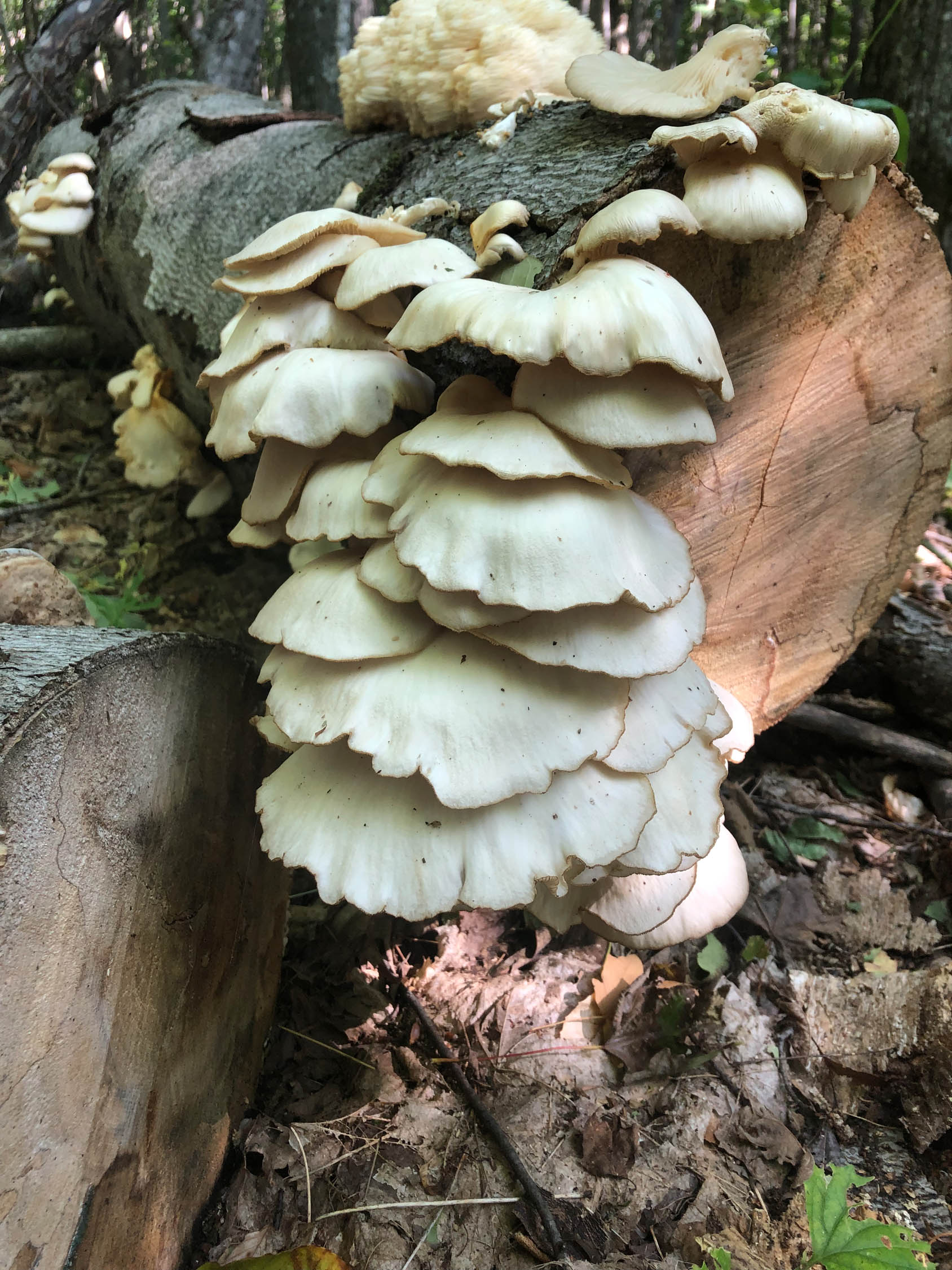
Once on the Island you feel like you have entered a different world. There are no concessions, just a couple spigots and a handful of outhouses. You start in a dense forest which open up to small rocky beaches on Lake Superior. Once the trail starts climbing up you exchange the beaches for tall sandstone cliffs until you are 300 ft above the water looking out over the lake. While the scenery inland on the island is mostly trees we found some Lion’s Mane and Oyster Mushrooms right on the side of the trail!
On the north end of the island you can look out and see large freighters passing by. And, if you’re really lucky and the conditions are right you can see the northern lights at night.
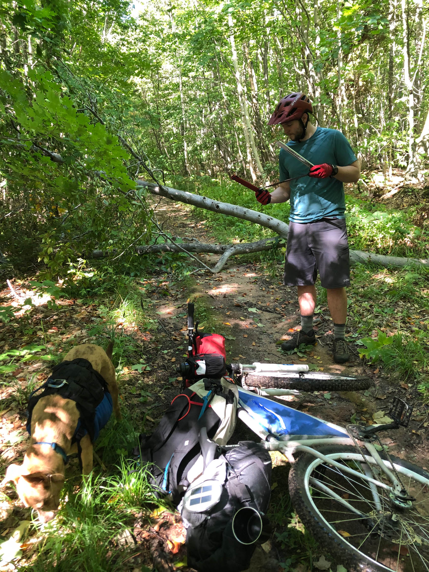
Difficulty: I’ve rated the route a 2/10. The whole route is on old logging and forest service roads and is 99% rideable. It’s not uncommon to run into a couple downed trees or highly eroded parts of the trail. The additional planning with the ferry, sometimes limited water, and no dispersed camping takes just a little bit of logistical work.


Submit Route Alert
As the leading creator and publisher of bikepacking routes, BIKEPACKING.com endeavors to maintain, improve, and advocate for our growing network of bikepacking routes all over the world. As such, our editorial team, route creators, and Route Stewards serve as mediators for route improvements and opportunities for connectivity, conservation, and community growth around these routes. To facilitate these efforts, we rely on our Bikepacking Collective and the greater bikepacking community to call attention to critical issues and opportunities that are discovered while riding these routes. If you have a vital issue or opportunity regarding this route that pertains to one of the subjects below, please let us know:
Highlights
Must Know
Camping
Food/H2O
Trail Notes
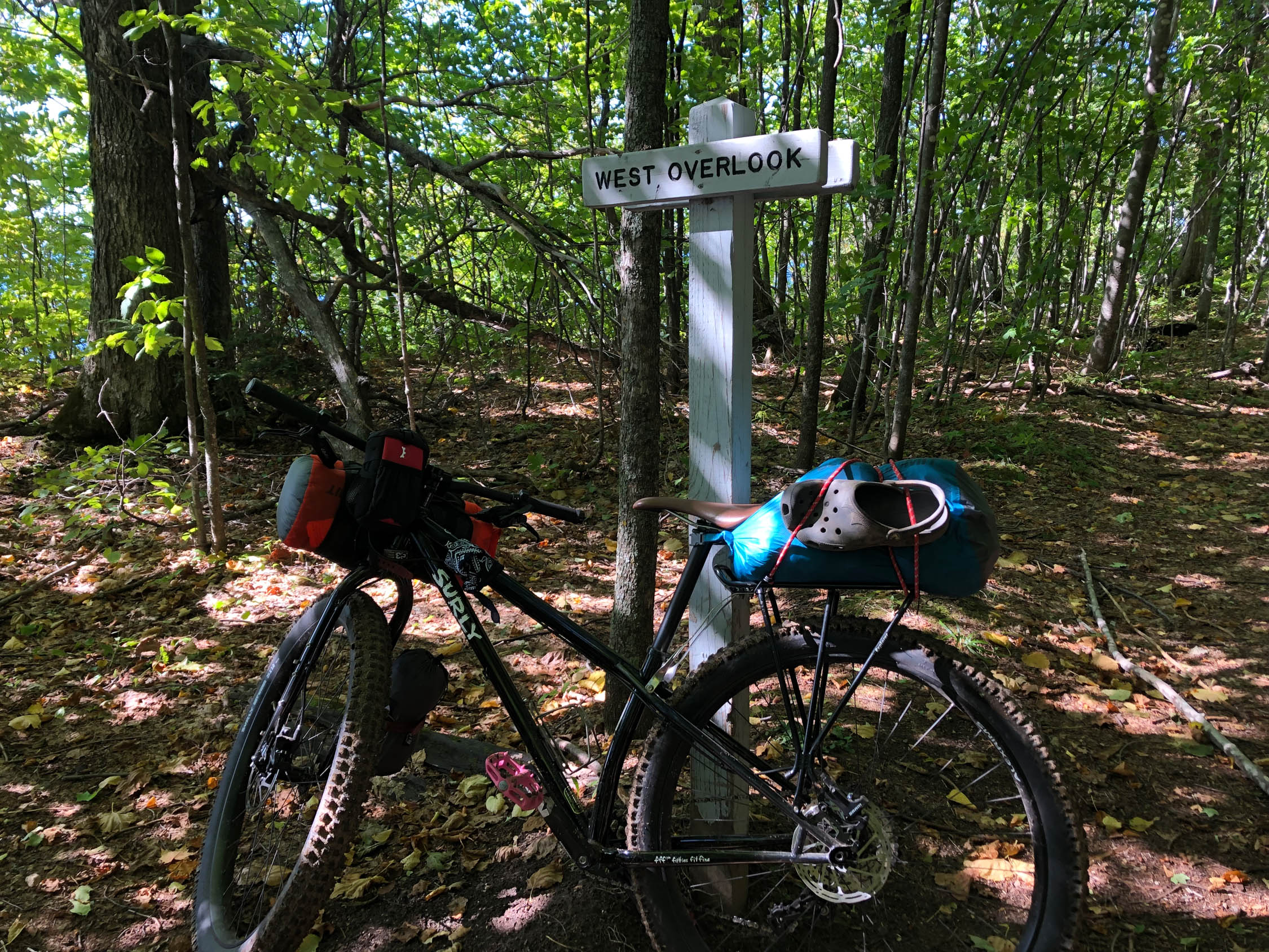
- Make sure to ride on the outermost trails, these have the best views.
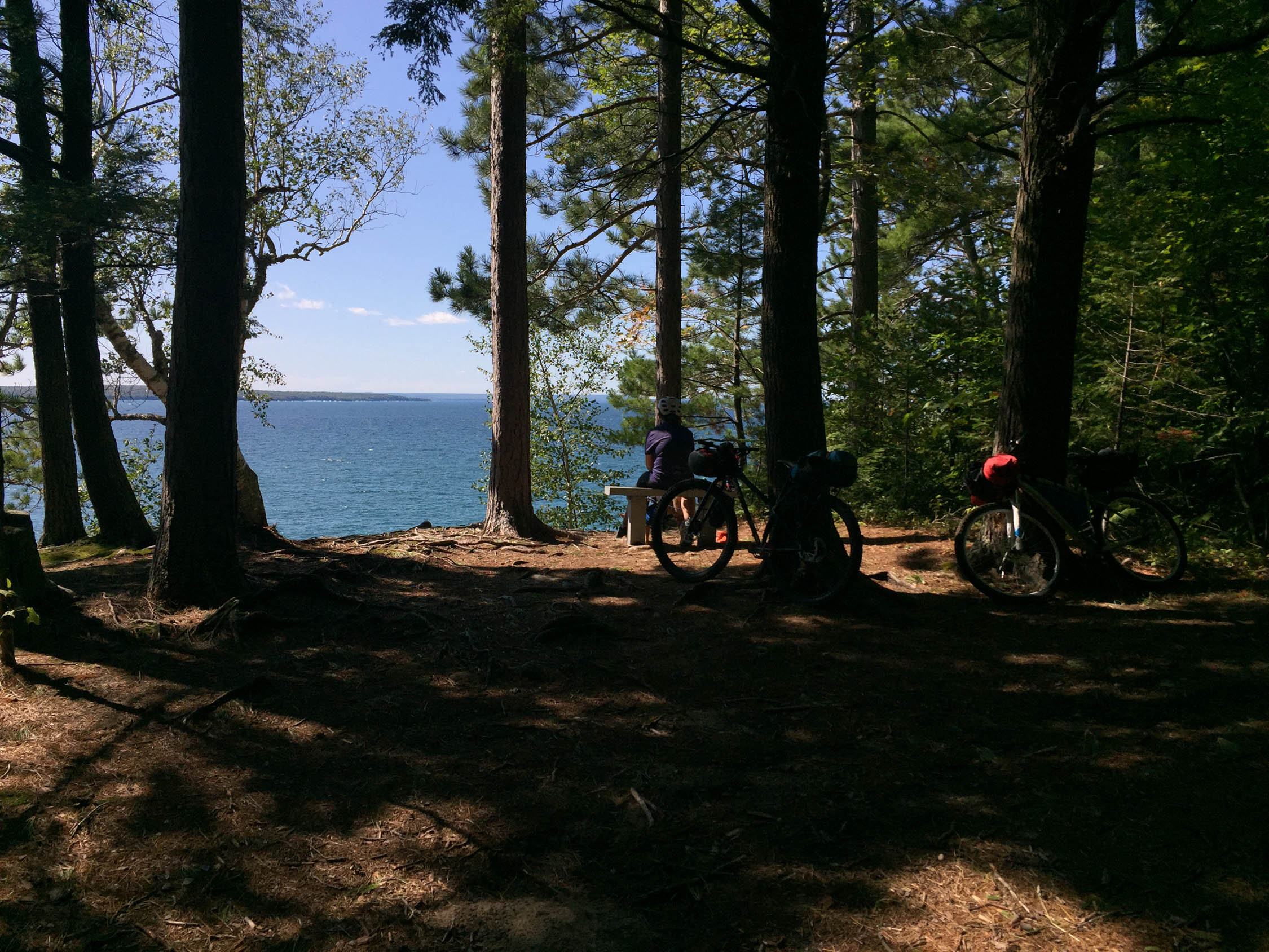
- Freighter View campsite on the north end is my favorite
- Don’t forget to stop at the sand dunes for a quick dip in Trout Bay or a midday nap on the beach.
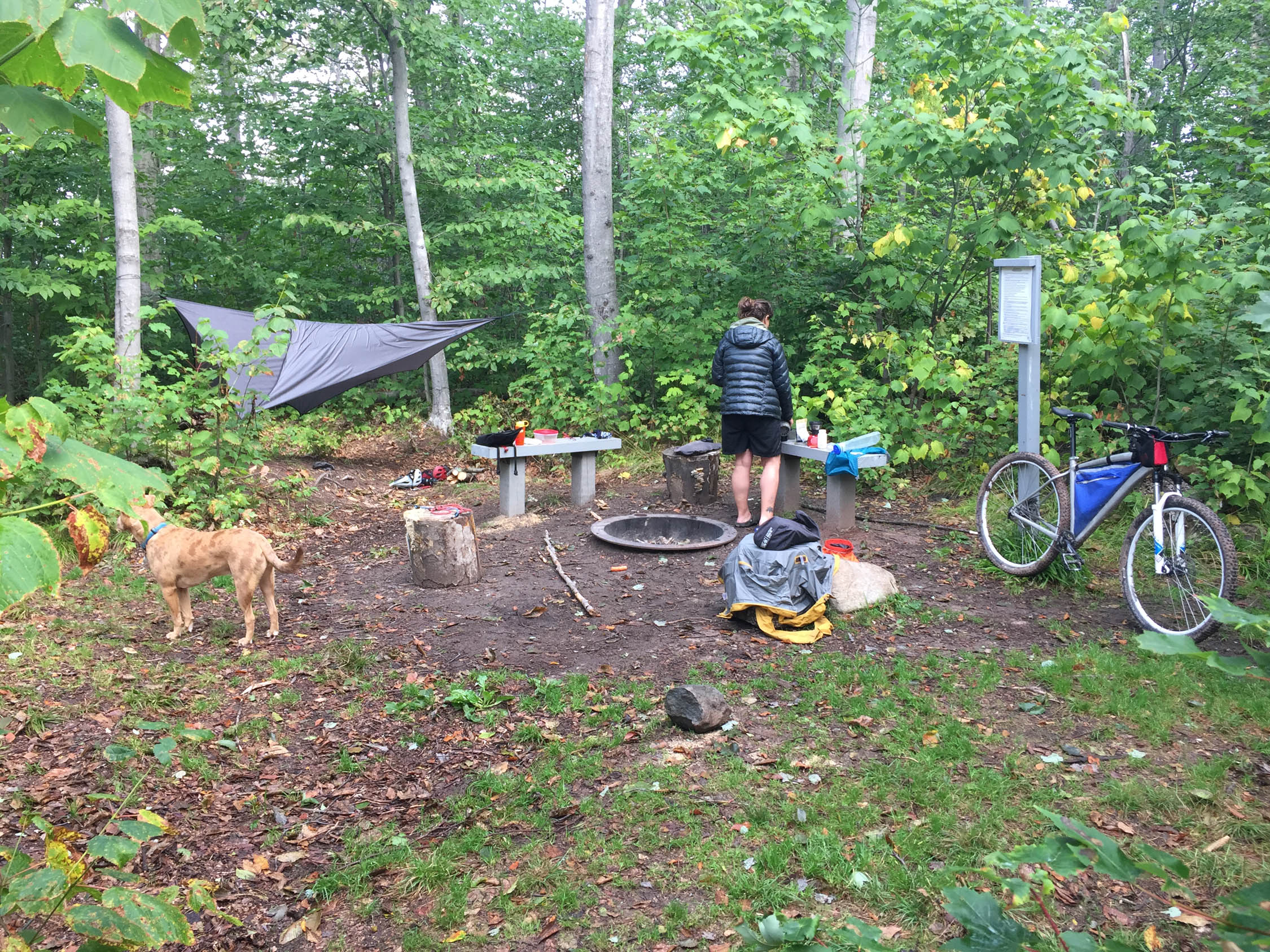
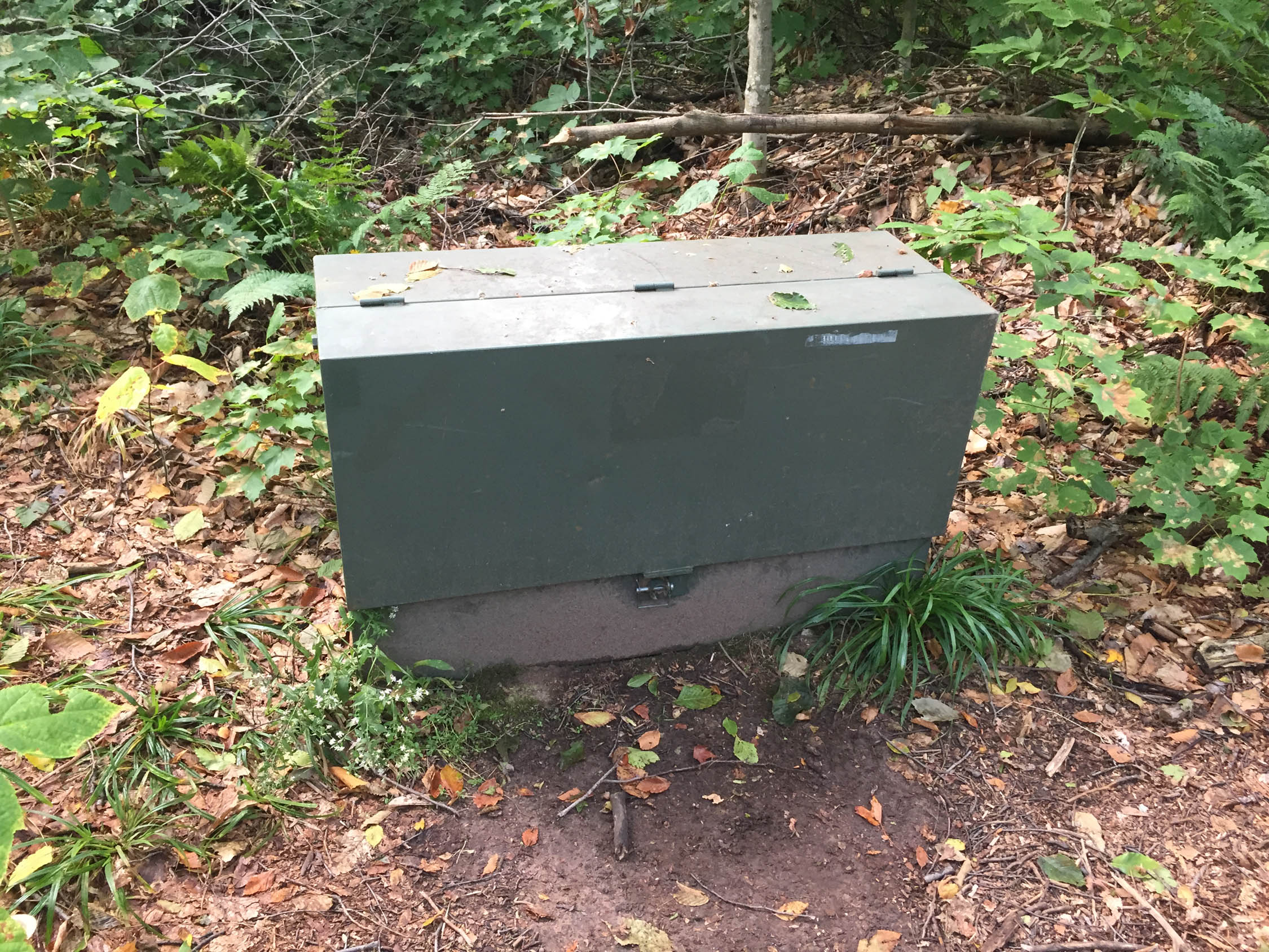
- Bear boxes, pit toilets and fire rings at all of the campsites
- The northwest corner has the highest cliffs
- Don’t forget the ferry schedule to make it back in time
- On your way through Munising grab some smoked fish and a cornish Pasty
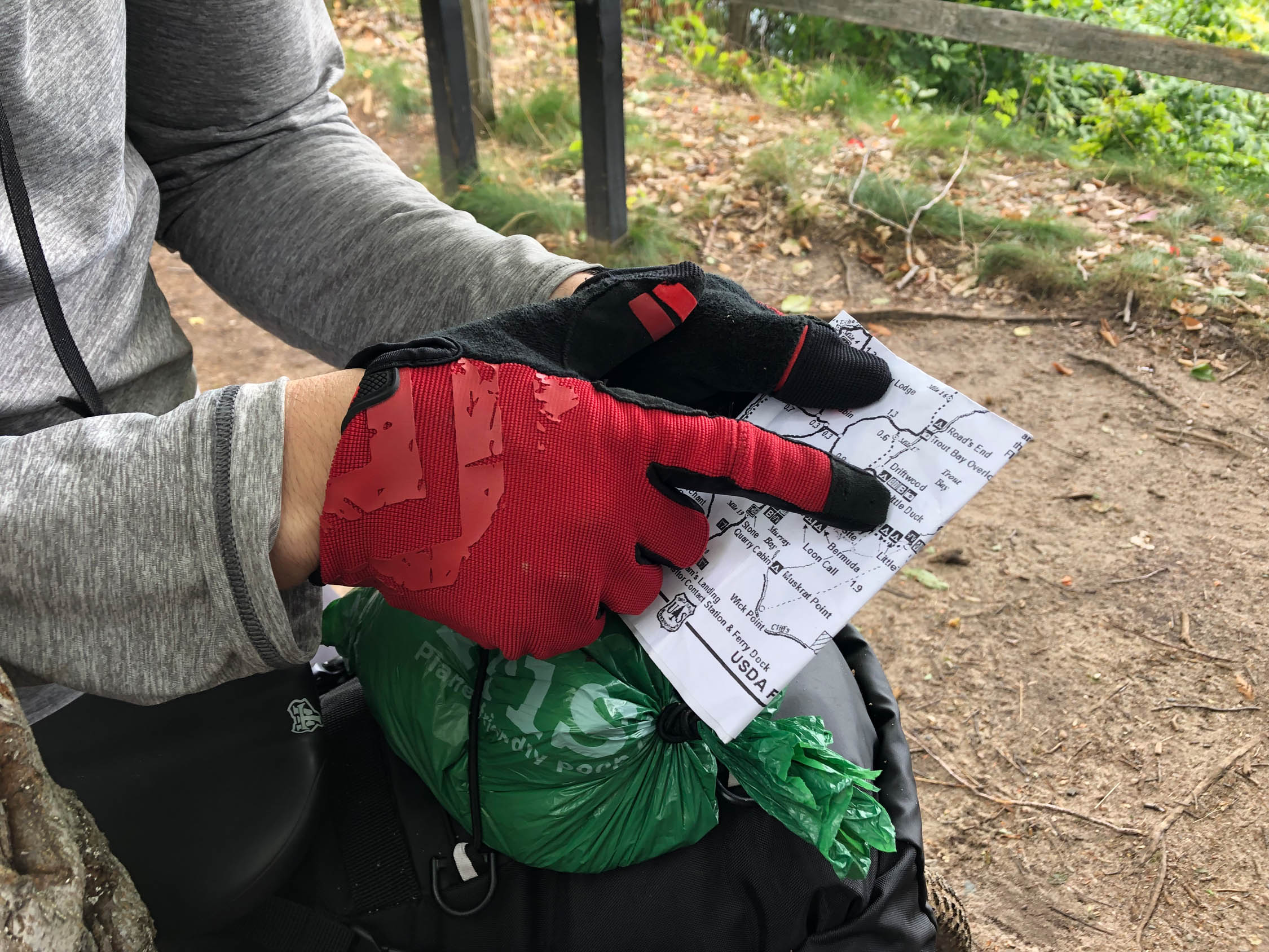
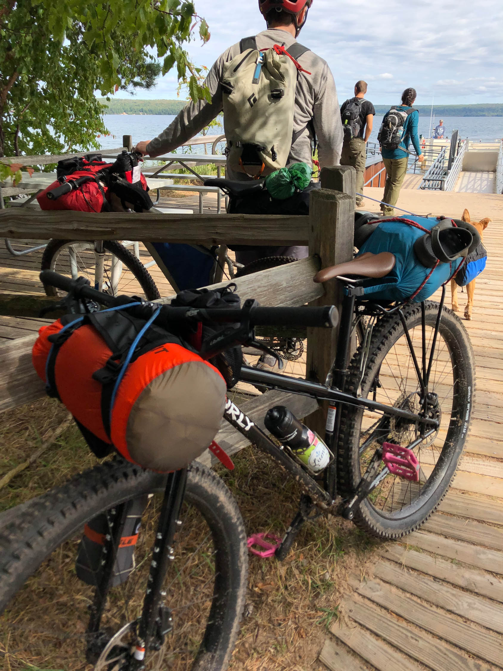
- The ferry service is off of US-28, 2.5 miles west of the only stop light in Munising. It’s pretty easy, there is a small passenger ferry service that runs everyday on the hour during the summer (9am-6pm) and also runs in the spring and fall a couple times a day. Its $20 (round trip)+$8 for a bike. They will make multiple trips to make sure everyone gets over at the planned time. Try to arrive 15-30min before the selected time to get your ticket and load up your bike.
- Once on the island I recommend riding clockwise and taking the trails closest to the lake. The south side of the island is pretty low in elevation and as you work your way to the north you gain a couple hundred feet in elevation and the sandy beaches turn to tall cliffs.
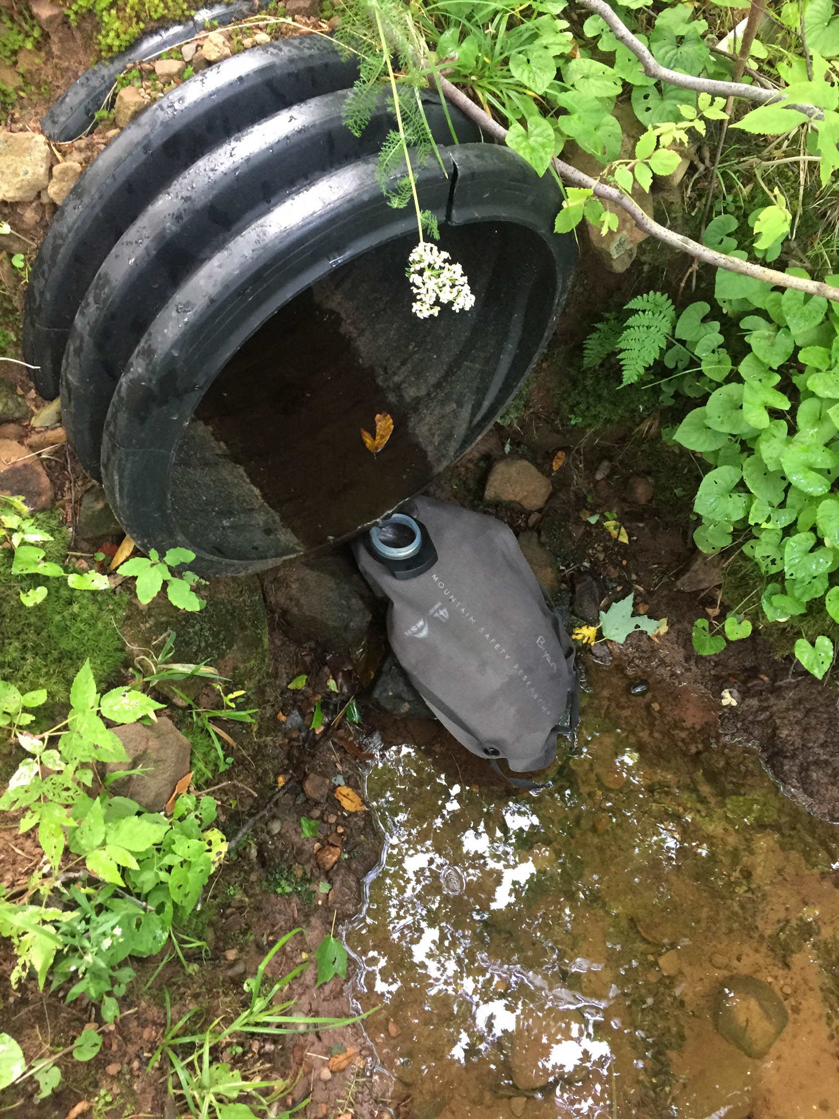
- There are a couple of potable water spigots on the south end. I recommend bringing a filter and getting water from small streams as you go.
- There is no dispersed camping allowed on the island so make sure you reserve your site online at Recreation.gov.
- There are black bears on the island so I recommend using the supplied bear boxes at the campgrounds for food storage.
- Mosquitos, gnats, deer flies and black flies are quite a nuisance in June-July. Depending on the wind it could make or break your trip. If traveling during these months I recommend long sleeves, pants and a bug head net. I’m not joking.
- The ferry service runs Memorial day weekend to early October. But my favorite time is September and October because of the lack of bugs and the fall colors. Make sure you check to the ferry service is still running if not going during the summer.
- Reserve your campsite on Recreation.gov. I’d try to get one on the north end of the island.
- Campsites include a fire ring, places for a tent, bear box and an open pit toilet.
- Some trails are hiker only but are marked as such very well.
- There is no water at the parking lot on the mainland but once you get off the ferry on the island there is a potable water spigot. There is an additional potable water spigot at the Murray Bay group campsite.
- There are lots of small streams that flow over or by the trail, flow rate all depends on rain and the water table. On the north end you can filter out of North Light Creek.
- You can also filter out of lake superior at any of the beaches.
The Island is quite unique, first you need to take a ferry to get there. The ferry service is off of US-28, 2.5 miles west of the only stop light in Munising. It’s pretty easy, there is a small passenger ferry service that runs everyday on the hour during the summer (9am-6pm) and also runs in the spring in fall a couple times a day. Its $20(round trip)+$8 for a bike. It’s only a couple minute boat ride but such a fun way to get there.
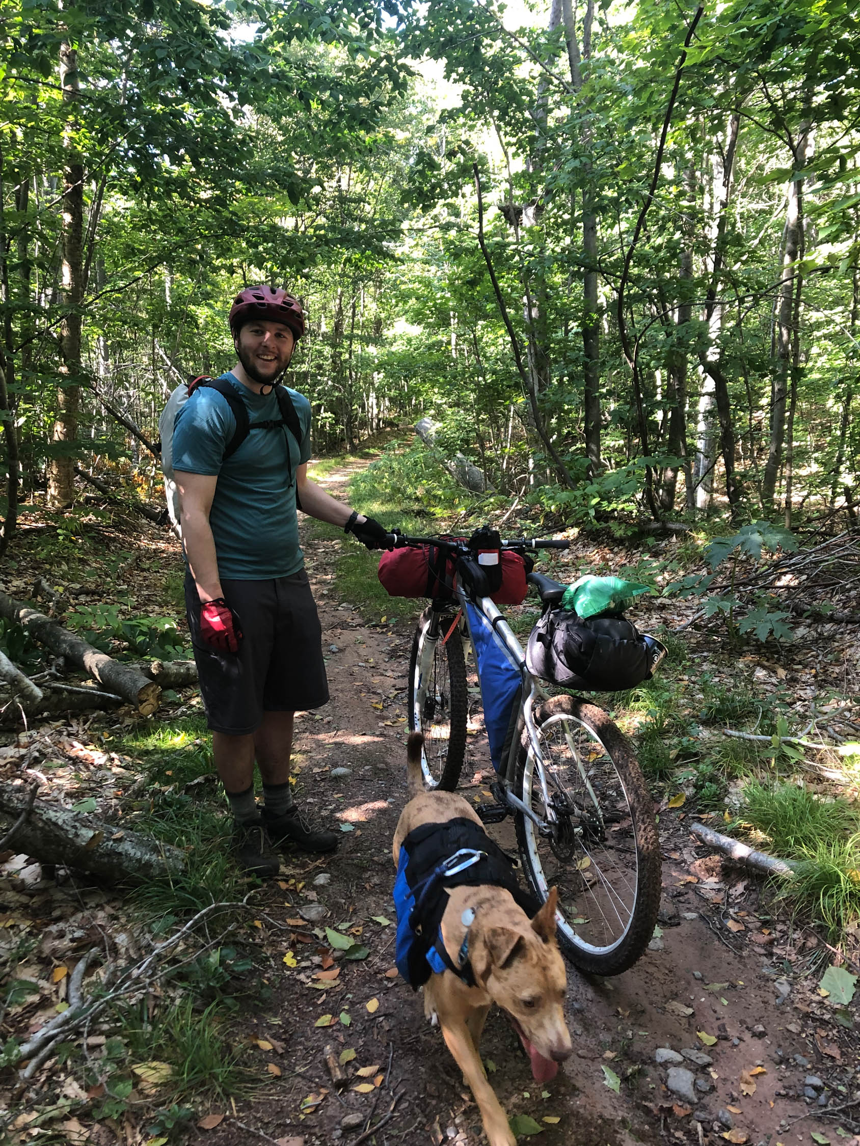
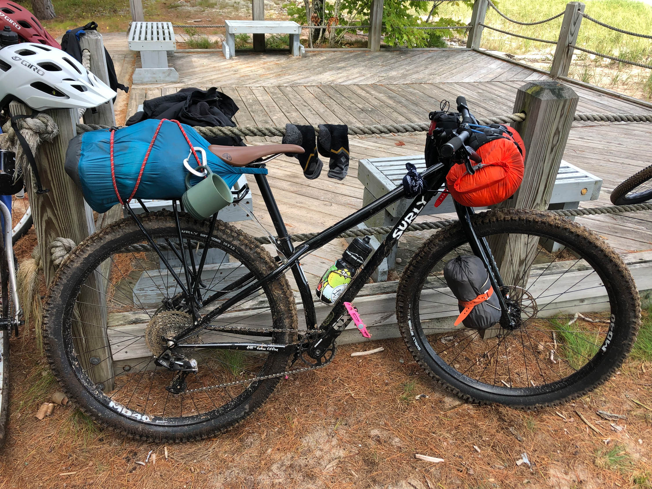
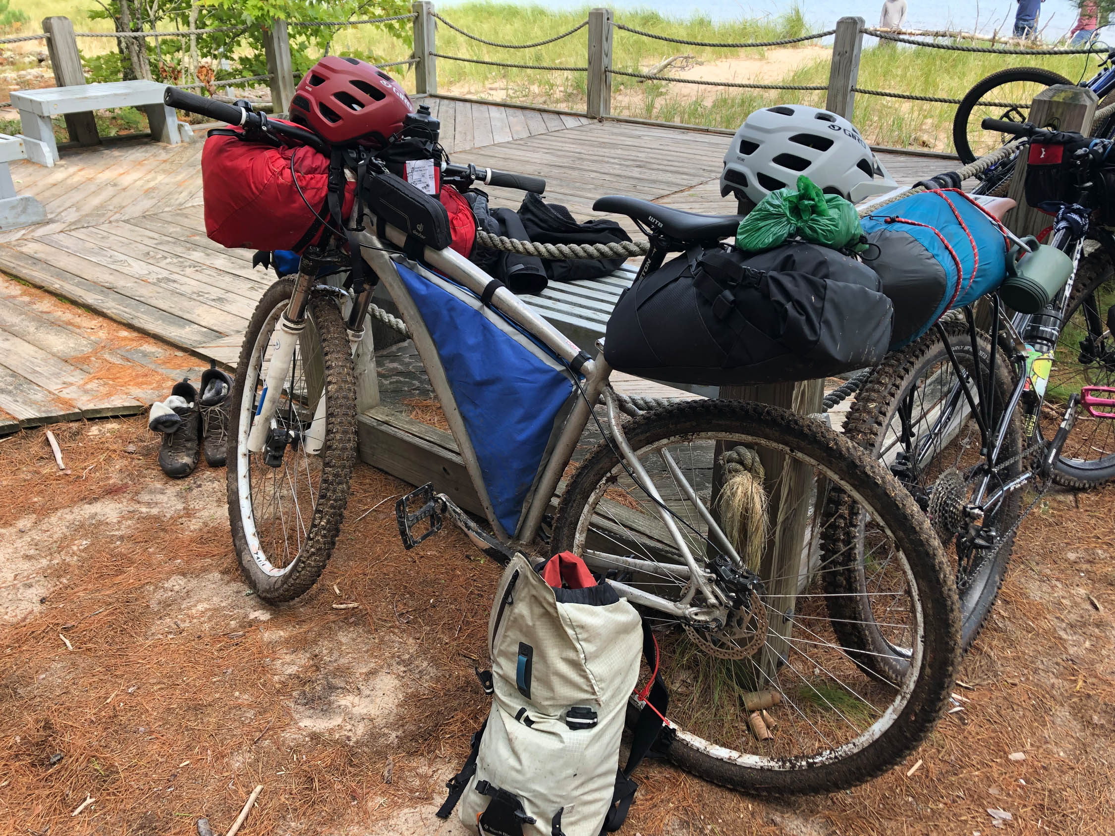
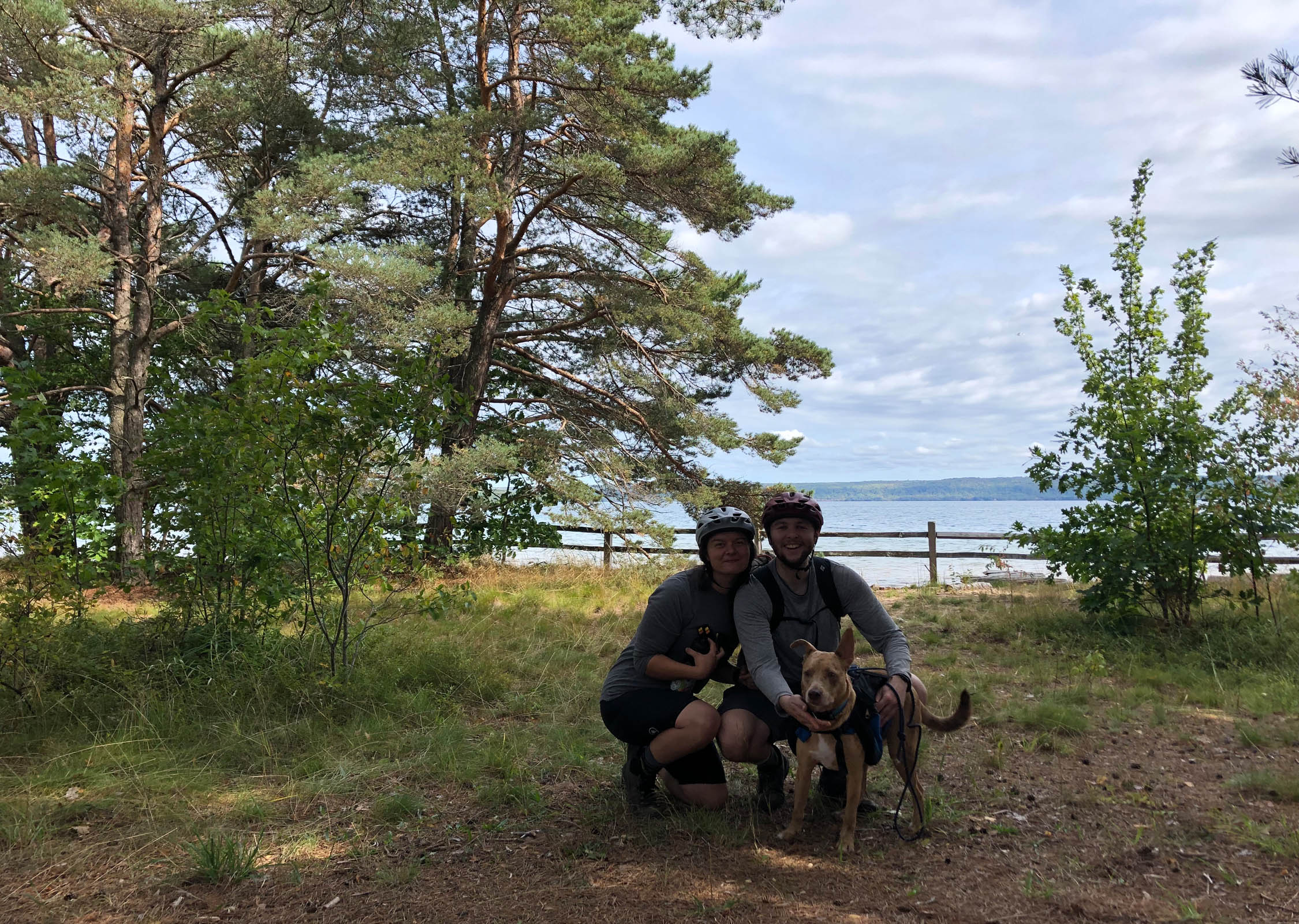
Once on the island I recommend riding clockwise and taking the trails closest to the lake. The south side of the island is pretty low in elevation and as you work your way to the north you gain a couple hundred feet in elevation and the sandy beaches turn to tall cliffs. The riding is mostly on overgrown two track. It is quite pleasant with a couple harder climbs. We road next to beaches, on top of cliffs and through forests.There was lots of little streams throughout the trail so we were never worried about water. We reserved the campsite Freighter View on the north end. It was wonderful! After setting up camp and cooking dinner we walked a short couple hundred feet from camp to a lookout spot. From there we watched the waves crashing against the sandstone cliffs and then eventually the sun set. For water I was able to find a small stream 50ft down the trail from the campsite. If this was dry we could filter water at the beach 1 mile down the trail. After a rainy night we slowly made breakfast and broke down camp. We were in no rush because we were planning on making the 3pm ferry ride back to the main land. Once on the trail we continued clockwise passing large cliffs right along Lake Superior. As we connected back up to the main road heading to the landing we took a short detour toward the “Little Dunes”. Here we ate lunch, a quick dip in Trout Bay, and took a quick nap. After the short break we hopped on the dirt road and headed to the boat launch where we waited for Captain Patrick to pick us up and bring us back to the main land. It wasn’t a very long trip but quite enjoyable and a neat way to explore Grand Island.


Terms of Use: As with each bikepacking route guide published on BIKEPACKING.com, should you choose to cycle this route, do so at your own risk. Prior to setting out check current local weather, conditions, and land/road closures. While riding, obey all public and private land use restrictions and rules, carry proper safety and navigational equipment, and of course, follow the #leavenotrace guidelines. The information found herein is simply a planning resource to be used as a point of inspiration in conjunction with your own due-diligence. In spite of the fact that this route, associated GPS track (GPX and maps), and all route guidelines were prepared under diligent research by the specified contributor and/or contributors, the accuracy of such and judgement of the author is not guaranteed. BIKEPACKING.com LLC, its partners, associates, and contributors are in no way liable for personal injury, damage to personal property, or any other such situation that might happen to individual riders cycling or following this route.
Please keep the conversation civil, constructive, and inclusive, or your comment will be removed.