


GranGarda
Distance
229 Mi.
(369 KM)Days
5
% Unpaved
60%
% Singletrack
10%
% Rideable (time)
98%
Total Ascent
34,200'
(10,424 M)High Point
6,049'
(1,844 M)Difficulty (1-10)
6?
- 9Climbing Scale Very Strenuous149 FT/MI (28 M/KM)
- 4Technical Difficulty Fair
- 8Physical Demand Difficult
- 2Resupply & Logistics Easy
Contributed By

Matteo Minelli
Guest Contributor
Like everybody else, Matteo learned to ride a bike as a kid, and he never quit. After many years and countless miles, he’s still amazed by the gyroscopic balance provided by the spinning wheels, and the endless freedom of climbing mountains and crossing landscapes. Matteo is the man behind the GranGuanche route and audax @granguanche.route. Also, he forgot he has an Instagram account, but you can try @matminelli.
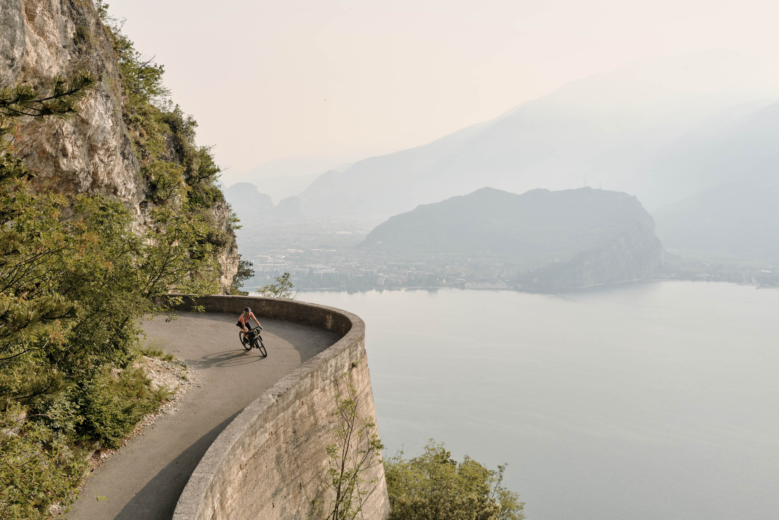
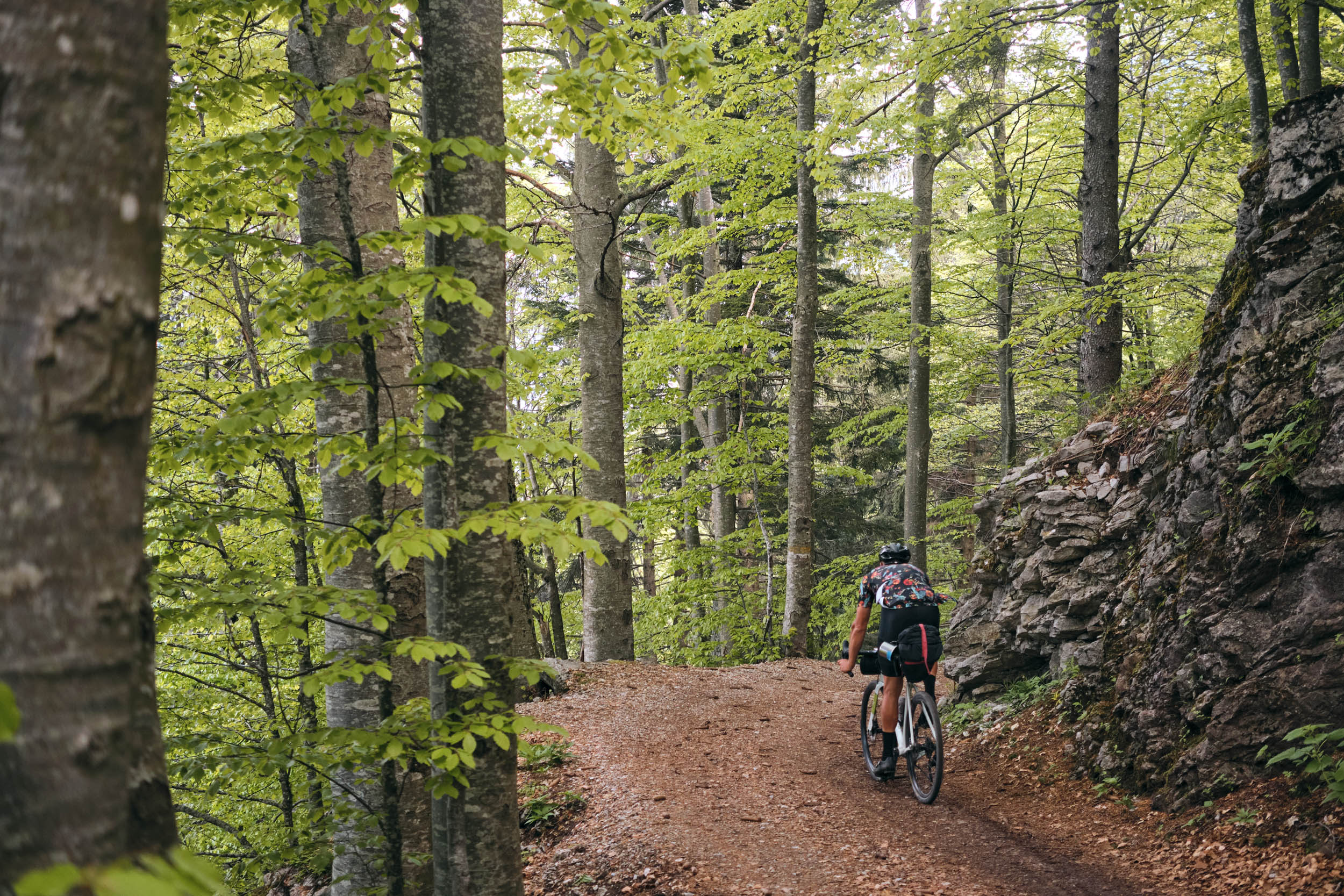
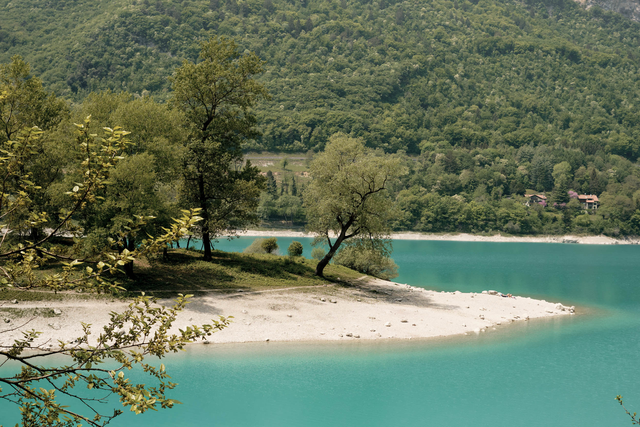
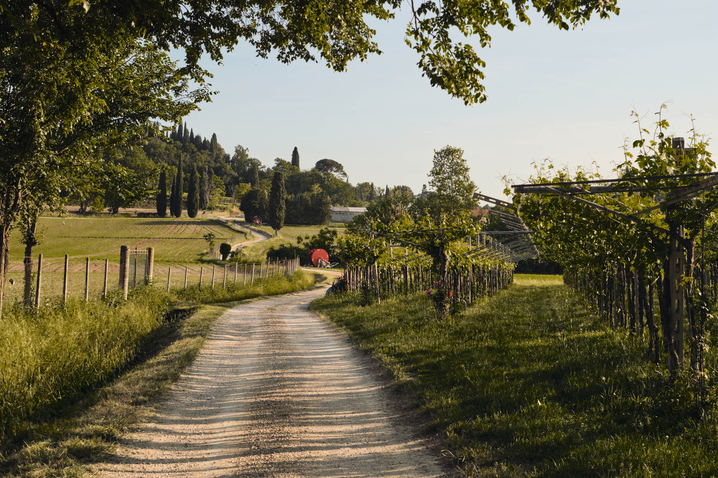
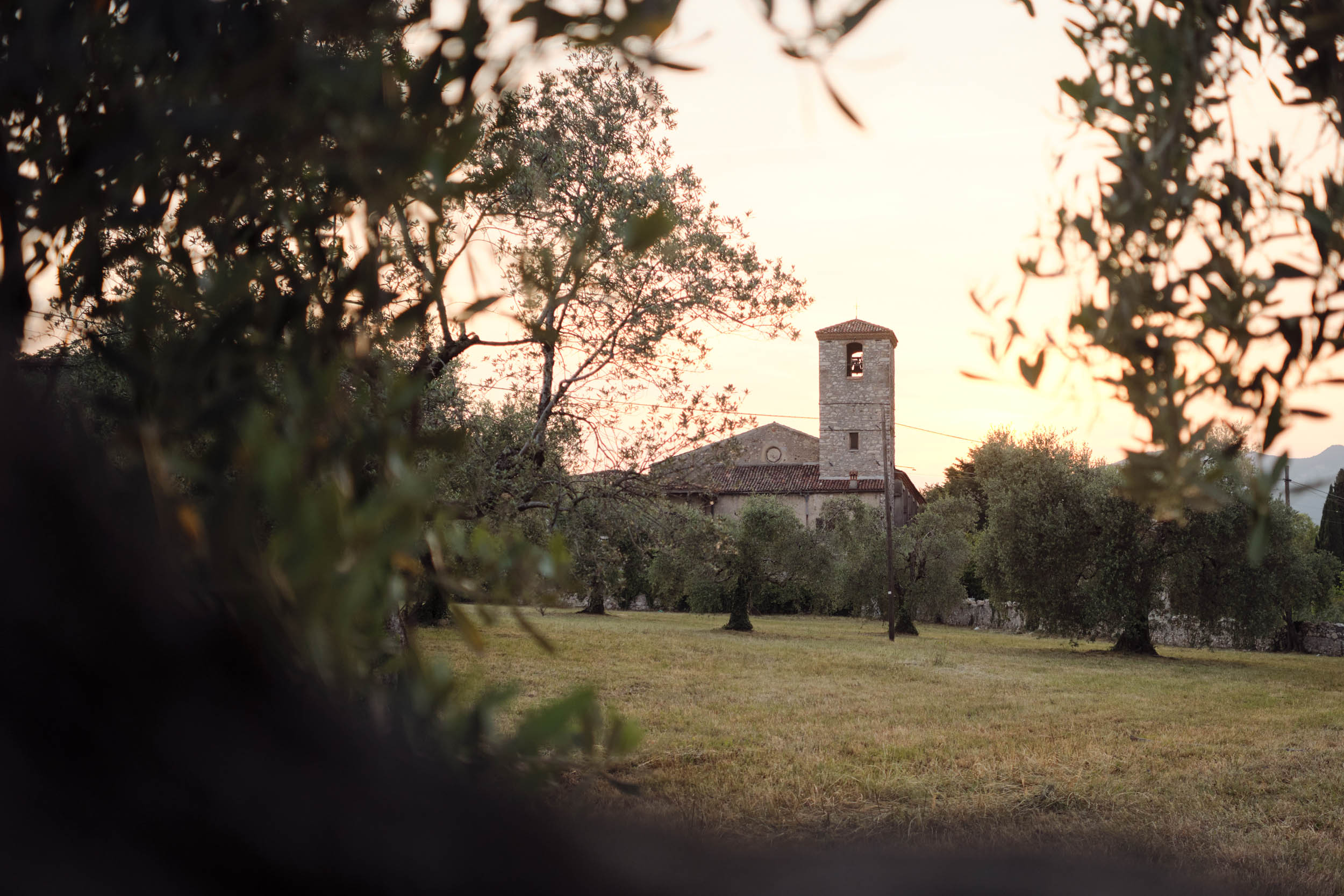
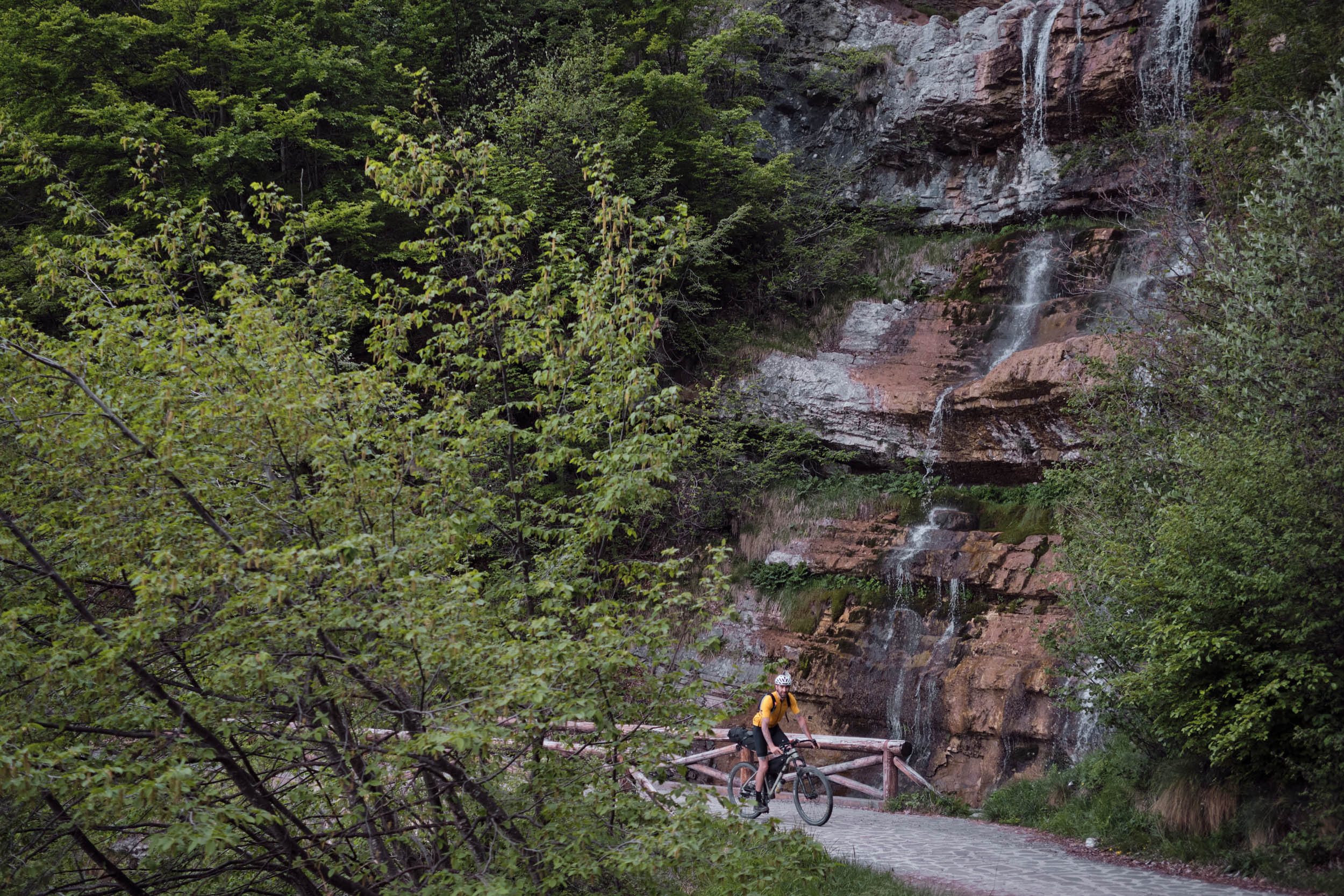
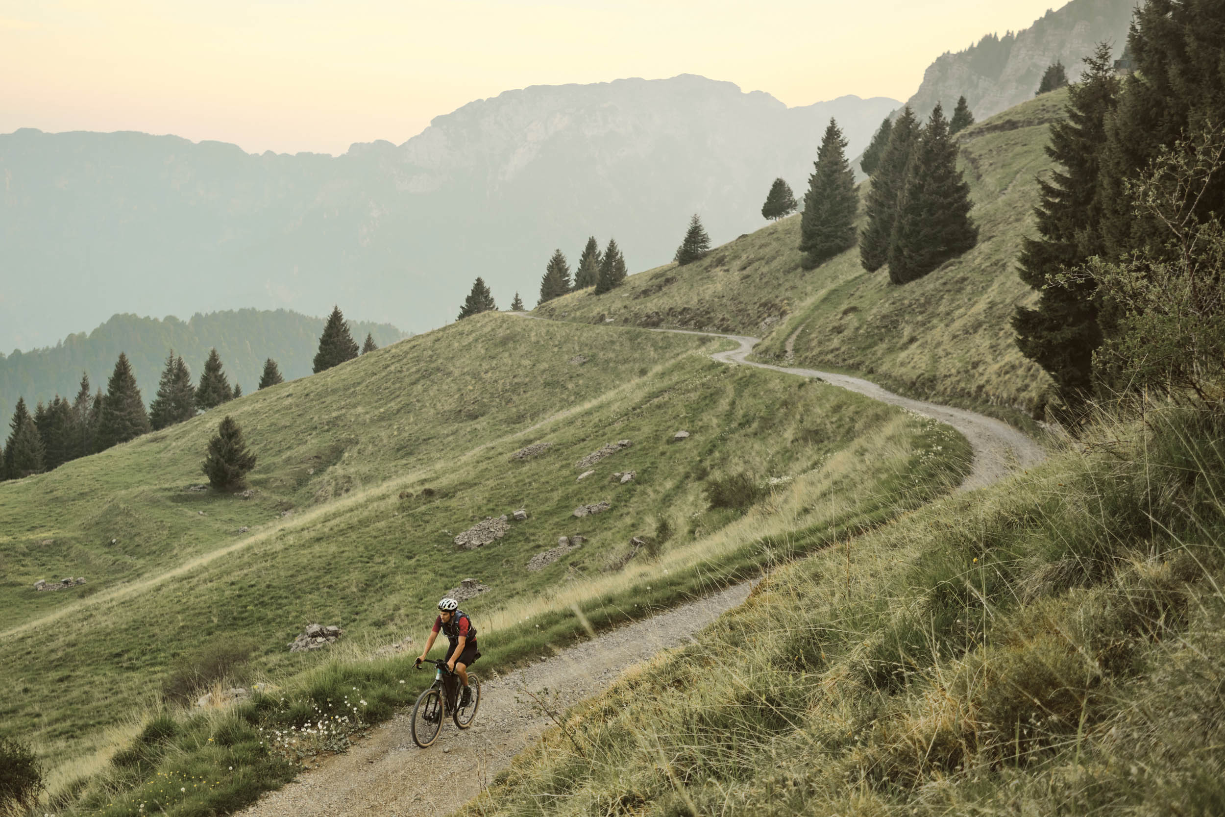
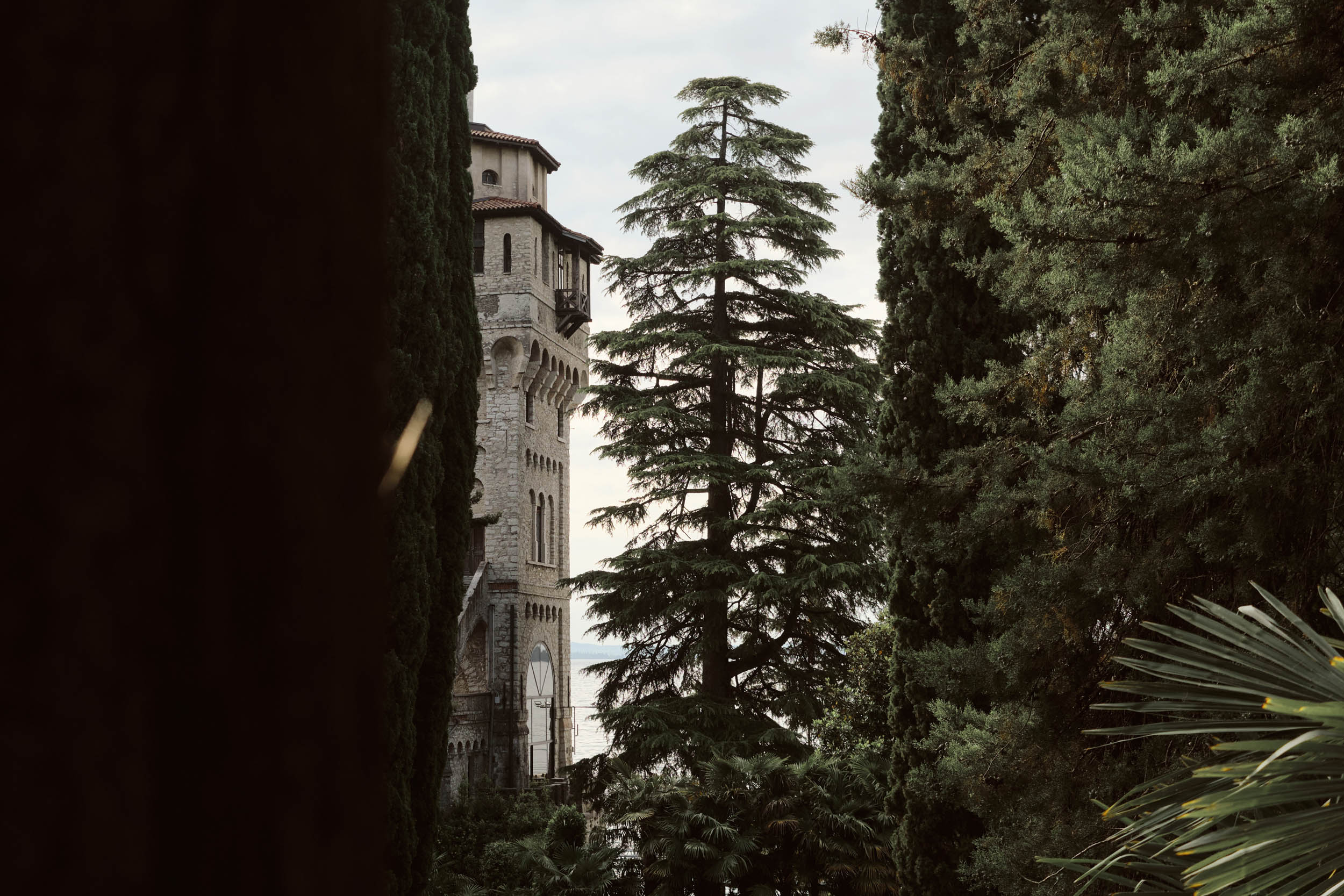
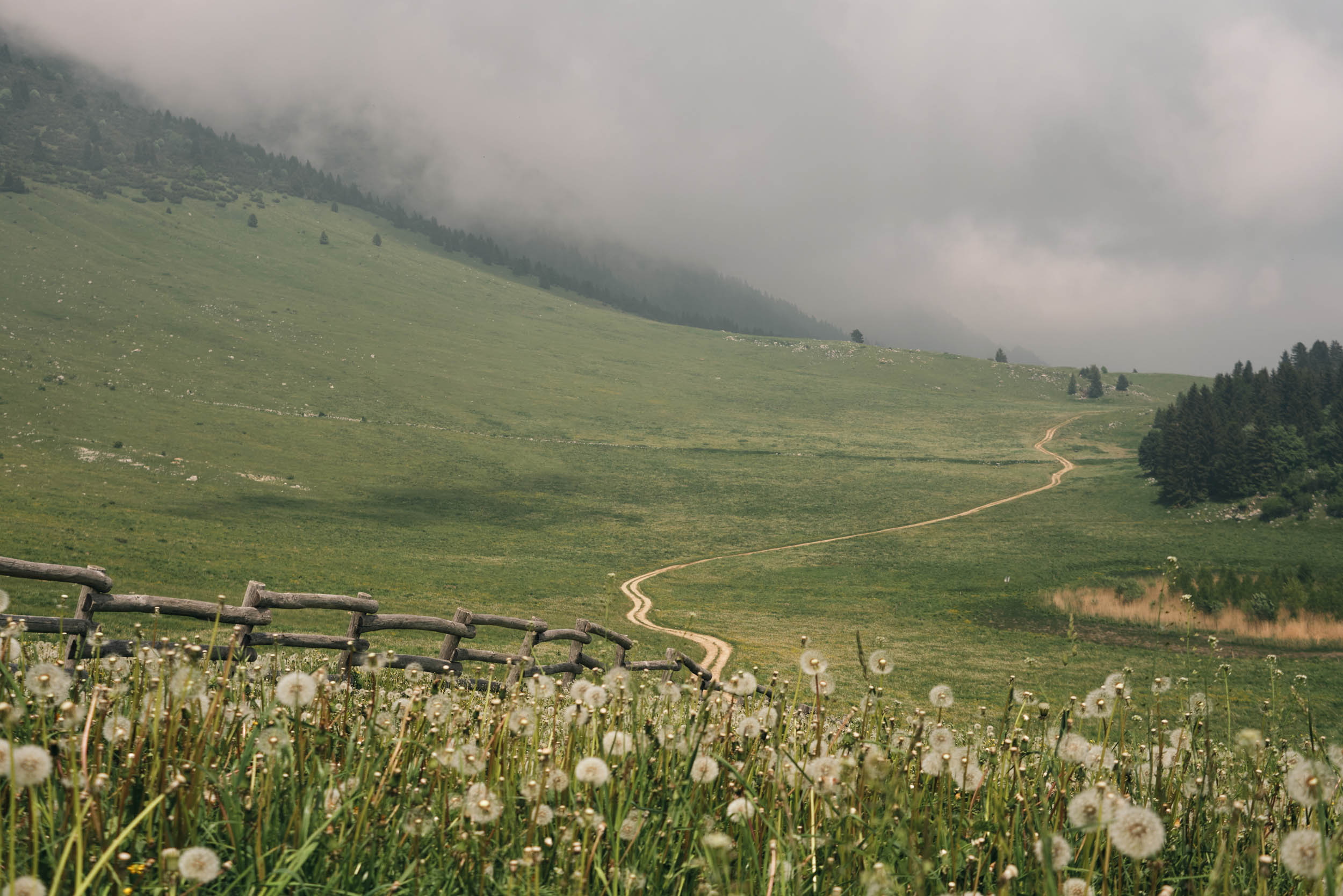
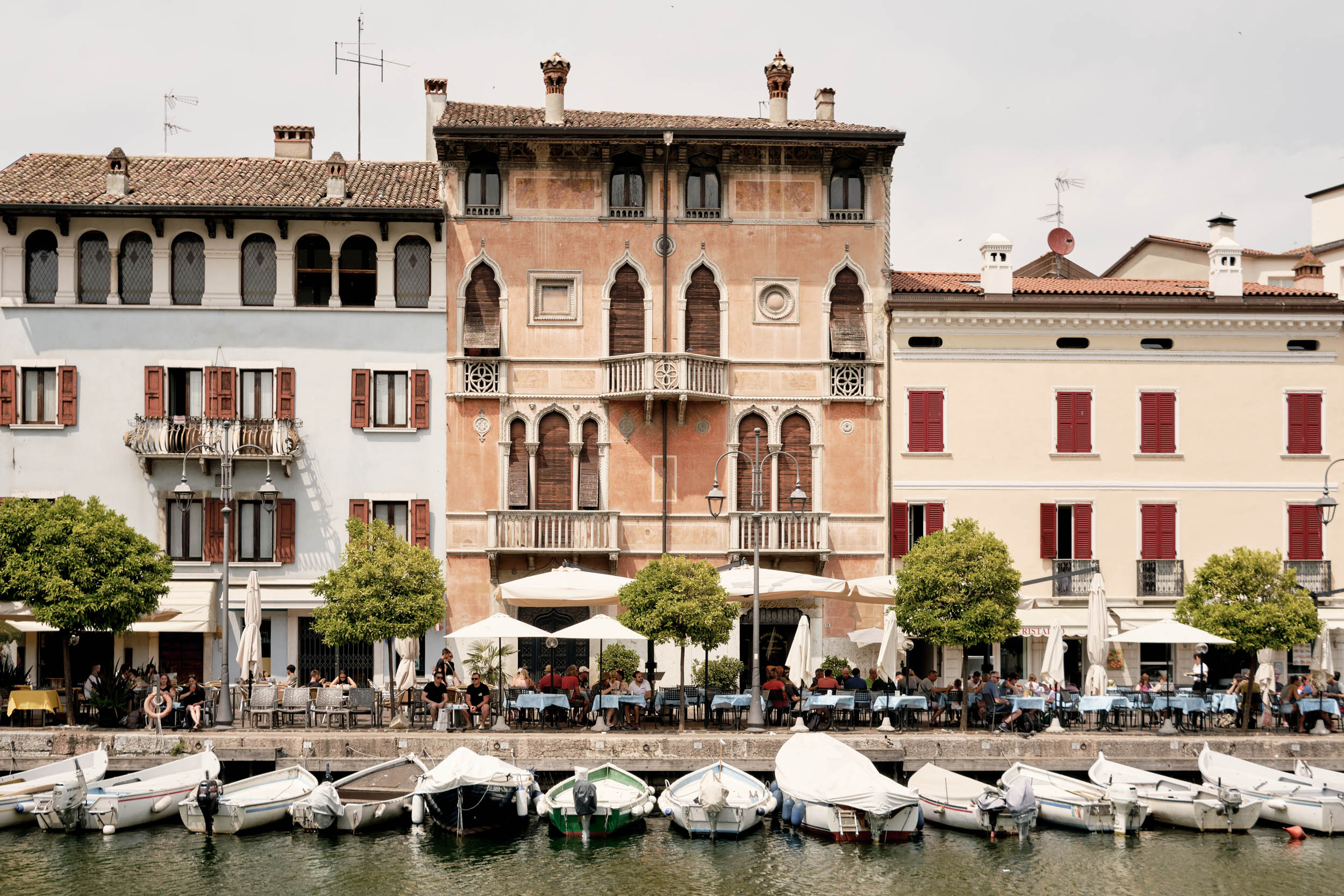
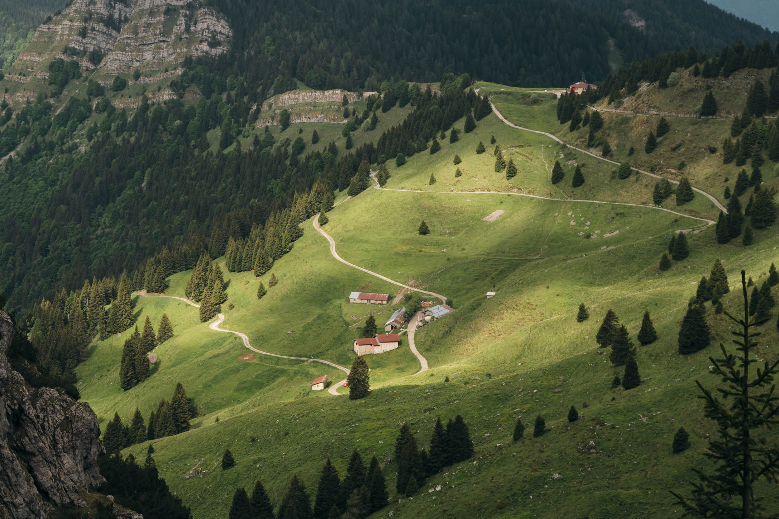
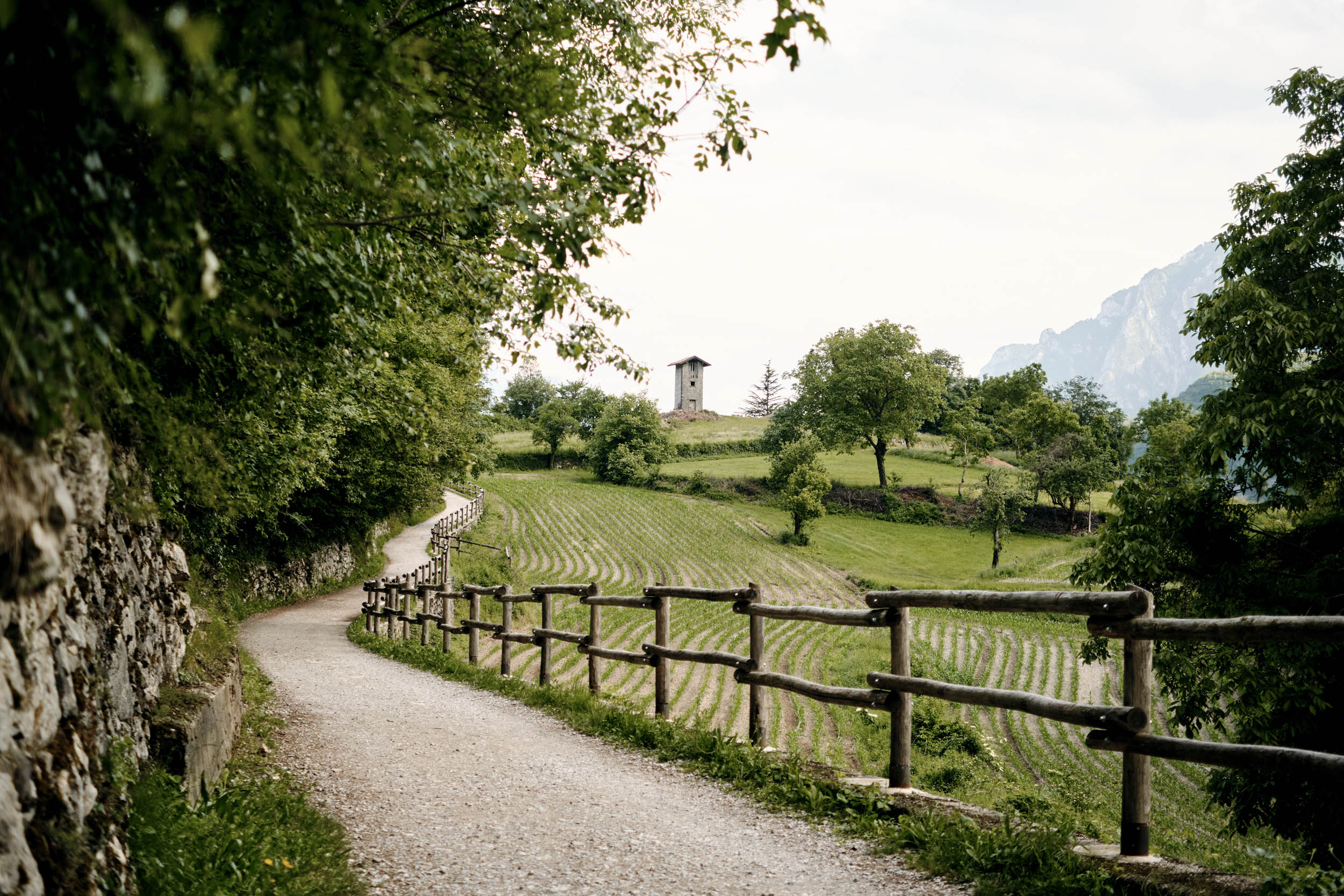
Garda is a glacially formed lake that extends north to south from the Alps to the Po Plain. The north is a mountainous area made of rugged peaks, pine forests, waterfalls, and deep ravines. Toward the south, the landscape turns into Mediterranean hills covered in vineyards and olive groves.
During the summer, the lakeshore is packed with tourists living a lazy Riviera lifestyle. The surrounding mountains are popular with outdoor enthusiasts, hikers, climbers, and cyclists from all over Europe. It’s the ideal mid-season destination when the Alps are still covered in snow. Lake Garda has been a hot spot for the European mountain biking scene since the 90s, hosting epic races and well-established bike festivals.
For many centuries, the big lake has been on the border between ruling families and empires. The towns on the lake are rich in history, vestiges of prosperous trades, and theatres of epic battles and gruesome wars. This heritage can be found in Roman villas, Venetian palaces, medieval castles, and military fortresses.

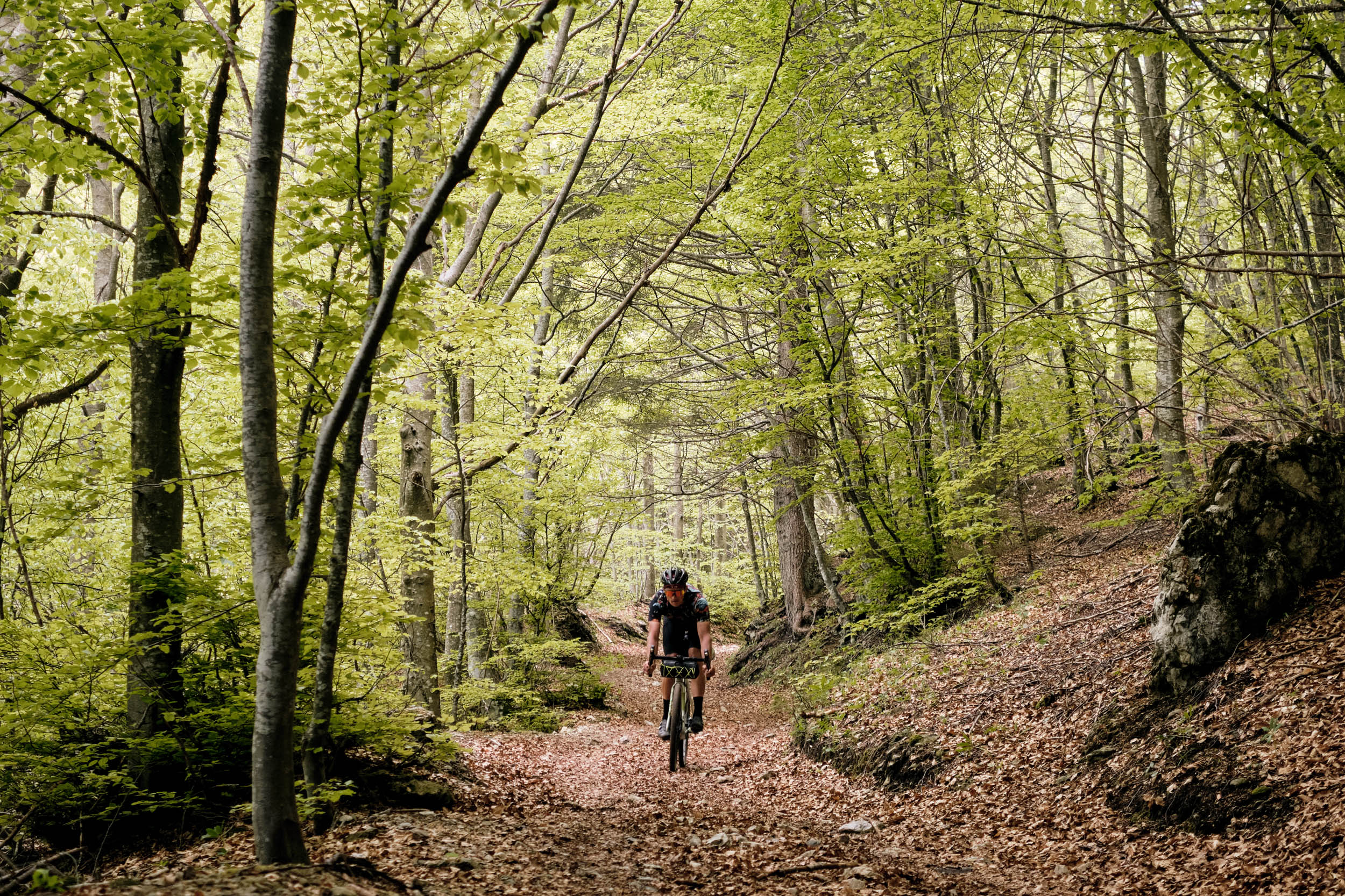
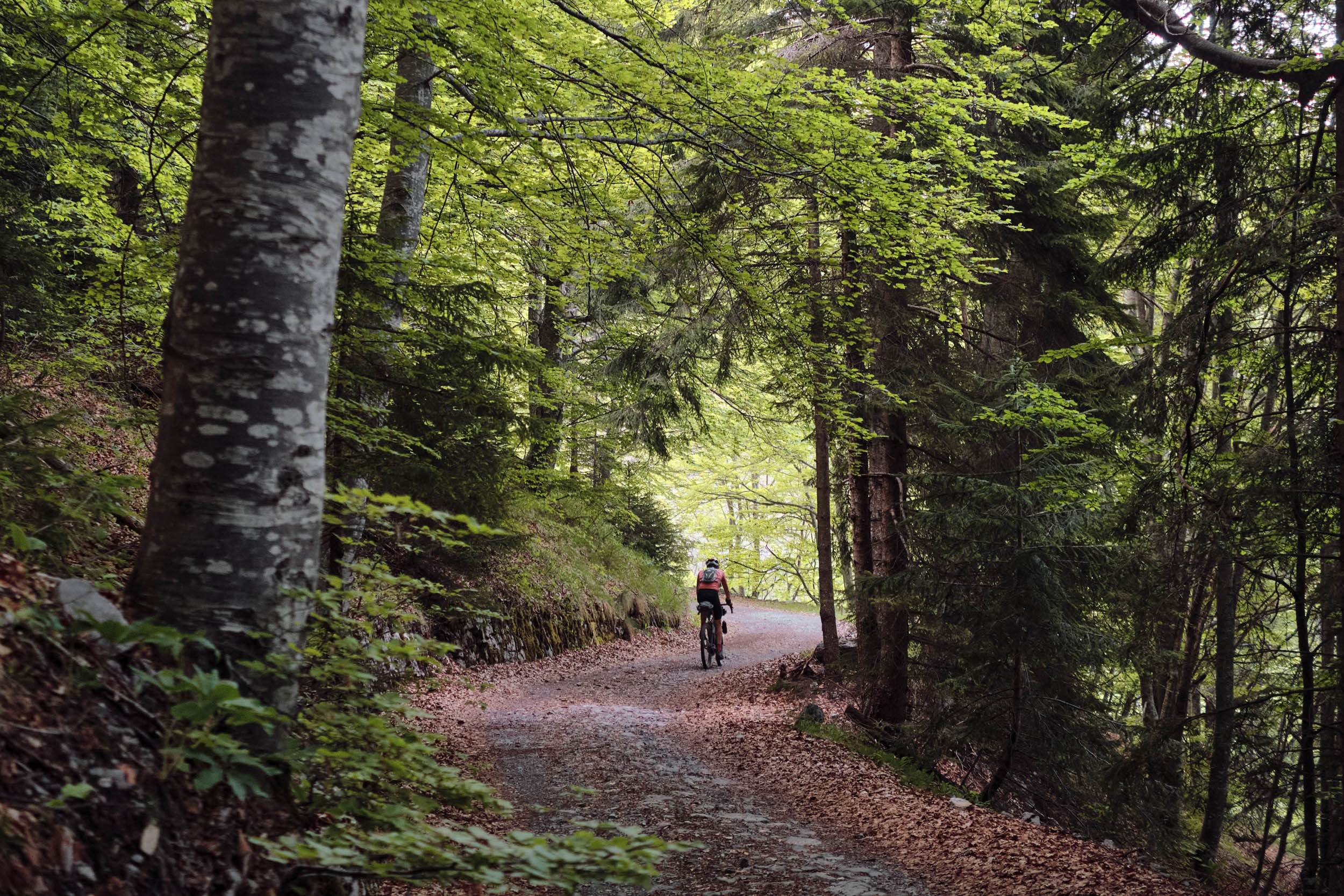
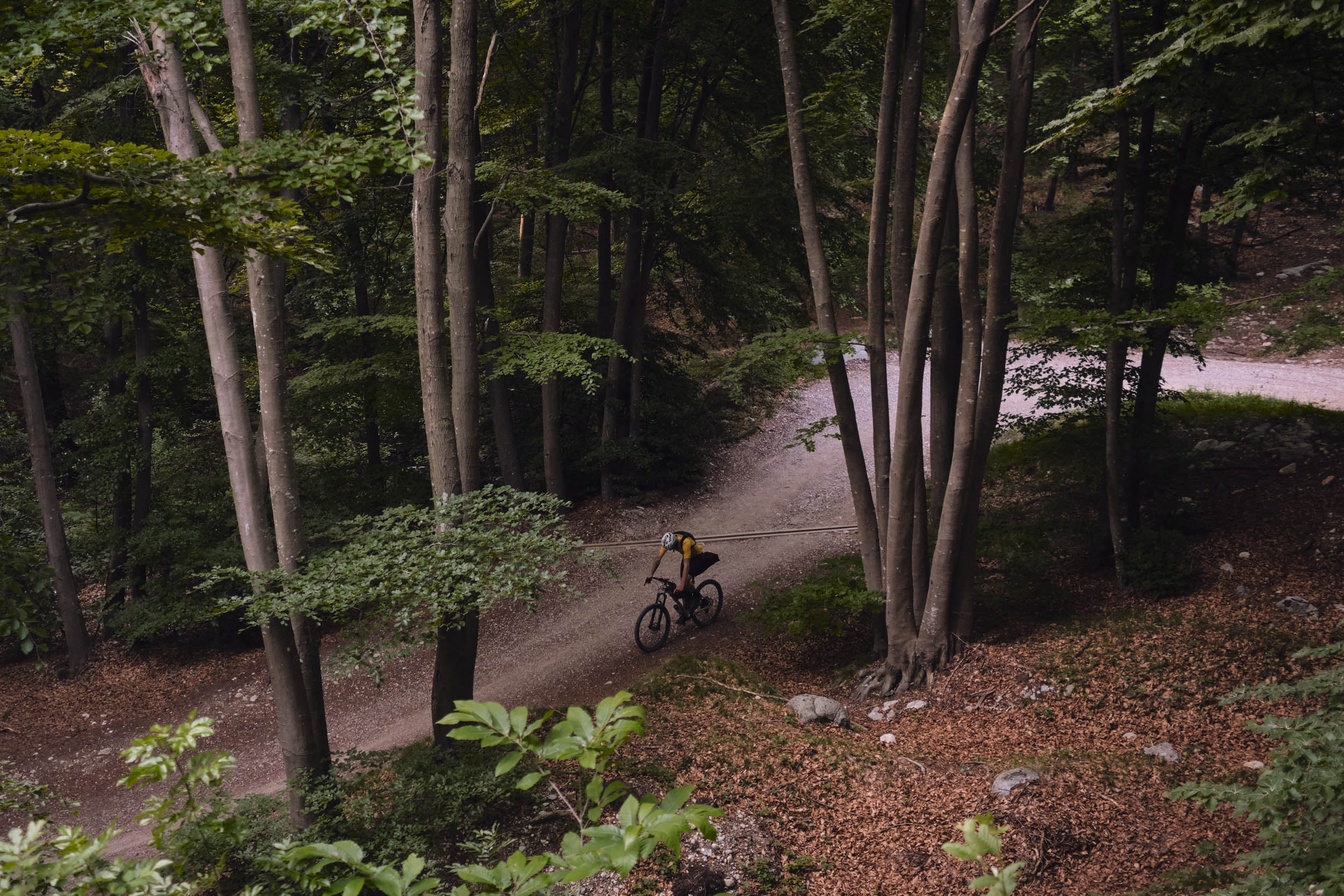
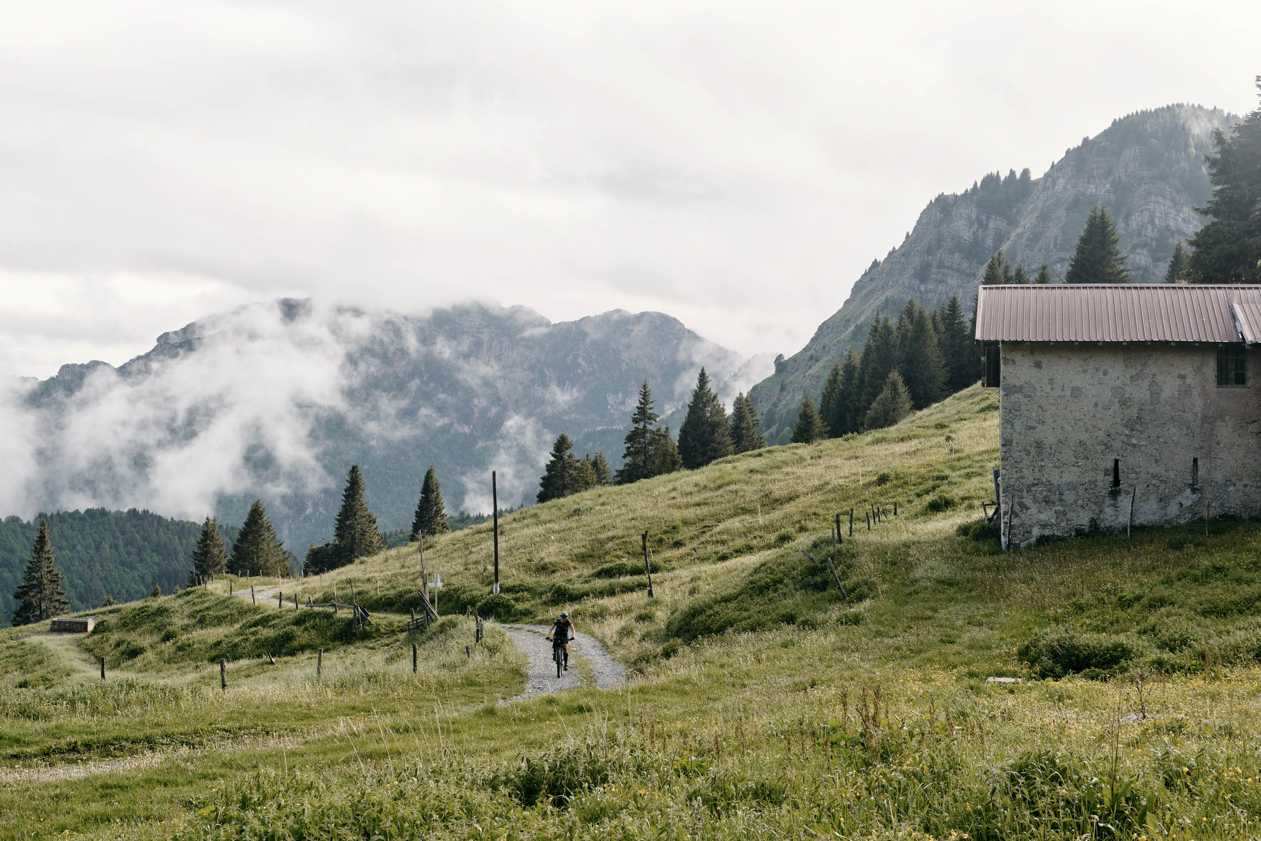
The route mainly follows doubletrack and secondary paved roads around the lake but includes some rocky sections, a few technical singletrack bits, and a few kilometres of hike-a-bike on rocky trails. As the route traverses mixed terrain, there’s no perfect bike for the loop. Low gearing and a light setup are recommended to face the frequent and steep climbs. A gravel bike is a good choice considering the amount of tarmac and fast doubletrack. A hardtail mountain bike will be faster on the rocky sections and technical singletrack. The choice of bike will not make a big difference when it comes to hike-a-bike.
Route Difficulty
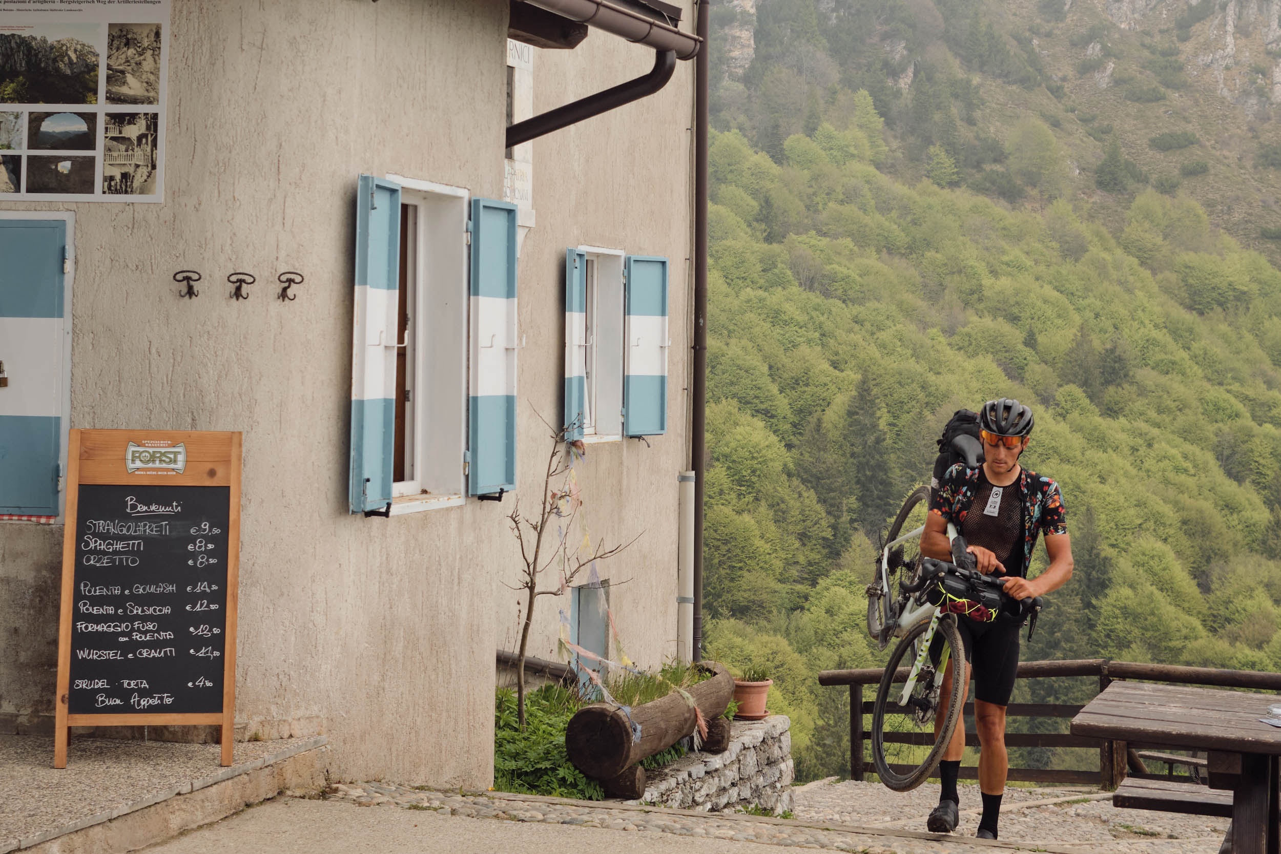
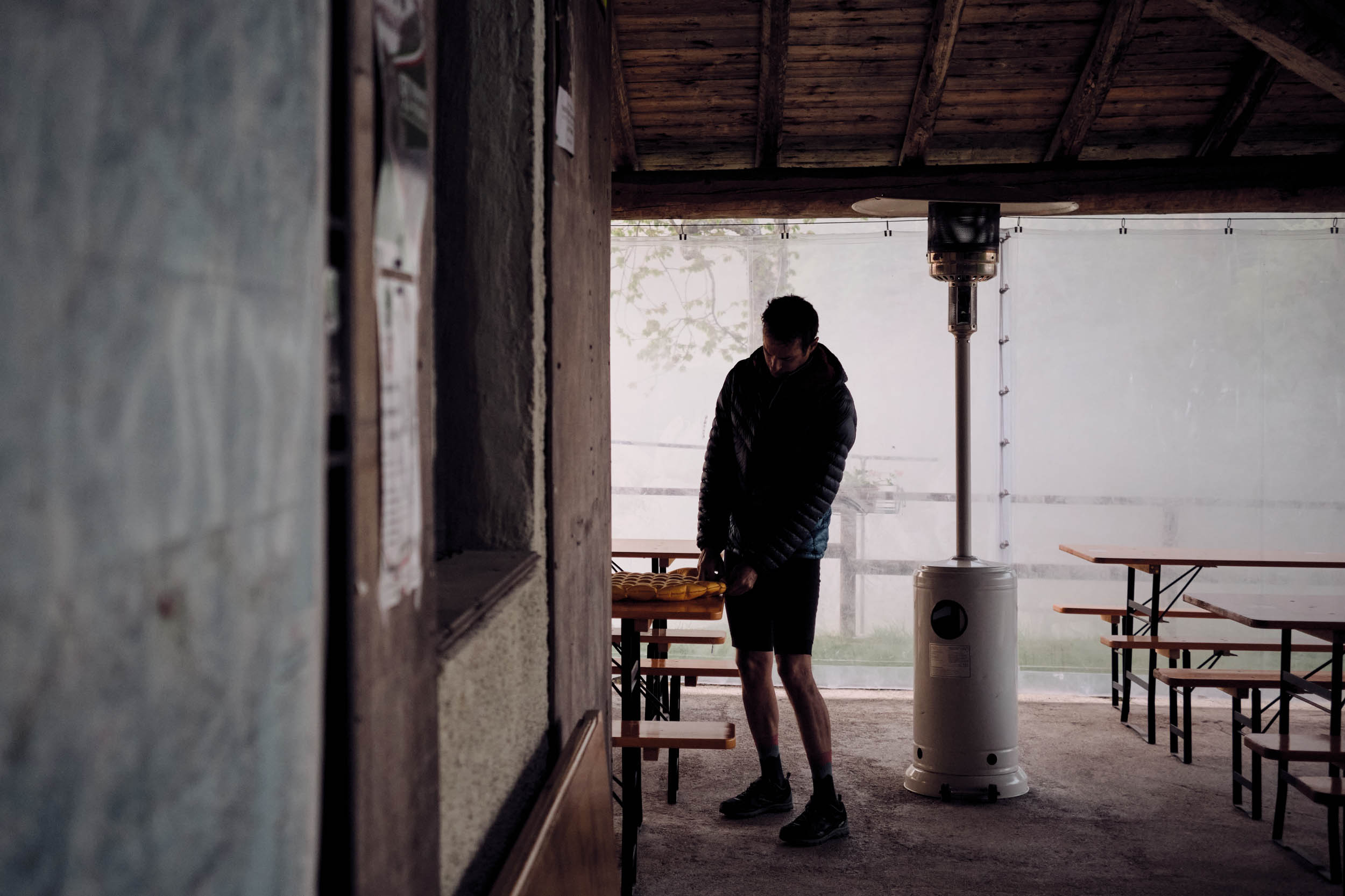
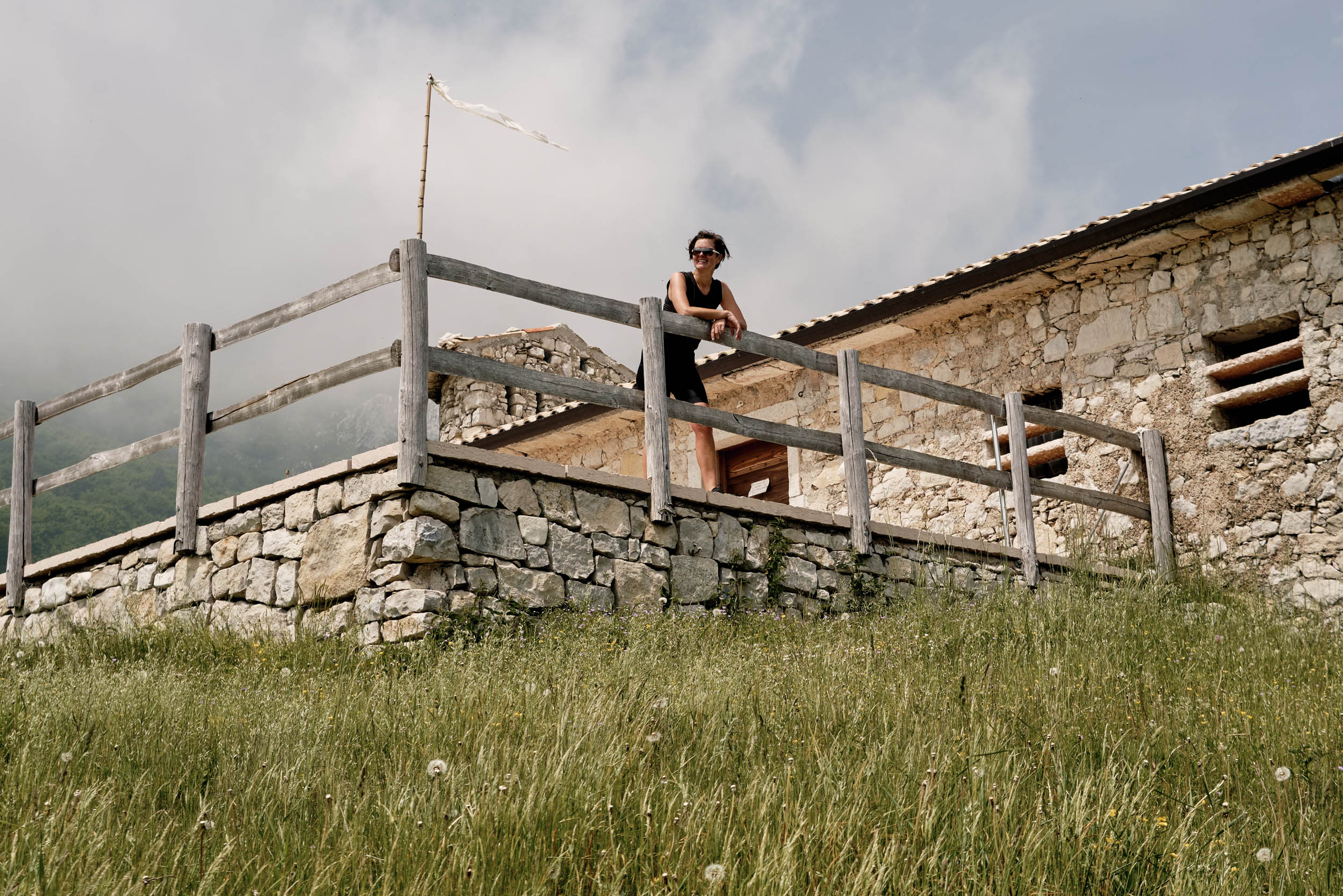
The route is ideally ridden in 4-5 days. Planning stages with 2,000 meters of climbing will leave time to experience the area, enjoy the landscape, meet people, swim in the lakes, try local cuisine, and explore towns and villages. The elevation gain is the main point of difficulty, and climbs are frequent and steep. The descent from Tremalzo Pass is on exposed doubletrack that should be ridden in daylight. Logistics are generally easy, as water sources are frequent and every town has bars and supermarkets. Tremalzo and Mt. Baldo may require some planning in resupply, especially if ridden during the low season when mountain huts are closed.
Route development: I grew up in this area, hiking and riding around for years. When planning the route, I wanted it to include the most iconic trails and mountain passes, the diverse landscapes, and the main cultural sights around the lake. The loop shares parts of the BVG hiking trail, well-established mountain bike trails, and other popular cycling paths. Learn about group starts on this route and an alternate paved variation at GrandGarda.com and follow @GranGarda in Instagram.


Submit Route Alert
As the leading creator and publisher of bikepacking routes, BIKEPACKING.com endeavors to maintain, improve, and advocate for our growing network of bikepacking routes all over the world. As such, our editorial team, route creators, and Route Stewards serve as mediators for route improvements and opportunities for connectivity, conservation, and community growth around these routes. To facilitate these efforts, we rely on our Bikepacking Collective and the greater bikepacking community to call attention to critical issues and opportunities that are discovered while riding these routes. If you have a vital issue or opportunity regarding this route that pertains to one of the subjects below, please let us know:
Highlights
Must Know
Camping
Food/H2O
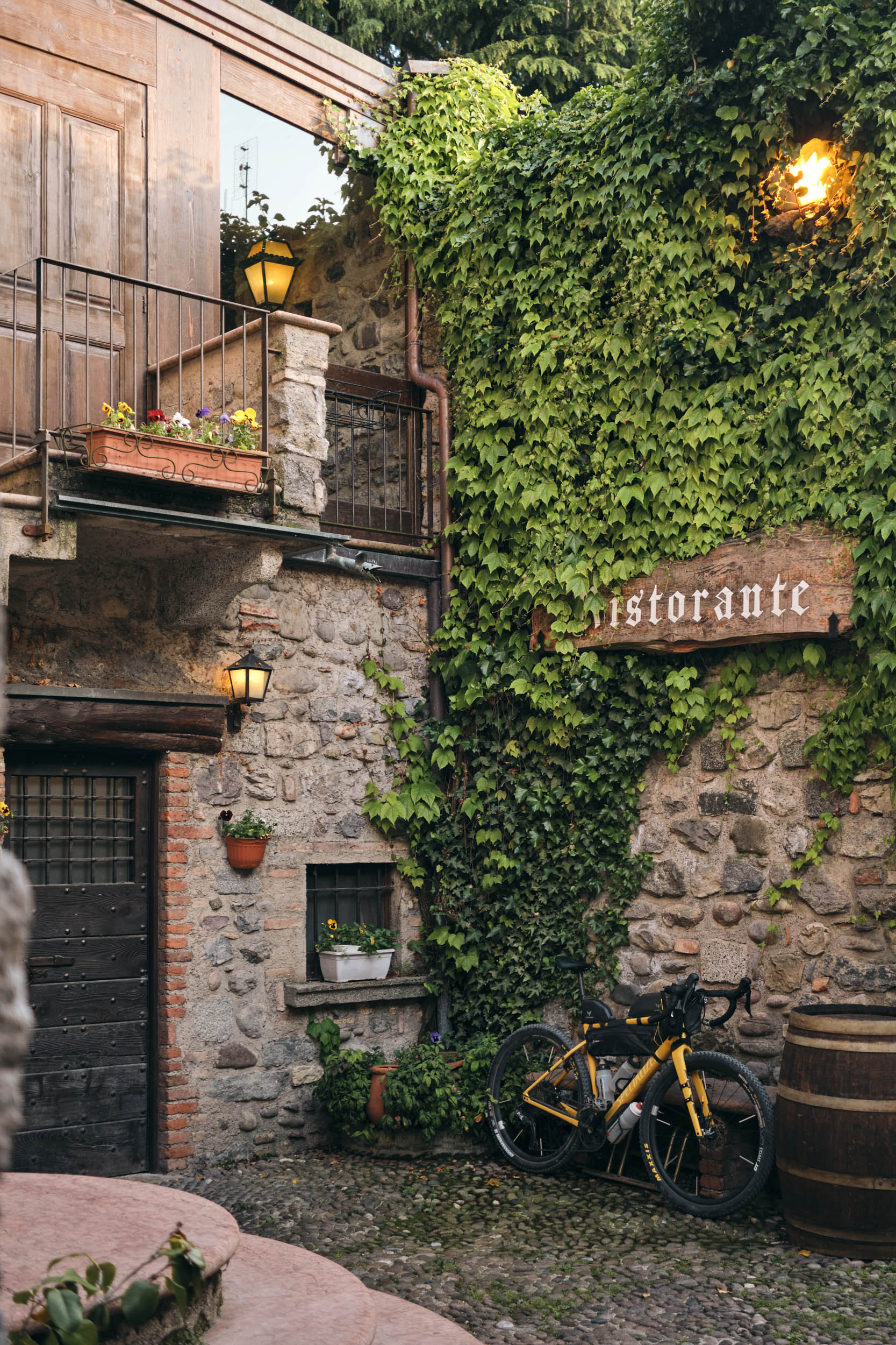
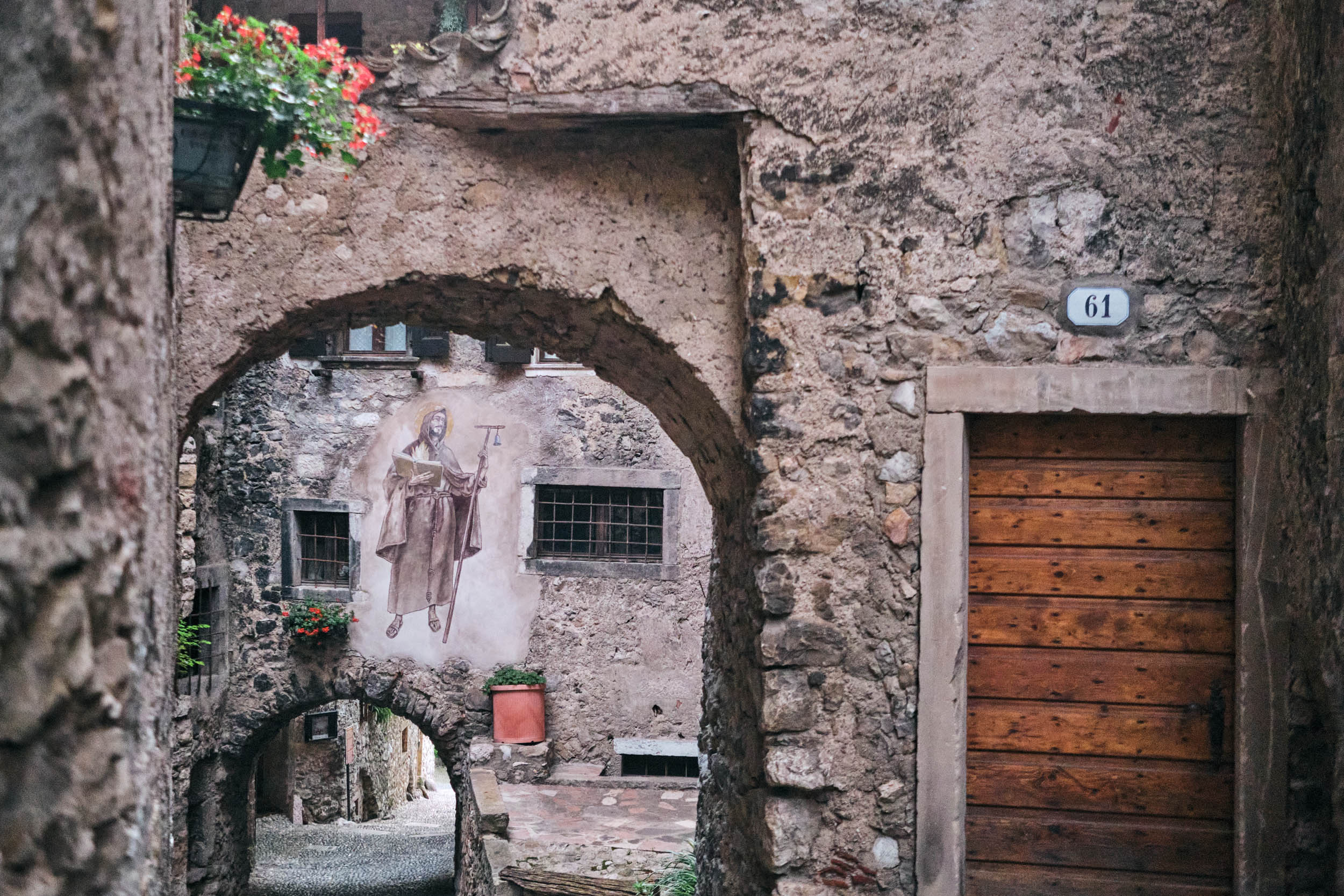
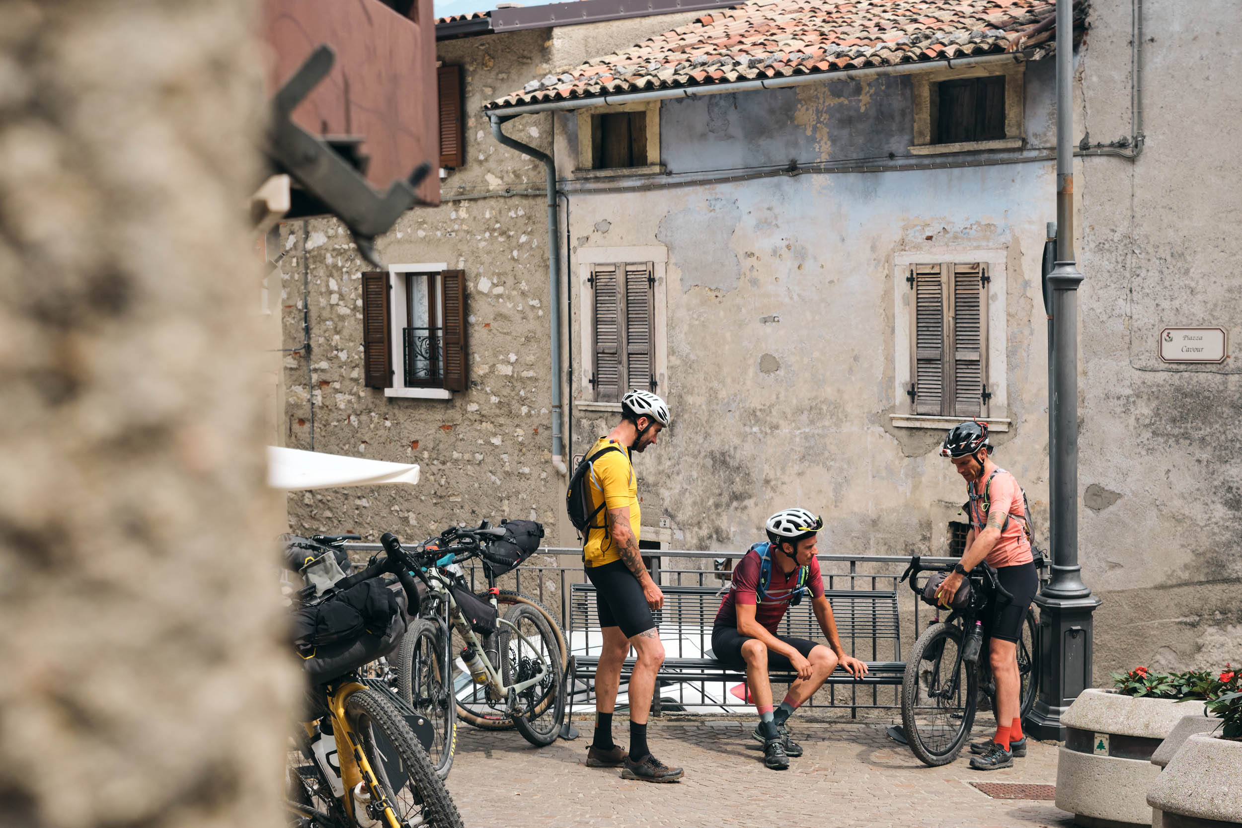
- Medieval villages: the route crosses charming villages made of old stone houses and narrow streets.
- Towns on the lake: Peschiera, Desenzano, Saló, and Riva are prosperous towns with a rich history that left Roman villas, Venetian castles and 18th-century palaces. It is worth spending a few hours getting lost in those old streets.
- Toscolano ravine: the deep canyon has a long history in papermaking that dates back to the Middle Ages and prospered until the 16th century. Papermills ruins from different centuries are all along the small river.
- Tremalzo Pass is the toughest climb on the route, following a steep doubletrack in the forest that leads to high-altitude pastures. The descent goes on a scenic military road that winds down a steep slope in endless switchbacks, tunnels, and exposed sections.
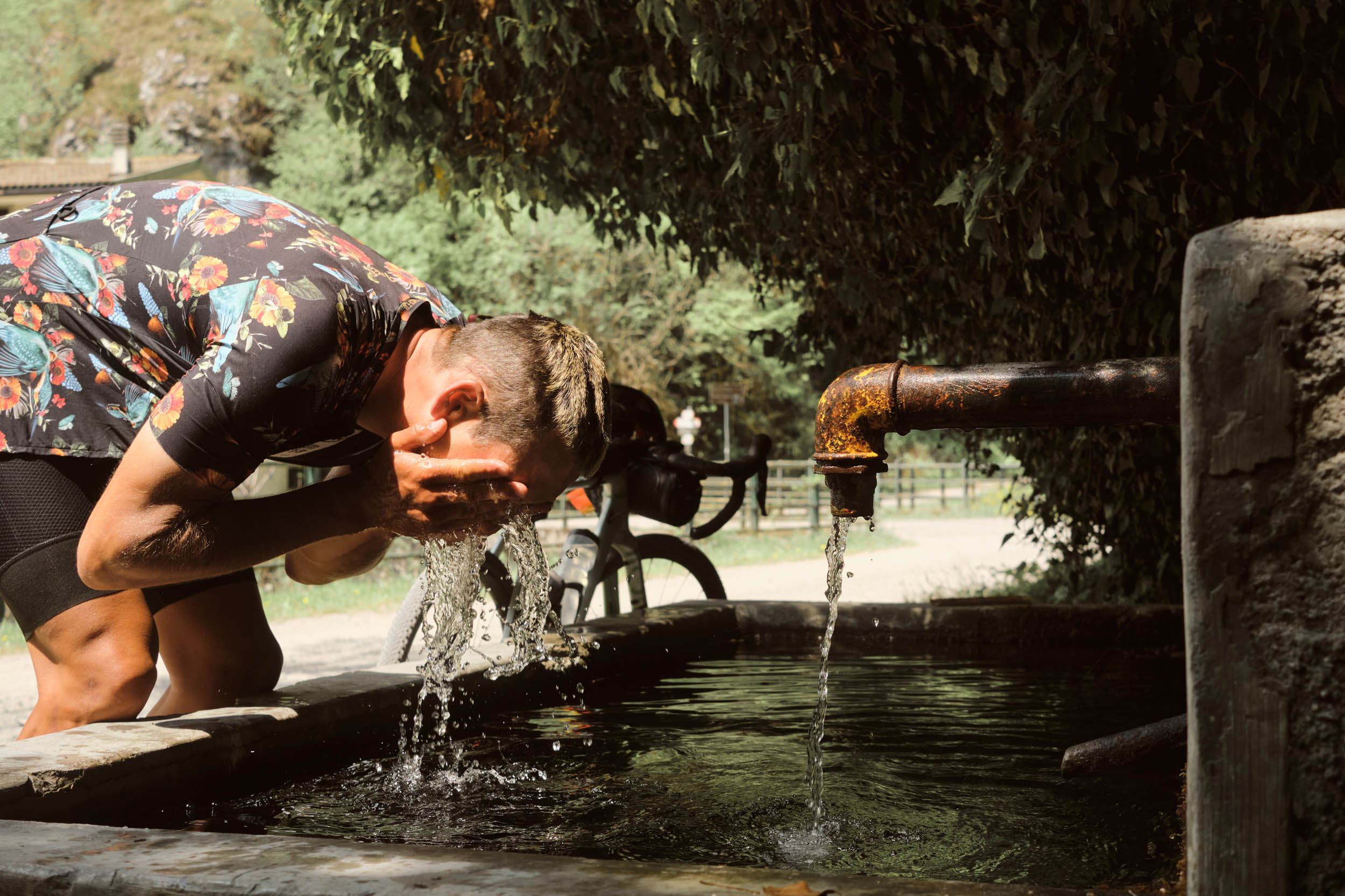
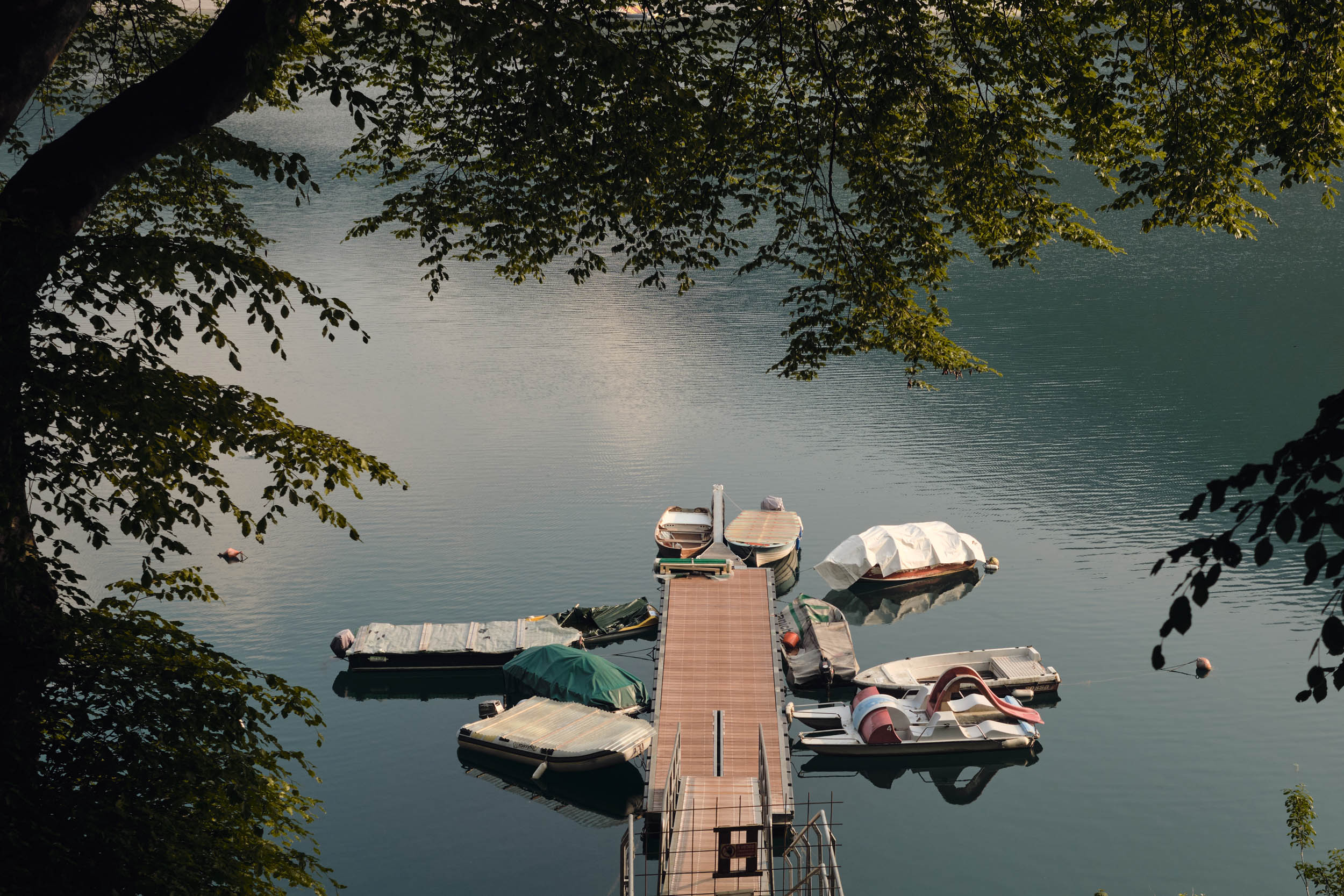
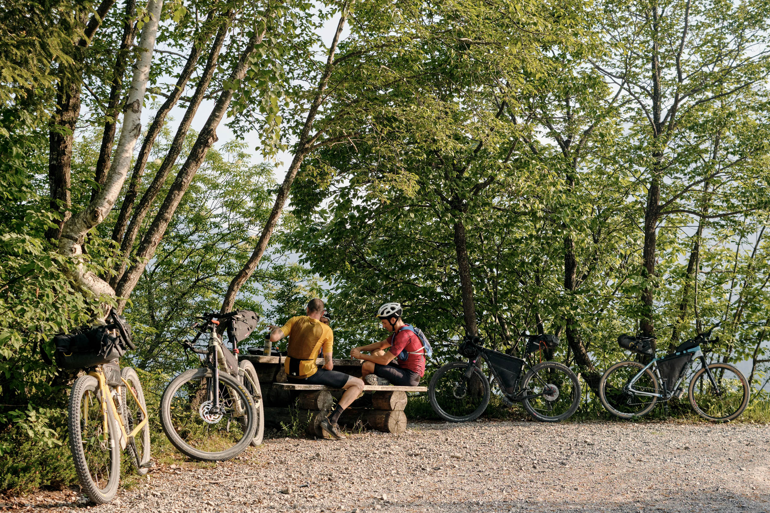
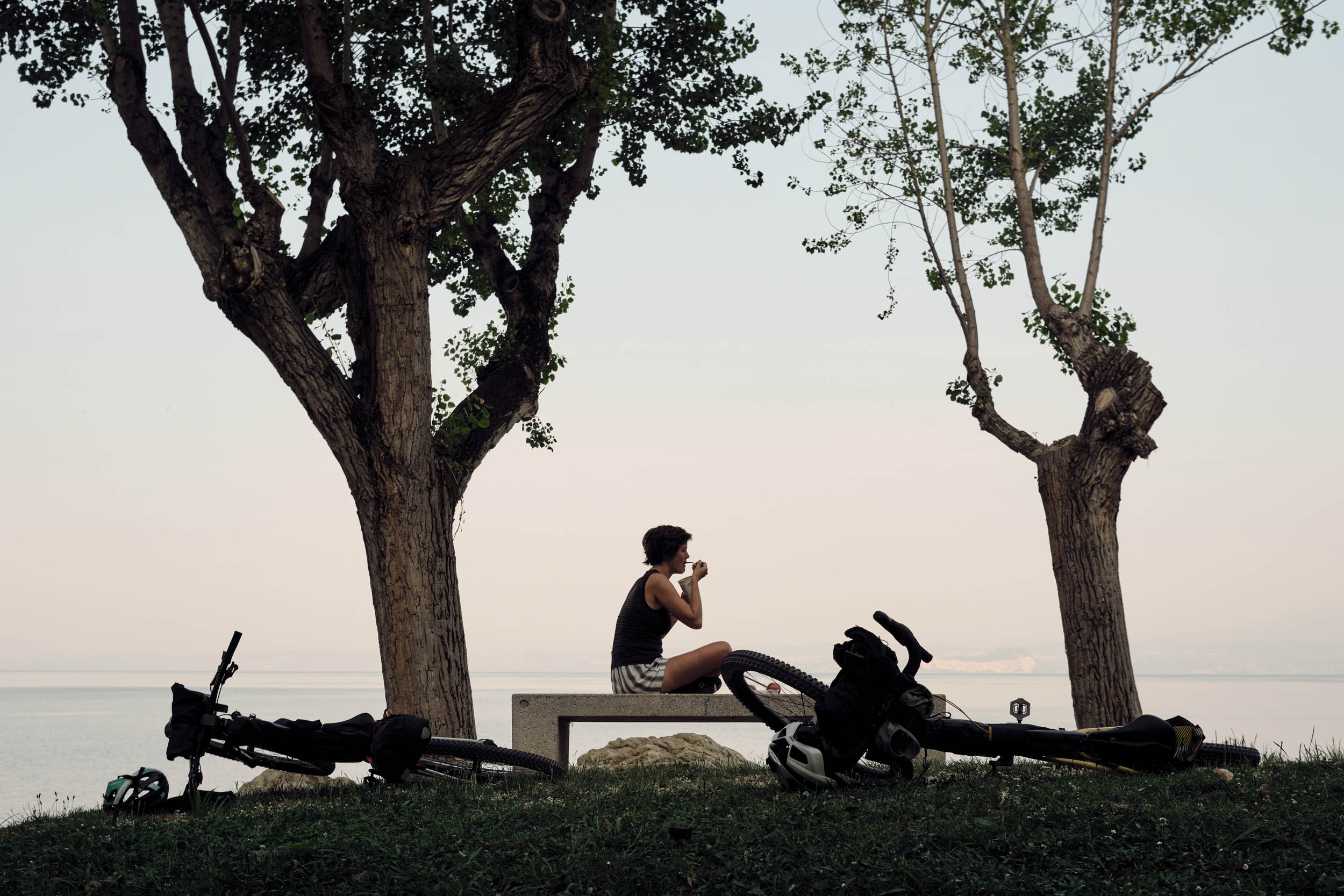
- Lakes: other than Garda, there are other two small alpine lakes on the route, and from May to September water temperature is warm enough for a swim, a real blessing during a long day in the saddle.
- Olive oil: Olive groves are part of the landscape. The big lake creates a mild microclimate that makes this area the northernmost place where olive trees can survive the winter. The olive oil produced in this area has a unique and aromatic taste.
- Wine: vineyards are all around the lake, and the area includes some popular wine regions. Valpolicella is well known for his Amarone full-bodied red wine. Lugana produces delicious and structured white wines.
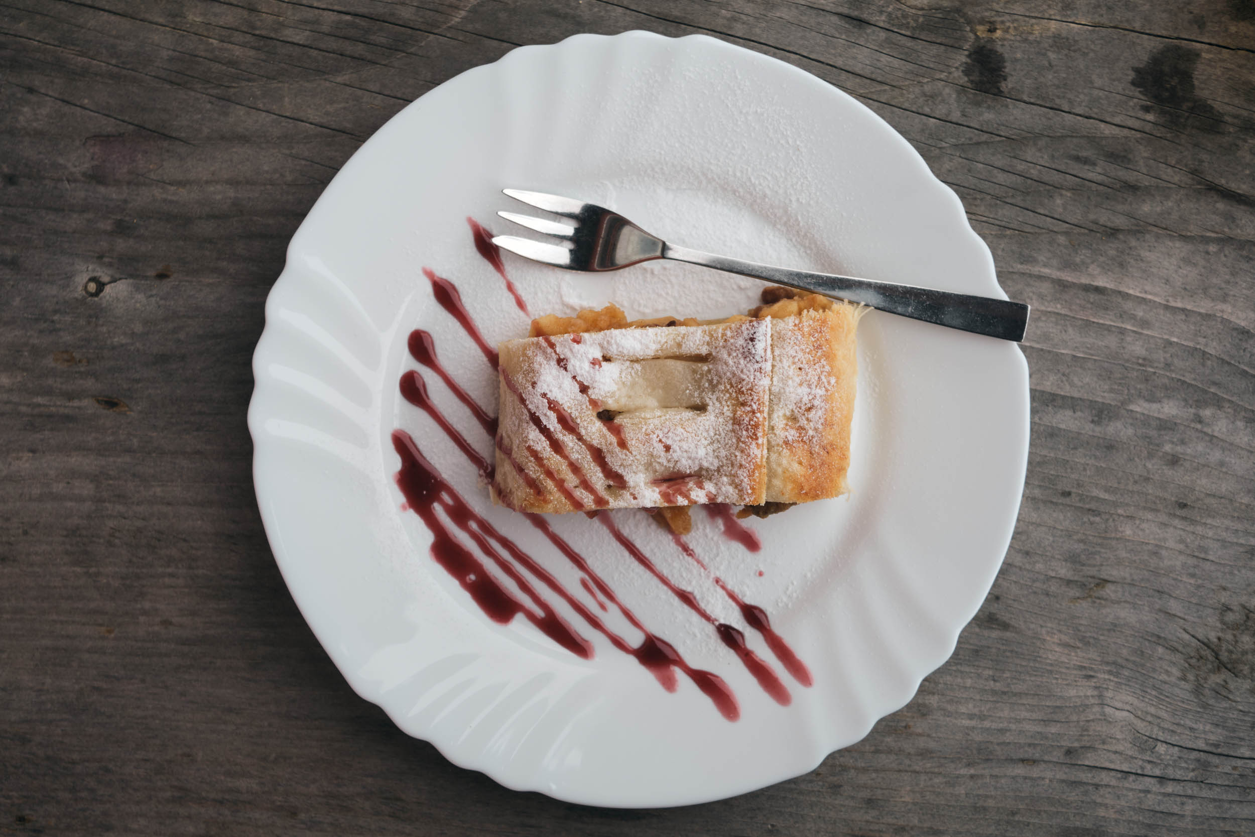
- Ice cream: walking on the lake promenade with a gelato is a summer classic. Ice cream is locally crafted and delicious.
- Getting there: Closest airports are Bergamo, Verona, and Venezia. Train stations are in Desenzano, Peschiera and Rovereto. Bike transport is only available on regional trains.
- When to ride: The route is ridable from April to October. During the winter months, some passes are closed due to the snow. During the summer, the heat may be an issue. The best months are April-May and September-October.
- The loop is planned to be ridden clockwise, as the opposite direction would include many steep and long hike-a-bike sections.
- Mobile coverage in the mountains is weak to none.
- The emergency phone number is 112.
- There are good bike shops in every town.
- The loop is connected to the Veneto Divide route.
- Wild camping is not allowed. In case of emergency, set up late and strike early.
- Always follow the “Leave No Trace” principles and never start fires. There are plenty of fully equipped camping areas.
- Accommodation: Being a touristic area, there are plenty of B&Bs and hotels all along the route.
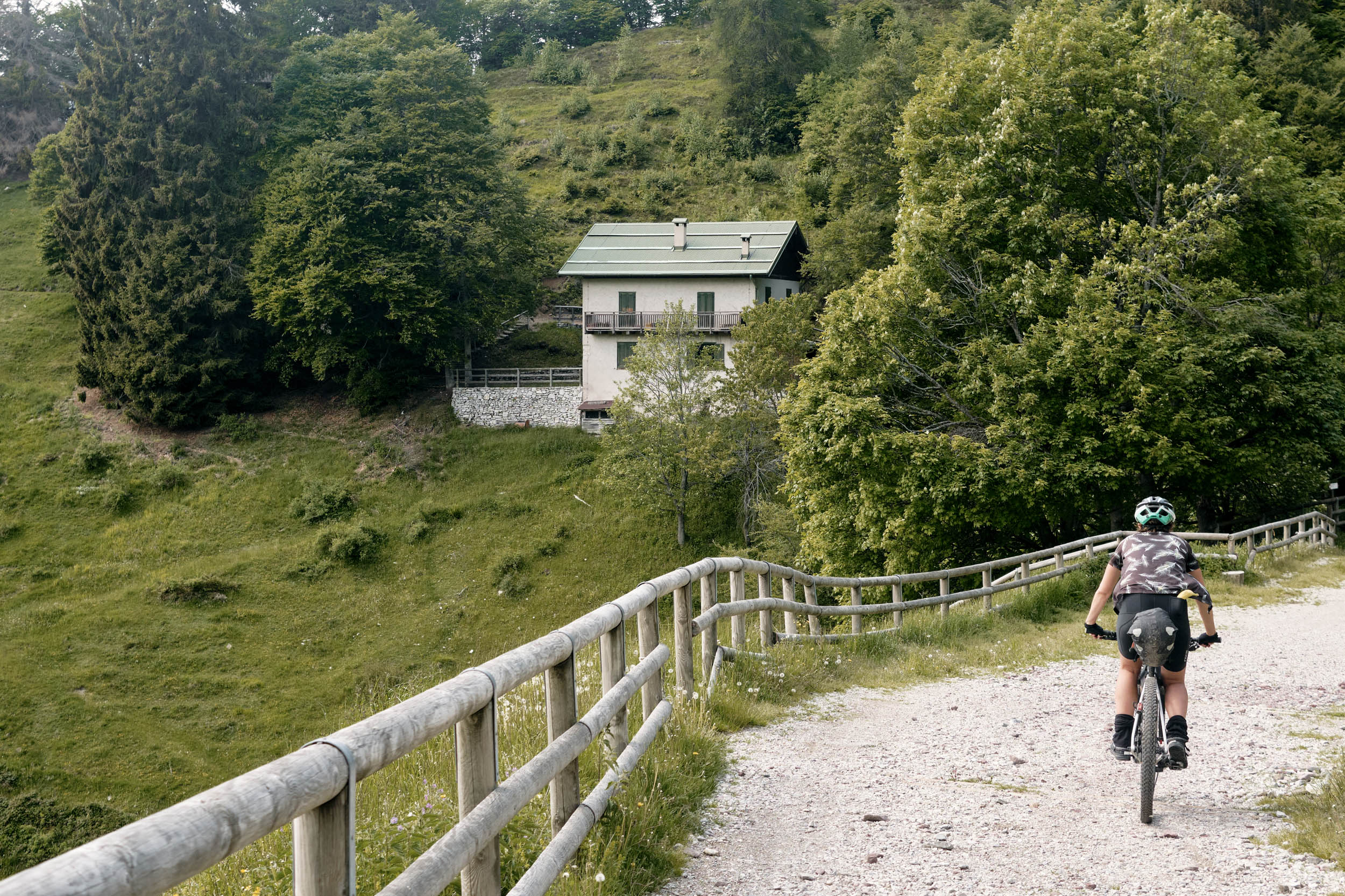
- Mountain huts are usually open from June to September. There are a couple marked on the map.
- Every sizable town on route has restaurants and supermarkets.
- There are a few recommended restaurants noted on the map.
- There are water sources all along the route.


Terms of Use: As with each bikepacking route guide published on BIKEPACKING.com, should you choose to cycle this route, do so at your own risk. Prior to setting out check current local weather, conditions, and land/road closures. While riding, obey all public and private land use restrictions and rules, carry proper safety and navigational equipment, and of course, follow the #leavenotrace guidelines. The information found herein is simply a planning resource to be used as a point of inspiration in conjunction with your own due-diligence. In spite of the fact that this route, associated GPS track (GPX and maps), and all route guidelines were prepared under diligent research by the specified contributor and/or contributors, the accuracy of such and judgement of the author is not guaranteed. BIKEPACKING.com LLC, its partners, associates, and contributors are in no way liable for personal injury, damage to personal property, or any other such situation that might happen to individual riders cycling or following this route.
Please keep the conversation civil, constructive, and inclusive, or your comment will be removed.