


Griffith Highland Overnighter
Distance
43 Mi.
(69 KM)Days
2
% Unpaved
95%
% Singletrack
0%
% Rideable (time)
100%
Total Ascent
2,436'
(742 M)High Point
1,424'
(434 M)Difficulty (1-10)
4?
- 4Climbing Scale Fair57 FT/MI (11 M/KM)
- -Technical Difficulty
- -Physical Demand
- -Resupply & Logistics
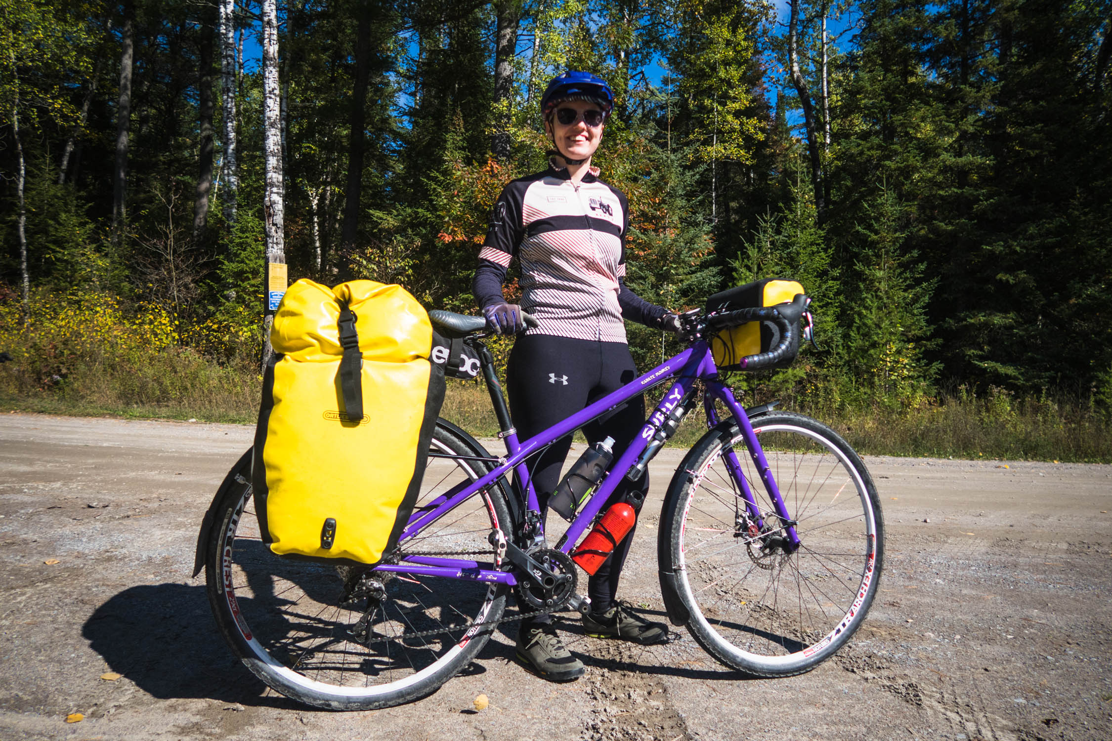
Contributed By

Paul Galipeau
Guest Contributor
Paul learned to ride a bike before he learned to read and is now a prolific routebuilder with the Ottawa Valley Bikepacking Collective. Ottawa Valley’s rich history of logging and small scale mining has produced an expansive network of old backcountry roads and trails within an hour from Paul’s front door. Follow Paul on Instagram @paulmsg.
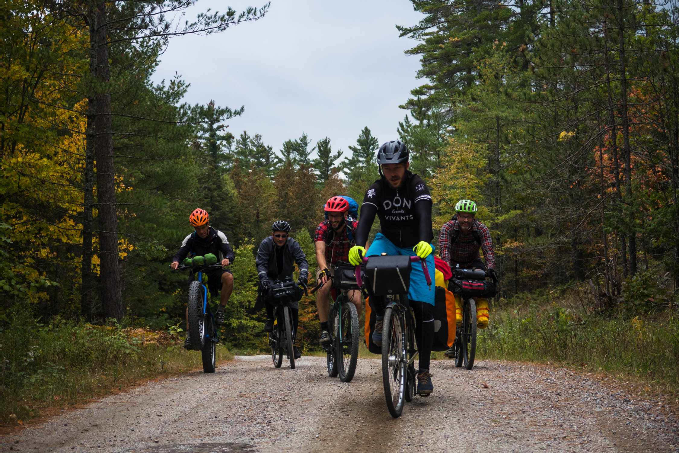
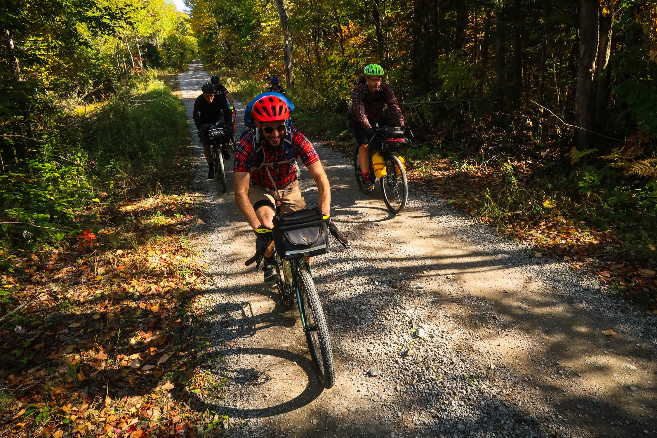
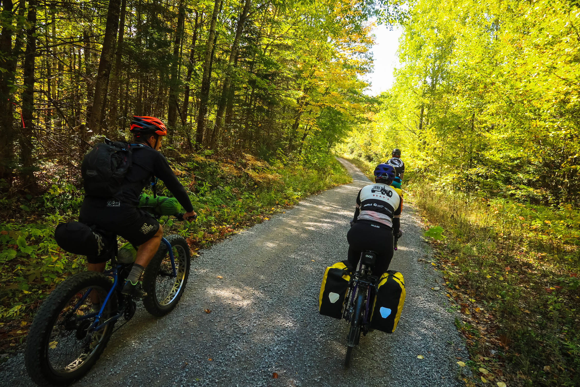
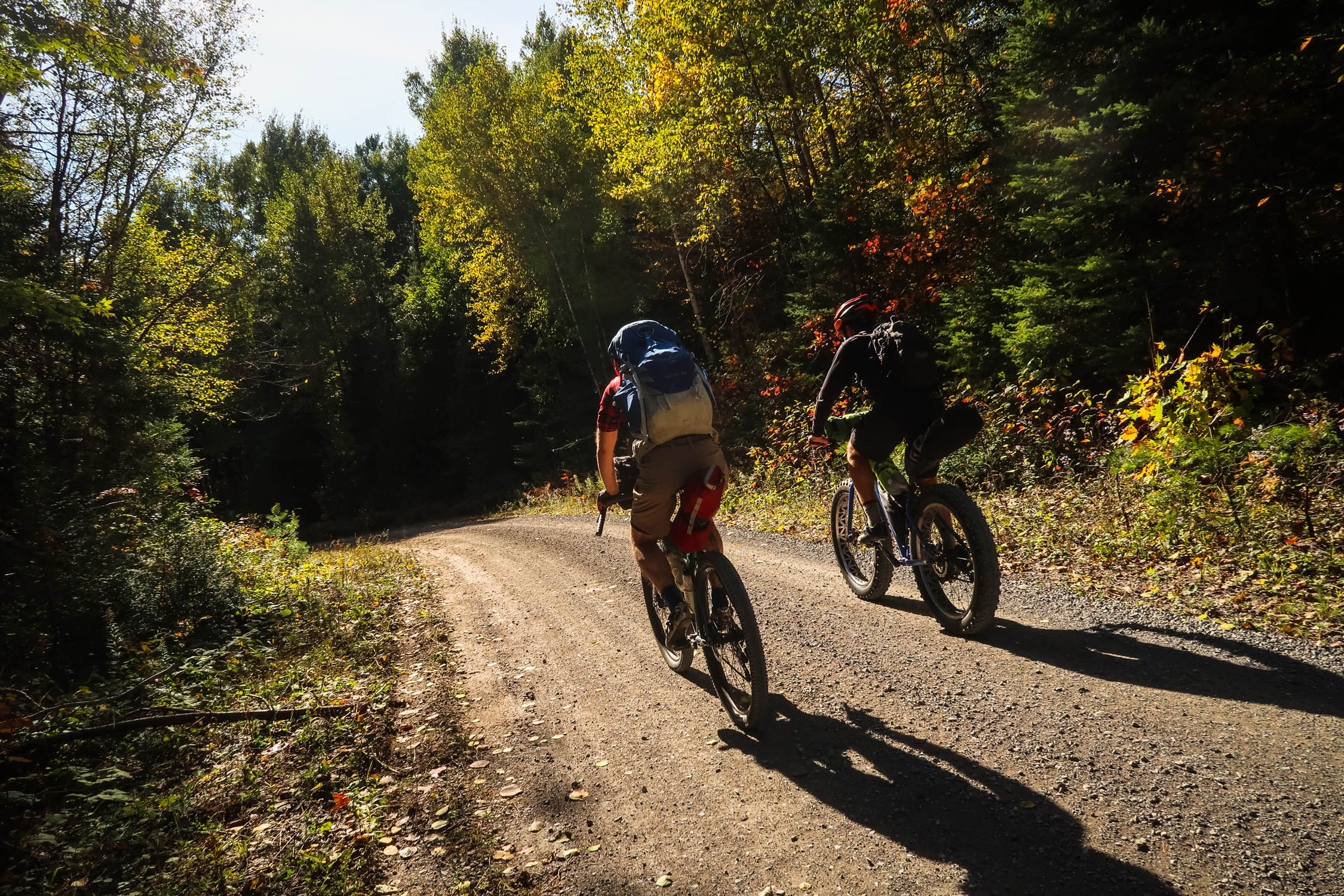
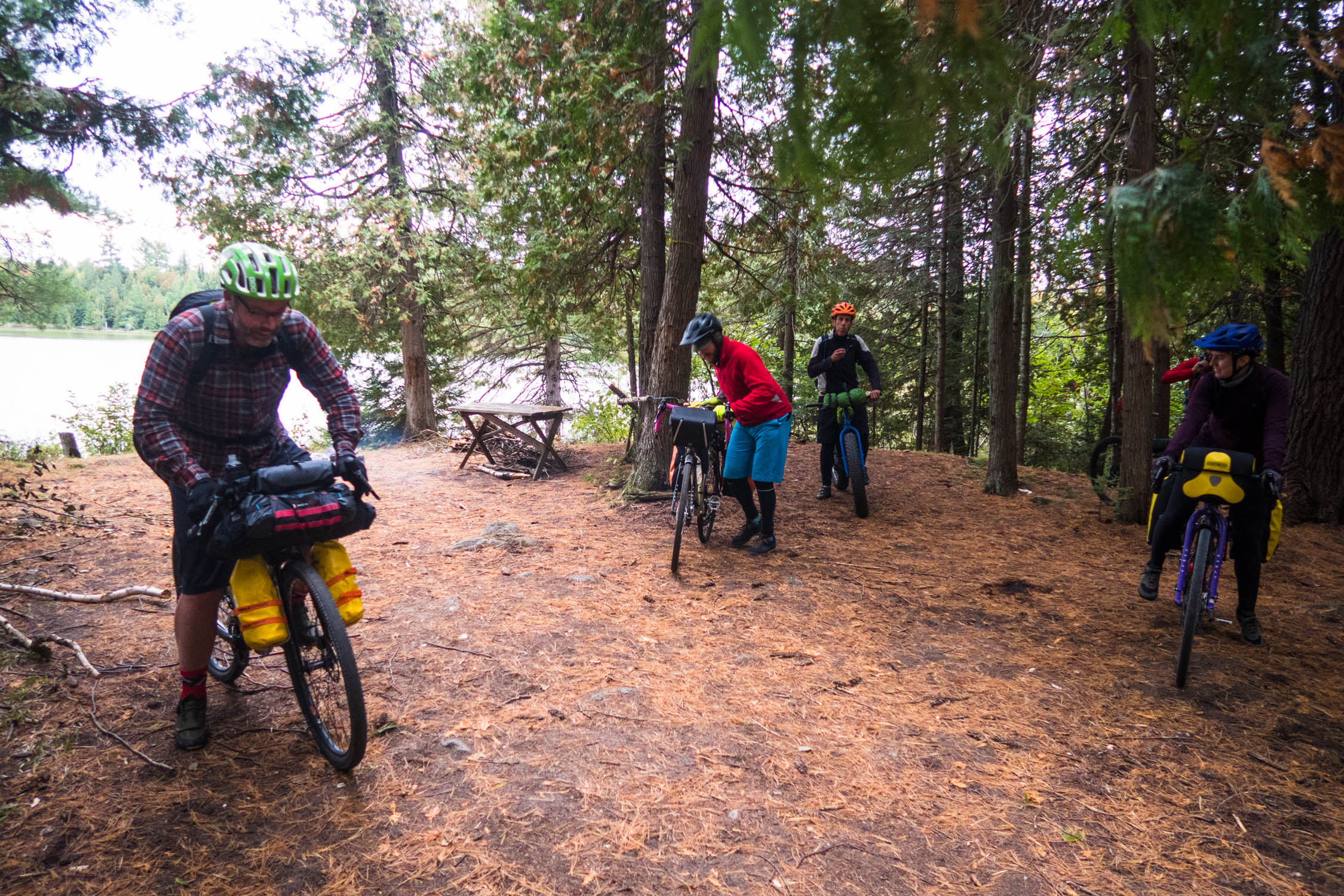
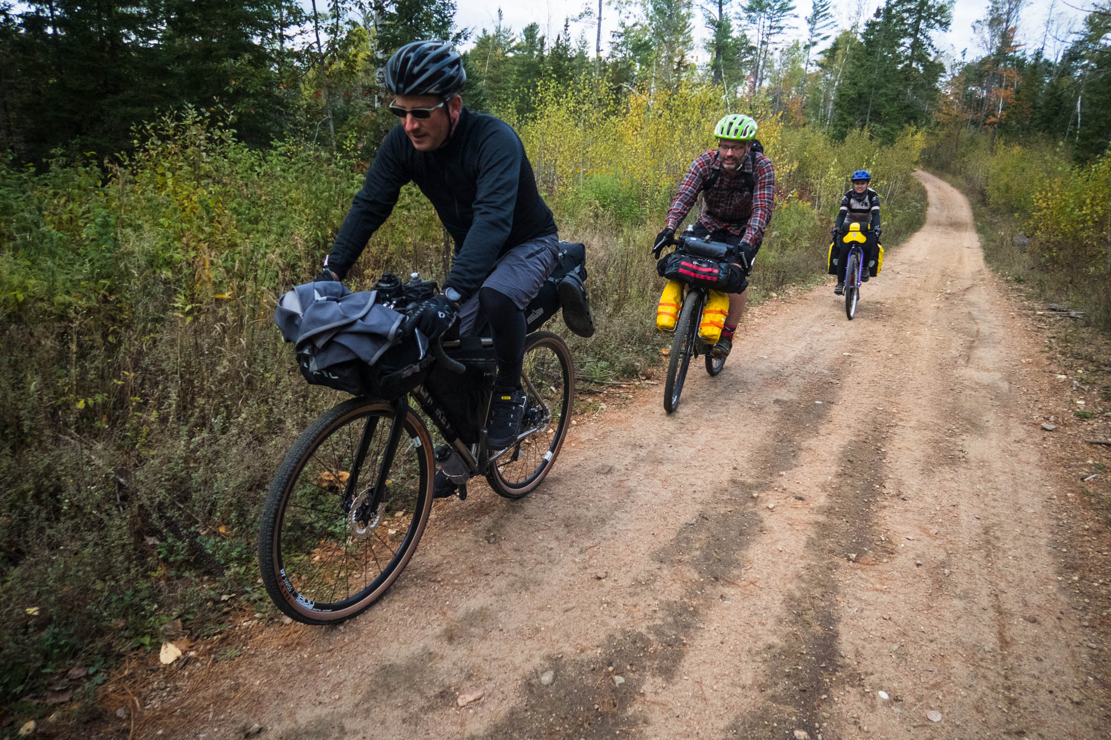
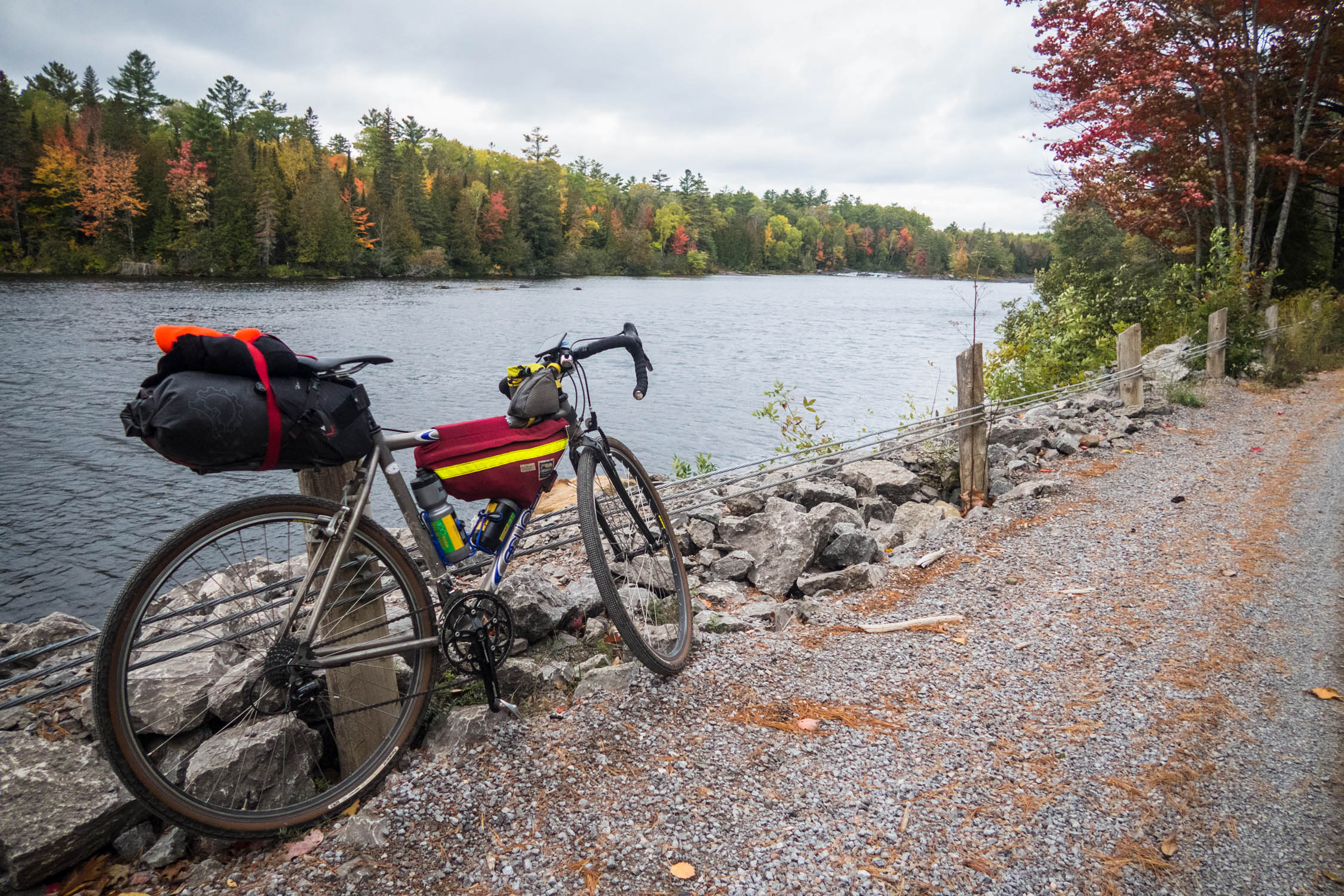
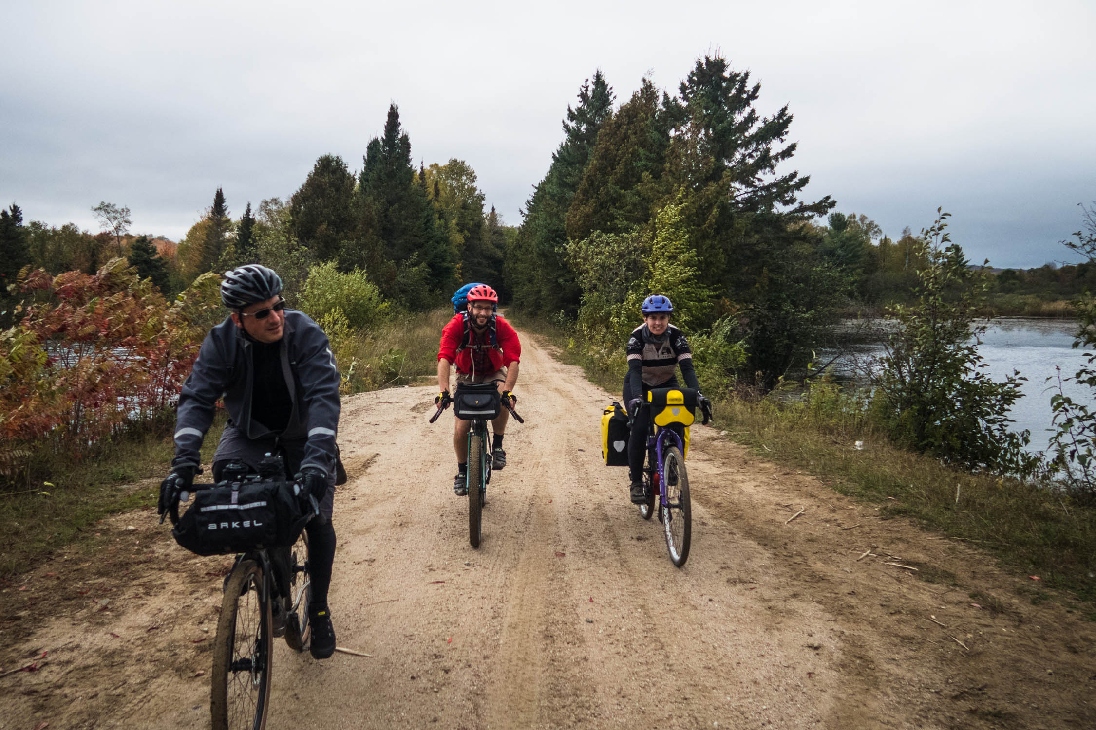
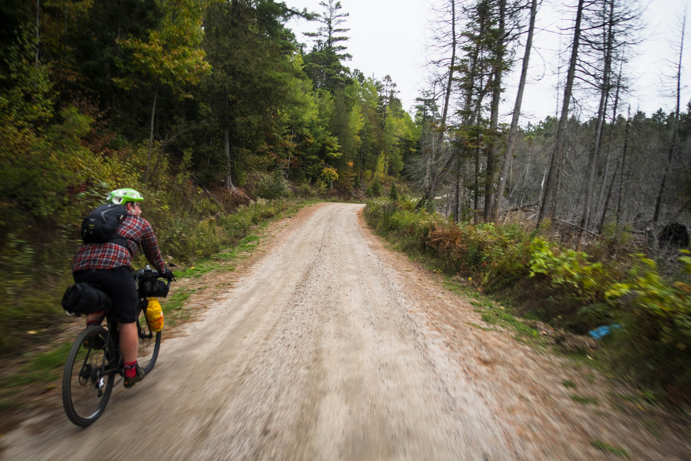
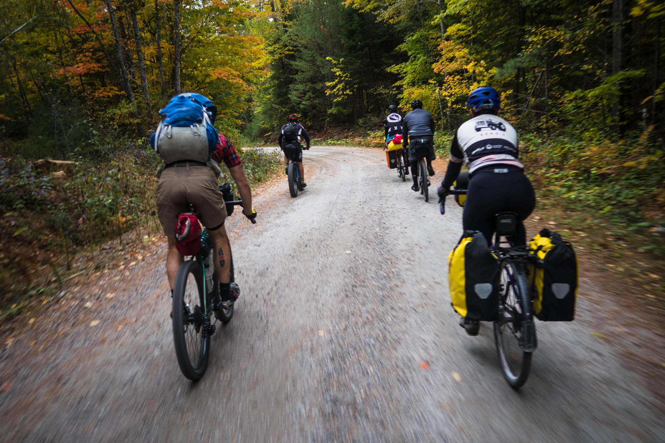
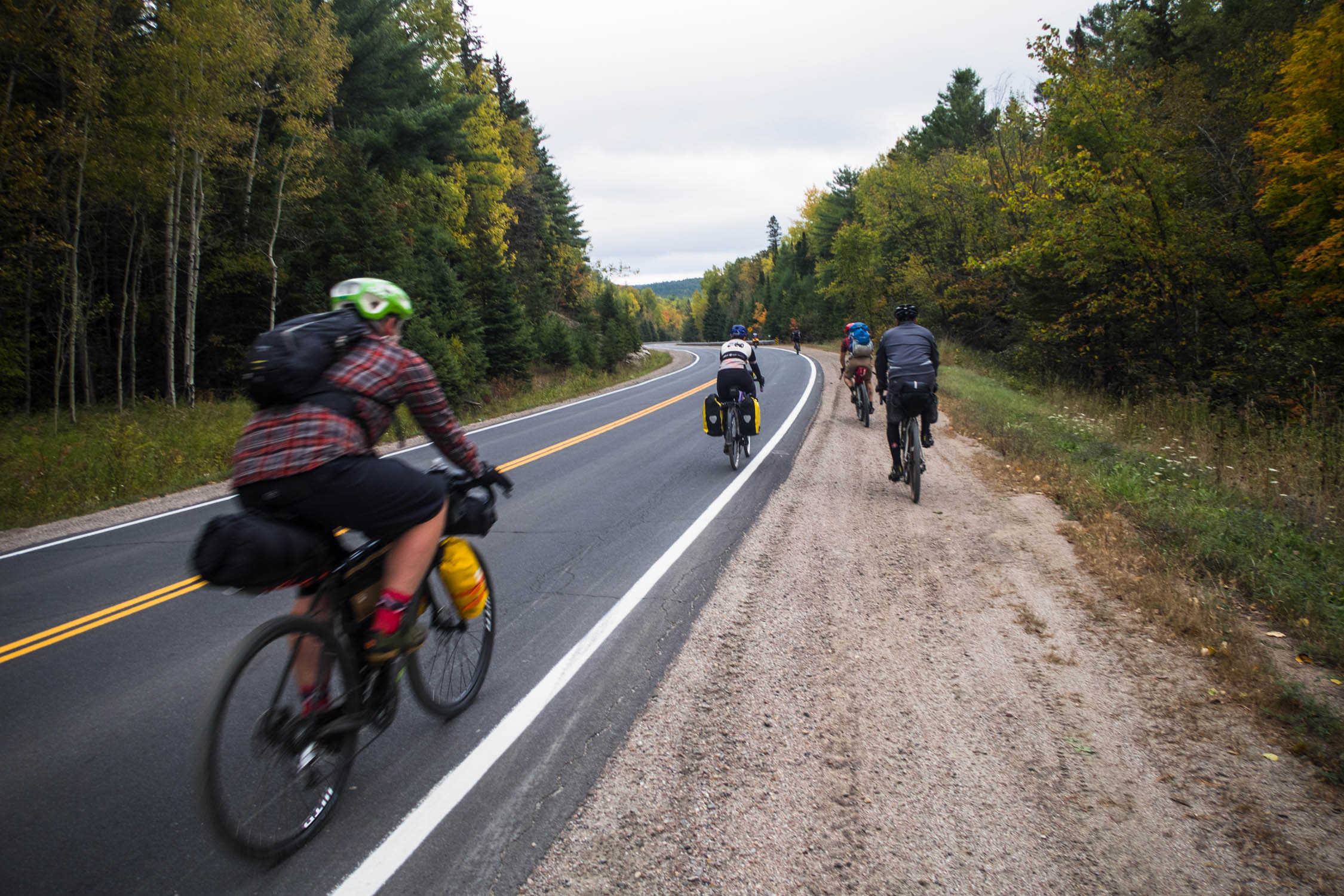
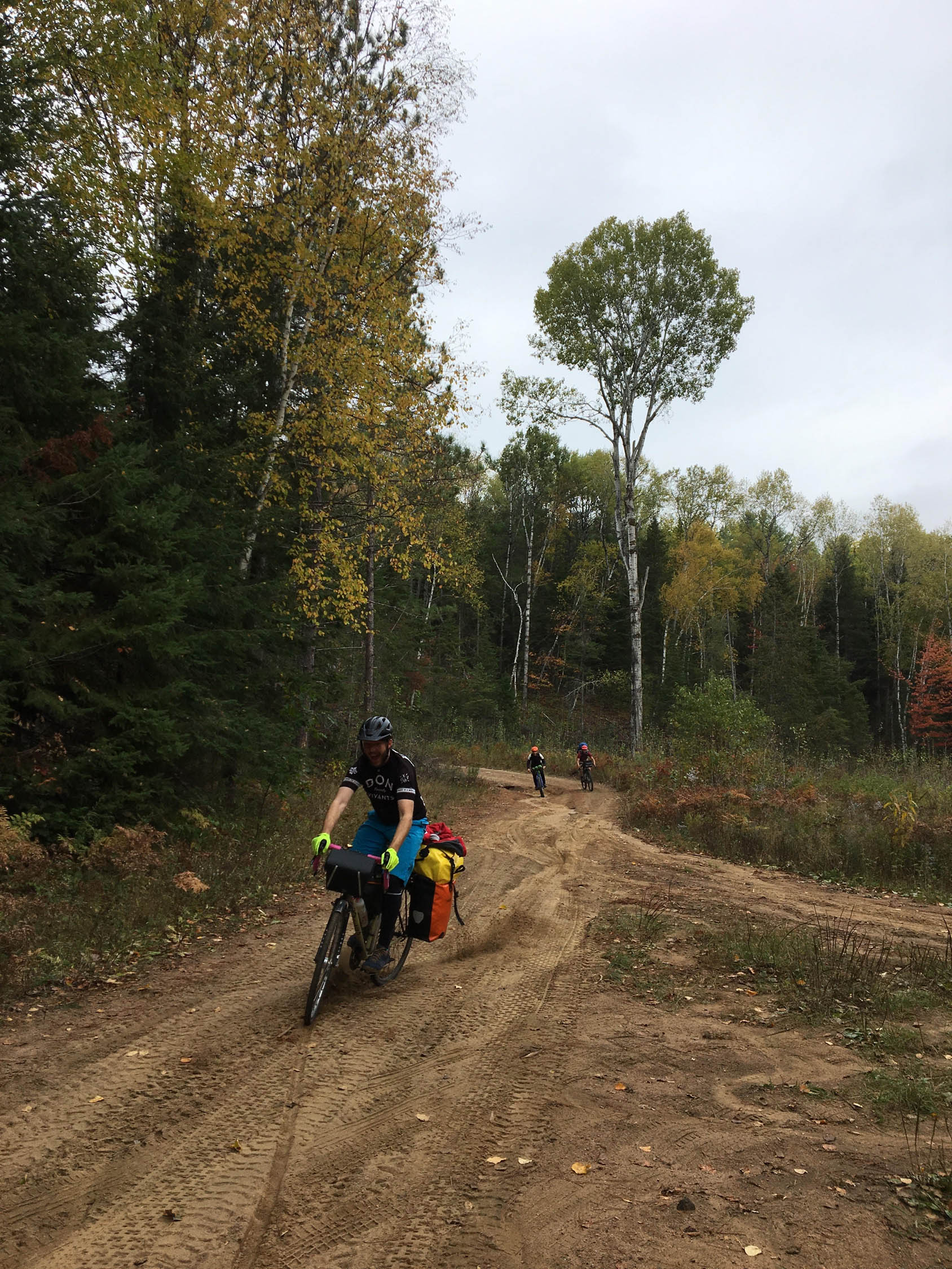
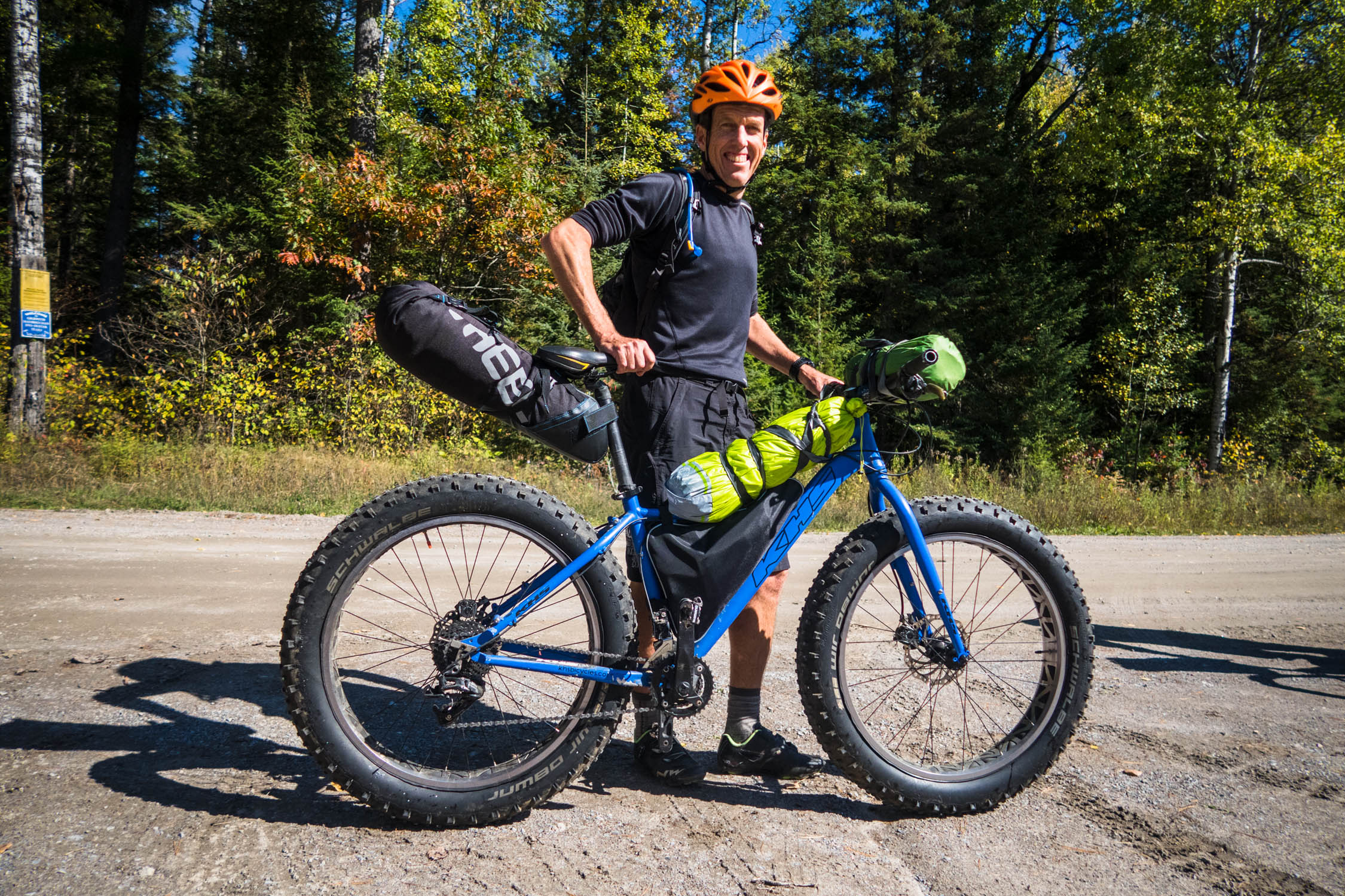
The Griffith Highland Overnighter is a mostly gravel loop filled with satisfing descents and traverses through beautiful Crown land (provincially owned public land) that’s relatively close to Ottawa. While these roads are technically “unmaintained” (i.e. no winter maintenance), touring, gravel and mountain bikes alike will feel at home riding this loop. Those prepared for adventure could easily extend their trip by exploring the numerous side trails that cross the main route.
Route Difficulty
For an overnighter, the route is relatively short and pretty straight forward—though some climbs can be challenging and a few sections are soft and sandy. Although there are lakes throughout the route, mixed shoreline access makes finding good spots to filter water a bit tricky which can add stress in hot weather. The route does go through one small town that has two restaurants and a general store so food access isn’t an issue. Technical difficulty (3) / Physical demand (7) / Resupply and logistics (3)
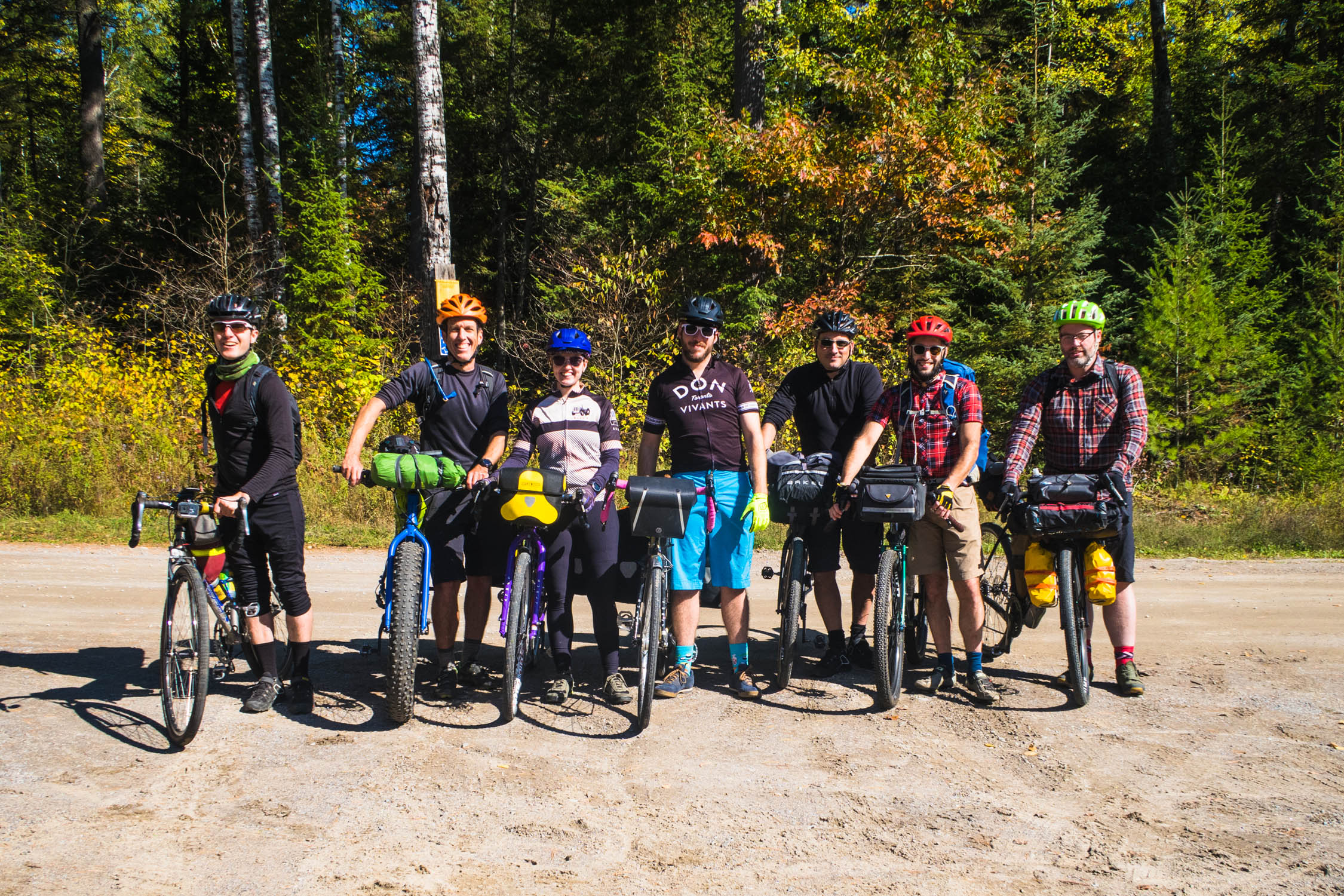
Route Development: The route is made up largely of a provincial logging roads that receive no winter maintenance and are known largely by local snowmobilers, ATVers, and hunters. Map information was originally made available through the Renfrew County ATV Club and the Eastern Ontario Trail Alliance. Maps in hand, in 2019, members of the Ottawa Valley Bikepacking collective scouted the route as a potential Crown land bikepacking loop. The resulting discovery—in addition to the mapped gravel road—was a network of rougher side trails that could be used to shorten or extend a trip.


Submit Route Alert
As the leading creator and publisher of bikepacking routes, BIKEPACKING.com endeavors to maintain, improve, and advocate for our growing network of bikepacking routes all over the world. As such, our editorial team, route creators, and Route Stewards serve as mediators for route improvements and opportunities for connectivity, conservation, and community growth around these routes. To facilitate these efforts, we rely on our Bikepacking Collective and the greater bikepacking community to call attention to critical issues and opportunities that are discovered while riding these routes. If you have a vital issue or opportunity regarding this route that pertains to one of the subjects below, please let us know:
Highlights
Must Know
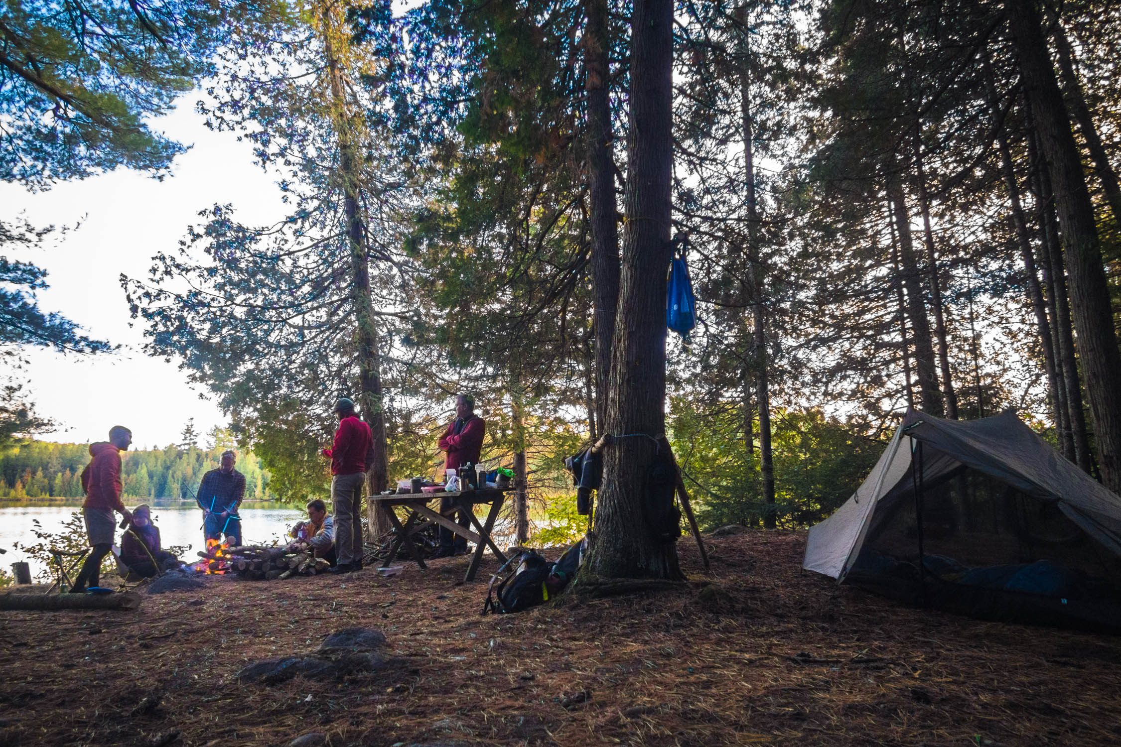
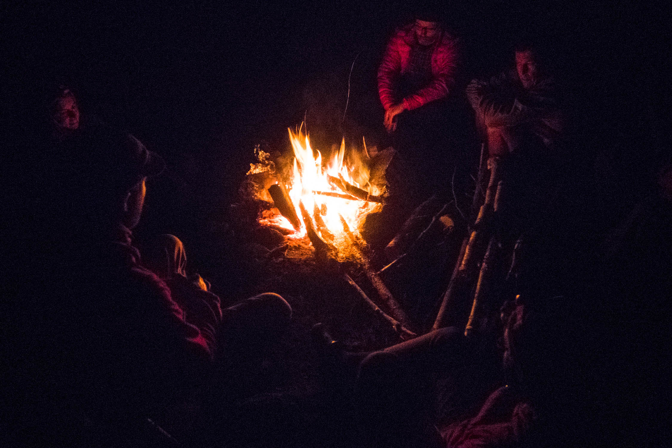
Camping
Food/H2O
- The route’s many side trails will inspire adventurous cyclists with wider tires to explore further. Many of these are mapped on OpenStreetMap. Expect some fallen trees and rough terrain but there may be rewards to these side missions.
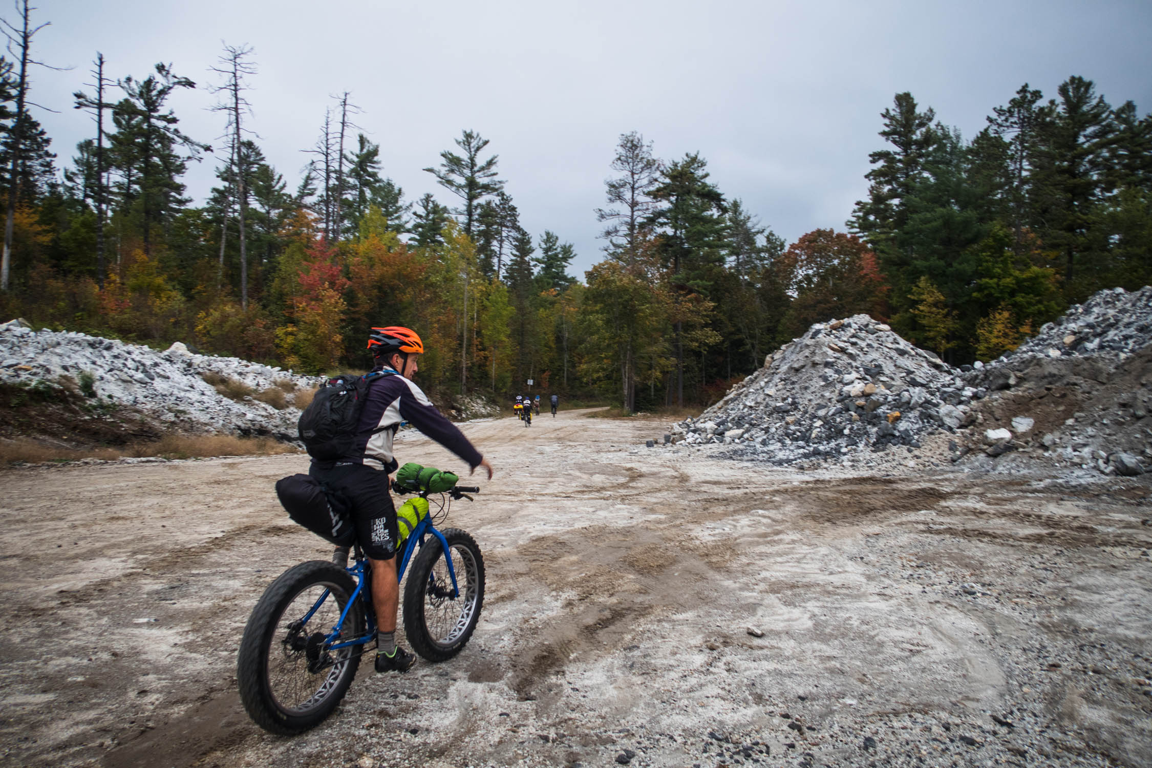
- A small quarry on the south end of the loop breaks up the scenery quite a bit and offers a reminder of the natural resource projects that originally prompted the construction of these roads.
- For bikepackers who also hike, the Griffith Uplands Trail is a 8km loop located near Griffith on the Madawaska River. The trail crosses or goes near the summit of five small mountains and offers amazing views of the area.
- Shoreline views of the Madawaska River will offer something different every season. From incredibly fast and high water in the spring, to nice swimming opportunities in the summer and beautiful colours in the fall.
- A number of established campsites along the way are free to use on a first come first served basis. There are likely some that have yet to be discovered. Always remember to leave no trace.
- As this route is located on traditional Algonquin, Anishnabe & Huron-Wendat territory, take account of the benefit you gain from enjoying the land on a bicycle.
- Late summer or early fall would be ideal to avoid spring mud or summer bugs.
- Parking is available at a small lot on Two Island Lake Road near the corner of Highway 41.
- Buying a pass from the Eastern Ontario Trails Alliance helps with maintenance and promotion of the trails in the surrounding area. Fees are very reasonable for cyclists.
- Motor vehicle traffic is very limited but you may cross the occasional speeding pick up truck or ATV. Keep your eyes and ears open to stay safe.
- A water filter, bear hang kit, and cat hole trowel are essential. Always dig a cat hole well away from any water source.
- Deer hunting with high powered rifles takes place in November. It’s illegal to hunt along the main route but high viz clothing is strongly suggested.
- Some campsites may have some litter left behind. Be a bud and pack some of it out.
- The route’s trailhead is about 90 minutes from Ottawa.
- There are several free, first come-first served Crown land campsites along the route – and likely even more that we haven’t discovered yet. An unmapped trail that appears to lead towards a lake may reveal a campsite. It may also be a dead end. Only one way to find out!
- Not all campsites have nearby water access and shorelines might not be easy to collect water from. Be prepared to collect water elsewhere than your campsite.
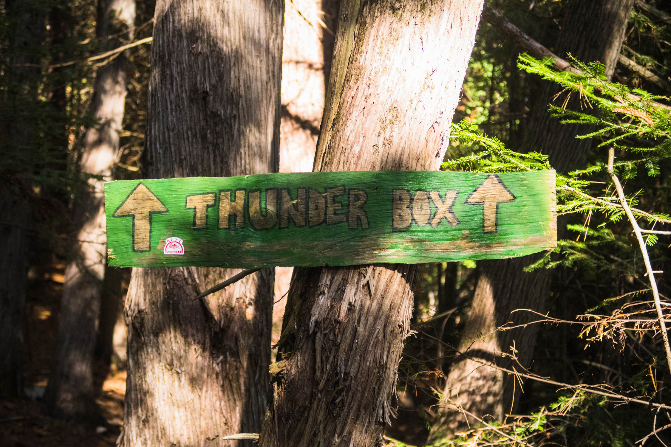
- Some are equipped with thunder boxes but packing a cat hole trowel is recommended. Packing toilet paper is a must.
- Respect private property and buildings on Crown land.
- Leave no trace.
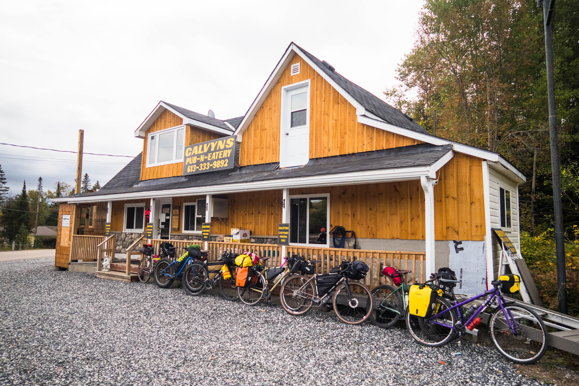
- There are two restaurants (Pine Valley Restaurant and Calvyn’s Pub) in Griffith as well as a General Store.
- Some campsites have fire pits with grills left by previous visitors.
- Mixed shoreline access and murky water makes finding good spots to filter water a bit tricky which can add stress in hot weather.


Terms of Use: As with each bikepacking route guide published on BIKEPACKING.com, should you choose to cycle this route, do so at your own risk. Prior to setting out check current local weather, conditions, and land/road closures. While riding, obey all public and private land use restrictions and rules, carry proper safety and navigational equipment, and of course, follow the #leavenotrace guidelines. The information found herein is simply a planning resource to be used as a point of inspiration in conjunction with your own due-diligence. In spite of the fact that this route, associated GPS track (GPX and maps), and all route guidelines were prepared under diligent research by the specified contributor and/or contributors, the accuracy of such and judgement of the author is not guaranteed. BIKEPACKING.com LLC, its partners, associates, and contributors are in no way liable for personal injury, damage to personal property, or any other such situation that might happen to individual riders cycling or following this route.
Please keep the conversation civil, constructive, and inclusive, or your comment will be removed.