


The Hart Sheldon Hot Springs Route, Oregon
Distance
241 Mi.
(388 KM)Days
5
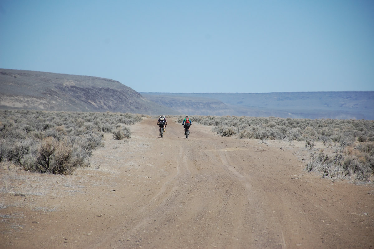
% Unpaved
80%
% Singletrack
0%
% Rideable (time)
100%
Total Ascent
8,894'
(2,711 M)High Point
6,884'
(2,098 M)Difficulty (1-10)
8?
- 2Climbing Scale Easy37 FT/MI (7 M/KM)
- -Technical Difficulty
- -Physical Demand
- -Resupply & Logistics
Contributed By

Donnie Kolb
Velo Dirt
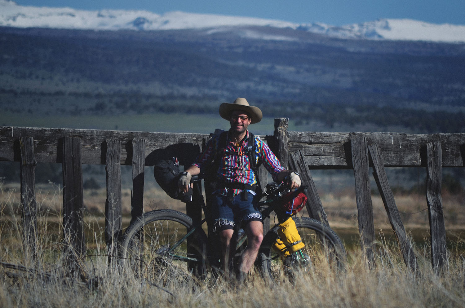
A remote bikepacking route through an area rife with history and natural beauty. From the native Paiute people who once inhabited this once lush land, to the cattle kings Peter French and Dr. Hugh Glenn (Frenchglen), to the Basque sheep herders who temporarily reigned supreme over the cattle, this area has a surprisingly rich history considering it’s now mostly a dry, uninhabited dust bowl. If you can pull it off during the small window of time in the year when the route can be safely ridden, the combination of commitment and the rewards that await you at each hot spring are unparalleled.
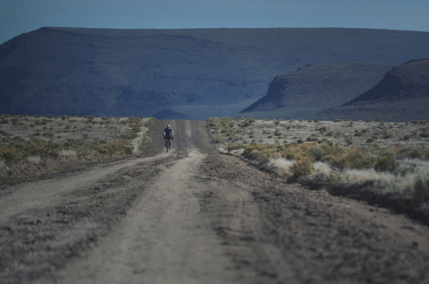
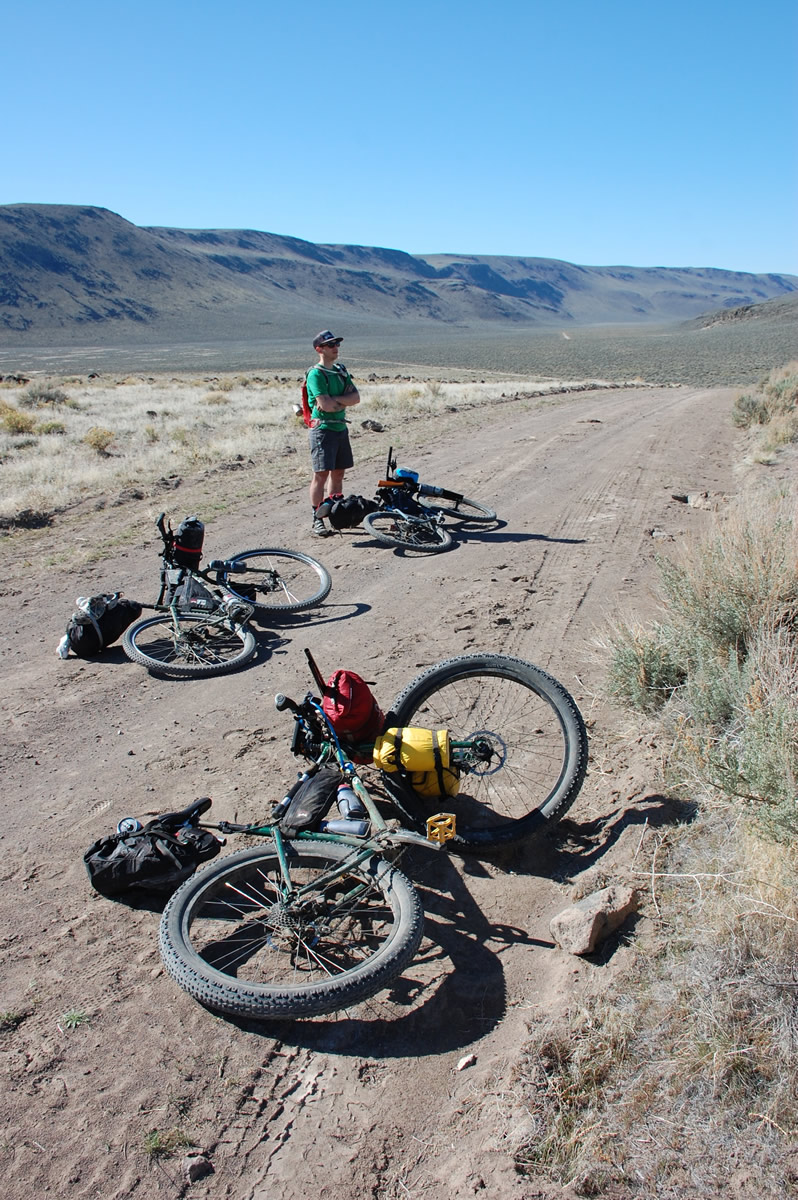
This is an extremely remote bikepacking route is recommended only to the most experienced bikepackers. With no services on the route, you’ll need to carry food for your entire trip (possibly for up to 5 or 6 days) and at times up to 2 or more gallons of water. There is also no cell service on any of the route and any unrepairable mechanical or injury could have serious consequences.


Submit Route Alert
As the leading creator and publisher of bikepacking routes, BIKEPACKING.com endeavors to maintain, improve, and advocate for our growing network of bikepacking routes all over the world. As such, our editorial team, route creators, and Route Stewards serve as mediators for route improvements and opportunities for connectivity, conservation, and community growth around these routes. To facilitate these efforts, we rely on our Bikepacking Collective and the greater bikepacking community to call attention to critical issues and opportunities that are discovered while riding these routes. If you have a vital issue or opportunity regarding this route that pertains to one of the subjects below, please let us know:
Highlights
Must Know
Camping
Food/H2O
Trail Notes
Resources
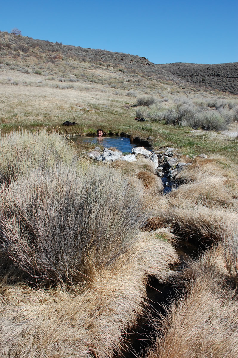
- Soaking in the Bog, Virgin Valley, and Hart Mountain Hot Springs
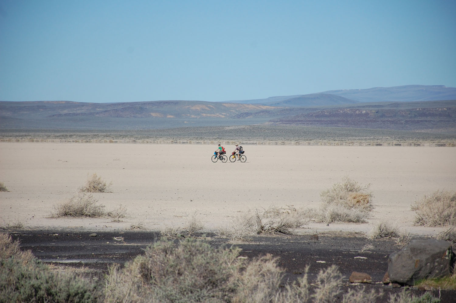
- Camping on the playa of a dried up ancient lake bed
- Poking around historic ranches.
- Climbing Hart Mountain.
- Exploring the dramatic Thousand Creek Gorge.
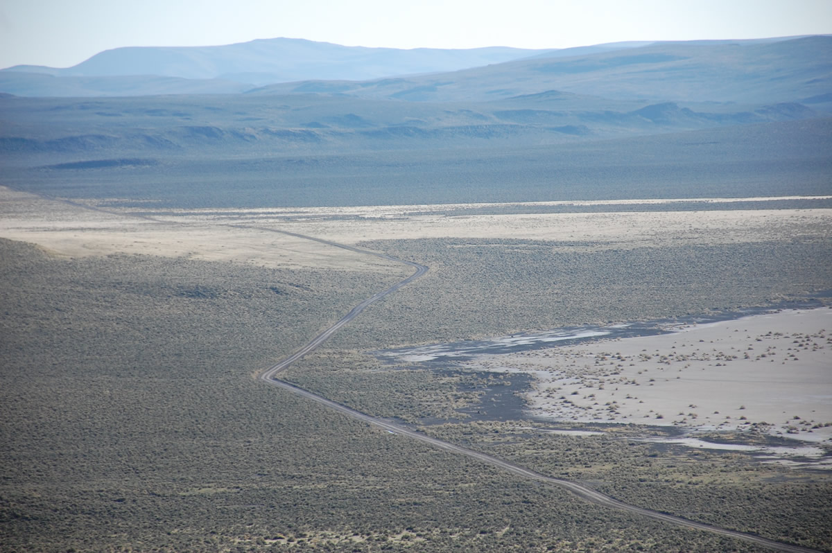
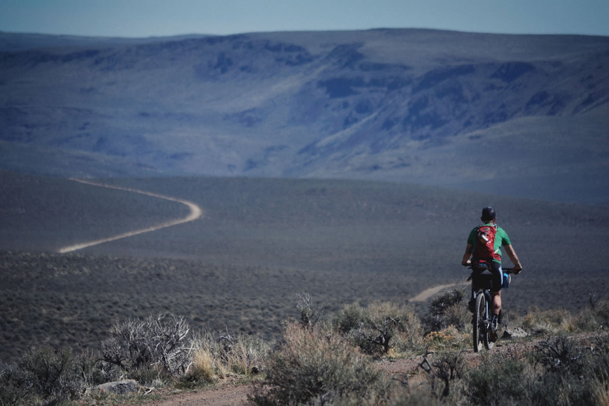
- The best time to ride is in late spring after things start to dry out but before the heat of summer rolls in. As noted in more detail below, mud will make this route unrideable, so timing will be critical. Avoid winter, when snow and higher rainfall will shut it down, and the extreme temperatures of summer. Water access is also presumably less reliable in the late summer and fall, although we don’t know that for sure. Come prepared.
- Unique to this route, much of it turns into an impassable mud pit after any significant rainfall, rendering all travel through the remote sections pretty much impossible. I would suggest waiting 4 to 5 days after any rainfall and make sure the forecast for your trip is rain free. This severely restricts the open windows when this route can be safely ridden. Another consideration is hunting season – we’ve been led to believe that this area is heavily hunted in the fall. While I wouldn’t necessary feel unsafe riding the route during hunting season, if there is heavy hunter traffic in the more remote sections it will change the character of the route, possibly spoiling the experience.
- We rode the route clockwise and collectively decided we’d do it that way again. I think the most compelling reason to do it this way is that the two Hart Mountain Hot Springs are the best of the bunch and we preferred hitting them last. The approach to Hart Mountain from the southeast is also much more dramatic and photogenic.
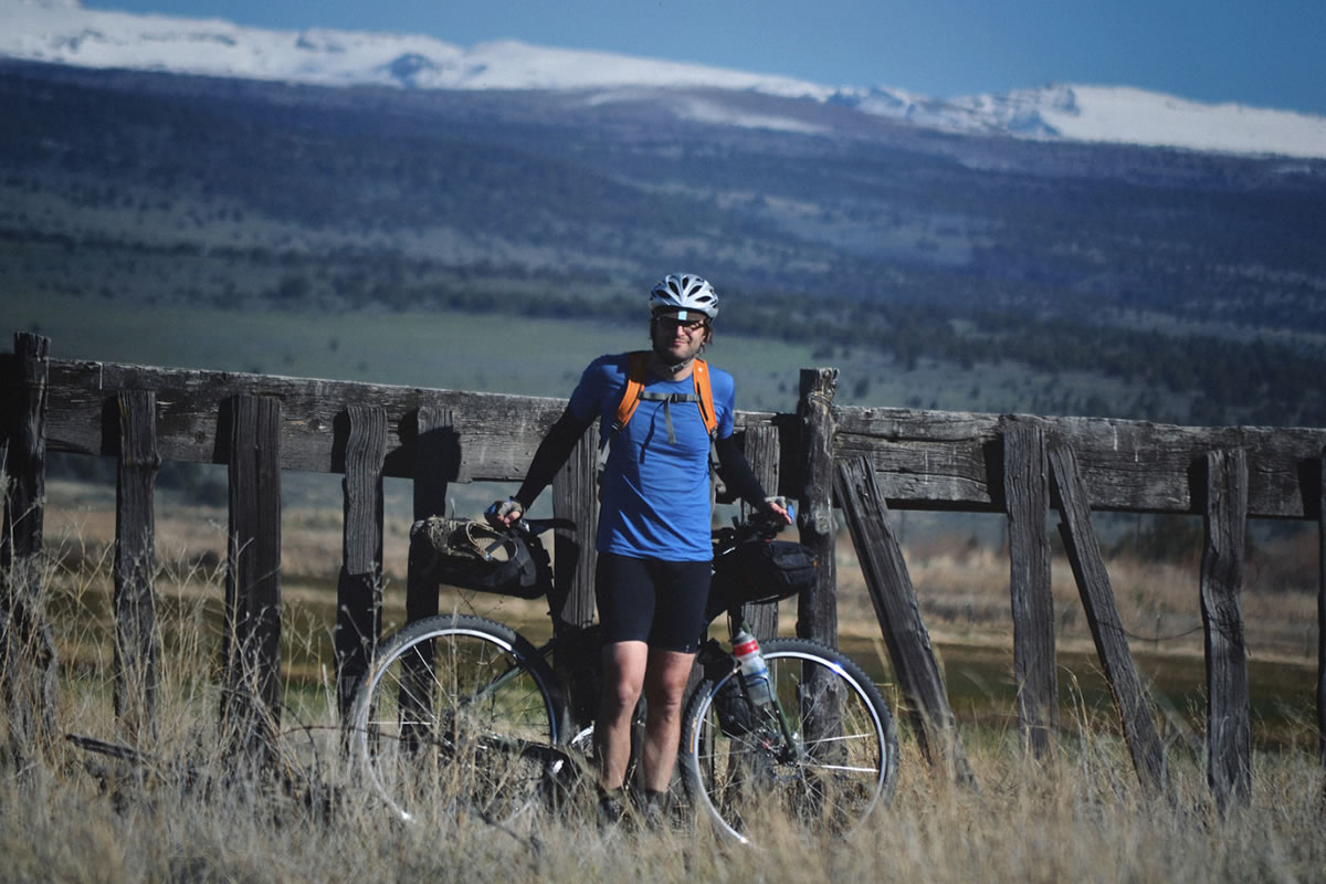
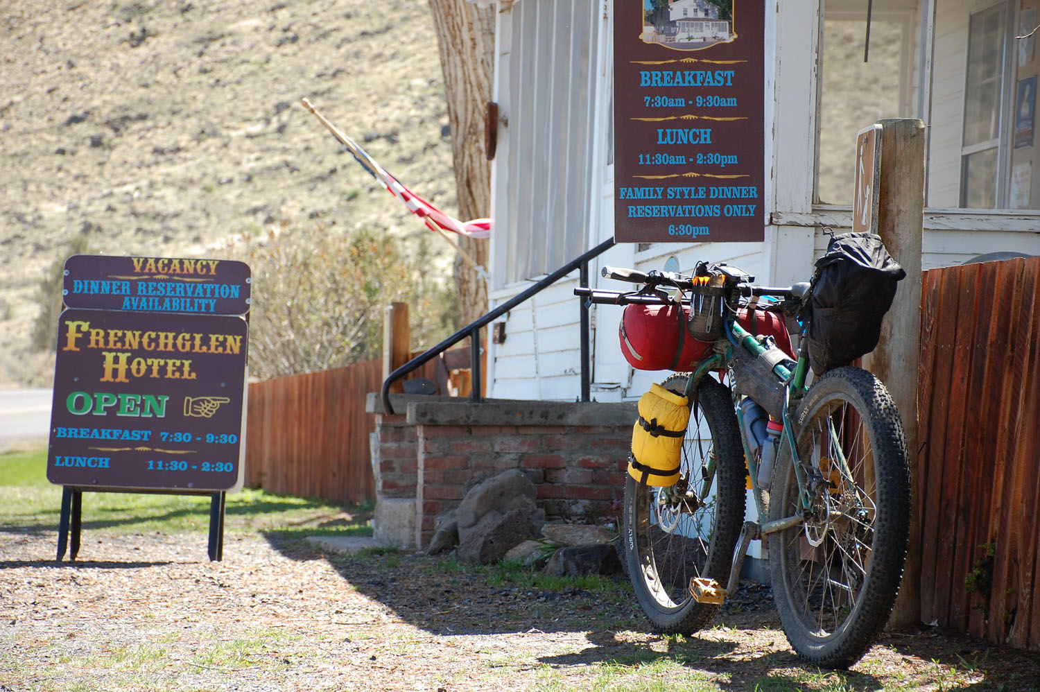
- The folks at the Frenchglen Hotel have always been very accommodating when we’ve asked to leave a car parked out front for a couple days.
- One other random thing I wish I’d known beforehand is that NOAA does not have precipitation radar over this entire area. So if you start obsessing over the weather, as I did after getting shut down on this route several times, don’t rely on the radar to show if it’s raining. I suggest checking daily rainfall totals for surrounding cities.
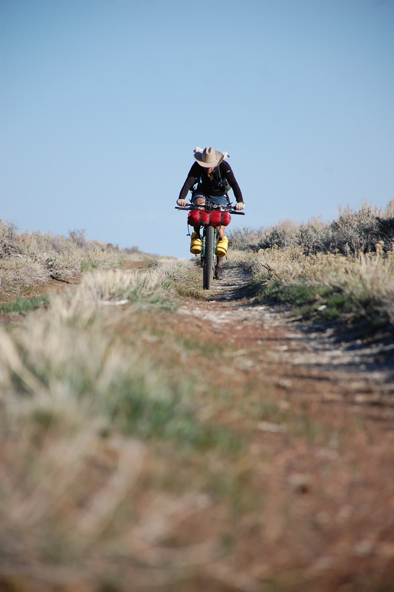
- This route comes close to qualifying as plus tire bike country, but not quite. I know some folks ignore our bike and tire selections and go skinnier, but I strongly caution against trying to ride this route on anything smaller than 2” tires.
The majority of this route passes through BLM land which means you can pretty much camp anywhere you want. However, unless you want sleep in the sagebrush, we suggest the following possibilities:
- Mile 41.1 – Slickey Lake: Camp in the playa of the now dried up Slickey Lake. We highly recommend this, with the full moon this was one of the most unique places any of us had ever spent the night. Note: dry camping.
- Mile 86.3 – Bog Hot Springs: Although we’ve heard rumors of red mite outbreaks at the hot springs, we wouldn’t let this deter you. There’s even a cold spring nearby for water access.
- Mile 106.3 – Virgin Valley Hot Springs: Technically these are “warm” springs, but it’s actually pretty refreshing after a hot day riding. Hot spring showers, water, pit toilets. The established campground is not great, but it beats the alternatives.
- Mile 134 – Catnip Reservoir: Rumor has it, the name has something to do with the resident mountain lions… Water is available from the reservoir.
- Mile 161.8 – Shirk Ranch: This would be dry camping, but it’d be a creepy, interesting place to spend a ghost-filled night. I’m sure at least one person was brutally murdered here.
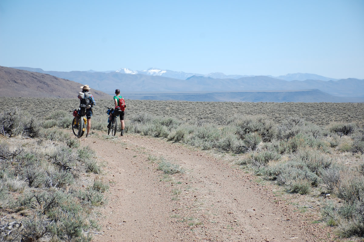
- Mile 170 – Jacobs Reservoir & Guano Creek: These are first potential water options heading up towards Hart Mountain. While there are no established campsites, they’d be fine in a pinch. Given our experience, its position relative to the mountain, and the way the weather generally approaches this area, I would expect it to be windy.
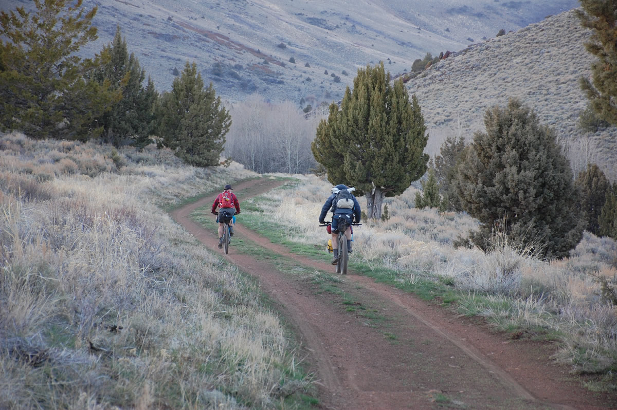
- Mile 182.7 – Post Meadows: This is the first established campground as you approach Hart Mountain and the big climb. There are several creeks and many more places to camp in this general area.
- Mile 189.3 – Hot Springs Campground: This is the mother load campground with nice sites, pit toilets, creek water, and two hot springs to choose from. The hot springs are located down past the first group of campsites as you come in from above.
- Other than the tiny town of Frenchglen where the route begins and ends, there are absolutely no services. Expect to carry all of your food which complicates planning and packing for a 4+ day trip. We encourage you to carry an extra cushion of food in the case of emergency or you end up moving slower than expected.
- Frenchglen is limited to a tiny general store and the Frenchglen Hotel, which serves lunch (open to the public) and dinner (by reservation only). We recommend eating at the hotel if you get the opportunity; it’s a great little place run by some really nice folks and the food is excellent. And they sell is beer.
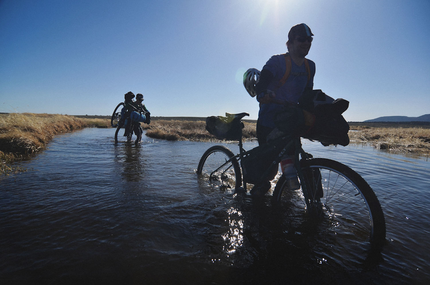
- Water will be one of your constant concerns on the route. Expect to carry excessive amounts of it through several sections, especially if you plan to do any dry camping.
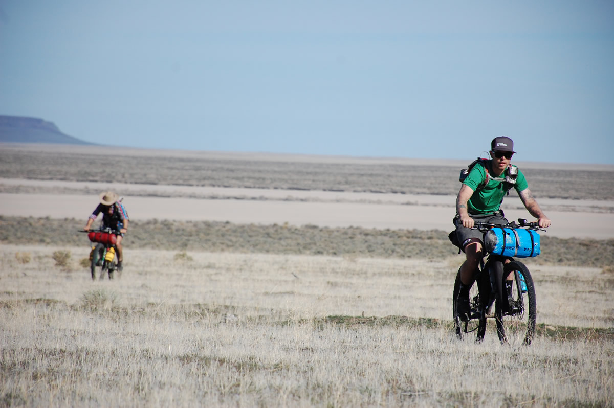
- Despite the multitude of springs on the map, we found very little water along most sections of the route, including the entire Funnel Canyon area (miles 38-78). We were surprised given that it was early spring and they’d had snowfall in the area a week before we rode. Funnel Canyon is littered with wells and cow troughs, but we came up dry at all but one random well. I would absolutely not count on finding water in this section.
- We noted all reliable water sources on the map. Plan to carry everything you need in between those areas, despite the potential for additional sources. Knowing everything we know now, it would have made our trip easier – we were extremely conservative. But I think it’d be foolish to cut it close. Expect any lakes or reservoirs on your map that we did not mark with water symbols to be empty. Few of these exist any more.
- We highly recommend carrying a pump-style water filter instead of purification tabs or a Steripen. You’ll be drinking out of springs, creeks, and reservoirs, but many of them have resident cattle. It’s also possible you’ll find additional water sources that are too muddy or disgusting to treat. It’s worth the extra weight for the added security.
Recommended Itinerary
We rode the route over 4 days, which included driving from Portland and back again. We felt rushed the entire trip, did not have sufficient time to fully enjoy soaking in the hot springs, and no time to go exploring some of more unique places we found ourselves.
We recommend turning this into a 5 to 6 day trip if at all possible and allocating some extra time for the hot springs, hiking into the mouth of Thousand Creek Gorge, and hiking up to the top of Hart Mountain.
Route Alternatives
There are a handful of possible route alternatives. Most shorten up the route and add a little pavement making it a slightly easier. The one exception is the Steens Mountain Loop. The alternates are listed in the order you will encounter them:
- Steens Mountain Loop – The loop road is only open for a few short months every year (typically August and September) and generally these will be the worst months to ride this route. If you could time it just right and do the full route and the loop road, it would make for one hell of a bikepacking trip. This option adds 60 miles, 6,700 feet of climbing, and at least a day to your trip.
- You can skip the Bog Hot Springs entirely, saving yourself a handful of miles and some climbing.
- You can skip the steep gravel climb (you’ll be walking some of it…) up past Thousand Creek Gorge, taking the pavement up and around.
- You can take out a few miles and a lot of gravel skipping the Catnip Reservoir section. The other upside of this alternative is the view from and descent down the Dougherty Slide.
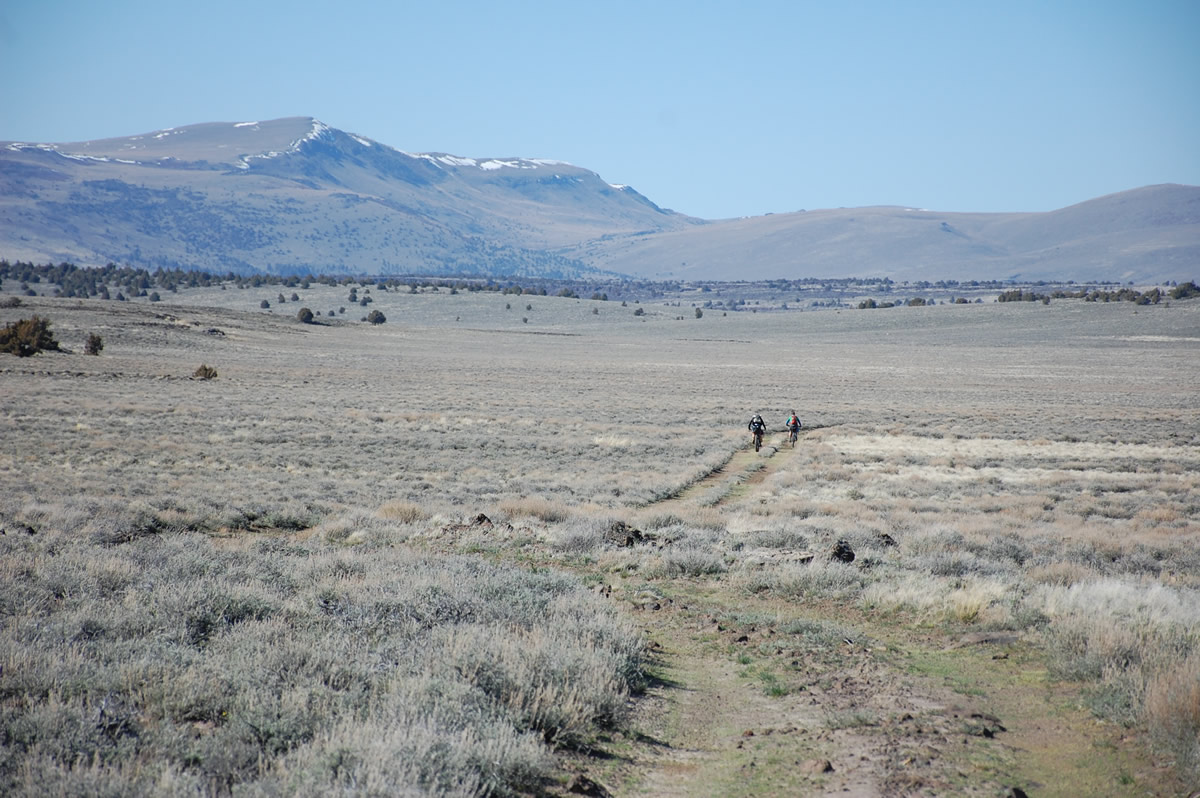
- The geology of the area is also unique, including the massive fault blocks of Steens and Hart Mountains, the unique drainage off Steens Mountain that creates the giant shallow lakes of Malhuer and Harney, and the rain shadow that creates the Alvord Desert. There are also several rockhounding areas just off the route.
- For anyone who enjoys obscure books, check out the slightly racist historical fiction novel “Pete French Cattle King” by Elizabeth Lambert Wood and Eileen O’Keeffe McVicker’s memoir of growing up on the flanks of Steens Mountain, “Child of Steens Mountain”.
- Thanks to Gabe Tiller and Limberlost.co for several of the photos above!
- Also check out Oregon’s Big Country, which has the same starting location and is a little longer.


Terms of Use: As with each bikepacking route guide published on BIKEPACKING.com, should you choose to cycle this route, do so at your own risk. Prior to setting out check current local weather, conditions, and land/road closures. While riding, obey all public and private land use restrictions and rules, carry proper safety and navigational equipment, and of course, follow the #leavenotrace guidelines. The information found herein is simply a planning resource to be used as a point of inspiration in conjunction with your own due-diligence. In spite of the fact that this route, associated GPS track (GPX and maps), and all route guidelines were prepared under diligent research by the specified contributor and/or contributors, the accuracy of such and judgement of the author is not guaranteed. BIKEPACKING.com LLC, its partners, associates, and contributors are in no way liable for personal injury, damage to personal property, or any other such situation that might happen to individual riders cycling or following this route.
Please keep the conversation civil, constructive, and inclusive, or your comment will be removed.