

 Mountain Bike (MTB)
 Gravel Bike
 All-Terrain Bike (ATB)
 Fat Bike

Highline Trail Overnighter
Distance
35 Mi.
(56 KM)Days
2
% Unpaved
98%
% Singletrack
50%
% Rideable (time)
95%
Total Ascent
3,822'
(1,165 M)High Point
6,430'
(1,960 M)Difficulty (1-10)
4?
- 7Climbing Scale Strenuous109 FT/MI (21 M/KM)
- 5Technical Difficulty Moderate
- 5Physical Demand Moderate
- 3Resupply & Logistics Fair
Contributed By
John Schilling
Guest Contributor
John has been riding desert singletrack for decades after moving west for college. He has created routes for the Arizona Endurance Series, enjoys putting his tires on new dirt and routes, and has recently taken the race director duties of the Arizona Trail Race. When he’s not riding, he’s probably hike-a-biking some obscure trail on a route scouting mission. Follow John on Instagram at @schillingsworth and his blog.
Words and photos by Miles Arbour
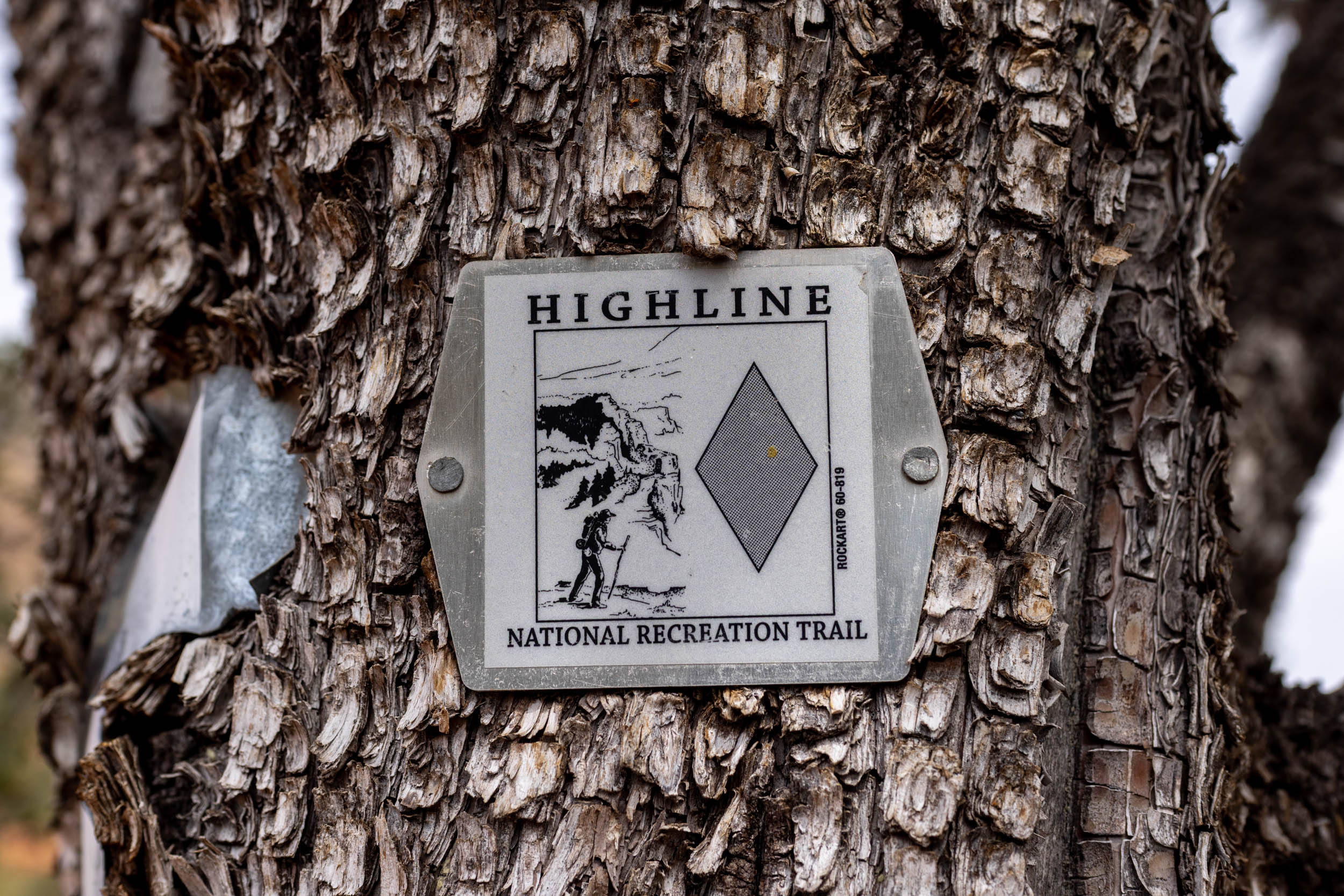
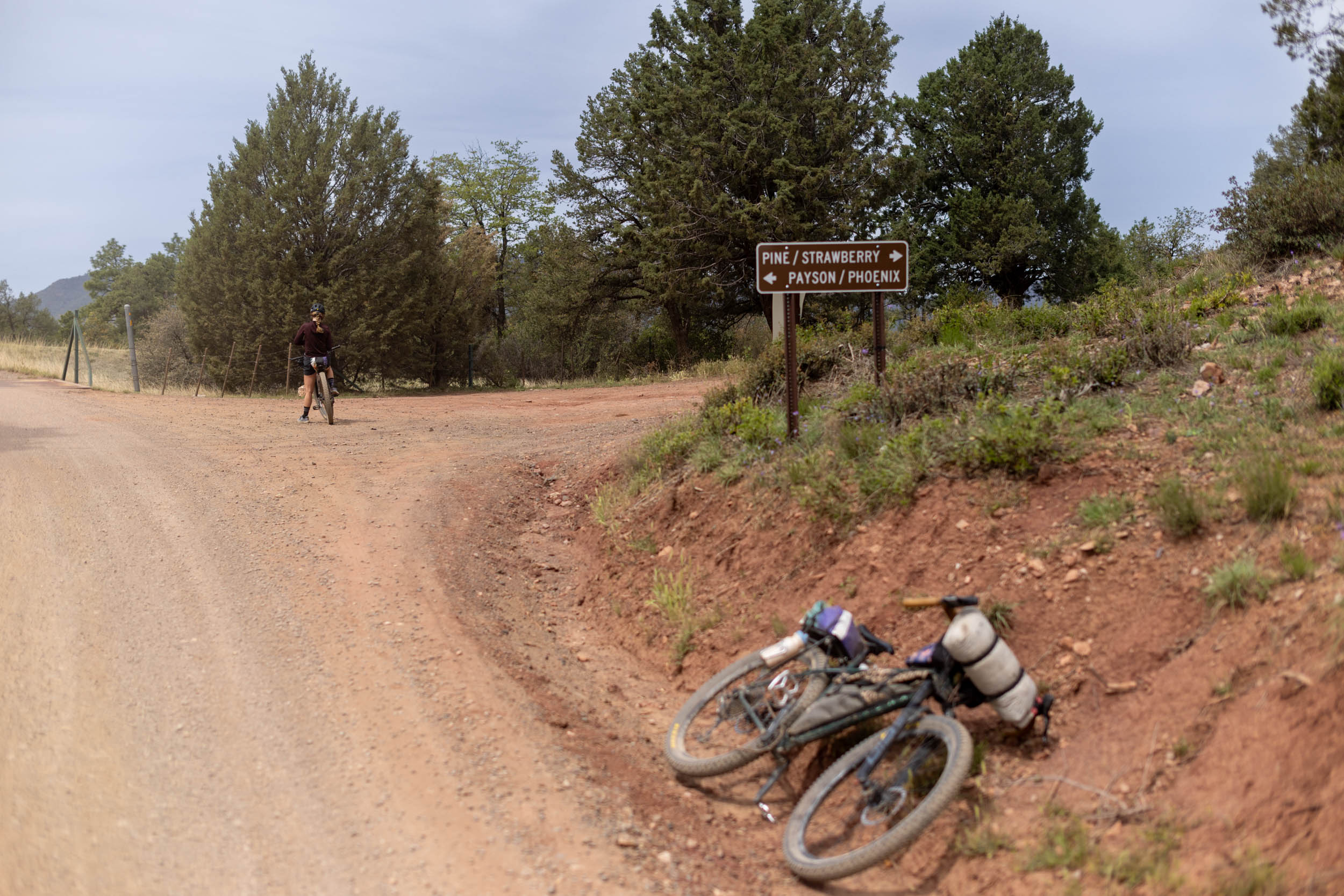
The small, unincorporated town of Pine, Arizona, is seemingly plopped in the middle of nowhere between Phoenix and Sedona. Despite its size, Pine is an important resupply point for those hiking or biking the Arizona Trail, and it serves as a fantastic starting point for anyone looking to sink their teeth into the trail for the first time. The Highline Trail Overnighter is centered around the Highline National Recreation Trail—a section of the Arizona Trail that runs from just south of Pine to just below the Mogollon Rim, an impressive escarpment that forms the southern edge of the Colorado Plateau.
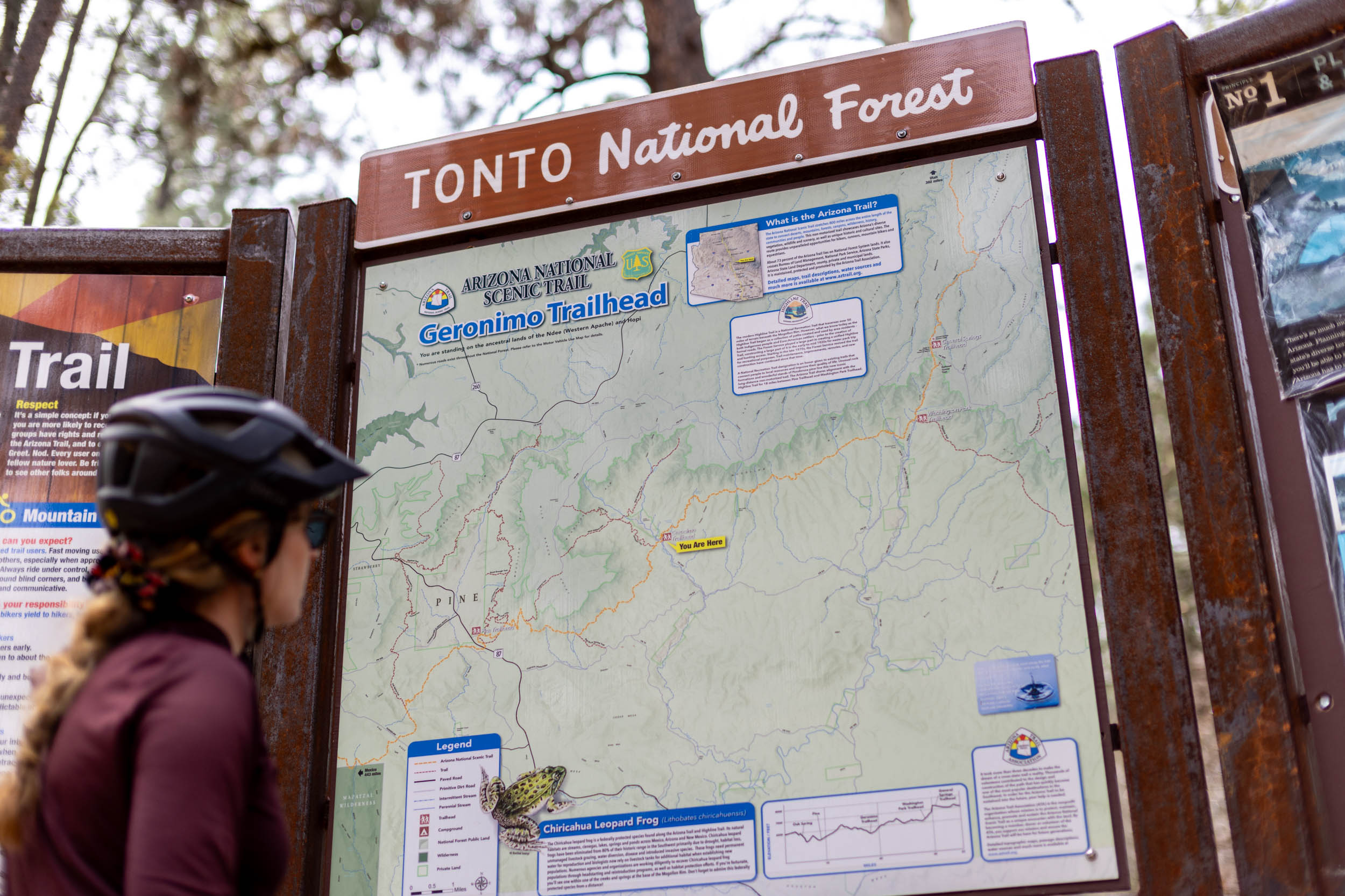
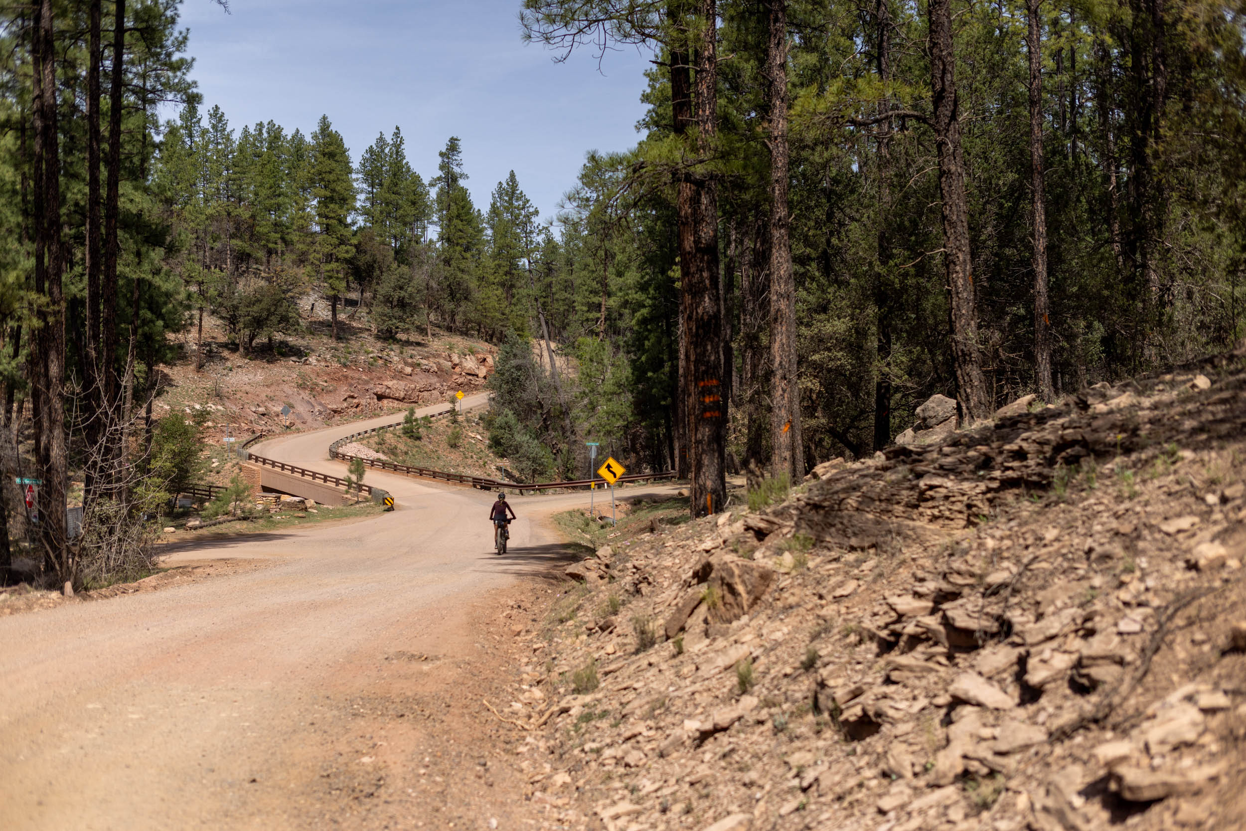
The Highline Trail Overnighter is inspired by John Schilling’s Mogollon Mayhem event, which is part of the Arizona Endurance Series. The 36-mile loop starts at the AZT Pine Trailhead, then links up with the Arizona National Scenic Trail. The next 20 miles are spent on stunning singletrack under the Mogollon Rim, climbing over 2,800 feet toward the East Verde River. From there, the route switches themes and takes a gravel road back toward Pine and the trailhead.
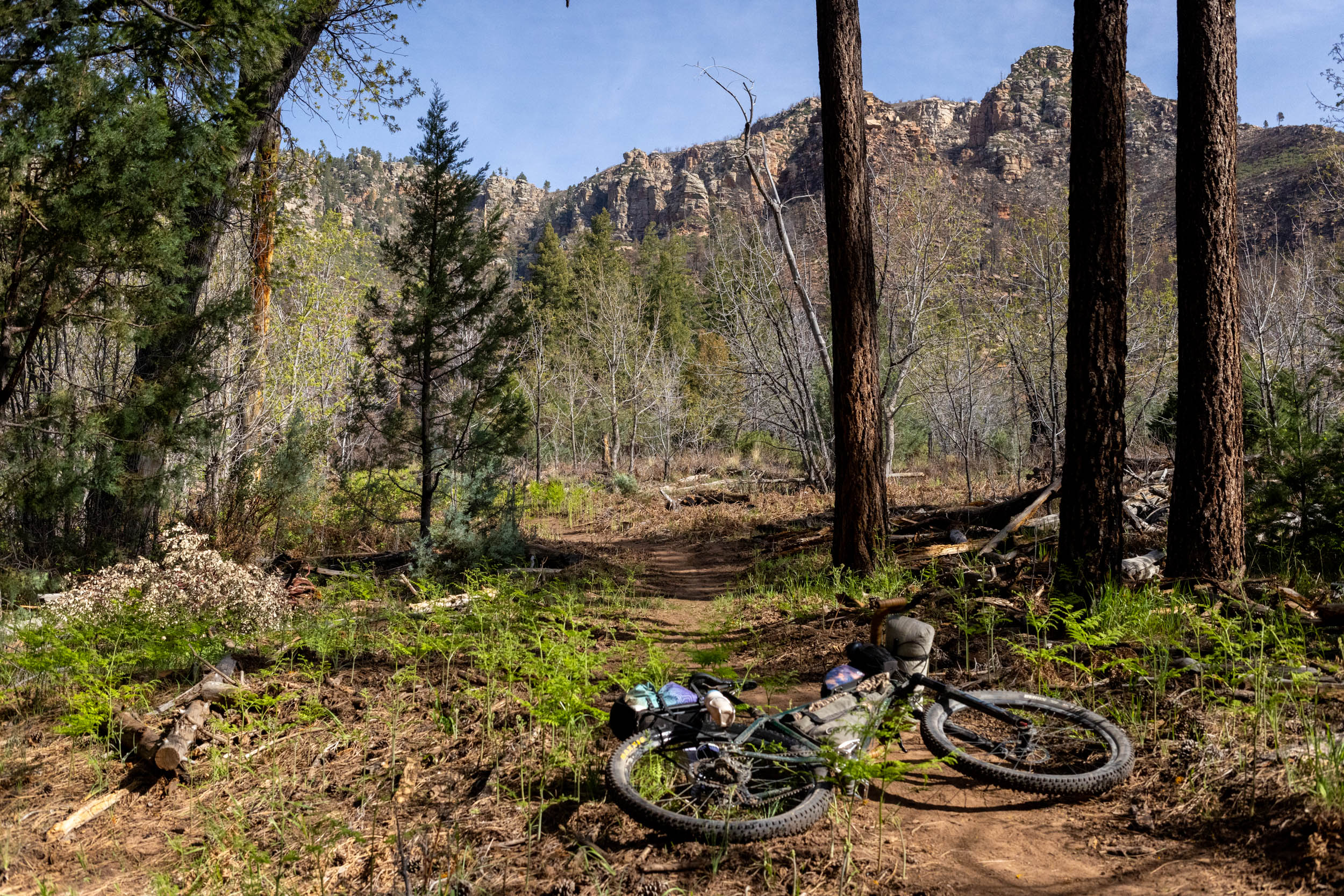
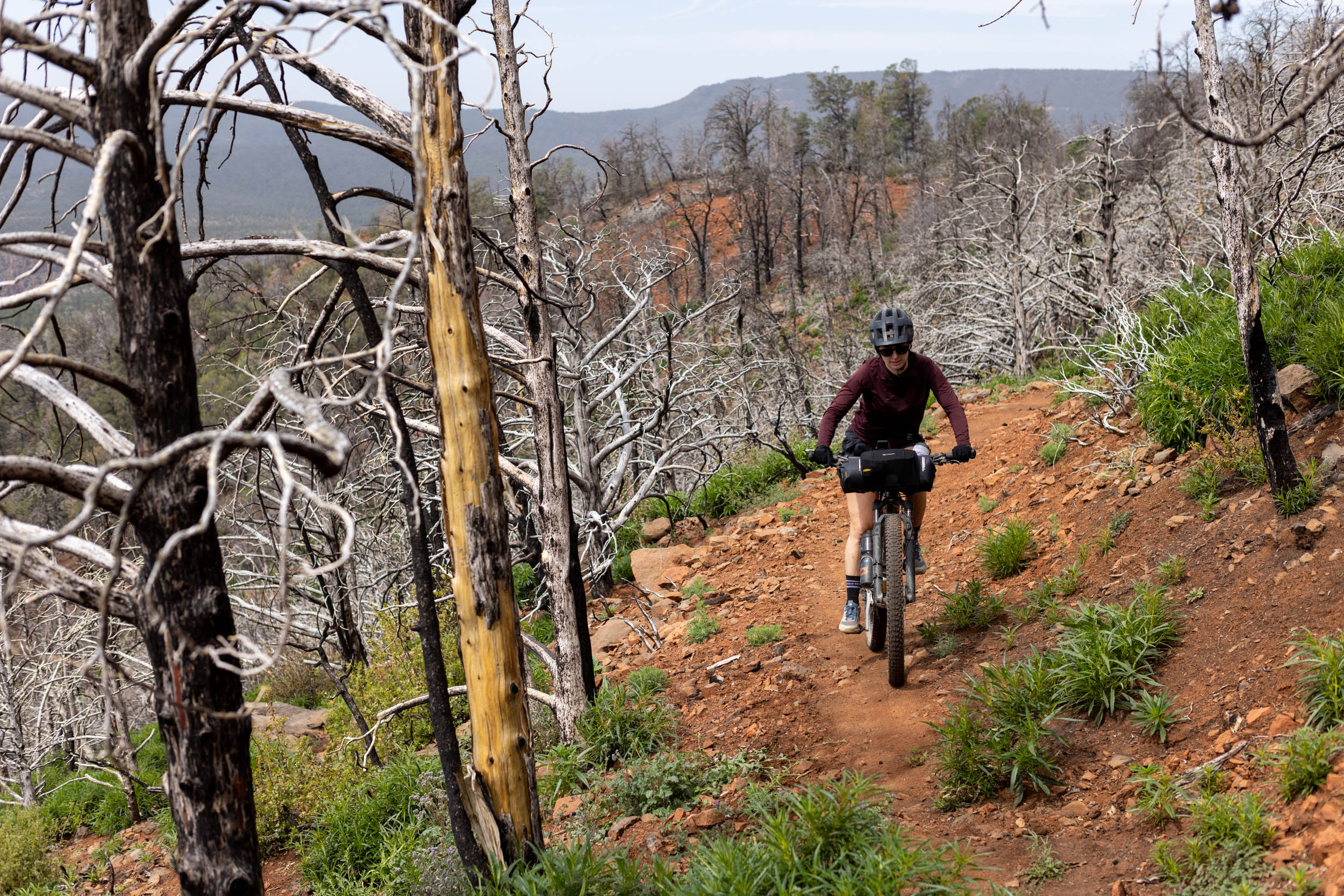
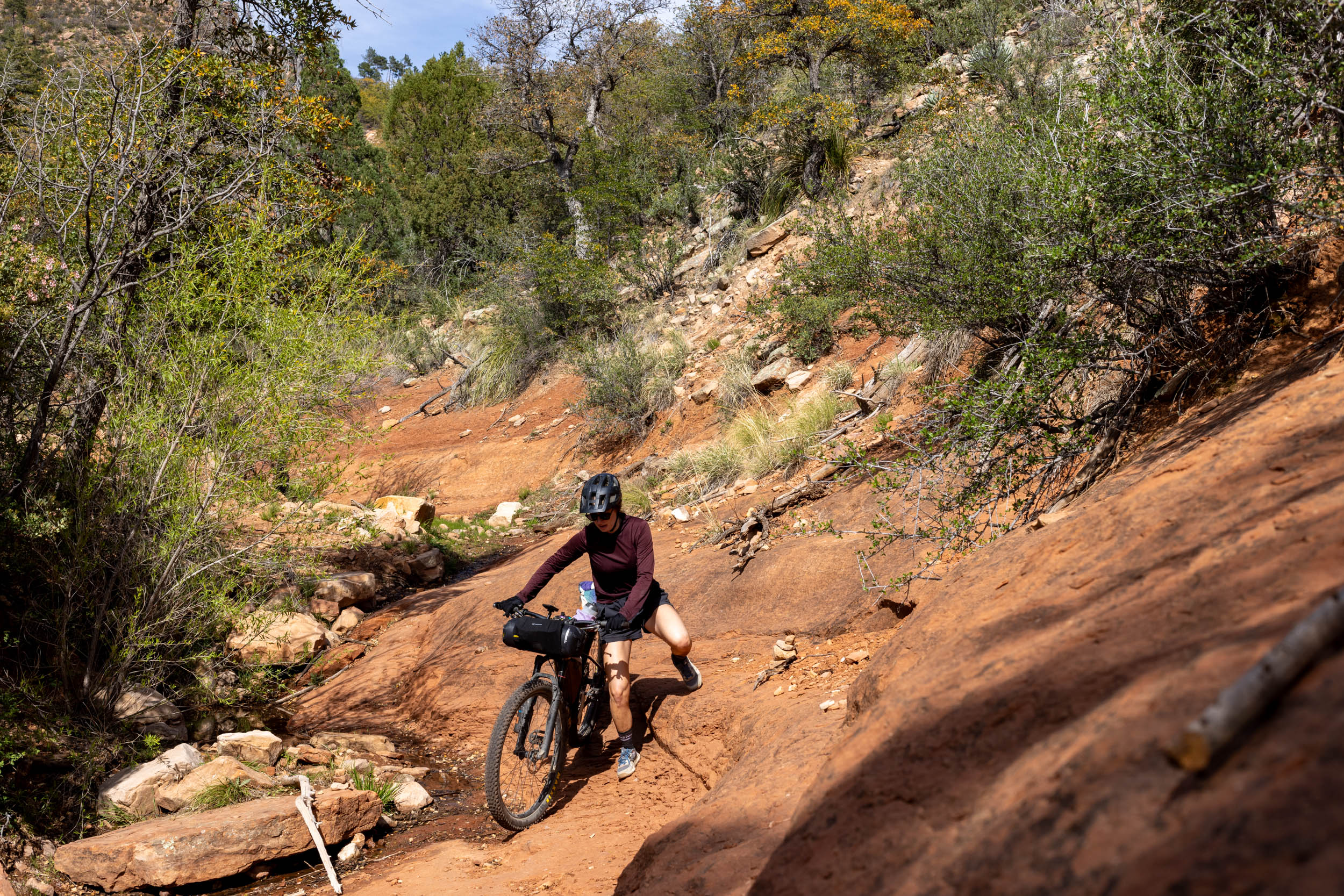
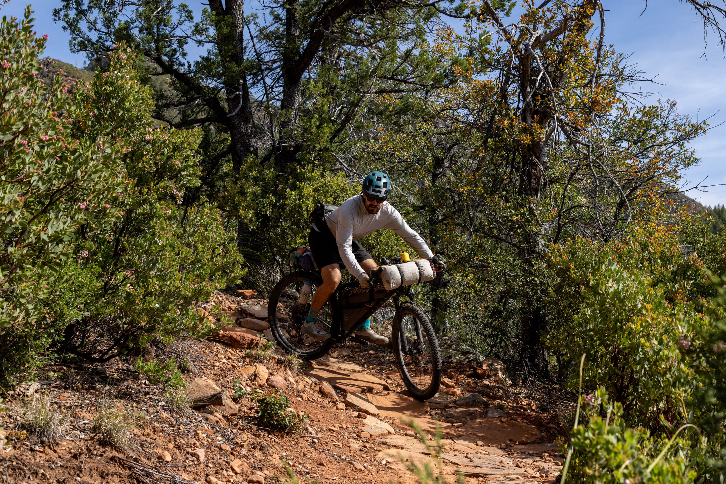
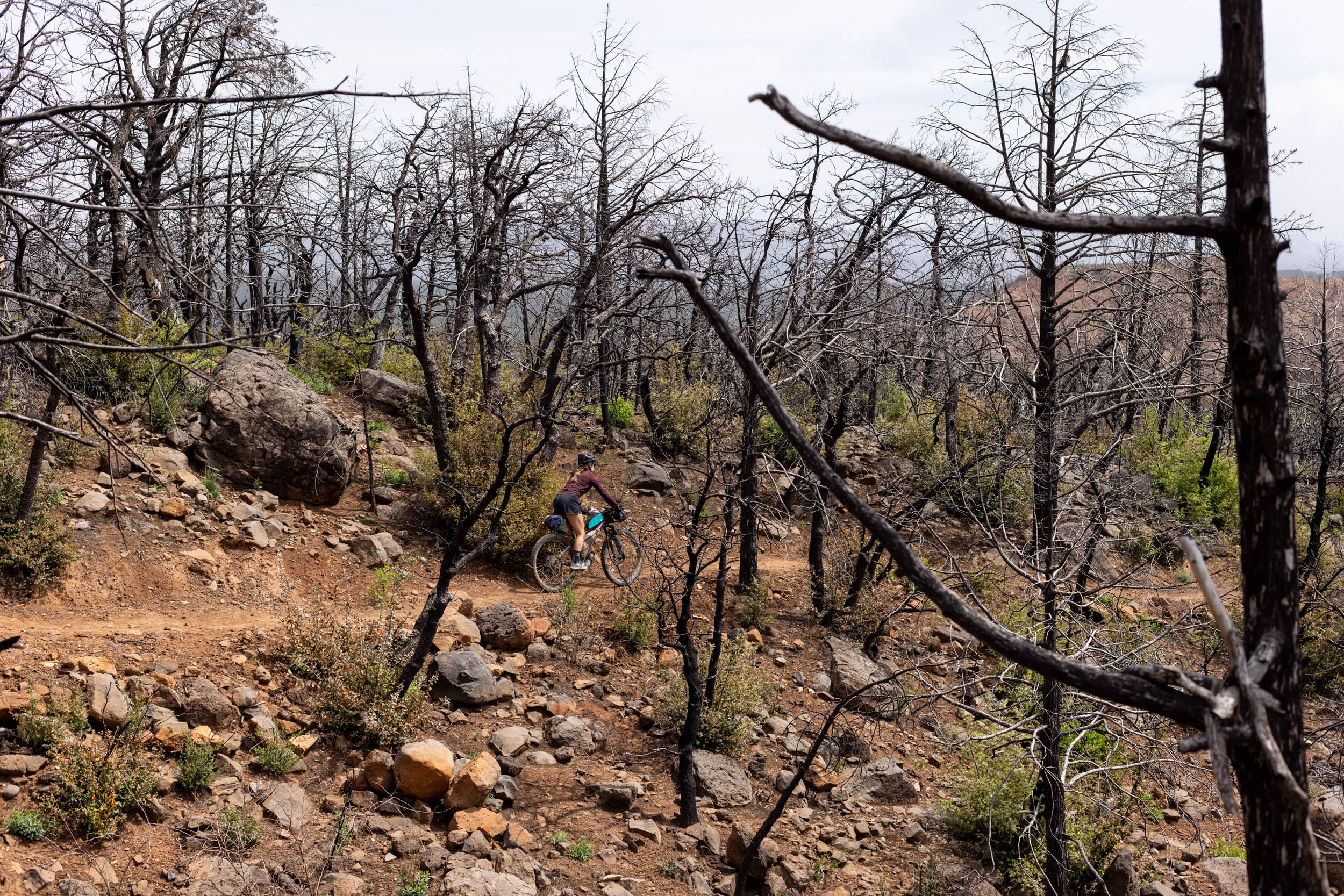
If you’re warming up to singletrack bikepacking and are curious about the Arizona Trail, the Highline Trail Overnighter is a delightfully scenic option that offers the perfect mix of trail and gravel. The singletrack portion of the route isn’t especially technical, but there are short sections of steep and loose trail and rocky bits that some newer riders may have to walk. Most of the route is very rideable for anyone who has ridden blue-rated mountain bike trails in Arizona before.
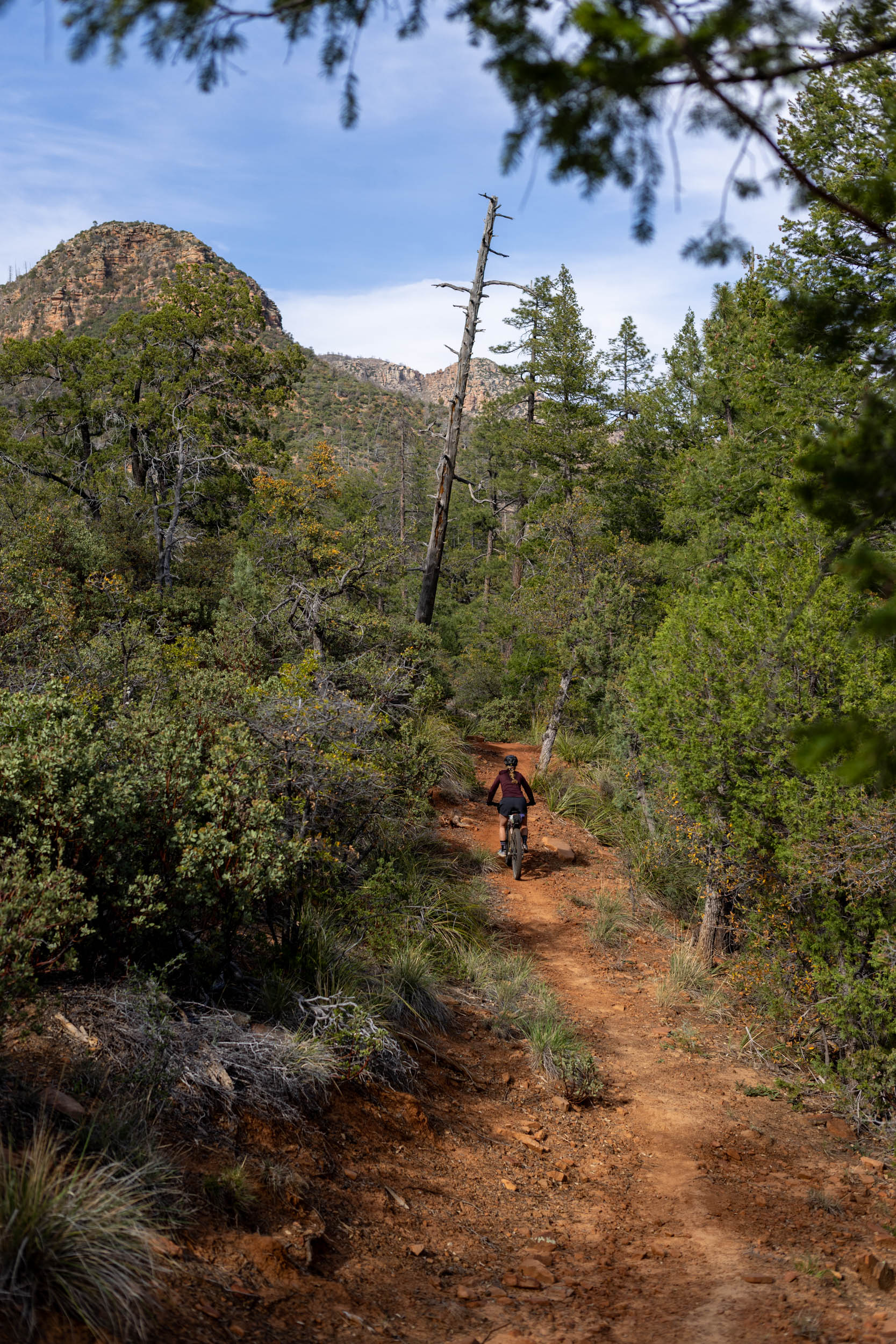

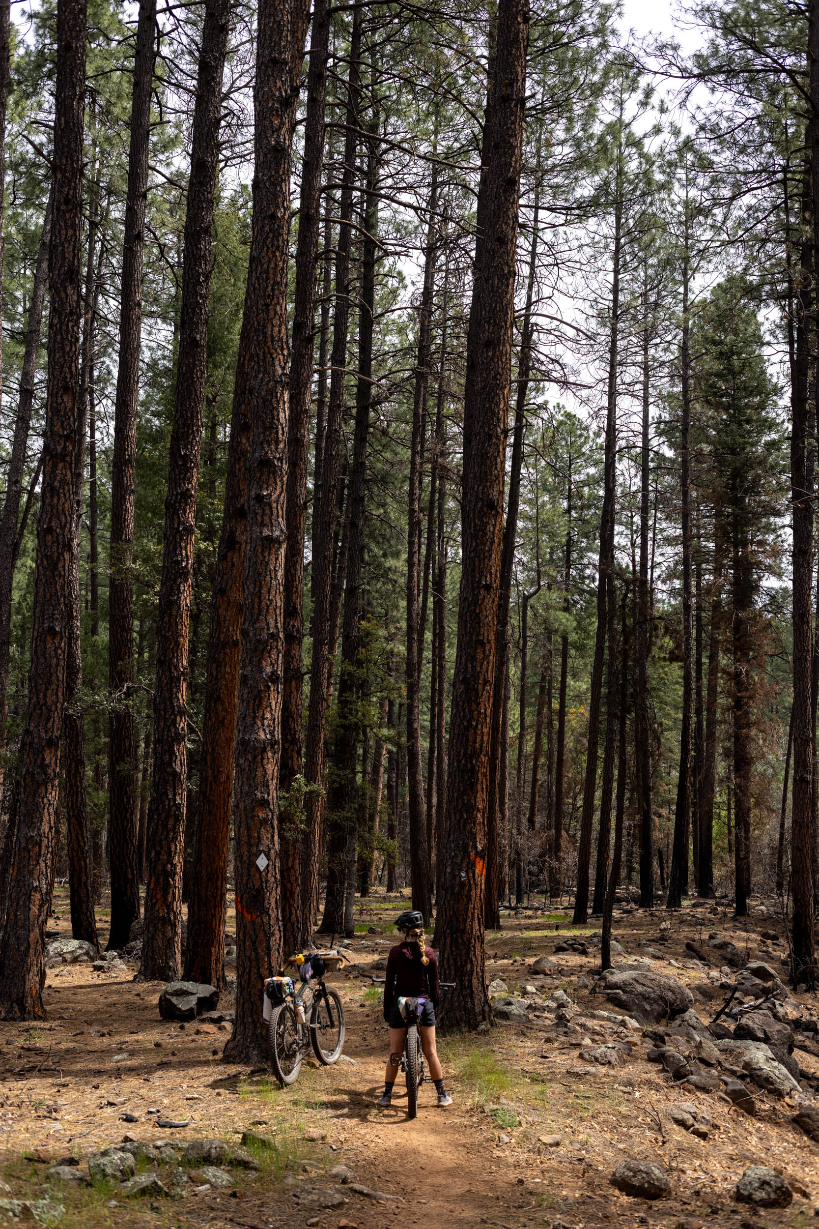
Difficulty
The Highline Trail Overnighter is about half singletrack and half gravel roads. The singletrack portion of the route is a blue-rated, multi-use trail with some challenging climbs, short technical sections, and beautiful views. New mountain bikers may struggle at times, but intermediate riders comfortable pedaling a loaded bike will have no issues. Late spring or fall is a great time to ride it, giving trail crews a chance to address any issues on the trail. Consider volunteering or donating to support the Arizona Trail Association’s ongoing efforts.
Route Development: John Schilling is one of a few behind the Arizona Endurance Series, the Race Director for the Arizona Trail Mountain Bike Race, and the creator of the Queen’s Ransom Bikepacking route in Phoenix. The Highline Trail Overnighter is directly inspired by his shorter Mogollon Mayhem ride, and was scouted and photographed by Miles Arbour at the end of March 2026.
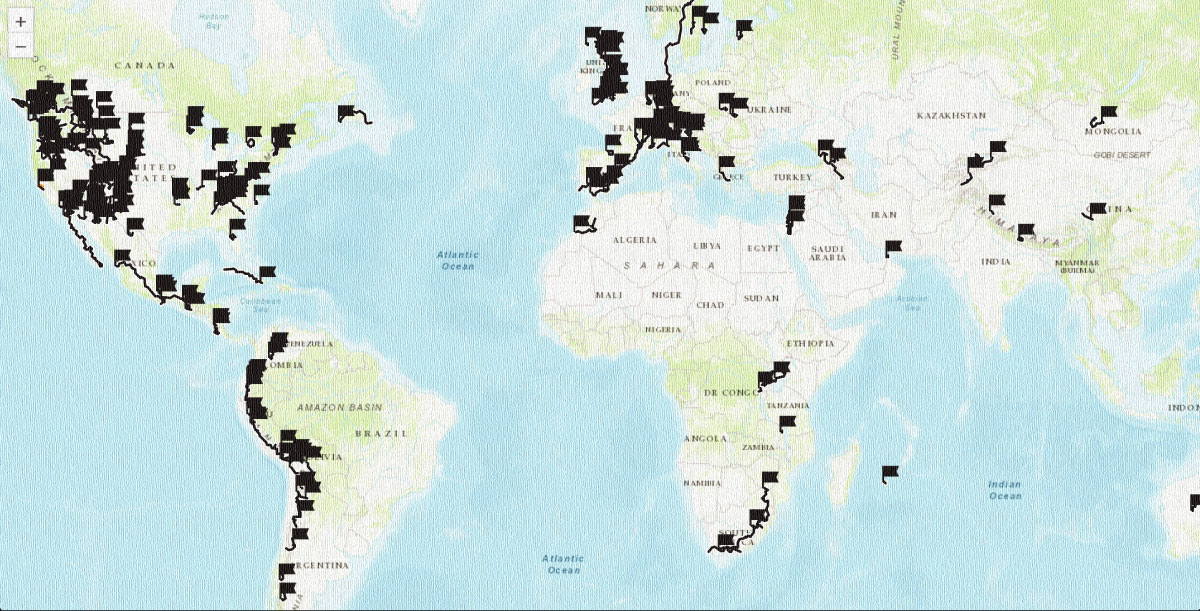
 This route is part of the Local Overnighter Project, which was created to expand our growing list of worldwide bikepacking routes—the first and largest of its kind—and create an independent map and catalog of great bikepacking overnighters, curated by you, from your own backyard. Our goal is to have accessible routes from every town and city in the world. Learn More







Submit Route Alert
As the leading creator and publisher of bikepacking routes, BIKEPACKING.com endeavors to maintain, improve, and advocate for our growing network of bikepacking routes all over the world. As such, our editorial team, route creators, and Route Stewards serve as mediators for route improvements and opportunities for connectivity, conservation, and community growth around these routes. To facilitate these efforts, we rely on our Bikepacking Collective and the greater bikepacking community to call attention to critical issues and opportunities that are discovered while riding these routes. If you have a vital issue or opportunity regarding this route that pertains to one of the subjects below, please let us know:
Highlights
Must Know
Camping
Food/H2O
Trail Notes
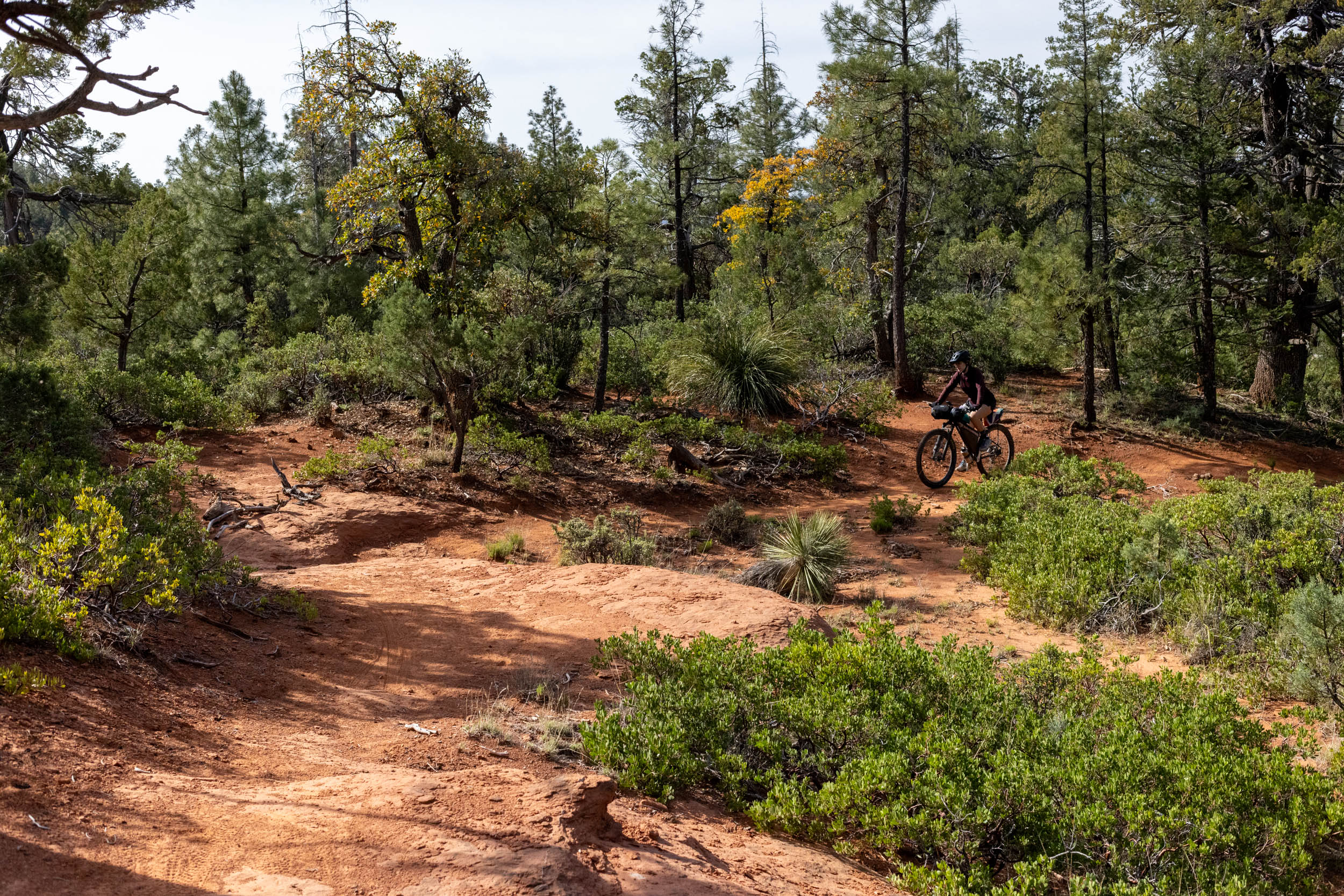
- Riding 20 miles of beautifully maintained singletrack from Pine to Washington Park.
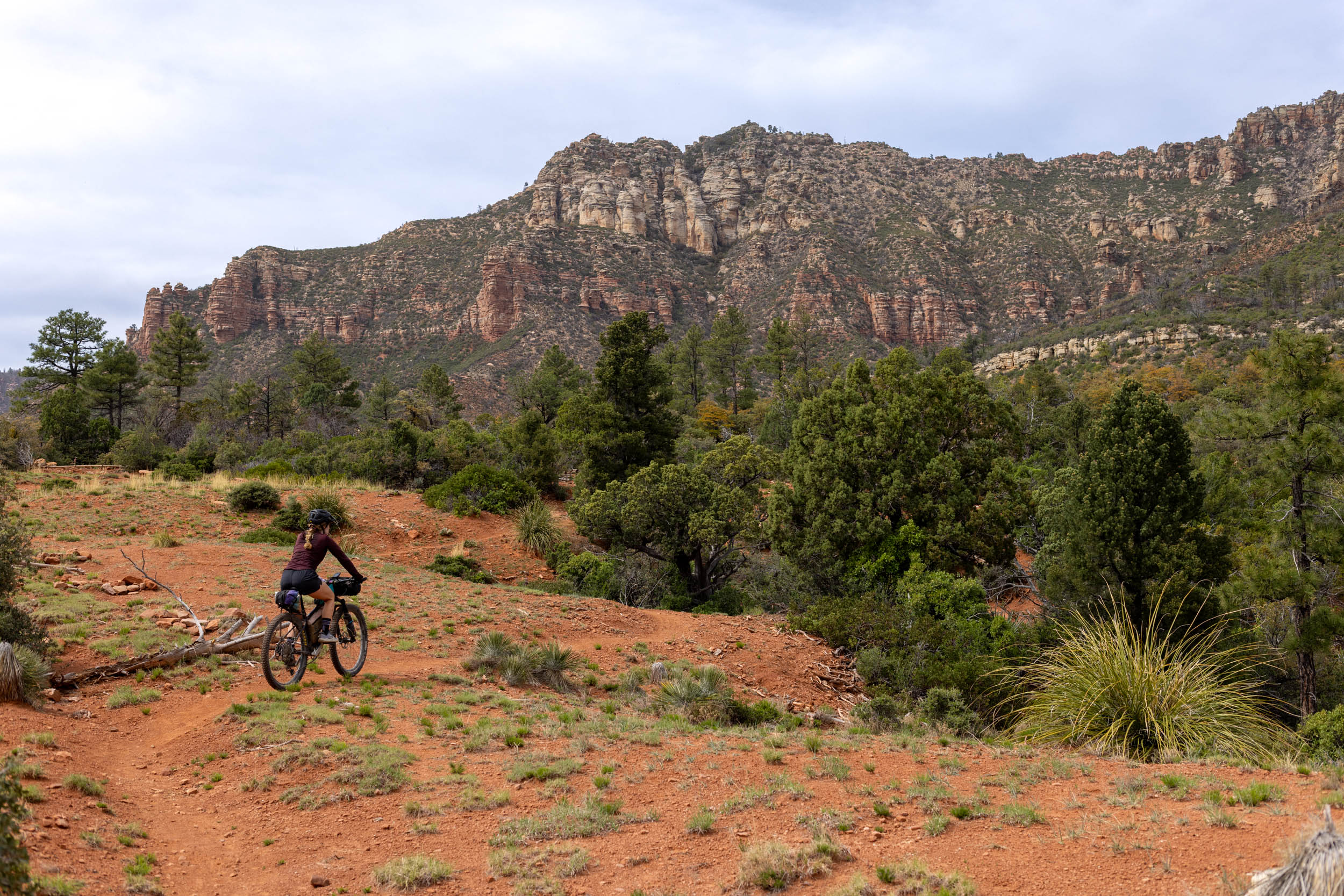
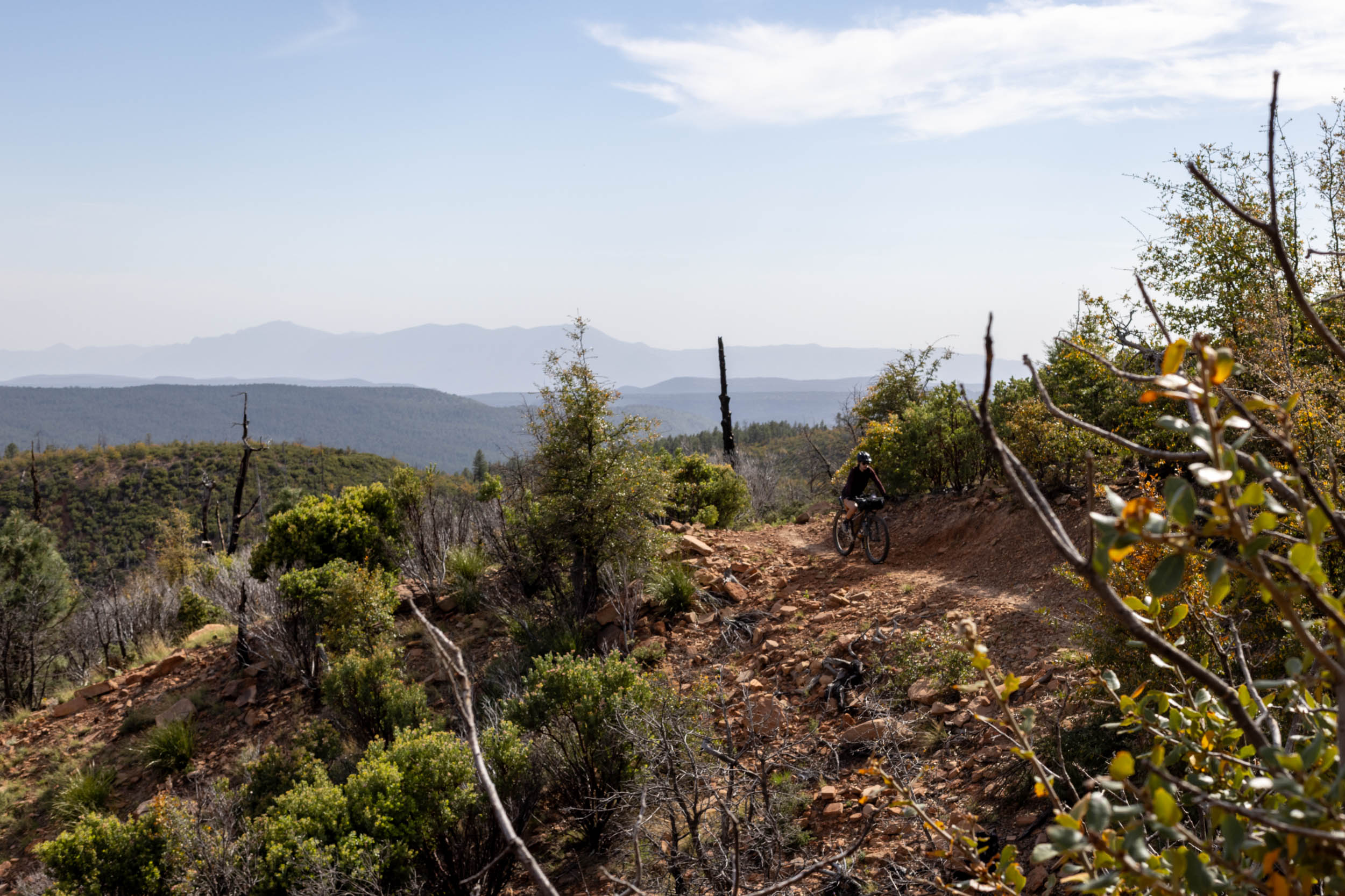
- Stunning views of the Mogollon Rim.
- Start and finish near the town of Strawberry and the infamous PIEbar AZ—go get yourself some pies.
- Wild camping near one of the creeks near the Highline Trail.
- A short and sweet introduction to the Arizona Trail.
- When to ride: The Highline Trail Overnighter is best ridden in the spring and fall, as the summer months are often quite hot and there is no freshwater access in the creeks. The town of Pine sits at around 5,400 feet and will often see snow in the winter months, and the route climbs up over 6,200 feet. Expect lingering snowpack early in the spring.
- Route Direction: The route can be ridden in either direction, but we strongly suggest a clockwise loop so you can do most of your climbing on the singletrack rather than descending, given the trail’s popularity among hikers, backpackers, and equestrians. Expect other trail users no matter which way you ride; be courteous, and be aware.
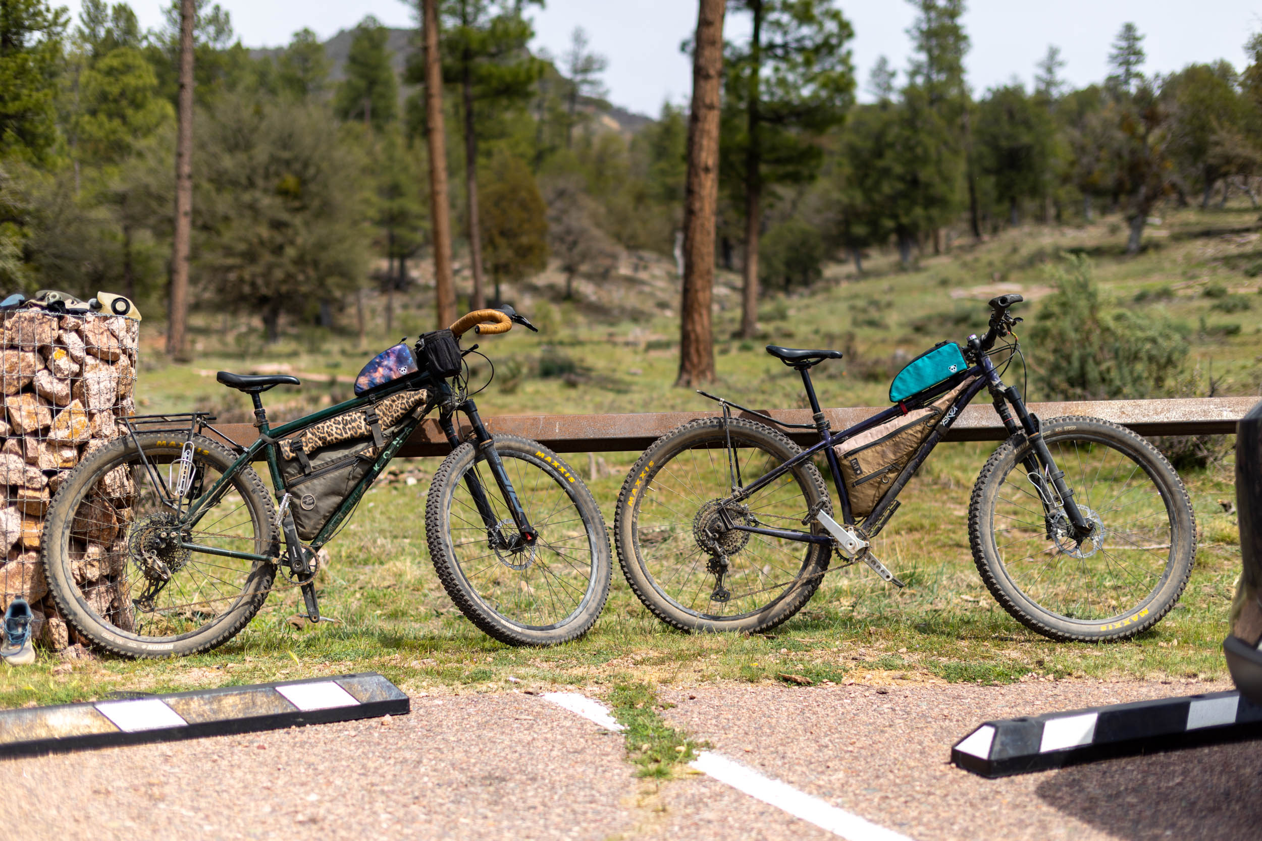
- Ideal Bike: The route is best ridden on a hardtail mountain bike with front suspension or a full-suspension mountain bike, but confident mountain bikers would have no trouble tackling the route on a rigid mountain bike with big tires or a drop-bar mountain bike. Low gearing and the ability to carry enough water, depending on the time of the year, will be important.
- Getting Here: The Pine AZT trailhead is about a 1.5-hour drive from Flagstaff to the north, 20 minutes north of Payson, and two hours north of Phoenix. There aren’t any public transit options to Pine, but there are some Payson-based shuttle services that might help.
- Parking: Overnight parking for AZT users is permitted at the Pine AZT Trailhead. We left our cargo van here with no problems, but it’s probably a good idea to avoid leaving any valuables in clear sight.
- Wildlife: There are Rocky Mountain elk, mule deer, javelina, rattlesnakes, black bears, and various scorpions and spiders on this route. Watch your footing and follow Leave No Trace principles at camp and while on the trail.
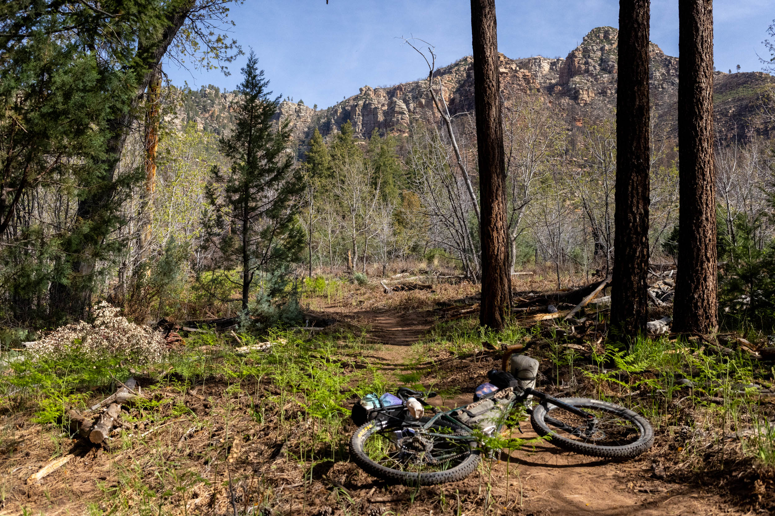
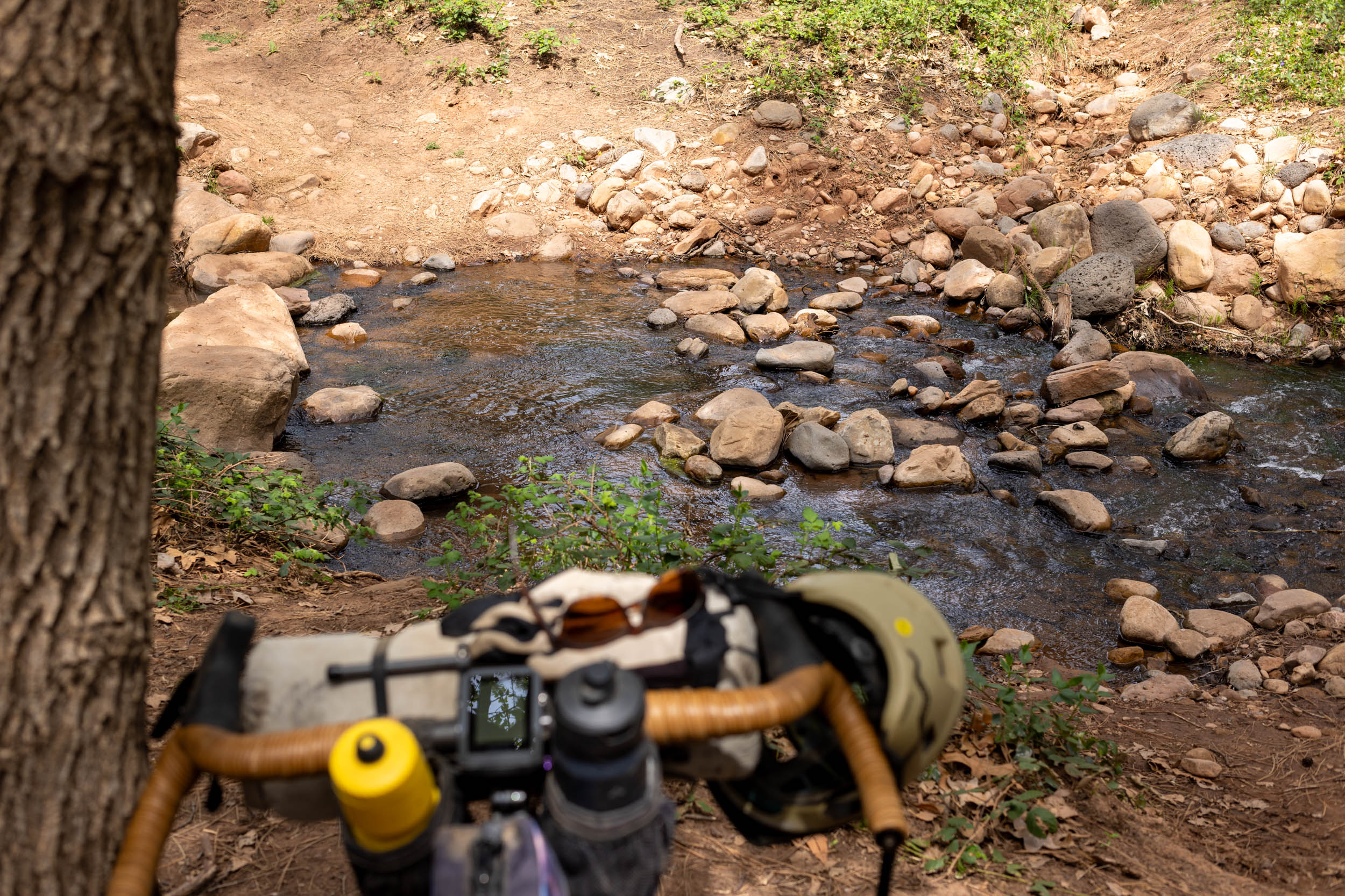
- There are a few established wilderness campsites on the Highline Trail, including several near small creeks for water access. See the route map for details.
- The Highline Trail camping is basic, with no amenities.
- We camped at the marked spot around mile 18 in late March and had access to a deep creek.
- You’ll find some unofficial dispersed camping along NF-64, the gravel road portion of the route, along the south side of the loop.
- There is no resupply on the loop, so stock up before the trip or pick up what you need at the Ponderosa Market in Pine before setting off.
- There are some small creeks on the route that flow during the spring and fall but are commonly dry in the summer months.
- Webber Creek and the East Verde River are usually flowing all year long.
- The FarOut app offers a free water report map where trail users can provide updates on water sources. This resource is invaluable and will be helpful when planning your trip and where to camp. Consider getting the app and purchasing the full AZT guide if you frequent the trail.
- Finish your ride at the Old Country Inn or Pine Creek Fudge Ice Cream & Espresso for a celebration meal.
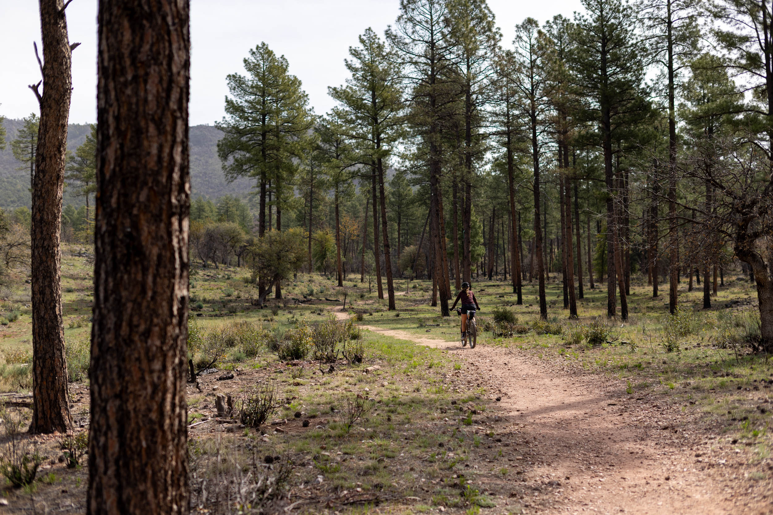
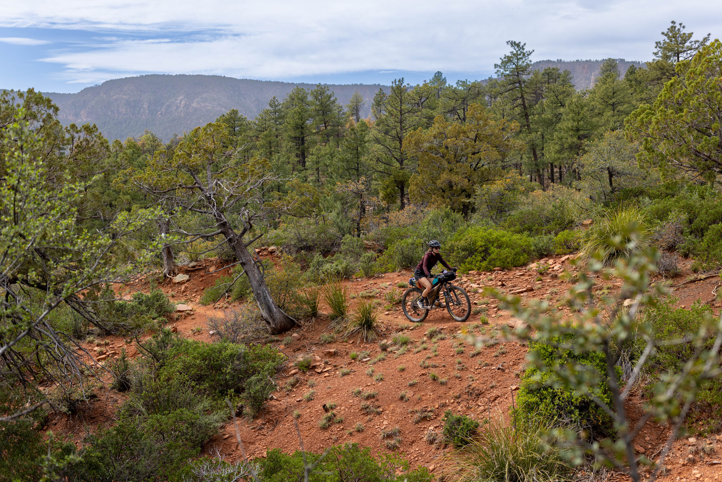
Starting just south of Pine, Arizona, the Highline Trail Overnighter centers on the Highline National Recreation Trail, a historic 62-mile trail that hugs the base of the Mogollon Rim in the Tonto National Forest. The route starts and ends at the Pine Trailhead and opens with an 840-foot climb through stands of Ponderosa Pines, brushy hillsides, and rocky ridges that serve up wonderful views of rim canyons, fascinating rock formations, and distant mountains.
The high point of the route is 15 miles into the ride, at 6,400 feet. There are several smaller creeks that make wonderful wilderness camping spots during the spring and fall. The singletrack portion of the route ends with a descent to the most easterly part of the route at the Washington Park trailhead. From here, you can continue to follow the route, or potentially make the climb north to the top of the Mogollon Rim for some of the most scenic camping in the area.
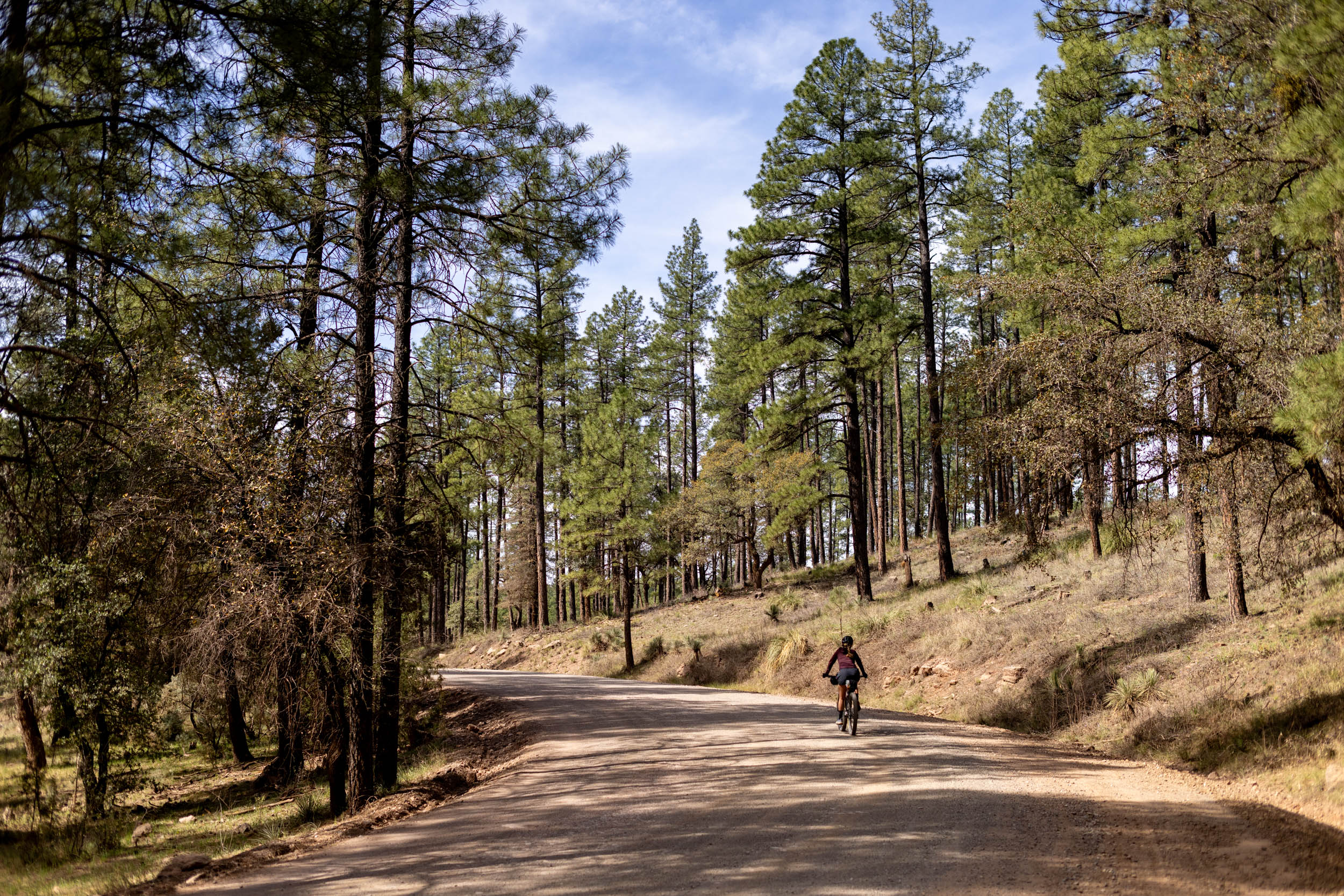
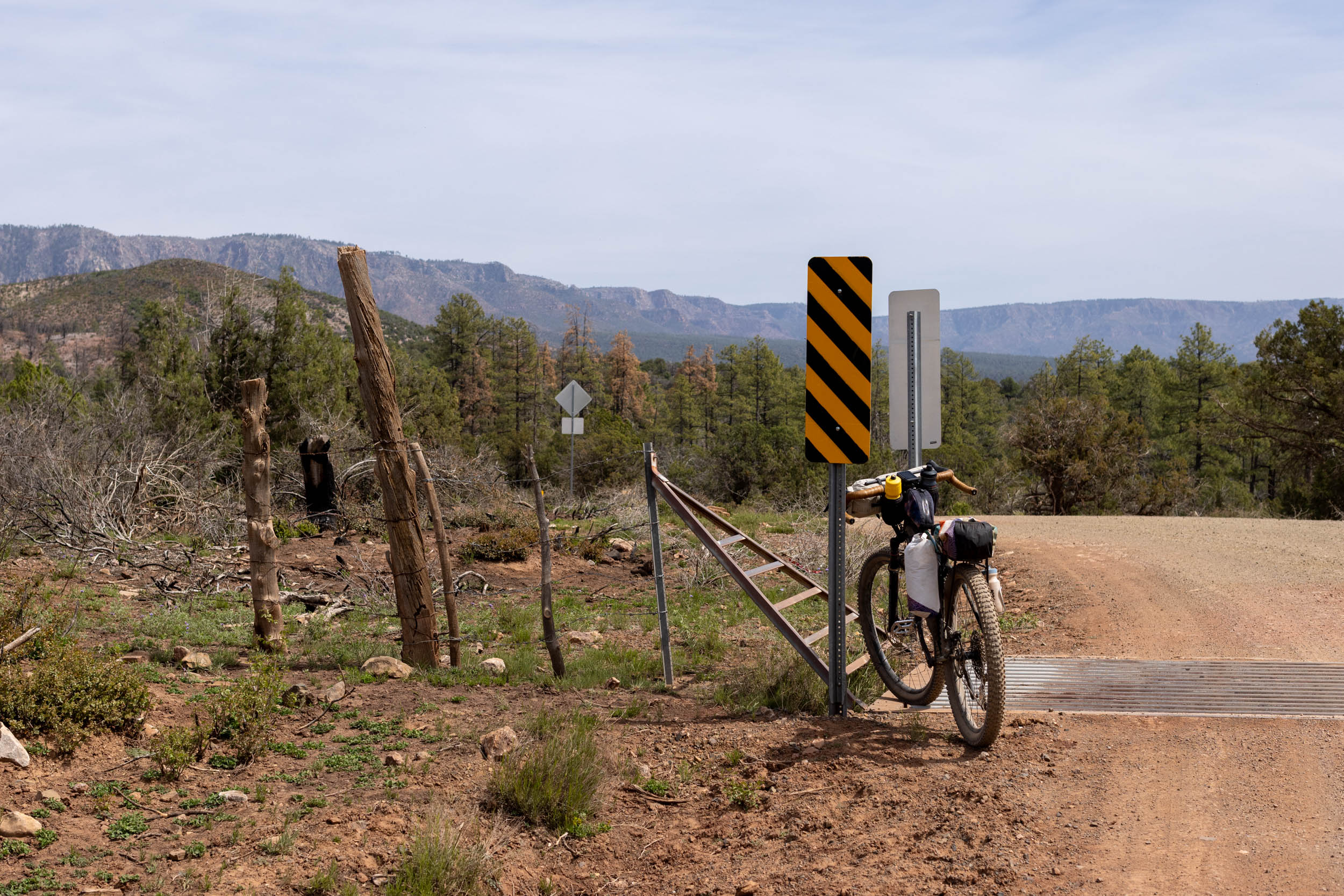
Continuing south, the route transitions from trail to gravel roads, winding and rolling their way through scenic pine forests with plenty of options for dispersed camping tucked away from the road. There is only one small one-mile section of paved riding on the Payson Winslow Highway before riders duck into the trees for one last singletrack descent back to the trailhead.


Terms of Use: As with each bikepacking route guide published on BIKEPACKING.com, should you choose to cycle this route, do so at your own risk. Prior to setting out check current local weather, conditions, and land/road closures. While riding, obey all public and private land use restrictions and rules, carry proper safety and navigational equipment, and of course, follow the #leavenotrace guidelines. The information found herein is simply a planning resource to be used as a point of inspiration in conjunction with your own due-diligence. In spite of the fact that this route, associated GPS track (GPX and maps), and all route guidelines were prepared under diligent research by the specified contributor and/or contributors, the accuracy of such and judgement of the author is not guaranteed. BIKEPACKING.com LLC, its partners, associates, and contributors are in no way liable for personal injury, damage to personal property, or any other such situation that might happen to individual riders cycling or following this route.
Please keep the conversation civil, constructive, and inclusive, or your comment will be removed.