Hold Onto the Cat’s Tail (Around the Calico Mountains Wilderness)
Distance
55 Mi.
(89 KM)Days
2
% Unpaved
100%
% Singletrack
0%
% Rideable (time)
95%
Total Ascent
5,244'
(1,598 M)High Point
7,060'
(2,152 M)Difficulty (1-10)
5?
- 6Climbing Scale Moderate95 FT/MI (18 M/KM)
- -Technical Difficulty
- -Physical Demand
- -Resupply & Logistics
Contributed By
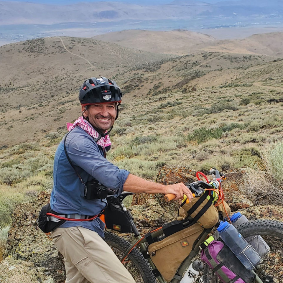
Kurstin Graham
Guest Contributor
Kurstin grew up overseas as the son of international educators. Bikepacking Northern Nevada has been a personal project over the last nine years to share Nevada’s backroads by bicycle. As a board member of the Friends of Black Rock High Rock, he has started a guided ride series, Rides with Friends, to develop non-motorized recreation in Black Rock Country with the goal of fostering public lands stewardship through bikepacking. Follow the rides @bikepackingnv.
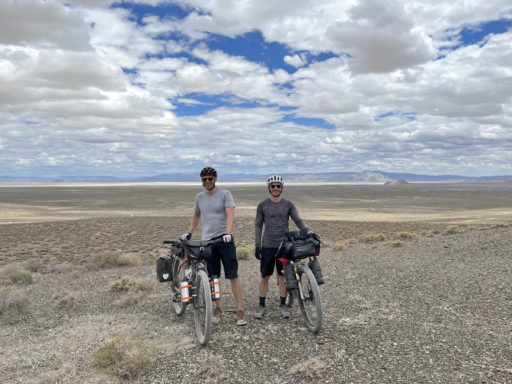
Black Rock Country is 1.2 million acres of protected high desert landscape. Within Black Rock Country is the Black Rock Desert – High Rock Canyon Emigrant Trails National Conservation Area. This is the largest National Conservation Area (NCA) in the lower 48 and protects 120 miles of the Applegate-Lassen Emigrant Trail as well as 900 miles of primitive designated routes. The playa surface is at 3,900 feet, and the highest peaks in the area, Granite and King Lear, are just under 9,000 feet. This landscape contains 10 wilderness areas that are stitched together with roads, providing unique access for bikepacking.
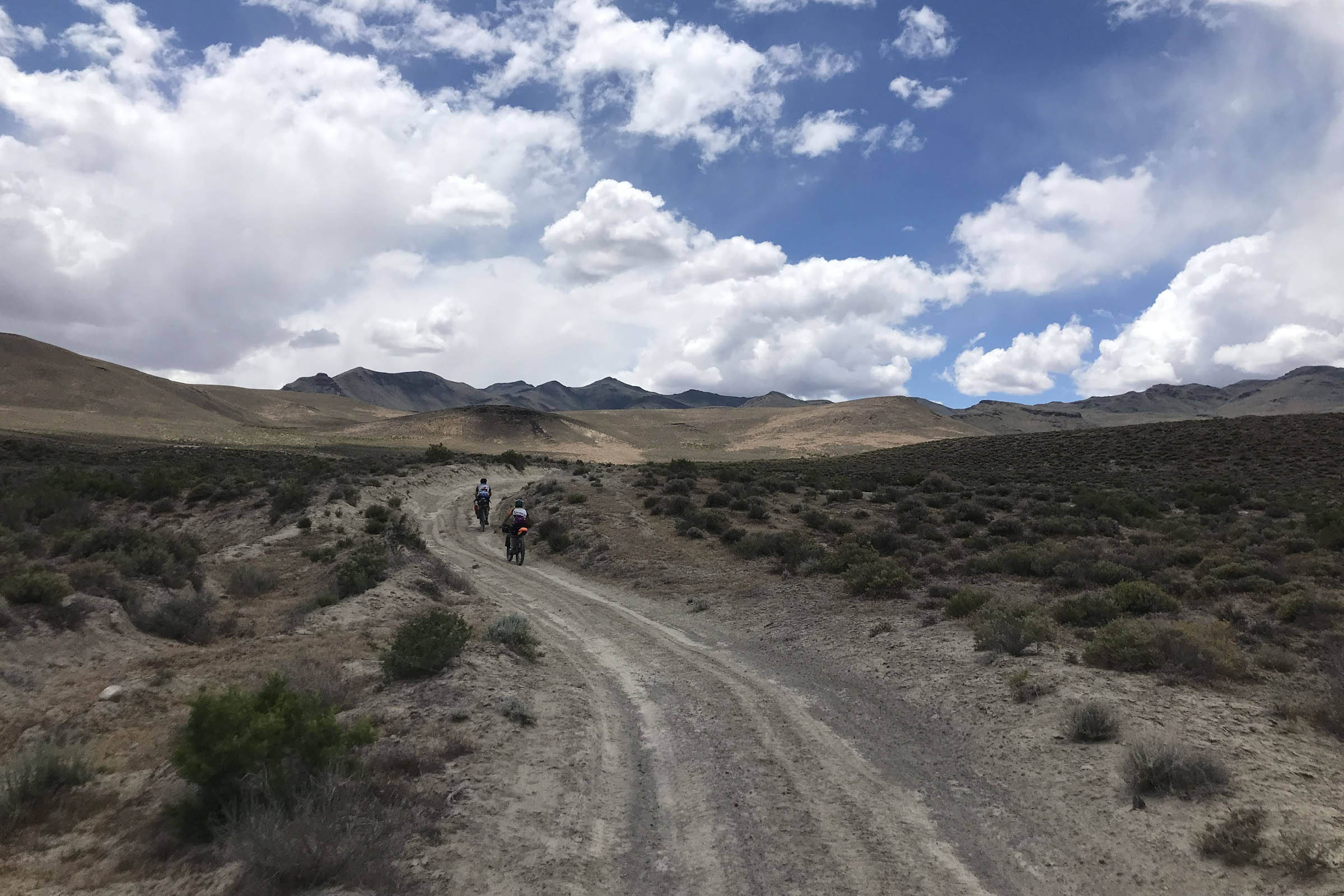
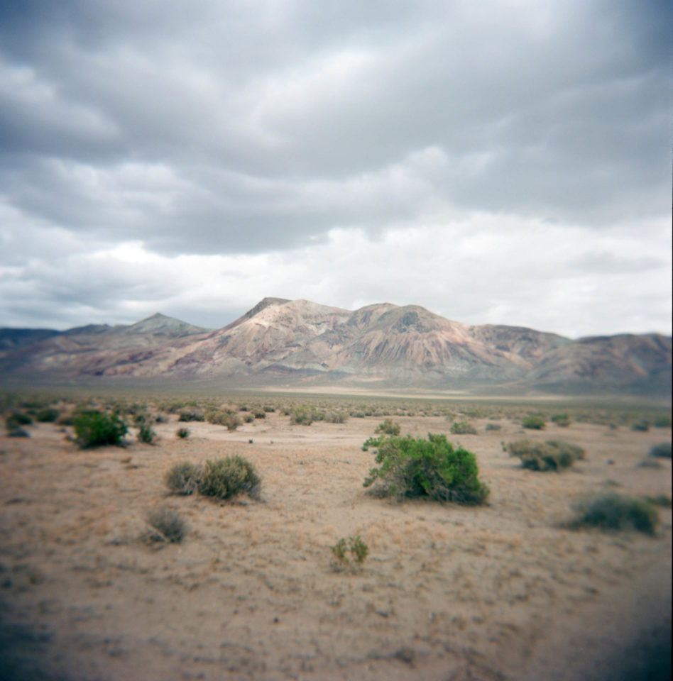
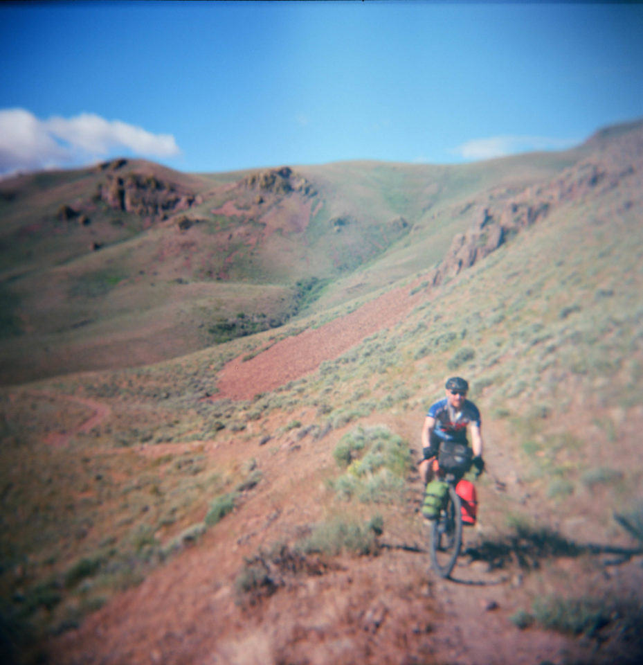
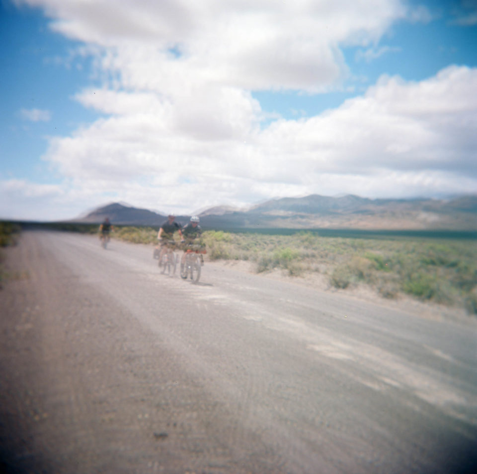
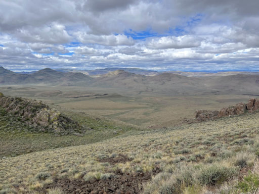
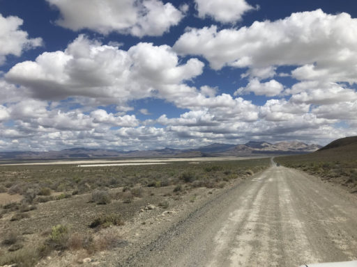
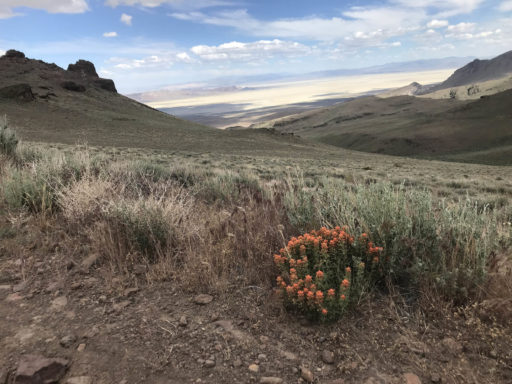
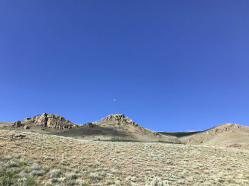
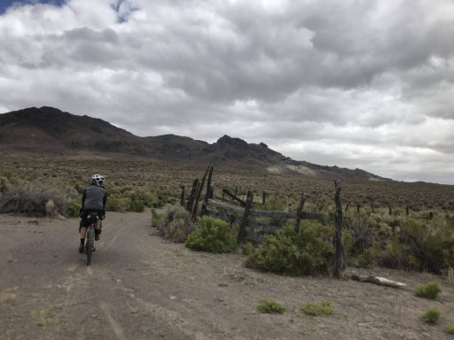
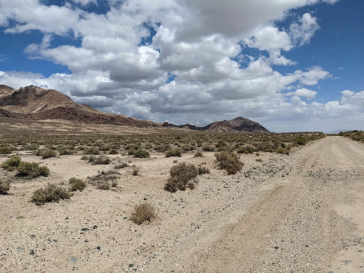
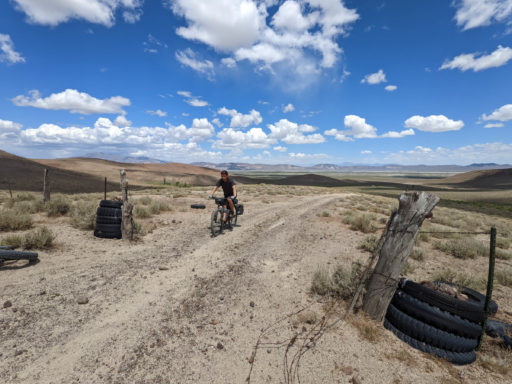
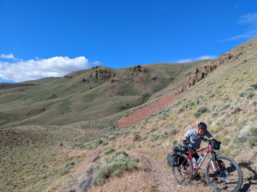
This loop starts at the southeast corner of the Calico Mountains Wilderness on Soldier Meadows Road. You are riding on the stolen lands of the Northern Paiute. Once known as the Harlequin Hills, the colors of the Calico Hills are the namesake of the area. Mine tailings dot the mountainside, reflecting the appetite of hardrock miners seeking their fortunes. On the right is the vastness of the Black Rock Desert. Traveling north, the obvious features on the horizon are Ol’ Razorback Peak, Black Rock Point (the namesake for this area), Big Mountain, and Morman Dan Rock. Along the route are “cherry stem roads” that are designated routes or fingers into the wilderness that are worth experiencing. To venture deeper into the wilderness, leave your bike behind and go on foot.
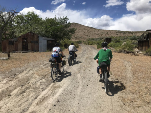
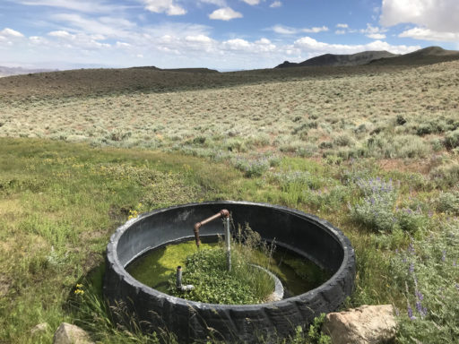
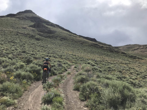
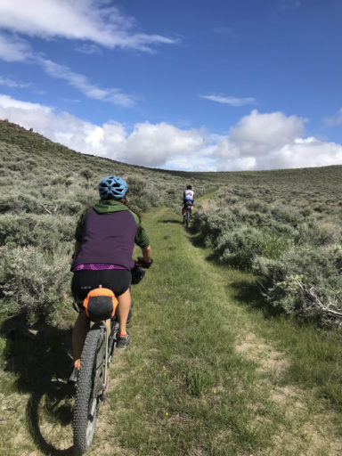
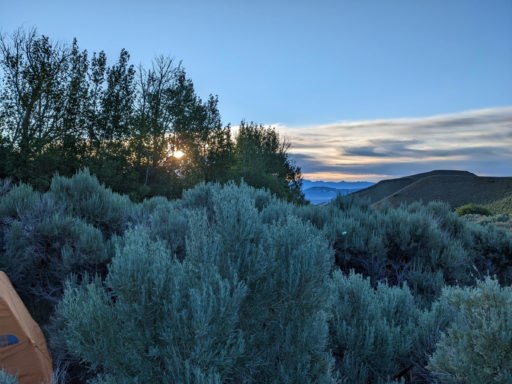
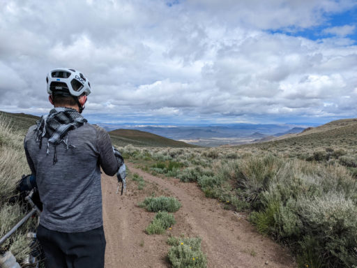
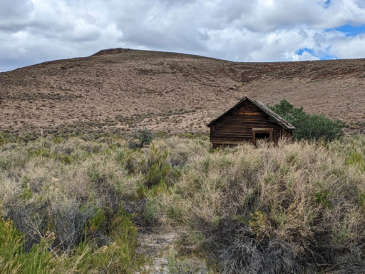
At mile 13.5, you leave Soldier Meadows Road, and start to climb into the Calico Mountains, and now you are north of the Calico Mountains Wilderness and south of the High Rock Lake Wilderness. Wilderness technically begins 50 feet on either side from the center of the road. At mile 13.9, you pass a micro-playa with its own unique texture. At mile 16, the road crosses a private parcel with an old homestead. At mile 19, there is a spring feeding a water trough. By now, you have climbed thousands of feet above the Black Rock Desert. Your perspective could only be matched in a small aircraft. To the east and southeast, you are looking over the Black Rock Range, the Jackson Mountains, the Kama Mountains, and Seven Troughs Range. All these mountains rise from the Black Rock Desert, the lakebed of ancient Lake Lahontan. At mile 23, there is a grove of aspens along Donnelly Creek that provides an excellent spot for dispersed camping.
The route’s saddle is just over 7,000 feet, and to the south are Division and Donnelly Peaks. Now the views change from Black Rock Desert to canyonlands; to the north are Little High Rock Canyon, High Rock Canyon, Fly Canyon, and Box Canyon. The loop is completed through Donnelly Flat and along the edge between the agricultural properties of Hualapai Flat and the Calico Mountains Wilderness.
Route Difficulty
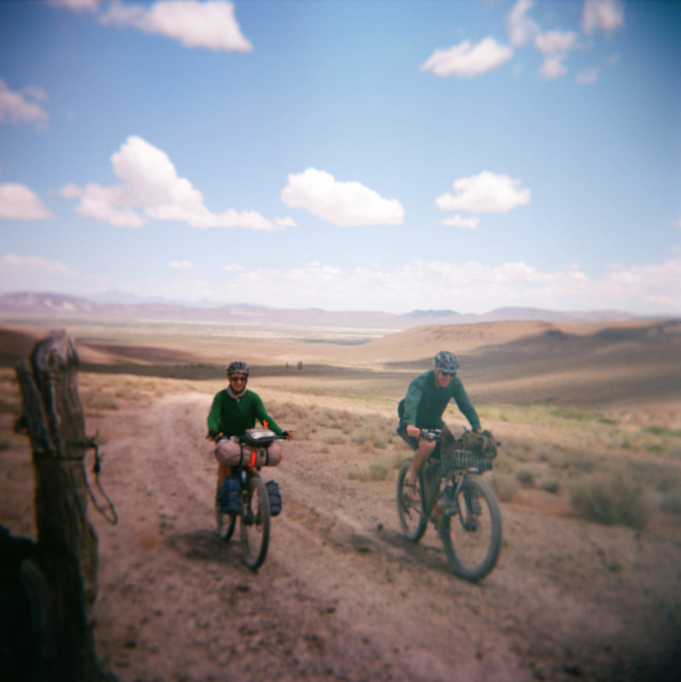
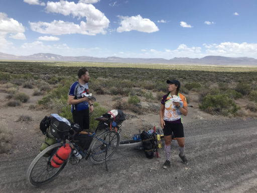
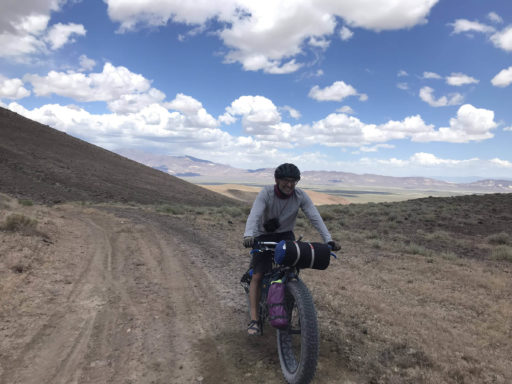
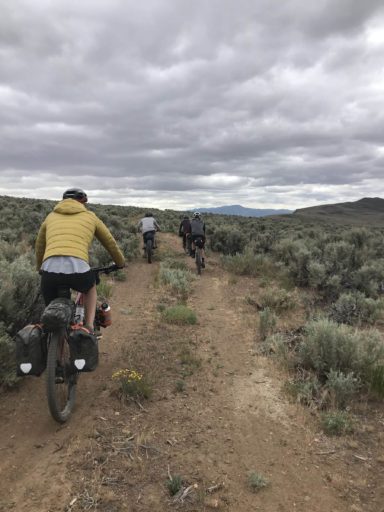
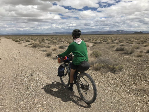
The route difficulty is a 5 out of 10. As an overnight trip, it is neither technically nor logistically difficult. The climbing approaches 20% grade, so depending on fitness and ability to find traction in loose spots, hike-a-bike is inevitable. While the route has been done on gravel bikes, plus-sized tires are recommended. Water can be scarce in the desert, but this route has water. But as with most routes in the NCA, the absolute solitude means you are on your own, so it’s not ideal for an inexperienced group.
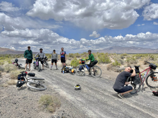
This route was ridden in June 2022 as part of a series of rides sponsored by the Friends of Black Rock High Rock to foster public land stewardship through bikepacking.
 This route is part of the Local Overnighter Project, which was created to expand our growing list of worldwide bikepacking routes—the first and largest of its kind—and create an independent map and catalog of great bikepacking overnighters, curated by you, from your own backyard. Our goal is to have accessible routes from every town and city in the world. Learn More
Submit Route Alert
As the leading creator and publisher of bikepacking routes, BIKEPACKING.com endeavors to maintain, improve, and advocate for our growing network of bikepacking routes all over the world. As such, our editorial team, route creators, and Route Stewards serve as mediators for route improvements and opportunities for connectivity, conservation, and community growth around these routes. To facilitate these efforts, we rely on our Bikepacking Collective and the greater bikepacking community to call attention to critical issues and opportunities that are discovered while riding these routes. If you have a vital issue or opportunity regarding this route that pertains to one of the subjects below, please let us know:
Highlights
Must Know
Camping
Food/H2O
- Views of the Black Rock Desert – 110,000 acre lakebed of ancient Lake Lahontan. Now home to Burning Man, rocket launches, and the land speed record.
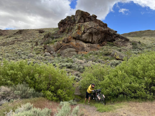
- Unique geological features of the Calico Mountains.
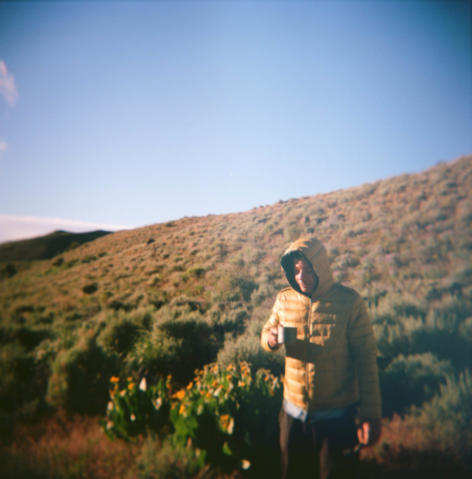
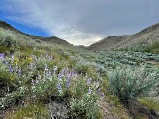
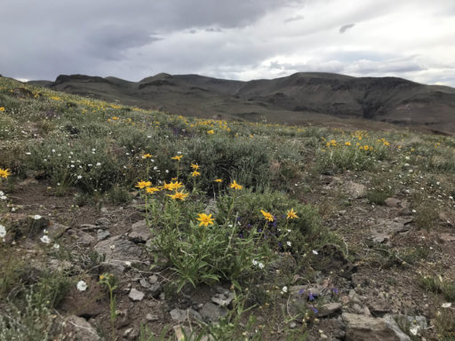
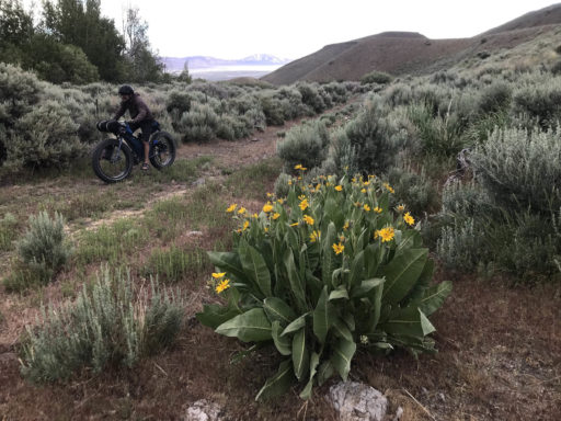
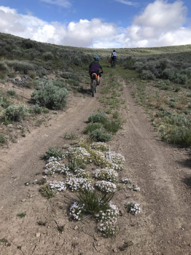
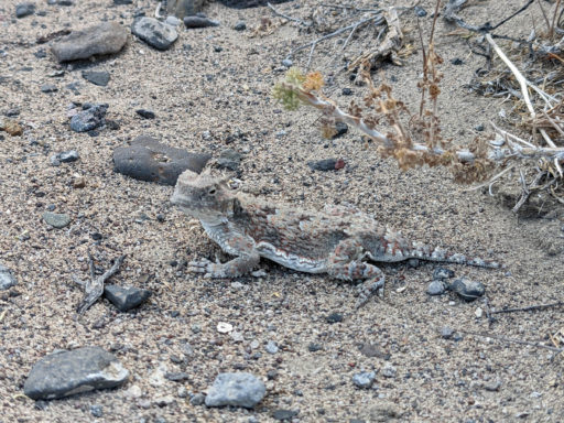
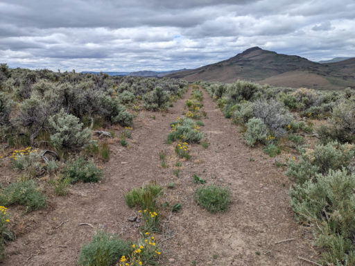
- Wildflowers and wildlife.
- Wild horses and burros.
- Crossing over between the Black Rock Desert to High Rock Canyon landscapes shaped by glacial melting 14,000 years ago.
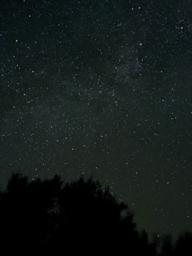
- Dark Skies: this corner of northern Nevada has some of the darkest skies in the world. Clear nights boast the Milky Way from horizon to horizon.
- Unmatched solitude.
- Insight into the lives of the people who made a living in this challenging environment mining and ranching.
- The quirky little town of Gerlach, “Where the pavement ends and the West begins.”
- Time of year: May-October, the June wildflowers were a real treat! July and August temperatures are extreme but cooler at high elevations.
- Gerlach is 100 miles north of Reno on paved roads. The start of the ride is 17.5 miles north of Gerlach, 13 miles of paved Co. Rd 34, 4.5 miles of unpaved Soldier Meadows Rd. Parking for the route is along Soldier Meadows Road.
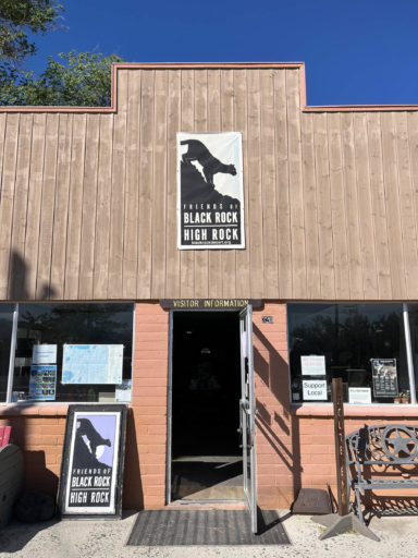
- Current conditions are available at the Friends of Black Rock High Rock Visitors Center, as are additional recommendations to make the most of your visit to the NCA.
- Try the official-unofficial Nevada State drink, the Picon Punch at Bruno’s Country Club.
- Driving in on NV 447, the town of Nixon has the Pyramid Lake Paiute Tribe Museum and Visitors Center. It is worth a visit!
- Ride report from Bikepacking Northern Nevada
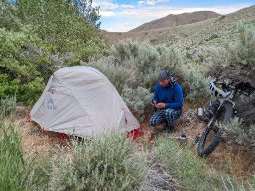
- Weather in the high desert can be unpredictable. While “cowboy camping” is a common practice, tarp tents, bivy sacks and lightweight three-season tents are commonly used. Thunderstorms and snowstorms, while isolated, are not unheard of.
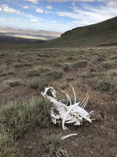
- Fortunately, nuisance insects and rattlesnakes are rare. Scorpions are easily viewed using a black light. This is not bear country. Mountain lions are rarely seen. Coyotes are common.
- Dispersed camping is acceptable throughout the NCA. Near the start of the ride, off Soldier Meadows Road, is Cassidy Mine, recommended for its views. Trego Hot Springs, off Jungo Road, has dispersed camping. Leave No Trace practices should always be followed.
- Lodging in Gerlach is limited to Bruno’s Motel. Be sure to check out the colorful eateries and bars: Bruno’s Country Club, Miner’s Club, and Joe’s Gerlach Club.
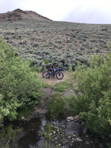
- Carry 3-5 L of water for this trip. Water is available at mile 19.3 from a spring fed water trough and at mile 23 from Donnelly Creek. All surface water sources in the NCA should be filtered or treated due to ranching and wildlife.
- Reno is a great place for supplies for any trip. There are full-service independent bike shops and national camping and outdoor chains. For those who would like to work on their bikes, check out the public work stations at the community bike shop, Reno Bike Project.
- Just outside of Gerlach is the Empire Store for basic resupply.
- Restaurants and bars in Gerlach are limited to Bruno’s Country Club (bar and restaurant) and Miner’s Club (bar), and Joe’s Club (bar).
- Friends of Black Rock High Rock Visitors Center is a great stop for information, maps, and water.
Terms of Use: As with each bikepacking route guide published on BIKEPACKING.com, should you choose to cycle this route, do so at your own risk. Prior to setting out check current local weather, conditions, and land/road closures. While riding, obey all public and private land use restrictions and rules, carry proper safety and navigational equipment, and of course, follow the #leavenotrace guidelines. The information found herein is simply a planning resource to be used as a point of inspiration in conjunction with your own due-diligence. In spite of the fact that this route, associated GPS track (GPX and maps), and all route guidelines were prepared under diligent research by the specified contributor and/or contributors, the accuracy of such and judgement of the author is not guaranteed. BIKEPACKING.com LLC, its partners, associates, and contributors are in no way liable for personal injury, damage to personal property, or any other such situation that might happen to individual riders cycling or following this route.
Please keep the conversation civil, constructive, and inclusive, or your comment will be removed.


