


La Gira de Sur Yungas, Bolivia
Distance
232 Mi.
(373 KM)Days
5-6
% Unpaved
95%
% Singletrack
0%
% Rideable (time)
100%
Total Ascent
40,300'
(12,283 M)High Point
15,300'
(4,663 M)Difficulty (1-10)
7?
- 10Climbing Scale Very Strenuous174 FT/MI (33 M/KM)
- -Technical Difficulty
- -Physical Demand
- -Resupply & Logistics
Contributed By

Cass Gilbert
Contributing Editor
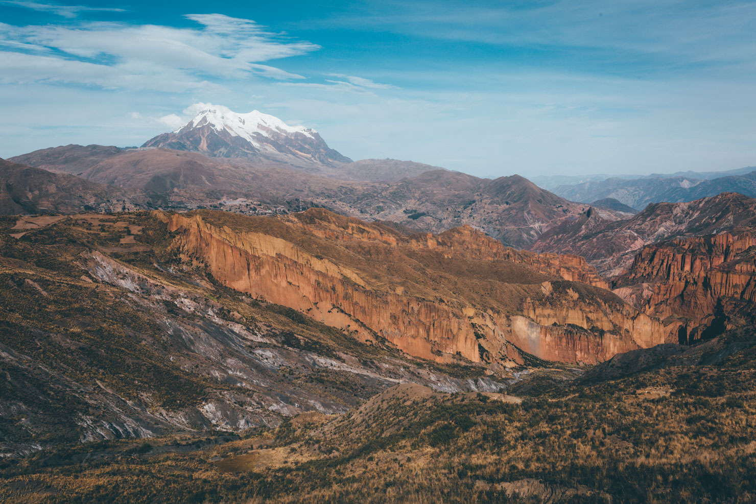
If you’re planning a bikepack trip to Bolivia, chances are you’ll be making a beeline for the Altiplano. And for good reason: it’s a stark, beautiful barren land, and otherwordly experience in the truest sense of the word.
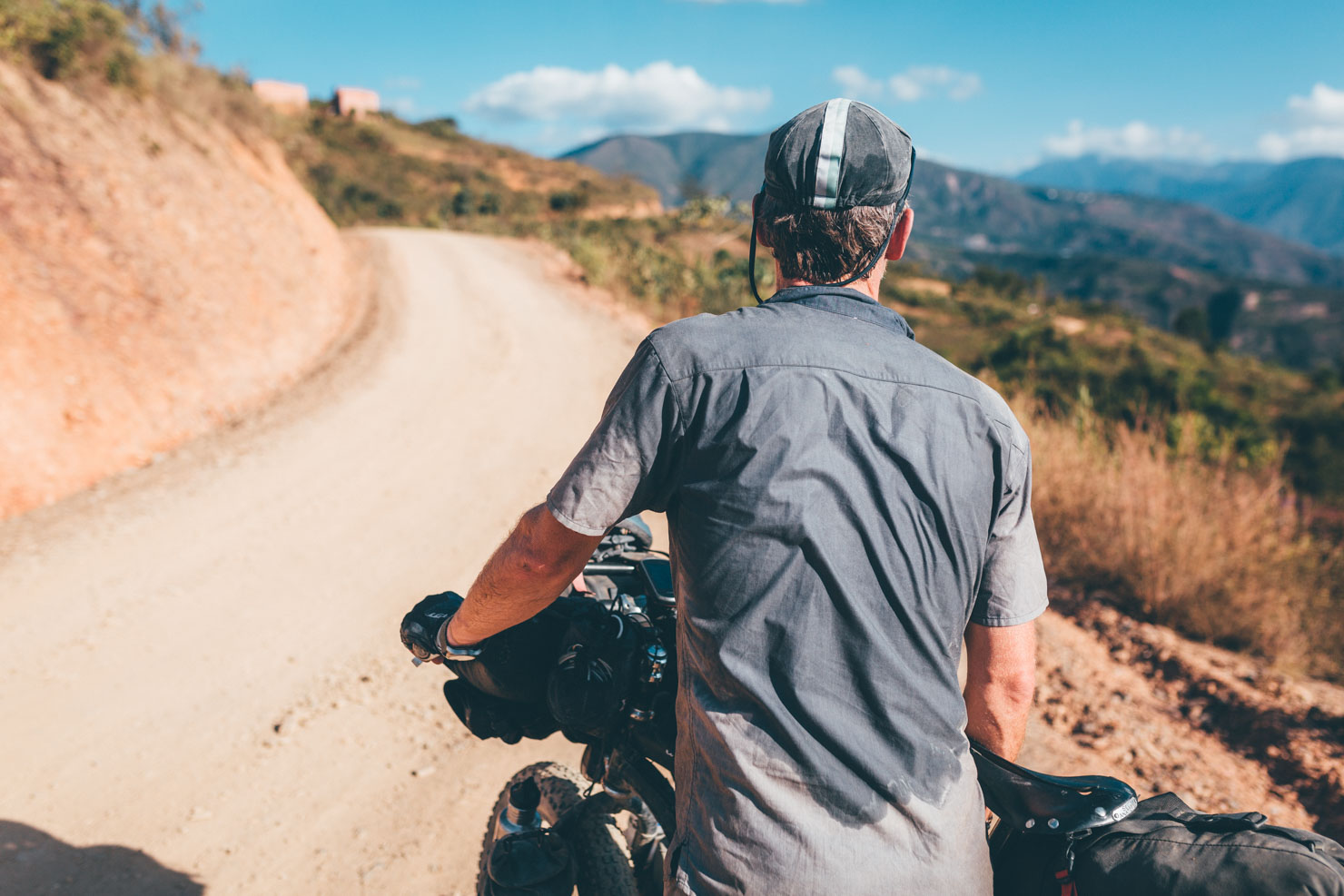
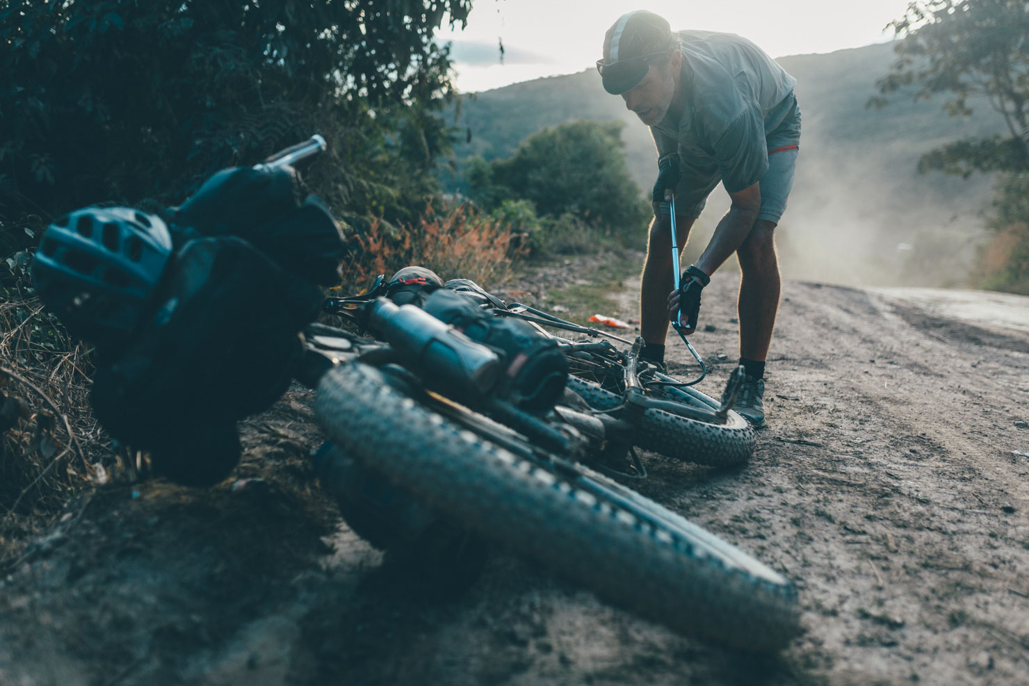
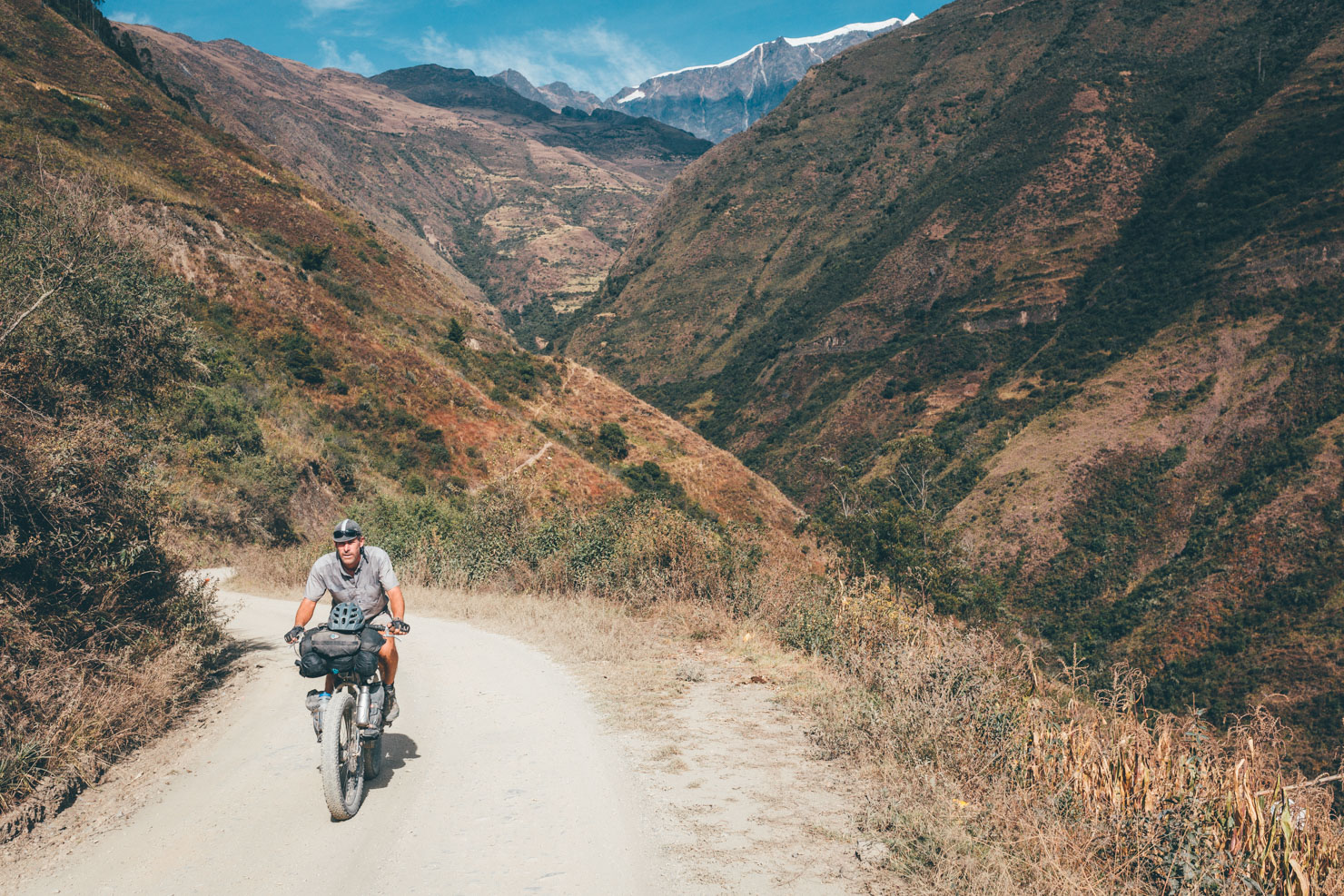
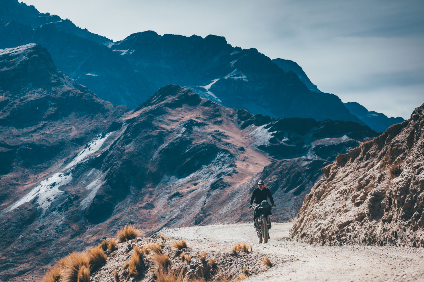
But might I suggest a week in the coca-growing Yungas, by way of a sub-tropical counterpoint? This route offers a succinct loop out of La Paz. It’s unpaved where at all possible, and in terms of relentless climbing, it’s as challenging as anything you’ll find on the continent. For those on longer journeys across South America, it’s a great way of getting a flavour for a completely different side to Bolivia, without missing out on any Altiplano highlights. And for anyone making Bolivia their sole destination, it will whip you into shape without taking up too much of your time.
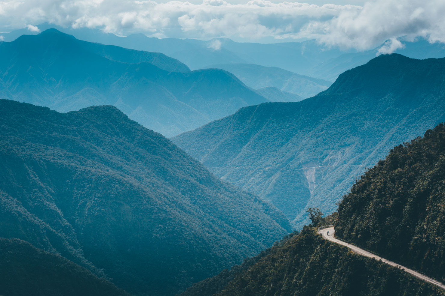
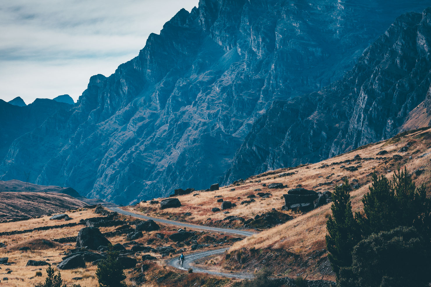
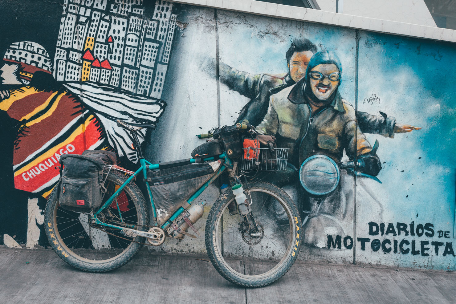
The ride begins and ends in La Paz, making a loop to the east of the plateaux, before returning via the sentinel-like Nevada Illimani. It also includes the fabled Death Road as a conduit into the jungle. But I have to be honest. Although undoubtedly epic in nature, the Camino de la Muerte is also something of a tourist trap. But with a name like that, how can you pass so close without riding it, right?
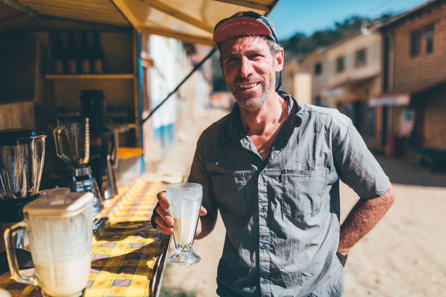
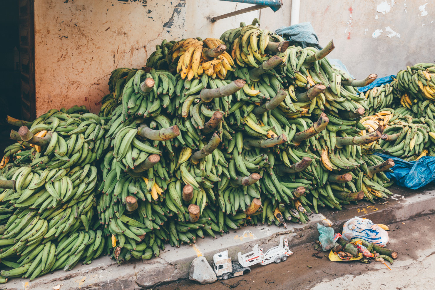
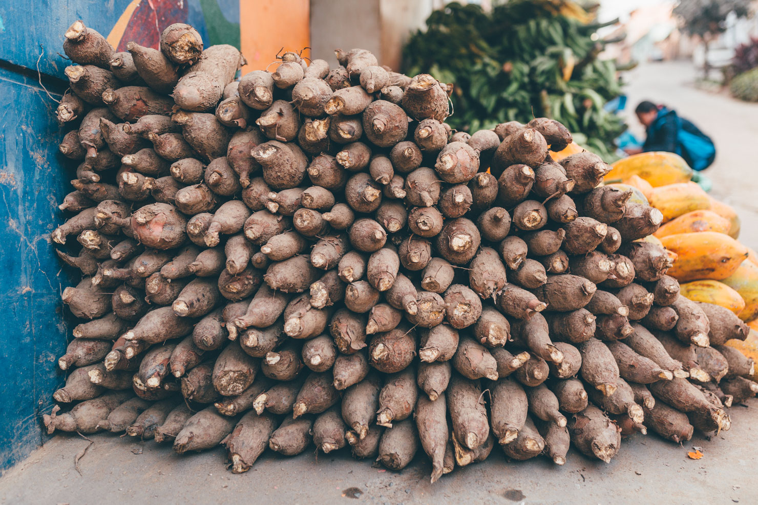
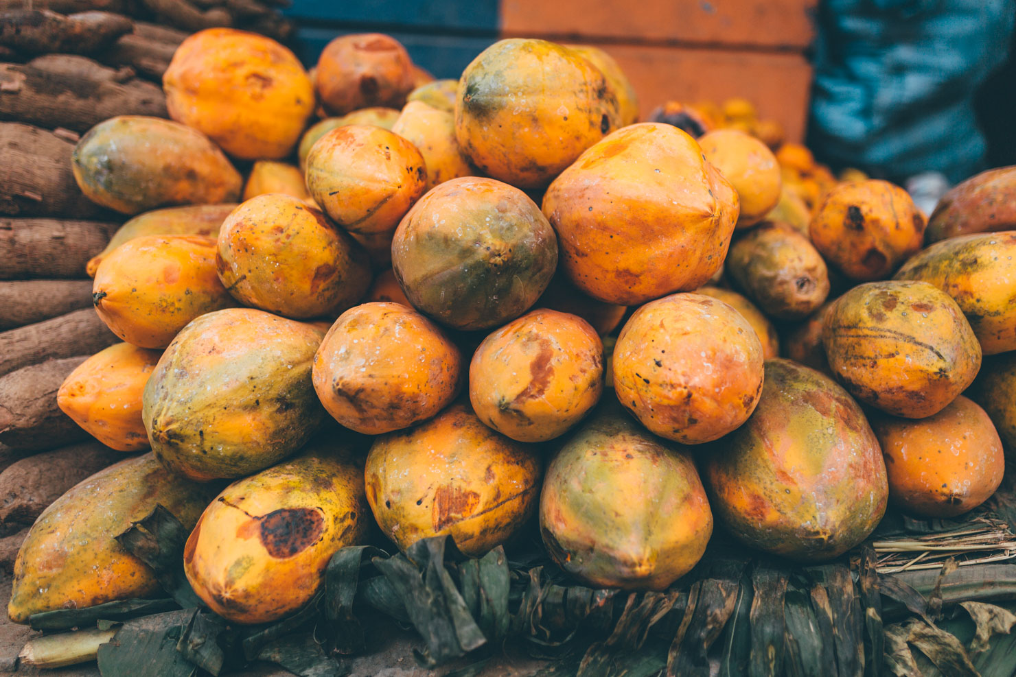
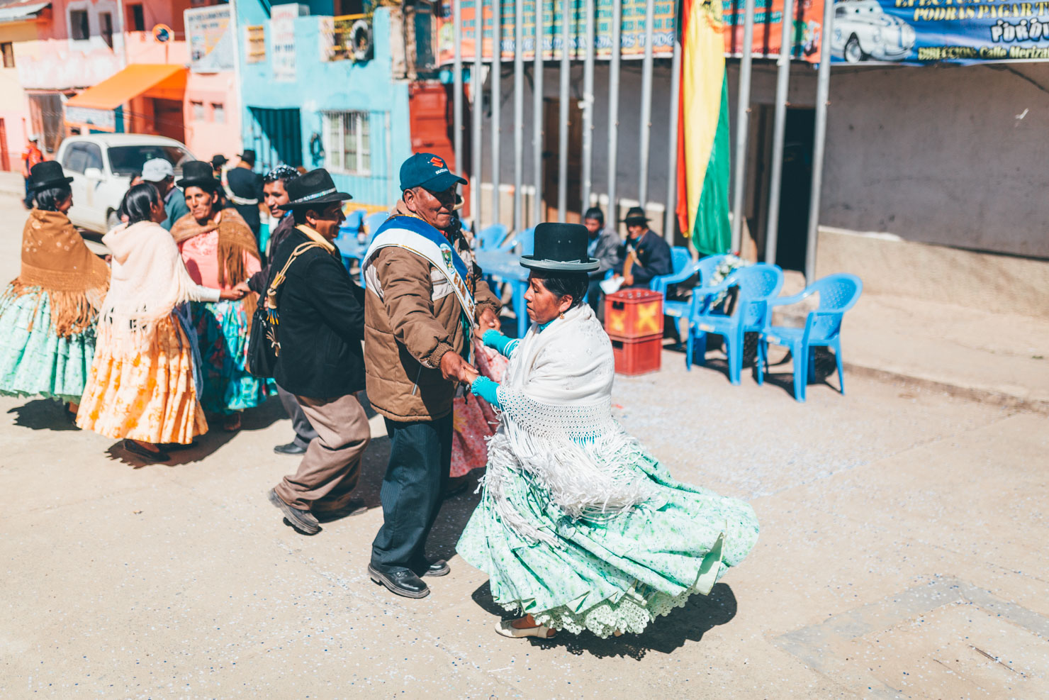
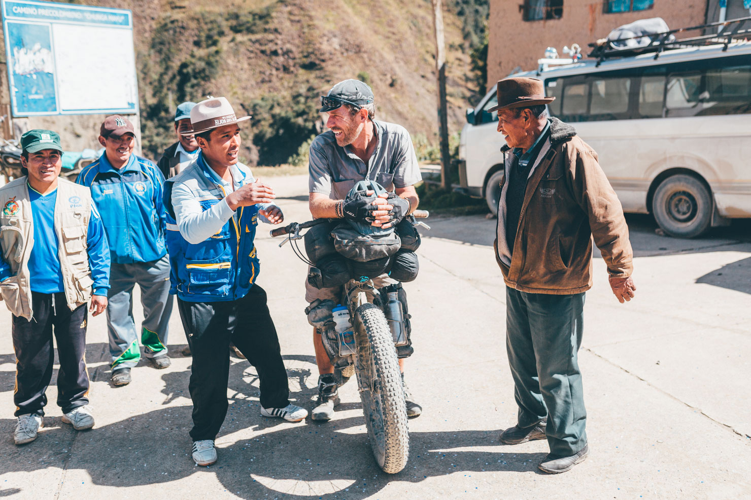
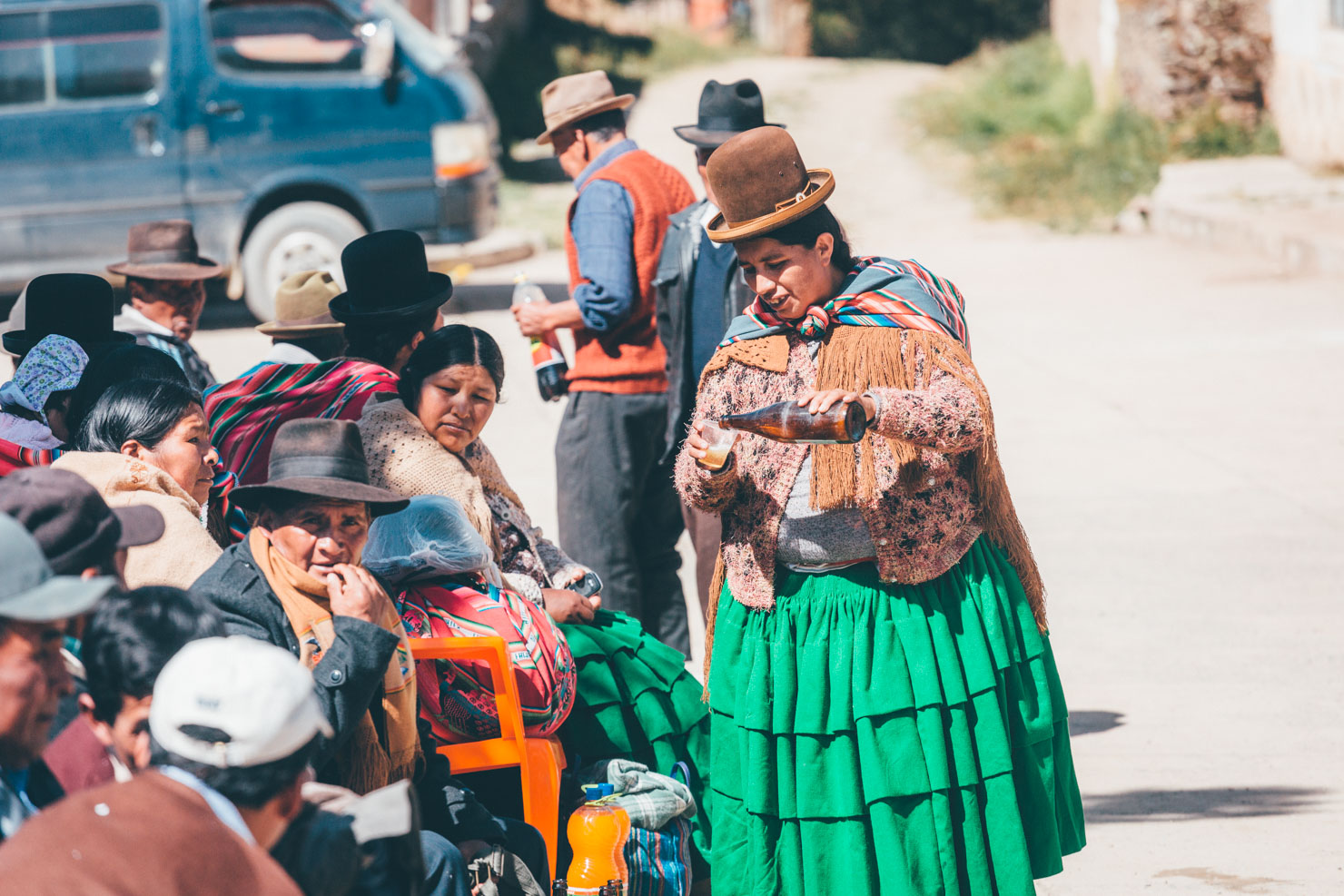
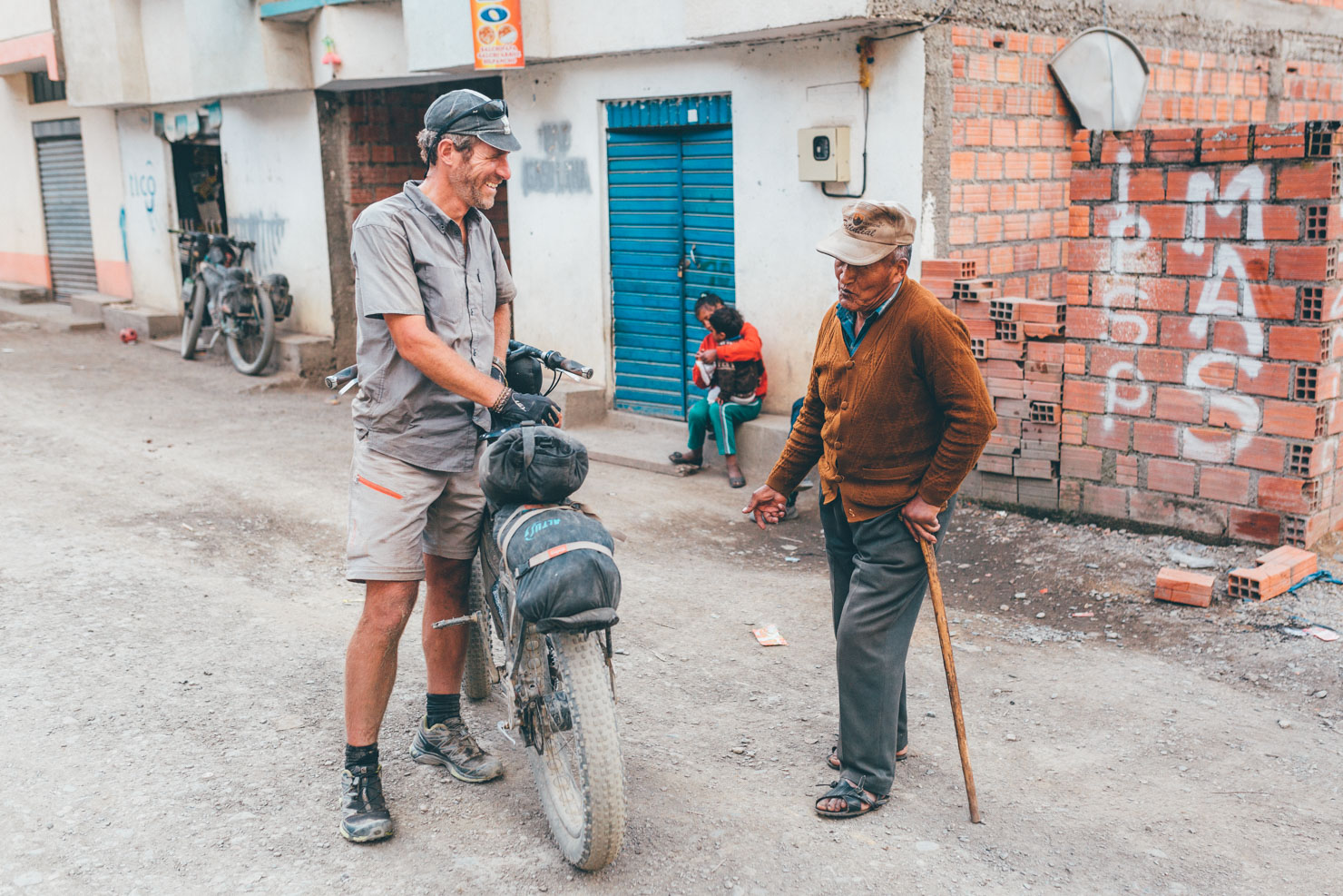
Expect incredible hospitality, tasty cuisine (especially compared to the fare to be found on the Altiplano), and some of the steepest, most unrelenting climbs you’ll have the pleasure of riding in the Andes. Although the distance is relatively short, the challenging terrain and humidity make this a tough loop. Consider breaking it up with a day off in the friendly town of Chulumani, where there’s plenty of good accommodation options, including some traveler-friendly digs.
For an account of our ride on the site, check out the Story Death Road and Coca Leaves: Bikepacking the Yungas.
See Trail Notes below, for a few singletrack possibilities off La Cumbre pass.


Submit Route Alert
As the leading creator and publisher of bikepacking routes, BIKEPACKING.com endeavors to maintain, improve, and advocate for our growing network of bikepacking routes all over the world. As such, our editorial team, route creators, and Route Stewards serve as mediators for route improvements and opportunities for connectivity, conservation, and community growth around these routes. To facilitate these efforts, we rely on our Bikepacking Collective and the greater bikepacking community to call attention to critical issues and opportunities that are discovered while riding these routes. If you have a vital issue or opportunity regarding this route that pertains to one of the subjects below, please let us know:
Highlights
Must Know
Camping
Food/H2O
Trail Notes
Resources
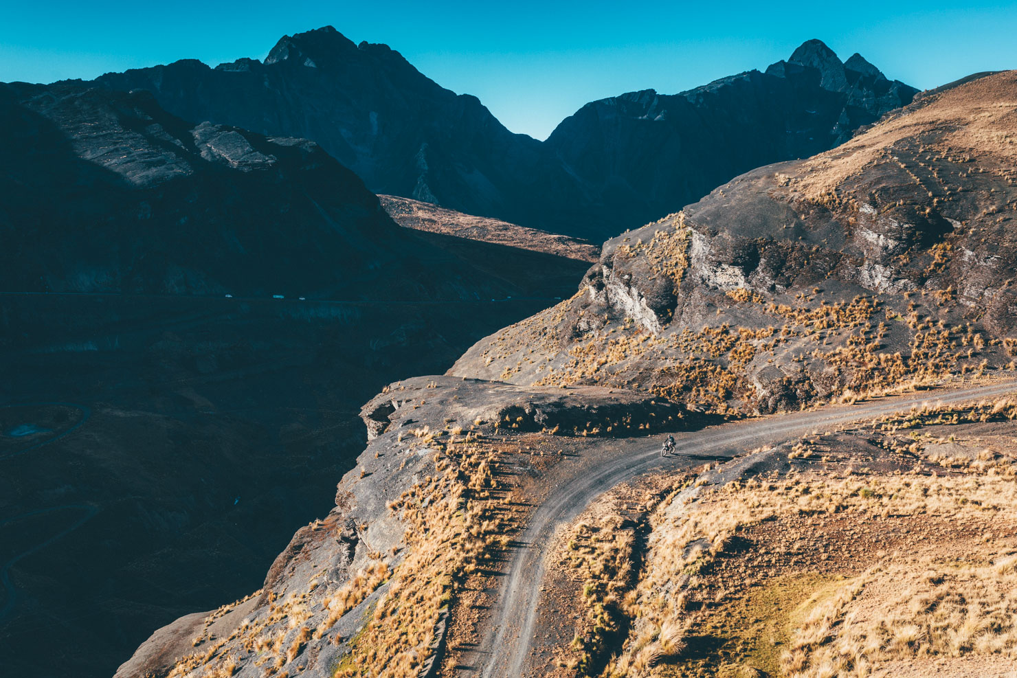
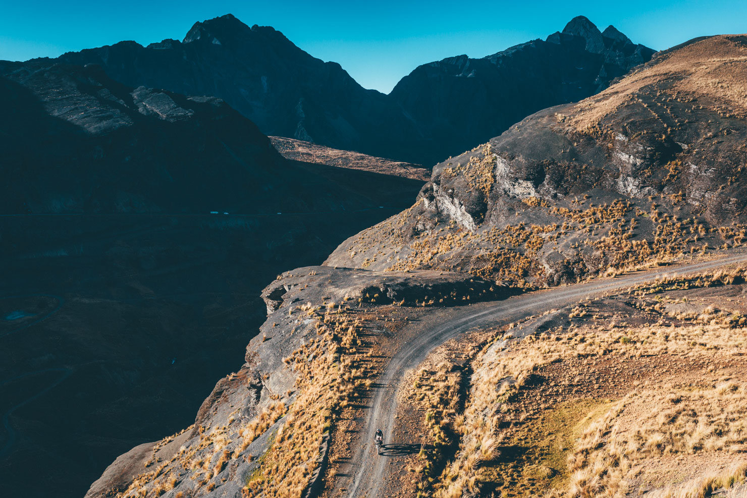
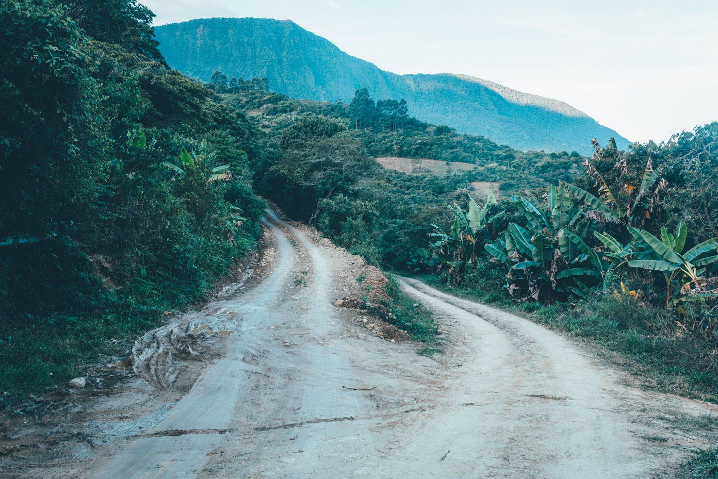
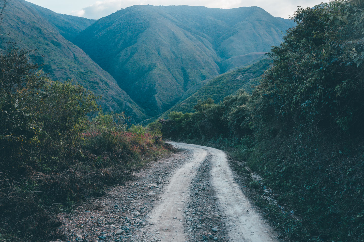
- The descent from Cumbres pass is a stunner. Almost all unpaved, it links up with the fabled (but touristy) Death Road.
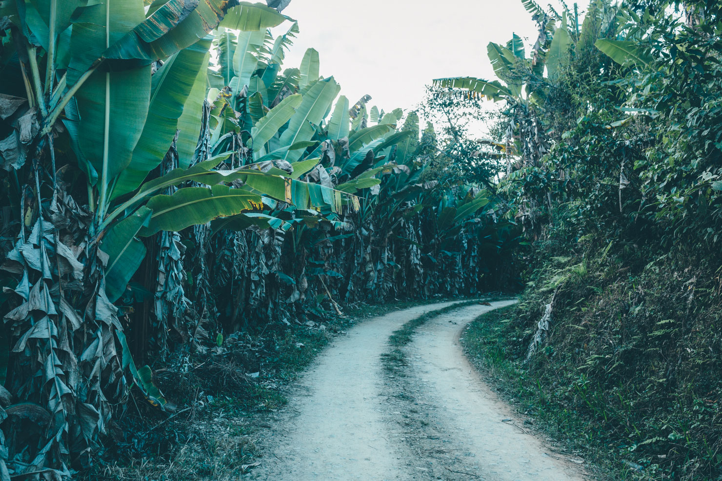
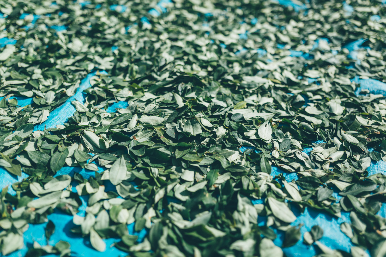
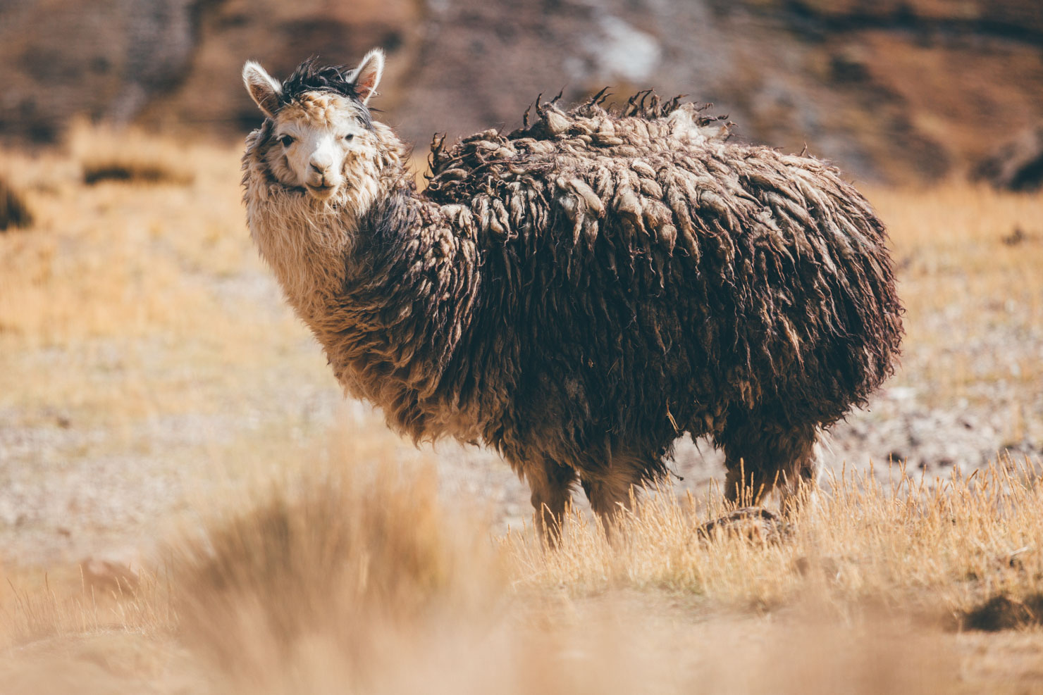
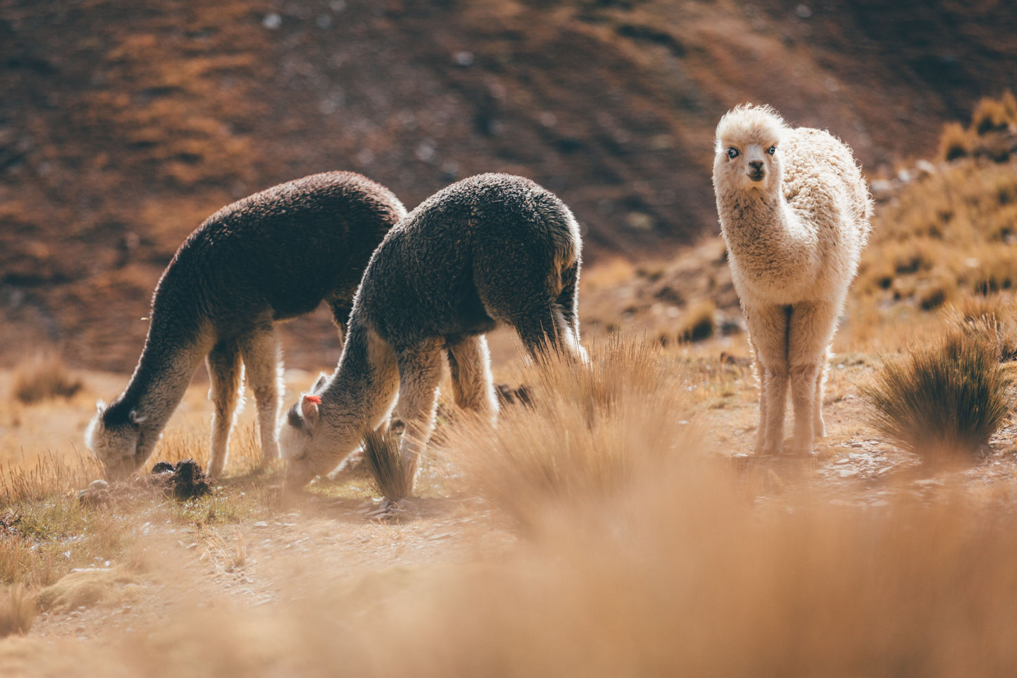
- Terraced fields abundant with fruit trees and coca plants, showing a completely different side to the country.
- Good food. Yes, compared to the Altiplano, the Yungas offers tasty, cheap and varied sustenance, with fancy condiments like fresh fruit and vegetables!
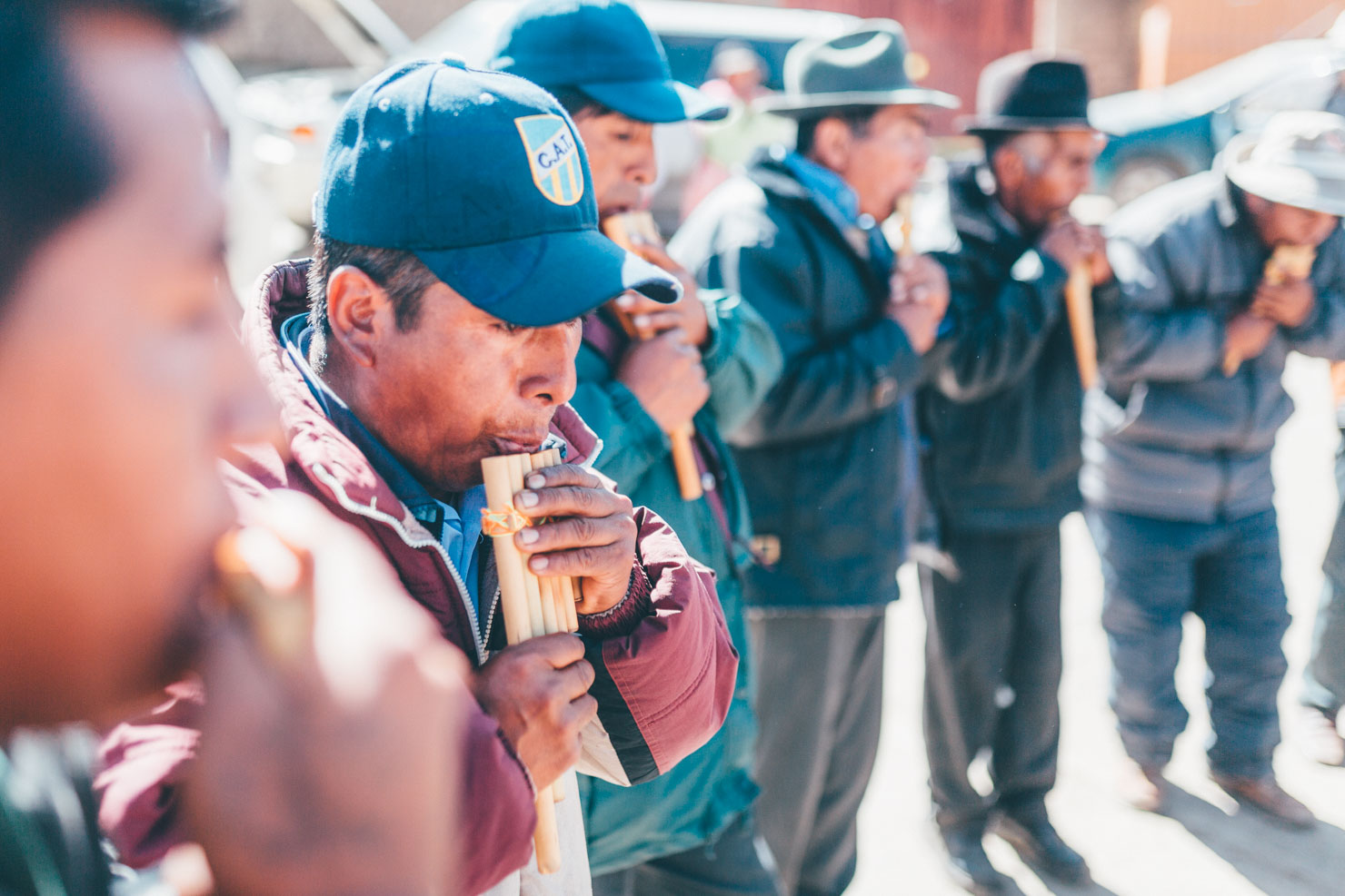
- Bolivia gets a bad rap for surly hospitality. A visit to the Yungas is sure to leave you preaching the country’s friendliness.
- Challenging terrain! Boasting amongst the steepest, hilliest inclines on the continent, this loop will whip you into shape.
- No bus connections necessary! As hectic as La Paz can be, the peace and tranquility of the mountains are just an hour or two away by bike.
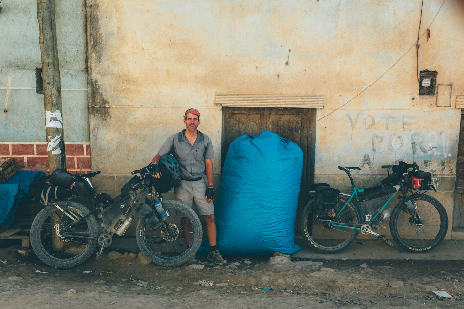
- Bikepackers beware: don’t wear a backpack! Unless you want to bathe in your own sweat all day…
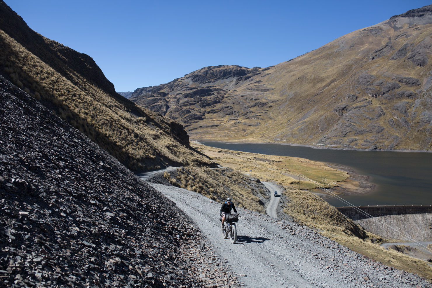
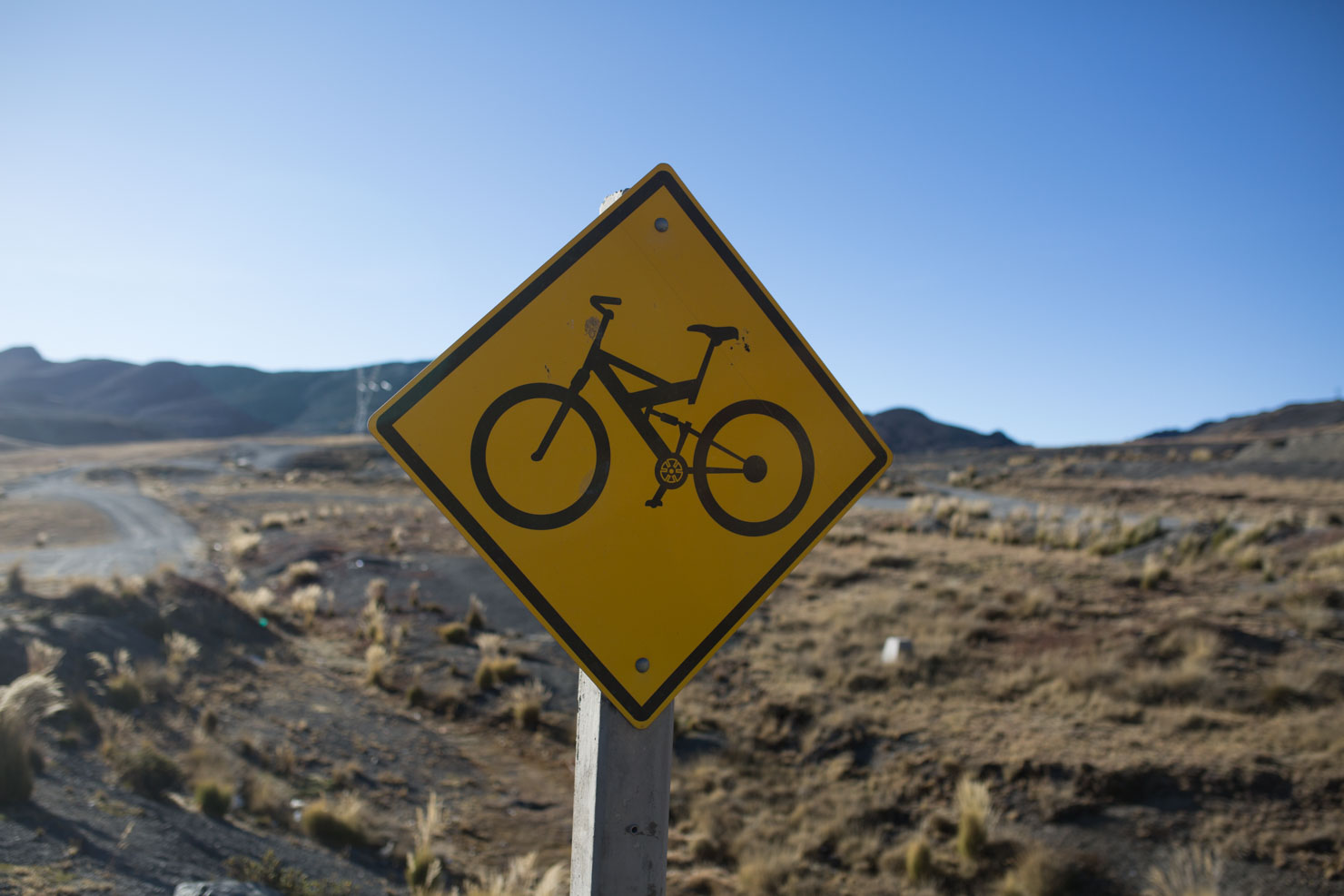
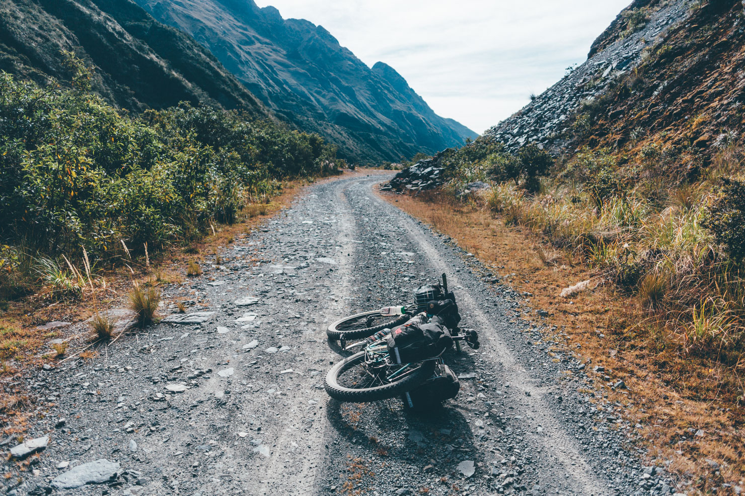
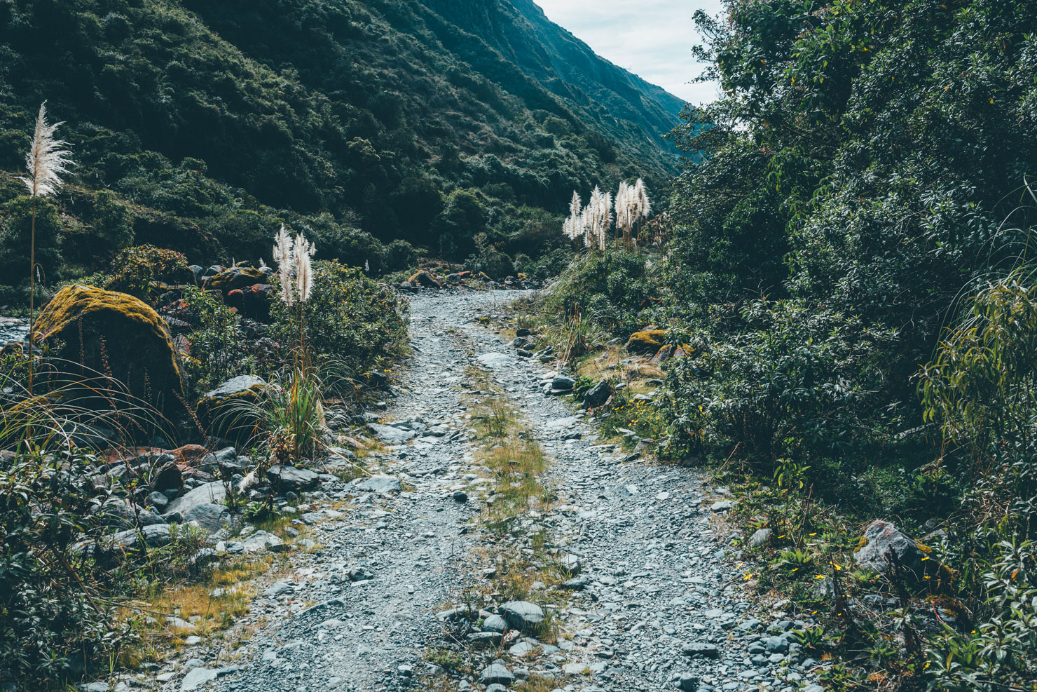
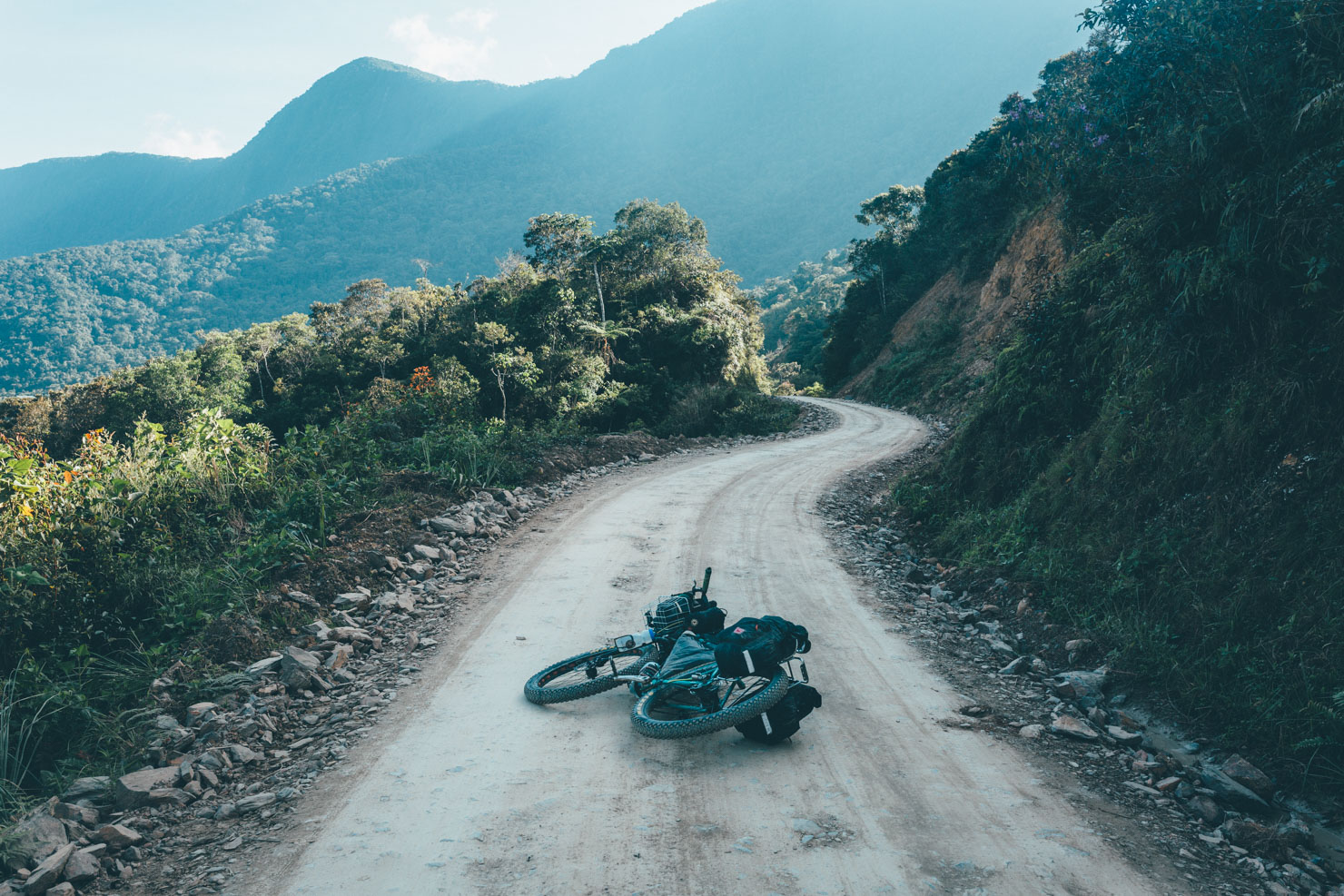
- Almost all this loop is off pavement. The surfaces can be rough, dusty and occasionally stony. Any mountain bike will be fine, though we were certainly glad to have fat and plus tires.
- A bug spray can be useful. We weren’t bitten much, but the lower elevations can induce frenzied ankle scratching amongst some people.
- Brian used the excellent Garmin Oregon 600, with maps downloaded from openmtbmap.org. I’d have supplemented these with those on my iPhone’s Gaia app, but unfortunately I wasn’t able to download the relevant basemaps, due to a poor internet connection in La Paz.
- April to October – the dry season – is the best time to ride this loop, though expect high temperatures too. The area is prone to mudslides in the rainy season – especially December to February.
- Something of a tourist cash cow, there is a fee of 50B to ride the Death Road; somewhat confusingly, this is collected in two 25B instalments along the way.
- Given that there is rarely any level riding in the Yungas, camping is best found on football pitches. Almost every village has them. Otherwise, ask around. The friendly locals will find you a spot.
- All towns will offer accommodation, from a few dollars and upwards. Sometimes it’s worth it for the shower!
- Although we didn’t stay there, the traveller-friendly Country House in Chulumani (10$ per bed) looked like a great place to spend a day off. The English-speaking owner is extremely knowledgeable too.
- Food is plentiful, thanks to the multitude of resupply points. Every town has restaurants open at lunch and dinner. And every village has a basic store. We were gifted some of the abundantly growing fruit too.
- Given all the streams, rivers and waterfalls, a lack of H20 is rarely a cause for concern. Just make sure you have the capacity to carry several litres, as the climbs can be hot and unrelenting.
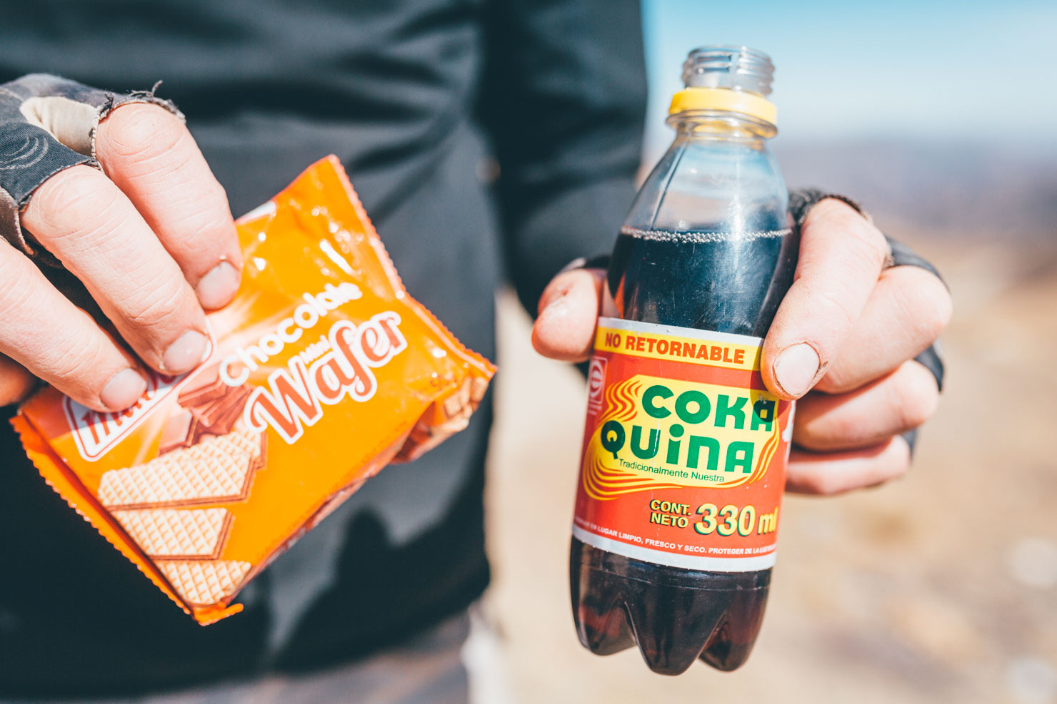
- Mocochinchi, a local peach juice which lurk the remnants of a shrivelled fruit, make a great local refreshment.
- Coka Quina is better than Coca Cola! It’s less sugary, cheaper, and proudly made in Bolivia!
Although the vast majority of this route is unpaved roads of varying quality, there are a few possibilities for singletrack shortcuts. These are to be found coming off the Cumbres Pass (approx 26km). Keep an eye out for some sweet trails that local mountain bikers use.
At Km 21, we’ve included a dirt road alternative to pavement (Ruta 3) – skimming off a few kilometres of blacktop on the way up the Cumbres Pass. We didn’t take it, as we weren’t sure at the time if it linked up on the other side. Satellite imagery suggests it does, though it could be closed to public use. Ask to be sure.
Additional Resources
- The route was inspired by the Kohani to La Paz route on the excellent Andes by Bikes website; the difference being that it’s a loop in and out of La Paz, and it digs a little deeper in the backcountry.
- Read Brian’s account of our ride here.
- For my write-up, check out the Story Death Road and Coca Leaves: Bikepacking the Yungas.
- Lonely Planet’s Bolivia guidebook offers an overview of the area and region’s main attractions. It’s smartphone-friendly – chapters can be downloaded individually.


Terms of Use: As with each bikepacking route guide published on BIKEPACKING.com, should you choose to cycle this route, do so at your own risk. Prior to setting out check current local weather, conditions, and land/road closures. While riding, obey all public and private land use restrictions and rules, carry proper safety and navigational equipment, and of course, follow the #leavenotrace guidelines. The information found herein is simply a planning resource to be used as a point of inspiration in conjunction with your own due-diligence. In spite of the fact that this route, associated GPS track (GPX and maps), and all route guidelines were prepared under diligent research by the specified contributor and/or contributors, the accuracy of such and judgement of the author is not guaranteed. BIKEPACKING.com LLC, its partners, associates, and contributors are in no way liable for personal injury, damage to personal property, or any other such situation that might happen to individual riders cycling or following this route.
Please keep the conversation civil, constructive, and inclusive, or your comment will be removed.