


La Transgaspesie
Distance
277 Mi.
(446 KM)Days
7
% Unpaved
81%
% Singletrack
4%
% Rideable (time)
98%
Total Ascent
26,109'
(7,958 M)High Point
3,425'
(1,044 M)Difficulty (1-10)
5?
- 6Climbing Scale Moderate94 FT/MI (18 M/KM)
- -Technical Difficulty
- -Physical Demand
- -Resupply & Logistics
Contributed By
Jeremie Bourdages-Duclot
Guest Contributor
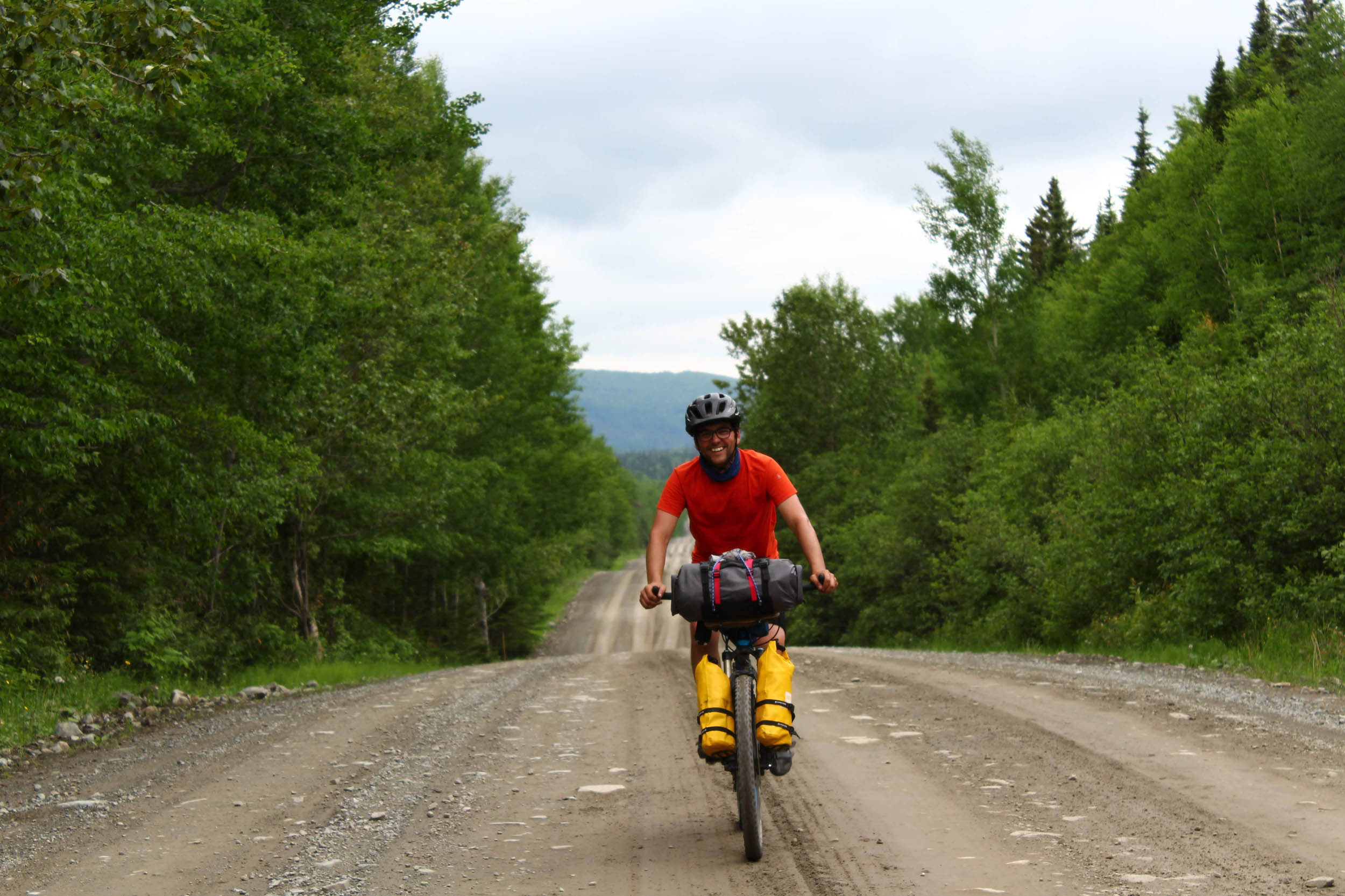
Jérémie is a physical education teacher and outdoor guide by trade, He spent his childhood summers exploring and playing on Gaspesian trails and beaches in this very area. He now dedicates his limited free time raising his kid, riding bikes, and writing stories. Follow along on Instagram @jeremiebourdagesduclot
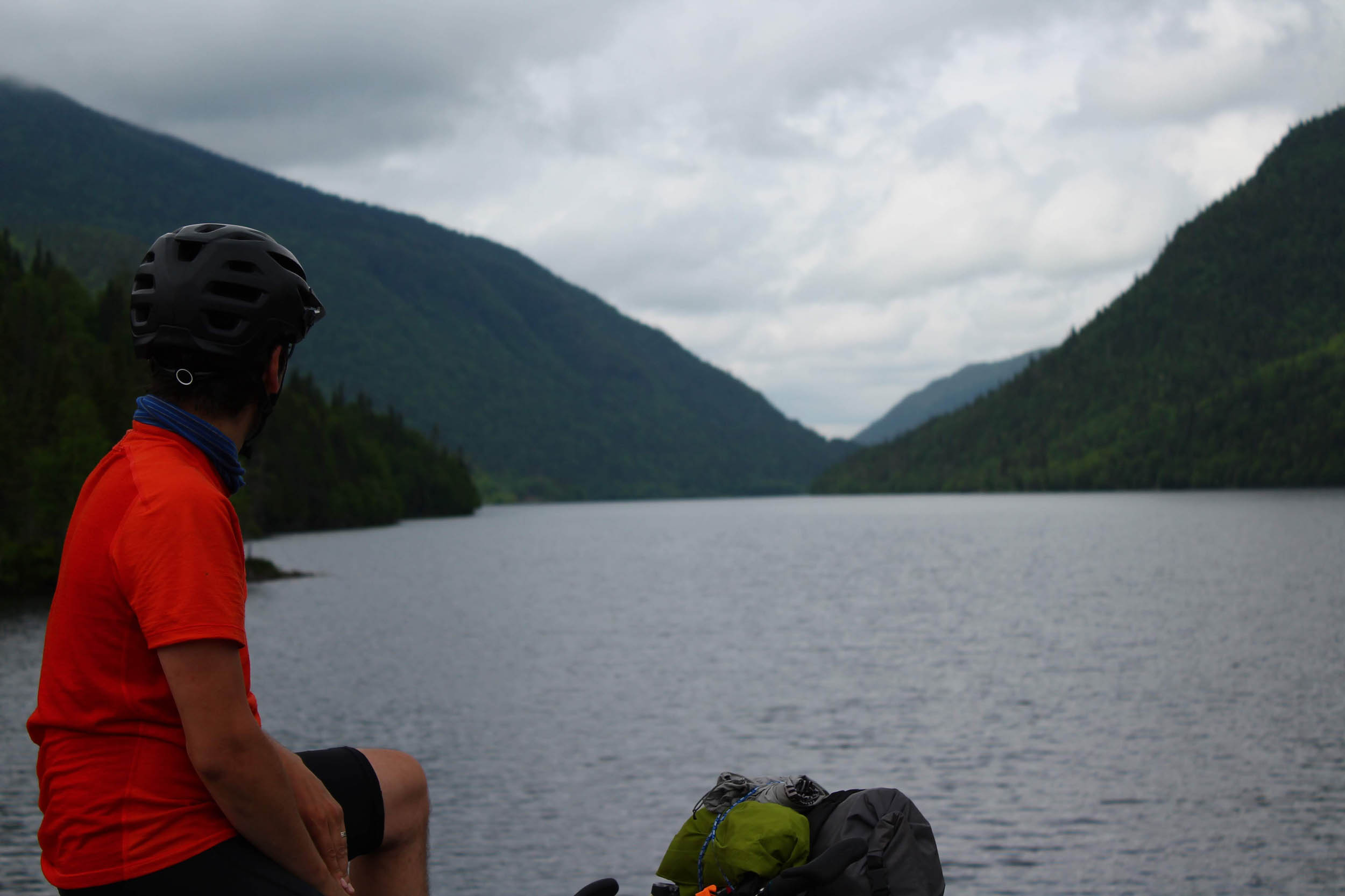
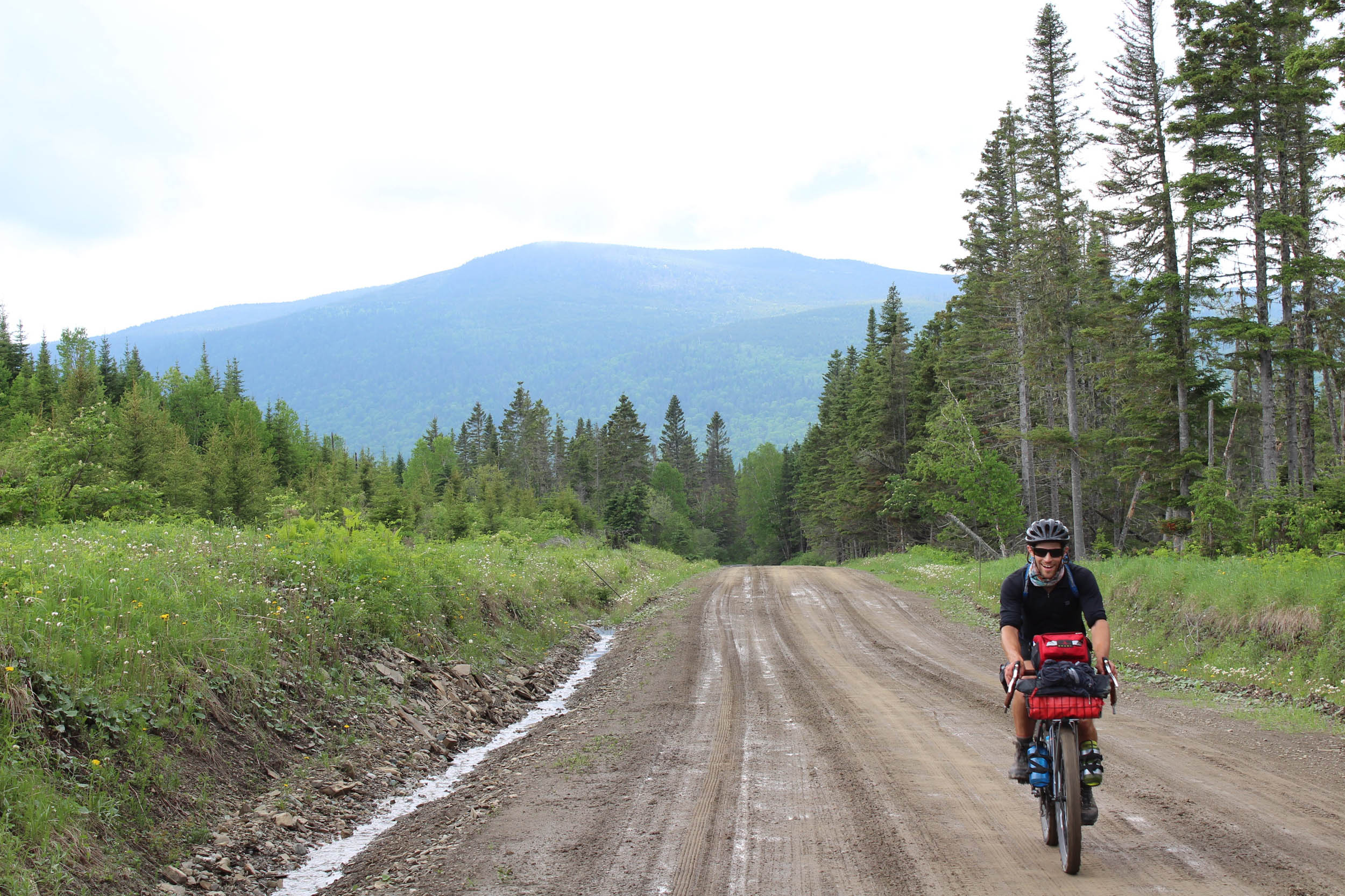
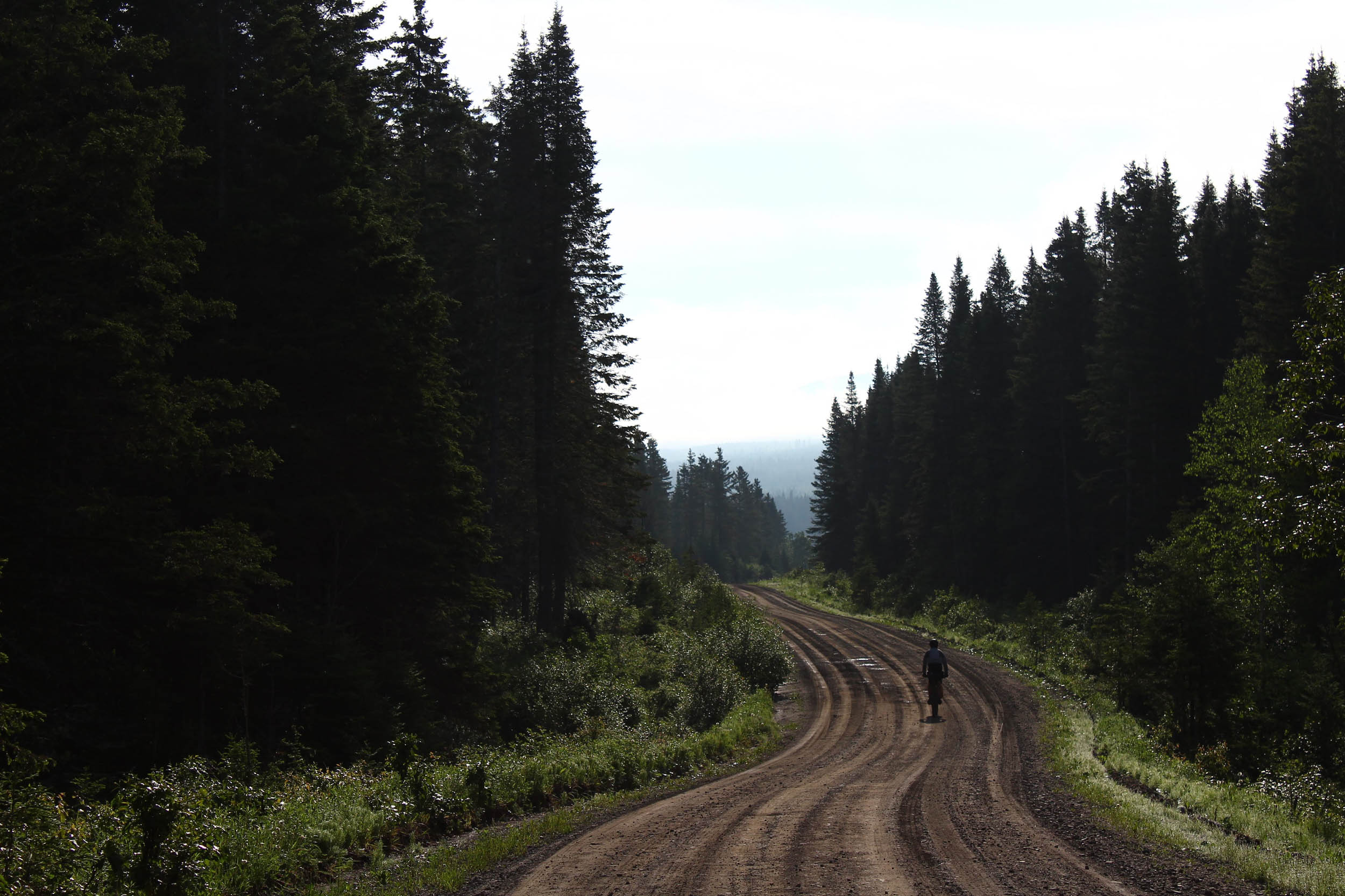
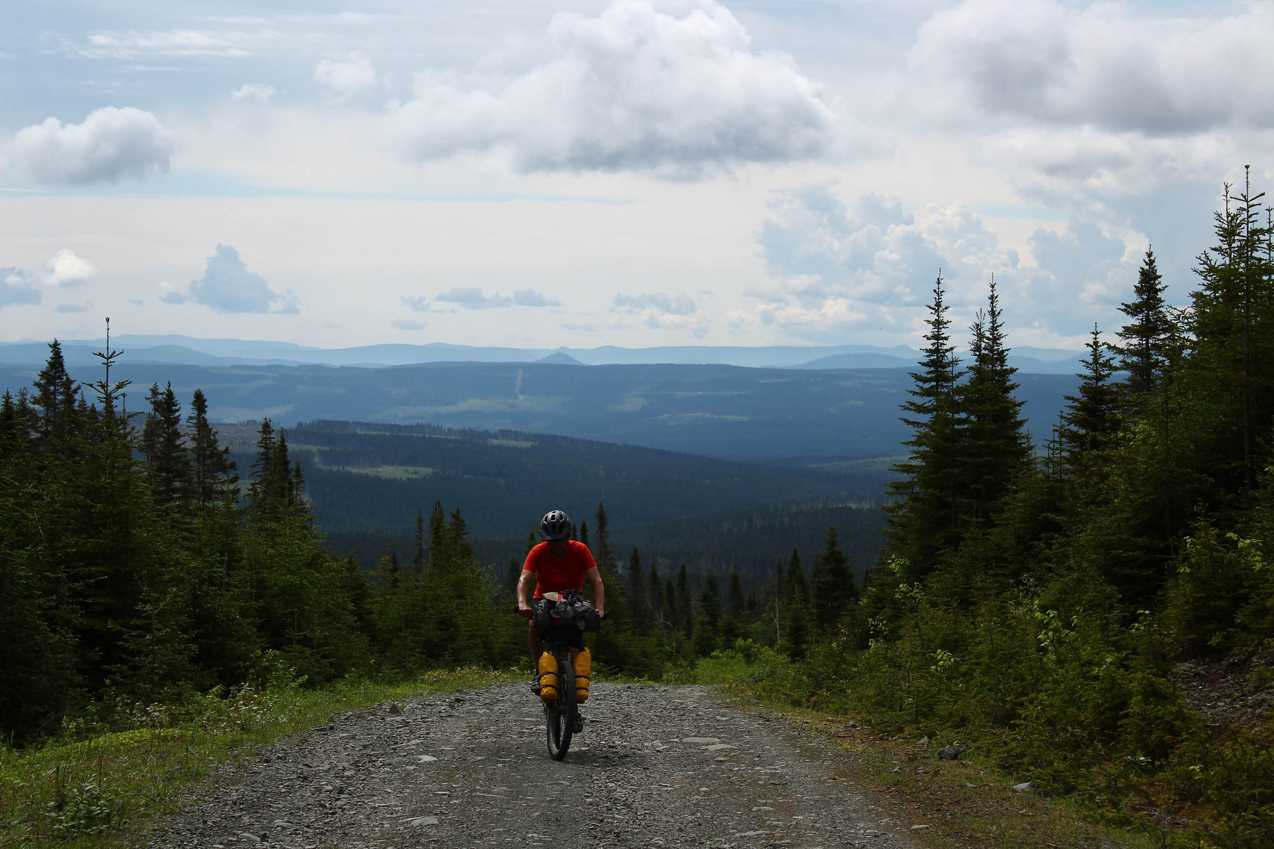
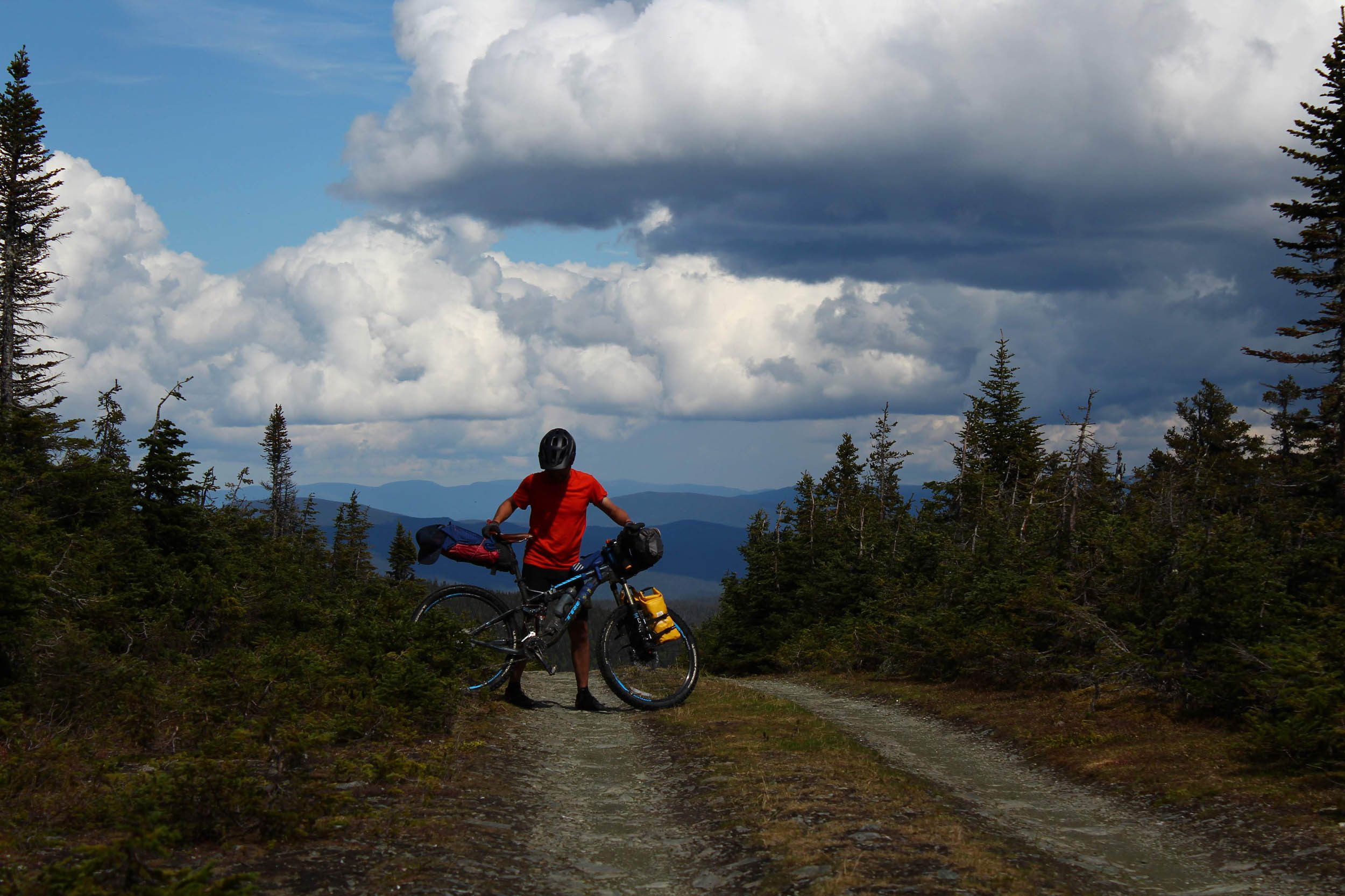
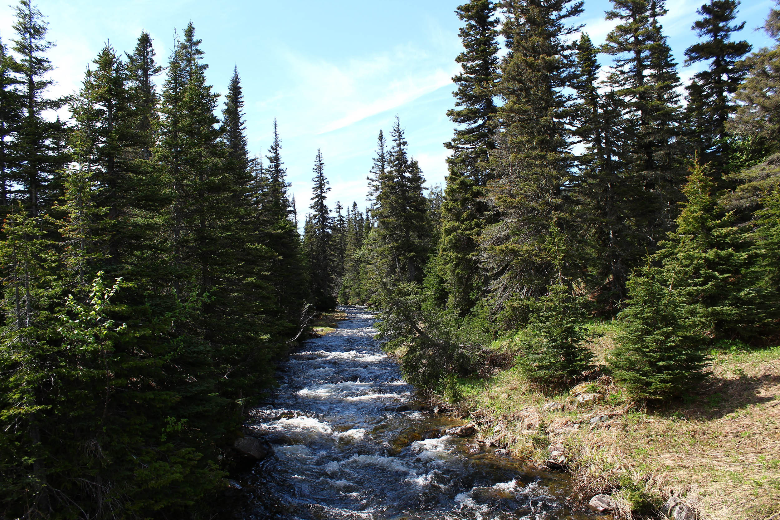
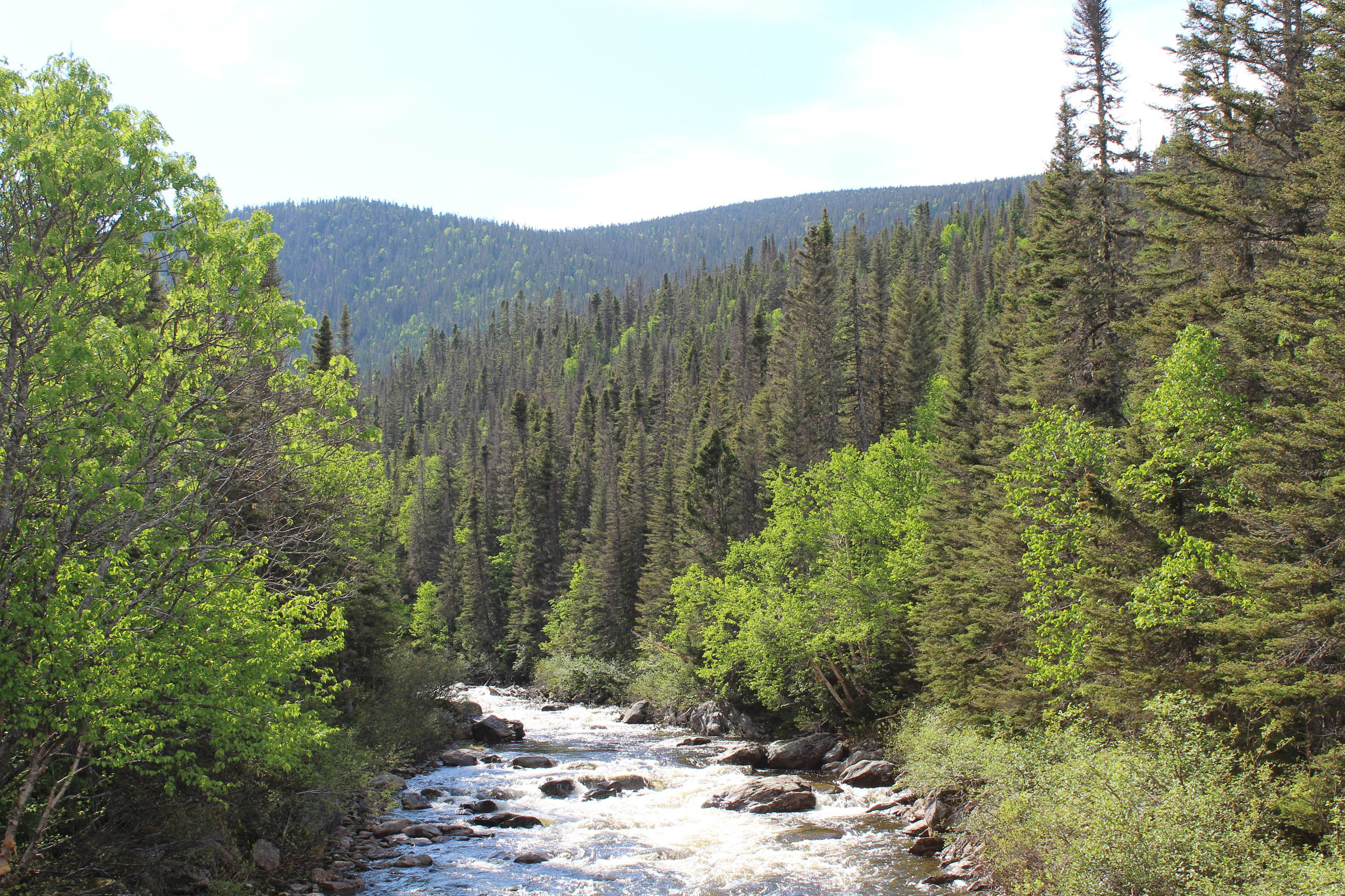
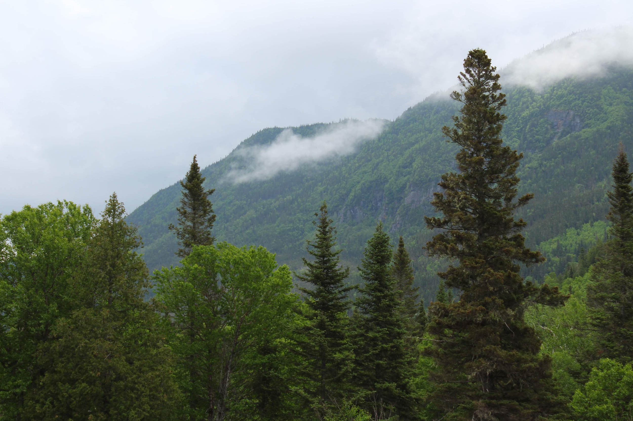
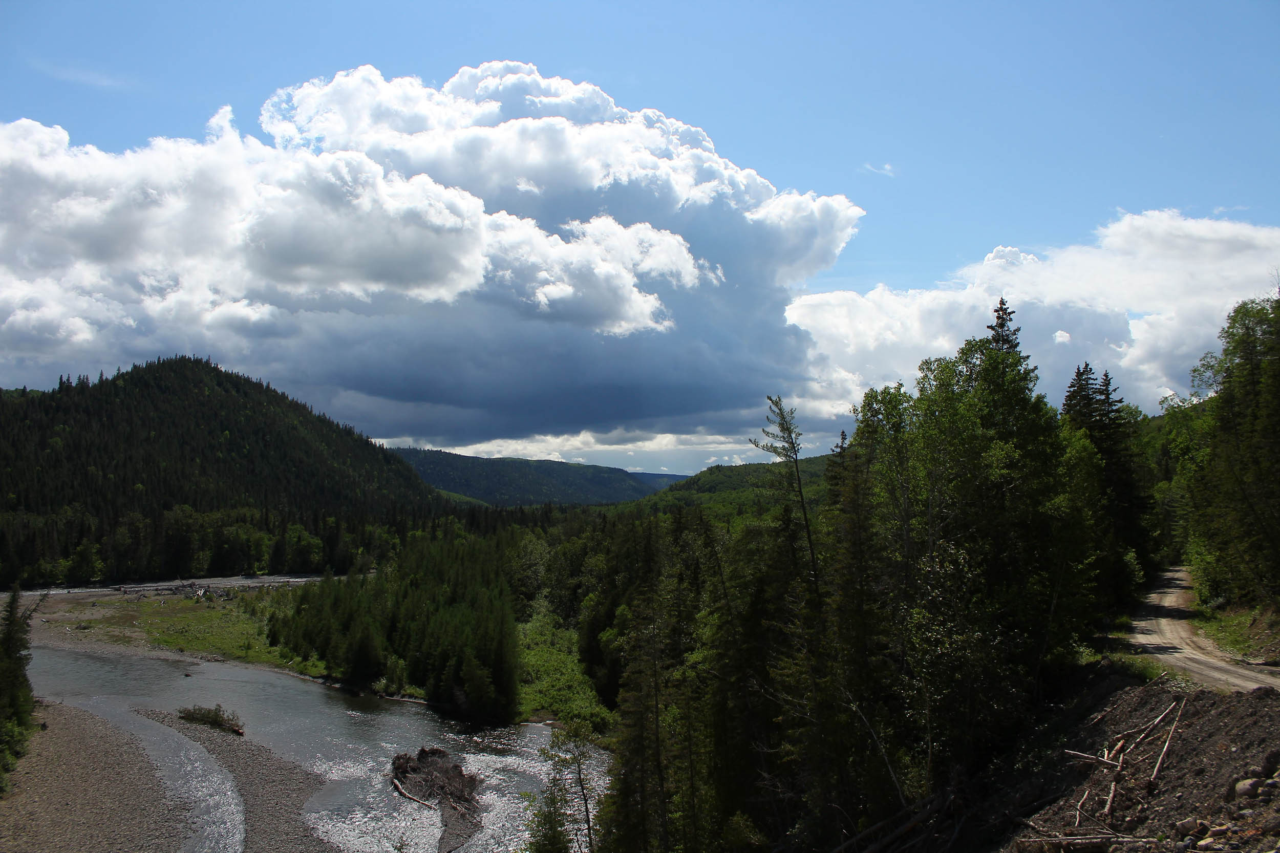
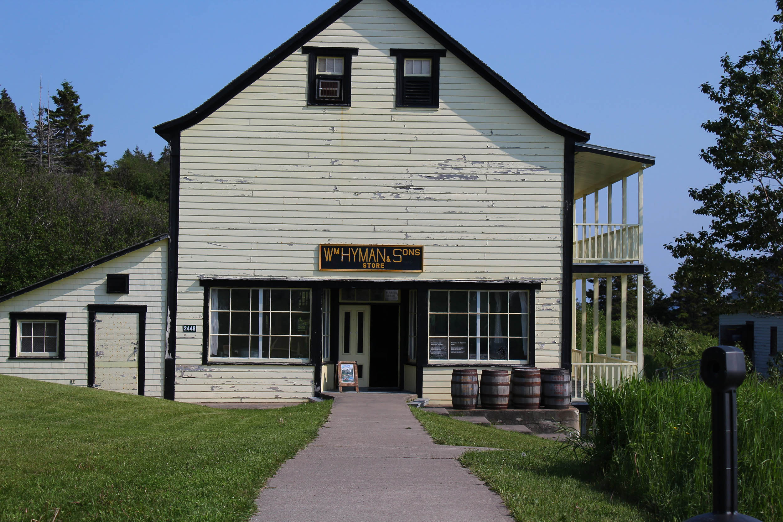
With the Chic-Choc Mountains, the sinuous coast caressed by the waves of the Saint-Lawrence Gulf, the thick and vast boreal forest, and salmon rivers with a worldwide reputation, the Gaspé Peninsula is probably one of the most beautiful places in Northeast America. Home to the Mi’kmaw Nation, it has welcomed, over the last three centuries, Acadians, Jersey Islands fishermen, Quebecers, and many more, hosting a variety of communities along its shores. If bike tourists from Québec are well aware of the classic Tour de la Gaspésie (the amazing trip around the peninsula via the paved route 132), there’s also a wilder option: La Transgaspésie, 445 kilometres across its spine.
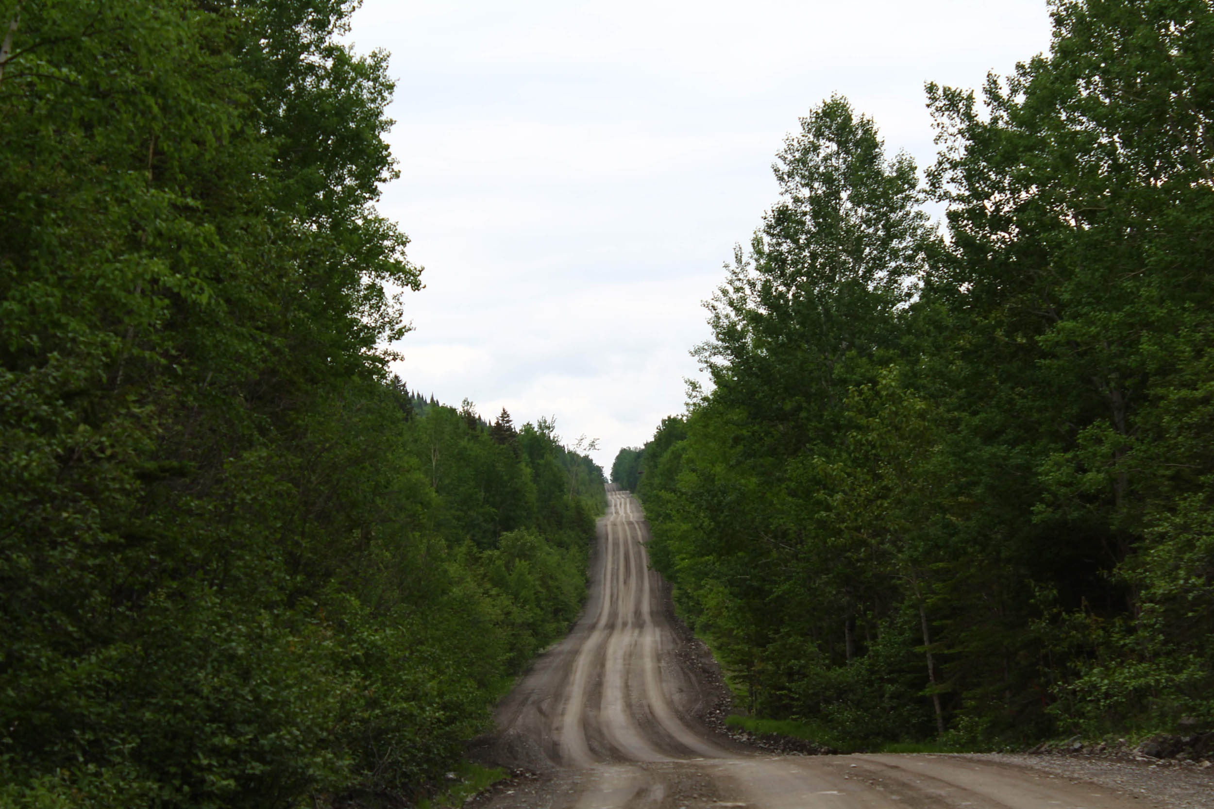
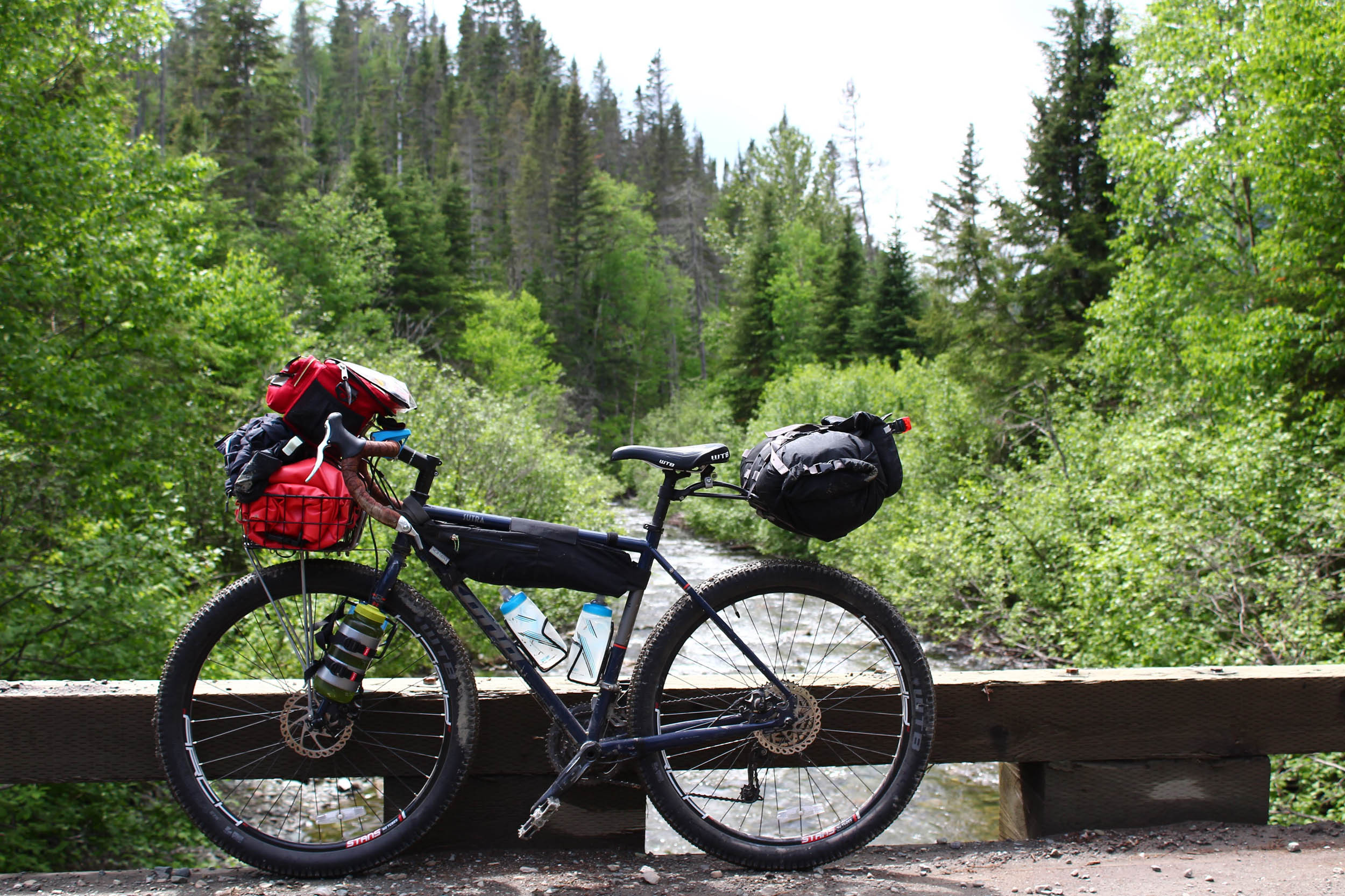
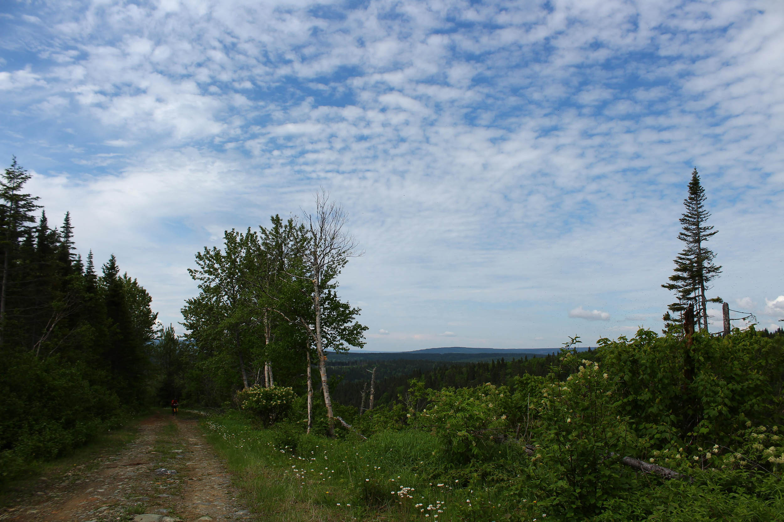
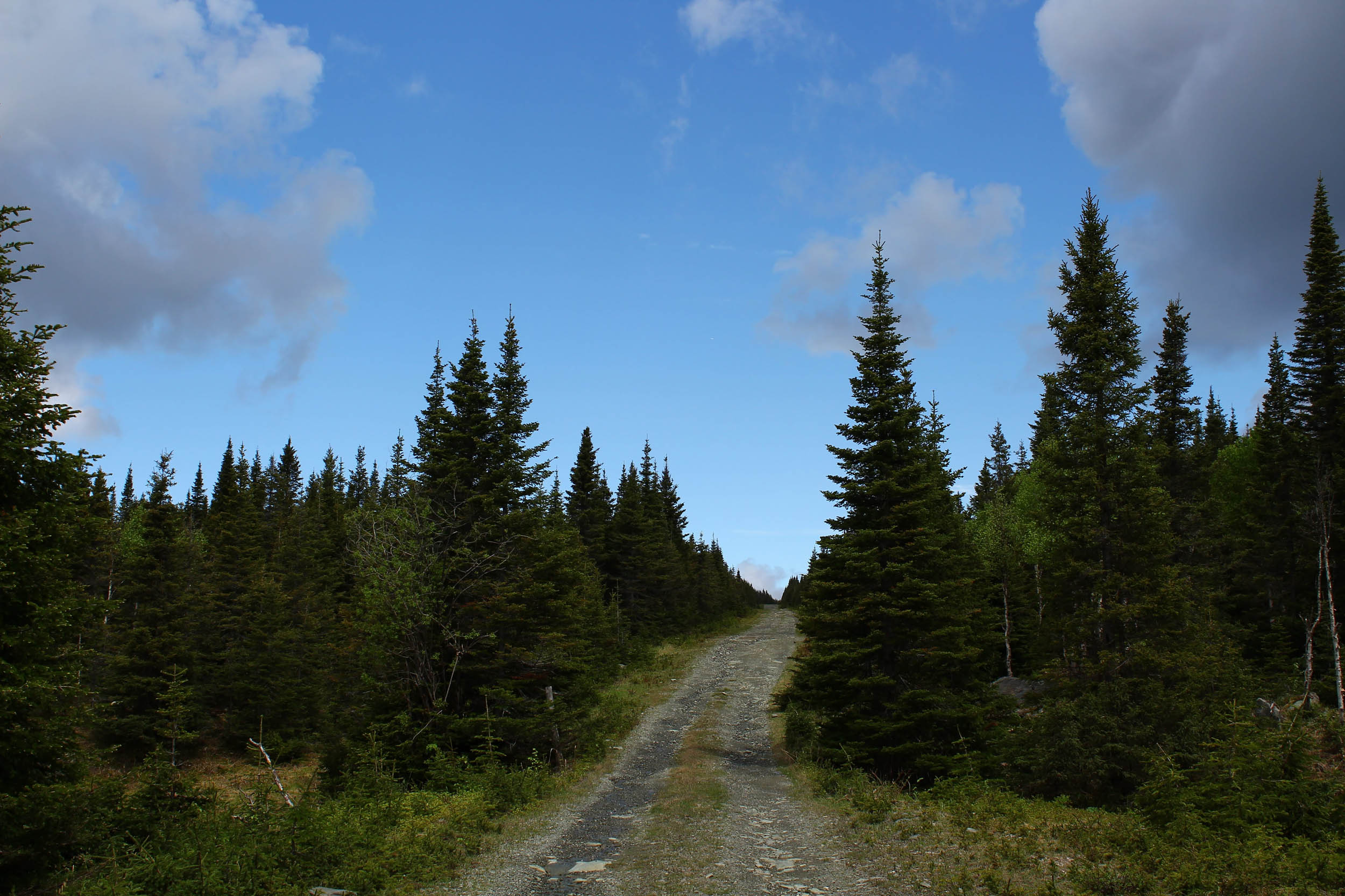
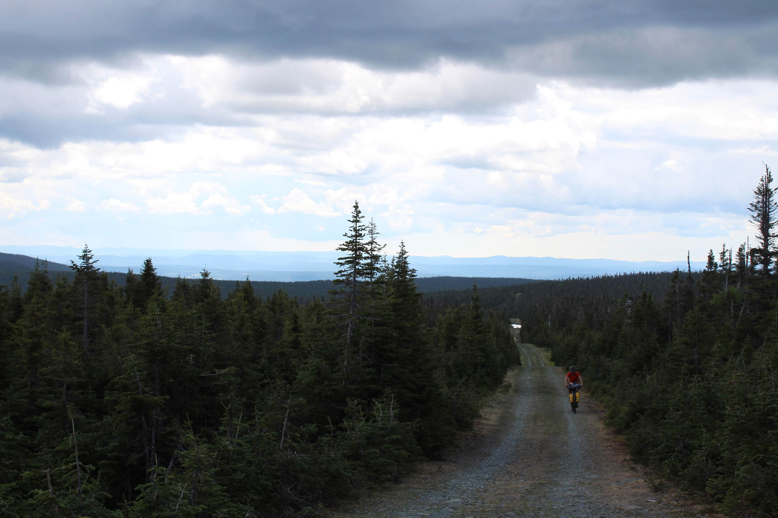
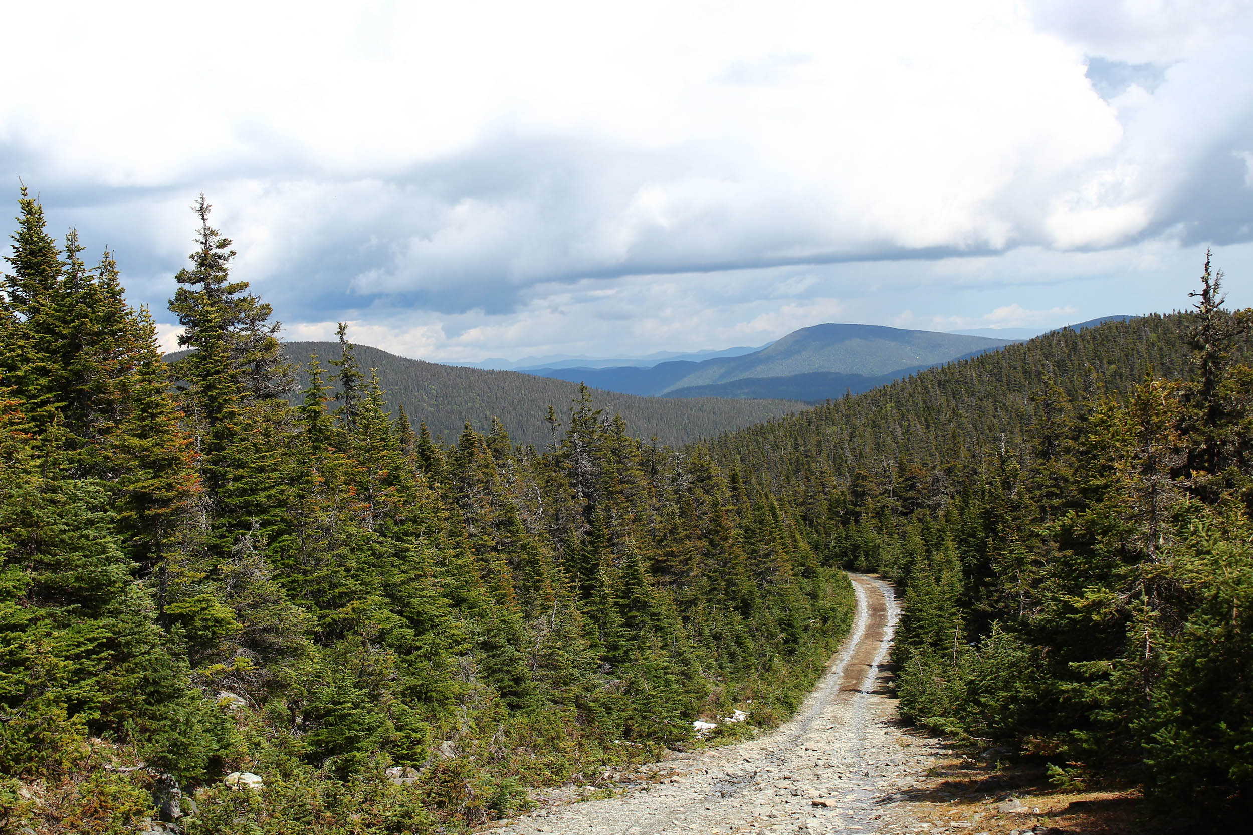
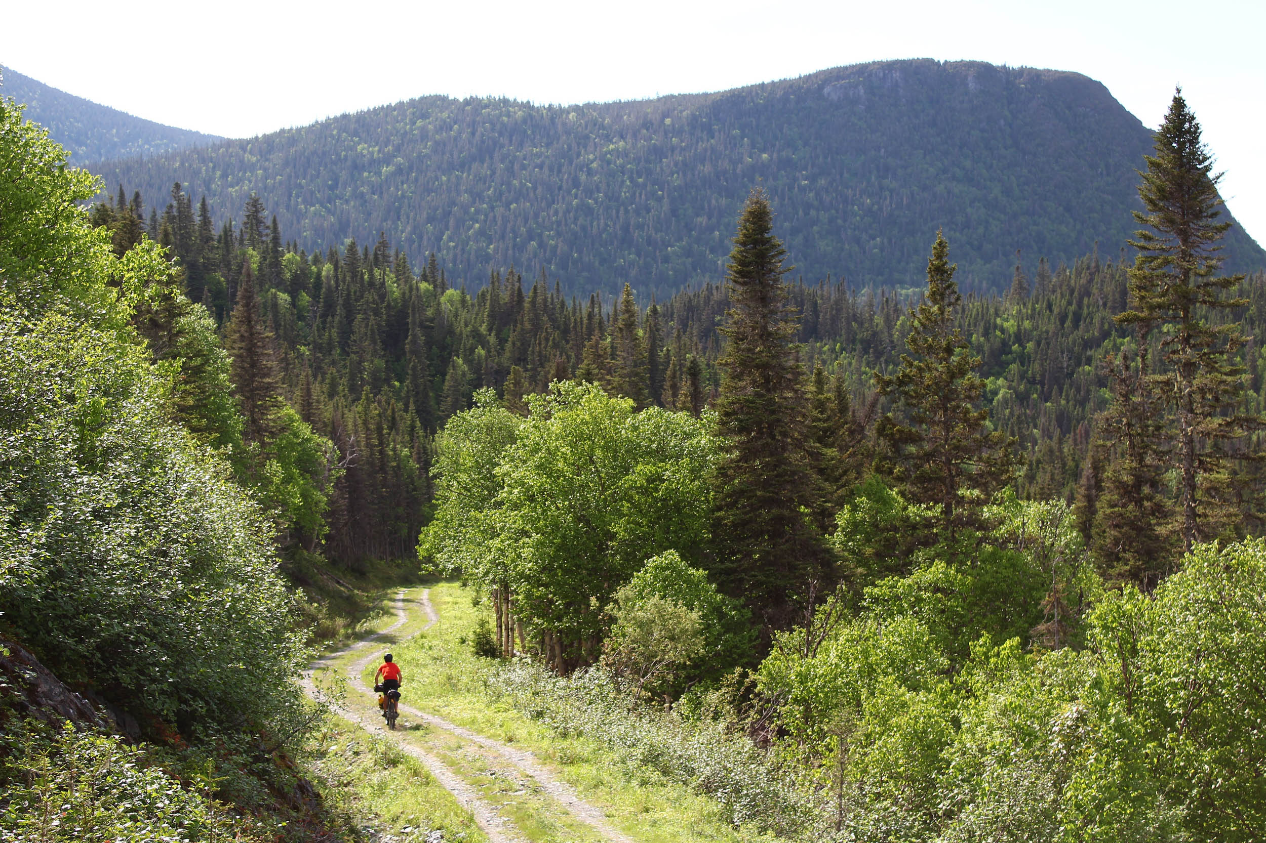
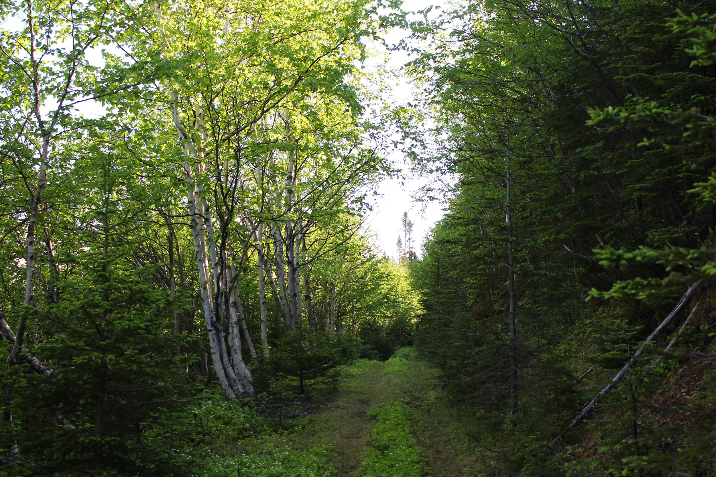
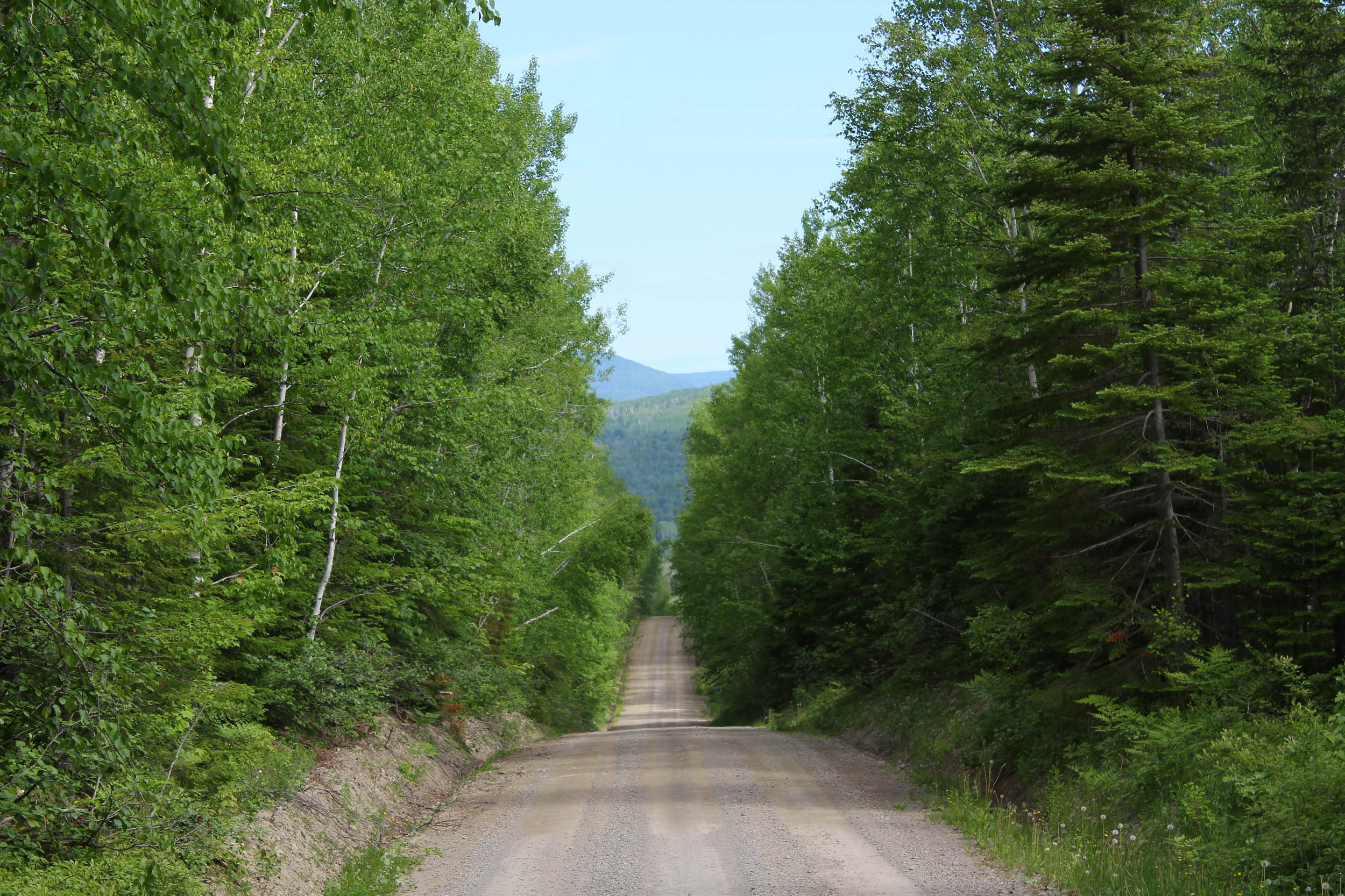
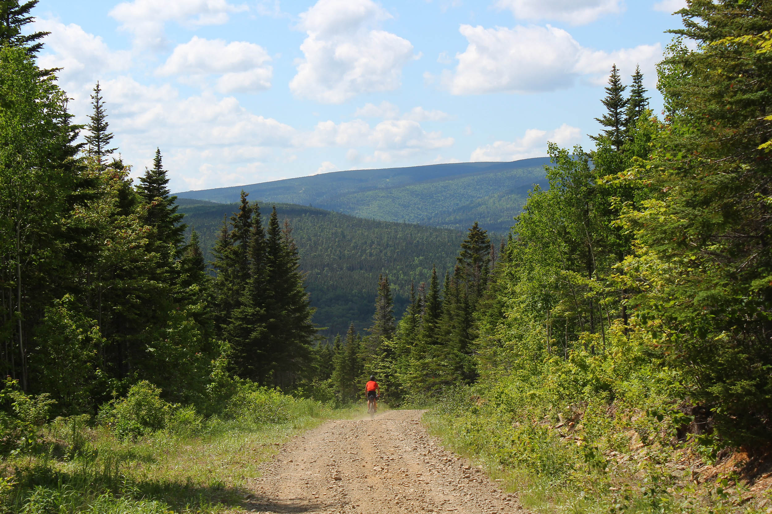
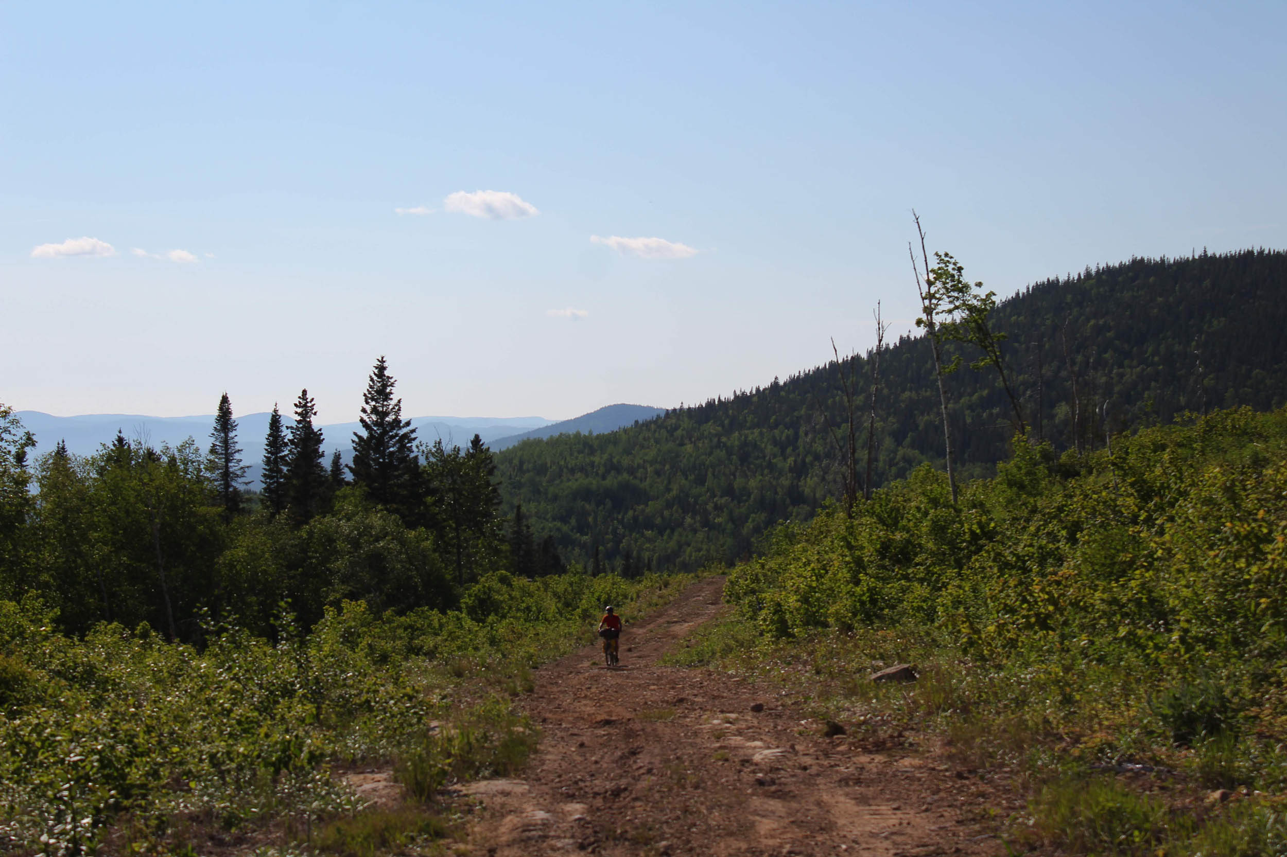
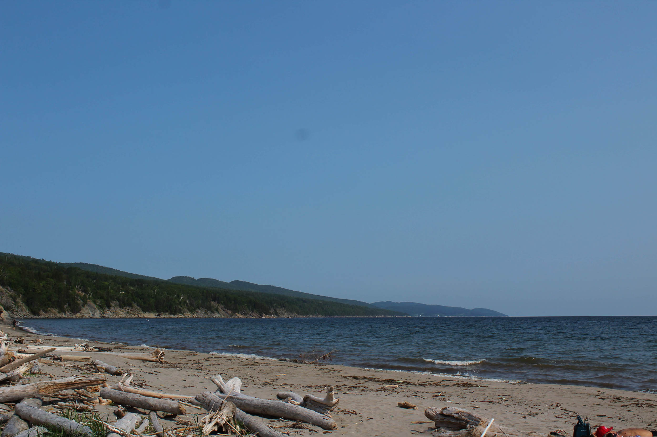
Composed of ATV trails, gravel roads, some pavement, and a few singletracks, this route is one of many contrasts. Departing from Amqui, you quickly dive into the Matane Wildlife Reserve where you will make the long ascent towards the Mount Logan uplands. From there, the impressive scenery reveals naked mountaintops and an alpine ecosystem before dropping onto big gravel roads and then smaller trails along the Saint-Jean River, one of Gaspé’s three salmon streams. Finally, you will climb switchback singletracks, start to smell the salty breeze, and after pushing through rough trails as you approach Land’s End, you will, at last, meet the open sea.
Route Difficulty
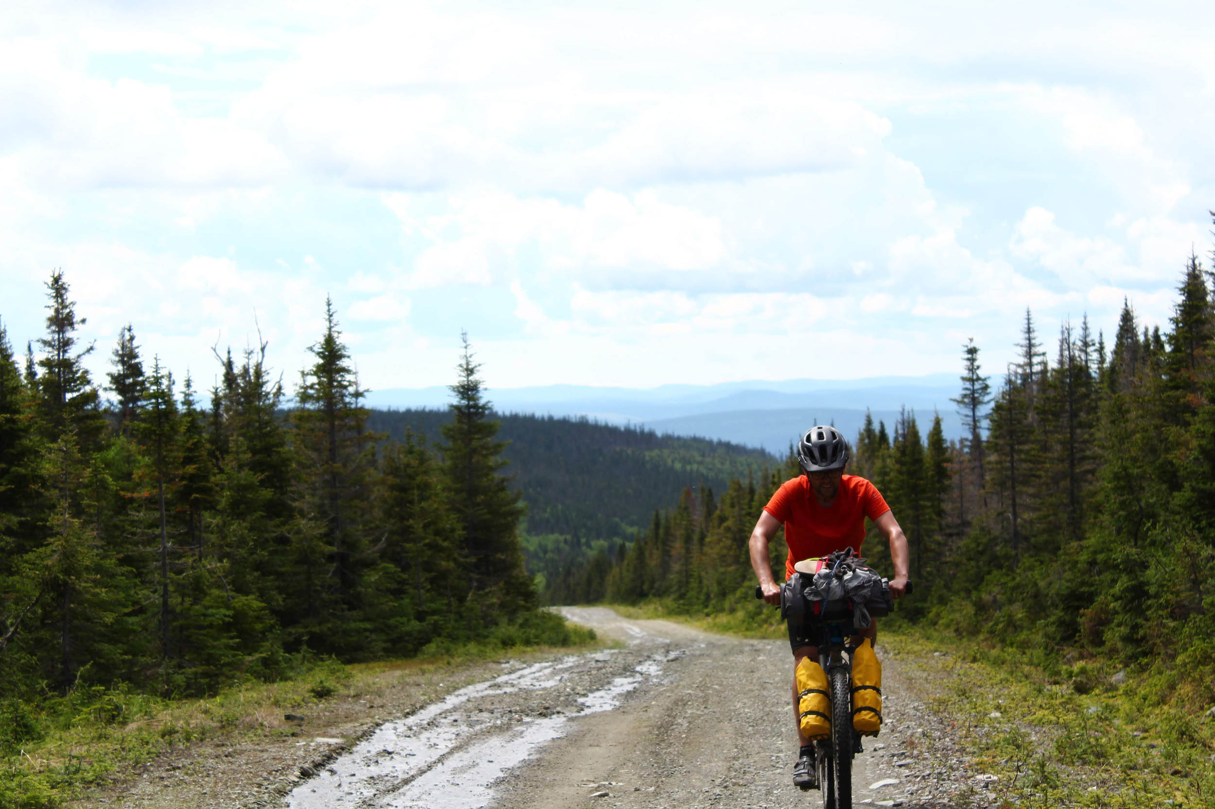
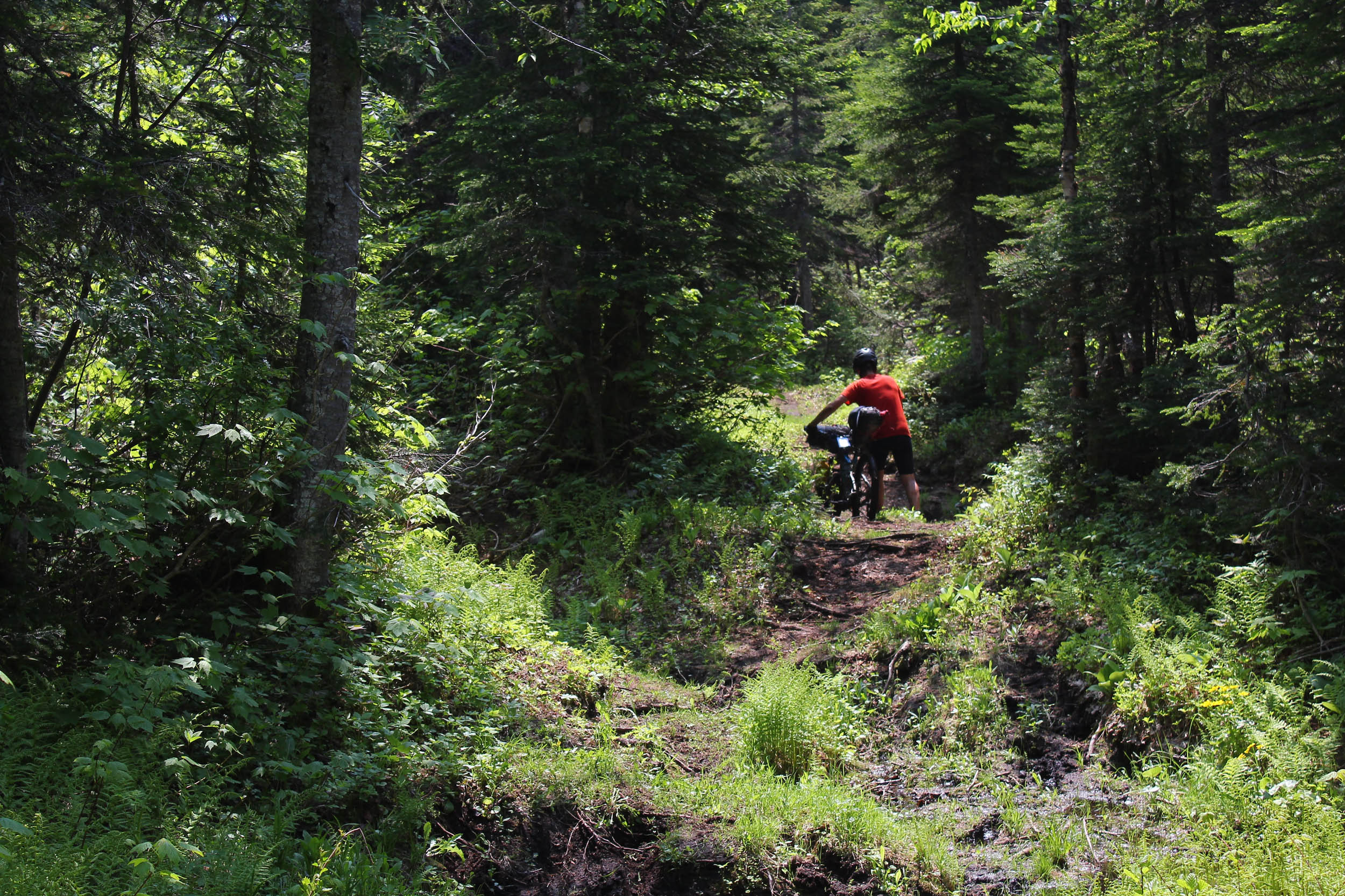
Out of 10, we gave this route 7 for physical demand, 3 for technical difficulty, and 4 for resupply and logistics. La Transgaspésie earns its rating mostly from its steep and long ascents. The climbs from Lac Joffre to Mont Dodge and the Sentier des Lacs in Forillon National Park are long and sometimes quite tough. There are also a few isolated segments on the route. The legit camping options are, between le Gîte du Mont Albert and Murdochville, almost inexistent. Otherwise, the ride is pretty much straightforward, has some clear resupply points, and—with the exception of the Noroît doubletrack, Béchervaise singletracks, and Sentier des Lacs—there aren’t any particularly technical sections.
Route Development
After discovering bikepacking in 2017 and riding a few BIKEPACKING.com classics, I had this idea of a Gaspé Peninsula traverse. Having spent all my childhood summers in this region, as well as living and working in this region for several years, I knew there was unlimited potential for creating epic off-road routes. Luc Cloutier and I met with two other guys for five days on the Green Mountain Gravel Growler. I shared my idea with them, and they were all in (although, in the end, only Luc and I were able to ride it). Luc, Jérémie Desmarais, and I worked on assembling the first half of the route. We owe the rest to the suggestions and local expertise of Bobby Cotton, mountain bike pioneer in the town of Gaspé. While writing these words, we are currently collaborating to unlock, maybe, some more singletrack miles in Forillon National Park. We’ll see where it all goes!
The original route, published on Quebec bikepacking Facebook pages, had a small detour via the subalpine area of the Vallières, thanks to the contribution of Guy Bouchard. But the Vallières trails used for this little spicy detour have since been destroyed by Wildlife Reserve employees in an effort to protect caribou from predators. To keep the route as clean and off-road as possible, I am grateful that Philippe Archambault and Marie-Josée Laforge shared with me the shortcut they took instead, between the Gîte du Mont-Albert and the Route du Lac-Sainte-Anne.


Submit Route Alert
As the leading creator and publisher of bikepacking routes, BIKEPACKING.com endeavors to maintain, improve, and advocate for our growing network of bikepacking routes all over the world. As such, our editorial team, route creators, and Route Stewards serve as mediators for route improvements and opportunities for connectivity, conservation, and community growth around these routes. To facilitate these efforts, we rely on our Bikepacking Collective and the greater bikepacking community to call attention to critical issues and opportunities that are discovered while riding these routes. If you have a vital issue or opportunity regarding this route that pertains to one of the subjects below, please let us know:
Highlights
Must Know
Camping
Food/H2O
Trail Notes
Resources
- The long but beautiful ascent up Mount Dodge
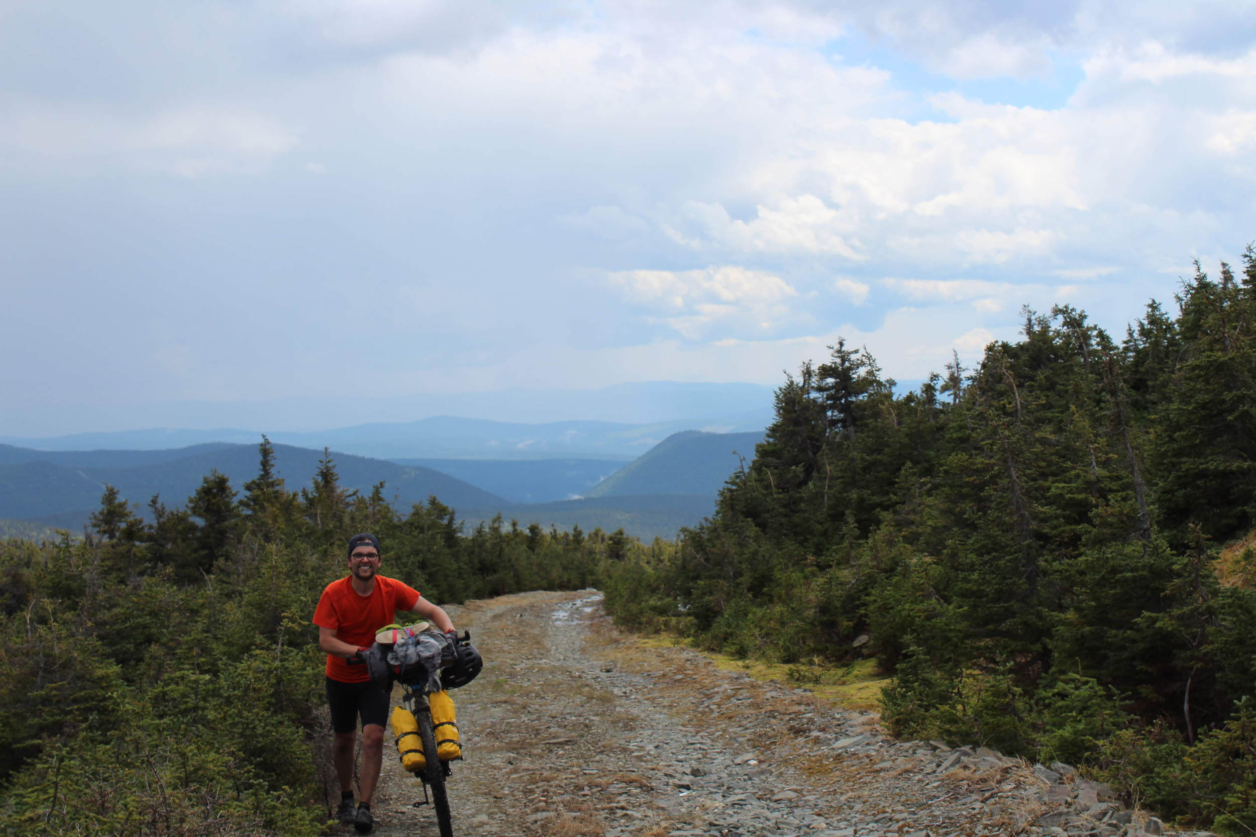
- The Noroît, a nice and rocky doubletrack offering magnificent views of the Gaspé National Park
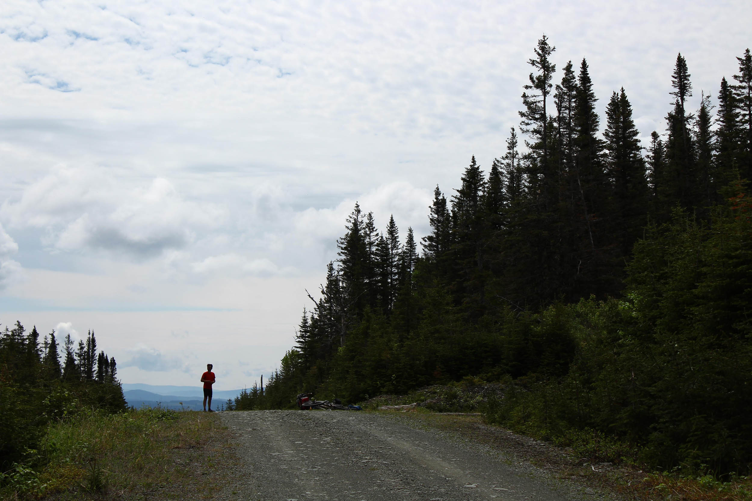
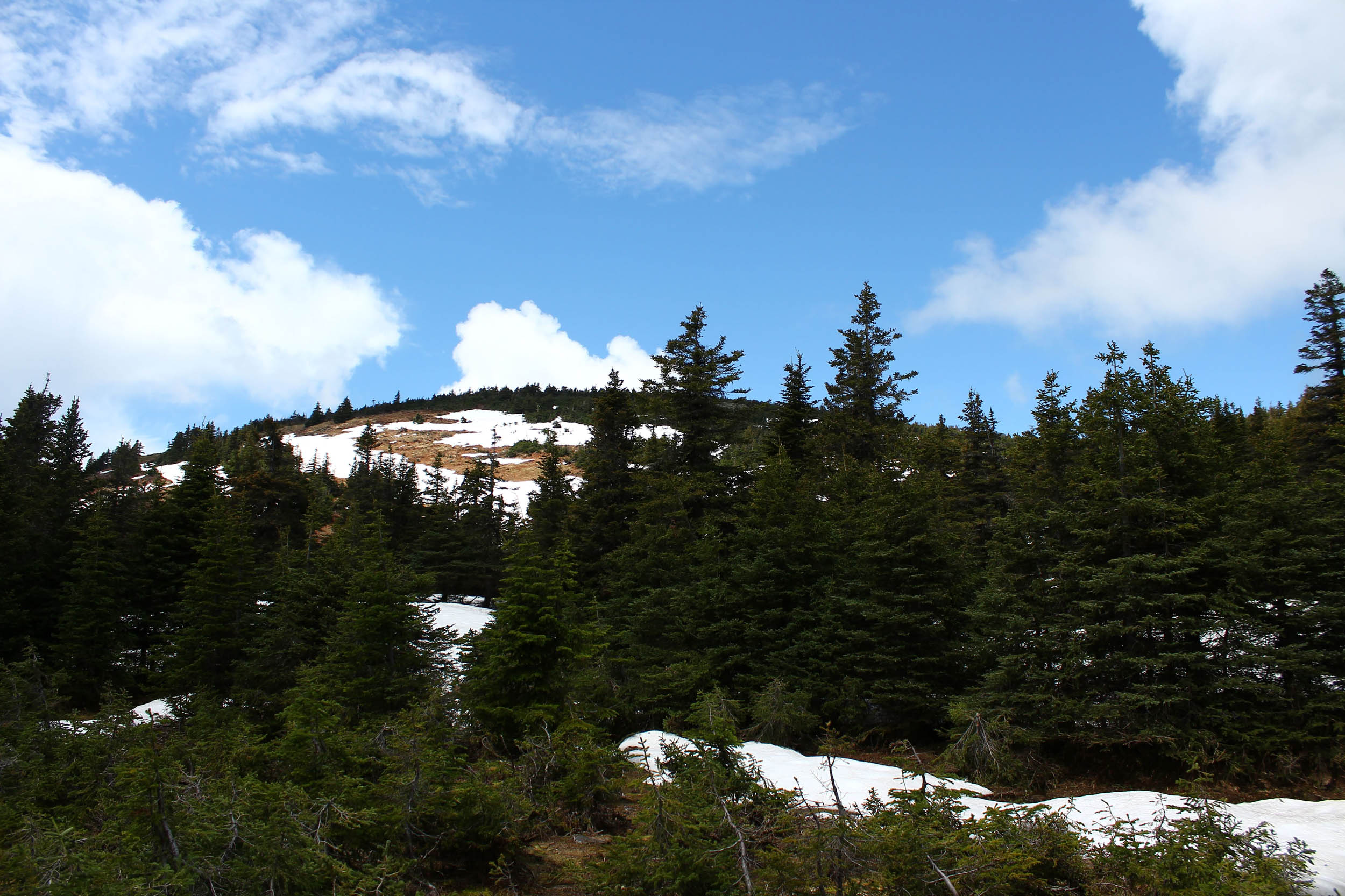
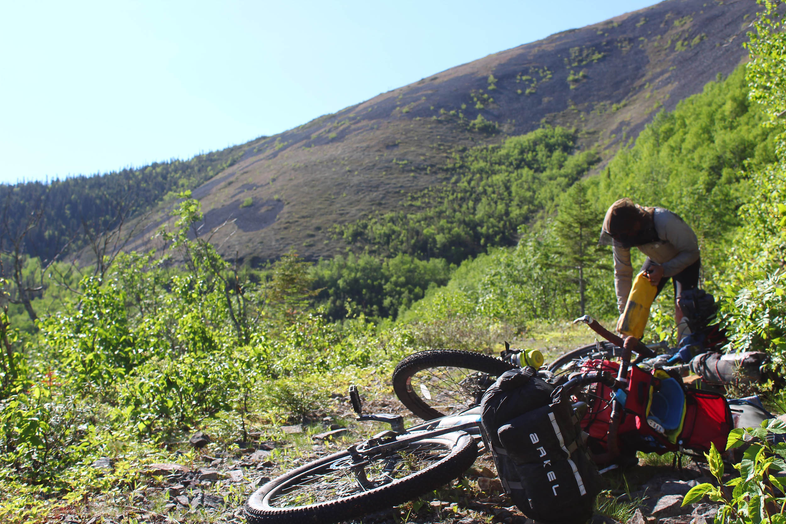
- The alpine feeling on Mount Logan uplands
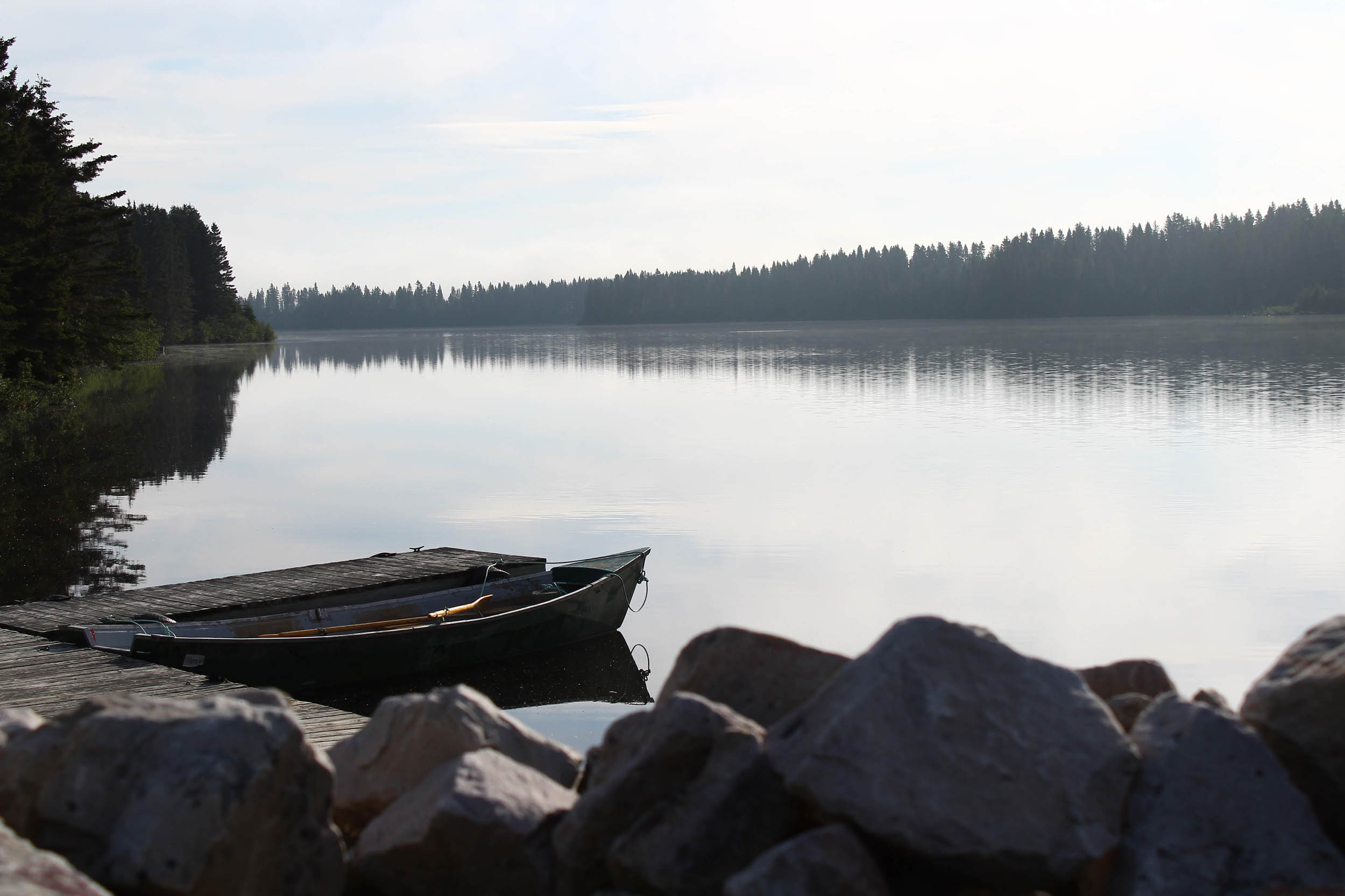
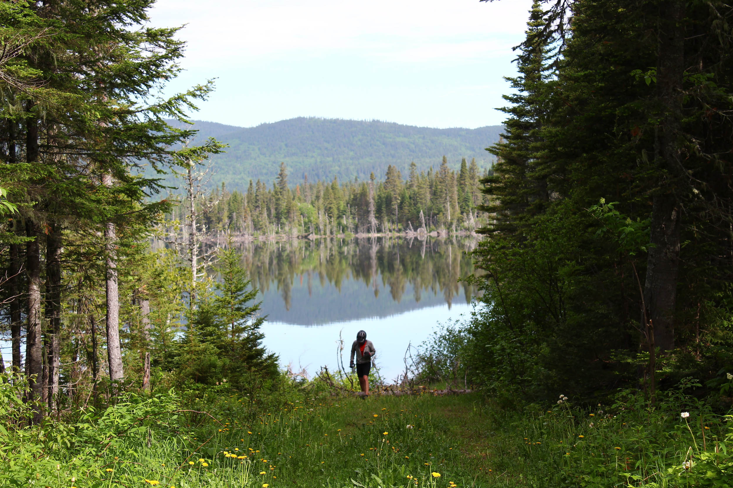
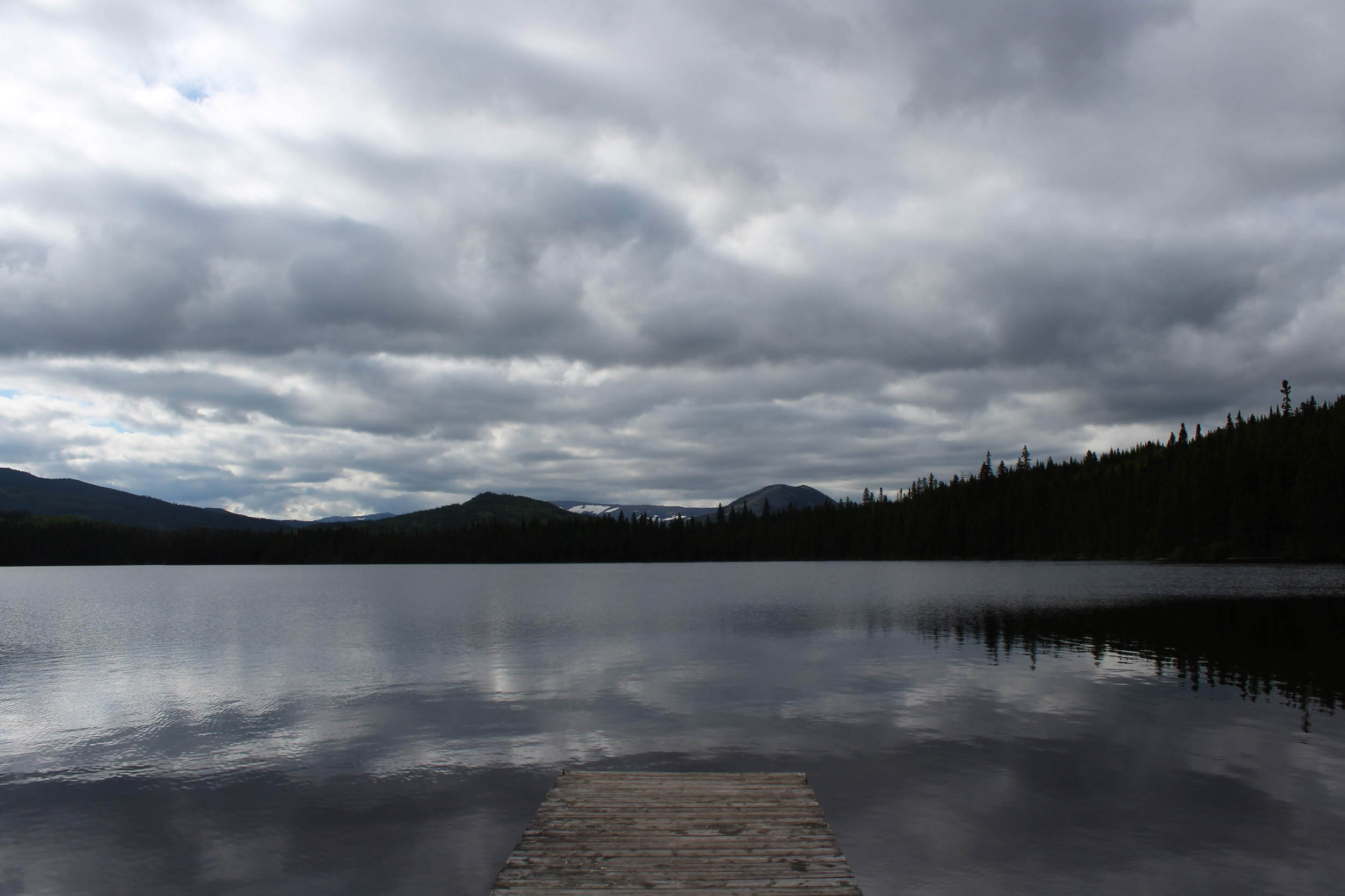
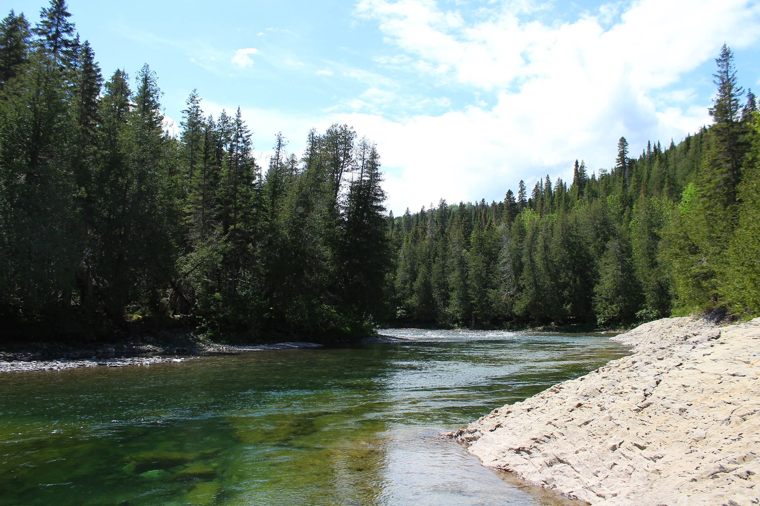
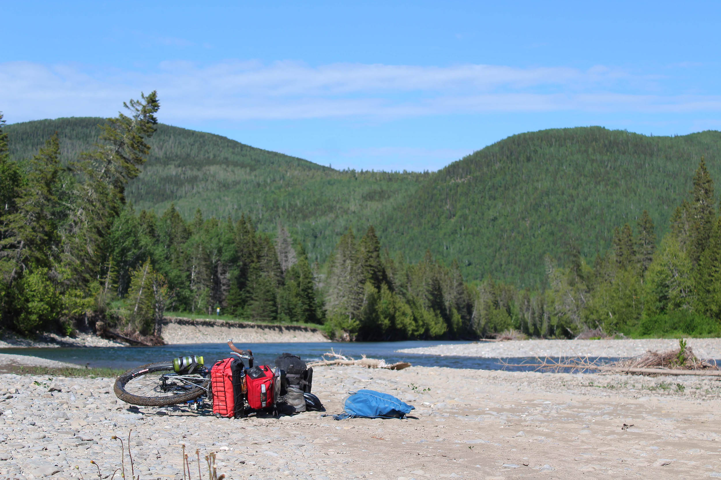
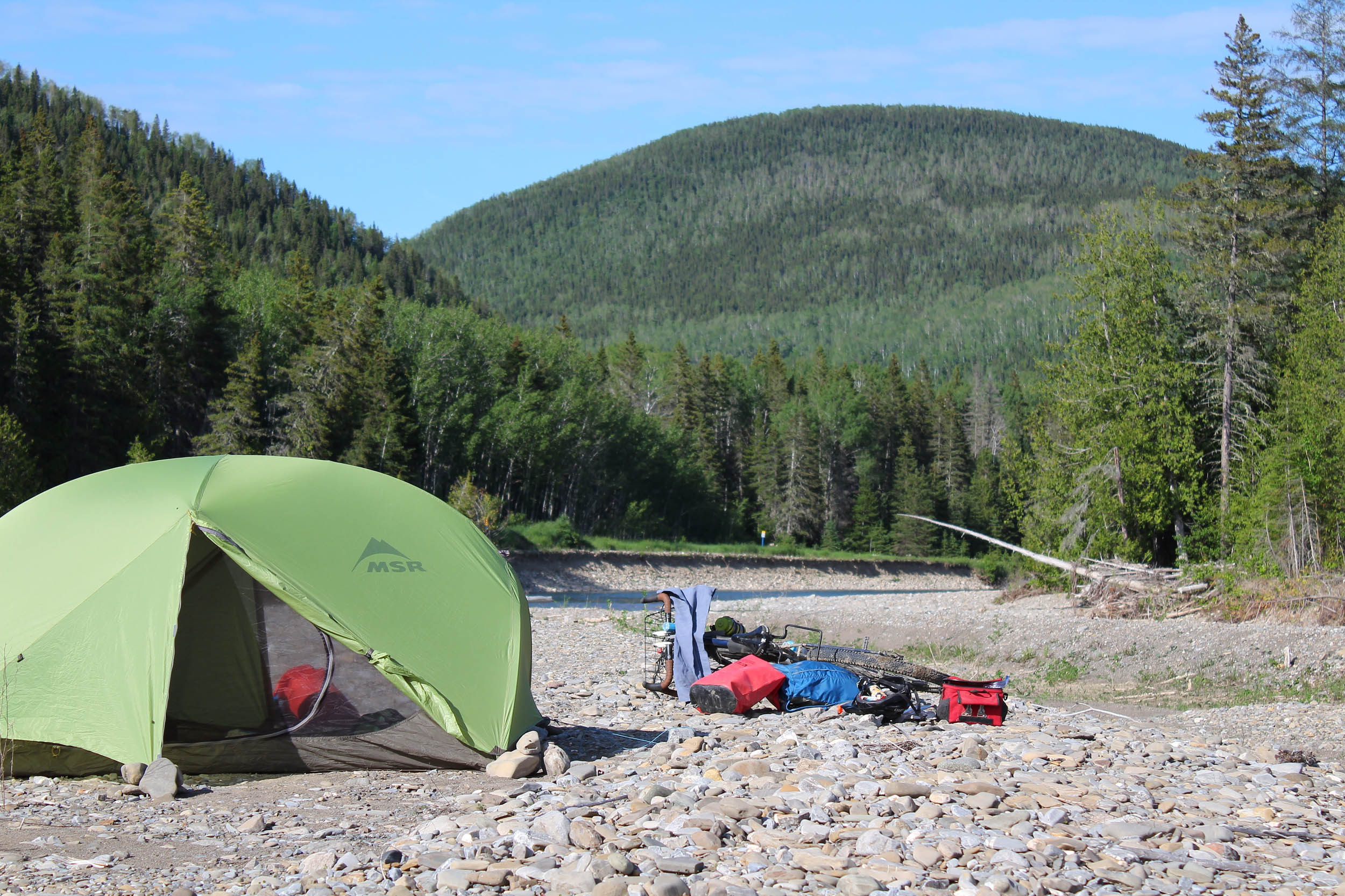
- Saint-Jean River, its pristine water, and the beautiful spots to wild camp on its banks
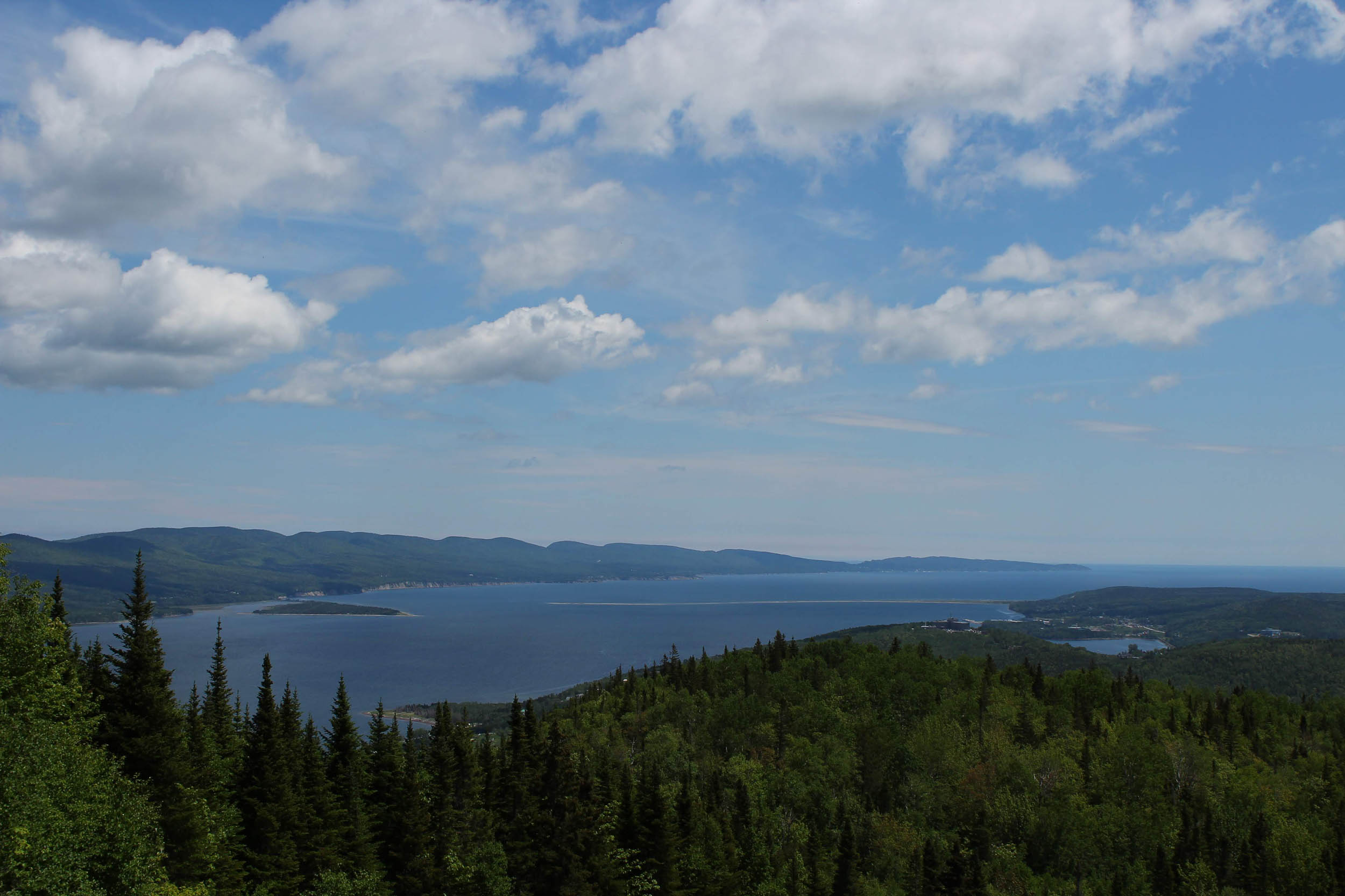
- Views of the Bay of Gaspé, after the singletrack of Mount Béchervaise
- Land’s End, the very last tip of land of the Gaspé Peninsula
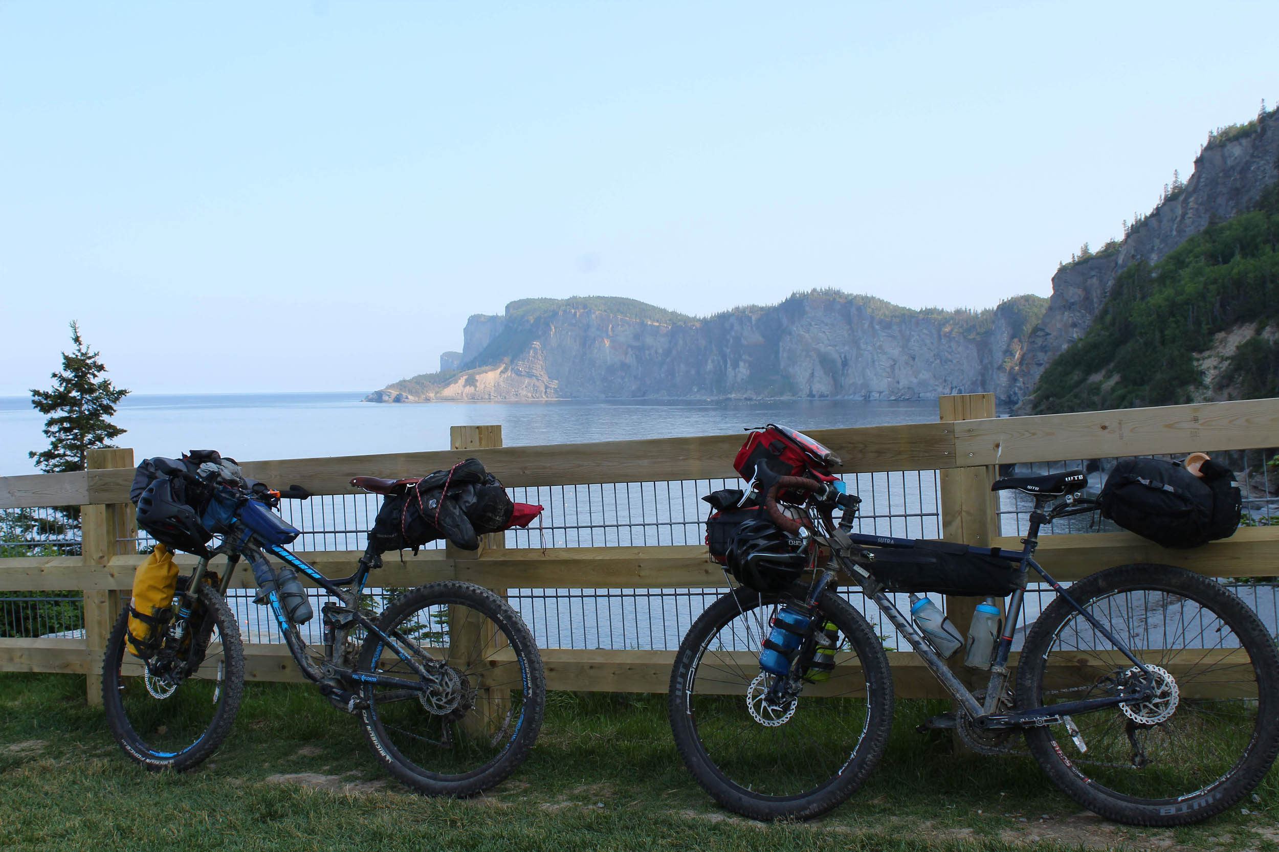
- The amazing views of Cap-Bon-Ami cliffs
- Wildlife diversity found on route: moose, bald eagle, black bear, deer, even seals and whales near the coast if you stay long enough in Forillon National Park!
- The overall variety of landscapes
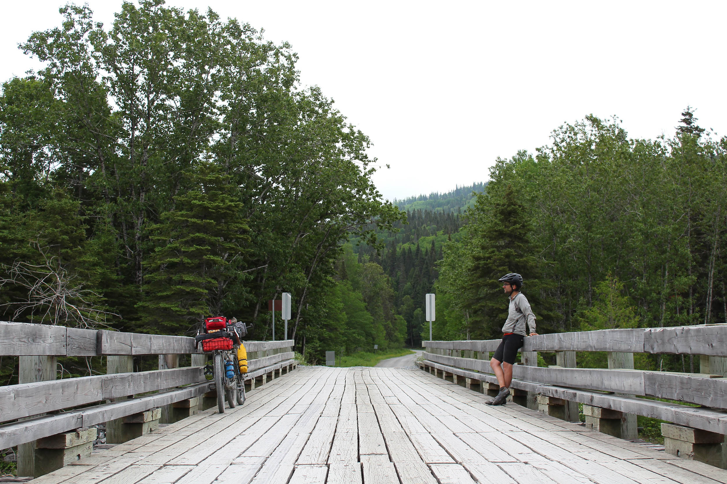
- The generous and friendly character of Gaspesian people
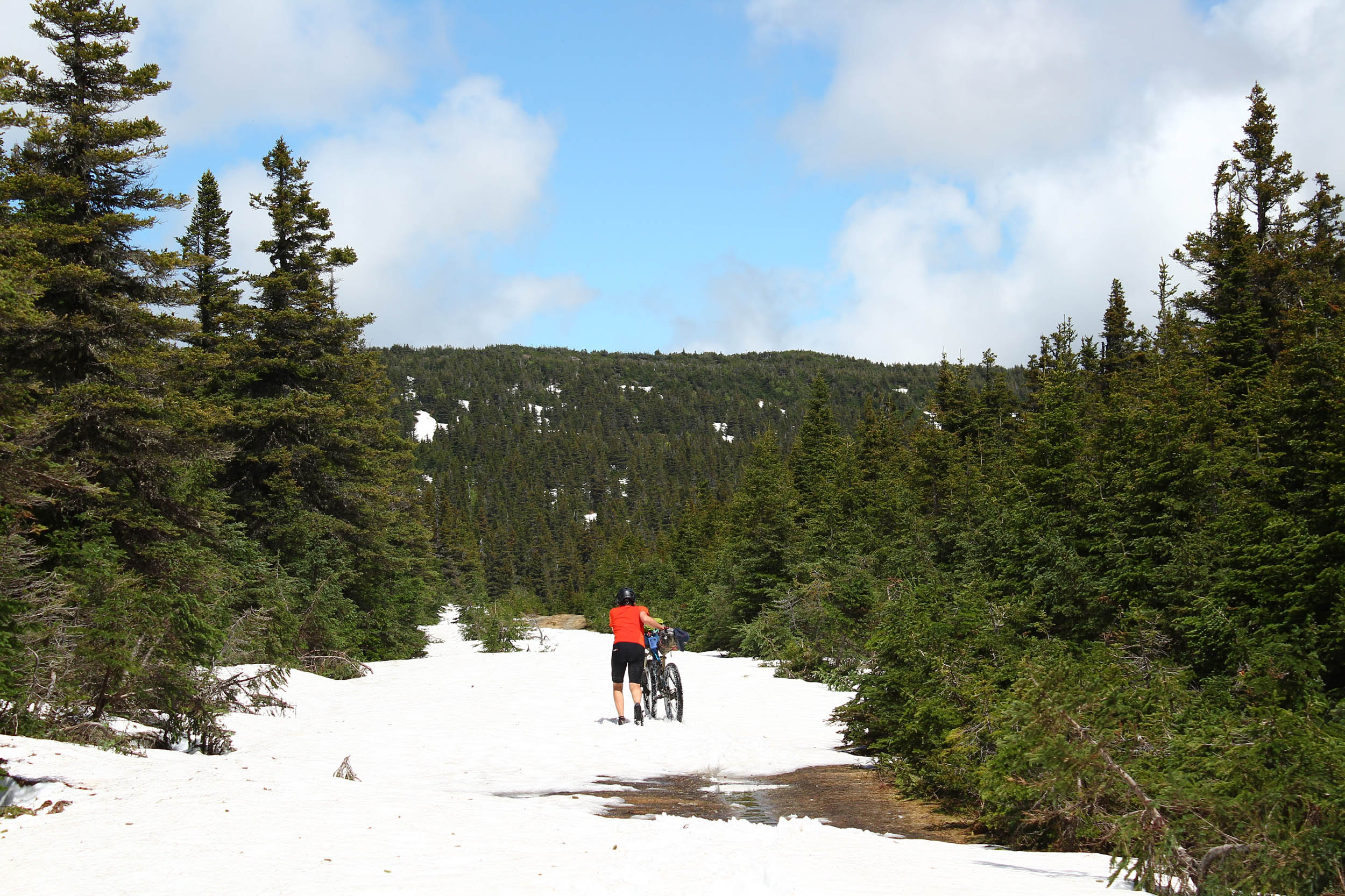
- The best season to ride La Transgaspésie would be between late June, when most of the snow has melted on mountain tops, and mid-September, when the hunting season starts.
- You will traverse a provincial park (SÉPAQ) and a federal park (Canada Parks) as well as Matane Wildlife Reserve. You will need to pay to access both parks, but the Reserve only charges for camping. Since you will arrive by “the back door,” we suggest you plan your trip a bit in advance and buy your accesses online (the same goes for your camping spots!).
- The route starts in Amqui, inland, and finishes at Cap-Bon-Ami, in Forillon National Park, which is 40 kilometres from the town of Gaspé. Orléans Express (Keolis), the regional bus operator, offers daily departures from Gaspé. We suggest you drive to Amqui and leave your car at the campground or any shop/store parking lot with permission. Ride the route and, once at Cap-Bon-Ami, ride back a bit to Gaspé. There is a sports shop and a bike shop where you can probably find a cardboard box. Take the next bus back to Amqui. Otherwise, you can also reach Amqui from Montréal or Québec City via the Orléans Express bus line if you want to avoid using your car. Finally, there is a regional airport in Gaspé, with connecting flights to bigger cities.
- We planned this route as a one way: Amqui to Cap-Bon-Ami. It has, in our opinion, a nice rhythm and the perfect finale. You can do it in the opposite direction, but it won’t be as great.
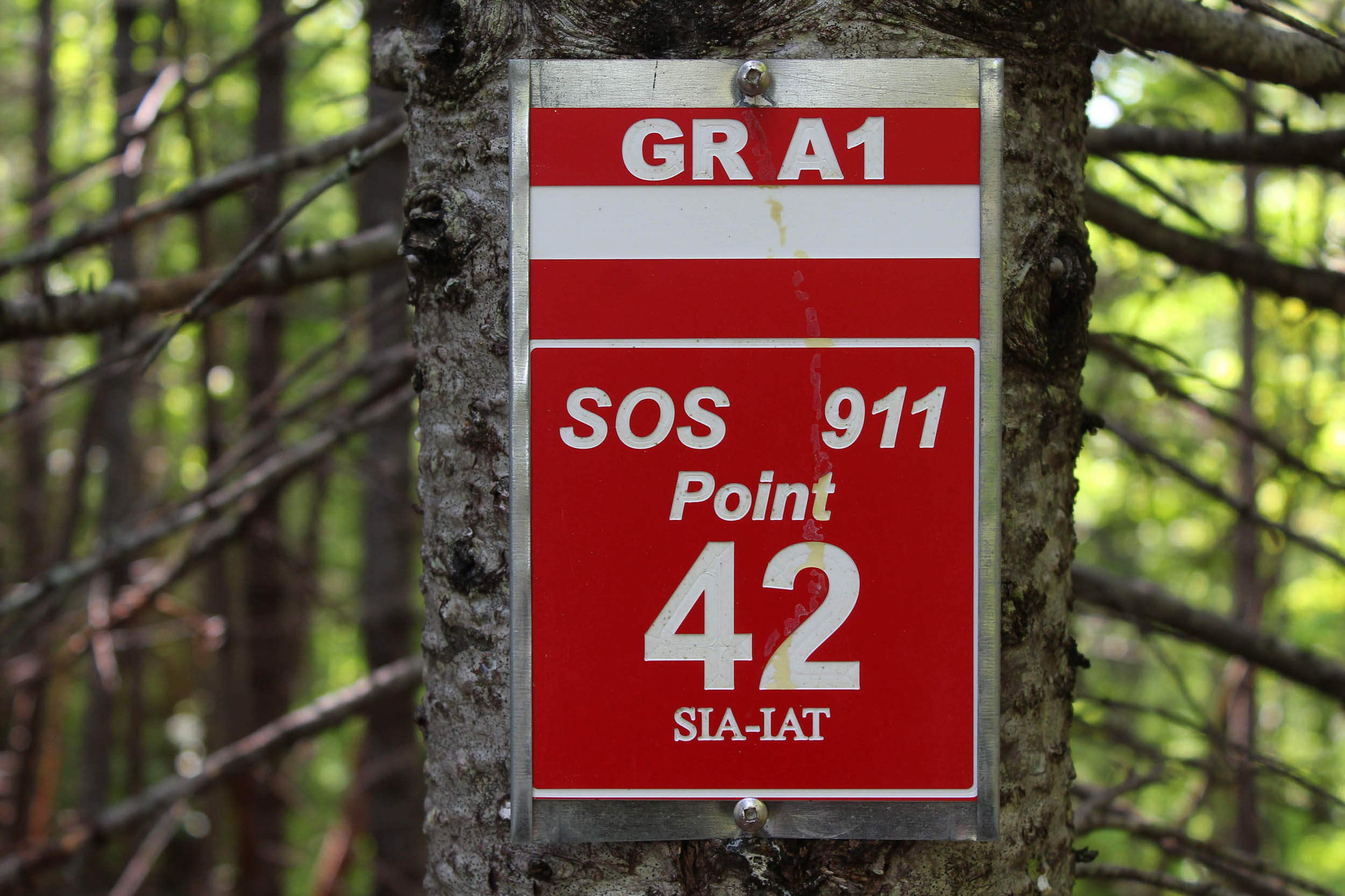
- Some sectors lack cellphone reception. A SPOT or an InReach would be a good addition in your packlist.
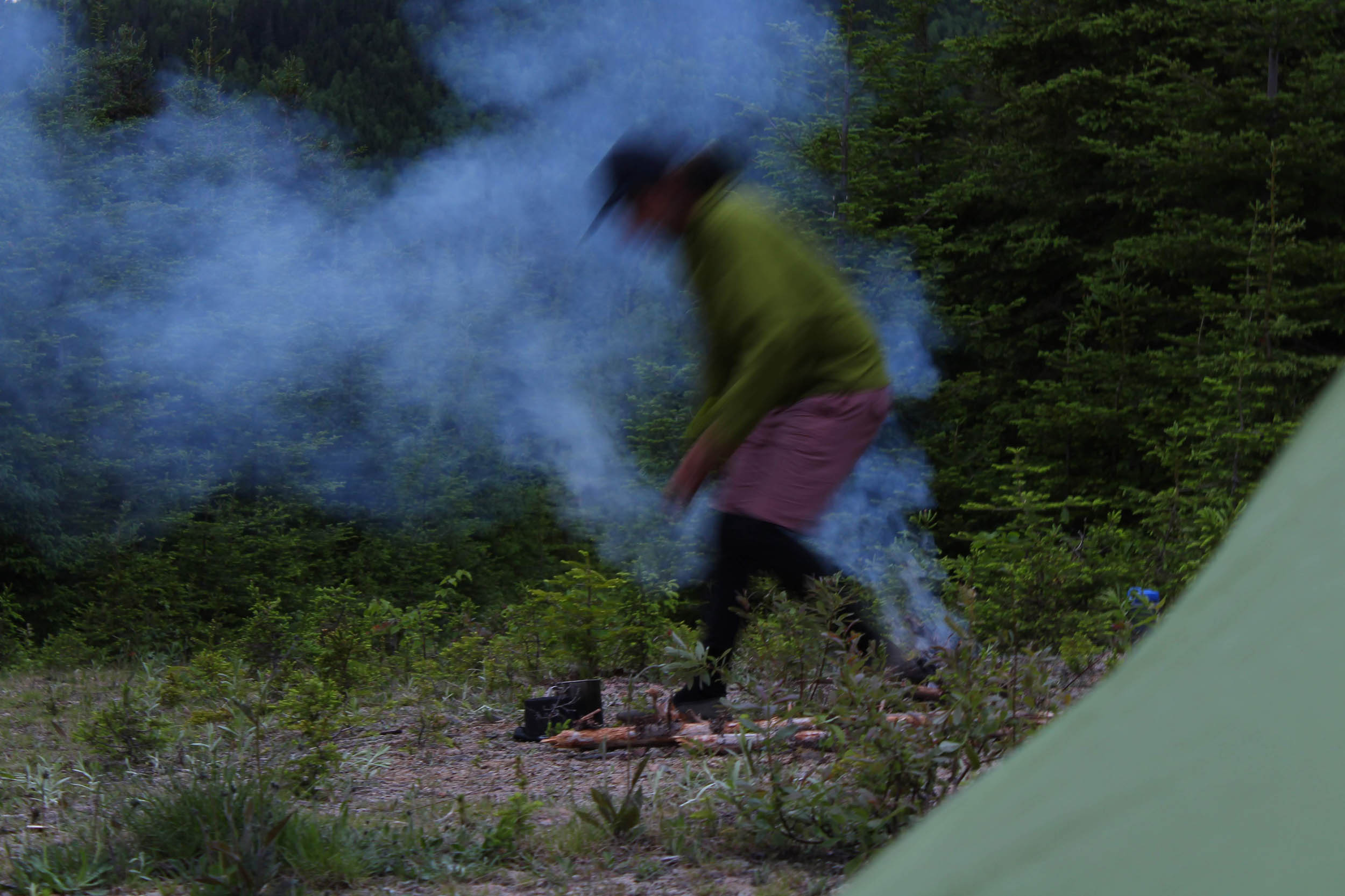
- This is black bear country, and they are quite present: bring the necessary items for managing your food and your safety if wild camping.
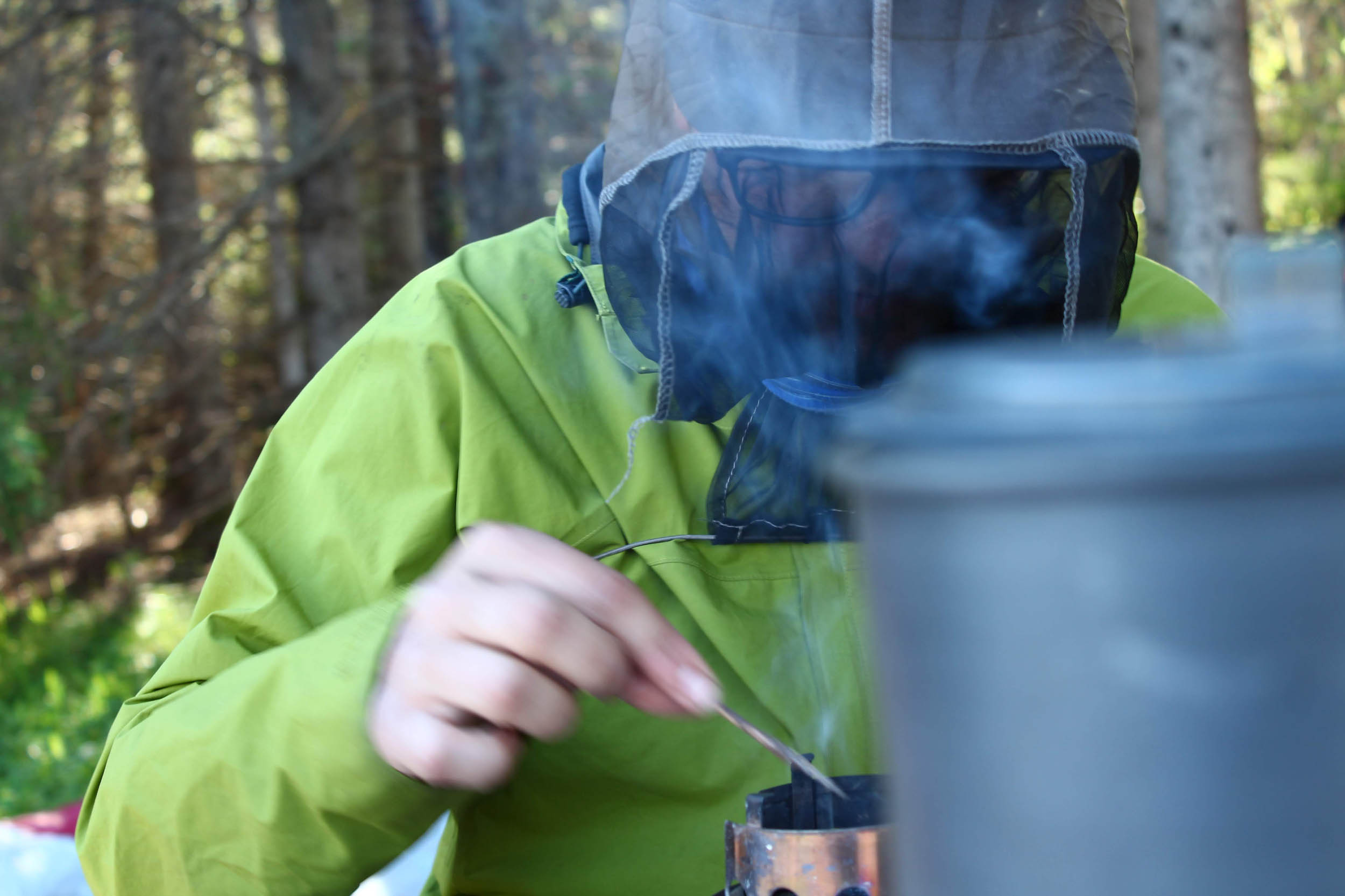
- Mosquitoes and black flies are abundant in June, and sometimes at the beginning of July but are less of a problem later in the summer. Having a head net and long sleeve clothing saved our mental health.
- There was a landslide near Saint-Jean River, which probably has not been entirely cleared. Fallen trees will likely block your way for at least 200 feet: you will have to lift your bike there.
- Even though there are a few English-speaking communities in the Gaspé Peninsula, the main language is French. Parks officials can serve you in both languages, but it’s a good idea to have some key words if you want to chat with the locals (who are so nice).
- We calculate the route to be 98% rideable, considering the stream crossing on the Noroît, the landslide hike-a-bike, the various sections that are too steep to bike, and between Land’s End and Cap-Bon-Ami (the short mandatory walk to access the other side of the Park).
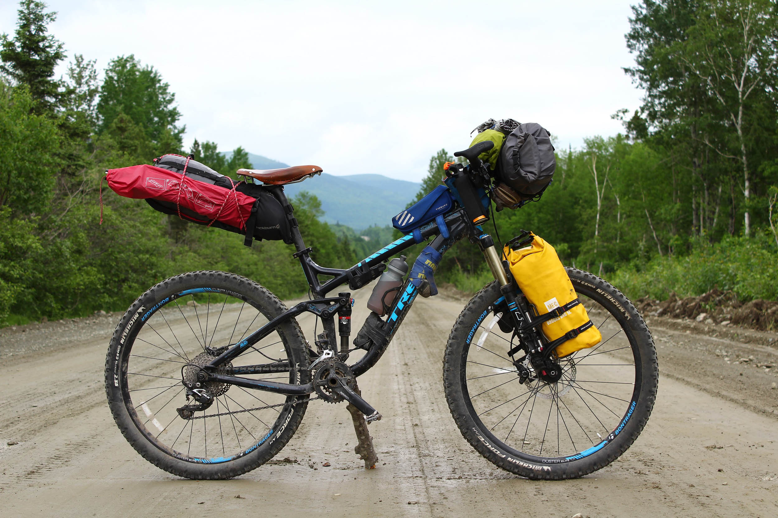
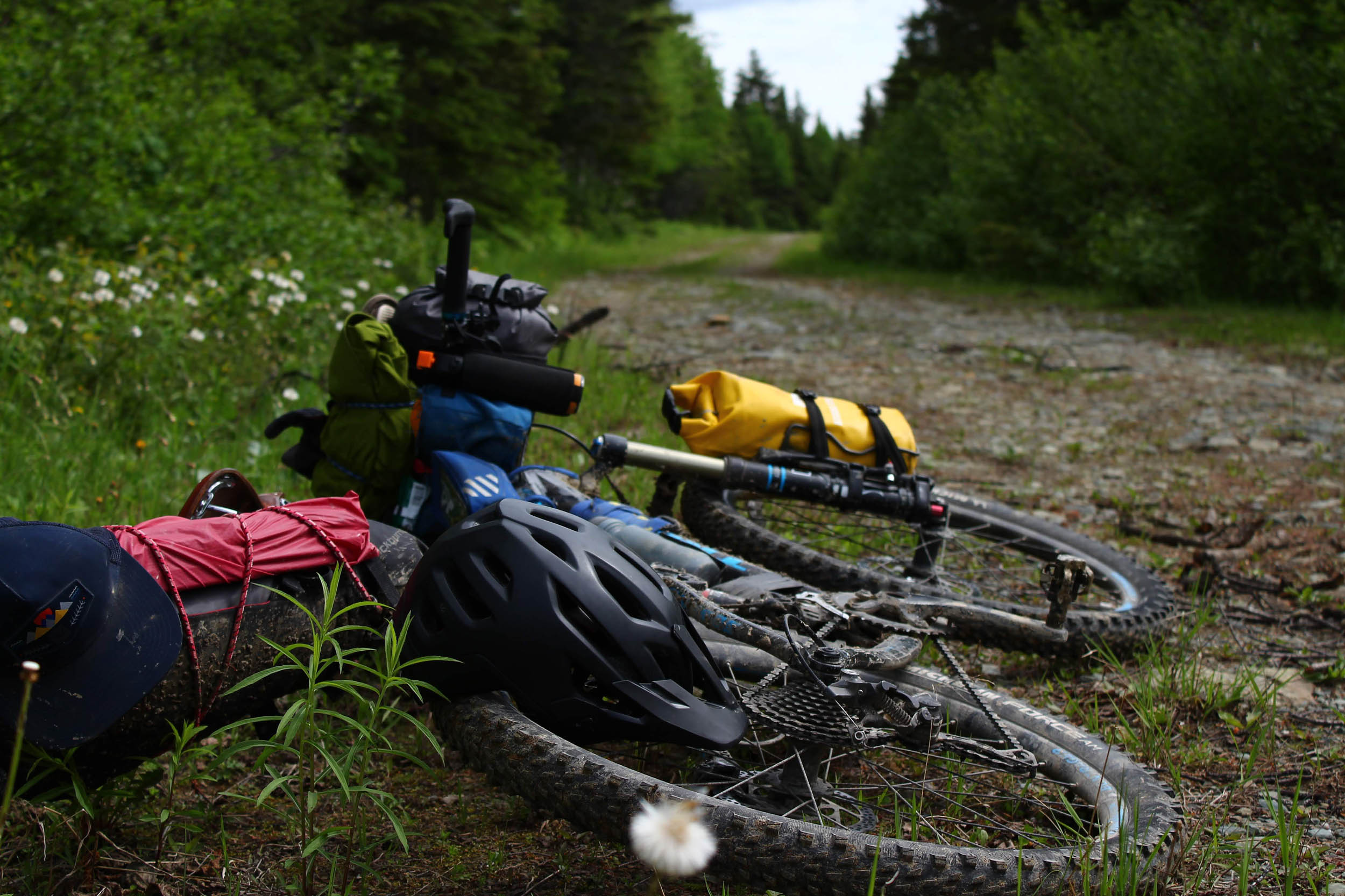
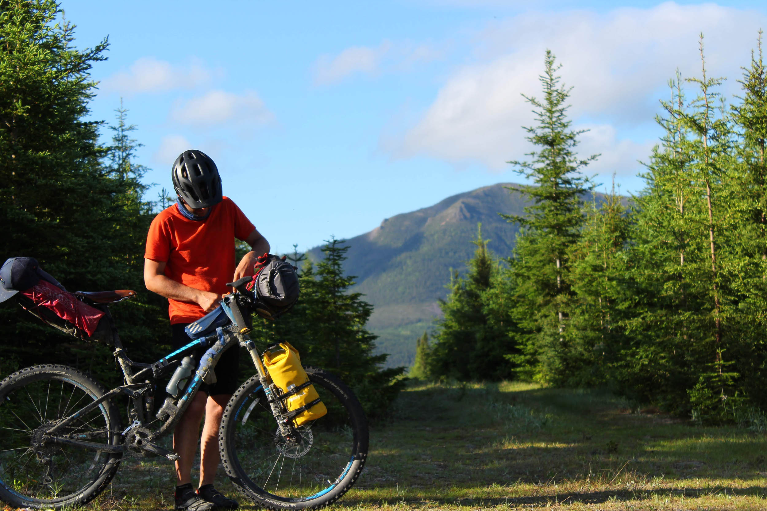
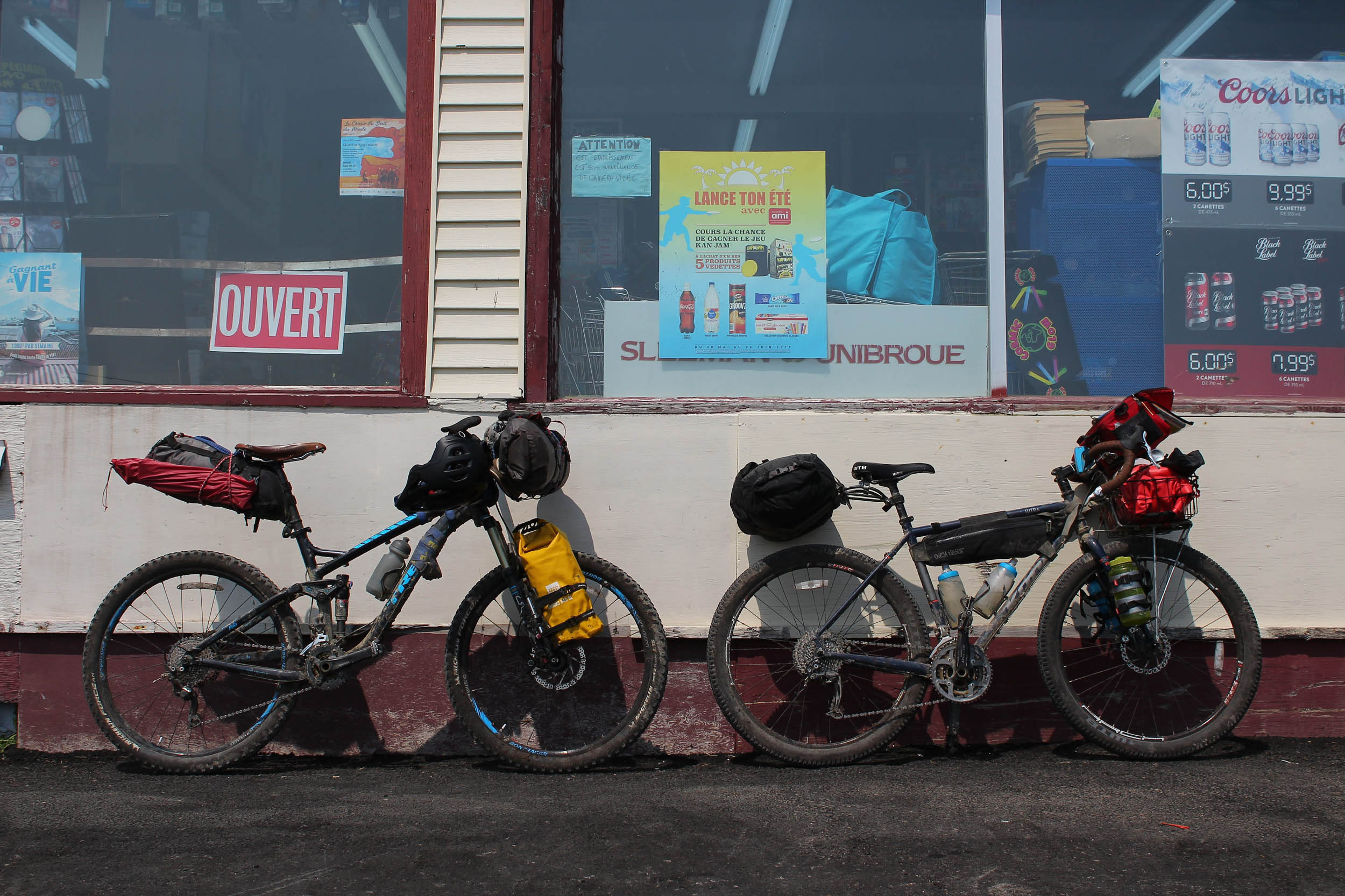
- The best bike for this route would be a hardtail mountain bike with 2.2.-2.4″ tires. A gravel bike with 50mm tires would also be manageable.
- Interesting fact: some stretches of the route are on the International Appalachian Trail
- Although the Gaspé Peninsula has a lot of public land, some fairly long stretches on the route are in parks or Wildlife Reserves, which limits wild camping possibilities.
- Camping in Matane Wildlife Reserve, Parc national de la Gaspésie, and Forillon National Park must be in predetermined areas. We indicated our favorite options on the map.
- South of the Route du Lac-Sainte-Anne, there are public lands near Mount Lyall. You might find sweet camping spots there.
- Alongside the Saint-Jean River, you will find some spots to wild camp on the shore.
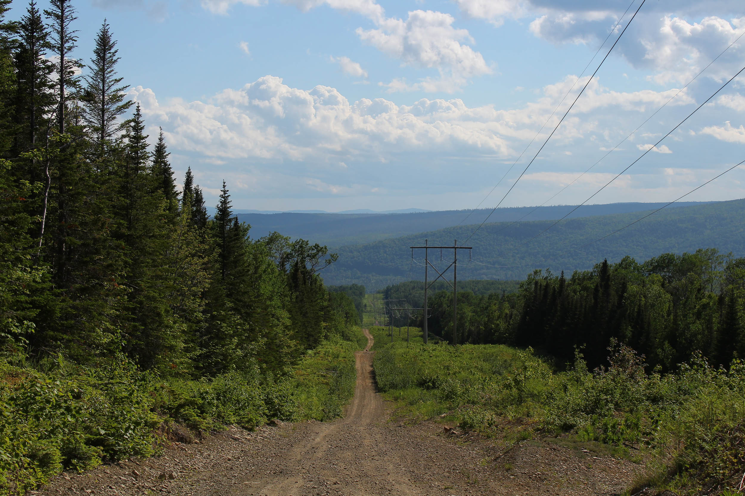
- Near the end, before crossing route 197, bivouac is possible under the hydro lines.
- The Parc national de la Gaspésie has “Welcome cyclists” camping spots at Mont-Albert campground; you don’t have to reserve them prior to your arrival and they only cost $10 CAD.
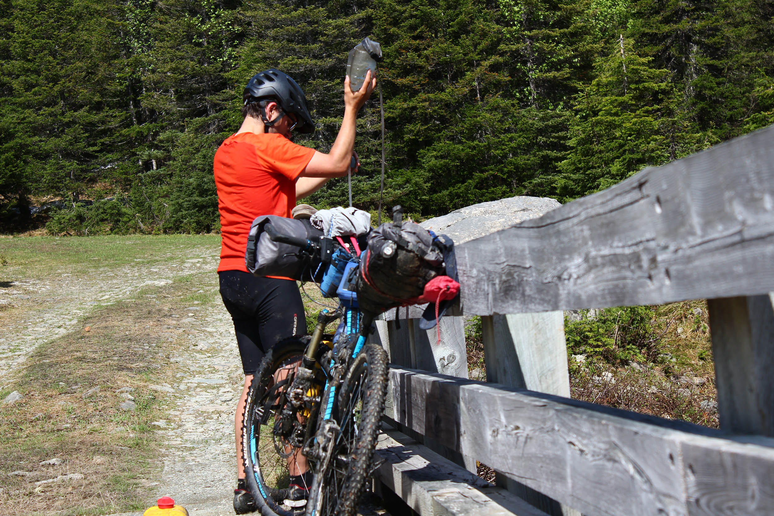
- There are a few stops where you can buy food.
- The SÉPAQ service centers in Parc national de la Gaspésie have dehydrated food, peanut butter, Cliff bars, and canned food.
- Murdochville grocery store has more variety, but don’t expect anything fancy.
- With a detour, you can fill up in food in the bigger town of Gaspé or at the Cap-aux-Os convenience store.
- There is an abundance of streams everywhere on the route, but expect it to be a bit dryer between kms 365 and 394.
A appropriate itinerary would be this one
- Day 1: Amqui to camping L’Étang-à-la-Truite (Matane Wildlife Reserve)
- Day 2: Camping l’Étang-à-la-Truite to camping la Kalmia (SEPAQ)
- Day 3: Camping la Kalmia to Camping du Mont-Albert (shorter day)
- Day 4: Camping du Mont-Albert to Murdochville Campground
- Day 5: Murdochville Campground to wildcamp near Saint-Jean River
- Day 6: Saint-Jean River to Gaspé backcountry trails (km 389)
- Day 7: Gaspé backcountry trails (km 389) to Cap-Bon-Ami (Forillon National Park
Additional Resources
- Réserve faunique de Matane (Matane Wildlife Reserve): sepaq.com/rf/mat/
- Parc national de la Gaspésie: sepaq.com/pq/gas/
- Forillon National Park: pc.gc.ca


Terms of Use: As with each bikepacking route guide published on BIKEPACKING.com, should you choose to cycle this route, do so at your own risk. Prior to setting out check current local weather, conditions, and land/road closures. While riding, obey all public and private land use restrictions and rules, carry proper safety and navigational equipment, and of course, follow the #leavenotrace guidelines. The information found herein is simply a planning resource to be used as a point of inspiration in conjunction with your own due-diligence. In spite of the fact that this route, associated GPS track (GPX and maps), and all route guidelines were prepared under diligent research by the specified contributor and/or contributors, the accuracy of such and judgement of the author is not guaranteed. BIKEPACKING.com LLC, its partners, associates, and contributors are in no way liable for personal injury, damage to personal property, or any other such situation that might happen to individual riders cycling or following this route.
Please keep the conversation civil, constructive, and inclusive, or your comment will be removed.