

 Mountain Bike (MTB)
 Gravel Bike
 All-Terrain Bike (ATB)
 Fat Bike


La Travesia Oriental
Distance
665 Mi.
(1,070 KM)Days
20
% Unpaved
50%
% Singletrack
1%
% Rideable (time)
99%
Total Ascent
76,472'
(23,309 M)High Point
9,480'
(2,890 M)Difficulty (1-10)
7?
- 8Climbing Scale Strenuous115 FT/MI (22 M/KM)
- 6Technical Difficulty Moderate
- 9Physical Demand Very Difficult
- 6Resupply & Logistics Moderate
Contributed By
Tristan Ridley
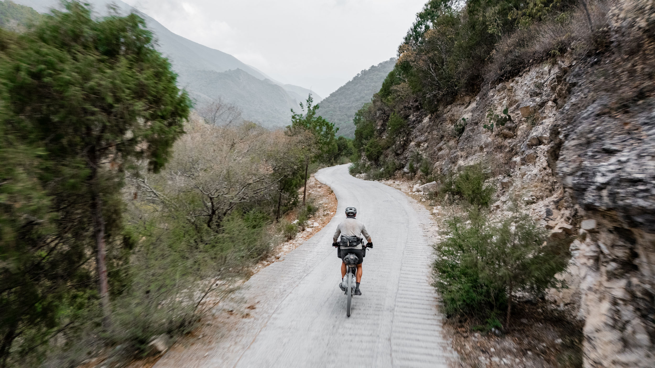
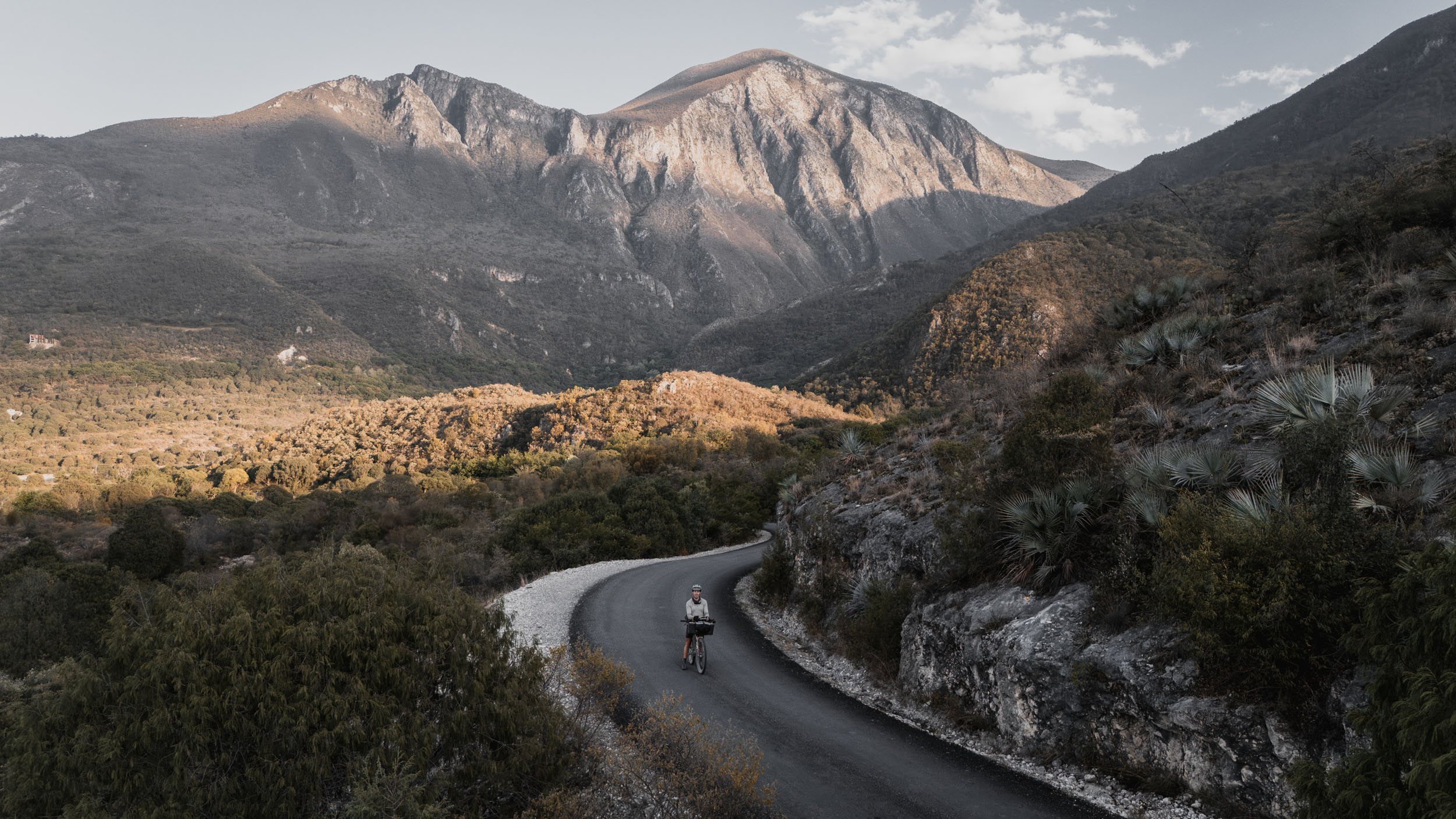
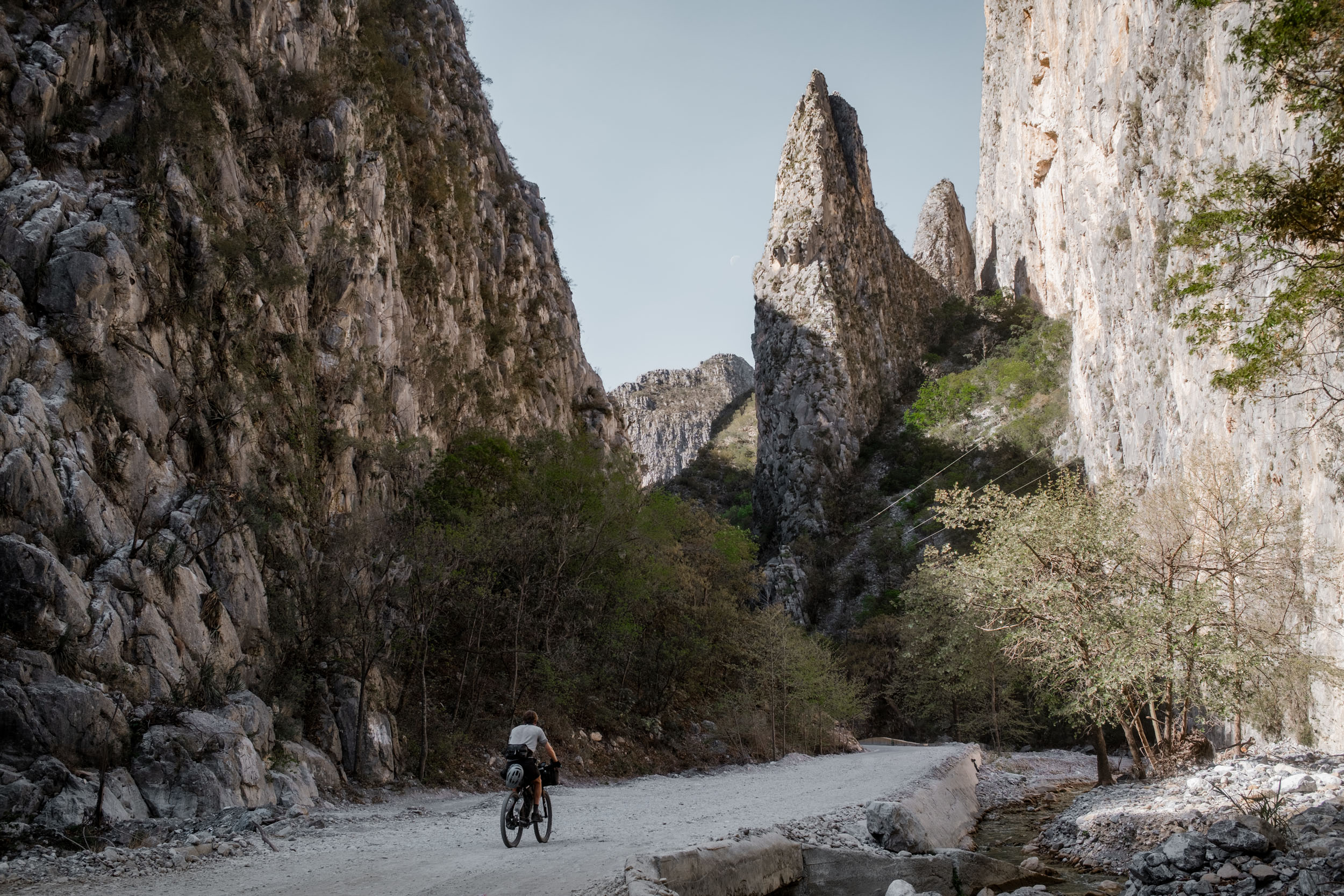
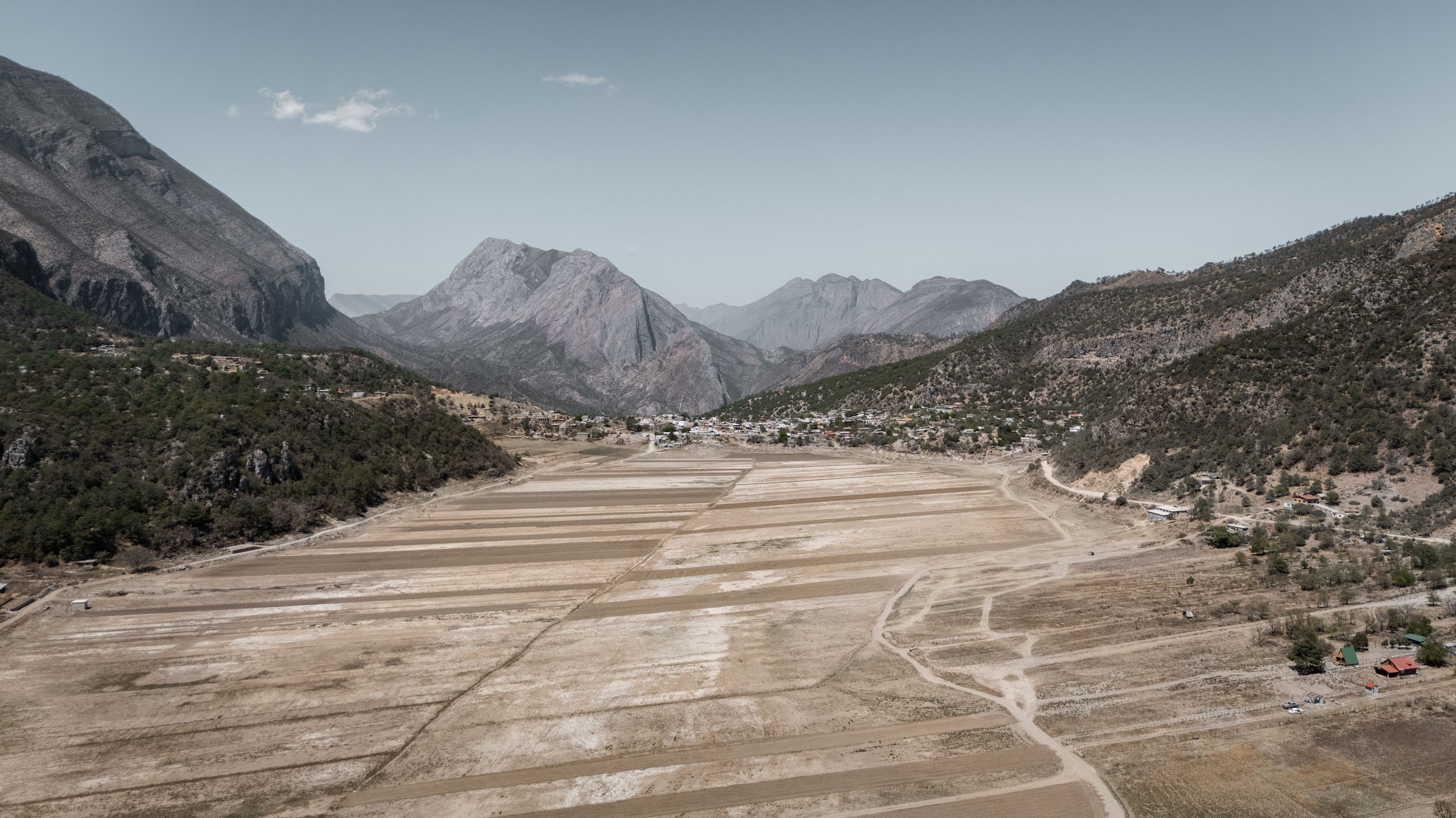
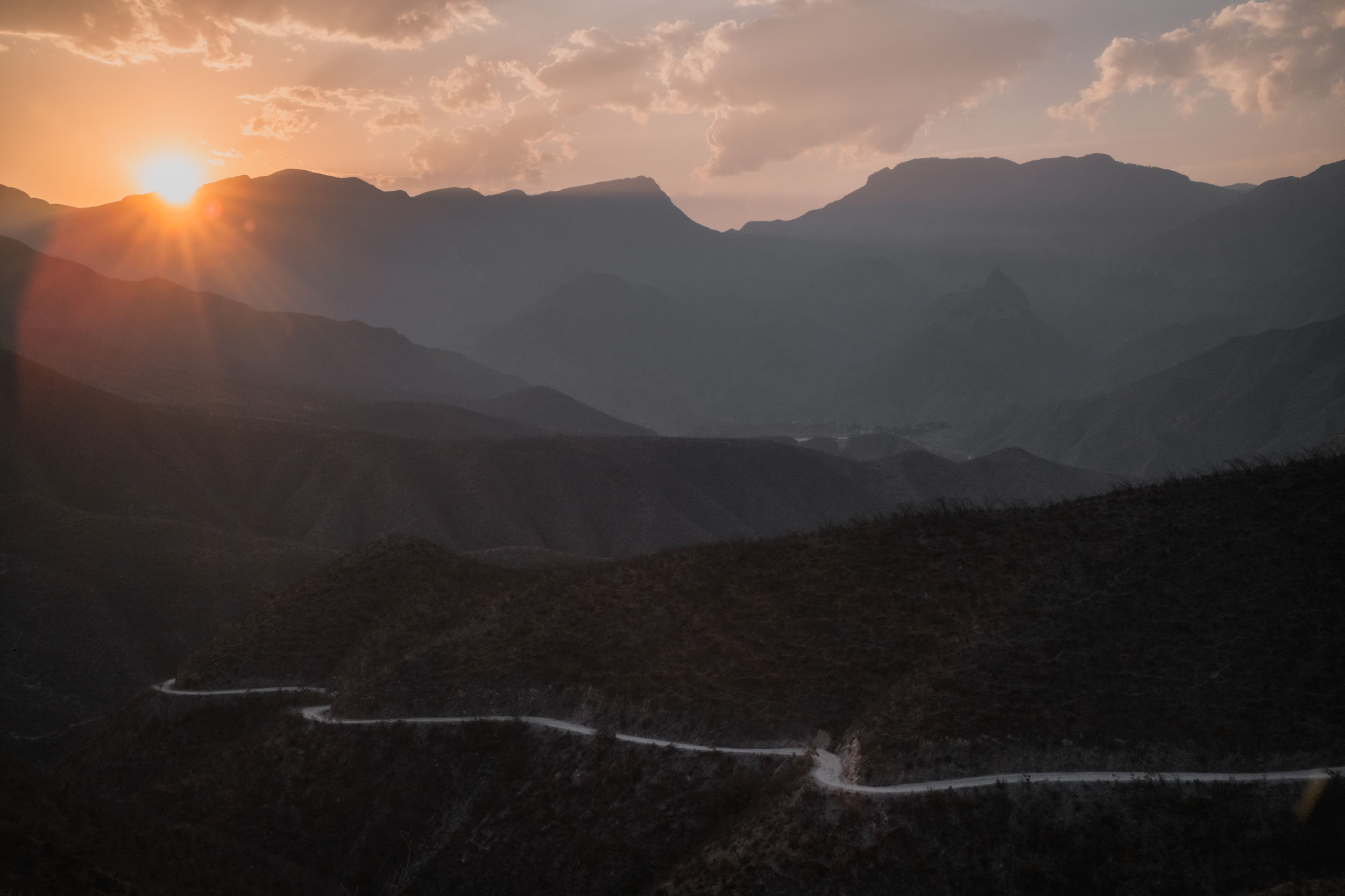
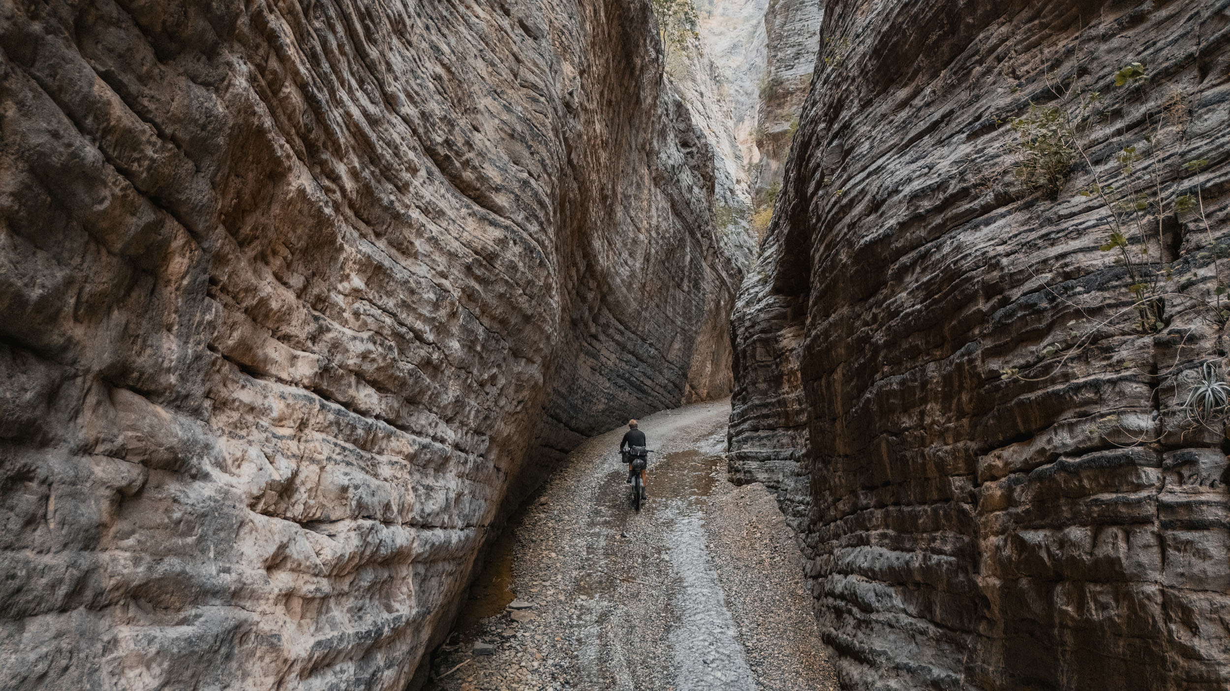
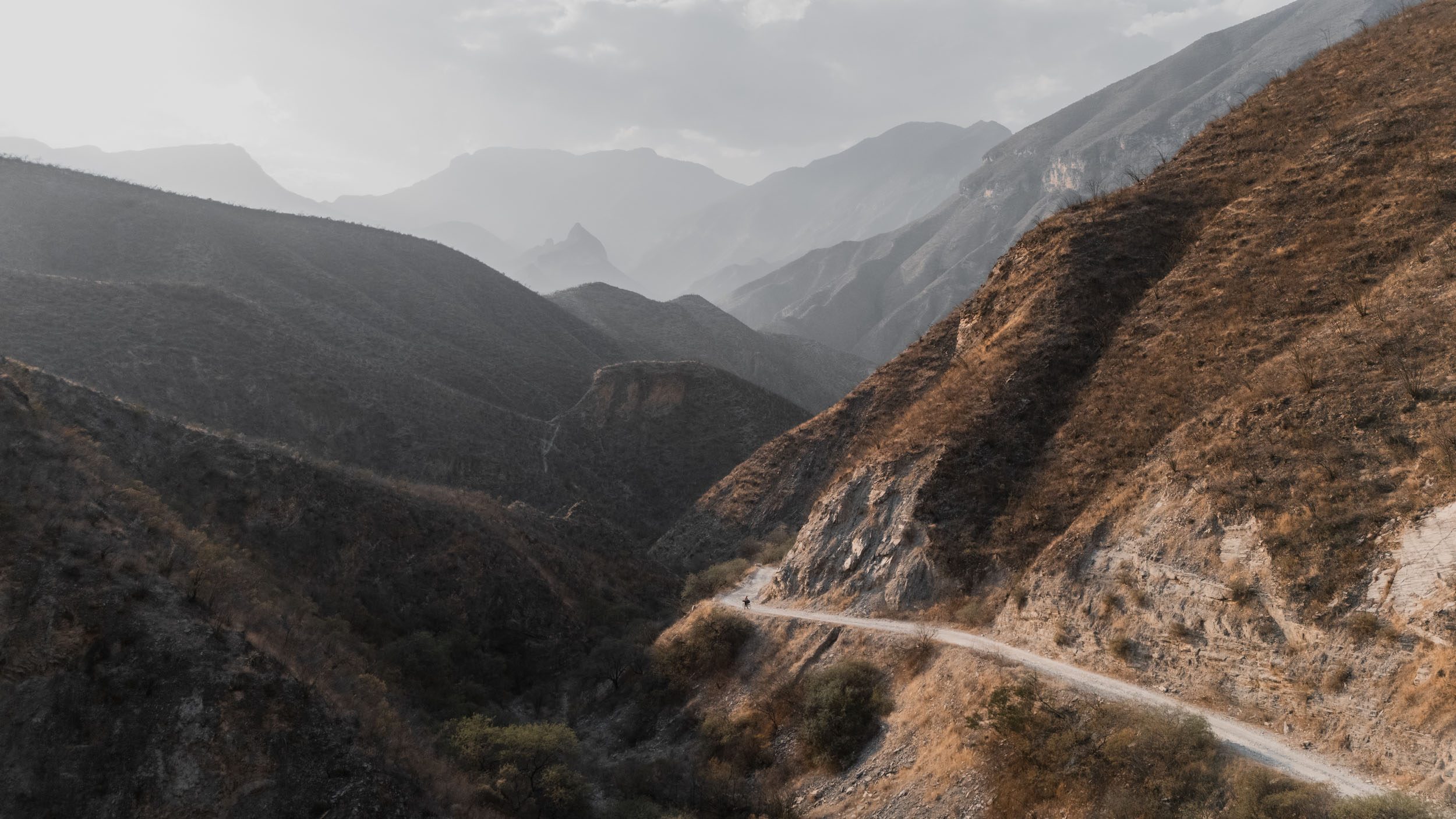
The Sierra Madre Oriental is not just a mountain range; it’s a vertical wall that separates the Gulf of Mexico from the interior plateau. This route rides that wall. La Travesía Oriental effectively connects the dusty gravel of the north with the tropical atmosphere of Central Mexico. The riding is characterised by immense scale: limestone walls that tower above the road, canyons that plunge into tropical oases, and some huge climbs that will put your legs to the test.
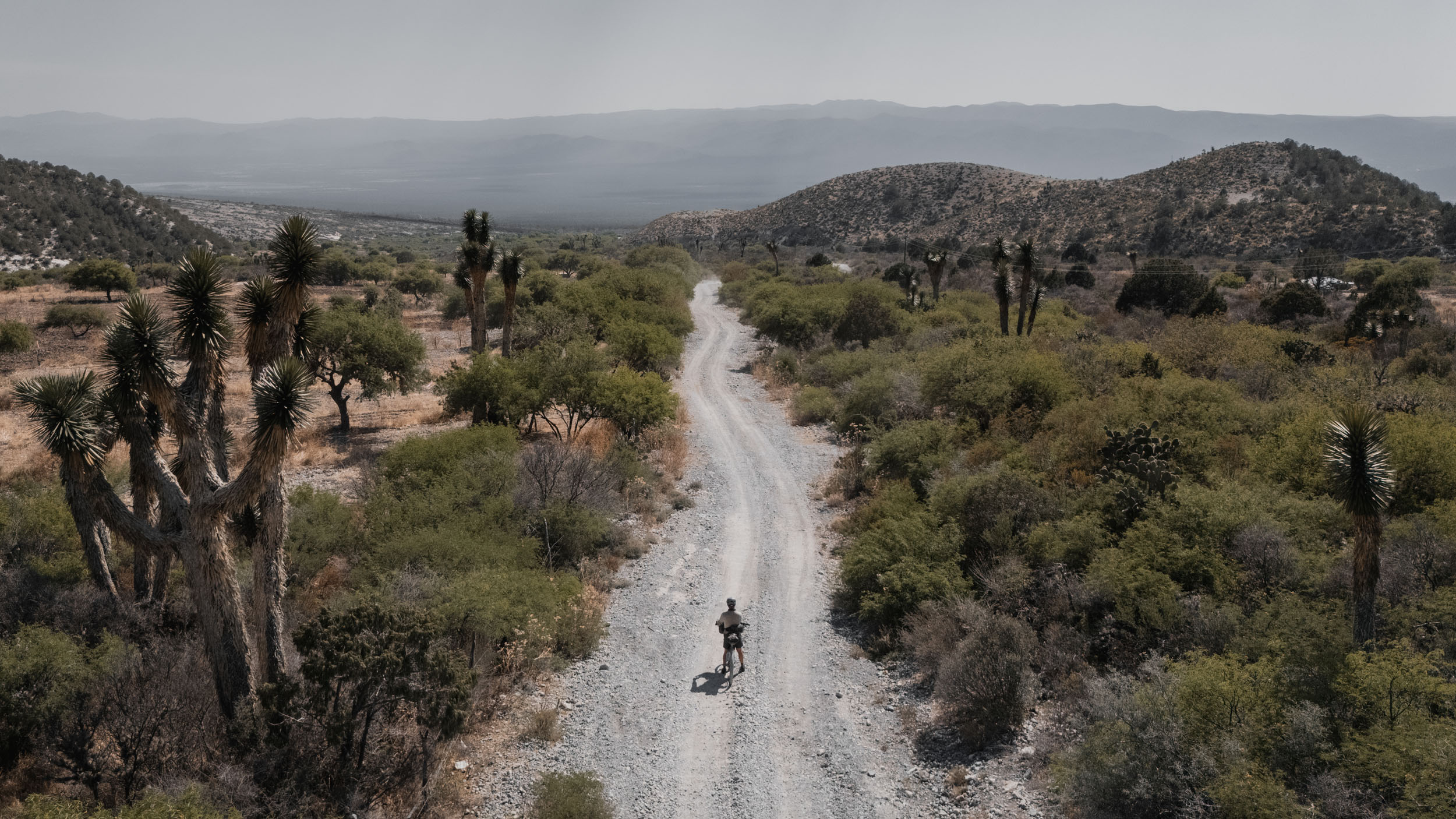
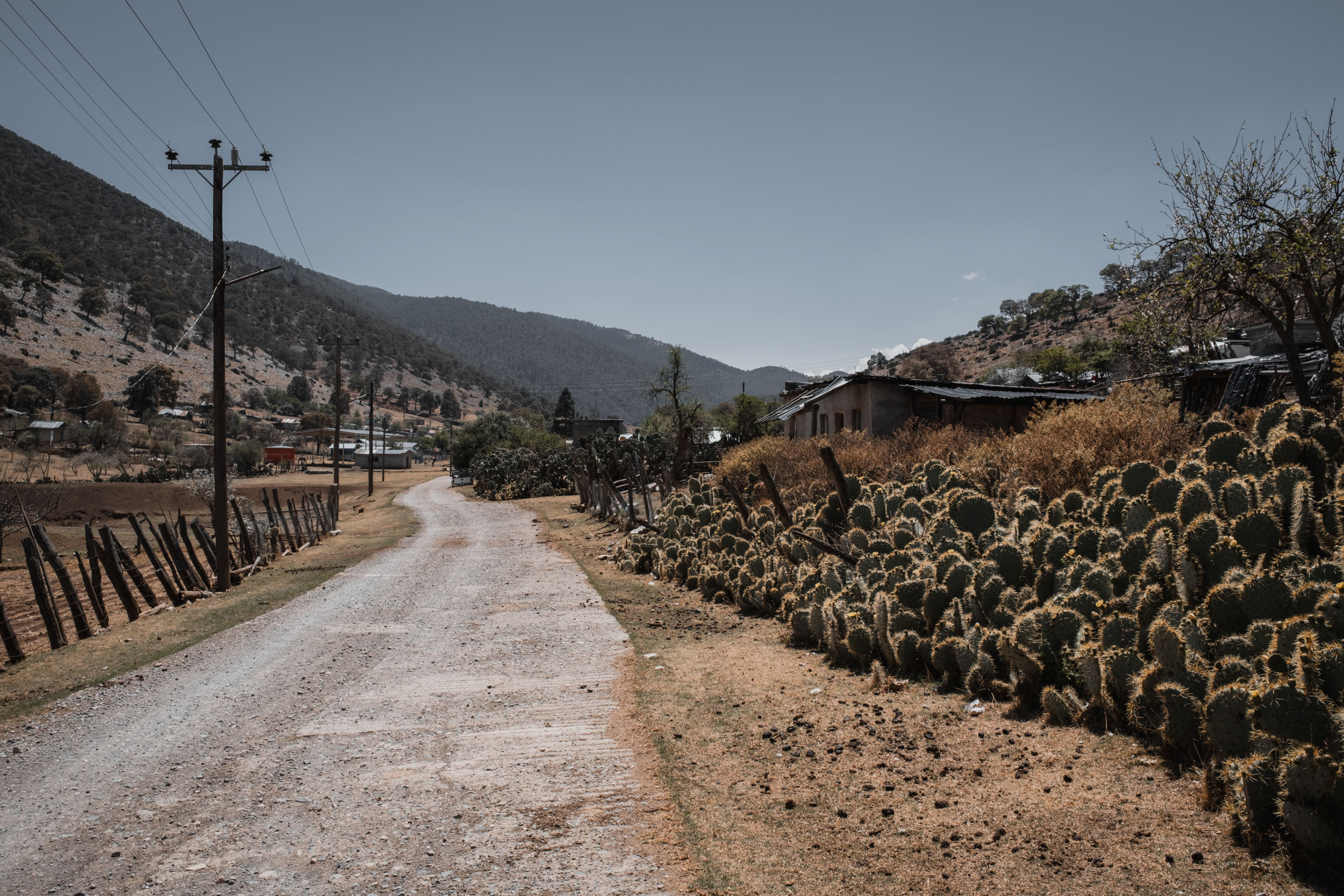
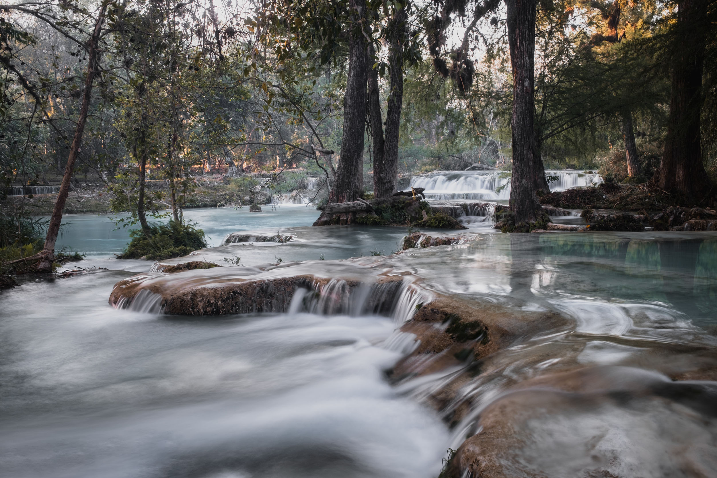
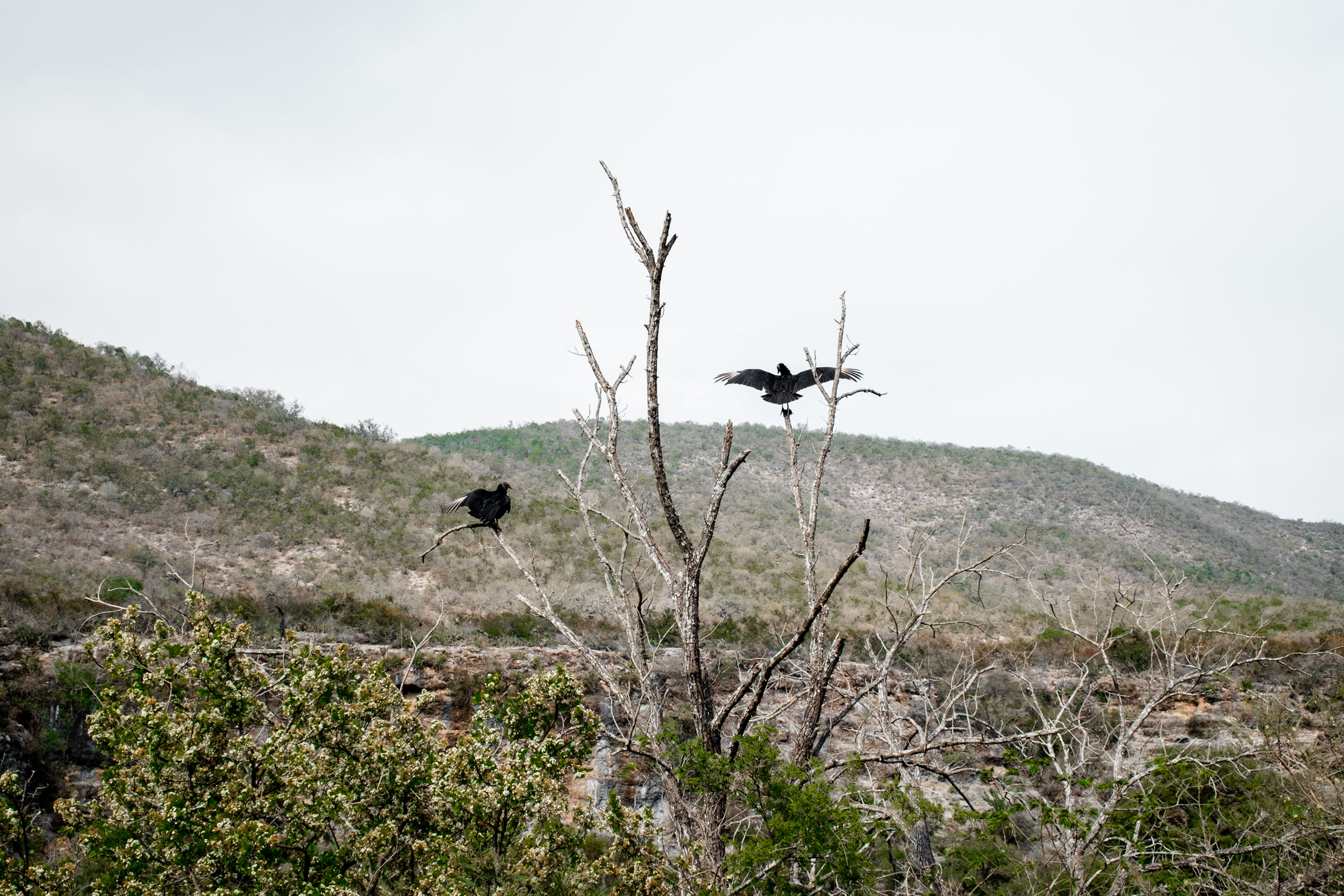
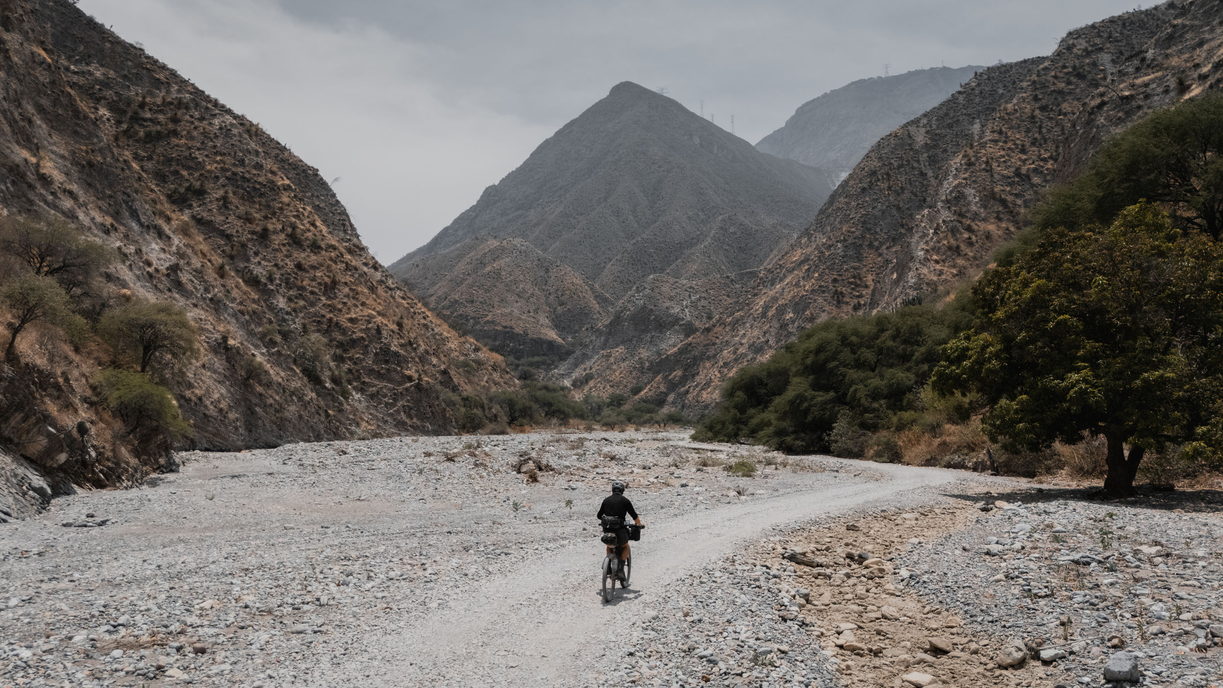
The route begins in the shadow of Monterrey’s chaotic urban sprawl but almost immediately vanishes into the silence of the Cumbres de Monterrey National Park. Here, the route is marked by grey limestone peaks, pleasantly cooler temperatures, and a series of beautiful and peaceful pueblos to break up the wilderness miles. As riders push south into San Luis Potosí, the pine forests give way to the high desert (altiplano), and Joshua trees and cacti become regular features of the landscape. This, in turn, gives way to the tropical green of the Huasteca Potosina, abundant with vast fields of sugar cane, lazy turquoise rivers, and some of the best waterfalls in the country.

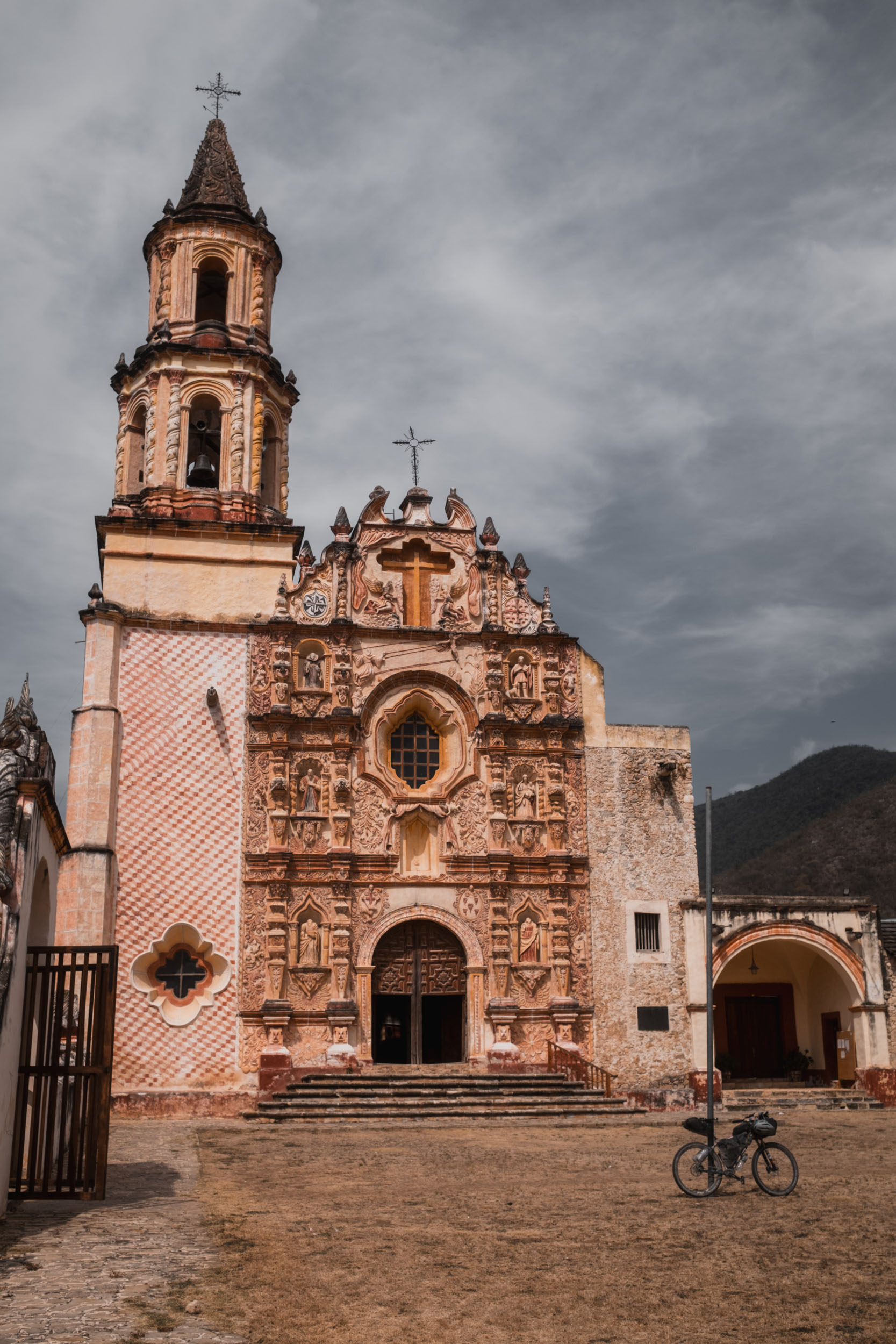
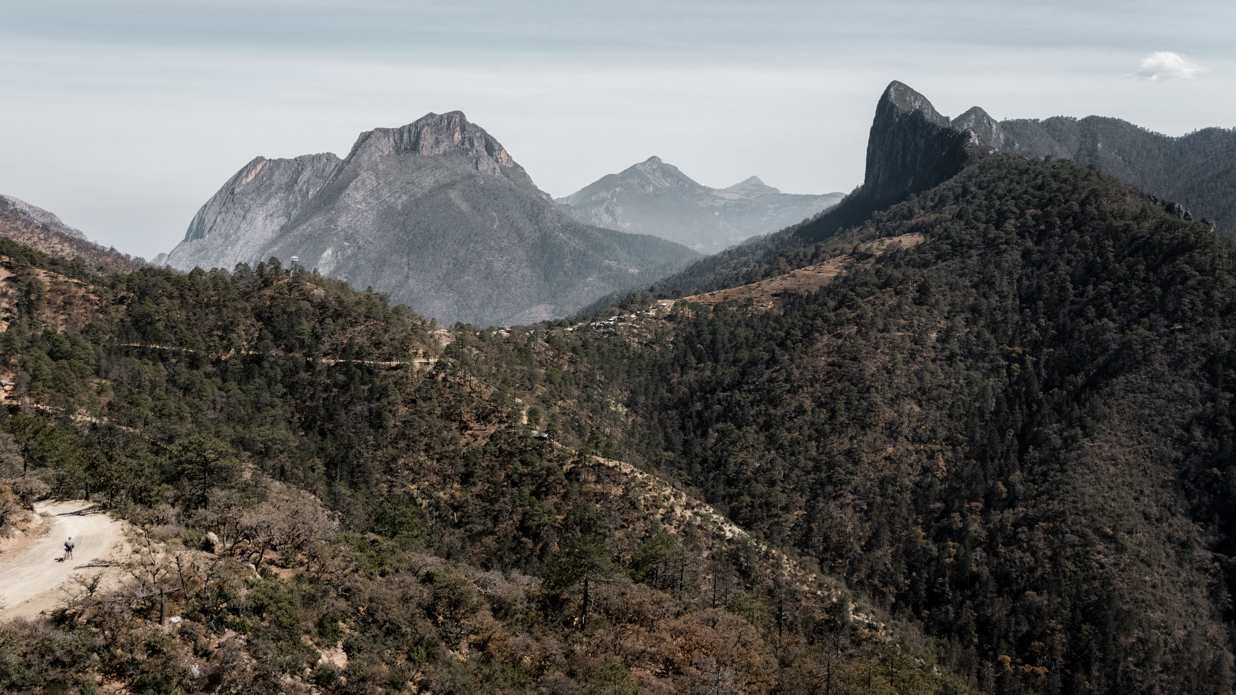
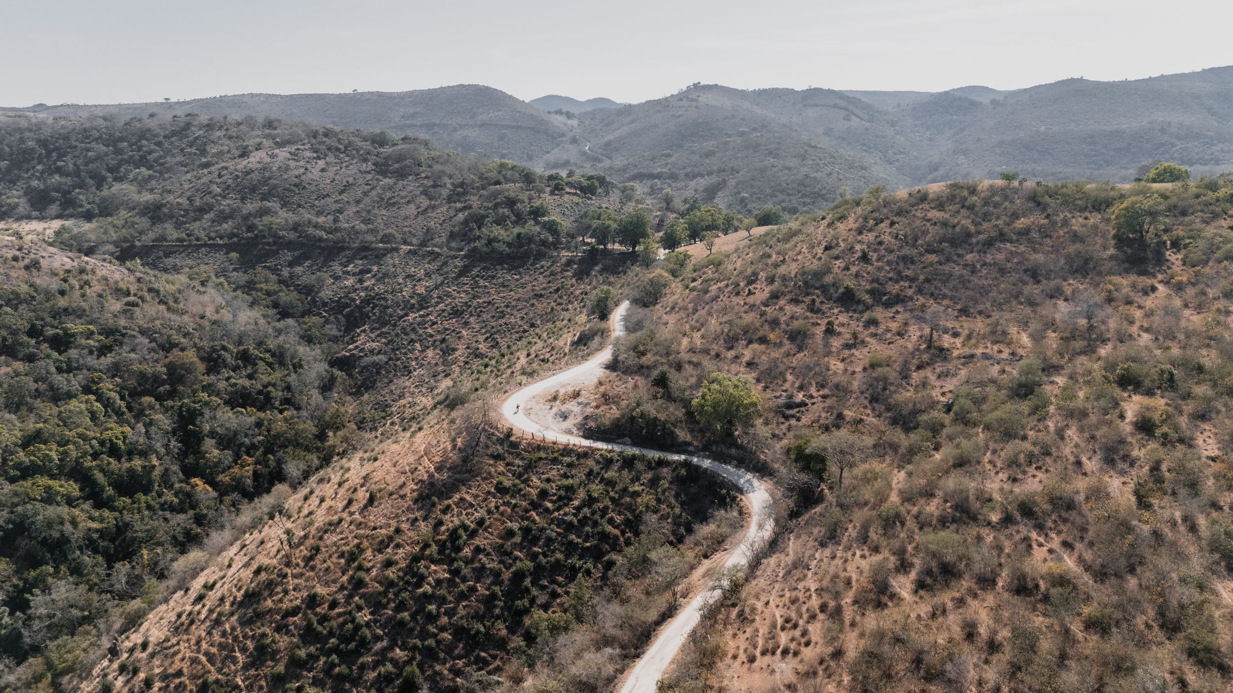
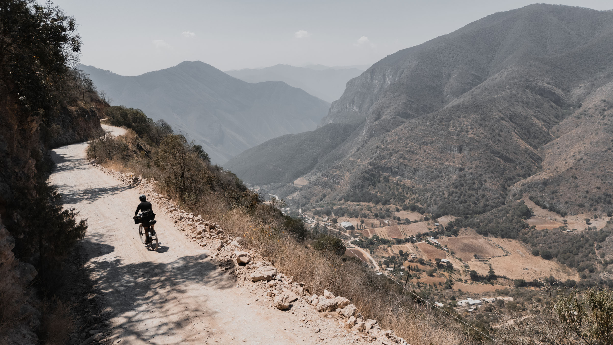
The character of the route shifts dramatically once again in the final section. Entering the Sierra Gorda Biosphere Reserve in Querétaro and Hidalgo, the landscape explodes into the dark green of the cloud forest. This beauty comes at a price: the Sierra Gorda is infamous among Mexican cyclists for its intensity. The roads often don’t follow contours; they attack gradients head-on. Riders will experience temperature swings from 5°C in the morning mist to 35°C in the humid canyon floors.
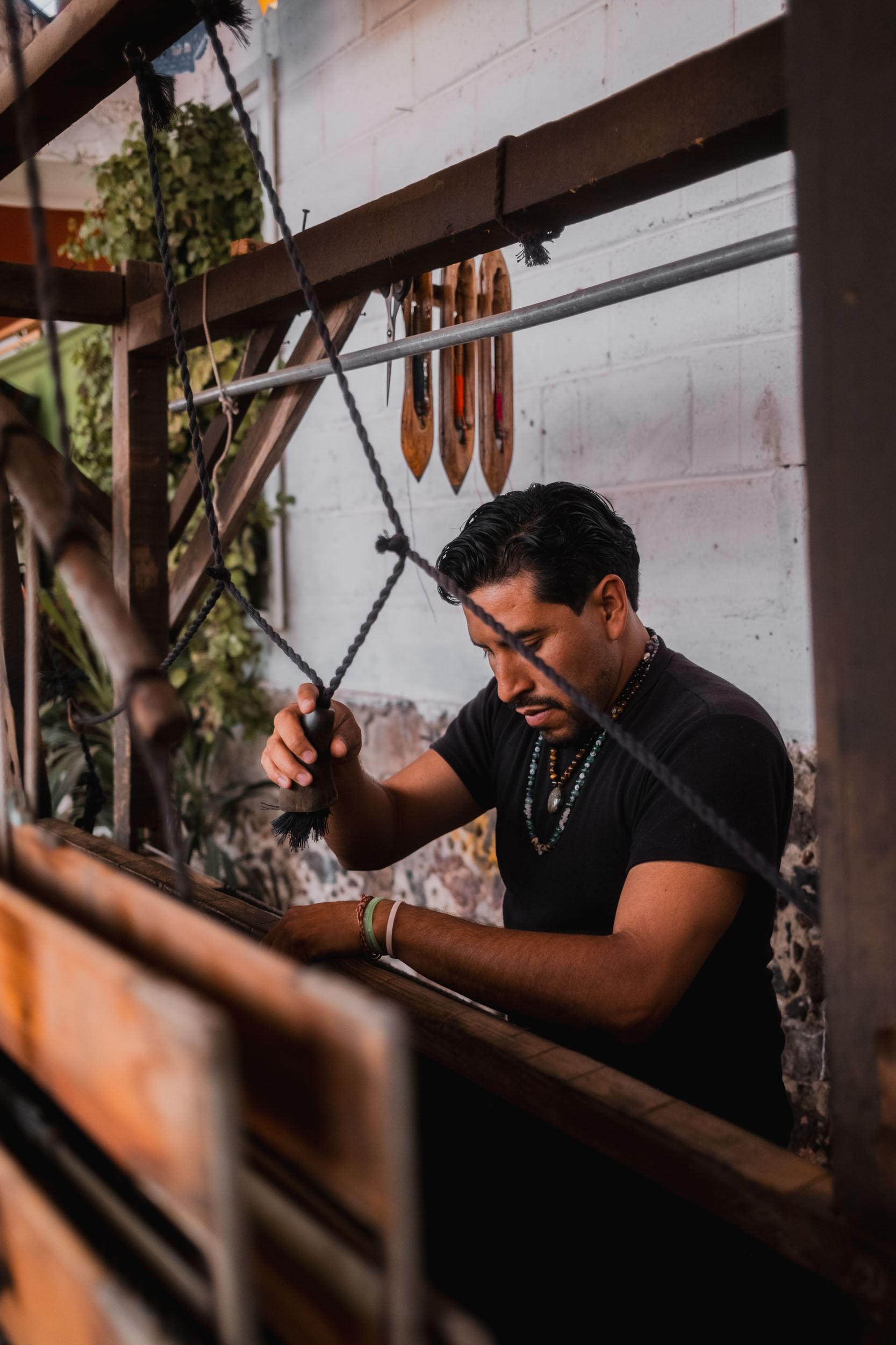
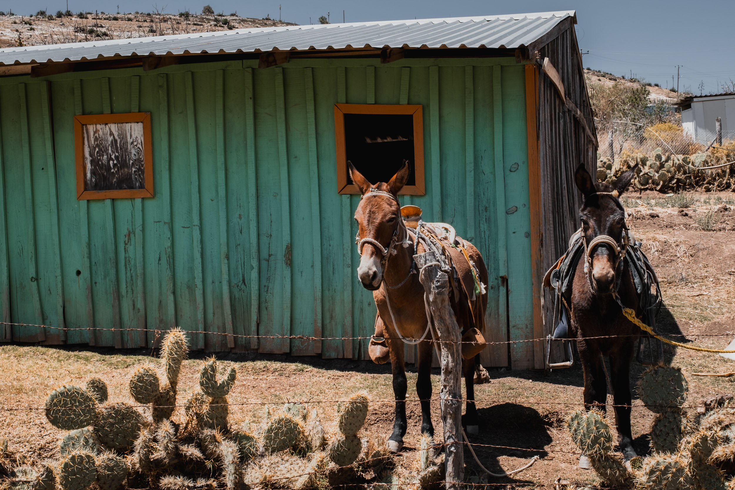
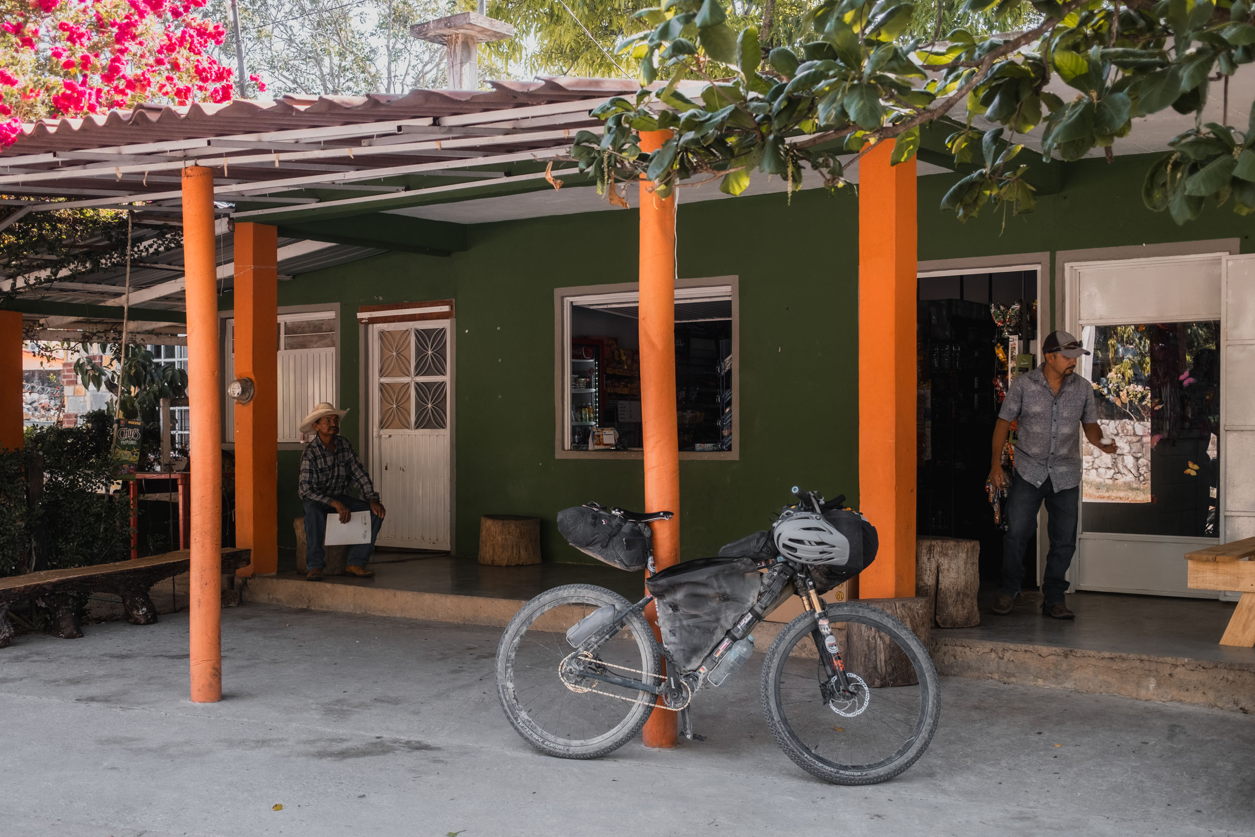
Culturally, this trip offers a raw look at Mexico. You will not find resort amenities here. You will find tienditas in dusty ejidos, barbacoa served from roadside stands, and a disarming level of hospitality in the remote mountains. It is a route for those who want to see the transition of a continent, from the arid north to the tropical south, one pedal stroke at a time.
Route Difficulty
Physically, this route is a 9/10. The climbing is relentless, often very steep, and regularly requires many hours of strenuous exertion in extreme heat and sometimes humidity. Headwinds and intense solar radiation often plague the “flat” sections in the altiplano. This is not a route for “off-the-couch” touring; it requires strong fitness.
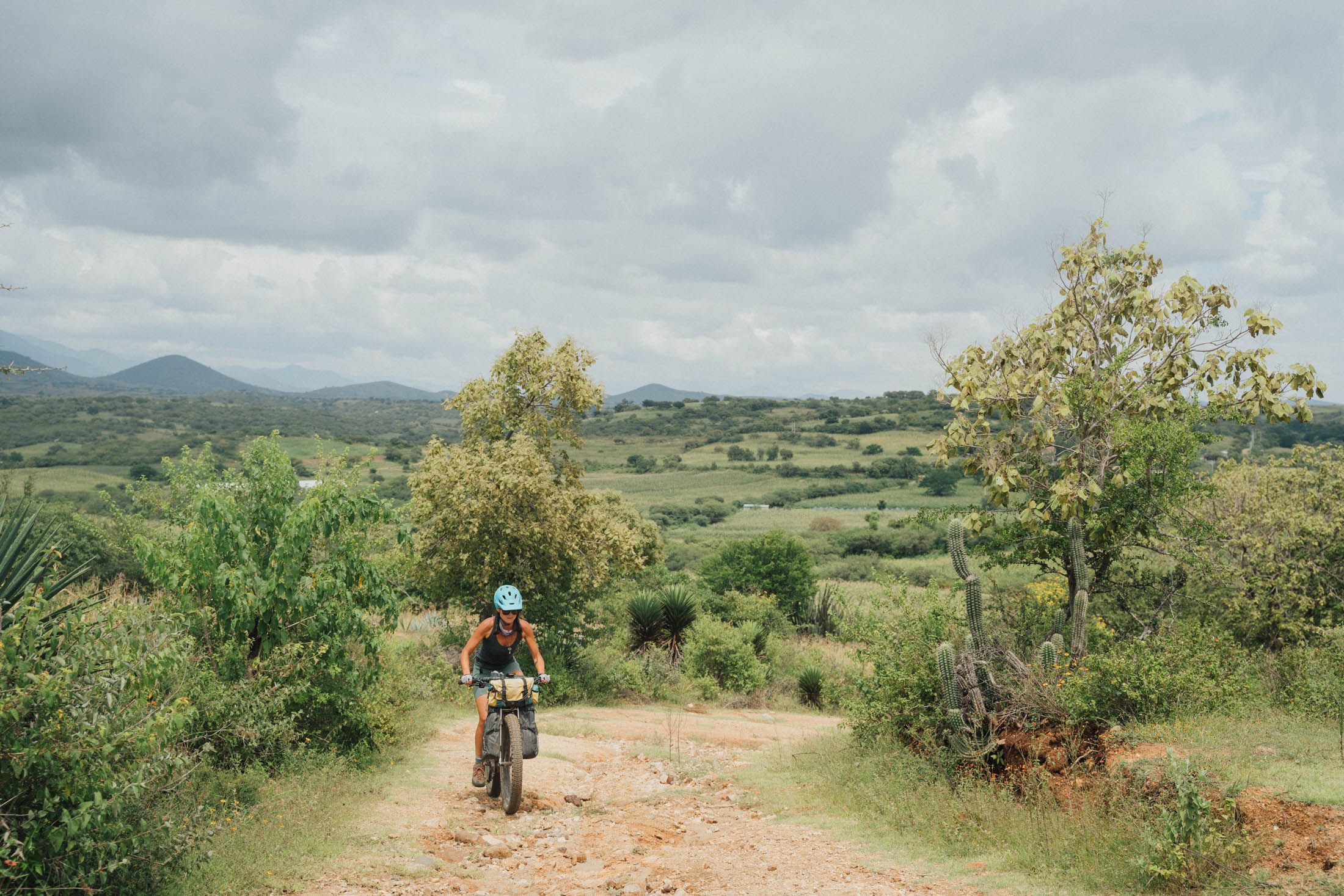
Technically, the route is a 6/10. Most of the route follows doubletrack, gravel roads, and rural cobblestone. There is no technical singletrack, but “road” can be a loose term in Mexico. Expect washboards, deep sand in some of the river washes, and loose baby head rocks on descents that will test your bike handling and brake pads.
Logistically, the route is also a 6/10. Resupply is frequent enough that you rarely need to carry more than 1-2 days of food, so this route is not a major challenge logistically. The route does not pass through many larger towns, however, so any bike repair issues are likely to require a substantial detour. The language barrier is another potential consideration. Outside of major hubs, English is not spoken.
Route Development
This route was developed to offer an alternative to the Baja Divide and Trans-Mexico Norte routes for those wishing to explore a different side of Mexico, as few bikepackers have historically taken the eastern route. It stitches together existing rural connectors, mining roads, and quiet pavement sections where there are no good dirt alternatives. A big thank you goes out to Greg McCahon, who provided excellent beta for the route, which I was then able to fine-tune on my ride.
















Submit Route Alert
As the leading creator and publisher of bikepacking routes, BIKEPACKING.com endeavors to maintain, improve, and advocate for our growing network of bikepacking routes all over the world. As such, our editorial team, route creators, and Route Stewards serve as mediators for route improvements and opportunities for connectivity, conservation, and community growth around these routes. To facilitate these efforts, we rely on our Bikepacking Collective and the greater bikepacking community to call attention to critical issues and opportunities that are discovered while riding these routes. If you have a vital issue or opportunity regarding this route that pertains to one of the subjects below, please let us know:
Highlights
Must Know
Camping
Food/H2O
Trail Notes
Resources
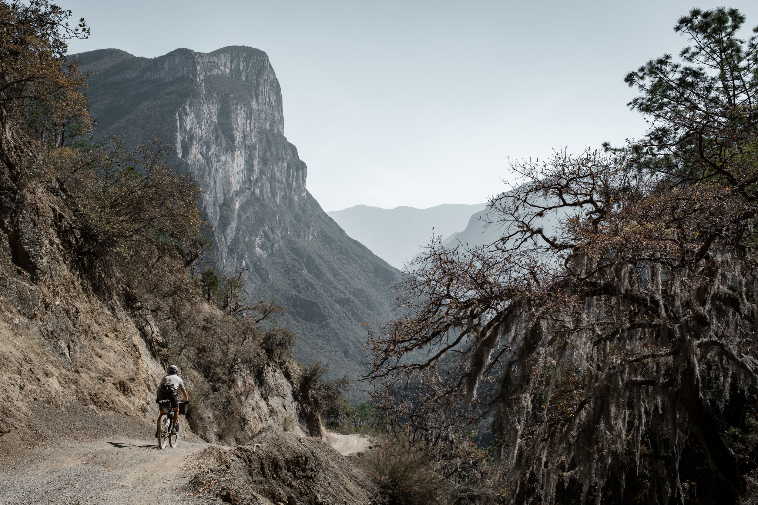
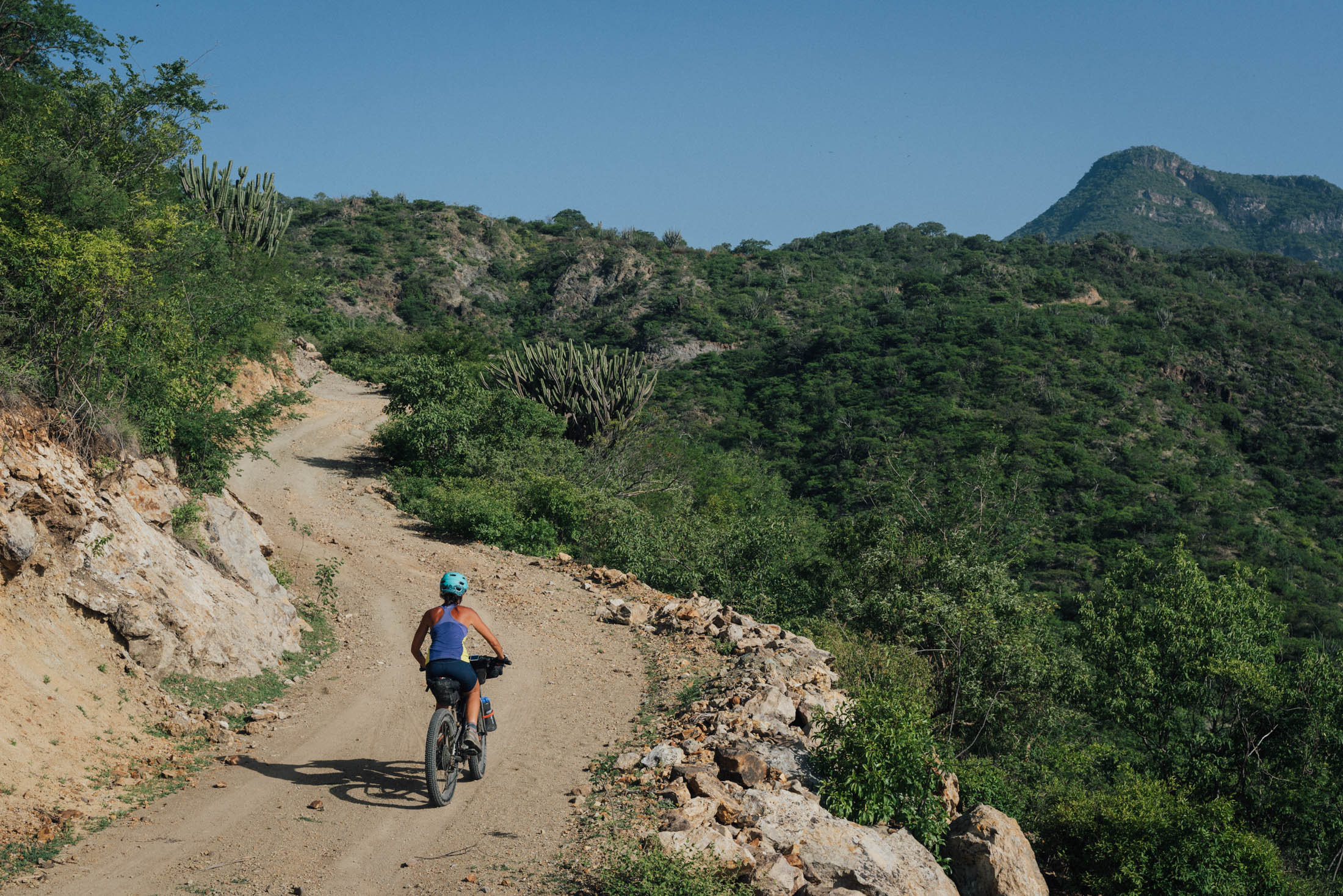
- The dirt roads passing through the mountains south of Monterrey make for some of the most spectacular riding I’ve done, anywhere in the world. Truly breathtaking.
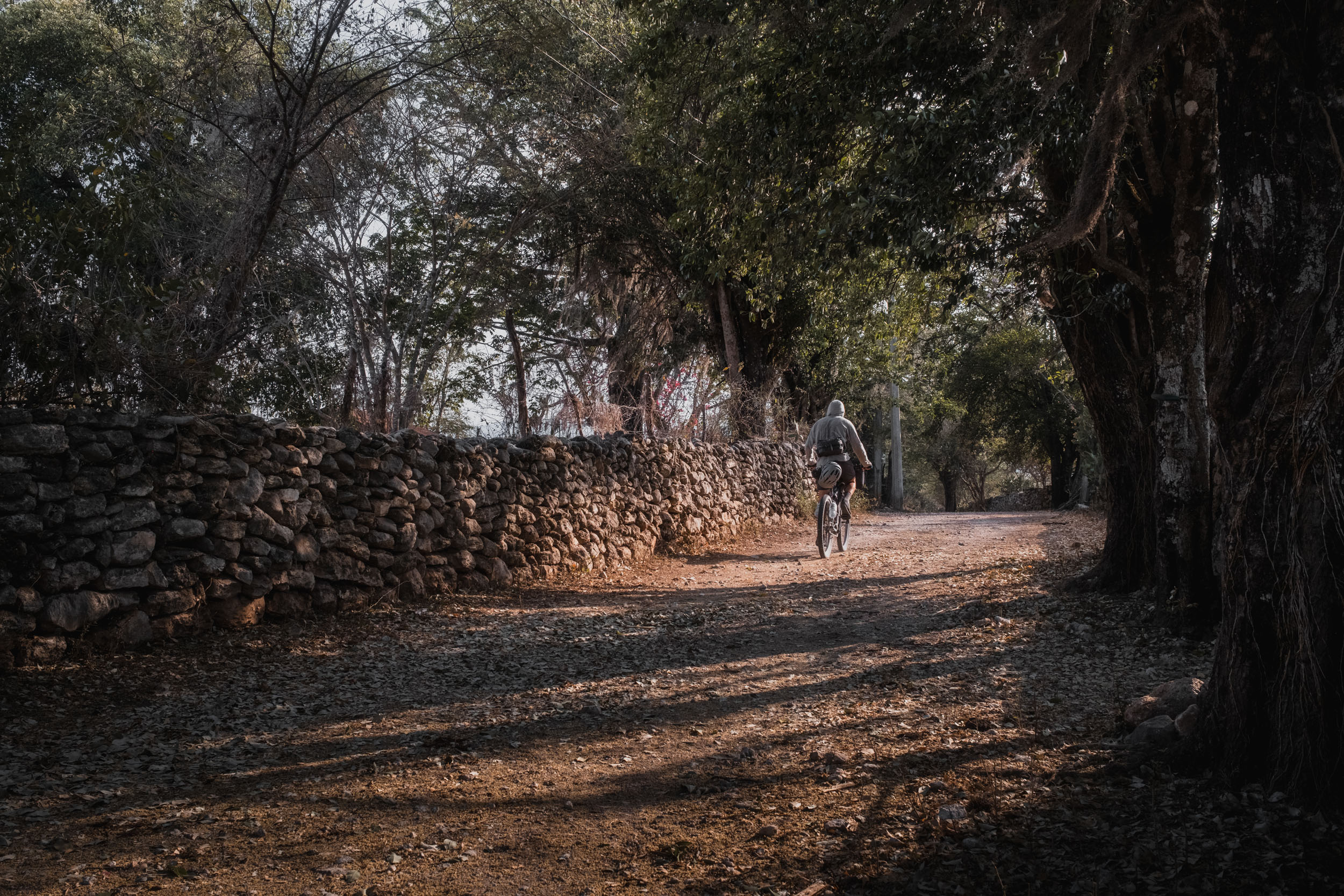
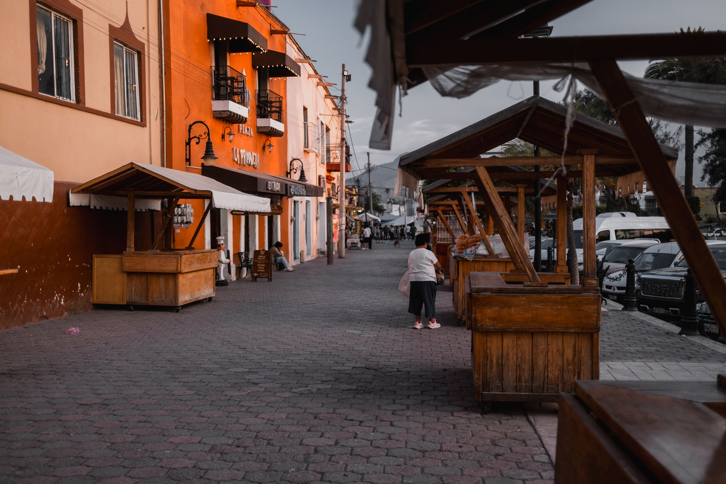
- The pueblos, especially in Nuevo Leon, are a real highlight. Sitting in shady plazas, eating gorditas, sipping cold drinks, and chatting with friendly locals. Towns can be very hard to leave.
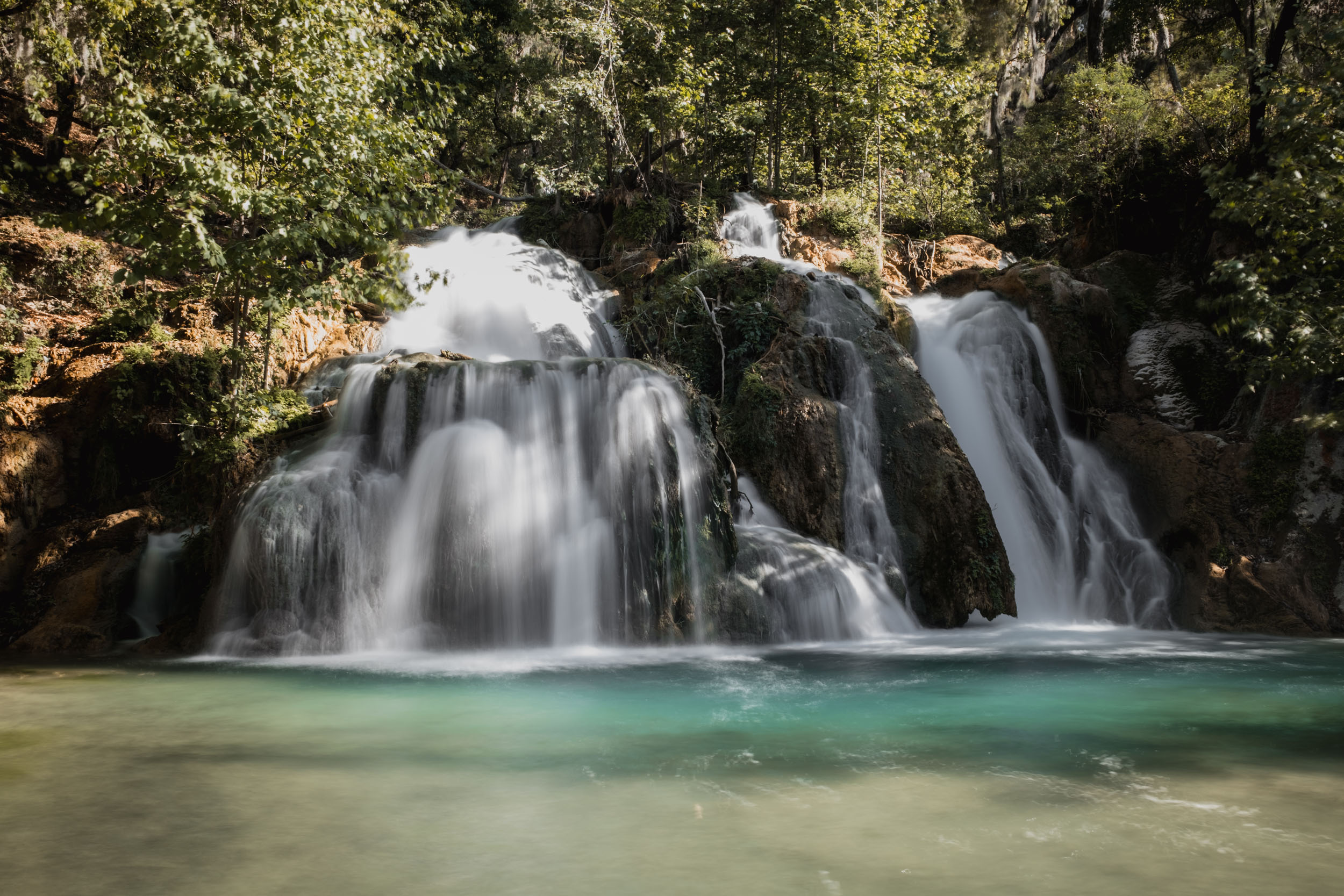
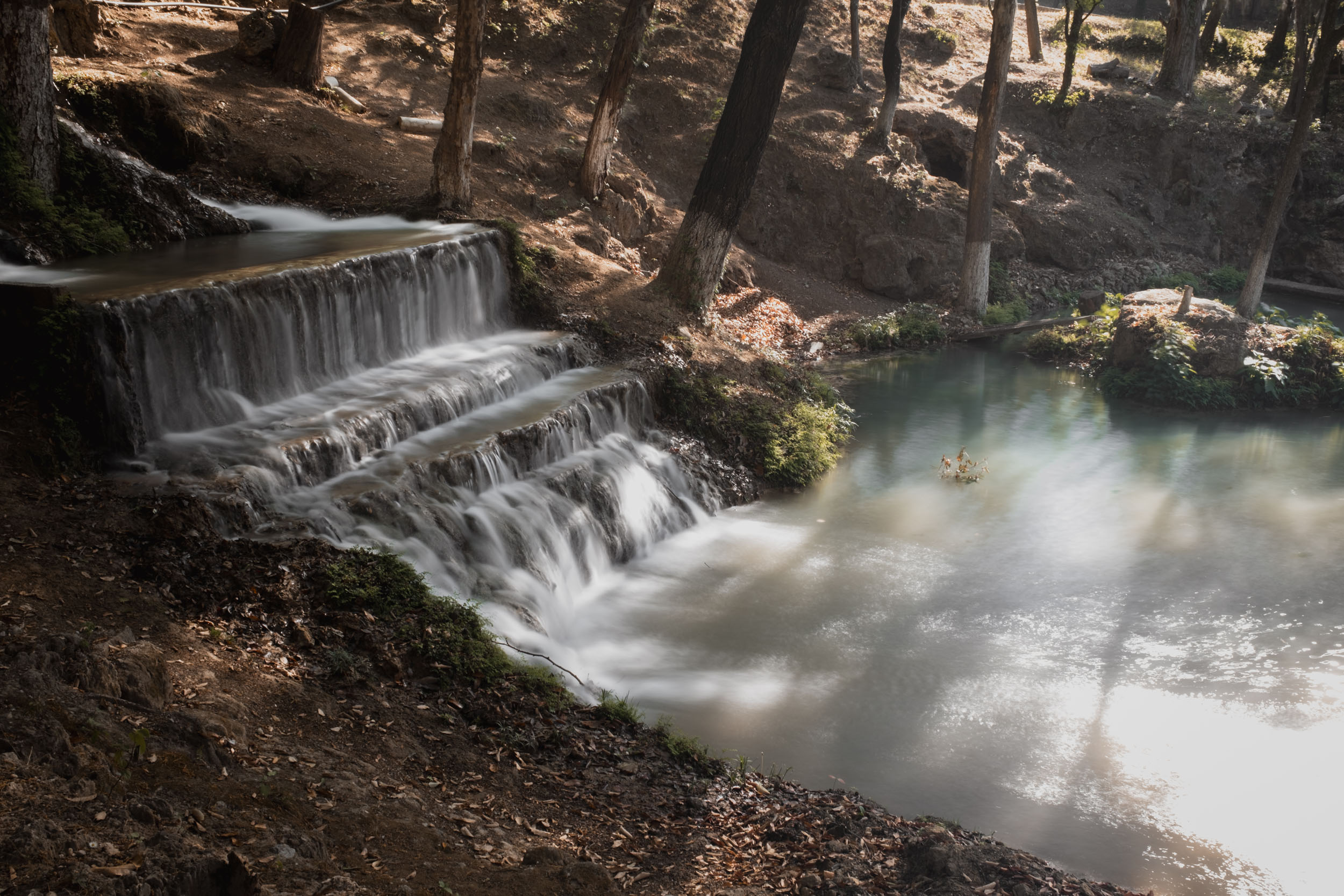
- Parque Recreativo El Salto, just outside General Zaragoza, is a true paradise, yet it sees very few visitors, so there’s a good chance you’ll have it to yourself.
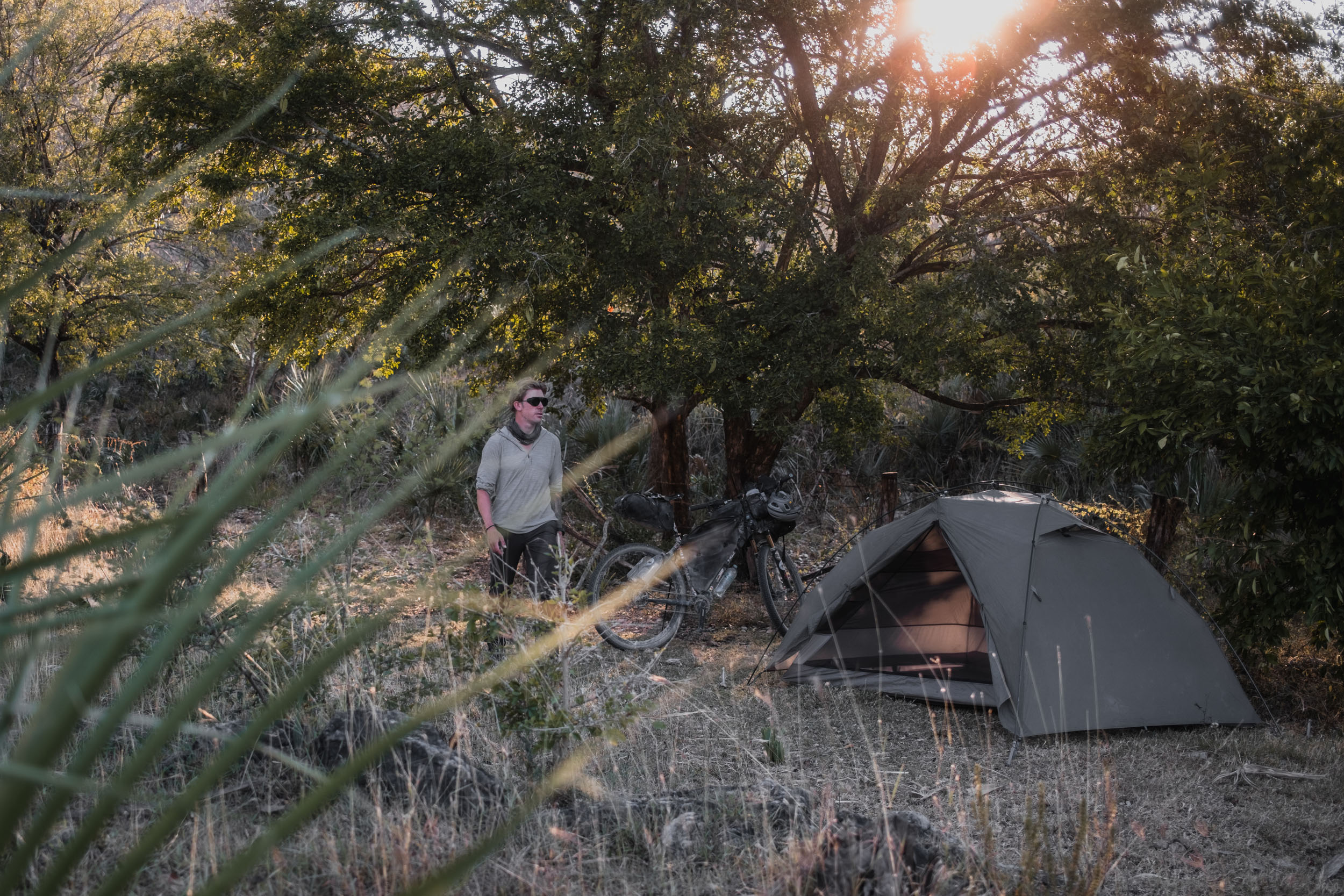
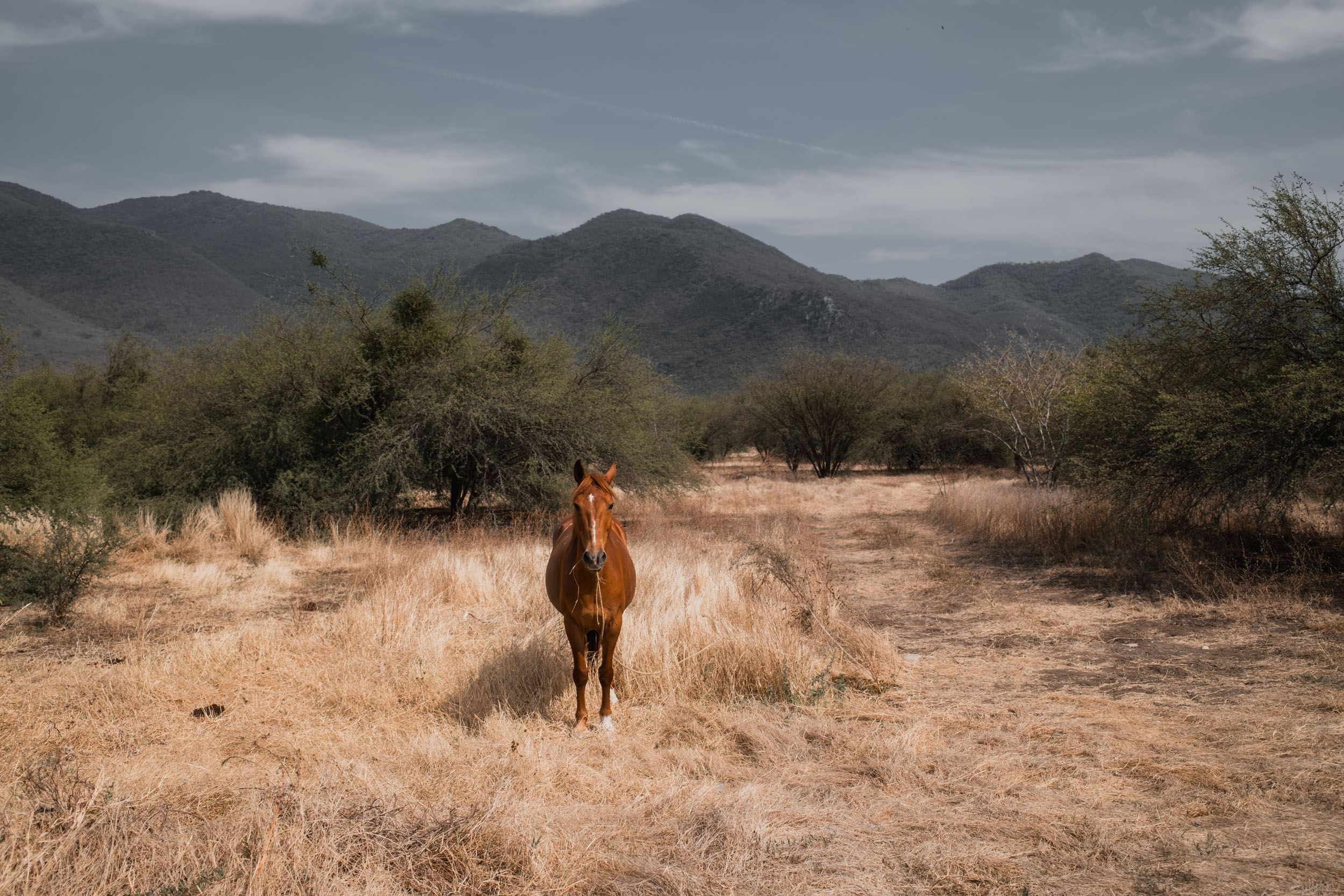
- The altiplano is an amazing landscape to bike through. Joshua trees are plentiful, and there are some wonderful wild camping opportunities through this section.
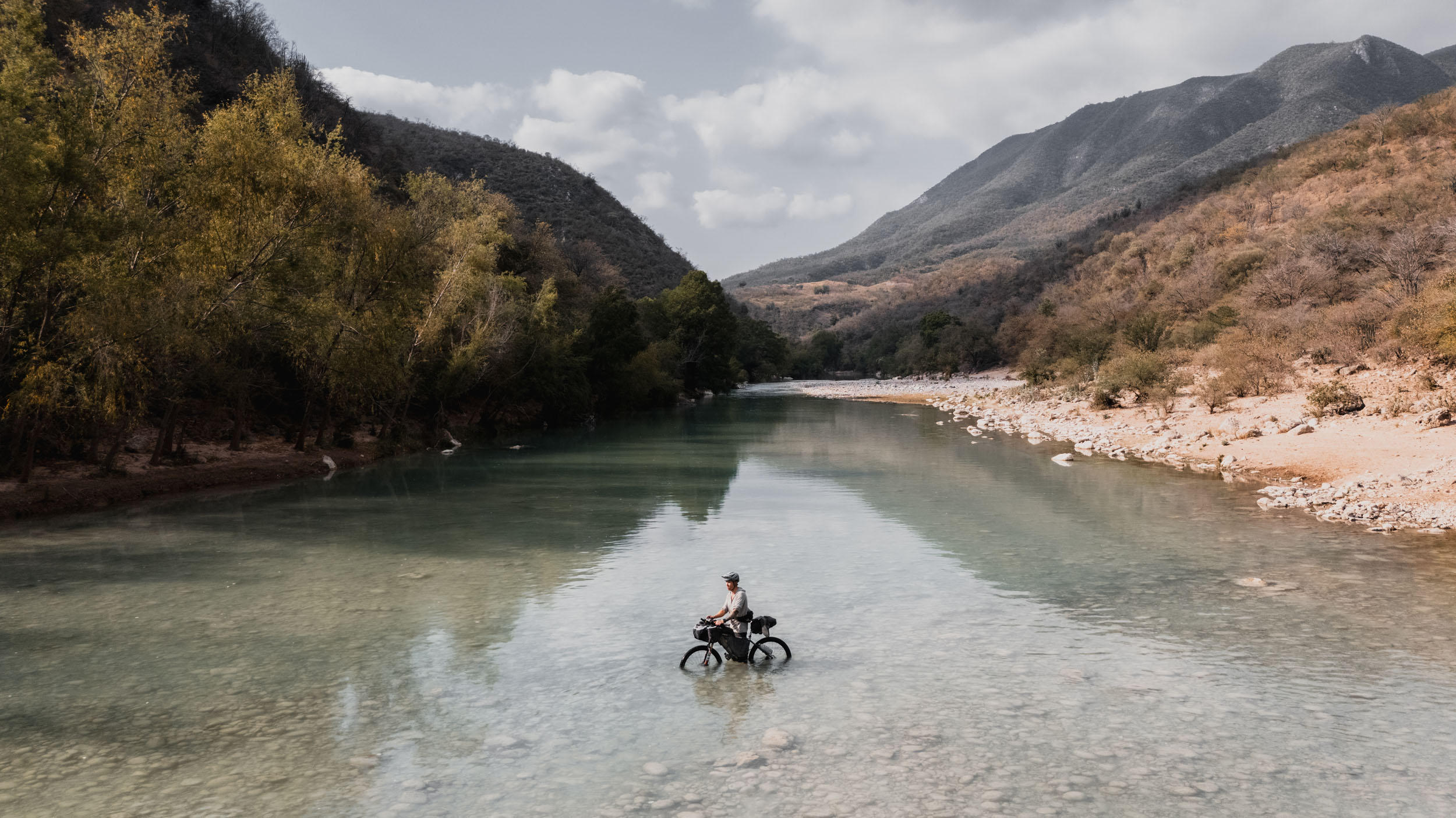
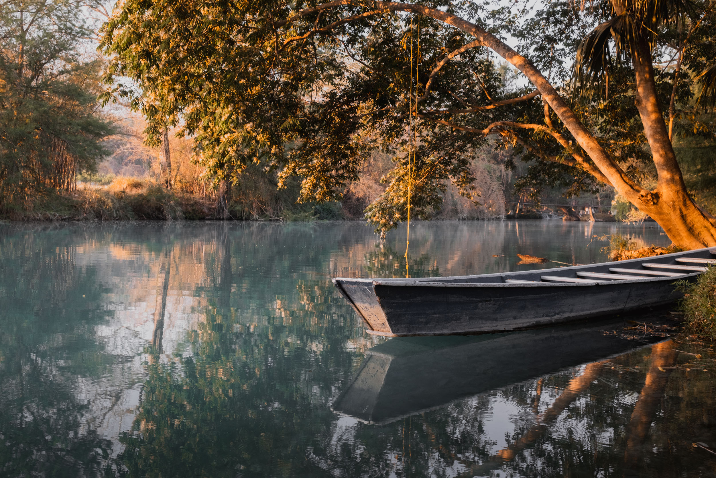
- The river and waterfalls at El Meco are almost impossibly beautiful. Floating down a turquoise river, the water cool and clear, feels like paradise after crossing the altiplano.
- The Huasteca Potosina is an incredible area to ride through. Lush and green, with several stunning waterfalls, this is one of Mexico’s most beautiful regions.
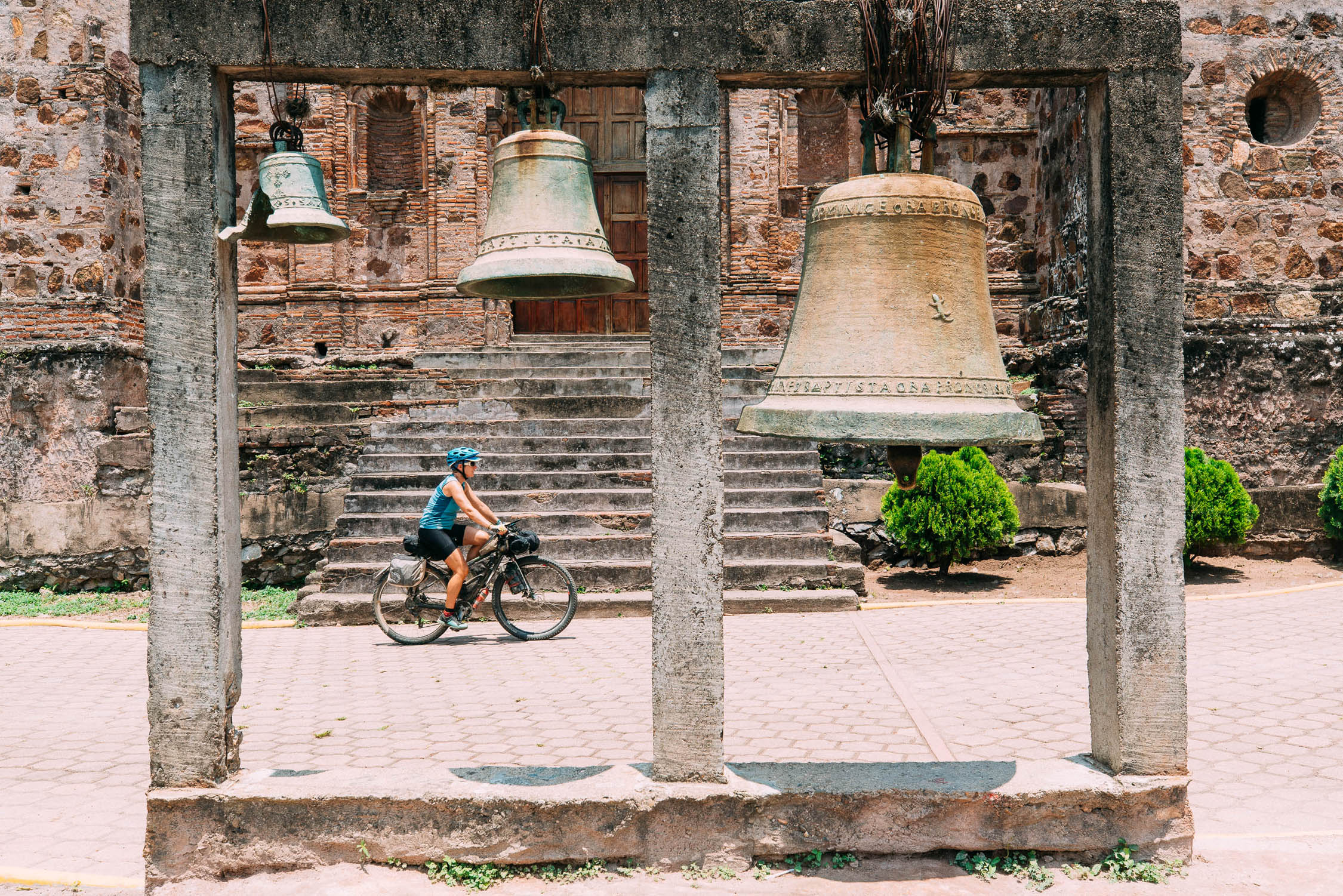
- Pueblos Magicos and World Heritage Missions. The route passes through some exceptionally beautiful and historic places, which attract visitors from all over Mexico.
- The Sierra Gorda mountains are breathtaking, especially when you make it up to the misty forests you’ll find in the higher reaches. The climbs are tough, but the descents are incredible.
- Puerta del Cielo (Pinal de Amoles): The route’s high point in the Sierra Gorda, where the road cuts through a dramatic gap in the mountains, often shrouded in mist, marking the transition between arid rain shadow and lush cloud forest.
- Riding up through a slot canyon is an unforgettable finale; it’s a unique experience that ends the route on a high note.
When to go
- October to April is the ideal time to ride. The summer (May-September) is dangerously hot in the desert and prone to hurricanes/mudslides in the mountains.
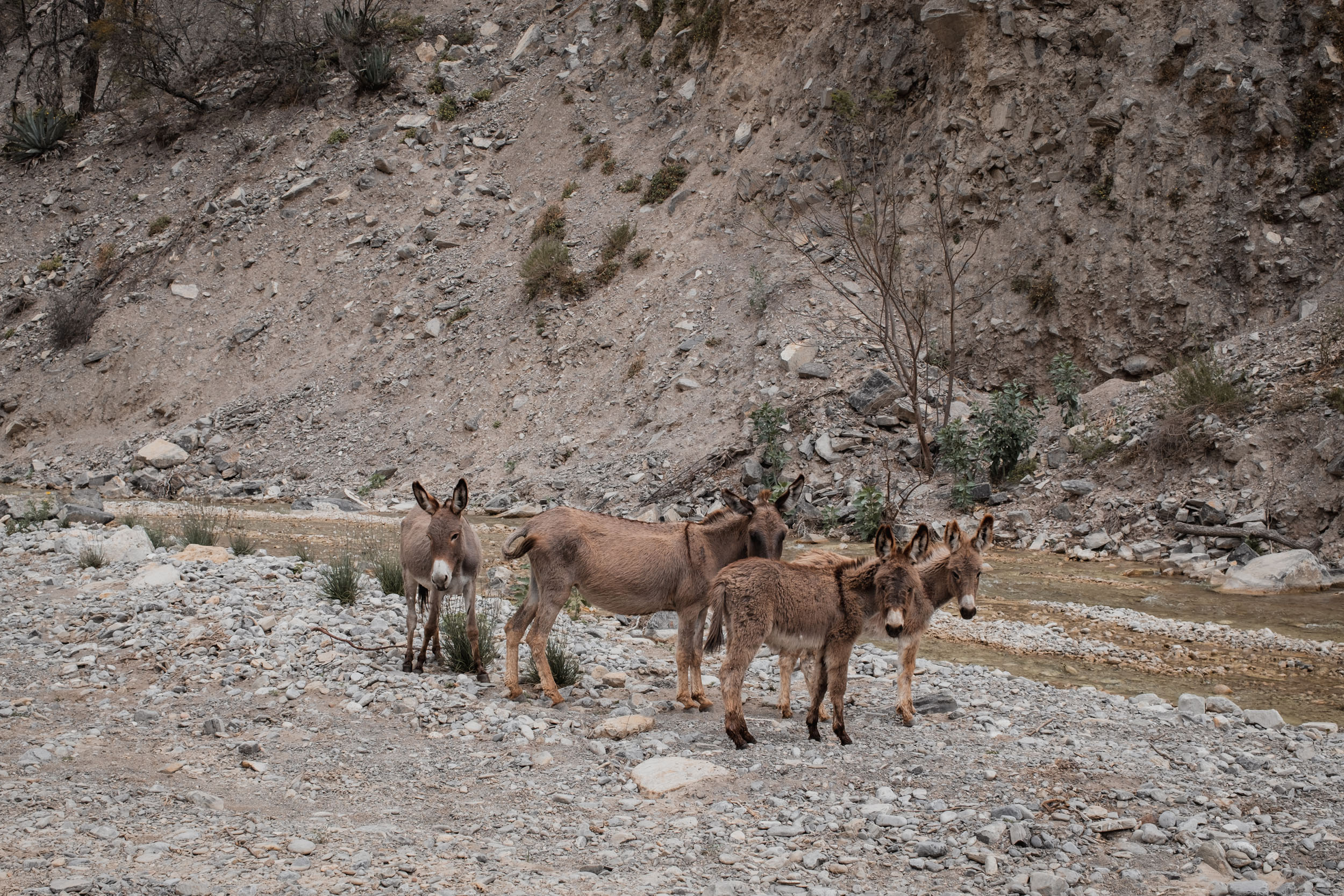
- Some sections can’t be ridden in the rainy season, either because the road follows the dry river bed, which will be flowing with water, or in one case, because of a significant river crossing which will usually be too high to pass in the wet season. These locations are marked on the map.
Dangers & Annoyances
- Safety Warning: While this route goes through areas that are generally very safe, with low cartel activity, it’s always wise to check with locals in case the situation changes. I felt extremely safe for the entirety of my time riding La Travesía Oriental, with no issues, but it’s always good to take care. It’s best to avoid riding at night.
- Expect police checkpoints, which are common in the area.
- Start Early: Beating the heat is critical. For the major 1,000-metre+ climbs, plan to camp at the base the night before. Tackling big elevation gains in the cool morning air saves significant energy. Ideally, aim to reach a town by early afternoon to wait out the peak temperatures in the shade.
What Bike
- This route is quite rough in places and is best suited to a mountain bike. I did it comfortably on a hardtail with 29 x 2.25″ tyres, but I would have been even happier with something slightly wider, so I’d suggest fitting the widest tyres you can, especially if on a rigid bike.
- The route could be done on a gravel bike, but expect it to be quite uncomfortable for some sections.
- Most importantly, whichever bike you bring, you’ll want the lowest gears you possibly can to help you out with all the steep climbs, and be sure to pack light!
- Brakes: You will encounter descents that lose more than 1,500 metres of elevation in one go, sometimes on steep gradients. It would be prudent to fit fresh brake pads before starting, and bring spares.
- Tires: Tubeless is the smart choice due to goat heads (thorns) and sharp limestone.
Logistics
- Language: In rural towns, knowing basic Spanish phrases is essential for buying water and food, and it’s very rare to find anyone who speaks English. If you don’t speak Spanish, download Google Translate for offline use, as you often won’t have service.
- Cash is King: Credit cards will work in a few of the bigger towns, but most places will be cash only. It’s best to stock up whilst you’re in the bigger towns, as smaller settlements won’t always have banks or ATMs.
- Transport: Monterrey (MTY) is a major international hub. Bus travel with a bike in Mexico is generally easy; ETN, ADO, or Primera Plus lines often take bikes in the hold. Zimapán, at the end of the route, is a smaller hub, but it’s easy to get from there to the capital, Mexico City, by bus.
IMPORTANT NOTE: I chose to end the route in Zimapán rather than have it continue the final 200 kilometres from there to Mexico City. This is because this final section does not make for a good ride, as the landscape is much less interesting, developed, and trafficked as it approaches the capital. Entering or exiting Mexico City from the north is not a pleasant experience, as there are no good approaches, requiring you to cycle on very busy roads, often with no shoulder, surrounded by fast traffic.
My suggestion is therefore to take a bus between Zimapán and Mexico City. This is easily done via one of the larger coach-style buses provided by Ovnibus, which has multiple departures daily between Zimapán and Central del Norte bus station in Mexico City. You can simply remove your front wheel and store your bike in the underfloor luggage compartments. If you do choose to cycle this section instead, be very careful, especially when getting closer to the city.
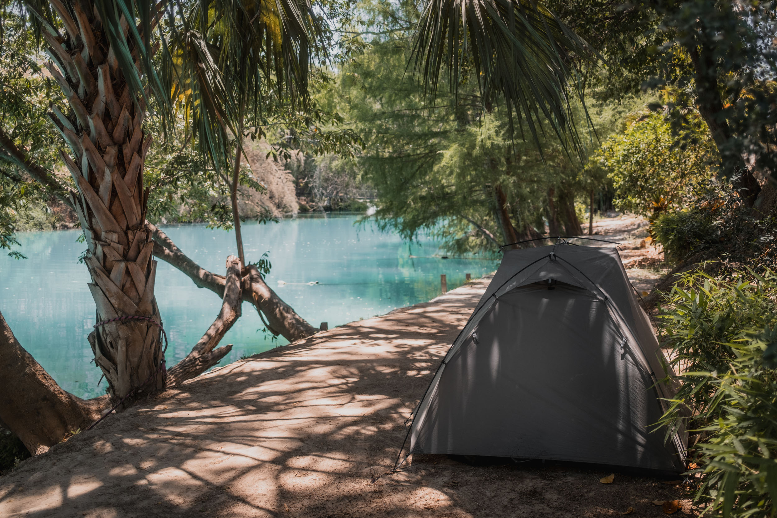
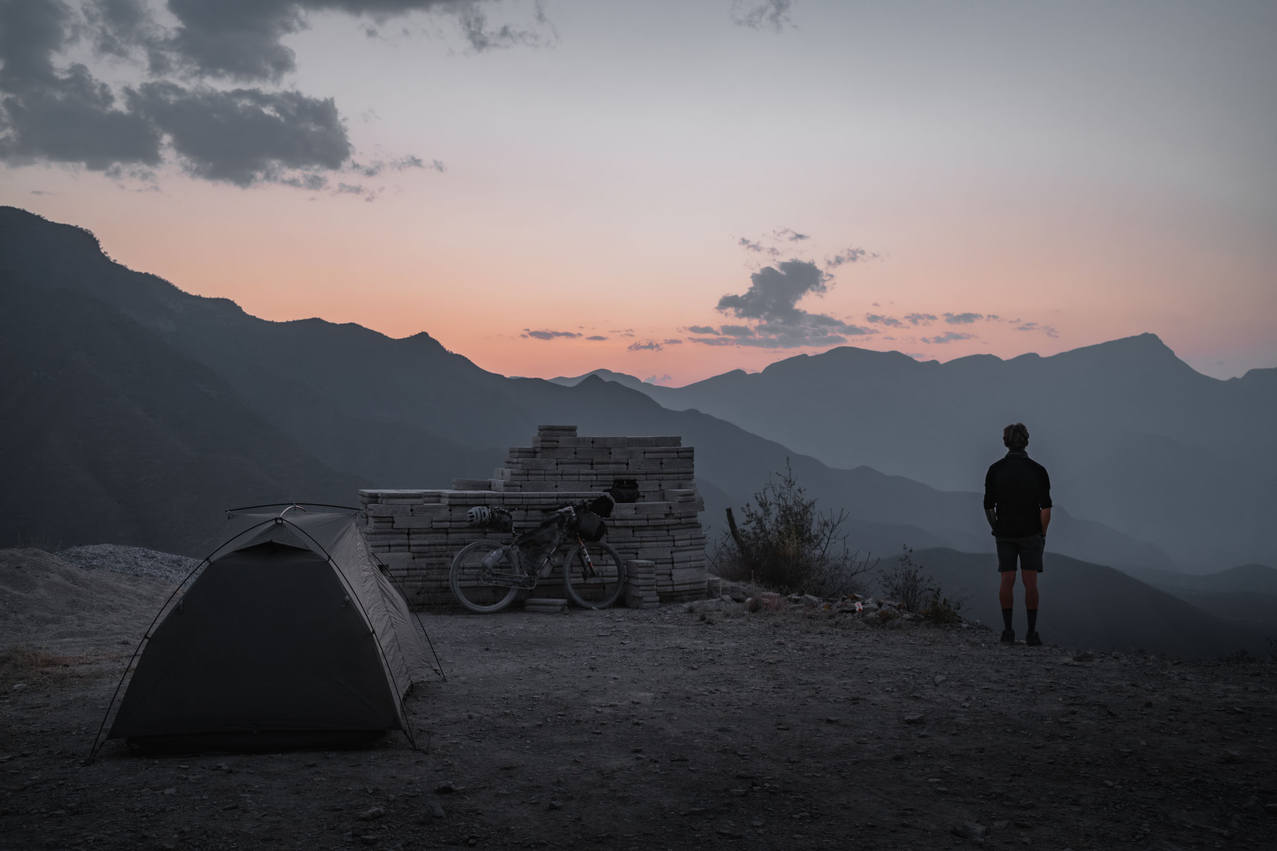
- Wild Camping: Generally possible in the high mountains and desert. However, in the Sierra Gorda, flat ground is rare. Always stay hidden from the road.
- Simple hotel rooms (or posadas) are available in most towns for 300-500 pesos per night. If near a village or ranch, ask the Comisario or land owner. It is safer than hiding and often results in a safe place to sleep (church yard, school).
- Water: Tap water is generally not safe to drink. It’s best to filter everything or buy garrafones (purified water) in towns to fill your bottles.
- Resupply: You will pass convenience stores in just about every town, and even small villages will often have abarrotes (small general stores) that stock the basics. Fresh ingredients can be hard to find outside of the bigger towns, so it’s best to stock up when you can.
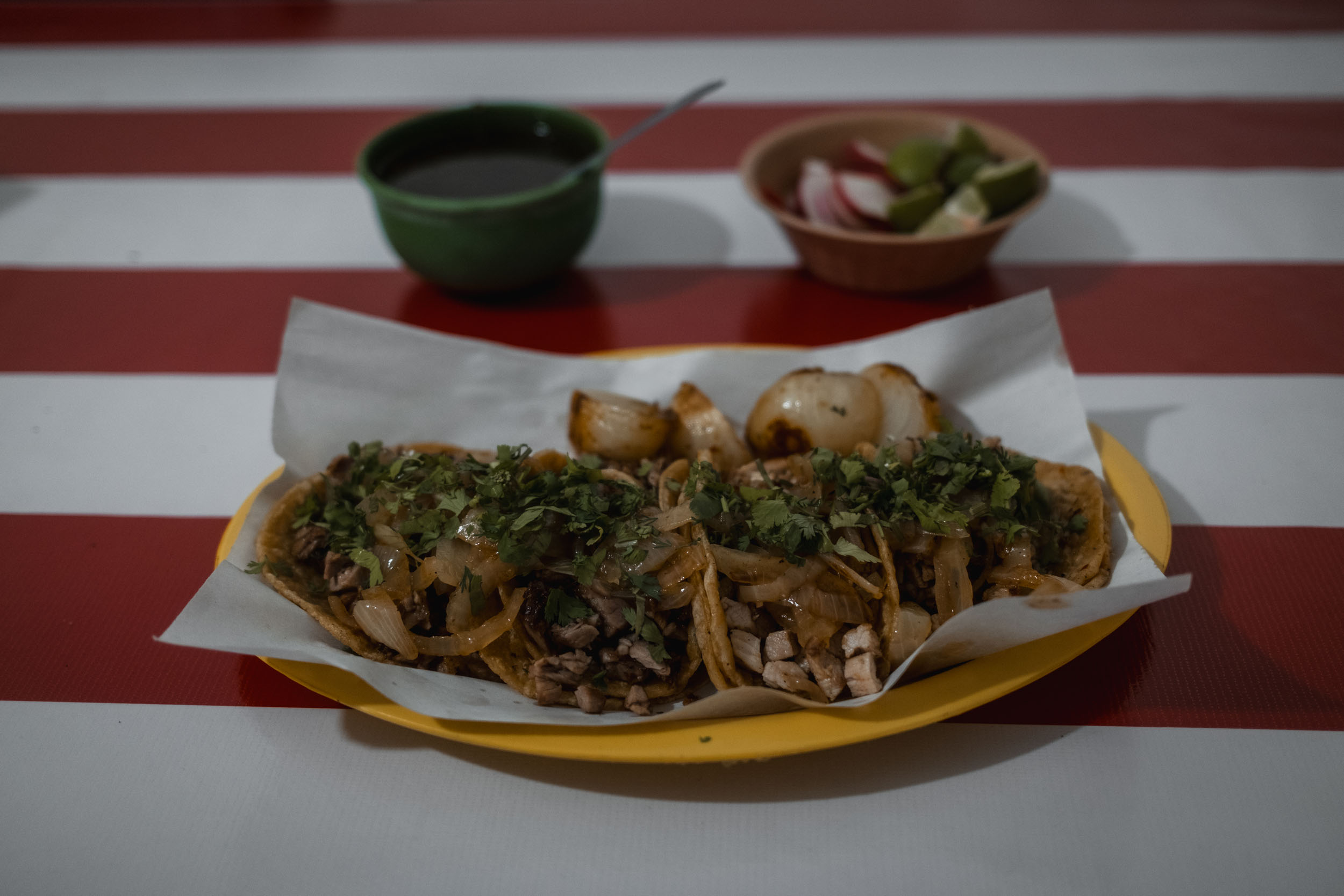
- The Diet: Expect eggs, beans, and tortillas for breakfast. Gorditas and tacos for lunch. Roasted chicken for dinner. Vegetarian options are somewhat limited to quesadillas and beans, but you can always cook your own food; it’s a good idea to bring a stove.
Due to the substantial elevation gain and the frequency of 1,000-metre climbs, rider pace on this route will vary significantly based on setup and fitness. A rigid day-by-day itinerary would likely be misleading for many bikepackers. Instead, the route is presented in four distinct geographical segments, allowing riders to adapt their daily mileage to the terrain and their recovery needs.
locationThe High Sierras (Monterrey to General Zaragoza)
Segment 1
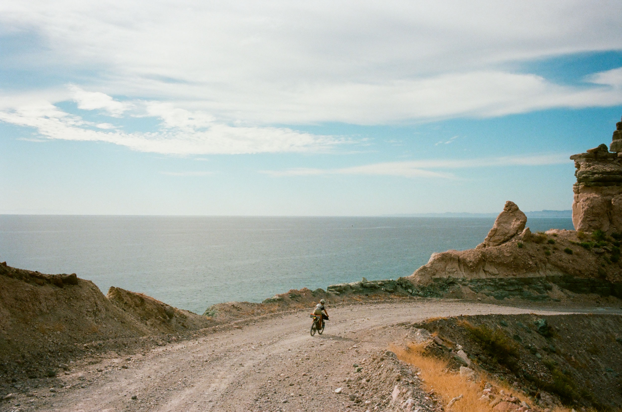
The route offers little warm-up, climbing immediately out of Monterrey into the spectacular limestone peaks of the Sierra Madre Oriental. Expect challenging gradients, jagged mountains, and a string of charming, high-altitude towns. The riding here is world-class, defined by dramatic, rocky vistas and friendly locals. This section culminates at the turquoise waterfalls of General Zaragoza, a highlight of the entire route and a perfect reward for the initial effort.
locationThe Altiplano Transition (General Zaragoza to El Meco)
Segment 2
After reaching the pass out of Zaragoza, the landscape shifts dramatically as you enter the altiplano. This high-desert plateau is defined by forests of Joshua trees, intense sun, and potential headwinds. While less mountainous than the first leg, the exposure makes this a serious undertaking. The segment ends as you cross the watershed and descend into the lush, humid jungle of the Huasteca Potosina. The village of El Meco offers some of Mexico’s finest waterfalls and a crystal-clear river—an ideal spot for a rest day to swim and recover before the humidity kicks in.
locationThe Huasteca Potosina (El Meco to Jalpan)
Segment 3
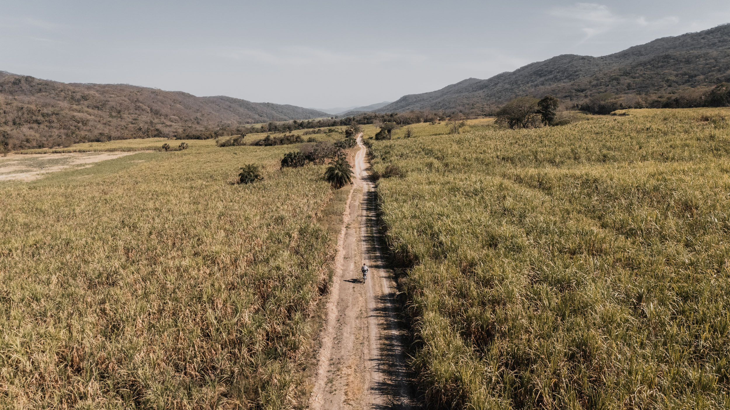
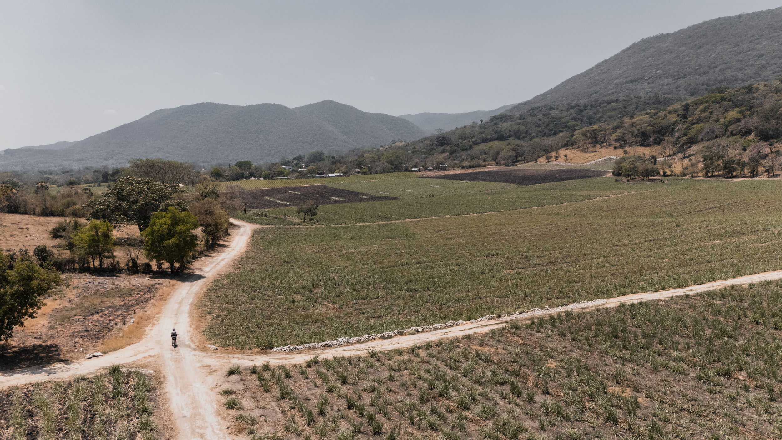
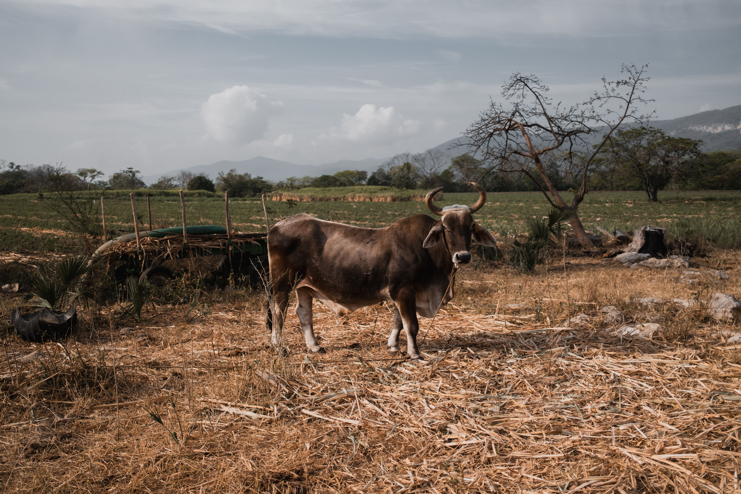
El Meco marks the point where the desert is truly left behind. The environment here is vibrant and green, starting with relatively gentle riding through vast sugarcane plantations and past a series of stunning cascades. As you push south, the route becomes more remote and rugged, climbing back into the hills before dropping into the town of Jalpan de Serra, the primary resupply hub for the final leg.
locationThe Green Wall (Jalpan to Zimapán)
Segment 4
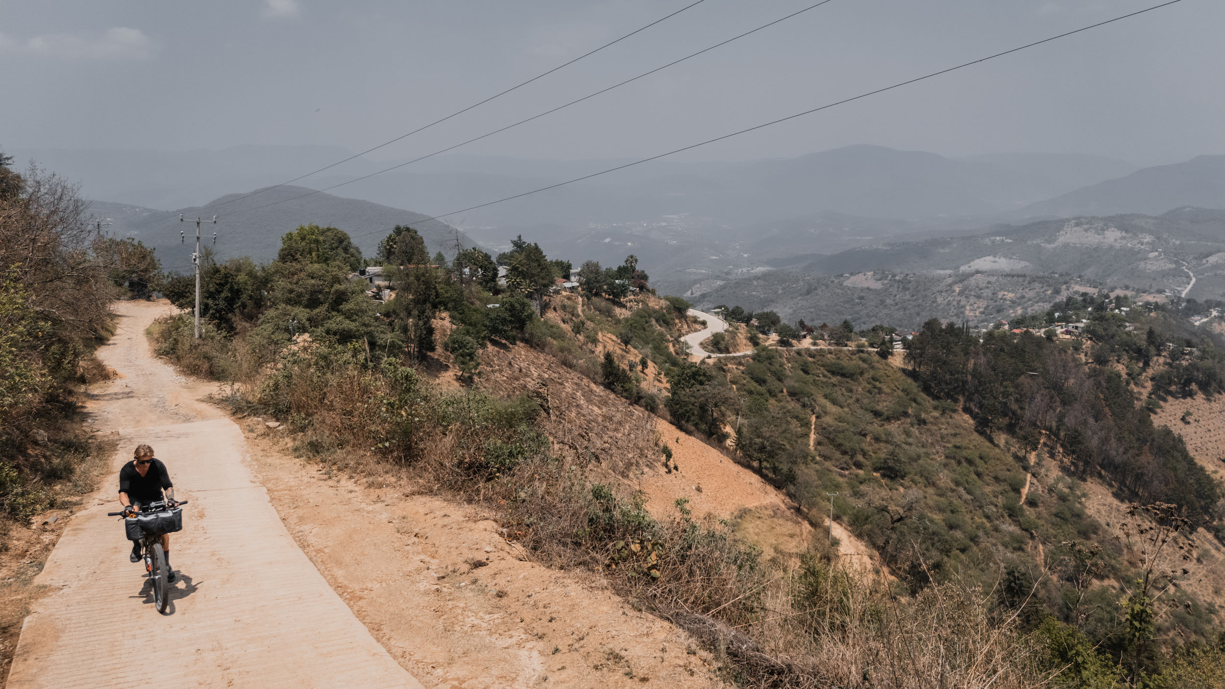
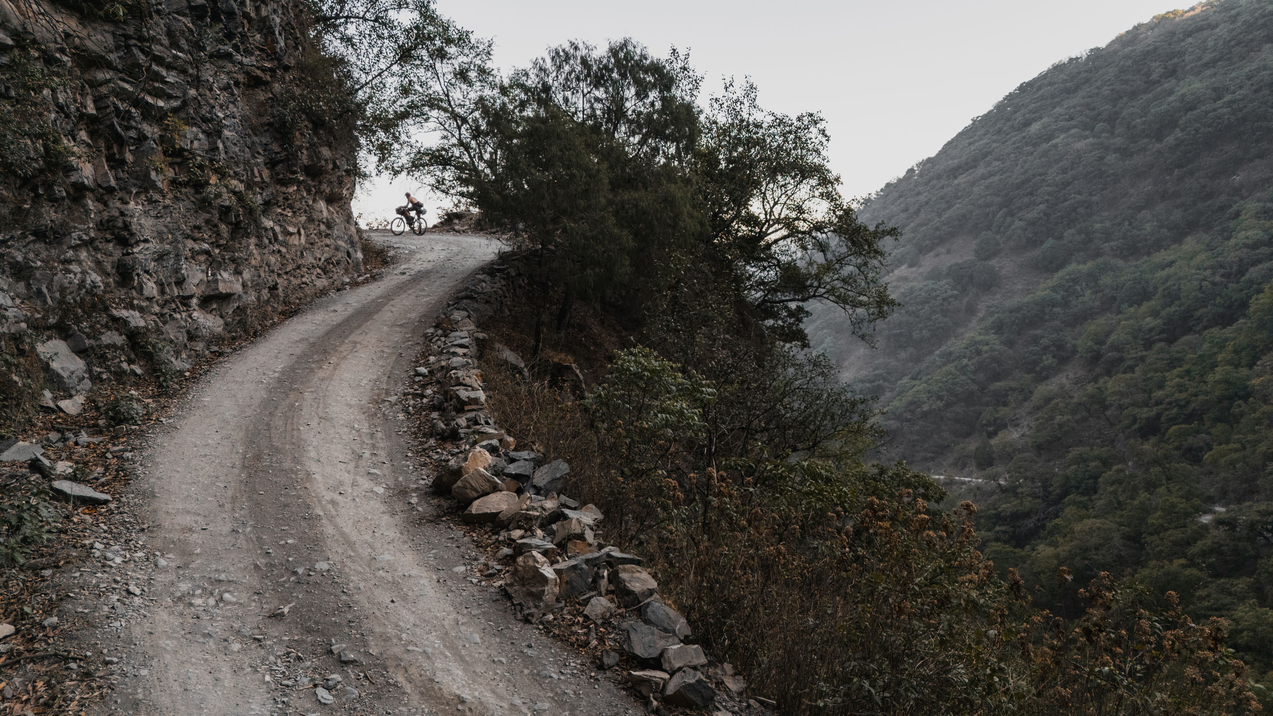
This section provides a fittingly dramatic conclusion to the journey. Leaving Jalpan, the route shoots straight up into the cloud forests of the Sierra Gorda, tackling some of the most significant climbs of the entire trip. The profile here is a sawtooth: steep ascents into the mist followed by sharp drops back to the valley floor. The ride concludes with a spectacular climb through a dry riverbed—reminiscent of a slot canyon—before the final push to the finish line in Zimapán.
Check out my 37-minute video detailing the entire adventure:

Terms of Use: As with each bikepacking route guide published on BIKEPACKING.com, should you choose to cycle this route, do so at your own risk. Prior to setting out check current local weather, conditions, and land/road closures. While riding, obey all public and private land use restrictions and rules, carry proper safety and navigational equipment, and of course, follow the #leavenotrace guidelines. The information found herein is simply a planning resource to be used as a point of inspiration in conjunction with your own due-diligence. In spite of the fact that this route, associated GPS track (GPX and maps), and all route guidelines were prepared under diligent research by the specified contributor and/or contributors, the accuracy of such and judgement of the author is not guaranteed. BIKEPACKING.com LLC, its partners, associates, and contributors are in no way liable for personal injury, damage to personal property, or any other such situation that might happen to individual riders cycling or following this route.
Further Riding and Reading
Here are some connected/nearby routes and related reports...
Please keep the conversation civil, constructive, and inclusive, or your comment will be removed.