


Trans-Mexico Bikepacking Route (Sur)
Distance
680 Mi.
(1,094 KM)Days
18
% Unpaved
50%
% Singletrack
2%
% Rideable (time)
98%
Total Ascent
70,132'
(21,376 M)High Point
8,136'
(2,480 M)Difficulty (1-10)
8?
- 7Climbing Scale Strenuous103 FT/MI (20 M/KM)
- -Technical Difficulty
- -Physical Demand
- -Resupply & Logistics
Contributed By
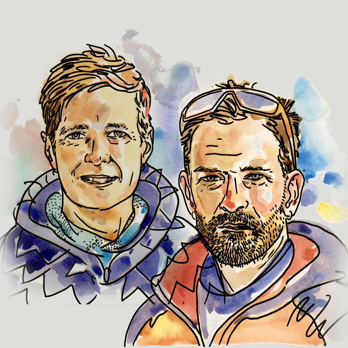
Mark and Hana
Highluxphoto / BeingHana
The Trans-Mexico route was born from the desire of a pair of southbound cyclists to experience the diversity of Mexico’s culture, cities, and landscapes following a dirt-based route that crosses rural and backcountry regions where possible, while still including some of the country’s most interesting cities and sights. This segment combined with its longer and more varied northern section, the Trans-Mexico Bikepacking Route makes a nearly 3,500 kilometer traverse of the country…
What to expect
It’s important to consider that the Trans-Mexico isn’t a “pure” bikepacking route like the Baja Divide or the Colorado Trail. It’s more of a long-distance touring route with an emphasis on dirt, but not a total obsession for it. It’s designed for bikepackers to take in the greatest hits of amazing dirt rides through Mexico with necessary pavement connections that are curated to meet the preferences and needs of the touring bikepacker, including low traffic volumes, quality scenery, and cultural opportunities. Where the route follows dirt sections, they are almost invariably remote. It’s a high-value experience, pavement included. See Route Development for more details. Click here for Trans-Mexico Norte, the northern tier.
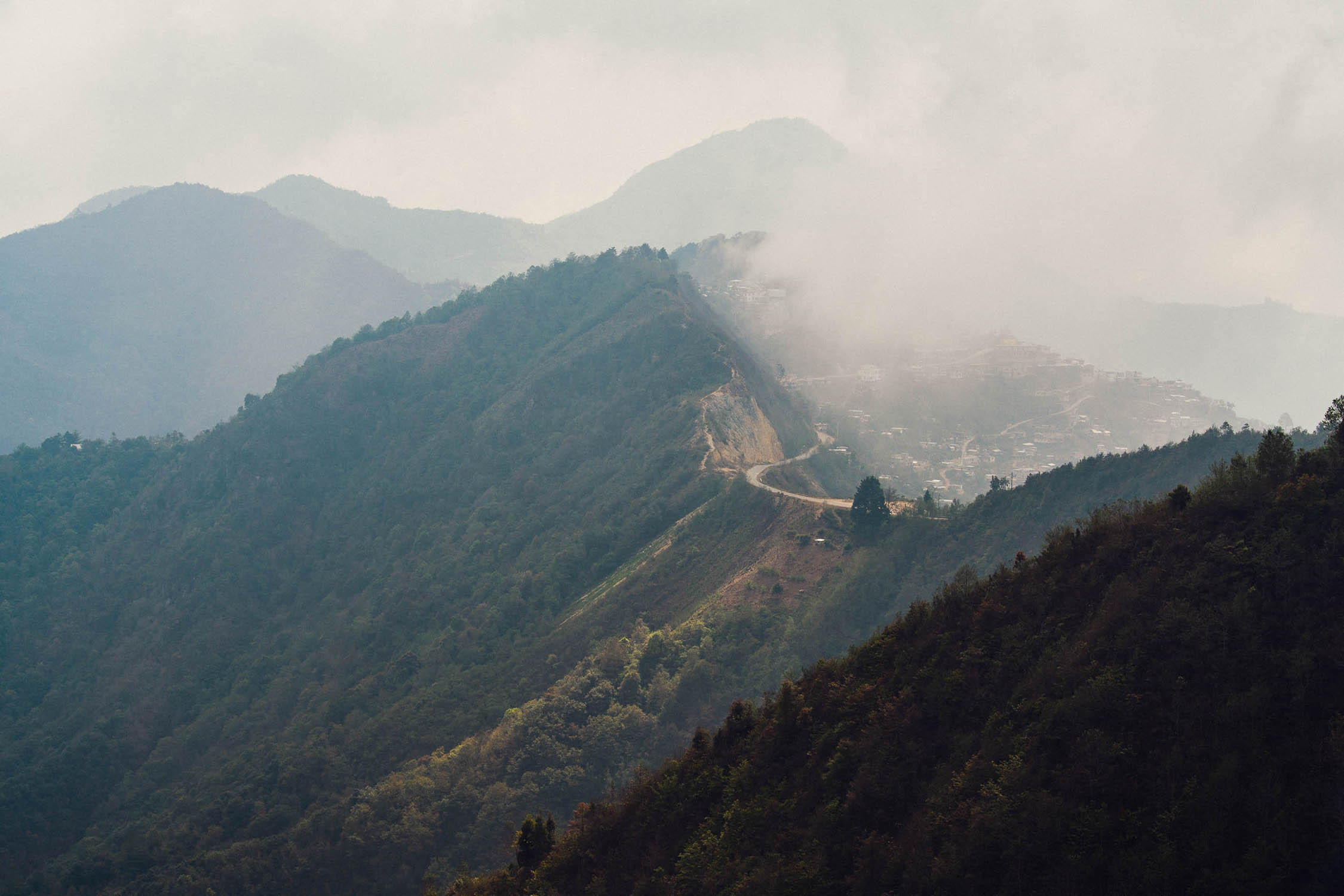
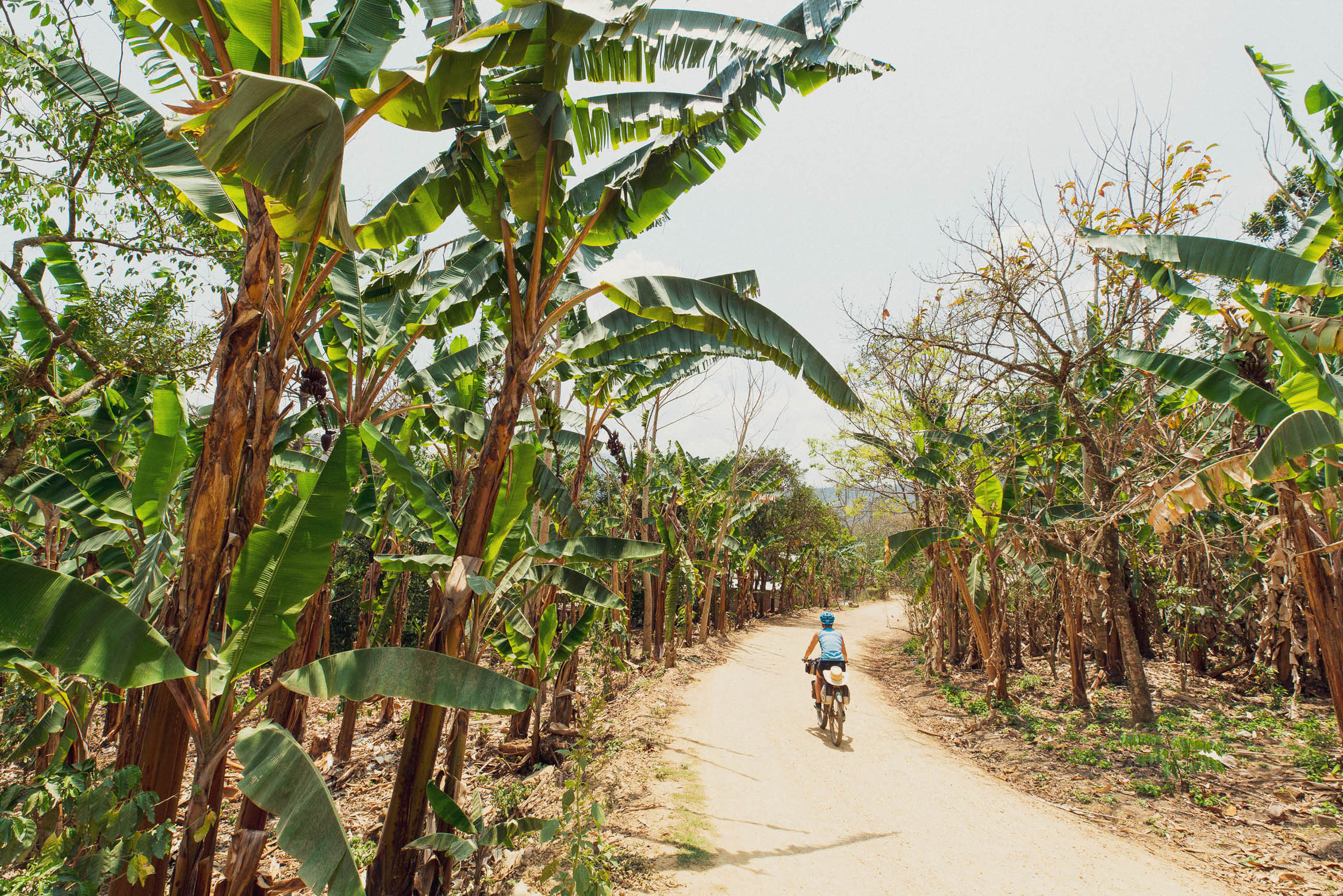
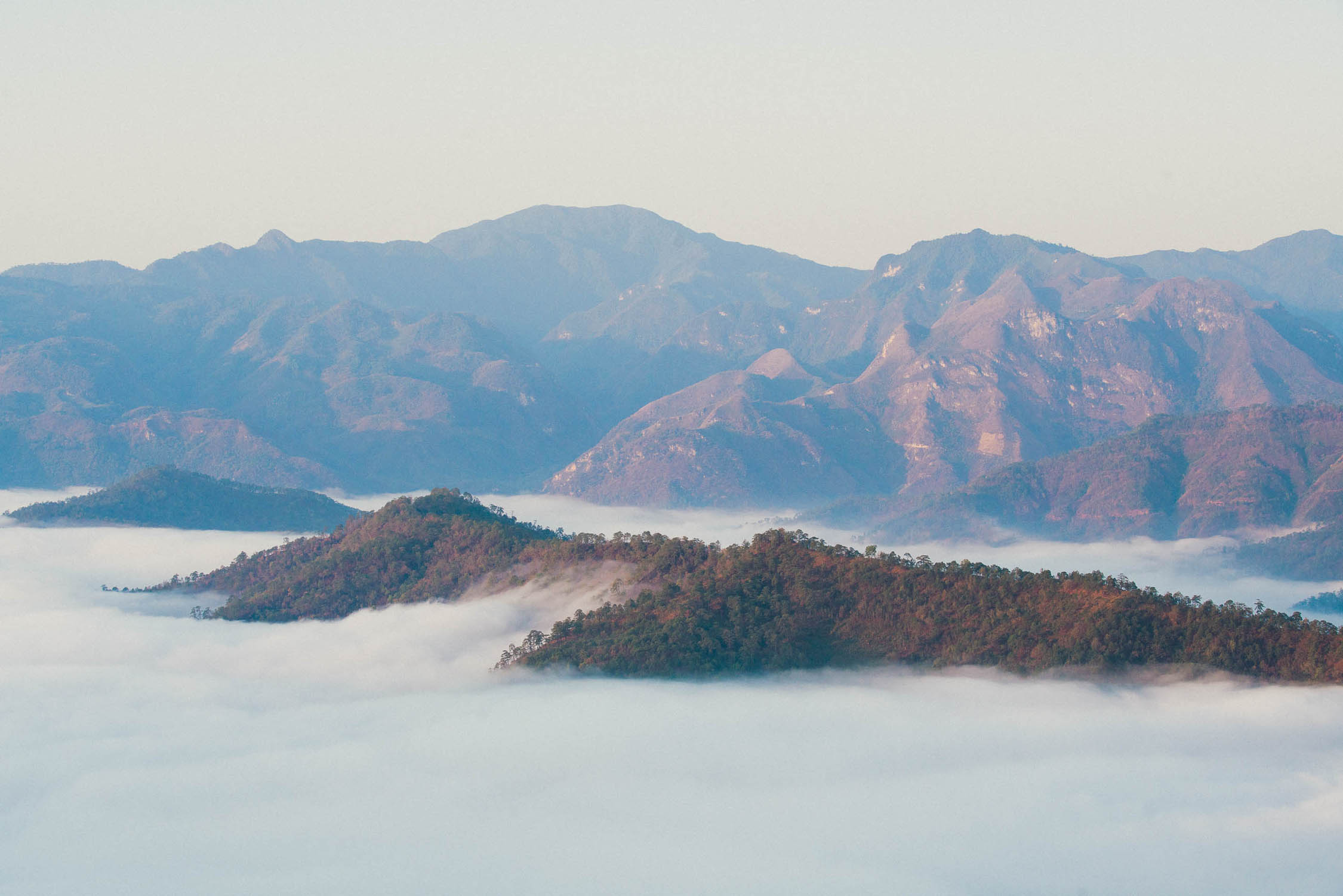
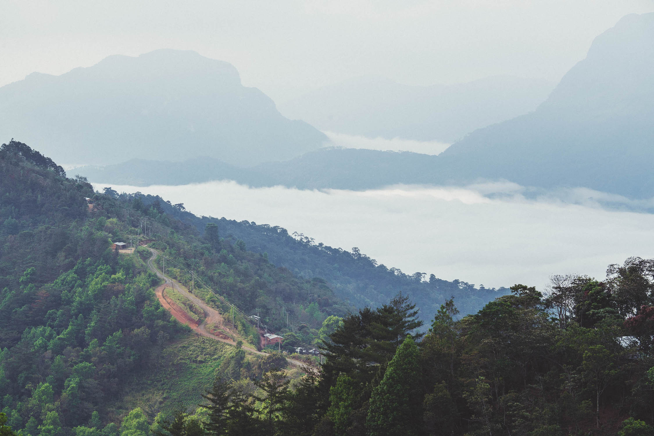
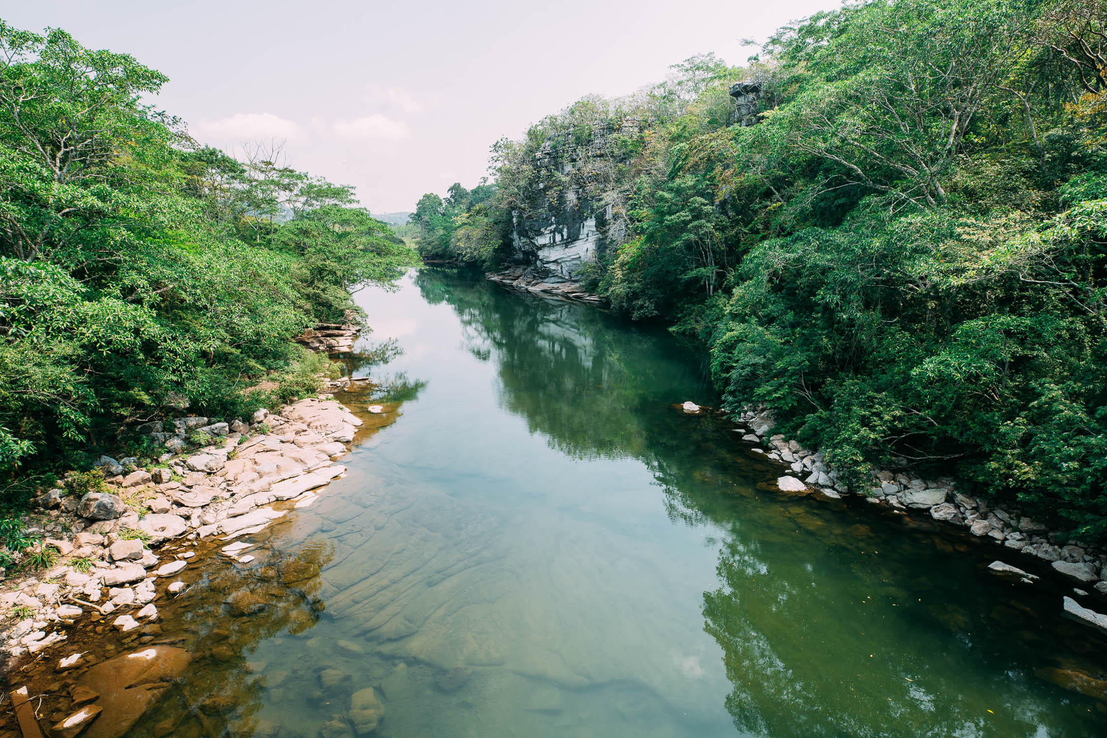
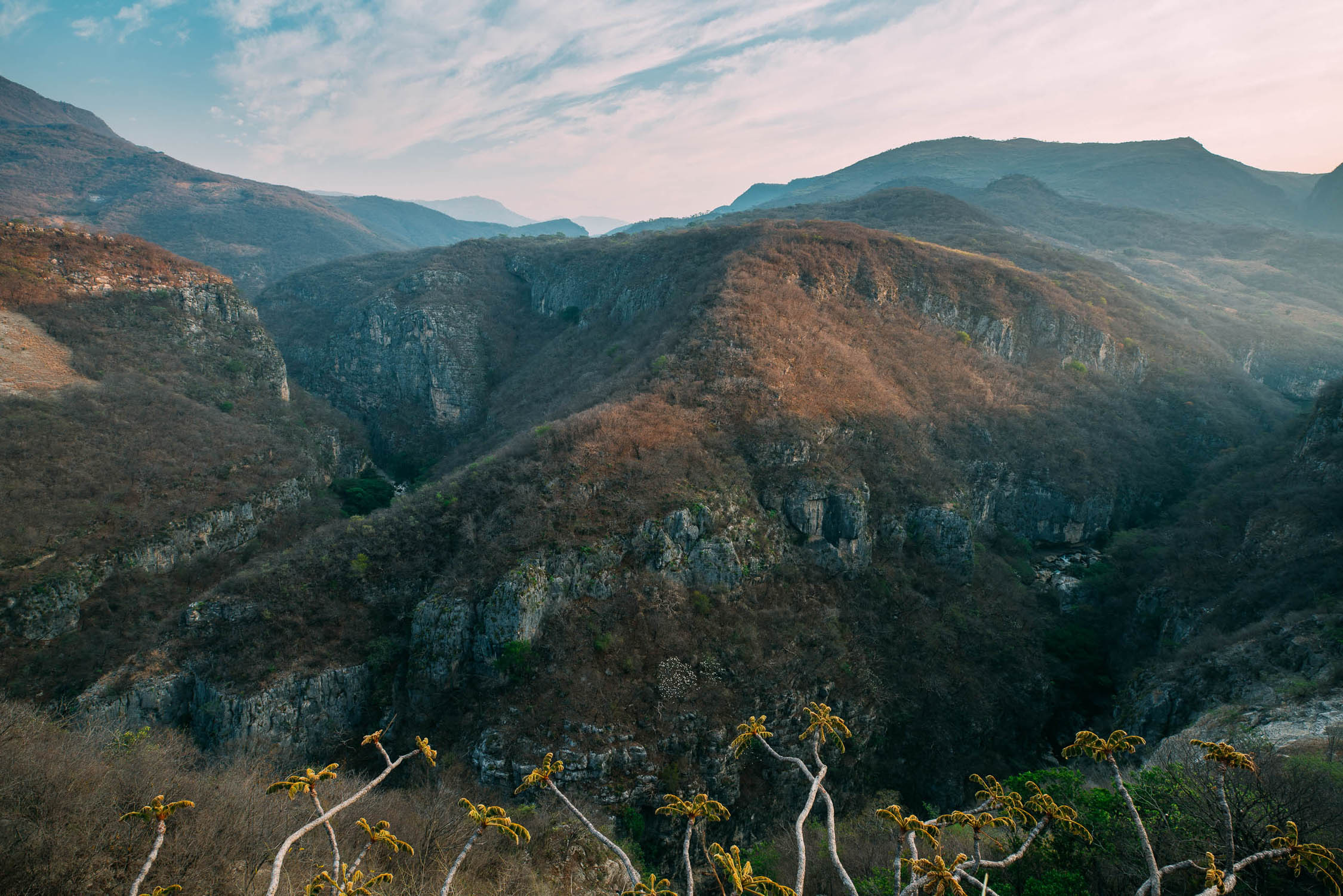
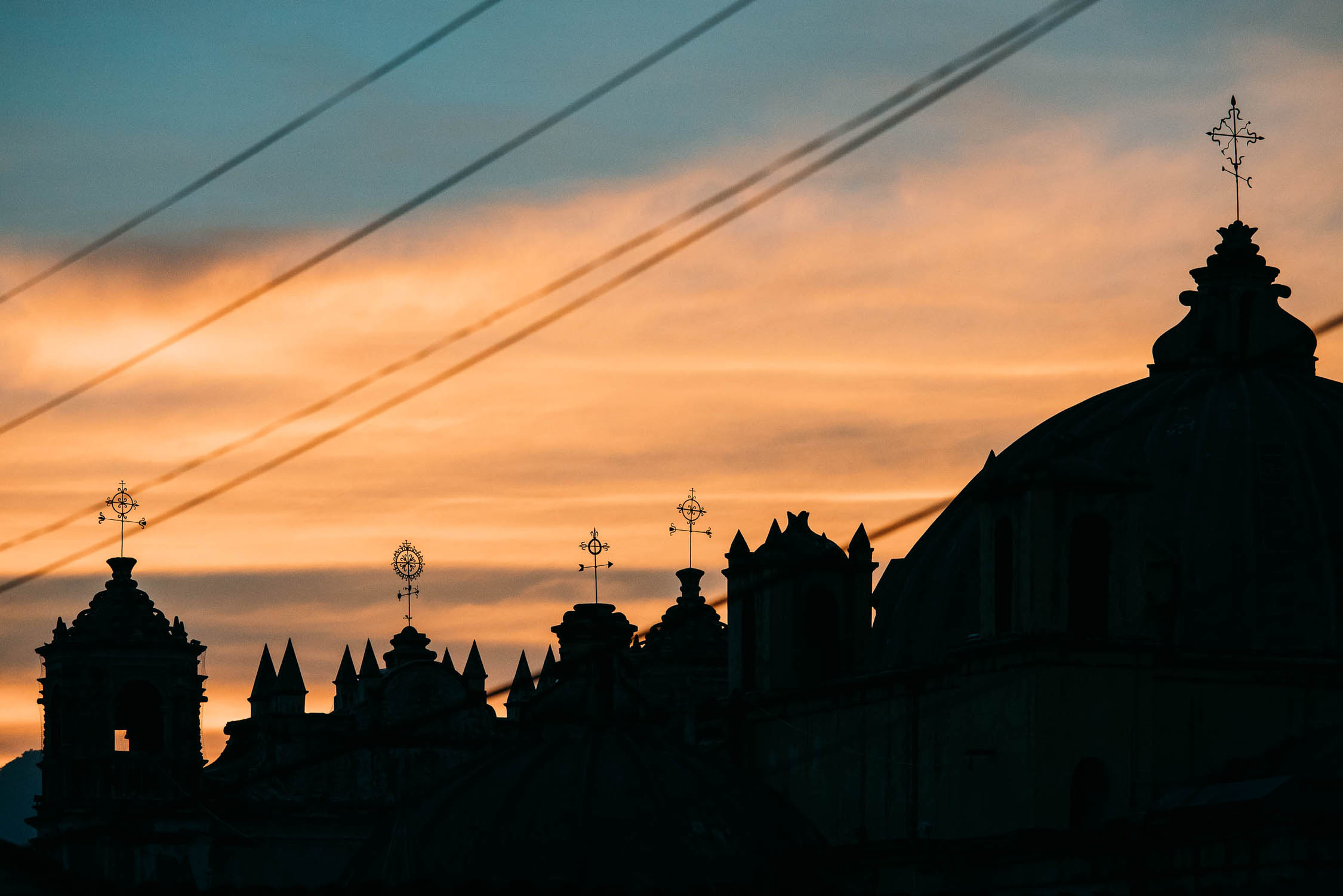
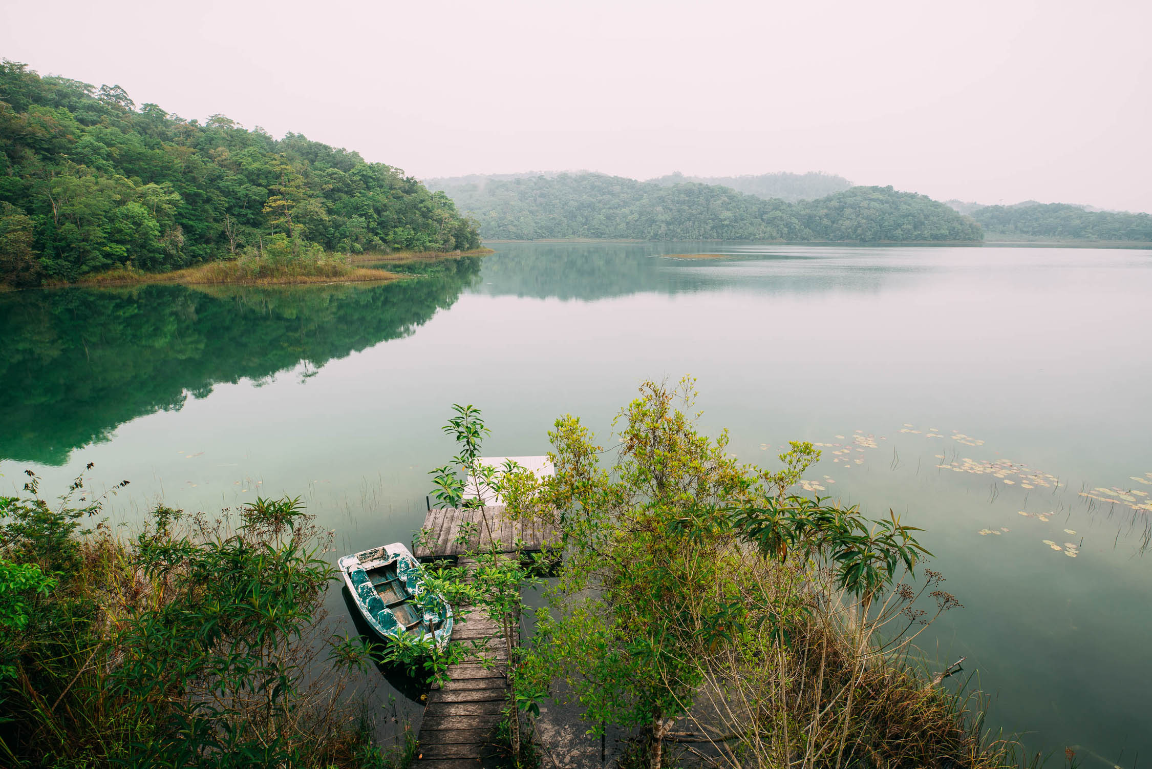
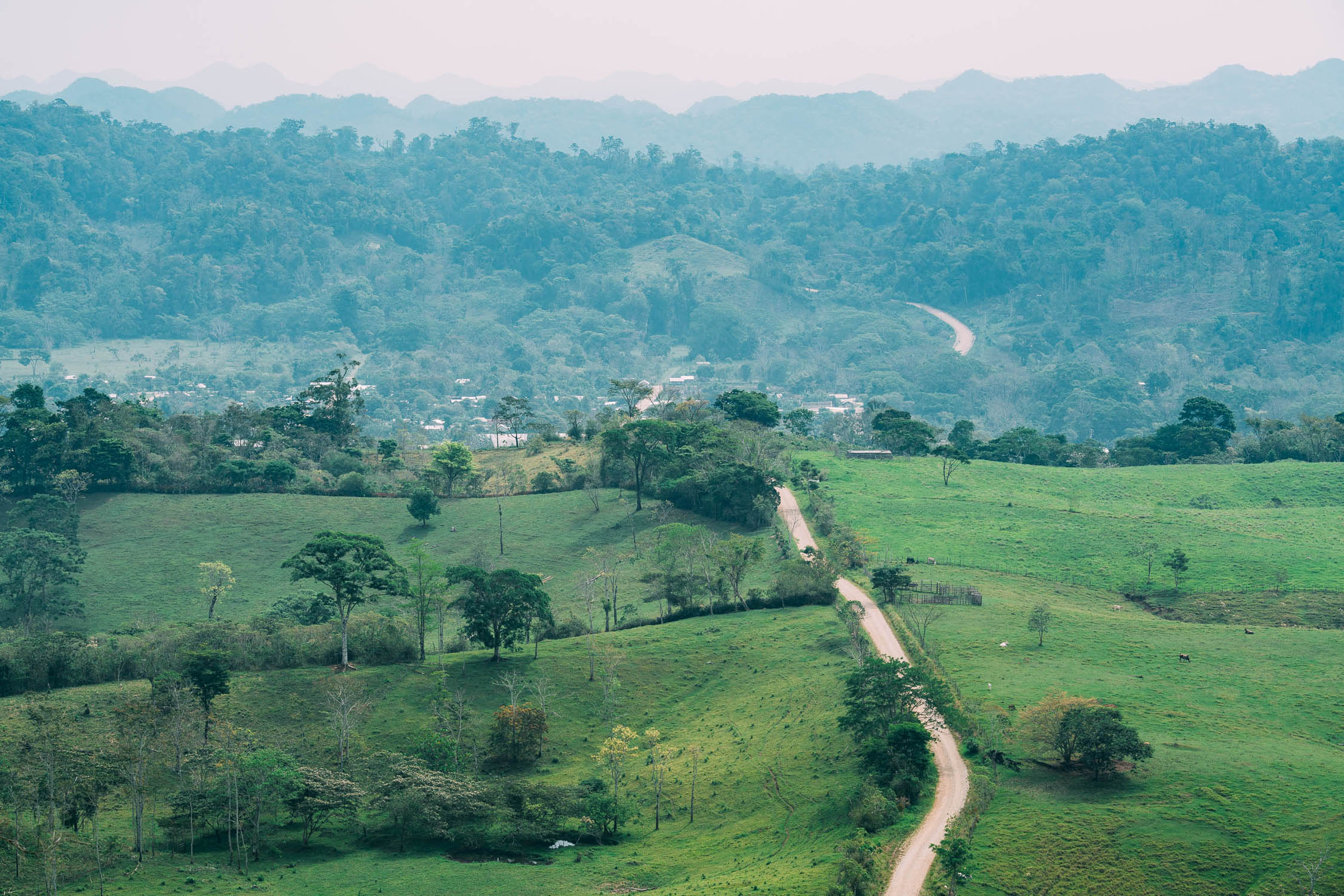
The southern part of the Trans-Mexico Bikepacking Route climbs into the forested Sierra Madre de Oaxaca, leaving behind the arid Valles Centrales and transitioning into a much more tropical climate as it descends towards the Gulf of Mexico and the lowlands of Veracruz. A respite from the humidity comes as the route then climbs into the cooler environs of the Chiapas highlands to San Cristobal de las Casas, before making a final remote crossing to the Guatemala border at the Rio Usumacinta.
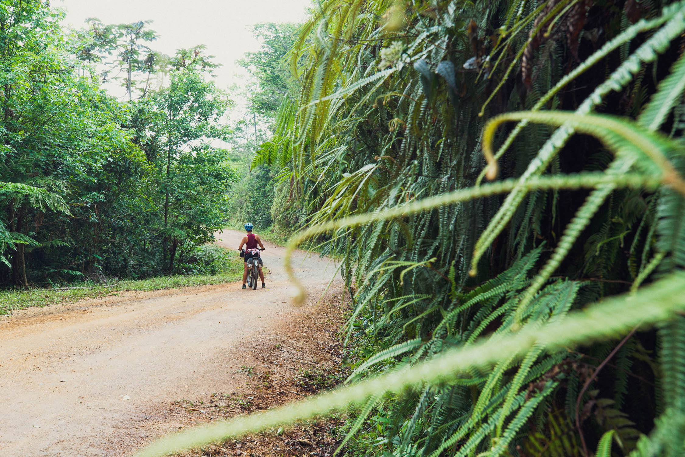
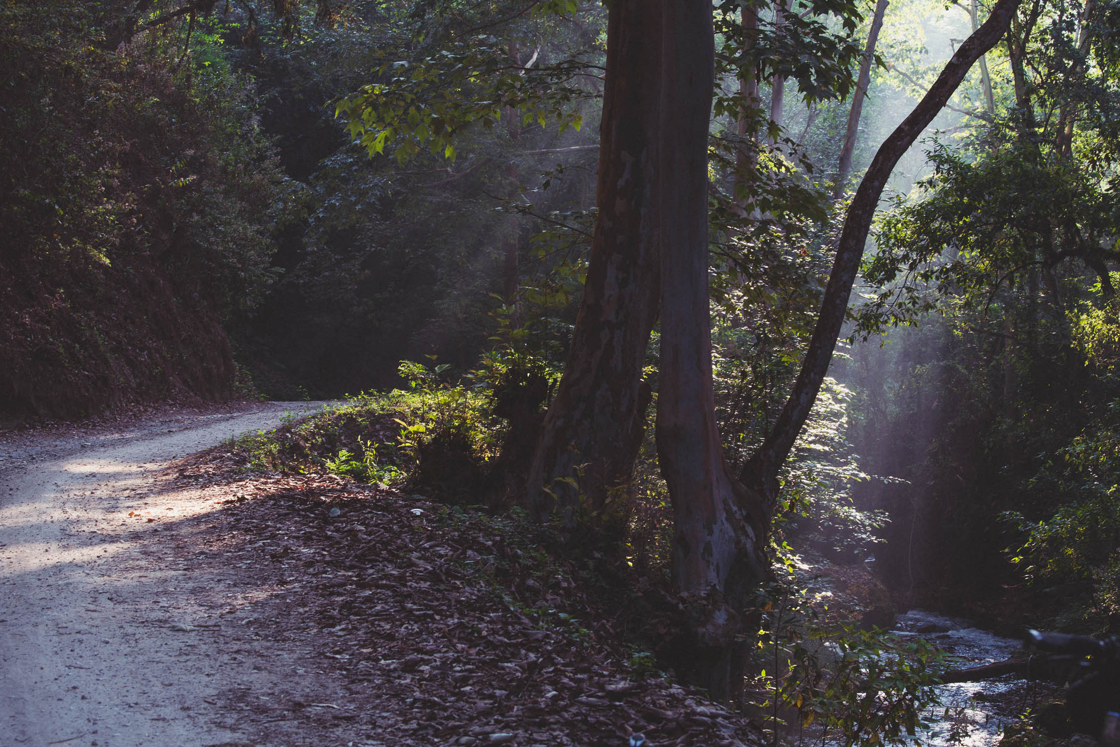
Like the northern segment, the Trans-Mexico Norte, there is considerable diversity as the route traces a devious journey through cloud forest, rain forest, pine, lowland farming country, and the Lacandon Jungle. Along the way, resupply comes from the many small towns and villages that punctuate the ride.
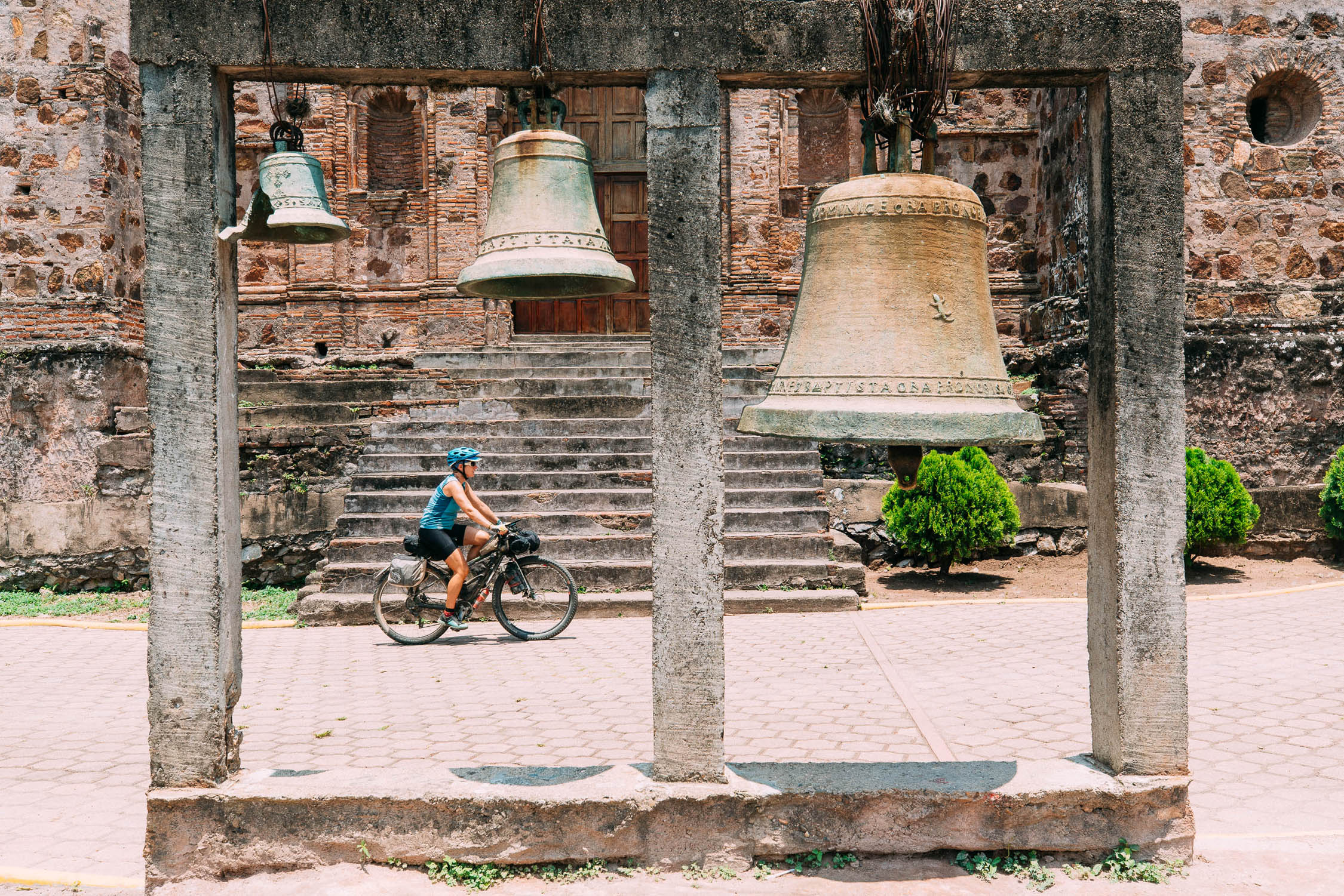
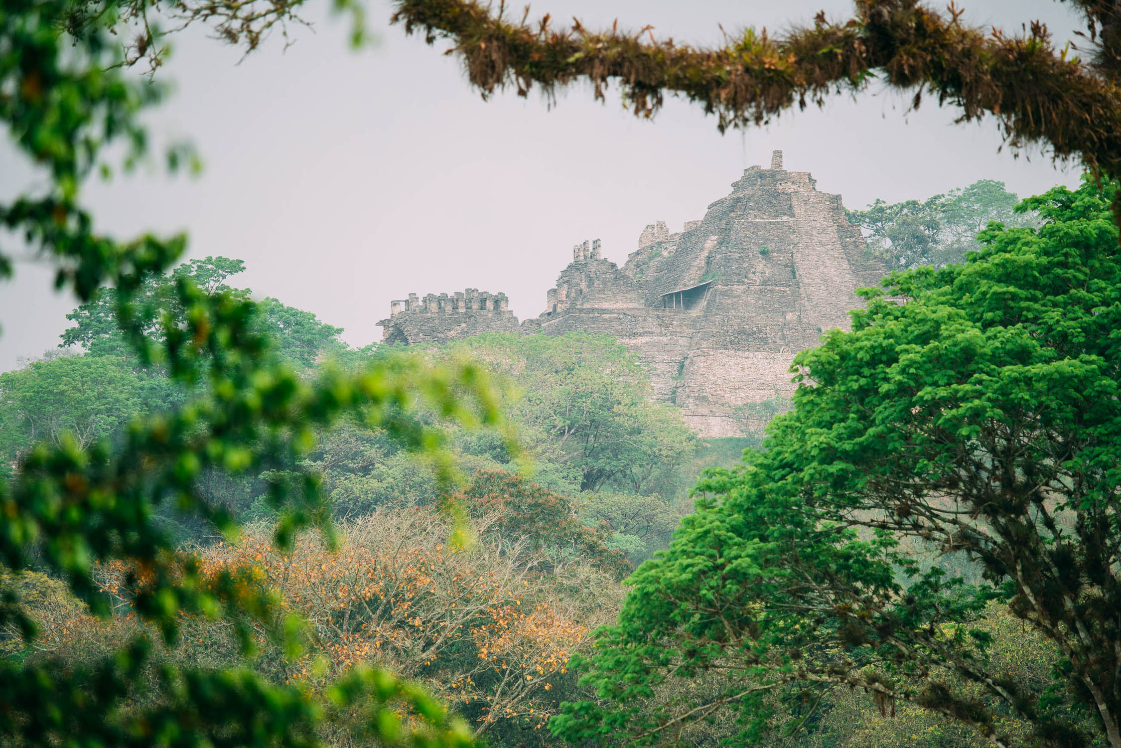
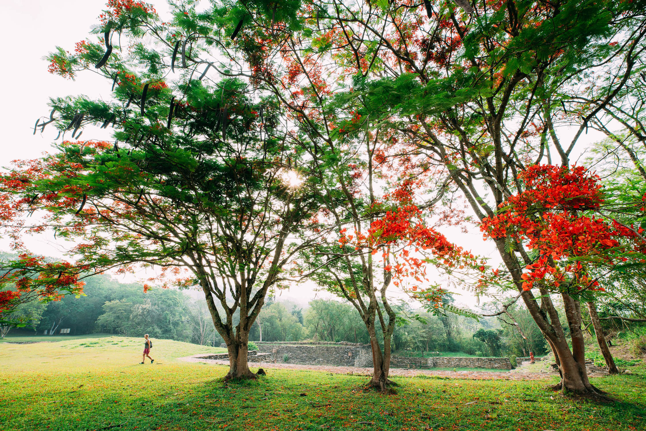
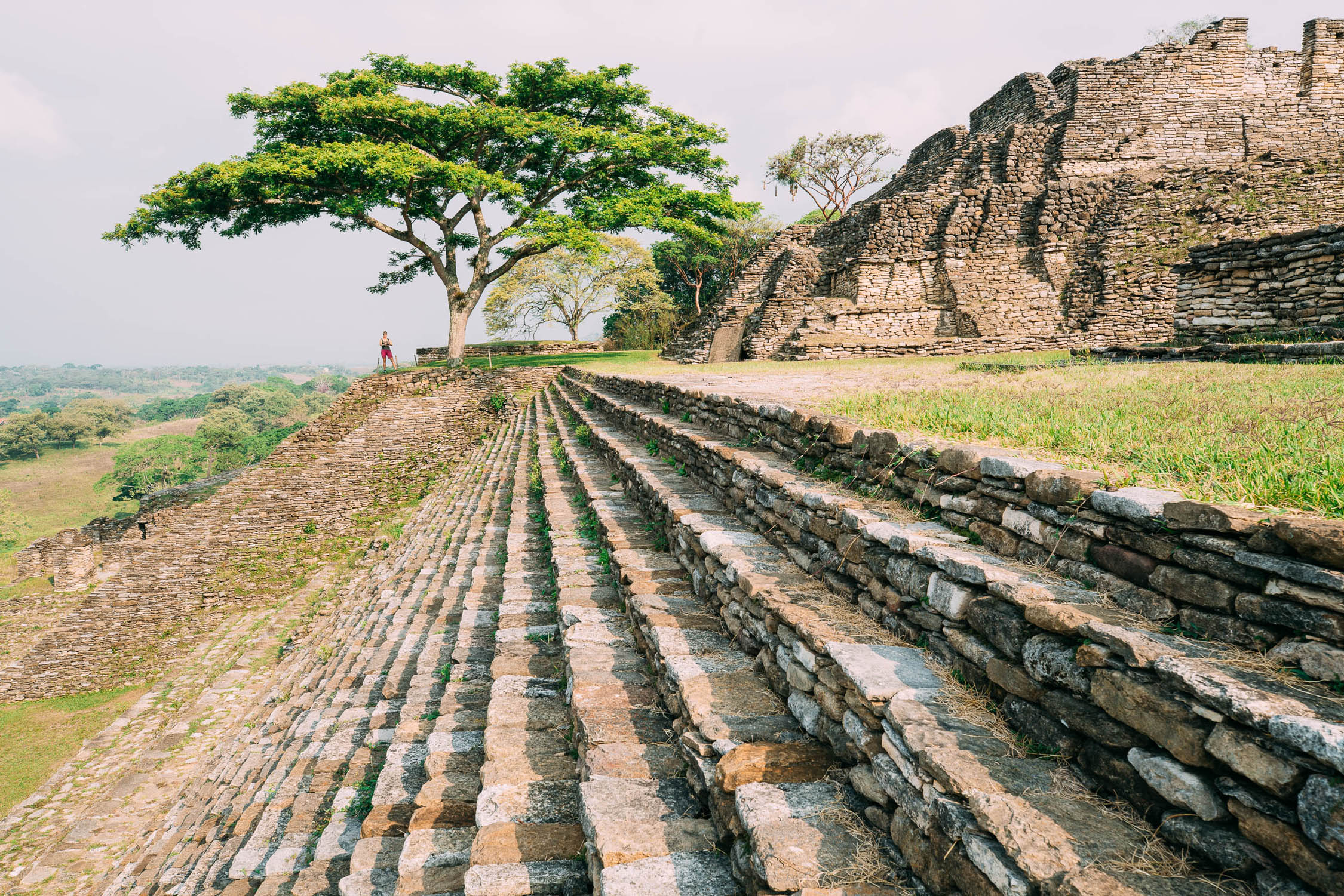
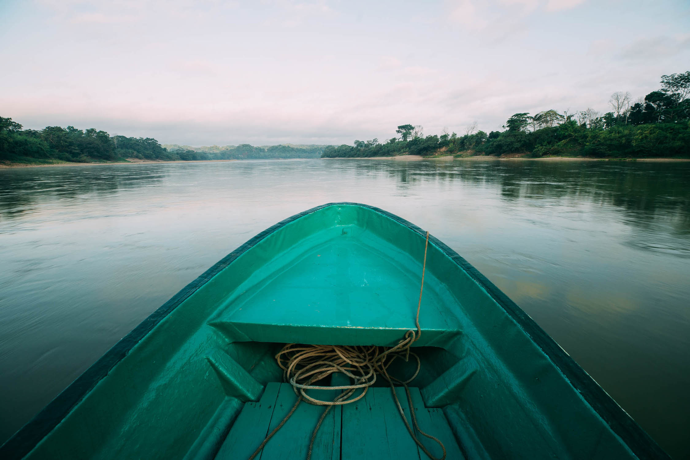
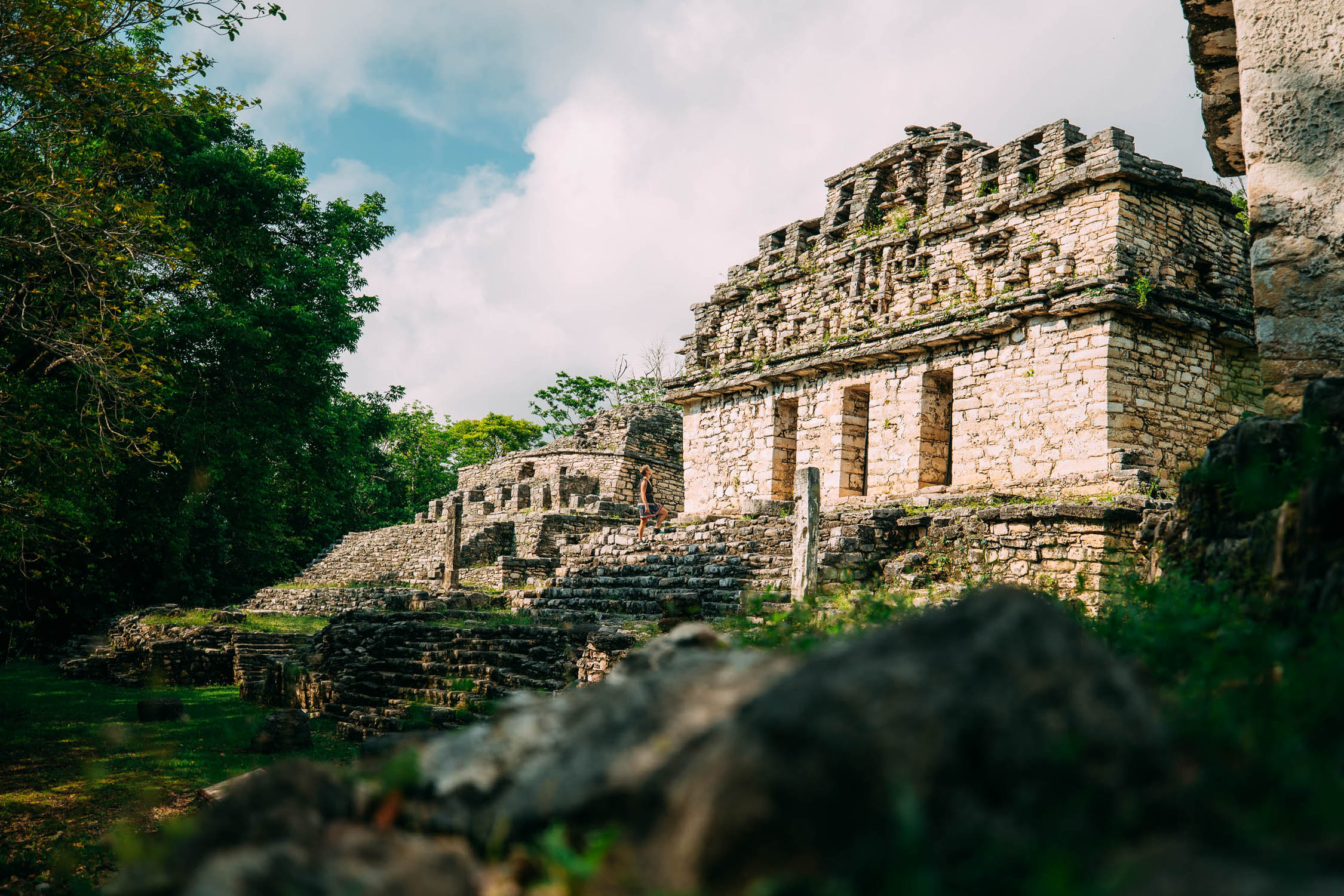
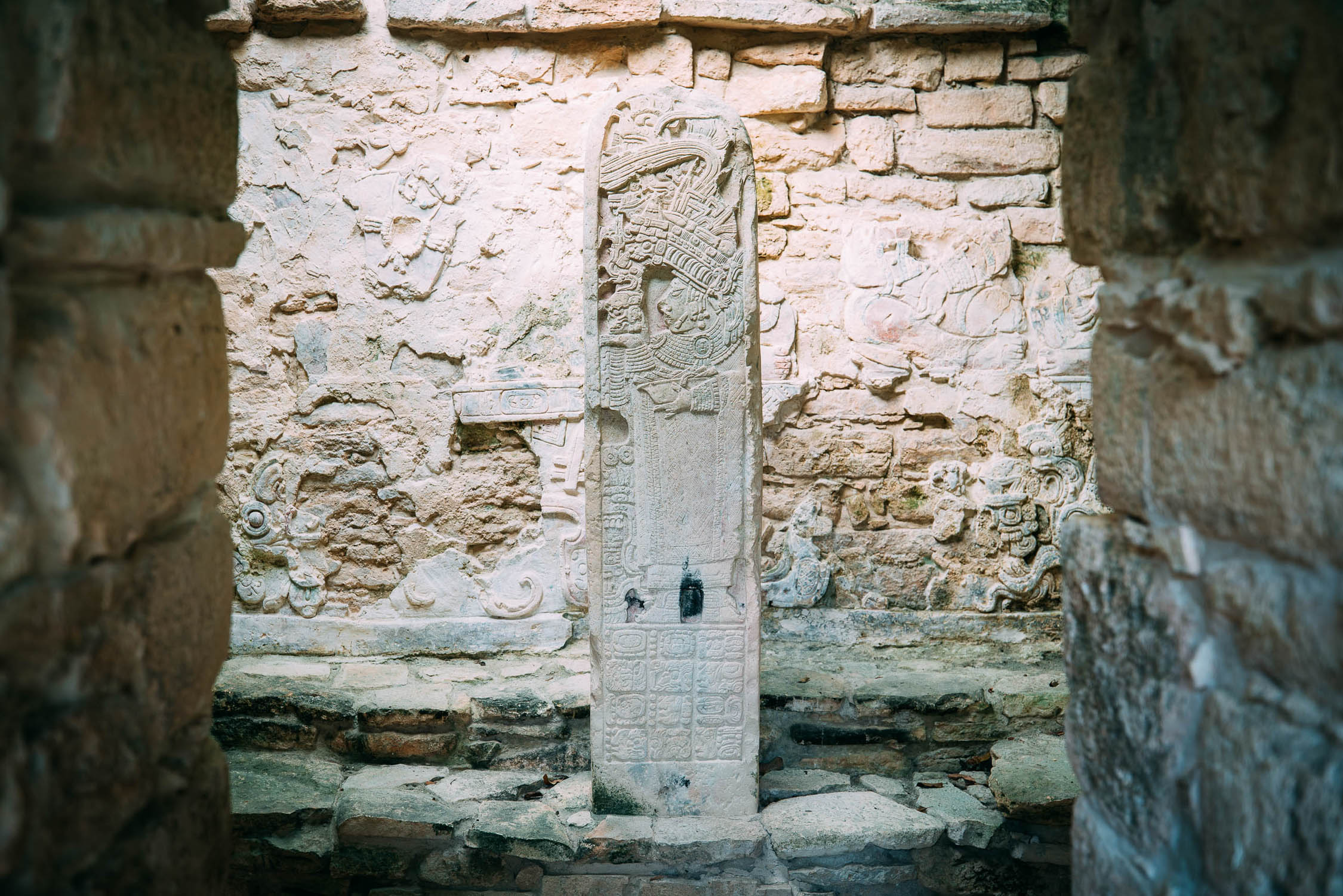
Highlights include the Zapotec ruins of Mitla followed by a remote and tough crossing of the indigenous region of the Sierra Madre de Oaxaca. After you leave the cowboy country lowlands of Veracruz behind, the next major stop is San Cristóbal de las Casas, a city rich in indigenous culture and well known for its textiles, great food, and colonial architecture. You’ll see many different traditional outfits (traje) as the ride continues through highland Maya heartland country to the impressive archaeological site of Toniná, dominated by a huge pyramid. The Lacandon jungle provides great dirt road riding, as well as the opportunity to meet Lacandon Maya people and see the famous Maya paintings of Bonampak. Near Frontera Corozal, the mystical riverside ruins of Yaxchilan, in their peerless jungle setting, will make a memorable ending (or start) to your time in Mexico.
Make sure to read the full Trail Notes below for an overall itinerary.
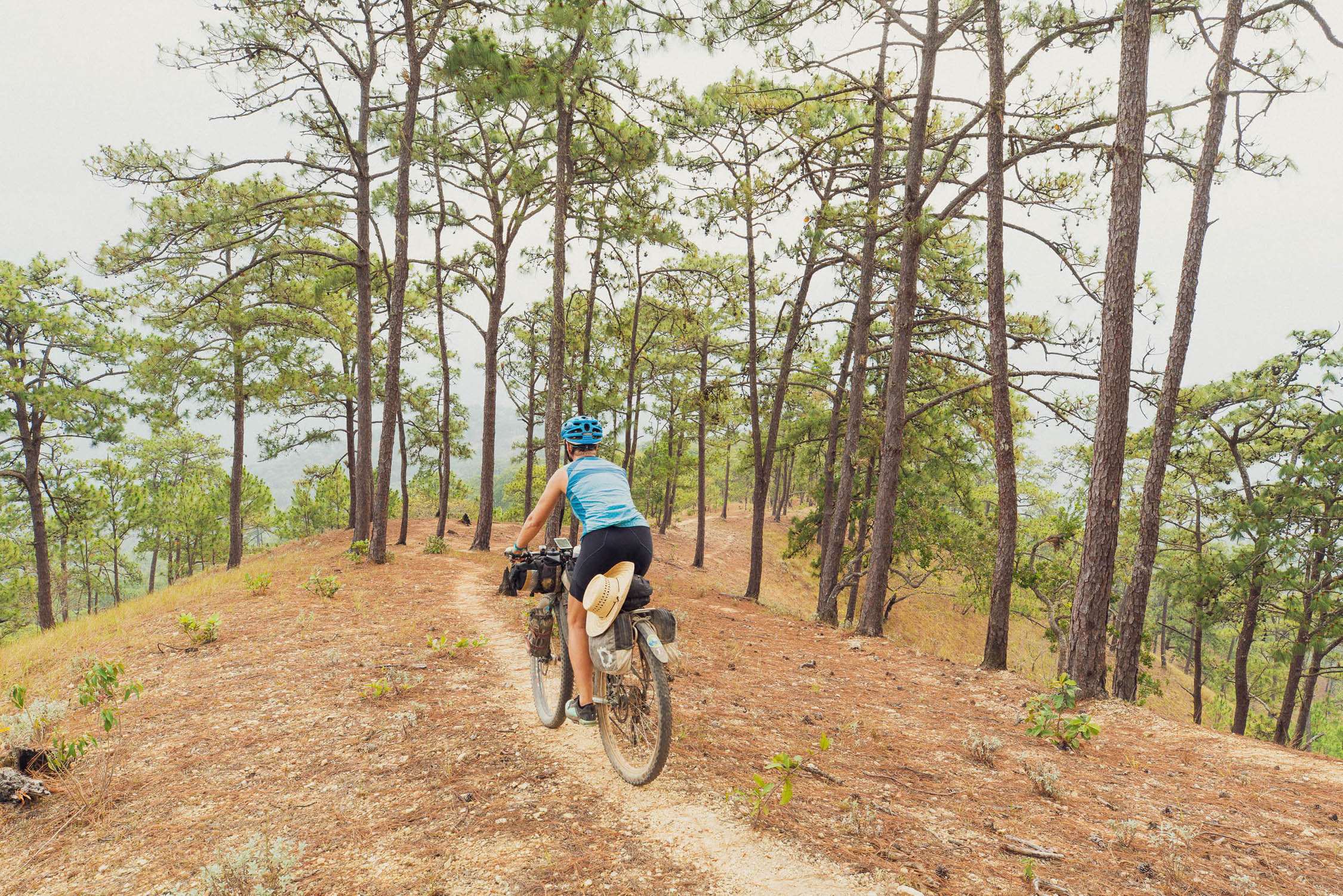
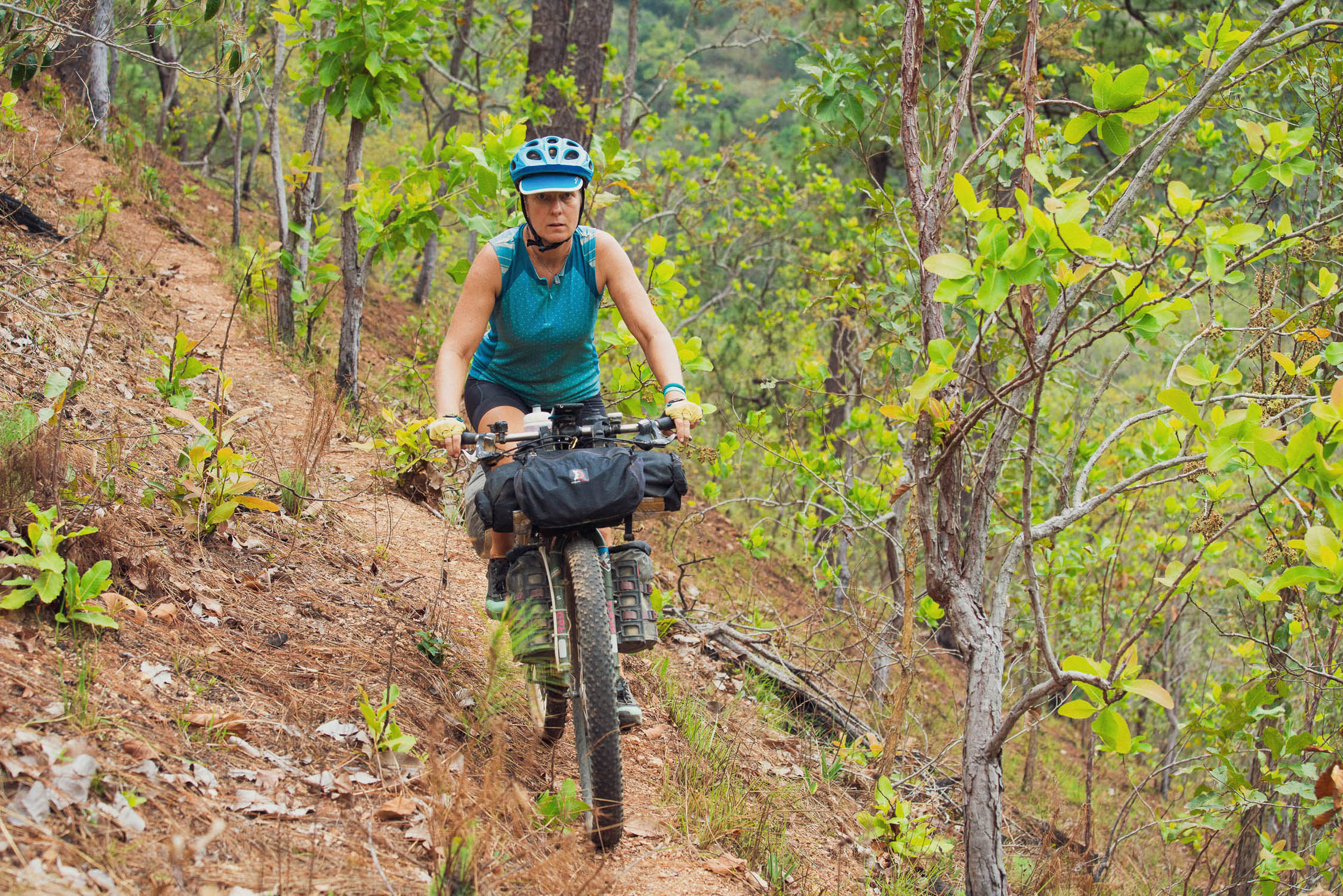
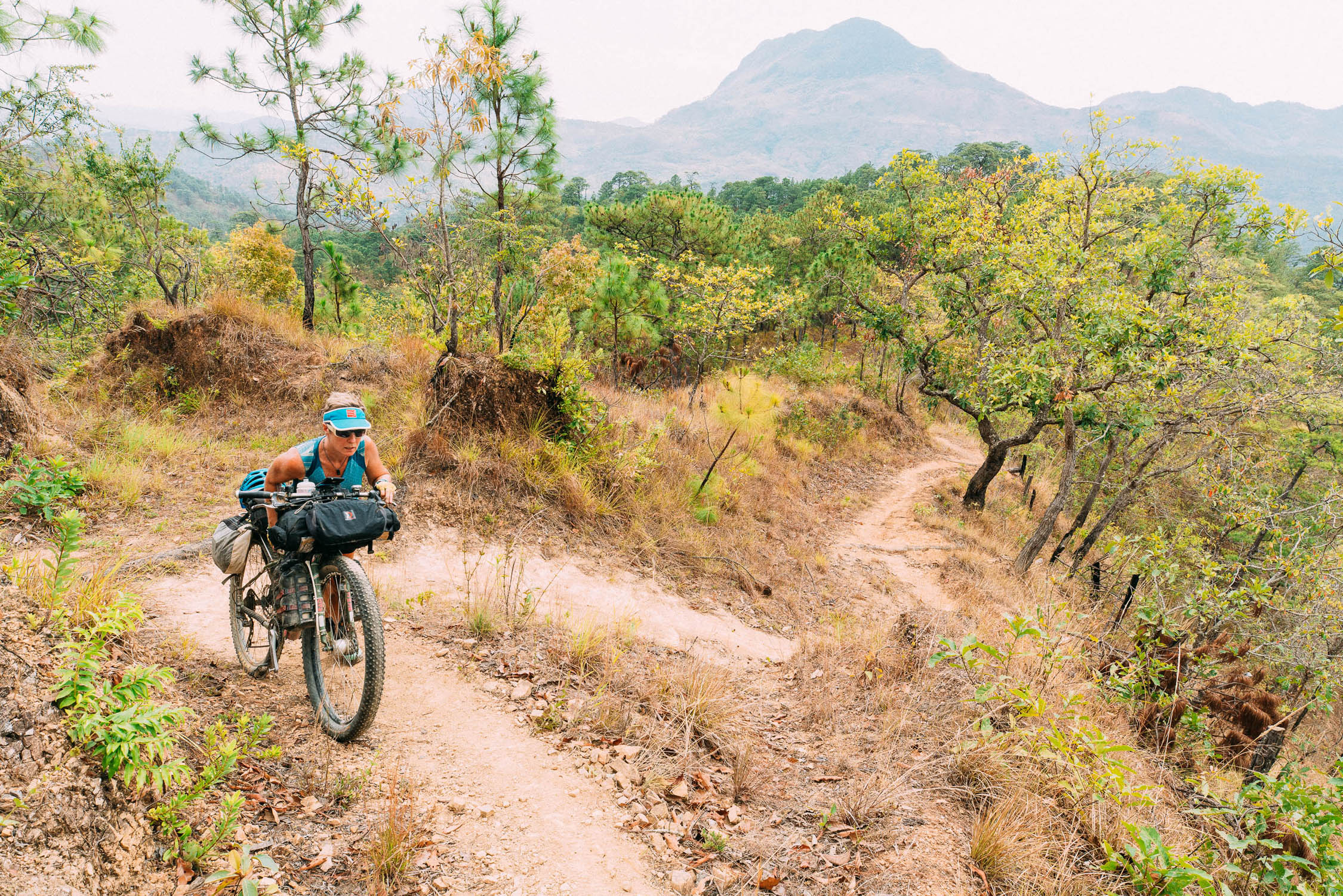
Difficulty: While most of the northern section of Trans-Mexico is on surfaces manageable on any sturdy touring bike or bikepacking rig that has gearing suitable for steep, prolonged climbs and (recommended) 2.35″ tyres, this southern chapter has a tough hike-a-bike section and some tight singletrack. The lighter you travel, the more rideable and fun these bits will be, as well as making life easier on the long and sometimes steep climbs. See individual POIs for more.
Route Development
Thanks to Daniele and Simona (Becycling) for providing us details of their route across Vera Cruz, between Nueva Esperanza and Raudales Malpaso. This allowed us to straighten the route out further and eliminate some pavement.
The Trans-Mexico doesn’t claim to be the ultimate bikepacking route across Mexico, it is simply ‘one way’ to traverse the country. Further pavement could be eliminated and individual riders may have different priorities concerning sights they want to see. Suggestions for route improvement and condition updates are always welcome.


Submit Route Alert
As the leading creator and publisher of bikepacking routes, BIKEPACKING.com endeavors to maintain, improve, and advocate for our growing network of bikepacking routes all over the world. As such, our editorial team, route creators, and Route Stewards serve as mediators for route improvements and opportunities for connectivity, conservation, and community growth around these routes. To facilitate these efforts, we rely on our Bikepacking Collective and the greater bikepacking community to call attention to critical issues and opportunities that are discovered while riding these routes. If you have a vital issue or opportunity regarding this route that pertains to one of the subjects below, please let us know:
Highlights
Must Know
Camping
Food/H2O
Trail Notes
Resources
- Experience a range of landscapes and climates from subtropical highlands and cloud forest in central Oaxaca state, quickly transitioning to rainforest jungle in Veracruz, back up to the pine and oak forested highlands near San Cristóbal, and dropping once again to the Lacandon jungle in eastern Chiapas.
- Sustained and rewarding dirt road riding in remote Mexico.
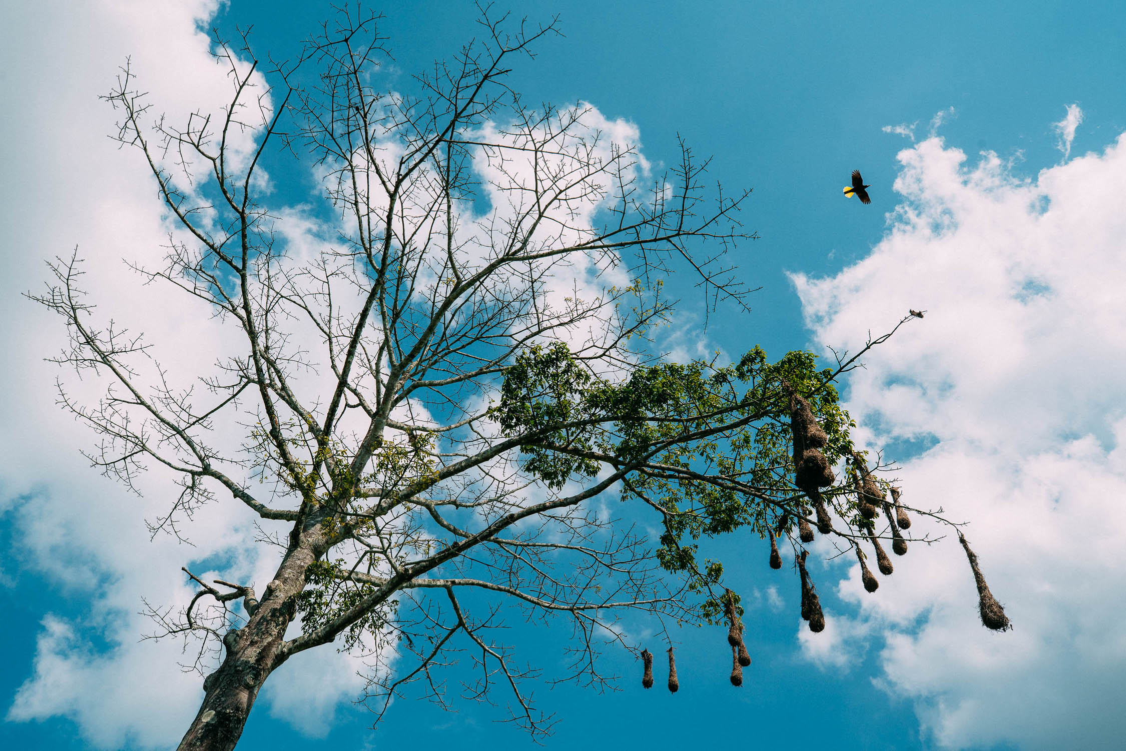
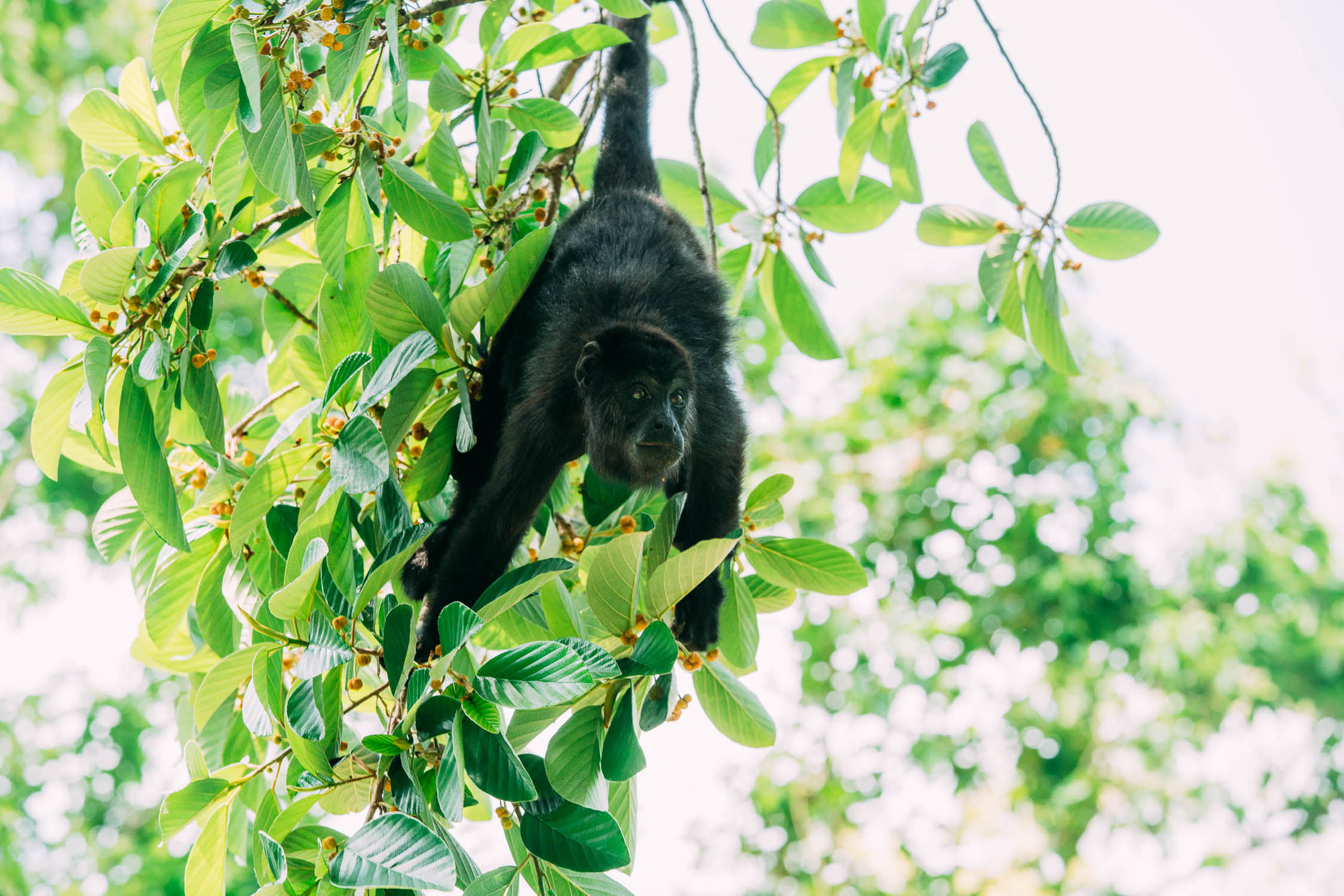
- Notice a change in the wildlife as you ride south and begin to see birds such as toucans in the jungle around you, snakes crossing the road, and hear howler monkeys high in the canopy. Chiapas has one of the highest rates of wildlife diversity in the Americas.
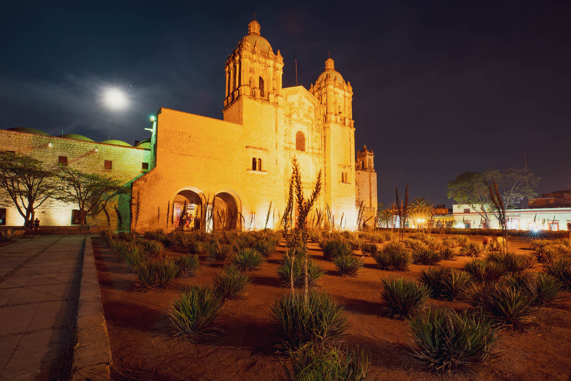
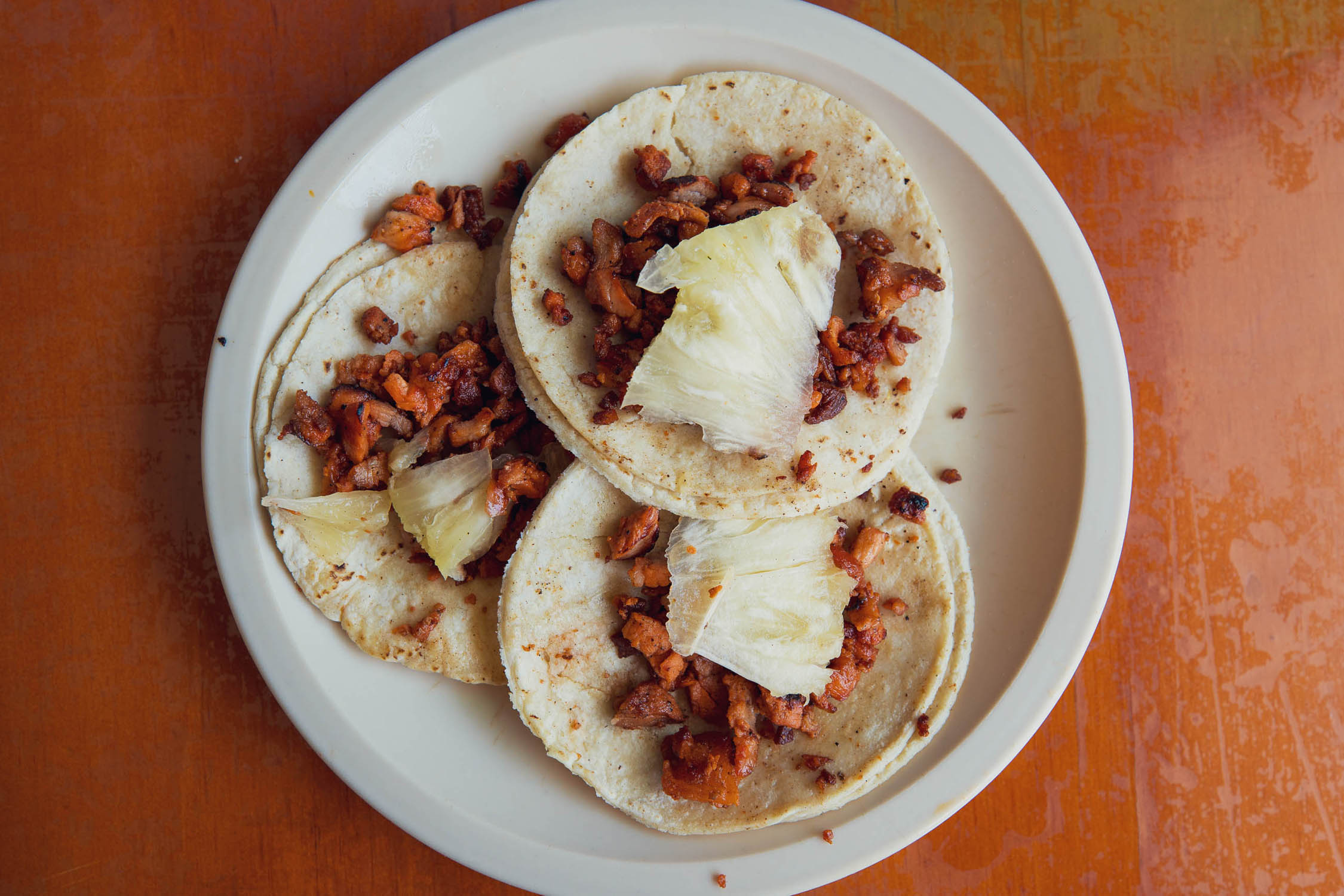
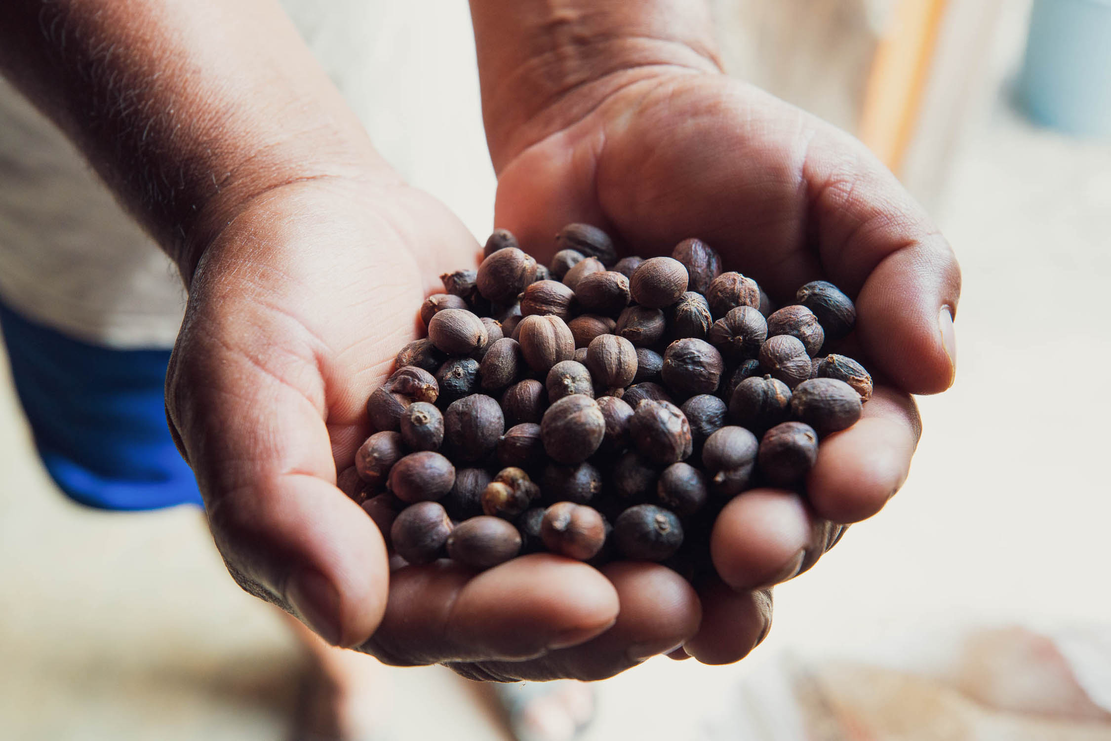
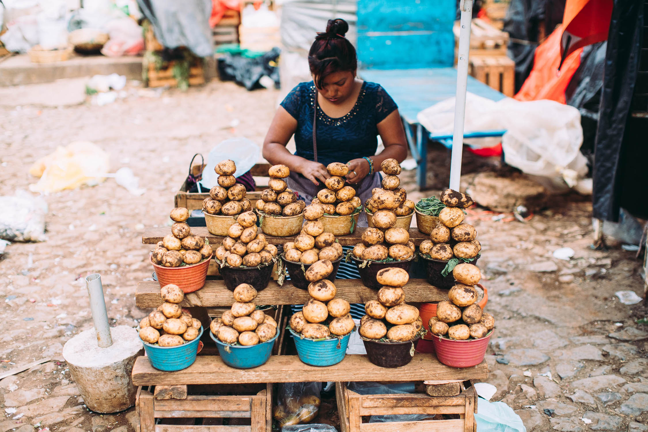
- Oaxaca — Mexico’s culinary centre. This beautiful UNESCO World heritage city is a highlight of any visit to Mexico. Plan on spending a few days here to visit the many museums, plazas, churches and world class restaurants. Oaxaca is a centre of coffee and chocolate production, along with other regional specialties worth trying such as mole, grasshoppers, and mezcal.
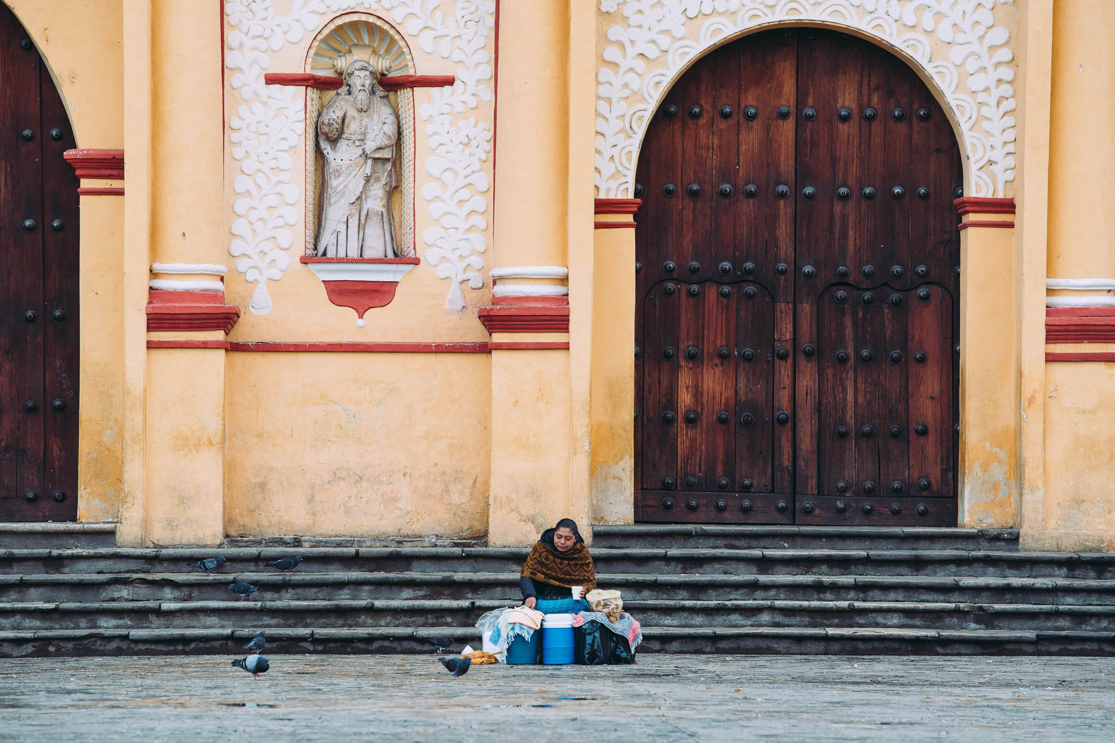
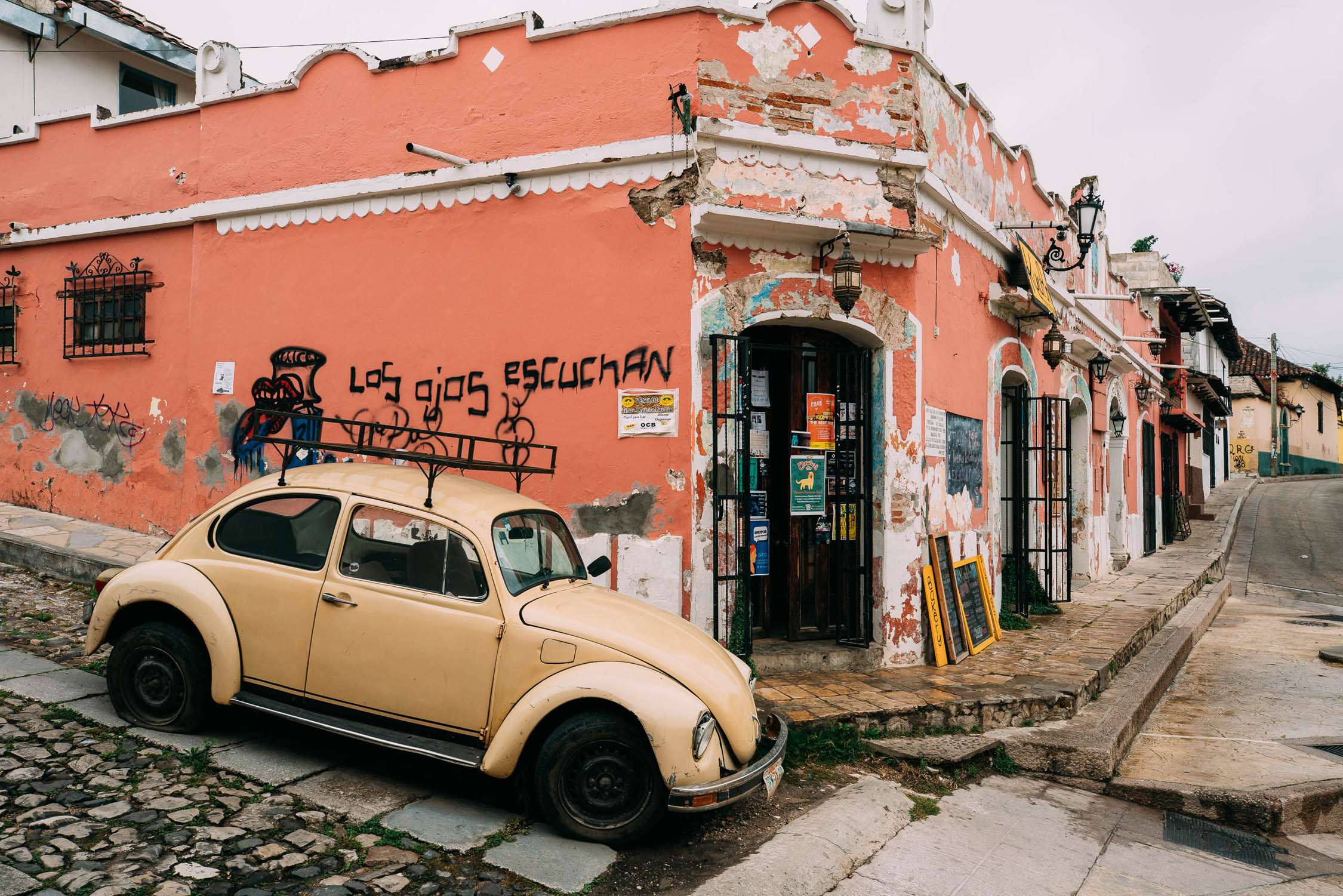
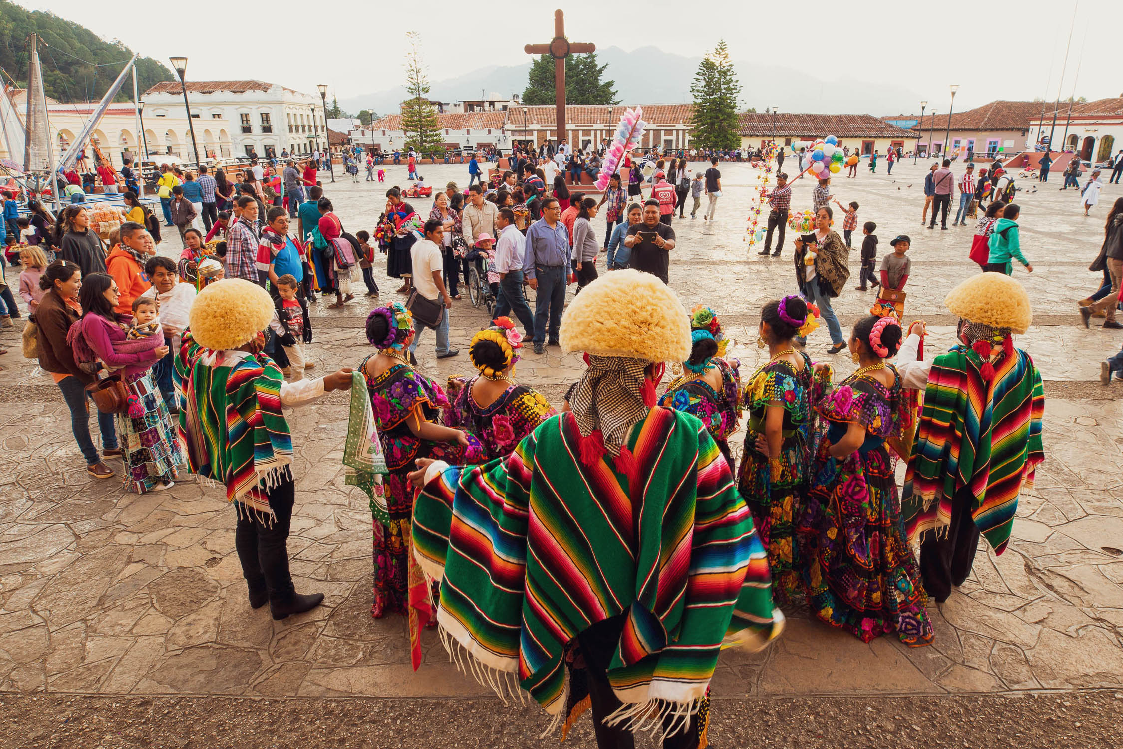
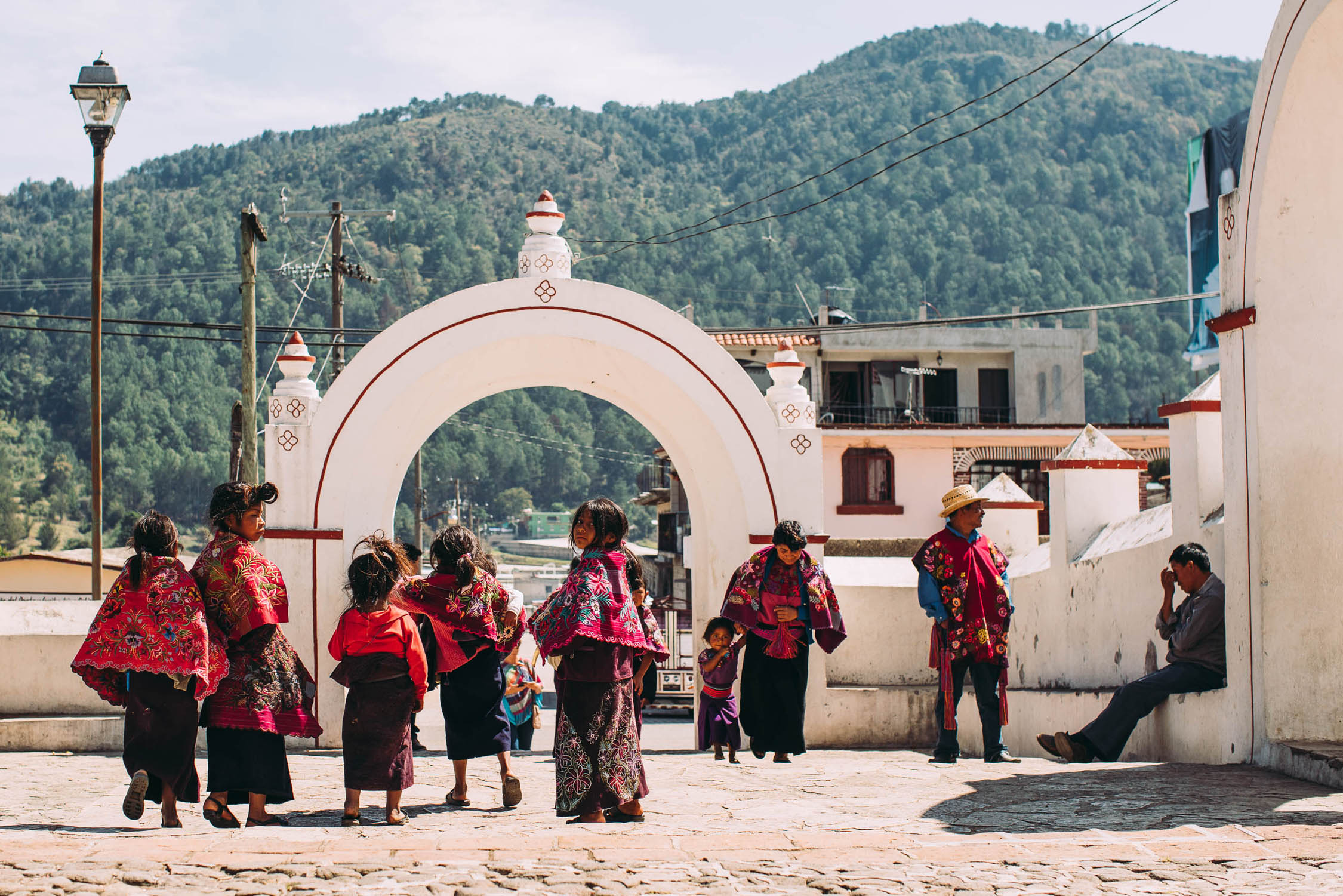
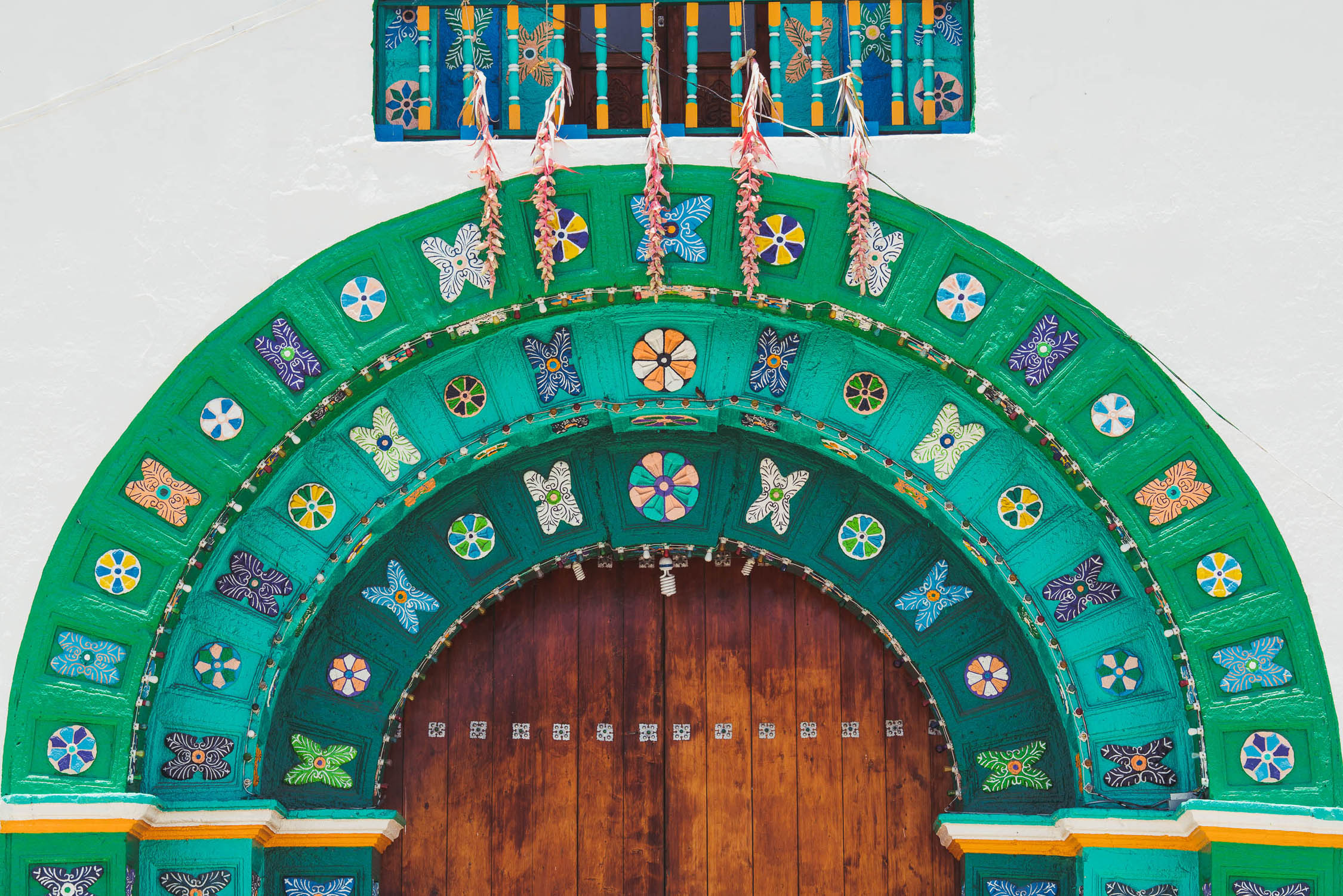
- San Cristóbal de las Casas, the cultural capital of Chiapas state, is a well preserved Spanish colonial city with plenty to see and do. Don’t miss the opportunity to visit the nearby indigenous villages of San Juan Chamula and Zinacantan, with their distinctive culture and elaborately embroidered dress.
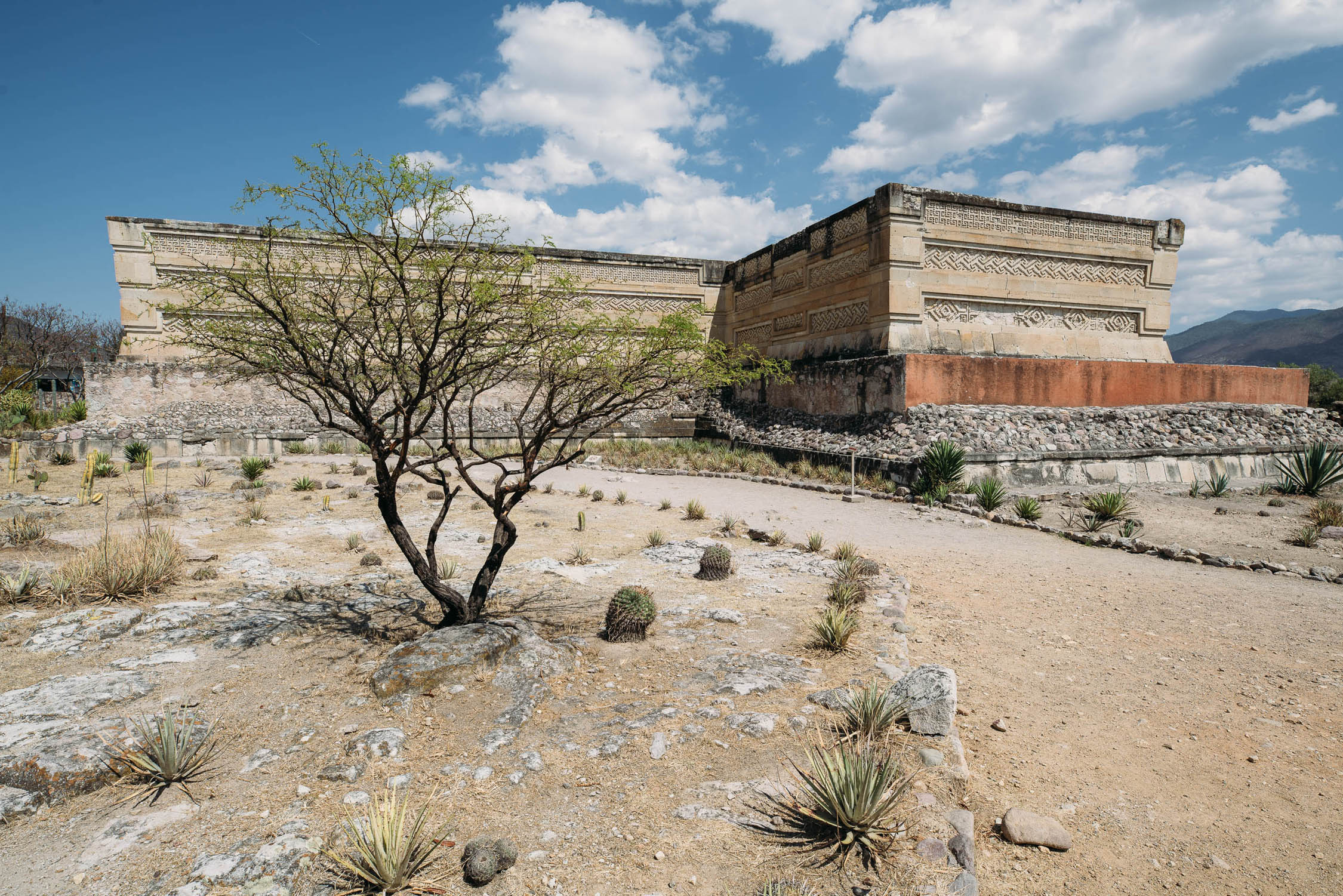
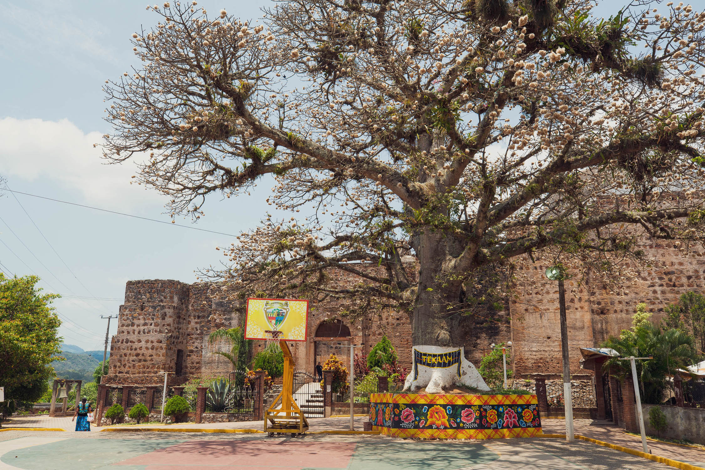
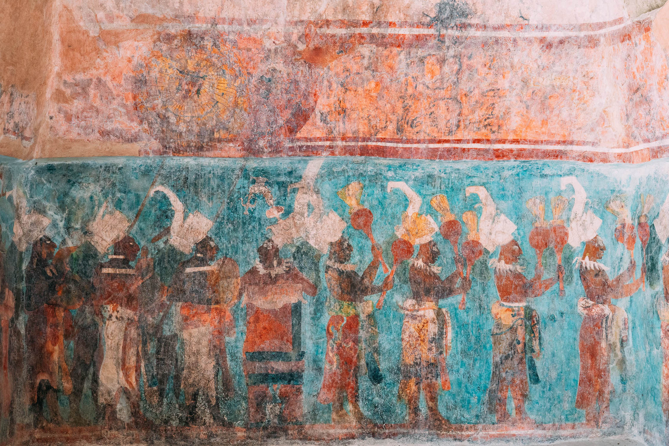
- Exploring fascinating Zapotec and Maya ruins: Monte Albán – the impressive capital city of the Zapotecs, Mitla – the main religious centre of the Zapotec culture, Toniná – the first Maya site on your way south, Bonampak – with its famous colourful murals, and Yaxchilan – in its stunning location on the Usumacinta River bordering Guatemala.
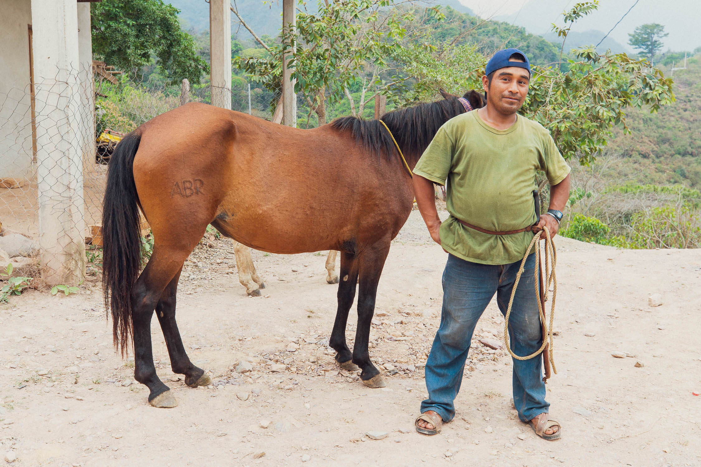
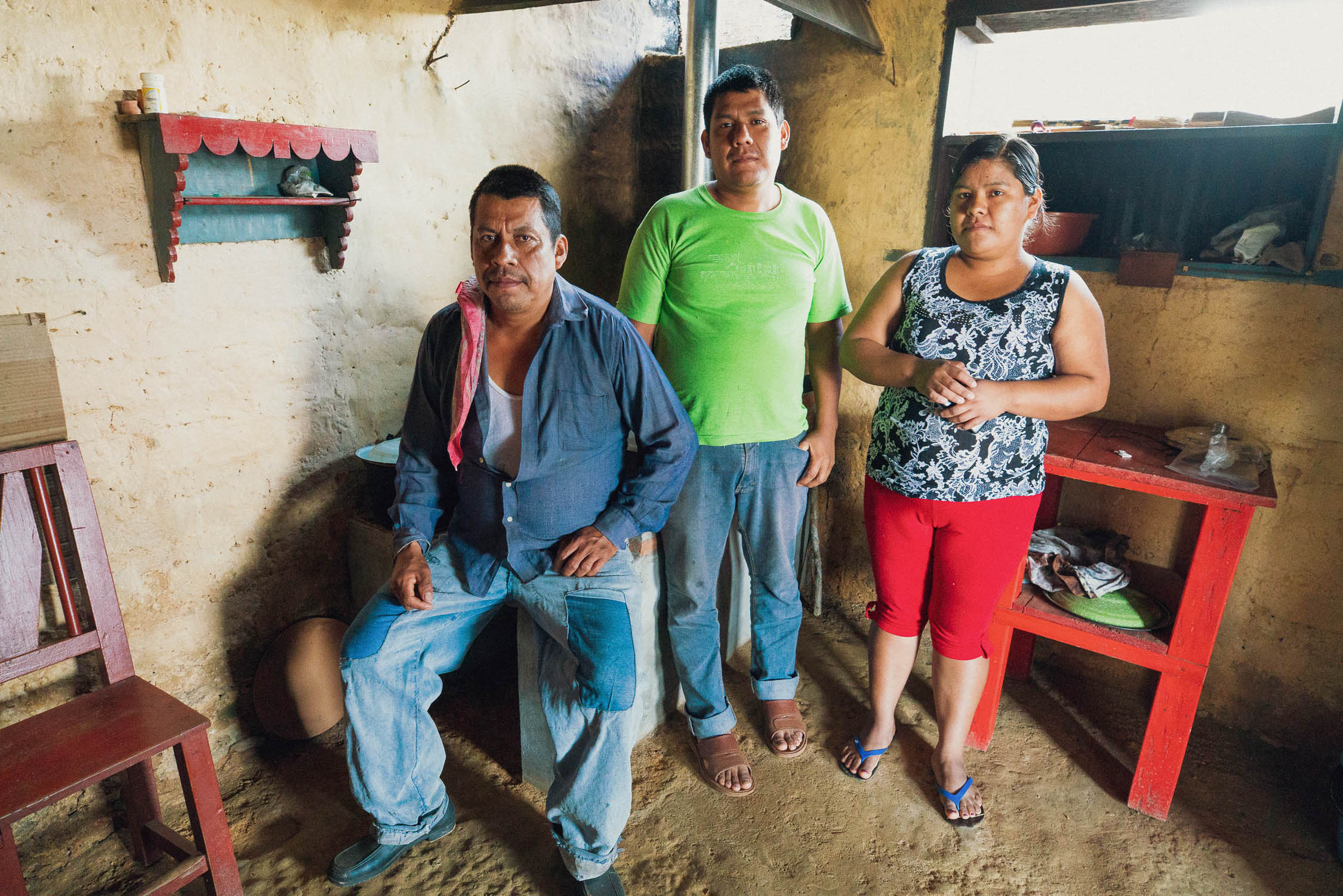
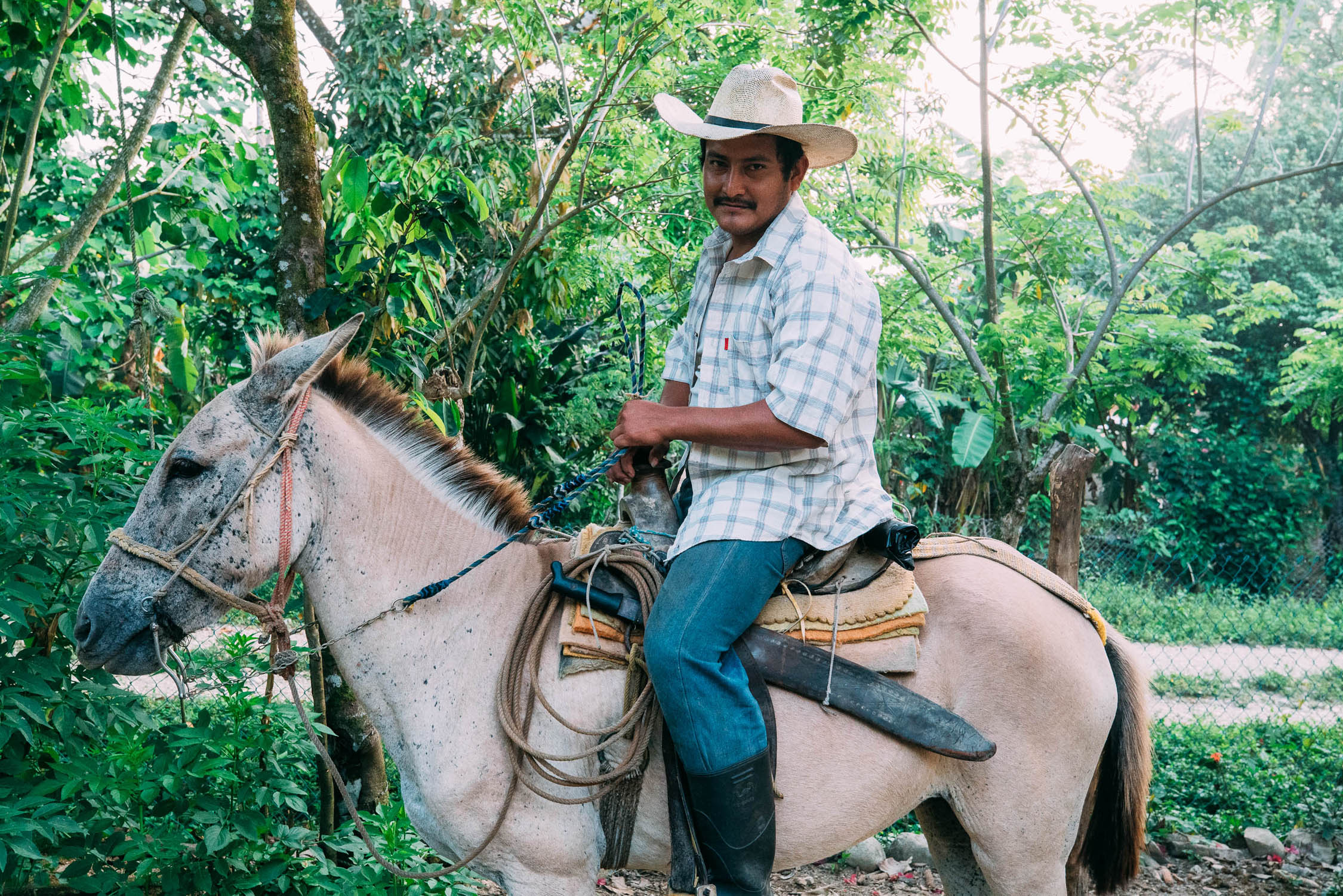
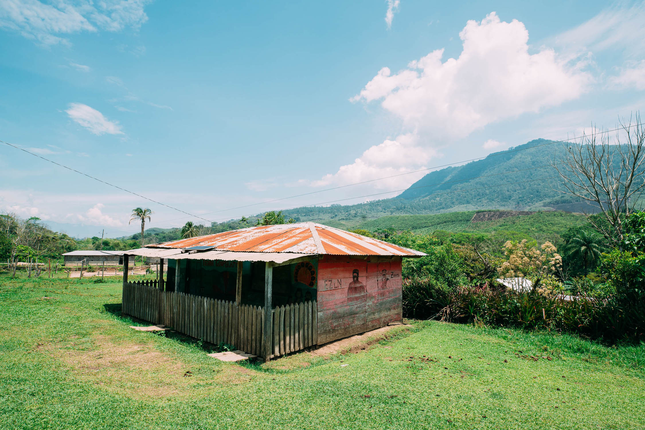
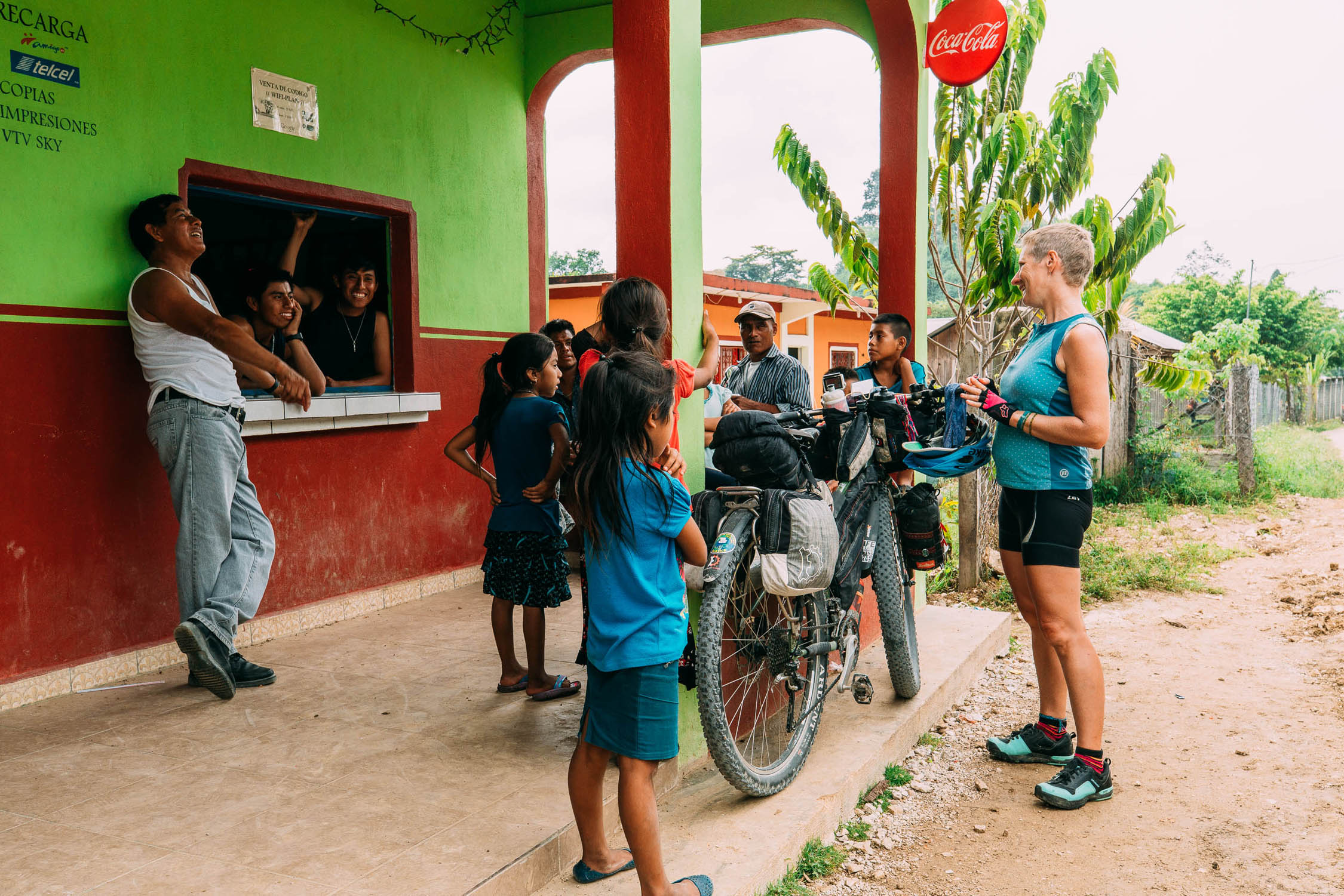
- Experiencing rich culture and encounters with both Mestizo and indigenous people in remote communities in areas that see few foreign visitors. Notably the independent community of San Juan Chamula, and the remote Zapatista and Lacandon regions of southern Chiapas with their strongly preserved identity. Chiapas state has one of the largest indigenous populations in Mexico.
- Safety: Indeed, Mexico has a reputation for violence, but this is largely gang or drug related and rarely involves tourists. If you use the usual common sense it’s highly unlikely you’ll encounter any problems. At the time of this writing, the general travel warning (USA Government) level for Mexico is the same as it is for Spain, France, Germany, and the UK, but there are definitely some regions that are riskier than others. The hotspots that tourists are recommended to avoid are mainly in the north and on the west coast, which this route largely avoids. You should check for specific updates before and during your trip.
- Two main precautions to consider are: camping and travel after dark. Be cautious about where you choose to wild camp. Generally it is best to be well hidden and discrete, or to ask at a farmhouse or village. Between San Cristóbal and the Guatemala border we recommend not wild camping due to the increased security risk.
- Travel after dark, including cycling or driving, is not recommended. This is not just because there is a higher risk of running into trouble, but also because roads can have unmarked damage, drivers may not have lights, and there might be animals on the road. Countless Mexicans warned us not to travel after dark.
- The best time to ride is between November and March, when there is less rain and cooler temperatures. However the climate on this route is quite complicated with marked differences between the highlands and lowlands, with semi-arid, temperate and tropical wet zones. The coolest months are between December and February in the highlands, with daytime temperatures averaging 80°F (27°c) in Oaxaca and 73°F (23°c) in San Cristóbal, and can have cold nights down to 42°F (6°c). The hottest month in the highlands is April, and the wettest month is June. A large part of the route passes through the tropical wet zone and can have rain any month of the year, with the heaviest falls from August to November. The hottest months are April and May, with temperatures up to 95°F (35°c). This can affect both lowland and highland areas.
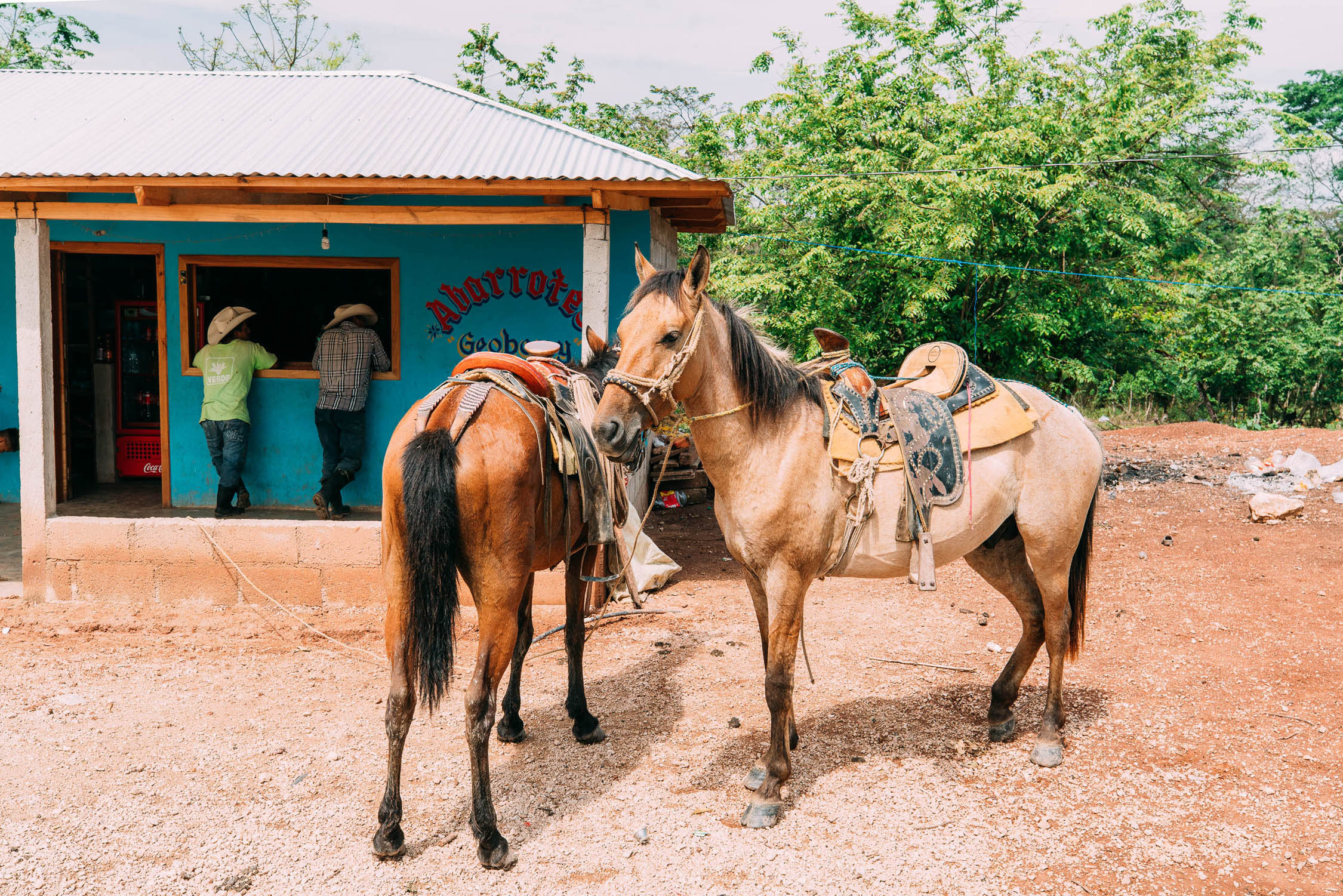
- Very few people in this region speak English, and for many people outside of the cities Spanish is their second language. Some basic Spanish is essential to be able to find food, accommodation and places to camp. Locals are generally friendly and helpful, though they may seem reserved at first. A few words of Spanish will help break the ice. It’s more polite and customary to greet strangers with buenas dias or buenas tardes than hola.
- You will only be able to withdraw cash from Cajero Automaticos (ATMs) in the bigger towns or cities. Credit cards are usually only accepted in these places, too. Always carry enough effectivo (cash) with you to get to the next big town. Some gas stations on main highways have ATMs. There are money changers on both sides of the border at Frontera Corozal. The nearest ATM or bank from there is at Palenque (three hours by bus).
- While this route can be cycled on any bike set up capable of riding dirt roads, we recommend 2.35″ tires or larger. A plus bike will give you more control and comfort on the roughest stuff, while not being too slow on the many sections of pavement.
- Mosquitoes in the state of Chiapas can transmit diseases such as malaria and dengue fever. Take precautions by covering up and using repellent. Watch out for scorpions, too!
- Getting there/away: Trans-continental riders heading south or north can link up with the longer Trans-Mexico Norte route through central Mexico. From Frontera Corozal you can continue into Peten, Guatemala, to visit Flores and the many archaeological sites in the Maya Biosphere Reserve, such as El Mirador and Tikal. Alternate options are to ride or bus north to Palenque (another must-see Maya archaeological site) or to head south from Ocosingo to connect to the Ruta Maya de los Cuchumatanes in western Guatemala.
- There are international connecting flights to Oaxaca, Villahermosa, and Flores (Guatemala).
-
If riding north and crossing into Mexico from Guatemala at the Frontera Corazal border you can only get a temporary 7 day visa (free). You’ll then need to detour to one of the other major border crossings ie El Ceibo or Carmen Xhan (this is possible in a local colectivo mini-bus) to pay the fee for the full 180 day visa. It is not possible to do this in Palenque or San Cristobal. You have to leave Mexico and come back in OR cross at one of those borders in the first instance and join the route on highway 307.
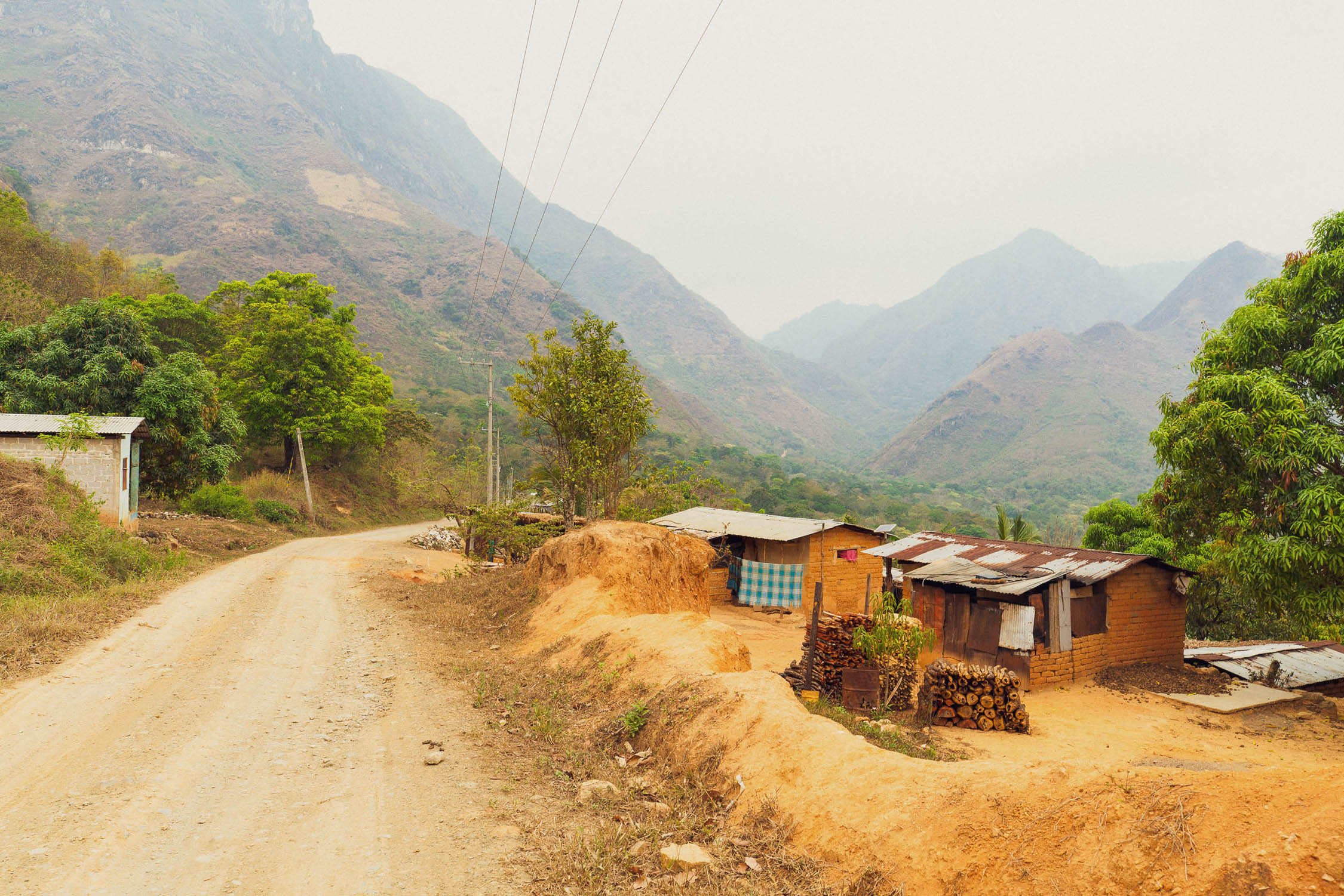
- There are plenty of opportunities to camp, but be respectful of people’s property if within sight of houses or the road as land may be either community owned or privately farmed.
- When wild camping always be discrete — you are never far from people in Mexico. People living in remote areas are not used to tourists so your presence will be noticed.
- Basic hotels (or hotelitos) are available in many of the towns.
- On the occasions when there was not we asked the village council (Comisario) or shop and restaurant owners for a place to sleep. We were always looked after, either given a room or a safe place to camp.
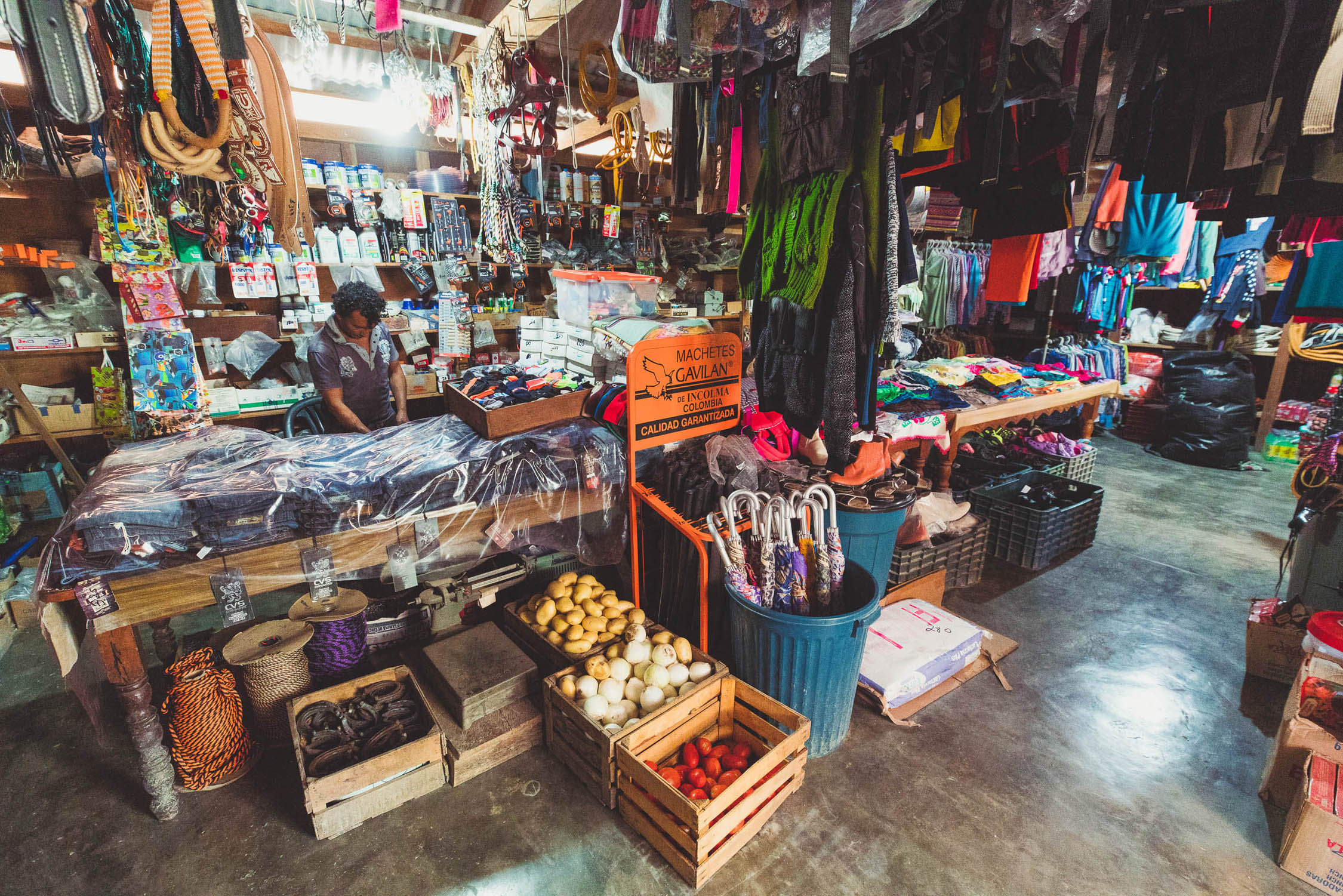
- Tiendas (small shops) selling food and drinks are found in most towns, villages, and often at road junctions.
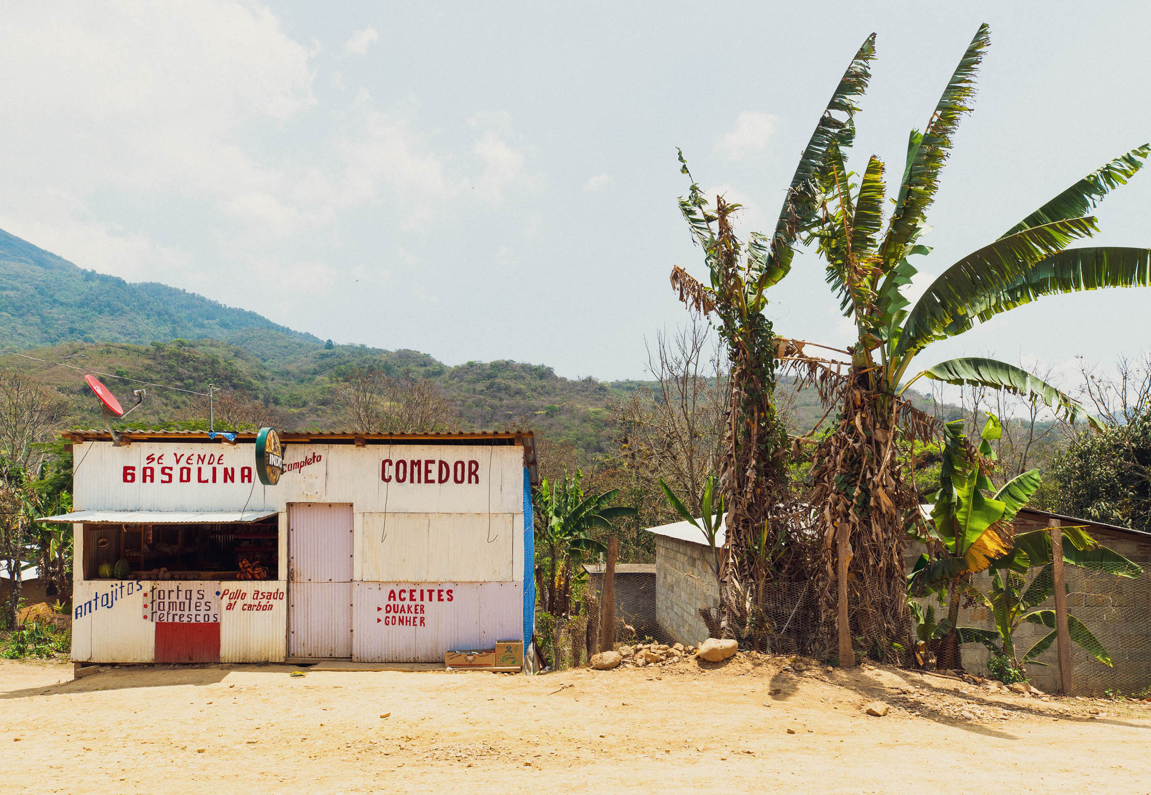
- Supplies can be very limited in the smallest towns and remotest areas. Expect only basics such as rice, pasta, tortillas, crackers, tuna, a few vegetables, soft drinks, and snacks.
- Restaurants or the smaller comedors are not always obvious, so you may need to ask someone where you can eat, or if someone can prepare you a meal.
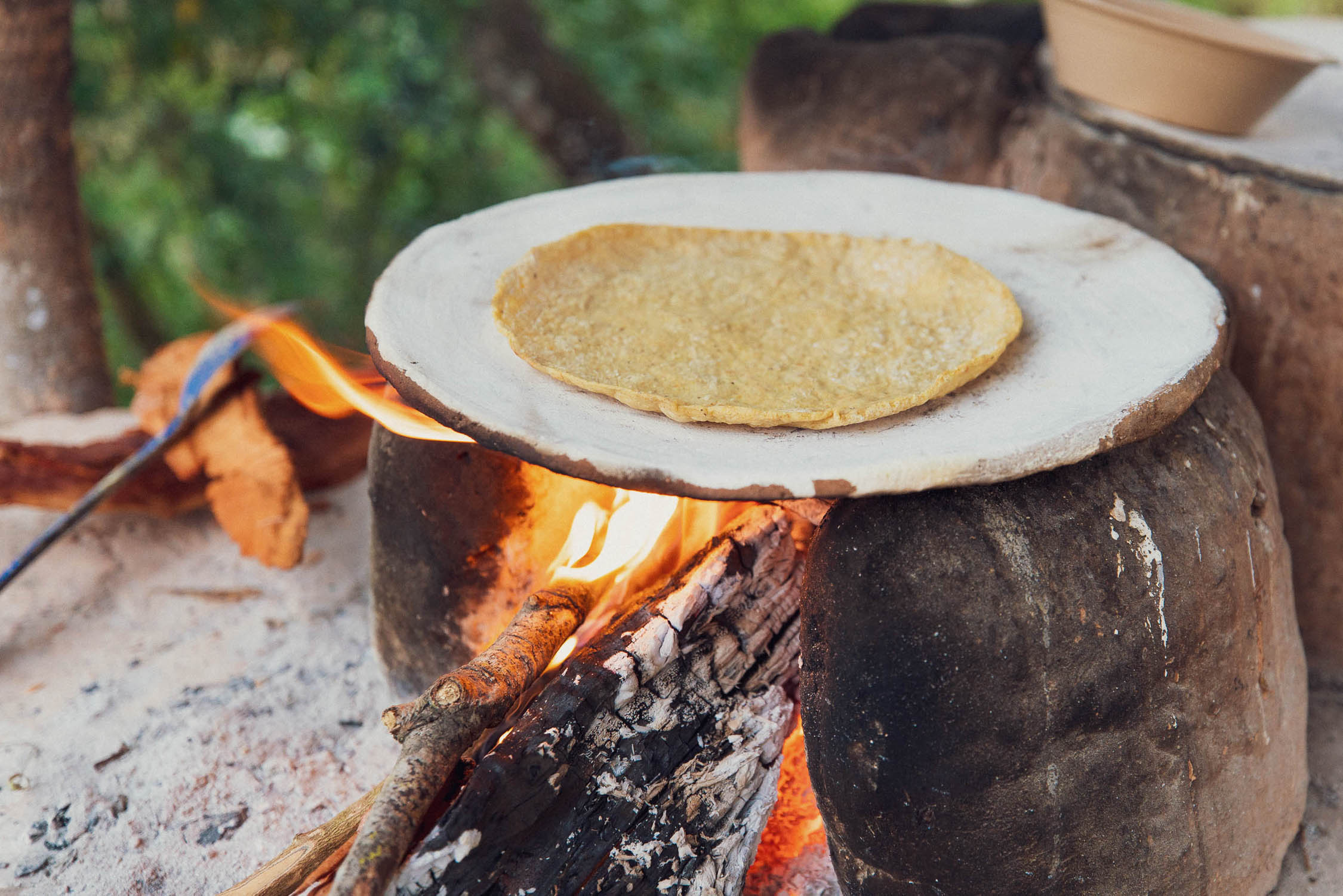
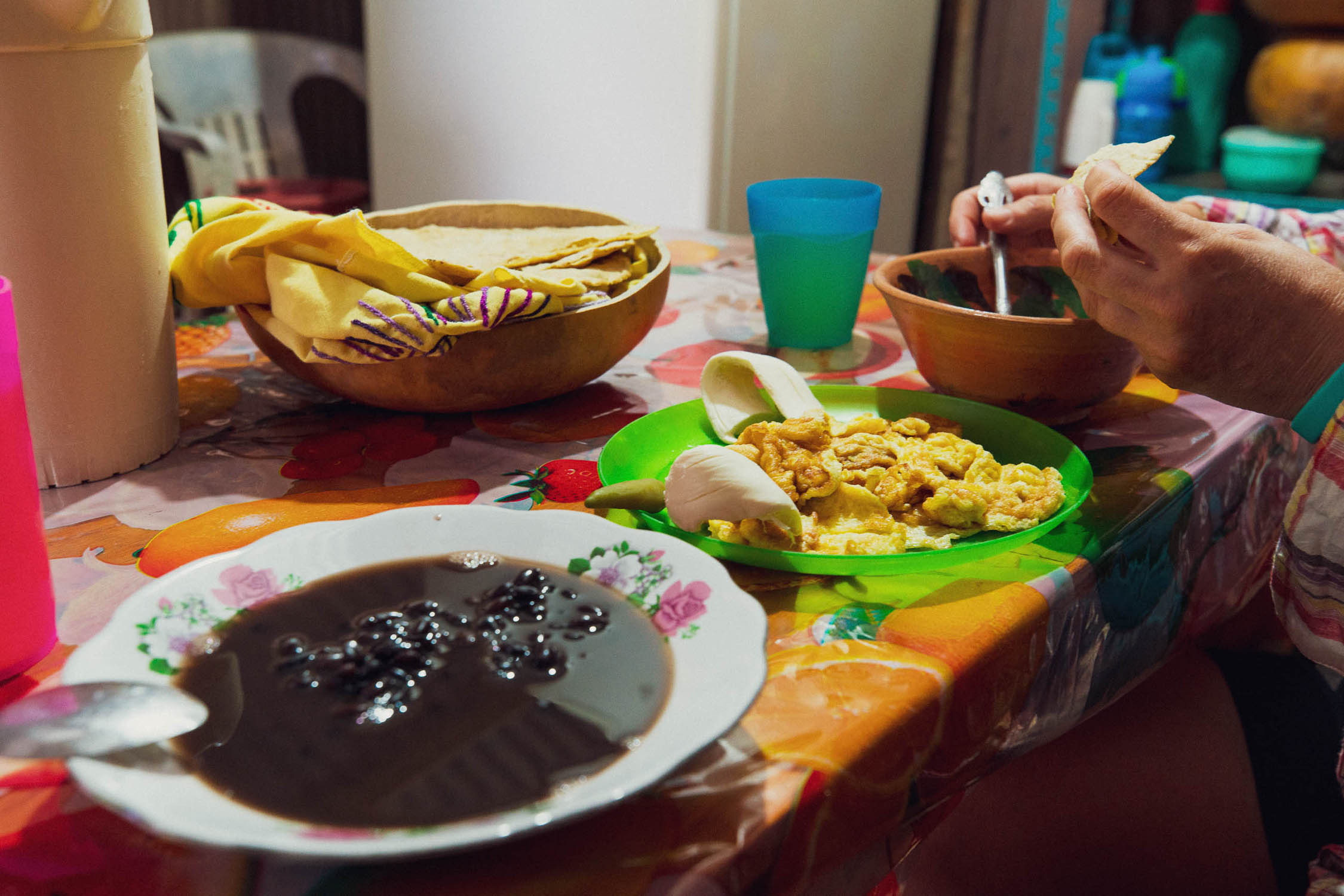
- Be prepared to eat a lot of rice, beans, eggs, and tortillas.
- People are usually happy to fill water bottles, either with purified water from a garrafon (for a few pesos), or from a tap which you may need to treat.
- There are occasional ground water sources to fill bottles if you have a Steripen or filter.
- We carried about two liters each most of the time, and had the capacity to carry five liters each when we suspected there may be no water, or for dry camps.
- Settlements and houses always have a water supply or will be able to direct you to one.
- Stay healthy: Southeast Mexico is known for inflicting bouts of ‘Montezuma’s Revenge’ (travelers diarrhea) on visitors. Be wary of what and where you eat and drink if you want to avoid unpleasant episodes of diarrhea. If a restaurant is busy with locals, it’s probably the safest choice. It pays to carry antibiotics (such as Ciprofloxacin) and a stopper medication such as Loperamide with you to treat anything that doesn’t resolve itself after a couple of days. These can also be purchased over the counter in any farmacia or tienda.
Oaxaca–Highway 185
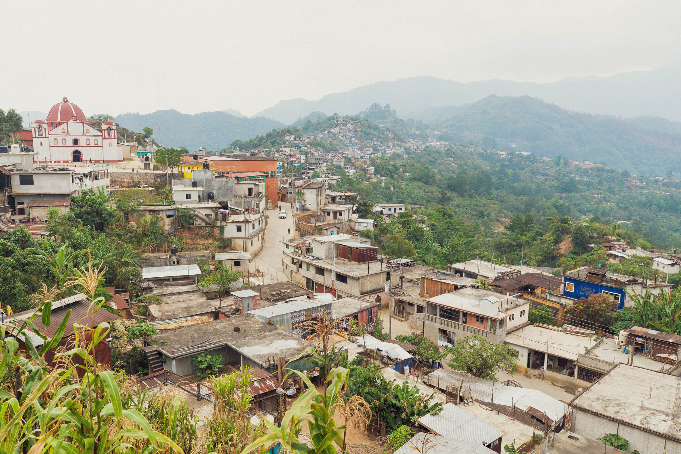
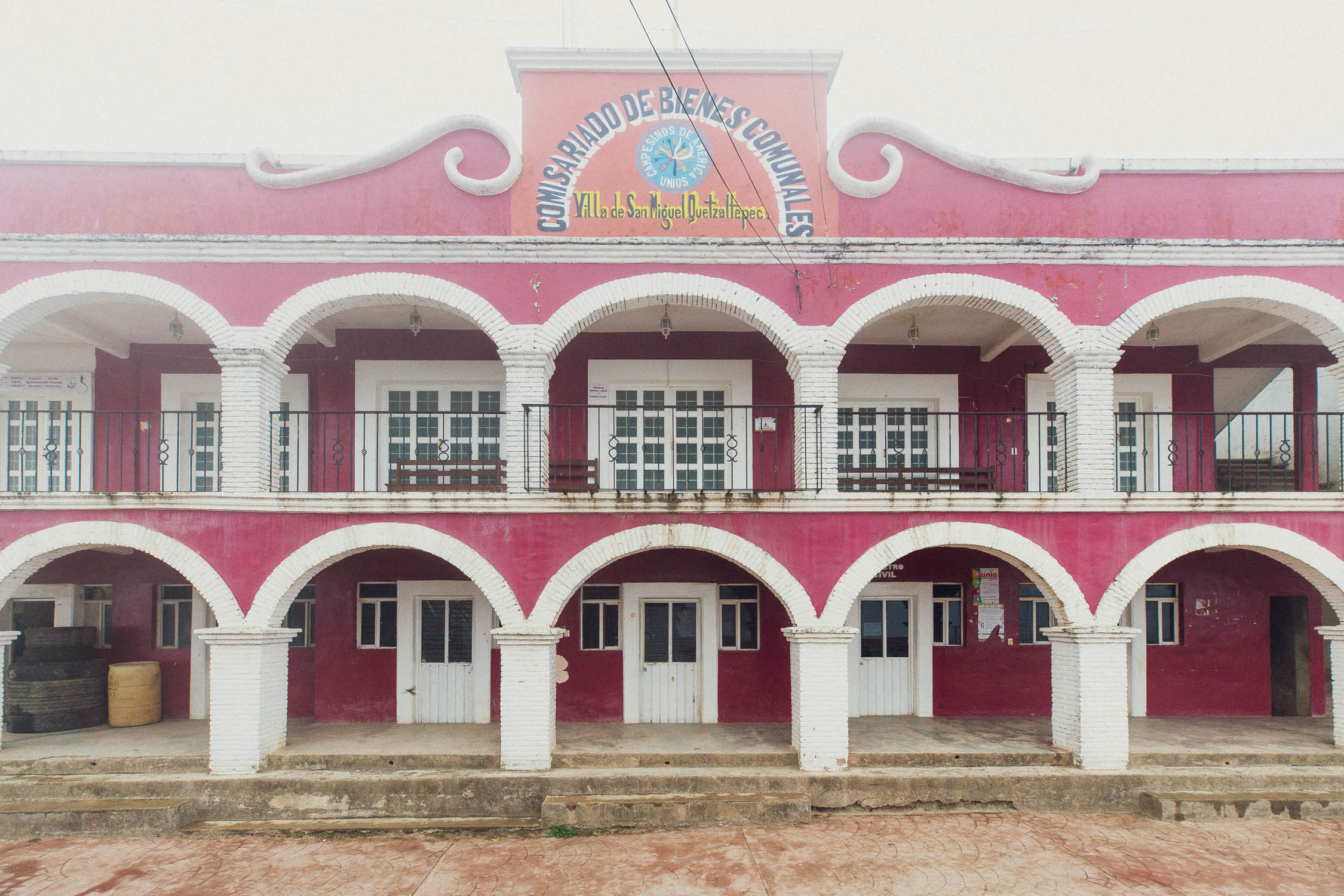
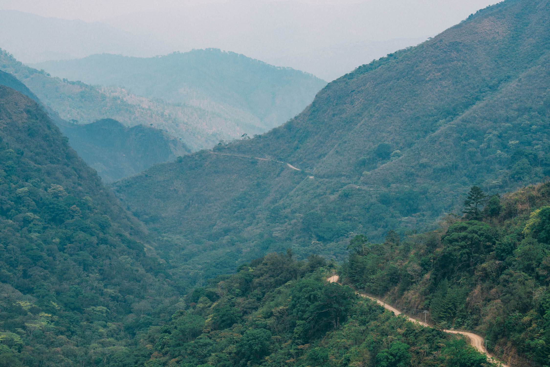
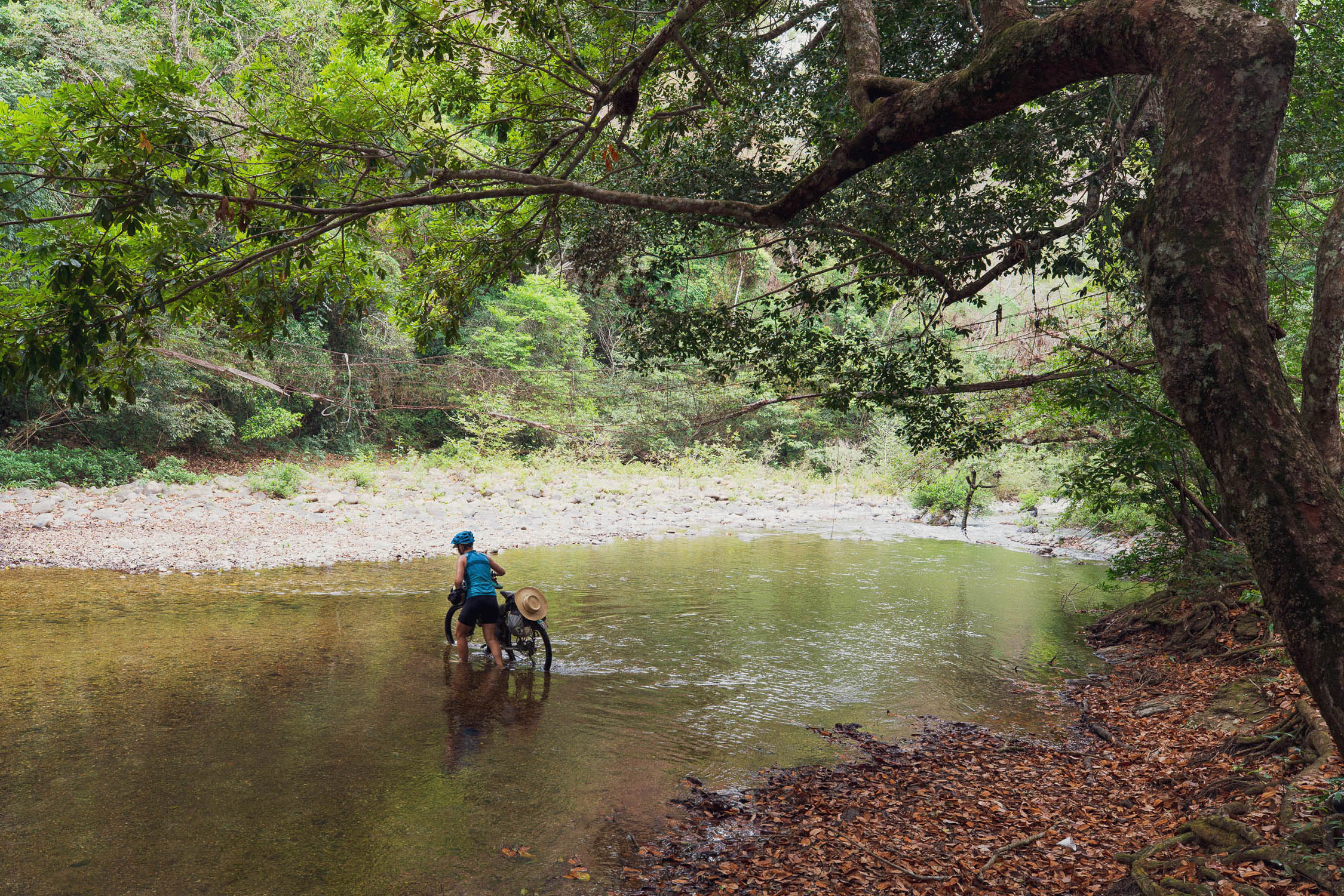
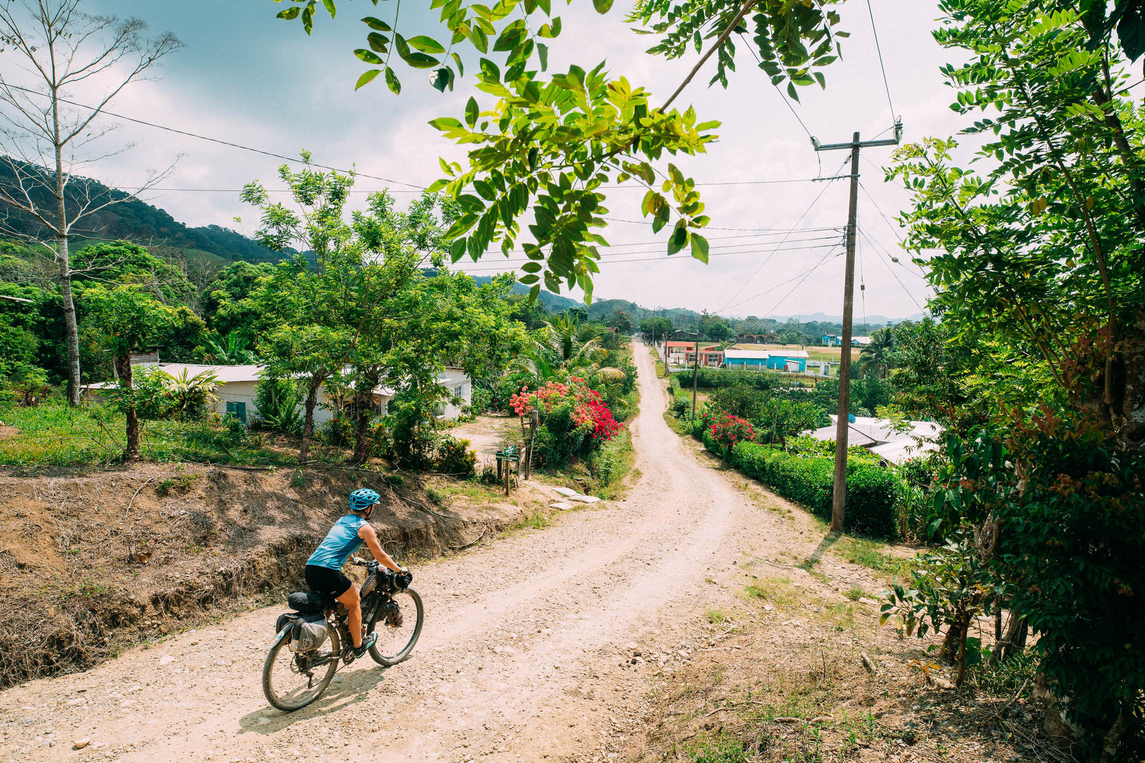
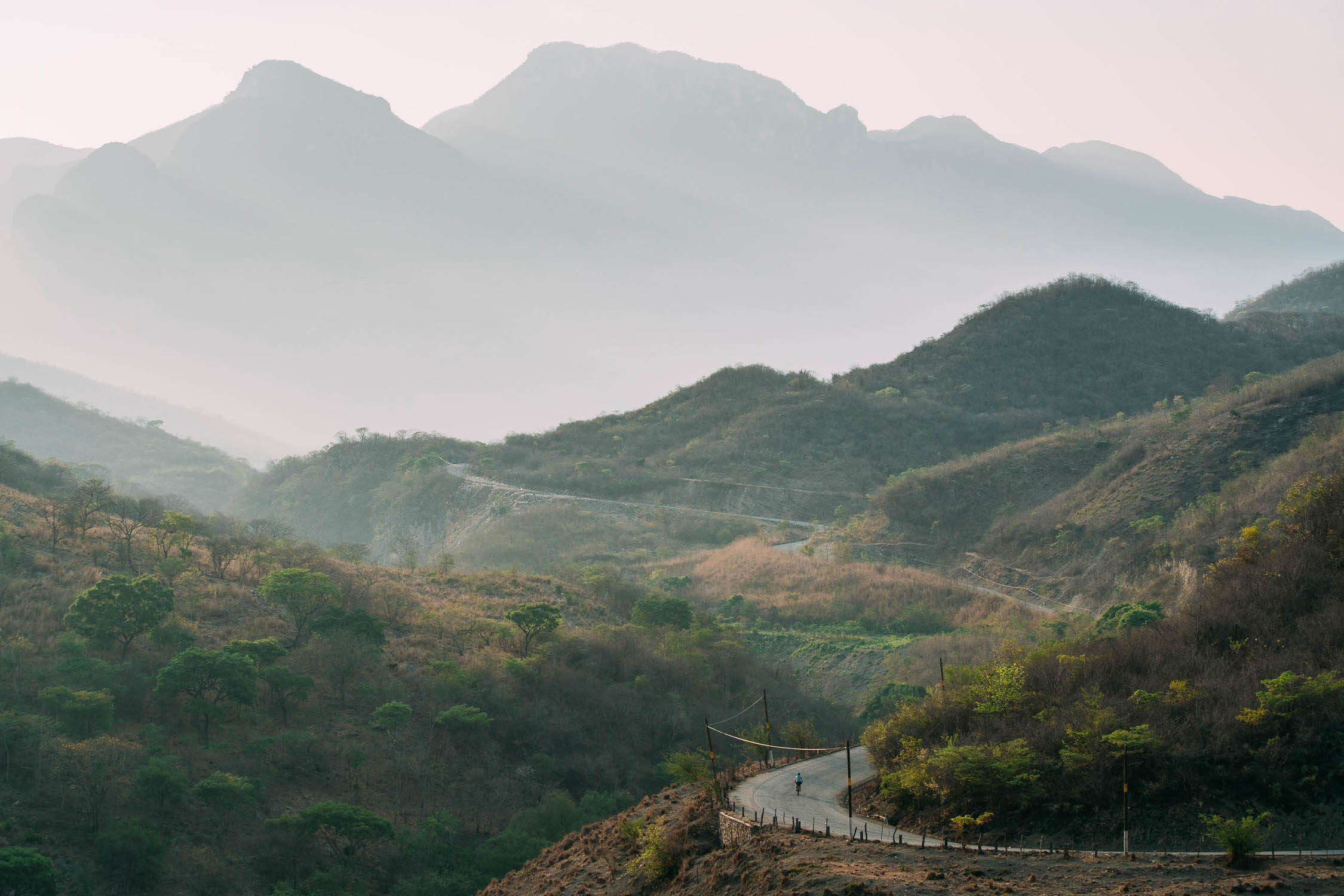
It’s an easy paved ride out of Oaxaca to the pleasant township of Mitla, where the partly restored ruins of a Zapotec archaeological site can be visited. This is a good place to spend your first night. Also nearby (but a detour) is the beautiful site of Hierve el Agua, famous for its ‘frozen’ calcified waterfall and pools at the top of a cliff. The route then gradually gains elevation, passing through Ayutla (a good resupply stop) before heading into the Sierra Madre de Oaxaca proper. The road follows a stunning ridgeline along cloud forested mountains before plunging to the valley floor and then climbing back out to the small town of Quetzaltepec. Beyond here the route feels considerably more remote as it passes two more small towns, separated by wild mountainous country and a mixture of forest. Approx 10km after Ixcuintepec comes a section of single track and hike-a-bike to connect through to Malacatepec and another road. While some of this section is hard work, it’s a rewarding place to be with a bike. Beyond Malacatepec a sometimes rough dirt road undulates its way through beautiful country over range and river out to the relative civilisation of San Juan Guichicovi. It’s a mostly downhill cruise from here to the humid lowlands and Highway 185.
Highway 185–San Cristóbal de las Casas
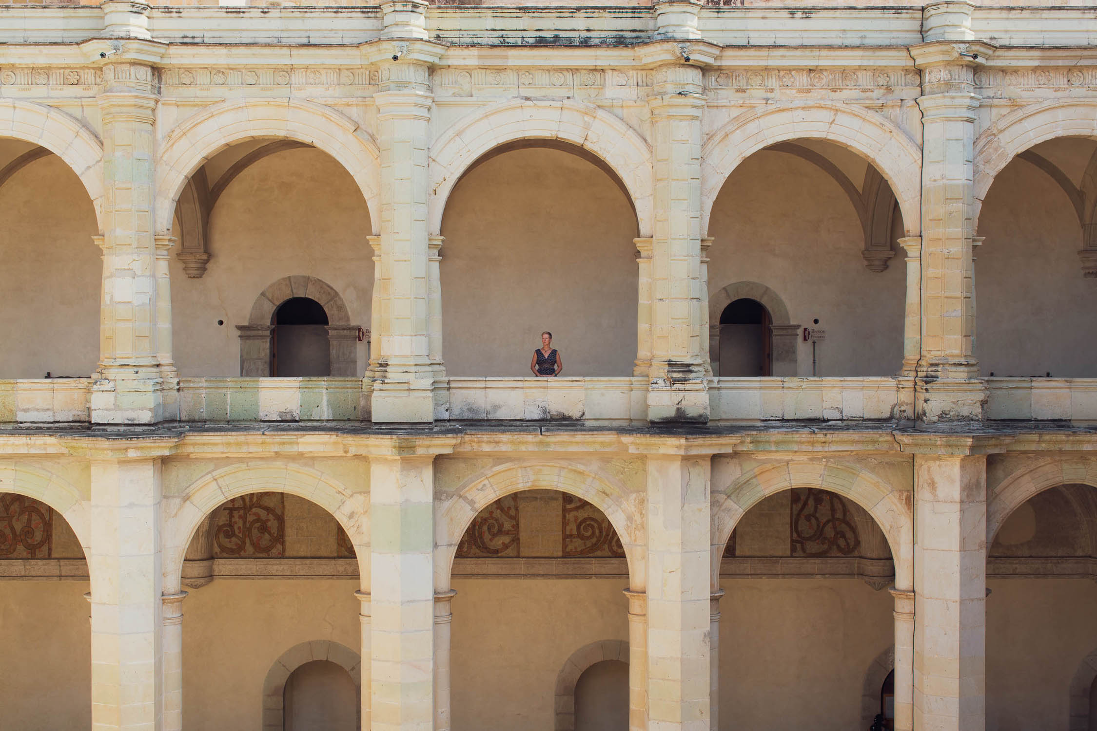
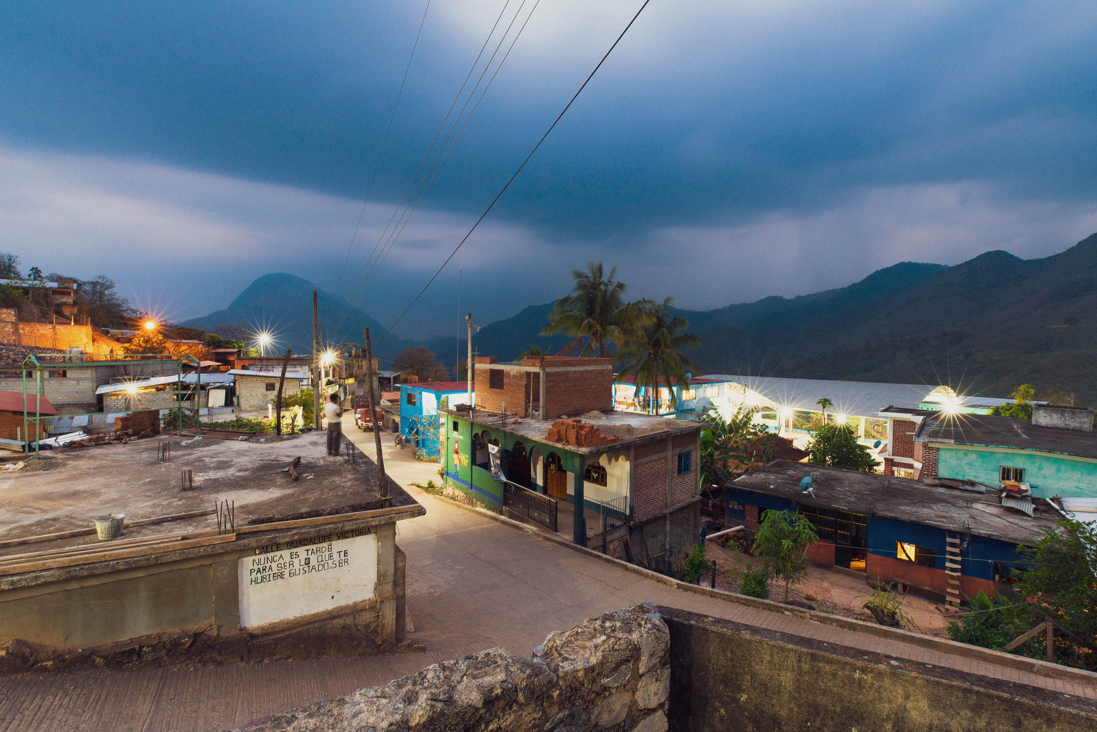
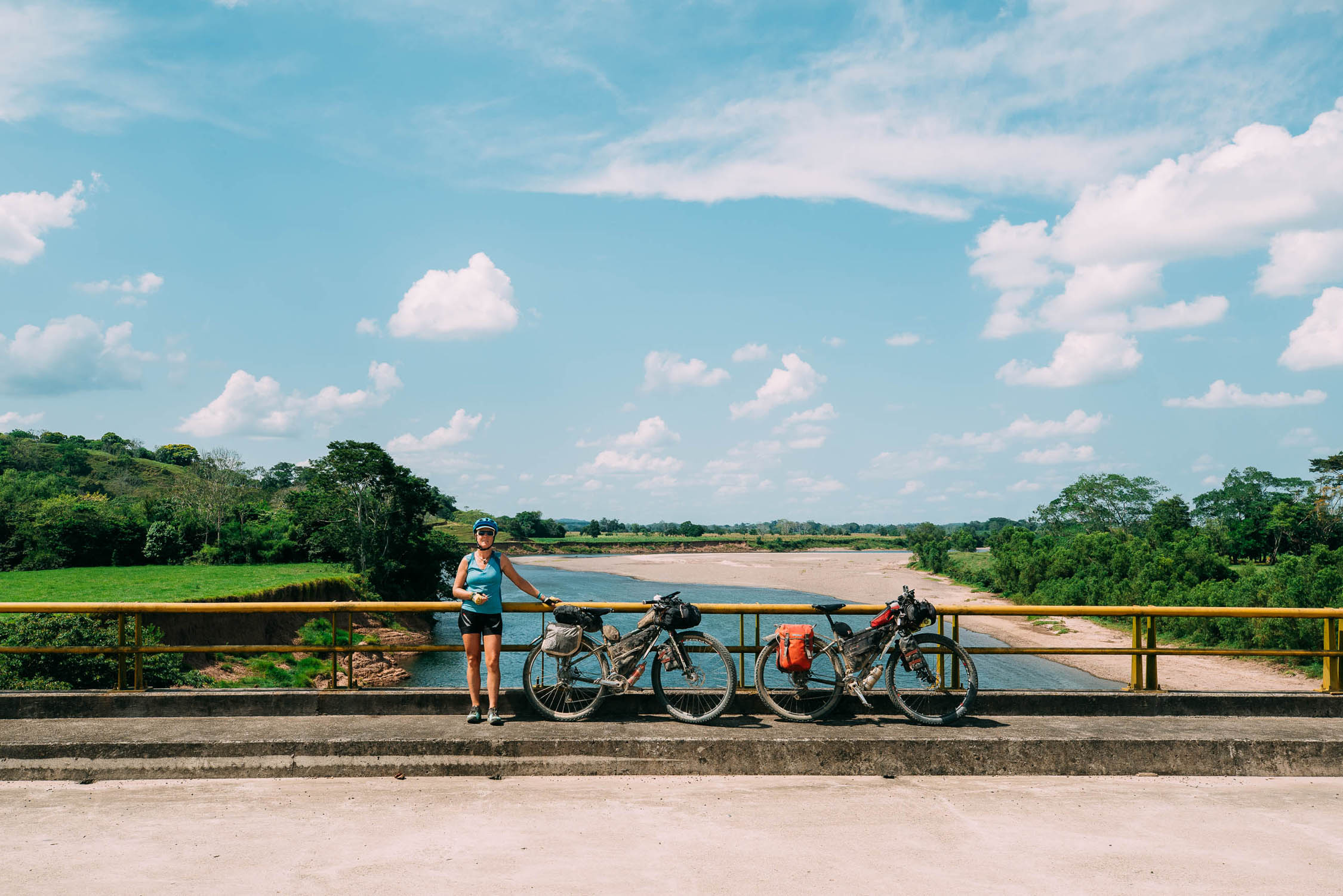
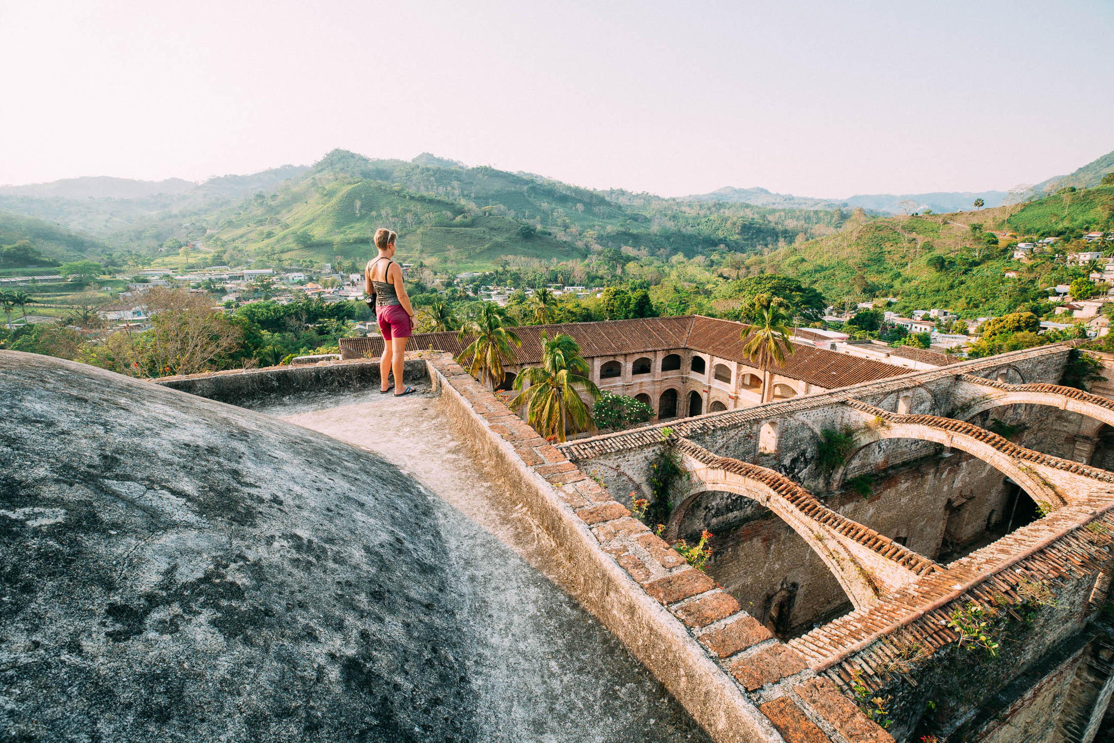
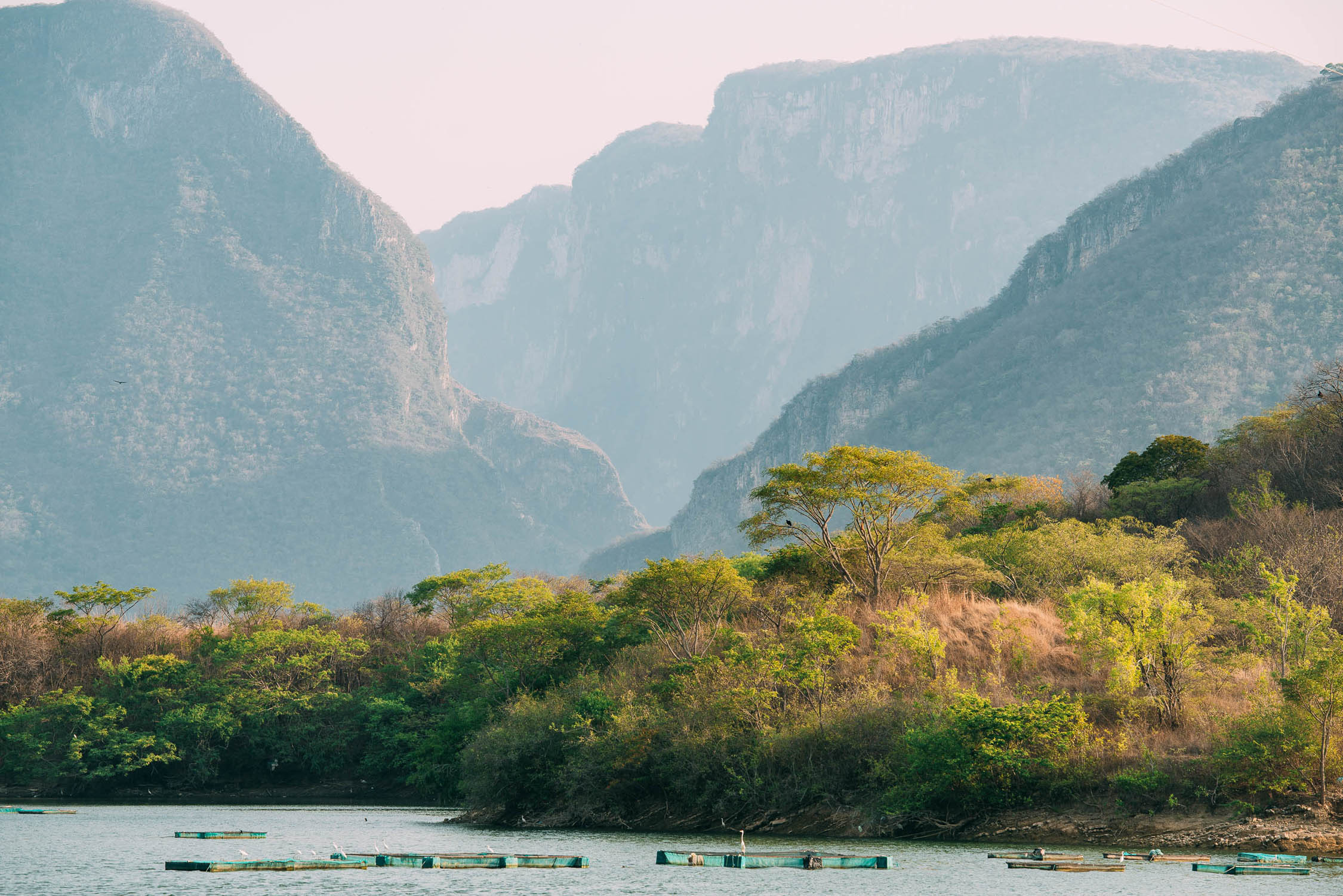
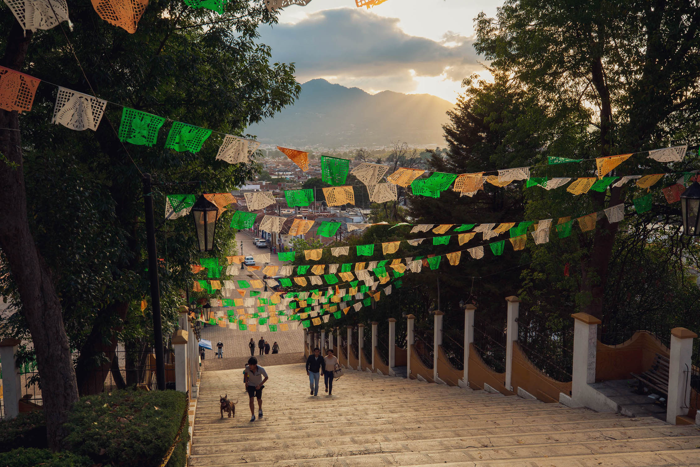
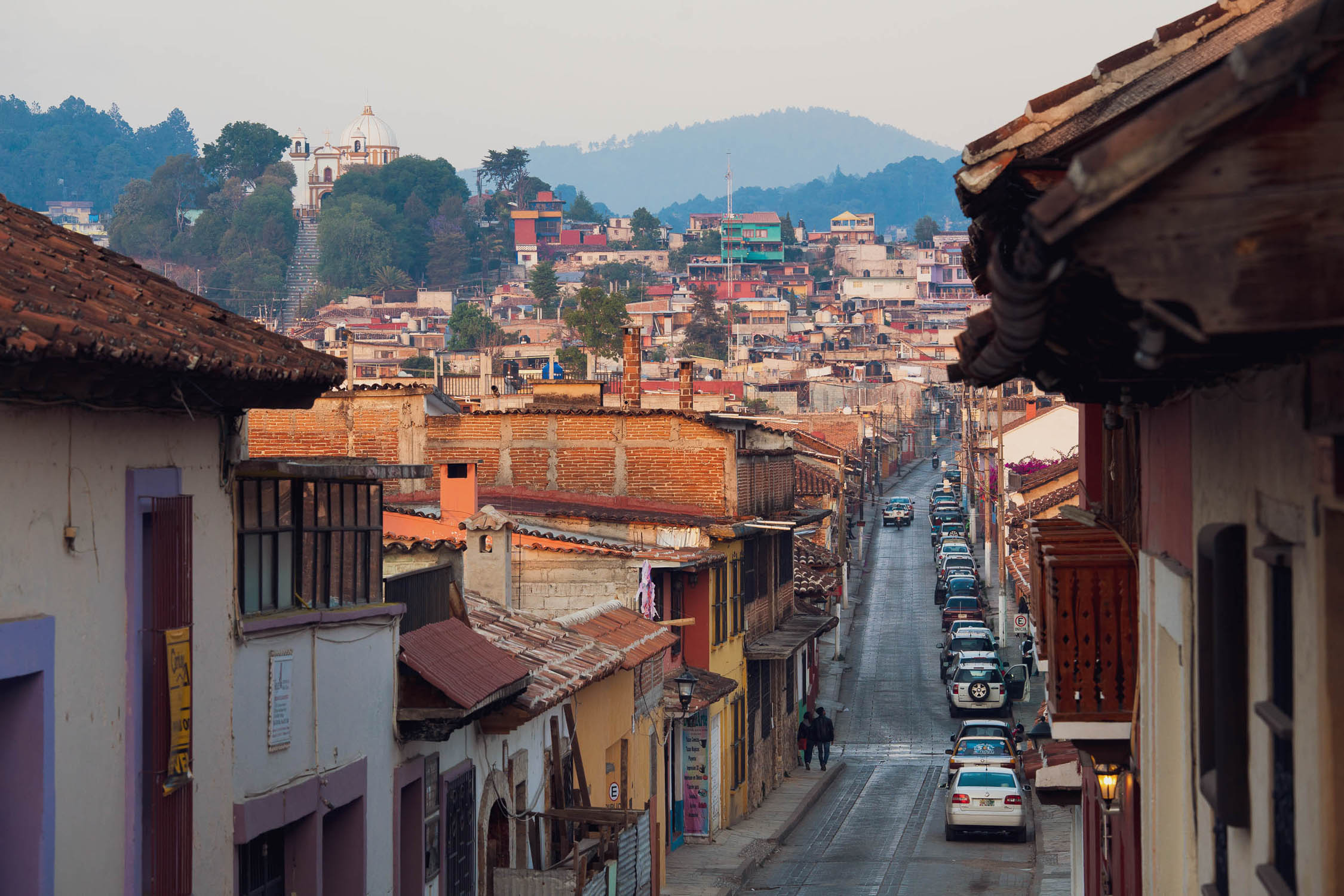
After your crossing of the Sierra Madre de Oaxaca the following section will feel significantly easier, with some long stretches of flat road and smaller hills in the first half making for some very pleasant riding. This is classic Veracruz cattle country and will feel culturally different to the previous leg but is still quite sparsely populated between towns. After the rough little cowboy town of Nueva Esperanza the road cuts south east through remote farming country towards Raudales Malpaso where it rejoins pavement for a long stretch though to Ixtapa. On the way it passes through some rugged hill country and the pleasant small town of Tecpatan (a good rest day stop). The lake edge town of Osumacinta provides a view across to the impressive Sumidero Canyon (lake tours available) and makes a good overnight stop before the nearly continuous climbing to reach Zinacantan and San Cristóbal de las Casas. Zinacantan, along with its sister village Chamula (nearby) is famous for its Tzotzil Maya people and their staunch cultural traditions and colourful dress. Using San Cristóbal as a base it’s easy to get a tour (or ride back out) to see more of these villages. San Cristóbal is well worth spending some time in as there is a lot to see. It’s one of Mexico’s cultural centres and is full of interesting architecture, indigenous culture and tourist-oriented cafes, bars and restaurants. There is also a high-end bike store here.
San Cristóbal de las Casas–Frontera Corozal
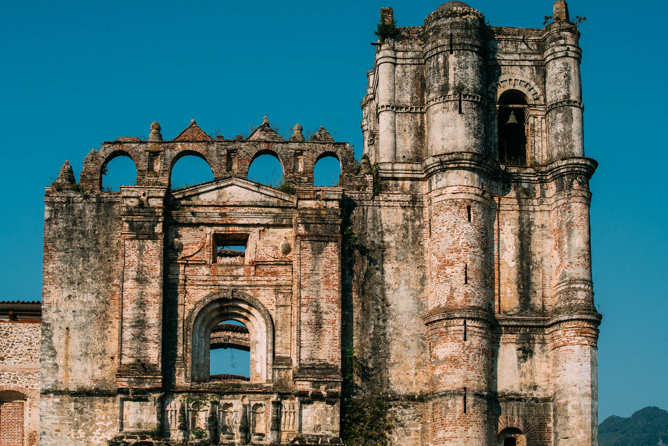
It’s a relatively remote run to the Guatemala border from San Cristóbal, and apart from the small town of Ocosingo, a couple of days away, San Cristóbal is the last major population centre you’ll see for some time. The ride to Ocosingo is a tough one though, with some significant hill climbs as it passes through highland Maya heartland country. Stock up on ride snacks, staples and cash in Ocosingo before heading to the archaeological site of Toniná just a few kilometres away. This important Maya ruin is one of the biggest and sees few visitors compared with Palenque and the other major Yucatan sites. There is an onsite museum.
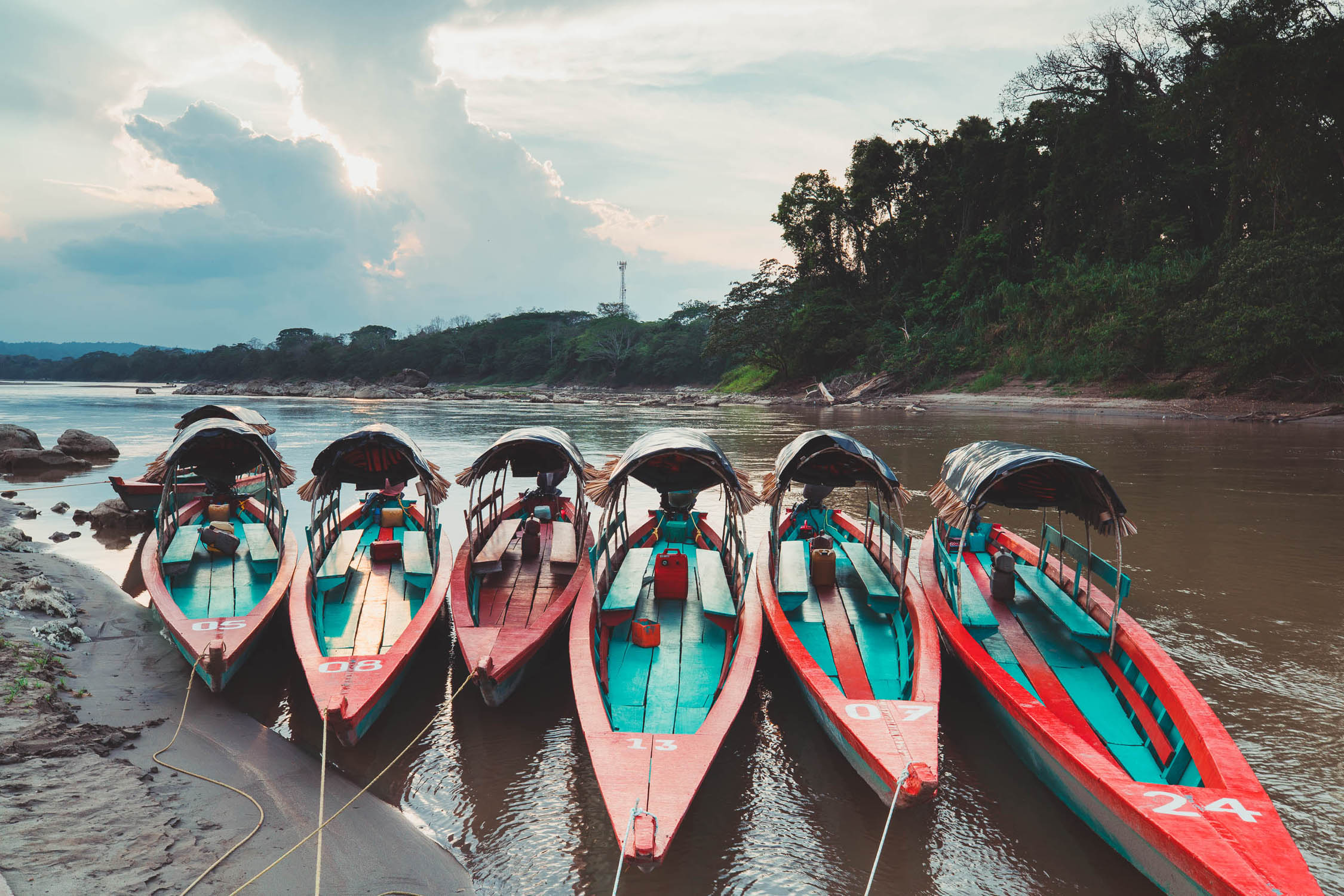
During the 1990s the Zapatista revolutionary movement propagated a lot of instability and conflict in this region and even today their presence is visible in the signs and graffiti you’ll see riding through the mountains towards the Lacandon jungle. The region is safe enough now, but wild camping is not recommended between San Cristóbal and the border. Accommodation and food is available at the Lacandon Maya villages of Naja and Lacanja Chansayab, with the latter being a good base to visit Bonampak from. Be sure to watch out for toucans flitting through the jungle canopy. From Chansayab it is a mellow paved ride to Frontera Corozal, which is surprisingly pleasant for a border town, with a nice riverside vibe and the Yaxchilan ruins just a 40-minute boat ride away.
Additional Resources
- For riders intending to join the Ruta Maya de los Cucumatanes, consider detouring off route in Ocosingo or SCDLC and riding to the Guatemala border crossing at Carmen Xhan/Gracias a Dios. From there roads connect to San Mateo Ixtatan on the Ruta Maya de los Cuchumatanes route. Scott Pauker provides some useful notes at his Spoke and Words blog.
- From our blog: Oaxaca-Palomares, Palomares-San Cristobal, San Cristobal de las Casas, San Cristobal-Flores, Guatemala
- Spoke and Words (Scott Paulker): #Mexico
- 121 Magical Pueblos
- Mexican touring cyclist support group: Red de Apoyo Cicloviajero


Terms of Use: As with each bikepacking route guide published on BIKEPACKING.com, should you choose to cycle this route, do so at your own risk. Prior to setting out check current local weather, conditions, and land/road closures. While riding, obey all public and private land use restrictions and rules, carry proper safety and navigational equipment, and of course, follow the #leavenotrace guidelines. The information found herein is simply a planning resource to be used as a point of inspiration in conjunction with your own due-diligence. In spite of the fact that this route, associated GPS track (GPX and maps), and all route guidelines were prepared under diligent research by the specified contributor and/or contributors, the accuracy of such and judgement of the author is not guaranteed. BIKEPACKING.com LLC, its partners, associates, and contributors are in no way liable for personal injury, damage to personal property, or any other such situation that might happen to individual riders cycling or following this route.
Please keep the conversation civil, constructive, and inclusive, or your comment will be removed.