


Ruta Maya de los Cuchumatanes, Guatemala
Distance
329 Mi.
(529 KM)Days
10
% Unpaved
70%
% Singletrack
0%
% Rideable (time)
100%
Total Ascent
53,686'
(16,363 M)High Point
11,177'
(3,407 M)Difficulty (1-10)
7?
- 10Climbing Scale Very Strenuous163 FT/MI (31 M/KM)
- -Technical Difficulty
- -Physical Demand
- -Resupply & Logistics
Contributed By
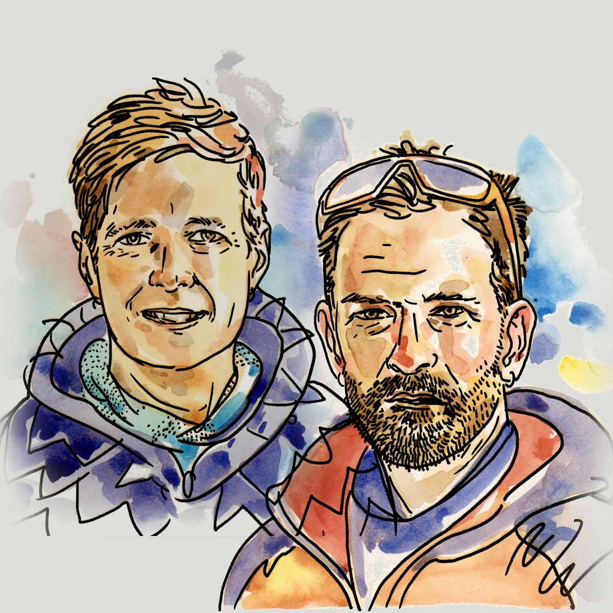
Mark and Hana
Highluxphoto / BeingHana
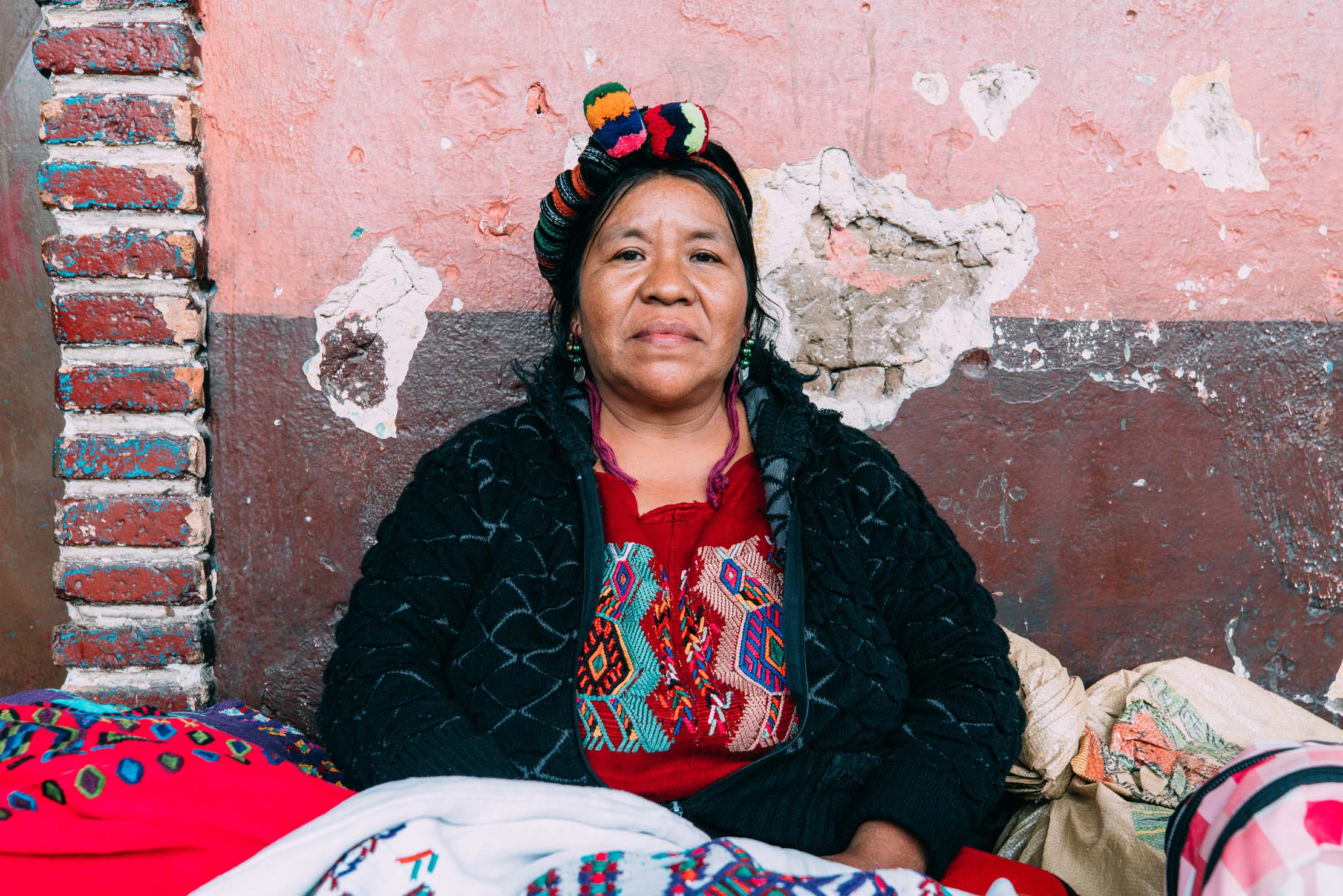
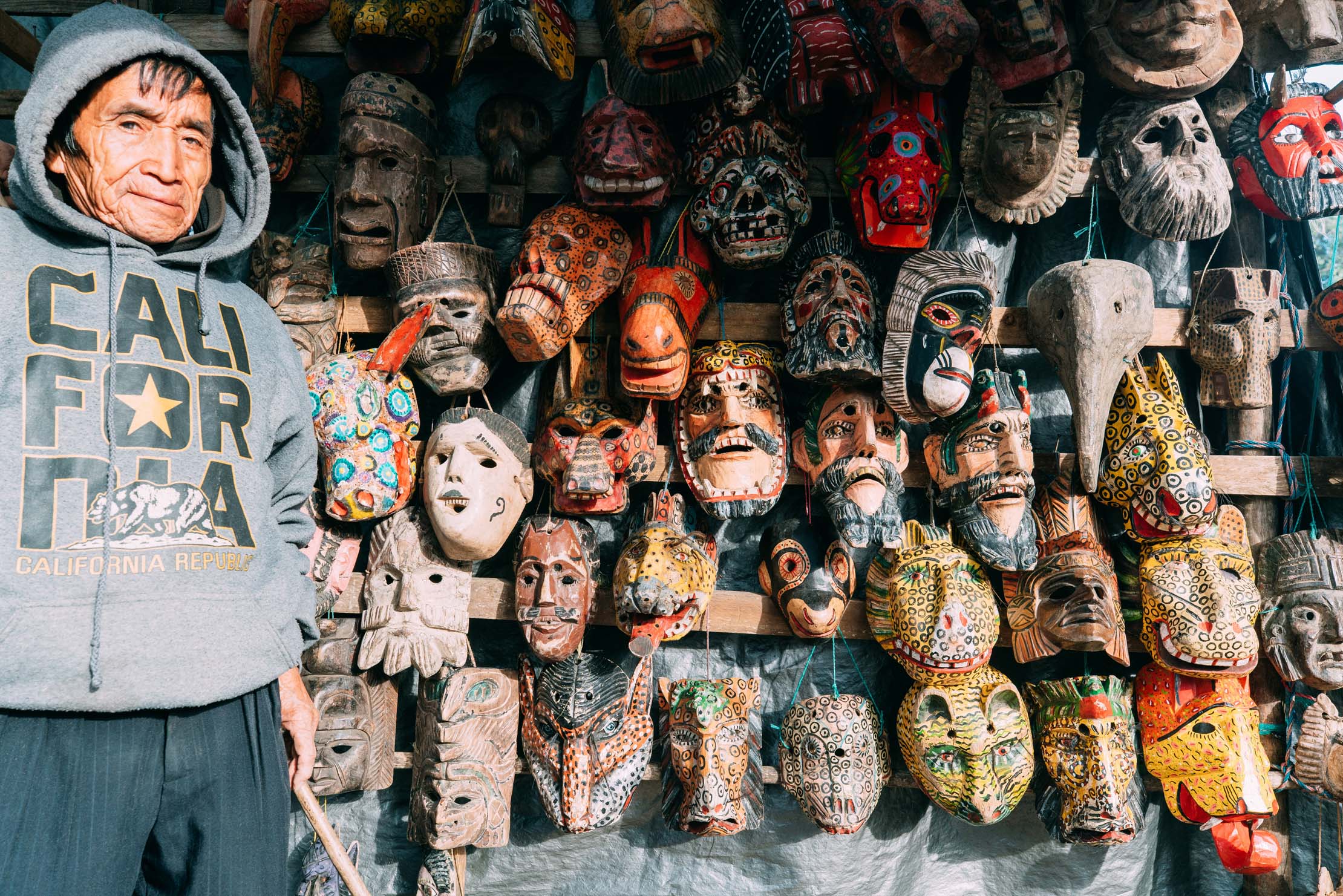
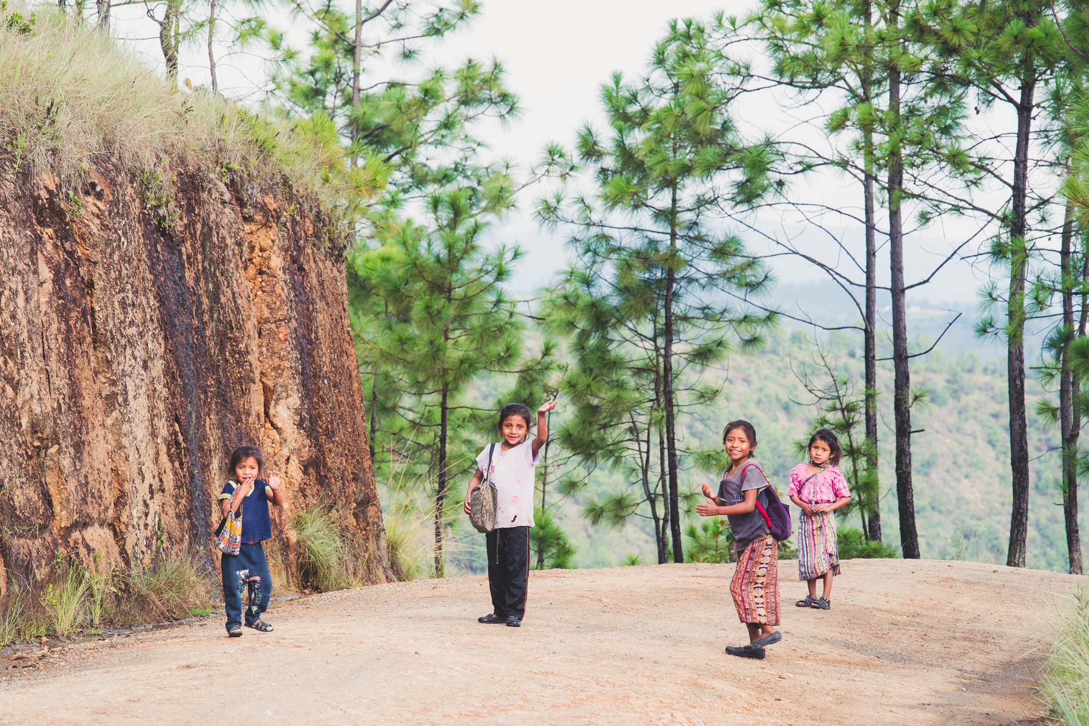
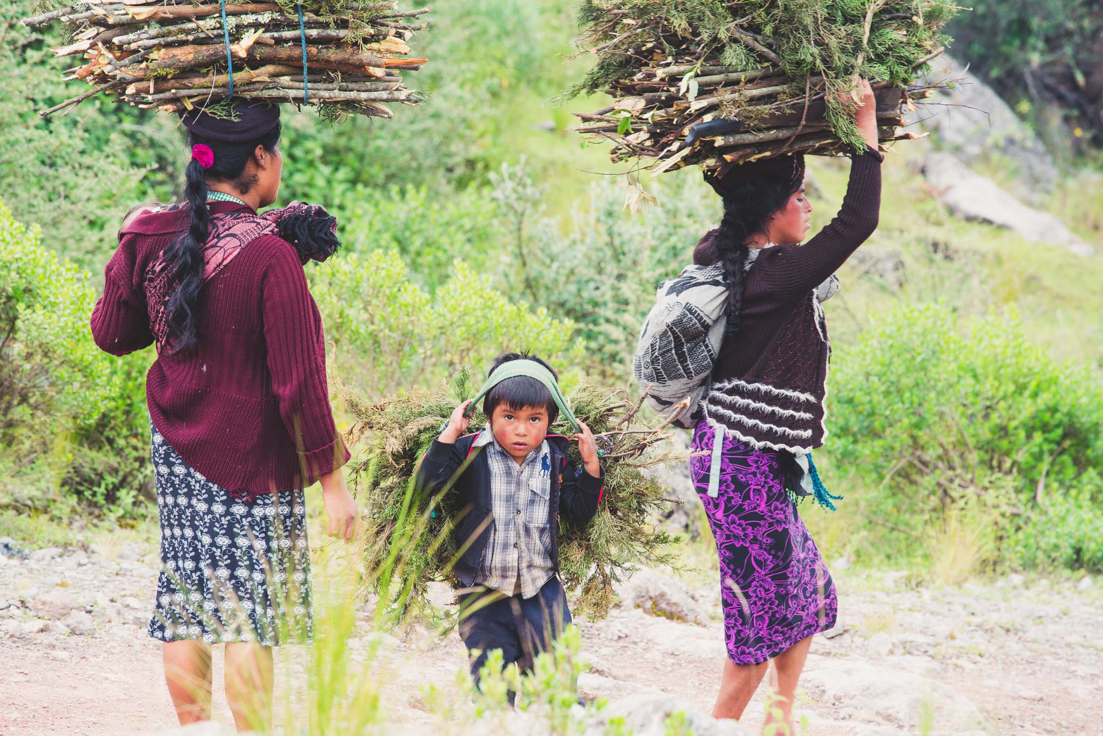
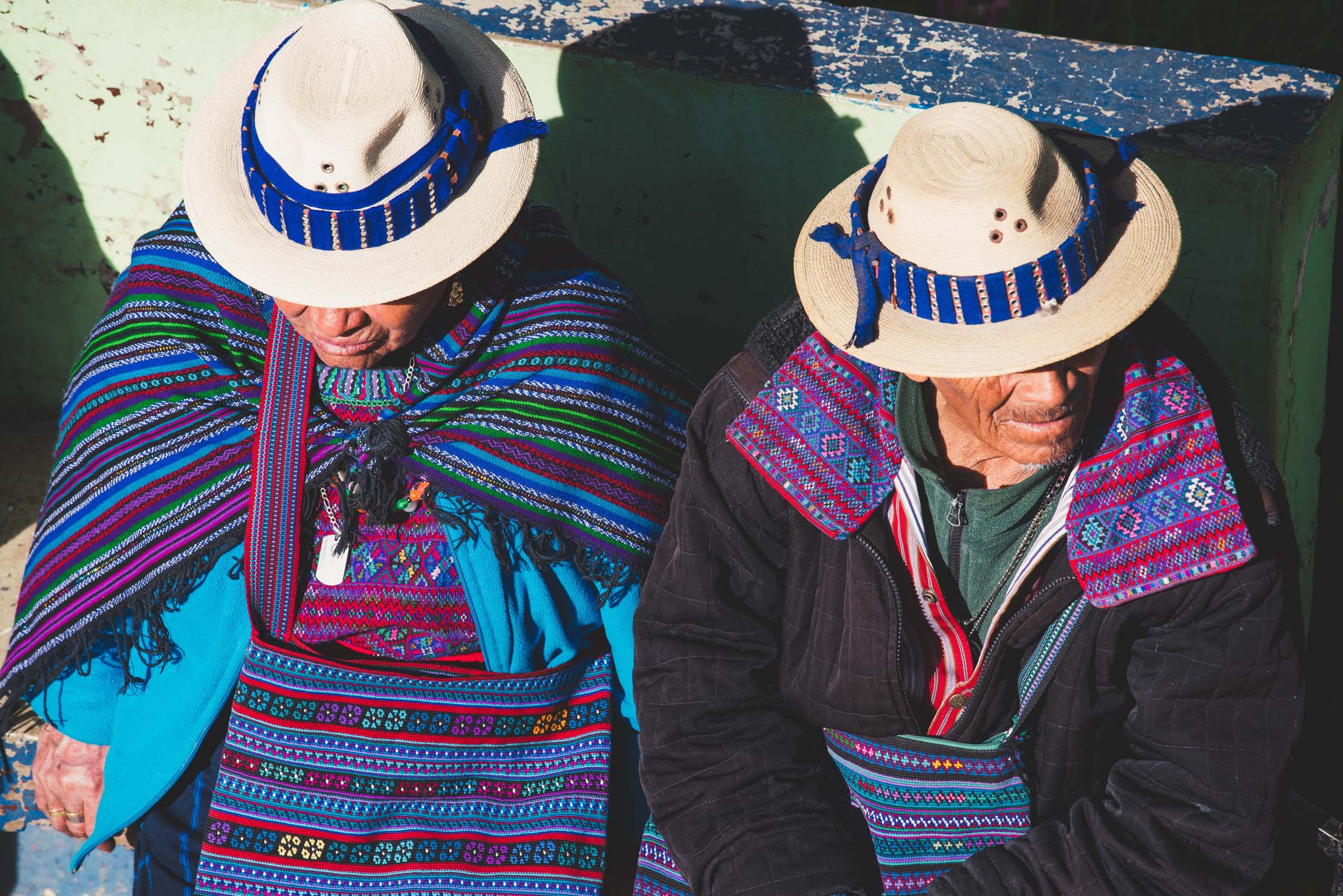
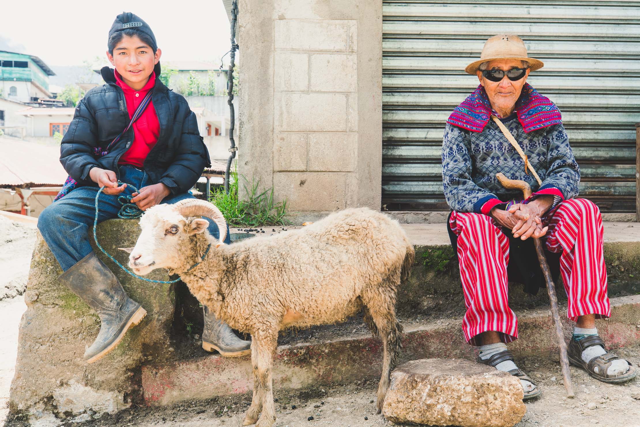
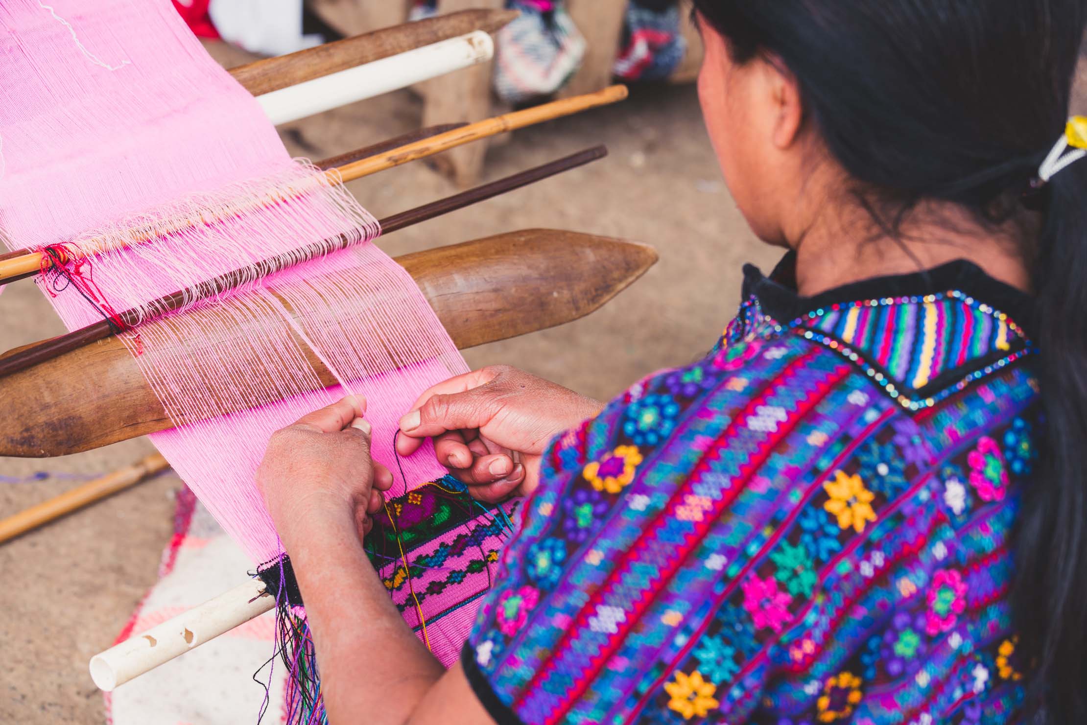
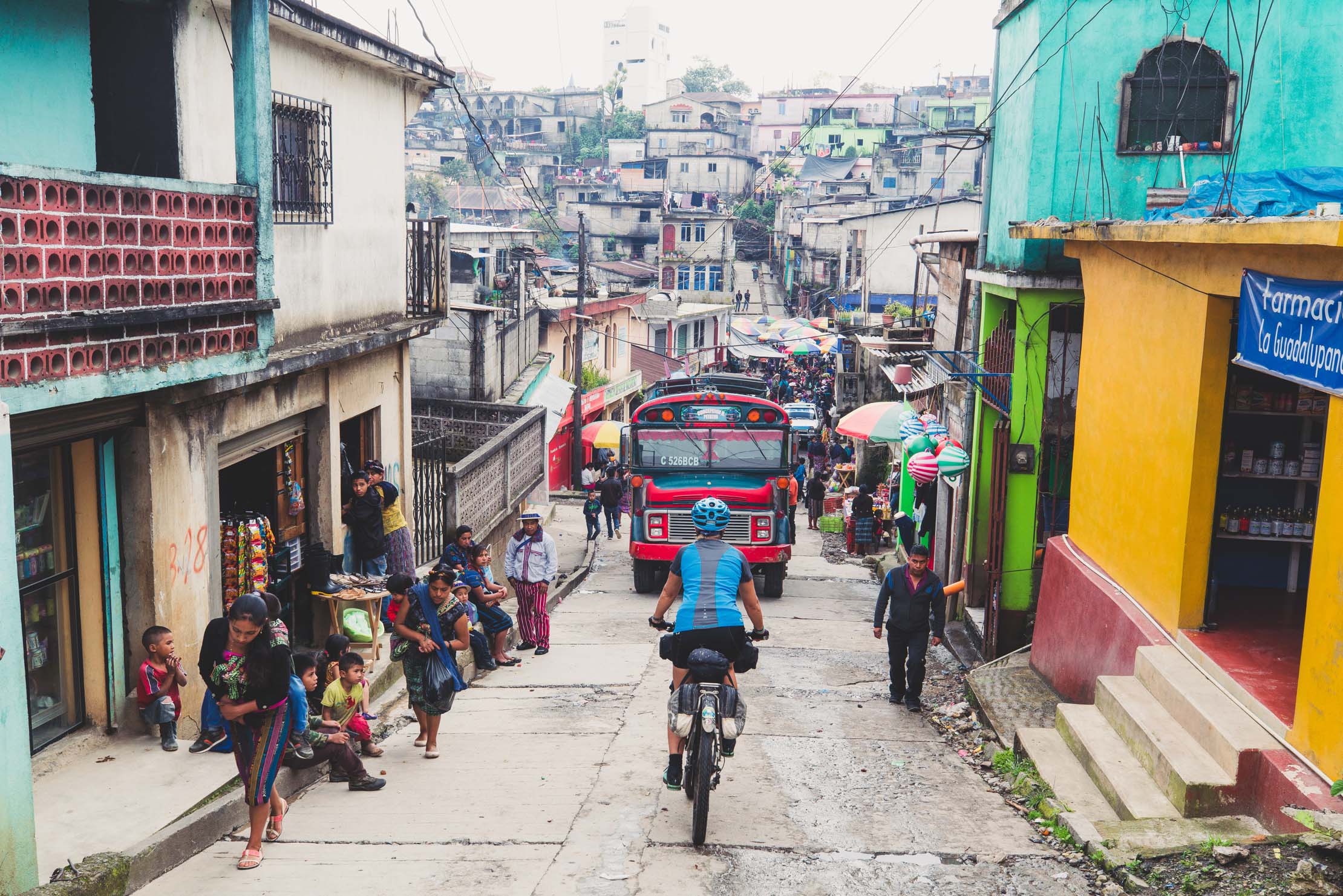
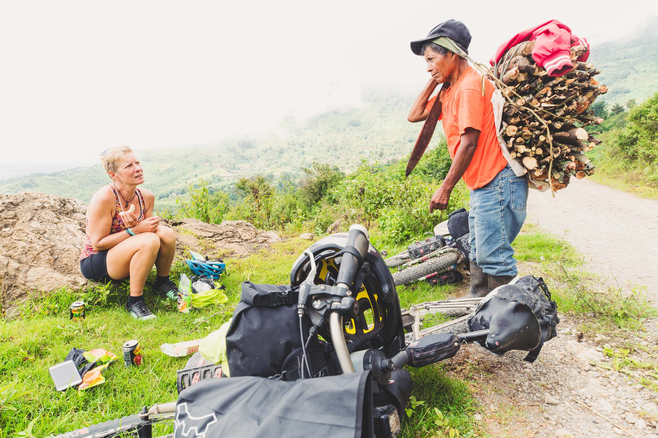
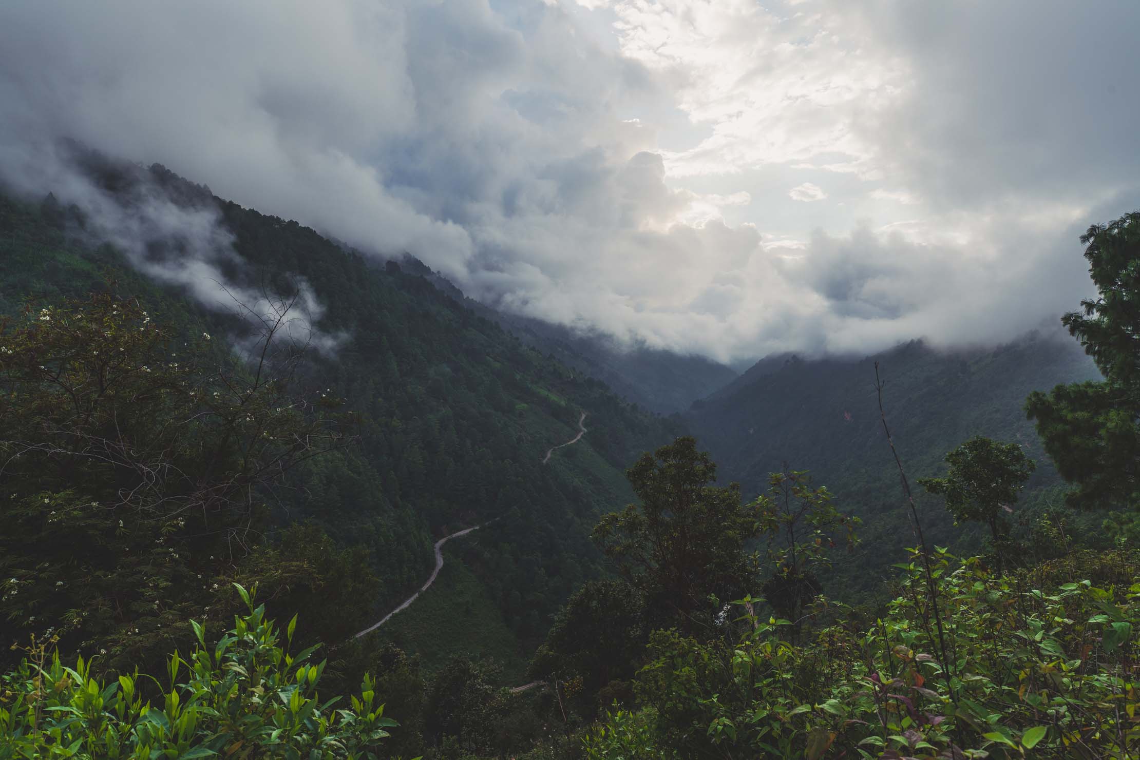
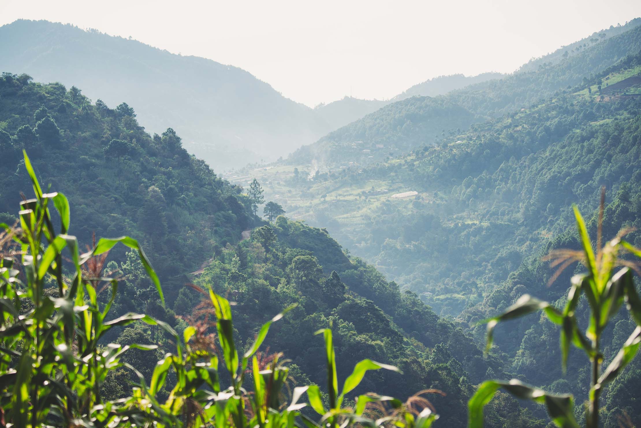
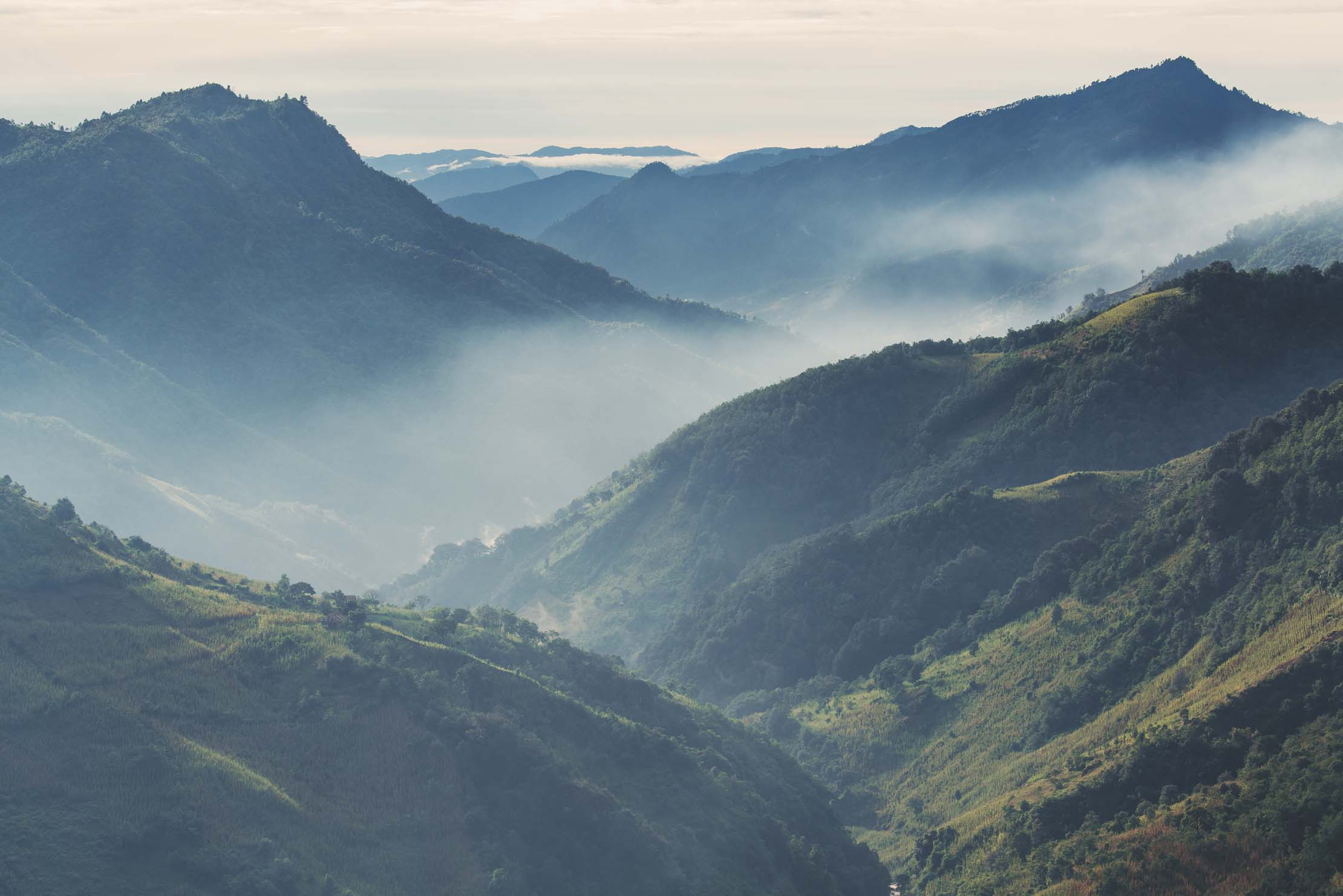
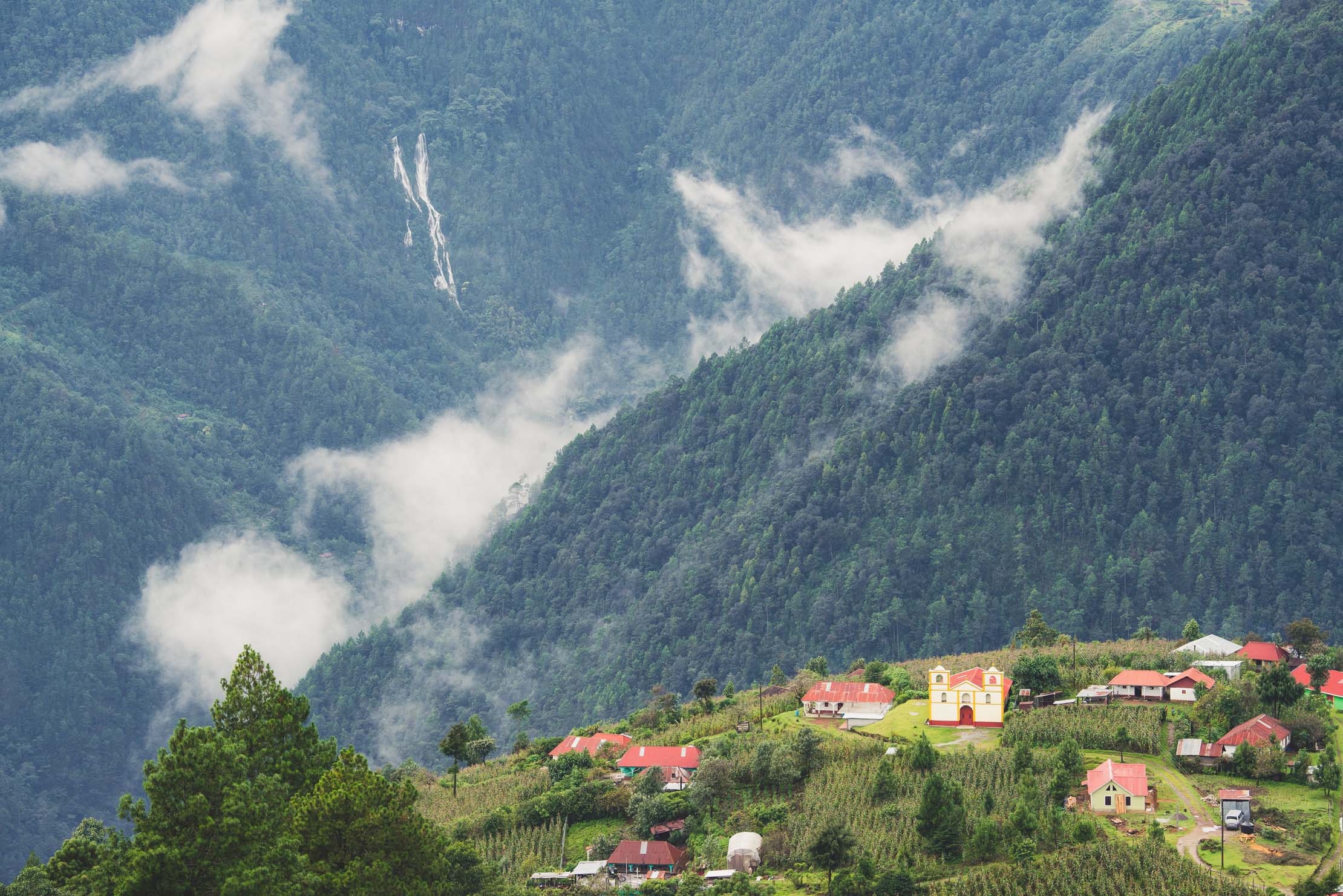
In the north of western Guatemala’s highlands lies a landscape thrust high; a plateau of former seabed now residing at the chilly elevation of 3000 metres. A place where the humid lowland jungle of the tropics is left behind, replaced by pine, oak, and cypress trees with impossibly large maguey amidst rocky outcrops. Relatively isolated, the people living here have retained traditional beliefs, customs and dress, lending many of the villages of this mountain range—Central America’s highest—a distinctive look and a reputation for toughness and pride.
The Ruta Maya de los Cuchumatanes explores this high sierra in a clockwise fashion, beginning in Guatemala’s ‘second capital’ Quetzaltenango (Xela) and finishing in Chichicastenango. Both towns are transportation hubs. This tour of the Sierra de los Cuchumatanes makes a classic ride in its own right, which will give you an unforgettable experience of highland Maya communities, but it can also be joined from the north via Nenton, or from the east via Barillas if included in a longer tour. The route can be ridden in either direction.
Make sure to read the full Trail Notes below for a detailed itinerary.


Submit Route Alert
As the leading creator and publisher of bikepacking routes, BIKEPACKING.com endeavors to maintain, improve, and advocate for our growing network of bikepacking routes all over the world. As such, our editorial team, route creators, and Route Stewards serve as mediators for route improvements and opportunities for connectivity, conservation, and community growth around these routes. To facilitate these efforts, we rely on our Bikepacking Collective and the greater bikepacking community to call attention to critical issues and opportunities that are discovered while riding these routes. If you have a vital issue or opportunity regarding this route that pertains to one of the subjects below, please let us know:
Highlights
Must Know
Camping
Food/H2O
Trail Notes
Resources
- Challenging and diverse mountain riding in a region that sees few foreign visitors.
- Experiencing a huge range of ecology from arid valleys, to cloud forest and the unique high plateau of the sierra.
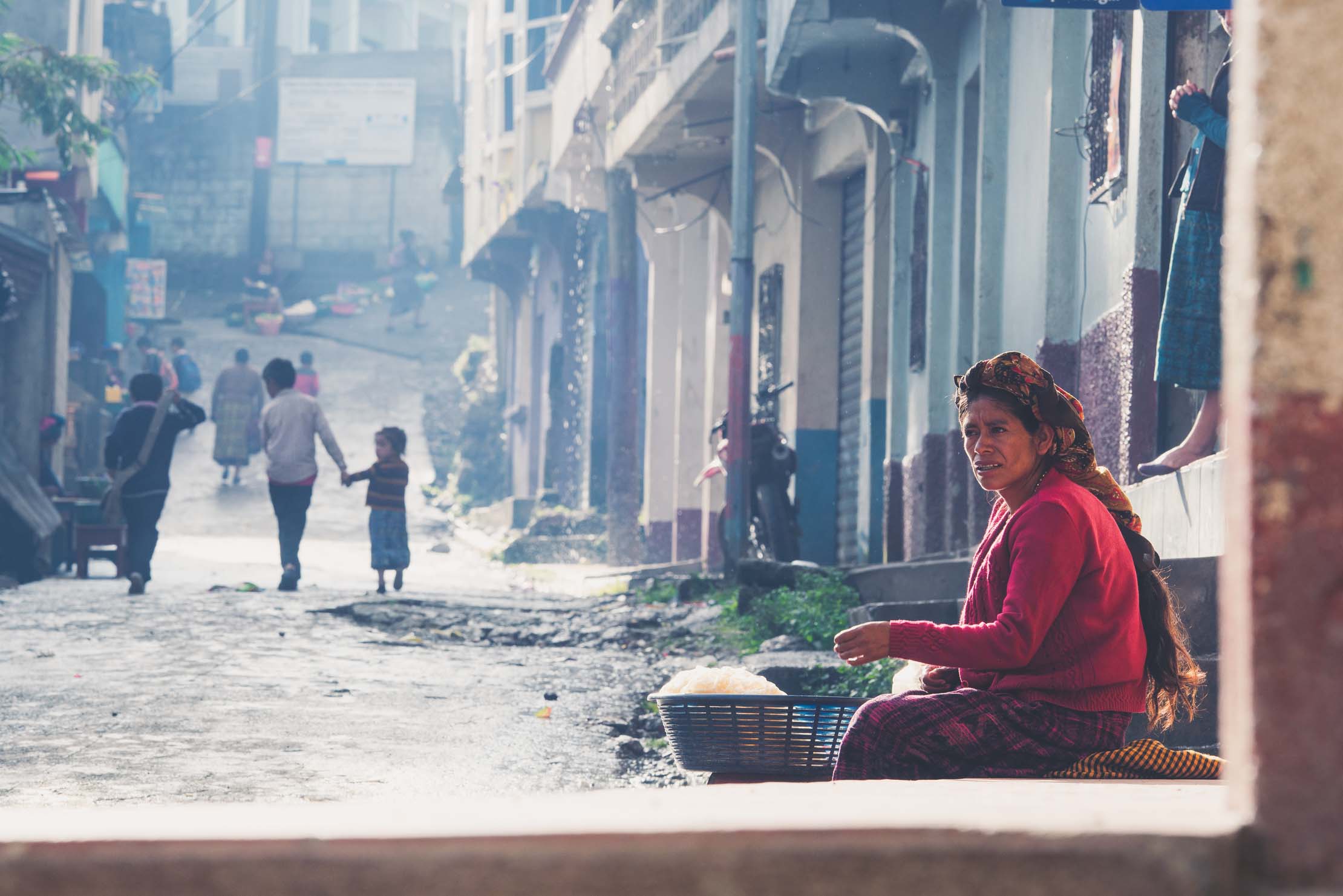
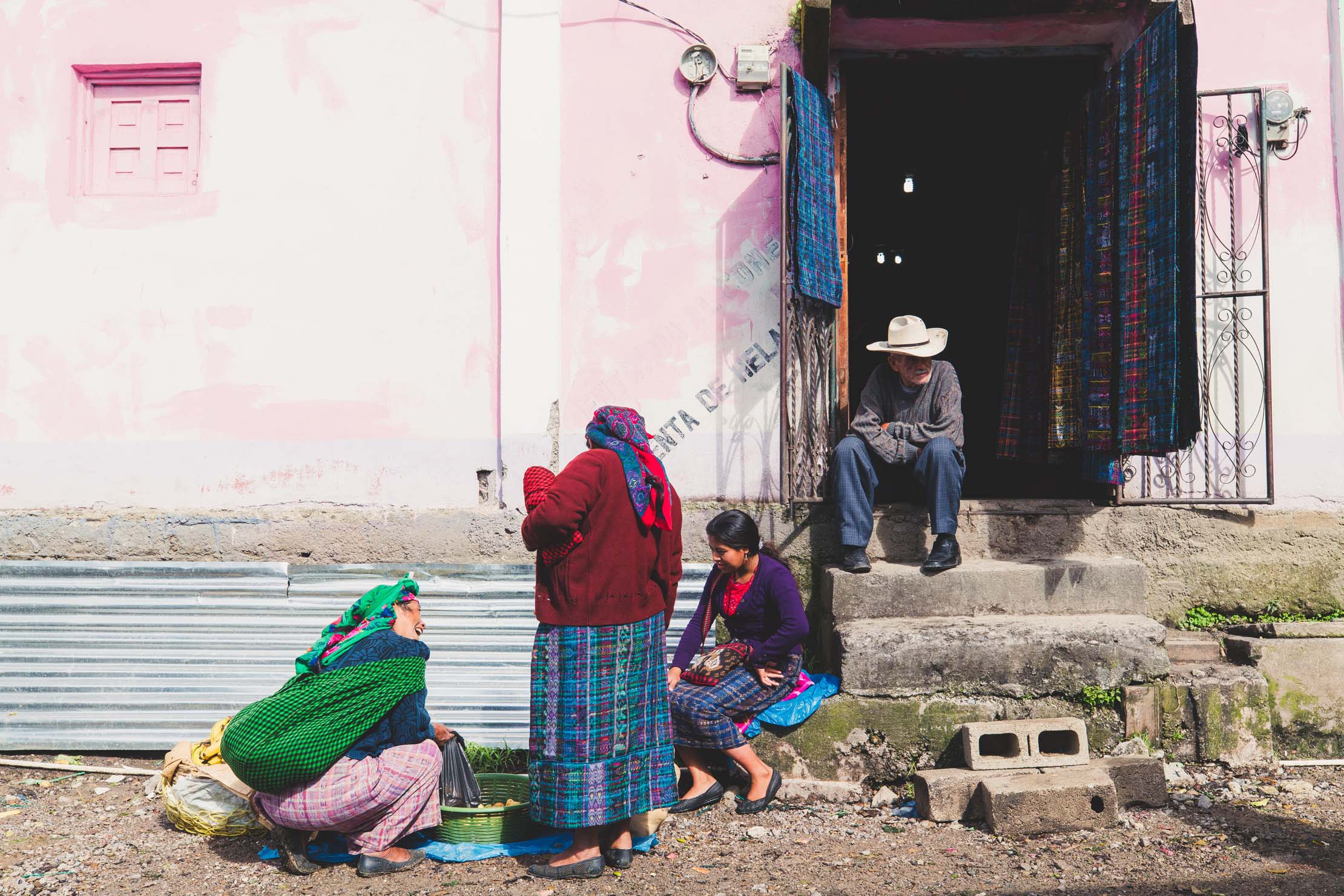
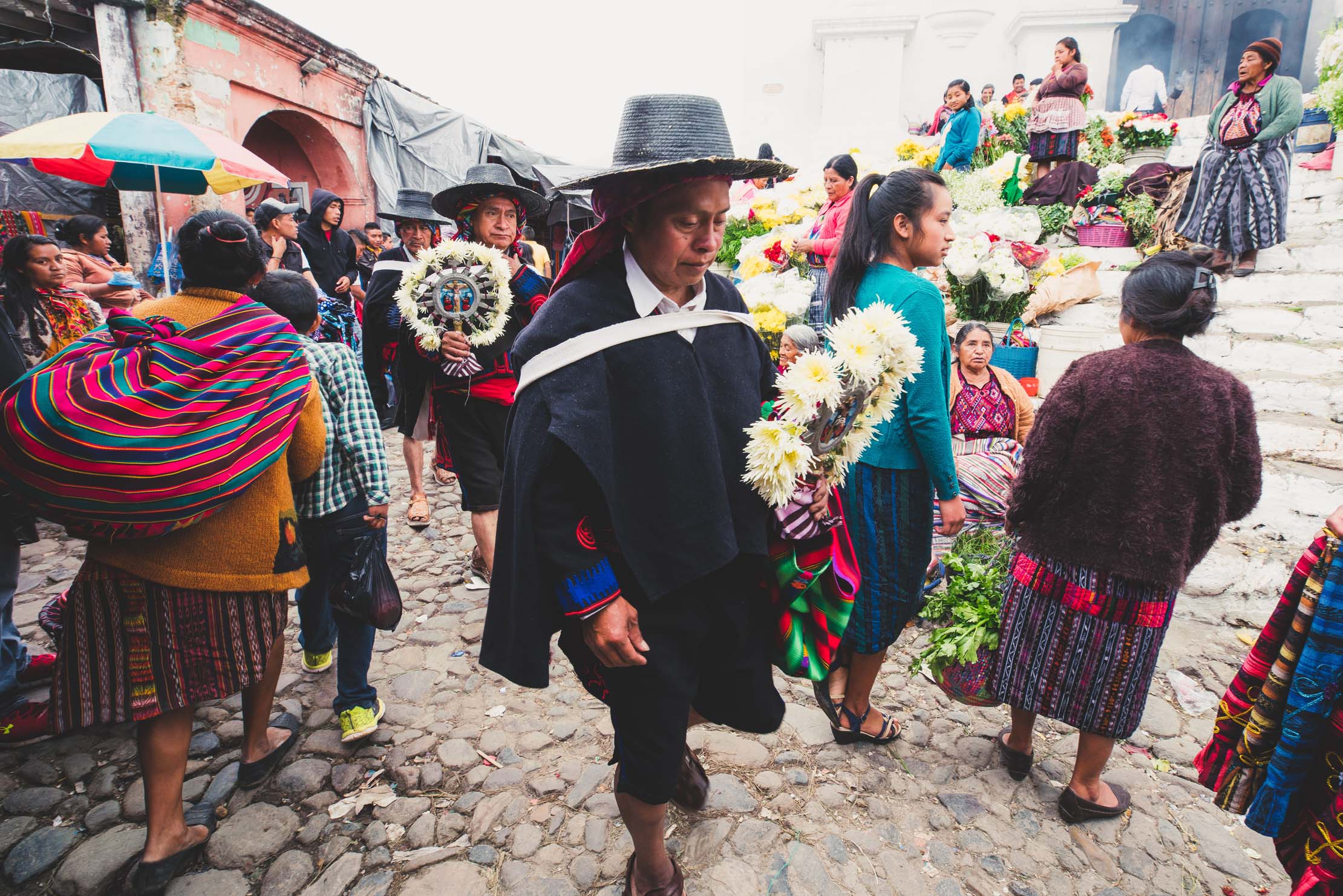
- Sampling a rich mixture of Guatemala culture, from mestizo cowboy towns to deeply traditional Maya strongholds.
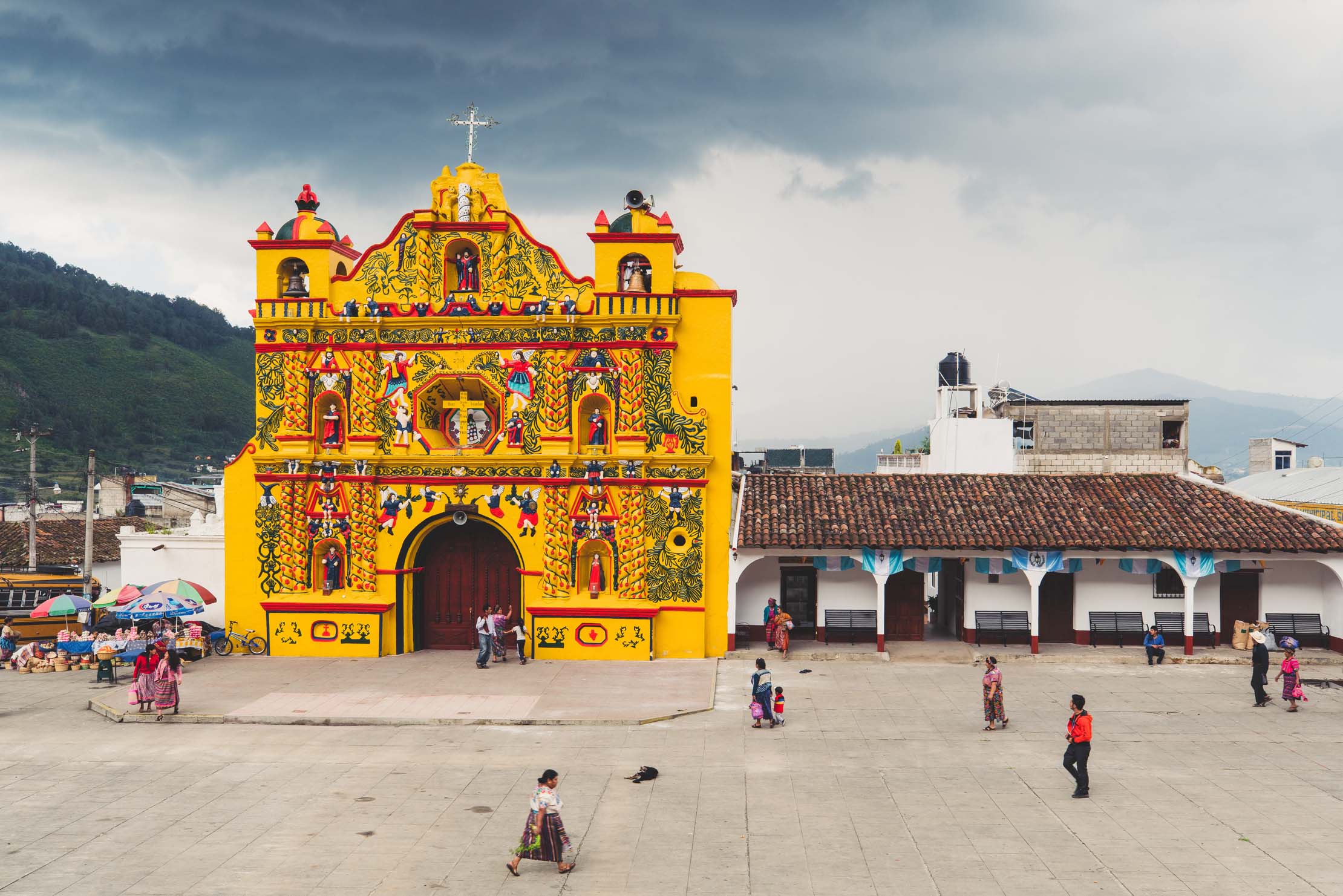
- The village of San Andres Xecul and its intricately painted church.
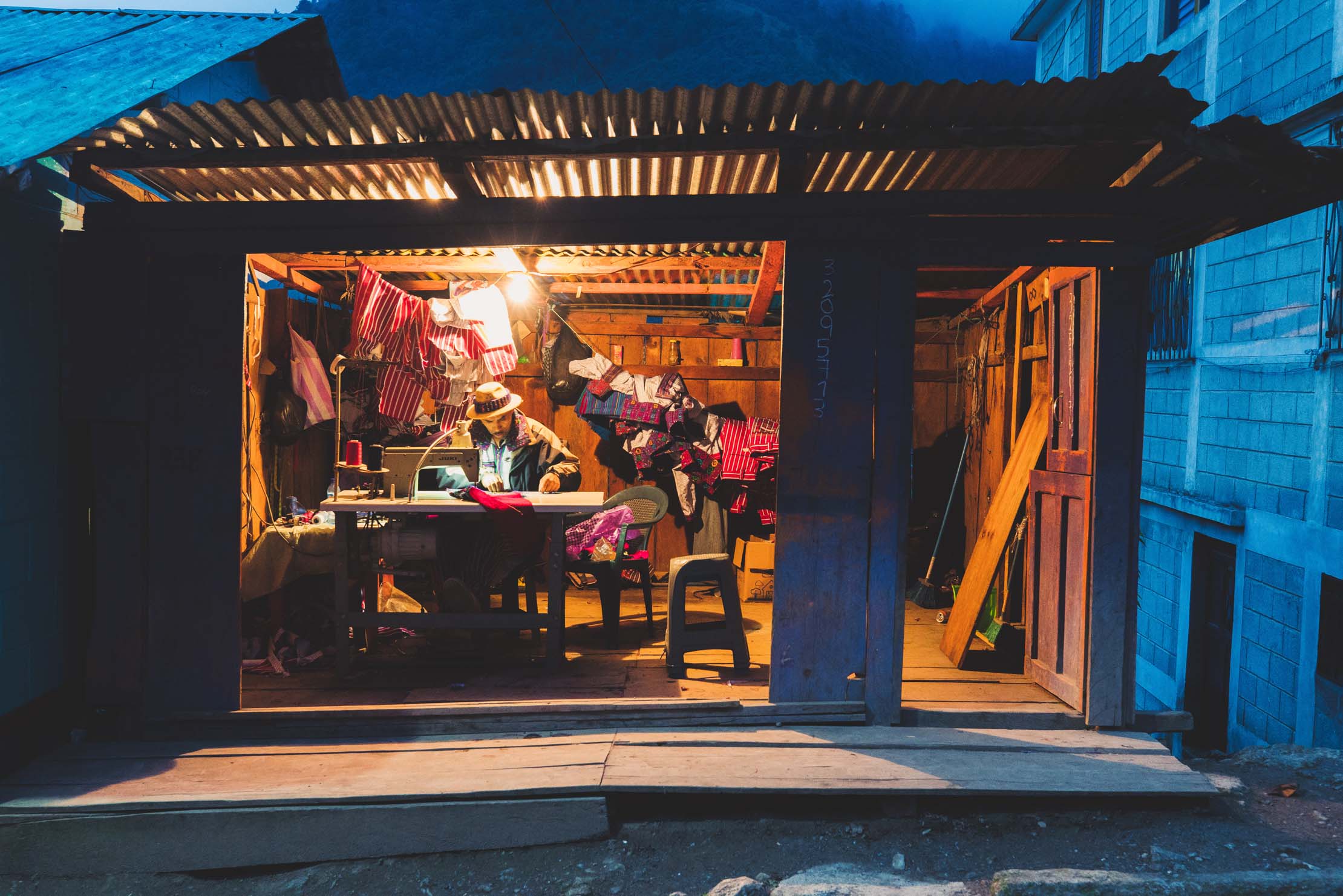
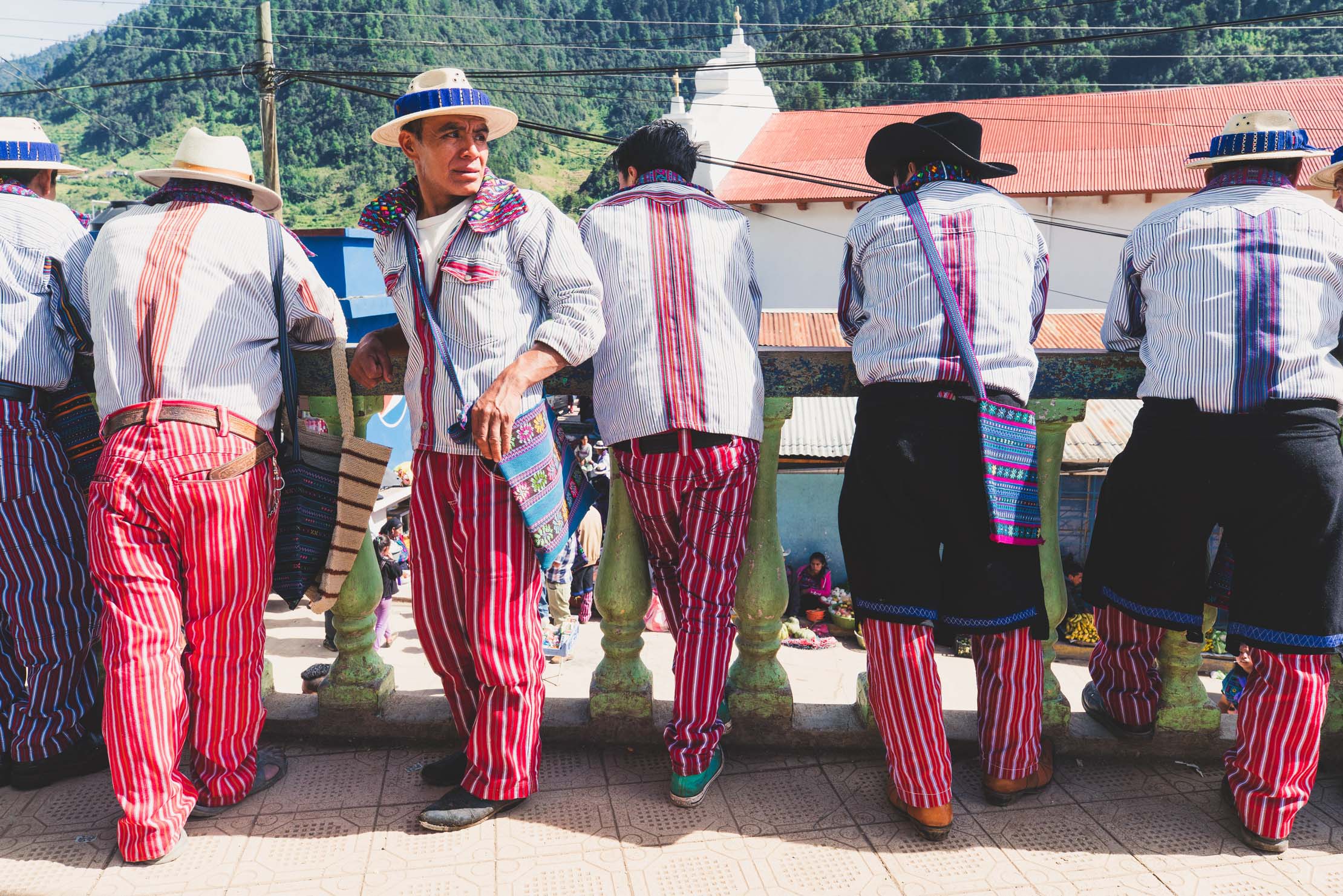
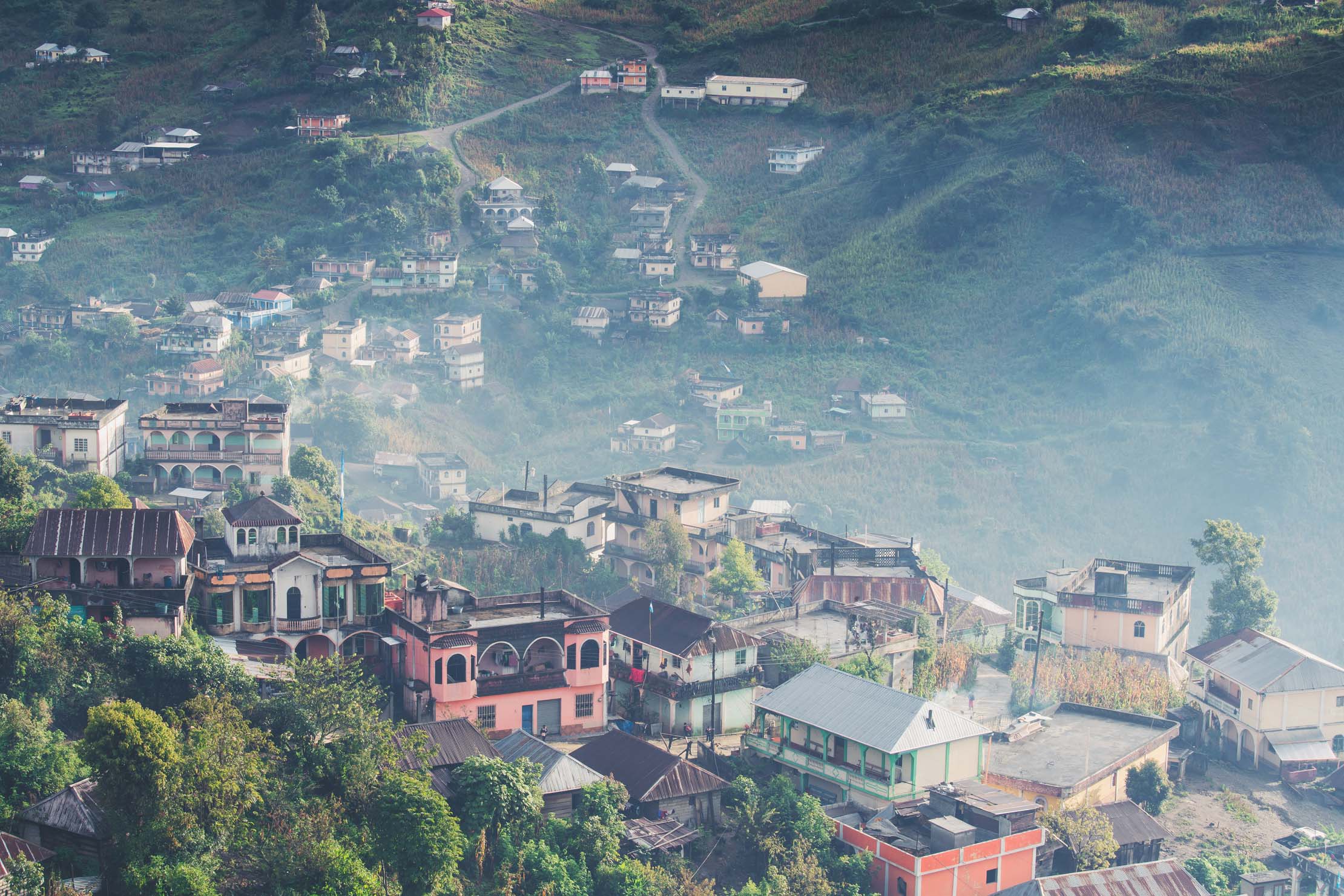
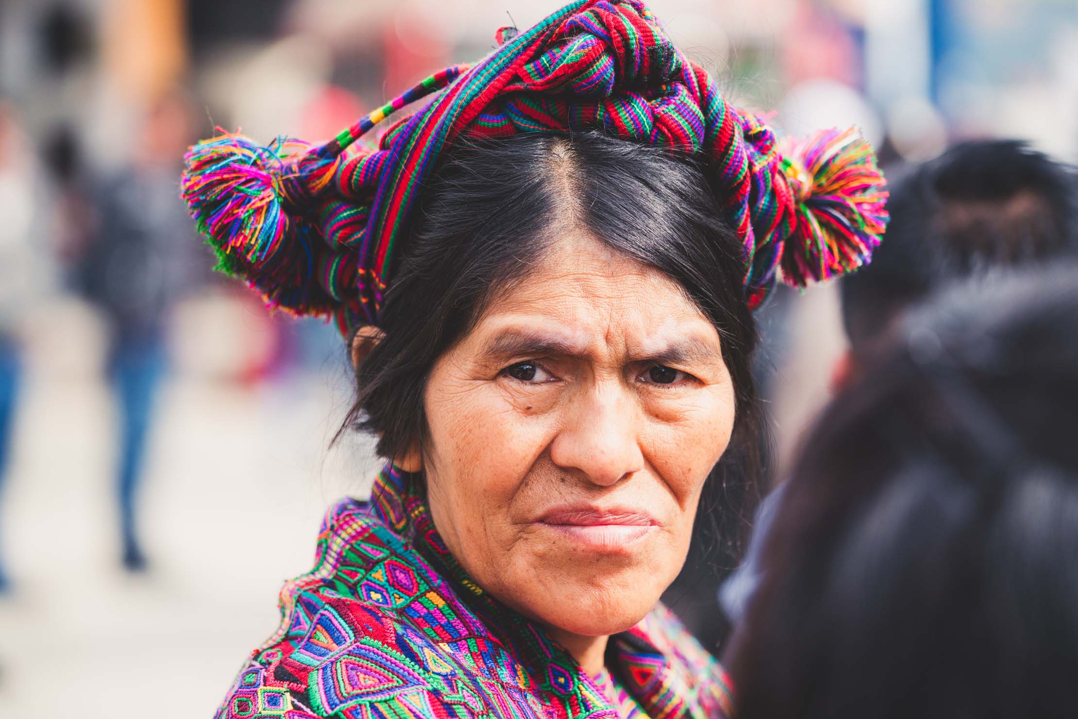
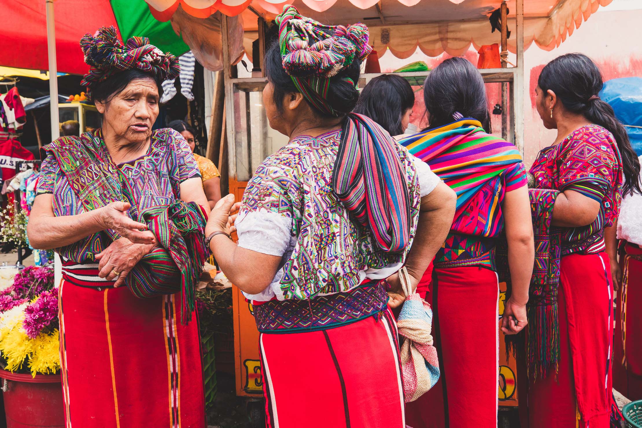
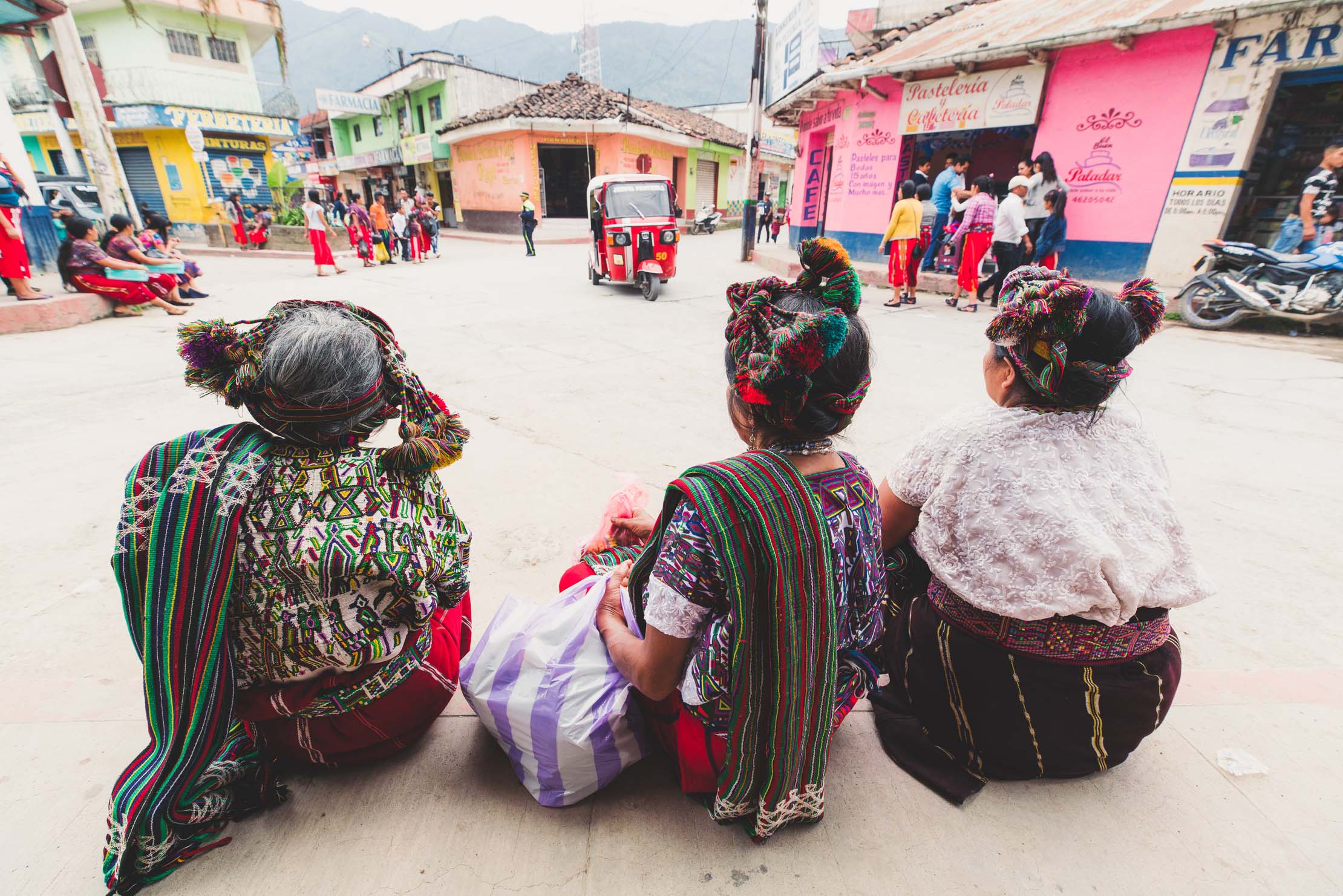
- The mountain town of Todos Santos Cuchumatan where you can see the most striking of the indigenous costumes. The Saturday market is a great time to try and be here.
- The ‘Ixil Triangle’ town of Nebaj for its traditional Maya dress and culture.
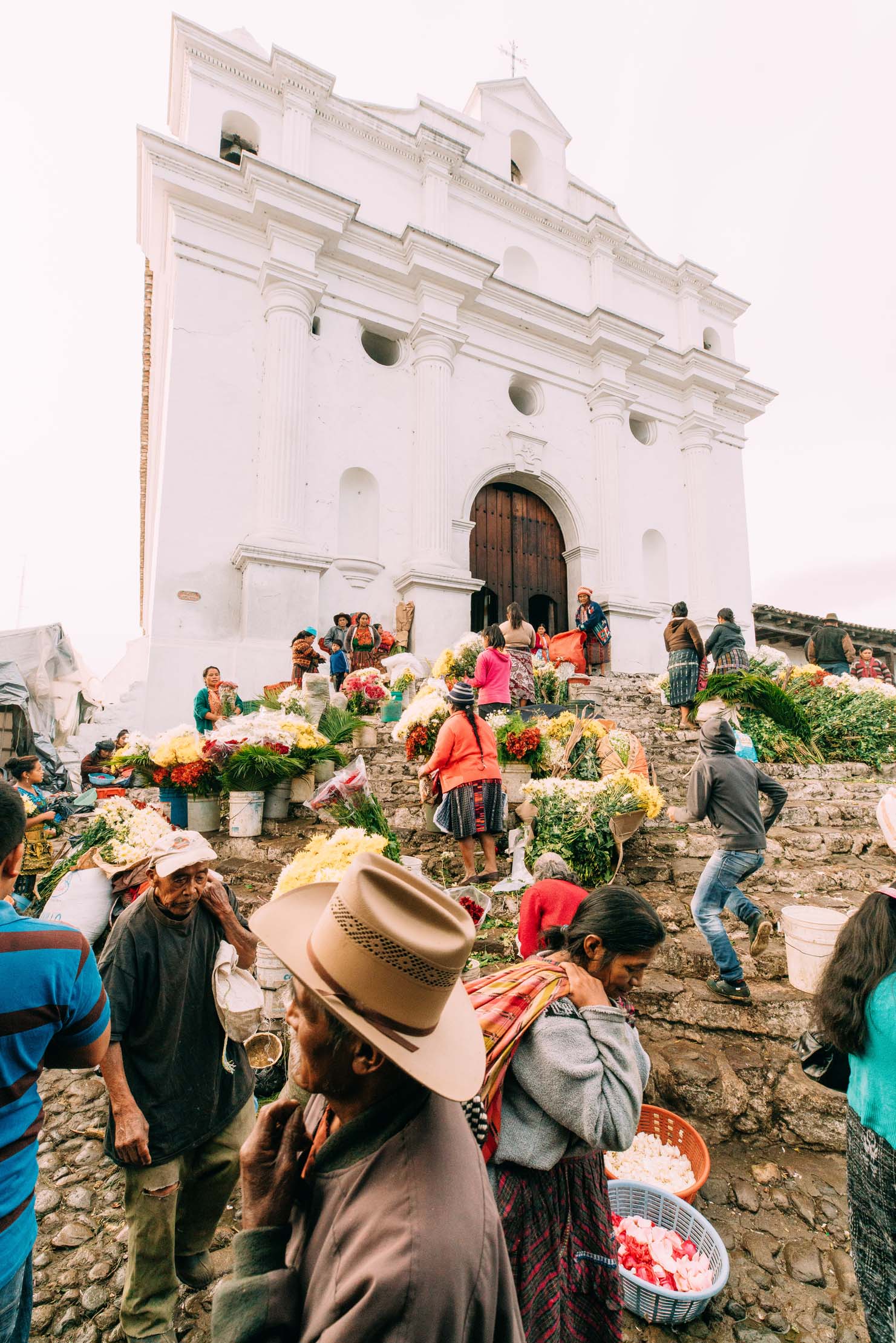
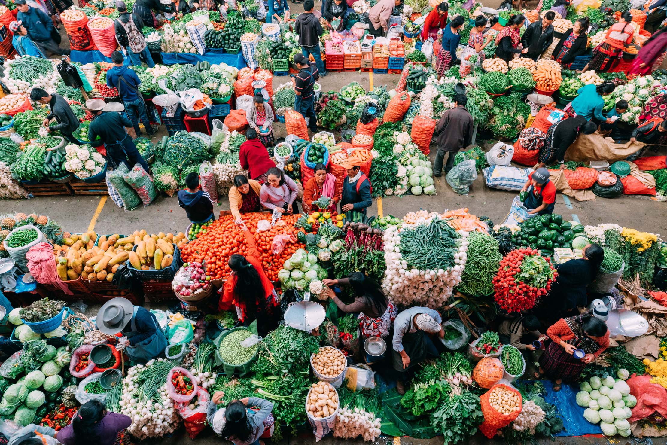
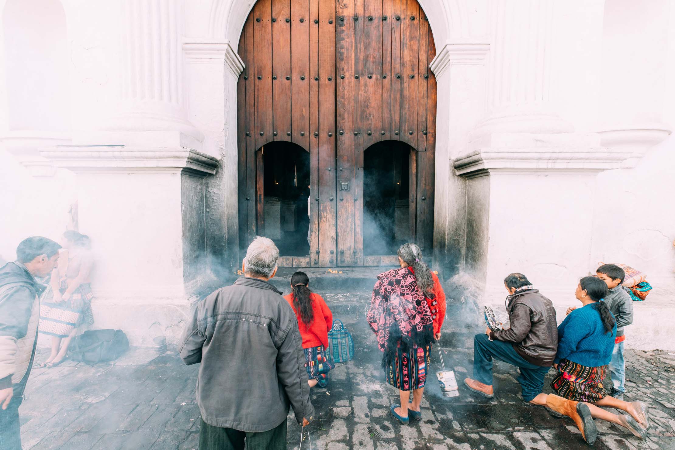
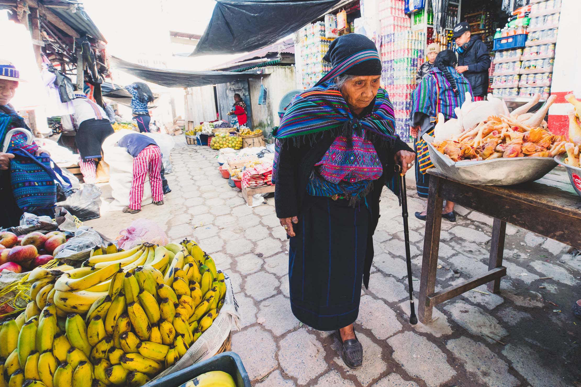
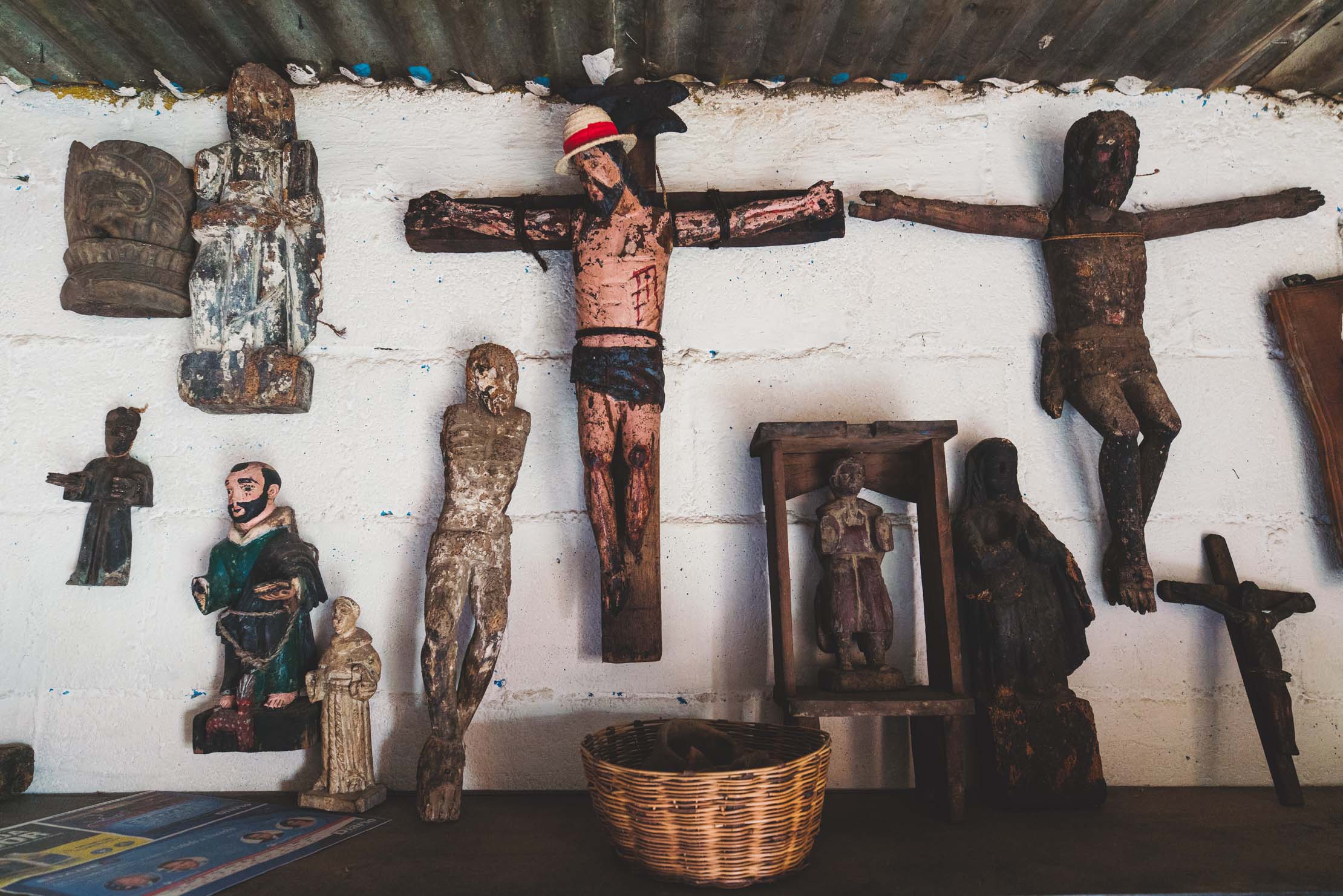
- Chichicastenango’s legendary market. Try to be there for either Thursday or Sunday to experience Central America’s largest market. The churches either side of the market are the focus for a mix of Catholic and indigenous religion, where locals come to make offerings of copal on the front steps.
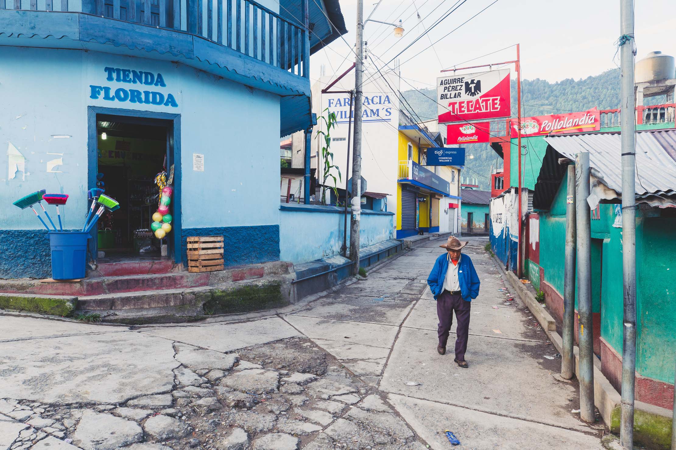
- Very few people in this region speak English, and for many people Spanish is their second language. Some basic Spanish is essential to be able to arrange food and accommodation.
- Best time to ride: the dry season (or summer) is November to April. Be prepared for cold nights (sometimes close to freezing) on the top of the plateau. Outside of the dry season be prepared for afternoon thunderstorms. Good waterproofs, warm gloves and thermal hat recommended.
- All the bigger towns have ‘Cajero Automaticos’ (ATMs) though foreign cards occasionally won’t work. Always carry backup cash.
- Regular ‘chicken buses’ (Converted ex-USA school buses) service most of the towns on this route. Bikes will be put on the roof for a small fee, though it pays to ensure it is not roughly handled. Tourist shuttle vans can be booked between the start and end points and Antigua or Guatemala city. These are more expensive but more care will be taken with your bike.
- We never camped preferring instead the cheap hospedajes/posadas and meals available in most towns.
- There is plenty of opportunity to camp but be prepared to ask first as most land is either community owned or privately farmed.
- When wild camping be discrete and cautious of your property.
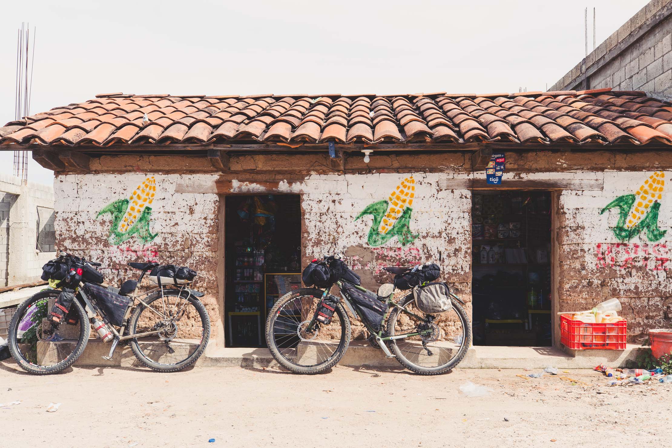
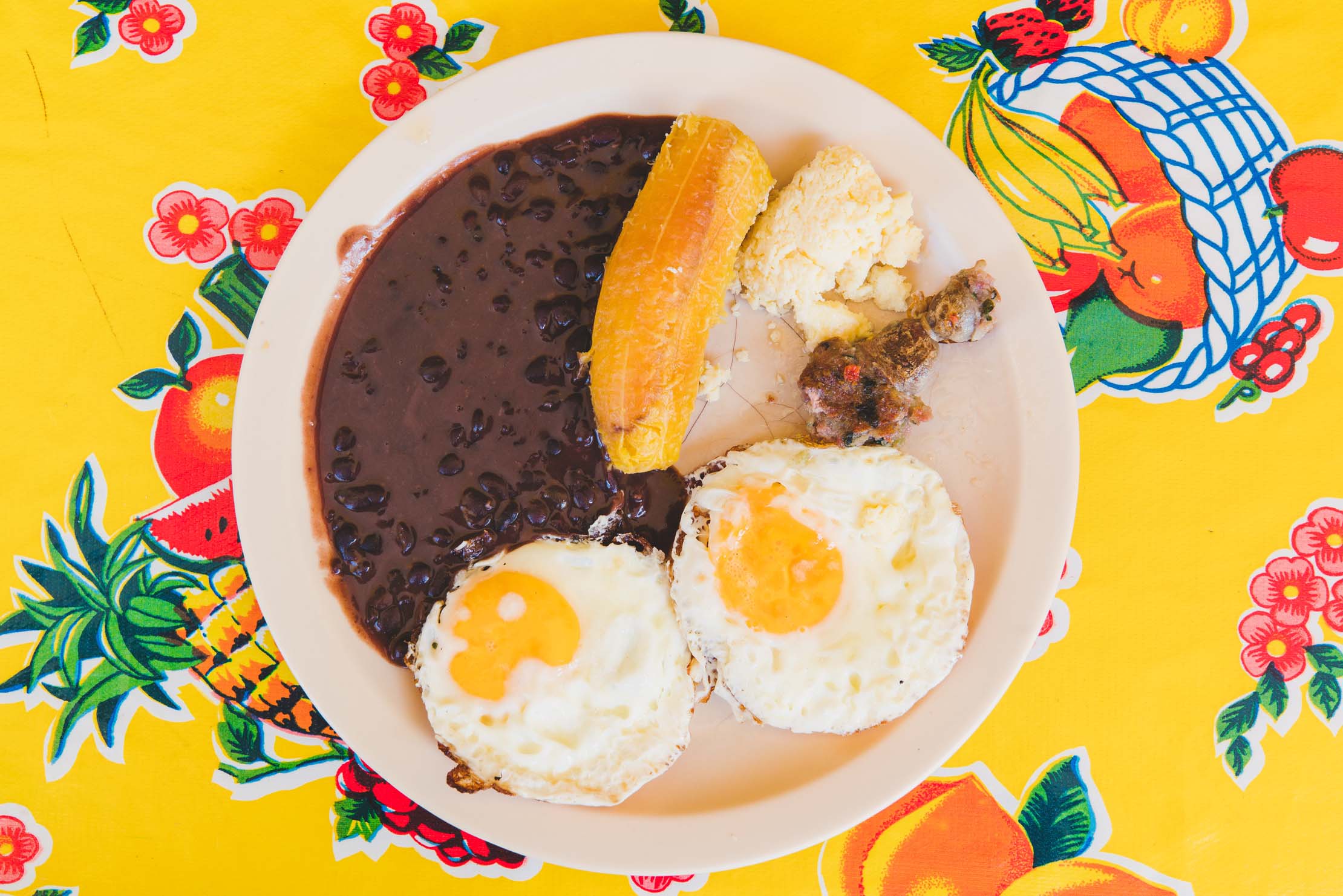
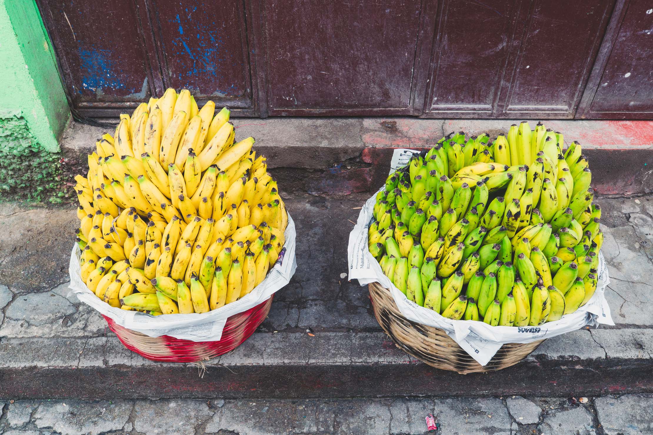
- There are many small tiendas selling snack food, drinks and water. Watch out for these as well as comedors (small cafe/restaurants), especially at intersections.
- Comedors are not always obvious so you may need to ask someone where you can eat.
- Meals are fairly basic and very cheap, and they are usually happy to fill water bottles with purified water.
- There are many streams and rivers to fill bottles if you have a Steripen or filter.
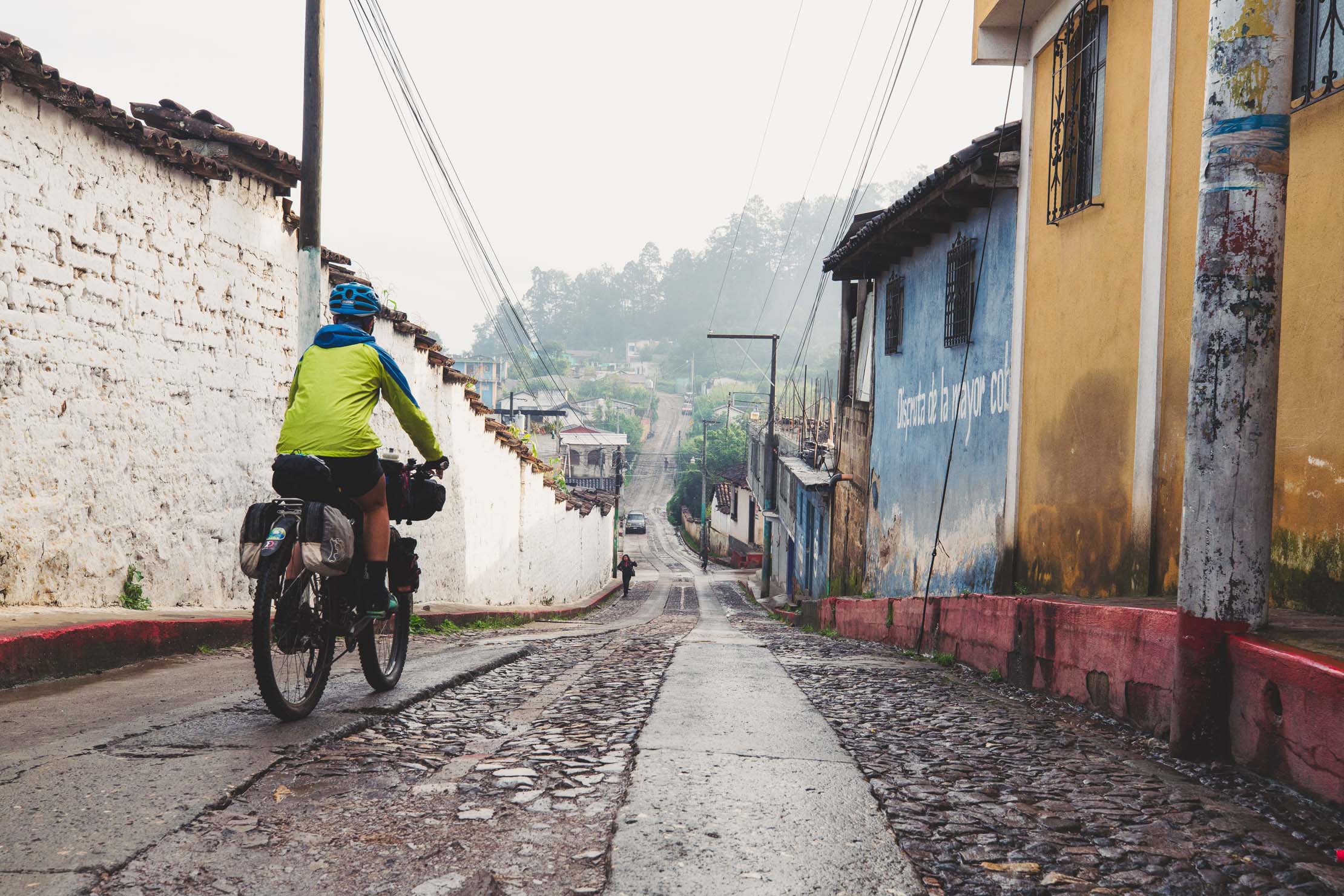
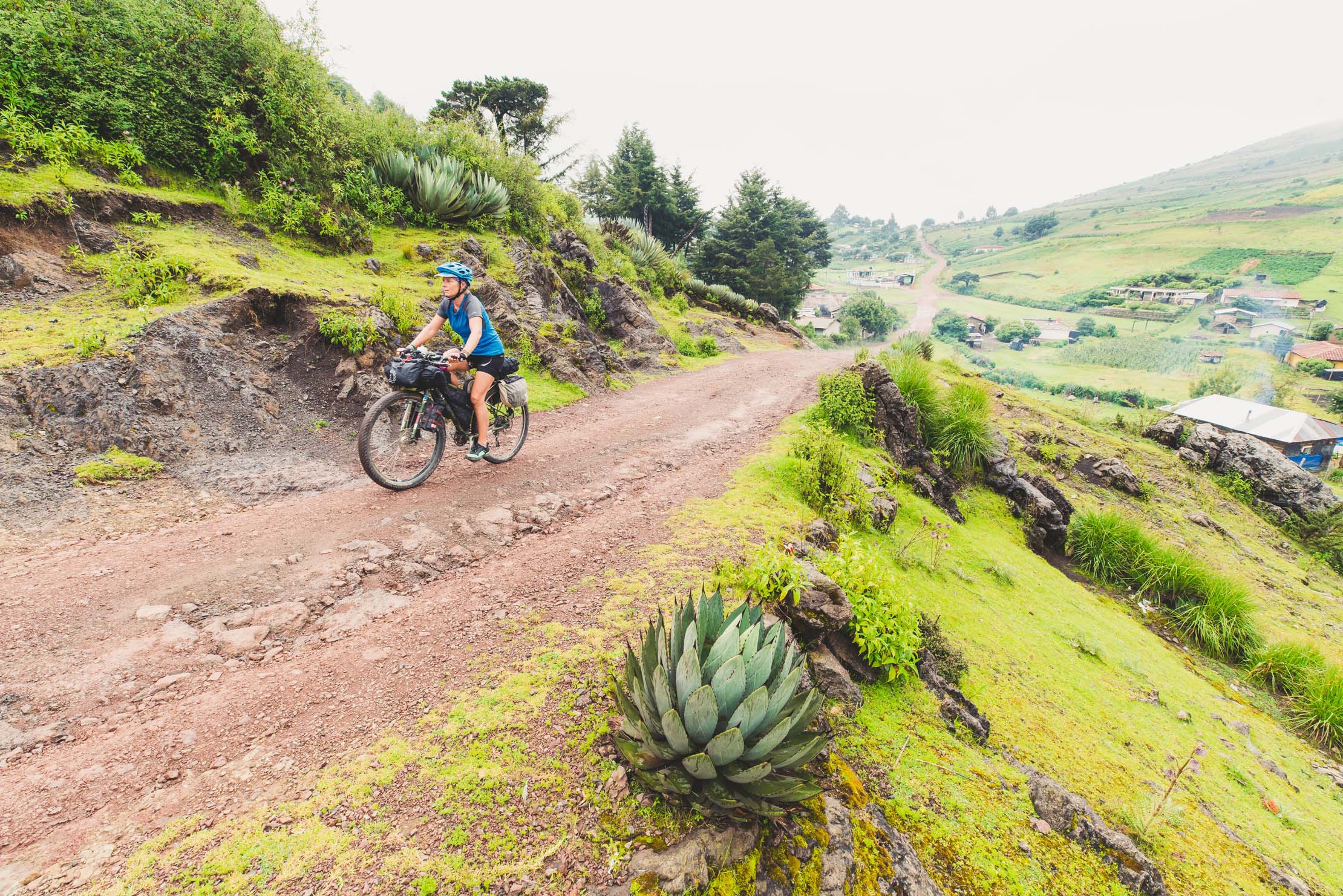
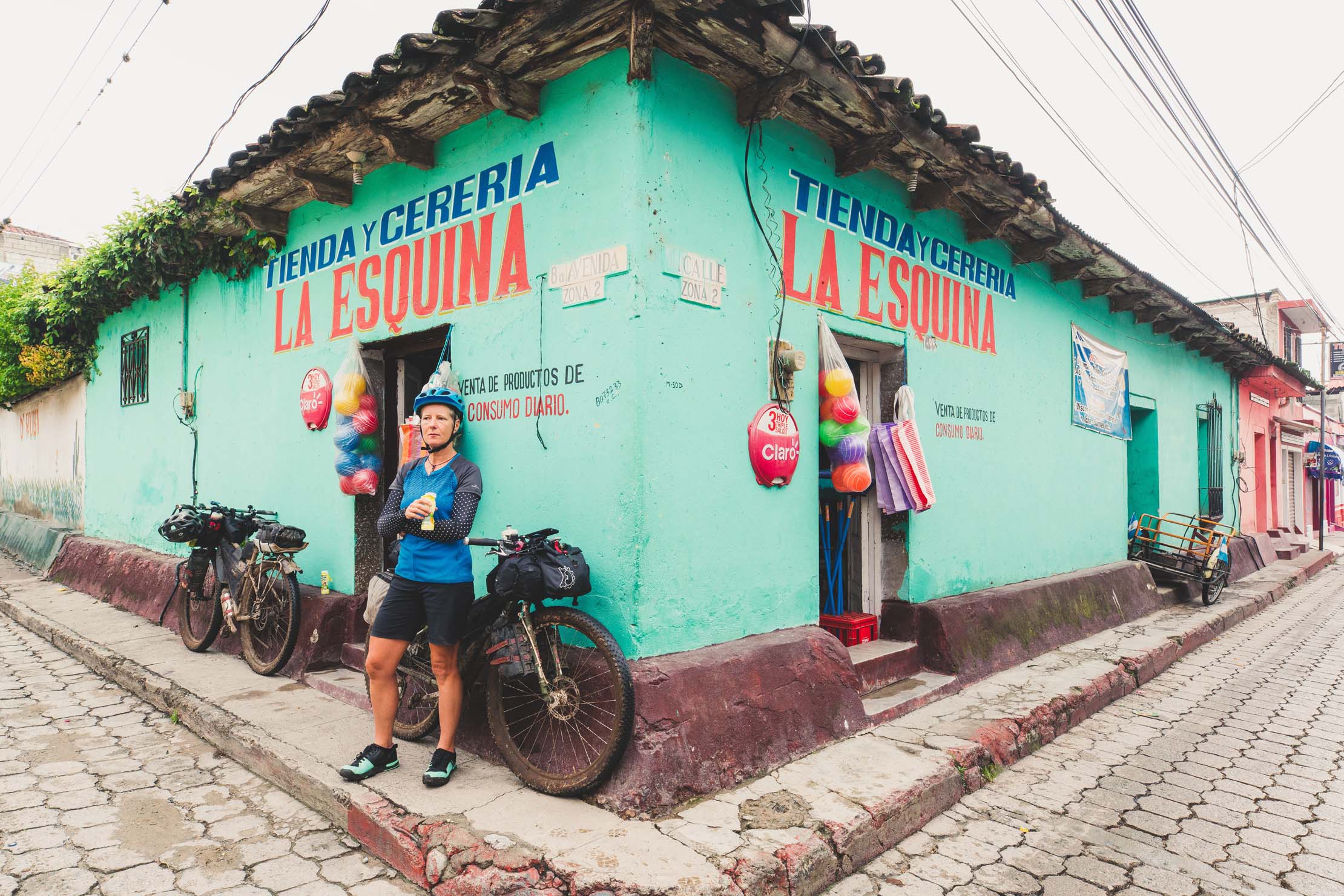
Quetzaltenango to Todos Santos Cuchumatan
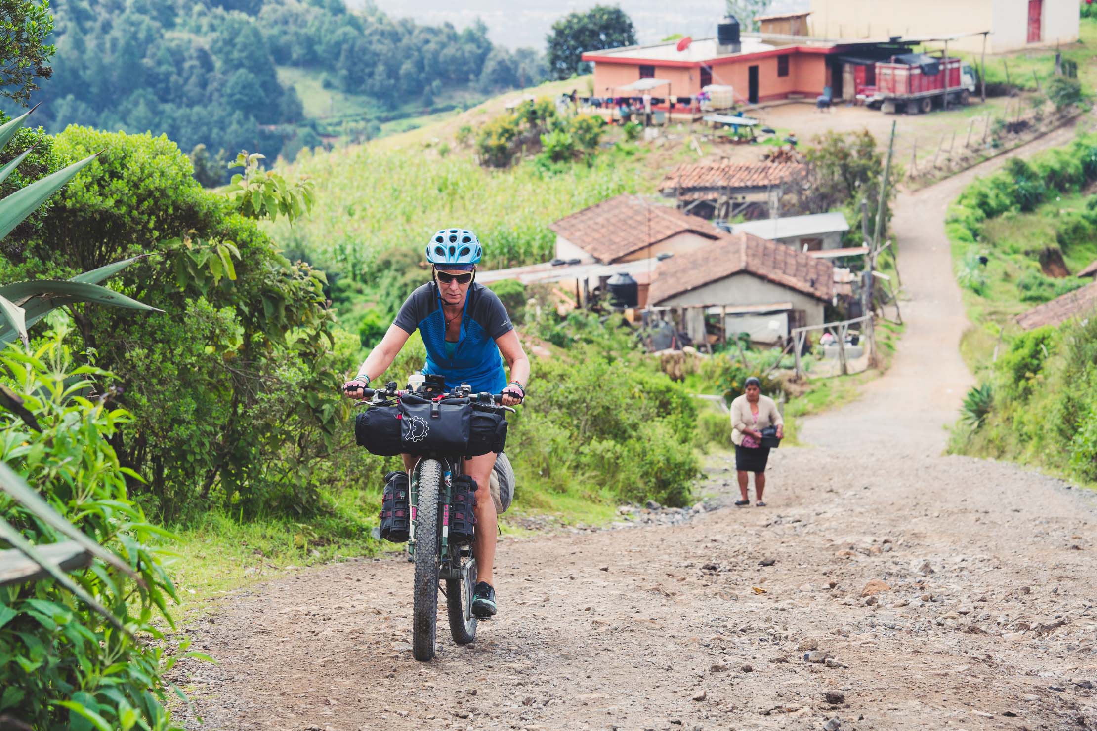
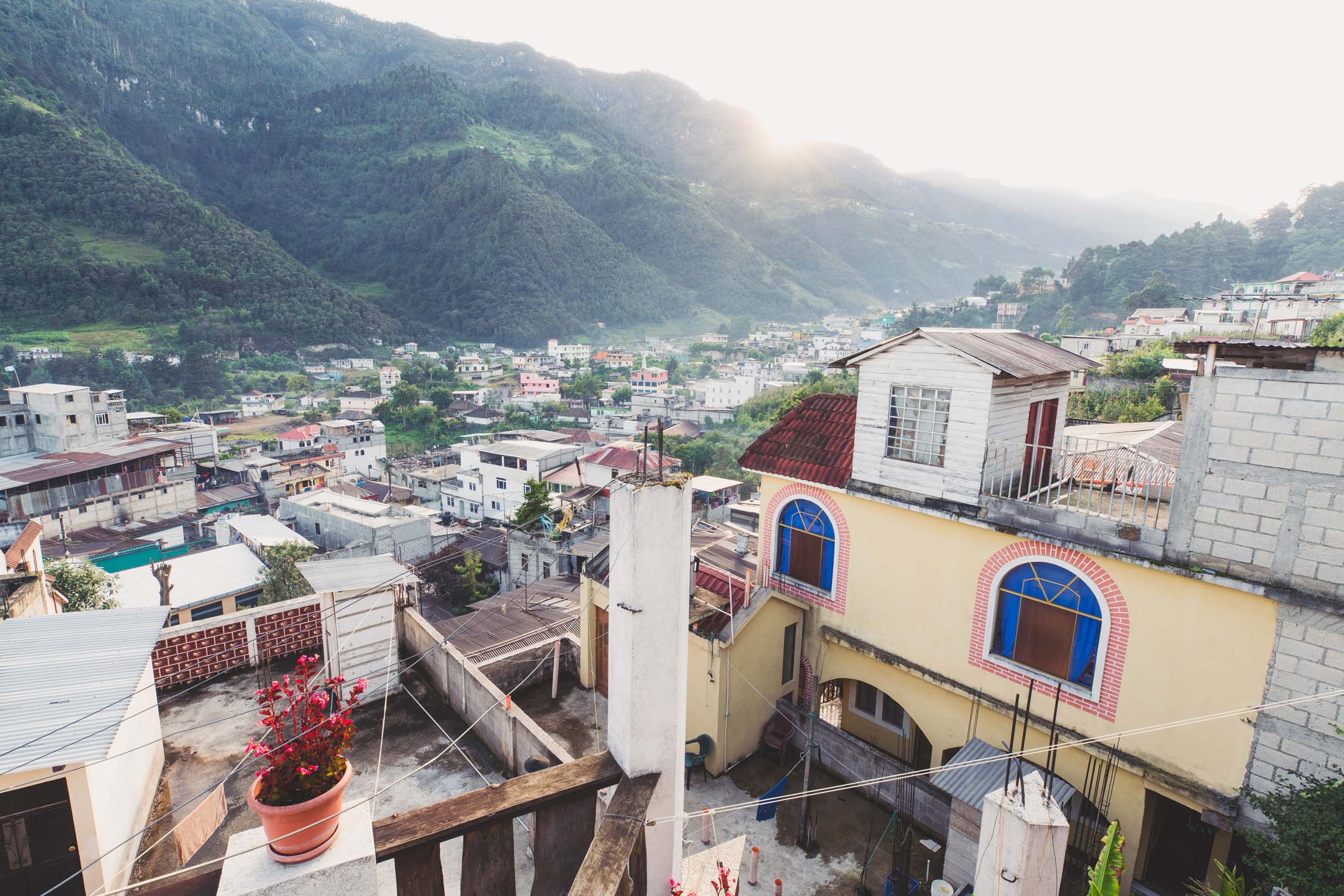
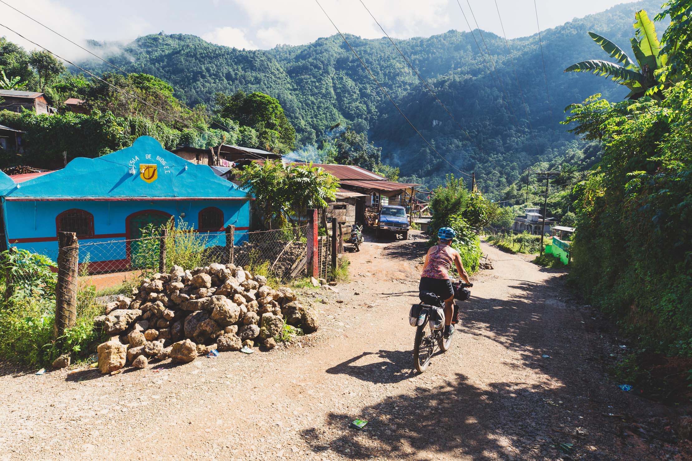
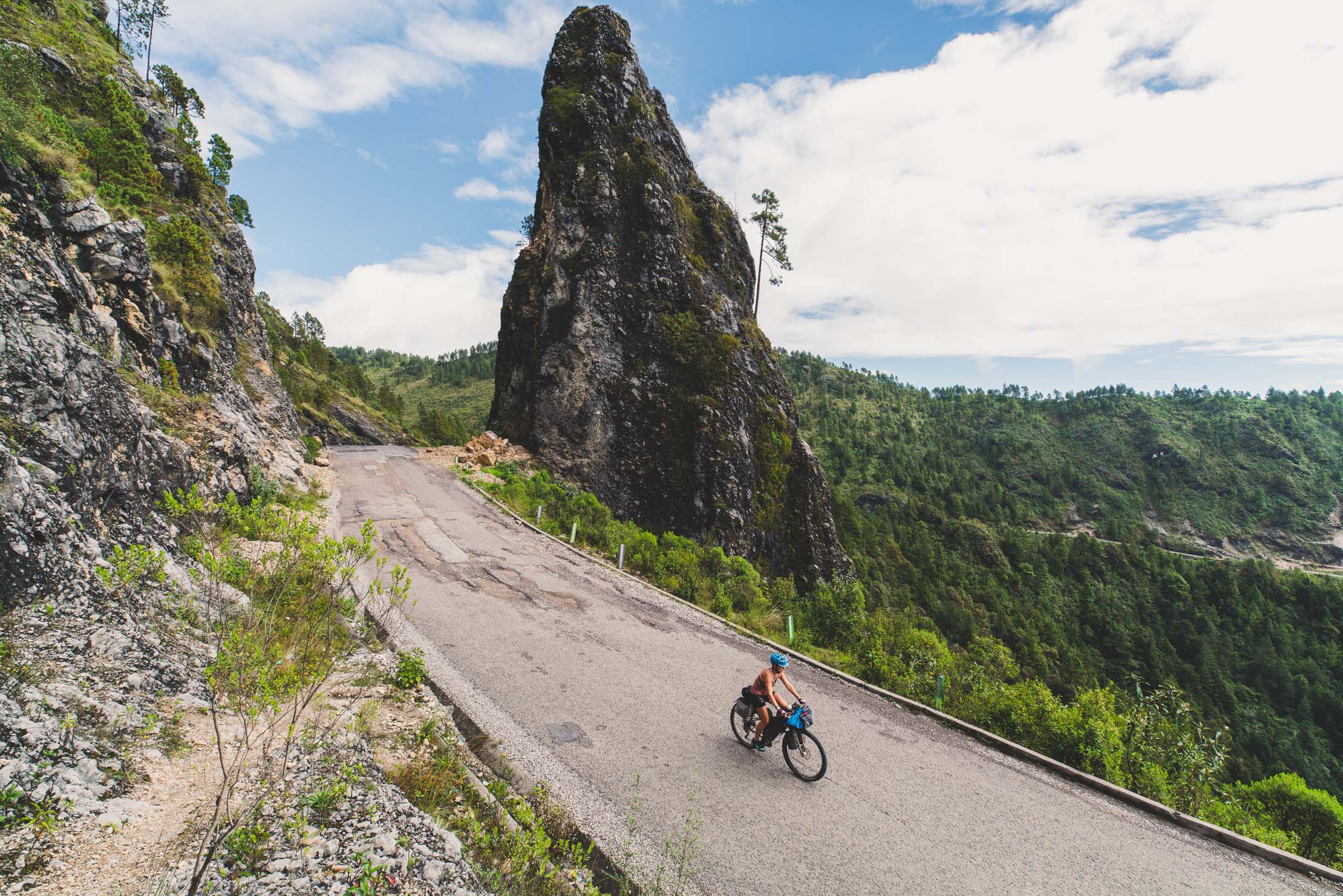
The first day starts with a relatively gentle paved road leading you to the sheep farming town of Momostenango. Here the surface turns to dirt and follows beautiful conifer forest on a rolling ride most of the way through to the mestizo, blue collar city of Huehuetenango. The ride really kicks into gear leaving this city as you tackle the relentless Manzanas climb with over 1200 meters in elevation gain. This single climb brings to you to the top of the Cuchumatanes plateau, which is crossed briefly before descending to the amazing town of Todos Santos Cuchumatan. There is a lot to see in this lively town, especially the town’s mensfolk in their distinctive striped outfits. It’s a good place to take a day off, before tackling a tough section of mountain riding through to San Miguel Acatan and the Pett Junction.
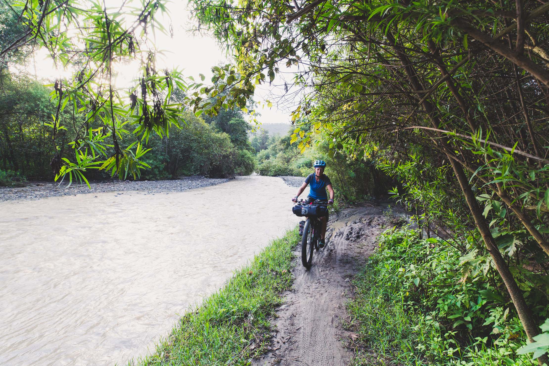
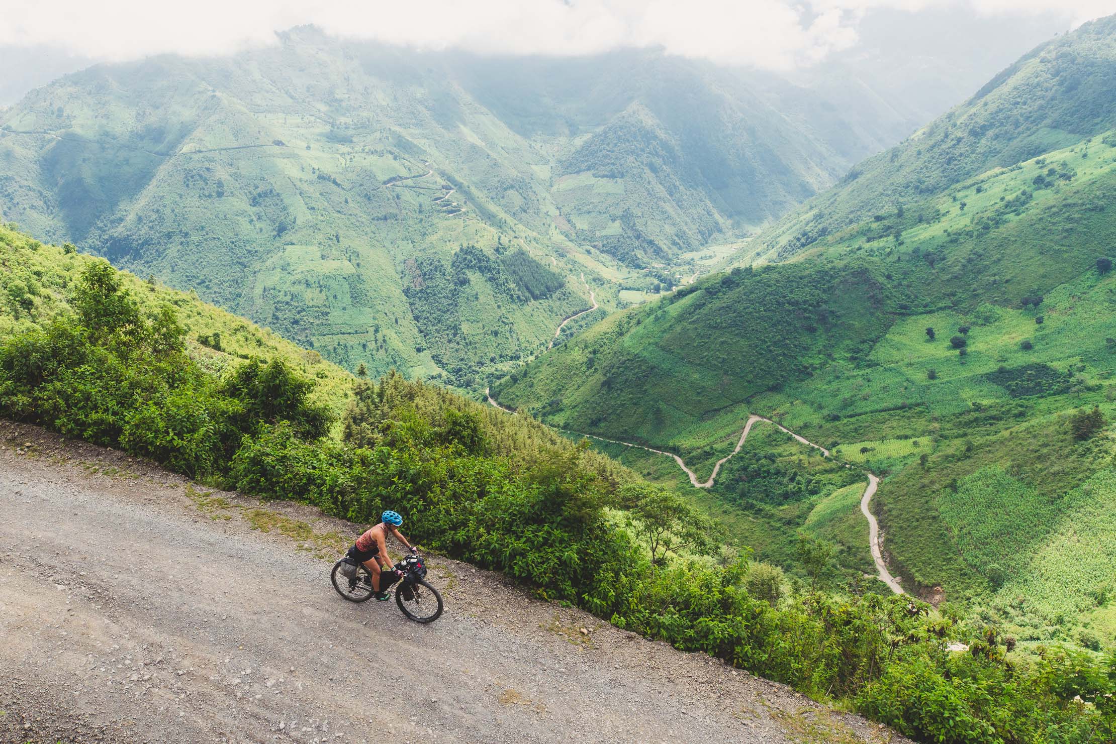
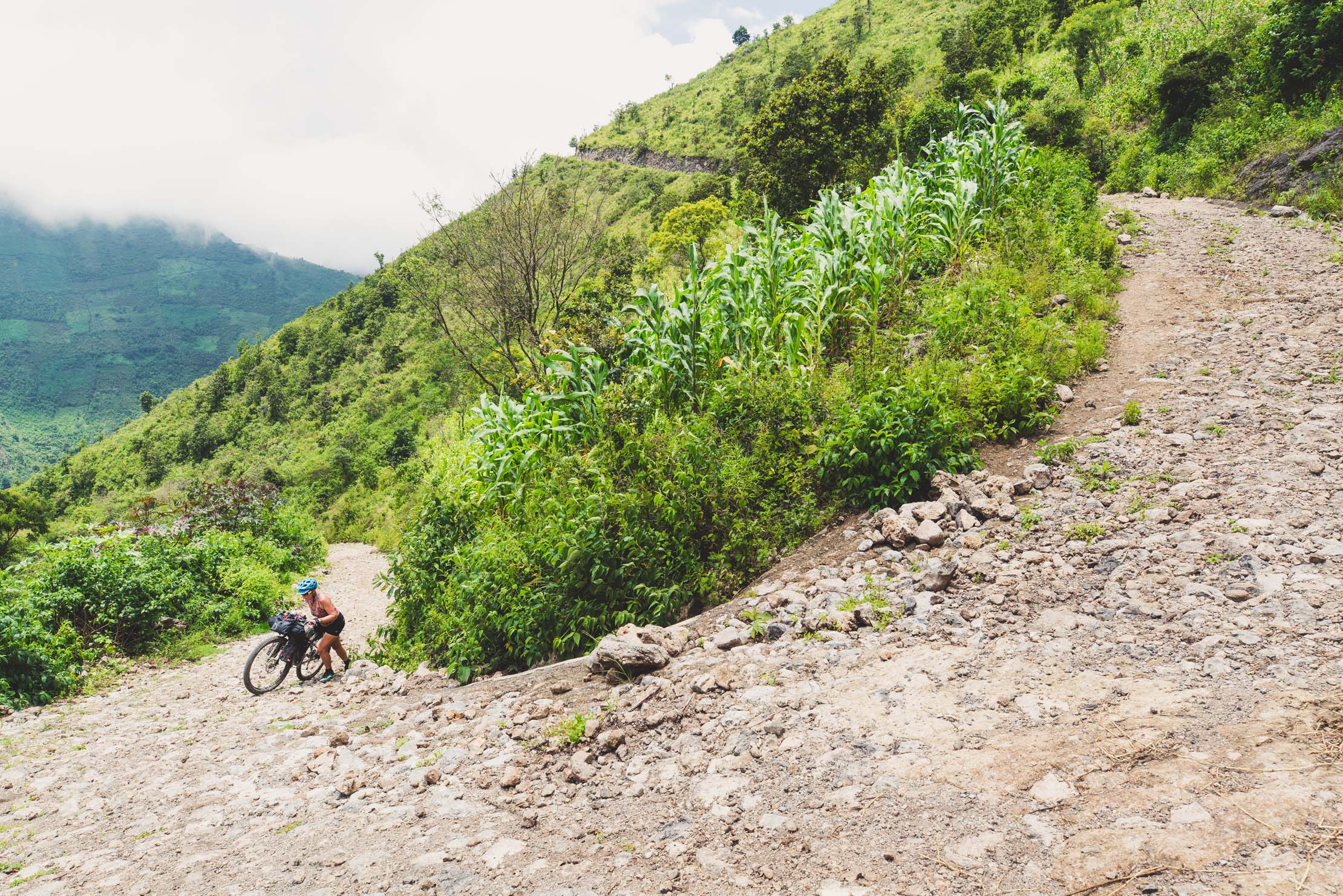
Beyond Todos Santos the route is more remote, but there are occasional towns, villages and tiendas. The crux of the entire ride is the long and steep climb out of the Rio San Miguel but commitment is well rewarded with a glimpse of this spectacularly steeply walled valley and its isolated inhabitants.
San Mateo Ixtatan Out and Back
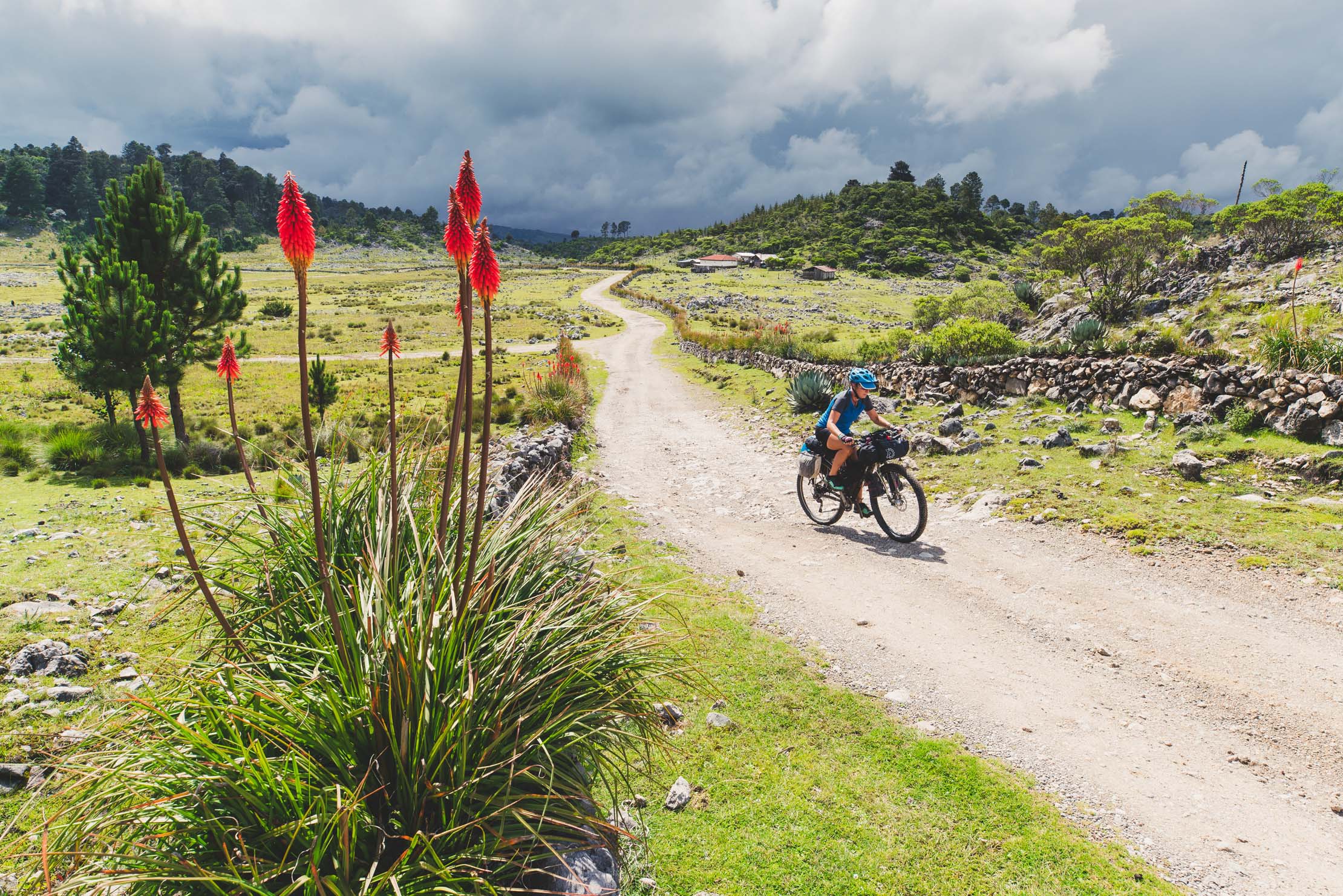
From Pett Junction the route makes an out-and-back to San Mateo Ixtatan on pavement. This town prides itself as one of Guatemala’s most traditional Maya townships and you’ll see many women in traditional dress. It’s well worth the detour and the return to Pett Junction can easily be made by minivan or chicken bus. Although it never ceases to be hilly, the legs get a gentler ride on the pavement that carries you through three small towns and eventually back up to the heights of the Cuchumatanes’ plateau. Here the route cuts south-east along the edge of the plateau before dropping into a long dirt road descent to Aguacatan.
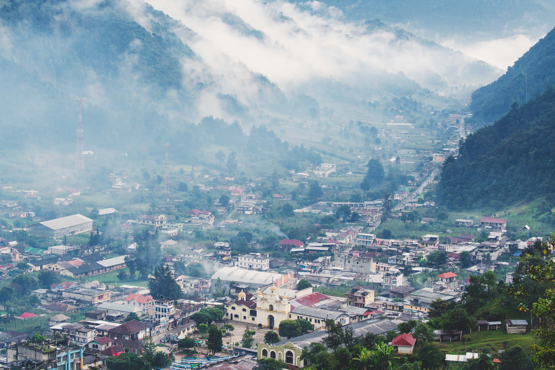
Nebaj
After the river town of Sacapulas, nestled deeply in an arid valley, the road climbs again on pavement back into the forested sierra for a visit to Nebaj – another distinctly Maya town that’s part of the Ixil Triangle; a region that the Spanish struggled to fully conquer. Hence, the traditions and dress are strong here. Again this is an out-and-back section (the return climb can be made by chicken bus—get off at the top of the hill for a fast and fun descent) but the valley is good place to spend a day or two exploring a couple of further flung Maya villages: Chajul and Acul.
Chichicastenango
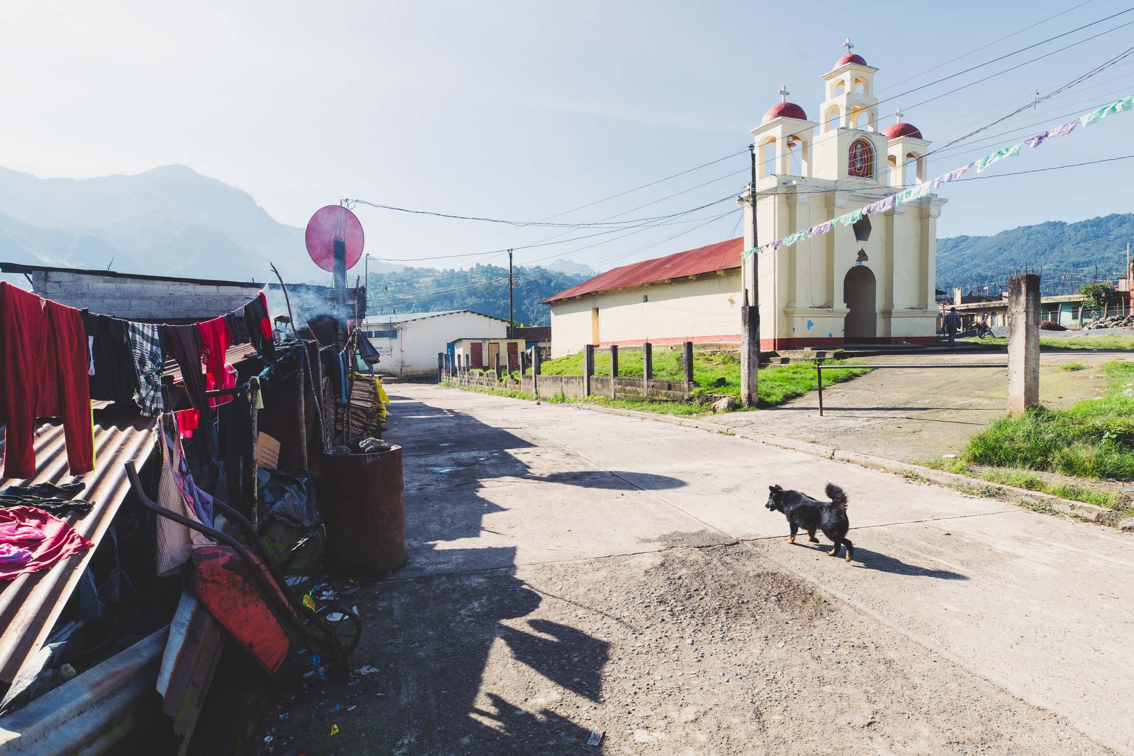
From Sacapulas the ride finishes with an easier day of mixed pavement and dirt through to Chichicastenango, where if your timing is right you’ll be able to witness the rituals and diversity of this town’s famous market, when separate Maya groups pour into town for the day.
Additional Resources


Terms of Use: As with each bikepacking route guide published on BIKEPACKING.com, should you choose to cycle this route, do so at your own risk. Prior to setting out check current local weather, conditions, and land/road closures. While riding, obey all public and private land use restrictions and rules, carry proper safety and navigational equipment, and of course, follow the #leavenotrace guidelines. The information found herein is simply a planning resource to be used as a point of inspiration in conjunction with your own due-diligence. In spite of the fact that this route, associated GPS track (GPX and maps), and all route guidelines were prepared under diligent research by the specified contributor and/or contributors, the accuracy of such and judgement of the author is not guaranteed. BIKEPACKING.com LLC, its partners, associates, and contributors are in no way liable for personal injury, damage to personal property, or any other such situation that might happen to individual riders cycling or following this route.
Please keep the conversation civil, constructive, and inclusive, or your comment will be removed.