


Lac Du Bois Tranquility
Distance
142 Mi.
(229 KM)Days
3-4
% Unpaved
92%
% Singletrack
0%
% Rideable (time)
100%
Total Ascent
13,147'
(4,007 M)High Point
4,993'
(1,522 M)Difficulty (1-10)
5?
- 6Climbing Scale Moderate93 FT/MI (18 M/KM)
- -Technical Difficulty
- -Physical Demand
- -Resupply & Logistics
Contributed By
Miles Arbour
Associate Editor & Events Manager
May 2026 Update: Reports of a landslide and a sketchy section around km 68 led to an update to avoid that section. Both the downloadable route file and map are now updated to reflect that, but the map is marked with POIs for those who want to give the previous route a shot.
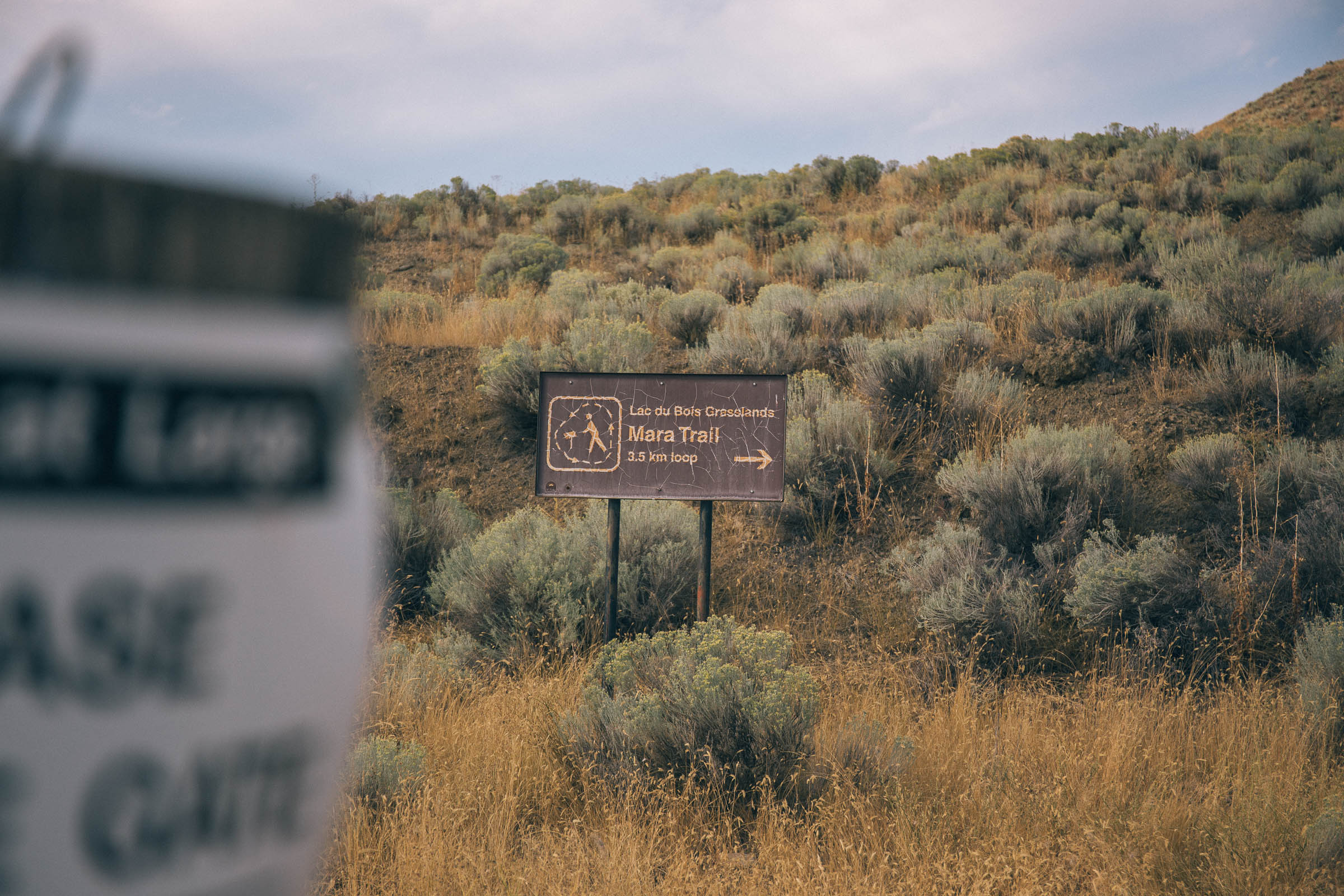
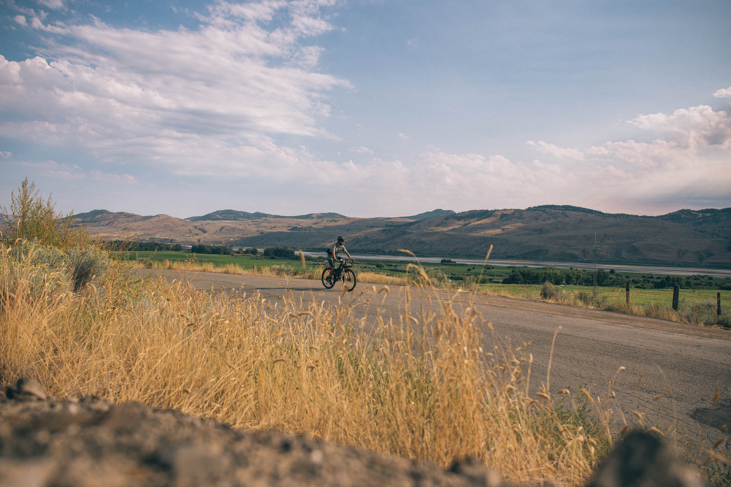
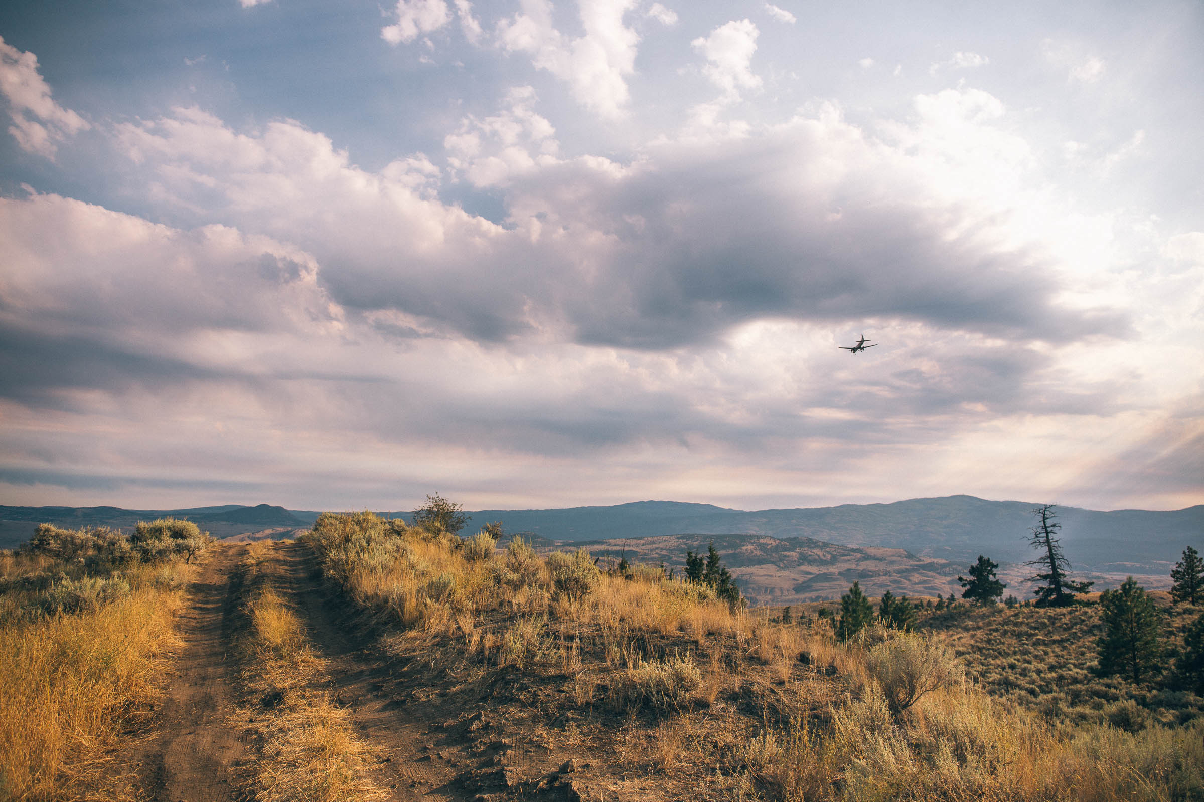
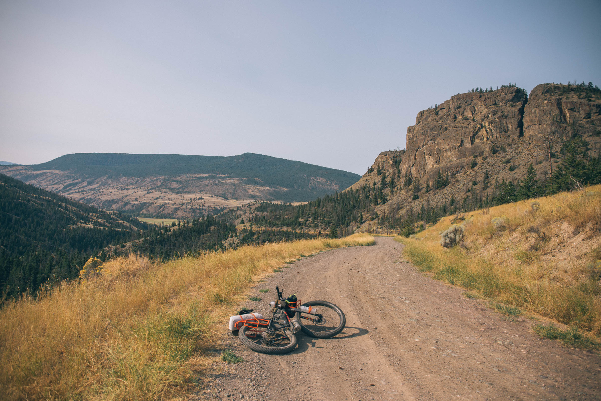
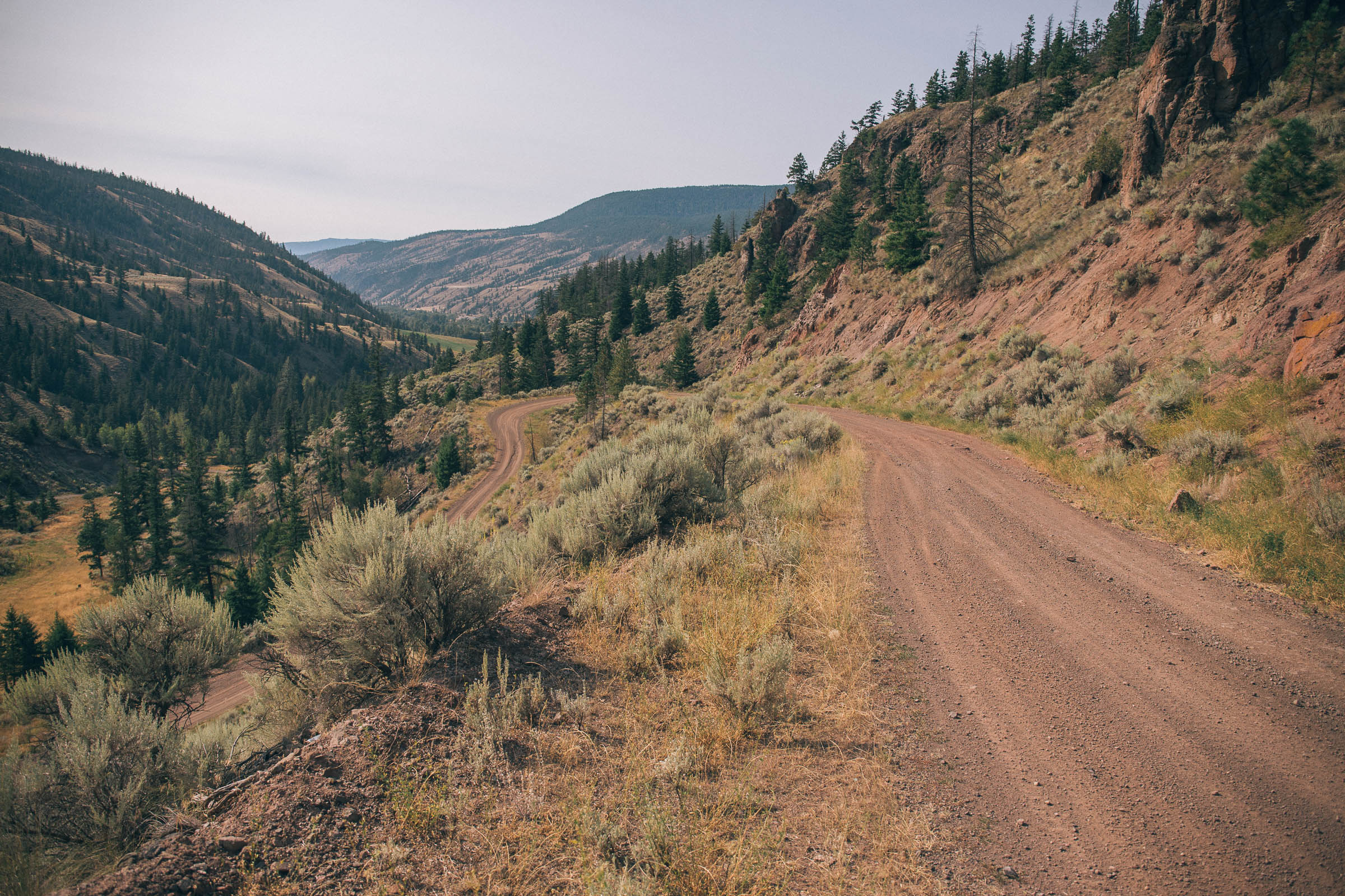
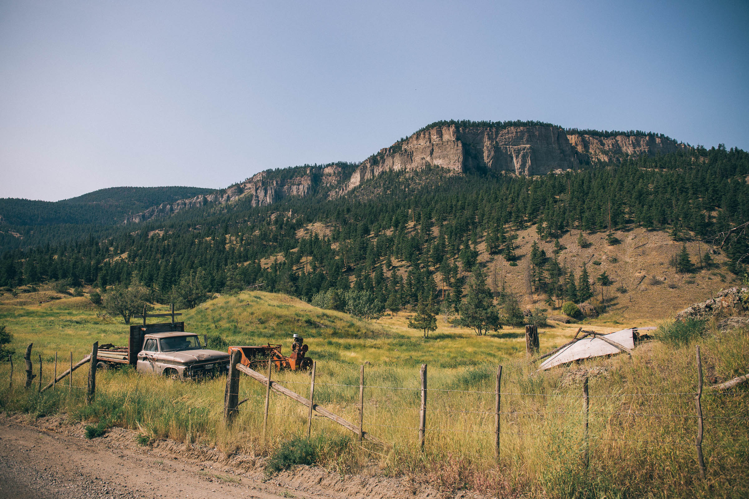
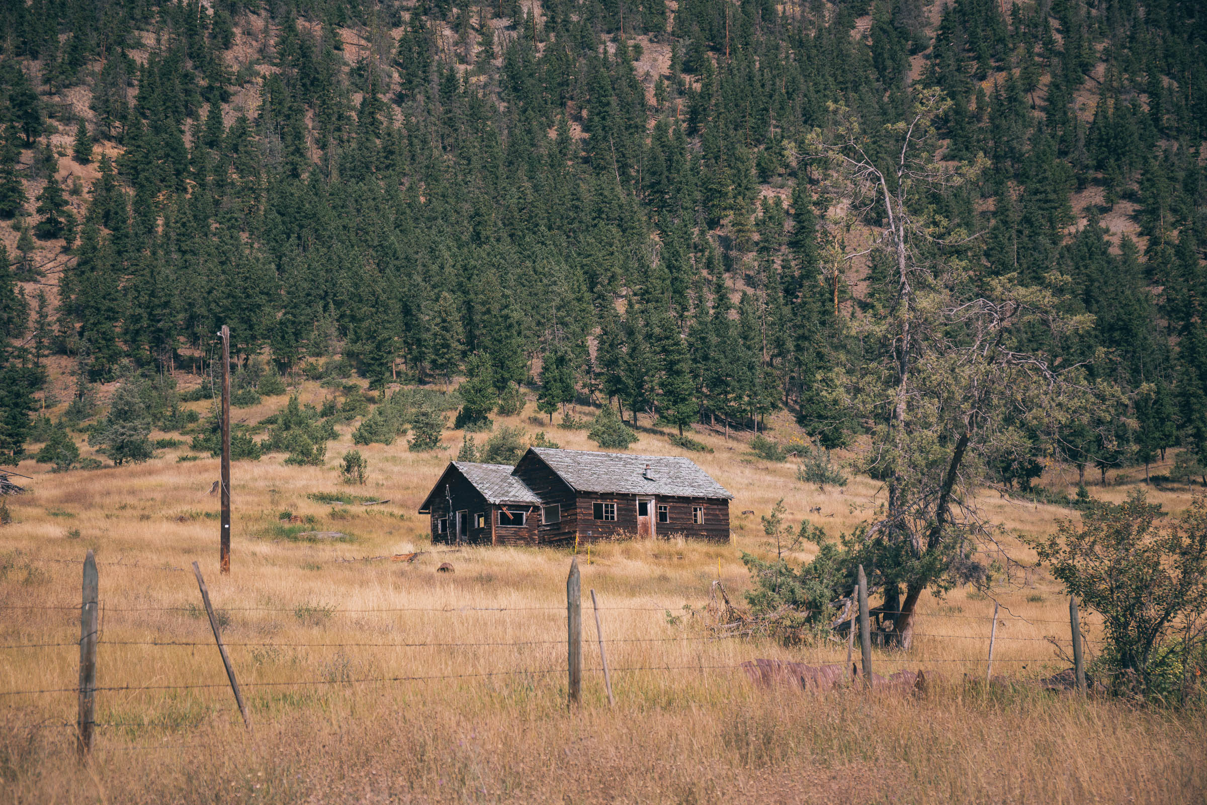
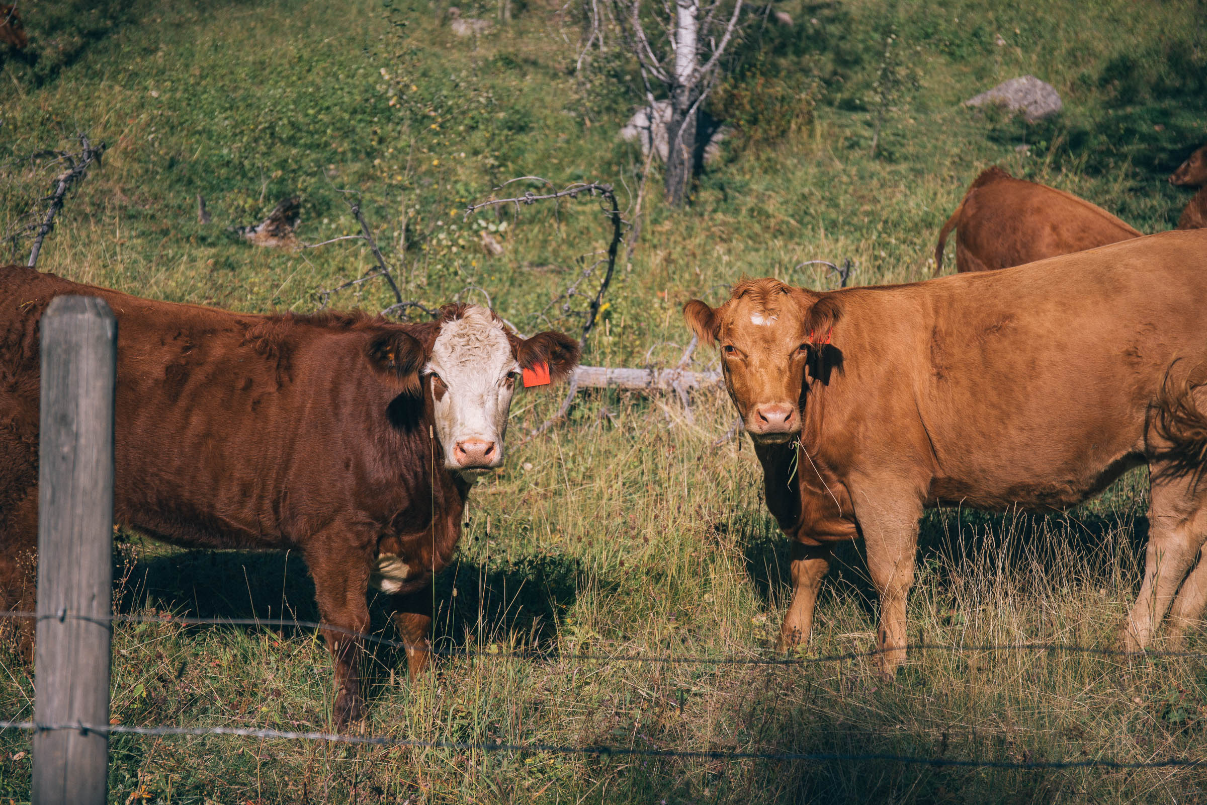
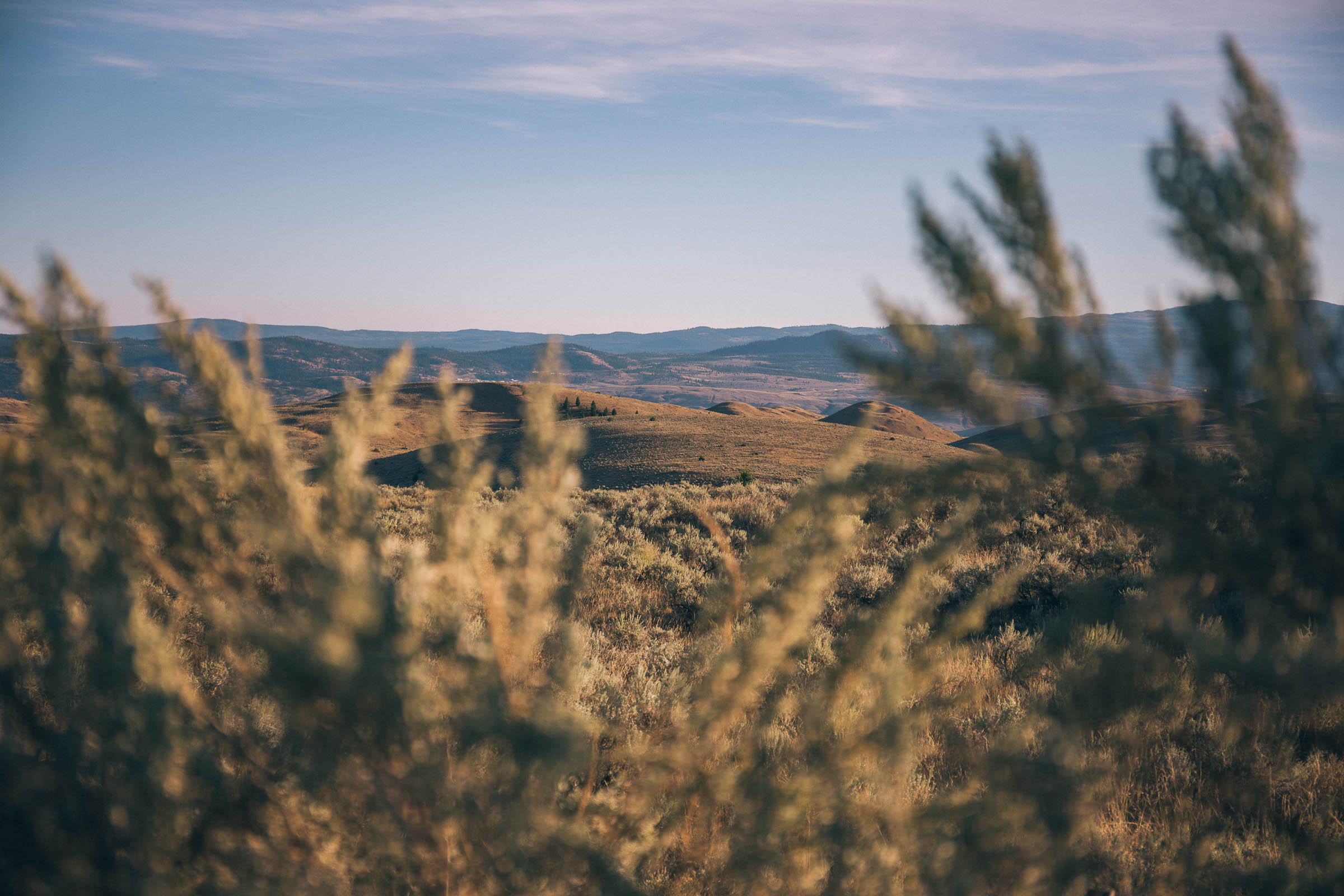
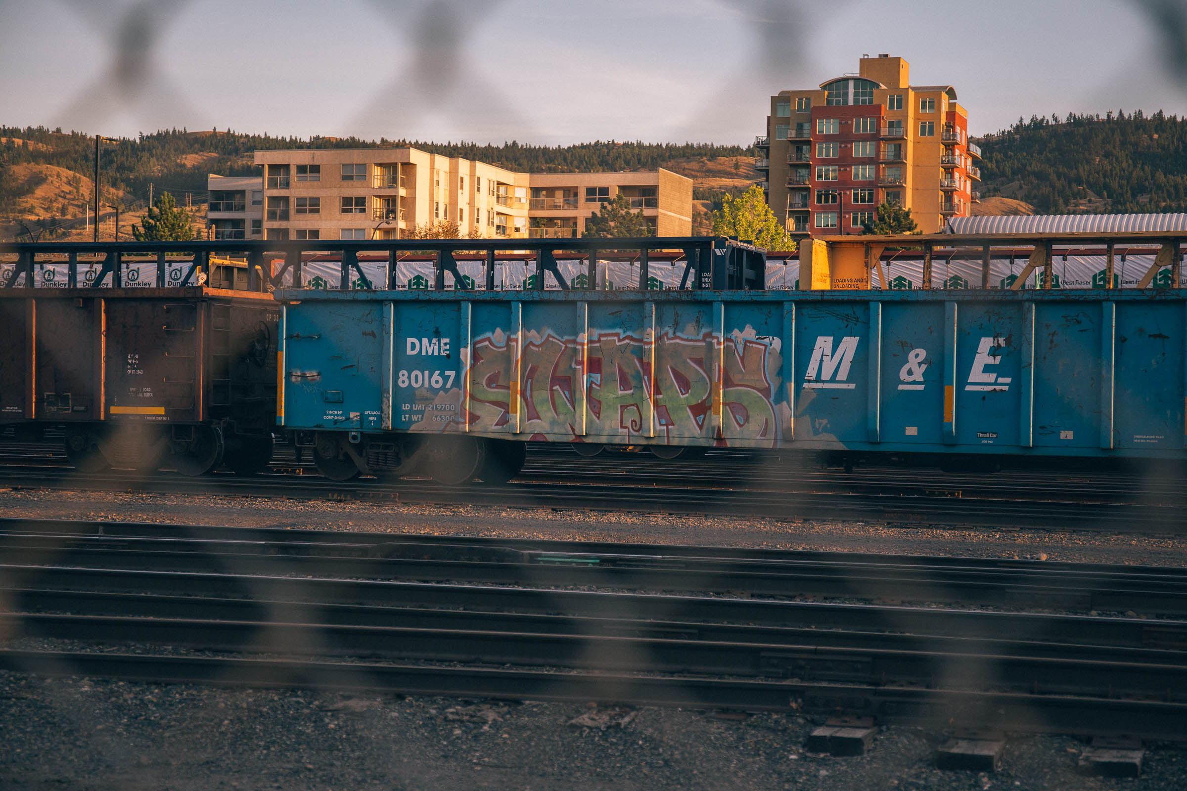
North of Kamloops, British Columbia, exists a maze of scenic gravel roads that pass through beautiful grasslands, mossy forests, deep canyons, and jaw-dropping landscapes that could be straight out of a Western film. From forgotten homesteads in the Arrowstone Hills to a once booming gold operation along the Tranquille River, the historical relevance of this region abounds.
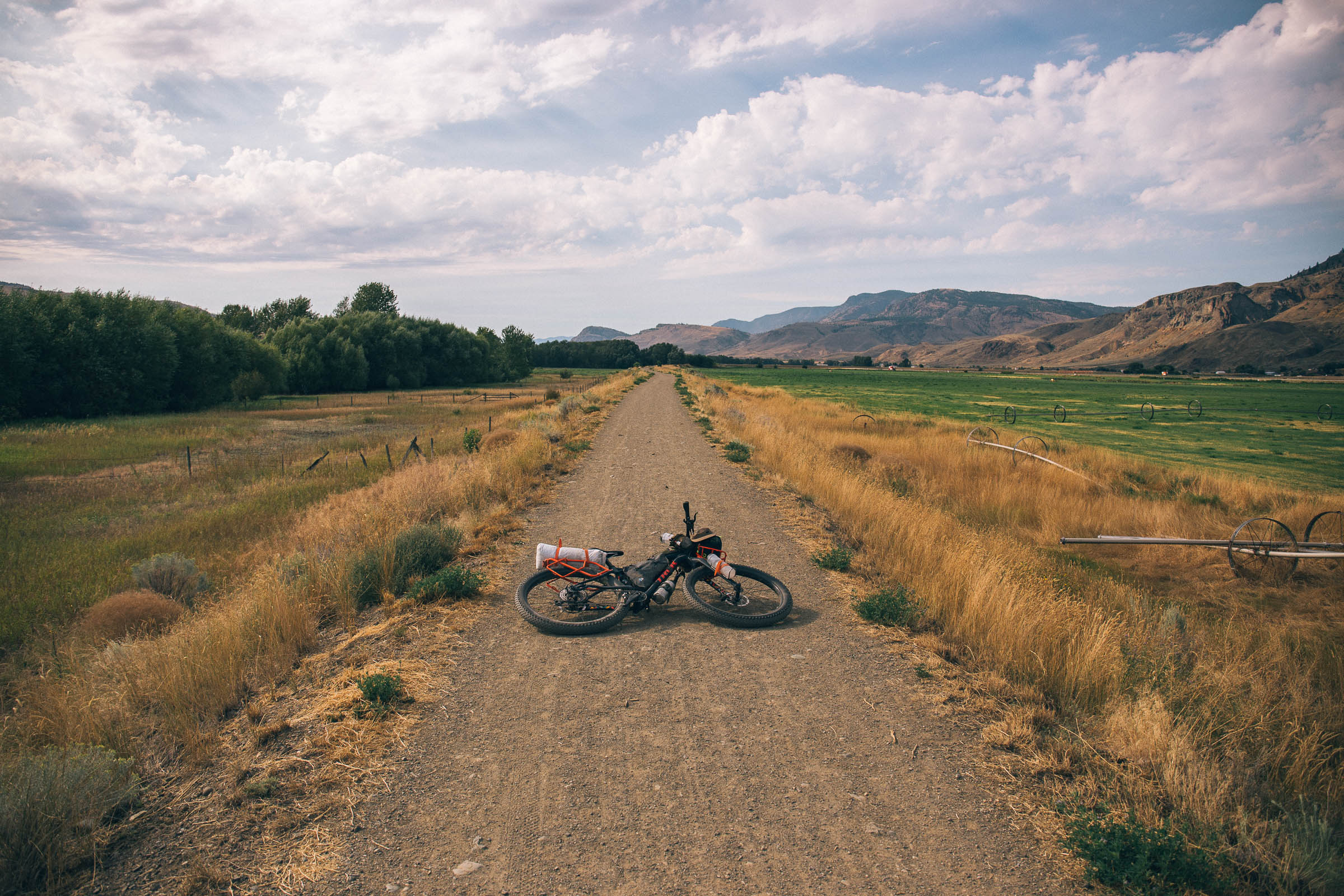
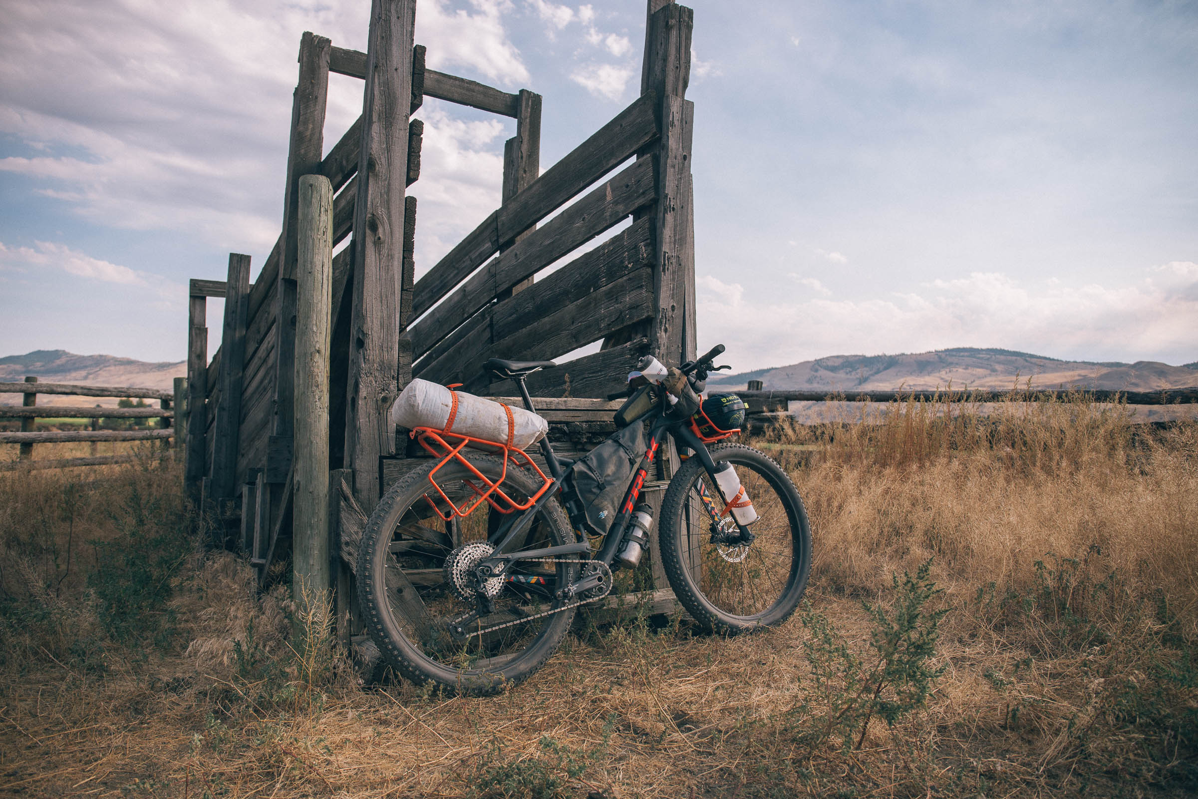
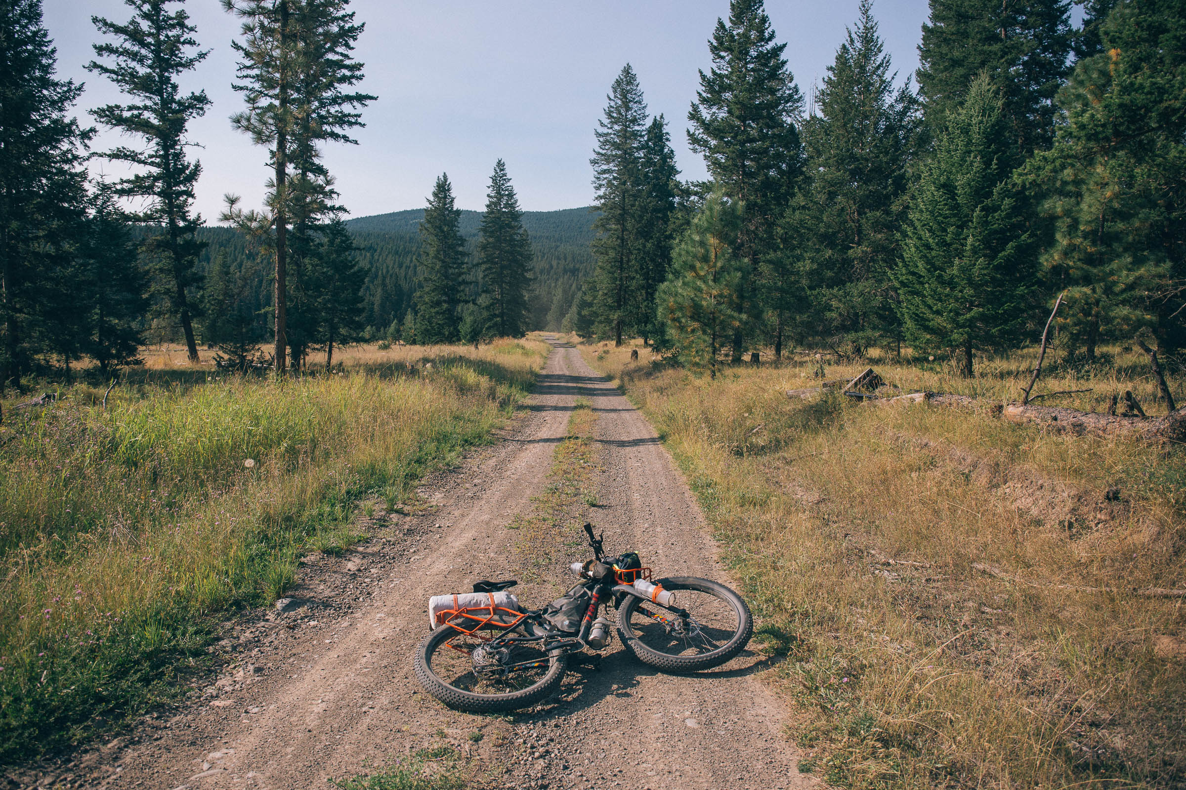
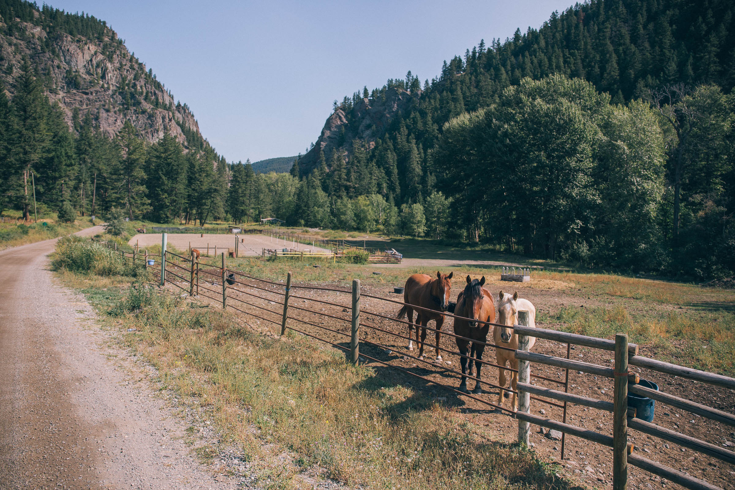
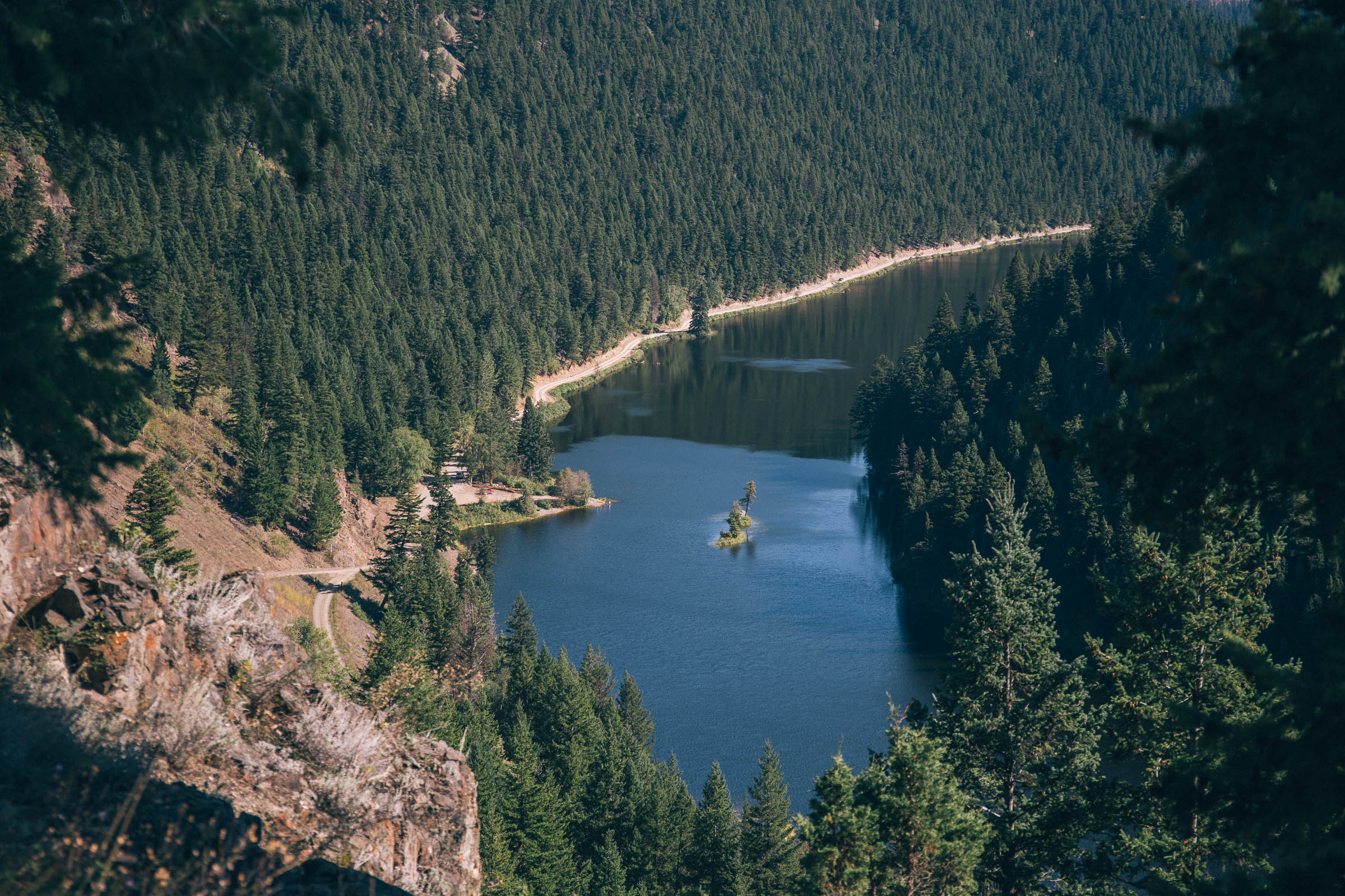
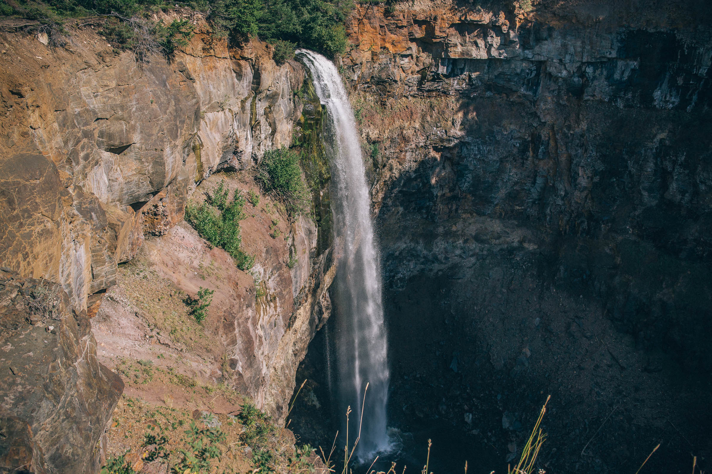
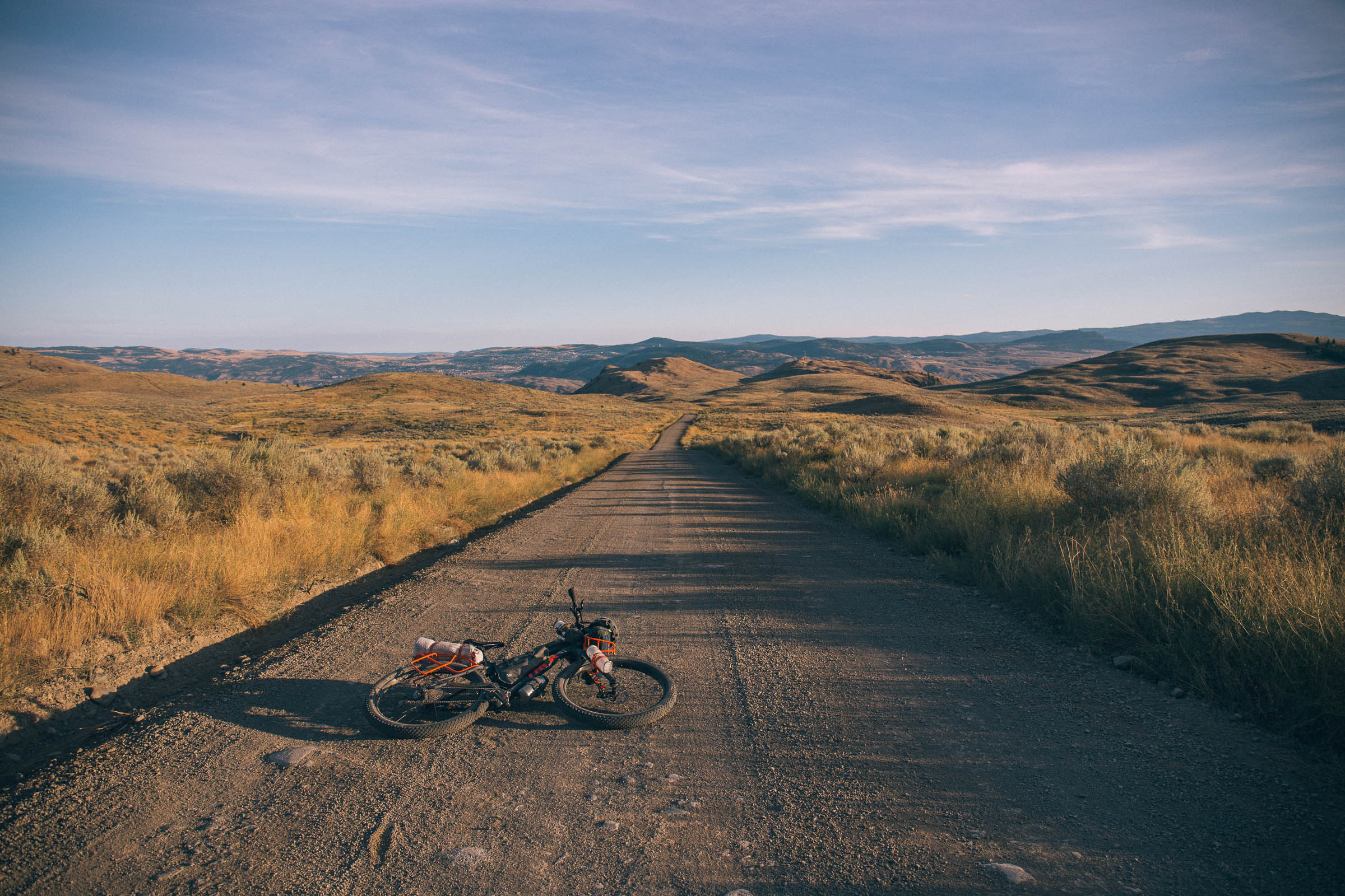
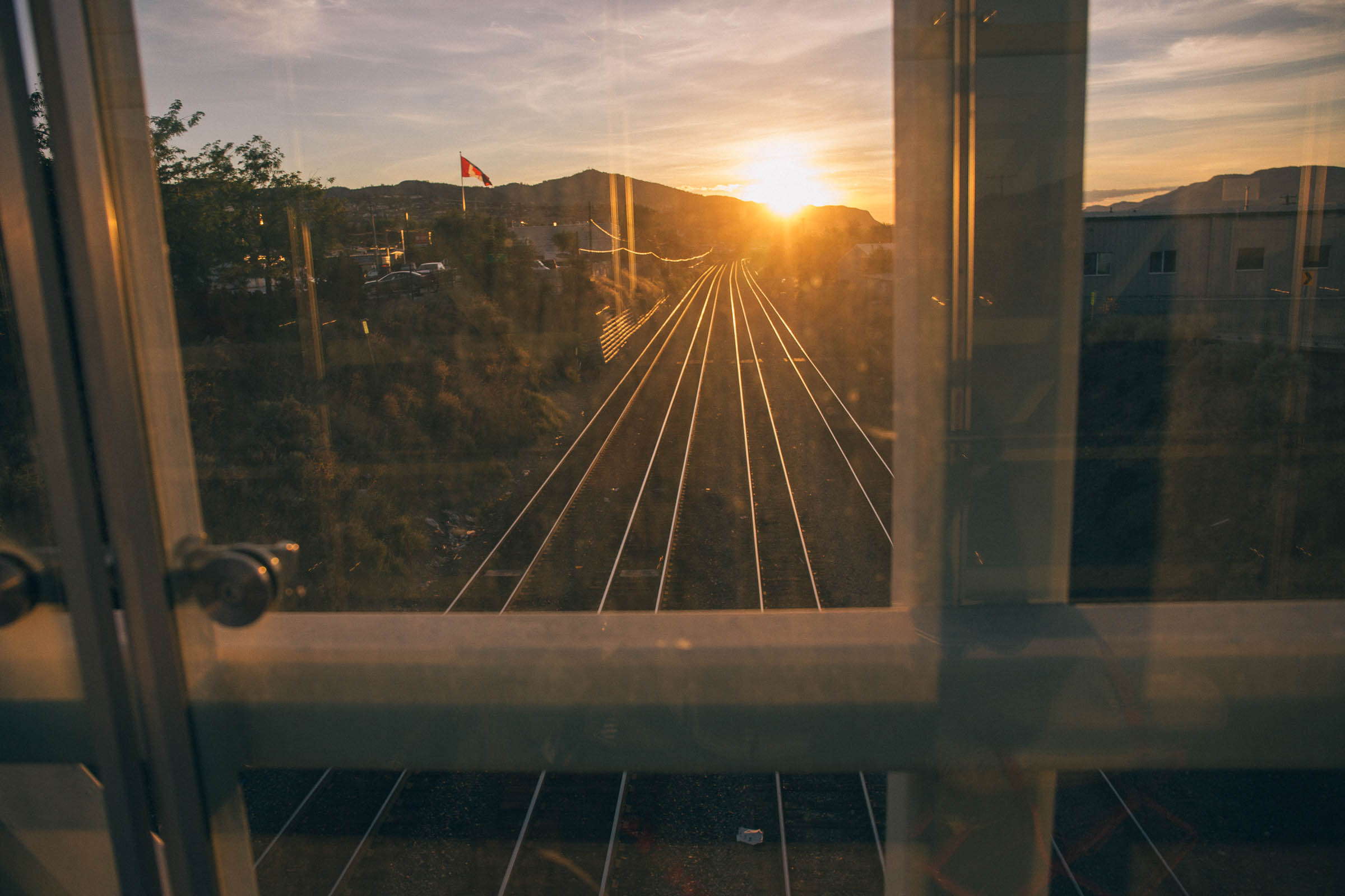
The Lac Du Bois Tranquility is a 200km loop that starts and finishes on McArthur Island Park in Kamloops. The route is characterized by well-maintained gravel roads that pass through some of the most scenic areas north of the city, challenging riders with long climbs, steep grades, and no options for resupply. Expect to encounter freshwater lakes, unique landforms, captivating vistas, waterfalls, and artifacts from a not-so-distant historical past.
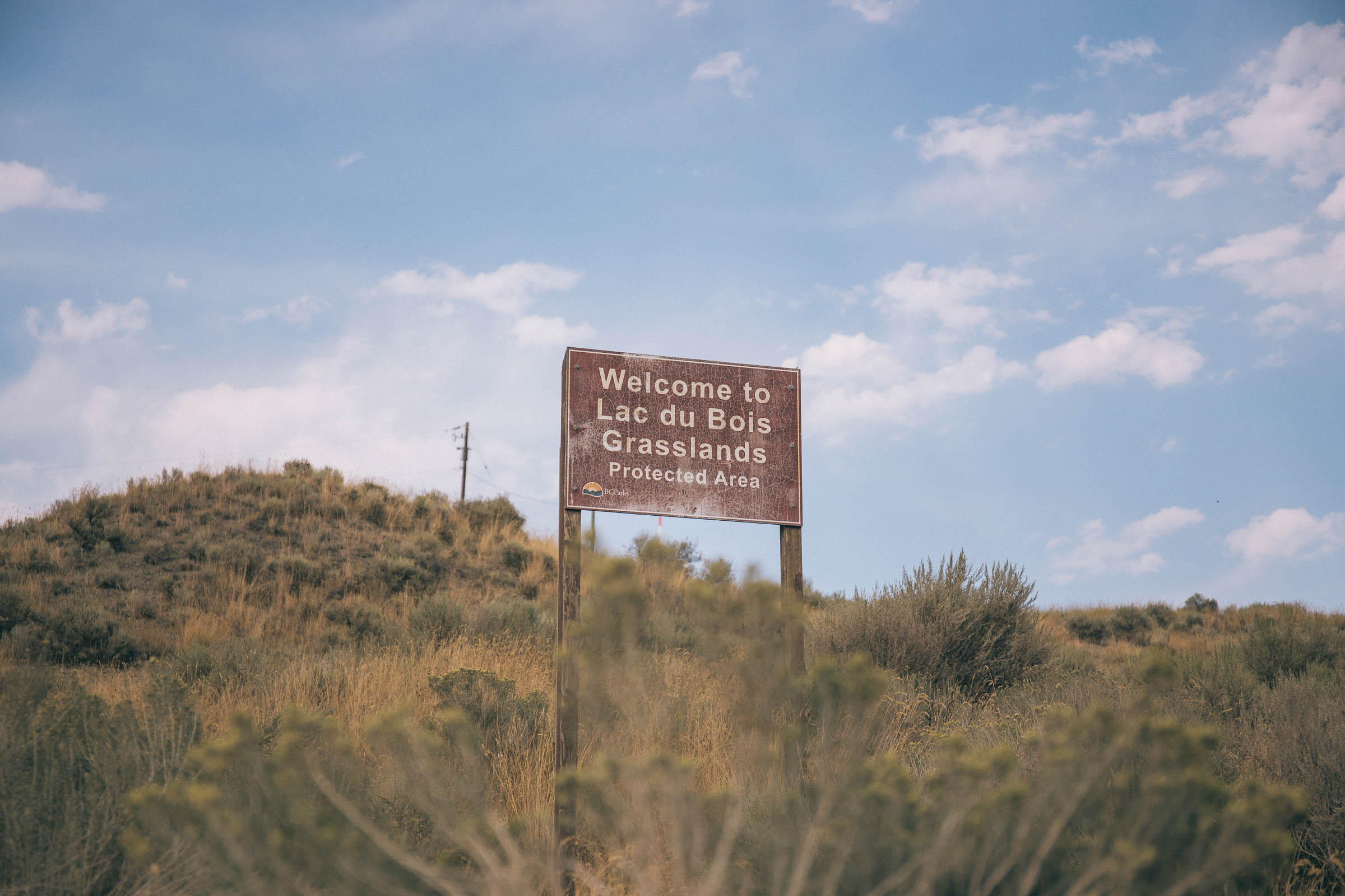
The route passes through Lac du Bois Grasslands Park, climbing north all the way to Vidette Lake before making the return journey via a mix of less travelled haul roads and eventually Lac Du Bois Road. Several BC Recreation Campsites provide lakeside camping on route, while Kamloops makes for a fantastic place to relax after you’re done.
Difficulty
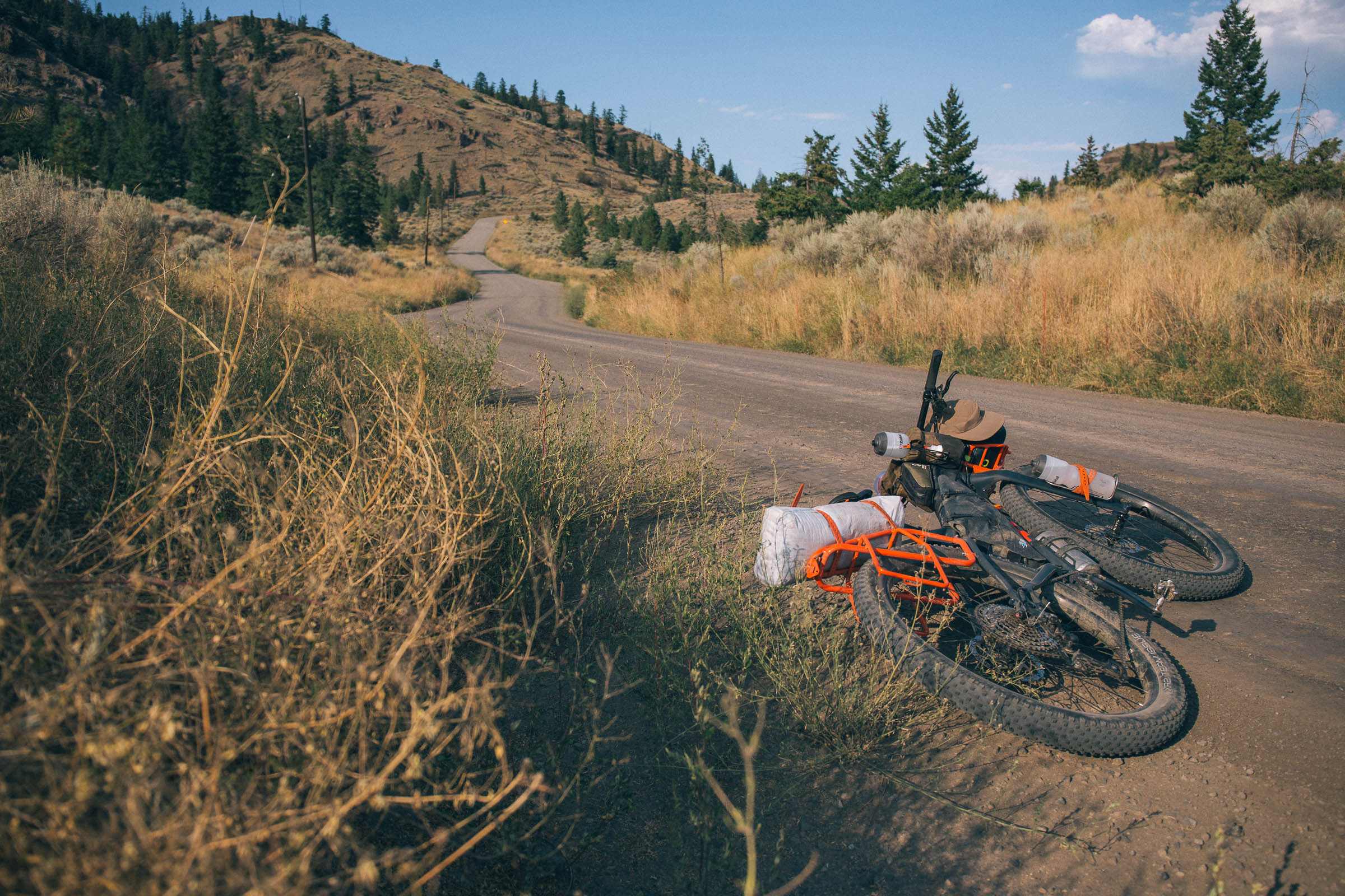
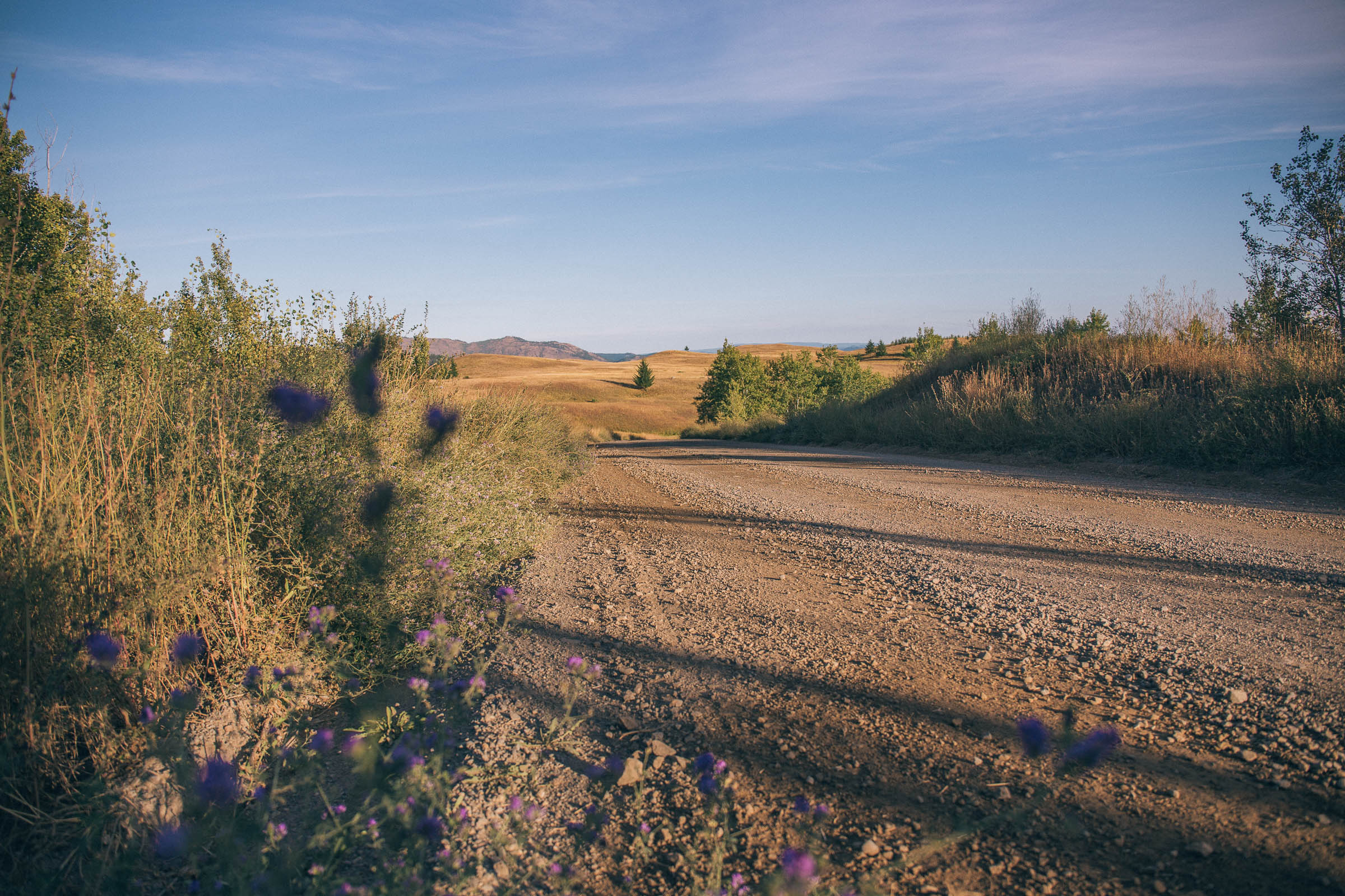
Excluding a small section of pavement at the beginning and end, the route follows wide gravel roads that are not technical in nature. However, there is some significant elevation gain in the form of long, often steep climbs that should not be overlooked. Proper gearing and good fitness are recommended to properly enjoy the route. The roads are usually well maintained, but due to their remoteness, are at the mercy of weather, grading, and vehicular traffic. A few sections are quite exposed, so on hot summer days, the heat can be a challenge to deal with, requiring lots of water and potentially slower mileage than some may be used to.
Route Development: Local beta for the Lac Du Bois Tranquility route comes thanks to Lennard Pretorius, Carl Diederichs, and the BC Bikepacking Facebook group. Lennard described the route as having some of the most scenic and rewarding riding near Kamloops, and with easy access from the city, makes it logistically simple for locals and visitors alike.


Submit Route Alert
As the leading creator and publisher of bikepacking routes, BIKEPACKING.com endeavors to maintain, improve, and advocate for our growing network of bikepacking routes all over the world. As such, our editorial team, route creators, and Route Stewards serve as mediators for route improvements and opportunities for connectivity, conservation, and community growth around these routes. To facilitate these efforts, we rely on our Bikepacking Collective and the greater bikepacking community to call attention to critical issues and opportunities that are discovered while riding these routes. If you have a vital issue or opportunity regarding this route that pertains to one of the subjects below, please let us know:
Highlights
Must Know
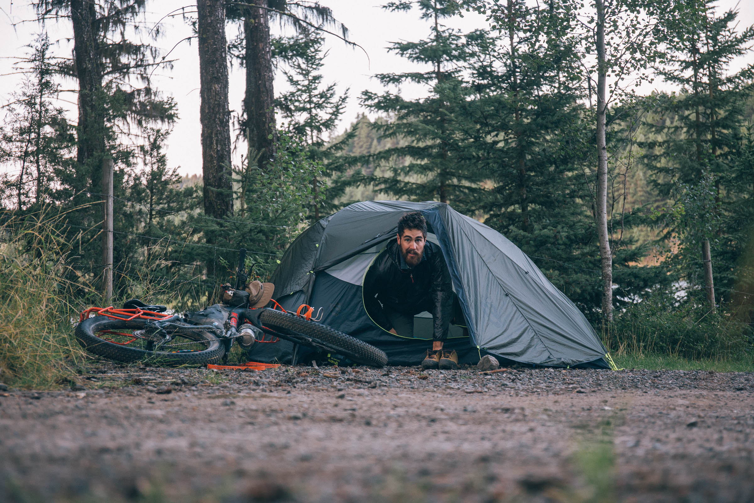
Camping
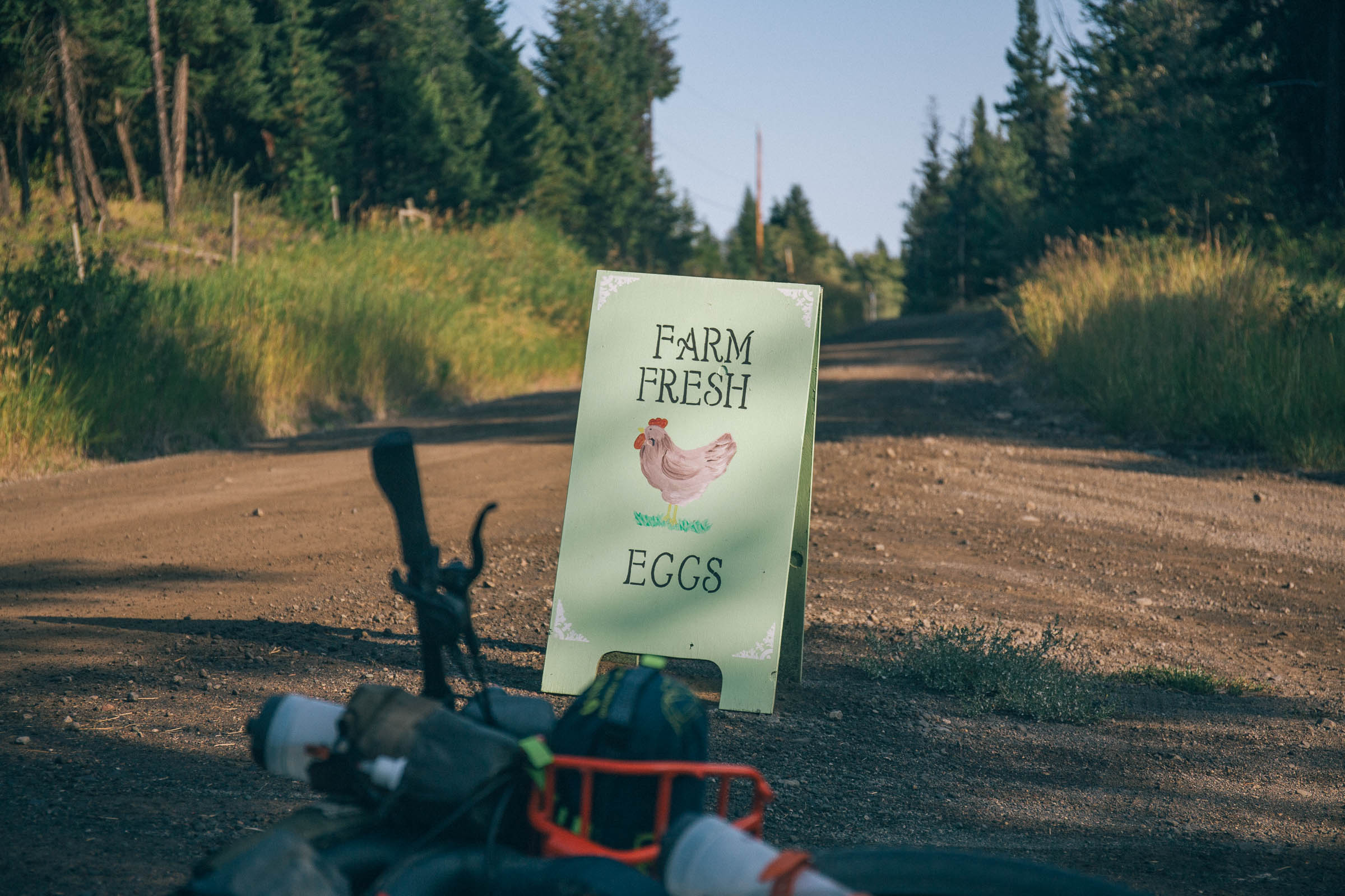
Food/H2O
Resources
- Lac du Bois Grasslands Protected Area’s sweeping vistas, canyons, and lush forests.
- Over 180 kilometres of fantastic, mostly maintained, gravel roads.
- Lakes, waterfalls, and rivers, contrasting the arid landscapes of the Thompson-Nicola Regional District.
- Stories of First Nations, ranchers, and sasquatches. Take time to talk the locals you meet to learn more.
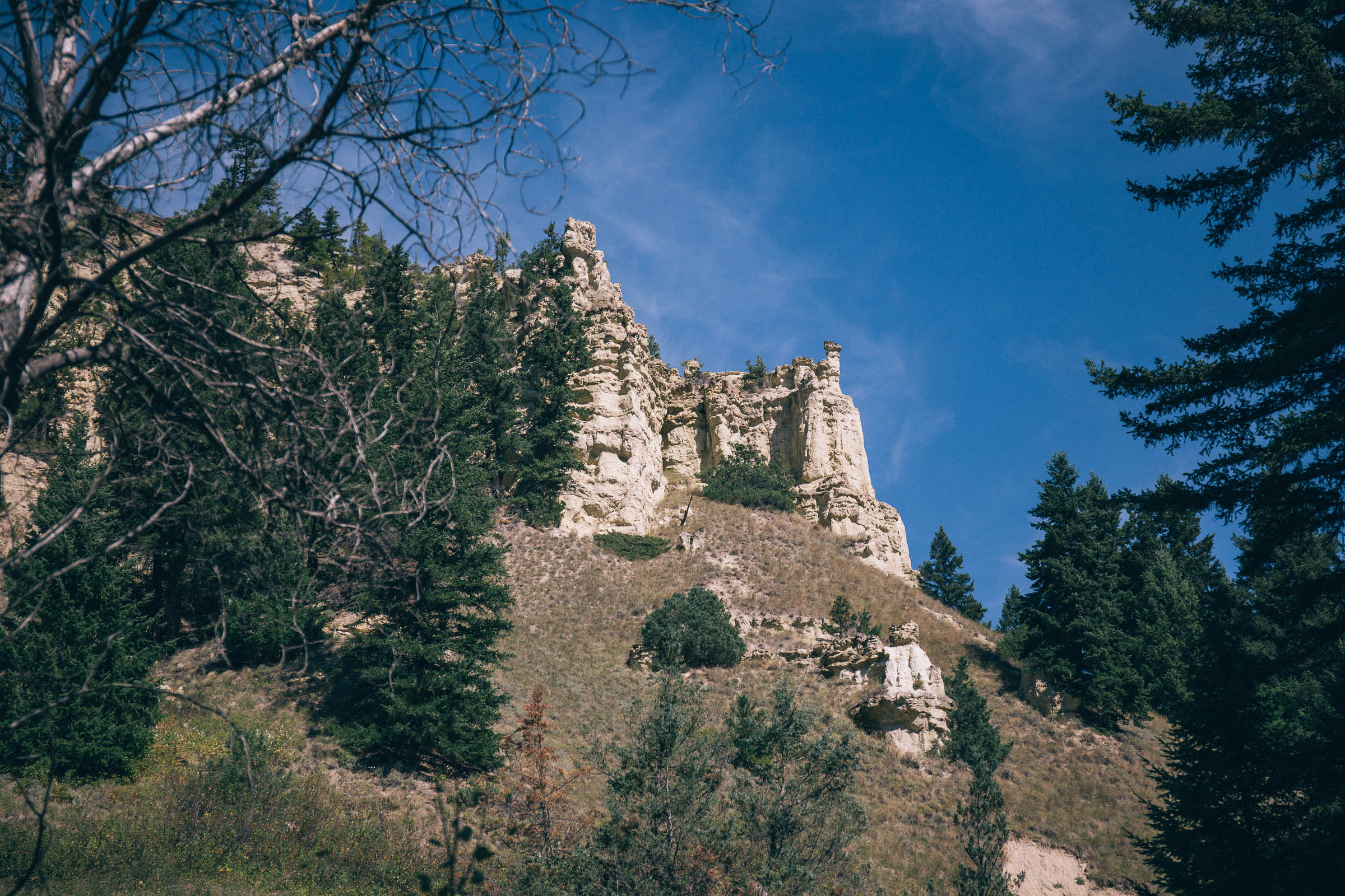
- Incredible rock formations at Castle Rock Hoodoos Provincial Park and on the Deadman Plateau.
- No shortage of camping opportunties thanks to countless BC Rec Sites along the route.
- Ideal bike: Although the route follows gravel roads, they are often washboarded and littered with small rocks. Experienced riders may choose to use a gravel bike with ~45mm tires, while a rigid mountain bike or something with larger tires will be more comfortable. In both cases, proper climbing gears are needed.
- When to ride: The route can be ridden spring through fall without complication. The summer months will of course be the hottest, and exposed gravel roads in 30°C and higher can be challenging.
- Getting here: Kamloops is a medium sized city centre that is easily accessed by road or plane. Driving time from Vancouver is approximately 3.5 hours via the Trans-Canada Highway.
- Parking: Overnight parking is not permitted at the route’s starting point in McArthur Island Park and locals suggest that leaving your vehicle nearby on residential streets should be avoided. Instead, check out the city’s paid parking options, or better yet, long-term parking at Kamloops Airport. The WalMart just southwest of downtown is another good option, as are local hotels for those travelling from afar.
- Land acknowledgment: The Lac du Bois Tranquility travels on the unceded traditional territory of the Secwépemc and Nlaka’pamux Nation. Take some time to learn about and respect their people. Head over to the British Columbia Assembly of First Nations website to learn more.
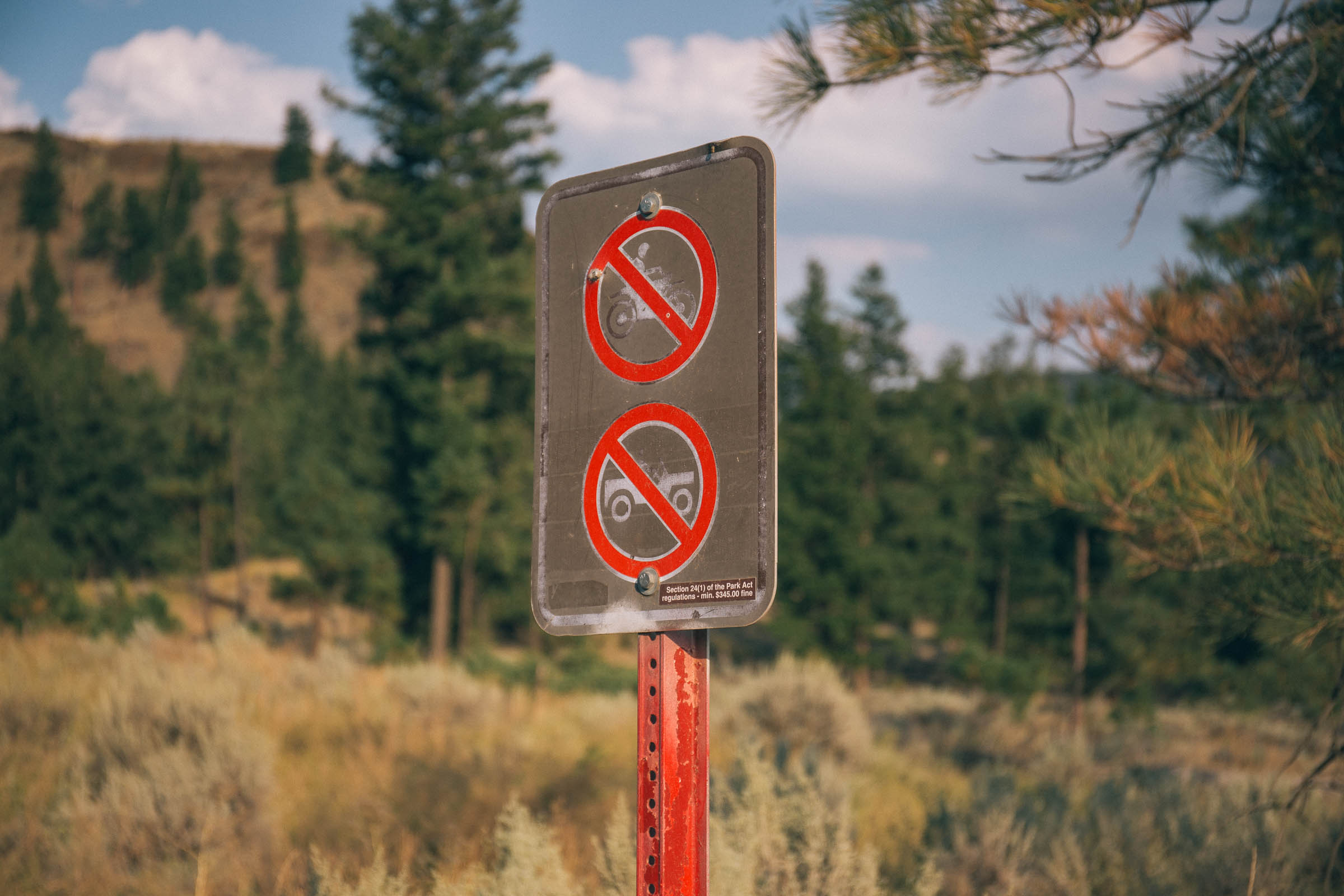
- There are cougars, bears, and moose living in this area. Follow all necessary precautions and don’t leave any food scraps or garbage behind.
- The first half of the route is frequented by passenger vehicles and haul trucks. Expect dust, don’t wear headphones, and be ready to pull over for wider vehicles.
- Cellular service is spotty and non-existent for most of the route, bring a GPS or cell phone for navigation.
- The Buckshot is an annual self-supported race put on by Kamloops local, Lennard Pretorius, which follows some of the same roads. Learn more here.
- Wild camping is allowed within Lac du Bois Grasslands Protected Area and on Crown Land along the route. There is private land throughout, so don’t hop fences and obey signage.
- The best BC Recreation Campsites are included as points of interest on the map.
- Cabins are available at Vidette Lake Nature Retreat, book ahead. See resources for details.
- There are numerous streams and rivers to purify water from—bring a filter.
- Carrying a couple litres of water per person in the shoulder season and 3-4 litres in the summer should be adequate.
- Kamloops is a large city centre and has everything you need to stock up before the journey. There’s a Save on Foods just past the first kilometre of the route.


Terms of Use: As with each bikepacking route guide published on BIKEPACKING.com, should you choose to cycle this route, do so at your own risk. Prior to setting out check current local weather, conditions, and land/road closures. While riding, obey all public and private land use restrictions and rules, carry proper safety and navigational equipment, and of course, follow the #leavenotrace guidelines. The information found herein is simply a planning resource to be used as a point of inspiration in conjunction with your own due-diligence. In spite of the fact that this route, associated GPS track (GPX and maps), and all route guidelines were prepared under diligent research by the specified contributor and/or contributors, the accuracy of such and judgement of the author is not guaranteed. BIKEPACKING.com LLC, its partners, associates, and contributors are in no way liable for personal injury, damage to personal property, or any other such situation that might happen to individual riders cycling or following this route.
Please keep the conversation civil, constructive, and inclusive, or your comment will be removed.