


Lesser Spotted Ireland
Distance
70 Mi.
(113 KM)Days
2
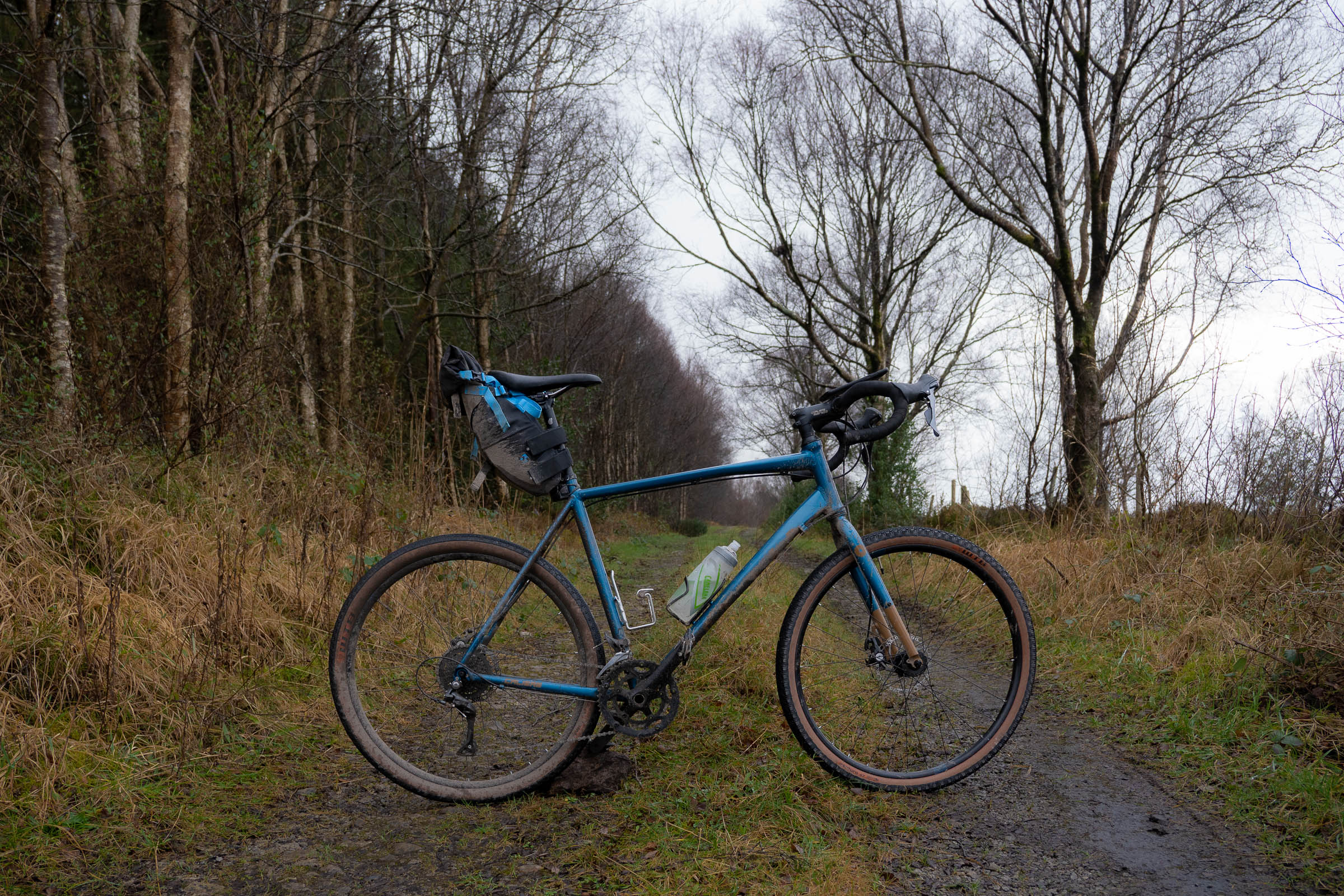
% Unpaved
51%
% Singletrack
1%
% Rideable (time)
100%
Total Ascent
4,683'
(1,427 M)High Point
1,116'
(340 M)Difficulty (1-10)
4?
- 4Climbing Scale Fair67 FT/MI (13 M/KM)
- -Technical Difficulty
- -Physical Demand
- -Resupply & Logistics
Contributed By

Cian Byrne
Guest Contributor
Enjoying a biking baptism by fire during his six years spent in Whistler, BC, Cian has returned home to Ireland where his two-wheeled adventures have continued. As well as riding bikes, he writes about them too. He has written for numerous major bike brands and contributed travel articles for national papers. Follow him on Instagram for more @cianwrites or check out his website.
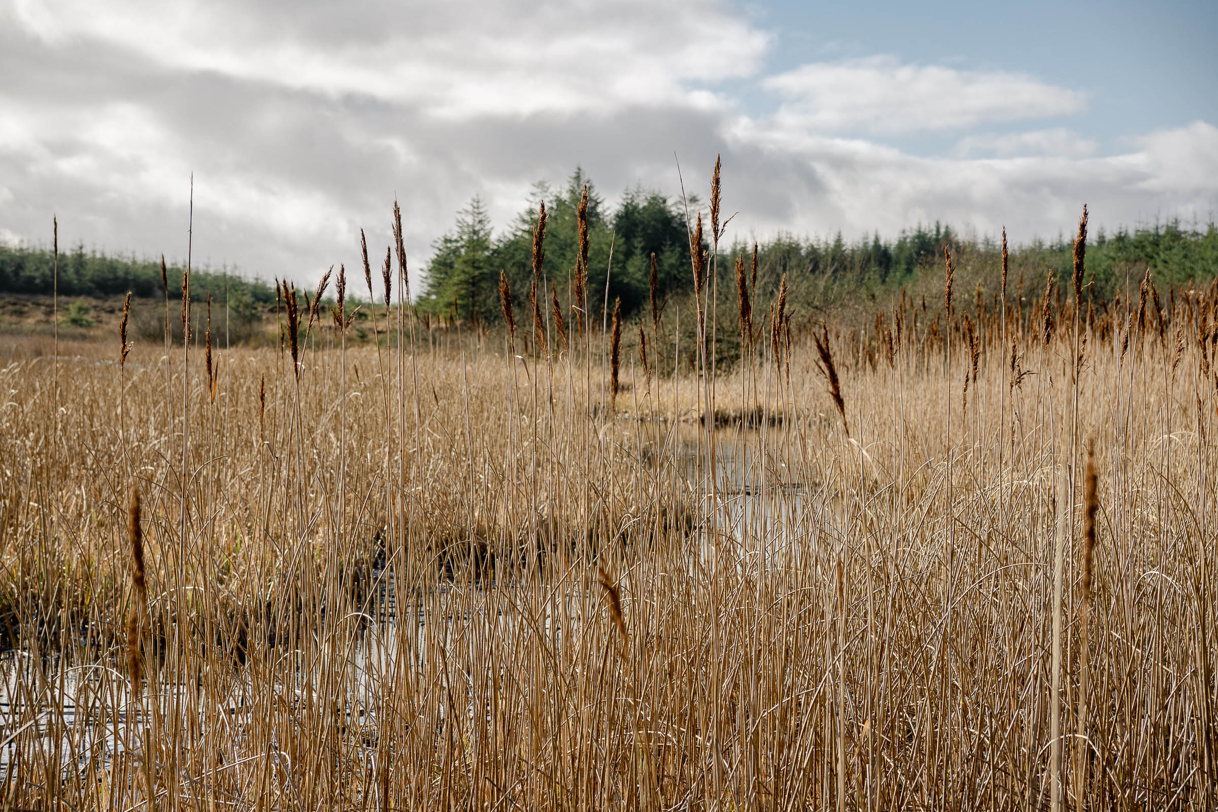
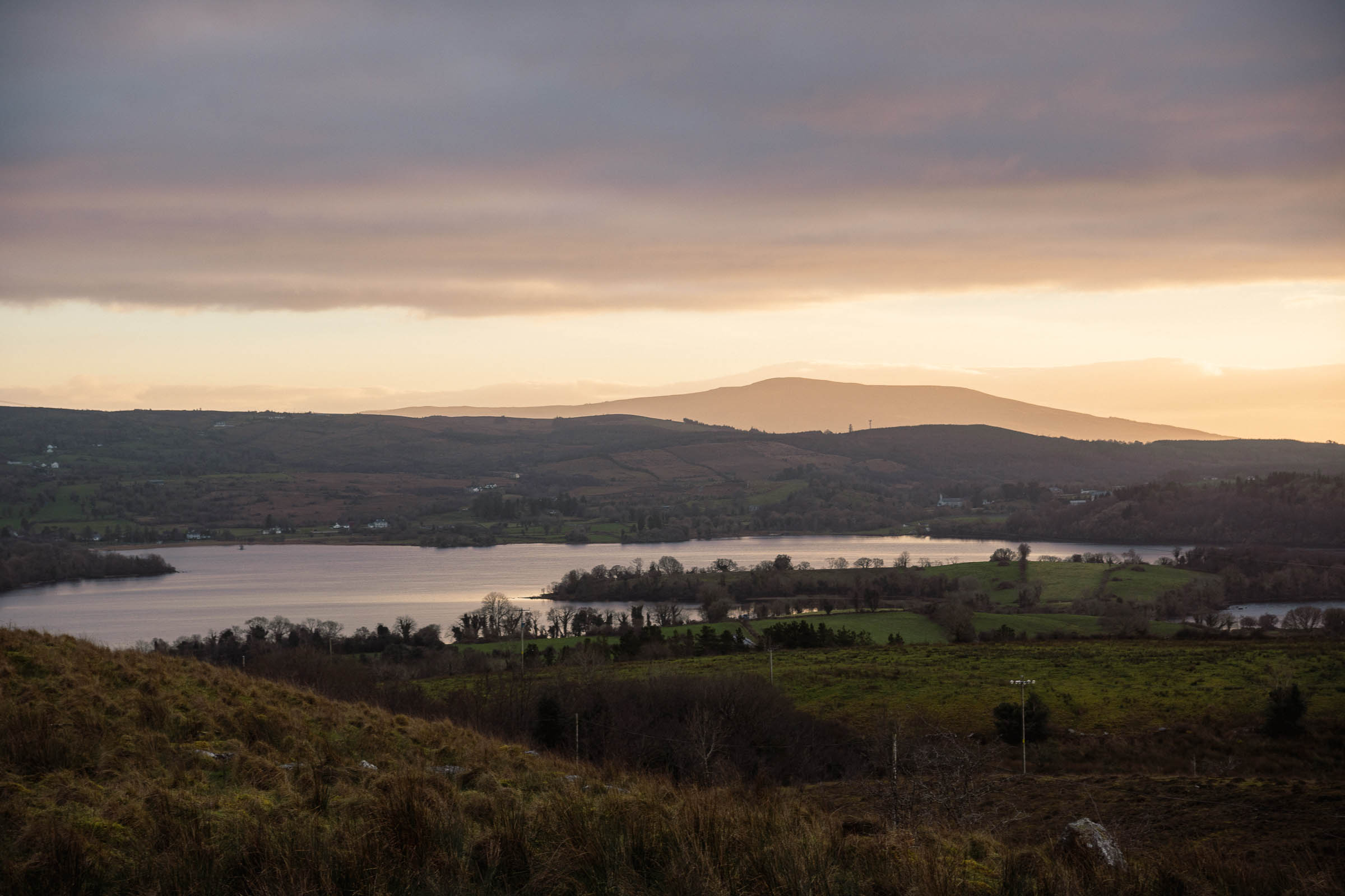
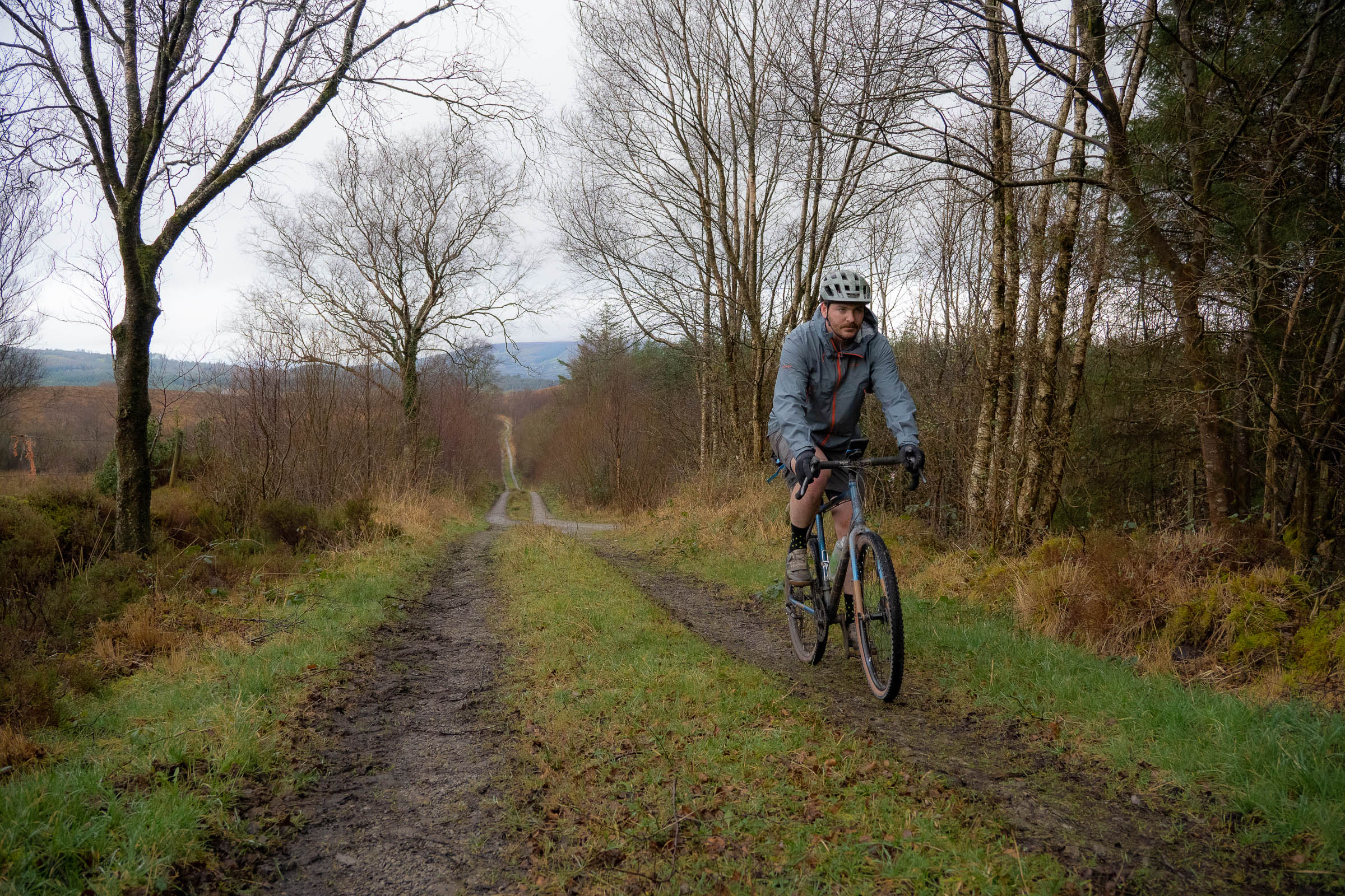
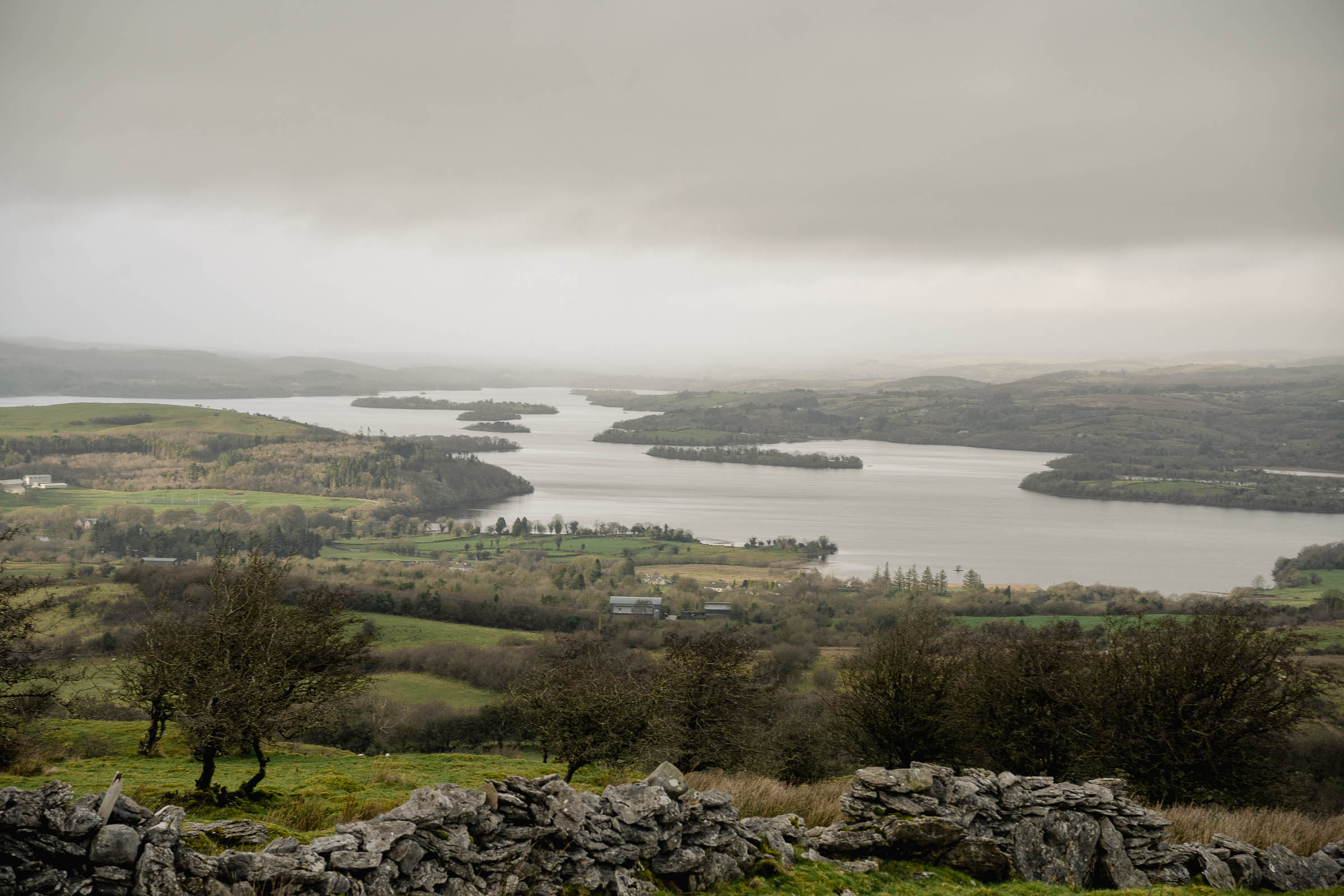
Starting at a campsite in Belcoo, Northern Ireland, beside the shimmering pool of St. Patrick’s Holy Well (supposedly the coldest water on the island although I’m not sure how, if ever, that was measured), the route swiftly turns away from civilization and into the remote County Fermanagh landscape, a landlocked lump of a county ram-packed with 154 lakes of various sizes, depths, colours, and remoteness.
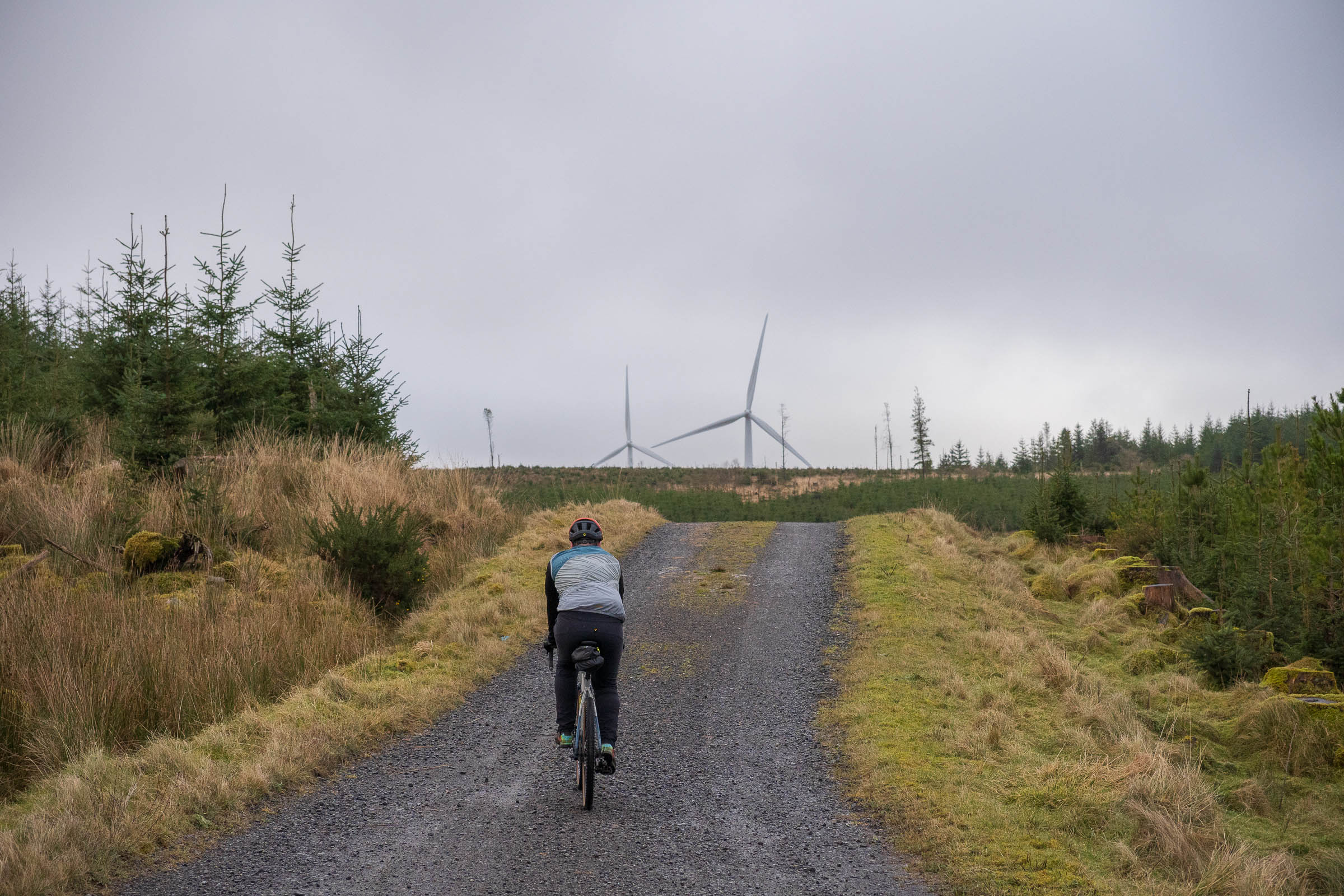
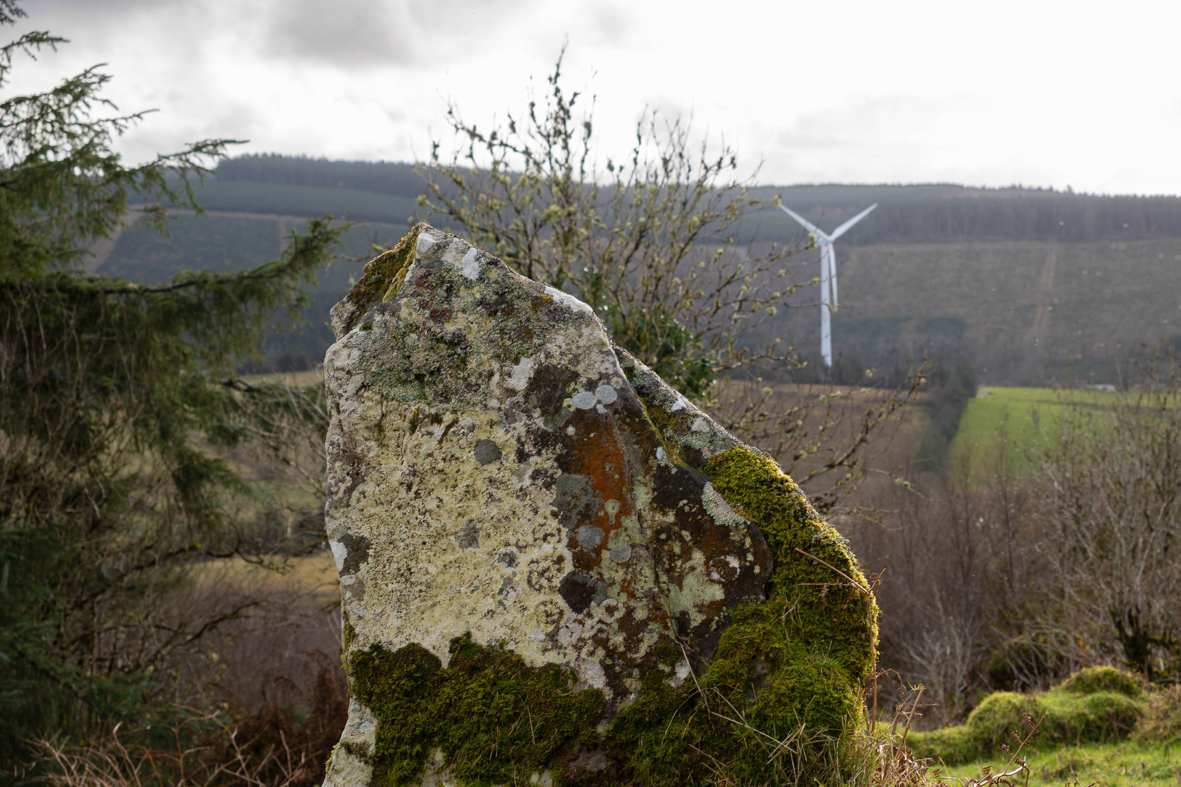
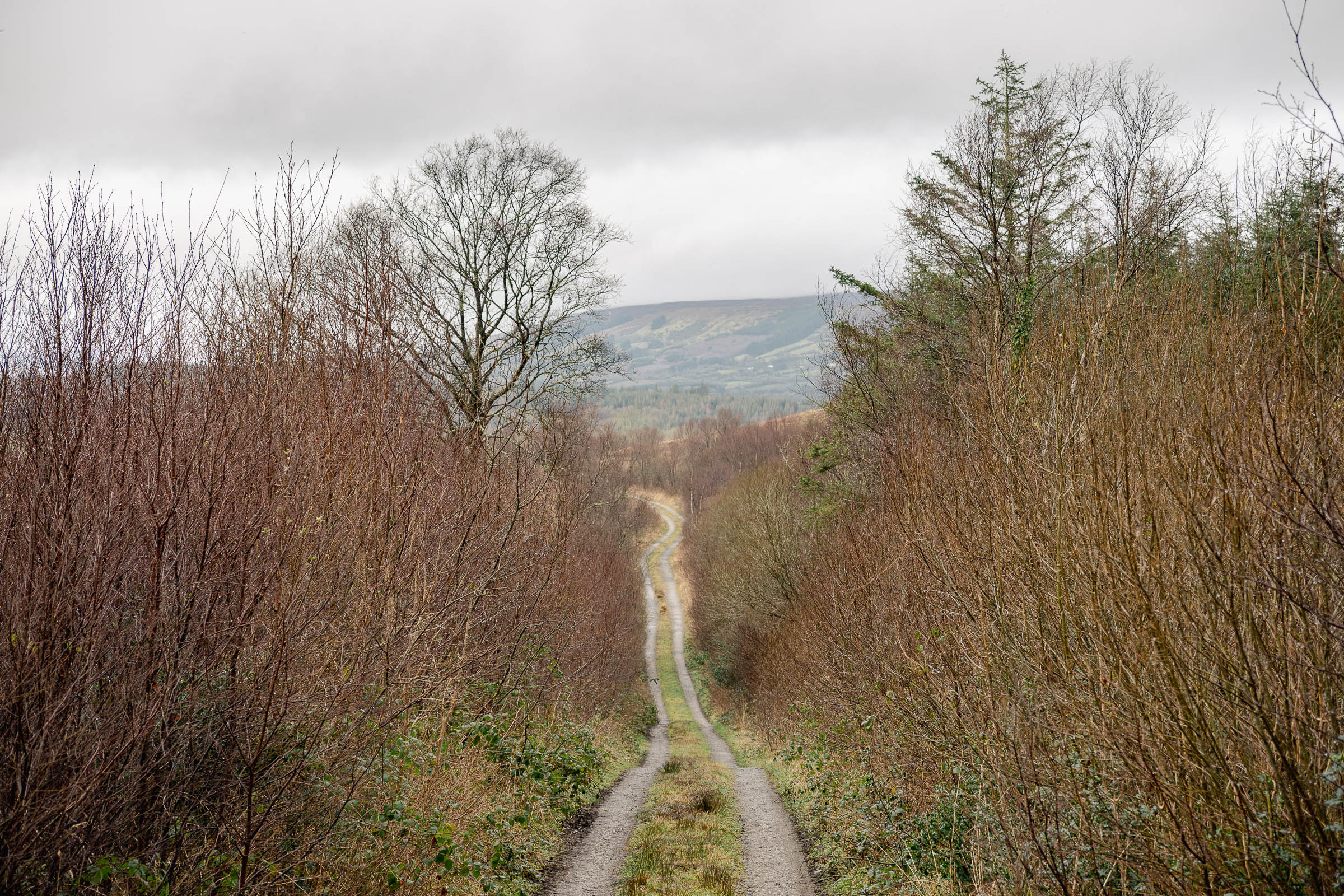
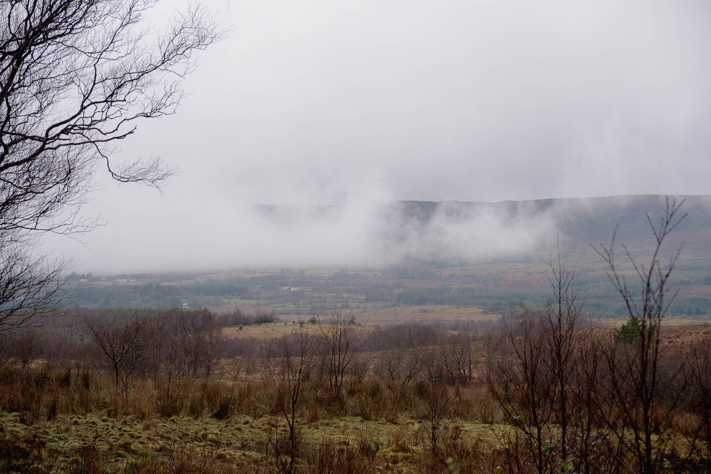
Punchy gravel climbs get the heart rate pumping and quickly lead to brake pad burning descents as you weave your way through the lakelands and past ancient karst limestone structures in the Cuilcagh Lakelands Global UNESCO Geopark. This sparse terrain of drumlin hills dating back over 895 million years stretches for miles at a time with windmills cartwheeling in the distance and roaming sheep breathing life into this hibernating and winter-kissed scene.
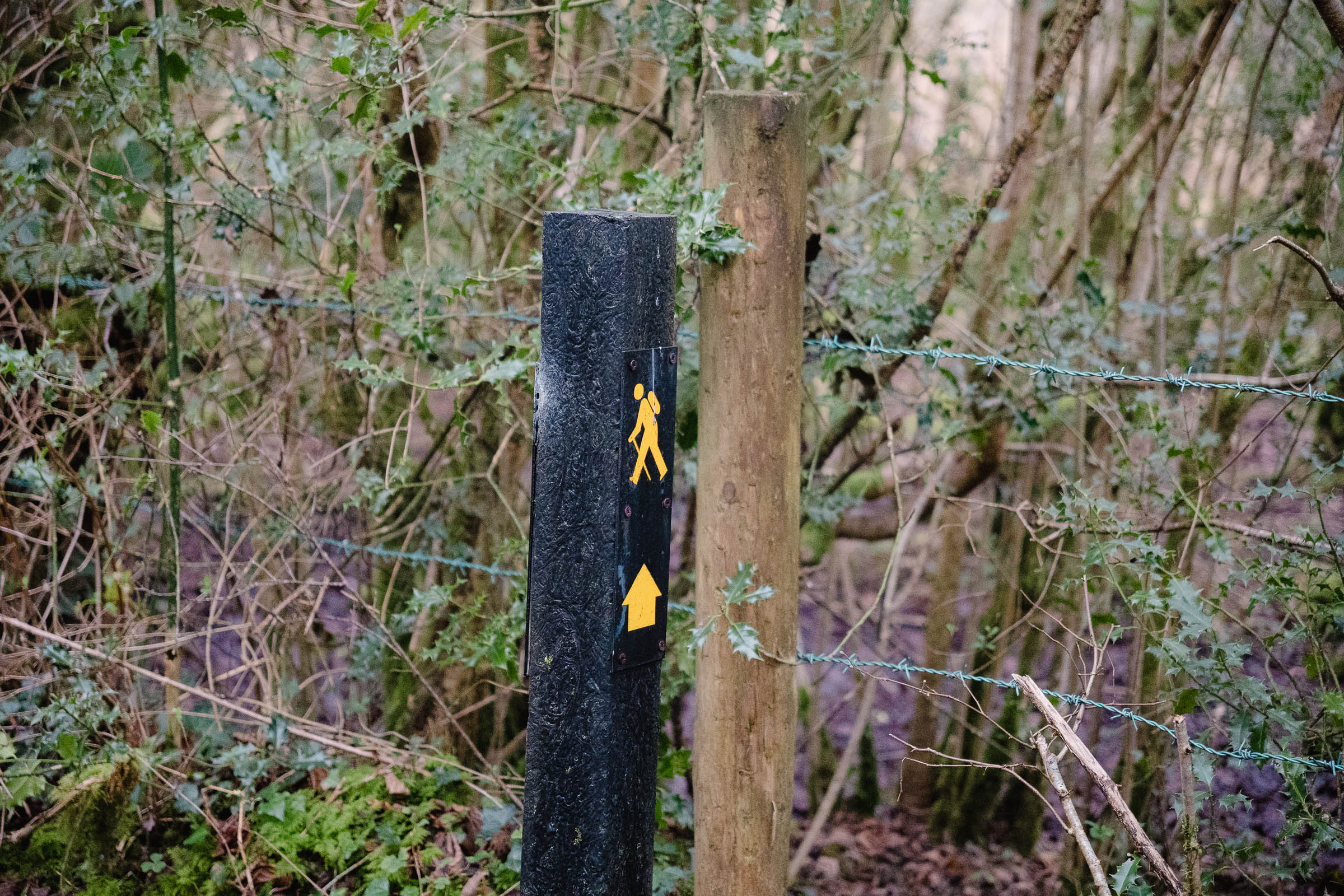
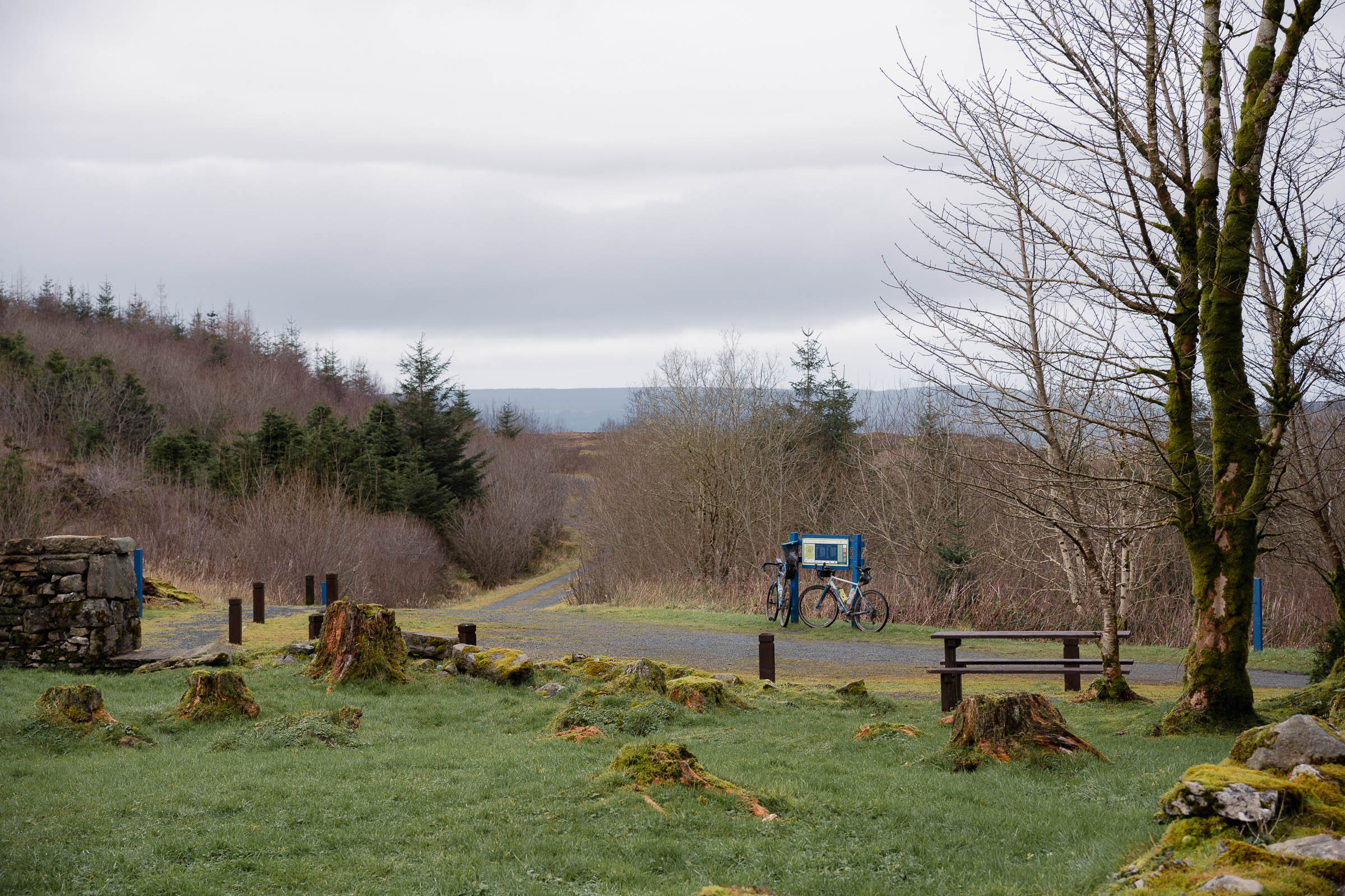
The seemingly endless network of uninterrupted gravel trails hosts the annual Lakelander Gravel Grinder, and they also chip in as a few miles of the 636-mile Ulster Way, a route that circumnavigates all of Northern Ireland. As it’s a well-trodden and maintained trail, there are plenty of picnic tables and viewpoints along the way, but nothing in the way of places to get food.
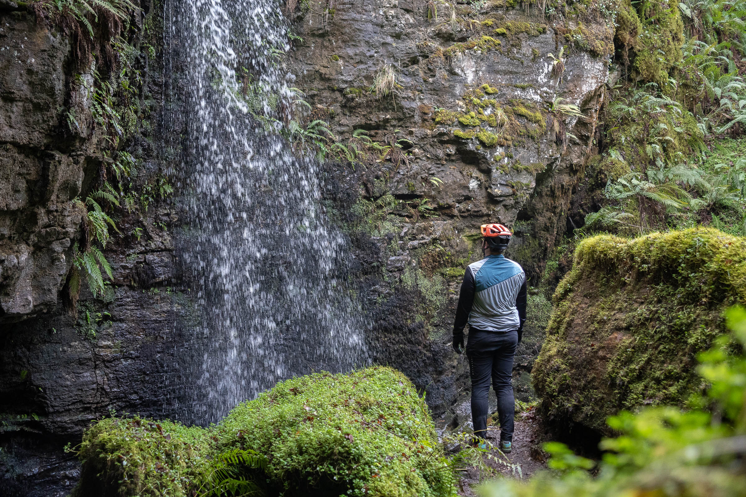
Hop off the bikes at Pollnagollum Cave, a deep hollow leading to a myriad of underground caves. The streaming waterfall here was made famous as Lord Beric Dondarrion’s hideout in Game of Thrones – this region of Ireland features prominently throughout the show. It’s a slightly more glitzy existence these days for this cave, whose name when translated to English is “Pigeon Hole,” pointing to a less glamorous past. After touring past farms, wind farms, and countless miniature lakes, the snaking figure-of-eight route spits you out back at the entrance to the park, a short freewheel back to camp for the night.
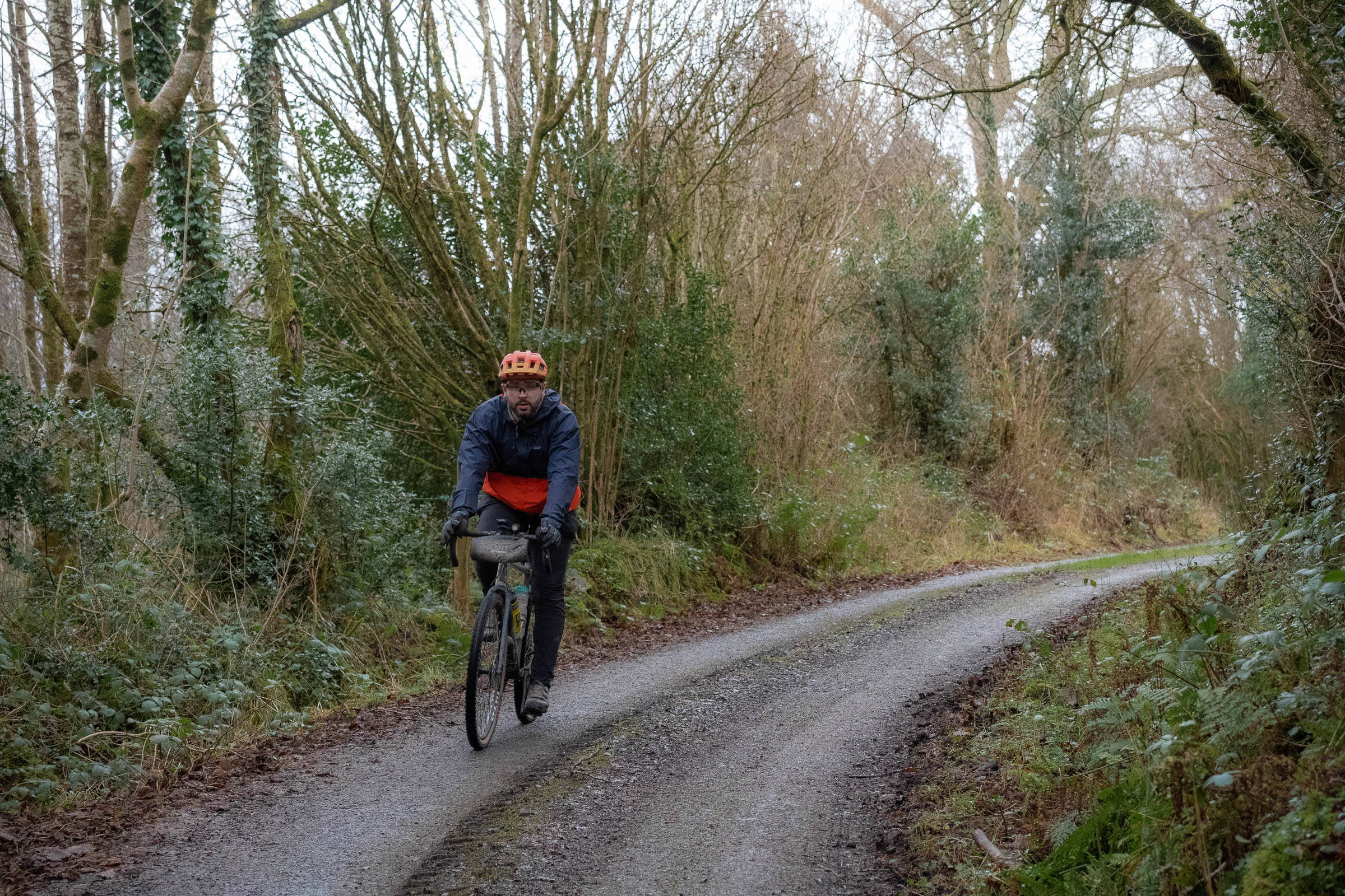
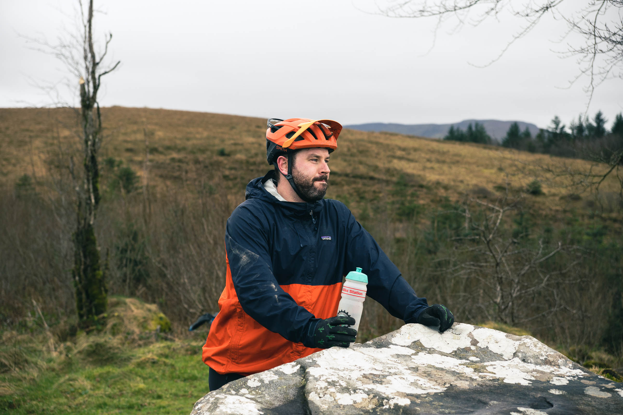
Point yourself south on the morning of the second day and cross the Belcoo River into Blacklion, County Cavan in the Republic of Ireland, where the roadsigns are in KM/H and pints in the cosy, country pubs are served in Euro, not Pounds Sterling. The Cavan Way, one of the shortest national waymarked trails in Ireland at 26 kilometres long, gets off to a subdued start on a quiet laneway leading out of the village. While it’s a short trail, it crams in enough history and Irish oddities to rival any other. Spinning through the countryside on deserted backroads that see more animal traffic than vehicular, the kilometres begin to quickly roll by.
Stop at the Shannon Pot, the source of Ireland’s longest river, the River Shannon, and see the calm beginning of the 360-kilometre river that tumbles and flows and grows in power and size until it bursts the Atlantic Ocean in Limerick City.
Follow the quiet country roads and farm tracks along the Cavan Way, where locals are more than happy to point lost cyclists in the right direction, until you wheel into Dowra, on the banks of the River Shannon. Imagine a rural Irish village in your head – this is it. A quiet crossroads, flanked on each side by a pub and a couple of shops where catching up on the local going ons seems to be more important than whatever is being sold. While marking the halfway point on day two, Dowra is also an important marker for a number of other trails in the region. The Cavan Way makes up part of the Beara Brefini Way, Ireland’s “Way of Ways,” linking up a whole host of varying routes to create a 500-kilometre spin from Blacklion to Dursey island in the far southwest of the country.
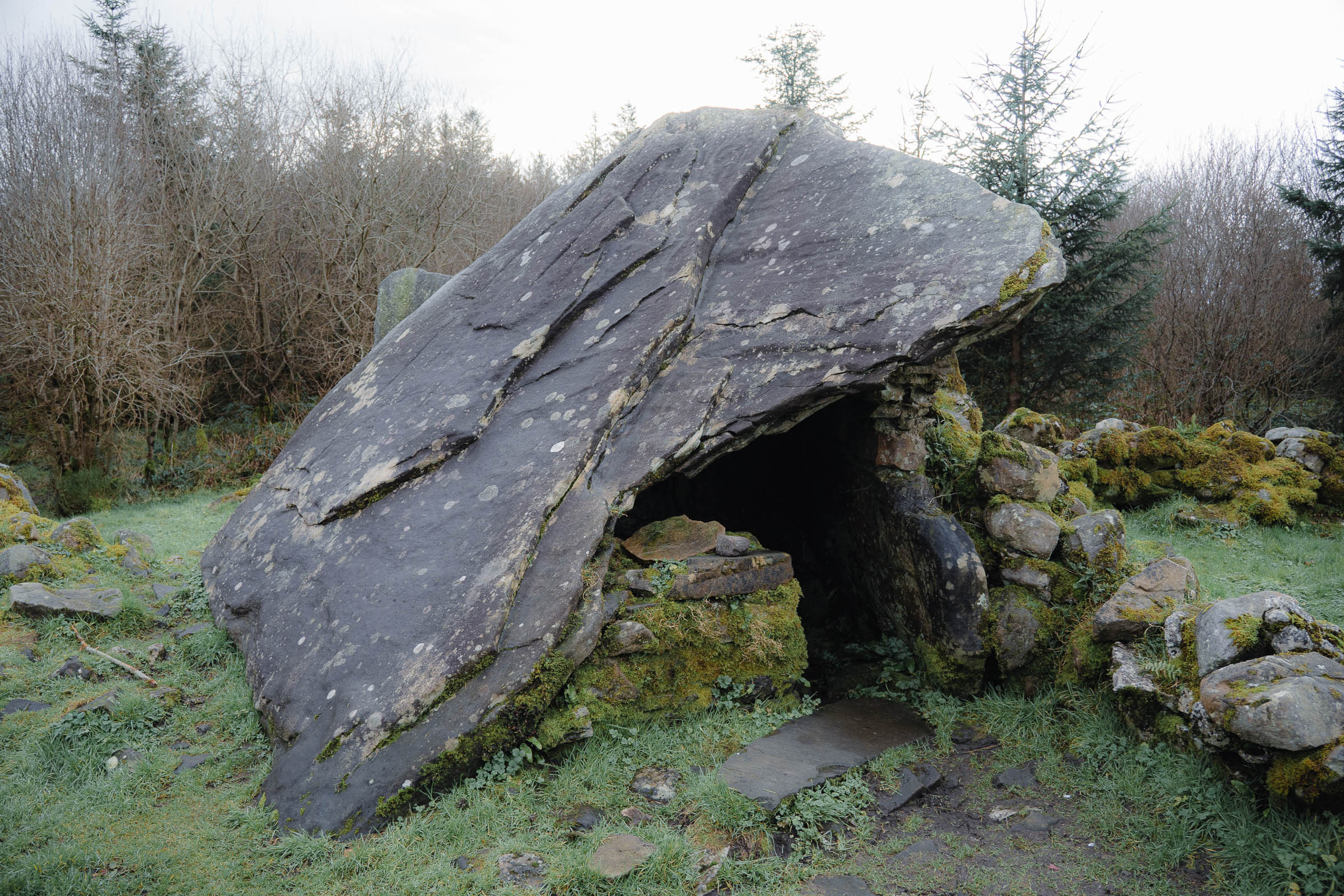
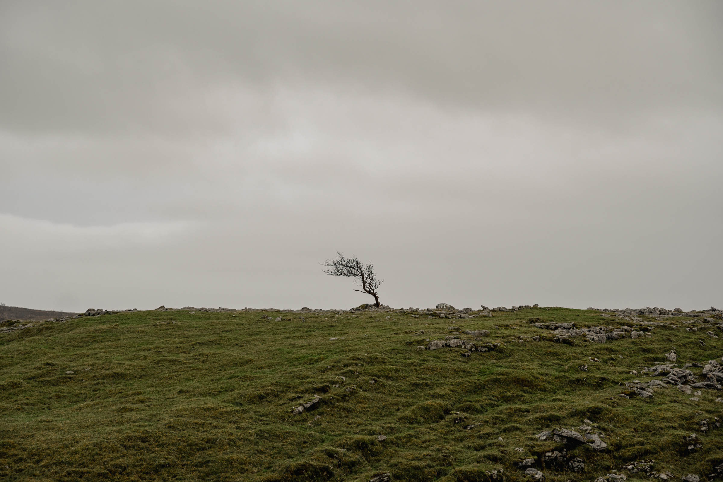
While nowhere near as famous as The Burren in County Clare—in fact, most Irish people don’t know that there’s even a Burren in Cavan—this prehistoric pocket of Ireland is striking in its vastness and pace. You can almost see the glaciers slowly pulling across the landscape of The Cavan Burren Park, tearing at the surface rock and carving drumlins out of the land. Even those of us with rocks in our heads can appreciate the expertise needed to erect the park’s enormous dolmens, stone circles, and giant’s grave all those thousands of years ago.
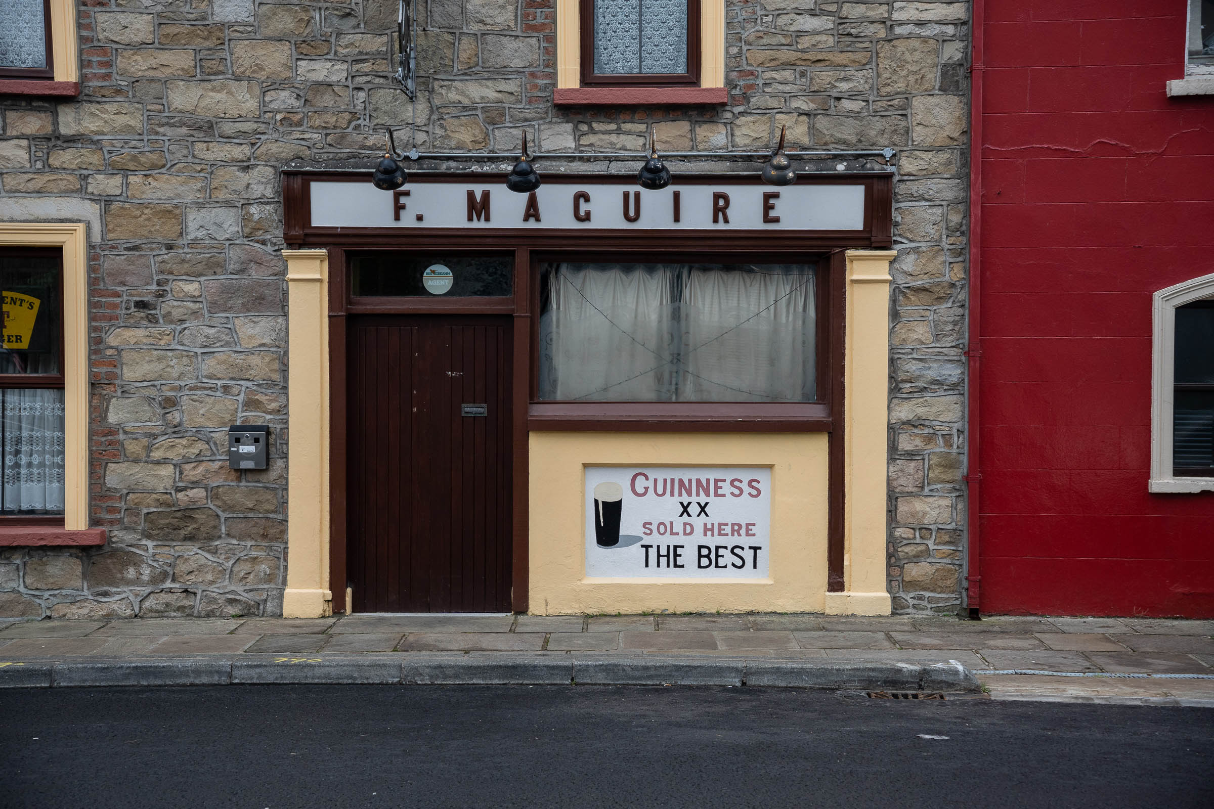
Day two ends as it began, crossing the border over the Belcoo River and back into camp in Northern Ireland. With a remote and rewarding spin through an often overlooked part of the island of Ireland, it’s only fitting to hunker down in a pub, order up some well-earned pints of Guinness, and warm up by the fire.
Route Development: Day one takes in part of the Lakelander Gravel Grinder route, this race has a 50 or 100-kilometre option and runs in October every year. The stretches of the Ulster Way here were developed by Walk NI, first created in the 1970s. In the Republic of Ireland, the day is spent mainly on the Cavan Way, one of 40 National Way Marked Trails in the country.
Find difficulty information under Trail Notes below…


Submit Route Alert
As the leading creator and publisher of bikepacking routes, BIKEPACKING.com endeavors to maintain, improve, and advocate for our growing network of bikepacking routes all over the world. As such, our editorial team, route creators, and Route Stewards serve as mediators for route improvements and opportunities for connectivity, conservation, and community growth around these routes. To facilitate these efforts, we rely on our Bikepacking Collective and the greater bikepacking community to call attention to critical issues and opportunities that are discovered while riding these routes. If you have a vital issue or opportunity regarding this route that pertains to one of the subjects below, please let us know:
Highlights
Must Know
Camping
Food/H2O
Trail Notes
- Steep and long gravel descents in remote locations
- Peaceful spins through stereotypical Irish countryside
- Cycling through millions of years of geological history and thousands of years of human history
- Pollnagollum Cave
- Cavan Burren Park
- Picnic tables in faraway places
- Varied mix of landscapes and views
- Cold beers only a short walk from camp
- Getting well off the tourist trail
- The Irish summer is infamously short and unpredictable. If you’re dead set on sunny, warm weather, aim for early June. Otherwise, just pack a waterproof jacket and head any other time of the year. We rode in January and it was crisp but dry.
- You can park at the campsite. There’s also additional parking in the centre of Belcoo and Blacklion.
- Day one goes through an area that is actively logged. Make sure you make your presence known to any workers, especially those operating machinery.
- Even though you technically leave the UK and enter the EU, you don’t need any extra visa requirements. The Republic of Ireland and the UK are part of the Common Travel Area, and once tourists are eligible to visit one of Northern or Republic of Ireland, they can enter the other.
- Pubic transport is quite poor in Ireland outside of the major cities. The closest transport hub is Enniskillen, a 20-minute drive from Belcoo.
- Camping at Rushin House Caravan Park.
- There are a number of holiday rentals in Belcoo and Blacklion. More available in summer than winter.
- Wild camping is only allowed in Cuilcagh Geopark if you have permission from the landowner. There are many landowners within the park and knowing who owns what is extremely difficult, so this should only be considered an option as a last resort.
- Nearby Enniskillen has a wide choice of supermarkets. Best to stock up here for the trip if passing through.
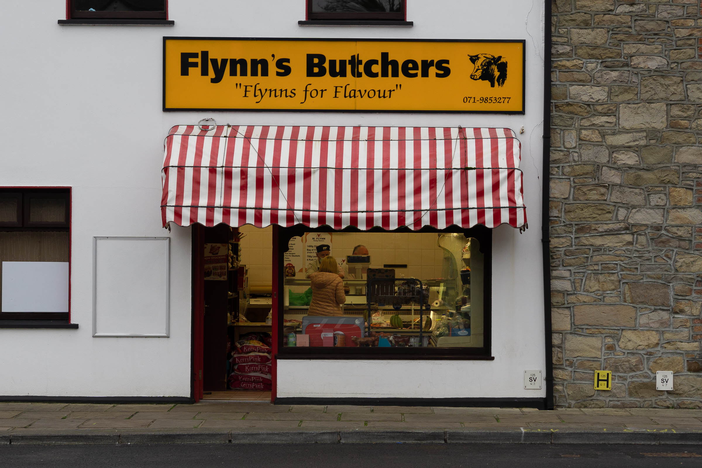
- Belcoo and Blacklion have small shops and coffee shop. There’s a choice of pubs for the evening time too.
- Dowra has a couple of pubs and a decent shop.
- Culicagh Geopark has no designated drinking water fountains. It may be possible to filter the lake water, but best to bring your own and not rely on this.
Difficulty
This is not the most challenging route in terms of technical or physical ability. The climbs are well spread out and the descents, while steep in parts, are manageable once your brakes are in decent condition.
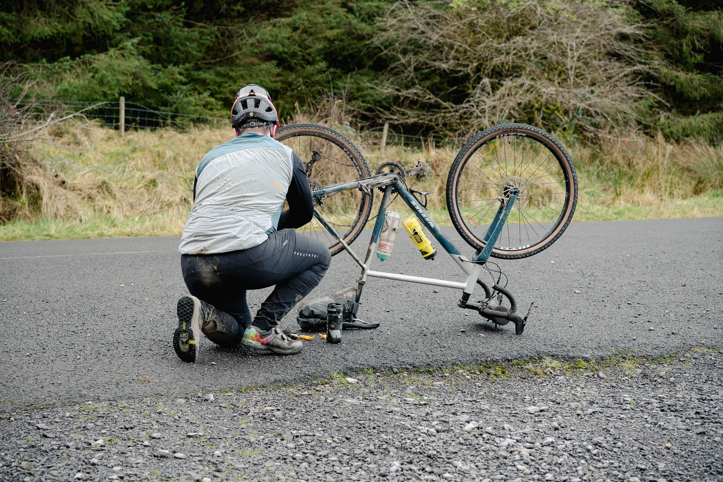
Day one is spent almost entirely on gravel, so if you’re not used to having your bones rattled for a few hours at a time, then that aspect can be a bit draining. Part of the difficulty lies in the navigation of the route. Day one is well signposted with few chances to make wrong turns, but day two runs you along maze-like networks of rural Irish country roads. Passing walkers and hikers are more than happy to help but are not always correct.
On day one, there are no resupply points once you start. There are lots of water sources, but erring on the side of caution, it will need to be filtered. On day two, there is a shop and a few pubs at the halfway mark. The pub may not always be serving food, but the shop has a deli in it.
Daily Notes
Day One
Day one of this route is much more remote and physically demanding than day two. You’ll spend the majority of the day on gravel roads and rough terrain, so good, wide tyres are a smart choice. While the route is off-road, it is all rideable. Pack everything you’ll need as, depending on the time of year, you may not see anybody else for most of the day. You can extend this route further by adding in an extra loop in Culicagh Geopark.
Day Two
Day two has more support along the way, with the only “watch-out” coming when you get into the Cavan Burren Park. If you decide to explore more than what the route follows here, just beware that there are trails that bikes are not allowed on.
If you’d like to ease yourself into it, then riding in the reverse order will see you do the easier day first. Phone reception is patchy throughout, so download any maps that you need.


Terms of Use: As with each bikepacking route guide published on BIKEPACKING.com, should you choose to cycle this route, do so at your own risk. Prior to setting out check current local weather, conditions, and land/road closures. While riding, obey all public and private land use restrictions and rules, carry proper safety and navigational equipment, and of course, follow the #leavenotrace guidelines. The information found herein is simply a planning resource to be used as a point of inspiration in conjunction with your own due-diligence. In spite of the fact that this route, associated GPS track (GPX and maps), and all route guidelines were prepared under diligent research by the specified contributor and/or contributors, the accuracy of such and judgement of the author is not guaranteed. BIKEPACKING.com LLC, its partners, associates, and contributors are in no way liable for personal injury, damage to personal property, or any other such situation that might happen to individual riders cycling or following this route.
Please keep the conversation civil, constructive, and inclusive, or your comment will be removed.