


Lincoln Gravel Imp
Distance
137 Mi.
(220 KM)Days
2
% Unpaved
61%
% Singletrack
12%
% Rideable (time)
100%
Total Ascent
4,643'
(1,415 M)High Point
376'
(115 M)Difficulty (1-10)
3?
- 2Climbing Scale Easy34 FT/MI (6 M/KM)
- 2Technical Difficulty Easy
- 5Physical Demand Moderate
- 2Resupply & Logistics Easy
Contributed By

Rob Thwaites
Guest Contributor
Raised in the North Pennines and a boat builder by trade, in recent years Rob has decided to put his knees to better use, including hiking from Mexico to Canada twice and multi-month bikepacking trips at home and abroad. In his free time, he agonises over what to pack and why his bike always looks overloaded. See more of Rob’s photos on Instagram @rob.thwaites_bearbait
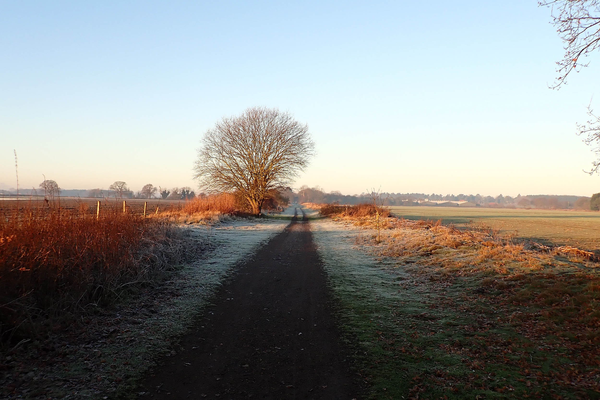
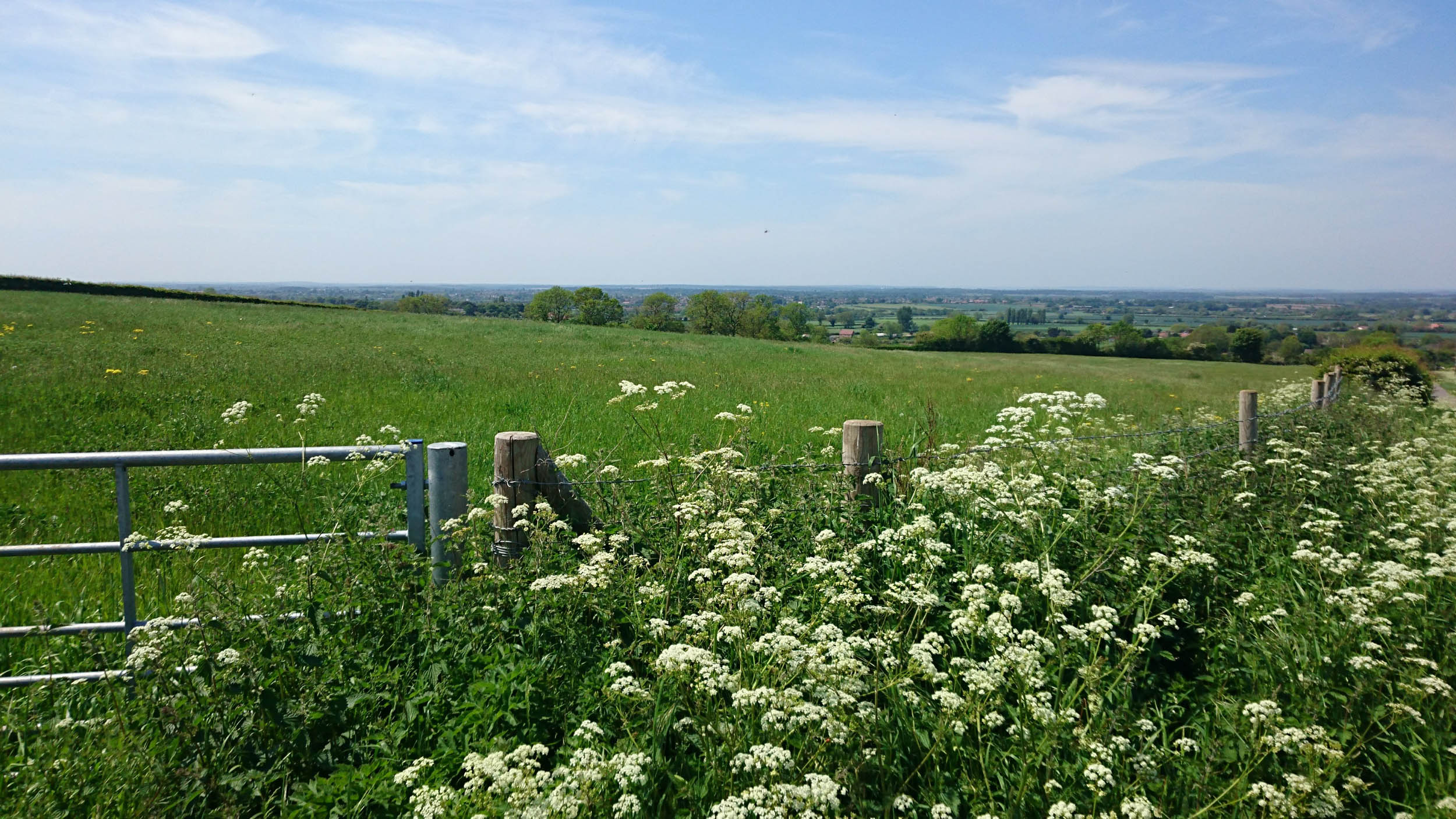
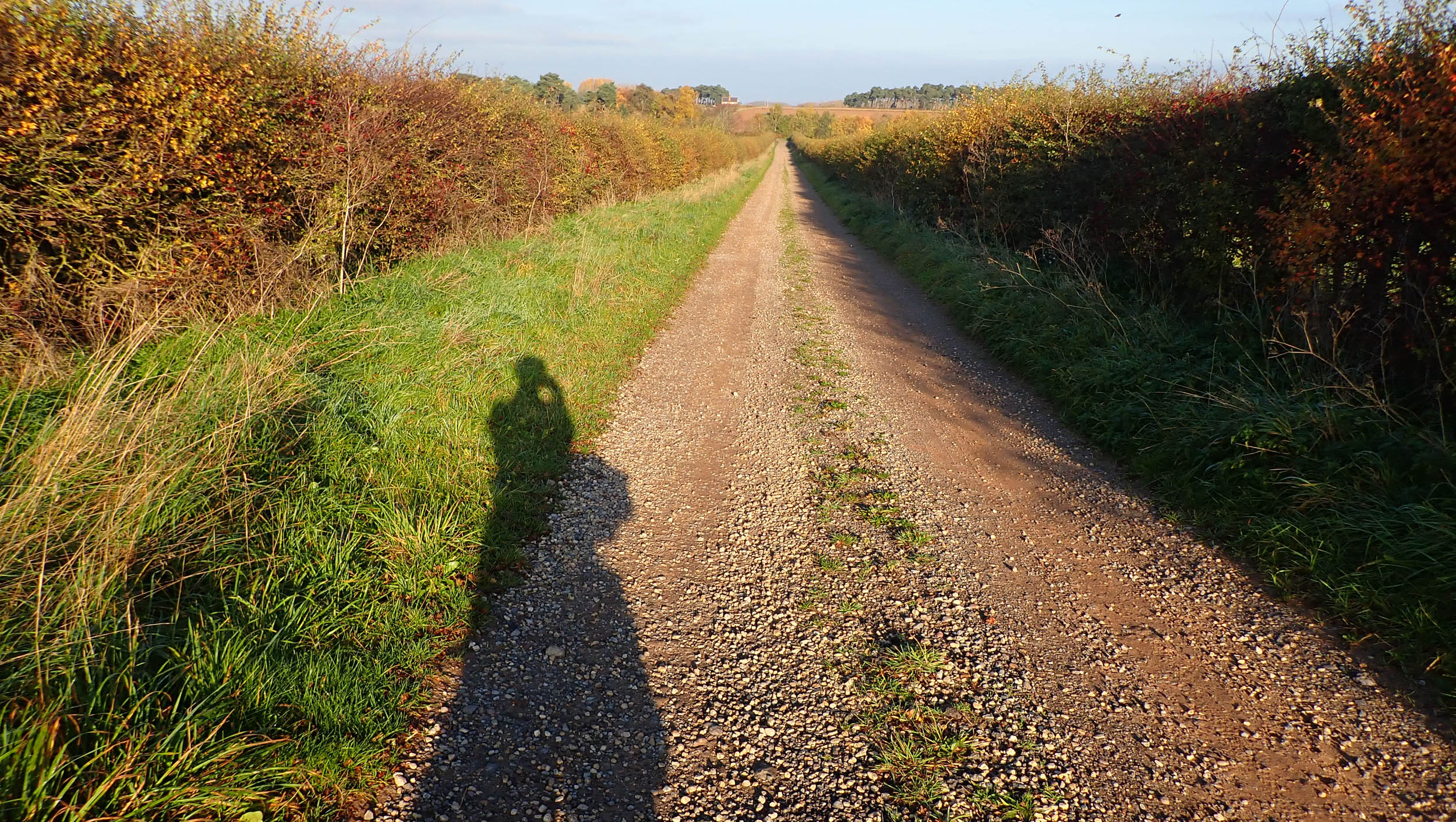
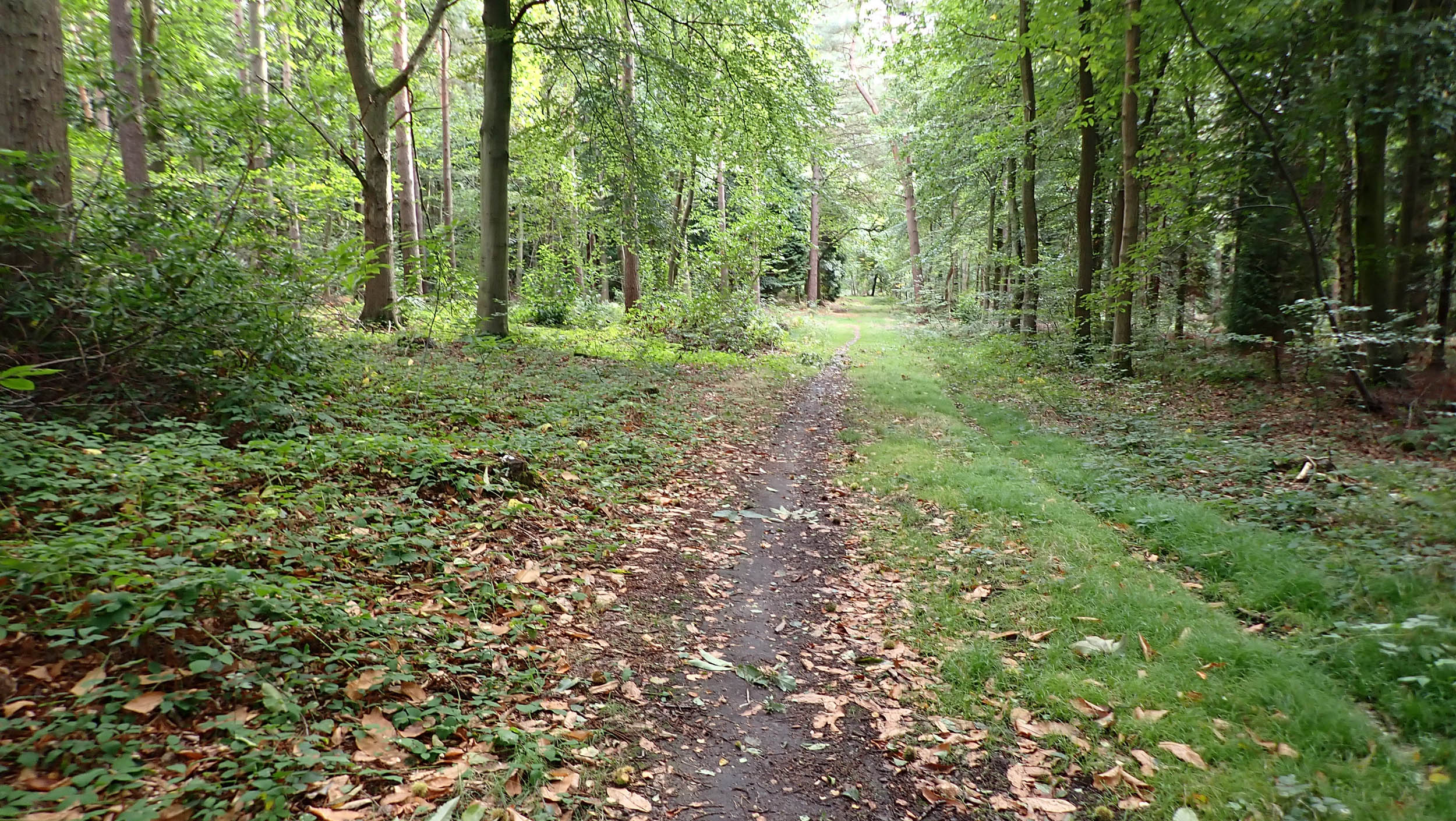
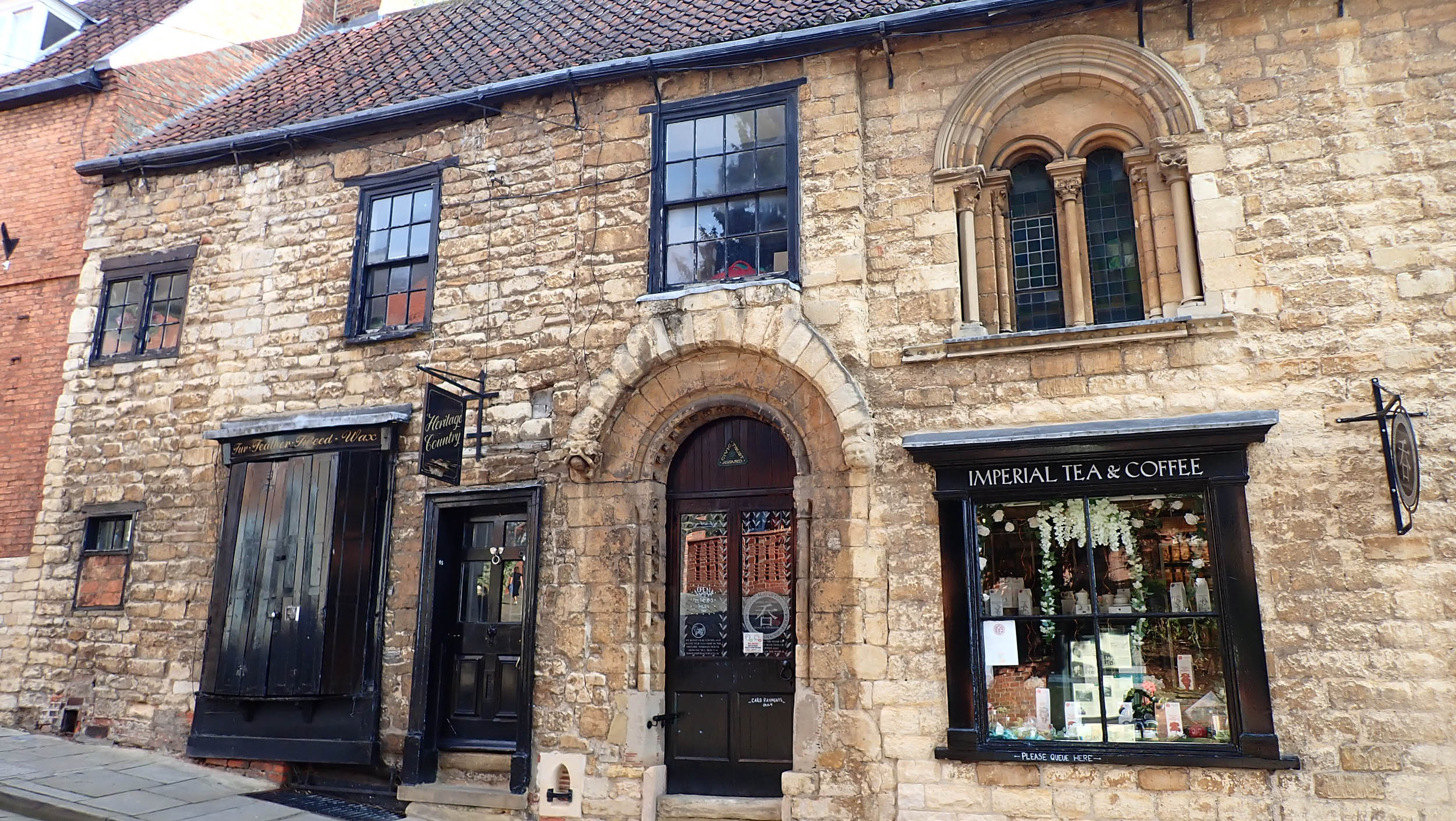
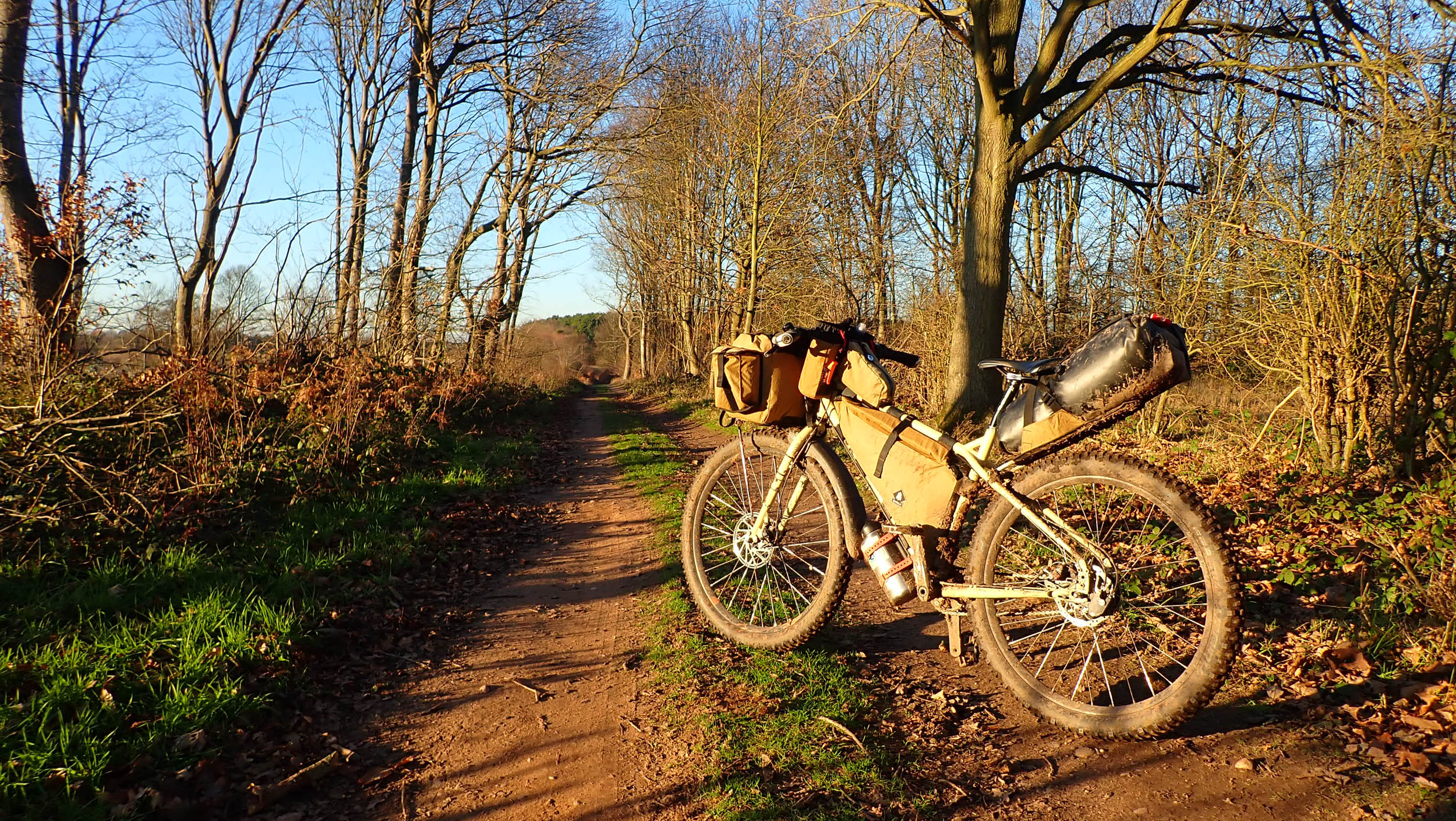
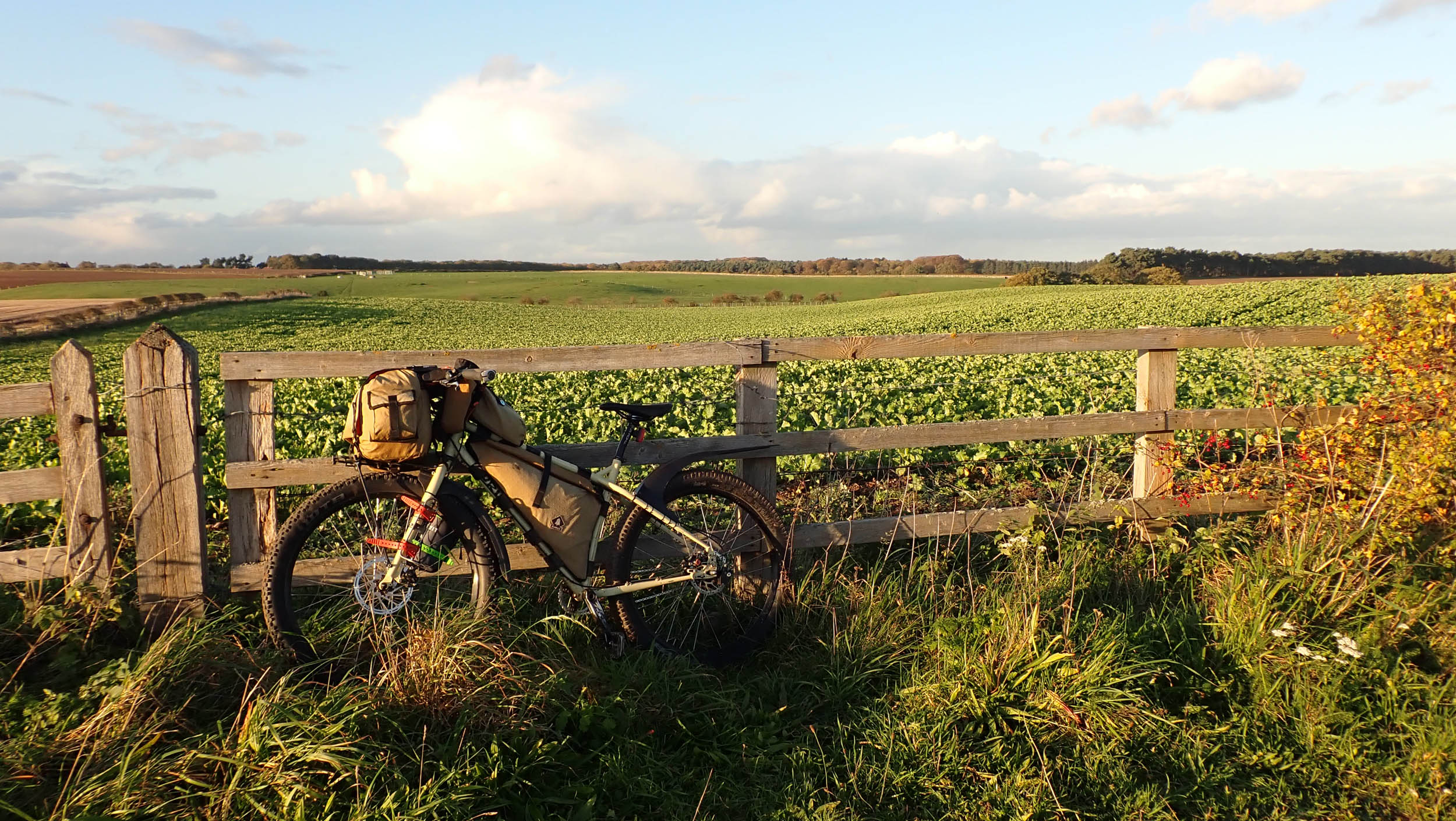
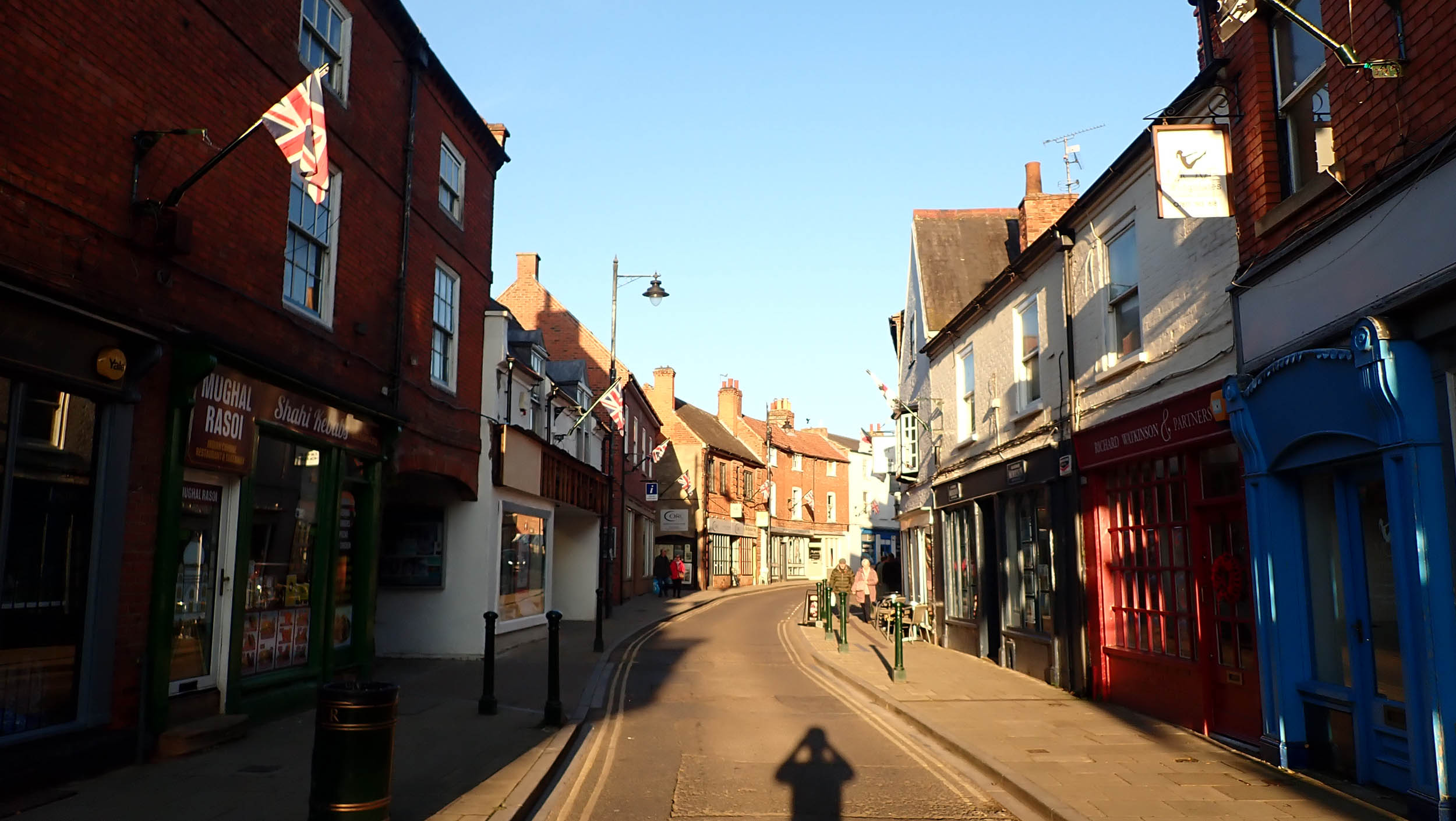
The Lincoln Gravel Imp bikepacking route begins and ends in the market town of Retford, circling through a surprisingly diverse range of landscapes on its way to, and returning from the historic City of Lincoln. Mile after mile of mellow, traffic-free riding leads through ancient royal hunting forest and sandy heathland, landscaped country parks, and wide-open farmland.
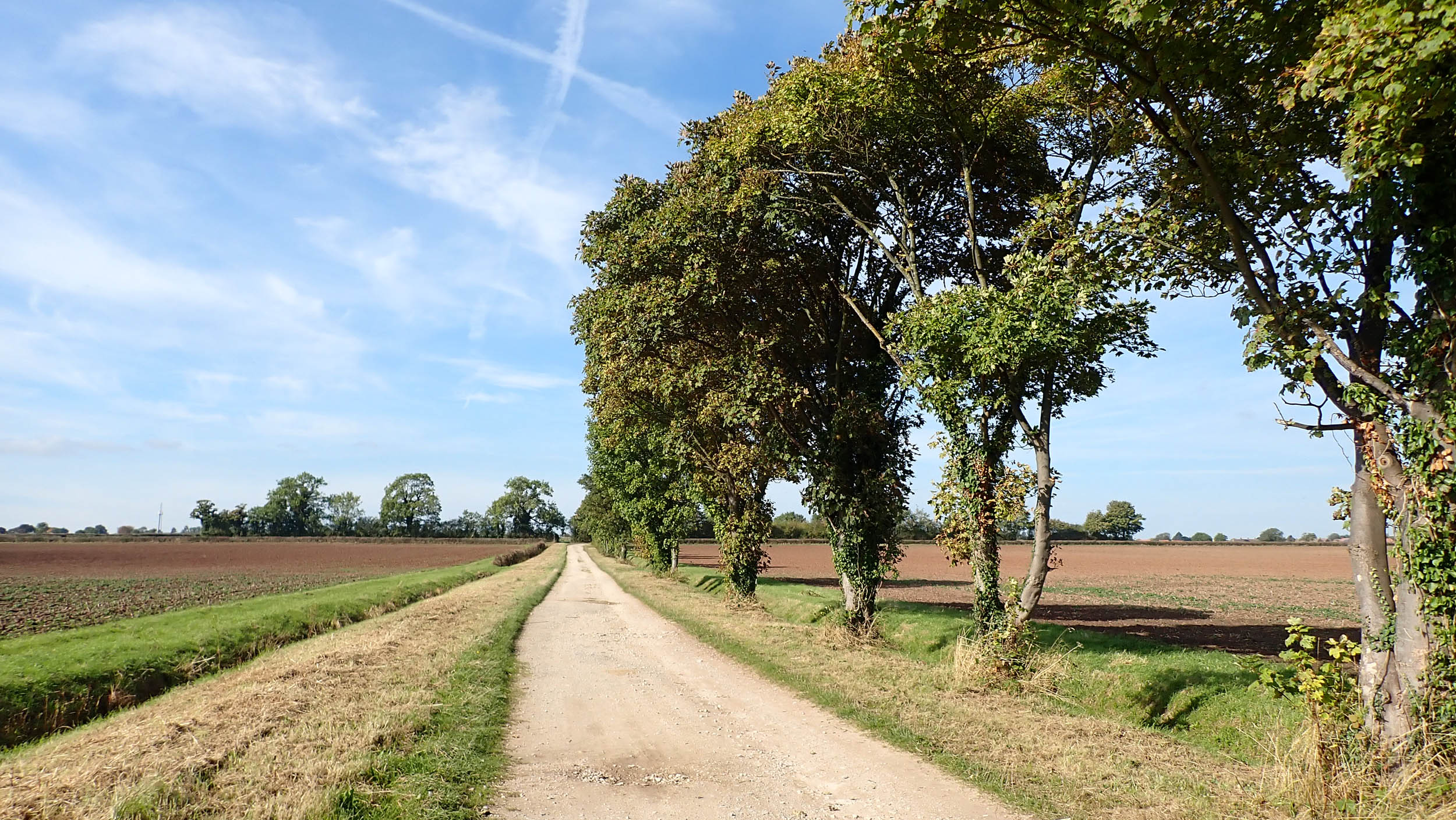
Ideally suited to gravel bikes, the route passes over a regularly changing mix of forest road and woodland singletrack, estate access roads, and farm tracks. It also meanders along the lazy contours of the Georgian Chesterfield Canal. All these, as well as longer sections of former railway line that once carried coal from the Nottinghamshire coalfields to the power stations that lined the muddy waters of the River Trent, are linked together by quiet country roads.

Route Difficulty
Physical Demand (5): With no significant climbs and a generally good riding surface, the only real physical demand on this route comes from the relatively high daily mileage of about 70 miles.
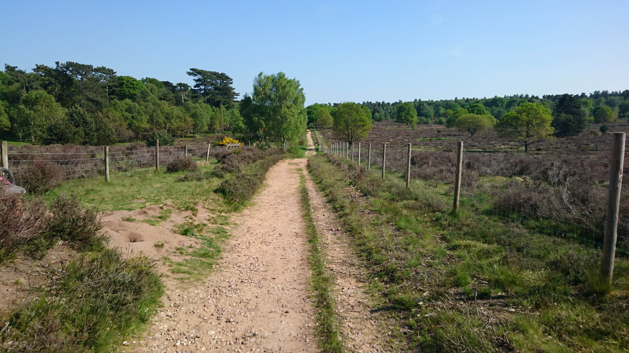
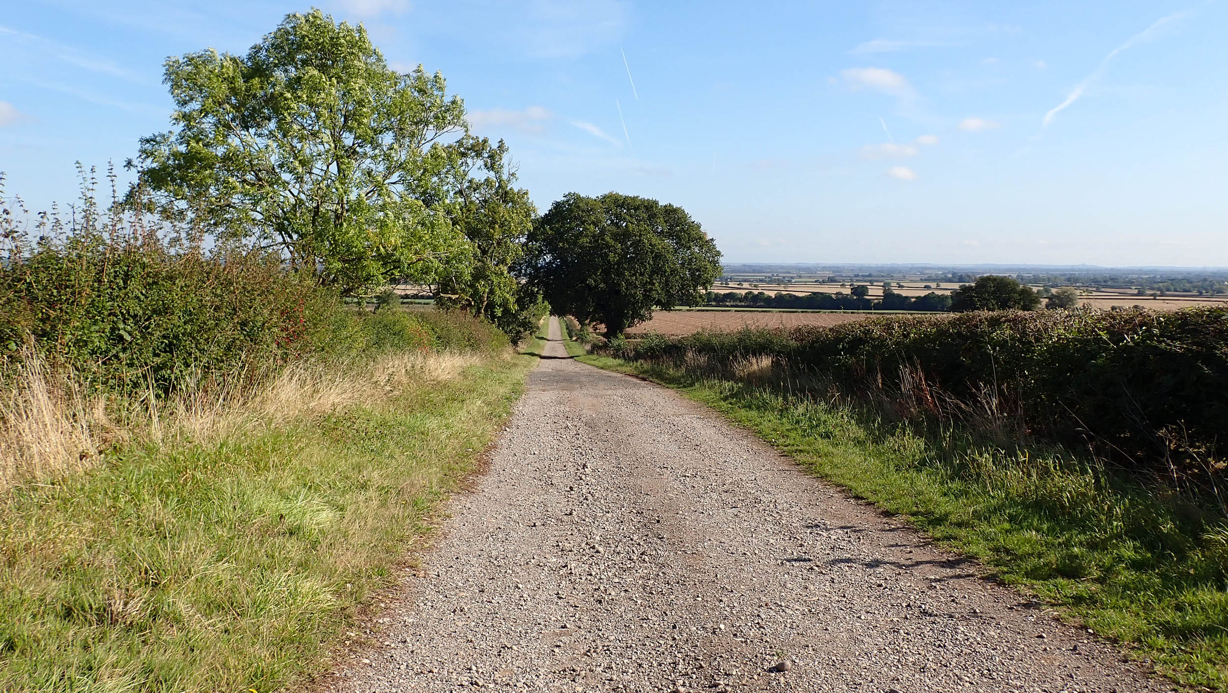
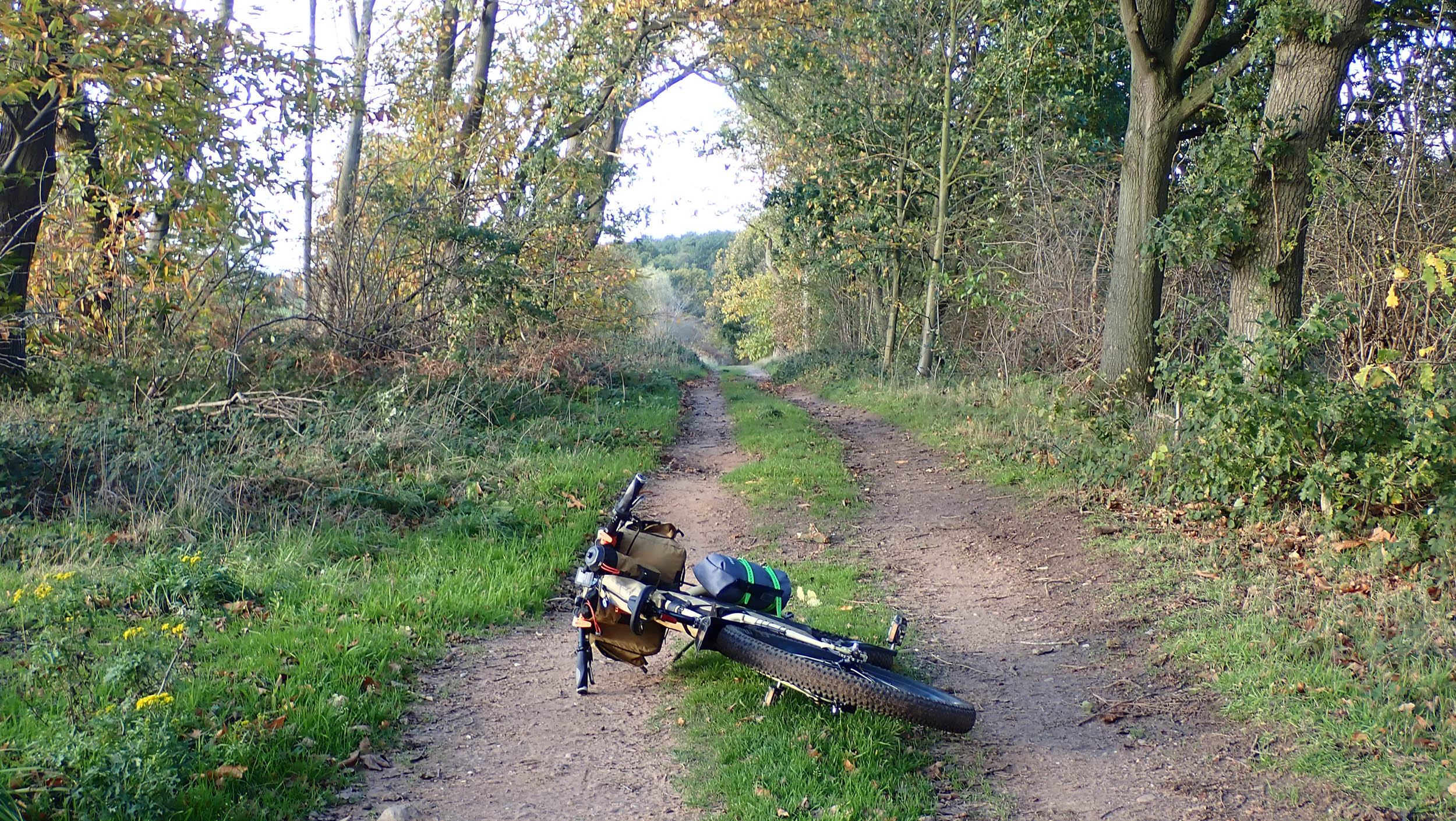
Technical Difficulty (2): All of the route is on quiet roads, bridleways, forest tracks, cycle paths, towpaths and rail trail, much of which have all-weather surfaces. There are some short sections of rough field boundary, loose gravel, and even soft sand that may prove more of a challenge for those riding on narrower tyres.
Resupply and Logistics (2): Resupply is straightforward with frequent options for groceries and numerous pubs and cafes. However, there are no natural water sources I would trust due to agricultural run-off.


Submit Route Alert
As the leading creator and publisher of bikepacking routes, BIKEPACKING.com endeavors to maintain, improve, and advocate for our growing network of bikepacking routes all over the world. As such, our editorial team, route creators, and Route Stewards serve as mediators for route improvements and opportunities for connectivity, conservation, and community growth around these routes. To facilitate these efforts, we rely on our Bikepacking Collective and the greater bikepacking community to call attention to critical issues and opportunities that are discovered while riding these routes. If you have a vital issue or opportunity regarding this route that pertains to one of the subjects below, please let us know:
Highlights
Must Know
Camping
Food/H2O
Trail Notes
Resources
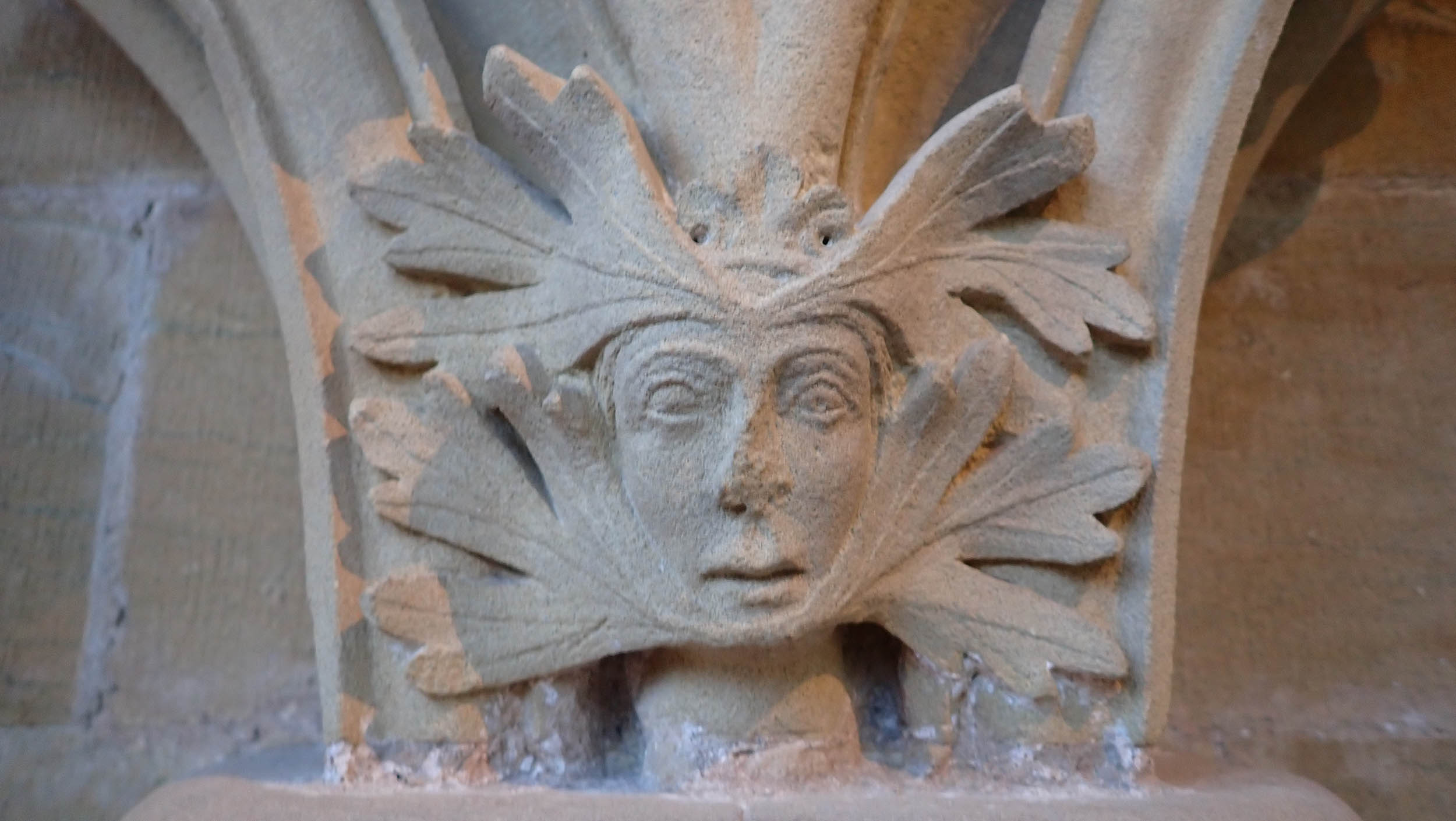
- St. Peter’s church, Clayworth. St. Peters is home to the largest single work of art in the East of England. The Traquair Murals, created by Scottish artist Phoebe Anna Traquair (1852-1936), cover all four walls of the chancel and are visually spectacular.
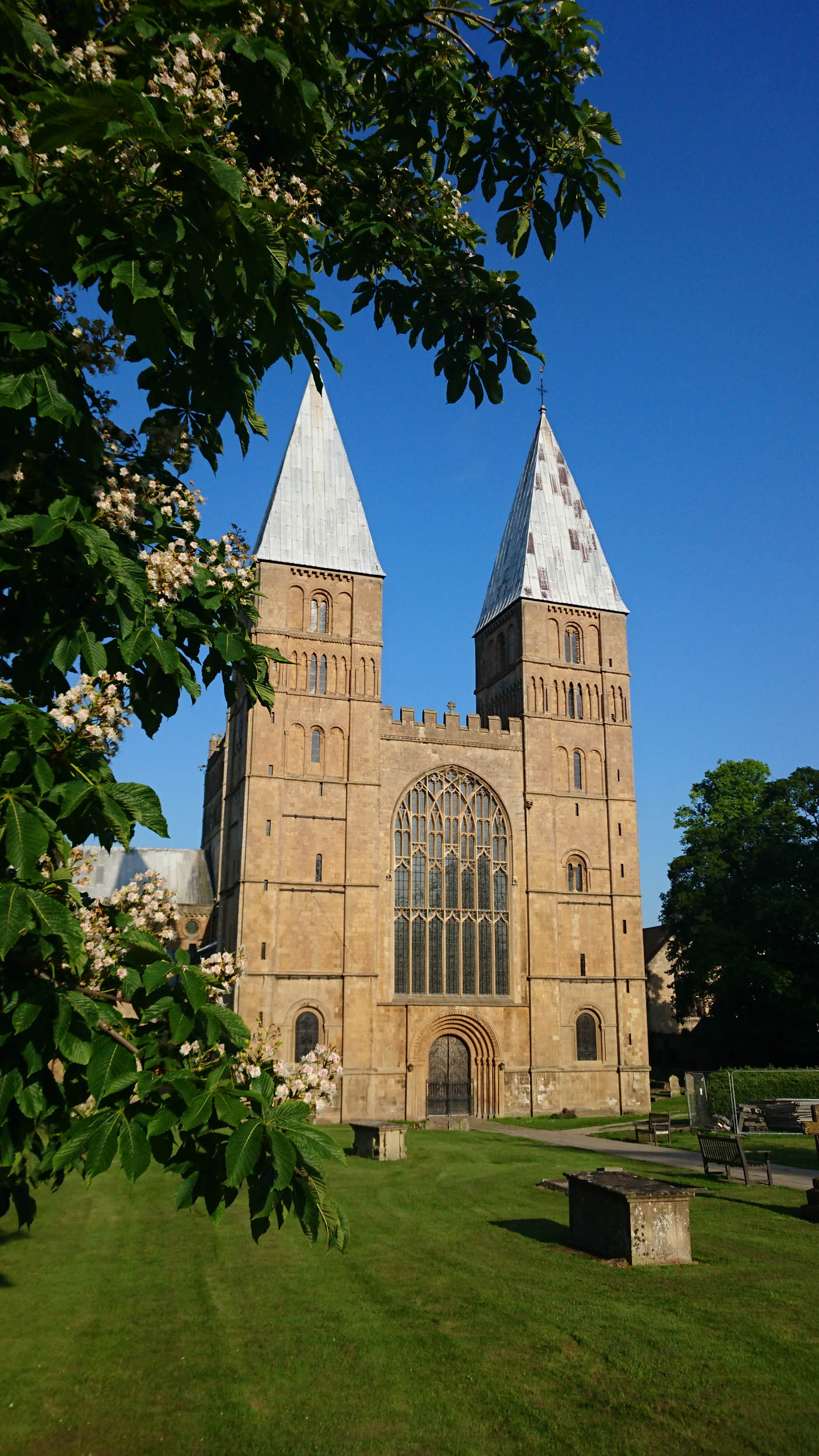
- Southwell Minster.
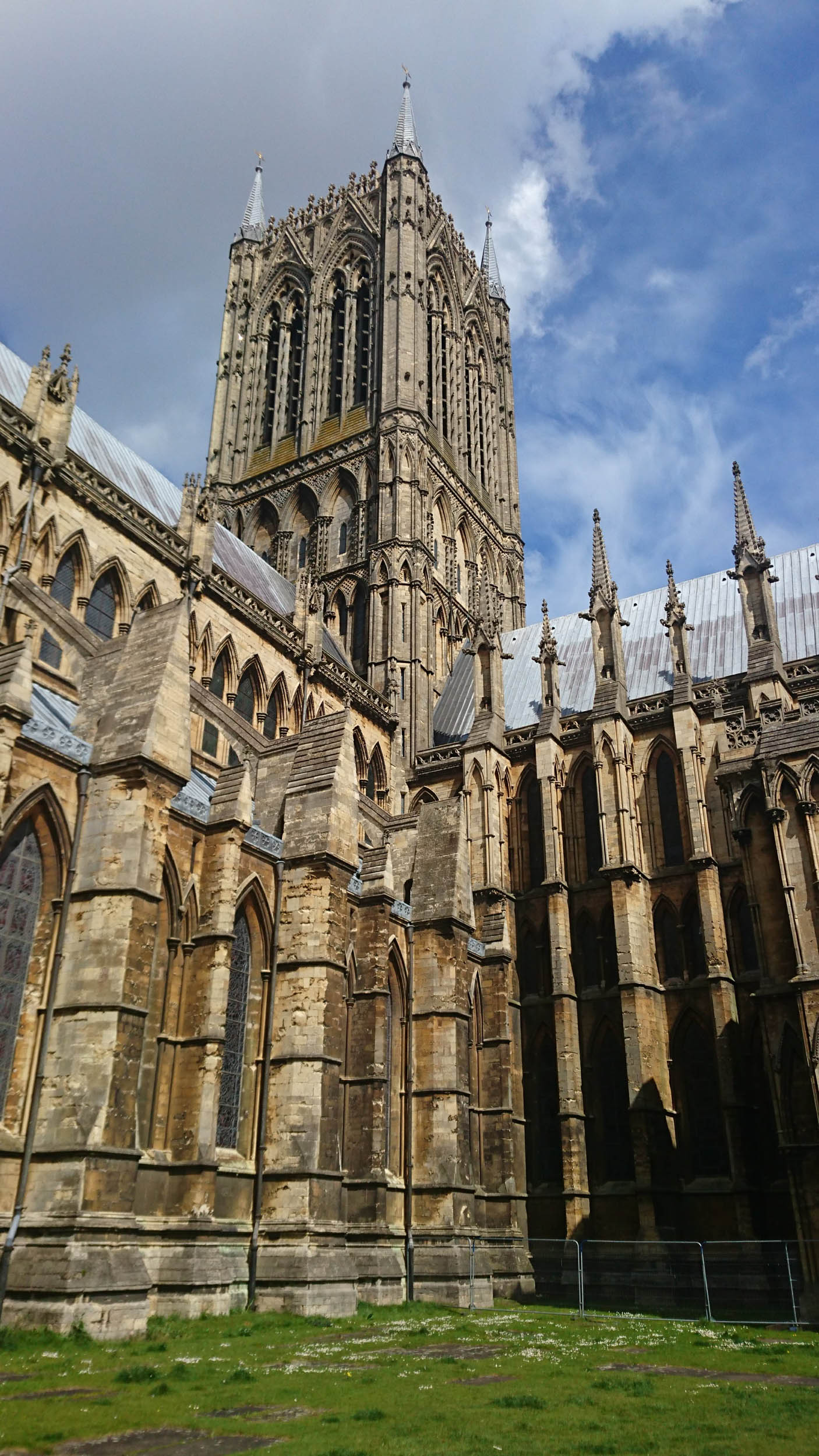
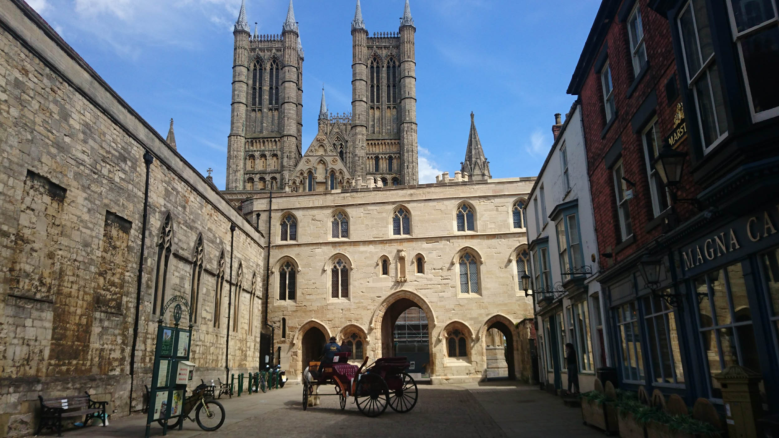
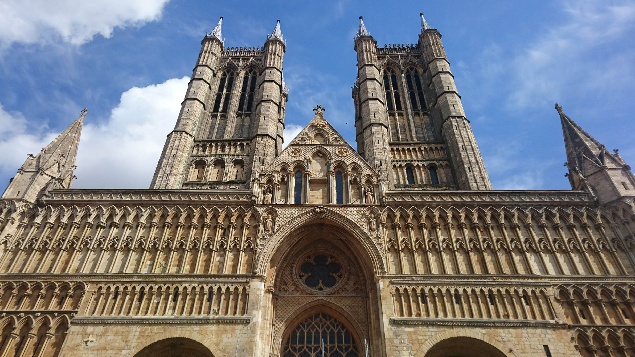
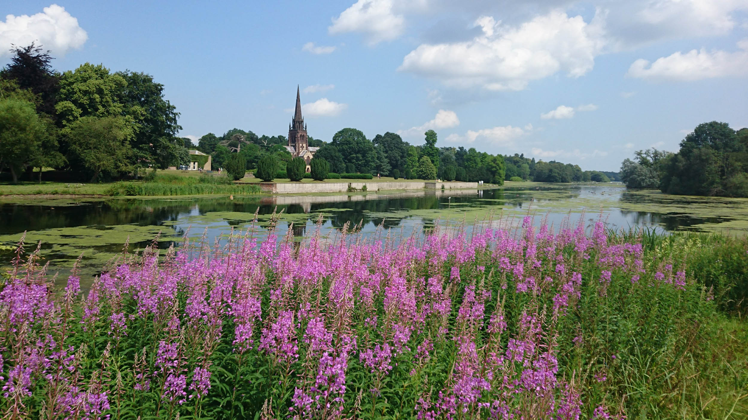
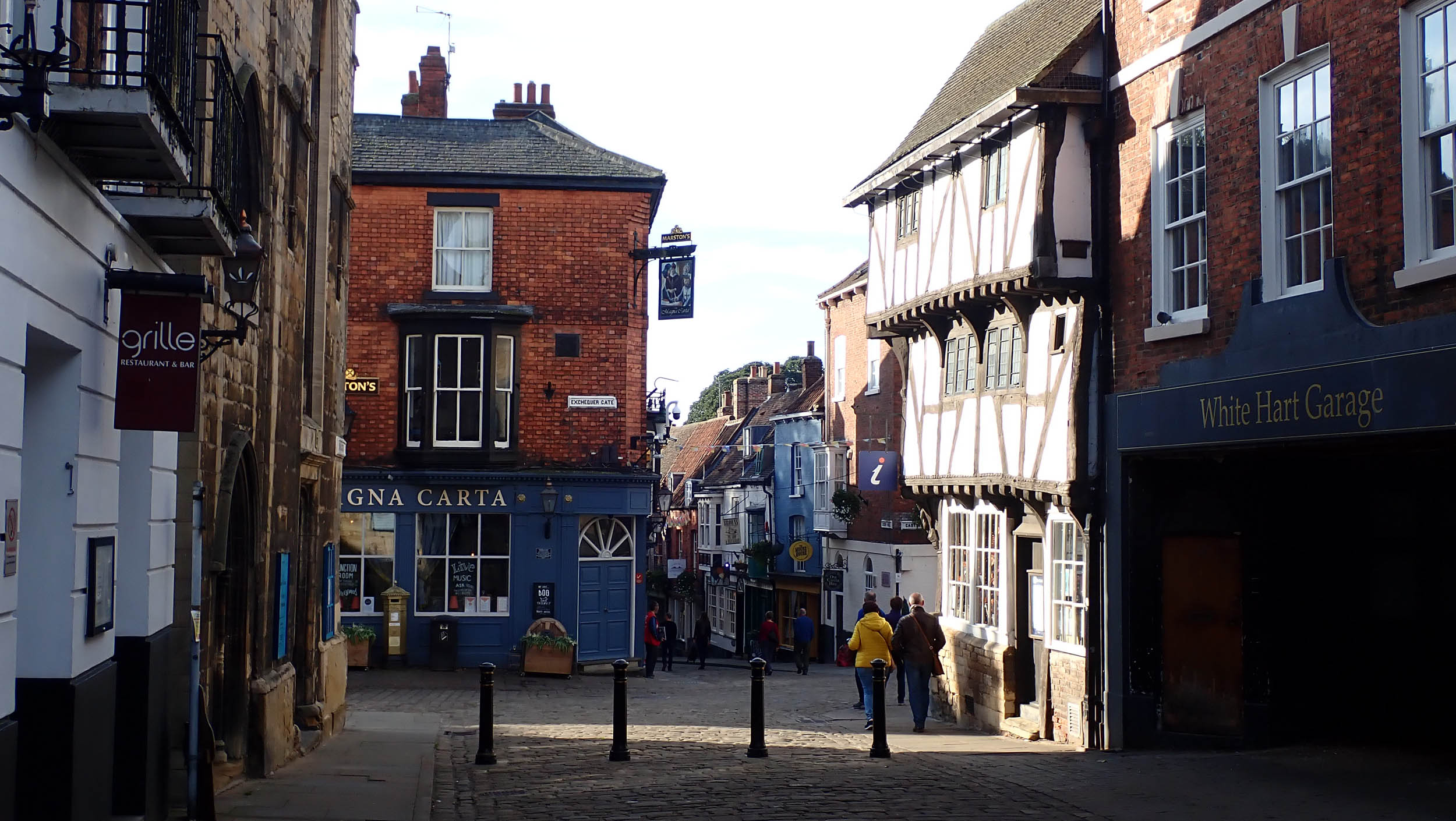
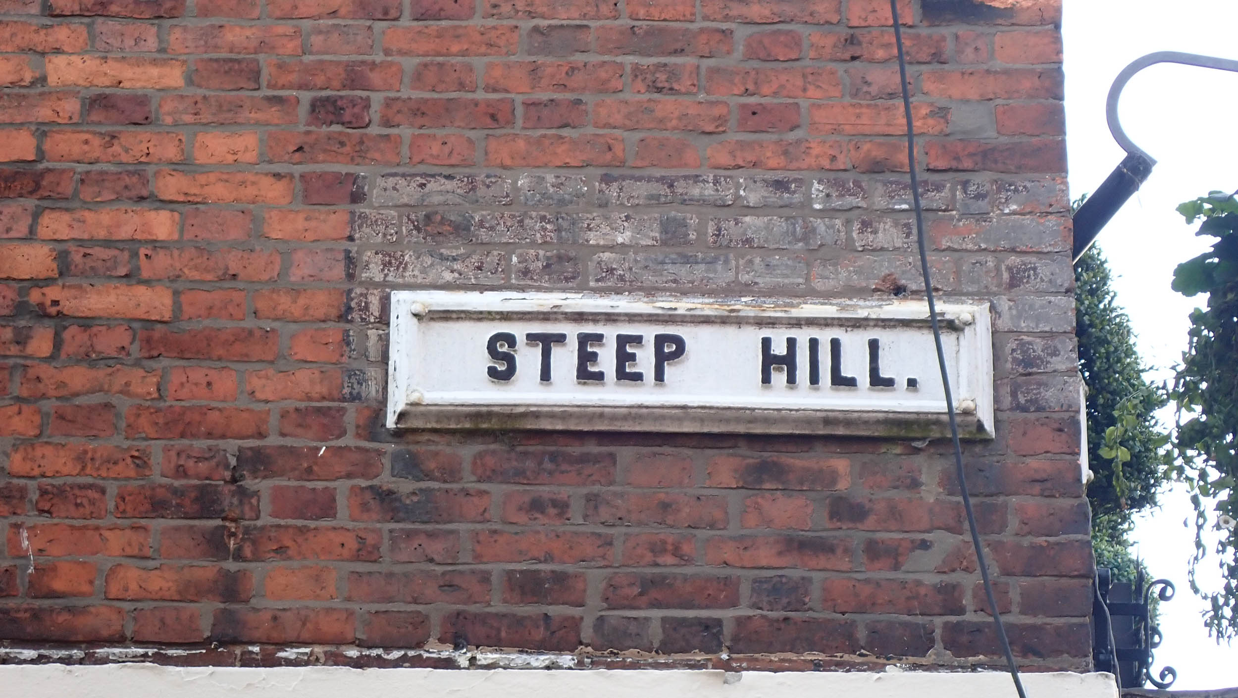
- Lincoln Cathedral, for over 200 years the tallest building in the world.
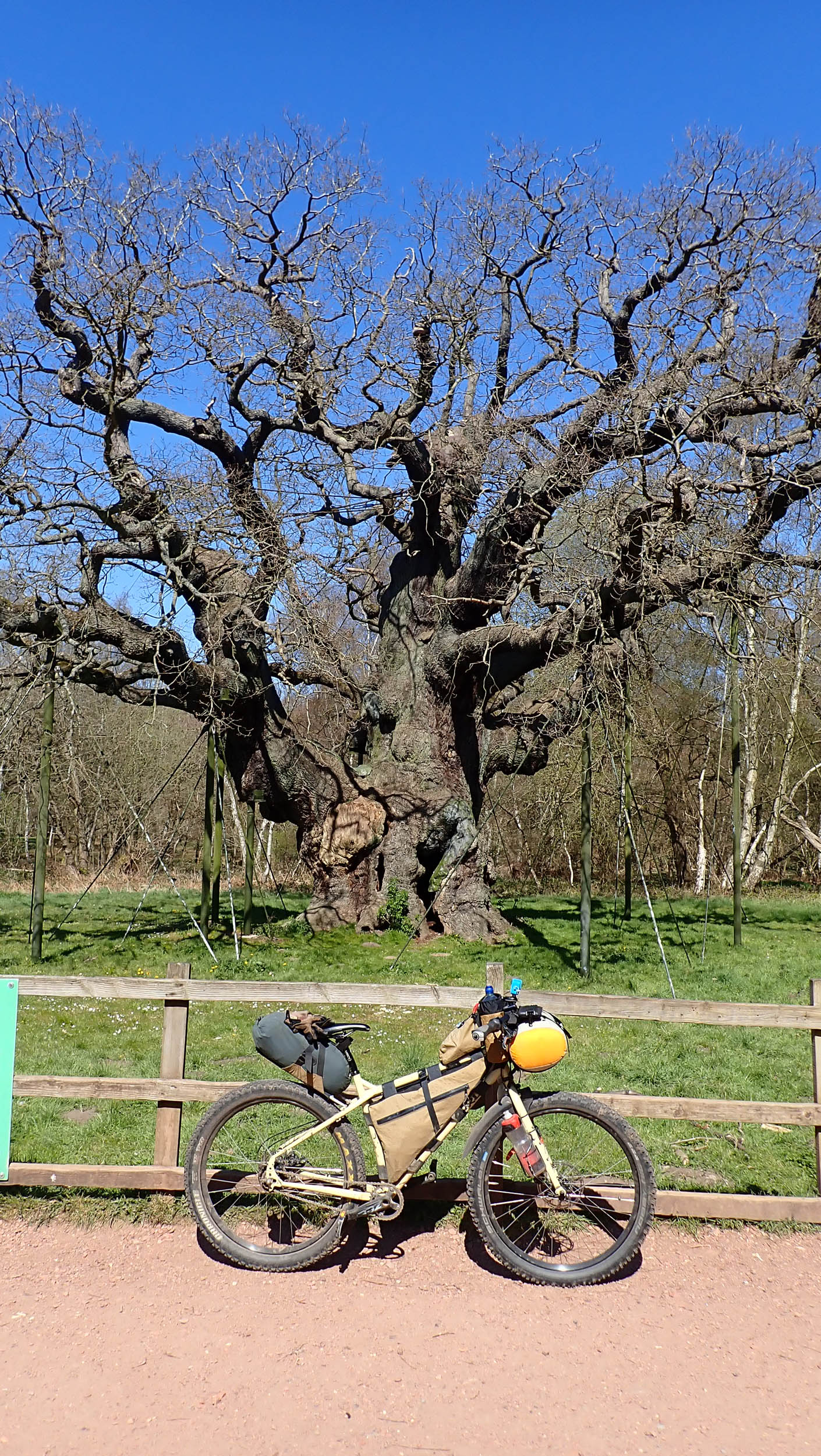
- Ancient mighty oak trees in Sherwood Forest
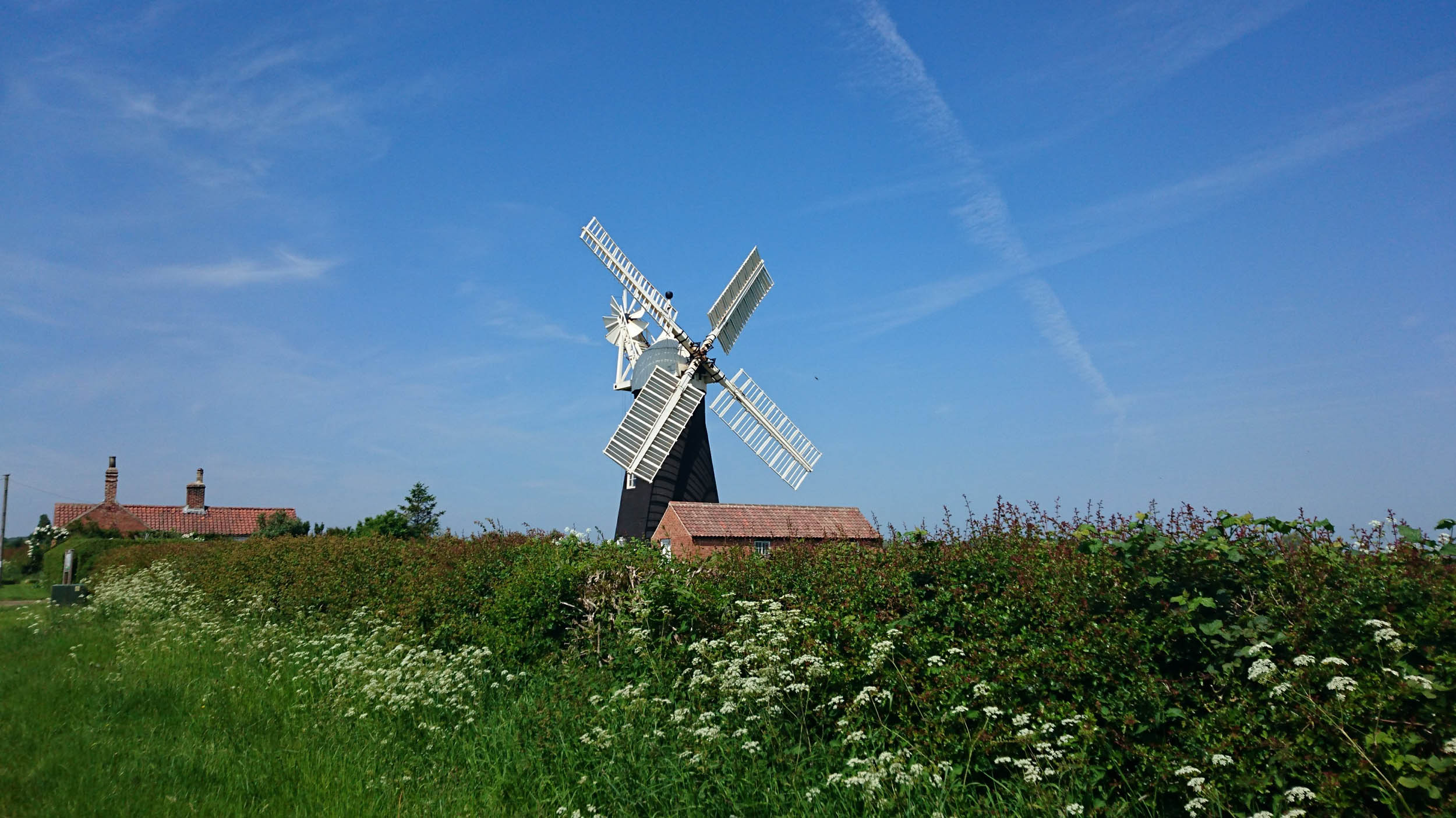
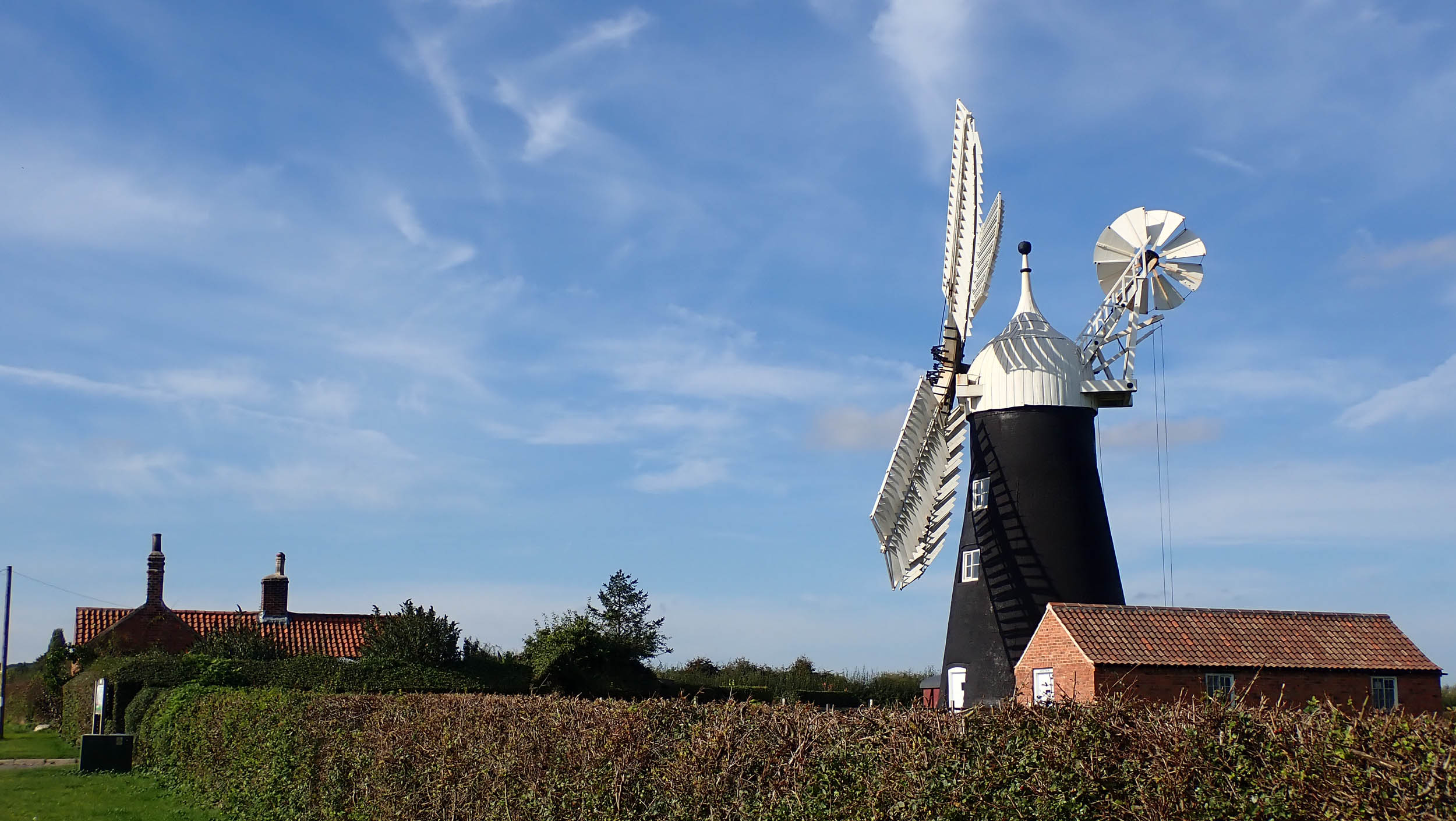
- North Leverton Windmill, a 200-year-old mill still grinding flour. Open to the public Saturdays 11 a.m. – 3 p.m. Details here.
- In WW2, Lincoln was known as Bomber County due to the large number of military airbases, and the prominent cathedral was used as a navigation aid for returning crews. The RAF still has a strong presence locally with both the Red Arrows display team and the Battle of Britain Memorial Flight stationed nearby, so keep half an eye on those wide-open skies.
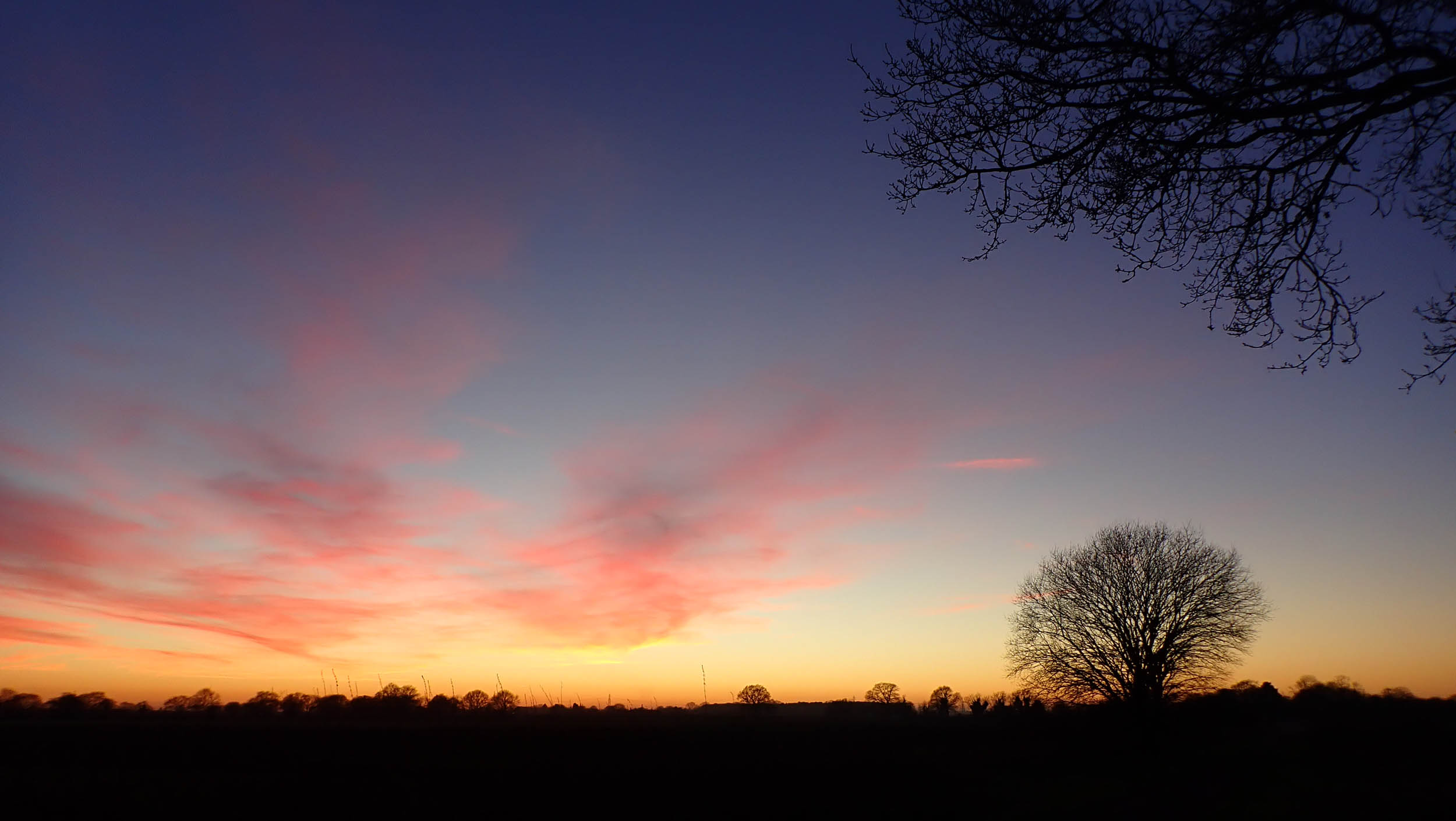
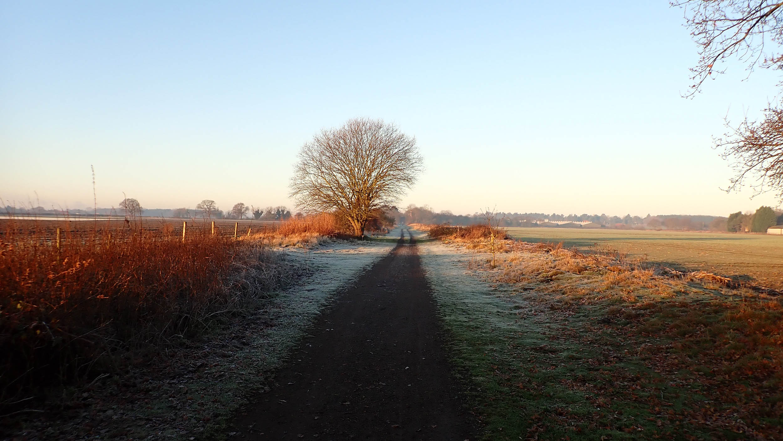
- When to go: The route can be ridden year-round with most of the route on all-weather surfaces and only a few short sections prone to becoming muddy.
- Logistics: The route can be accessed in four places by railway, either directly from Retford, Lincoln, and Saxilby or Southwell from Fiskerton (2 miles). Retford is a regular stop on the East Coast main line, only 90 minutes from central London and also has an hourly direct train link with Lincoln (30 minutes) should it be needed. There’s car parking in Retford, see details here.
- Dangers and annoyances: The route crosses several main roads including the A1 twice and has four unmanned pedestrian railway crossings, one with 125 mph trains.
- The ford in Clumber Park (mile 11.6) can be avoided by backtracking a short distance along the south side of the lake from the coffee truck.
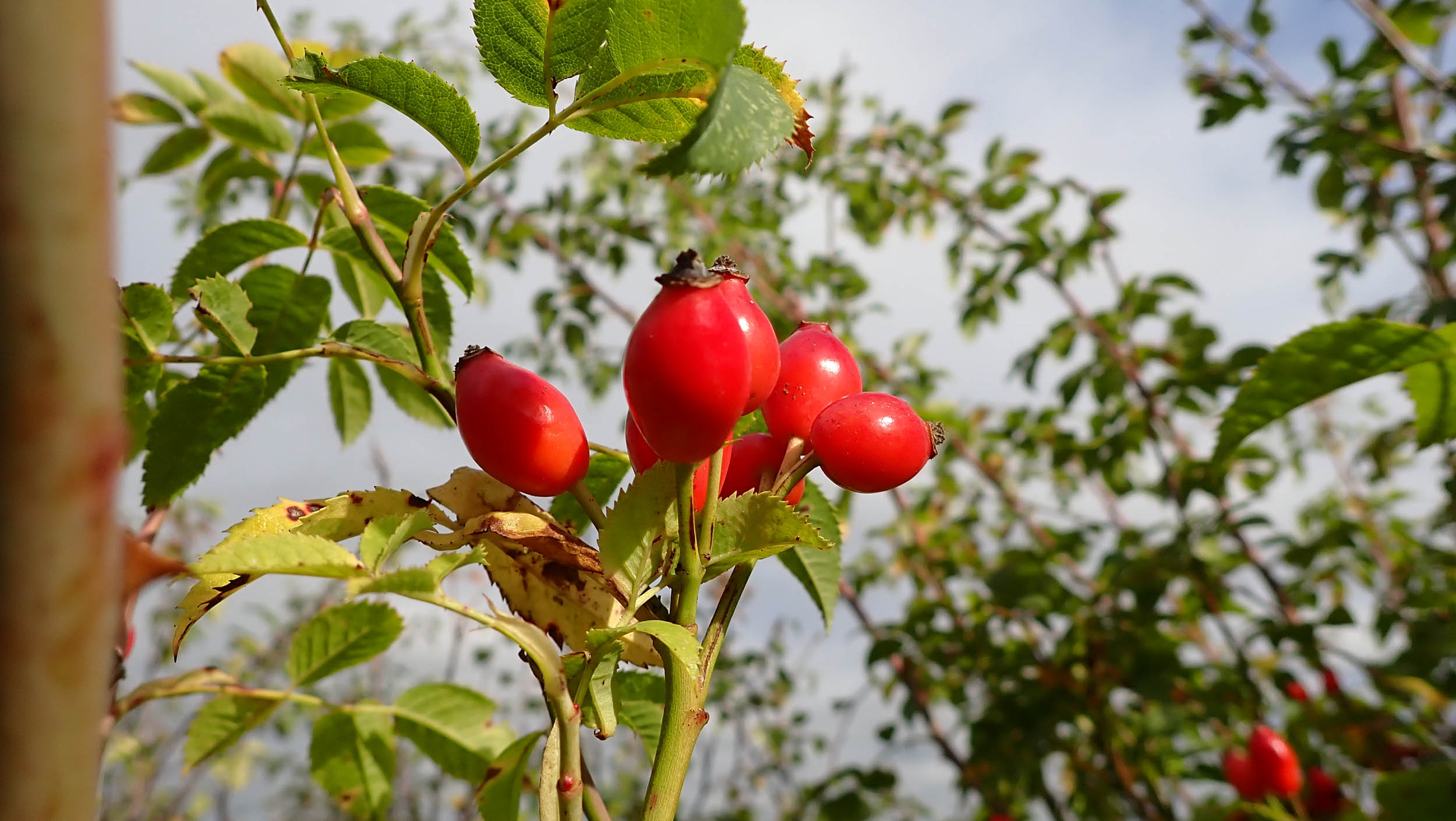
- Tubeless or highly puncture-resistant tyres are recommended as many of the farm tracks and the canal towpaths are bordered by Hawthorn hedges, the trimming of which litters the trail with thousands of sharp thorns.
- All trails are open to hikers, horse riders, and cyclists. Cyclists are required to give way to other users. Be nice, and say hi.
- The route can be ridden in either direction, though my personal preference is anti-clockwise.
- Riding over two days with an overnight in Lincoln splits the distance and elevation gain almost equally.
- Wild camping is not legal in England without the land owner’s permission. If you can’t reach your destination, camp late, leave early, and #leavenotrace.
- The City Of Lincoln runs a campsite at Hartsholme Country Park (1st March – 31st October) approximately 2 miles from the city centre. One-person hiker/biker tent area is £13. Call in advance 01522 873578 or look online.
- Lincoln has wide range of accommodations. Details here.
- For those wanting to spend more than two days on the route, other campsites are marked on the route map.
- There is a YHA Hostel just off route in Edwinstowe More info here.
- Resupply is straightforward with a wide range of shops in Retford, Southwell, and Lincoln, and village stores in Bilsthorpe, Doddington, Saxilby, Rampton, North Leverton, South Wheatley, Clarborough, and Mattersey
- There are no natural water sources that I would trust due to agricultural run-off.
- There are numerous pubs and cafes along the route, so two bottles should be ample.
- The farm shop at Doddington Hall has a good range of local produce.
Route Description
With its low overall elevation gain, mostly traffic-free riding, straightforward navigation, and easy logistics, this would be an ideal introduction to bikepacking for those with a reasonable fitness level. Though ideally suited to gravel bikes, in dry conditions, a hybrid or city bike, whilst slower, would cope adequately on much of the route if fitted with suitable tyres. Only a few sections of field boundary and the rougher farm tracks are likely to prove more of a challenge.
The route begins in the market town of Retford and heads westwards on the main Worksop road. After 1.5 miles, across from where our route turns left onto a quiet side road, a lane leads up to Babworth Church, whose Separatist congregation left for the New World on the Mayflower. One and a half miles further is the first off-road portion of the route, crossing several arable fields before diving through a high hedge, crossing a road and entering a deeply rutted, tree-lined lane. At the far end, a cycle path threads its way through the motorway junction over the A1 and onto a short stretch of derelict tarmac leading off through the woods to Friar Tuck’s Cafe.
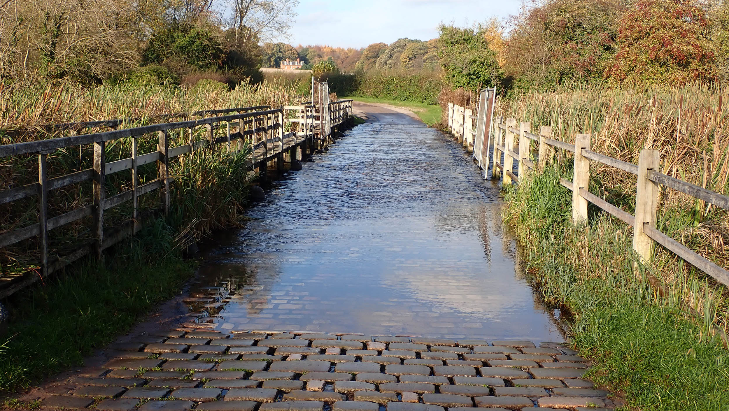
Just after passing through the Triumphal Arch of the Apleyhead gateway to Clumber Park, the route turns away from the lime tree avenue to plunge under the canopy of mature broadleaf woodland on singletrack towards Hardwick village and a circuit of the lake. After splashing through the cobbled ford, the route climbs gently on singletrack to the smooth gravel of National Cycle Route 6 in the direction of Sherwood Forest.
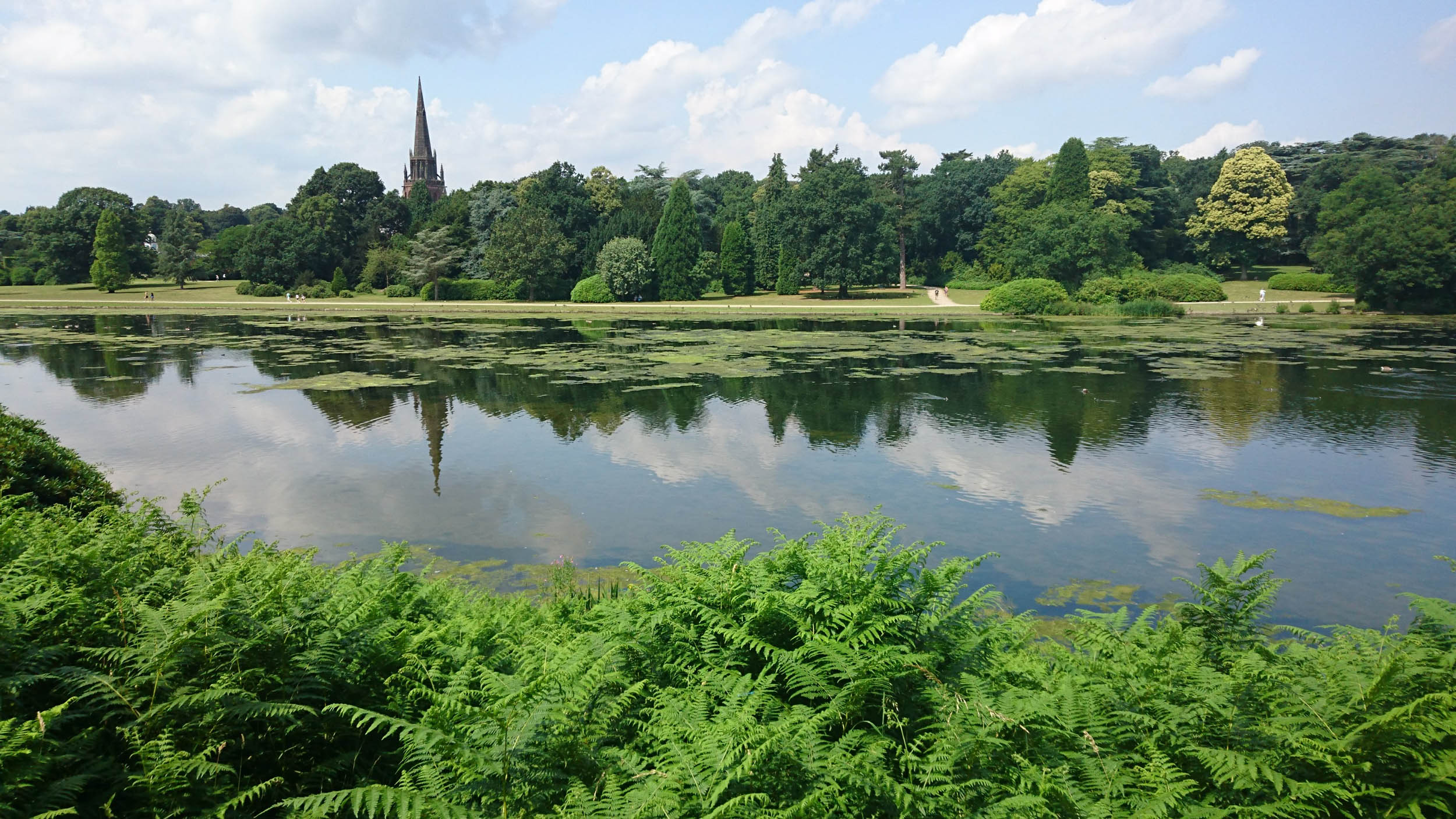
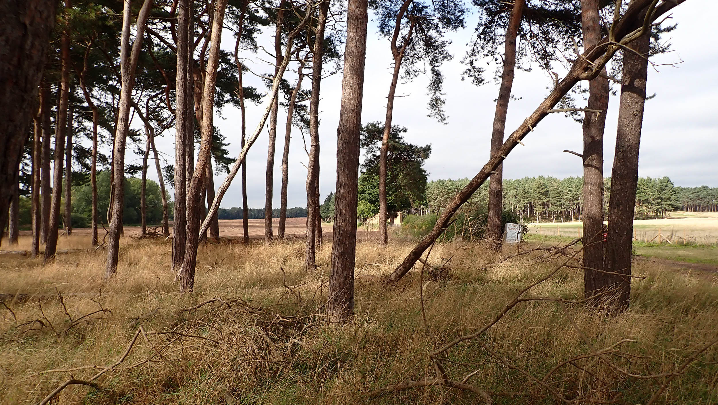
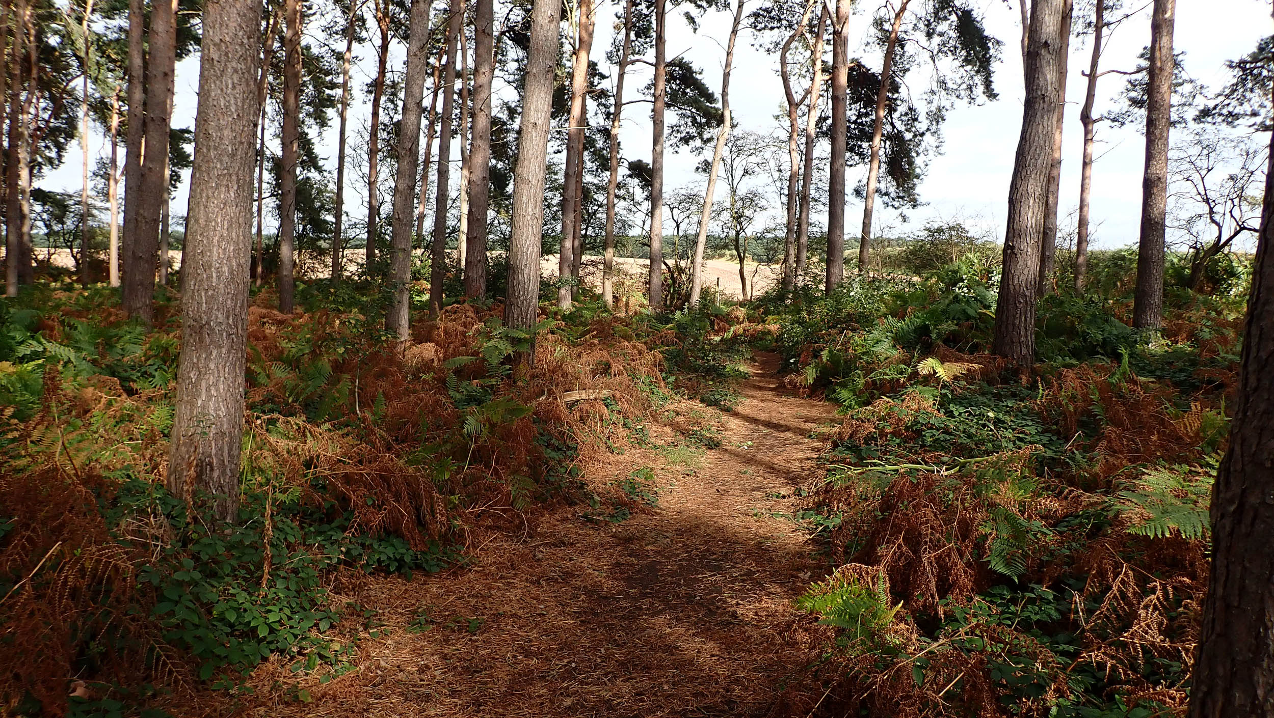
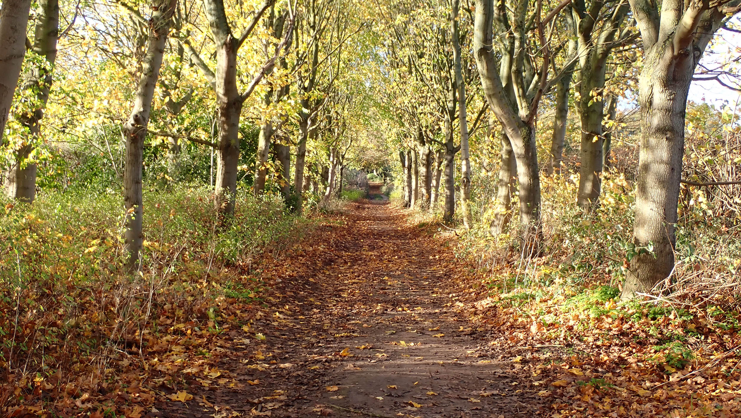
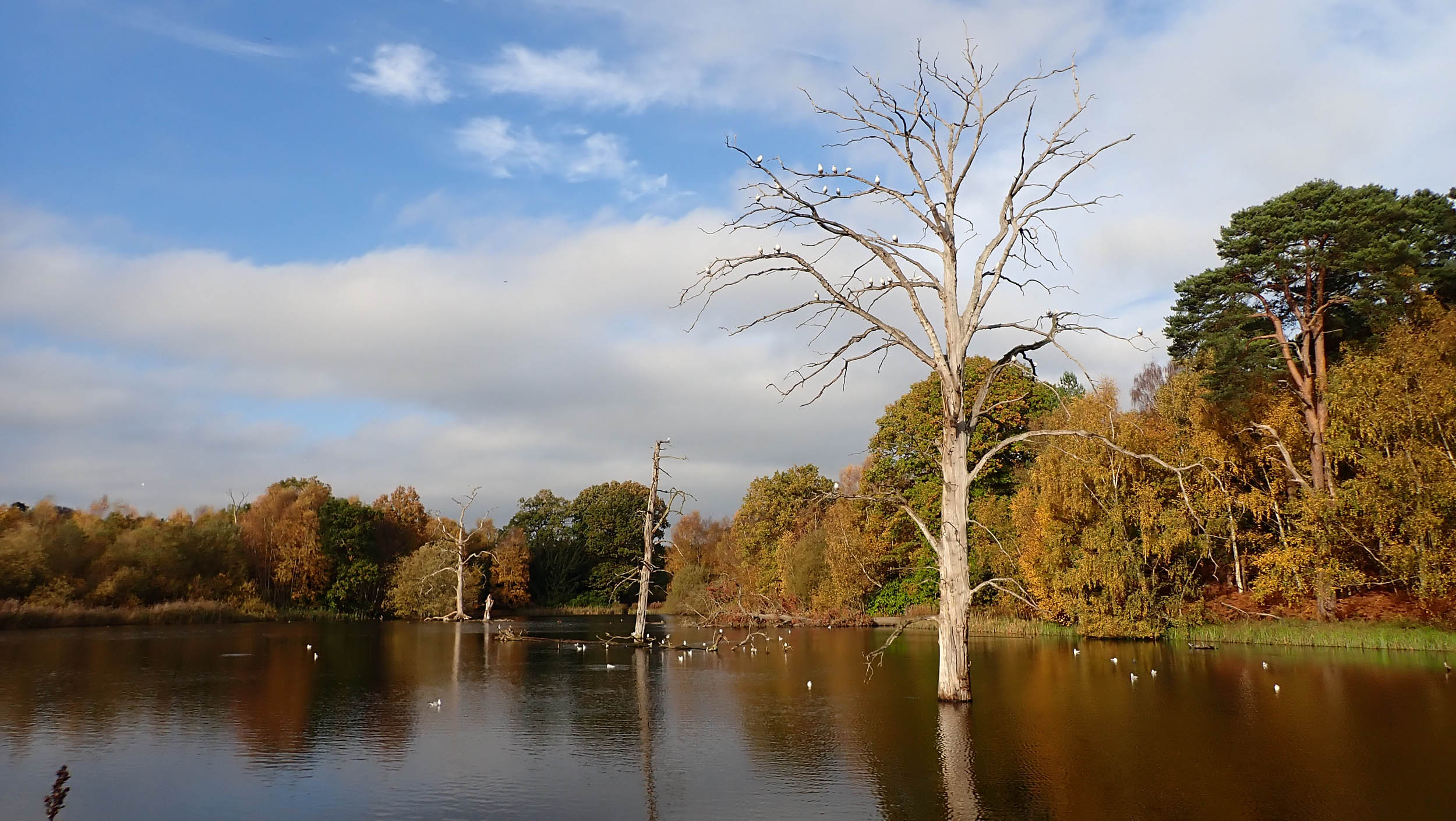
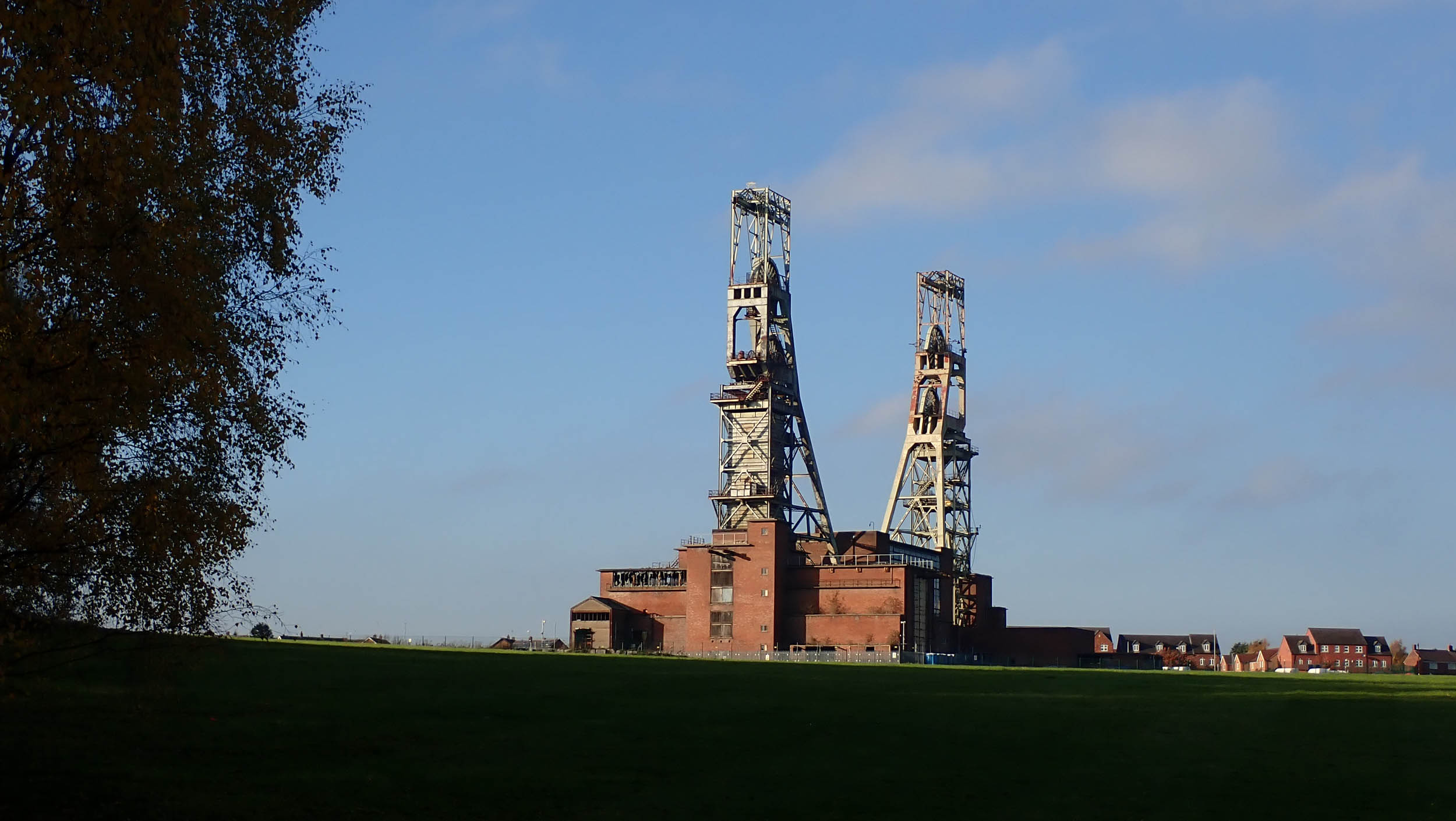
More singletrack, a fast and loose gravel descent, a couple of abrupt road crossings, and a sandy track across the Budby Heath with its herd of English longhorn cattle separate Clumber from the legendary oakwoods of Sherwood Forest. A short pedestrian detour off route leads to the grandest of them all, the approximately 1,000-year-old Major Oak. From here, a bridleway hugs the edge of the forest before rejoining NCN 6 to pass the impressive Archway House, the scant remains of King John’s Palace, and on towards the headstocks of the former Clipstone Colliery dominating the skyline. Continuing on NCN 6, the route enters Sherwood Pines, where the more adventurous have the option of taking one the MTB trails. From Sherwood Pines, 10 miles of steady descent along the course of the former Midland Railway end in pretty Southwell with its many historic buildings, most notably the Norman Minster.
Turning northeast from Southwell, the route heads on the longest road section to the village of Caunton before reverting to alternating sections of farm track and minor road until another section of former railway at Fledborough. Five miles of fast gravel and the lengthy Fledborough viaduct lead to the village of Harby and, a little further on, the Elizabethan grandeur of Doddington hall. One and a half miles later, the route joins the paved NCN 64, which leads all the way into the heart of Lincoln.
Leaving Lincoln, the route backtracks for several miles (see Fossdyke alternate) past Skellingthorpe before turning northwards through woods and farmland towards Saxilby, from where a quiet country road through open fields leads back to a re-crossing of the Trent on another disused railway viaduct. After faffing with kissing gates and a flight of steps, a grassy field leads to a black cinder track that passes below the redundant cooling towers of Cottam power station and on to Rampton village.
The route then weaves its way through a series of 90-degree turns, first on tarmac, then on farm tracks to the village with the longest name in England, North Leverton with Habblesthorpe. Half a mile westwards stands North Leverton Windmill, a lovely, tranquil spot to take a breather before the long grassy climb to the top of the hill, the highest point on the second day’s ride.
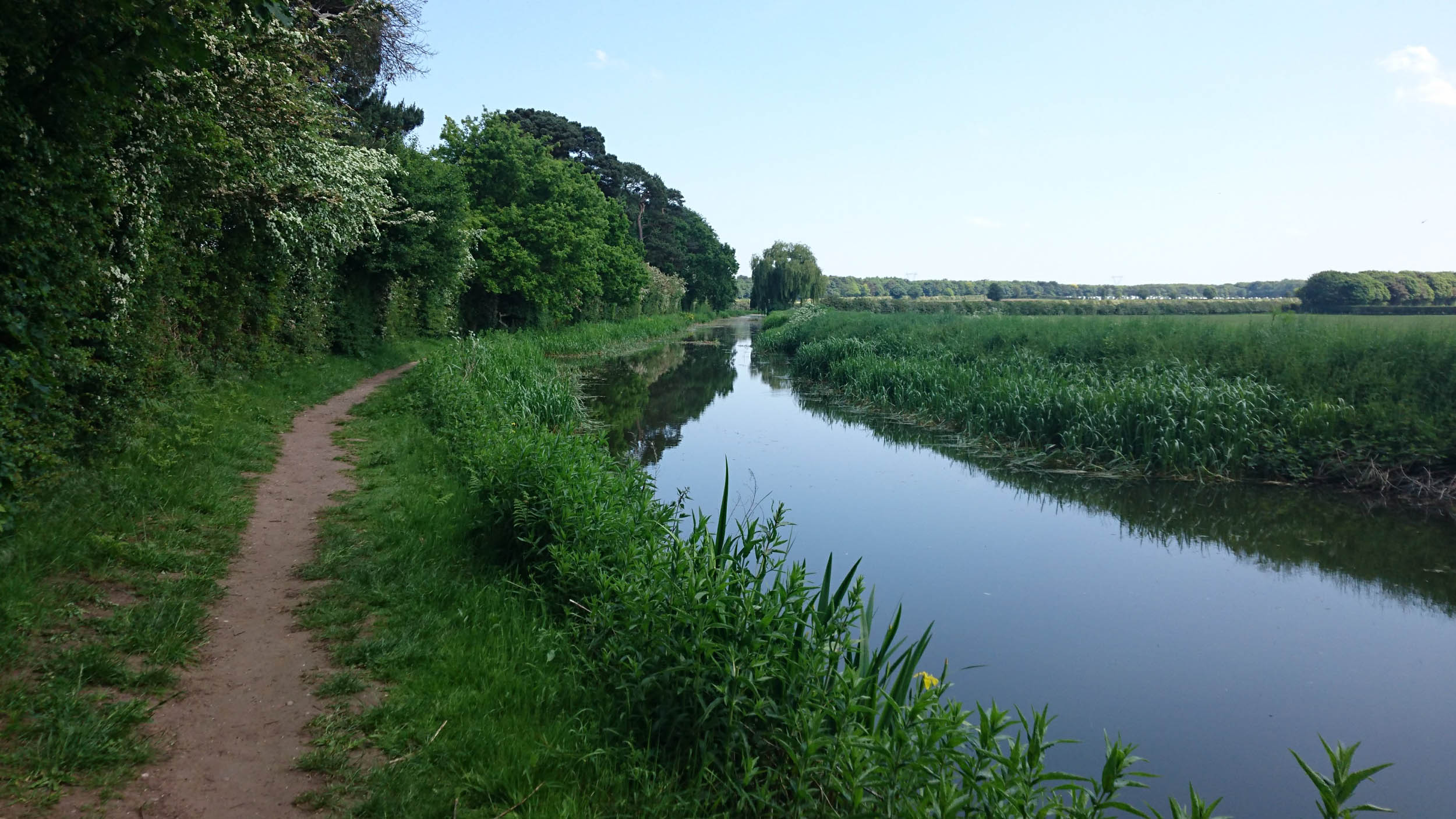
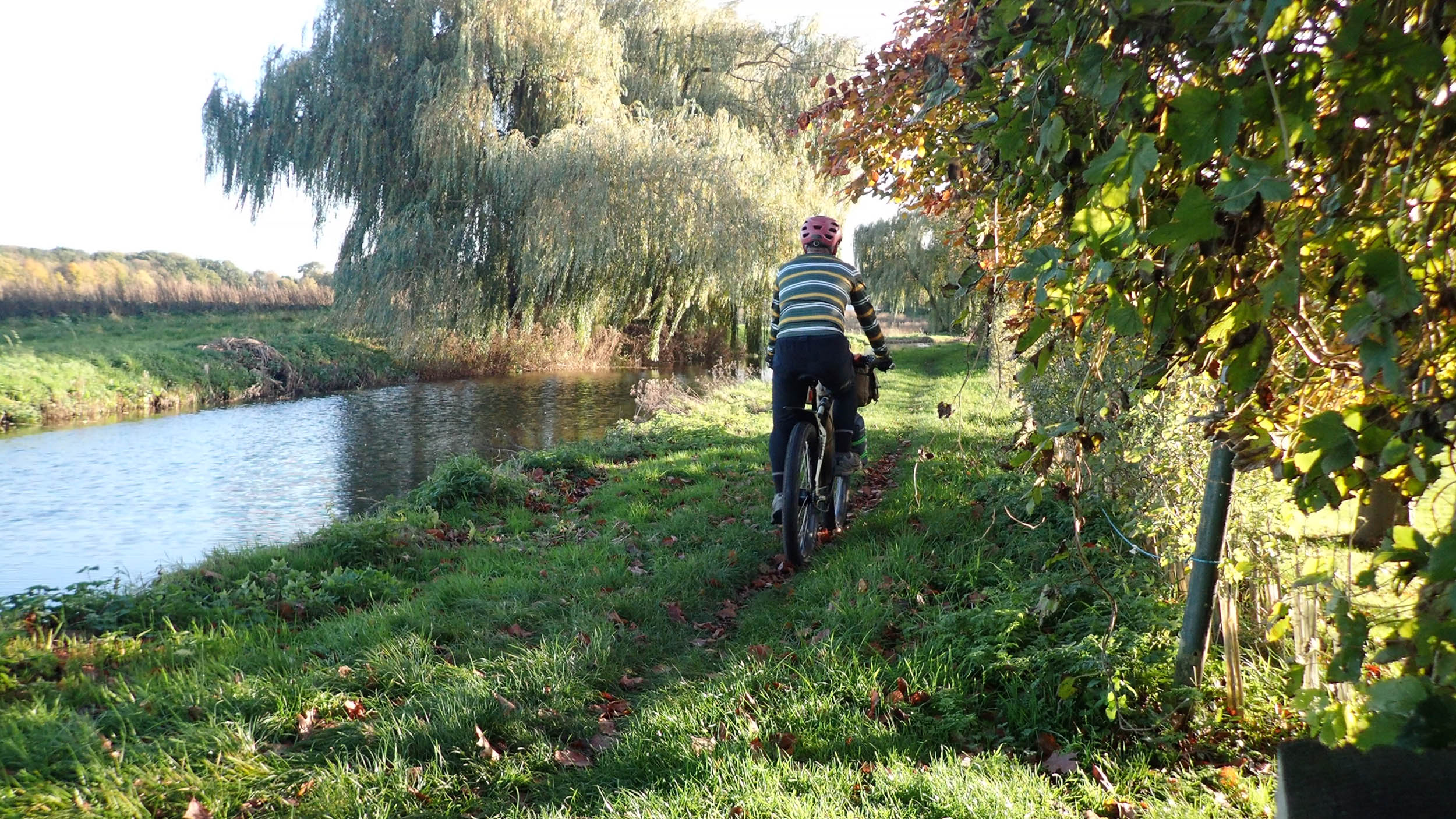
The next 11 miles to Clayworth along farm tracks and classic gravel interspersed with short road sections hold some of the best riding and best views of the whole route. At Clayworth, the route follows the towpath of the Chesterfield Canal, climbing up over the hill at Drakeholes while the canal dives under it towards the black soil of the River Idle floodplain, where broad tracks bordered by deep drainage ditches bisect the wide-open fields.
From the King William Arms at Scaftworth, the route rises and falls over gently rolling hills for the next 11 miles, through Mattersey and onto Scrooby on the Great North Road. The route continues in the same vein for the next five miles until a dash across the A1 and a lumpy field boundary soon turns into almost 10 miles of gravel, singletrack, and deserted estate roads before a re-crossing of A1 again picks up the towpath of the “Cuckoo Dyke” as far as bridge 52 from where Green Mile Lane leads back to the Worksop Road and the route’s end.
Fossdyke Alternate
An alternative route from Lincoln to Saxilby is to continue along the side of the Fossdyke from the Pyewipe Inn. Warning: The mixed-use trail and cycle path end around half a mile short of Saxilby on the busy main Lincoln road.
Additional Resources
- Ordnance Survey Landranger Maps 120 & 121
- visitsherwood.co.uk
- visitlincoln.com
- visit-nottinghamshire.co.uk
- visitlincolnshire.com
- Got more time? Sherwood Pines has mountain bike trails and camping. Details at forestryengland.uk
Bike Shops
- Bridgegate Cycles, Retford. Top quality LBS: bridgegatecycles.co.uk
- Rode Cycles, Southwell: rodecycles.com
- Giant Bike Store and cafe at Doddington hall: doddingtonhall.com
- F & J Cycles, Lincoln: fandjcycles.co.uk


Terms of Use: As with each bikepacking route guide published on BIKEPACKING.com, should you choose to cycle this route, do so at your own risk. Prior to setting out check current local weather, conditions, and land/road closures. While riding, obey all public and private land use restrictions and rules, carry proper safety and navigational equipment, and of course, follow the #leavenotrace guidelines. The information found herein is simply a planning resource to be used as a point of inspiration in conjunction with your own due-diligence. In spite of the fact that this route, associated GPS track (GPX and maps), and all route guidelines were prepared under diligent research by the specified contributor and/or contributors, the accuracy of such and judgement of the author is not guaranteed. BIKEPACKING.com LLC, its partners, associates, and contributors are in no way liable for personal injury, damage to personal property, or any other such situation that might happen to individual riders cycling or following this route.
Please keep the conversation civil, constructive, and inclusive, or your comment will be removed.