


Little Switzerland Loop
Distance
42 Mi.
(68 KM)Days
2
% Unpaved
83%
% Singletrack
0%
% Rideable (time)
100%
Total Ascent
2,733'
(833 M)High Point
1,203'
(367 M)Difficulty (1-10)
3?
- 4Climbing Scale Fair65 FT/MI (12 M/KM)
- 1Technical Difficulty Easy
- 4Physical Demand Fair
- 1Resupply & Logistics Easy
Contributed By

Levi Bridges
Guest Contributor
Levi is a small town Iowa kid who fell in love with cycling as a way to escape life’s stresses. After a few years of cycling, he entered his first gravel race, The Filthy 50 in Minnesota, and got hooked. Soon after, he combined his two passions, cycling and camping. He currently helps run a local cycling club called The Cedar Valley Gravel Riders and tries to spend as much time on the bike as possible with a growing family.Follow Levi on Instagram @norse_cycle.
Photos by Levi Bridges and Matthew Skeens
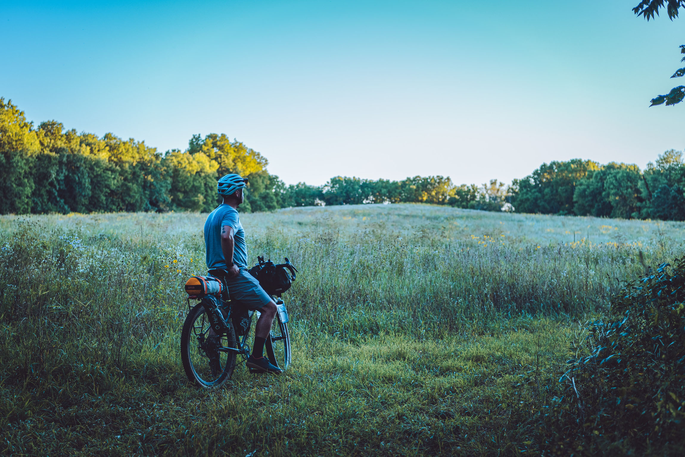
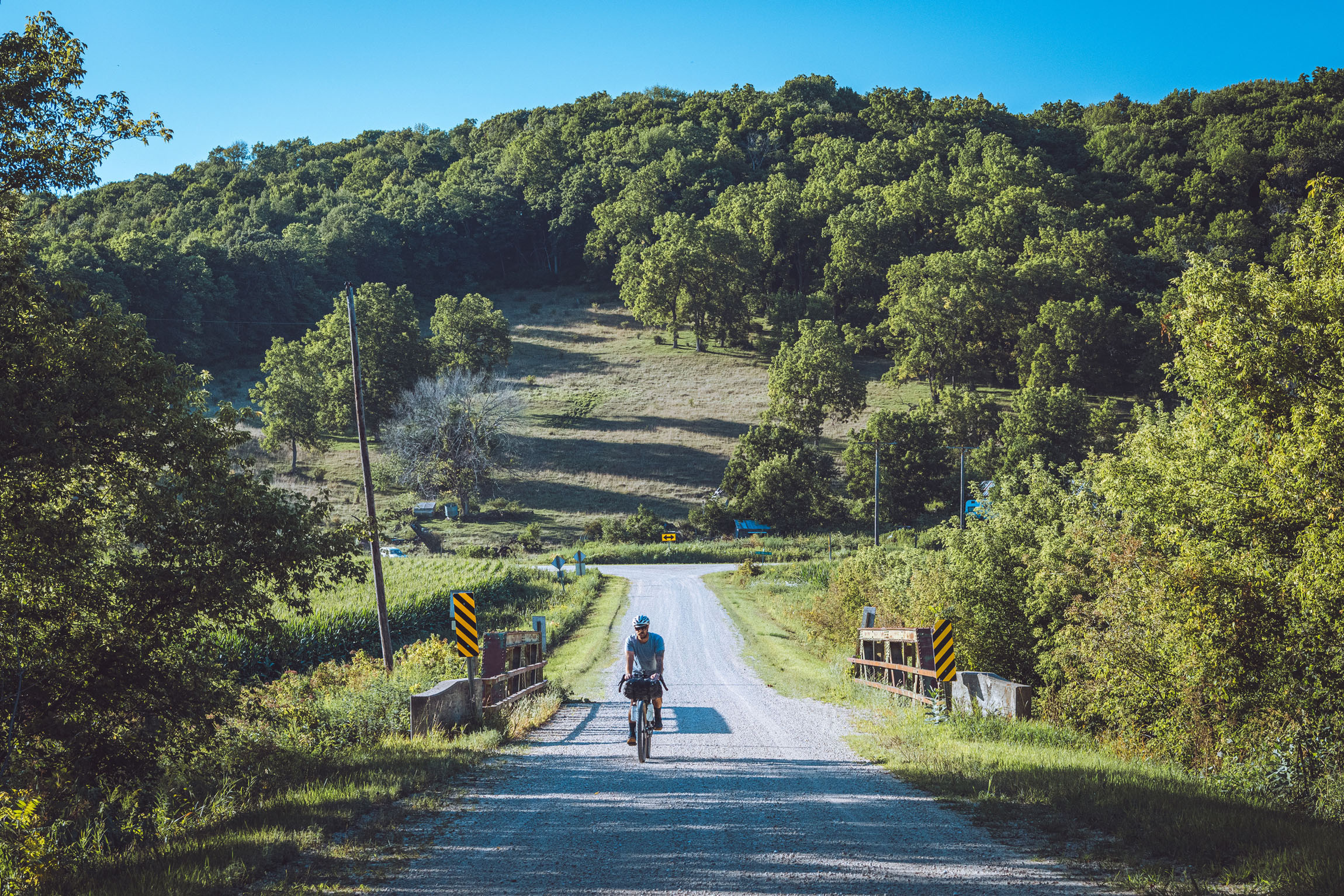
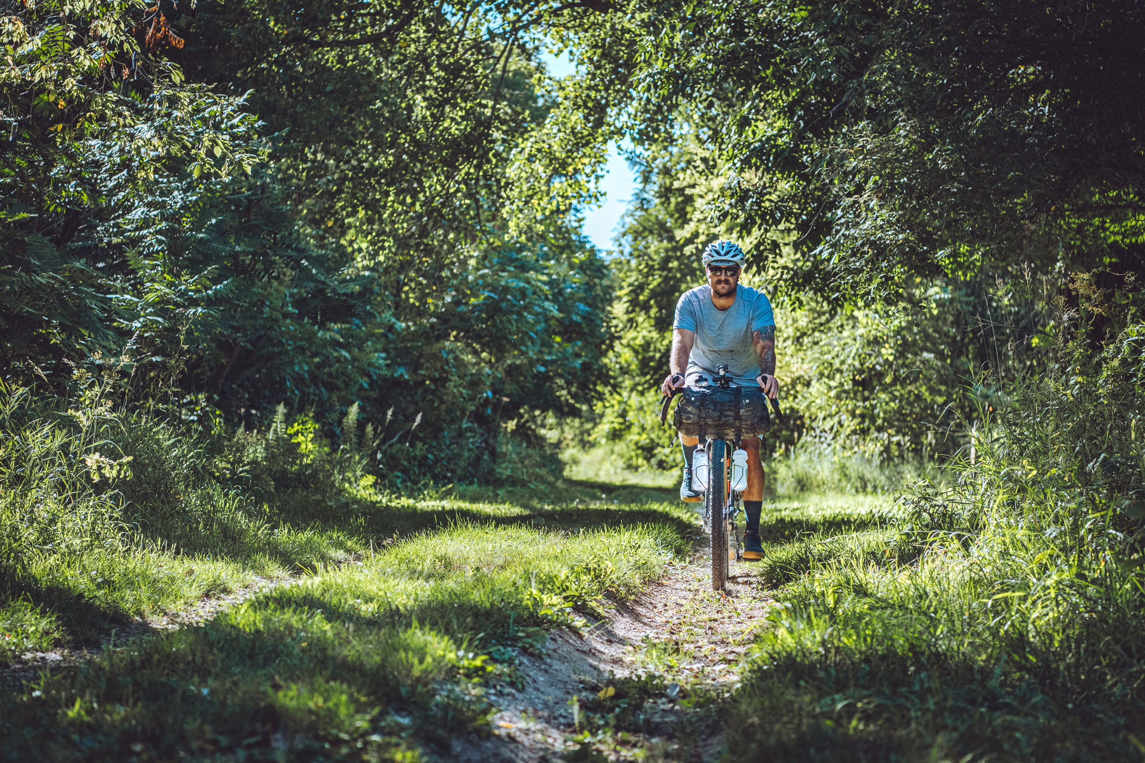
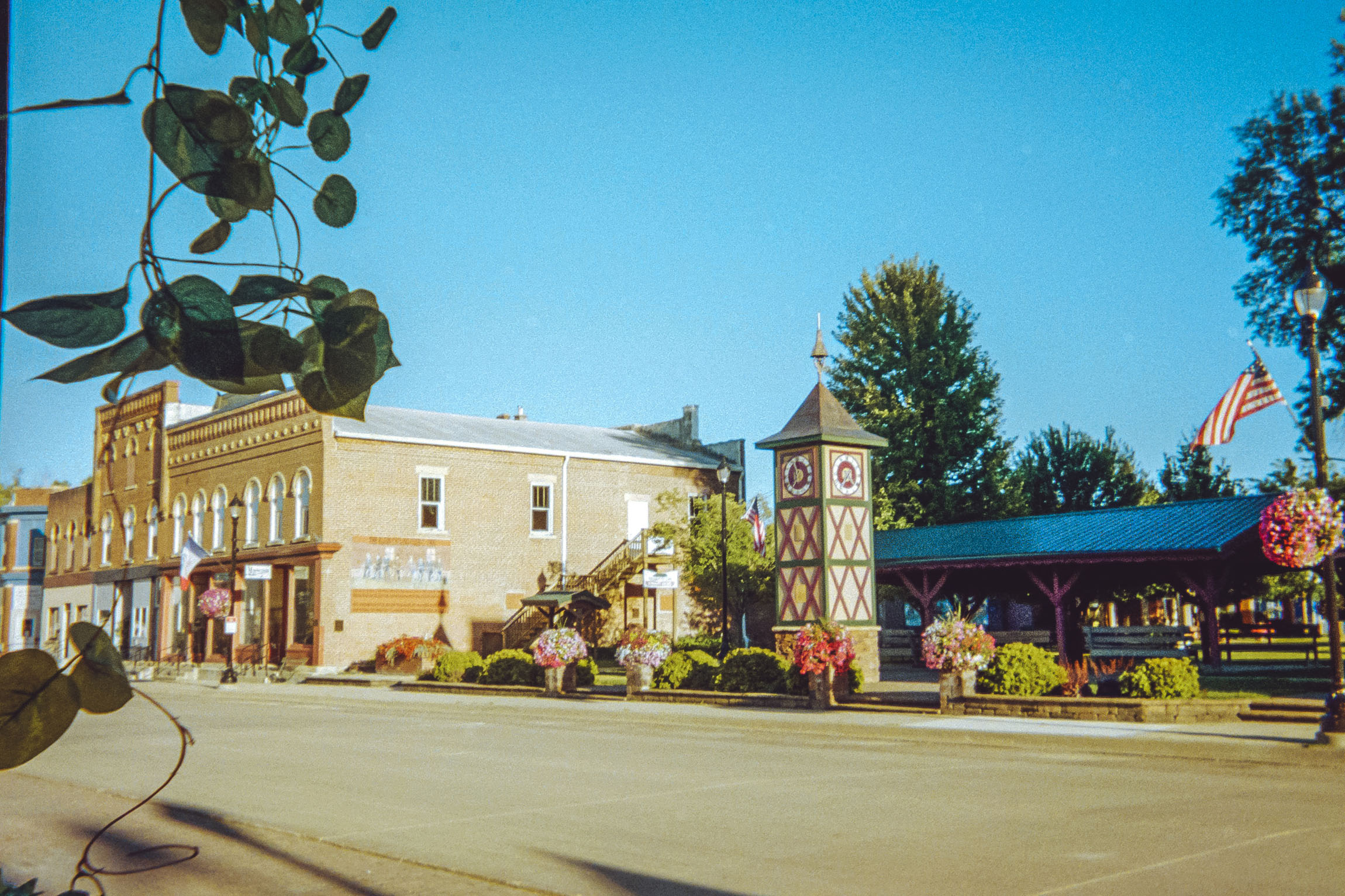
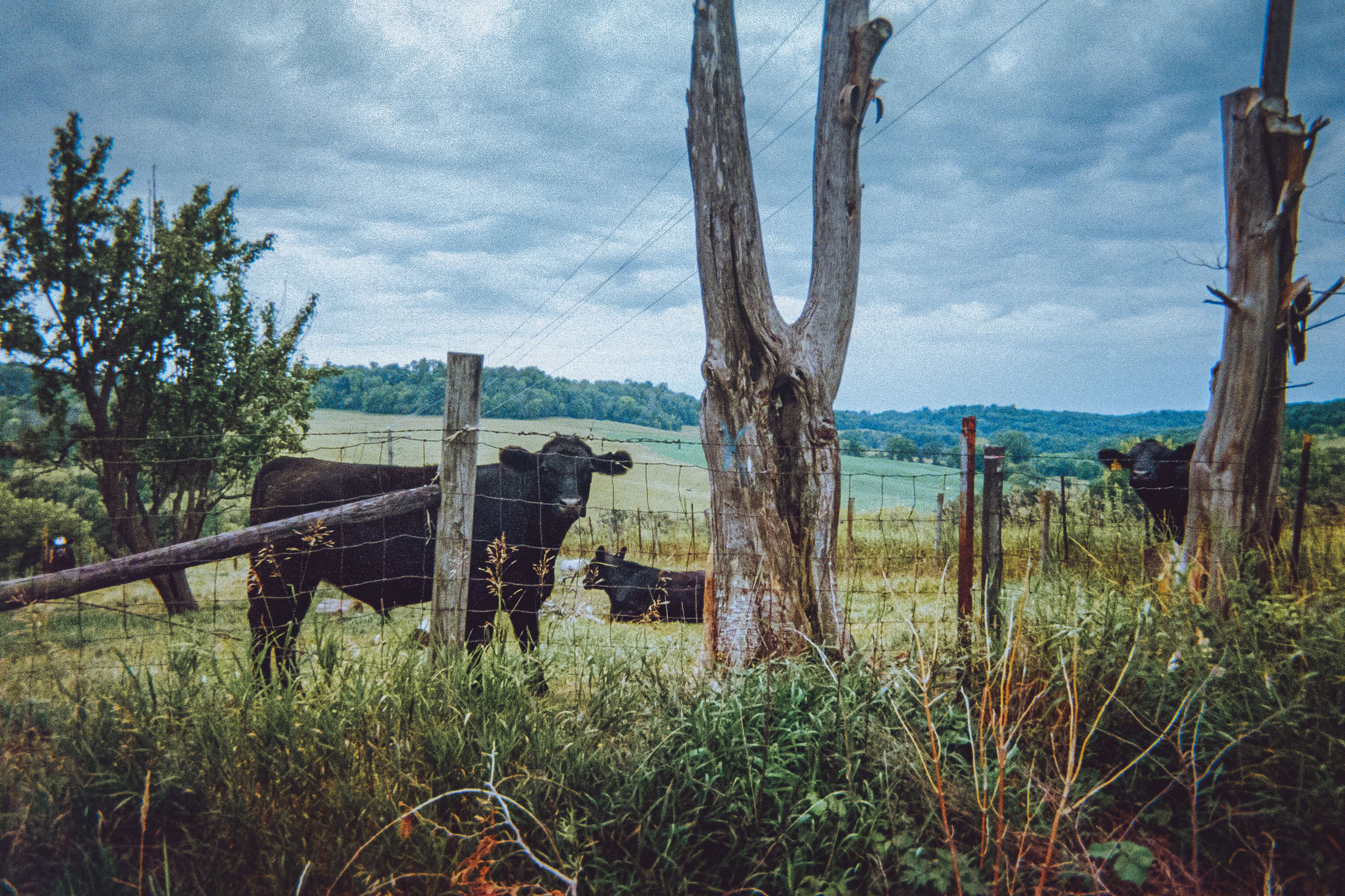
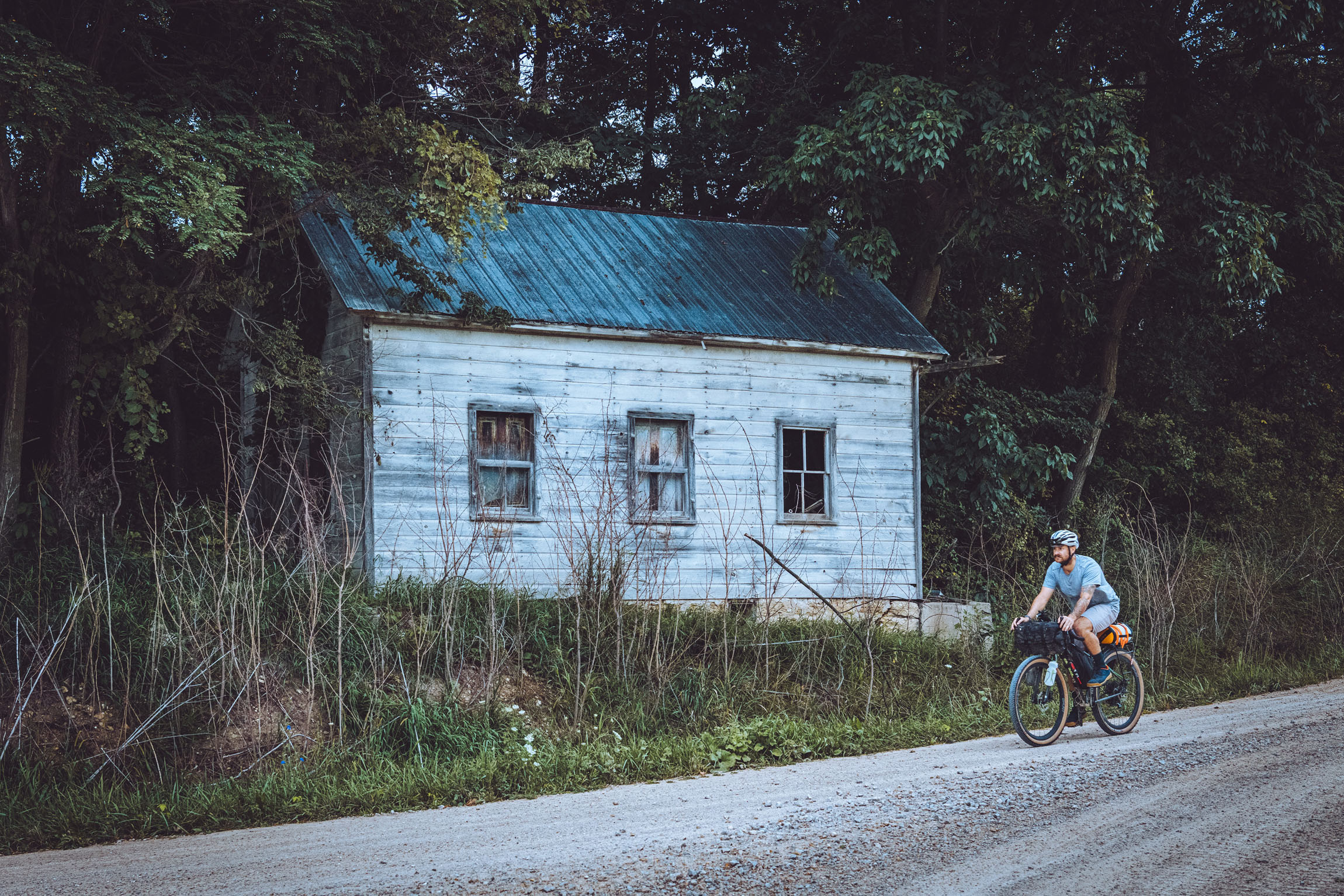
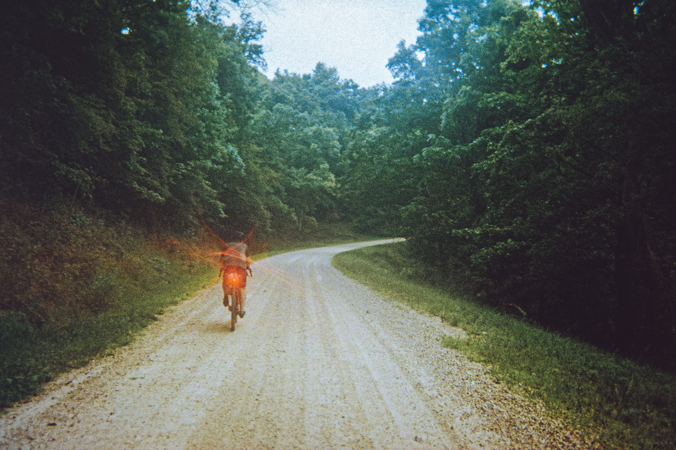
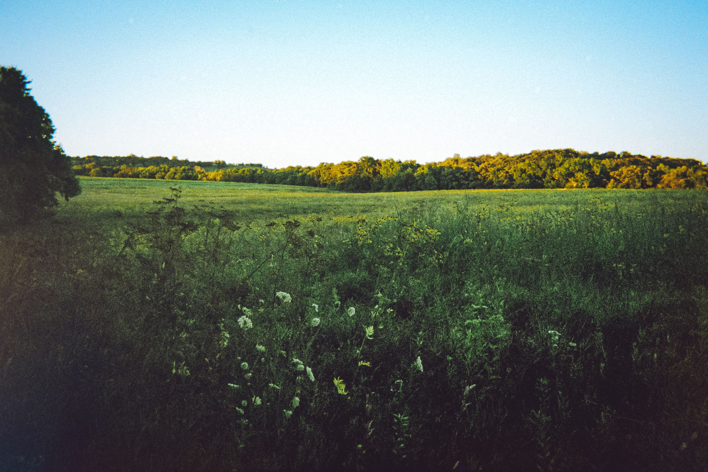
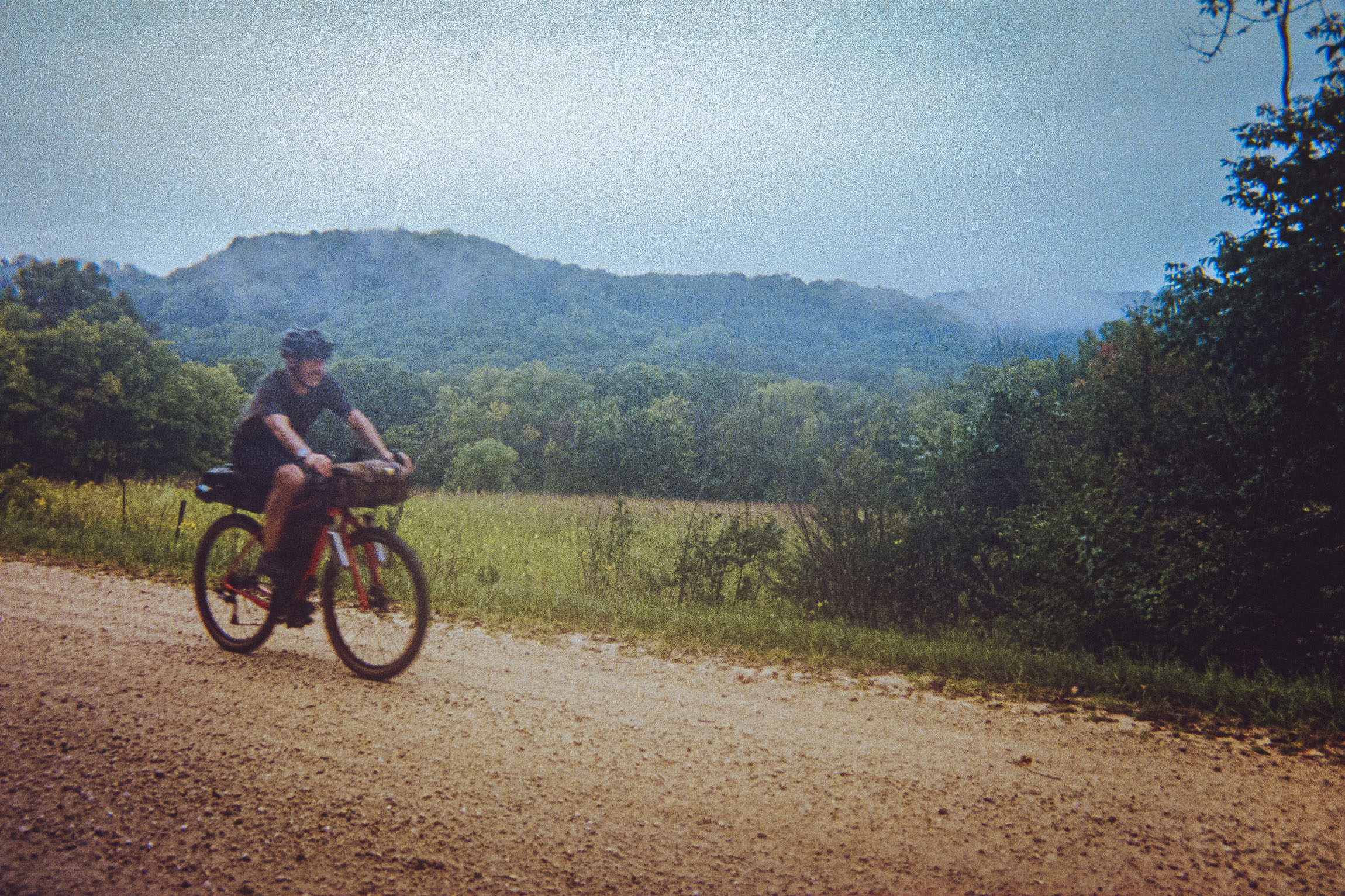
The Little Switzerland Loop overnighter route departs from Fayette, Iowa, a small college town at the edge of Iowa’s Driftless region. This town is a great starting place for many of our local rides as it’s close to home and has all the amenities to get you started on a bike trip. The route begins with a well-earned climb up to Volga River State Rec Area, where you veer right off the gravel into the woods for a stretch of dirt doubletrack. After popping out of the woods, you’re treated to a nice overlook of the area. Take a moment to enjoy this spot before heading downhill and out of the park onto some of Iowa’s classic Driftless gravel roads.
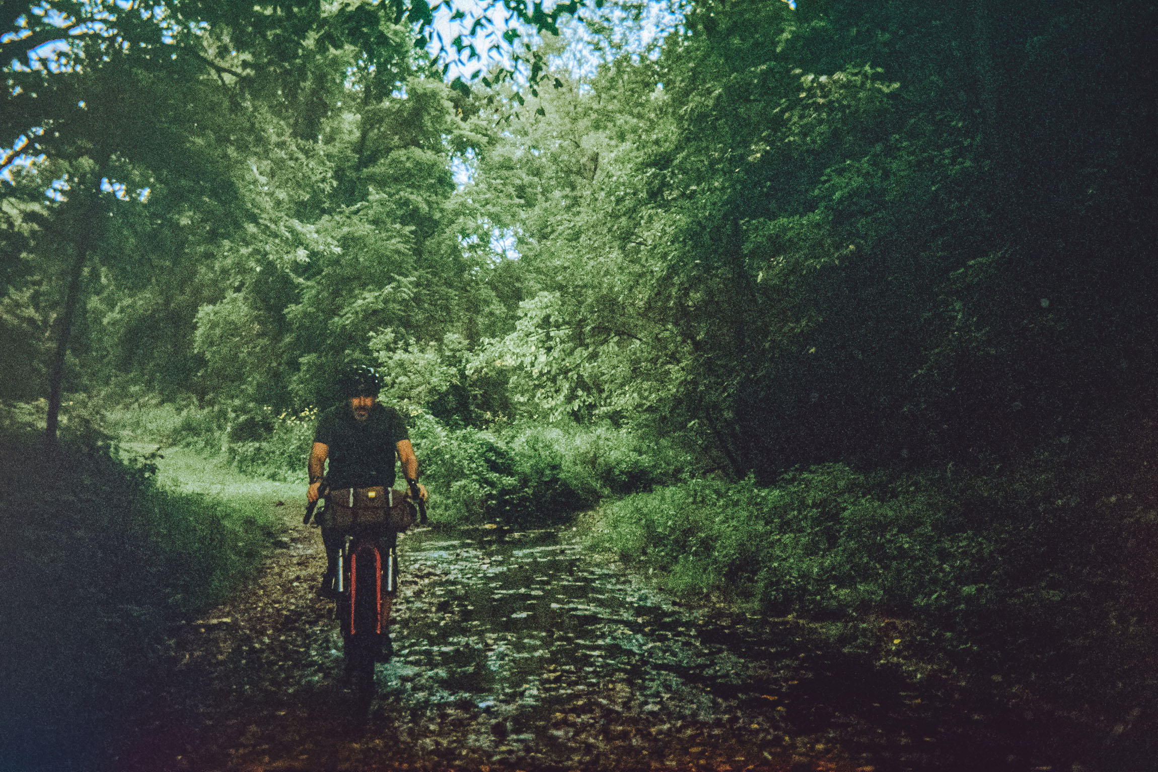
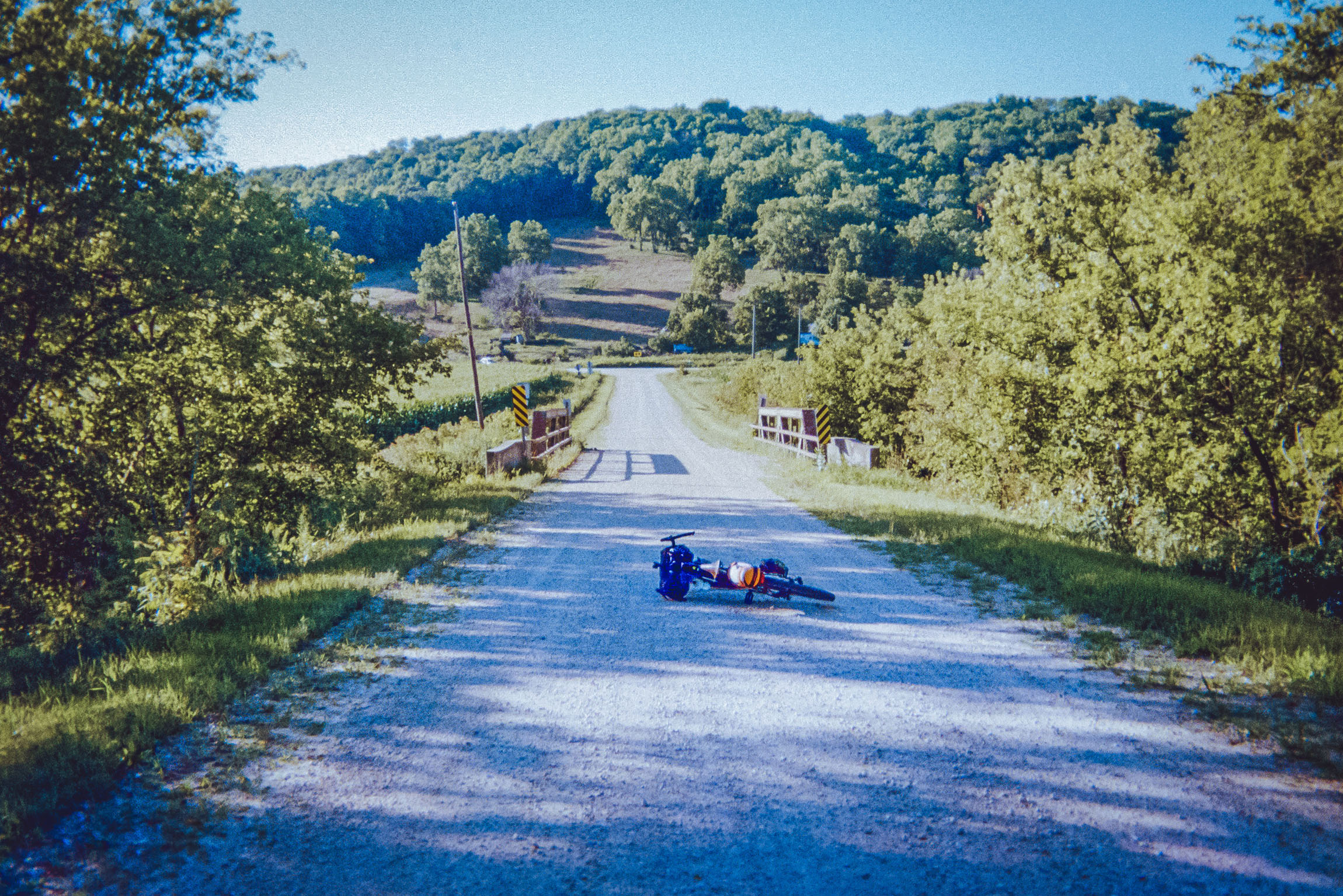
After leaving the rec area, you’re treated to flowing country roads before a fun descent down into the Otter Creek valley. This is a great spot to stop and have a snack, snap some photos, and enjoy the rolling hills. Upon leaving, you’ll turn onto the road that parallels a trout stream through the valley until you make your way into the town of Elgin. There are a couple of options for food in town. We chose to stop at Dotzy’s Restaurant and Saloon for delicious cheeseburgers. Service was top-notch, and you can sit outside to take in the “Little Switzerland of Iowa.”
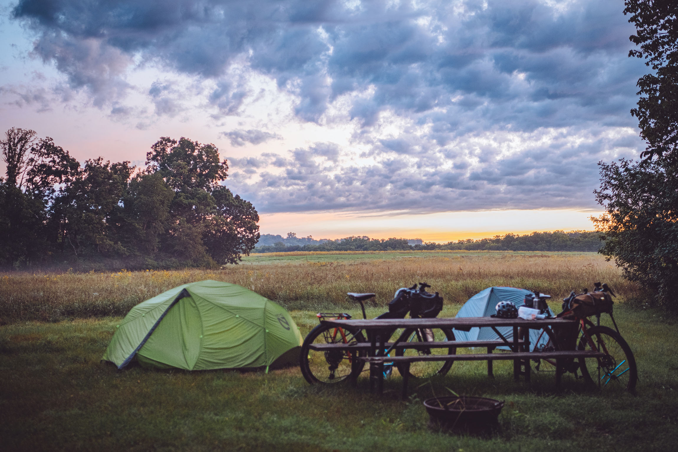
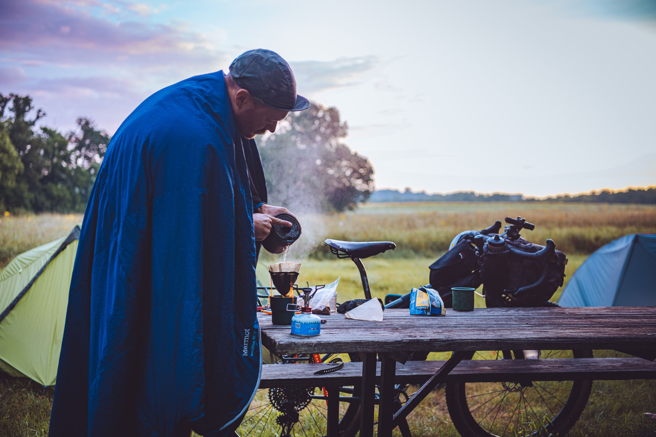
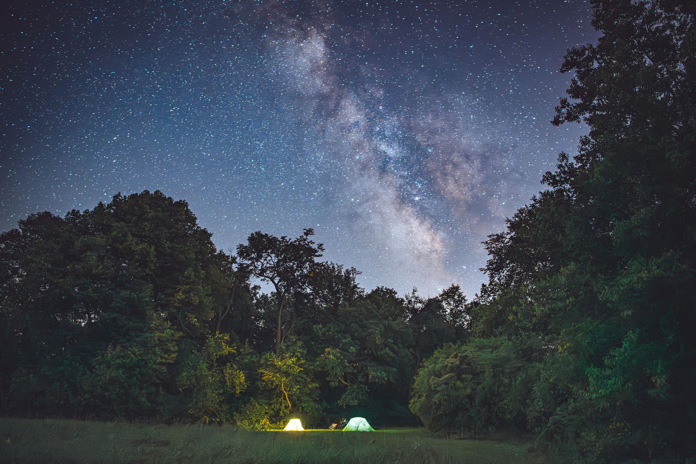
After supper, you’ll have a short ride across the Turkey River to Gilbertson Conservation Area for camp. At the front of this area, you will find a more traditional campground, but heading back to the seven backcountry sites is what makes this place a gem. We studied the trail map and chose one of the north sites as it was positioned on top of a hill at the base of a wide-open prairie. We thought this would give us the best chance to take some photos of the Milky Way since it was scheduled to rise from the southwest that night. As we approached the campsite, we were surprised to see a picnic table and fire ring situated back there for people to use and enjoy. Note: it’s ideal to get firewood at the campground before heading to camp.
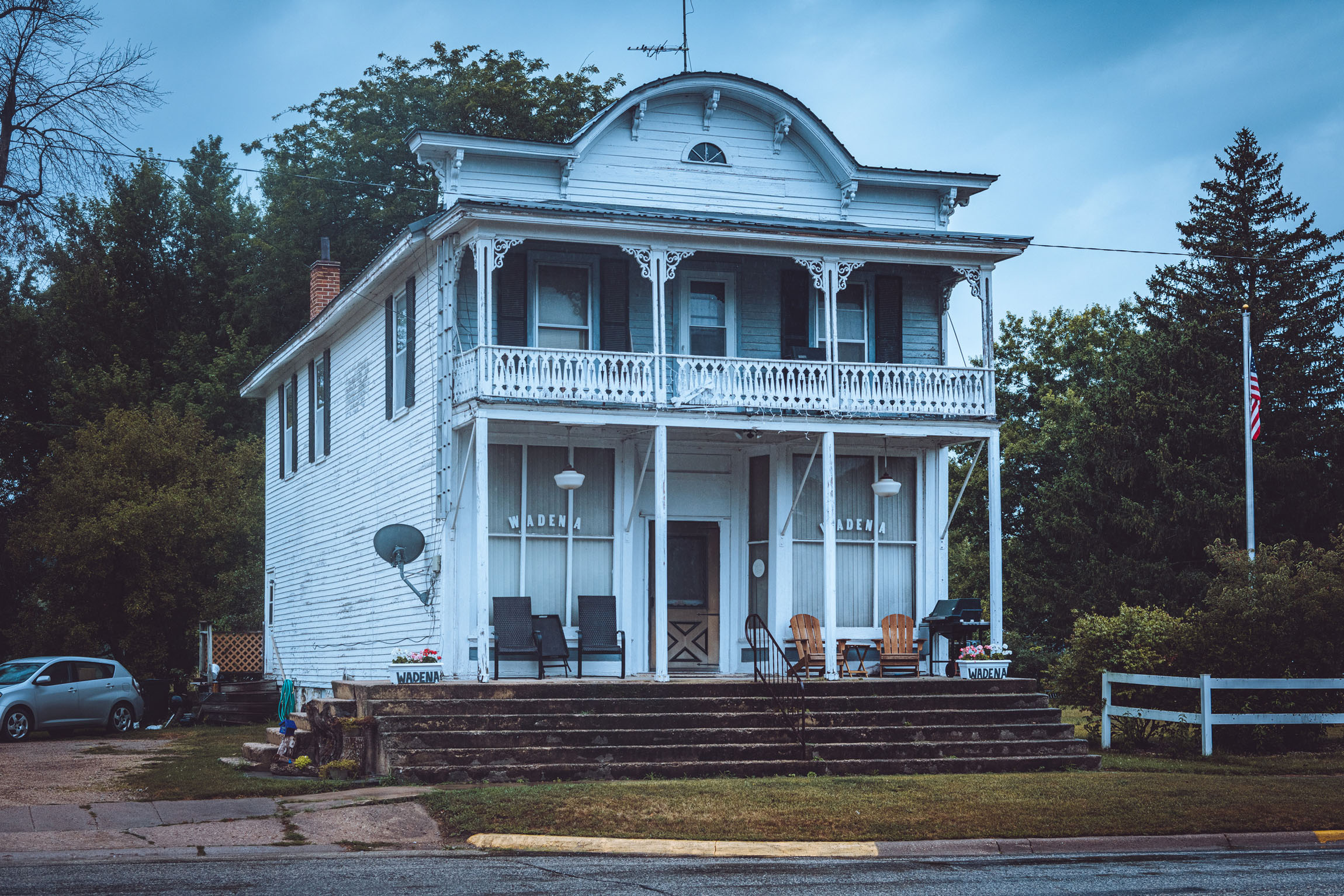
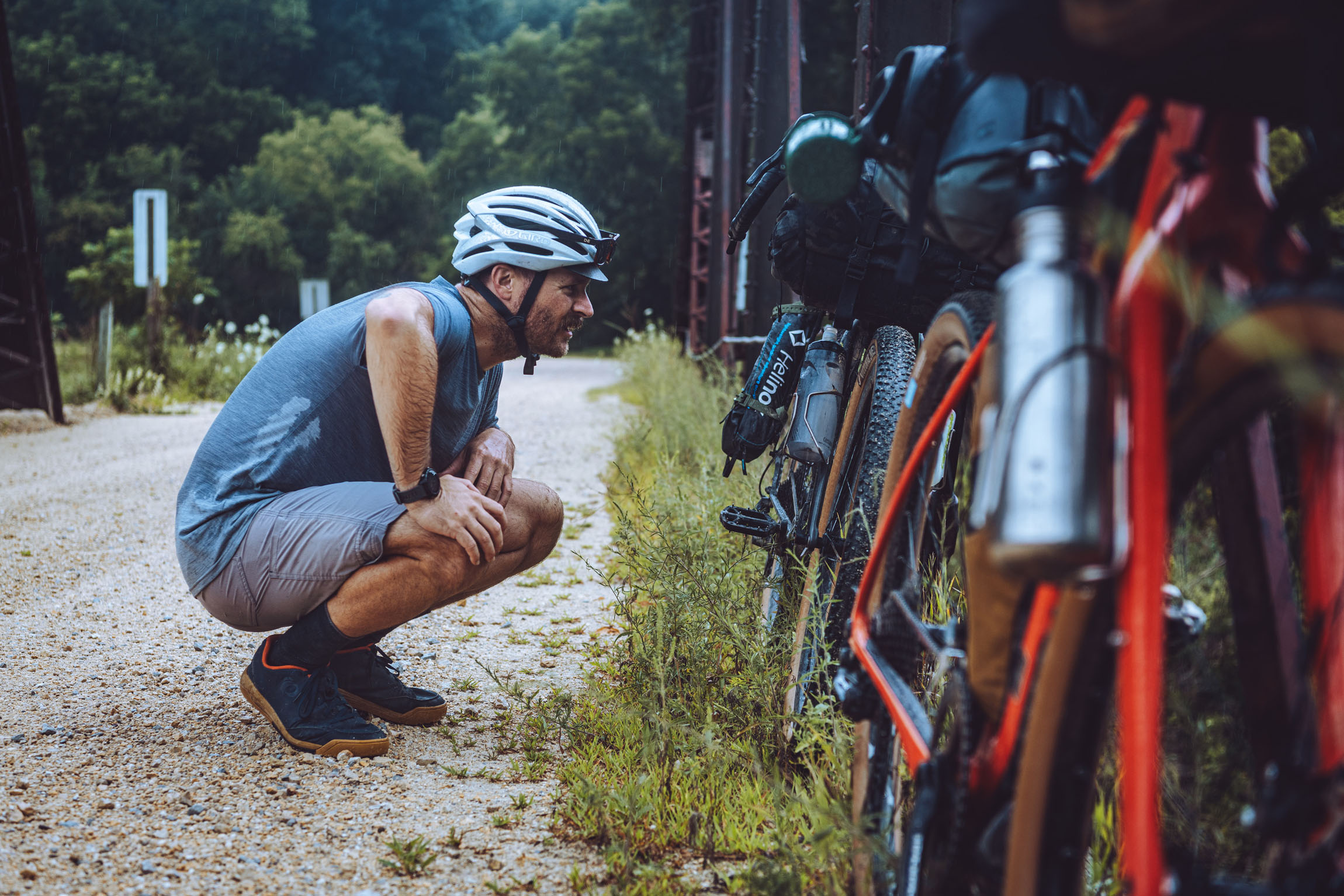
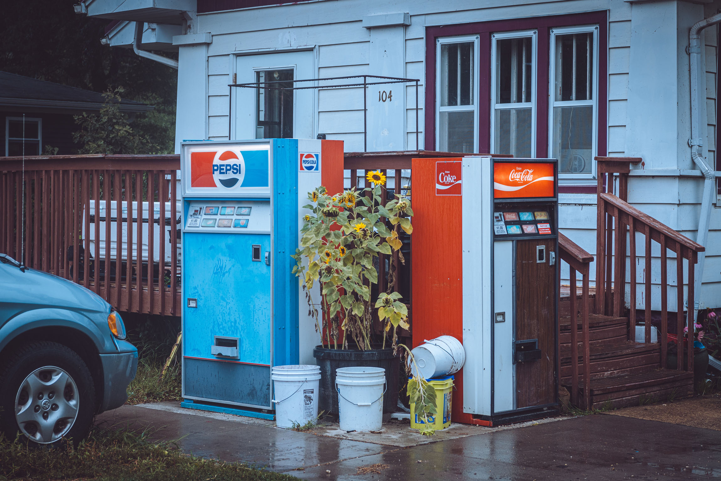
After packing up camp and riding out of the conservation area, you’ll head south from town and make your way through some more rolling hills to the town of Wadena. We were a few miles into our ride and noticed some rain clouds in the distance. It didn’t take long, and the rain had started to settle in. We took advantage of a small well-stocked gas station in Wadena to refuel and eat our snacks inside. Staring out the gas station windows, it looked like the rain was going to continue through the morning hours. We decided to hop back on our bikes to pedal the remaining miles back to our car before the stronger storms moved in. After returning to our vehicle, we were able to strip our dirty bikes down, get loaded up, and change into fresh clothes. We took the next hour during the drive home to process our ride, discussing how much fun it was to ride this route and explore more primitive camping areas in our state.
Route Difficulty
I would give this route a difficulty rating of 3/10. This is meant to be a shorter route to enjoy as a sub-24-hour overnighter. There are plenty of amenities along the route for food and resupply if needed. This route could be done year-round. However, I would give caution to camping during deer hunting season. Please see Iowa DNR website for dates.
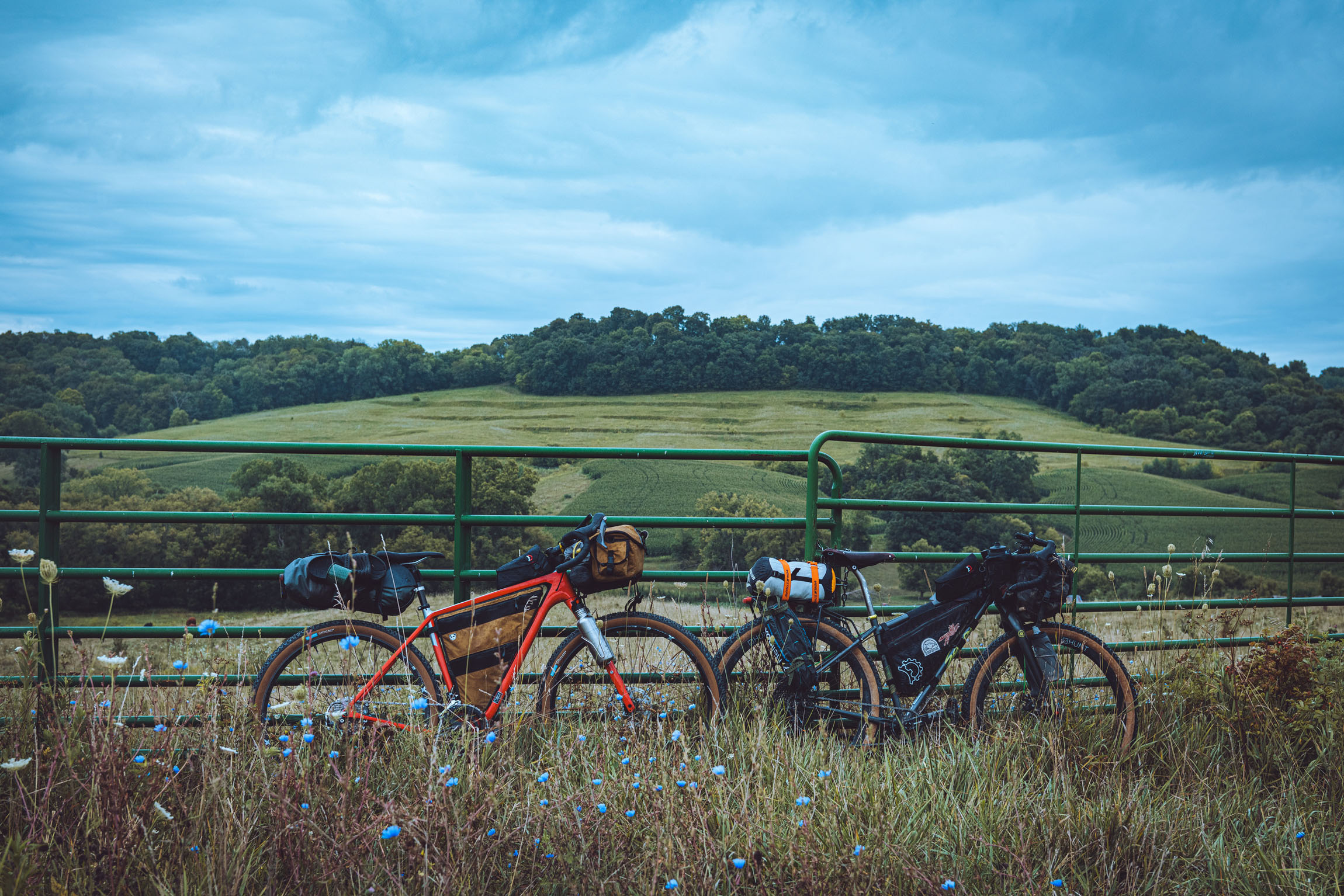
The physical challenge is what bumps this route to a 3 overall. There are plentiful rolling climbs for the relatively short distance. Logistics and resupply are relatively straightforward (see Food/H2O tab). Technical difficulty is also low with a rating of 1. You could easily ride this route on a standard gravel bike with 40mm tires. The route has minimal rough sections and mostly covers smooth limestone gravel roads.
Route Development: One day, my buddy Matt stumbled upon a friend’s beautiful photos from a hike in a recreation area outside of Elgin, Iowa. After looking into the recreation area online, Matt informed me it contained backcountry camping sites worth checking into. After ongoing discussion and online research, it seemed we had stumbled on the perfect spot to find some serenity while camping. This starkly contrasts with the otherwise loud and crowded county campgrounds you normally find in NE Iowa. Now that we had figured out the destination to spend a beautiful night under the Iowa stars, it was time to dig into our local rides and maps to figure out the best possible route. Topographical and satellite maps were laid over one another and a promising route quickly fell into place. We made plans in early August to ride, scout, and photograph this fun and scenic ride. I had recently seen a separate article here (A Bikepacking State of Mind) that inspired me to try out a simplified version of photo documentation and threw out the idea of only using disposable cameras to photograph the route. We were both excited to try this, but Matt had spied the astrological forecast for this night. It called for clear skies and a new moon. Add that to an open field with minimal tree coverage and it had the potential to be a great setting for some stunning Milky Way photos. With the forecast in mind, he packed his bigger camera and tripod for the rare opportunity to photograph the Milky Way in our otherwise light-polluted skies.

Submit Route Alert
As the leading creator and publisher of bikepacking routes, BIKEPACKING.com endeavors to maintain, improve, and advocate for our growing network of bikepacking routes all over the world. As such, our editorial team, route creators, and Route Stewards serve as mediators for route improvements and opportunities for connectivity, conservation, and community growth around these routes. To facilitate these efforts, we rely on our Bikepacking Collective and the greater bikepacking community to call attention to critical issues and opportunities that are discovered while riding these routes. If you have a vital issue or opportunity regarding this route that pertains to one of the subjects below, please let us know:
Highlights
Must Know
Camping
Food/H2O
Resources
- Enjoying dinner at Dotzy’s Bar and Grill in Elgin. Sitting outside at this saloon really helped to take in the theme of the route and see the local history.
- Riding along Otter Creek into Elgin. If you bring a Tenkara rod, this would be the perfect spot to stop and get your feet wet while trout fishing.
- Scenic views along Dove Road are some of the best on the route.
- Make sure to camp at W1 primitive campsite for night photography.
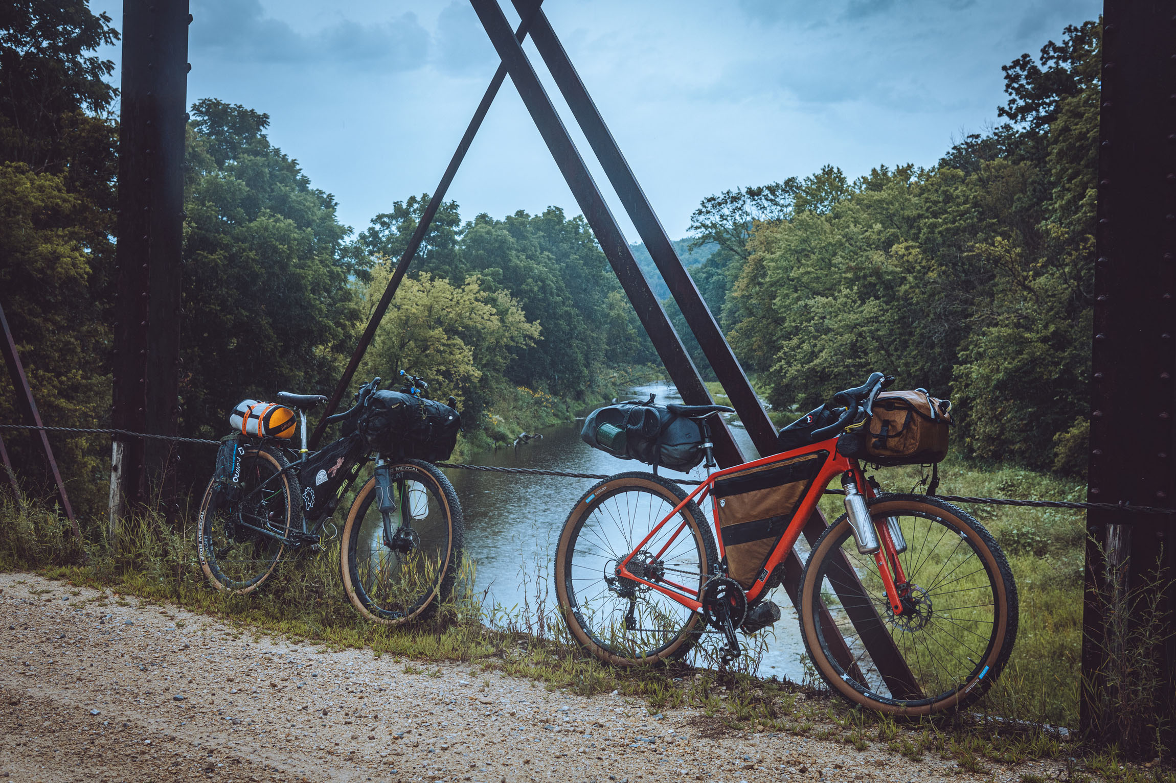
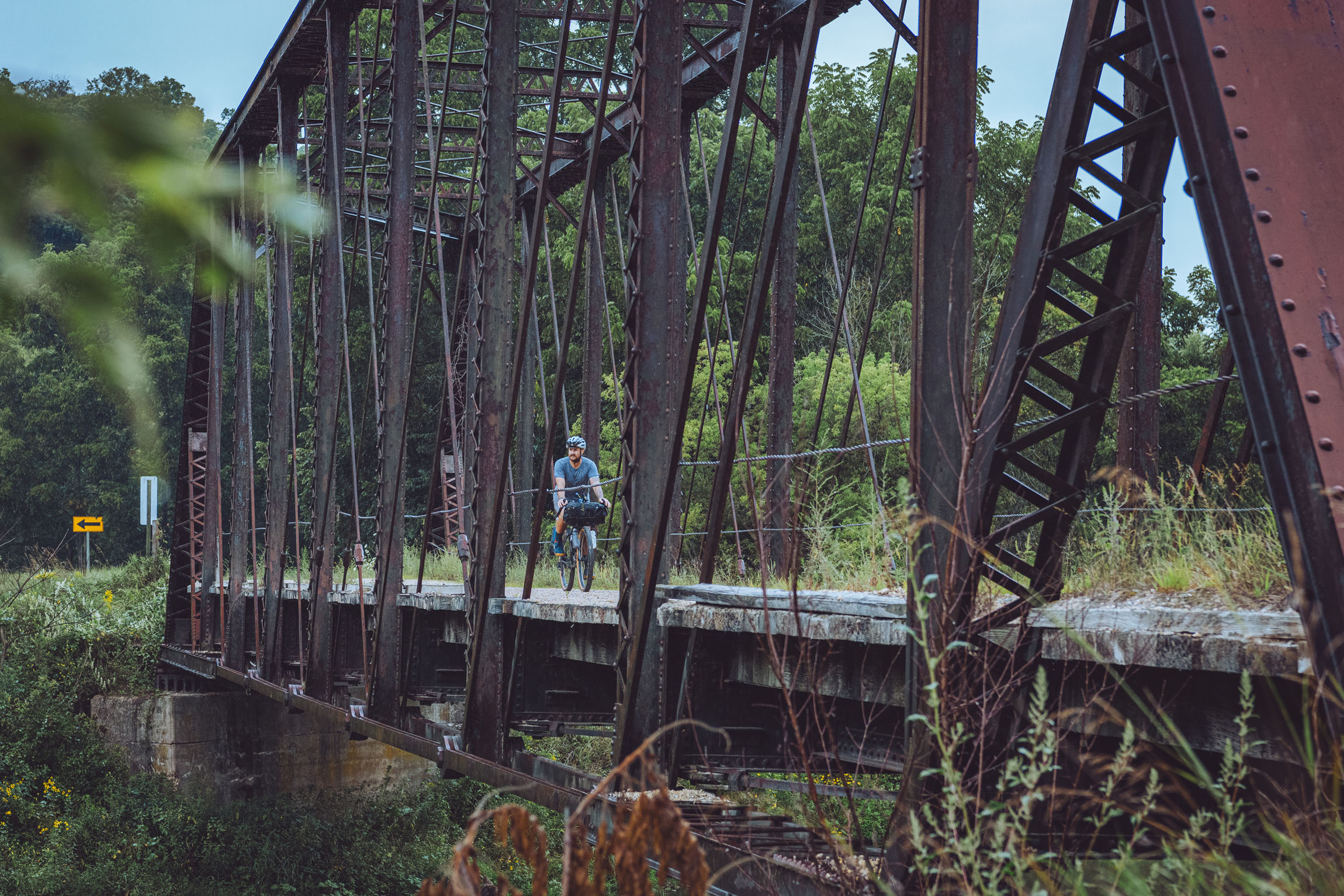
- The old steel bridge on Fox Road offers a nice spot to stop have a snack before climbing out of the valley.
- The doubletrack through Volga River Rec Area is a fun way to connect two gravel roads. You can look at a map of the area and add in some additional riding through the woods on these multi-use trails.
- The ideal time to ride this route is from May to October; the route is ridable year-round, but county campgrounds are open only from May 1st to October 31 due to hunting seasons and adverse weather.
- You may have to deal with some mosquitoes during the summer months, so be prepared.
- Logistics are pretty straightforward. There are plenty of easy roads to get in and out of Fayette.
- I would suggest parking at Cardinal Park on the north side of town by the ball diamonds. This is where the route officially starts and ends.
- Always beware of the random farm dogs while out riding.
- Bring some hiking shoes if you want to walk around and explore the conservation area. I have linked the map of the park with trails and campsite options.
- There is good fishing in the Turkey River. You also parallel a trout stream during the route with some public access. Please reference the Iowa DNR website for rules and regulations.
- Camping at Gilbertson Park is straightforward. It has a self-registration box where you will fill out location you plan to camp and and envelope to slip your money into. After registration, you can make your way back to one of the primitive campsites.
- I have not ventured into every primitive site listed in the campground, but they all have hiking trails that are rideable/hikeable to access.
- If you don’t want to go to the more primitive sites, you can stay in the front of the campground. I would suggest the sites along the river.
- Make sure to bring the exact change for camping as there is only a deposit box to register. The fee is $15 per night for the seven primitive hike/bike in sites.
- There is easy access to water along the route via gas stations and water at the campground close to the registration booth.
- I would not suggest sourcing/filtering water due to farm runoff, and you shouldn’t need to.
- There is a grocery store in Fayette to get last-minute food and water if needed before taking off.
- You also have two bars in Elgin to choose from when arriving. This limits the need to pack food for supper if you want to pack light.
- Not far into day two, you have a resupply point in Wadena with a well-stocked gas station.
- Gas stations/convenience stores are marked on the map.
Additional Resources


Terms of Use: As with each bikepacking route guide published on BIKEPACKING.com, should you choose to cycle this route, do so at your own risk. Prior to setting out check current local weather, conditions, and land/road closures. While riding, obey all public and private land use restrictions and rules, carry proper safety and navigational equipment, and of course, follow the #leavenotrace guidelines. The information found herein is simply a planning resource to be used as a point of inspiration in conjunction with your own due-diligence. In spite of the fact that this route, associated GPS track (GPX and maps), and all route guidelines were prepared under diligent research by the specified contributor and/or contributors, the accuracy of such and judgement of the author is not guaranteed. BIKEPACKING.com LLC, its partners, associates, and contributors are in no way liable for personal injury, damage to personal property, or any other such situation that might happen to individual riders cycling or following this route.
Please keep the conversation civil, constructive, and inclusive, or your comment will be removed.