


Looking Glass Loop Overnighter
Distance
39 Mi.
(63 KM)Days
2
% Unpaved
86%
% Singletrack
18%
% Rideable (time)
100%
Total Ascent
3,770'
(1,149 M)High Point
3,615'
(1,102 M)Difficulty (1-10)
4?
- 6Climbing Scale Moderate97 FT/MI (18 M/KM)
- -Technical Difficulty
- -Physical Demand
- -Resupply & Logistics
Contributed By

Logan Watts
Founding Editor
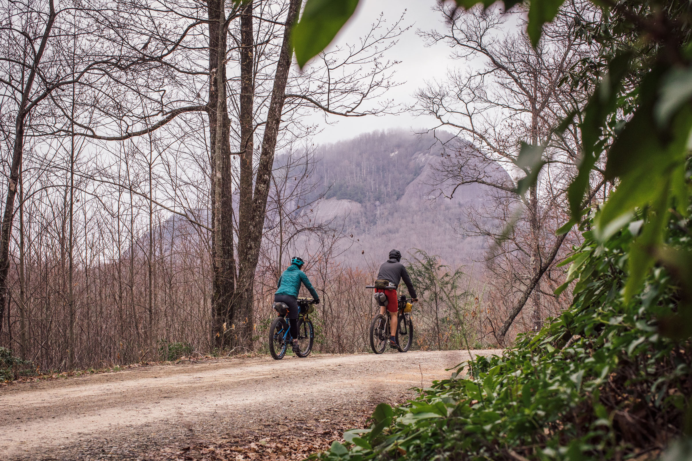
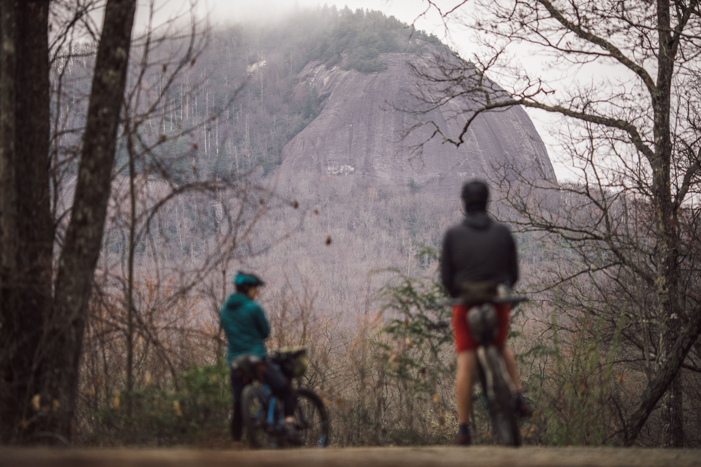
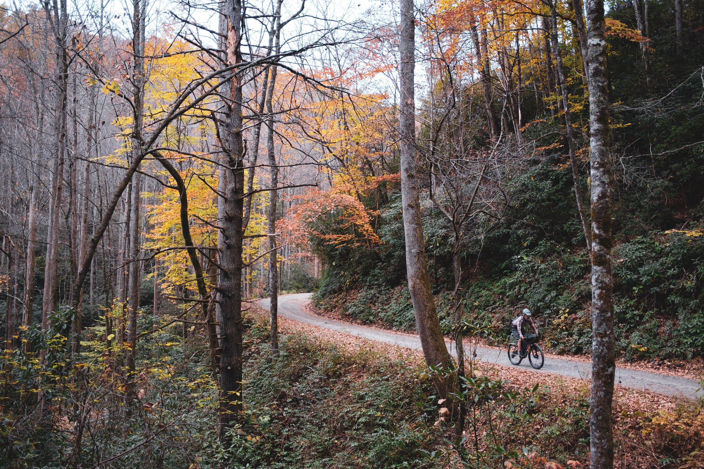
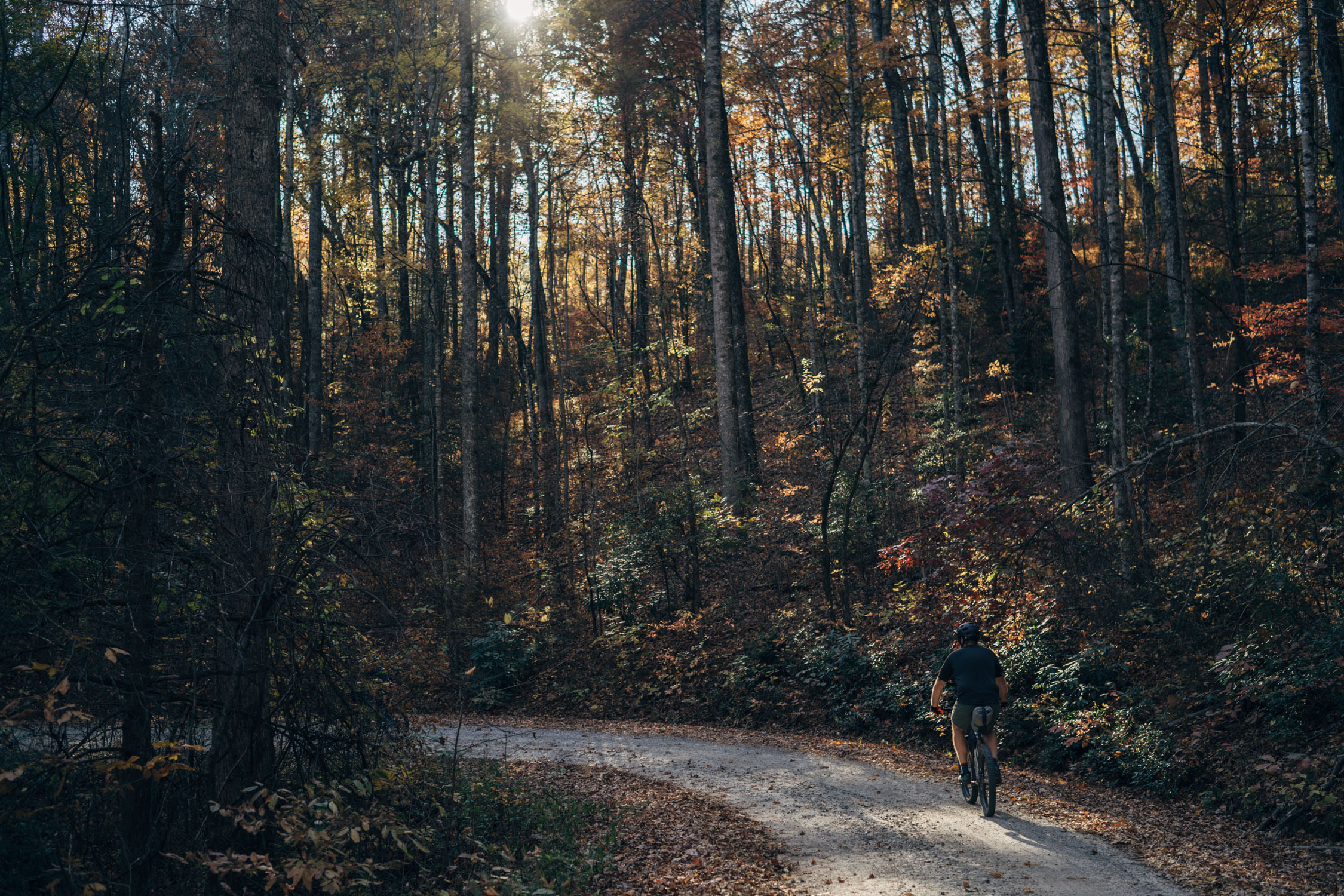
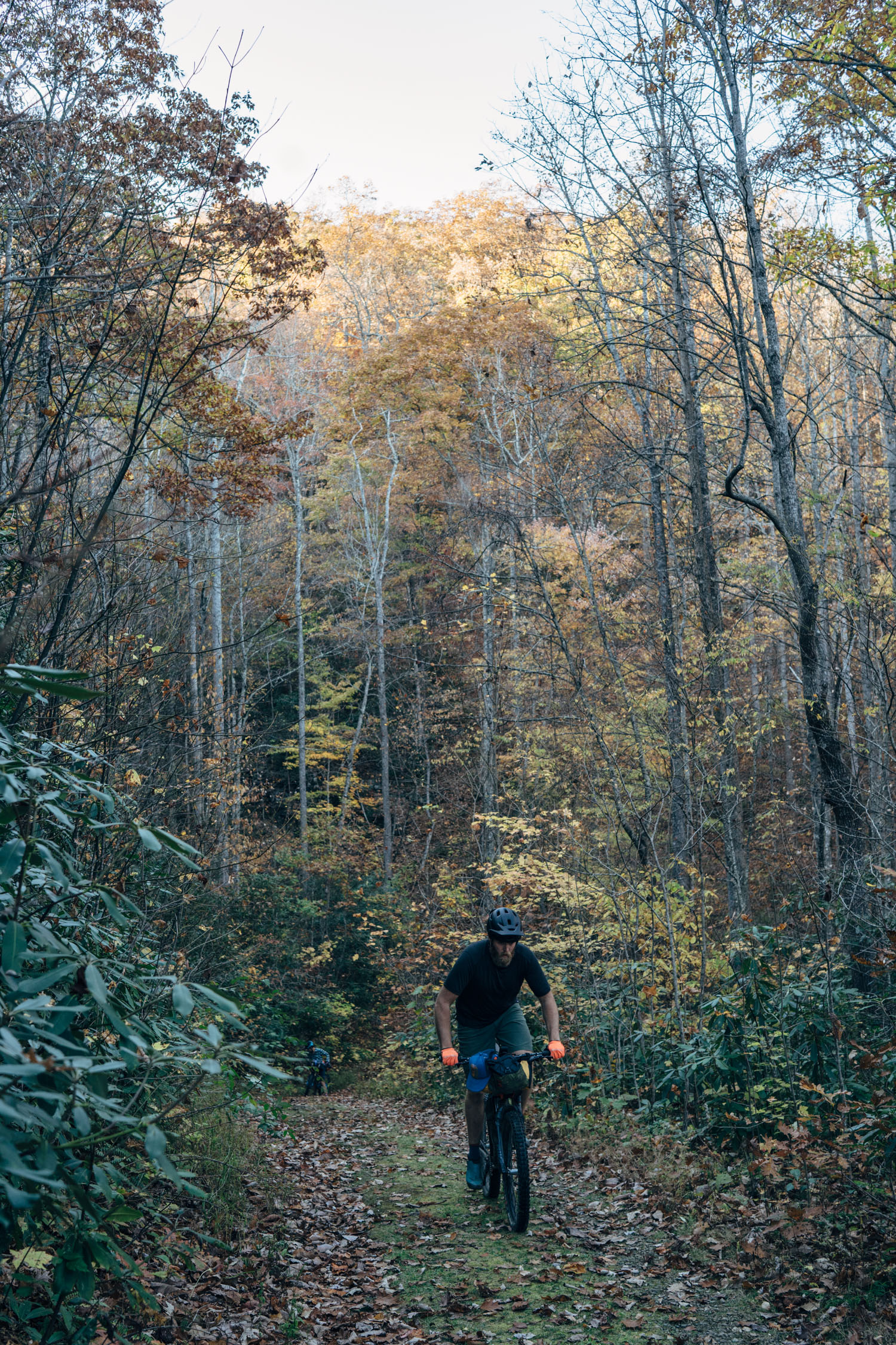
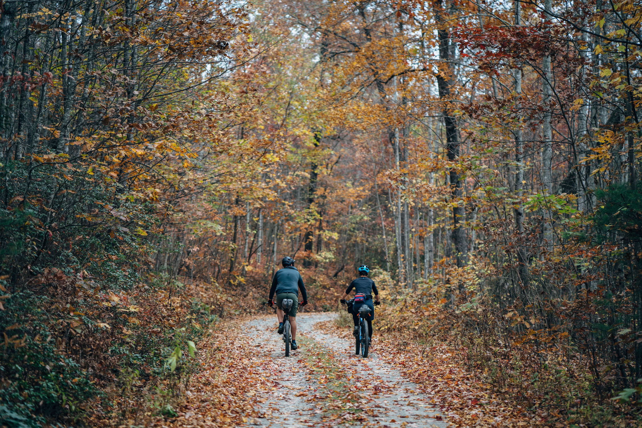
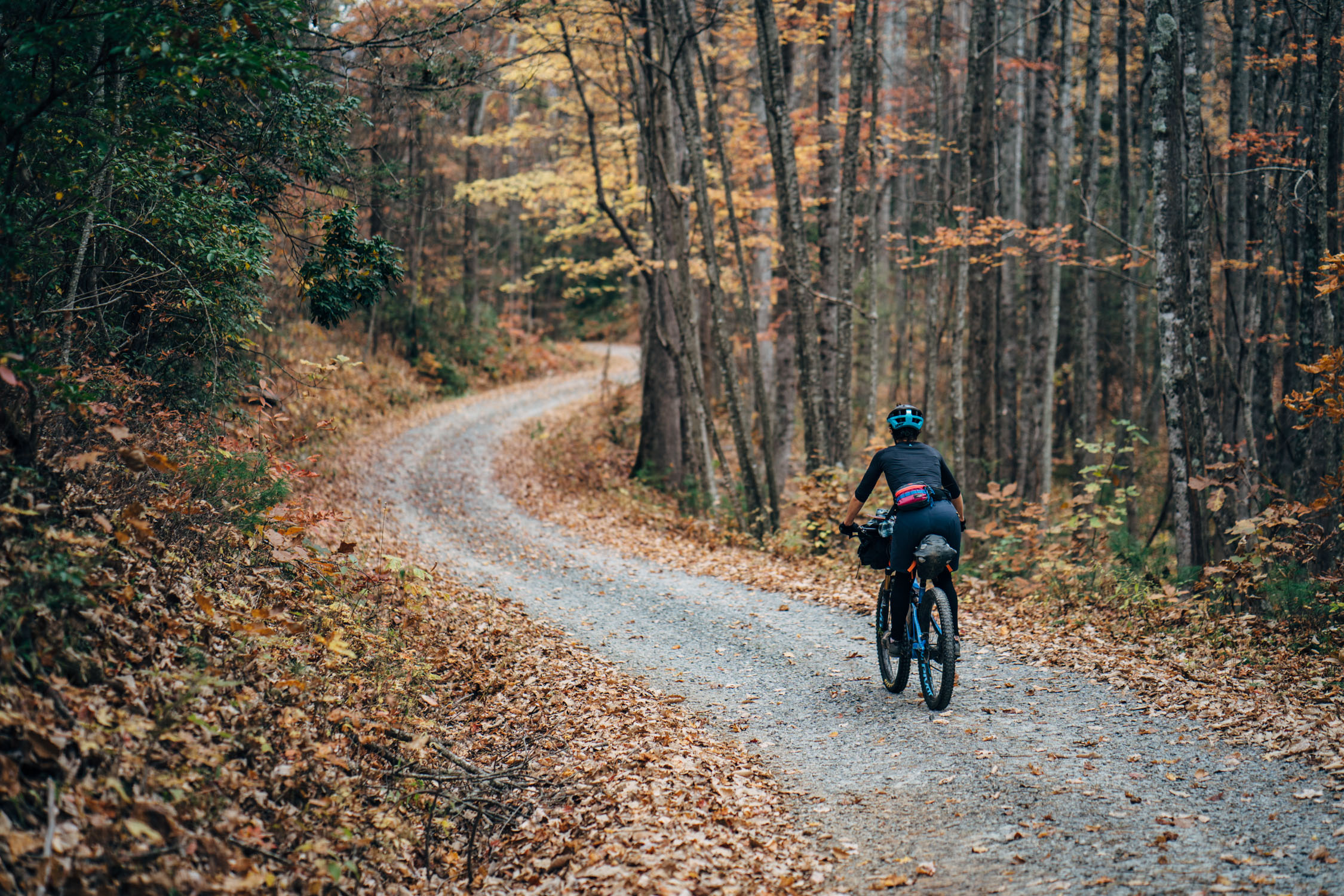
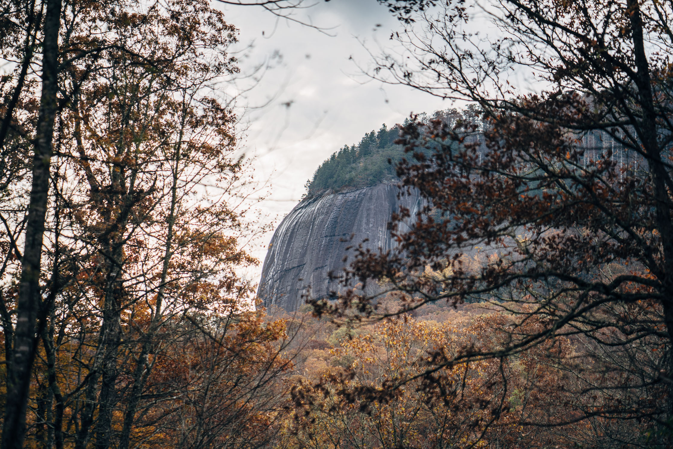
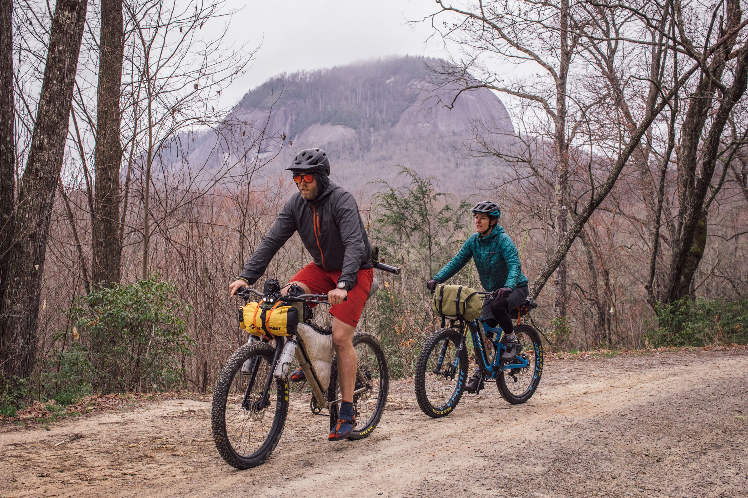
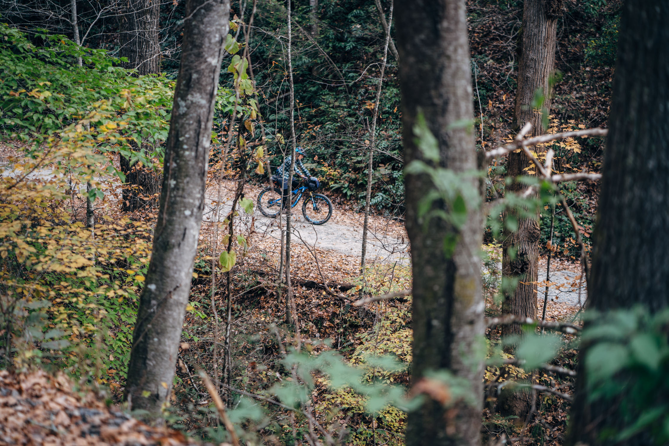
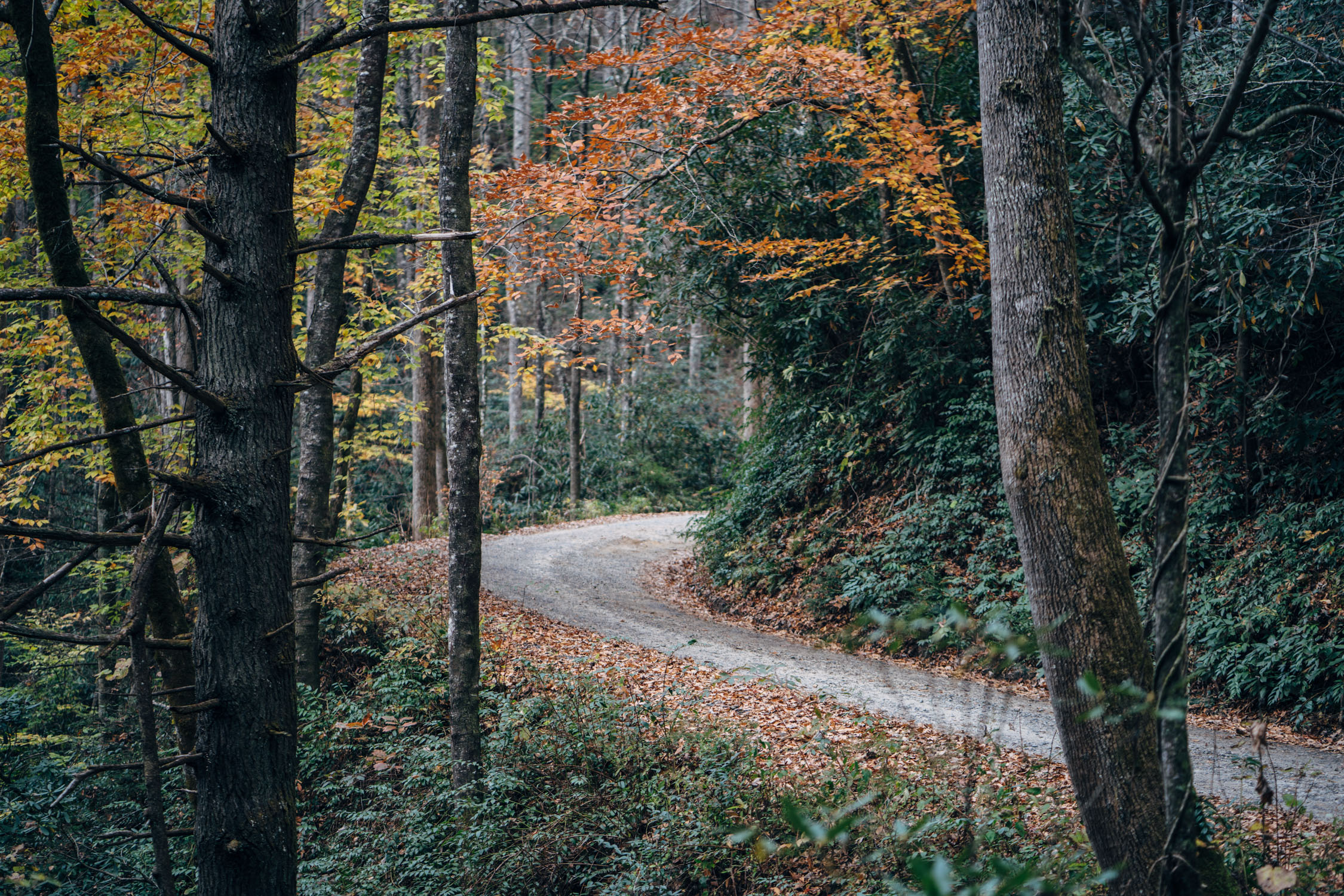
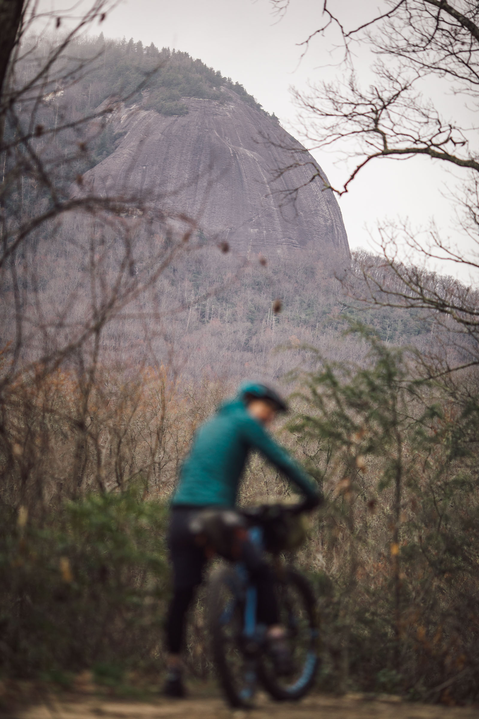
The Looking Glass Loop Overnighter was designed to leave downtown Brevard (or our house) and circumnavigate Looking Glass Rock, a massive pluton monolith named after the reflective qualities of its granite face. Looking Glass rises from the valley floor to an elevation of almost 4,000 feet (1,200 m) and can be seen from multiple locations throughout Pisgah National Forest. The loop uses a choice mix of gravel, doubletrack fire roads, and some of Pisgah’s easier singletrack to make a great loop that can easily be done as a sub-24 hour overnighter.
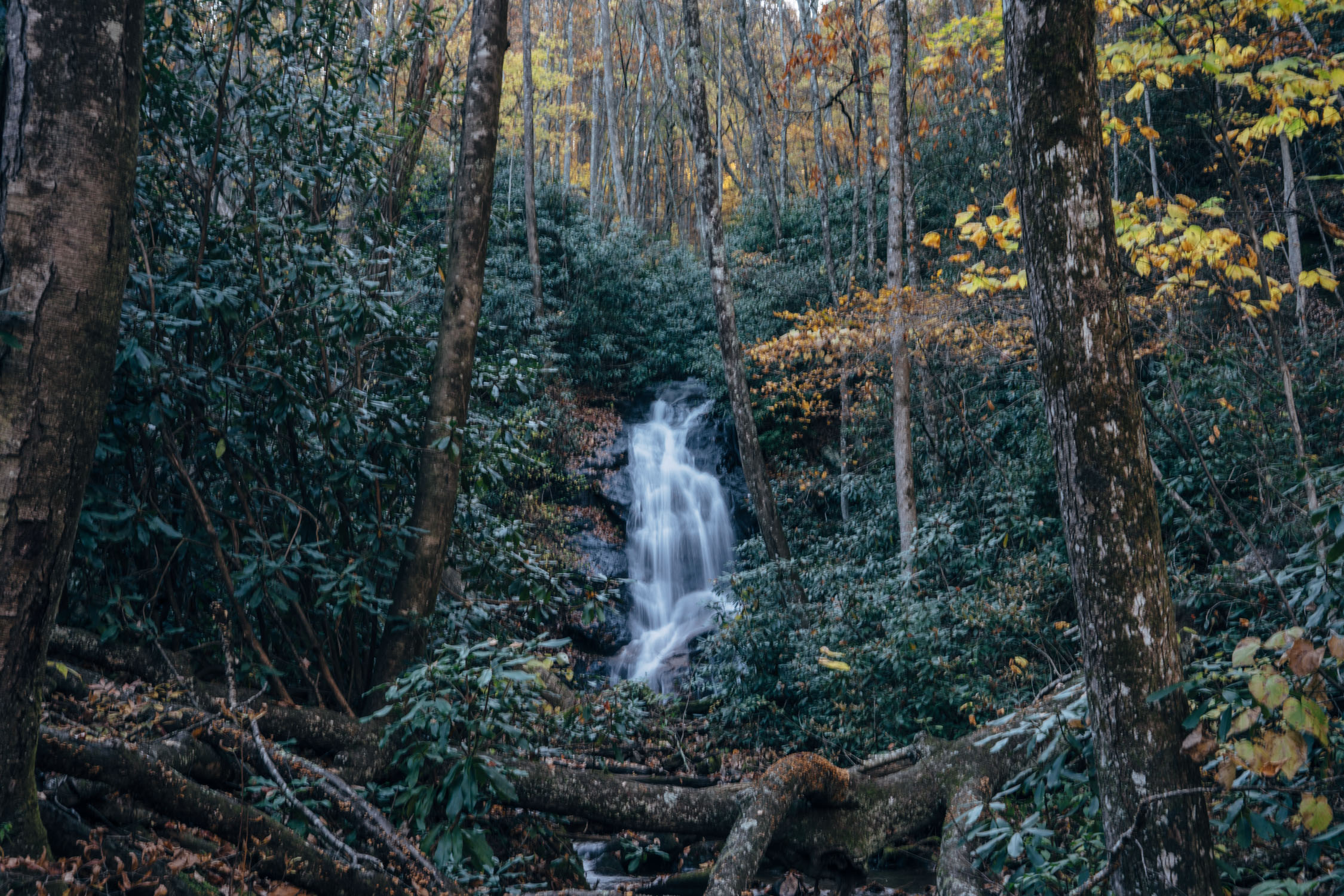
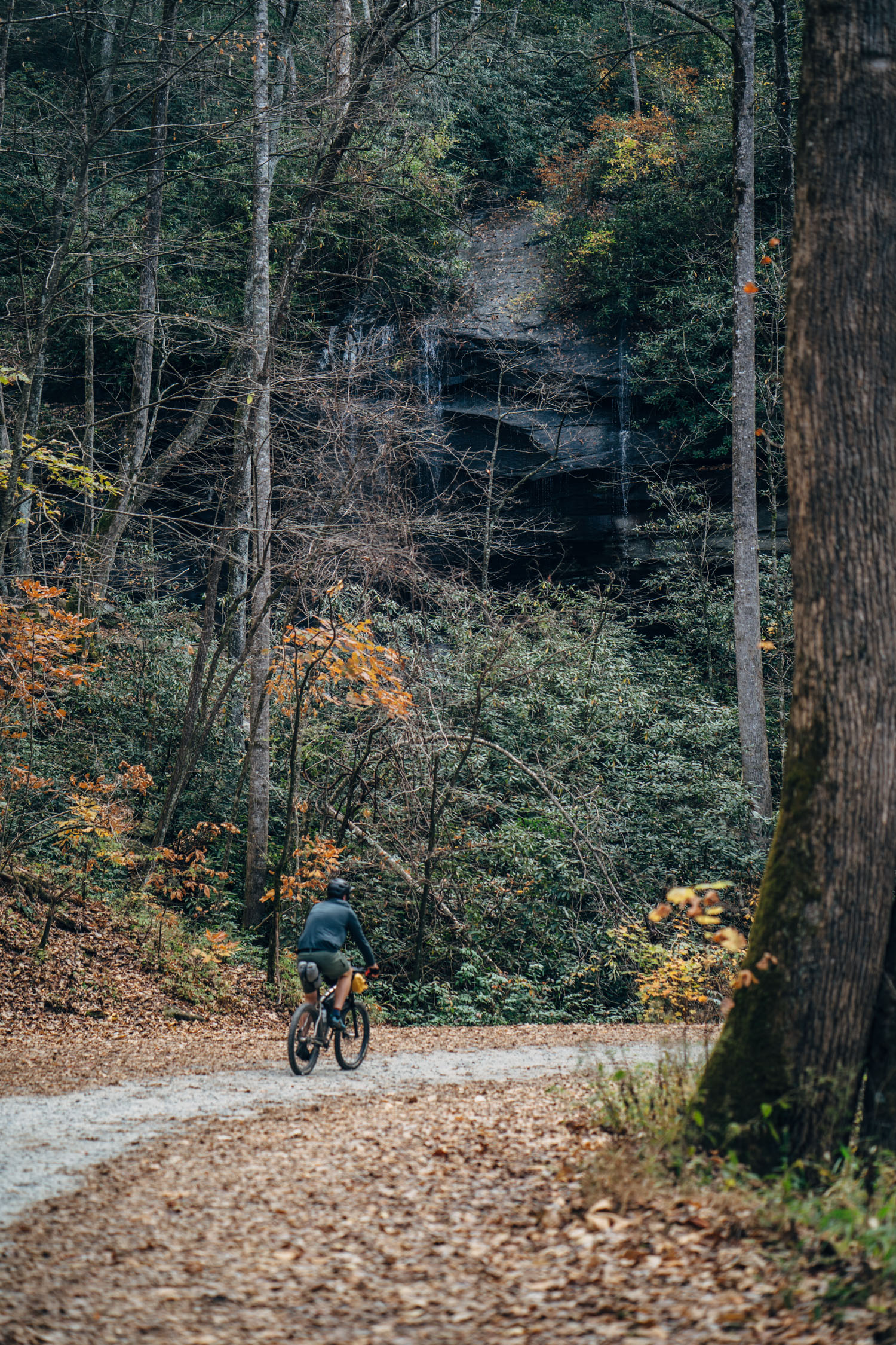
We’ve ridden this route multiple times—once in the fall, once this winter, and a couple times as a long day ride. There are several areas where Looking Glass is viewable on the route in the late fall, winter, and early spring. However, once the leaves are in full growth, there’s only one spot you can get a glimpse of the rock. Even so, there’s plenty of other natural beauty along the way, including four of the area’s most impressive waterfalls.
Difficulty: Generally speaking, this is an intermediate-friendly route. There are a few healthy climbs, but nothing overly steep or technical. The route gets a 2/10 in the technical difficulty standpoint, a 1/10 for resupply, and a 4/10 for the physical challenge. If it weren’t for the steady climbs, this route would likely be rated 3/10, overall. See “Must Know” section for details about what type of bike works best.


Submit Route Alert
As the leading creator and publisher of bikepacking routes, BIKEPACKING.com endeavors to maintain, improve, and advocate for our growing network of bikepacking routes all over the world. As such, our editorial team, route creators, and Route Stewards serve as mediators for route improvements and opportunities for connectivity, conservation, and community growth around these routes. To facilitate these efforts, we rely on our Bikepacking Collective and the greater bikepacking community to call attention to critical issues and opportunities that are discovered while riding these routes. If you have a vital issue or opportunity regarding this route that pertains to one of the subjects below, please let us know:
Highlights
Must Know
Camping
Food/H2O
- Disappearing into the Pisgah National Forest
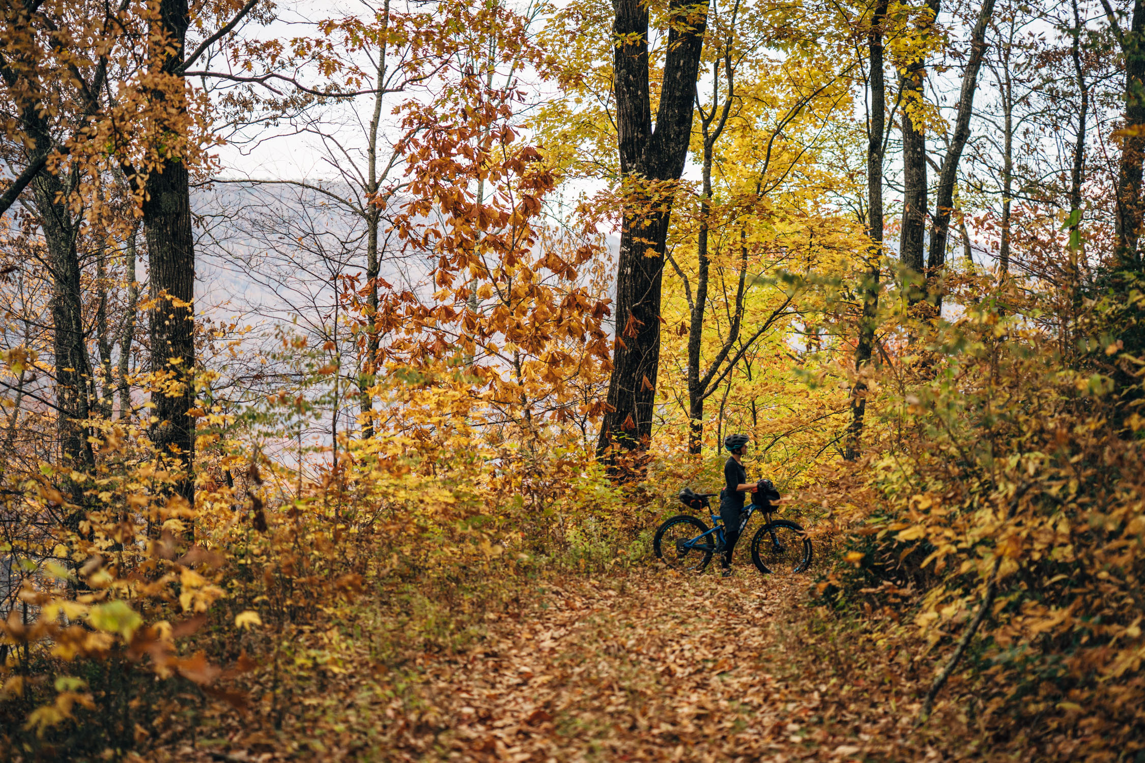
- Views of Looking Glass Rock throughout the route (especially once the leaves drop!)
- Riding some of Pisgah’s more remote doubletrack on Seniard Ridge
- Several beautiful waterfalls, including Discovery Falls, Log Hollow Falls, and Daniel Ridge Falls
- A fast and fun descent back into Brevard via the purpose-built Bracken Mountain Preserve singletrack trails
- Grabbing a pre- or post-ride meal or brew in downtown Brevard
- This route is rideable all year long, but bring the right clothing in the winter.
- The Looking Glass Loop Overnighter was designed to be ridden with nearly any bike. I’ve ridden it on a drop-bar bike with 2.1″ tires, as well as a mountain bike. There are a couple of rocky bits and stream crossings, and some rooted sections on the Cove Creek Trail, but overall it’s doable on about any bike with tires bigger than 42mm. That said, you’ll likely be walking or struggling on a gravel bike in two or three locations.
- In the mid-to-late summer months, Seniard Ridge can get thorny and overgrown; be prepared for a little bushwhacking.
- There are a couple of small stream crossings on Seniard, but there are usually rocks to hop so you don’t get wet. That could change with a lot of rain, however.
- For views of Looking Glass Rock, the route is best ridden from late fall to early spring while the leaves are down.
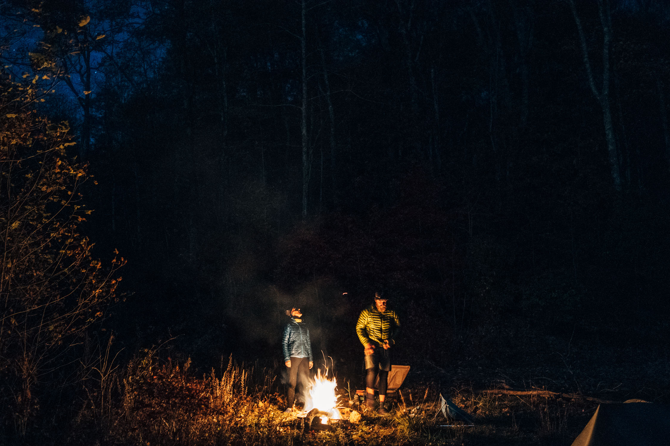
- This overnighter was designed to camp near Discovery Falls or Upper Log Hollow Falls around mile 16. That’s about a 2-3 hour ride, or longer, depending on your speed and fitness.
- There are a few campsite options. There’s a roadside campsite on the bend just after Upper Log Hollow Falls—you can’t miss it.
- There are also several established campsites where marked between the two falls. There’s a faint trail going off to the left of the road just above these sites. Once down there, there’s a large site with a fire ring, or off to the left, a smaller site next to the stream.
- There is plenty of water along the route.
- Bring a filter, or plan ahead. There’s a piped spring where marked above Bennett Gap.
- Food options are plentiful in Brevard. We recommend Magpie Meat and Three. Or Oskar Blues has a food truck.
- In addition, there are a few more options downtown, including bakeries, pizza, and a couple of Mexican restaurants.


Terms of Use: As with each bikepacking route guide published on BIKEPACKING.com, should you choose to cycle this route, do so at your own risk. Prior to setting out check current local weather, conditions, and land/road closures. While riding, obey all public and private land use restrictions and rules, carry proper safety and navigational equipment, and of course, follow the #leavenotrace guidelines. The information found herein is simply a planning resource to be used as a point of inspiration in conjunction with your own due-diligence. In spite of the fact that this route, associated GPS track (GPX and maps), and all route guidelines were prepared under diligent research by the specified contributor and/or contributors, the accuracy of such and judgement of the author is not guaranteed. BIKEPACKING.com LLC, its partners, associates, and contributors are in no way liable for personal injury, damage to personal property, or any other such situation that might happen to individual riders cycling or following this route.
Please keep the conversation civil, constructive, and inclusive, or your comment will be removed.