


Lost-in-Brandenburg Loop
Distance
163 Mi.
(262 KM)Days
3-4
% Unpaved
55%
% Singletrack
1%
% Rideable (time)
95%
Total Ascent
3,995'
(1,218 M)High Point
517'
(158 M)Difficulty (1-10)
5?
- 2Climbing Scale Easy25 FT/MI (5 M/KM)
- 5Technical Difficulty Moderate
- 6Physical Demand Moderate
- 3Resupply & Logistics Fair
Contributed By

Josh Meissner
Contributing Editor
With additional photos by Constantin Gerlach
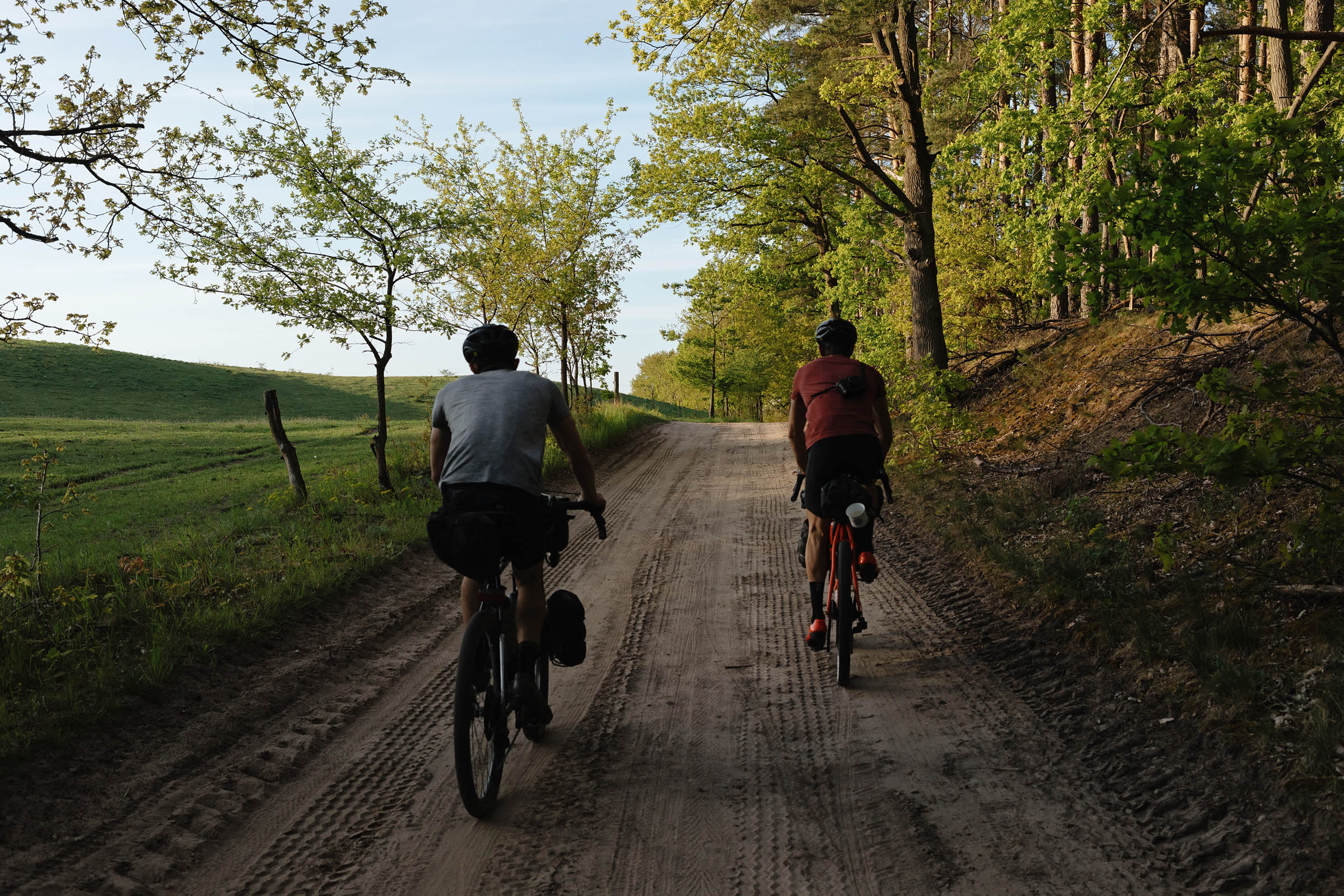
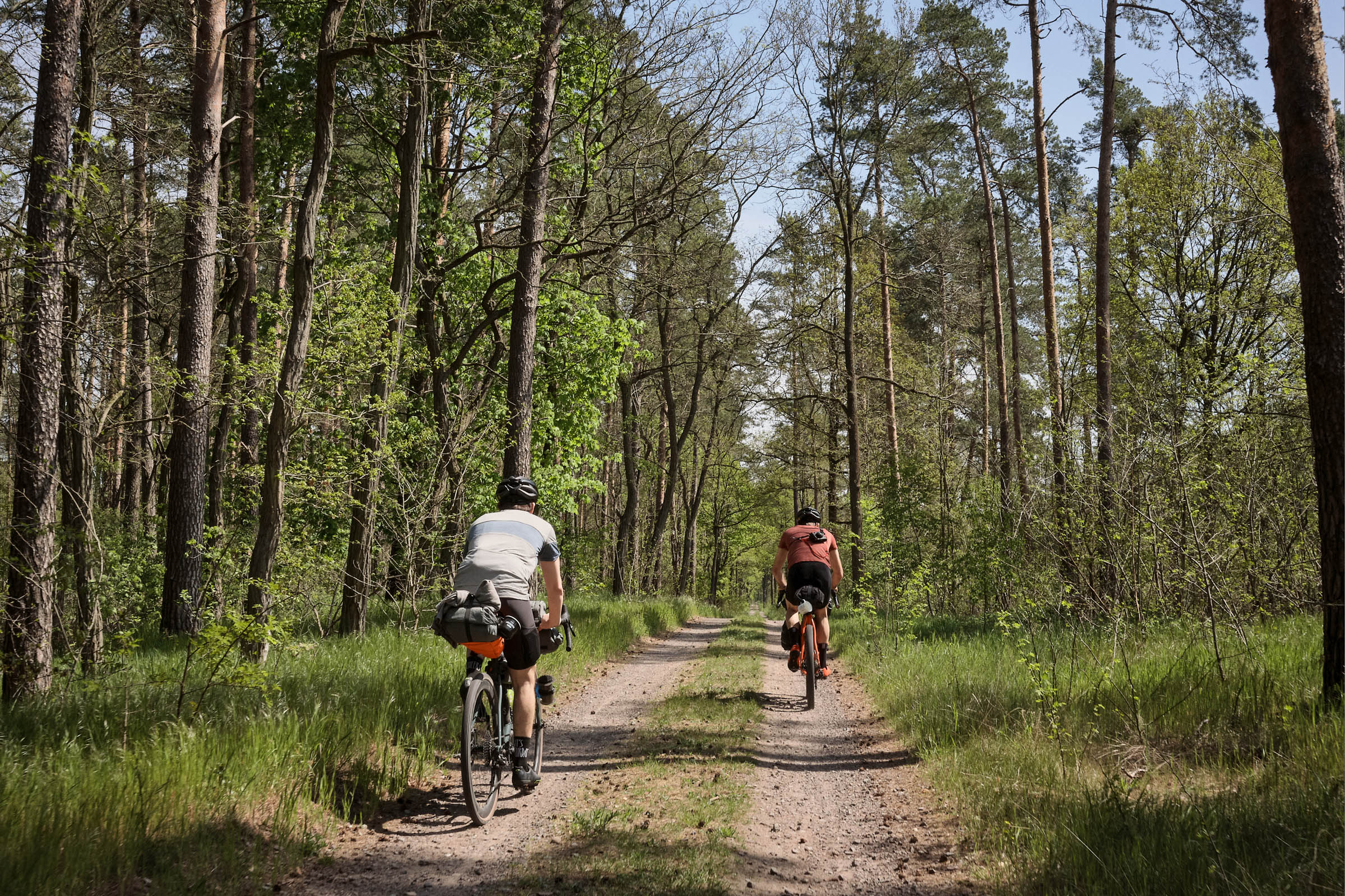
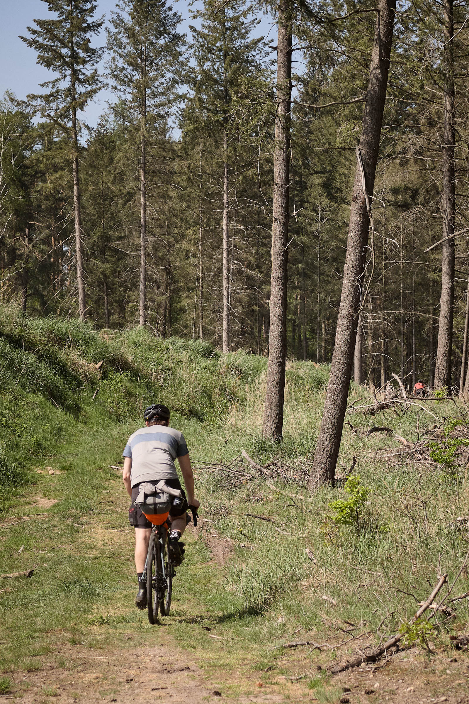
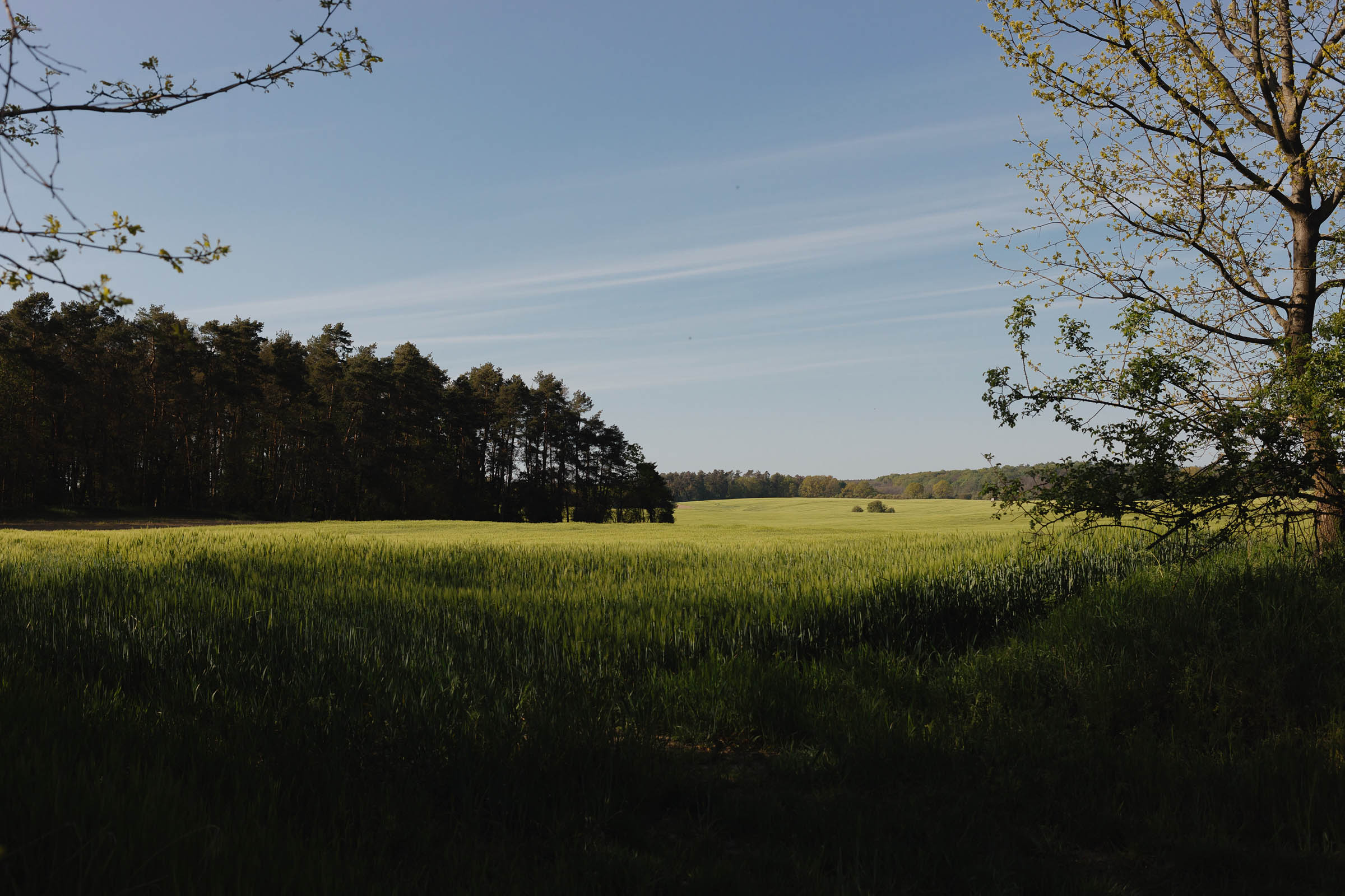
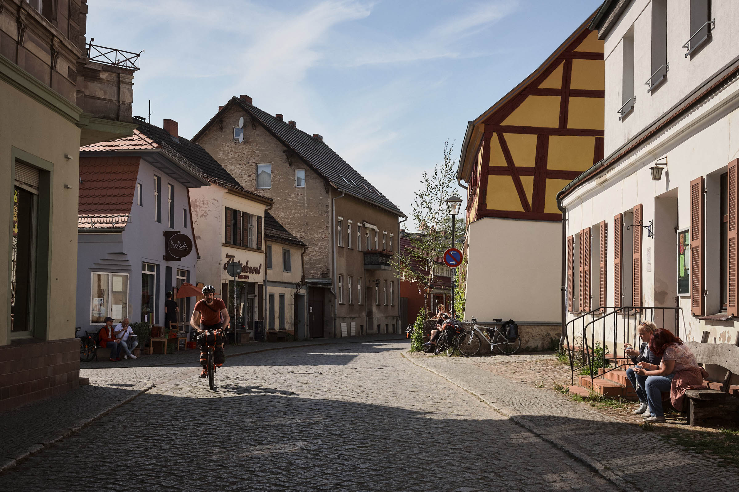
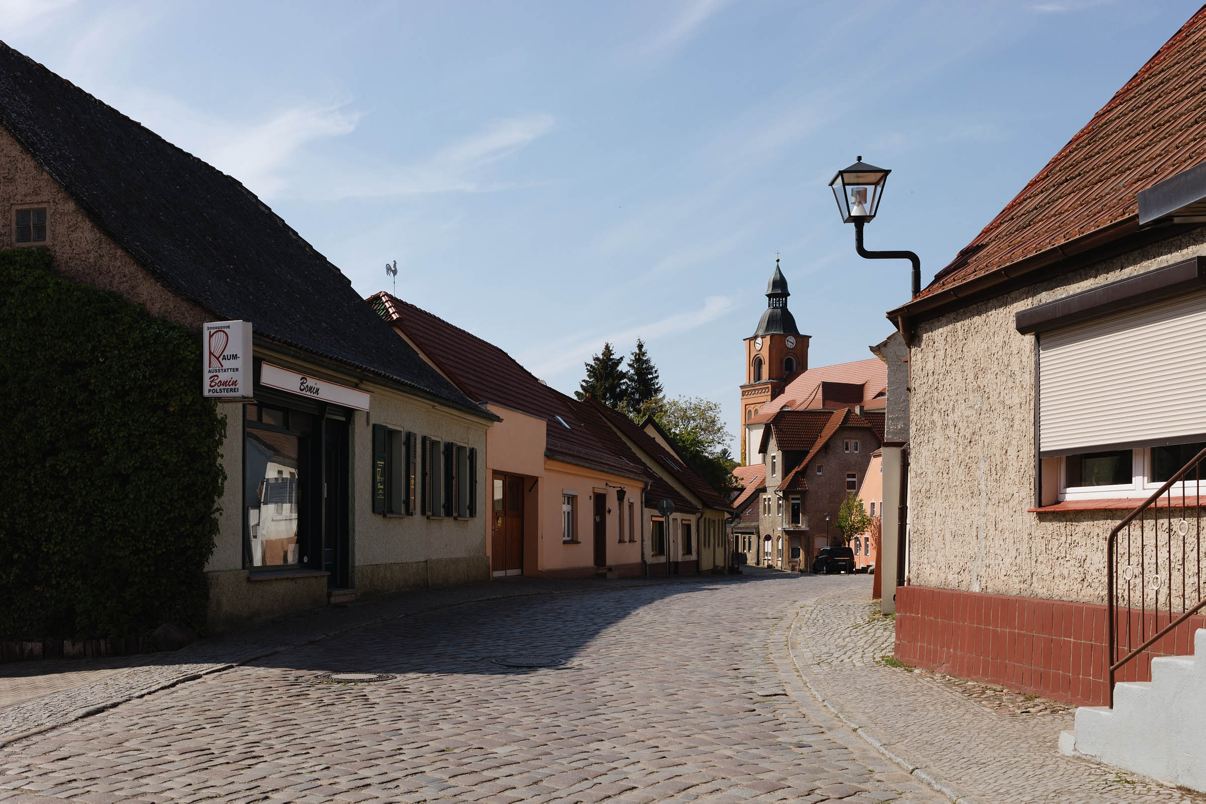
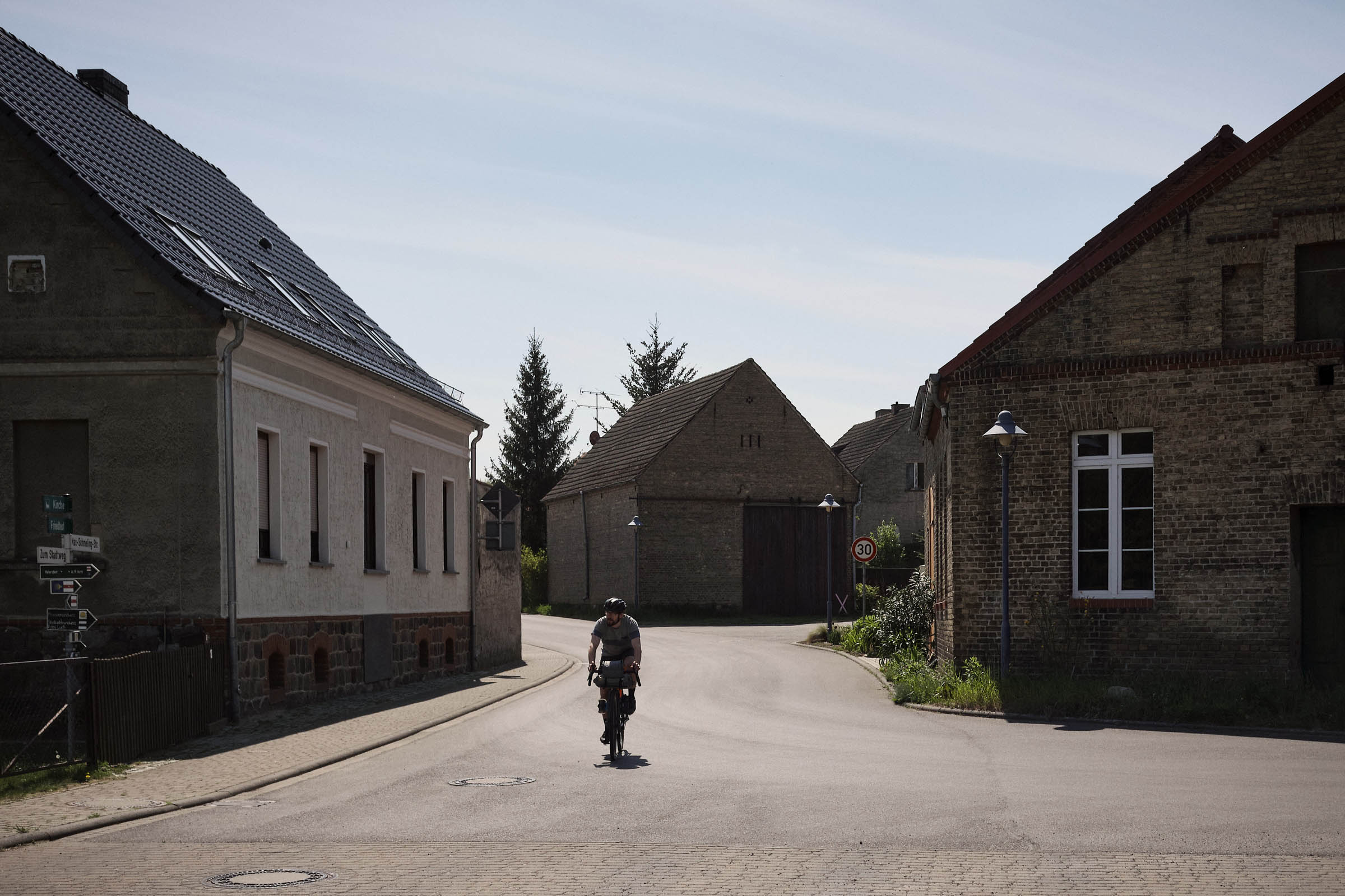
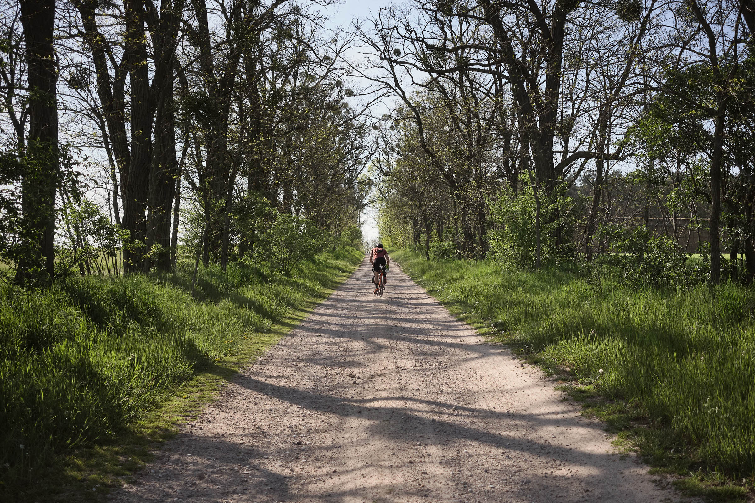
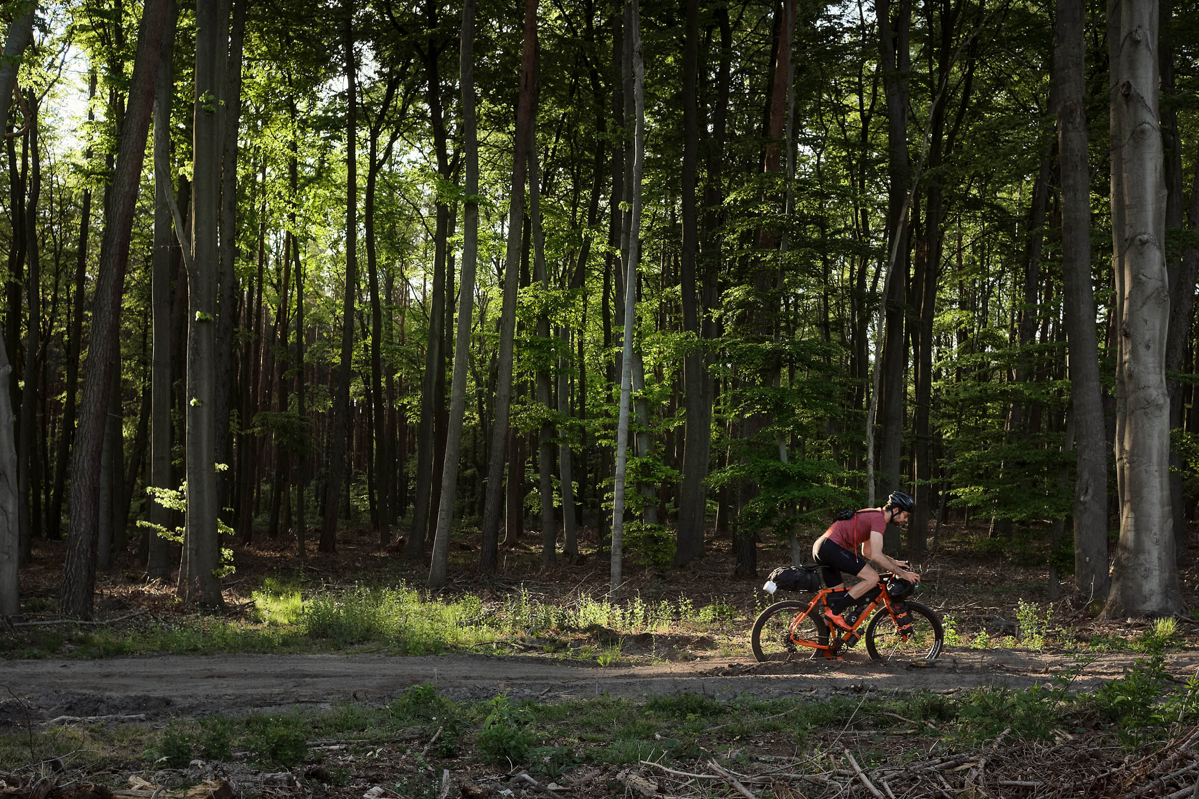
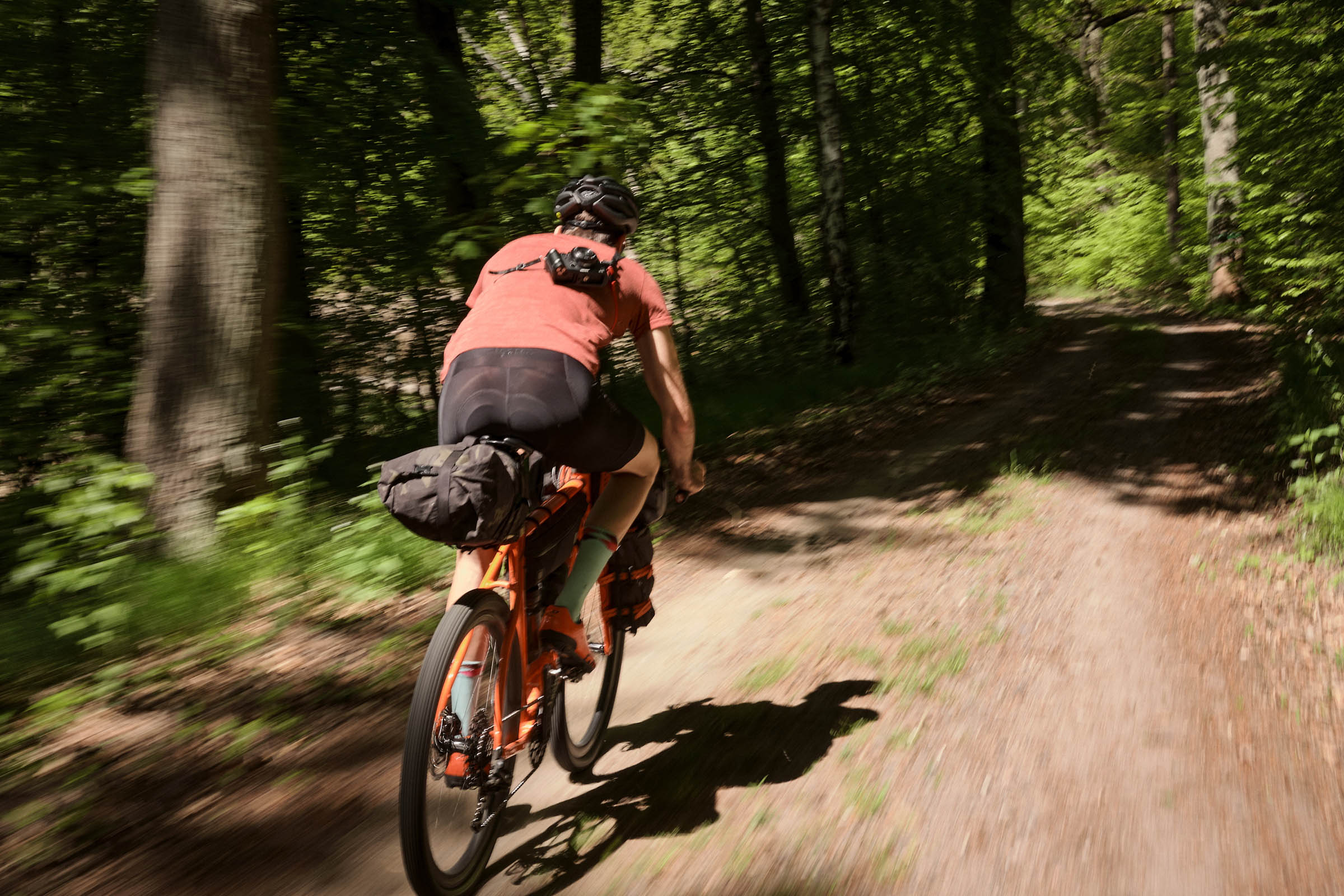
Leading riders through varied eco-regions around Berlin, this route showcases the excellent off-pavement riding of the state of Brandenburg. Exiting the city via park trails and dedicated cycle ways, the track loops through the sparsely populated Märkisch-Oderland and Uckermark regions, where you’ll encounter sights and landscapes characteristic of Eastern Germany—sandy doubletrack, vast forests interspersed by little lakes, rural towns featuring relics of socialism and historic architecture, and the unmistakable marks of glaciers in the landscape.
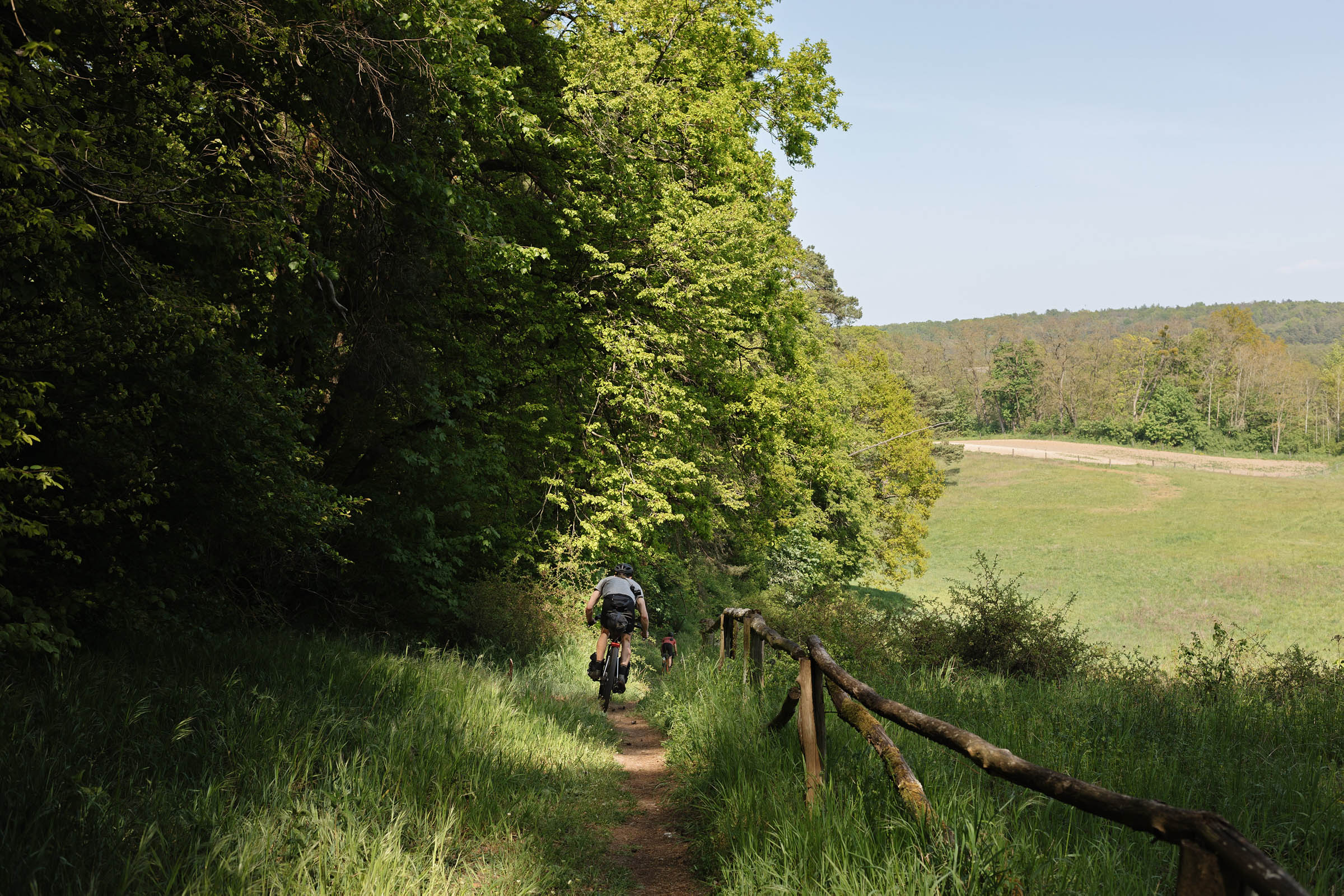
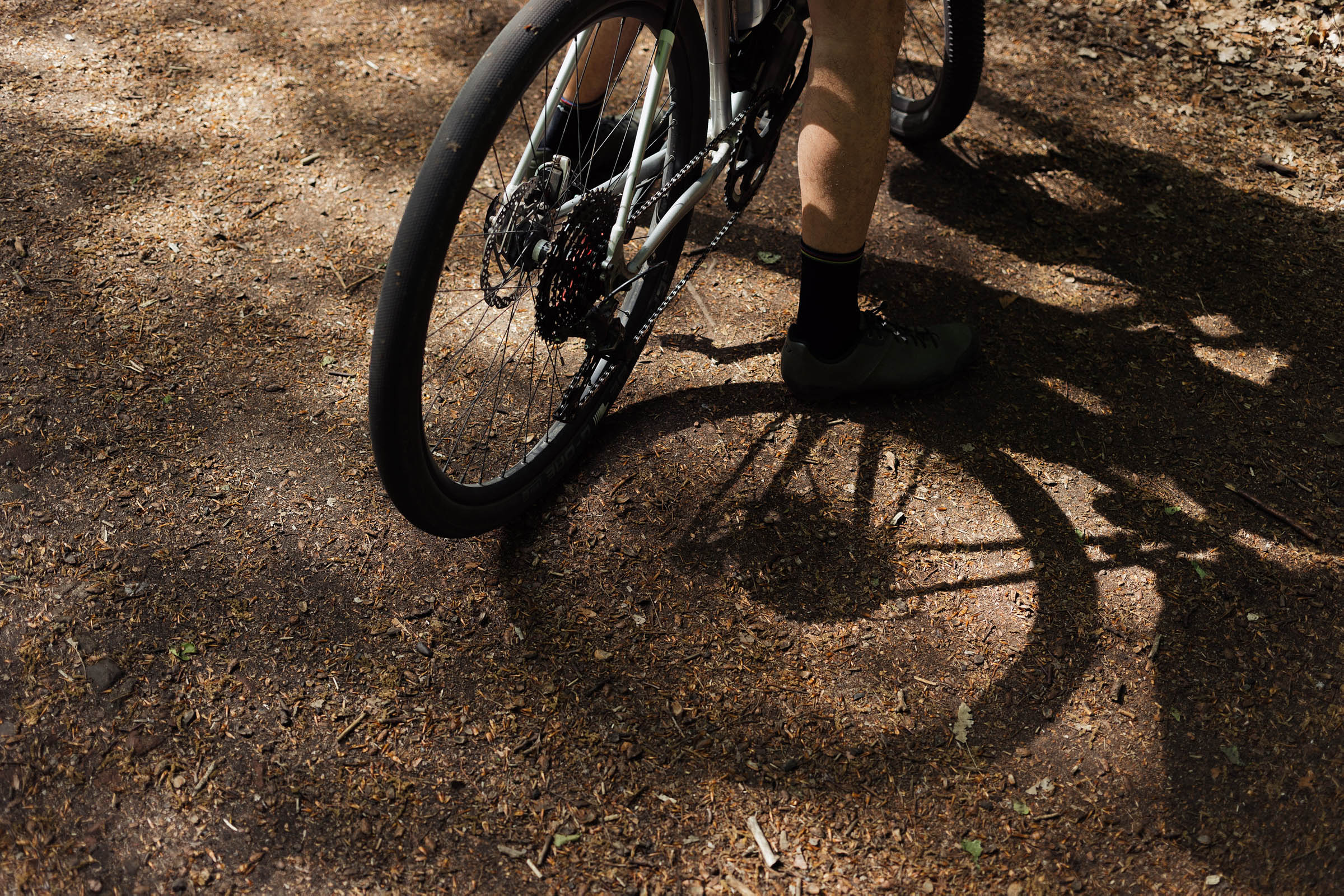
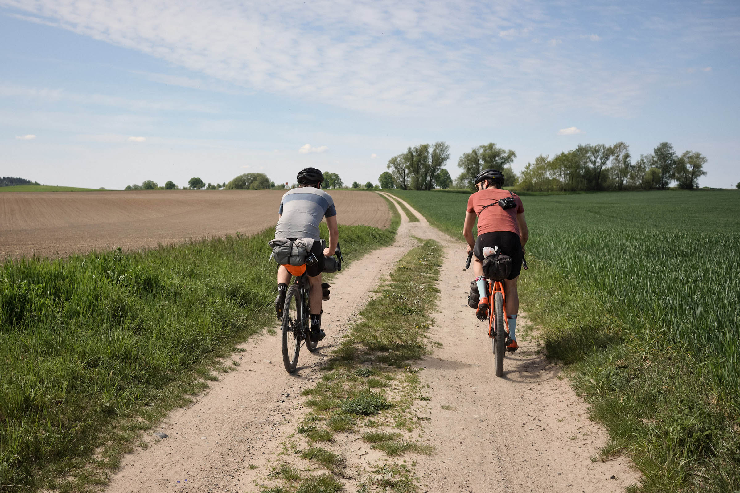
From hilly moraine landscapes of the Uckermark region to the low Oderbruch floodplains, from vast pine monocultures to the unmanaged wilderness zone of Grumsin, the route offers a bikepacking rebuttal to the notion that Brandenburg is boring or even topographically flat. It can be ridden as a fast weekend trip, a week-long meander, or broken into overnighter sections and revisited over the course of the seasons. As wild-camping is tricky in this area, this route is aimed at more experienced bikepackers. Pack wider tires and more water than you think you’ll need; you’re headed deep into sandy Brandenburg.
Route Difficulty
Riding this loop in three days requires a moderate to high level of fitness. While the terrain is flat, the long stretches through sand and on harsh cobblestones can be hard on mind and body. Wild-camping is tricky. The start/end point in Berlin is accessible via public transit and plenty of bail-out options exist along the route. Resupply options are regular but sparse in the off-season. For a rider on a gravel bike who’s done a couple of overnighters and wants to complete the loop in three days during summer, I’d rate the technical difficulty at 5/10, the physical demand at 6/10, and resupply & logistics at 3/10, rounding up to 5/10 overall.
Route Development: Originally published in 2020, the May 2026 update adds the loop around Wolletzsee to include the magnificent Grumsin beech forest and traverses the entire length of the Gamengrund tunnel valley after Eberswalde. The track has been straightened to improve flow, now featuring around 30% fewer turns. Most singletrack has been removed and impassable or non-existent paths have been re-routed. The exit from and entry into Berlin are smoother. New camping and bivouac sites and a more detailed explanation on wild-camping have been added. There are new points of interest along the track to explore. The description and difficulty have been adjusted based on rider feedback.


Submit Route Alert
As the leading creator and publisher of bikepacking routes, BIKEPACKING.com endeavors to maintain, improve, and advocate for our growing network of bikepacking routes all over the world. As such, our editorial team, route creators, and Route Stewards serve as mediators for route improvements and opportunities for connectivity, conservation, and community growth around these routes. To facilitate these efforts, we rely on our Bikepacking Collective and the greater bikepacking community to call attention to critical issues and opportunities that are discovered while riding these routes. If you have a vital issue or opportunity regarding this route that pertains to one of the subjects below, please let us know:
Highlights
Must Know
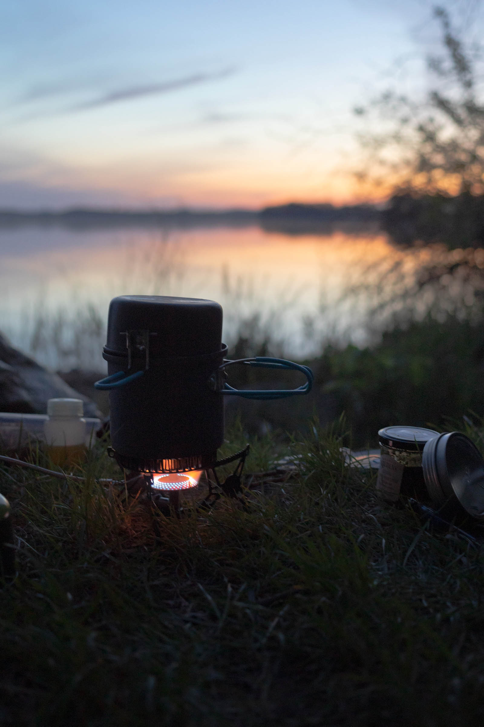
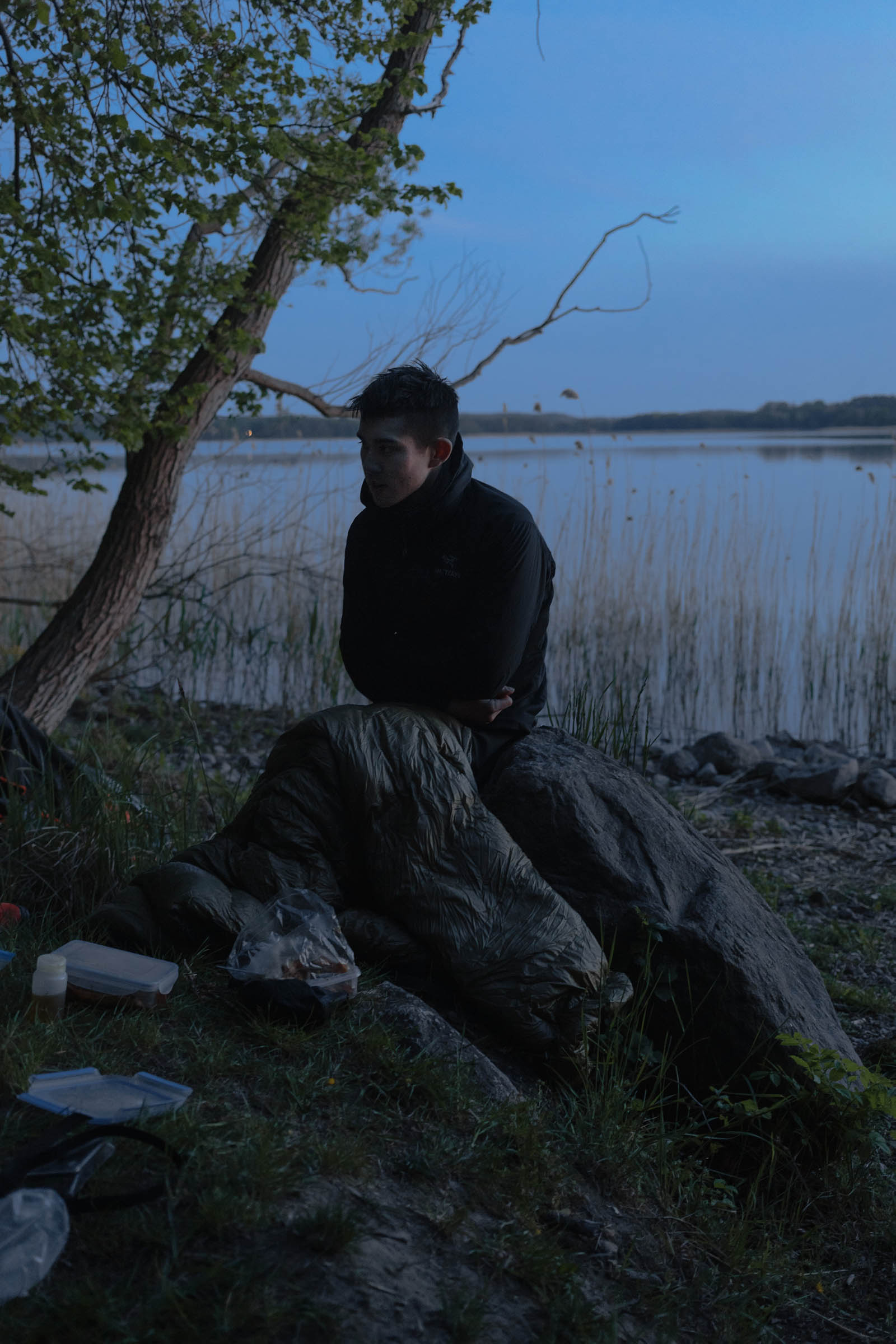
Camping
Food/H2O
Trail Notes
Resources
- Experience the ecological variety of Brandenburg from hilly Uckermark and Märkische Schweiz to the low Oderbruch floodplains, from pine monocultures to the wild forest of Grumsin, and more.
- Explore off-track the points of interest marked along the route.
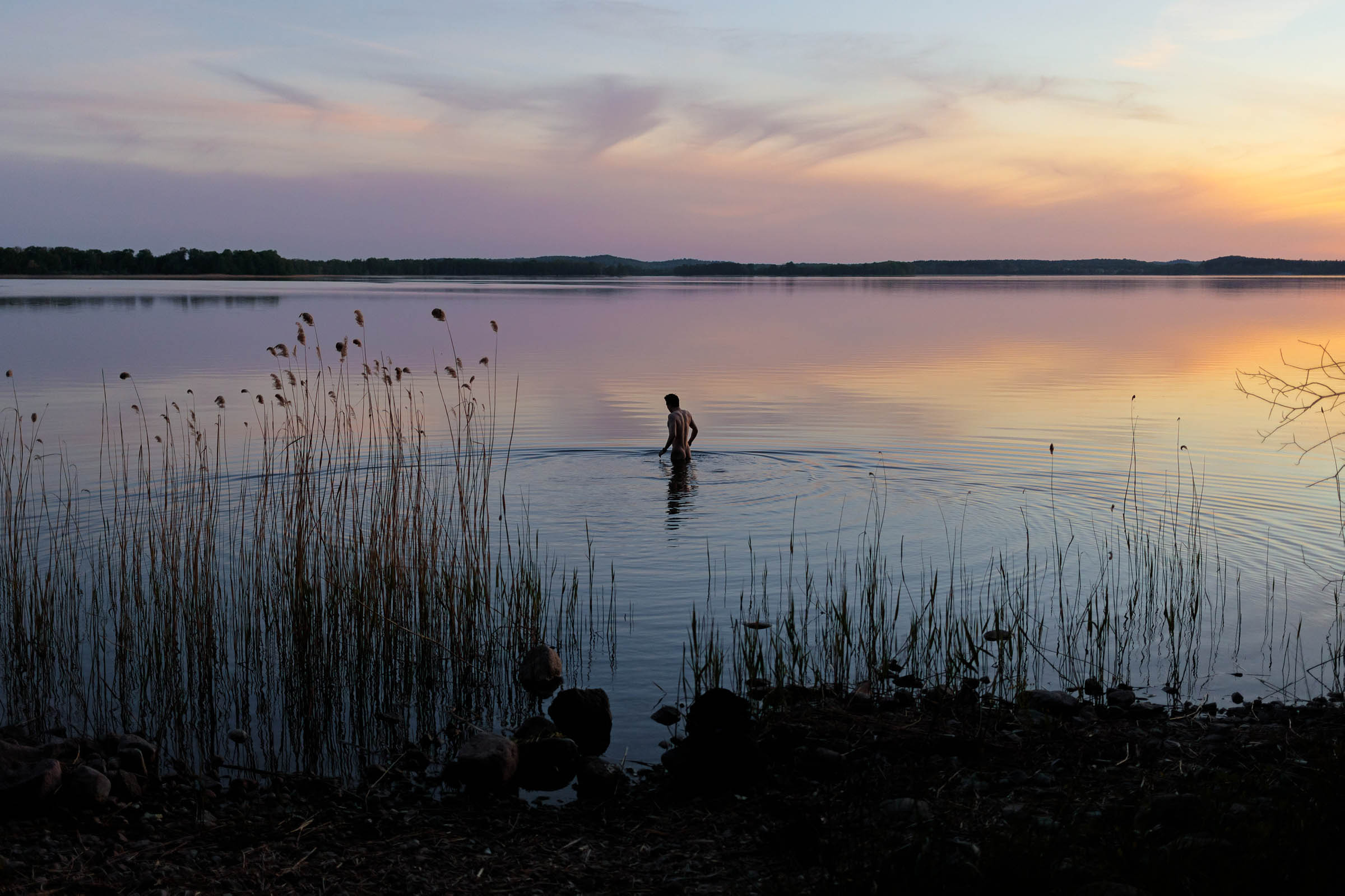
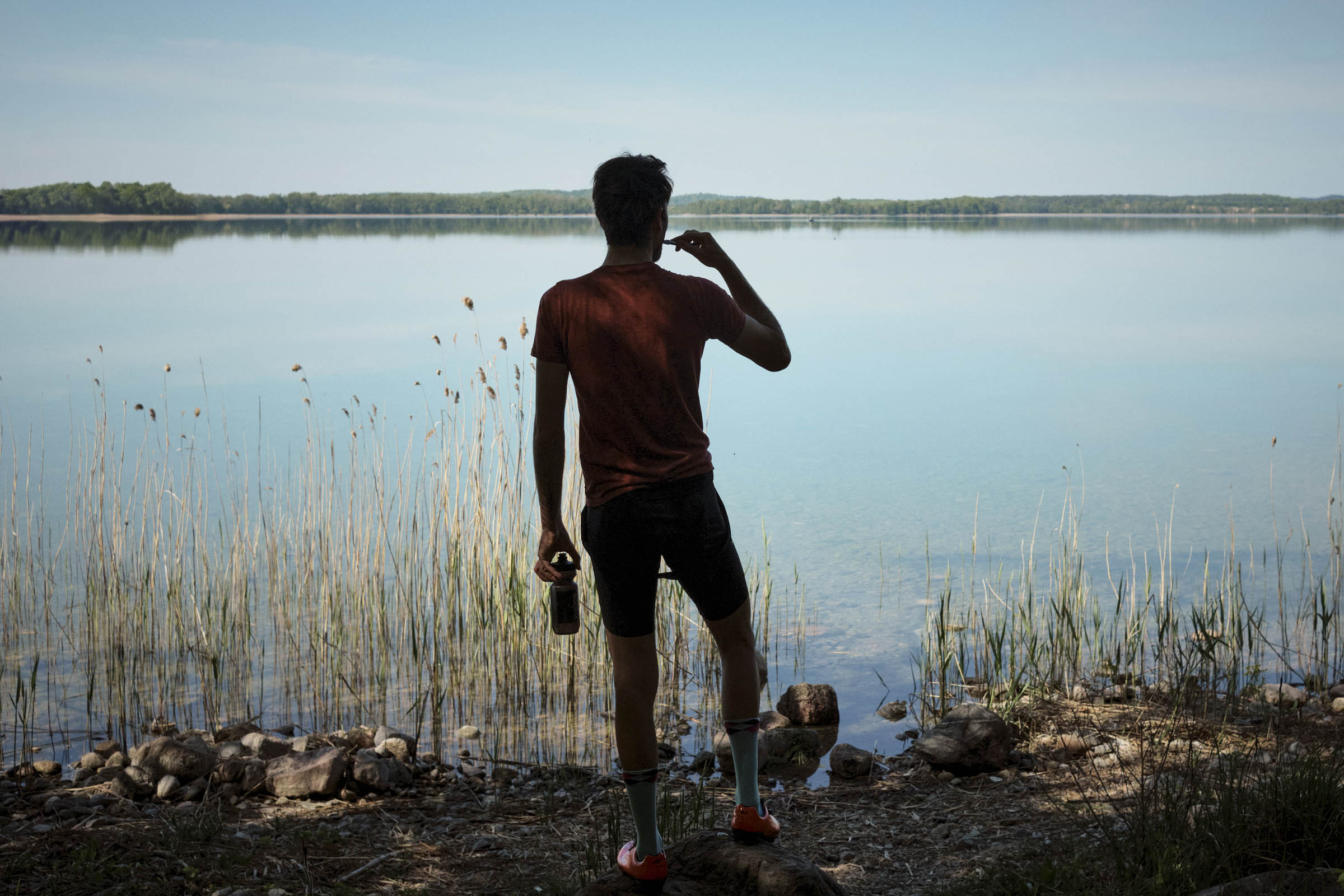
- Go for a refreshing dip in the many lakes along the way. Maxsee, Großer Tornowsee, Parsteinersee, and Fängersee are particularly nice for swimming.
- Smooth exit and entry into Berlin on car-free cycle paths.
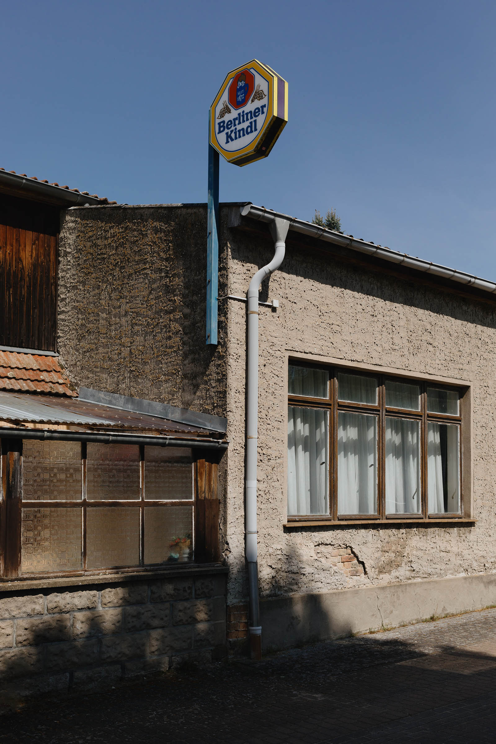
- In the small towns of Brandenburg, find remnants of socialism and prior times.
- Beautiful Buckow, the gate to the Märkische Schweiz, features bakeries, restaurants, and shops.
- Spot the ship lifts in Niederfinow across the Oderbruch flood plains.
- Wander among the old beeches in the Grumsin forest, a rare wilderness zone.
- Ride ye olde ways on the cobbles of Chorin
- race long tunnel valleys eroded by meltwater from retreating glaciers.
Must Know
- This is a route aimed at experienced bikepackers as wildcamping is legally and practically tricky in Brandenburg. Take the route as a suggestion that you tailor to your needs. Check out the Havel Wetland Wander for a beginner-friendly route that makes use of official bivouac sites.
- Do not light fires in and near forests, as it’s prohibited at all times. Forest fires are a major risk in Brandenburg.
- Enjoy and respect the multiple nature reserves (Naturschutzgebite, NSG) including the wilderness zone of Grumsin that this route crosses. Do not sleep there or leave the paths. Look for the yellow signs with the owl and double-check the map to be sure.
- Be able to lift your bike, as fallen trees may block the route in some sections.
- Anticipate challenging surfaces. The deep sand and harsh cobbles especially around Chorin take their toll. Progress may be slower than anticipated.
- Beware of ticks. Make sure to check yourself at least daily and bring tweezers to remove them ASAP.
Logistics
- The GPS track starts and ends in Berlin right by the S-Bahn station Treptower Park. The nearest long-distance train stations are Ostkreuz and Ostbahnhof.
- The actual off-pavement route begins at Kilometer 29 in Erkner, the final stop of the S3 line.
- Bail-out from Wriezen, Bad Freienwalde, Niederfinow, Angermünde, Eberswalde, or Strausberg via regular regional trains every 1-2 hours.
- Bike spots on the RE3 back to Berlin via Angermünde, Chorin, Eberswalde are in extremely high demand on summer weekends and holidays. The RB24 between Eberswalde and Ostkreuz is usually a safer bet.
- The route can be ridden year round, but outside of the April-October season, resupply will be sparse as cafés and restaurants may be closed and water taps at cemeteries are turned off.
Bike Choice
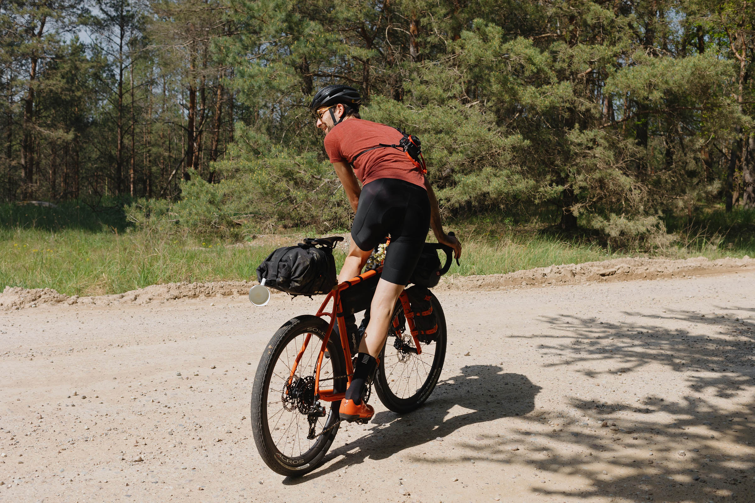
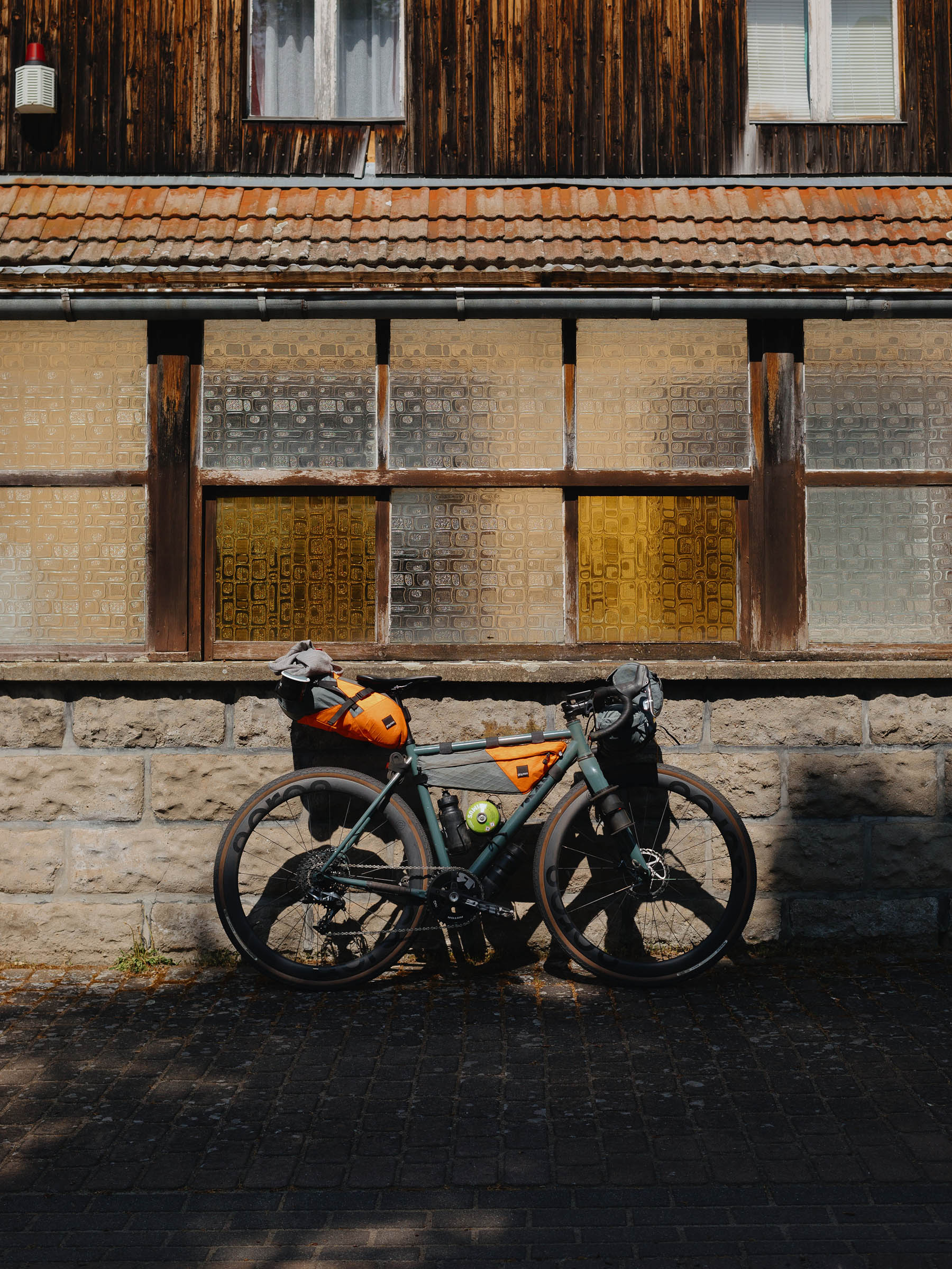
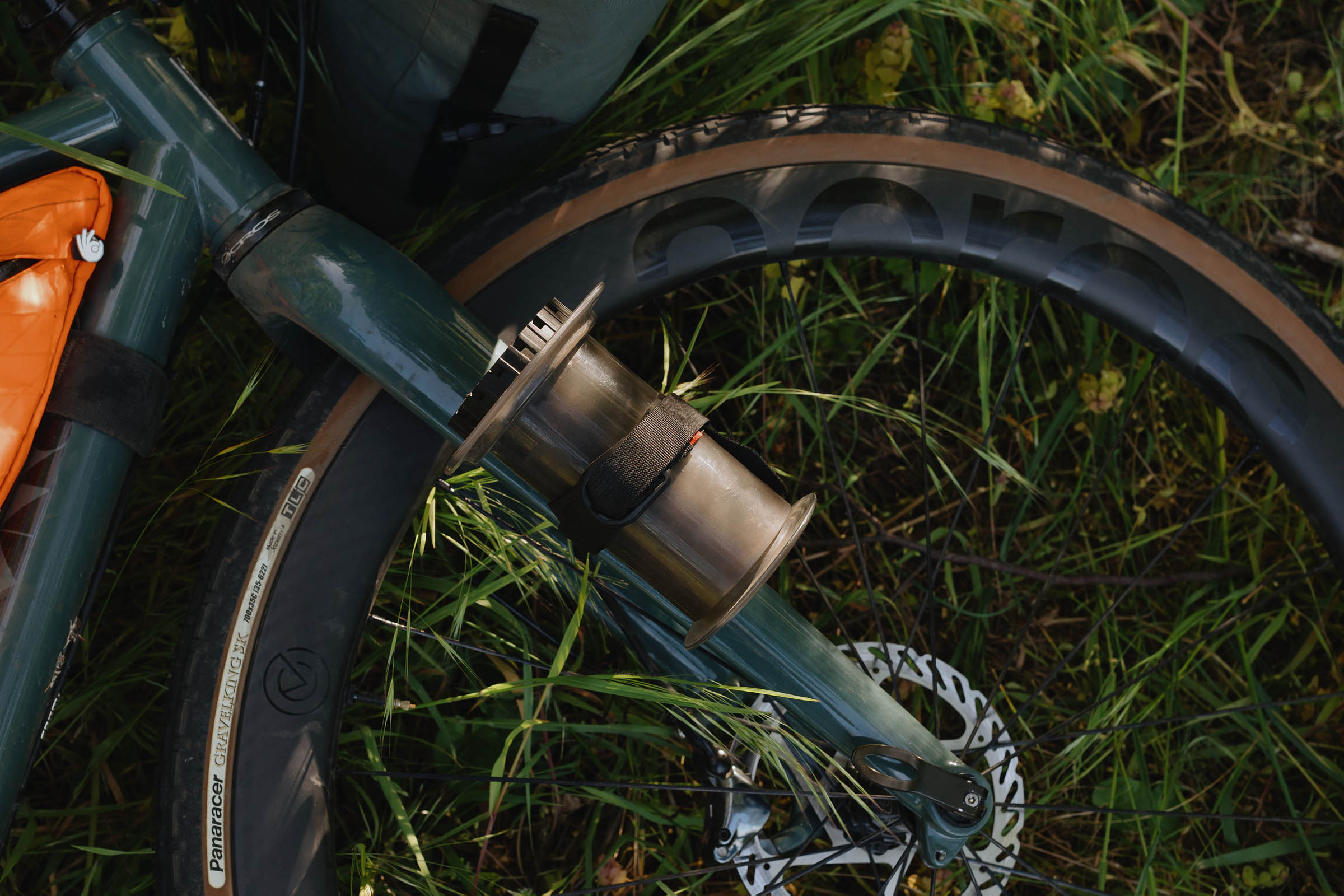
- While the riding is mostly non-technical, I’d recommend at least 45mm tires due to the deep sand and cobblestone roads. A hardtail with 2.2″ tires is great for the rougher sections, though a gravel bike will be more efficient on the groomed paths. There is no ideal bike for this mixed-surface route. Since the terrain is flat, no special low gearing is needed.
- Wild-camping is a legal and practical greyzone in Brandenburg. Unlike in nearly all other German federal states, cyclists and hikers are allowed to set up a tent for one night in the open landscape, except in national parks, nature preserves (Naturschutzgebiete, NSG) and where locally explicitly prohibited. See paragraph 22 of BbgNatSchAG.
- However, forests are subject to the State Forest Law (LWaldG) and overnighting there is prohibited. Lakes and huts in the forest aren’t excluded from this.
- Fields and meadows are off-limits in the growing season and offer little concealment.
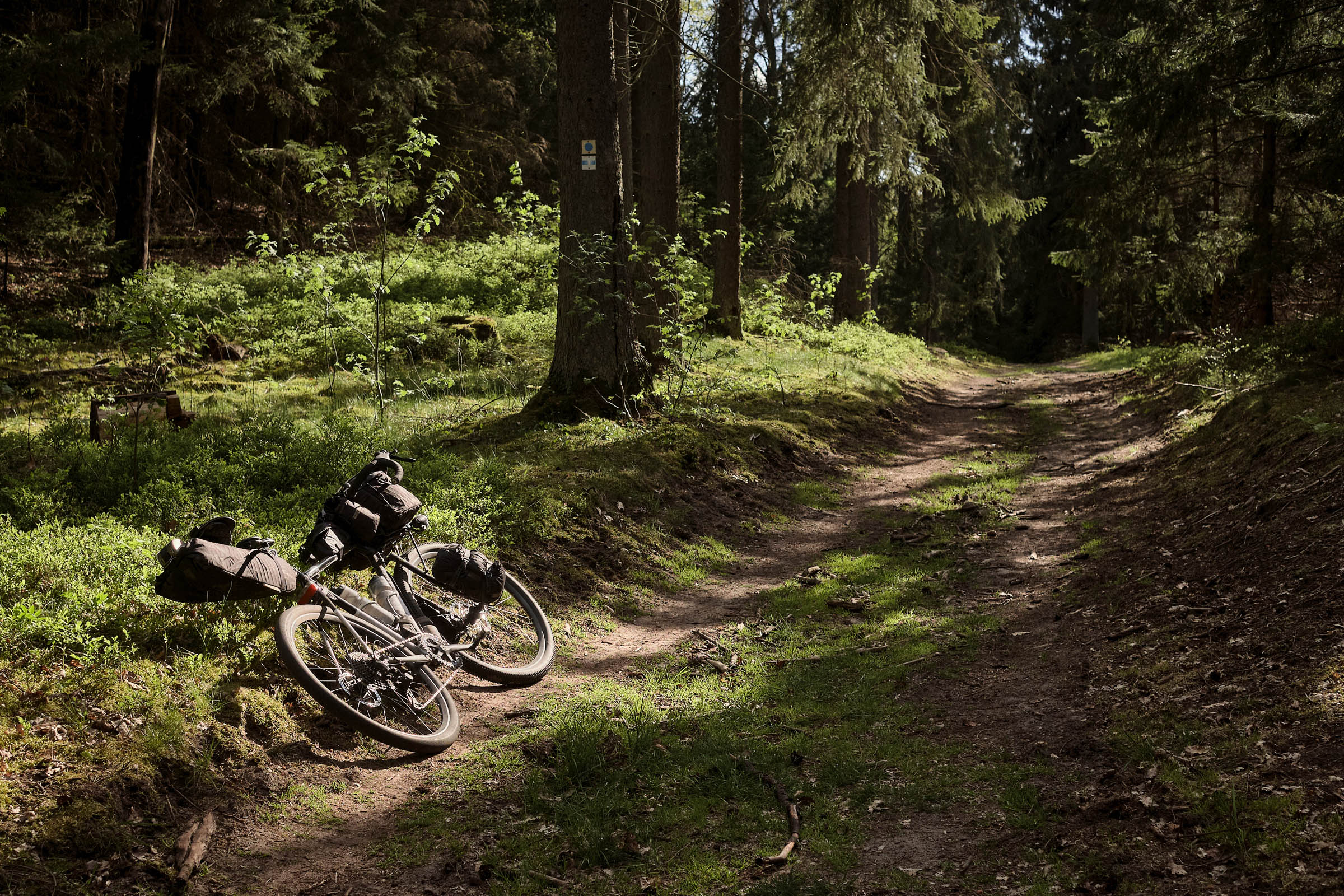
- Bivouac sites along waterways are great options for camping outside of commercial camp sites, though there aren’t many in the north-east of Brandenburg.
- Biwakplatz Paulshof is located a few kilometers off-track near Bad Freienwalde. Neugaul is another option but less appealing due to road noise from the B167.
- There are at least two commerical camp sites along the route: Naturcamping Parsteiner See (KM 129) and Campingplatz Wolletzsee (KM 146). Check their website before you go.
- If you choose to wild-camp anyway, set up after dark, out of sight from roads and paths. Strike at first light before the first walkers are out. Encourage others to do the same and leave no trace — our individual actions reflect on the entire bikepacking community.
- I would not set up a tent outside of commercial camp sites. A bivy bag can help reduce your silhouette but still counts as overnighting in the eye of the law.
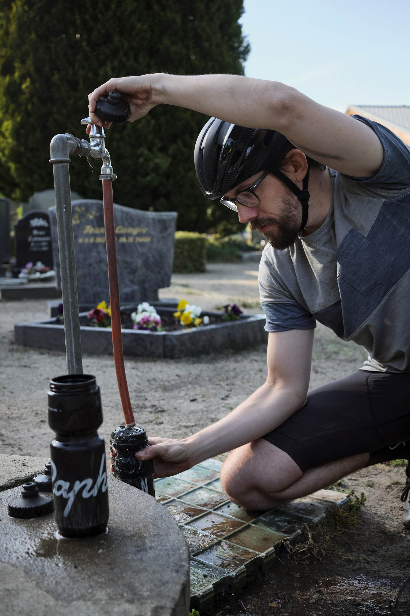
- Carry more water than you think you’ll need. Brandenburg can be hot and dry, and water can be sparse along the route.
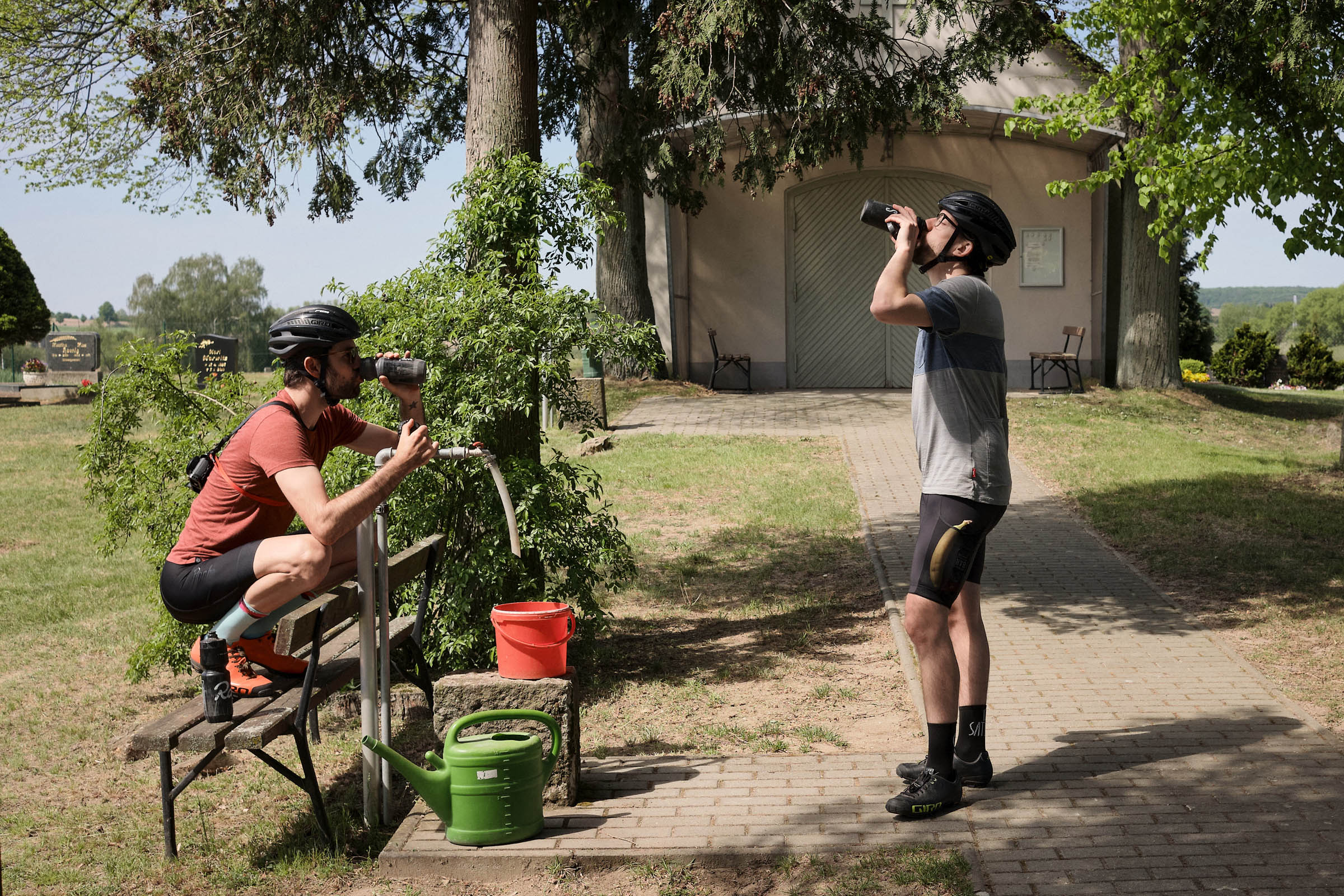
- In summer, you can top up water from faucets at cemeteries. During the winter and shoulder season, these taps are turned off, so plan accordingly.
- Erkner, Buckow, Bad Freienwalde and Eberswalde offer plentiful resupply options, but otherwise Brandenburg can be a food desert.
- Shops are generally closed on Sundays.
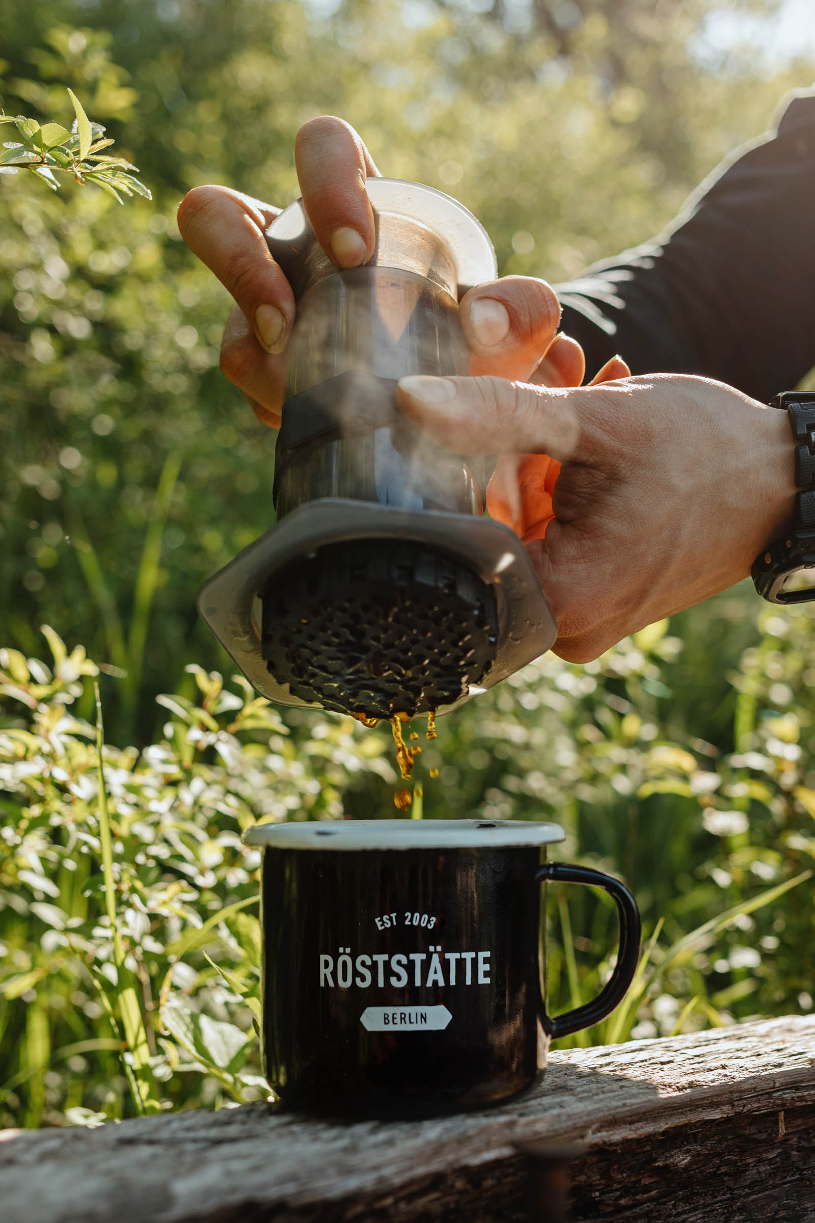
- Kaffee Konsum café on Wolletzsee is a popular stop for bike tourers. The cake and potato wedges are excellent.
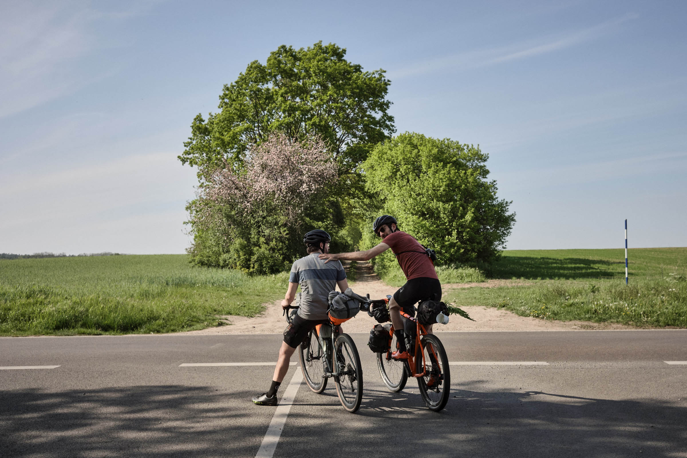
Below is a narrative of what you may experience on the route:
We roll out from Treptower Park toward Müggelsee, Berlin’s largest lake, via dedicated cycle paths. At Erkner, we get off the pavement, gliding first on gravel and then slogging through sand towards Kienbaum. Maxsee is a great swim stop to wash off dirt and sweat.
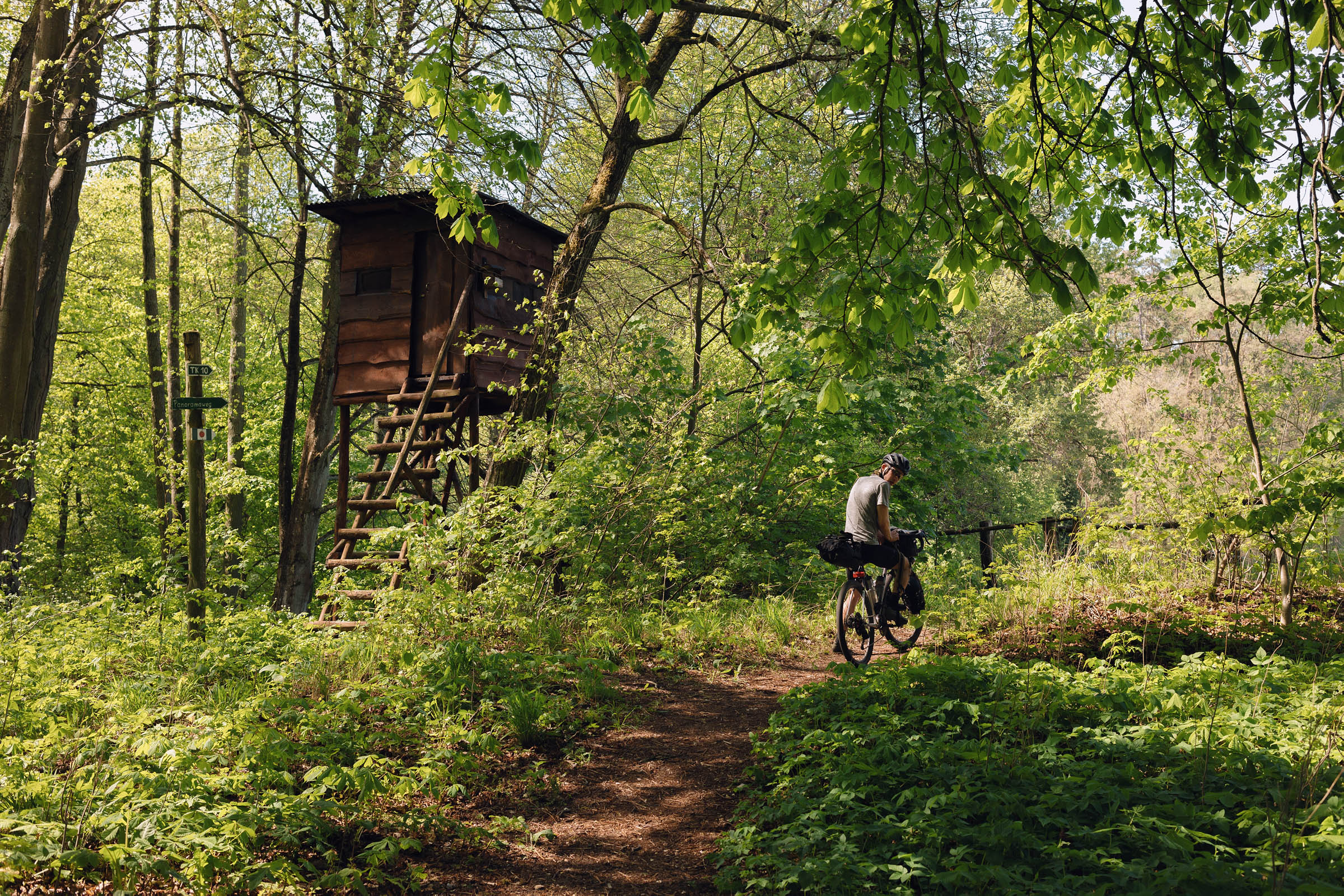
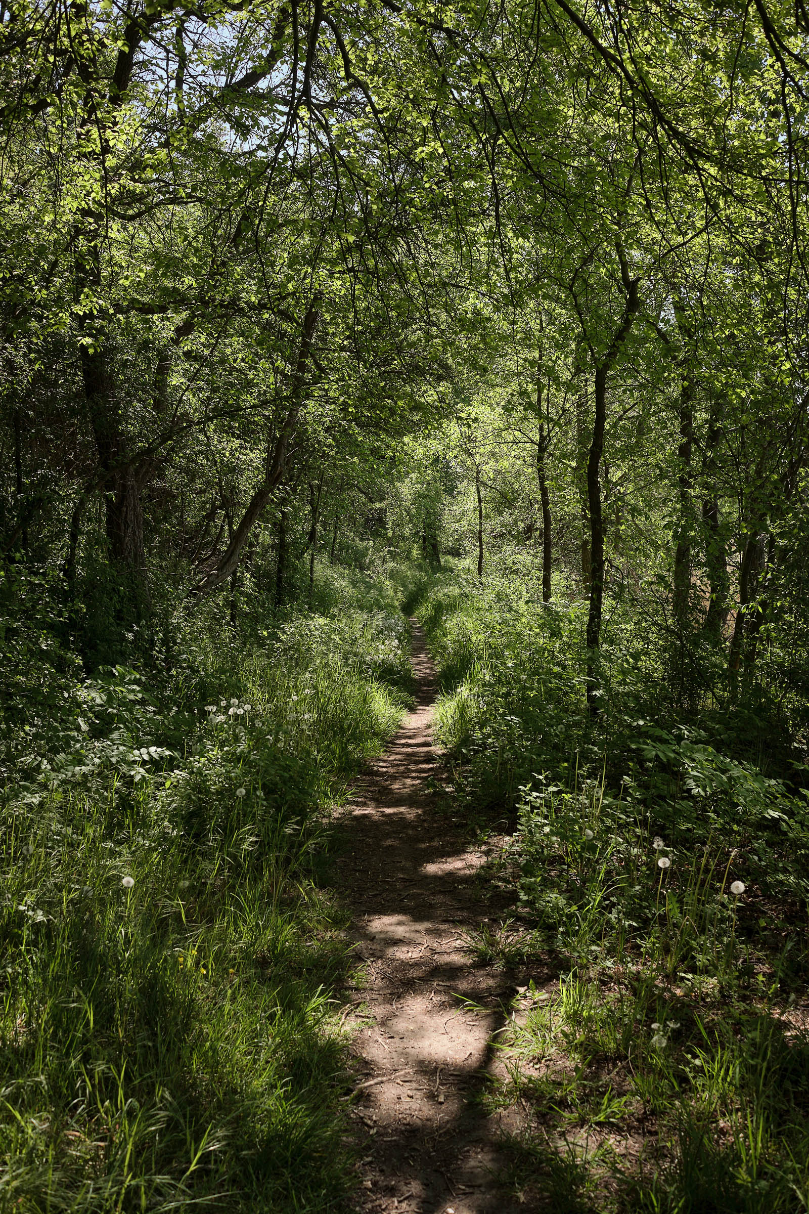
After the hills around Buckow, we turn north and ascend the Barnim Plateau — flat and straight and fast-rolling for a good while. At Rädikow, we turn into the forest and glide through the valley towards Bad Freienwalde. The forest to the west and east of the valley path is well-worth exploring.
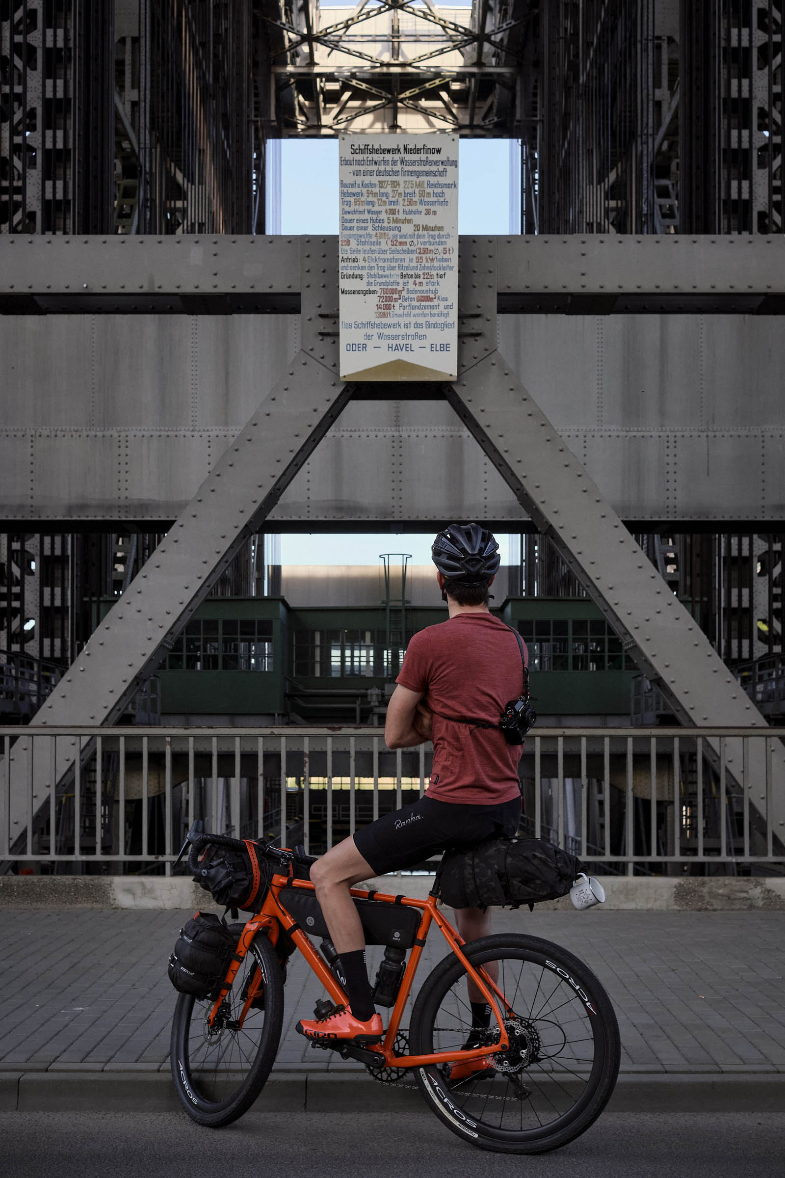
Bad Freienwalde sits at the edge of the Oderbruch flood plains. A circuitous path takes us through the engineered landscape, around the “island” Neuenhagen and past the impressive ship lifts in Niederfinow before we make the cobbled climb toward Parsteiner See. The phenomenal look-out from nearby Pimpinellenberg is well-worth the detour. Poland is in sight. Eagles soar here.
At Parsteiner See, enter the camp ground to follow the shore path. After a series of villages, we cross train tracks and then loop north around Wolletzsee via Schmargendorf. Kaffee Konsum is a mandatory stop at the apex of the route.
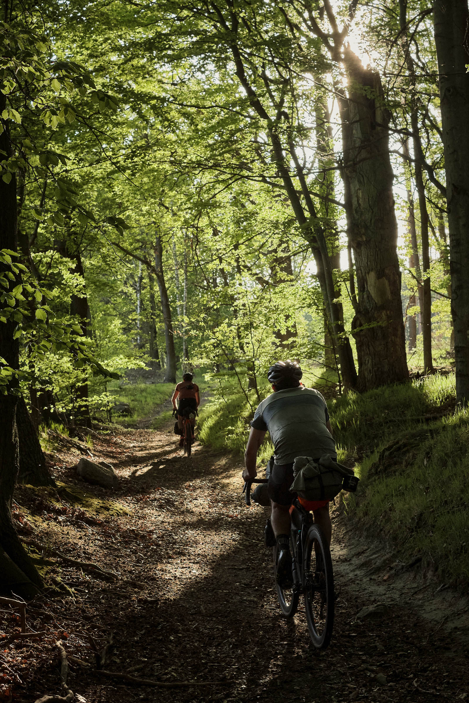
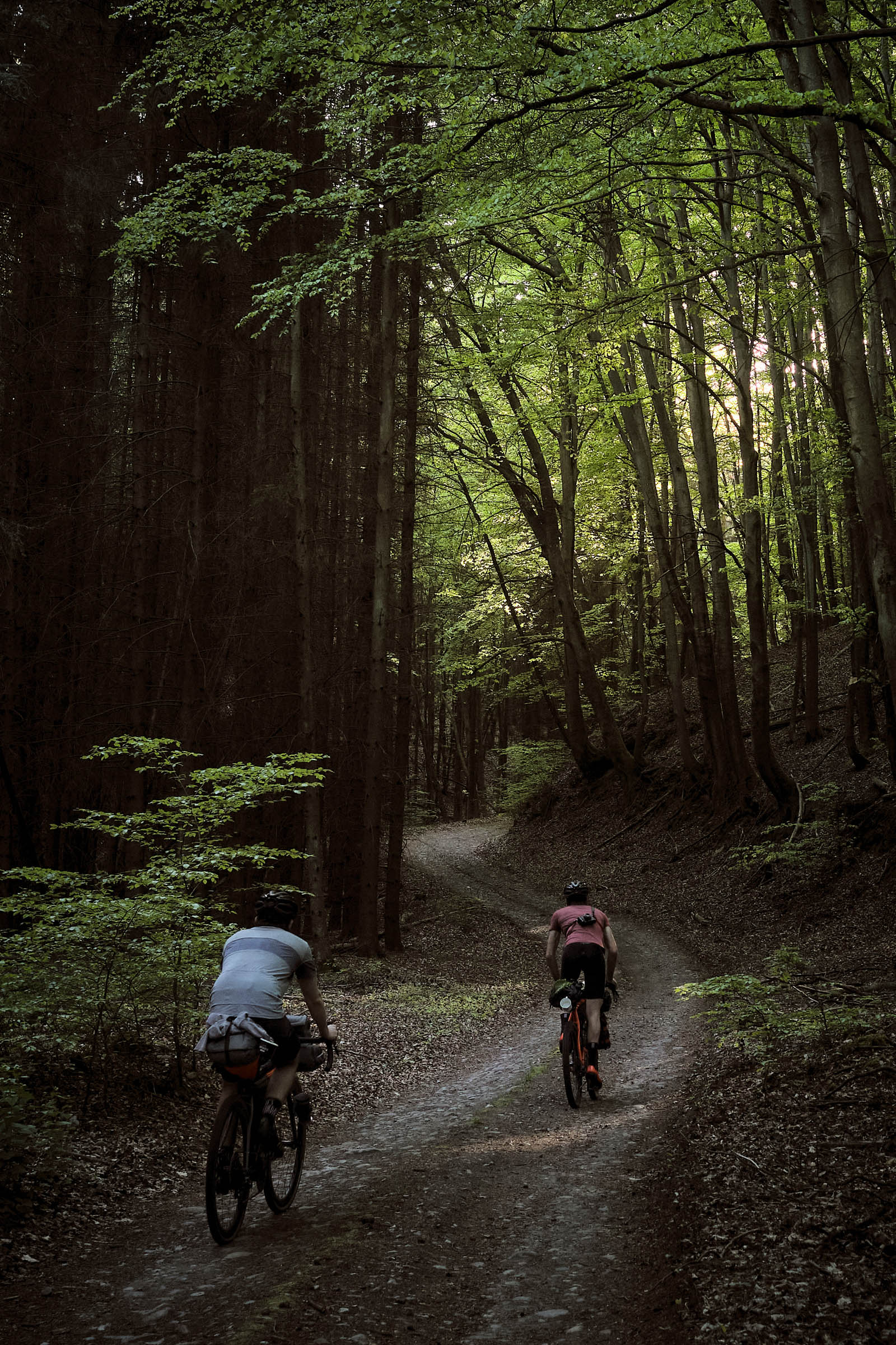
After Wolletz, we turn south, riding along the edge of the Grumsin wilderness zone. I recommend getting off the bike and wandering among the old beeches for a bit. We then make for Chorin, into the heart of cobble country. The 13th century abbey is a natural stop before Eberswalde.
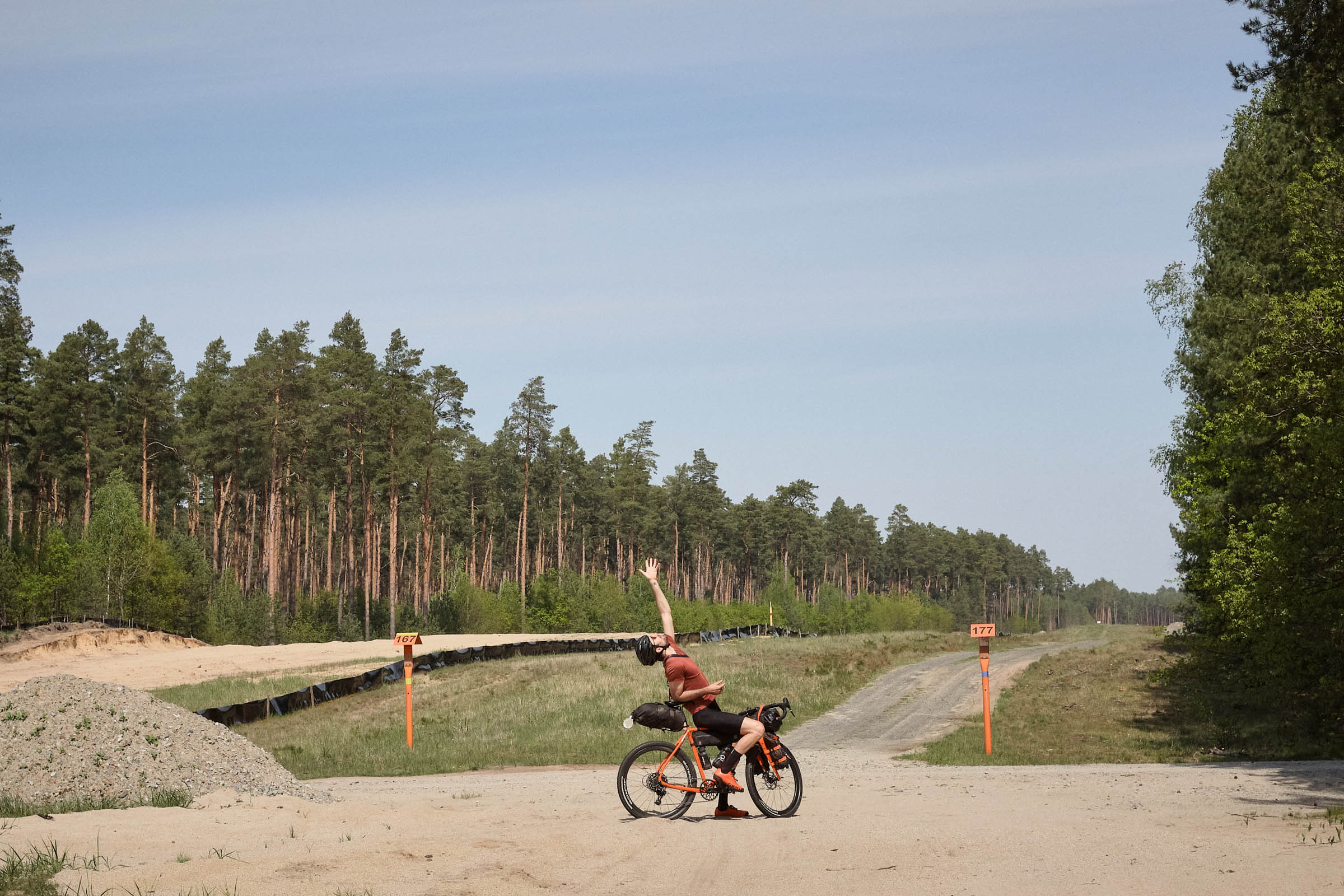
After Eberswalde, we follow a glacial tunnel valley for about 30 kilometers all the way from Tornow via Leuenberg to Strausberg. Fängersee and Bötzsee are nice for a last swim on the route. Bike paths us back to Berlin. If you’ve still got the legs, you can climb Kienberg on the Wuhle for a stunning 360° panorama.
Additional Resources
- Map of nature reserves (Naturschutzgebiete, NSG)
- Official forest fire hazard tracker. Fires are prohibited no matter the level.
- Naturcamping Parsteiner See
- Campingplatz Wolletzsee


Terms of Use: As with each bikepacking route guide published on BIKEPACKING.com, should you choose to cycle this route, do so at your own risk. Prior to setting out check current local weather, conditions, and land/road closures. While riding, obey all public and private land use restrictions and rules, carry proper safety and navigational equipment, and of course, follow the #leavenotrace guidelines. The information found herein is simply a planning resource to be used as a point of inspiration in conjunction with your own due-diligence. In spite of the fact that this route, associated GPS track (GPX and maps), and all route guidelines were prepared under diligent research by the specified contributor and/or contributors, the accuracy of such and judgement of the author is not guaranteed. BIKEPACKING.com LLC, its partners, associates, and contributors are in no way liable for personal injury, damage to personal property, or any other such situation that might happen to individual riders cycling or following this route.
Please keep the conversation civil, constructive, and inclusive, or your comment will be removed.