

 Mountain Bike (MTB)
 Gravel Bike
 All-Terrain Bike (ATB)
 Fat Bike

Havel Wetland Wander
Distance
105 Mi.
(169 KM)Days
2-3
% Unpaved
50%
% Singletrack
0%
% Rideable (time)
99%
Total Ascent
1,916'
(584 M)High Point
203'
(62 M)Difficulty (1-10)
3?
- 1Climbing Scale Easy18 FT/MI (3 M/KM)
- 3Technical Difficulty Fair
- 5Physical Demand Moderate
- 2Resupply & Logistics Easy
Contributed By

Josh Meissner
Contributing Editor
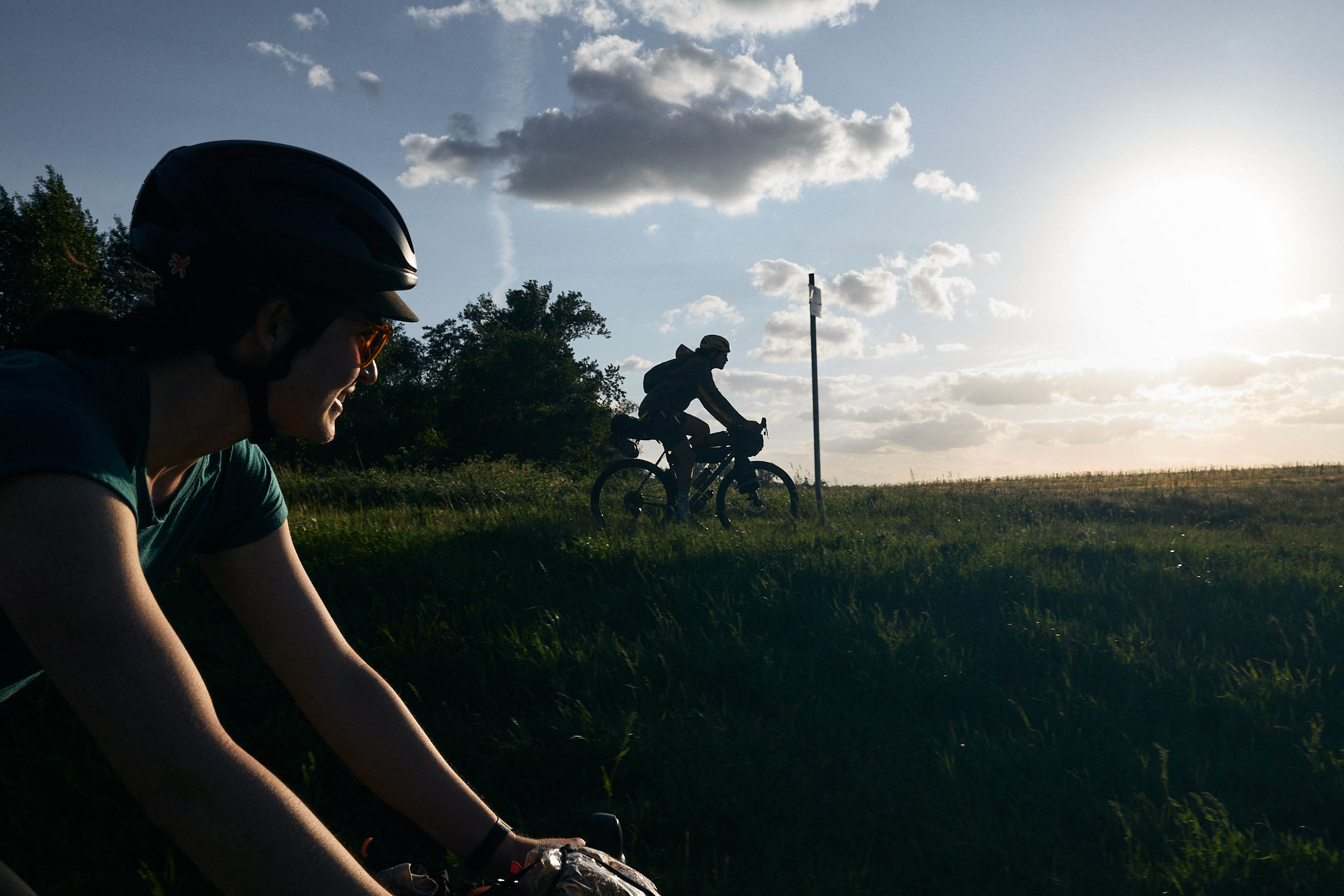
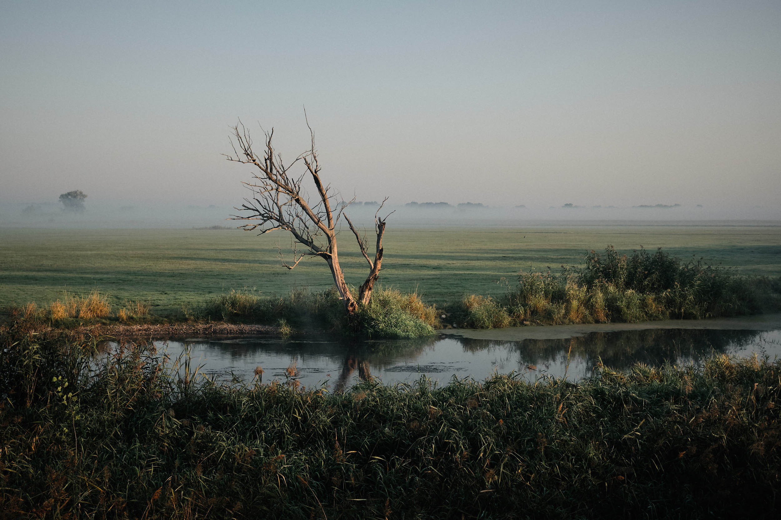
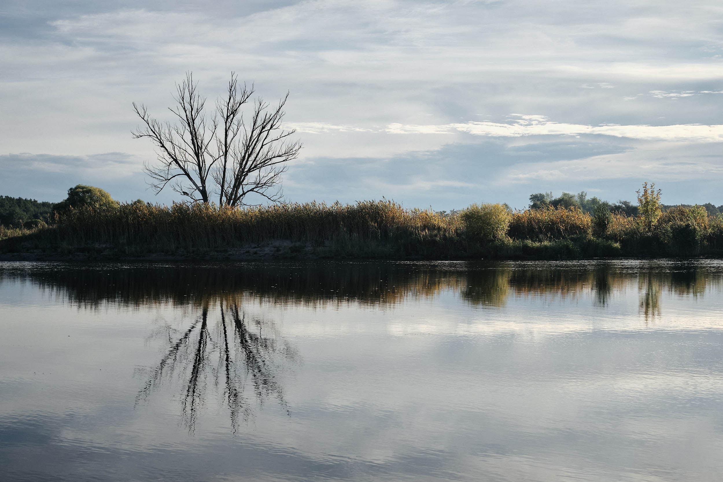
Contrary to the impressions you may have from riding near Berlin, surrounding Brandenburg is not all uniform sandy pine forests. Wander further west, and you enter a unique patchwork of wetlands, lakes, and tributaries, a landscape shaped by the gentle Havel River and its more-than-human inhabitants over time.
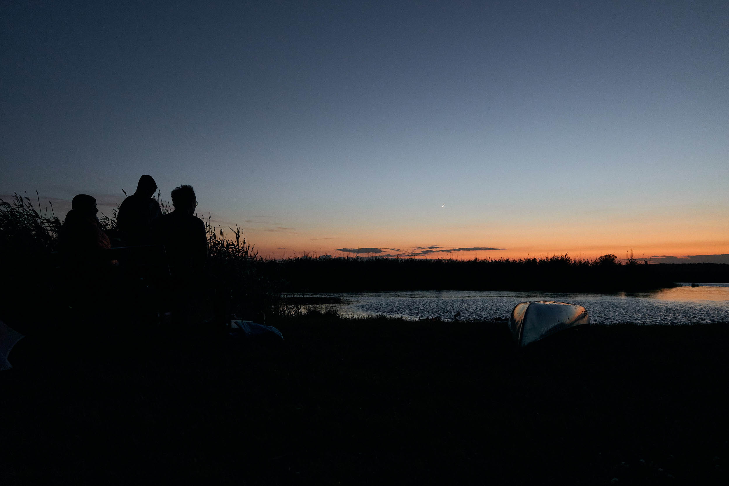
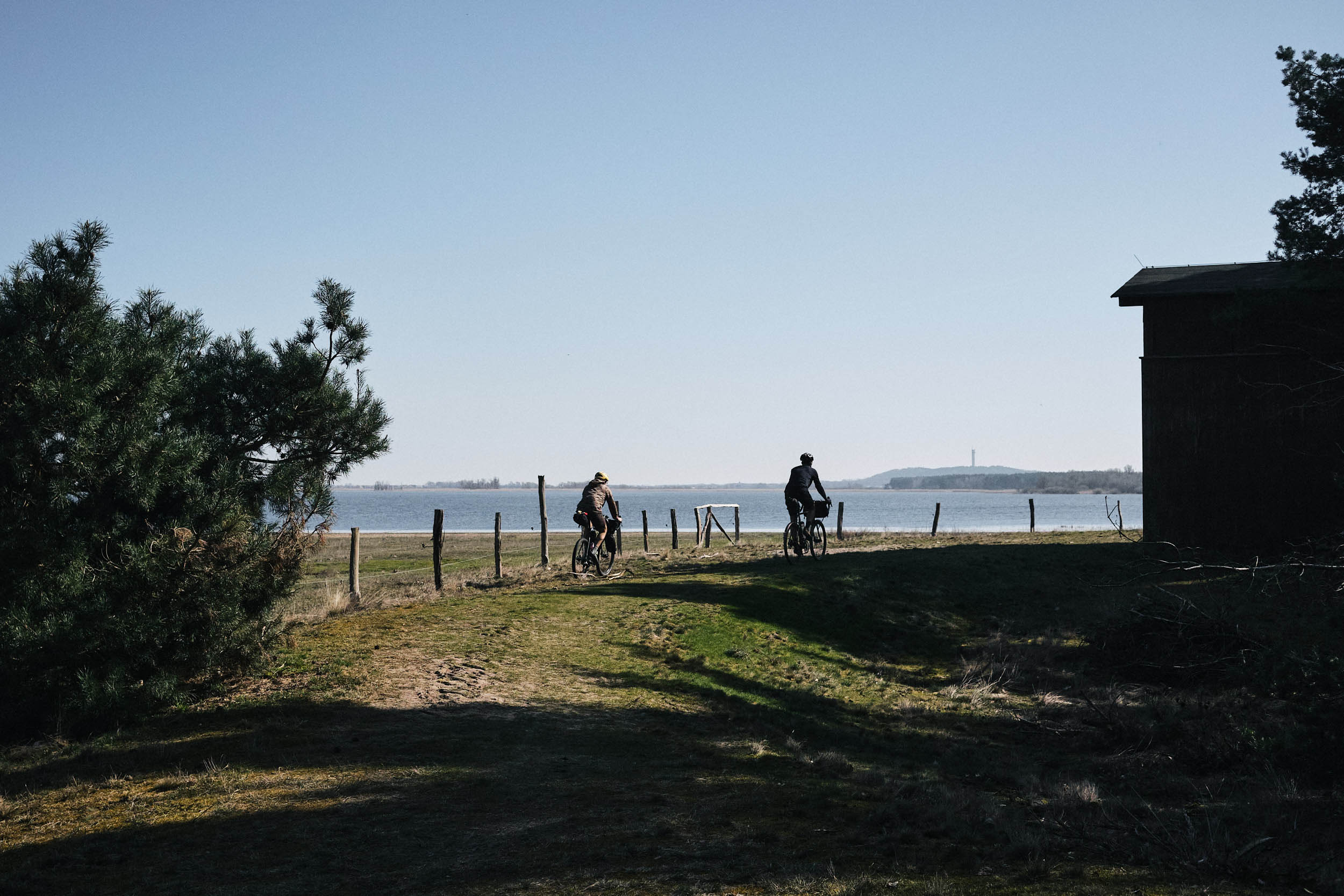
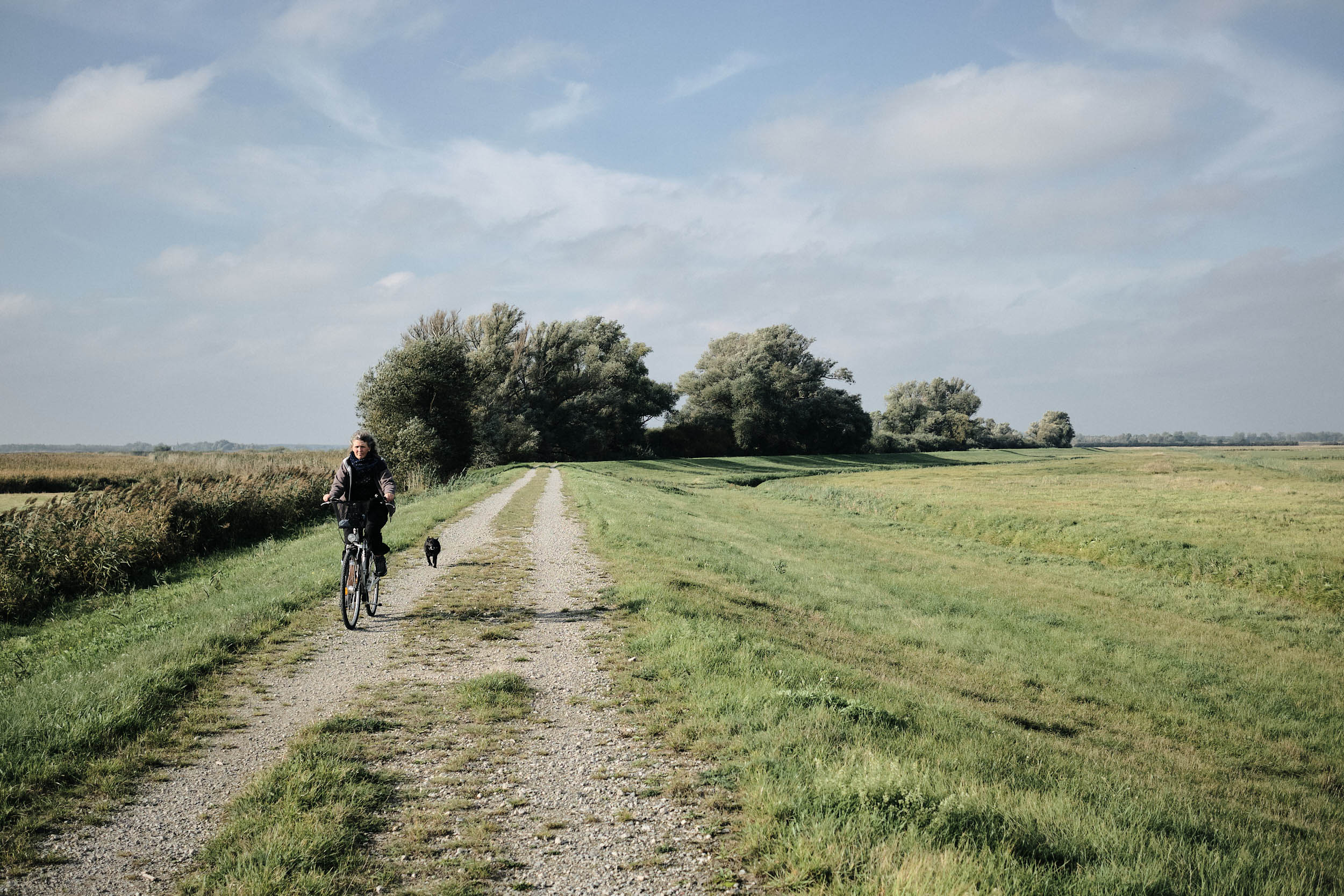
The Havel Wetland Wander is an accessible 170-kilometer mixed-surface loop that brings you in close contact with the subtle natural wonders and quaint rural towns in Westhavelland. Over two to three days, you get to explore the distinct sights and sounds of these teeming wetlands. Along the route, life of all shapes and sizes – from the dense clouds of flies colliding with your arms at sunset, to deer prancing along in the high grass, to the large waterfowl and birds of prey circling overhead – will be your constant companion. Bring binoculars! If the serenading frogs keep you up at night, you’ll have all the stars in the Milky Way to count.
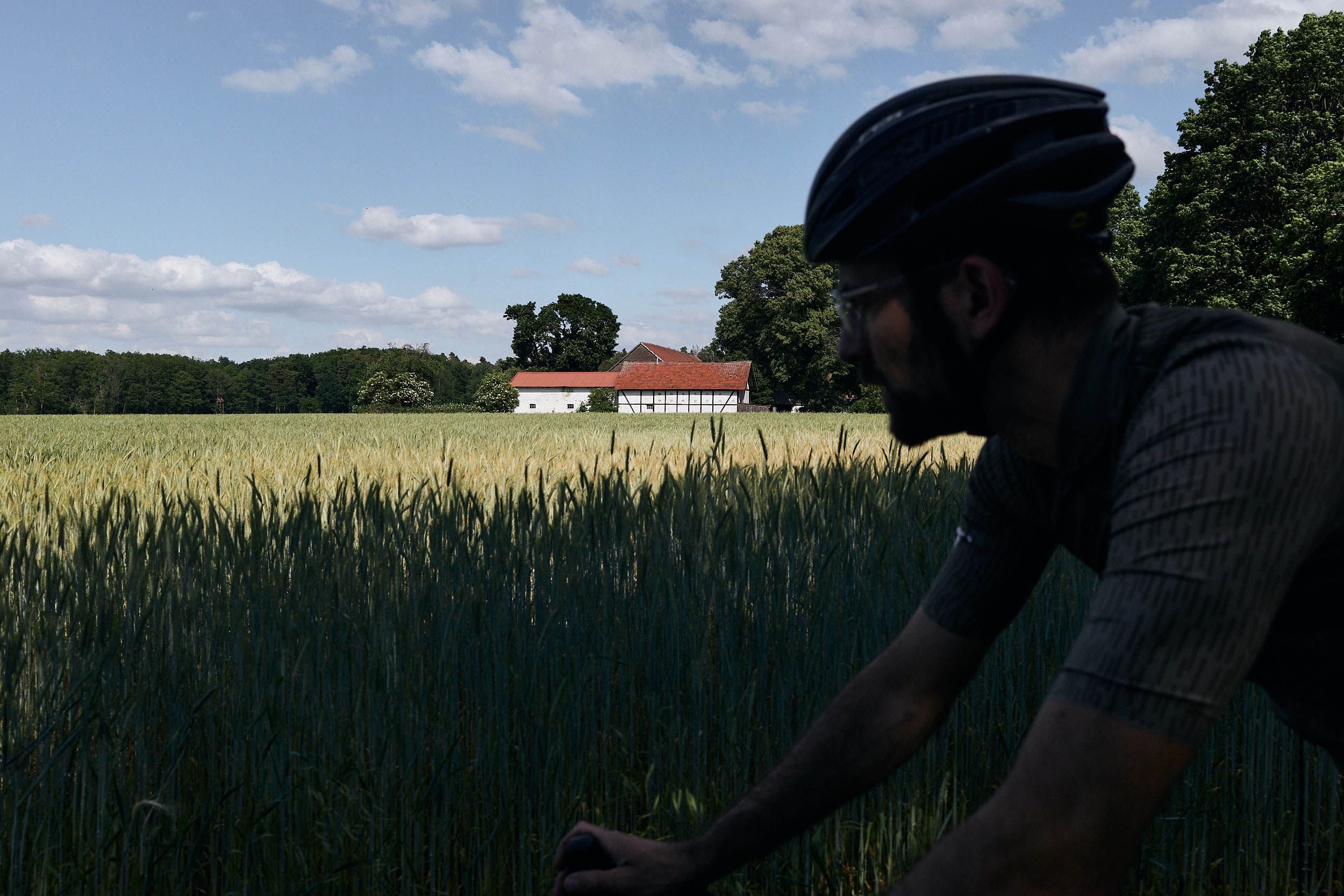
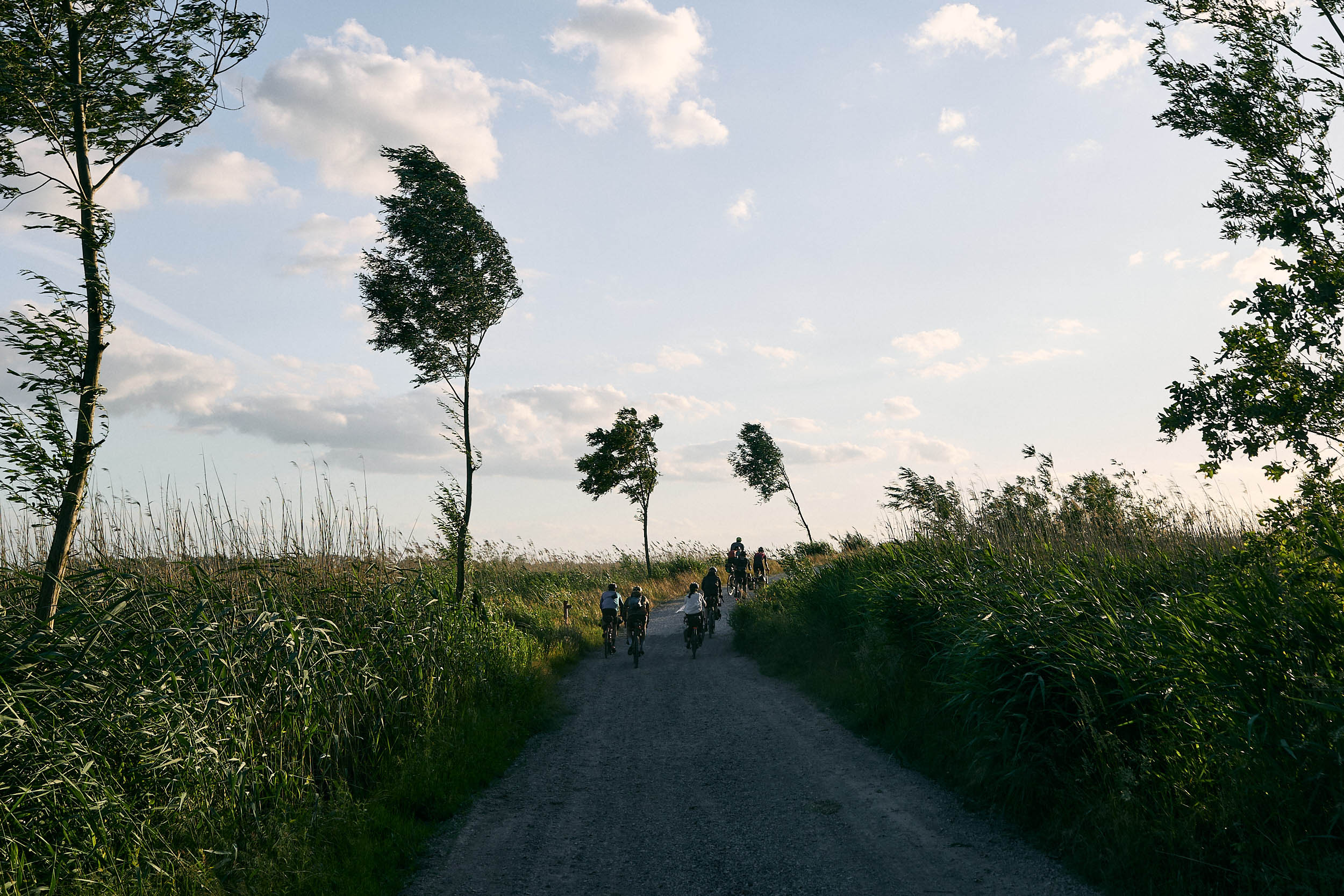
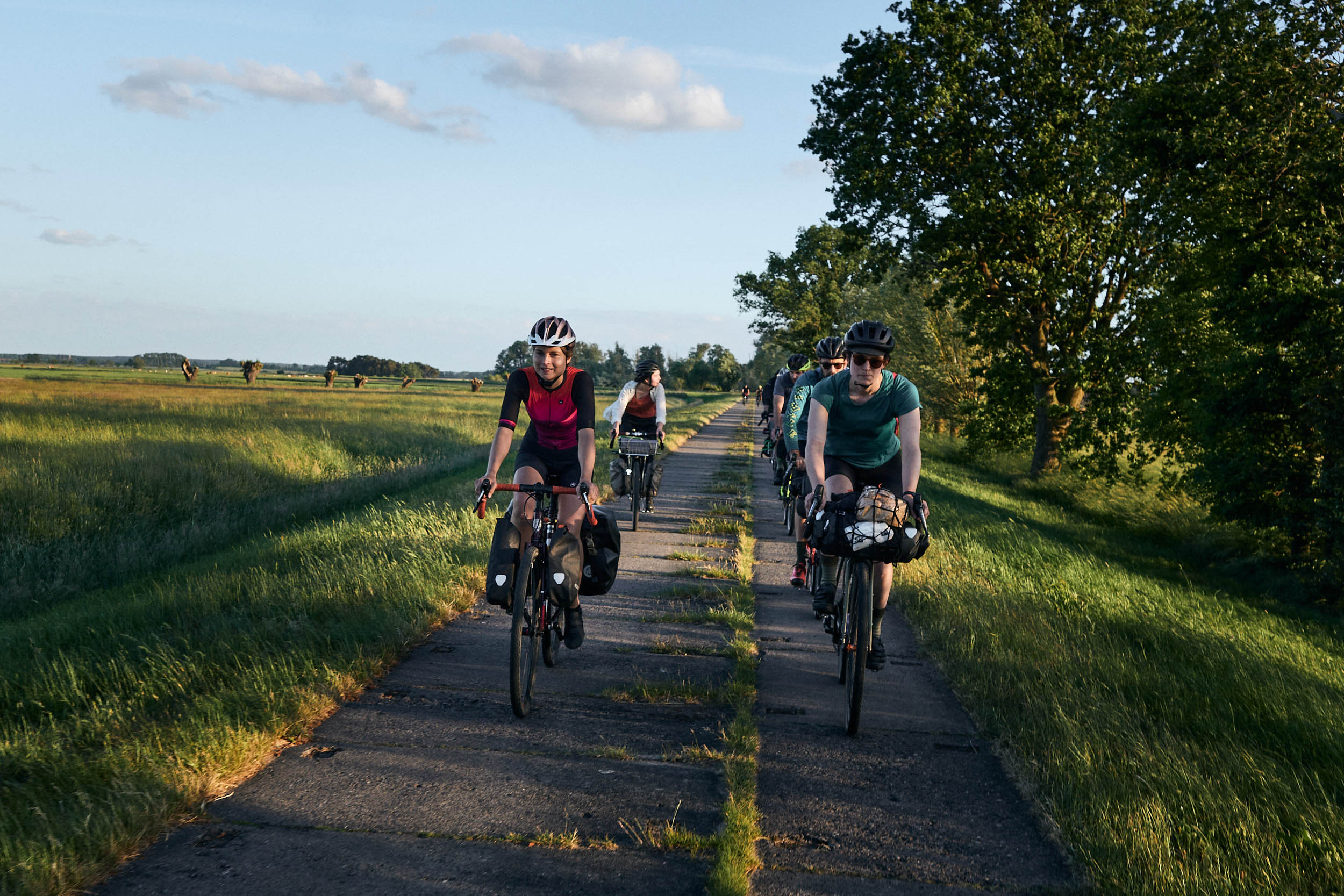
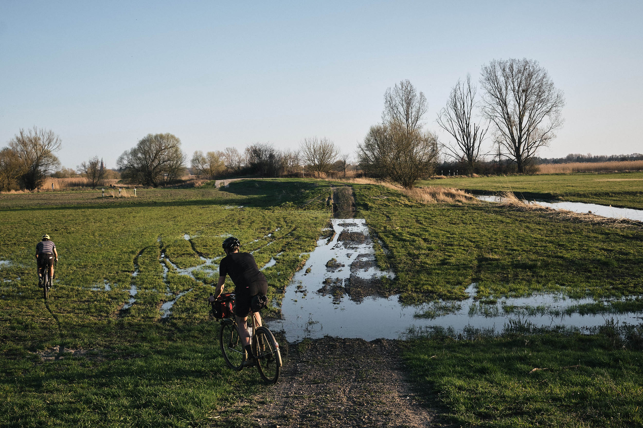
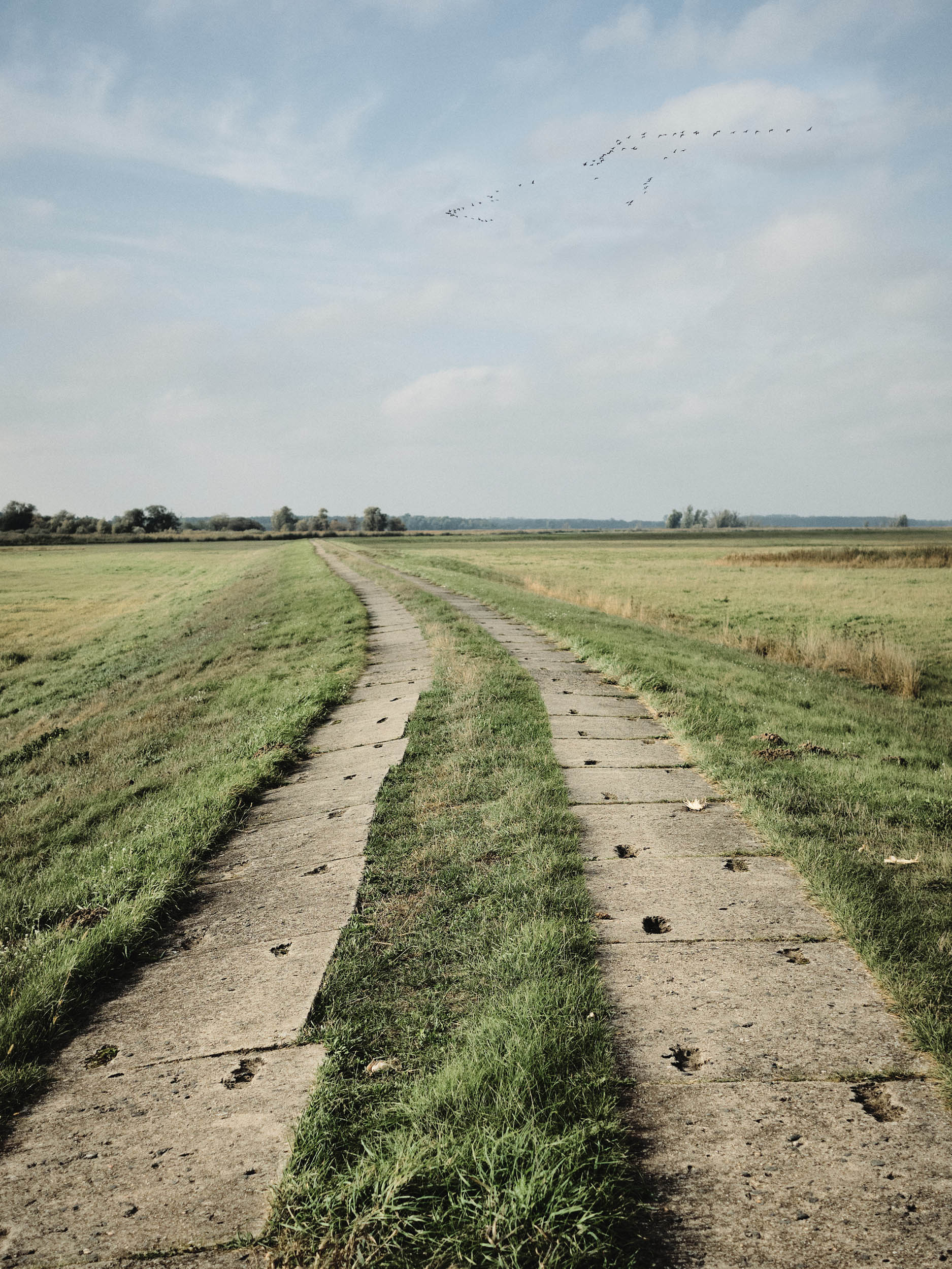
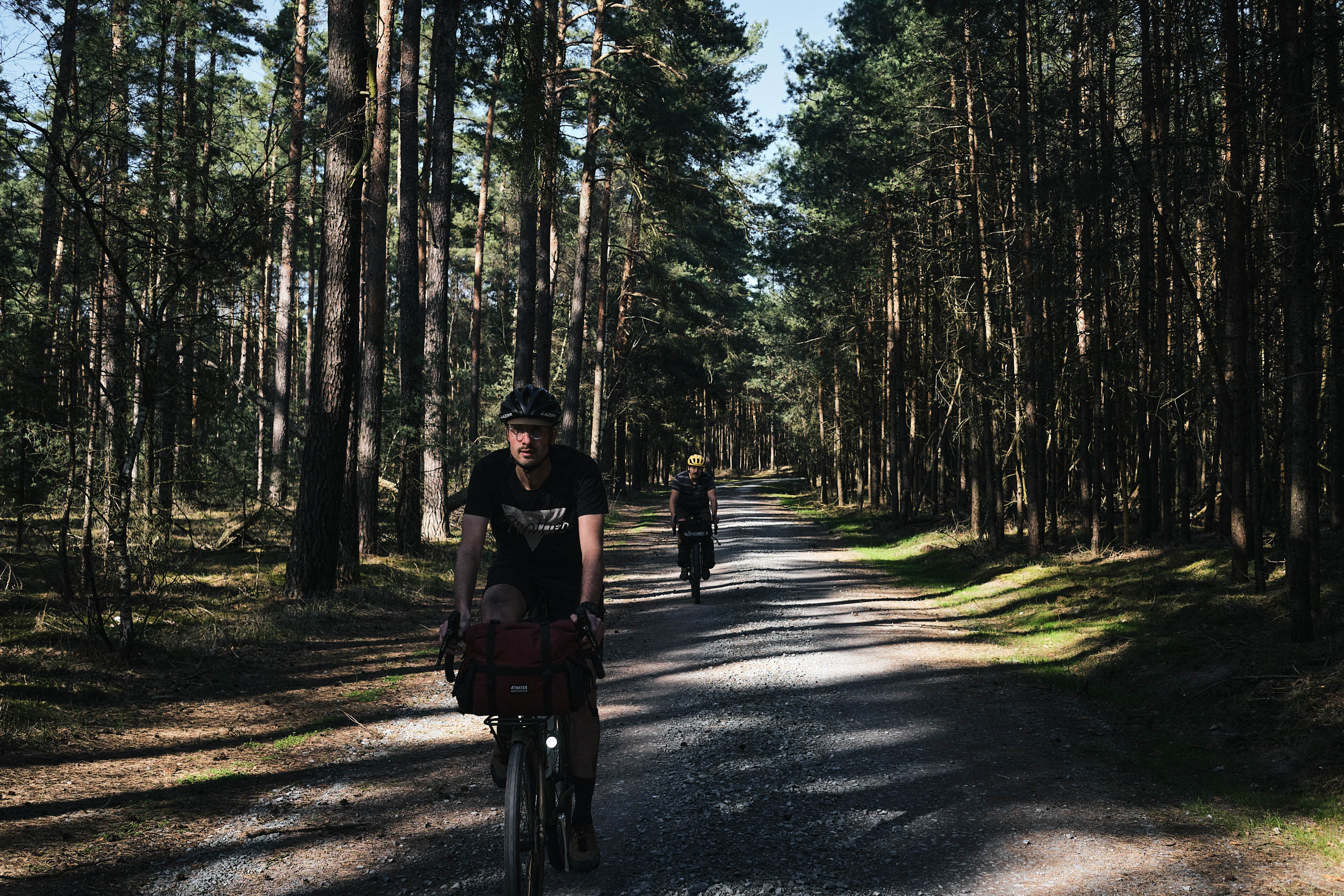
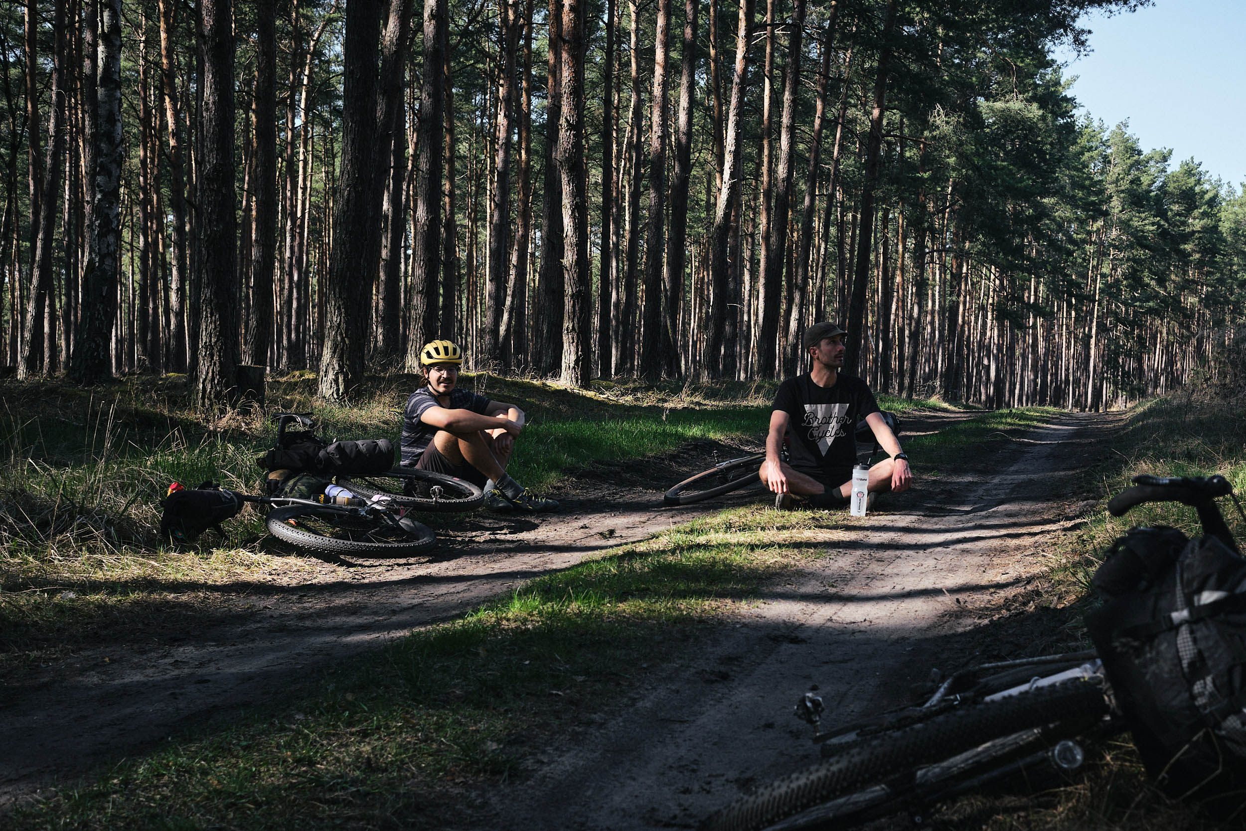
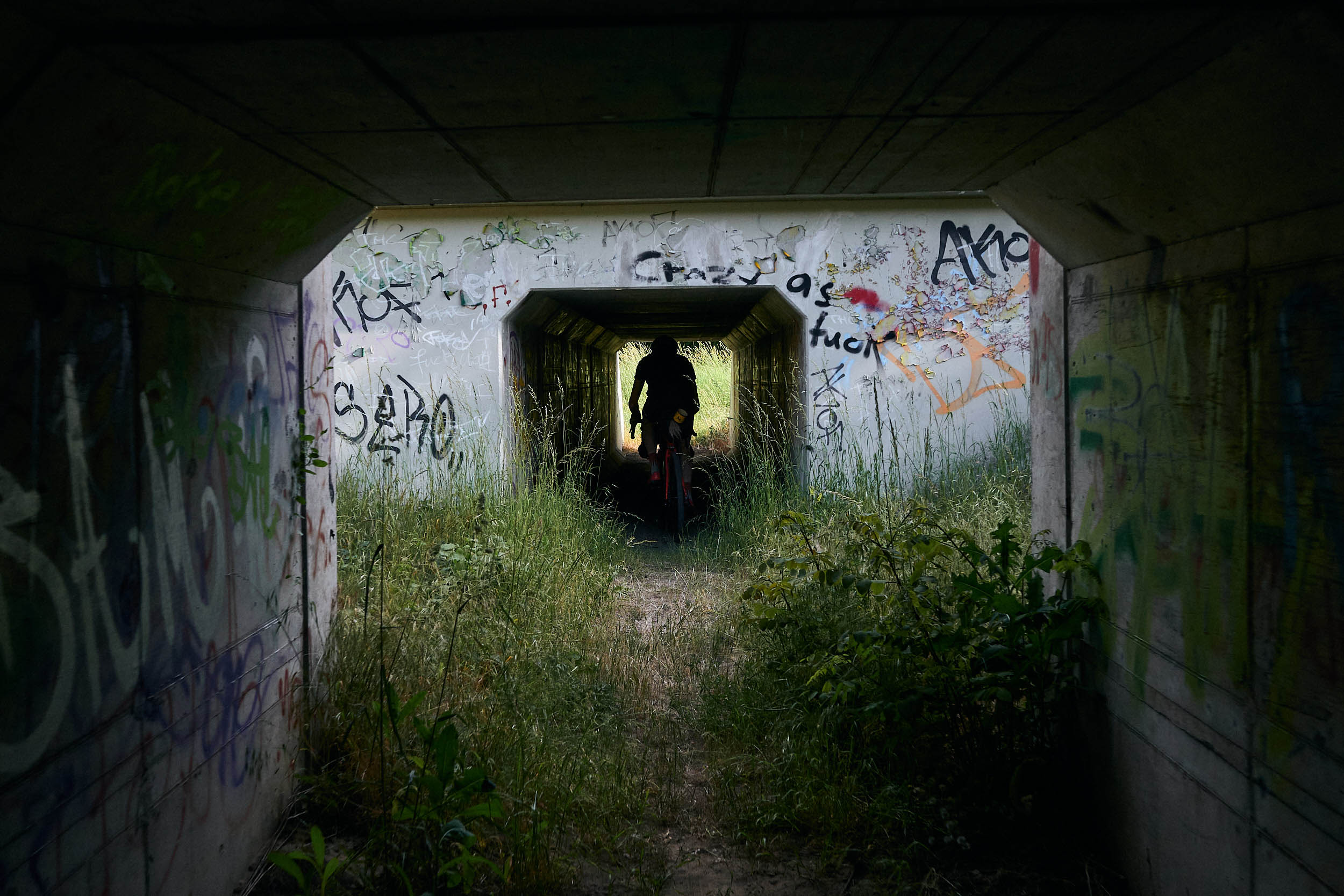
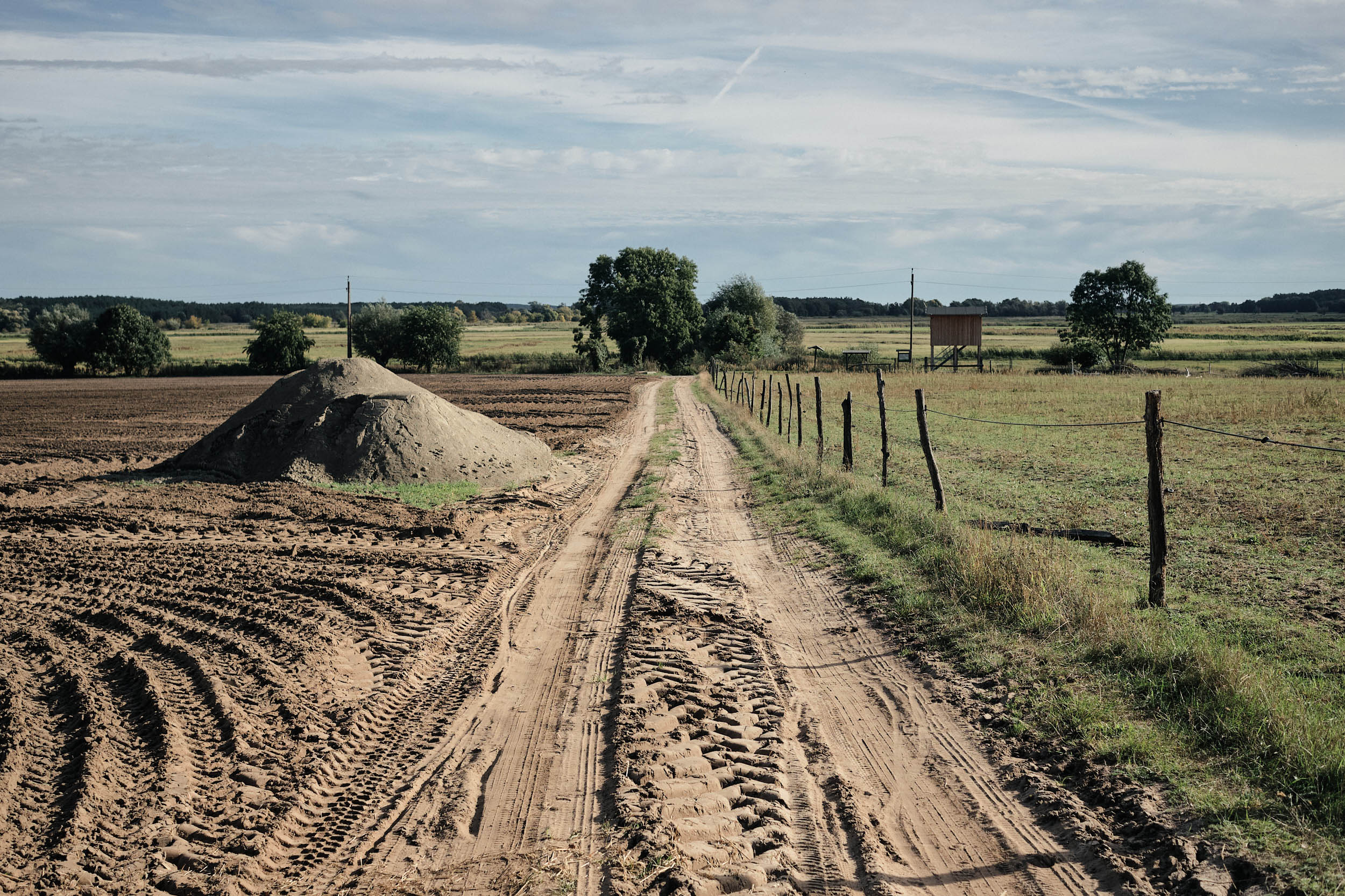
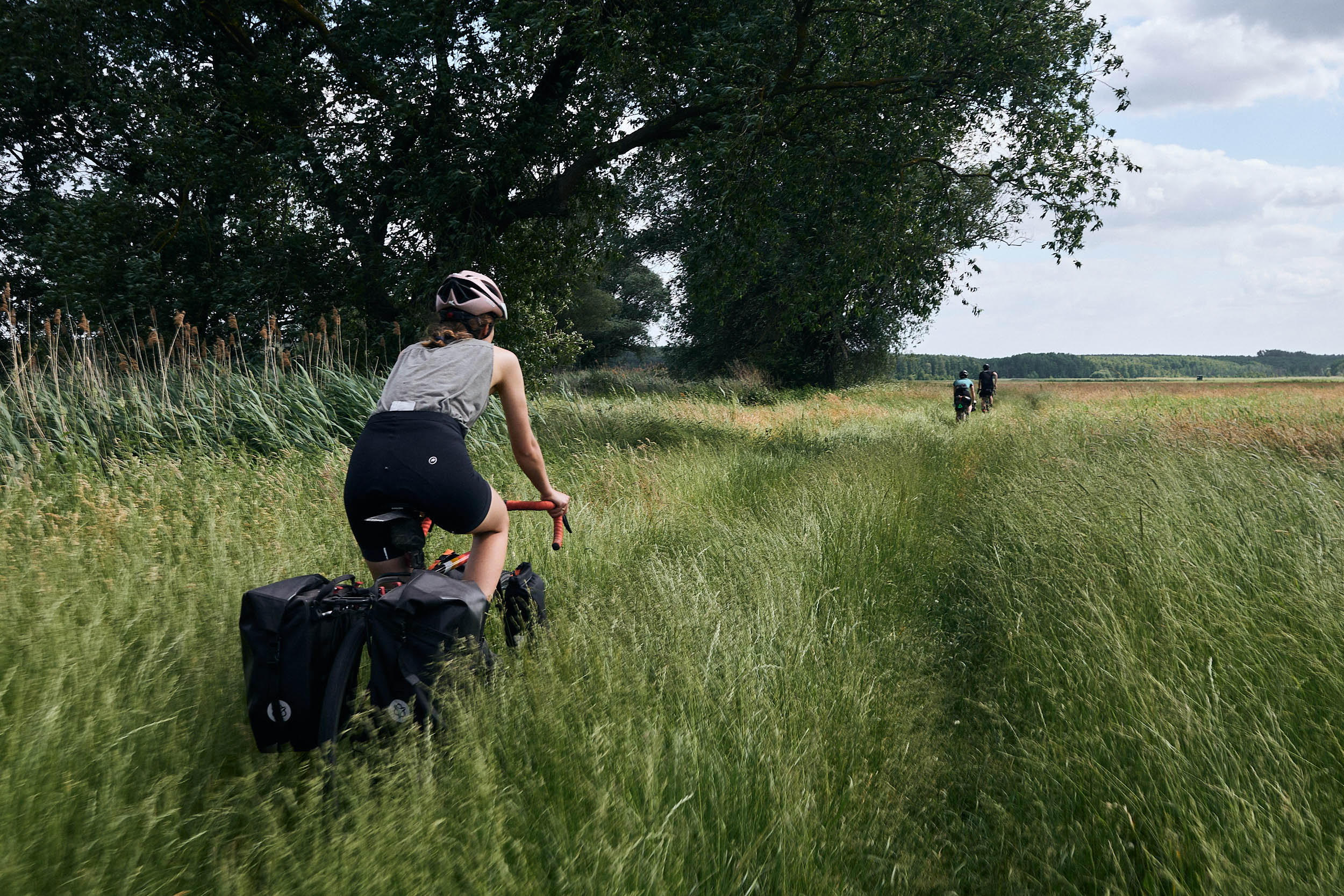
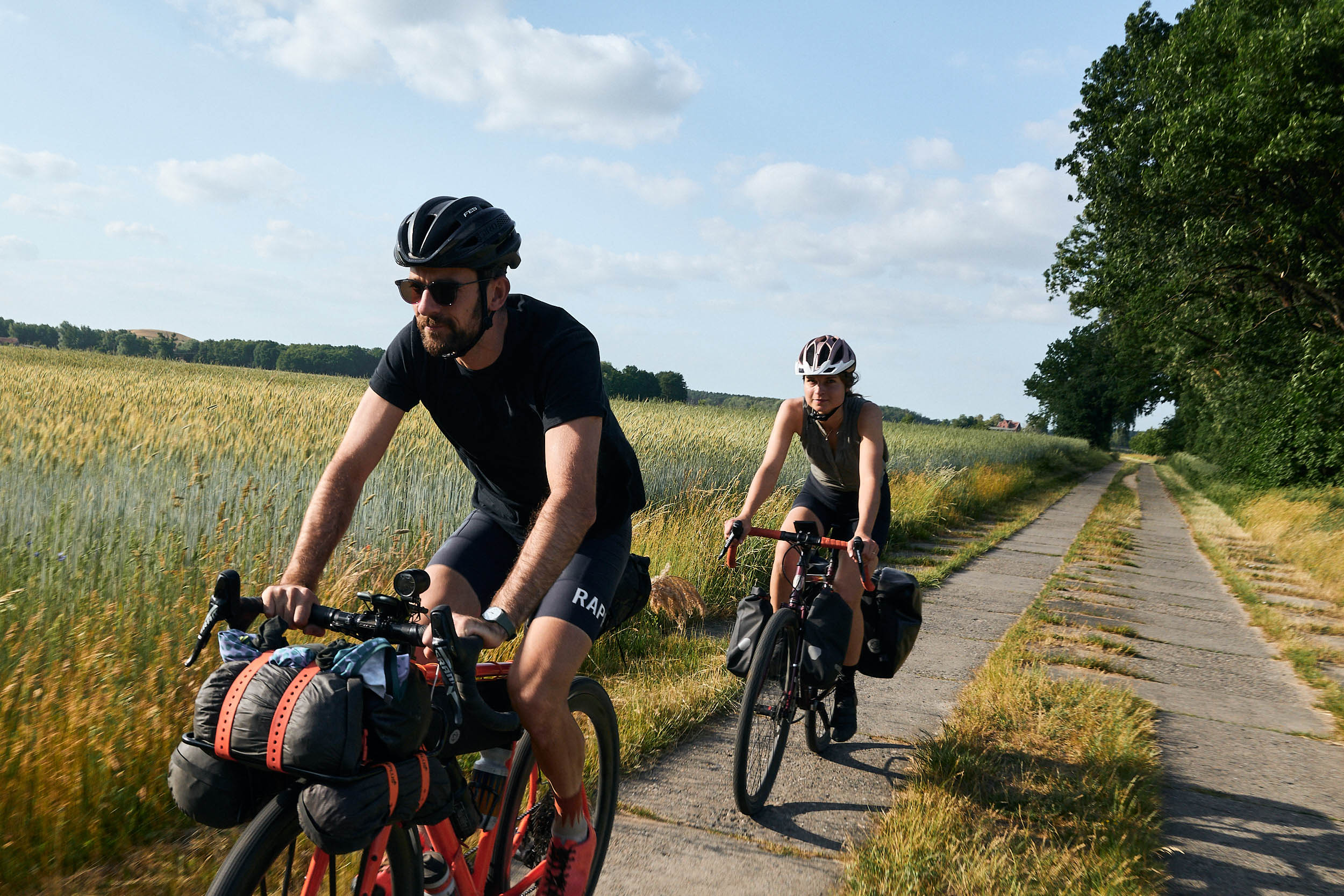
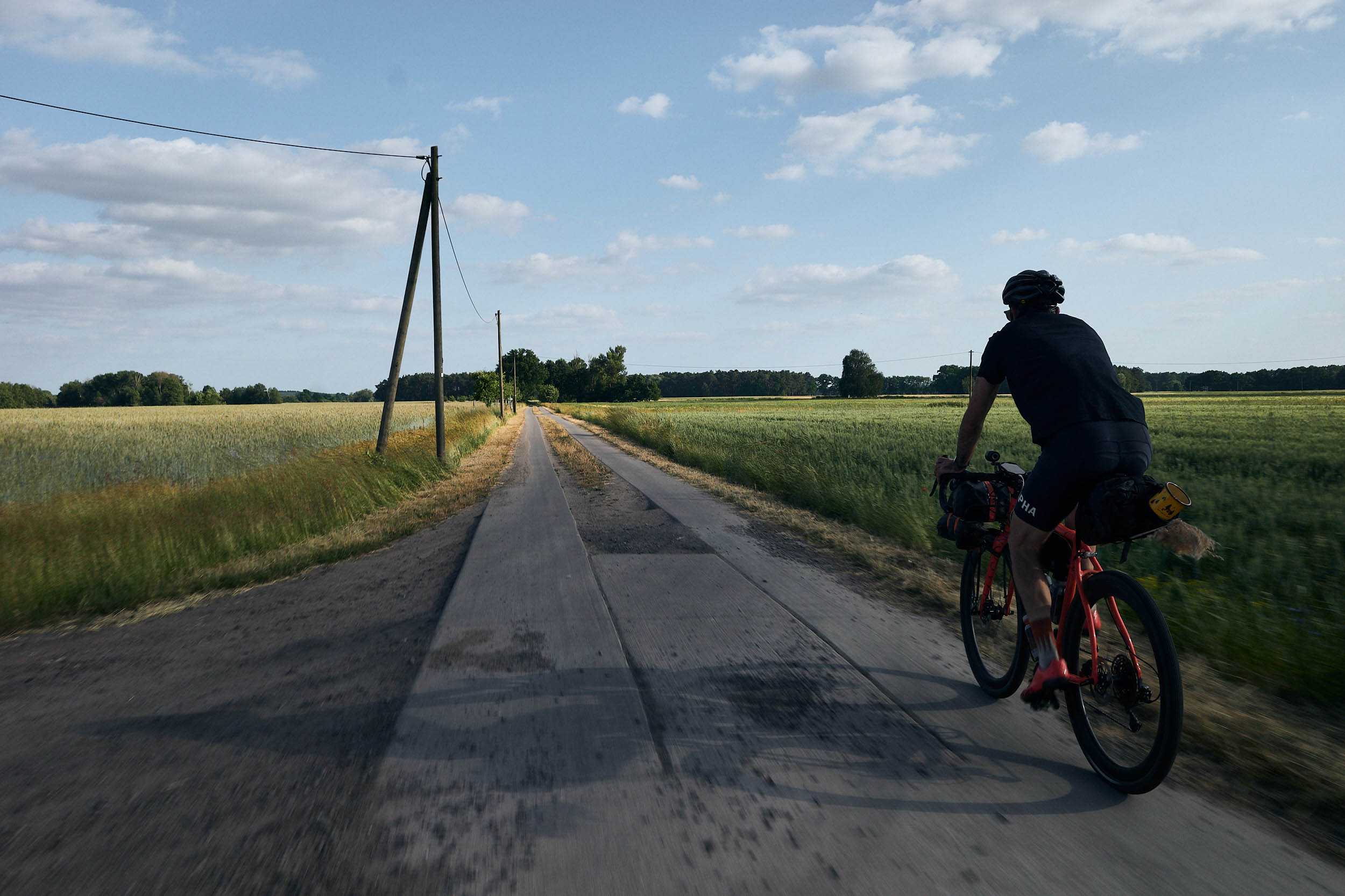
The pancake-flat Havelland is an ideal place for a first bikepacking tour, so long as you respect the varying terrain. One moment your shins are high-fiving the sea of grass, the next you might be skidding through deep sand in the forest, then jostling along over the ubiquitous concrete slabs. The forests feel empty and big skies abound, but most of the time you can spy a church steeple peeking over the treetops somewhere on the horizon—a welcome sign of a nearby water source on a hot, dusty day. Feel encouraged to meander, as the well-marked cycle paths and several possible campsites make it safe and easy to draw your own path through the wetlands.
Route Difficulty
The route has easy access and bail-out via regional trains. The track is flexible and allows for shortcuts and paved alternates. With frequent and reliable access to food and water as well as easy camping at bivouac sites, I rate the logistics at 2/10. Since the terrain is flat and non-technical, I’d consider the technical difficulty a 3/10. However, the deep sand and harsh concrete slabs may pose challenges to some, so I’d rate the physical demand at 5/10. Total rating: 3/10.
Route Development: Originally published in 2021, the May 2026 update re-routes around two removed bridges, improves flow by reducing turns, and highlights paved alternates. More points of interest are marked and the description has been significantly expanded.
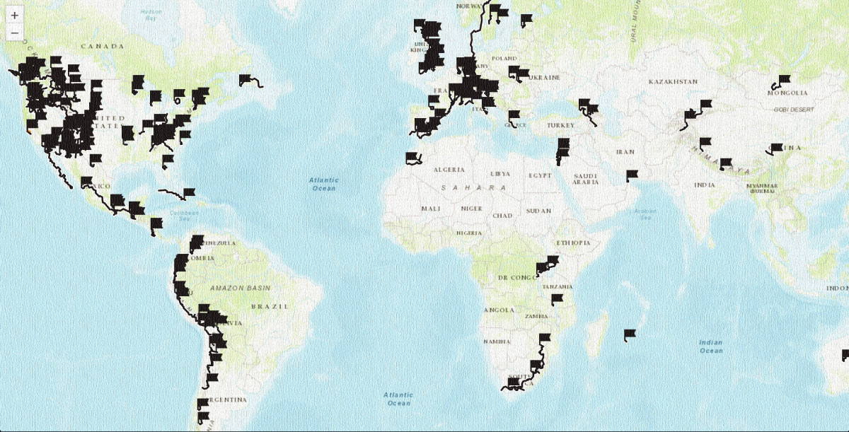
 This route is part of the Local Overnighter Project, which was created to expand our growing list of worldwide bikepacking routes—the first and largest of its kind—and create an independent map and catalog of great bikepacking overnighters, curated by you, from your own backyard. Our goal is to have accessible routes from every town and city in the world. Learn More






Submit Route Alert
As the leading creator and publisher of bikepacking routes, BIKEPACKING.com endeavors to maintain, improve, and advocate for our growing network of bikepacking routes all over the world. As such, our editorial team, route creators, and Route Stewards serve as mediators for route improvements and opportunities for connectivity, conservation, and community growth around these routes. To facilitate these efforts, we rely on our Bikepacking Collective and the greater bikepacking community to call attention to critical issues and opportunities that are discovered while riding these routes. If you have a vital issue or opportunity regarding this route that pertains to one of the subjects below, please let us know:
Highlights
Must Know
Camping
Food/H2O
Trail Notes
Resources
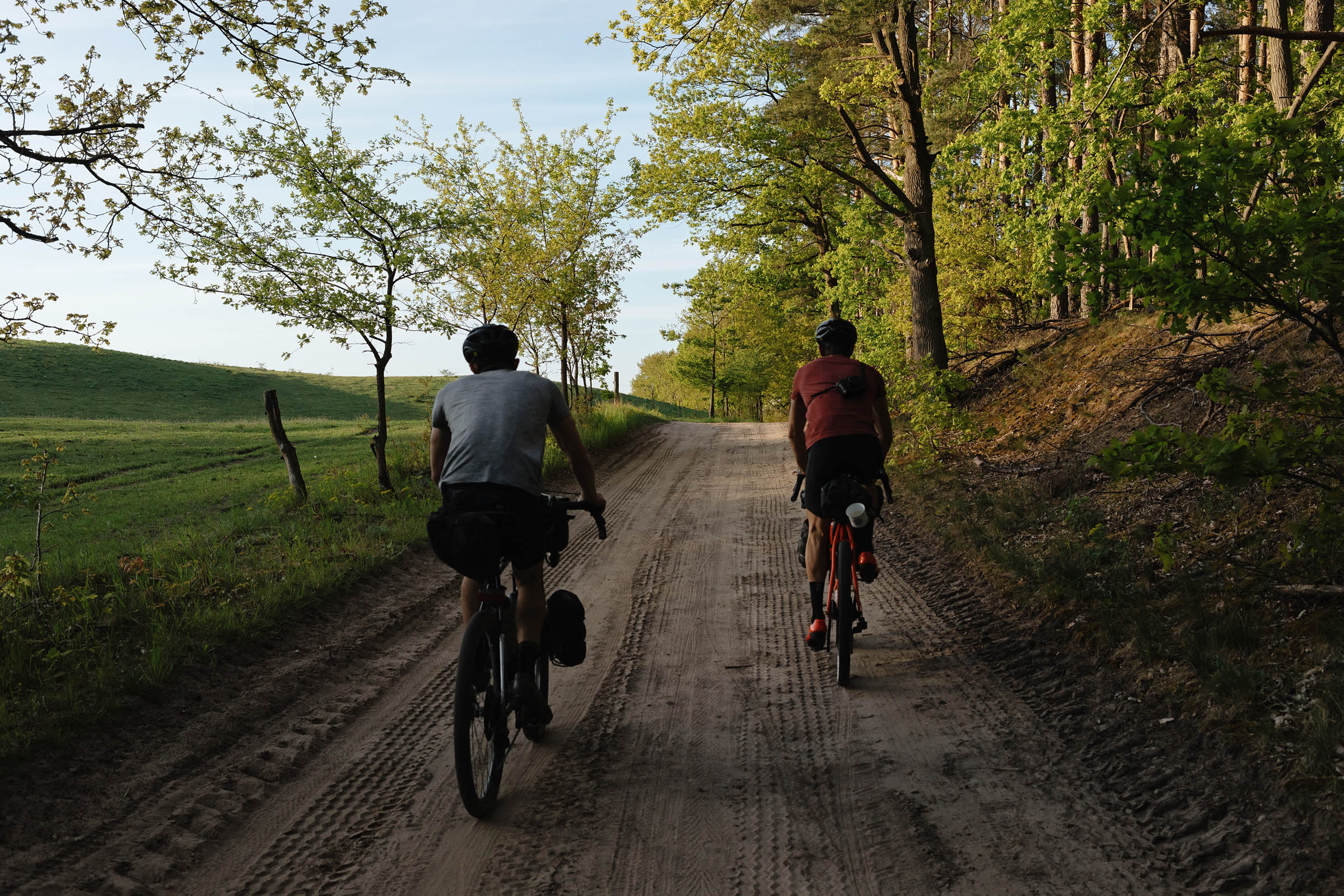
- Beginner-friendly bikepacking: This route is easily accessed by regional trains and the track can be shortened at several places, with excellent cycling infrastructure to fall back on.
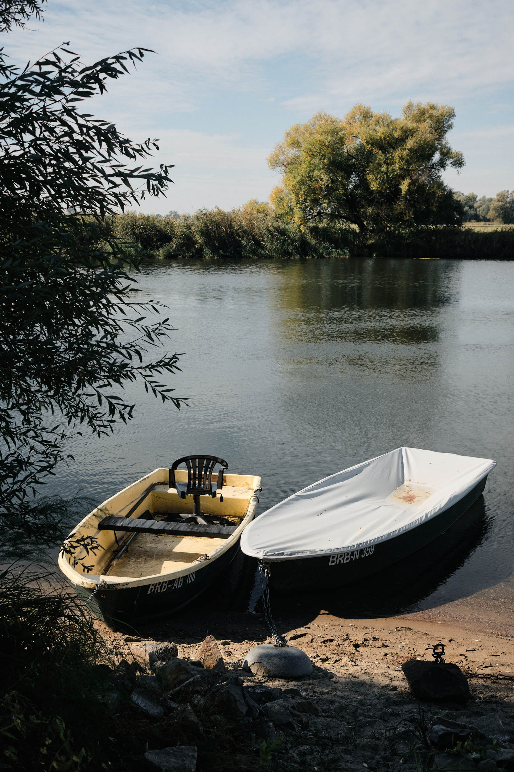
- Meander through the floodscapes shaped by the Havel River and more-than-human activity over time
- Spot lots of wildlife around Gülper Lake in particular, a paradise for birds and bird lovers alike. Enormous flocks of migratory waterfowl stop over here in spring and fall.
- Amazing stargazing in the designated Dark Sky Reserve.
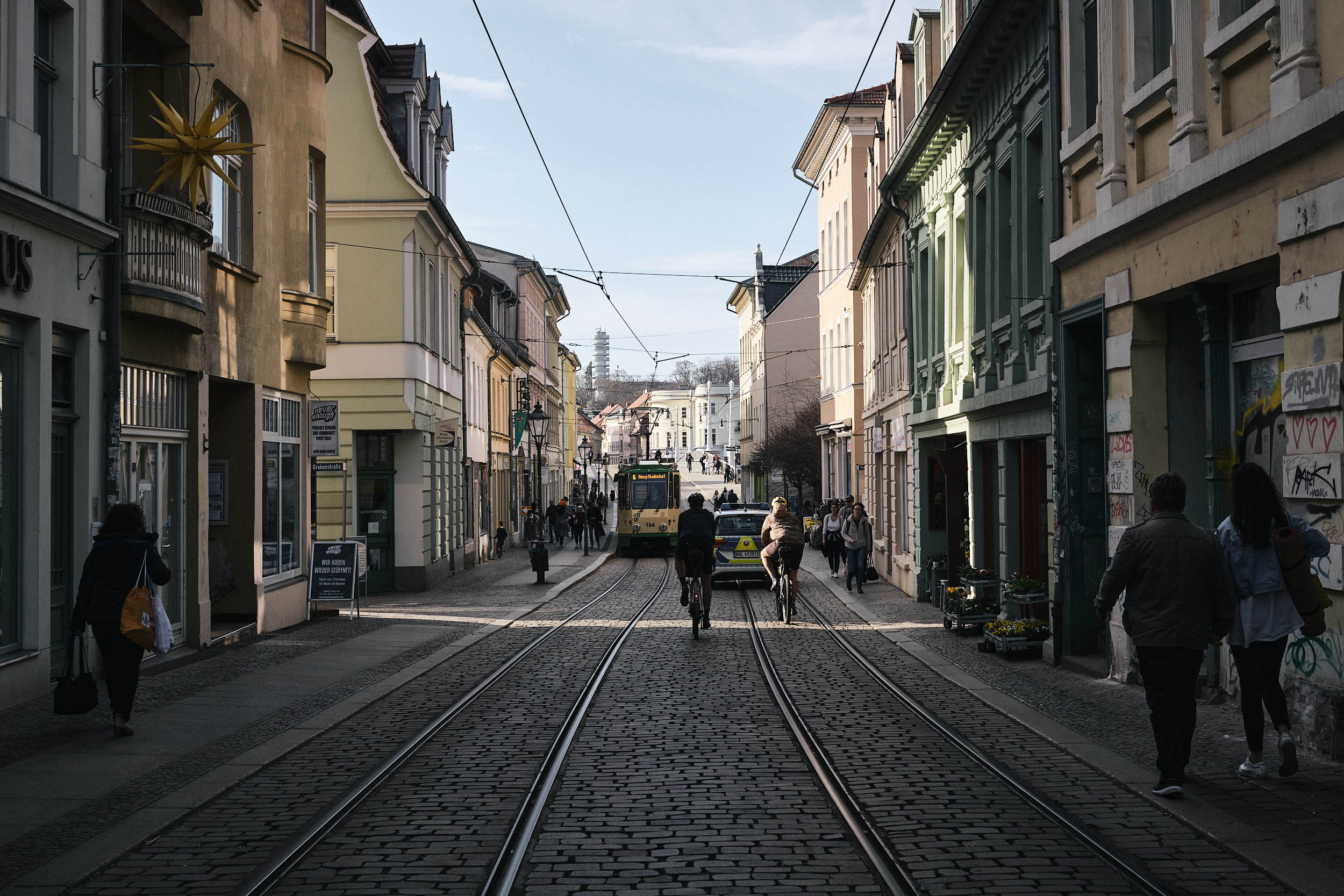
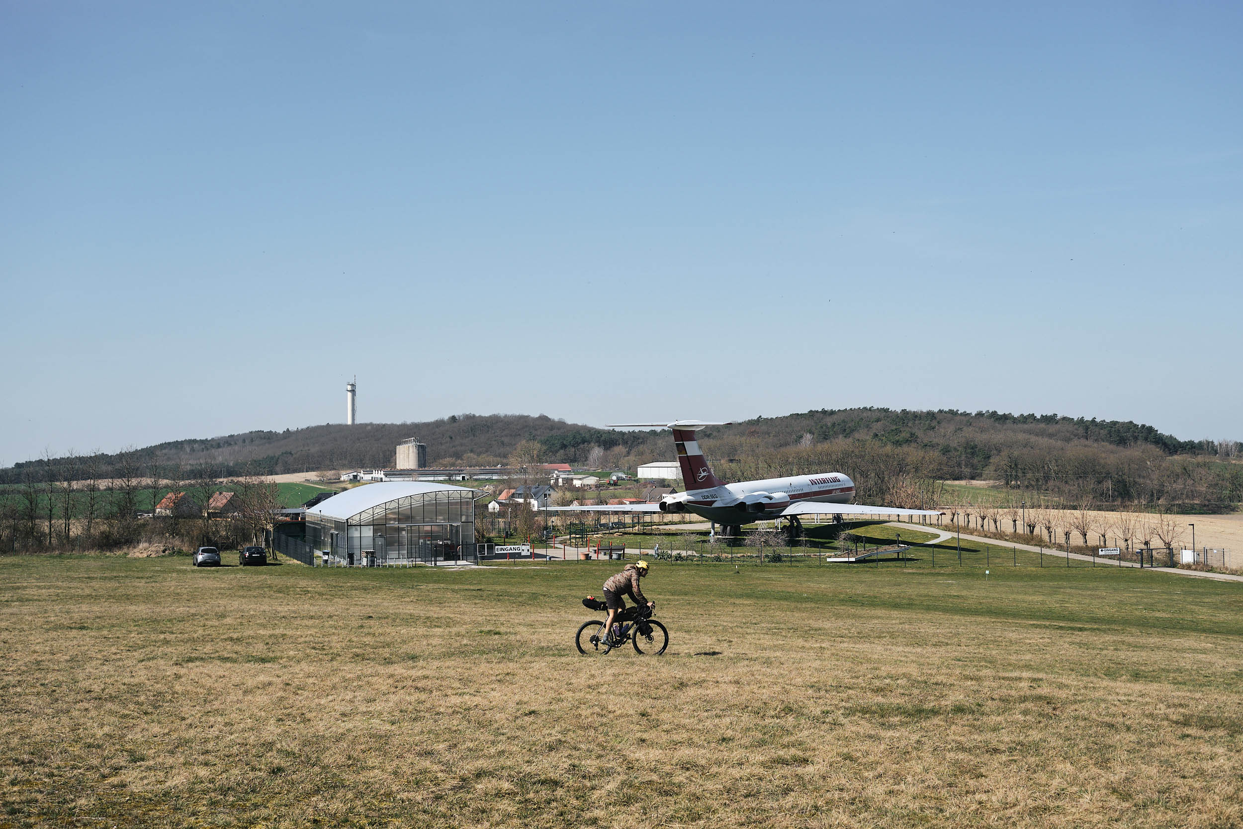
- Explore the cultural, industrial, and architectural legacies of the Havel cities of Brandenburg, Rathenow, and Havelberg.
- Camp in nature at the official river-side bivouac sites marked on the route.
- This is a beginner-friendly bikepacking route that makes use of official bivuouac sites along the Havel river.
- Enjoy and respect the Westhavelland nature park. Stick to established paths, especially during breeding season February to June. No wildcamping and no fires. Don’t feed animals. Leave no trace—that includes noise and light.
- Crossing of the Havel River is limited to Rathenow (bridge), Strohdene (bridge), Pritzerbe (ferry) and Plaue (bridge). Read the map carefully to avoid getting stuck on the wrong side.
- The route passes through a military training area by Göttlin. In the unlikely case of training activity, guards will alert you. A short road detour is possible.
- Carry cash for the bivouac sites, small shops, and roadside produce when it’s the season.
- Beware of ticks. Make sure to check yourself at least daily and bring tweezers to remove them ASAP.
Logistics
- Start and end at Brandenburg or Rathenow, accessible via the RE1 and RE4 trains from Berlin, Stendal, and Magdeburg. Make sure to purchase a bike ticket.
- Feel free to wander and adjust your track. Check the Trail Notes for recommended route variations.
- The route can be ridden year-round, and every season brings out a different character of the wetlands. Be aware that certain paths may flood in late winter/early spring, requiring short detours.
Bike Choice
- While terrain is pancake flat, the sandy paths and marshy fields can be tough to traverse on narrow tires. The ubiquitous concrete slabs can be harsh at times. A reliable and comfortable bike with 45mm tires and wider is recommended.
- Wildcamping is prohibited everywhere in the Westhavelland Naturpark. Huts and look-outs are not excluded from this.
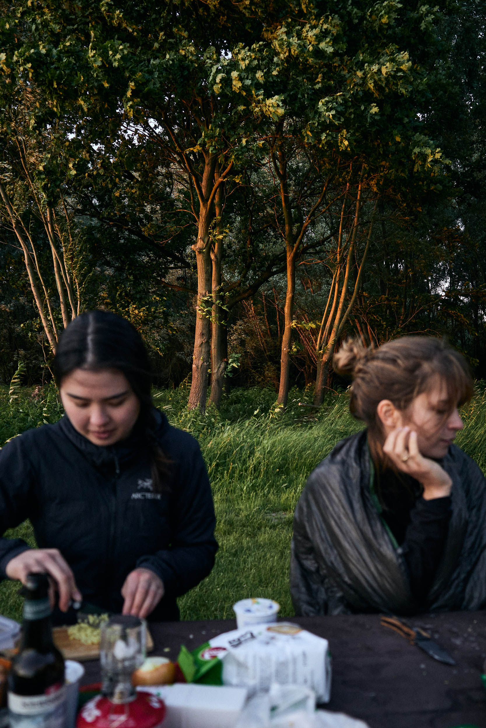
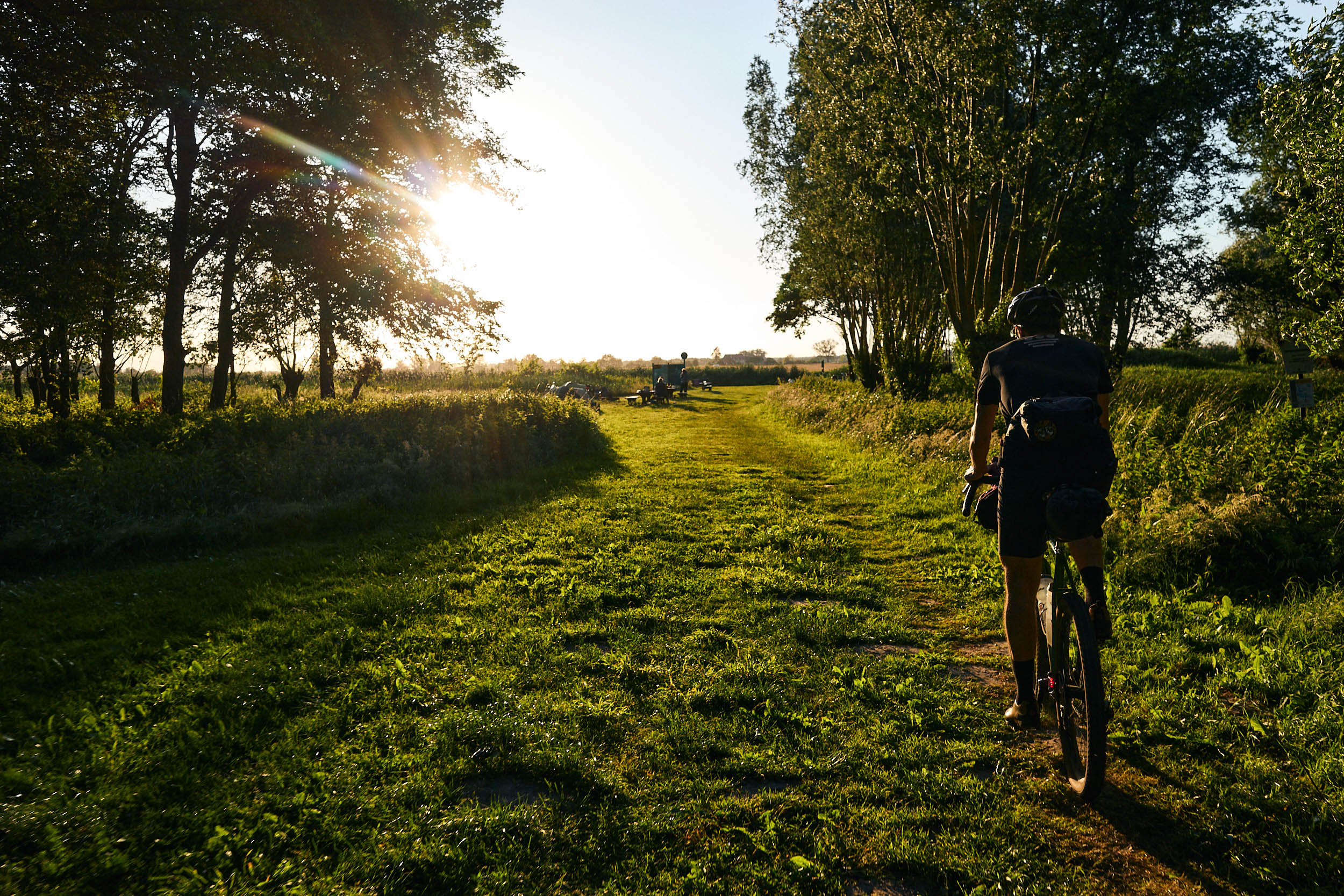
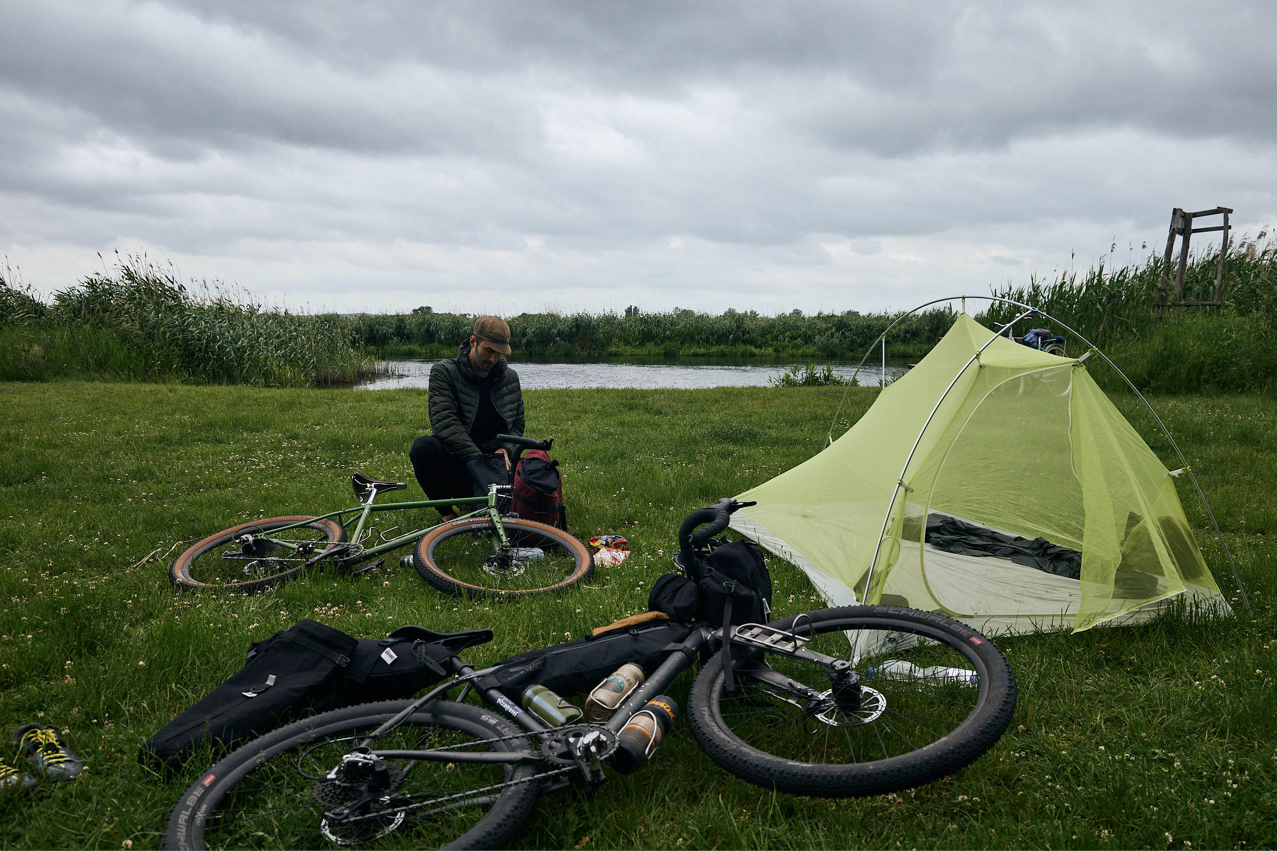
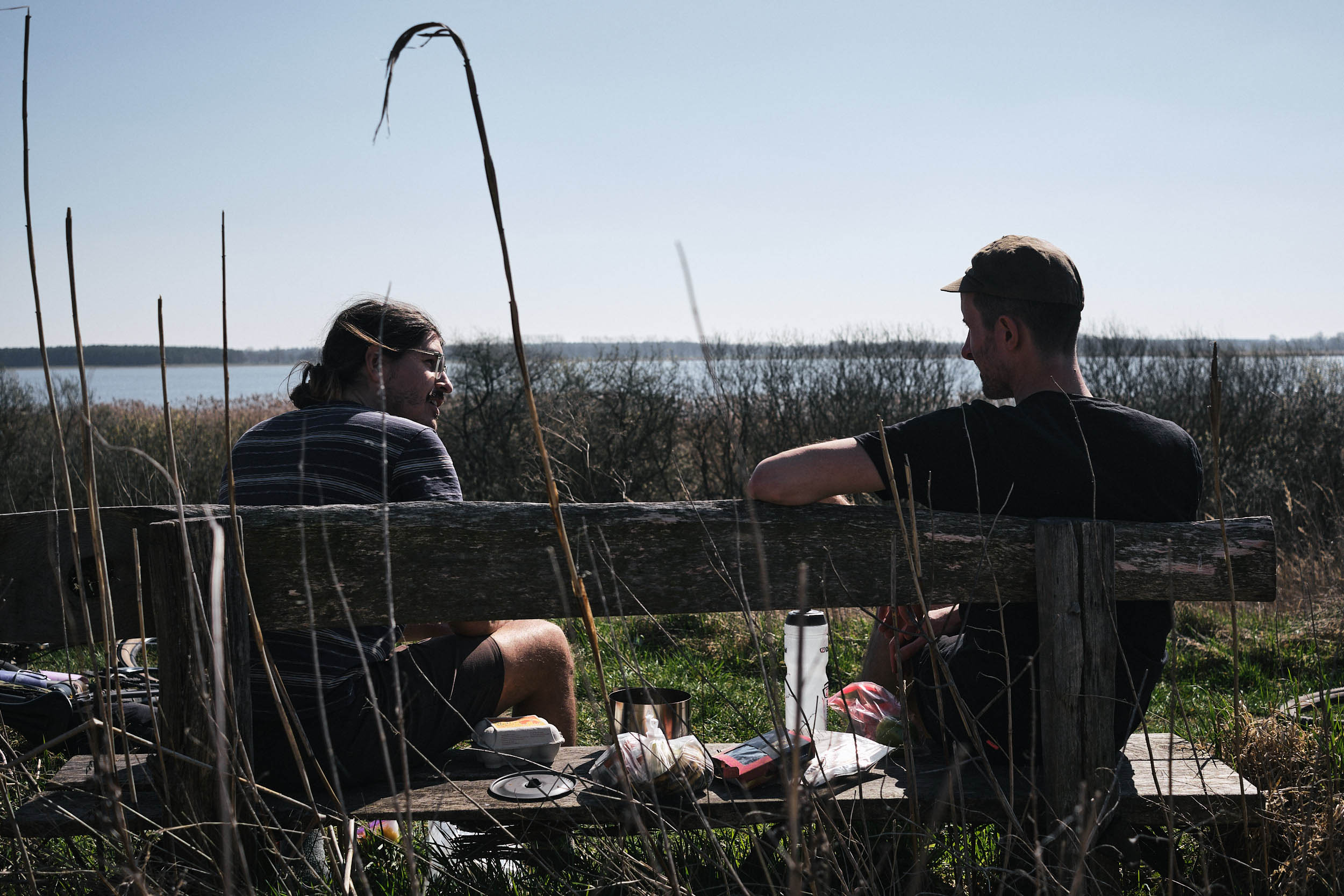
- Camp in nature at the official bivouac sites marked on the route. There’s flat grass for tents, usually a toilet, and picnic benches. Call the phone number on the sign when you arrive and carry some cash for the 3-5€ fee.
- Certain bivouac sites may reach capacity on popular summer weekends, but there is usually an alternative available. At Gülpe, tents can be set up at the caravan site by the soccer field.
- Water is available at most church cemeteries in the towns. The taps are shut off during the winter and shoulder season, so plan accordingly.
- Supermarkets can be found in Brandenburg, Rathenow, and Rhinow, but there is little in between.
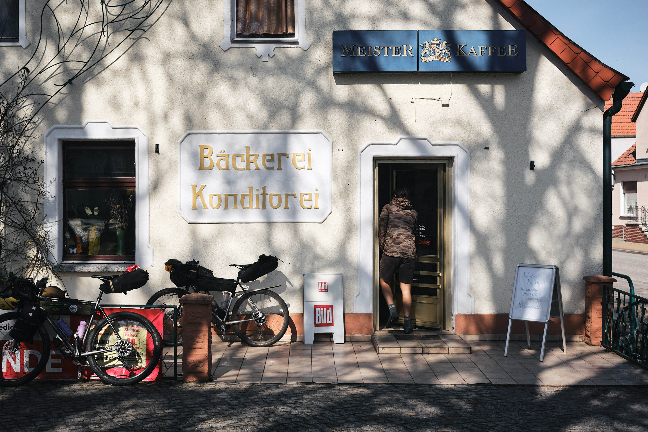
- Shops and bakeries are generally closed on Sundays
- Look out for increasingly rare independent bakeries, such as Bäckerei Möhring in Rathenow
The Havel Wetland Wander is easily accessed by regional trains. They serve the towns along the route frequently, require no reservation, and feature plenty of room for bikes (make sure to purchase a bike ticket.) Brandenburg an der Havel can be reached via the RE1 from Magdeburg and Berlin. Rathenow, the other main town along the route, is connected to Berlin and Stendal via the RE4. Brandenburg and Rathenow are connected by the RB51.
Starting in Brandenburg an der Havel, the standard loop envisions overnighting at Gülpe, 55 kilometers into the route. Circling around Gülper Lake, and then camping again in Grütz or Göttlin after riding another 50 to 60 kilometers or in Bahnitz after 90 kilometers. That leaves between 25 and 60 kilometers back to Brandenburg on the third day if you follow the default itinerary. This leaves plenty of time for exploring off-track, swim stops, naps, and more.
You can shorten the loop by starting in Rathenow, leaving just 25 kilometers to Gülpe. It’s possible to switch to the gentler, paved Havel-Radweg between Strohdehne and Schollene via Garz, Warnau, Molkenberg—look for the network signs. Jerchel to Kützkow can also be alternatively ridden on the Havel-Radweg.
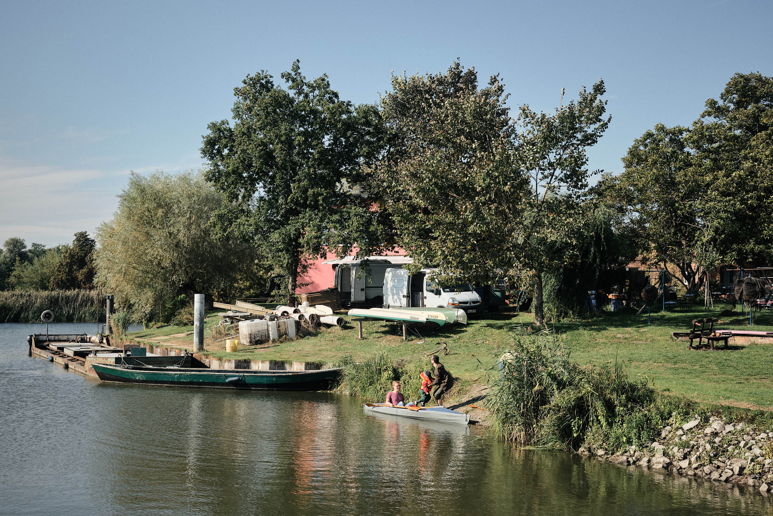
The end of the loop can be cut short by taking the ferry from Kützkow to Pritzerbe, which has regular service throughout the year. You have the option of following the Havel-Radweg back to Brandenburg via Briest or following this route in reverse.
If you have more time, I recommend starting in Potsdam by Berlin and following the Havel-Radweg signs for a dreamy entry into the floodplains on dedicated cycle paths. You could extend the loop to Sandau and Havelberg, where the Havel meets the Elbe River.
Additional Resources




Terms of Use: As with each bikepacking route guide published on BIKEPACKING.com, should you choose to cycle this route, do so at your own risk. Prior to setting out check current local weather, conditions, and land/road closures. While riding, obey all public and private land use restrictions and rules, carry proper safety and navigational equipment, and of course, follow the #leavenotrace guidelines. The information found herein is simply a planning resource to be used as a point of inspiration in conjunction with your own due-diligence. In spite of the fact that this route, associated GPS track (GPX and maps), and all route guidelines were prepared under diligent research by the specified contributor and/or contributors, the accuracy of such and judgement of the author is not guaranteed. BIKEPACKING.com LLC, its partners, associates, and contributors are in no way liable for personal injury, damage to personal property, or any other such situation that might happen to individual riders cycling or following this route.
Further Riding and Reading
Here are some connected/nearby routes and related reports...

Please keep the conversation civil, constructive, and inclusive, or your comment will be removed.