


The Lunigiana Trail
Distance
142 Mi.
(229 KM)Days
3
% Unpaved
51%
% Singletrack
5%
% Rideable (time)
90%
Total Ascent
21,000'
(6,401 M)High Point
4,310'
(1,314 M)Difficulty (1-10)
7?
- 9Climbing Scale Very Strenuous148 FT/MI (28 M/KM)
- 7Technical Difficulty Difficult
- 8Physical Demand Difficult
- 6Resupply & Logistics Moderate
Contributed By
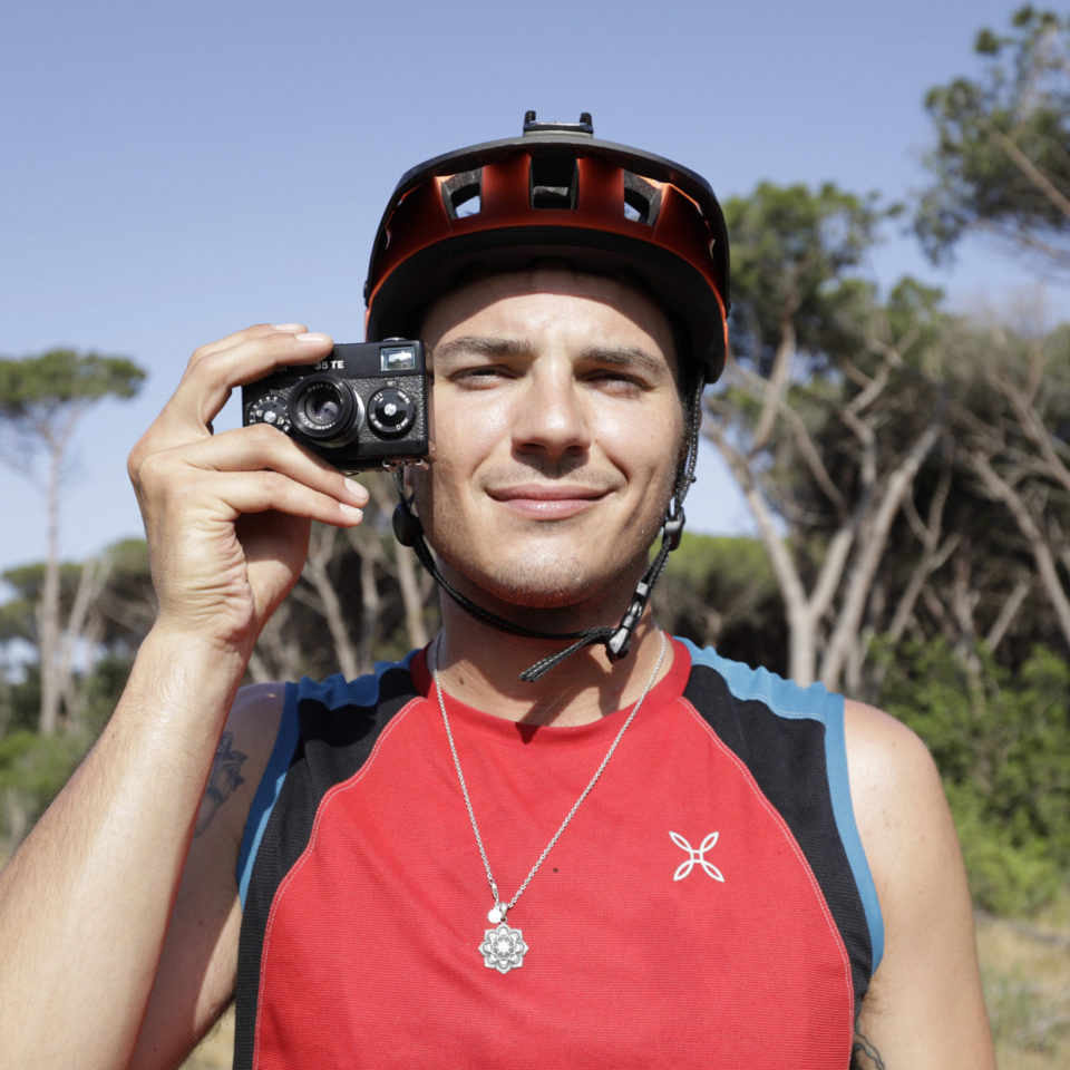
Lorenzo Scarpellini
Guest Contributor
Lorenzo is a freelance photographer working mainly in the fashion and sports industries. He’s passionate about mountain biking thanks to his father and later delved into bikepacking on his own pace. He loves to go out with friends for multi-day trips and shoot photos along the way. Find more of Lorenzo’s work on Instagram @lorenzoscarpellini_ph or lorenzoscarpellini.com
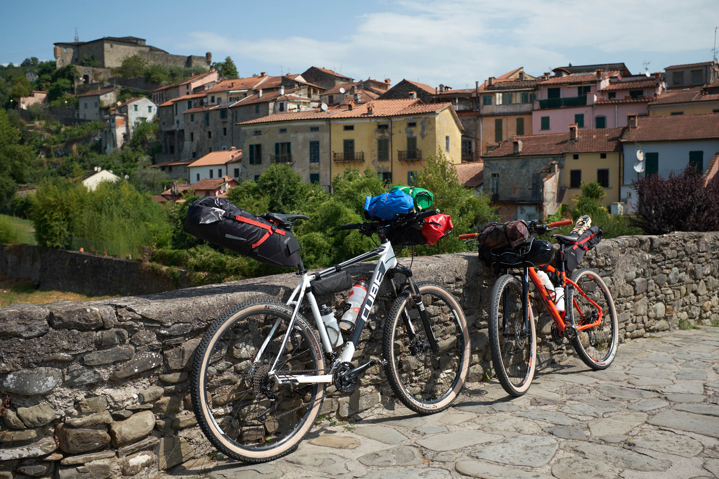
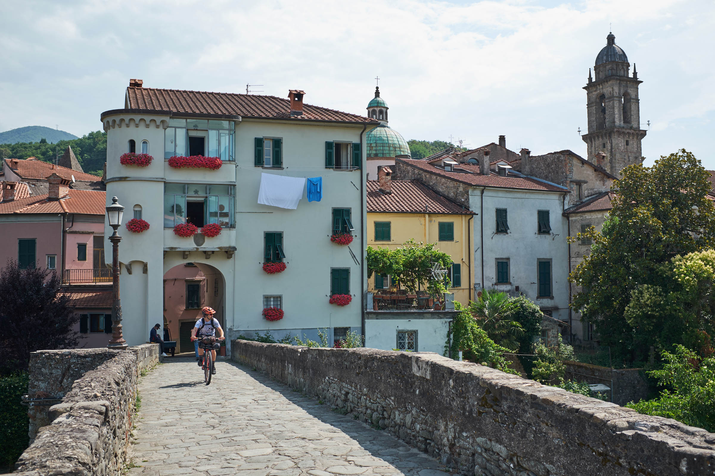
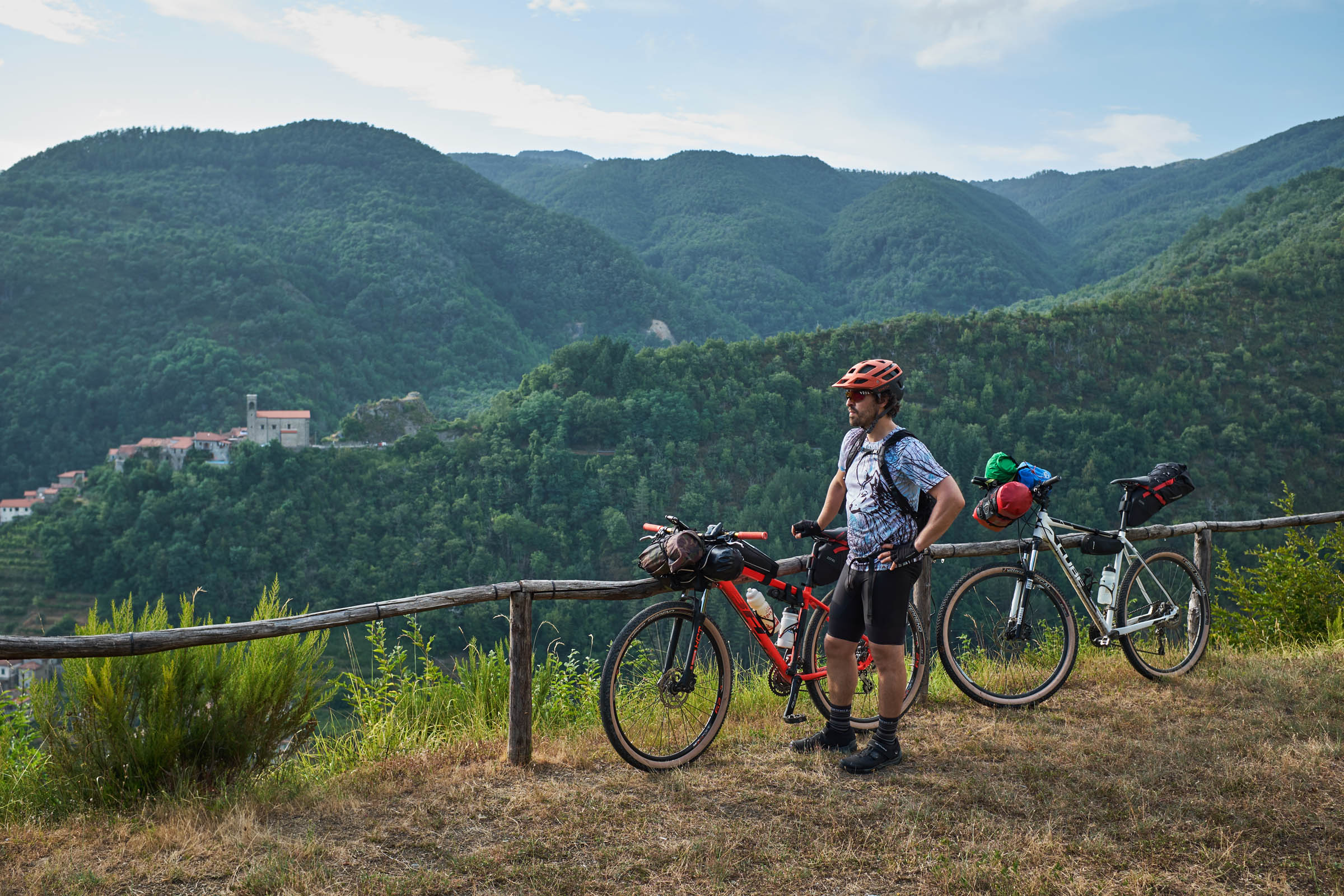
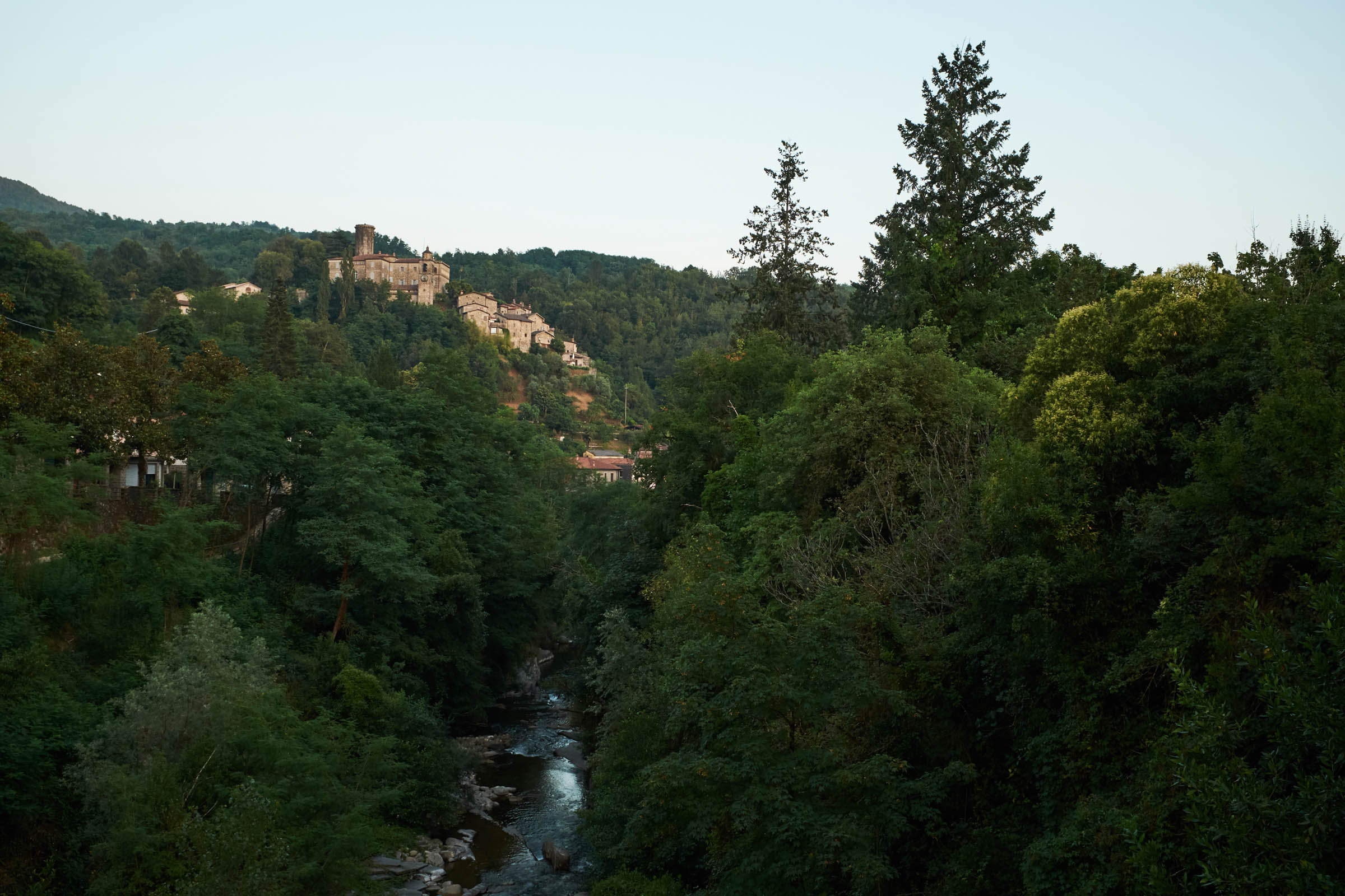
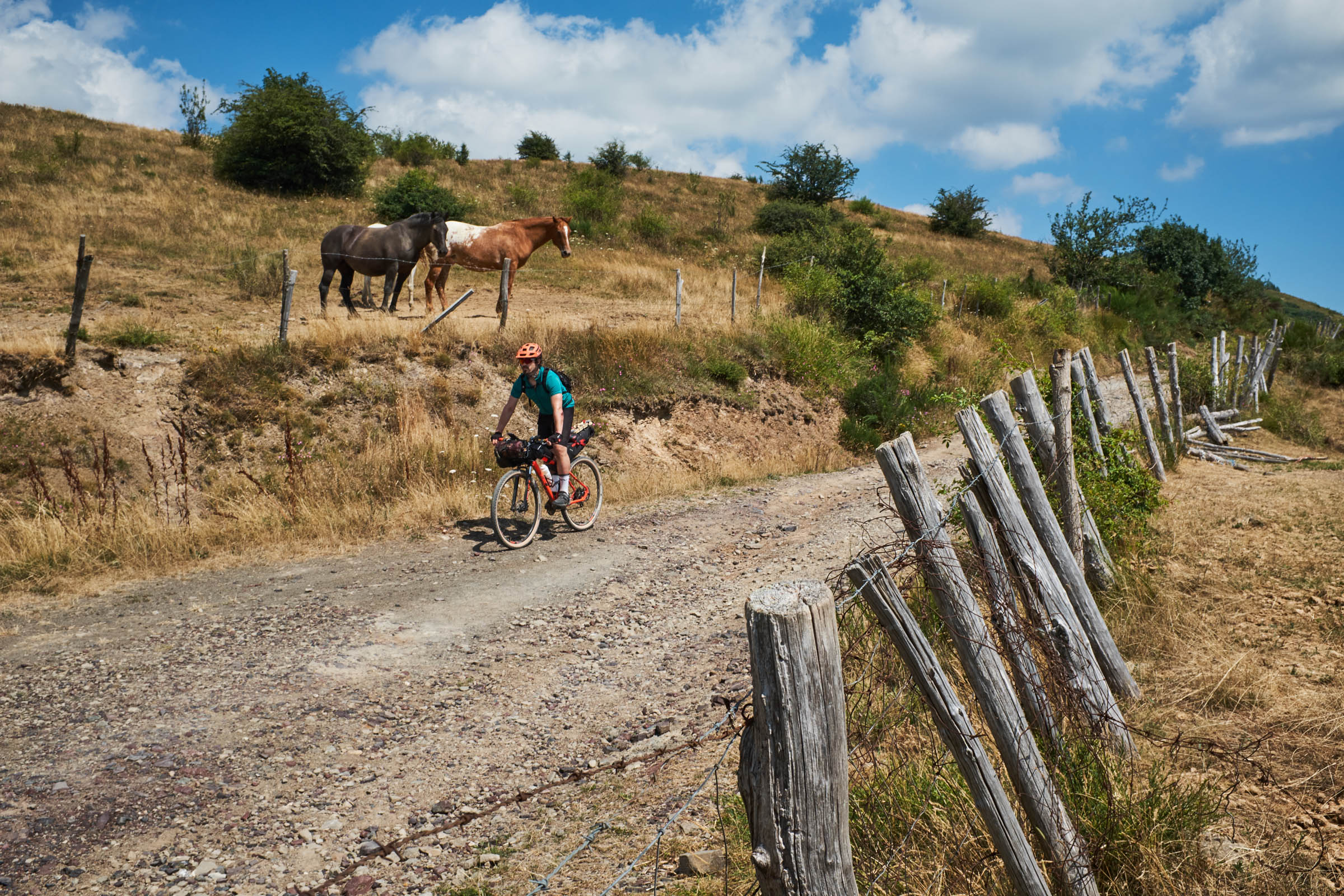
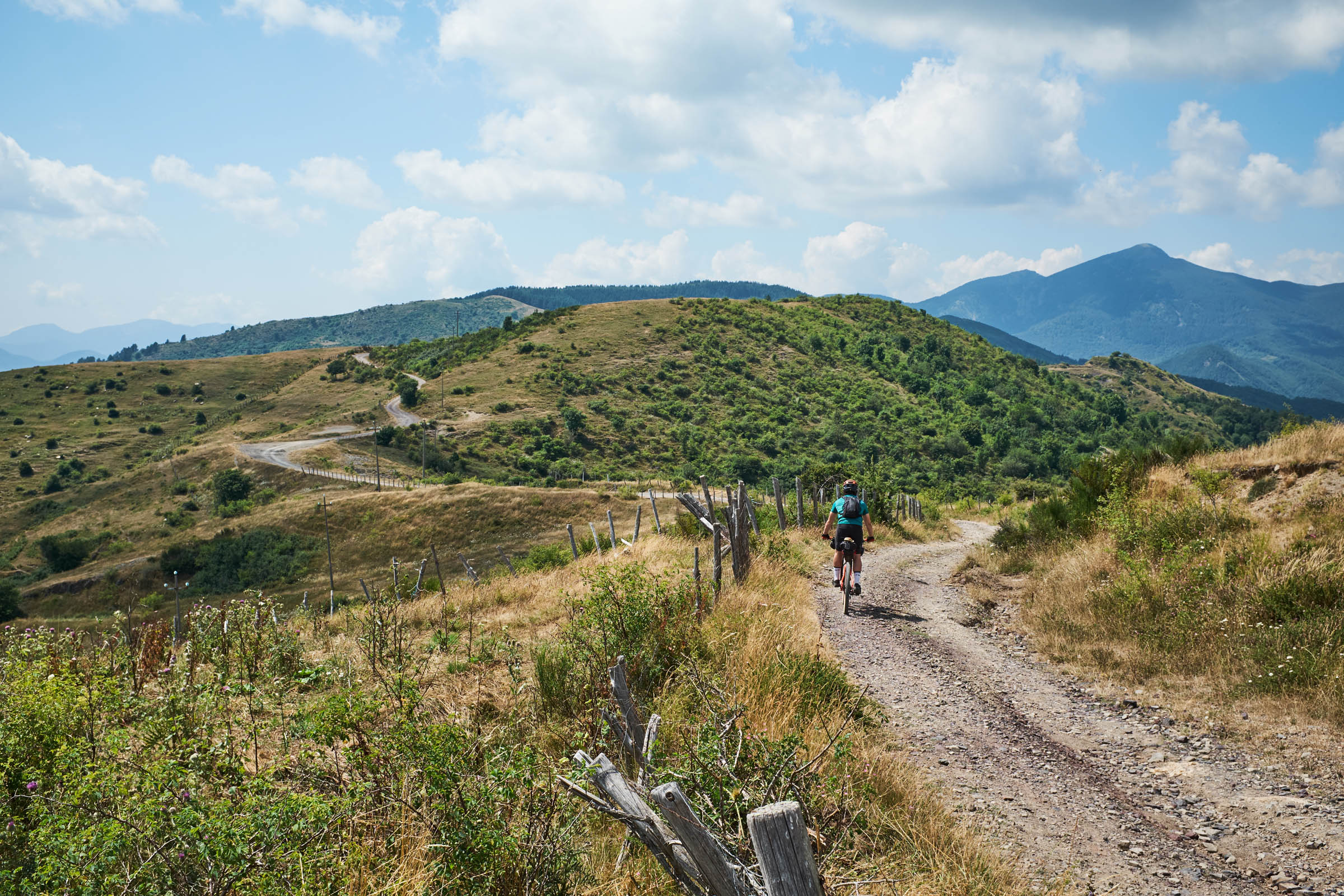
Lunigiana is an historical Italian region located in the northernmost part of the Apennines, established by the Roman Empire with the foundation of the city of Luna in 177 A.C. Being a wild and sparsely populated area, brigands and bandits have often found refuge in the multitudes of valleys that this region has to offer. In ancient times, locals took advantage of its remoteness to hide and preserve censored books in order to prevent them from being destroyed. The historical importance of this can still be experienced while taking a walk among the many bookstores in the city center of Pontremoli, where the Lunigiana Trail starts and finishes.
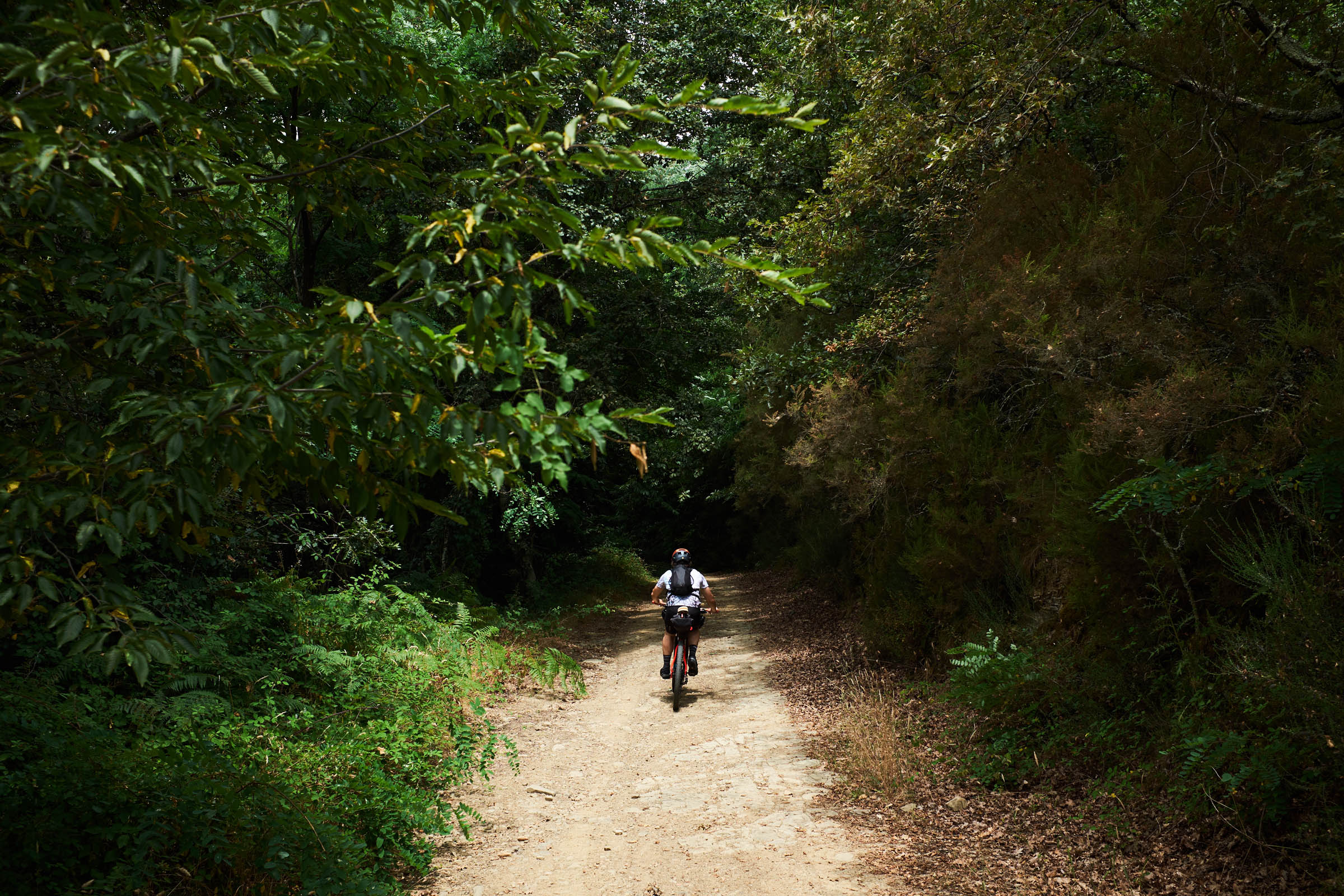
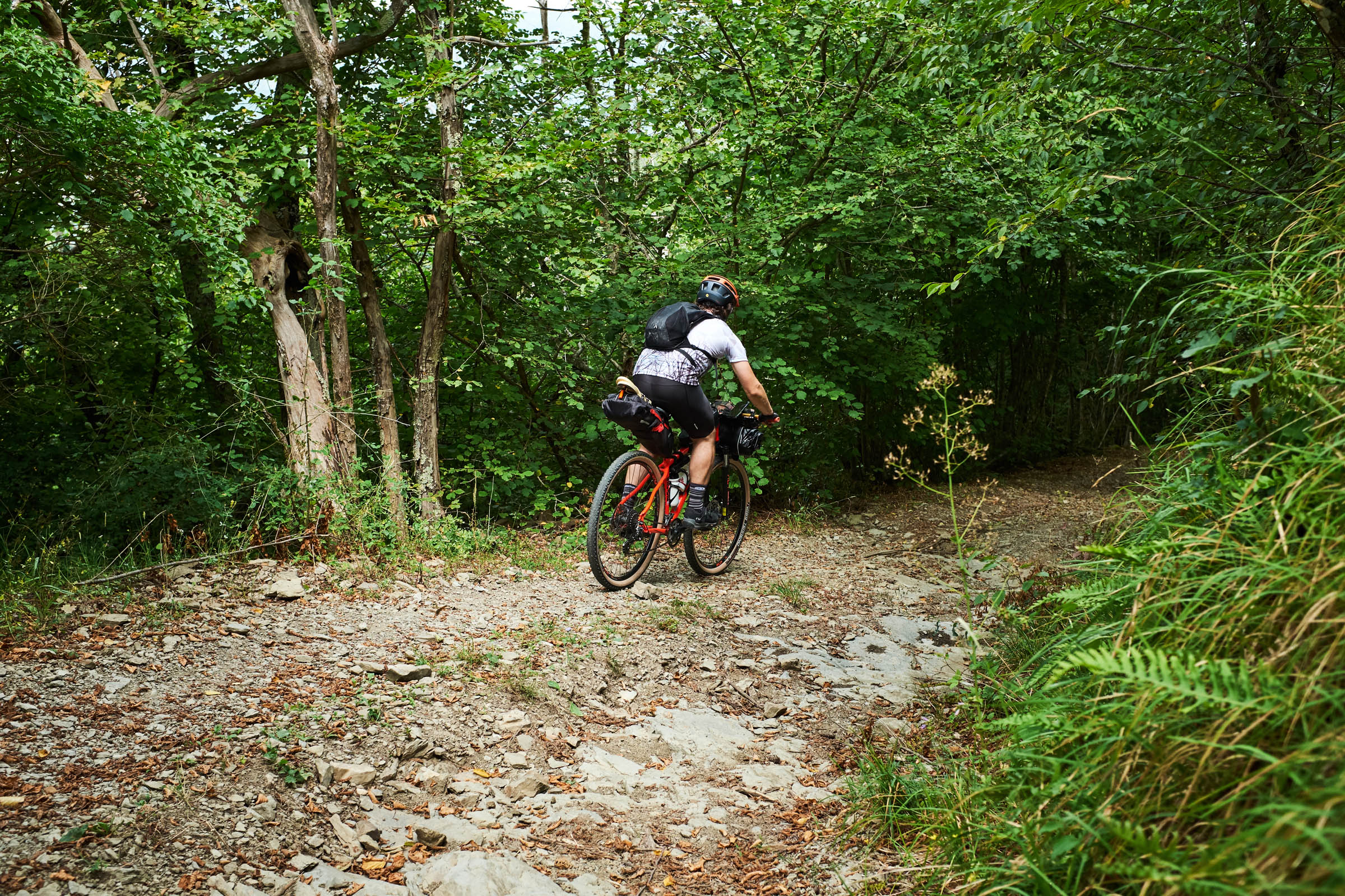
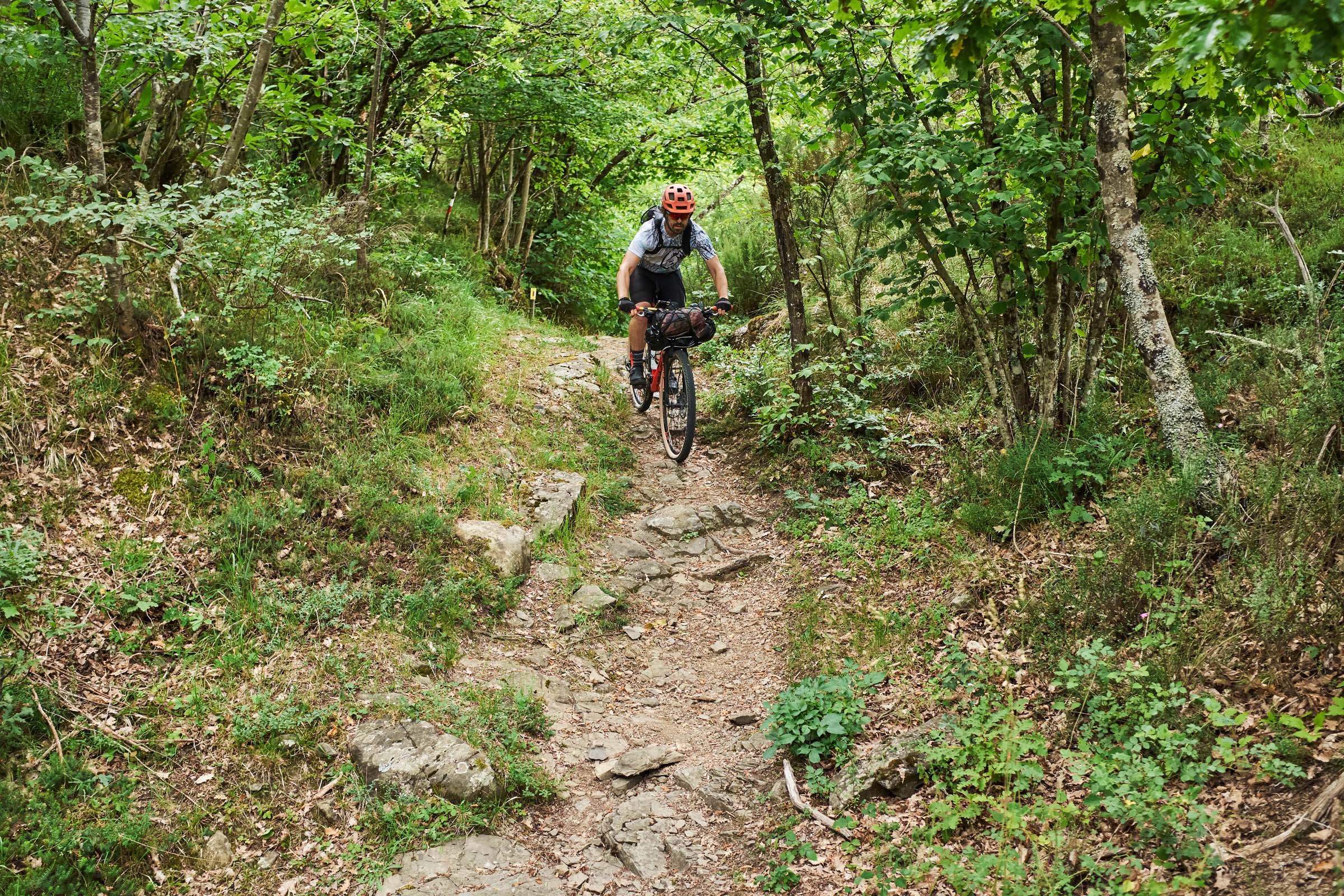
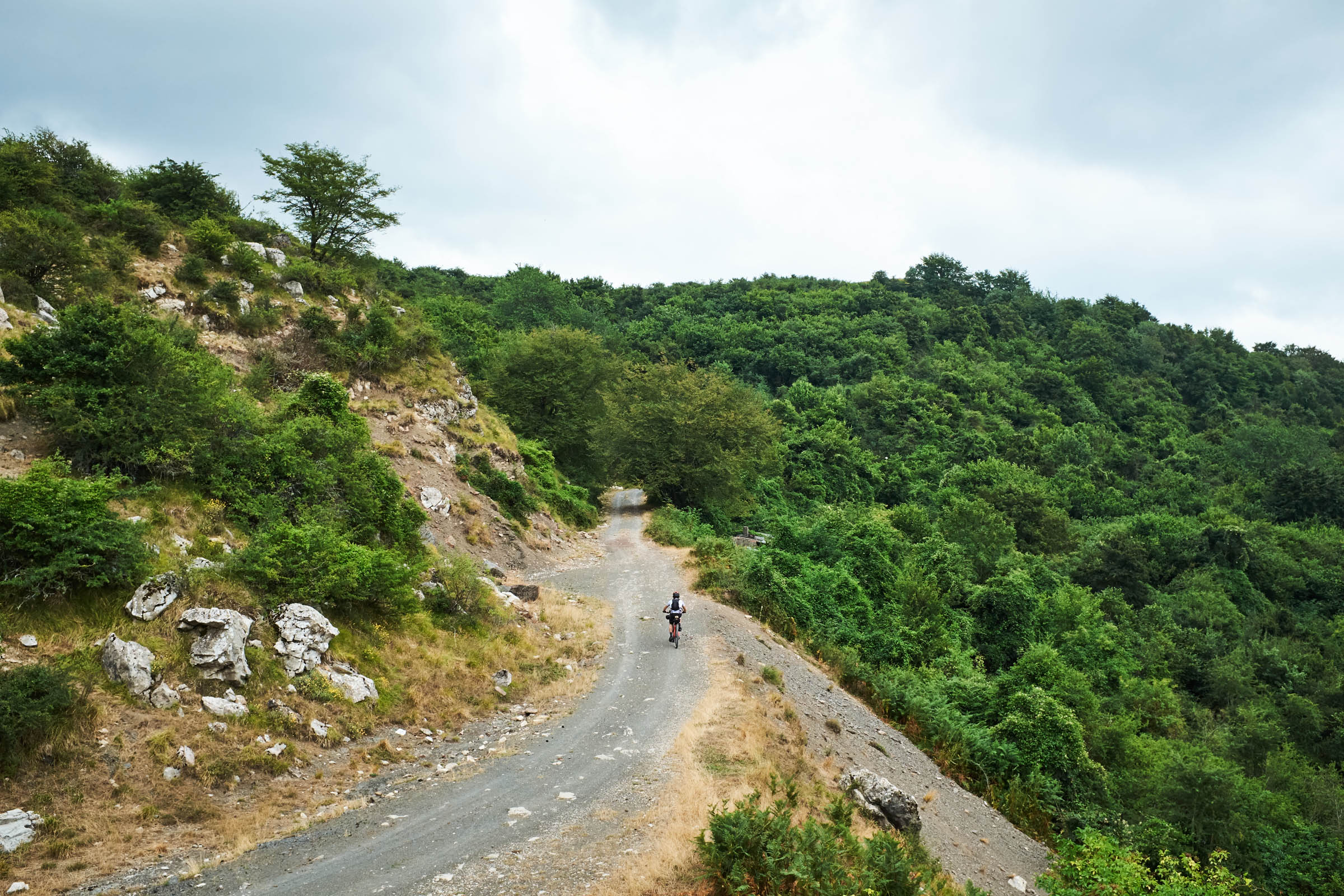
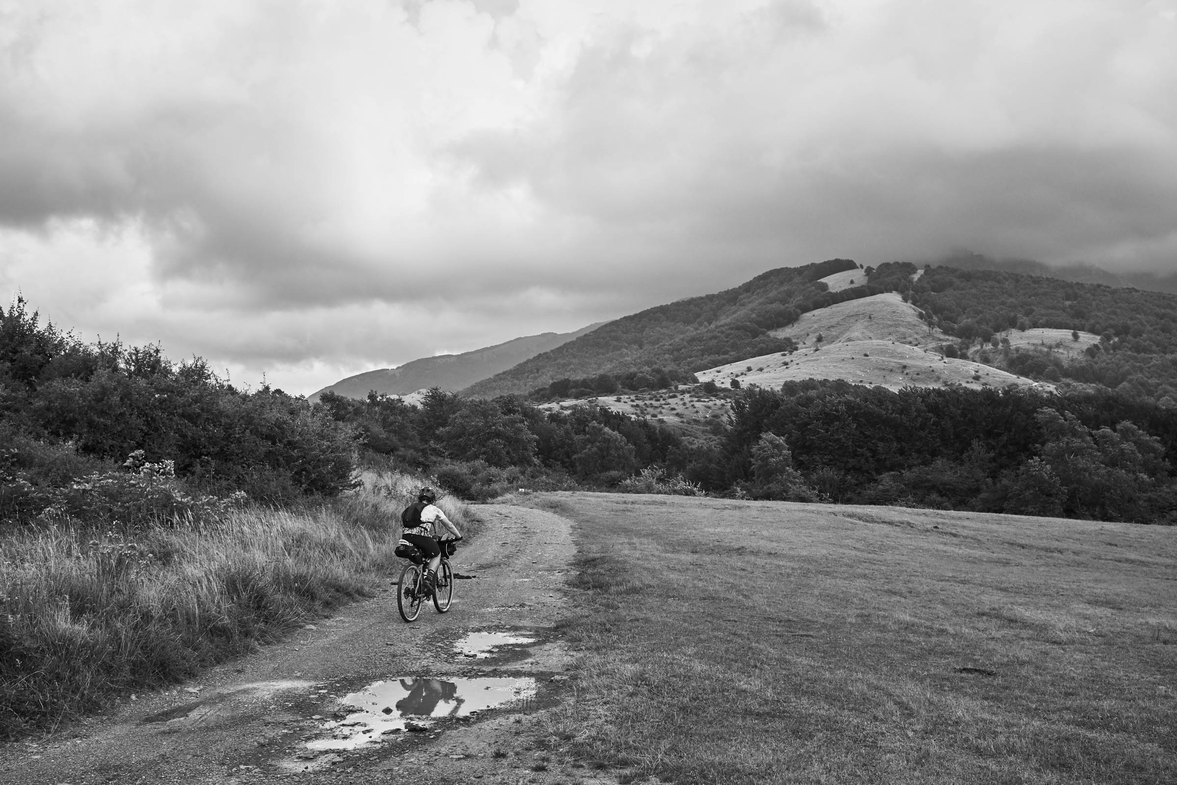
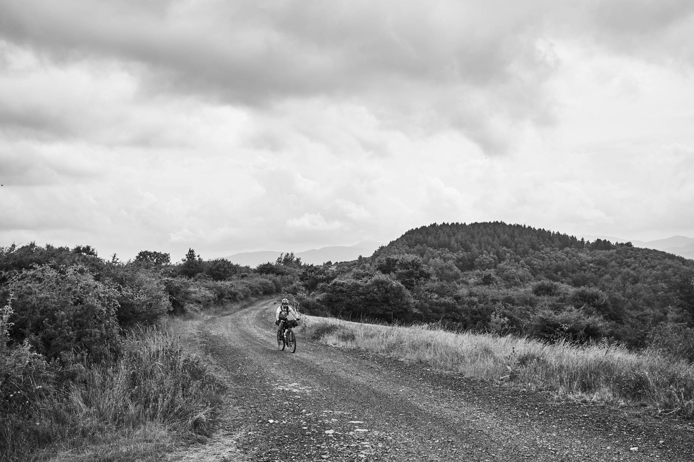
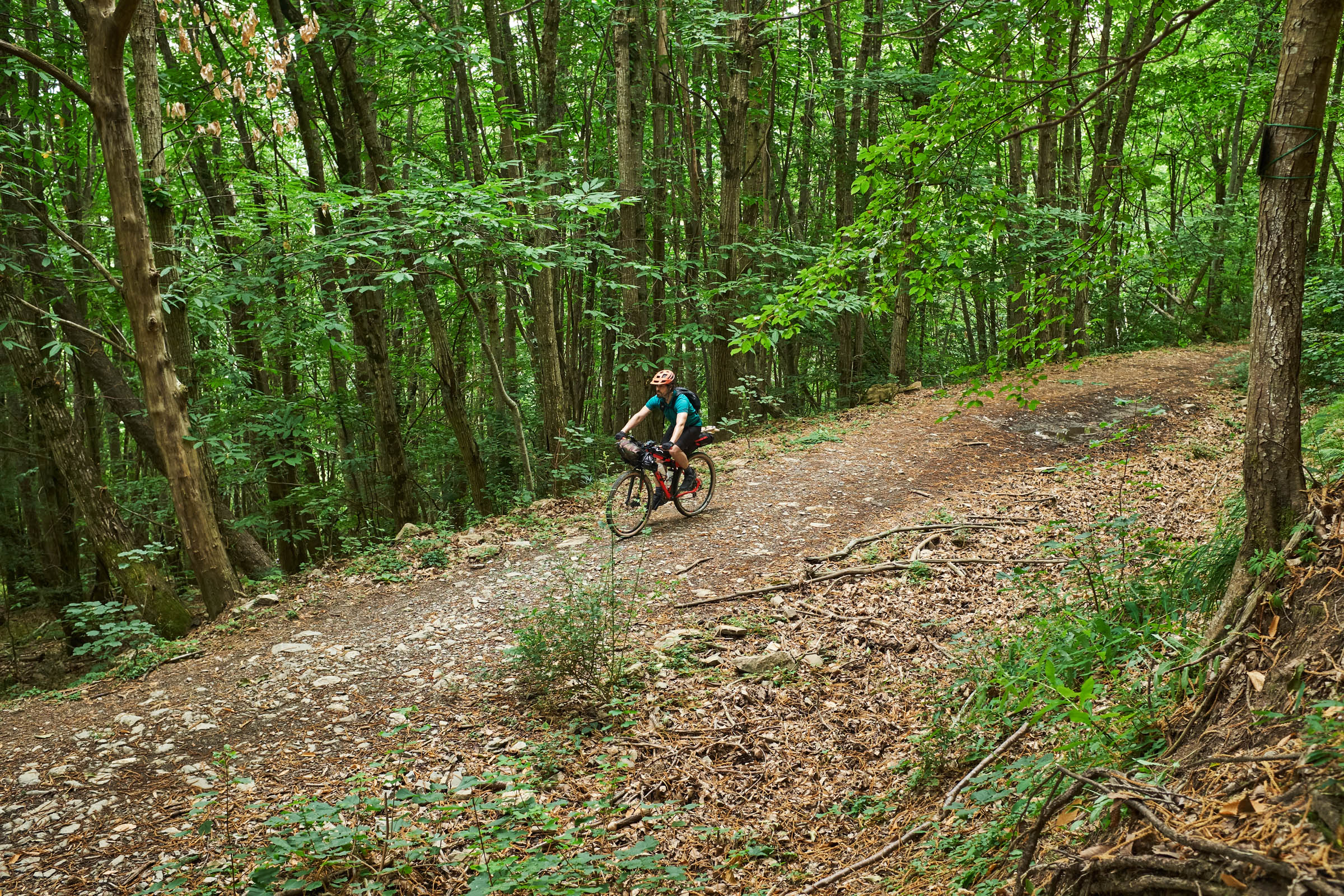
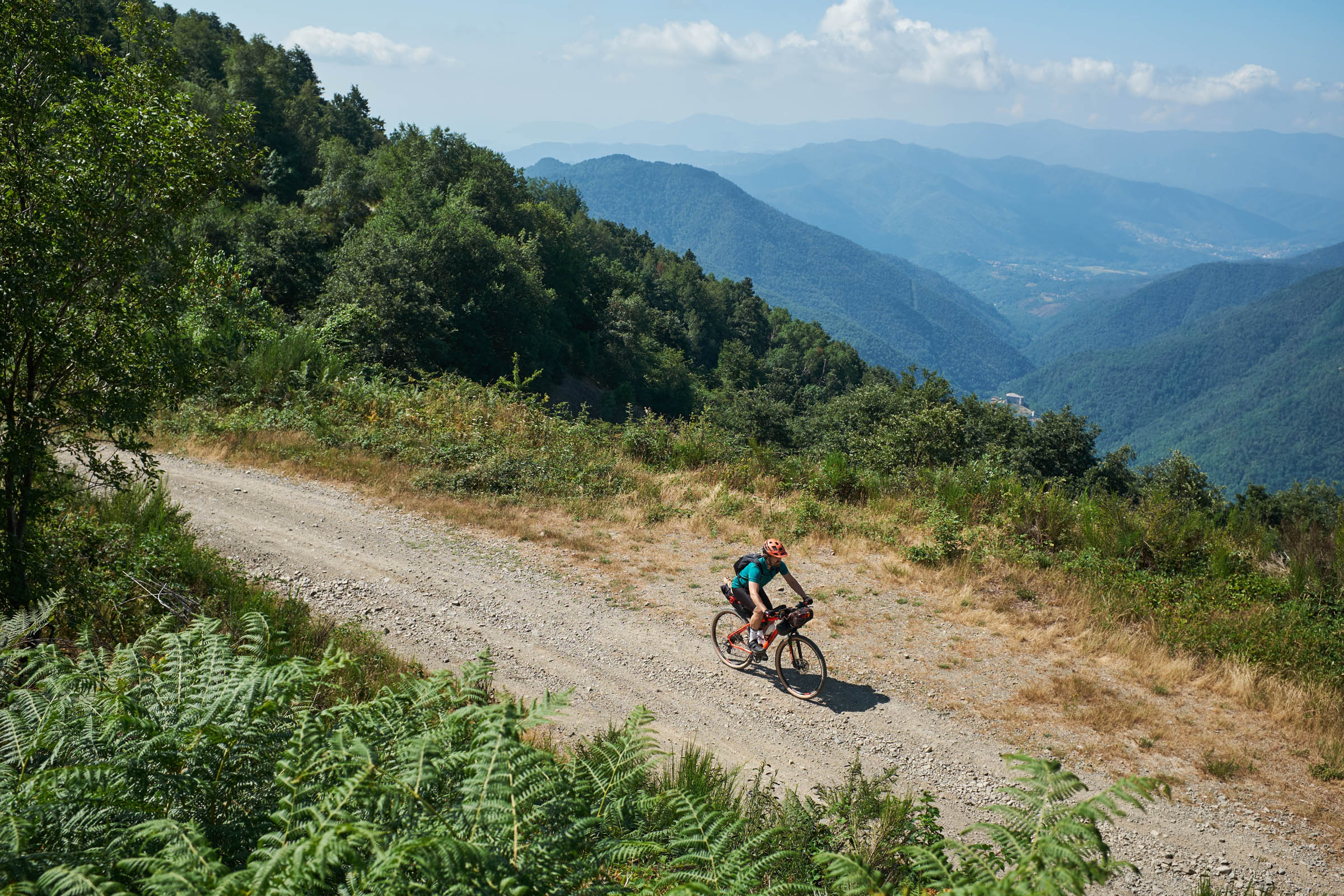
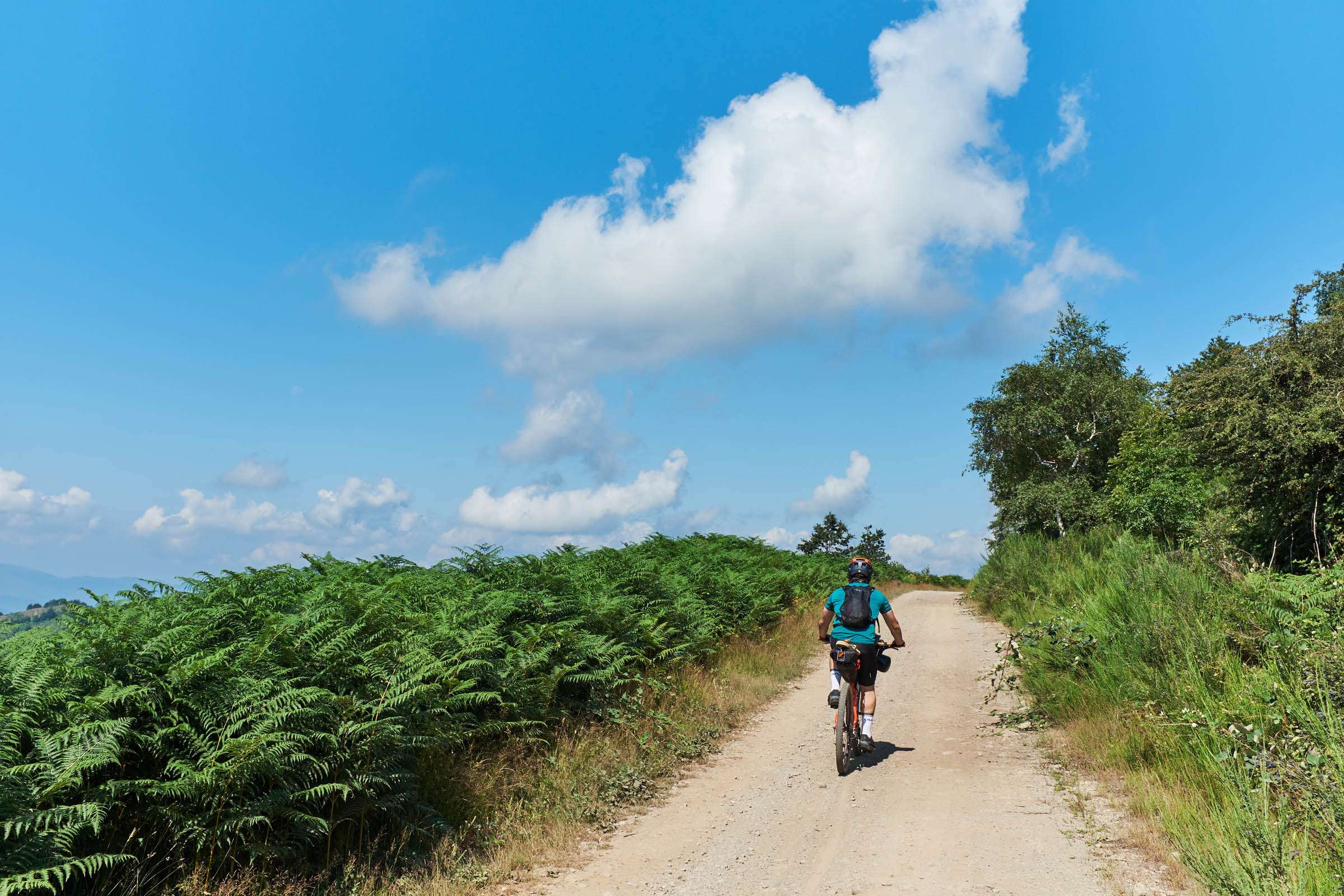
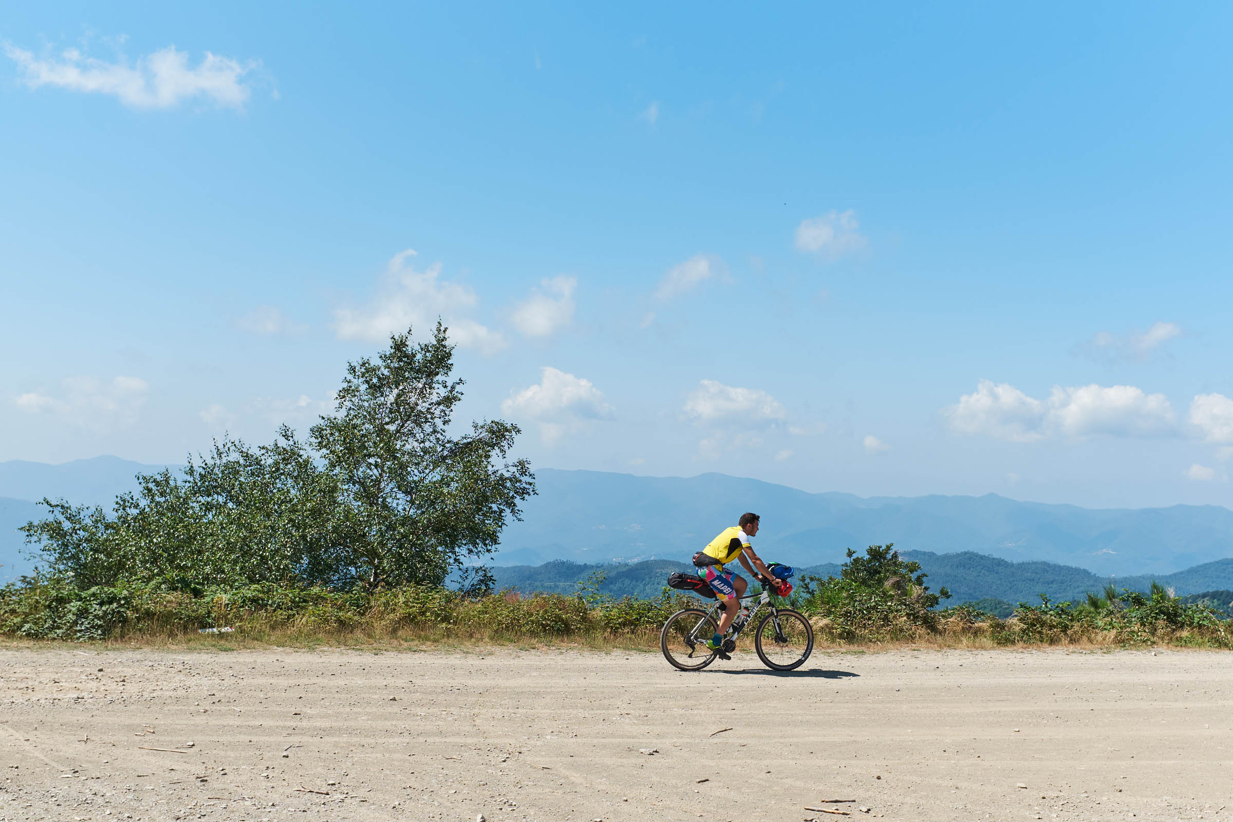
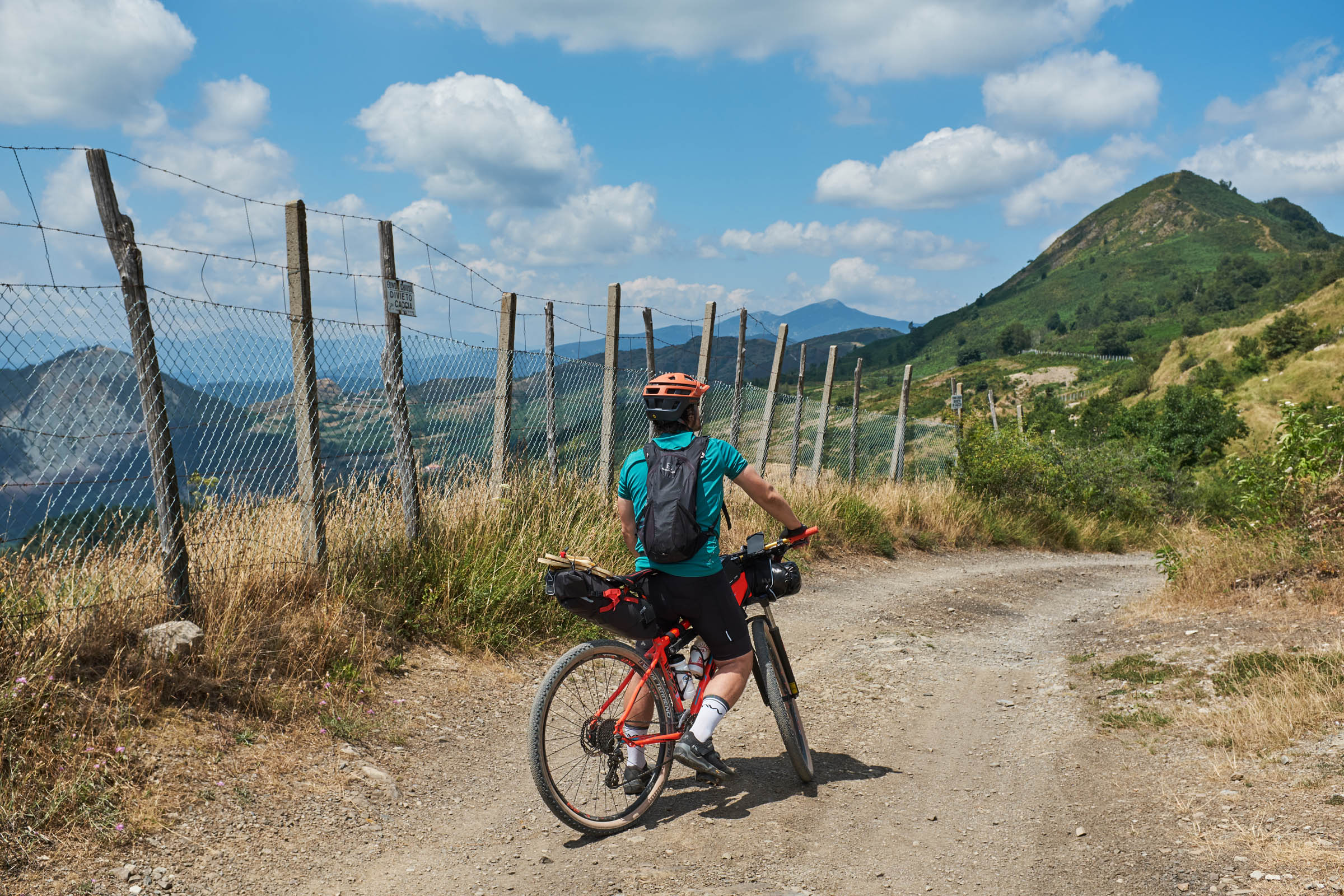
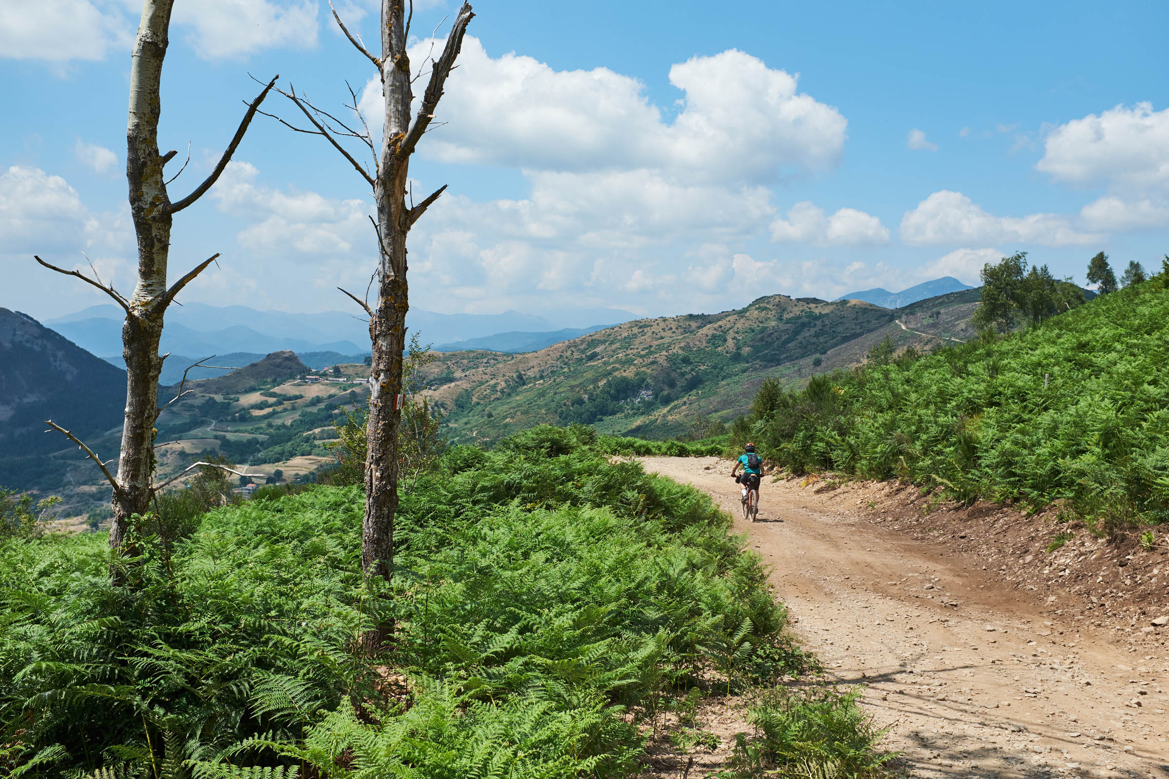
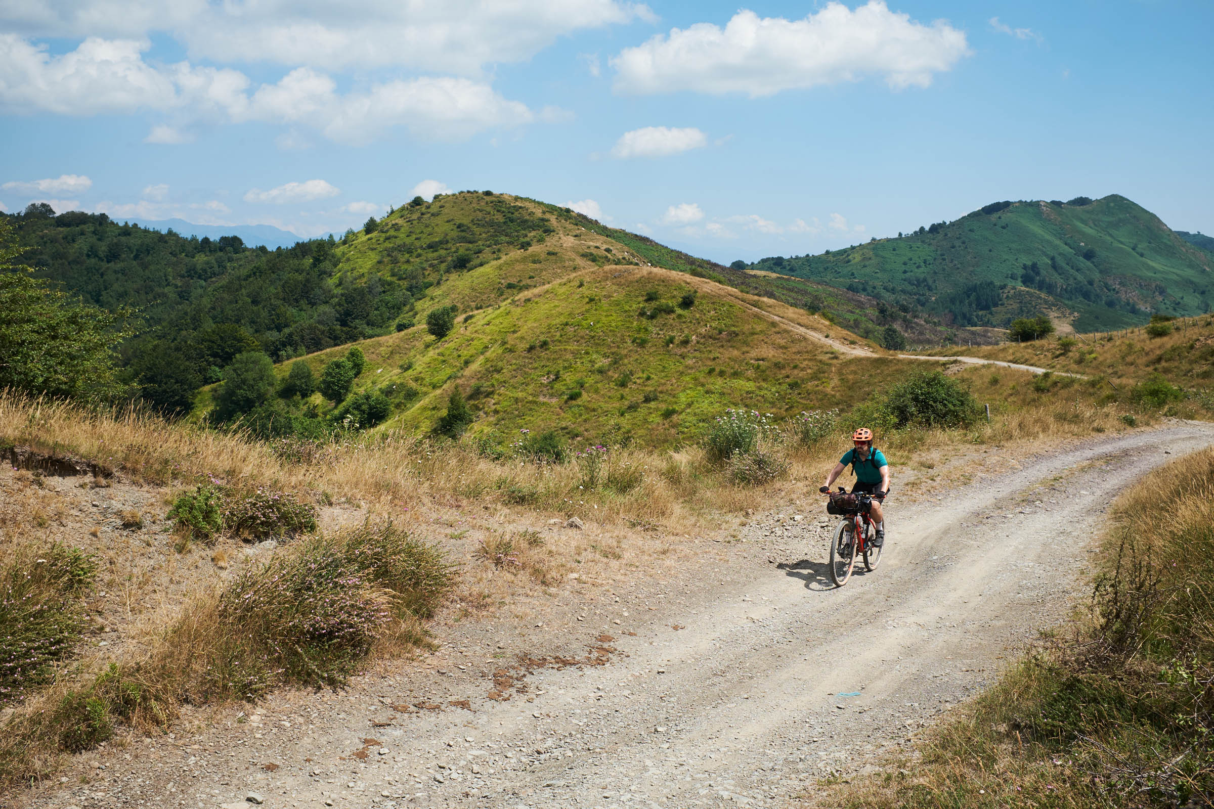
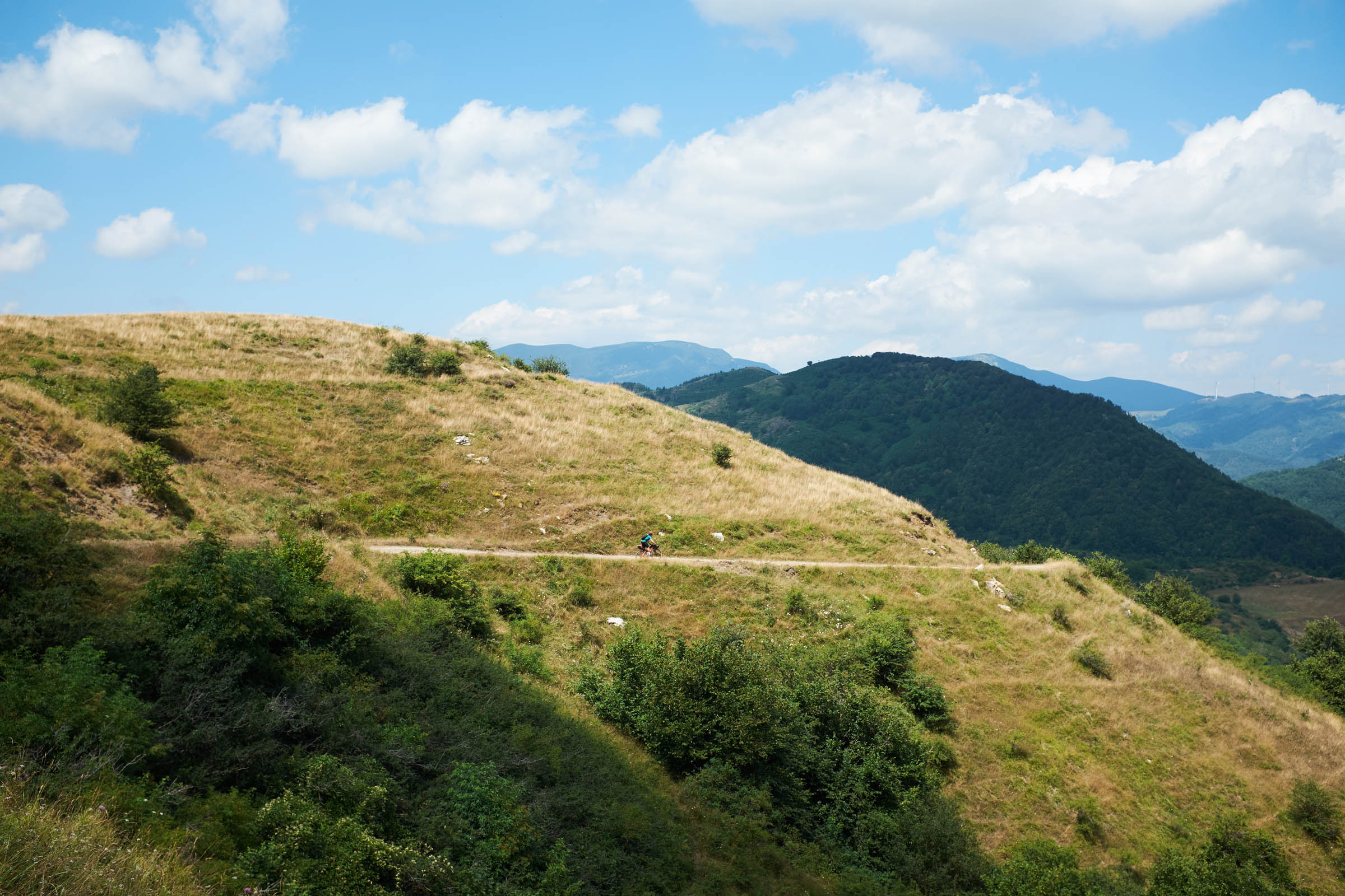
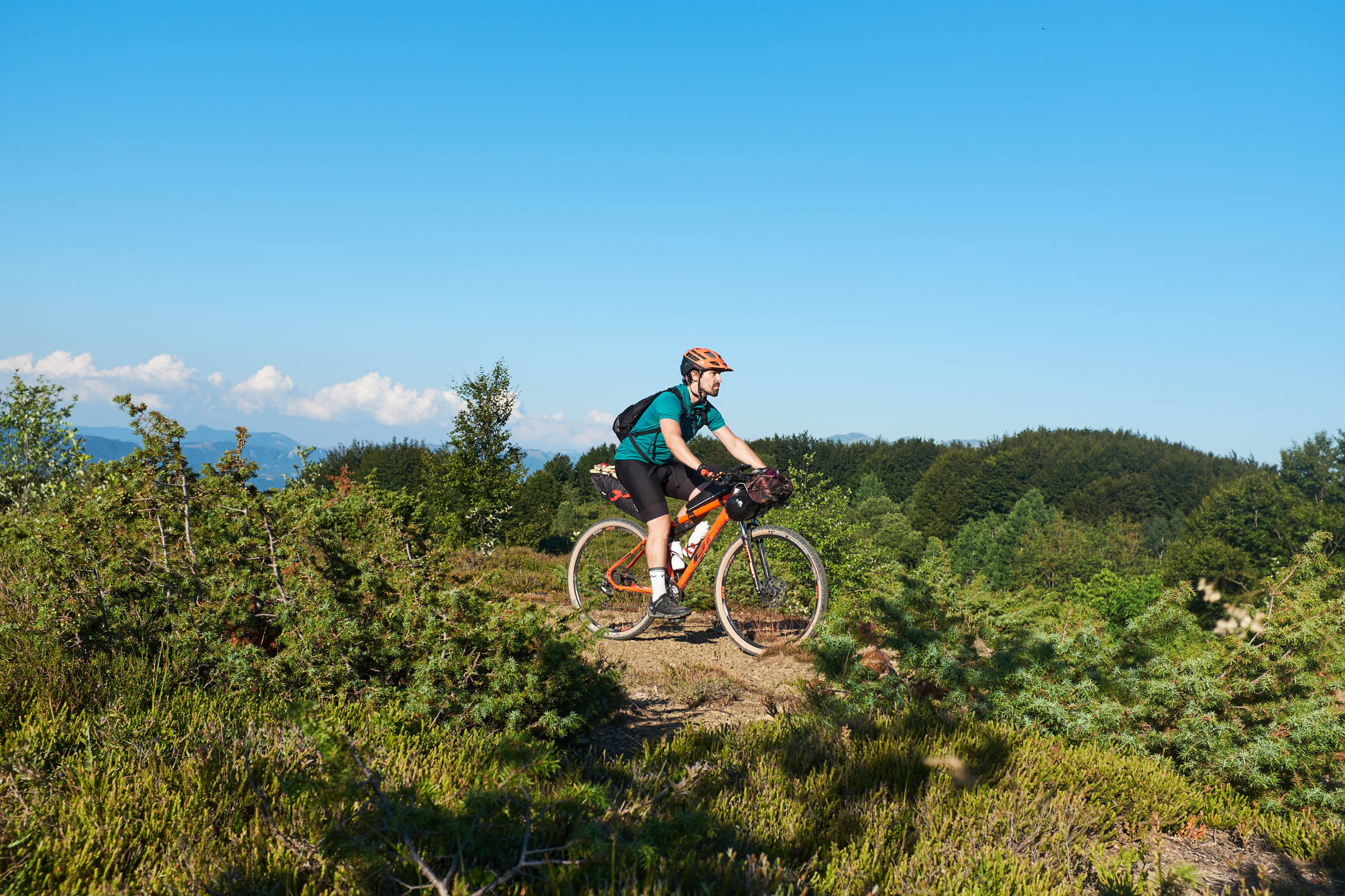
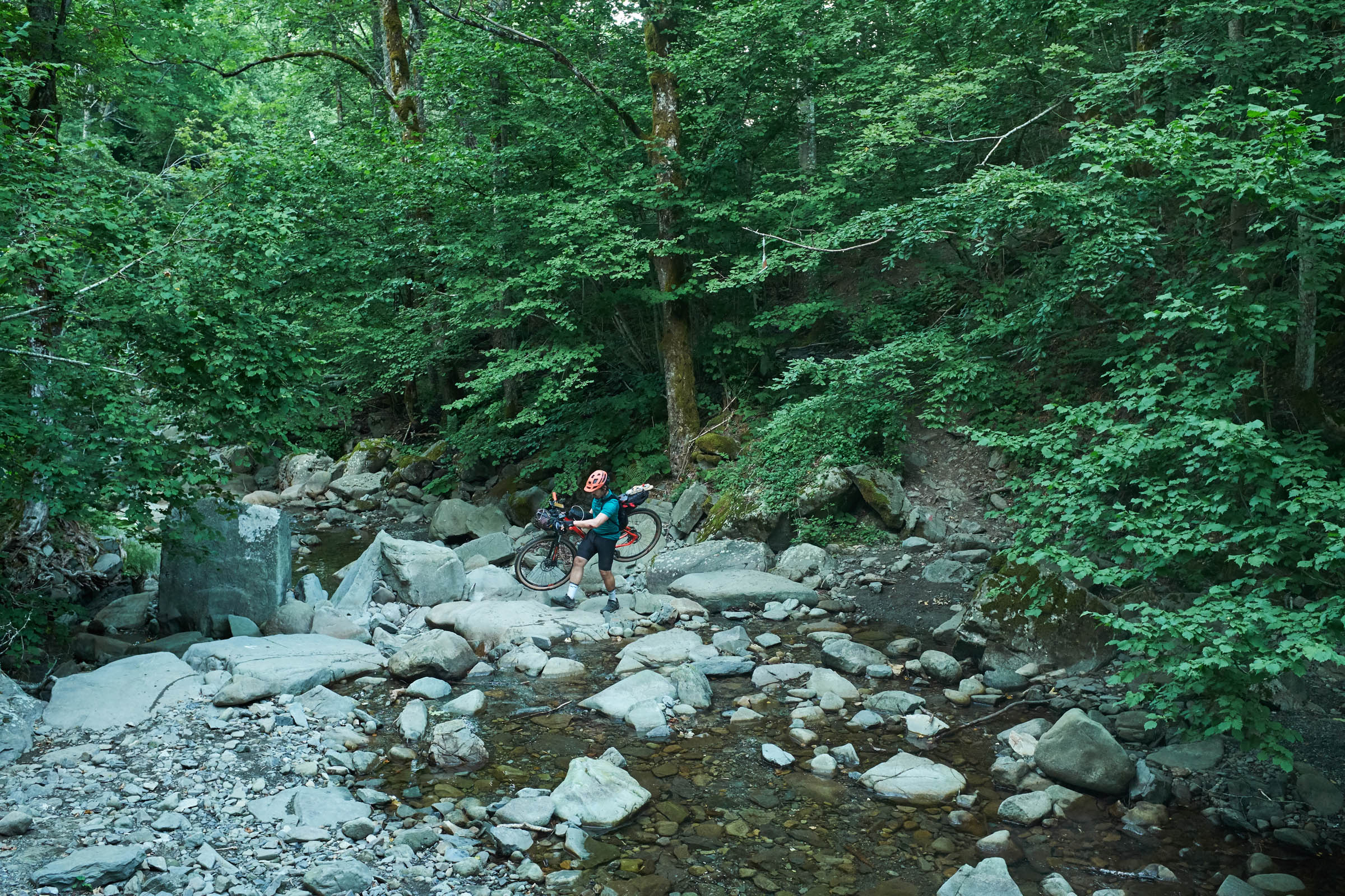
The track keeps on going even at high altitudes where the nature is untouched and thick woods, ridges, and high altitude pastures make it even more difficult to do so. In the northeastern part of the territory you will be able to ride alongside the Tosco-Emiliano Apennines and you will find yourself struggling to continuously cross through valleys, streams, and medieval villages. In the southern part, you’ll be accompanied by the sharp profile of the Apuan Alps’ peaks until you then reach the Ligurian Apennines and its gentle ridges that divide Tuscany from Liguria. From there you will be able to admire breathtaking views of the Tyrrhenian sea and the Gulf of Spezia. This is only a fraction of the beautiful scenery that will greet you along this 230-kilometer adventure through an unexpected corner of Tuscany.
Route Difficulty
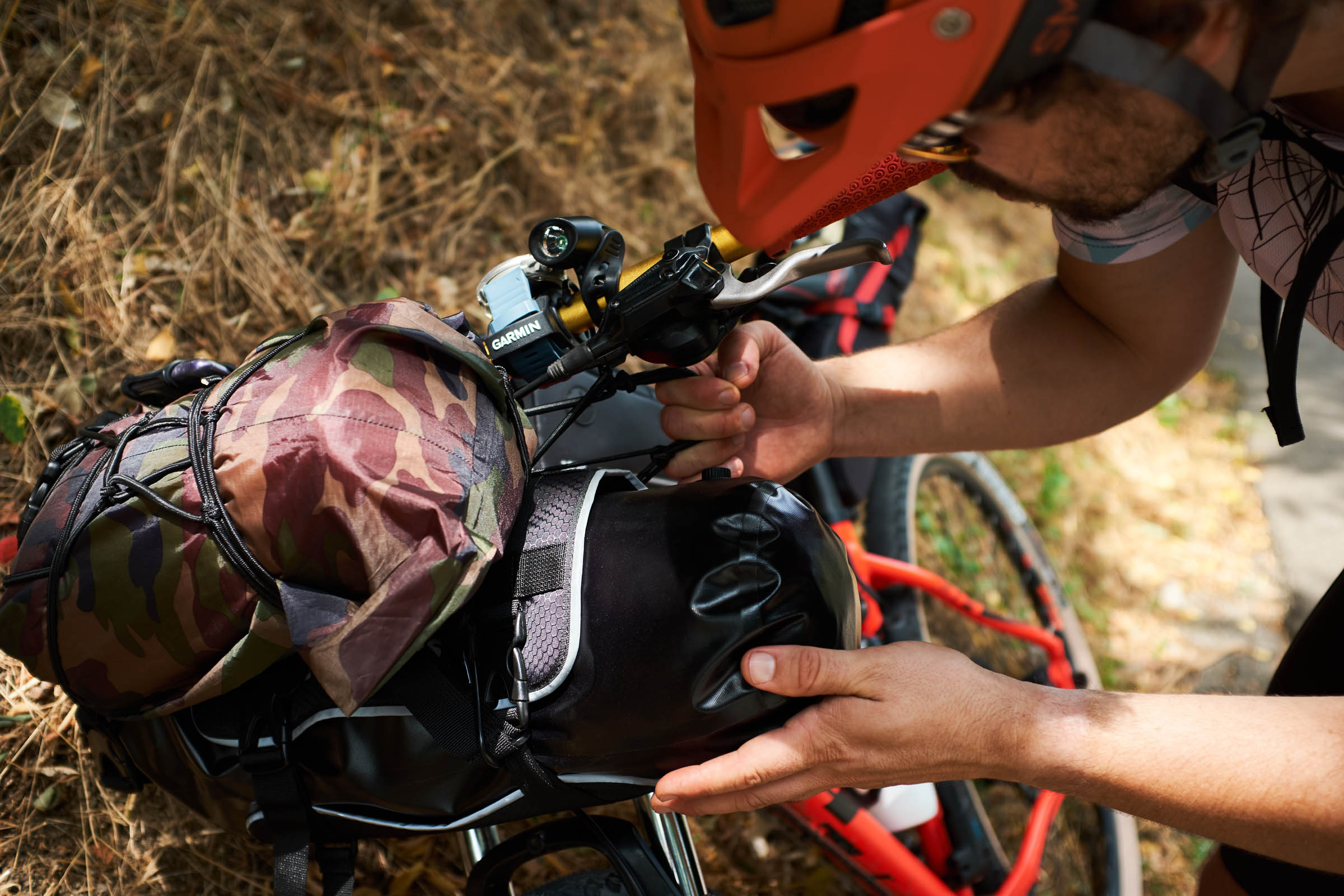
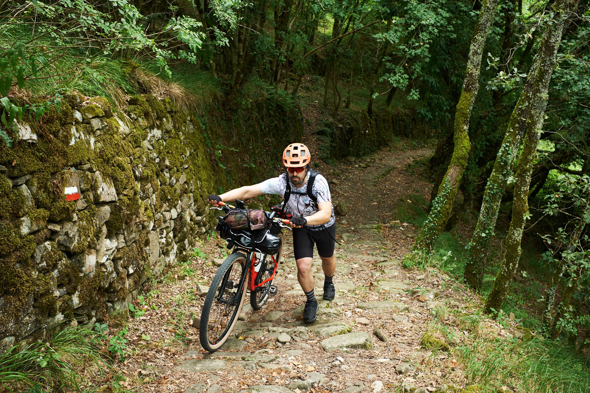
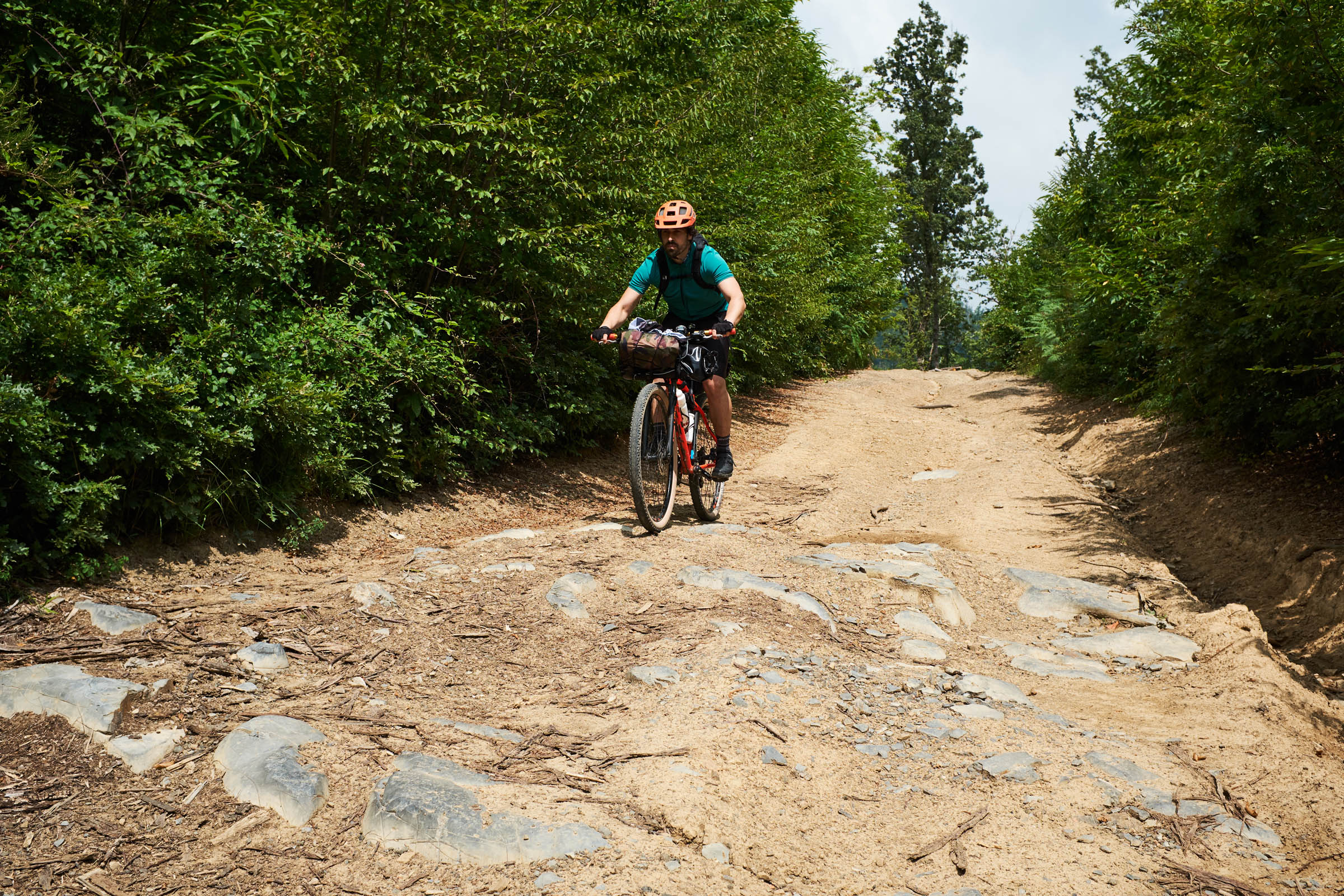
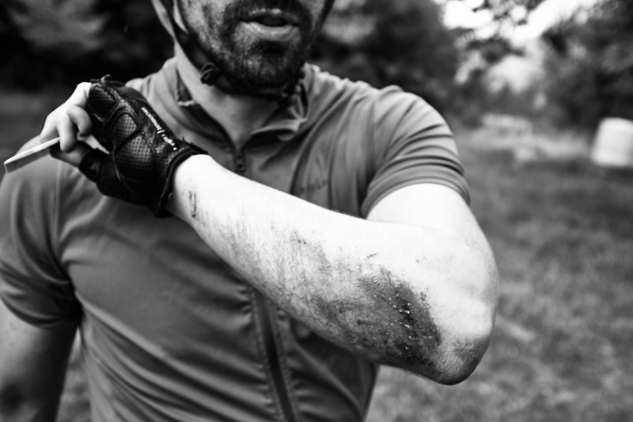
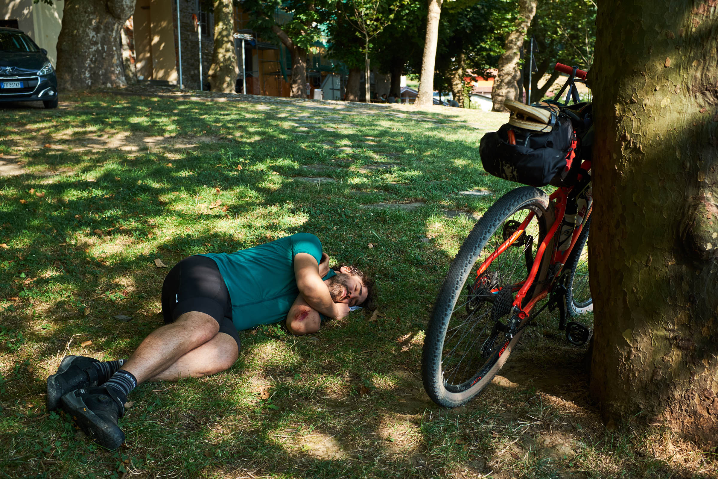
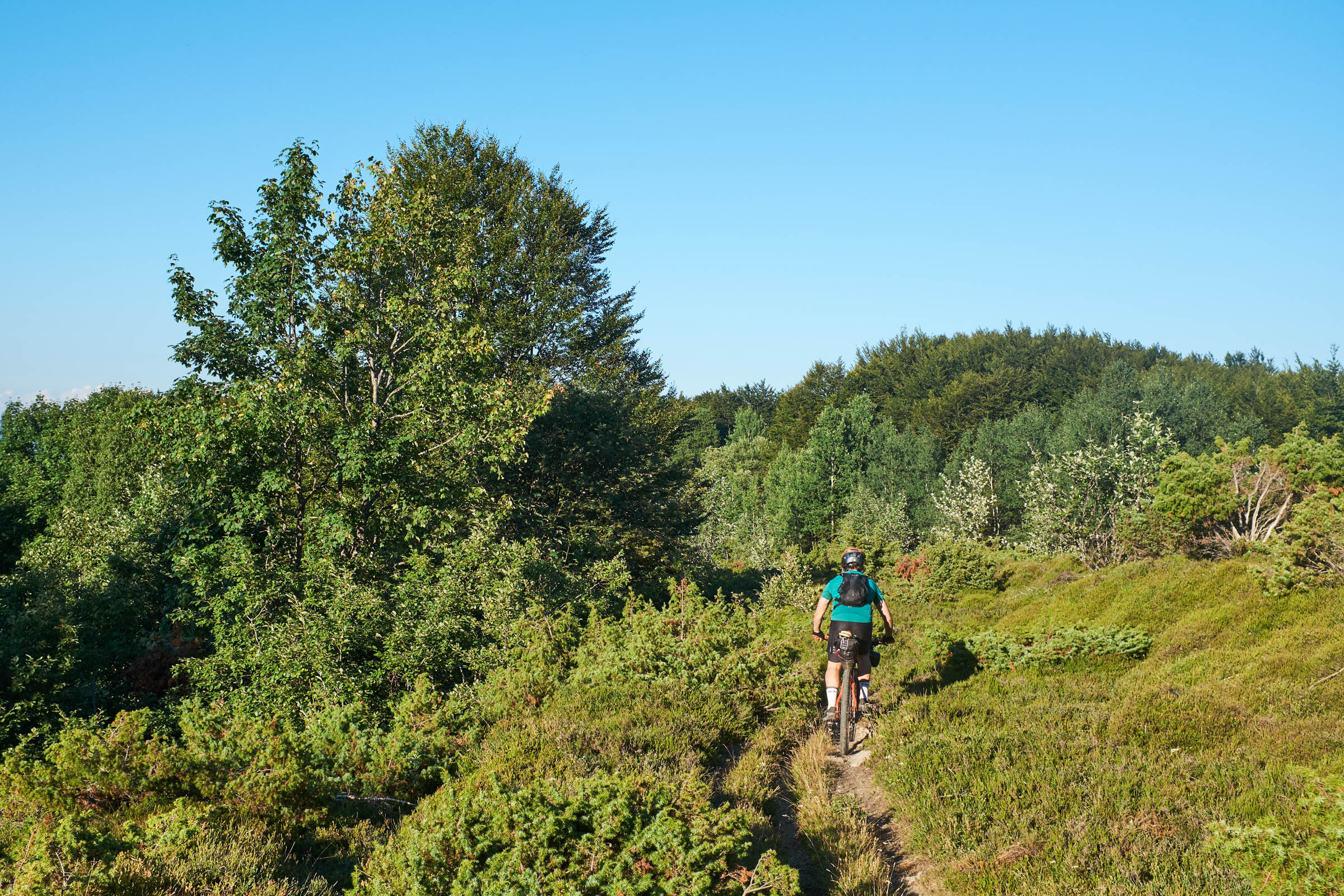
It’s necessary to be in a good physical condition in order to complete this route. Both gravel roads and single tracks are quite bumpy and are often off the beaten path. Additionally, the significant slopes of many sections make it quite difficult to push up your loaded bike through them. Singletrack downhill sections require considerable technical ability as well, particularly in wet conditions.
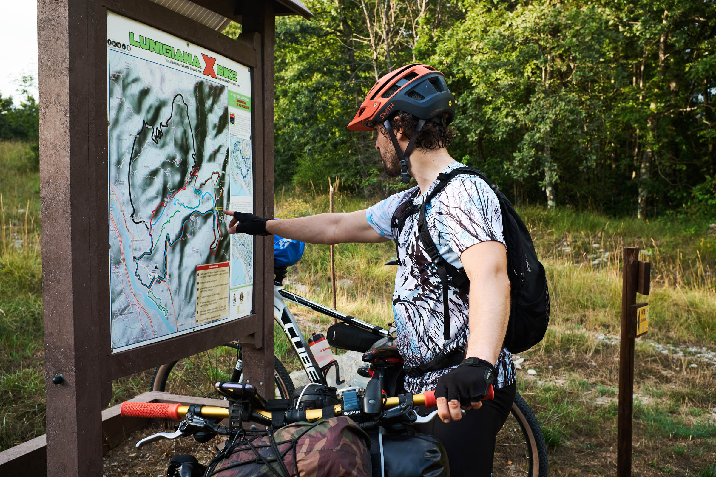
Route Development: This trail, has been created by the local Lunigiana X Bike Association with the purpose of allowing enthusiasts to fully experience every corner of this beautiful region without compromises. They explained to me how they could have created a much easier trail designed to allow gravel and other more popular riders to experience it as well. Instead they preferred to design it in a way that would allow riders to enjoy even the more remote and authentic areas of the region.
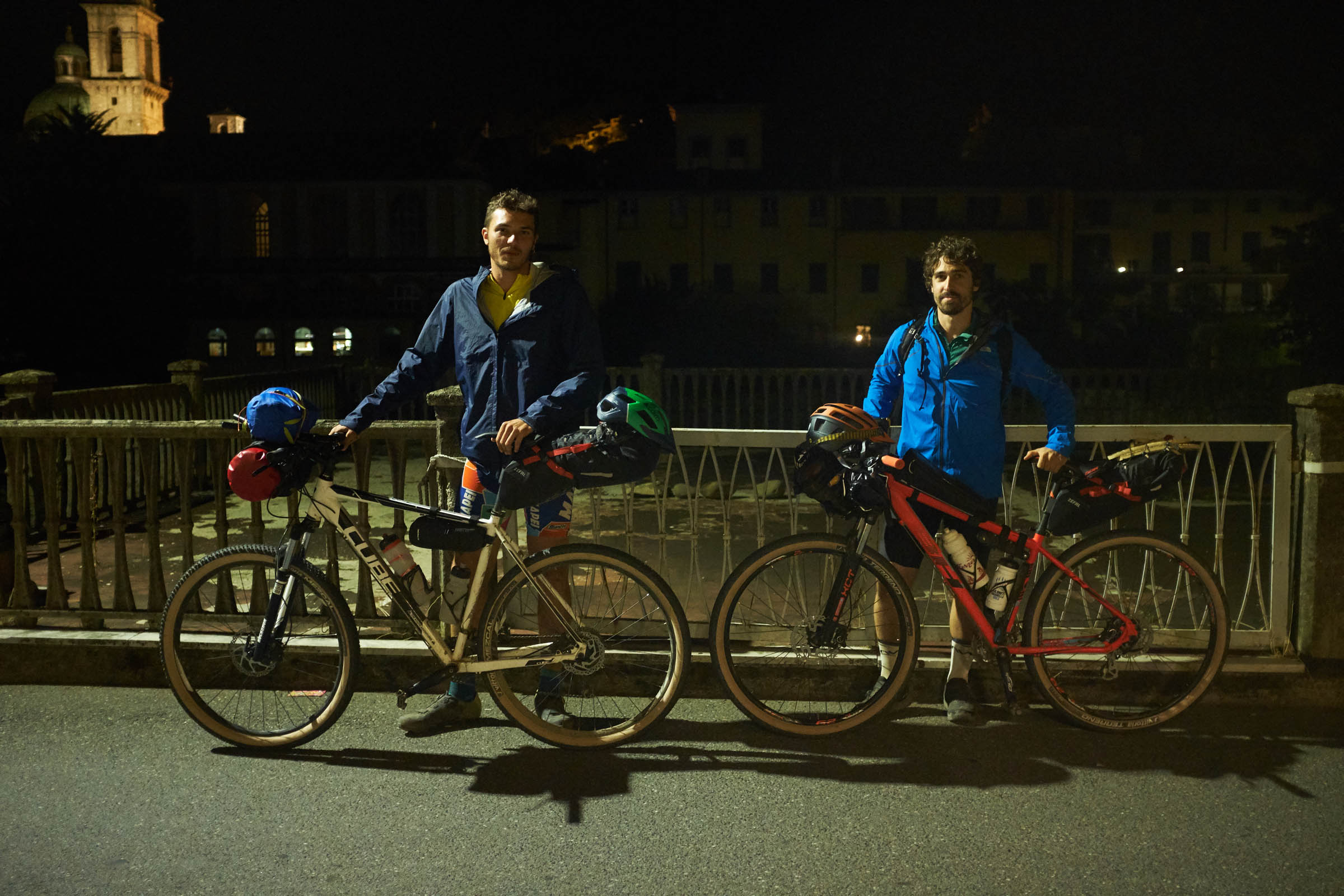
In addition to the original route designed by local riders, in June 2021 Jacopo Altobelli and I made a “short” version of the loop—avoiding going as far as the Apuan Alps—with only ~180 kilometers and ~5,000 meters of climbing, making it a perfect two-day ride. Find that in the Trail Notes section below.


Submit Route Alert
As the leading creator and publisher of bikepacking routes, BIKEPACKING.com endeavors to maintain, improve, and advocate for our growing network of bikepacking routes all over the world. As such, our editorial team, route creators, and Route Stewards serve as mediators for route improvements and opportunities for connectivity, conservation, and community growth around these routes. To facilitate these efforts, we rely on our Bikepacking Collective and the greater bikepacking community to call attention to critical issues and opportunities that are discovered while riding these routes. If you have a vital issue or opportunity regarding this route that pertains to one of the subjects below, please let us know:
Highlights
Must Know
Camping
Food/H2O
Trail Notes
- Visit Pontremoli Old Town before starting the trail
- Eat local specialties like testaroli, panigacci and more
- Take breaks in the medieval villages along the route and speak with locals, they are very friendly and welcoming.
- Experience a moment of relaxation in thermal waters of Equi Terme.
- Enjoy the amazing landscape of Lunigiana, from Apuan’s Alps to the Tyrrhenian Sea.
- Ride on the ridge that divides Tuscany and Liguria.
- The Lunigiana Trail is generally rideable from April to November, although the shoulder seasons might experience colder weather and the summer months (July and August) can be very hot. The weather can change rapidly especially during spring and autumn, and the night can be cold.
- Pontremoli is reachable by train (about one hour from Parma). Pontremoli, Aulla, and Equi Terme are well connected by local trains every day.
- Cars can be left in any public parking area, but make sure there are no prohibitions and towing during the days you stay out riding!
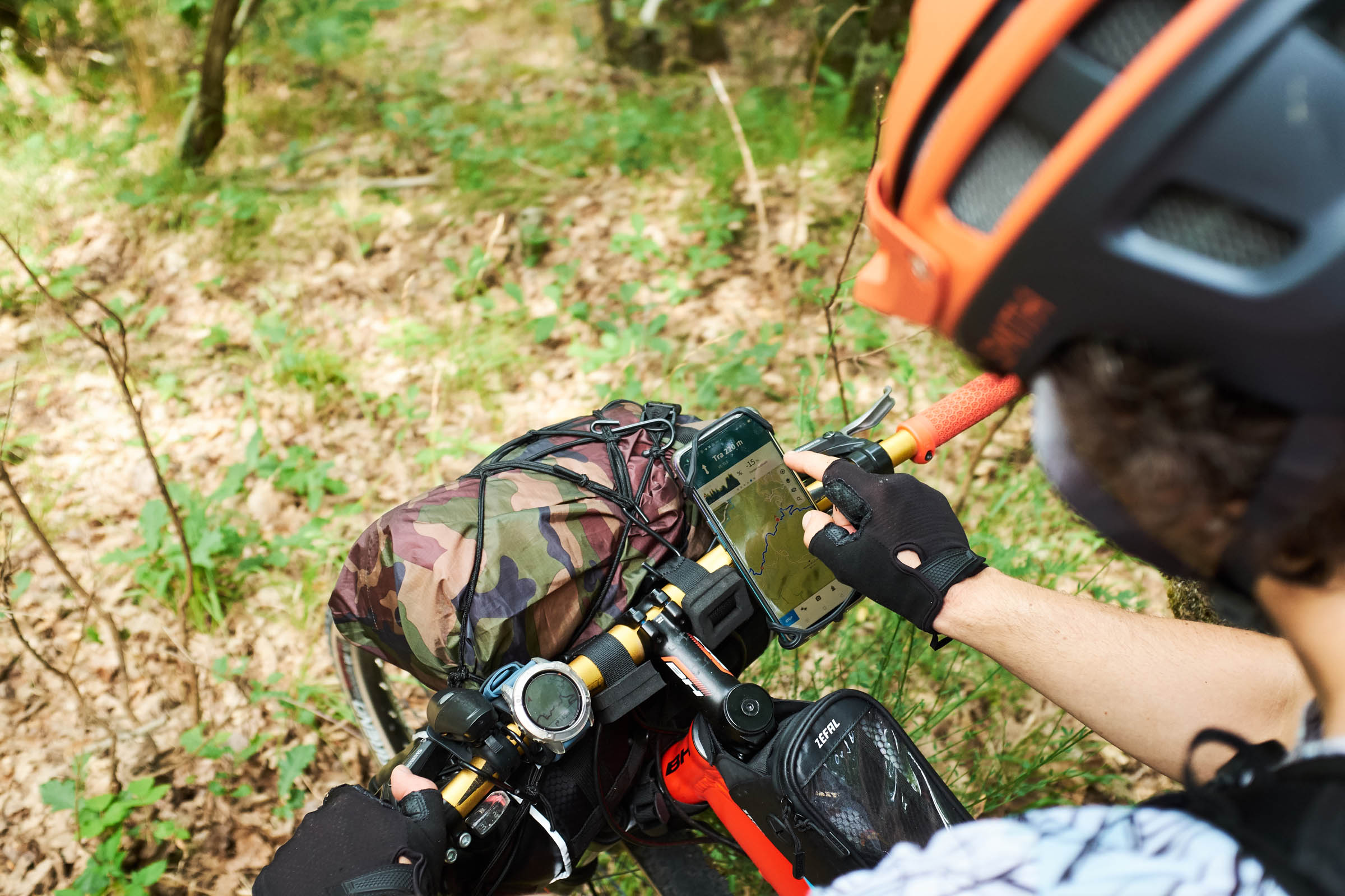
- There’s no telephone/internet coverage almost anywhere on the route. Be prepared to resolve your mechanical issues by yourself.
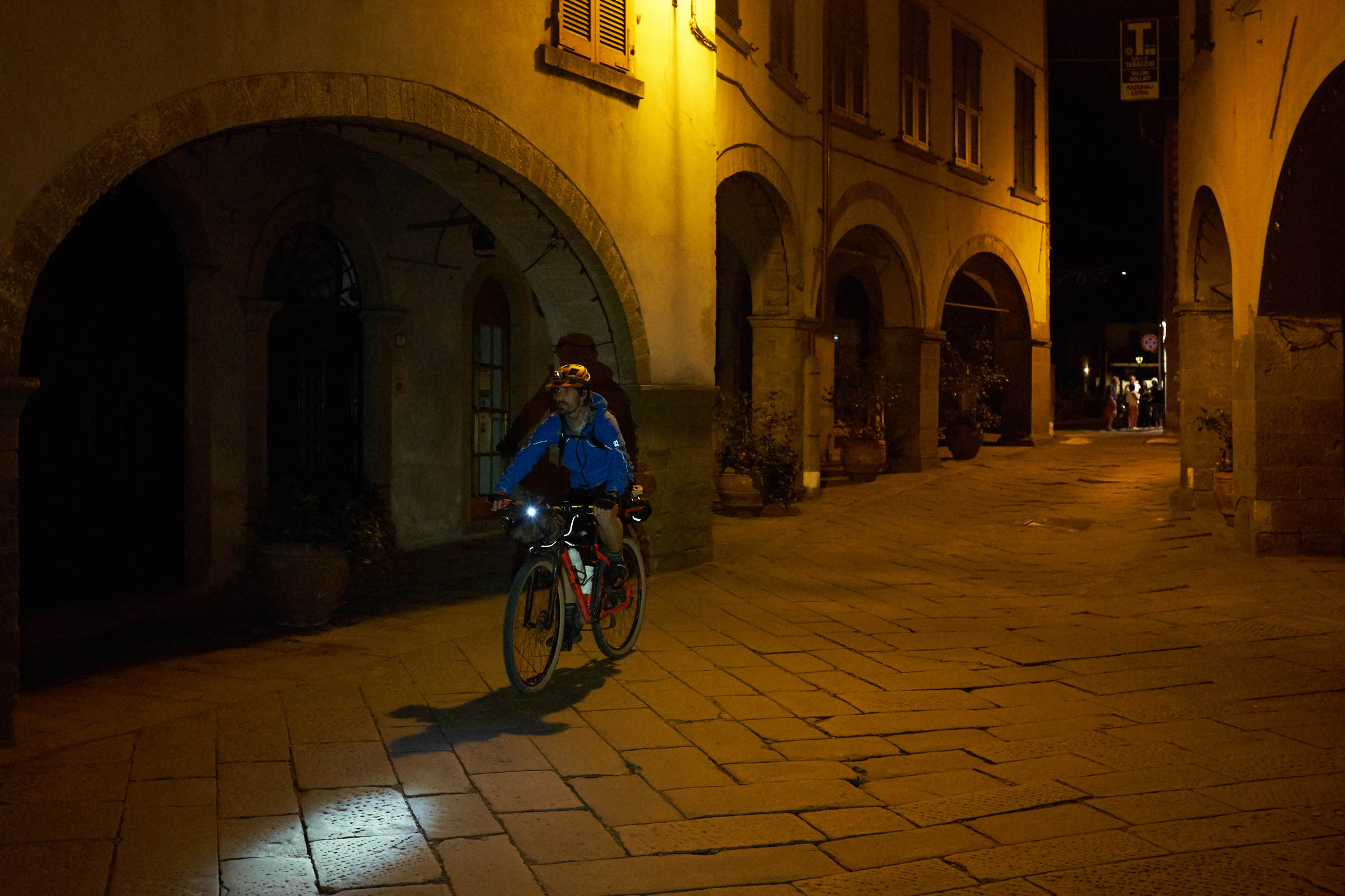
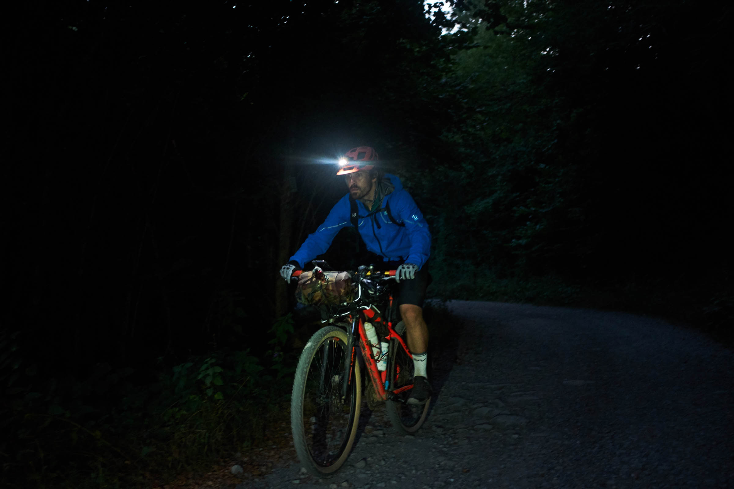
- If you ride during the night, beware of wild boars. Wolves also inhabit the area but they are very rare to come across.
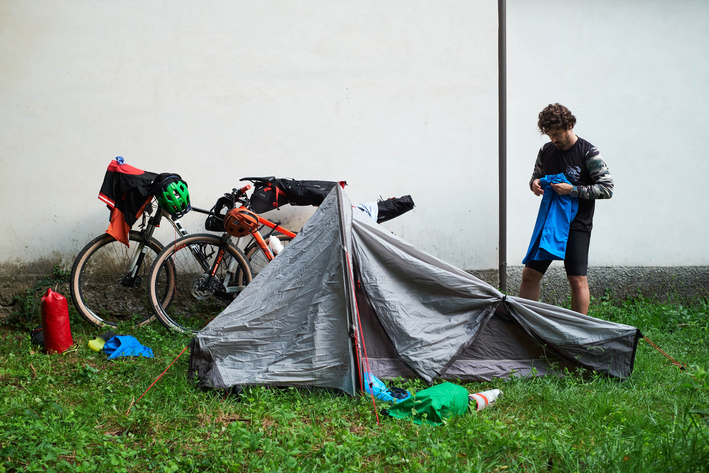
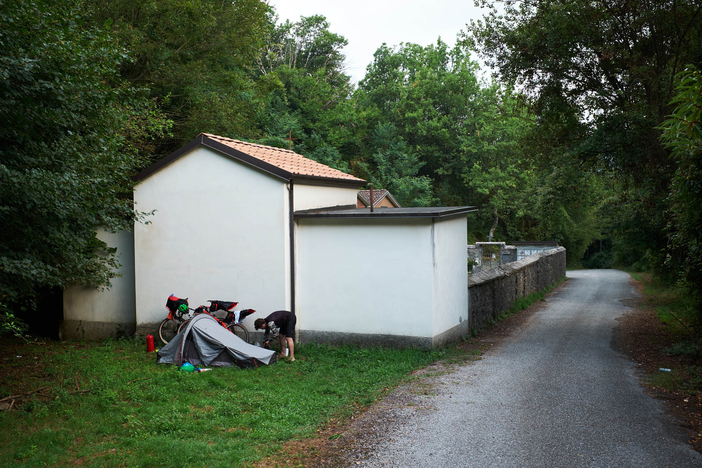
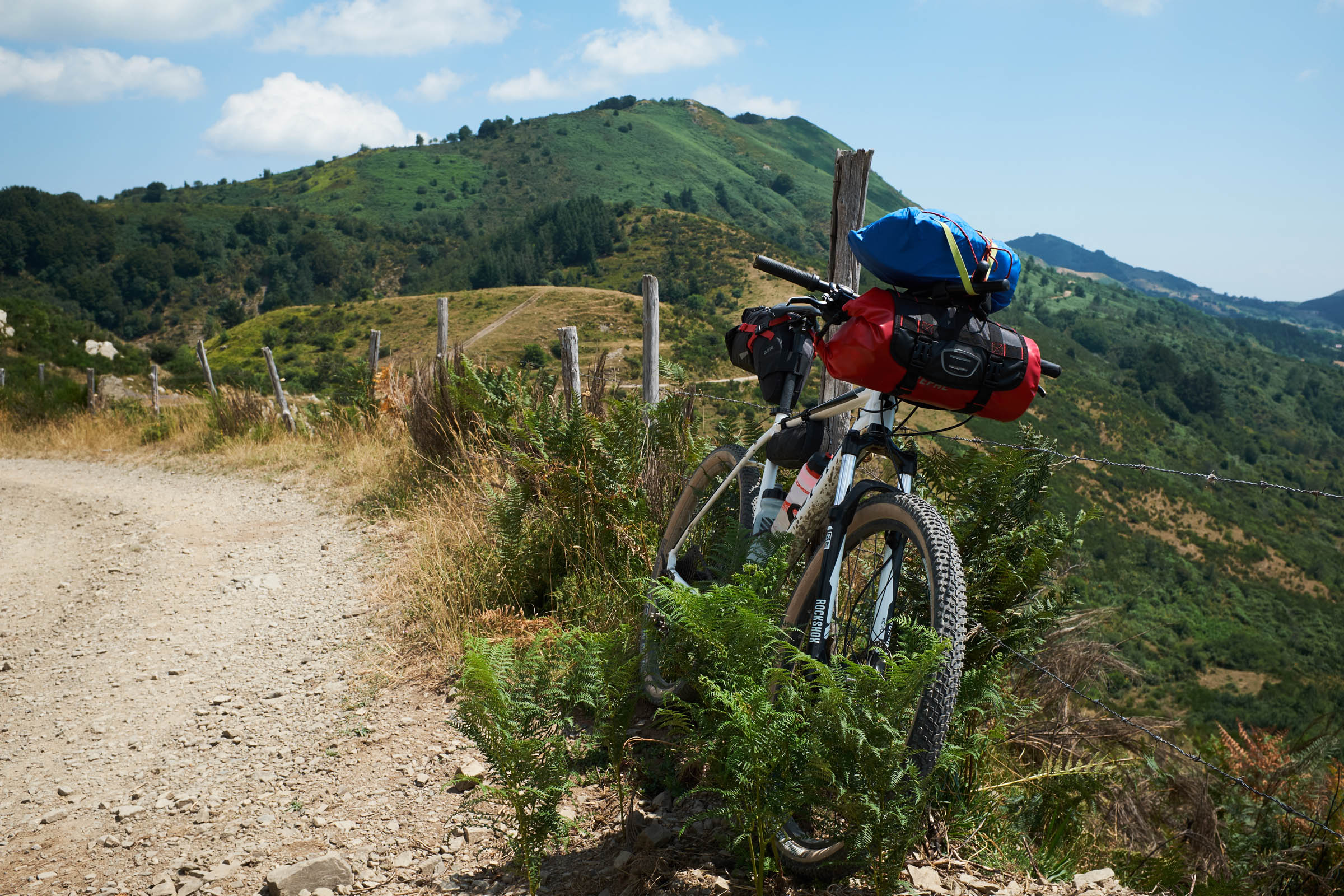
- Free camping and bivy is not forbidden and there are a lot of good places to pitch the tent in the wilderness or just outside some small medieval villages.
- It’s also possible to find a cheap bed in one the pilgrims’ guesthouses, which are quite common in the main villages of this area as it crosses many different pilgrimage routes.
- There are also some farmhouses where you can sleep and eat local products; these may be the best choice to enjoy a well-earned rest.
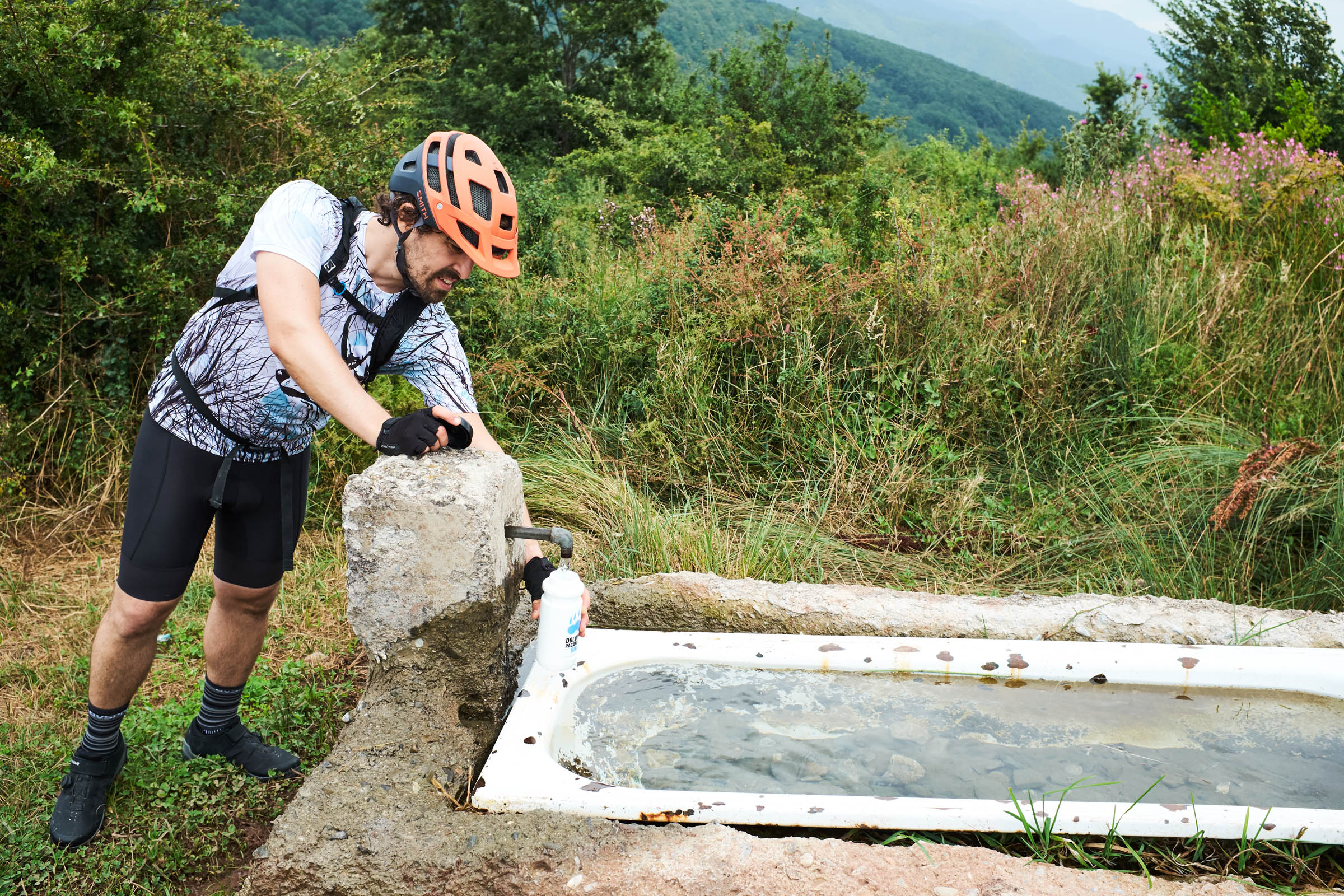
- Along the first part of the trail (from Pontremoli to Fivizzano) there are several points to refill your bottles.
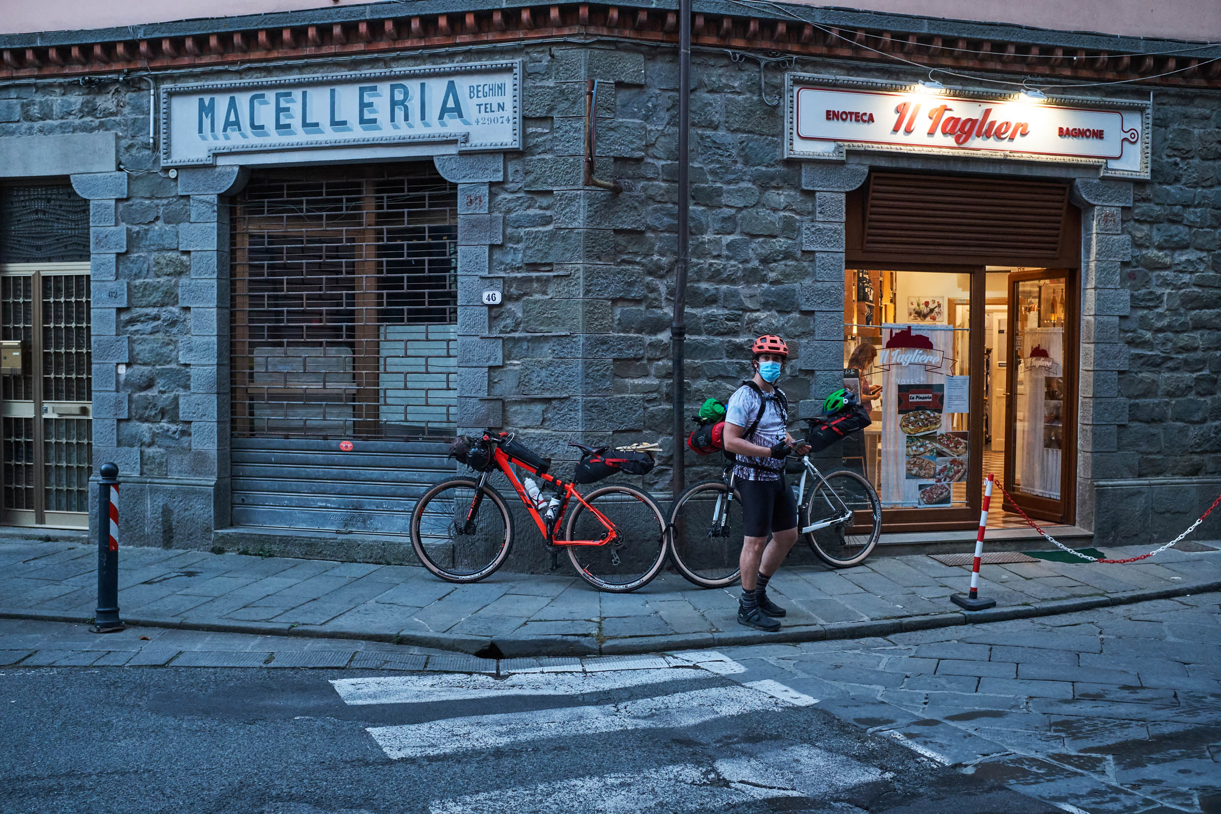
- In the many villages throughout the route there are fountains but you can only find food only in the main towns (Pontremoli, Bagnone, Fivizzano and Aulla).
- In the second part of the loop (from Aulla to Pontremoli) water is scarce.
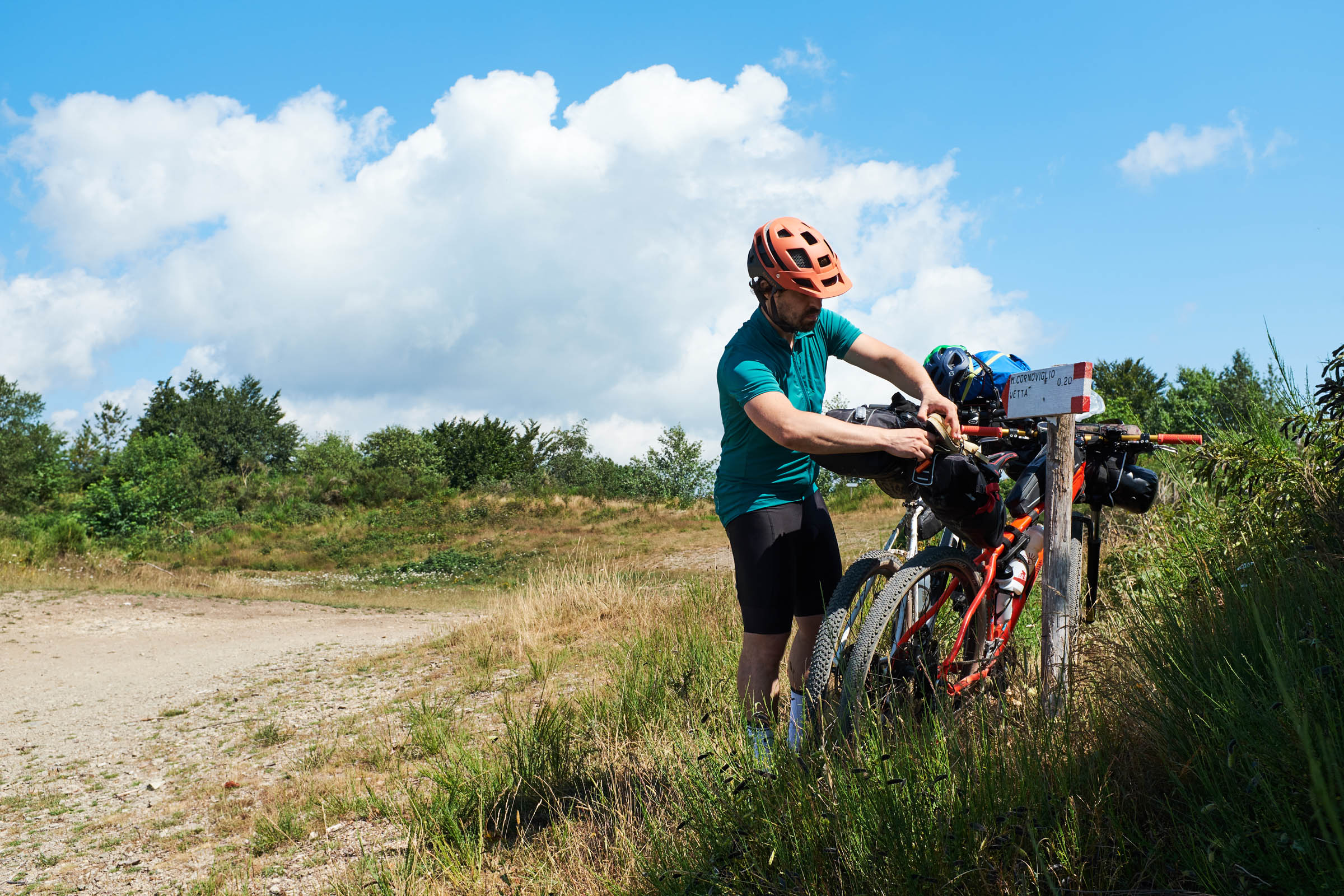
DAY 1: From Pontremoli to Fivizzano
80 km with 2700 meters in altitude, riding across woods and medieval villages, sleeping in Fivizzano or in camping locations (1) or (2)
DAY 2: From Fivizzano to Aulla
70 km with 1750 meters in altidute, take a break at Equi Terme’s Thermal pools and sleep in Aulla or in camping location (4)
DAY 3: From Aulla to Pontremoli
80 km with 2230 meters in altitude, riding on the Ridge that divide Liguria and Tuscany. Maybe the most panoramic section of the Lunigiana Trail.
As a 2-day Route
In addition to the original route designed by local riders, in June 2021 Jacopo Altobelli and I made a “short” version of the loop—avoiding going as far as the Apuan Alps—with only ~180 kilometers and ~5,000 meters of climbing, making it a perfect, yet challenging, two-day ride.


Terms of Use: As with each bikepacking route guide published on BIKEPACKING.com, should you choose to cycle this route, do so at your own risk. Prior to setting out check current local weather, conditions, and land/road closures. While riding, obey all public and private land use restrictions and rules, carry proper safety and navigational equipment, and of course, follow the #leavenotrace guidelines. The information found herein is simply a planning resource to be used as a point of inspiration in conjunction with your own due-diligence. In spite of the fact that this route, associated GPS track (GPX and maps), and all route guidelines were prepared under diligent research by the specified contributor and/or contributors, the accuracy of such and judgement of the author is not guaranteed. BIKEPACKING.com LLC, its partners, associates, and contributors are in no way liable for personal injury, damage to personal property, or any other such situation that might happen to individual riders cycling or following this route.
Please keep the conversation civil, constructive, and inclusive, or your comment will be removed.