

 Mountain Bike (MTB)
 Gravel Bike
 All-Terrain Bike (ATB)
 Fat Bike



Mata Atlantica Bike Route (N2): Costa
Distance
654 Mi.
(1,053 KM)Days
16
% Unpaved
88%
% Singletrack
2%
% Rideable (time)
99%
Total Ascent
27,508'
(8,384 M)High Point
2,796'
(852 M)Difficulty (1-10)
6?
- 3Climbing Scale Fair42 FT/MI (8 M/KM)
- 5Technical Difficulty Moderate
- 5Physical Demand Moderate
- 7Resupply & Logistics Strenuous

Contributed By

Alex Gauthier
Route Architect
The Mata Atlântica Bike Route stretches nearly 5,000 kilometers from Bahia to Rio Grande do Sul, tracing mostly unpaved roads and paths through eight Brazilian states. It follows the Chapada Diamantina, the coast of Bahia, the interior of Espírito Santo, and the Serra do Mar mountains. In doing so, it connects protected remnants of the Atlantic Forest—one of the world’s most biodiverse regions—while passing through landscapes of tropical forests, canyons, plateaus, and beaches. Along the way, riders encounter traditional communities, historic towns, and a mosaic of cultures, with opportunities to spot iconic wildlife and experience the region’s incredible natural beauty. Find all the segments here.
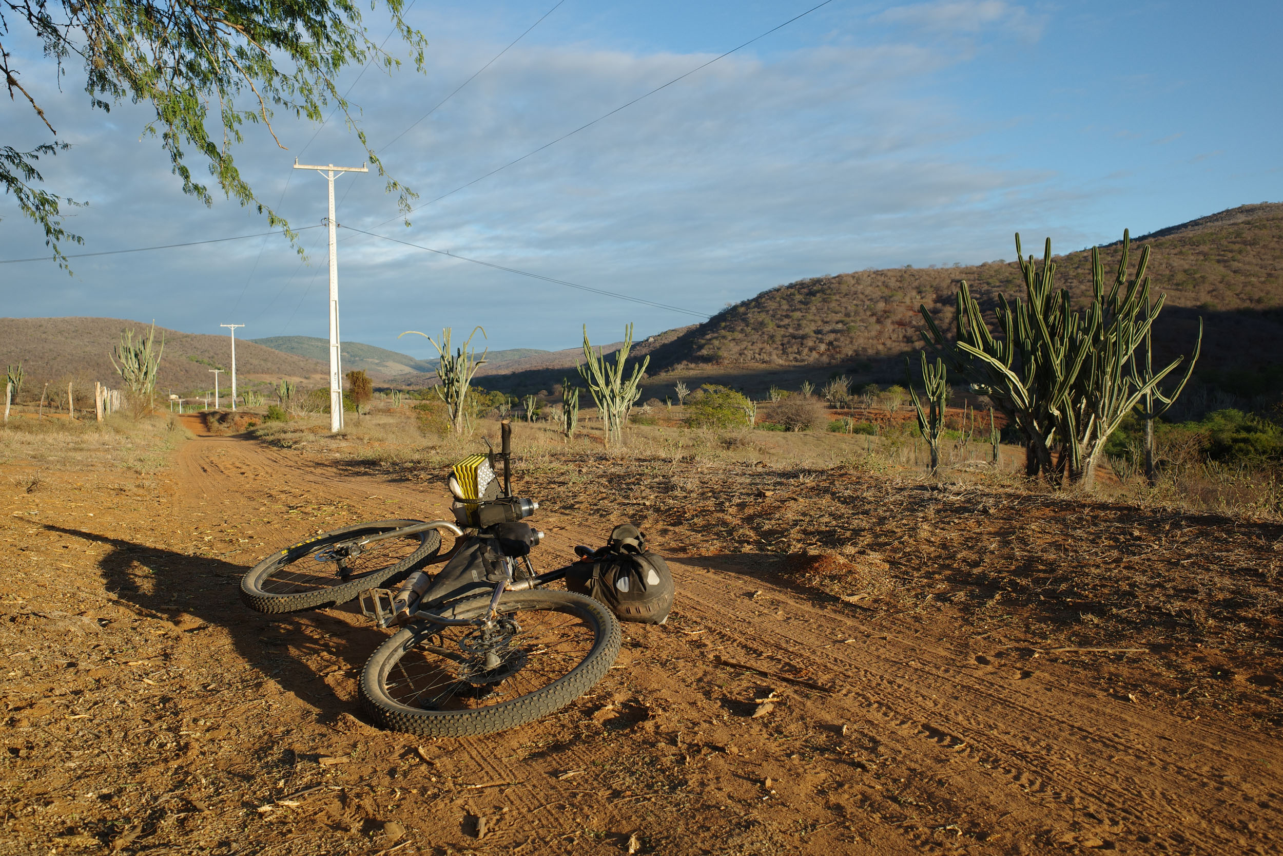
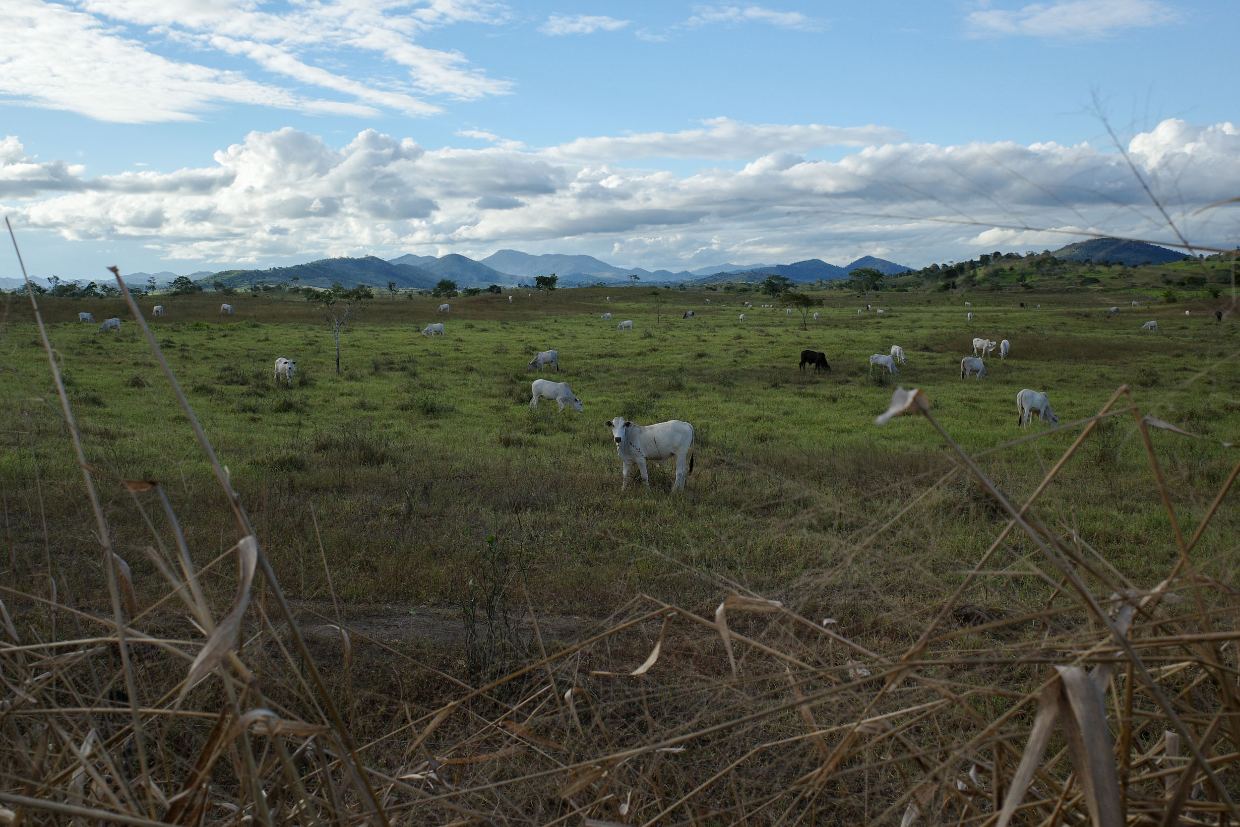
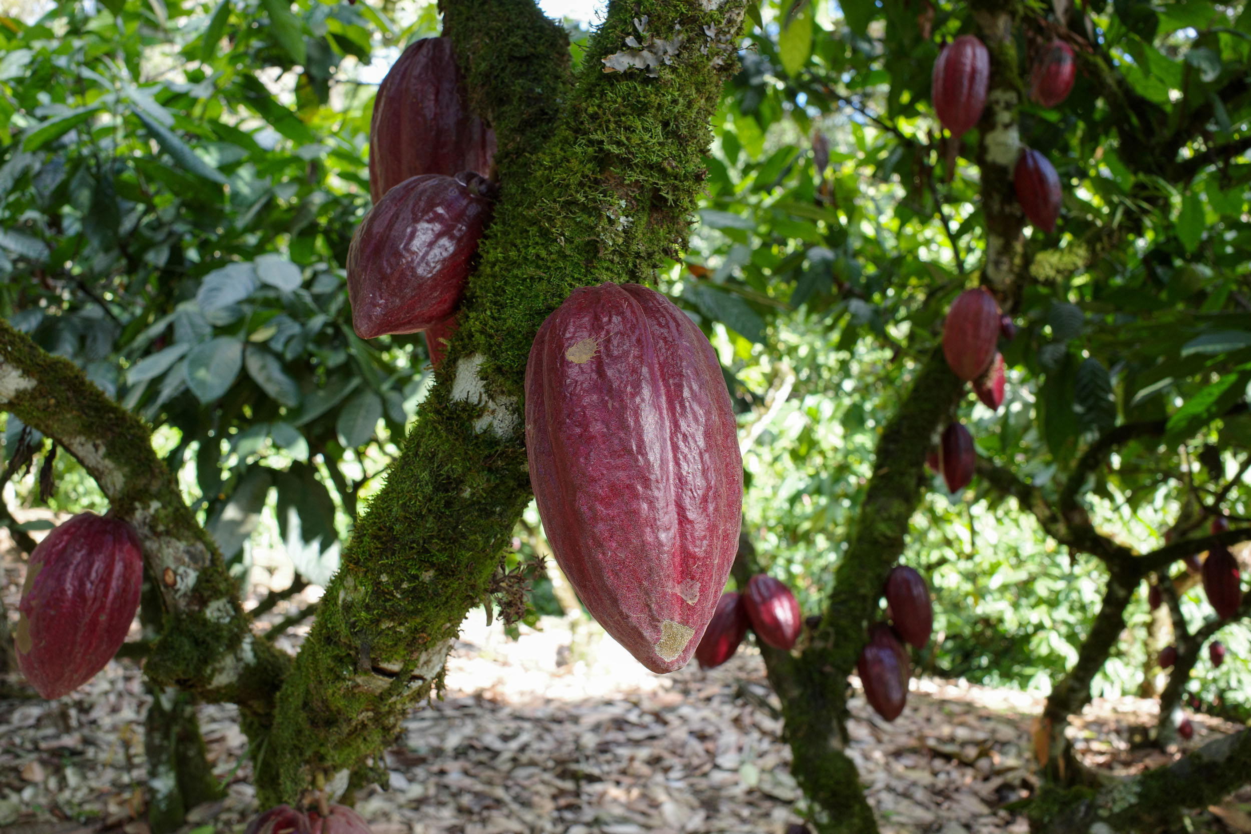
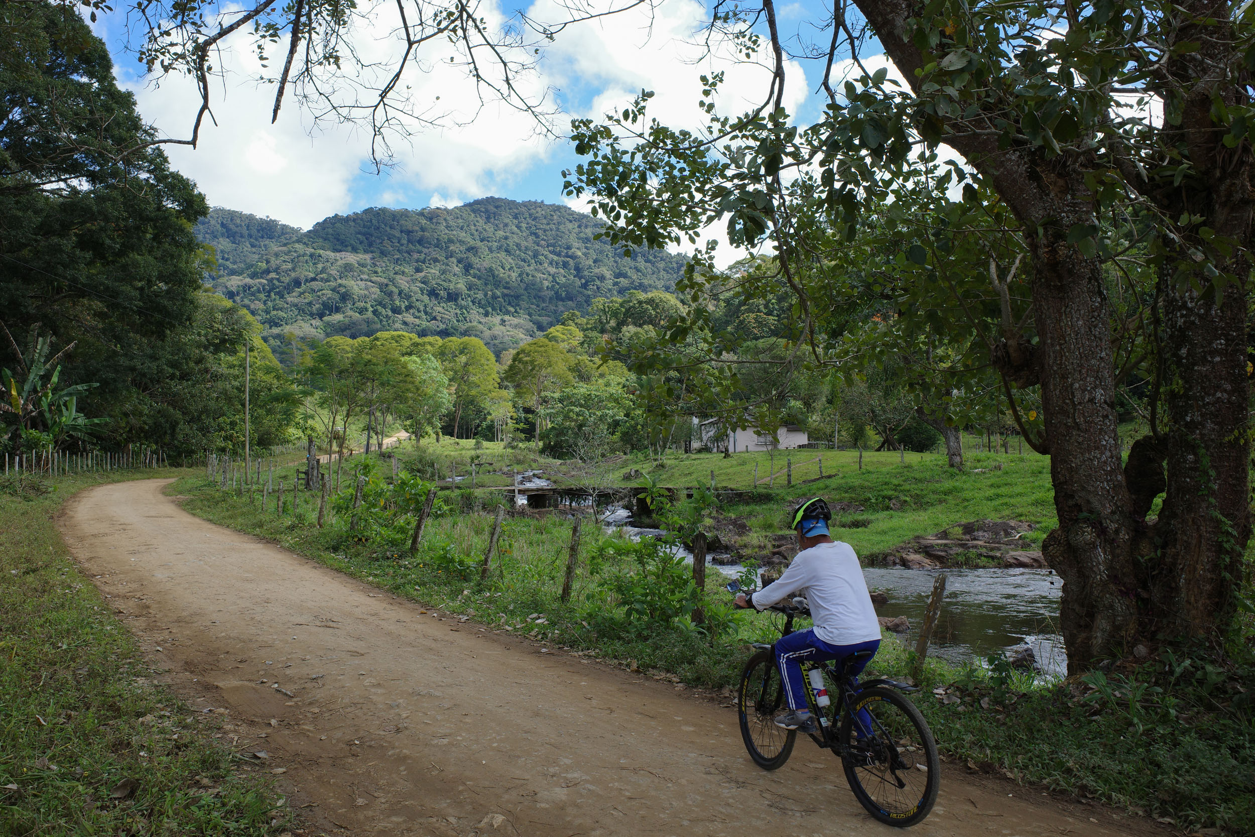
The segment starts near the Boa Nova National Park, in the interior of Bahia. The park sits in the transition zone between two biomes. To the west lies the semi-arid caatinga, with its small thorny trees and cacti. Heading east, toward the humid coast, the route enters the Atlantic forest, with its lush vegetation. The change in scenery is dramatic, as is the level of deforestation. The rolling hills of the region are now mostly covered by pastures. But eventually, the green mountains of the Serra das Lontras become visible to the east. The route reaches this cacao-growing region, where some of the native forest has been preserved, and then turns south to follow the coast, which is broken by numerous rivers and water inlets. The lack of bridges has limited development. By bike, it means that boats will need to be taken, sometimes through mangroves. There are also a few detours inland to visit protected forests. The route enters Espírito Santo at the Itaúnas State Park, which protects sand dunes and restinga forest, characterized by small trees adapted to the sandy, nutrient-poor soil. Finally, the route arrives in Sooretama, with two large nature reserves nearby. The segment is mostly on dirt roads, but also on beautiful beaches and waterways. There is a small amount of singletrack. Pavement is kept to a minimum, but there are a few unavoidable sections.


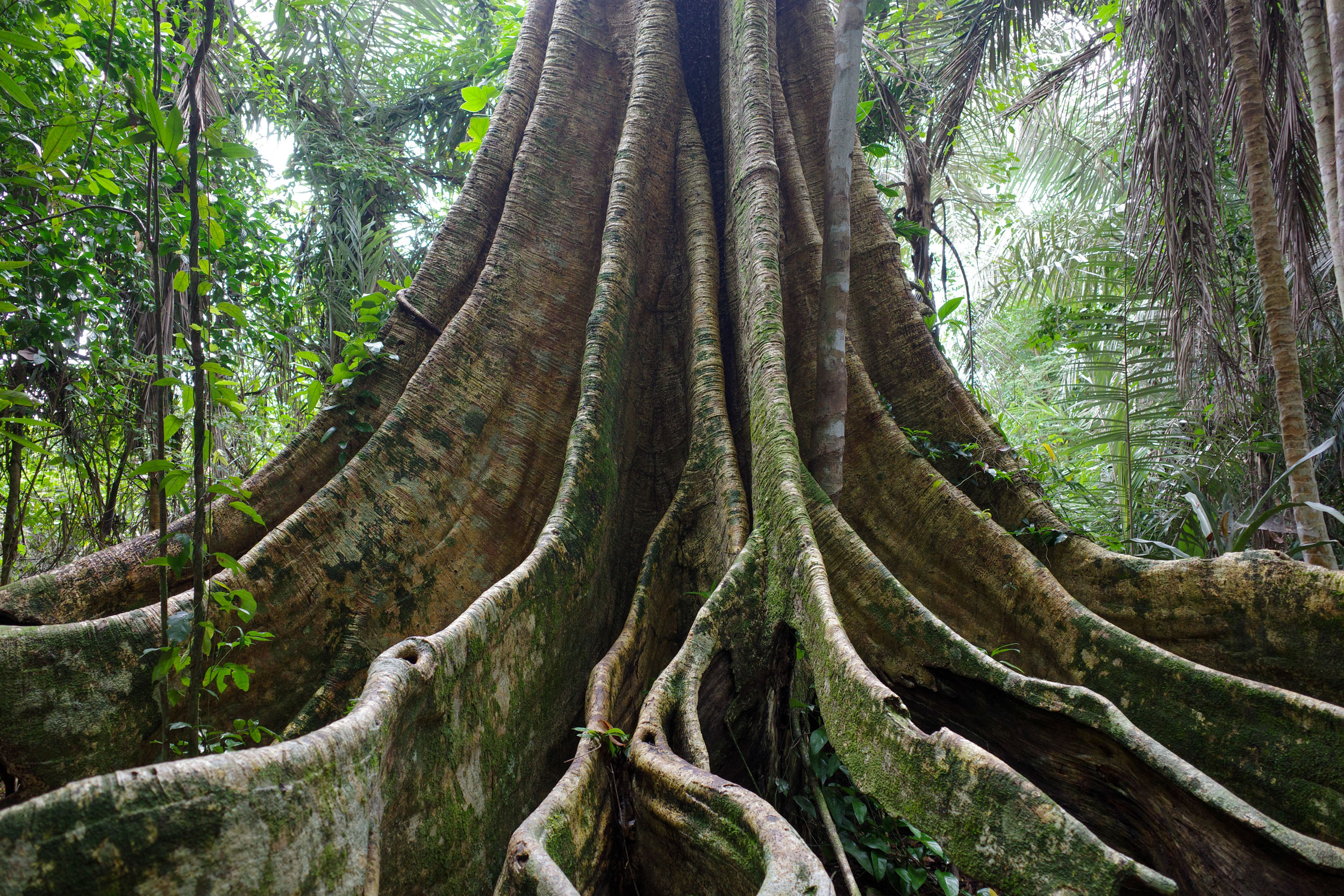
Protected areas connected by this segment include five national parks and one state park. The relatively large areas of preserved lowland forest along the coast provide crucial habitat for many endangered endemic species, including monkeys such as the crested capuchin and the golden-headed lion tamarin. Some other primates that can be spotted (or heard jumping from branches) are the Wied’s marmoset, the white-headed marmoset, and the coastal black-handed titi. The forest is also home to two sloth species and a medium-sized anteater, the southern tamandua. Endangered endemic birds include the slender antbird, found inland around Boa Nova, and the banded cotinga, found closer to the coast and remarkable for its bright blue plumage.
The region traversed by this segment has been inhabited by numerous Indigenous people. Today, the most populous are the Pataxó, whose lands extend between Belmonte and Prado. They have endured multiple violent conflicts pitting them against settlers, which continue to this day. One notable episode occurred in 1951, when the police burned down Barra Velha, one of their main villages. In the second half of the century, the Pataxó organized themselves politically. In the 1990s, they began to gain recognition and the return of some of their lands. Efforts were also made to reconstruct and teach their extinct language, which belongs to the Macro-Gé family. Most Indigenous people along the coast spoke languages from the separate Tupi family, such as the Tupinamabá, who live to the north and had their lands recognized in the 2000s. Further north and to the west live the Pataxó Hã-Hã-Hãe, who descend from different Indigenous people victims of land dispossession and forced displacement. Their struggle for land continues against fazendeiros (non-Indigenous rural landowners), who have created militias and assassinated Indigenous leaders as recently as the 2020s.
According to the official story, the Portuguese first arrived in Brazil in 1500. They sighted Monte Pascoal and then disembarked in Porto Seguro. A few decades later, they founded a city there, one of the oldest in the country. Jesuit priests created villages to sedentarize and convert the natives. The colonial economy of Brazil was based on sugarcane cultivation. African slaves were brought to work on the plantations and later in other industries. After escaping or being freed, some founded their own communities, known as quilombos, many of which still exist in the far south of Bahia and in northern Espírito Santo around São Mateus. These regions remained relatively underdeveloped and isolated. The inhabitants of coastal towns live off fishing and small-scale farming, and the hinterland was settled for cattle ranching.
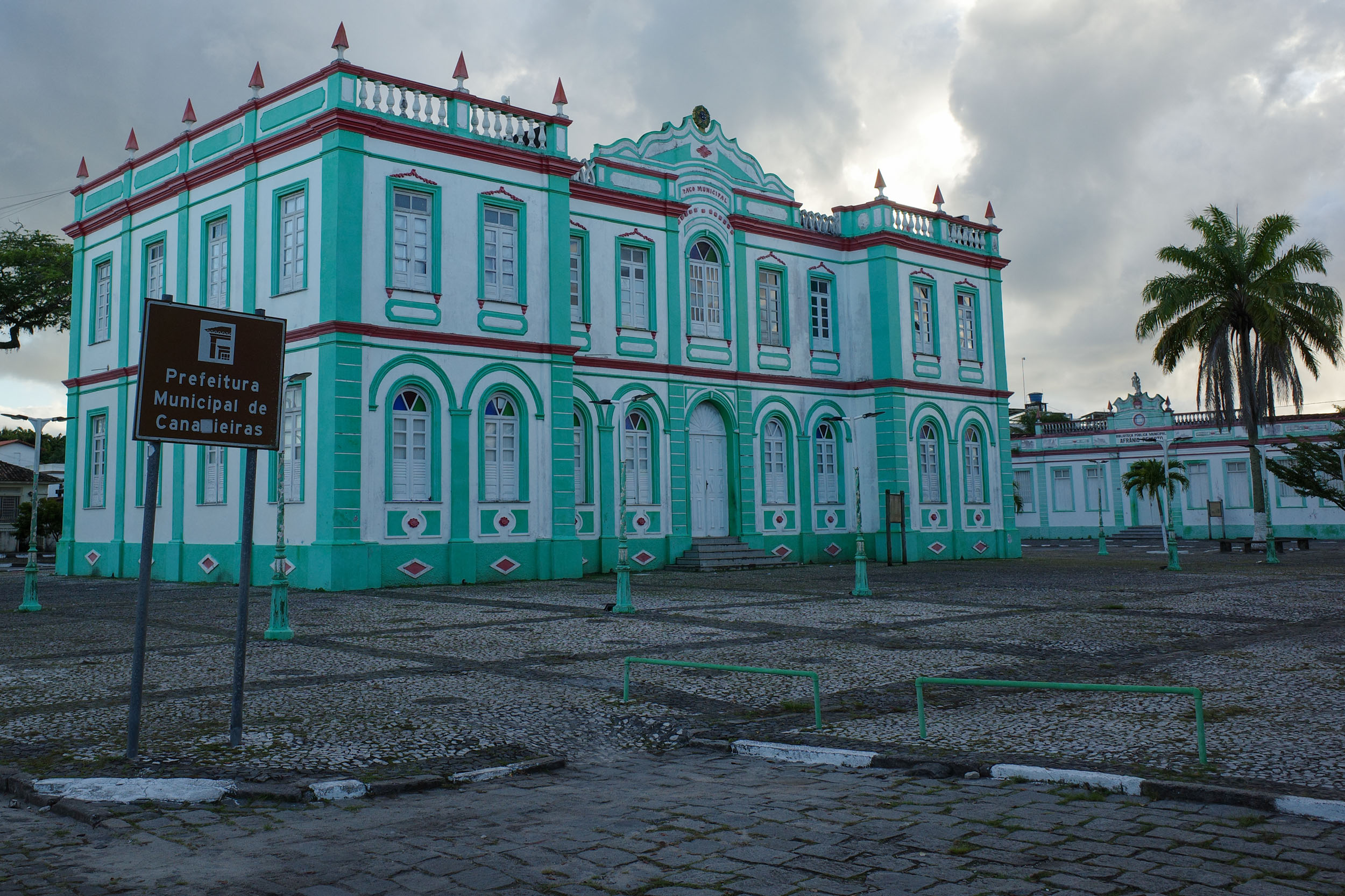
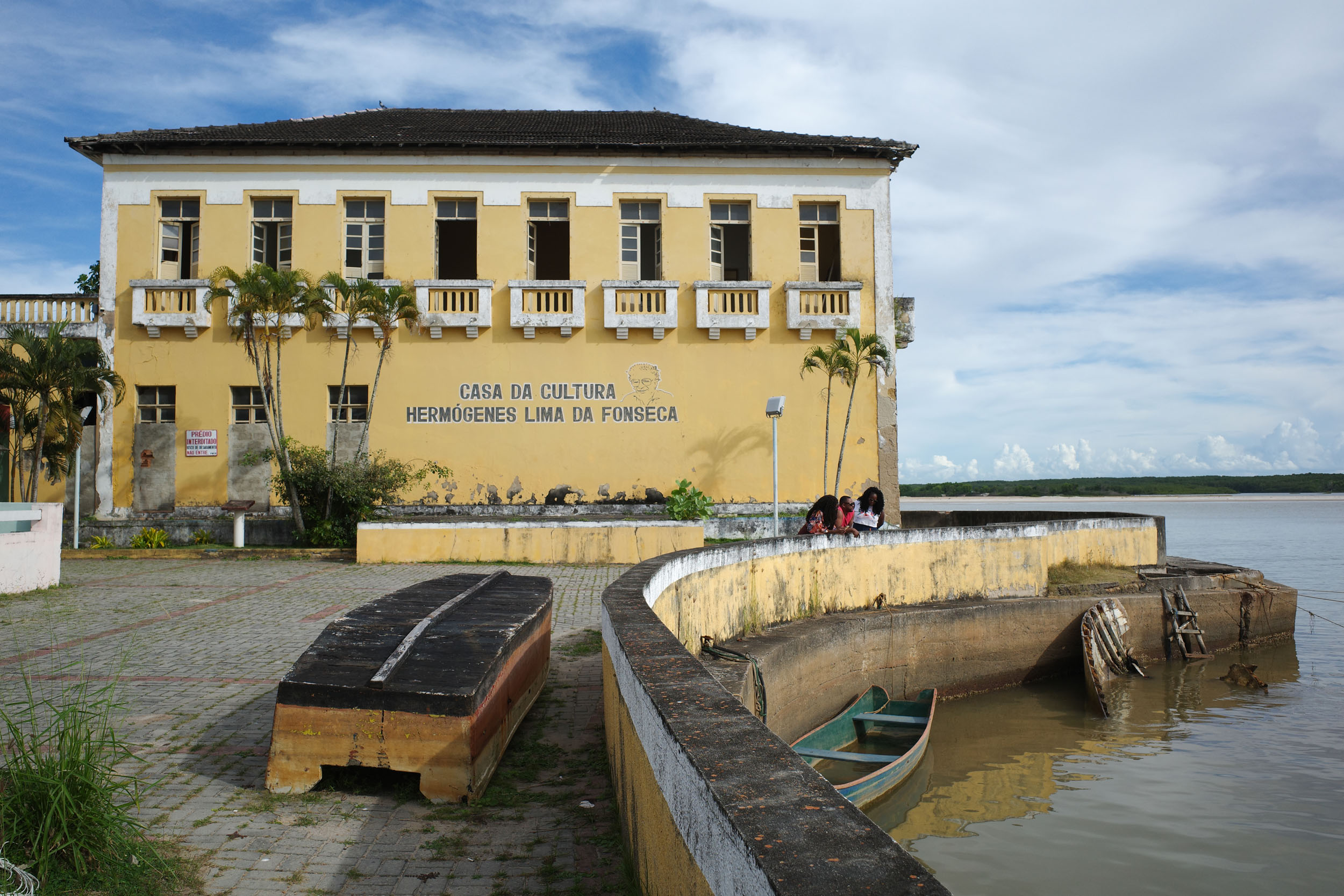
After independence, cacao plantations were established along the coast, generating great wealth for a few magnates known as “colonels.” Their legacy includes the opulent architecture of Canavieiras and Belmonte, sometimes colorful and other times derelict. Falling prices progressively decreased profitability, and pests caused a marked decline in production in the 1990s. Efforts to connect the interior of the country led to the construction of the Bahia-Minas Railway, which brought timber and other commodities to the coast, ending in Ponta de Areia. The railway was eventually abandoned, but it has since been turned into a bike-touring route. Gigantic eucalyptus plantations were created for paper and pulp production. They are owned by large multinational companies that have been in conflict with local communities.
The plantations have been nicknamed “green deserts” for their negative impact on biodiversity. The region received a few immigrants: Germans in southern Bahia, Italians in northern Espírito Santo, and Japanese near Una. It later started attracting tourists from more prosperous parts of the country, such as São Paulo. Porto Seguro, with its airport, became the hub for visitors, but the trendiest destination gradually moved south to Arraial d’Ajuda, Trancoso, and then Caraíva. Pataxó communities have tried to benefit from the tourist boom and are now part of the administration of the Monte Pascoal National Park. Non-Indigenous groups have also fought for land redistribution and against the concentration of land ownership. The most prominent is the Landless Workers’ Movement (MST), which organizes the occupation of large, unproductive rural properties by settling families to farm them. One such settlement, the Assentamento Terra Vista, can be visited.
Route Difficulty
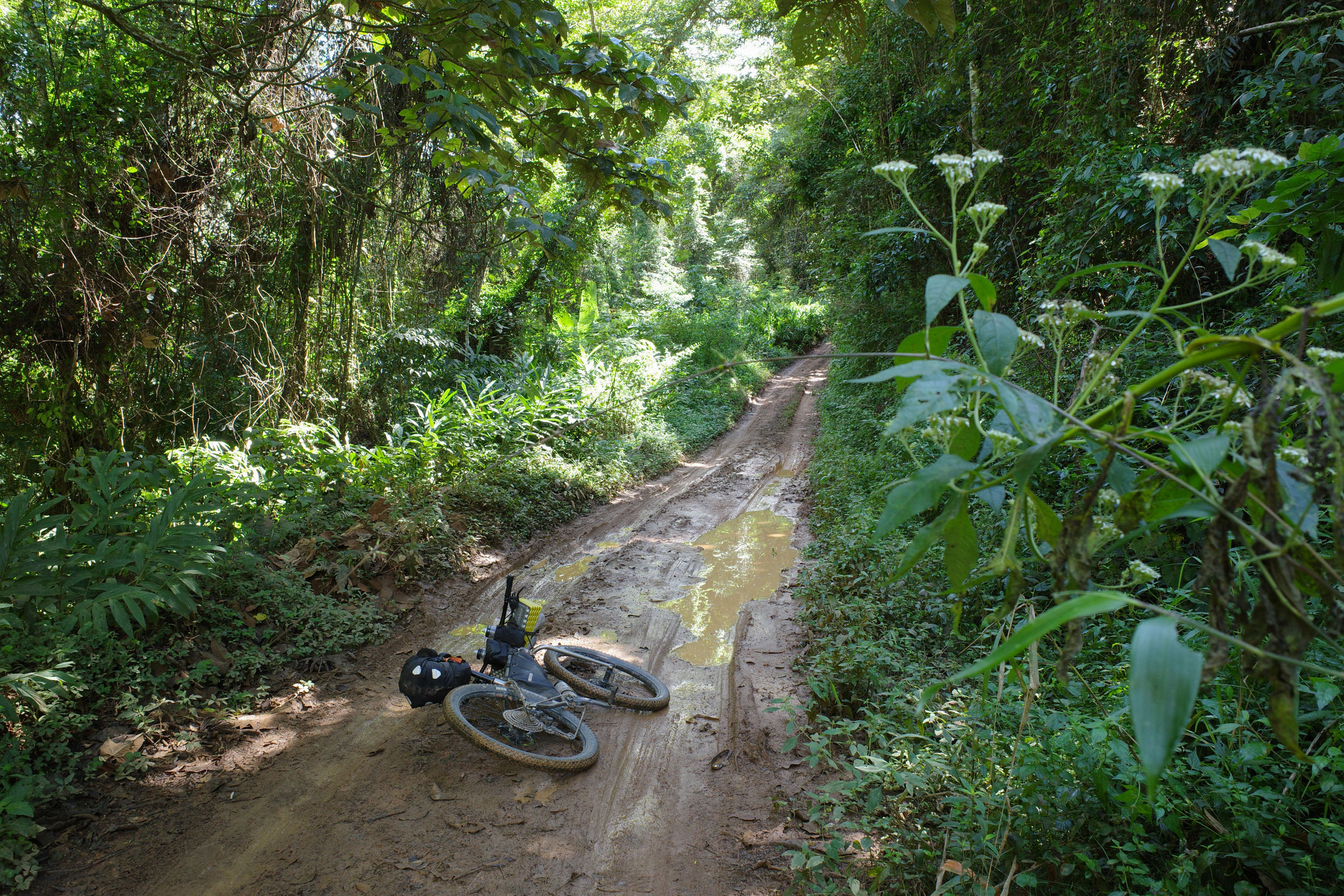
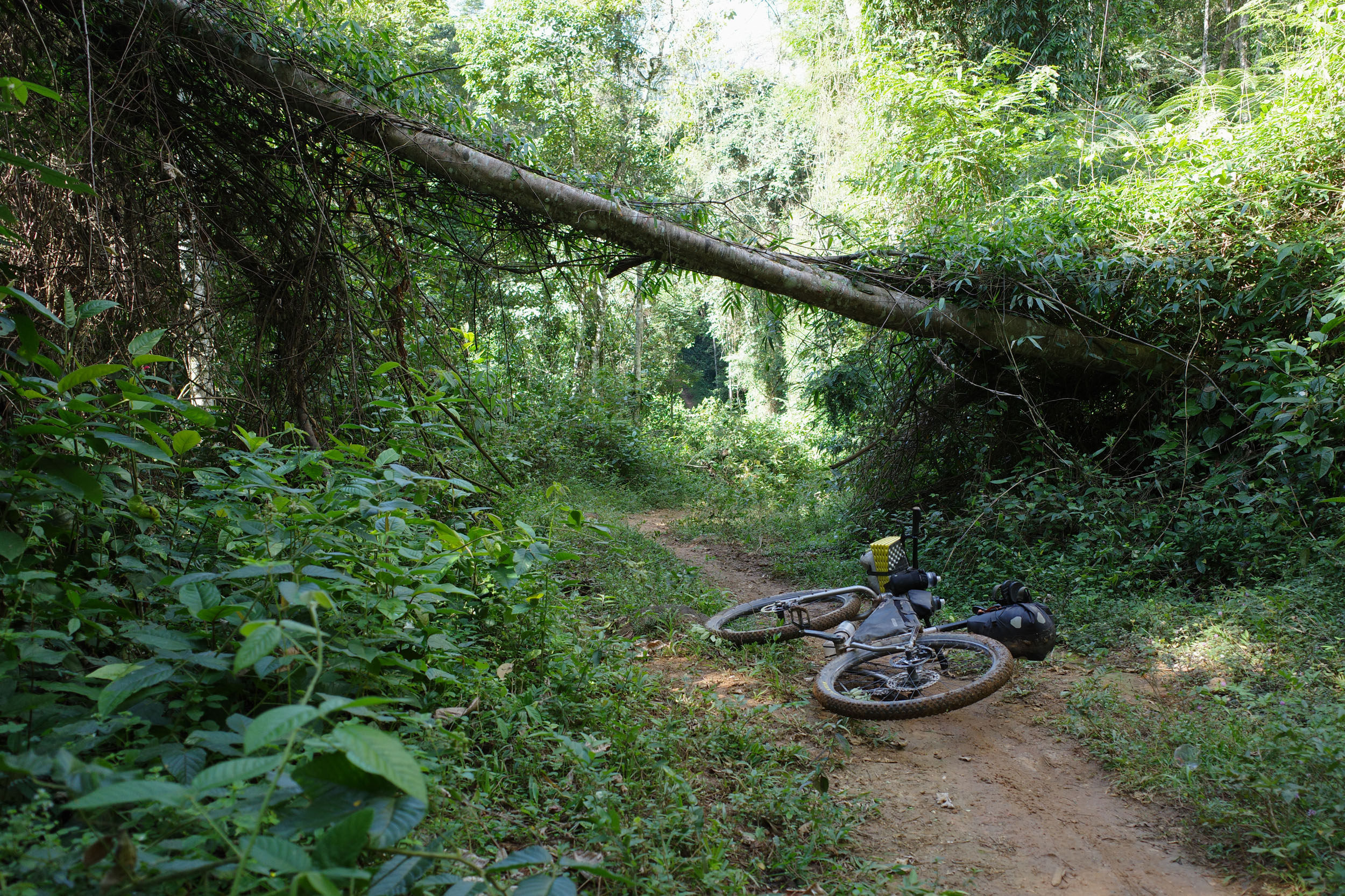
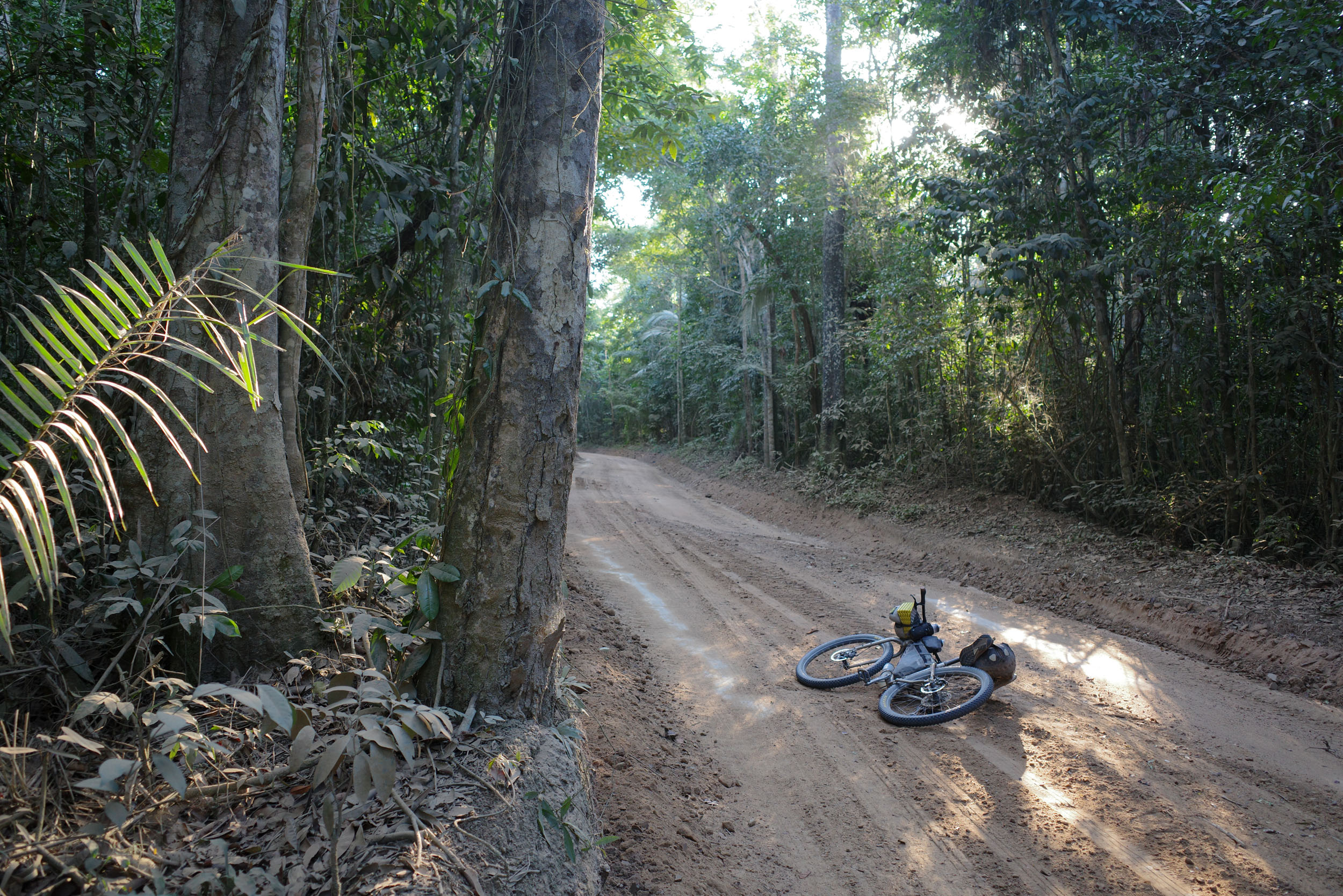
The overall difficulty of this segment is moderate. It mostly follows non-technical dirt roads, but there are sections of doubletrack and singletrack that can be sandy, muddy, or rocky. Inland, especially between Manoel Vitorino and Iguaí, there is quite a bit of climbing, and roads can be steep. The coast appears flat, but there are a few small, isolated climbs, known as ladeiras , that can be very steep. The sections of singletrack are generally very short, but there are two longer ones, which can easily be bypassed.
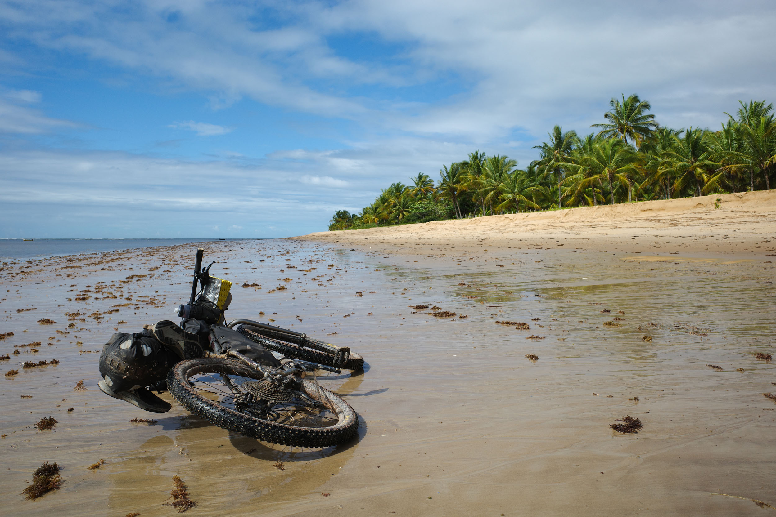
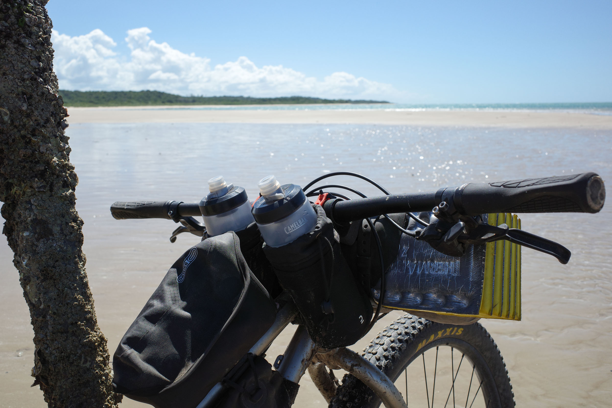
The main difficulties are logistical. There are multiple sections of beach riding, which are generally easy at low tide on hard-packed sand. However, at high tide, it can be difficult to even push a bike through loose sand, and some beaches can become fully submerged, forcing an annoying hike-bike through saltwater. There are also a few water crossings of the mouths of rivers, which can become more difficult when the level of the sea rises. To avoid these potential difficulties, it is worth timing your bike ride for low tide. Another challenge is the few informal boat crossings. It is usually not hard to organize them, but it can take a bit of time. They are usually cheap, but one is longer and might be expensive if you can’t find a free ride. It is possible to bypass the beach sections and informal boat crossings. This would decrease the segment’s difficulty by a couple of points but would remove some of its magic. There is also one inland detour through national parks that requires contracting guides, which can be complicated and expensive, but it is quite easy to skip this section if desired.
Route Development
After deciding to extend the Mata Atlântica Bike Route northward, the general outline of the route in southern Bahia was clear. The coast contains multiple protected areas, and it seemed natural to link them. The section extending south of Porto Seguro to Prado, known as the Rota do Descobrimento, is a popular bike-touring destination among Brazilians, and the rest of the coast also sees many bike tourers. However, in designing this segment, an attempt was made to create an off-road adventure focused on nature that differs from the route most commonly taken.
To avoid pavement, it includes little-known doubletrack, forest singletrack, beach riding, and boat crossings. A few detours were added to visit protected areas inland. Creating a bikepacking route on the coast is challenging. In some places, there is no alternative to the main paved road. In others, water inlets and rivers force cyclists to arrange boat rides or to make detours inland. Restricted Indigenous territories sometimes limit options. For this reason, it was decided not to extend the route all the way north to Salvador, but instead to turn inland toward new landscapes. The route was mapped and scouted solo, but local cyclists provided a wealth of useful information.




















Submit Route Alert
As the leading creator and publisher of bikepacking routes, BIKEPACKING.com endeavors to maintain, improve, and advocate for our growing network of bikepacking routes all over the world. As such, our editorial team, route creators, and Route Stewards serve as mediators for route improvements and opportunities for connectivity, conservation, and community growth around these routes. To facilitate these efforts, we rely on our Bikepacking Collective and the greater bikepacking community to call attention to critical issues and opportunities that are discovered while riding these routes. If you have a vital issue or opportunity regarding this route that pertains to one of the subjects below, please let us know:
Highlights
Must Know
Camping
Food/H2O
Trail Notes
Resources
- The Boa Nova National Park, a good spot for birdwatching in the transition zone between the semi-arid Caatinga of the interior and the lush Atlantic Forest of the coast
- The hills surrounding the Serra das Lontras National Park, covered by forest and cacao plantations
- Canavieiras and Belmonte, historic towns with colorful (or sometimes derelict) architecture dating from the cacao boom, and linked together by a boat ride through the mangrove
- The Pau-Brasil National Park and the Estação Veracel, an opportunity to discover the wild side of Porto Seguro on forest dirt roads
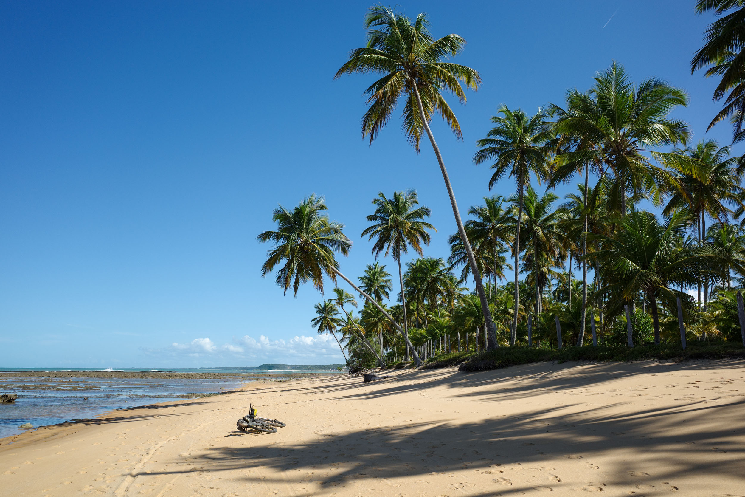
- The coast between Trancoso and Caraíva, with its idyllic beaches lined with palmed trees
- The Monte Pascoal National Historic Park, extending from the sea to its eponymous mountain inland, and providing an opportunity to learn about the Pataxó people
- The Descobrimento National Park, whose forest is traversed by a restricted dirt road surrounded by large trees
- The Cassurubá Extractive Reserve, traversed by a long boat ride between Caravelas and Nova Viçosa, and offering an opportunity to see how people have adapted to life on islands partly covered with mangrove
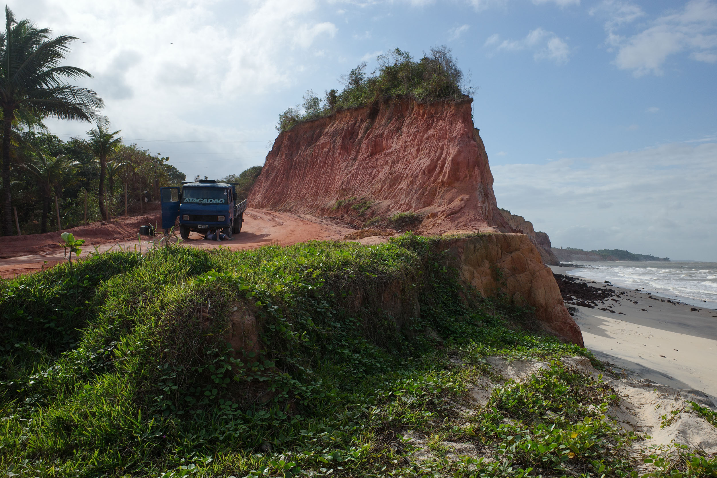
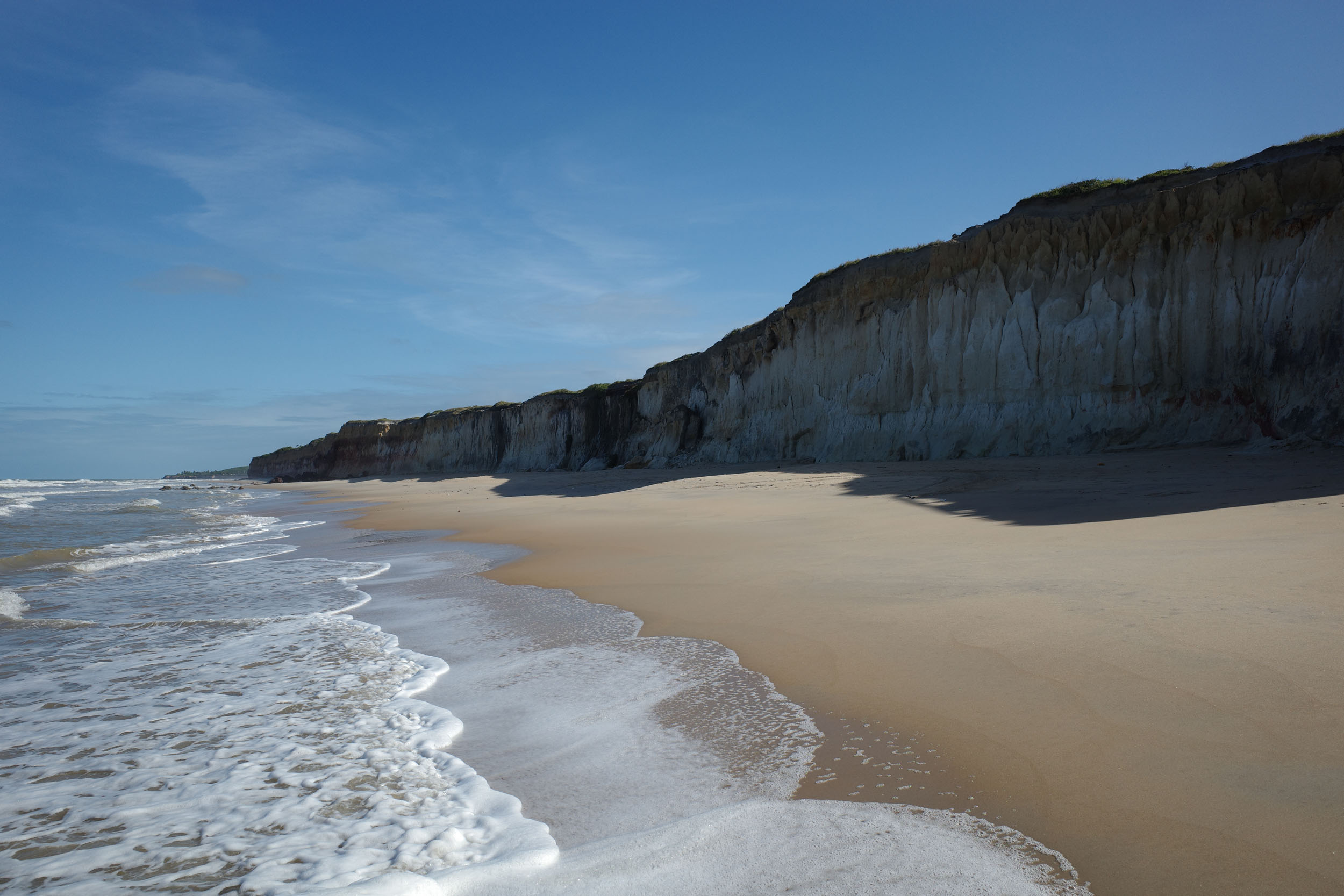
- The Costa Dourada, with its cliff-lined beaches
- The Itaúnas State Park, with its sand dunes and trails through the restinga forest
- Charming coastal towns, including historic ones, like Santa Cruz Cabrália and Prado, but also laid-back touristy ones, like Cumuruxatiba and Itaúnas, where people dance outside to the rhythm of forró
- Tropical wildlife, including multiple monkey species
When to go
- This segment can be ridden all year, as the weather is quite stable, and it is moderated by the proximity of the ocean. Heavy rains and hot days are possible during any month, but the winter months between May and October offer more pleasant temperatures overall.
Logistics
- Traveling by bus with a bike in Brazil is generally easy. Most companies will accept bikes, boxed or not, as long as there is room in the luggage compartment. Still, traveling with only one bike and having it in a box both increase your chances of it being accepted. Some companies charge a fee, while others do not. However, a few companies do not accept bikes, and it can be hard to find the information online, but this website has a partial list of bus companies and their bike policy.. To get to a bus station in large cities like Rio and São Paulo, it is probably safer and simpler to organize private transport to the station via taxi, shuttle or ridesharing app. For example, Uber Bag cars will usually fit a boxed bike. Larger taxis are also often available at airports and big bus stations.
- The starting point, Manoel Vitorino, is a town on an important highway, with buses going to larger cities in both directions, such as Salvador and Vitória da Conquista.
- Alternative starting points include Ilhéus and Porto Seguro. Both cities have airports and are well-connected by bus. Starting in one of them allows one to focus on the coast by skipping the inland portion between Manoel Vitorino and Una, which has fewer attractions than the rest of the route.
- The ending point, Sooretama, is a town along the main north-south highway near the coast, with buses going to larger cities in both directions, such as Vitória but also Linhares, which is nearby and is an alternative starting point with more bus departures and destinations.
- The route can be ridden in either direction. It was mapped from north to south because a few of the boat crossings are easier to do this way, but there are alternatives if riding in the opposite direction.
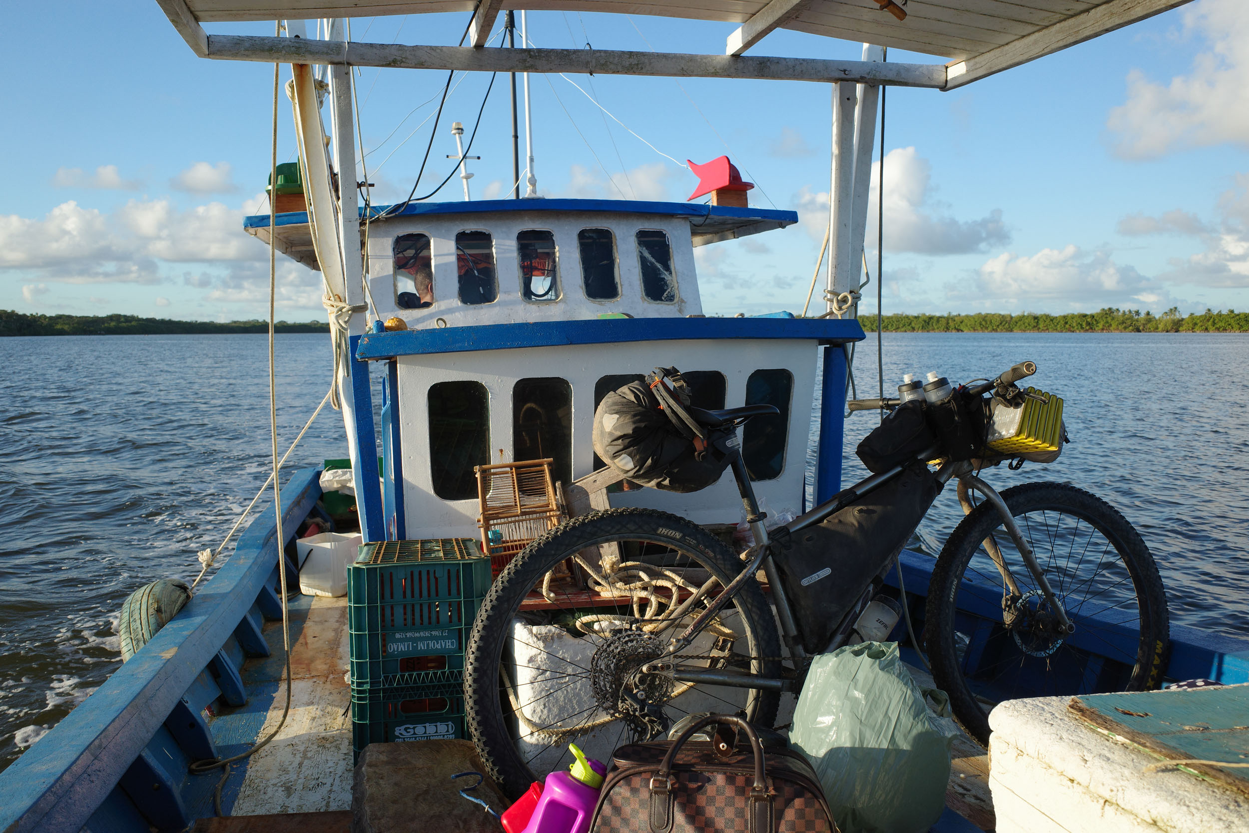
- Boat crossings are numerous along the coast. There are eight in total, generally to cross the mouths of rivers. Half have regular and affordable boat service with multiple departures per day. But the other half are informal, meaning they need to be arranged with a boat owner. It is generally easy and cheap, and even free sometimes. It can be organized by chatting with people on the piers, or by contacting a boat tour operator in advance. But it is also simple to avoid these boat crossings by sticking to roads further inland. One exception is the traverse between Caravelas and Nova Viçosa, which is one of the nicest, but also rather long and thus possibly a bit more complicated or expensive to arrange. The detour inland to avoid it is also rather long and less interesting.
- Protected areas crossed in this segment are generally free to transit through, but the route includes an inland detour to visit two national parks that require a guide. They can easily be bypassed by staying on the coast to avoid the planning and cost needed to get a guide. For the first one, Monte Pascoal National Park, contact in advance the park (+55 83 99122-7877) or a guide (Itamawy +55 73 9983-7615, or Yuris +55 73 99814-2354) via WhatsApp. For the second one, Descobrimento National Park, contact in advance the park (parnadescobrimento@icmbio.gov.br) or a guide (Eduardo +55 73 9157-4132). An authorization is also required from the leader of the Gurita village (Diego +55 73 99181-820).
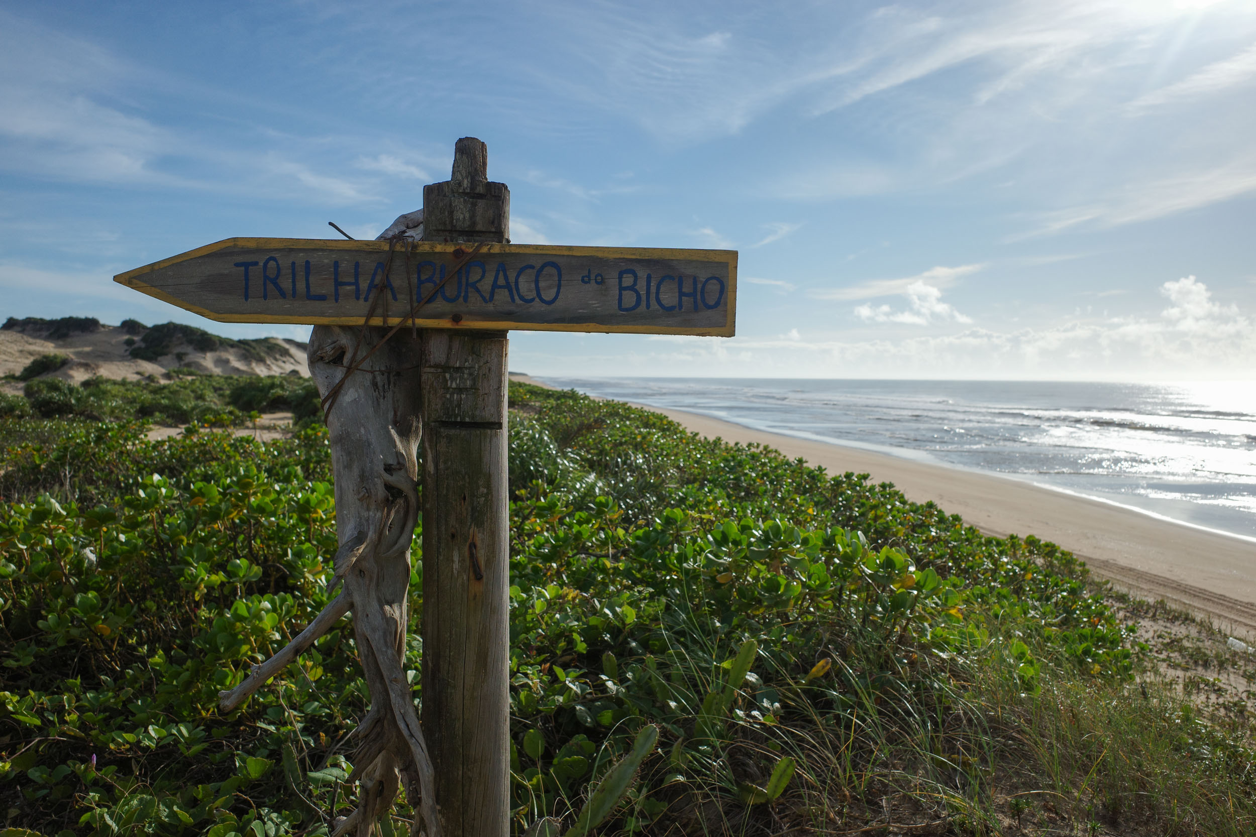
- Beach riding can be a blissful experience at low tide, but excruciating at high tide because of soft sand and disappearing beaches. Try to either time yourself to ride at low tide or bypass these sections by staying inland. Public beach access is guaranteed by law, but sometimes points of access are few and far between.
- Mapsusing OpenStreetMap data are generally the most detailed and accurate. But there are occasional mistakes (such as overgrown trails mislabeled as roads) and omissions (for example, private gated roads not labeled as such). In a few regions, Google Maps is more detailed. This is the case between Belmonte and Santa Cruz Cabralia.
Dangers & Annoyances
- Mosquitoes and ticks can transmit diseases. During the day, bug pressure is usually minimal, but it can be intense at dusk. Biting insects tend to be small and it is easy not to notice them even as they bite you. Bring a long-sleeve shirt and full pants. Yellow fever vaccination is recommended as tourists have died from the disease in the past.
- Snakes can be easy to miss in overgrown trails. Be careful where you step. Some species are venomous. Know what to do in case of snake bite.
- Cattle can sometimes block the path. Give them space and do not startle them.
- Livestock gatesare common. Be careful when opening them as they are often secured with a loop of barbed wire. If found closed, make sure to close them back behind you.
- Cars are rare on most of the route. Brazilian drivers often expect to see all kinds of things on rural roads (pedestrians, cyclists, horses, etc.), but as anywhere else, some are careless. Make sure to be visible and cautious.
- Crimeis an issue in most large Brazilian cities, but rural areas are usually safer. This segment passes through quite a few towns. They are generally popular with tourists, and the risk of being the victim of a crime is not particularly high. Some rural areas are occasionally the site of violent land conflicts between large landowners and Indigenous people. There is also some gang activity, including drug trafficking, in the region. In both cases, it would seem unlikely for a passing bikepacker to get caught in the middle.
What bike?
- A rigid mountain bike or all-terrain bike with 2.2 to 2.6″ tires is the best bike to ride all the segments combined. For this particular segment, which includes a fair amount of beach riding and sandy doubletrack and singletrack, this range of tire width works fine, but wider 2.8-3.0” tires would also be adequate.
Travel basics
Language
- Portuguese, in its Brazilian variety (and multiple accents), is almost the only language you will encounter. Learning the basics will prove very useful.
- For Spanish speakers, it is quite easy to learn a lot of Portuguese quickly, considering the similarities. The same goes for other Romance language speakers to a lesser extent. Be careful about trying to speak Spanish to Brazilians. While they can often understand some simple spoken Spanish, it can be laborious and inefficient. There are a few common words that are radically different, and there are some key pronunciation differences. Putting in the work to learn them is highly valuable.
- English speakers are virtually nonexistent except in tourist hubs and large cities.
Money
- The Brazilian real (plural reais, sign $R, code BRL) is the official currency.
- ATMs to withdraw money are found in cities, but they often charge exorbitant fees.
- Credit cards are very commonly accepted by businesses, including some small rural ones. It is a convenient way to pay for things without carrying large amounts of cash.
- Pix, an instant payment platform, was created by the Central Bank of Brazil a few years ago. It became extremely popular, and now a few businesses refuse credit cards (and their high fees). Seamlessly using Pix requires a Brazilian bank account, but workarounds might be possible with apps.
- Money transfer apps can be used for payments that can wait, for example lodging. Owners will often accept to give you the necessary banking information for the transfer. One such app used by some businesses is Wise, but the apps usually work even if the receiver is not registered.
Cell phone
- Mobile phone service is dominated by three providers (Claro, Vivo and Tim).
- Network coverage varies according to the region. Most towns are now covered (sometimes by only one provider), but the signal generally disappears almost as soon as you exit them.
- SIM cards (physical and digital) from one of the three providers can usually only be obtained by people with a CPF, which is a taxpayer identifying number.
- A CPF can be obtained by foreigners through Brazilian embassies and consulates or once in Brazil. This might be worth it for people planning to spend extensive time there.
- International eSIM apps are the simplest but more expensive way to get network access.
- WhatsApp text messaging is usually the way to reach small businesses.
- Instagram is sometimes the only place to find important information about businesses such as campgrounds, as they often lack websites.
- Campgrounds are abundant on most of the coast but are rare inland between Manoel Vitorino and Una. They usually have all the services you could want (water, bathrooms with hot showers, electricity, wifi, and often cooking areas). Some of them expect advanced reservation through WhatsApp, which can be difficult to organize with the lack of cell phone signal and the unpredictability of bike travel. They usually cost around R$50 per night per person.
- Wild camping is not common. It is usually forbidden in protected areas. Private land is often clearly delineated by fences. Stealth camping might be challenging in densely populated rural areas. If looking for a place to sleep, you can ask around for recommendations. Owners of small rural businesses (such as bars and restaurants) are often resourceful and used to dealing with strangers. They might let you camp on their land or sleep in a room, for free or for a fee. Otherwise, they might direct you to a good spot. Camping next to rural churches might be an option too, but it is polite to ask locals for permission if possible.
- Pousadas are small lodging establishments, generally family-run and aimed at tourists. They are present in almost every town, most importantly between Manoel Vitorino and Una, where camping options are limited. Room prices vary between R$50 and 200 per night, with some in the lower range found in most towns. They usually let you bring your bike into your room. They often include all-you-can-eat breakfast. With some planning, it would be possible to do the whole segment without camping.
- Water sources are common but will need to be treated.
- Bottled water can be bought from stores daily.
- 2.5 L of carrying capacity is recommended, mainly for convenience.
- Supermarkets are found in every town. It is rarely needed to carry more than a day of food.
- Restaurants are common in towns but also near some tourist attractions. Pratos feitos (set meals) are good value.
- Bakeries are lively places offering traditional fare and opening early, which is convenient when sleeping in town.
- Snacks that are easy to pack include bananada and paçoca (candies made from banana and peanut respectively).
- Meat is important in Brazilian cuisine, which might be challenging for vegetarians. However, rice and beans is the mainstay of the diet. It tends to be more flavorful than elsewhere in Latin America, but it is sometimes cooked with meat. It tastes even better when sprinkled with farofa, a toasted cassava flour, which unfortunately also often contains meat.
- The typical food of the coast of Bahia shows African influences, such as in acarajé, a fried ball made from black-eyed-peas, which is of Yoruba origin. Palm oil (dendê) and coconut milk are heavily used. Seafood is also popular, such as in the shrimp-based bobó de camarão. But the most famous dish might be the fish stew known as moqueca. Both Bahia and Espírito Santo claim to make the best version. Different variations exist, including a vegan one made from banana, which is delicious and cheaper.
This is a proposed 16-day itinerary to sleep only in formal campgrounds or lodging establishments. The spacing of towns in the first inland section sometimes only give two options: a day of biking that feels a bit too short or a bit too long. Because that section acts mostly as a connector, longer days are proposed when possible. On the coast, there are more lodging and camping options, giving more freedom. But the numerous attractions and the unique challenges (mainly beach riding and boat crossings) warrant a slower pace.
location Manoel Vitorino – Valentim
Day 1 (49.3 km +949m)
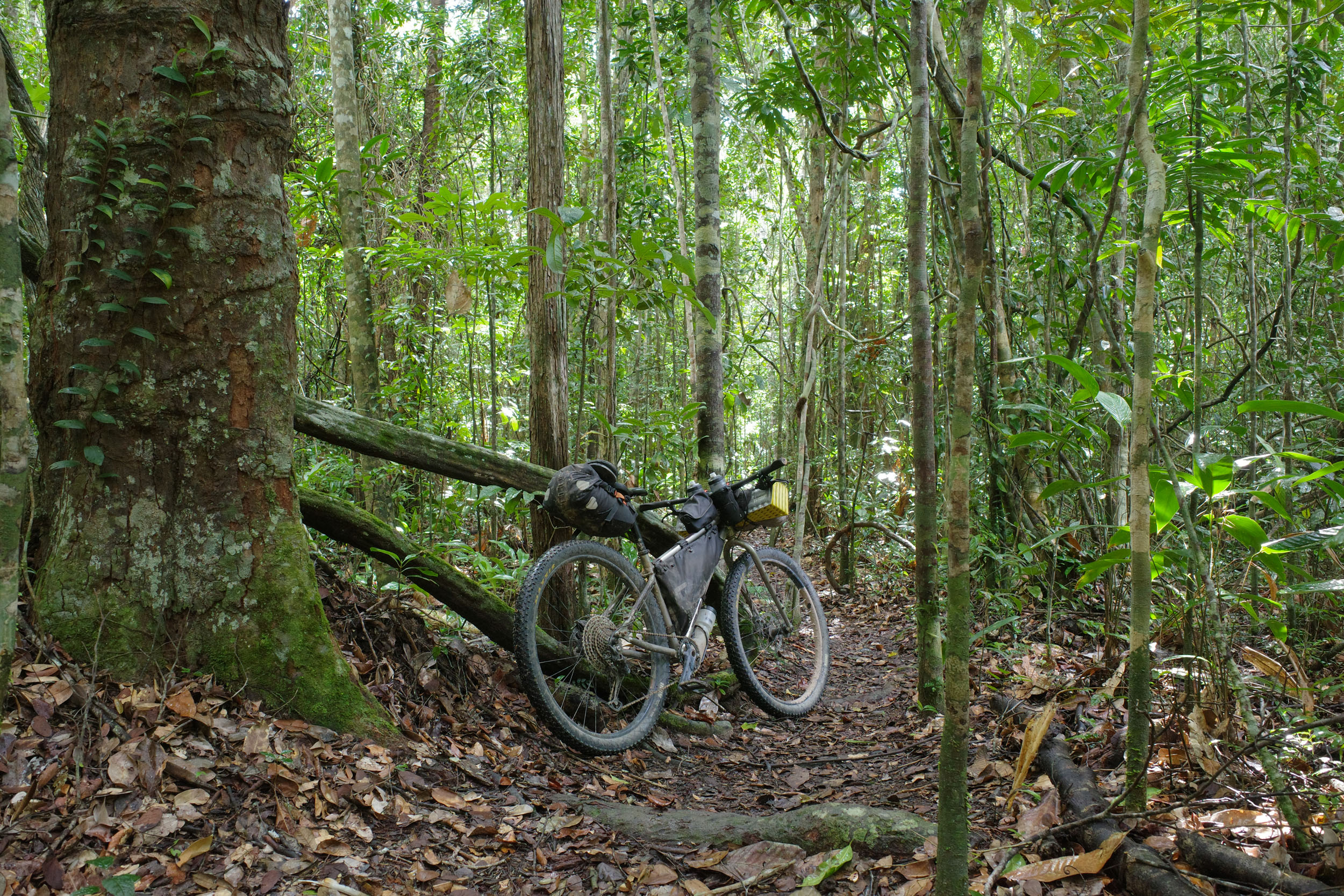
From Manoel Vitorino, the route heads southeast to the Boa Nova National Park. The vegetation transitions from the small thorny trees and cacti of the semi-arid Caatinga to the larger trees of the lush and green Atlantic Forest. The segment reaches its highest point near the town of Boa Nova. It is a more pleasant place to spend the night than Manoel Vitorino and recommended for people riding N1 and coming from Catingal. It also prevents the next day of riding from feeling too short. There are opportunities for birdwatching nearby. The route then uses doubletrack that can be steep, rough and muddy, with 4 km of singletrack in the middle and many livestock gates. It arrives in the town of Valentim, which has a pousada. For an easier alternative to reach the town, stay on the main dirt road to the south, which also passes by the pousada and campground of Encantos Timorante.
locationValentim – Iguaí
Day 2 (43.4 km +685m)
South of the Boa Nova National Park, the route traverses hilly rural areas on dirt roads that can be quite steep. The mountains to the west offer nice views. This day is quite short, but there are two waterfalls that can be visited on the way (Bequinha and Dino) and where it is possible to swim and relax. The route reaches the town of Iguaí, with its multiple lodging options.
locationIguaí – Itaju do Colônia
Day 3 (87.6 km +743m)
From Iguaí, the route uses dirt roads through pastures, which can sometimes get muddy. An easier alternative is to take the bike path to Nova Canaã and then the main dirt road south. There is another muddy section before reaching Rio do Meio, which can be skipped by staying on the main dirt road and joining the BR-415 slightly earlier. There is no lodging establishment in Rio do Meio, but a detour to Itororó is possible if you need a place to sleep. The route then heads east across more pastures to reach the town of Itaju do Colônia, which has a pousada.
locationItaju do Colônia – Colônia de Una
Day 4 (95.8 km +1,215m)
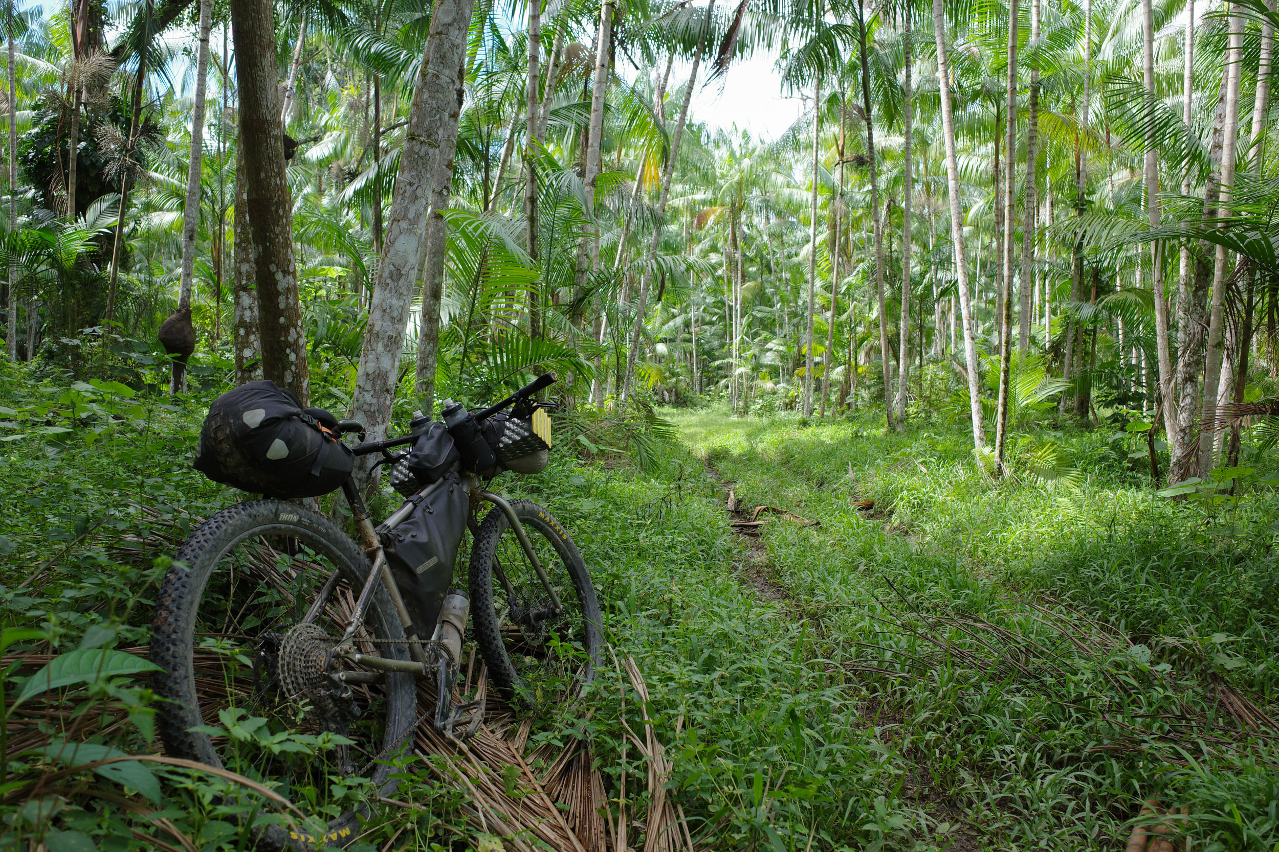
The route keeps going east toward green mountains. It reaches the town of Jussari, which has a pousada and is a more pleasant place to spend the night than Itaju do Colônia, if timing works for you. This a cacao-growing region, and more of the native vegetation has been preserved than in the grazing region traversed beforehand. Past the small settlement of Anuri, there is a doubletrack section through a palm plantation. There is a gate before joining the BR-101 highway, which is generally open. But an easier, more reliable alternative would be to take the road south of Anuri and join the BR-101 further south. The highway is followed for only a short stretch, and the town of Arataca is reached, where there is a pousada. Further east, the route follows the lush southern outskirts of the Serra das Lontras National Park. The park is not accessible for tourists, but there are few waterfalls on its periphery that can be visited. The route then arrives in Colônia de Una, where lodging is available at the Hospedaria Don Juvon.
locationColônia de Una – Canavieiras
Day 5 (77.6 km, 637m)
From Colônia, the route reaches Una, which is a bigger town with a few pousadas. Then it heads south on the first of two unavoidable stretches on the paved BA-001 road, totaling 39 km in total. On this first stretch, traffic is mild, but the shoulder is generally small or absent. The route then takes dirt roads further inland for a while, before joining the BA-001 again, with a bit more traffic but a better shoulder this time. Finally, the town of Canavieiras is reached. It has a colorful historic center, a hostel, pousadas and also campgrounds next to its beach.
locationCanavieiras – Mogiquiçaba
Day 6 (66.5 km +274m)
South of Canaivieiras, a boat needs to be taken to the town of Belmonte. There are daily departures from the historic center. The schedule might depend on the tide. Inquire at your lodging establishment or by the shore. The cost is $R30 per person and $R20 per bike. If you want to arrange in advance, you can contact a boat tour operator (such as Guto, +55 73 99826-8211). After this nice boat ride in the mangrove, Belmonte is reached. It also has an interesting historic center, with some ruined buildings. There are pousadas in town. To the south, the route uses doubletrack that can be sandy, muddy and even partially submerged in water. For an easier alternative, stick to the main coastal paved road. Before returning to the coast, the route apparently passes through a private property that lets cyclists through. There is a small incomplete bridge over a river, which is a bit sketchy, as you need to walk on a log while lifting your bike. It can be avoided by taking dirt roads further inland to Mogiquiçaba, or even all the way to Guaiú. But passing through Mogiquiçaba is convenient as this small settlement popular with surfers has a convenience store, a pousada (not cheap) and a campground on the beach.
locationMogiquiçaba – Estação Veracel
Day 7 (56.2 km +327m)
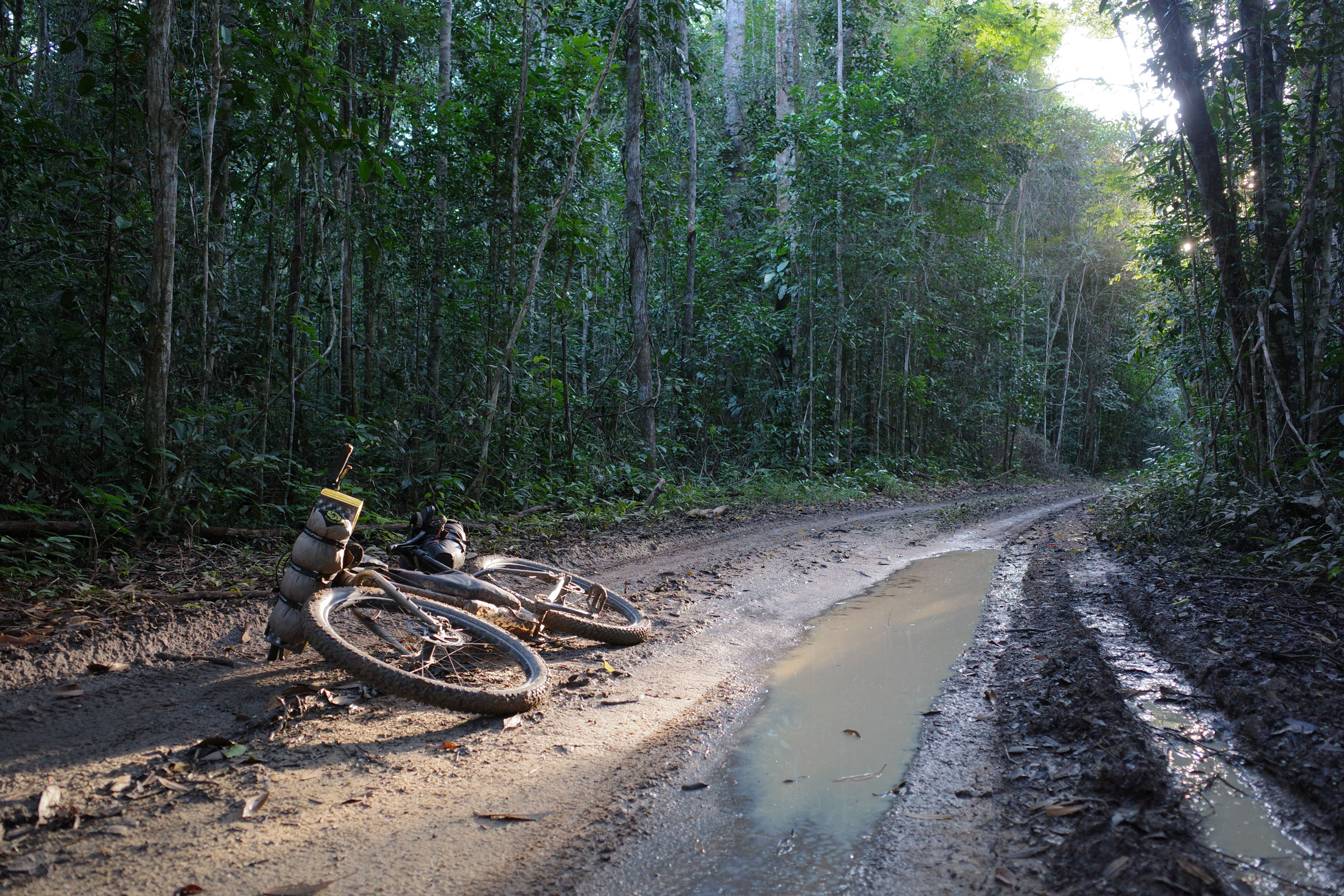
South of Mogiquiçaba, there are two stretches of beach riding. The first beach is accessed via an unlocked gate. If access is compromised in the future, the beach will need to be accessed further south in Guaiú (or maybe by fording the river near Mogiquiçaba). There are two easy water crossings. Beach towns along the way have lodging options, and there is one campground in Santo André. From there, a ferry is taken to Santa Cruz Cabrália. Departures are frequent. It is free if going south, and it costs R$6 per person and R$6 per bike if going north. Santa Cruz Cabrália has lodging options and a historic center with a cute church and small ruins. The route then goes inland to the Estação Veracel. The first 3 km of doubletrack in this protected area can have deep pools of water after rain, which can be hard to bypass. It is possible to spend more time in the forest and add some singletrack by following trails to the north of the route in the Estação Veracel. Then, the route reaches the main road of the reserve leading to the headquarters, where there is a short forest hiking trail that can be visited. Past the headquarters, there are a few pousadas in Agrovila.
locationEstação Veracel – Trancoso
Day 8 (64.5 km +586m)
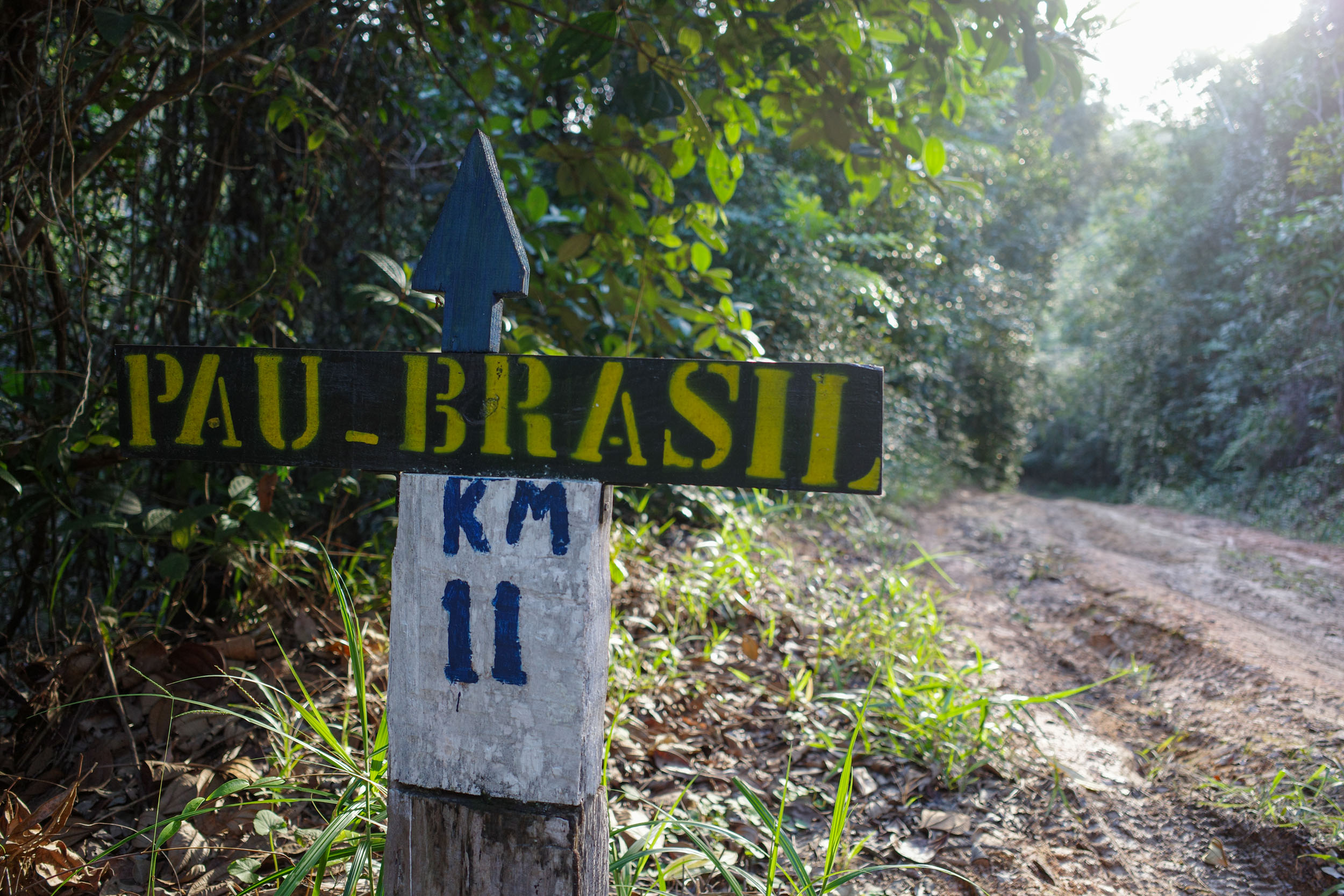
The route then goes west on the paved BR-367. There can be a lot of traffic, but the shoulder is decent, and there are often parallel dirt paths that can be taken separated from the road. The route turns south again to enter the Pau Brasil National Park. It is recommended to register at the headquarters, where there is a viewpoint of the forest. A short singletrack section to the south can be replaced by an adjacent dirt road. The park is traversed from west to east, there are few viewpoints and forest trails along the way that can be visited. Two locked gates need to be bypassed to exit the park. Cyclists are explicitly allowed to do so. Look for openings between the trees next to the gates. The route then rejoins the coast and reaches the touristy town of Trancoso, where there is lodging and campground.
locationTrancoso – Barra Velha
Day 9 (34.3 km +257m)
South of Trancoso, the route follows paradisiac beaches. It requires crossing the mouth of the Frades River, which can be slightly challenging because of the water level (sometimes above the knees) and distance. Try to time yourself to do it at low tide. To the south, the beaches can get very narrow or even disappear at high tide. It is possible to avoid the beach riding south of Trancoso by taking an inland dirt road. Finally, canoes transport tourists across a river to the touristy town of Caraíva, which has campgrounds and lodging. Further south, a dirt road leads to Barra Velha, where there are multiple campgrounds with beach access.
location Barra Velha – Monte Pascoal
Day 10 (39.6 km +501m)
South of Caraíva, the route traverses a series of Pataxó Indigenous Lands, composed of multiple aldeias (settlements). Outsiders can freely circulate on the beaches and the dirt roads and aldeias near the coast, where there are many tourists. But to travel on the inland dirt roads that link aldeias and traverse the Monte Pascoal and Descobrimento national parks, contracting a guide is required (by the Pataxó communities and park authorities). To avoid the associated cost and organization, you can instead bike on coastal dirt roads and beaches to Corumbau and then Cumuruxatiba, which is also a nice biking experience. The route goes west toward the Monte Pascoal headquarters. To do so, hire a guide in advance by contacting via WhatsApp the park (+55 83 99122-7877) or a guide (Itamawy.+55 73 9983-7615, or Yuris +55 73 99814-2354). You might meet them in Caraíva or in Aldeia Barra Velha. Traversing the park is a nice way to bike a bit in the forest and off the beaten path. Expect to pay R$450. For groups, it might be worth it, as it can also include free camping at the headquarters. For solo travelers, the price is excessive for the experience you get, so consider staying on the coast and saving money. The route reaches the headquarters, where free camping is possible, with access to the facilities. A hike up Monte Pascoal can be arranged, but once again a guide is mandatory, and the cost is excessive for solo travelers.
locationMonte Pascoal – Cumuruxatiba
Day 11 (72.9 km +981m)
South of Monte Pascoal, the route uses dirt roads through rural areas that are sporadically the site of violent conflict between fazendeiros and Indigenous communities. The odds of a foreign cyclist being caught in the middle seem small, but some people might discourage you from biking there. The alternative is to take the paved road through Itamaraju. The route then reaches the Descobrimento National Park. The first stretch inside the park from the headquarters to Lagoa Só Não Vou is called the Caminho da Lagoa, and it can be done for free without a guide. The next stretch up to Aldeia Gurita is called the Caminho De Cumuruxatiba, and it requires a guide. Send a WhatsApp message at least a few days in advance to a guide (Eduardo, +55 73 9157-4132) or email the park (parnadescobrimento@icmbio.gov.br). Guides with bikes are limited. If you cannot get one, ask for a guide on a motorbike, who are usually more available, even last minute. To exit the park through Aldeia Gurita, you need the authorization of the cacique (leader). Send him a WhatsApp message at least a few days in advance with the date you will be there (Diego, +55 73 9918-1820). If there is a delay in getting the guide or authorization, the park staff can likely let you camp at the headquarters. Expect to pay R$300 for the guide. For solo travelers, the price is excessive relative to what you get. For a free alternative, stay on the coast between Caraíva and Cumuruxatiba. The latter has campgrounds, hostels and pousadas.
locationCumuruxatiba – Alcobaça
Day 12 (68.9 km +542m)
From Cumuruxatiba to Prado, the route is straightforward as it follows a coastal dirt road with some nice views of coastal cliffs. Past Prado, the route goes inland through eucalyptus plantations and then rejoins the coast in Alcobaça, where there are pousadas.
location Alcobaça – Nova Viçosa
Day 13 (73 km +245m)
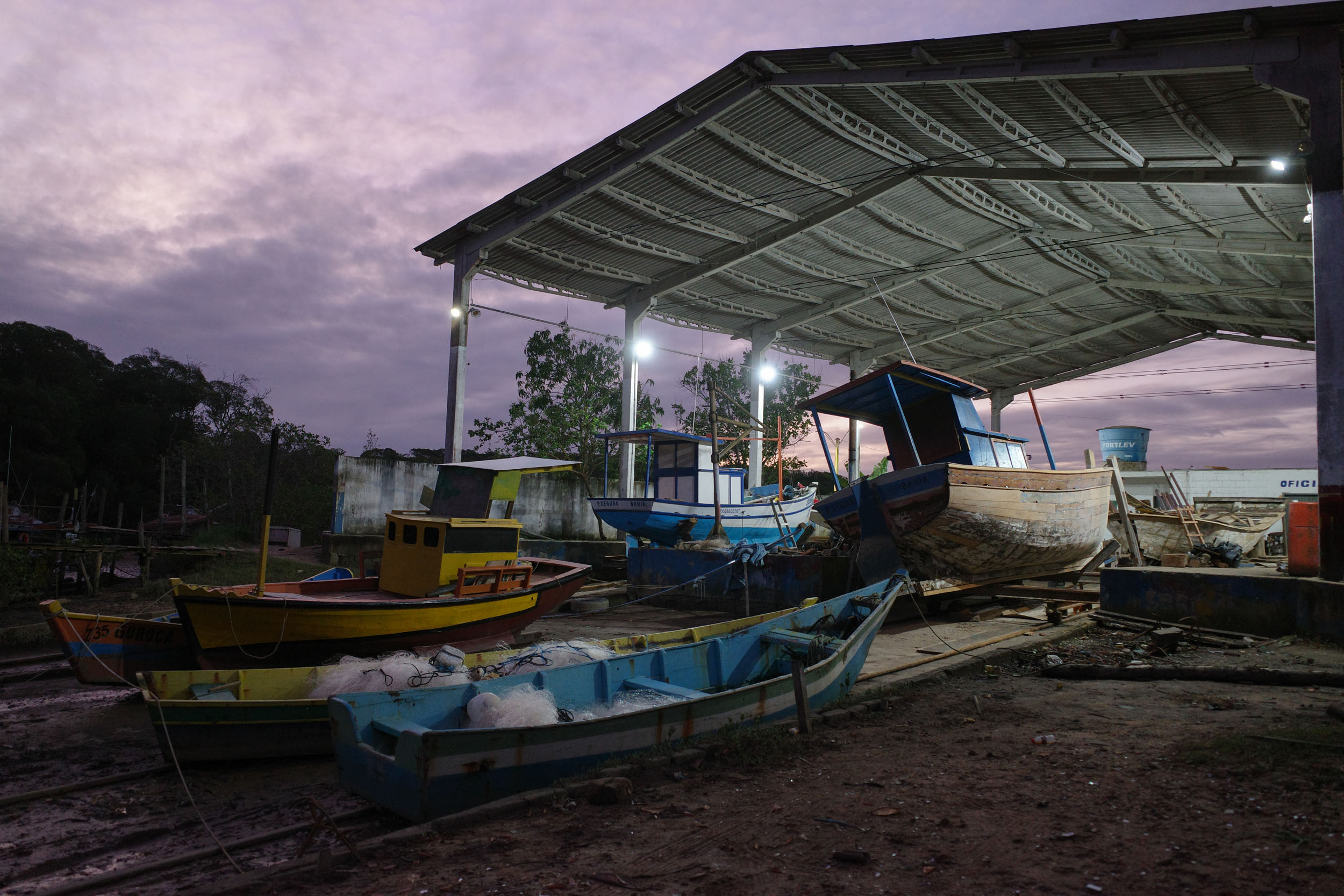
From the center of Alcobaça, the route skips some pavement by taking a boat to an old dirt road on the other side of the river. Ask around the riverfront if a boat can bring you to the “antiga estrada de terra do outro lado do rio”. Expect to pay about R$30. There are many boats, but it might take a while to find one that is available, so try to arrange it the night before if possible. If riding from south to north or looking for a simpler option, take the paved road and bridge west of town. The route then takes a bit of the BA-001, which has relatively little traffic and a wide shoulder, before taking a dirt road that enters a smart section of forest. Then, the route reaches Barra de Caravelas on the coast, where there are pousadas and a campground. It goes west to Ponta de Areia, the terminus of the defunct Bahia-Minas Railway, now turned into a bike touring route. Try to arrive early in Caravelas, which also has pousadas and is the launching point for diving and whale watching excursions. A boat needs to be taken to Nova Viçosa, and there is no regular ferry. Ask around the riverfront. It is often possible to hitch a free ride (many cyclists have done so in the past), but it is courtesy to offer to pay a small fee. There is a lot of boat traffic from the cities to the nearby islands, but less between the cities themselves, so expect to wait a bit. It is also possible to charter a boat, but expect to pay a few 100s reais. One adventurous alternative is to get dropped on nearby Caçumba Island, bike across most of it, and hope to find a boat ride to Nova Viçosa on the other side, but it involves uncertainty. If you have the opportunity to stop on an island, take it. It is an interesting way to see how people live there. The only alternative to avoid boats is a mostly paved detour inland through the town of Juerana. There are pousadas in Nova Viçosa and a campground southwest of town.
locationNova Viçosa – Itaúnas
Day 14 (72.8 km +407m)
From Nova Viçosa, the route follows the beach to Mucuri, which has pousadas and a nice walkway through the mangrove to a beach. One boat goes back and forth across the river to the south during the daytime. The price is R$6 per person. Note that there is no significant settlement on the other side. If you are riding from south to north, try to arrive well before sunset. The route reaches Costa Dourada and then follows cliff-lined beaches. There are are a few pousadas and camping options nearby. The route crosses into Espírito Santo at the Riacho Doce. The beach afterward is bordered by sand dunes. The town of Itaúnas is reached, where there are campgrounds, hostels and pousadas.
locationItaúnas – Barra Nova
Day 15 (64.1 km +339m)
The route follows 13 km of singletrack through the restinga forest of the Itaúnas State Park. It can be sandy in some places, but it is not particularly technical. It could be bypassed by taking roads to the west. This leads to the town of Conceição de Barra, which has pousadas (and possibly a campground that does not look nice). The route takes a boat across the São Mateus River from the city center. You can ask around the riverfront to go to the beach on Guriri Island (“praia da Ilha de Guriri”). Expect to pay around R$30. You can also call a boat tour operator (Cairu, +55 27 99743-9683). After scouting this route, a new ferry started operating southwest of town. This is a simpler alternative and is particularly useful for people riding from south to north. The route follows a dirt road to the touristy town of Guriri and then the beach to Barra Nova, where there are a few campgrounds, pousadas and a hostel.
locationBarra Nova – Sooretama
Day 16 (85.4 km +441m)
A very short boat crossing needs to be arranged in Barra Nova. There is no regular service, but you can often find a free or cheap boat ride. You can also call a boat tour operator (Ceguinho, +55 27 99714-6157). The alternative to avoid the boat is to take the inland road from Guriri (ES-315 and ES-010) and rejoin the route south of Barra Nova. The route passes Urussuquara, where a side trip to its beaches can be done by boat. It then reaches Pontal do Ipiranga, where lodging is available. Finally, it goes inland to agricultural areas and the periphery of the Vale Natural Reserve. It arrives in Sooretama, where lodging is available. There is also a campground a bit off the route called Nivea Rural.
Additional Resources
- The ferry between Santo André and Santa Cruz Cabrália has frequent departures. You can check this link for the schedule.
- The Pau Brasil National Park website has information for visitors.
- The Monte Pascoal National Park website has information for visitors and a map.
- The Descobrimento National Park website has information about the park and a guide for visitors.
- The Itaúnas State Park website has information for visitors.
- Wikivoyage has a partial list of bus companies and their bike policy.


Terms of Use: As with each bikepacking route guide published on BIKEPACKING.com, should you choose to cycle this route, do so at your own risk. Prior to setting out check current local weather, conditions, and land/road closures. While riding, obey all public and private land use restrictions and rules, carry proper safety and navigational equipment, and of course, follow the #leavenotrace guidelines. The information found herein is simply a planning resource to be used as a point of inspiration in conjunction with your own due-diligence. In spite of the fact that this route, associated GPS track (GPX and maps), and all route guidelines were prepared under diligent research by the specified contributor and/or contributors, the accuracy of such and judgement of the author is not guaranteed. BIKEPACKING.com LLC, its partners, associates, and contributors are in no way liable for personal injury, damage to personal property, or any other such situation that might happen to individual riders cycling or following this route.
Further Riding and Reading
Here are some connected/nearby routes and related reports...


Please keep the conversation civil, constructive, and inclusive, or your comment will be removed.