


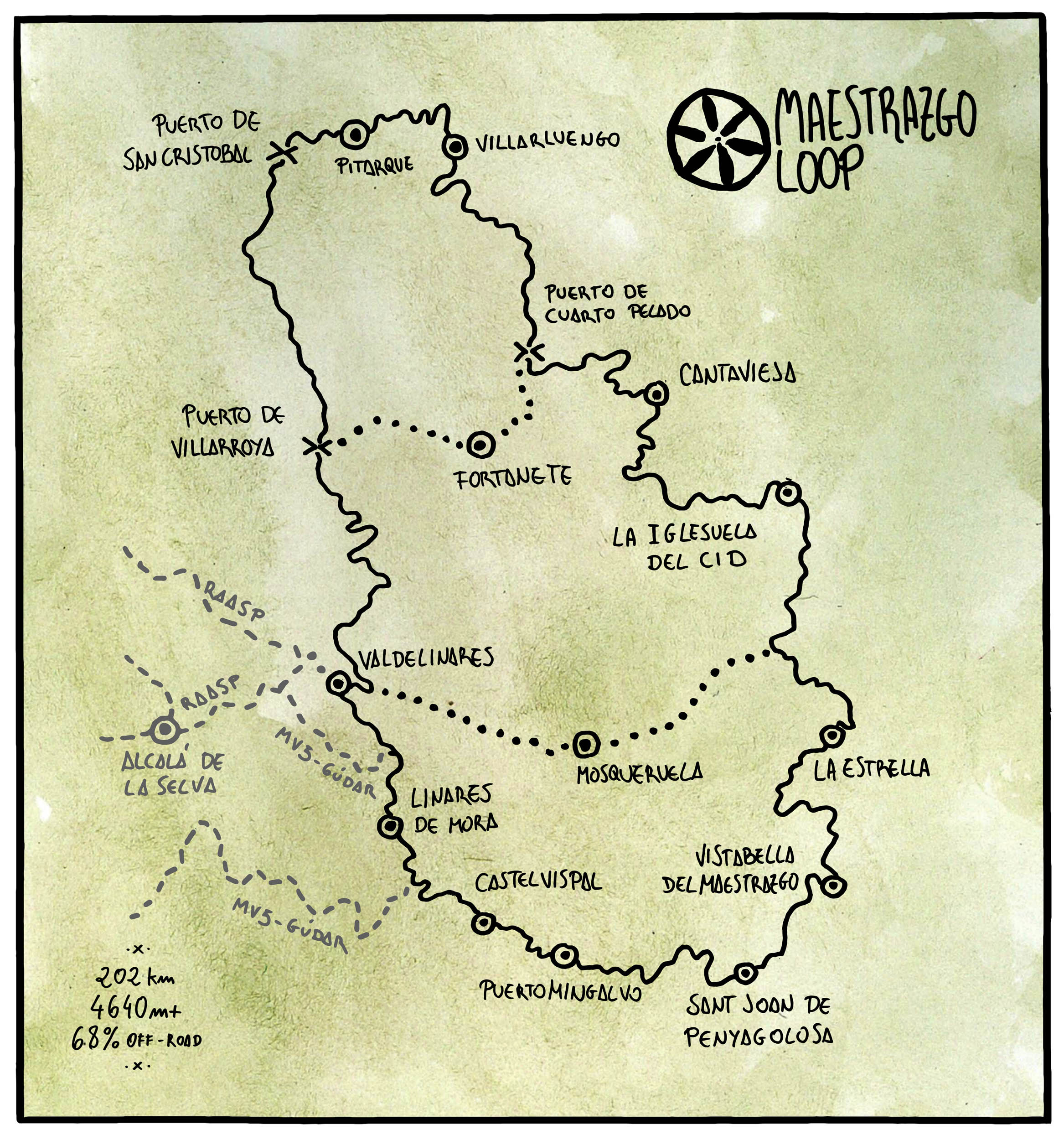
The Maestrazgo Loop
Distance
126 Mi.
(203 KM)Days
2-3
% Unpaved
70%
% Singletrack
0%
% Rideable (time)
100%
Total Ascent
15,239'
(4,645 M)High Point
6,353'
(1,936 M)Difficulty (1-10)
6?
- 8Climbing Scale Strenuous121 FT/MI (23 M/KM)
- 5Technical Difficulty Moderate
- 7Physical Demand Difficult
- 7Resupply & Logistics Strenuous
Contributed By
Ernesto Pastor
Guest Contributor
Ernesto Pastor is restless and curious, and his monkey mind is always jumping between maps and books, trying to cook up new routes and adventures. In 2018, he created Montañas Vacías, an open bikepacking route across the Spanish Lapland that he hopes will help showcase the value of bicycle travel as a tool for change in rural areas. You can follow him on Instagram @montanasvacias.
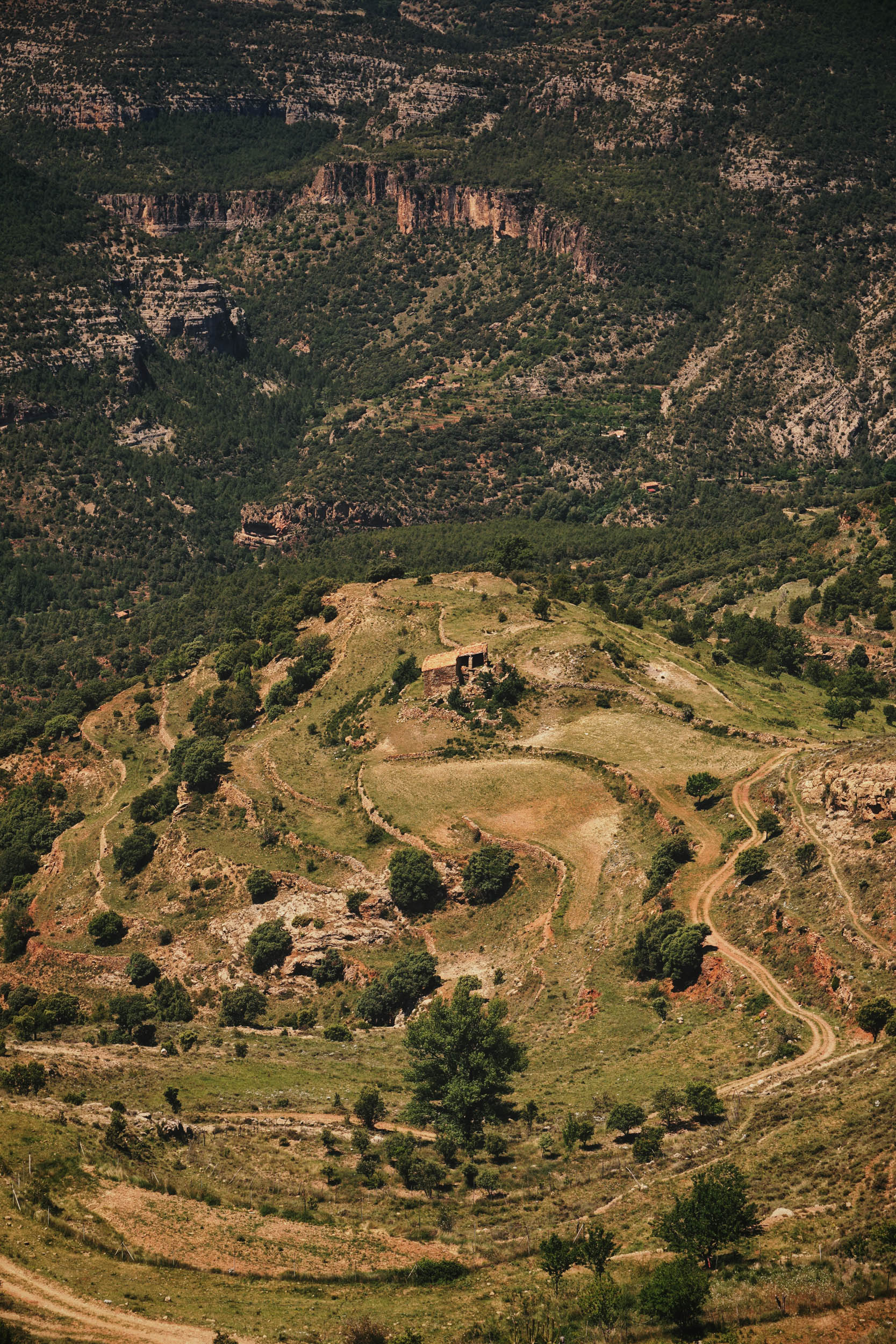
The term Maestrazgo comes from Maestre, which refers to the first rank of a military order. Maestrazgo, then, was the territory under its jurisdiction. Several military orders controlled these areas throughout the Middle Ages, which today include territories of different Spanish regions. It’s a harsh land, with extreme weather and rugged orography, forging a strong personality in its people, even though six out of seven inhabitants have left since the end of the 19th century.
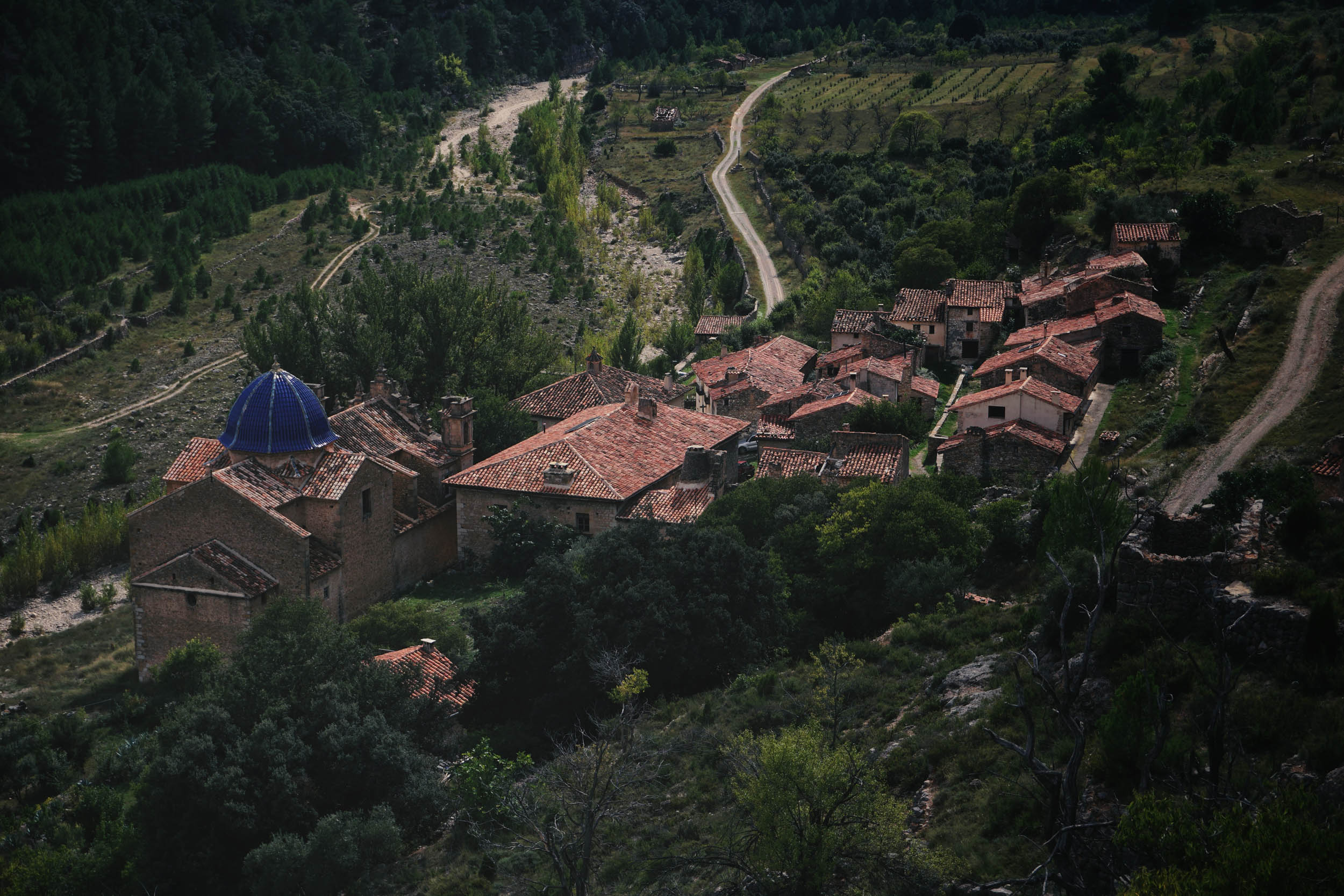
This route is intended to be a tribute to the efforts of those who still remain in these villages that have suffered massive depopulation, visiting places such as La Estrella, an emblematic village and an icon of this struggle. Hidden in a deep gorge only reached after descending a handful of rough gravel kilometers, Sinforosa and Martín still resist there. Nearly 90 years old, both have been its last two inhabitants for several decades. Their story was part of my essay “Parallel, Riding Beyond Montañas Vacías”, published on here BIKEPACKING.com last year.
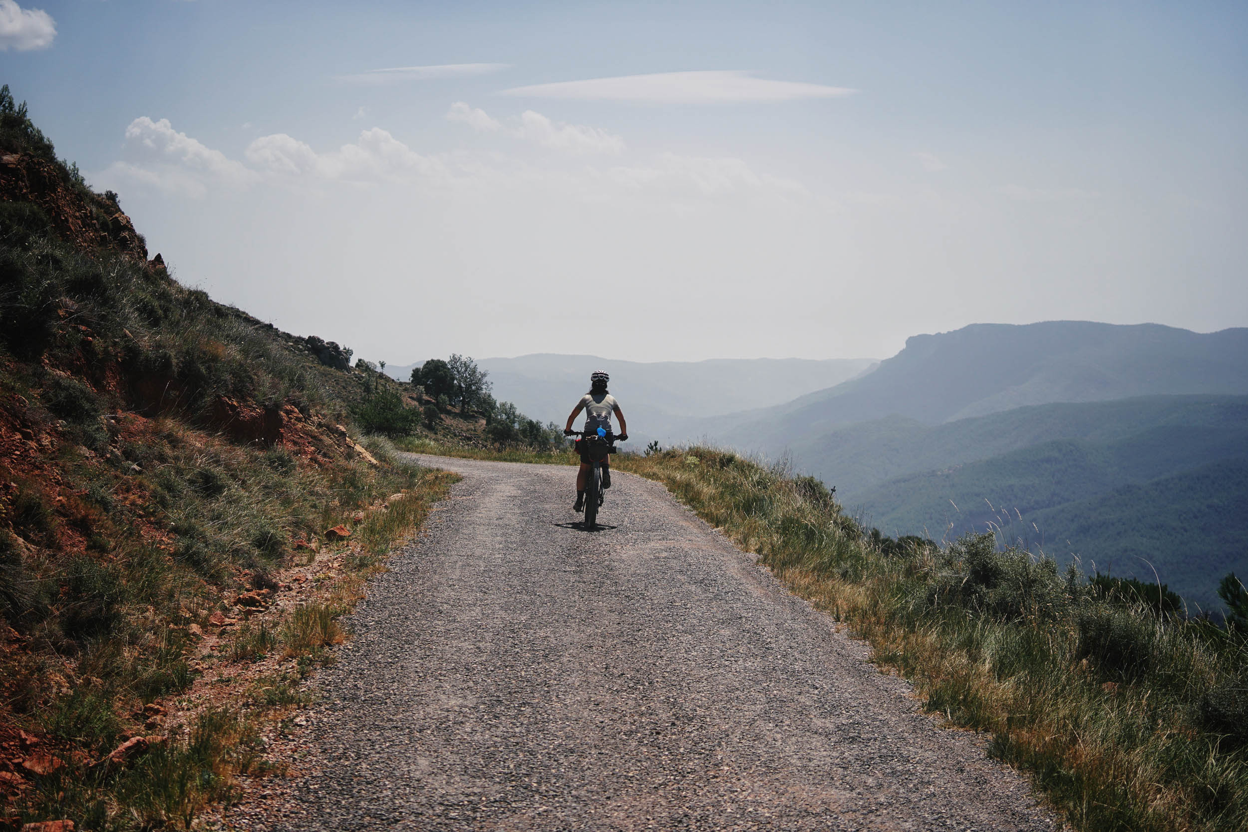
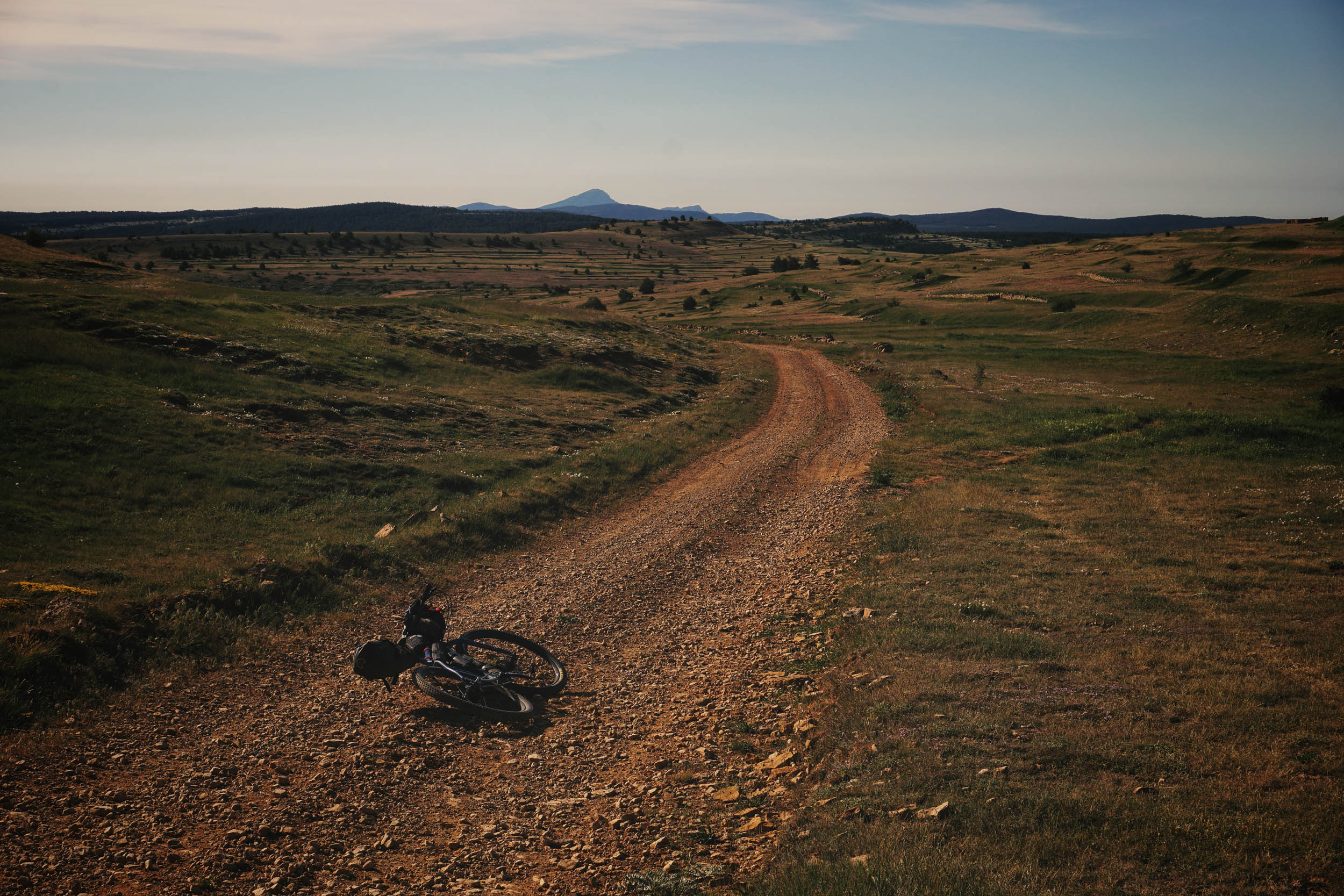
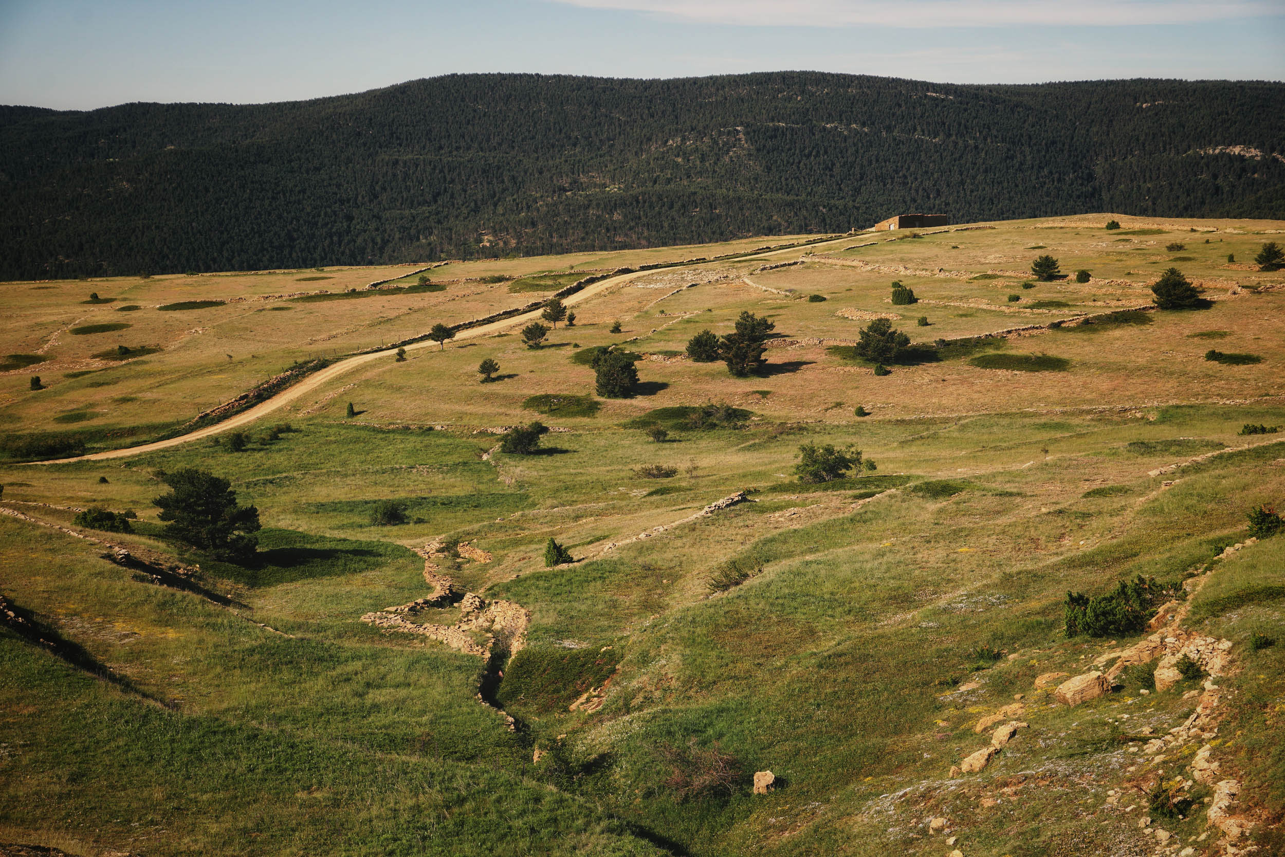
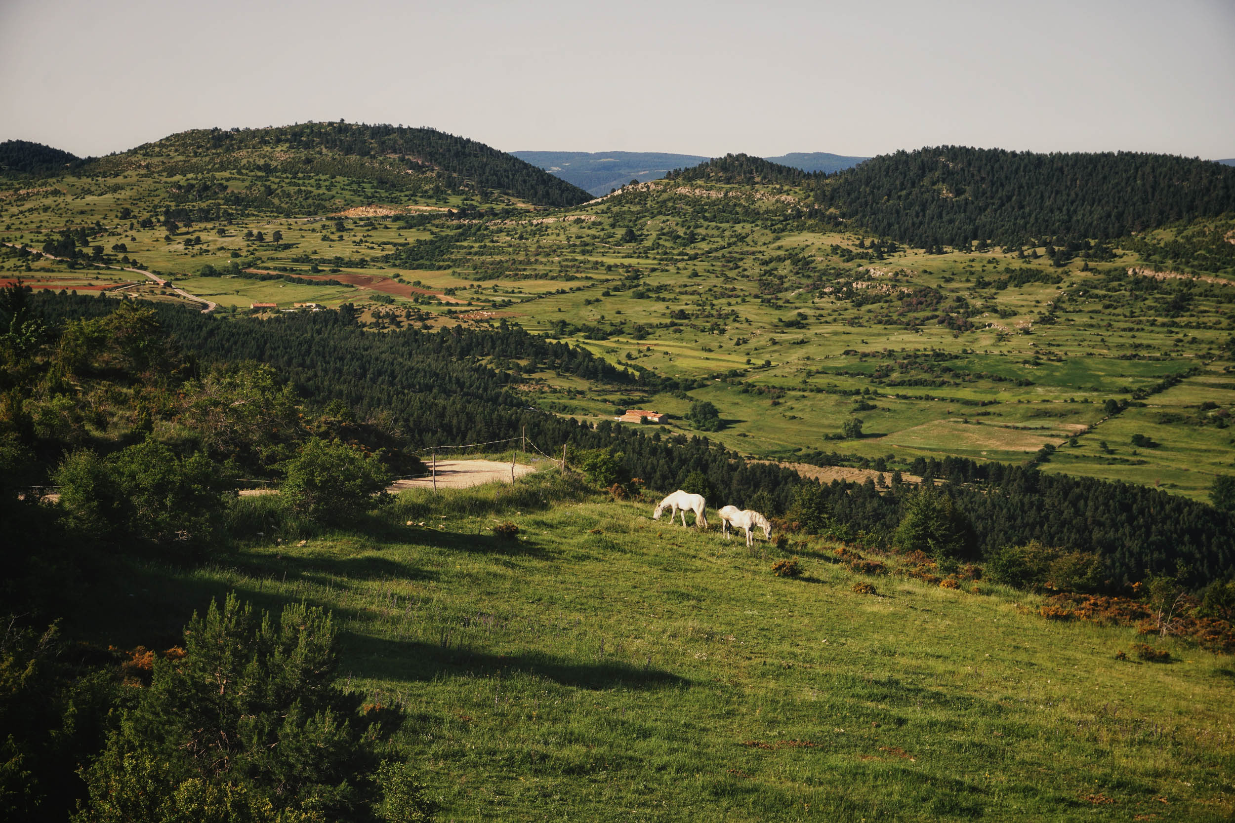
However, this route is also intended to be a breath of hope and inspiration, one more resource on the table to contribute a little to the ailing local economy. In fact, this area gathers many of the ingredients that seduce us when choosing a destination: vast landscapes, endless trails, solitude, and silence, where you can ride for hours without a single human-made sound.

The loop could be completed as an overnighter, but it could also serve as an extra add-on for the Montañas Vacías route for those who want to extend it. Another demanded use of this kind of route is for those who, for example, had to discard the Gúdar or Javalambre sections on a previous visit and now want to add an additional loop to form a complete route for a new visit.
Route Difficulty
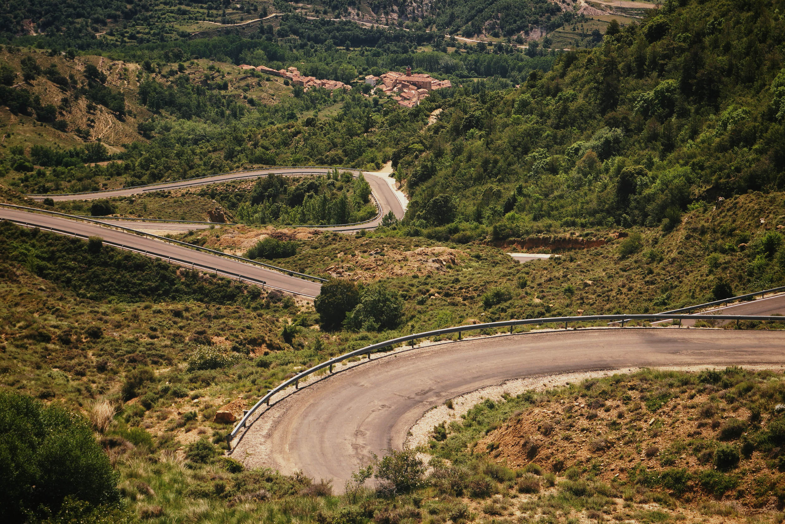
I would rate this route as a 6 out to 10. It’s an easy route in terms of technical difficulty, as it mostly follows well-maintained forest roads, doubletracks, and some local rough asphalt. There is no singletrack at all. Like all the routes in this part of Spain, the elevation gain per kilometer ratio is an important factor to consider. No matter the route you choose, bear in mind that you will always climb more than 2,000 meters every 100 kilometers. For that reason, this makes an especially challenging two-day overnighter route, so some folks may prefer stretching it out to a weekend. Also, pay special attention to resupply points. Plan in advance and locate water and food resupply points.


Submit Route Alert
As the leading creator and publisher of bikepacking routes, BIKEPACKING.com endeavors to maintain, improve, and advocate for our growing network of bikepacking routes all over the world. As such, our editorial team, route creators, and Route Stewards serve as mediators for route improvements and opportunities for connectivity, conservation, and community growth around these routes. To facilitate these efforts, we rely on our Bikepacking Collective and the greater bikepacking community to call attention to critical issues and opportunities that are discovered while riding these routes. If you have a vital issue or opportunity regarding this route that pertains to one of the subjects below, please let us know:
Highlights
Must Know
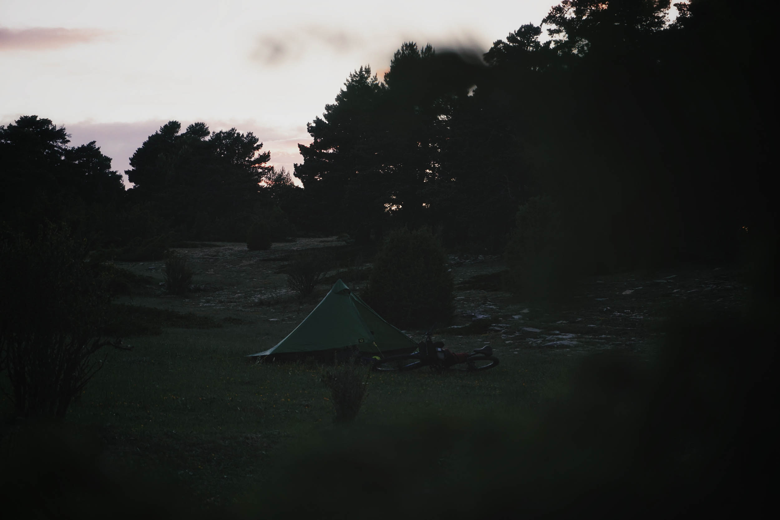
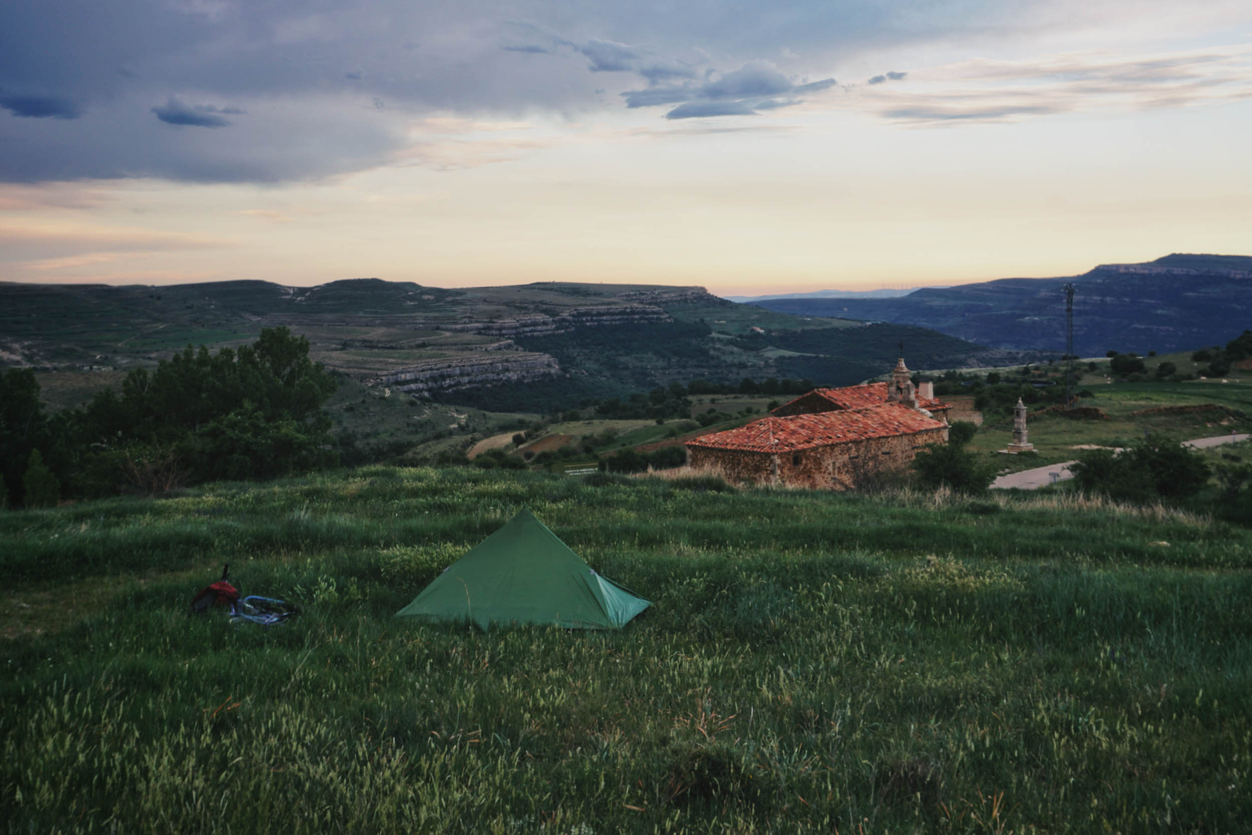
Camping
Food/H2O
Trail Notes
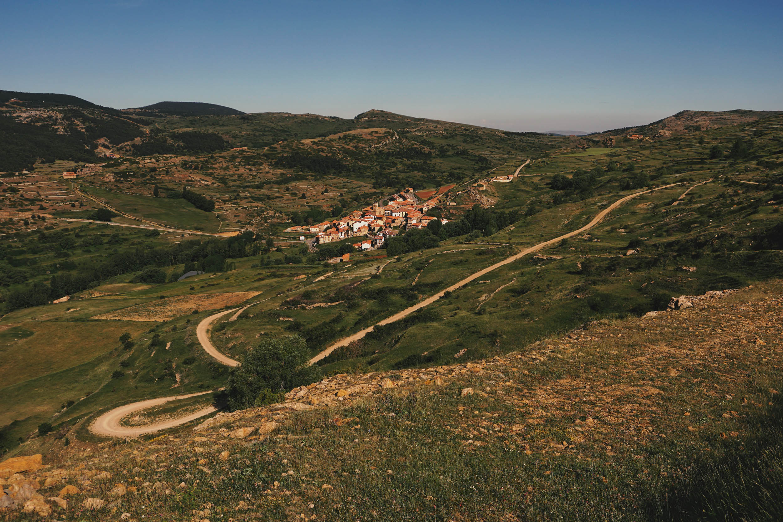
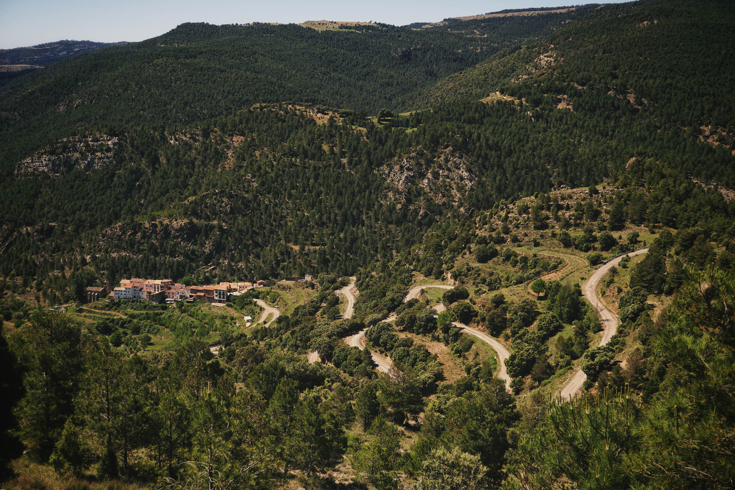
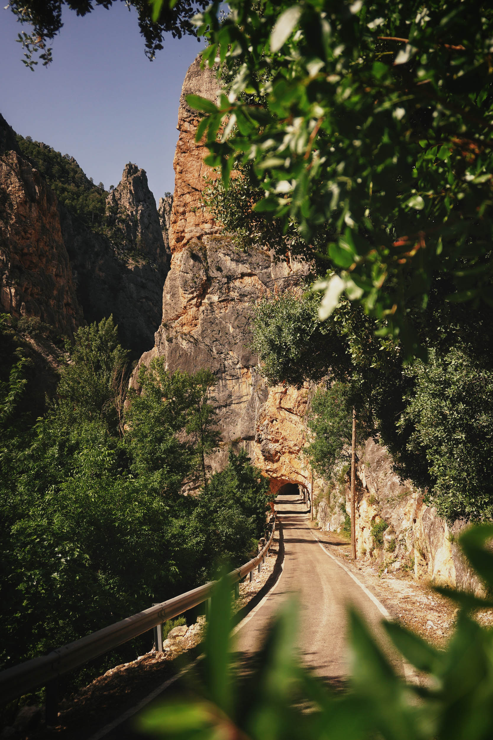
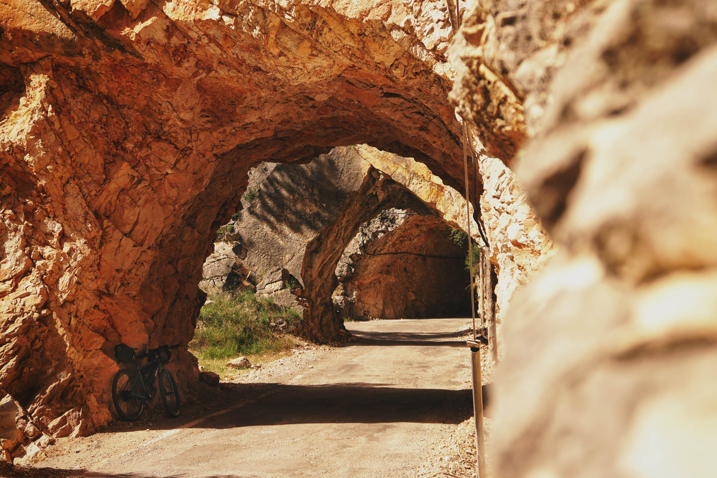
- Reaching La Estrella is an experience that will take you to another time and another place. It’s one of the most spectacular points of the route.
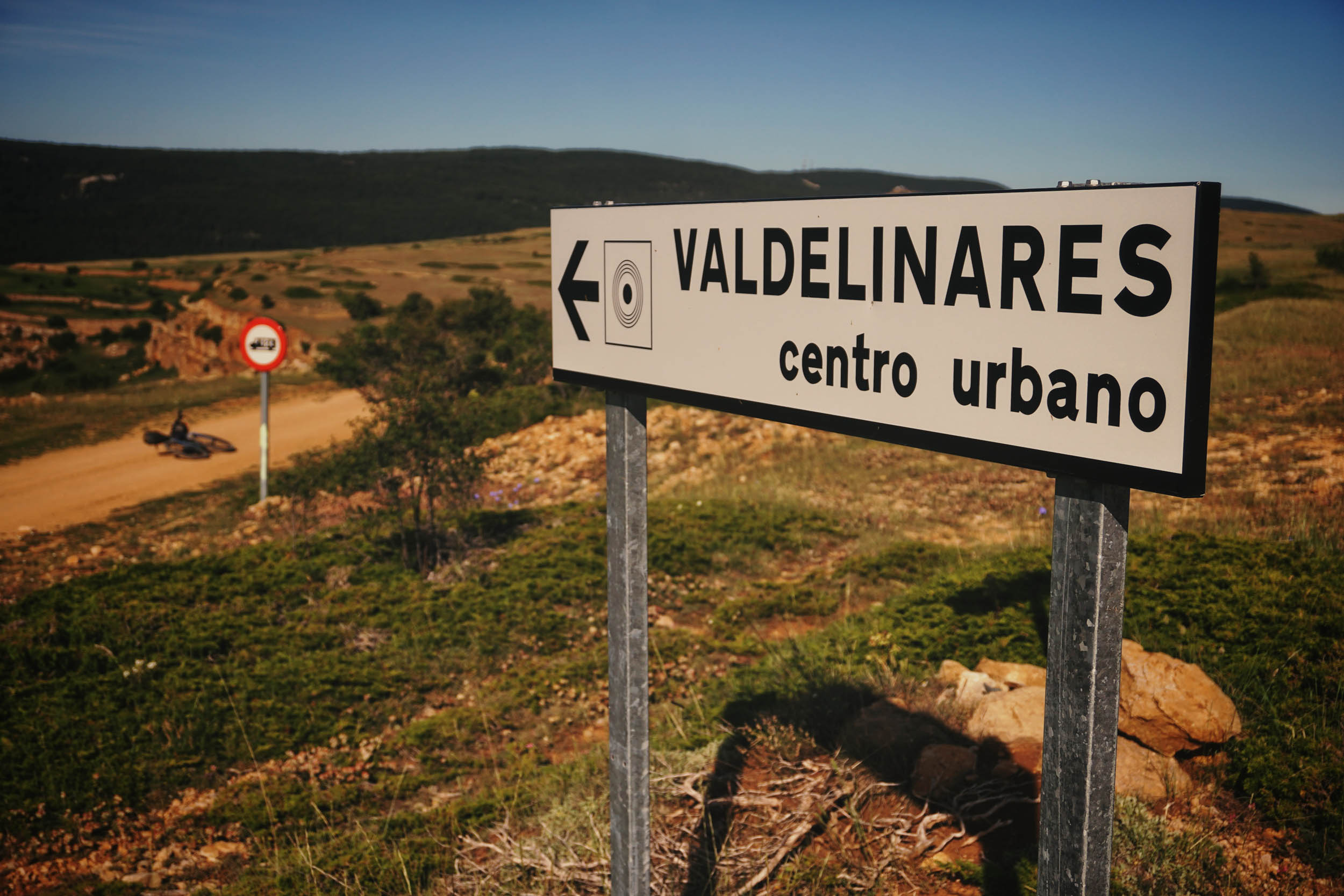
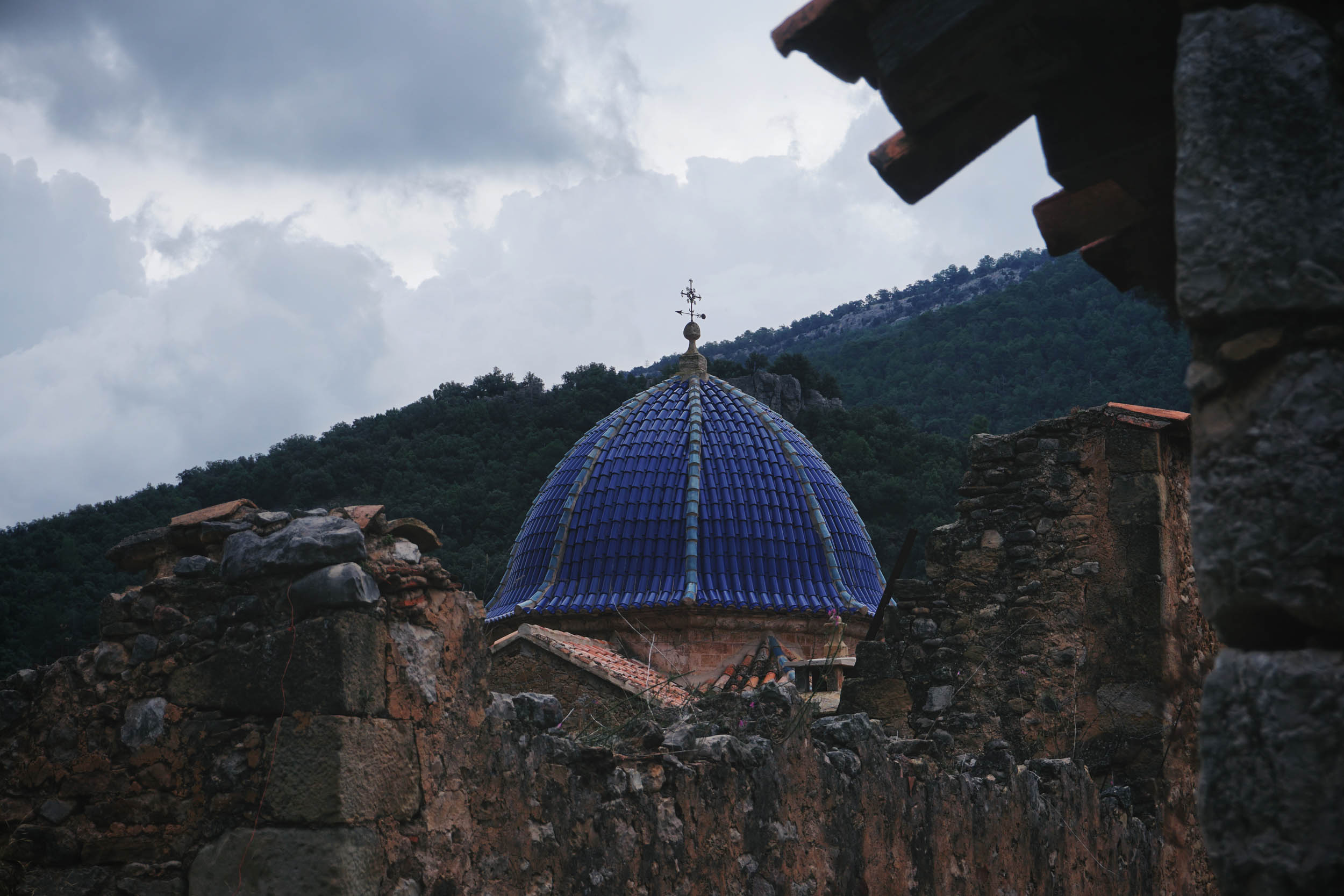
- You will never forget the off-road sections to reach Puertomingalvo, Valdelinares (highest village in Spain at 1,690 metres), or the Sanctuary of San Joan de Peñagolosa.
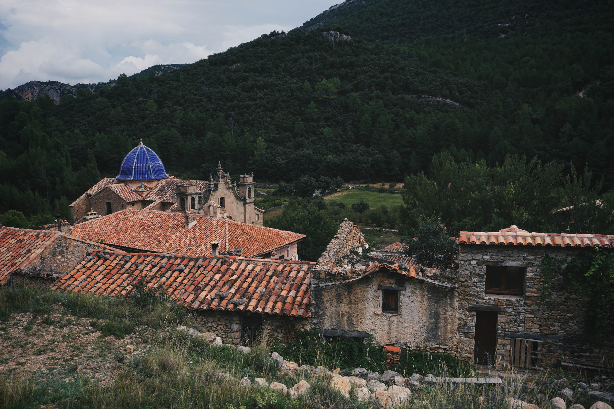
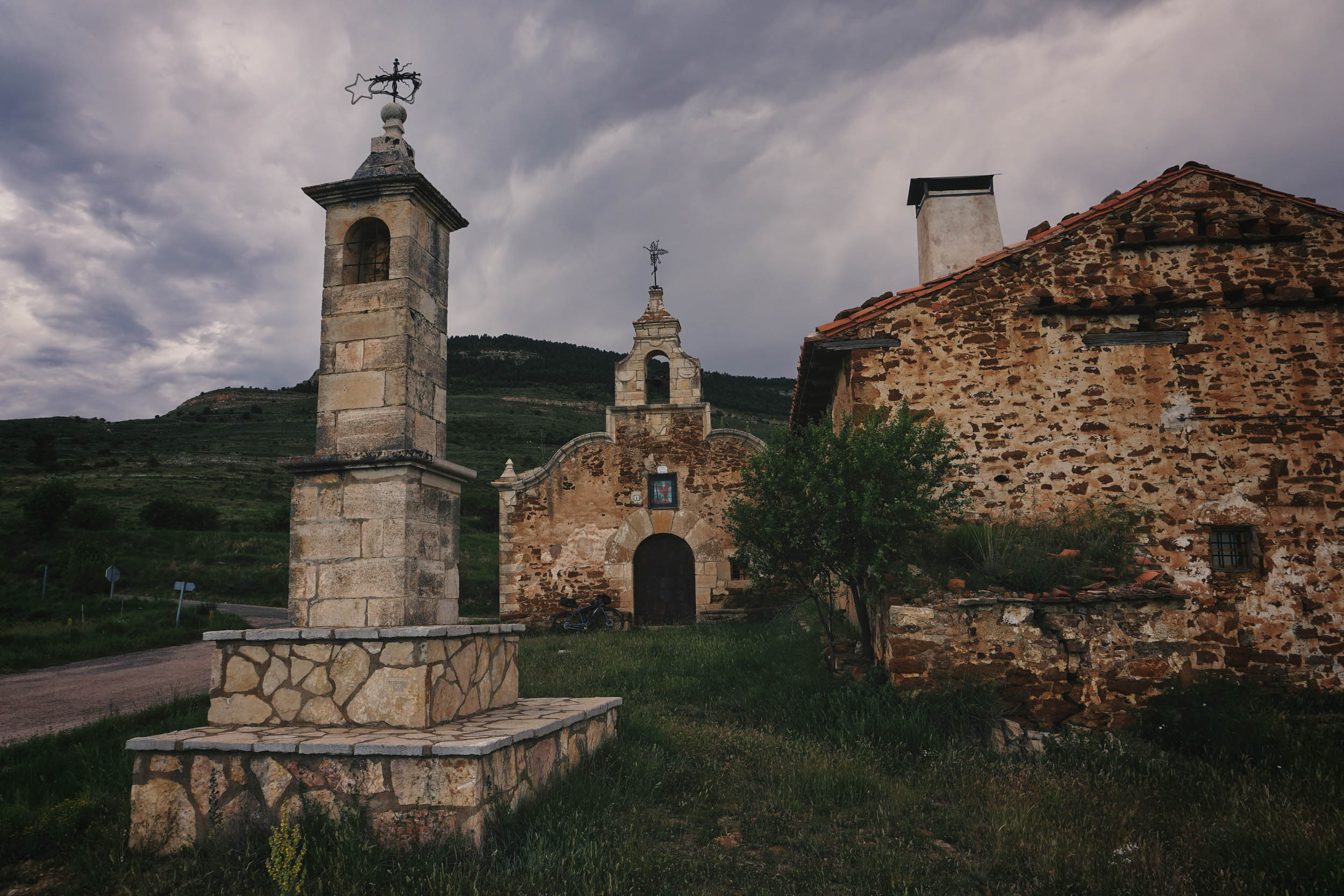
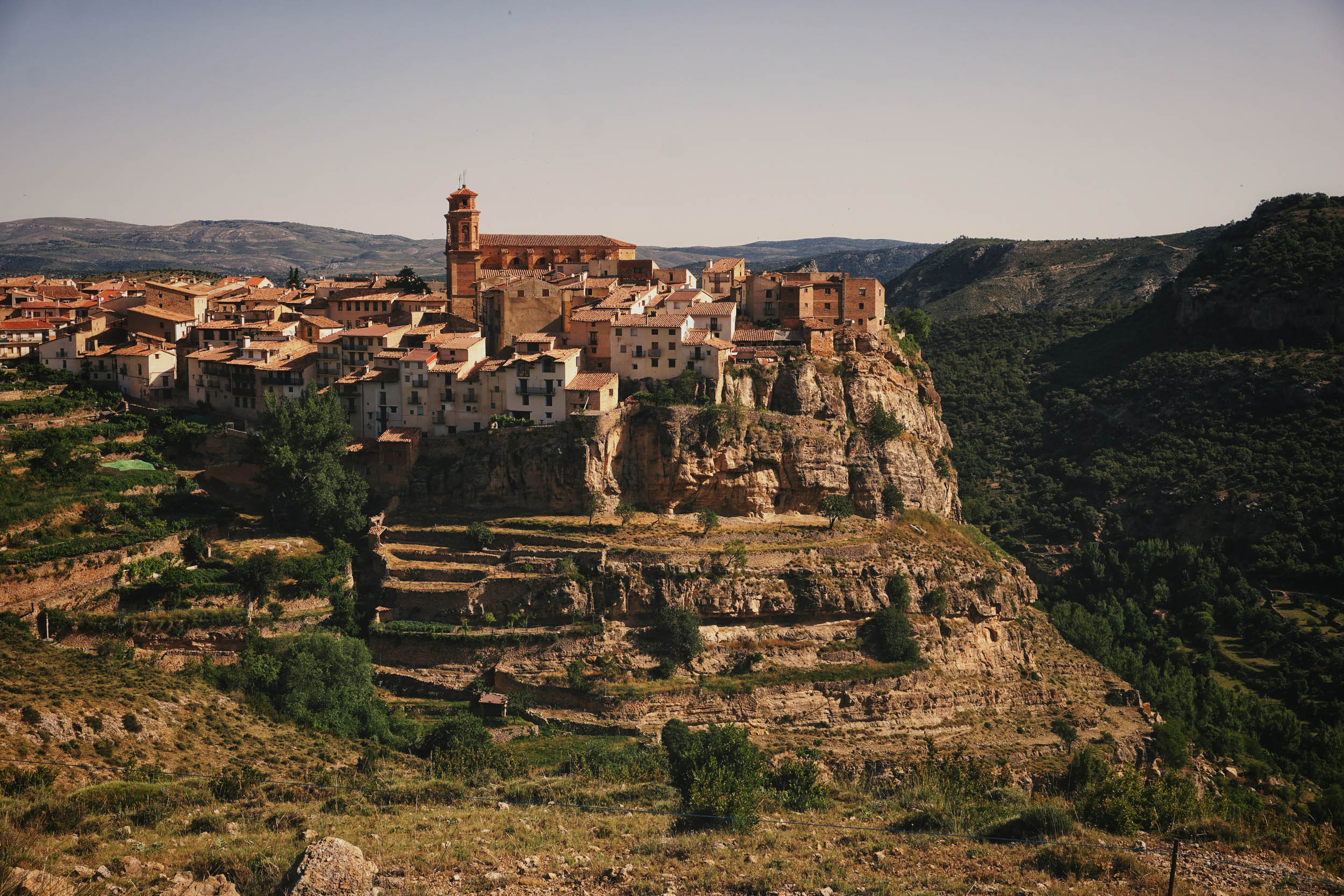
- You’ll see impossible villages such as Castelvispal, Villarluengo or Pitarque. “How could they build a village here?”
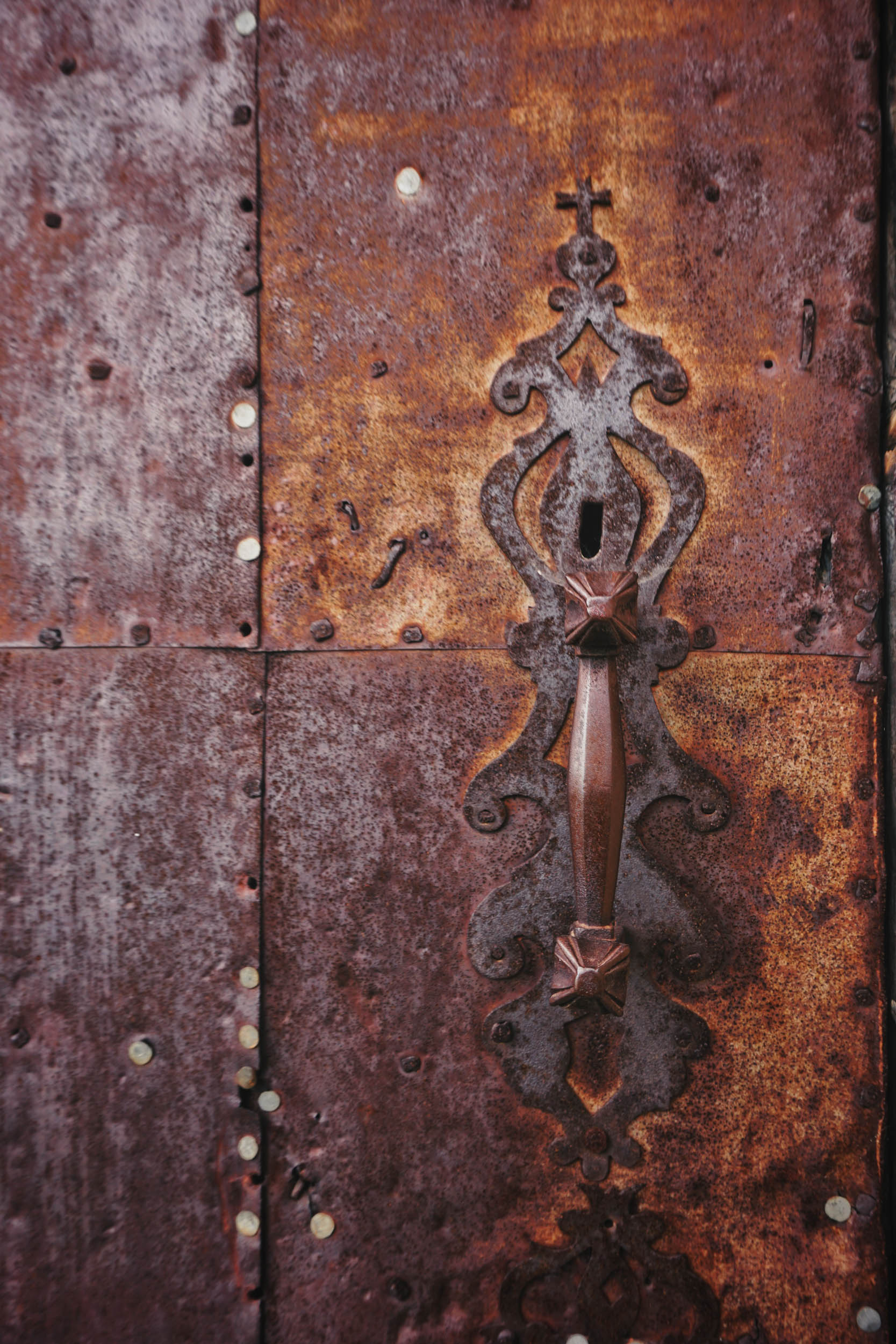
- Very interesting architecture while getting lost in the streets of Linares de Mora, La Iglesuela del Cid, or Cantavieja.
- Most people who ride in these areas agree that one of the most striking things is silence. Disconnect from your noisy life, and let it be part of you.
- Geology fans will find a treasure here. Most of the route is included in the Maestrazgo Geopark, with a great number of natural wonders.
- May, June, September, and October are the best seasons to ride here. Try to avoid the hottest weeks in summer and the long months of winter.
- The starting point may vary depending on your place of origin or your preferred route configuration: Cantavieja or Vistabella del Maestrazgo are the best options if you come from Valencia or Castellón, and Valdelinares or Linares de Mora could be interesting if you come from Teruel or if you want to want to link this route with Montañas Vacías or the Alto Alfambra and Sierra del Pobo Route.
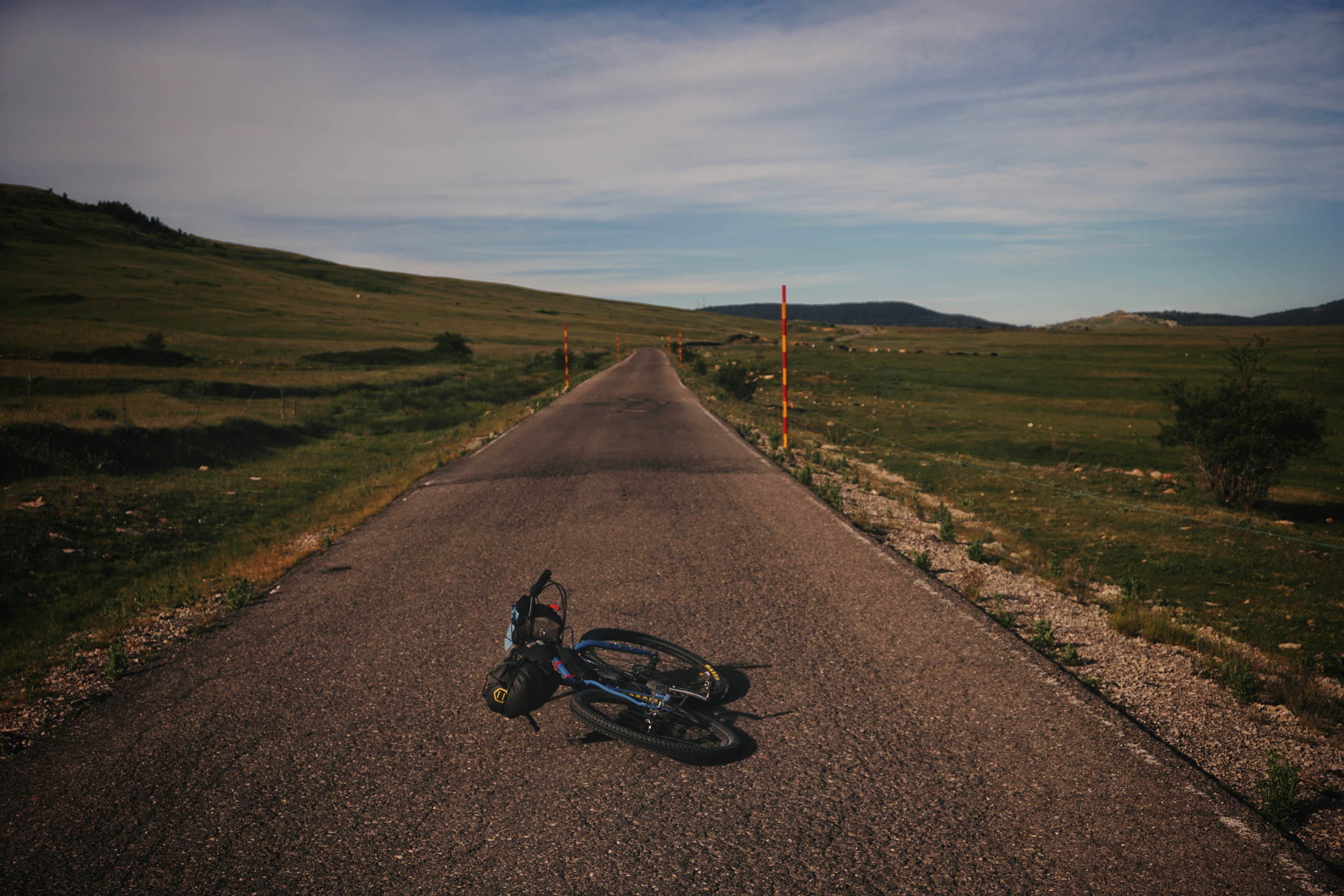
- I would recommend at least 45-47mm tyres and the lowest gears you can, due to the hilly nature of the route.
- The route is more enjoyable if you ride it in an anti-clockwise direction, but there’s nothing to stop you from doing it in the opposite direction if it suits you better.
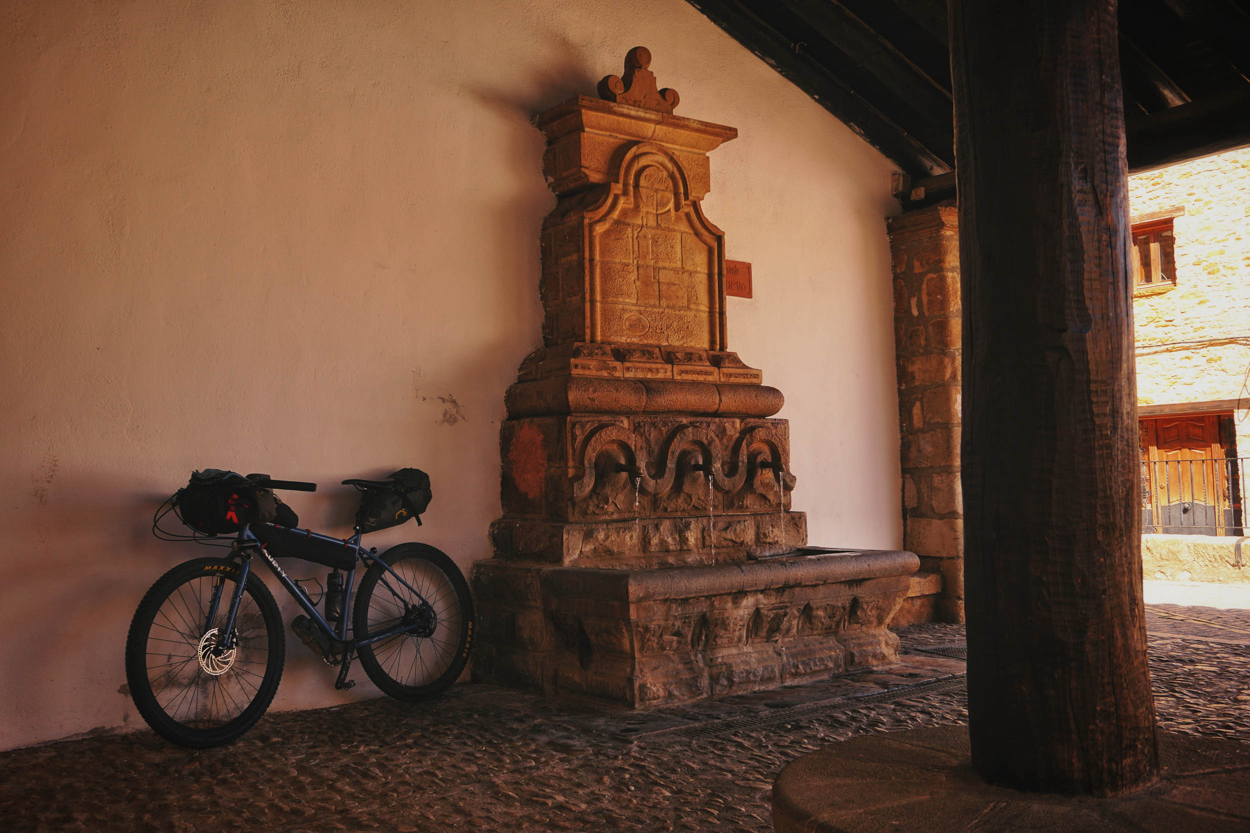
- You can find a humble campsite in Puertomingalvo, 50 metres from the village.
- There are a couple of refuges on the route: Next to the Sanctuary of San Joan de Peñagolosa and in Linares de Mora, in the monumental tree “El Pino del Escobón.”
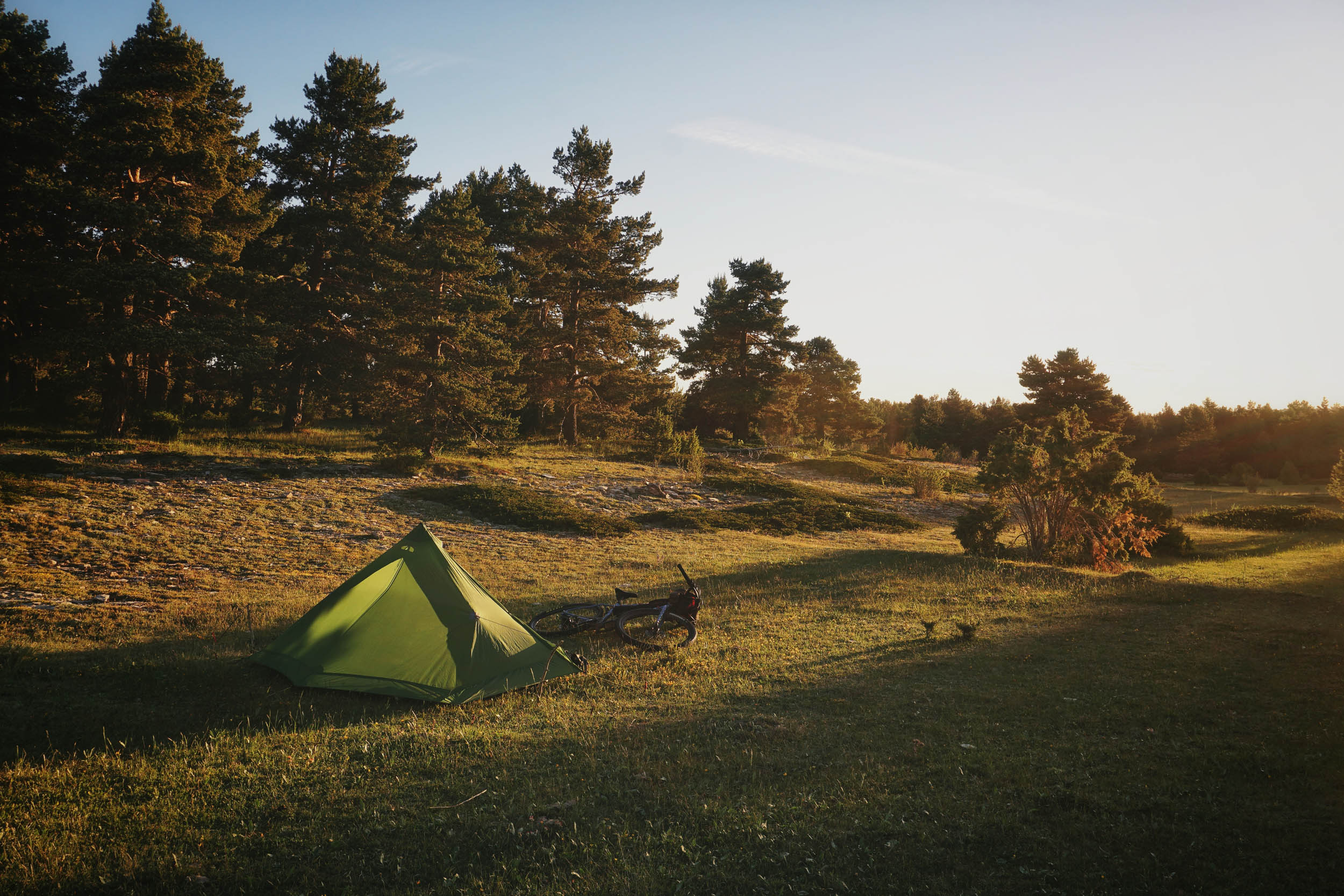
- As the area is sparsely populated, you won’t have any trouble finding places to pitch your tent or bivy. Just stay far enough off the roads and always follow the LNT principles.
- About water, you will find fresh water in every village, no need to be filtered.
- You’ll find at least one bar in every village except in La Estrella or Castelvispal.
- Small grocery shops in Puertomingalvo, Vistabella, and Cantavieja.
- Don’t miss the Linares de Mora bakery, an essential stop where you won’t be able to avoid trying some of its sweet or savoury delights.
- Bring a foldable bottle for those long sections without water points and an emergency food kit with one dinner and breakfast. You never know if the next bar will be closed.
- If you need to shorten the route to adapt it to your needs, you can do it via Fortanete, joining the Cuarto Pelado and Villarroya Passes, or via Mosqueruela, from the Mosqueruela Pass to Valdelinares. Both shortcuts are spectacular as well.
- In case you want a bigger loop, the area from Valdelinares to Linares is the recommended junction with the original Montañas Vacías route as well as with the Alto Alfambra and Sierra del Pobo loop.
- No need to hike-a-bike. It may only be necessary for a few meters on a steep concrete climb between La Iglesuela del Cid and Cantavieja.
- More info about other routes in the area: MontanasVacias.com


Terms of Use: As with each bikepacking route guide published on BIKEPACKING.com, should you choose to cycle this route, do so at your own risk. Prior to setting out check current local weather, conditions, and land/road closures. While riding, obey all public and private land use restrictions and rules, carry proper safety and navigational equipment, and of course, follow the #leavenotrace guidelines. The information found herein is simply a planning resource to be used as a point of inspiration in conjunction with your own due-diligence. In spite of the fact that this route, associated GPS track (GPX and maps), and all route guidelines were prepared under diligent research by the specified contributor and/or contributors, the accuracy of such and judgement of the author is not guaranteed. BIKEPACKING.com LLC, its partners, associates, and contributors are in no way liable for personal injury, damage to personal property, or any other such situation that might happen to individual riders cycling or following this route.
Please keep the conversation civil, constructive, and inclusive, or your comment will be removed.