


Moody Forest Loop
Distance
91 Mi.
(146 KM)Days
2-3
% Unpaved
90%
% Singletrack
5%
% Rideable (time)
100%
Total Ascent
5,478'
(1,670 M)High Point
6,981'
(2,128 M)Difficulty (1-10)
2?
- 4Climbing Scale Fair60 FT/MI (11 M/KM)
- -Technical Difficulty
- -Physical Demand
- -Resupply & Logistics
Contributed By

Lawson Turcotte
Guest Contributor
Lawson is a Rexburg local, currently pursuing a bachelor’s degree in Physics at BYU-Idaho. In his free time Lawson will most often be found out biking, though he also enjoys backpacking, skateboarding, reading, climbing, and taking photos.
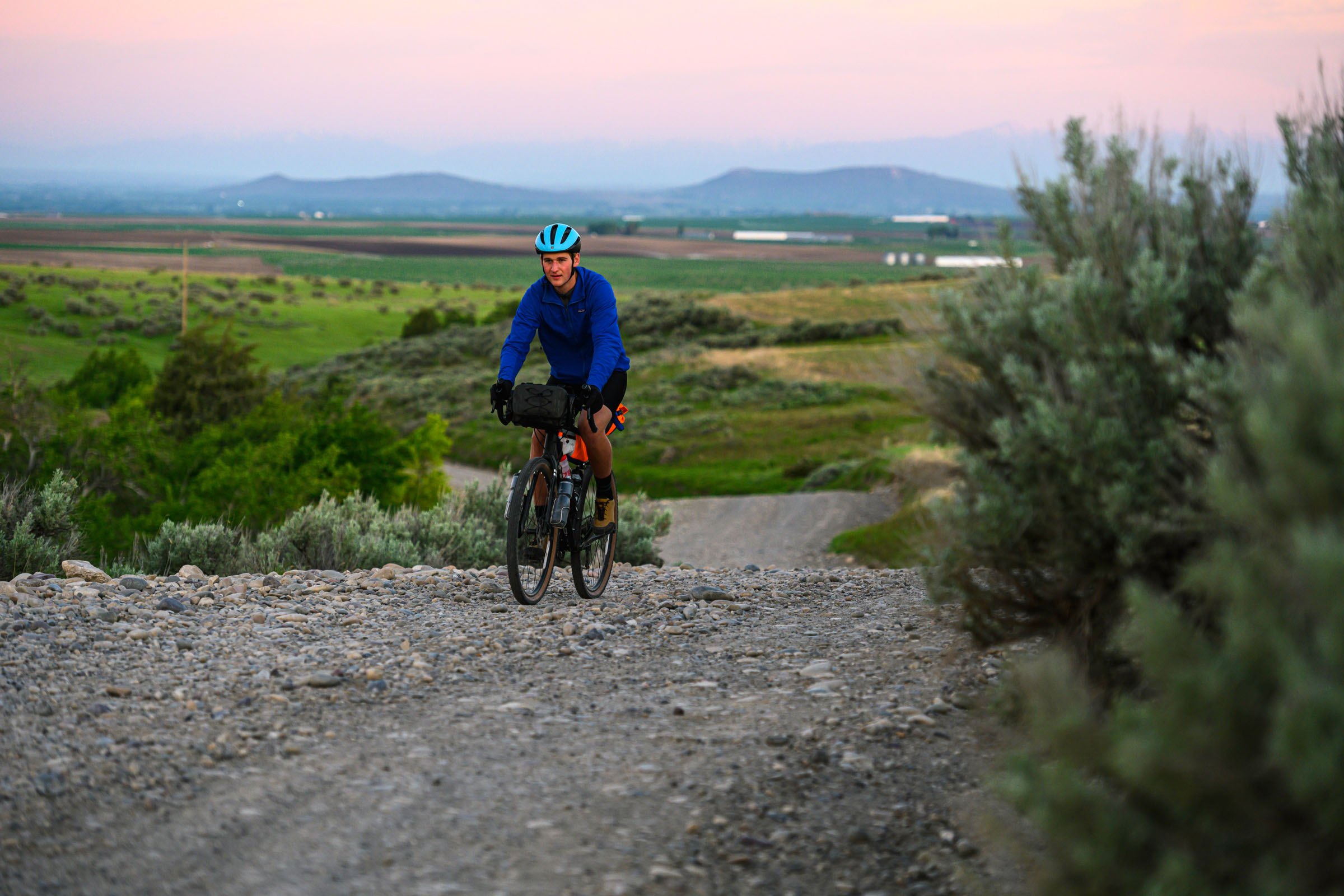
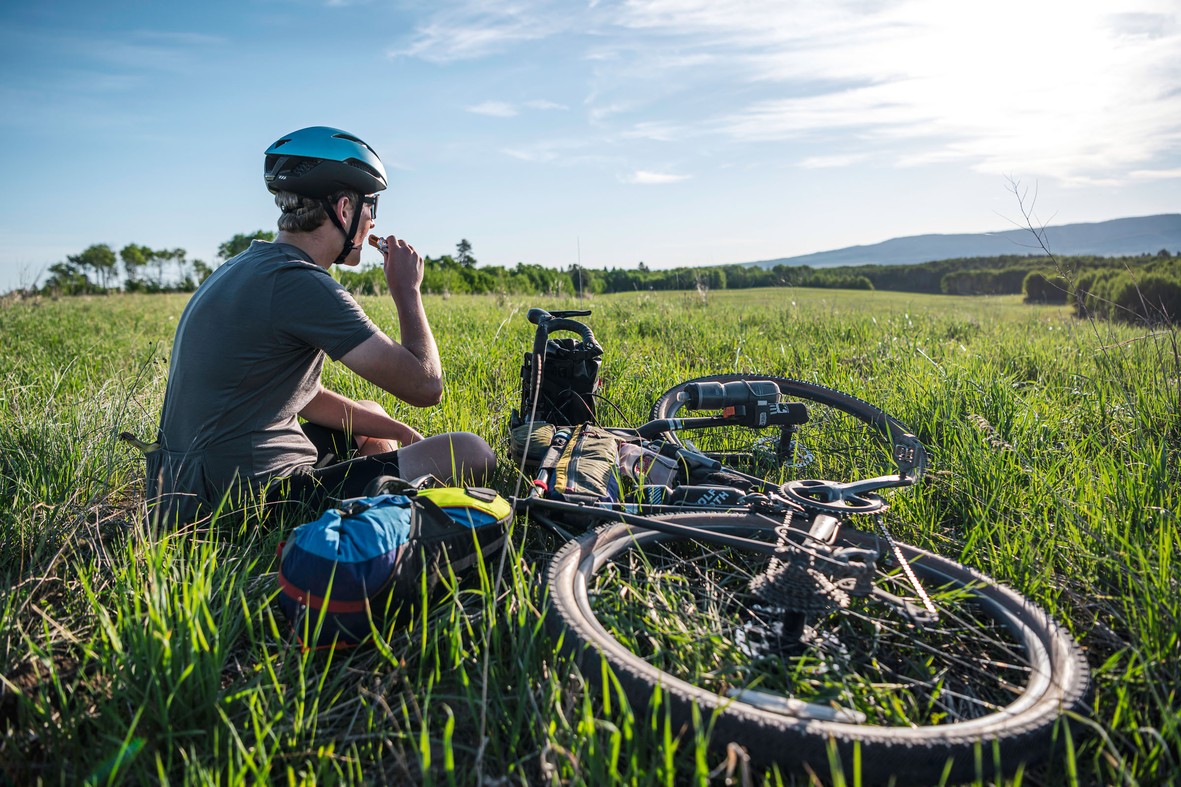
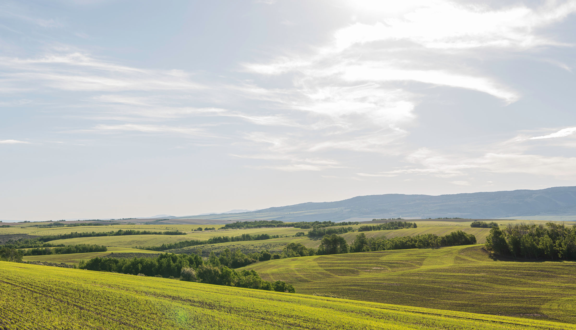
Rexburg, Idaho, is a great place to live for outdoor enthusiasts. Grand Teton National Park, Yellowstone National Park, Craters of the Moon National Monument, City of Rocks National Reserve, and countless of other places to camp, bike, hike, and climb all exist within two or so hours of driving. Sometimes the best adventures can happen close to home. Just 15 miles to the southeast of Rexburg starts Targhee National Forest, opening a whole slew of epic roads and trails for exploration.
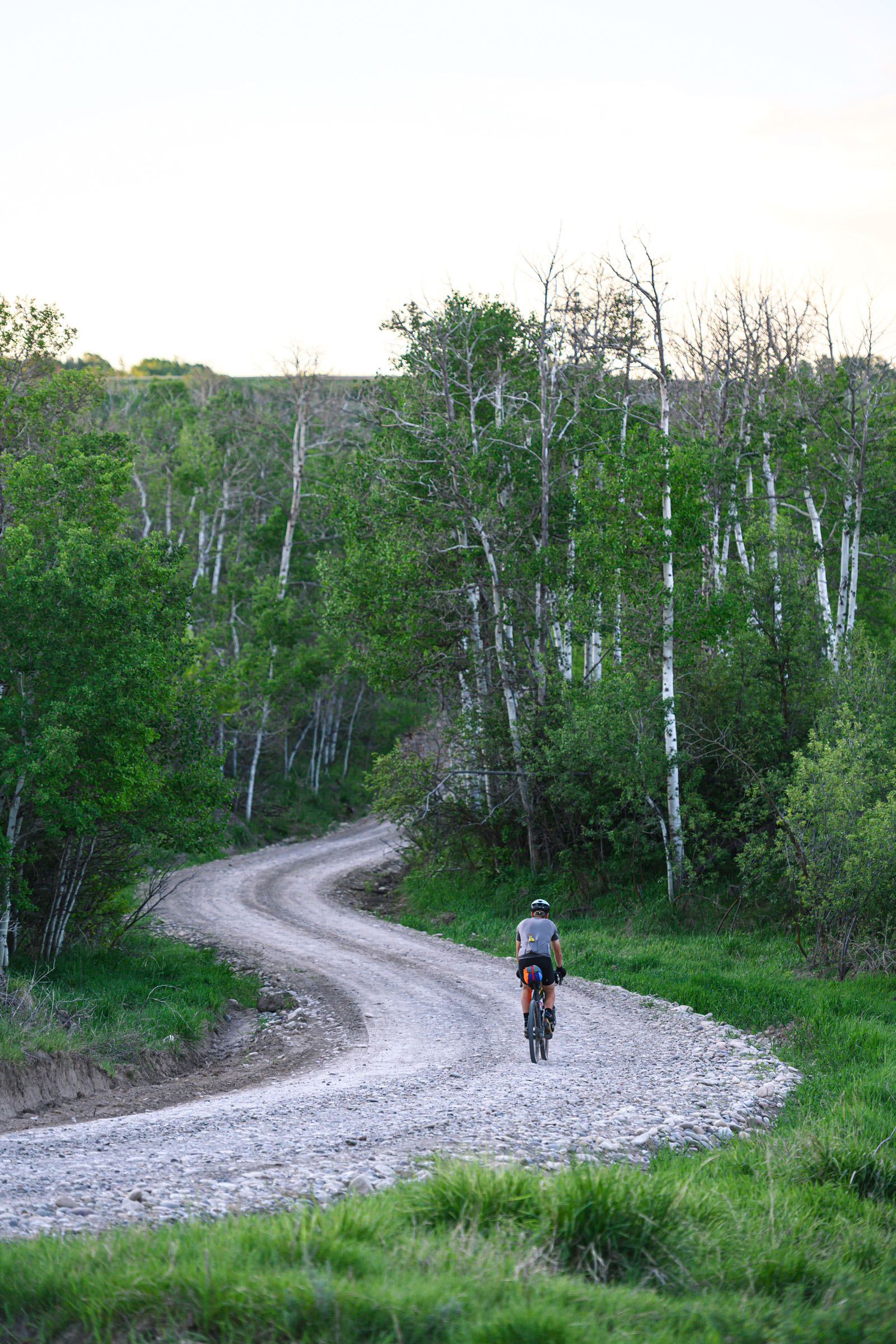
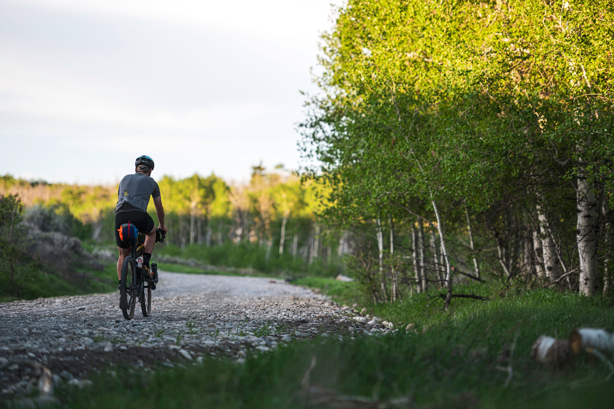
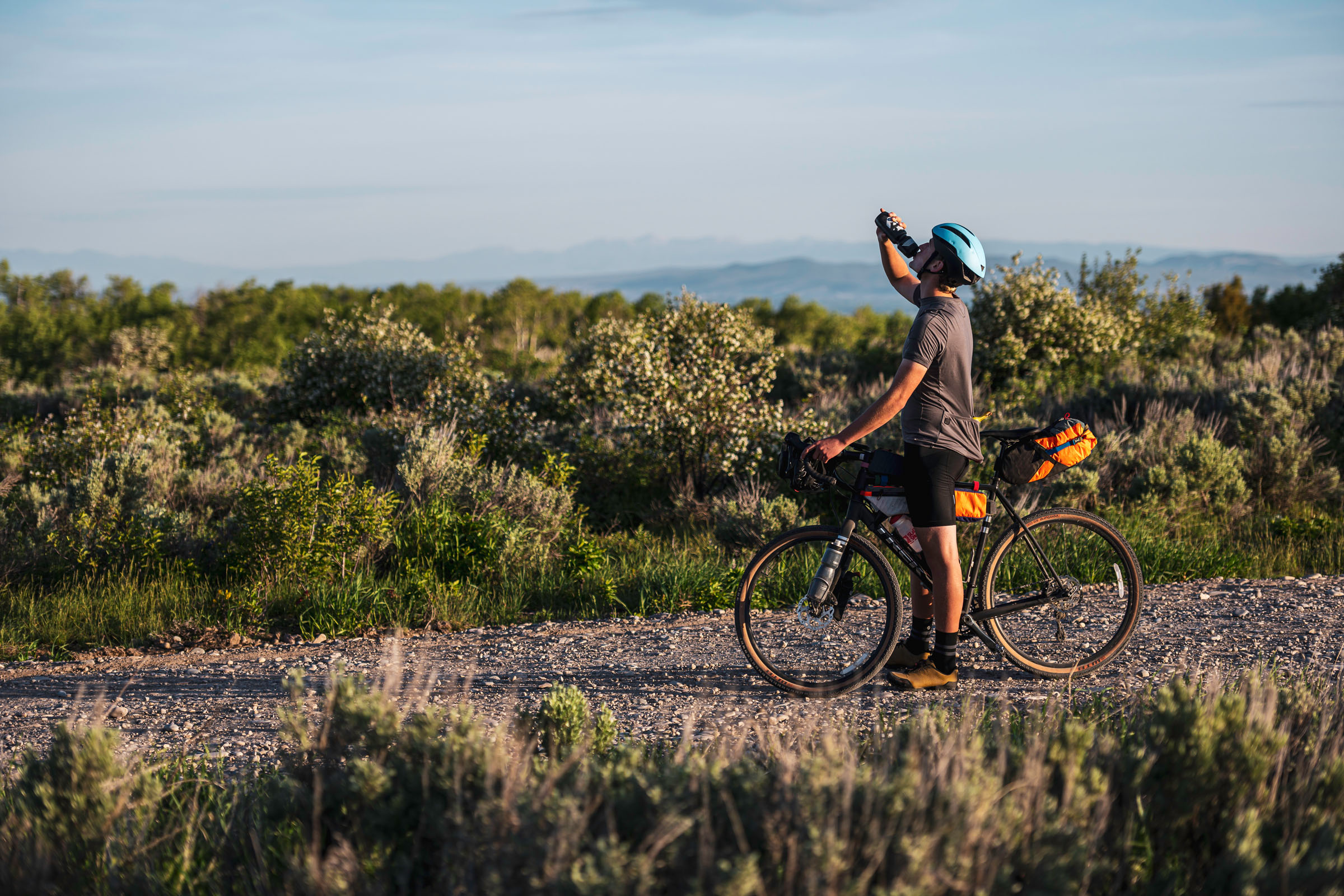
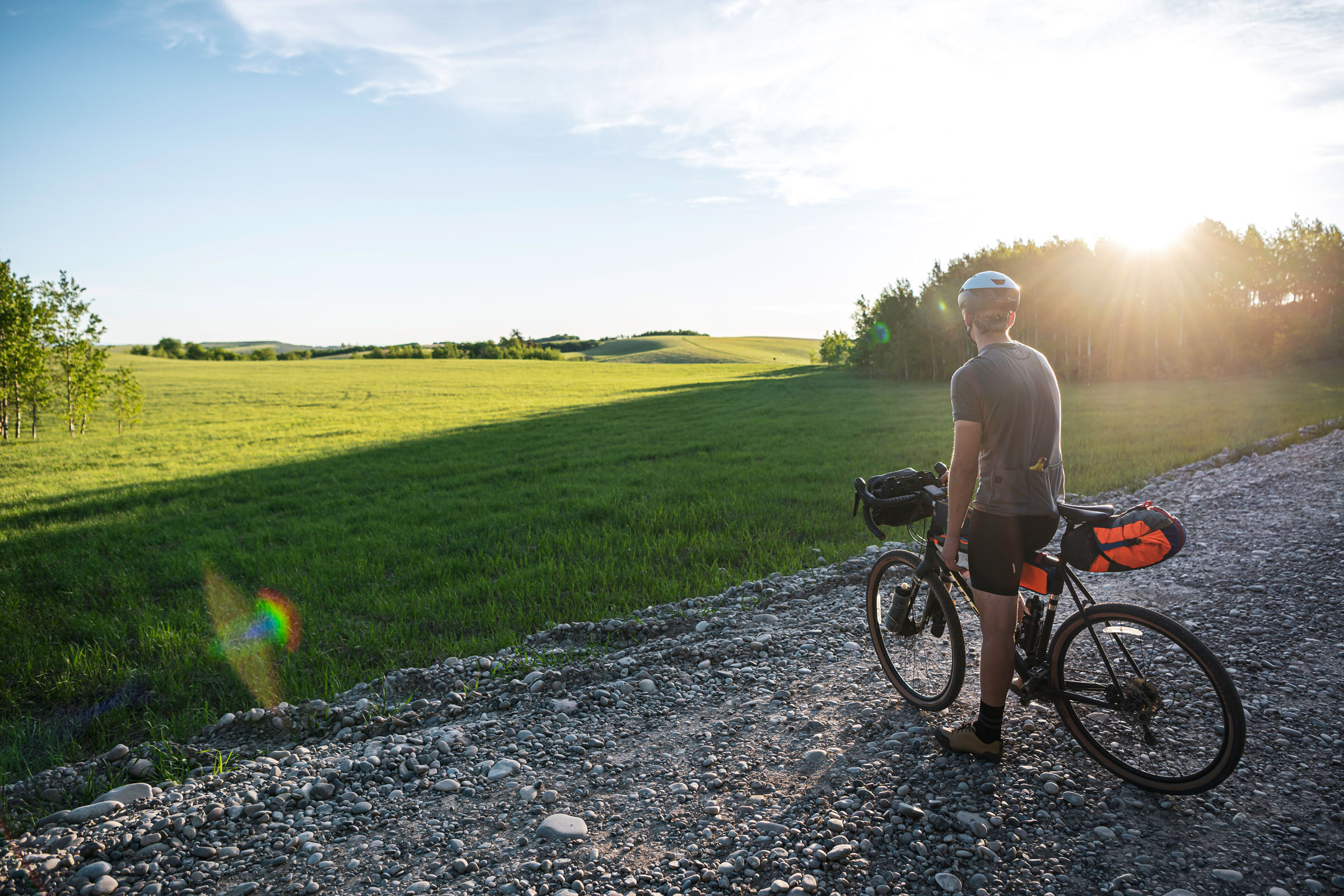
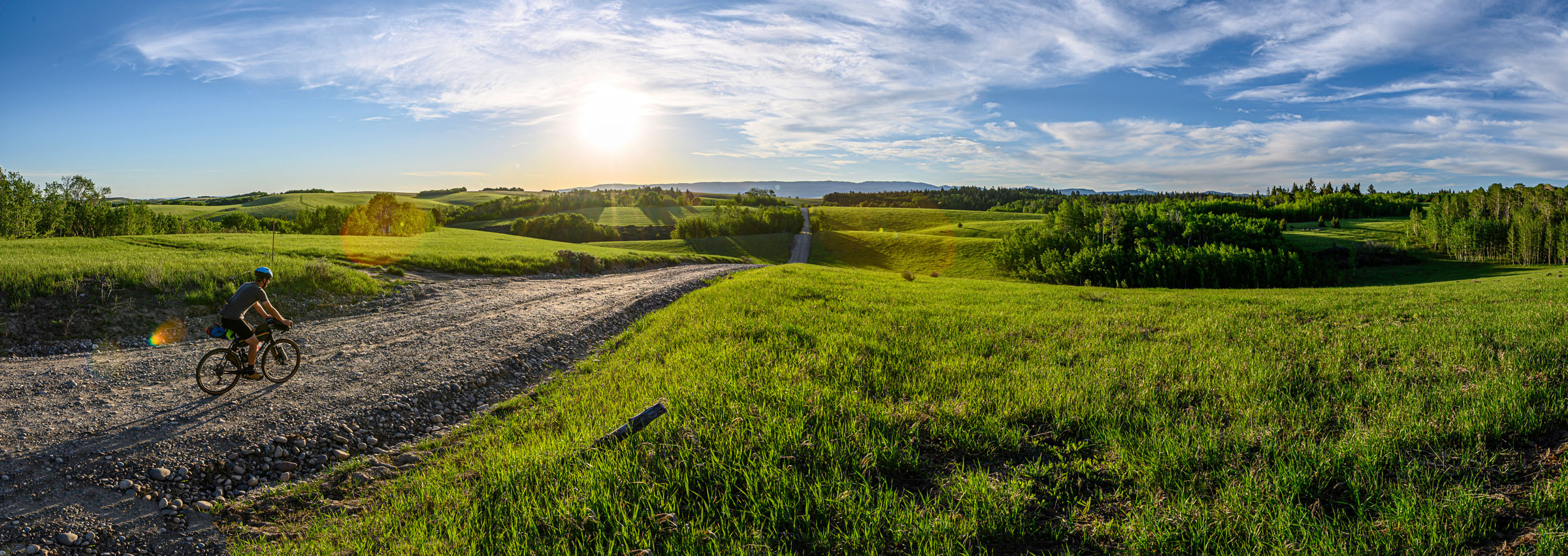
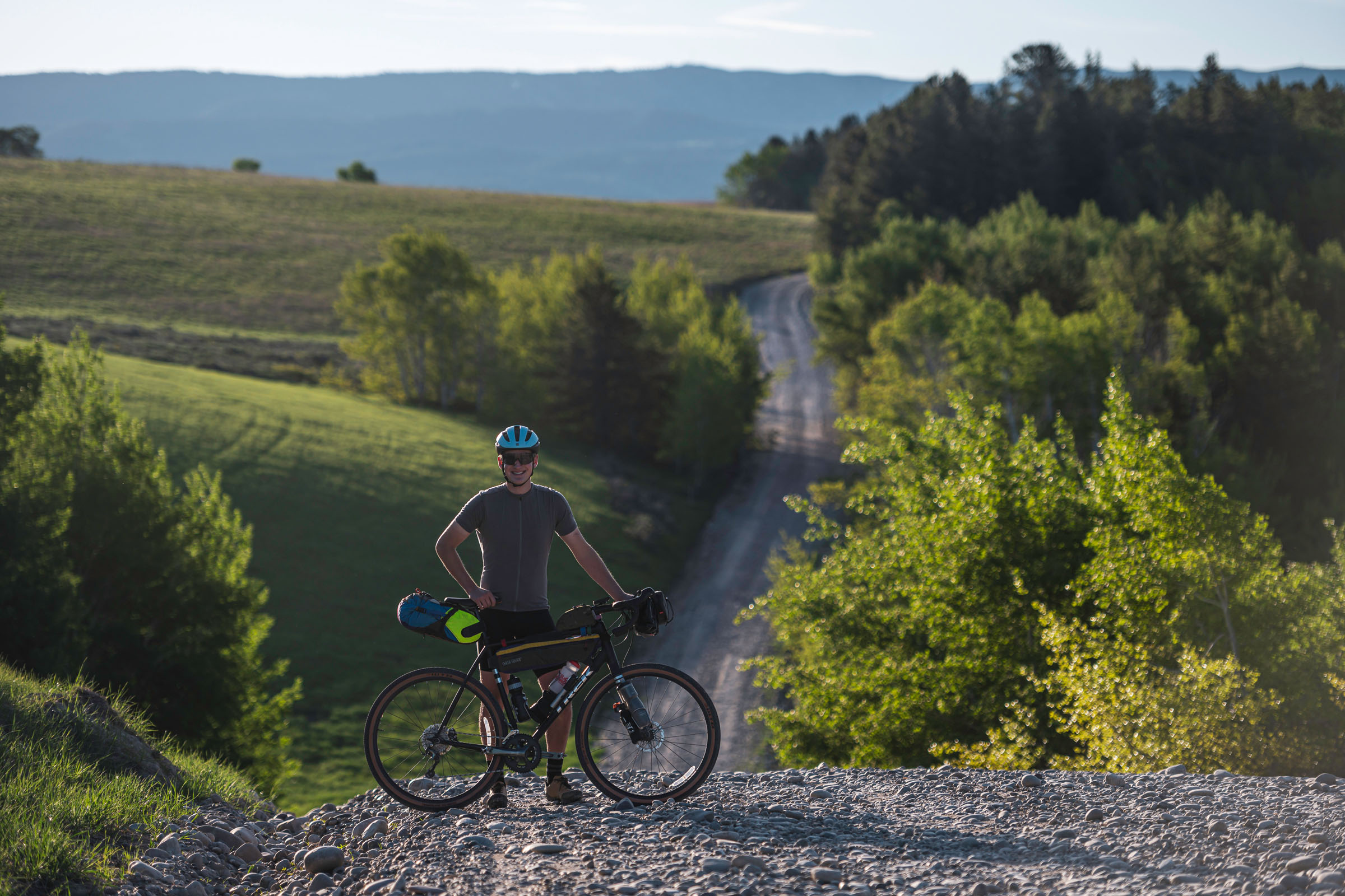
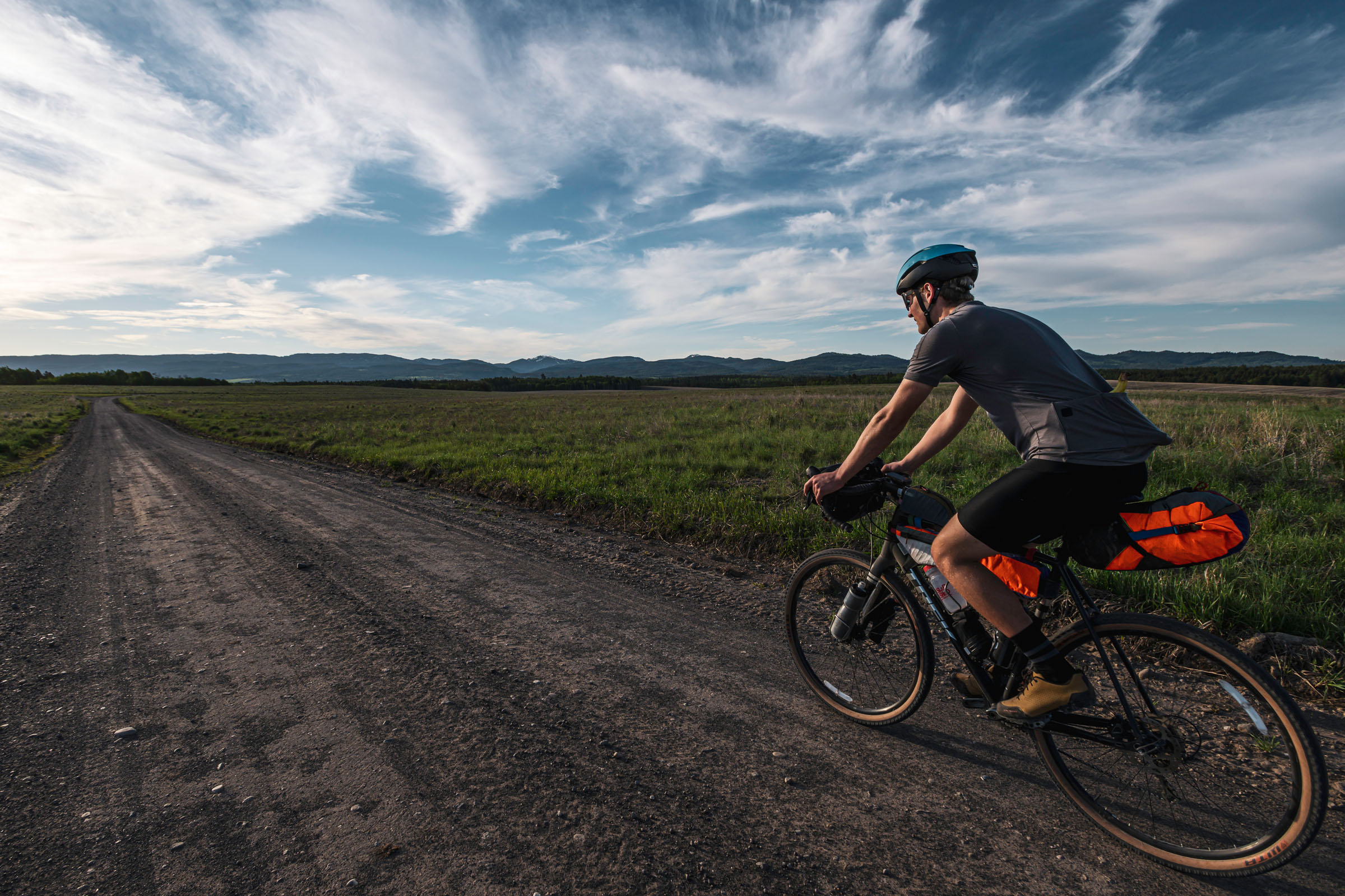
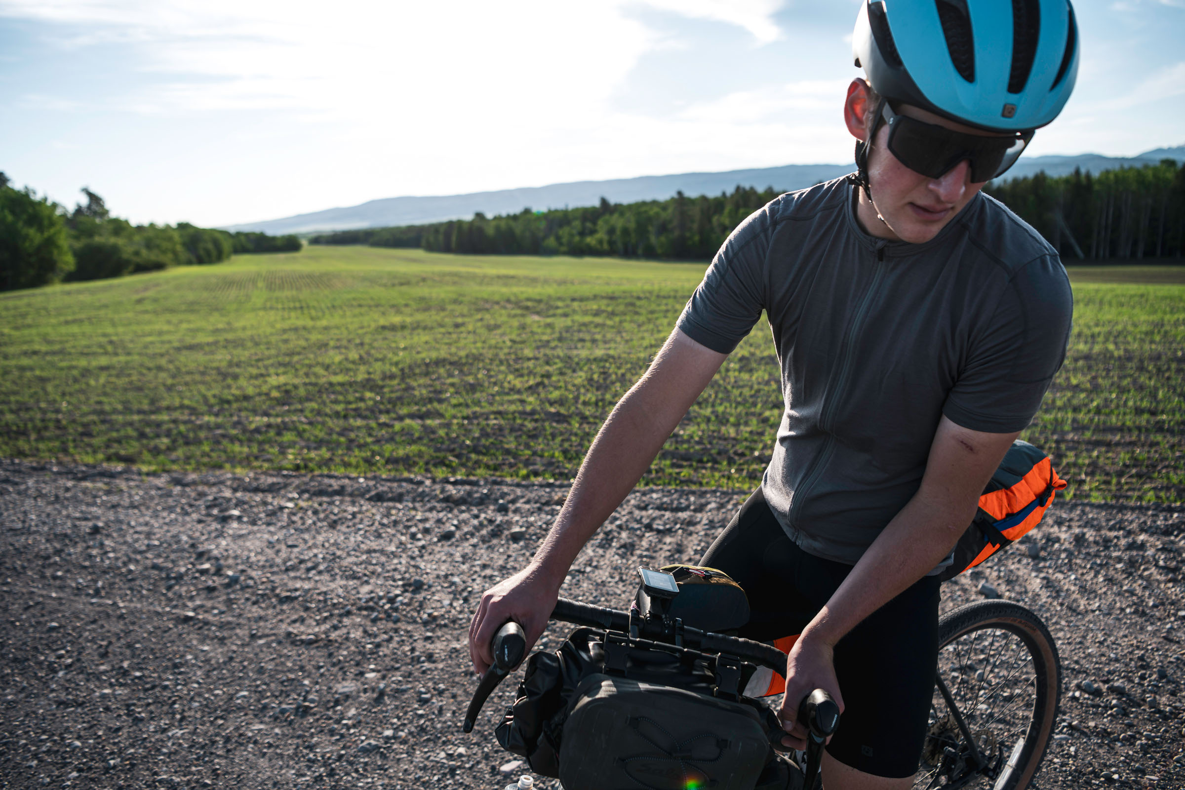
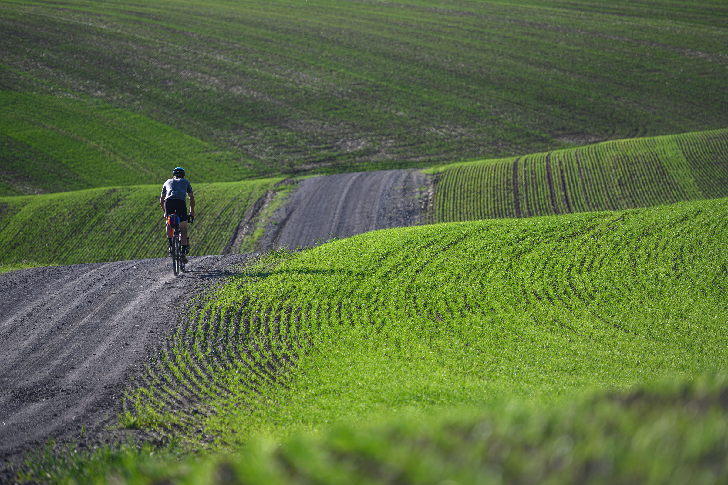
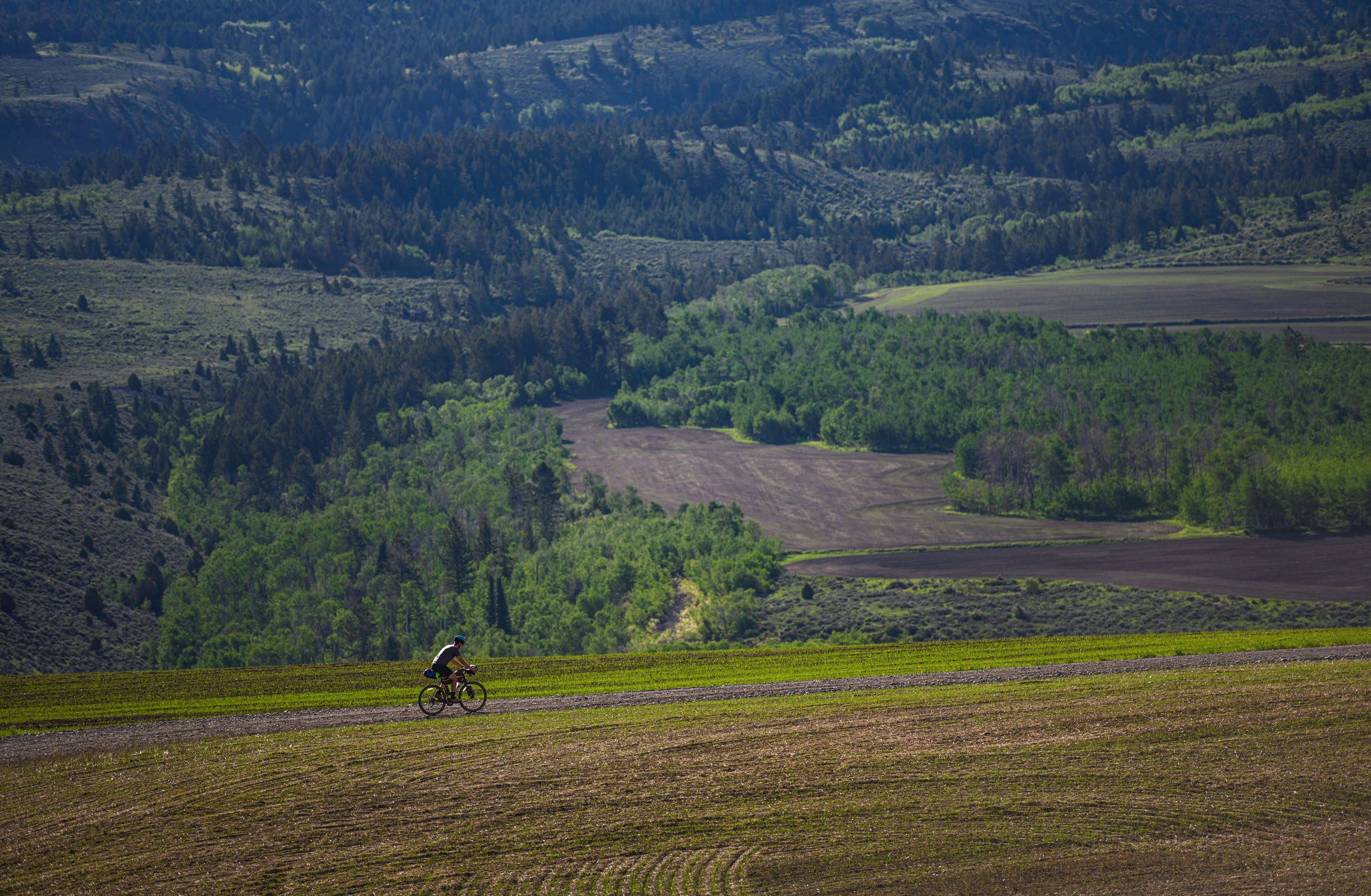
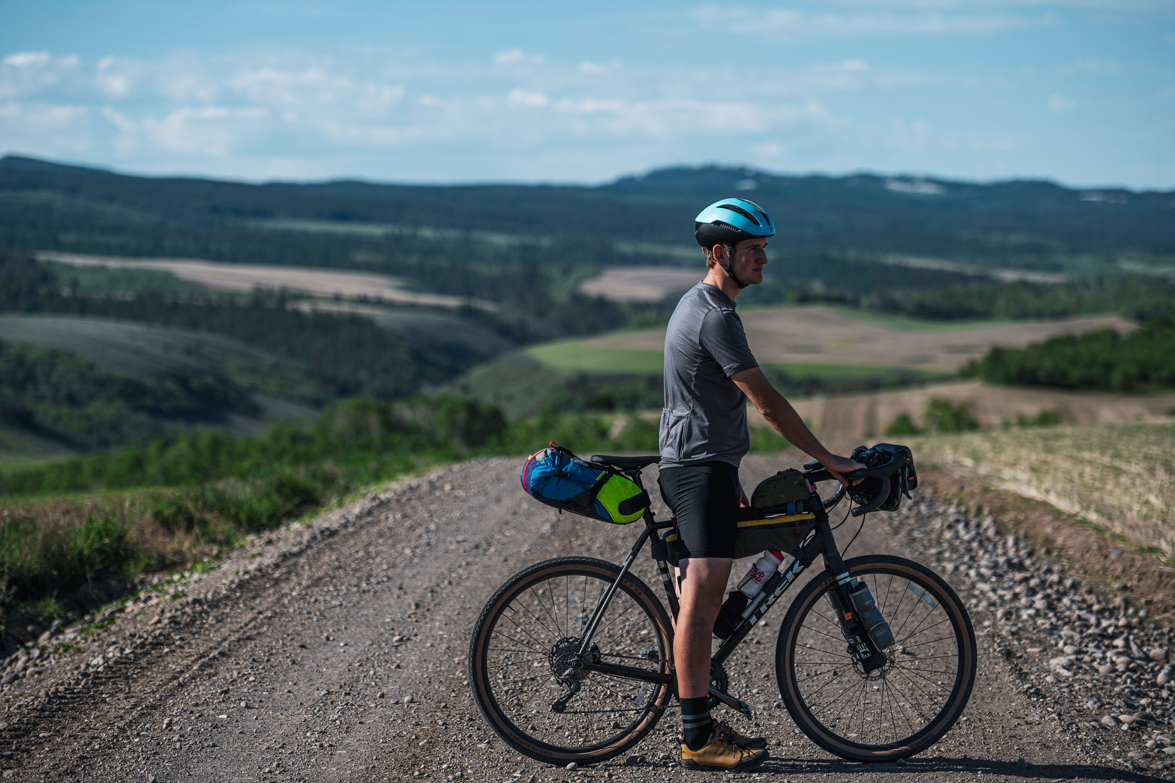
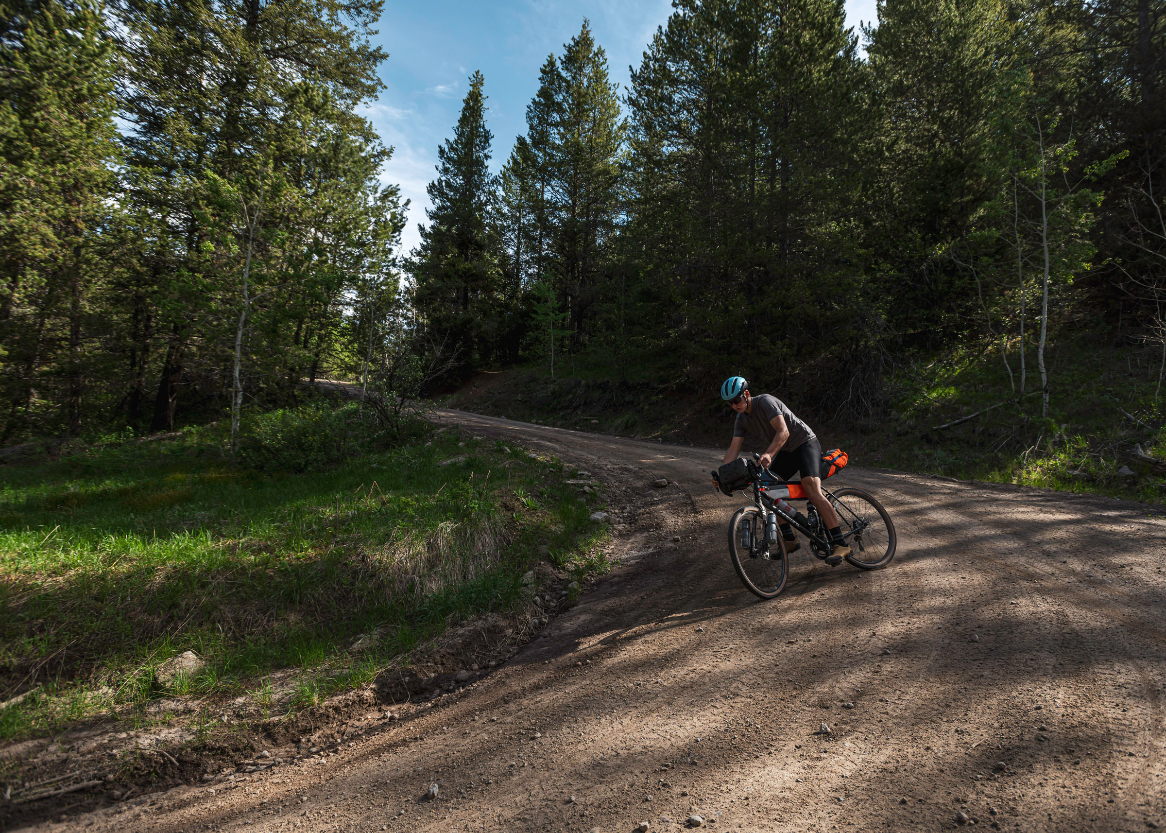
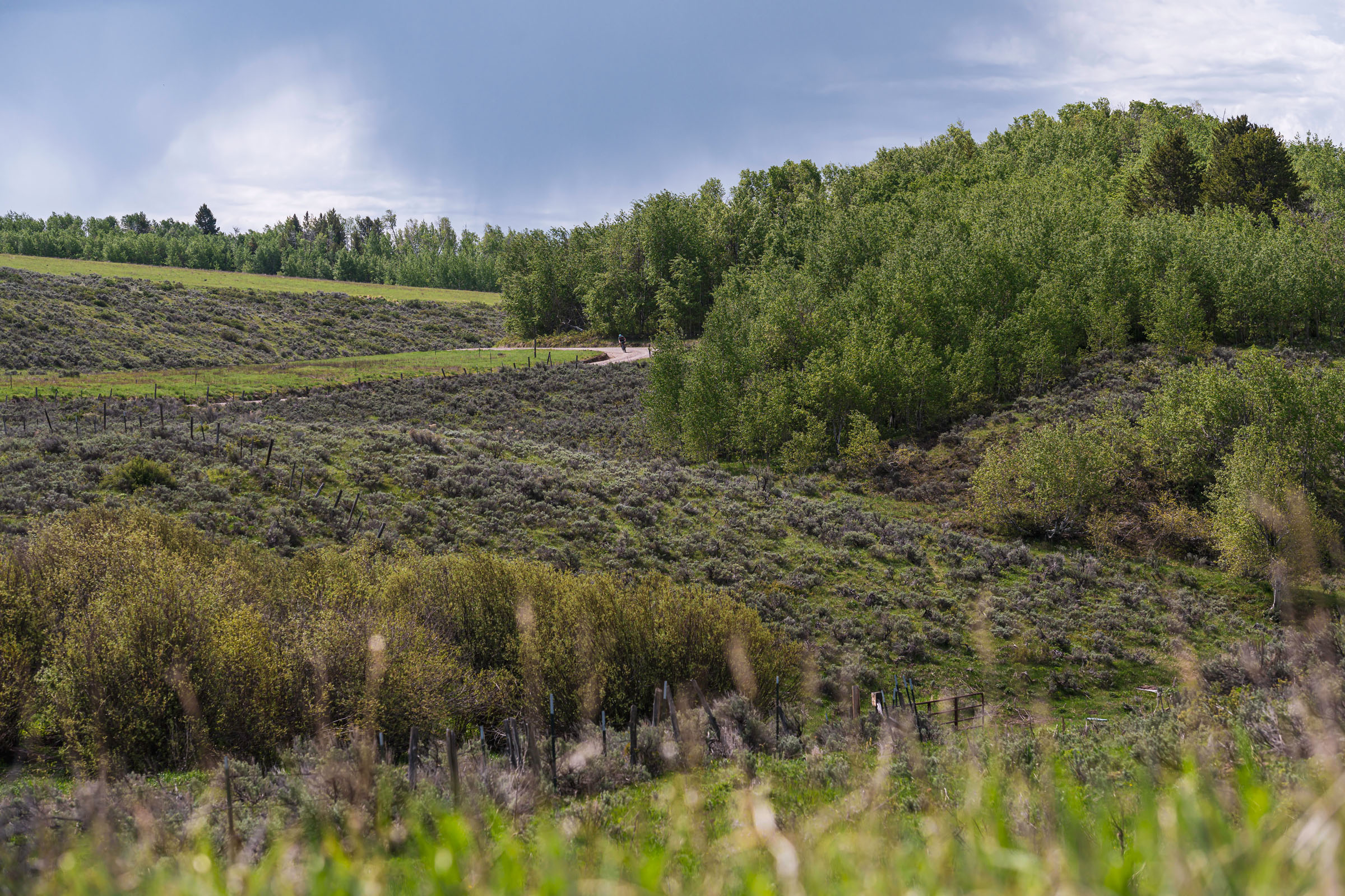
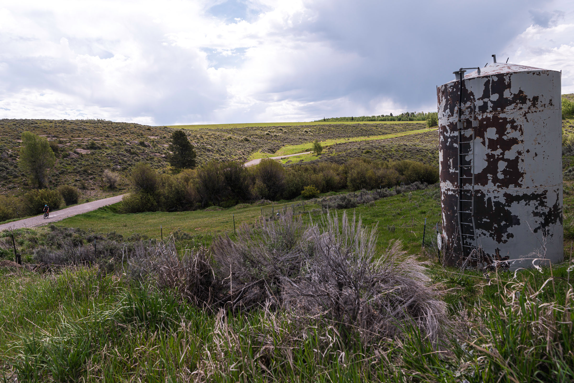
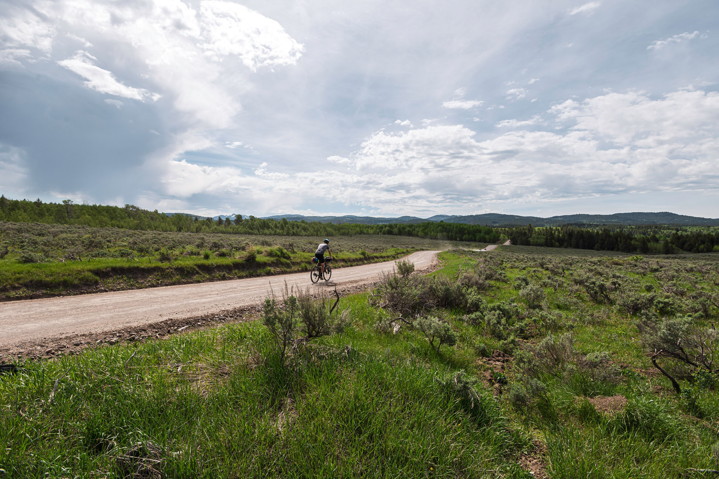
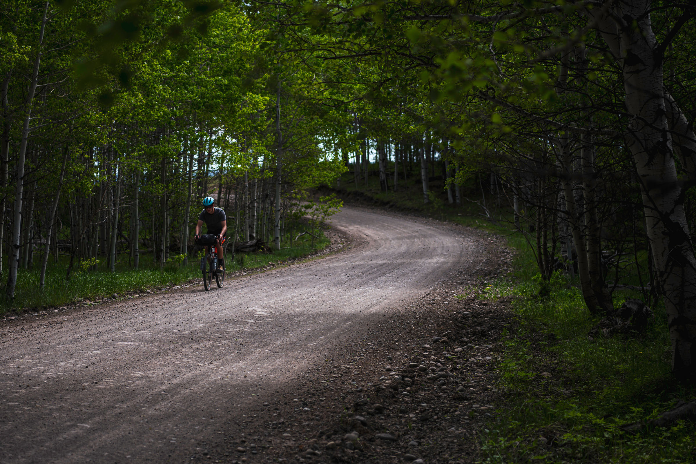
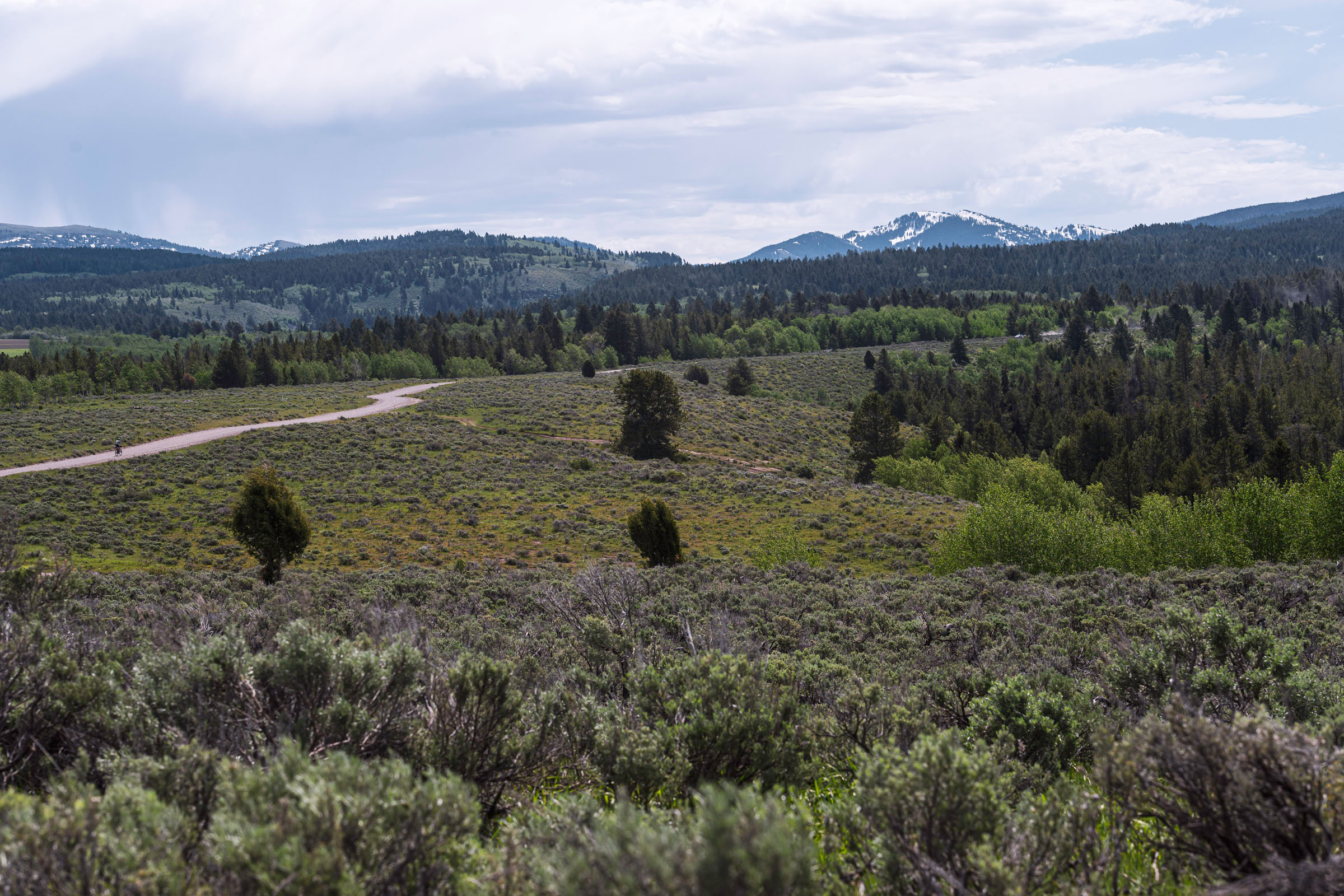
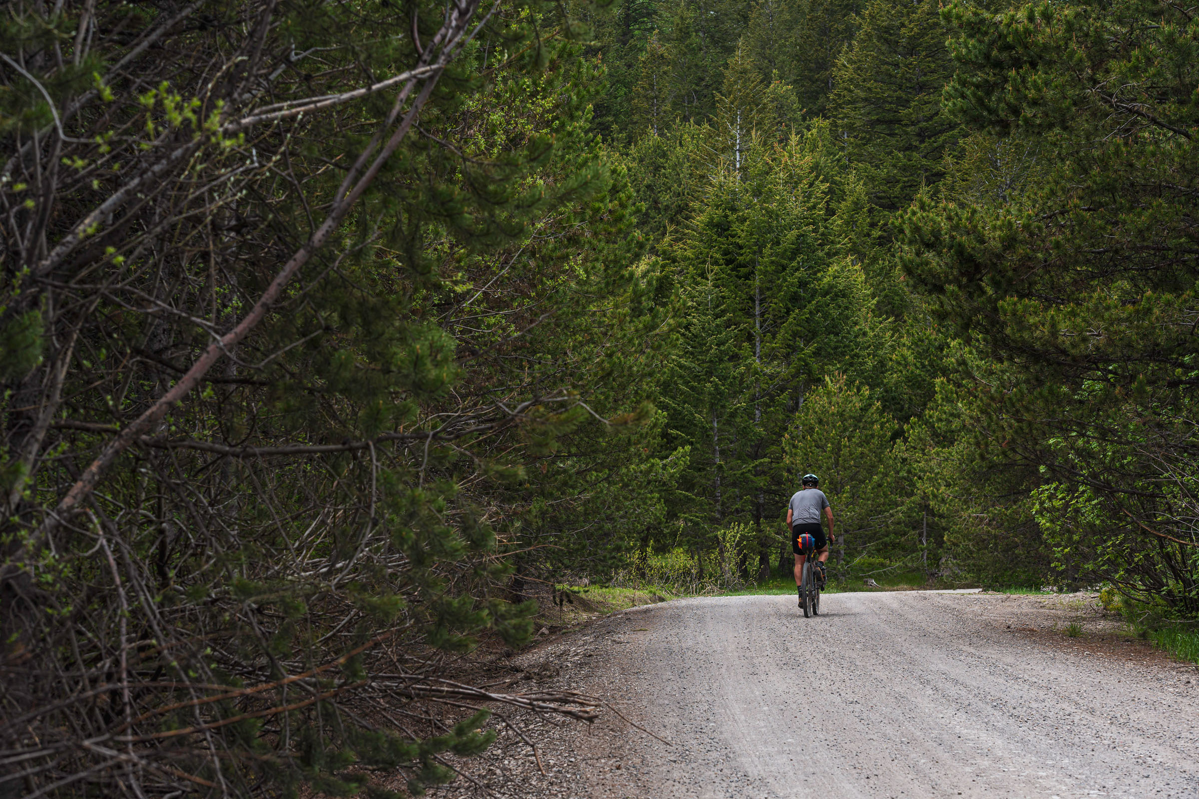
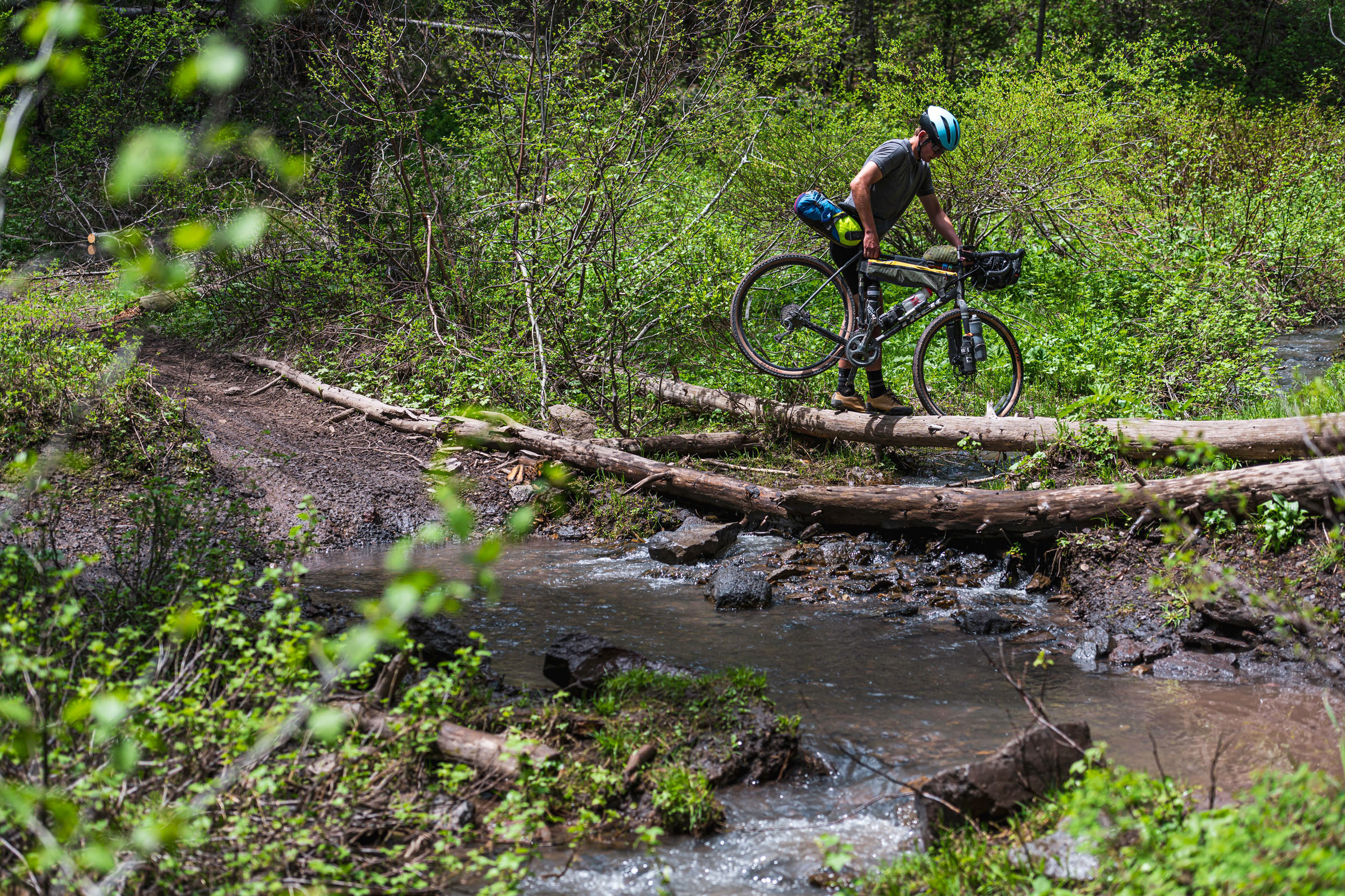
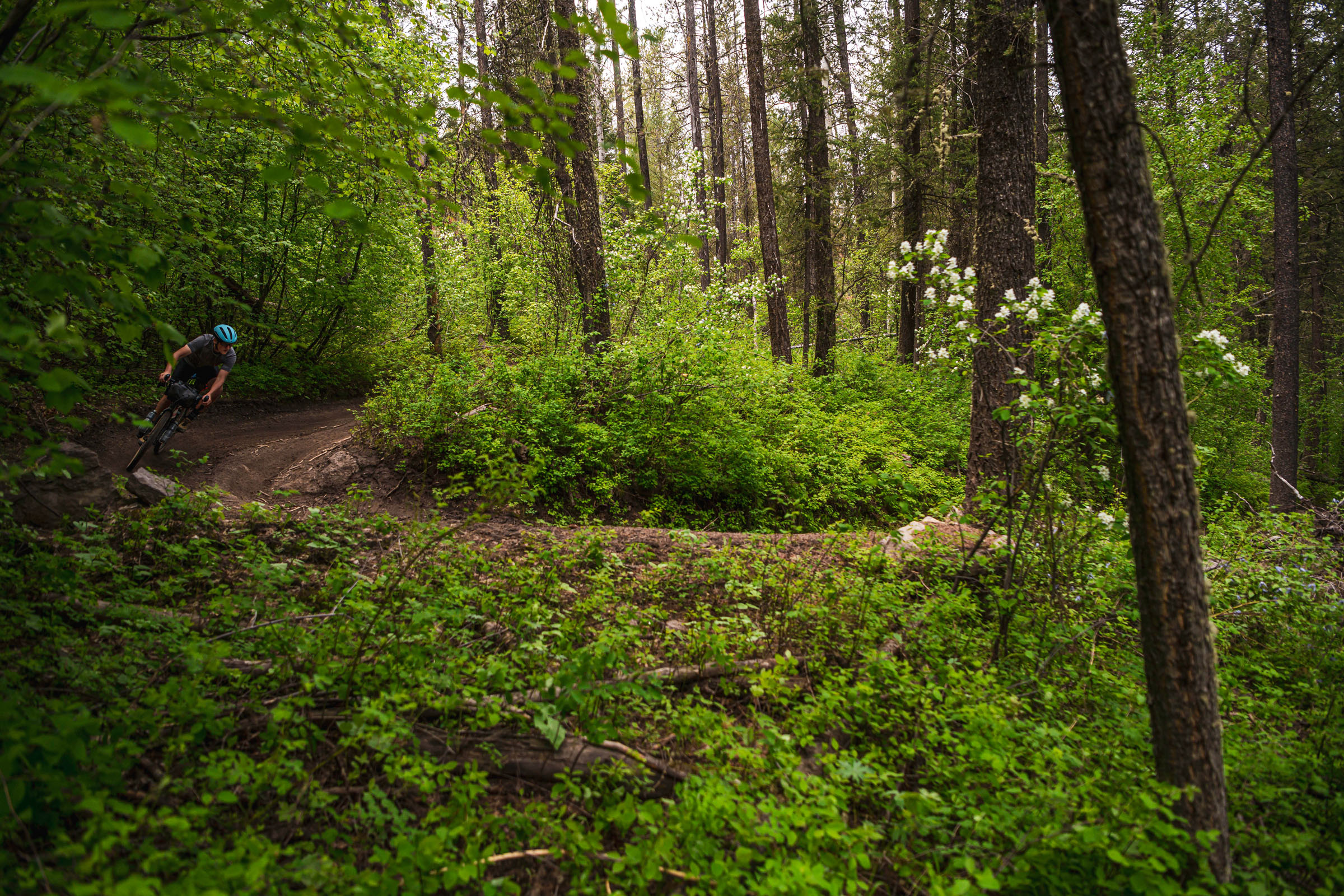
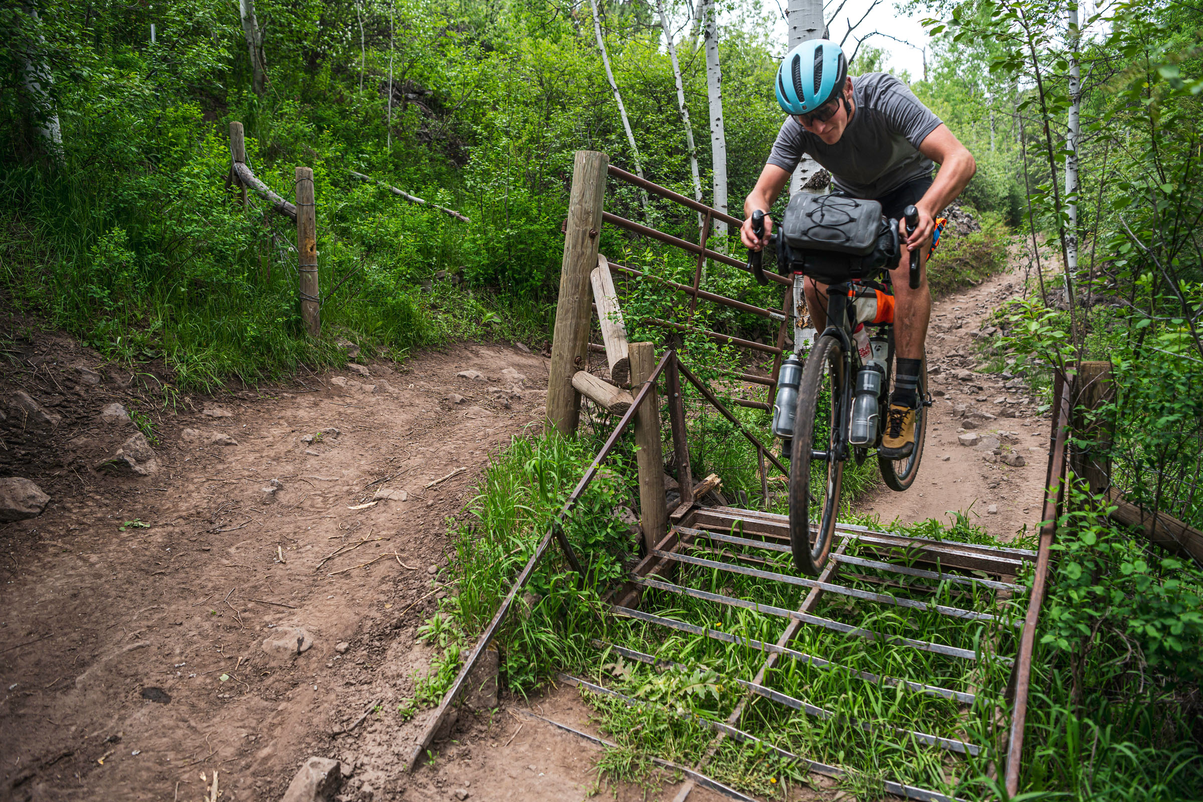
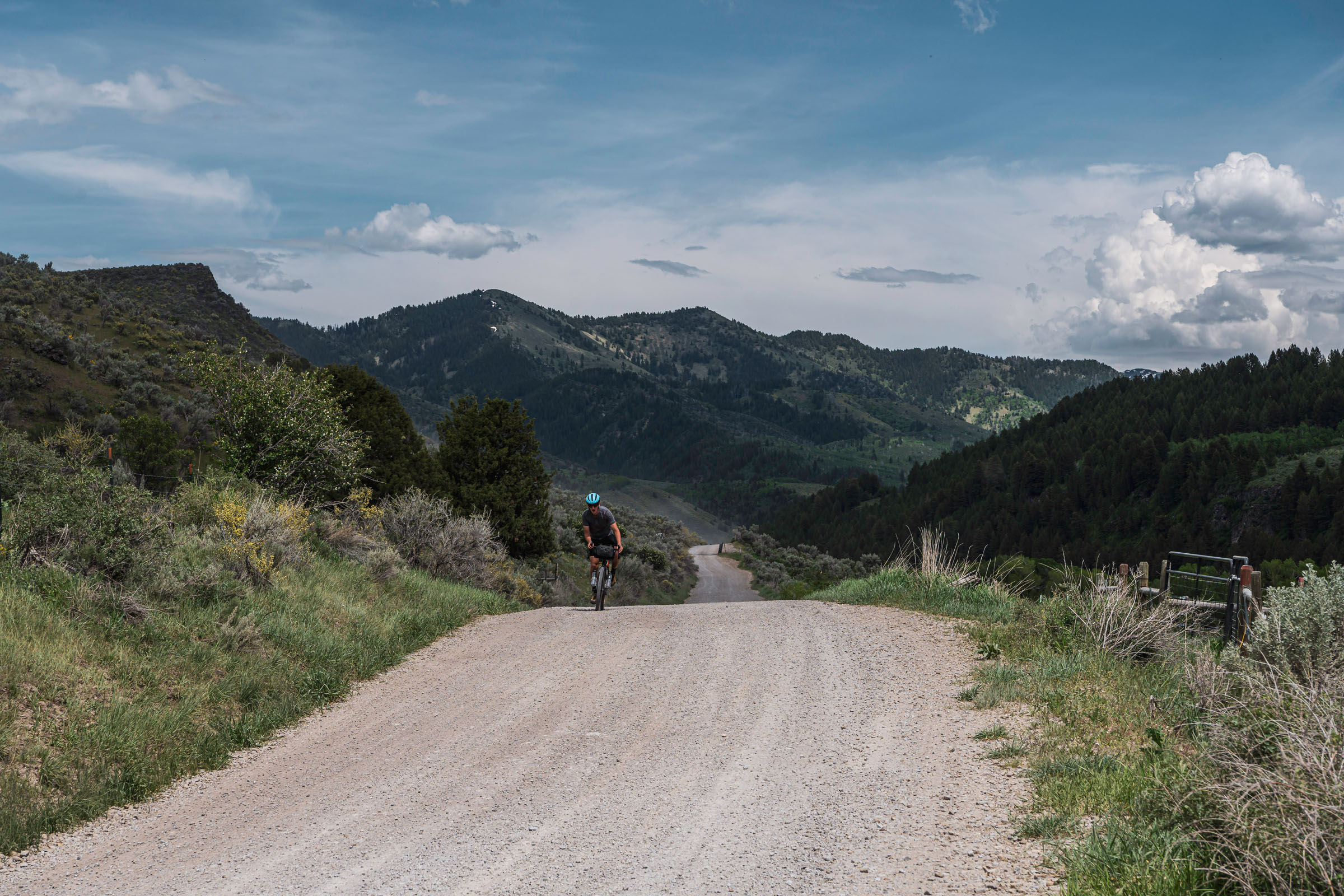
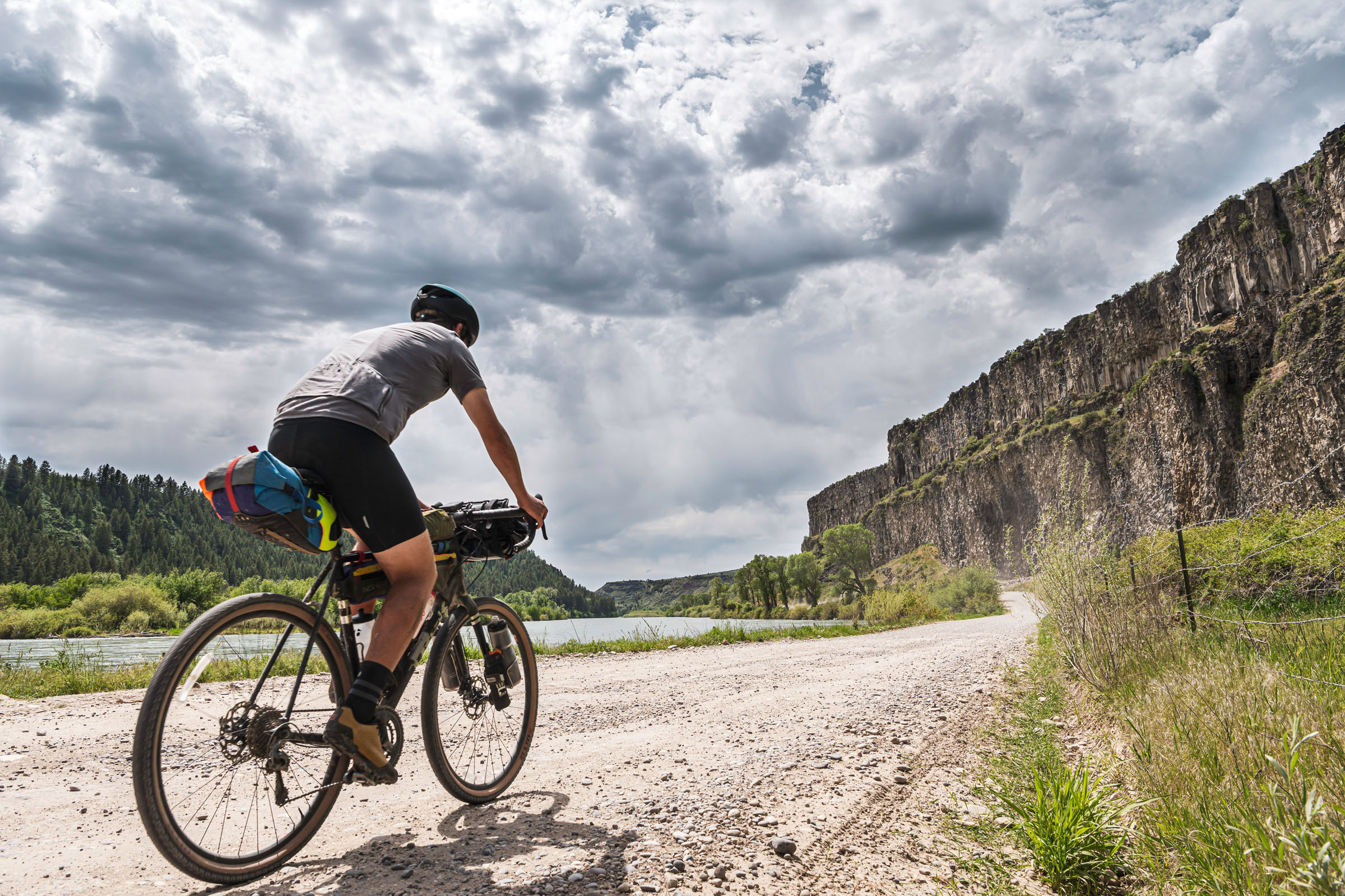
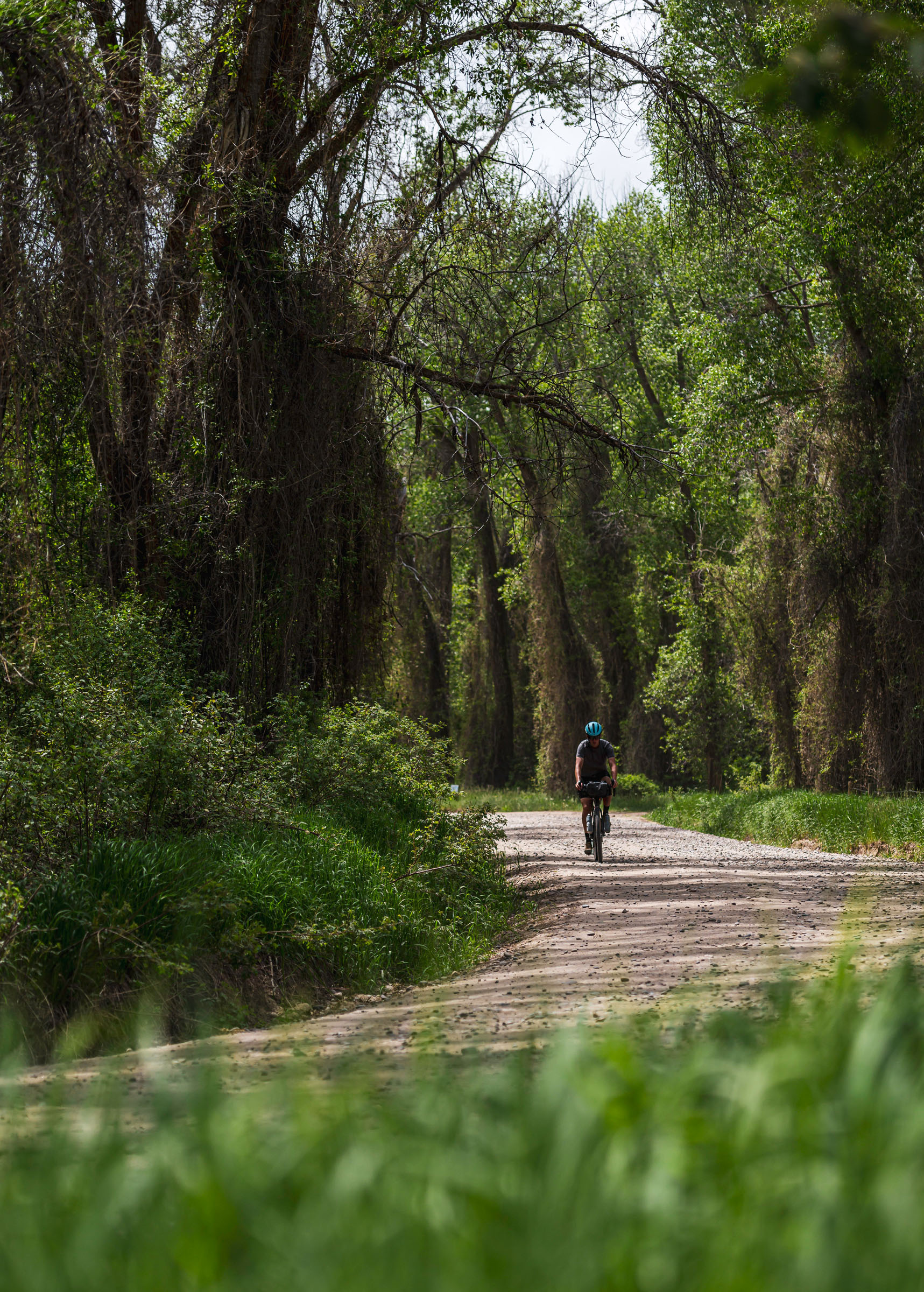
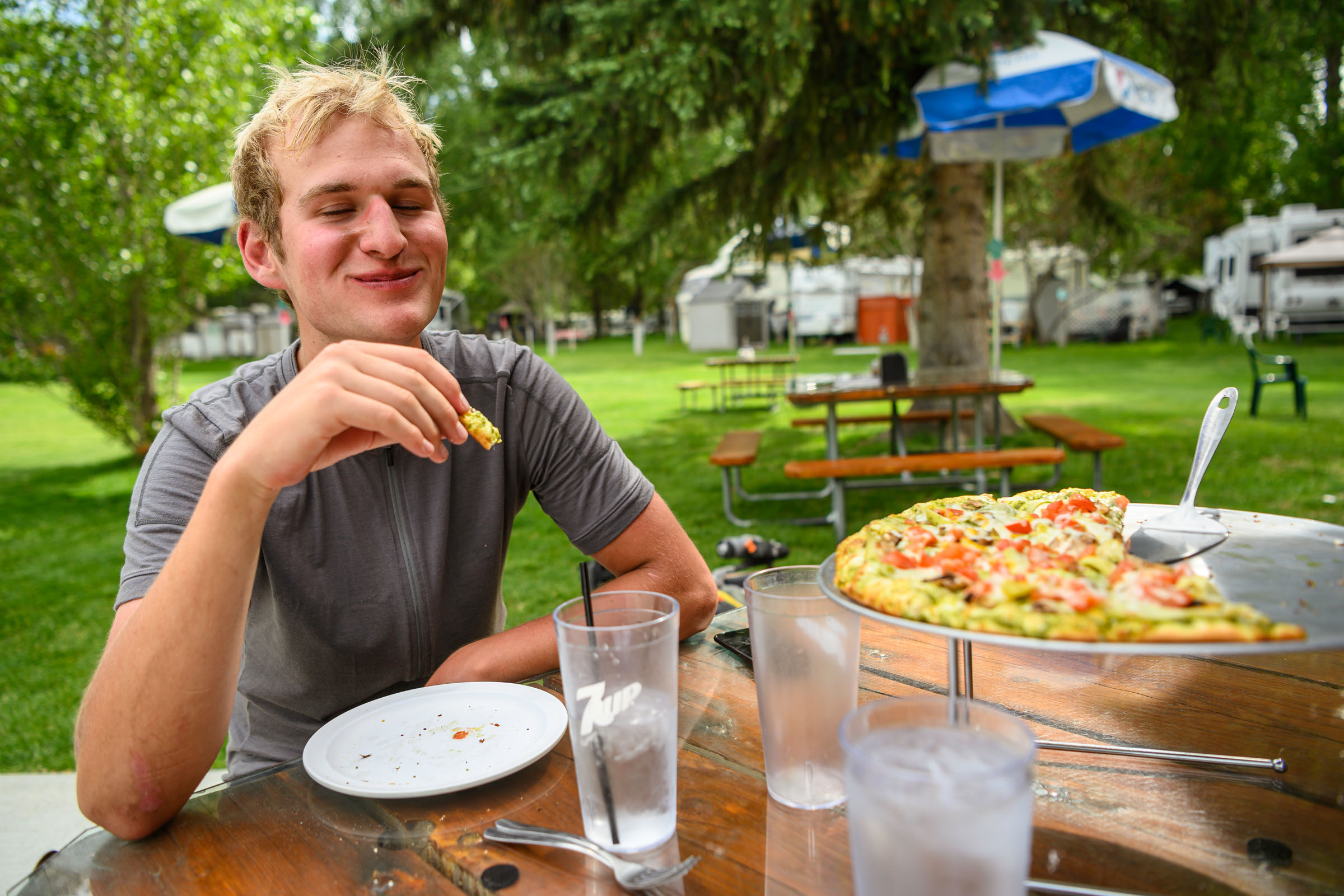
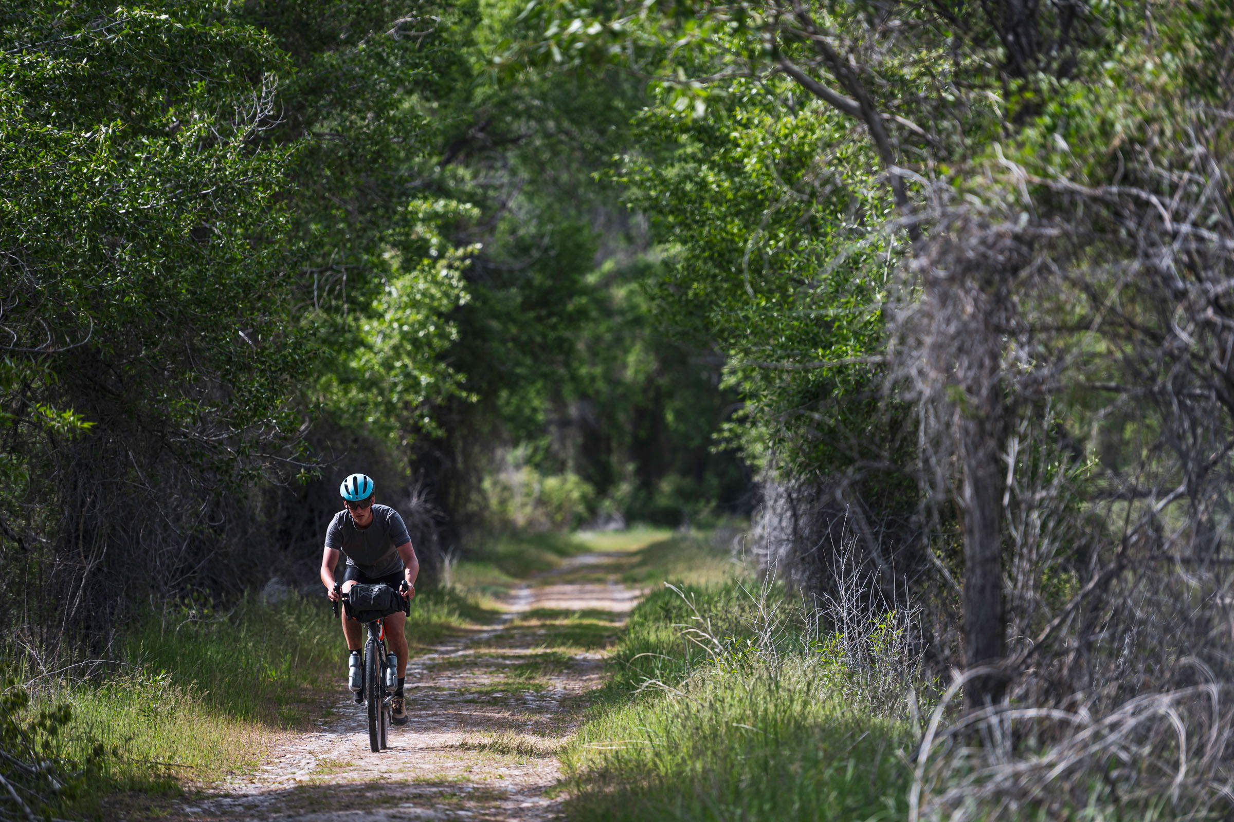
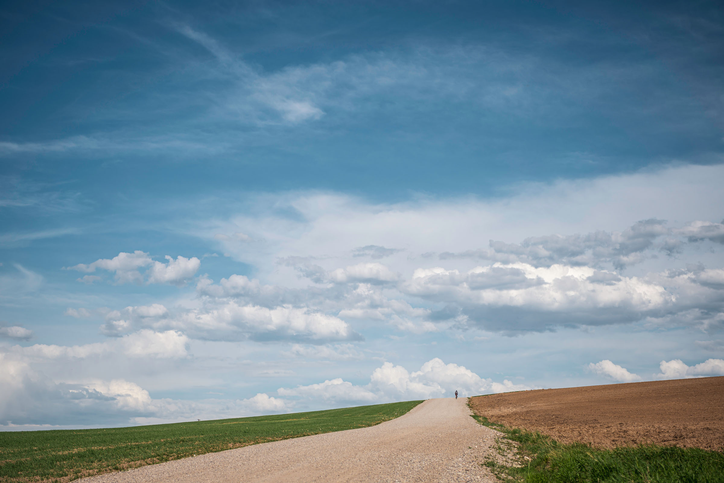
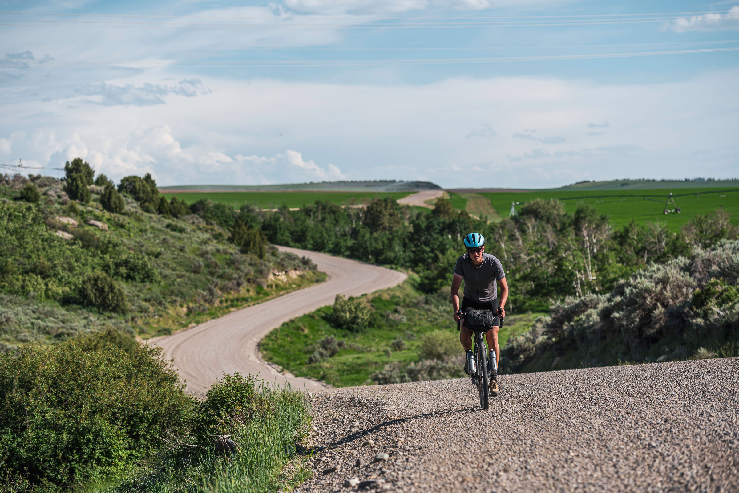
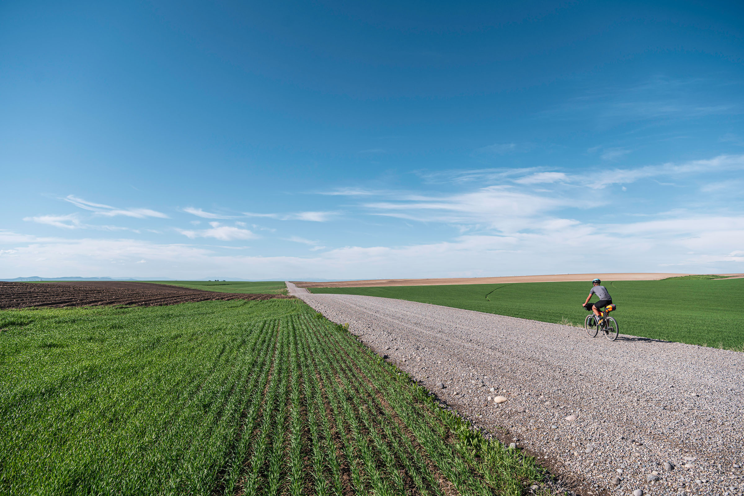
This route starts at an iconic local bike shop called Sled Shed, and after less than 10 miles on pavement transitions to almost entirely gravel. The route climbs onto a scenic bench used for dry farming, then drops down into Green Canyon, home to a camping area and a developed hot spring. The route follows the canyon briefly, climbs up through some farmland, then connects onto forest service road 218. After climbing through the woods the route turns onto an ATV trail called Space Cruise, a popular descent for mountain bikers. Next the route follows the Snake River through a beautiful section of gravel roads, passing by Heise Resort, which has multiple swimming pools and hot springs, a water slide, ziplining, and some fantastic pizza! Finally the route climbs back onto a bench and winds downhill into Rexburg.
If you google Moody Forest Idaho you won’t find anything located on this route. Though there is a Moody Creek and a Moody Meadow, the area is in Targhee National Forest. Moody Forest is a nickname used by the local mountain biking community. Like the name, this route and area are a well kept secret that I am excited to share with you. I hope you enjoy riding this stunning route as much as I have enjoyed developing it.
Route Difficulty
The route is rated a 2 out of 10 due to the length, but otherwise has no major challenges. The terrain is very mellow except for Space Cruise being a buffed out blue trail, but it could easily be avoided by following forest service road 218 instead. There are two resupply points and water is frequently available. The route also needs no transportation for anyone located in Rexburg. Lastly, the route has a few good bail out points back to Rexburg if needed.
Route Development: This route would not exist without the help of my family. Thanks goes to my brothers James and William for helping with the scouting, and to my parents for supporting me and believing in me in all my pursuits.


Submit Route Alert
As the leading creator and publisher of bikepacking routes, BIKEPACKING.com endeavors to maintain, improve, and advocate for our growing network of bikepacking routes all over the world. As such, our editorial team, route creators, and Route Stewards serve as mediators for route improvements and opportunities for connectivity, conservation, and community growth around these routes. To facilitate these efforts, we rely on our Bikepacking Collective and the greater bikepacking community to call attention to critical issues and opportunities that are discovered while riding these routes. If you have a vital issue or opportunity regarding this route that pertains to one of the subjects below, please let us know:
Highlights
Must Know
Camping
Food/H2O
Trail Notes
Resources
- Get off the pavement and on the gravel with most of the route being unpaved
- Enjoy secluded sections of country roads with little to no traffic
- Soak in two different developed hot springs, Green Canyon Hot Springs and Heise Hot Springs
- Enjoy mouth-watering Pizza at Heise Pizza Parlor
- Ride along the Snake River through a beautiful secluded canyon
- Vista after vista of the Snake River Valley along the Rexburg bench
- A whole plethora of camping options exist, including two developed campgrounds or dispersed camping anywhere within Targhee National Forest
- Rip through Space Cruise, an epic section of must-do doubletrack
- Snow generally melts by mid May, and stays clear until Late October
- Early June the fields will be spectacular shades of green
- Early September the wheat fields will have turned golden
- Smith Park, just a half mile from the bike shop, is a safe overnight parking option
- Bringing enough trail food for the entire trip is recommended, though you could plan on a meal a day from either Hot Spring
- Bears are extremely rare in this area, though there are a handful mountain lions
- Green Canyon Hot Springs price for camping: $20.00 + $0.50 / person
- Heise Hot Springs price for camping: $25
- Primitive camping is available anywhere within Targhee National Forest, elsewhere is most likely private land, so aim to camp in the middle third of the route
- Lots of cattle in the area, so though you can filter water from plenty of different streams and rivers, either look out for what’s upstream or plan on filling up at the hot springs
- Green Canyon Hot Springs has food available, including burgers
- The Heise area has a pizza parlor with alcoholic beverages and a convenience store
- Rexburg has plenty of food options
- Space Cruise is rated blue, due to a few slightly steeper pitches, and a few short rocky sections at the bottom. There are also two stream crossings on Space Cruise, though you won’t need to get your feet wet
- Space Cruise can easily be routed around by following Forest Service Road 218 to the end and then turning left onto 217, then joining the route by turning left on 206
Additional Resources
- Green Canyon Hot Springs website: greencanyonhotspring.com
- Heise Hot Springs Website: heisehotsprings.net


Terms of Use: As with each bikepacking route guide published on BIKEPACKING.com, should you choose to cycle this route, do so at your own risk. Prior to setting out check current local weather, conditions, and land/road closures. While riding, obey all public and private land use restrictions and rules, carry proper safety and navigational equipment, and of course, follow the #leavenotrace guidelines. The information found herein is simply a planning resource to be used as a point of inspiration in conjunction with your own due-diligence. In spite of the fact that this route, associated GPS track (GPX and maps), and all route guidelines were prepared under diligent research by the specified contributor and/or contributors, the accuracy of such and judgement of the author is not guaranteed. BIKEPACKING.com LLC, its partners, associates, and contributors are in no way liable for personal injury, damage to personal property, or any other such situation that might happen to individual riders cycling or following this route.
Please keep the conversation civil, constructive, and inclusive, or your comment will be removed.