


Newfoundland T’Railway
Distance
547 Mi.
(880 KM)Days
10
% Unpaved
95%
% Singletrack
0%
% Rideable (time)
100%
Total Ascent
17,100'
(5,212 M)High Point
1,567'
(478 M)Difficulty (1-10)
3?
- 2Climbing Scale Easy31 FT/MI (6 M/KM)
- -Technical Difficulty
- -Physical Demand
- -Resupply & Logistics
Contributed By
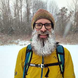
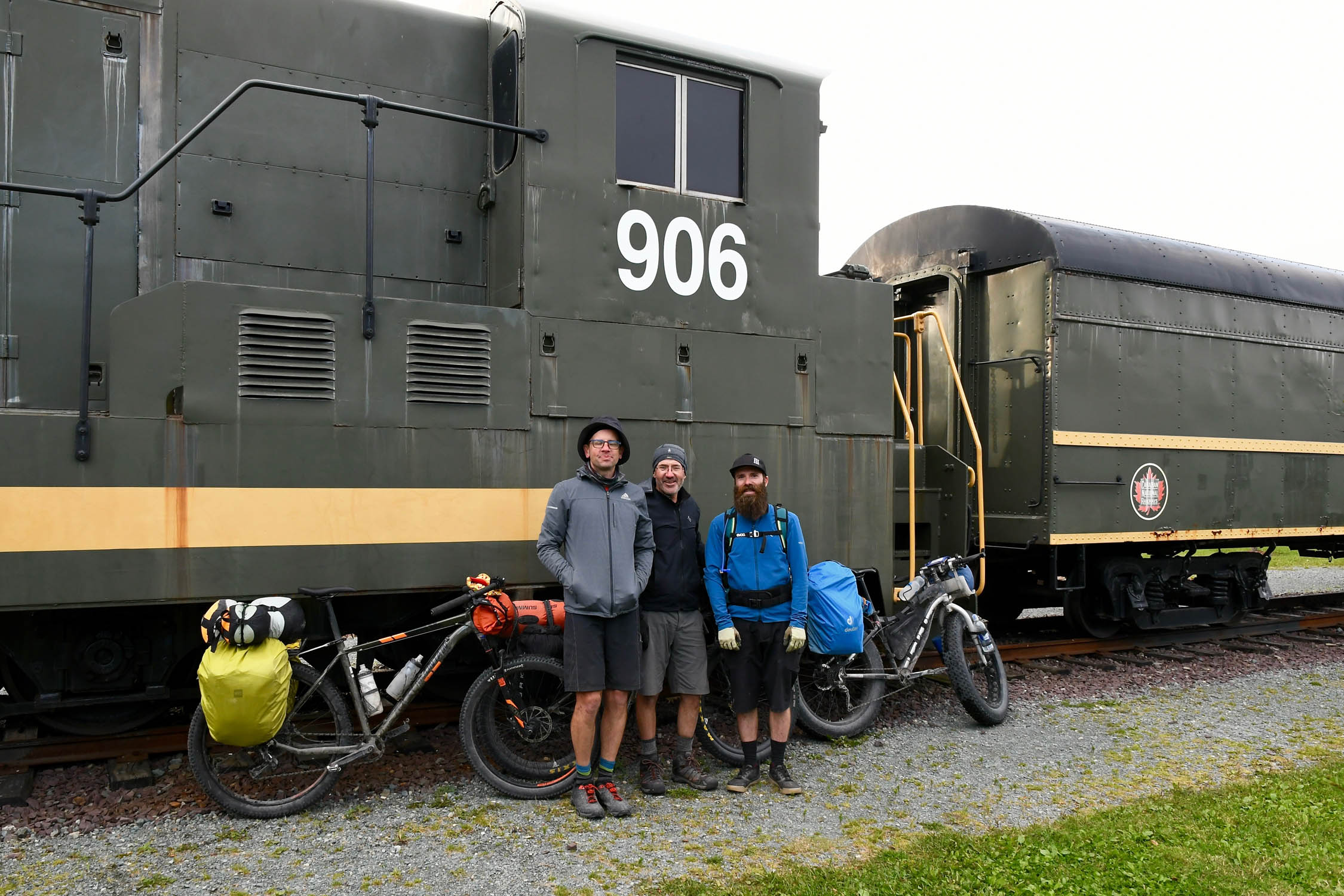
John Duffett
Guest Contributor
Born and raised in Newfoundland (and more importantly learned to ride mountain bikes there), John now lives in Hamilton, Ontario, where he works as a mechanical engineer for 9point8. While he’s been riding mountain bikes for over 25 years, he’s only recently come around to the idea that strapping a bunch of camping gear to the bike and heading out for multiple days might also be a bit of fun.
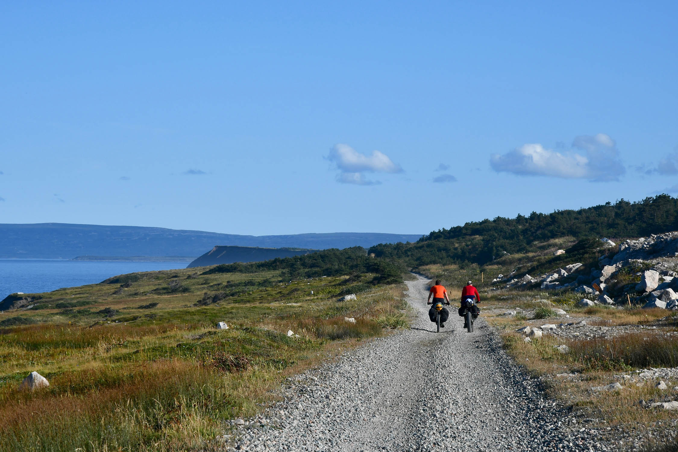
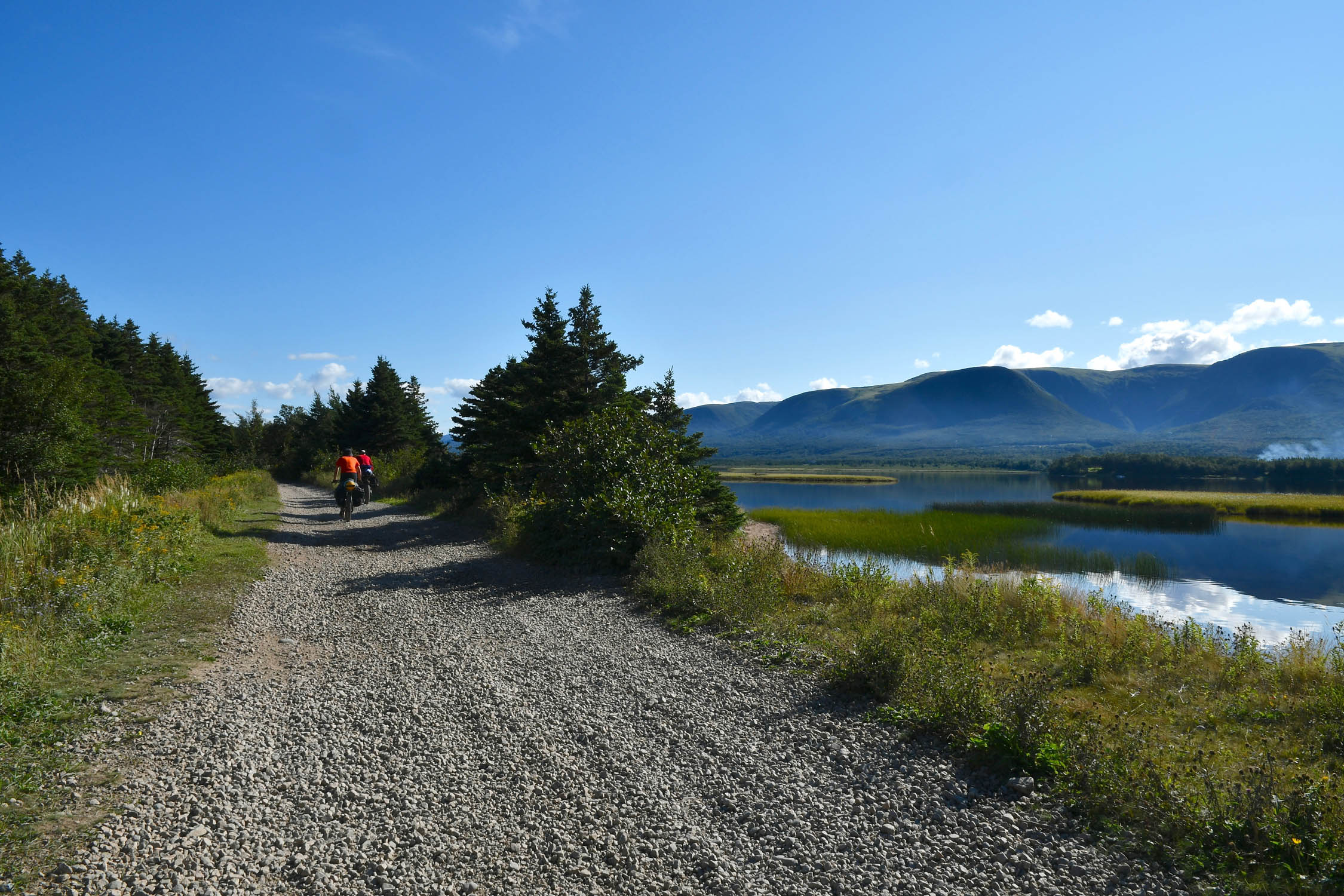
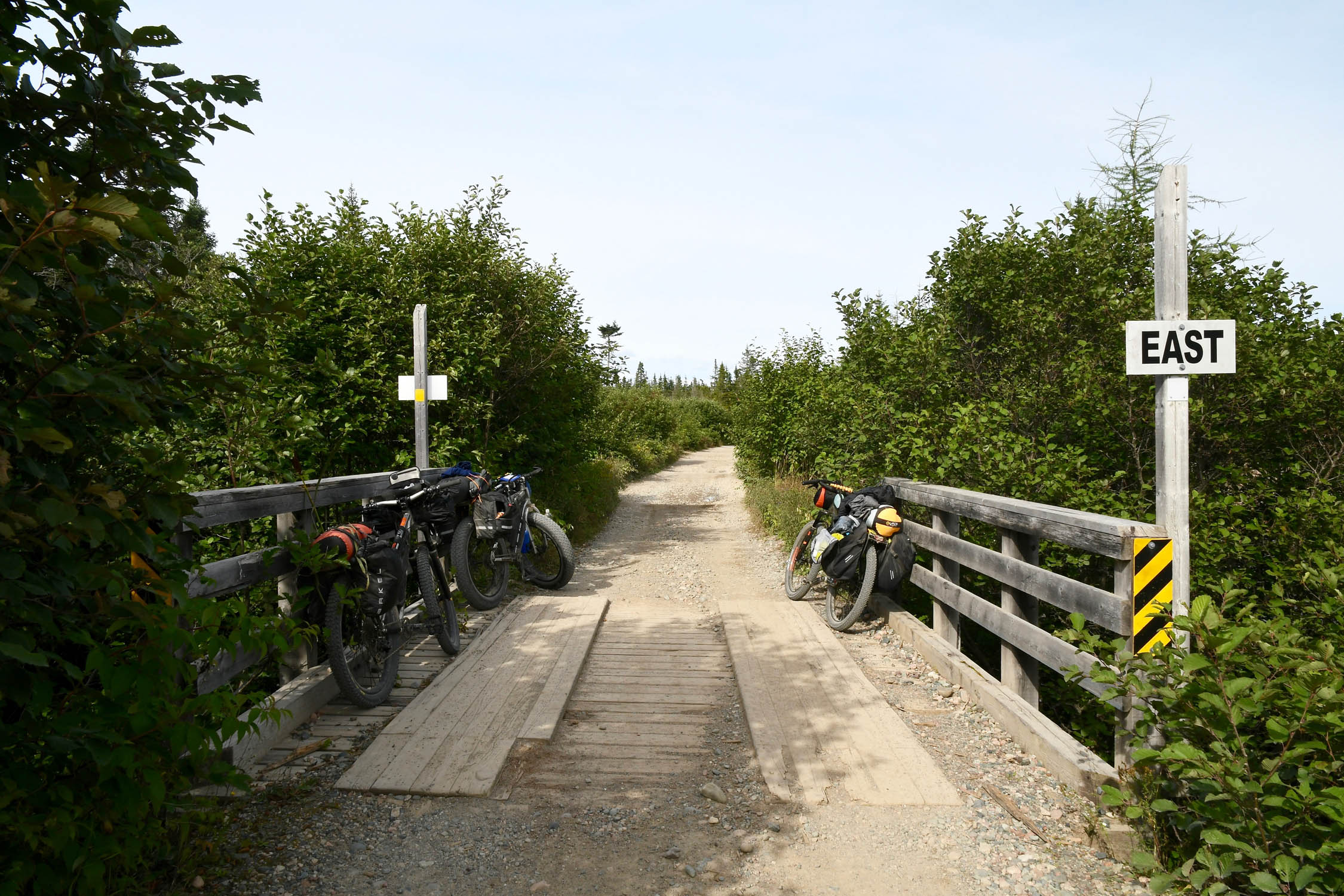
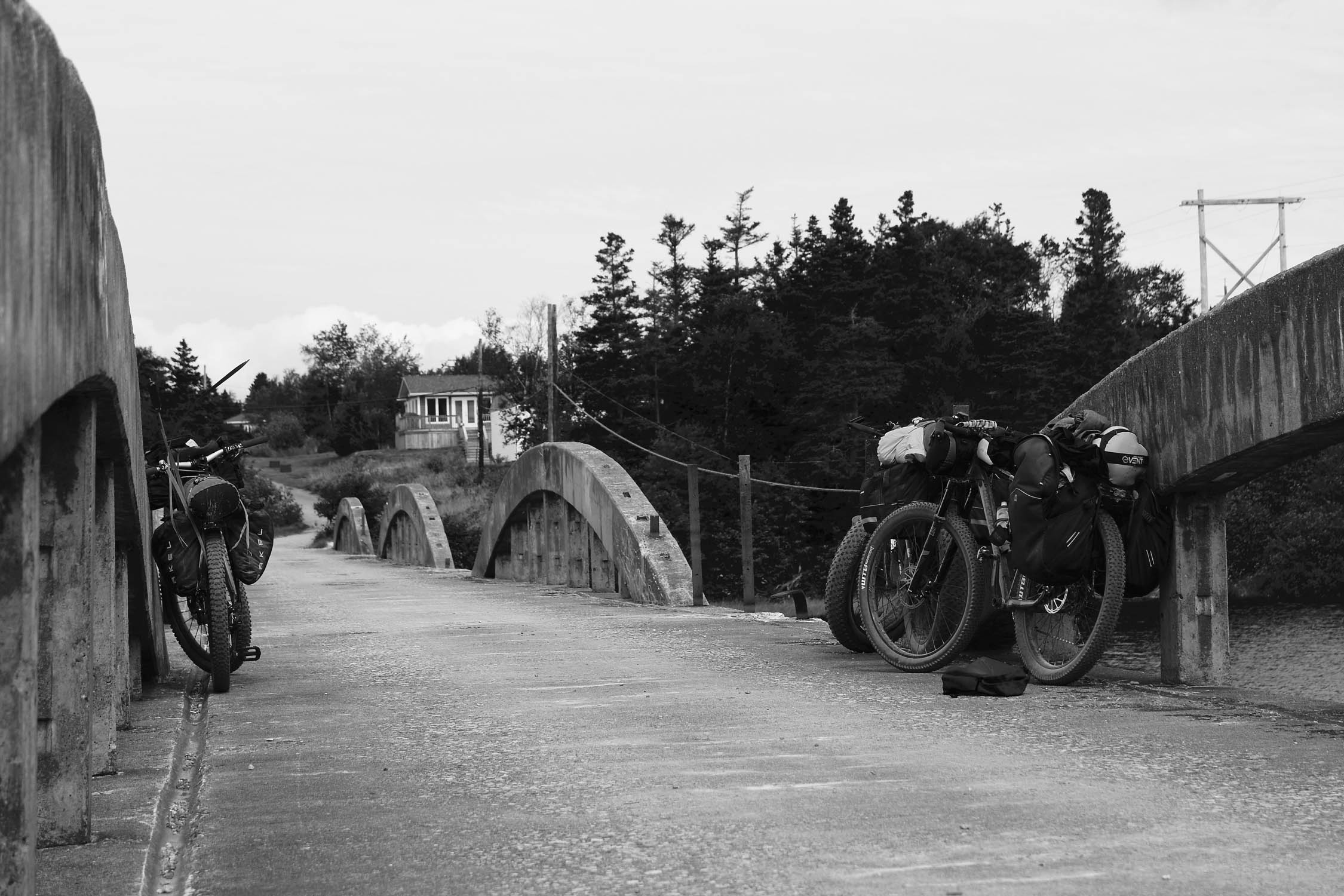
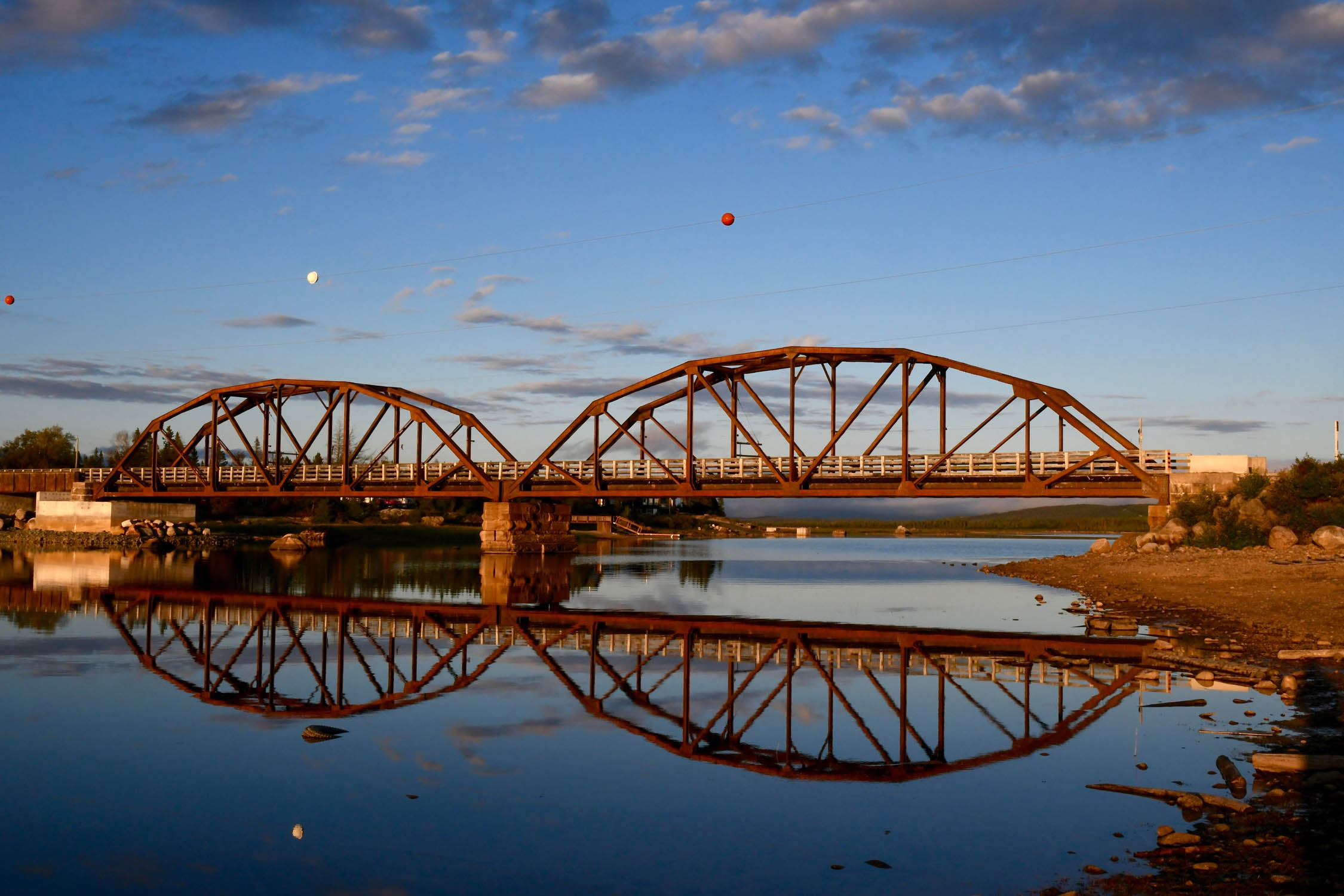
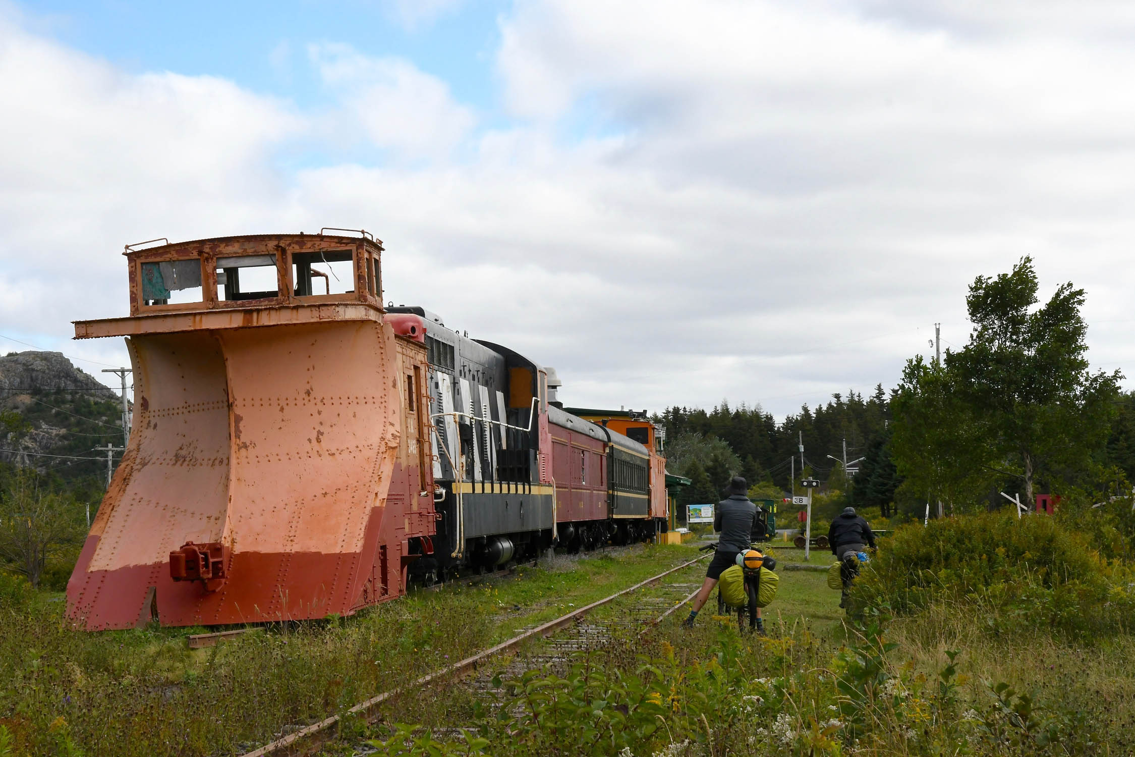
The Newfoundland Railway was constructed in the late 1800s, with the main line from St. John’s in the east to Port Aux Basques on the west coast completed in 1898. With few roads on the island at that time, the railway opened up Newfoundland’s interior to logging and mining, and provided an important link to some of the major coastal communities with branch lines. When the Trans Canada Highway was completed across Newfoundland in 1965, the railway, which already operated at a loss, faced new competition. Passenger service ended in 1969, with freight service dwindling until 1988 when the tracks were pulled up. The rail corridor is now a provincial park (known as the Newfoundland T’Railway), with conditions and usage varying widely across the province.
Difficulty
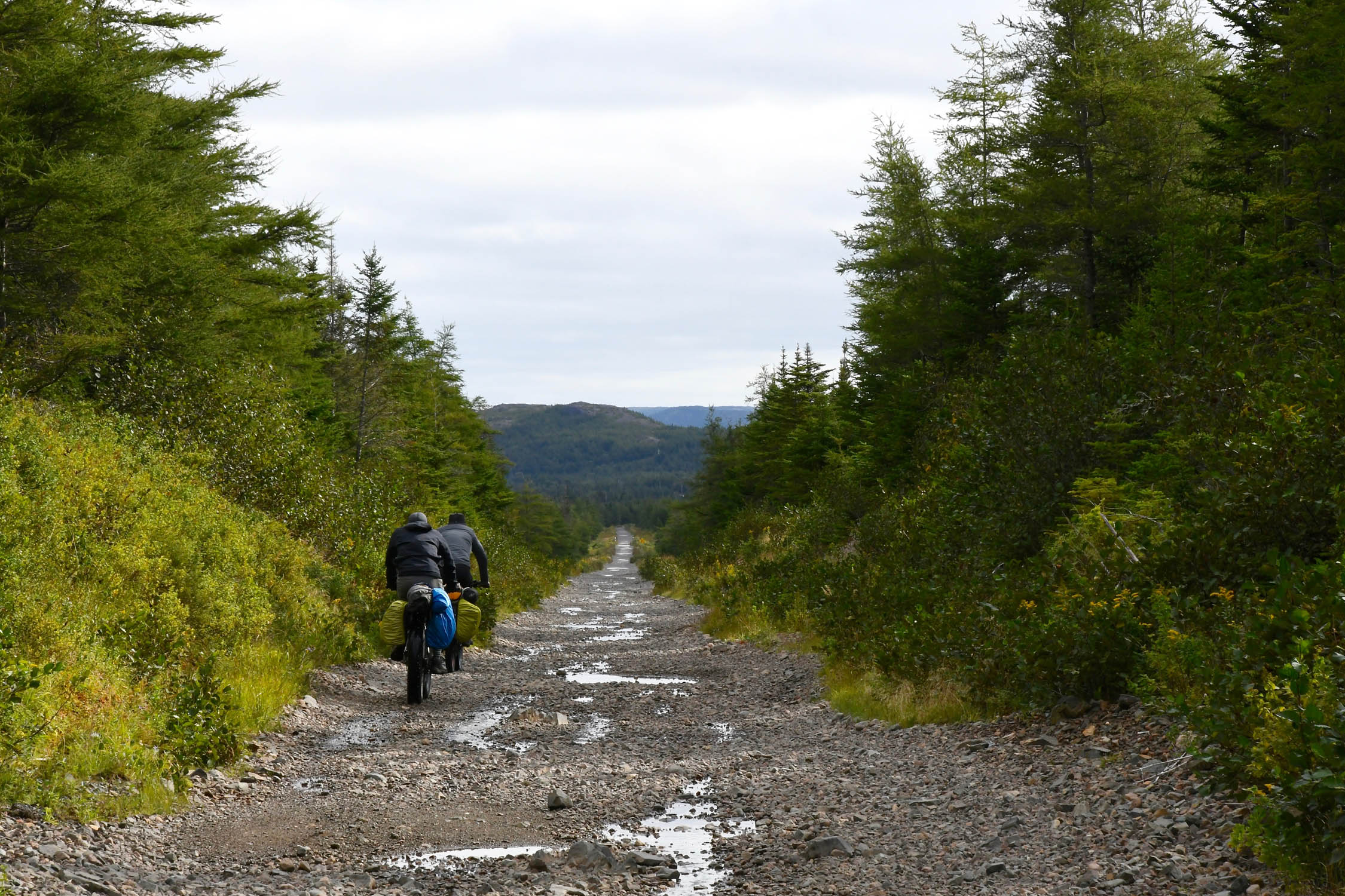
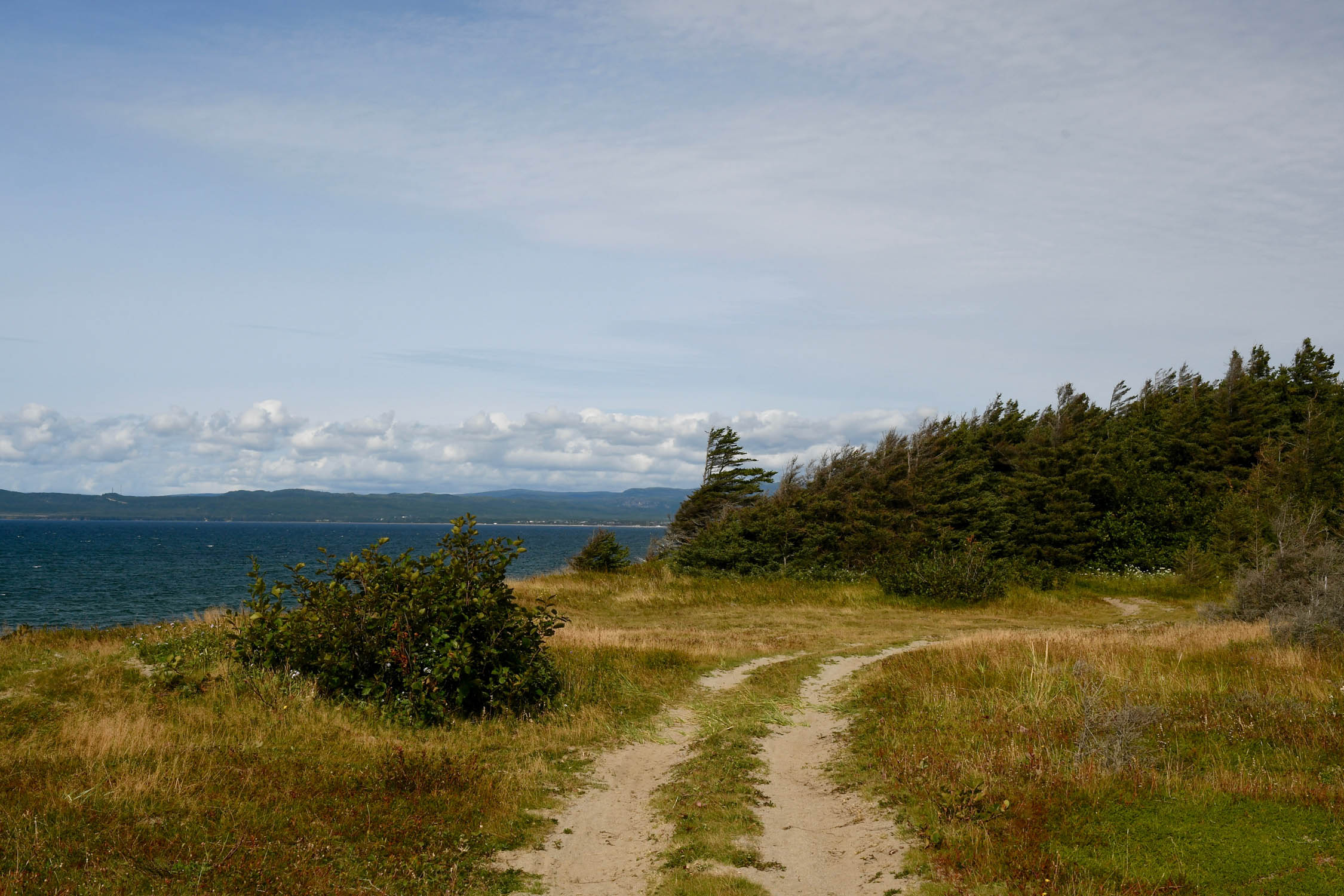
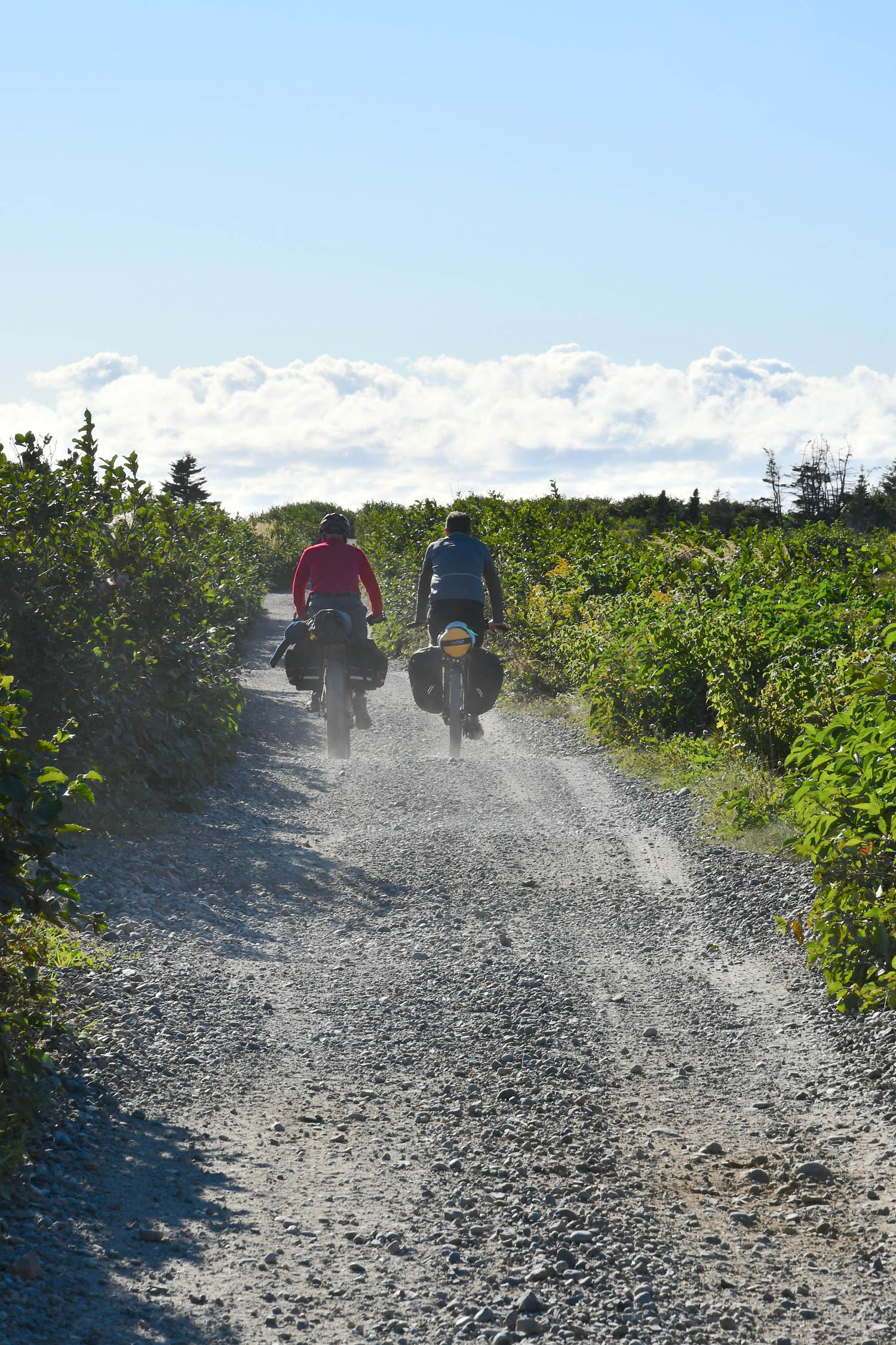
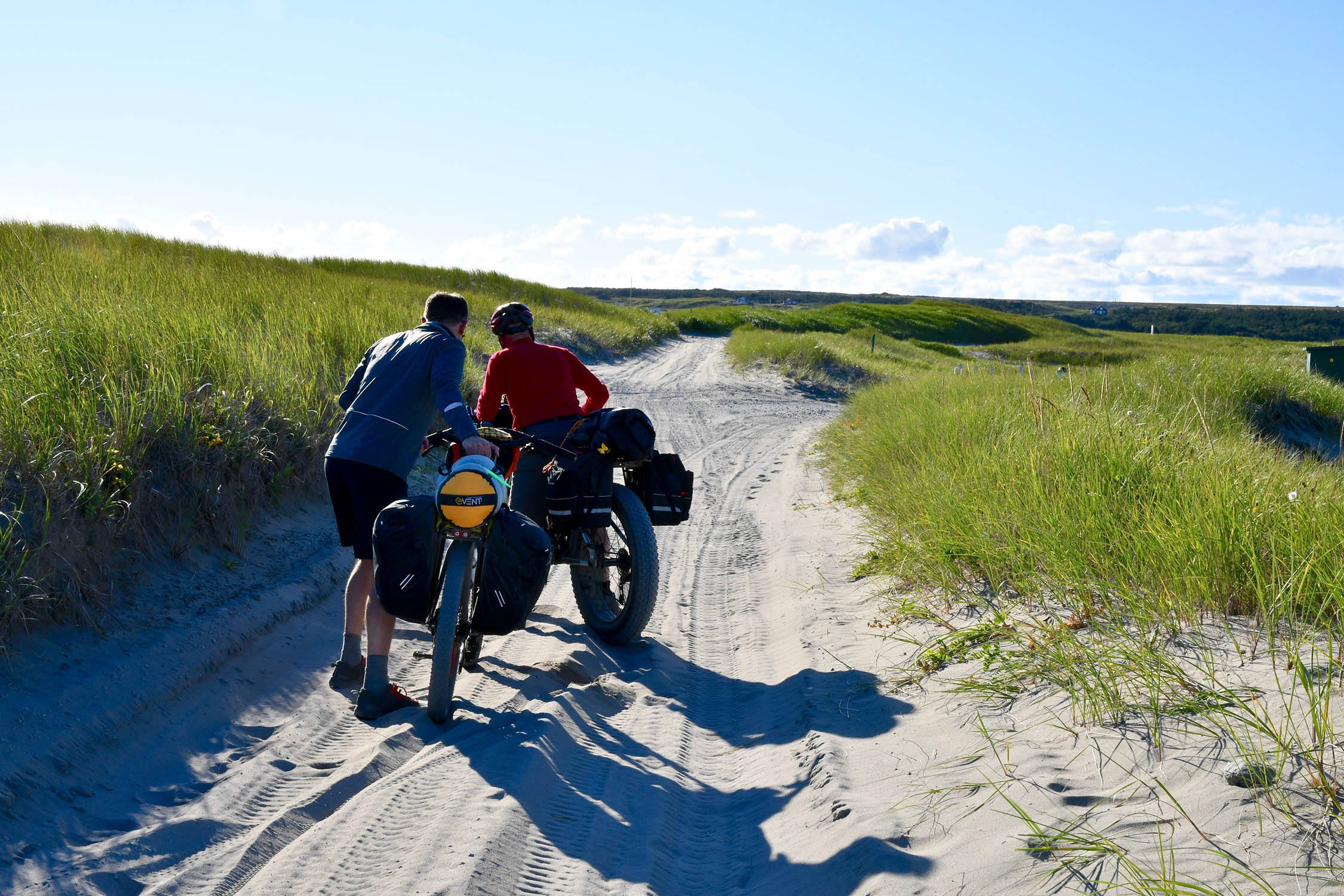
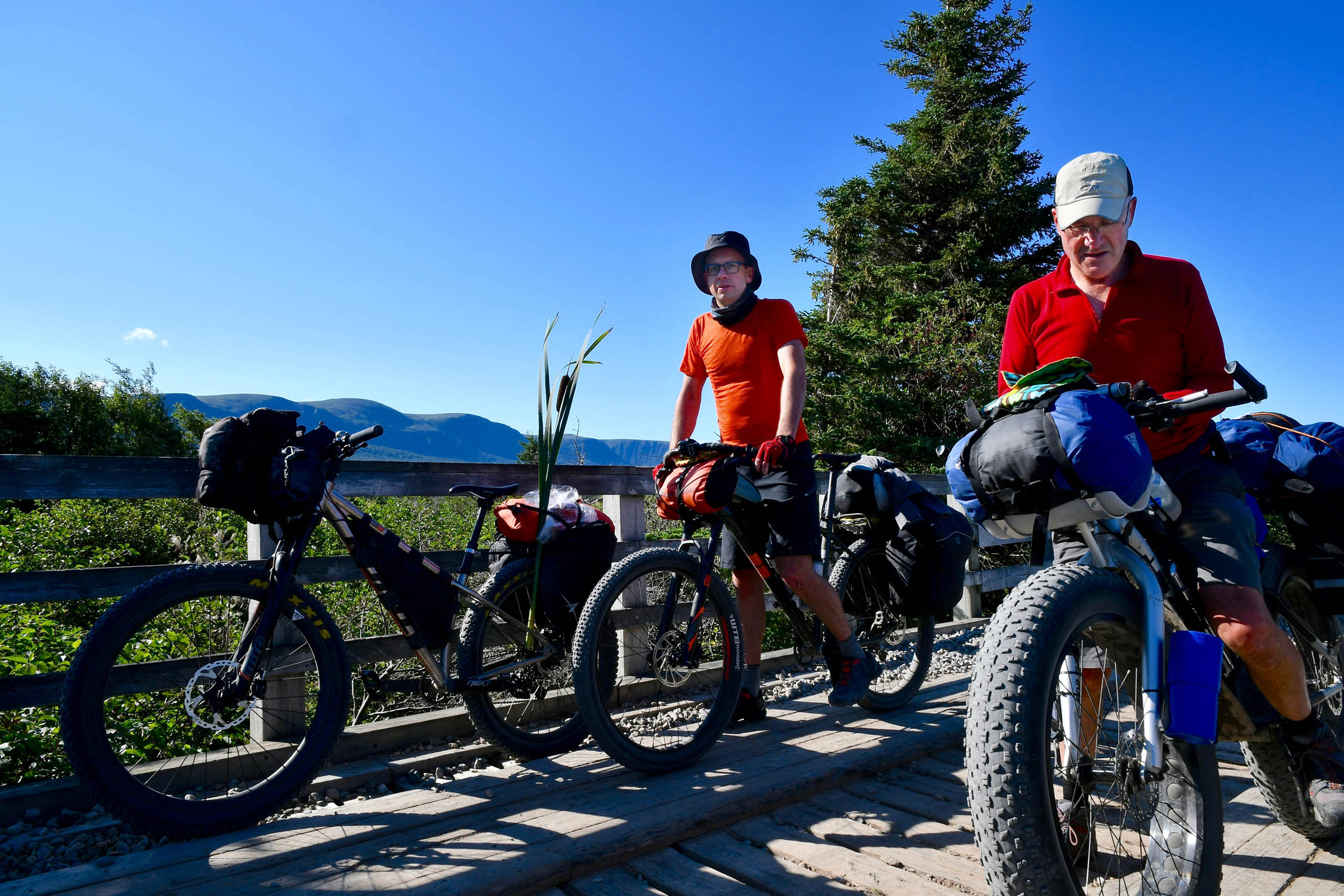
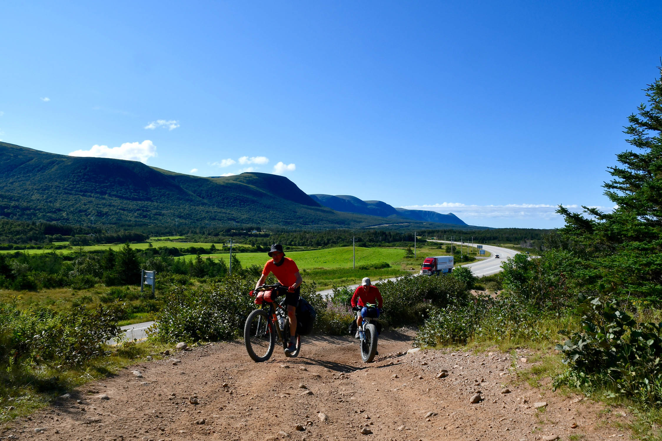
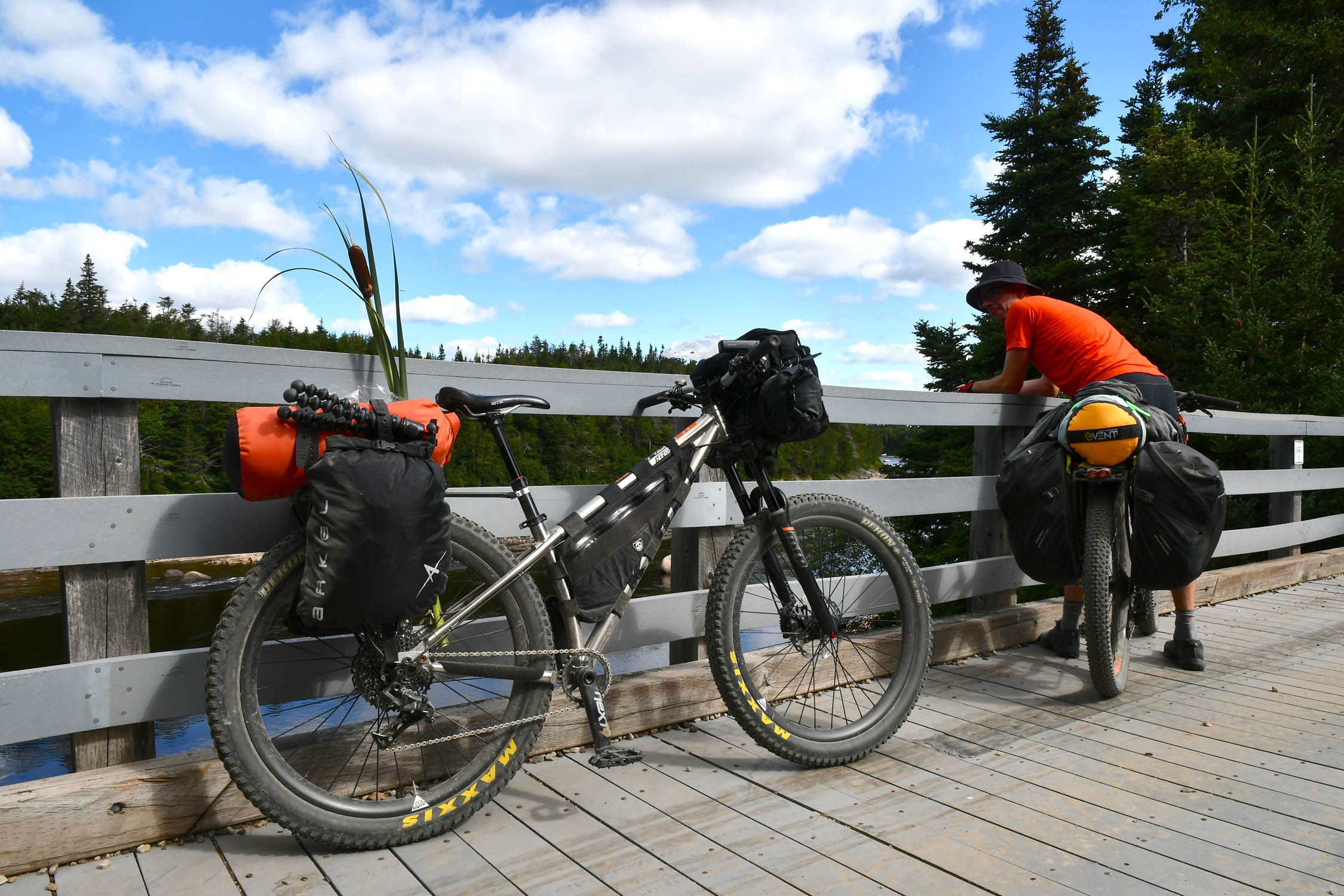
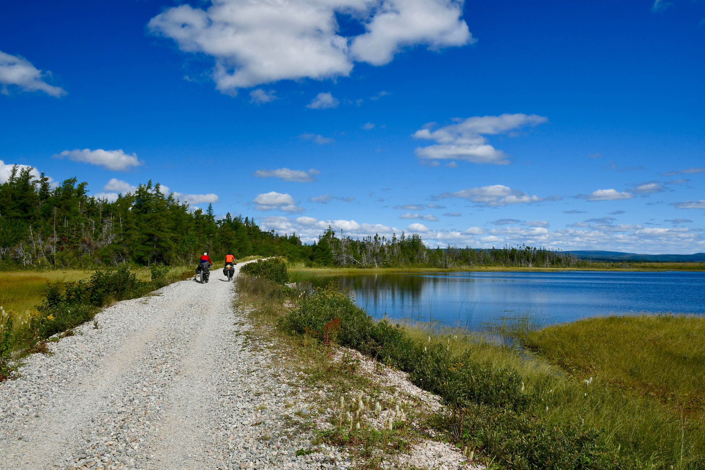
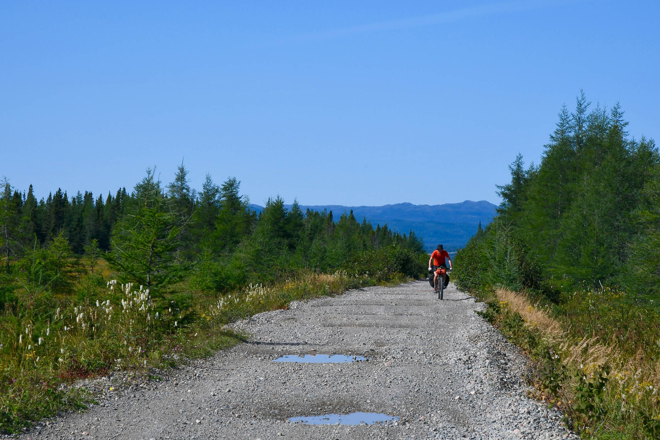
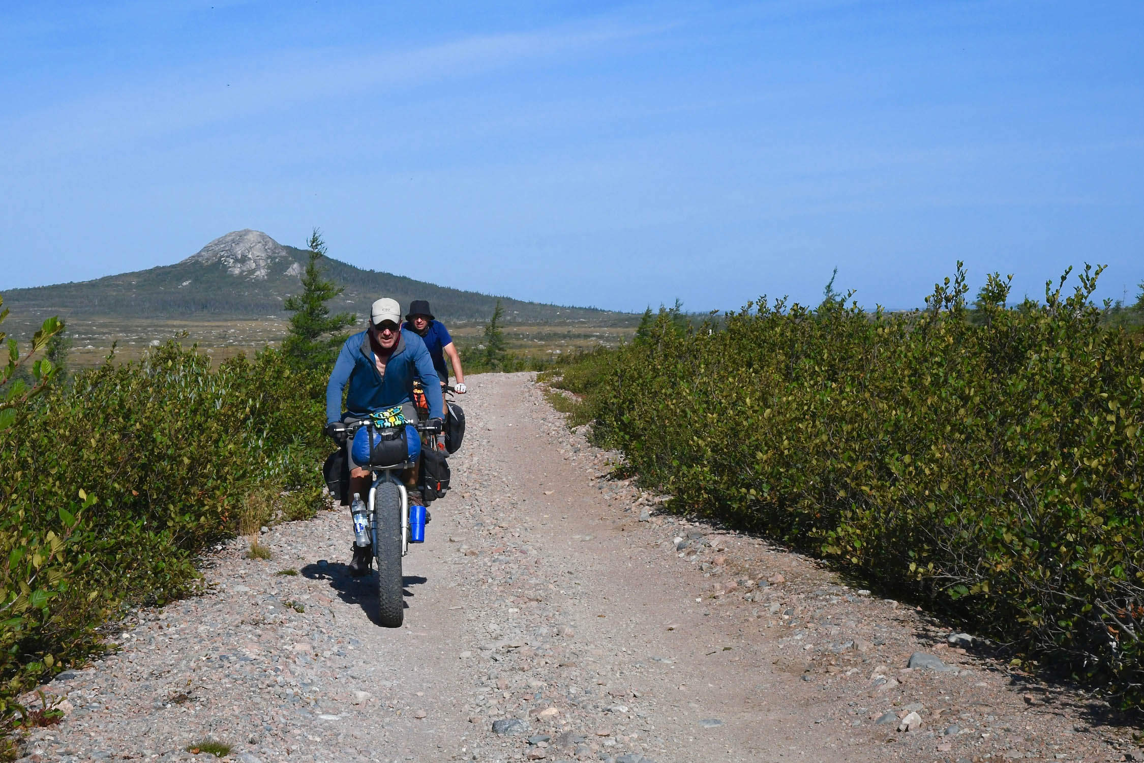
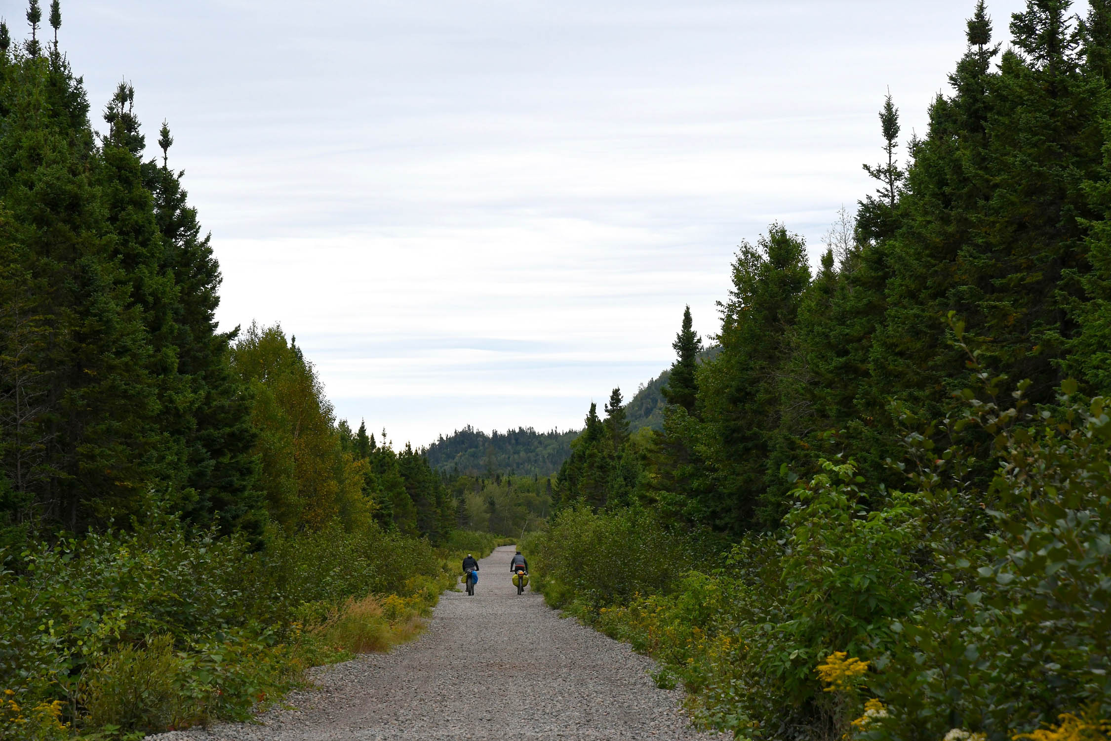
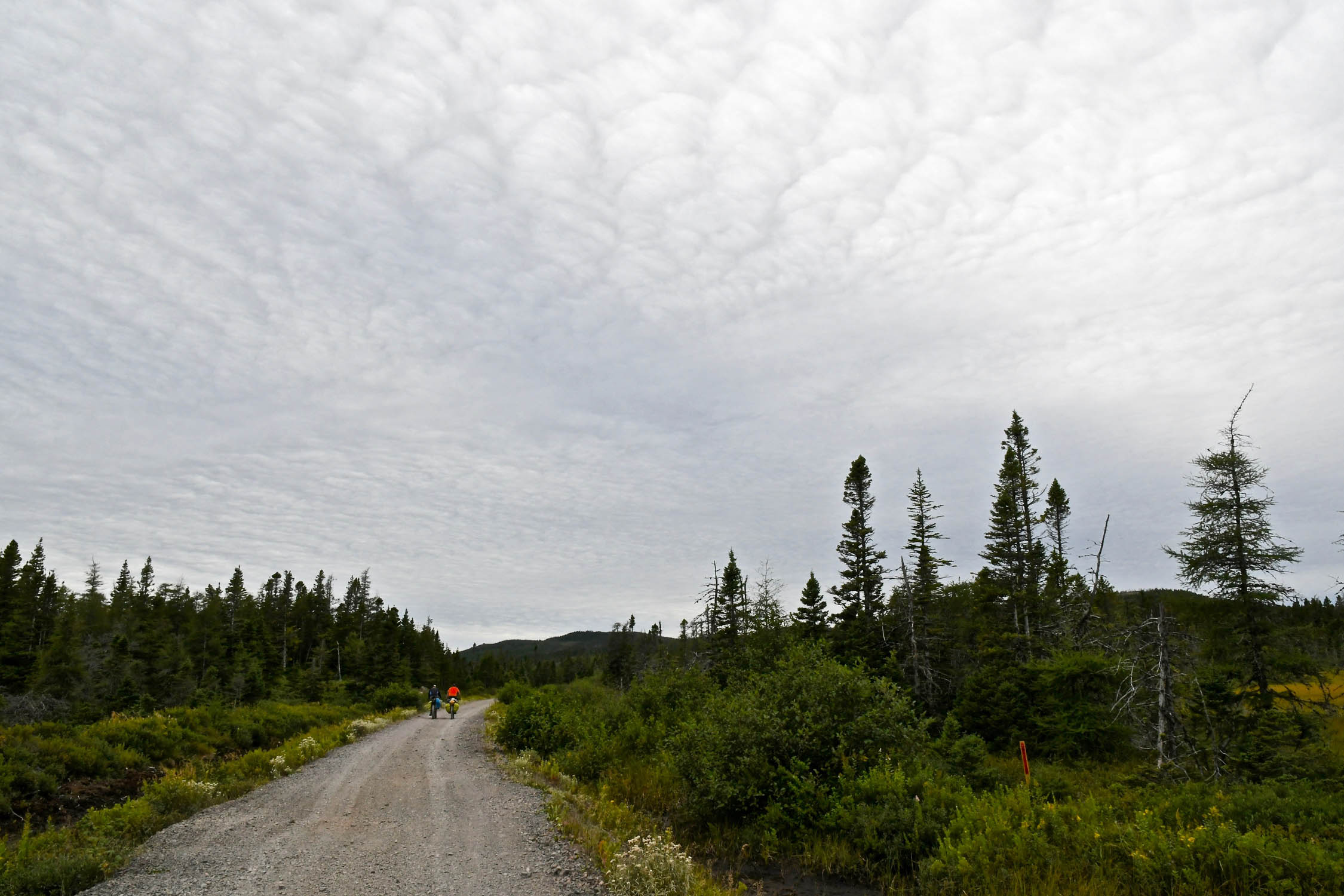
Technical difficulty (2): As a former railbed, the grades are low, the curves are gentle, and the trailbed is wide. As such, the only technical challenges are presented by the surface, which varies. There are some short sections of deep sand (primarily along Grand Lake near Howley), long sections of loose railway ballast that are rutted by ATVs and crowded by alders, and some bumpy sections with large embedded rocks. There are also sections fast-rolling hardpack and gravel road, as well as smooth pea-gravel multi-use path (primarily near St. John’s). There are often a lot of puddles, which, whether you go through or around, tend to slow the pace. Physical demand (3): As mentioned above, the grades are low, though you’ll still do some climbing – perhaps 600-1000m per day. It is often windy in Newfoundland, and much of the terrain is fairly open. Hence, it is strongly recommended to travel west to east with the prevailing wind. Resupply and Logistics (3): As the highway roughly parallels the route, there are many opportunities for resupply. The most remote sections are the Topsails (where you’ll find no services for about 100 km between Howley and Badger), and the Isthmus (not much directly on the route for about 80 km between Goobies and Whitbourne). All things considered, this is really not a hard route, just long. While there are long sections that would be well suited to a gravel bike, a proper mountain bike is required, and plus tires are recommended.
Route Development: I’m not sure who was the first to ride the T’Railway as a bikepacking route, but the first time I’d heard of anyone riding it was in 2013 when a fellow named Malcolm posted a trip report on his blog. It remains an excellent resource for additional information on this route (as well as others in Newfoundland).


Submit Route Alert
As the leading creator and publisher of bikepacking routes, BIKEPACKING.com endeavors to maintain, improve, and advocate for our growing network of bikepacking routes all over the world. As such, our editorial team, route creators, and Route Stewards serve as mediators for route improvements and opportunities for connectivity, conservation, and community growth around these routes. To facilitate these efforts, we rely on our Bikepacking Collective and the greater bikepacking community to call attention to critical issues and opportunities that are discovered while riding these routes. If you have a vital issue or opportunity regarding this route that pertains to one of the subjects below, please let us know:
Highlights
Must Know
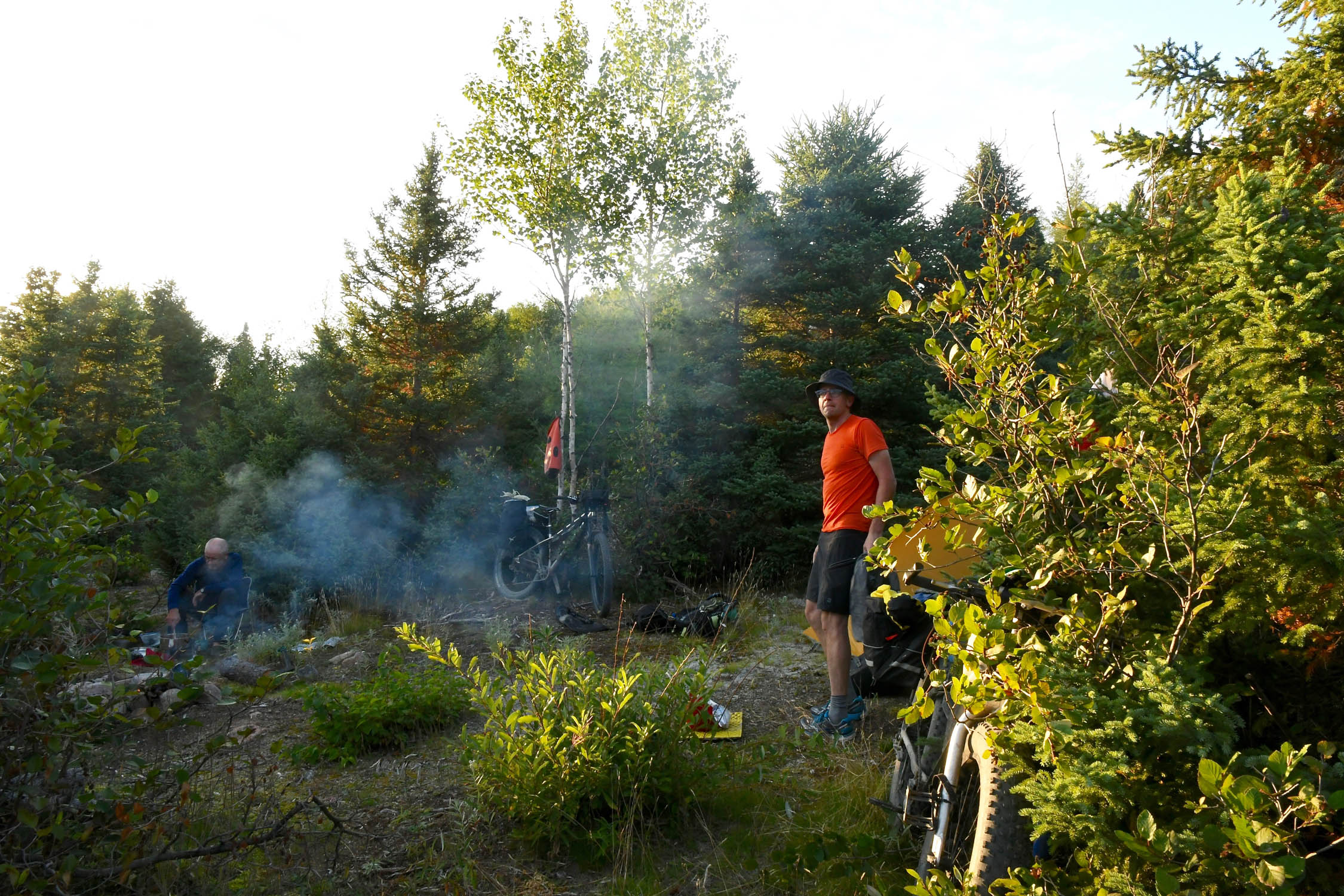
Camping
Food/H2O
Trail Notes
Resources
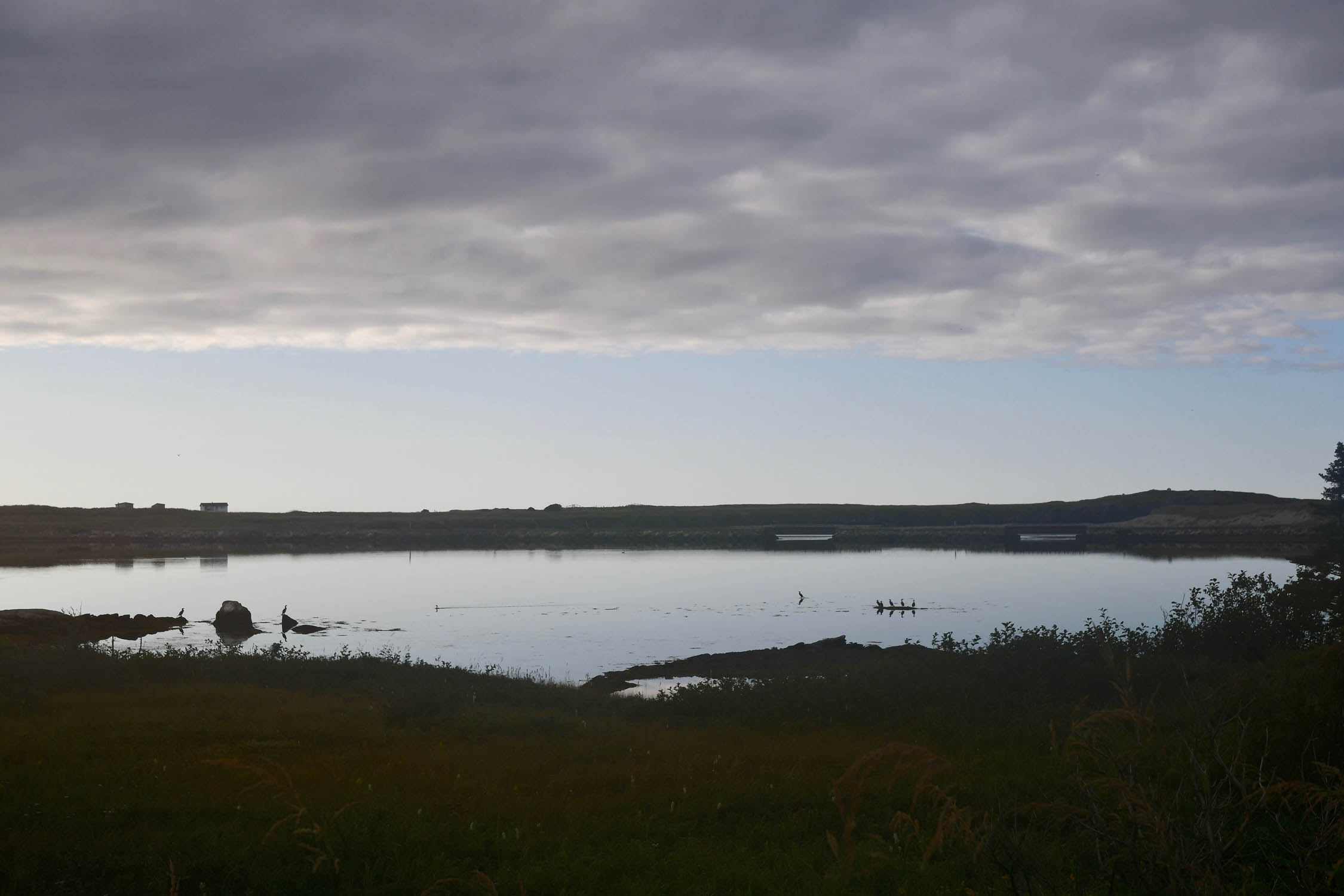
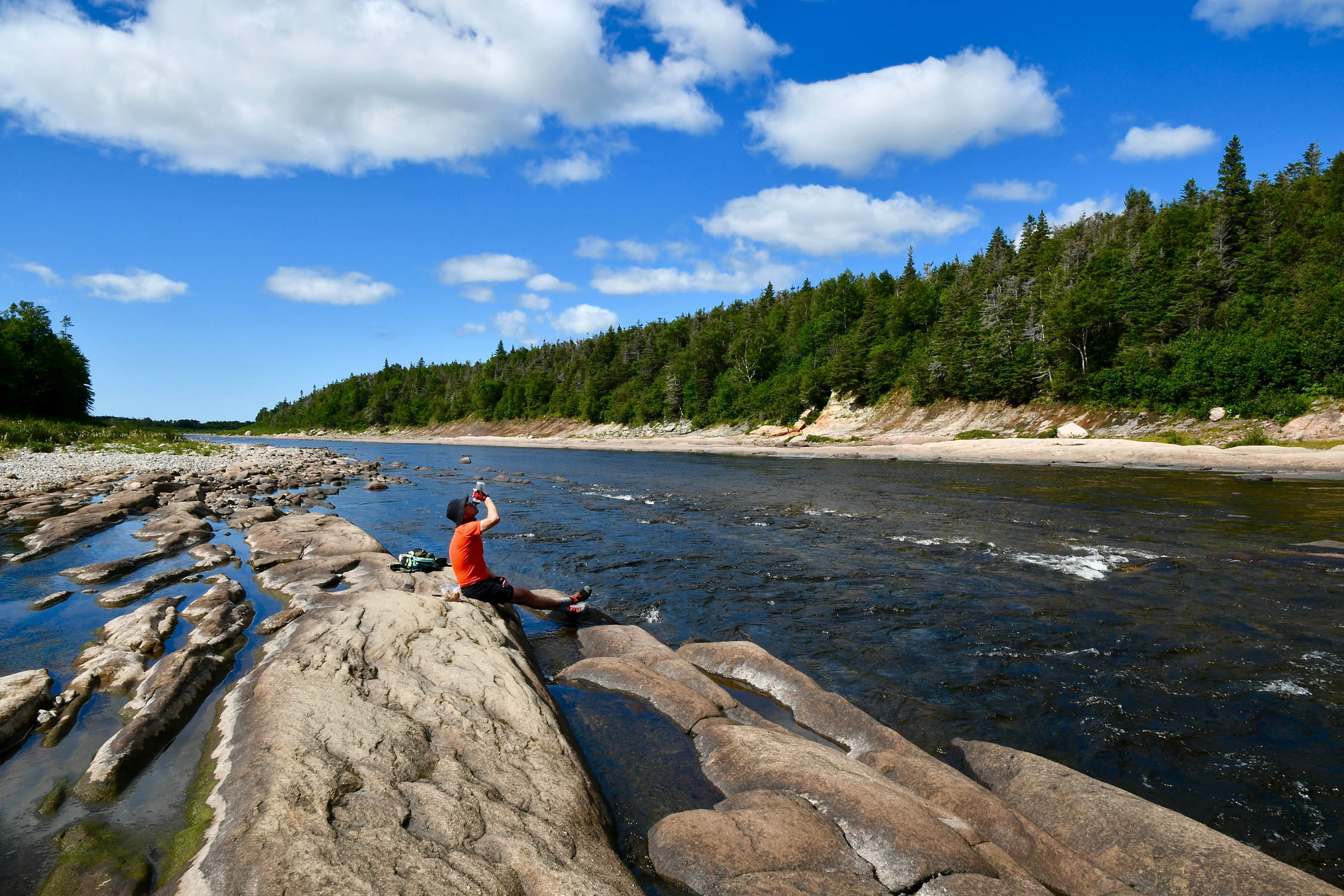
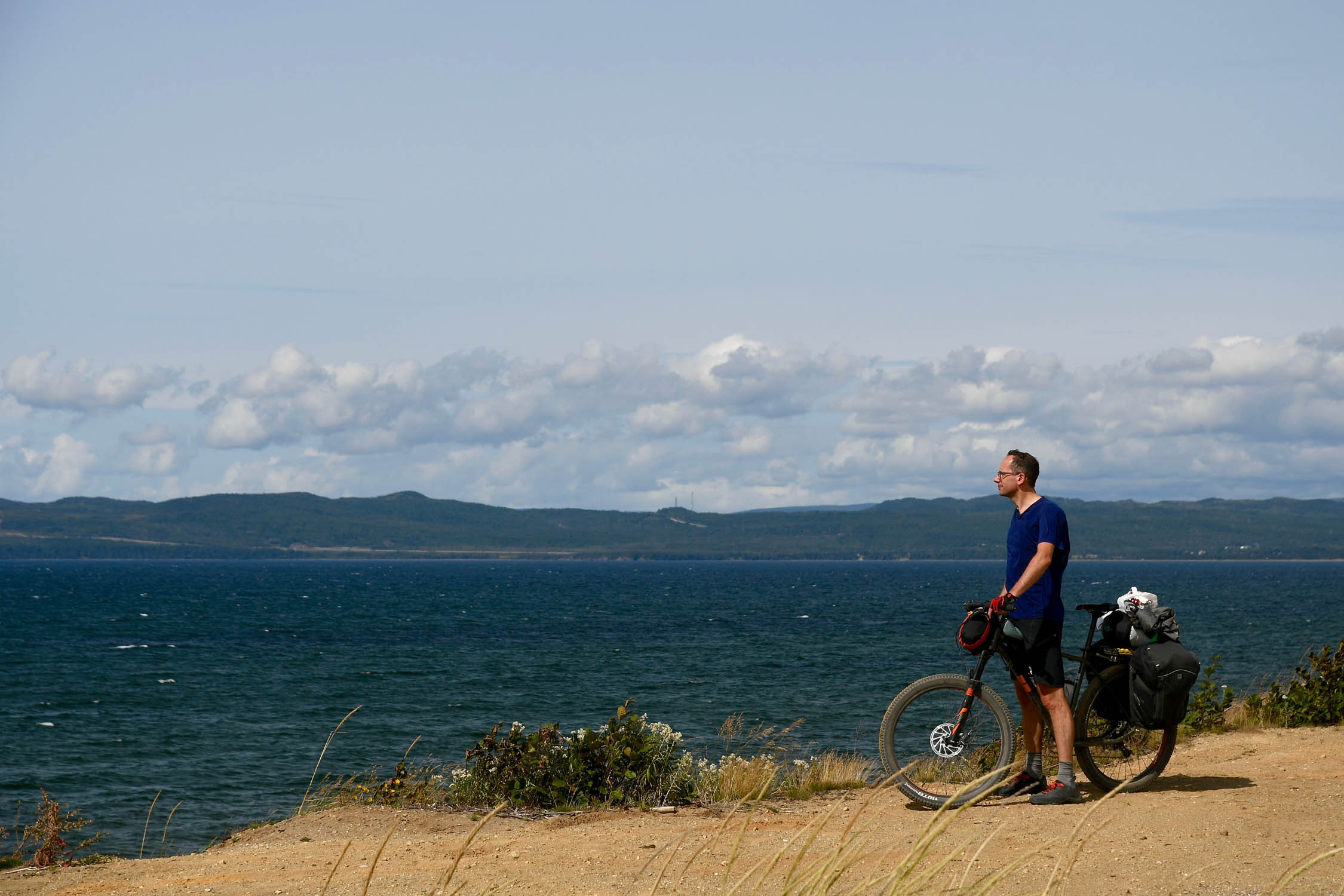
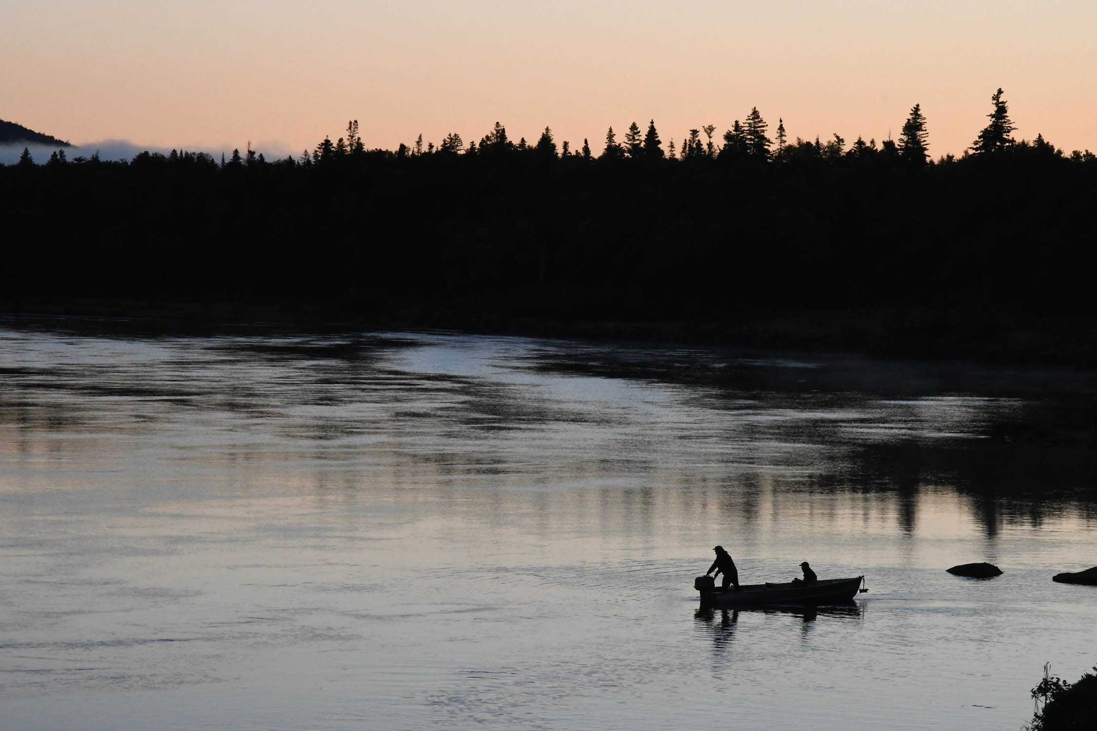
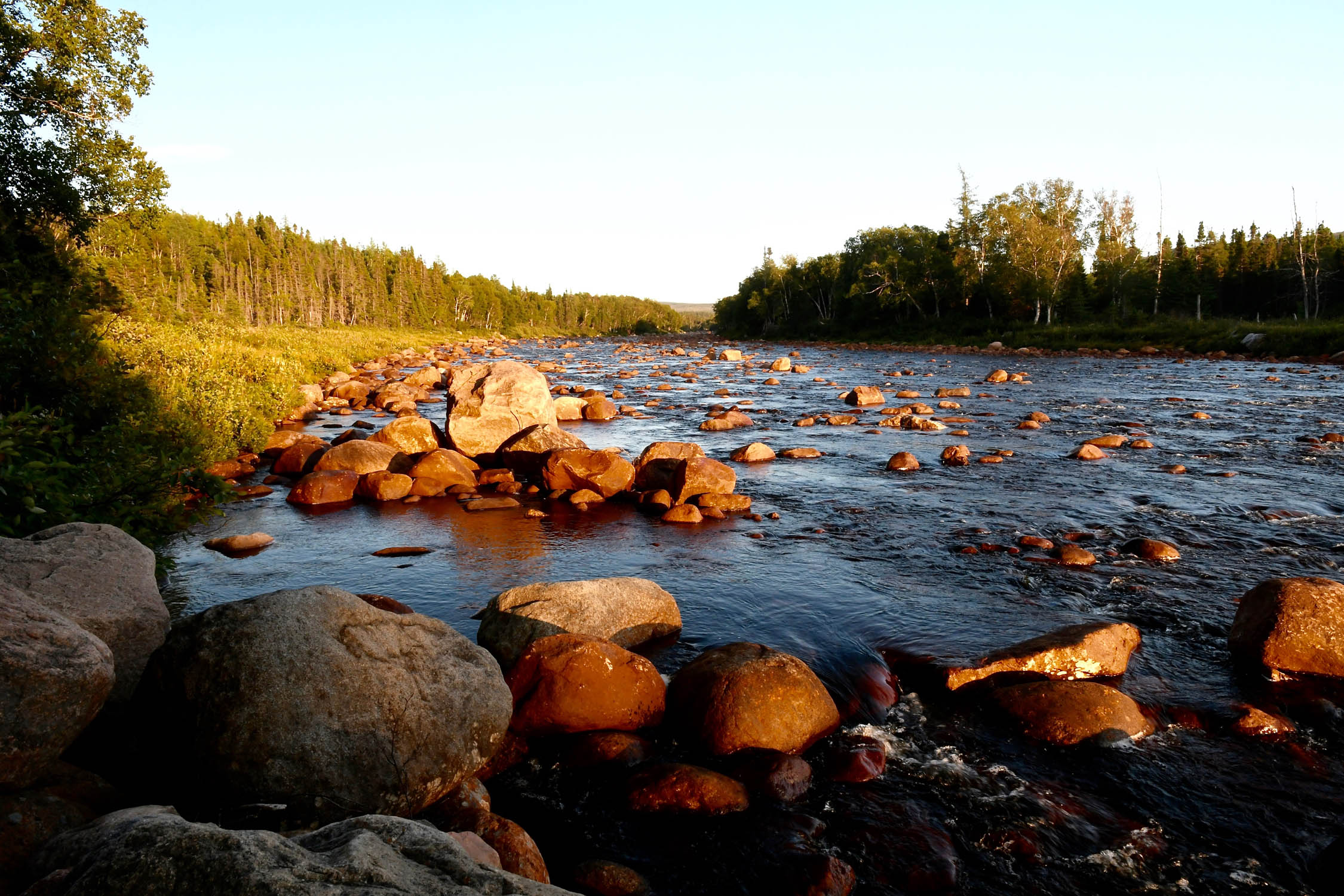
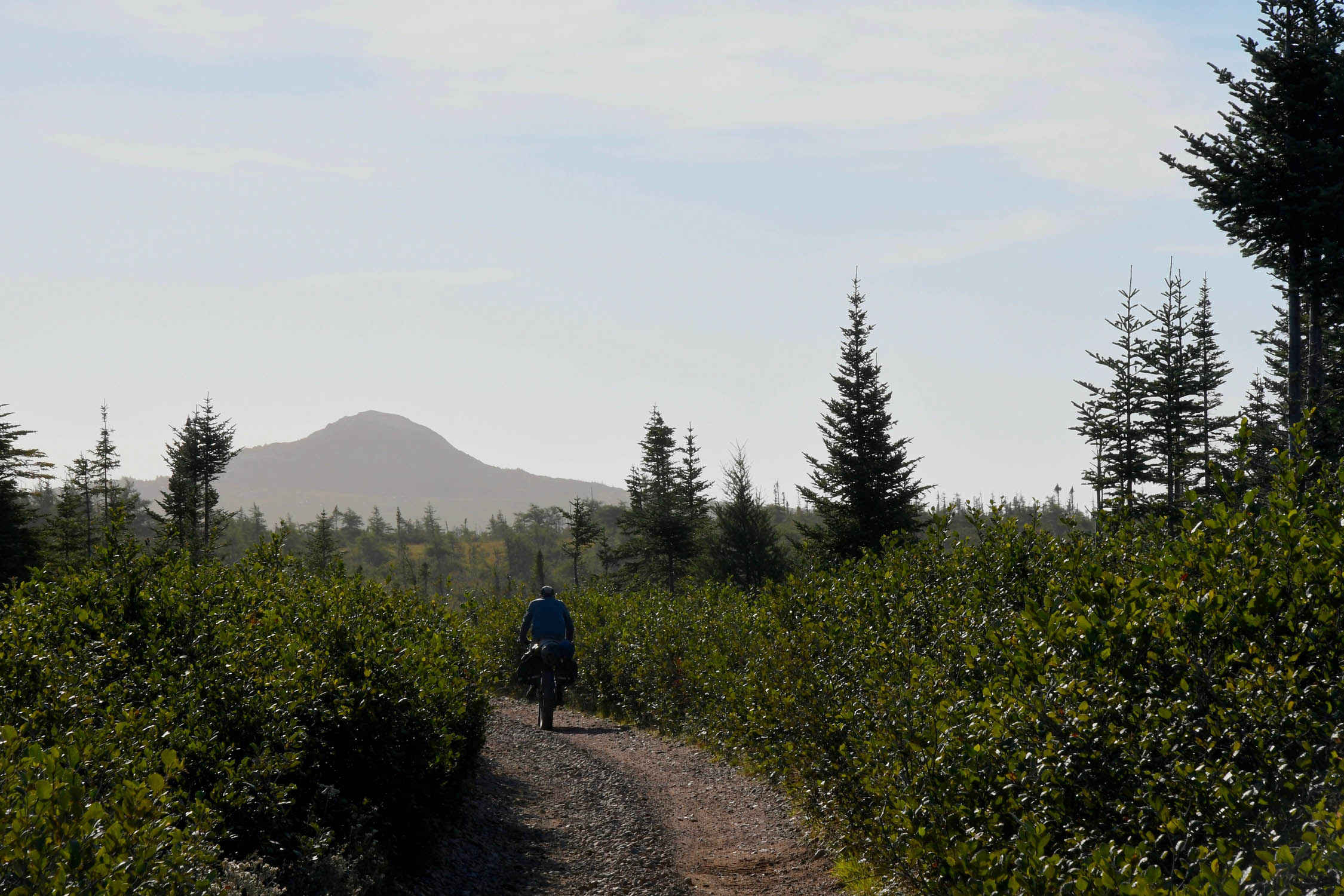
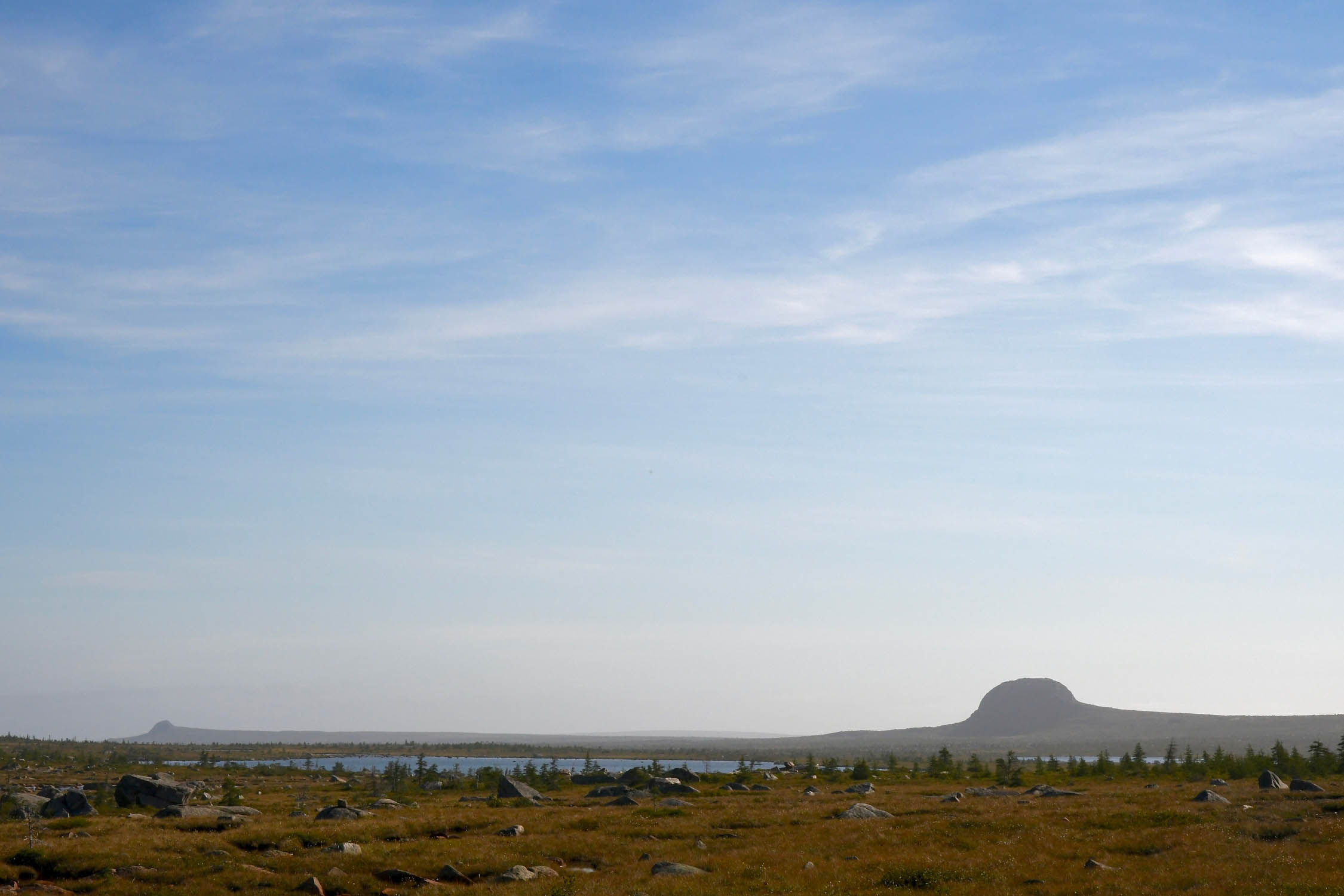
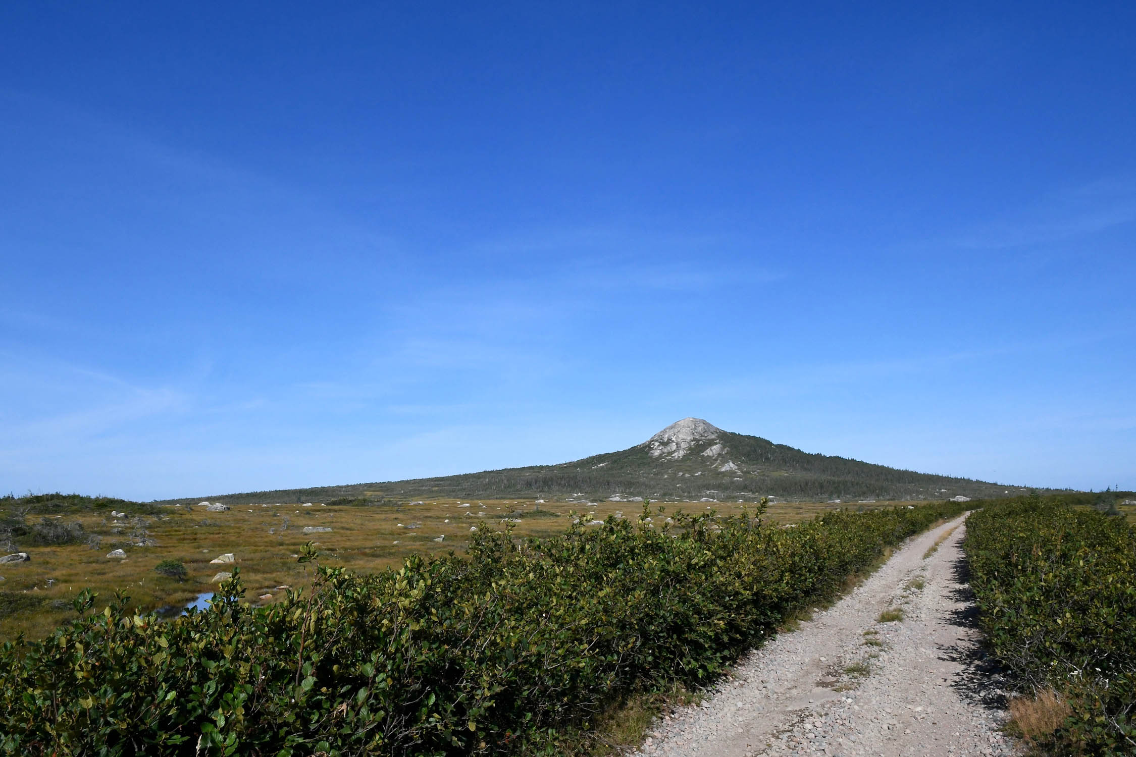
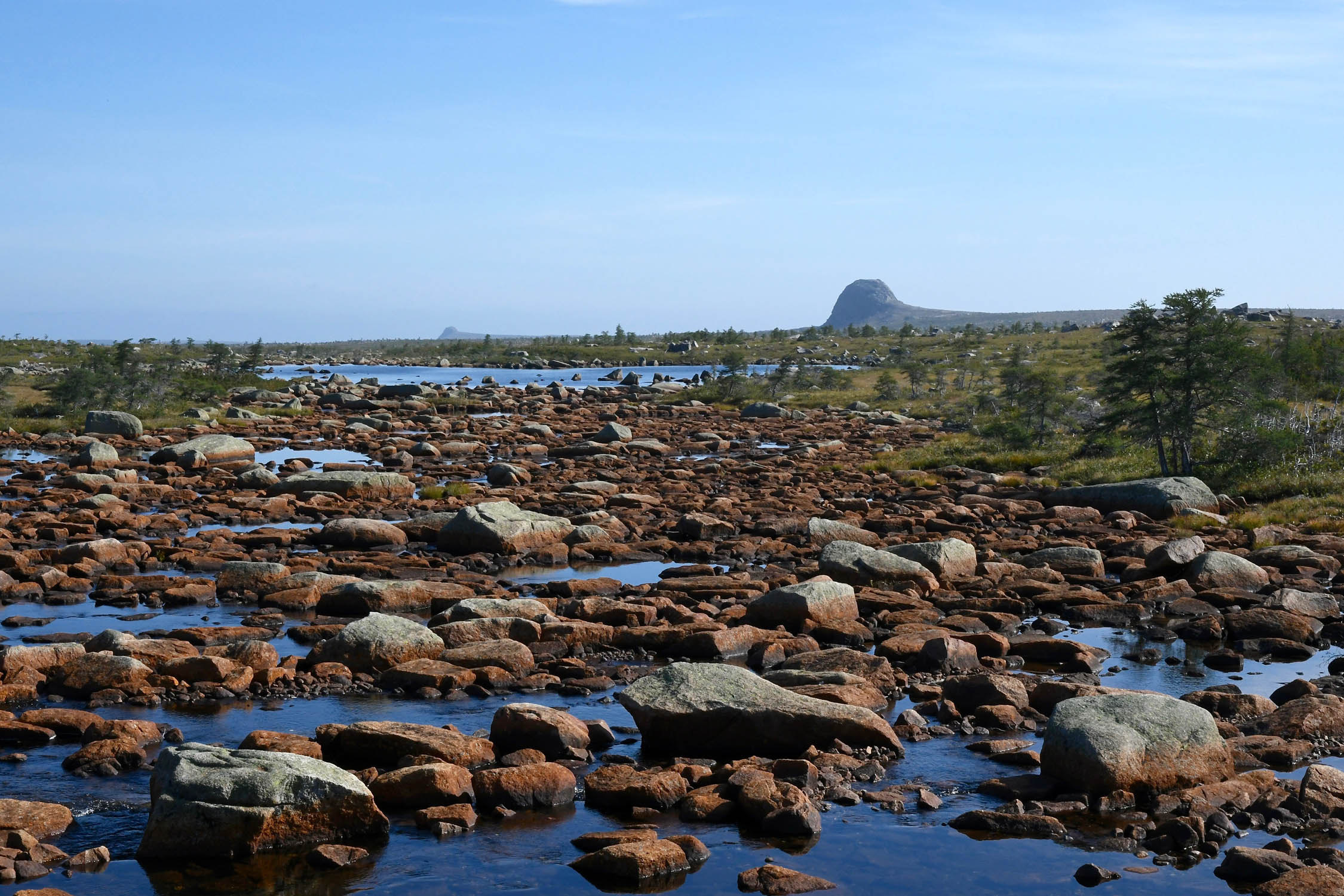
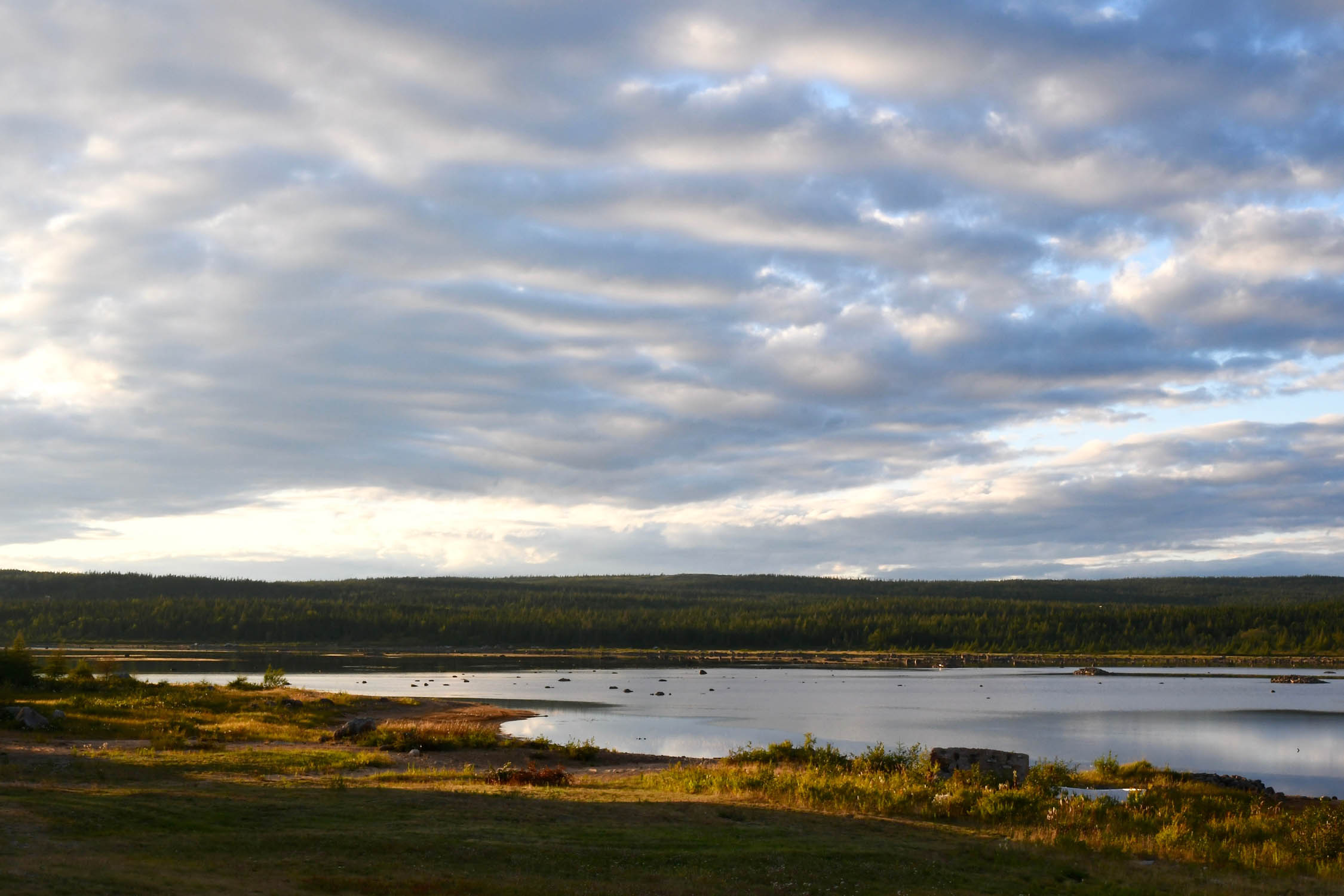
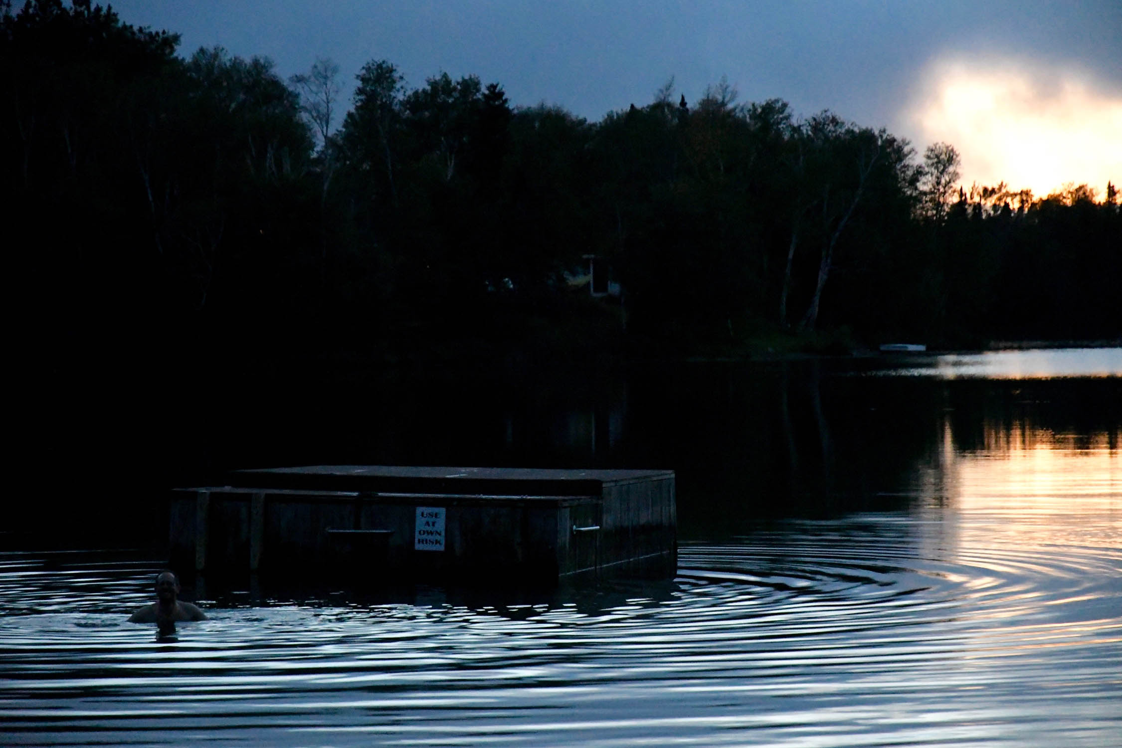
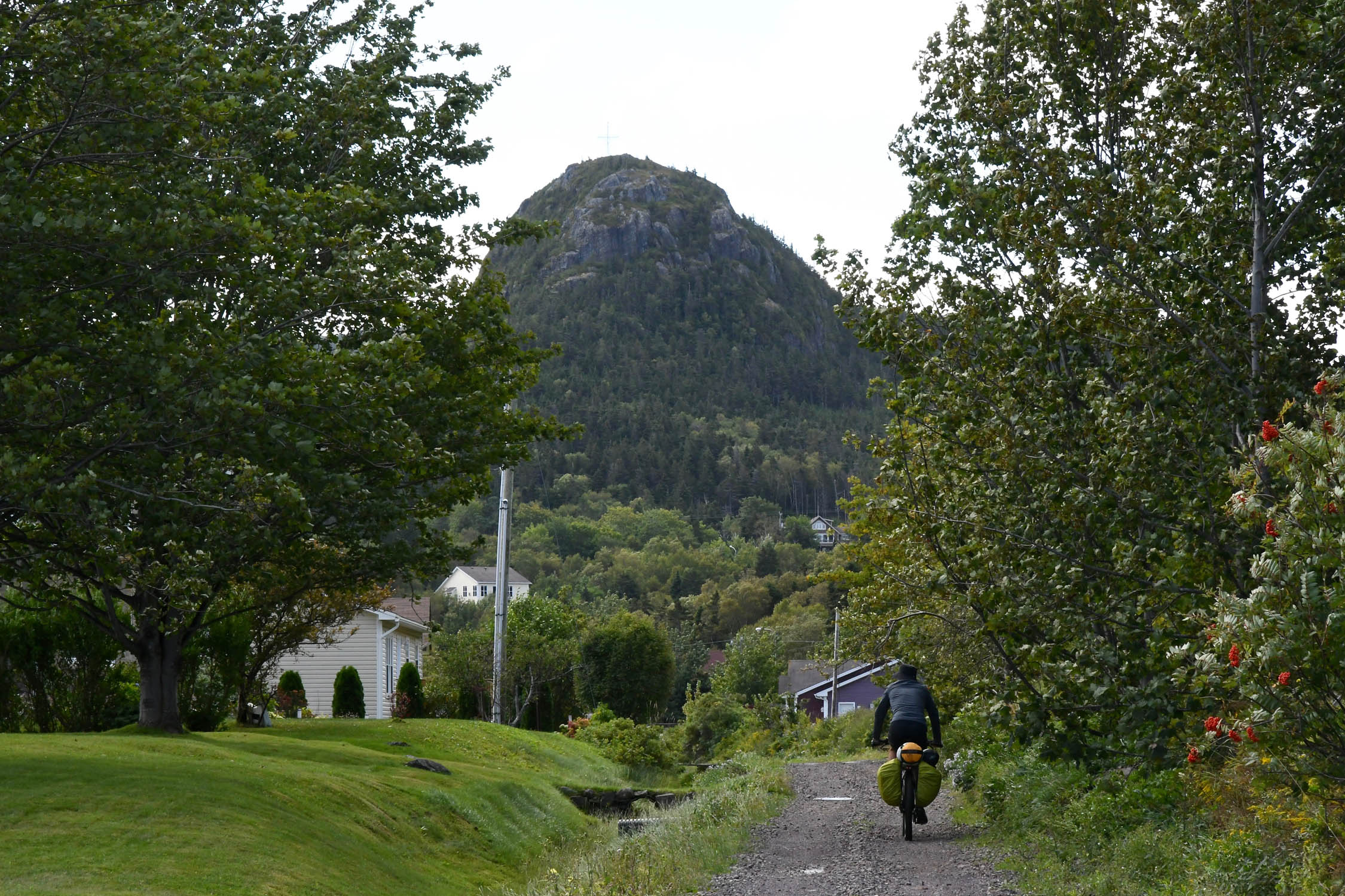
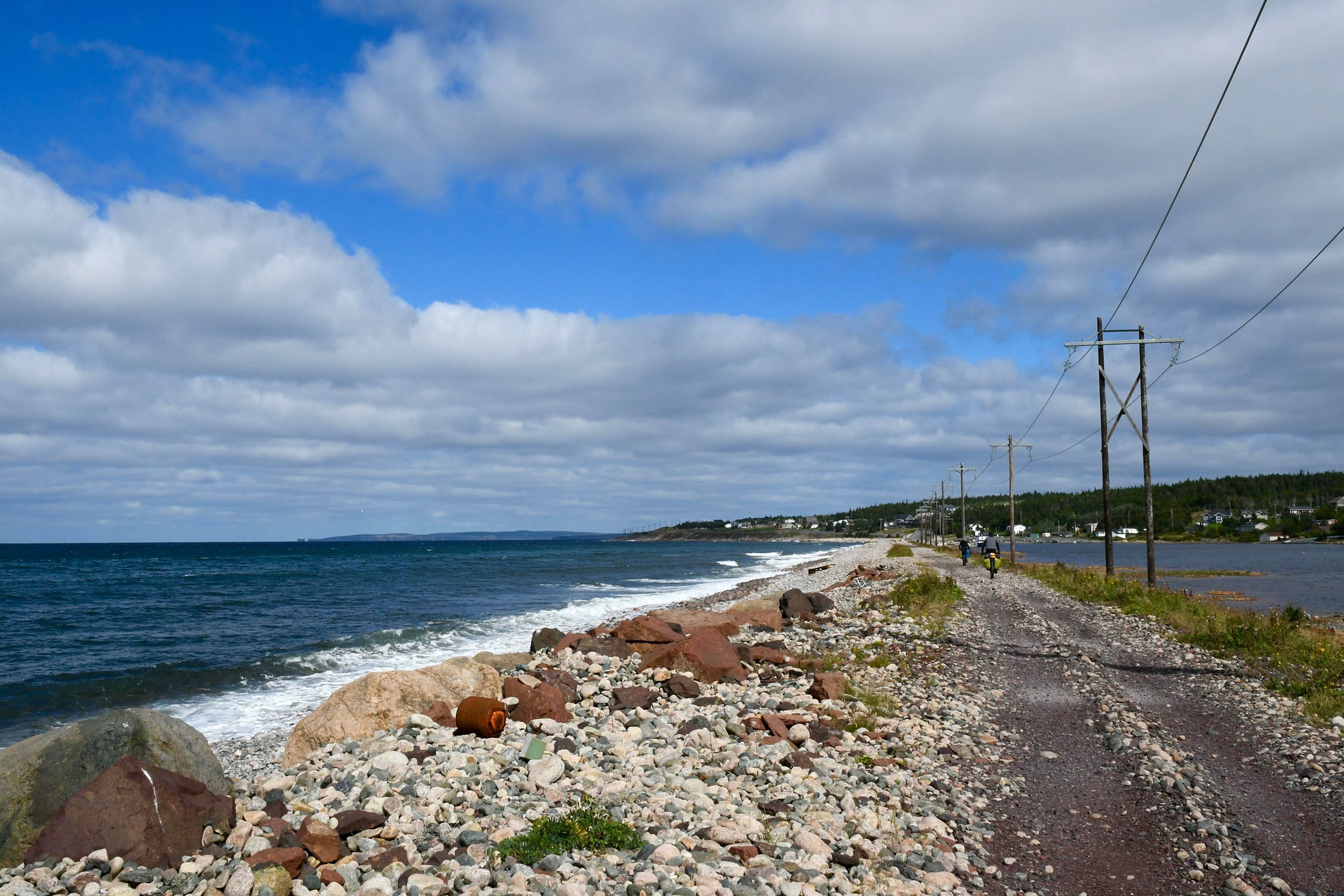
- Scenery – It’s hard to beat the views of the Long Range Mountains and the Codroy Valley on the west coast, but the high bogs punctuated by the Topsails are spectacular on a fine day too.
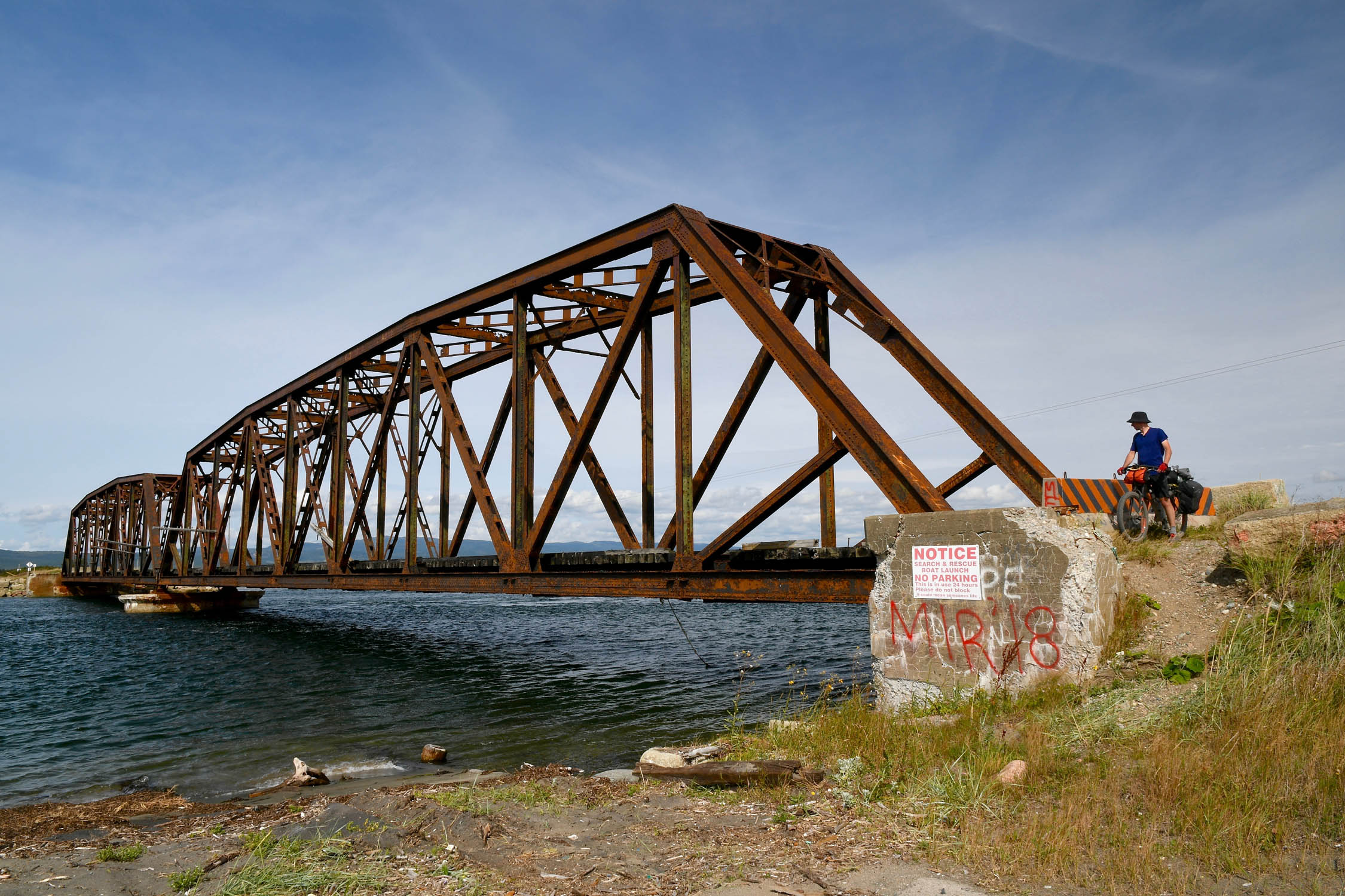
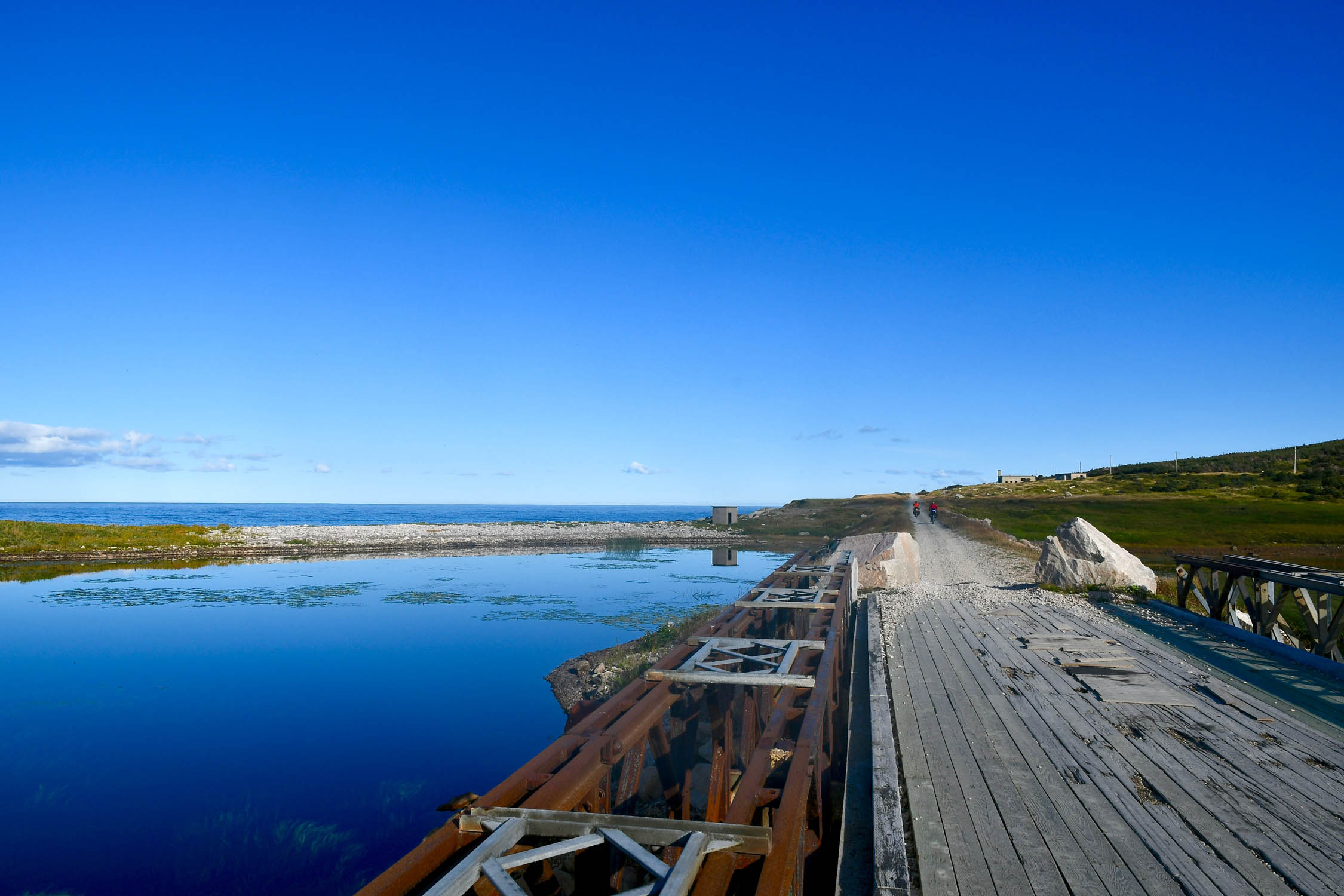
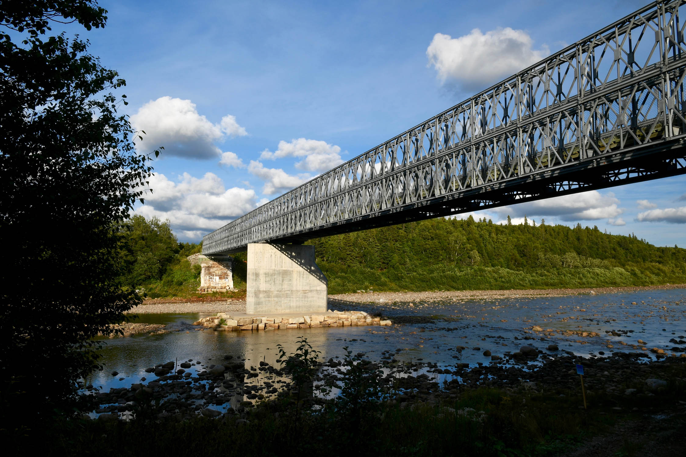
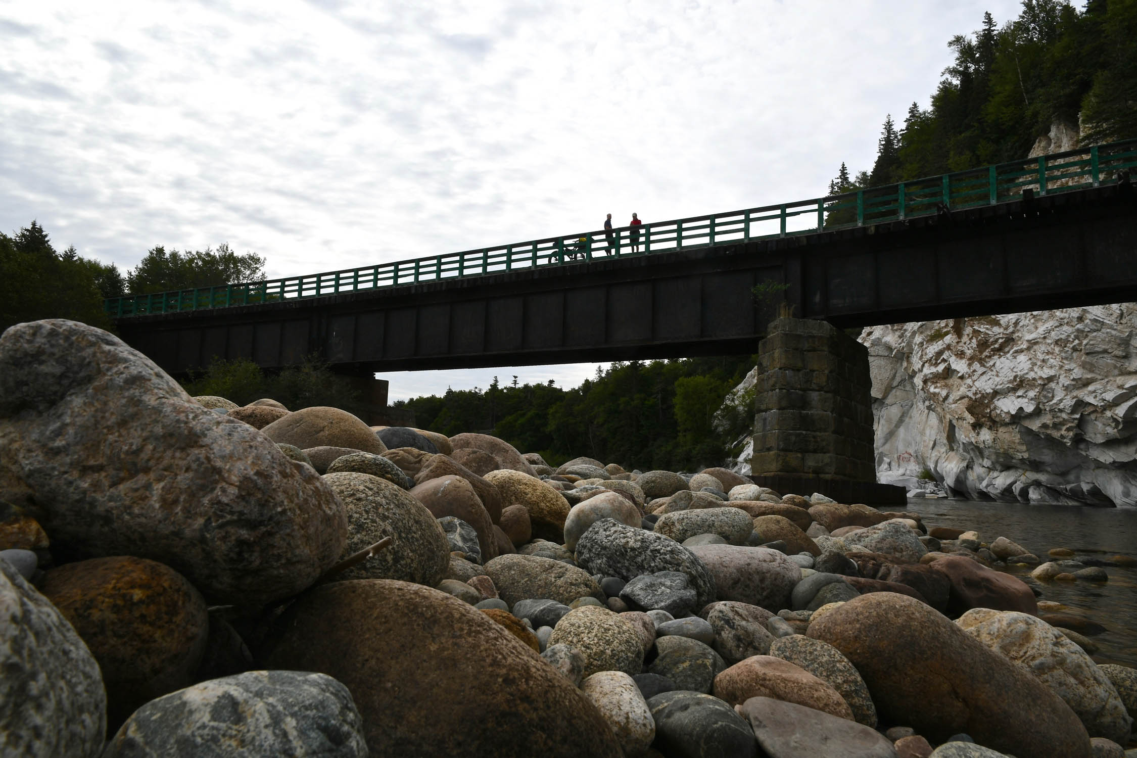
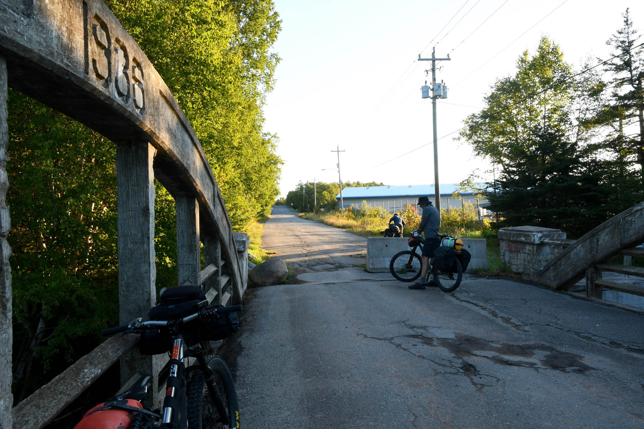
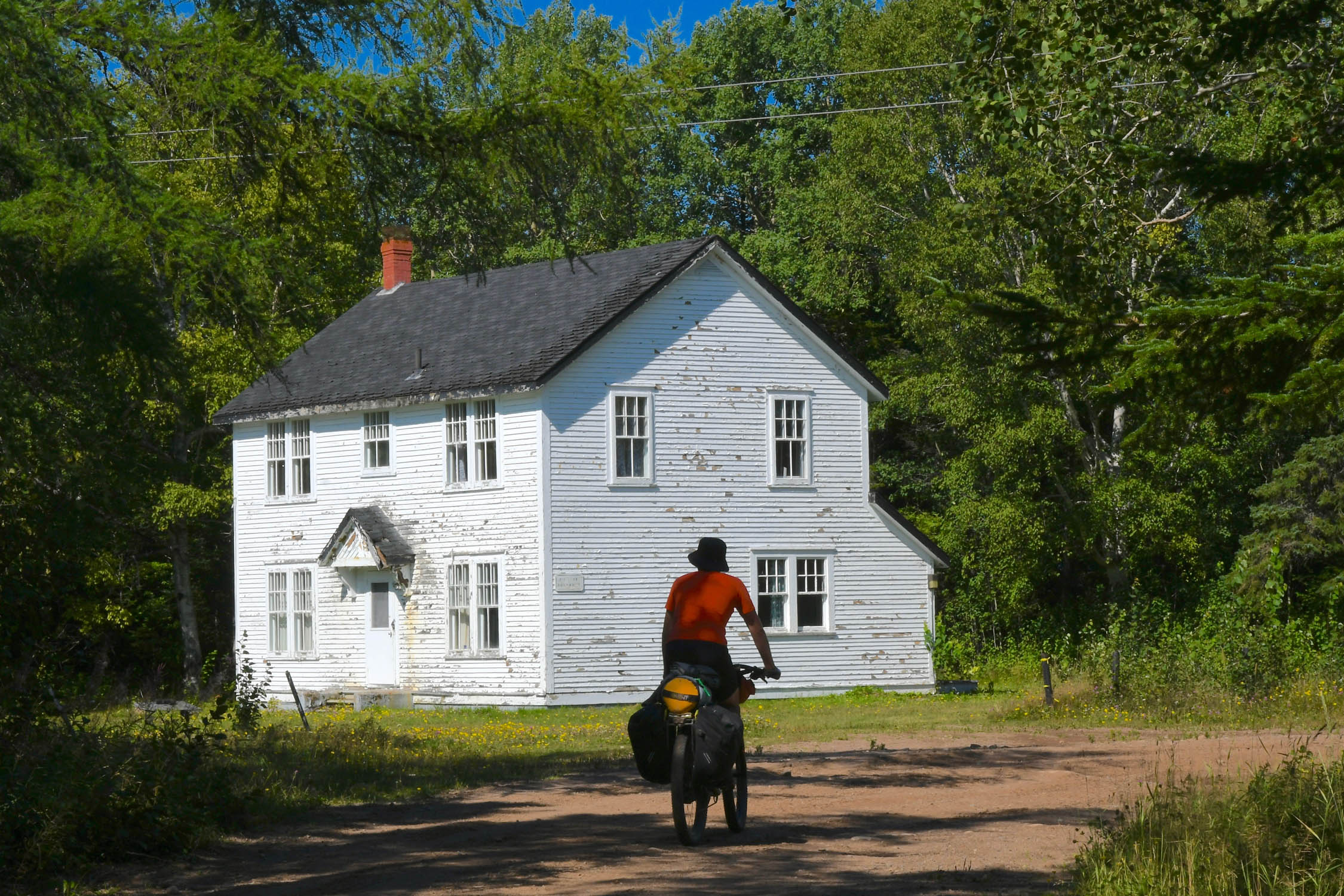
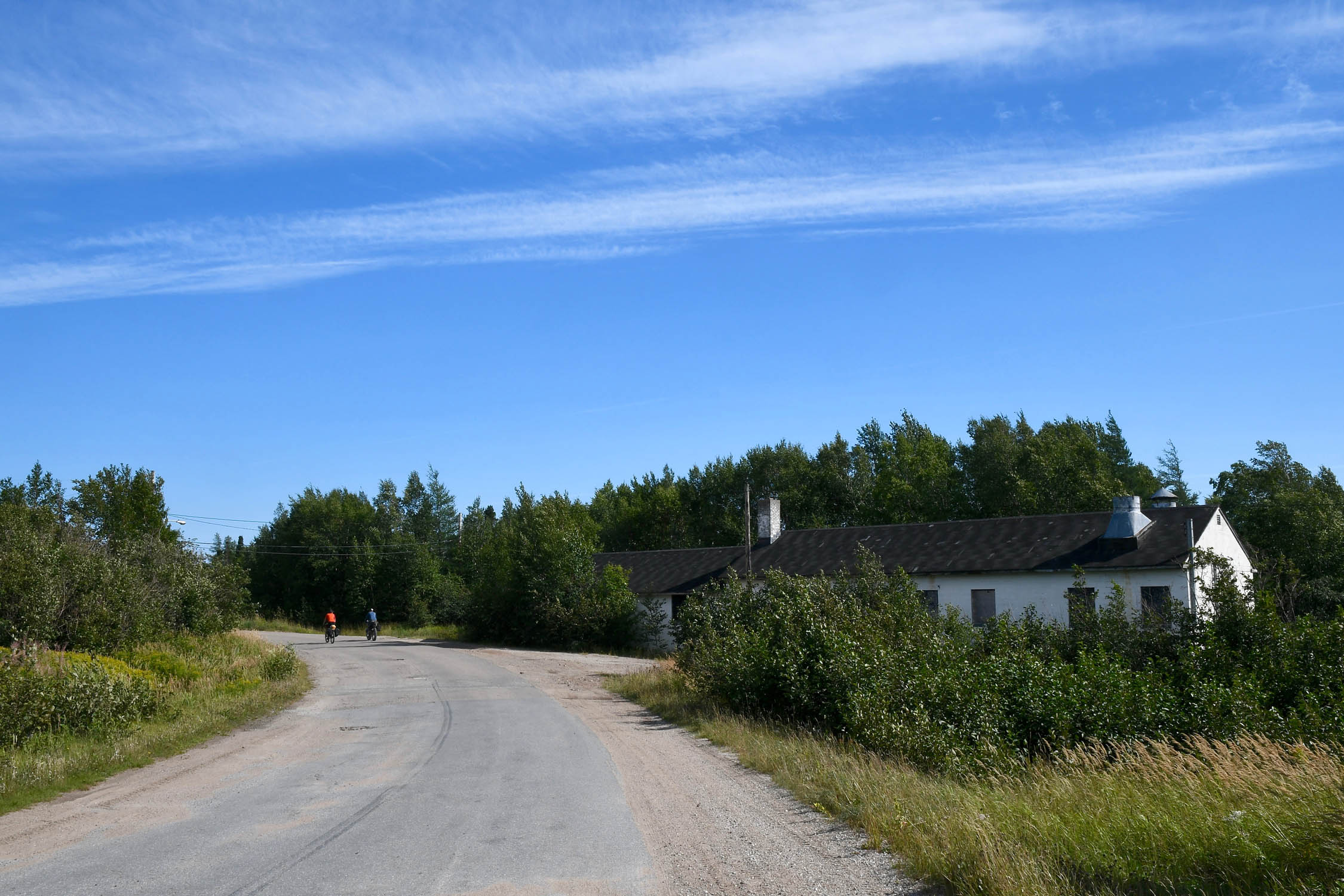
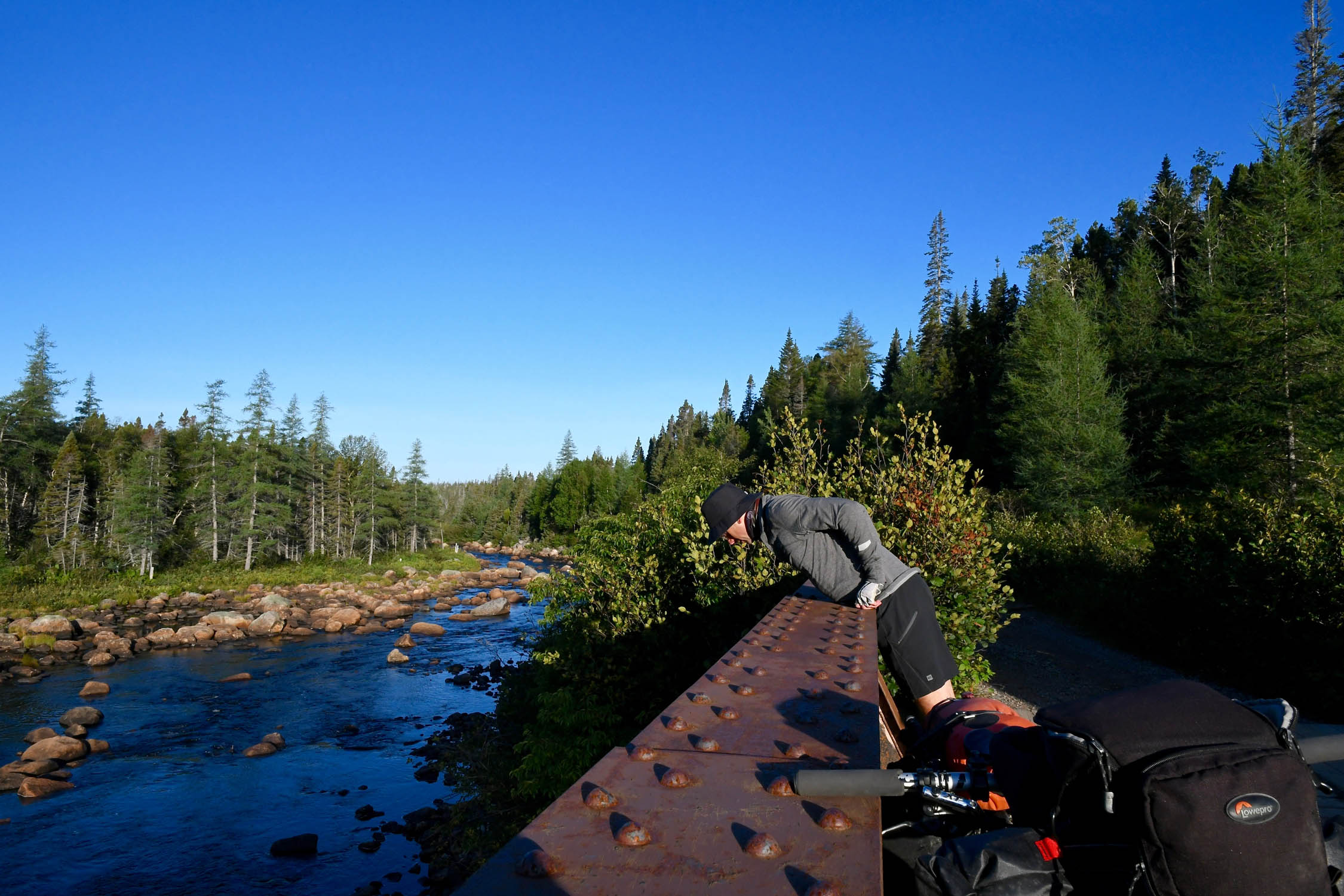
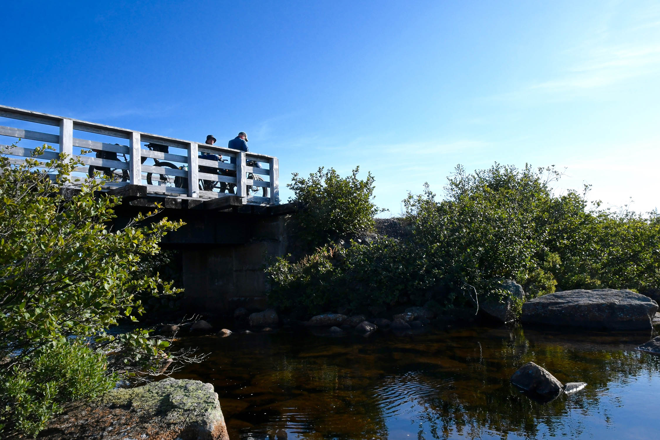
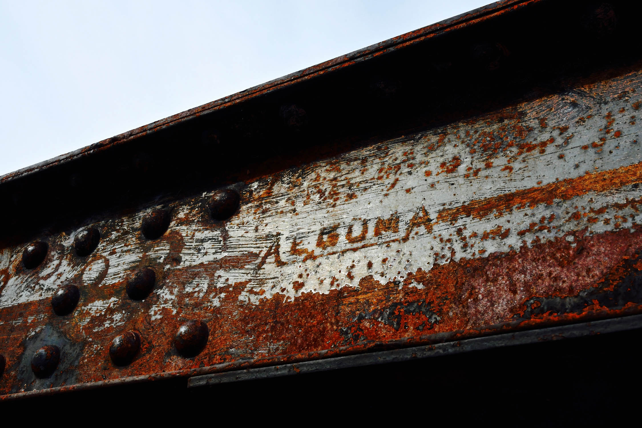
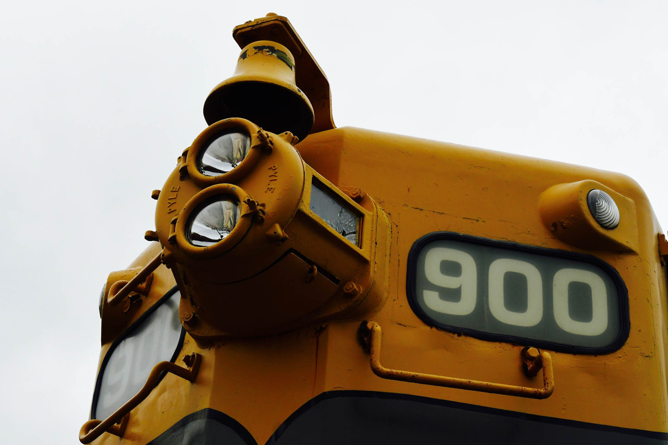
- Railway history – If the steel spikes that still litter the trail aren’t enough of a reminder, many towns along the trail still retain their railway stations or have rolling stock on display. Many of the original bridges are also still in place, including major spans at Stephenville Crossing and Bishop’s Falls, as well as a lift bridge near Howley.
- The Main Dam just east of Deer Lake is a pretty impressive structure. It was built in the 1920s to supply power to the pulp and paper mill in Corner Brook.
- Berries! Blueberries are abundant on the barrens in August or September. Also look for partridge berries (aka lingonberries) a little later in the fall.
- When to go: While this route is probably technically rideable from late spring to late fall, the best chances for good weather would be mid-July to mid-September, and for best trail conditions and minimum bugs, mid-August to mid-September.
- Weather: Weather in Newfoundland can be quite variable. Even in summer, you should be prepared for around 5°C (41°F) temps with high winds and rain. Starting in September you start to get the tail end of hurricanes and tropical storms bringing gusty wind and precipitation.
- Travel basics: Marine Atlantic provides ferry service from the mainland to Port Aux Basques year-round, and seasonally to Argentia. There are airports in Deer Lake, Gander, and St. John’s. There is bus service across the island (DRL Coach Lines).
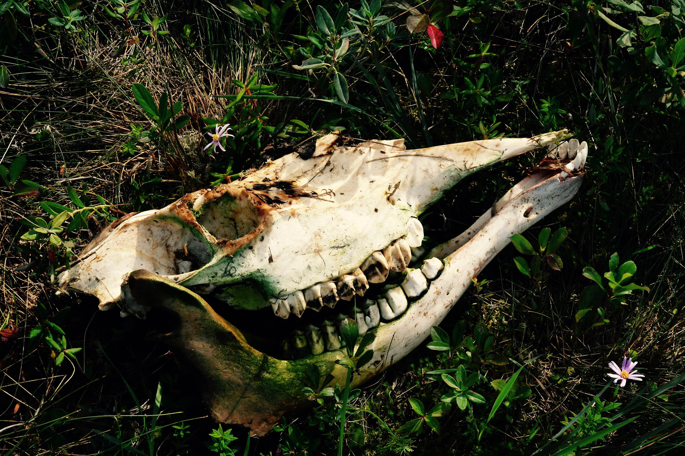
- Animals: There are black bears on the bulk of the island, but none on the Avalon Peninsula. Other than black bears, there really aren’t any dangerous animals.
- Traffic: The primary use of the bulk of the T’Railway is ATV traffic, plus some cars and trucks for cabin access in some areas.
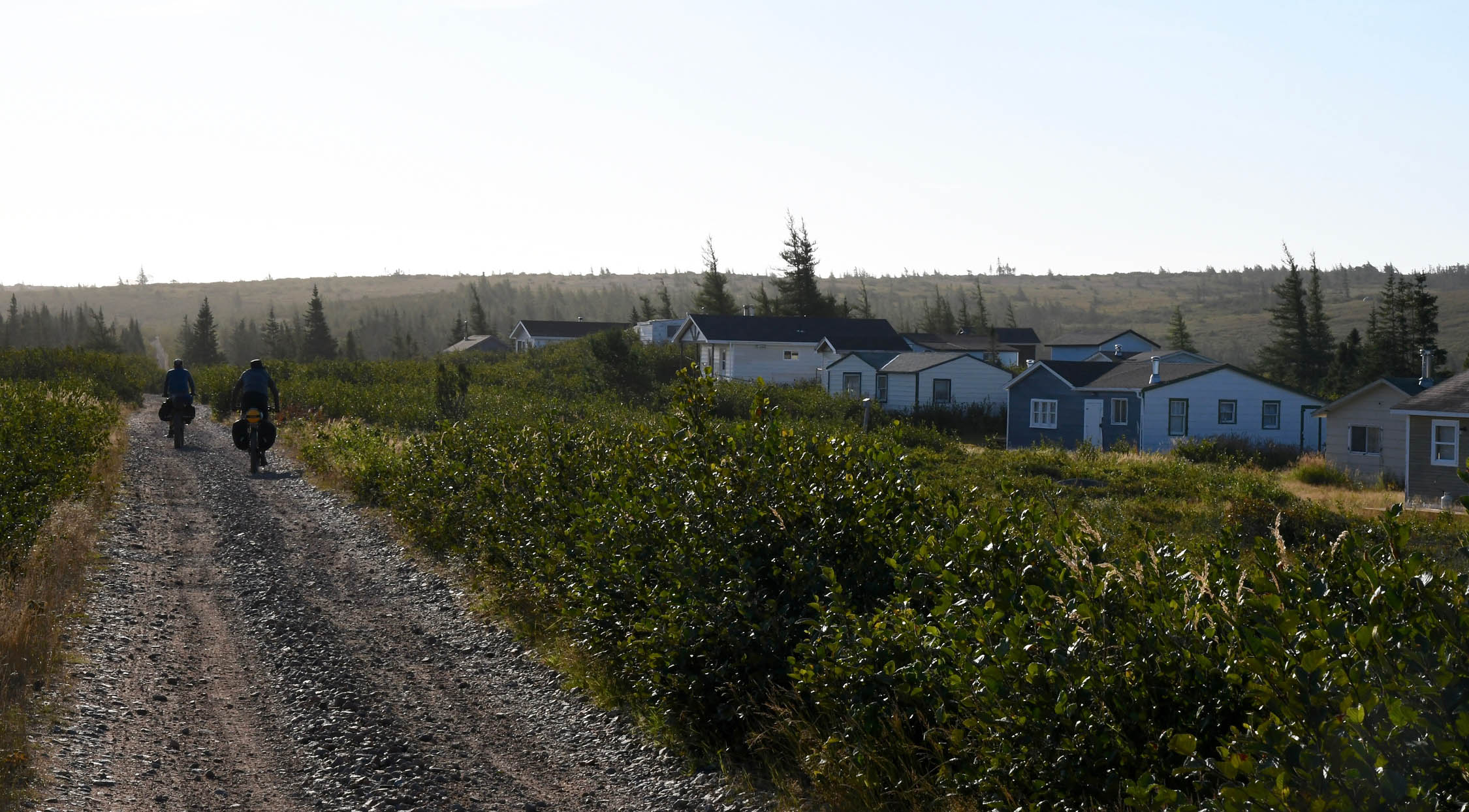
- Route finding: Navigation is very easy, but there’s generally not much signage. The biggest challenges to navigation are typically newly developed areas in “major” urban centers where roads and shopping centers have been built over the original railway alignment. The route shown addresses these, but of course is subject to change.
Convenient public and private campgrounds as well as a few other good camp spots and lodging options are shown on the route map, however in general, there are plenty of places to camp along the trail, which is mostly Crown Land. Locals can also give you good tips on places to camp, but beware they may have a different idea of how far out of the way something is to someone travelling by bike!
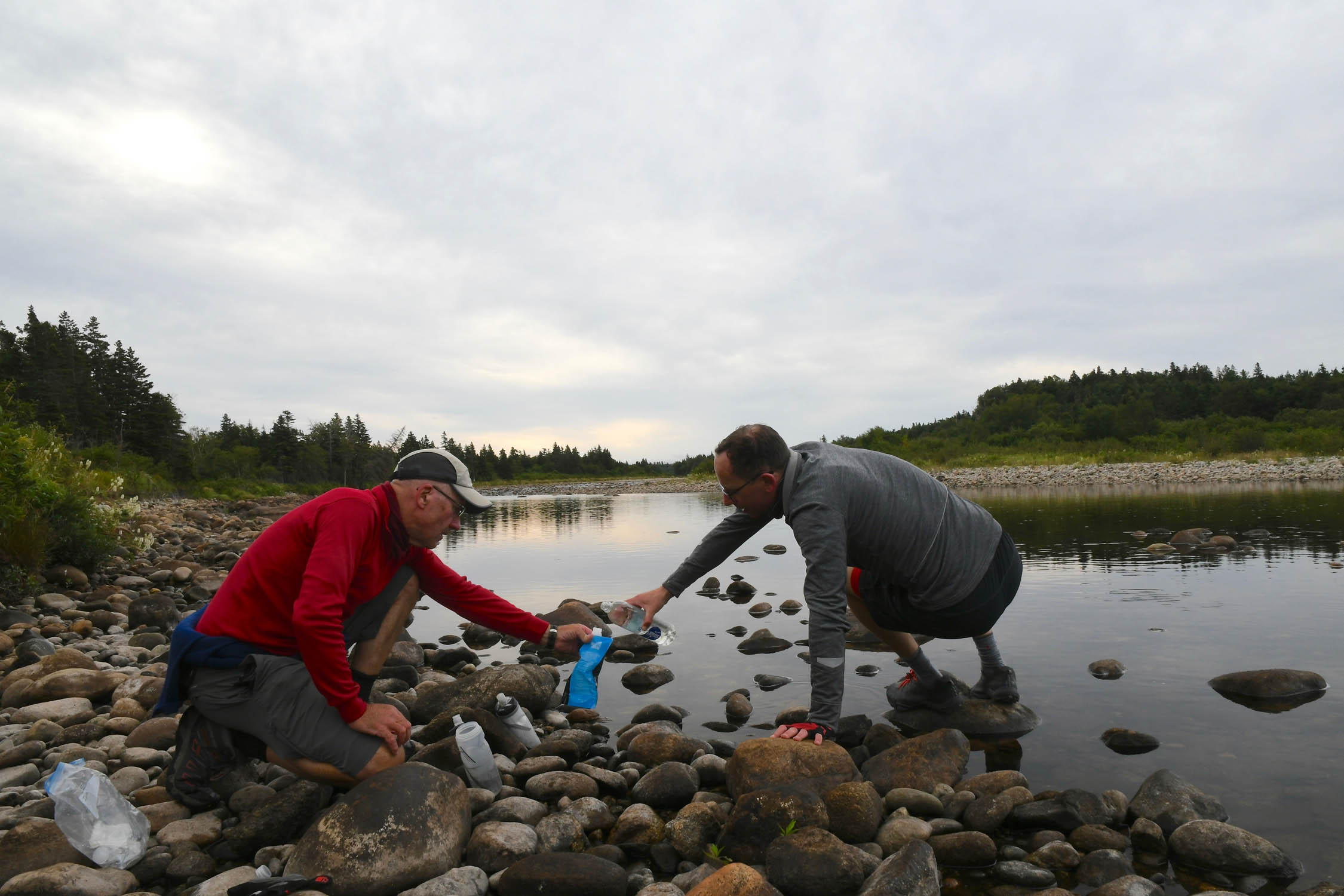
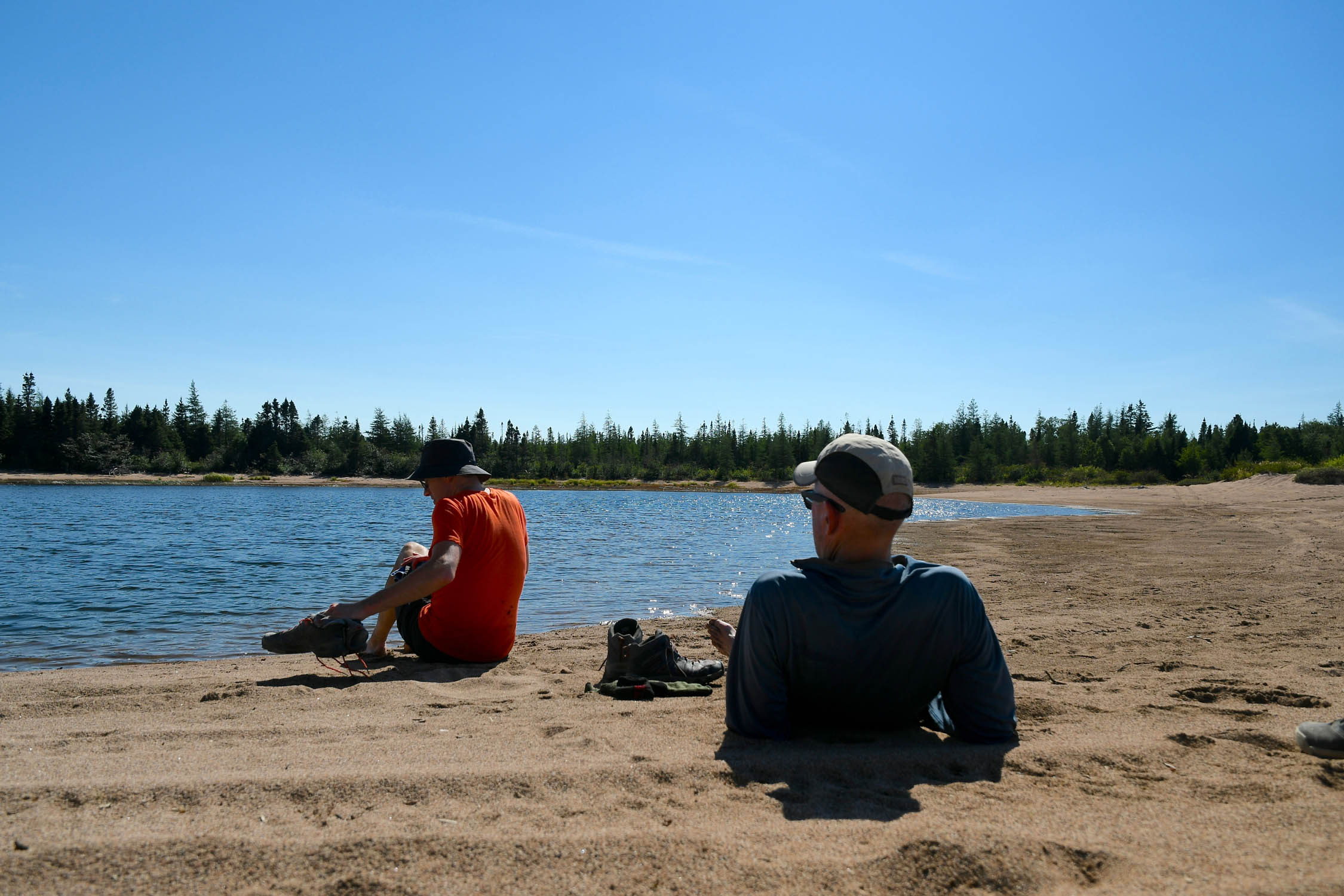
- Water is not an issue. There are ample water sources along the trail if you plan on filtering or treating.
- Major centers such as Corner Brook, Deer Lake, Grand Falls, Gander, and Clarenville will have pretty much anything you could need, and the trail passes right through.
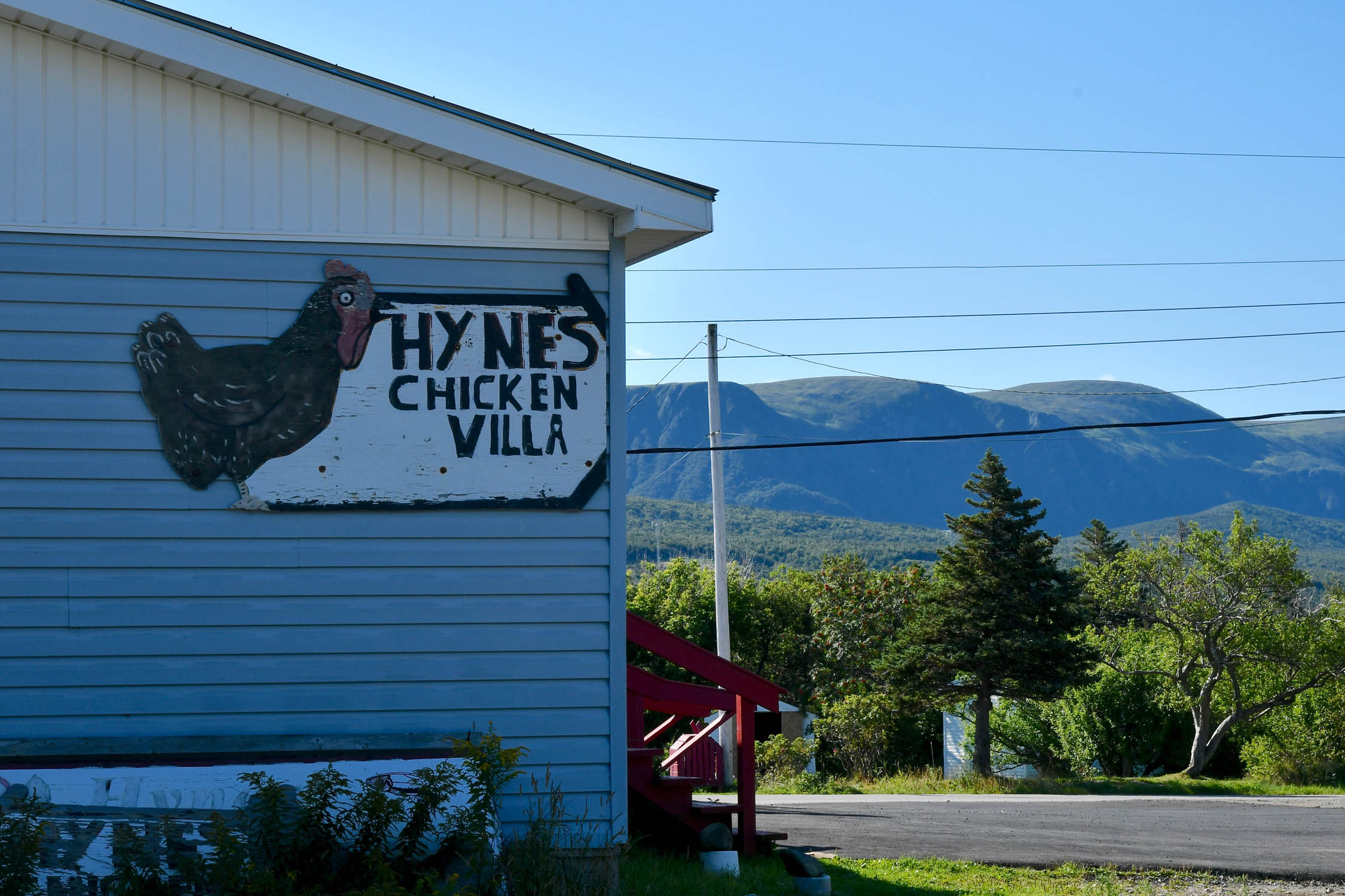
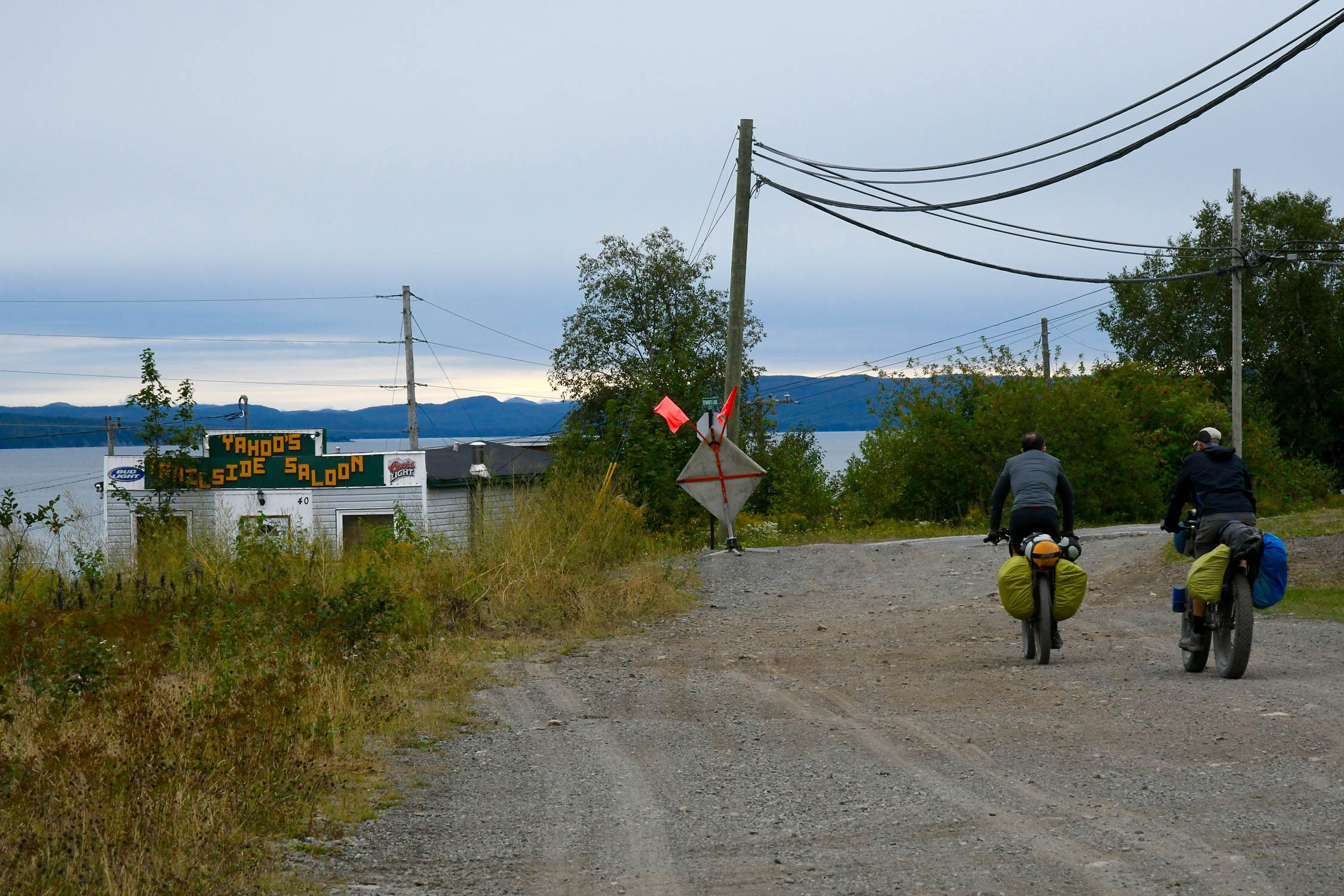
- Smaller towns will often have a convenience store or a gas station with at least some selection of food (and beer), and most days you’ll pass through at least a couple.
- The craft beer revolution was slow in coming to Newfoundland, but there are now breweries popping up all over – see map.
Riding the mainline T’Railway from Port Aux Basques to St. John’s is a long enough trip on its own, however for those looking for additional adventure, there are a plethora of options to consider. The mainline doesn’t give you a lot of the typical Newfoundland tourist experiences, so if you’ve never been, it may be worth considering some of these options, or otherwise extending your trip for some sightseeing.
Options
- Detour around road and highway sections between Corner Brook and Deer Lake: From Corner Brook the railway followed the Humber river to Deer Lake. When the Trans Canada Highway was twinned through the Humber Gorge in the 90s, it was built over the railway right-of-way, and from just east of Corner Brook to Steady Brook the only option is to ride on the shoulder of the highway. From Steady Brook to just east of Pasadena the route follows paved side roads. There appears to be an option to avoid the highway section entirely by taking Route 440 north off of Riverside Dr as you head out of Corner Brook. This will put you on the north side of the Humber, and there appear to be some woods roads that will take you to Deer Lake. I’ve not tried this, but it will certainly add a little distance and some significant elevation. You can also cross the river at Little Rapids to the Humber Valley Resort and then follow woods roads along the north shore of Deer Lake, but this doesn’t eliminate the highway section, nor much of the road riding.
- Millertown Junction to Burgeo Highway: From Millertown Junction there is a branch line southwest to Buchans, and there are gravel/woods roads on both sides of Red Indian Lake that join up with the Burgeo Highway. These could be used to make a western Newfoundland loop.
- Coastal boat loop: There used to be coastal boat service all along the south coast of the island such that you could have made a loop by riding across the T’Railway from Port Aux Basques and returning via coastal boat. That’s no longer possible it its entirety, but it could be worked into a partial loop using the Burgeo highway. For example: https://theslowbiker.wordpress.com/2014/09/29/newfoundland-by-bicycle-a-guest-blog/
- Placentia branch line: At Placentia Junction a branch line heads southwest to Placentia and Argentia. This means you could, for example, drive to North Sydney NS, take the ferry to Port Aux Basques, ride across the island to St. John’s, and then return to North Sydney via ferry from Argentia.
- Bonavista branch line: This line runs 145 km from Clarenville to Bonavista. This looks like a great side trip, with attractions including the Trinity Loop (a loop in the line to overcome the grade, plus a creepy abandoned amusement park), the brewery in Port Rexton, and a whole host of things in Bonavista, such as the Ryan Premises, a nice lighthouse, and The Dungeon. https://theslowbiker.wordpress.com/2014/08/09/the-bonavista-branch-line/
- Conception Bay North and Heart’s Content branch lines: The Conception Bay North line branches off the main line at Brigus Junction, and one way or another (the section north of Carbonear was abandoned in 1930) it can be followed to Old Perlican. There was also a Heart’s Content line that branched north from Whitbourne along the east side of Trinity Bay. Significant portions are still evident in the satellite imagery, but it is unclear how much is rideable. https://theslowbiker.wordpress.com/2013/07/07/conception-bay-north/ https://theslowbiker.wordpress.com/2015/05/18/its-the-24th-of-may-and-we-likes-to-get-away/
- Gros Morne National Park: The park is fairly out of the way, but could be worth the trip if you’ve never been. It looks like you could find a back route to the park by heading north on 440 from Corner Brook, as described above.
Additional Resources
- Newfoundland/Labrador Parks: tcii.gov.nl.ca/
- Official T’railway Website: trailway.ca/
- The Slow Biker’s 2013 Trip Report: theslowbiker.wordpress.com/


Terms of Use: As with each bikepacking route guide published on BIKEPACKING.com, should you choose to cycle this route, do so at your own risk. Prior to setting out check current local weather, conditions, and land/road closures. While riding, obey all public and private land use restrictions and rules, carry proper safety and navigational equipment, and of course, follow the #leavenotrace guidelines. The information found herein is simply a planning resource to be used as a point of inspiration in conjunction with your own due-diligence. In spite of the fact that this route, associated GPS track (GPX and maps), and all route guidelines were prepared under diligent research by the specified contributor and/or contributors, the accuracy of such and judgement of the author is not guaranteed. BIKEPACKING.com LLC, its partners, associates, and contributors are in no way liable for personal injury, damage to personal property, or any other such situation that might happen to individual riders cycling or following this route.
Please keep the conversation civil, constructive, and inclusive, or your comment will be removed.