


No Business Loop (Cumberland Plateau)
Distance
103 Mi.
(166 KM)Days
3
% Unpaved
88%
% Singletrack
20%
% Rideable (time)
97%
Total Ascent
8,047'
(2,453 M)High Point
1,725'
(526 M)Difficulty (1-10)
6?
- 5Climbing Scale Moderate78 FT/MI (15 M/KM)
- 7Technical Difficulty Difficult
- 6Physical Demand Moderate
- 5Resupply & Logistics Moderate
Contributed By

Joe Cruz
Contributing Editor
Photos by Joe Cruz, Donalrey Nieva, and Logan Watts; originally published April, 2021 and updated with route additions in September, 2023 with the help of local volunteer Joe Cross
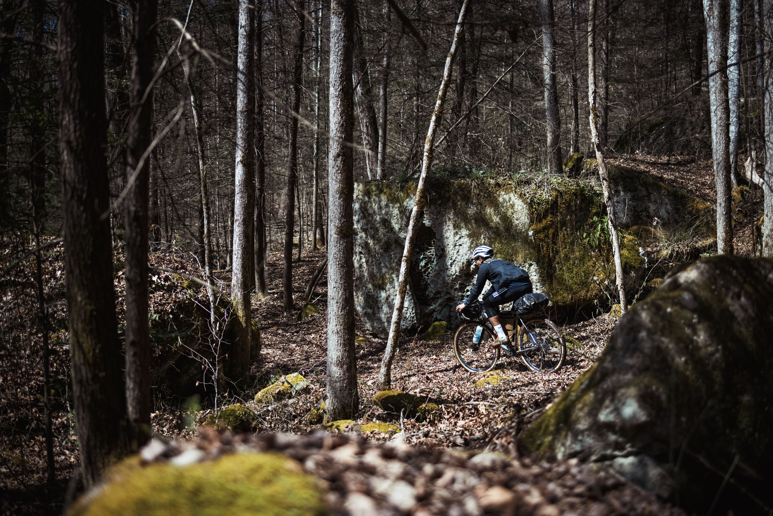
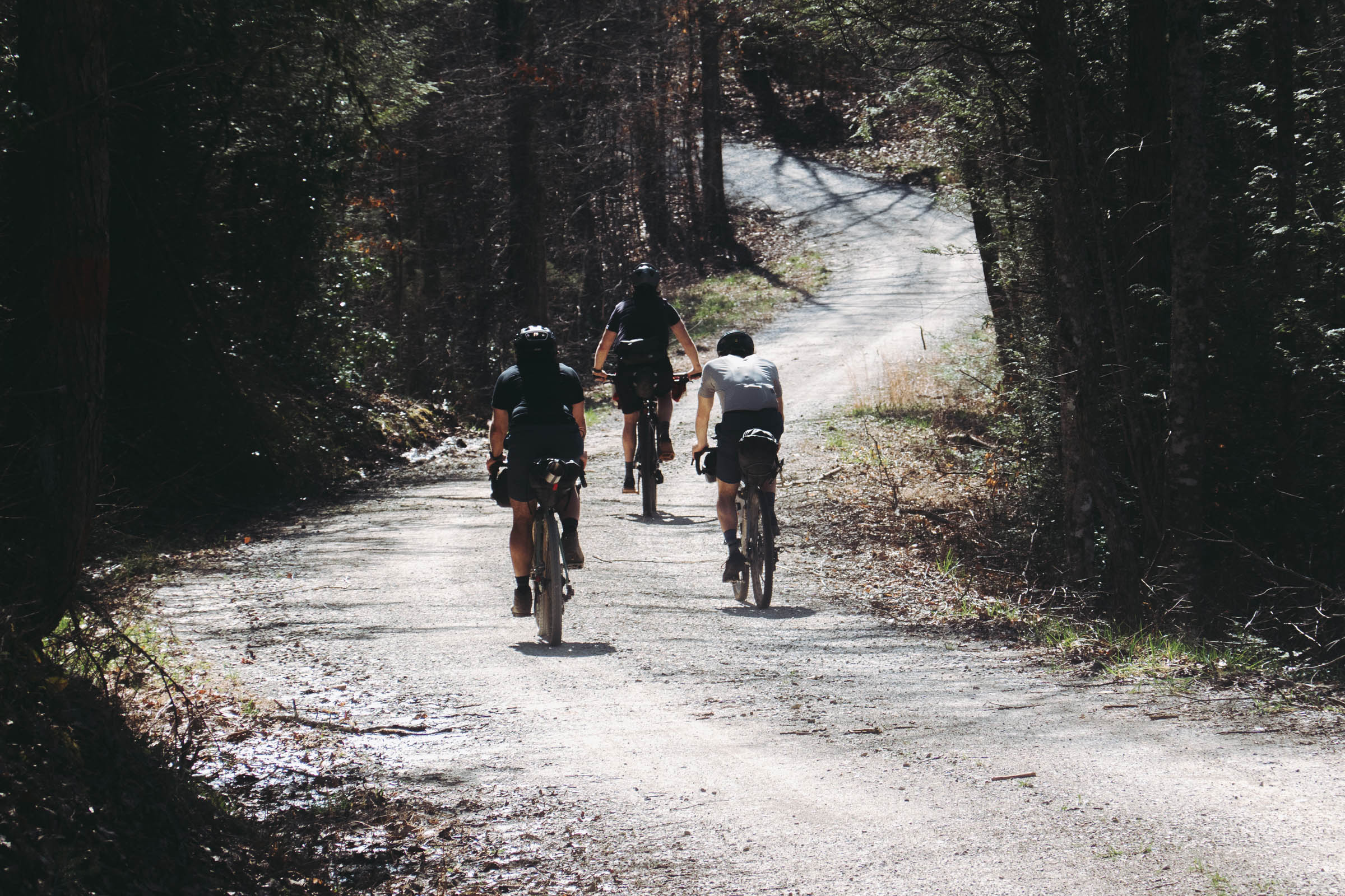
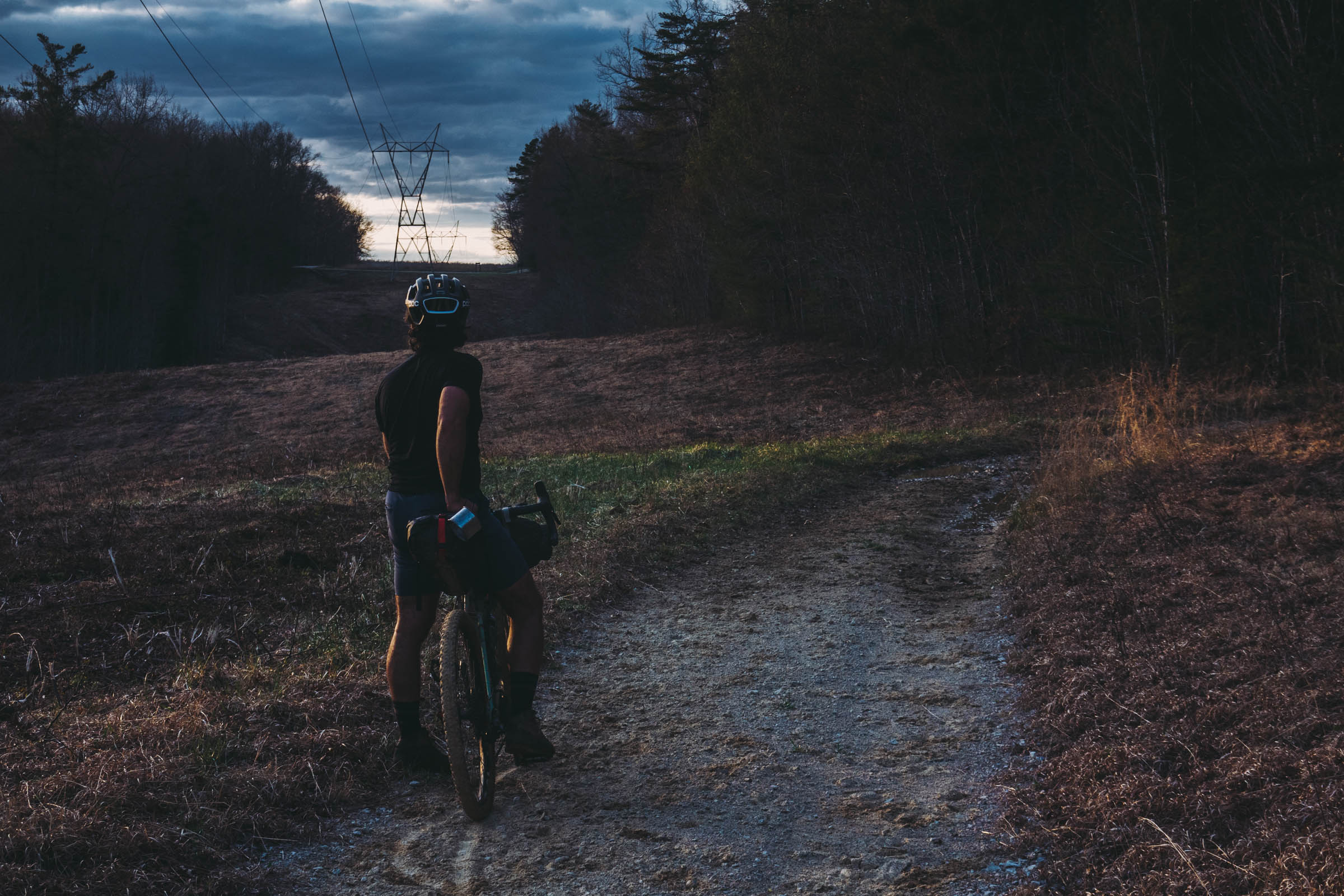
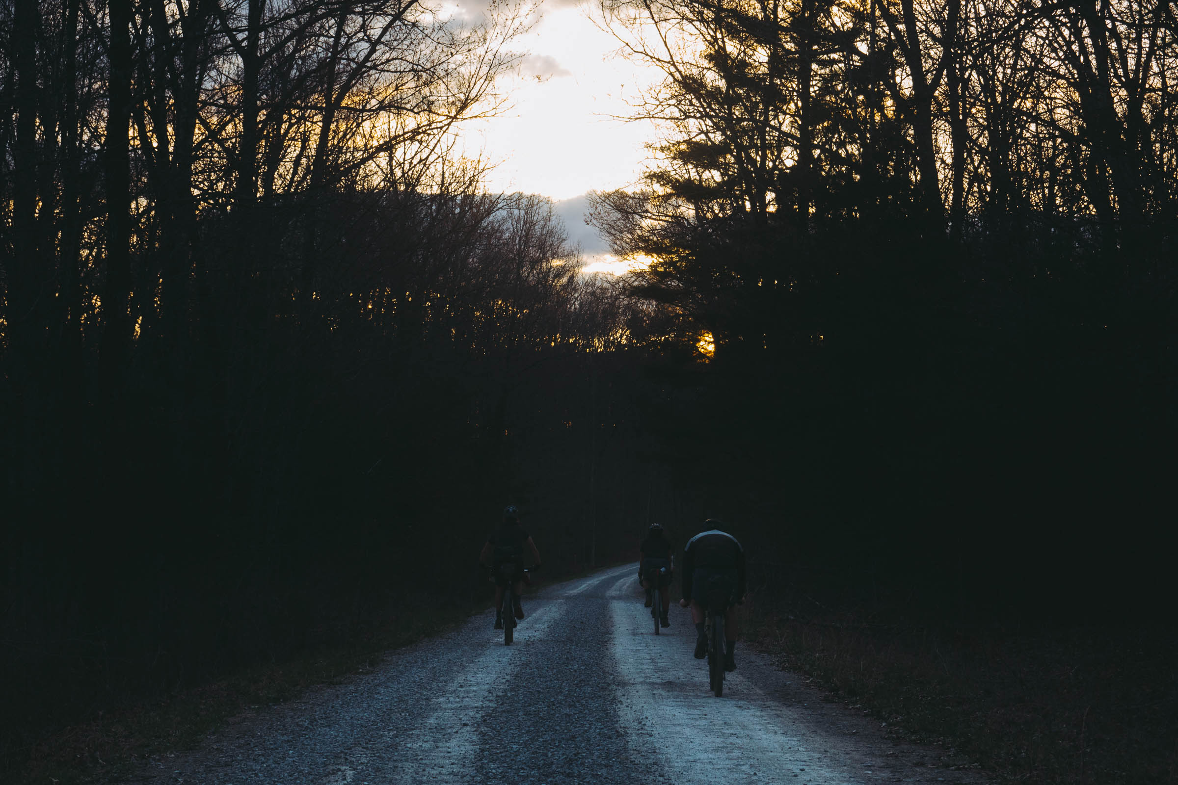
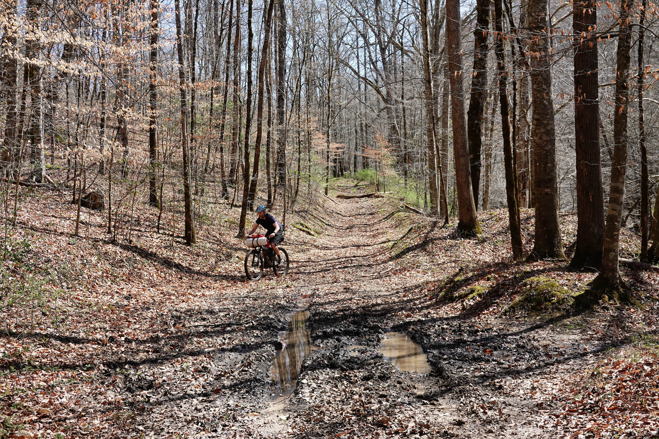
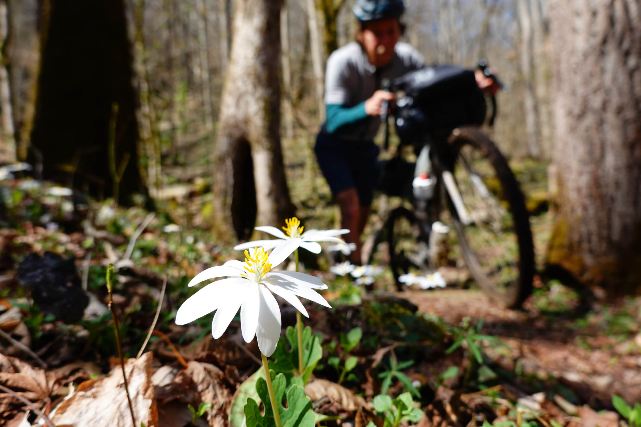
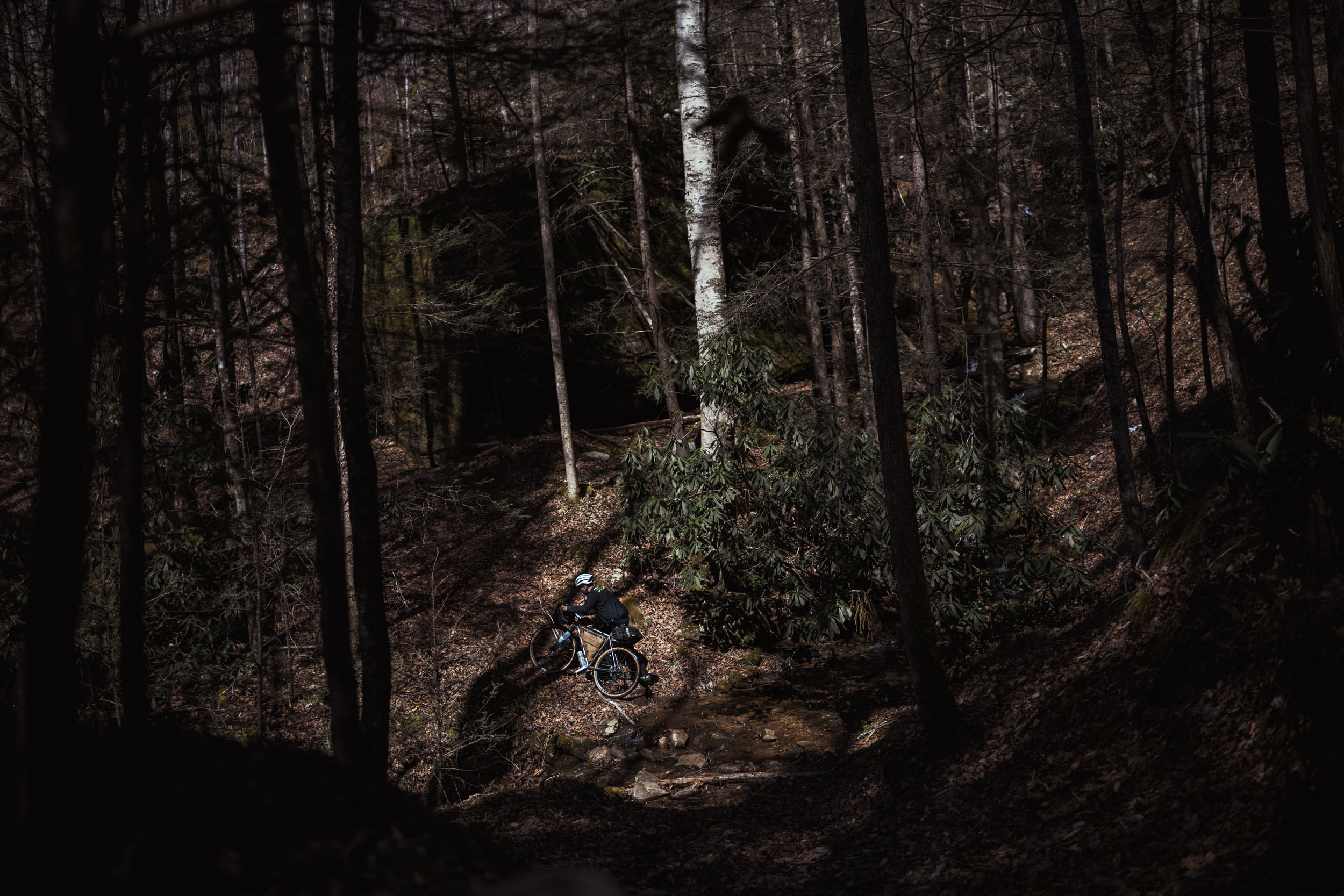
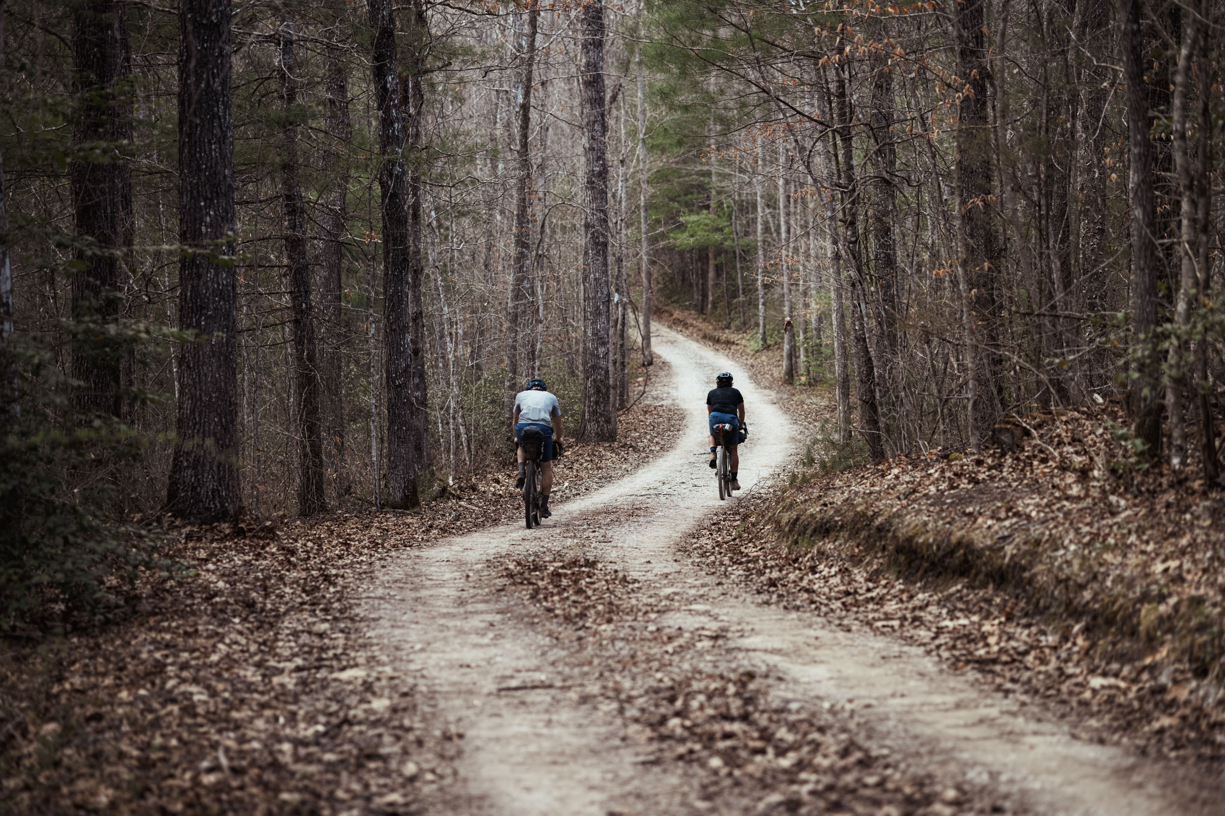
Hibernating through the winter left us craving all of the ways of having fun on a bikepacking trip, and this route really does have everything. It’s a ride in Eastern woods on travelways that have been around for centuries, on winding narrow trails that welcome bicyclists, and on ridgeline gravel fire roads. From hollering flowy singletrack to bucking rugged jeep tracks to meanders along scenic rivers with incredible cliffside vistas, it’s a ride that wakes you from sleep and generates endless grins.
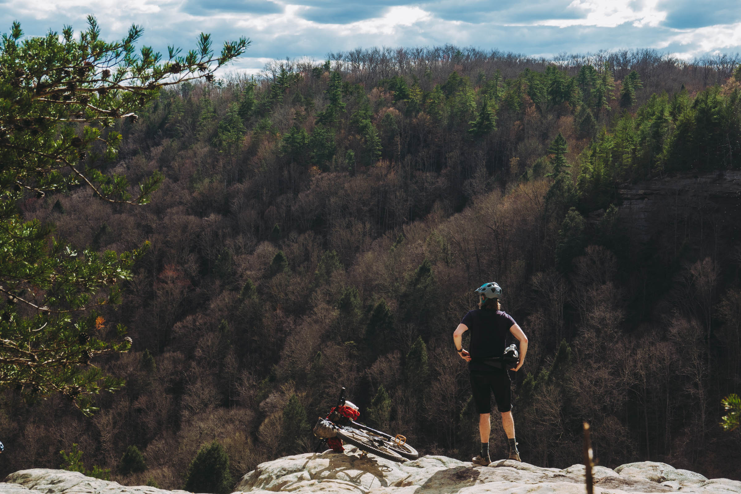
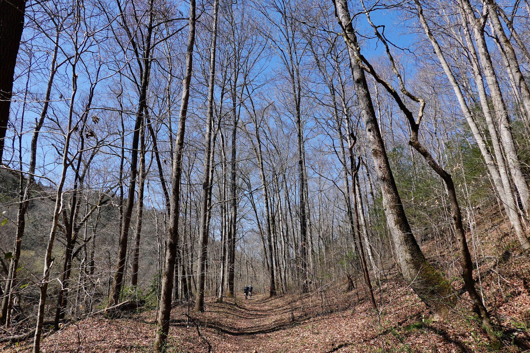
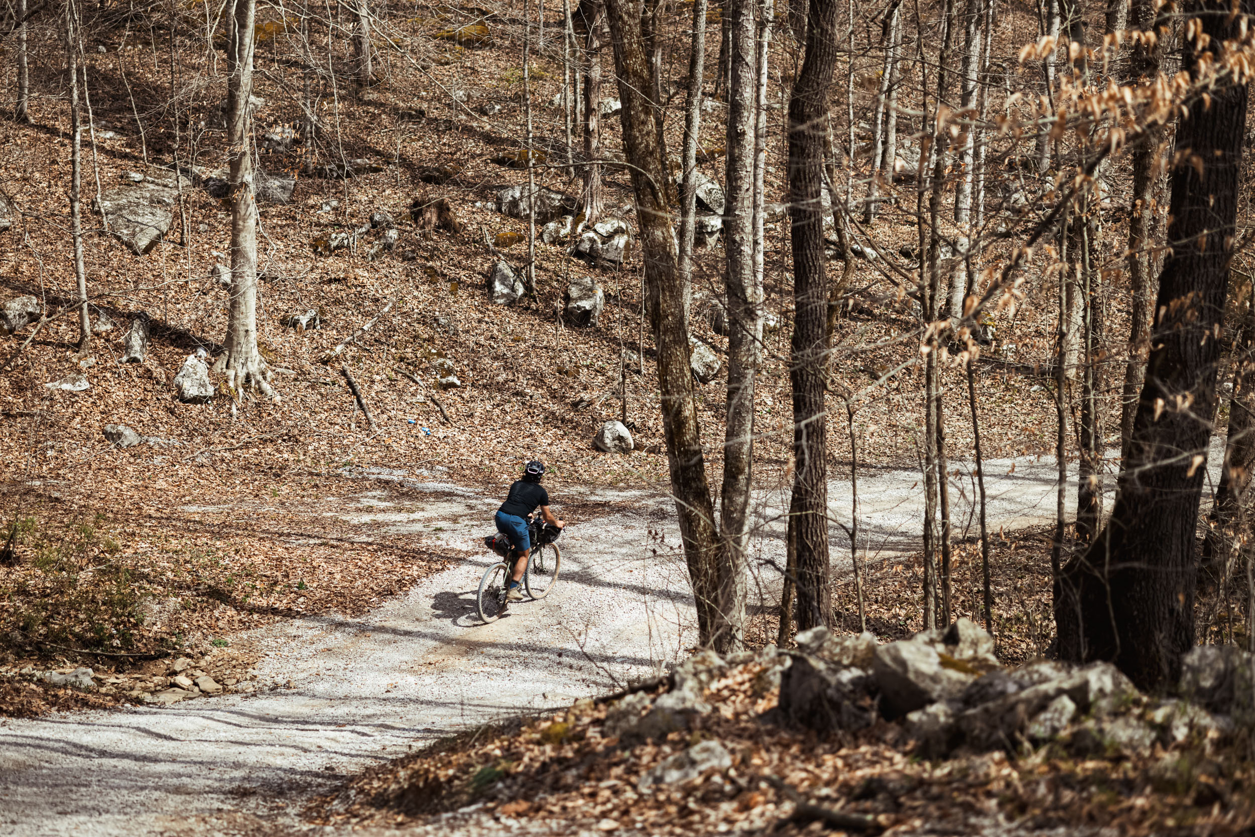
There is an enviable combination of natural beauty and recreation potential in Southeastern Kentucky and Northeastern Tennessee, and our goal was to create a short trip that highlights the variety of a region that ought to be better known. Those who do know it had extolled its virtues to us, and they’re right: it’s some of the best pedaling that we’ve done lately. Many of the resources from which this ride are drawn are compelling on their own—the Sheltowee Trace Trail, an IMBA Epic ride, and the network of dirt roads through Big South Fork National Recreation Area (affectionately abbreviated “BISO”). Consider this loop a sampler of each of those and more, on a route that is satisfyingly challenging but not so much so as to be daunting.
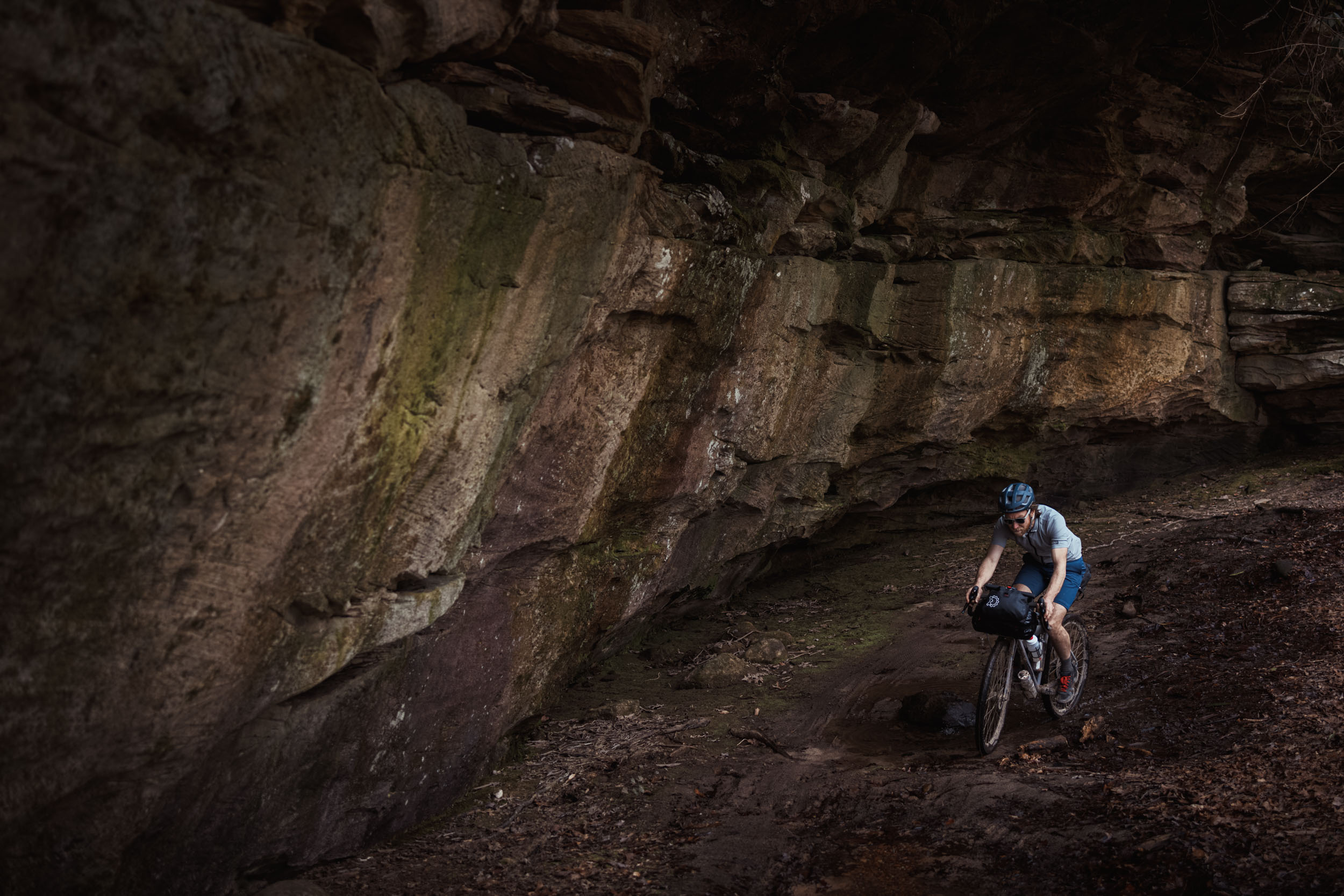
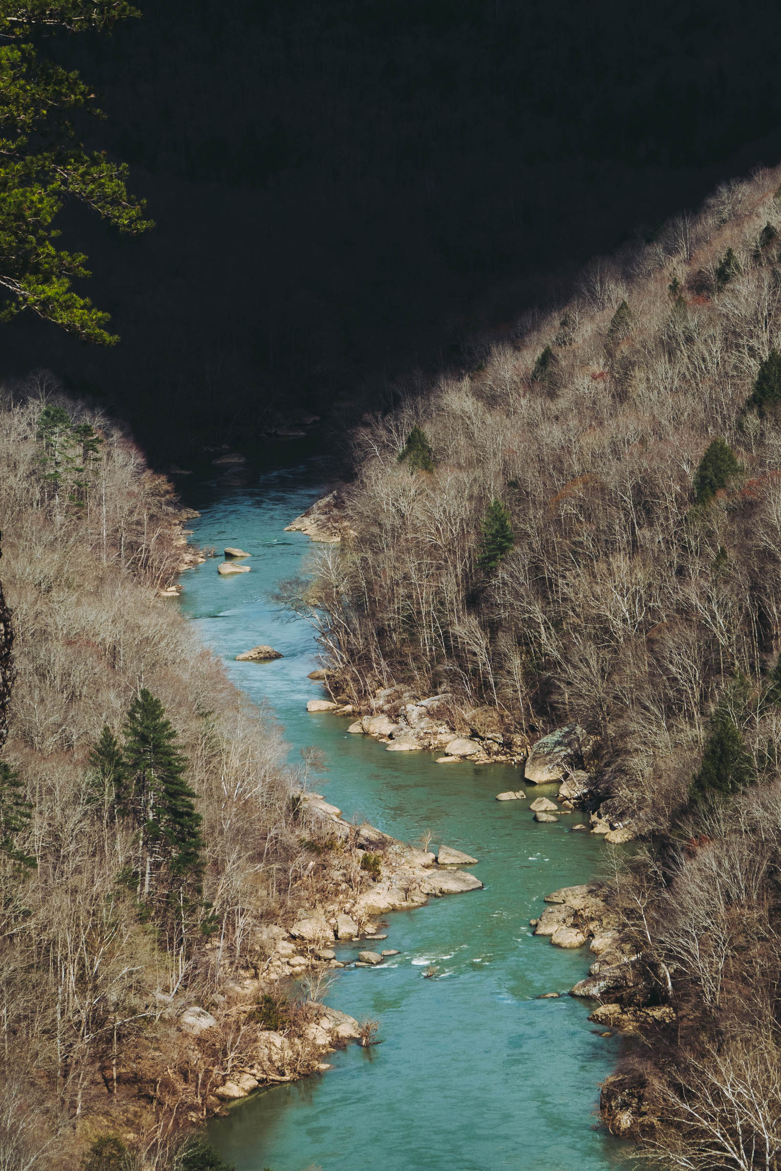
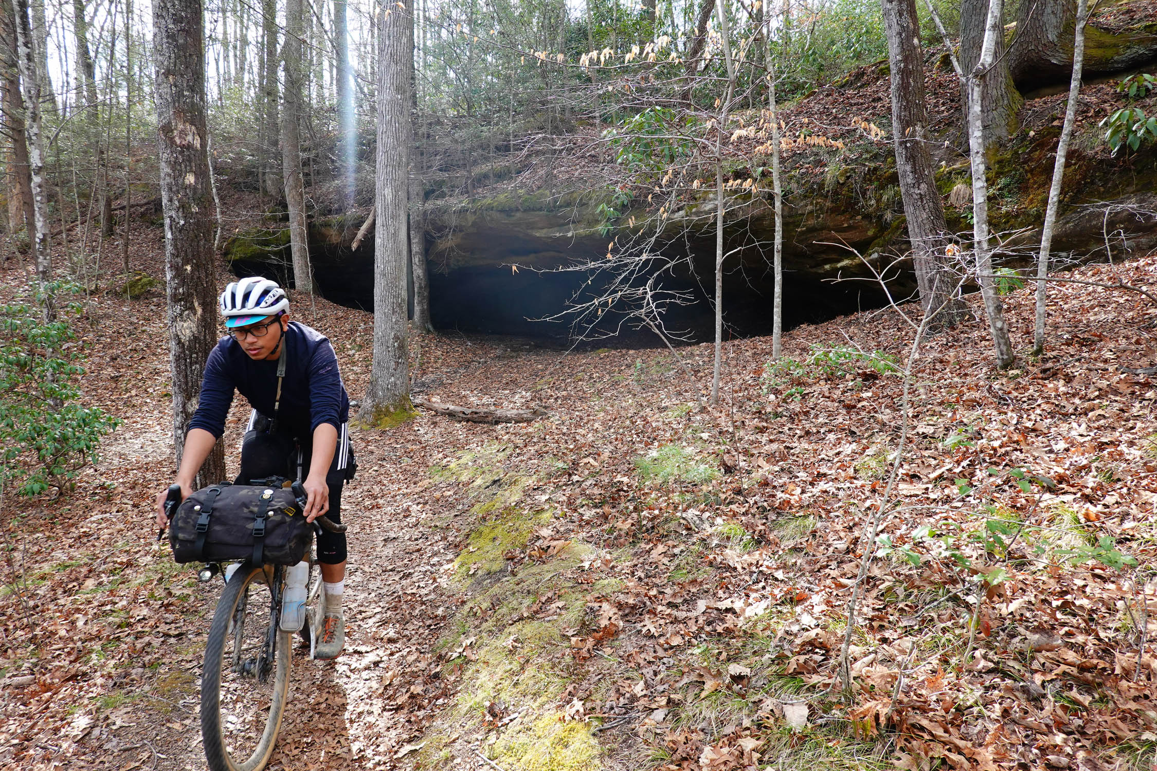
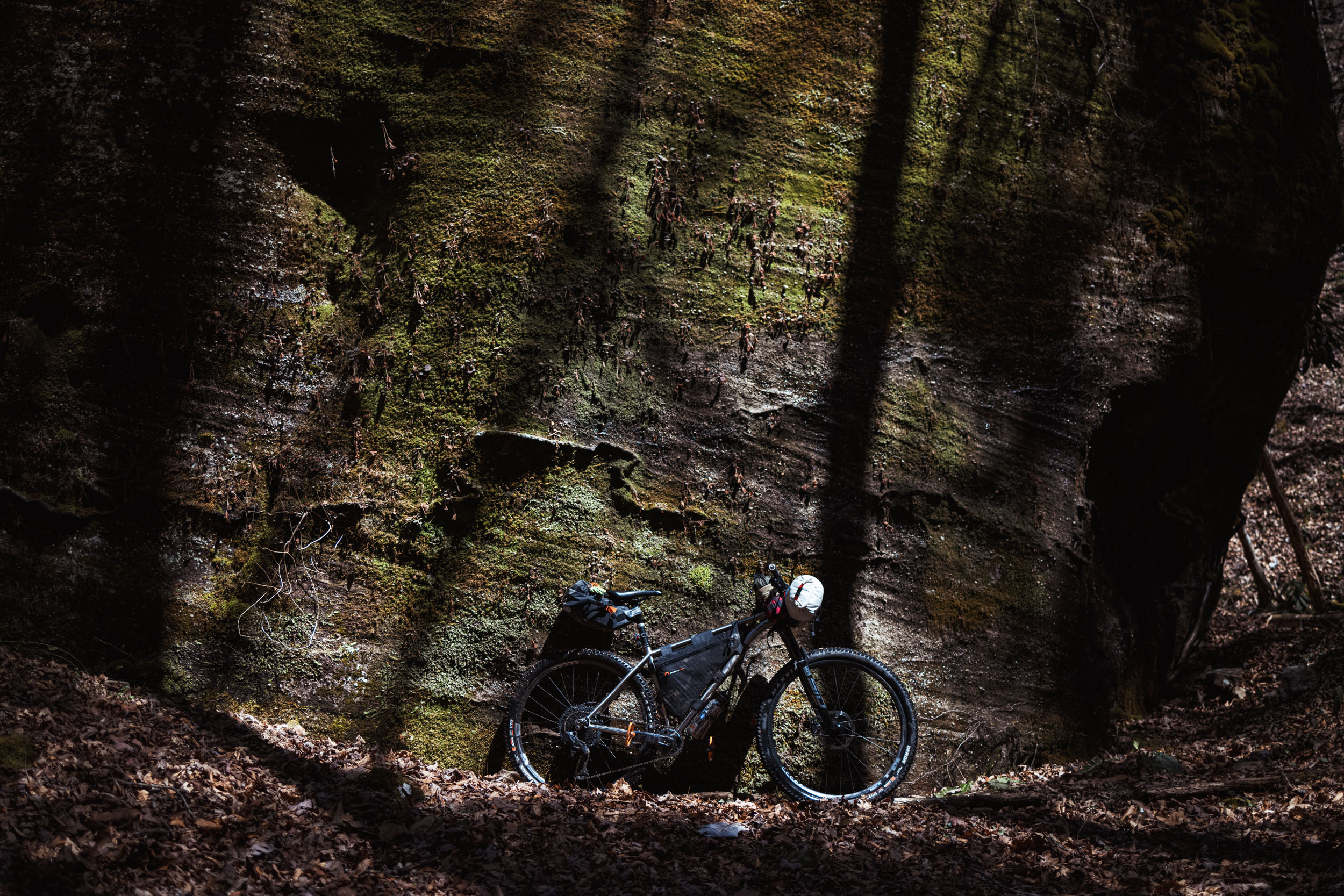
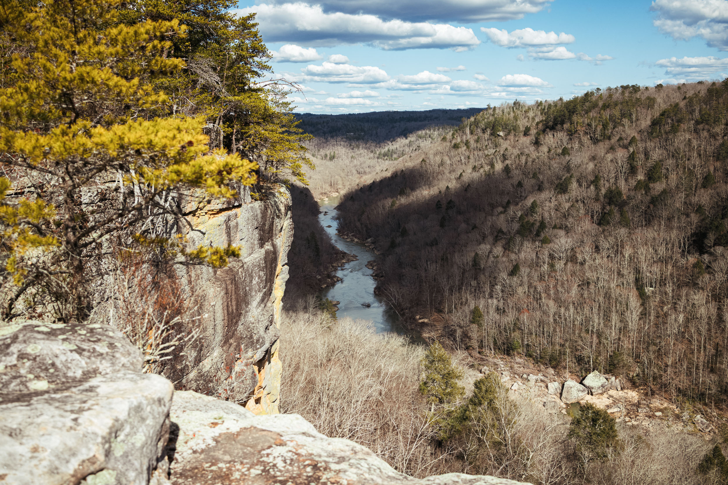
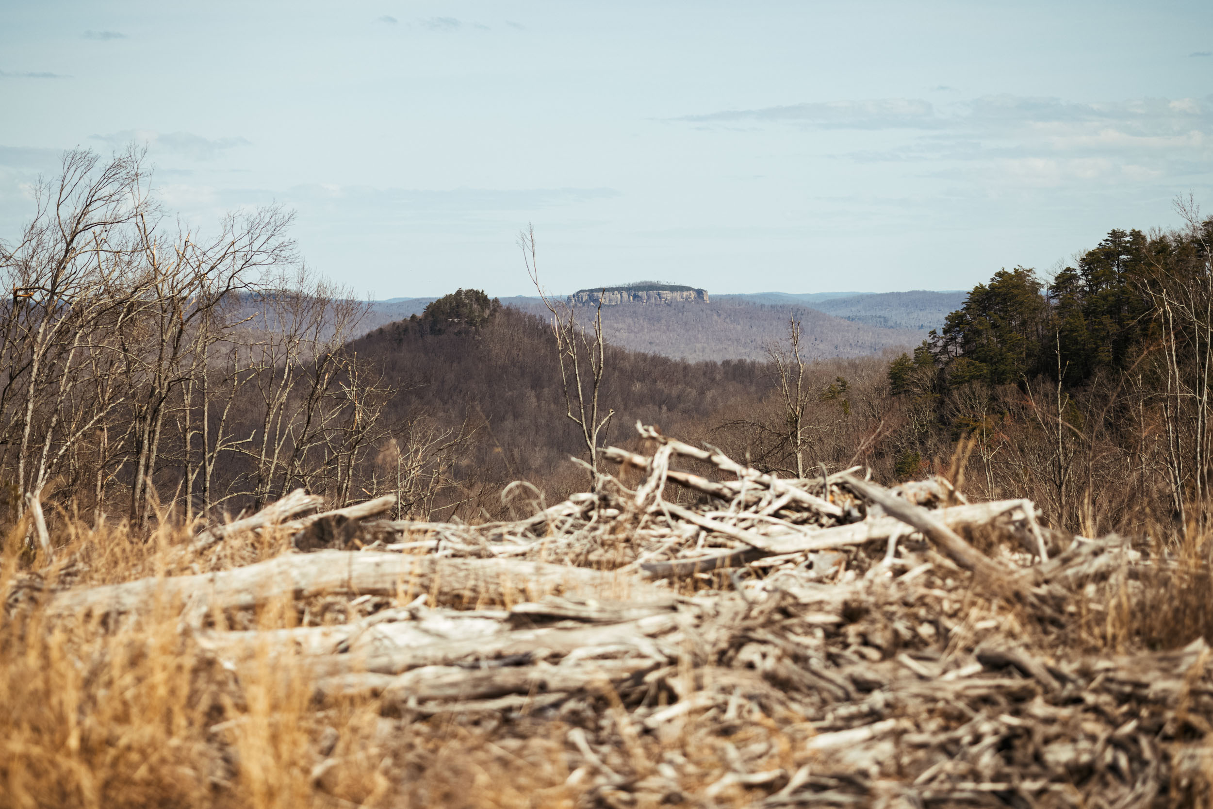
The Cumberland Plateau is the southerly extension of the Appalachian Plateau and is just west of the Appalachian Mountains. The plateau sandstone has eroded, in some places considerably, making for sharp cliffs, arches, rock shelters, and rock towers in dramatic relief, with water crisscrossing in between. BISO—where the bulk of the ride takes place—was established in 1974 by the National Park Service. The park protects the watershed of the Big South Fork of the Cumberland River along with several of its tributaries. BISO plus the Scott State Forest and Daniel Boone National Forest comprise some of the largest contiguous areas of woods in the eastern part of the USA, and this is what initially caught our eye on the map.


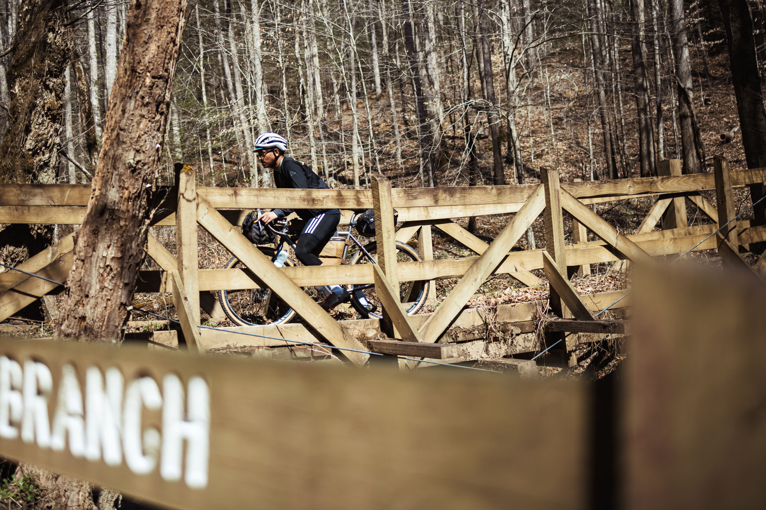
The existence of mountain bike friendly trails in a national park is unusual, and in this case is the result of great work by the Big South Fork Bike Club, especially founder Joe Cross. For this bikepacking route, the singletrack is both the opening section that sets the tone for the trip as well as a happy finale of 15 miles / 25 kilometers that will include a spectacular lookout into the gorge.
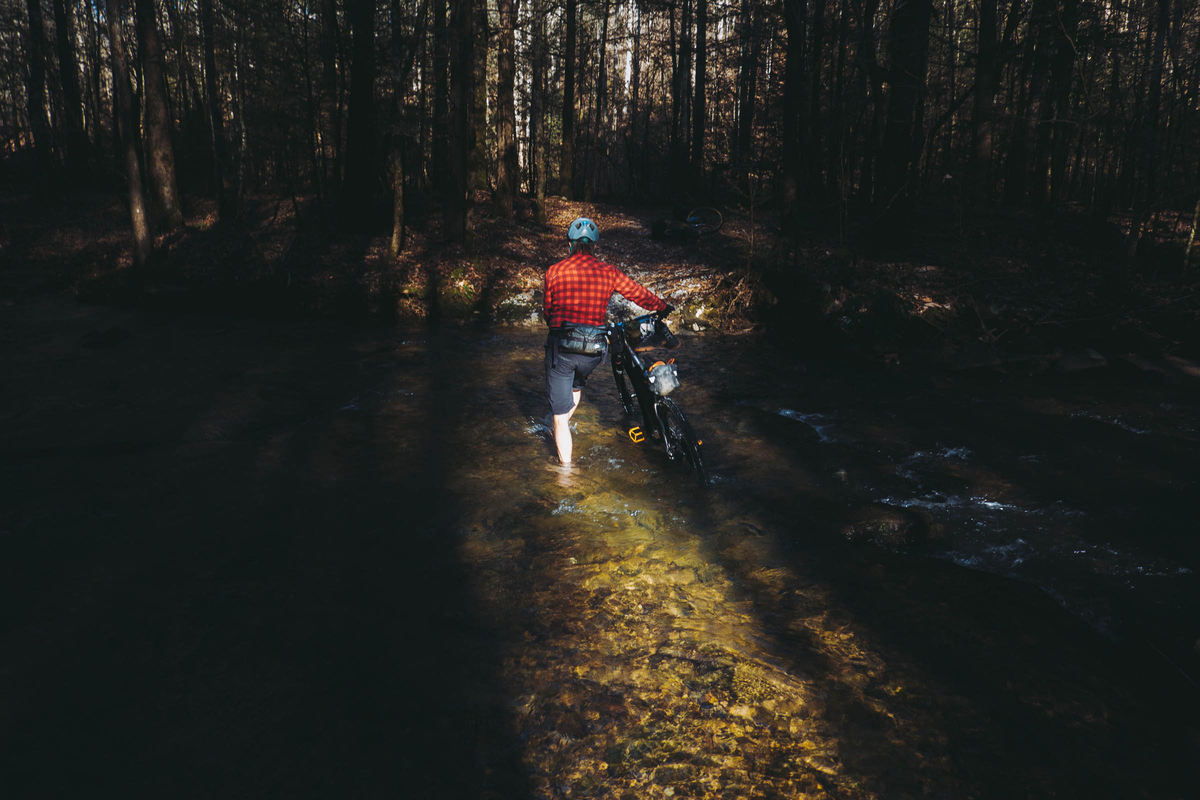
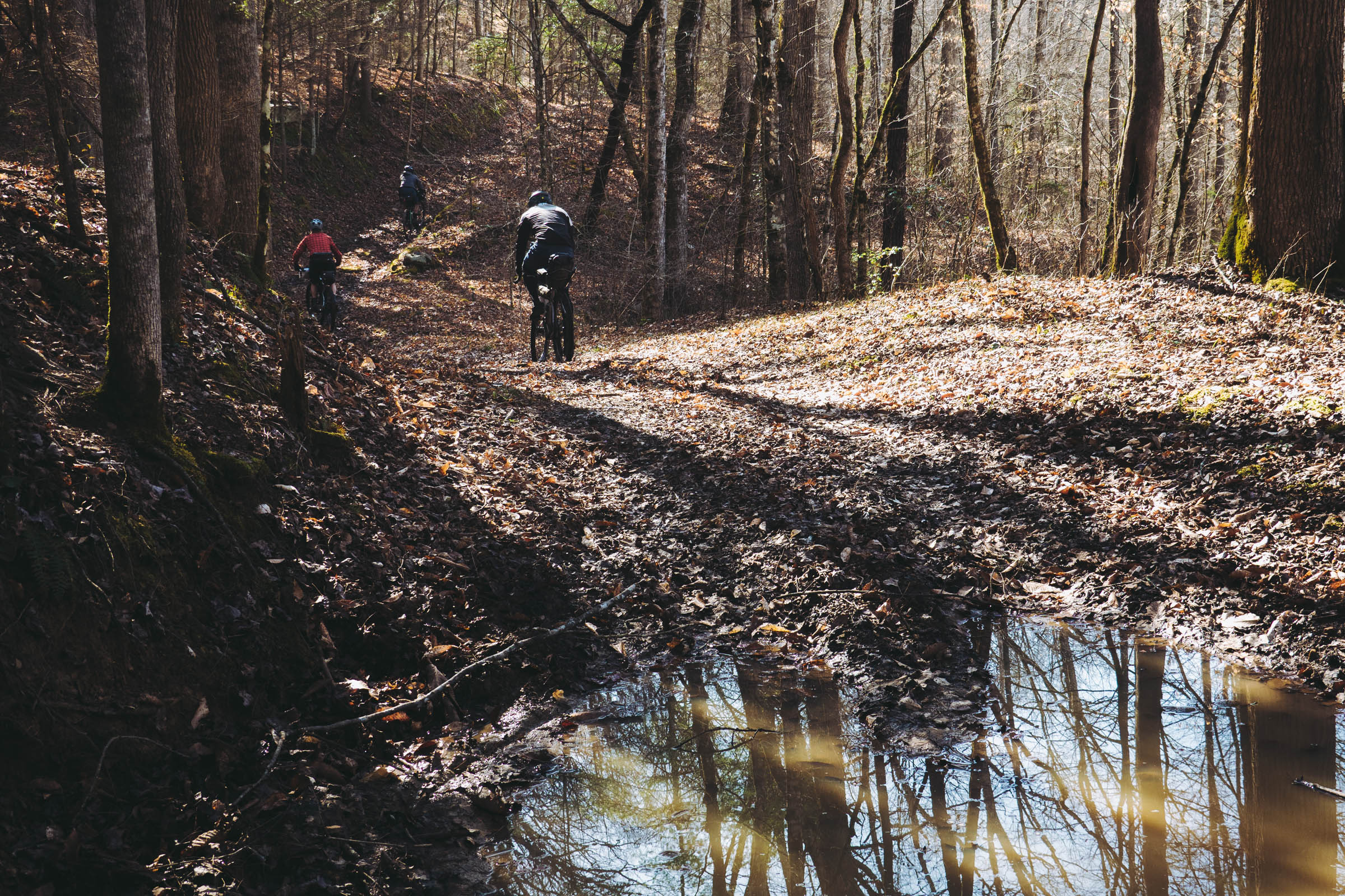
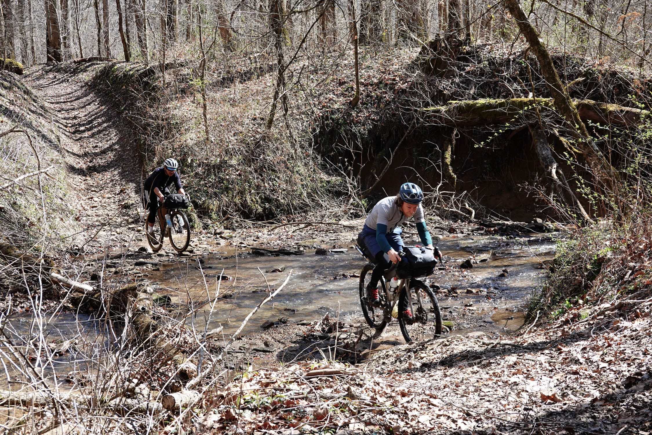
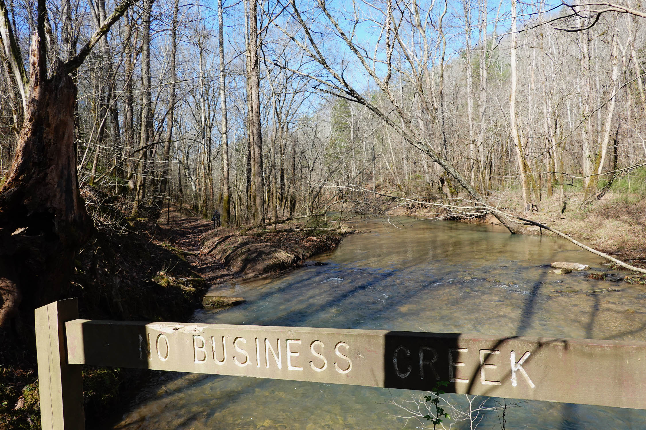
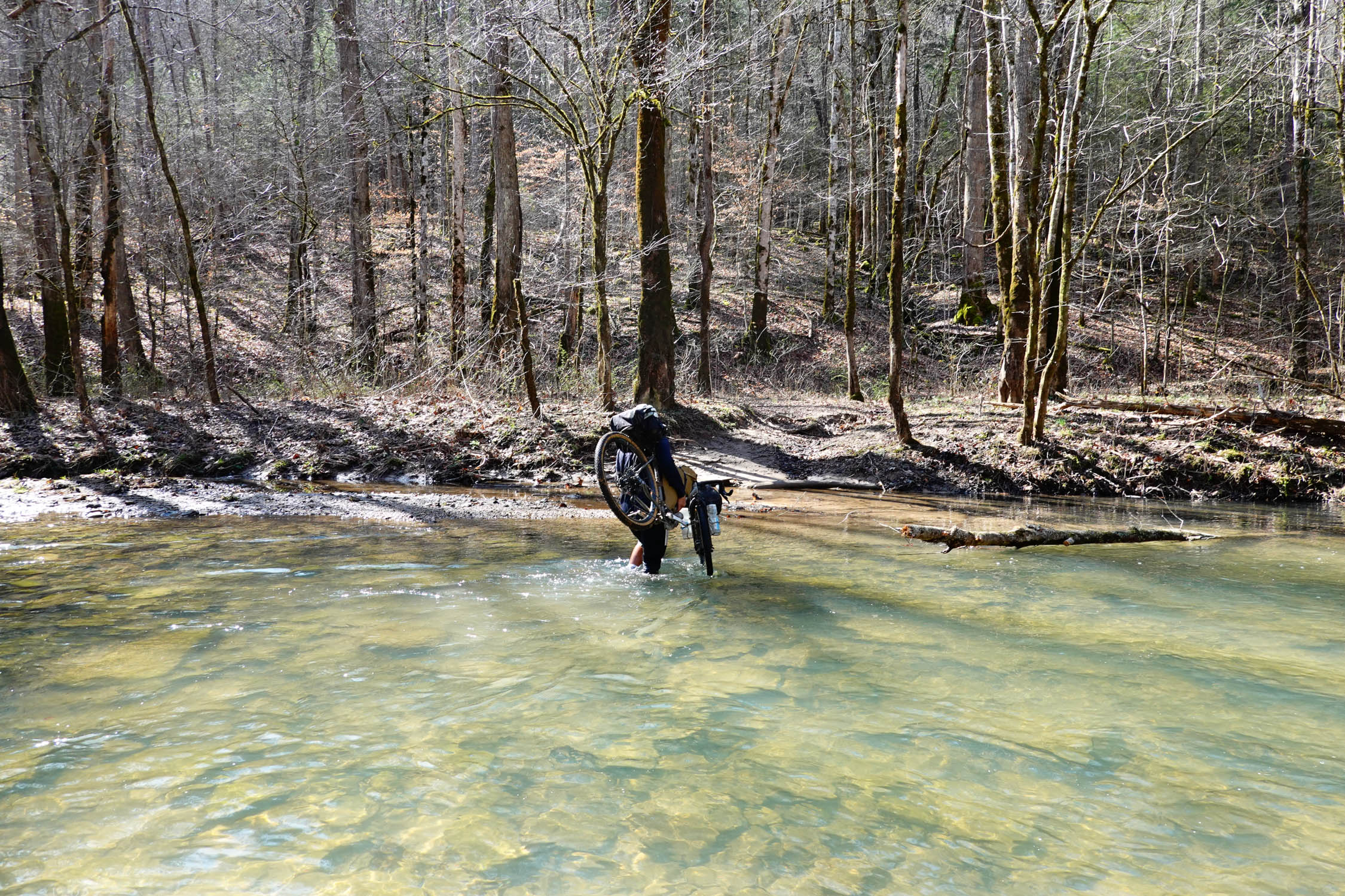
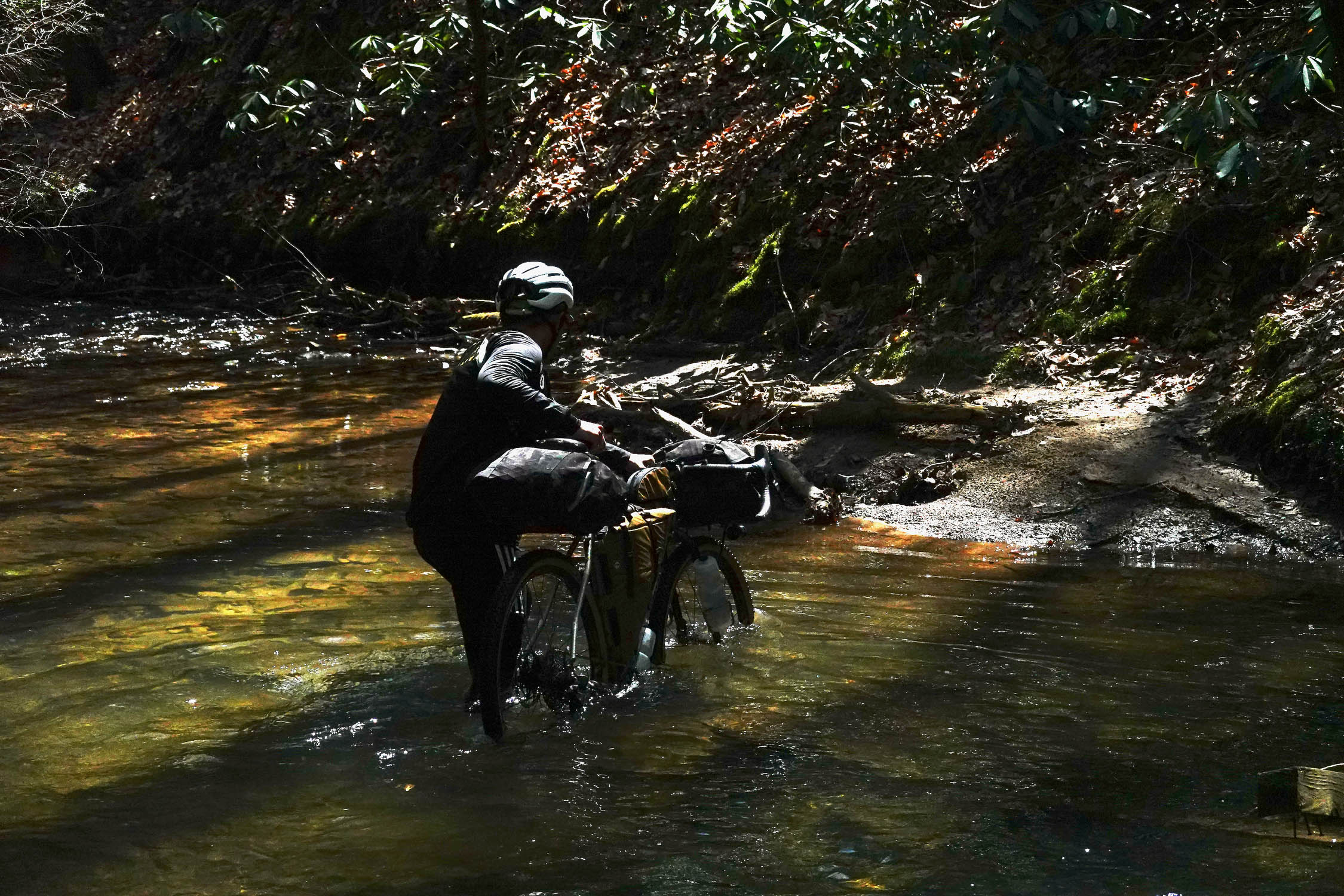
The whole area rewarded us with a sense of remoteness that is hard to find outside of the Western USA. The ride takes its name from No Business Creek, one of the many pleasant waterways along this route, and a brisk and entertaining water crossing that we had to do twice. It was two of many. There are hints of history on the route, with numerous cemeteries and signs of old farms and mining camps to investigate, and there is a marker for the Duck Shoals skirmish during the US Civil War along the creek. This part of Tennessee was strongly anti-slavery but was outvoted statewide in favor of secession. Guerilla warfare from partisans of both sides was therefore a constant source of disruption for residents, especially after Union forces captured the area in 1863.
Do this ride with a sense of joy for all the possibilities of offroad bike riding. Moreover, there is much to see and do in this area beyond this loop, including hikes to arches and historical sites. We look forward to going back and staying longer.
Explanation of difficulty
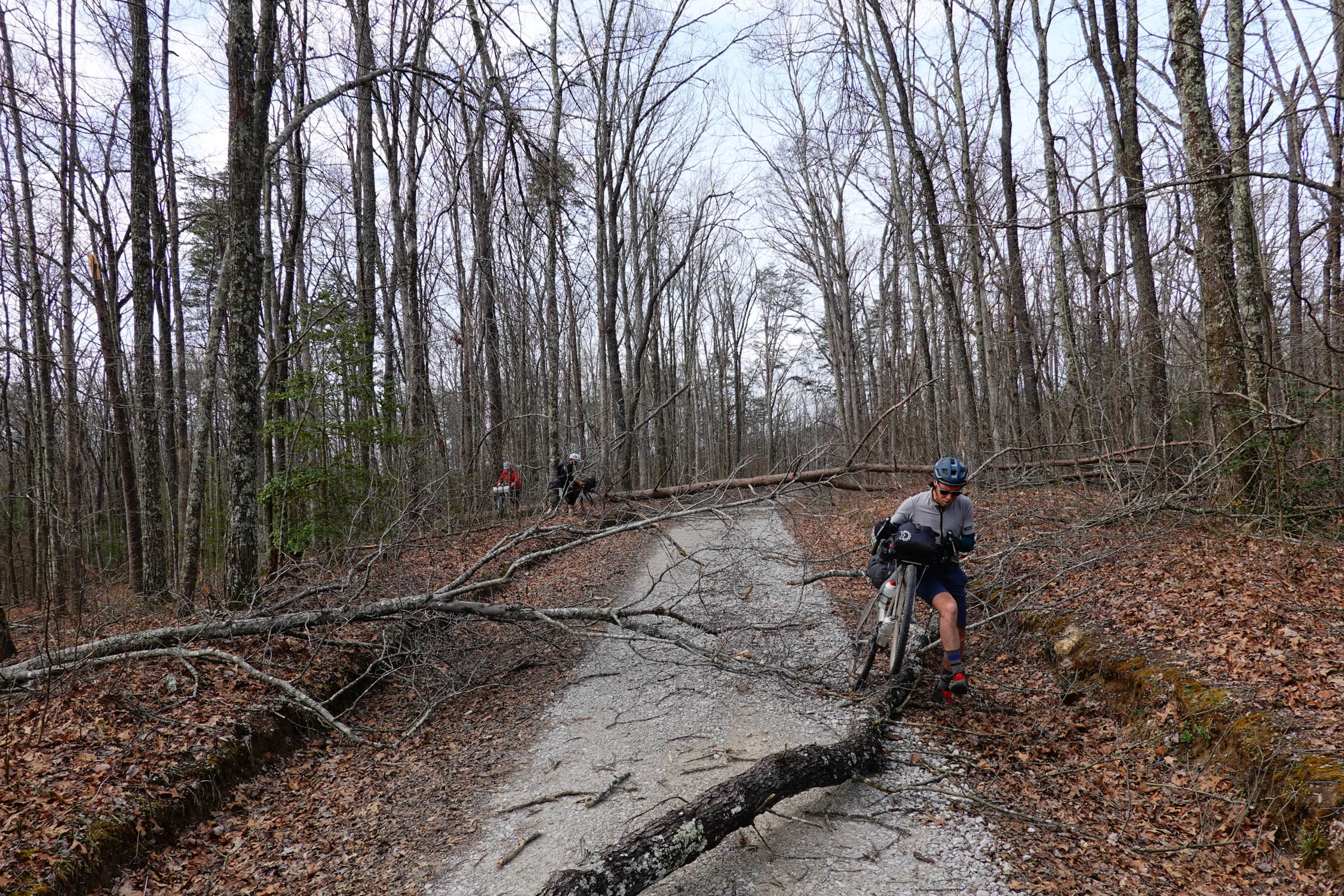
At some point one of us said, “we have no business riding gravel bikes here,” after passing a sign for No Business Creek. It likely won’t sound very demanding to average 36 miles / 58 kilometers per day on a three-day itinerary, but the rocky rutted old roads that comprise a substantial proportion of this route plus abundant climbing on loose terrain makes for hard going. There are a few sections that might require a hike-a-bike under 10 minutes at a time. The singletrack is relatively easy but if someone hasn’t done much mountain biking it will require concentration. These challenges, plus the lack of resupply, make it seem to us that this ride is a 6. Don’t underestimate this ride! Three days feels like the right number to us, especially if you stop and smell the flowers and maybe take a walk out to a lookout or two. If doing it in two days we expect that the difficulty goes up a fair bit.
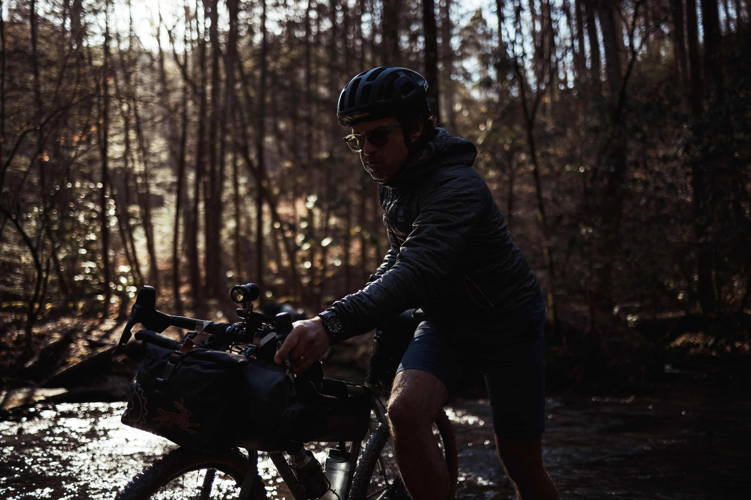
There’s no one kind of terrain and there’s no one kind of bike that is going to be perfect for it. If you prefer to do one style of trip at a time, this ride might not be for you. Three of the four of us (including me) were on gravel bikes, and the fourth was on a hardtail. Evidently, I stood up in camp on the second night and made an impassioned Elijah Craig-fueled declaration that we should all just always ride our mountain bikes and be done with this gravel bike drop bar nonsense. I’ve since then sobered a bit, but I stick by what led me to that oration. If you’re on a gravel bike, there will often be times when you wish you were on something with wider tires and a more capable and functional riding position for navigating chunky ruts, logs, and slippery cobbly climbs.
Route Development: This route was originally mapped by Joe Cruz in a riding area that owes much to the volunteer and organizing efforts of Joe Cross. This 2023 update reflects Joe Cross’s expert advice on improving the route.
About the logo: The route badge depicts the Cumberland Plateau Salamander, a rare species endemic to this particular area around the Kentucky-Tennessee Border.


Submit Route Alert
As the leading creator and publisher of bikepacking routes, BIKEPACKING.com endeavors to maintain, improve, and advocate for our growing network of bikepacking routes all over the world. As such, our editorial team, route creators, and Route Stewards serve as mediators for route improvements and opportunities for connectivity, conservation, and community growth around these routes. To facilitate these efforts, we rely on our Bikepacking Collective and the greater bikepacking community to call attention to critical issues and opportunities that are discovered while riding these routes. If you have a vital issue or opportunity regarding this route that pertains to one of the subjects below, please let us know:
Highlights
Must Know
Camping
Food/H2O
Trail Notes
Resources
- The sheer joyous variety of terrain and surfaces.
- Fun, winding, and smooth singletrack sections.
- Riding a large section of the Big South Fork IMBA Epic, a twisty, scenic roller coaster along the river canyon.
- Sublime cliffside views along the Big South Fork canyon and ridgeline gravel roads throughout the route.
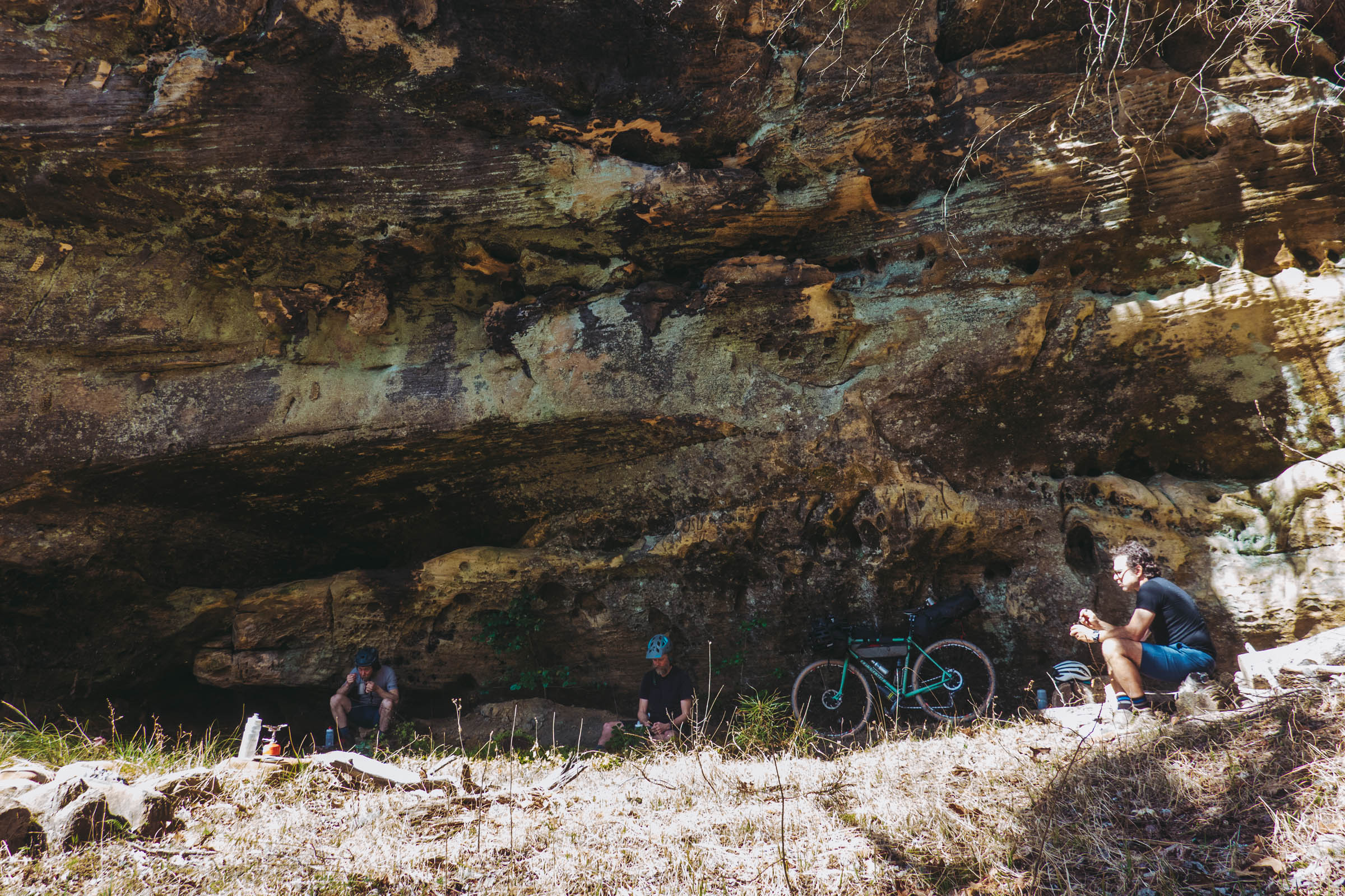
- Massive, moss-covered sandstone rock overhangs and cliffs around every corner.
- A feeling of remoteness that’s atypical in the Eastern United States.
- Good potential for swimming and fishing in the warmer months.
- A hardtail mountain bike is strongly recommended, but doable (if you like steady technical underbiking) on a gravel bike with 47mm+ treaded tires.
- Starts and ends at the Bandy Creek visitors center in the Big South Fork National River and Recreation Area.
- Convenient to camp at Bandy Creek Campground the night before and/or the ending night of the trip.
- Recommended for spring or autumn, as deep summertime may have some of the infrequently used tracks somewhat grown over.
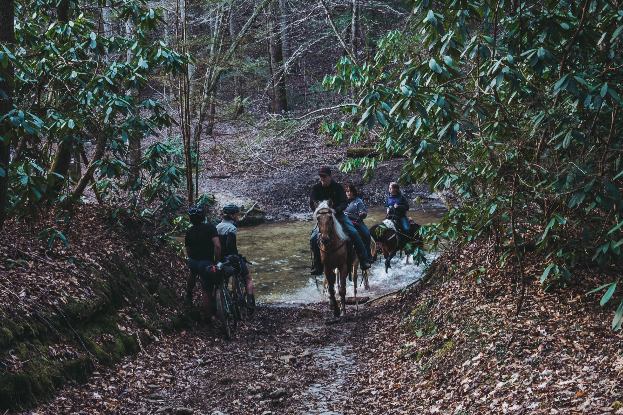
- Yield to equestrian use on the trails. Our advice is to dismount and let the horses go by or, if passing the horse party, ask the horseback riders how best to do so.
- On the western side of the loop is the boundary between Eastern and Central Time zones. We didn’t bother changing our watches, since nothing was time sensitive, but you might notice your phone showing an hour that doesn’t seem right to you.
- Be tick aware, and note that there are also rattlesnakes in the area.
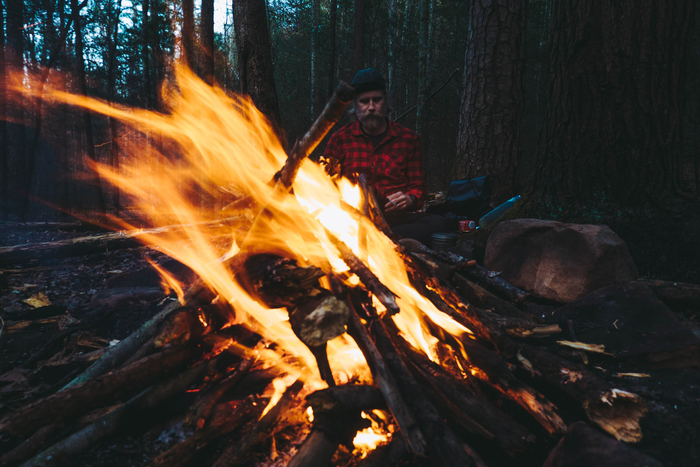
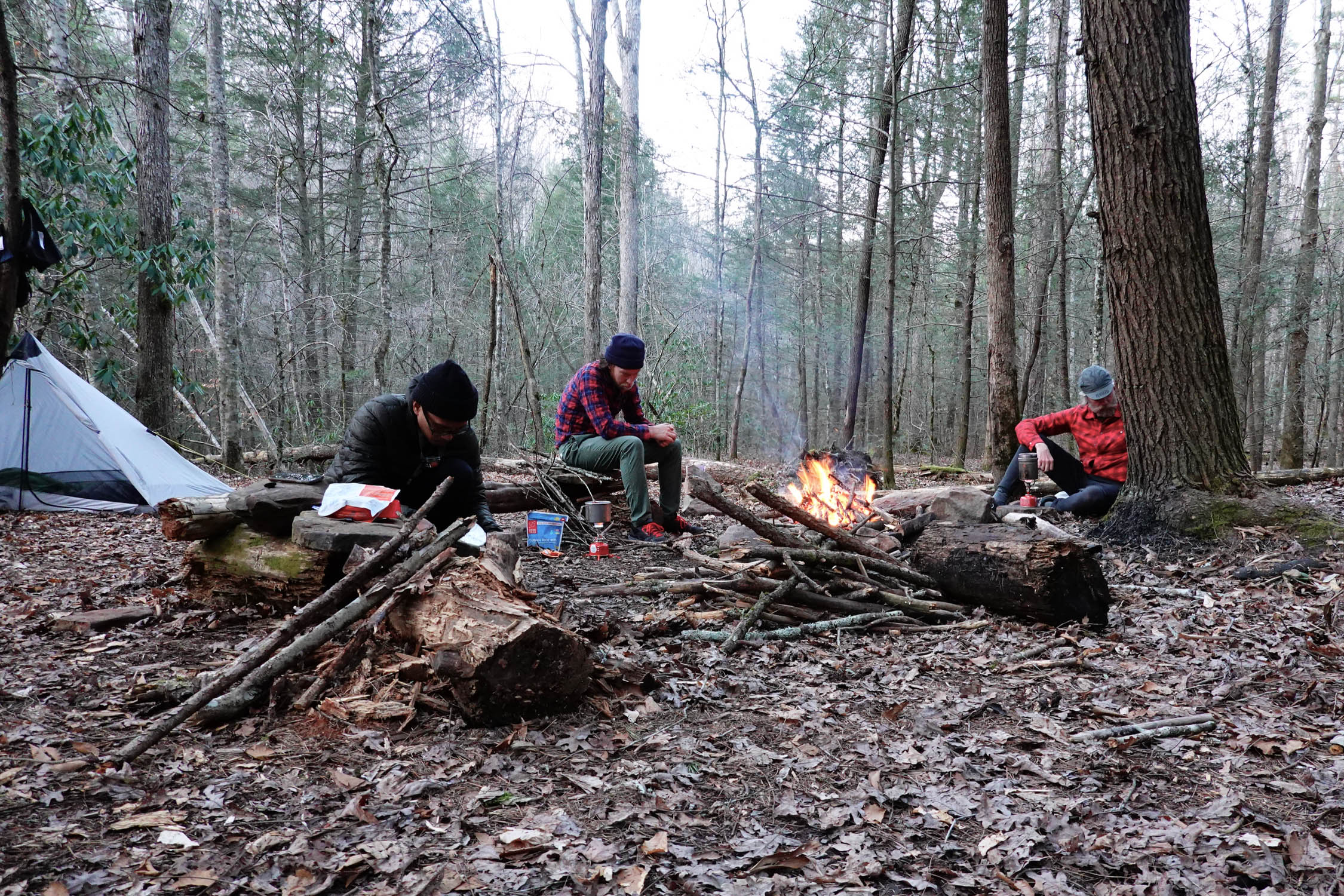
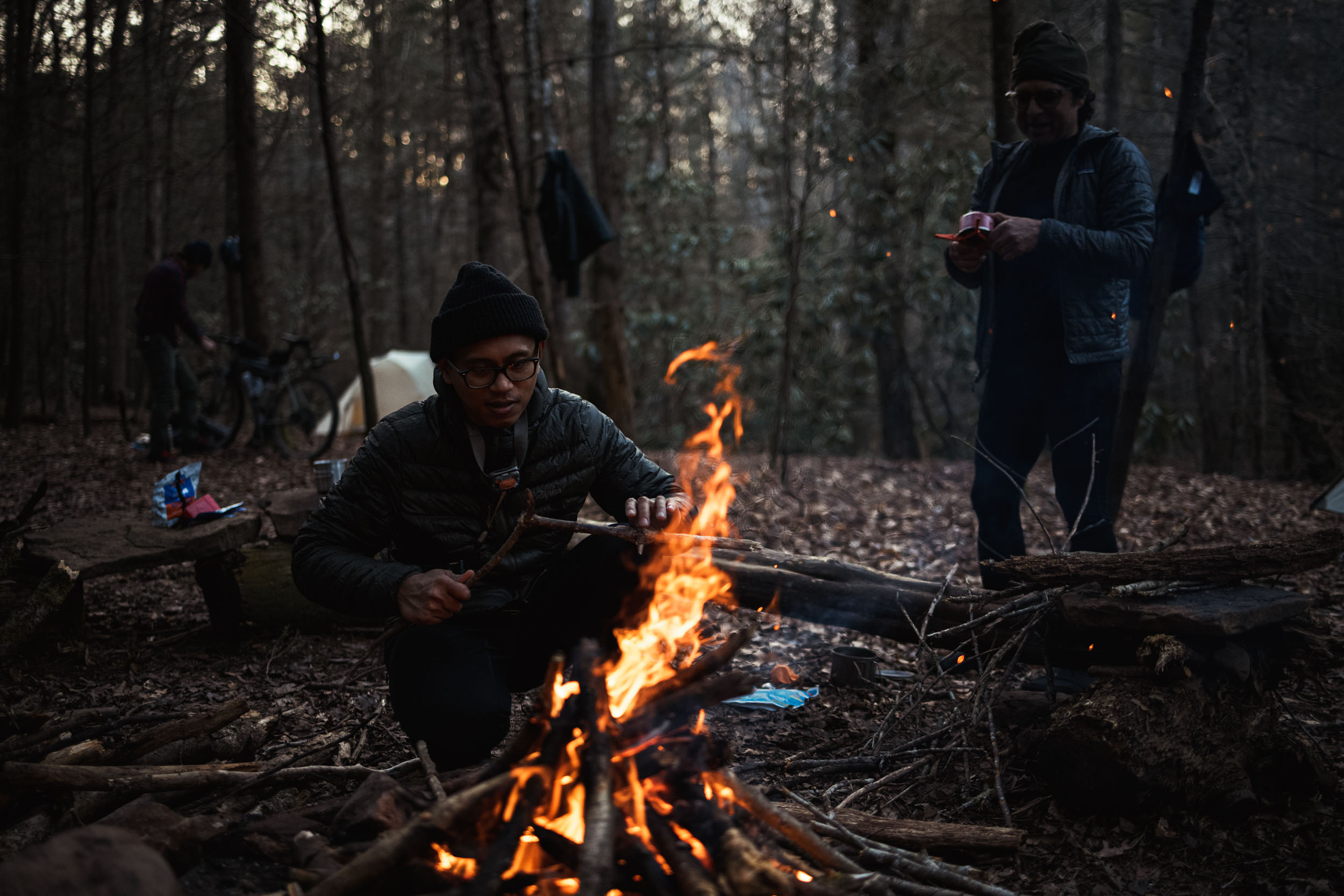
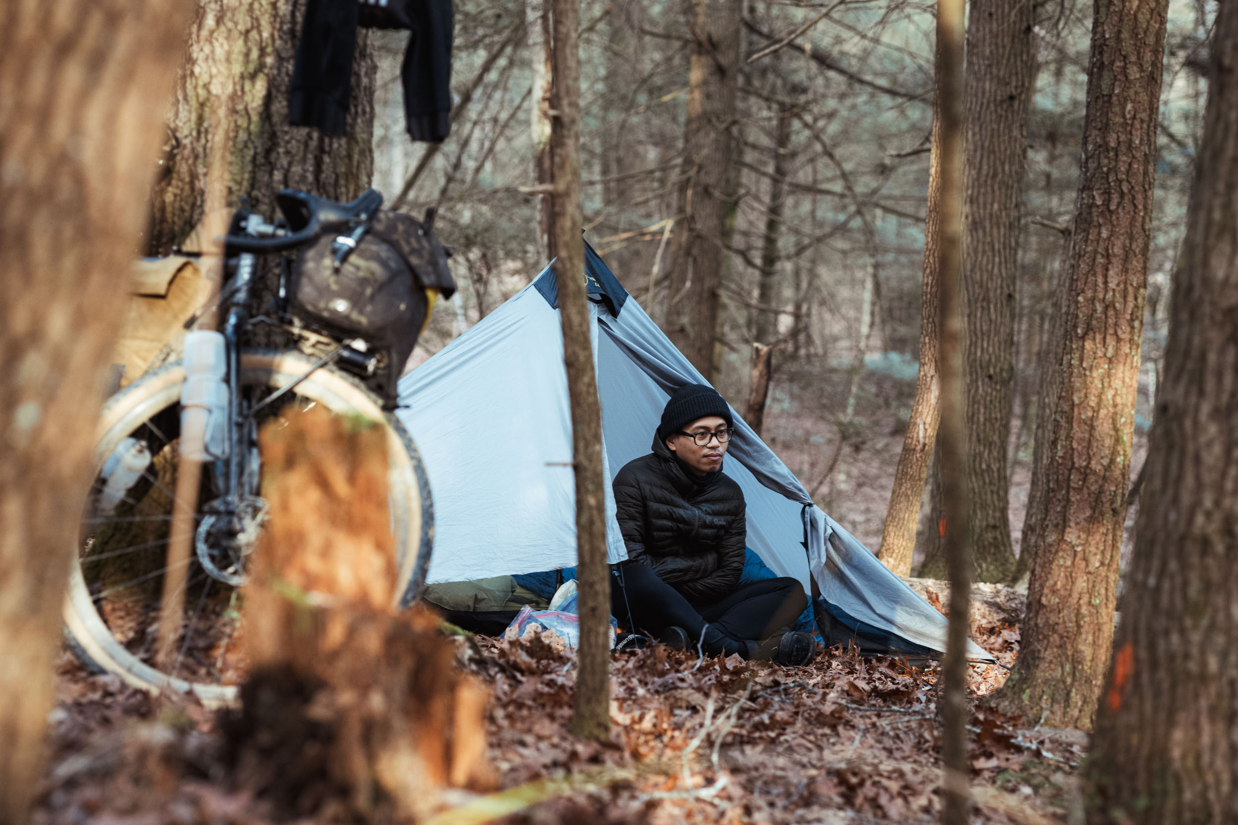
- A reasonable three-day itinerary would be to dispersed camp in the Daniel Boone National Forest on the first night and backcountry camp in BISO on the second.
- Backcountry primitive camping in BISO (which is your most plausible option for the second night) requires a permit. They are available online and cost US$5 for a group of 1-6.
- It’s advisable to properly stow and hang your food at night as there are black bears in the area.
- Leave no trace while dispersed camping.
- There is no readily accessible resupply on this ride, so set out packed with everything you need for the duration.
- It’s advised to bring more than you need in case of foul weather or the need to reroute due to rising rivers.
- Water is abundant; be sure to filter or otherwise treat it.
- Quite early in the ride, at mile 17 / kilometer 27, there is an opportunity to depart from the route for a meal at Bacaras Family Restaurant, marked on the map. This could be an option for lunch on the first day; call to confirm hours. The total detour to the restaurant and back to the route is 3 miles / 5 km.
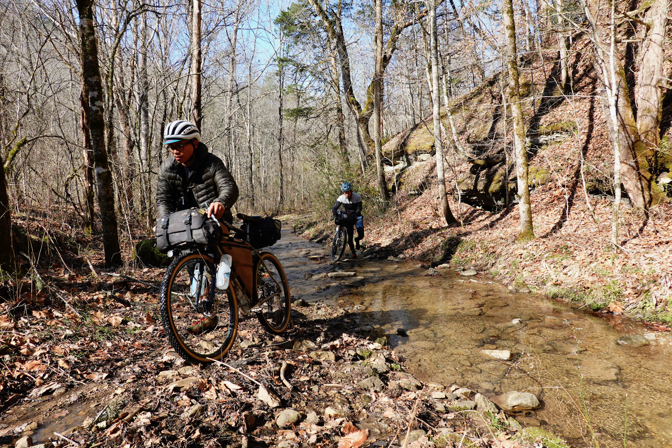
The loop starts at the Bandy Creek visitor center and opens almost immediately with fun singletrack that wends in an arc around a portion of Scott State Forest. You’ll then transition to horse track. Keep an eye out for horseback riders, as this is a popular recreational area for them, and being a good trail neighbor should be a given since we’re all seeking our own version of quiet experience outside. There will be river crossings and stony climbs before reaching a span of smooth dirt roads where we saw no traffic. The next 45 miles are a combination of up and down gravel through tree stands, across ridges, and along farms, with a few fast road descents met by a handful of pitchy asphalt ascents. There are far horizon views and so a different rhythm, one where it’s easier to accumulate miles. You’ll ride along Rock Creek, a Kentucky Wild River.
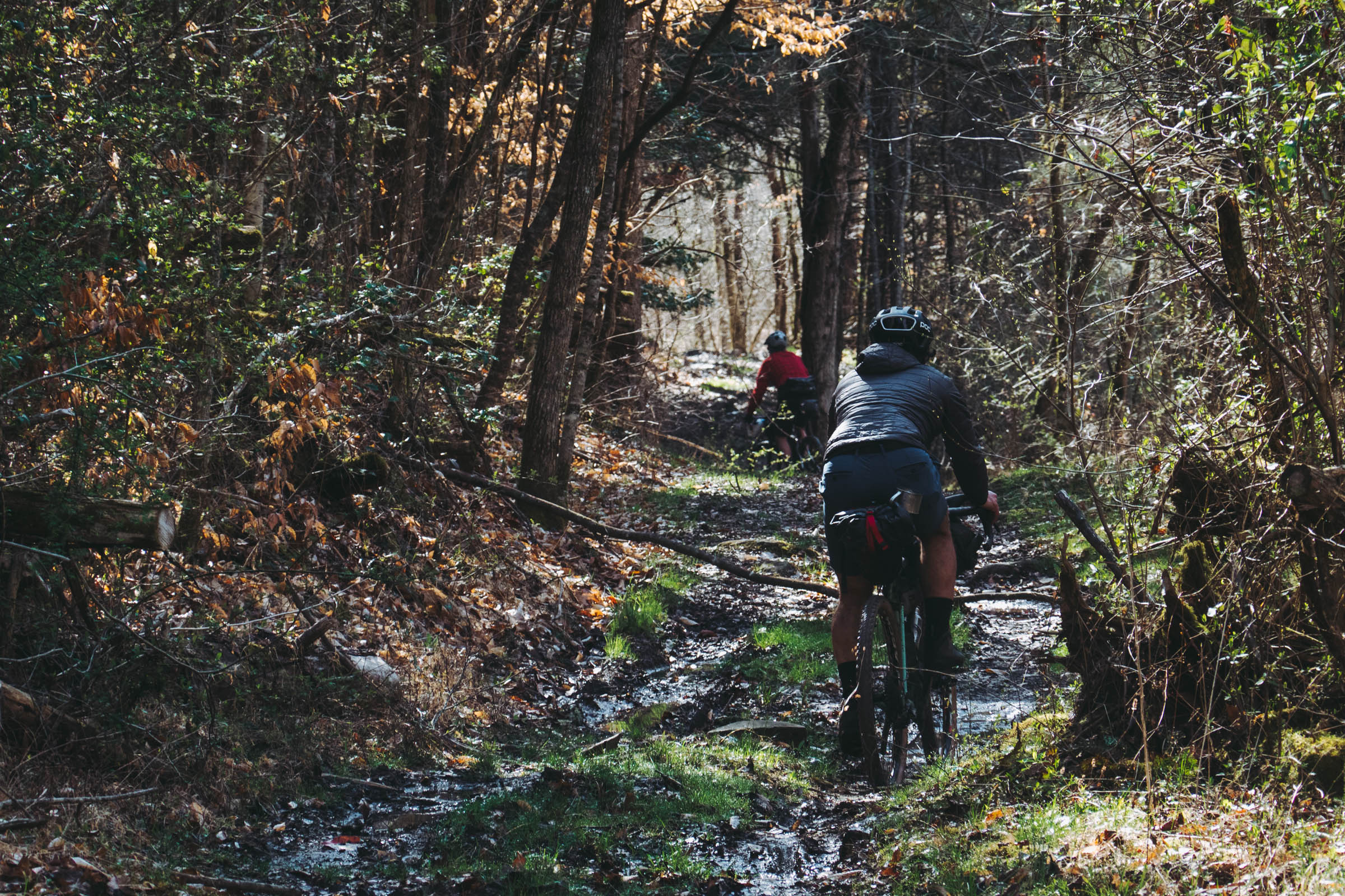
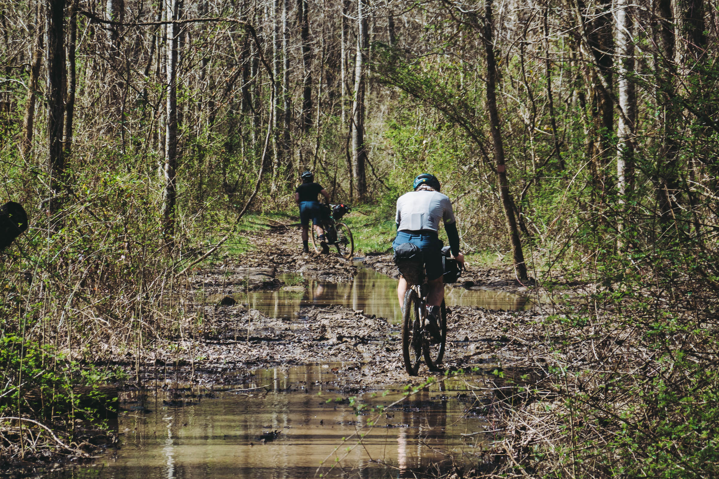
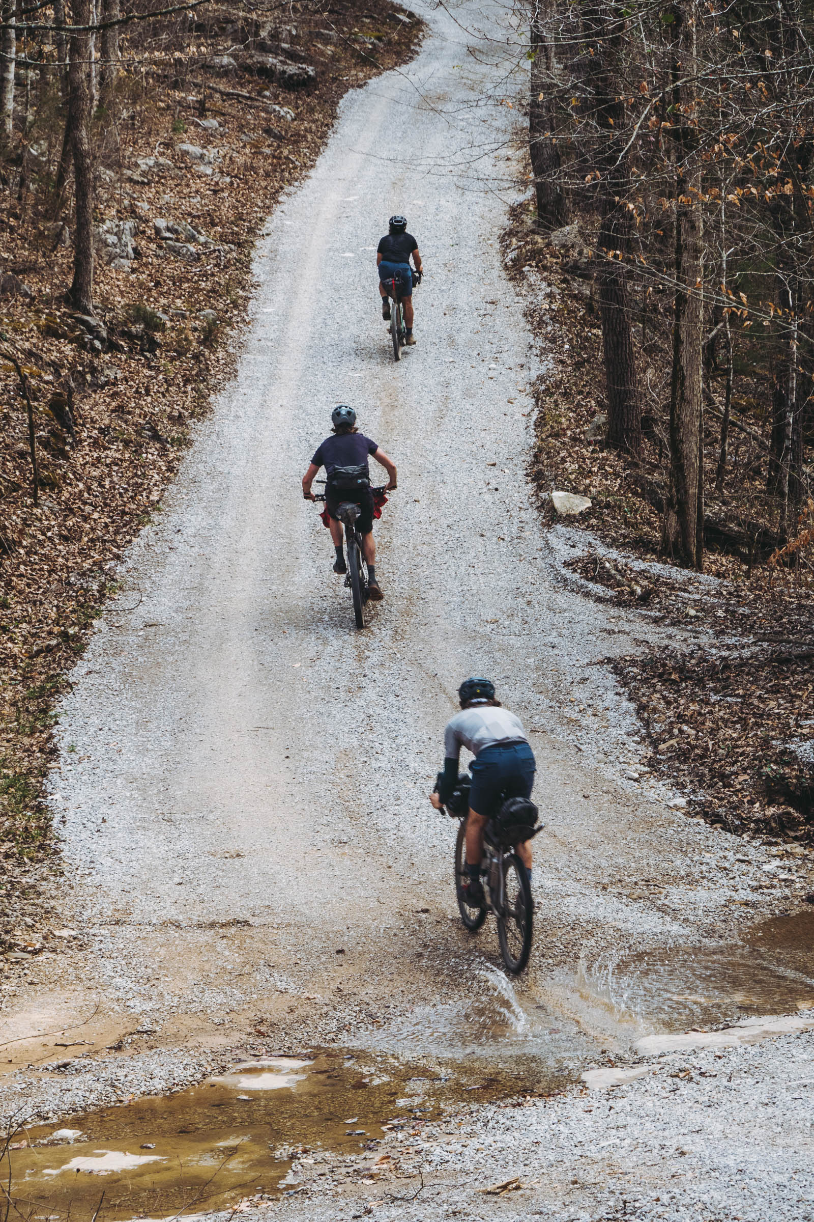
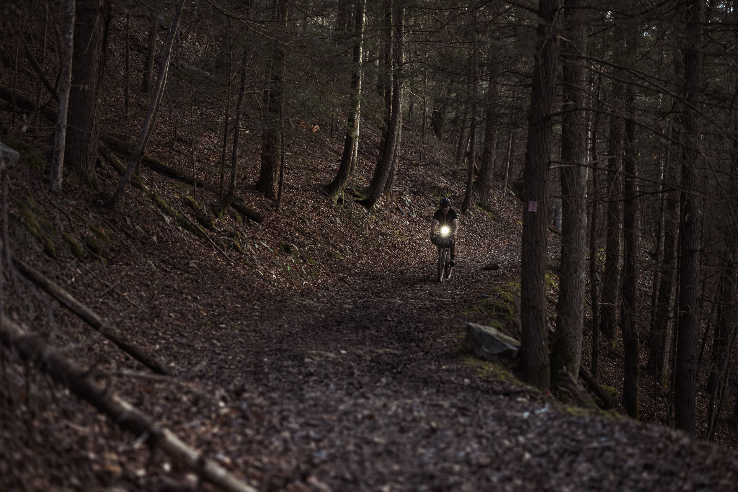
At mile 60 / kilometer 96, strap in, as things will be fun and chunky for the foreseeable future with a return to narrow jeep tracks with baby head rocks and log hops. Depending on your timing and pace, this section is likely to dominate your second day. Chances are your feet will often be wet and you’ll work to find lines on these demented woods “roads.”
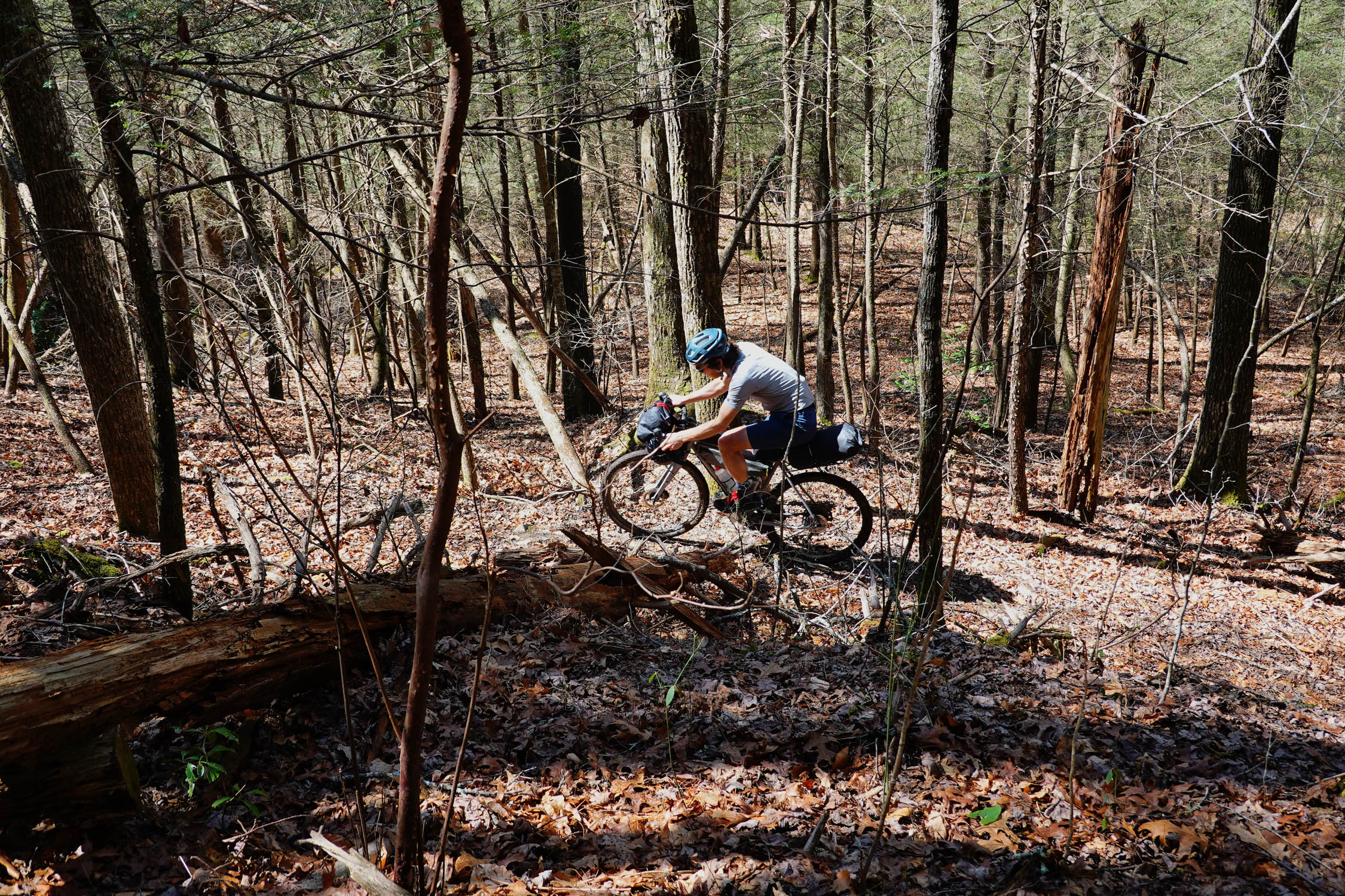
Sometime on the third day, you’ll reach the crown jewel singletrack section. As you’ll see, this would be a terrific area to visit for day rides on unloaded mountain bikes, with its high payoffs in terms of view and laughter on classic smooth trail. Wind along cave cutouts, swirling leaves in your wake. You will still be buzzing with the concentration of steering through the trees by the time you get back to the car.
Additional Resources


Terms of Use: As with each bikepacking route guide published on BIKEPACKING.com, should you choose to cycle this route, do so at your own risk. Prior to setting out check current local weather, conditions, and land/road closures. While riding, obey all public and private land use restrictions and rules, carry proper safety and navigational equipment, and of course, follow the #leavenotrace guidelines. The information found herein is simply a planning resource to be used as a point of inspiration in conjunction with your own due-diligence. In spite of the fact that this route, associated GPS track (GPX and maps), and all route guidelines were prepared under diligent research by the specified contributor and/or contributors, the accuracy of such and judgement of the author is not guaranteed. BIKEPACKING.com LLC, its partners, associates, and contributors are in no way liable for personal injury, damage to personal property, or any other such situation that might happen to individual riders cycling or following this route.
Please keep the conversation civil, constructive, and inclusive, or your comment will be removed.