


North Bay Overnighter: A Tour of Microclimates
Distance
72 Mi.
(116 KM)Days
2-3
% Unpaved
72%
% Singletrack
6%
% Rideable (time)
99.9%
Total Ascent
9,080'
(2,768 M)High Point
2,054'
(626 M)Difficulty (1-10)
6?
- 8Climbing Scale Strenuous126 FT/MI (24 M/KM)
- 5Technical Difficulty Moderate
- 8Physical Demand Difficult
- 1Resupply & Logistics Easy
Contributed By
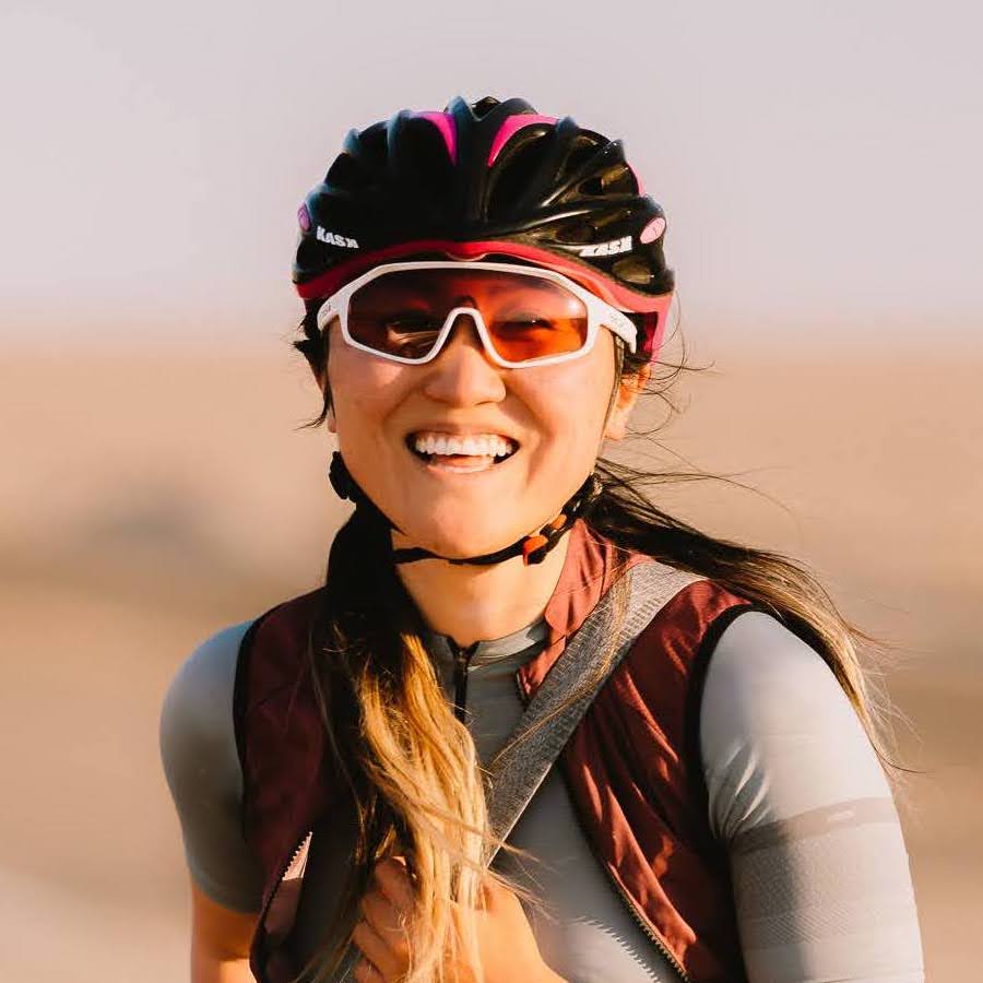
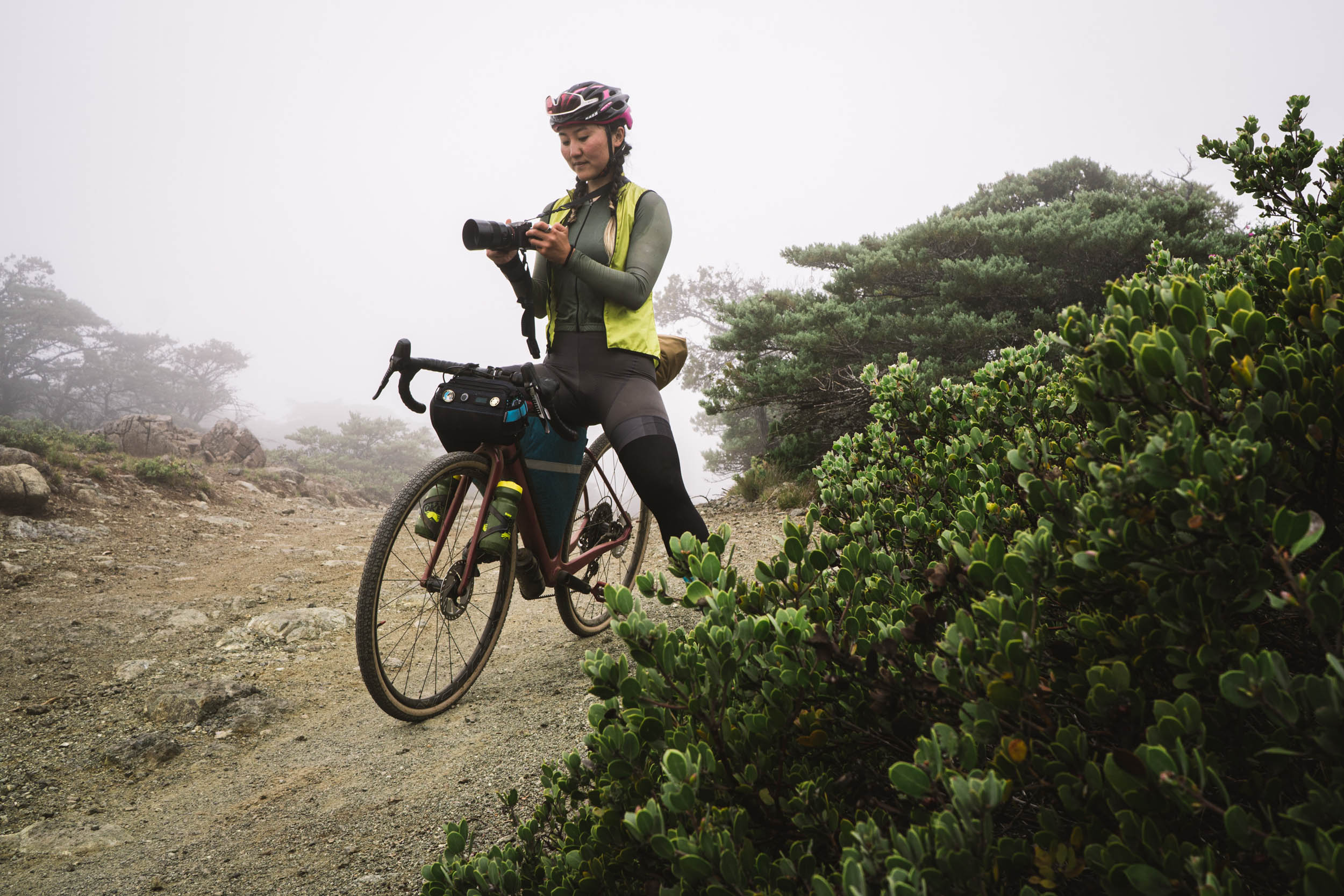
Emily Bei Cheng
Alpinemily
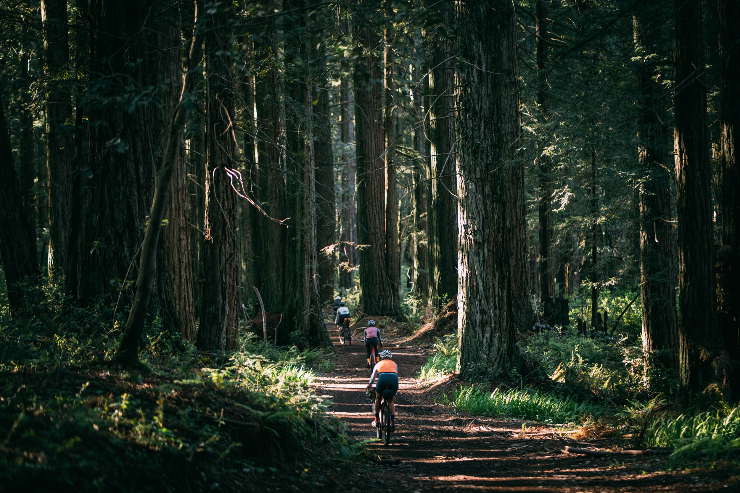
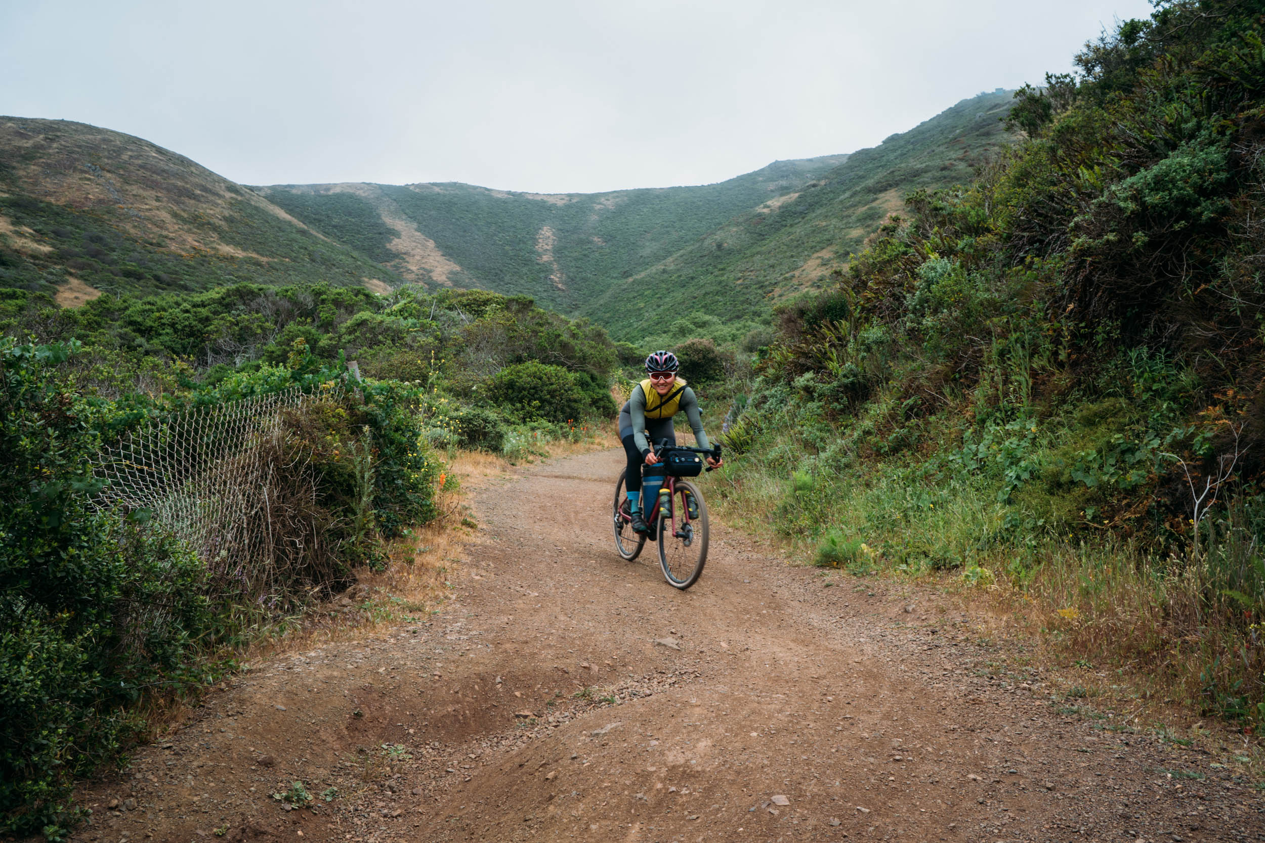
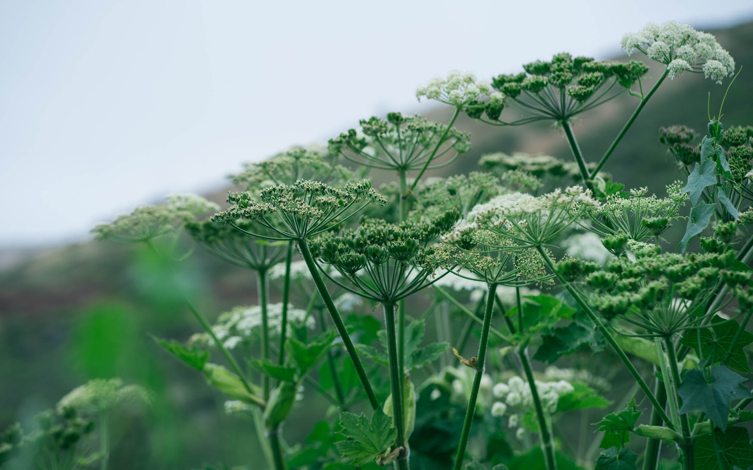
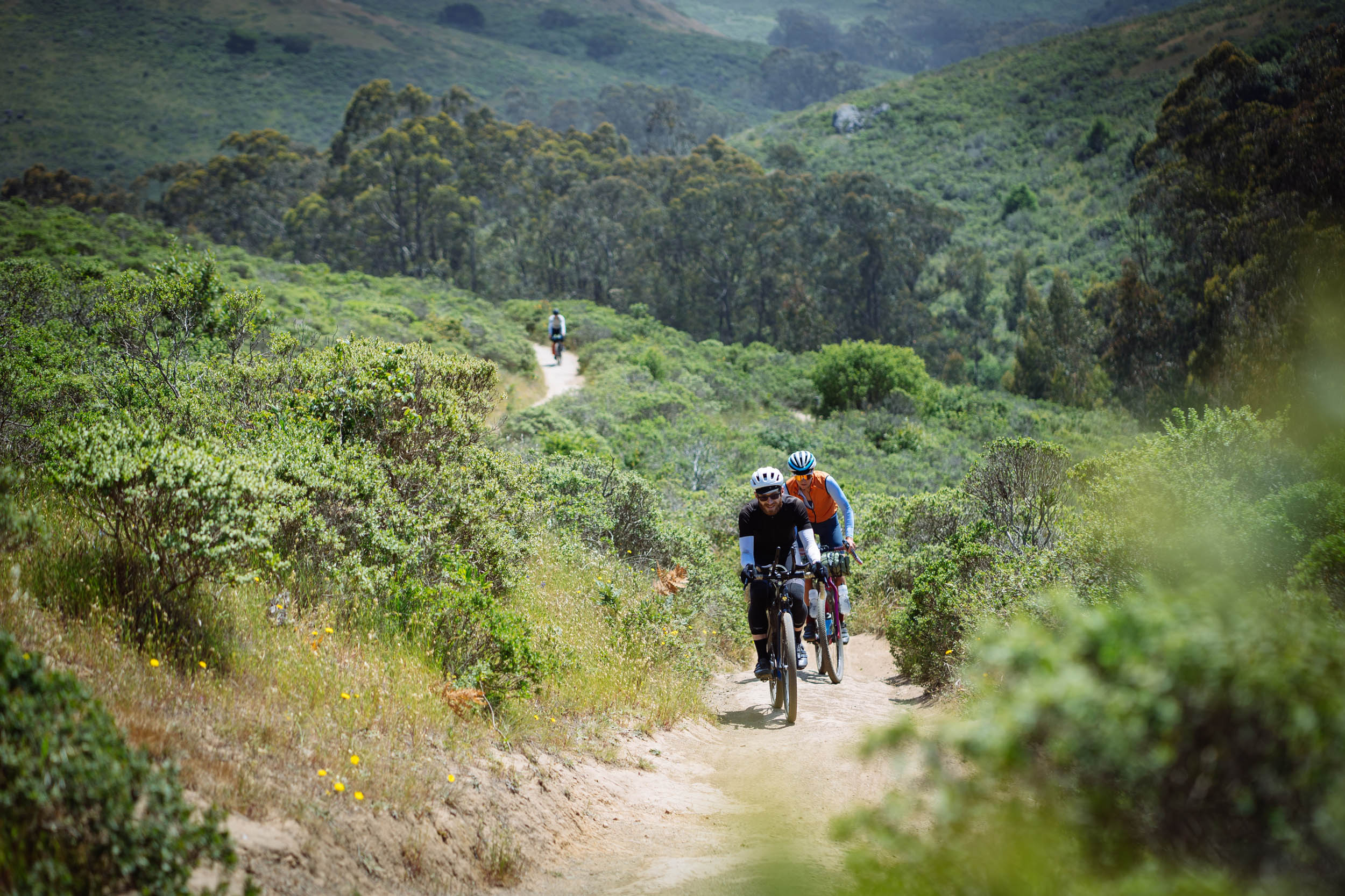
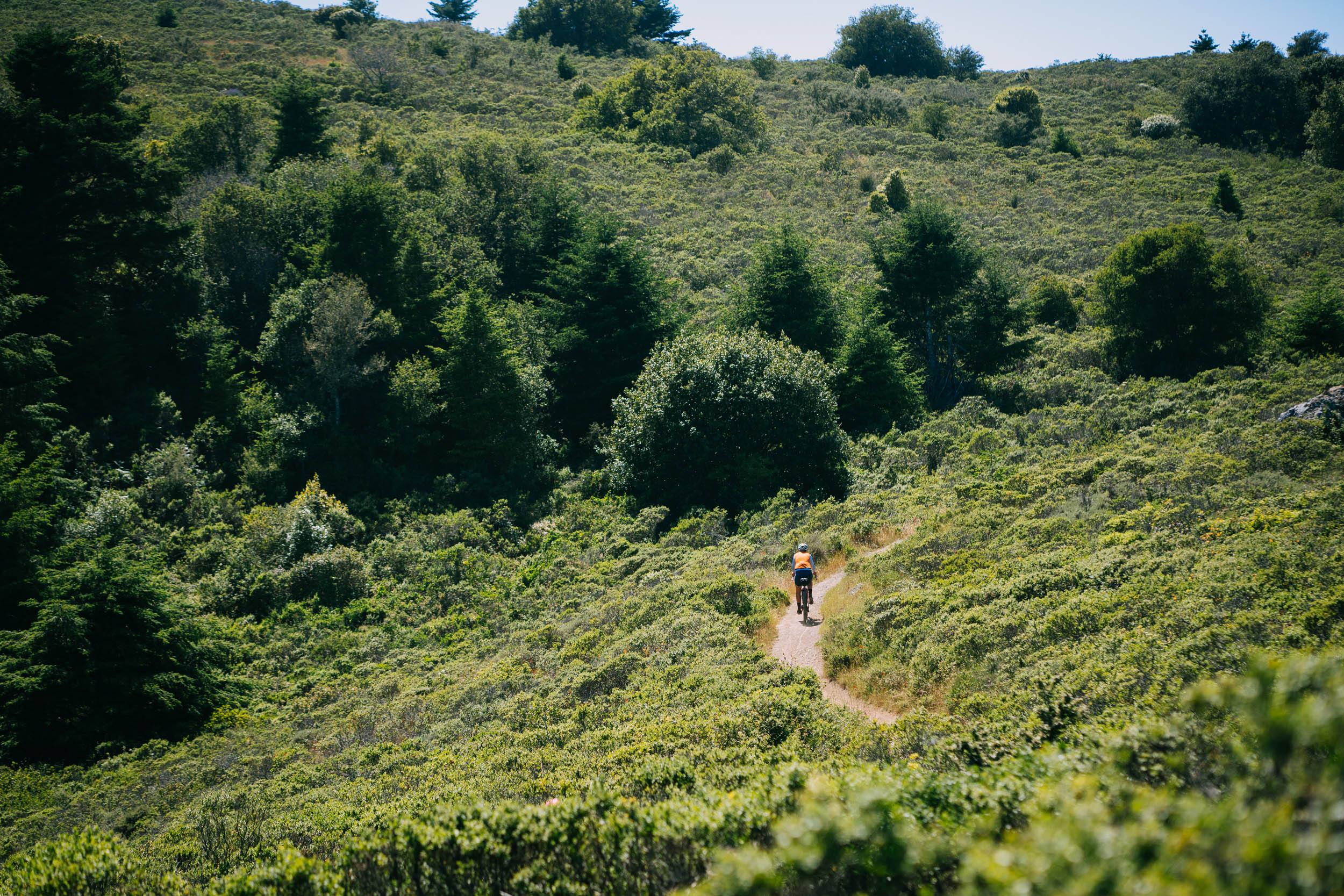
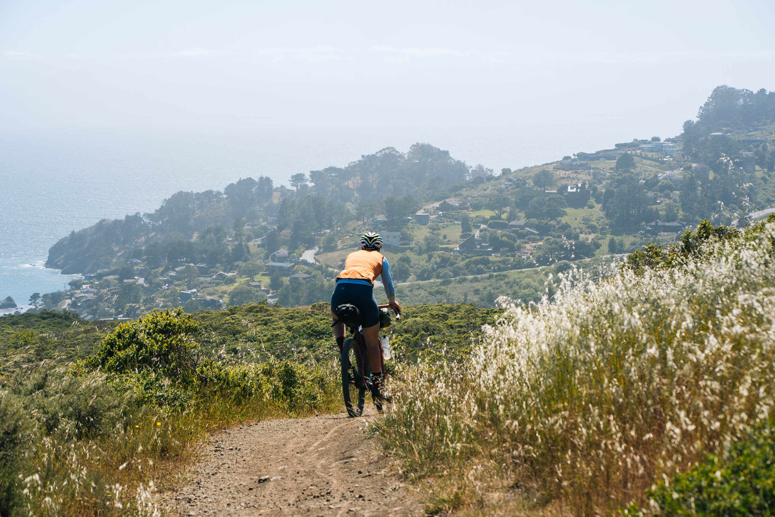
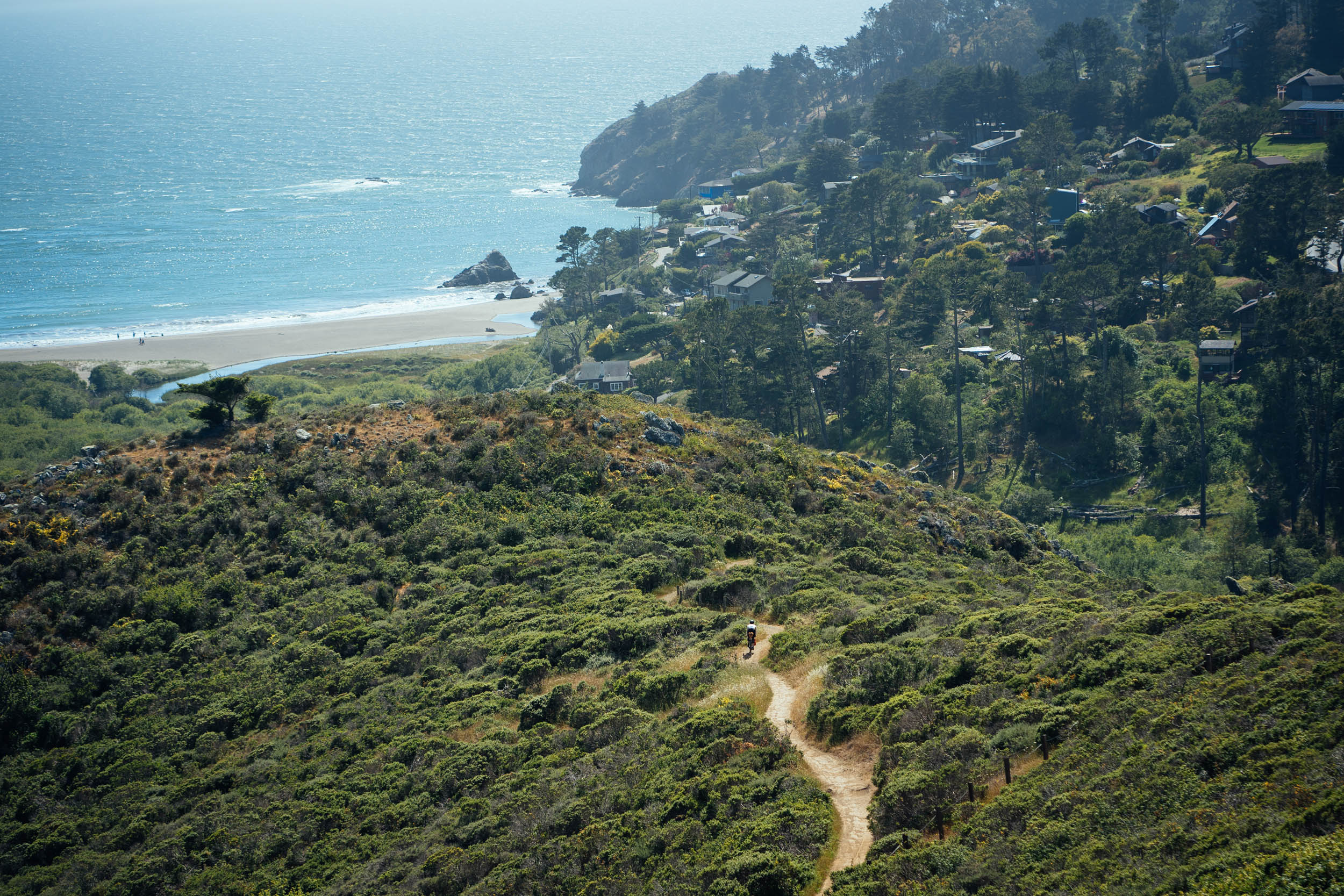
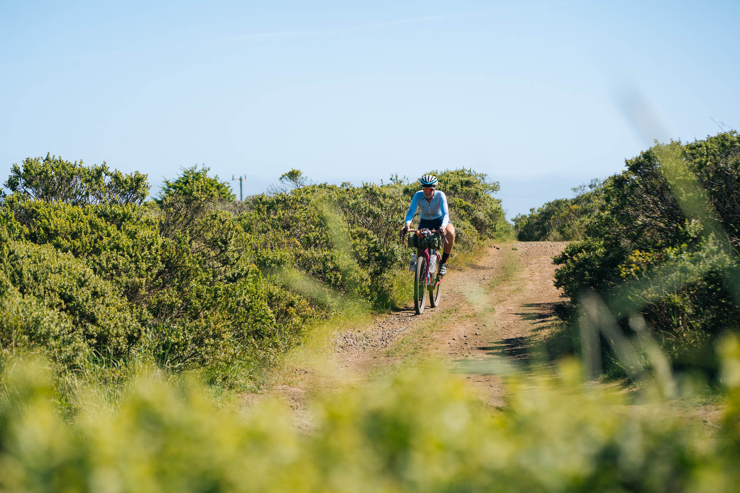
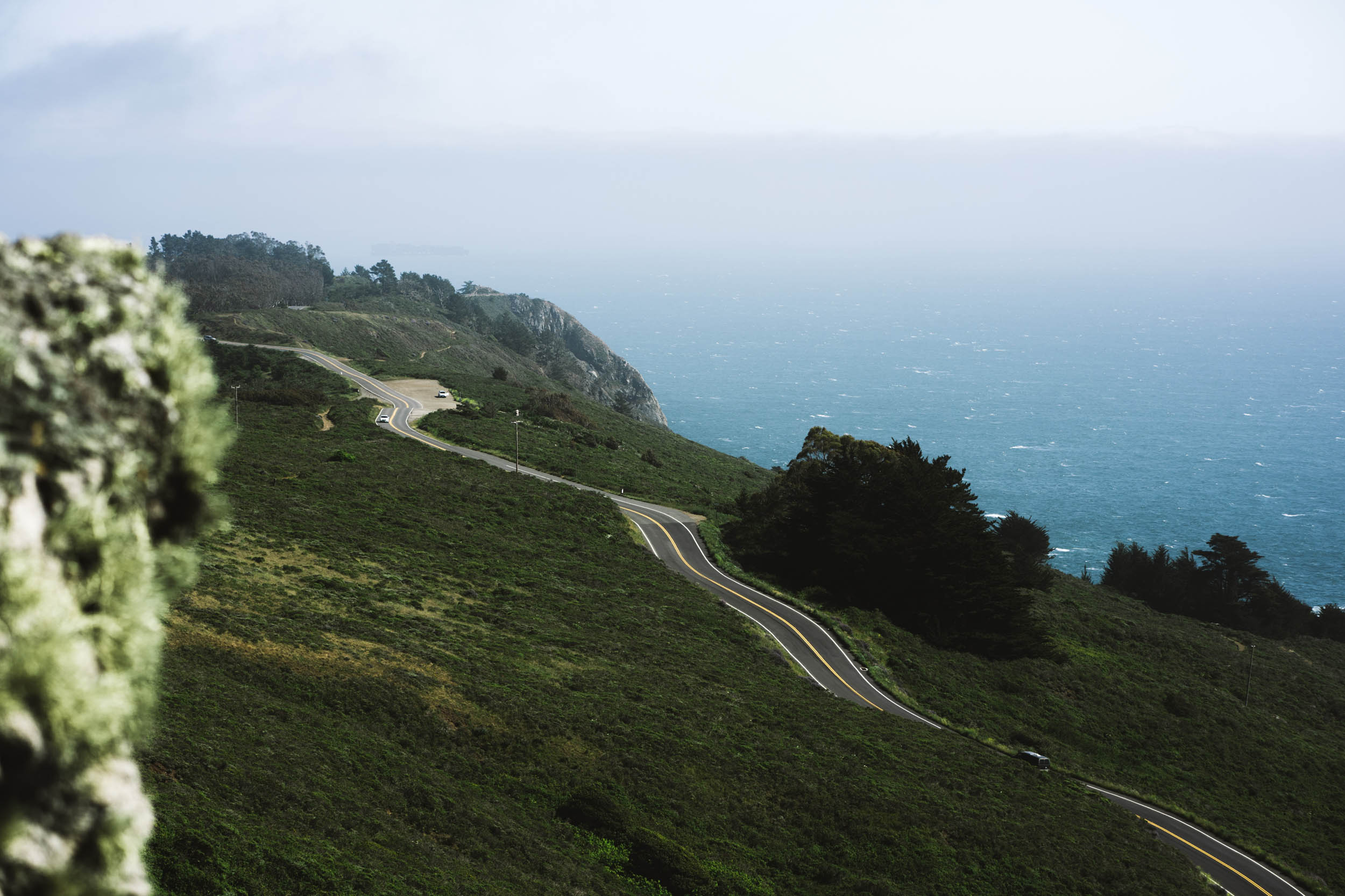
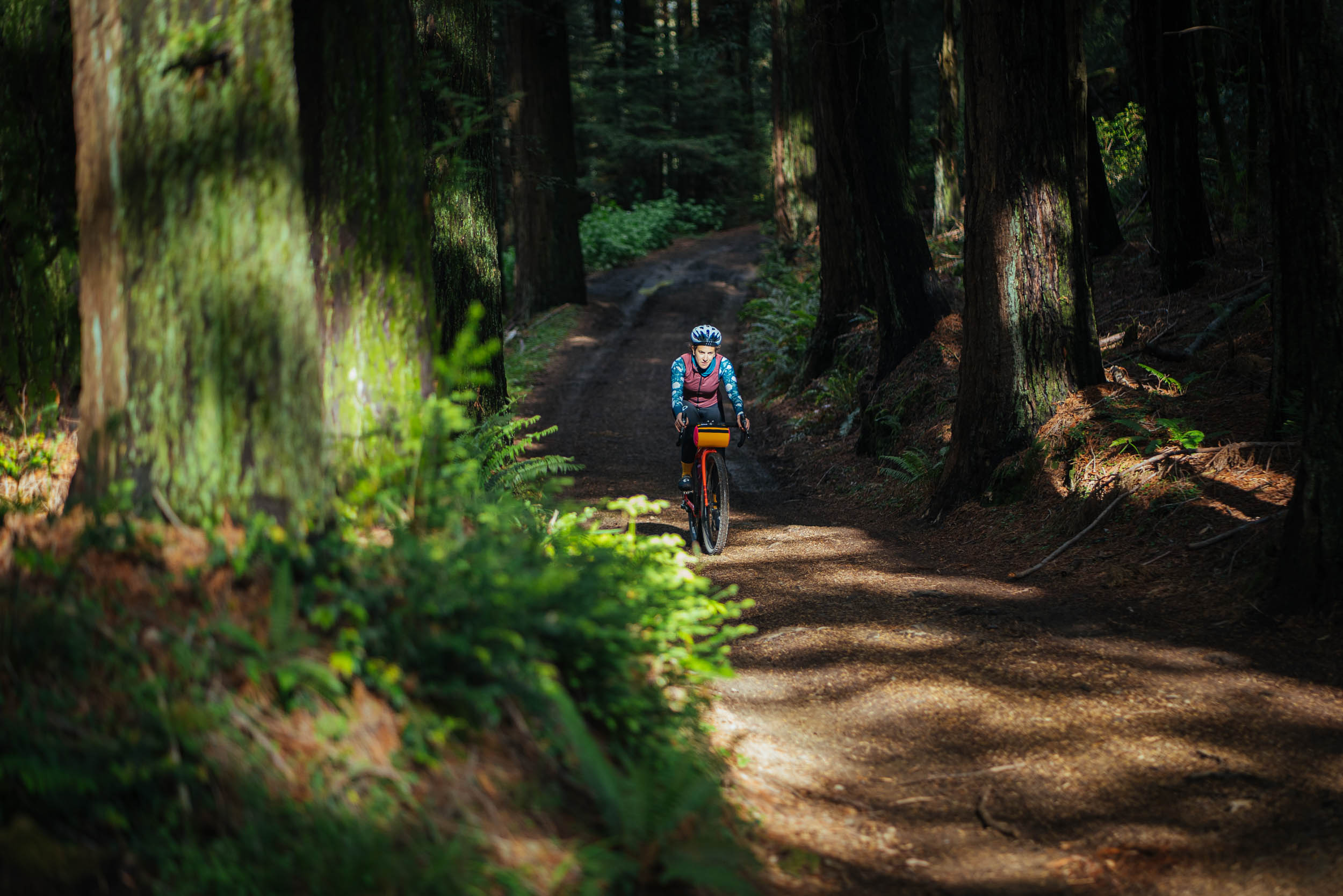
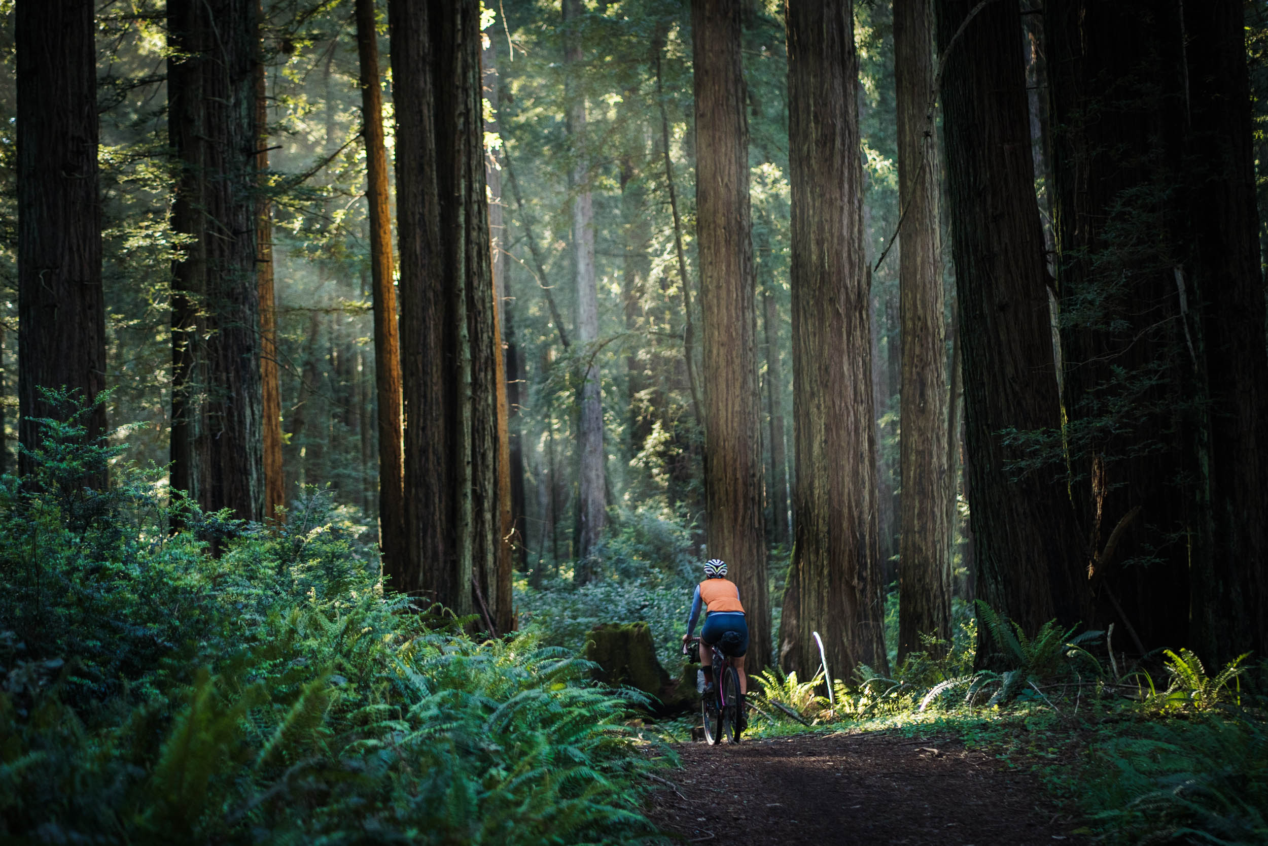
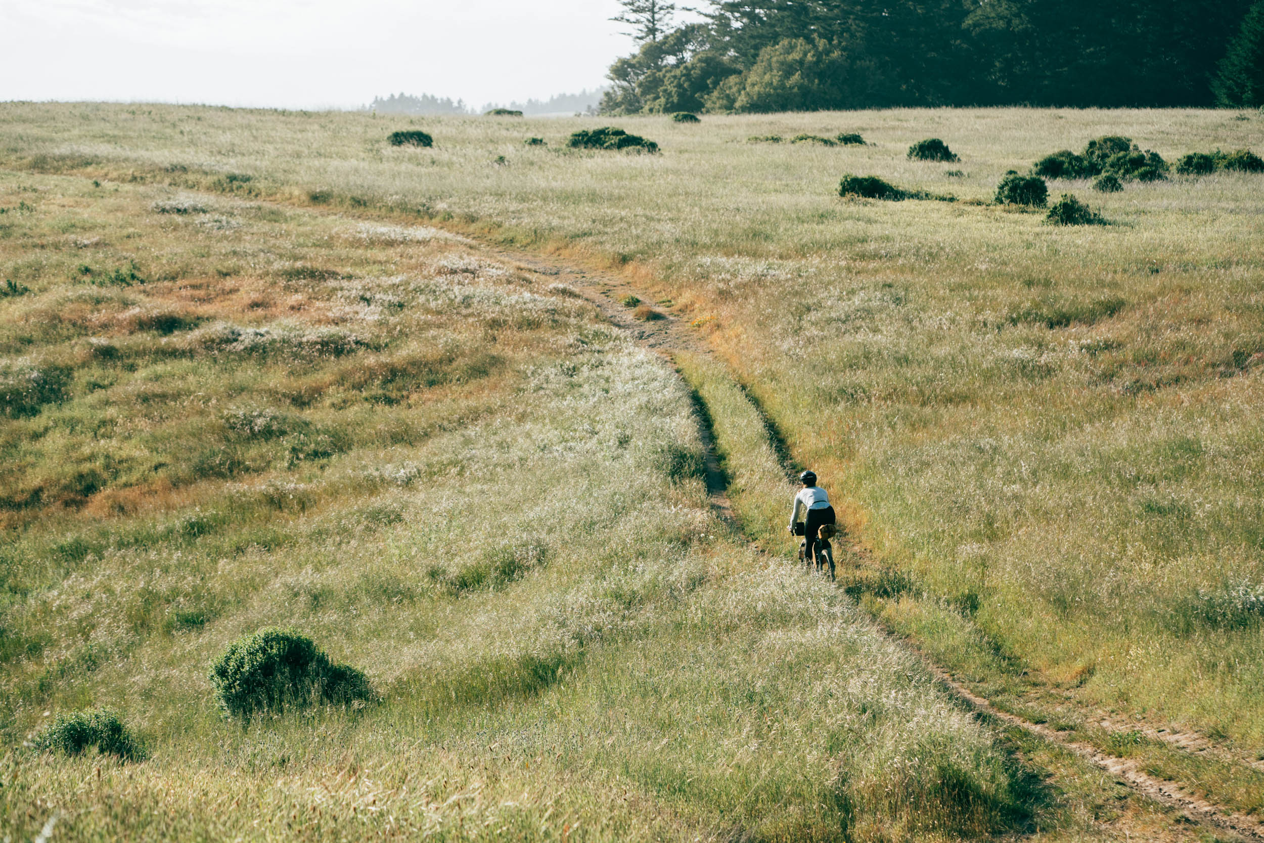
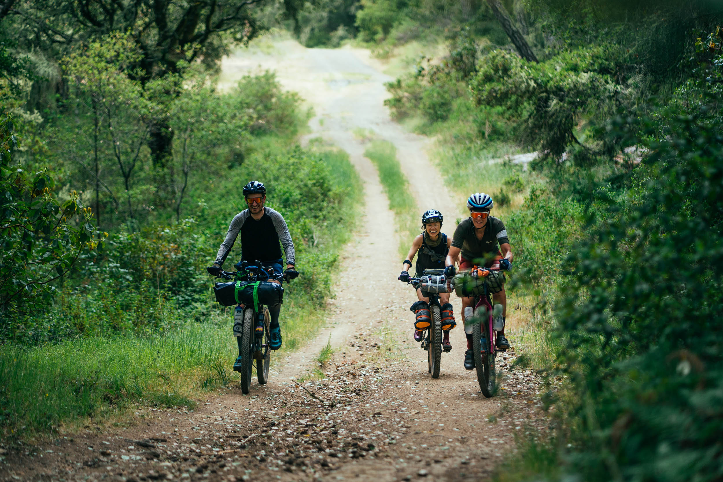
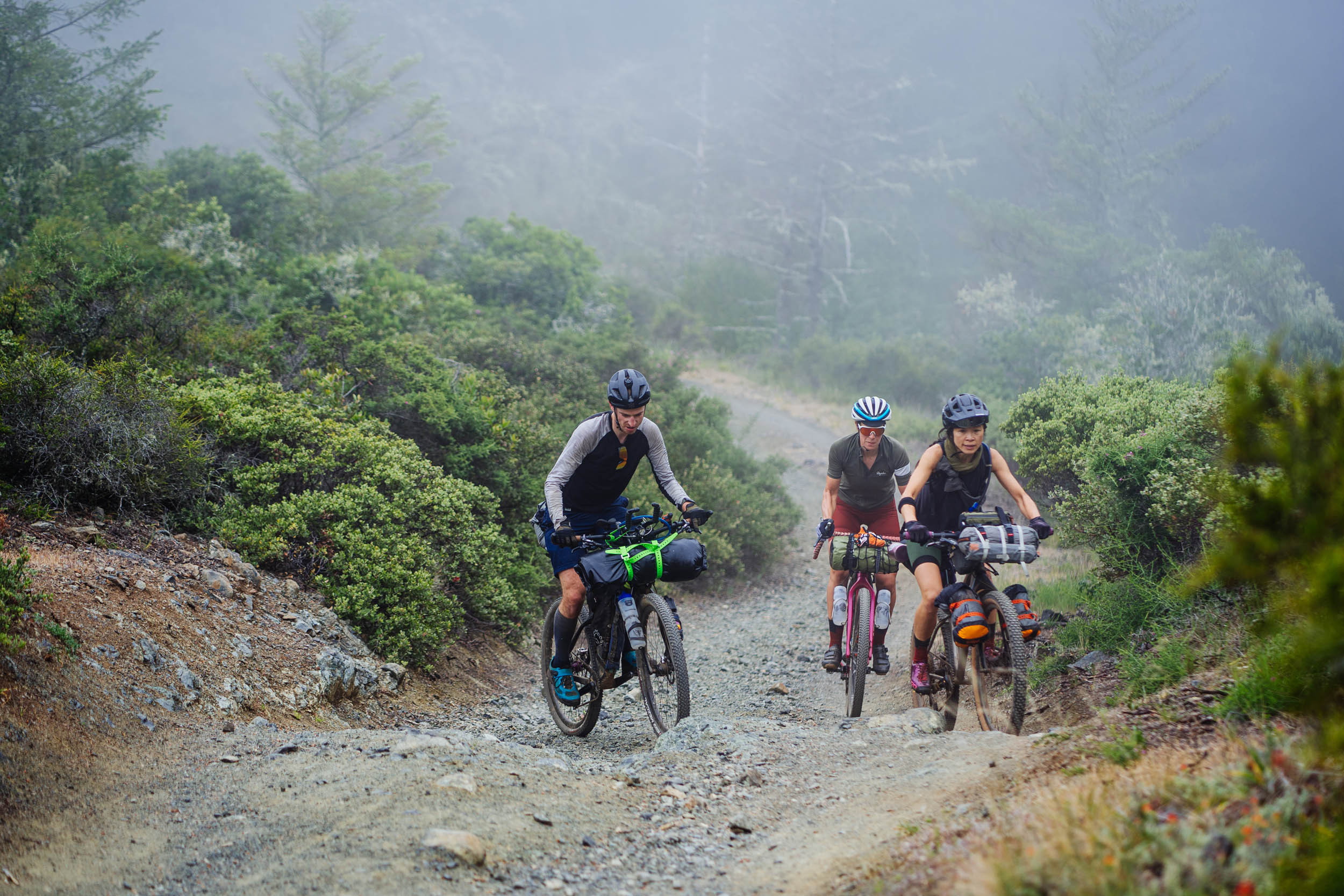
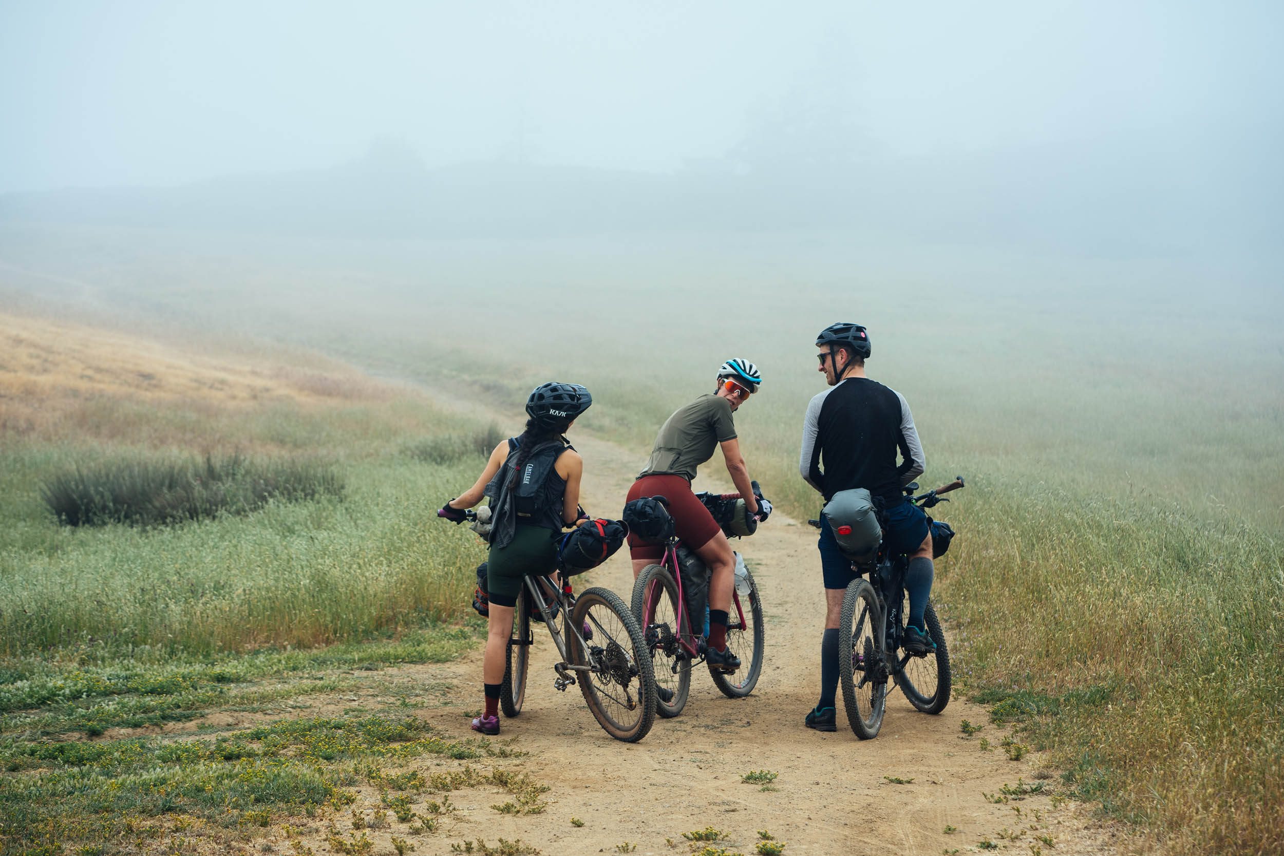
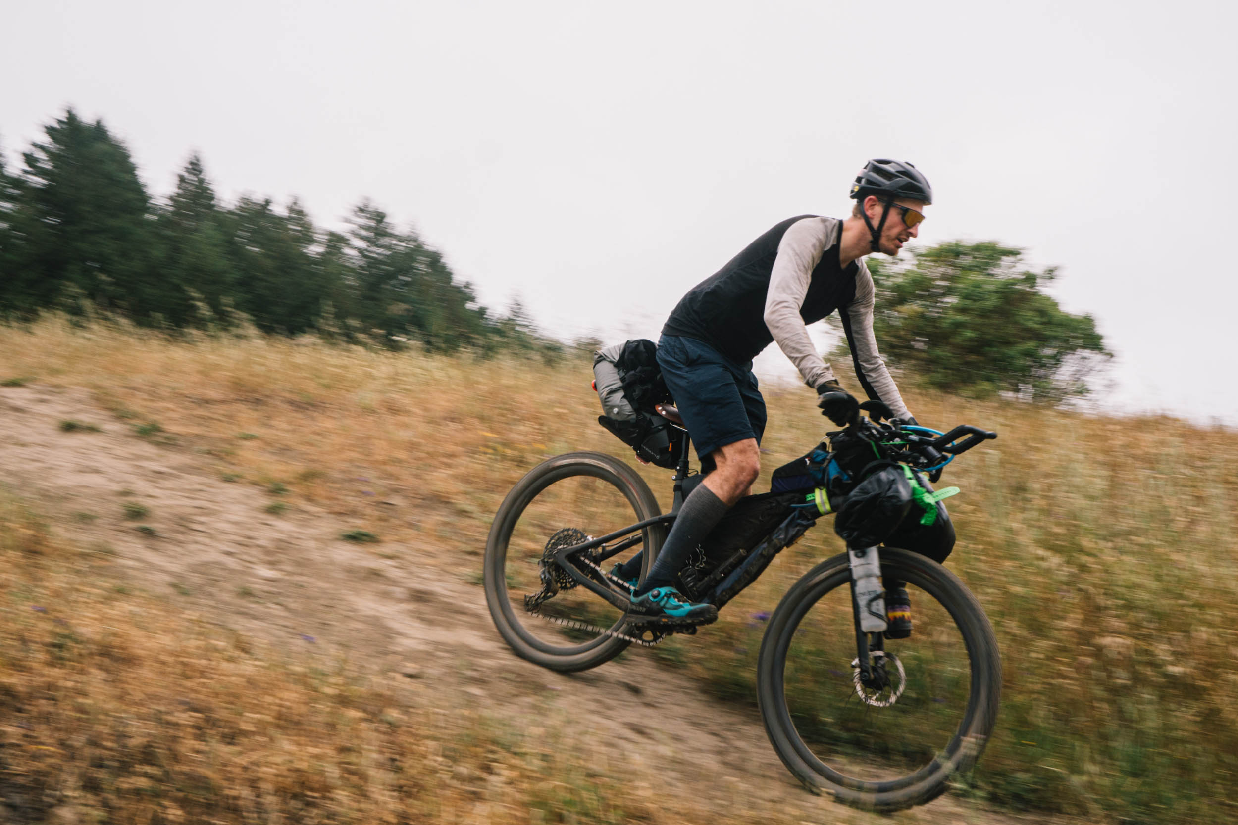
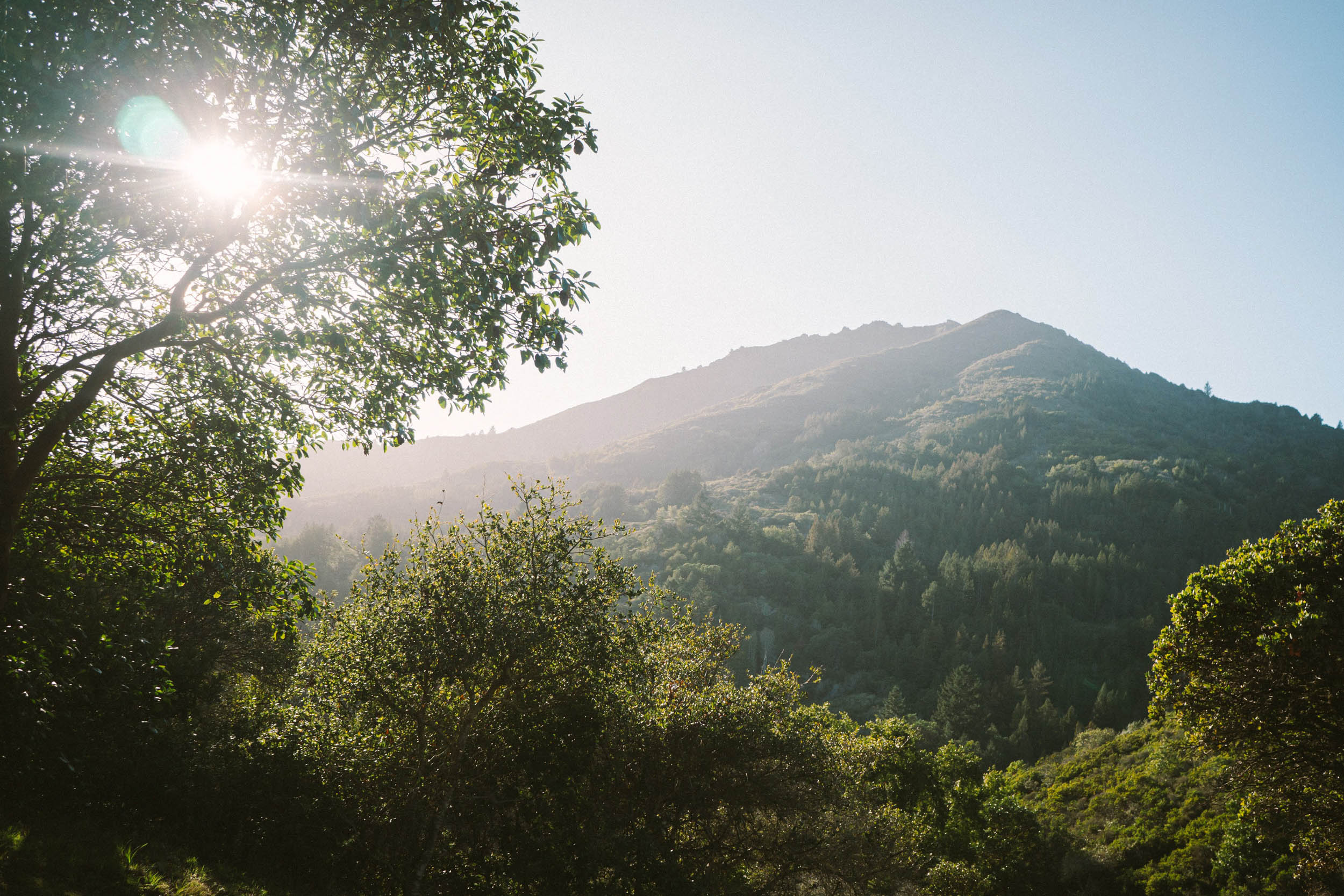
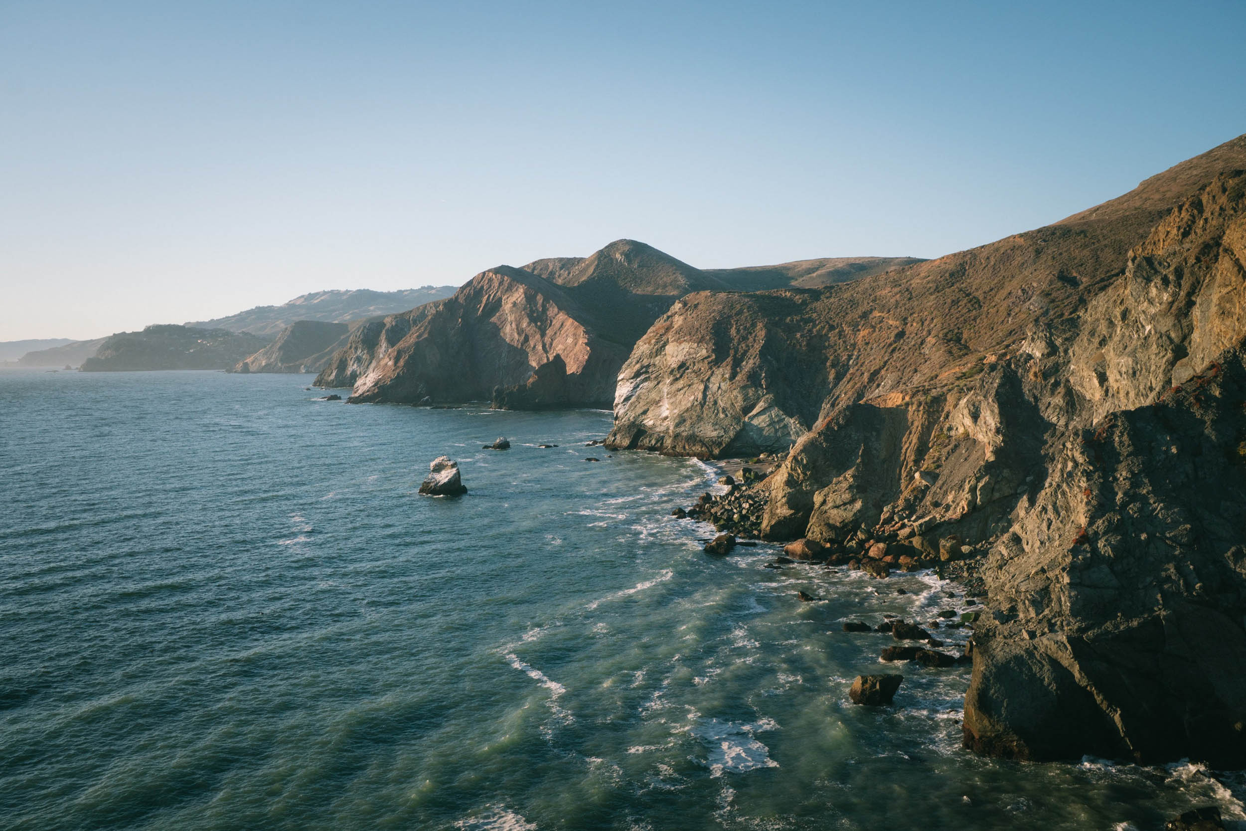
This overnighter undulates over the hills of the North Bay and is anything but flat. Starting in the Marin Headlands, home of the Coast Miwok tribe, riders work their way through coastal chaparral and breathtaking vistas of the Pacific ocean. Continuing north into the redwoods of Bolinas Ridge, the scenery transitions from shaded forest to golden grassy pastures that open up to panoramic views.
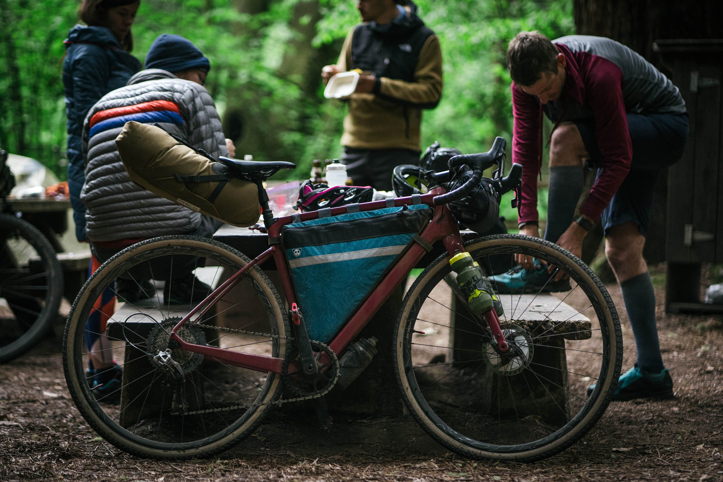
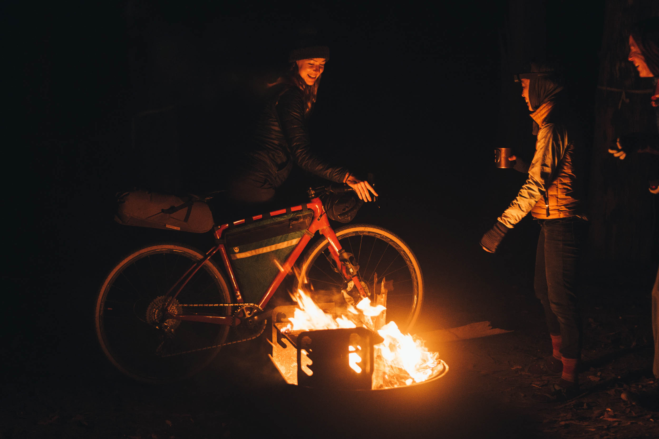
Of the several camping options on this loop, the best one for this overnighter is near the halfway mark at Samuel P. Taylor Park’s hiker-biker campsite. If it’s a chilly day you can warm up by the campfire; if it’s a hot day you can cool off at the Inkwells swimming hole nearby.
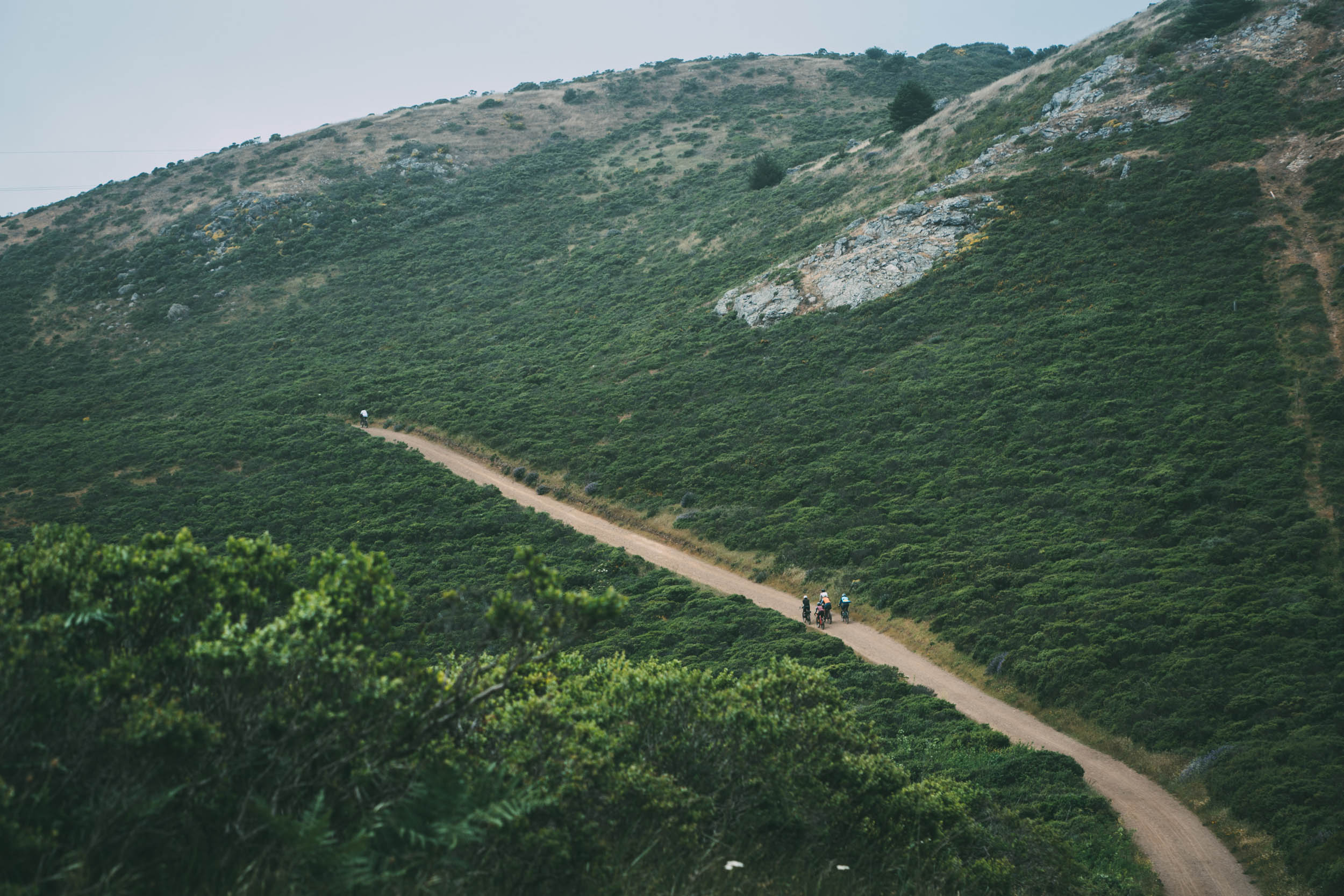
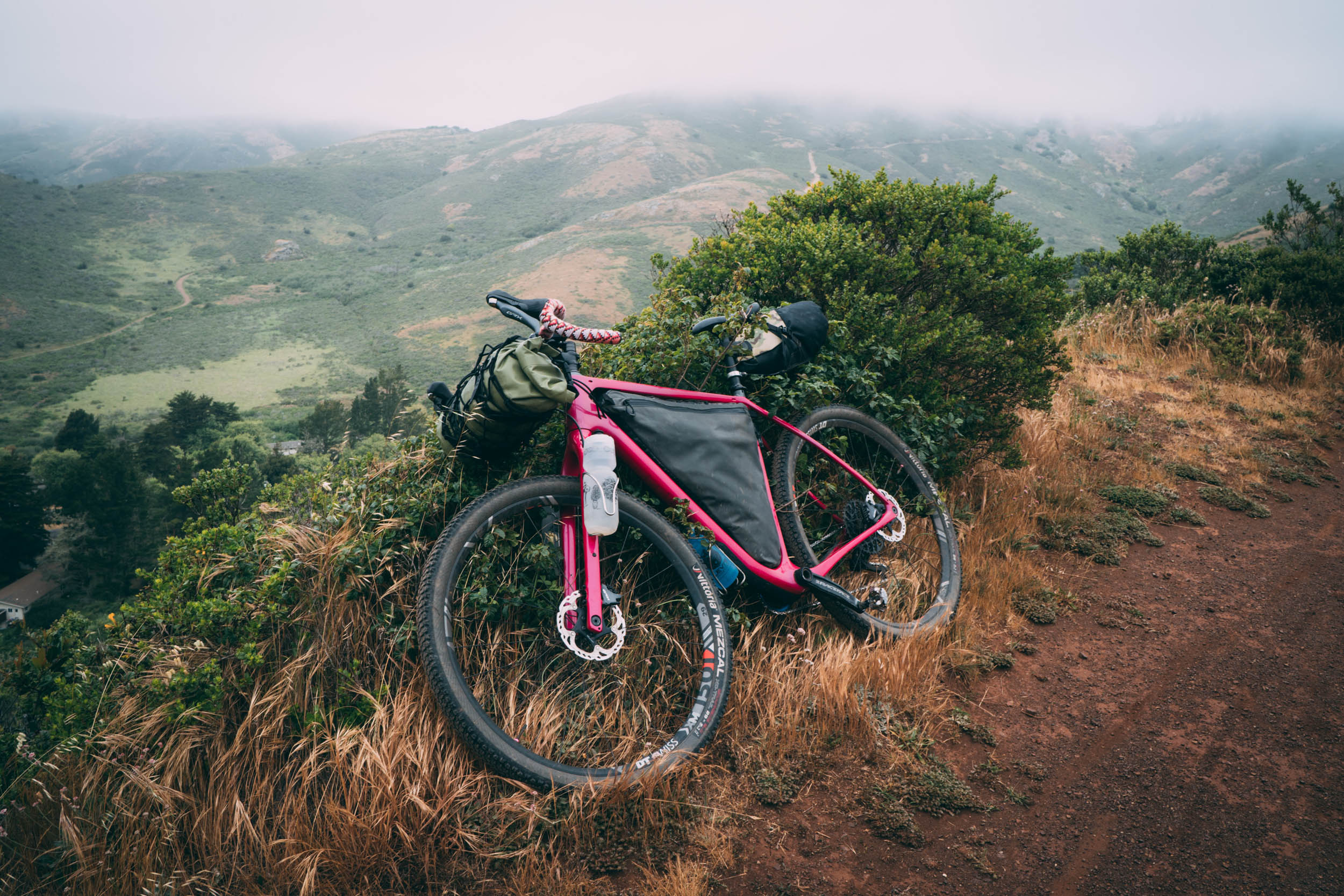
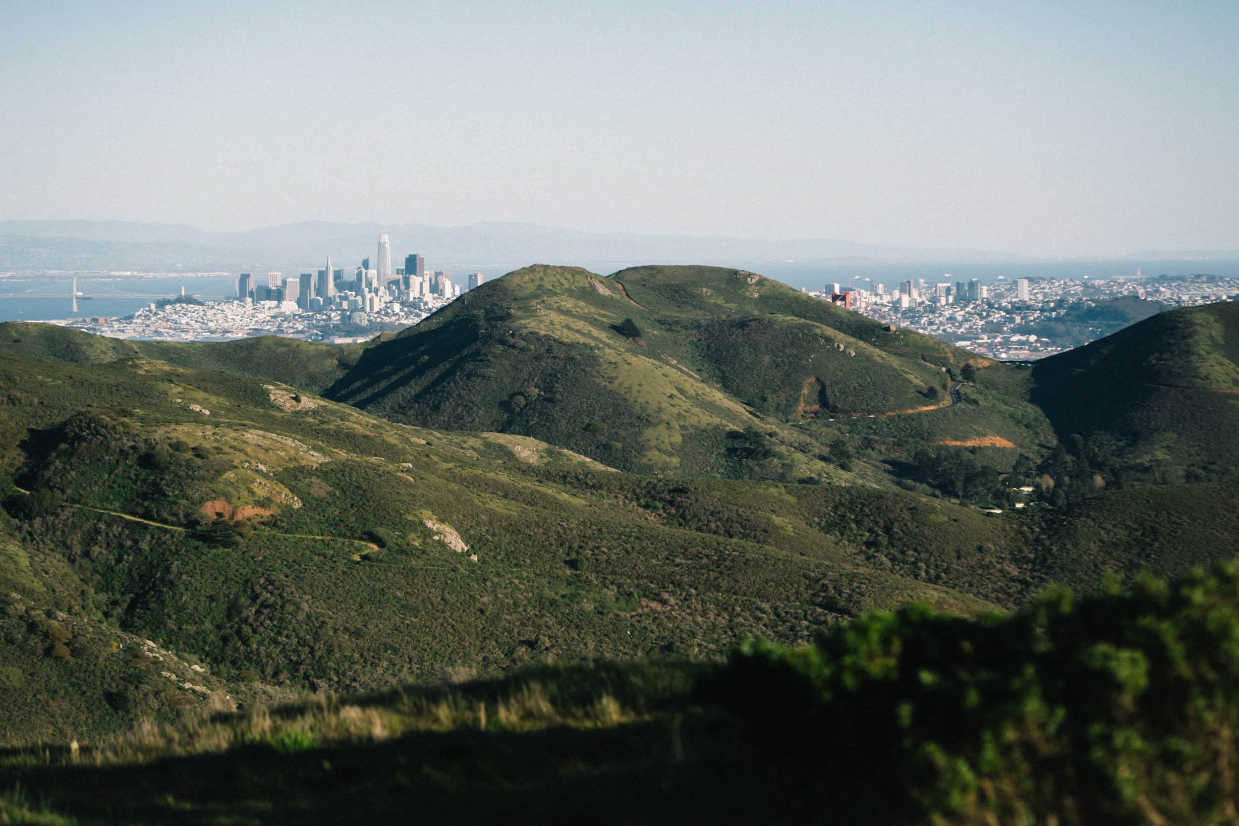
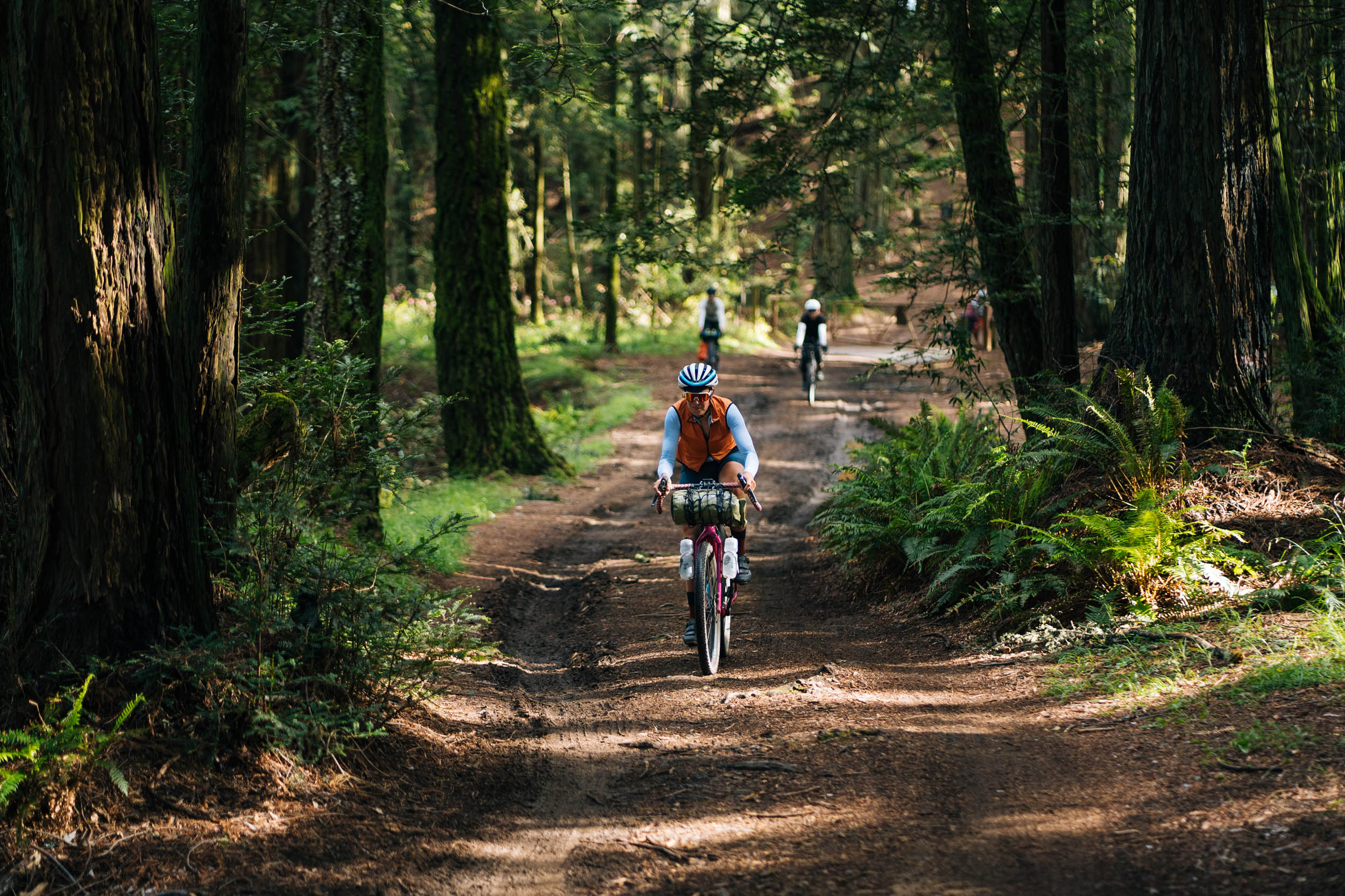
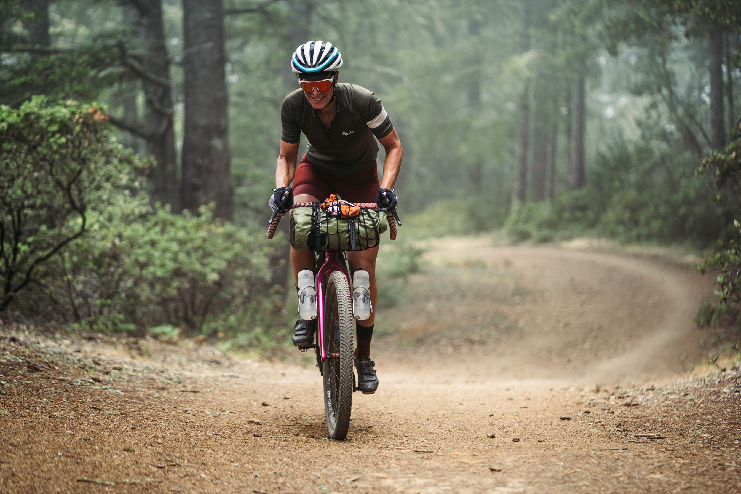
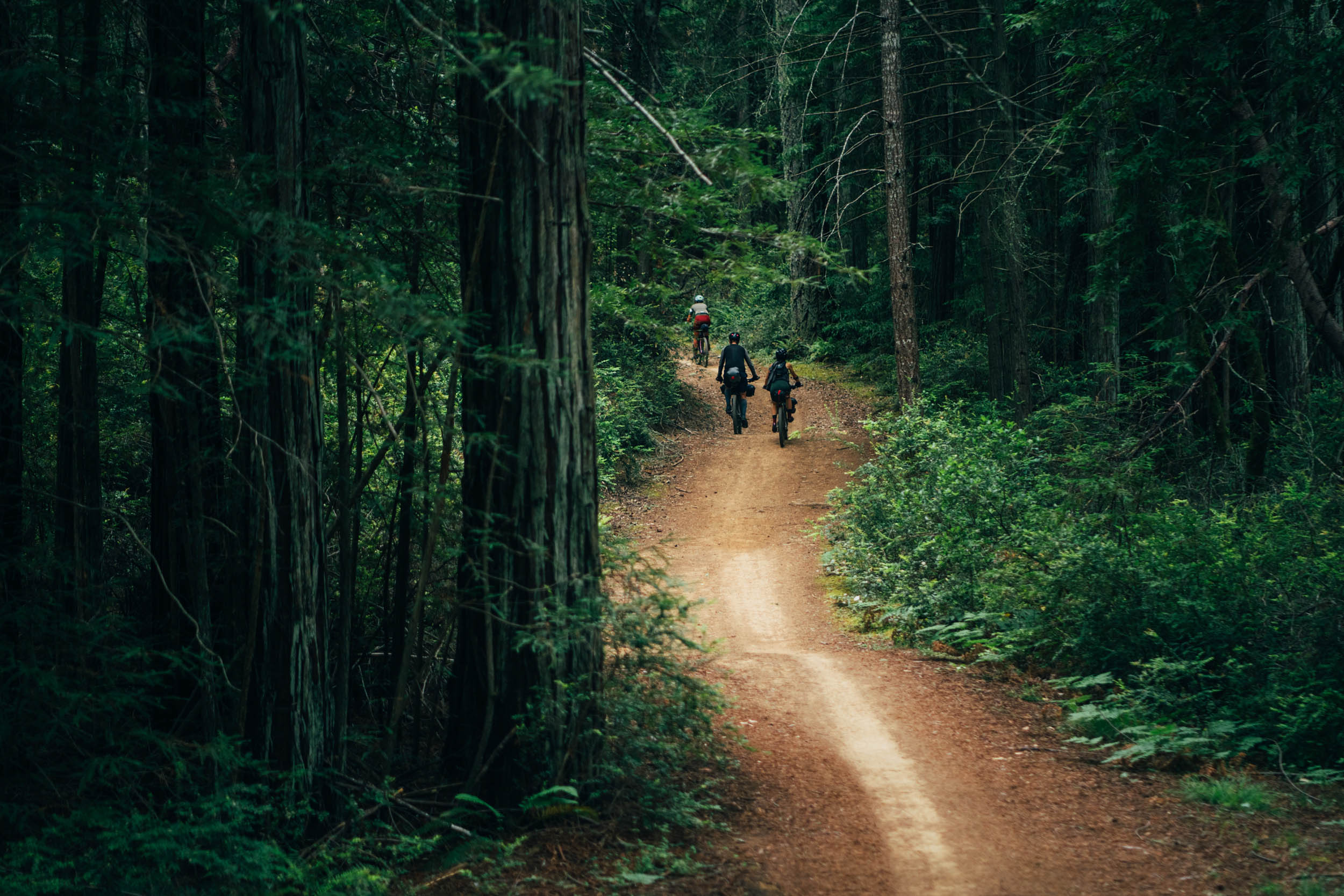
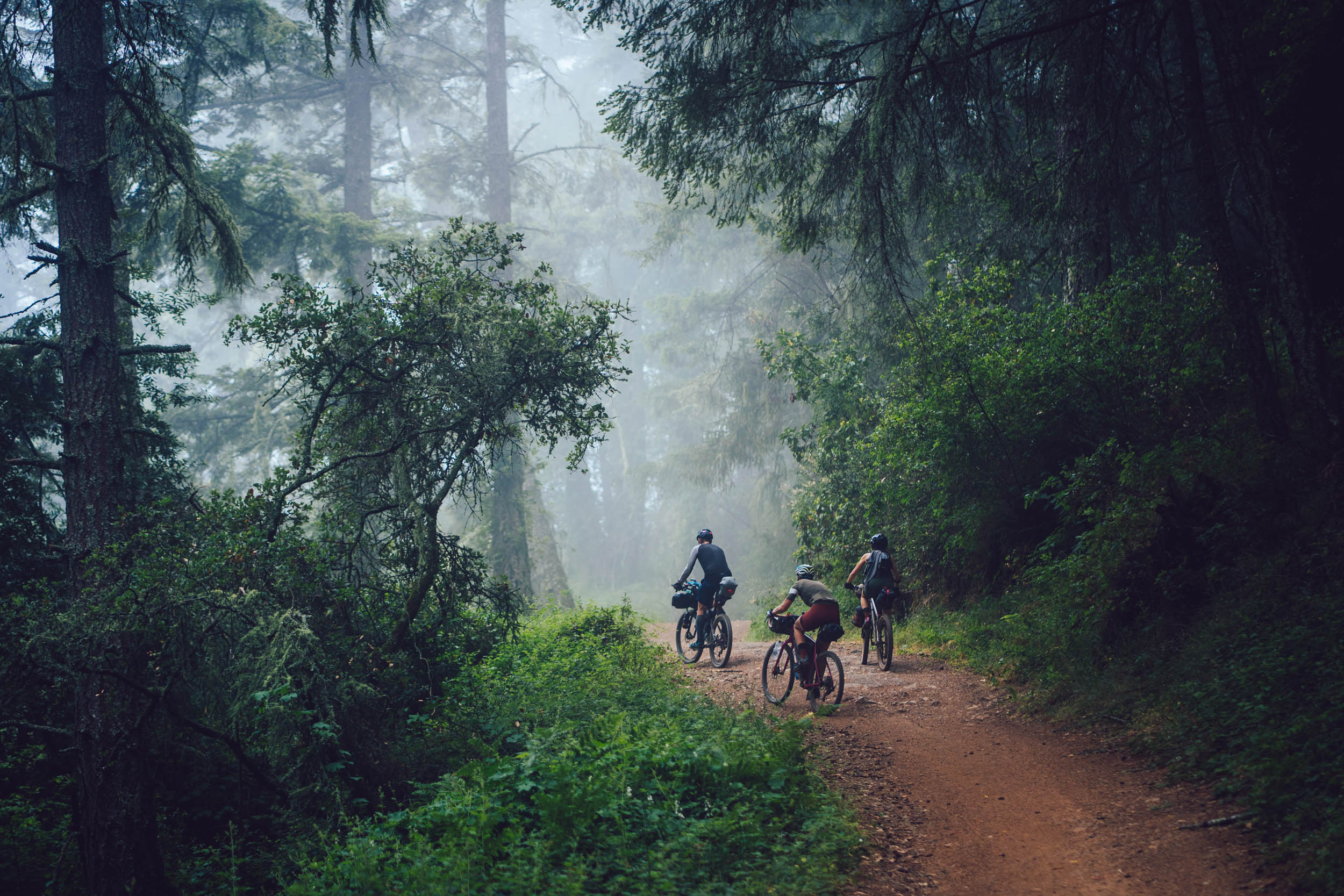
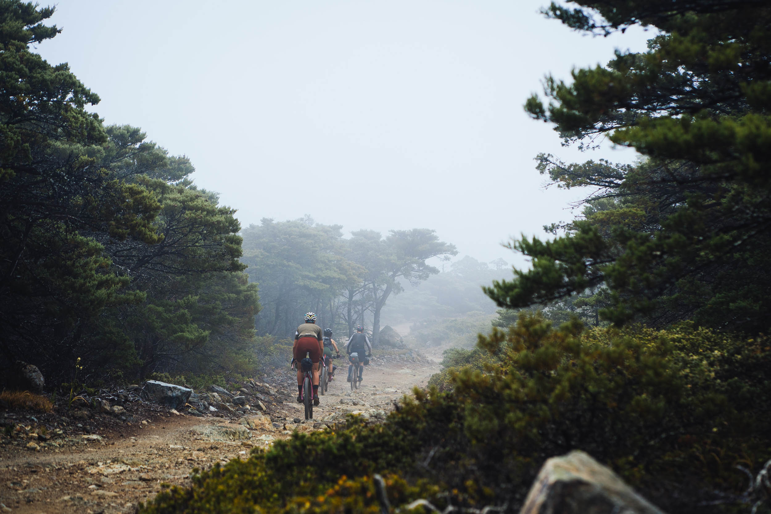
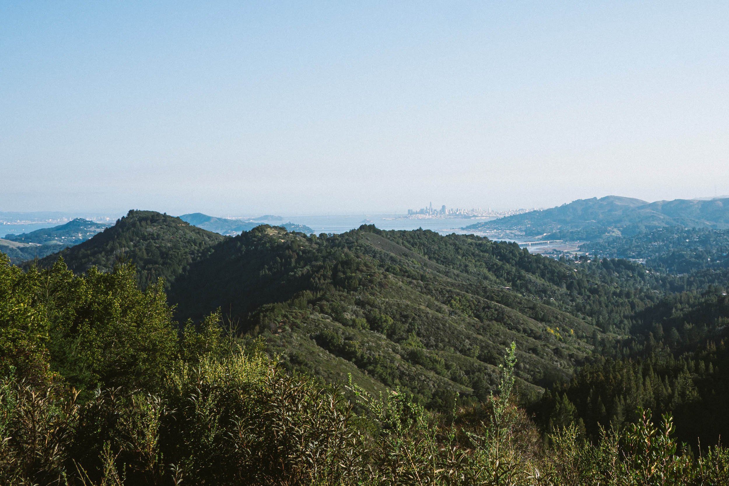
From here the route loops back around the Mt Tamalpais watershed, an area regarded as the birthplace of modern mountain biking. The name “Tamalpais” comes from “támal pájis” which translates into “west hill” and is the Coast Miwok name for the highest point in this region. The route winds through an extensive doubletrack trail system where there are many variations to shorten or lengthen the ride depending on your appetite. The trails may be sunny or shrouded in fog depending on the temperament of the day. Every once in a while you will catch glimpses of a tiny San Francisco skyline in the distance, a satisfying gauge of how far you’ve pedaled in just a weekend.
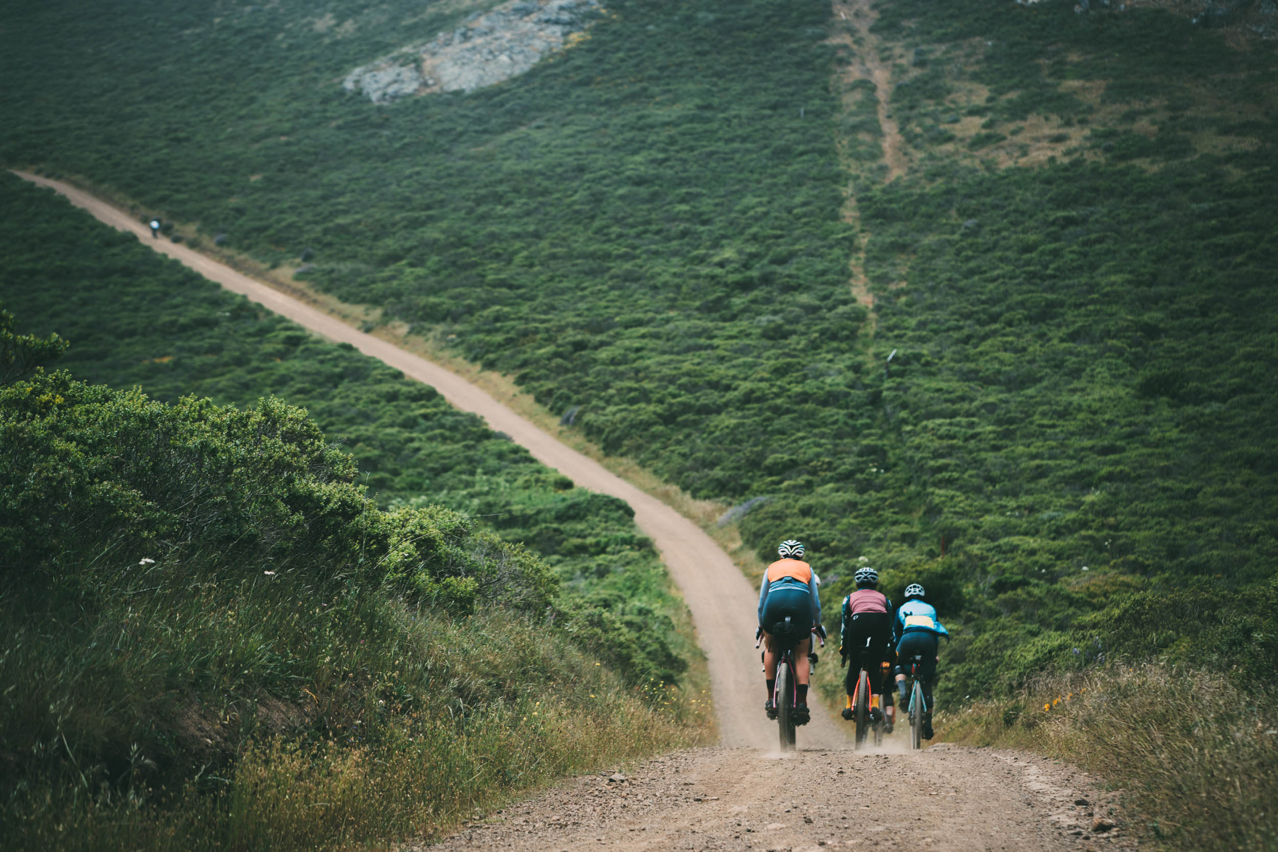
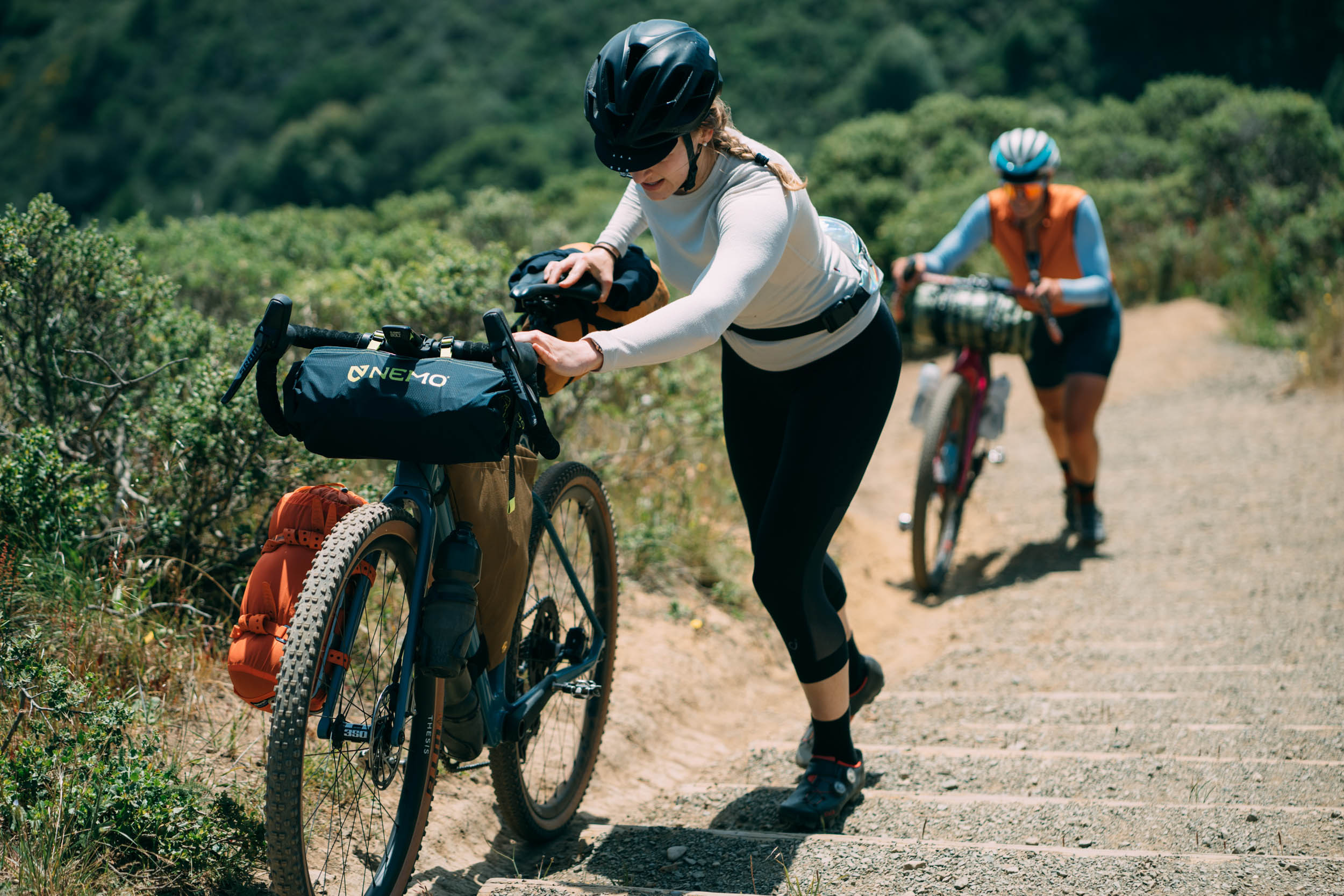
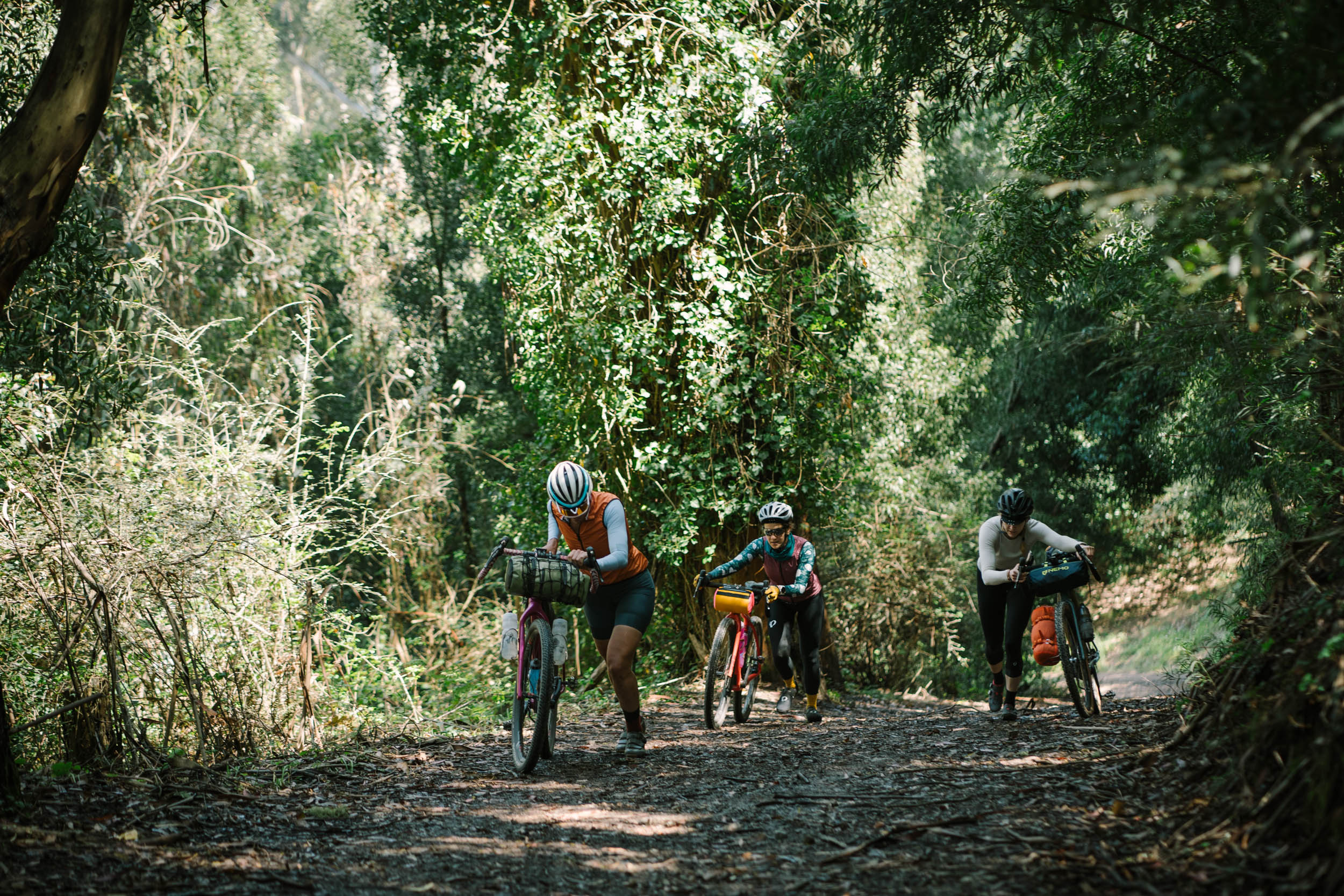
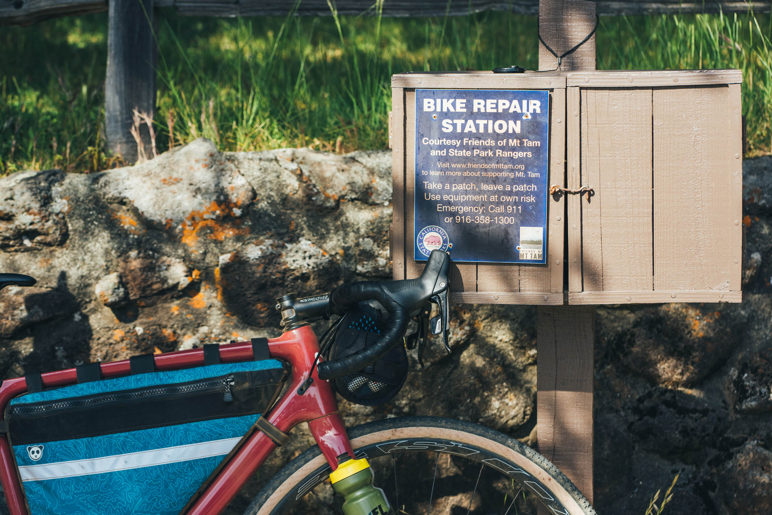
Difficulty: This overnighter is rated a 6 out of 10, overall. The route consists primarily of fireroads although there are few short sections that may be steep, rocky, or rutted, so the technical difficulty is rated a 5. With over 9,000 feet of climbing, the hilliness of the route keeps the heart rate high, so physical demand is rated a 8. There are water fountains on the route and several excellent food options on the way. In fact you don’t even need to pack a real lunch or dinner if you so choose, making the logistics a 1.


Submit Route Alert
As the leading creator and publisher of bikepacking routes, BIKEPACKING.com endeavors to maintain, improve, and advocate for our growing network of bikepacking routes all over the world. As such, our editorial team, route creators, and Route Stewards serve as mediators for route improvements and opportunities for connectivity, conservation, and community growth around these routes. To facilitate these efforts, we rely on our Bikepacking Collective and the greater bikepacking community to call attention to critical issues and opportunities that are discovered while riding these routes. If you have a vital issue or opportunity regarding this route that pertains to one of the subjects below, please let us know:
Highlights
Must Know
Camping
Food/H2O
Trail Notes
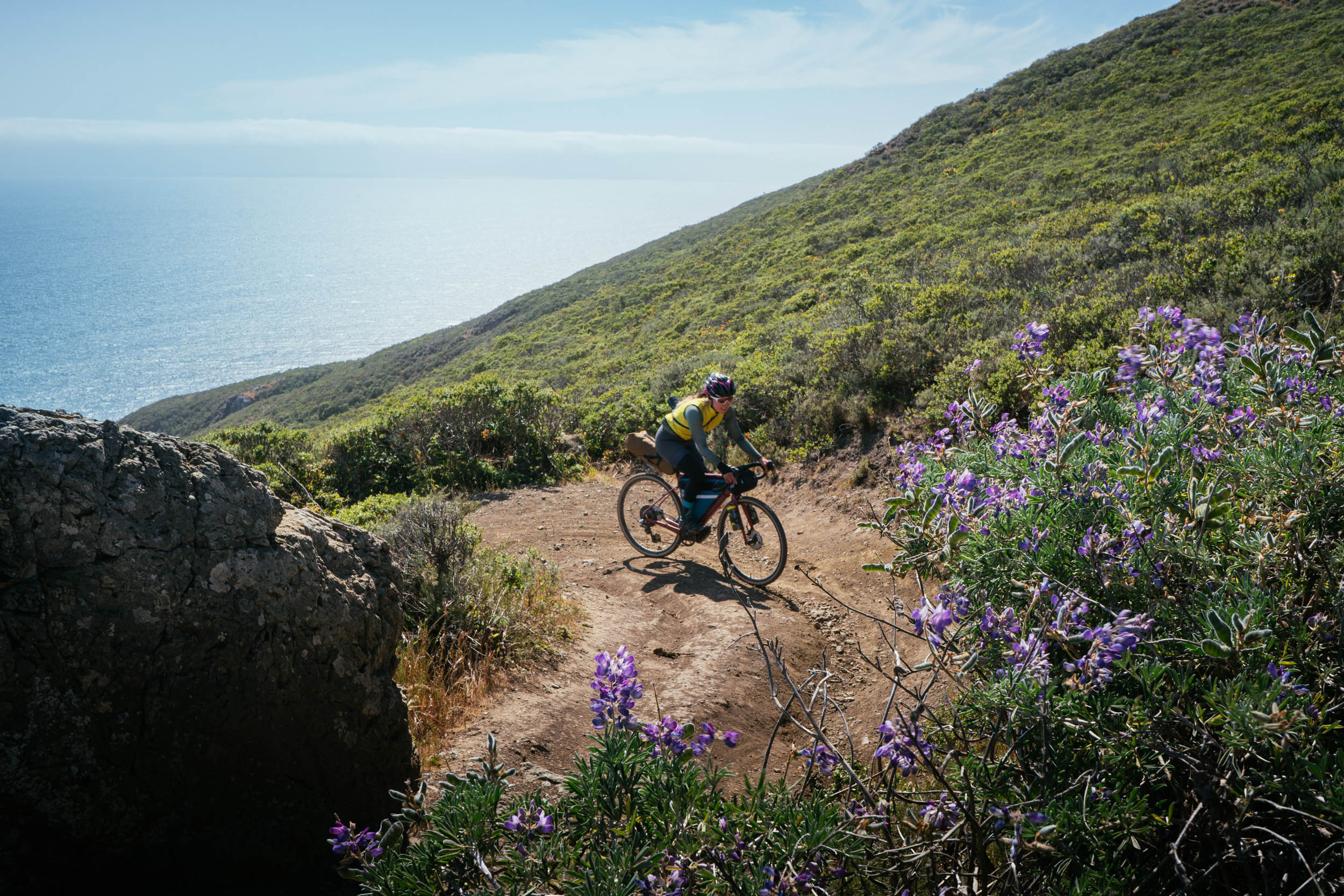
- Dias Ridge is a fun singletrack descent with sweeping views down to the ocean.
- Bolinas Ridge is a scenic trail bridging two worlds: moist, damp redwood forest that pops out onto grassy hills with views toward Tomales Bay.
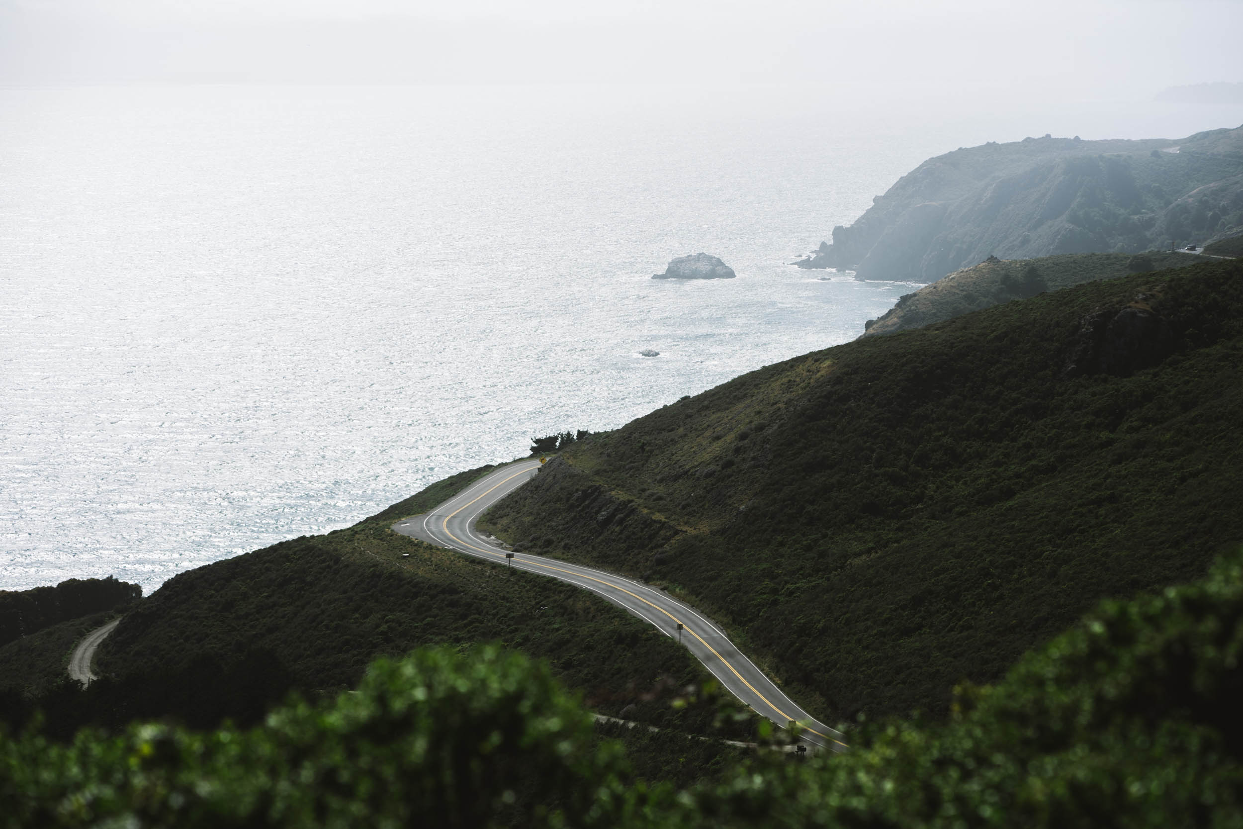
- Ridgecrest Road and “Seven Sisters” is an iconic stretch of road riding on Mt Tam. For most bikepacking routes, the pavement connectors are just necessary evils, but this necessary 5 mile road connector is so good it deserves a feature in the highlights.
- Eat a bratwurst at bike-friendly Gestalt Haus in Fairfax, a local favorite. Their tagline is “Beer, Brats, and Bikes” after all.
- Enjoy a dip in the Inkwells swimming hole in Samuel P Taylor park
- Picturesque setting of Lake Lagunitas, with its surrounding forest and charming footbridges.
- If you’re lucky you could cross paths with a bobcat or hear coyotes yipping at dawn.
- North Bay weather is rather mild so you can ride this route all year around
- Bring $7 cash to pay for the hiker-biker campsite at Samuel P. Taylor State Park
- There is poison oak on the route. It’s easily avoidable, but make sure you know how to identify the plant
- Word of warning: never leave your bike unattended in the Bay Area when in town
- There are two campgrounds with hiker-biker campsites along the route: Samuel P. Taylor State Park Campground ($7) and Pantoll Campground ($5).
- Firewood can be purchased from the host at both, should you be interested
- There are also several reservation-based campgrounds in the Marin Headlands including Hawk Camp and Kirby Cove Campground.
- There are water fountains along the route marked on the map. The most obvious ones are at the campgrounds. Leave your water filter at home.
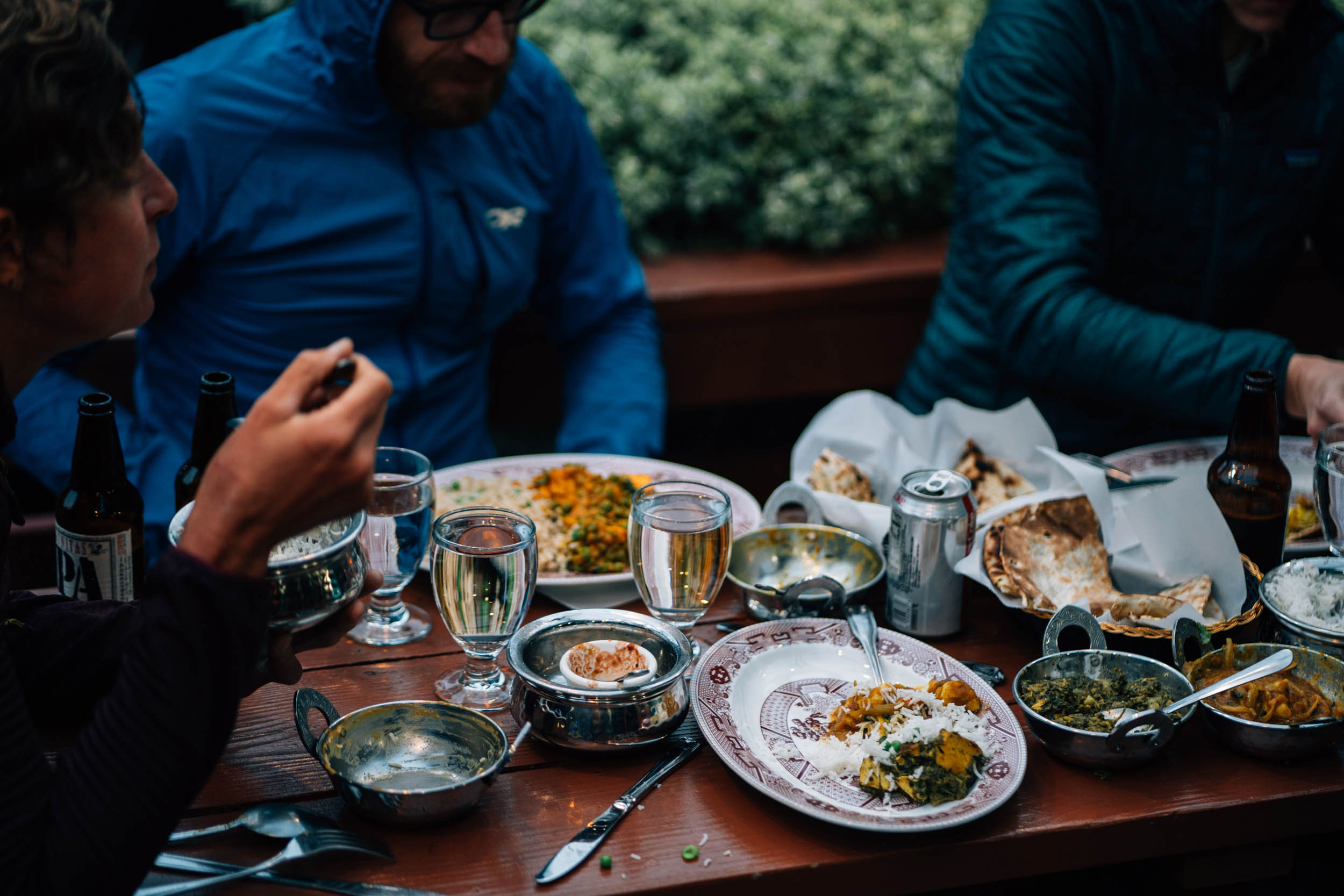
- There are several food options along the route including Pelican Inn near Muir Beach, Arti Natural Indian Cafe in Lagunitas (a great option if you don’t want to cook dinner, a short detour from camp)
- Lagunitas Grocery & Deli and Gestalt Haus are in Fairfax for beer and bratwurst, and Amelie Cafe for quality coffee and pastries.
Day 1
- The day starts with a brief road climb before a fun descent down Coastal trail into the Marin Headlands. Be mindful that Coastal has sections that are rutted or loose near the bottom.
- When you descend Marincello trail into Tennessee Valley at mile 8 you will arrive at a horse stable. Please be respectful and walk your bike through the stables area.
- Another climb up Miwok trail includes a brief hike-a-bike up a set of stairs. This climb rewards you with another fun descent, this time down Dias Ridge and its many hairpins.
- After the ridge, the big climb of the day begins.
- Pantoll Campground is the perfect midway point water resupply
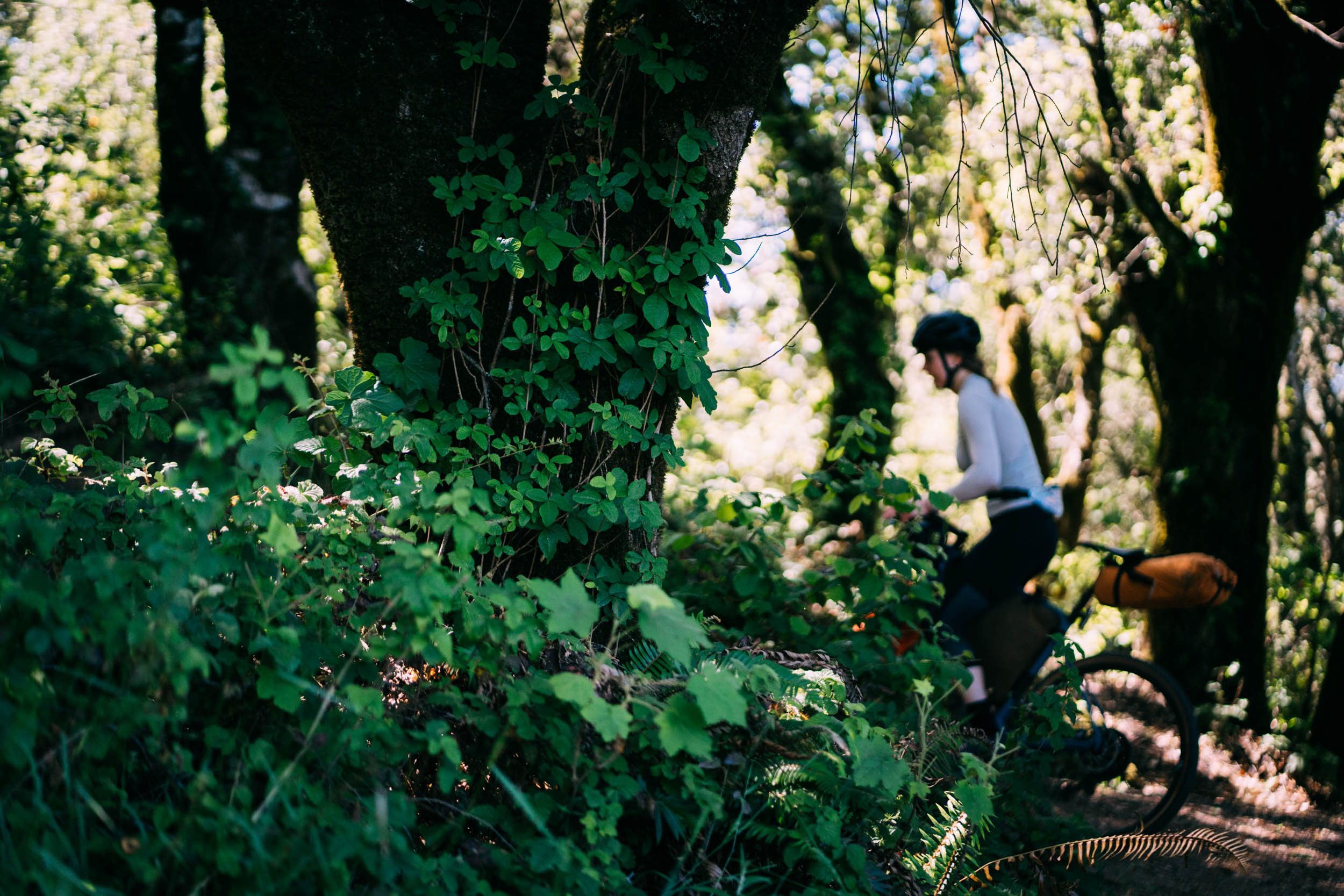
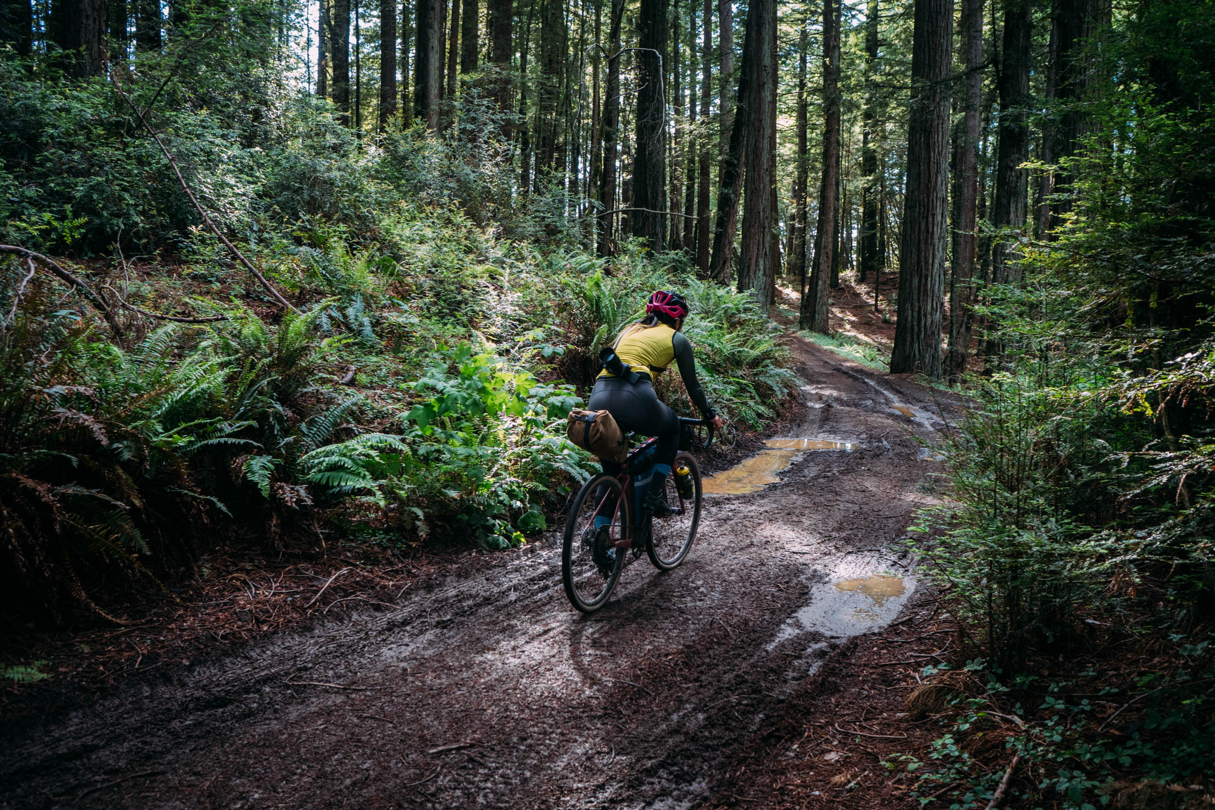
- The trail through the redwoods of Bolinas Ridge can get quite muddy after it rains or when there’s low fog
- The second half of Bolinas Ridge has some bumpy washboard downhill sections and possible ruts.
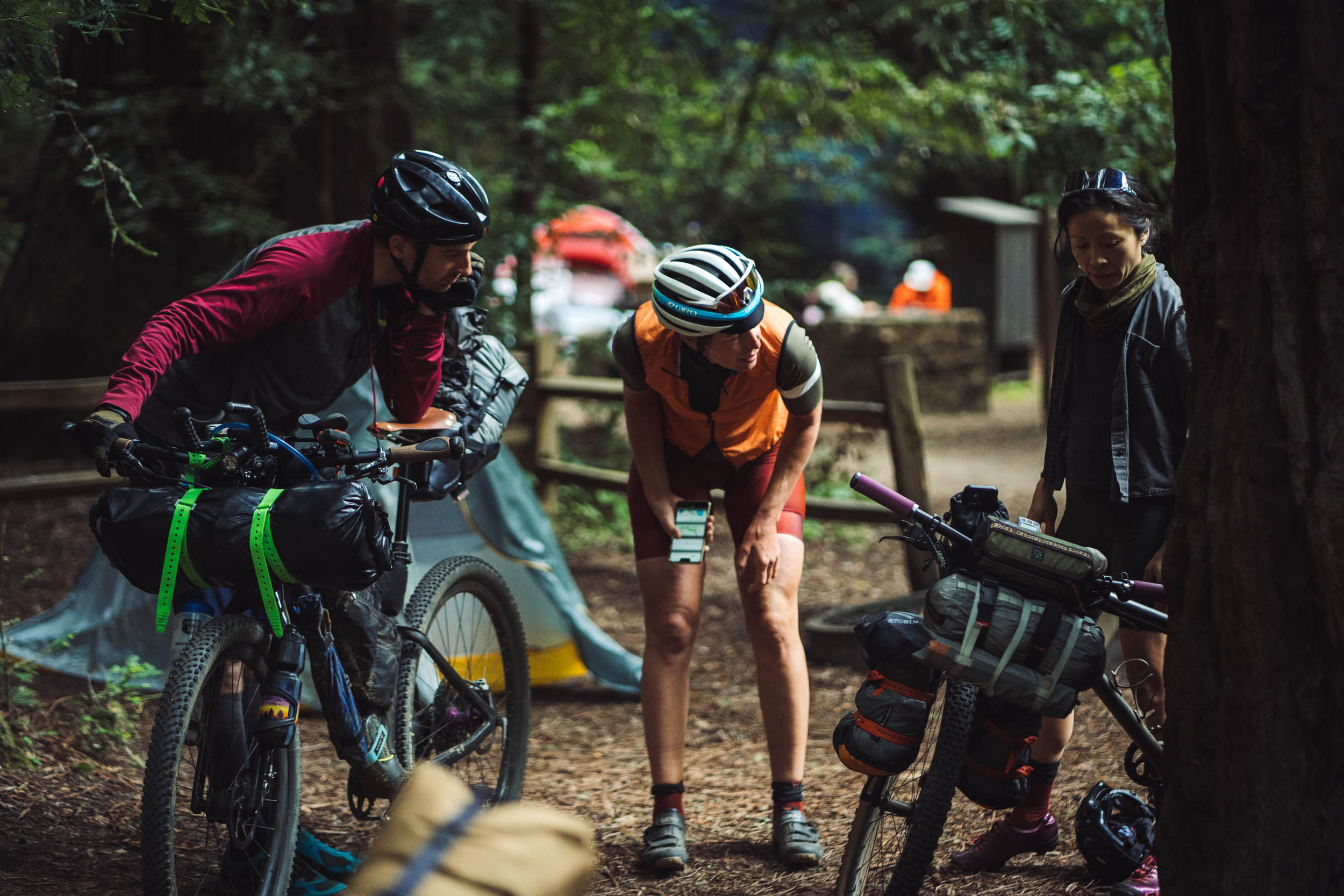
- Samuel P Taylor Campground is a cool, shaded campground with water, bathrooms, fire pits, and a swimming hole nearby. Very likely there will be other cyclists sharing this spot.
Day 2
- Climbing up San Geronimo Ridge there is a section of rock garden that is challenging but rideable with good bike gearing and a dose of focused determination.
- San Geronimo Ridge is no walk in the park. If you want to opt for an easier morning you can bypass the climb on a paved road that shortcuts straight to Fairfax. Route here.
- There are plenty of great food options in Fairfax. I’d recommend Gestalt Haus or Amelie Cafe. Or both if you’re the try-it-all type.
- The route then climbs and descends into the Mt Tam Watershed, a protected natural resource containing five reservoirs nestled in the forested hills of the North Bay.
- If you have extra energy left at the end of day 2, a great way to put a bow on the trip is to take a detour to Tennessee Point lookout to gaze in awe of the rugged California coastline.


Terms of Use: As with each bikepacking route guide published on BIKEPACKING.com, should you choose to cycle this route, do so at your own risk. Prior to setting out check current local weather, conditions, and land/road closures. While riding, obey all public and private land use restrictions and rules, carry proper safety and navigational equipment, and of course, follow the #leavenotrace guidelines. The information found herein is simply a planning resource to be used as a point of inspiration in conjunction with your own due-diligence. In spite of the fact that this route, associated GPS track (GPX and maps), and all route guidelines were prepared under diligent research by the specified contributor and/or contributors, the accuracy of such and judgement of the author is not guaranteed. BIKEPACKING.com LLC, its partners, associates, and contributors are in no way liable for personal injury, damage to personal property, or any other such situation that might happen to individual riders cycling or following this route.
Please keep the conversation civil, constructive, and inclusive, or your comment will be removed.