


North Routt Ramble
Distance
57 Mi.
(92 KM)Days
2-3
% Unpaved
100%
% Singletrack
16%
% Rideable (time)
96%
Total Ascent
7,440'
(2,268 M)High Point
9,838'
(2,999 M)Difficulty (1-10)
6?
- 9Climbing Scale Very Strenuous131 FT/MI (25 M/KM)
- -Technical Difficulty
- -Physical Demand
- -Resupply & Logistics
Contributed By
Jody McGee
Guest Contributor
Jody is a long-time resident of Steamboat Springs, Colorado and is most at home in the mountains. Jody enjoys poring over maps, planning trips, and taking in the adventure with new and old friends. Find more of Jody’s photos on instagram @jodylmcgee.
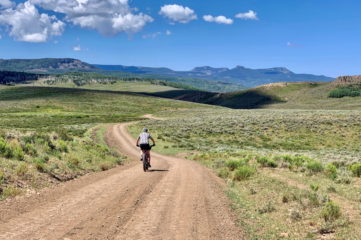
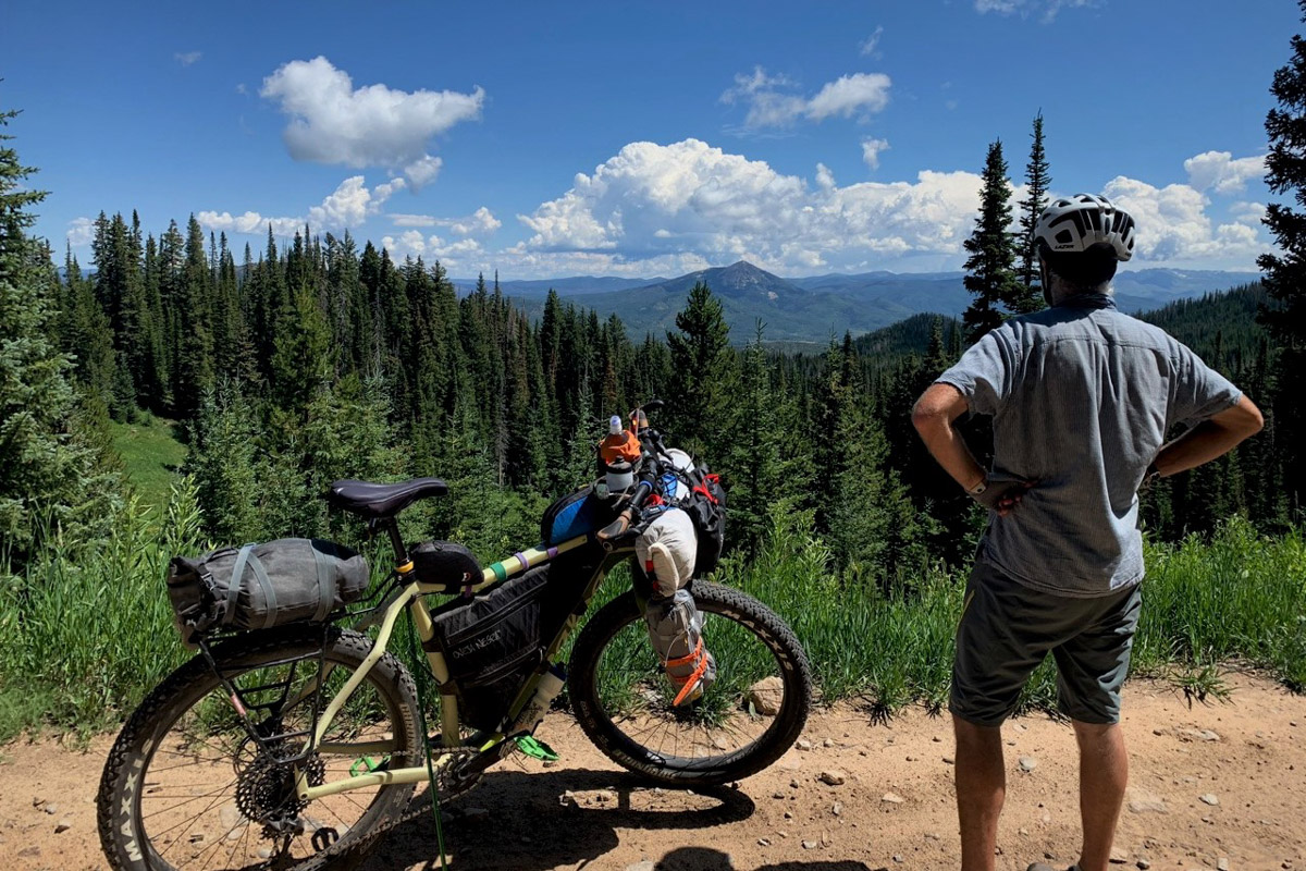
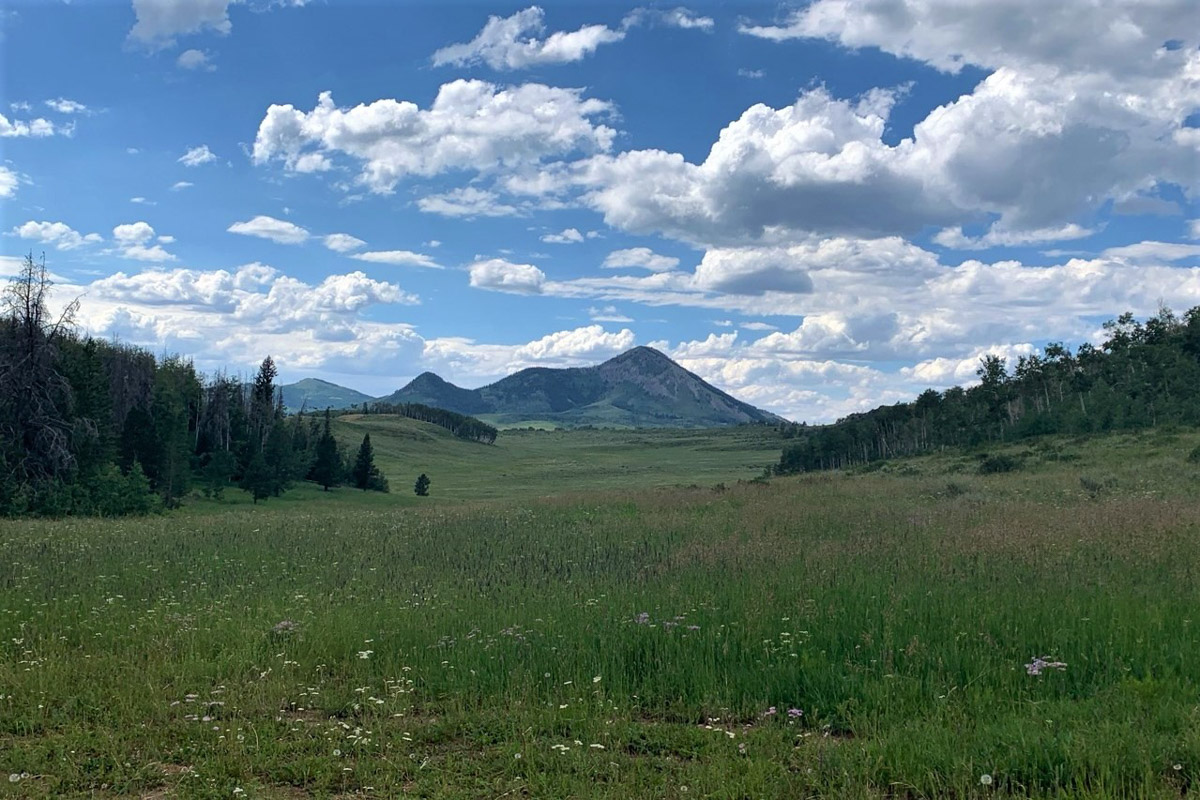
The North Routt Ramble takes you along the sides of Hahns Peak, Nipple Peak, Bears Ears Peak, and Sand Mountain, four of the most recognizable peaks in the Elkhead Mountains. It offers a fun mix of singletrack, doubletrack, and dirt roads. The Elkhead Mountains are fairly sedate by Colorado standards, with none of the peaks in the range exceeding 11,000 feet, but don’t think you won’t get a good taste of climbing with this ride. Even though the elevation is lower than many classic Colorado routes, you’ll climb up over 9,000 feet on challenging trails and roads on each of the four peak sections. The Hahns Peak and Nipple Peak sections include singletrack riding on Prospector, a multi-use trail that tops out with a beautiful view of Columbus and Brush Mountains in the distance. The descent from here is the most technical part of the route with some steep, rocky, and rooty sections.
The North Routt Ramble then joins the GDMBR for a few miles of improved gravel road riding before turning onto a section of Bears Ears Trail #1144, a seldom ridden doubletrack trail in a remote part of the county. Enjoy the solitude, minor technical sections, and punchy climbs as you make your way through Sawtooth, Grizzly, and Adams Parks before returning to the GDMBR and the climb up Sand Mountain. At the top of the Sand Mountain climb you reach the high point of the route. The ensuing descent has been cursed by many GDMBR riders as horrible, jarring, and bone shaking. Hang on and don’t forget to take in the views! It’s really not so bad.
Route Difficulty
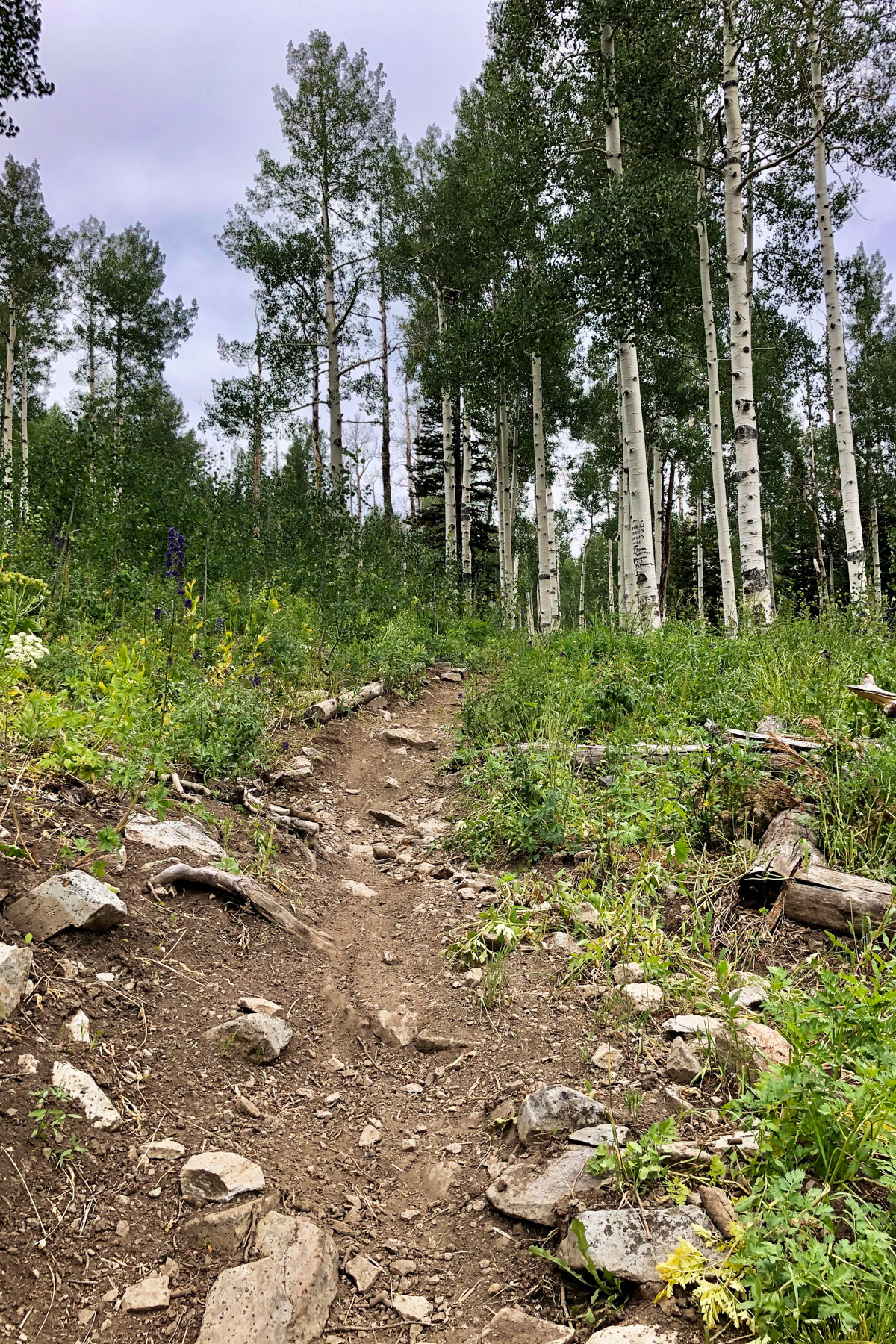
The route has an overall difficulty rating of 6/10. Technical difficulty: 6; Physical demand: 7; Logistics: 5. While not overly technical, the trails and roads are rocky, rooty, and sometimes steep and loose in places. Given the remote nature of the western half of the ride, confidence in backcountry riding and intermediate mountain biking skills are helpful. Expect some steep uphills and short hike-a-bikes in each section.
Route Development: Friends John Saunders, Kirsten Alder, and Cindi Hillemeyer helped with route development and mapping and shared photos for the route.


Highlights
Must Know
Camping
Food/H2O
Trail Notes
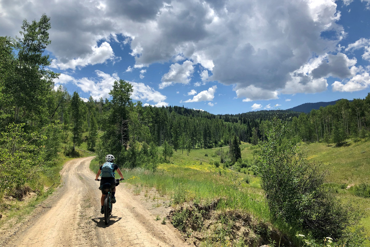
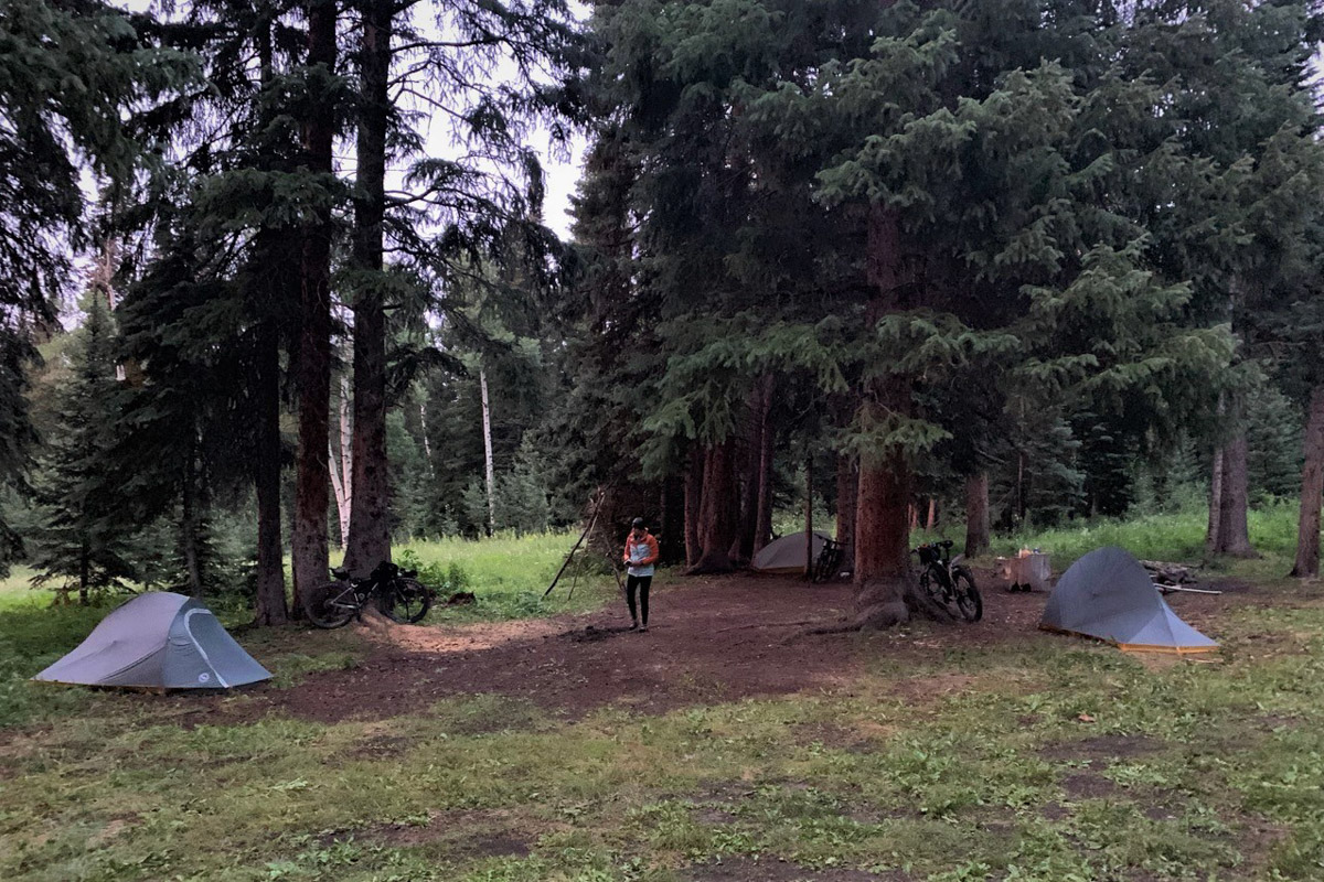
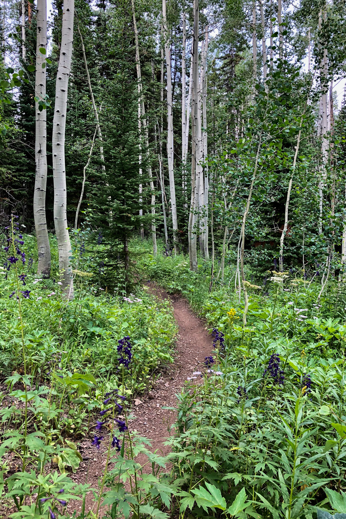
- Riding through varied alpine terrain—aspen groves, pine forests, high meadows, and parks
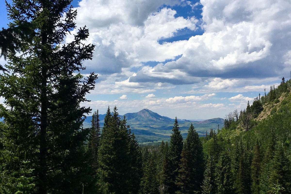
- Sweeping views of the peaks where you’ve been and where you’re going
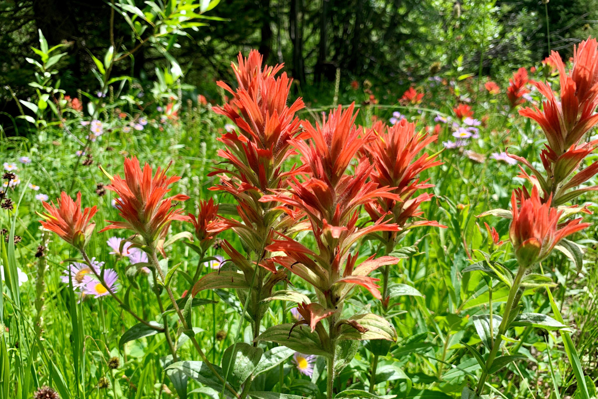
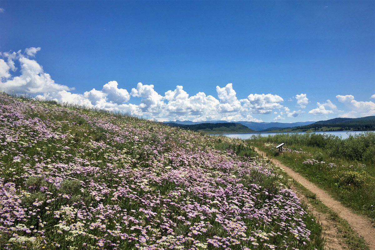
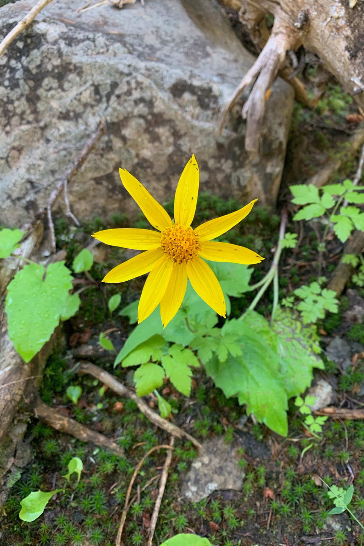
- Wildflowers in July and August and fall colors in September
- Abundant wildlife—this area is home to deer, elk, moose, eagles, coyotes, bears, and mountain lions
- Climbing Sand Mountain
- Land Acklowledgement: The North Routt Ramble travels on the unceded traditional territory of the Eastern Shoshone and Ute Nation. Take some time to learn about and respect their people.
- When to ride: The route is rideable from mid to late June, depending on the snow year, through September
- Ideal Bike: A plus hardtail is probably the ideal bike but any mountain bike will do for this ride.
- Where to park: The Steamboat Lake State Park Visitor Center marks the start/end of the ride. The park is approximately 30 miles north of Steamboat Springs. There is a fee for parking at the Visitor Center.
- Bring proper mountain weather clothing as conditions and temperatures can change quickly.
- Hunting season brings heavy use to the trails. If riding after Labor Day, use extreme caution. Check the hunting seasons and wear high visibility clothing.
- Check local fire restrictions before heading out on the ride.
- Trails are open to motorized traffic after July 1st each year. Prospector allows dirt bikes and Bears Ears allows ATVs. If riding before July 1st, expect some downed trees. The moto crowd does a lot of the trail clearing in these areas.
- Sheep dogs may be encountered on the route. Move slowly through the flock, consider dismounting, and talk to the dogs if they approach.
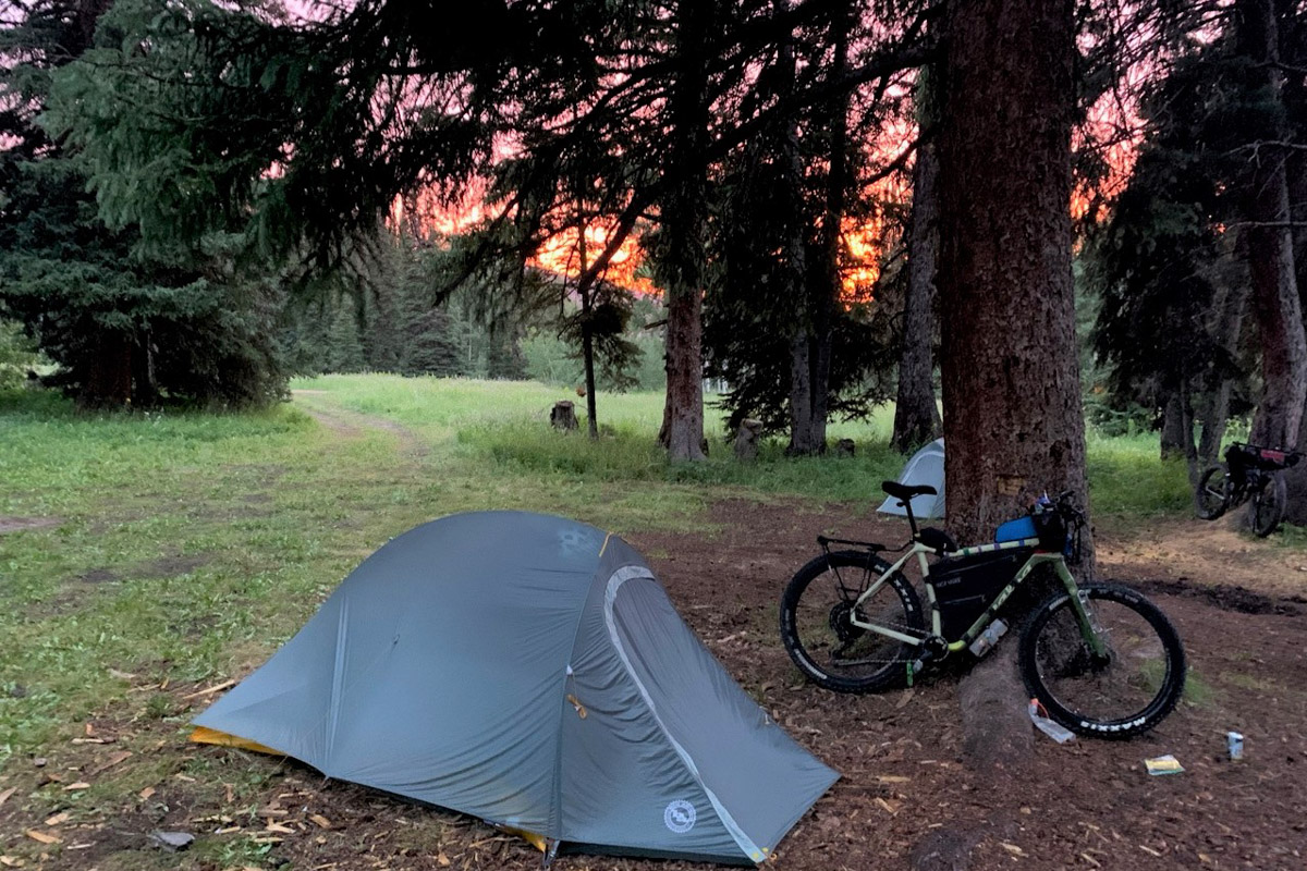
- Dispersed camping opportunities abound as most of the route is on public lands.
- Water is available from small creeks along the route. Carry a water filter as this is sheep and cattle country.
- Carry all of your food for the trail. There are no resupply options on the route.
- A stop at the Clark store for ice cream on the deck is a must at the end of your ride. Additionally, there are two restaurants in Hahns Peak Village near the start/end of the ride.
Hahns Peak
The ride starts on an easy trail that passes along the edge of historic Hahns Peak Village before joining Deep Creek Road. You’ll pass through a few gates before reaching the road. Please close them after you pass through. The road starts with a gentle climb before some steep, rocky sections that may require pushing. At the top of the climb, pick up Prospector Trail for a fun descent back down to Hwy 129. As an alternate, you can ride up Hwy 129 from the start to the turnoff for Hahns Peak Lake Campground to bypass this section entirely.
Nipple Peak
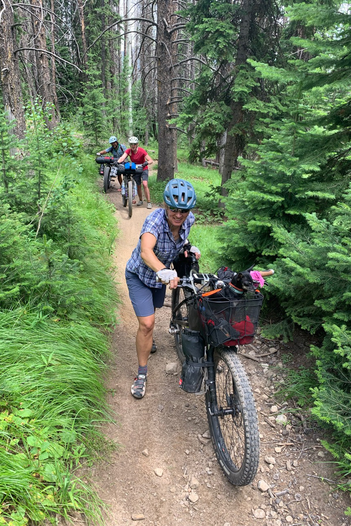
This section of Prospector forms the southern edge of a trail system that circumnavigates Nipple Peak. This singletrack trail is a challenge to climb for bikepackers. You’ll encounter steep, rocky sections that require pushing. The trail allows dirt bikes after July 1st and, depending on recent rains, expect some moon dust. You can bypass the first four miles of trail by following the road past Hahns Peak Lake Campground until it intersects the trail. After the trail crosses the road, it starts a steep climb before cresting on a saddle at around 9,400 feet. The descent into Slater Park is steep and somewhat technical. Once you reach the road in Slater Park, it’s a little over nine miles of rolling improved road to County Road 1W. This is the only significant section of private land on the route. The road through Slater Park can be impassable following a significant storm.
Bears Ears Peaks
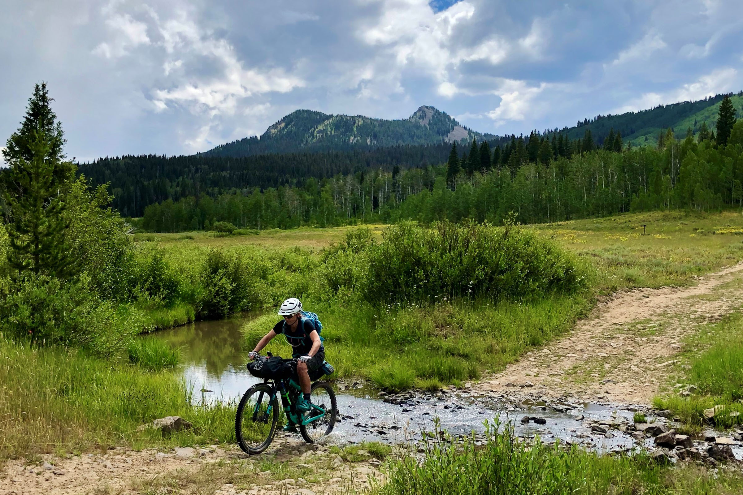
On County Road 1W, you’ll begin climbing towards Bears Ears on a dirt road. The road is sometimes steep but always rideable. There are several spots you can access a small creek for water and camping opportunities abound. After climbing for approximately 3.5 miles, turn onto the Bears Ears Trail (#1144). This is a doubletrack/ATV trail that sees little use in the summer months. The climbs in here are punchy and short but mostly rideable. You’ll probably push on a few of them.
Sand Mountain
Join the GDMBR for the climb over Sand Mountain. The climb starts gently on an improved road. There are several nice campsites along the road. After refilling your water when you cross Slater Creek once again, start a steep, sometimes rocky, and sometimes loose climb. Expect to hike-a-bike some of this. The descent down to Steamboat Lake is very rocky in spots with challenging babyhead rocks.
Note on parking: Many don’t want to pay for parking, which is understandable. We chose the state park visitor center for ease of access and to finish with the easy ride along the edge of the lake. There are dispersed camping sites in many places along the ride where you could leave a car if you want to start/finish from a different location.


Terms of Use: As with each bikepacking route guide published on BIKEPACKING.com, should you choose to cycle this route, do so at your own risk. Prior to setting out check current local weather, conditions, and land/road closures. While riding, obey all public and private land use restrictions and rules, carry proper safety and navigational equipment, and of course, follow the #leavenotrace guidelines. The information found herein is simply a planning resource to be used as a point of inspiration in conjunction with your own due-diligence. In spite of the fact that this route, associated GPS track (GPX and maps), and all route guidelines were prepared under diligent research by the specified contributor and/or contributors, the accuracy of such and judgement of the author is not guaranteed. BIKEPACKING.com LLC, its partners, associates, and contributors are in no way liable for personal injury, damage to personal property, or any other such situation that might happen to individual riders cycling or following this route.
Please keep the conversation civil, constructive, and inclusive, or your comment will be removed.