


North Yorkshire Moors Ramble
Distance
199 Mi.
(320 KM)Days
4-5
% Unpaved
72%
% Singletrack
17%
% Rideable (time)
97%
Total Ascent
19,935'
(6,076 M)High Point
1,475'
(450 M)Difficulty (1-10)
6?
- 7Climbing Scale Strenuous100 FT/MI (19 M/KM)
- -Technical Difficulty
- -Physical Demand
- -Resupply & Logistics
Contributed By
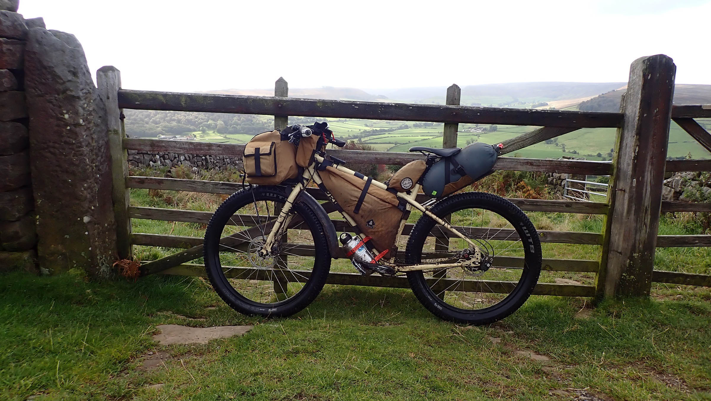
Rob Thwaites
Guest Contributor
Raised in the North Pennines and a boat builder by trade, in recent years Rob has decided to put his knees to better use, including hiking from Mexico to Canada twice and multi-month bikepacking trips at home and abroad. In his free time, he agonises over what to pack and why his bike always looks overloaded. See more of Rob’s photos on Instagram @rob.thwaites_bearbait
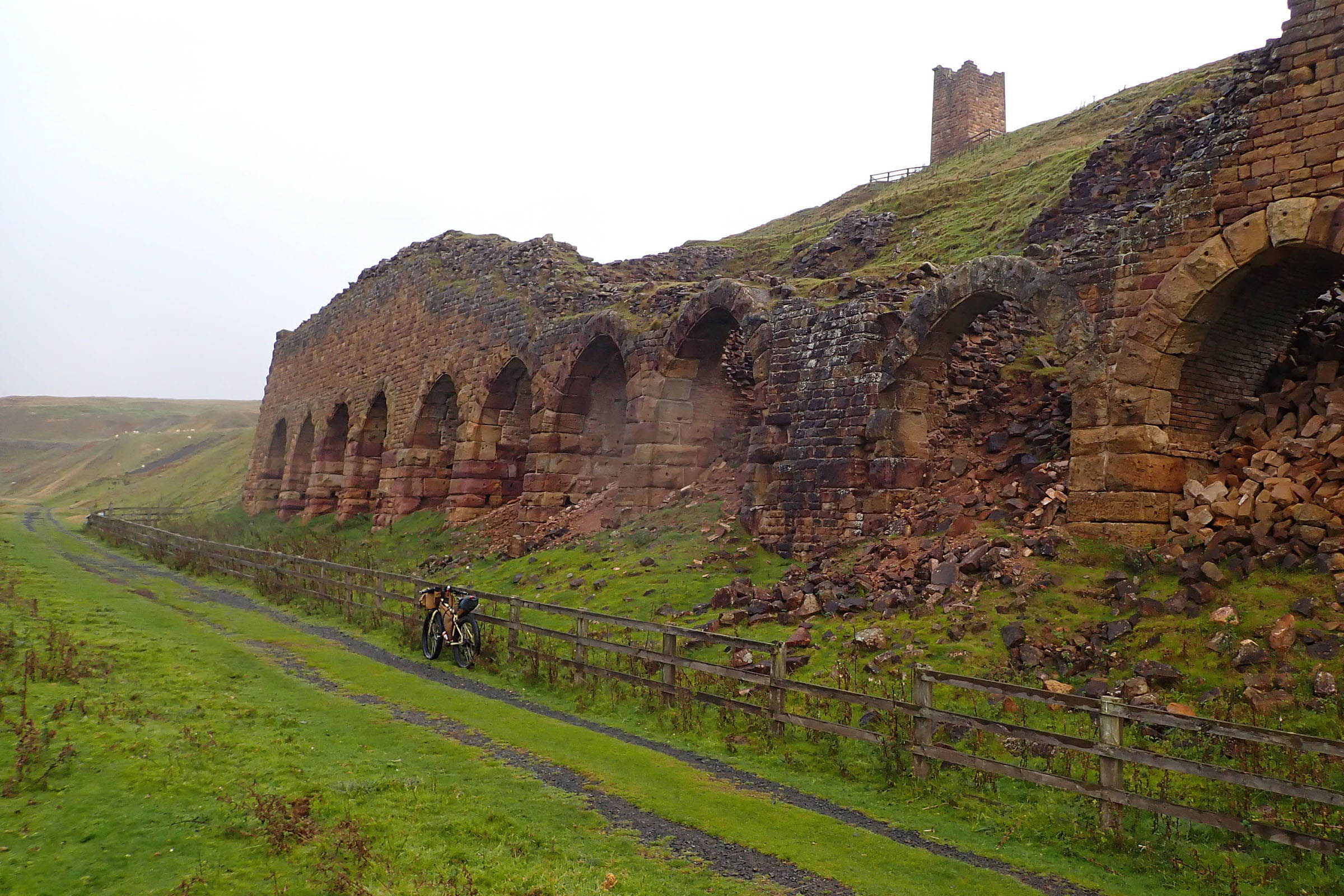
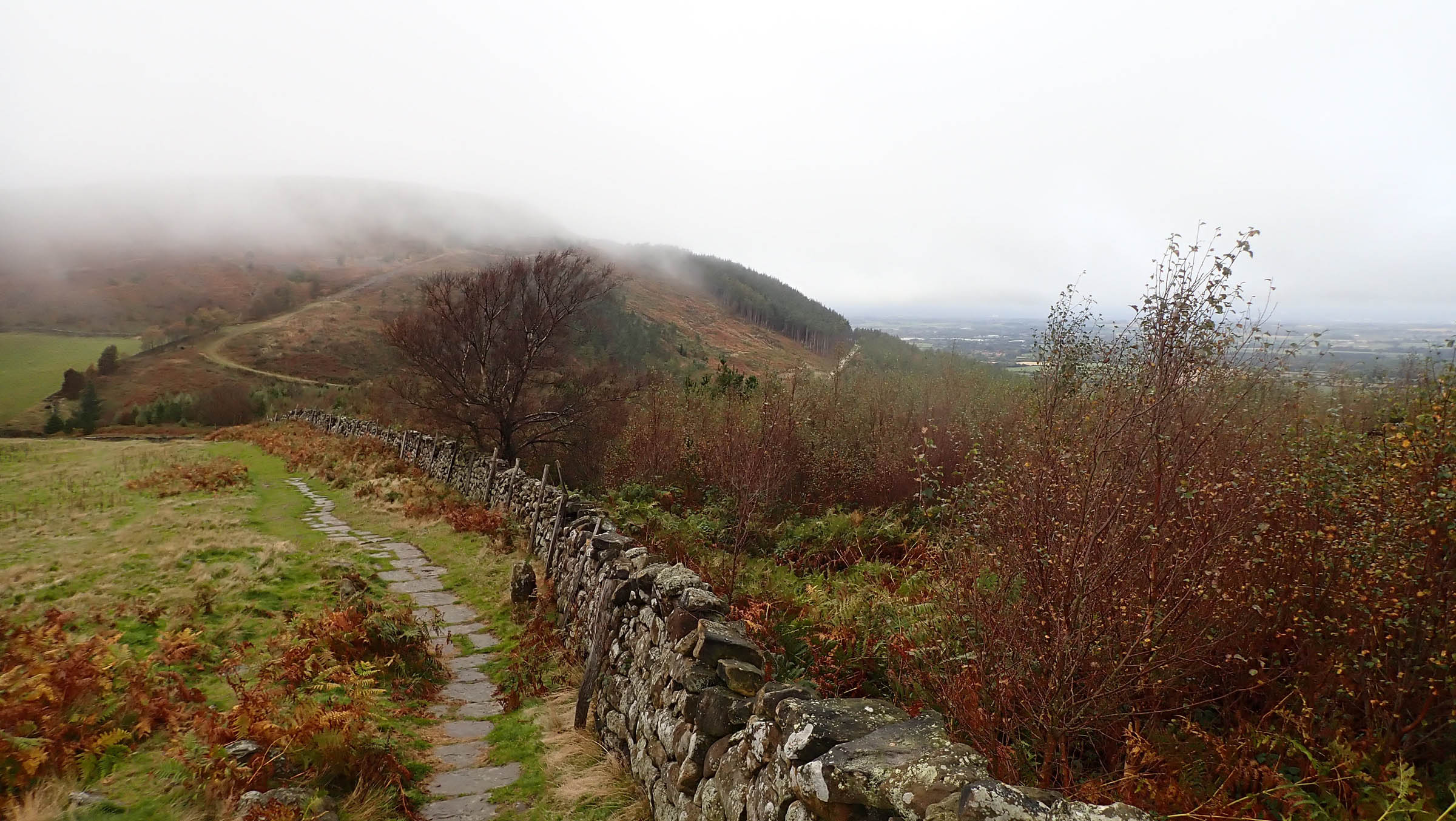
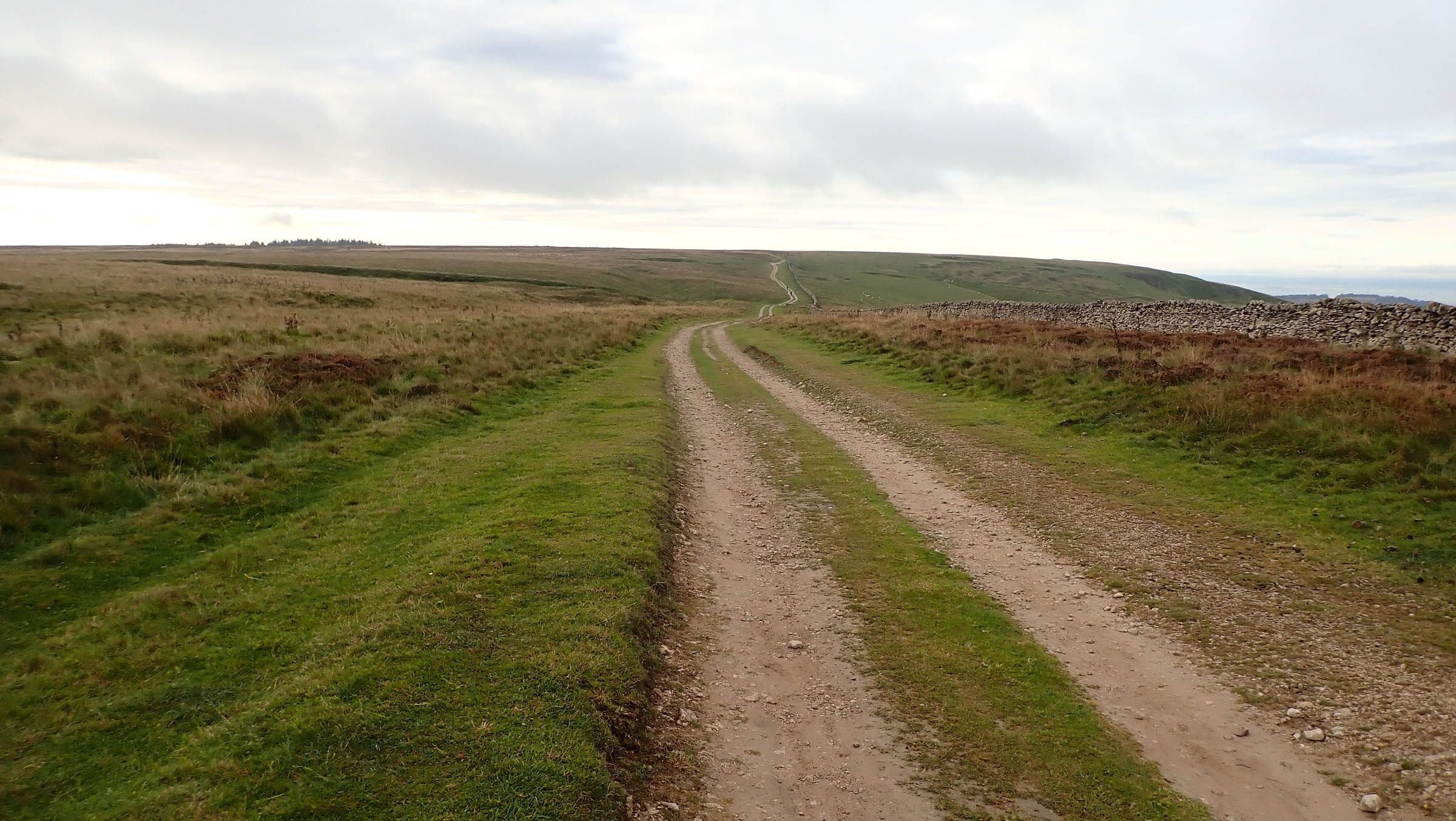
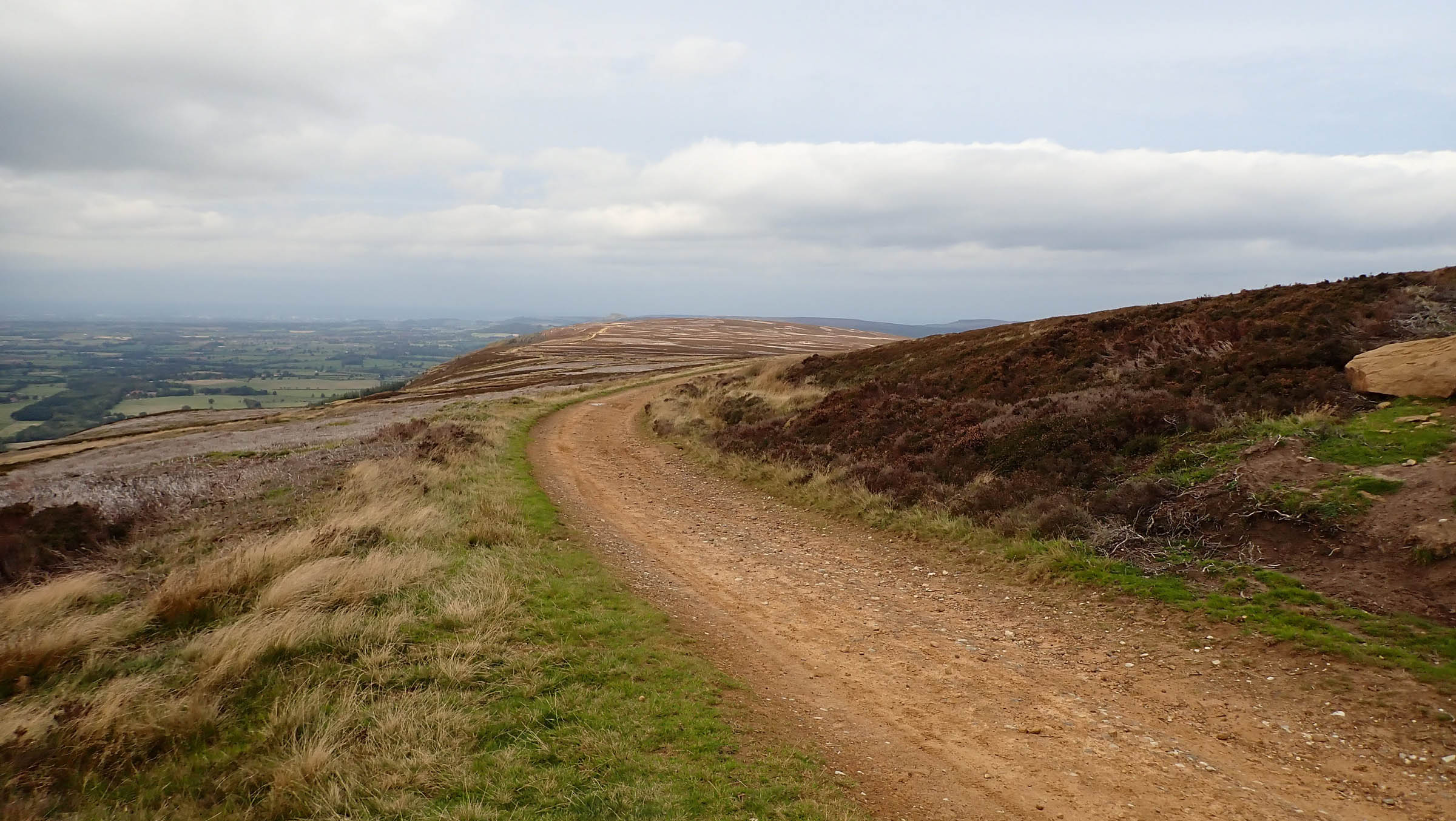
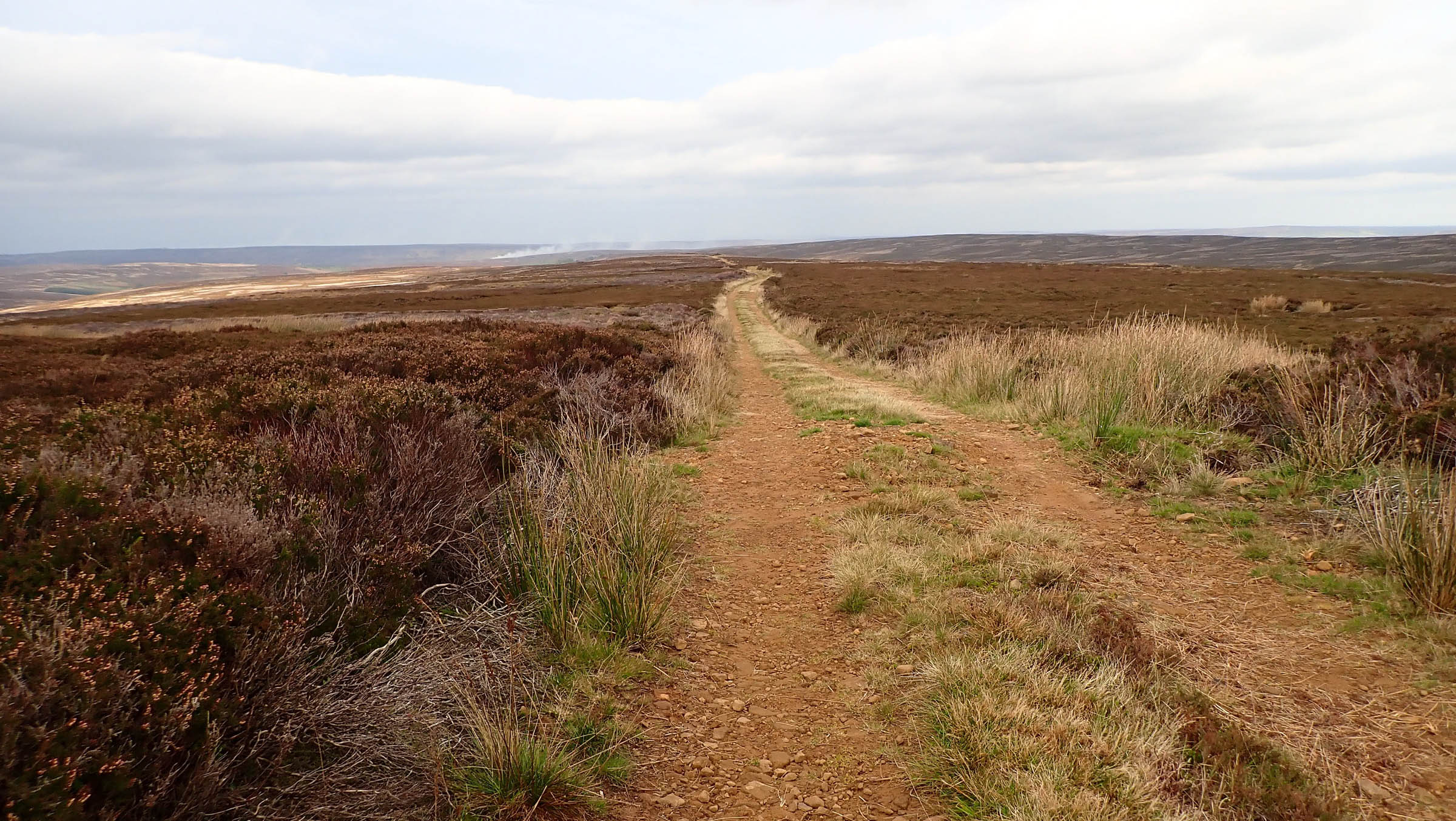
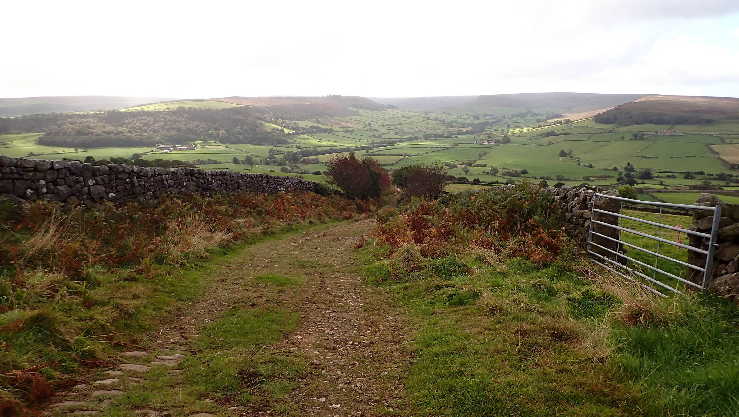
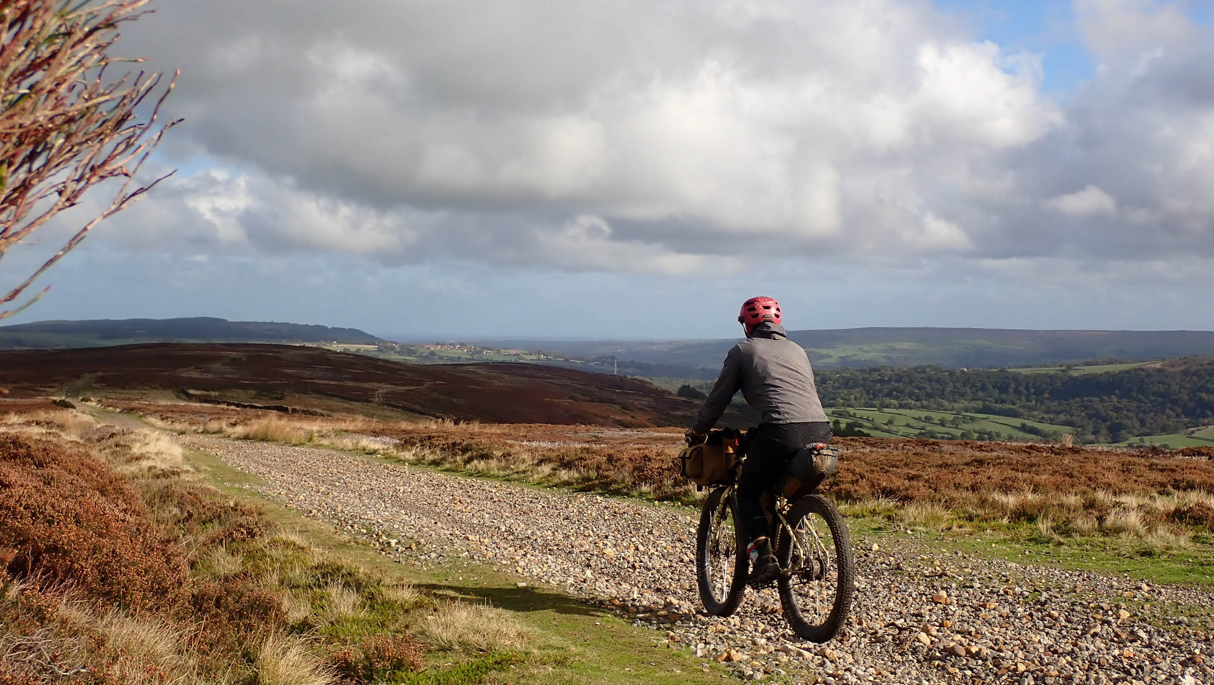
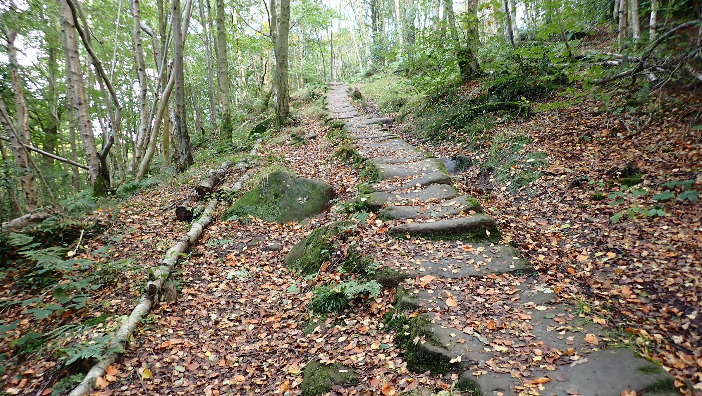
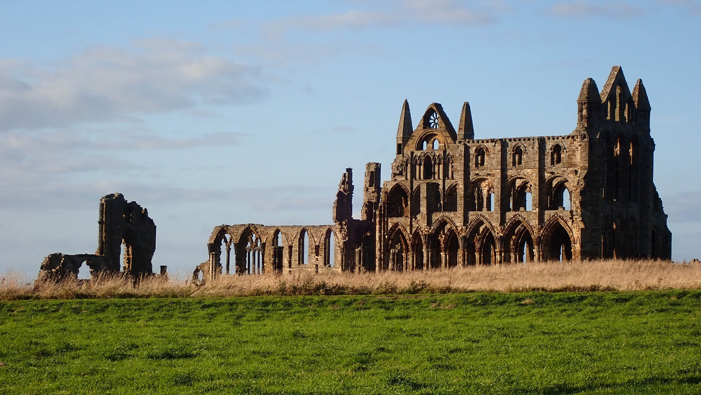
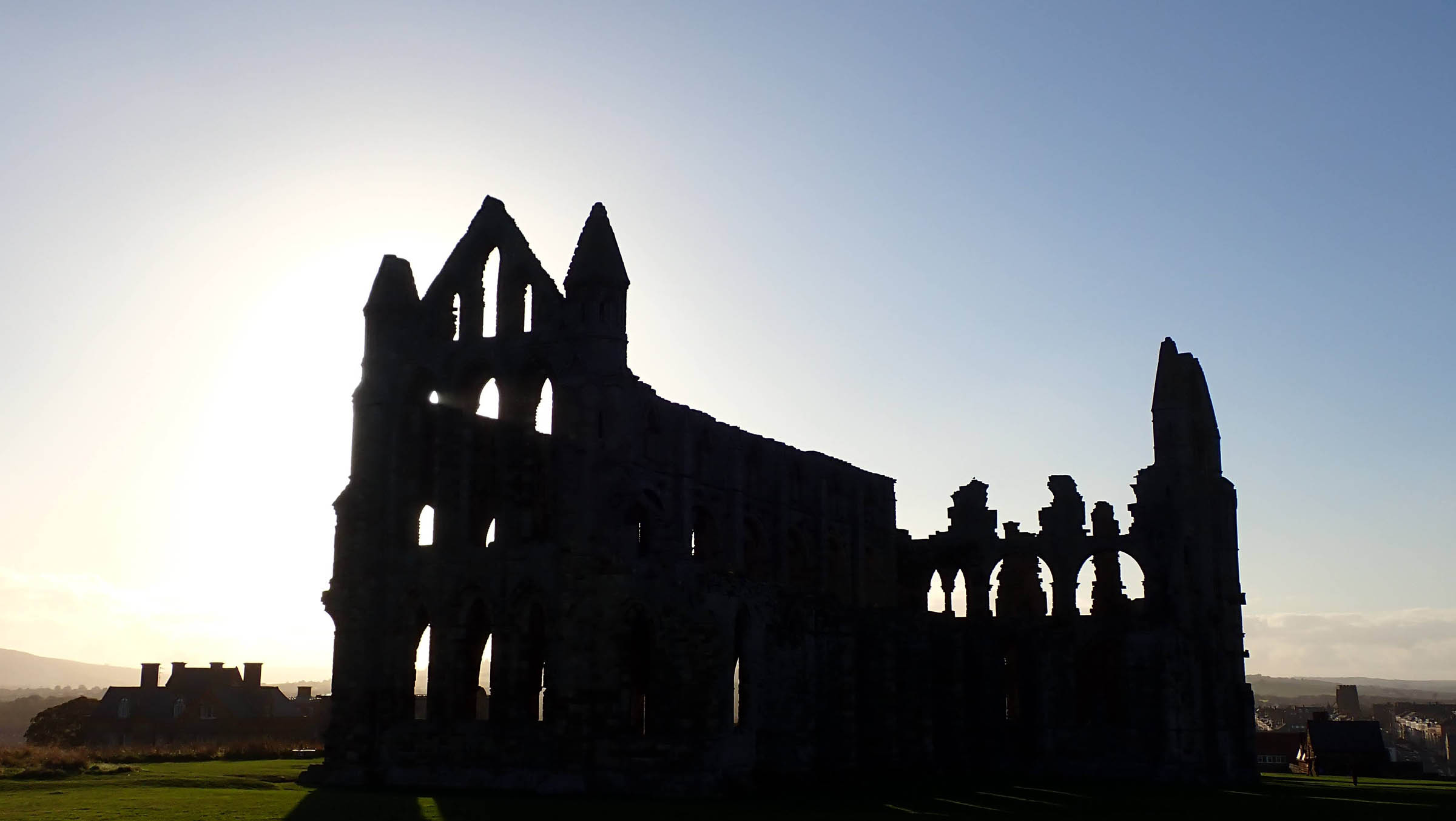
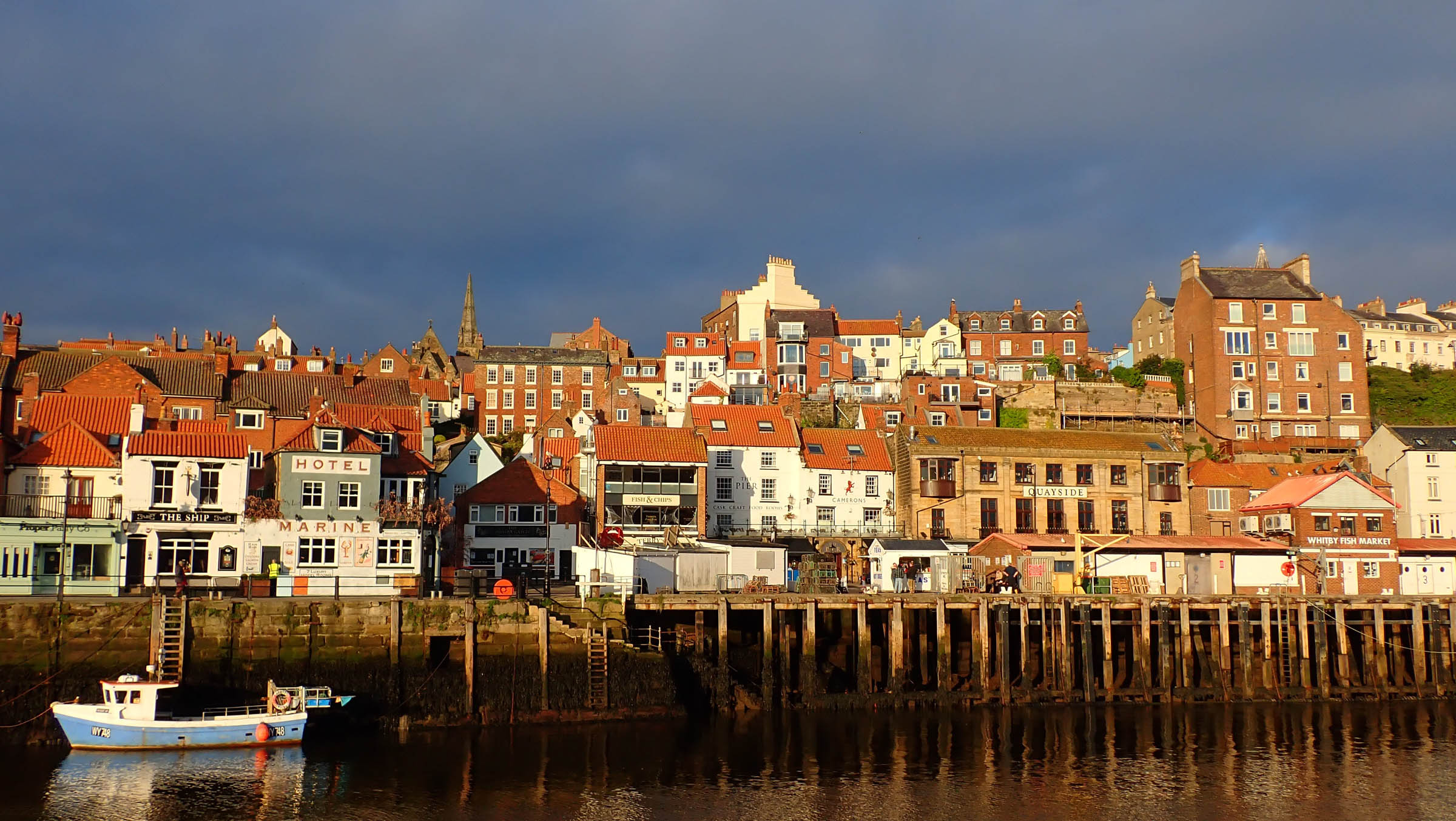
The North Yorkshire Moors Ramble starts and finishes in the picturesque fishing port of Whitby, famous for its jet jewelry and ruined abbey, the inspiration and setting for Dracula’s landfall in Bram Stoker’s gothic novel. The route comprises a regularly changing mix of moorland track, fast forest road, singletrack, medieval flagstone pathway, former mineral railway, and quiet country roads, including England’s joint steepest climb at 33%.
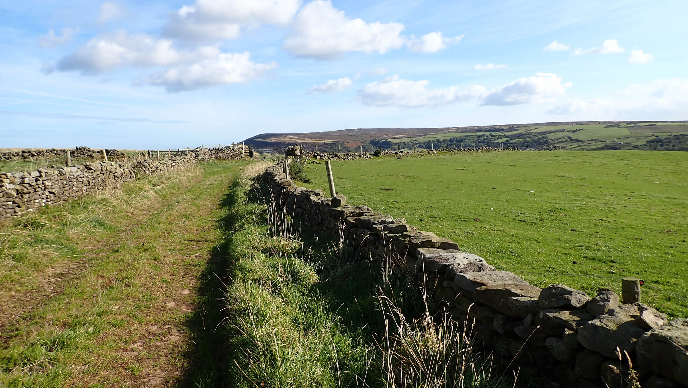
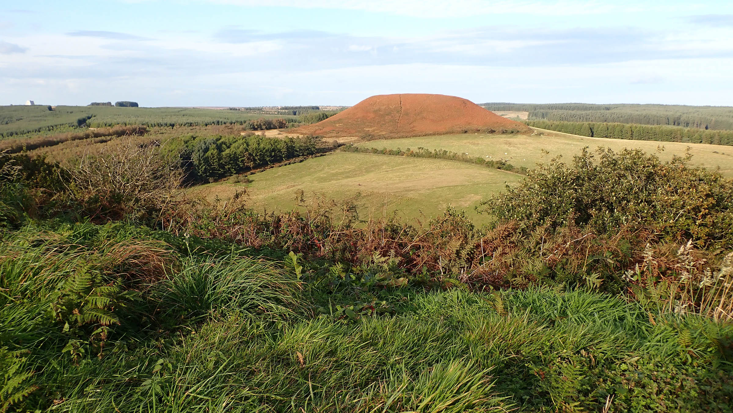
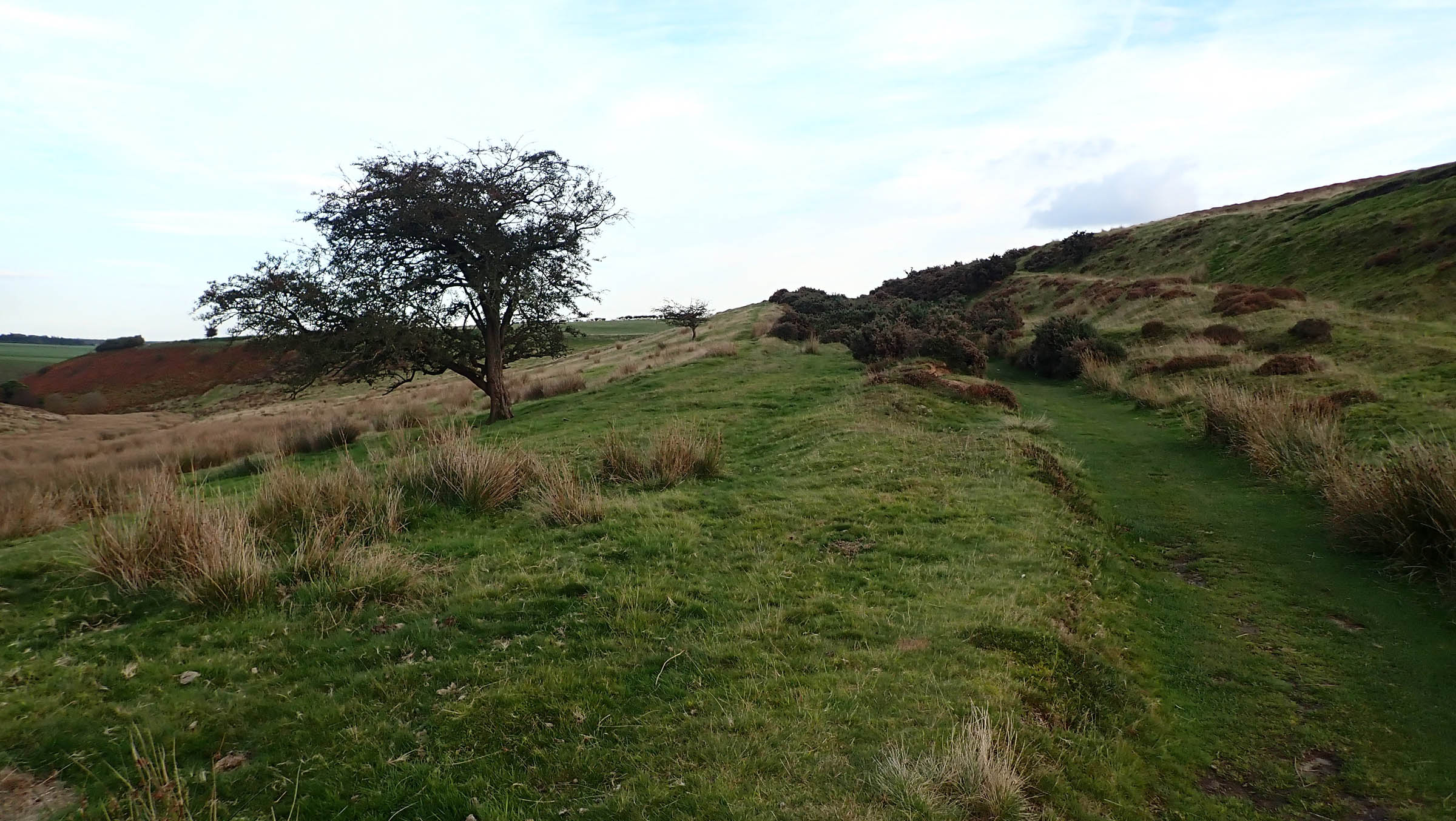
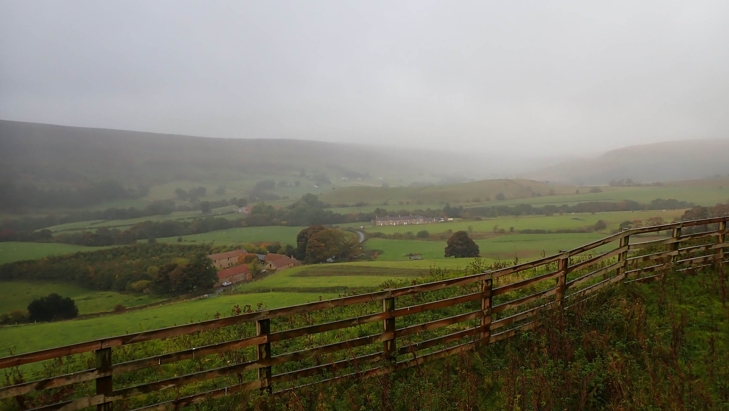
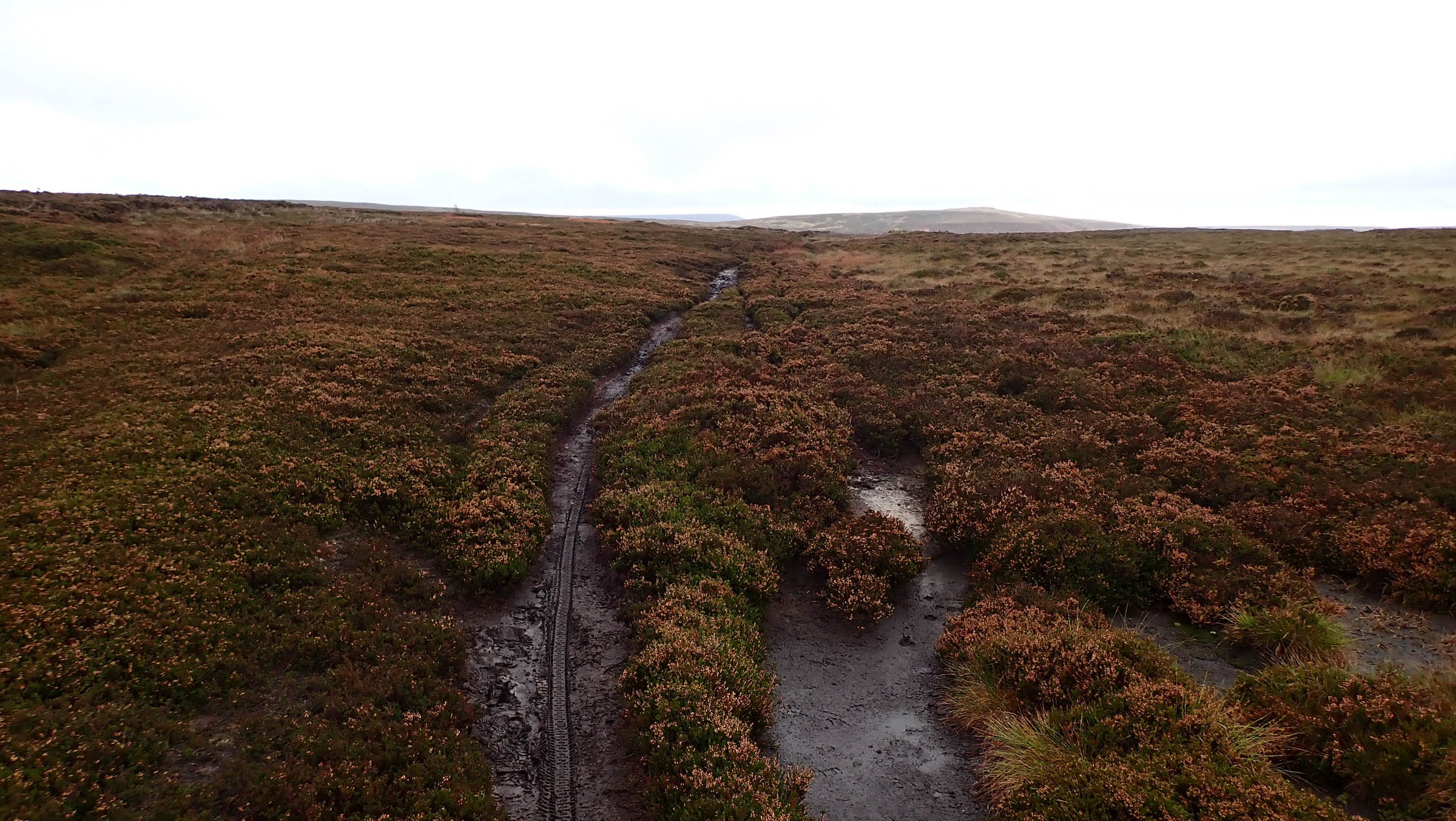
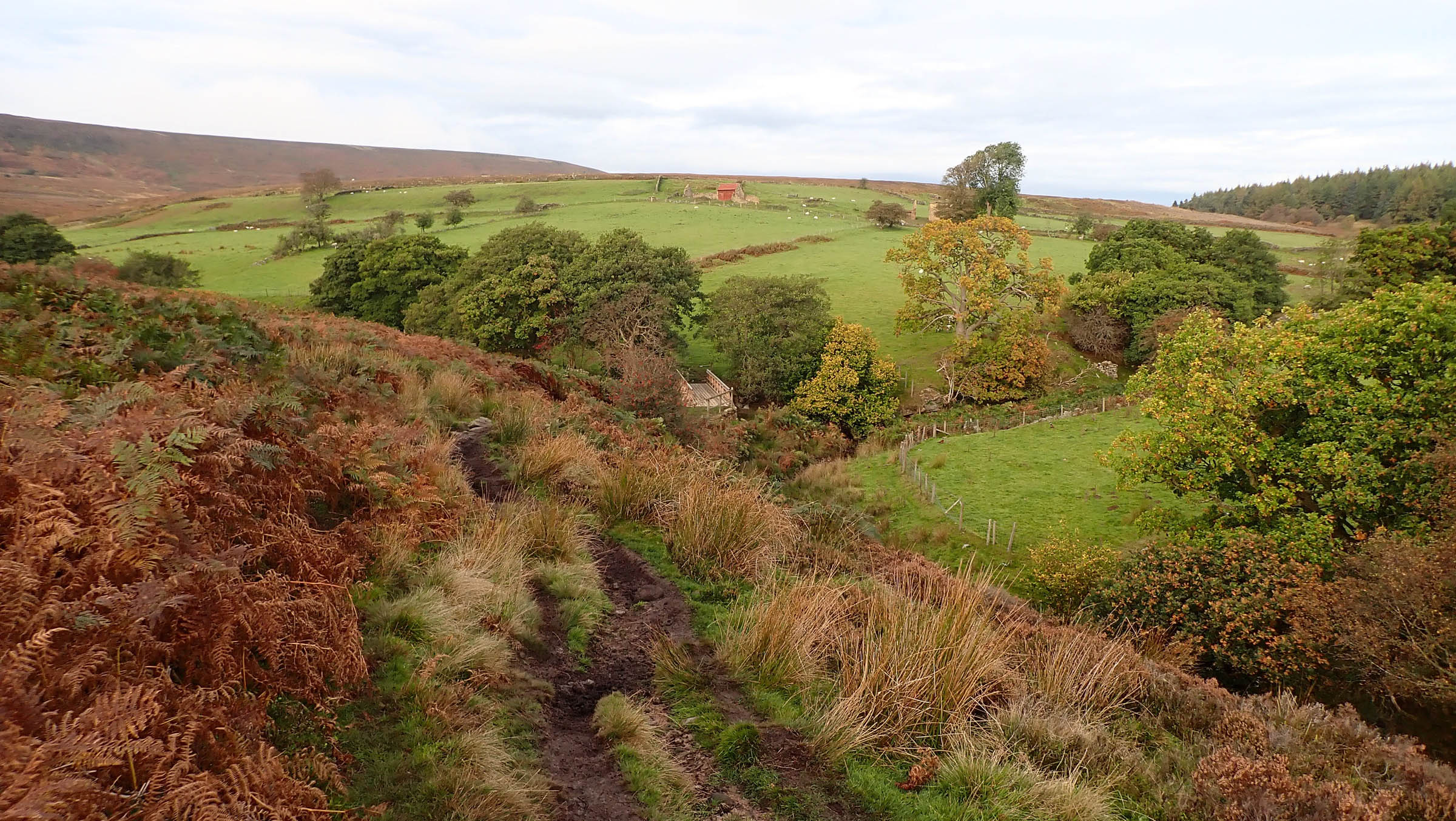
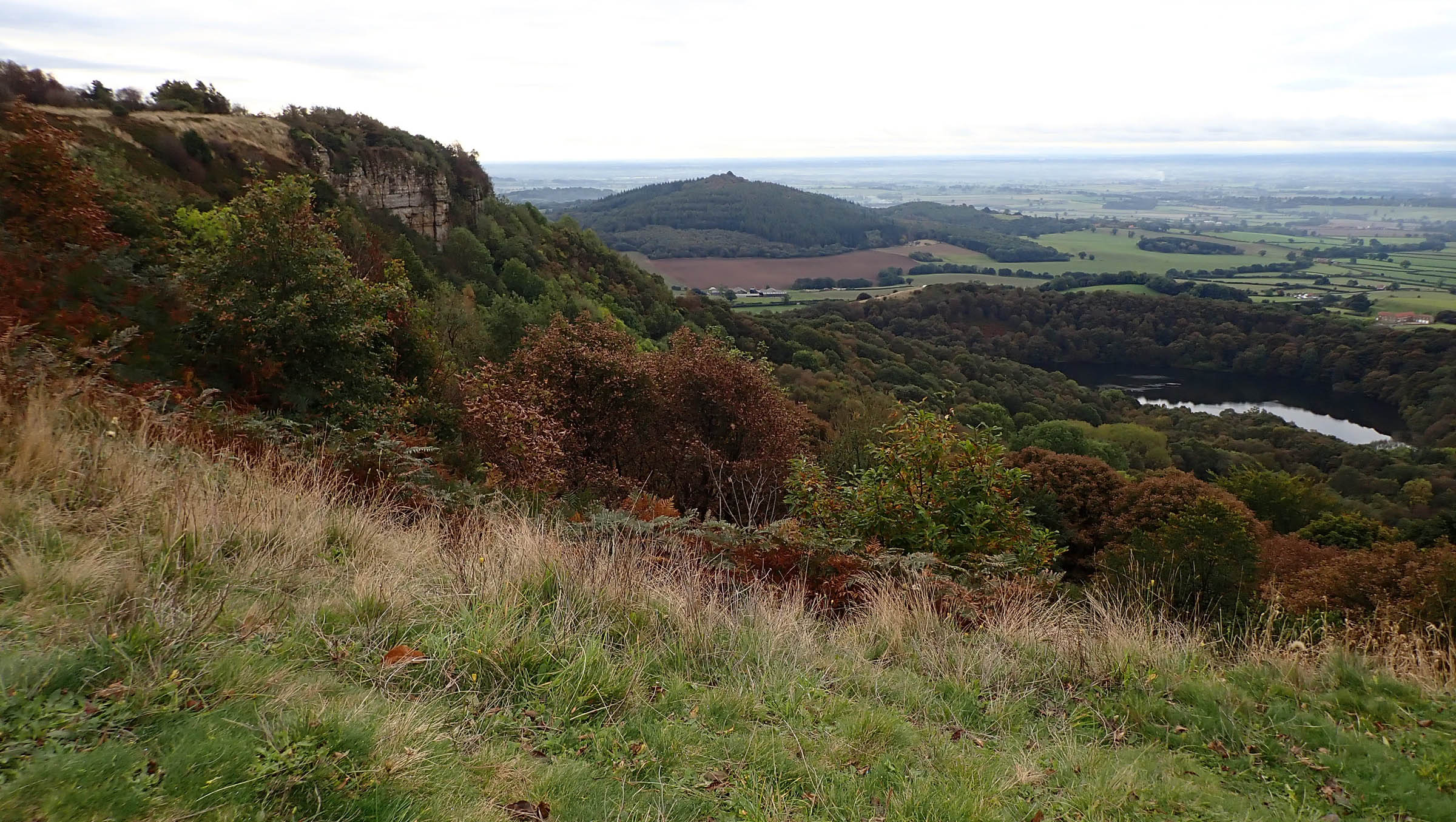
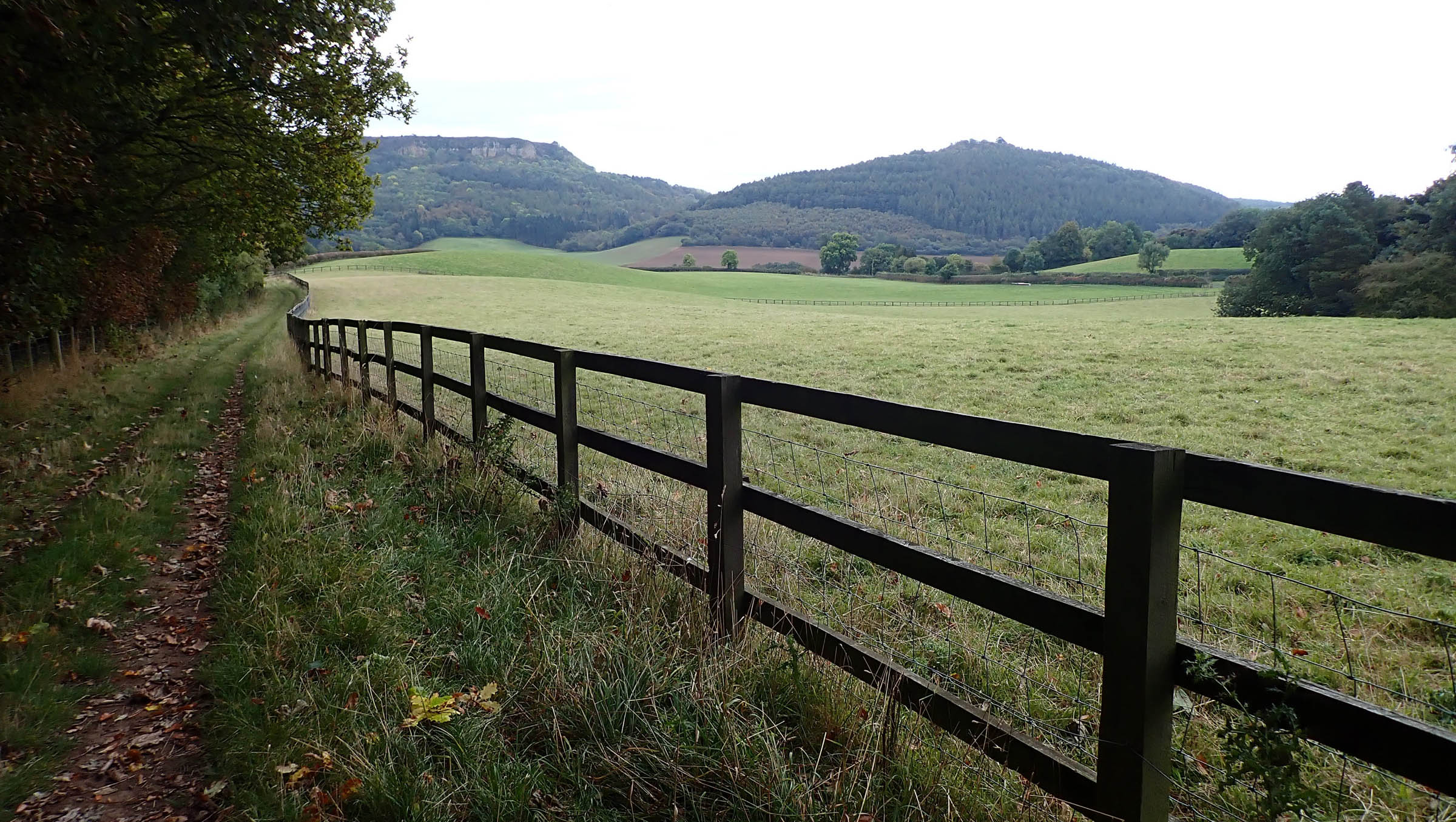
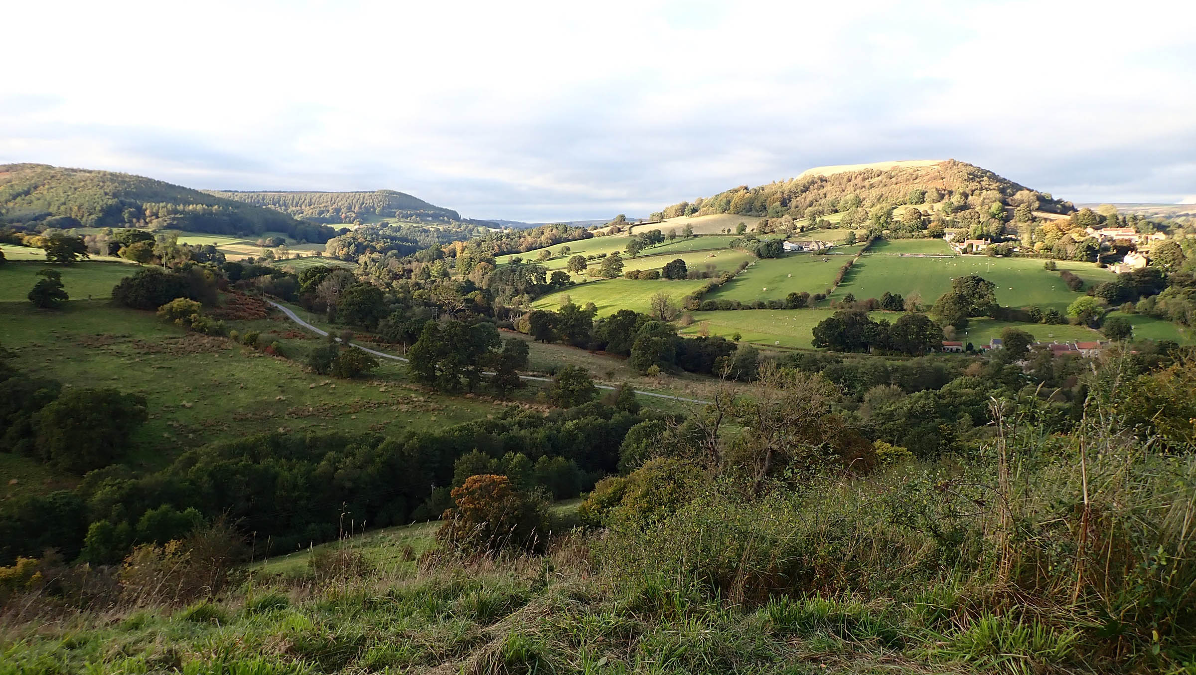
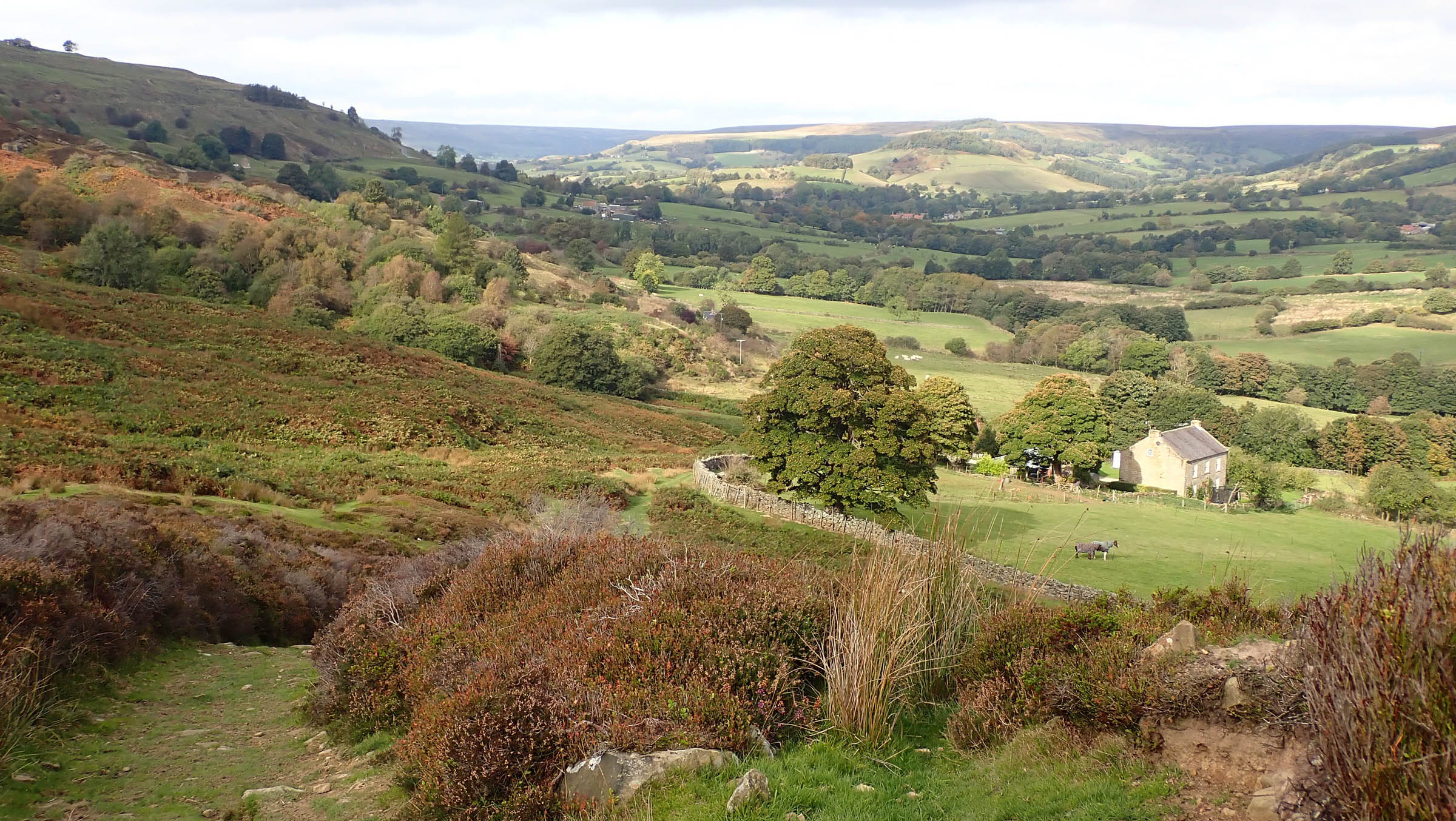
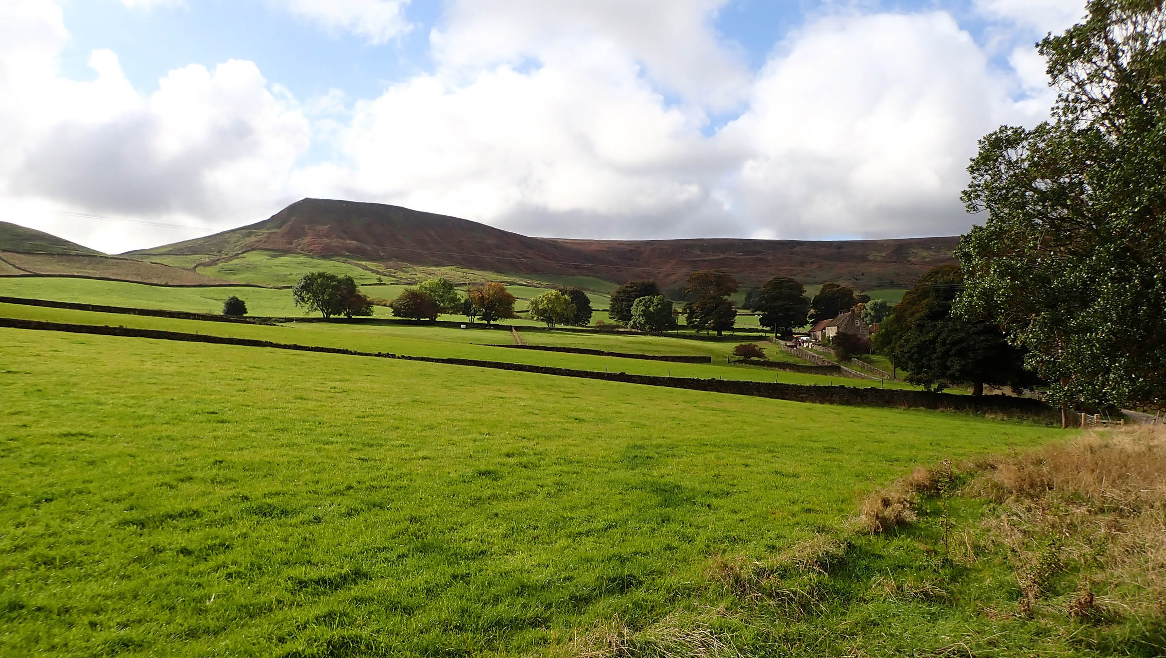
The upland plateau is bordered to the north and west by the rocky escarpments of the Cleveland and Hambleton Hills, to the east by Jurassic cliffs along the North Sea coast, while to the south the Tabular Hills tumble down to the Vale of Pickering. The figure-eight route takes in the diversity of landscapes the national park has to offer, from the heather-covered sandstone moorland through wooded, steep valley sides to the dry stone wall-lined fields below.
Route Difficulty
I’ve awarded the route a 6 out of 10 for difficulty. There is a wide variety of riding surfaces, with some rough descents and potentially boggy, sometimes vague or overgrown singletrack to go along with mile after mile of classic gravel and quiet country lanes. Physical Demand (7): What the area lacks in elevation it makes up for in the steepness of its climbs, with gradients of 20 to 25% commonplace. Although there are no sustained climbs—the longest being a 1,000-foot, five-mile climb out of Swainby—you will be constantly gaining or losing elevation for a substantial overall total. Low gearing and wider tyres will help keep the hike-a-bike to a minimum. Technical Difficulty (5): While not a particularly technical route, there are a few sections that require a degree of confidence and skill, especially in the wet. Resupply and logistics (6): Resupply is reasonably straightforward, especially if supplementing camping supplies with cafe and pub food. The village stores on route can supply the basics, but be aware of opening hours. There are limited natural water sources but plenty of pubs and cafes.


Submit Route Alert
As the leading creator and publisher of bikepacking routes, BIKEPACKING.com endeavors to maintain, improve, and advocate for our growing network of bikepacking routes all over the world. As such, our editorial team, route creators, and Route Stewards serve as mediators for route improvements and opportunities for connectivity, conservation, and community growth around these routes. To facilitate these efforts, we rely on our Bikepacking Collective and the greater bikepacking community to call attention to critical issues and opportunities that are discovered while riding these routes. If you have a vital issue or opportunity regarding this route that pertains to one of the subjects below, please let us know:
Highlights
Must Know
Camping
Food/H2O
Resources
- Flowing singletrack along Boltby Bank
- Taking on Rosedale Chimney Bank. At up to 33%, it’s England’s joint steepest climb.
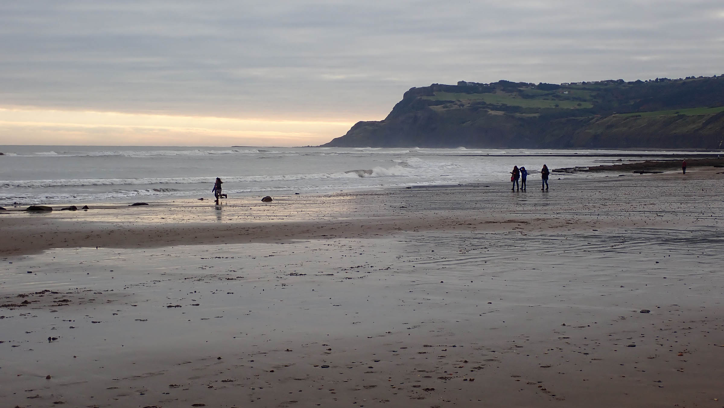
- Beach riding on firm sand from Robin Hood’s Bay to the wonderfully named Bogle Hole.
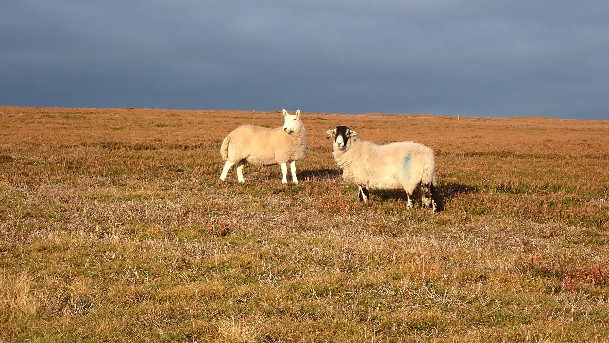
- Riding through vast swathes of purple heather on England’s largest continuous area of moorland.
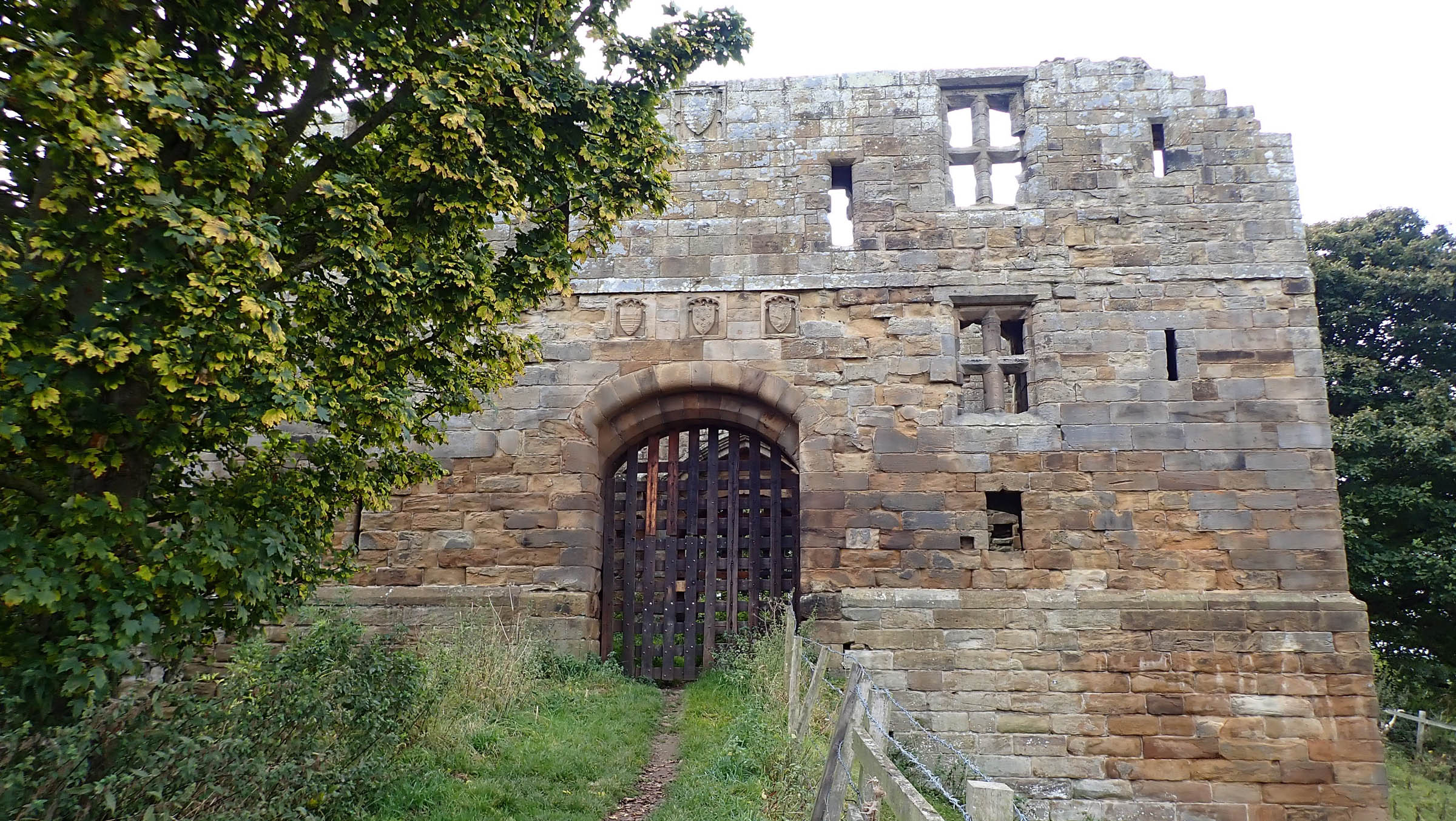
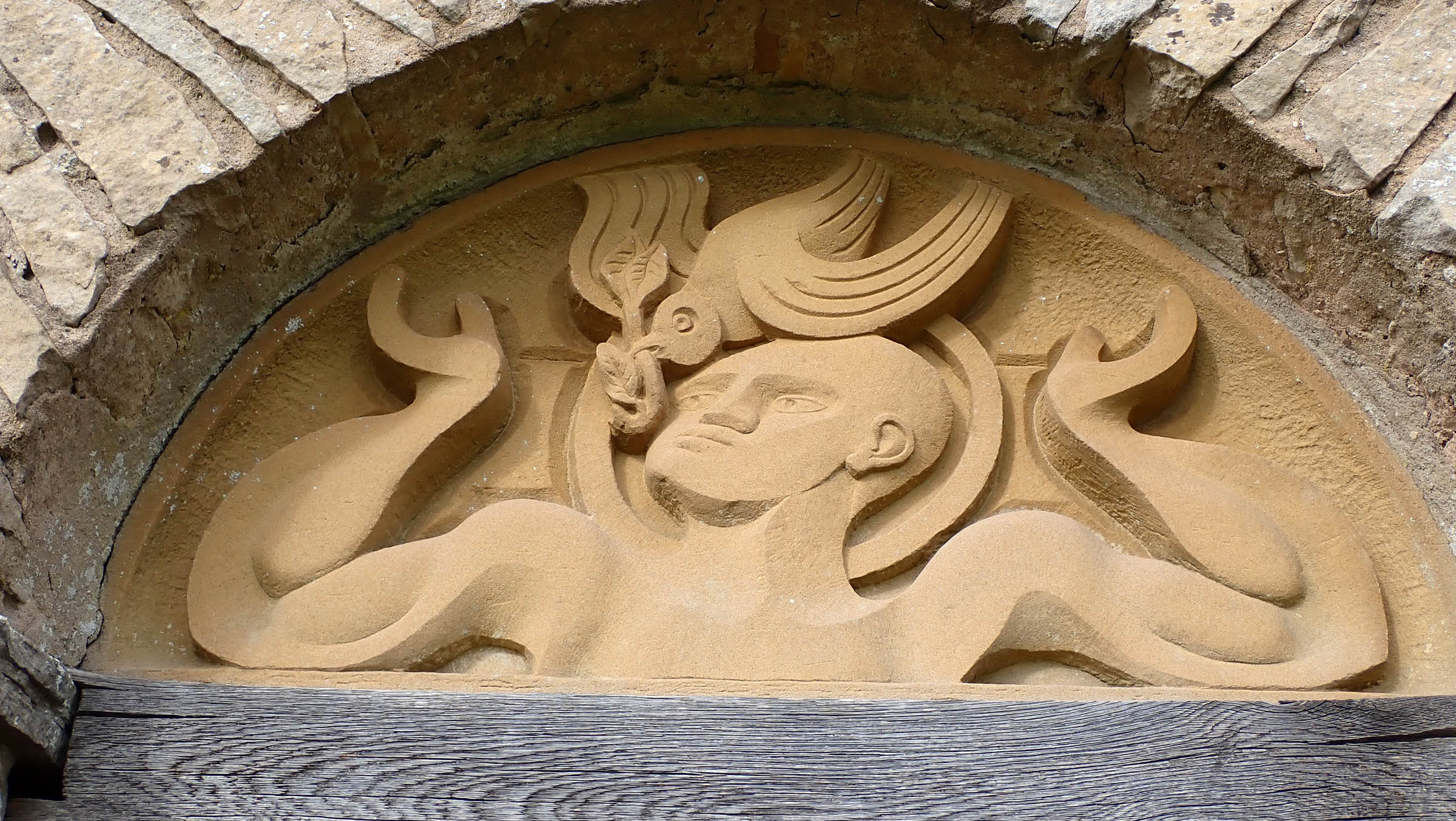
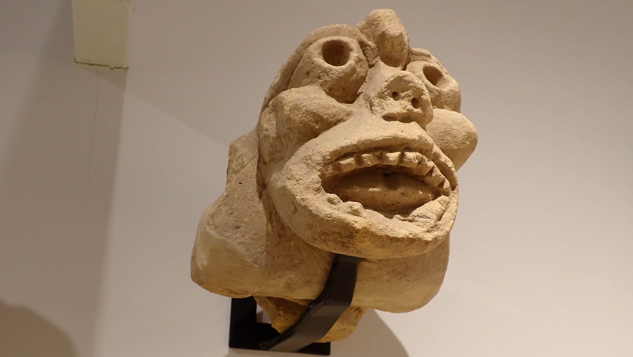
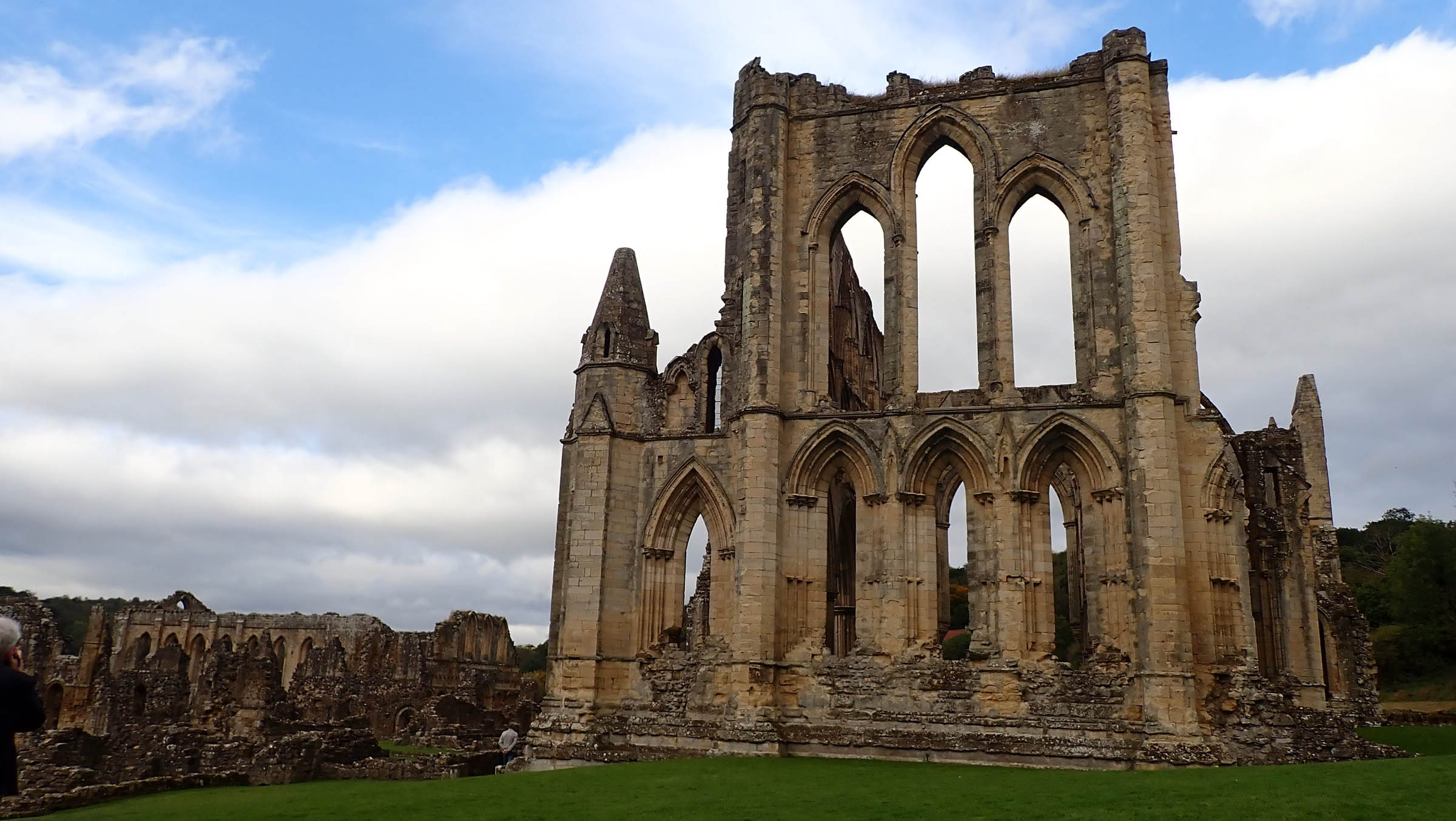
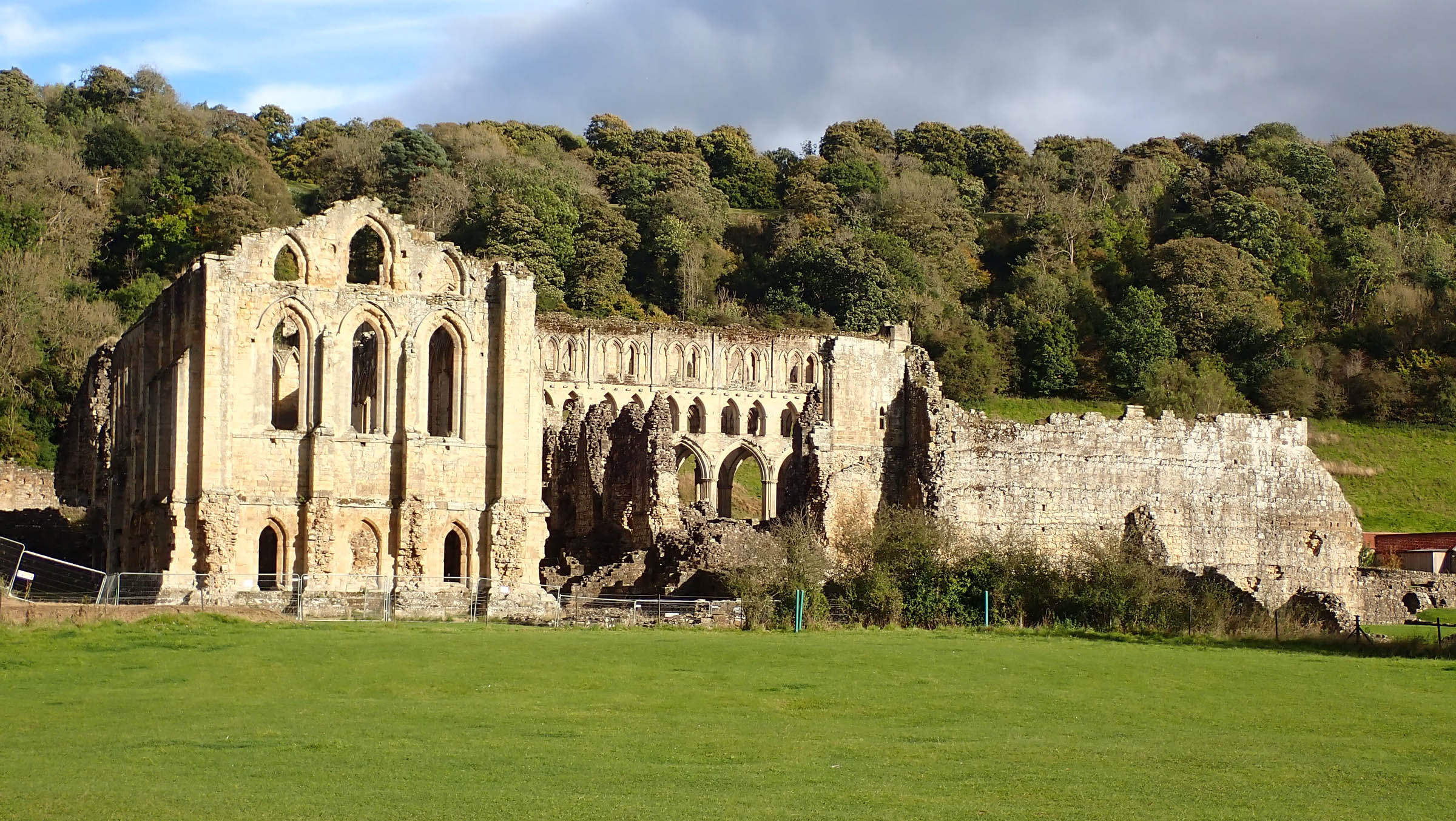
- Wandering around the ruined medieval splendour of Rievaulx, Byland, and Whitby Abbey.
- Stargazing in an officially designated Dark Skies Reserve
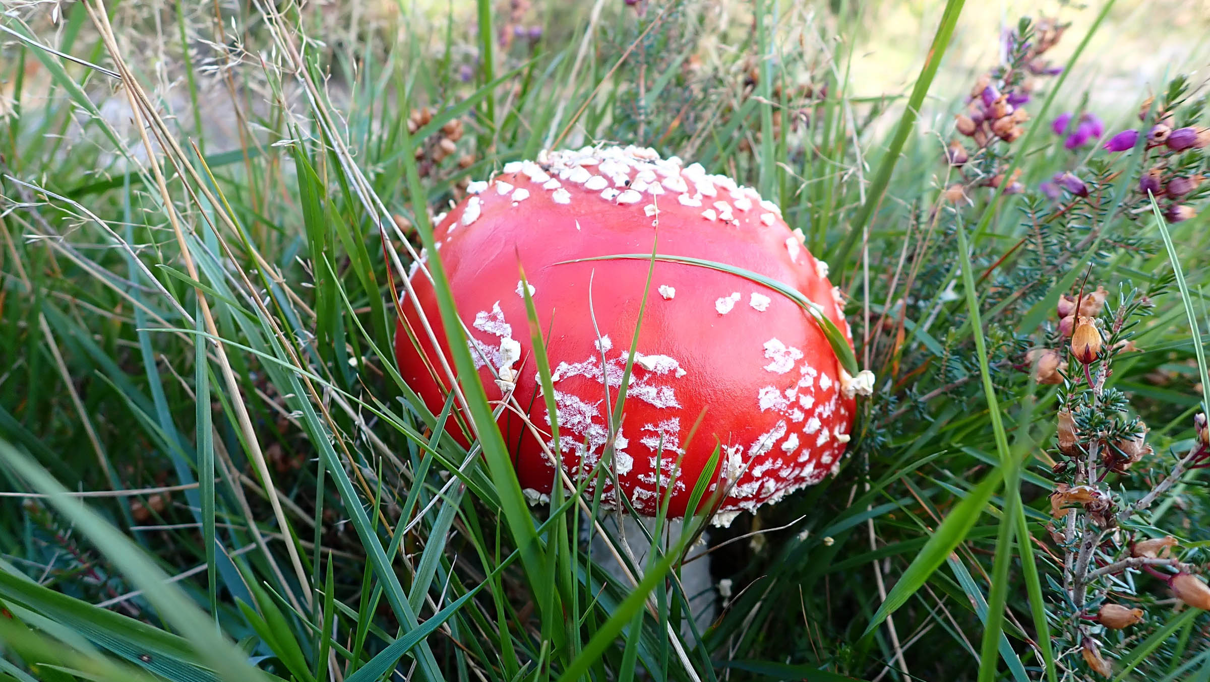
- Wildlife encounters with deer and ground-nesting birds such as Curlew, Lapwing, and Snipe or chancing upon an Adder basking on sandy singletrack.
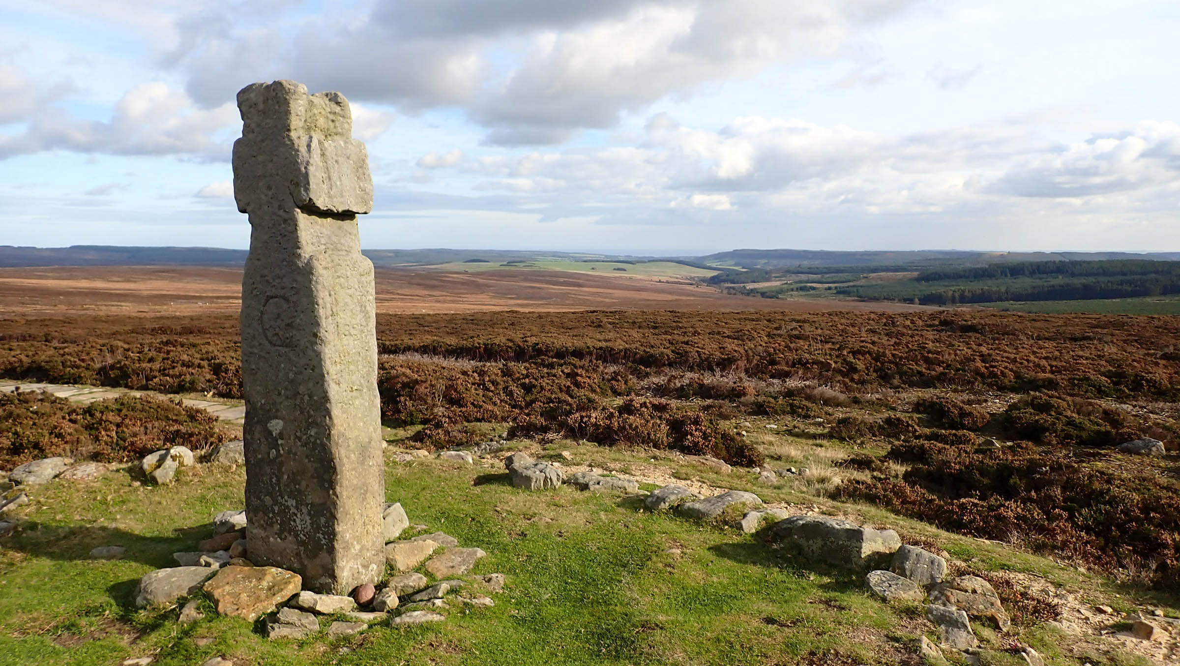
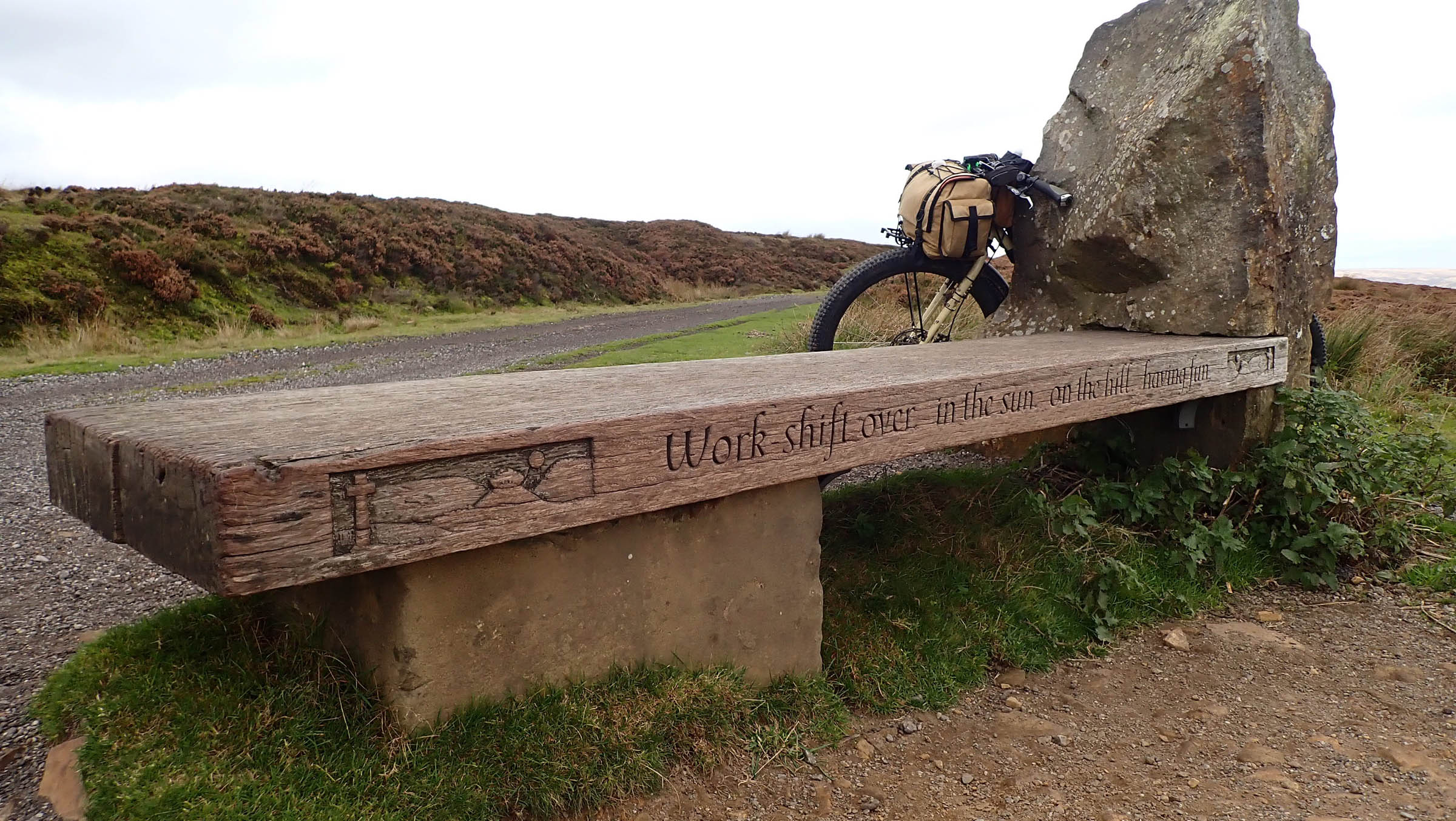
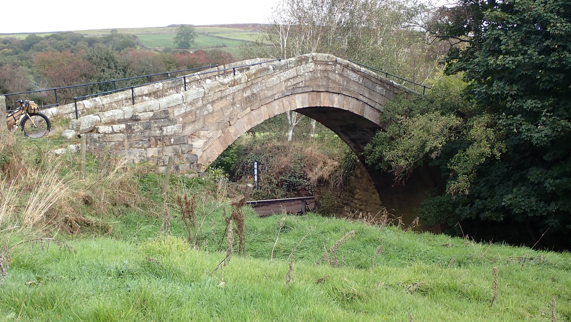
- A history of human habitation reaching back beyond the bronze age. The route passes standing stones, iron age hut circles, early Christian crosses, medieval abbeys, bridges and paved pathways, a preserved Victorian steam railway, and relics of past mining industry.
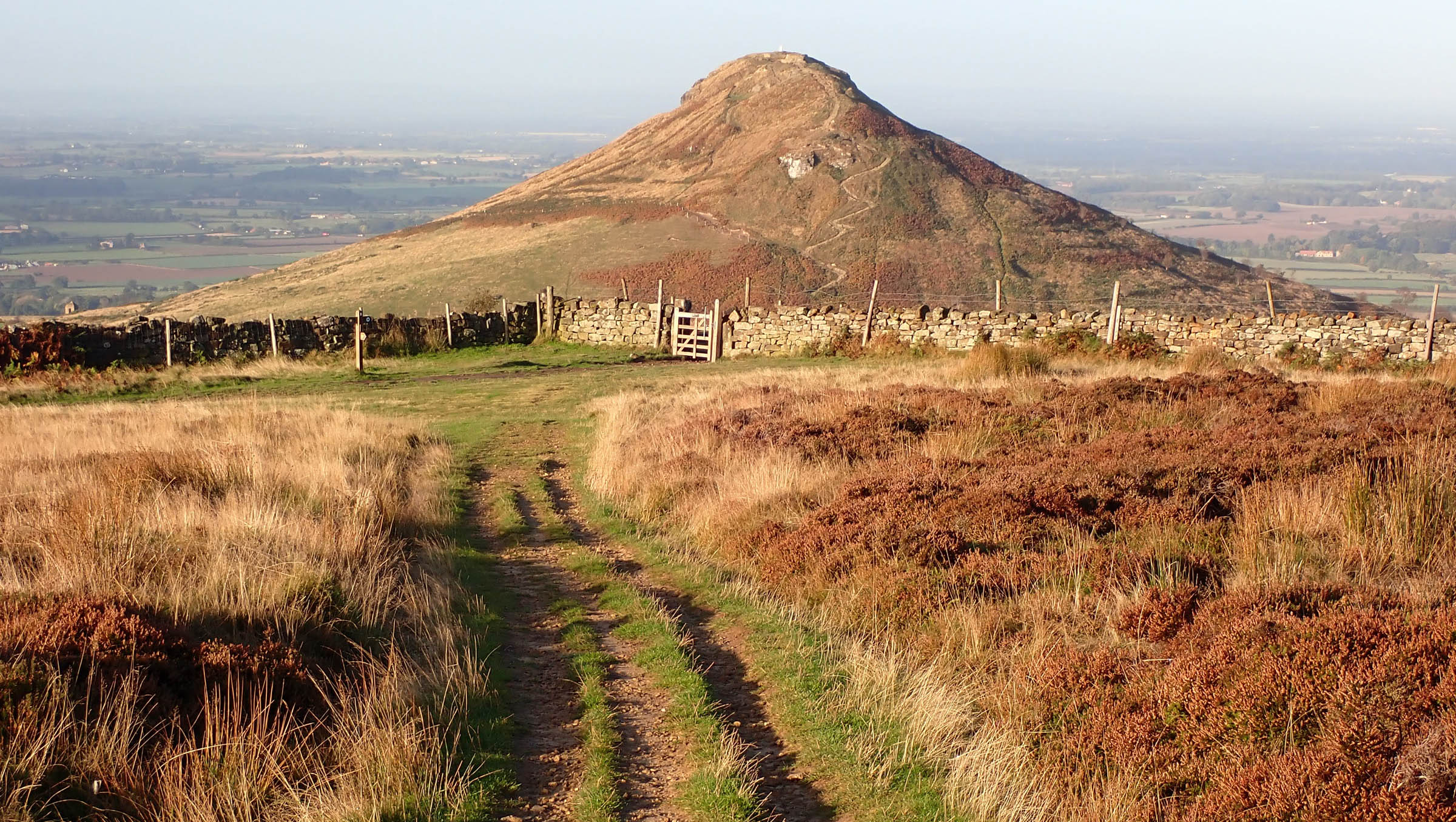
- Expansive views from Whitestone Cliff across the Vale of Mowbray.
- It’s the UK, so expect foul weather at any time of year. Parts of the moorland are very exposed, although bail-out options are generally never too far away.
- With a clear weather window, this would be a great ride in spring or autumn, though the heather will be at its best in late summer.
- Moorland singletrack is more susceptible to damage after heavy rain, so ride with care.
- The route begins and ends outside Whitby railway station. Services are operated by both Northern and Trans Pennine with six trains daily (Mon-Sat) and four on Sundays. See Esk Valley Line for timetables.
- Alternatively, the route can be accessed by rail services to Scarborough and a 21-mile, traffic-free cycle up the Cinder Track.
- Teesside International Airport has rail connections to Whitby (via Middlesbrough) from Dinsdale station (~two miles)
- Be tick aware, especially after riding through sections of trail overgrown with bracken.
- The vast majority of moorland is privately owned and actively managed for shooting. From August 12th to December 1st, there is a small chance you may be asked to wait briefly if a shoot is in progress. Pheasant shooting can occur around woodland from October 1st to February 1st (no shooting on Sundays).
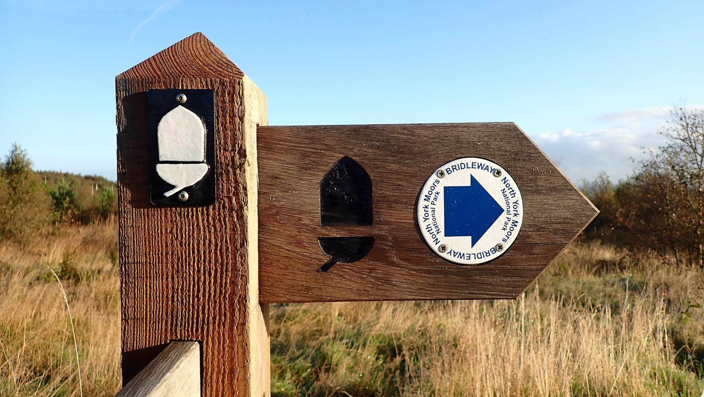
- All trails are open to hikers, horse riders, and cyclists. Cyclists are required to give way to other users. Be nice, say hi.
- The route can be ridden in either direction. Riding in the opposite direction will turn a couple of paved climbs into descents and a few rocky descents into hike-a-bike climbs.
- Got less time? The route can be split into two separate loops. eastern loop at 105 miles and 9,549 feet elevation gain and western loop at 94 miles and 10,453 feet elevation gain.
- Got more time? Dalby Forest trail Centre has trails of all grades including the Black UCI XC World Cup course from 2011.
- Wild camping in England is not legal without the land owner’s permission. If you can’t reach your destination, camp late, leave early, and #leavenotrace.
- There are several campsites directly on the route with others available in the wider area.
- Alternatively, there are two YHA hostels on route with three more off route in Dalby, Helmsley, and Osmotherley.
- There are numerous bed and breakfast options throughout the area. Find some of them listed below.
- White Swan Inn (pub and campsite)
- Rosedale Abbey Caravan Park
- Lordstones Country Park (camping, cafe, and farm shop)
- High Paradise Farm (camping and tea room)
- Kildale camping and camping barn
- There is little flowing water on the moorland plateau. While the route does ford several streams, they are infrequent and any water should be filtered/treated. There are enough pubs and cafes that two liters capacity should be enough.
- Be aware that some hospitality businesses may be closed or have limited opening hours outside of the main tourist season (typically April to the end of September).
- Resupply points are marked on the map. Be aware of some village stores operating limited opening hours. Full resupply options are available in Whitby and a few miles off route in Helmsley and Kirkbymoorside.
- Coffee, cake, and a log fire at the Rusty Bike Cafe, Swainby.
- Enjoy the synchronicity of a great fry-up in Great Fryup Dale at The Yorkshire Cycle Hub. Also bike shop and bunkhouse.
- Try some oak smoked kipper from Whitby’s last remaining smokehouse at Fortune’s Kippers or choose from the bewildering selection of Fish & Chip shops.
- Celebrate completing the ride with a pint from the Whitby Brewery in the shadow of the abbey.
Additional Resources
- Ordnance Survey Maps OL26 & OL27
- Tide times for Robin Hoods Bay
- Official website of the NYM National Park
- North Riding (cycling magazine) features stories and routes from the NYM. Pick up a copy in the Yorkshire Cycle Hub.
- Bikepacking type events on the NYM: The Moors 100 and Yorkshire Moors Gravel X


Terms of Use: As with each bikepacking route guide published on BIKEPACKING.com, should you choose to cycle this route, do so at your own risk. Prior to setting out check current local weather, conditions, and land/road closures. While riding, obey all public and private land use restrictions and rules, carry proper safety and navigational equipment, and of course, follow the #leavenotrace guidelines. The information found herein is simply a planning resource to be used as a point of inspiration in conjunction with your own due-diligence. In spite of the fact that this route, associated GPS track (GPX and maps), and all route guidelines were prepared under diligent research by the specified contributor and/or contributors, the accuracy of such and judgement of the author is not guaranteed. BIKEPACKING.com LLC, its partners, associates, and contributors are in no way liable for personal injury, damage to personal property, or any other such situation that might happen to individual riders cycling or following this route.
Please keep the conversation civil, constructive, and inclusive, or your comment will be removed.