


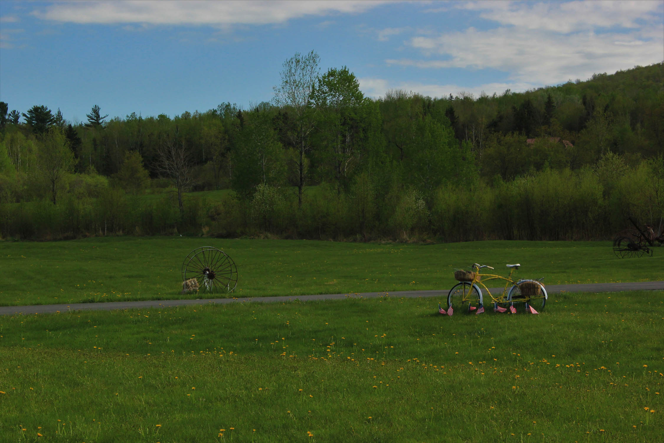
The Northern White Mountains Loop
Distance
61 Mi.
(98 KM)Days
2
% Unpaved
85%
% Singletrack
3%
% Rideable (time)
100%
Total Ascent
4,171'
(1,271 M)High Point
2,696'
(822 M)Difficulty (1-10)
4?
- 4Climbing Scale Fair68 FT/MI (13 M/KM)
- -Technical Difficulty
- -Physical Demand
- -Resupply & Logistics
Contributed By
Danielle Blanca
Guest Contributor
Danielle calls Waterbury, VT home, nestled in the heart of the Green Mountains, providing a four-season playground with an abundance of micro-breweries to enjoy after a long day playing in the mountains! She feels lucky to have so much access to gravel roads, Class IV roads, classic Vermont Pave, rail trails, and singletrack trails to make the cycling and bikepacking possibilities in Vermont endless with some creativity and grit. Find Danielle on instagram @d.m.blanca
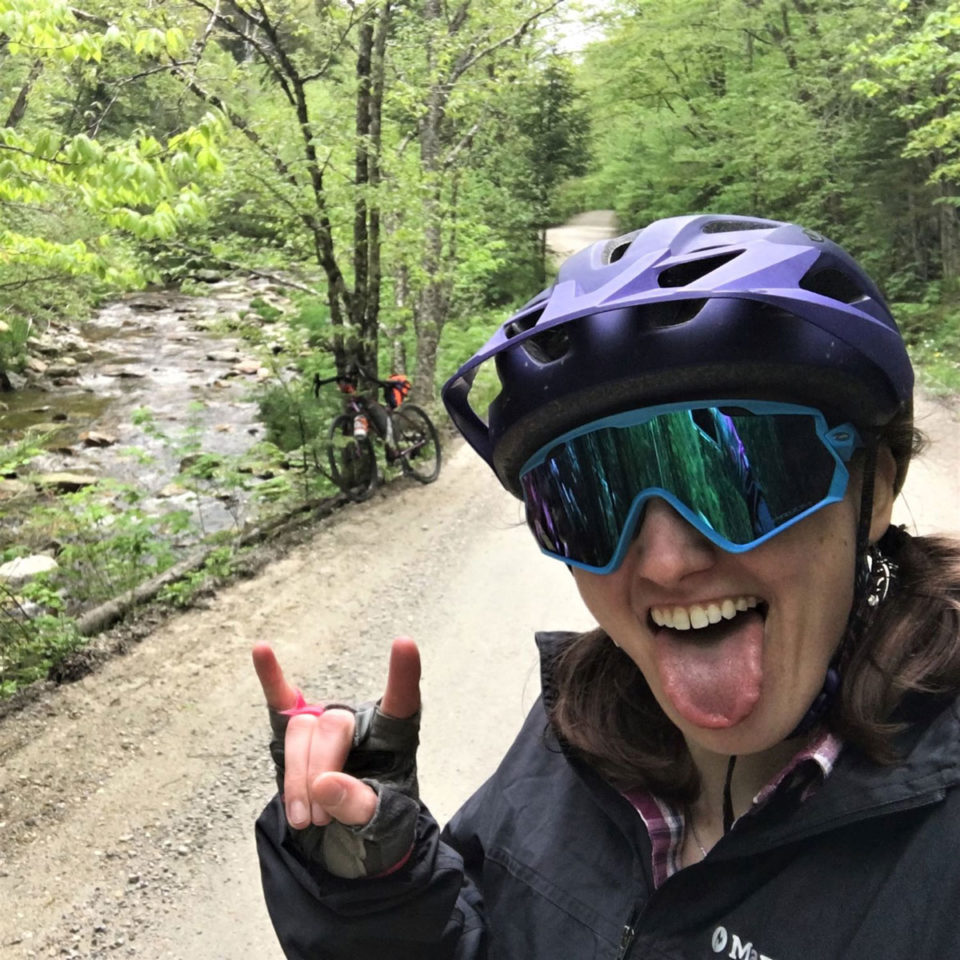
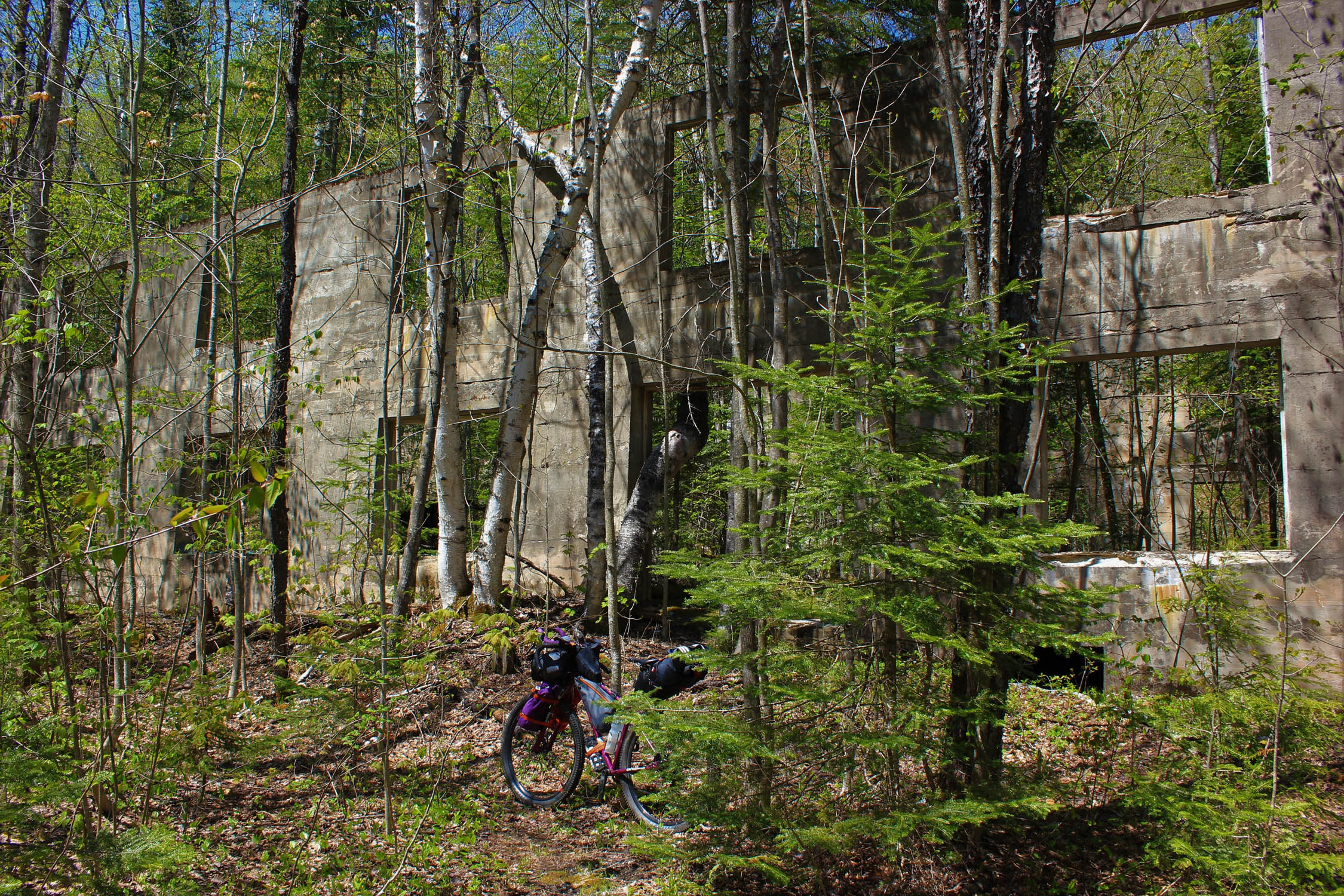
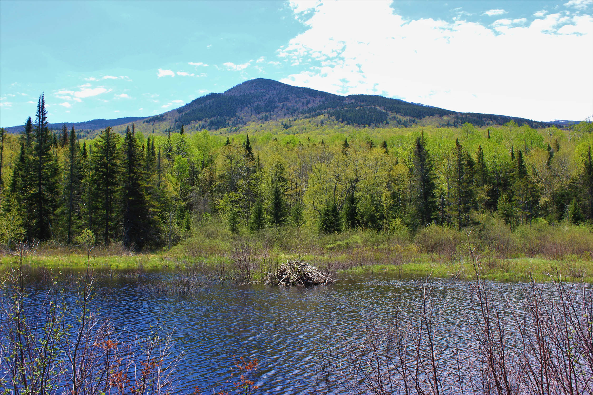
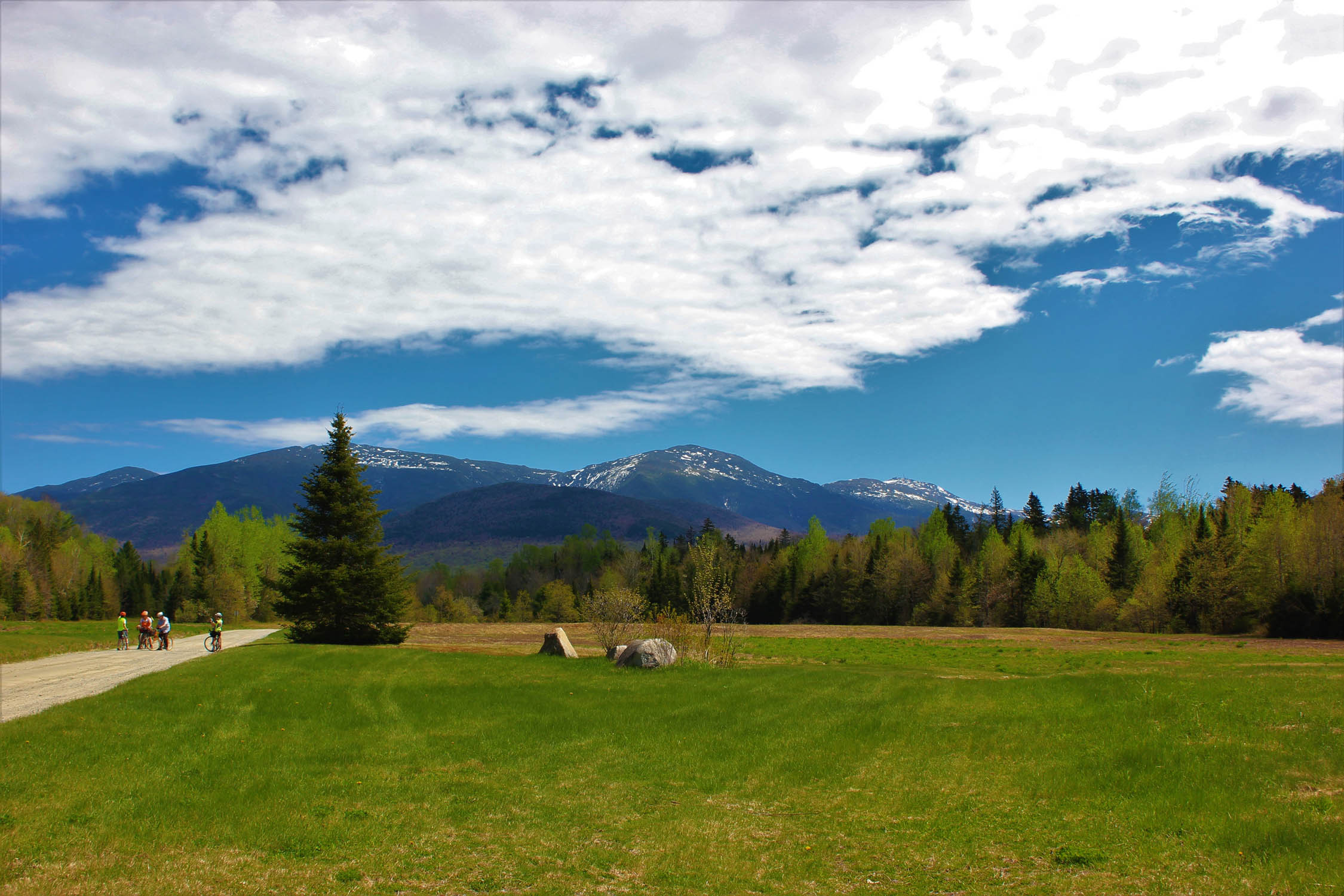
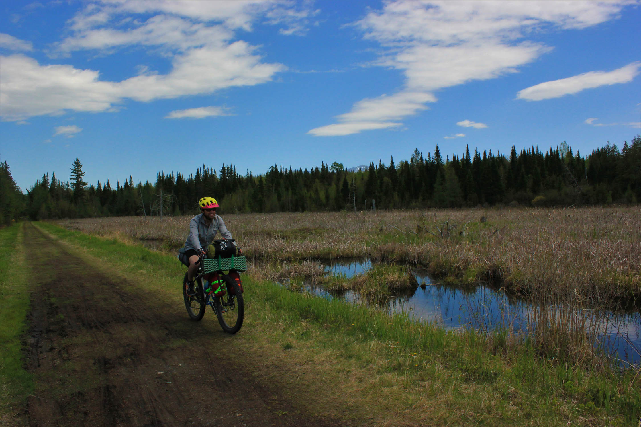
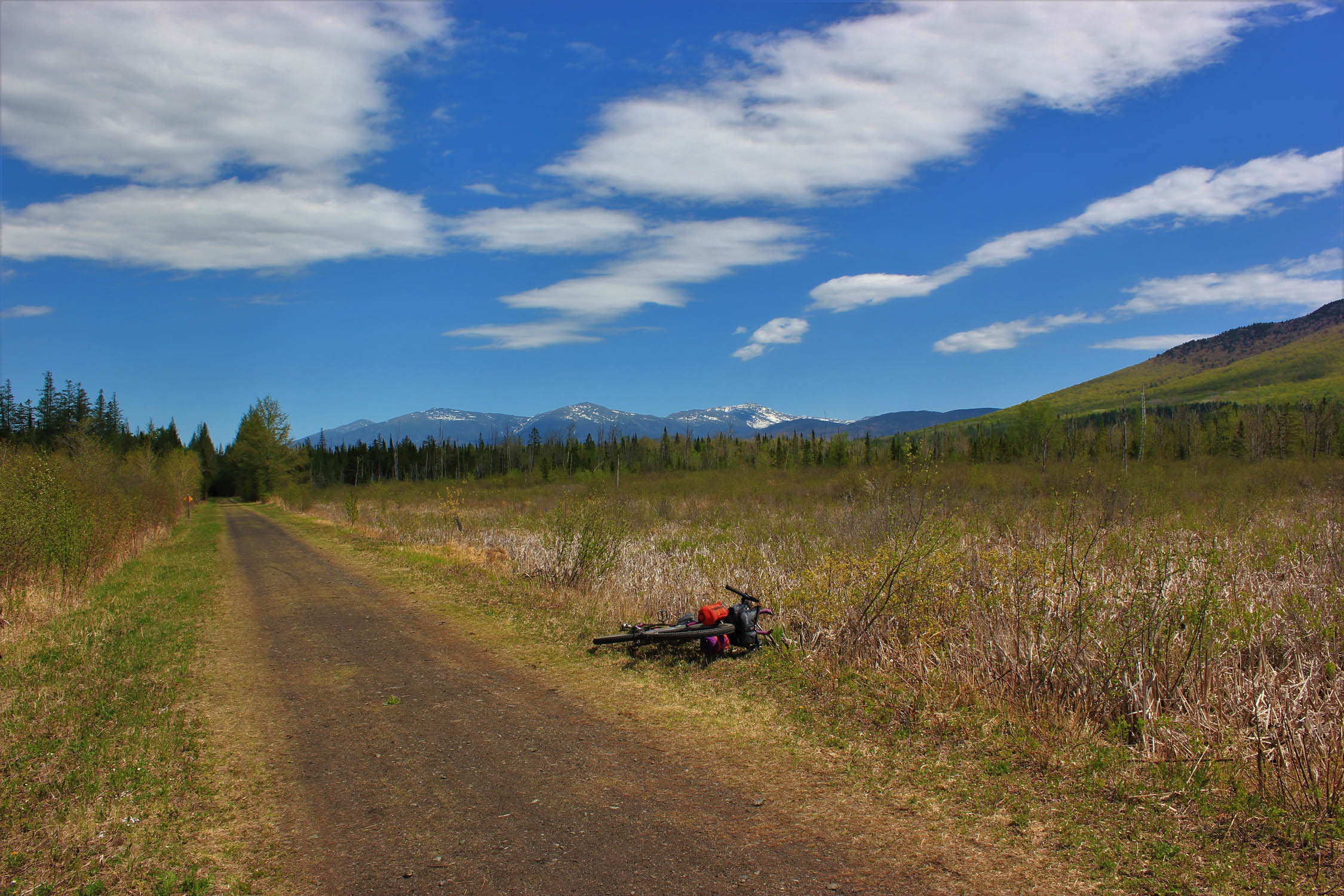
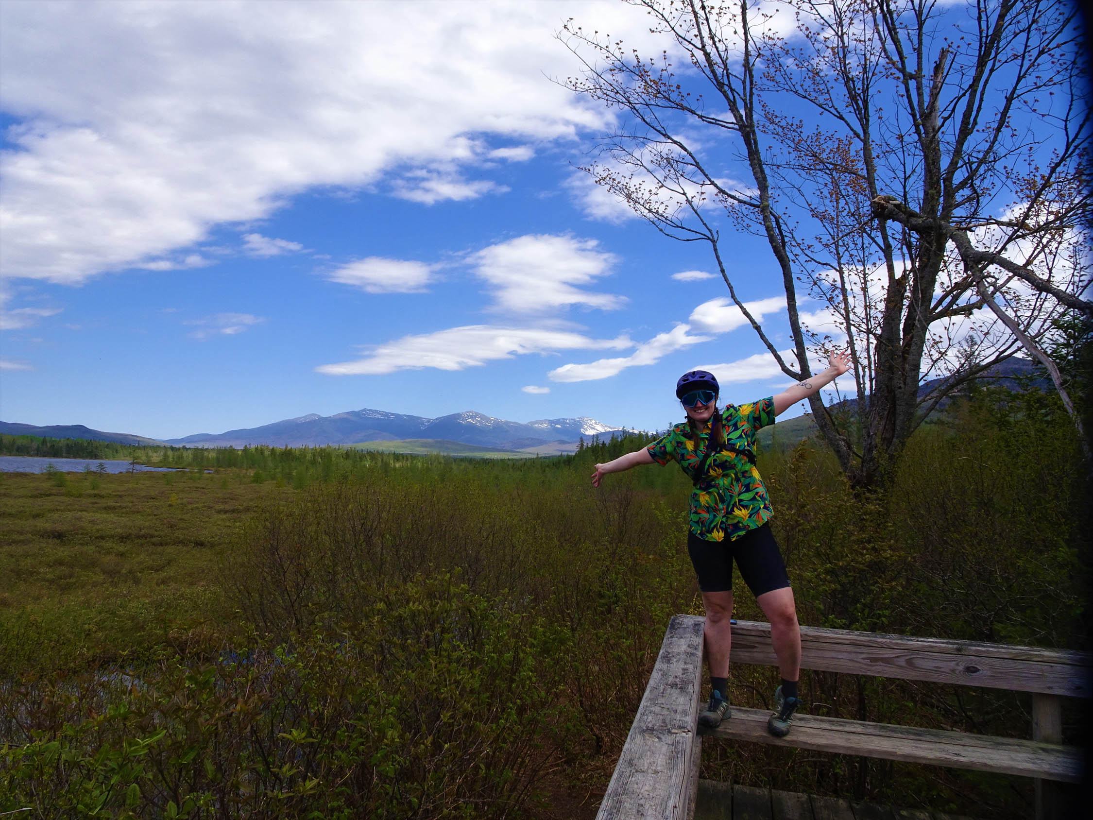
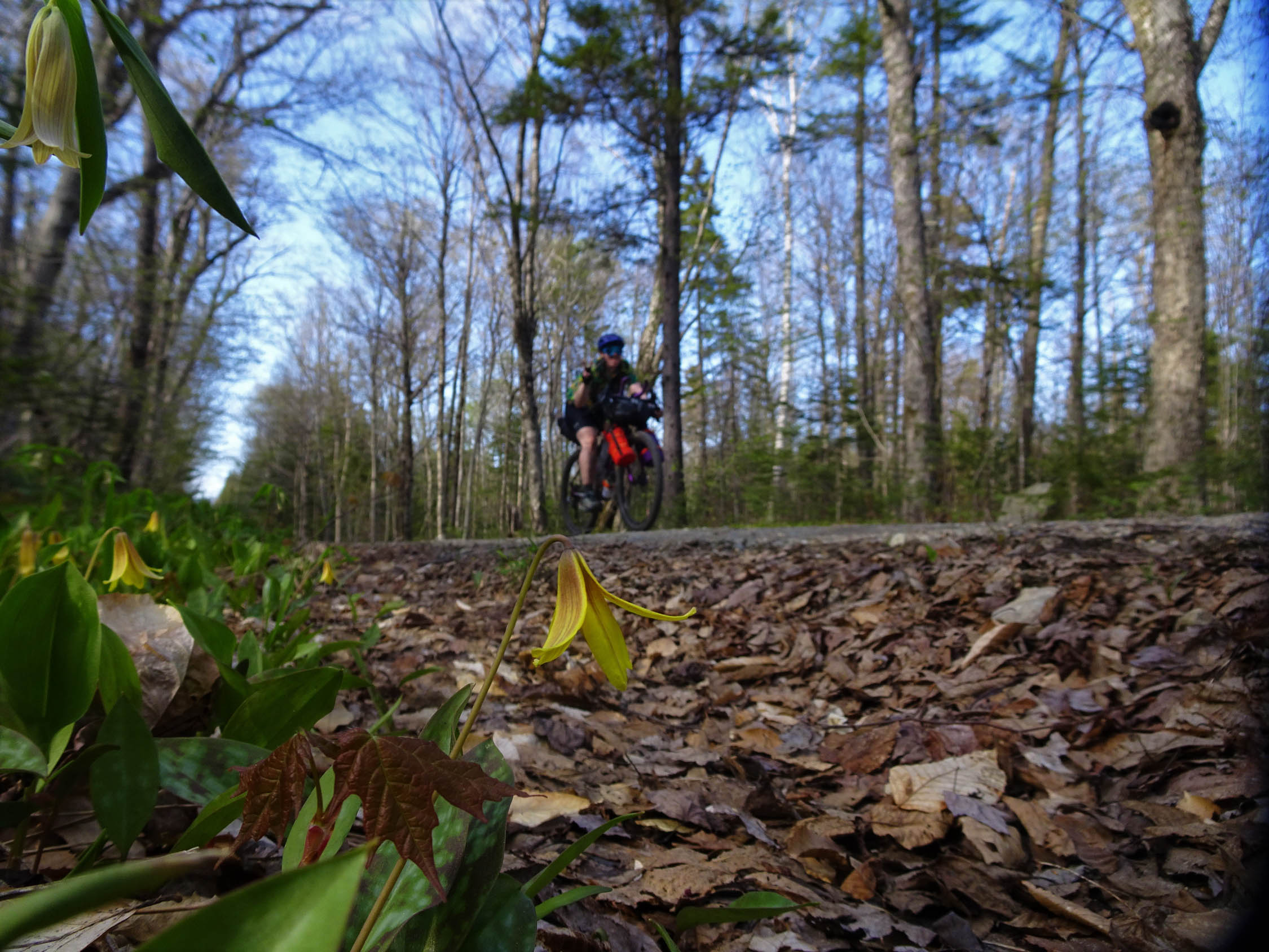
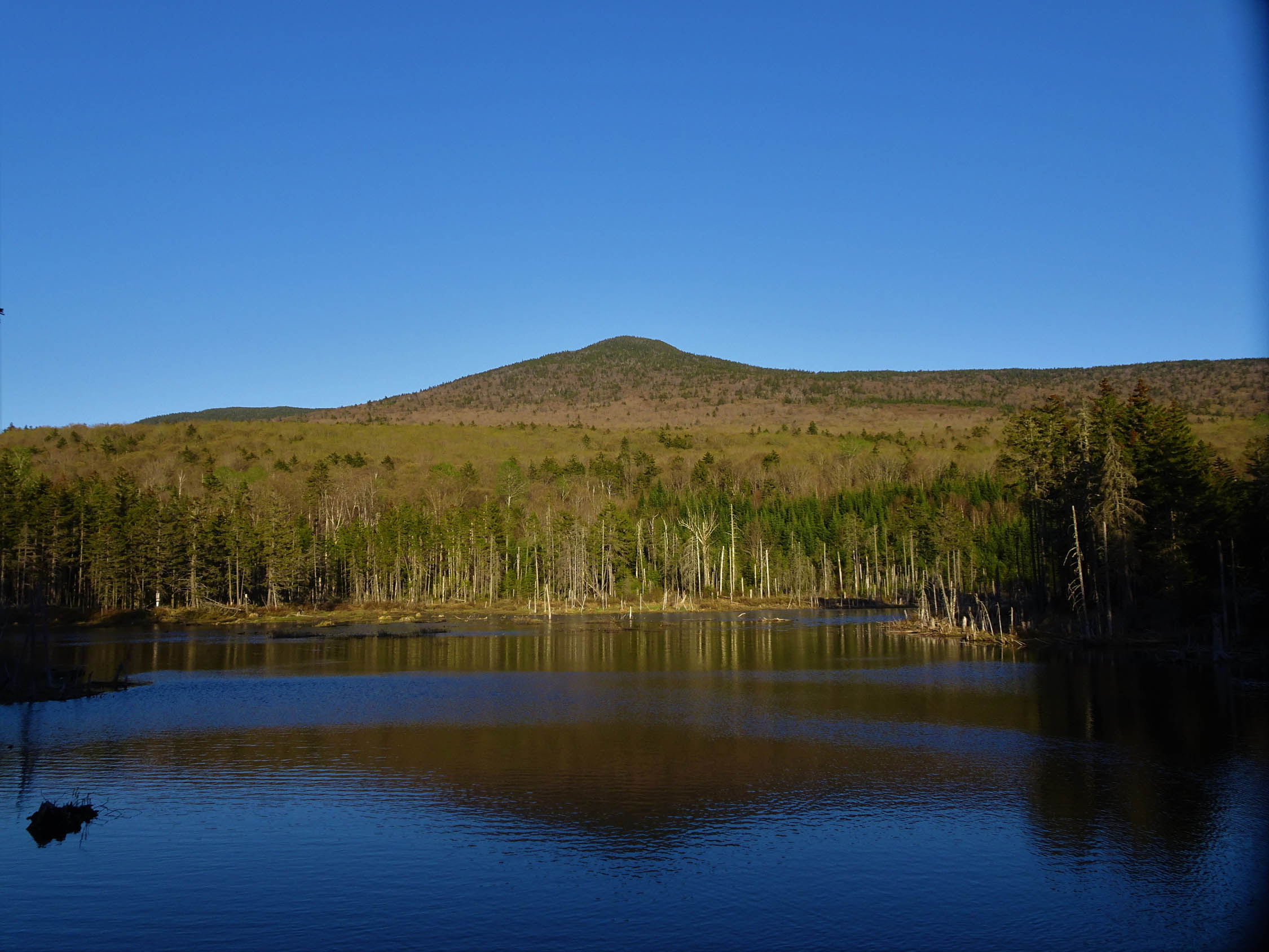
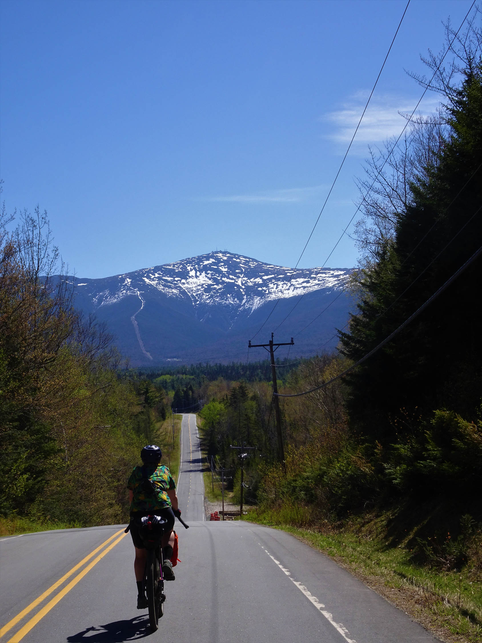
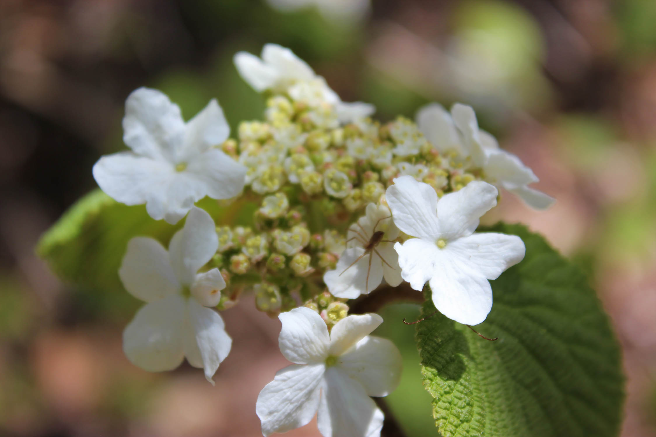
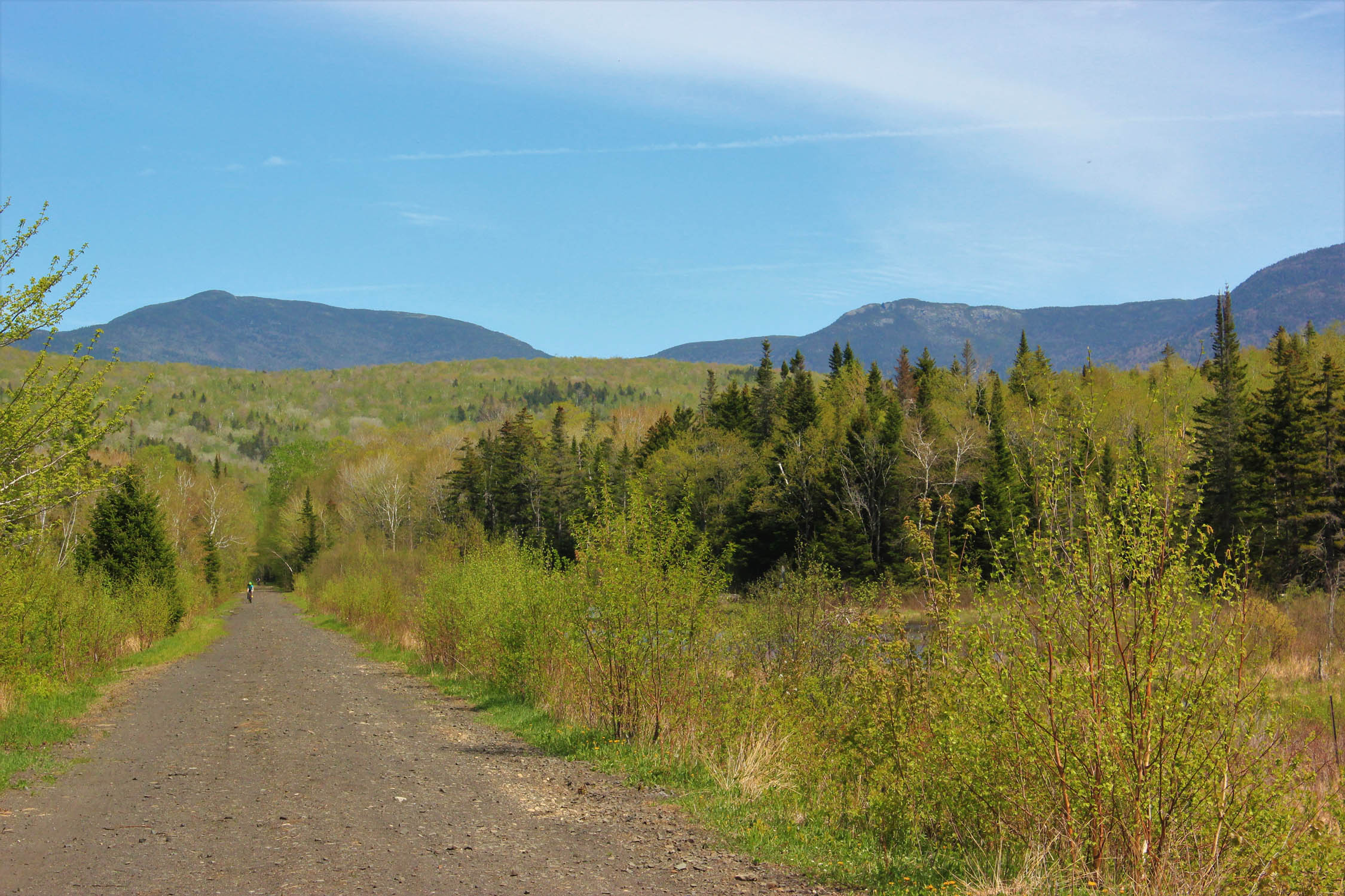
The Northern White Mountains Loop is a 61-mile overnighter route that takes you through a variety of ecosystems within the northern hardwood forest containing swamplands and bogs, a nature refuge, and numerous rivers and lakes. The route runs through the Pondicherry division of the Silvio O. Conte National Fish and Wildlife Refuge via the Presidential Rail Trail/Cross New Hampshire Adventure Trail. Two seasonal gravel roads bring you through the White Mountain National Forest. Throughout the route are stunning views of the Presidential Range, Pilot Range, Pliney Range, and the Dalton Mountains. Although it’s designed as an overnighter, those who want to do a longer distance will find plenty of options for extending their trip. Bikepacking options around the Great North Woods Region are endless!
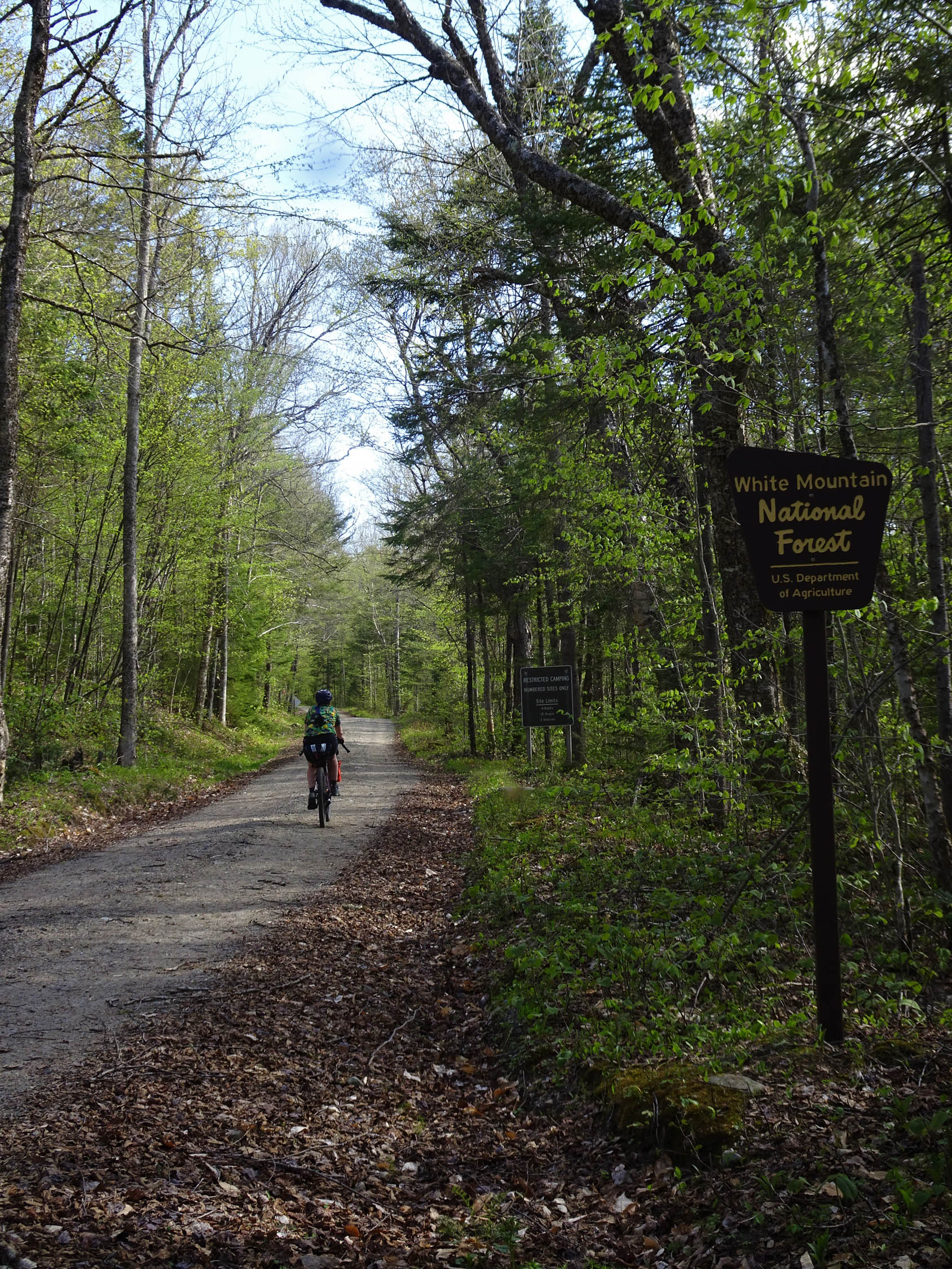
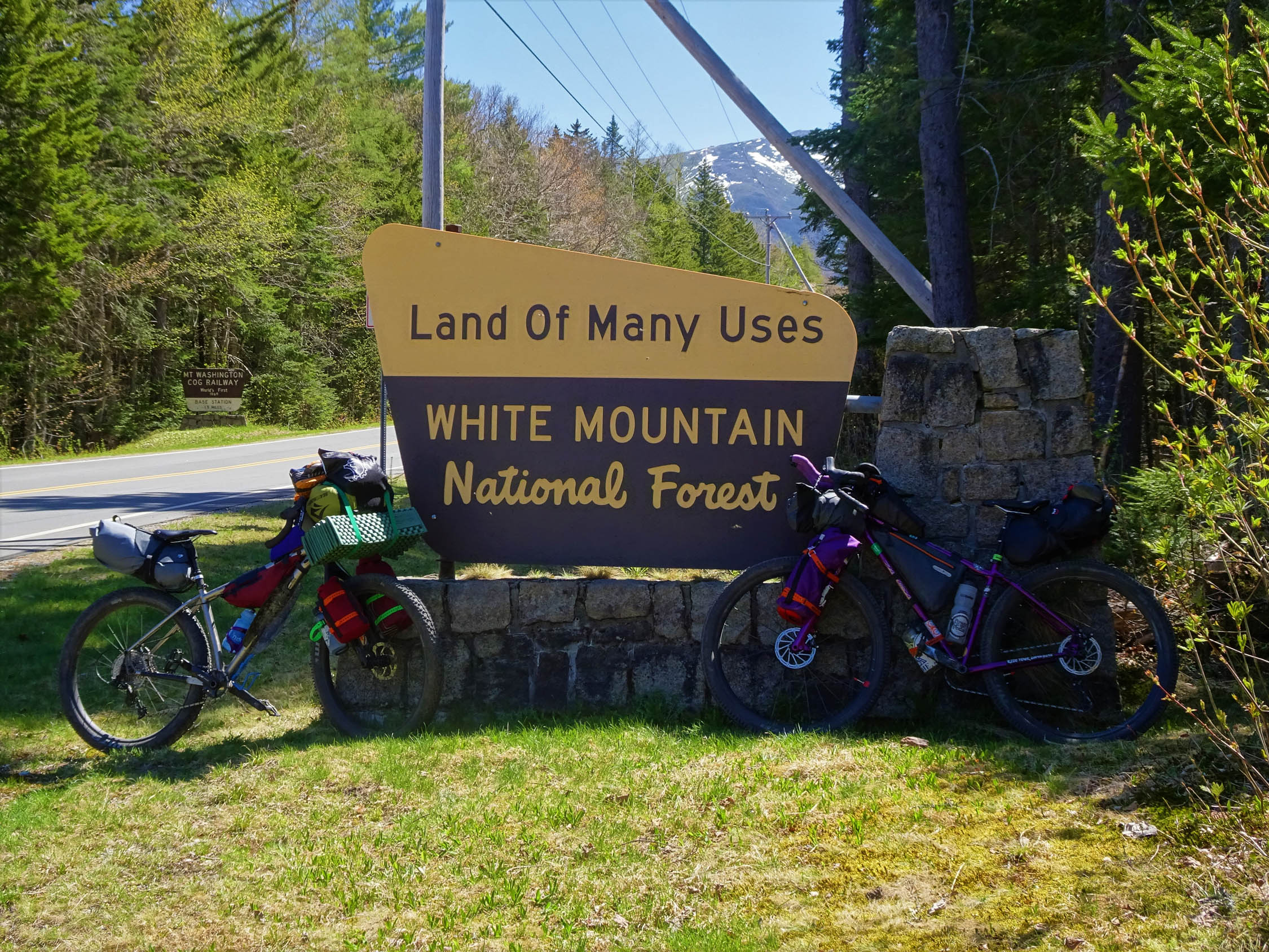
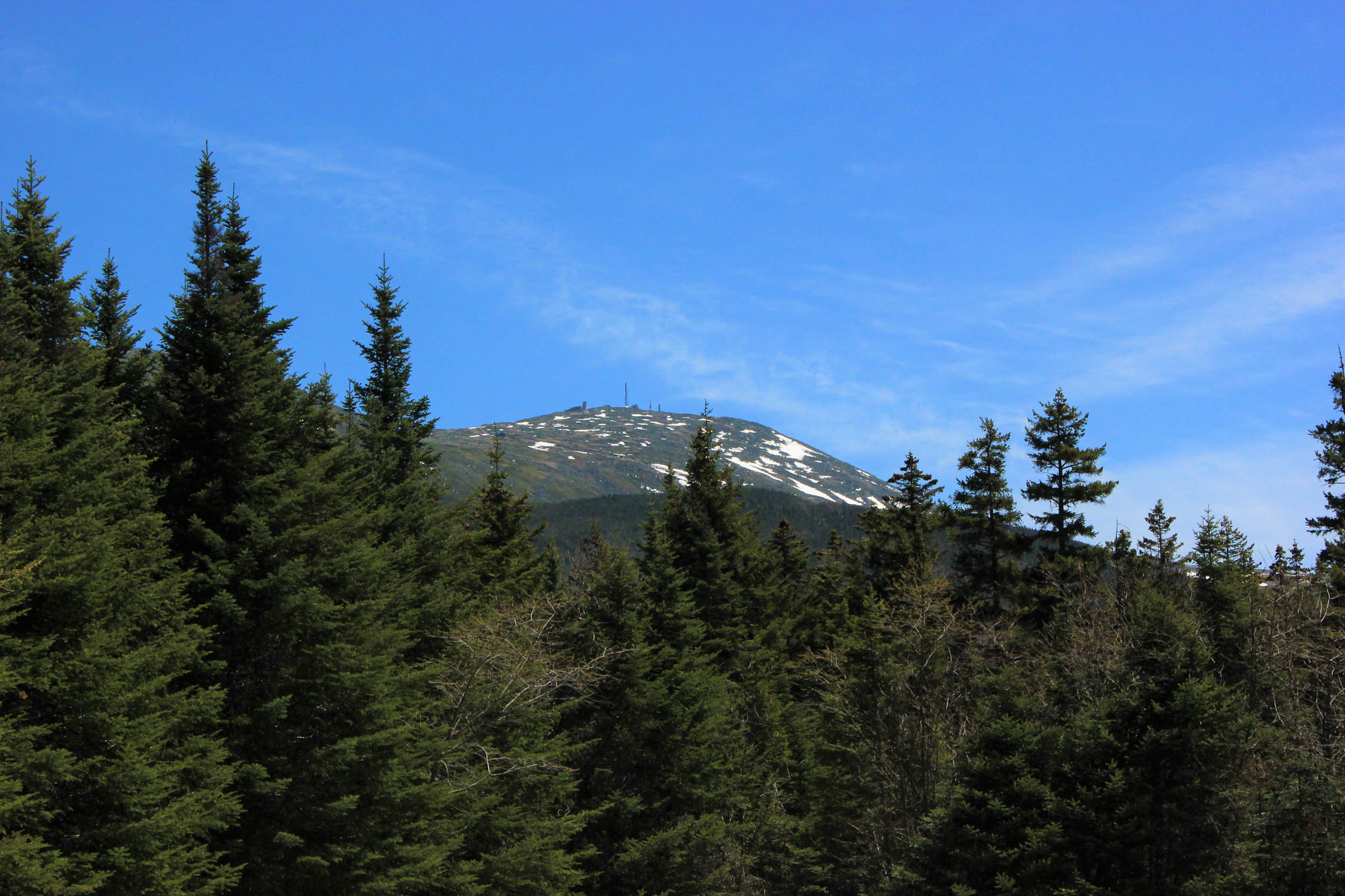
The White Mountains National Forest is a four-season playground with 1,200 miles (1,900 km) of hiking trails, 23 campgrounds, and numerous ski areas and mountain biking trails within or near its boundaries. The Presidential Range contains the highest peaks of the WMNF, including the highest peak of the Northeast, known currently as Mount Washington which is home to the World’s Worst Weather. The mountain was known by indigenous peoples as Kodaak Wadjo “the top is so hidden” or “summit of the highest mountain,” Agiochook or Agiocochook “the place of the Great Spirit” or “the place of the Concealed One.” The Algonquians called these mountains Waumbik, “white rocks.”


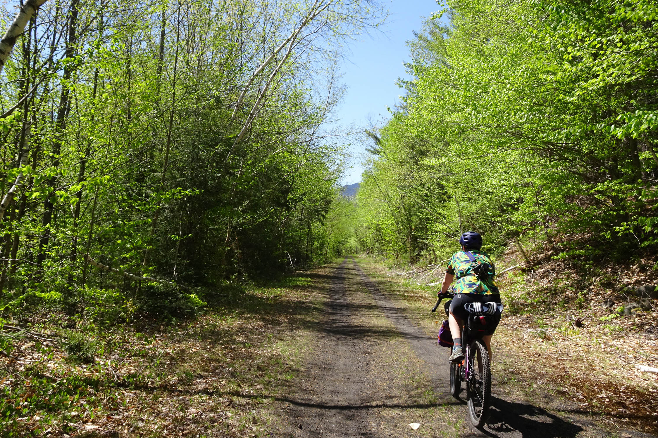
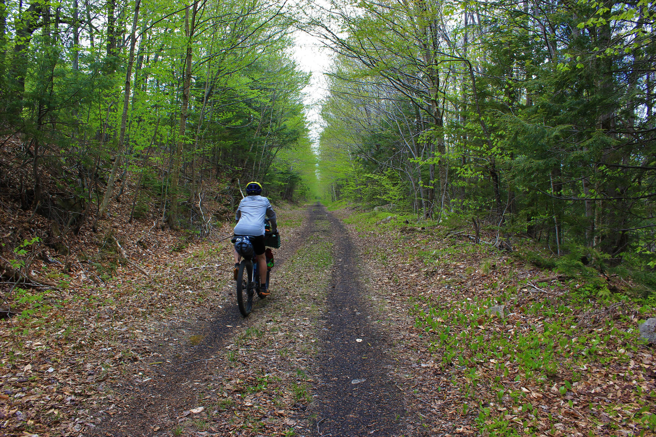
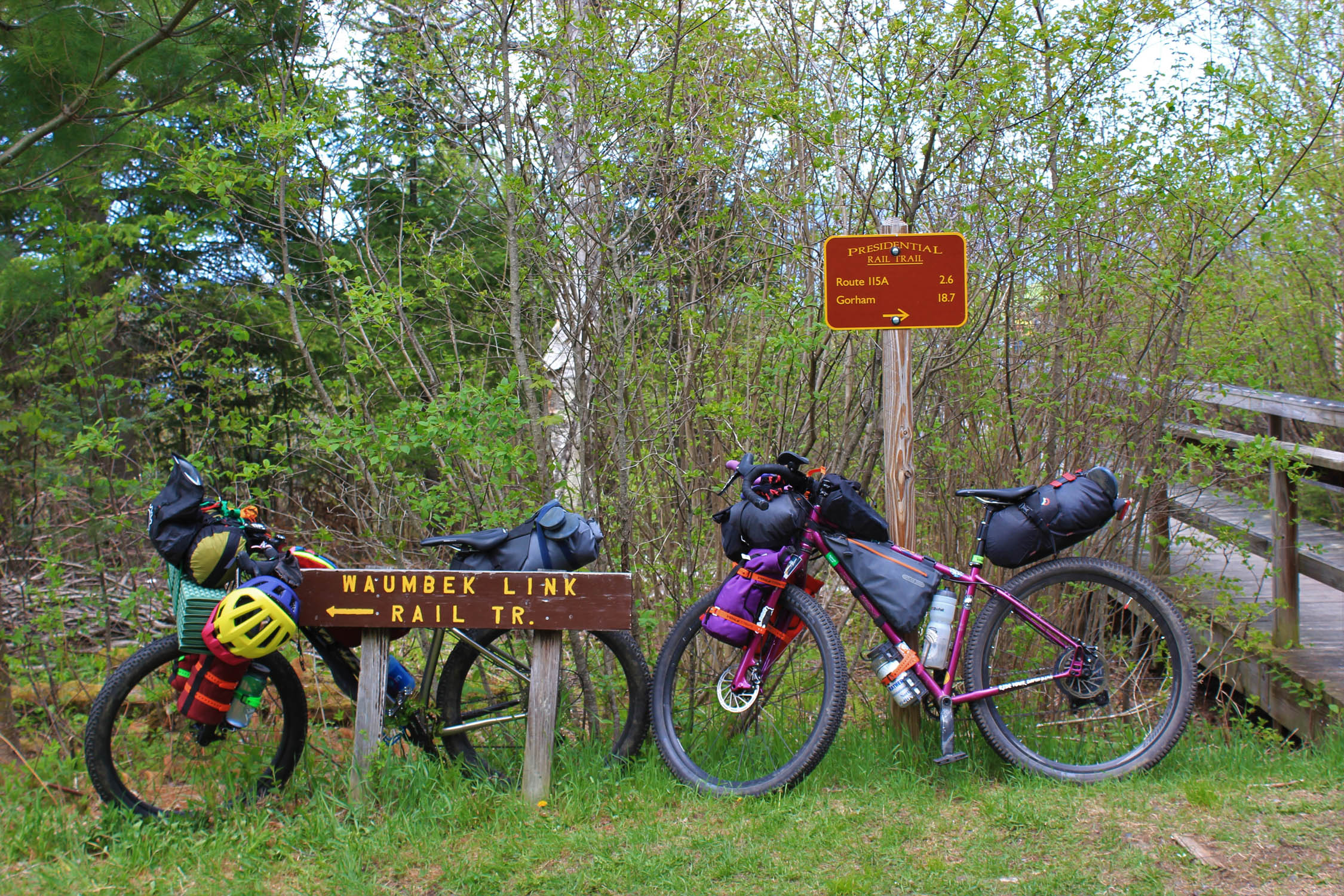
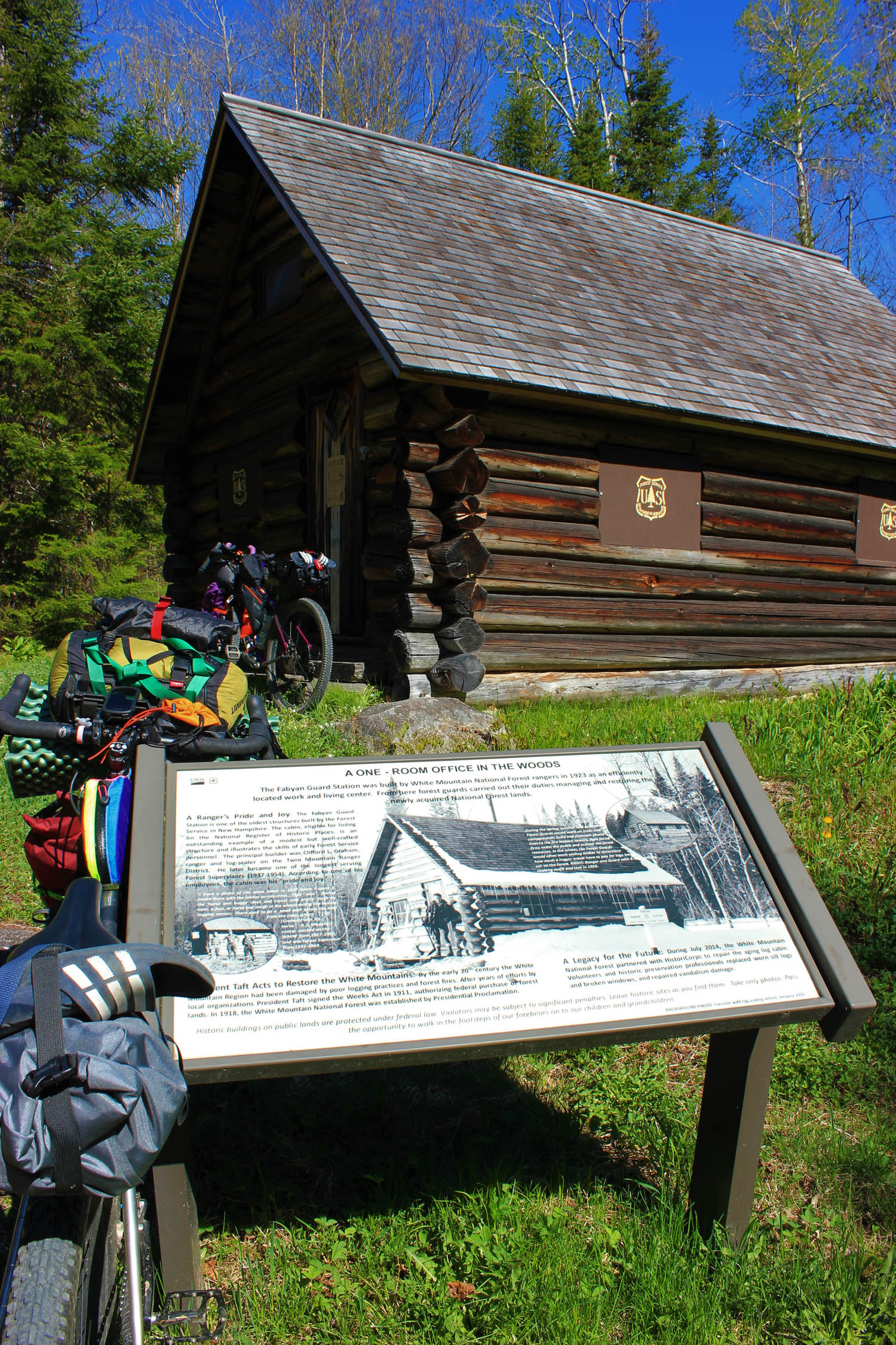
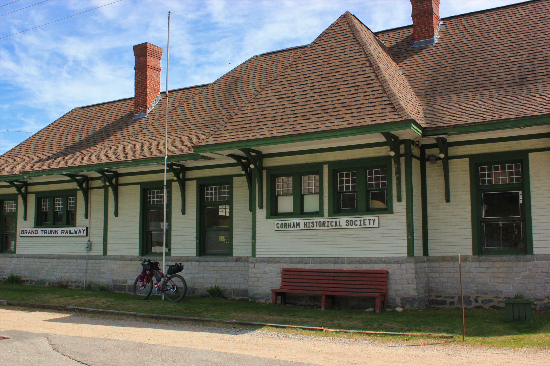
The Presidential Rail Trail is built along a line once used by the Boston & Maine Railroad to transport lumber and paper between Berlin and Whitefield. Berlin was once a thriving mill town commonly known as “The City That Trees Built” as it is located in a heavily forested region along the Androscoggin River. In 1996, the State of New Hampshire purchased the rail corridor and was converted to a rail trail for a recreational resource.
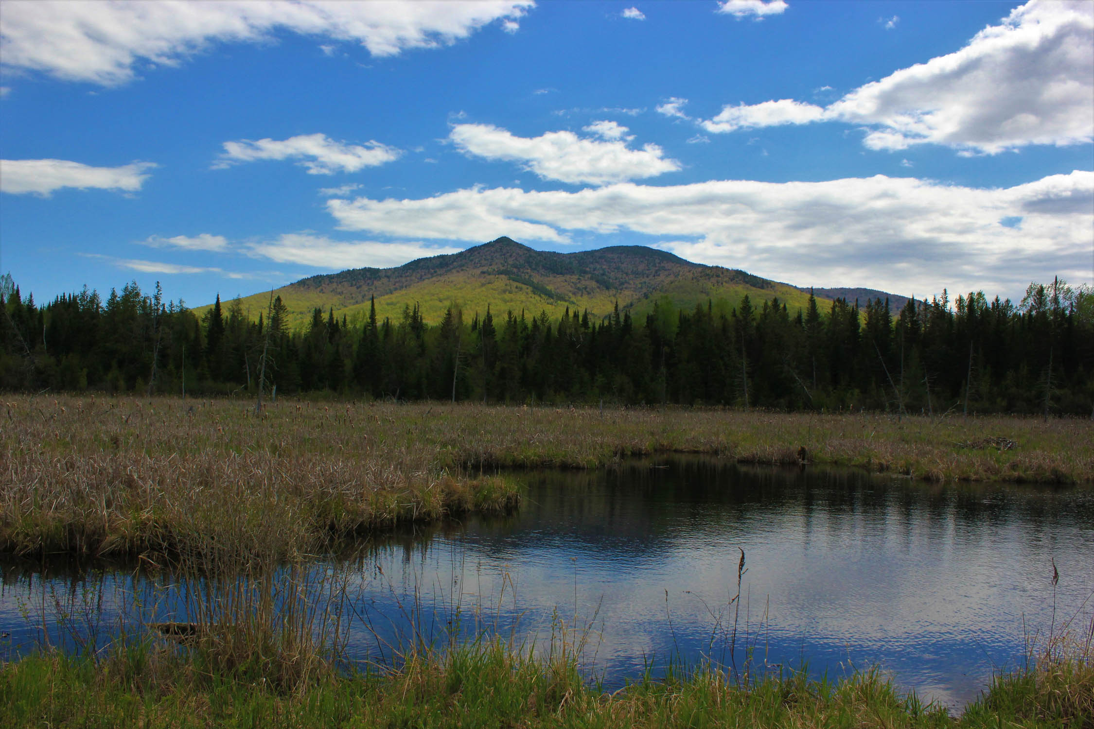
The Pondicherry division of Silvio O. Conte National Fish and Wildlife Refuge is often called one of the “crown jewels” of New Hampshire’s landscape with its verdant bogs and migratory bird resting grounds amongst breathtaking views of the White Mountains. The Silvio O. Conte National Fish and Wildlife Refuge spans four states (NH, VT, MA, and CT) and is the only refuge of its kind to encompass an entire watershed, the Connecticut Watershed. Pondicherry has been recognized for its ecological importance through its designation as a National Natural Landmark.
Those who would like to add some more adventure to their trip can easily link up more gravel roads, mountain biking trails, and quiet country roads. For more information and inspiration, check out Coös Cycling Club for mountain biking options and NH Grassroots Racing for the Coös Loop for their 250 and 150 mile bikepacking route options.
This route is dedicated to the late Mike Micucci, a pillar of the cycling and hiking community in the northern White Mountains.
*Route was documented in late May 2020 during the pandemic and was done 100% self-sufficient. No surfaces were touched and no buildings were entered. Both Jefferson Notch Road and Old Cherry Mountain Road were closed to motorized vehicles during this time.
Difficulty
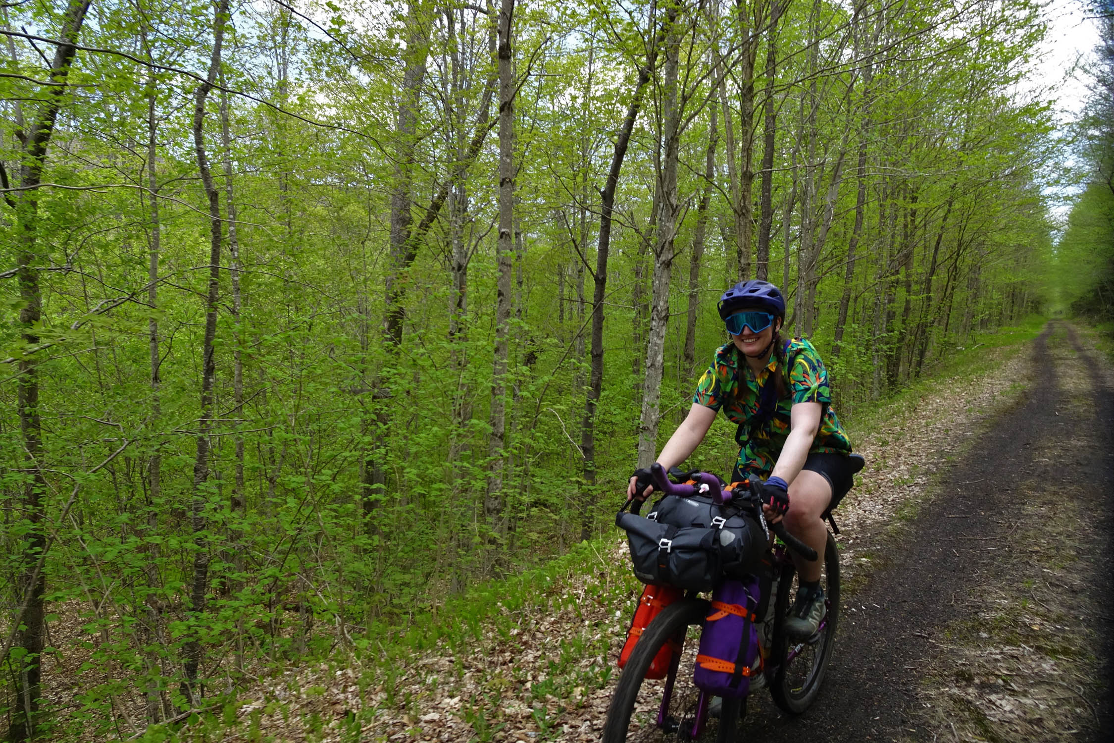
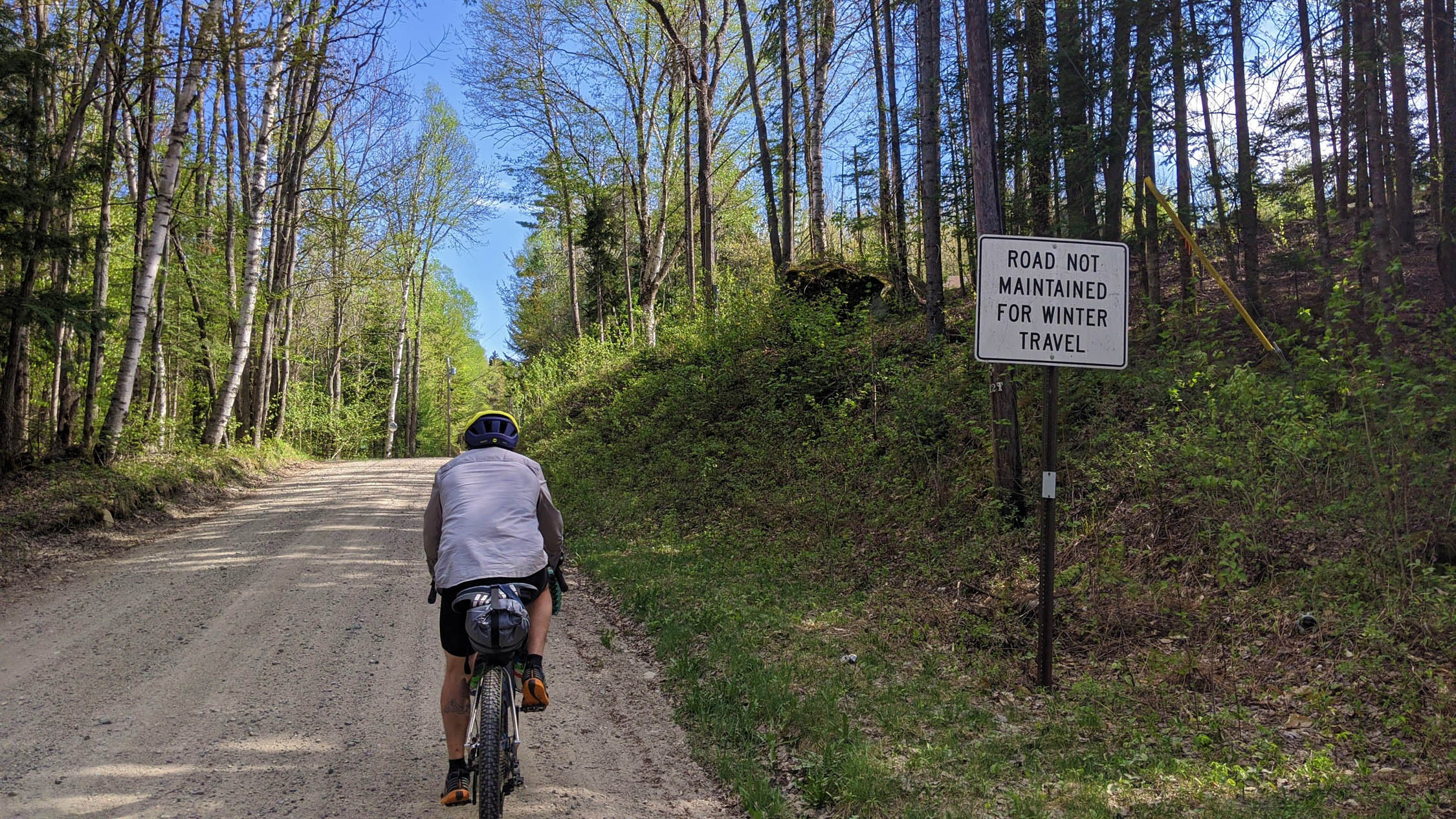
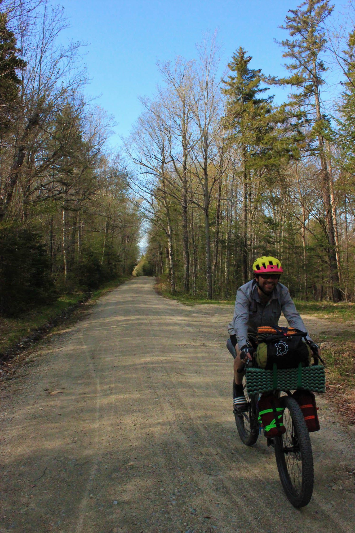
In terms of difficulty, this route is rated 4 out of 10 because of two significant climbs. The availability of water and campsites are good. Most of the trail is on gradual railroad grade. The challenging sections are the climbs up Old Cherry Mountain Road and Jefferson Notch Road. This loop links together rail trails, gravel roads, and quiet NH paved roads. The entire route is rideable on almost any bike, 32mm or bigger is recommended due to the nature of the rail trails and dirt roads.
Route Development: There are many agencies, associations, and organizations that allow for this route to be possible; White Mountain National Forest, Cross New Hampshire Adventure Trail Association, Friends of the Presidential Rail Trail, Coös Cycling Club, United States Fish and Wildlife Service, New Hampshire Department of Transportation, New Hampshire Fish & Game, New Hampshire State Parks, New Hampshire Audubon, New Hampshire Snowmobile Association, and the Randolph Mountain Club. All of these organizations have greatly contributed to revitalizing and maintaining roads and paths for the purpose of multi-use access for public recreation, alternative transportation, and awareness of New Hampshire’s natural and cultural heritage.


Submit Route Alert
As the leading creator and publisher of bikepacking routes, BIKEPACKING.com endeavors to maintain, improve, and advocate for our growing network of bikepacking routes all over the world. As such, our editorial team, route creators, and Route Stewards serve as mediators for route improvements and opportunities for connectivity, conservation, and community growth around these routes. To facilitate these efforts, we rely on our Bikepacking Collective and the greater bikepacking community to call attention to critical issues and opportunities that are discovered while riding these routes. If you have a vital issue or opportunity regarding this route that pertains to one of the subjects below, please let us know:
Highlights
Must Know
Camping
Food/H2O
Trail Notes
Resources
- The Presidential Rail Trail/Cross New Hampshire Adventure Trail, 20 miles of trail connecting Gorham to Whitefield.
- Hiking, available all throughout the White Mountains. Bring a lock, stash your bike, and pick any of the multiple trailheads you come across to hike the Northern Presidentials.
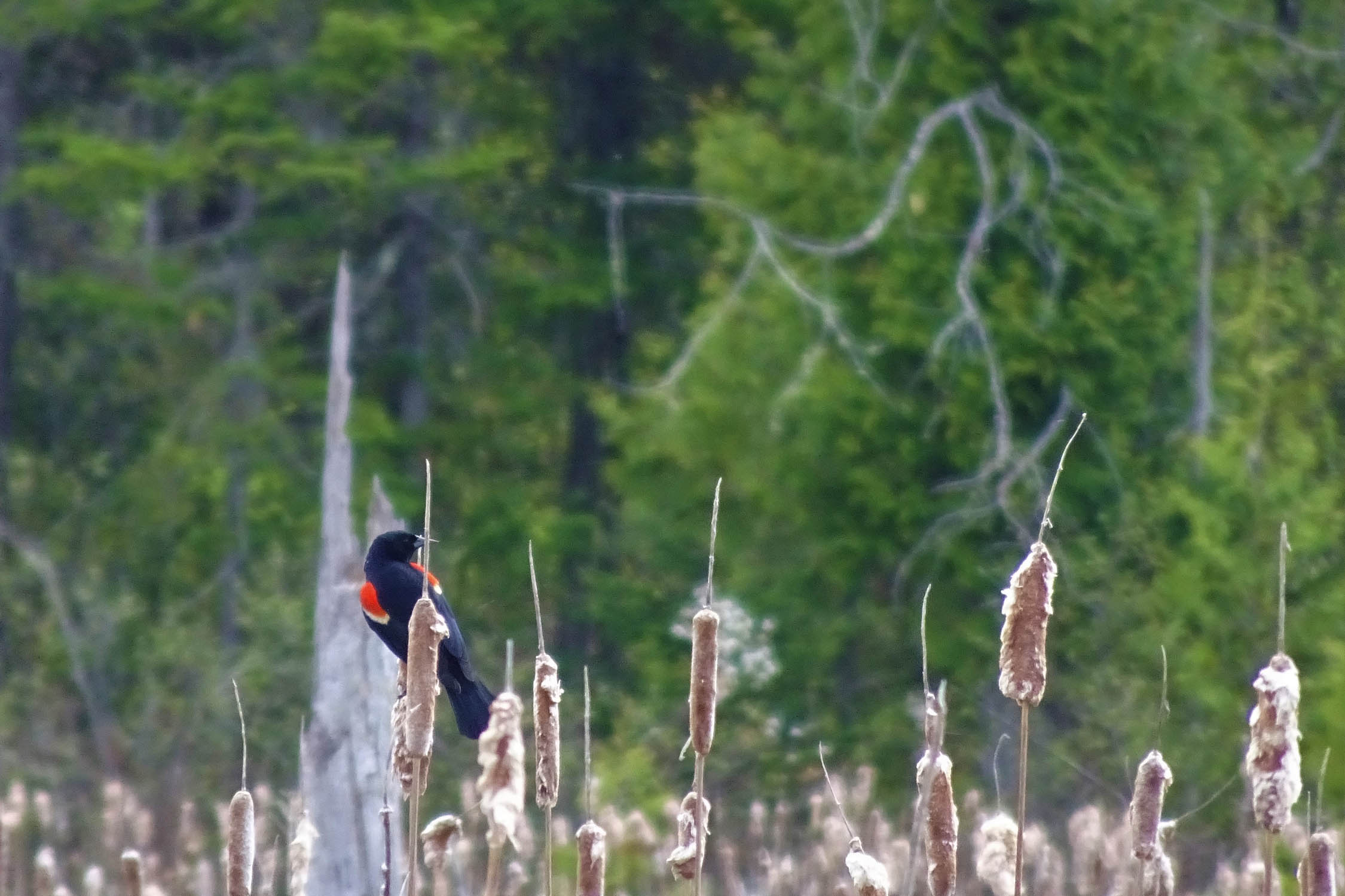
- Birdwatching, bring your binoculars!
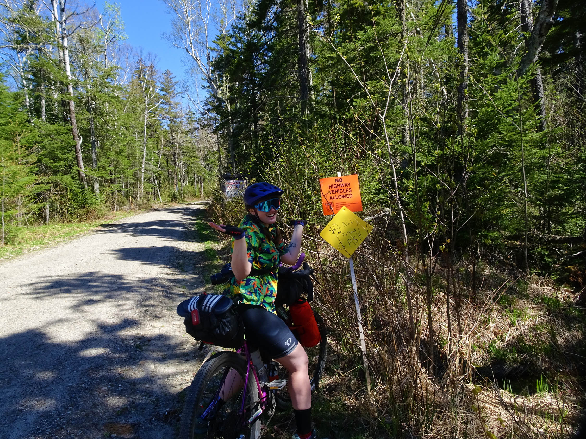
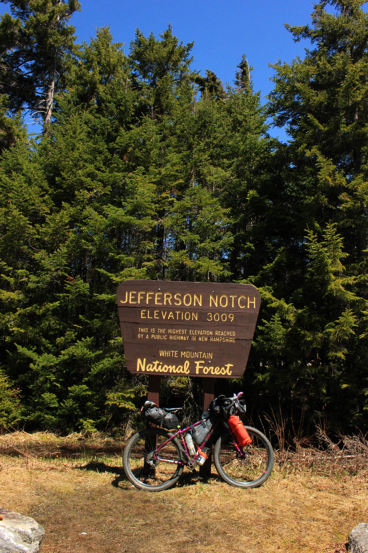
- Jefferson Notch Road, the highest elevation reached by a public highway in NH, all gravel. Closed to motorized vehicles late fall-mid/late spring.
- Old Cherry Mountain Road (Forest Road 14), which is 90% gravel. Closed to motorized vehicles late fall-mid/late spring.
- Cross New Hampshire Adventure Trail, to add some more adventure-pick up this 82-mile west-to-east trail from Wells River, VT, to Bethel, ME. Rail trails, dirt roads, bike paths, and quiet paved backroads have been linked together travelling along river valleys and through the northern White Mountains Region of the state.
- Coös Cycling Club maintains 22+ miles of trail in Moose Brook State Park and amongst the woods around the town of Gorham.
- Hub North, Gorham NH, glamping and lodging, long-term parking for guests
- Crooker Cycle Sports in Berlin, NH, is a one-man bike shop with over 36 years of experience.
- When to go: Summer/early fall, May-November.
- There is free overnight parking available off of Railroad Rd in Gorham.
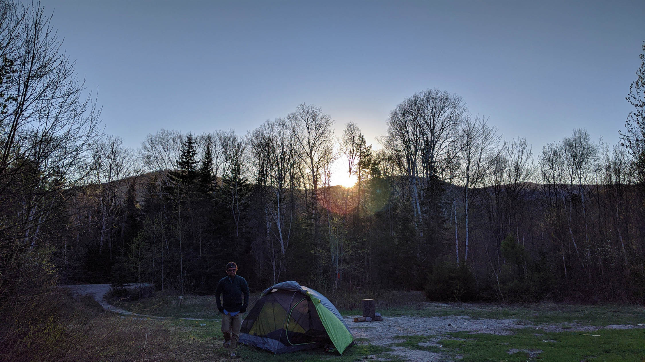
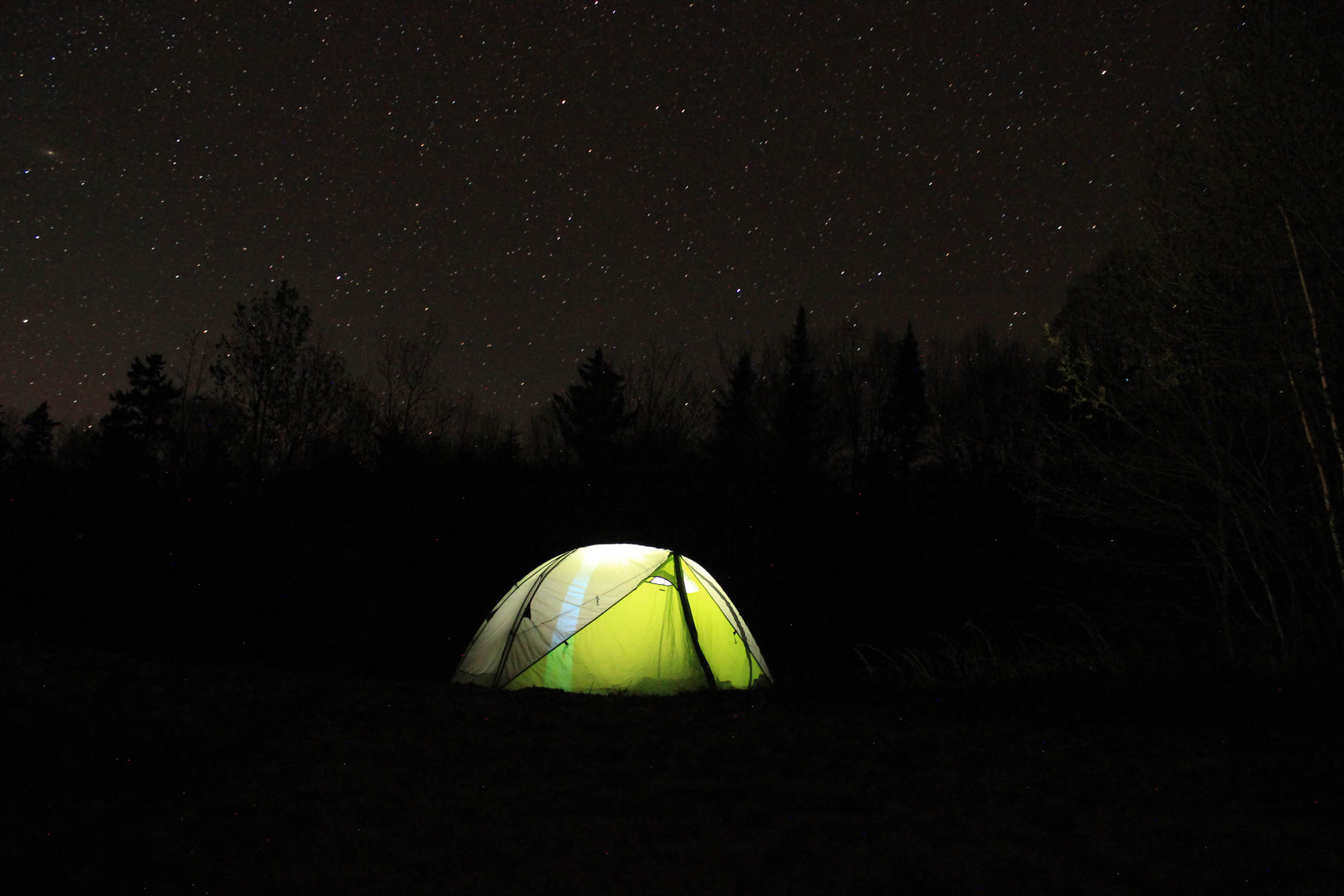
- Camp at any of the free dispersed campsites on Old Cherry Mountain Rd and Jefferson Notch Road. First come, first served. Practice LNT. NO CAMPING in the Wildlife Refuge.
- Access to the Presidential Rail Trail, Cross New Hampshire Adventure Trail, and Silvio O. Conte National Fish and Wildlife Refuge is free.
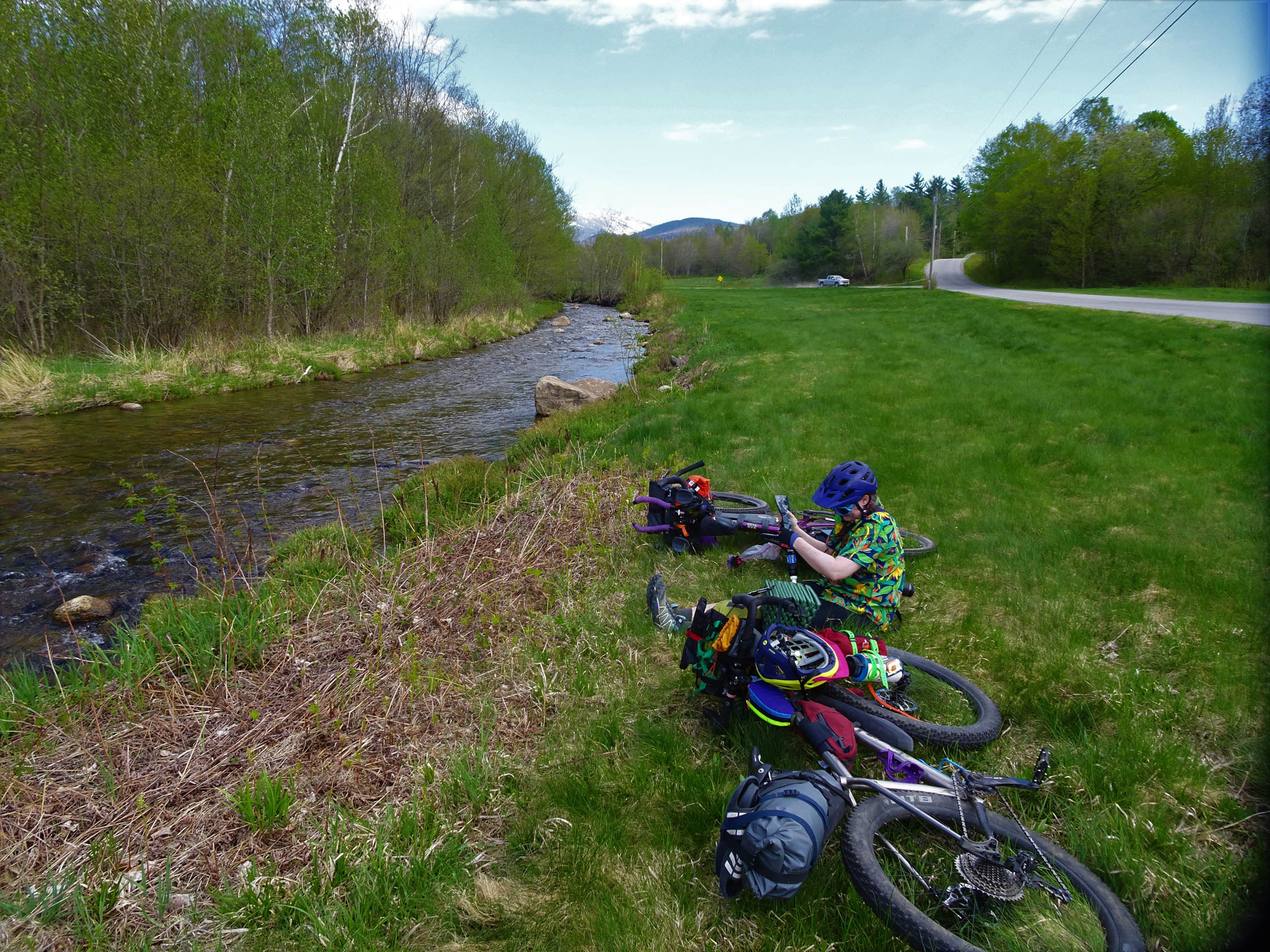
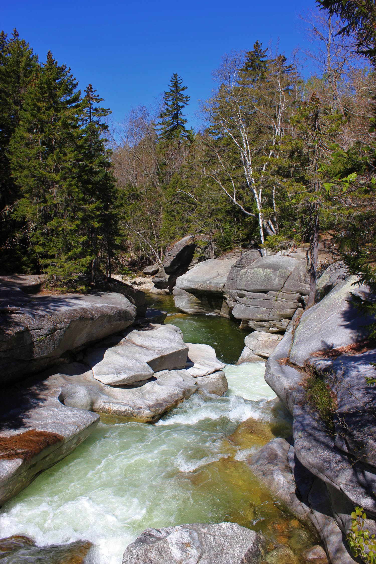
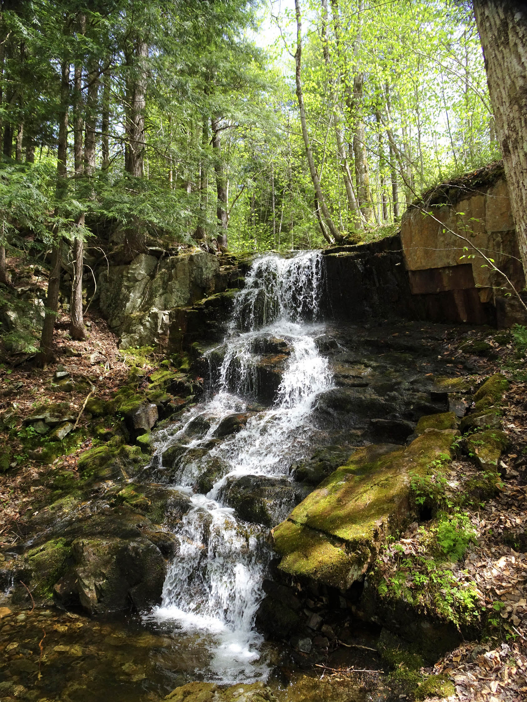
- Swimming holes a-plenty! Upper and lower falls are a must-do on the Ammonoosuc River. There are also numerous spots along the Androscoggin River, Moose River, and Israel River to cool off.
- Hunting with high-powered rifles takes place September-November. You may come across hunters accessing hunting on parts of the route, high-viz clothing is strongly suggested in the fall.
- There is active logging on Jefferson Notch Road and Old Cherry Mountain Road, be cautious on blind corners and hills.
- You may come across horseback riders and dog mushers (yes, they do train in summer!) on the rail trail, please be courteous. Some horses and dogs can get spooked by cyclists.
- Ticks and Bugs! Check yourself (and your friends) and bring tweezers and a lighter to kill them. Bring a bug net for black flies and mosquitos.
- Keep to the trails and paths as many of this route abuts private land. The roads on this route are used for access to logging and hiking.
- Rollo Falls, ¼ mile out and back trail to a stunning waterfall within the Randolph Community Forest. This is a newly constructed trail with the purpose of access for all ability types, please be courteous and walk your bike.
- Dispersed campsites at Old Cherry Mountain Road and Jefferson Notch Road are recommended for all camping. Get permission from landowners if you do not choose to not camp in designated areas. Practice LNT. Pack it in, pack it out. NO CAMPING in the Silvio O. Conte National Fish and Wildlife Refuge.
- Hub North, Gorham NH, lodging, glamping, and free multi-day parking for guests.
- Moose Brook State Park, Gorham NH campsites.
- Additional lodging options in Gorham, NH, and Bretton Woods.
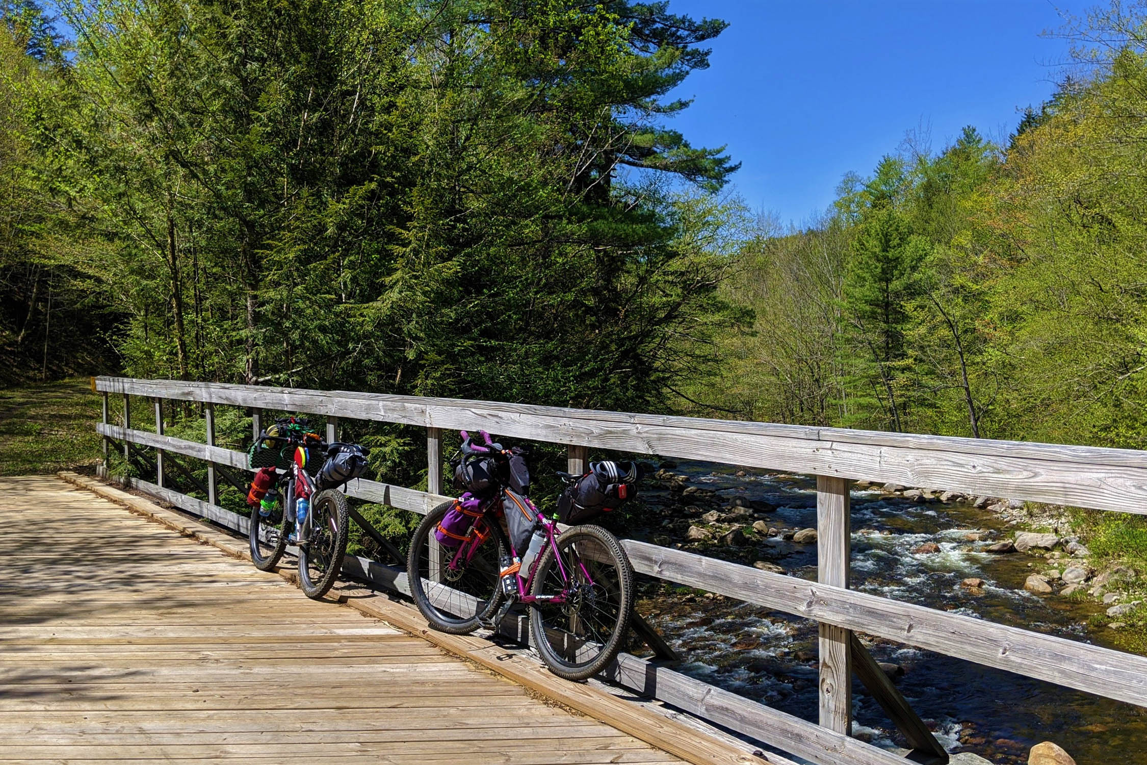
- Rivers, streams and mountain springs are throughout this entire route. Bring a water treatment system.
- White Mountain Cafe (Bakery, Cafe, Bookstore) Gorham, NH.
- Libby’s Bistro/SAaLT (Bistro and Pub) Gorham, NH.
- Vashaw’s Variety (Convenience Store with a great beer selection) Gorham, NH.
- Lowe’s Store (small convenience store) Randolph, NH.
- Bretton Woods Station (Convenience store) Bretton Woods, NH.
- Fabyan’s Station Restaurant, (lunch and dinner) Bretton Woods, NH.
Day One
Starting from Gorham, if starting from Railroad St., head north on Route 16 to the Gorham Rec Path next to the Gorham Airport. You have an option to stay on the Rec Path to the Rail Trail or link up some single and doubletrack on the trails. If starting from Hub North or Moose Brook, there are a number of options to connect to the Lost Campground Trail to connect to the Presidential Rail Trail
*If taking the more adventurous route from the Rec Path connect the Coös Cycling Club’s following trails: Pump House Loop Trail > Old River Road Trail > take a left onto un-named doubletrack > Presidential Rail Trail*
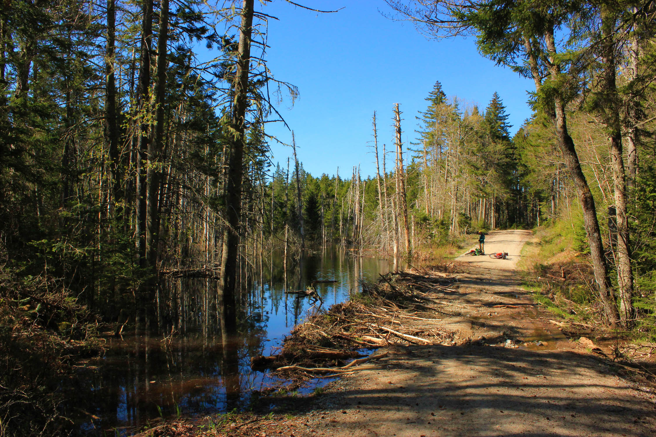
Once on the Presidential Rail trail, it’s an enjoyable warm-up on gentle grade rail trail and gravel road for 18 miles. Make sure you take some time on Valley Road in Randolph to take a look behind you at the views of the Presidential Range. Verdant bogs and migratory bird resting grounds await you at Pondicherry Division of the Silvio O. Conte National Fish and Wildlife Refuge. Take a left onto some pavement for a few miles until you reach Old Cherry Mountain Road, there is a reliable water source at the start of the road from Mill Brook to fill up on water. Head up the quiet forest road for 5 miles until you reach a small pond, pick any of the 7 dispersed campsite areas past the pond to camp at. There are also multiple lodging options a few miles down the road in the towns of Caroll and Bretton Woods.
Day Two
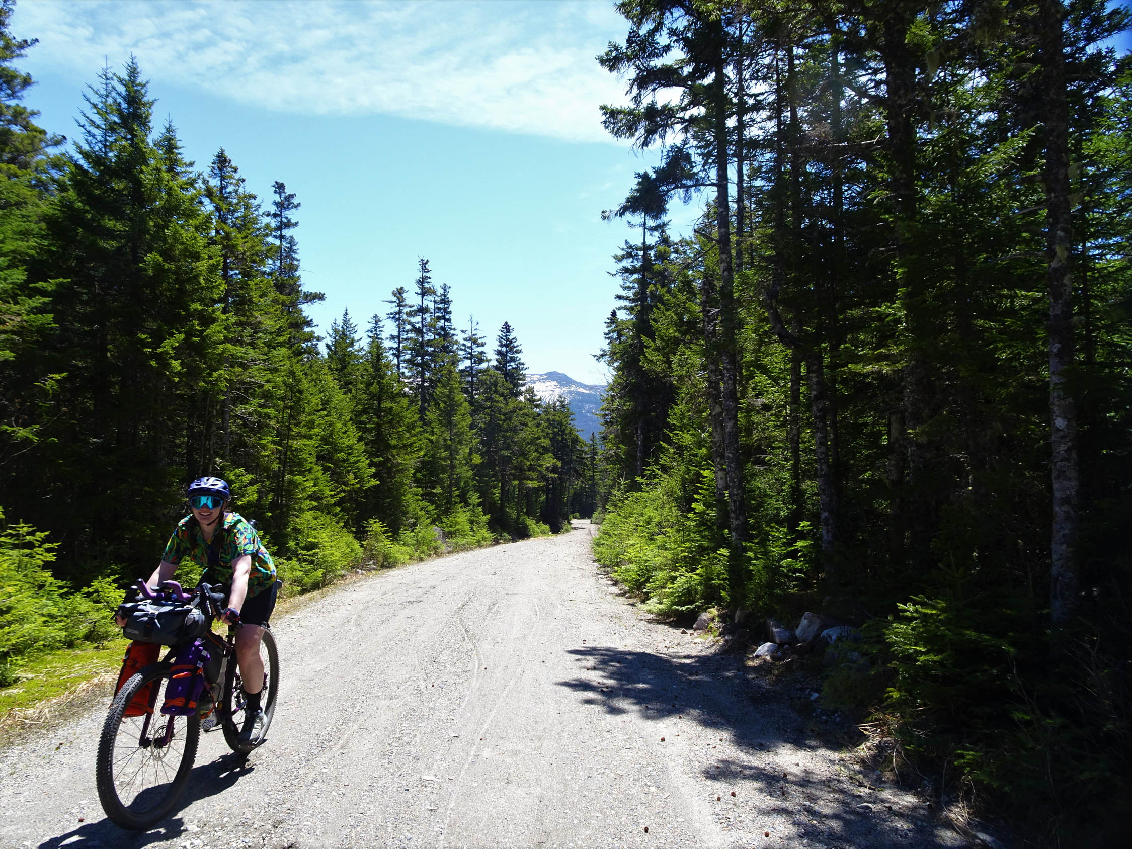
Continue on Old Cherry Mountain Road until you drop down into the towns of Carroll and Bretton Woods. A very short paved section brings you to a convenience store and restaurant. Continue onto Base Road for 5 miles, make sure to stop at Upper Falls to cool off. Take a left onto Jefferson Notch Road for a three-mile climb up to the top of Jefferson Notch Road/Caps Ridge Trailhead. There is a brook along the road to resupply on water. Make sure to take some breaks and take a look behind you as you climb as there are stunning views of the Ammonoosuc Ravine and the Northern Presidentials. You will reach the crest of Jefferson Notch Road, the highest elevation reached by a public highway in NH. There is a nice area to rest at the Caps Ridge Trailhead parking area with views of the summits of Mount Jefferson and Adams. This trailhead can be packed on weekends in the summer. You then enjoy a nice six-mile downhill until you meet the Presidential Rail Trail back to Gorham. Take a right to get back into Gorham. After the Castle Ridge Trail Head parking lot, look for a small sign for Rollo Falls on your right. There is a ¼ mile out-and-back trail to a stunning waterfall within the Randolph Community Forest. This is a newly constructed trail with the purpose of access for all ability types. Please be courteous and walk your bike. Enjoy the rest of the smooth sailing back into Gorham and make sure to check out some local cuisine. White Mountain Cafe is great for breakfast or lunch and Libby’s Bistro/SAaLT is a great spot to grab dinner. If you have time, hit up the local Coös Cycling Club mountain bike trails at Moose Brook State Park.
Additional Resources
- Friends of the Presidential Rail Trail: friendsofthepresidentialrailtrail.org
- Cross New Hampshire Adventure Trail: http://www.xnhat.org
- Coös Cycling Club: cooscyclingclub.org
- New Hampshire Hunting Seasons: wildlife.state.nh.us/hunting/
- New Hampshire State Parks: https://www.nhstateparks.org
- New Hampshire Fish and Game: wildlife.state.nh.us
- Tick prevention and information: tickfreenh.org
- Silvio O. Conte National Fish and Wildlife Refuge: fws.gov/refuge/Silvio_O_Conte/
- Pondicherry Wildlife Refuge: friendsofpondicherry.org/history
- New Hampshire Audubon: nhaudubon.org/pondicherry-wildlife-refuge
- Forest Road Status: trailsnh.com / fs.usda.gov
- Hub North: hubnorthnh.com


Terms of Use: As with each bikepacking route guide published on BIKEPACKING.com, should you choose to cycle this route, do so at your own risk. Prior to setting out check current local weather, conditions, and land/road closures. While riding, obey all public and private land use restrictions and rules, carry proper safety and navigational equipment, and of course, follow the #leavenotrace guidelines. The information found herein is simply a planning resource to be used as a point of inspiration in conjunction with your own due-diligence. In spite of the fact that this route, associated GPS track (GPX and maps), and all route guidelines were prepared under diligent research by the specified contributor and/or contributors, the accuracy of such and judgement of the author is not guaranteed. BIKEPACKING.com LLC, its partners, associates, and contributors are in no way liable for personal injury, damage to personal property, or any other such situation that might happen to individual riders cycling or following this route.
Please keep the conversation civil, constructive, and inclusive, or your comment will be removed.