


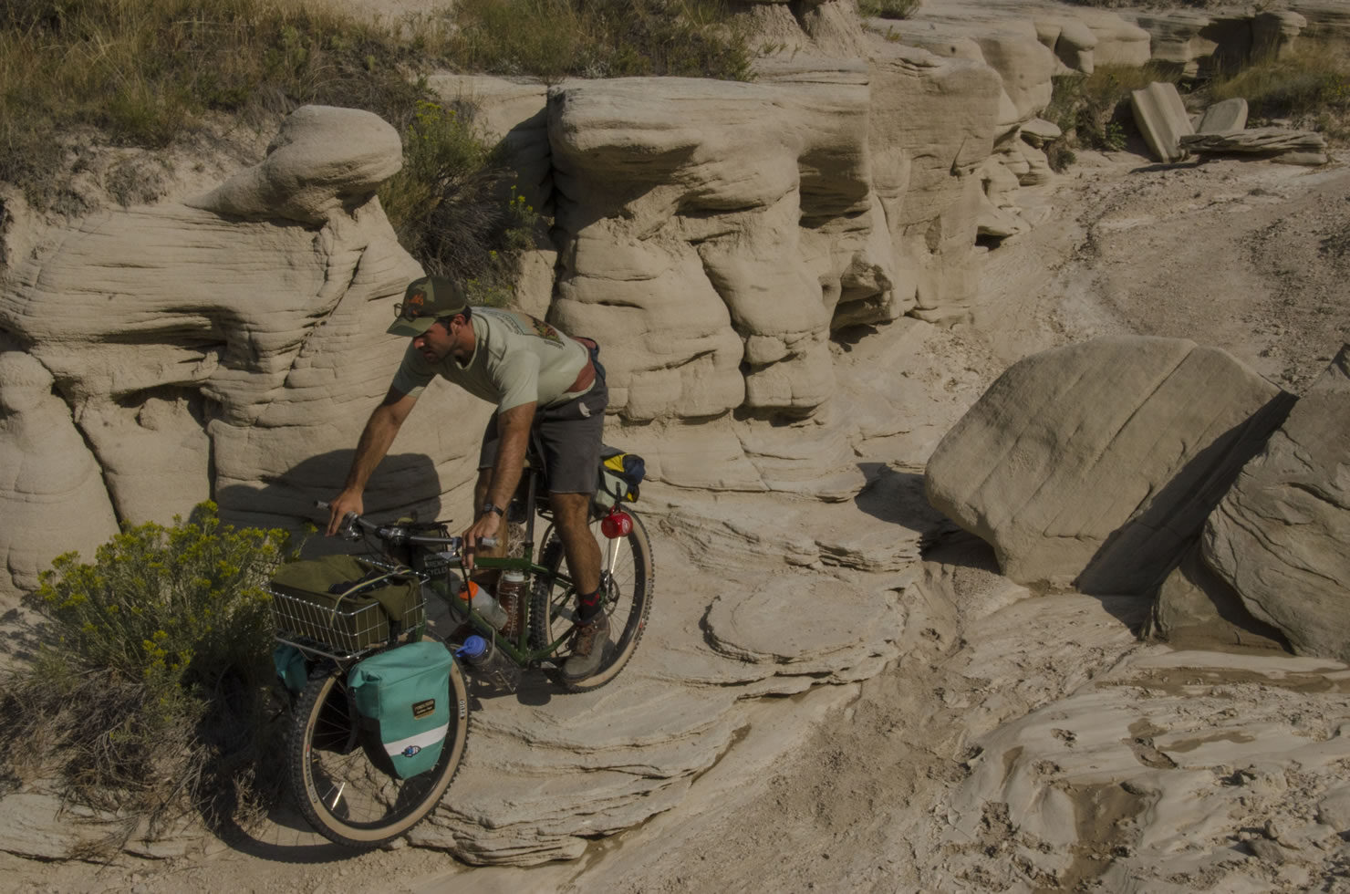
The Oglala Loop: Plains, Buttes and Toadstools
Distance
126 Mi.
(203 KM)Days
3
% Unpaved
92%
% Singletrack
0%
% Rideable (time)
100%
Total Ascent
6,300'
(1,920 M)High Point
5,020'
(1,530 M)Difficulty (1-10)
5?
- 3Climbing Scale Fair50 FT/MI (9 M/KM)
- -Technical Difficulty
- -Physical Demand
- -Resupply & Logistics
Contributed By
Carly Gauger
Onion Velo
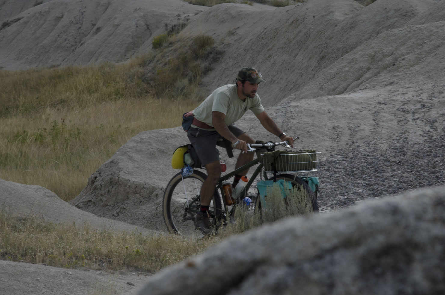
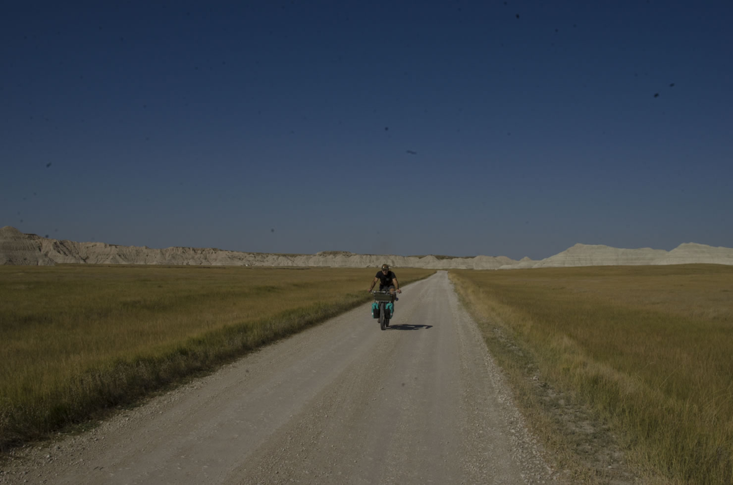
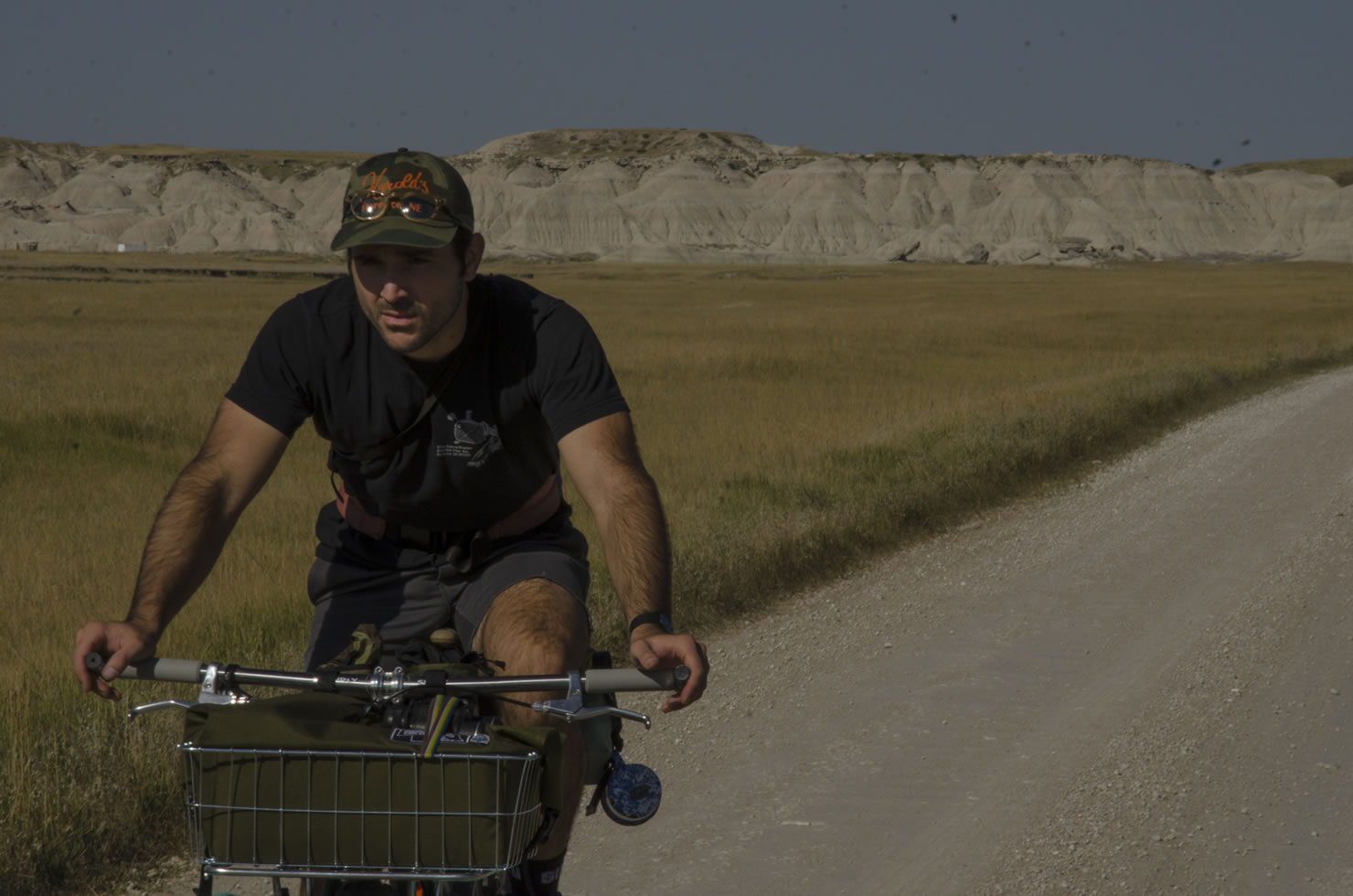
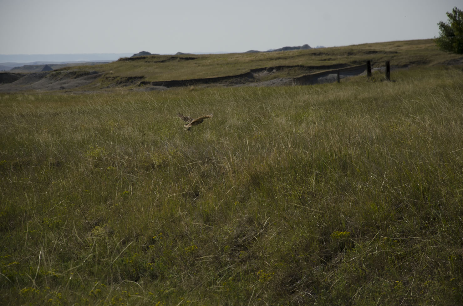
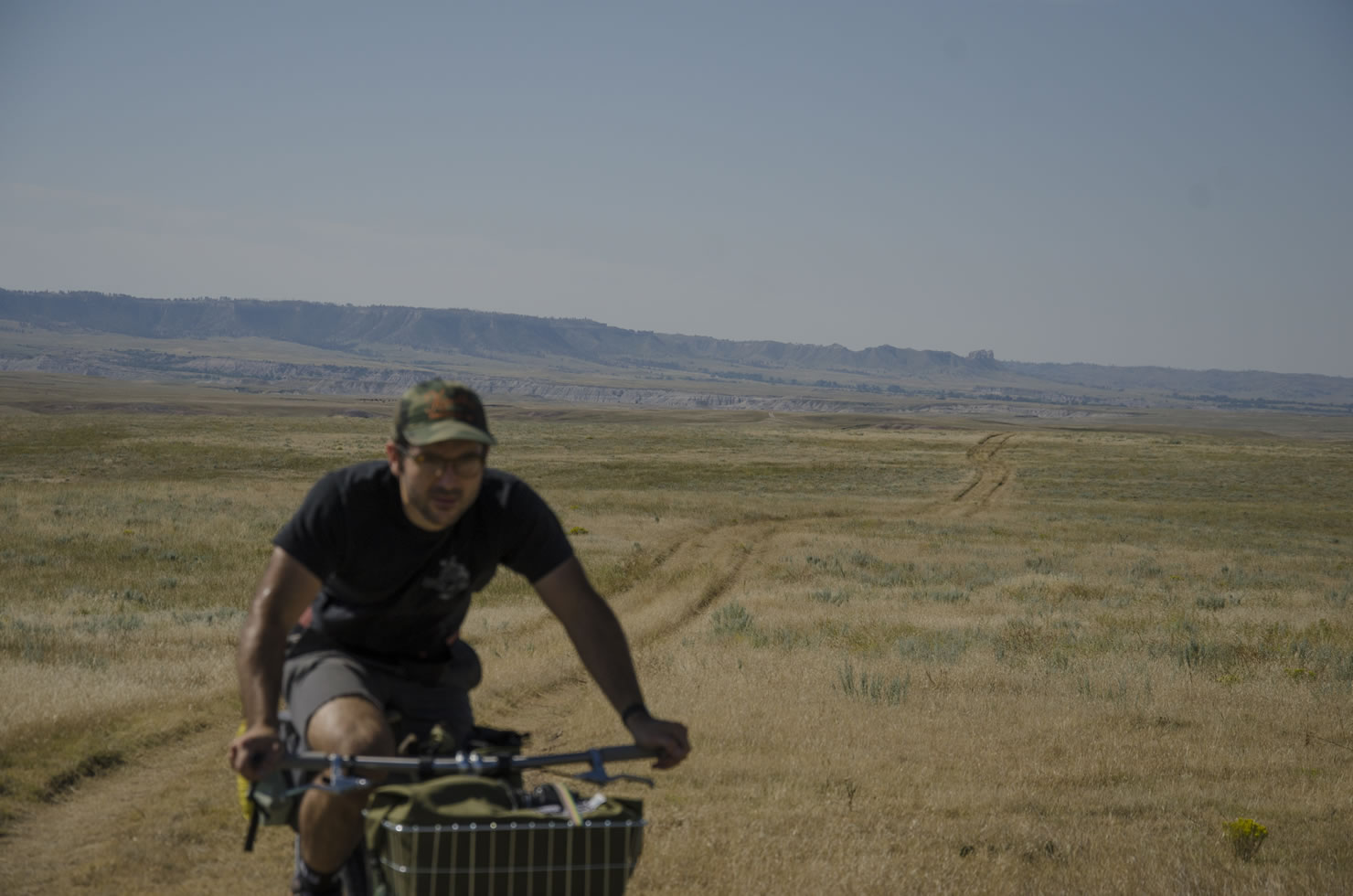
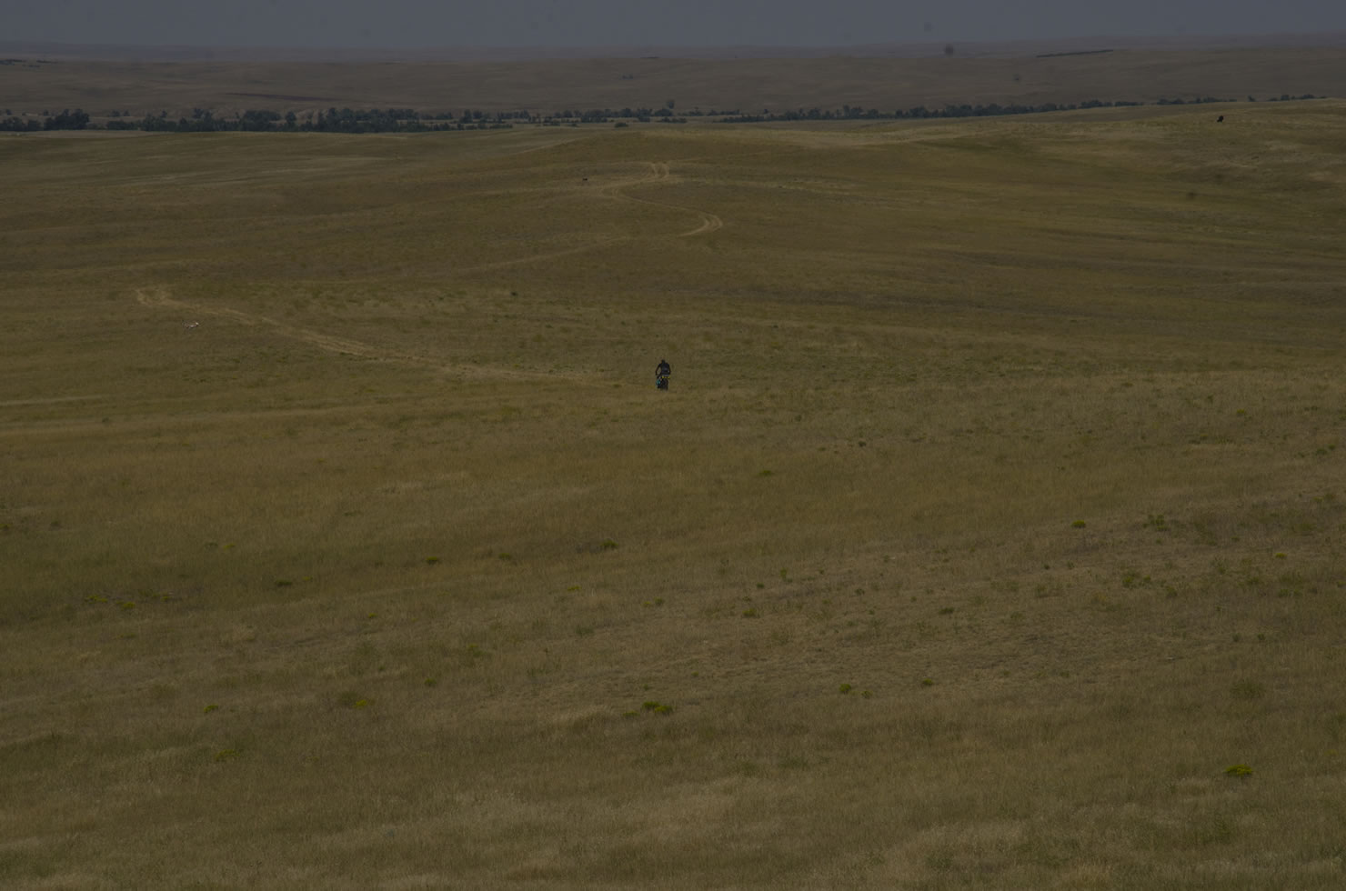
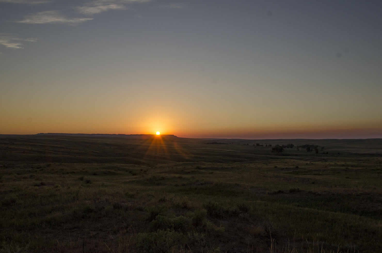
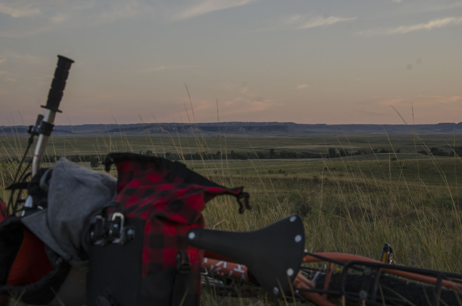
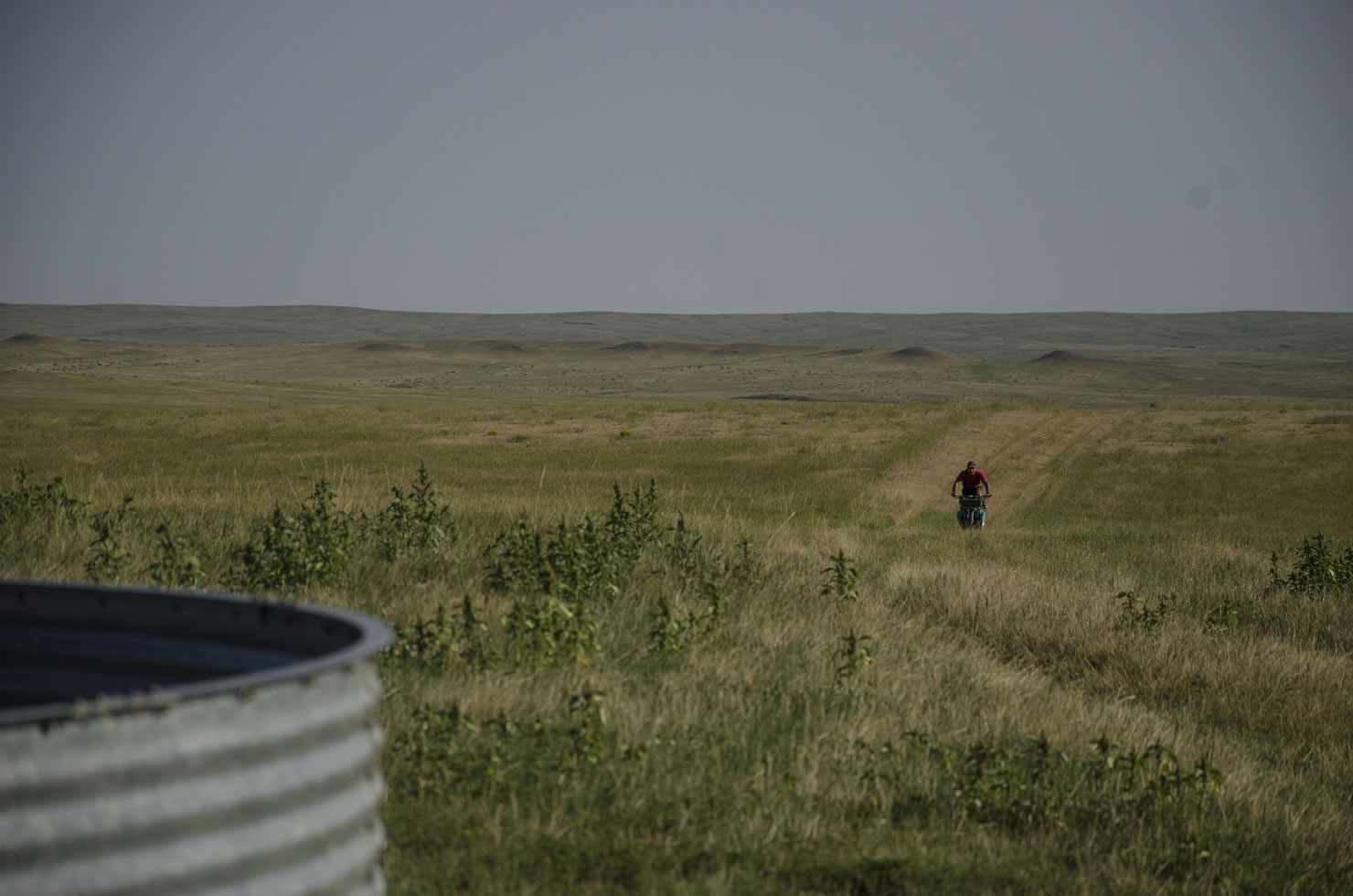
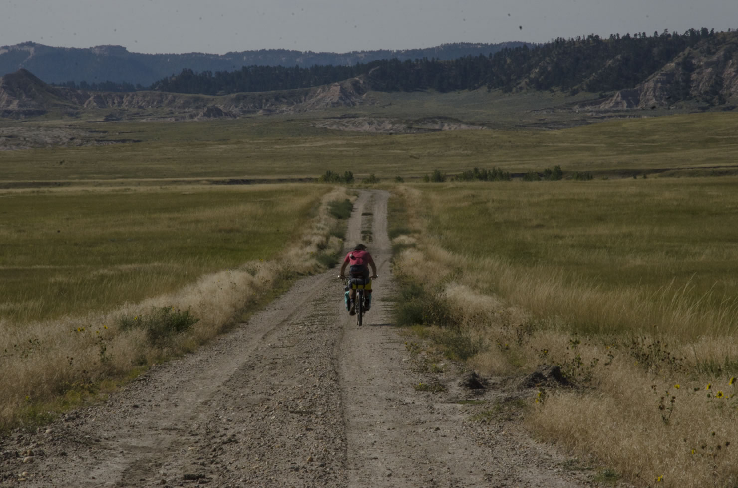
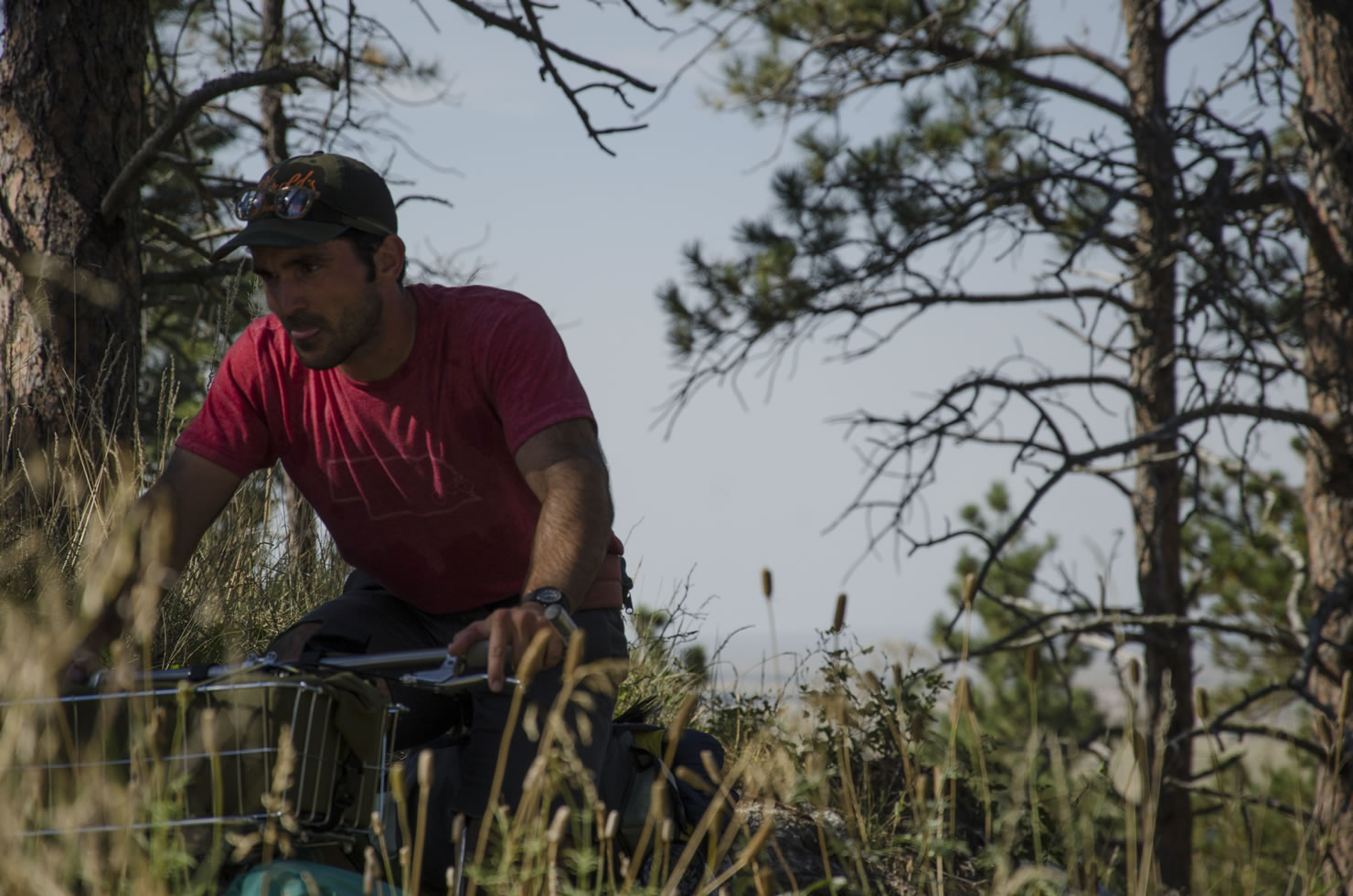
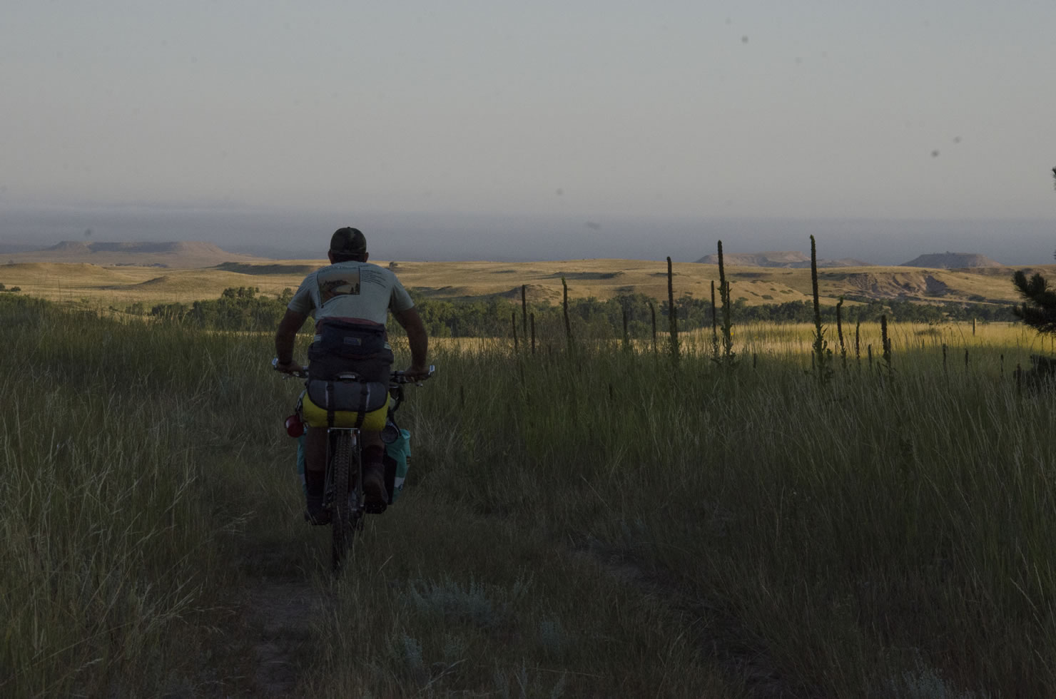
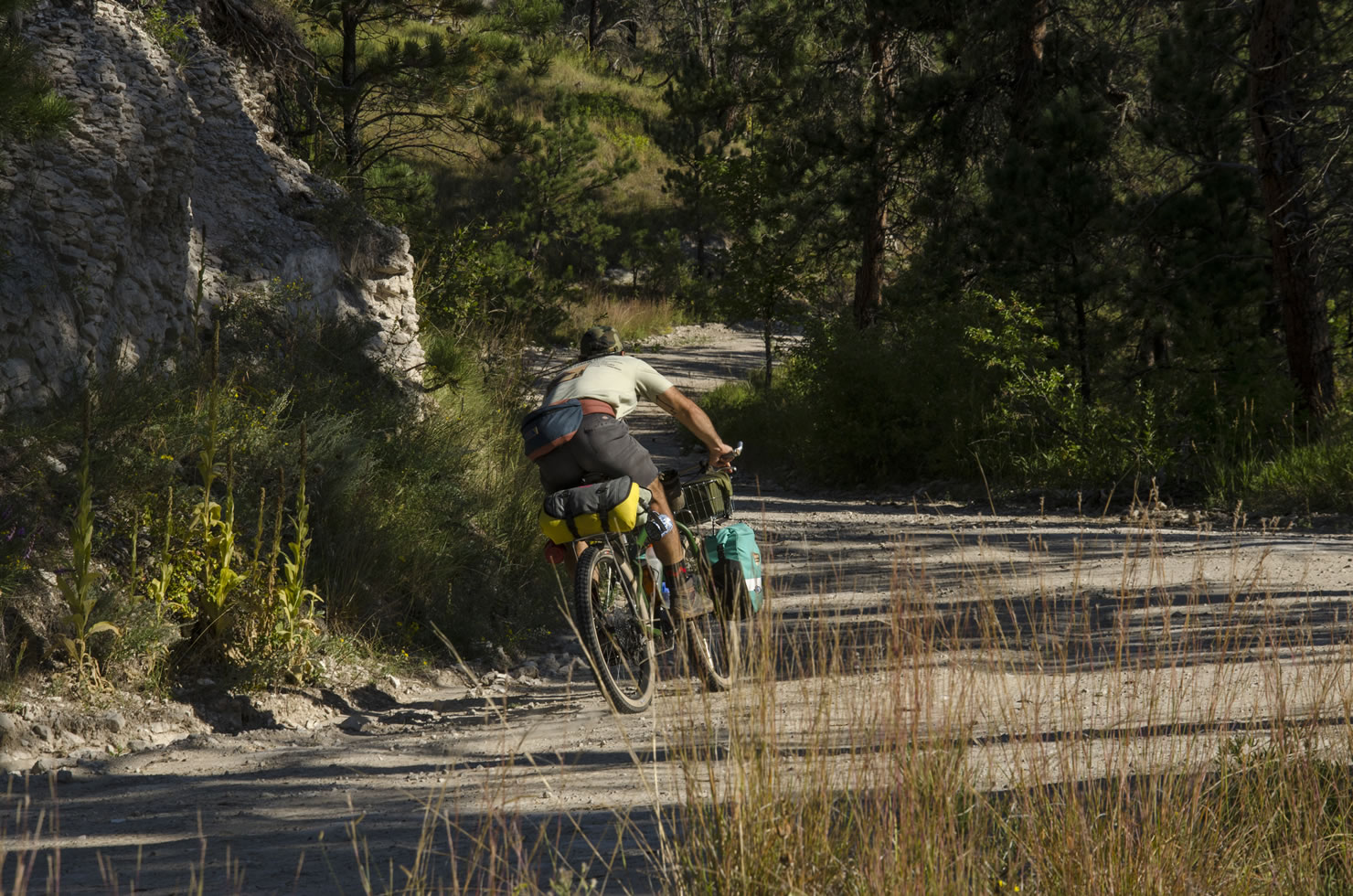
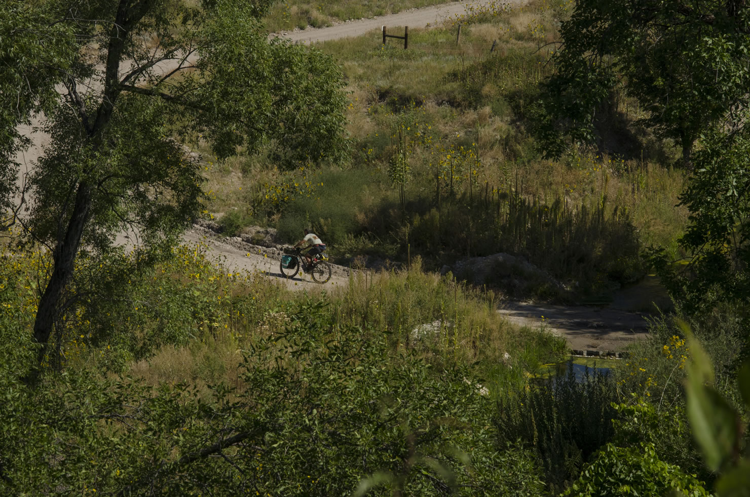
The route starts and ends in Toadstool Geological Park, a unique collection of eroded sandstone amongst a larger swath of badlands. As you turn your back to this dramatic geological landscape your route heads north through the Oglala National Grasslands towards South Dakota. Passing into South Dakota’s Buffalo Gap National Grassland, the Black Hills are visible to the north and the Pine Ridge to the south. A mixture of gravel roads and extremely rough, unmaintained double track lead you west to the northwesternmost corner of Nebraska. The open prairie is a haven for wildlife, so be prepared to see lots of pronghorn, burrowing owls, and a variety of snakes. The first night’s camp is usually somewhere in the Oglala Grassland, and if you make it to Indian Creek at mile 45, you have plenty of shelter and firewood. Just remember that there is precious little water out on the prairie for most of the year, so pack in enough to get you through the first day, night, and the next morning.
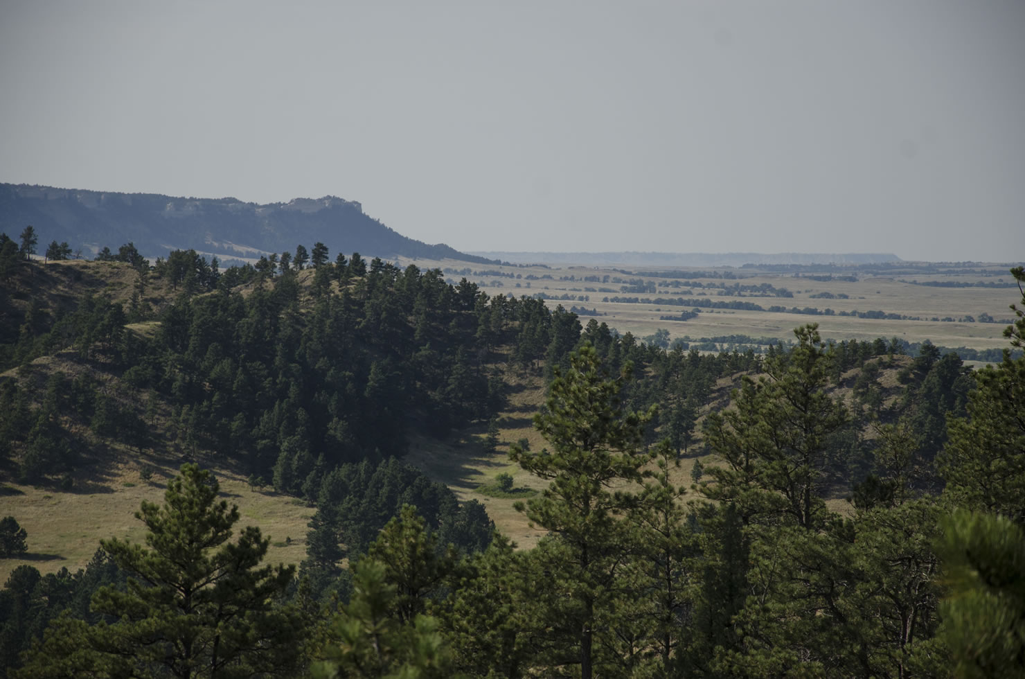
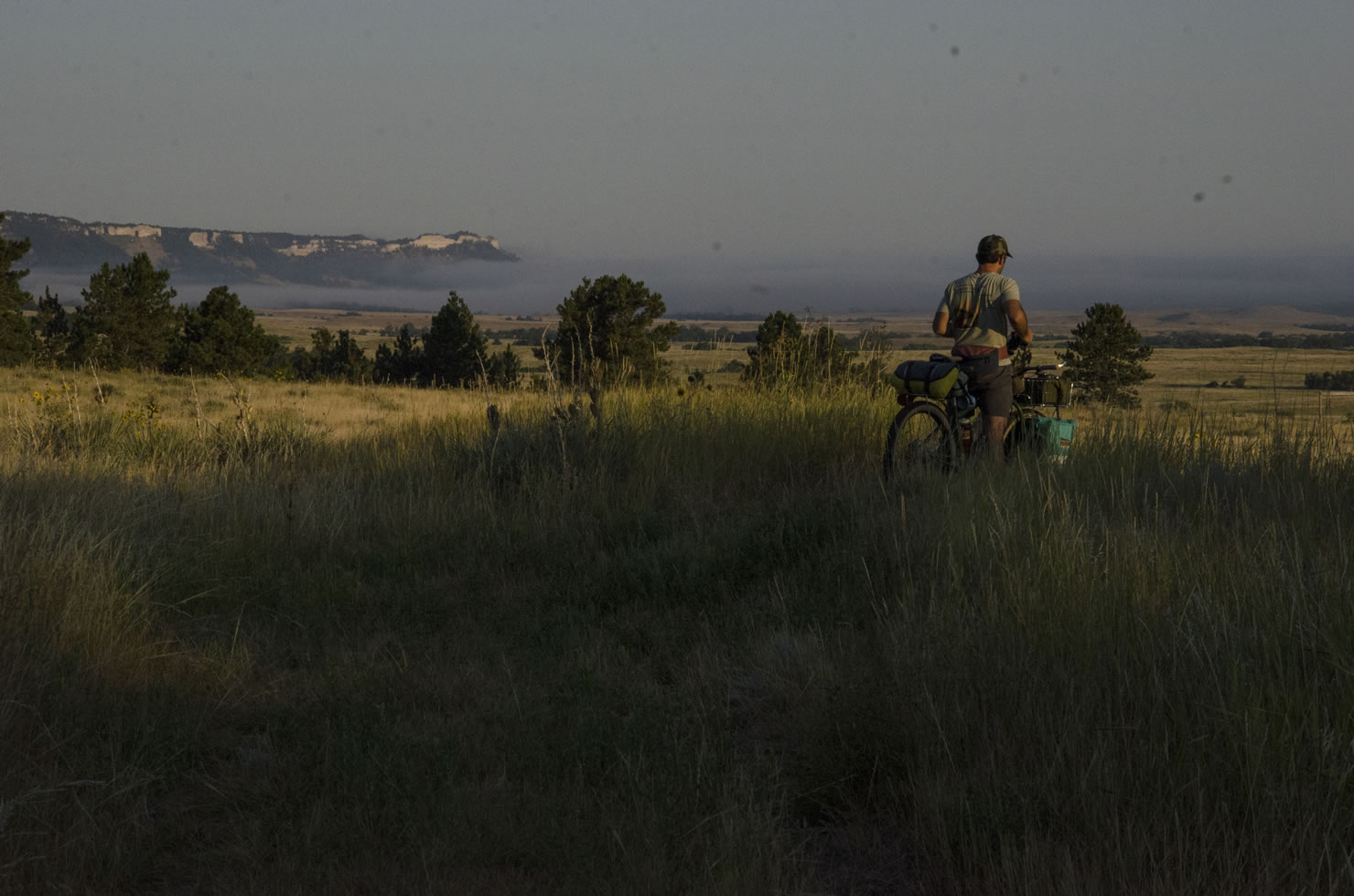
From the states’ corners, you head south and meander along the border as the Pine Ridge rises out of the valley floor. The rough roads wind through badlands and dry wash past several remote ranches. As you approach the ridge along Monroe Canyon Road, there is a terrific campground in Gilbert Baker SWMA that is managed by the City of Harrison. It’s tucked in the canyon beside Monroe Creek on the west side of Monroe Canyon road. If you take the service road to the east of the road, you can climb some insanely steep double track and find some excellent dispersed camping among the exposed sandstone buttes with a stunning view of the ponderosa lined canyon and the valley floor beyond.
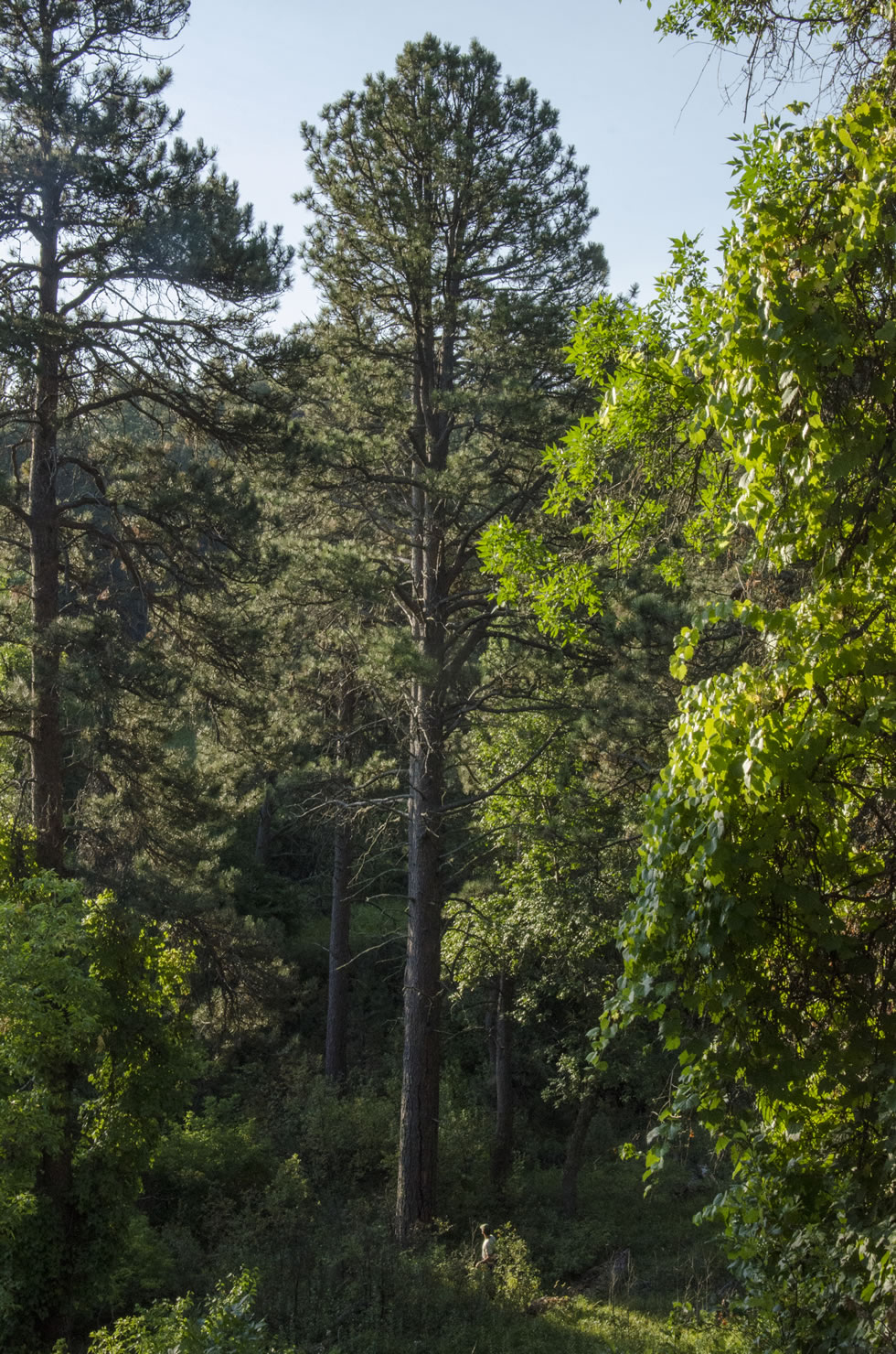
From Gilbert Baker, it’s a climb onto the ridge and then a fast, long descent down Sowbelly Canyon road to Coffee Park, a delightful little park with a spring, and covered picnic areas. From here the route briefly exits the ridge and meanders out into the valley before climbing up East Hat Creek Canyon back onto the table up top. The next section winds along Cottonwood Road, which gives a unique, elevated perspective on the ridge, with views of Oglala National Grasslands to the north and Soldier Creek Wilderness to the South. The descent into Cottonwood Canyon is rough, fast, and fun. After another climb, you turn north the route threads between Pine Butte and Round Top Butte before the final descent back to the valley floor. Just before mile 118, if conditions are dry, you can take the multi use Hudson-Meng trail to your right, and descend down through the wash into Toadstool Geological park. Otherwise, continue on the double track as notated in the GPS route.


Submit Route Alert
As the leading creator and publisher of bikepacking routes, BIKEPACKING.com endeavors to maintain, improve, and advocate for our growing network of bikepacking routes all over the world. As such, our editorial team, route creators, and Route Stewards serve as mediators for route improvements and opportunities for connectivity, conservation, and community growth around these routes. To facilitate these efforts, we rely on our Bikepacking Collective and the greater bikepacking community to call attention to critical issues and opportunities that are discovered while riding these routes. If you have a vital issue or opportunity regarding this route that pertains to one of the subjects below, please let us know:
Highlights
Must Know
Camping
Food/H2O
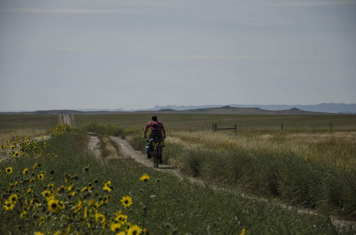
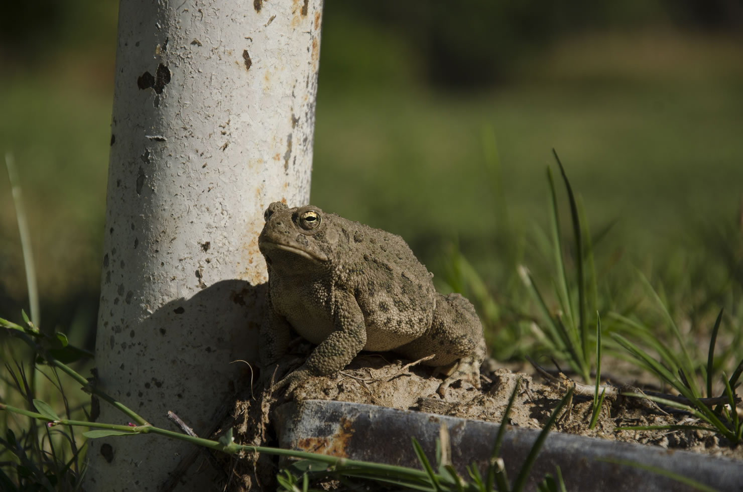
- High Plains Ecology: As you pass through the Oglala and Buffalo Gap National Grasslands, you will have ample opportunity to see pronghorn, burrowing owl, and other prairie wildlife. The drastic ecological changes between the arid grassland and the lush cottonwood-lined creek beds are worth every bit of effort it takes to pedal through the sometimes harsh weather and rough service roads.
- The Pine Ridge: Over 100 miles in length, this escarpment rises up between the Niobrara and White River valleys, gaining nearly 5000 feet in elevation, and provides a stunning landscape of sandstone buttes, ponderosa lined canyons, and lung busting climbs.
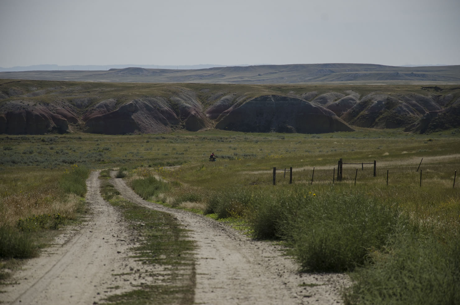
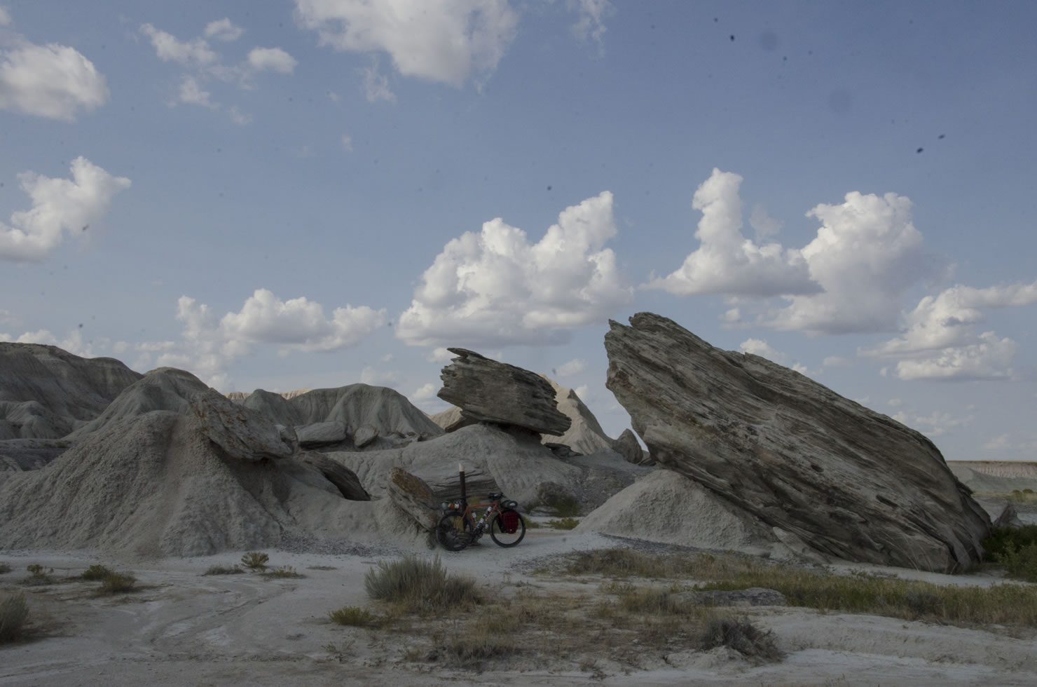
- Toadstool Geologic Park: Known as Nebraska’s badlands, this unique section of eroded sandstone features rock formations resembling toadstools, as well as tons of prehistoric fossils.
- Cottonwood Road: This 12 mile road winds along the top of the ridge, in and out of ponderosa stands, with panoramic views of the area before it dives down into Cottonwood Canyon. Definitely a high point, both figuratively and literally
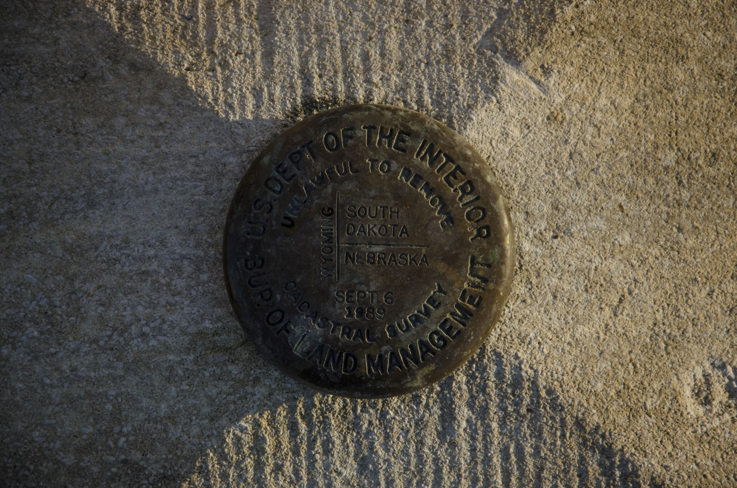
- Chaffee Monument: This limestone marker is set on the borders of Wyoming, Nebraska, and South Dakota. A bit of a hike a bike from the route, but worth it with panoramic views of the three states.
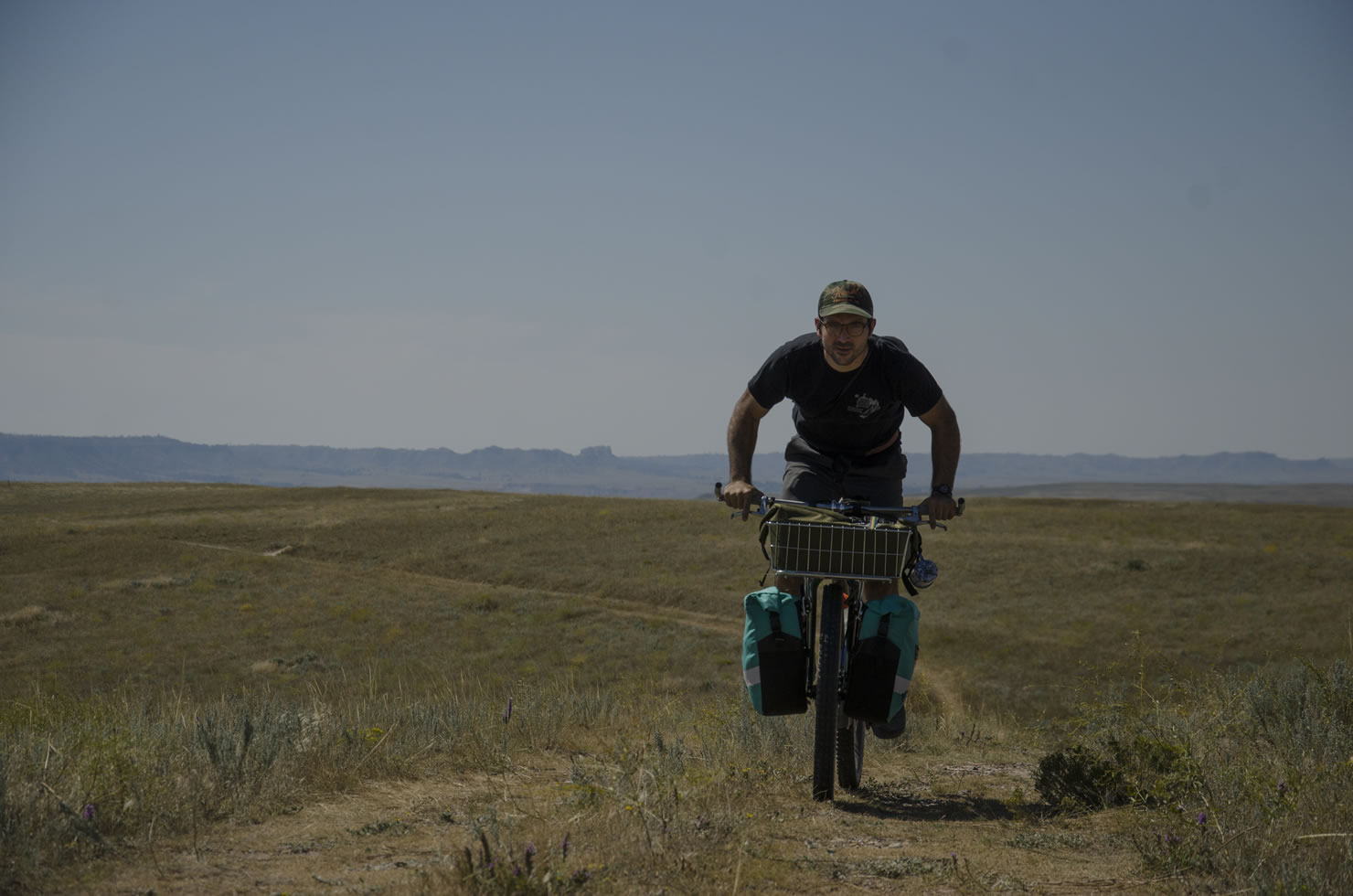
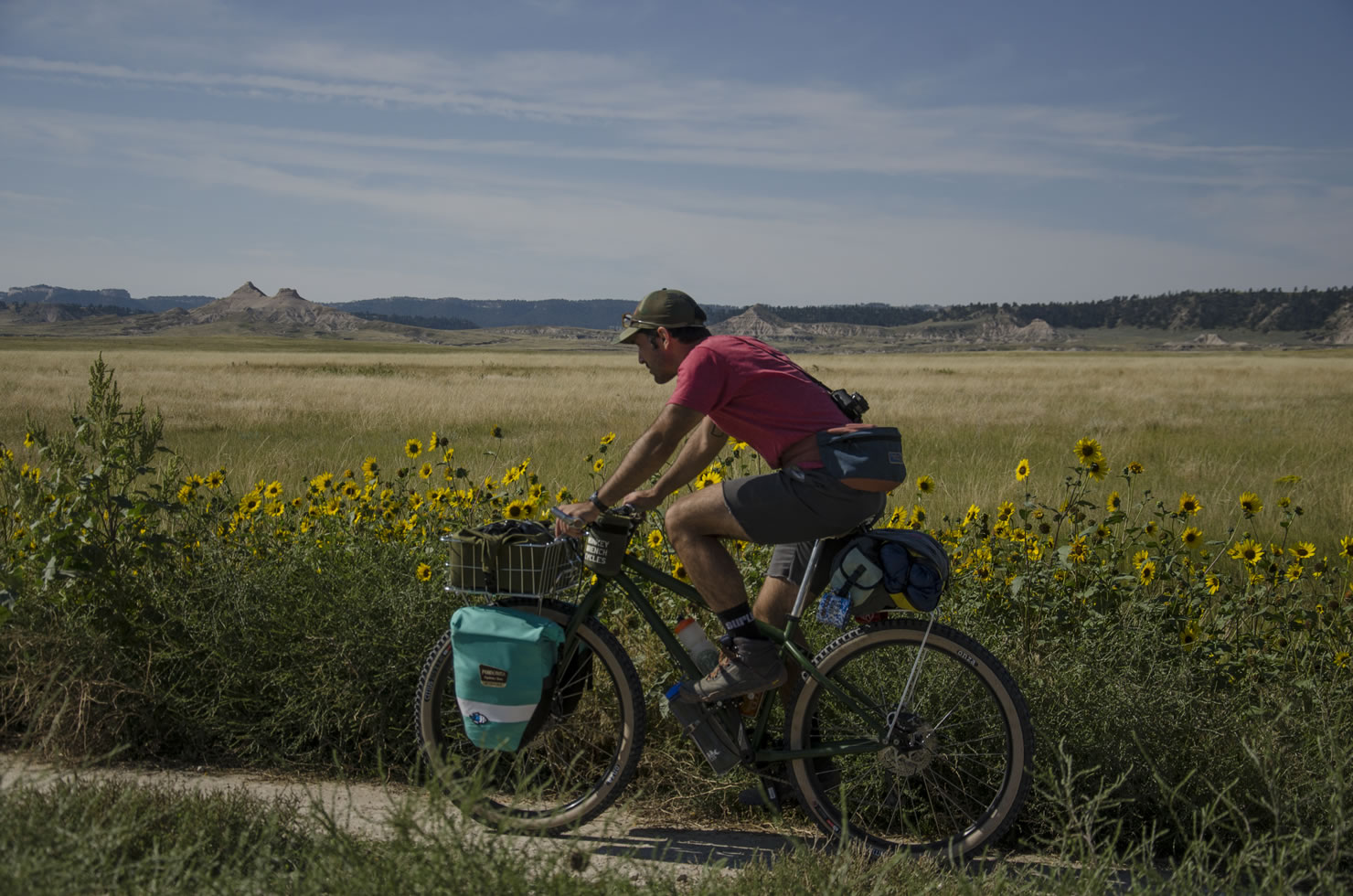
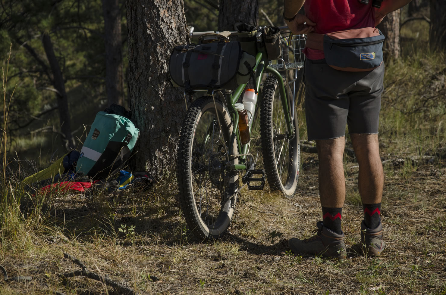
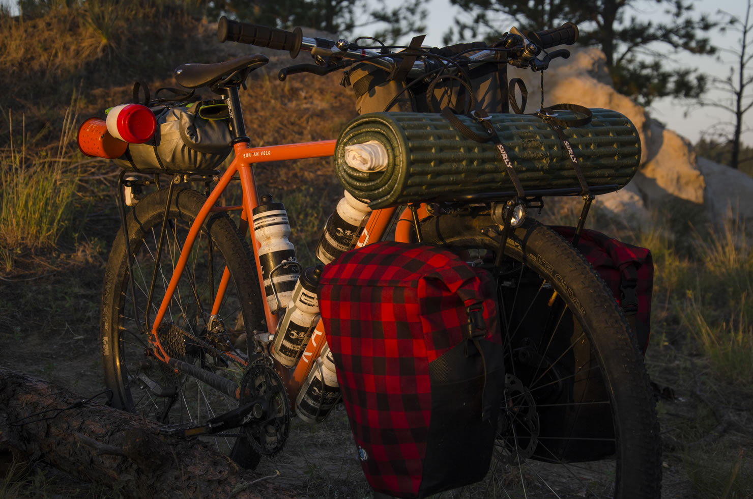
- Bike Choice: The best bike for this route is a rigid, plus bike. A 29” rigid bike can be enough, but a large part of the route is on extremely rough double track, and the larger air volume of a 3” tire will float over the rough terrain with a lot less effort and more comfort than on a 2” tire.
- Planning around rain: While the soil dries out very quickly, when it’s muddy, locals refer to it as “gumbo”. It is not pleasant to ride through, and adds a lot of weight to your bike. Northwest Nebraska is classified as a “semi-arid” region, and most of the time it will be fine, but if there is heavy rain, give it a day or two.
- We recommend doing the route in 2 or 3 days. 3 days will give you time to enjoy the camping and scenery, and maybe hike off the route to view wildlife and explore your surroundings.
- Wild camping is available throughout the route. Please respect private property and leave no trace.
- Some of our favorite camps are marked on the GPS map.
- Much of the route passes through National grasslands and State Wildlife Management Areas where dispersed camping is allowed. Fires are allowed within National Grasslands, as long as there are no fire restrictions.
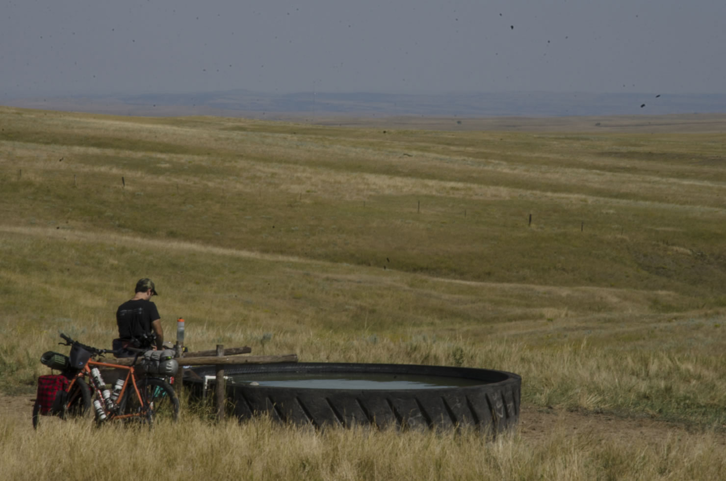
- Planning for water is very important. In the first 70 miles, you may not encounter any fresh water sources. There will most certainly be some cattle drinks that you can filter water out of, but the best policy is to just bring as much as you can. Some of the cattle drinks have pumps that are activated by a bobber, and it’s possible to manipulate them to pump water into bottles and bladders, but don’t necessarily count on it. If you can get water this way it’s well water and doesn’t need to be filtered. After you reach Gilbert Baker WMA, you will have plenty of fresh creek and spring water for the rest of the trip.
- Pack in enough food for the whole trip. The route is nearly all in very remote places, and you won’t even come near any food source.


Terms of Use: As with each bikepacking route guide published on BIKEPACKING.com, should you choose to cycle this route, do so at your own risk. Prior to setting out check current local weather, conditions, and land/road closures. While riding, obey all public and private land use restrictions and rules, carry proper safety and navigational equipment, and of course, follow the #leavenotrace guidelines. The information found herein is simply a planning resource to be used as a point of inspiration in conjunction with your own due-diligence. In spite of the fact that this route, associated GPS track (GPX and maps), and all route guidelines were prepared under diligent research by the specified contributor and/or contributors, the accuracy of such and judgement of the author is not guaranteed. BIKEPACKING.com LLC, its partners, associates, and contributors are in no way liable for personal injury, damage to personal property, or any other such situation that might happen to individual riders cycling or following this route.
Please keep the conversation civil, constructive, and inclusive, or your comment will be removed.