


The Old Chalk Way
Distance
358 Mi.
(576 KM)Days
6
% Unpaved
54%
% Singletrack
3%
% Rideable (time)
99%
Total Ascent
16,902'
(5,152 M)High Point
890'
(271 M)Difficulty (1-10)
4.5?
- 3Climbing Scale Fair47 FT/MI (9 M/KM)
- 4Technical Difficulty Fair
- 6Physical Demand Moderate
- 3Resupply & Logistics Fair
Contributed By
Ben Wormald & Chris Hunt
Guest Contributor
Ben and Chris met whilst at university in Cornwall. Partners in crime on bike rallies, races, bikepacking trips, and audaxes. Ben (@benworm) is the Ordnance Survey map nerd, paramedic, and photographer, and Chris (@huntchrisdown) keeps the ship running smoothly and is editor of BASE magazine.
From the Dorset coast to The Wash in East Anglia, forged by foot and hoof, Britain’s first highway provided a safe and reliable trading route more than 5,000 years ago. Following an elevated chalk escarpment diagonally across southern England, the high ground ensured the pathways would dry quickly while offering an advantage over potential attacks. And for thousands of years, the route saw countless drovers, druids, and soldiers, as well as the assembly of some of the world’s most impressive neolithic, Bronze, Stone, and Iron Age sites.
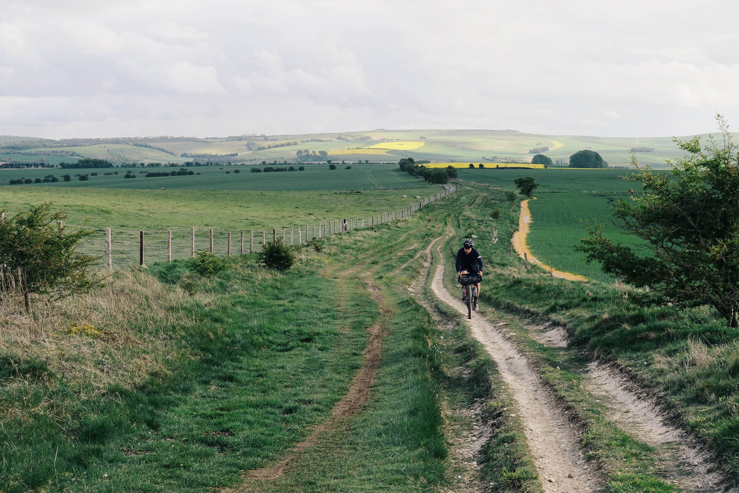
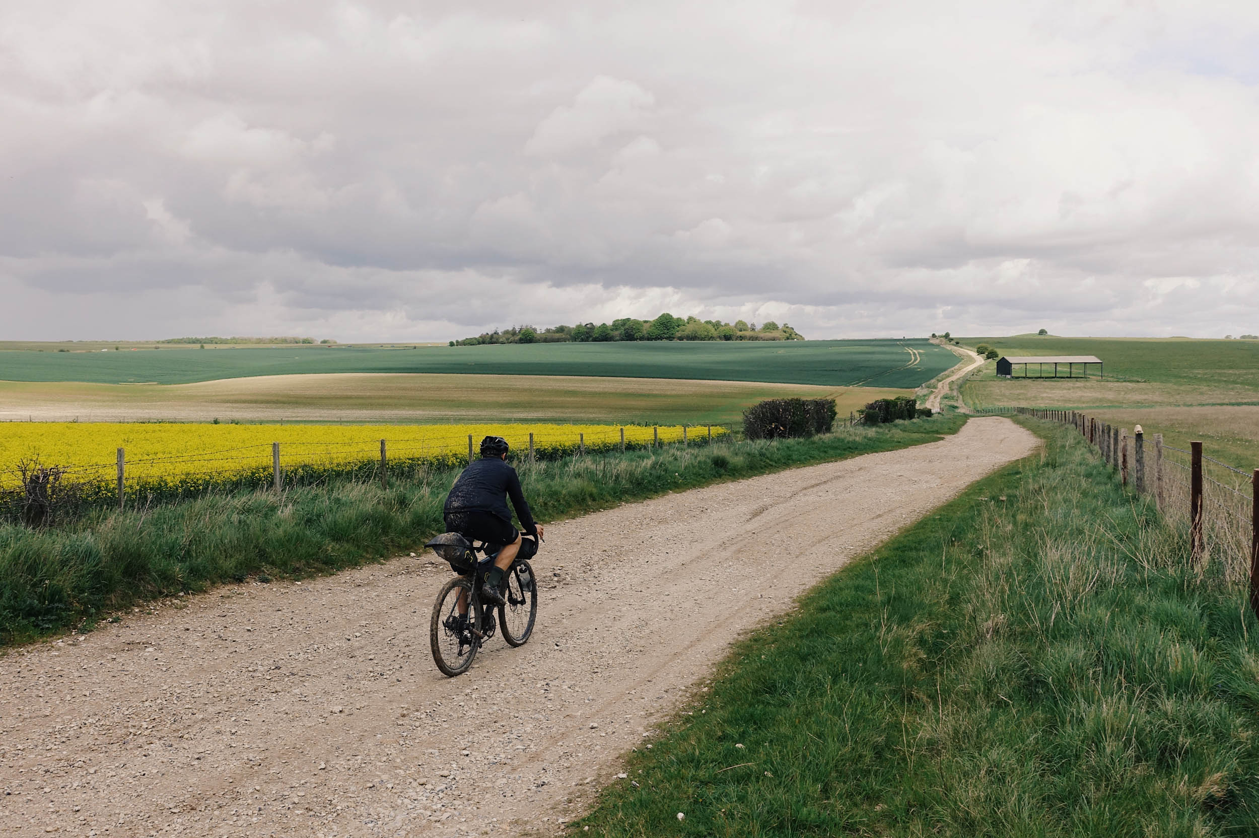
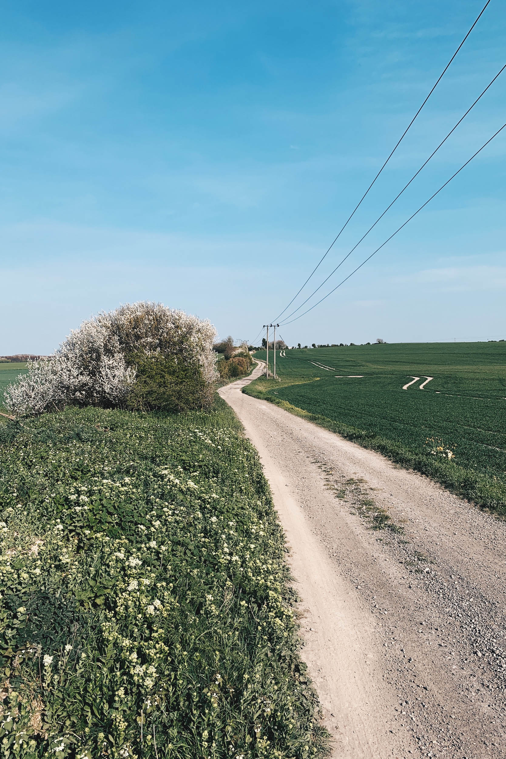
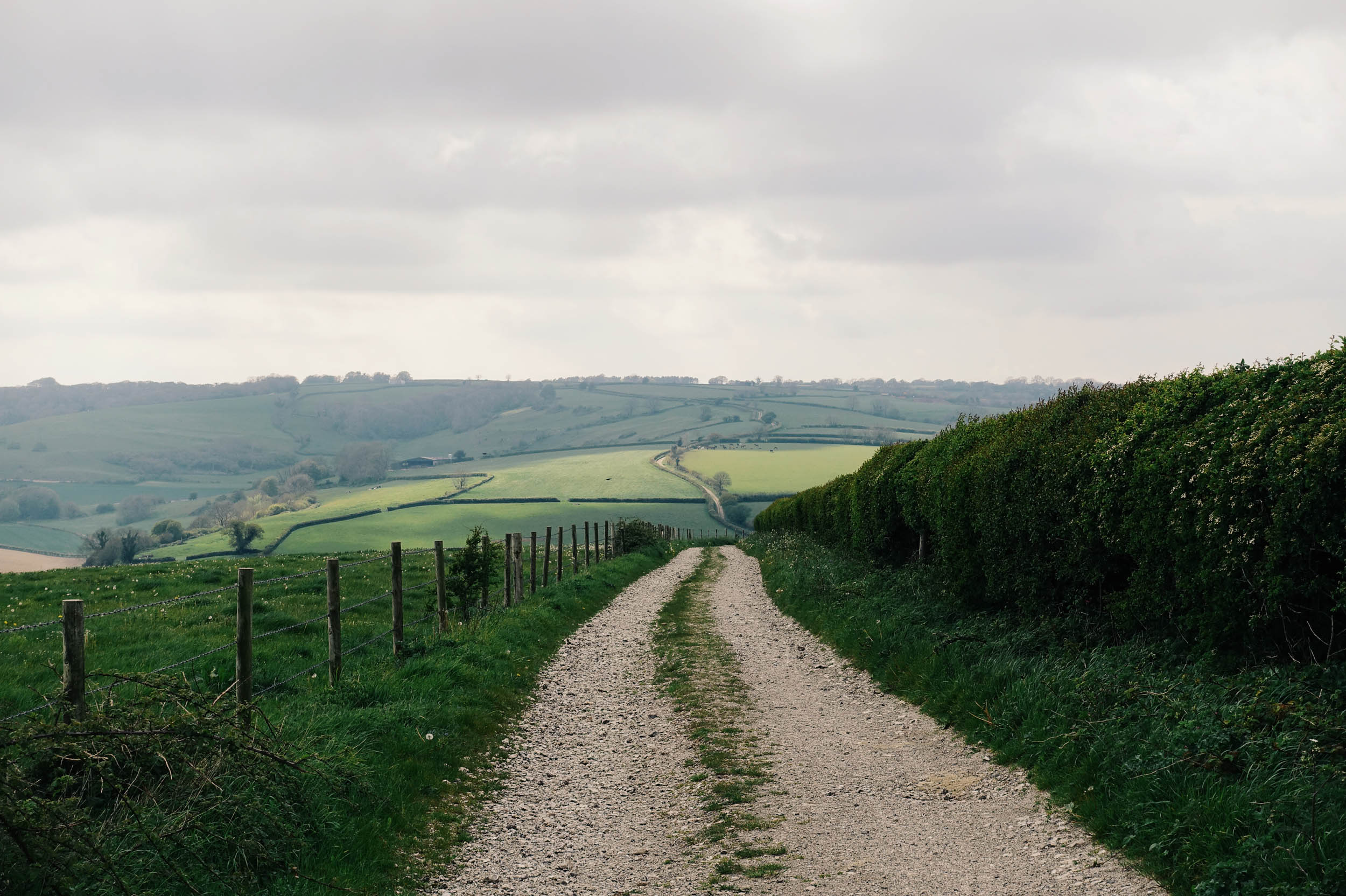
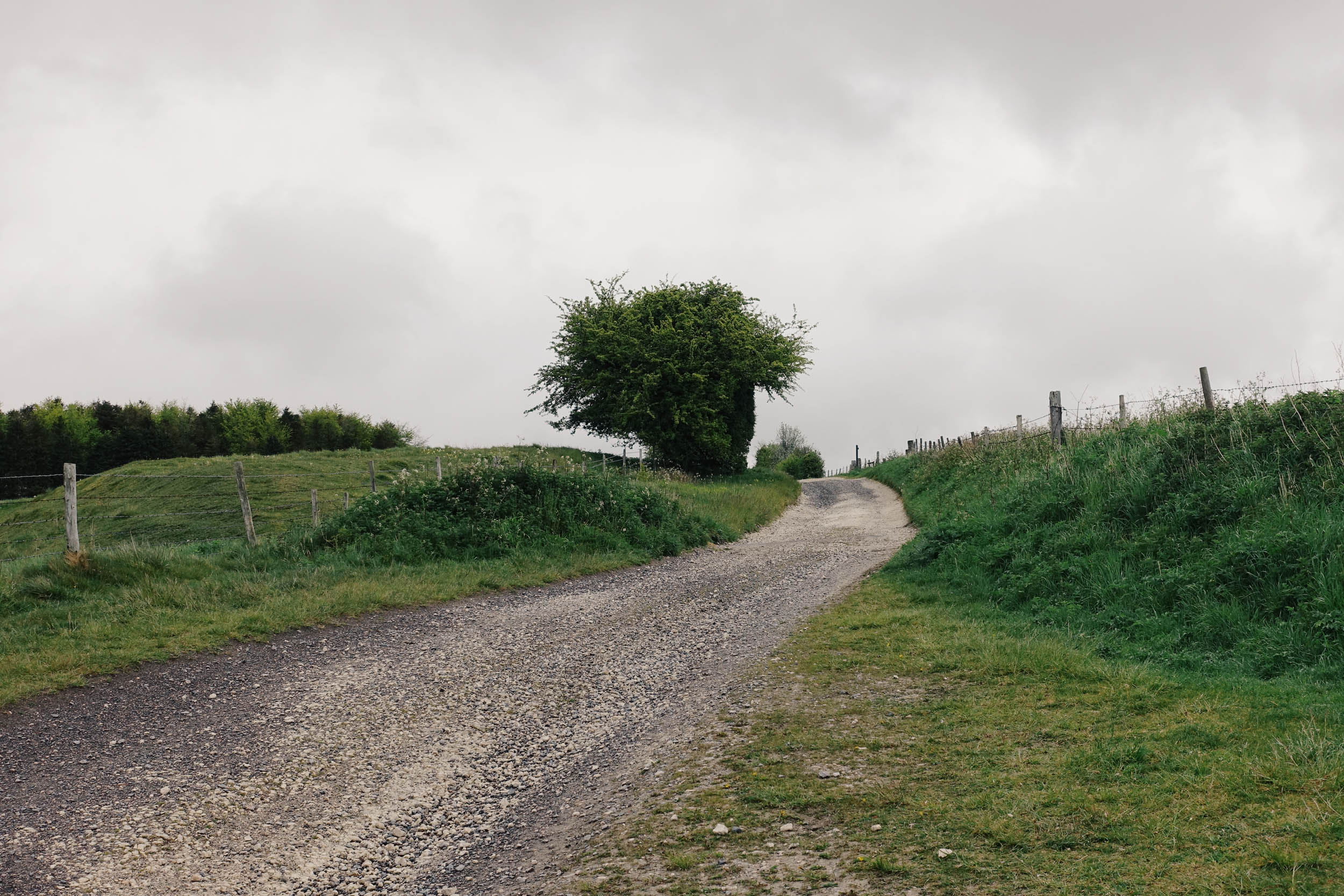
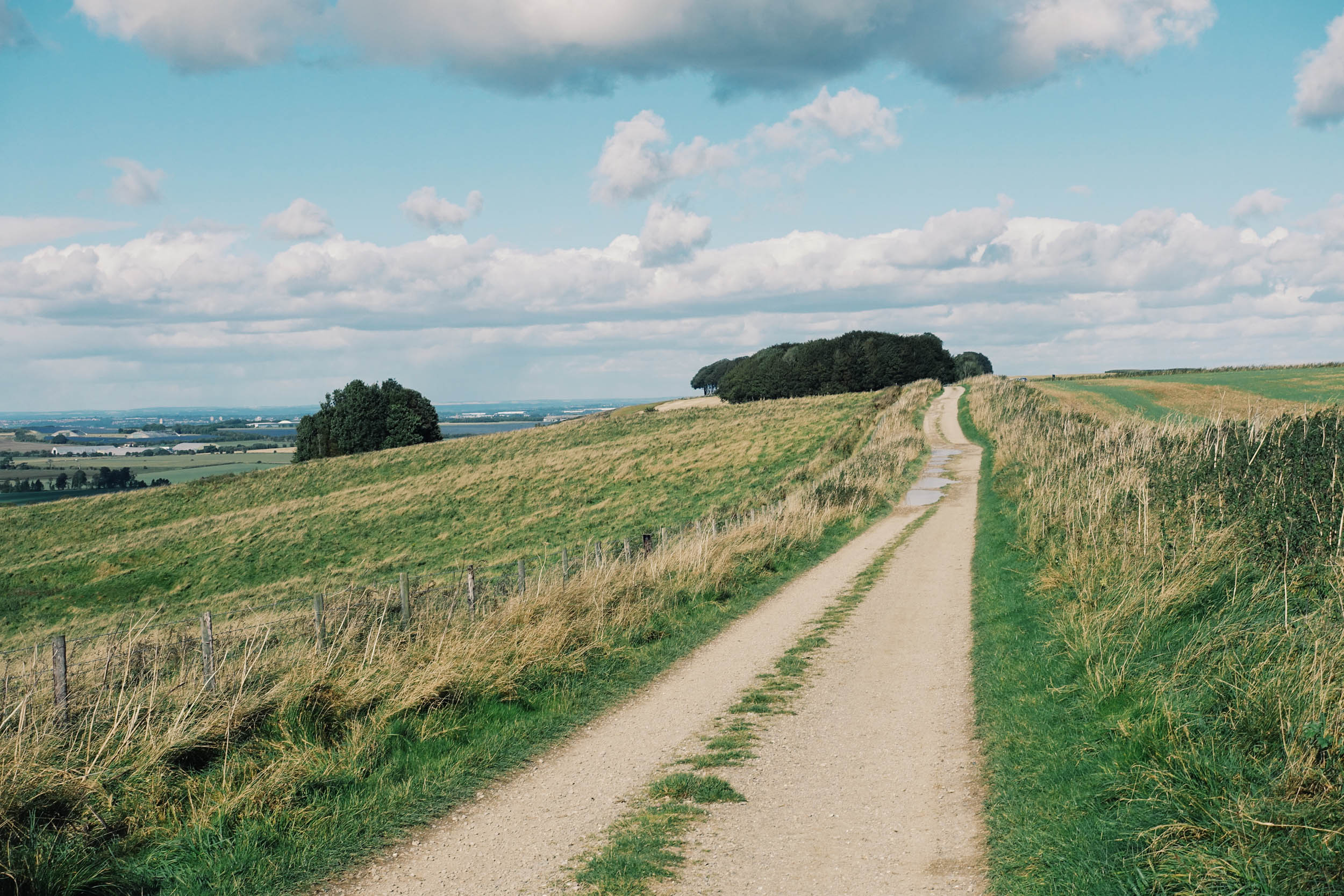
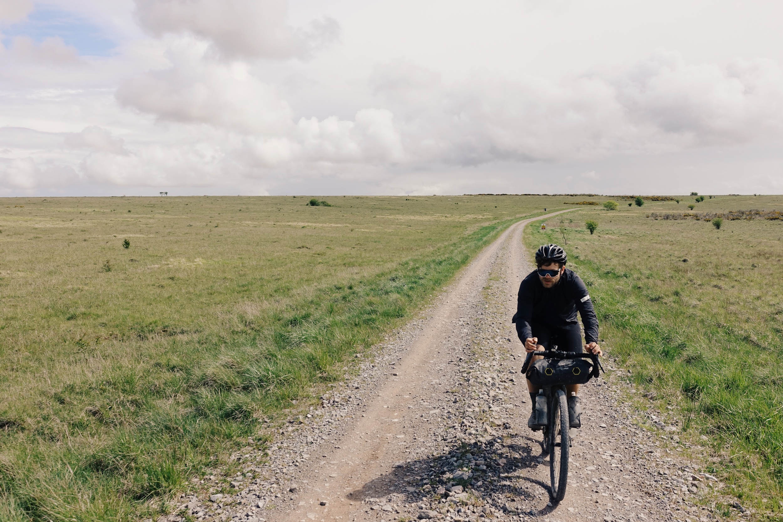
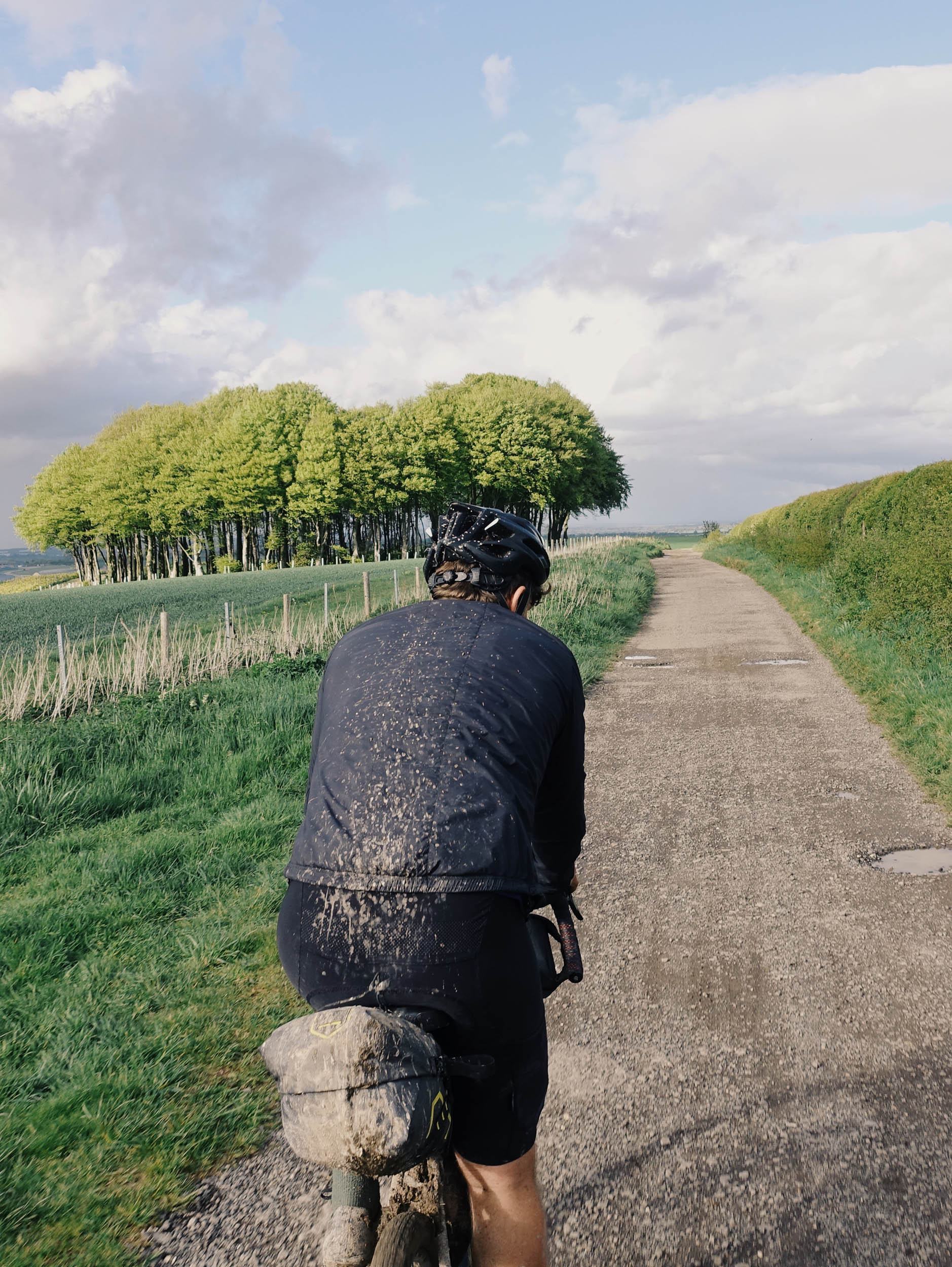
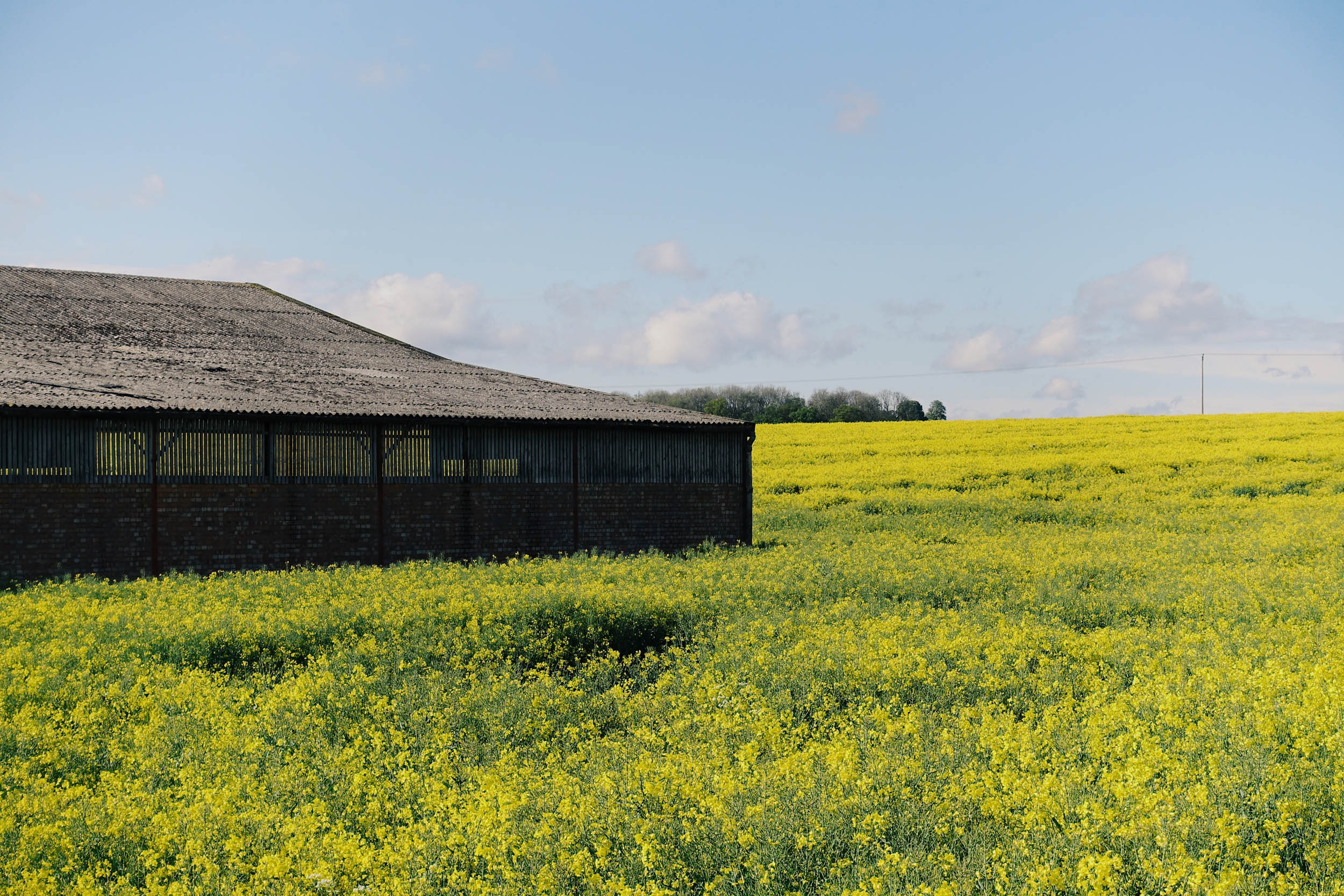
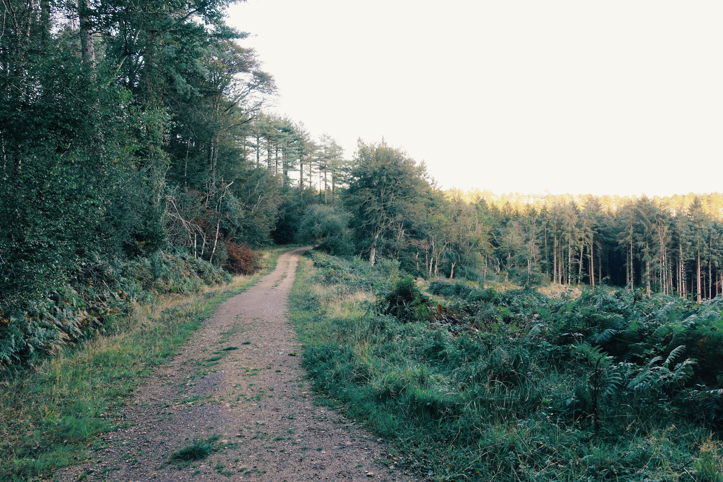
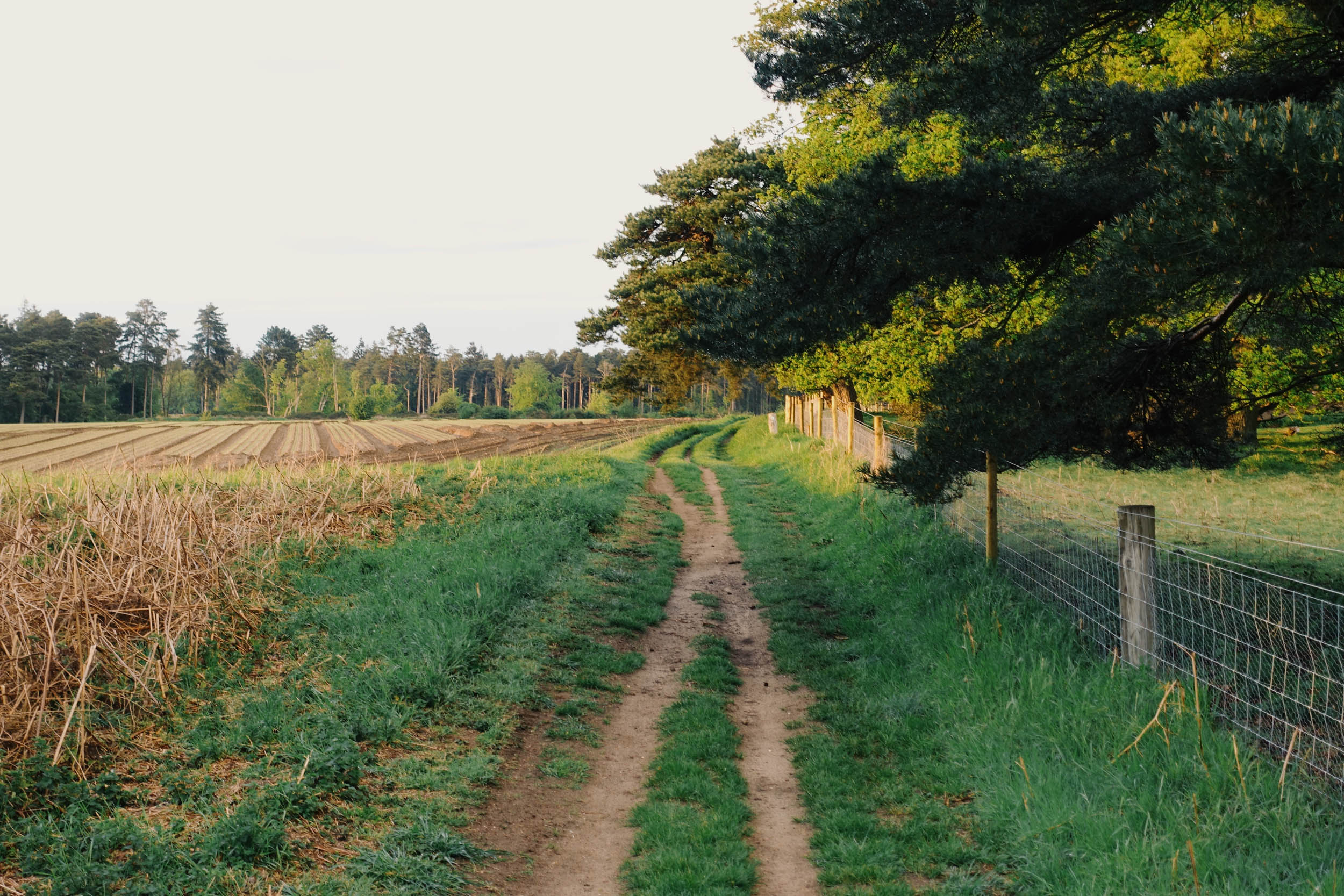
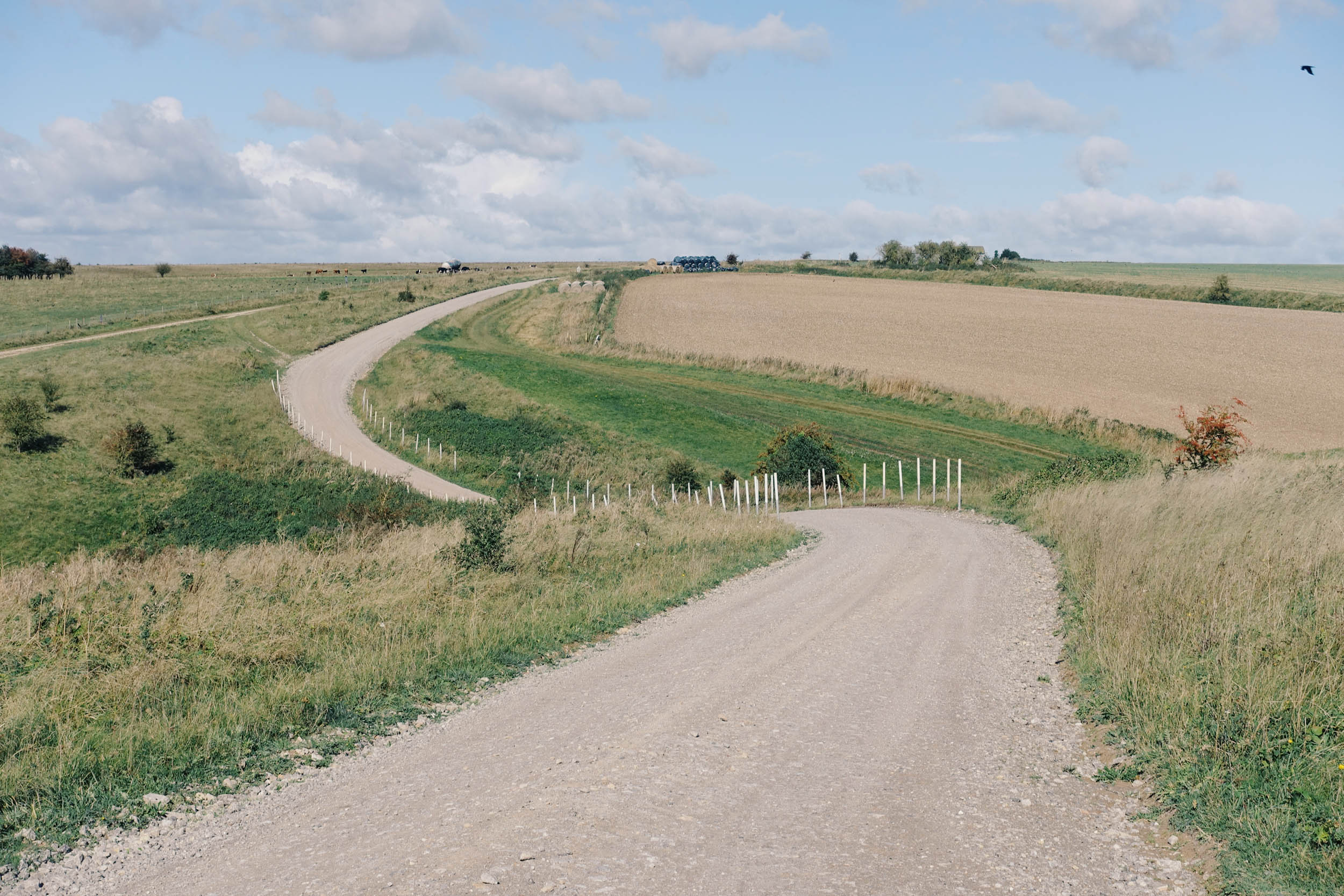
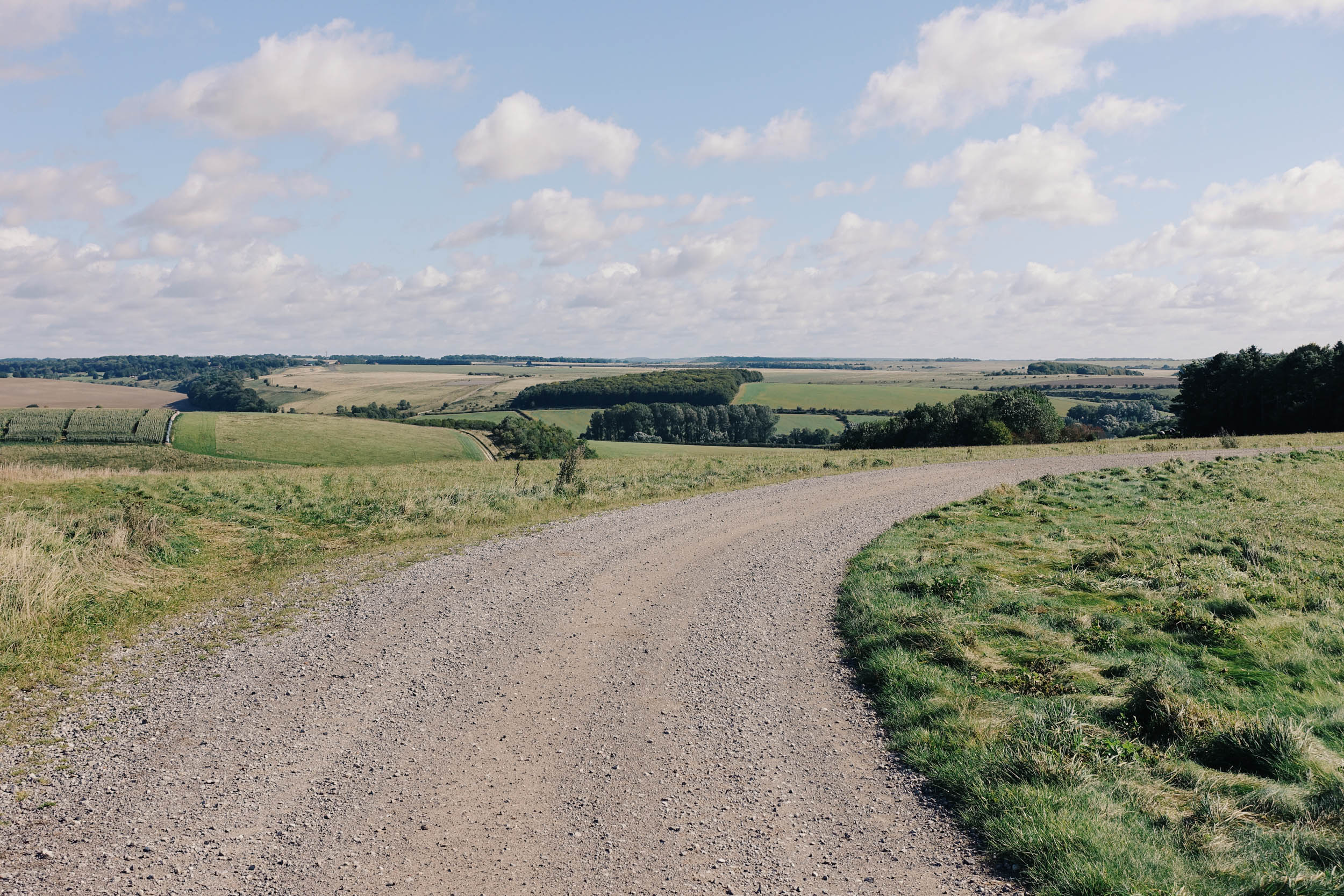
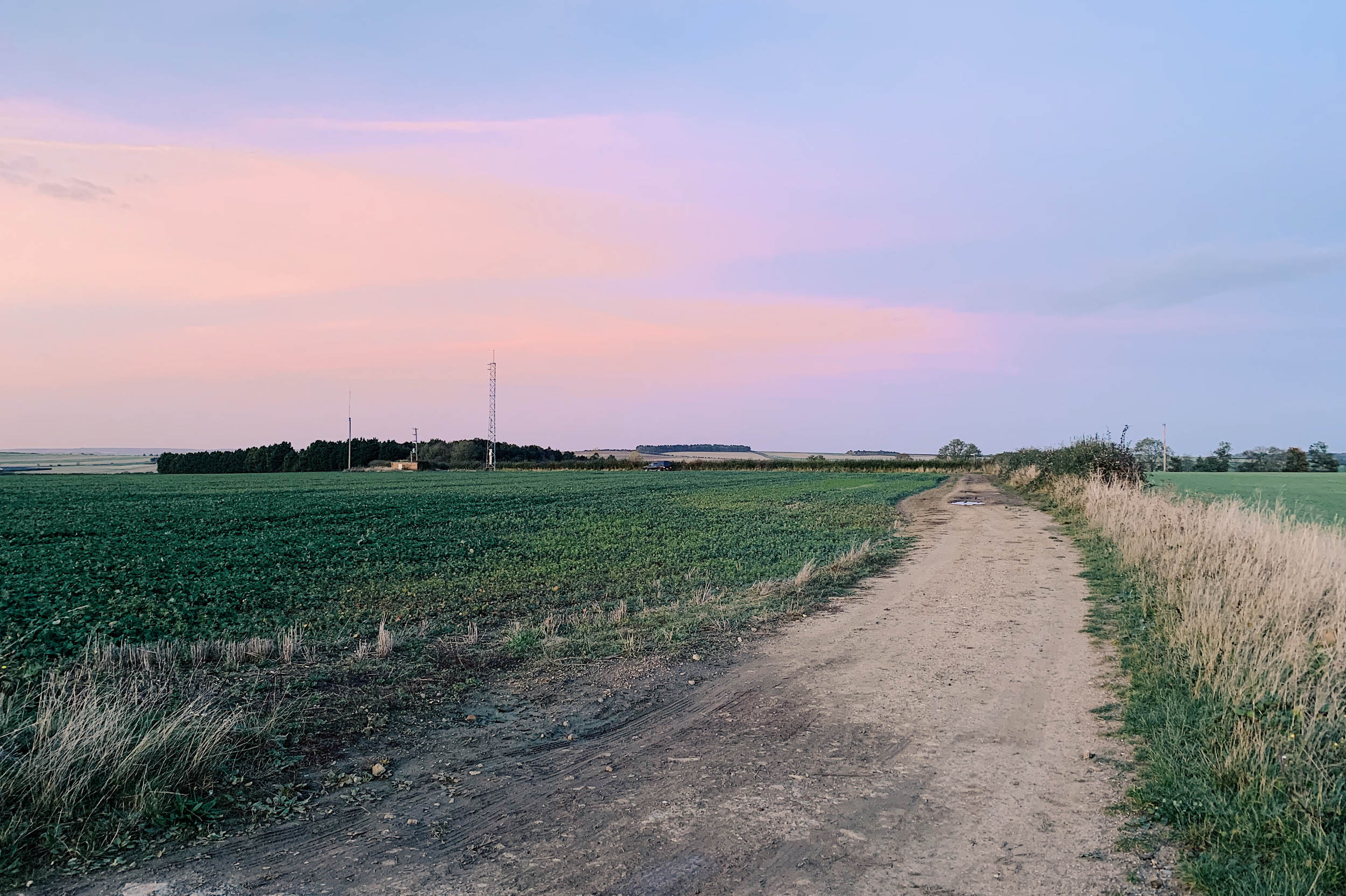
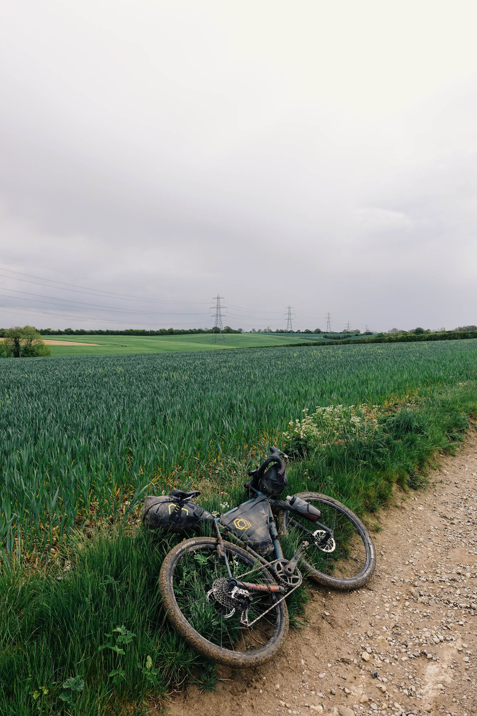
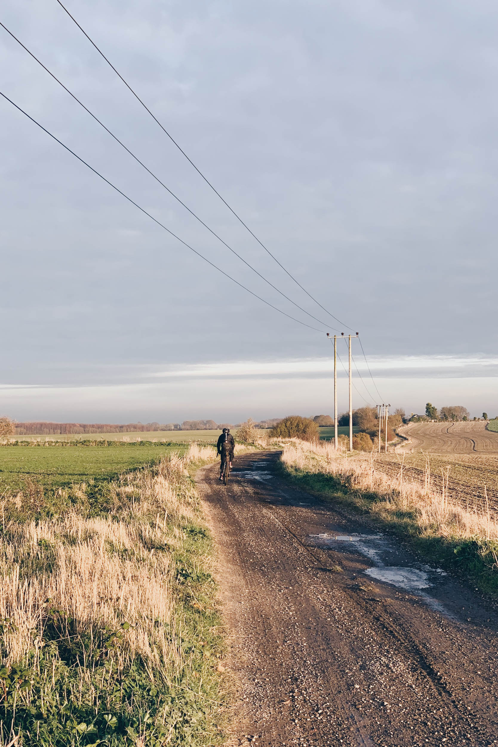
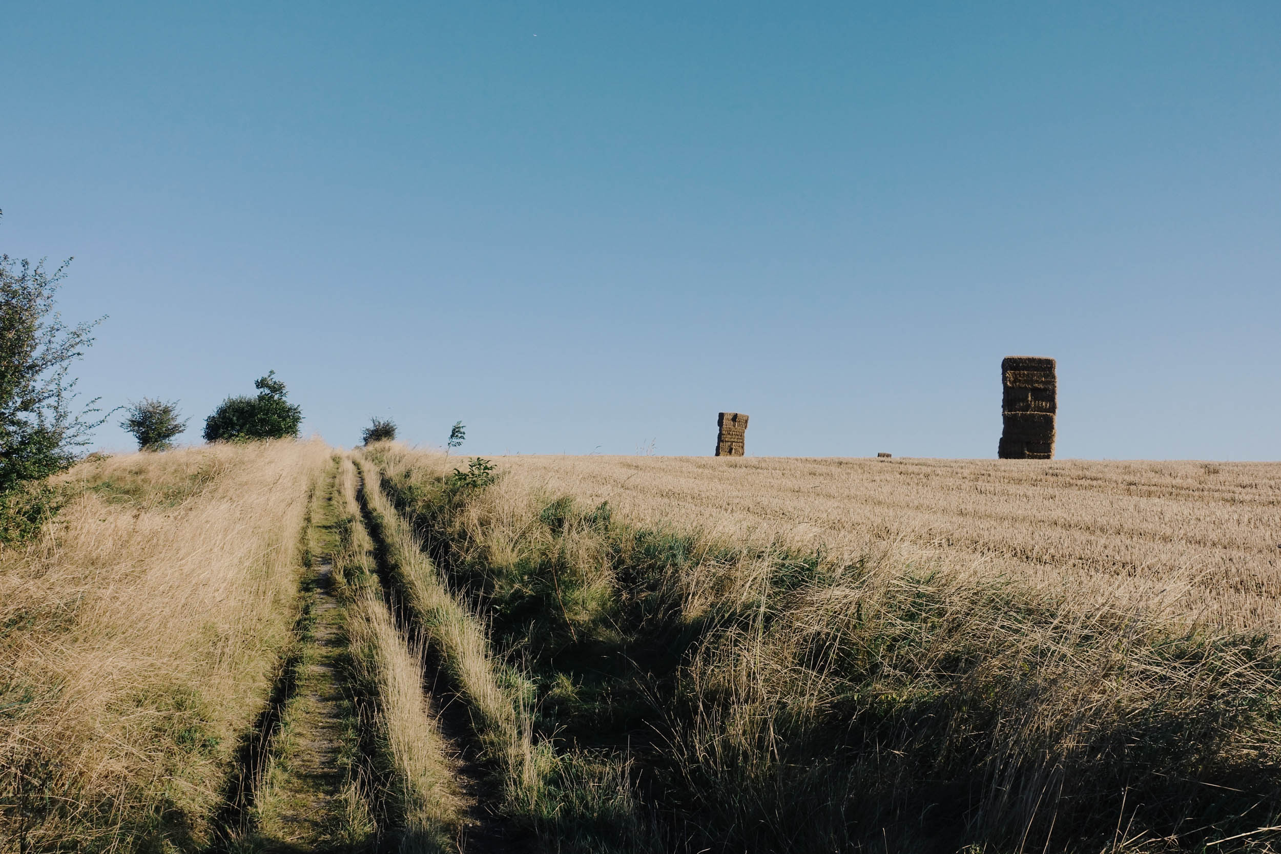
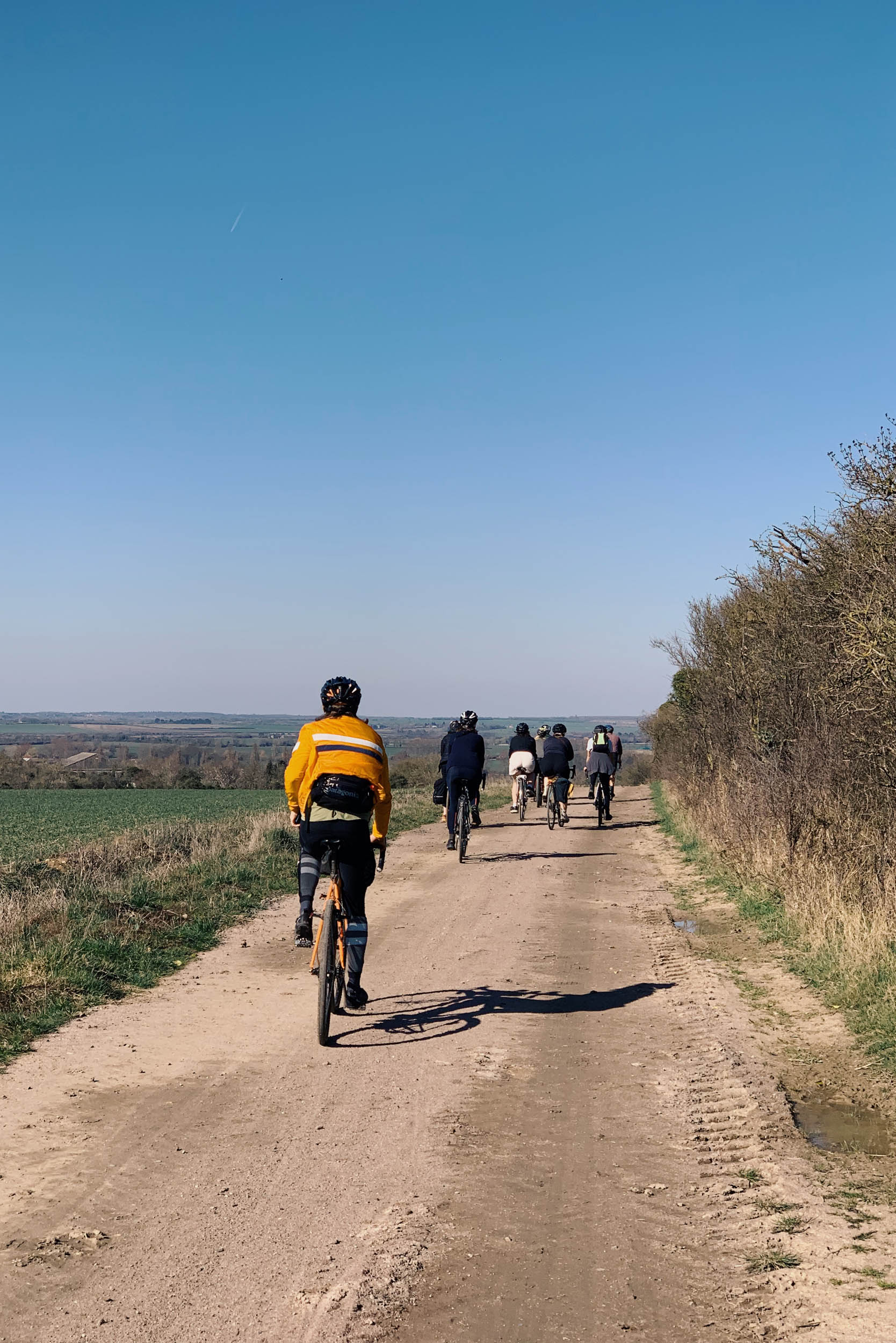
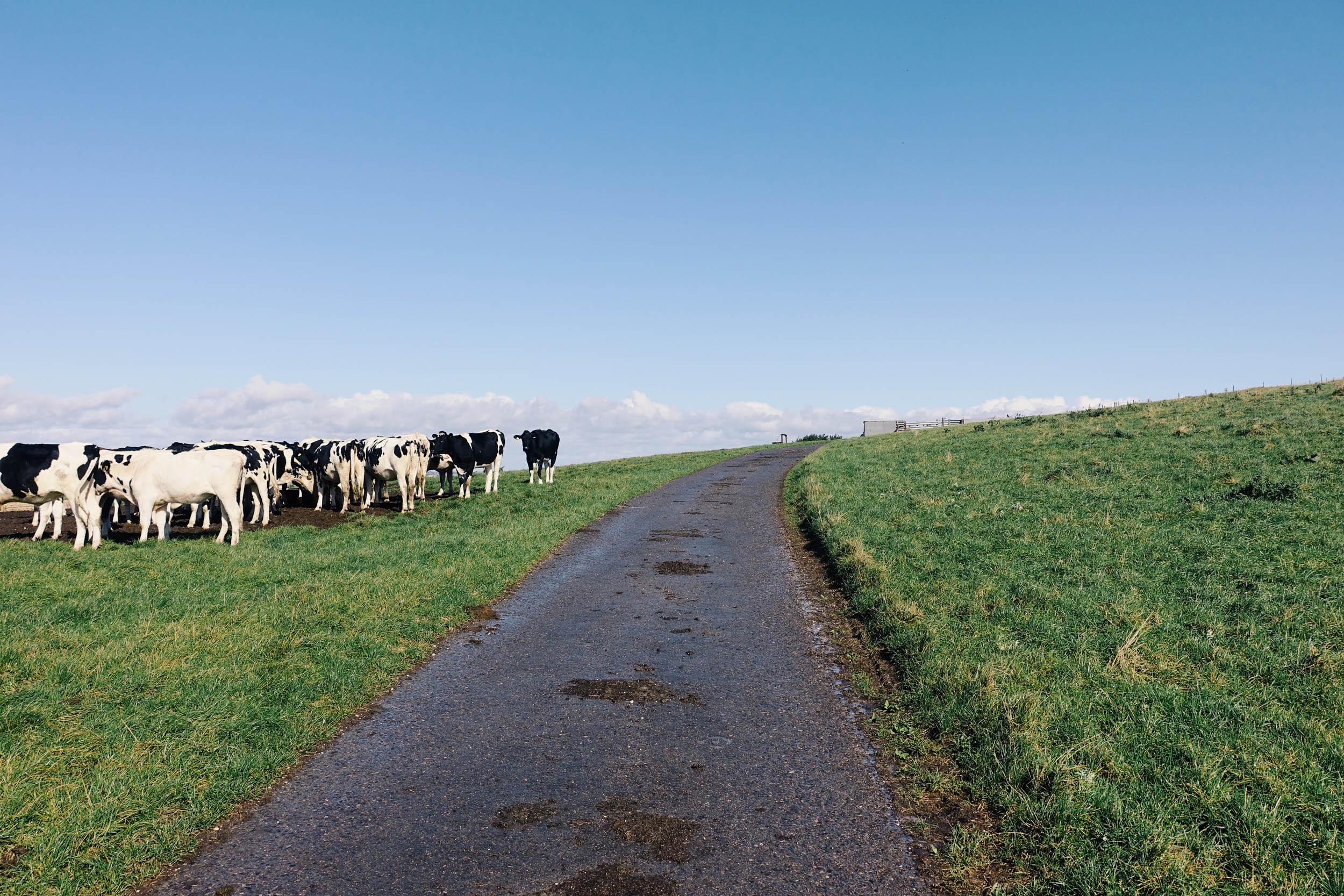
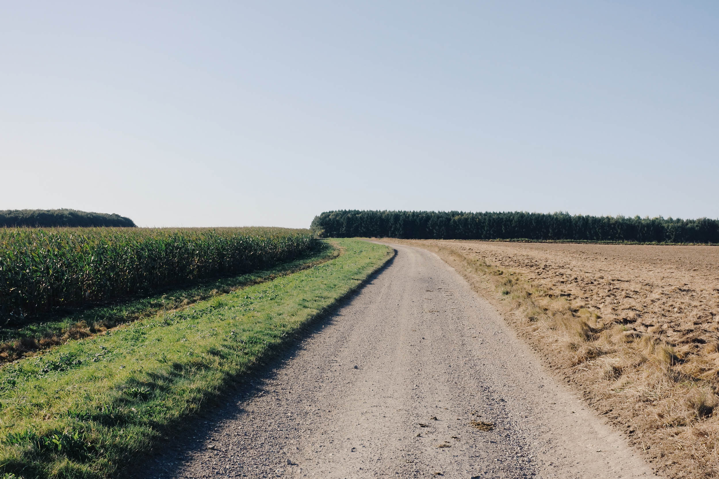
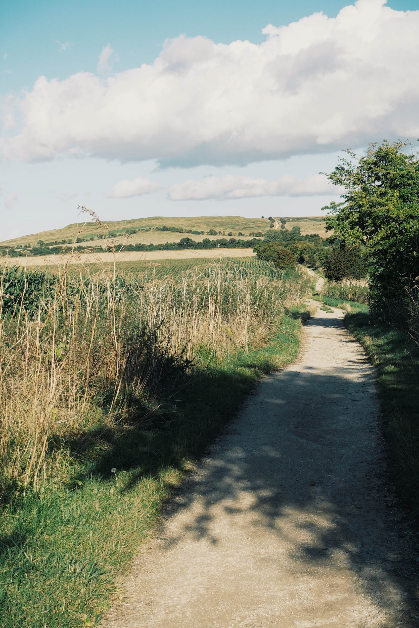
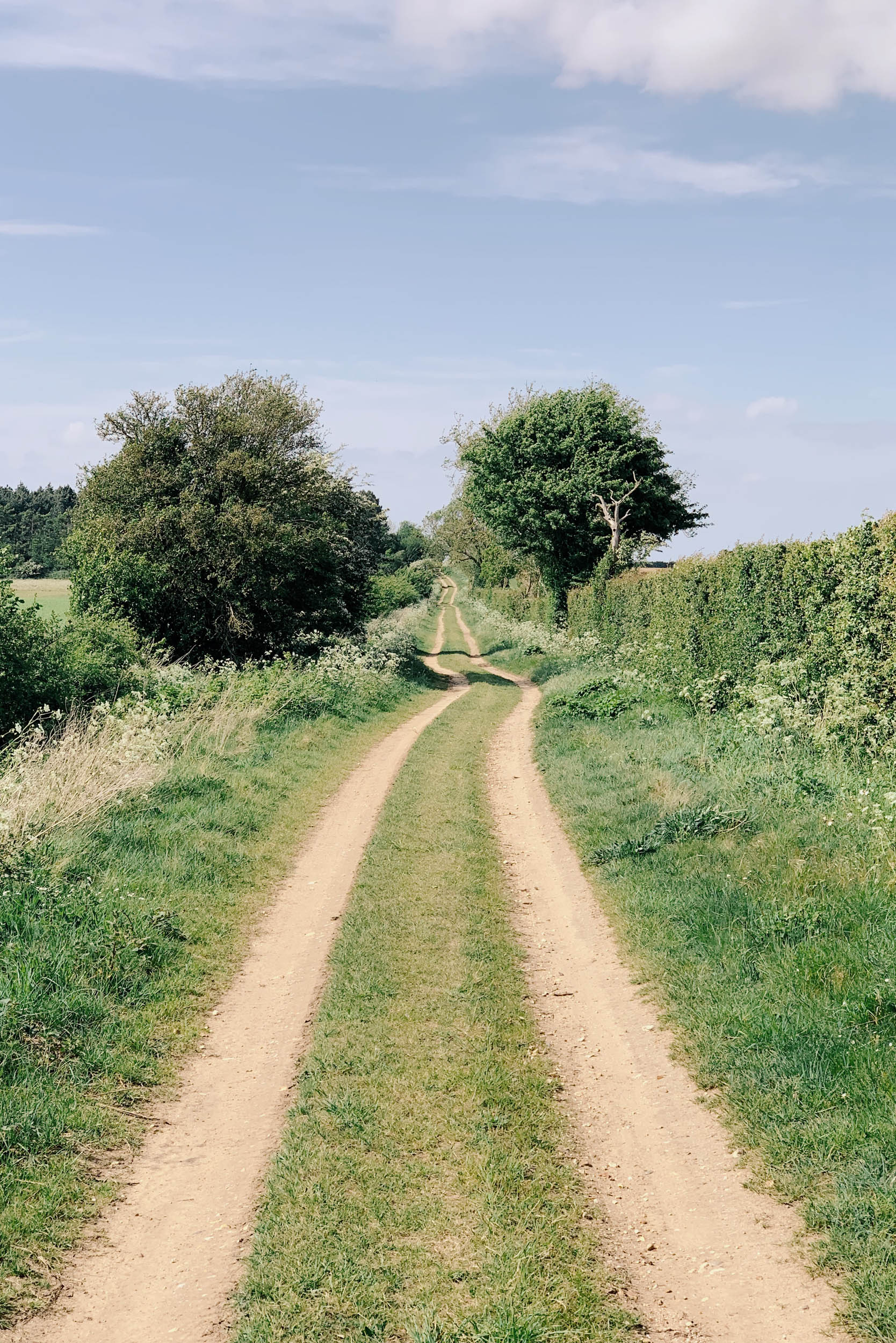
Crossing rolling green hills, farmland doubletrack, tarmac back lanes, woodland bridleways, forestry fire roads, and chalky desire lines trampled over millennia—as this ancient highway has ebbed and flowed with the changing seasons as the centuries passed—the Old Chalk Way is a modern-day incarnation designed specifically for bikepacking.

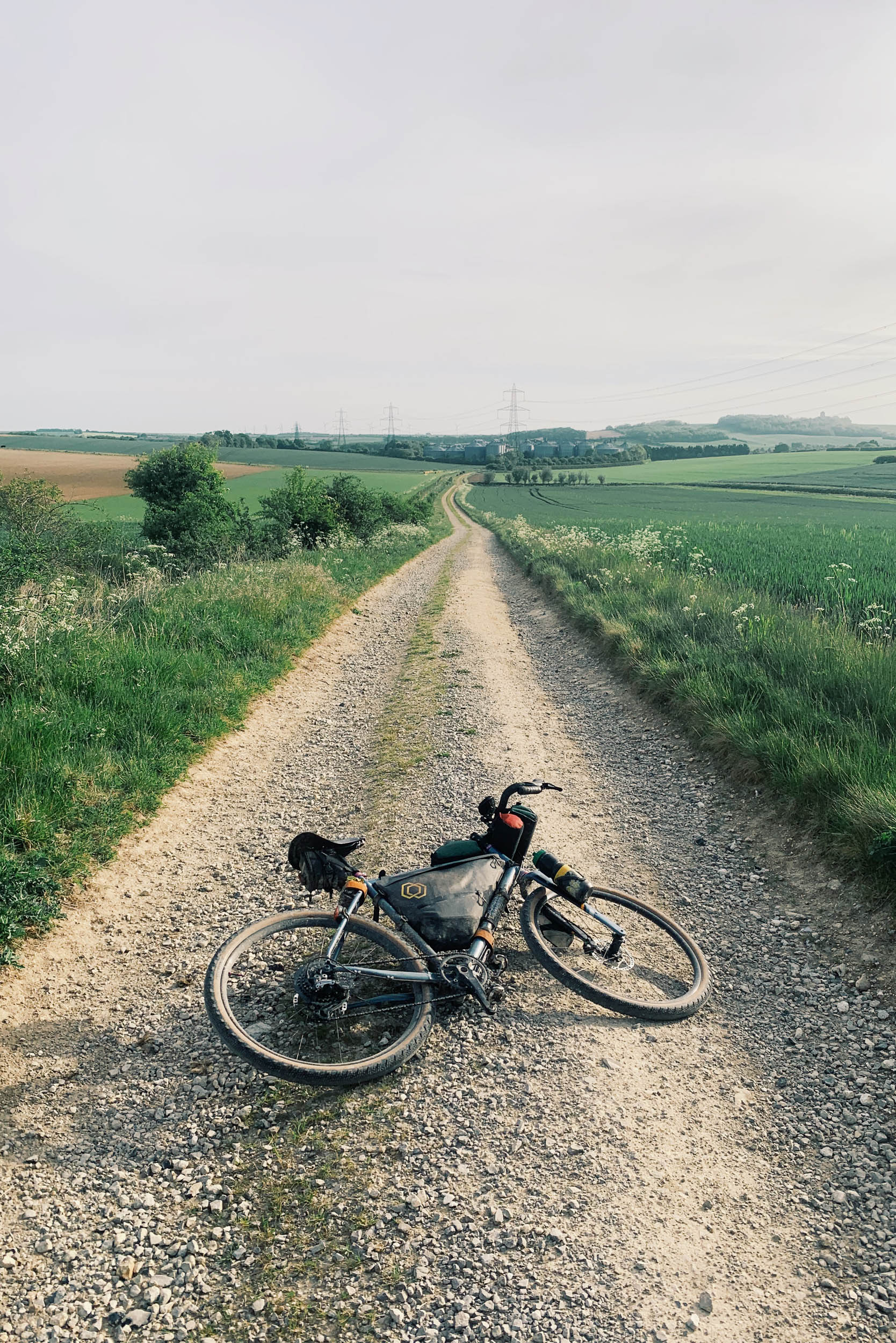

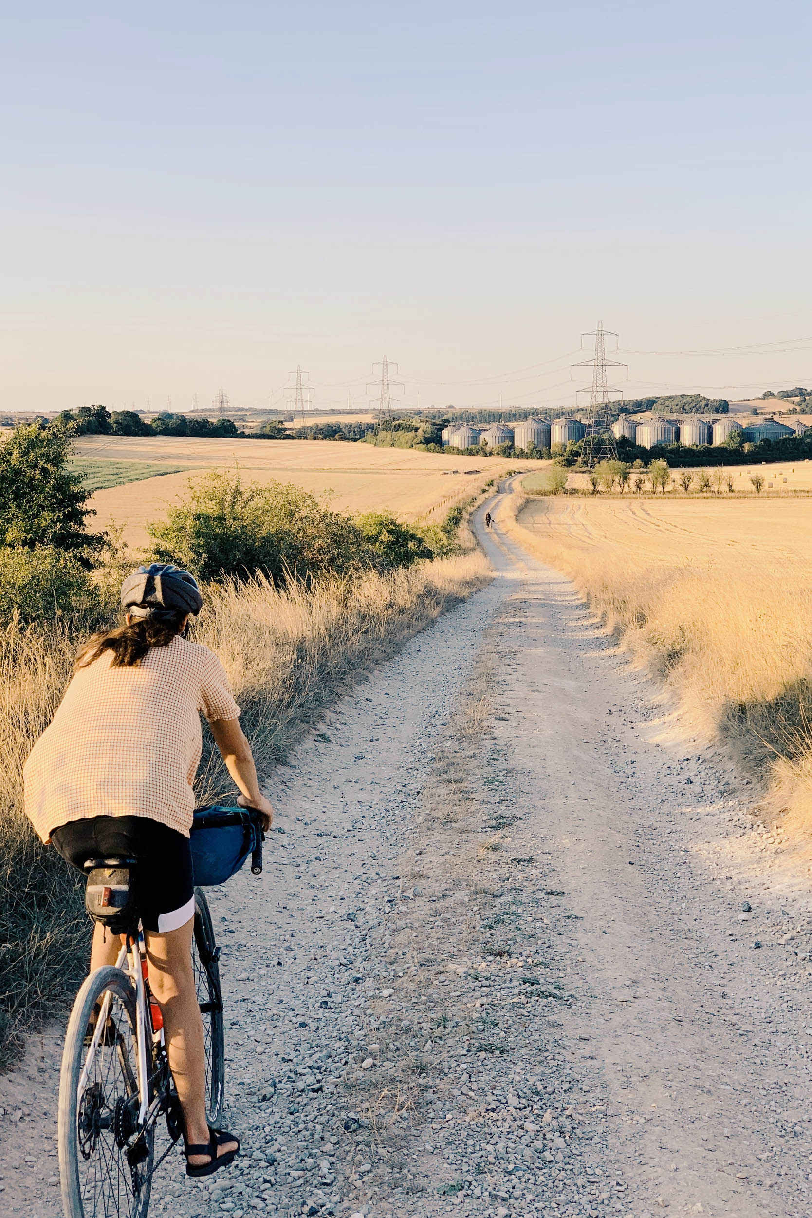
An ‘upcycling’ of the established Greater Ridgeway, it shares about 40% of the same trails, following the same historically significant geographical chalk vein. We’ve kept the best bits, adding in some variation for better riding. Designed with flow in mind, it’s 99.9% rideable on a gravel bike with only a couple of very short sections of hike-a-bike leaving the towering chalk cliff faces that line the Dorset coast. Due to its location in densely populated southern England, resupply and accommodation options are plentiful. A warning, though: if the ground is especially wet, then the route can descend into a tractionless quagmire.
Route Difficulty
Technical difficulty: 4/10. Physical demand: 6/10. Resupply and logistics: 3/10
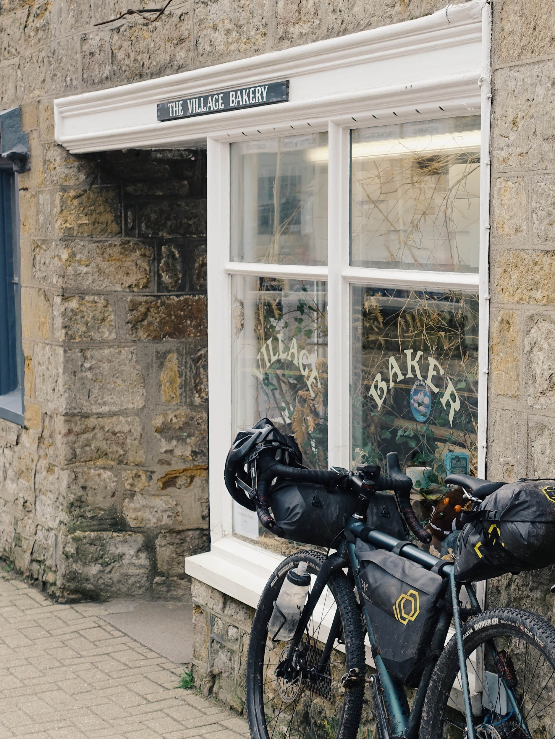
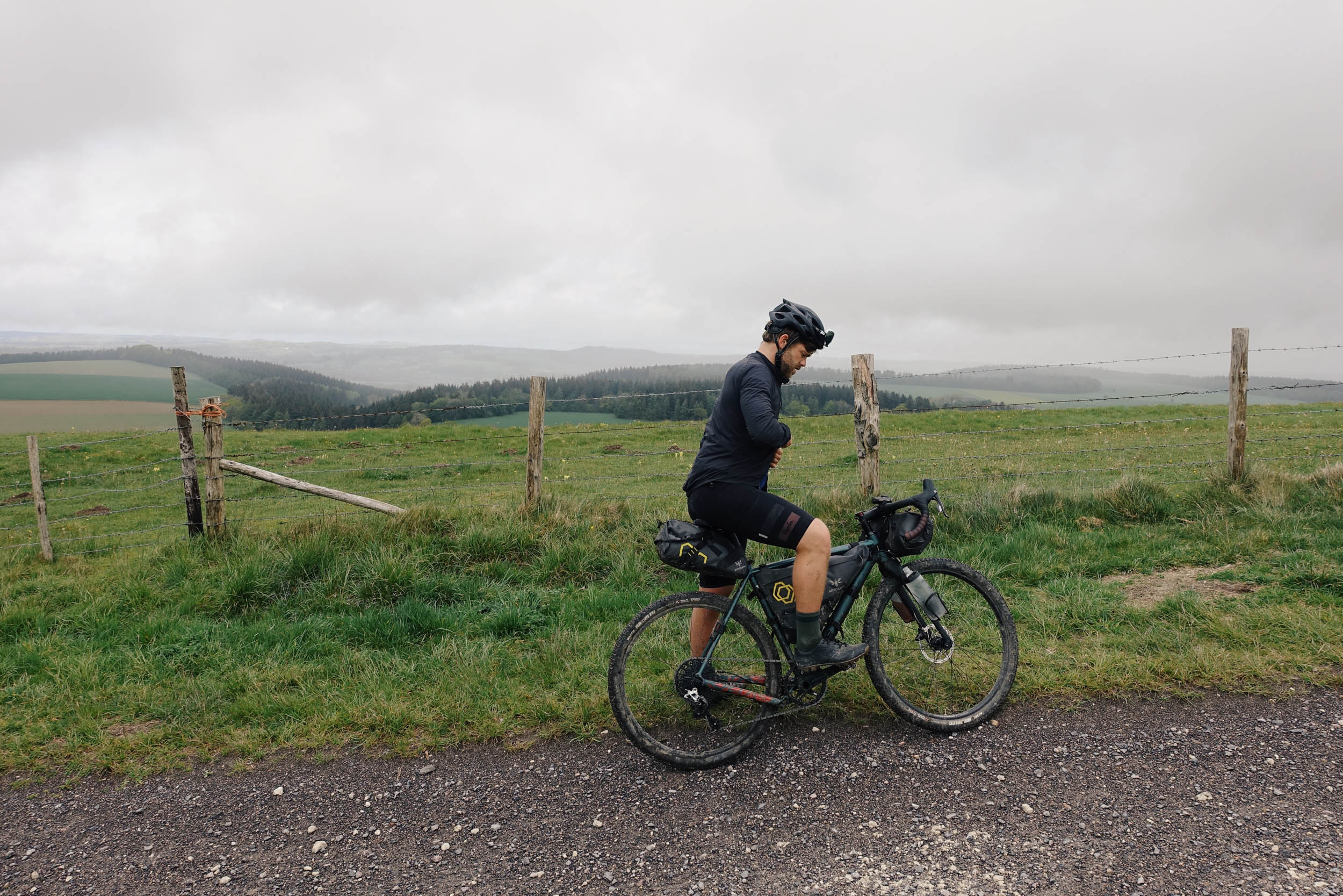
The Old Chalk Way is overall not a technically demanding route, with most of the steep hills and short technical sections coming within the first 80 kilometres (50 miles), the route has been designed to keep you rolling well on a variety of terrain. People with a high level of fitness, correct tyre choice, and light load will find less than 50 meters of hike-a-bike across the entire route. Some of the hills are steep, so some might find it easier to walk. The distance itself is a fair way, of course, but can easily be split up into shorter, more approachable sections. There are plenty of resupply options along the way, with the route deliberately passing through several small towns for this reason. A bike shop, supermarket, pharmacy or train station is never too far away.
Route Development: The route was developed as a project to utilise the existing ancient Greater Ridgeway to make a flowing route that makes sense on a gravel bike. We were inspired to create a route with flow after riding the Second City Divide and Badger Divide and thought that southern England deserved something just as fun. Ben, the map man, lives on the chalk vein in Hertfordshire and has personal links to other sectors of the geological vein in Dorset, Norfolk, and Oxfordshire and realised the existing Greater Ridgeway trail often took sandy, rocky paths and went up and down extremely steep unrideable hills that would be more suited to a big-tyred MTB bike or walking. All this whilst there were amazing rideable gravel sections omitted from the original route. The Old Chalk Way shares roughly 40% of the same trails and we’re calling it an ‘upcycling’ of the old route rather than a completely fresh trail.


Submit Route Alert
As the leading creator and publisher of bikepacking routes, BIKEPACKING.com endeavors to maintain, improve, and advocate for our growing network of bikepacking routes all over the world. As such, our editorial team, route creators, and Route Stewards serve as mediators for route improvements and opportunities for connectivity, conservation, and community growth around these routes. To facilitate these efforts, we rely on our Bikepacking Collective and the greater bikepacking community to call attention to critical issues and opportunities that are discovered while riding these routes. If you have a vital issue or opportunity regarding this route that pertains to one of the subjects below, please let us know:
Highlights
Must Know
Camping
Food/H2O
Trail Notes
Resources
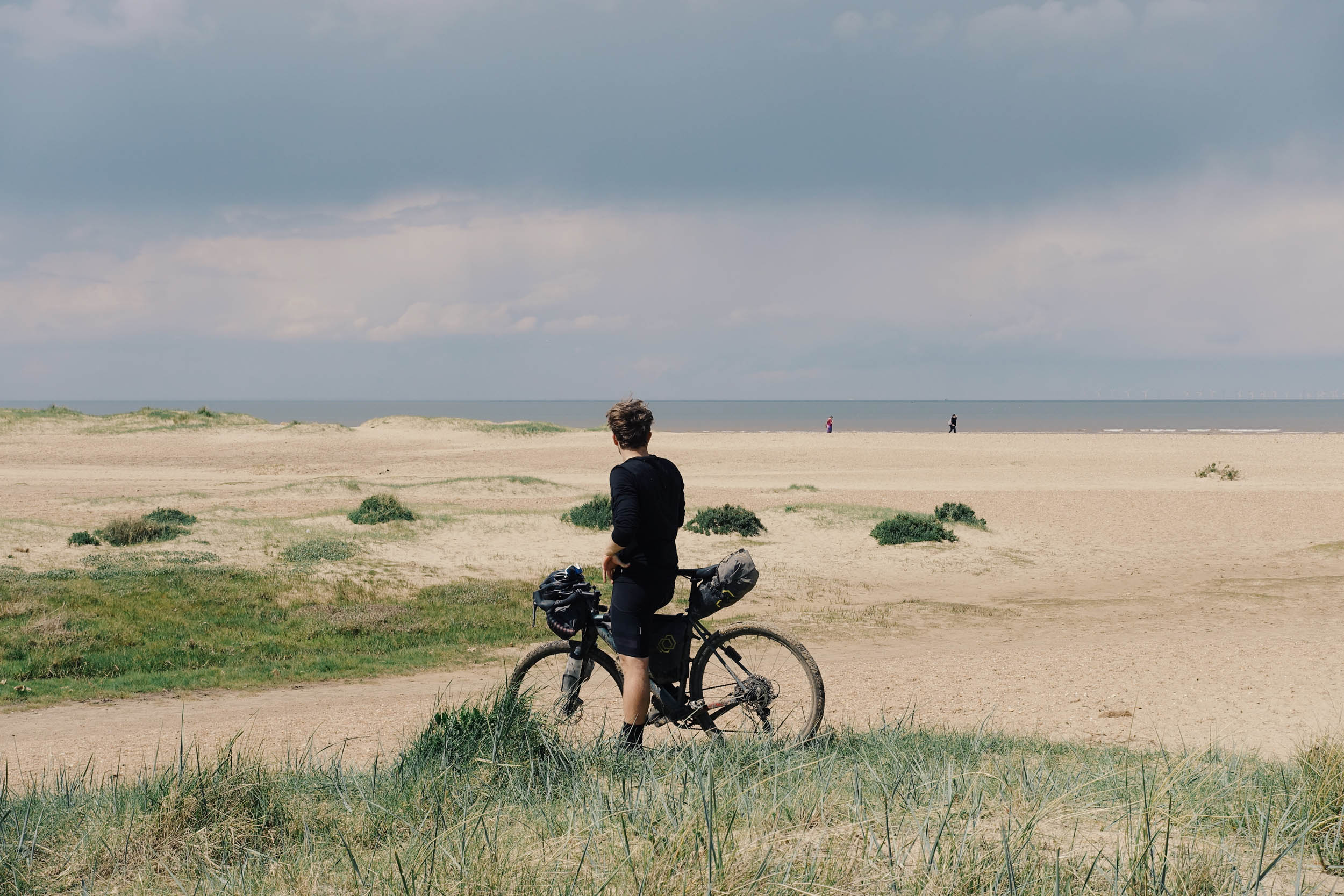
- Jurassic Coast. See clear views of the epic sea cliffs from the start of the OCW at the nice seaside town of Lyme Regis.
- Cerne Giant. This iconic large chalk drawing of a man clutching a club with a large erect phallus on a hillside is often visited for good health and fertility, apparently.
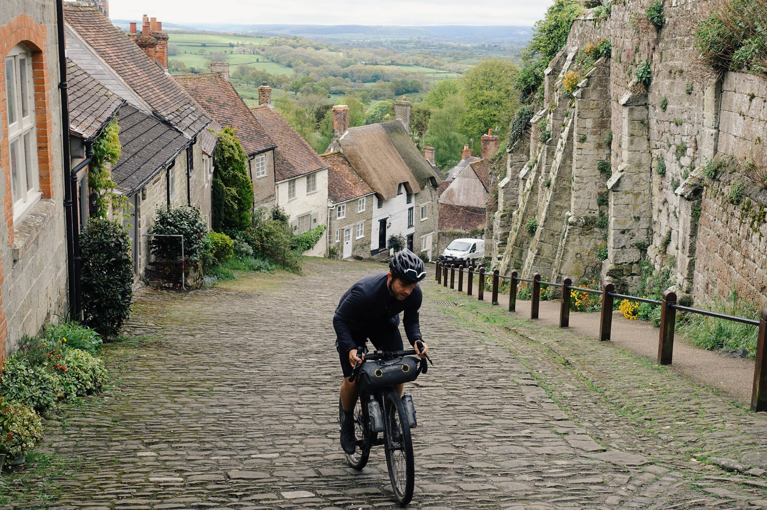
- Gold Hill. Often known as Hovis Hill (for its place in the adverts), this famous cobbled street lined with thatched houses in the town of Shaftesbury is about as quaint and English as it gets. Try and ride up it for instant kudos from the tourists.
- Ancient woodland. Grovely, Bledlow, Wendover, Ashridge, and Thetford to name but a few. If you time it right in spring, you’ll find carpets of bluebells.
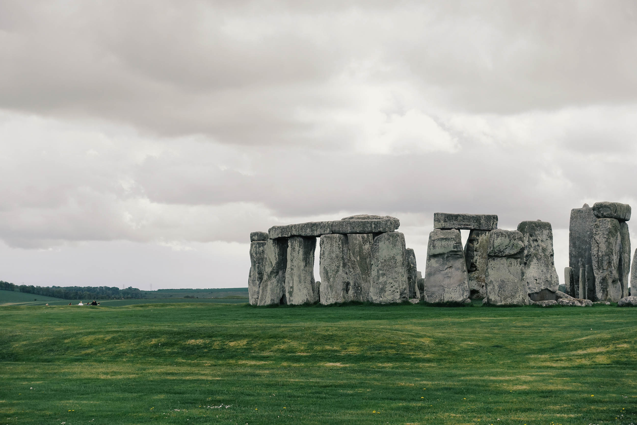
- Stonehenge. The most famous Neolithic stone circle in the world. It’s 5,000 years old with stones moved from west Wales creating a spectacular sight in a picturesque setting.
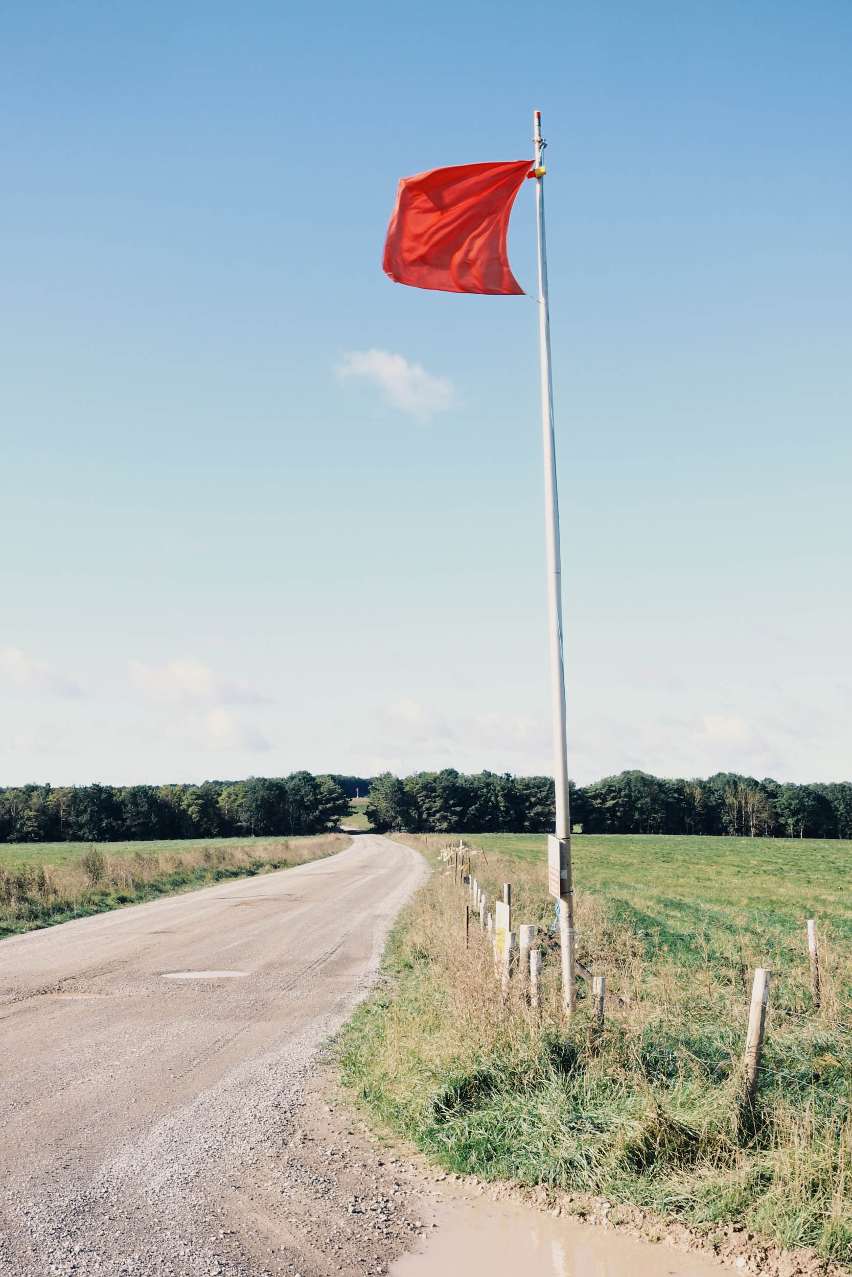
- Salisbury Plain Training area. The largest area of preserved chalk heathland in Europe, and home to a large concentration of neolithic sites. This landscape makes you forget you’re in the UK. This is a military training ground, so take care, follow local rules, and please find an alternative route if the Red Flags or lamps are up.
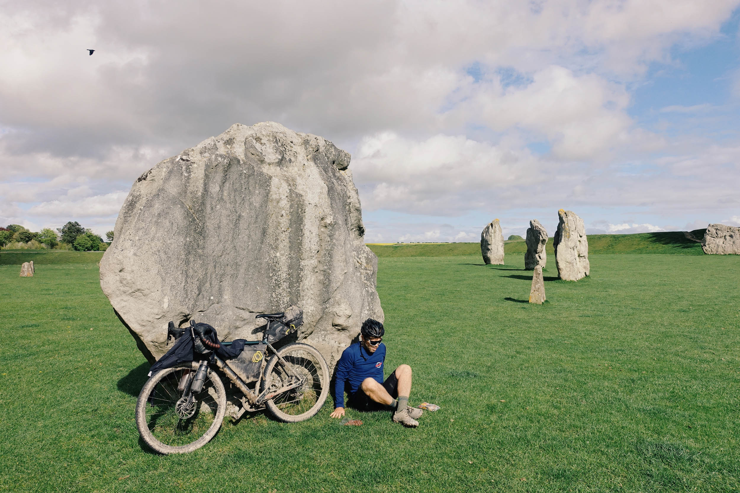
- Avebury Stones. The largest Neolithic stone circle in the world.
- Red Kites. After nearly going extinct only a few decades ago, this large graceful bird of prey will be hard to miss along the route.
- The Ridgeway. A classic section shared with King Alfred’s Way, clear views to your left of the rolling country below.
- Barbury Castle. Iron Age Hillfort towering upon the Ridgeway. Many other hillforts span the route.
- River Thames at Goring. Not actually halfway distance wise, but with the easier terrain to the east, this is the unofficial halfway point.
- Ashridge Estate. Big posh house for the English gentry, now owned by the National Trust with monuments you can climb to the top of.
- Proper Pubs. Plenty of pubs line the OCW, selling hearty food and ale (or whatever drink you want, really).
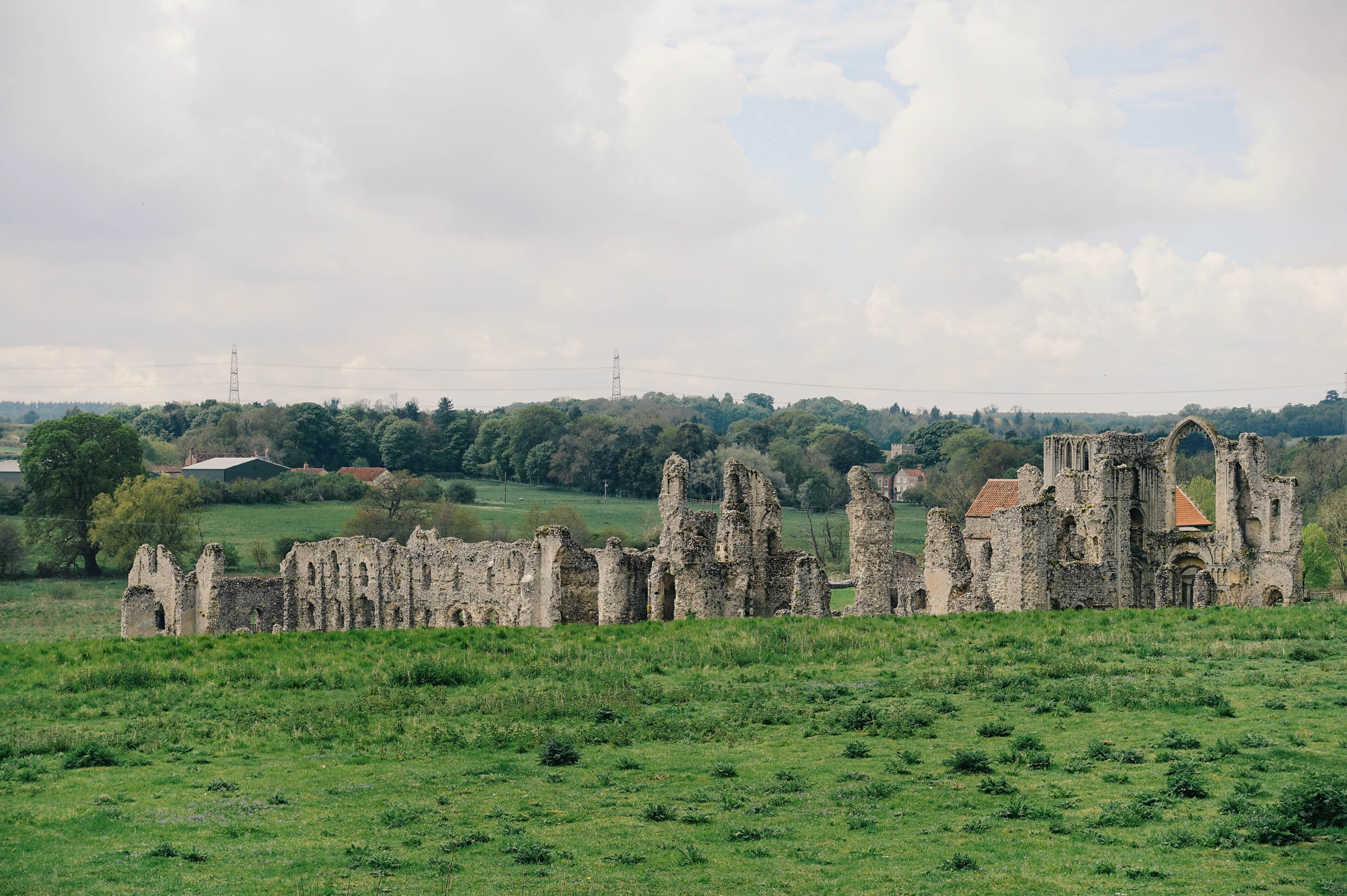
- Thetford and Castle Acre. Thetford is the birthplace of Thomas Paine, and both Thetford and Castle Arce have ruined 12th century priory and a medieval motte and bailey castle.
- Sea Swimming in two seas. With a couple of shallow river swims possible along the route too.
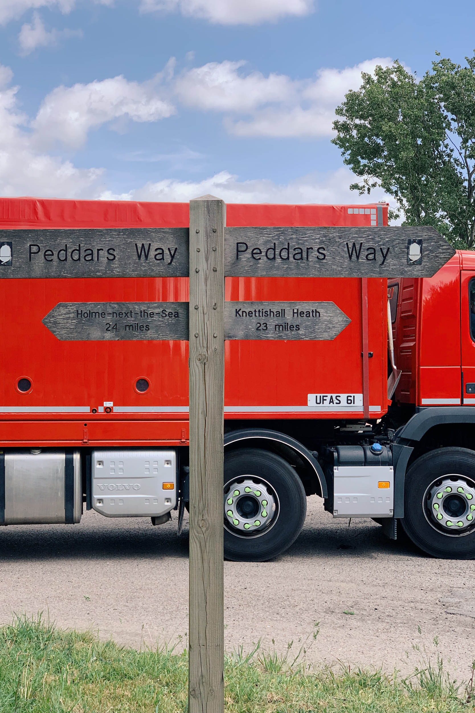
- The Beach at Holme-next-the-Sea. The end of the road at this expansive, unspoilt Norfolk beach.
When to go
- The best time to ride it is when it’s fairly dry. Best chances of this between April and October.
- A little bit of rain is okay for the trails, and it does drain off quickly in the summer months.
- We would not recommend it in wet winter months, as it will be muddy and slippery and not much fun.
- A few sections can get overgrown in July and August.
- If it’s been very dry, some of the sectors in Norfolk can be sandy and challenging on thinner tyres.
Logistics
- The Route is well connected with many train stations along the route linking to London and the rest of the UK.
- The route can be linked easily to the East Devon Trail at Lyme Regis, and the Rebellion Way on the North Norfolk Coast.
- The Nearest train station to the start is at Axminister, a short 8-kilometre, mostly downhill road route, or follow the excellent East Devon Trail to Lyme Regis from Exeter if you’ve got a bit more time on your hands.
- The eastern end of the route is further away from transport links, and requires a 30-kilometre road route back to the nearest train station at Kings Lynn, which has good rail links to London (no bike booking req).
- You could choose to follow the ‘National Route 1’ through Royal Sandringham Estate back to Kings Lynn or follow the Rebellion Way Eastward to the fine city of Norwich, which has good rail links to London (bike booking req).
- We know taking your bike on the train in the UK is becoming more of a faff, but the rail providers at the start and finish are some of the better ones for bikes. You do not (at time of writing) need a bike booking on SouthWestern (from Axminster) or Great Northern Rail (from Kings Lynn) services to/from London during off-peak times. Please look at their website for more details.
Dangers and Annoyances
- IMPORTANT: Salisbury Plain Training Area is the only big potential annoyance you’ll face. The route has a prime gravel 30-kilometre sector (why we included it) that has restricted access depending on the firing times. Please look at the website before you get there, as you’ll be crossing the ‘Larkhill’ site. If the red flags or red lamps are flying/lit then please find an alternative route around, you’ll get a hefty fine and risk of being caught in crossfire if you don’t.
- Do not camp out on the training field either, even if the flags/lamps are not up. It is sometimes possible to pass through between firing days in the evenings/overnight. There is a number you can call (01980 674763) and listen to an automated answer machine message (exactly like a 90s rave) which will tell you the most detailed up-to-date information.
- This government site will give you accurate info regarding firing days on Larkhill Site: link here.
- There are a couple of very big, dangerous, and busy roads to cross, and a couple of short busy road sections to ride on. We tried our best to minimise this issue. All these points are marked on the map as dangers. Please take great care of these. If you’re sensible, you should not have an issue. Some have pavements to use, which we would definitely recommend.
- There are a fair few tick hotspots along the route, especially around Thetford, Norfolk. Cover up and apply repellent and check yourself properly after.
- Wild camping is not legally allowed in England.
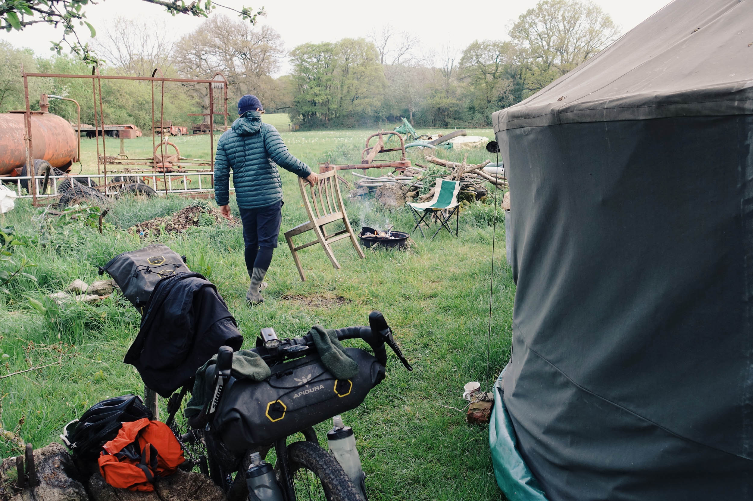
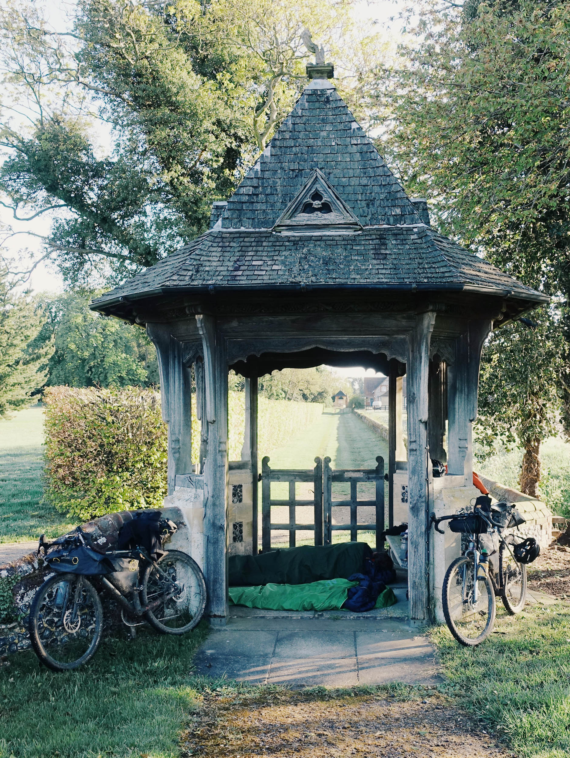
- In practice, wild camping is tolerated by most as long as you’re a leave no trace kind of person. Some basic rules to follow: No fires, no litter, no big groups, arrive late, leave early, don’t disturb livestock, and stay far away from any houses. It’s best to ask permission from the landowner, sometimes they can be okay with it.
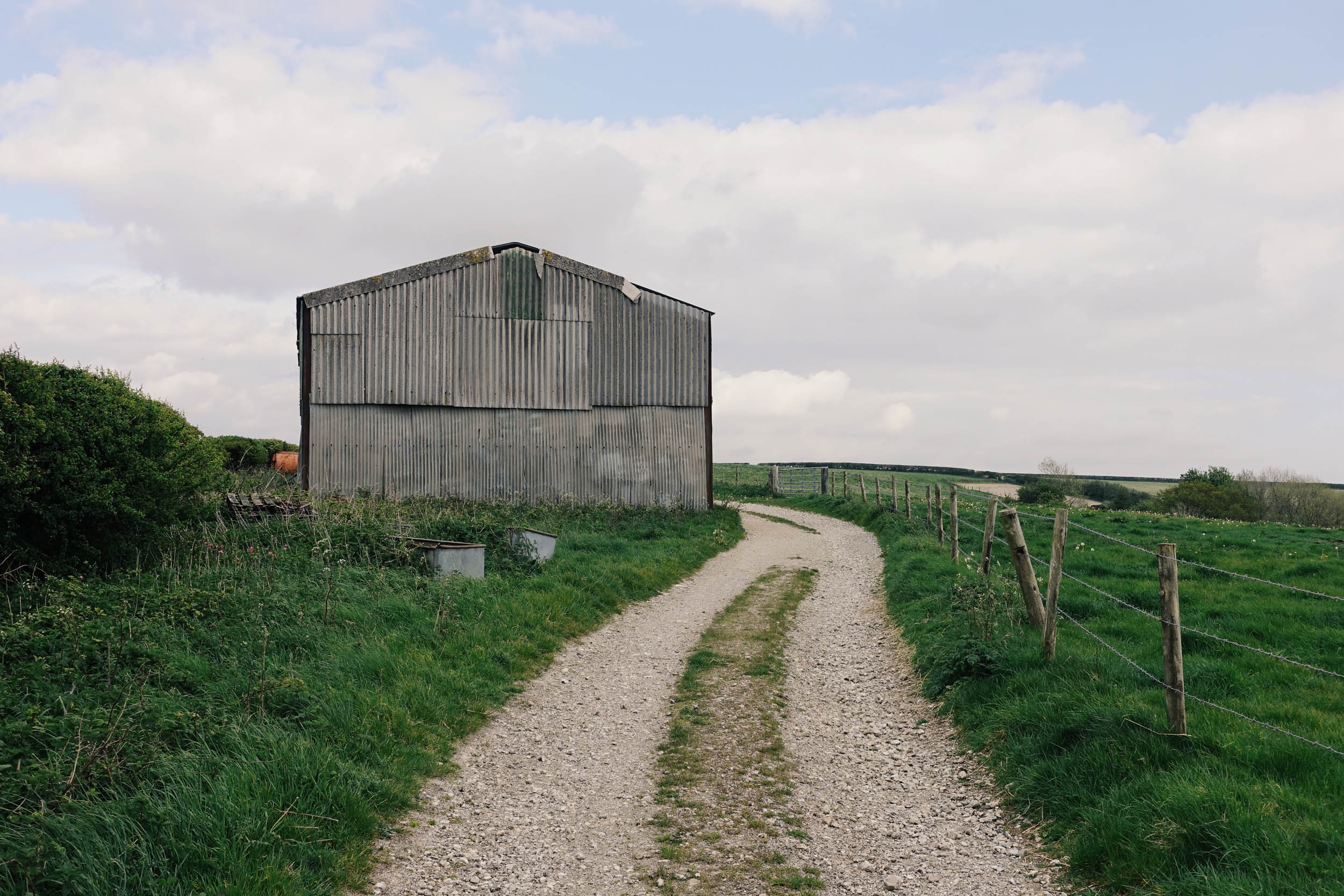
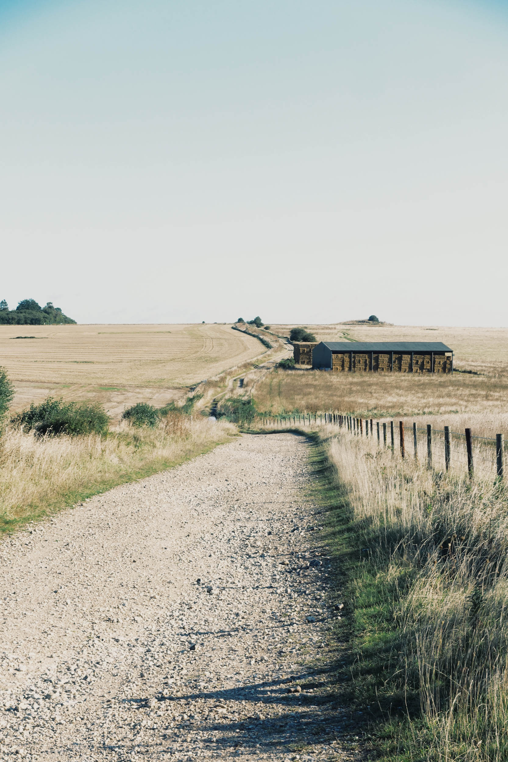
- There are plenty of excellent bivvy spots along the route, and in the first 150 kilometres, there are loads of remote barns on the route, which are a good option if you’re planning to bivvy in a weather emergency.
- Many good options in the woods if you have a hammock.
- Do not wild camp on Salisbury Plain Training Area, as the military police will fine you, and it’s not worth getting shot accidentally.
- A good number of campsites are near or on the route. Pitchup.com is a good place to look.
- There are loads of rural pubs/inns with beds to sleep in, and the route passes through lots of towns with some cheaper more commercial accommodation options.
- There’s a YHA in Streatley.
- The route passes through many towns and villages. Village halls, pubs, and cafes are all great places to fill up with water.
- The 60-kilometre Ridgeway section between Avebury and Goring is a bit sparse for resupply on route. There are a few drinking water taps marked on the map. A resupply at Chiseldon is recommended.
- The 60-kilometre section between Linton and Thetford is also a little sparse for resupply on route, but you shouldn’t have an issue if you resupply in Linton or willing to go slightly off route.
- So many local pubs, takeaway options, and cafes along the route. As a rule of thumb, the closer you are to London, the more options you will have.
- A few food highlights: Fish and chips in Lyme Regis, fresh milk (and milkshakes) from a dairy at the 20-kilometre mark, Acorn Inn in Evershot, Chutneys Indian in Shaftesbury, Court Hill Center for pots of tea and big slices of cake, Spire and Spoke Pub in Watlington, Musette cycling cafe in Aldbury, Dine Bangla in Baldock, The Linton Kitchen, Wyle Skye Brewery in Linton, Munsons Brewery in Gazley, Crops bakery in Knetford, White Horse Pub at the end in Holme.
Ride Insights and Alternates
- The ride can roughly be split into three sections: First, the very demanding and hilly first third, (don’t worry, it’s not all this hard). An undulating middle sector with some classic sections. And a fairly flat final third with lots of easy rolling sections.
- There are a few sandy sections around Thetford, especially if it’s been very dry. Wider tyres with low pressure will work wonders. These sections are not too long and lead to prime rolling gravel.
- We would strongly recommend you start at its southwestern end for a few reasons: 1. Prevailing wind, everyone loves a tailwind! 2. Its been designed that way, there will be more hike-a-bike and tarmac descents if you do it the ‘wrong way’. 3. The easier rolling sections are at the eastern end, meaning your tired legs don’t have to deal with Dorset and giving the route a greater sense of flow.
- If you’re short on time and want a ‘Greatest Hits’ of the OCW, look no further than the 165-kilometre section between Shaftesbury and Goring.
- We didn’t much like the traffic-free ‘busway’ section through Luton either. Trust us, after reccying it many times, it’s the best of a bad set of options.
- If you have a big-tyred mountain bike and don’t mind slow-paced touring on some very rough terrain, then the original Greater Ridgeway route might be more suited to your style. It’s about 100 kilometres longer than the OCW and overall a lot rougher going with much more steep hills, rocky terrain, some very sandy sections, with a lot more elevation and more percentage off-road. We think it takes about 3-5 days longer than the OCW. Find collection here.
For more, we have an active instagram account @oldchalkway and website at oldchalkway.cc.
Josh from ‘Keep Smiling Adventures’ was the first person to ride the route in full in March 2022. He made an excellent video on the OCW despite the dry but wintery conditions.


Terms of Use: As with each bikepacking route guide published on BIKEPACKING.com, should you choose to cycle this route, do so at your own risk. Prior to setting out check current local weather, conditions, and land/road closures. While riding, obey all public and private land use restrictions and rules, carry proper safety and navigational equipment, and of course, follow the #leavenotrace guidelines. The information found herein is simply a planning resource to be used as a point of inspiration in conjunction with your own due-diligence. In spite of the fact that this route, associated GPS track (GPX and maps), and all route guidelines were prepared under diligent research by the specified contributor and/or contributors, the accuracy of such and judgement of the author is not guaranteed. BIKEPACKING.com LLC, its partners, associates, and contributors are in no way liable for personal injury, damage to personal property, or any other such situation that might happen to individual riders cycling or following this route.
Please keep the conversation civil, constructive, and inclusive, or your comment will be removed.