


Olympic Bridges Overnighter
Distance
39 Mi.
(63 KM)Days
2
% Unpaved
93%
% Singletrack
0%
% Rideable (time)
99%
Total Ascent
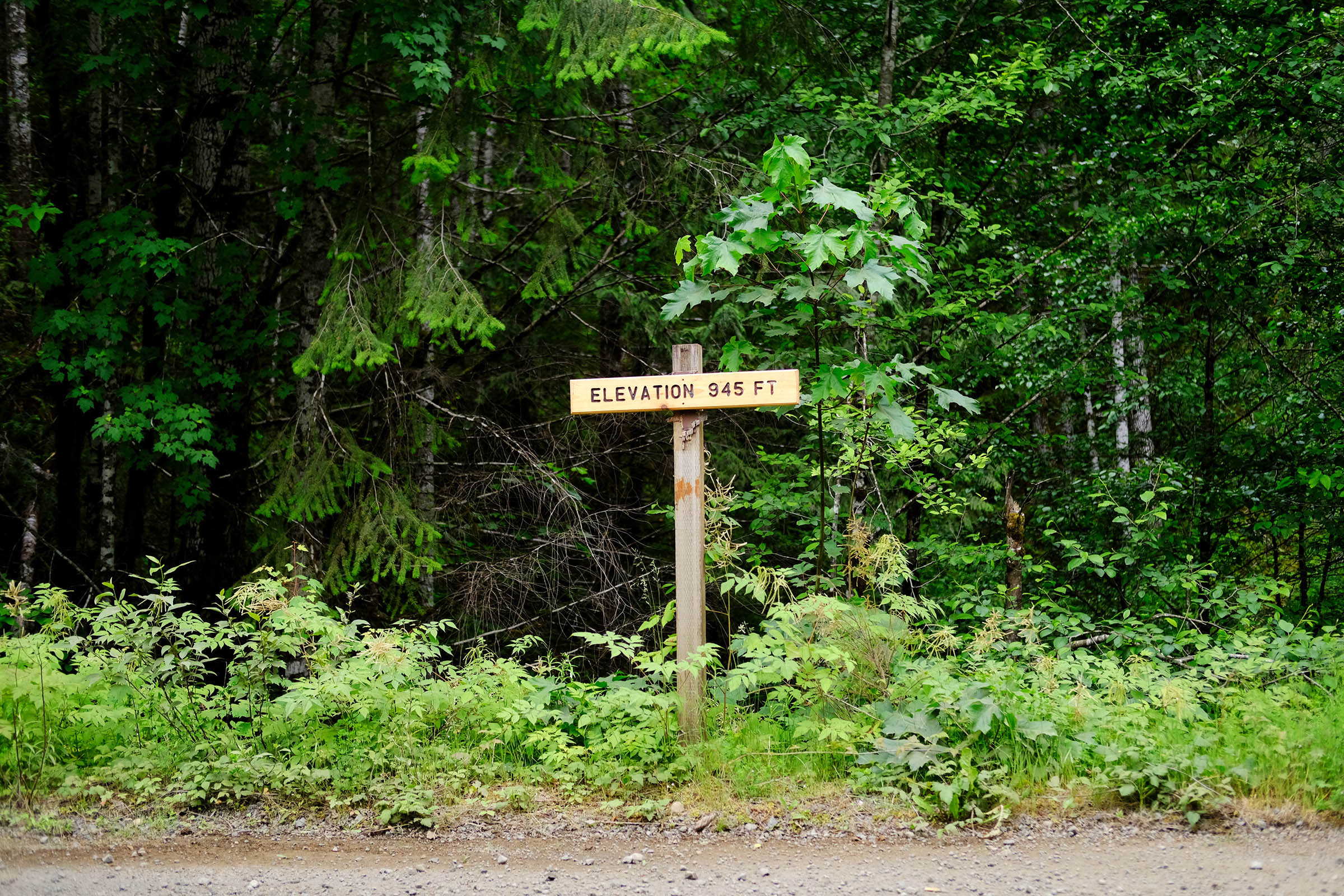
2,890'
(881 M)High Point
1,427'
(435 M)Difficulty (1-10)
4?
- 5Climbing Scale Moderate74 FT/MI (14 M/KM)
- -Technical Difficulty
- -Physical Demand
- -Resupply & Logistics
Contributed By

Molly Sugar
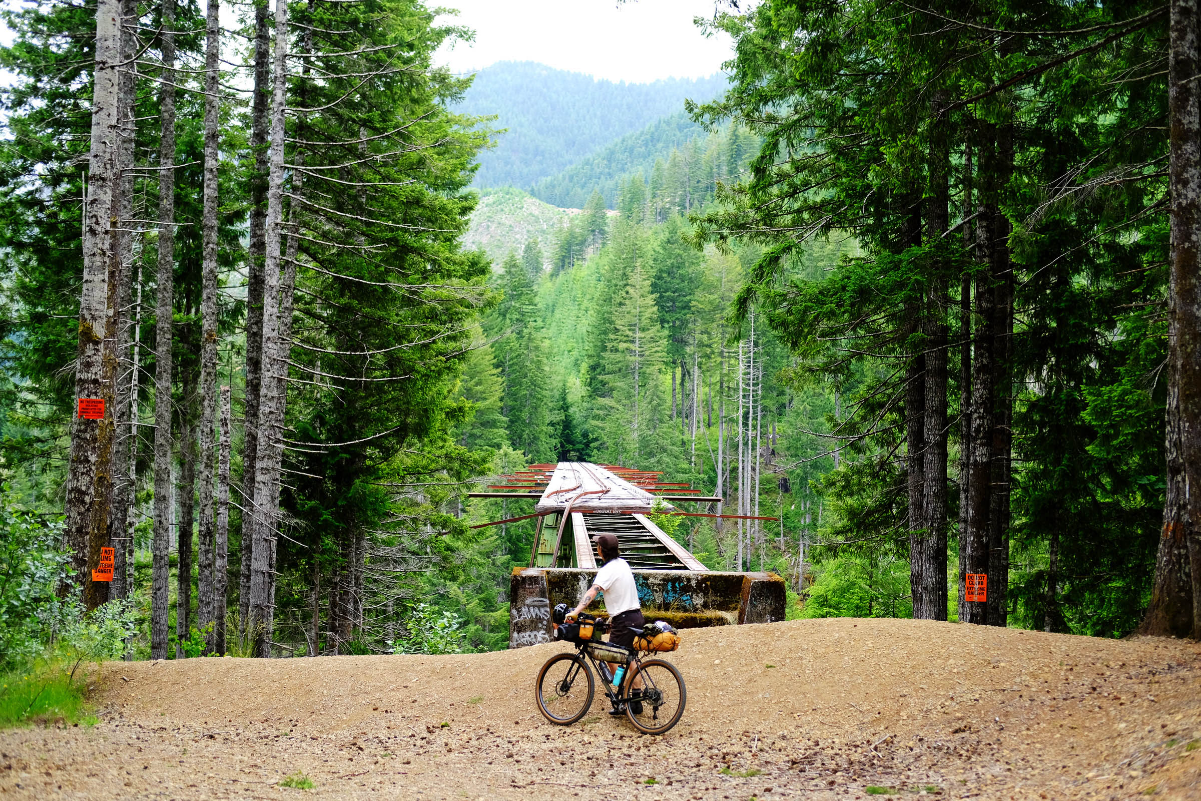
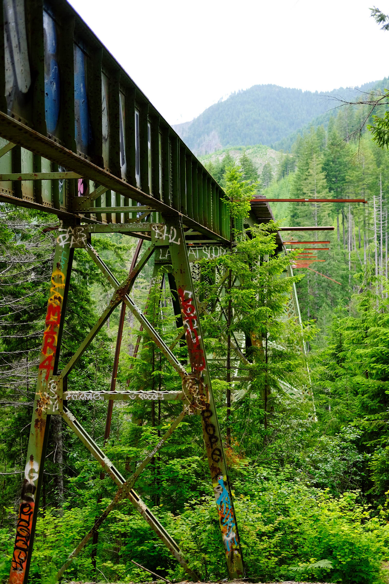
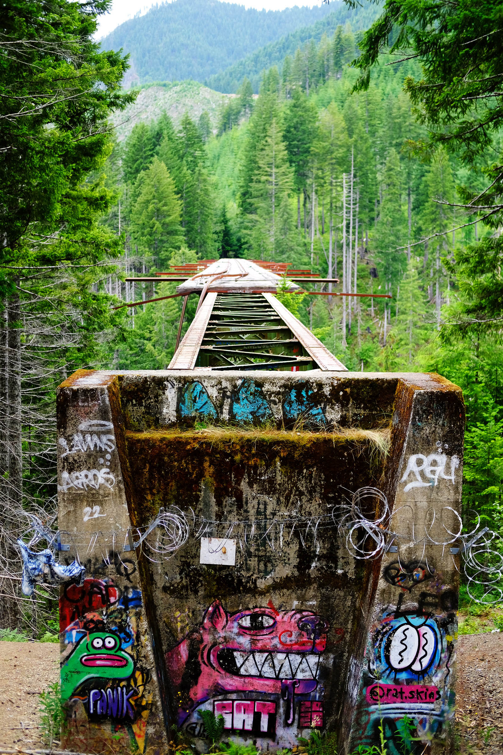
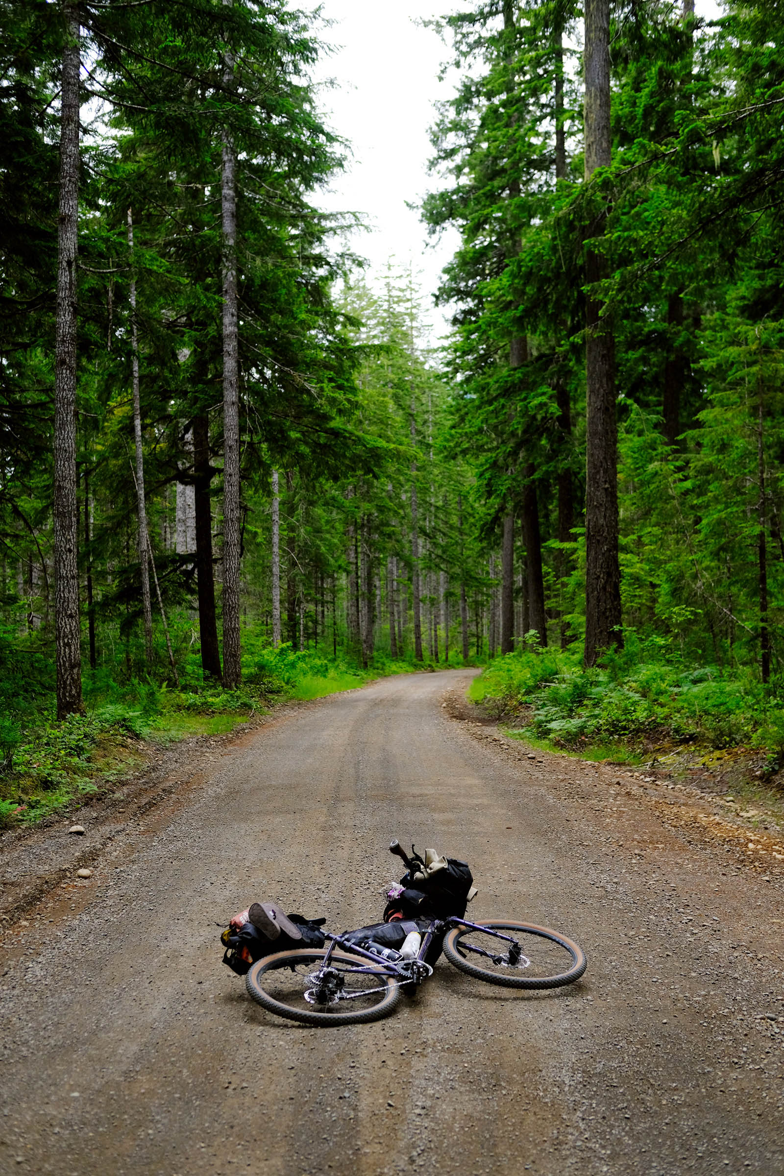
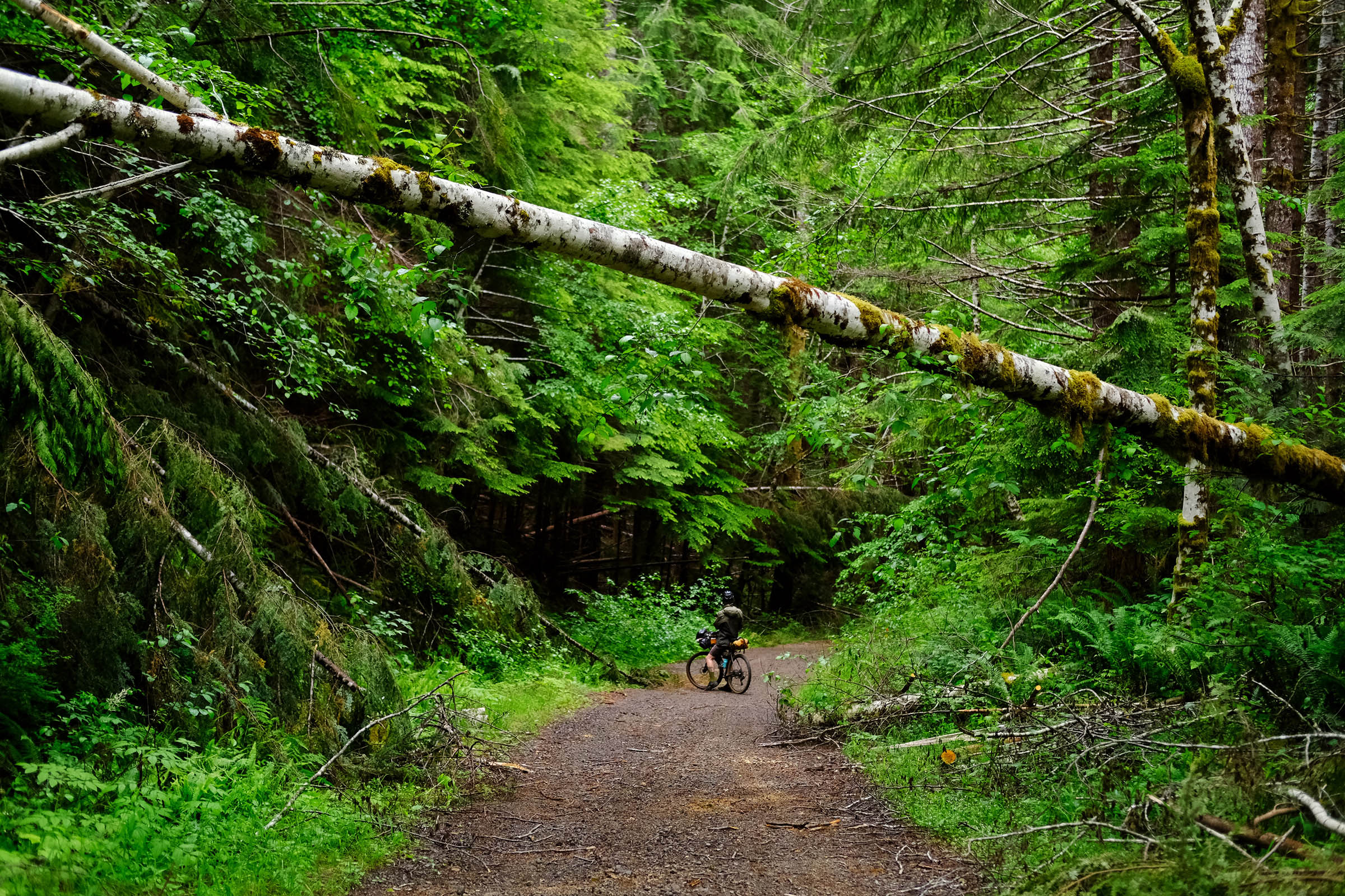
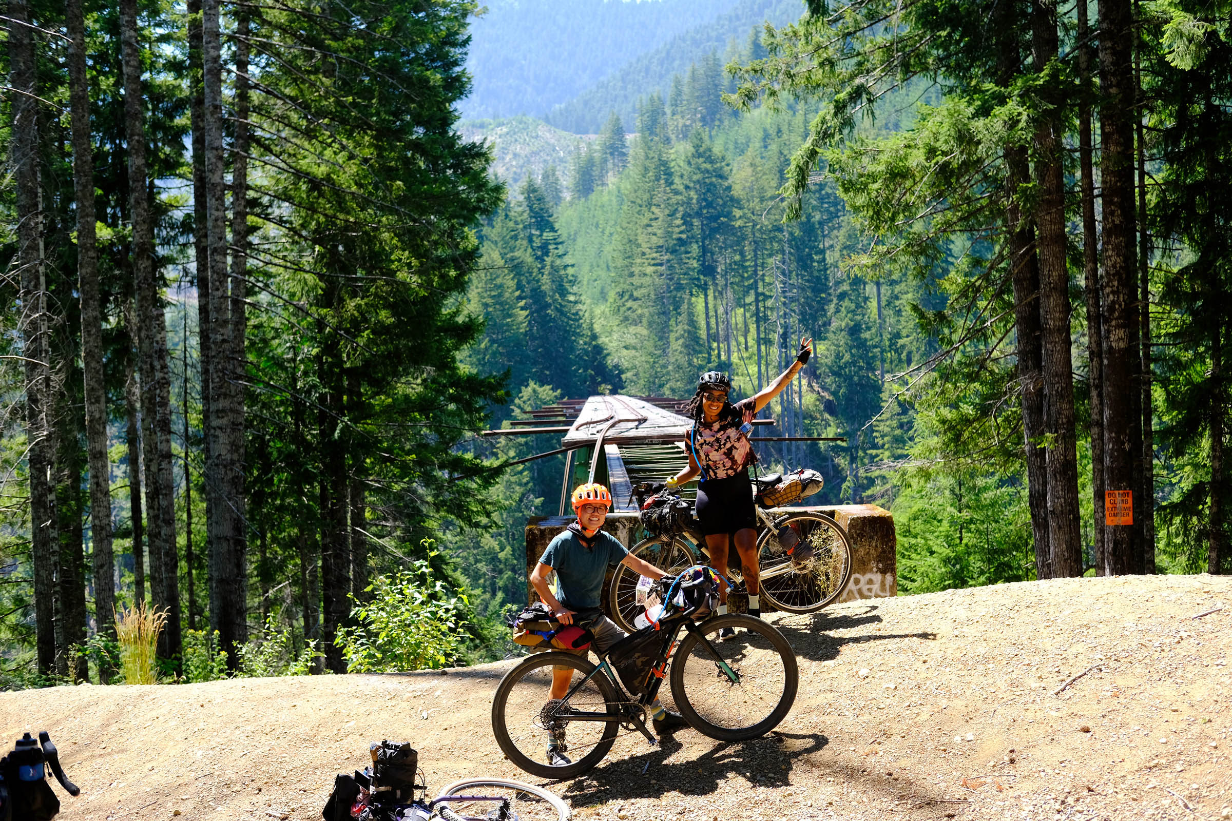
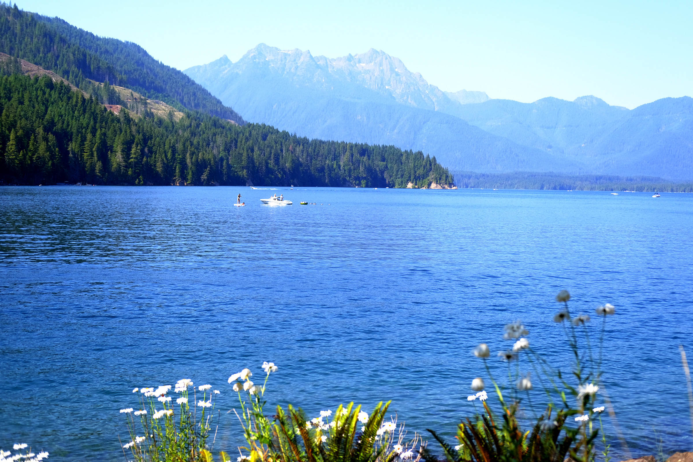
The Olympic National Forest is known for its rushing rivers, temperate rain forests, and alpine wildflowers. The Olympic Bridges Overnighter highlights the region’s expansive beauty while connecting the area’s history with logging. This short overnighter includes Washington state’s two highest arched bridges, Vance Creek Bridge and High Steel Bridge, which were once logging railroads for the Simpson Logging Co. These historical bridges aren’t the only highlight; there are three lake stops at West Lake, Lake Cushman, and Spider Lake. Whether you want a scenic snack spot, a refreshing swim, or to learn more about the region’s history, this overnighter has a lot to offer everyone.

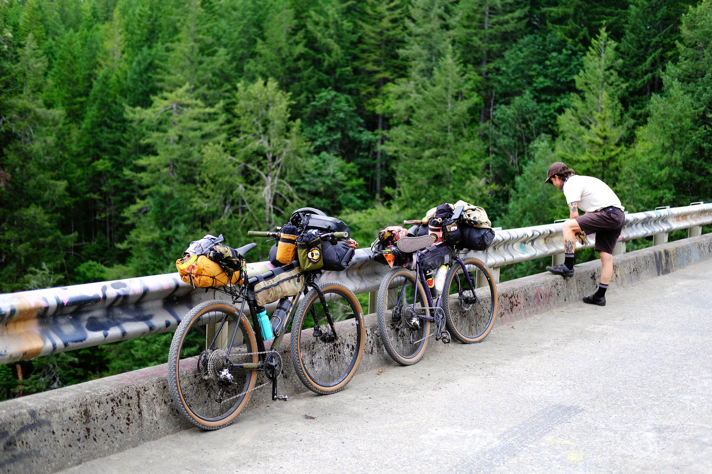
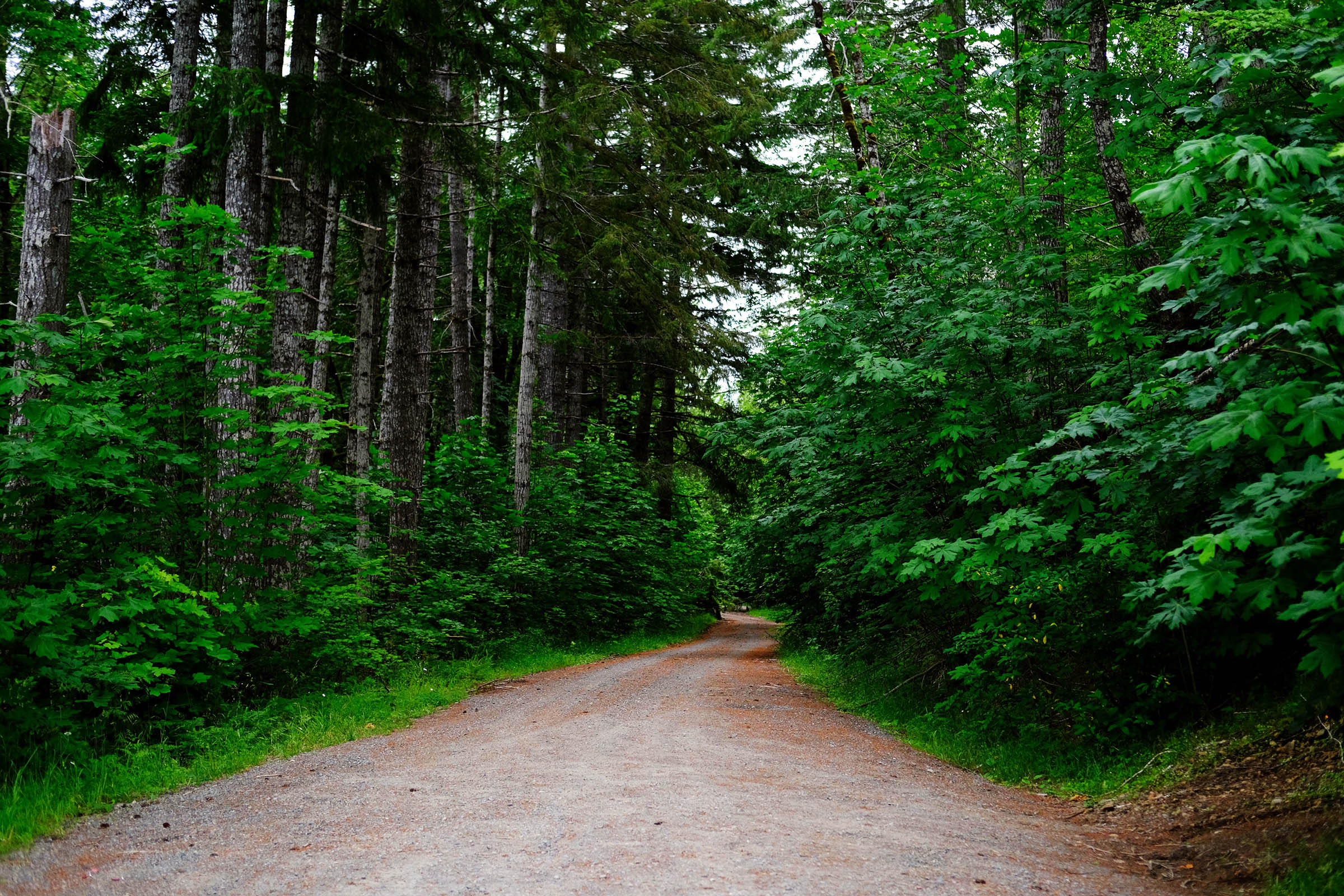
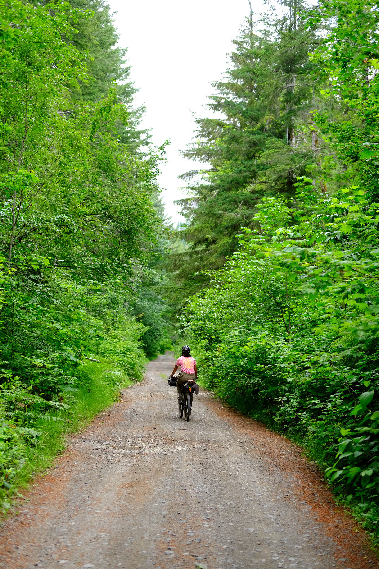
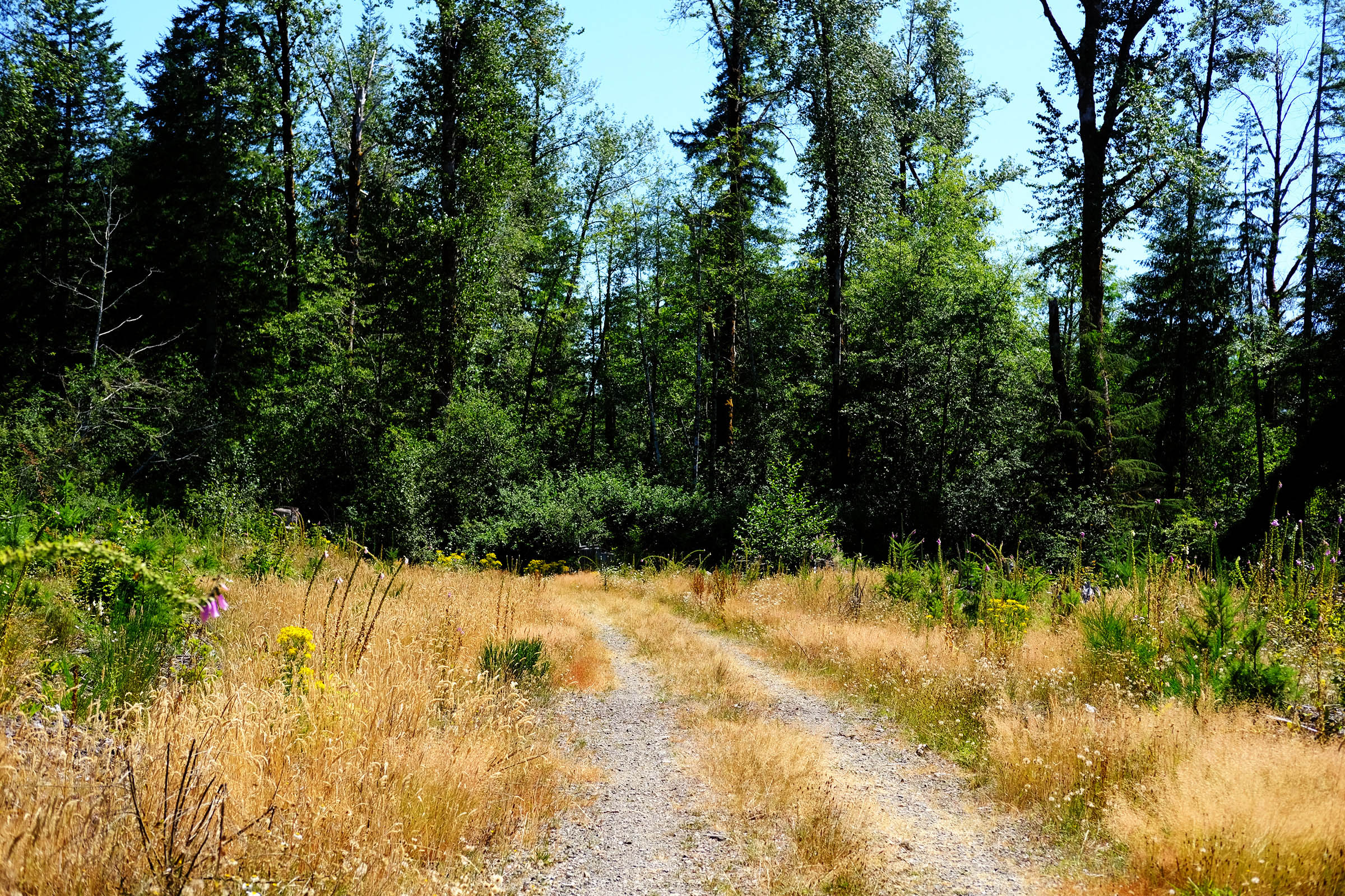
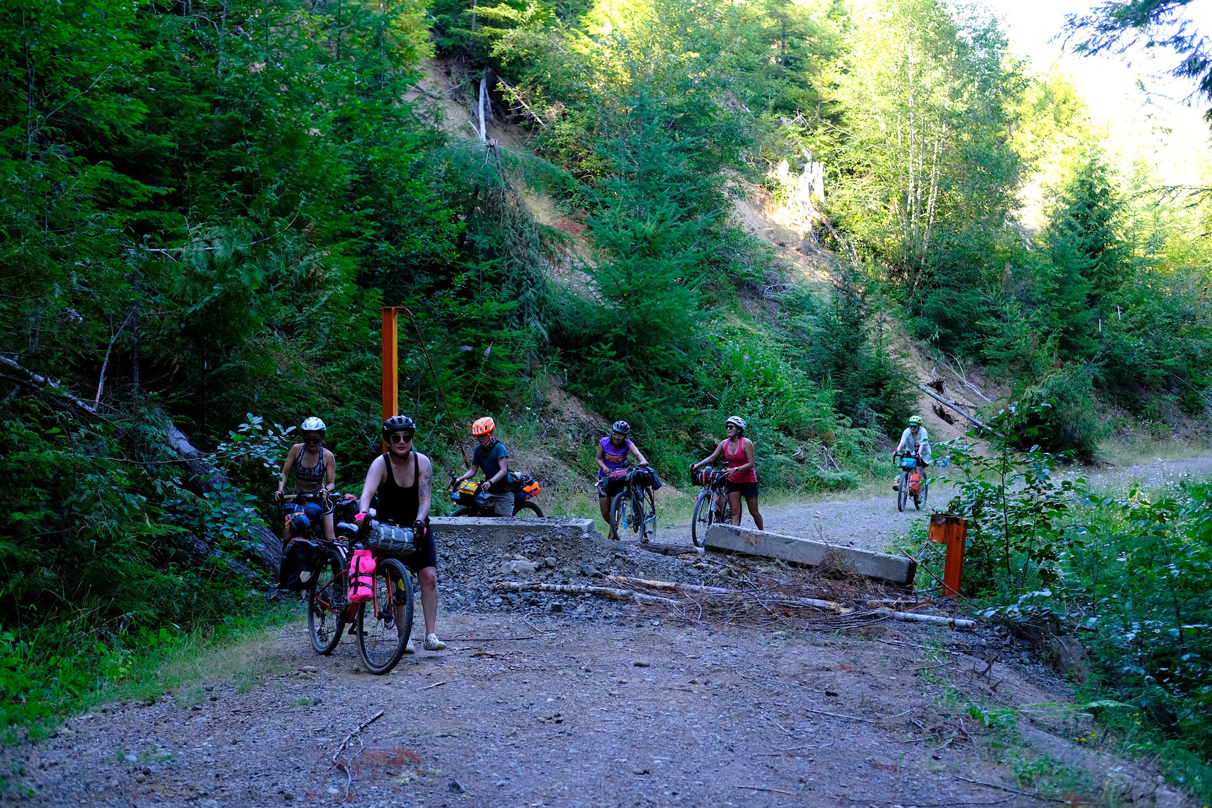
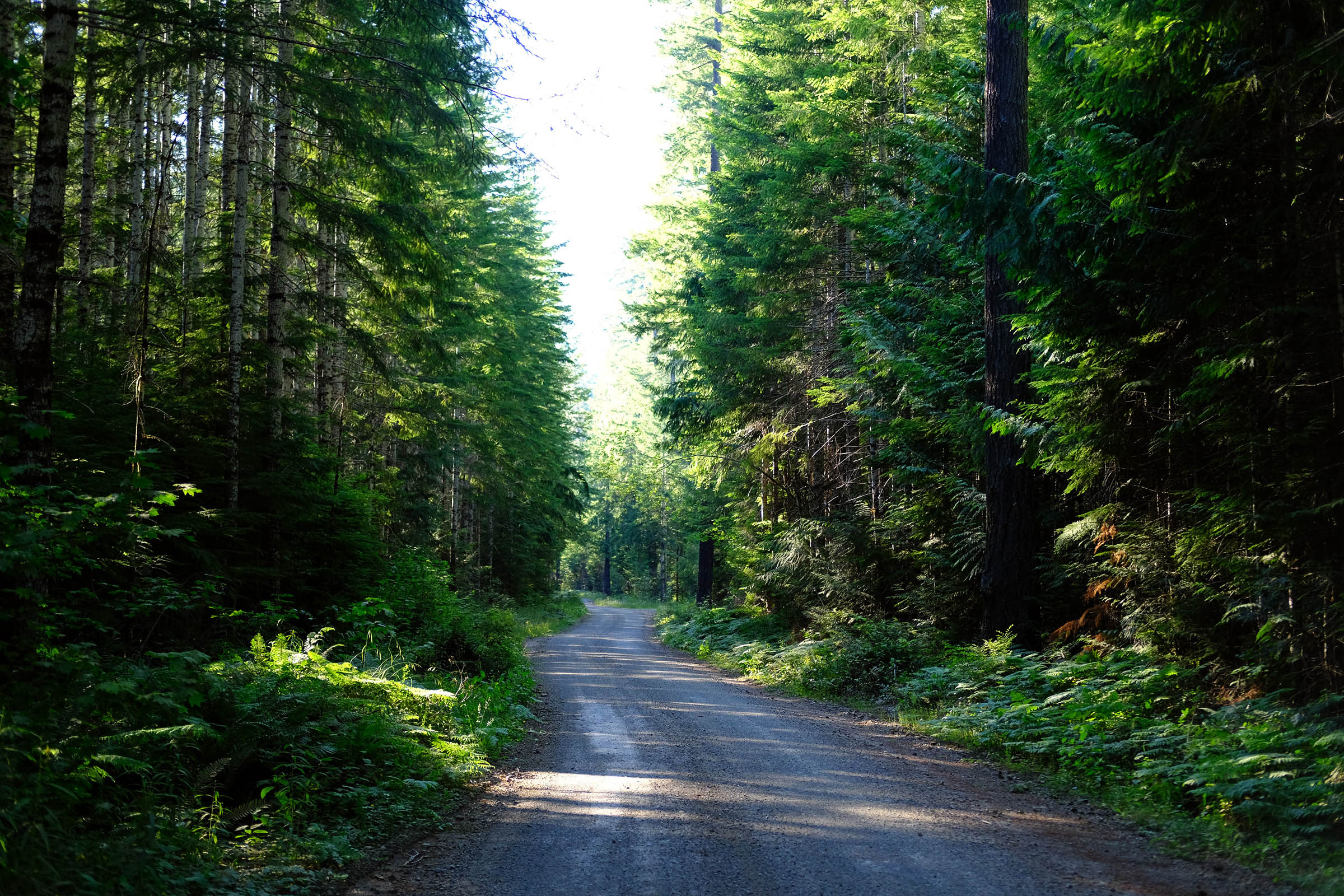
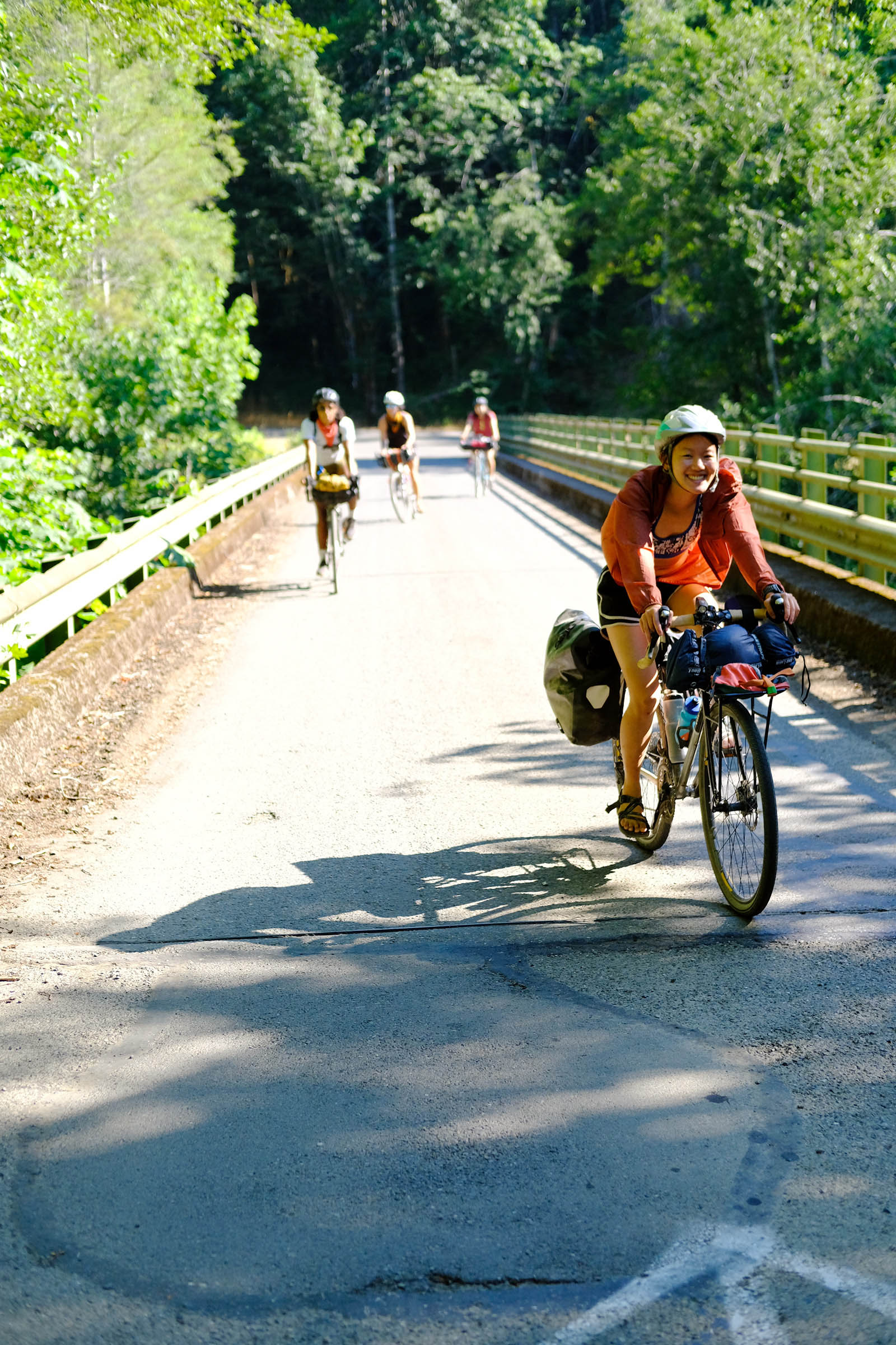
The Olympic Bridges Overnighter is a bikepacking route designed to begin and end at Vance Creek Viaduct trailhead with overnight camping at or near Brown Creek Campground. The route starts at a trailhead from which you can bike down half a mile to view the Vance Creek Bridge, which is a great way to shake out any loose bikepacking gear. After returning to the trailhead from the short shakedown ride, the route goes on a mellow gravel forest road that quickly connects to West Lake, a small secluded marsh lake with dispersed camping on Forest Road 2340.
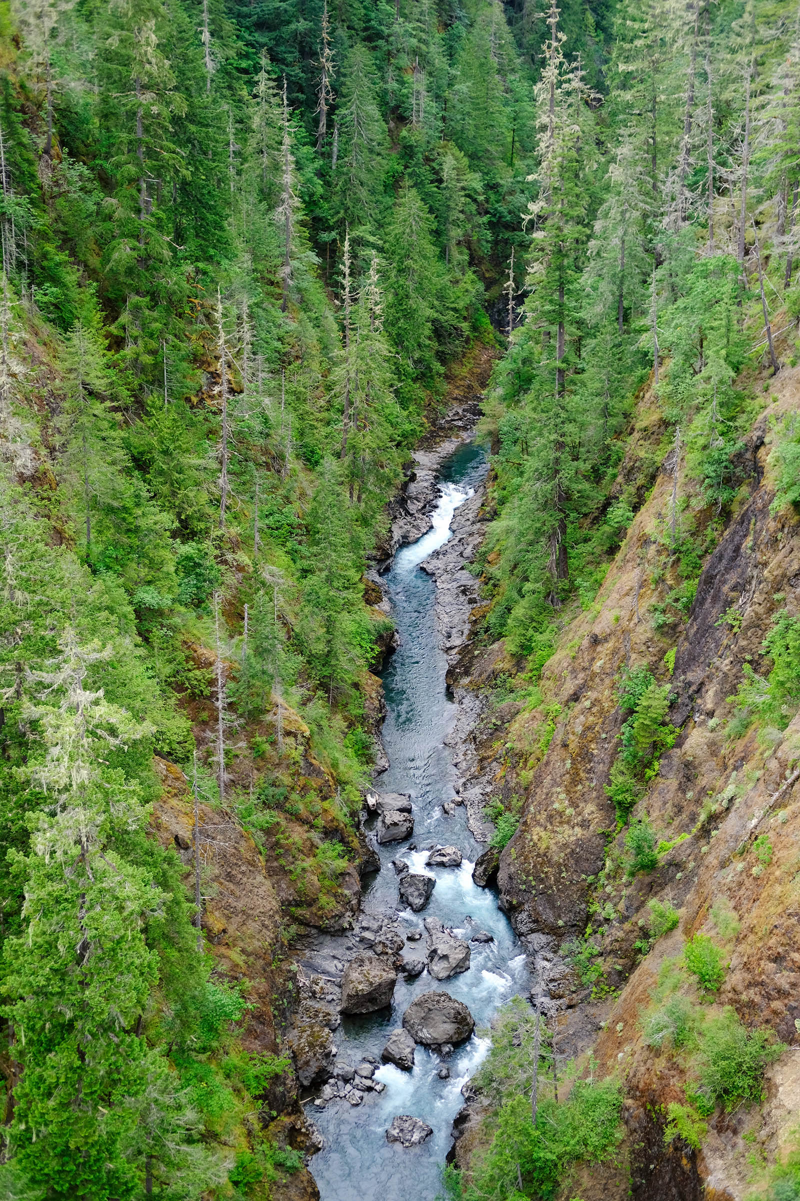
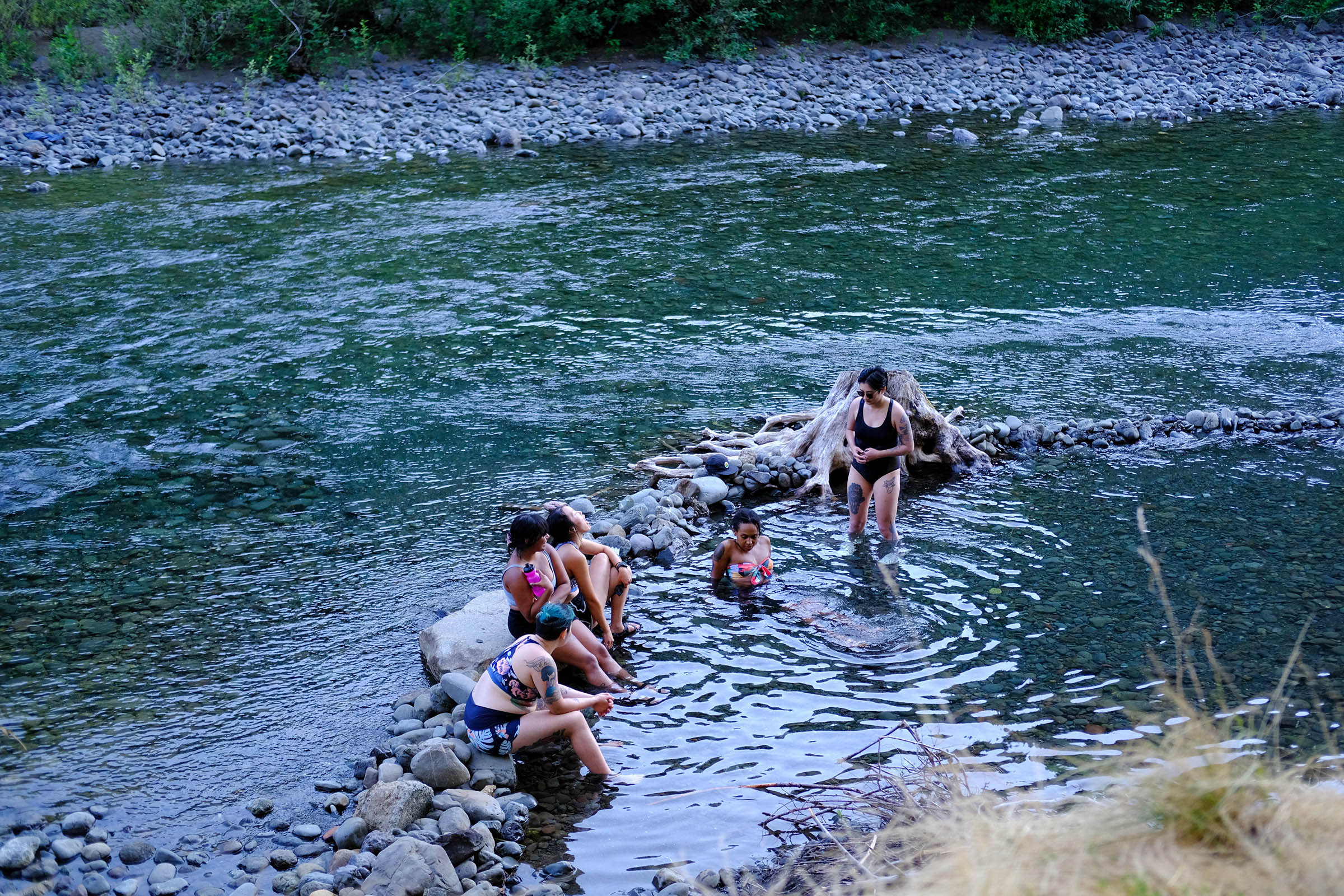
Once you leave West Lake, the route continues to High Steel Bridge, 375 feet above the Skokomish River. After taking in all the sights, the route continues with rolling gravel until you reach Lake Cushman. The reservoir lake is a perfect spot for swimming with its clear waters, lush forested shoreline, and views of the mountains.
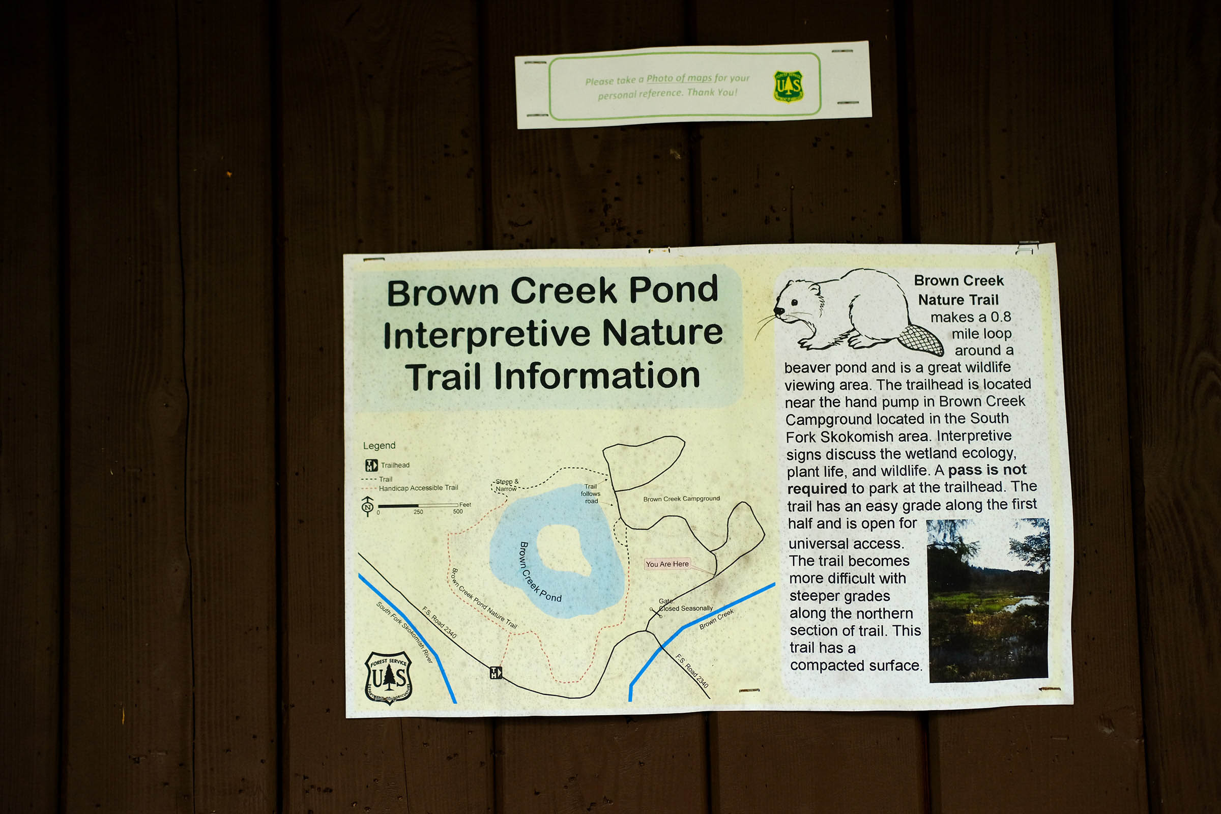
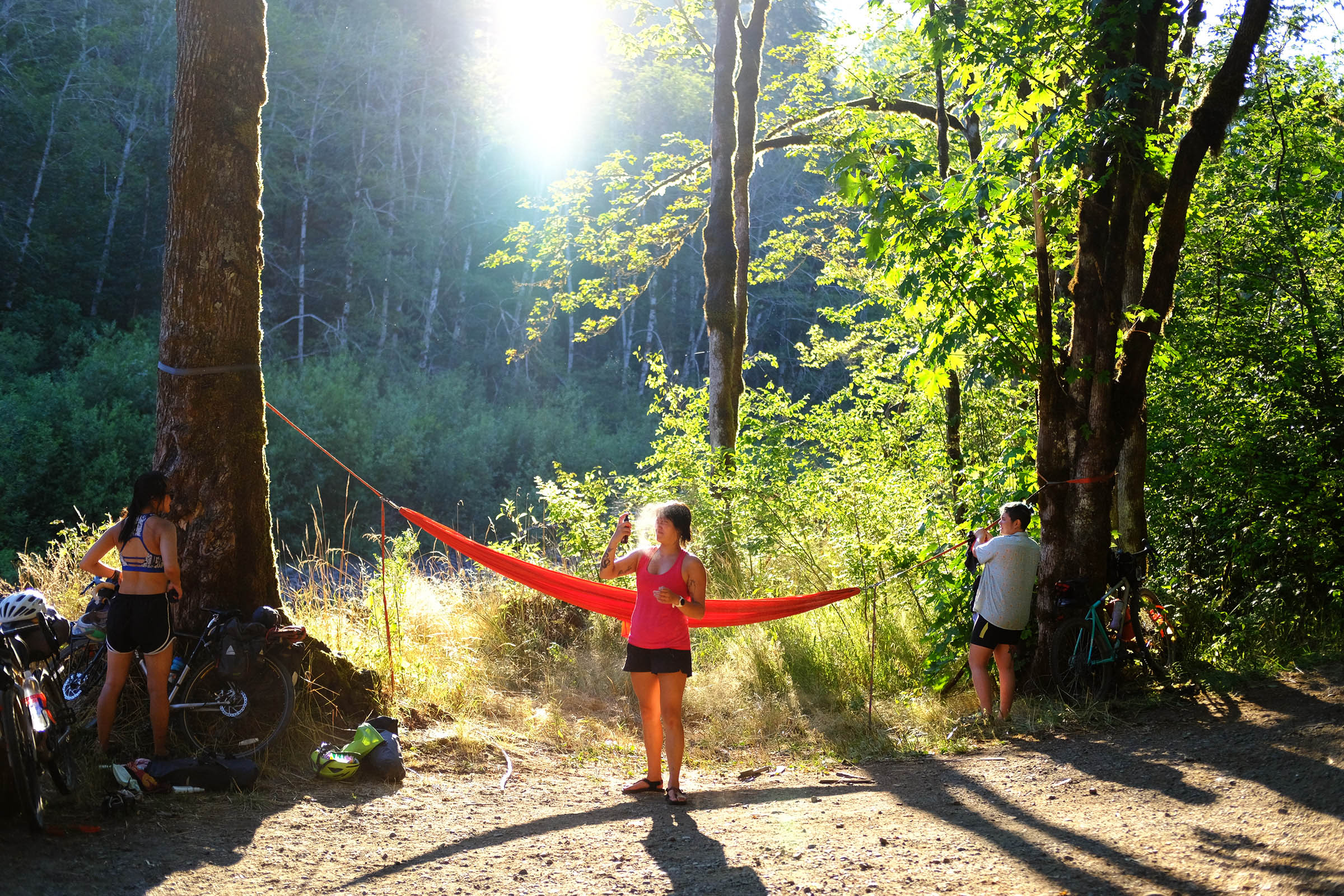
Continuing from Lake Cushman is a climb to Brown Creek Campground, a first-come,-first-served campground along the South Fork Skokomish River. Evergreen conifers and hardwoods provide lots of shade at this campground, and the large designated campsite makes it a great spot for bigger groups. There are plenty of river access spots for swimming and hanging out, making it a popular spot on hot days.
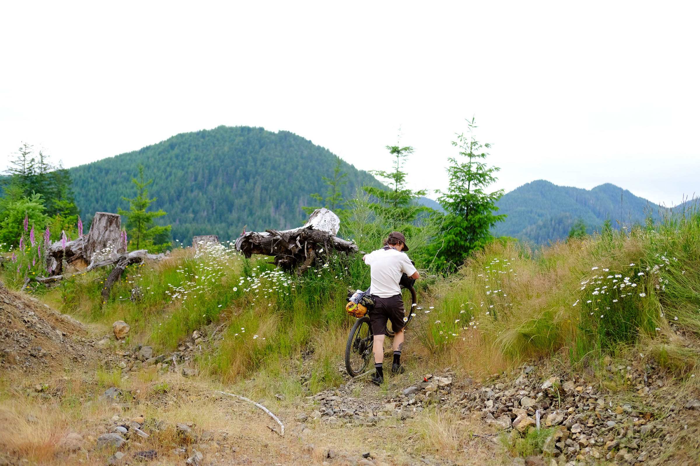
Once you leave Brown Creek Campground, there is a long climb to Spider Lake, where you can rest your legs in the crystal blue waters. After Spider Lake, the route continues with two more climbs until you reach a well-deserved rolling and fast descent back to Vance Creek Viaduct trailhead.
Route Difficulty
I would rate this route a 4 out of 10 in terms of overall difficulty. The main obstacle is climbing. The climbs can be daunting for less experienced riders. Don’t be discouraged if you’re new; just take your time and settle into the climb. There is no food resupply and potable water only at Brown Creek Campground during the open season. I highly recommend carrying a water filter for the many creeks, rivers, and lakes along the route.
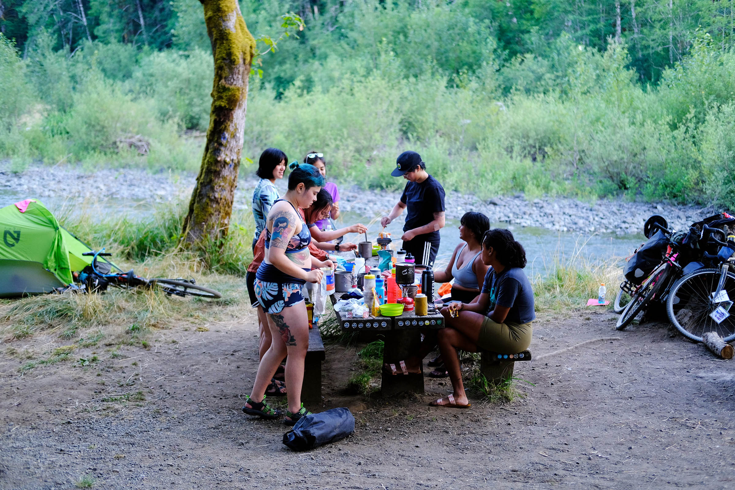
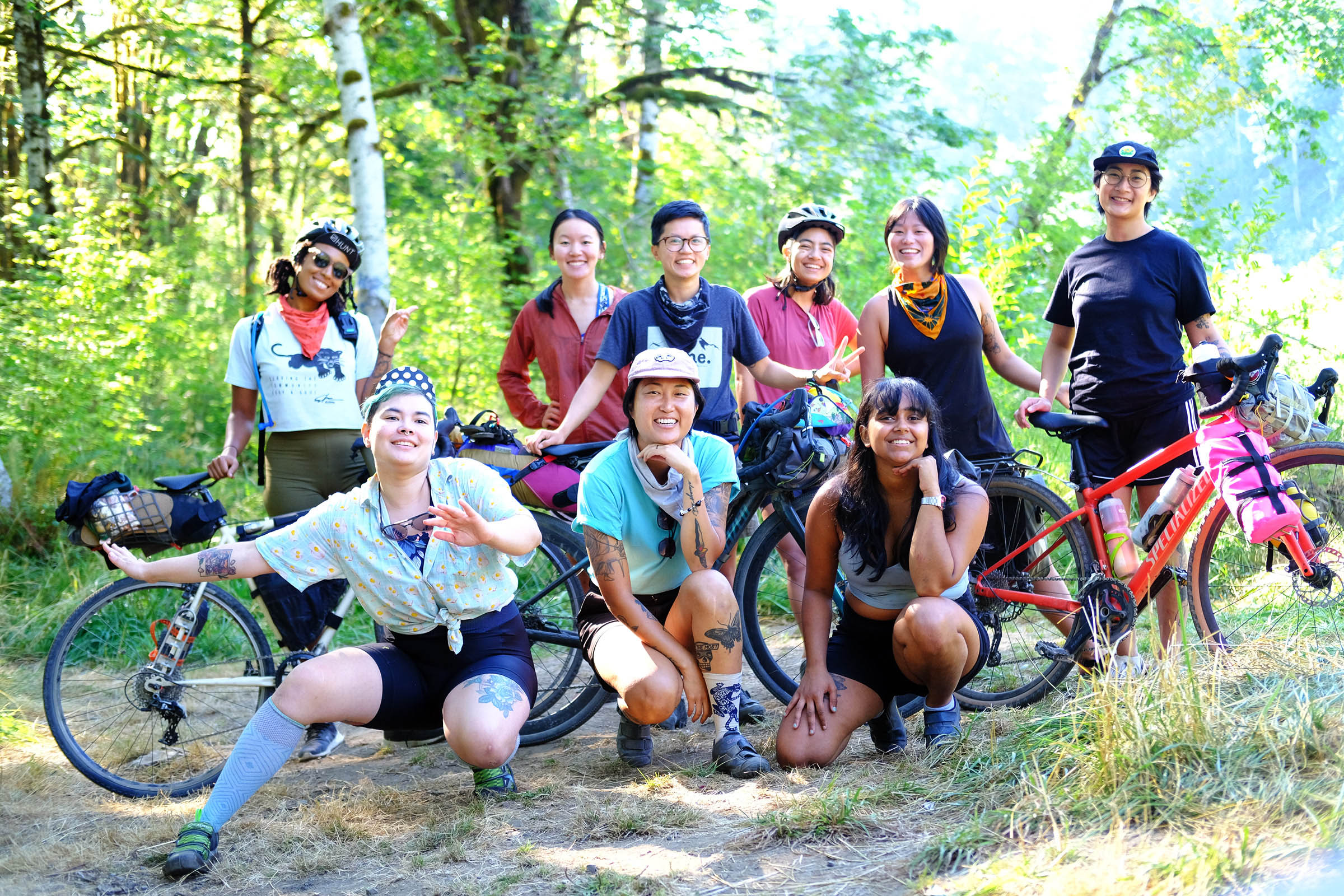
Thanks to Skyler Elzy for the illustration and pre-riding the first route. Thanks to the Friends on Bikes Seattle and Portland crews for pre-riding the second route and testing all the swimming spots.


Submit Route Alert
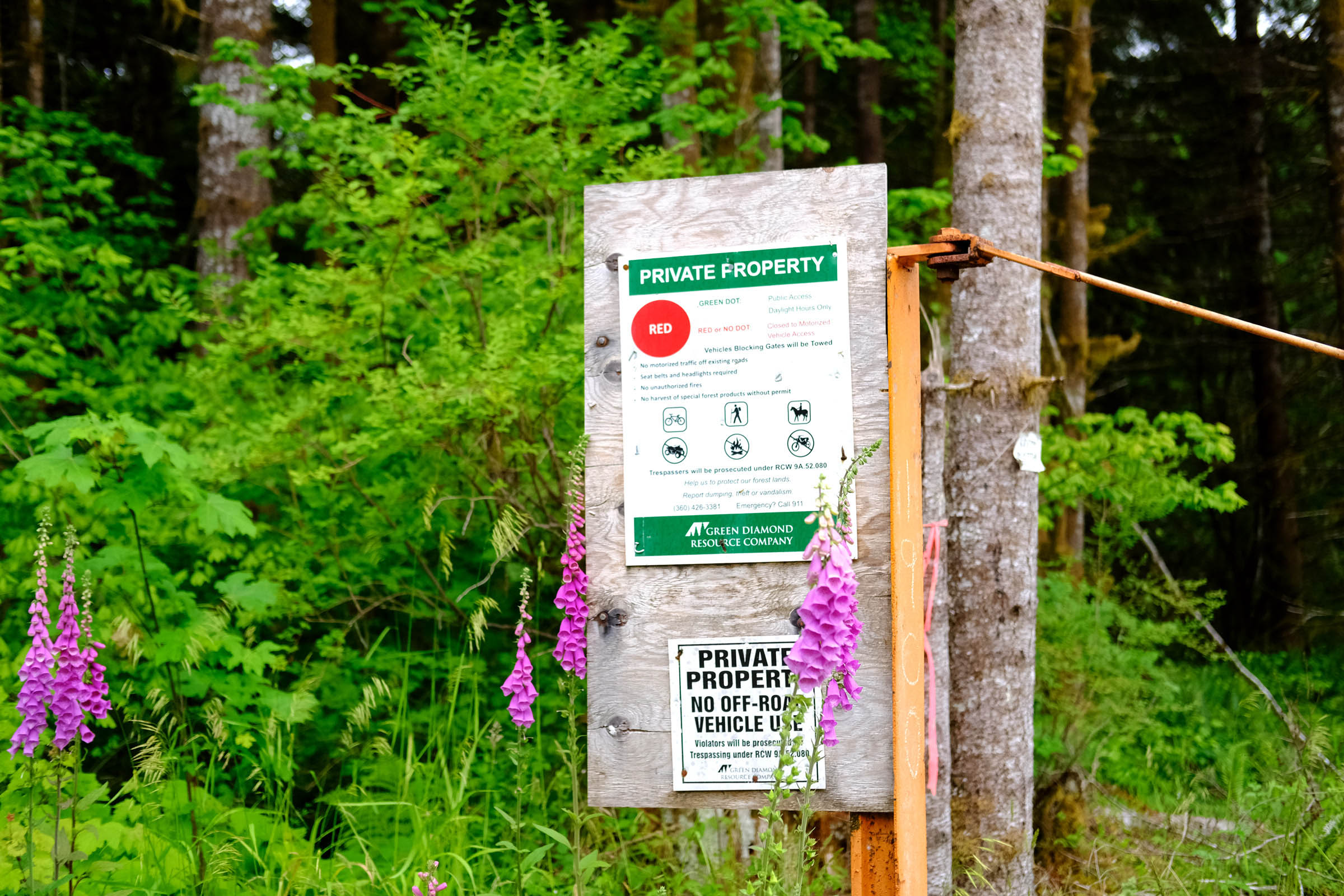
As the leading creator and publisher of bikepacking routes, BIKEPACKING.com endeavors to maintain, improve, and advocate for our growing network of bikepacking routes all over the world. As such, our editorial team, route creators, and Route Stewards serve as mediators for route improvements and opportunities for connectivity, conservation, and community growth around these routes. To facilitate these efforts, we rely on our Bikepacking Collective and the greater bikepacking community to call attention to critical issues and opportunities that are discovered while riding these routes. If you have a vital issue or opportunity regarding this route that pertains to one of the subjects below, please let us know:
Highlights
Whereabouts
Must Know
Camping
Food/H2O
Resources
- High Steel Bridge is a truss arch bridge and the highest in Washington state. Built in 1929, the bridge spans the south fork of the Skokomish River and is listed on the National Register of Historic Places.
- Vance Creek Bridge is the third highest bridge in Washington state and spans Vance Creek. The bridge is accessible through a trail for non-motorized access, but going on the actual bridge itself is not permitted.
- Lake Cushman is a 4,014.6-acre lake and reservoir with swimming, fishing, and boating. Crystal blue water and views of the Mt. Skokomish Wildnerness make this a popular destination.
- Spider Lake is a hidden lake with a two-mile hiking trail taking you through old-growth forests, small waterfalls, and a marsh. Would suggest leaving your bike along the road before hiking down since the trail can be steep and narrow in sections.
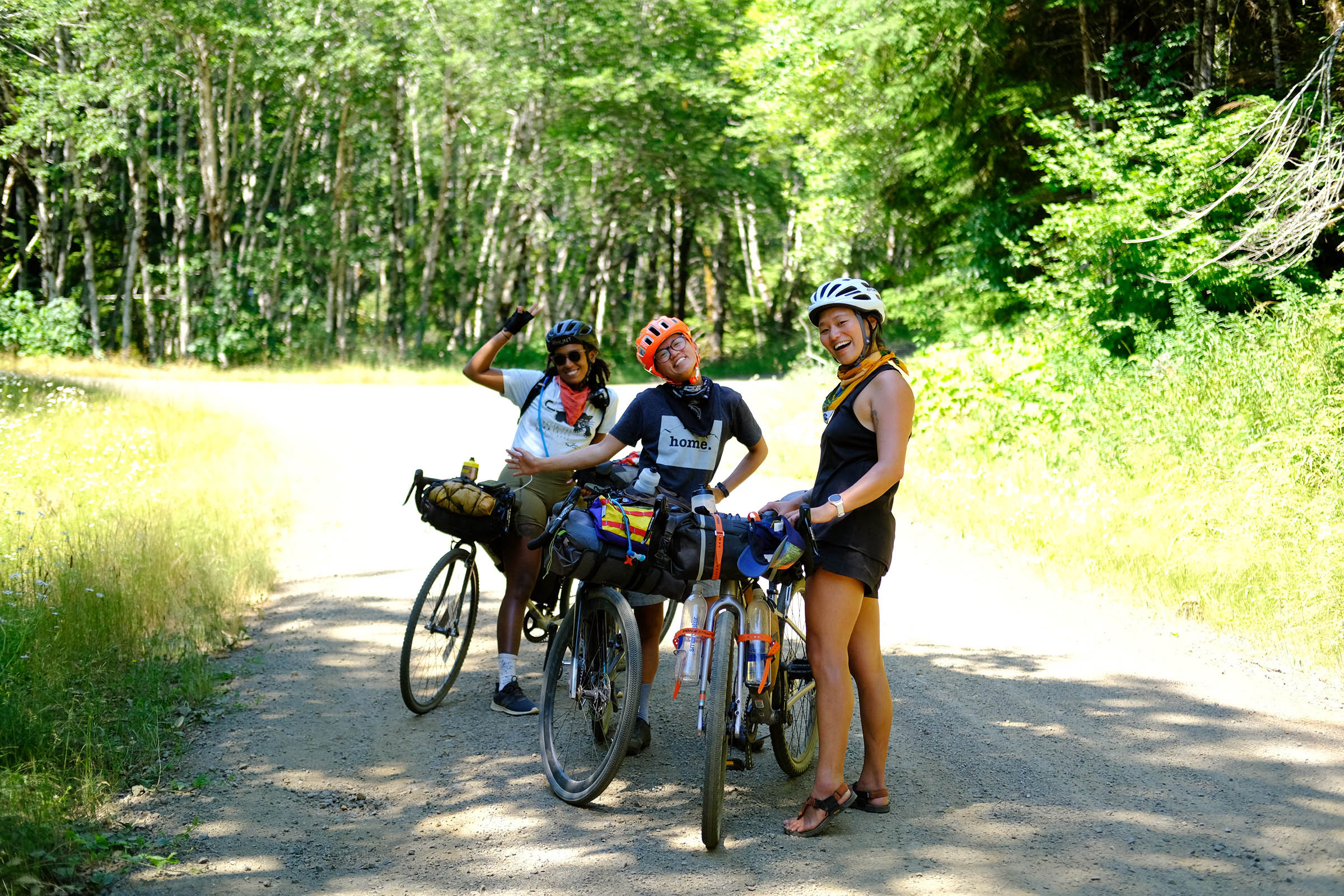
- Lake West is a small secluded marsh lake with limited trail access.
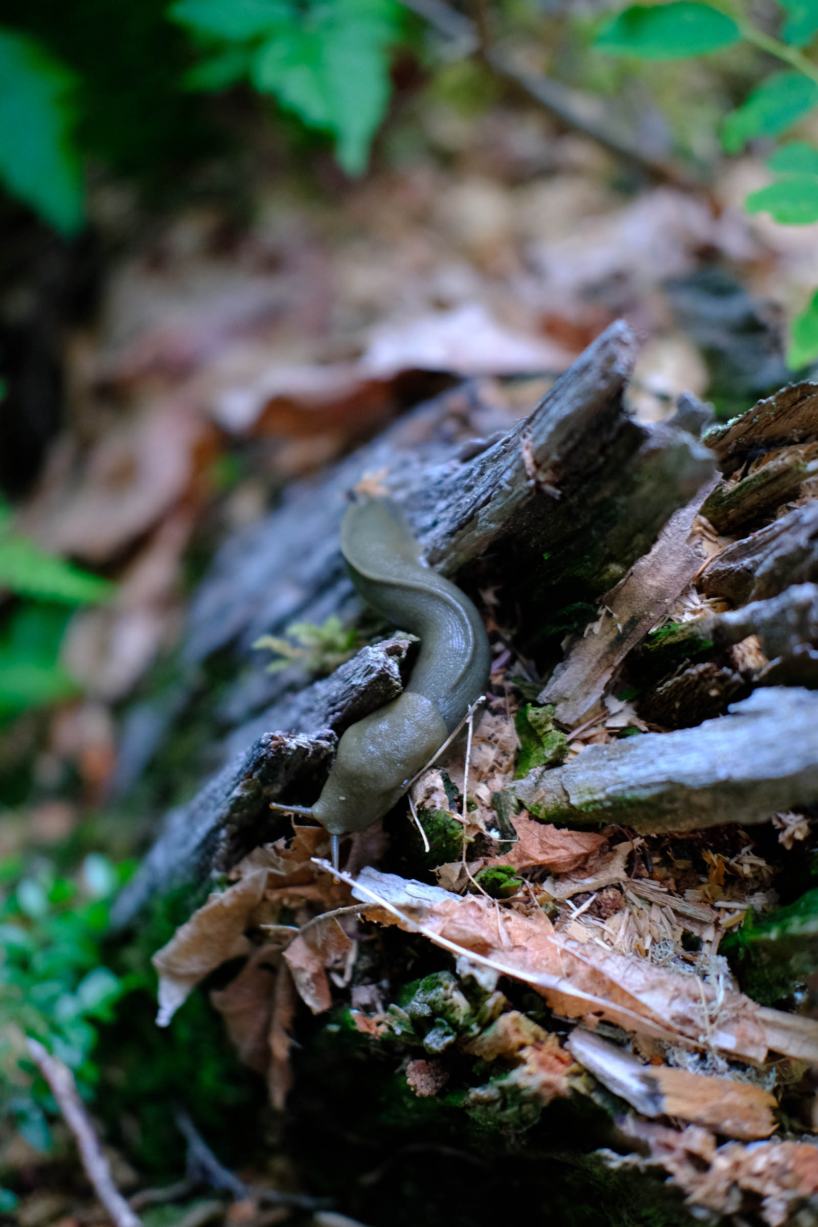
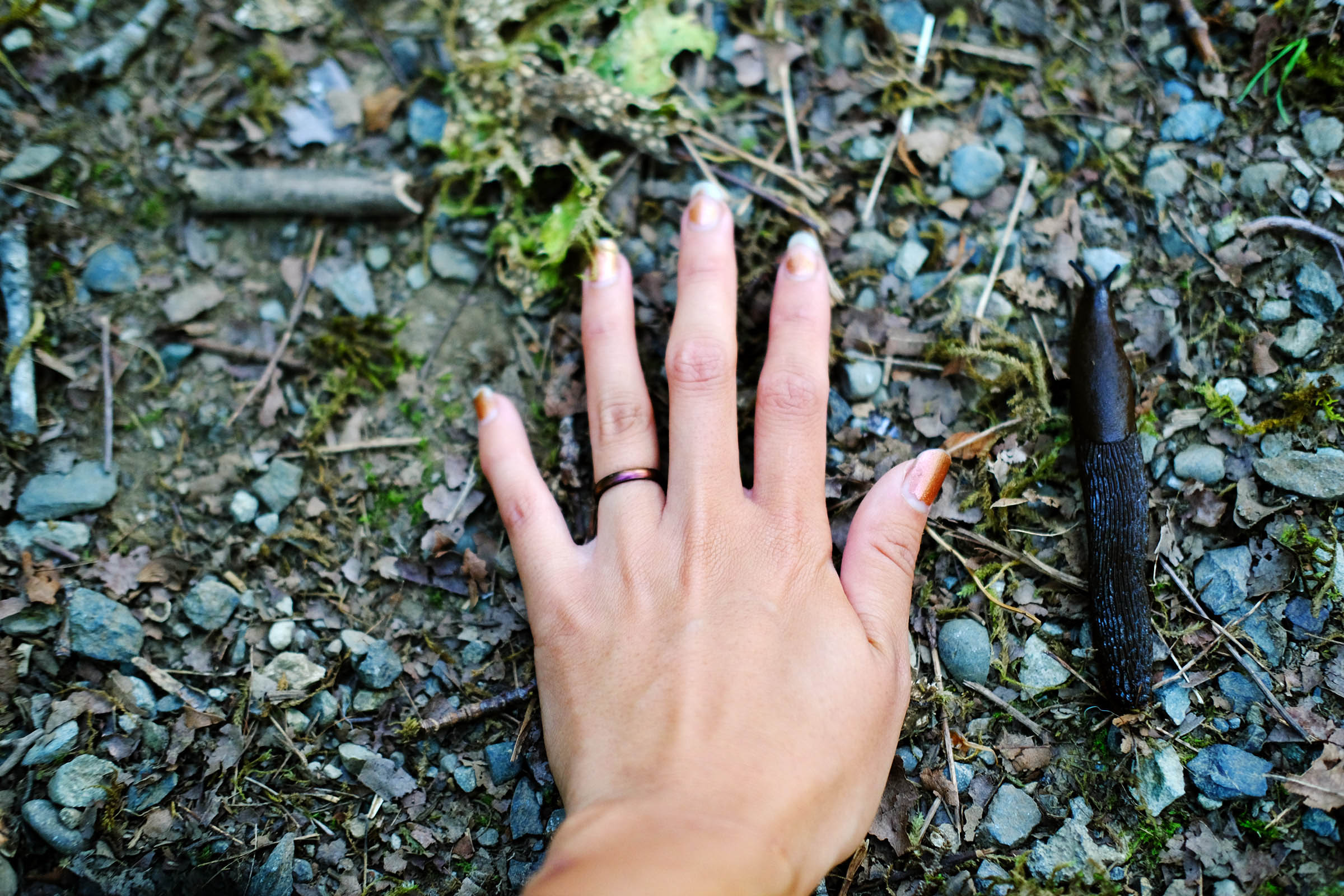
- Rolling and secluded gravel roads, just be careful of the gigantic slugs during the wet months.
- Established campsites at Brown Creek Campground and many dispersed camping options in Olympic National Forest.
- Counterclockwise recommended, but the route can be ridden in either direction.
- The route is on Skokokmish/Twana, Coast Salish, Chehalis, and S’klallam land.
- The Twana occupied virtually the entire Hood Canal basin. For thousands of years, the Twana/Skokomish people have had a cultural, spiritual, and economic dependence on the Skokomish River where they make their home.
- Skokomish was the largest of nine Twana Indian communities that lived near one another and shared many customs. What is now known as the Skokomish tribe is mostly made up of Twana Indians and the descendants of the other tribes who share the Skokomish Reservation. The name Skokomish (pronounced sko-KO-mish) comes from two words meaning “big river people,” skookum and mish (a suffix found on many Northwest tribal names meaning “people”).
- The majority of Coast Salish tribes made settlements in villages on the mouths of rivers, in sheltered bays or in inlets out of the reach of storms. Throughout their existence, the mainstay of the Coast Salish way of life has been fishing, which in addition to being a food resource, has also been a central part of their ceremonies and legends.
- Ideal bike: Gravel bike with 34mm tires at minimum.
- When to go: Summer and fall are the best times to ride in the Olympic National Forest since it can be very wet in the spring and winter.
- Parking: Available at Vance Creek trailhead and Lake West.
- Optional singletrack on Lower South Fork Skokomish Trail, a six-mile trail starting near Brown Creek Campground.
- Check rain conditions; Olympic National Forest can see significant rainfall with the Satsop Hills having the highest average annual rainfall and the second highest ever recorded in the continental United States.
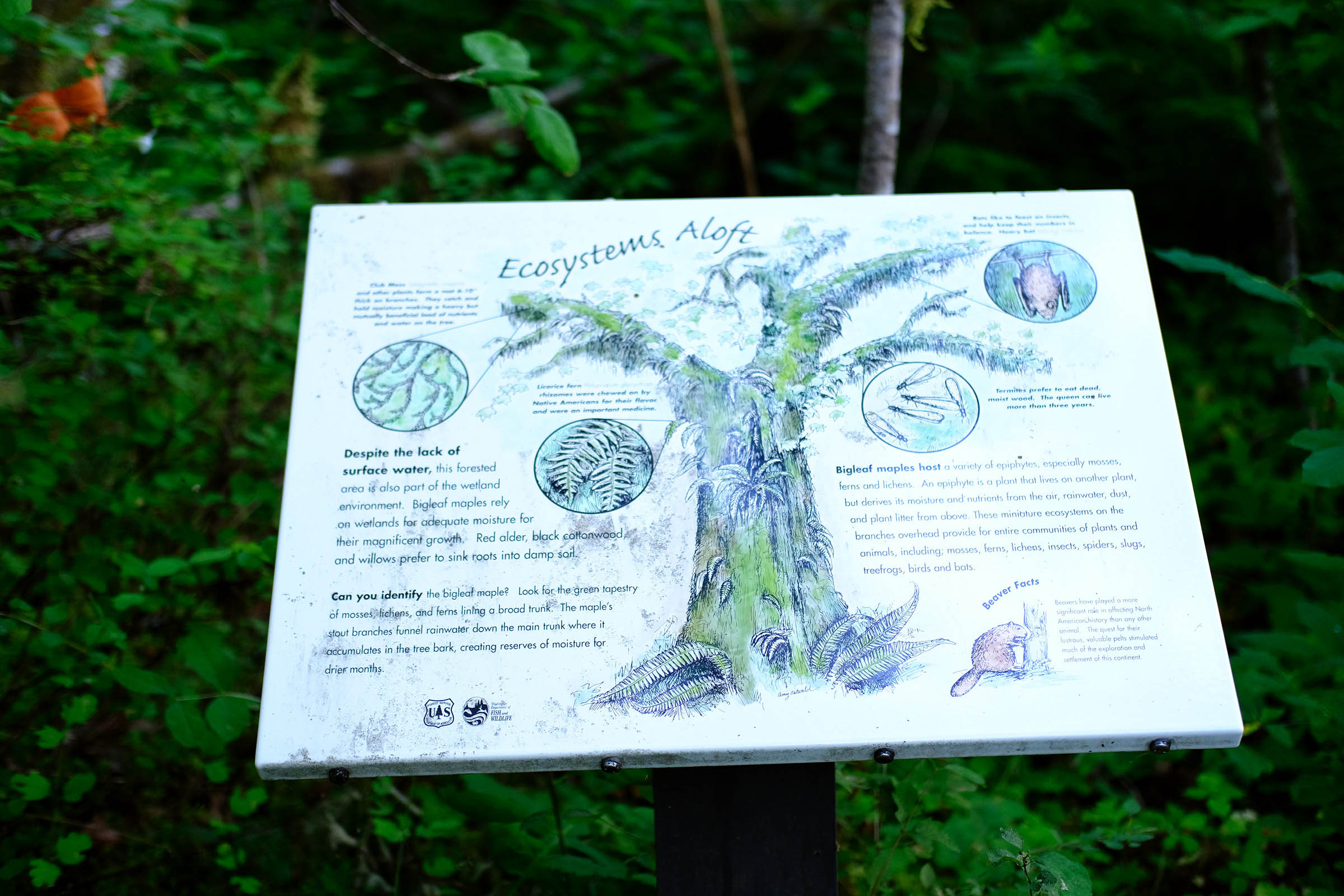
- The nature trail at Brown Creek Campground loops around a beaver pond.
- This route can be shortened by taking Forest Road Highway 23 if you want less mileage.
- This route can be combined and extended with the GCOR (Gravel Circumnavigation of the Olympic Range) route if you want more mileage.
- Brown Creek Campground offers 20 first-come,-first-served designated campsites located along the shore of the South Fork Skokomish River at the confluence with Brown Creek. Potable water is not available during the off-season. The campground can be full during the summer.
- West Lake has dispersed camping spots on Forest Road 2340.
- Dispersed camping is available anywhere in Olympic National Forest.
- Potable water is available at Brown Creek Campground during open season, typically from mid-May until late September.
- Lots of options to filter water in the many creeks, rivers, and lakes on the route. Highly recommend carrying a water filter.
- No food resupply available.
Additional Resources


Terms of Use: As with each bikepacking route guide published on BIKEPACKING.com, should you choose to cycle this route, do so at your own risk. Prior to setting out check current local weather, conditions, and land/road closures. While riding, obey all public and private land use restrictions and rules, carry proper safety and navigational equipment, and of course, follow the #leavenotrace guidelines. The information found herein is simply a planning resource to be used as a point of inspiration in conjunction with your own due-diligence. In spite of the fact that this route, associated GPS track (GPX and maps), and all route guidelines were prepared under diligent research by the specified contributor and/or contributors, the accuracy of such and judgement of the author is not guaranteed. BIKEPACKING.com LLC, its partners, associates, and contributors are in no way liable for personal injury, damage to personal property, or any other such situation that might happen to individual riders cycling or following this route.
Please keep the conversation civil, constructive, and inclusive, or your comment will be removed.