


The Oregon Outback
Distance
364 Mi.
(586 KM)Days
6
% Unpaved
75%
% Singletrack
1%
% Rideable (time)
100%
Total Ascent
14,376'
(4,382 M)High Point
5,224'
(1,592 M)Difficulty (1-10)
7?
- 2Climbing Scale Easy39 FT/MI (7 M/KM)
- -Technical Difficulty
- -Physical Demand
- -Resupply & Logistics
Contributed By

Donnie Kolb
Velo Dirt
Words by Donnie Kolb, photos by Brent Knepper
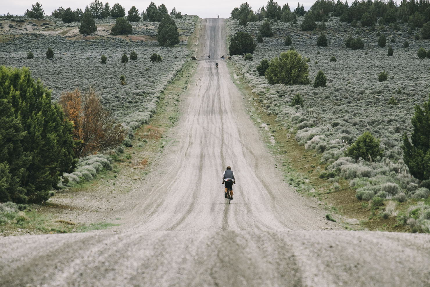
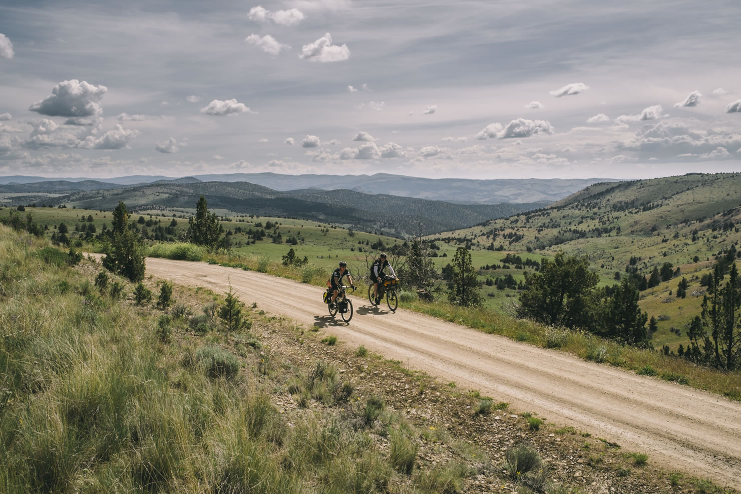
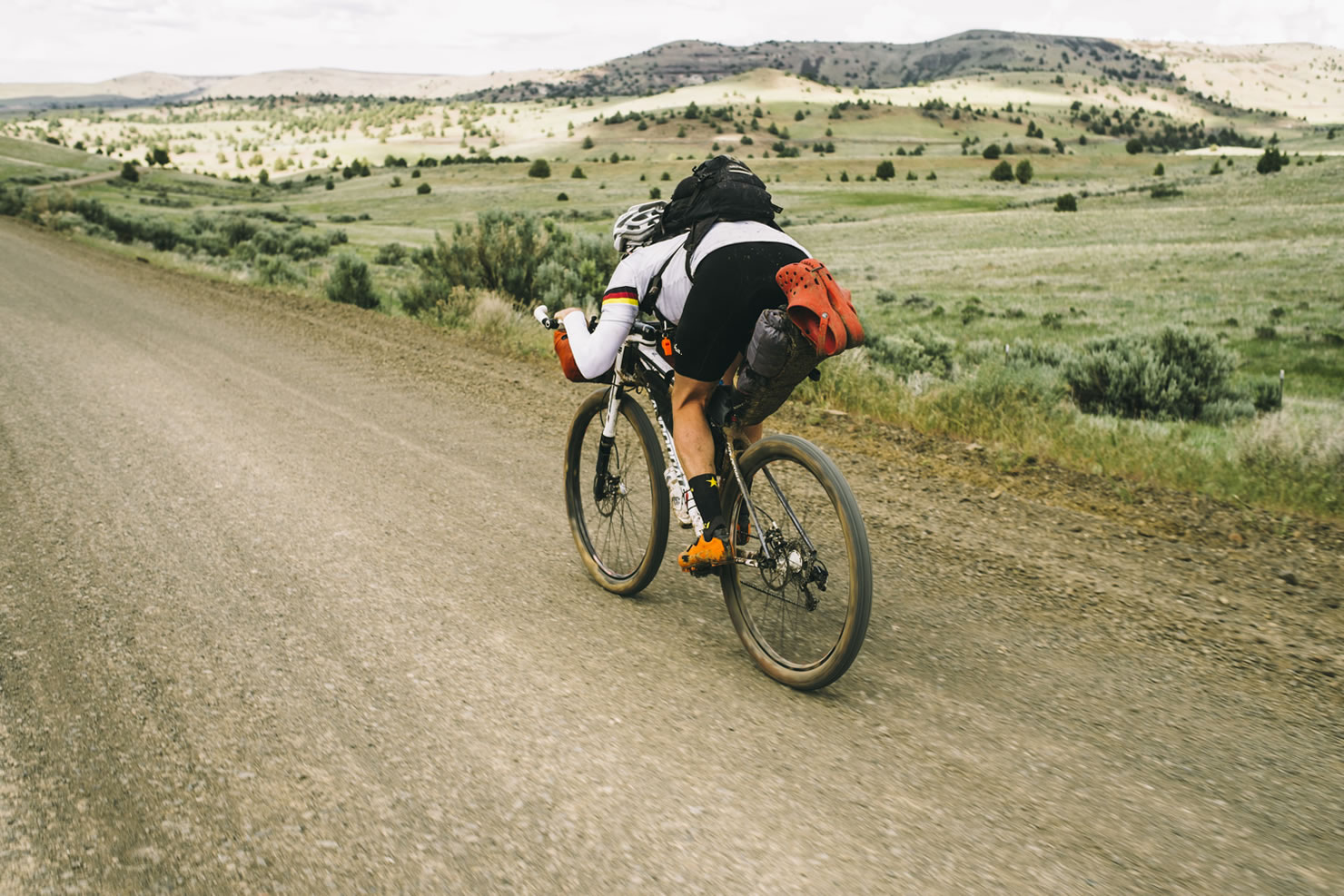
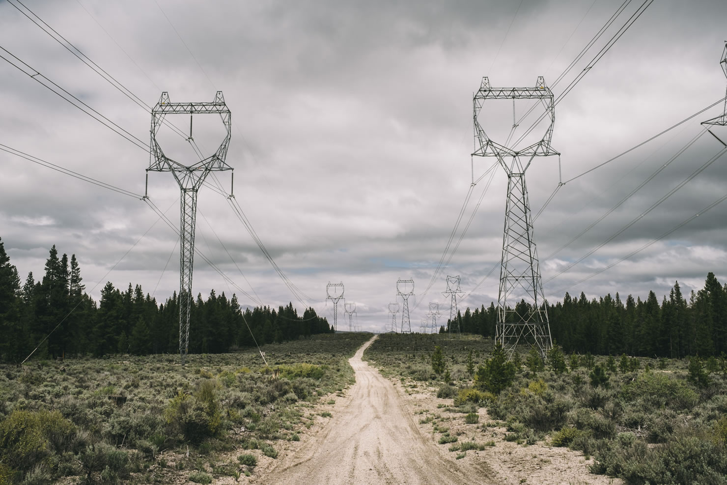
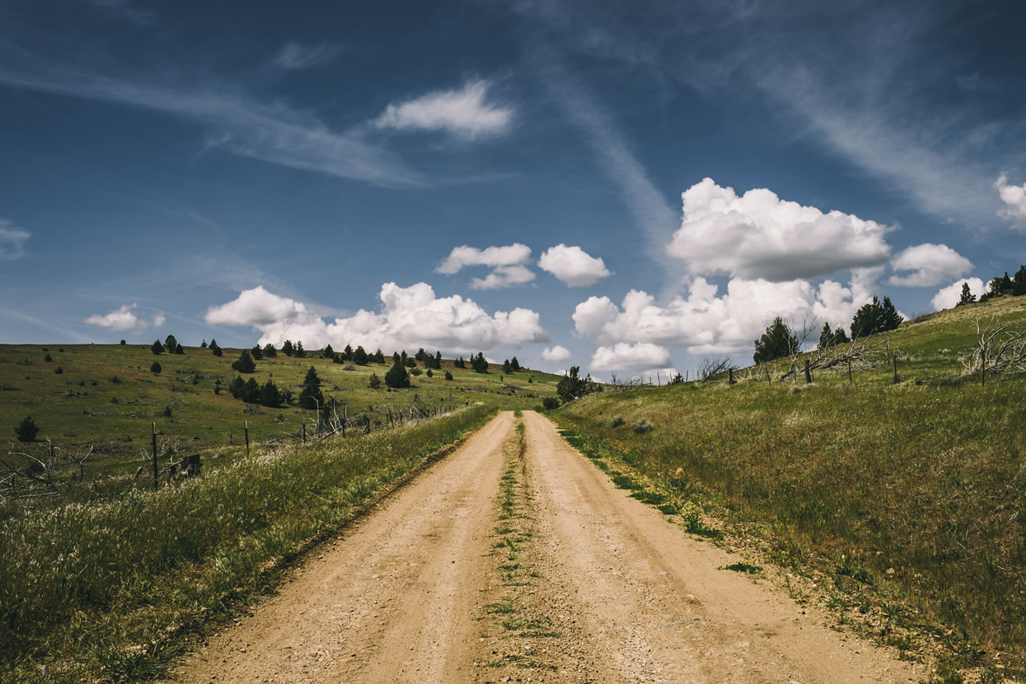
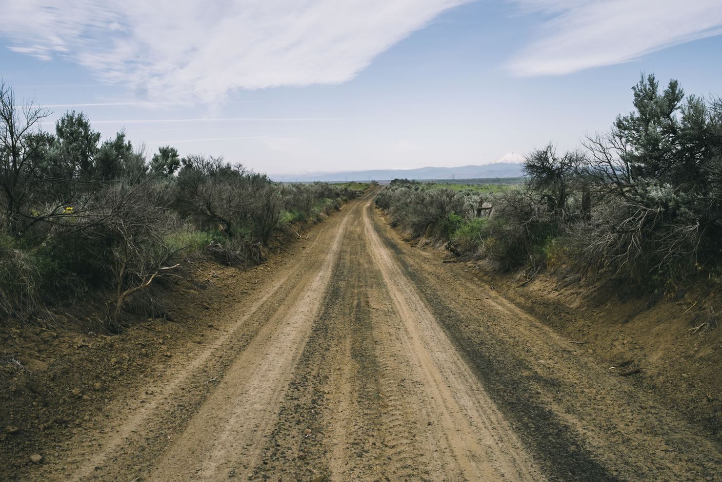
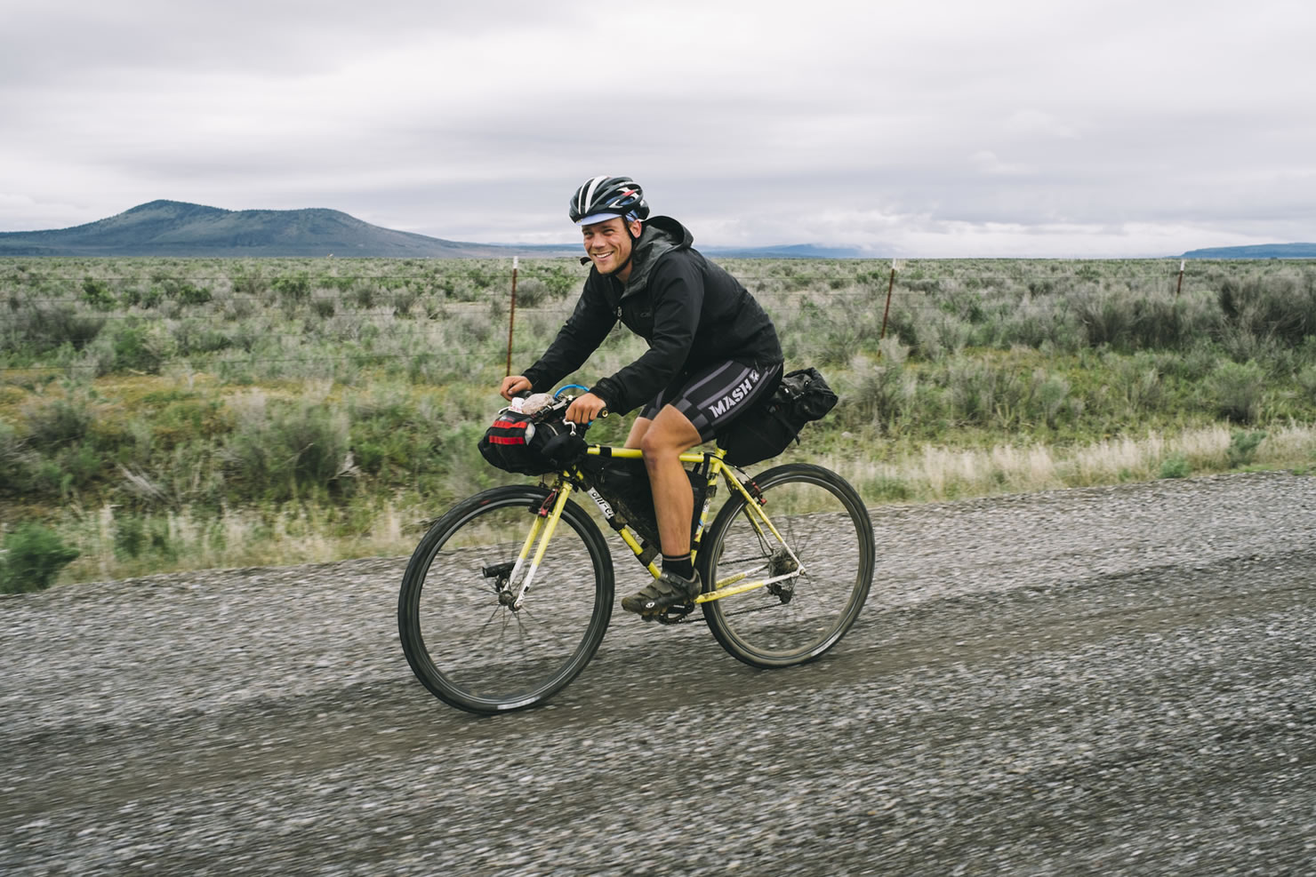
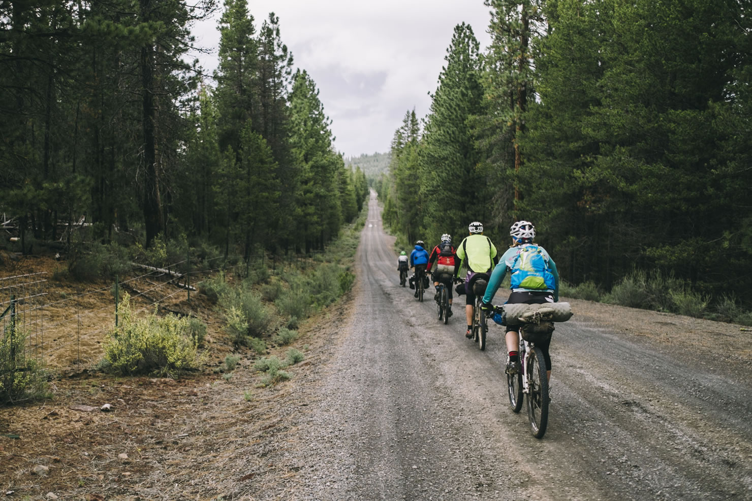
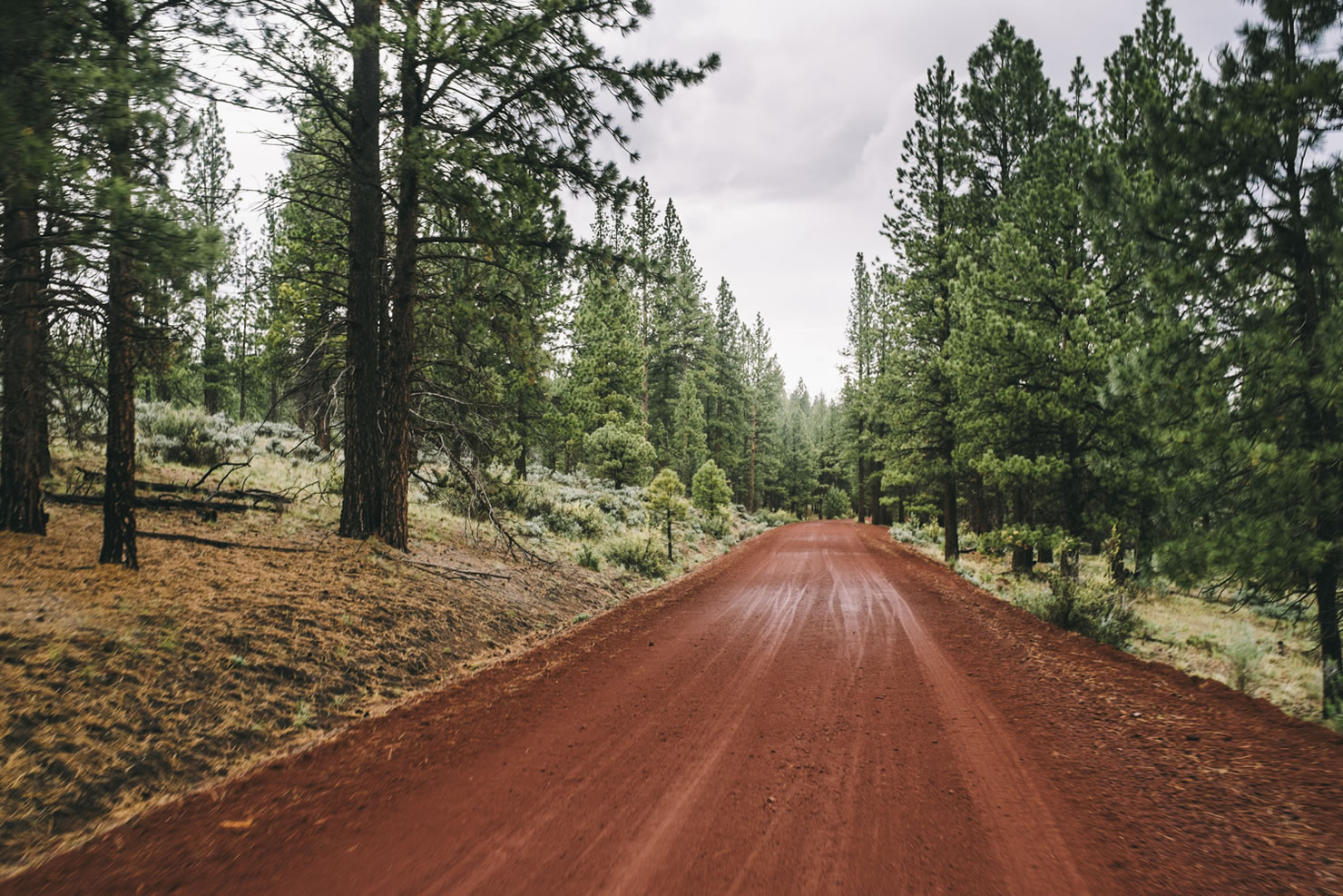
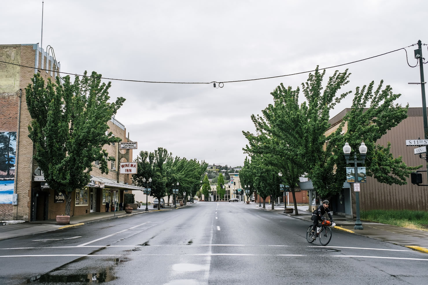
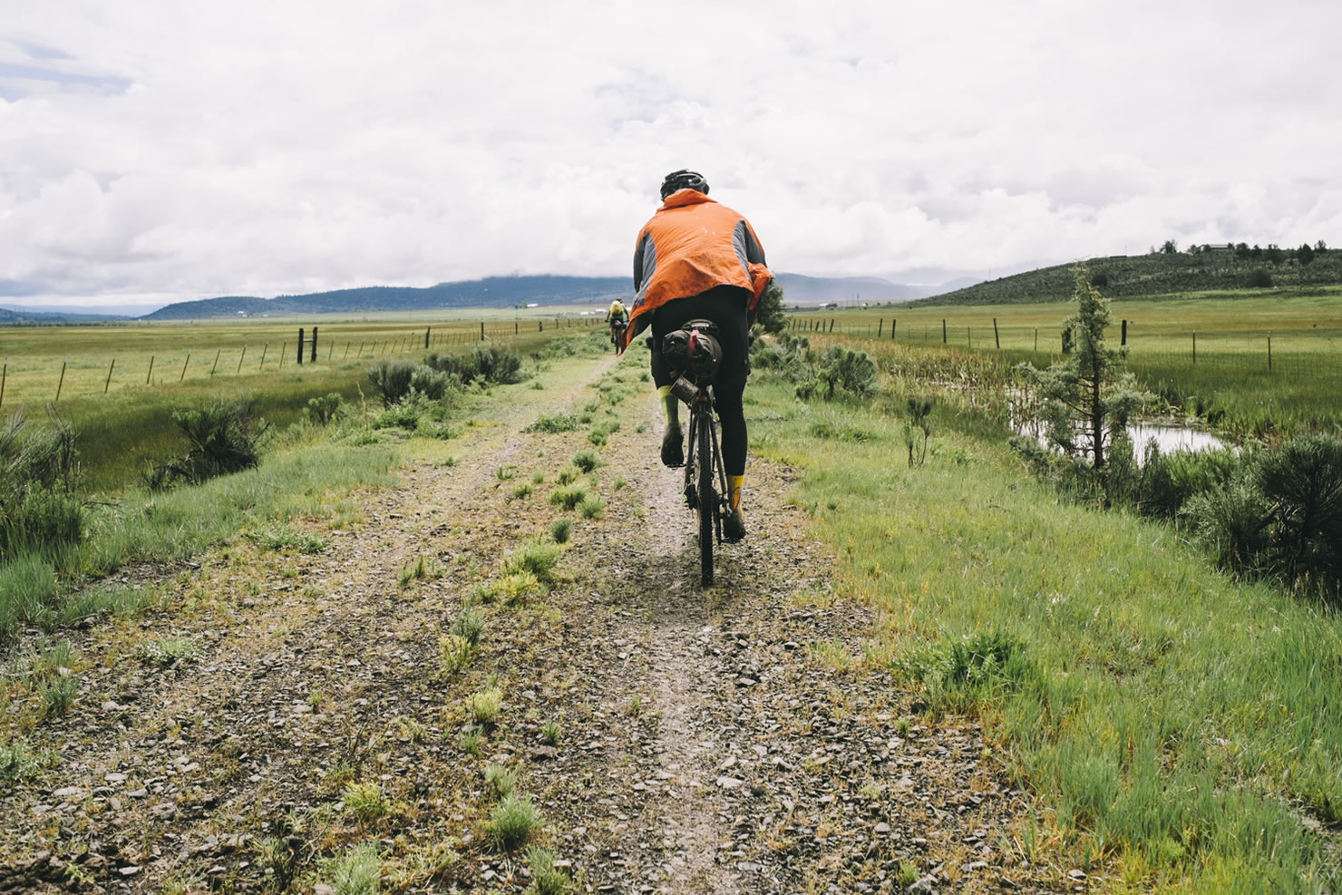
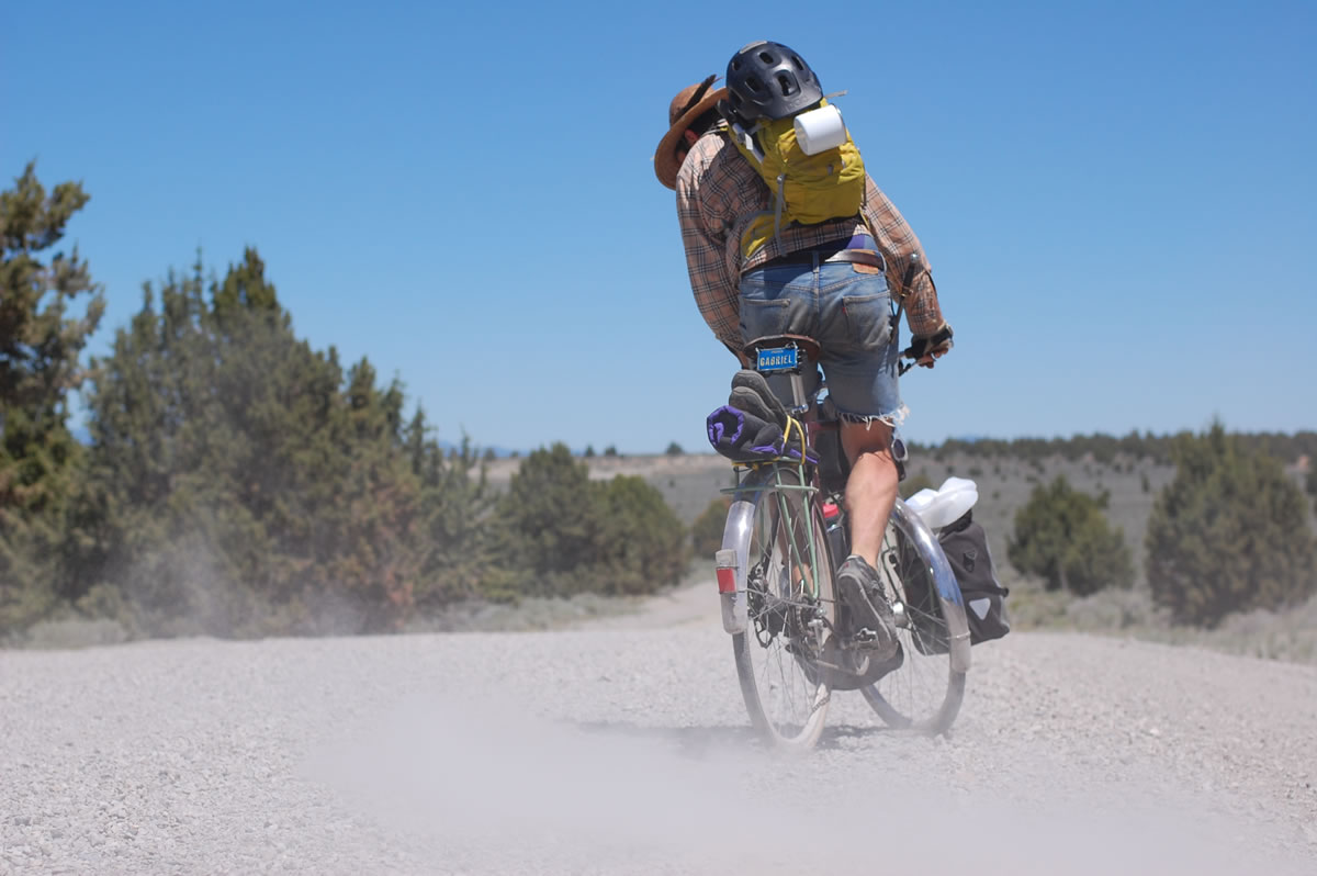
The Oregon Outback route links up a handful of must-see, but rarely visited parts of the state while simplifying the logistics of cross state travel as much as possible. The route starts in Klamath Falls, the southern-most full-service stop in Oregon on Amtrak. From K-Falls, you’ll get to enjoy 70+ miles of car-free bike trails before hitting lightly trafficked roads for the next 290 miles or so. Eventually the route wraps up at the mighty confluence of the Deschutes and Columbia Rivers.
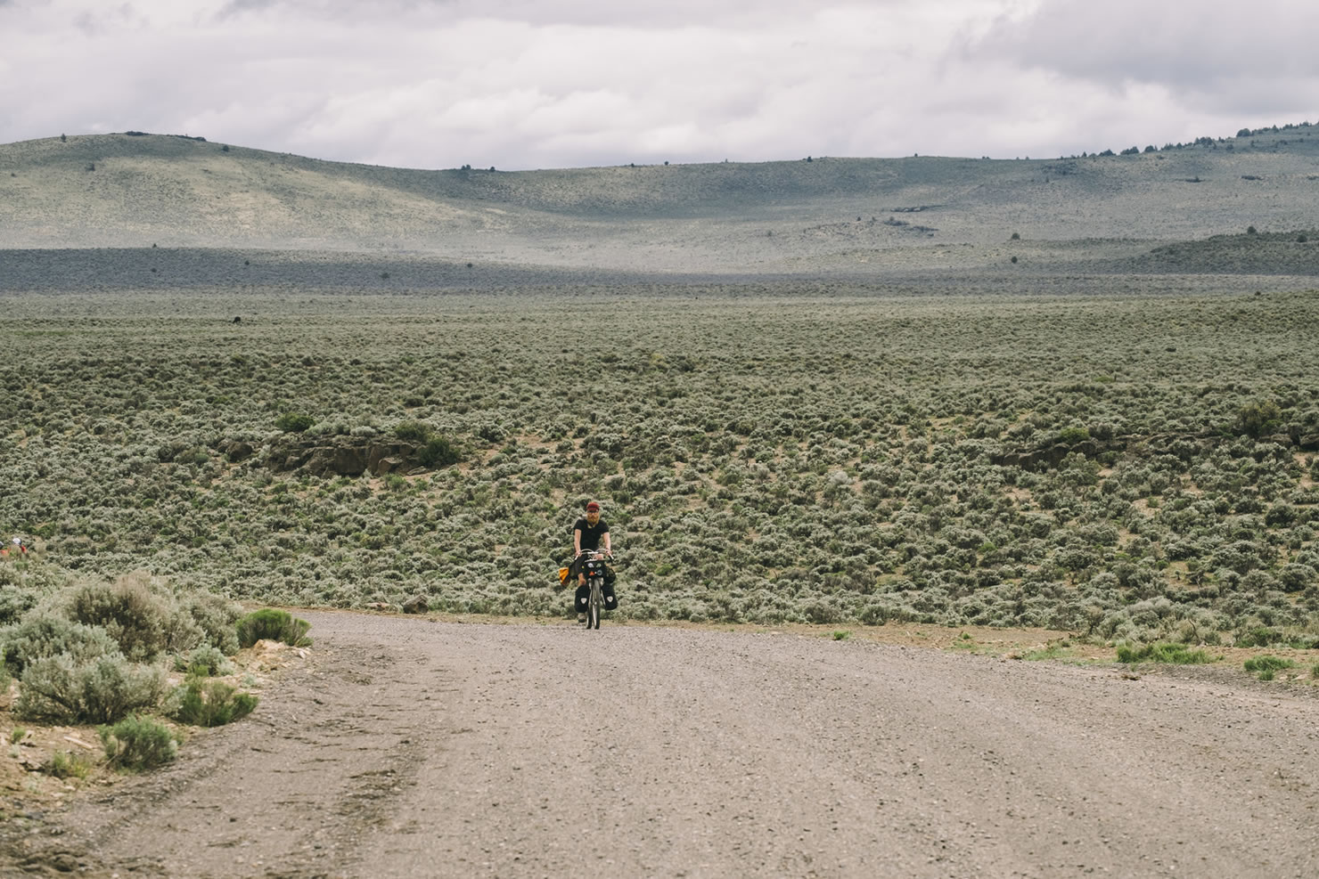
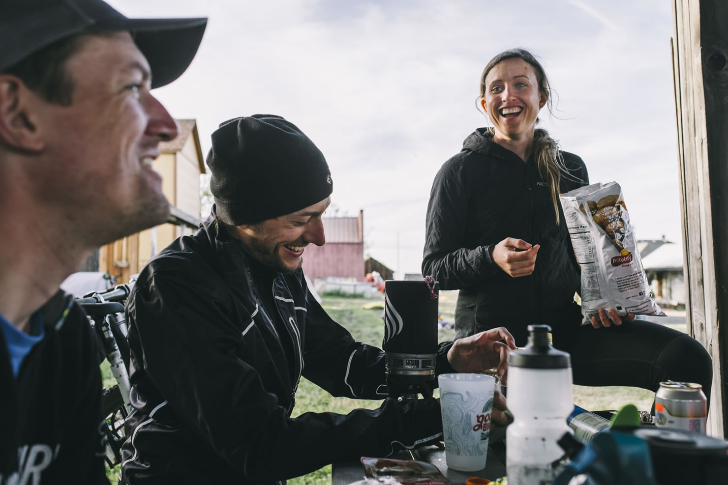
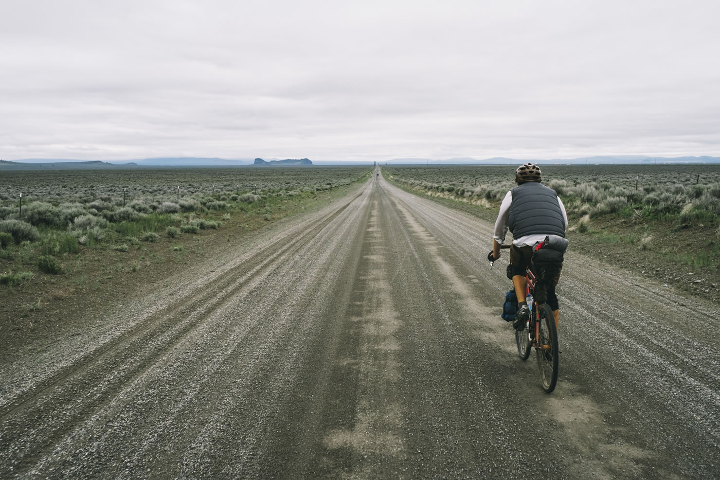
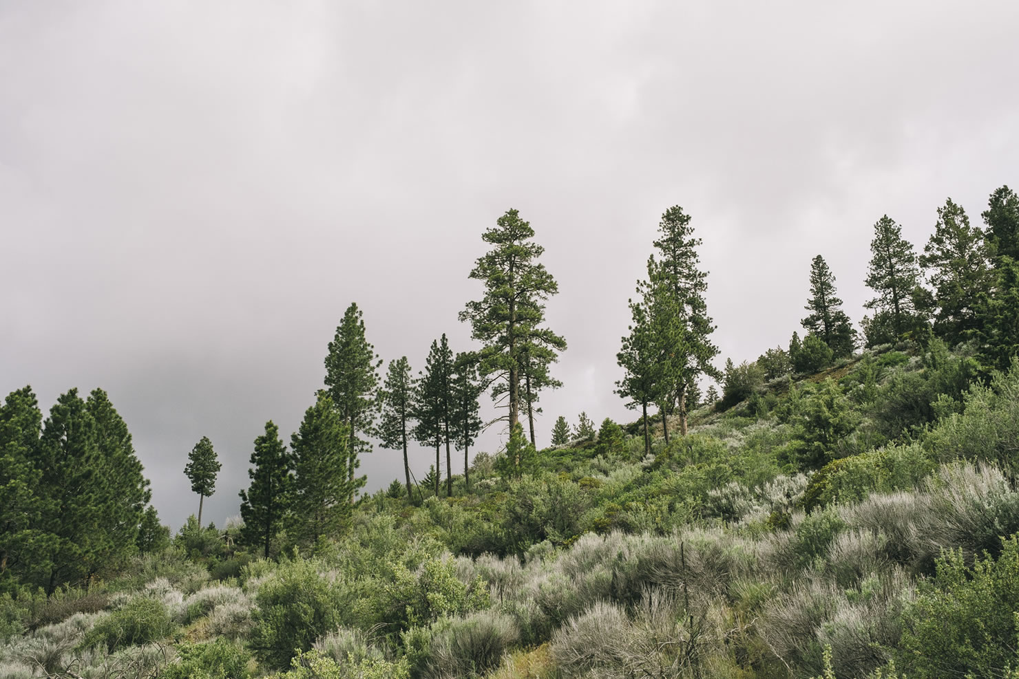
Expect desolation, extremely limited water and services, and some of the most beautiful riding in Oregon. But don’t expect it to be easy; the Oregon Outback is a difficult, committing route. While it’s been done in as little as 28 hours, we recommend spending 5 to 7 days on the route to maximize your opportunities to take photos, dip your toes in cold creeks on hot days, and put down a 30 oz. steak at the fabled Cowboy Dinner Tree.


Submit Route Alert
As the leading creator and publisher of bikepacking routes, BIKEPACKING.com endeavors to maintain, improve, and advocate for our growing network of bikepacking routes all over the world. As such, our editorial team, route creators, and Route Stewards serve as mediators for route improvements and opportunities for connectivity, conservation, and community growth around these routes. To facilitate these efforts, we rely on our Bikepacking Collective and the greater bikepacking community to call attention to critical issues and opportunities that are discovered while riding these routes. If you have a vital issue or opportunity regarding this route that pertains to one of the subjects below, please let us know:
Highlights
Must Know
Camping
Food/H2O
Trail Notes
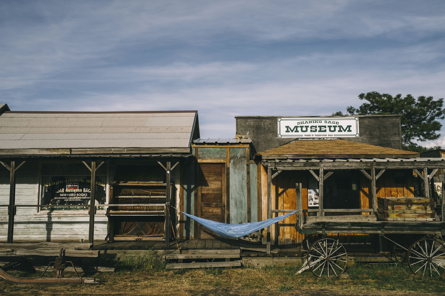
- OC&E Woods Line State Trail: Oregon’s longest linear park is 109-mile, rail-to-trail conversion is built on the old rail bed.
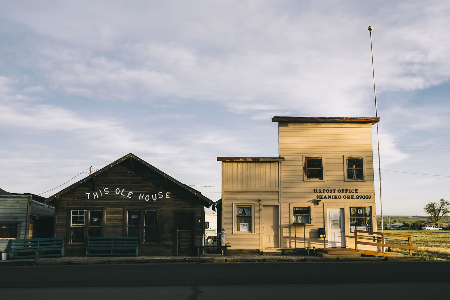
- 30 oz. steaks at the Cowboy Dinner Tree
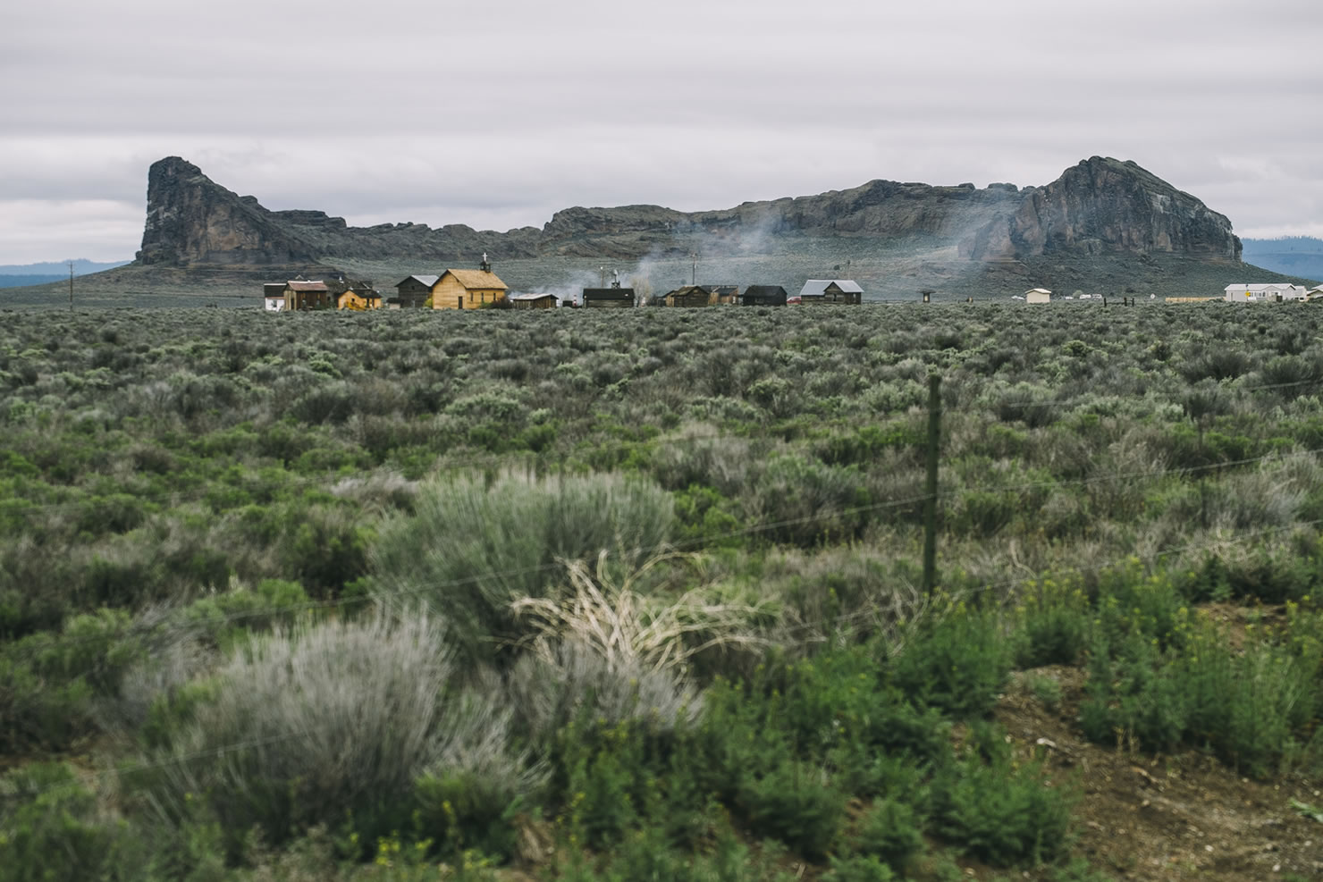
- Fort Rock, a National Natural Landmark rises high out of the barren, immense flatness of Oregon’s high desert.
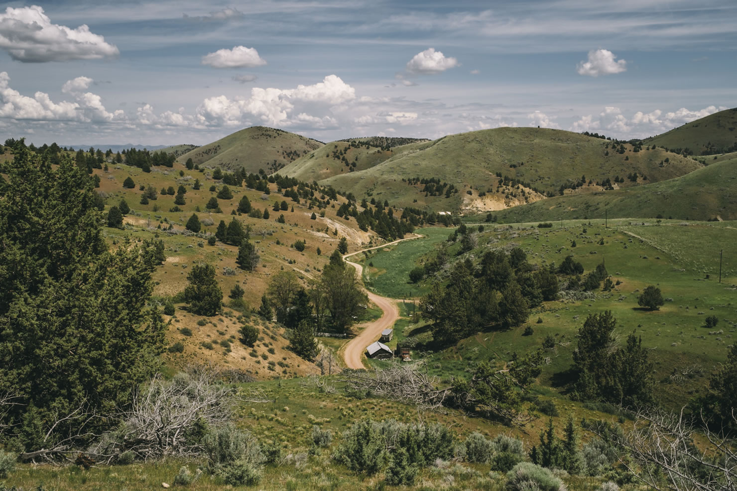
- The Crooked River, a scenic tributary of the Deschutes River.
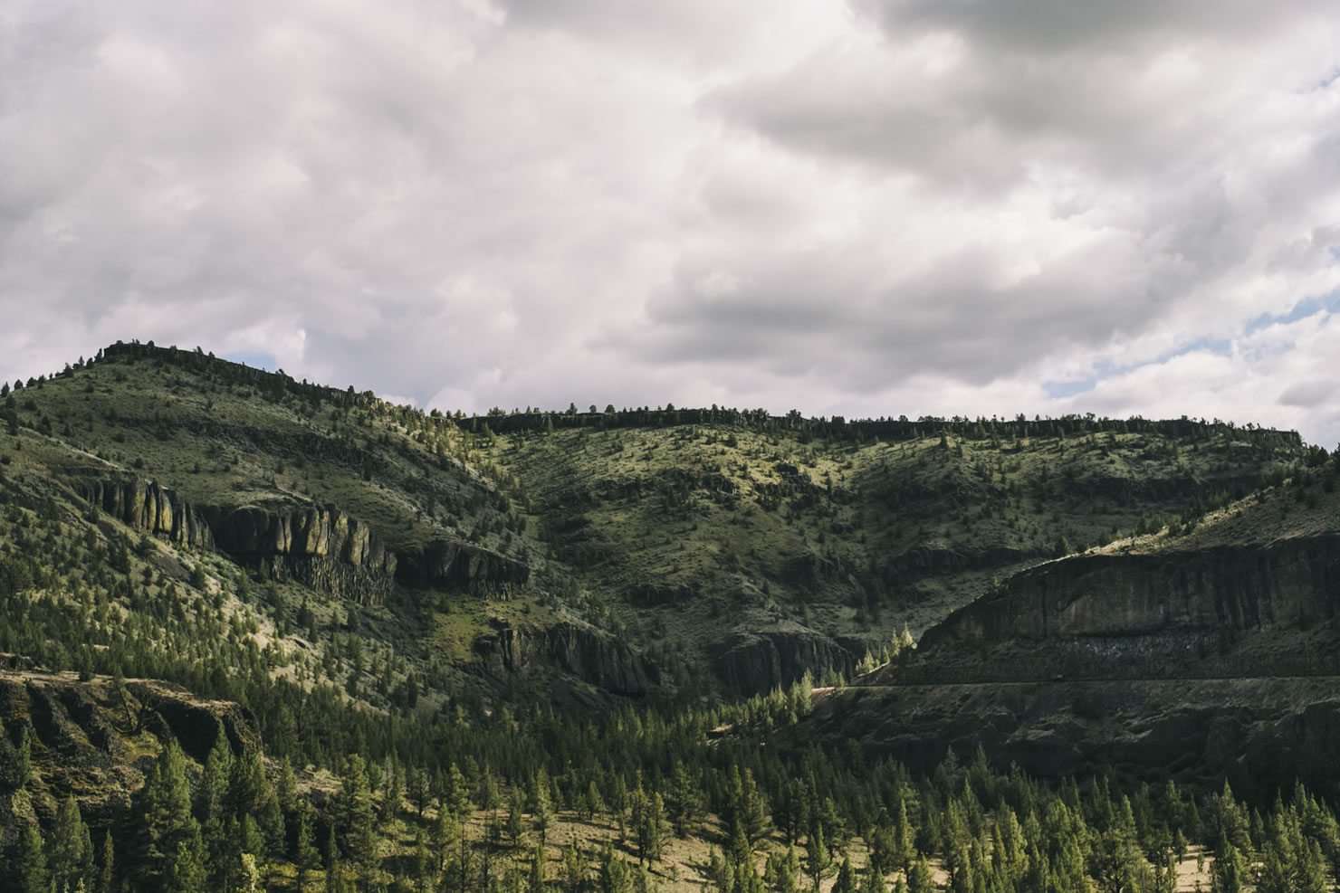
- The Ochoco Mountains, and amazing views of the Deschutes and Columbia Rivers.
When to go
- The season for riding this route is generally spring through mid-summer and then again in late summer and into the fall.
- Winter brings snow to the mountains and summer brings extreme heat.
- The wind can be a real pain on this route, especially as you approach the Columbia River Gorge. Unfortunately, the wind only seems to die down as the temps rise into the 90’s. It’s not a deal breaker, but it’s worth keeping in mind when estimating your daily mileage and whether this route is within your limits.
Logistics
- While it’s been done in as little as 28 hours, we recommend spending 5 to 7 days on the route.
- Although the prevailing winds might dictate otherwise, we recommend riding the route south to north. This allows the train travelers the opportunity to fully enjoy the experience and a net 4,000 foot elevation loss.
- The route technically finishes at the Deschutes River State Recreation Area which has camping and showers but little else. If you haven’t arranged transportation back to Portland and points beyond (one good option is Portland Sag Wagon), riding 18 miles west will put you in The Dalles at a Greyhound station. Or ride back to Portland along several recommended alternatives.
Conditions affecting bike choice
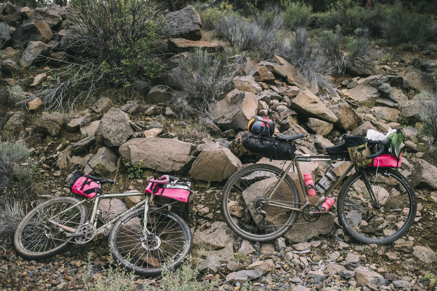
- We see no reason to stray from our standard bike & tire recommendation – a rigid 29er (or similar) with ~2” tires with some tread. However, it can be done on various other bike type. Below are a few factors to consider…
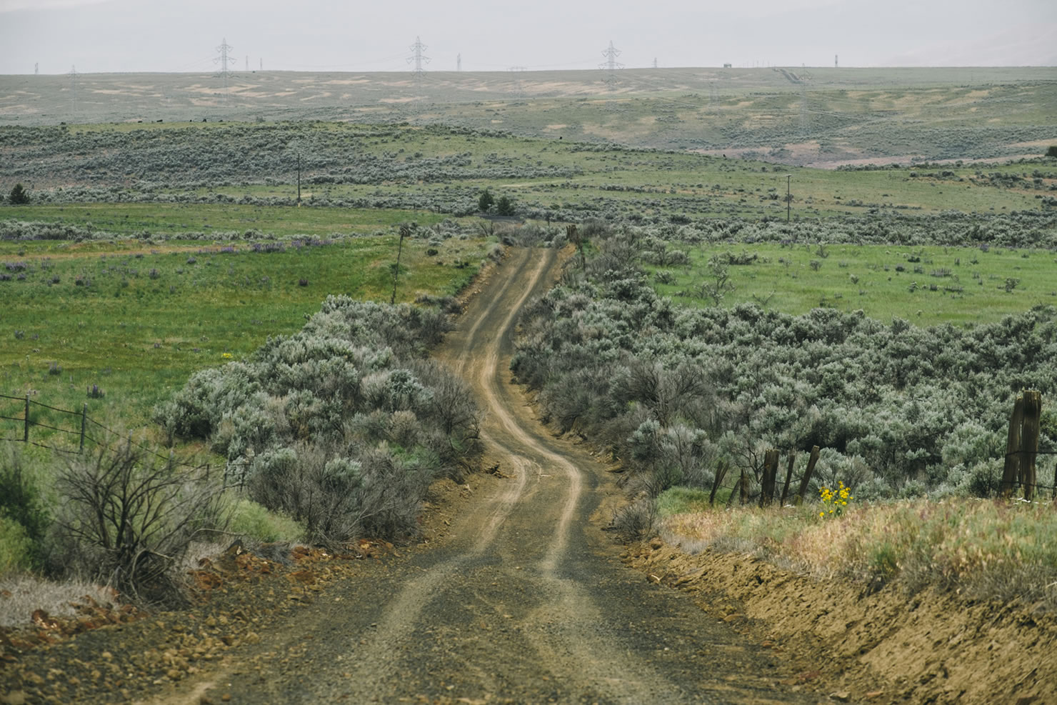
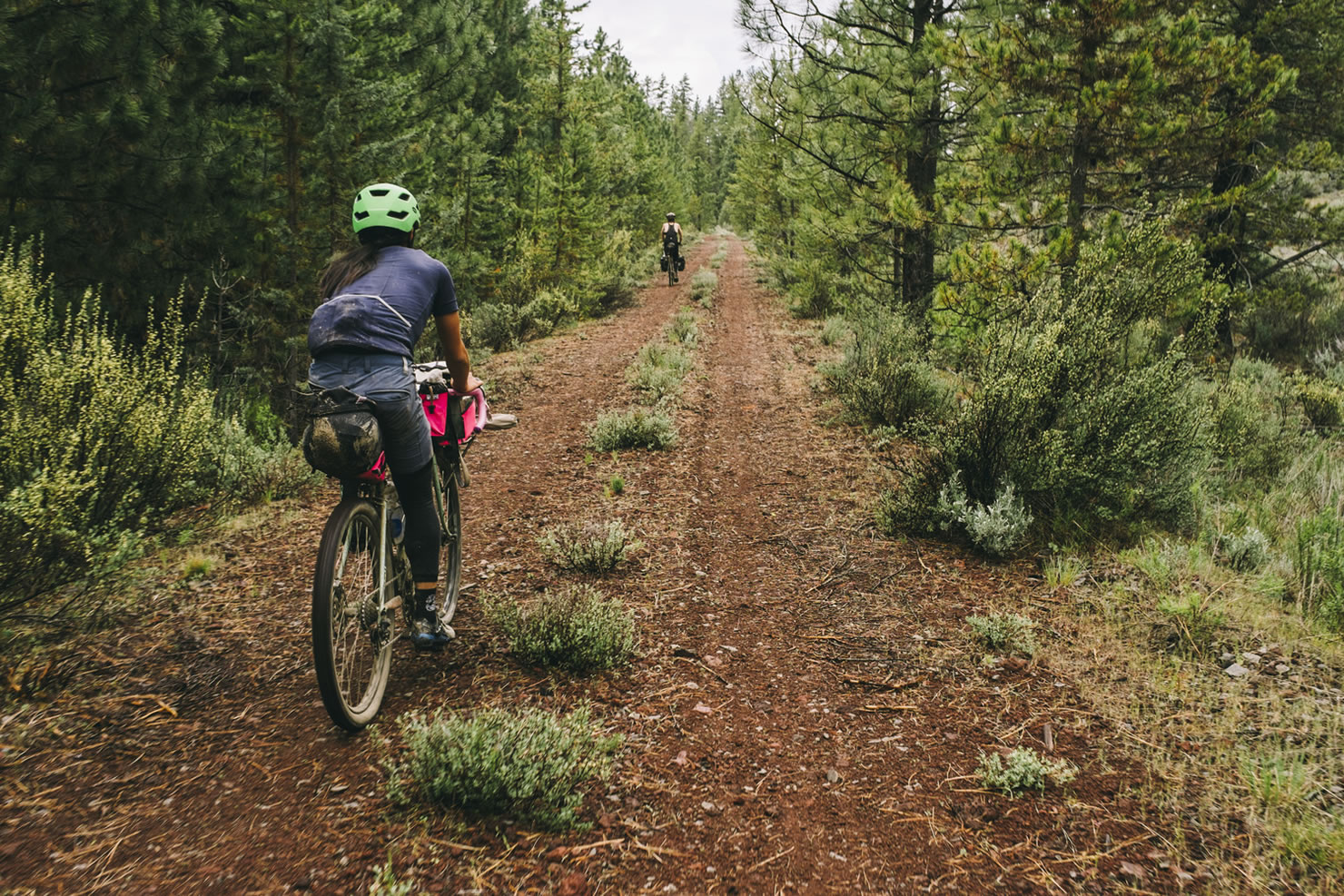
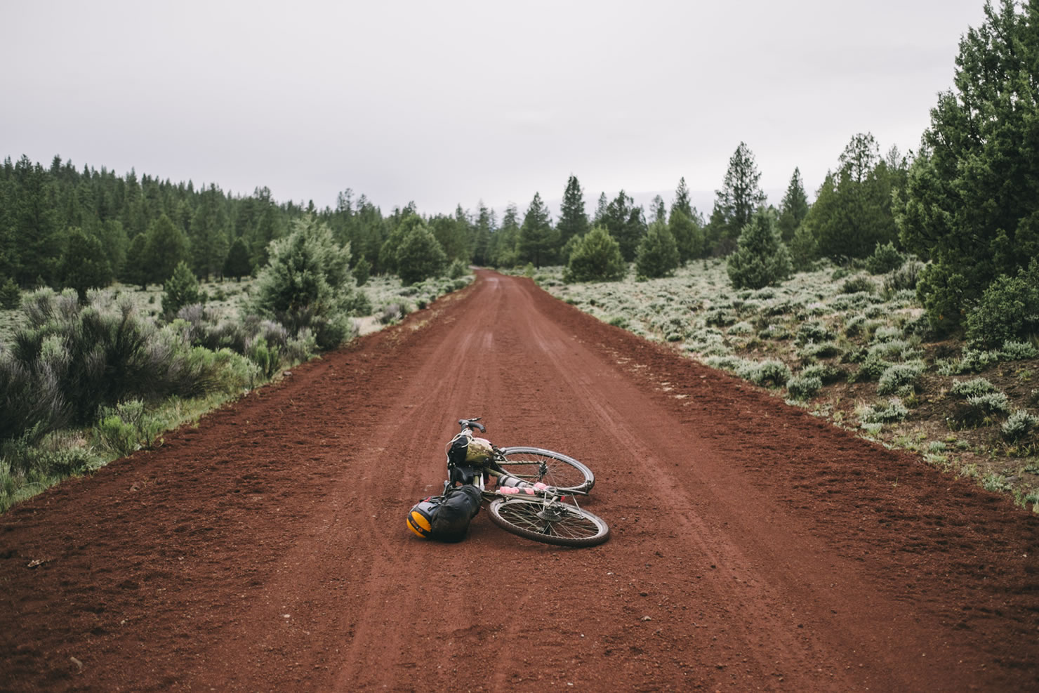
- While the route primarily links up decent dirt and gravel roads, there are two sections of the route that are particularly loose, shitty and soul crushing: 1) portions of the OC&E Woods Line State Trail; and 2) the “Red Sauce Forest”.
- The OC&E traverses through a variety of topography before climbing up into the Fremont National Forest. The surface conditions change dramatically from section to section and although conditions have improved significantly with the added bike traffic, there are several portions that will sap you mentally and physically. Conditions tend to degrade the further you go, climaxing with the worst section between miles 66 and 72.
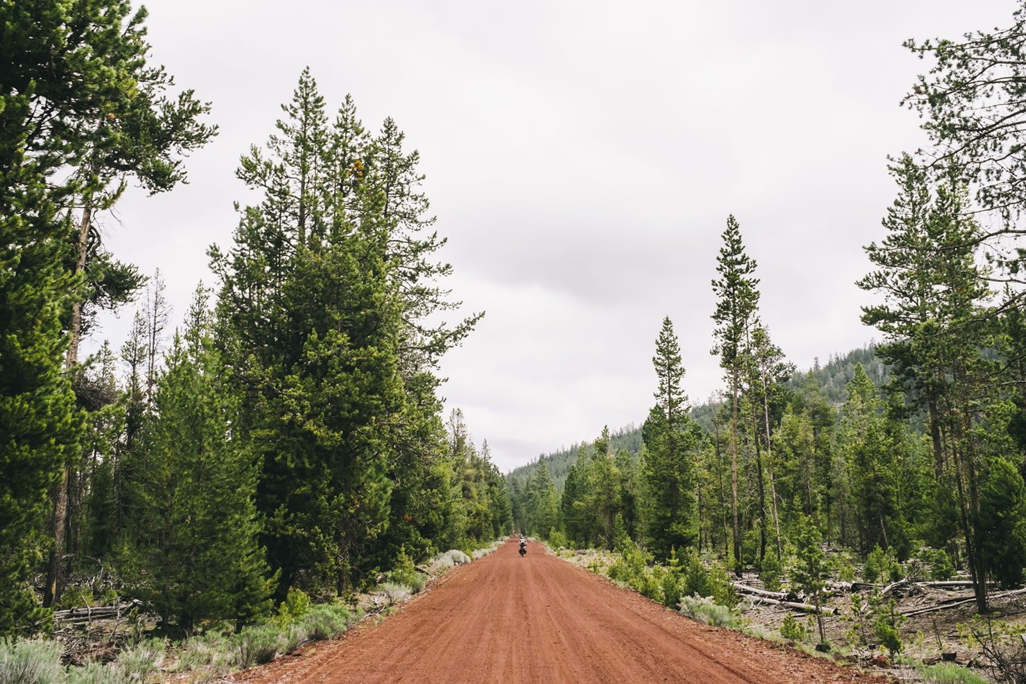
- The “Red Sauce Forest”, as it’s now affectionately known, is a 20-mile section of the route north of Fort Rock as you pass through the Deschutes National Forest. The only nice thing that can be said about this section is that once it’s over you’ve ridden the worst parts of the route with all the very best sections yet to come. It’ll suck, but trust me, it’ll be worth it in the end…
- There are great camping options spread out all along the route. We put a few on the GPS map above, but there are many, many more.
- The Benchmark Oregon Road & Recreation Atlas will show most of the established campgrounds.
- If you’re into bush camping, options abound when in BLM and National Forest land. Please be respectful and don’t trespass or camp on private land.
- The route technically finishes at the Deschutes River State Recreation Area which has camping and showers.
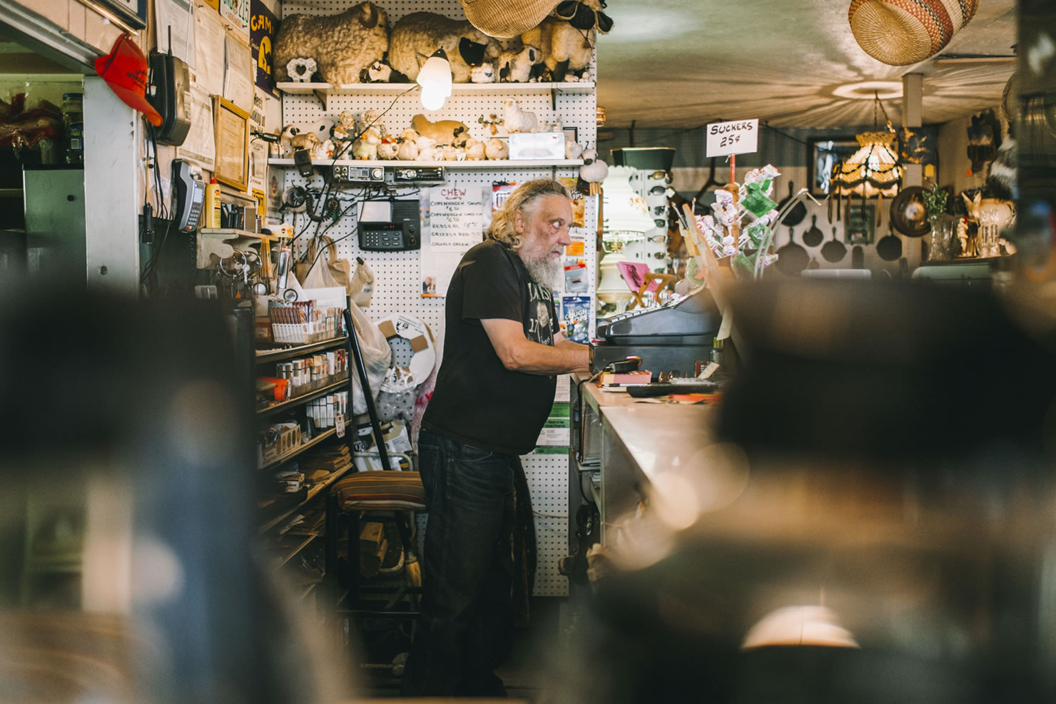
- Services and water are extremely limited along the route. There are several POIs on the GPS map above.
- Water is very limited in several sections of the route. There are points of interest (POI) on the GPS link above that note the last reliable water for the most significant sections, the longest of which is ~80 miles.
- There are several other sections of 50+ miles without reliable water. Much of this depends on the season you ride. Spring and early summer ensure more reliable water sources. Late summer and fall could be hit or miss. Plan accordingly.
Navigation
We recommend using a GPS and the Benchmark Oregon Road & Recreation Atlas. Most of the route is easily navigable. The only sections that seem to give people problems are as follows:
- Mile 52.7 – stay left when the OC&E trail splits
- Mile 71.7 – turn left when you finally hit pavement
- Mile 108.2 – turn right off the pavement onto a small gravel road. You will be going downhill and it’s easy to miss. This is the turn for the Cowboy Dinner Tree. If you miss this, you’ll roll on paved roads down to Silver Lake where you’ll meet back up with the route and you’ll miss the CDT altogether.
- Mile 167.6 – stay straight through the intersection at Sand Spring
- Mile 247 – stay roughly straight at the top of the big climb, taking “2725” downhill.
- Mile 252.4 – turn left just after crossing a bridge over a creek after a long downhill section
- Mile 257.4 – stay right (going left would mean hopping a gate with clear “no trespassing” signs – don’t)
Update: as of August 18, 2025, there is a forest closure between Fort Rock and Sand Spring. Below is a potential alternate route but roads are unverified.
It is possible to navigate the entire route with just the Benchmark maps. We do not recommend attempting this unless you are competent with navigation and prepared in the event you get lost.
For map geeks, we suggest adding in the Upper Klamath Basin, Deschutes NF, and Ochoco NF maps. All are excellent and provide much more detail than the Benchmark maps.
The route technically finishes at the Deschutes River State Recreation Area which has camping and showers but little else. If you haven’t arranged transportation back to Portland and points beyond (one good option is Portland Sag Wagon), riding 18 miles west will put you in The Dalles at a Greyhound station. Or ride back to Portland along several recommended alternatives.
Alternative Routes Back to Portland
The following are a few recommended routes back to Portland for those of you finishing up the Oregon Outback. These options start in The Dalles. For those of you not quite there, here’s the short 19-mile route to get to The Dalles from the state park.
Option 1: 100 miles, 7,500 ft climbing, 95% paved. This route will take you along the historic Columbia River highway and the Mosier Twin Tunnels bike path to Hood River before climbing up and over Lolo Pass to Portland. We ended the route in Gresham at the MAX light rail and will leave the rest up to you. Click here for the GPS route.
Option 2: ~100 miles, minimal climbing, 100% paved. Another option is to take the historic highway back to Portland from Hood River. We don’t recommend this version as it requires riding 14 miles on the shoulder of I-84. If this floats your boat, you can download a map here and search the web for more information.
Option 3: ~130 miles, ~10,000 ft climbing, 50% paved. This option involves adding in parts of the Gunsight Ridge route and Barlow Trail route, climbing up Skyline from The Dalles, riding Gunsight Ridge to Bennett Pass, and then dropping down Still Creek Road to Zig Zag before taking pavement the rest of the way into Portland. See Option 1 above for the best pavement option from Zig Zag to Portland. This would be the hardest of the hardcore ways to finish up your Oregon Outback route… We won’t bother to map this out for you – if you’re into it, you can easily piece the route together with what we’ve provided.


Terms of Use: As with each bikepacking route guide published on BIKEPACKING.com, should you choose to cycle this route, do so at your own risk. Prior to setting out check current local weather, conditions, and land/road closures. While riding, obey all public and private land use restrictions and rules, carry proper safety and navigational equipment, and of course, follow the #leavenotrace guidelines. The information found herein is simply a planning resource to be used as a point of inspiration in conjunction with your own due-diligence. In spite of the fact that this route, associated GPS track (GPX and maps), and all route guidelines were prepared under diligent research by the specified contributor and/or contributors, the accuracy of such and judgement of the author is not guaranteed. BIKEPACKING.com LLC, its partners, associates, and contributors are in no way liable for personal injury, damage to personal property, or any other such situation that might happen to individual riders cycling or following this route.
Please keep the conversation civil, constructive, and inclusive, or your comment will be removed.