


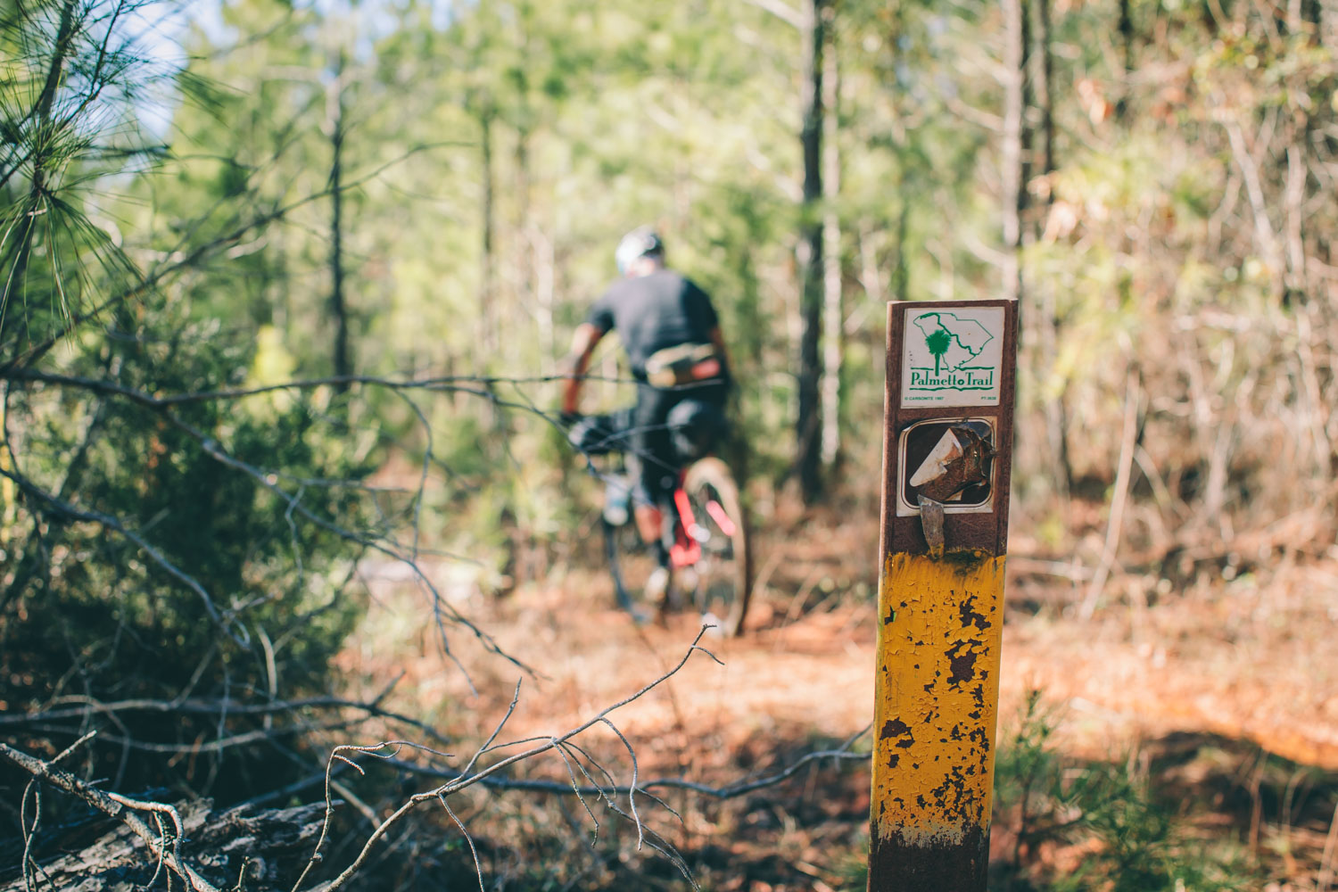
The Palmetto Trail: Southern Ditch Divide!
Distance
330 Mi.
(531 KM)Days
3.5
% Unpaved
58%
% Singletrack
25%
% Rideable (time)
99.9%
Total Ascent
8,462'
(2,579 M)High Point
780'
(238 M)Difficulty (1-10)
4?
- 2Climbing Scale Easy26 FT/MI (5 M/KM)
- -Technical Difficulty
- -Physical Demand
- -Resupply & Logistics
Contributed By

Logan Watts
Founding Editor
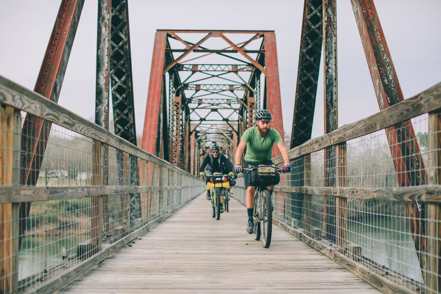
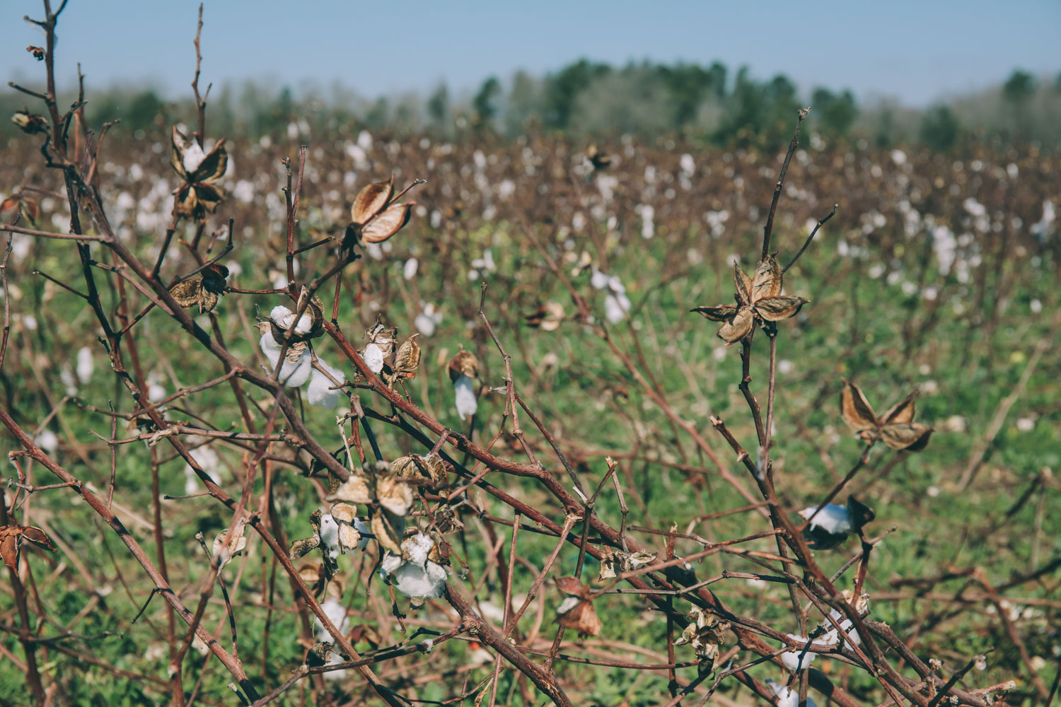
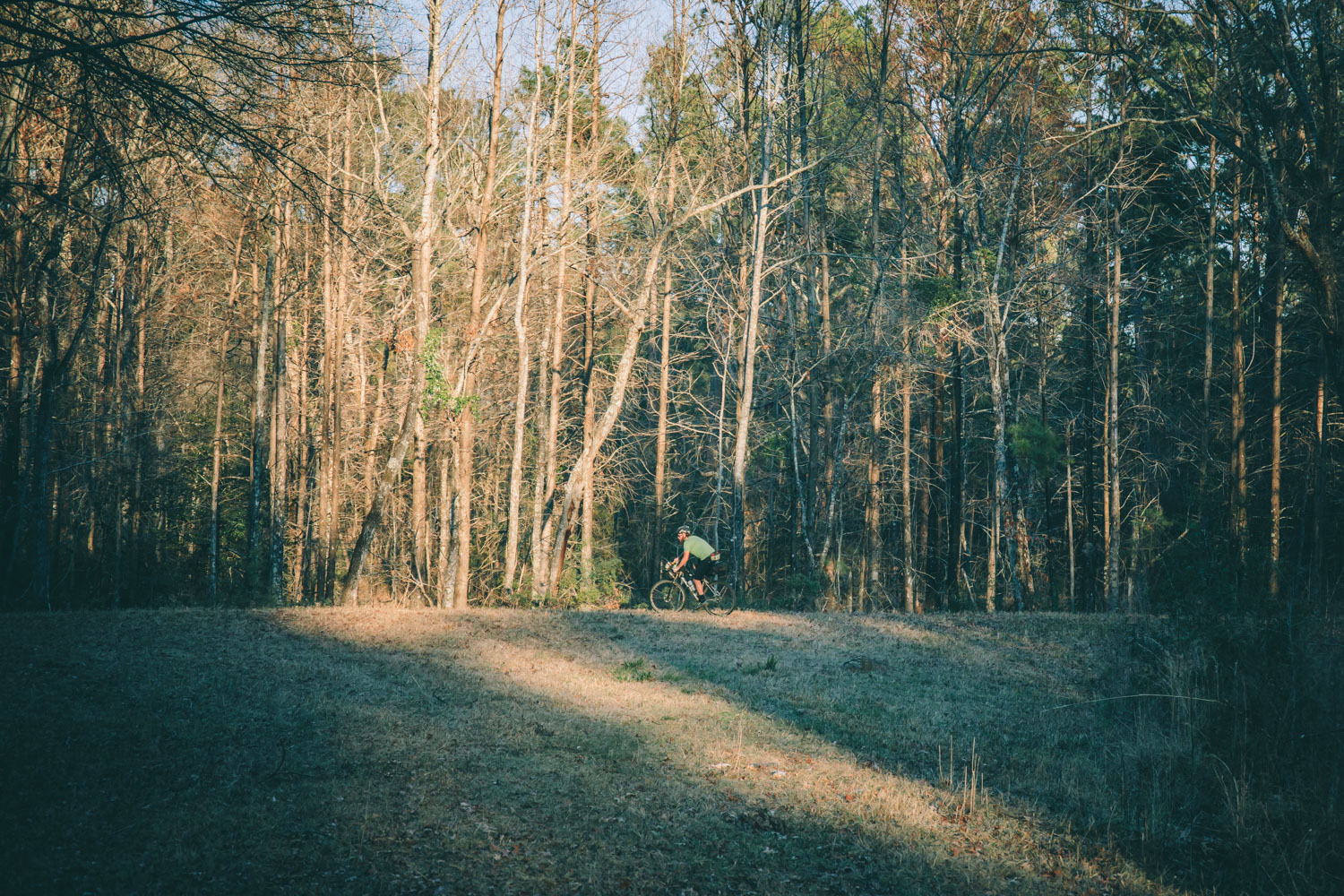
Established in 1994, the Palmetto Trail is slated to be a 500 mile trans-state trail that crosses South Carolina from its northwest corner in Walhalla, to the coast at Awendaw. There are currently about 350 miles of trail that have been ‘completed’. All accounted for, the Palmetto Trail is made up of 26 yet to be connected ‘passages’. Most of the passages are singletrack trails, dirt roads, or gravel rail trails, while a few utilize paved greenways. Four of the five northernmost passages are hiking only, so needless to say we started the bikepacking variation in the upstate skipping these passages as well as a couple other disjointed stretches. Ultimately this variation of the route is about 330 miles — including paved connectors — and starts in Spartanburg using the Hub City Connector passage, and finishes at the official route terminus of the Awendaw Passage. Note: we consider this an open source version of the Palmetto Trail for bikepacking. We welcome recommendations and changes to improve it over time.
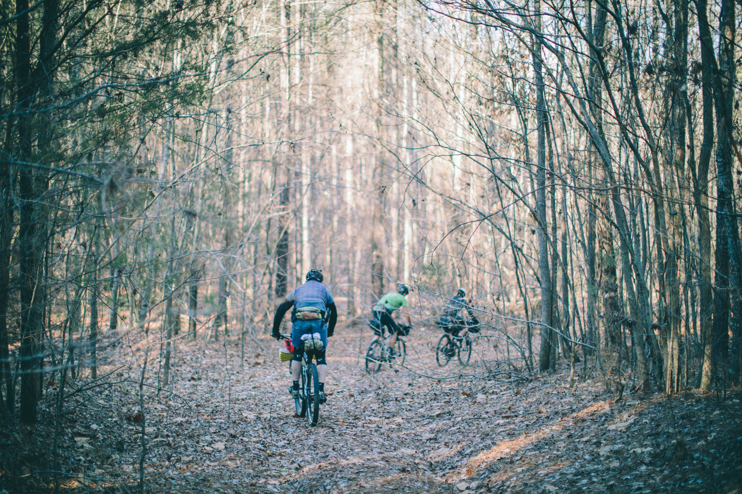
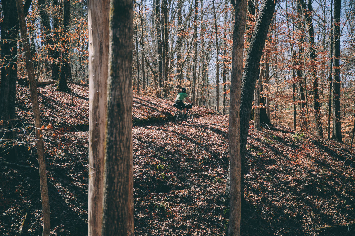
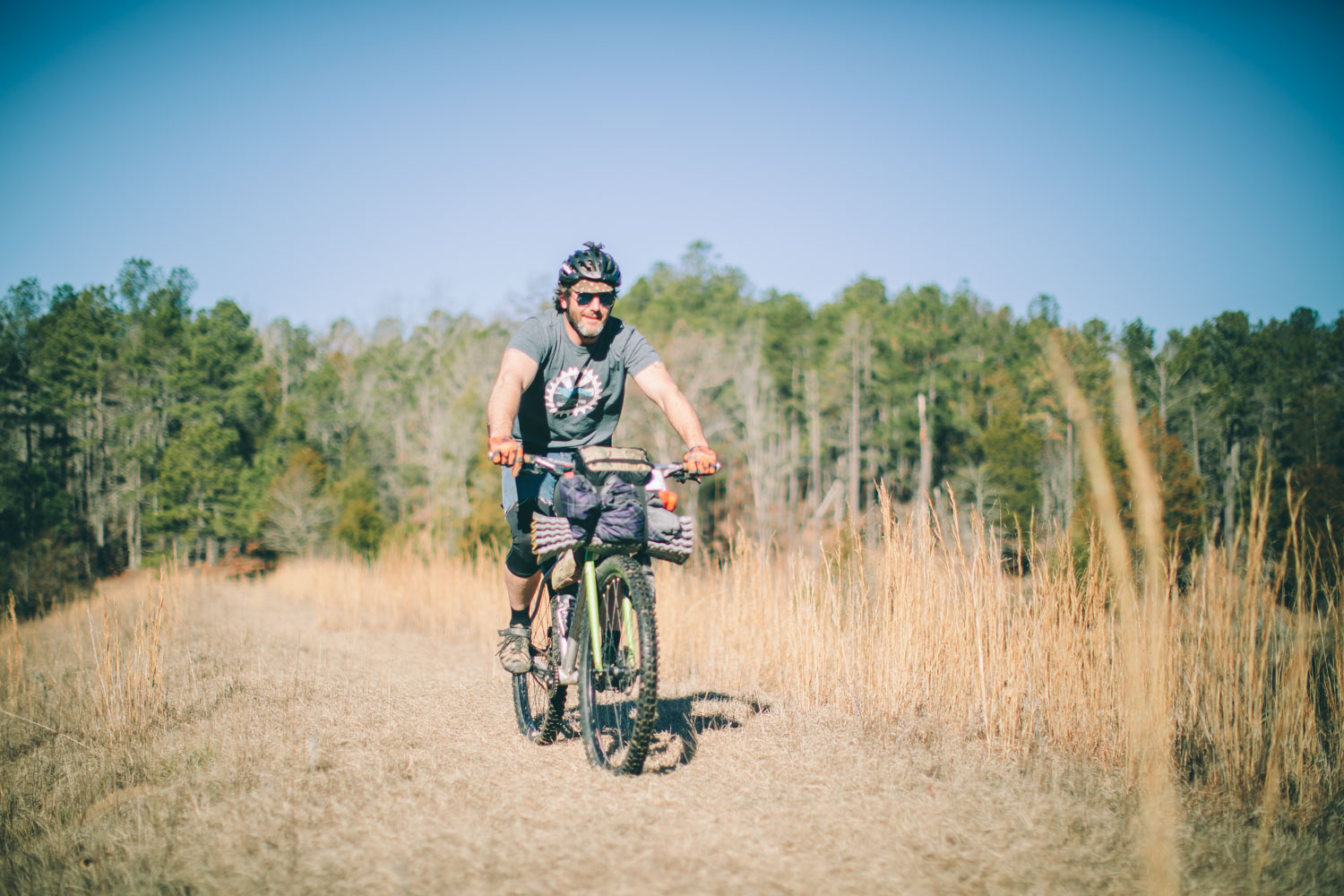
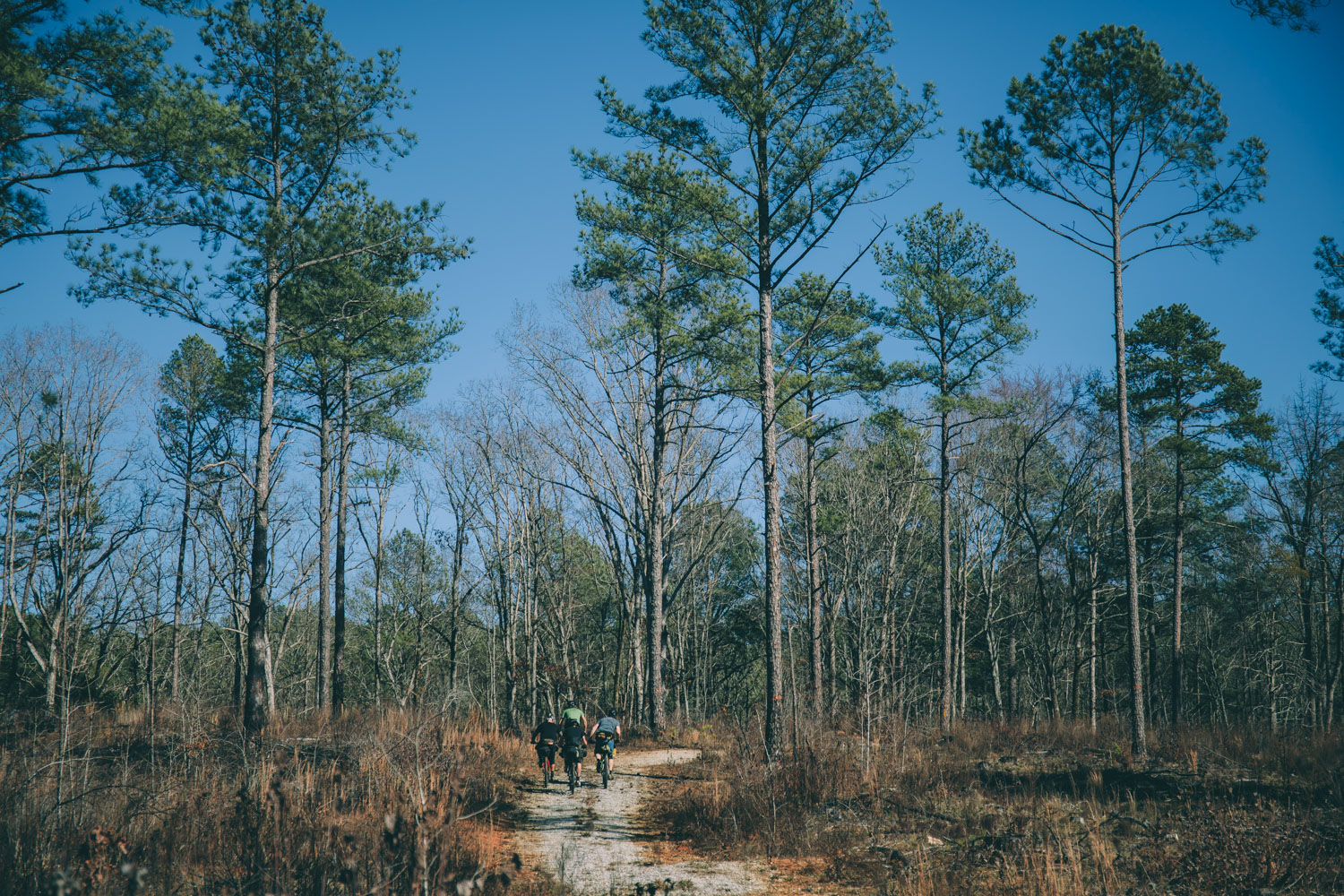
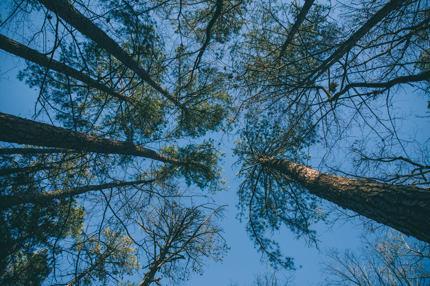
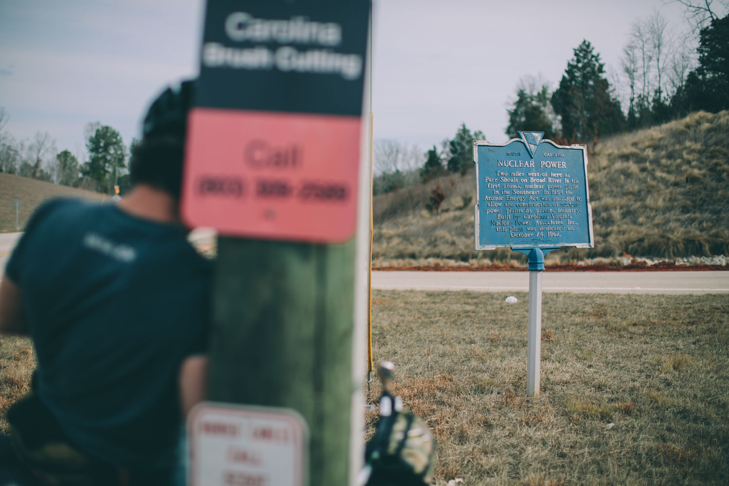
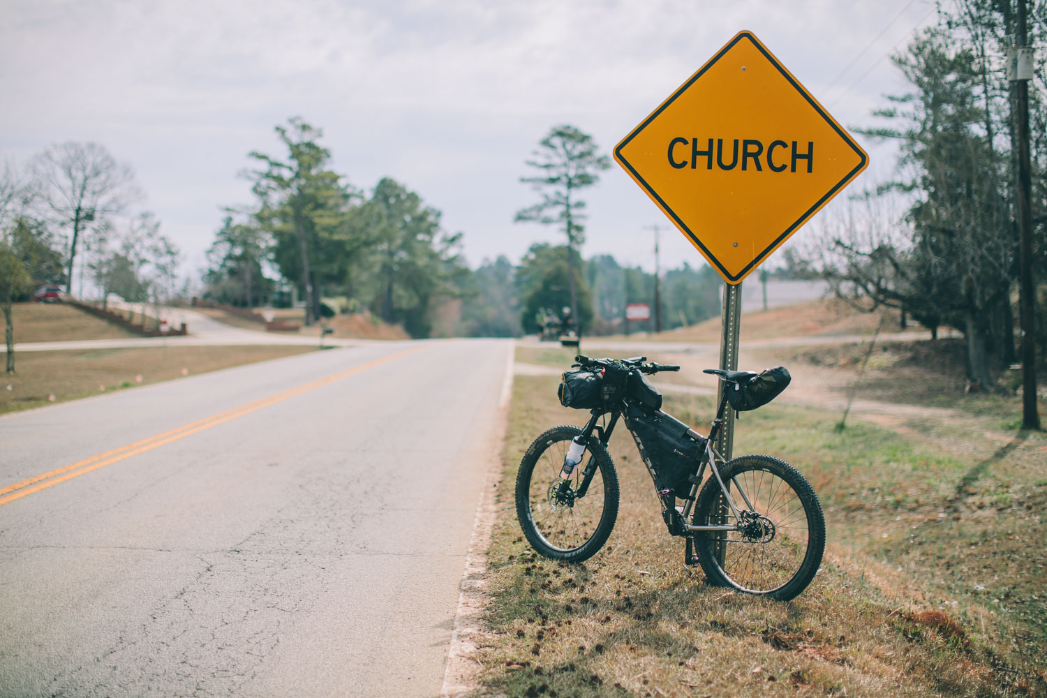
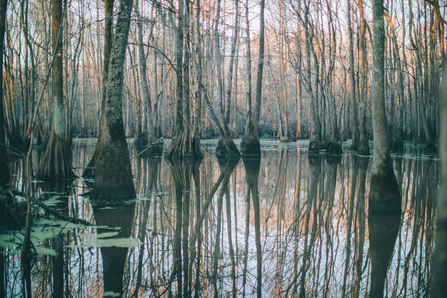
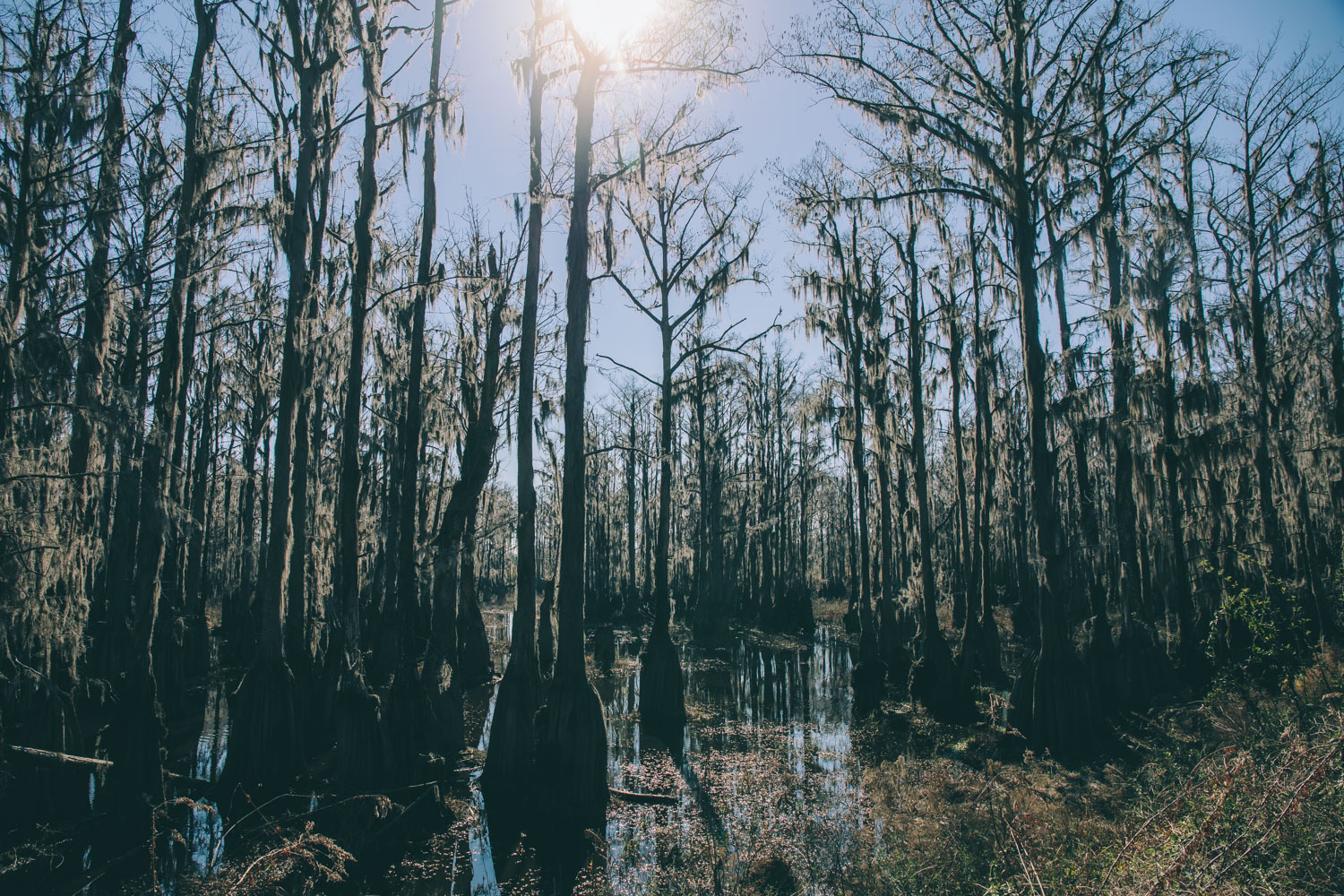
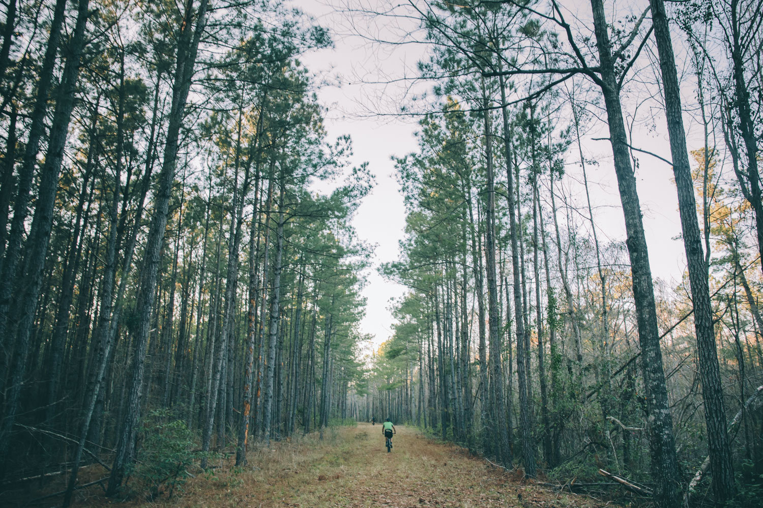
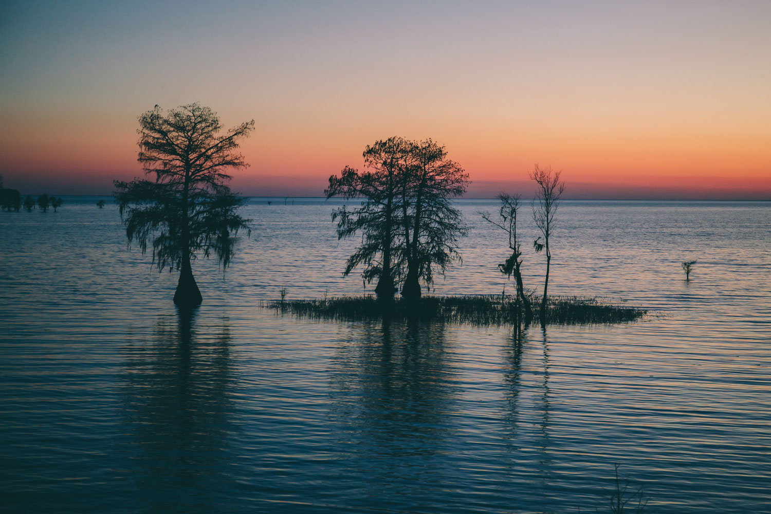
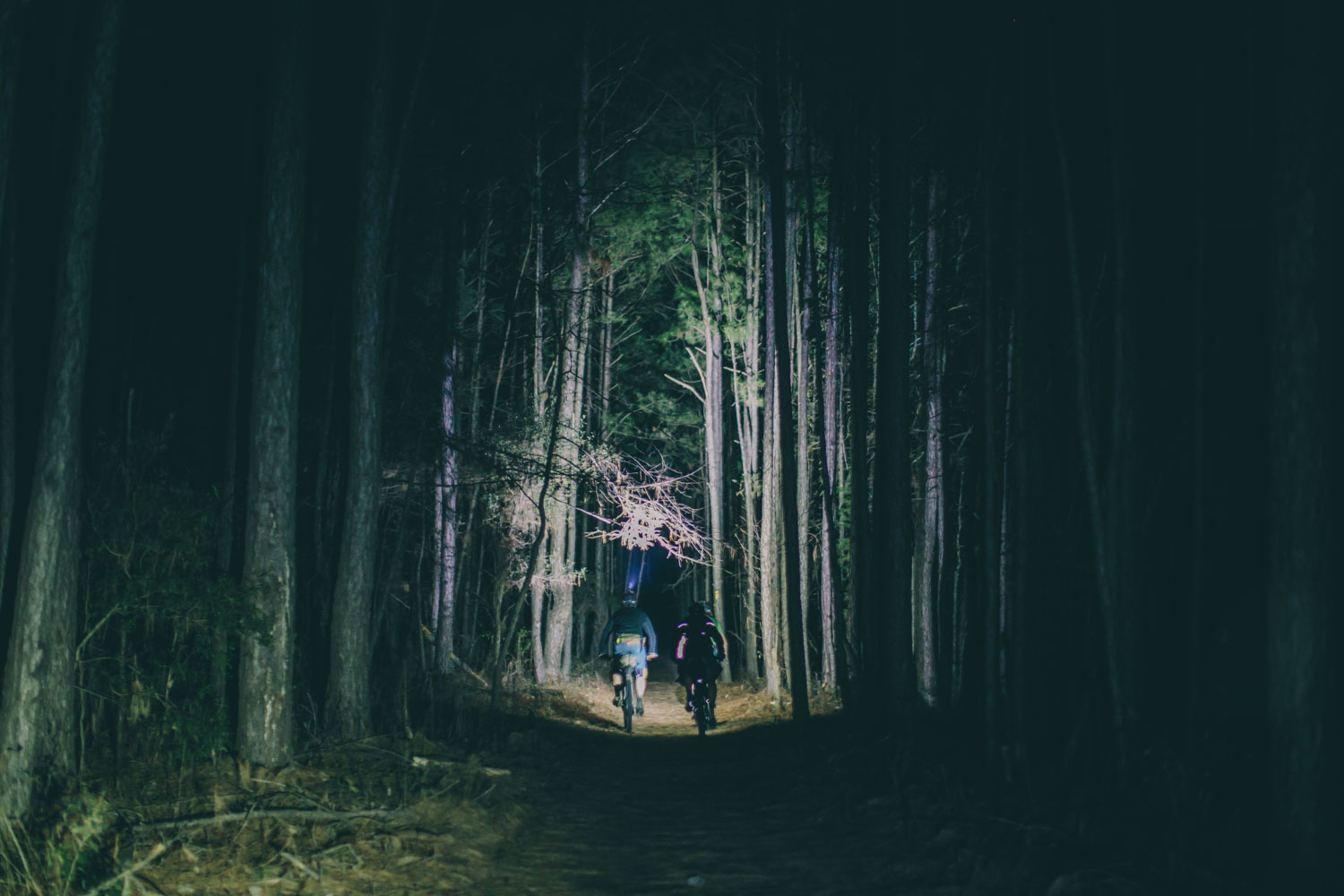
The Palmetto Trail passes through several interesting natural and cultural landscapes including the Sumter National Forest with its twisty forested tracks, several historical rail trails, and the state capital, Columbia. The route also takes in the aptly named Sand Hills and the Spanish moss bedecked cedar swamps of Francis Marion National Forest. It follows a few snippets surprisingly good singletrack on the Enoree Passage as well as flowing trails complete with views and exposure in Poinsett State Park.
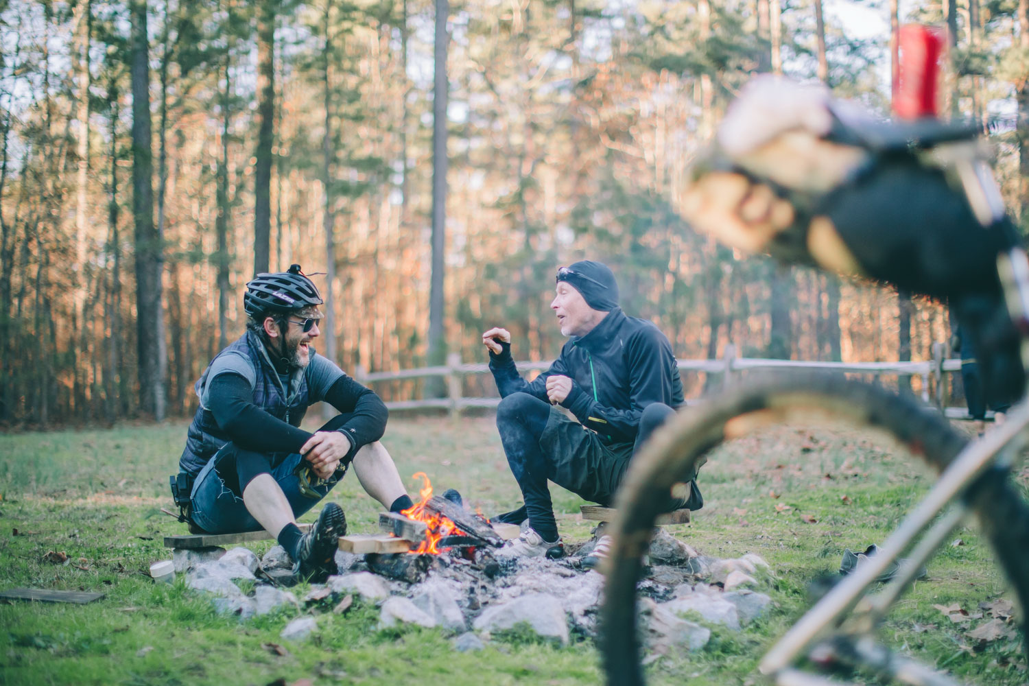
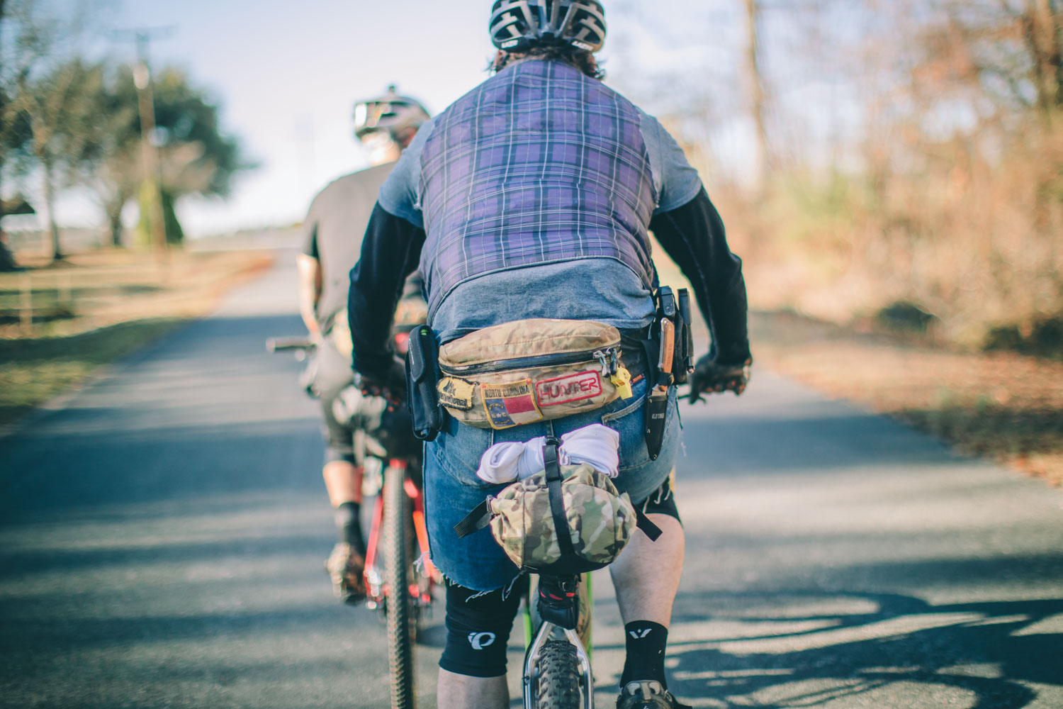
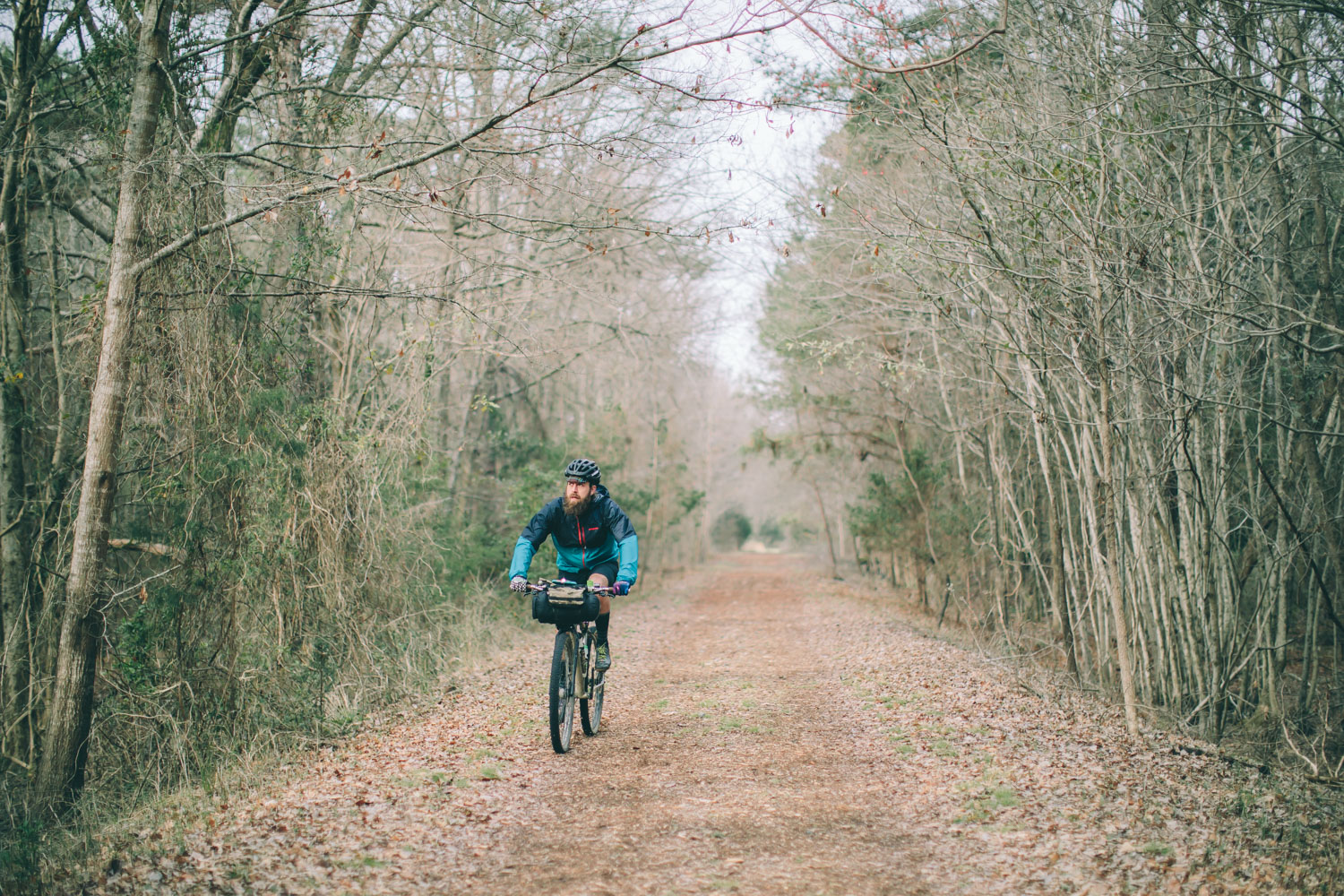
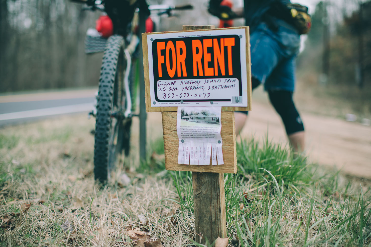
At times — due to its current unfinished state and lack of use in certain parts — the Palmetto Trail can seem rather disjointed and rough. There are also a few too many requisite paved connections between the Passages. That said, the Palmetto Trail may not be a destination route for most folks. But for others living nearby, it could be a great long weekend escape. Done with a few friends, you’ll likely have a great time with plenty of good campsites and interesting scenery along the way. Meanwhile, you’ll be adding to the use of the trail and supporting the project. Just keep in mind that there is a fair amount of road riding involved as well as a couple stretches of swampy tracks and unused trails littered with fallen trees and branches. All that said, we enjoyed our time on the trail and are happy to add it as a route option here. Make sure to read the Trail Notes below for recommendations and options for overnighters.
Thanks to Jim Tonyan for planning a much of the route connectors and bringing along the “Analog Garmin” …
Also, make sure to pick up a Palmetto Trail Pale Ale. Spartanburg based rewer RJ Rockers donates a portion of each sale to the Palmetto Conservation Foundation in hopes of one day completing the trail.


Submit Route Alert
As the leading creator and publisher of bikepacking routes, BIKEPACKING.com endeavors to maintain, improve, and advocate for our growing network of bikepacking routes all over the world. As such, our editorial team, route creators, and Route Stewards serve as mediators for route improvements and opportunities for connectivity, conservation, and community growth around these routes. To facilitate these efforts, we rely on our Bikepacking Collective and the greater bikepacking community to call attention to critical issues and opportunities that are discovered while riding these routes. If you have a vital issue or opportunity regarding this route that pertains to one of the subjects below, please let us know:
Highlights
Must Know
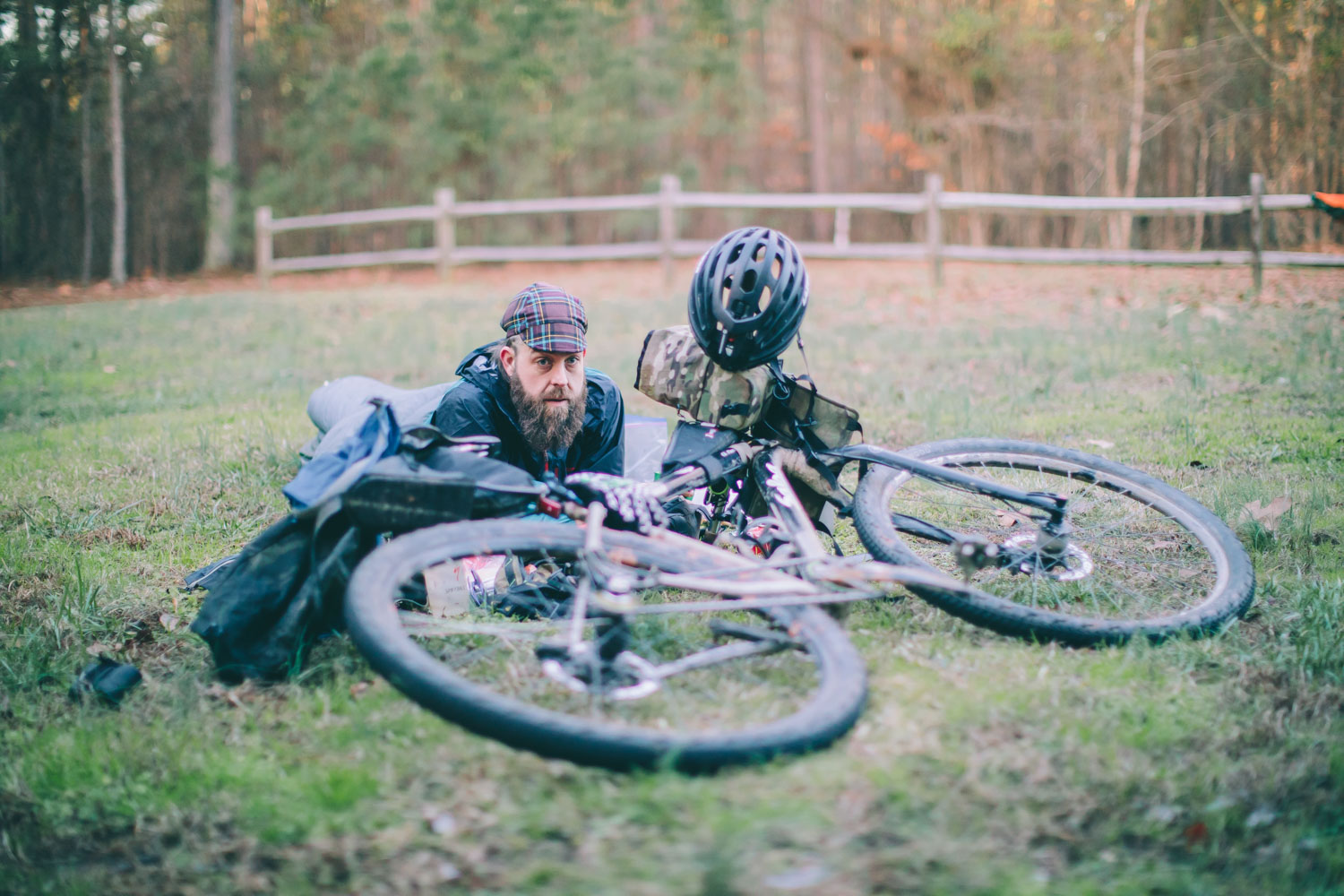
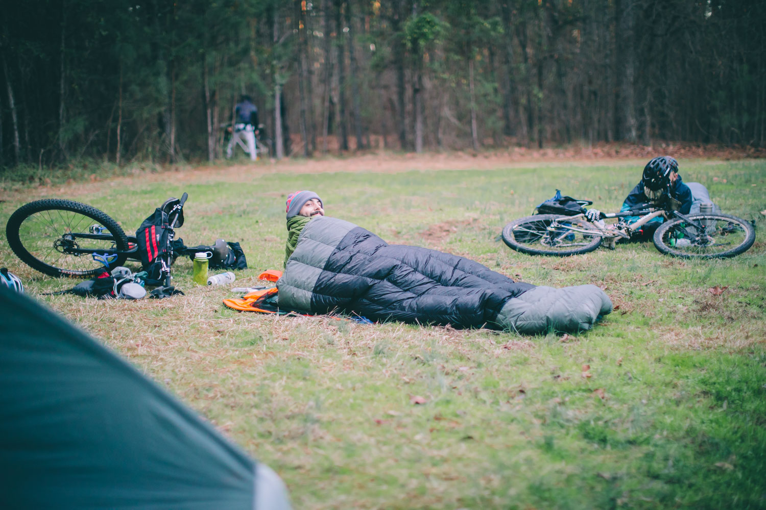
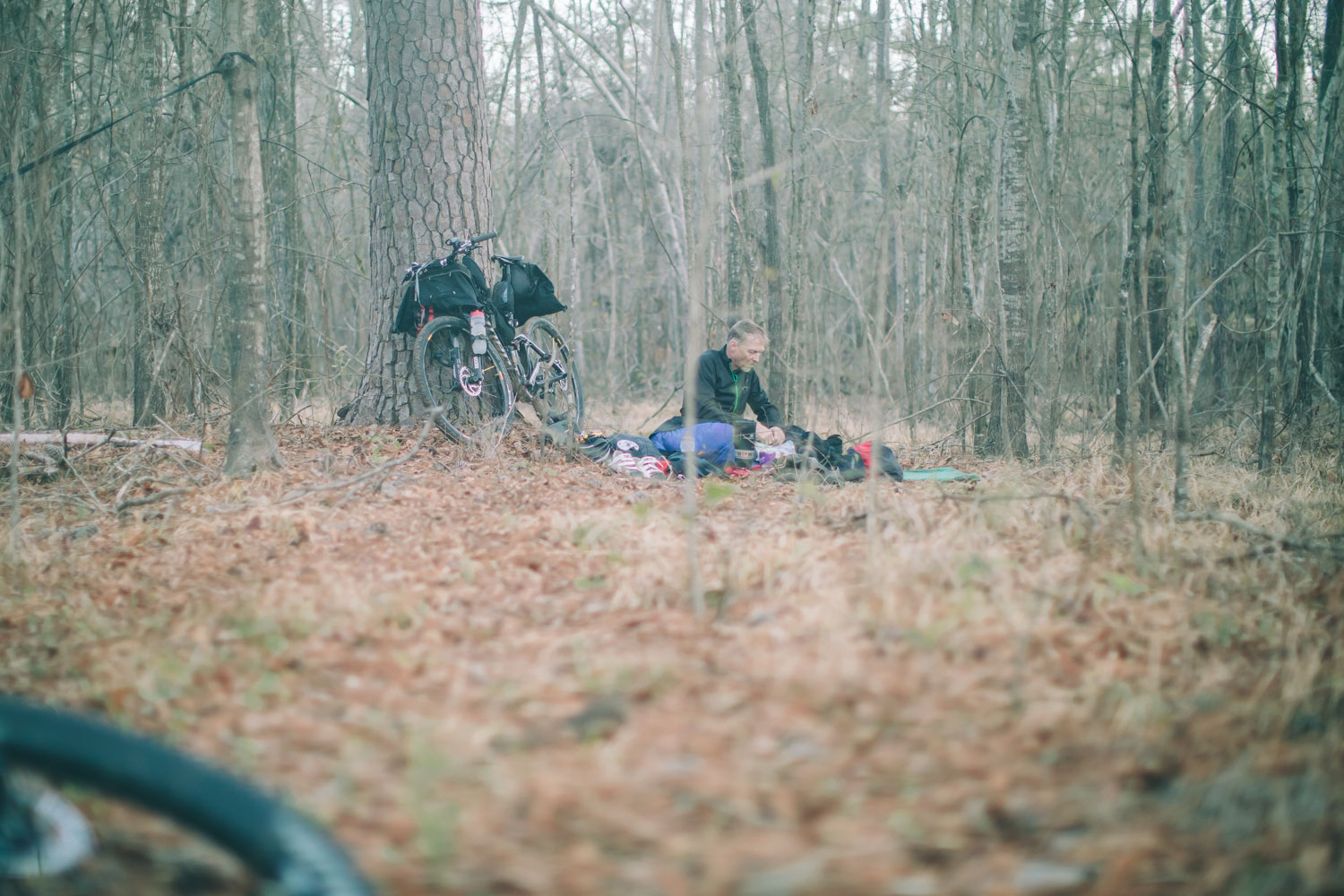
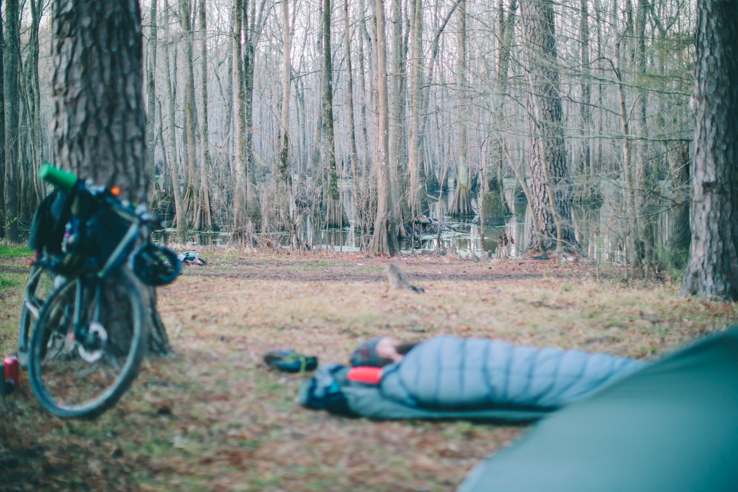
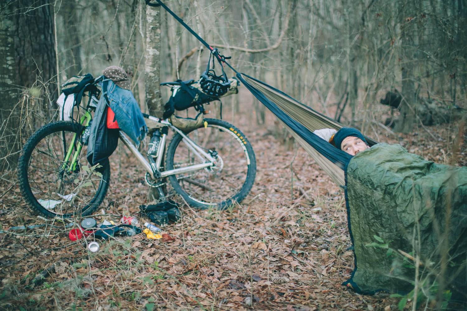
Camping
Food/H2O
Trail Notes
Resources
- Well-cut and interesting singletrack, including the Enoree Passage, Poinsett State Park and The Swamp Fox Passage.
- Scenic rail trails such as the Wateree Passage and the Peak to Prosperity Passage.
- Pine forests and low country foliage.
- Swamps, coastal terrain and wildlife.
- A long slow look at southern culture in South Carolina.
- BBQ in Columbia, if you’re into that kind thing.
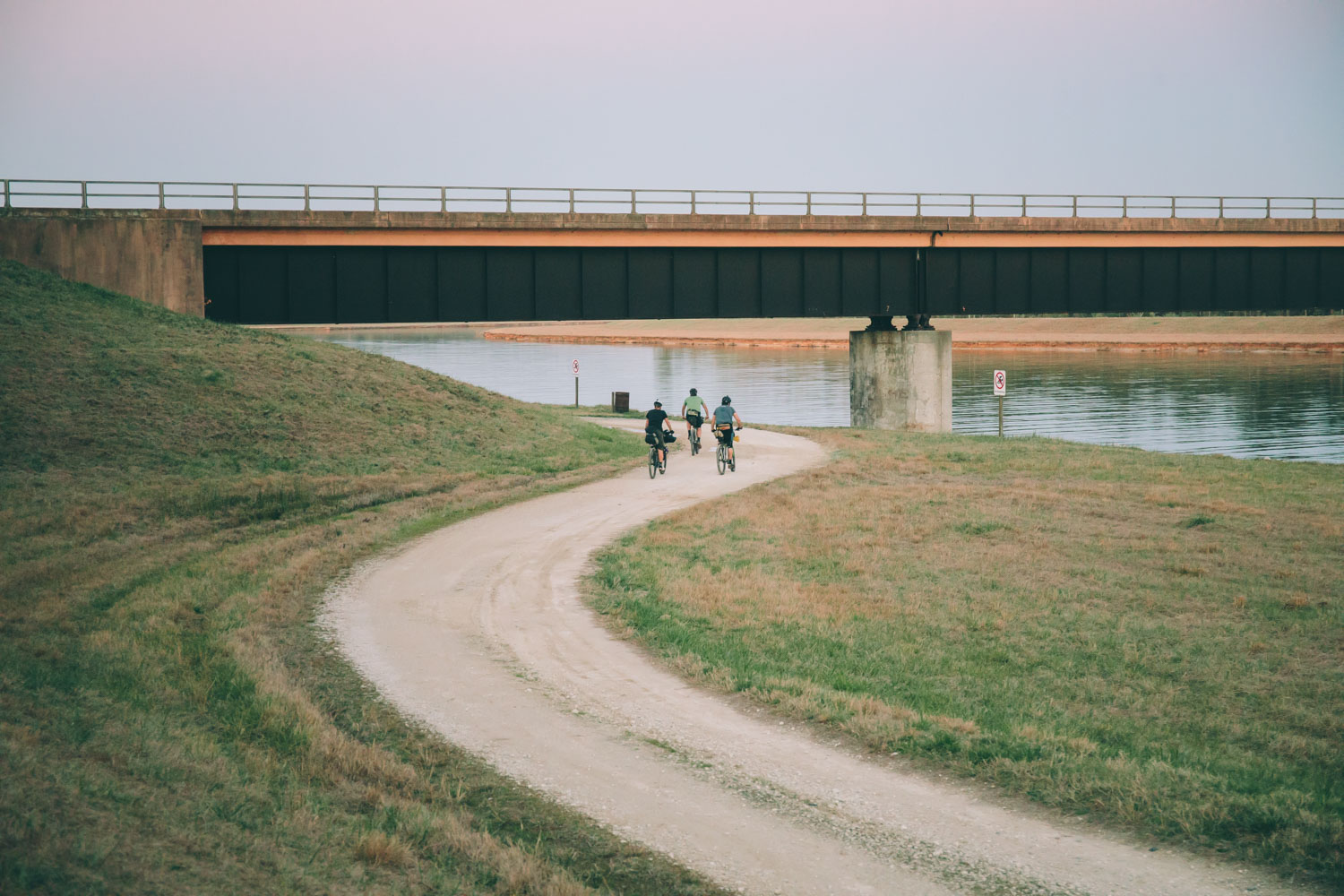
- Watch for a detour around mile 38… there is orange plastic construction marking the trail where the bridge is washed out.
- This route is best ridden in the fall, winter or very early spring. It could get blazing hot in the summer and probably pretty buggy.
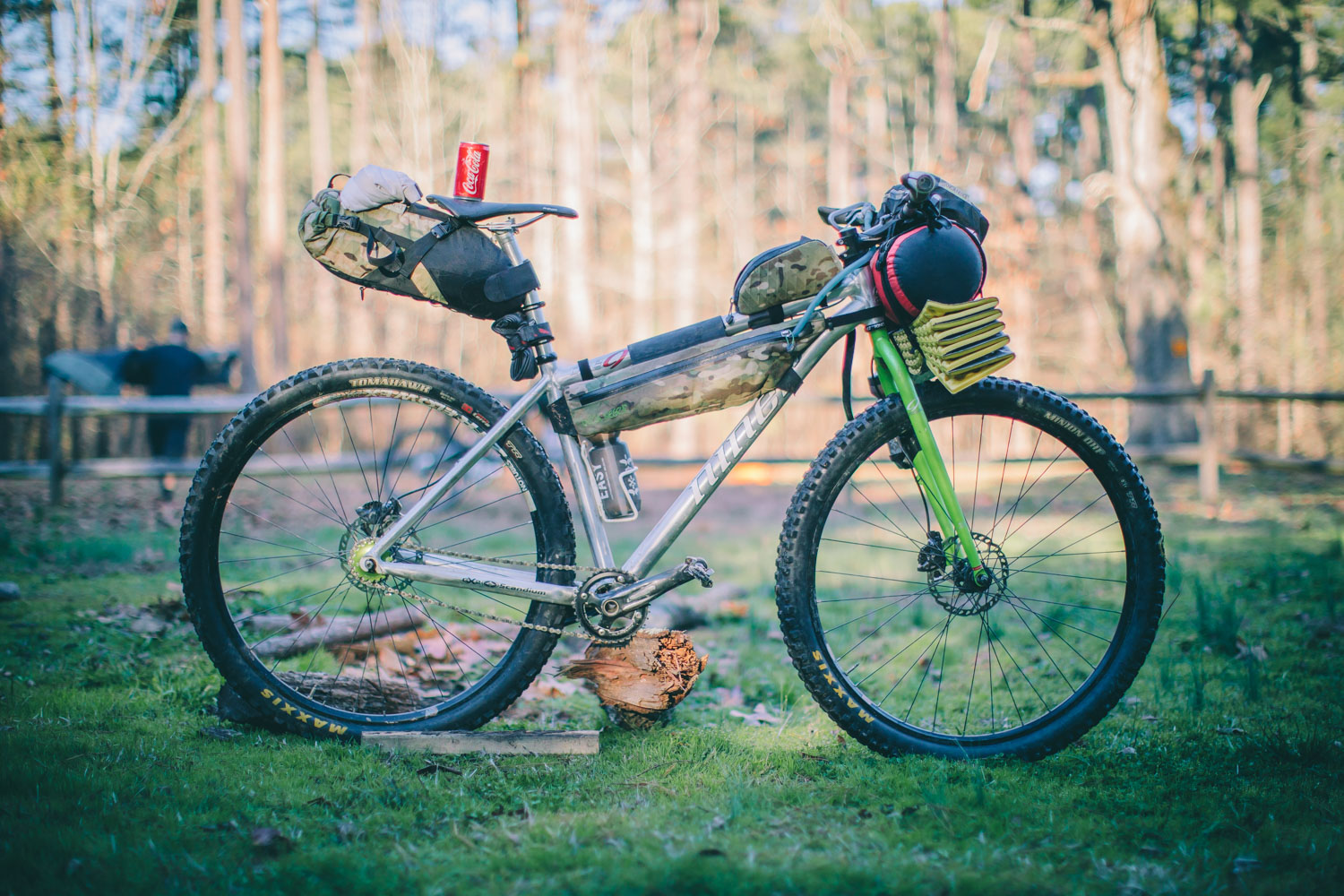
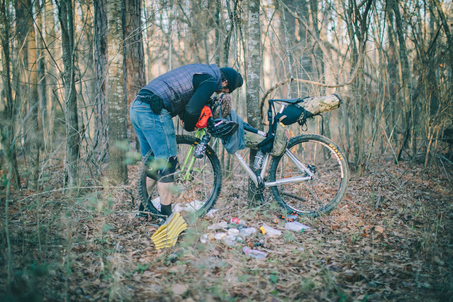
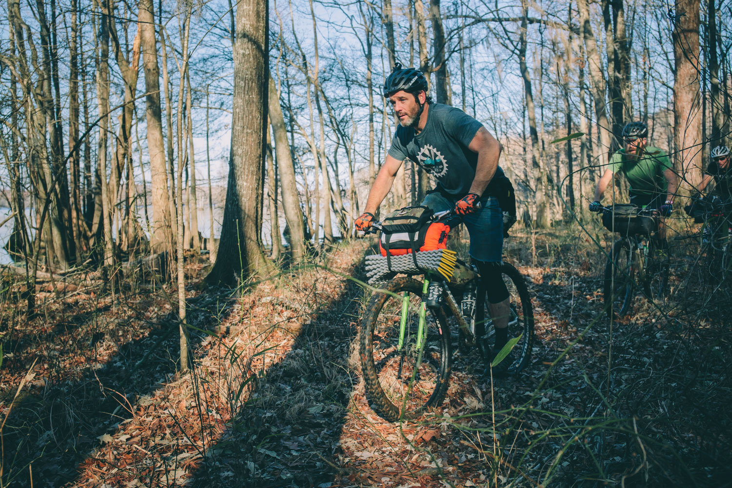
- There are sections of trail that get fairly sandy, swampy, and rough. Because of this we recommend a 2″ tire or larger. While this route could be done on a cross bike, I wouldn’t. Also, with the amount of branches along the lesser used stretches, going sans derailleurs might be advised. Three in our group rode singlespeeds while I had an internal Pinion system and only one had a rear derailleur (although there were no mechanicals to speak of).
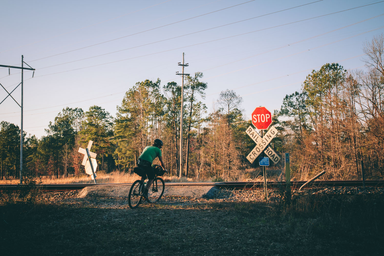
- Just a reminder that there is a fair amount of road to be reckoned with along this variation of the Palmetto Trail. Bring blink lights and take proper precautions.
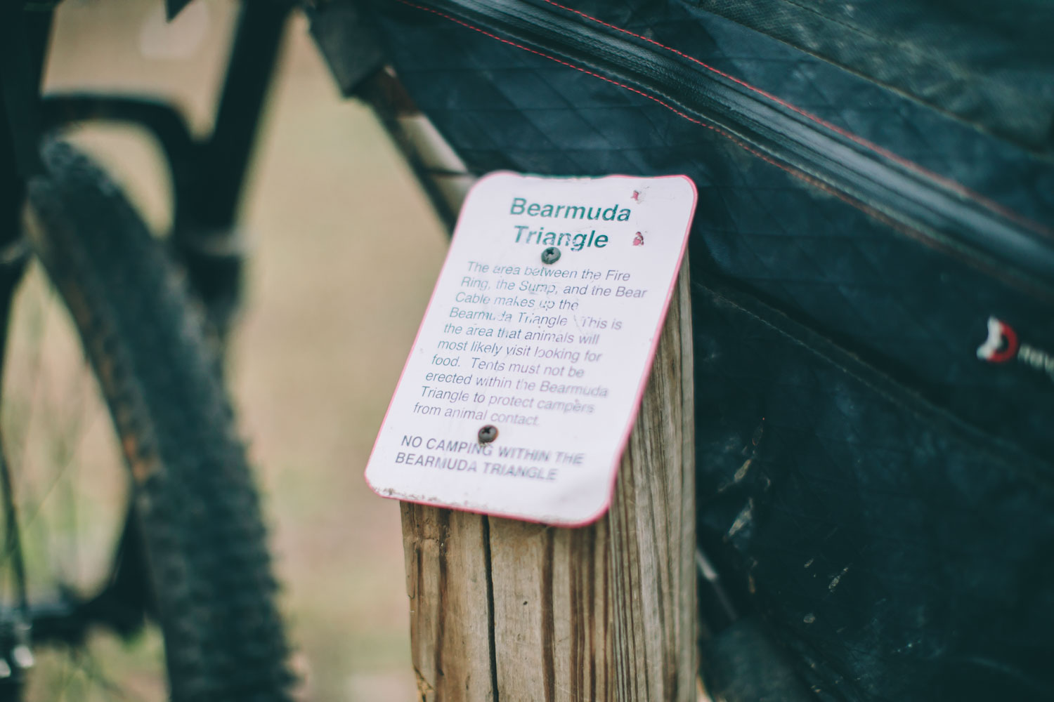
- There are some critters to watch out for along the Palmetto Trail… other than snakes and such, bears are present in several of the national forests. Bring a rope and stuff sack to hang your food. Also, watch out for alligators, we saw a few six footers along the way… in February!
- The Palmetto Trail route is unfinished. There are many interested parties who want to see it to full fruition — including RJ Rockers Brewing who is helping fund the completion of the route by donating a portion of sales of their Palmetto Trail Ale. So drink beer and ride the route to help keep it alive!
- This isn’t a classic bikepacking route, by any means. The Palmetto Trail is currently in an unfinished — and little used — state of slight disarray. If you live in the southern US and do this ride with a few friends, you’ll likely have a great time with some scattered good riding and plenty to look at. Just keep in mind that there are a lot of not too great stretches of pavement, a couple sections of swampy tracks, and several trails that are not well used with an assortment of fallen trees and branches littering the path.
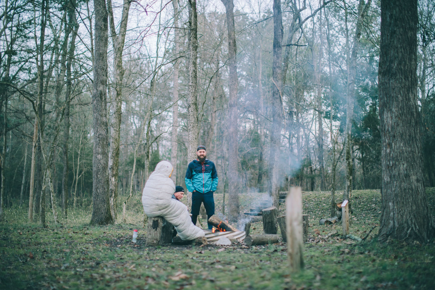
- There are several designated free campsites and campgrounds along the way in National Forests and parks. A few are noted on the map.
- While there are possibilities for wild camping, once you get close to the lakes much of the terrain is wet and swampy.
- Hotels are available in Newberry, Columbia and Santee.
- Hammocks are a good option too as there are plenty of trees throughout.
- Most of the Palmetto Trail route has points for resupply. However, the first 80 miles from Spartanburg to Newberry has very few options. It’s best to carry a couple days of food for this stretch. Also, the last 55 miles has no resupply options.
- Dollar General stores seem to be the best bet for finding preparable food in the rural southeast.
- El Sorullo in Newberry has great Mexican food.
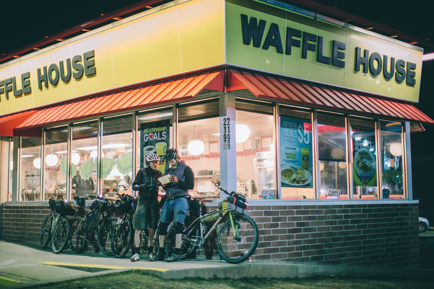
- Make sure to have a good meal in Columbia; it’s a college town and there are tons of great options. Check out Five Points area… we had barbecue at Southern Belly.
- Have a Palmetto Trail Ale at RJ Rockers in Spartanburg and support the project.
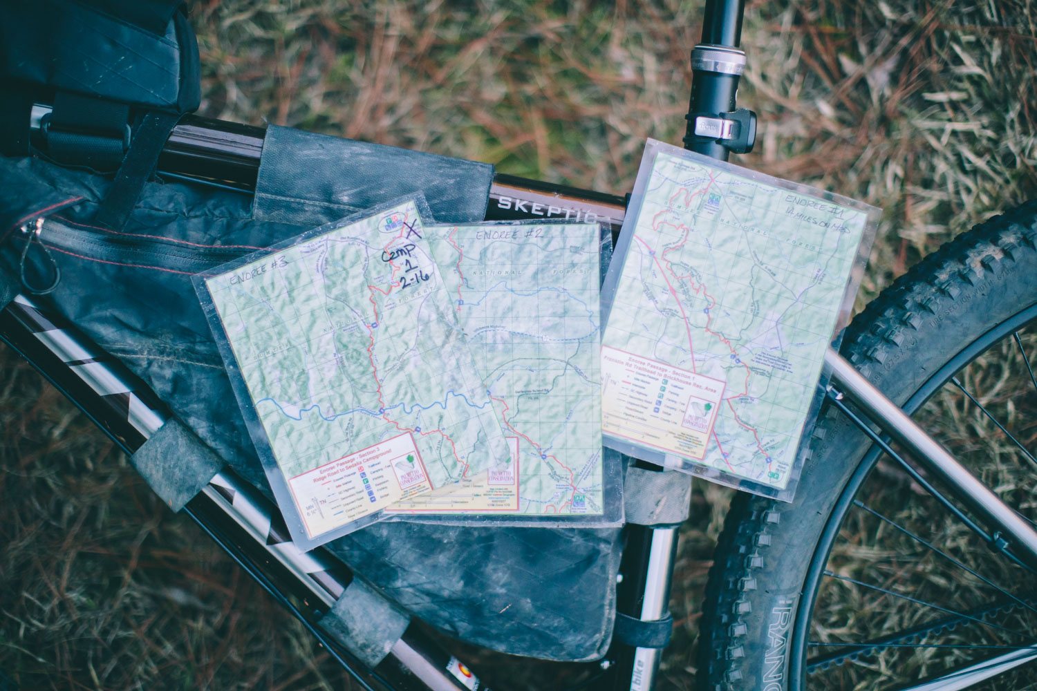
As mentioned above, the Palmetto Trail is made up of 26 ‘Passages’. We skipped the first several as they were either limited to hikers only, on roads, or very disjointed. Here are the Passages in order from Spartanburg to Awendaw with notes. Also, each is linked to the corresponding page on palmettoconservation.org. It’s also worth noting that there are a couple of good options for making overnighters out of better portions of the route. We recommend the Enoree Passage (mile 36 on the GPS) and the section beginning at Santee (mile 220 on the GPS) to include the Swamp Fox Passage and end at Awendaw.
Hub City Connector (~10 miles)
The Hub City Connector is about nine Trail miles of greenways, bicycle lanes, and safe, signed sidewalks through the city of Spartanburg. We cycled an alternate line as we shuttled from someone’s house outside of Spartanburg.
Croft Passage (~12 miles)
A fun, hilly mix of singletrack and roads through Croft State Park.
Glenn Springs Passage (~7 miles)
Rolling farmlands, mature forests, and the historic town of Glenn Springs highlight the Glenn Springs Passage.
Blackstock Battlefield Passage
Skipped, this is a separate loop.
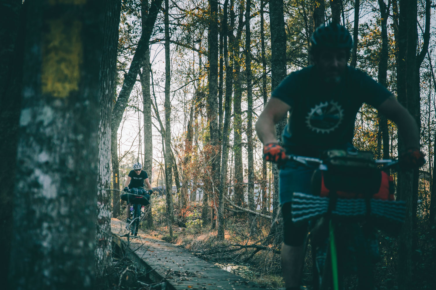
Enoree Passage (~36 miles)
Enoree Passage is 36 continuous miles of trail through Sumter National Forest, linking Newberry, Laurens, and Union counties.
Lynch’s Woods Passage
Skipped, separate loop.
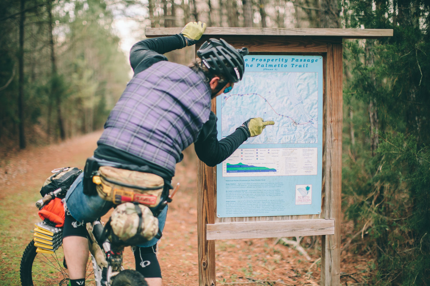
Peak to Prosperity Passage (~11 miles)
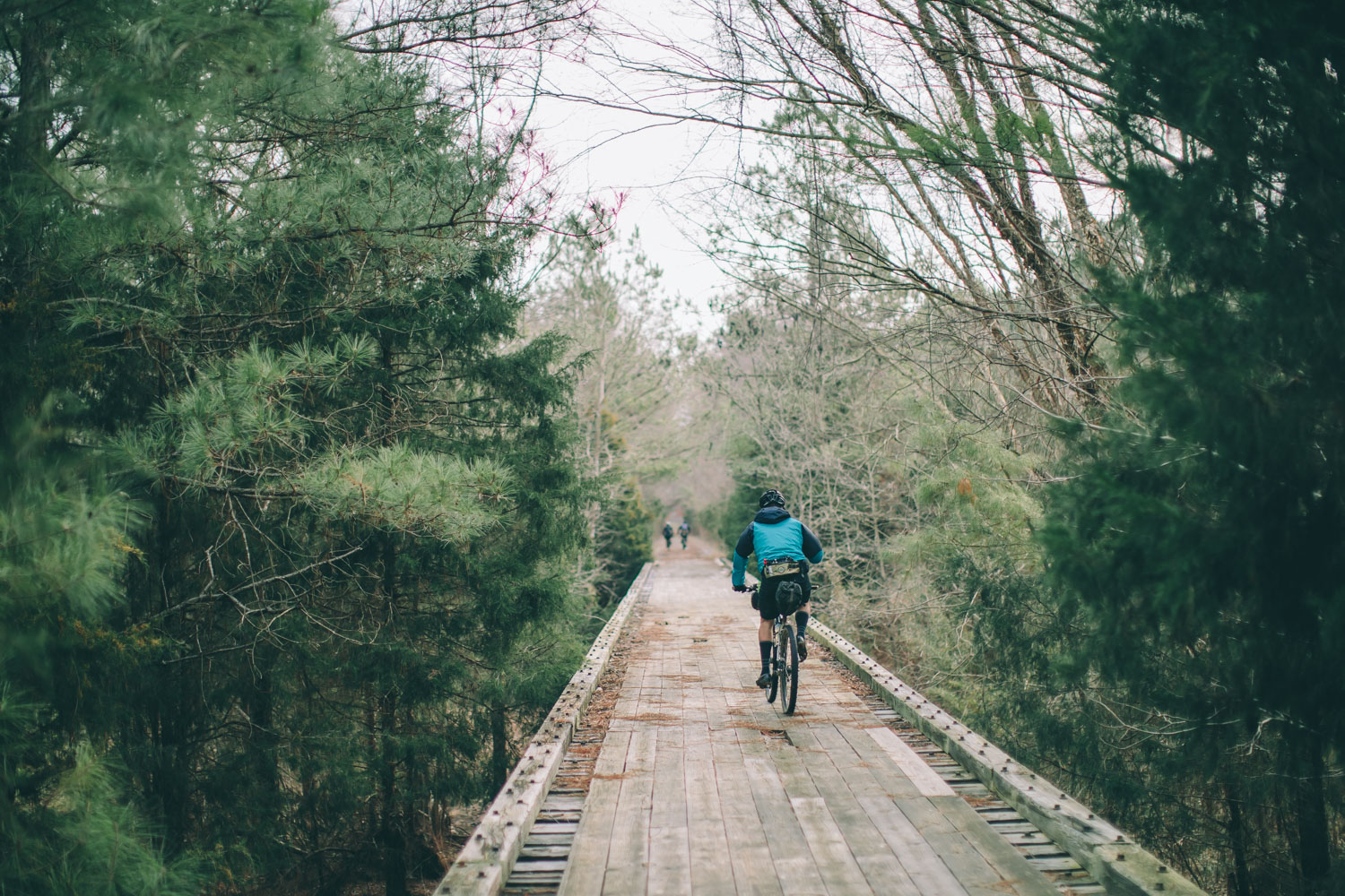
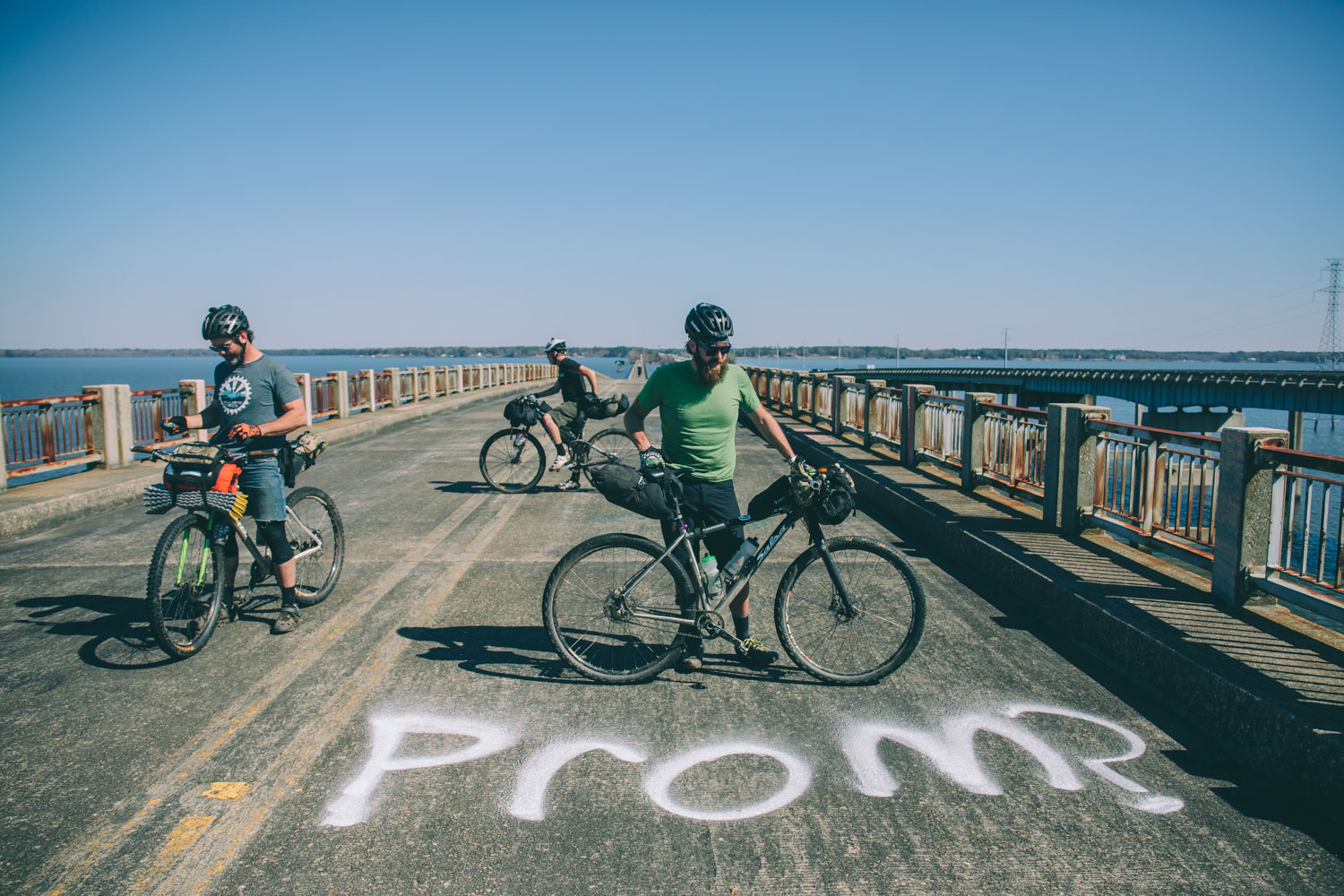
The Peak to Prosperity Passage is a gravel rail trail that proceeds west from the HWY 26 intersection for 11 miles across the impressive Broad River trestle.
Capital City Passage (~7 miles)
The Capital City Passage meanders through South Carolina’s largest city and seat of state government. A great place to stop for a bite to eat.
Fort Jackson Passage
Skipped due to closures and rumors of logging truck hell.
Wateree Passage (~7 miles)
The Wateree Passage begins at an odd spot near a power plant. We got escorted into the woods where we proceeded to bushwhack to find the old rail bed. In the GPS we highlighted about a half mile where you’ll need to hike along the railroad tracks to access the trail and trestle crossing the river. The Passage then flows through Poinsett State Park.
High Hills of Santee Passage (~9 miles)
High Hills of Santee in Sumter County was named for the high, sandy ridges that are part of the Sandhills geographical region. We skipped a portion of this and opted for the sand road. We’ve heard it can take hours to make this short distance due to thick and challenging sand. If you ride it and prove me wrong, please let us know.
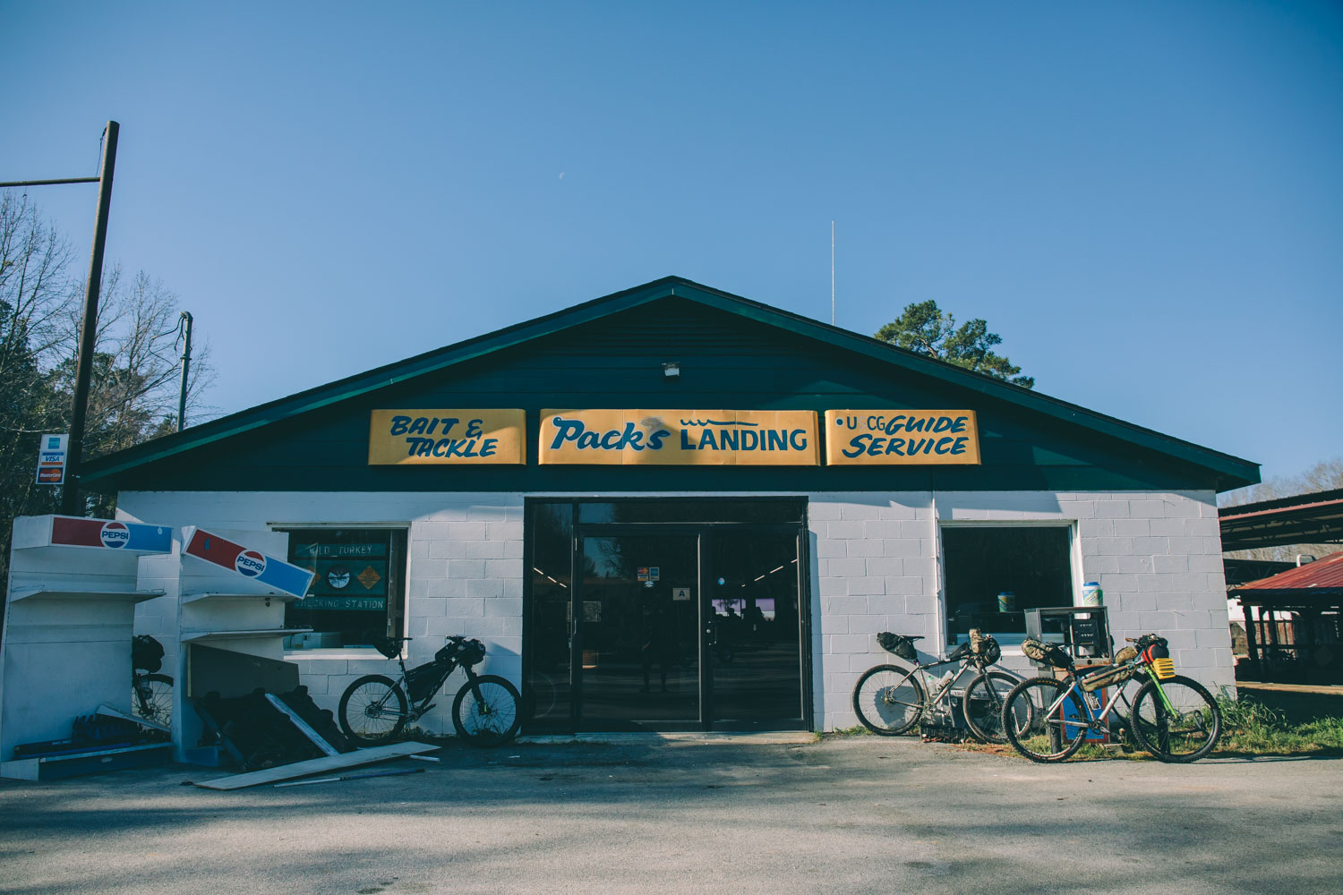
Lake Marion Passage (~34 miles)
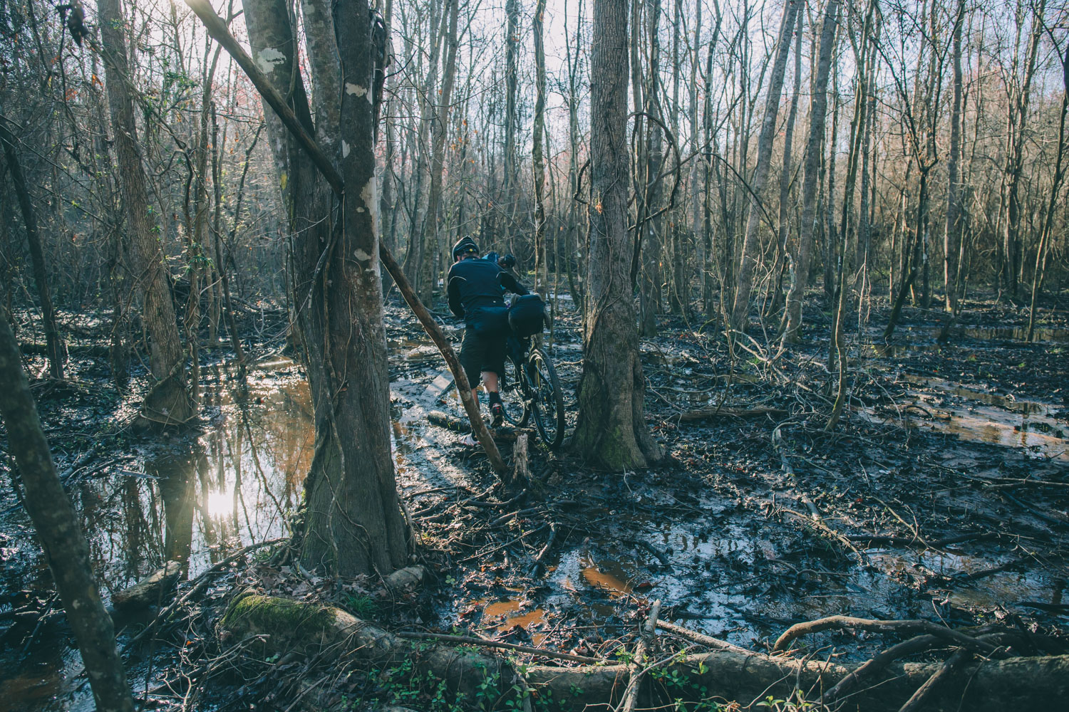
Lake Marion Passage skirts along the high-water mark of the lake’s north side between Santee, SC, and Mill Creek County Park. After Sparkleberry Landing, this gets really swampy and wet. Do it during the day.
Santee Passage (~12 miles)
Lots of dirt roads and time on rural highways make Santee Passage a nice break from swampy singletracks and roads.
Eutaw Springs Passage (~20 miles)
Eutaw Springs Passage pushes through a varied terrain of grassy pastures and shady dirt roads, past the site of the Revolutionary War Battle of Eutaw Springs, and through tiny downtown Eutawville.
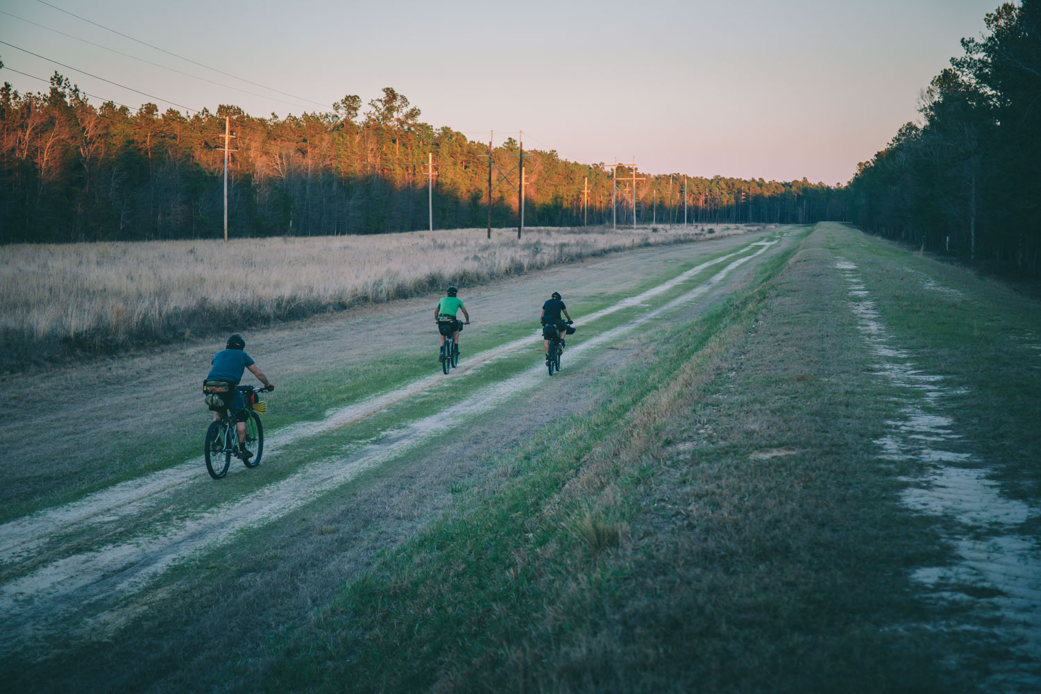
Lake Moultrie Passage (~27 miles)
The Lake Moultrie Passage circles the eastern and northern shores of a 60,000-acre lake. Nice panoramic views and fast gravel roads.
Swamp Fox Passage (~47 miles)
The Swamp Fox Passage is the longest and arguably one of the best sections on the Palmetto Trail. The passage traverses the Francis Marion National Forestand several ecosystems including swamps, mature long-leaf pine forests, and grassy savannas.
Awendaw Passage (~7 miles)
Awendaw Passage is the coastal terminus of the mountains-to-sea Palmetto Trail. Probably the most used trail, but also one of the fastest and most fun.
Additional Trail Notes
Contributor, Todd Shollenberger, provided his trail notes when they attempted the route in reverse and made a few improvisations. For mileage reference, follow his route GPS at ridewithgps.com/
Awendaw Passage – Short but well used singletrack section along the Intracoastal Waterway and coastal marshes. Trailhead camping at Buck Hall Rec Area, fill up with water here, there’s not much on the trail until Lake Moultrie.
Swamp Fox Passage – This is the longest and most remote of all the Passages. Mostly single track thru the Francis Marion NF with a few short sections on forest roads, almost no pavement. The trail is fairly easy to follow although not very well marked, picking up the trail again after crossing roads was sometimes confusing. Rode thru a lot of ankle deep water on this section and there are a lot of boardwalks and footbridges in various states of disrepair. Very little drinking water on this section, we filled up at a horse farm at mile 58. The Witherbee Ranger Station at mile 35 is abandoned, no water. The best option for camping is probably at or near the ranger station, not much dry open space along the trail.
Lake Moultrie Passage – Mostly unpaved section with fast gravel roads along the Lake Moultrie dikes. Bonneau Beach is the first real resupply point on the route at mile 59, two small restaurants and a c-store. Felt like we were flying thru this section compared to Swamp Fox. Best camping spot of the whole trip at Sandy Beach on the north side of the lake, mile 75. Significant bushwhack near the end of this passage, mile 80-81.
Eutaw Springs Passage – Mixture of paved and dirt rural roads, flat easy riding. C-store at mile 91. There is a confusing turn in the trail at mile 92, we never saw any trail signs but eventually found an old overgrown road/path that continued the trail. C-store at mile 96, Eutaw Springs Battle field at mile 102 is a good spot for lunch. At mile 103 along the edge of the Gardensgate Plantation the trail had been freshly tilled and was not ridable. There is supposedly camping at the plantation but we never found it. Dollar General in Eutawville at mile 105. Met the owner of Eutaw Outfitters, he was repairing his shop after a car drove thru the front window.
Santee Passage – Most of the second half of this passage is not ridable anymore. Starting at mile 113 the private land that the trail crosses has been clear cut. After detouring around this we came upon a huge road construction project at mile 116. Without any obvious detour we rode thru the construction zone. Its probably better to skip this passage by riding Old Hwy 6 from Eutaw Springs to Santee.
Lake Marion Passage – Paved roads and single track thru the swamp along the edge of Lake Marion. Cross the lake on the old Francis Marion Bridge. Single track along the lake is overgrown with lots of deadfall and difficult to follow in places. Skipped the section from Carolina King Marina (mile 135) to Packs Landing (mile 149), very wet and overgrown it was hard to stay on the trail even with a gps track. Camping at Jacks Creek Marina, mile 129, seemed almost abandoned. Water and very limited food options at Carolina King Marina and Packs Landing. High Hills Passage – Single track and sand/dirt roads. Mostly follows a horse trail thru the Manchester State Forest from Mill Creek Country Park (mile 159) to Poinsett State Park (mile 168). Horses and bikes don’t mix, even with 3 inch tires the horse trail was awful. Detoured onto dirt/sand roads at mile 163. Forest single track starting at mile 165 into the park was really nice but the last 1/4 mile had been recently logged. Water and camping at both parks, limited food at Poinsett State Park.
Wateree Passage – Single track and rail trail. Great single track for the first few miles out of Poinsett State Park and then rail trail starting at mile 173 across the Wateree River and swamp. Numerous rebuilt trestles over the swamp, the last one before the Wateree River Bridge at mile 177 is still under construction. Unfortunately the official trail ends just on the other side of the river about 1 mile from Hwy 601. After getting a bit lost we found a still active RR spur to hike out on, there might be a better way to the road on the faint trails we got lost on.
Ft Jackson Passage – Single track paralleling Hwy 262 and paved bike paths/sidewalks within Ft Jackson. This passage is probably best skipped, the time/effort/paperwork required to access Ft Jackson just isn’t worth it. After many emails and phone calls to get permission to enter the eastern most gate we were unable to enter when we arrived. We ended up entering and exiting at the main gate, closest to Columbia, riding the trail thru the fort as an out-and-back. Took almost an hour to get a visitor pass at the gate. A better option would probably be to ride thru Congaree NP from the end of the Wateree Passage and then north to Columbia.
Capital City Passage – Paved roads and sidewalks thru Columbia. Lots of good restaurants near the USC campus in downtown Columbia. We skipped the second half of this passage and headed towards Camden to wait out Hurricane Matthew.
Peak to Prosperity Passage – Rail trail starting at the Broad River bridge. Seems to be one of the more used sections of trail, we saw lots of hikers and a few bikes. Flat and easy riding. Primitive camping at mile 320 and Wilson’s Grocery (c-store) at mile 322. Like the Wateree passage, this rail trail ends at mile 326 just short of a road and requires a difficult bushwhack, lots of downed trees over the old rail bed. This last half mile is across private property and could be skipped with a road detour starting at Wilson’s Grocery.
Lynch’s Woods Passage – Singletrack thru town park. Nice singletrack diversion in this Newberry town park, unfortunately camping is no longer allowed. We arrived at dusk to find a locked gate and large “No Overnight Camping” sign at the entrance. Plenty of cheap hotels in Newberry plus grocery stores and restaurants. We rode the trails the next morning, saw a few walkers and the old campsites, new residential development is very close which probably explains the no camping.
Enoree Passage – Mostly singletrack thru Sumter National Forest. Camping (no water) at Brickhouse Rec Area (mile 368) or along trail in NF. Limited water from some small streams. Long section thru the forest with a lot of potential. The section from Newberry to Brickhouse has recently been rerouted, soft and muddy in spots but easy to follow and not too many downed trees. The section from Brickhouse to Cross Keys (mile 388) is completely overgrown, tons of downed trees and kudzu overtaking the trail.
Blackstock Battlefield Passage – Short singletrack in preserve along Tygre River. Skipped.
Glen Springs Passage – Short section paved and singletrack but most singletrack is hiking-only, with a bike detour.
Croft Passage – Road and singletrack thru Croft State Park. About half of the singletrack is hiking-only with bike detour on paved and dirt roads in the park. The singletrack open to bikes is very good and in great condition. Trail along Kelsey Creek from mile 420 north difficult to follow, seems relatively new. Camping, water and limited food in the park.
Hub City/USC Upstate Passages – Paved roads and bike paths thru Spartanburg. Plenty of restaurants and resupply points along the paved multi-use rail trail in Spartanburg.
Peach Country Passage – Paved back roads from Inman to Landrum. Resturants and c-stores in both small towns.
Blue Wall, Poinsett Reservoir, Saluda Mountains, Middle Saluda, Jocassee Gorges Passages – All hiking-only, closed to bikes. Detoured around these sections on paved and gravel roads from Tyron, NC to Oconee State Park, SC. Great camping on top of Sassafras Mtn on SC/NC line. Gravel roads thru Jocassee Gorges are close to the actual trail.
Oconee Passage – Short singletrack section from Oconee State Park to Oconee Station Historic Site, mostly downhill, well maintained and well used.
Additional Resources
- PalmettoConservation.org – The Palmetto Conservation Foundation
- Palmetto Trail Pale Ale – Brewing for a cause.


Terms of Use: As with each bikepacking route guide published on BIKEPACKING.com, should you choose to cycle this route, do so at your own risk. Prior to setting out check current local weather, conditions, and land/road closures. While riding, obey all public and private land use restrictions and rules, carry proper safety and navigational equipment, and of course, follow the #leavenotrace guidelines. The information found herein is simply a planning resource to be used as a point of inspiration in conjunction with your own due-diligence. In spite of the fact that this route, associated GPS track (GPX and maps), and all route guidelines were prepared under diligent research by the specified contributor and/or contributors, the accuracy of such and judgement of the author is not guaranteed. BIKEPACKING.com LLC, its partners, associates, and contributors are in no way liable for personal injury, damage to personal property, or any other such situation that might happen to individual riders cycling or following this route.
Please keep the conversation civil, constructive, and inclusive, or your comment will be removed.