


Paramos Conexion
Distance
167 Mi.
(269 KM)Days
5
% Unpaved
86%
% Singletrack
0%
% Rideable (time)
98%
Total Ascent
26,725'
(8,146 M)High Point
11,250'
(3,429 M)Difficulty (1-10)
7?
- 10Climbing Scale Very Strenuous160 FT/MI (30 M/KM)
- 3Technical Difficulty Fair
- -Physical Demand
- 5Resupply & Logistics Moderate
Contributed By

Logan Watts
Founding Editor
This route was initially contributed in 2020, outside the scope of the Andean Bear Corridor Routes with Conservation International, but has since been integrated into the network of routes. We’re in the process of revitalizing the guide with more information to accompany the other Andean Bear Corridor Routes and exploring opportunities to integrate conservation initiatives. Stay tuned.
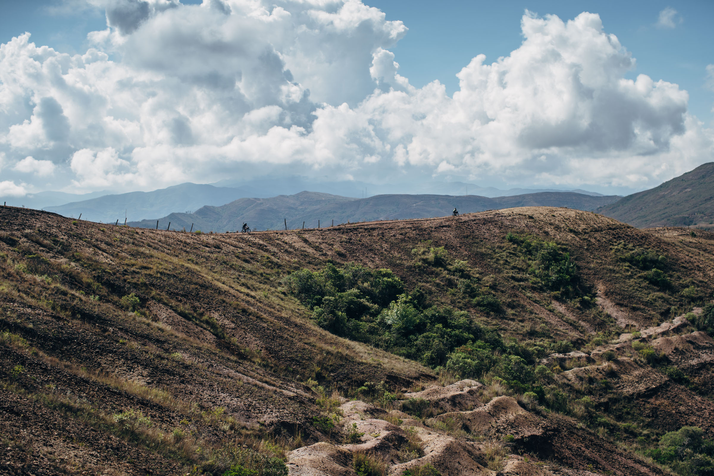
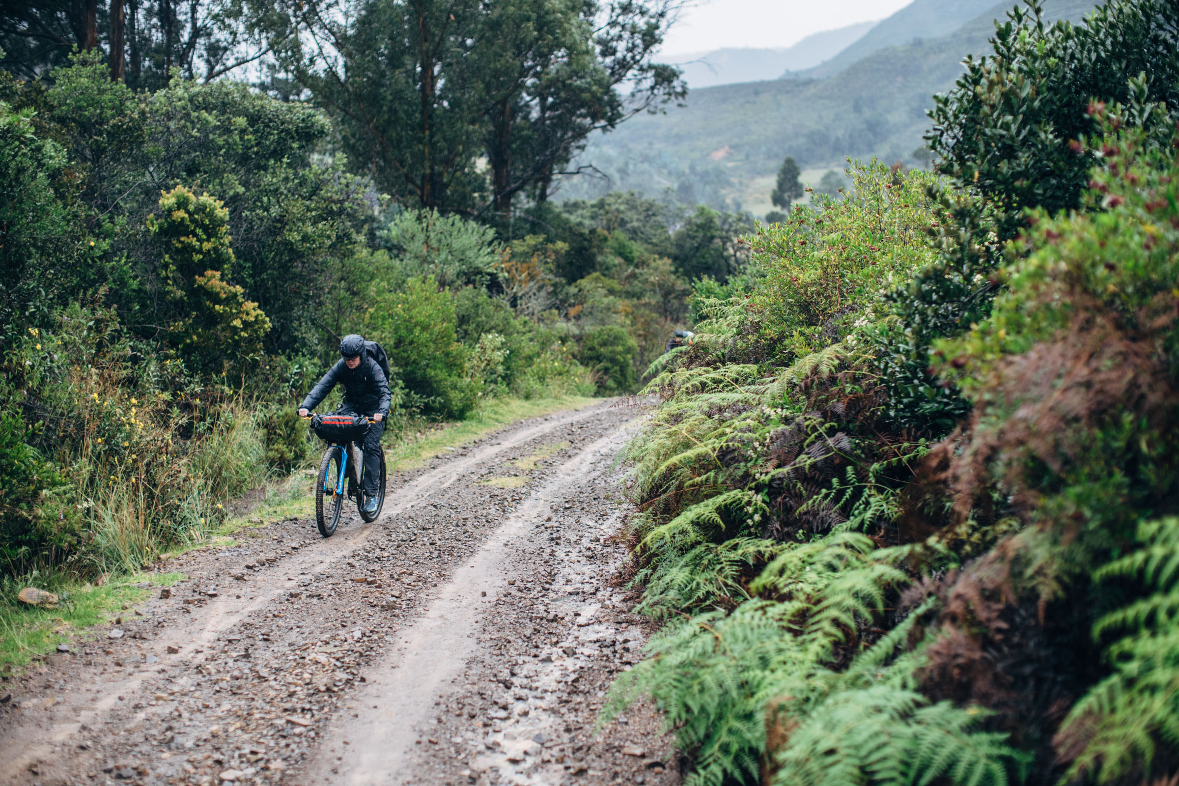
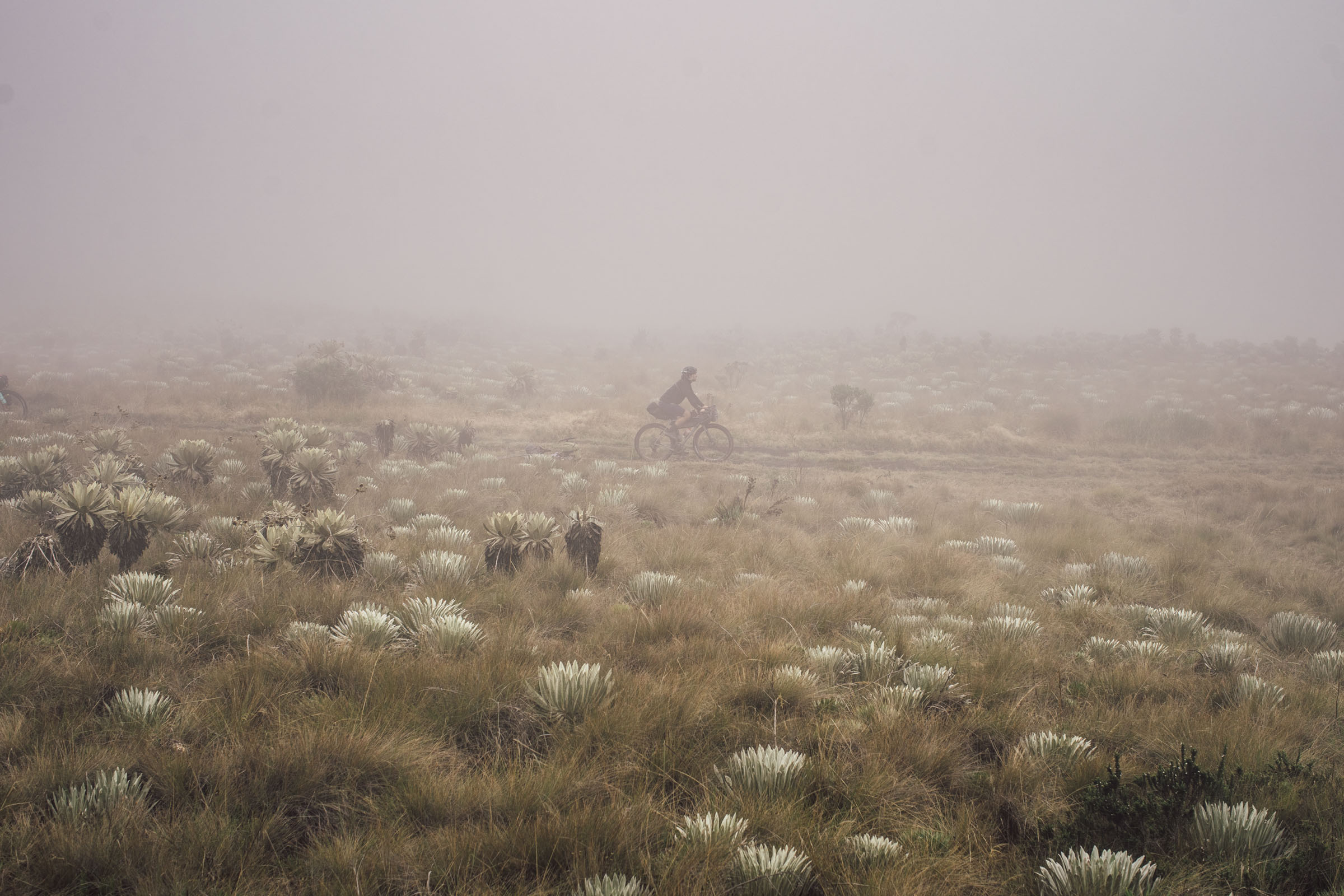
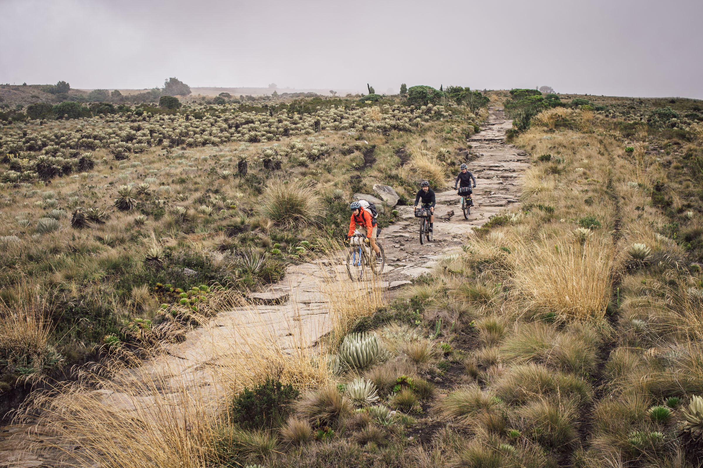
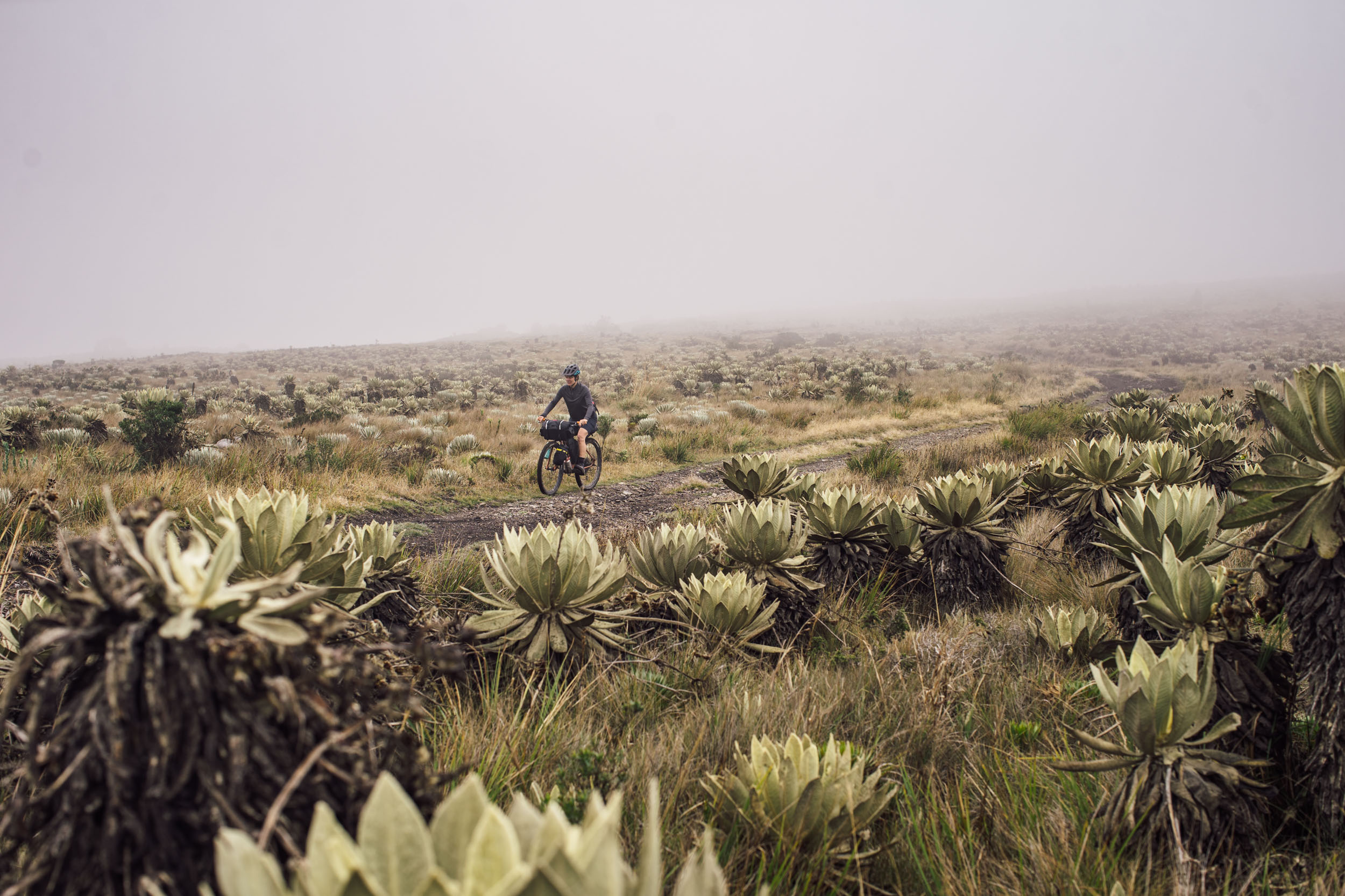
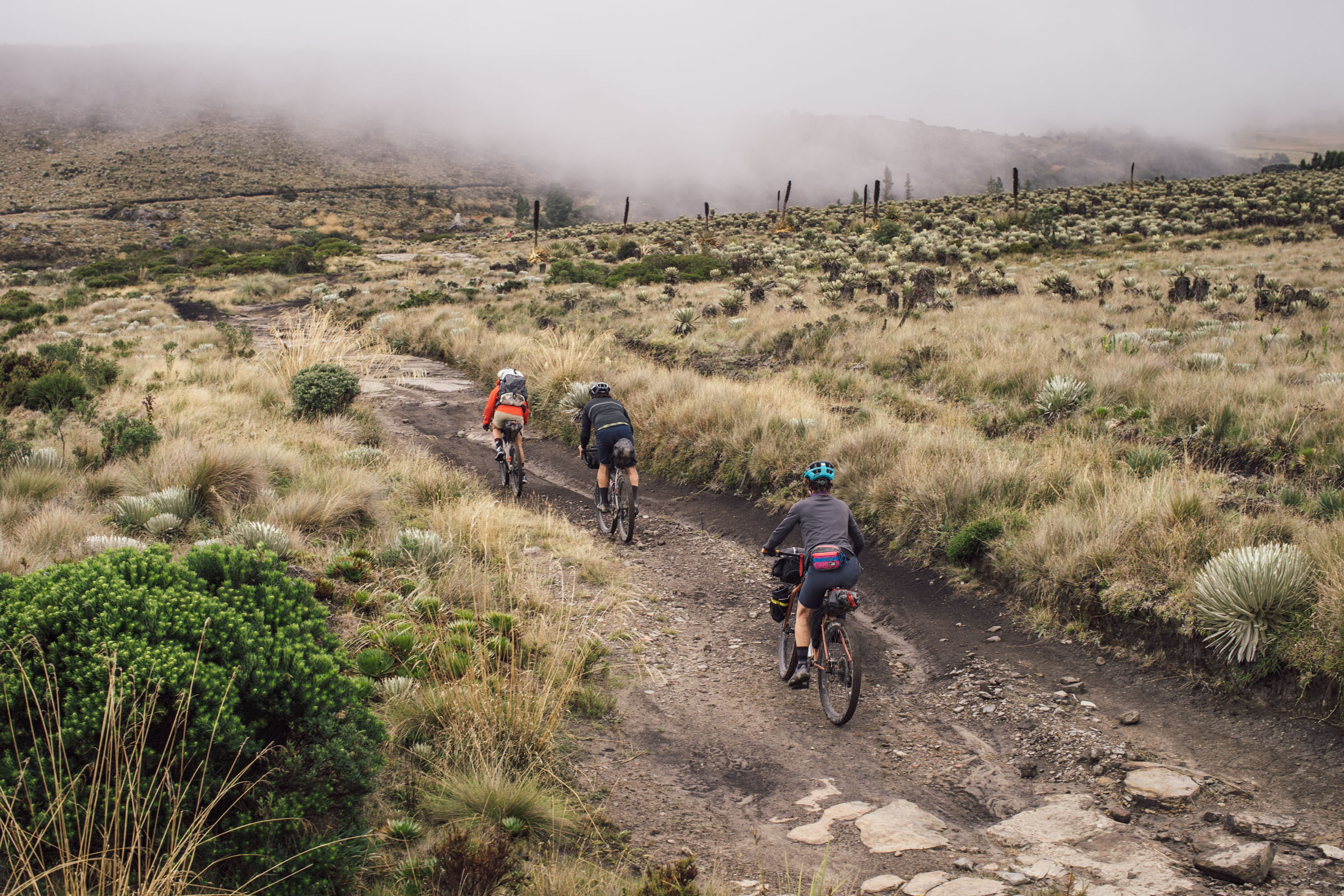
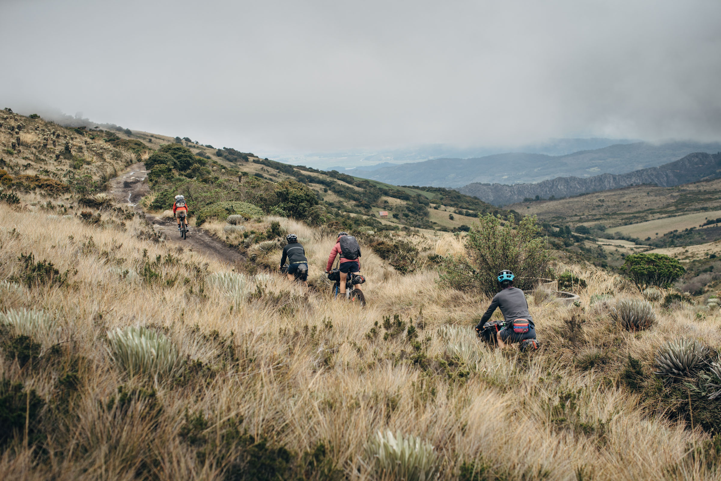
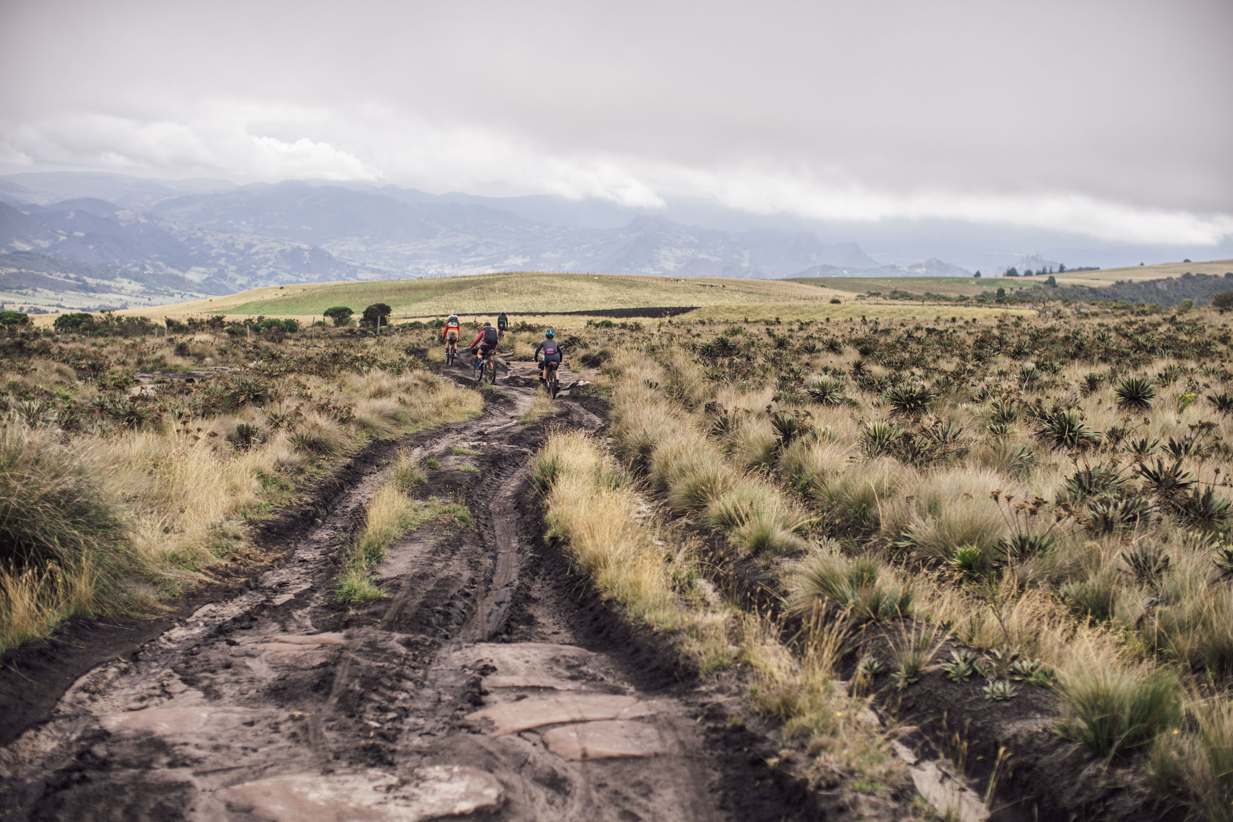
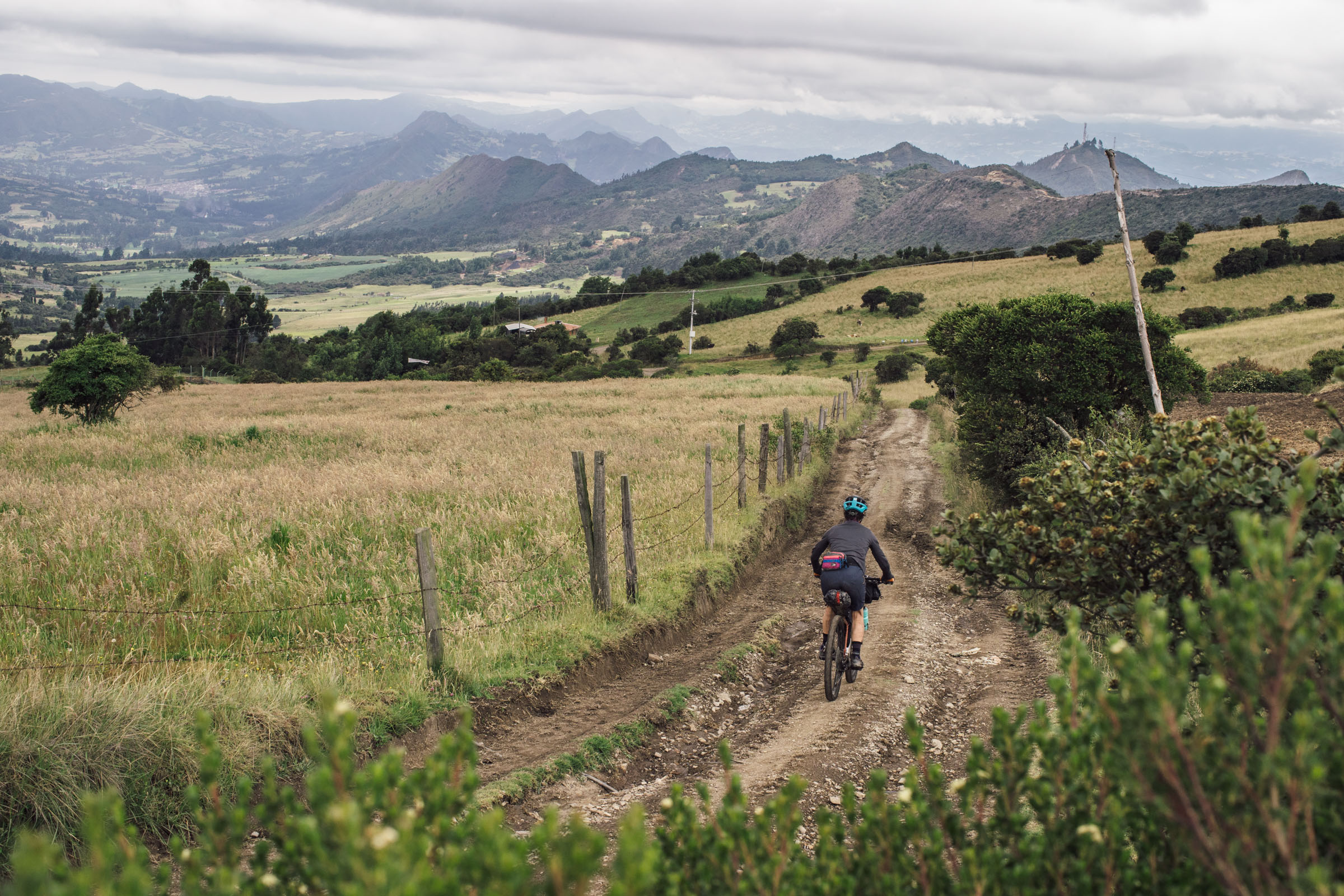
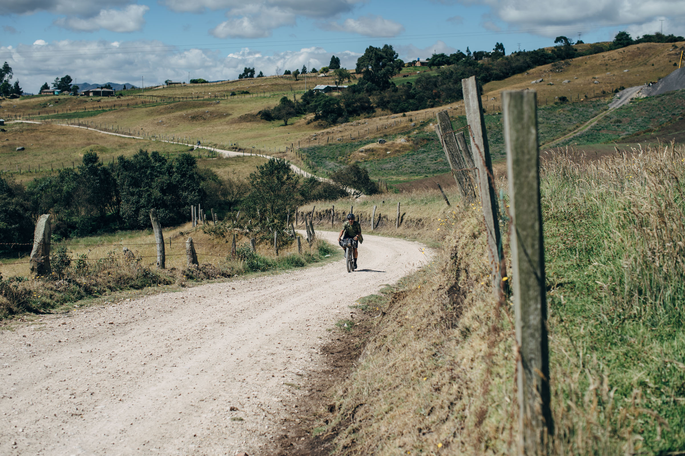
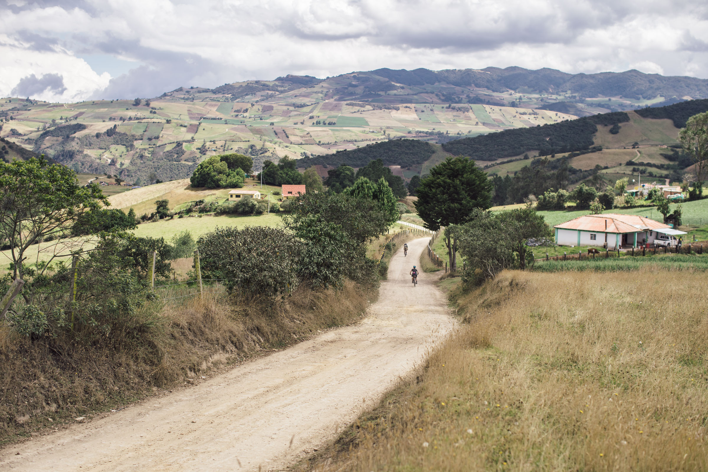
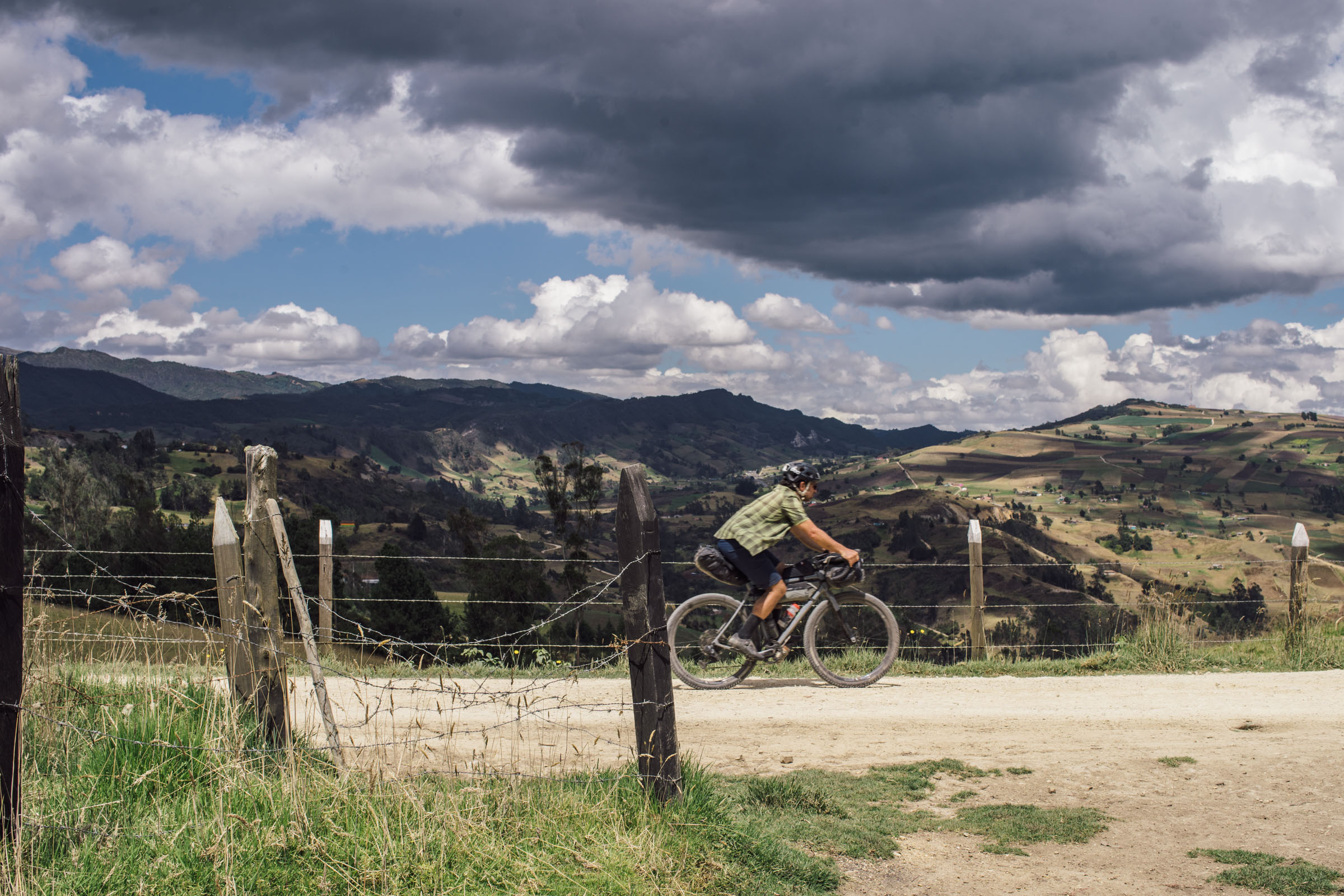
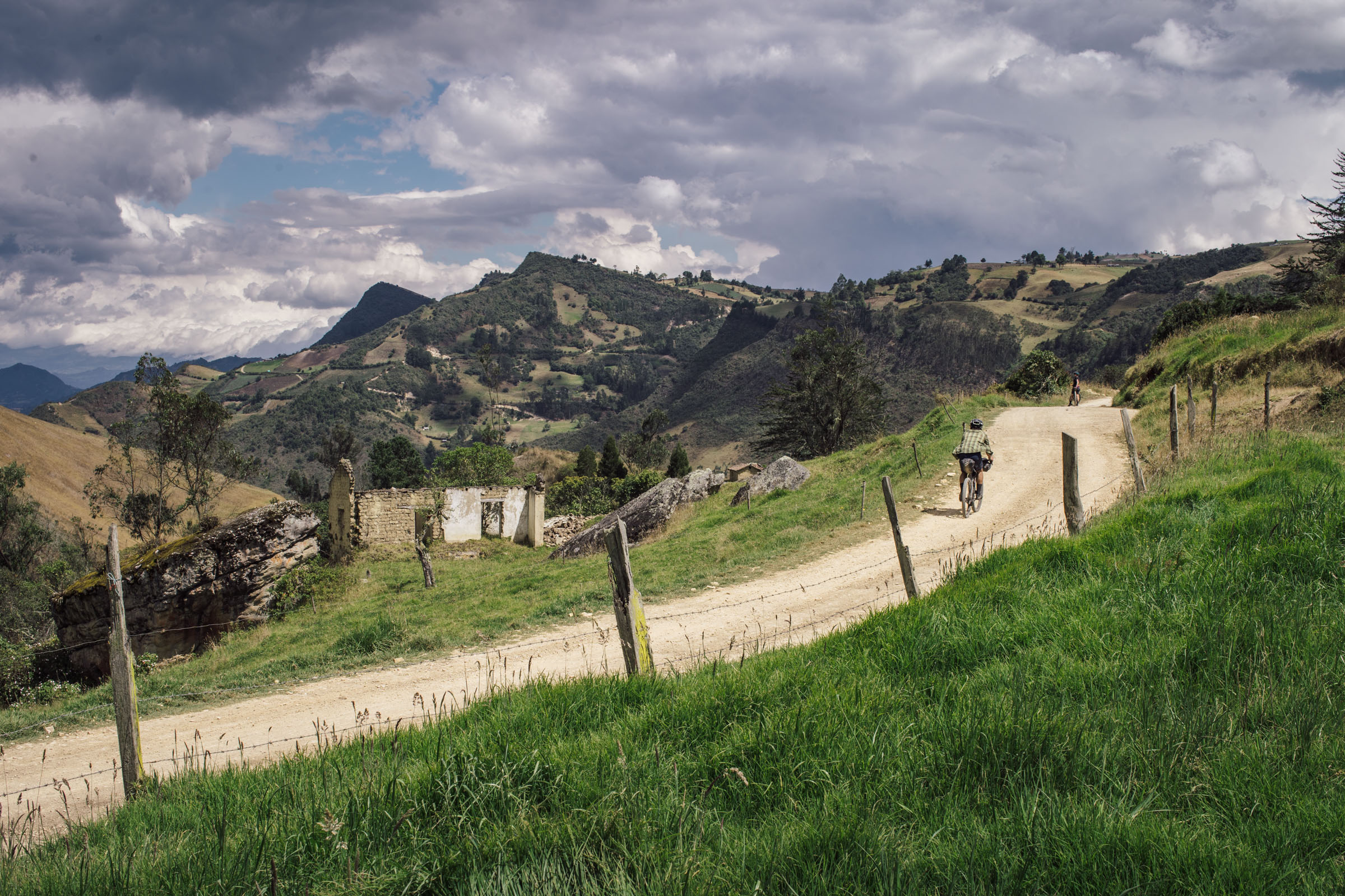
During our trip to Colombia in February 2020—just before the pandemic hit—we completed three scouting missions as well as additional day rides for further route reconnaissance. Our primary goal was to scout, refine, and perfect Ruta Chingaza, a weeklong loop that starts and finishes in Bogota. While doing so, we also wanted to create a linear connection to bridge Ruta Chingaza with the well-regarded Oh Boyaca!, a 604-kilometer, two-week bikepacking route that starts in San Gil and finishes in Villa de Leyva. Thus, the Páramos Conexión was born, a route designed to join these the two destination routes while traversing the Cordillera Oriental’s breathtaking cloud forests, pantanos, and high-altitude páramos, a unique and specialized ecosystem that’s home to a menagerie of incredible flora and fauna.
Route Difficulty
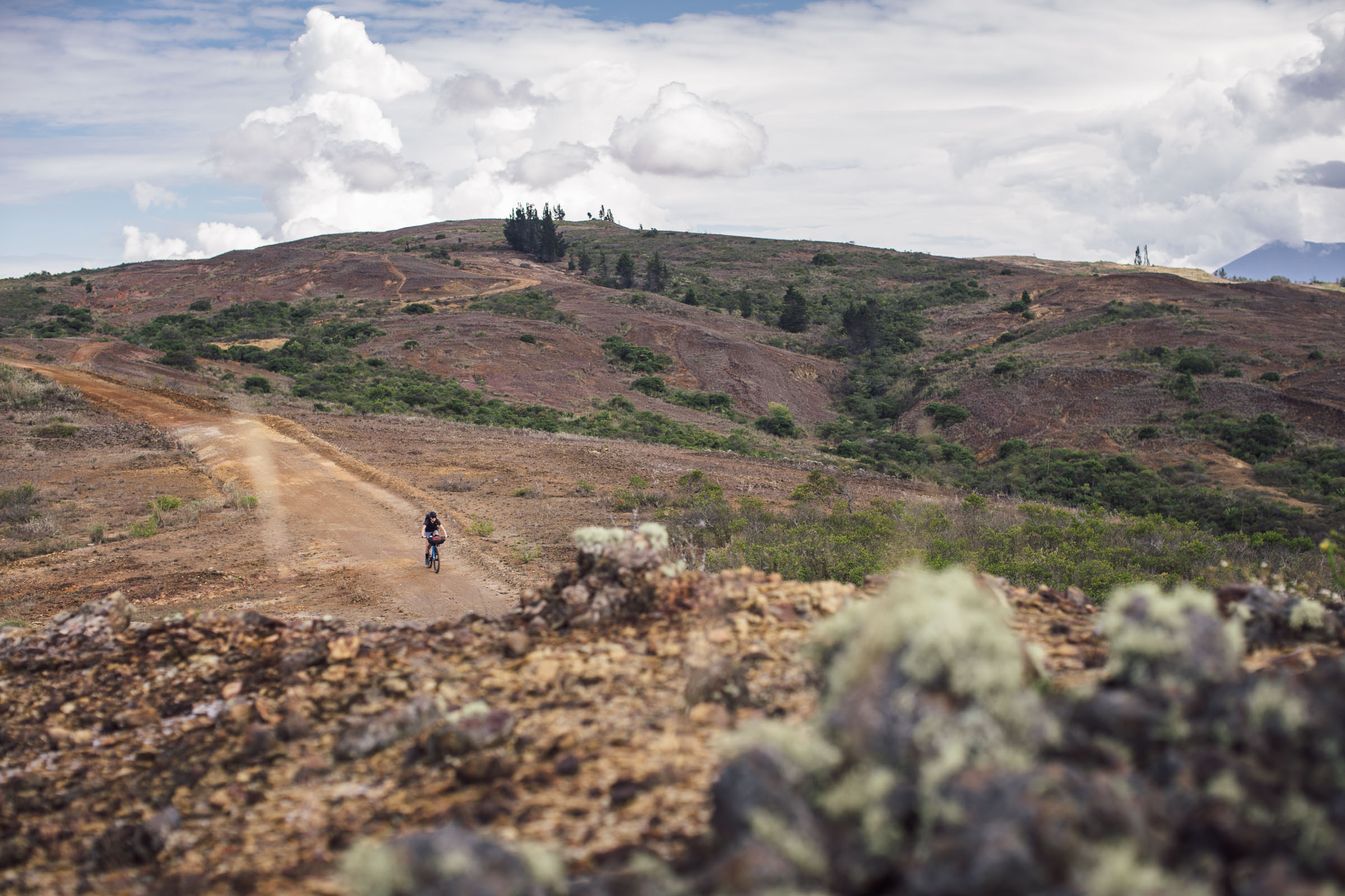
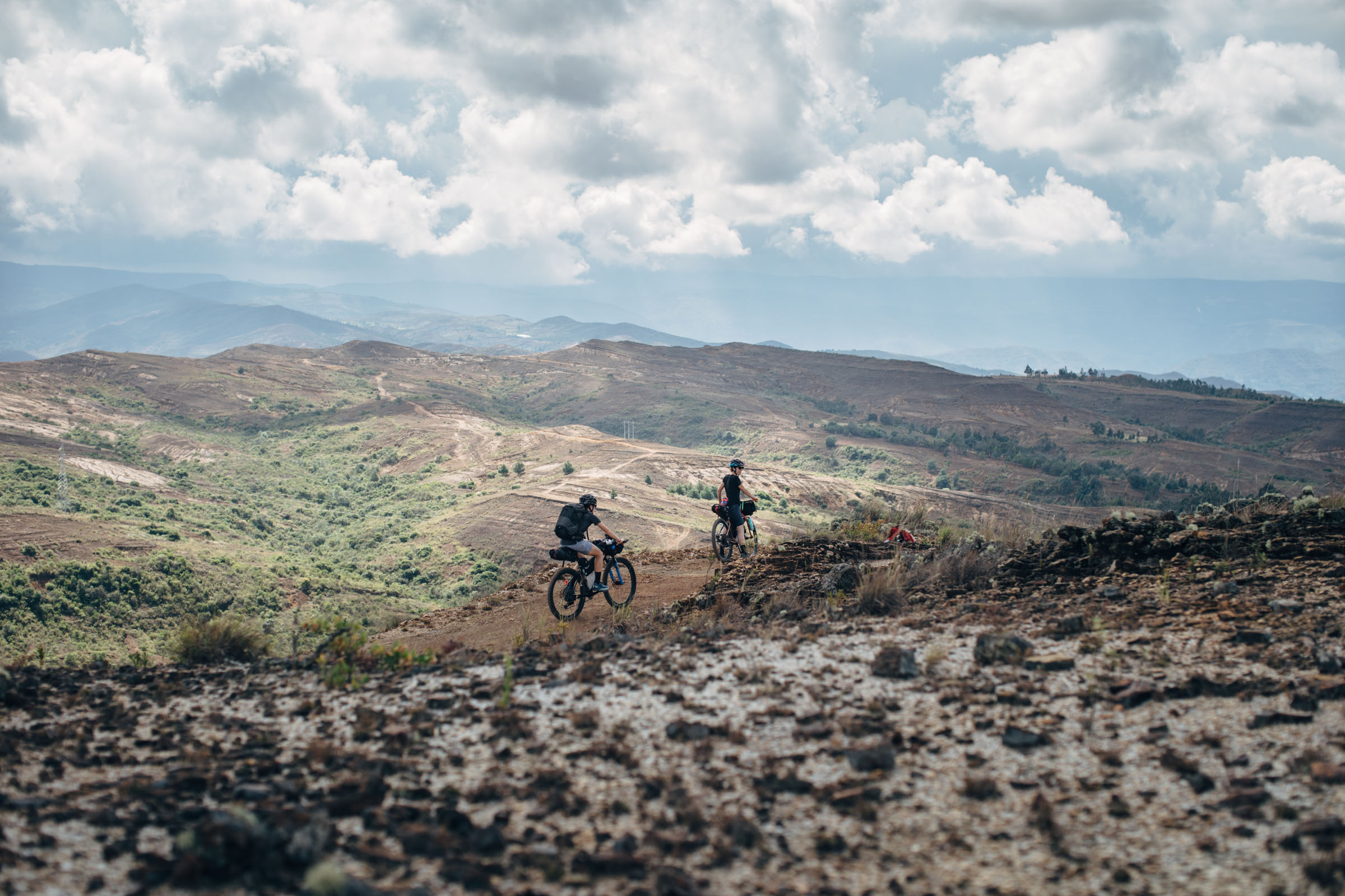
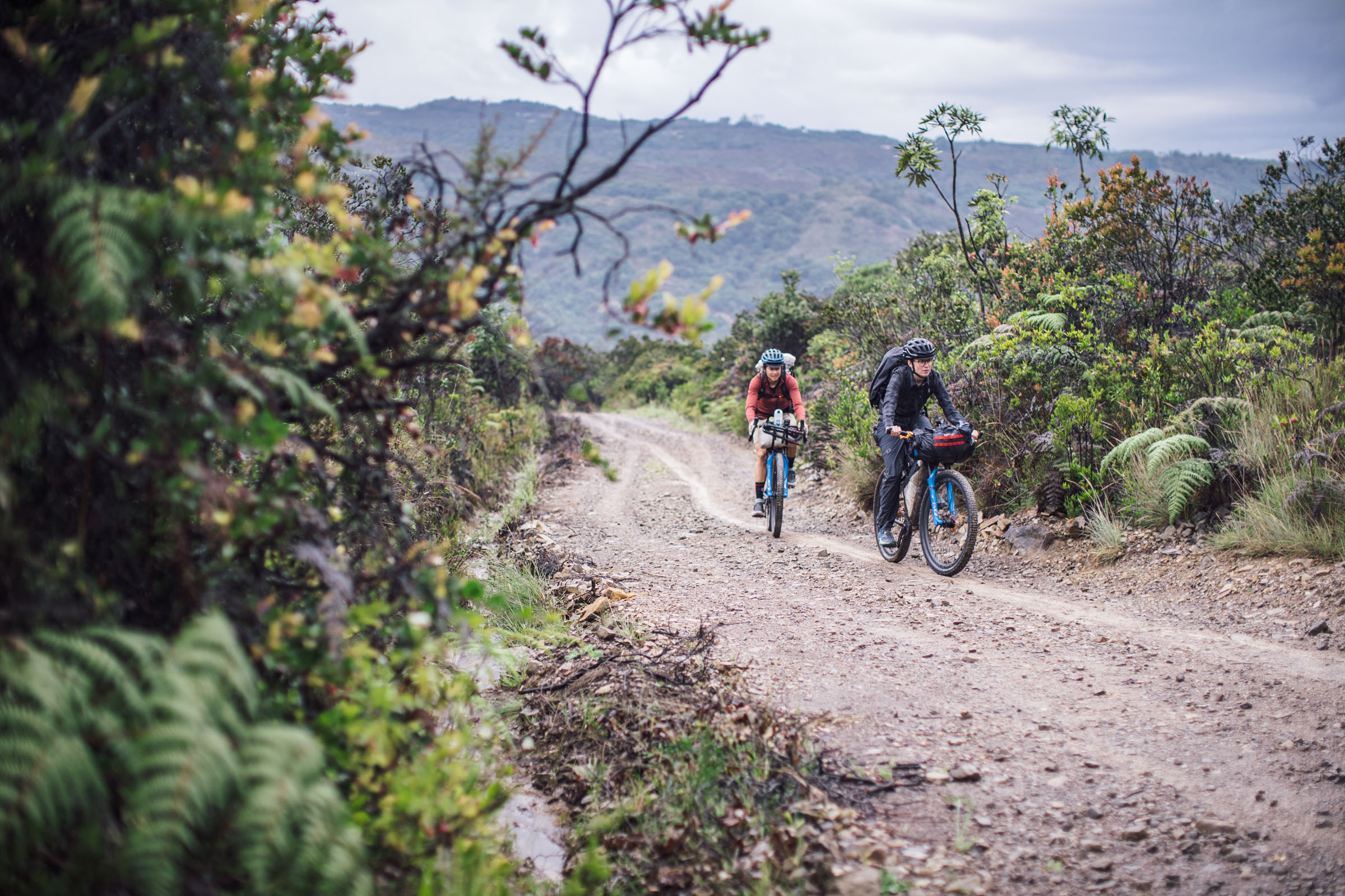
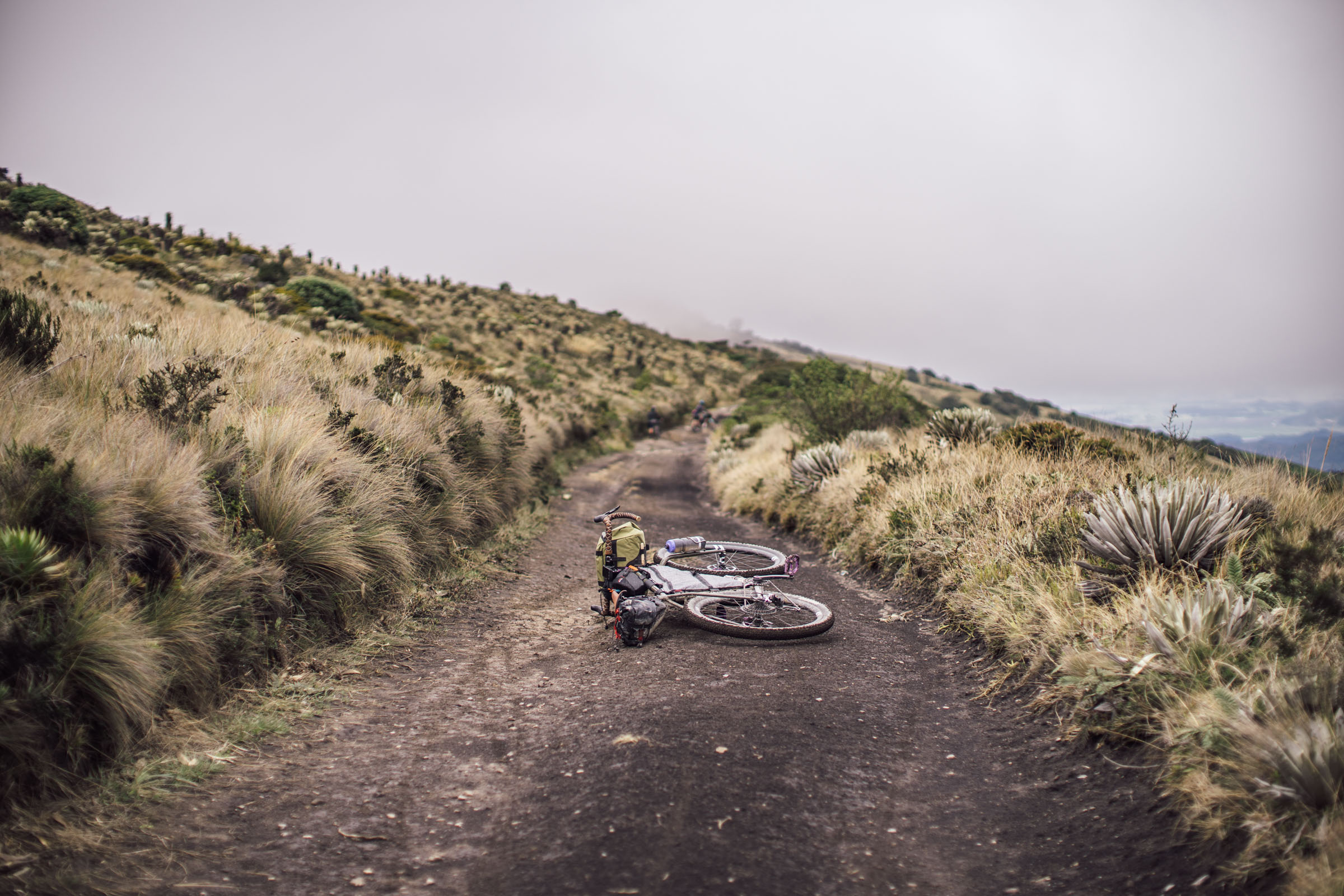
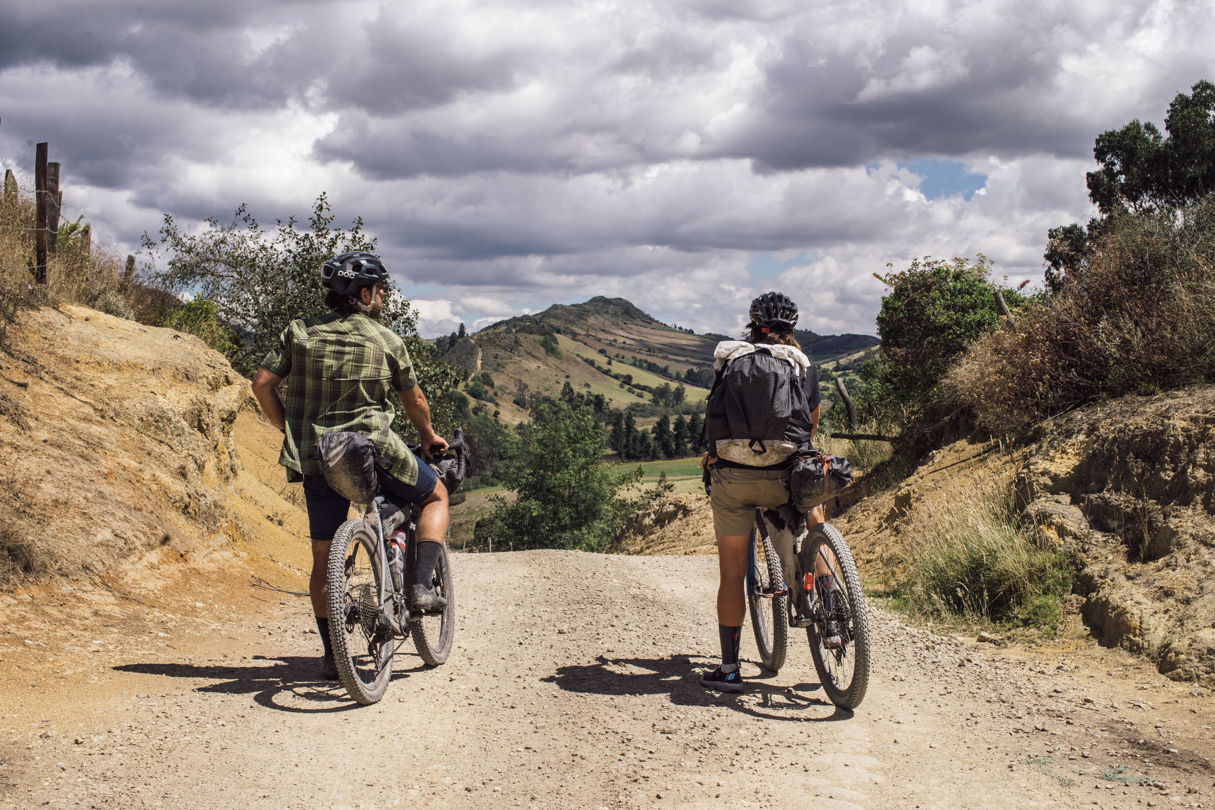
The Páramos Conexión is assigned a rating of 6.5 out of 10. None of the riding is particularly technical in nature, although there are a some rugged dirt roads along the way. There are also a couple of places on route that reach altitudes above 11,000 feet (3,400m), which can make some of the ultra-steep climbs quite challenging. In addition, there are two sections where it might be a little tricky to find established lodging, so riders must be prepared to wild camp or interact with farmers or locals. Otherwise, the route its fairly straightforward.
Route Development: This route was created by Logan Watts and Joe Cruz with additional help from Juan Pablo Ortiz. Also, many thanks to Matthew Budd for later scouting a reroute to avoid a road closure and highways, and to access the beautiful Paramo Guacheneque and Reserva Vista Hermosa. Lastly, much appreciation to WhereNext for making introductions to local cyclists to help plan this ride. We’d also like to acknowledge Dean and Dang for creating Oh Boyaca!, a wonderful route that has gotten great feedback and ultimately inspired this ride.


Submit Route Alert
As the leading creator and publisher of bikepacking routes, BIKEPACKING.com endeavors to maintain, improve, and advocate for our growing network of bikepacking routes all over the world. As such, our editorial team, route creators, and Route Stewards serve as mediators for route improvements and opportunities for connectivity, conservation, and community growth around these routes. To facilitate these efforts, we rely on our Bikepacking Collective and the greater bikepacking community to call attention to critical issues and opportunities that are discovered while riding these routes. If you have a vital issue or opportunity regarding this route that pertains to one of the subjects below, please let us know:
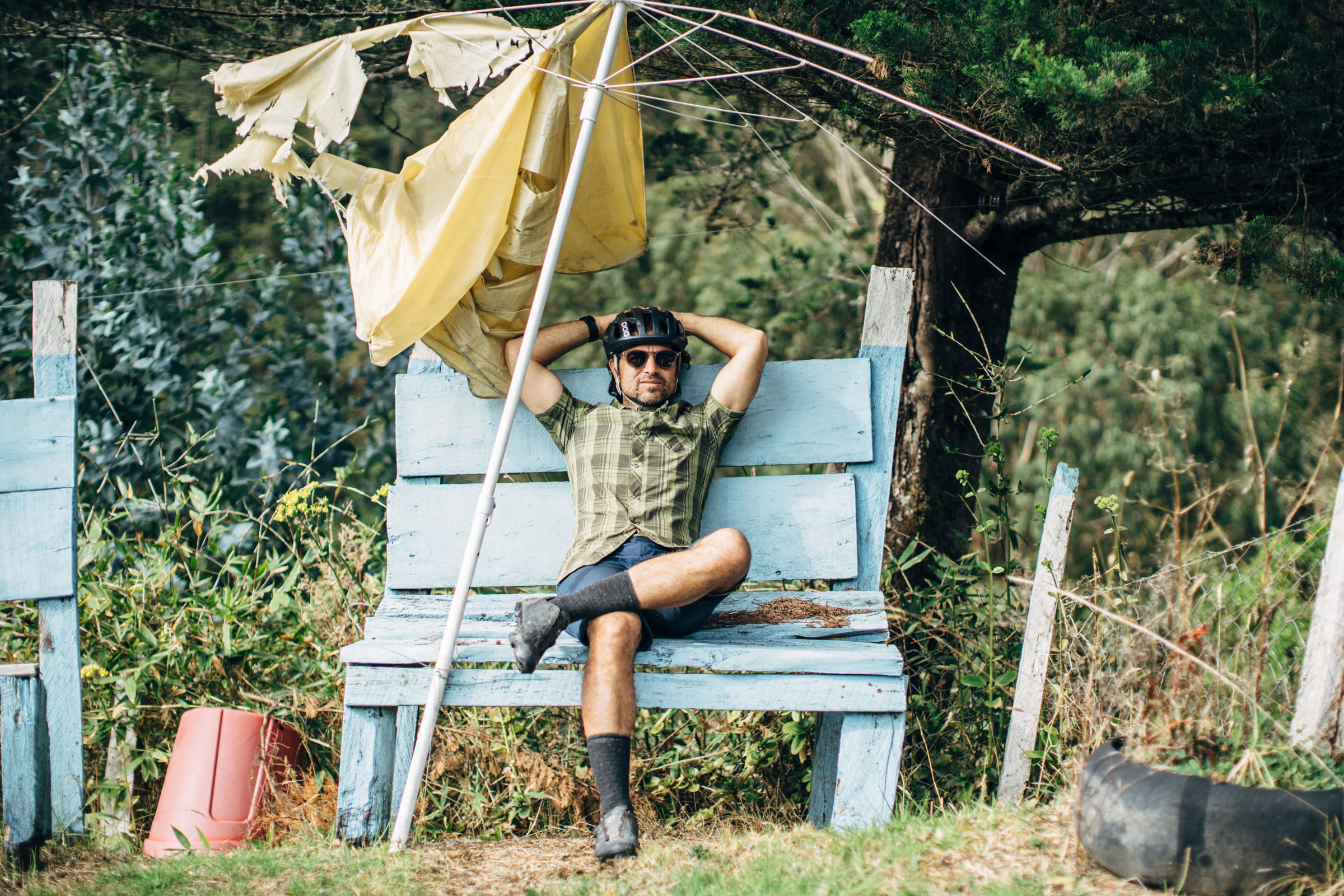
Highlights
Must Know
Camping
Food/H2O
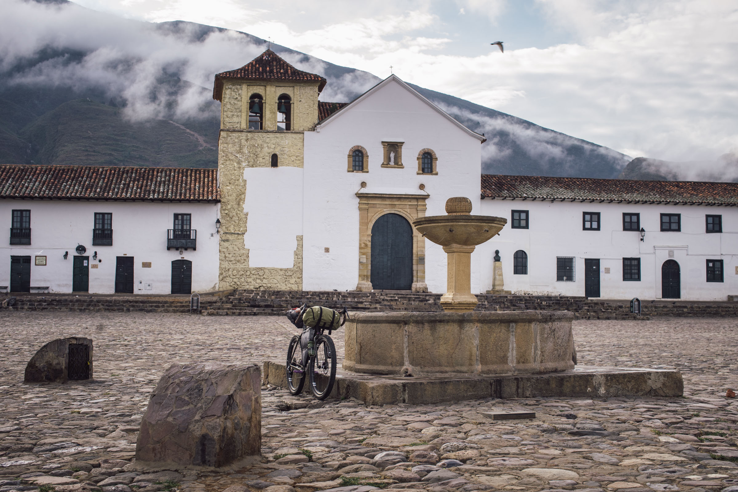
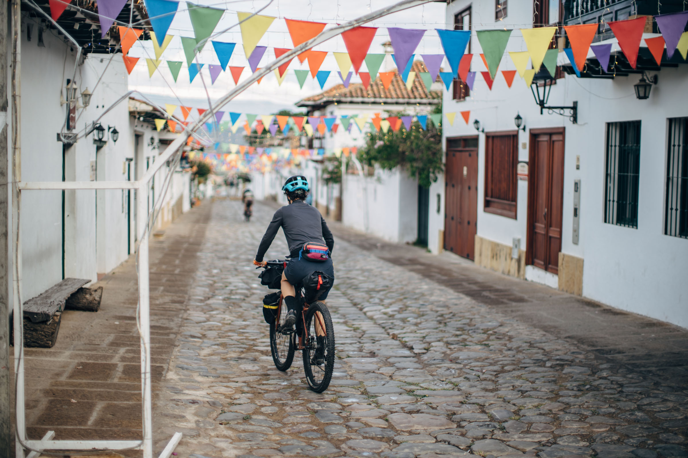
- The town of Villa de Leyva with its whitewashed colonial buildings, cobblestone lanes, and scenic Plaza Mayor
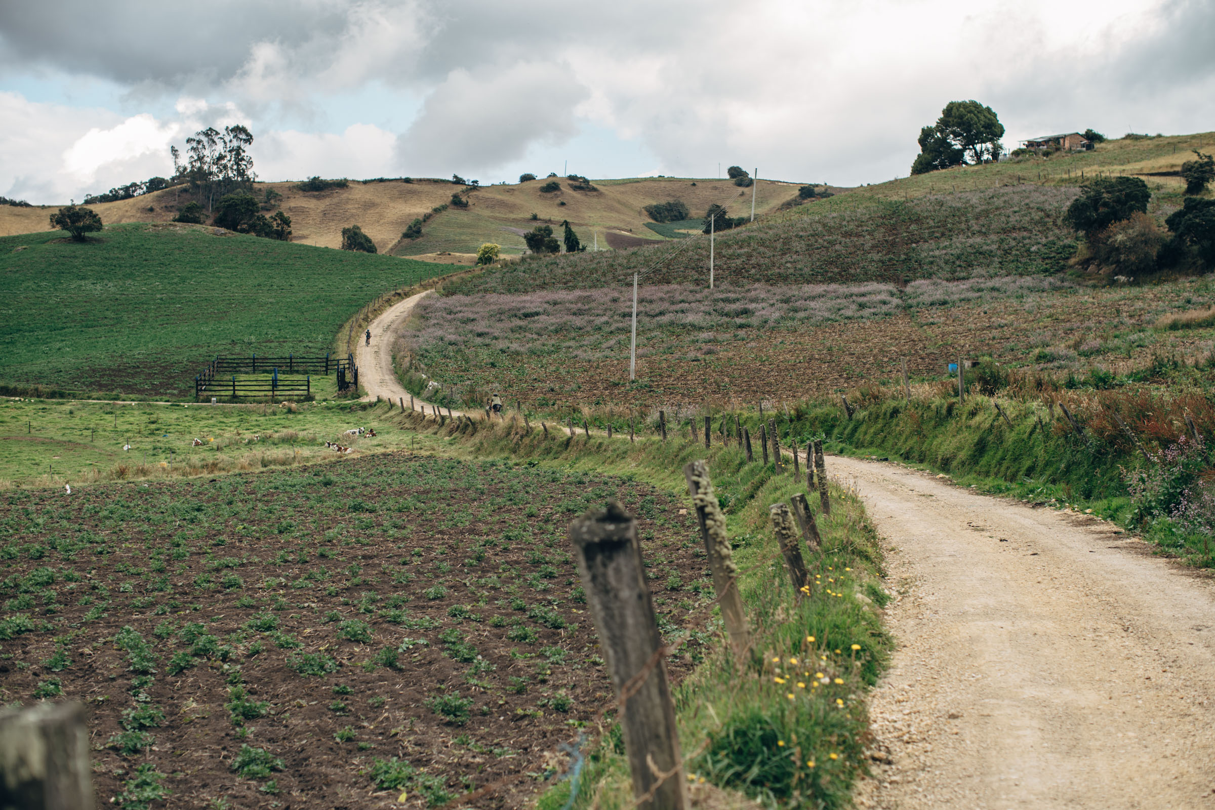
- Following the desert-like dirt roads from across the valleys east of Villa de Leyva
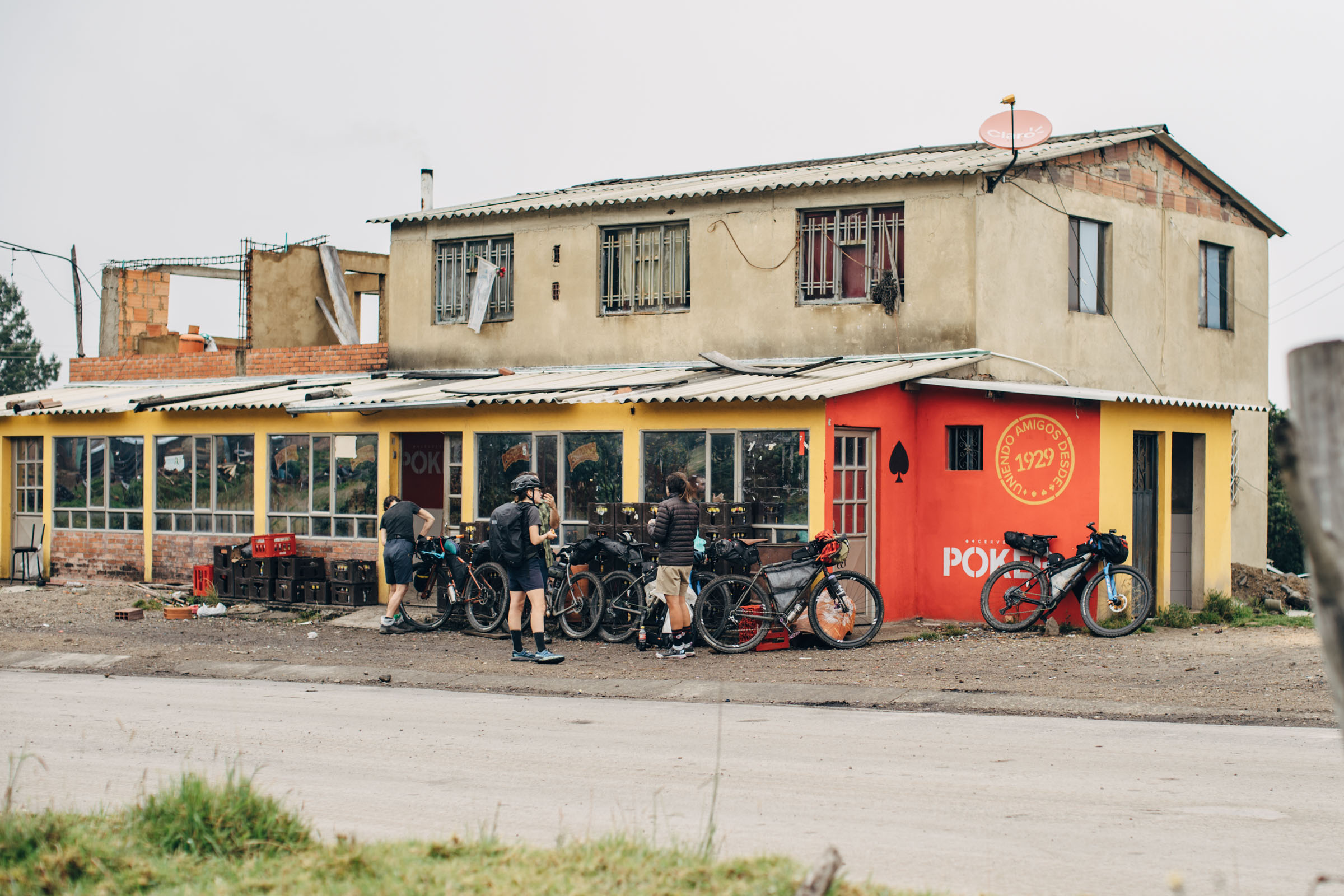
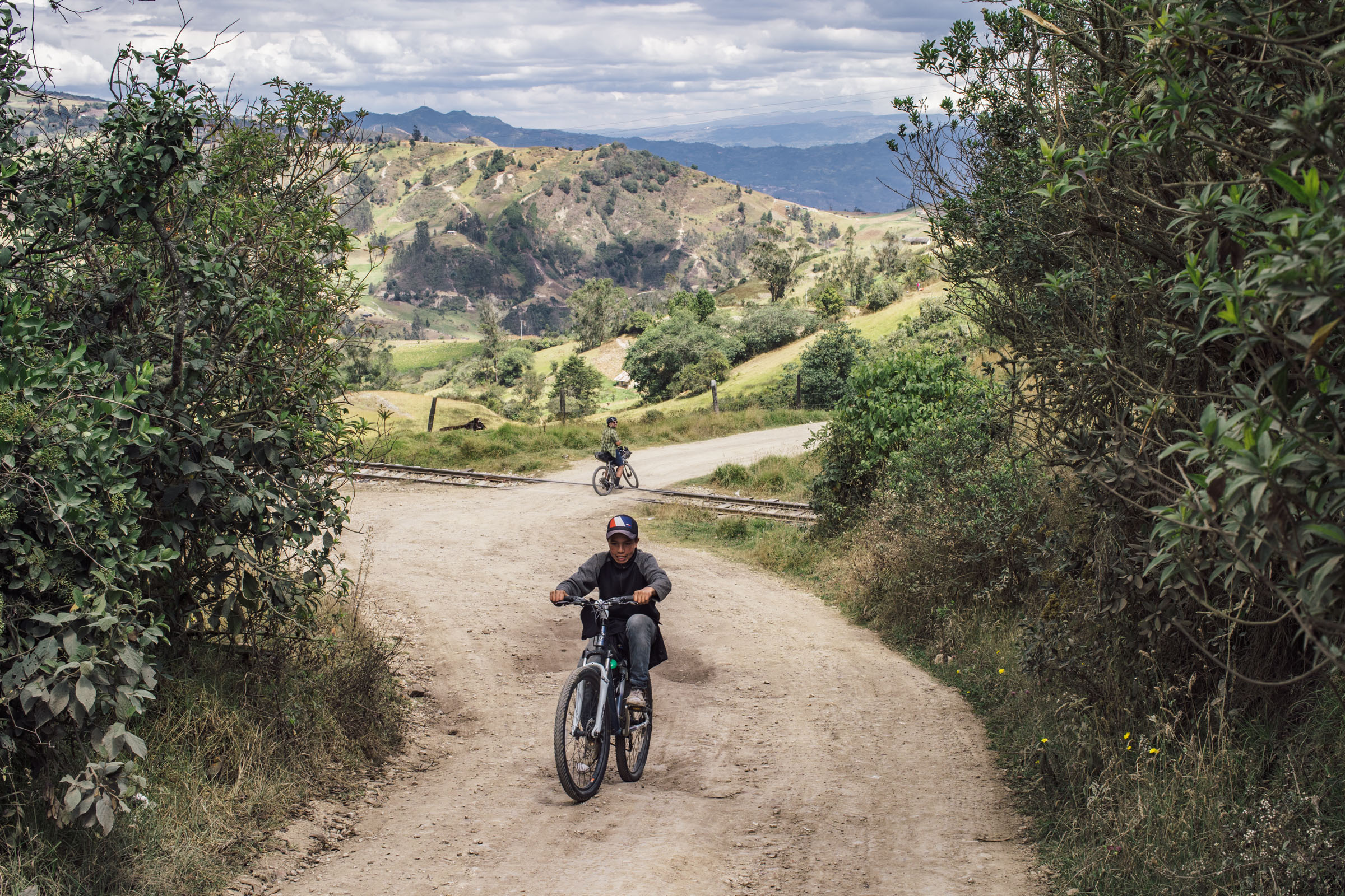
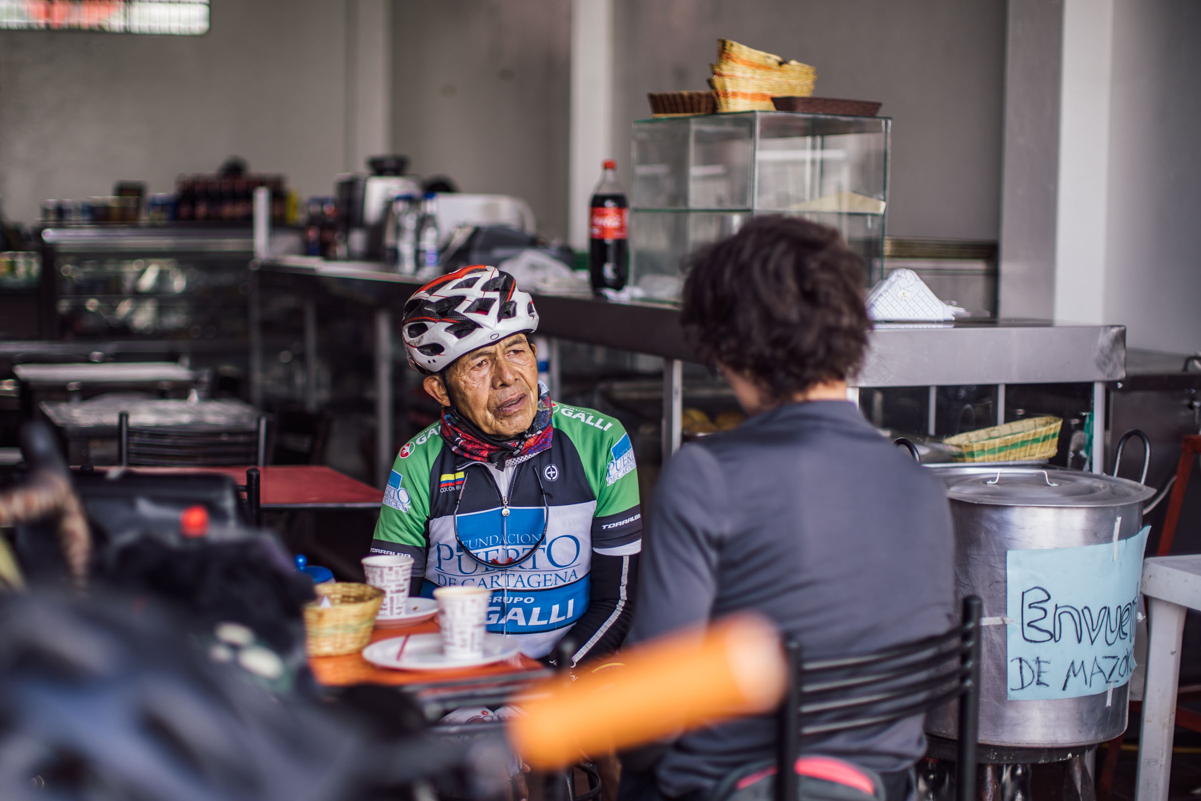
- Stopping in small towns, like La Candelaria, for snacks
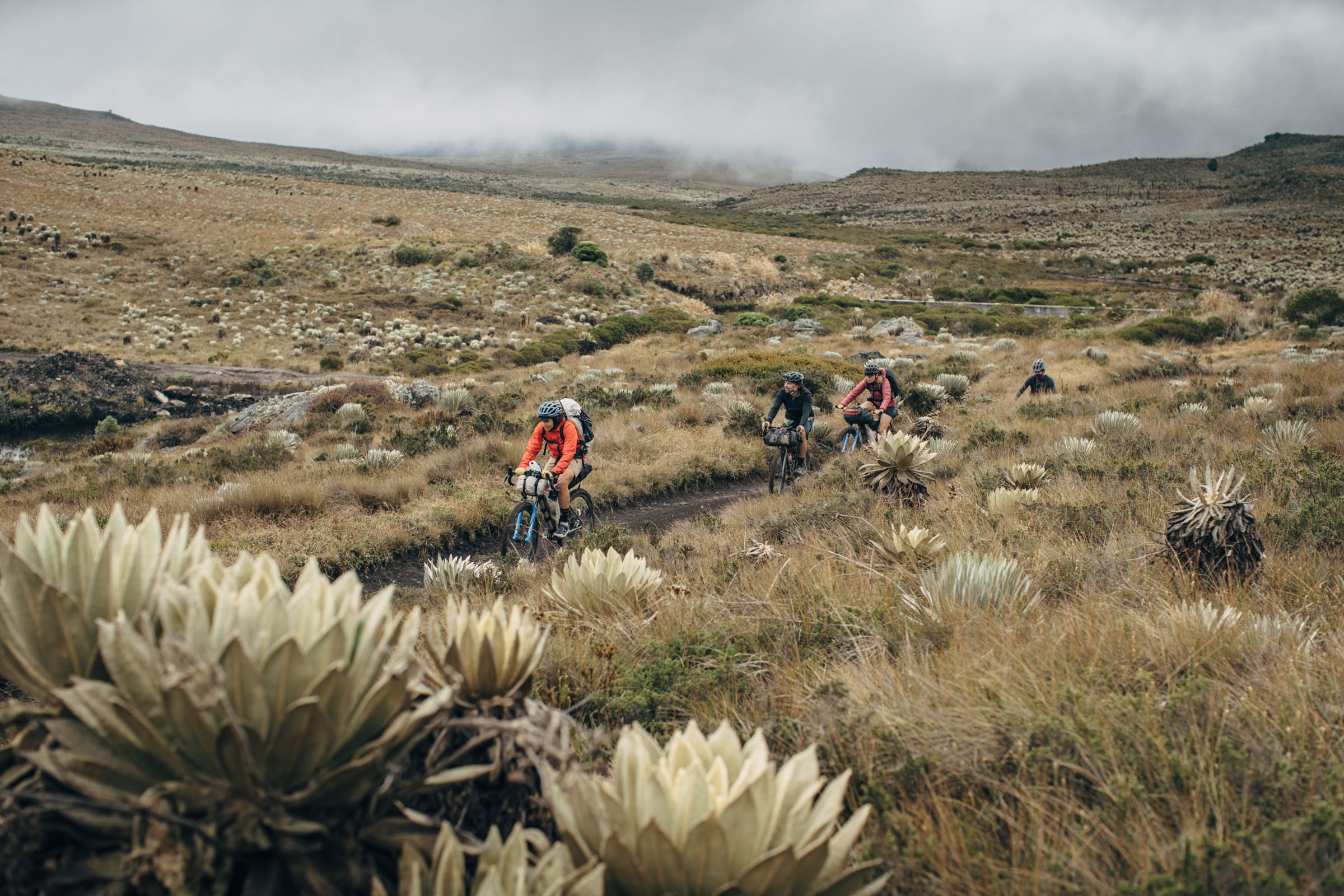
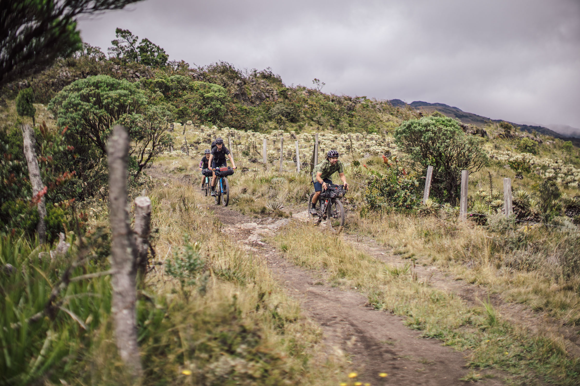
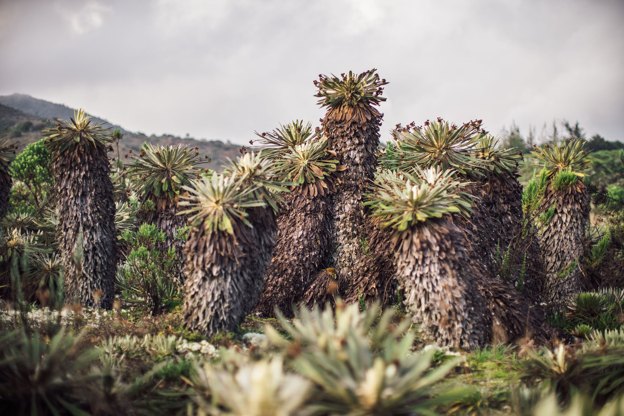
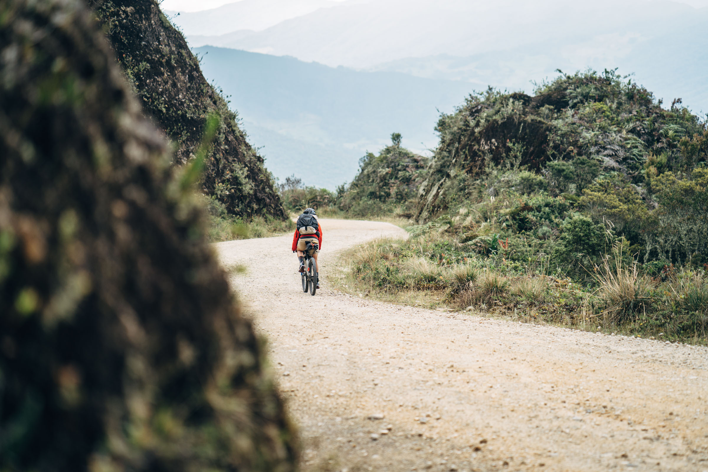
- The incredible dirt road through Páramo Rabanal and the cloud forested climb to its north
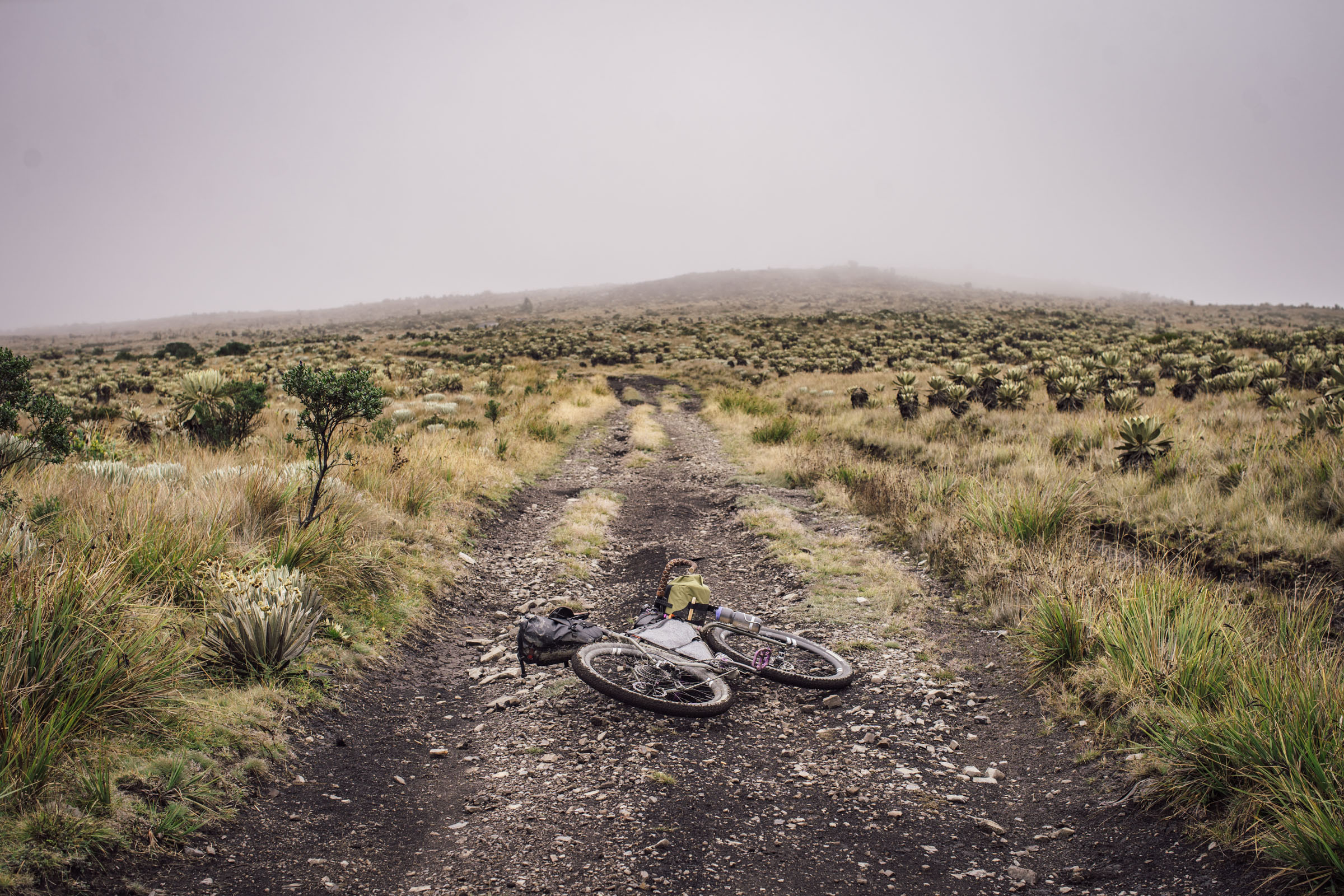
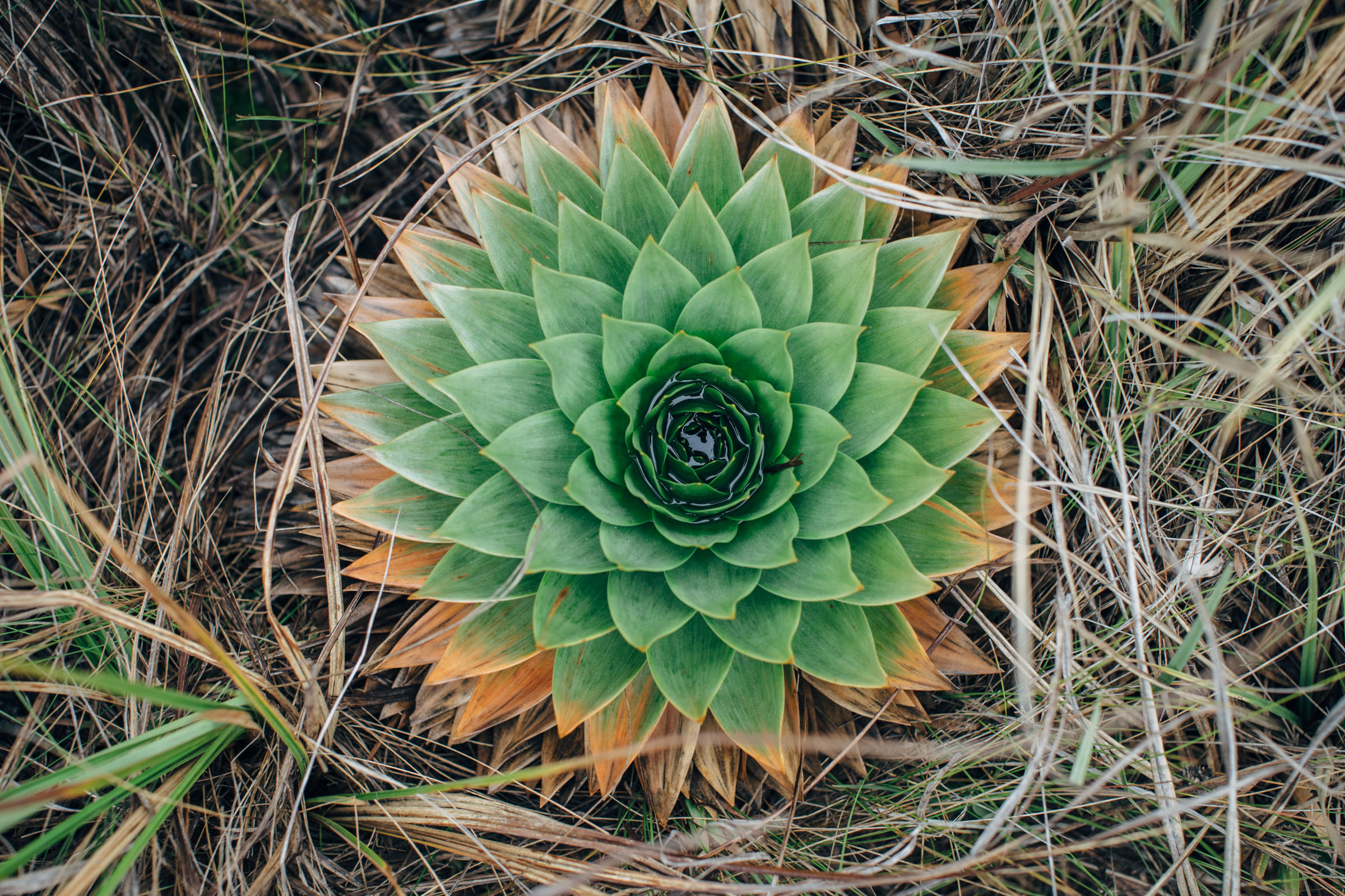
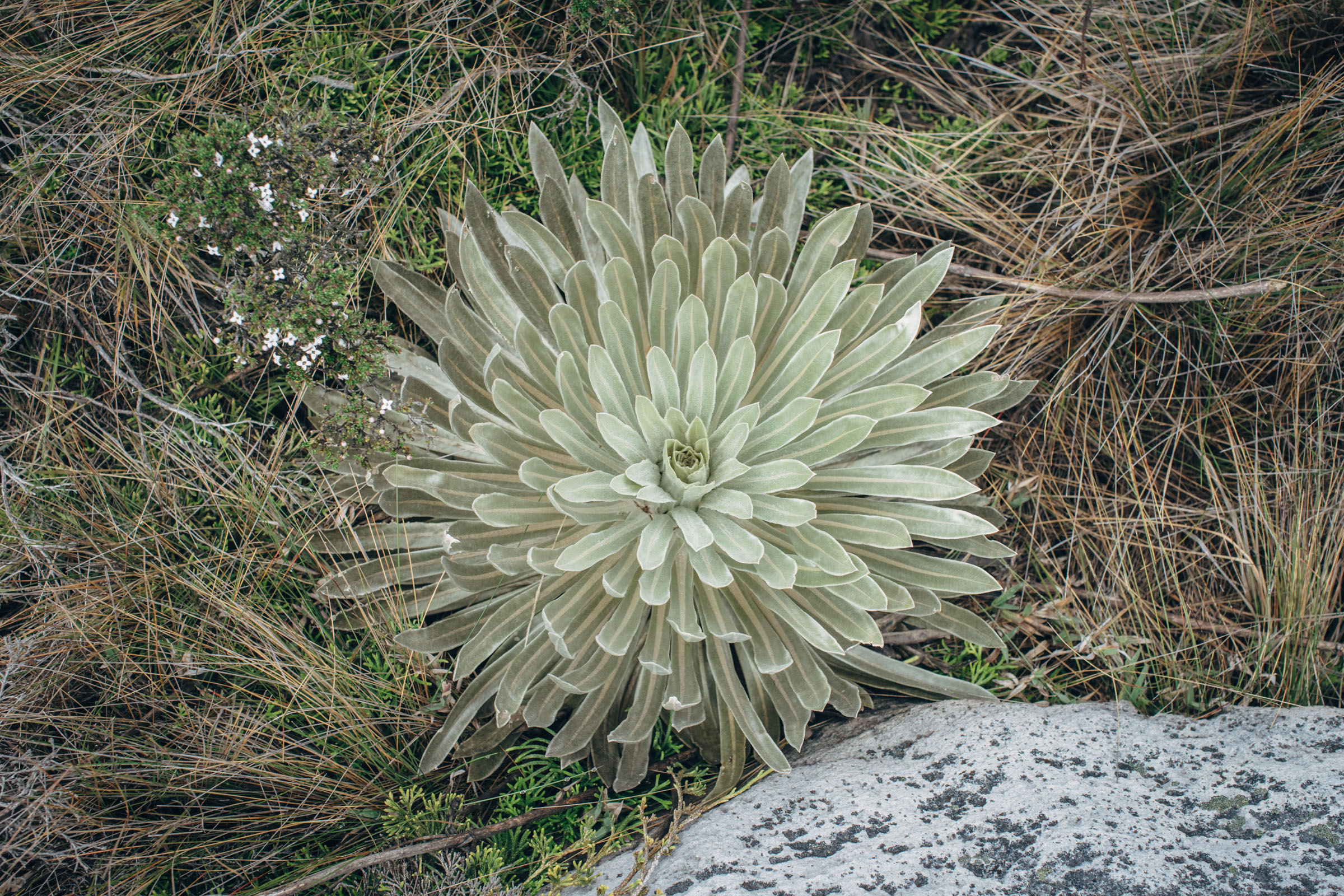
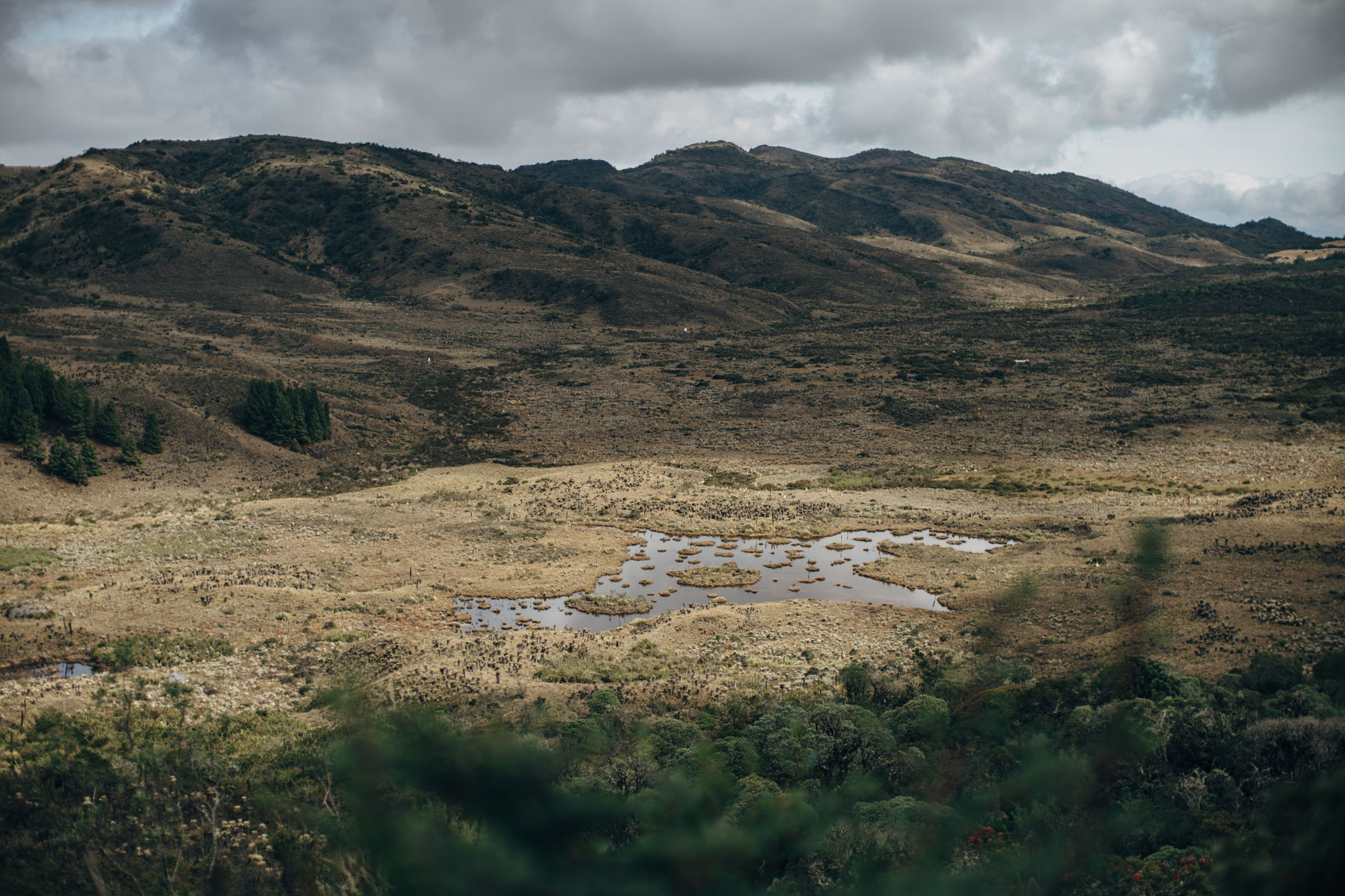
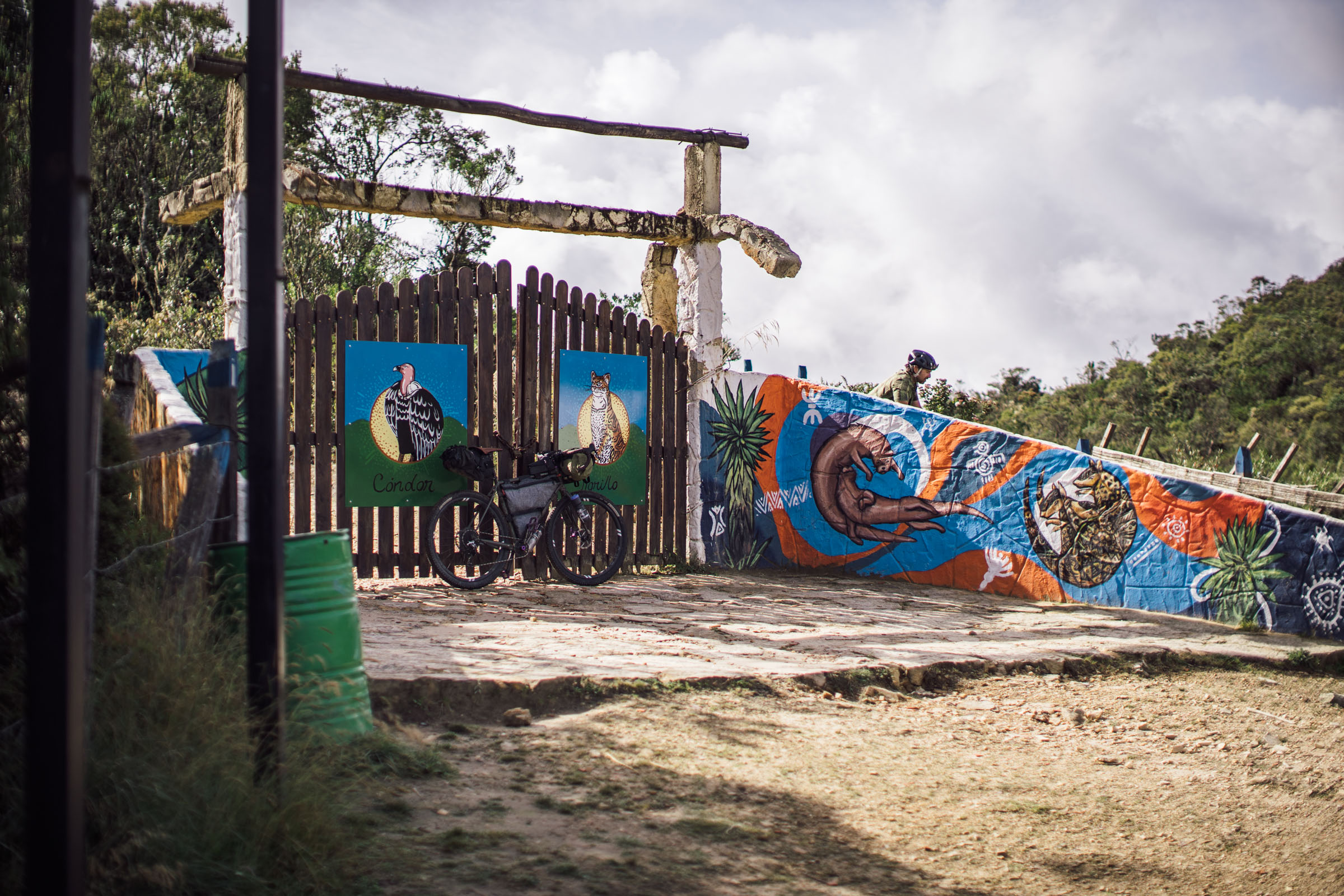
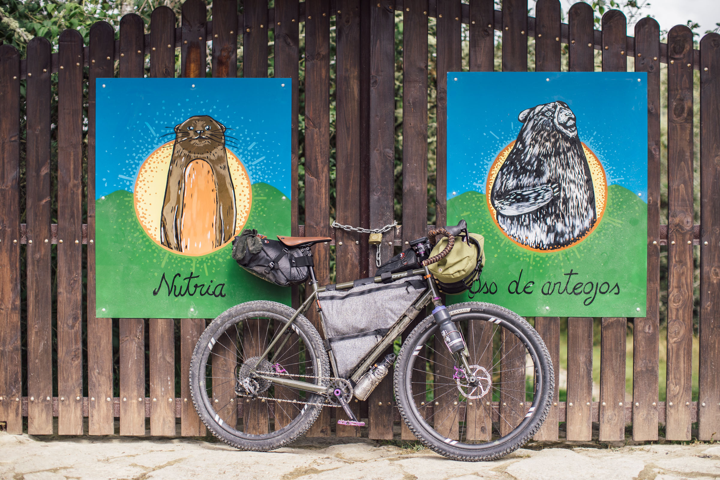
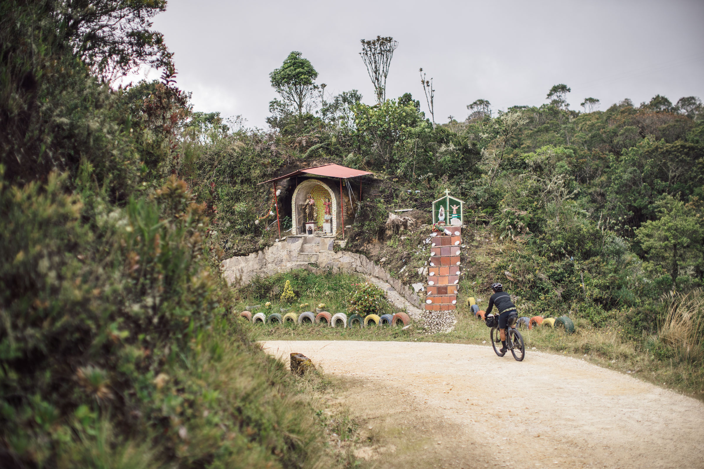
- The ocean of Frailejones in Rabanal
- Admiring Páramo Guacheneque from the scenic platform on the roadside
- Delicious empanadas and arepas from roadside restaurants along the way
- The 5,000-foot (1524m) descent from the hills under Páramo las Cuchilas down to Macheta
- Reserva Villa Hermosa is the last high altitude Paramo with amazing views before reaching Guasca
Weather and When to Go
- Colombia is equatorial, so temperatures are mild and fairly consistent throughout the year. In Bogotá, maximum temperatures range from 18 to 20°C (64 to 68°F) and minimum temperatures from 6 to 9°C (43 to 48°F). Temperatures drop at higher elevations, where nightime temps can get quite cold. In Chingaza, temperatures can dip below freezing; the night we camped in the park challenged our 32° sleeping bags.
- This route crosses multiple climatic zones, so the rainy and dry seasons vary slightly depending on exact location. The dry seasons generally extend from January through March and from July through August. The rainy seasons hit between April and May and September through November. The páramos receive significant rainfall regardless of the season.
Travel Basics
- A passport is required for foreign visitors to Colombia. Citizens of the US, EU, and many (99) other countries are not required to have visas for visits of 90 or fewer days. Go to cancilleria.gov.co to see the visa requirements based on your nationality.
- Spanish is the official language of Colombia. If you do not know any Spanish, learn some of the basics before cycling this route.
- Carry some cash. Credit cards are not widely accepted, especially in smaller communities. ATMS are available in larger towns, but withdrawals are limited, exchange rates are not favorable, and high fees are often imposed. Reliable currency exchange is available in the arrivals hall at the airport. Regular banks do not offer currency exchange.
- There is conflicting advice regarding transportation to and from the airport in Bogotá. We were discouraged from accepting a ride with one of the multitude of unofficial taxi drivers that will approach you at the arrival gate. Ultimately, we accepted a ride without any problems. At present, Uber is unavailable within all of Colombia. The Cabify and Easy Taxi apps work pretty well, but if you are traveling with a large bicycle box it may be difficult to specify your need for a large vehicle. Another option is to book transportation ahead of your arrival through a limo/transportation service. Atenea Camacho at Tingua Hidden Journeys (+57 313 2810937) is highly reliable. The website address is hiddenjourneys.co.
- Another option for transport is a well-regarded driver that caters to cyclists named Flor Alzateo: +57 312 486 3847 / floralzateo1 (at) hotmail (dot) com … Flor drove us from Bogota to Villa de Leyva to start this trip; she operates in this area regularly.
Dangers and Annoyances
- The route reaches elevations of over 11,000 feet (3,400 meters), so altitude sickness is a potential risk on this route. For individuals flying directly to Bogotá from low-lying areas, plan to spend a few days in the city before setting out on the route. Take hydration seriously and watch for signs and symptoms of altitude sickness. In the case that symptoms present themselves, descend to a lower elevation and/or seek medical attention. Altitude sickness can be deadly.
- Stay abreast of current news and travel advisories. Armed groups are still active in Colombia, and some areas on this route (primarily in the department of Meta) have seen some relatively recent activity. Political protests are common events in larger cities. Police/protester confrontations frequently turn violent.
- Stay safe. Do not travel after dark, especially in the barrios immediately surrounding Bogotá. Keep valuables secure, travel in groups, and use extra caution at ATMs.
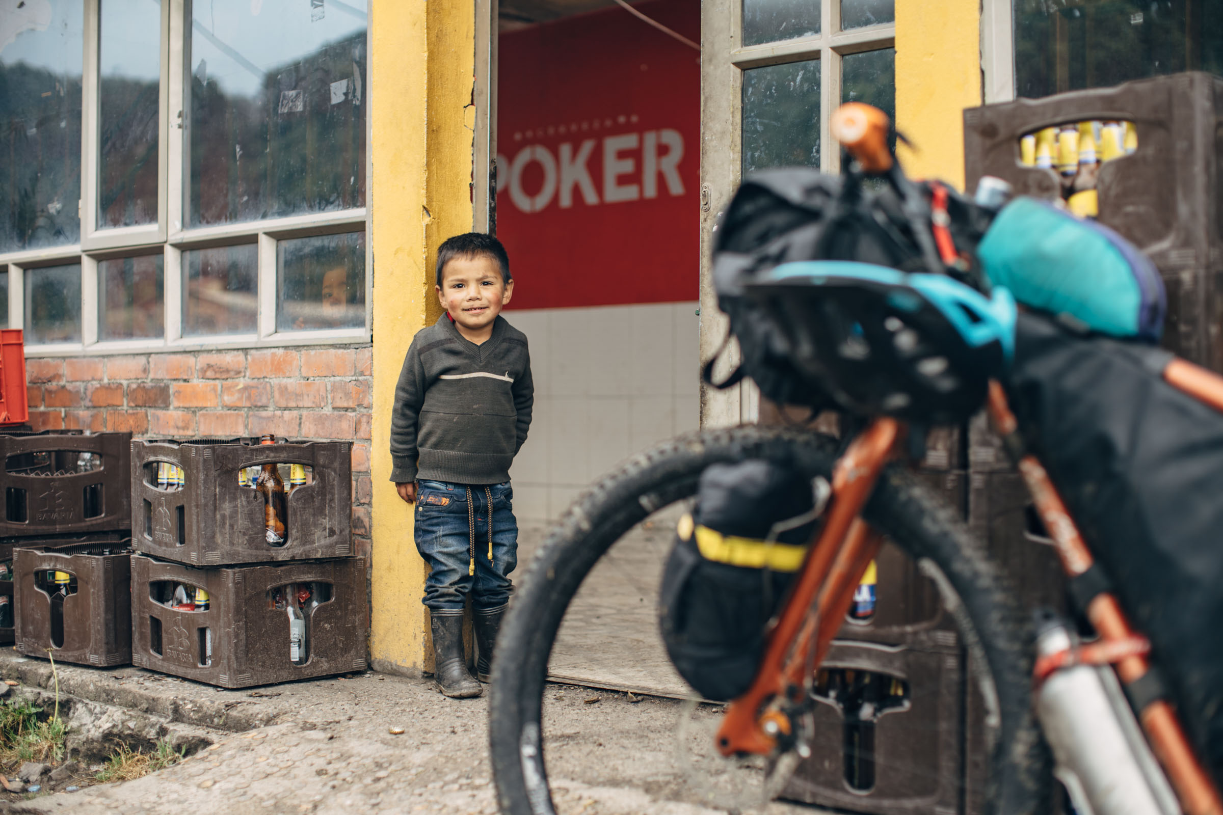
- Camping can be a little challenging along this route; the most difficult is on day/night one. We ended up asking a group of miners if we could camp at their mining camp/bunkhouse and setup our tents in the yard. It wasn’t ideal, but people are very nice and helpful. Our suggestion might be to enjoy a late start and stay in La Candelaria; there is a Posada (Posada De Los Santos), although we don’t know whether it is of good quality. There is also a Monestary there with some lodging, and maybe even camping. There are some places to wild camp farther along, or one could inquire around the shop and school at mile 29.
- Ultimately, we’d like help identifying a finca near mile 30 that might allow camping.
- Otherwise, if you can make the whopping 7,500′ climb to Páramo Rabanal, there may be a couple wild camping options just on the roadside at the entrance and exit. DO NOT camp on the páramos.
- The next logical place to stay on route is in Lenguazaque, a relatively small town with a friendly demeanor and nice charm. Otherwise, there are a few spots where wild camping may be possible up in the mountains prior to descending to town.
- Another great option for camping are centros deportivos. These covered sports courts are a great spot to escape from the rain. Many remote small towns have these even, and we found people to be more than happy for us to camp there. Just be prepared to play some basketball with the local children.
- Around Páramo Guacheneque there aren’t many options for tourist facilities, as one might expect. We hope to see this area come back to support eco-tourism and help protect the incredible Páramo Guacheneque. As of now, this park is completely closed to tourists.
- Past Macheta, there are several lodging options at the local Termales (thermal pool facilities). We marked these on the map, although they were both booked when we went through, so we opted for a smaller place under development.
- Generally speaking, there is no shortage of filterable water along the route; we brought both a Steripen and a Sawyer squeeze filtration system.
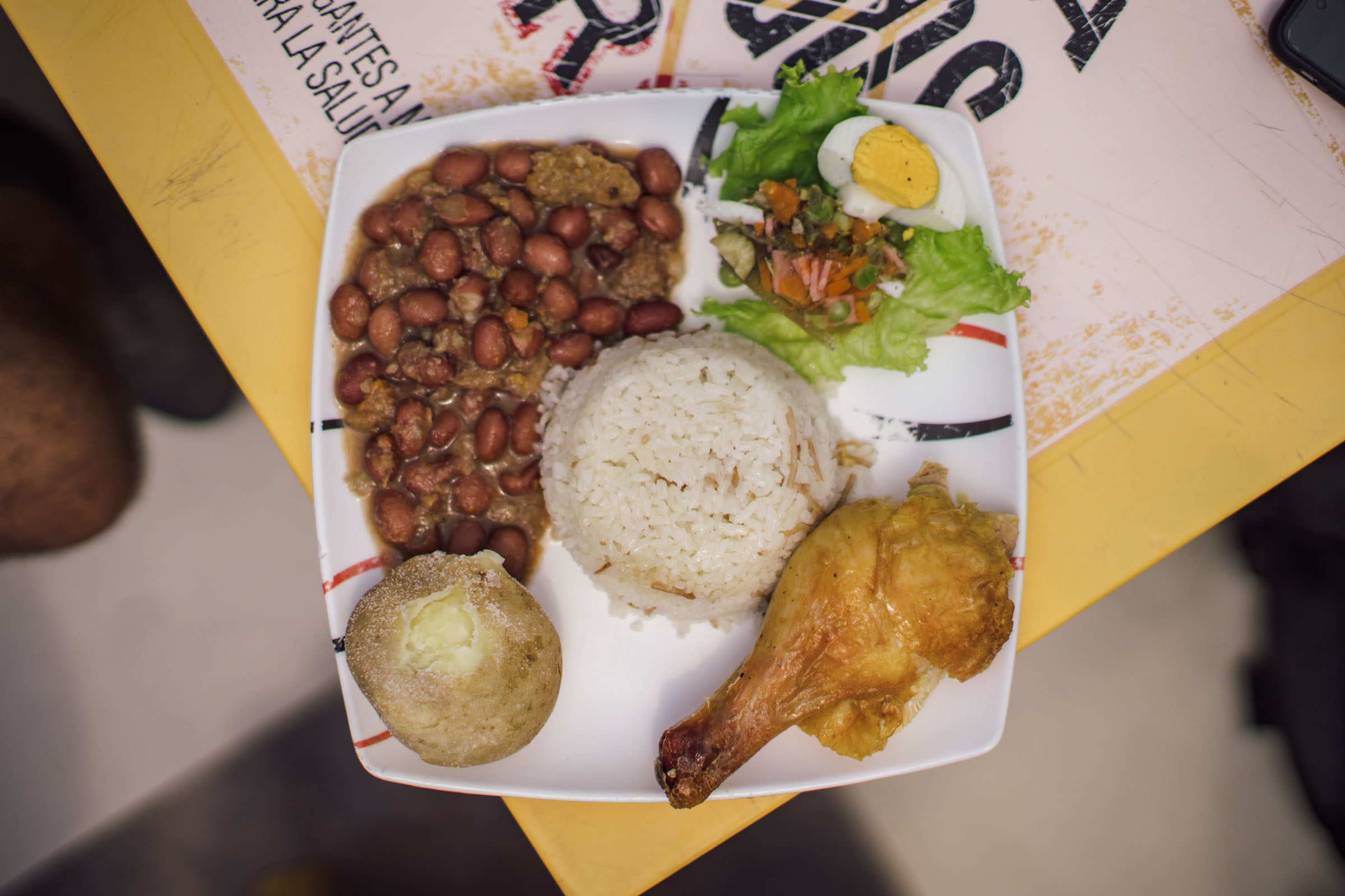
- Food resupply points are plentiful through most of the route. The larger towns of Villa de Leyva and Lenguazaque both have sizable grocery stores and markets with plenty of options for meal preparation.
- In the villages of Candelaria and Machete, and other places along the route, there a handful of very small shops.
- Most small shops don’t have too many options when it comes to preparable foods, but they have plenty of snacks.
Food Highlights
- Arepás. Their styles differ depending on location. Our favorites were the arepás de choclo (sweet corn). Arepás can be found all over the region and make a great bikepacking food for lunch, dinner, or breakfast.
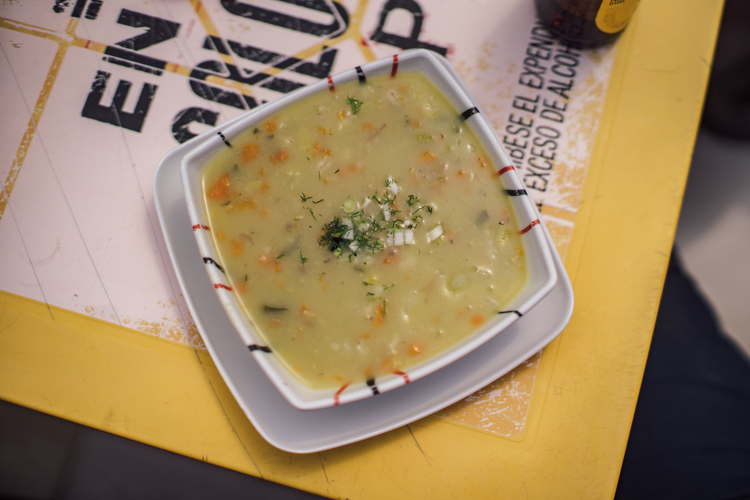
- Ajiaco soup (a specialty of Bogotá)
- Tamales (the variety in Choachi were particularly hearty)
- Empanadas
- Changua (soup) for breakfast
- Amazing fruits, including granadilla
- Hot chocolate and cheese
- Aguapanela
- Bocadillos or guava paste snacks (these make for great pedaling fuel)
- Pan de yucca


Terms of Use: As with each bikepacking route guide published on BIKEPACKING.com, should you choose to cycle this route, do so at your own risk. Prior to setting out check current local weather, conditions, and land/road closures. While riding, obey all public and private land use restrictions and rules, carry proper safety and navigational equipment, and of course, follow the #leavenotrace guidelines. The information found herein is simply a planning resource to be used as a point of inspiration in conjunction with your own due-diligence. In spite of the fact that this route, associated GPS track (GPX and maps), and all route guidelines were prepared under diligent research by the specified contributor and/or contributors, the accuracy of such and judgement of the author is not guaranteed. BIKEPACKING.com LLC, its partners, associates, and contributors are in no way liable for personal injury, damage to personal property, or any other such situation that might happen to individual riders cycling or following this route.
Please keep the conversation civil, constructive, and inclusive, or your comment will be removed.