


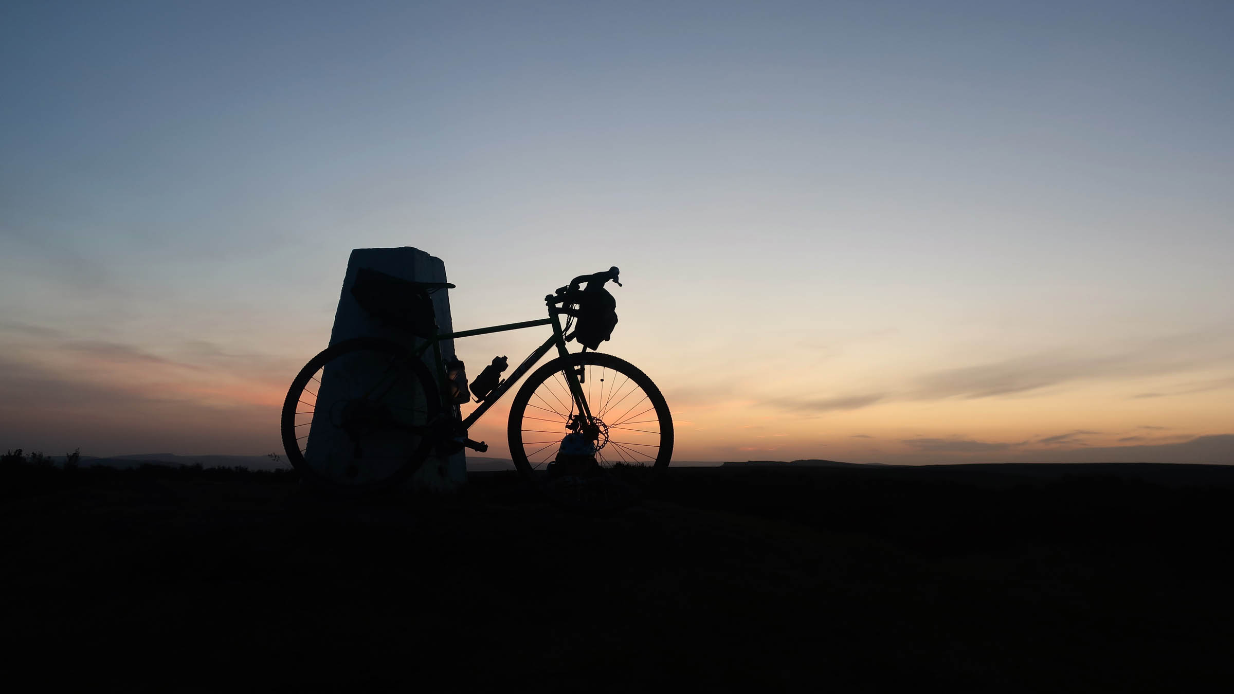
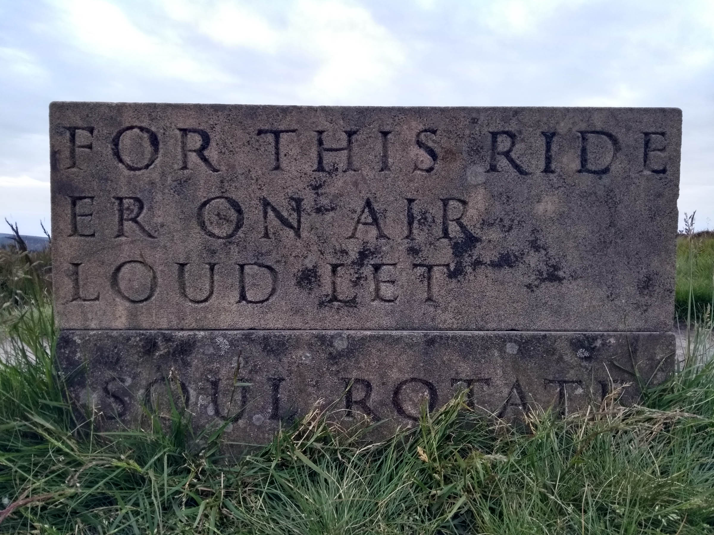
Peak Potter Overnighter
Distance
61 Mi.
(98 KM)Days
2
% Unpaved
57%
% Singletrack
23%
% Rideable (time)
98%
Total Ascent
4,990'
(1,521 M)High Point
1,397'
(426 M)Difficulty (1-10)
3?
- 5Climbing Scale Moderate82 FT/MI (15 M/KM)
- -Technical Difficulty
- -Physical Demand
- -Resupply & Logistics
Contributed By

Chris Lansley
Guest Contributor
Chris’ earliest memories involve a small wooden tricycle. He moved to Sheffield for university many years ago, and never left. He once beat Steve Peat in the overall standings of a downhill racing series. You can follow his adventures on Instagram @bearlegged
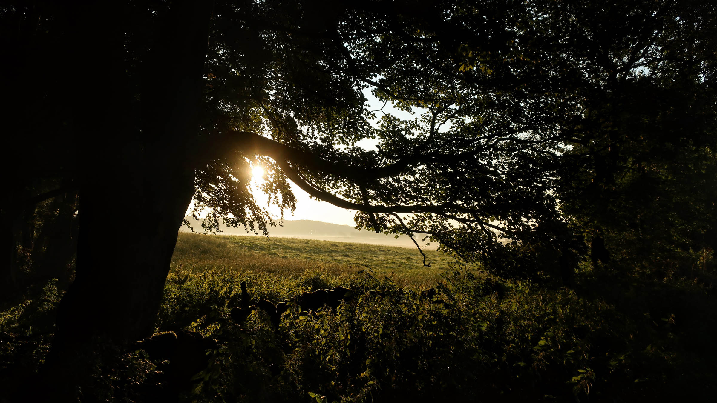
The Peak District National Park is the first of Britain’s 15 national parks, founded in 1951. It covers 555 square miles in the heart of England and can be accessed in less than an hour by an estimated 20 million people. To the east sits Sheffield, once famed for its steel industry, now known as the Outdoor City.
This route is ideal for anyone who wants to try bikepacking for the first time, or experience the beauty of the Peak District while dialing down the wildness and exposure. The ride climbs out of Sheffield onto the impressive gritstone edges of the Dark Peak, loops through the steep limestone dales and the rolling hills of the White Peak, and then returns over the moors into the Steel City. It makes use of permissive bridleways opened up through the hard work and engagement of local MTB advocacy groups, traffic-free cycling and walking routes, and quiet country lanes and tracks.
On the way, you can visit the UK’s first crowdfunded MTB Trail, pass through old railway tunnels, see one of Britain’s greatest stately homes, and swim under the wary eyes of the local red deer. Find the full route itinerary under the Trail Notes tab below.
Route development
This route brings together classic Peak tracks, the Eastern Moors Loop (established by local MTB advocacy groups working with local land managers), and southern portions of the Peak 200 route devised by local rider Ian Fitz (@edaleskyline).
Difficulty: Aside from a couple of steep ascents, there’s nothing too taxing in terms of terrain, and use of two major cycle routes makes for a relaxing middle section of the ride. There are a couple of sections that can get boggy after prolonged periods of wet weather. Resupply options are plentiful (especially if you briefly dive off route), and short cuts are often possible via paved roads.


Submit Route Alert
As the leading creator and publisher of bikepacking routes, BIKEPACKING.com endeavors to maintain, improve, and advocate for our growing network of bikepacking routes all over the world. As such, our editorial team, route creators, and Route Stewards serve as mediators for route improvements and opportunities for connectivity, conservation, and community growth around these routes. To facilitate these efforts, we rely on our Bikepacking Collective and the greater bikepacking community to call attention to critical issues and opportunities that are discovered while riding these routes. If you have a vital issue or opportunity regarding this route that pertains to one of the subjects below, please let us know:
Highlights
Must Know
Camping
Food/H2O
Trail Notes
- Sheffield is one of Britain’s largest cities, with over half a million residents, yet you can quickly leave it behind and be out in the national park.
- “Blue Steel” in Lady Canning’s Plantation is the UK’s first crowdfunded MTB trail.
- While the Peak District doesn’t contain any mountains, it has plenty of high points (the name is thought to derive from the Pecsaetan tribe in the 6th century AD).
- More than a third of the Peak District is designated as Sites of Special Scientific Interest (SSSI), where important plants, wildlife and geological formations can be found and conserved.
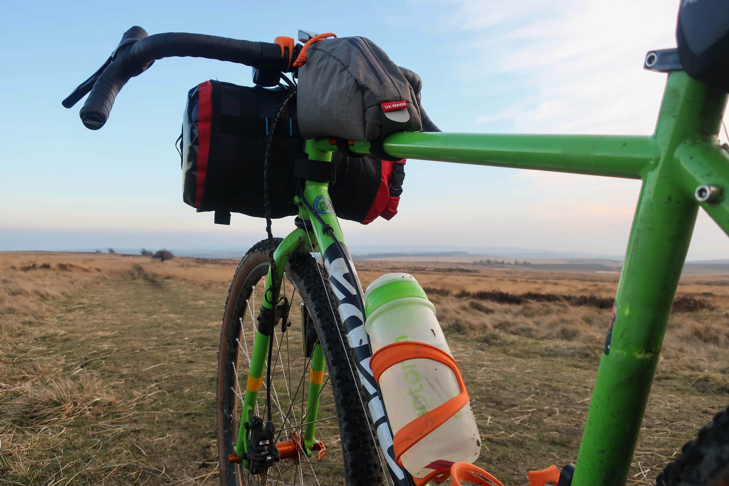
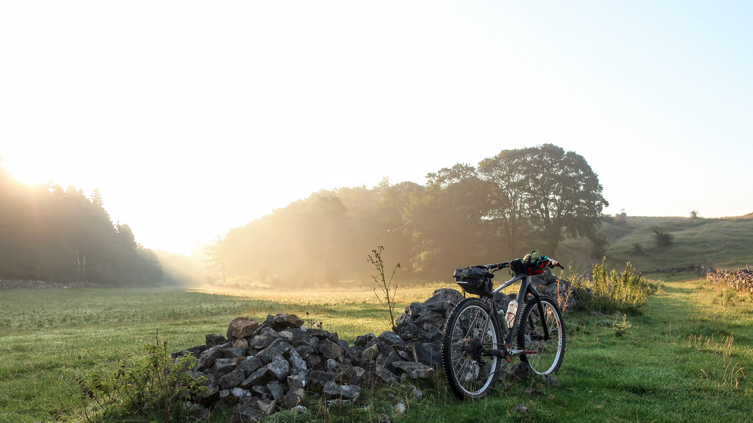
- Bike type: A rigid or hardtail MTB will probably be most folks’ choice, but for confident gradventourer riders this route is suitable for 40c tyres and up unless it’s been particularly wet weather recently (in which case something chonkier may help). There are some steep ascents, so bring low gears.
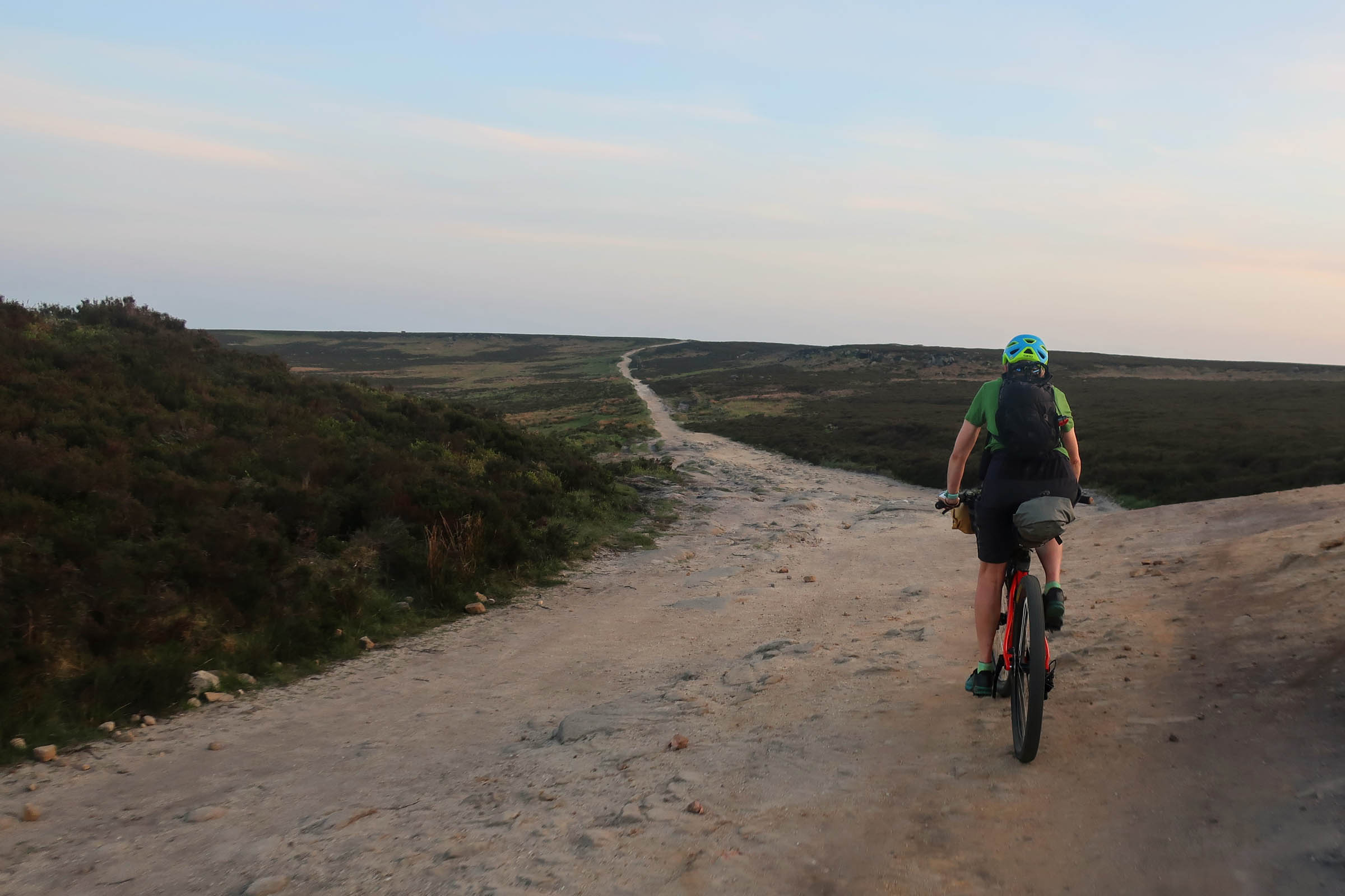
- Terrain: A mix of moorland tracks, singletrack trails, off-road cycle routes, and country lanes. There are some short stretches of major road, but there is often an alternative path to the side.
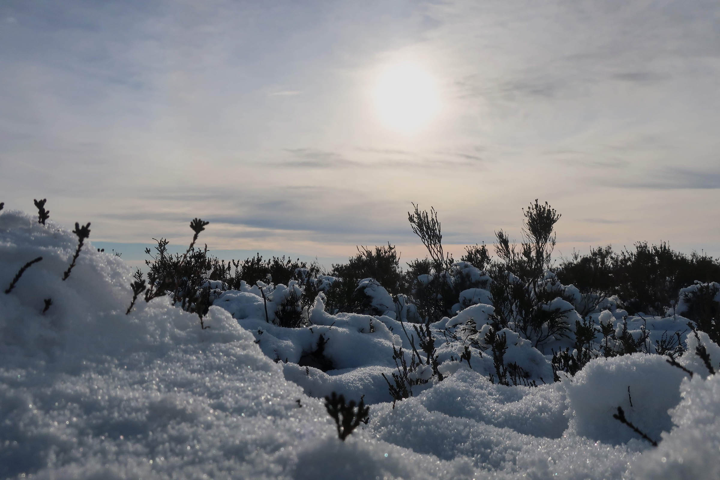
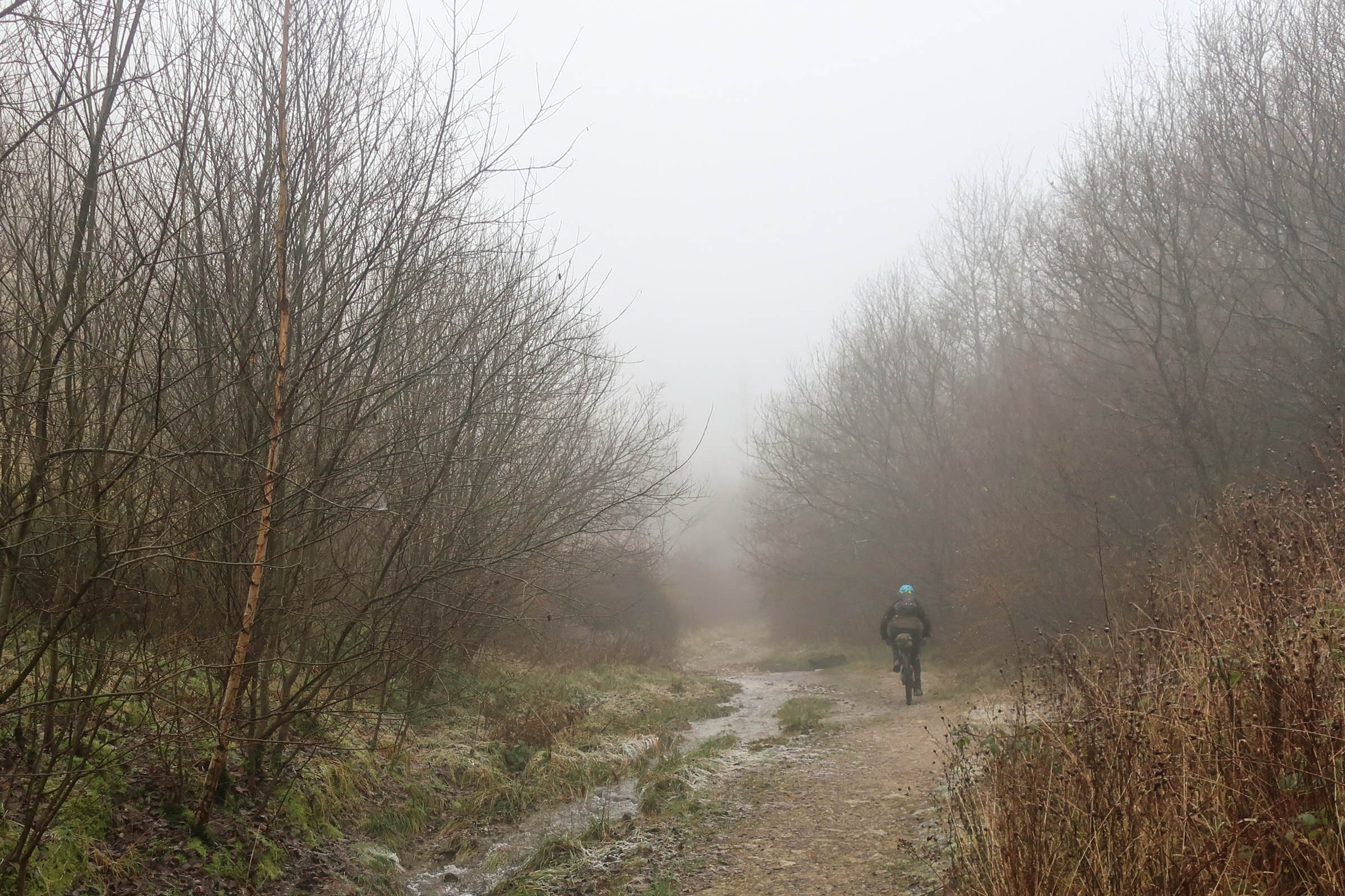
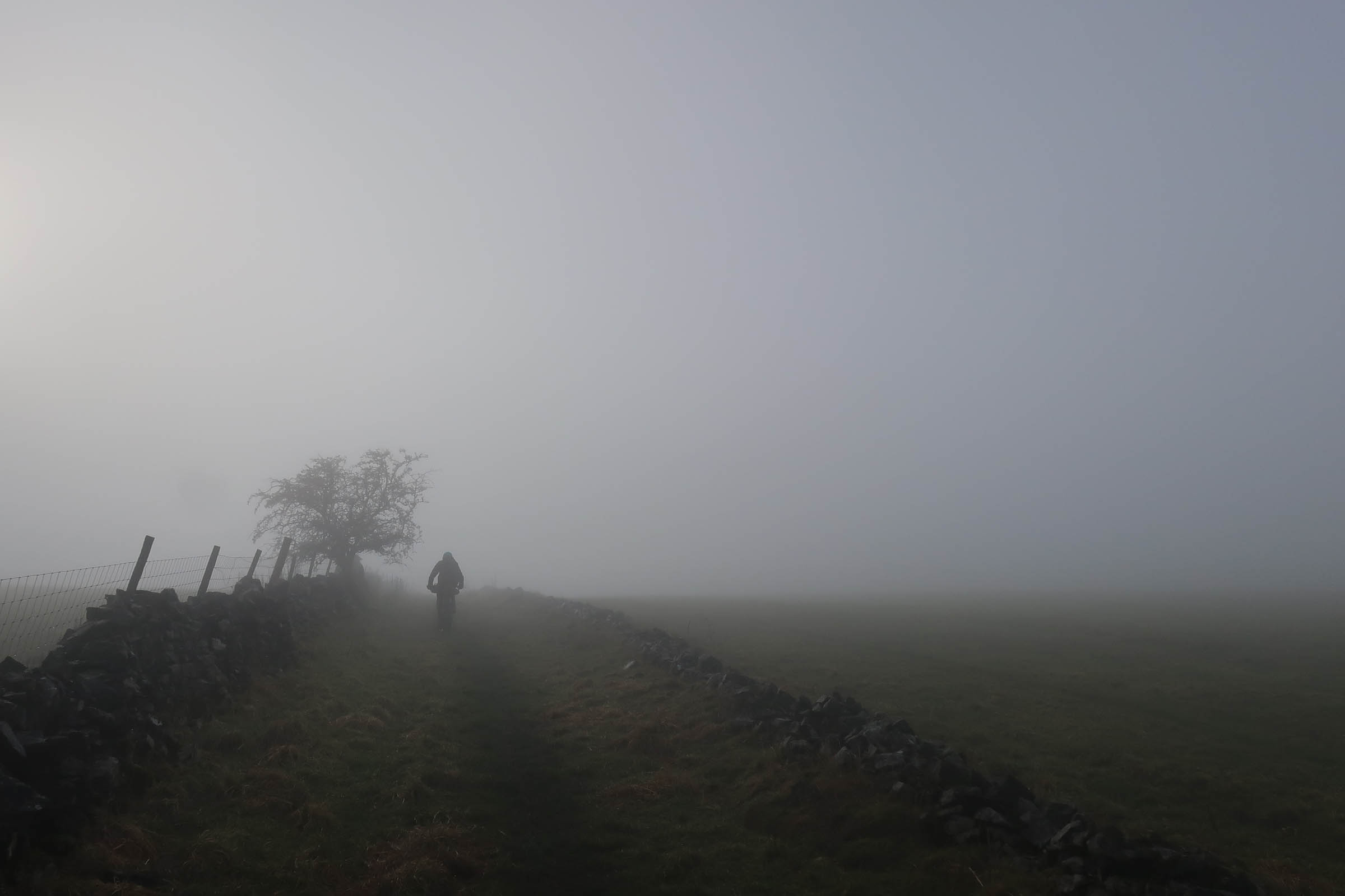
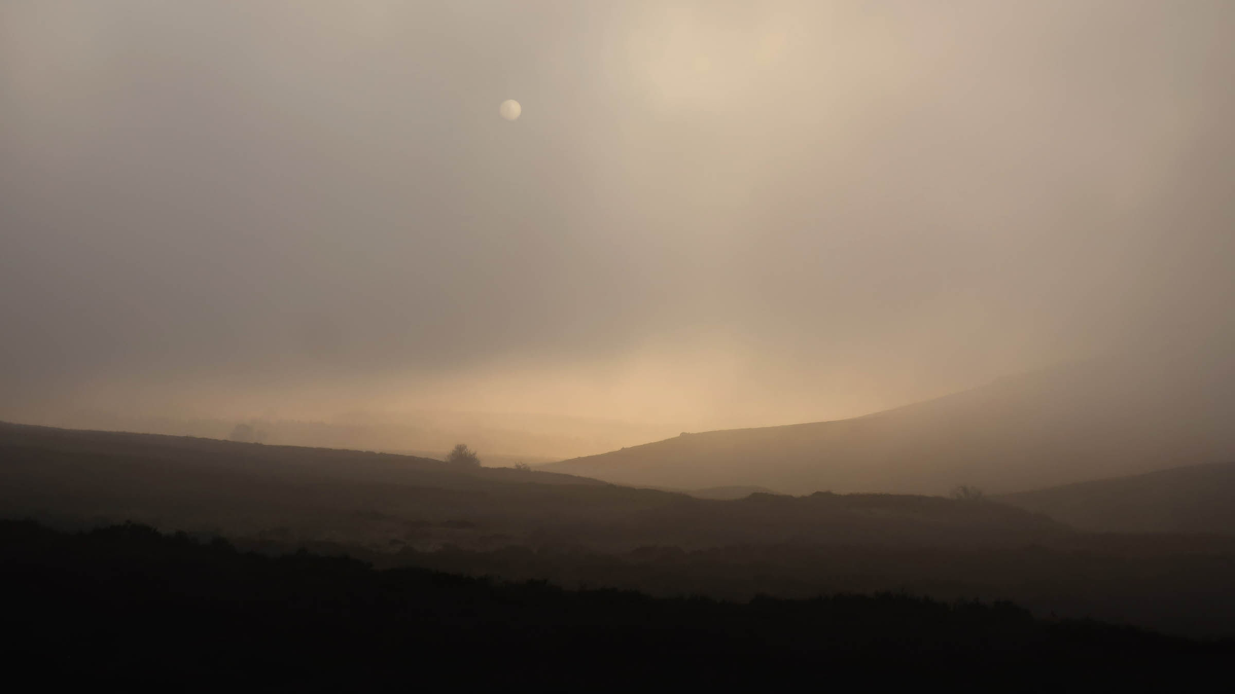
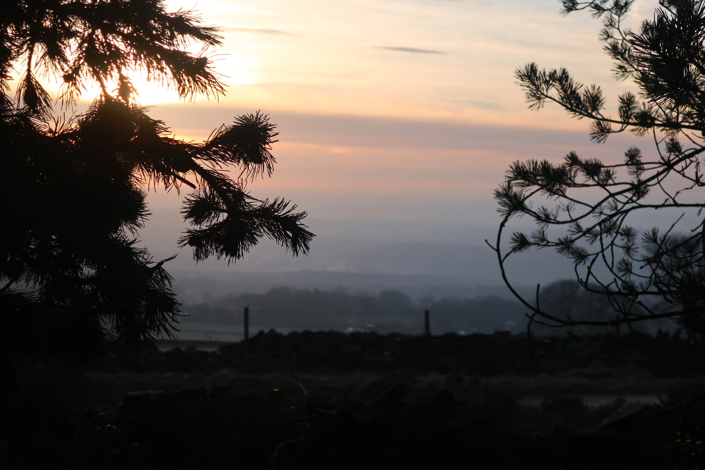
- When to go: Whilst summers are potentially drier and warmer in the UK, expect rain at any time of the year. Totley Moor and Gratton Dale can get gooey after prolonged wet spells. Check for current conditions (and contribute your own experiences) at Keeper of the Peak.
- Weather: The Peak District has a similar climate to the rest of the UK, generally mild and temperate. Bring a waterproof!
- Access/public transport: Sheffield is well connected by rail. Local train services can get you to Dore & Totley station, which is less than a mile from the start/finish of this route. The central station is about 30 minutes’ ride away.
- There are a few campsites and a bunkhouse listed at roughly halfway.
- Wild camping is not officially permitted in the Peak District National Park, so be respectful and #leavenotrace if you must camp in a non-designated place.
- There’s no shortage of cafes, pubs, and streams to fill your bottles, but bear in mind much of the terrain is farmland, so filtering stream water is recommended.
- You should never be too far from shops, cafes, or pubs. Check ahead for opening hours.
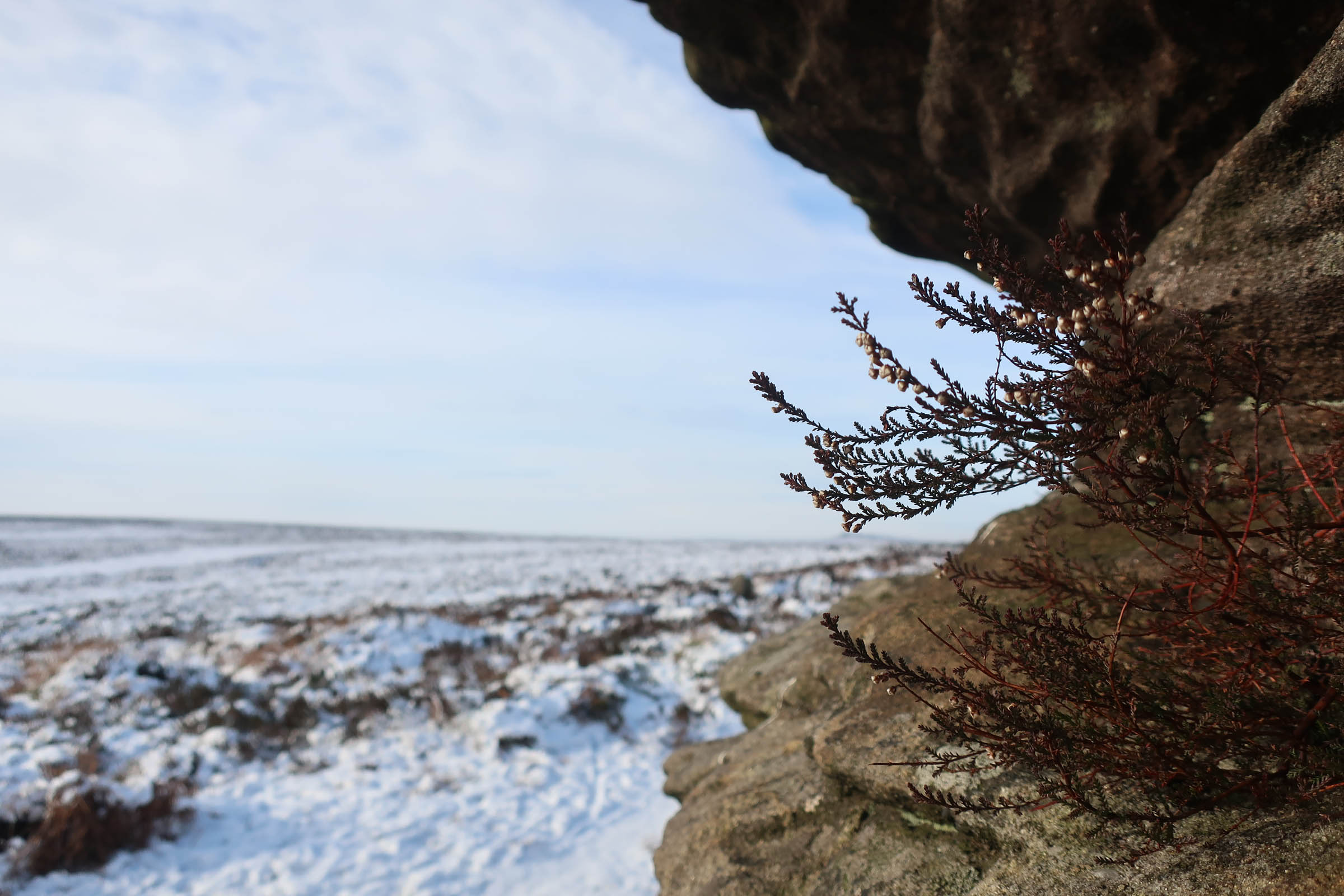
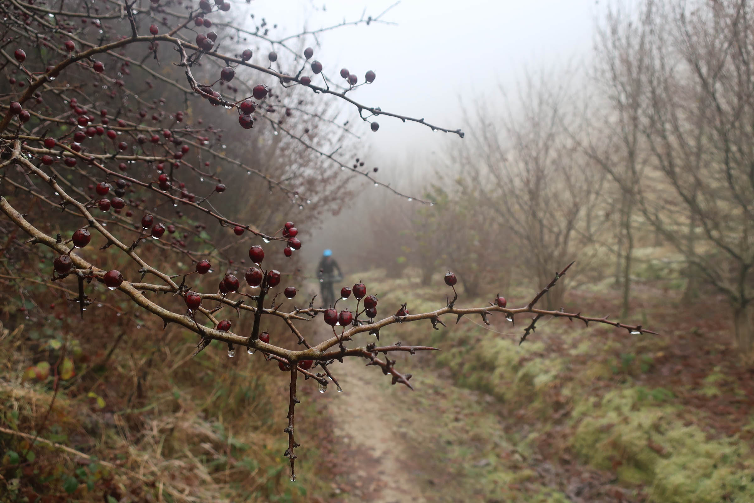
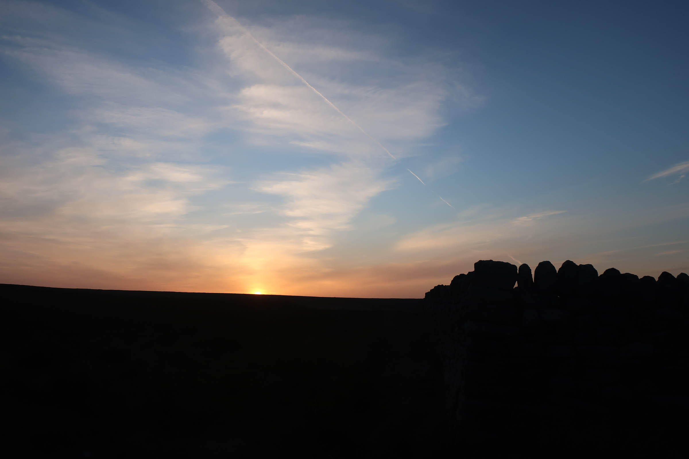
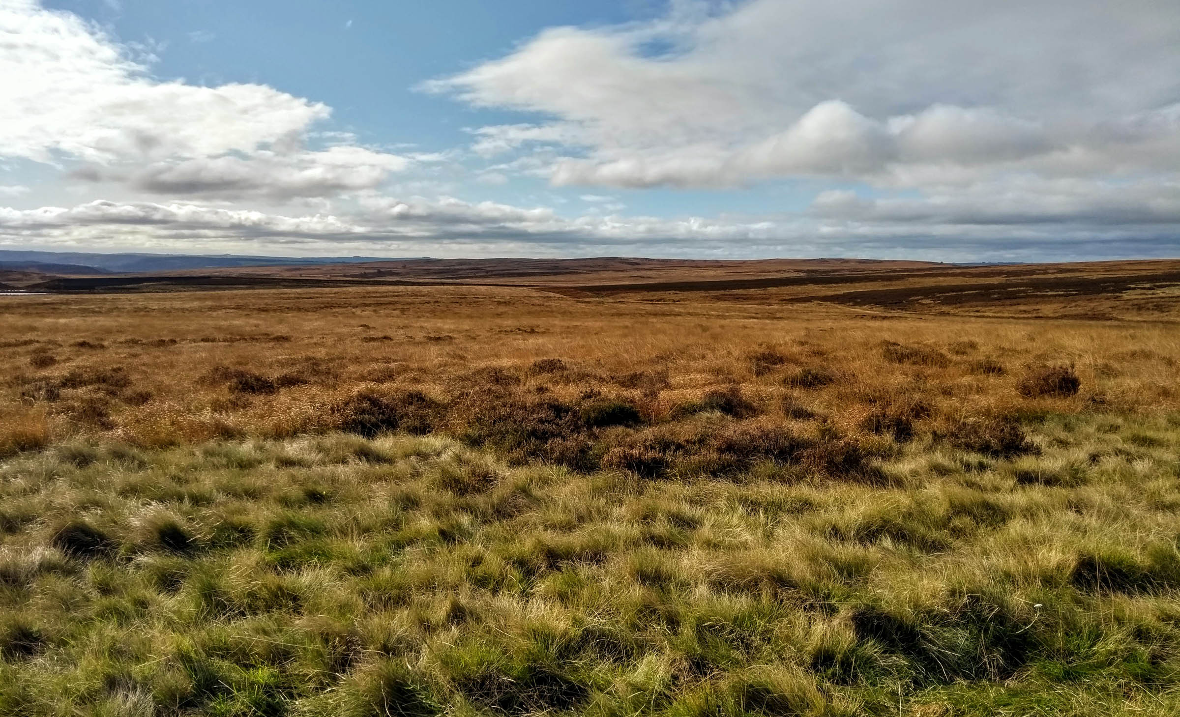
Climbing out of Sheffield, you soon reach the Eastern Moors. Advocacy work by Ride Sheffield and Peak District MTB in opening up MTB routes through this area, and the campaign for all trail users to “Be nice, say hi!” has been highly successful. Crossing Houndkirk Moor, you can look back at the city centre, a mere five miles away, before heading onto the famed gritstone edges of Froggatt and Curbar, training grounds for many of the world’s greatest rock climbers.
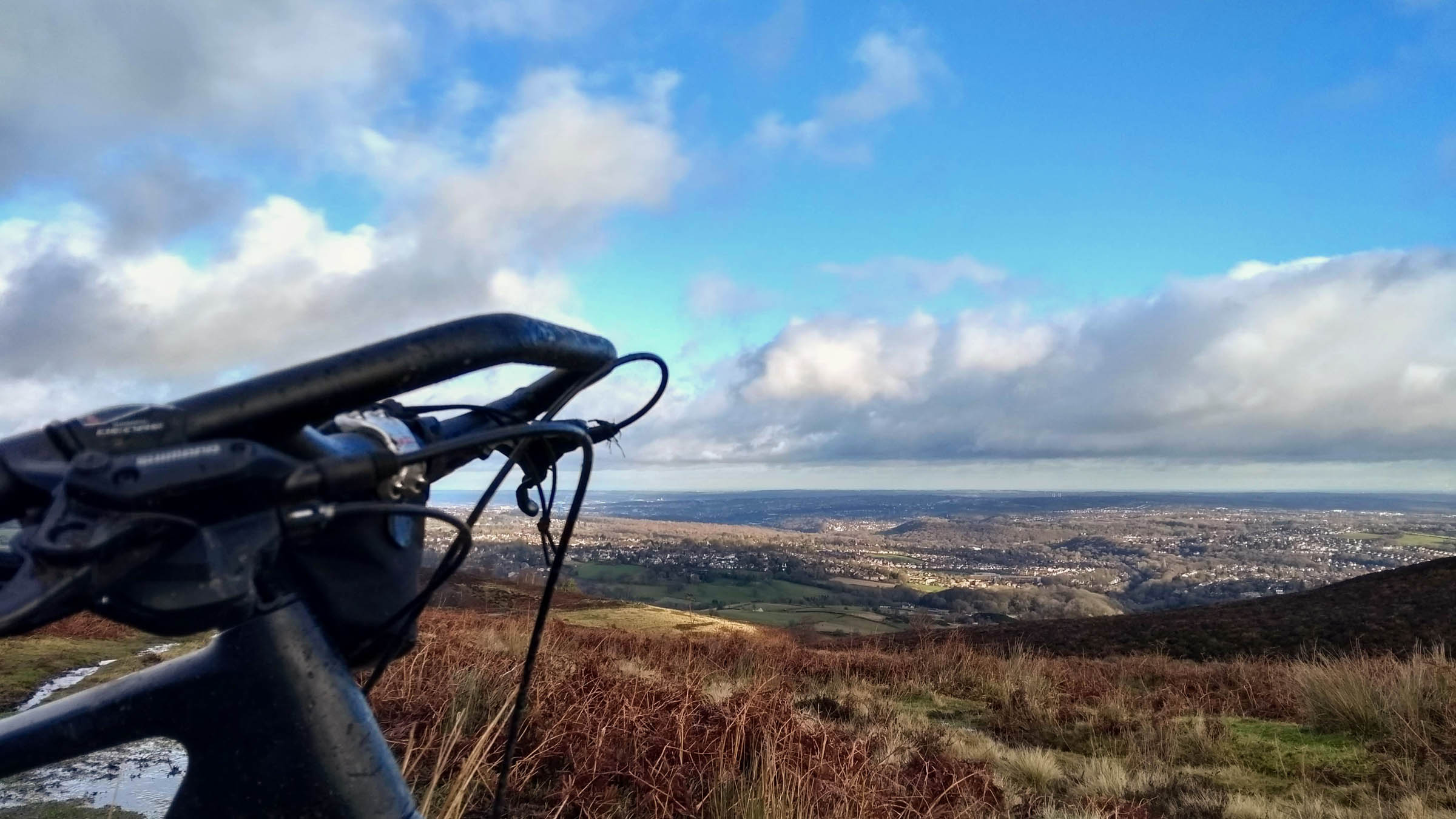
Swooping down the hill to Curbar, there’s an opportunity to pause for supplies and refreshments before heading into the White Peak. A steady climb over Longstone Edge rewards you with a sweeping panorama to the south, before you drop into Monsal Dale, and pick up the old railway line past the old mills and lime kilns of Britain’s industrial revolution. Enjoy the views, and don’t forget to do your best steam train impressions as you pass through the 400-metre-long tunnels!
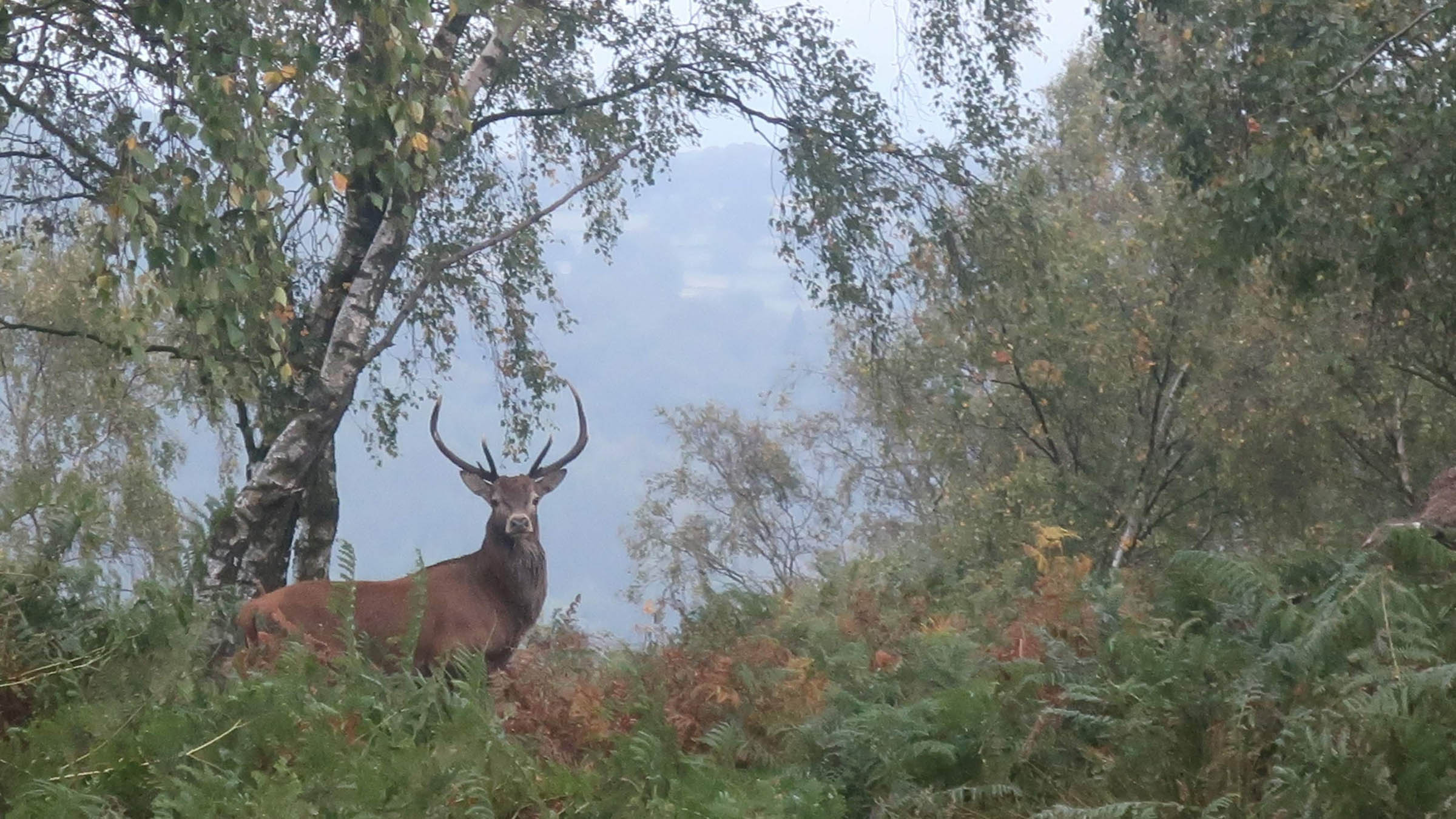
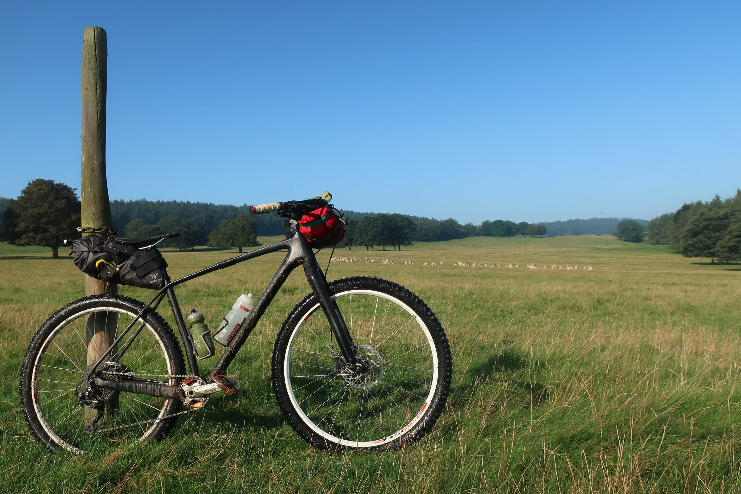
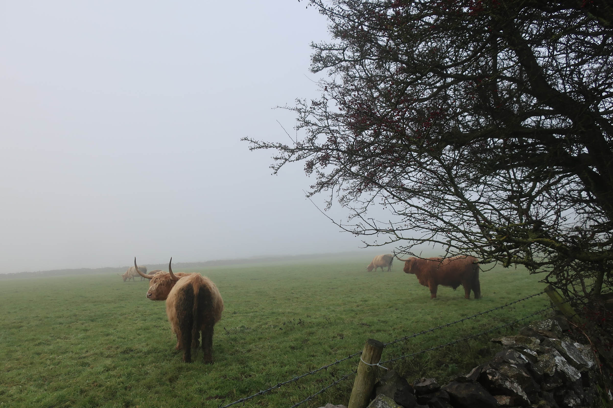
A steep climb takes you up out of Chee Dale and via the Pennine Bridleway and some primo gravel roads to join another of Derbyshire’s car-free trails, the High Peak Trail. Another converted railway line, you’ll pass by rolling hills and gentle vistas across local farmland before dropping into Gratton Dale and starting to wend your way back towards the grand estates of Haddon Hall and Chatsworth House. Keep an eye out for the herds of deer that roam the fields and woodlands here, and maybe stop for an ice-cream before the steep climb back up to the moors above Baslow Edge, where you can admire and compare the natural stonework of the Eagle Stone (AKA the Pudding Stone) and the manmade monument to the Duke of Wellington.
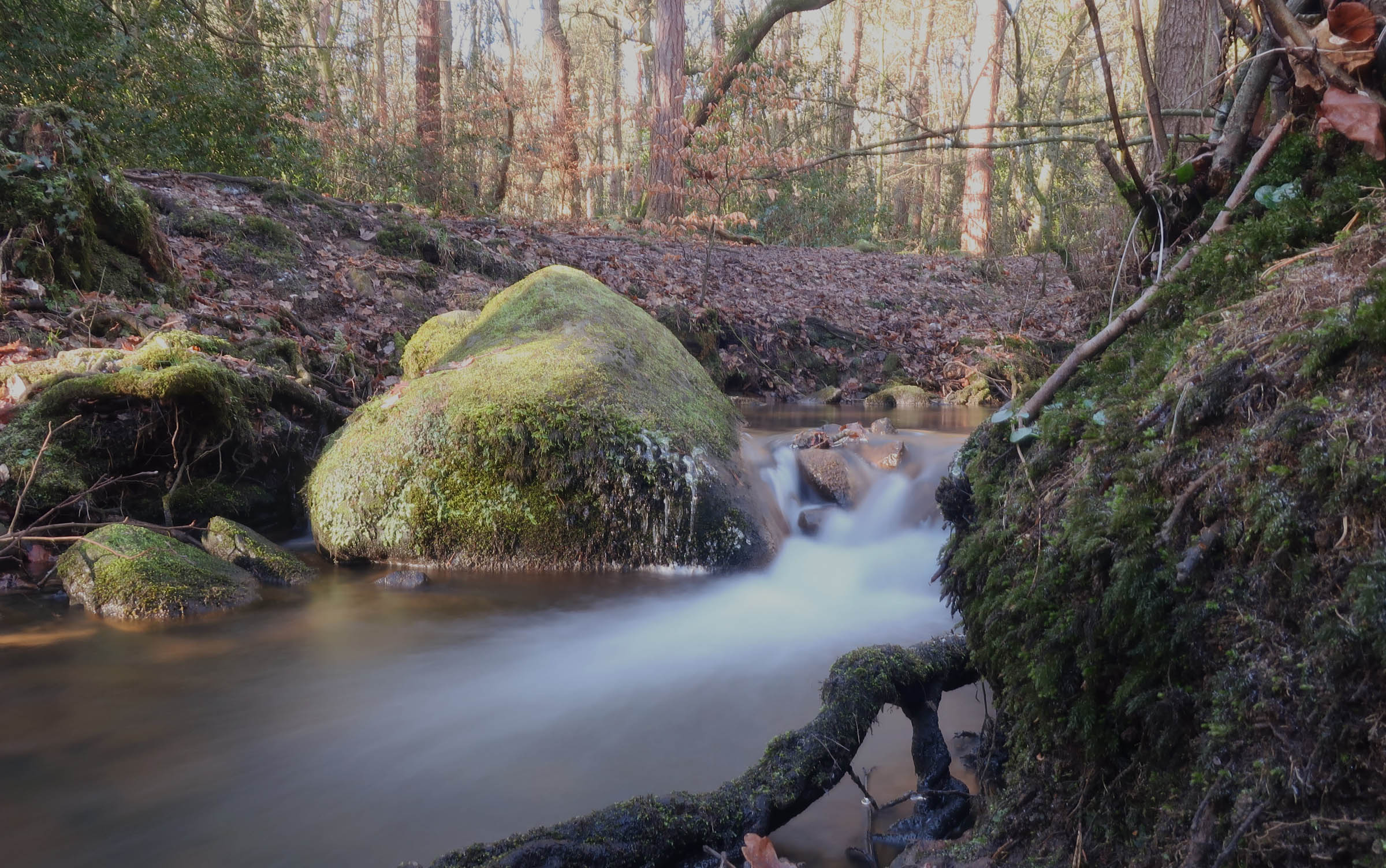
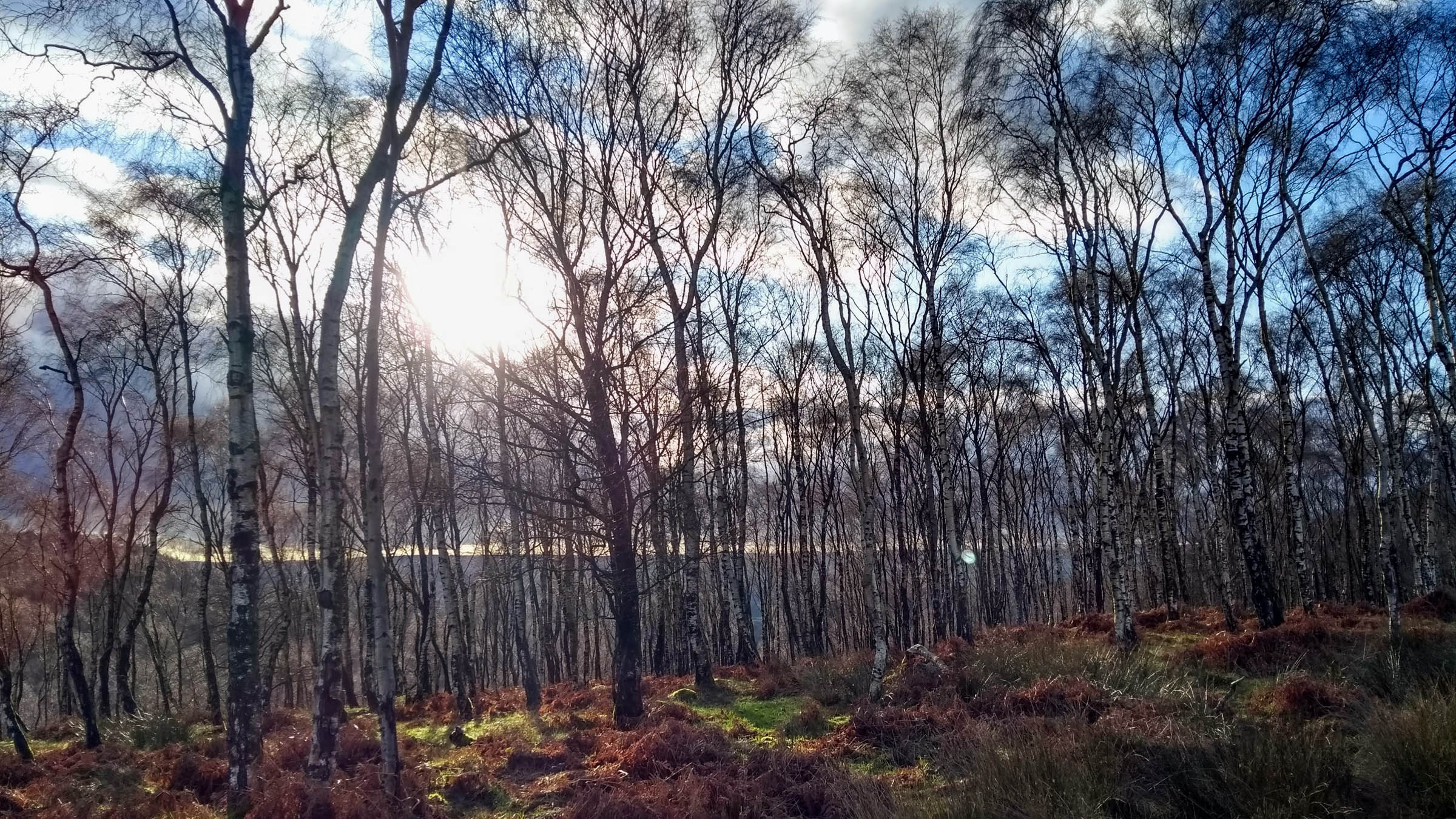
If it’s a hot day, you can break up the climb and cool off with a dip at Bar Brook, a favourite with local wild swimmers, before dropping back down into Sheffield through the woods of Blacka Moor nature reserve. Anyone wanting a more challenging and technical descent may wish to take the optional route down Devil’s Elbow. From here, it’s a final descent through Ecclesall Woods back to the starting point.


Terms of Use: As with each bikepacking route guide published on BIKEPACKING.com, should you choose to cycle this route, do so at your own risk. Prior to setting out check current local weather, conditions, and land/road closures. While riding, obey all public and private land use restrictions and rules, carry proper safety and navigational equipment, and of course, follow the #leavenotrace guidelines. The information found herein is simply a planning resource to be used as a point of inspiration in conjunction with your own due-diligence. In spite of the fact that this route, associated GPS track (GPX and maps), and all route guidelines were prepared under diligent research by the specified contributor and/or contributors, the accuracy of such and judgement of the author is not guaranteed. BIKEPACKING.com LLC, its partners, associates, and contributors are in no way liable for personal injury, damage to personal property, or any other such situation that might happen to individual riders cycling or following this route.
Please keep the conversation civil, constructive, and inclusive, or your comment will be removed.