


The Pulpwood Pedaler
Distance
82 Mi.
(132 KM)Days
2
% Unpaved
50%
% Singletrack
0%
% Rideable (time)
100%
Total Ascent
3,780'
(1,152 M)High Point
842'
(257 M)Difficulty (1-10)
3?
- 3Climbing Scale Fair46 FT/MI (9 M/KM)
- -Technical Difficulty
- -Physical Demand
- -Resupply & Logistics
Contributed By

Philip Darden
Guest Contributor
Philip grew up in the suburbs of Atlanta but has been a resident of Central Alabama for the majority of his adult life. Working full-time as the Associate Director of SORBA, Philip gets to visit and ride a number of amazing places across the southeast while taking photos along the way. Find more of Philip’s photos on Instagram @philiciousness.
Alabama has many stereotypes, and I’m here to tell you that while some of them are true, along its backroads and within its small towns, you can find hidden beauty everywhere, as well as genuine people who are the embodiment of Southern hospitality.
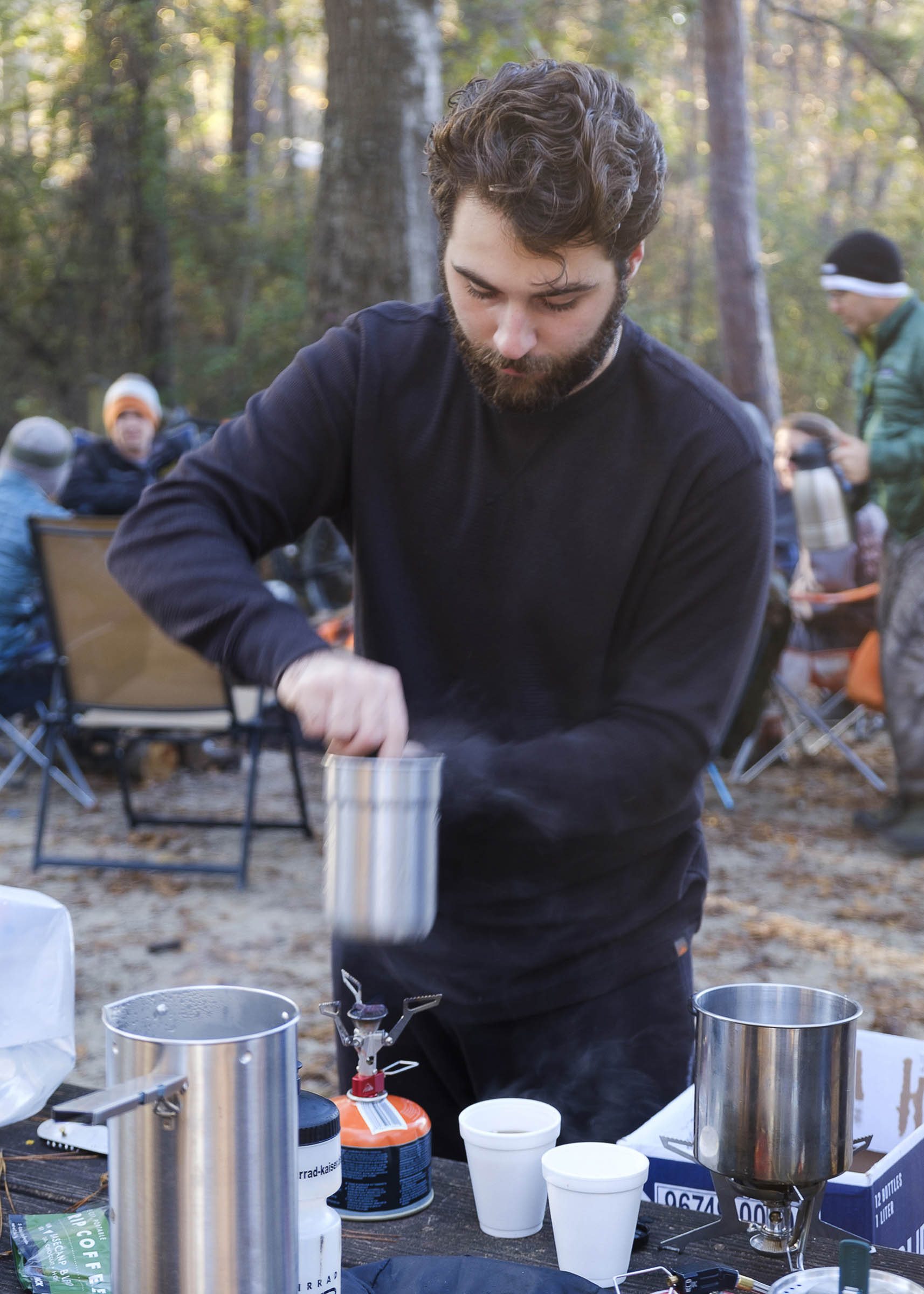
Let’s be clear from the get-go. This route is not a far-off epic location filled with scenic vistas, raging rivers, and surrounding wilderness. But it’s approachable, accessible by many (both Atlanta and Birmingham are not far away), beautiful in its own way, and fun. And to me, that’s the very definition of an overnighter: a route you can do at the spur of a moment or something to get your feet wet as your first bikepacking adventure. Check out the Trail Notes tab for the day-by-day itinerary and route description.
Route Difficulty
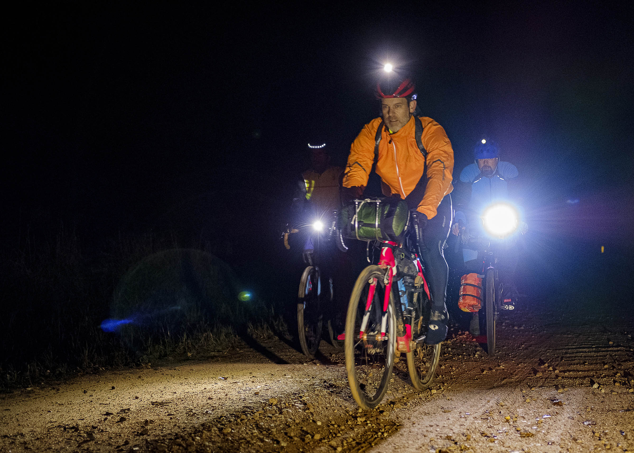
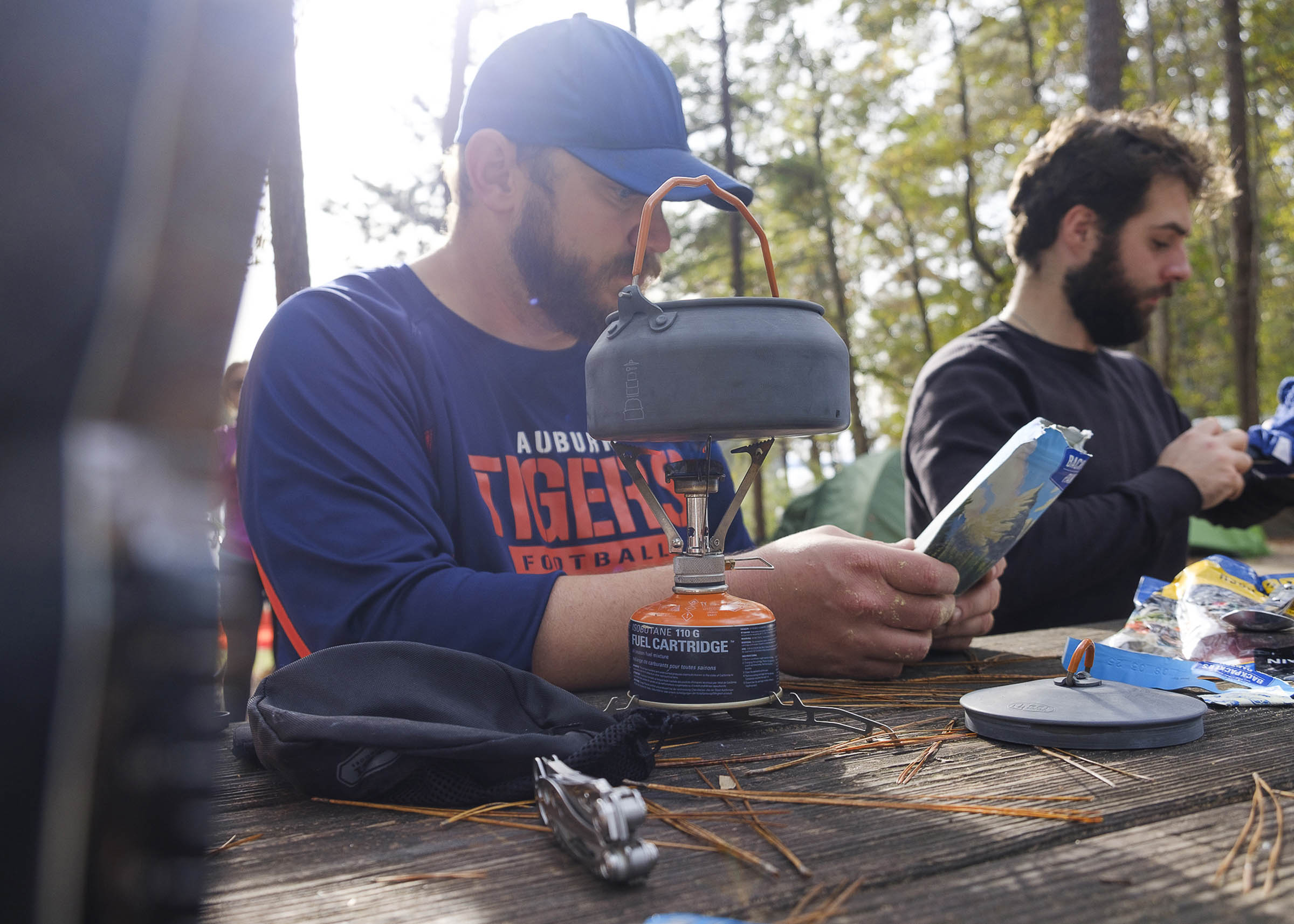
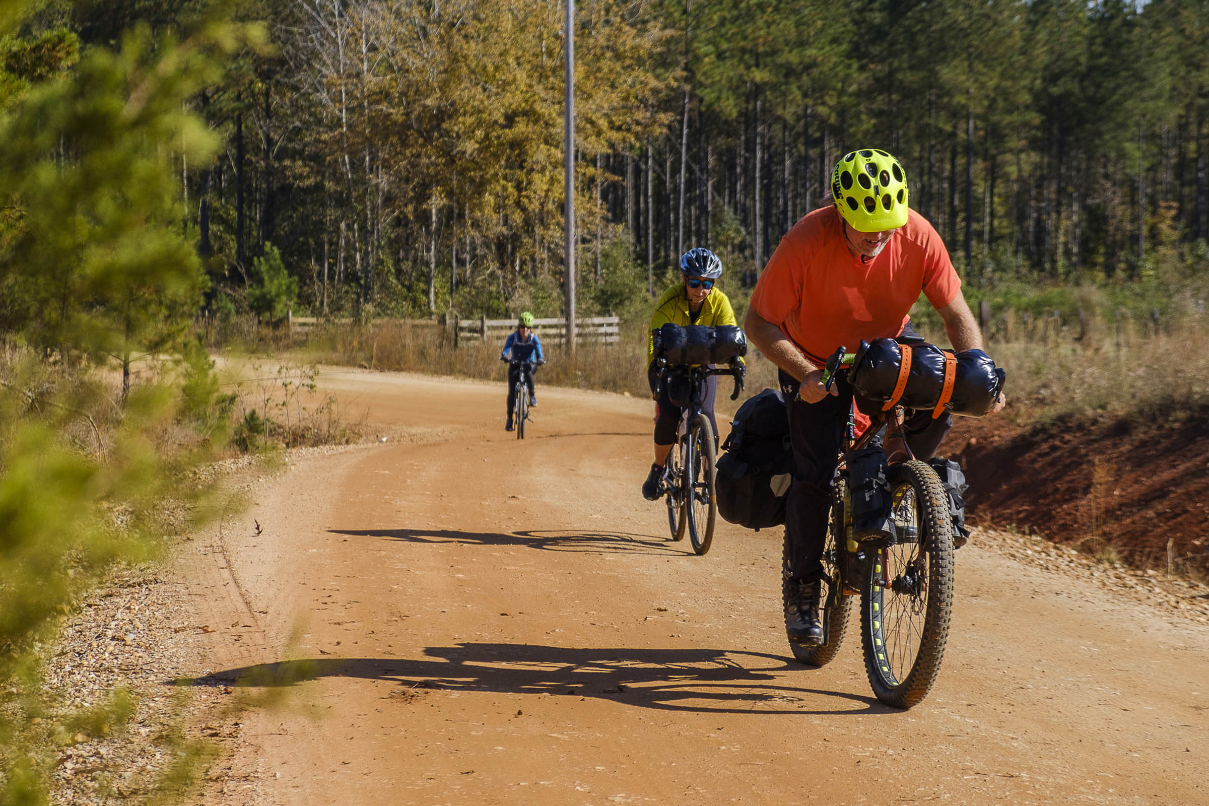
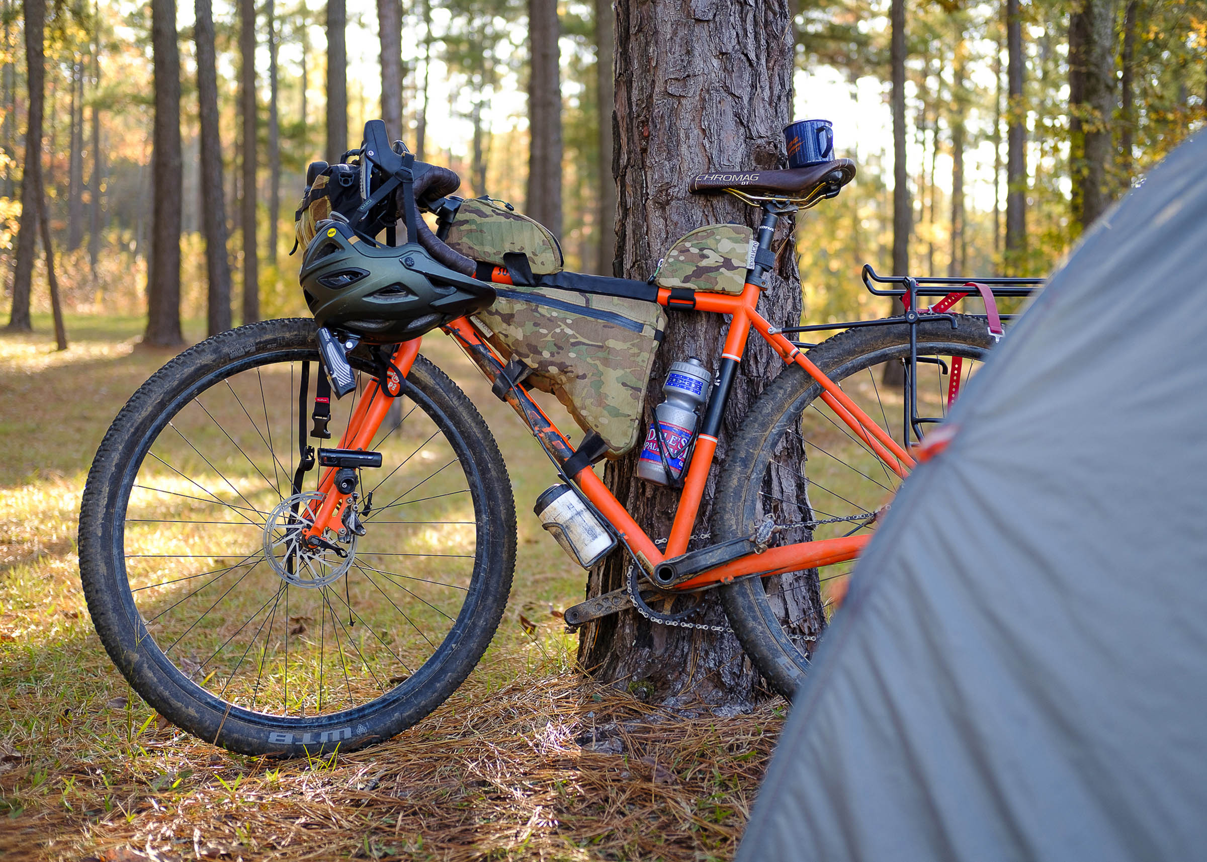
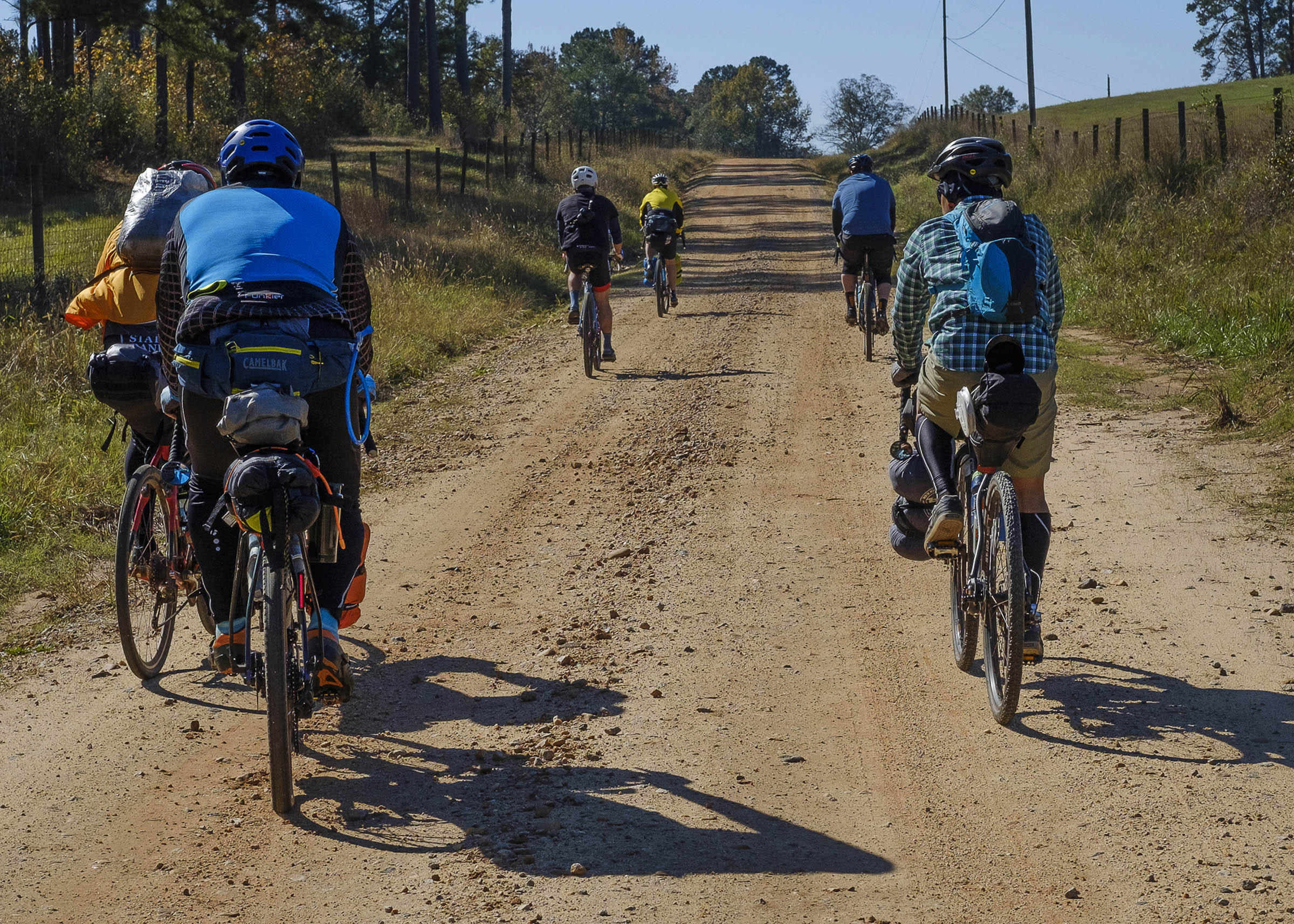
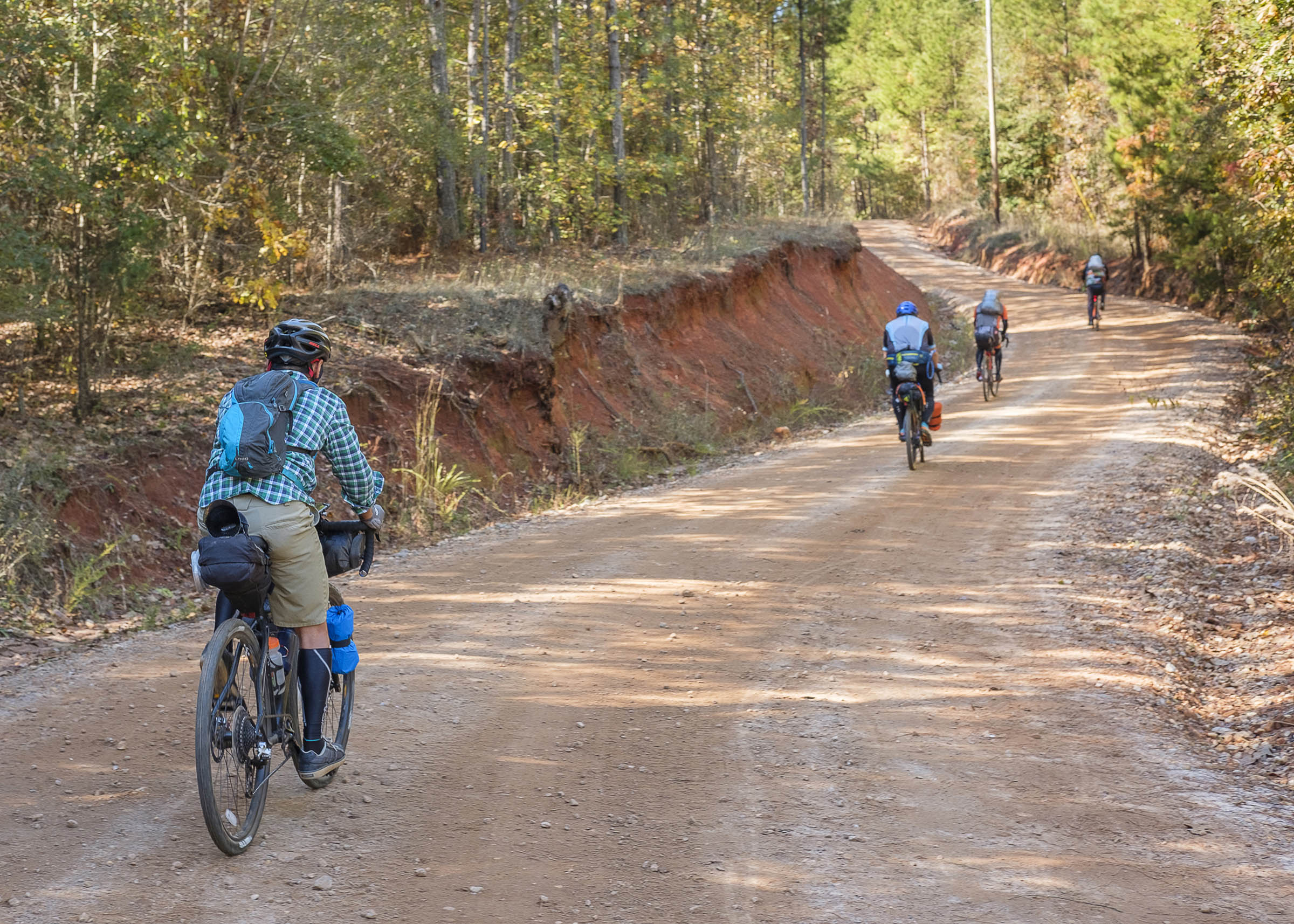
The route was designed to introduce inexperienced riders to the joy of bikepacking. If done over two nights, the distances are challenging but attainable by most. None of the roads are technical but conditions change regularly with the addition of ruts from logging trucks and chunky gravel. Many people believe Alabama to be flat, and while it isn’t exactly mountainous, it is rolling with many punchy climbs. There also aren’t many places to resupply outside of the stops each night, so you’ll need to carry everything you need for the ride.
Route Development: The route was developed by me and the late John Little. John was a huge supporter of bikepacking, touring, and riding for the love of being out there. Alongside Colt Fetters, he was also one of the main developers of the Alabama Skyway route featured here on BIKEPACKING.com. Our goal was to make the route equal parts challenging, accessible, and beautiful.


Submit Route Alert
As the leading creator and publisher of bikepacking routes, BIKEPACKING.com endeavors to maintain, improve, and advocate for our growing network of bikepacking routes all over the world. As such, our editorial team, route creators, and Route Stewards serve as mediators for route improvements and opportunities for connectivity, conservation, and community growth around these routes. To facilitate these efforts, we rely on our Bikepacking Collective and the greater bikepacking community to call attention to critical issues and opportunities that are discovered while riding these routes. If you have a vital issue or opportunity regarding this route that pertains to one of the subjects below, please let us know:
Highlights
Must Know
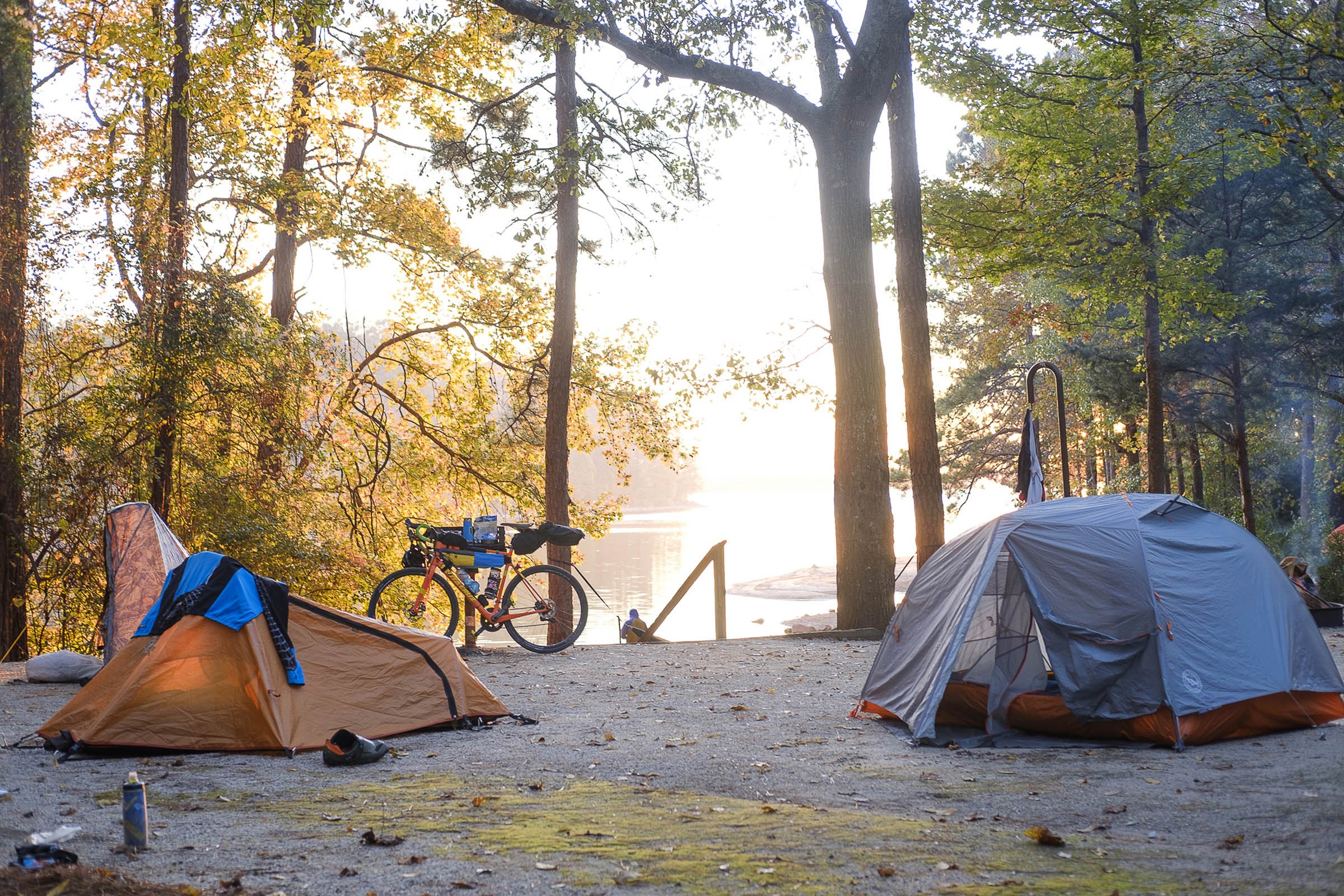
Camping
Food/H2O
Trail Notes
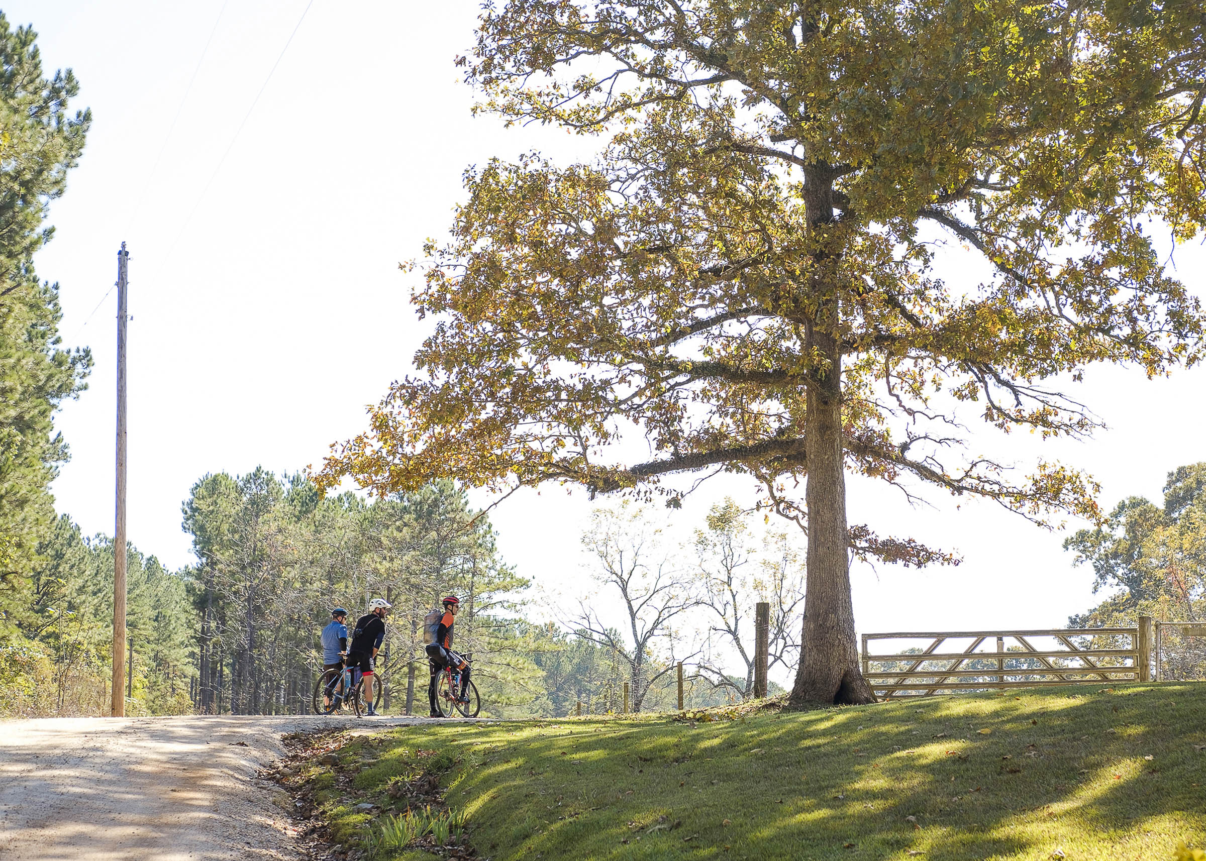
- Campgrounds along the route provide a nice place to rest and relax
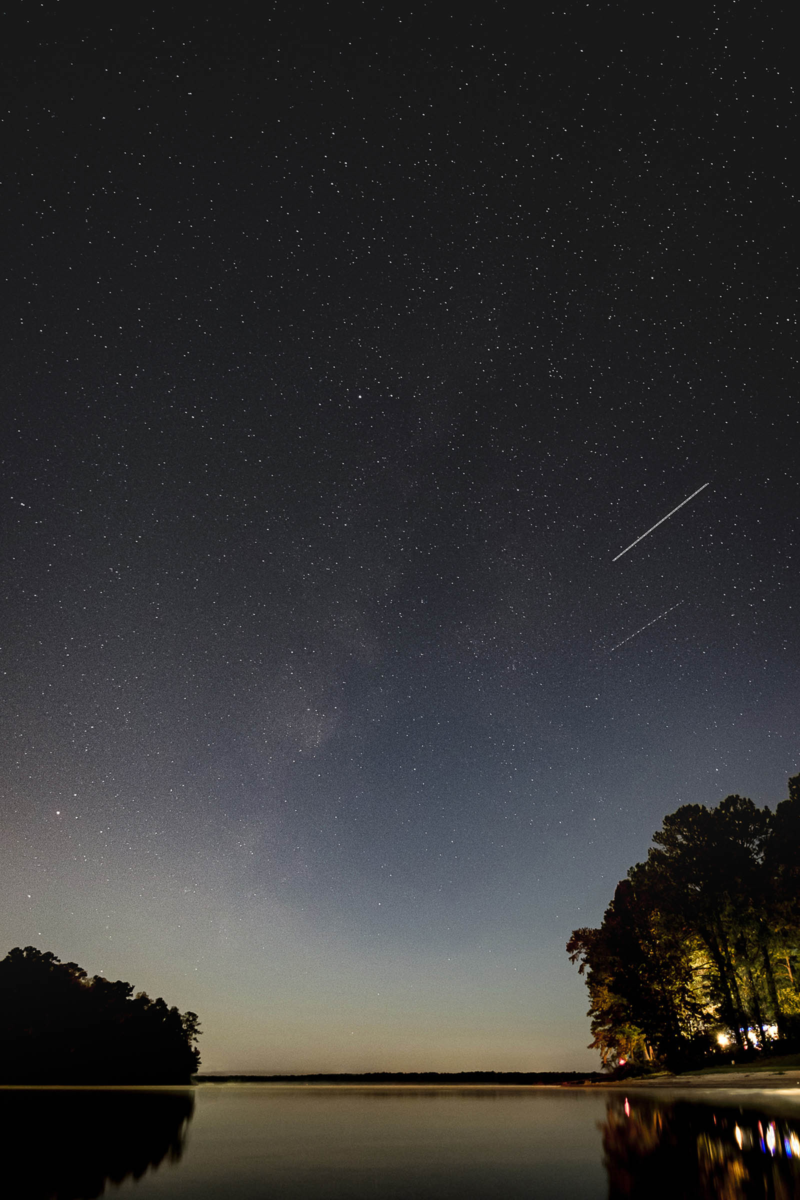
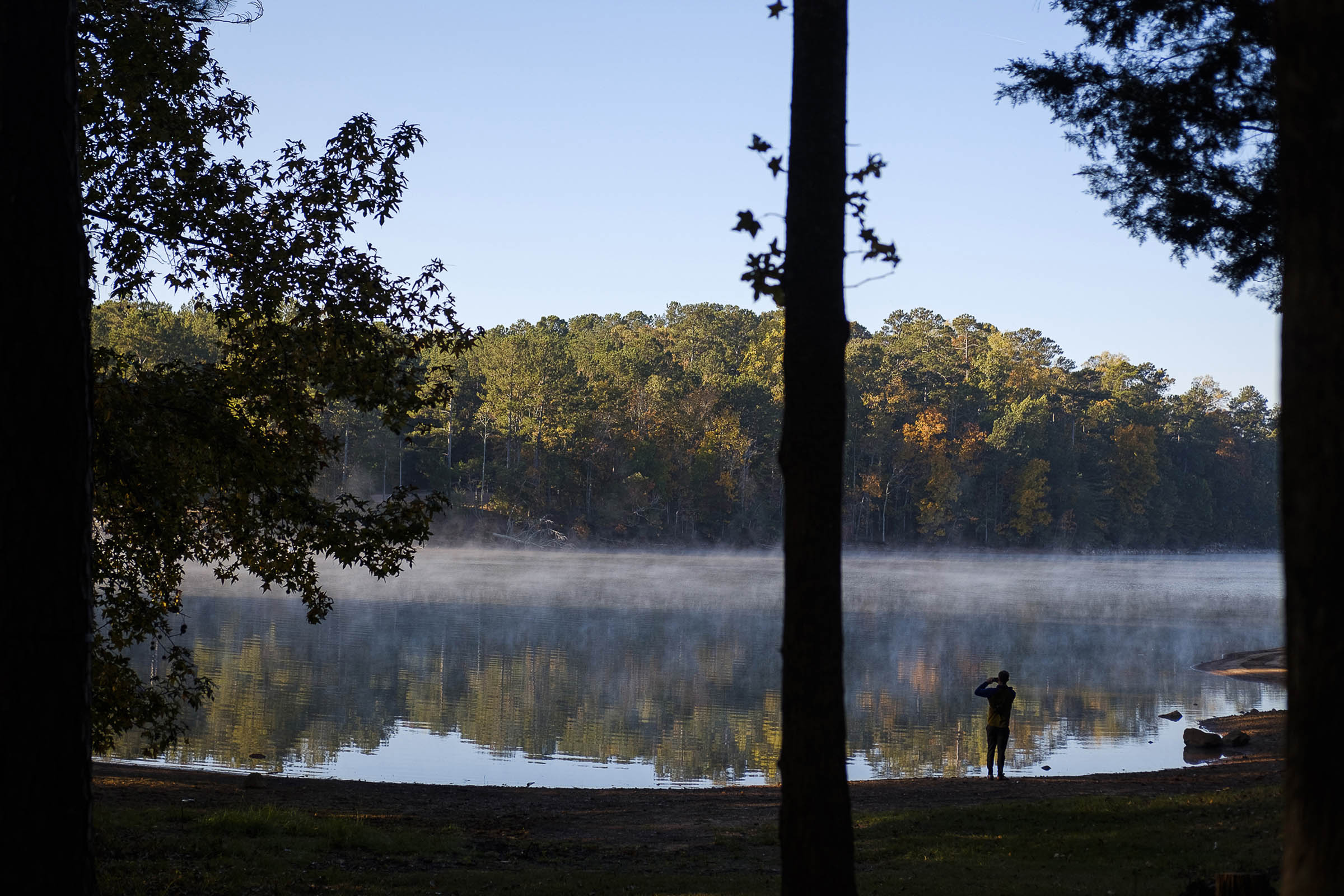
- Plenty of viewpoints, including West Point Lake
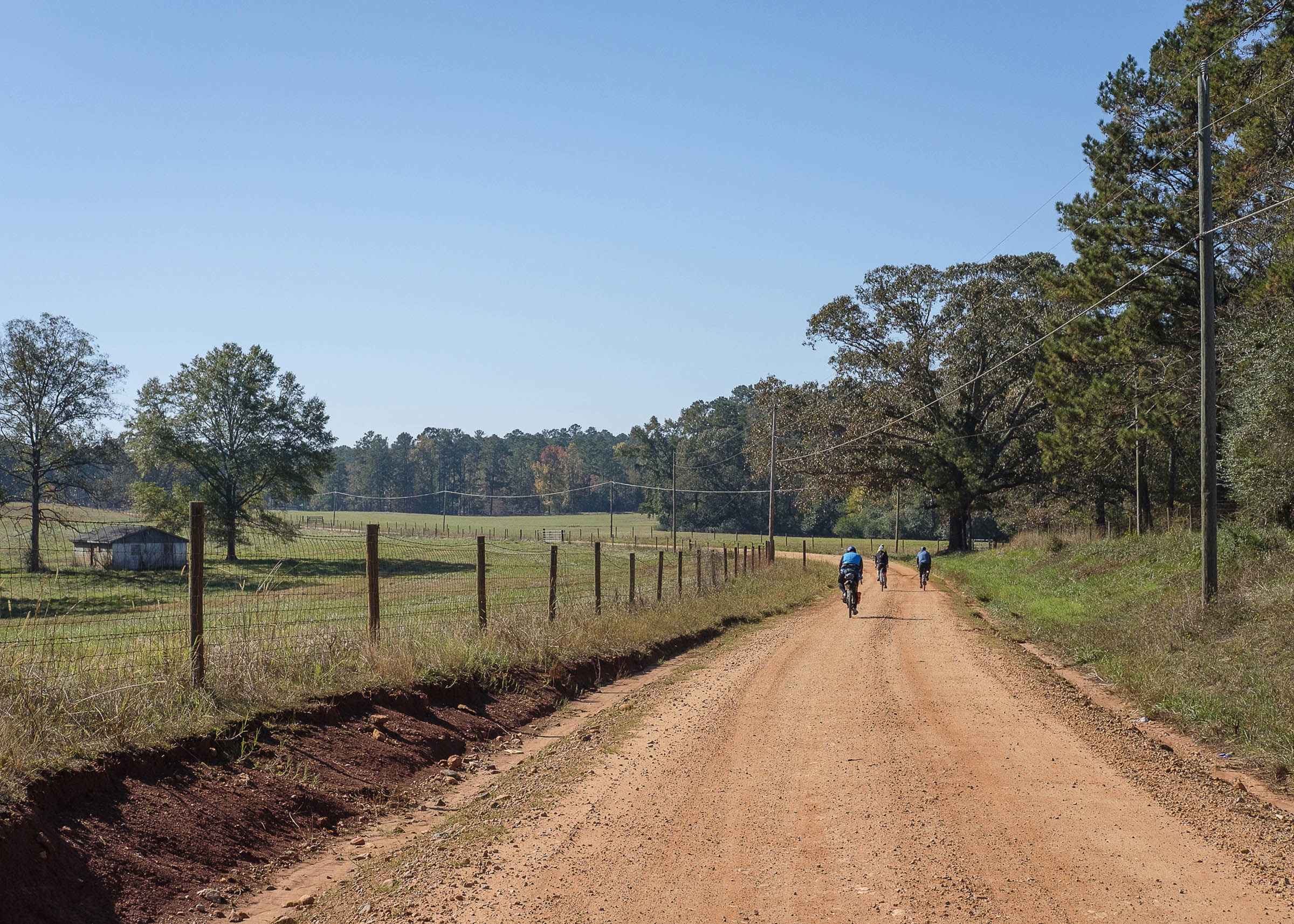
- Rolling hills through various farmland
- Woodlands and creeks
- Historic Downtown Opelika
- It’s Alabama, so the summers are hot! Fall and spring are best, with early November being the time of year we typically host the beginner event.
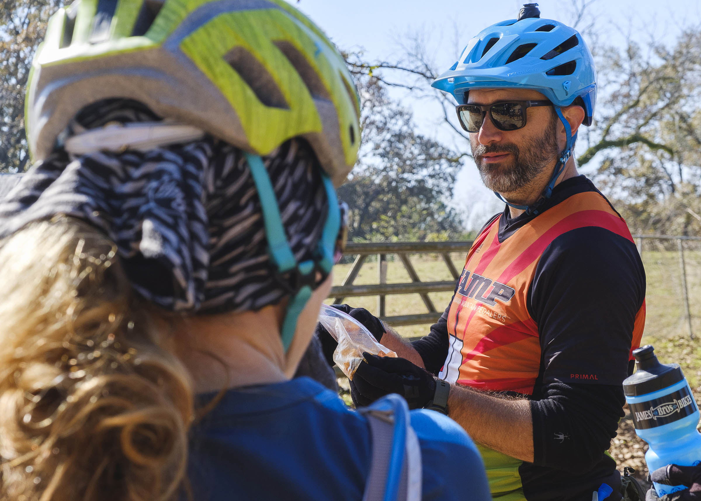
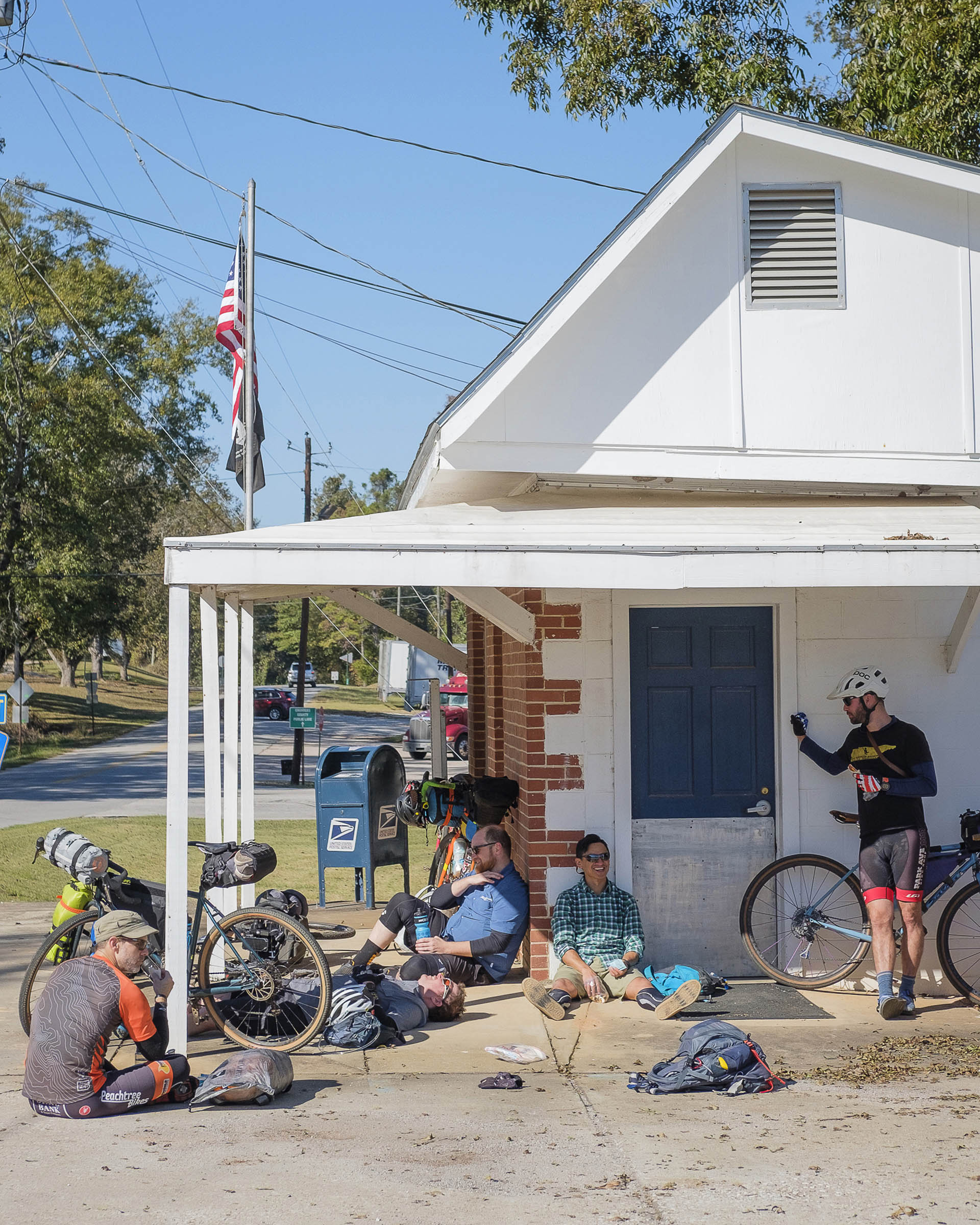
- James Bros Bikes in Downtown Opelika is a full-service bike shop and beer bar with a number of bikepacking necessities in stock. Details here.
- There is free parking in downtown Opelika. Ask the folks at James Bros where is the best place to park.
- Opelika has numerous hotels and Airbnbs close to the route.
- Spring Villa campground is just outside of downtown Opelika.
- Shaefer Heard Campground fee: $30
- Chambers Co Lake is seasonal. There is a fee of $10 and make sure to call ahead. Primitive camping with a bathroom at the office. Find info on their website. NOTE: at the time of publication, Chambers Co Lake is closed for renovations with no information about reopening. This may not be an option and you’ll need to check prior to setting out.
- Shaefer Heard Campground is open year-round with a fee of $30. More information here.
- Both Chambers Co Lake and Shaefer Heard have potable water to fill up.
- There are a few churches along the way to refill but not many options so pack plenty of water.
- Same goes for food, with limited places to resupply along the route.
- For additional info, check the ride report on my website.
Originally designed as a two-day route to help introduce newbies to bikepacking, assuming they’re up for a couple of longer days in the saddle. If desired, it can also be slowed down into a three-day trip with a shorter first day.
Day 1 (46 Miles)
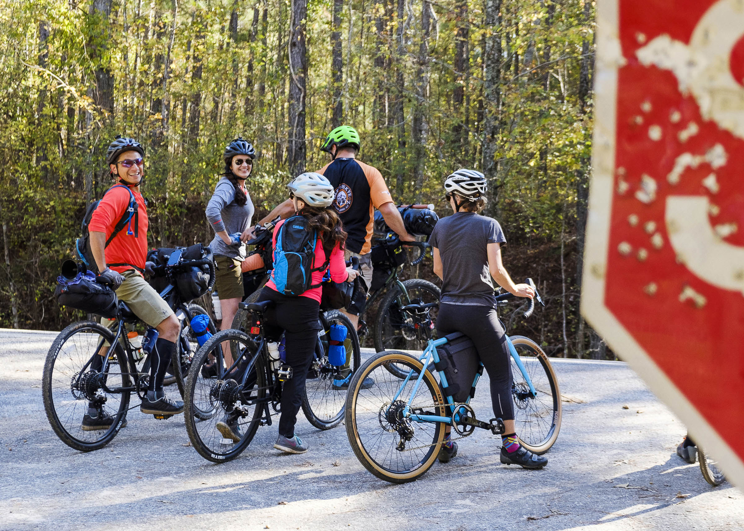
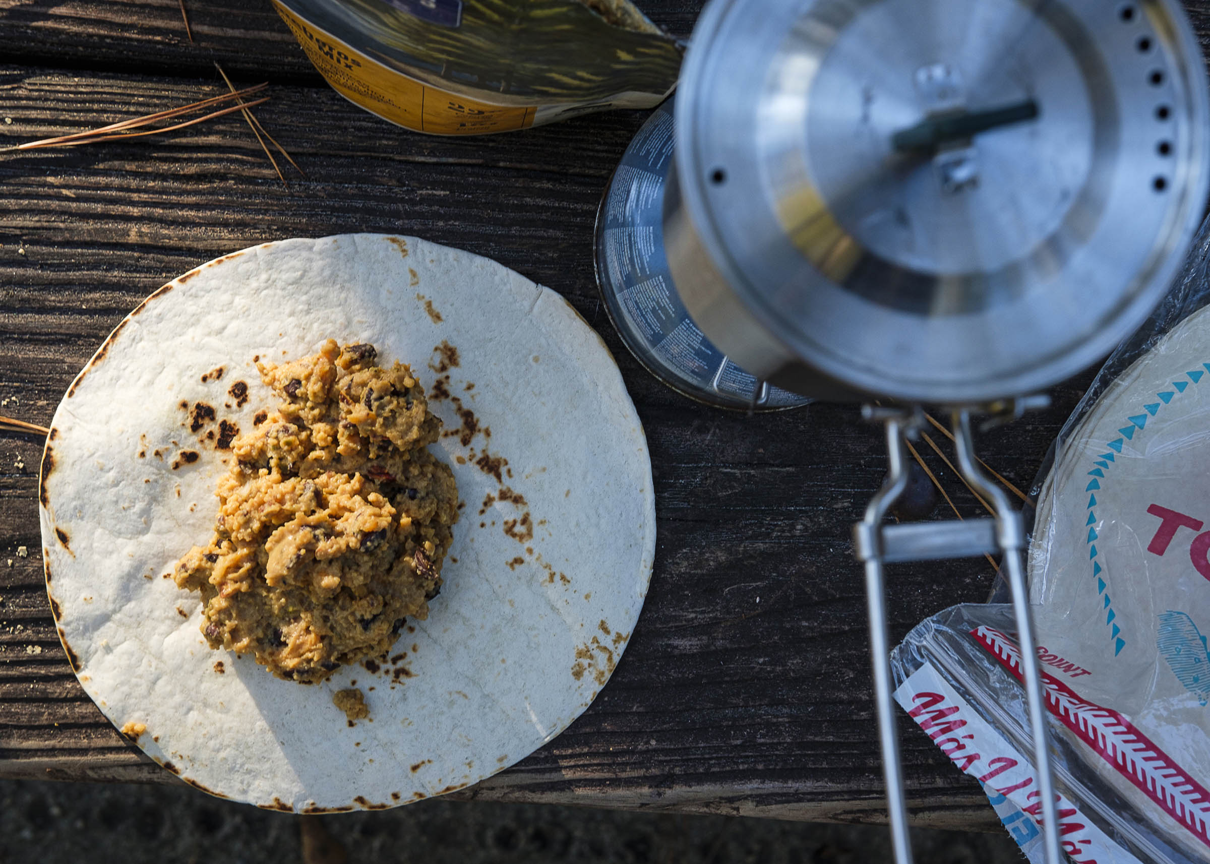
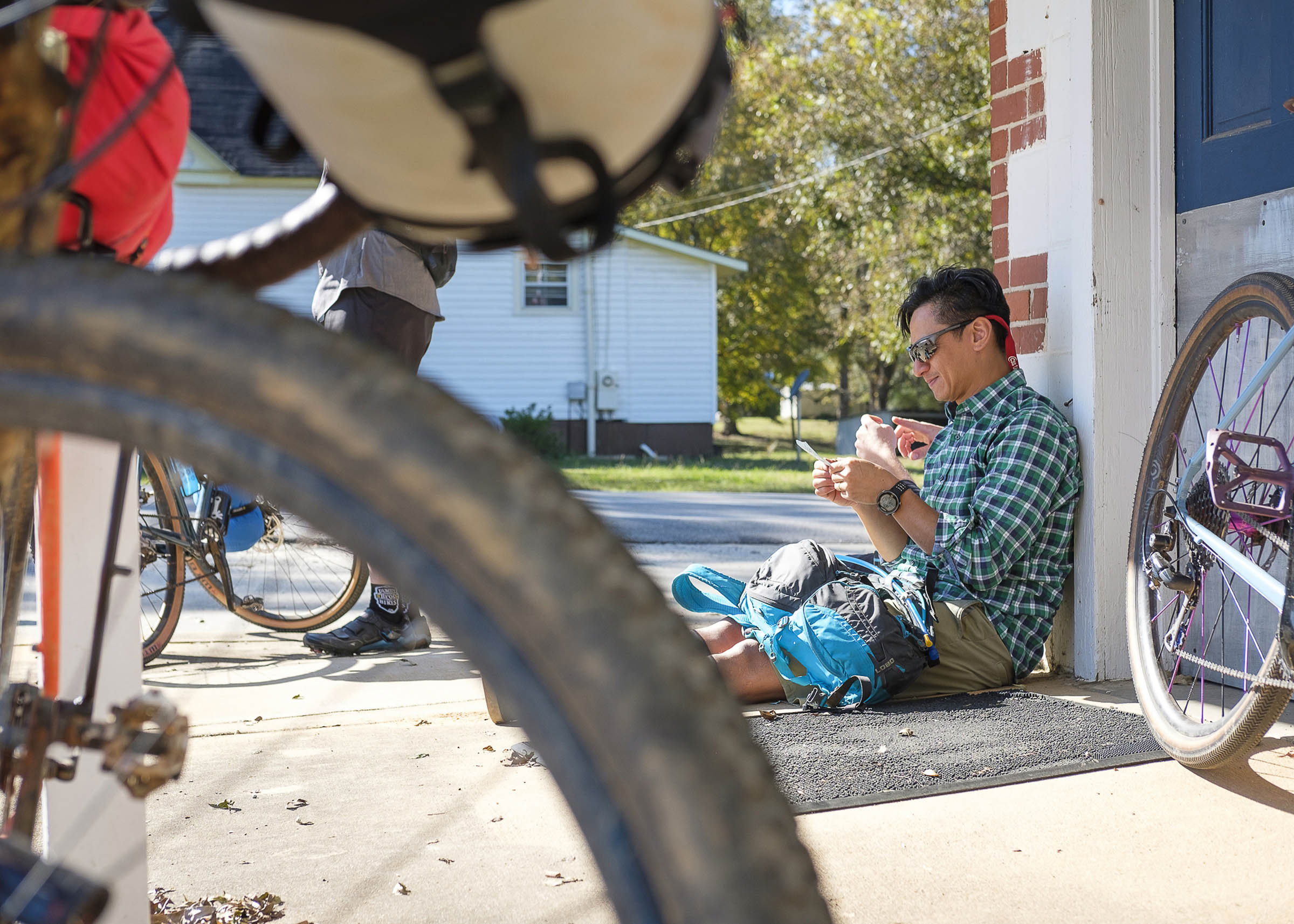
The route begins in Historic Downtown Opelika, a town with a bit of a rough and tumble history. Now, Opelika plays the twin to Auburn, an SEC college town just a few miles south. With an interesting mix of breweries, distilleries, a bike shop, and restaurants, Opelika is a great spot to start your ride and stock up on all the necessary provisions.
As a three-night ride, the first night’s stay was originally a short 16 miles from Opelika at Chambers Co. Lake. These short first days made it easy to fit the trip into a weekend and not have to take a day off of work. However, Chambers Lake Campground is now temporarily closed
The route continues on through Chambers Co., Alabama (allegedly the home of the most dirt roads in any county in Alabama), to Shaeffer Heard Campground on West Point Lake. You spend most of the day in rural Alabama, seemingly far away from most of civilization, but are in fact pretty close to everything. Toward the end of the day, you cross the dam for West Point Lake, changing time zones and states.
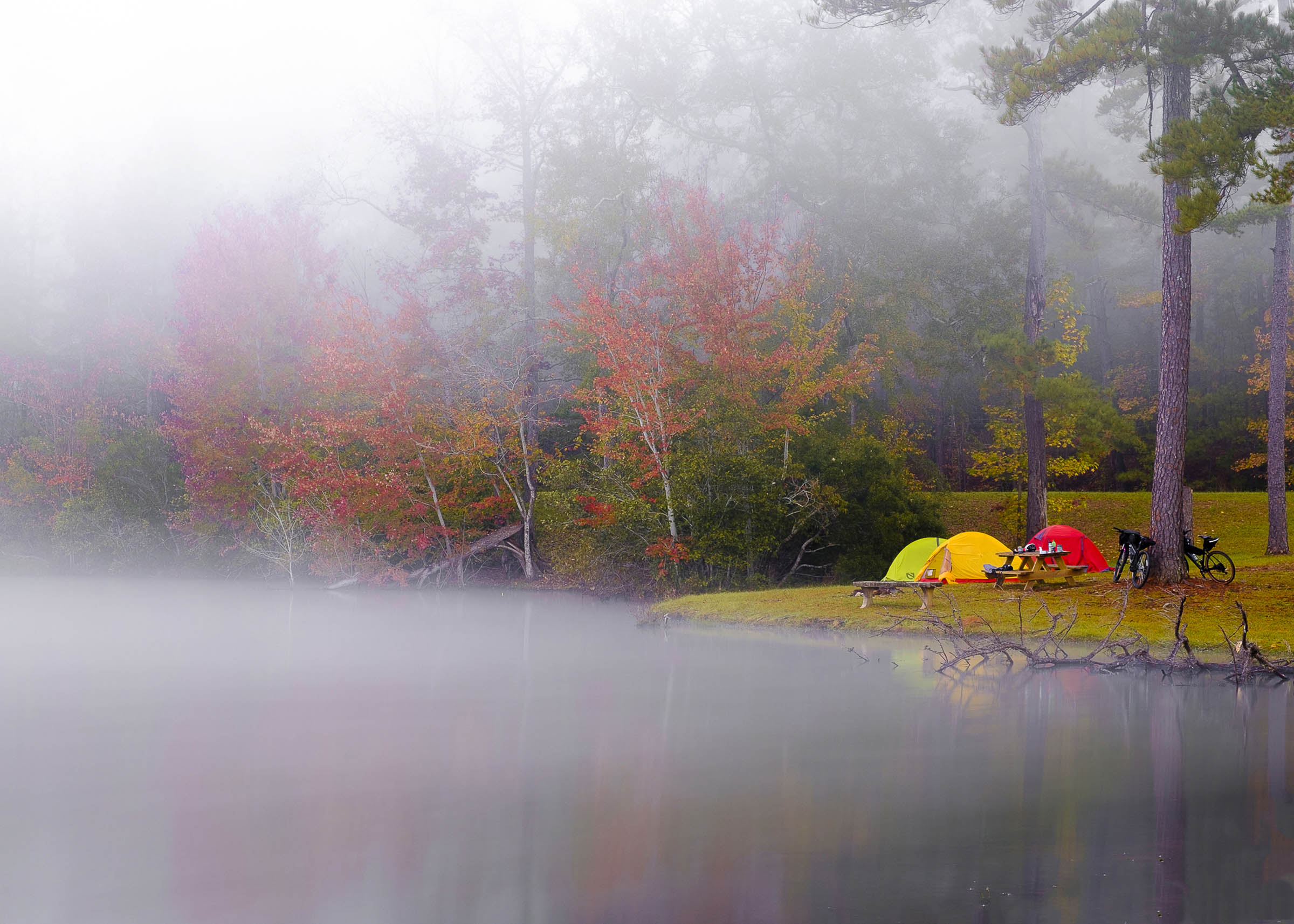
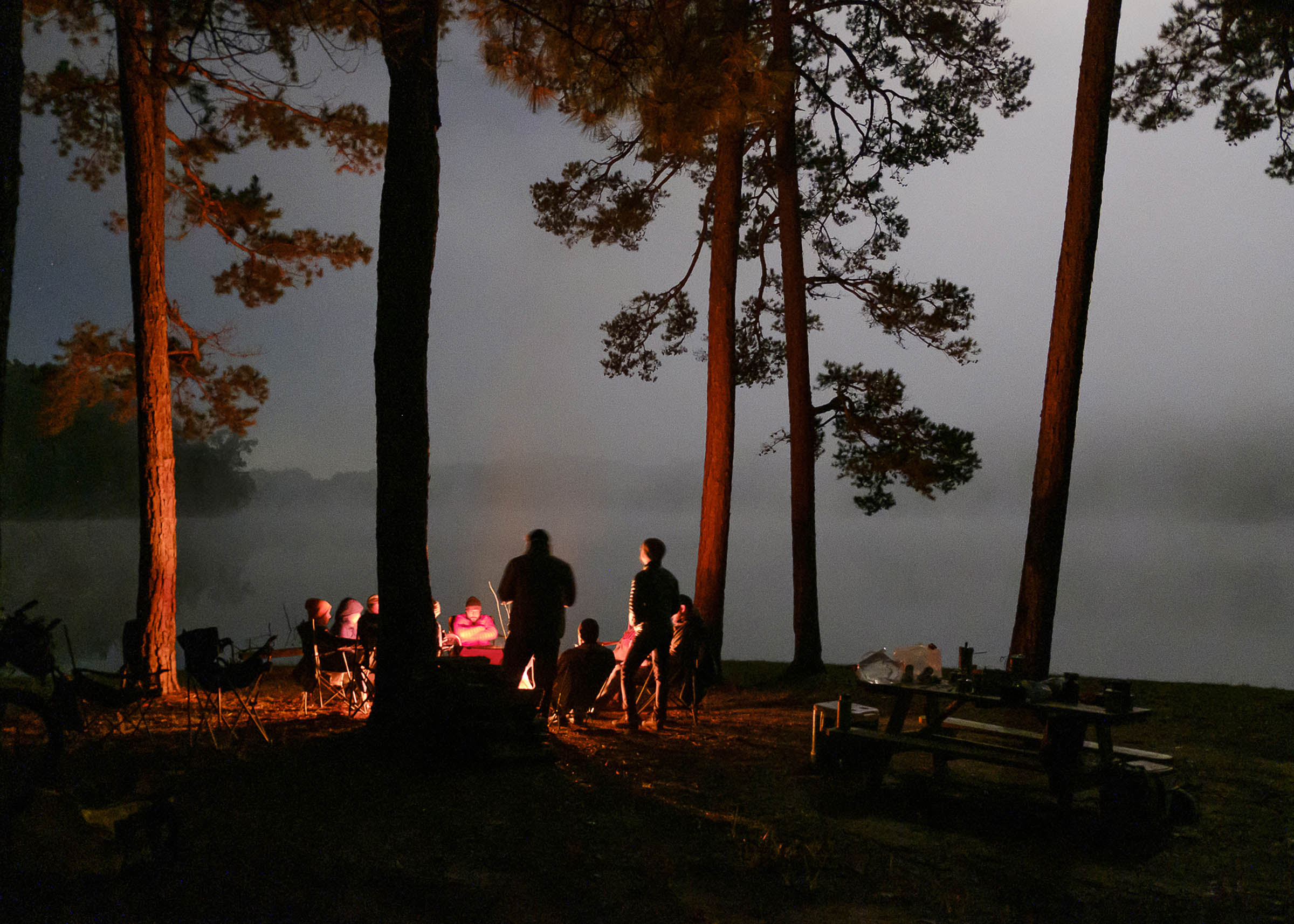
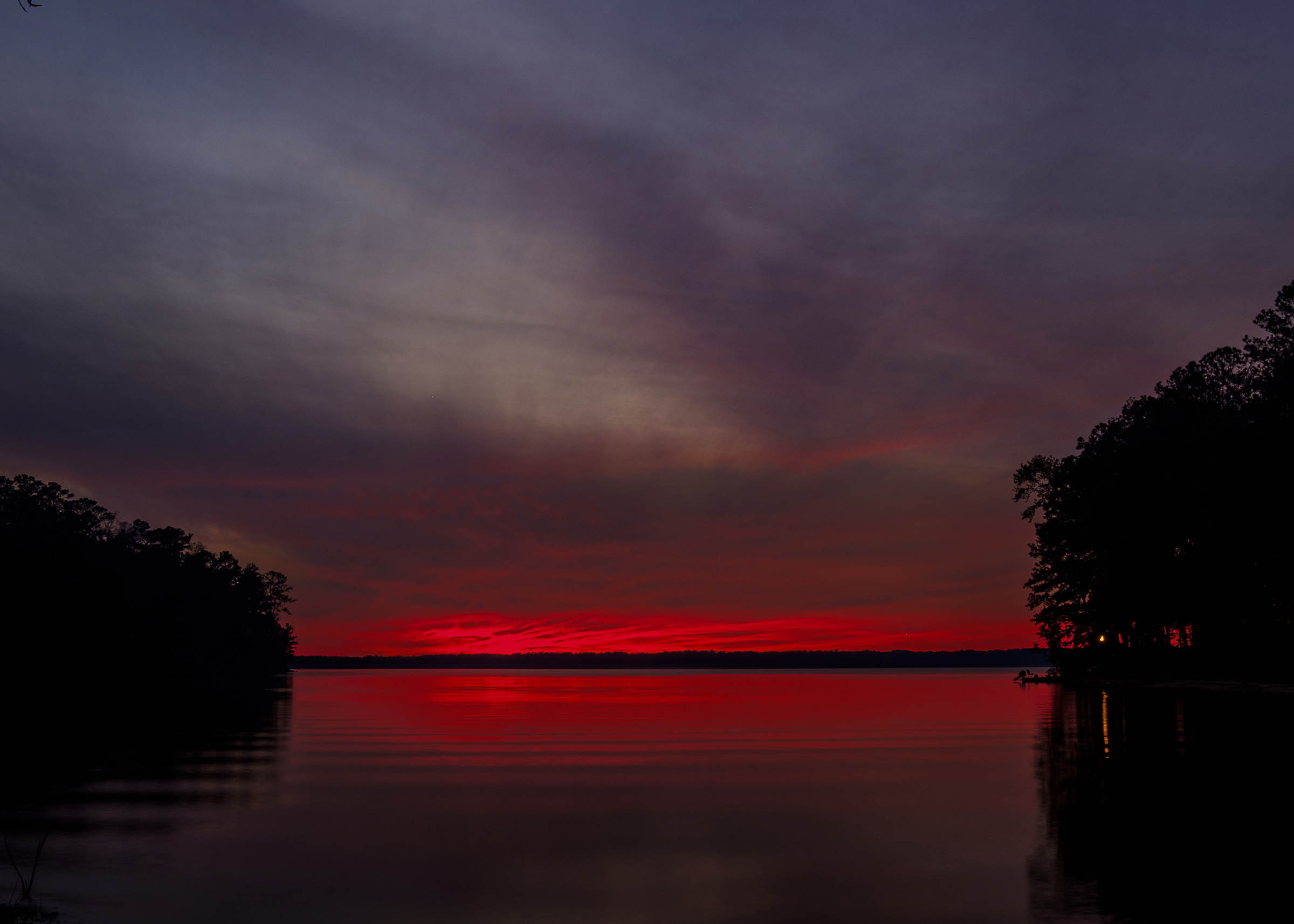
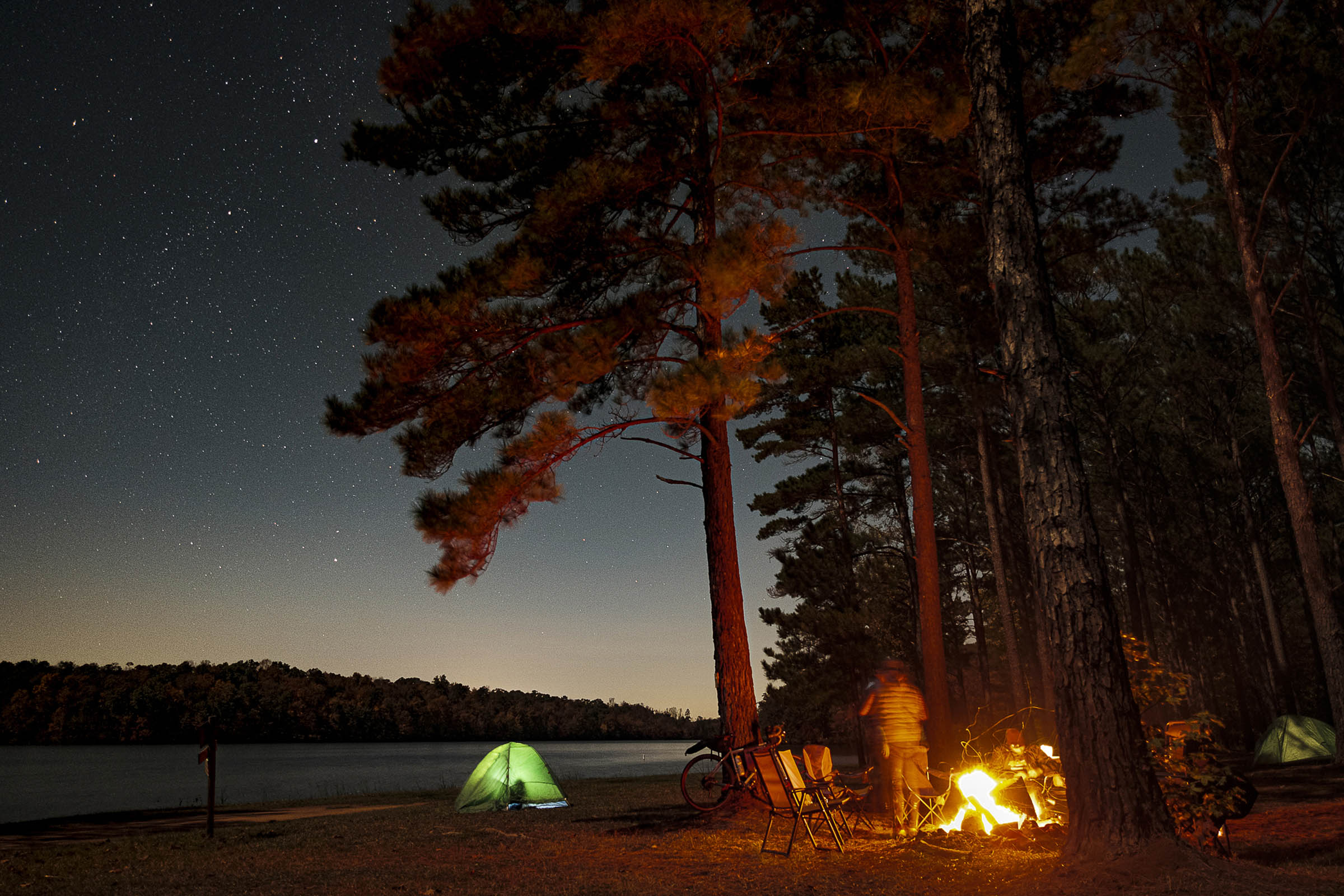
Camping at West Point Lake is a typical Corps of Engineers developed campground with electricity, water, showers, and neighbors. Almost all campsites are situated on the banks of the lake and the views of the sunset are typically excellent.
Day 2 (36 Miles)
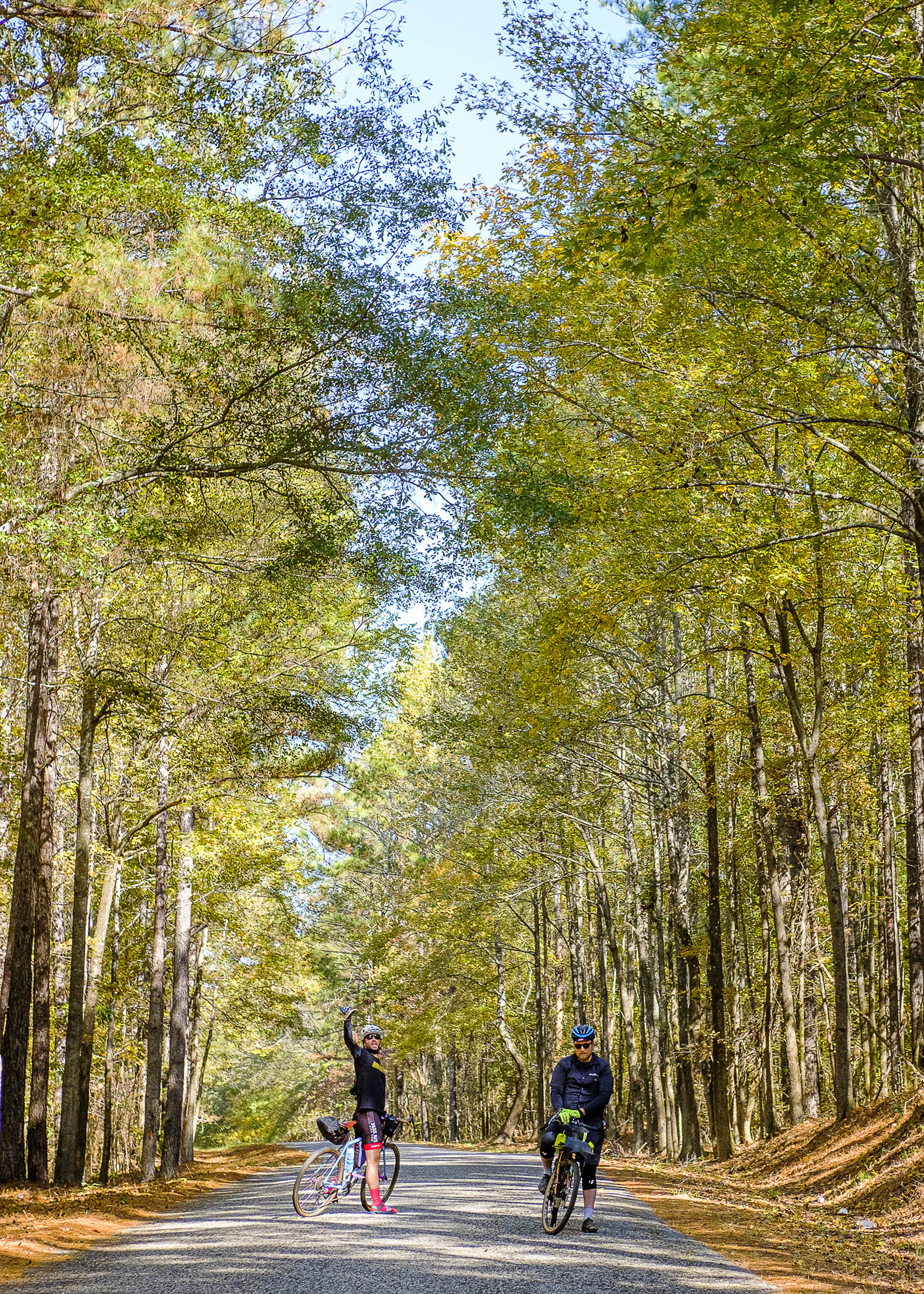
Day two takes a more direct route to the final destination, back to Opelika. The most challenging dirt road climbs are early in the day, leaving the remainder of the ride on rather flat-to-rolling roads through farmland and logging forests.


Terms of Use: As with each bikepacking route guide published on BIKEPACKING.com, should you choose to cycle this route, do so at your own risk. Prior to setting out check current local weather, conditions, and land/road closures. While riding, obey all public and private land use restrictions and rules, carry proper safety and navigational equipment, and of course, follow the #leavenotrace guidelines. The information found herein is simply a planning resource to be used as a point of inspiration in conjunction with your own due-diligence. In spite of the fact that this route, associated GPS track (GPX and maps), and all route guidelines were prepared under diligent research by the specified contributor and/or contributors, the accuracy of such and judgement of the author is not guaranteed. BIKEPACKING.com LLC, its partners, associates, and contributors are in no way liable for personal injury, damage to personal property, or any other such situation that might happen to individual riders cycling or following this route.
Please keep the conversation civil, constructive, and inclusive, or your comment will be removed.