


The Queen’s Ransom
Distance
233 Mi.
(375 KM)Days
4-6
% Unpaved
83%
% Singletrack
43%
% Rideable (time)
98%
Total Ascent
14,879'
(4,535 M)High Point
3,743'
(1,141 M)Difficulty (1-10)
8?
- 4Climbing Scale Fair64 FT/MI (12 M/KM)
- -Technical Difficulty
- -Physical Demand
- -Resupply & Logistics
Contributed By
John Schilling
Guest Contributor
John has been riding desert singletrack for decades after moving west for college. He has created routes for the Arizona Endurance Series, enjoys putting his tires on new dirt and routes, and has recently taken the race director duties of the Arizona Trail Race. When he’s not riding, he’s probably hike-a-biking some obscure trail on a route scouting mission. Follow John on Instagram at @schillingsworth and his blog.
Updated July 2026
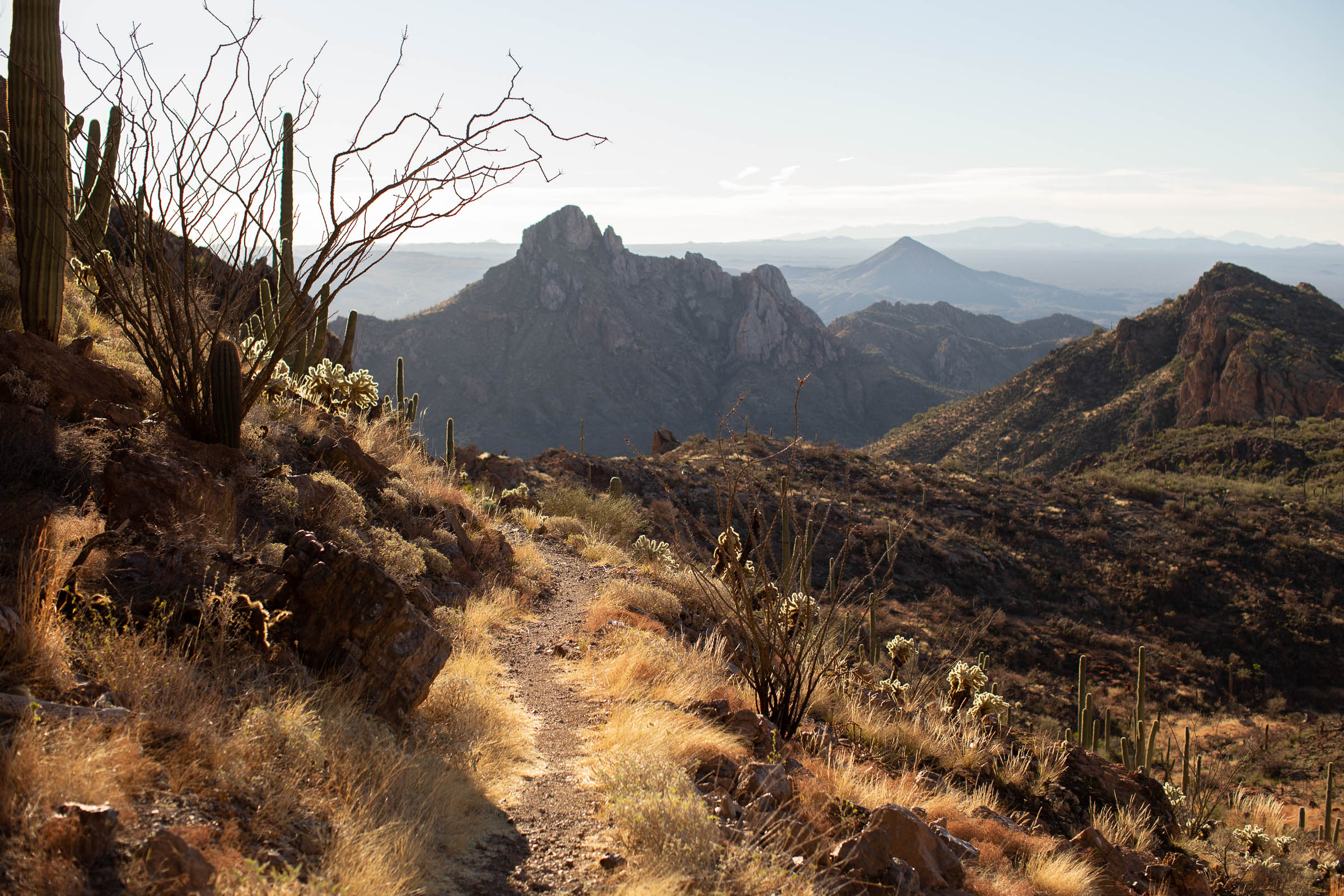
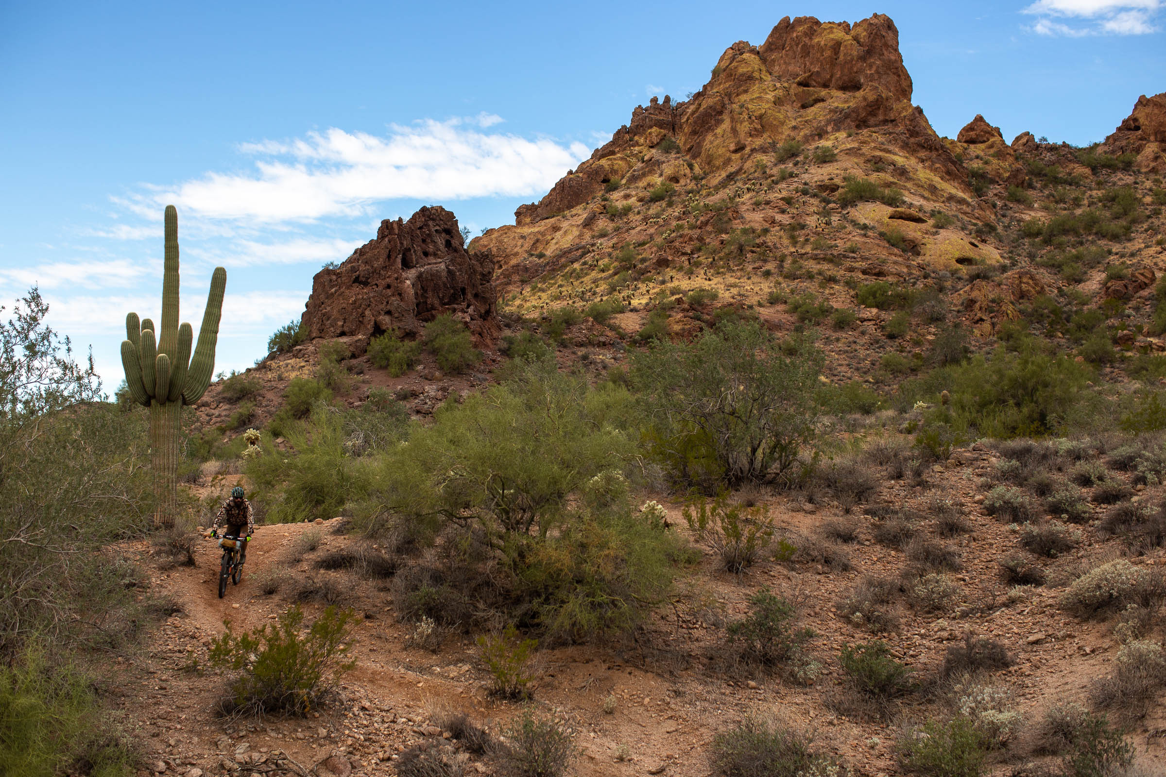
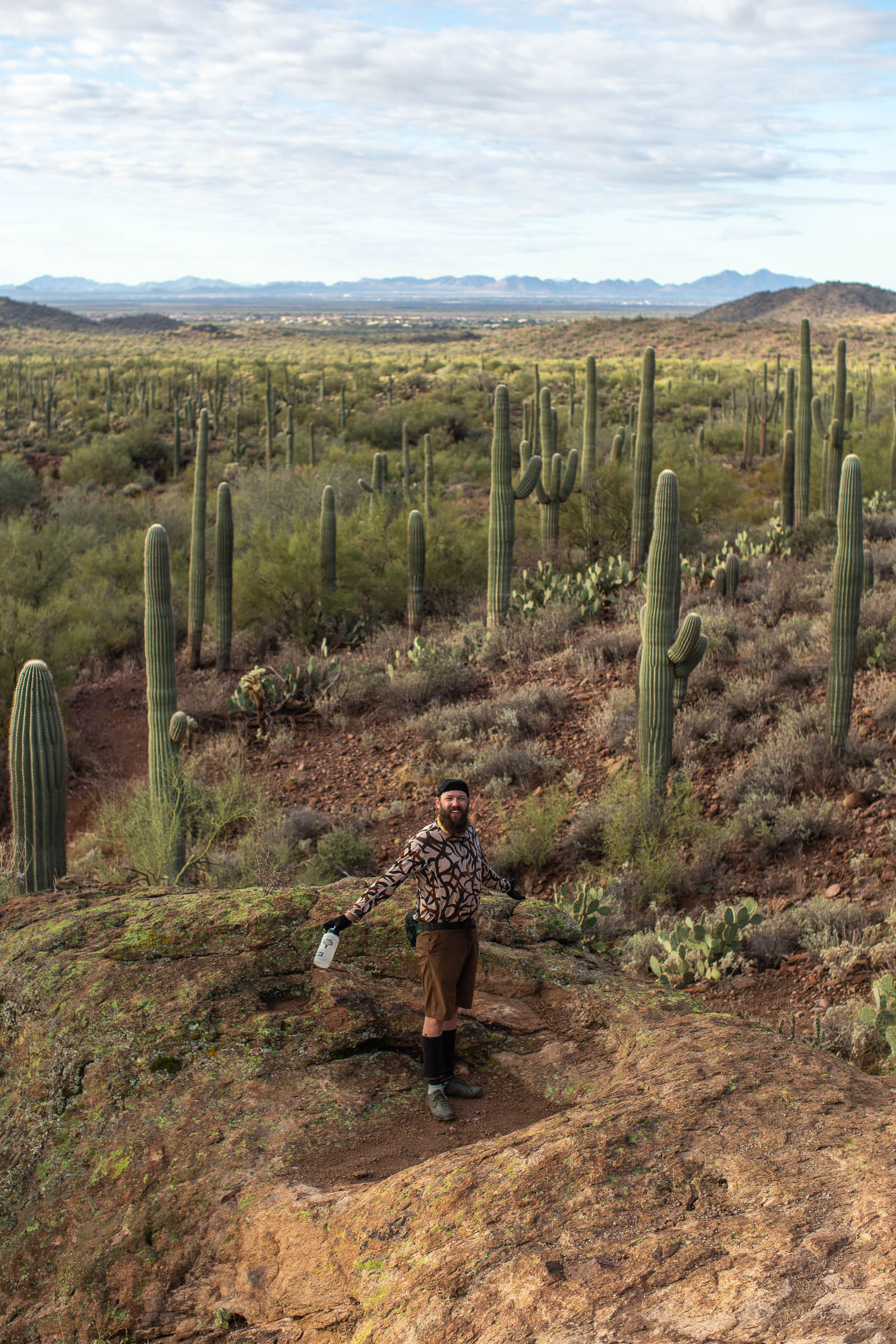
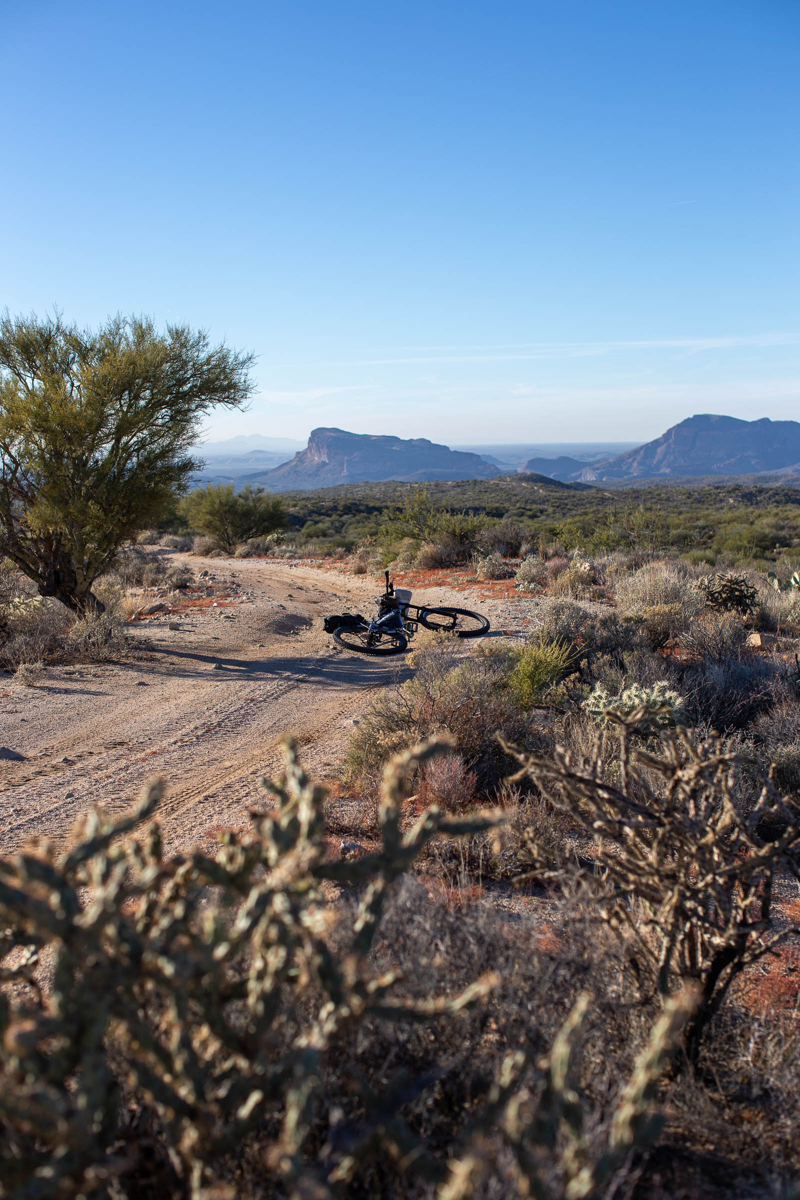
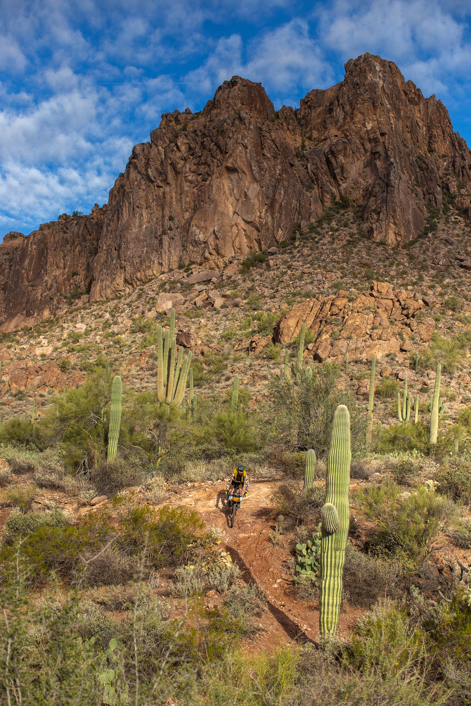
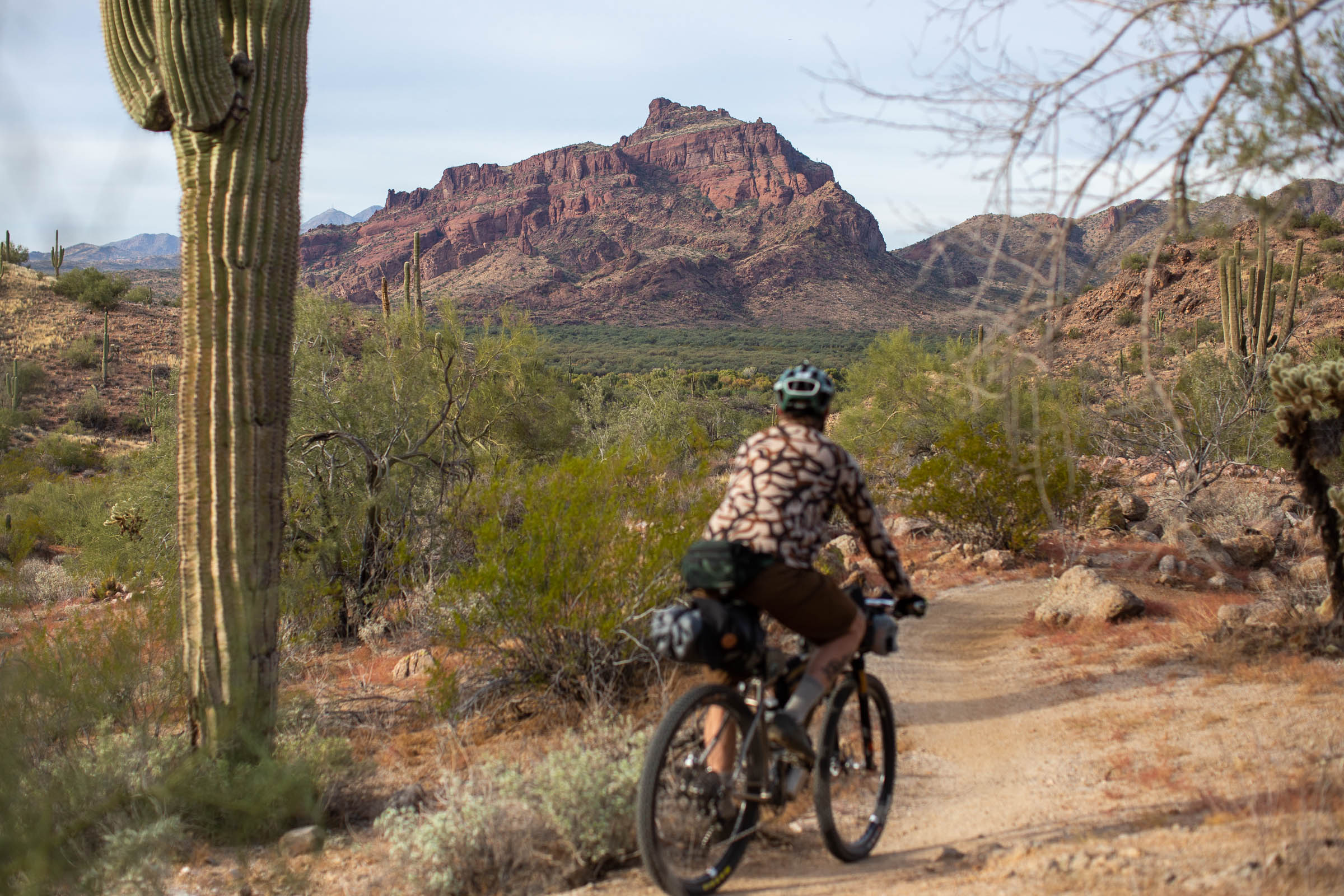
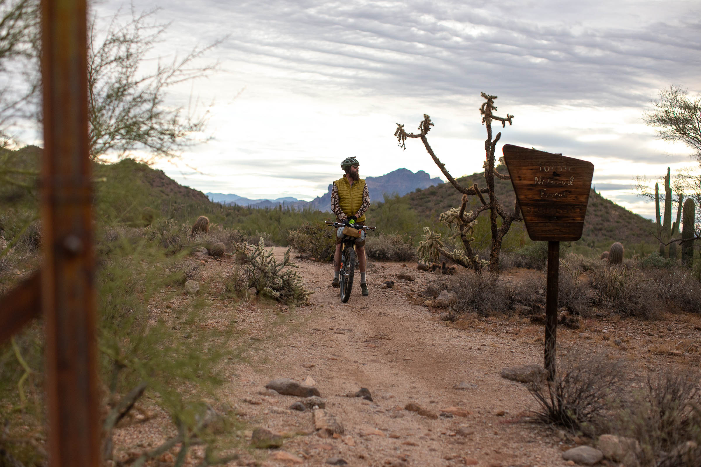
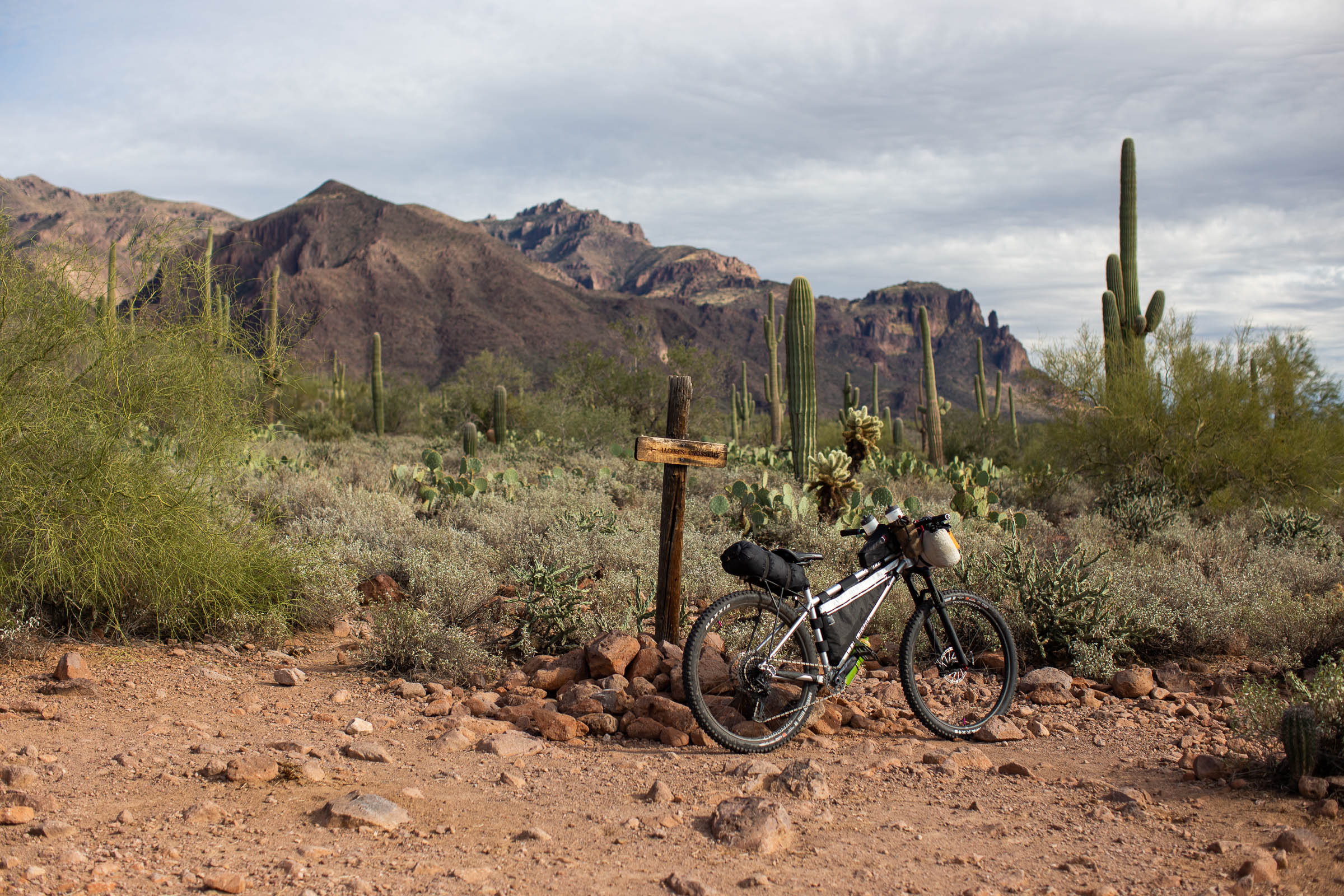
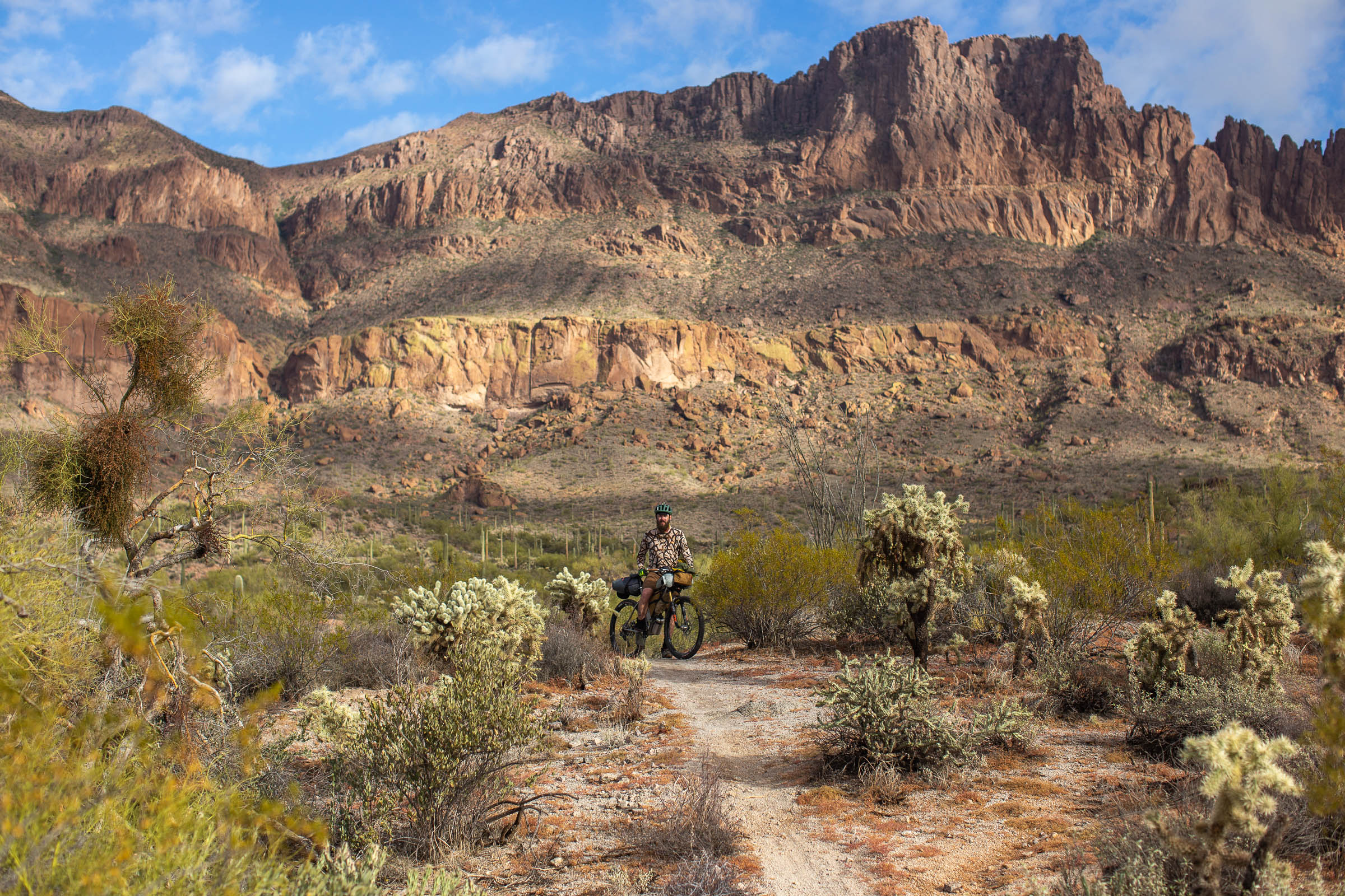
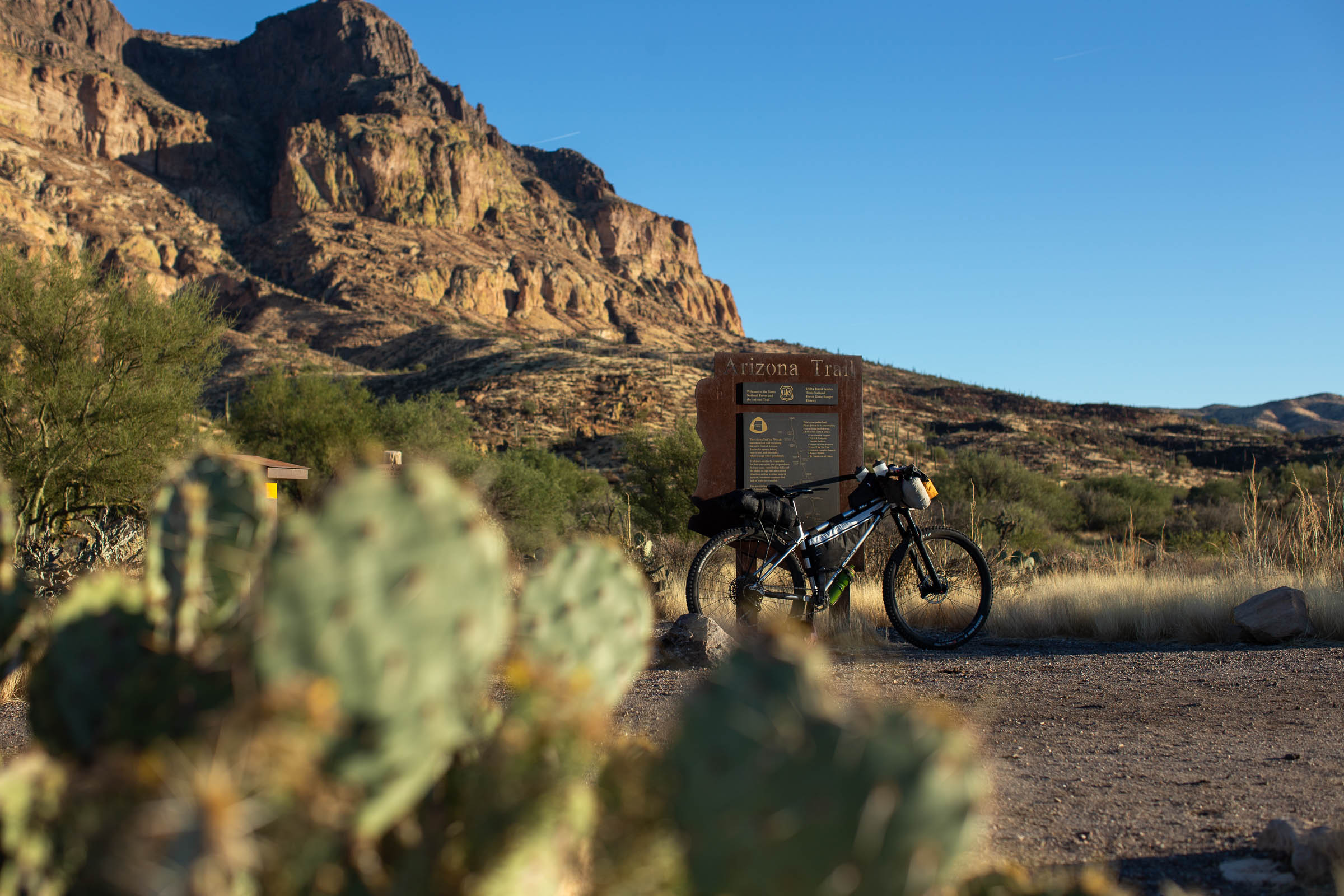
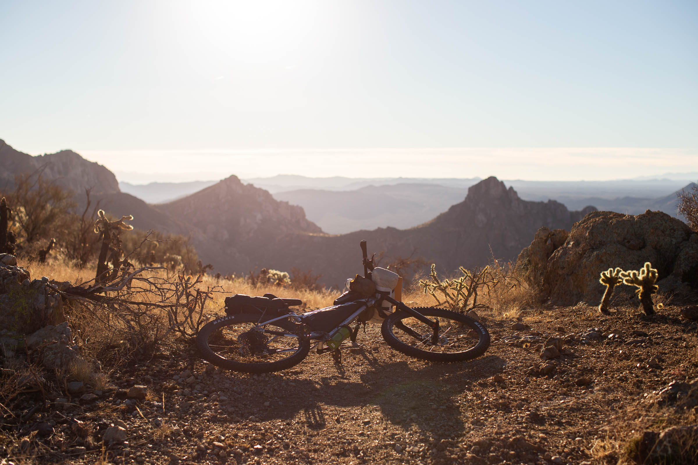
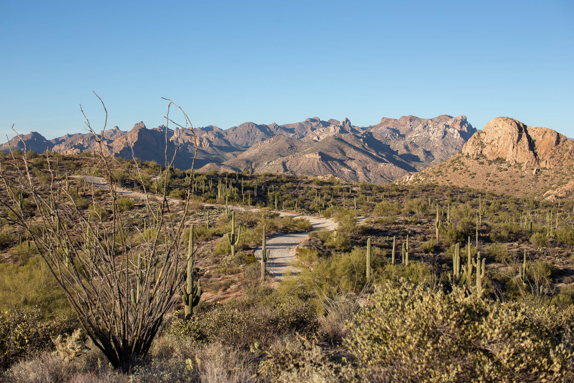
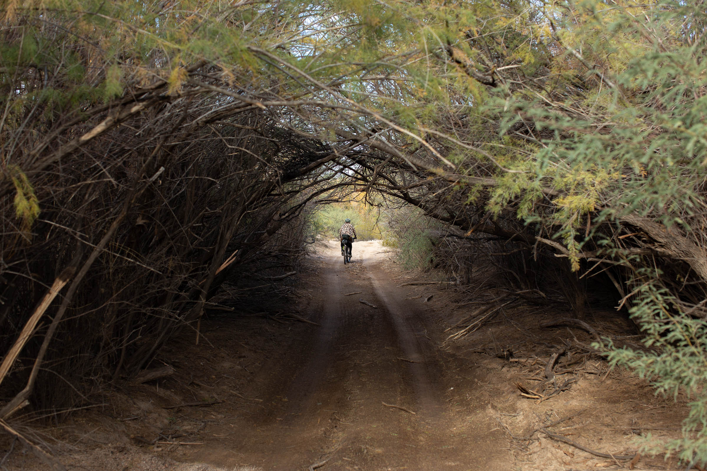
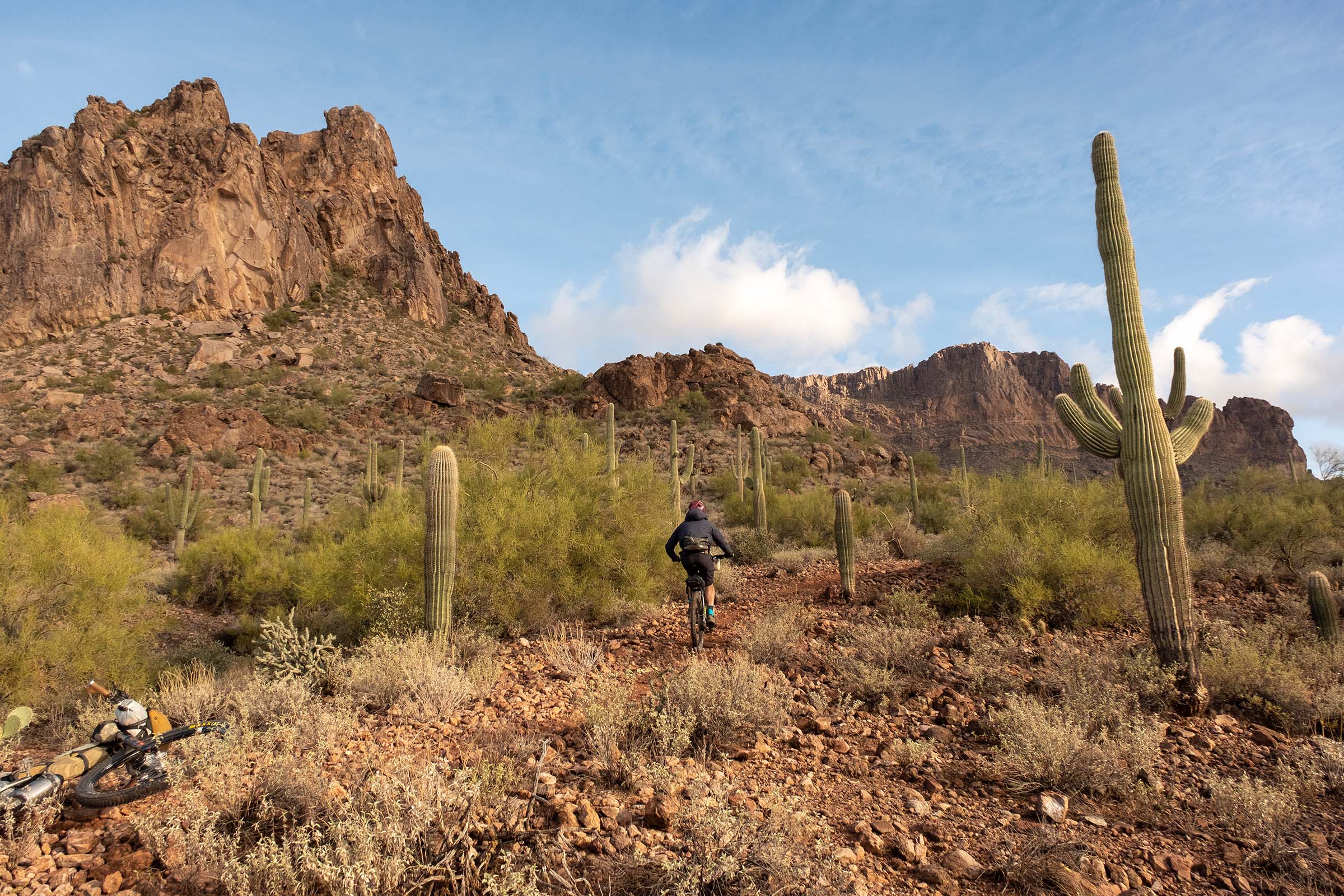
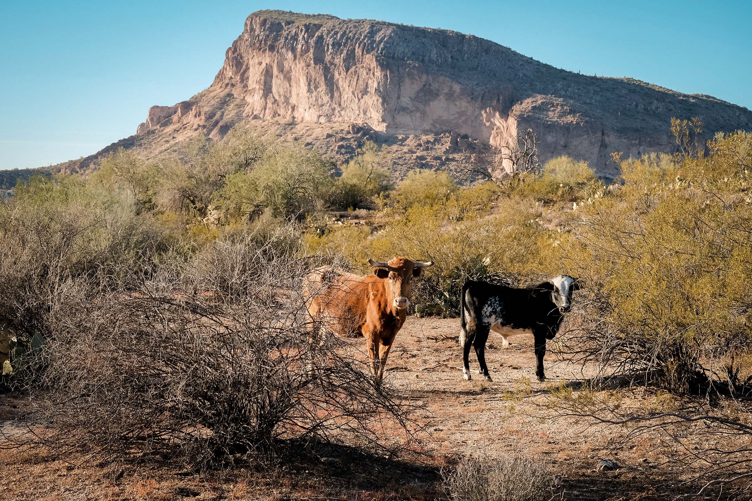
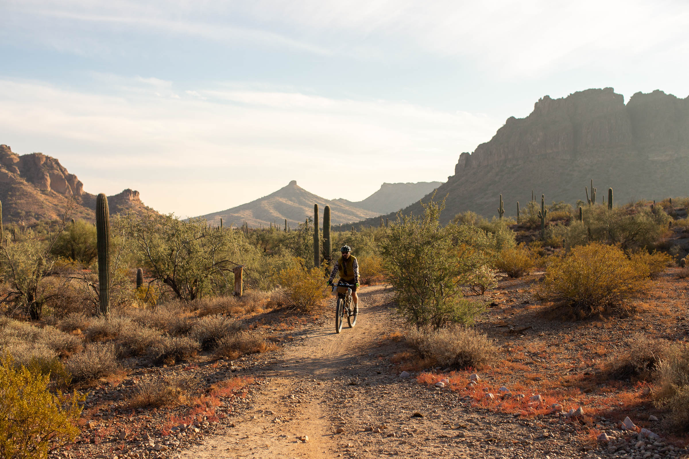
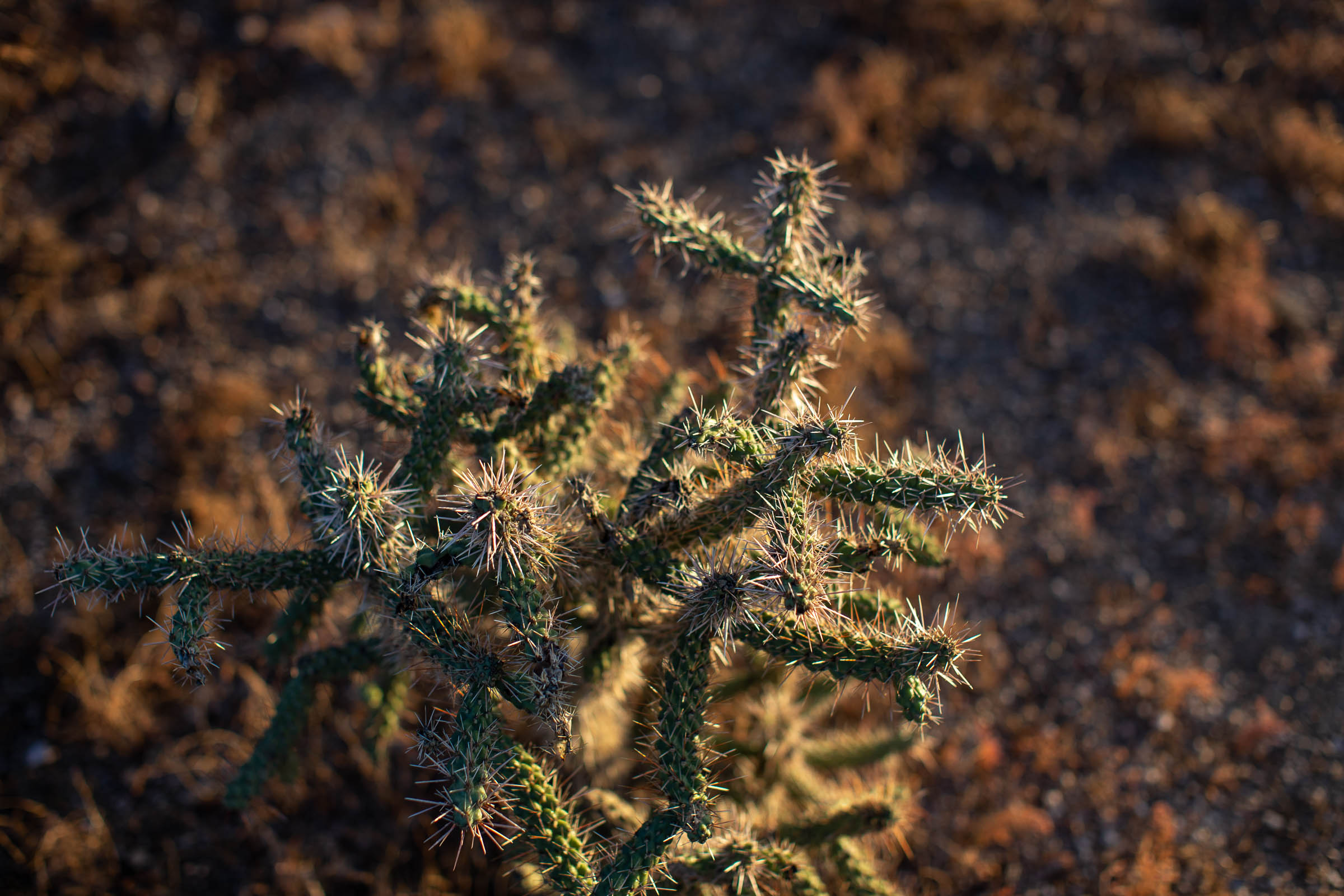
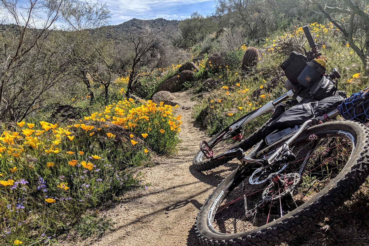
The Valley of the Sun lives up to its reputation with around 300 sunny days per year. It also boasts a variety of trail systems circling the Phoenix metro area; some of the more popular ones are located in the East Valley. The Queen’s Ransom route ties these areas together using dirt wherever possible throughout the vast areas of public land available for recreation. The Arizona National Scenic Trail (AZT) is incorporated into the route and is one of the most amazing stretches of the entire 800-mile trail. The Sonoran Desert’s beauty is on full display here, and towering cliffs, deep canyons, saguaro, cholla, and prickly pear cacti are everywhere. You may be lucky enough to spot a rare Gila monster or javelina roaming around, too.
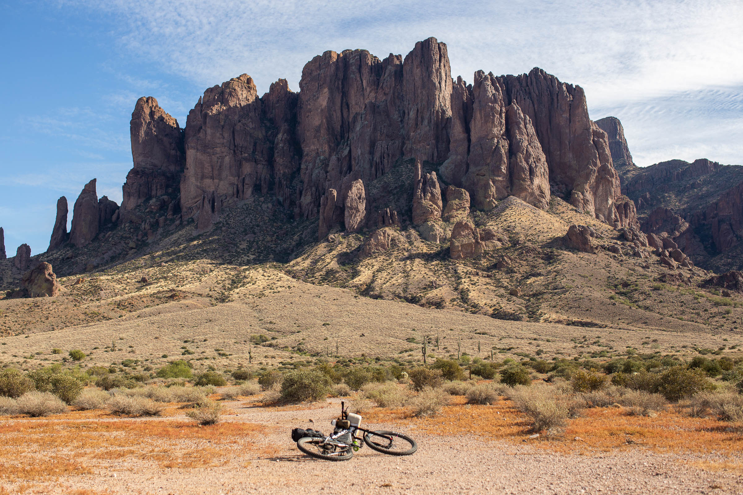
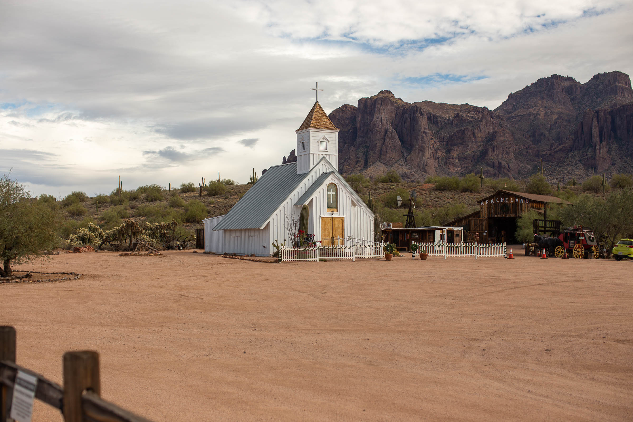
The region is rich in mining history and lore tied to the Superstition Mountains. Riders can visit ghost towns, see relics from days gone by, and perhaps even pan for gold. Hiking opportunities abound in the Superstitions if taking an extra day or two, and since the majority of the route travels through state trust and BLM land, finding a place to pitch a tent isn’t much of a chore.
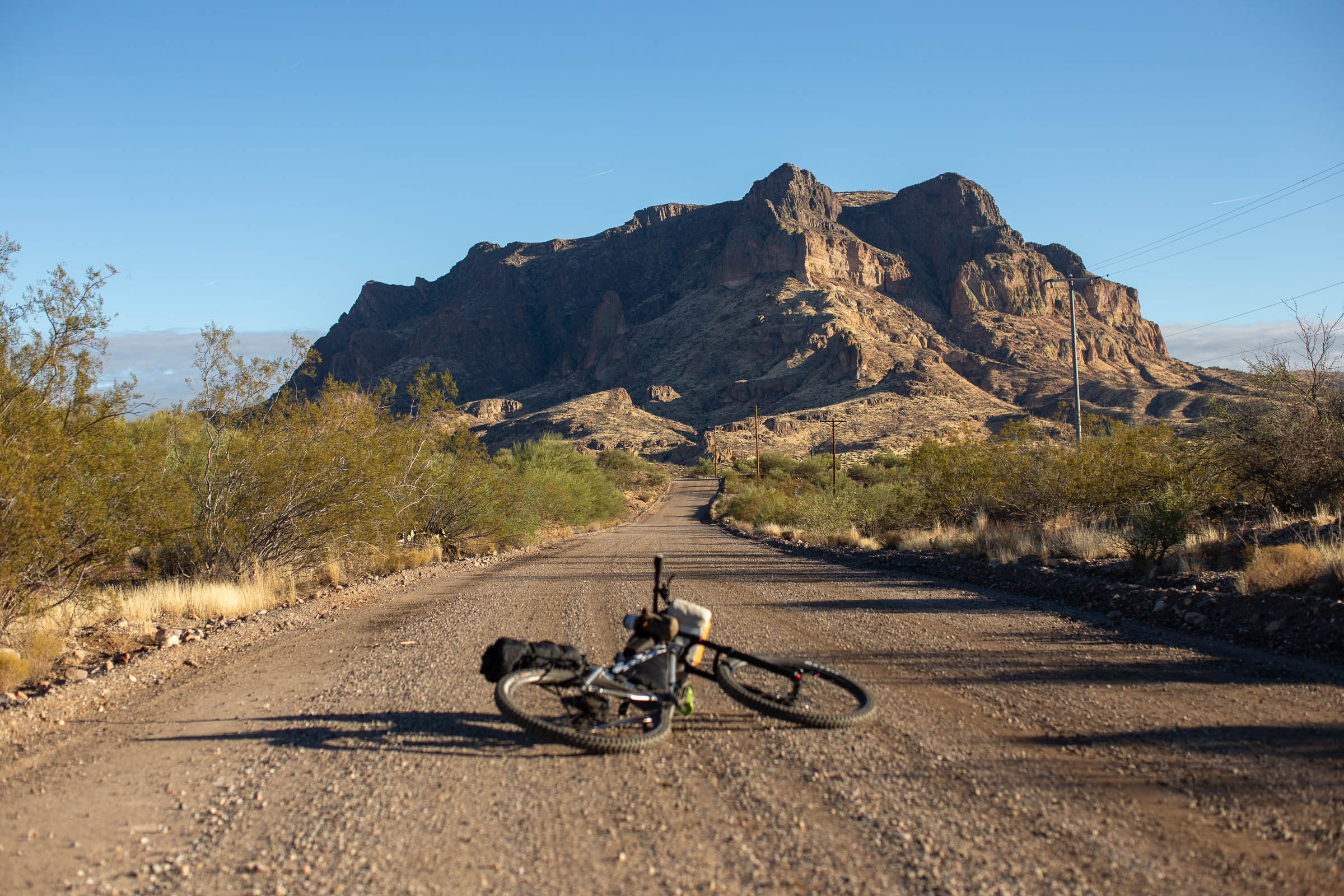
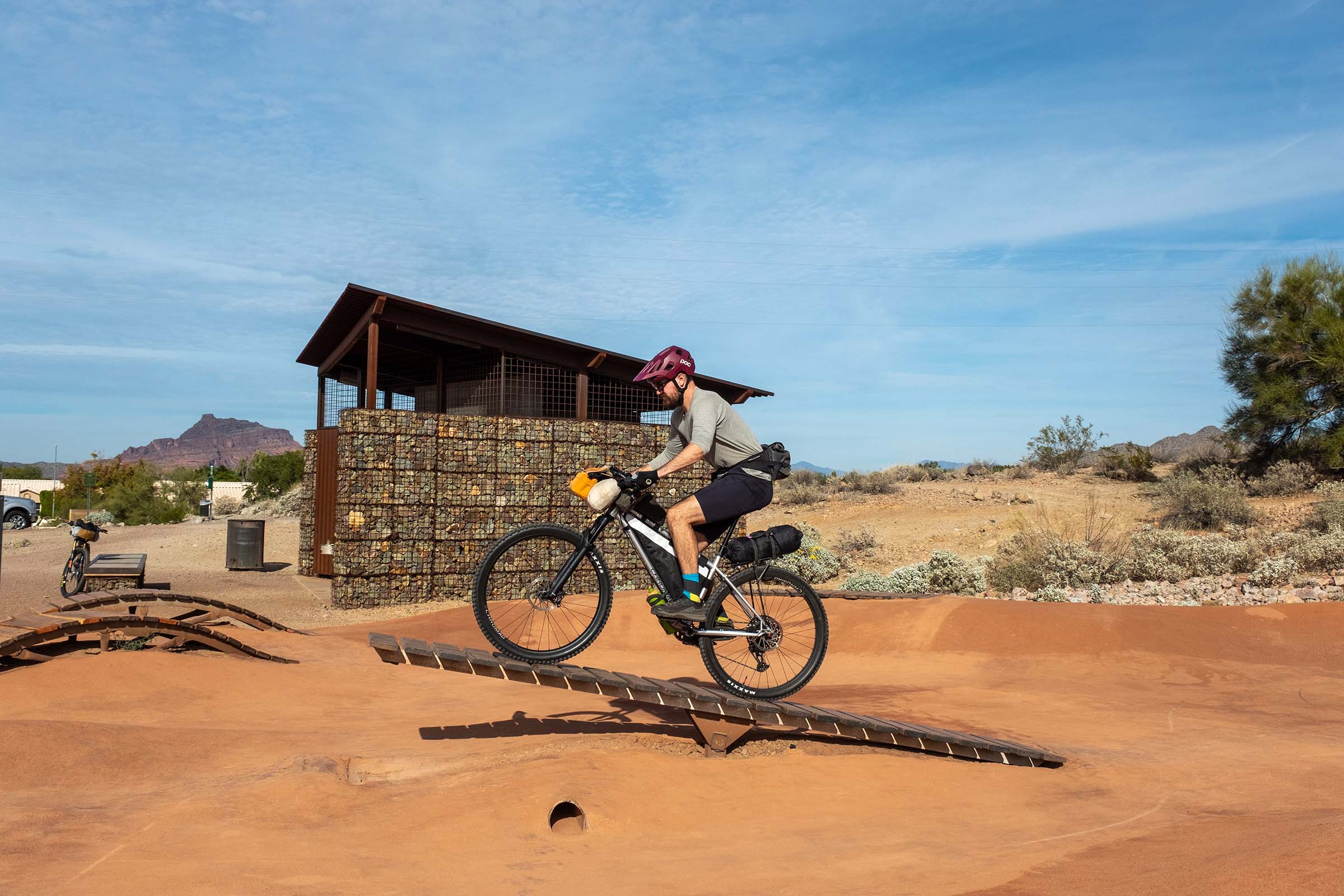
The route begins at the Mesa Gateway Airport and takes riders along one of the city’s many canals before joining singletrack. Riders are then guided around the northeast side of the valley on a series of singletrack connections. Rugged jeep roads are mixed in as the route winds its way toward the Arizona Trail. On the south side of the Gila River, the route generally follows dirt roads through the town of Florence before reaching the trails at San Tan Regional Park. An easy flat few miles wrap up the route back at Gateway Airport.
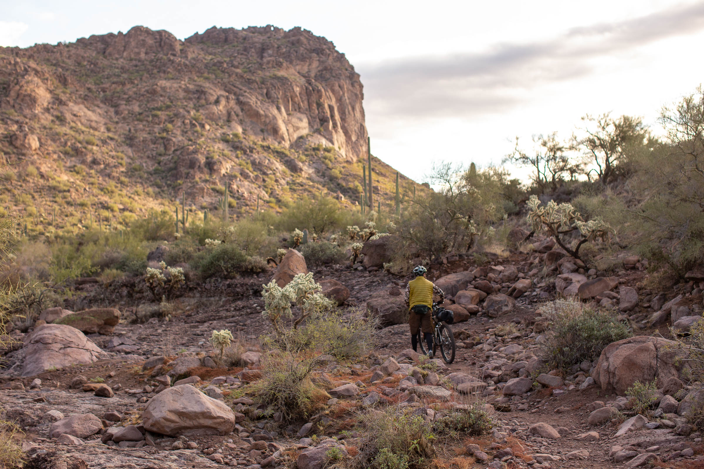
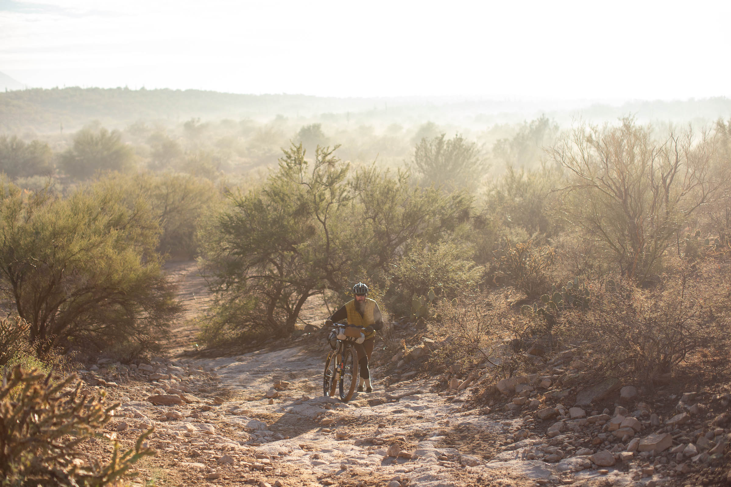
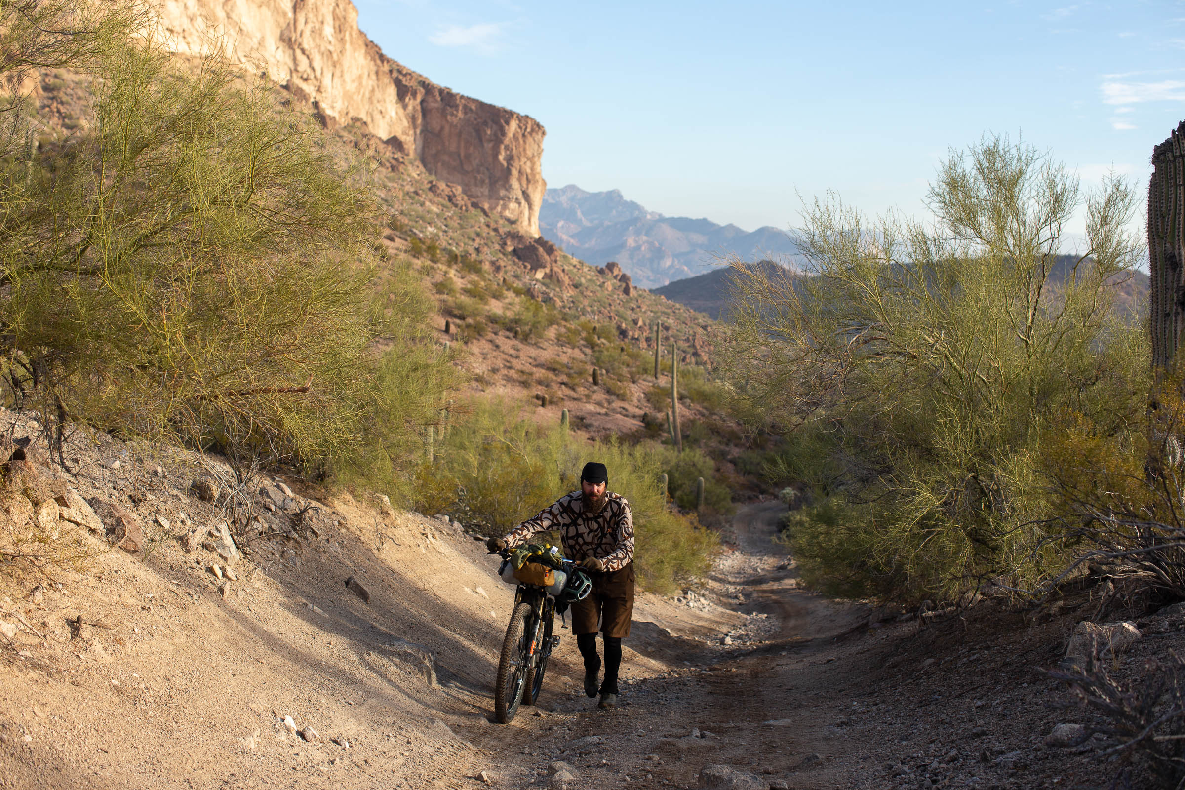
While there are close to 100 relatively flat miles on the Queen’s Ransom route, this is by no means an easy ride. The other 130 miles are demanding, rugged, and require your full attention. Gaps between resupply can be lengthy on sections of the route and riders may require more water than normal due to the dry desert climate. If you’re looking for an incredibly rewarding but challenging desert ride, The Queen’s Ransom should be at the top of your list.
Difficulty
This is a mountain bike route that’s not suitable for gravel bikes. Some of the singletrack is very technical and in remote locations. As such, there’s some risk that should be acknowledged before setting out. There are sandy sections of the route that can normally be ridden, but may have to be walked if it hasn’t rained in a while. Water sources are available but scarce, so do your research. It’s crucial to plan ahead and pack accordingly.
Route Development: This route stemmed from a personal challenge to create a bikepacking loop using as much of the local area singletrack as possible. I also wanted to keep the riding fun and challenging. There was a lot of open space to navigate, and I wanted to keep as much of this route off-pavement as possible. It took a few tries to figure some areas out, but in the end it all came together. It’s challenging enough to serve as a training ride for longer trips on the Arizona Trail, but being a loop makes it a little easier to plan.


Submit Route Alert
As the leading creator and publisher of bikepacking routes, BIKEPACKING.com endeavors to maintain, improve, and advocate for our growing network of bikepacking routes all over the world. As such, our editorial team, route creators, and Route Stewards serve as mediators for route improvements and opportunities for connectivity, conservation, and community growth around these routes. To facilitate these efforts, we rely on our Bikepacking Collective and the greater bikepacking community to call attention to critical issues and opportunities that are discovered while riding these routes. If you have a vital issue or opportunity regarding this route that pertains to one of the subjects below, please let us know:
Highlights
Must Know
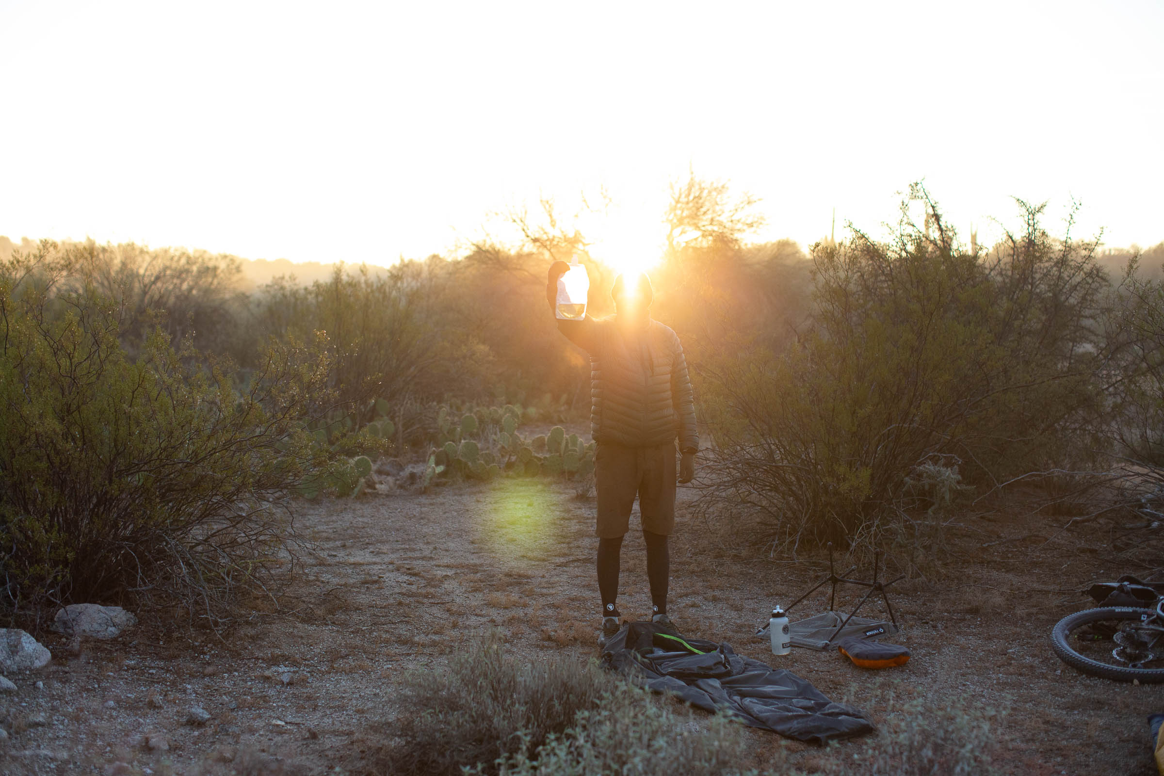
Camping
Food/H2O
Trail Notes
Resources
- The Sonoran Desert: Ride among the giant saguaro cacti that call this region home. Time your ride right and you may catch a wildflower bonanza (typically late February to early March in wet falls/winters)
- Mining history & lore: Lost Dutchman Gold in the Superstition Mountains, plus other large mining strikes nearby in the Goldfield Ghost Town.
- Massive Open Pit Ray Mine near Kelvin is an operating copper mine.
- The Arizona National Scenic Trail: Ride one of the best segments of the entire trail between Picketpost Trailhead and Kelvin through the picturesque Martinez Canyon.
- Gila River: It’s flowing water in the desert… that’s always a treat!
- Linking popular urban trail systems together, including Hawes, Usery Mtns., Goldfield Mtns., Gold Canyon and San Tan Mtn. Park.
- Singletrack! Lots of it.
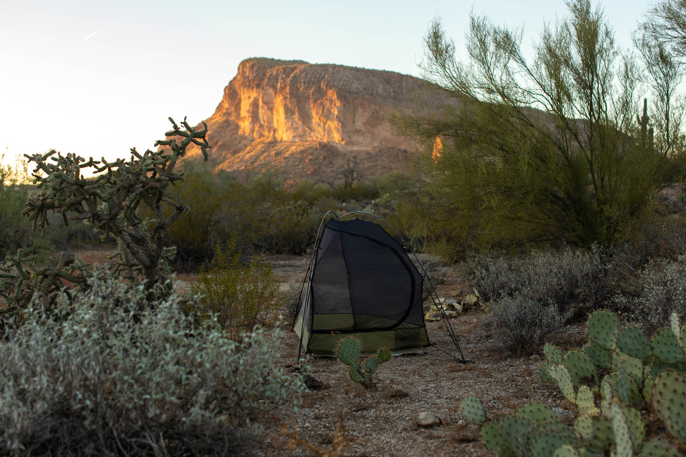
- Warmth in the winter and cowboy camping under the stars.
- When to ride: Late October through early April (daytime temps under 80). Keep an eye on the forecast as temps can often spike into the 90s even during this window. If wet, there are some areas that would be unrideable, namely the Goldfield Mtns.
- Ideal Bike: A hardtail or full-suspension mountain bike with wide-range gearing for the short steep climbs is reccomended. A good tubeless setup is a must in this prickly environment. There aren’t many bike shops after the first day, so be sure your setup is in good working condition and your repair kit is dialed.
- Route Direction: The loop is designed to be ridden clockwise. It’s reccomended to use some form of navigation, preferably a route loaded on a handlebar-mounted GPS device zoomed in to 200-foot intervals, as there are many turns that can easily be missed.
- Getting There: Phoenix-Mesa Gateway Airport (AZA) is the start/finish of the route. Paid overnight parking is available on the north side of the airport along Ray Rd., and shuttle services are available from Phoenix Sky Harbor International Airport (PHX) as well.
- The route requires an Arizona State Land Recreational Permit. Get one here.
- There is a $5 cash fee for entry into San Tan Regional Park.
- Most of the route has dispersed camping options available. Tonto National Forest, Bureau of Land Management (BLM) are free, no permit required. State Trust Land requires a Recreational Permit that is available to purchase online (see Additional Resources). Miles 69 – 87 are State Trust Lands (Gold Canyon to Queen Valley).
- There are a couple of designated camping areas including Usery Mountain Regional Park and Lost Dutchman State Park. All require advanced reservations and are fee-based.
- Hotels/Motels are also available on route or nearby in Apache Junction, Gold Canyon, Superior, and Florence.
- There is major shopping and retail available near the start of the route.
- Grocery stores are along the route in Gold Canyon, Superior, and Florence.
- Reliable water sources are along the route but carry a filter. Water can be found at Desert Trails Park, Pass Mtn. Trailhead, Goldfield Ghost Town (slightly off-route), Lost Dutchman State Park (slightly off-route), Gold Canyon, Superior, ATA Rain Collector (use filter here), Gila River (use sparingly as it’s downstream from heavy mining activity), Kelvin, Florence, San Tan Mtn. Park Visitor Center (slightly off-route), and Desert Mountain Park.
- De La Cruz Mexican Grille in Gold Canyon has a nice outdoor patio, scenic views, and good food.
- Los Hermanos in Superior has great mexican fare and is locally owned.
- Florence Cafe in Florence offers breakfast and lunch options.
- Two fantastic choices in Queen Creek to celebrate your Queen’s Ransom finish are Old Ellsworth Brewing Co., featuring their own brews, other local brews, and a nice mix of food offerings, as well as Creek Side Taco Shack, which has great atmosphere, outside seating, outdoor games, beer selections and of course, tacos!
- Tubeless is a must. Cactus spines are everywhere. Be sure to carry extra sealant as well.
- The first 20 miles are along the vast canal system of Phoenix. You will see “No Trespassing” signs, but that is to deter motorized travel, fishing, etc. Bicycles and pedestrians are allowed to use on the gravel canal banks. Do not ride on the adjacent paved access roads.
- The Trailforks app can be helpful if you want any bonus miles while riding through system trails such as Hawes, Gold Canyon, or San Tan Regional Park.
- The longest stretch without food resupply is 76 miles between Superior and Florence. Plan ahead and be prepared.
- A five-day, self-paced group ride is held annually where riders navigate on their own each day, but everyone camps together. The group start is typically held at the end of February or the beginning of March and is capped at 30 riders. Some SAG support is provided for the group ride only. Sign-up sheet is posted via Instagram and Facebook pages (see Additional Resources).


Terms of Use: As with each bikepacking route guide published on BIKEPACKING.com, should you choose to cycle this route, do so at your own risk. Prior to setting out check current local weather, conditions, and land/road closures. While riding, obey all public and private land use restrictions and rules, carry proper safety and navigational equipment, and of course, follow the #leavenotrace guidelines. The information found herein is simply a planning resource to be used as a point of inspiration in conjunction with your own due-diligence. In spite of the fact that this route, associated GPS track (GPX and maps), and all route guidelines were prepared under diligent research by the specified contributor and/or contributors, the accuracy of such and judgement of the author is not guaranteed. BIKEPACKING.com LLC, its partners, associates, and contributors are in no way liable for personal injury, damage to personal property, or any other such situation that might happen to individual riders cycling or following this route.
Please keep the conversation civil, constructive, and inclusive, or your comment will be removed.