


Red Feather Ramble
Distance
161 Mi.
(259 KM)Days
2-3
% Unpaved
70%
% Singletrack
0%
% Rideable (time)
100%
Total Ascent
13,935'
(4,247 M)High Point
10,282'
(3,134 M)Difficulty (1-10)
5?
- 6Climbing Scale Moderate87 FT/MI (16 M/KM)
- -Technical Difficulty
- -Physical Demand
- -Resupply & Logistics
Contributed By
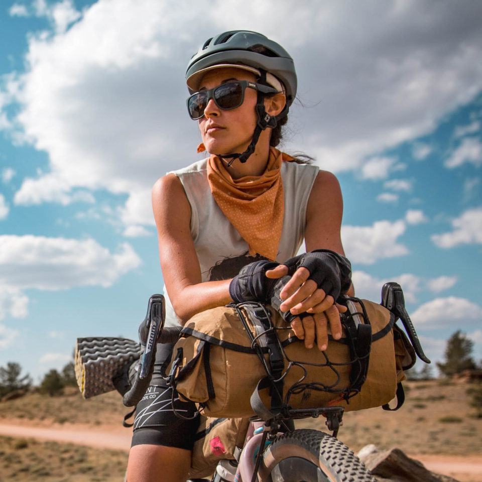
Hailey Moore
Guest Contributor
Originally from North Carolina, Hailey has called Boulder, CO, home for the last five years. She works as a writer and enjoys many forms of movement including cycling (preferably with bags strapped to her bike), running, and climbing. You can see what she’s up to on instagram @hailey.m.moore.
Photos by Aaron LaVanchy (@aaronlavanchy)
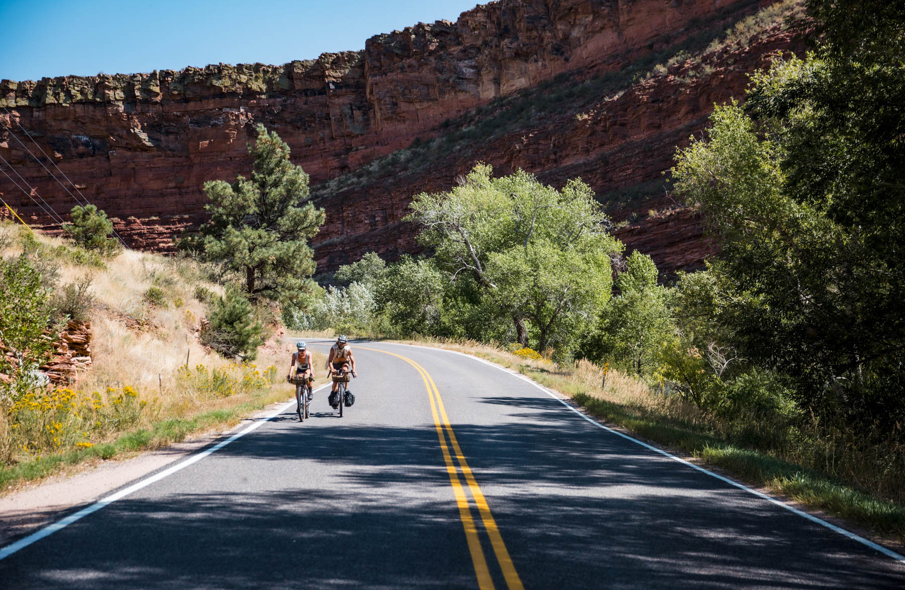
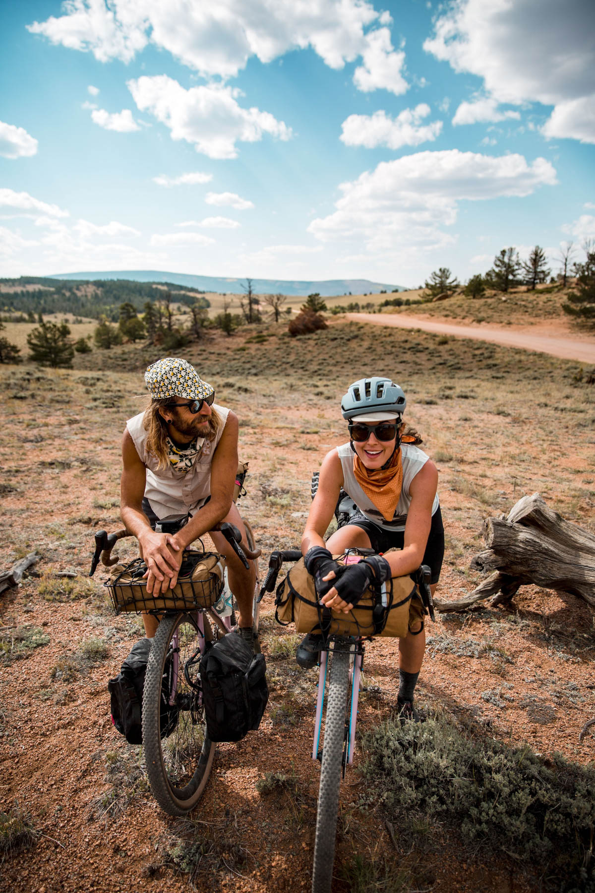
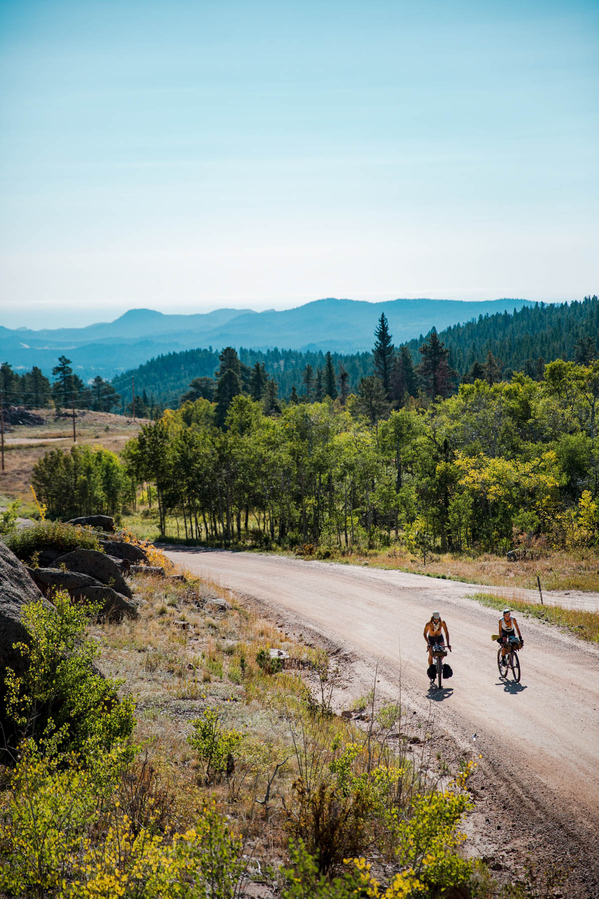
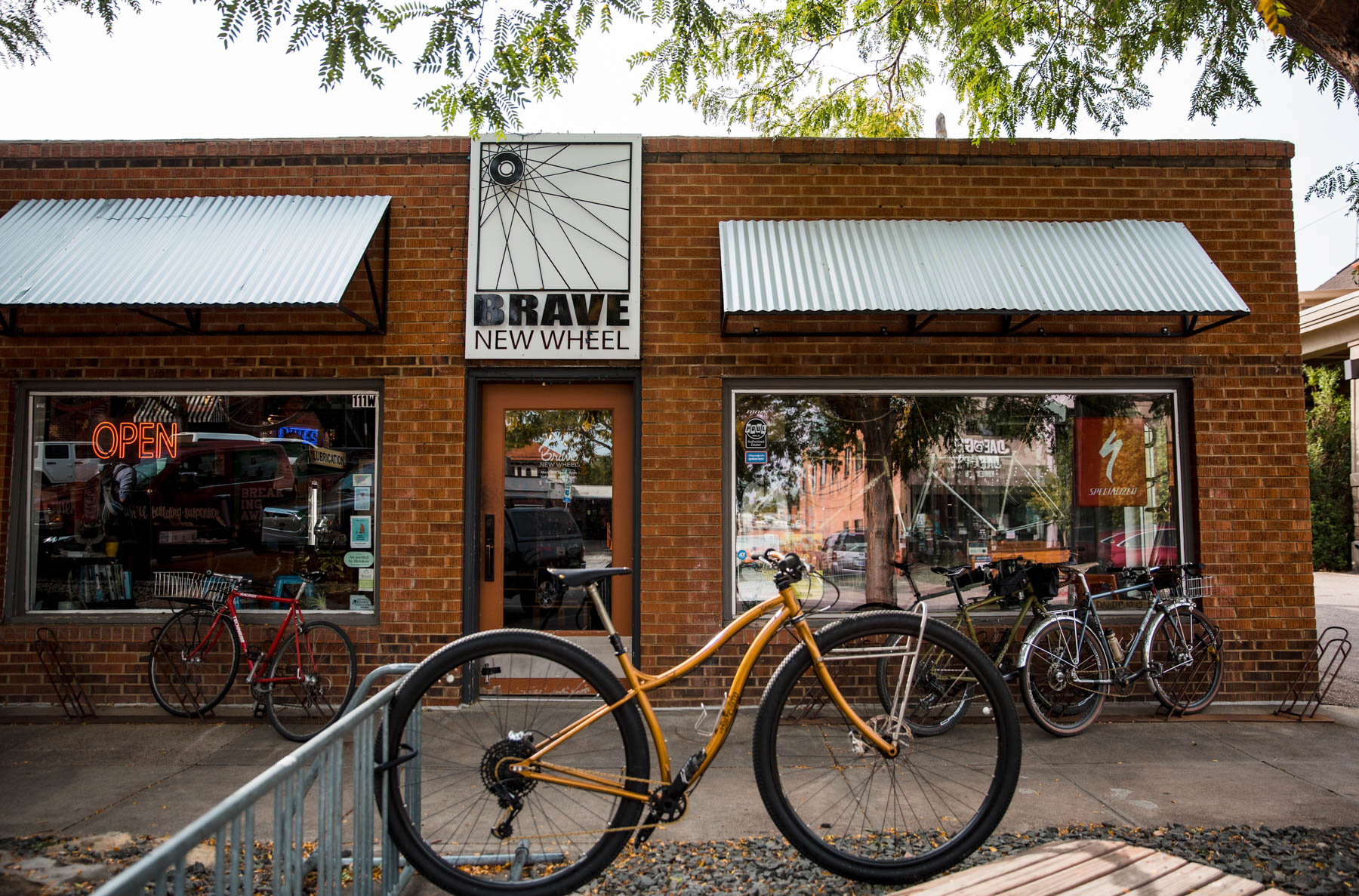
The Red Feather Ramble provides riders with an accessible, weekendable route that showcases one of the lesser-hailed but equally beautiful regions of the state of Colorado! Staging from Fort Collins, a college town with a thriving bike scene, offers all of the amenities of a large urban area before setting out. Fort Collins is also home to big beer names. New Belgium and Odell Brewing, along with Equinox, Funkwerks, a Crooked Stave taproom, and a whole host of other smaller craft breweries provide plenty of post-tour celebratory pub options. The route takes riders through several distinct sections that show off the variability of terrain that the Foothills have to offer.
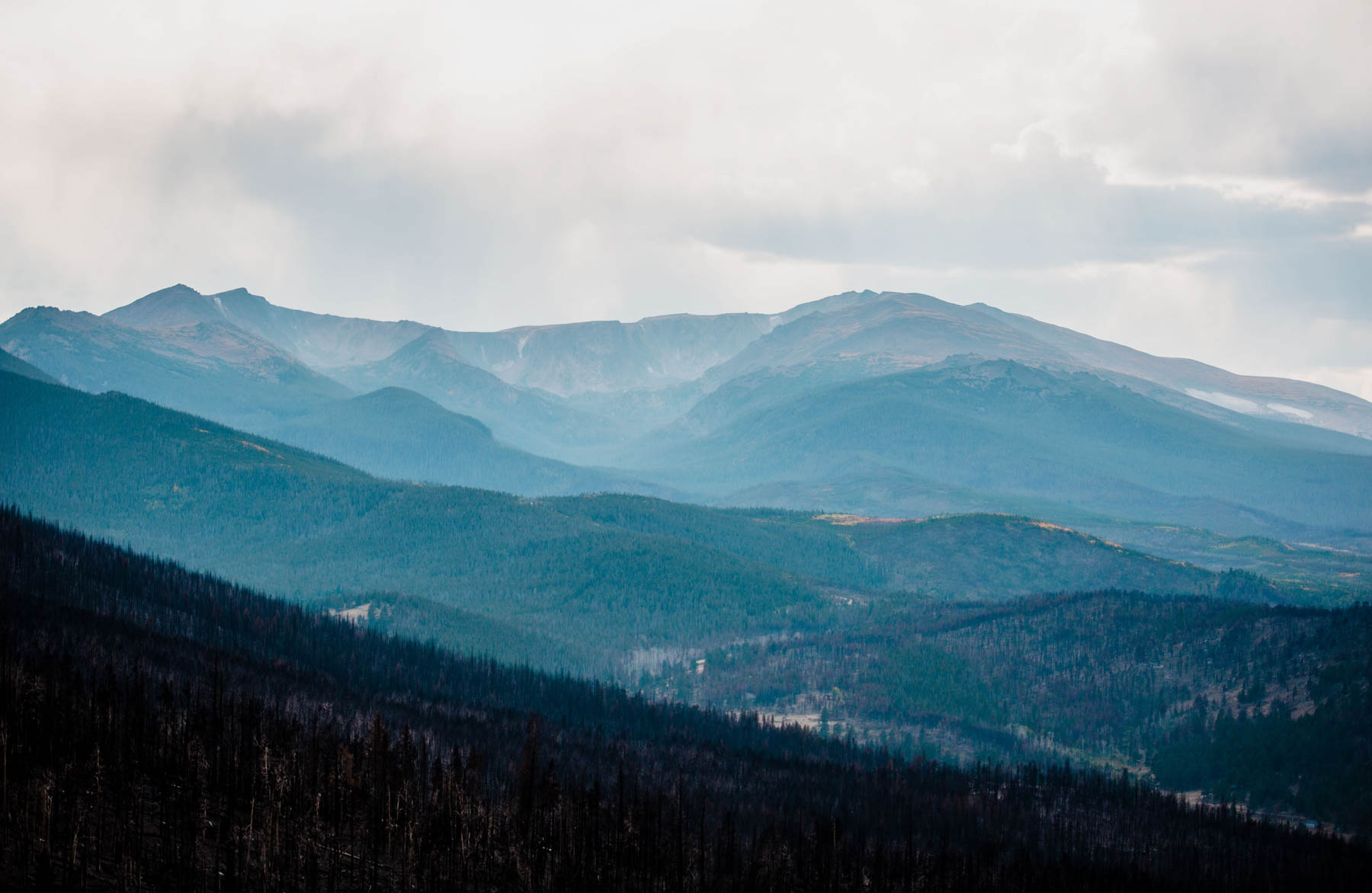
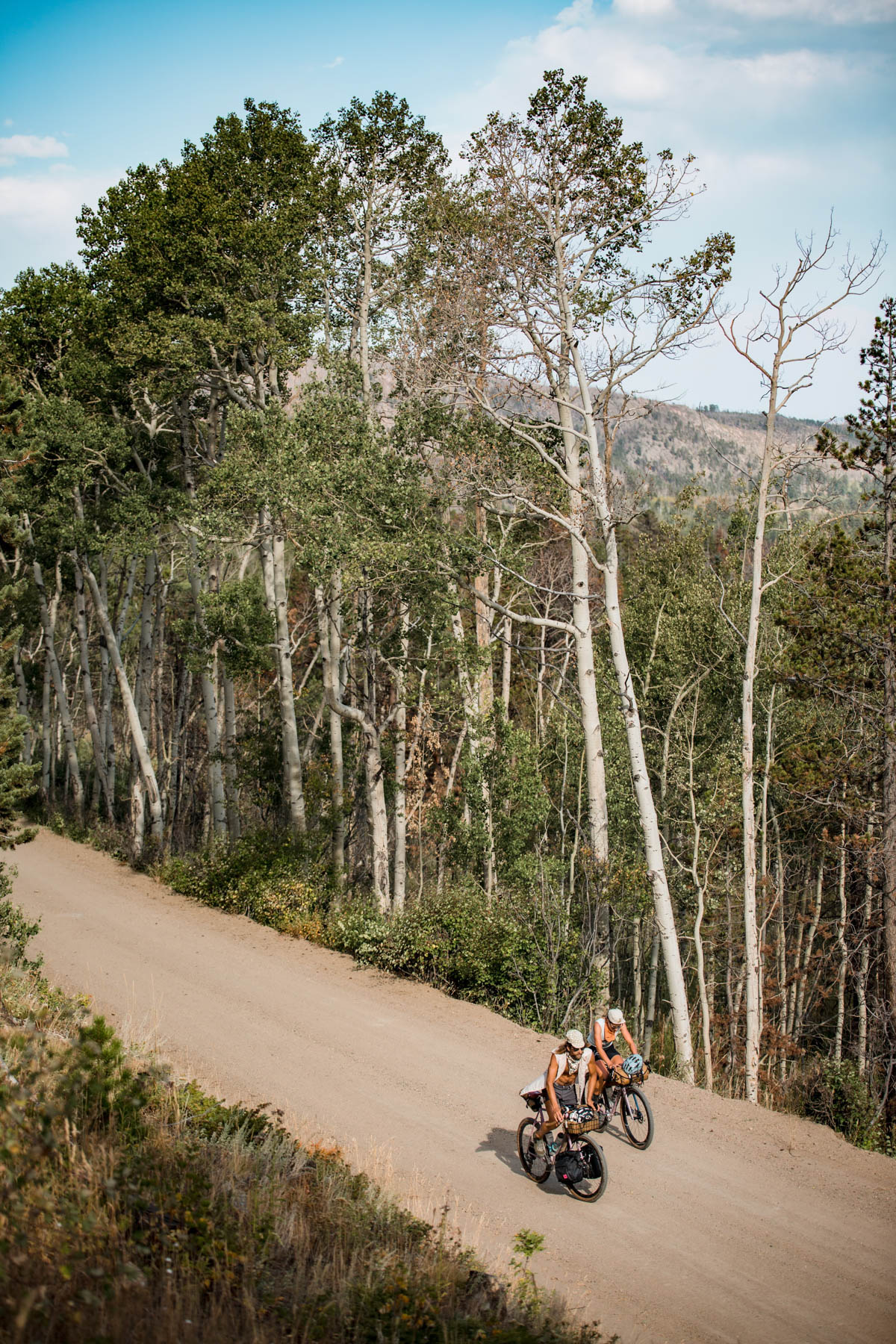
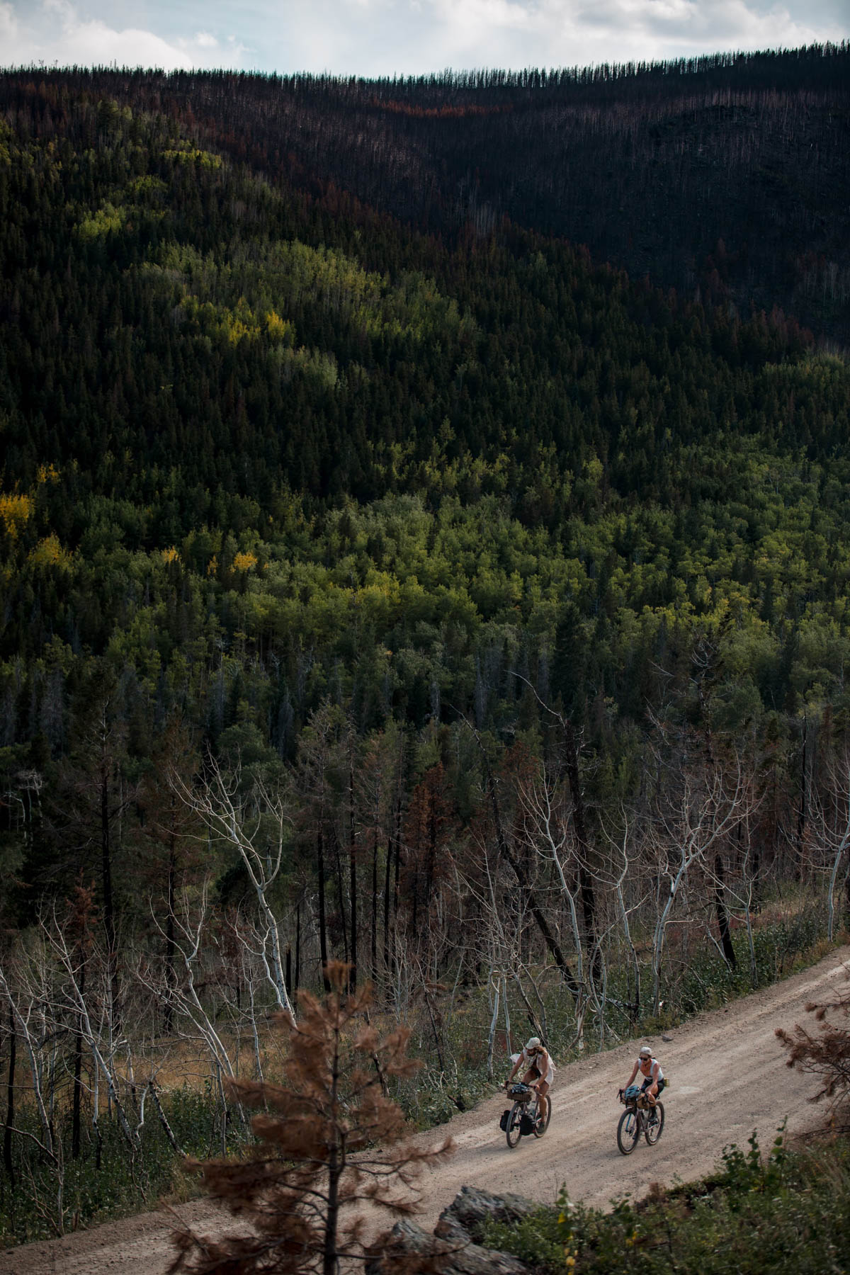
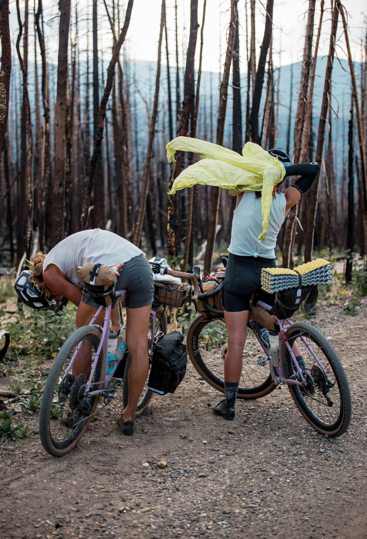
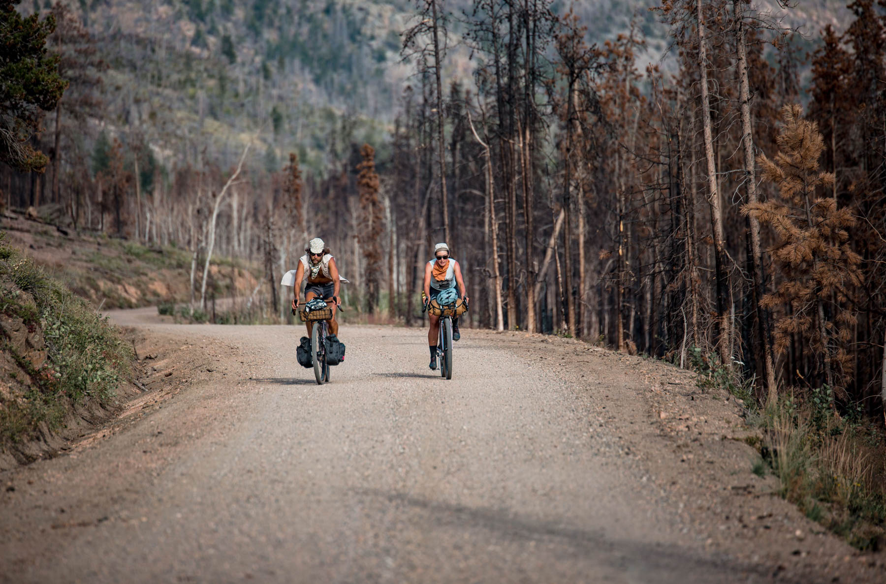
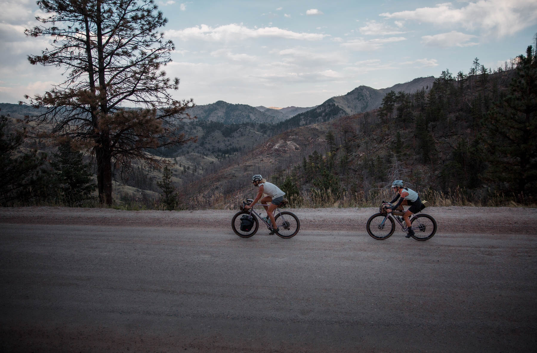
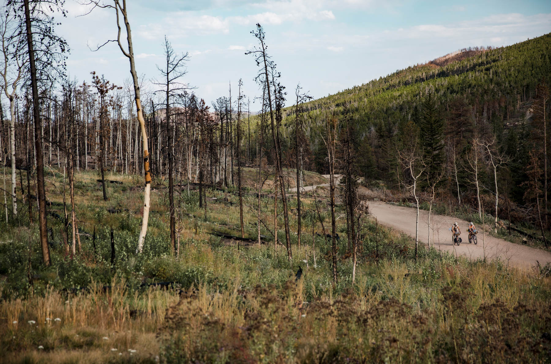
The route begins with a climb around Fort Collins’ most iconic geographic feature, Horsetooth Reservoir, flanked by its eponymous peak (see if you can spot the tooth!). Enjoy lakeside vibes here and don’t worry about the pavement, there are plenty of unsealed surfaces to come. After you crest the ridge and pass the quirky outpost of Masonville, the city quickly recedes thanks to spiny hogbacks that make up the eastern skyline. The scenery changes again once on the gradual climb up Pennock Pass—the terrain turns to gravel and the road follows a winding Buckhorn Creek through groves of conifers and aspen. Higher up on the final switchbacks, these change to groves of standing matchsticks—a quasi-apocalyptic reminder of the 2020 Cameron Peak wildfire, the largest in the state’s history. Pennock Pass tops out at just over 9,000 feet and you can catch views of the Mummy Range as you descend off the back down to Pingree Park.
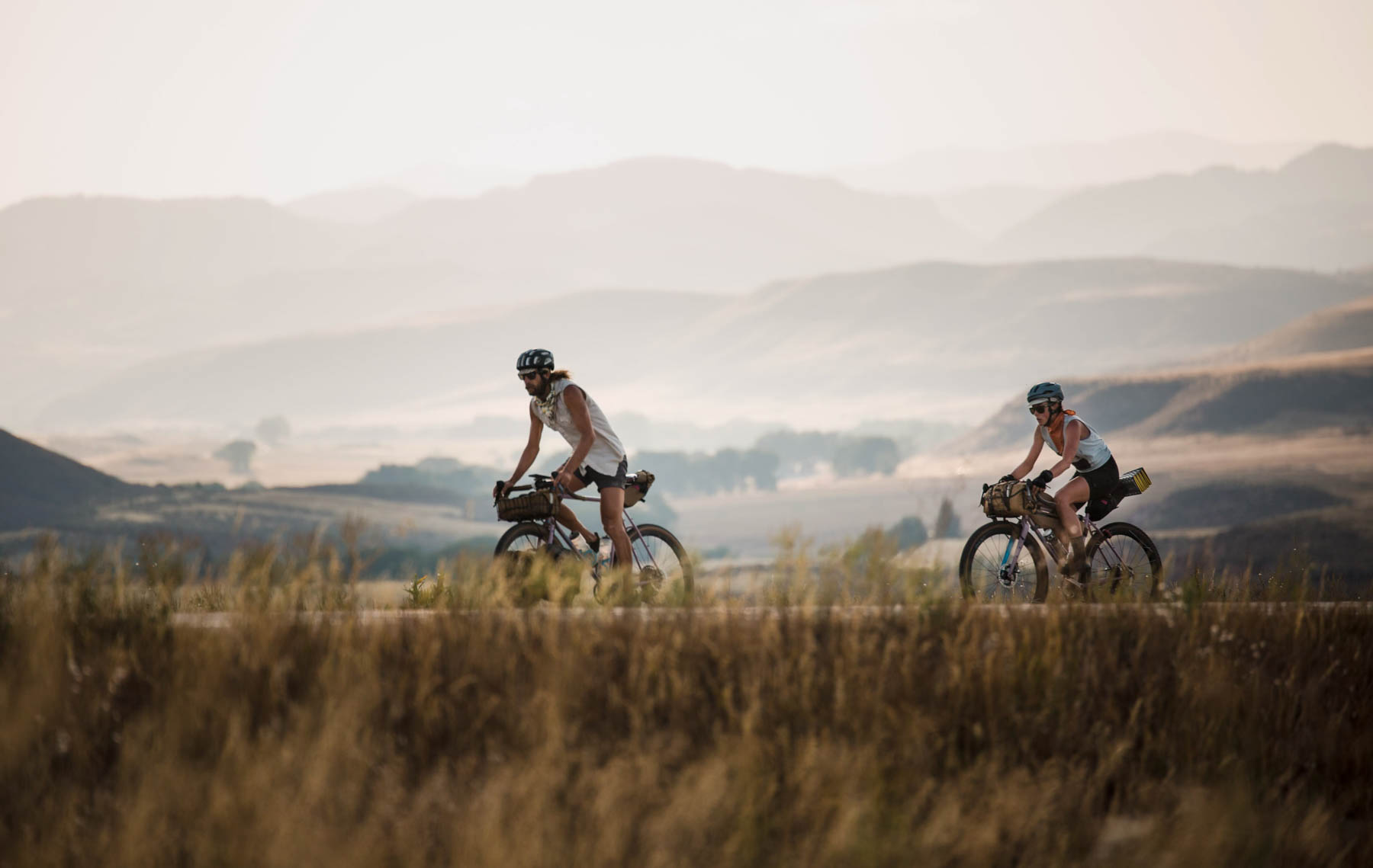
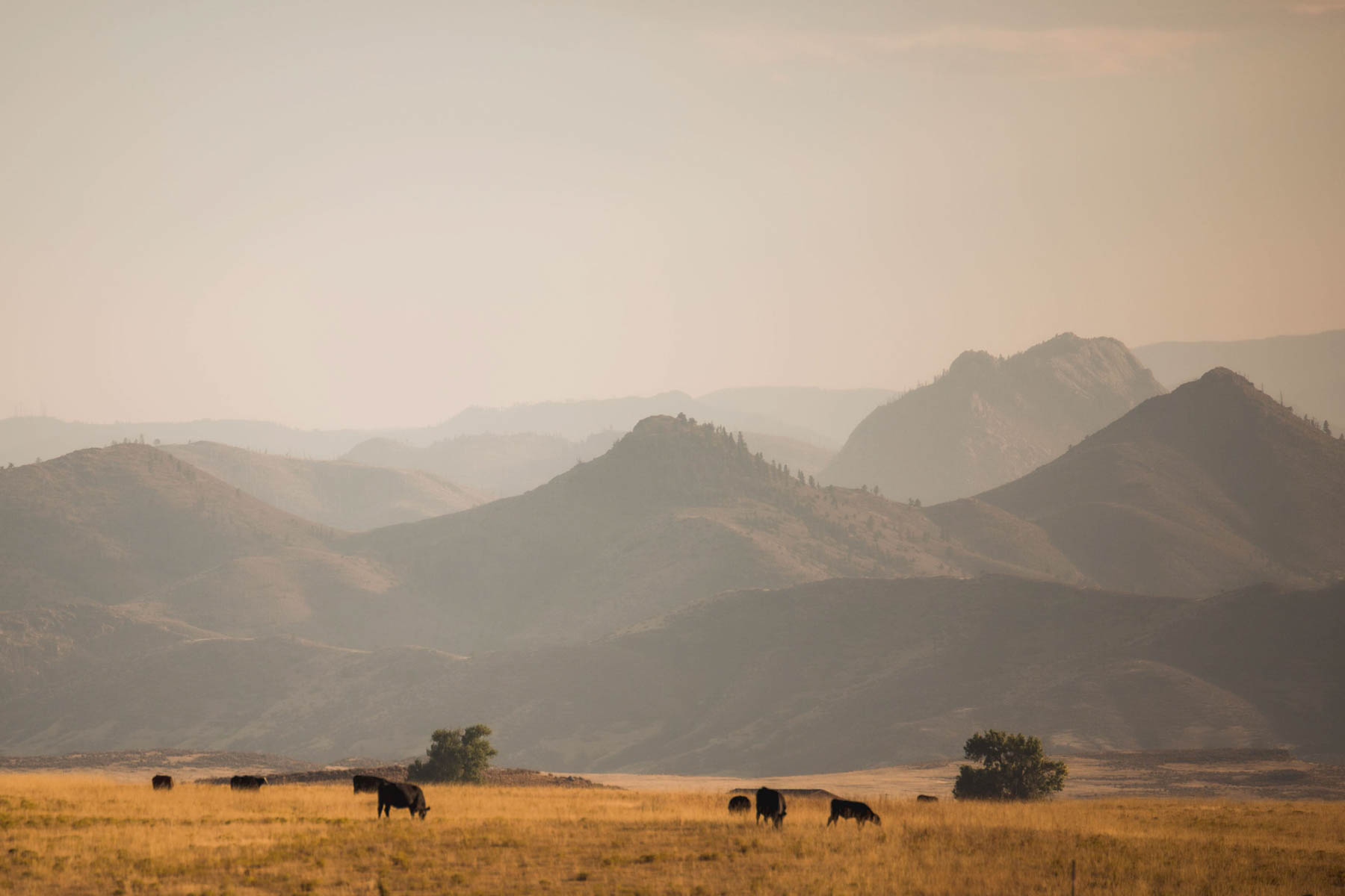
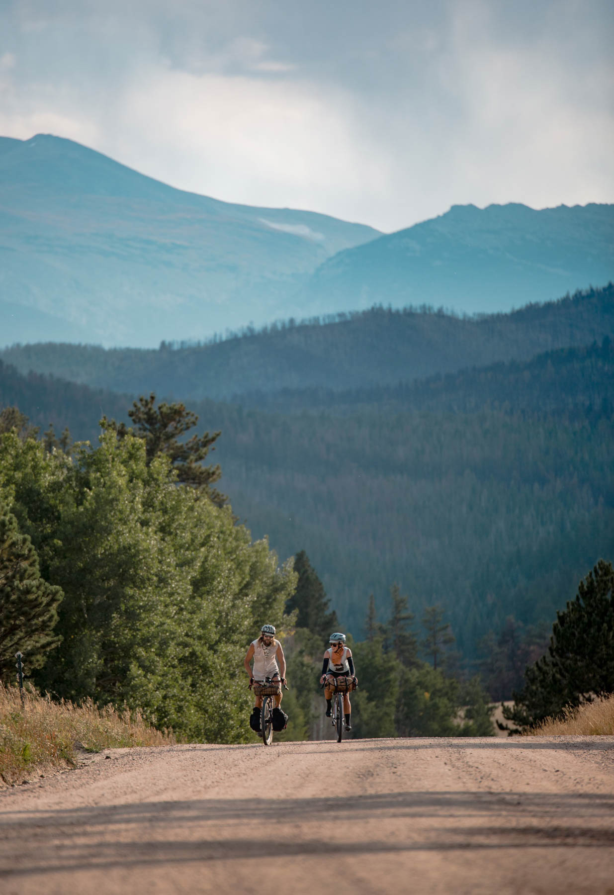
Pingree Park Road makes for idyllic forested cruising along the South Fork of the Poudre River before climbing away and exposing more sweeping views of the craggy hills that compose the canyon walls. Joining the Poudre River takes riders up the canyon a few miles on Highway 14 (while this road is popular among cyclists and has a decent shoulder, be mindful that it can be busy during peak summer season) before a steep push north to the village of Red Feather Lakes. From there, you’ll crest Deadman Pass via smooth timber roads, quickly followed by Sand Creek Pass on steeper, more engaging, forested two-track. The descent from Sand Creek deposits you into the northern reaches of the state—big skies, rolling hills, and sweeping views that look toward Wyoming. This northern boundary on Cherokee Park Road is punchy, expansive, and beautiful. Past Cherokee Park and once across 287, the route closes with views of pyramidal buttes to the north before turning and traveling back south through farmland north of town.
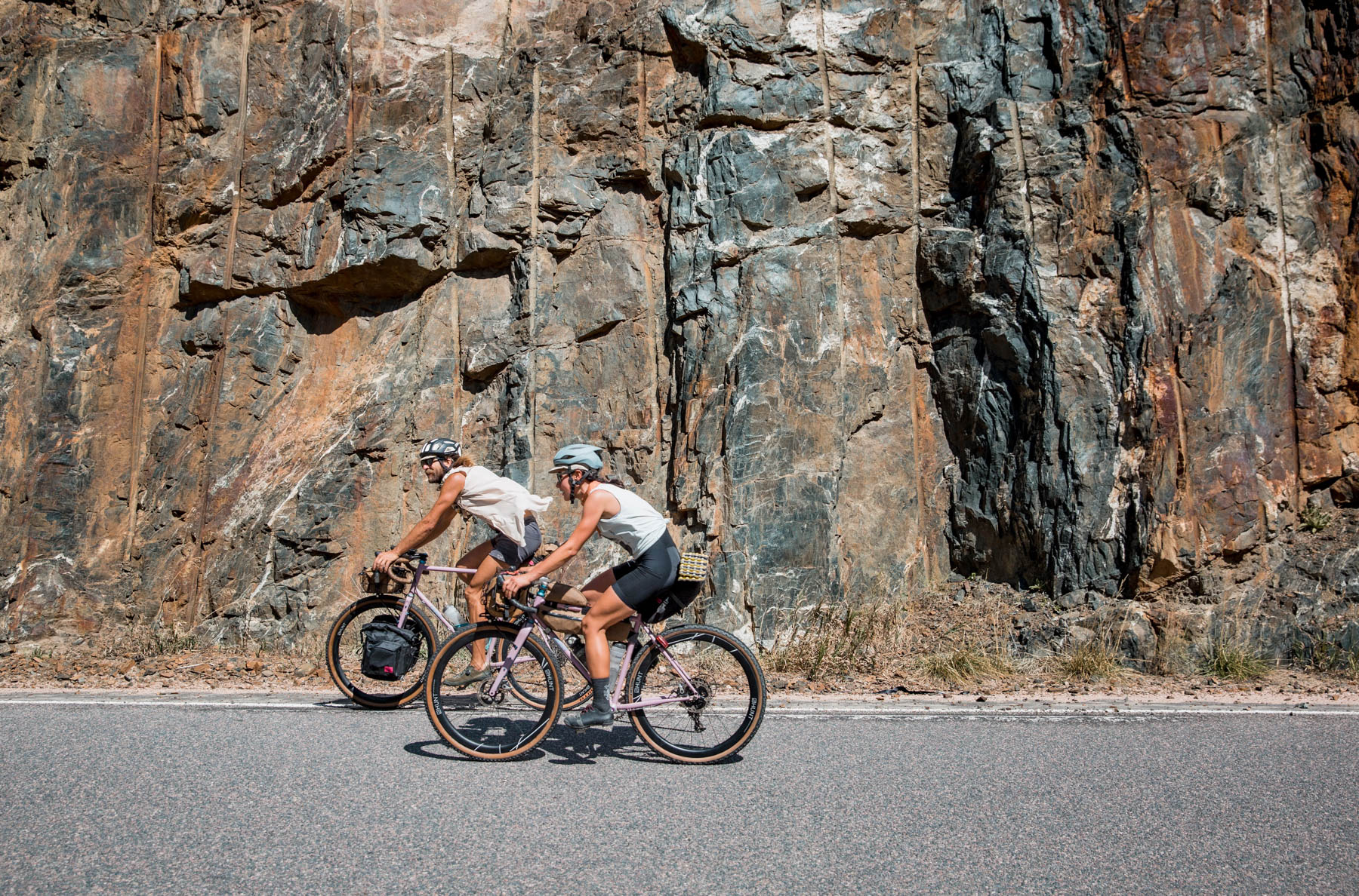
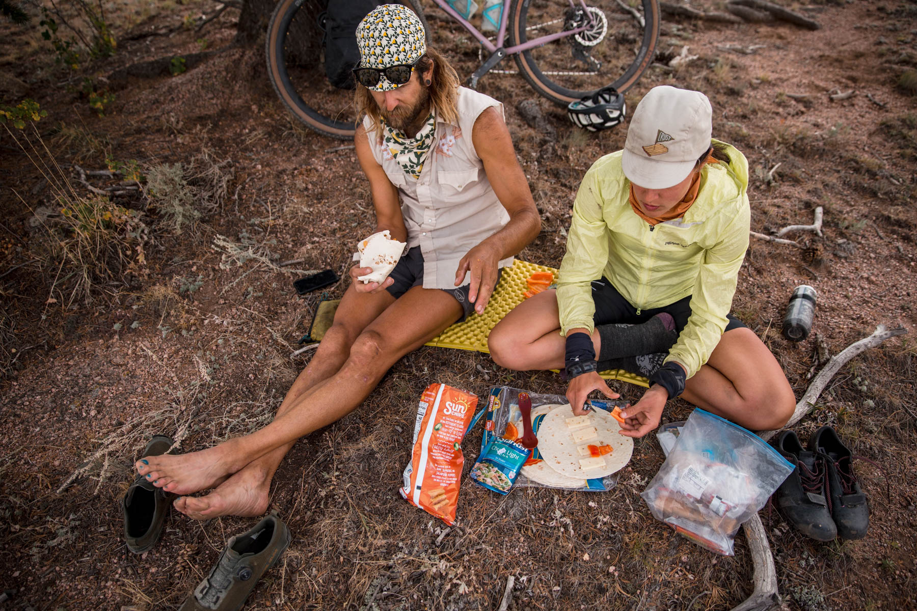
With the exception of Fort Collins, this route feels fairly remote by Colorado standards, as all of the resupply points are small communities. Additionally, it seems to see little, or less, cycling traffic—I’ve ridden the route in its entirety twice and smaller sections several more times and have rarely seen more than a handful of others on bikes. That said, many of the roads are quiet and conducive to social touring on any all-road or gravel bikes.
Route Difficulty
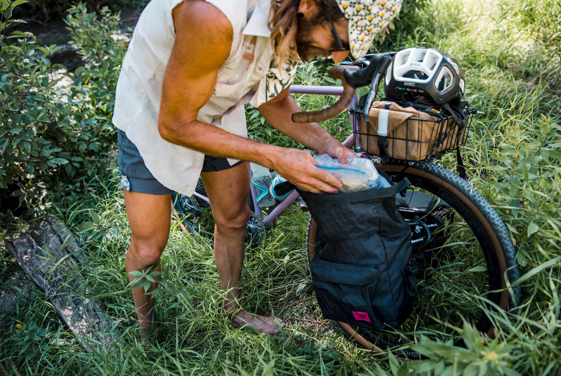
Overall, the Red Feather Ramble earns a 5 out of 10 difficulty rating. While this route has a hefty amount of climbing many of the non-paved surfaces are quite smooth, making the terrain accessible to all riders regardless of technical skills, so long as they’re willing to put in some Colorado vert. While the route also has a few well-spaced resupply points, it is somewhat remote (especially once past Red Feather Lakes) and the distance between resupplies will require some mindful planning for food/ water. If touring this route, be aware of the hours of all resupply locations and be sure to carry a filter to fill up on water in between.
Route Development: I first rode this route as a solo overnight tour from Boulder in the summer of 2020. While I was already familiar with Pennock Pass, I wanted to explore the countryside north of Fort Collins. My hope in sharing this route is to draw attention to the subalpine, high-quality riding in less-traveled areas in Colorado—the high mountain passes get all the attention but there’s worthy riding to be found all over! Additionally, staging the route from Fort Collins offers an accessible, weekend-fit route.


Submit Route Alert
As the leading creator and publisher of bikepacking routes, BIKEPACKING.com endeavors to maintain, improve, and advocate for our growing network of bikepacking routes all over the world. As such, our editorial team, route creators, and Route Stewards serve as mediators for route improvements and opportunities for connectivity, conservation, and community growth around these routes. To facilitate these efforts, we rely on our Bikepacking Collective and the greater bikepacking community to call attention to critical issues and opportunities that are discovered while riding these routes. If you have a vital issue or opportunity regarding this route that pertains to one of the subjects below, please let us know:
Highlights
Must Know
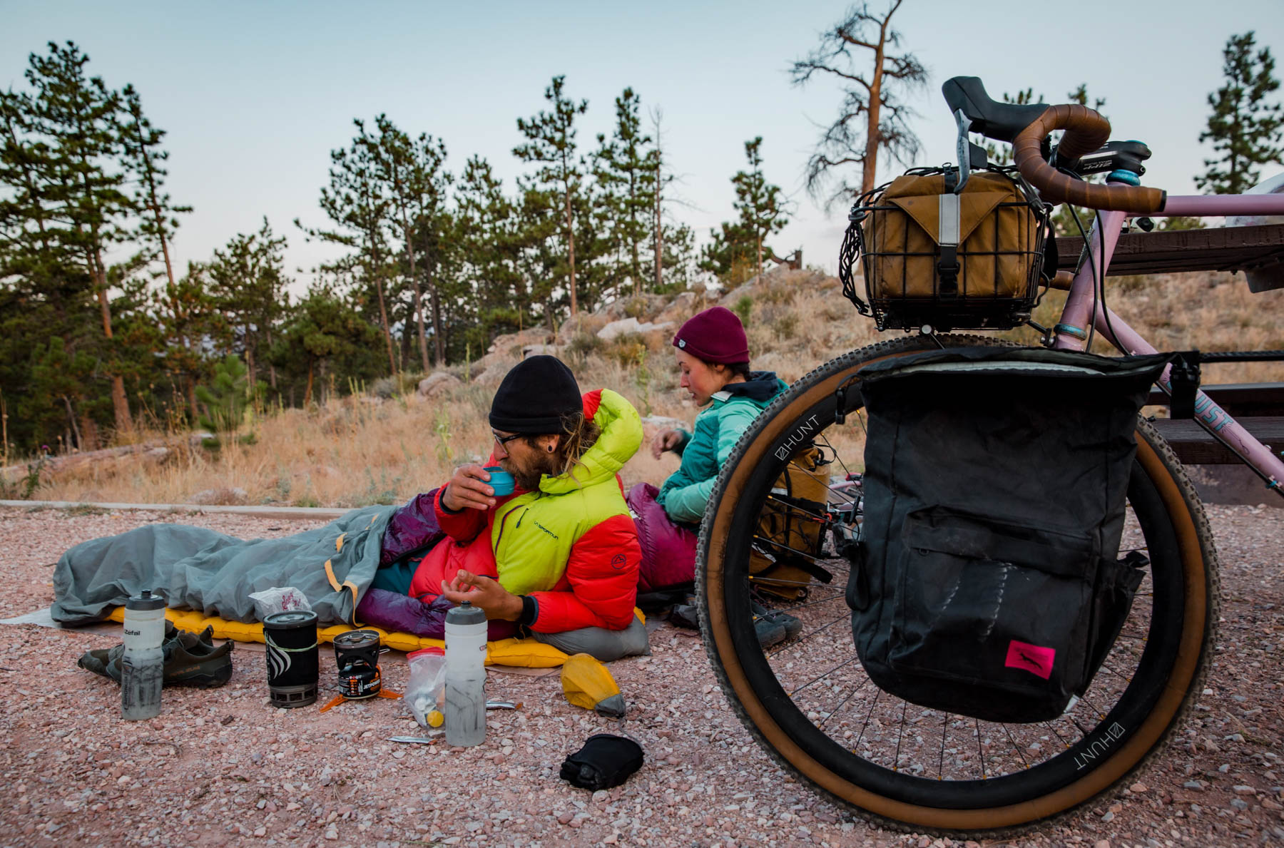
Camping
Food/H2O
Trail Notes
- Little Bird Bakeshop in Fort Collins for pre-ride treats and coffee!
- Camping on Pingree Park Road
- Pie at the Glen Echo Resort Restaurant in Rustic
- Pot Belly Restaurant in Red Feather Lakes; one of only two eating establishments on the route)
- Sand Creek Pass and its wonderful riding
- Cherokee Park, especially the descent
- When to Go: Mid-late June to early October; sections of the route may still have snow earlier than mid-June depending on the year’s snow levels (and the top of Pennock is gated from Dec-May). Similarly, depending on the year, riders could encounter snow (and certainly cooler temps) at higher elevations past early October. Free Forest Service camps should be open for use as late as mid-November but paid sites, specifically in the Red Feather Lakes area, close in late September.
- Recommended Gear: Be sure to carry a water filter (or tabs) as the route does not hit resupply points that often, but several sections of it follow and cross creeks.
- Bike/Tire Recommendations: While you could certainly get away with running 35s for most of the route, I’d recommend 48s for the extra stability they afford a loaded bike. Any all-road bike will do, so long as it has a decent granny gear.
- Wildlife: The route travels through remote sections of Colorado’s northern Front Range. This region is home to black bears, mountain lions, and coyotes, so be prepared to take the appropriate precautions when storing your food at night.
Overnight Parking & Route Start:
- Civic Center Parking Garage: 120 N. Mason St, Fort Collins; paid, covered parking garage (up to 48 hrs)
- Old Town Garage: 209 E. Mountain Ave, Fort Collins; paid, covered parking garage (up to 48 hrs)
There are multiple camping options along this route! The mile markers listed below are for a clockwise loop.
- (10mi) Horsetooth Reservoir South Bay Campground: Reservation sites as well as first come first serve (FCFS); all sites $20 weeknight/ $26 weekend.
- (44mi-56mi) Pingree Park Road: There are several dispersed campsites along Pingree Park Road as this area is under the Arapahoe and Roosevelt National Forest jurisdiction. Due to the effects of the 2020 Cameron Peak fire though, riders should check before visiting to ensure that camping is open.
Red Feather Lakes Camping:
- (68.5mi) USFS Campsite: Free Forest Service a few miles south of Red Feather Lakes.
- (71mi) West Lake Campground: Closed Sept 18, 2021 – May 20, 2022; Reservation sites available as well as a limited number of FCFS walk-up sites; $24/night during open season and offer access to water, pit toilets and each site has a bear locker.
- (71mi +; a couple of miles off the actual route) Dowdy Lake Campground: Limited sites open year-round, most sites closed Sept 18, 2021 – May 20, 2022; Reservation sites available as well as FCFS walk-up sites; $24/night during open season and offer access to water, pit toilets and each site has a bear locker.
- (77.5mi) North Fork Poudre Campground: Free Forest Service campground a few miles past Red Feather Lakes; pit toilet access but the only water option is filtering from the North Fork of the Poudre.
Cherokee Park Road
- (108mi) Cherokee Park SWA Upper Unit
- (116mi) Cherokee Park Ranch: Vacation-destination dude ranch with a range of cabin rentals; prices vary depending on the season.
- (127mi) Cherokee Park SWA Lower Unit
Food/ Water options are listed in the order that they are reached when riding the loop clockwise.
- Masonville Mercantile: Open every day 10am-5pm Be sure to fill your bottles at the Masonville Mercantile as the paved section of Buckhorn Road makes for some punchy (and depending on the weather, hot) miles. The Merc often leaves a cooler or labeled gallon jugs out for cyclists. If closed, there is a vending machine outside with water and sodas.
- Buckhorn Road split to Pennock Pass: There are several creek access points along the way up Pennock Pass for filtering—just be mindful that lower down the canyon is largely residential, so wait to filter after a few miles up. Additionally, there is a closed Ranger station on the left about 11.5mi up the climb (from split with the main road) with a working spigot. You should be able to easily see the spigot through the gate from the parking area.
- Pingree Park Road: There is easy access to the South Fork of the Poudre for filtering for the first 4mi of Pingree Park Road after descending Pennock Pass.
- Glen Echo Restaurant & Store (Rustic): As you approach the turn-off for Manhattan Drive from highway 14 you can see the log building that houses the Glen Echo Restaurant, Store, and Resort. The store essentially offers overpriced gas station fare; the restaurant has more food offerings and good pie!
- Pot Belly Restaurant: Bar/ Grill open for lunch and dinner on route, right at the intersection of Manhattan Rd and 74E. Check website for seasonal hours.
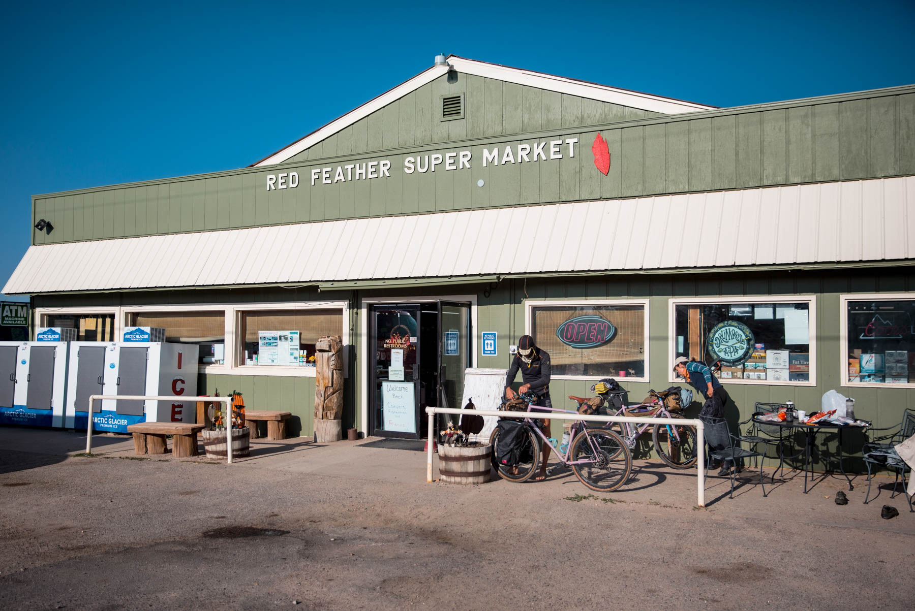
- Red Feather Supermarket: Slightly off-route; at the Manhattan/74E intersection turn right and continue ~1.5mi to Dowdy Lakes Rd. Turn left and the store is open on the left. Open year round.
- Red Feather Trading Post: Also a couple miles off-route, the Red Feather Trading post is the self-awarded best mini-market in the village and claims to offer an espresso bar (unconfirmed by this route developer as we didn’t have time to check it out.)
- North Fork Poudre Crossing: Just past the North Fork Poudre Campground turnoff, the route crosses the North Fork of the river via a small bridge. This is the best place to filter water on the climb up Deadman Pass.
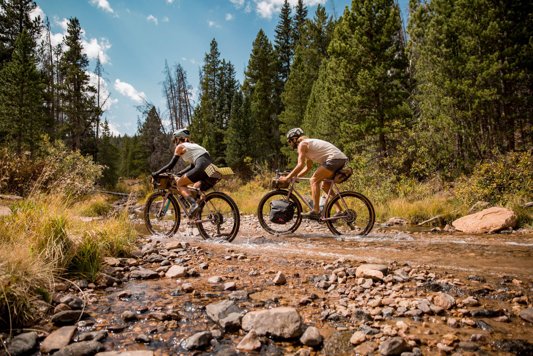
- FS 336/ Sand Creek: Perhaps a little over a mile after turning off on FS 336 (from Sand Creek Pass Rd) the route crosses a creek (rideable, or not, depending on water levels throughout the summer). While not the last spot to filter water, I always make sure to fill up here as the northern section of the route is cattle country.
- Sheep Creek: The route travels alongside Sheep Creek from ~100mi-106mi.
- The Forks Mercantile & Saloon (Livermore): *This spot is off route and requires additional riding on highway 287 which I would not recommend.* Gas Station snack options, coffee counter, deli, and restaurant/bar—the store component is open daily 7am-8pm, the restaurant and deli have more inconsistent hours. Check the website if you need to stop here, but again, riding on highway 287 is not advised.
Route Alternatives:
- Stove Prairie to Old Flowers: A more engaging (and steep) alternative to Pennock Pass is to connect to Pingree Park Rd via Old Flowers. To access Old Flowers, continue on the pavement before turning off to begin the climb up Pennock. Here, the road becomes Stove Prairie (and there are some steep pitches ahead!). Continue up to where the road tops out at a four-way intersection, marked by the Stove Prairie Elementary School. Turn left onto 52E/ Old Flowers Rd, which is more rolling and technical than Pennock. Expect a few stream crossings and deadfall. Before choosing this as a detour, double-check the road has reopened as it was affected during the Cameron Peak fire. While this makes for a challenging, yet worthy, alternative, I ultimately selected Pennock Pass for the route because the continued climbing on Stove Prairie paired with the punchy nature of Old Flowers (and more mixed surfaces) makes for more Type II fun than I imagine most riders are looking for.
- Lower Dadd Gulch: If you’re on a mountain bike, or just looking to spice up the riding, consider connecting into Highway 14 via the Dadd Gulch Trail, which adds a few miles of intermediate-level singletrack. From Pingree Park Rd, split left at 51.5mi into the route onto Crown Point Rd and follow it to the trailhead at the end. *Note: check before you go as many roads/trails in this area are closed for restoration purposes.*
- Prairie Divide Road: If you want to shorten the route you can take Prairie Divide Road directly north out of Red Feather Lakes. My best guess is that this will shave ~30mi off the route.


Terms of Use: As with each bikepacking route guide published on BIKEPACKING.com, should you choose to cycle this route, do so at your own risk. Prior to setting out check current local weather, conditions, and land/road closures. While riding, obey all public and private land use restrictions and rules, carry proper safety and navigational equipment, and of course, follow the #leavenotrace guidelines. The information found herein is simply a planning resource to be used as a point of inspiration in conjunction with your own due-diligence. In spite of the fact that this route, associated GPS track (GPX and maps), and all route guidelines were prepared under diligent research by the specified contributor and/or contributors, the accuracy of such and judgement of the author is not guaranteed. BIKEPACKING.com LLC, its partners, associates, and contributors are in no way liable for personal injury, damage to personal property, or any other such situation that might happen to individual riders cycling or following this route.
Please keep the conversation civil, constructive, and inclusive, or your comment will be removed.