River Road Ramble (Big Bend National Park)
Distance
168 Mi.
(270 KM)Days
4
% Unpaved
90%
% Singletrack
0%
% Rideable (time)
100%
Total Ascent
7,626'
(2,324 M)High Point
3,726'
(1,136 M)Difficulty (1-10)
6?
- 3Climbing Scale Fair45 FT/MI (9 M/KM)
- -Technical Difficulty
- -Physical Demand
- -Resupply & Logistics
Contributed By

Jordan Vonderhaar
Guest Contributor
Jordan is a photographer and semi-professional escape artist based in Austin, TX. He worked the regular 9-5 for a big, mythical-creature-monikered cooler company before seeking a more challenging life brewing coffee and taking photographs of the things he sees on his rides. Find him on Instagram @jordan_vondy.
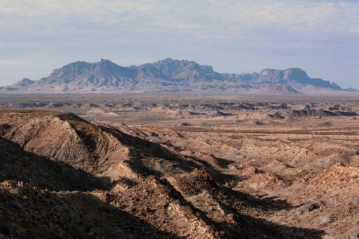
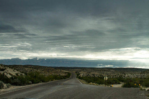
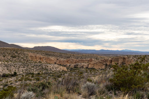
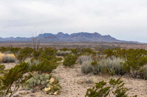
The Big Bend region of Texas is a truly unique and fascinating part of the world. Situated along 118 miles of the US/Mexico border, in one of the most remote landscapes in the country, Big Bend National Park is one of the least visited national parks in the country. Just 440,000 people visited the park in 2017, ranking it 140th on the National Park Service’s most visited list. Elevations in the park range from 1,800 ft along the Rio Grande, all the way up to Emory Peak at 7,800 ft within the chisos Basin. This makes for some pretty vicious climate extremes. Even in late spring or early fall, the temperatures can regularly climb above 100°F, yet it’s not uncommon to experience freezing temperatures in the winter. The climatic diversity makes for an exhilarating landscape; you will almost certainly be surprised by the weather or terrain at some point in your travels there.
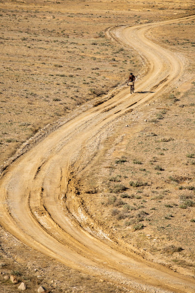
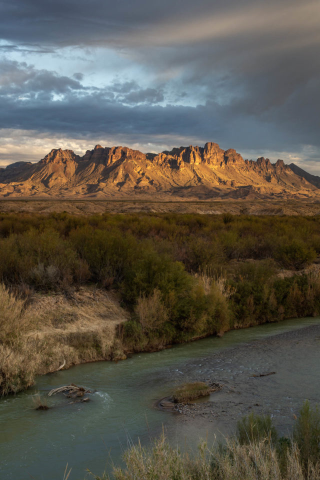
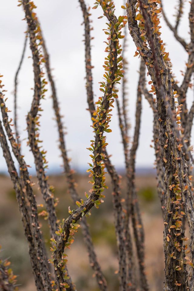
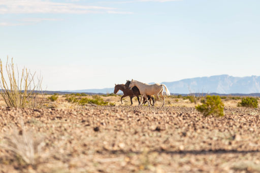
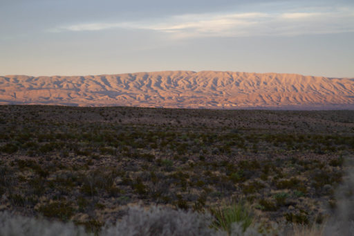
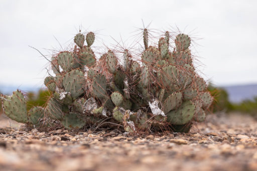
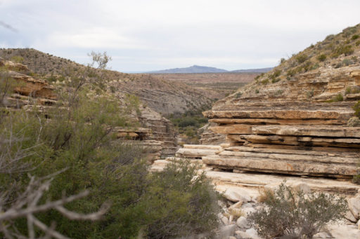
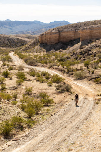
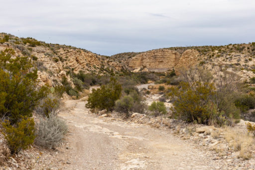
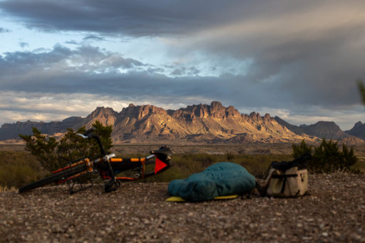
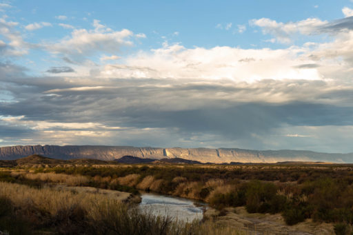
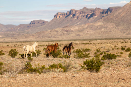
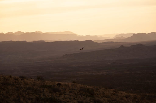
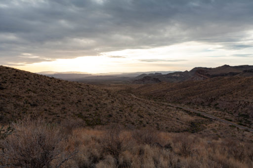
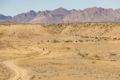
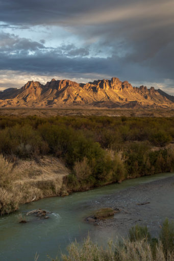
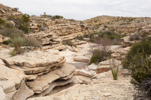
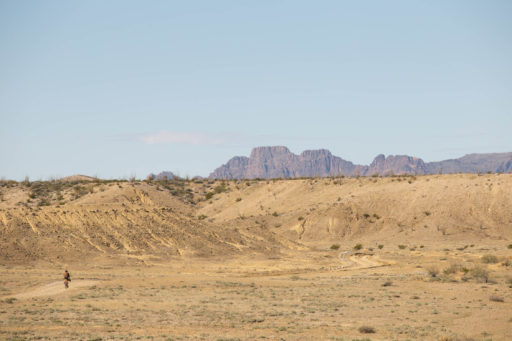
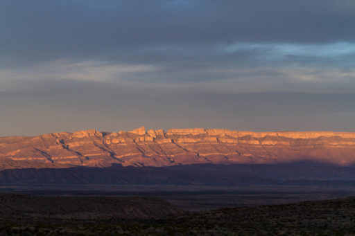
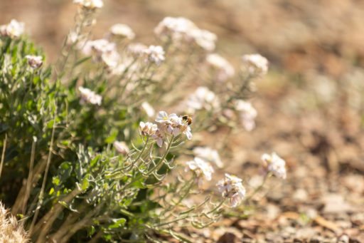
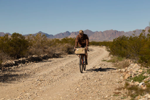
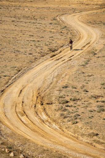
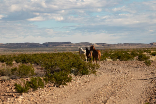
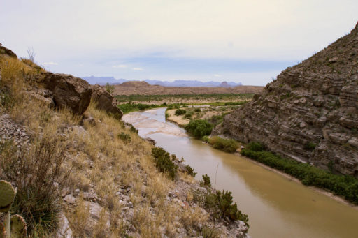
The River Road Ramble is a tour of some of the most fantastic and remote areas in the park. The Route begins on the western side of the park near Santa Elena Canyon and traverses the entire river road from west to east. River Road winds in and out of canyons and hills, and you will have off-and-on views of the Rio Grande the whole time. The route passes the Rio Grande Hot springs, traverses the Old Ore Road along the Sierra del Carmen, and drops down the Glenn Springs and Black Gap Roads back to the River Road. It is essentially a tour of the most rugged 4×4 roads in the park. You can expect to see more species of cacti than in any other national park in the country – at least 65 different species of cactus in total. In the spring, the ocotillo will be bright green and blooming for a few weeks. In the fall, these fascinating deciduous cacti do their best attempt at a New England impersonation, as their leaves turn from green to red. Wild horses have been spotted roaming sections of the River Road, crossing to and from Mexico without any regard for international borders or politics. Black bear are spotted foraging around the Chisos Mountains on a daily basis, and if you’re especially lucky, you might catch a glimpse of a Mountain Lion, though these are especially rare.
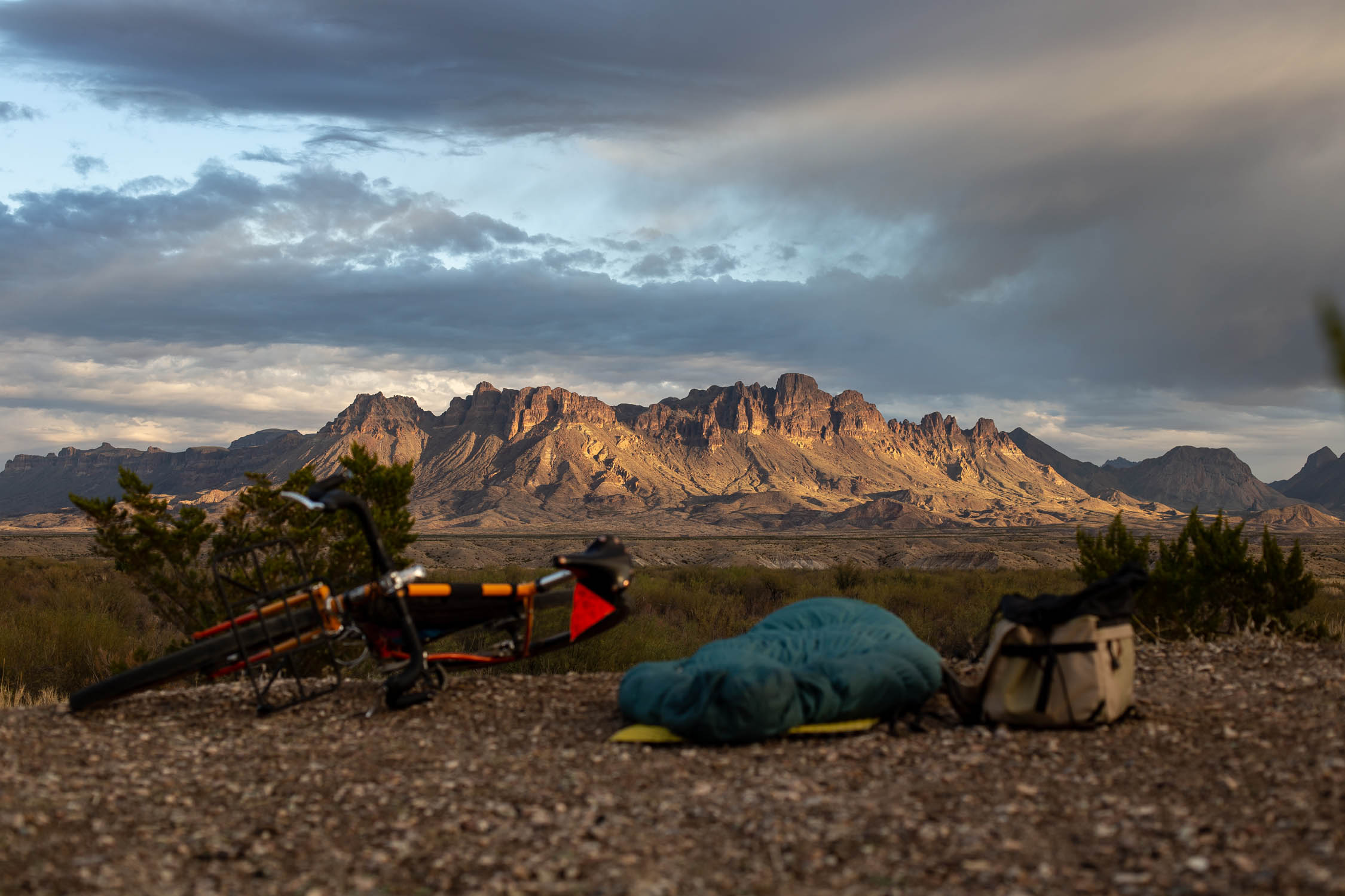
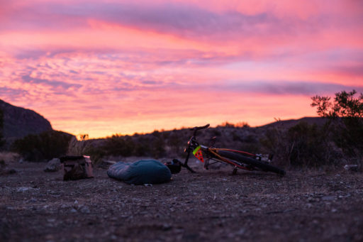
Most of the paths you will follow were first established by miners and archeologists in the early 20th century, usually in early model Ford Automobiles. If you ever feel as though the terrain becomes a bit too challenging, just imagine yourself as an early 20th century archaeologist with your Ford Model T loaded with gear for your dig, driving straight across the desert in search of mercury or fossils. I’m not sure this mental exercise will help you over the next rise, but it’s entertaining nonetheless. Lastly, as you lay your head down each night, you will be able to take in some of the darkest skies in the lower 48, as Big Bend National Park is known for having the least light pollution of any national park in the contiguous United States. On a clear, moonless night, the naked eye can make out the milky way quite clearly.
Route Difficulty
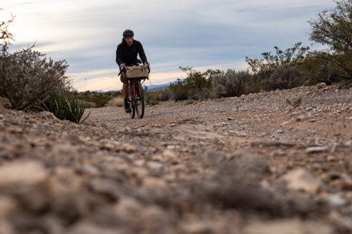
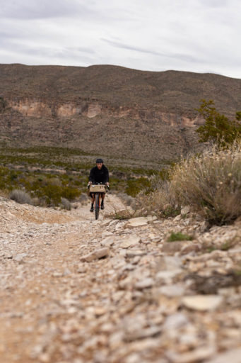
Route difficulty is a 5. Although some of the route is chunky and there are a few punchy climbs, it’s a pretty relaxed route, overall. And 100% of the route is 4×4 road, double track, or gravel road (and one short paved section). There are no hike-a-bikes or technical singletrack sections. If you are capable of riding 40-50 miles per day, this route allows for food and water resupply each day, which of course keeps your bike lighter and faster.
Submit Route Alert
As the leading creator and publisher of bikepacking routes, BIKEPACKING.com endeavors to maintain, improve, and advocate for our growing network of bikepacking routes all over the world. As such, our editorial team, route creators, and Route Stewards serve as mediators for route improvements and opportunities for connectivity, conservation, and community growth around these routes. To facilitate these efforts, we rely on our Bikepacking Collective and the greater bikepacking community to call attention to critical issues and opportunities that are discovered while riding these routes. If you have a vital issue or opportunity regarding this route that pertains to one of the subjects below, please let us know:
Highlights
Must Know
Camping
Food/H2O
Trail Notes
Resources
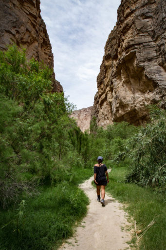
- Santa Elena Canyon, just a short walk from the parking lot. Bring a packraft for added fun if you can.
- Loop Camp 1
- Mariscal Mine
- Rio Grande hot springs
- Boquillas Canyon crossing
- Ernst Tinaja
- Old Ore Road lookout near McKinney Springs campsite
- Dinosaur exhibit on Hwy 385
- Camp Chilicotal
- Chisos Basin area
- Emory Peak
When to go
- Non-summer months are the only time this route is feasible. November to March is the range, but January and February are the best times to go. February would probably be most ideal since it was one of the slowest months of the year at the park and would facilitate better campsite selection.
Logistics
- Plan on leaving your vehicle at the Rio Grande Village parking area, if you’re not shuttling to the official route start or camping longer term in Cottonwood Campground. This is the only approved location to leave a vehicle long-term. The park is too busy now to leave a vehicle for an extended time at roadsides or visitor centers. Unattended vehicles will be cited.
- Backcountry permits are required for camping and MUST BE ACQUIRED IN PERSON. You cannot book backcountry camping permits in advance. This is probably the most complicated logistical aspect of this route. Your daily mileage and perhaps your starting point could be dictated by which campsites are available when you arrive. I recommend being very familiar with the layout of BBNP prior to arrival at the park, with a plan A, B, and C route in mind. Please call the park for help in planning your trip or to ask questions (432-477-2251). Park rangers are there to help.
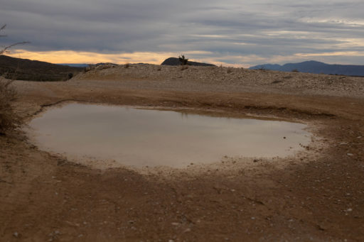
- There is no reliable water outside of the established campgrounds. If you do your research, you will read about potential springs here or there, but these are completely unreliable, especially with a warmer and drier climate over the last decade. I have been to the park 10 times in the last few years and have yet to see one of these sources in a state that could be filtered and consumed. Make sure you carry enough water between resupply points. Watch the weather closely prior to arrival, as weather conditions can range from 20°F to 90°F most any month of the year.
- On rare occasions, the desert will receive a good rainstorm. When this happens, water drains from the desert down to the River Road, which can lead to flash flooding during and after the rains, as well as muddy spots along the River Road. It is not common, but not unheard of.
- Big Bend National Park is a very long way from any major airport. The closest major airport is in El Paso, which is still about a five-hour drive to the park.
- Bringing a passport is recommended. The Park sits along the US/Mexico border, which means there are opportunities to cross into Mexico if you would like.
- Bicycles are allowed only where cars can go, not on trails or in the wilderness. You may not carry/hike with your bike into the desert backcountry off the road surface.
- Expanded from Must Know: There is no way to reserve backcountry sites prior to arrival at the park. Backcountry campsites must be reserved in person at the park.
- The park does have a few established campgrounds with RV hookups that can be booked in advance, as well as the Chisos Mountain Lodge. The Chisos Mountain Lodge is a hotel in the Chisos Basin that also has a restaurant and gift shop (it’s also a great place to get fajitas and margaritas after you’re done on the trails).
- Make sure to have plan A,B,C for which backcountry sites you would like to stay in, and when. Be prepared to go clockwise or counter-clockwise, and possibly allow a few days of flexibility if you aren’t able to start your route right away.
- You will need to camp in park campgrounds or designated primitive roadside campsites. Most of these (Old Ore Road, Glenn Springs Road) are now reservable up to 6 months in advance at recreation.gov. Campsites along the River Road and Old Maverick Road are only issued in person at Panther Junction Visitor Center. Please do your research and make reservations, and/or have a plan with alternate sites. Learn about each campsite at the following page on the park website.
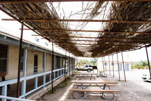
- Food and water can only be acquired at the gas stations and visitors center along the route. These include Panther Junction, The Rio Grande Village, and Castalon.
- Although you will be near the Rio Grande several times on your trip, filtering and drinking water from the Rio is not recommended by the NPS. For more info, visit the BBNP website on water quality: https://www.nps.gov/bibe/learn/nature/waterquality.htm
The following is, in my opinion, the best way to ride this route. That being said, the route can be ridden from several other starting points. In fact, you can ride it from anywhere you can park your car, and the it can be ridden in clockwise or counter clockwise. Allow for flexibility in your plans depending on which backcountry sites are available when you arrive at the park.
Day 1: Castalon to Fresno via River Road
About 40 miles of wonderful 4×4 road, heading in a westward direction.
Day 2: Fresno to Rio Grande Village (RGV) for resupply, then RGV to Ernst Basin.
About 40 miles.
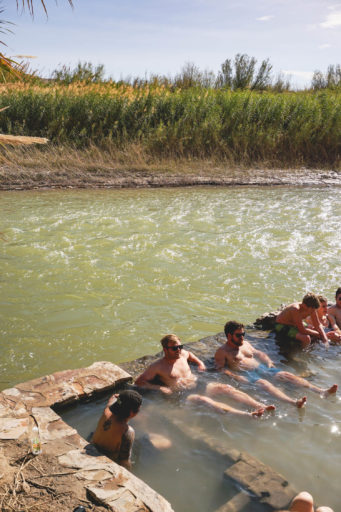
Continue East on the River Road until you reach the paved park road. Turn right (or east) on the Park road and it will take you downhill to the Rio Grande Village where you can resupply food and water. You will also pass the famous Rio Grande hot springs, where you may choose to soak your weary bones or save it for later. Leaving the RGV, you will head back up the paved road, moving west, toward the entrance to the Old Ore Road. Turn right (or north) on the Old Ore Road and follow the road until you reach your campsite at Ernst Basin.
Day 3: Ernst Basin to Rice Tank
About 60 miles with the most climbing of any section on the route. Probably your longest day.
Continue north along the Old Ore Road until you reach Dagger Flats Auto Trail and turn left (or west). Dagger Flats Auto Trail will take you to Hwy 385, which is the main park road. Turn left (or south) on this paved road and keep your elbows in and feet level for this unfortunate 18-mile section of pavement. Be sure to allow for an extra 90 seconds of travel time to account for drag from the hair that has grown back on your legs the prior two days. At about 12 miles into the pavement section, you will reach the Panther Junction visitors center where you can resupply with food and water from the gas station. After resupplying, head west out of Panther Junction towards Glenn Springs Road, where you will turn right (or south). Follow Glenn springs road until you reach your Campsite, Rice Tank.
Day 4: Rice Tank back to Castalon
About 45 miles.
From your campsite, continue south on Glenn Springs road until you reach Black Gap Road, where you will turn right (or west) onto the “unmaintained” 4×4 road. This section is allegedly the most rugged section of the route. However, I found the Old Ore Road to be more rugged. Black Gap Road will take you back to the River Road where you will turn right (or east). Trace your path along the River Road back to your starting point near Castalon, where you have hopefully stashed some cold beers at your car.
Additional Resources
- Almost all of the information I reference in this article, including the historical info, can be found on the NPS website: https://www.nps.gov/bibe/index.htm. I recommend scouring the nooks and crannies of this site to glean as much information as possible before your trip. It would be helpful to study the park map and have a really good sense of where you are at all times. At the very least, maybe you will be so knowledgeable that you can be a resource for the other folks you may or may not encounter on your adventure.
- Also check out the bikepacking route through Big Bend State Park. Adjacent to the National Park, Big Bend’s state park offers a well established weekend bikepacking route that’s a bit more challenging than this one.
Terms of Use: As with each bikepacking route guide published on BIKEPACKING.com, should you choose to cycle this route, do so at your own risk. Prior to setting out check current local weather, conditions, and land/road closures. While riding, obey all public and private land use restrictions and rules, carry proper safety and navigational equipment, and of course, follow the #leavenotrace guidelines. The information found herein is simply a planning resource to be used as a point of inspiration in conjunction with your own due-diligence. In spite of the fact that this route, associated GPS track (GPX and maps), and all route guidelines were prepared under diligent research by the specified contributor and/or contributors, the accuracy of such and judgement of the author is not guaranteed. BIKEPACKING.com LLC, its partners, associates, and contributors are in no way liable for personal injury, damage to personal property, or any other such situation that might happen to individual riders cycling or following this route.
Please keep the conversation civil, constructive, and inclusive, or your comment will be removed.


