


The GR 48: Off-road Bike Touring Spain
Distance
353 Mi.
(568 KM)Days
7
% Unpaved
?%
% Singletrack
?%
% Rideable (time)
99%
Total Ascent
39,961'
(12,180 M)High Point
2,621'
(799 M)Difficulty (1-10)
7?
- 7Climbing Scale Strenuous113 FT/MI (21 M/KM)
- -Technical Difficulty
- -Physical Demand
- -Resupply & Logistics
Contributed By

Logan Watts
Founding Editor
The 353 Mile (568KM) GR 48 route starts in Barrancos, a small village in eastern Portugul and finishes near the autonomous community border of Andalusia and Castile-La Mancha.
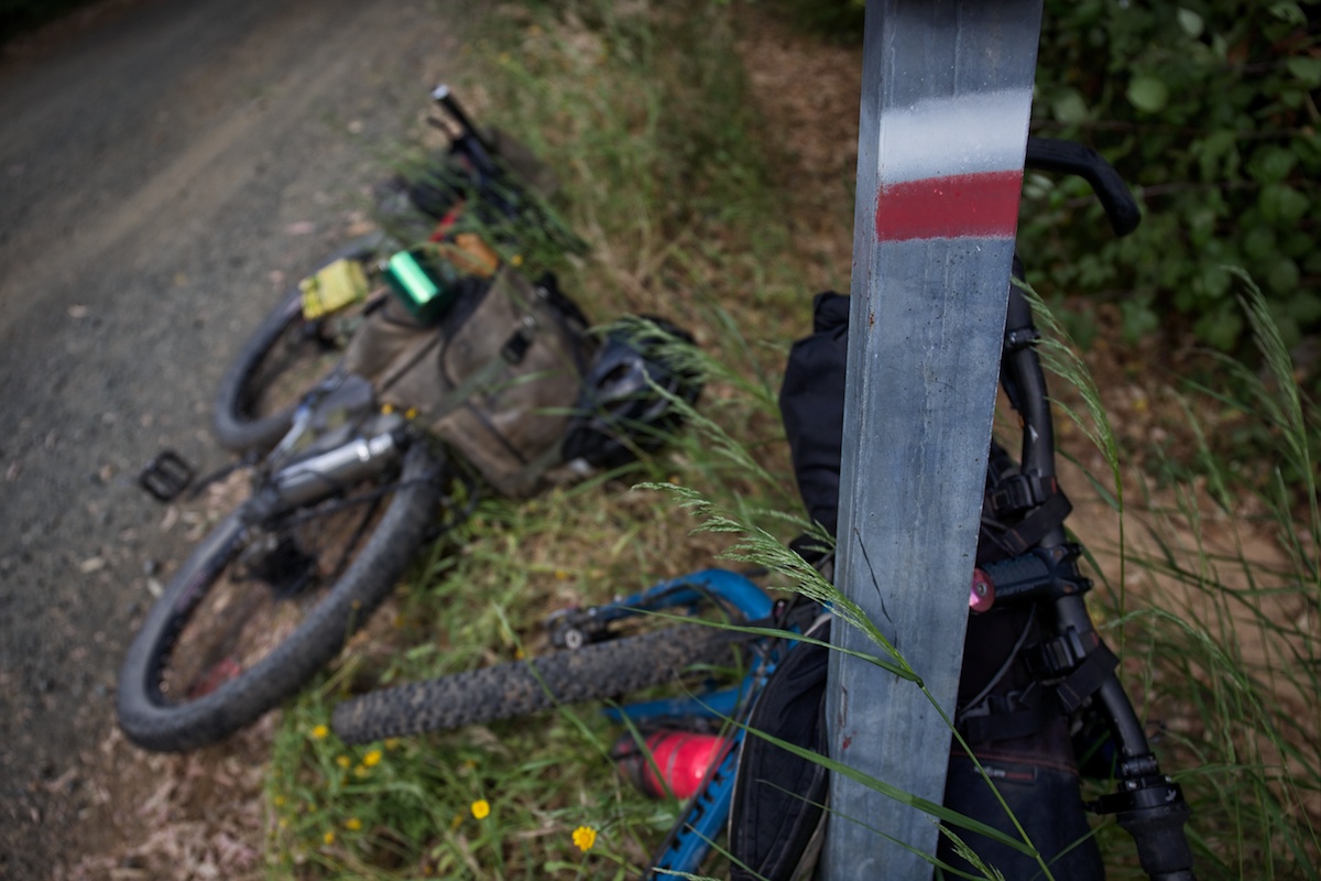
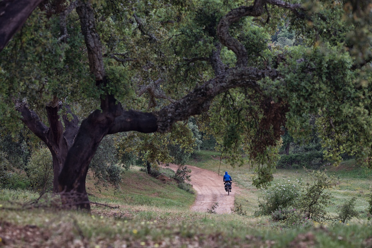
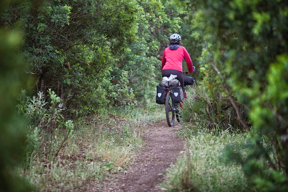
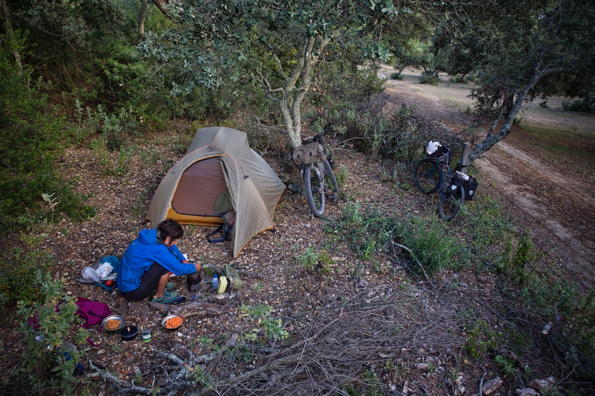
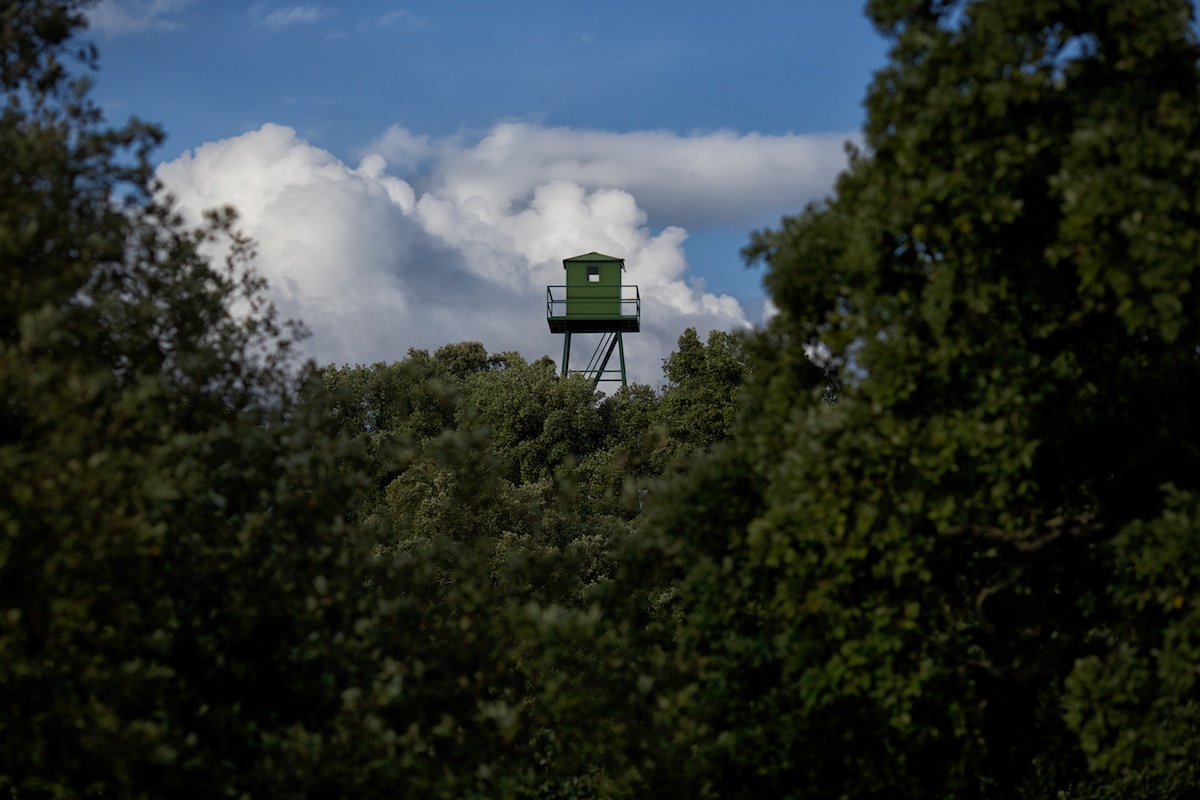
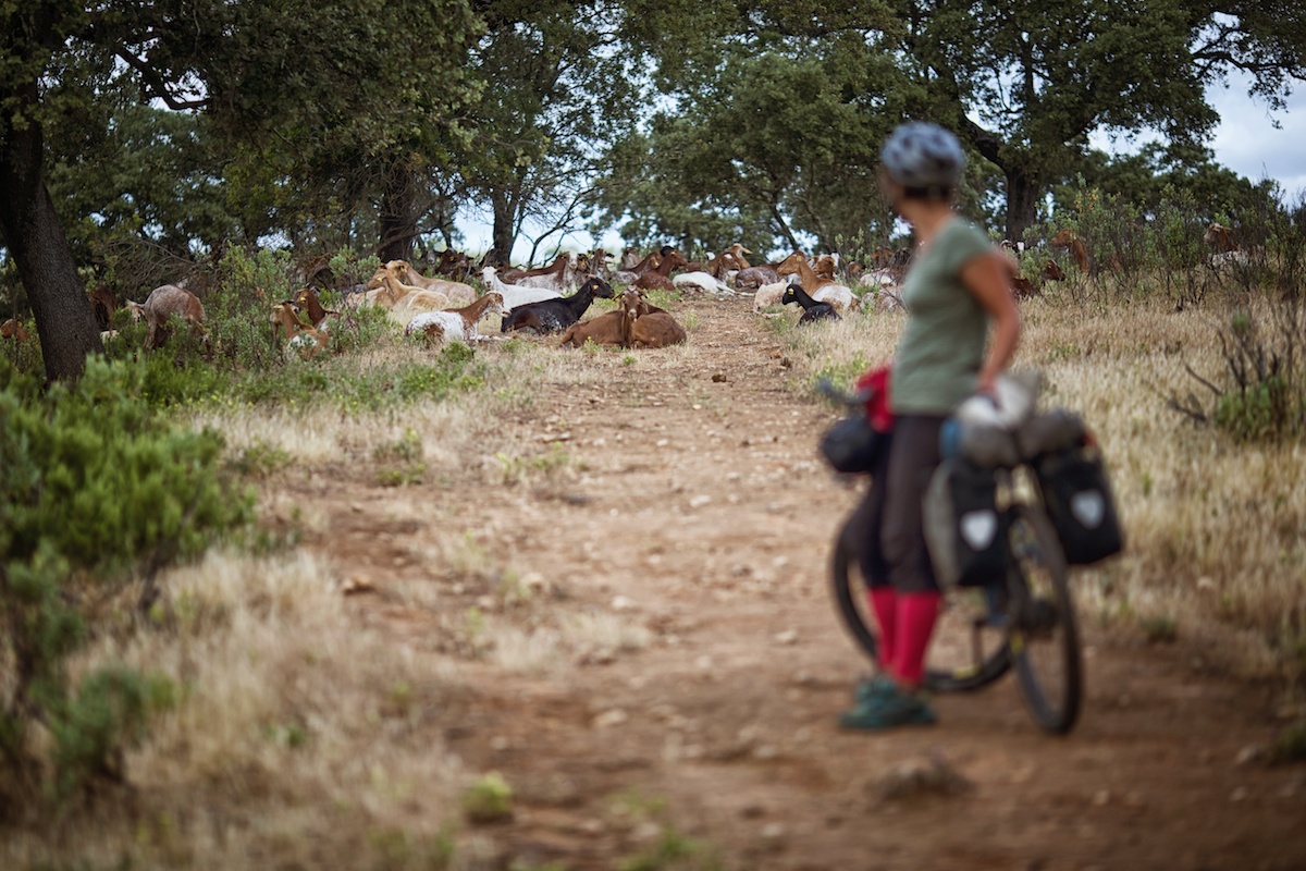
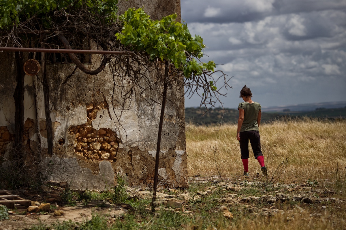
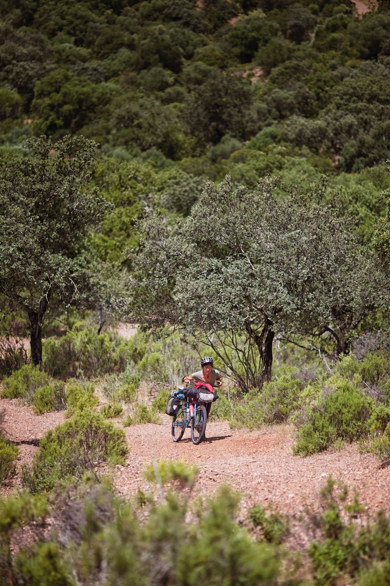
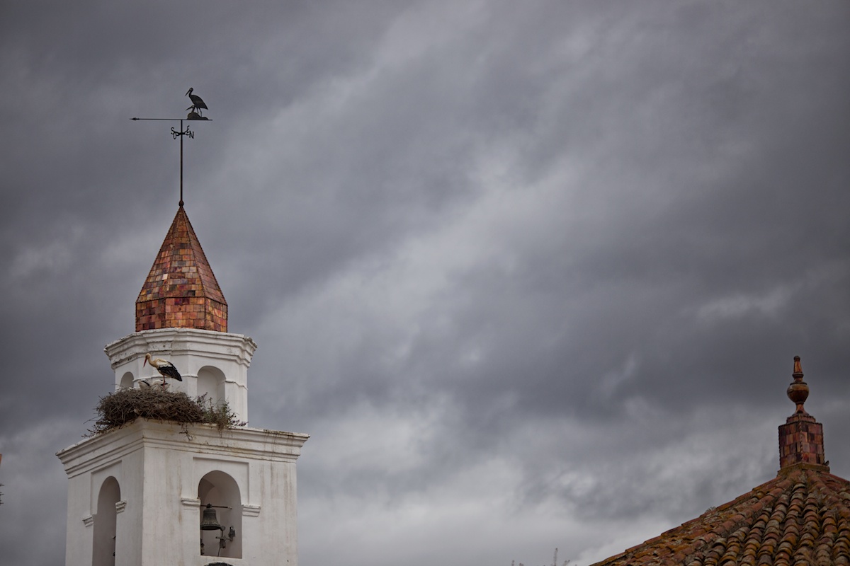
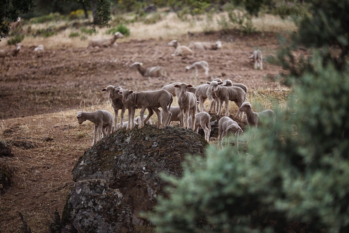
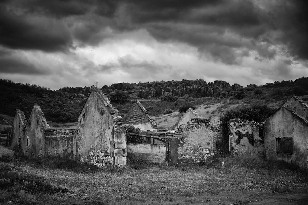
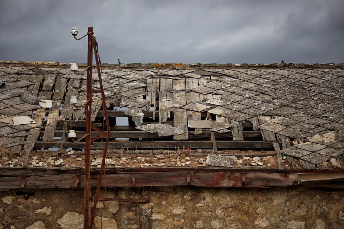
Due to time constraints, we only cycled about a third of it, starting in the Parque Natural Sierra Norte de Sevilla and finishing in Cordoba. But nevertheless, I wanted to add it in this collection because it deserves the attention. It’s an amazing way to see this seldom visited area in the northern part of Andalusia. The portion we cycled was indeed remote. It carried us though dark forests, past long abandoned ruins, across acres of wooded farmland home to the iberian black-footed pig, and eventually into the endless groves of orange and fields of sunflower. There were days when we saw no one. One night we made camp just feet from the road and didn’t have a worry. The trail was broken up by tar sections through small towns which made interesting pitstops for coffee or sundries. We were only in the grasp of the GR 48 for a few days, but the remote riding and ever-changing landscape made me regret not delaying our flight and tackling the whole thing.


Submit Route Alert
As the leading creator and publisher of bikepacking routes, BIKEPACKING.com endeavors to maintain, improve, and advocate for our growing network of bikepacking routes all over the world. As such, our editorial team, route creators, and Route Stewards serve as mediators for route improvements and opportunities for connectivity, conservation, and community growth around these routes. To facilitate these efforts, we rely on our Bikepacking Collective and the greater bikepacking community to call attention to critical issues and opportunities that are discovered while riding these routes. If you have a vital issue or opportunity regarding this route that pertains to one of the subjects below, please let us know:
Highlights
Must Know
Camping
Food/H2O
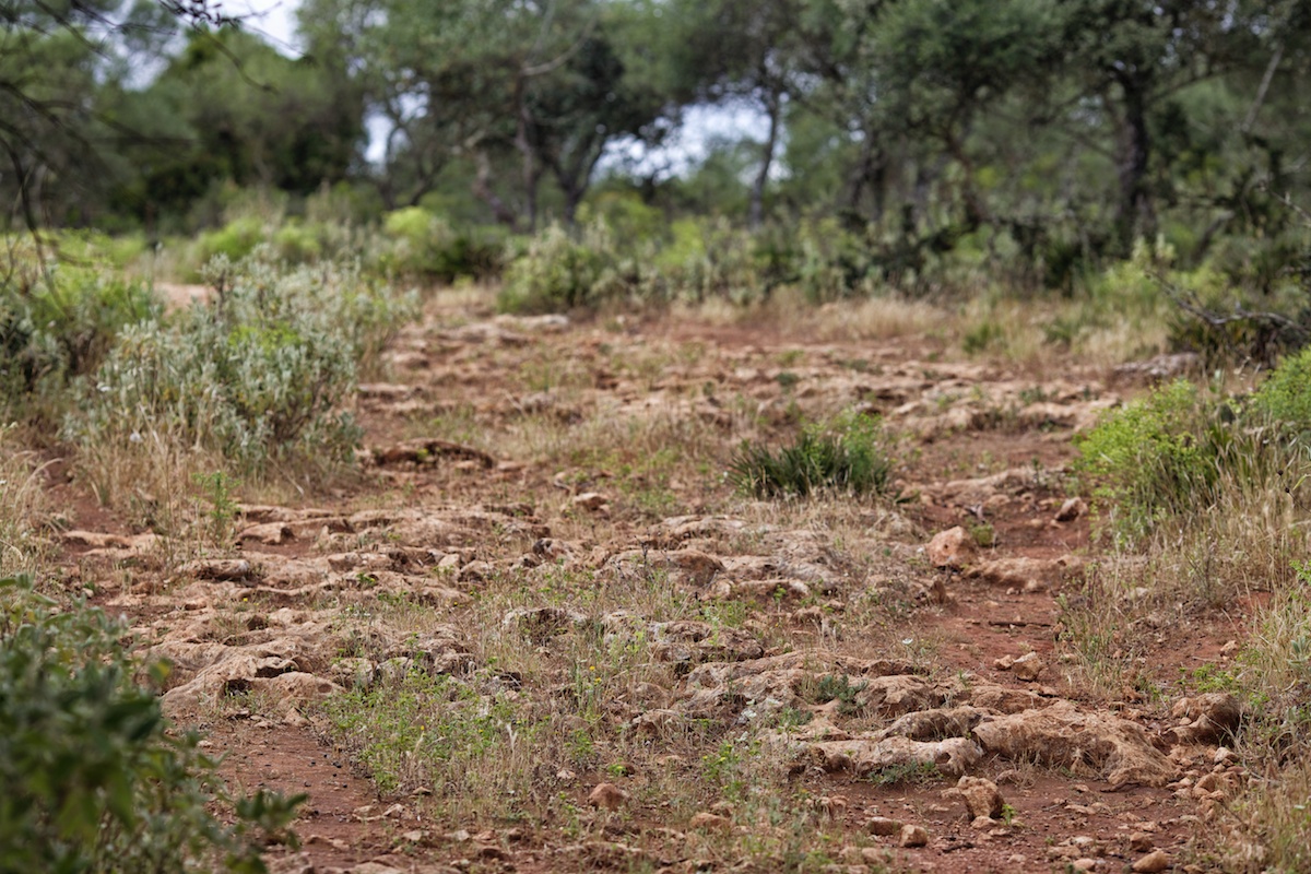
- Beautiful rocky dirt roads traversing the countryside.
- The unique wooded farmland inhabited by iberian black-footed pigs.
- Experiencing rural farming communities.
- Southern Spain charm and ancient villages.
- There are maps of the GR 48 available. Check in guesthouses at the major towns.
- The best time to ride the GR 48 is spring or fall; although summer would be fine as well, albeit a bit hot.
- There are plenty of opportunities for wild camping, but there are some stretches where farming fences line line the road for miles. One night we actually just camped next to the road. A single farmer drove by the following morning as we were rolling up camp.
- There are guesthouses in most of the major towns.
- There are always towns accessible within 50 miles that have access to food. Just make sure you get there before or after siesta (usually between 4 and 8 PM).
- Water can be a little tricky sometimes; we found a few streams to filter, but they are not always easy to access because of fences.


Terms of Use: As with each bikepacking route guide published on BIKEPACKING.com, should you choose to cycle this route, do so at your own risk. Prior to setting out check current local weather, conditions, and land/road closures. While riding, obey all public and private land use restrictions and rules, carry proper safety and navigational equipment, and of course, follow the #leavenotrace guidelines. The information found herein is simply a planning resource to be used as a point of inspiration in conjunction with your own due-diligence. In spite of the fact that this route, associated GPS track (GPX and maps), and all route guidelines were prepared under diligent research by the specified contributor and/or contributors, the accuracy of such and judgement of the author is not guaranteed. BIKEPACKING.com LLC, its partners, associates, and contributors are in no way liable for personal injury, damage to personal property, or any other such situation that might happen to individual riders cycling or following this route.
Please keep the conversation civil, constructive, and inclusive, or your comment will be removed.