Roundabout Brattleboro, Vermont
Distance
137 Mi.
(220 KM)Days
2-3
% Unpaved
75%
% Singletrack
2%
% Rideable (time)
100%
Total Ascent
10,500'
(3,200 M)High Point
2,700'
(823 M)Difficulty (1-10)
5?
- 5Climbing Scale Moderate77 FT/MI (15 M/KM)
- -Technical Difficulty
- -Physical Demand
- -Resupply & Logistics
Contributed By

Joe Cruz
Pedaling in Place
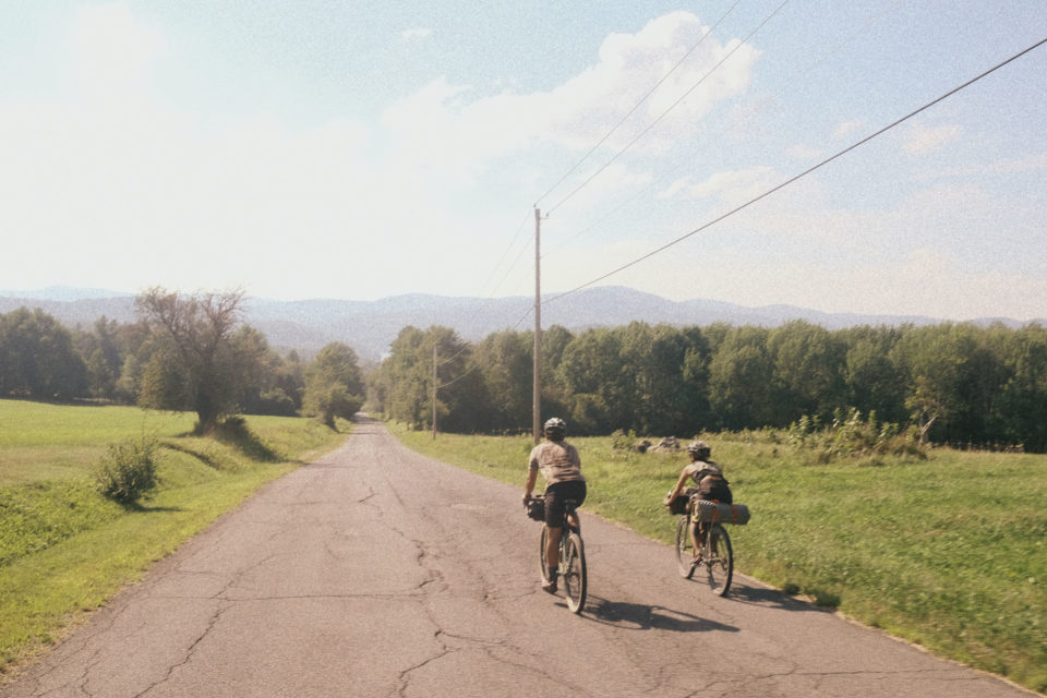
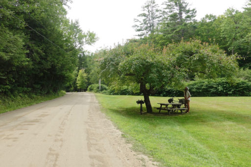
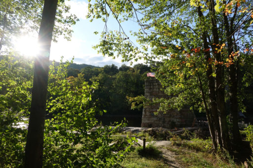
Central and Northern Vermont are rightly admired for having some of the best dirt riding in New England, but the southern part of the Green Mountain State offers its own substantial appeal. A distinctive magic combines comfortably spaced towns for resupply at the general store or a nap on the central green with a feeling of remote wildness when pedaling through the Green Mountain National Forest. Starting in the southeastern Vermont city of Brattleboro, this is a fun and light and lovely loop with a few adventure bits.
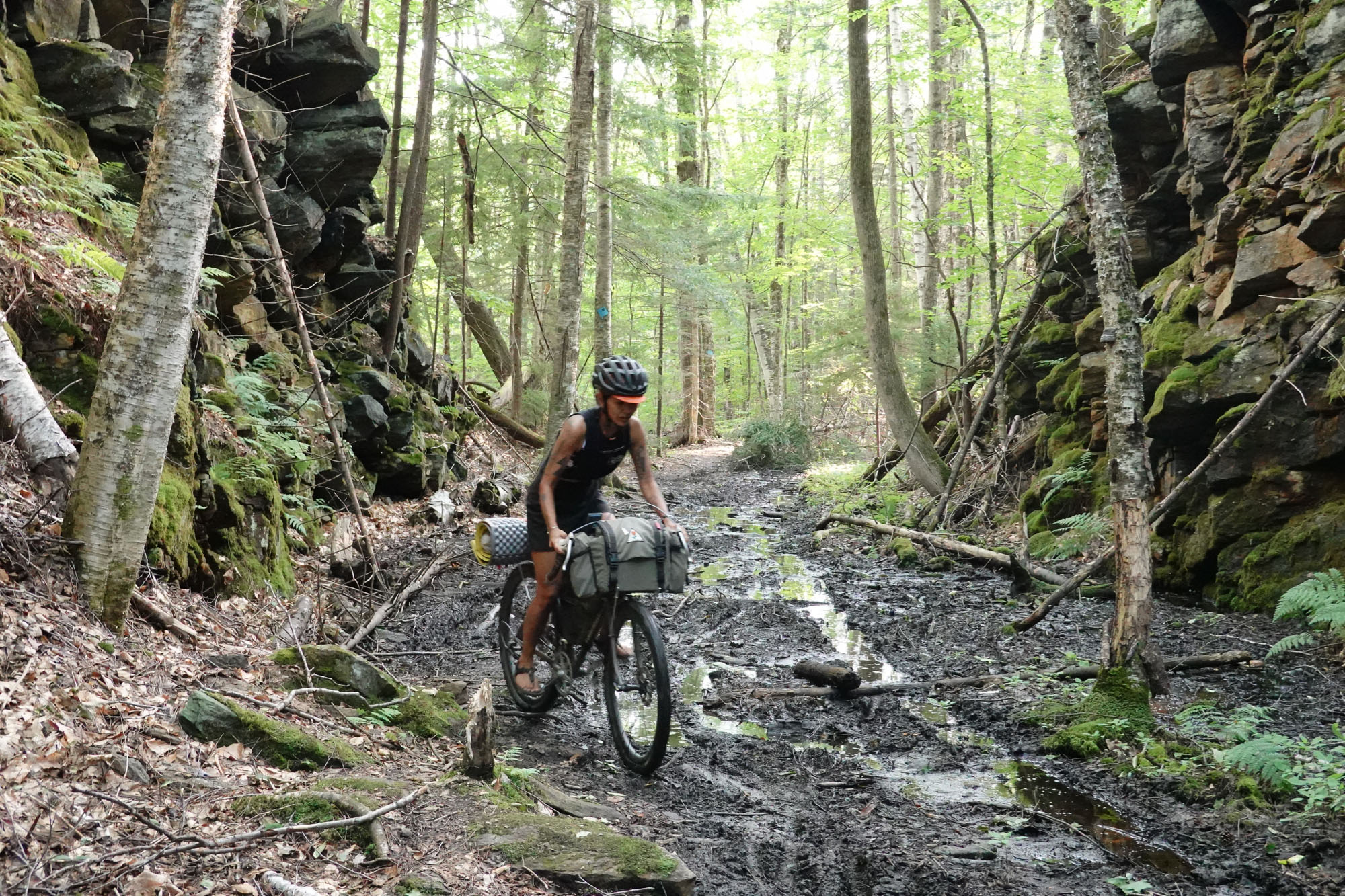
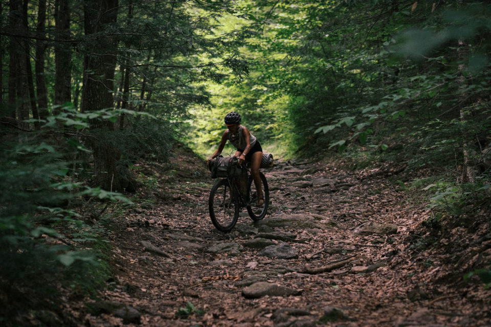
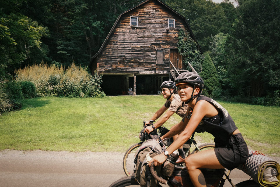
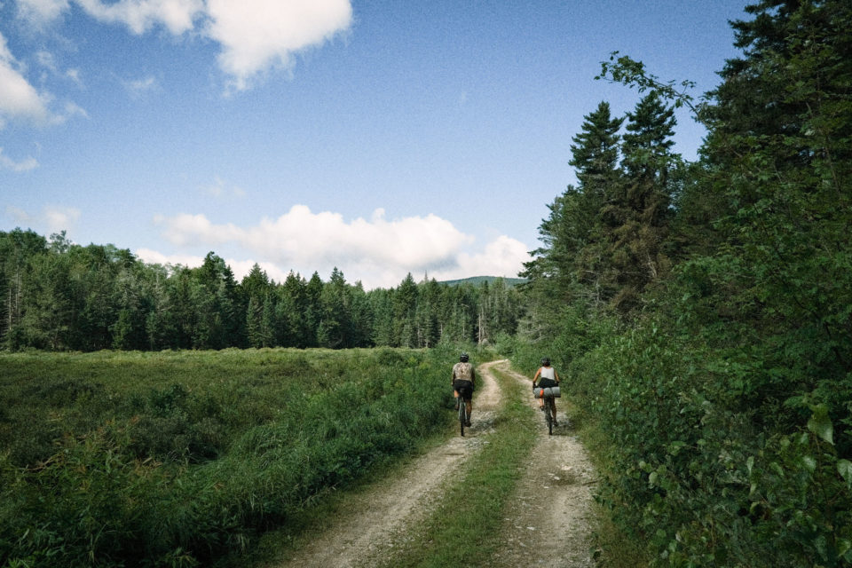
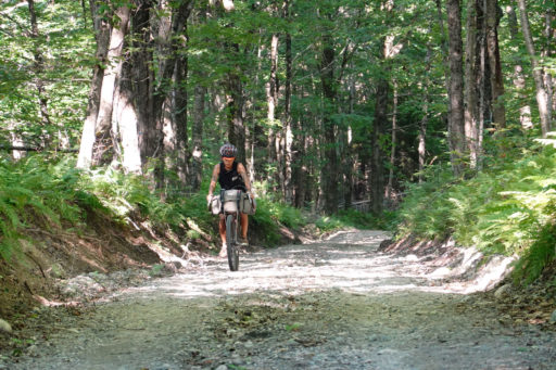
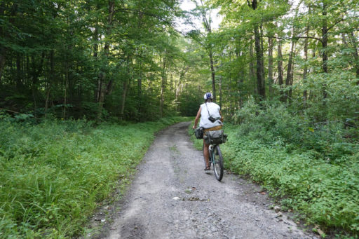
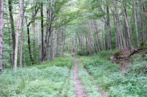
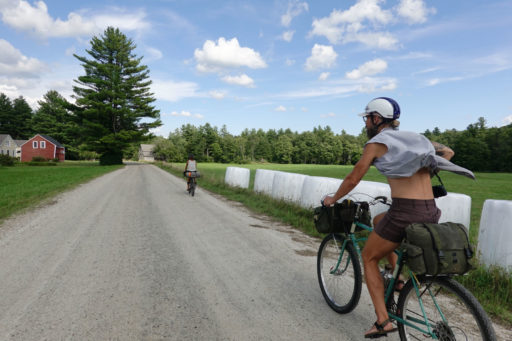
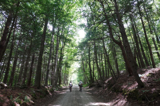
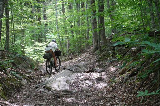
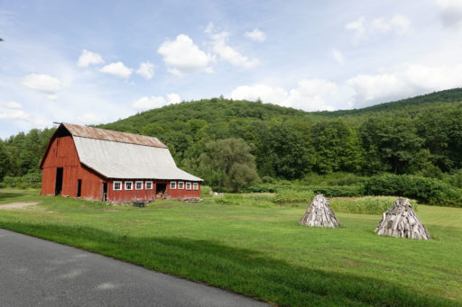
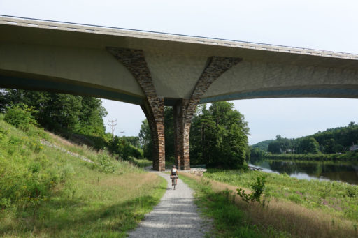
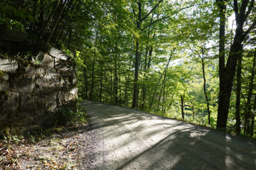
The riding is quintessentially Vermont: Much of the trip is spent on hilly quiet dirt roads mostly embraced by trees but sometimes opening up into rolling valleys with slate-roof 19th century farmhouses and barns. The middle section in the Green Mountains proper offers a more rugged interlude of doubletrack, some rocky bits, and a few steep pitches. Overall the rhythms and textures achieve the variety that Vermont is known for, all in a compact outing.
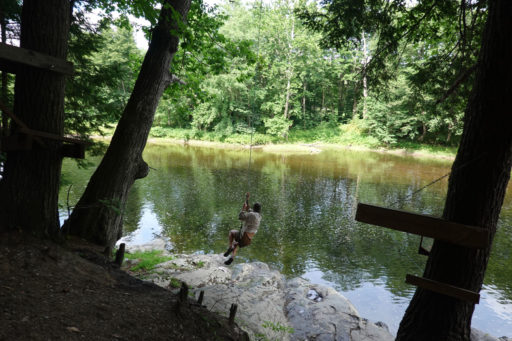
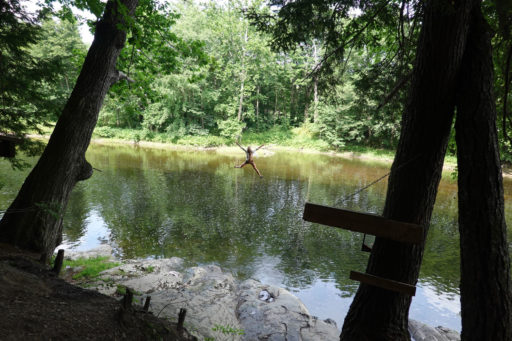
Doing this ride during the autumn foliage season will take your breath away with the colors, but don’t underestimate the fun to be had in summer when the swimming holes and rope swings into the rivers will be irresistible.
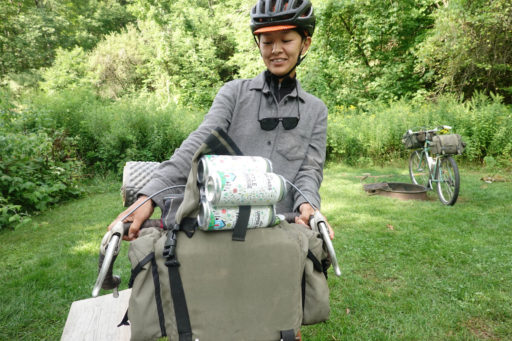
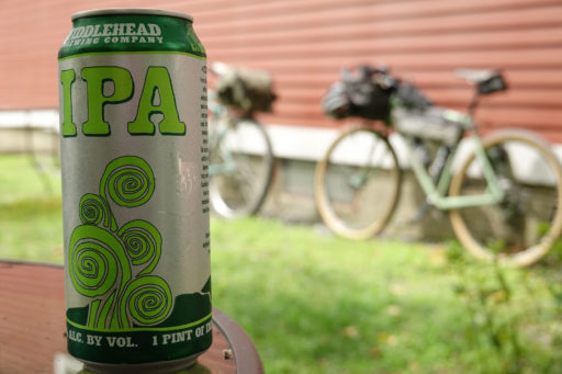
Brattleboro (pop. 12,000)—the start and end of the loop—is a pleasantly sized city with a friendly bohemian main street and an excellent food co-op. Craft beer can be had, too, including at the celebrated Hermit Thrush Brewery, which only brews sours, and tremendous ones at that.
Accessible camping opportunities make it convenient to traverse the route in three days of 40-50 miles (65-80 kilometers) each—a relaxed and friendly pace. With two 65-70 mile (105-112 kilometer) days, this would be a fine overnighter for strong riders.
Explanation of difficulty
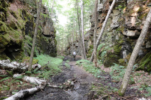
Most of the Roundabout Brattleboro is on well-maintained dirt roads, but there are a few sections that presume experience riding on woodsy doubletrack with some mud sections, ruts, and rocks here and there. As is always true in Vermont, there’s plenty of climbing, so your fitness will be tested. The difficulty rating of 5 assumes a three-day itinerary and reflects the facts that resupply is fairly accessible, camping is straightforward, and the pedaling surfaces themselves are by and large not particularly technical. Still, this is probably a little more than a first-timer would want to tackle. Add 1 or 2 to the difficulty rating with a more ambitious two-day plan.
 This route is part of the Local Overnighter Project, which was created to expand our growing list of worldwide bikepacking routes—the first and largest of its kind—and create an independent map and catalog of great bikepacking overnighters, curated by you, from your own backyard. Our goal is to have accessible routes from every town and city in the world. Learn More
Submit Route Alert
As the leading creator and publisher of bikepacking routes, BIKEPACKING.com endeavors to maintain, improve, and advocate for our growing network of bikepacking routes all over the world. As such, our editorial team, route creators, and Route Stewards serve as mediators for route improvements and opportunities for connectivity, conservation, and community growth around these routes. To facilitate these efforts, we rely on our Bikepacking Collective and the greater bikepacking community to call attention to critical issues and opportunities that are discovered while riding these routes. If you have a vital issue or opportunity regarding this route that pertains to one of the subjects below, please let us know:
Highlights
Must Know
Camping
Food/H2O
- Distinctive textures of the Vermont landscape including the Green Mountain National Forest.
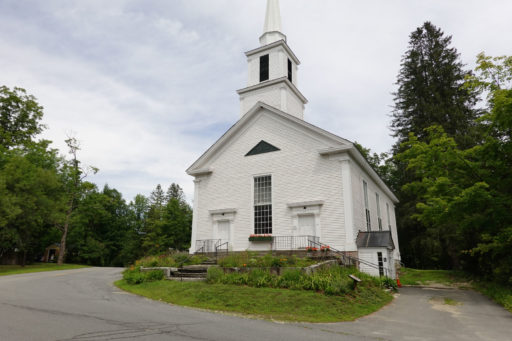
- Bucolic towns of Whitingham, South Londonderry, and Grafton.
- The city of Brattleboro.
- Hermit Thrush Brewery #yestheyreallsour.
- A fun section of the Catamount Trail along Harriman Reservoir.
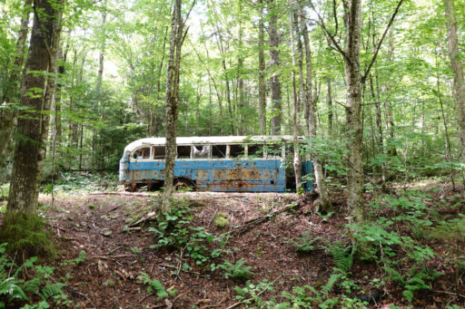
- The remote feeling International Paper (IP) Road behind Stratton Mountain.
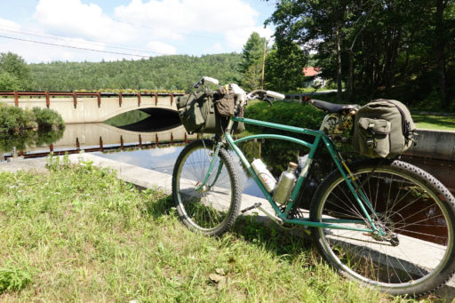
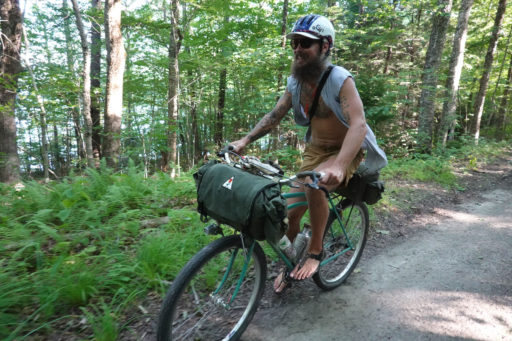
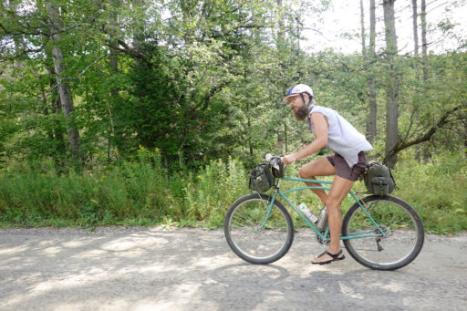
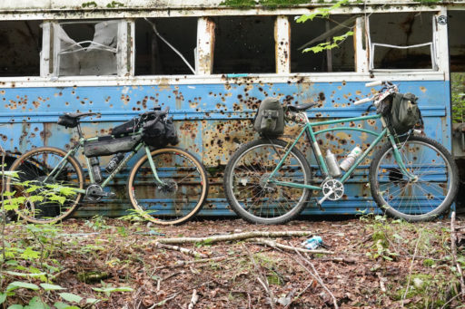
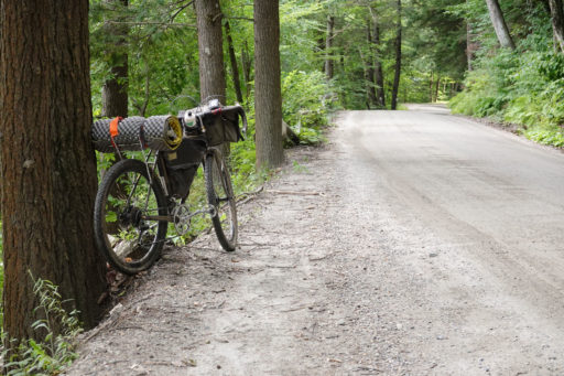
- Suitable for a gravel bike, 40mm+ tires recommended. For those less experienced riding a drop bar bike in the woods, riding a mountain bike would likely make this ride even more enjoyable. (And, really, a fully rigid or hardtail 29er is almost never the wrong choice for bikepacking in my book.)
- An untraditional setup of panniers on a touring bike with wide tires is probably fine if you have a good attitude and experience riding that format on rocky doubletrack, of which there are a few miles here and there on this route.
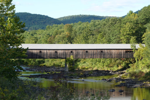
- Park at the Brattleboro Park-and-Ride. If coming from north and west of Brattleboro there is an alternate starting point at the Park-and-Ride next to the Dummerston covered bridge.
- The typical Vermont bikepacking season is from about the second week of June to about the first week of November. Earlier is too muddy and later risks snow or at least a winter chill.
- Riding in reverse would also be fun but somewhat harder due to the north to south climb on the IP road.
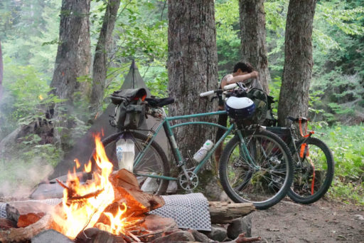
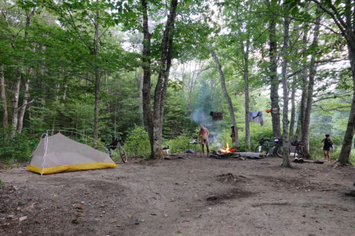
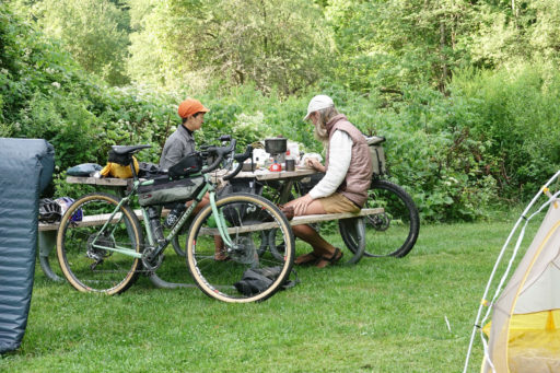
- The ride is straightforwardly done with legal dispersed camping in the Green Mountain National Forest on the first night and a stay at Winhall Brook Campground on the second. Reserve a site at Winhall Brook online. Note that the Winhall Brook season goes from mid-May to mid-October, so other camping or lodging arrangements will be required for the second night if traveling outside of those dates.
Wild camping is possible nearly throughout. Leave no trace. - Practice tick-aware camping.
- A version with two nights spent in lodging is likely very easily doable with stays in or near Wilmington and in or near Londonderry.
- A more aggressive two-day schedule can be done with a legal dispersed camp in the GMNF about half way through the route.
- There are very frequent opportunities to filter water.
- Numerous resupply options are on or near the route, as marked on the map, though from mile 40 (kilometer 64) to mile 80 (kilometer 130) there are no resources, so be sure to carry what you need into this section.
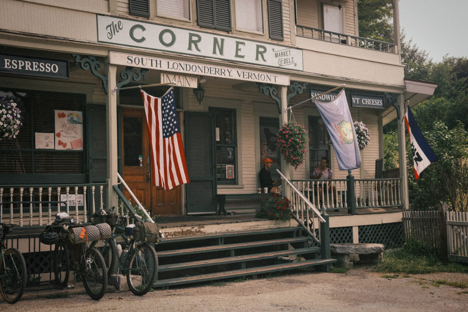
- If you’ve spent the second night at Winhall Brook, a nice treat on the morning of the third day is to ride 15 minutes from camp to get coffee and excellent egg and cheese breakfast sandwiches at the Corner Market general store in South Londonderry. This stop is right on the route.
Terms of Use: As with each bikepacking route guide published on BIKEPACKING.com, should you choose to cycle this route, do so at your own risk. Prior to setting out check current local weather, conditions, and land/road closures. While riding, obey all public and private land use restrictions and rules, carry proper safety and navigational equipment, and of course, follow the #leavenotrace guidelines. The information found herein is simply a planning resource to be used as a point of inspiration in conjunction with your own due-diligence. In spite of the fact that this route, associated GPS track (GPX and maps), and all route guidelines were prepared under diligent research by the specified contributor and/or contributors, the accuracy of such and judgement of the author is not guaranteed. BIKEPACKING.com LLC, its partners, associates, and contributors are in no way liable for personal injury, damage to personal property, or any other such situation that might happen to individual riders cycling or following this route.
Please keep the conversation civil, constructive, and inclusive, or your comment will be removed.


