


Scout Mountain Route
Distance
52 Mi.
(84 KM)Days
2-3
% Unpaved
98%
% Singletrack
75%
% Rideable (time)
80%
Total Ascent
8,811'
(2,686 M)High Point
8,107'
(2,471 M)Difficulty (1-10)
7?
- 10Climbing Scale Very Strenuous169 FT/MI (32 M/KM)
- -Technical Difficulty
- -Physical Demand
- -Resupply & Logistics
Contributed By

Thomas Lilly
Guest Contributor
Tom grew up in the Great Lakes and cut his teeth on the trails of Northern Michigan. He now resides in the Western US and calls the mountains home. His passion for trail riding, exploring, and geography led him to the adventure of bikepacking. When not on trails, he works in America’s public land management system. You can follow his adventures on instagram @tom.lilly.
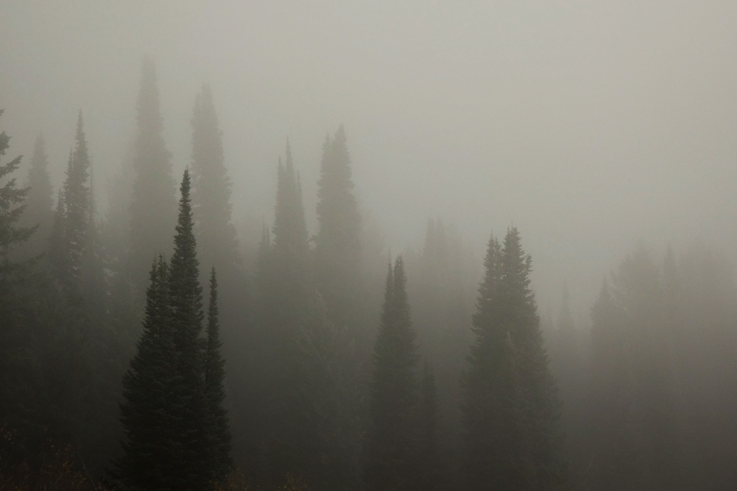
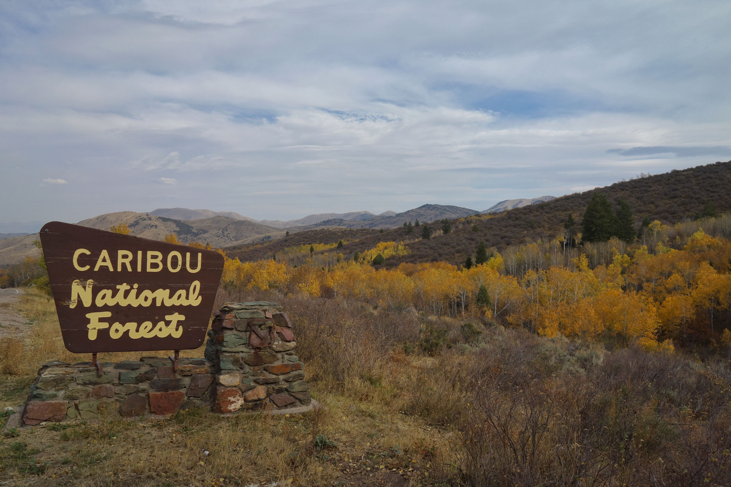
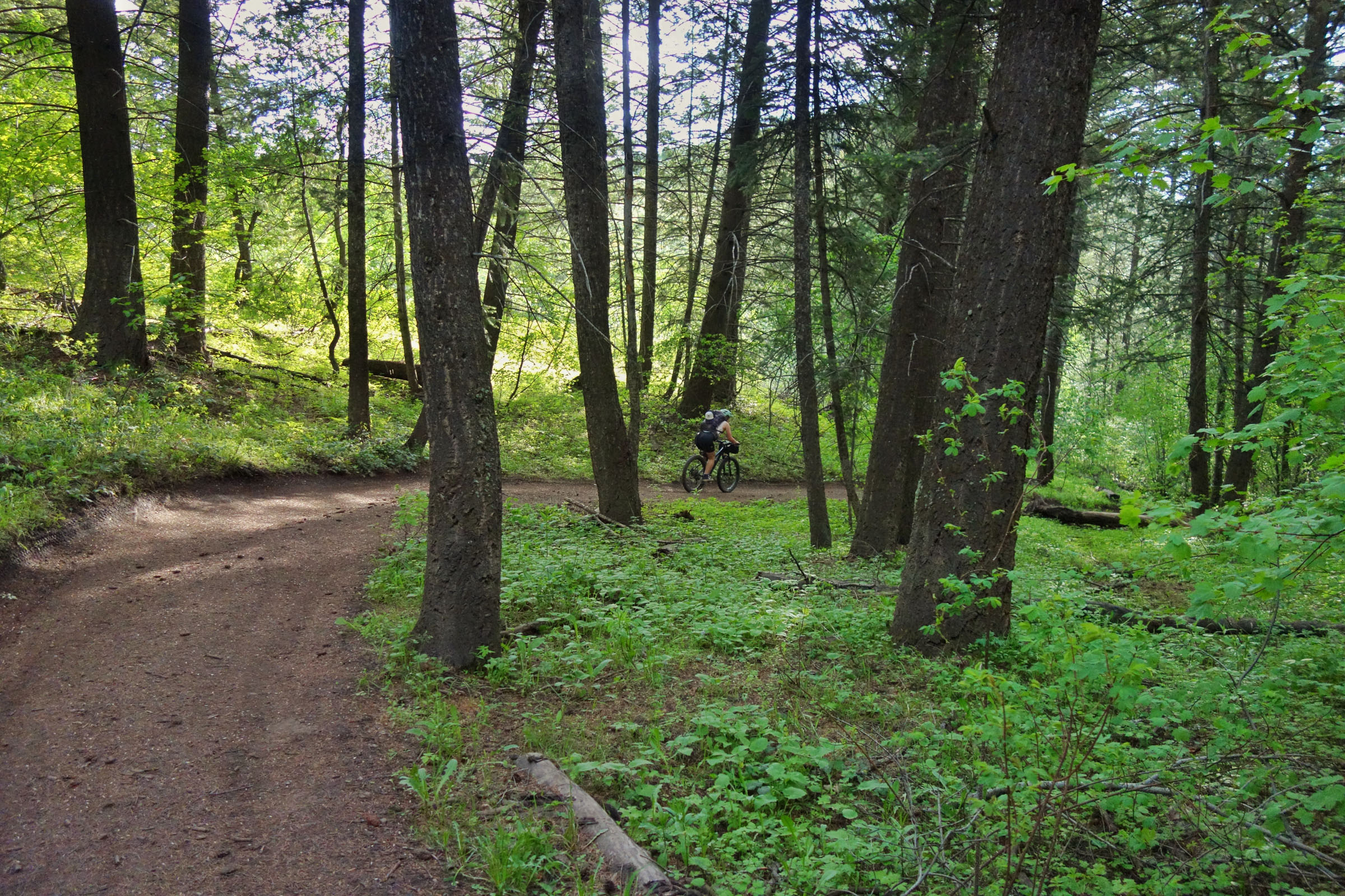
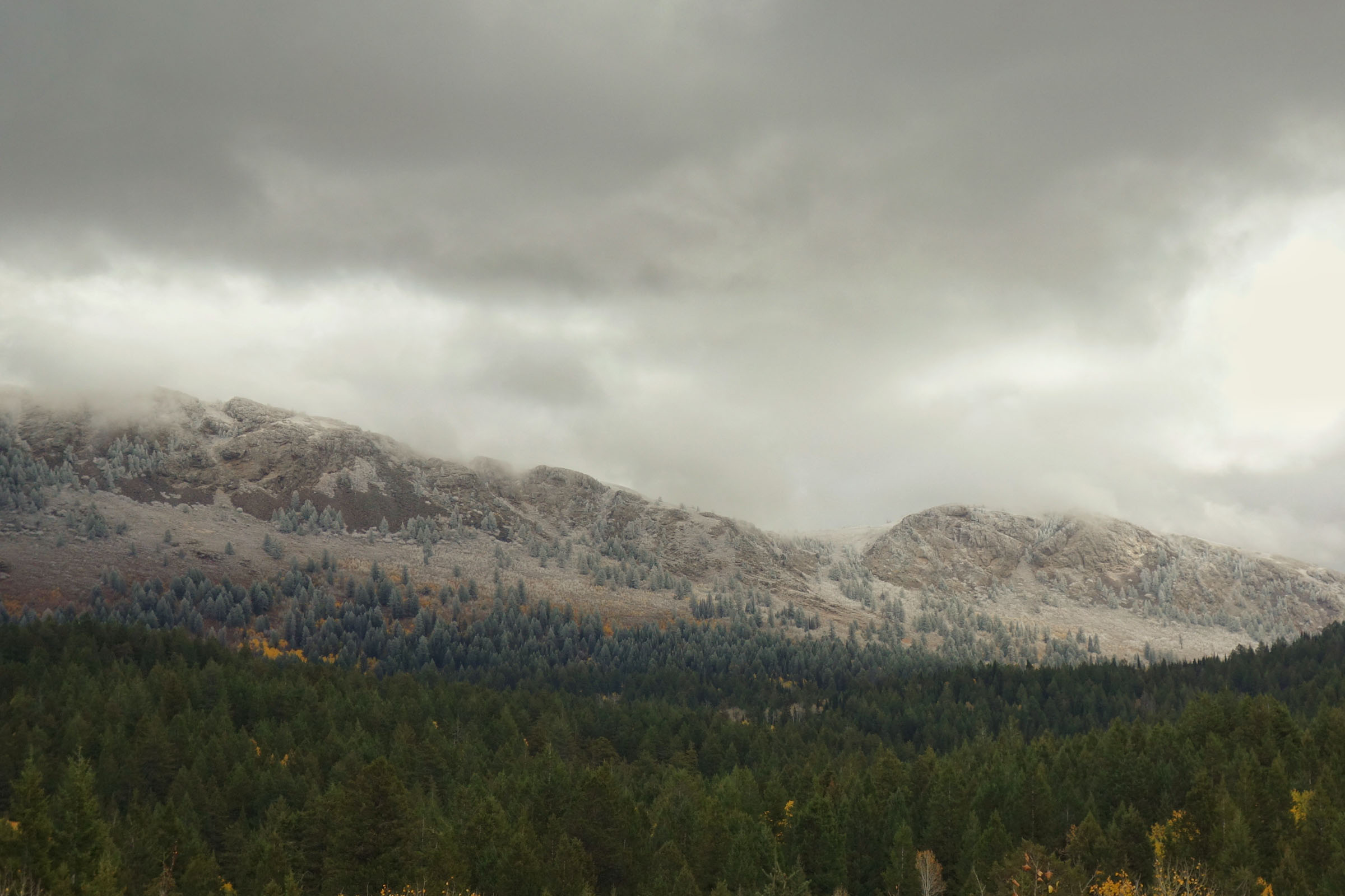
The trails outside of Pocatello, Idaho, are often overlooked in favor of nearby places like the Teton Valley and Wasatch. However, this range holds some equally inviting terrain. Scout Mountain rises from the valleys below and offers grand views and cool forests. The surrounding range is connected by twisting singletrack that dives between beautiful meadows and thick stands of aspen.
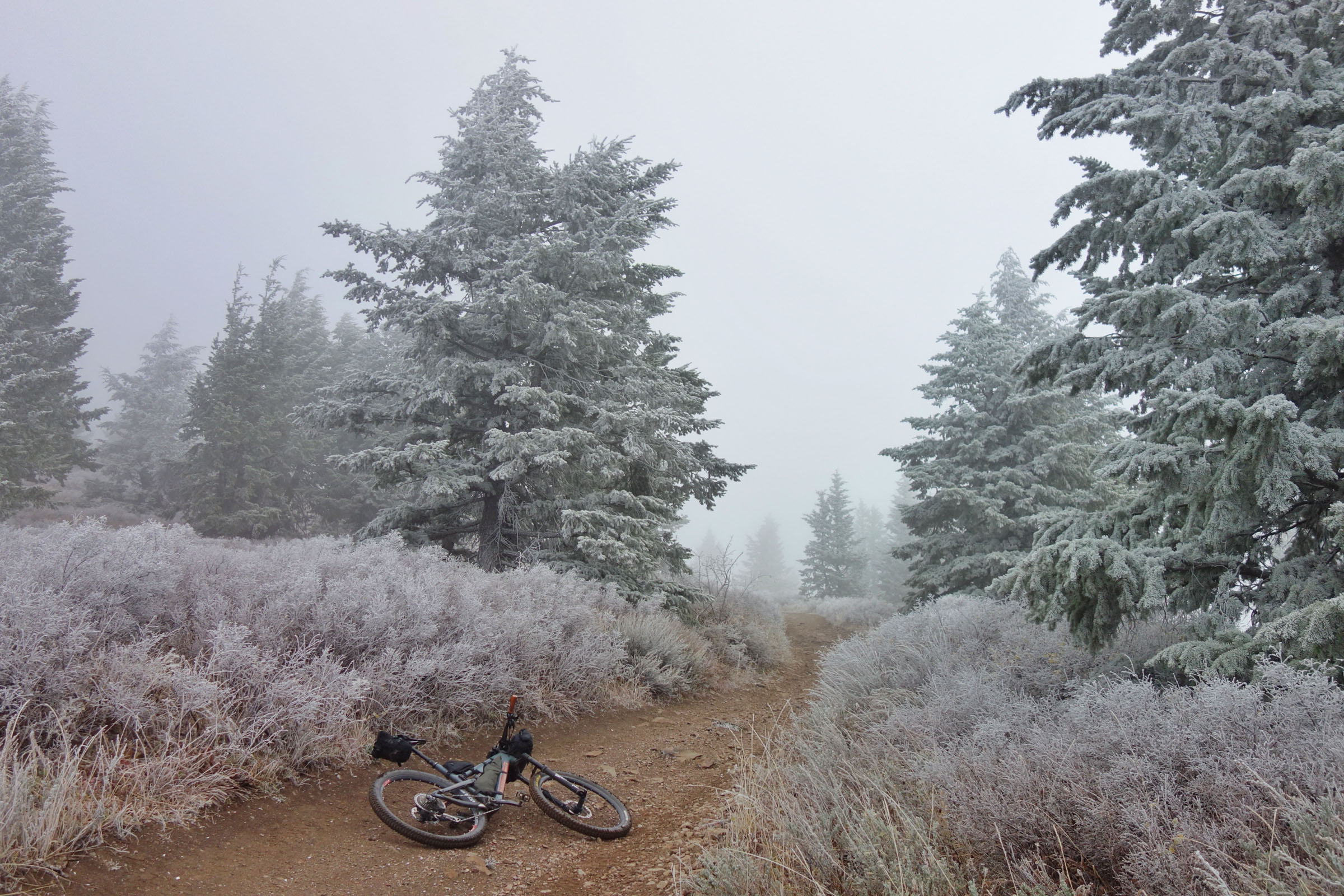
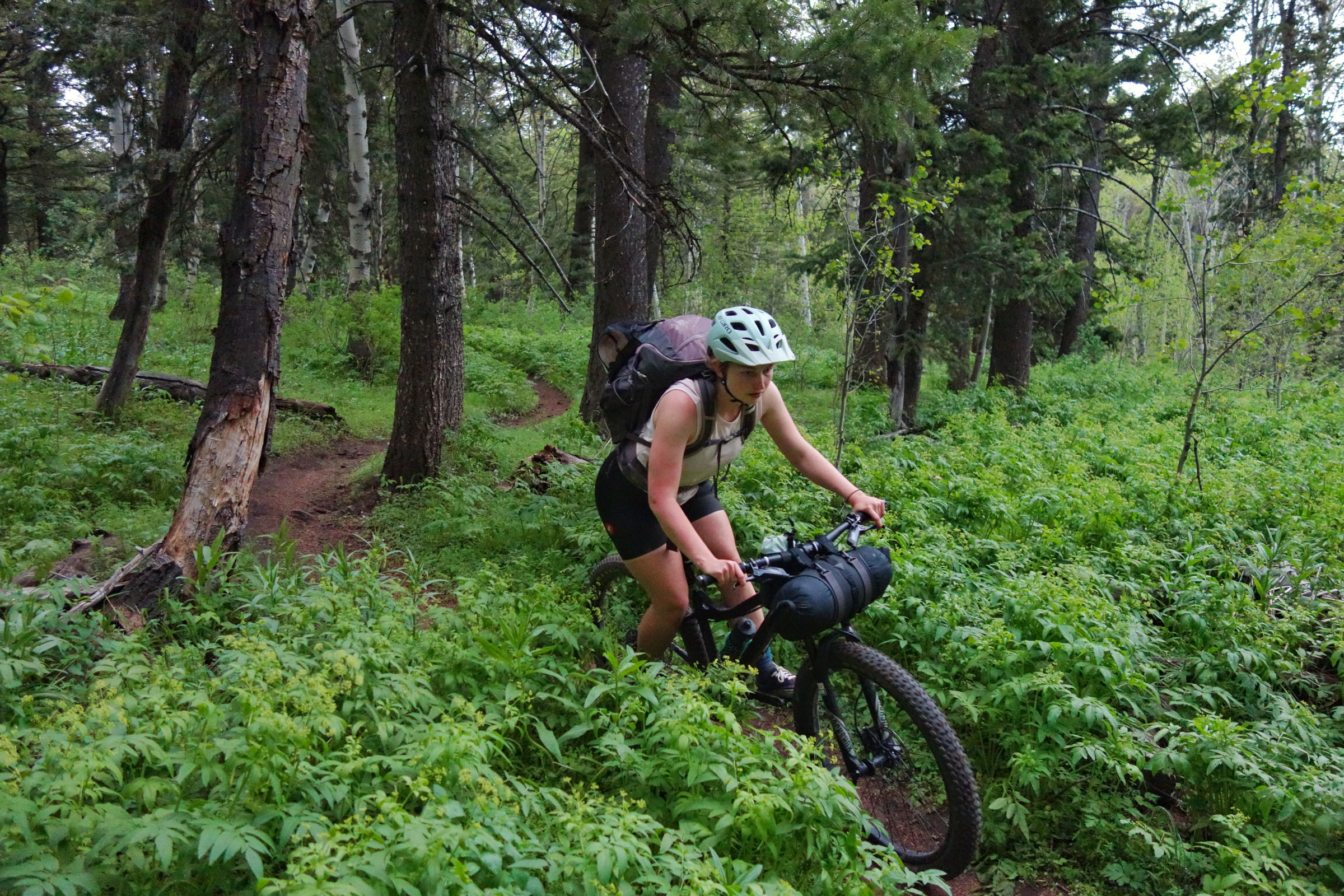
This weekend route can be completed hastily as an overnighter or more comfortably as a three-day tour. The trails can be steep at times, forcing even the strongest of legs to hike-a-bike for sections. Each uphill grind is rewarded with a ripping descent. Riders will enjoy splendid singletrack, an ever-changing landscape, and big views along the way. An account of this route is posted in the Trip Notes below.
Route Difficulty
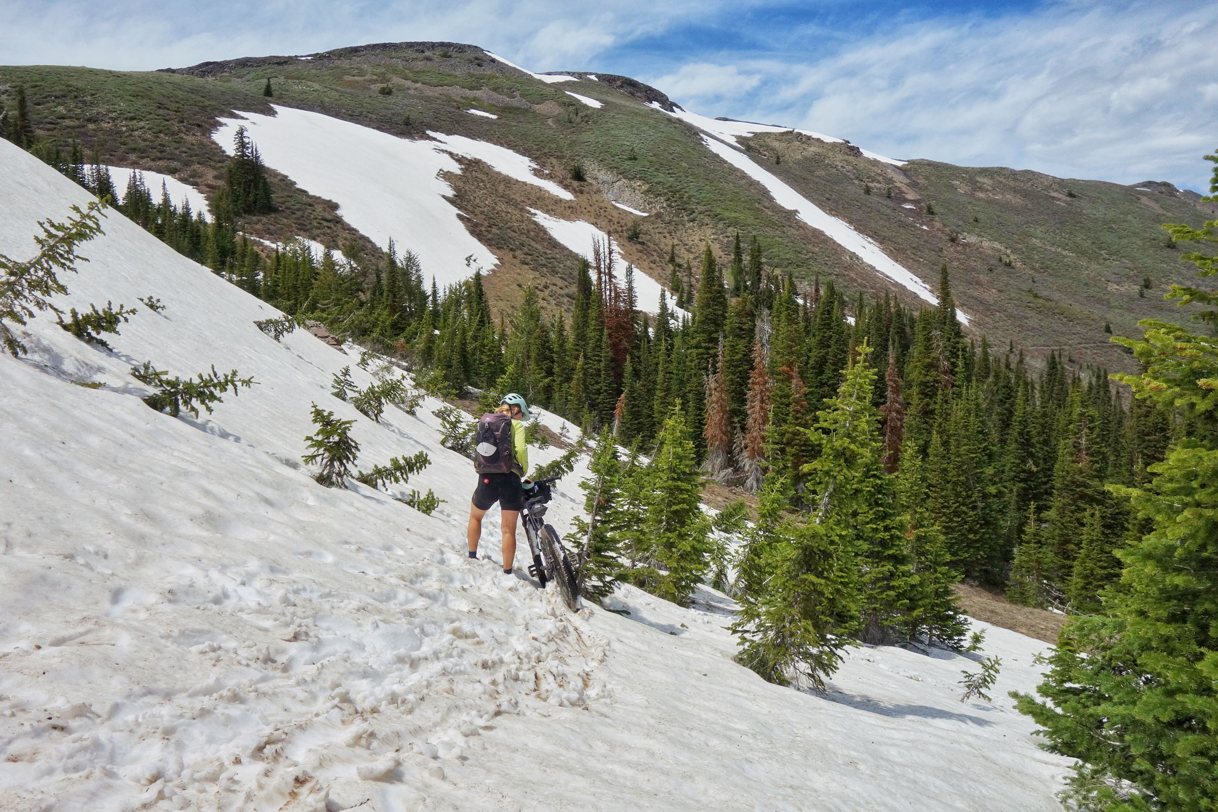
The Scout Mountain Route is rated a 7 out of 10 for difficulty. Although it’s short on distance, it packs a lot into those miles. Stiff climbs that often require some pushing dot the route. When not ascending, you’re on singletrack that demands your attention.
Route Development: The seed for this route came from the ultrarunning community. The Scout Mountain Ultra drew my interest some time ago, not because I’m an ultrarunner, but because of the sheer beauty of a region overlooked by many Idahoans. Cues were taken from the ultra and this route was developed for singletrack-minded bikepackers.


Submit Route Alert
As the leading creator and publisher of bikepacking routes, BIKEPACKING.com endeavors to maintain, improve, and advocate for our growing network of bikepacking routes all over the world. As such, our editorial team, route creators, and Route Stewards serve as mediators for route improvements and opportunities for connectivity, conservation, and community growth around these routes. To facilitate these efforts, we rely on our Bikepacking Collective and the greater bikepacking community to call attention to critical issues and opportunities that are discovered while riding these routes. If you have a vital issue or opportunity regarding this route that pertains to one of the subjects below, please let us know:
Highlights
Must Know
Camping
Food/H2O
Trail Notes
Resources
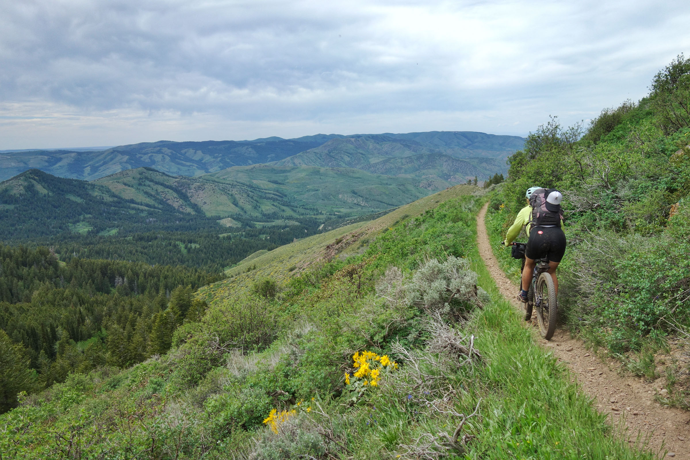
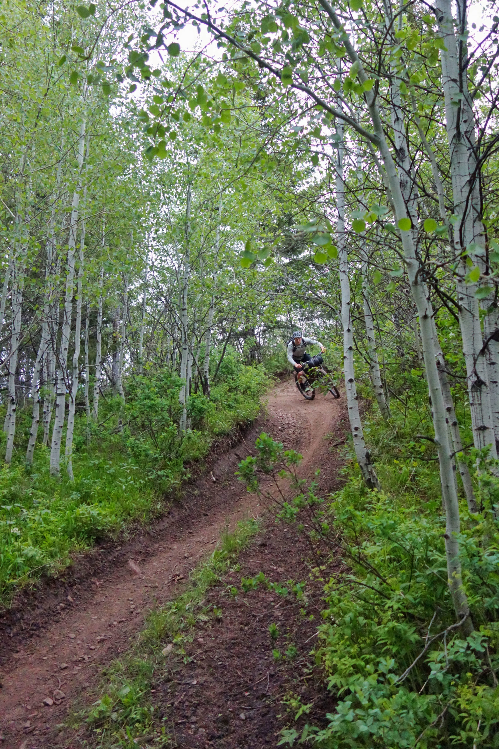
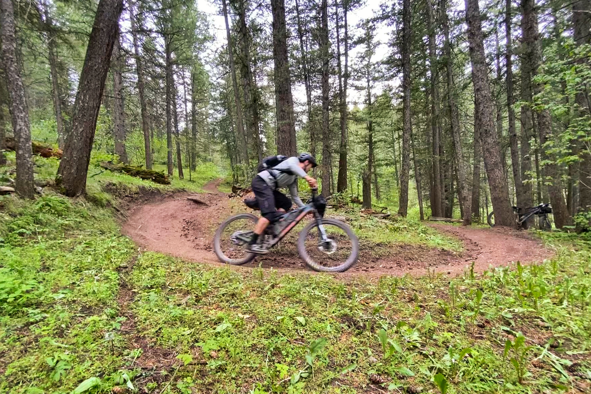
- Endless flowy singletrack is prominent on this route.
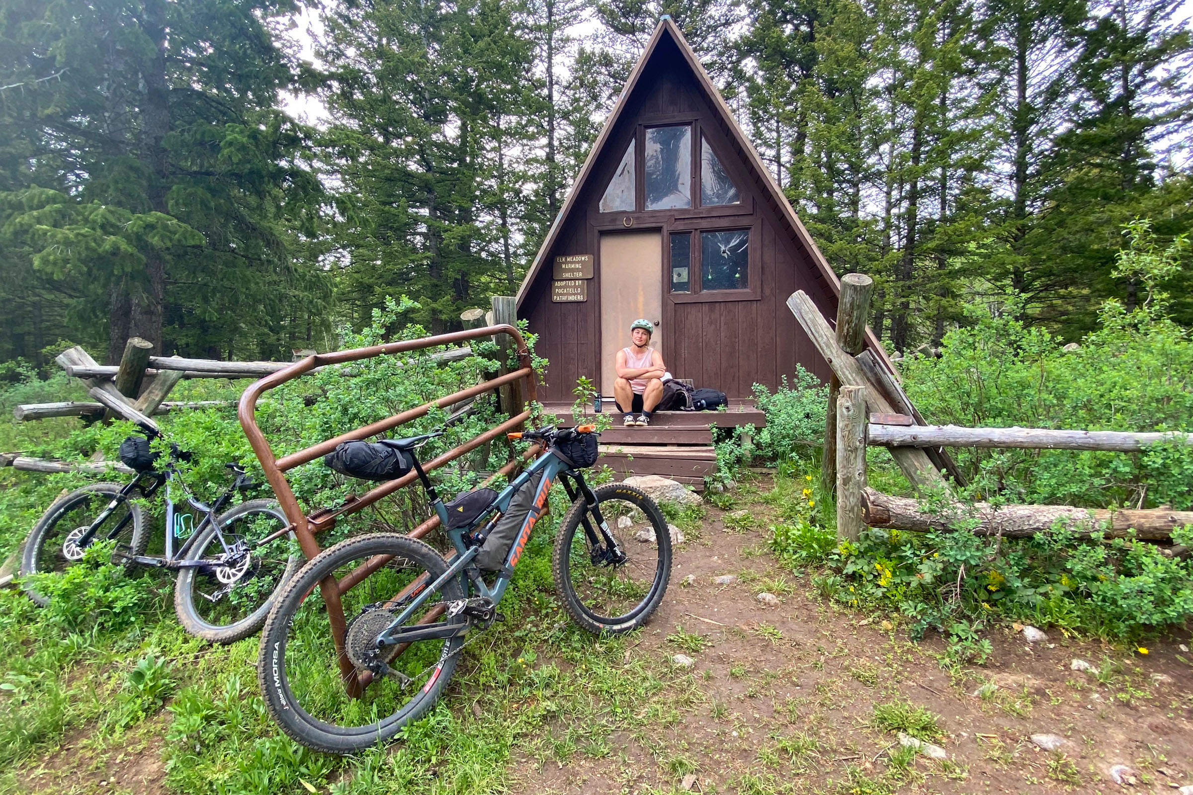
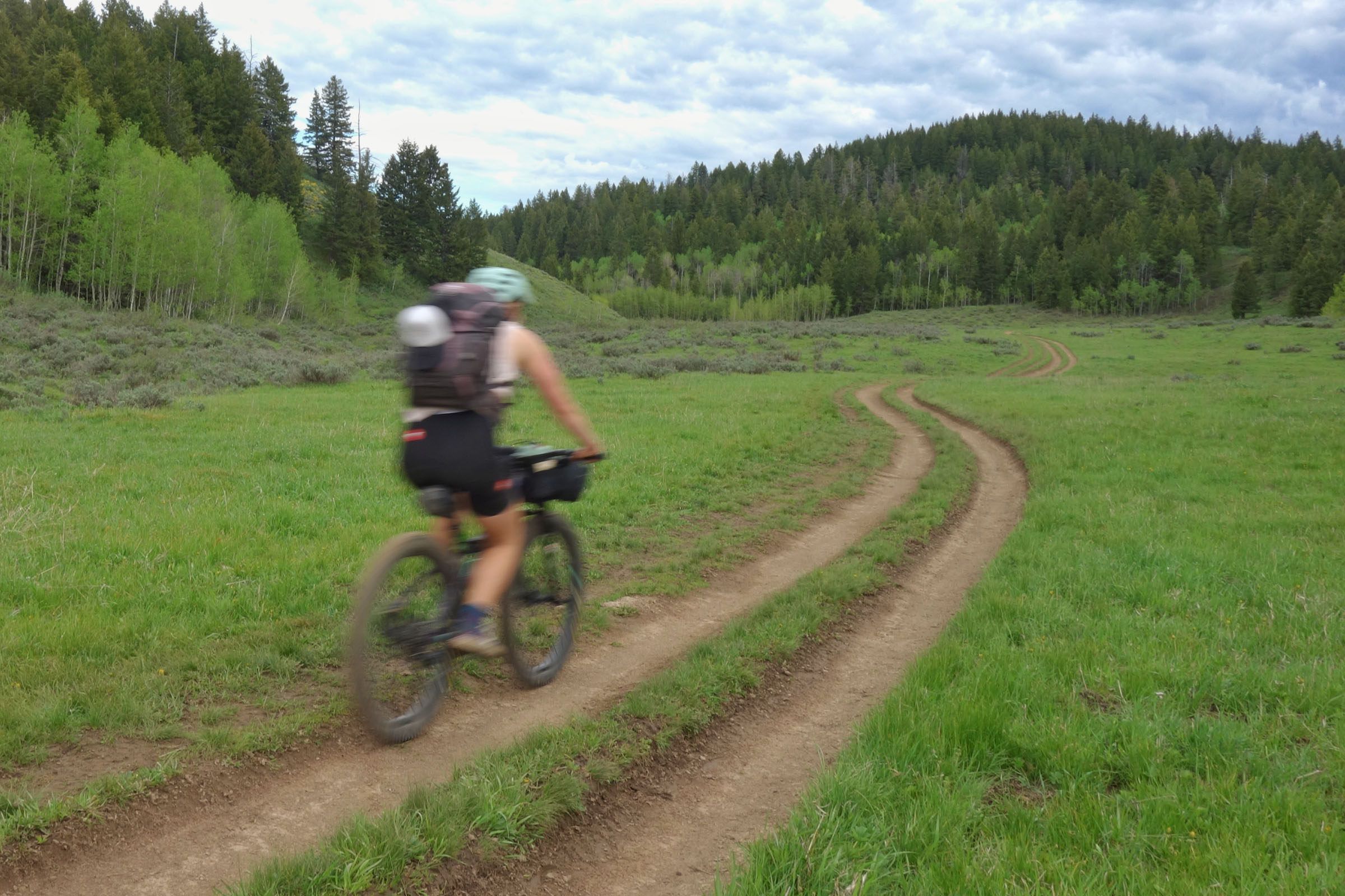
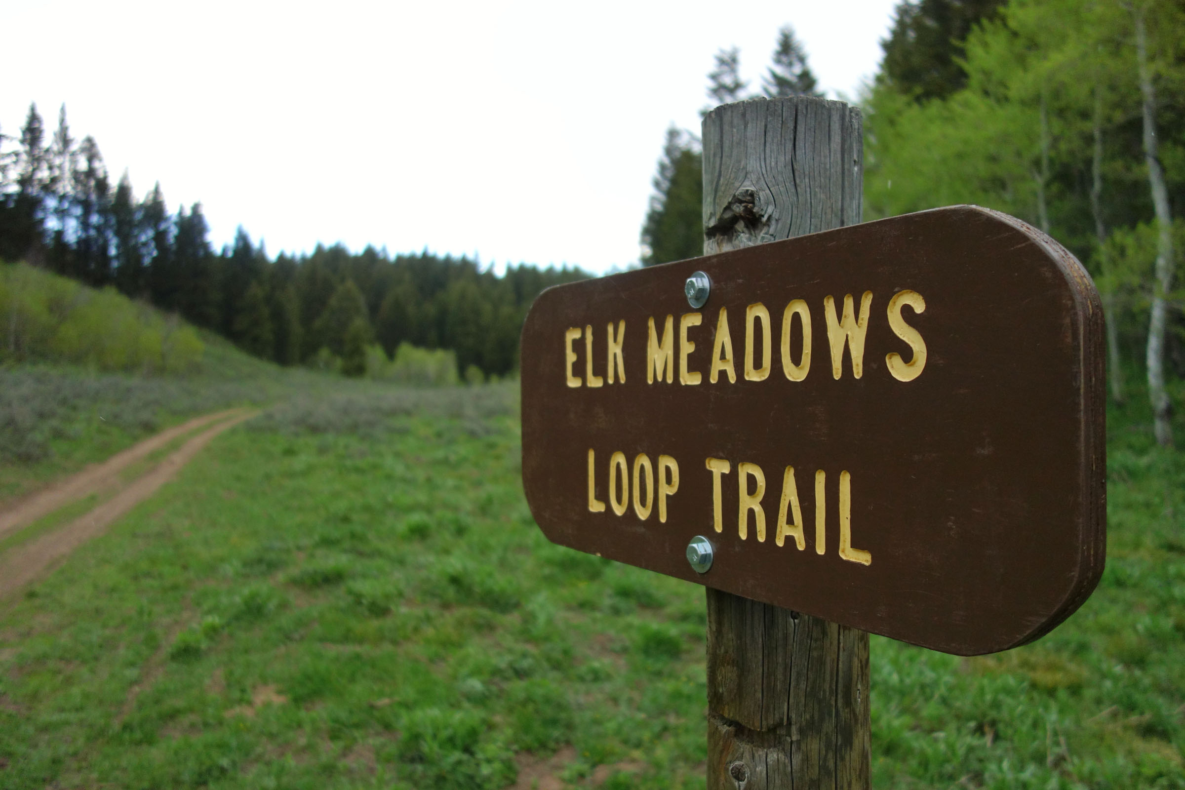
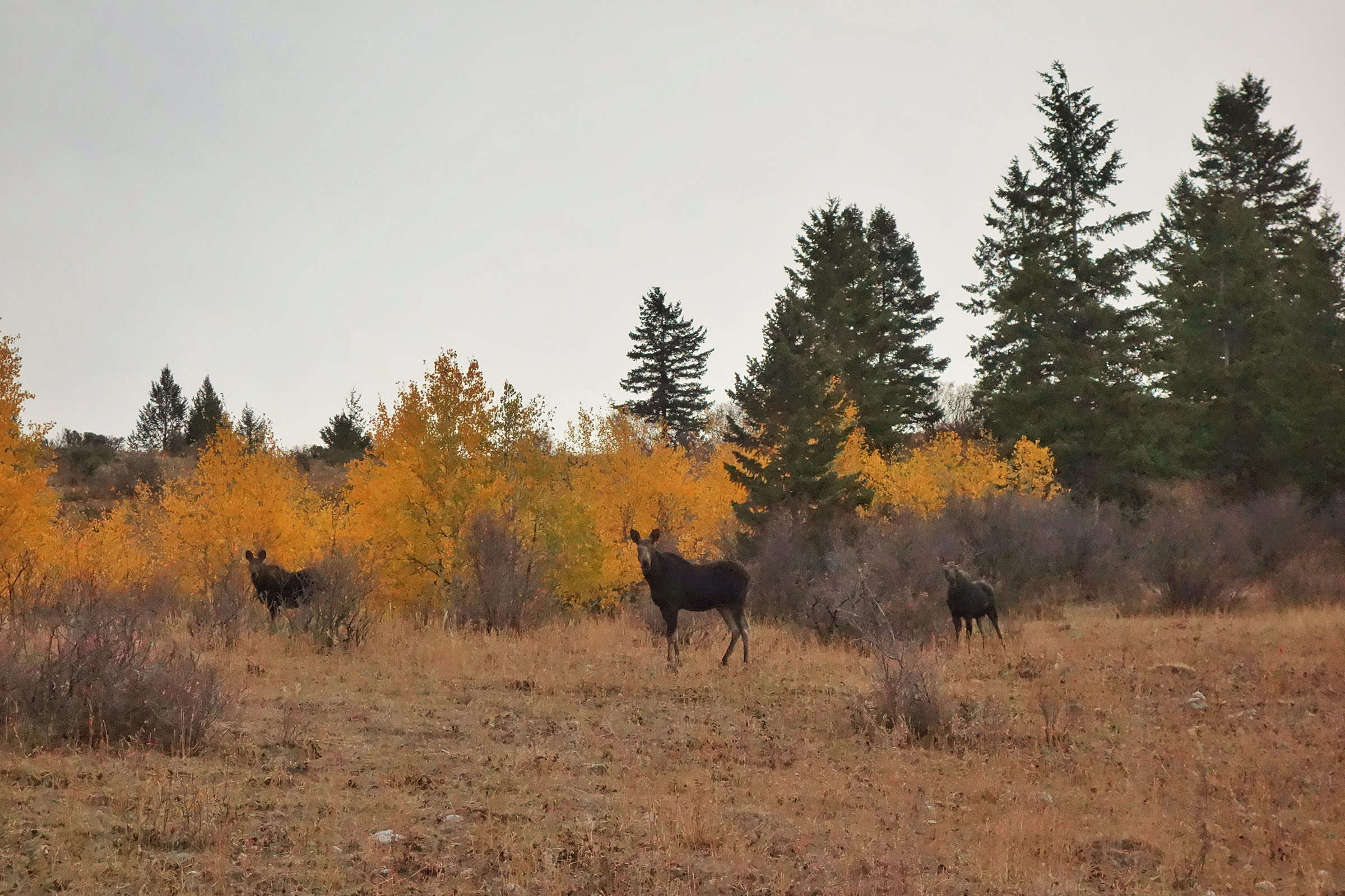
- Elk Meadows offers a lush, green landscape where you might spot a moose
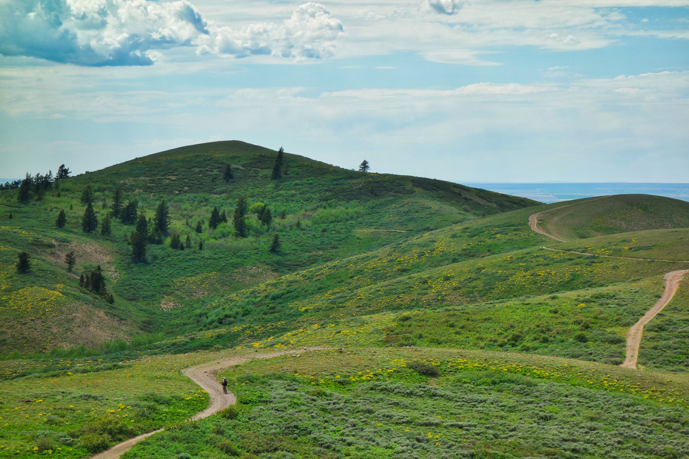
- Scout Mountain provides vistas in all directions as well as some high-elevation singletrack
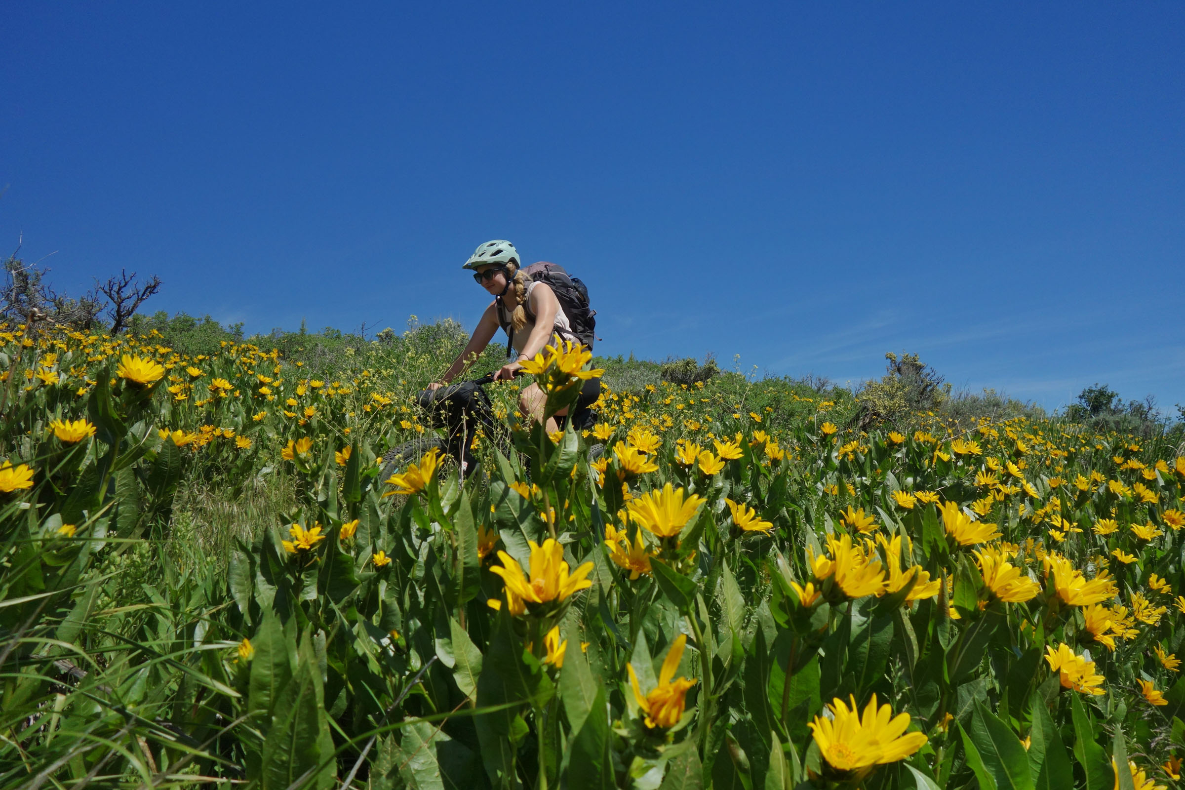
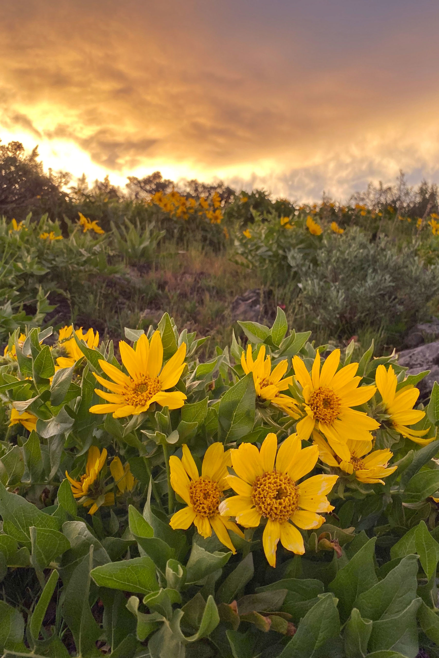
- Fields of wildflowers cover the landscape in the early summer
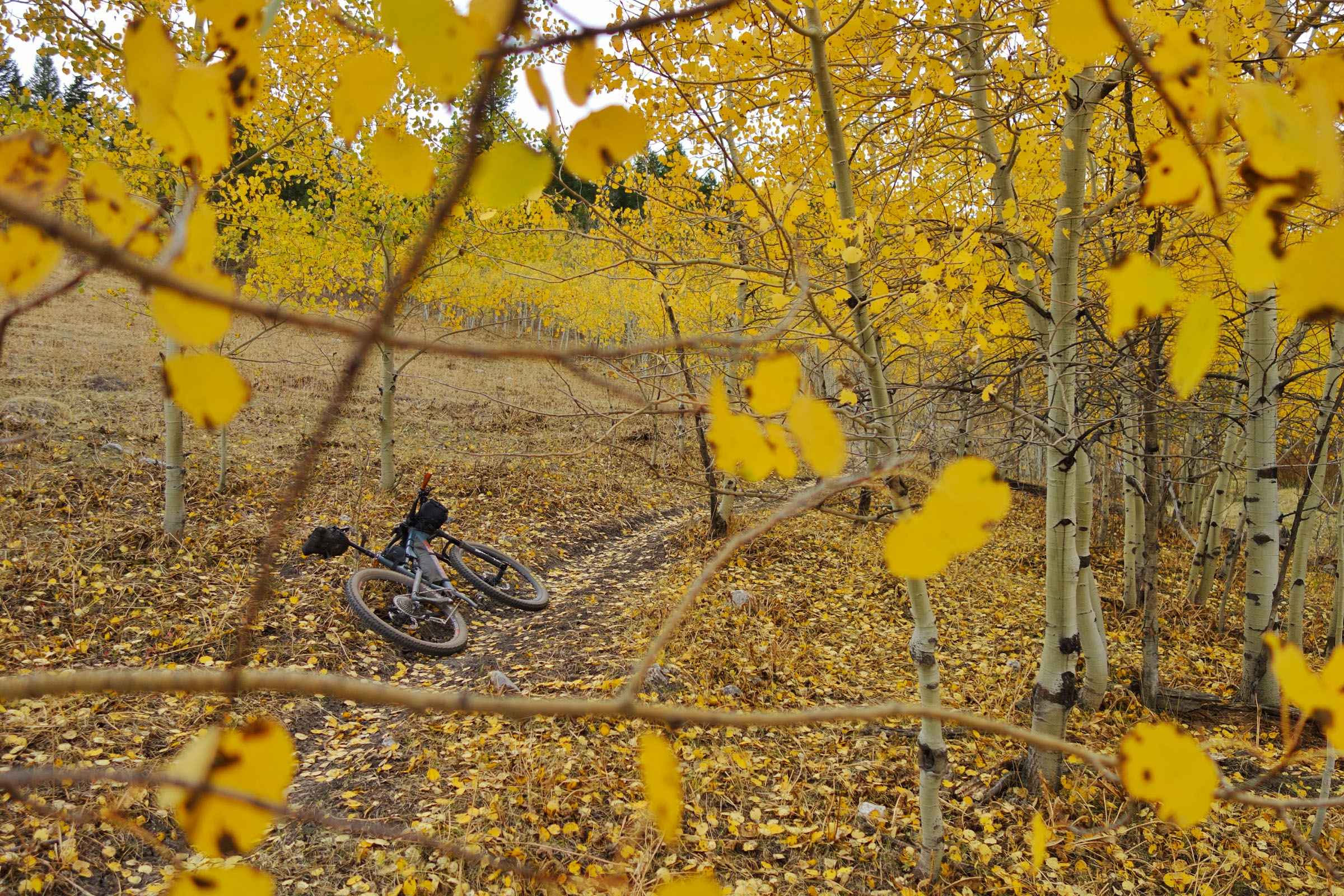
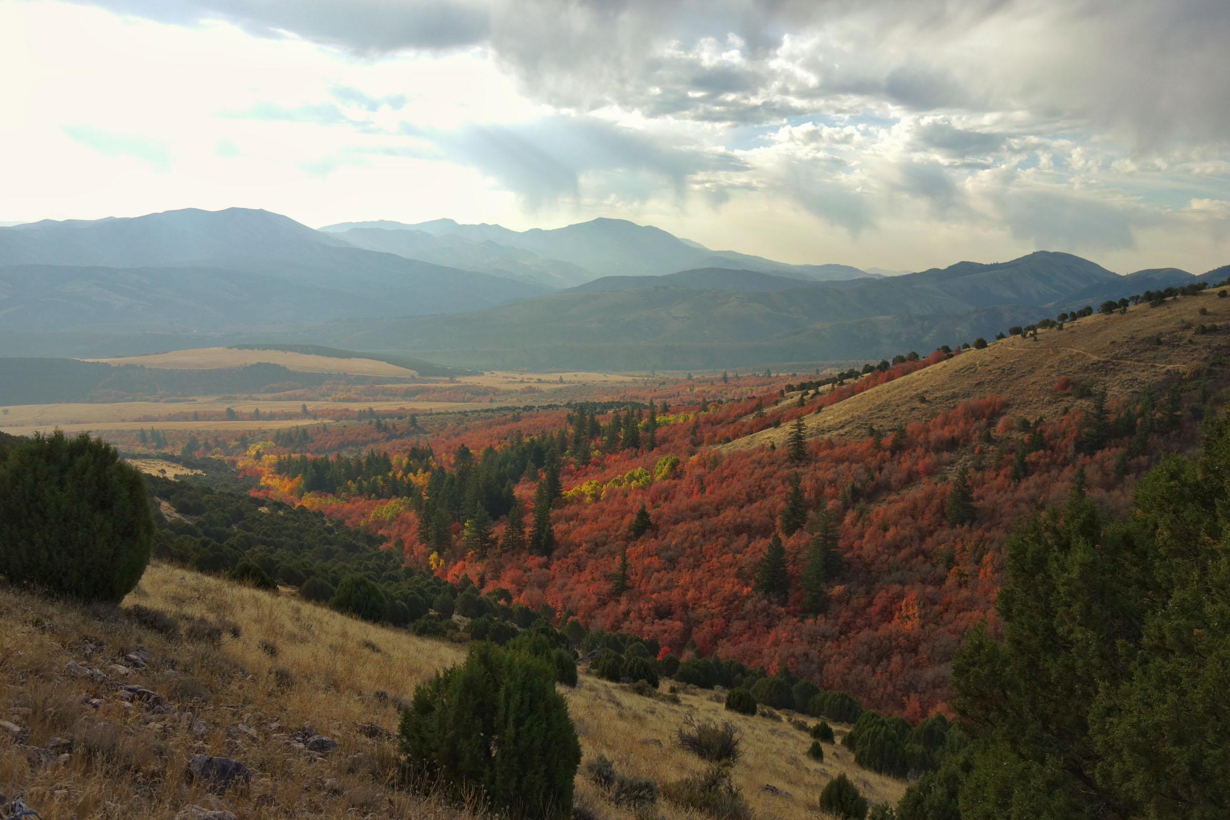
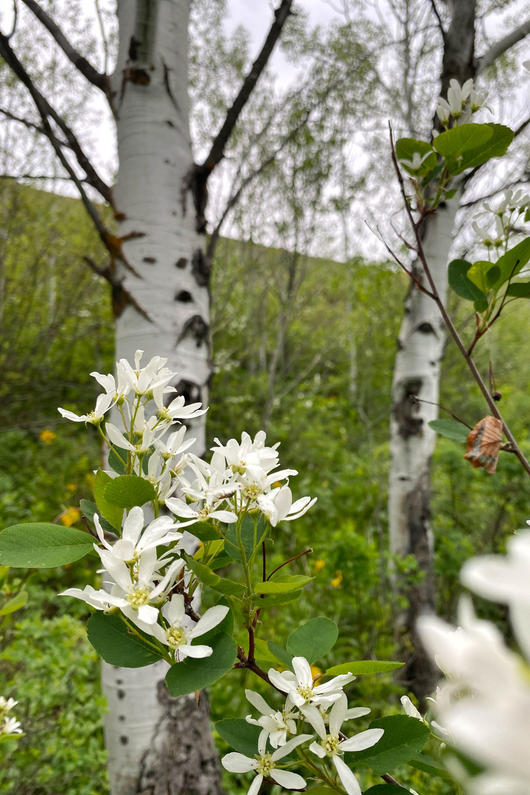
- Aspen groves make for enticing singletrack, weaving through a sea of green or yellow depending on the season
- Gibson Jack, Crestline, and Corral Creek are some of the best trails in the region
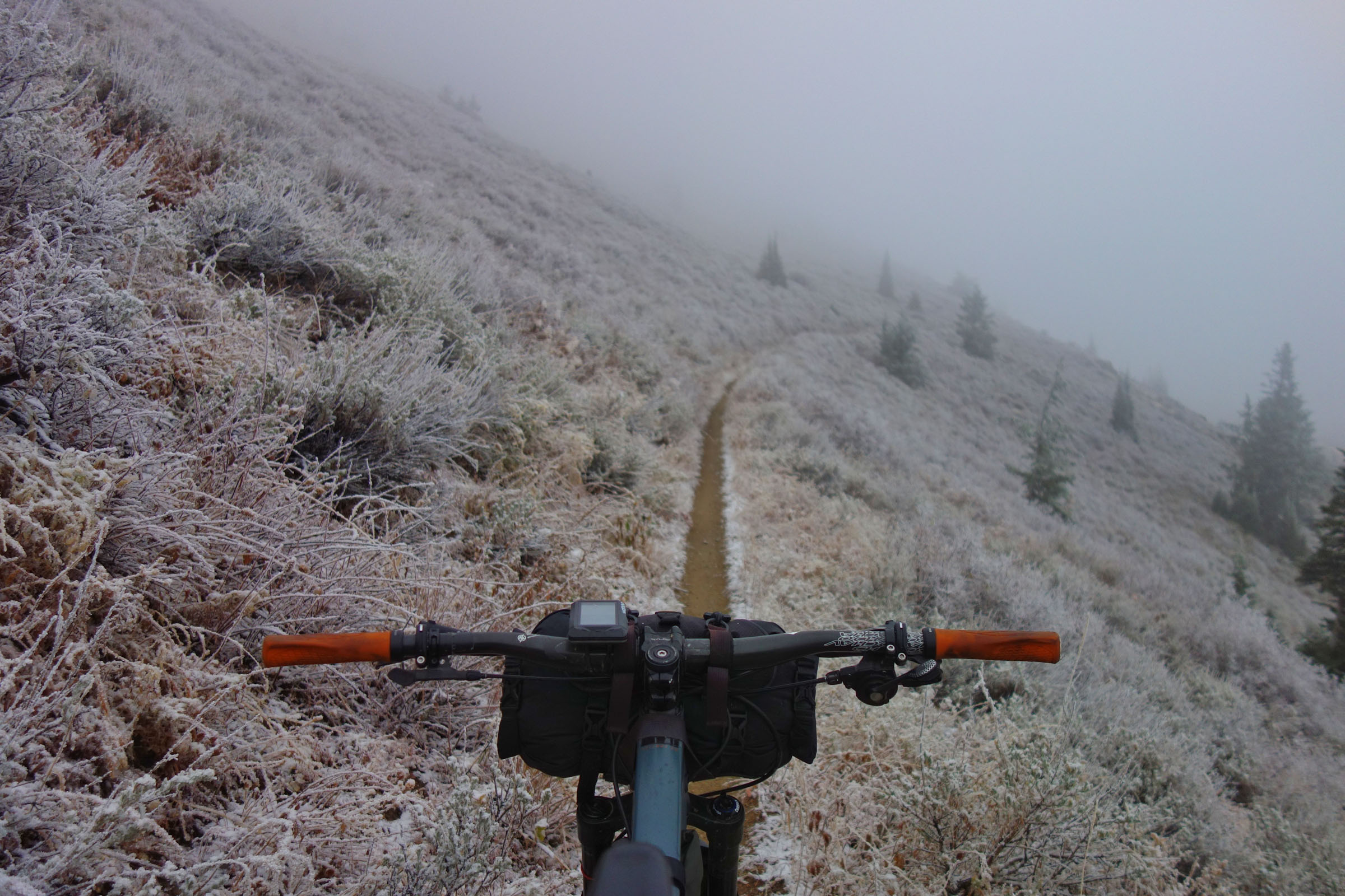
- When to go: Early summer is spectacular. The wildflowers and greenness of the landscape are inviting. The trails will be in the best shape of the entire year after the snow comes off and they’ve gotten a chance to turn from mud to perfect dirt. June is a good month. As summer heats up, the route becomes hot, dry, and blown out. In the fall, the aspen groves put on a show, just watch the forecast for high-elevation snowfall.
- Logistics: This route is rather straightforward. Gibson Jack trailhead is easy to locate and offers a great start and end point. Looking at the map, you can see there are a number of areas where the route could be shortened.
- Wildlife: This area has a lot of cattle grazing and human use. Because of this, I recommend being conscious of the potential for bad water. Filter carefully. With that said, please respect all water sources and don’t add to the problem. Moose are common across the entire range. If you encounter moose, please respect their space. They can be dangerous if threatened. As seen in the photos, I encountered a trio of moose while scouting the route.
- Getting here: This route is located just a 10-minute drive from downtown Pocatello. The cities of Boise and Salt Lake are just a few hours away as well.
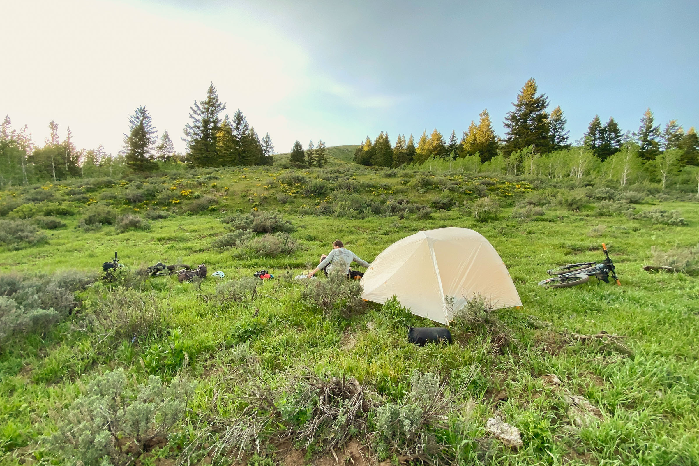
- There are many options for dispersed camping along the route. You should plan ahead and know the areas you’ll be passing through.
- Elk Meadows offers nice dispersed camping. This plateau has little water, plan accordingly.
- Scout Mountain Campground, tucked in the trees, is a nice place for designated campsites, water pumps, and pit toilets.
- There are no resupply options along this route. There is a lot of water in the area, but keeping an eye on water sources is a good idea. Some stretches can be hot and dry, especially in peak summer and early fall.
- Although this area has a lot of springs and small streams, water can be hard to find in summer and fall. I have marked the most reliable water sources.
Counter-clockwise Summary
The route begins with some rocky traversing across Sterling Justice Trail before a stiff climb to Kinport Peak. Enjoy the views of the surrounding landscape before dropping into Midnight Creek. After descending, another short but steep climb into Elk Meadows is rewarded with lush meadows and cool forests.
Across the meadows, a ribbon of trail called Fenceline will connect you to the top of Corral Creek. This ripping descent will leave you with a smile. Jump across the pavement, head up the gravel road, and get ready for the biggest climb of the weekend. Settle in for roughly 3,000 feet of ascent, some of it hike-a-bike, but all of it beautiful. Your climb is rewarded with sweeping views of the valley below and the Crestline Trail, a classic. As you finish Crestline, turn toward Scout Mountain Campground.
Leaving the campground, you’ll warm up with a few miles of climbing before reaching the longest descent of the route, Valve House. This trail seems to never end as it drops back to Mink Creek. After topping off on water, you’ll follow more singletrack into the east side of Elk Meadows. Your ride ends with the Gibson Jack descent back to your car. A supremely fun end to your adventure!
Additional Resources


Terms of Use: As with each bikepacking route guide published on BIKEPACKING.com, should you choose to cycle this route, do so at your own risk. Prior to setting out check current local weather, conditions, and land/road closures. While riding, obey all public and private land use restrictions and rules, carry proper safety and navigational equipment, and of course, follow the #leavenotrace guidelines. The information found herein is simply a planning resource to be used as a point of inspiration in conjunction with your own due-diligence. In spite of the fact that this route, associated GPS track (GPX and maps), and all route guidelines were prepared under diligent research by the specified contributor and/or contributors, the accuracy of such and judgement of the author is not guaranteed. BIKEPACKING.com LLC, its partners, associates, and contributors are in no way liable for personal injury, damage to personal property, or any other such situation that might happen to individual riders cycling or following this route.
Please keep the conversation civil, constructive, and inclusive, or your comment will be removed.