


Sheltowee Bikepacking Route
Distance
300 Mi.
(483 KM)Days
7
% Unpaved
65%
% Singletrack
46%
% Rideable (time)
95%
Total Ascent
23,800'
(7,254 M)High Point
1,583'
(482 M)Difficulty (1-10)
8?
- 5Climbing Scale Moderate79 FT/MI (15 M/KM)
- -Technical Difficulty
- -Physical Demand
- -Resupply & Logistics
Contributed By
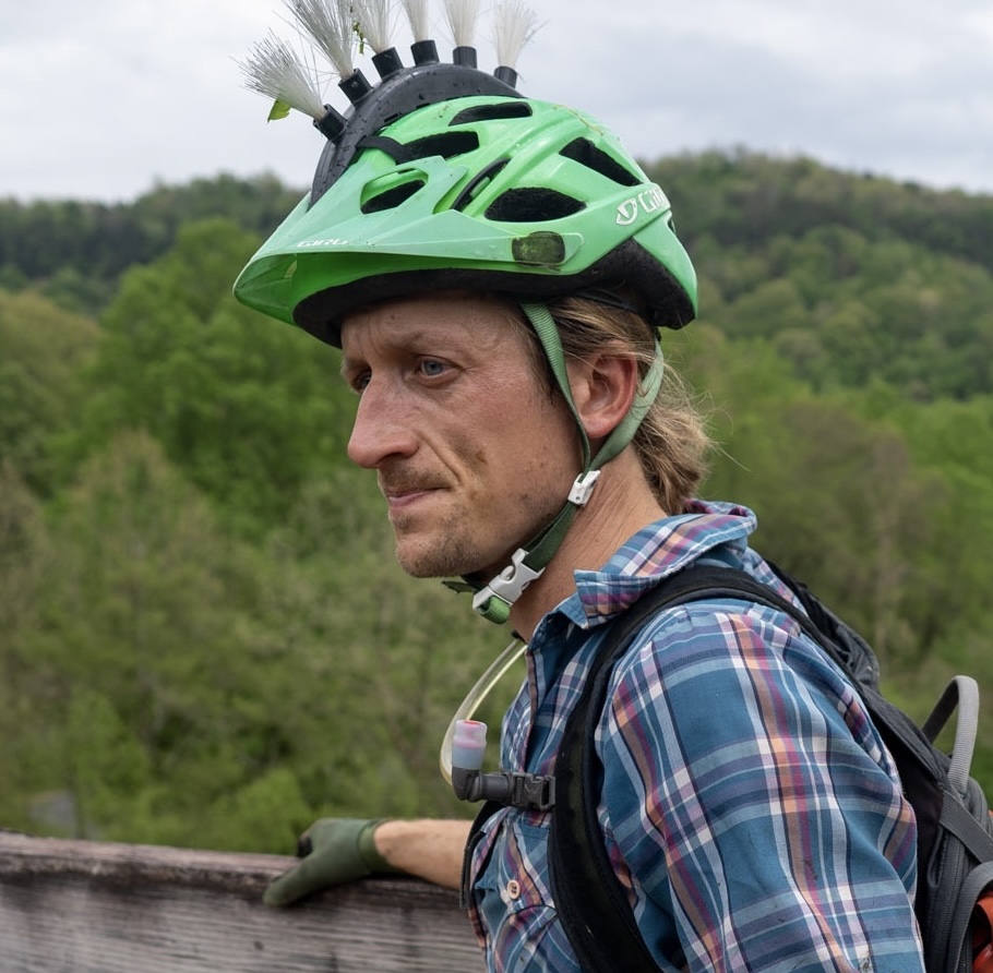
Austin Render
Guest Contributor
Always a Kentucky boy at heart, Austin has traversed some pretty wild and remote corners of the globe by bike, including Central Asia, Southeast Asia, Patagonia, and eastern Kentucky. He now makes his home in Louisville, Kentucky, with his wife Tara and young son Jack, and organizes a bike and bourbon festival in Lexington, KY.
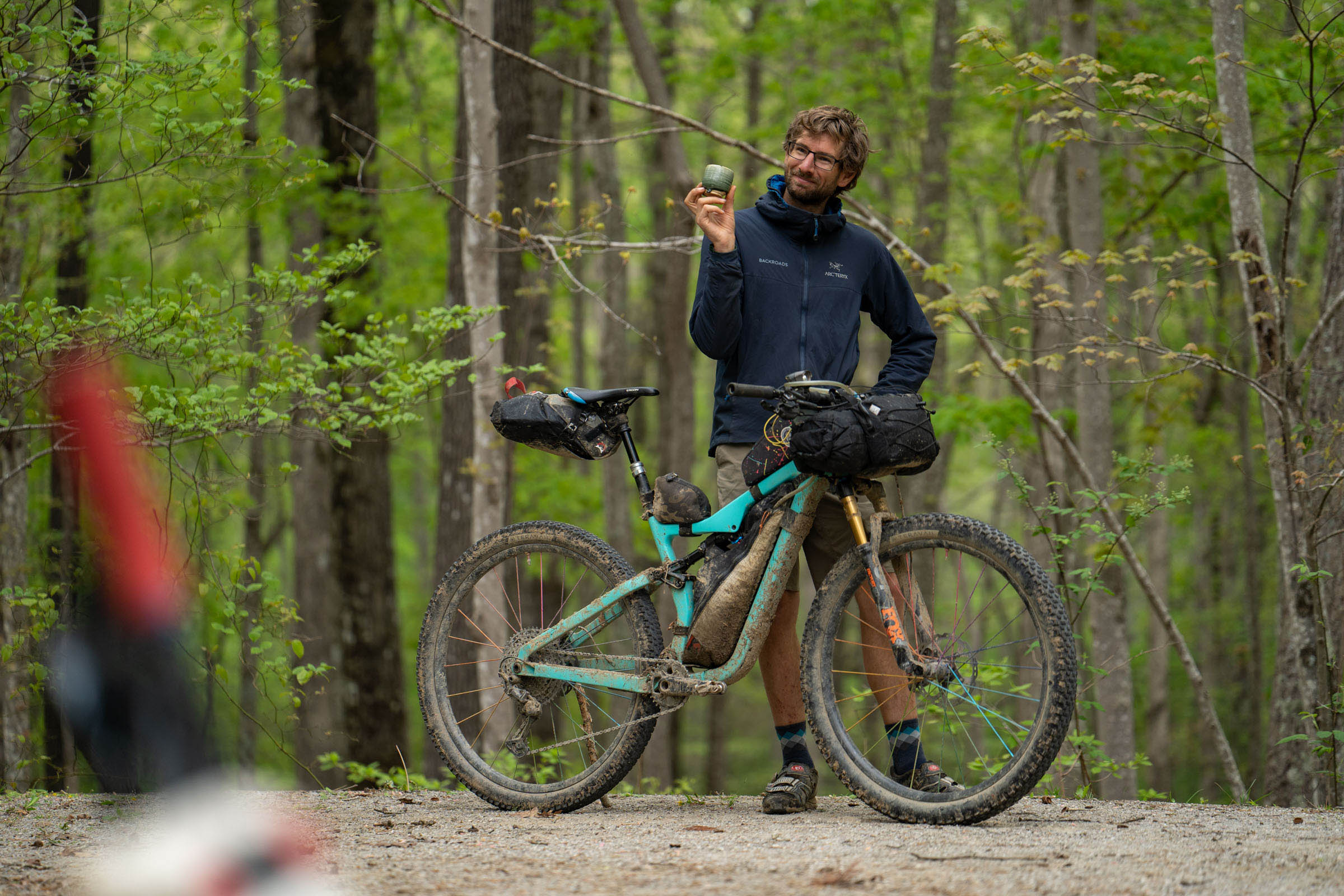
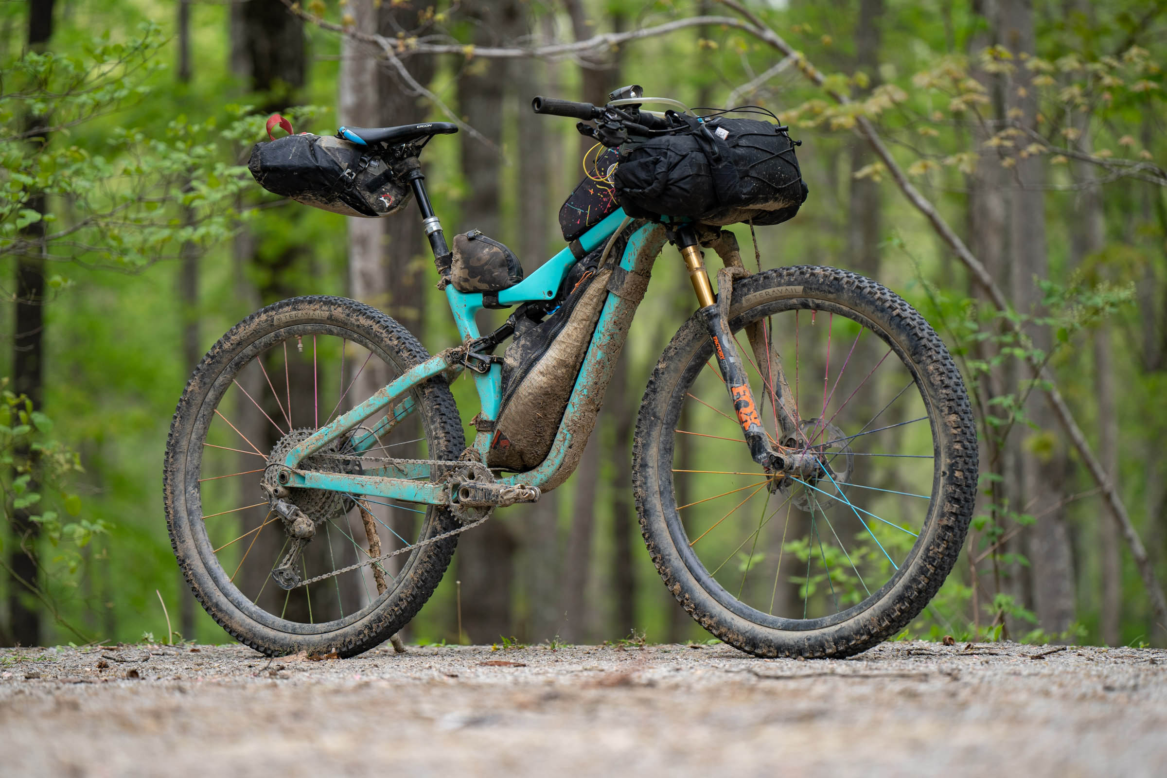
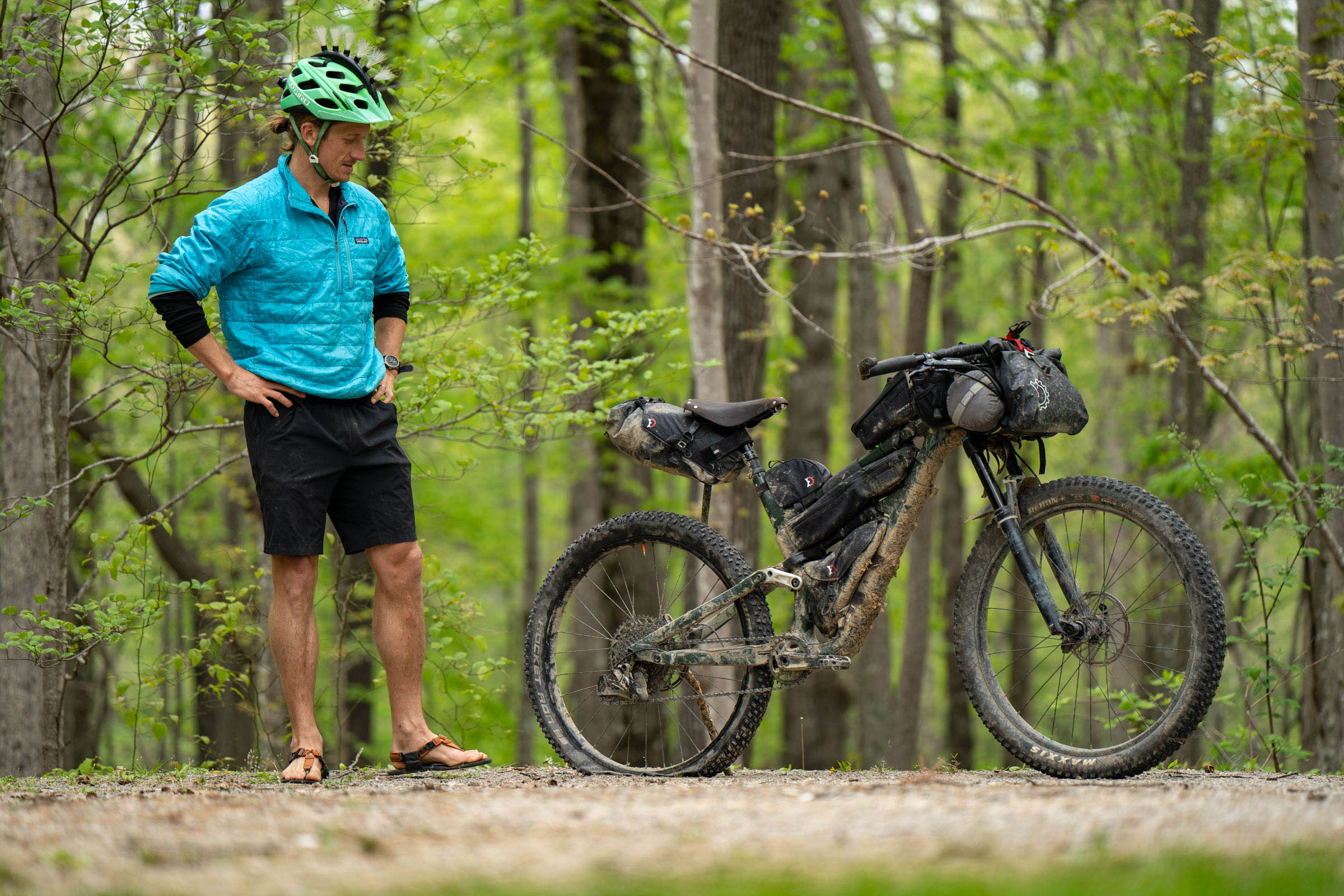
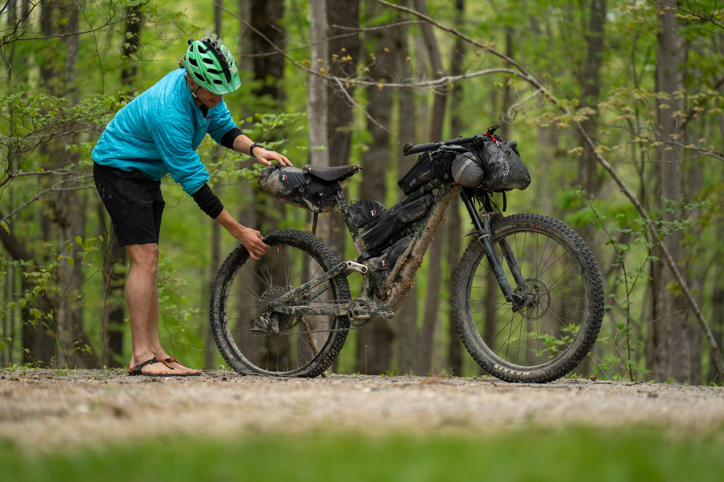
Photos by Neil Beltchenko
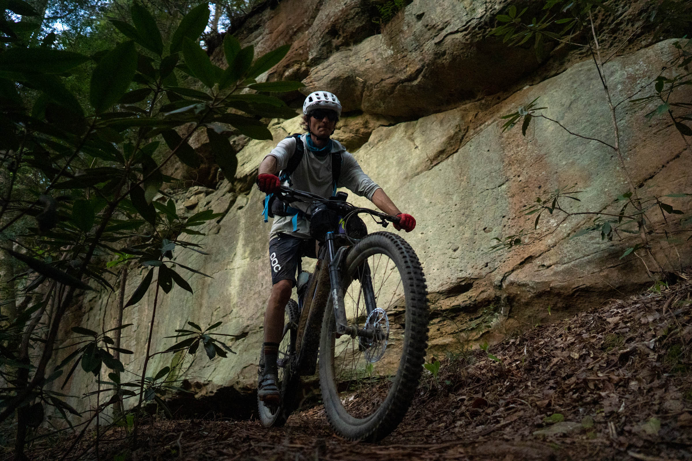
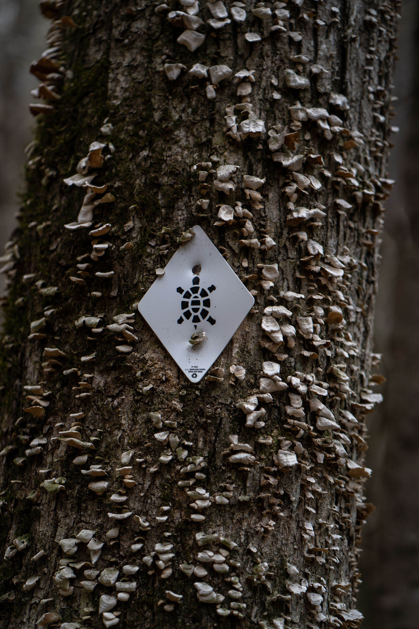
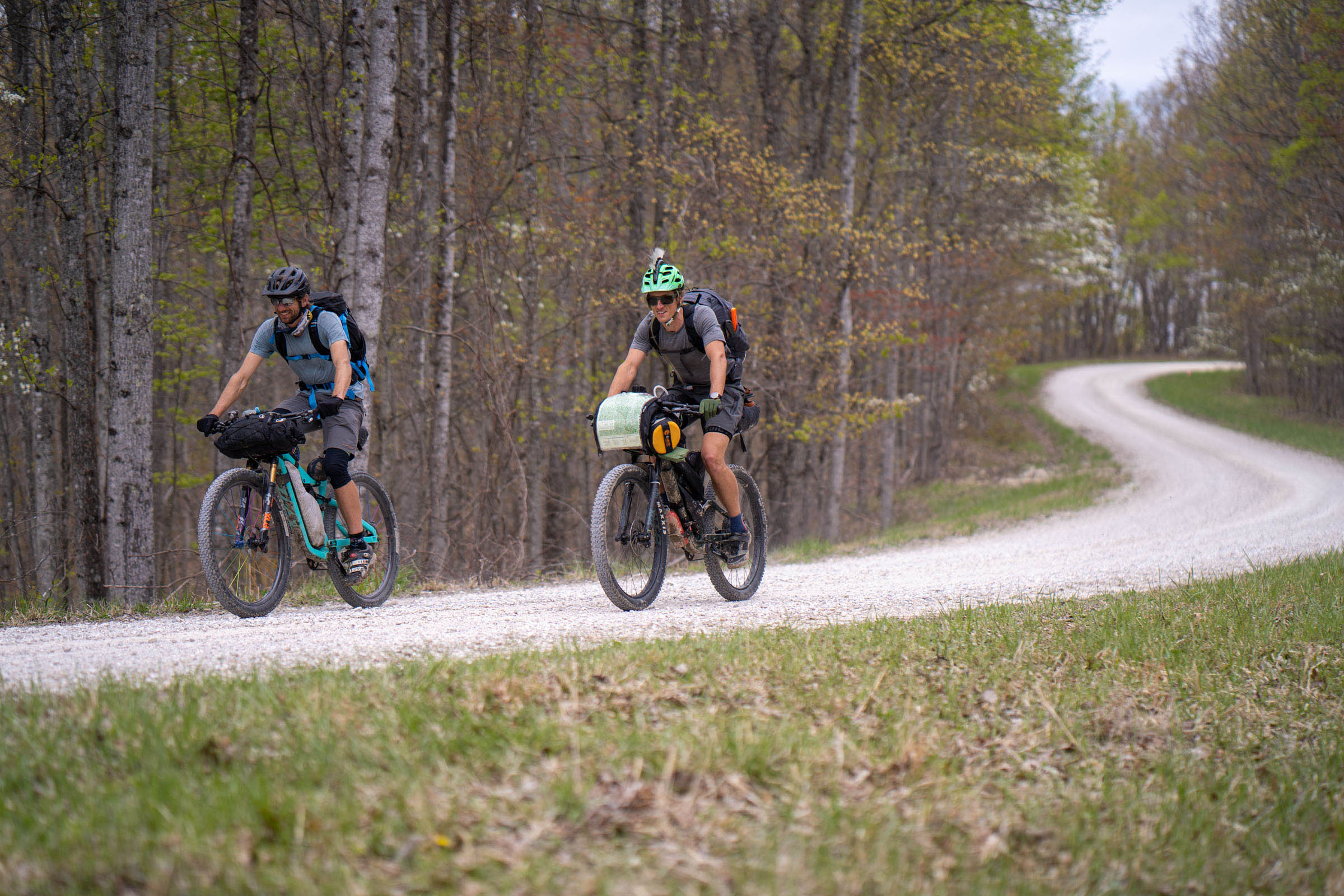
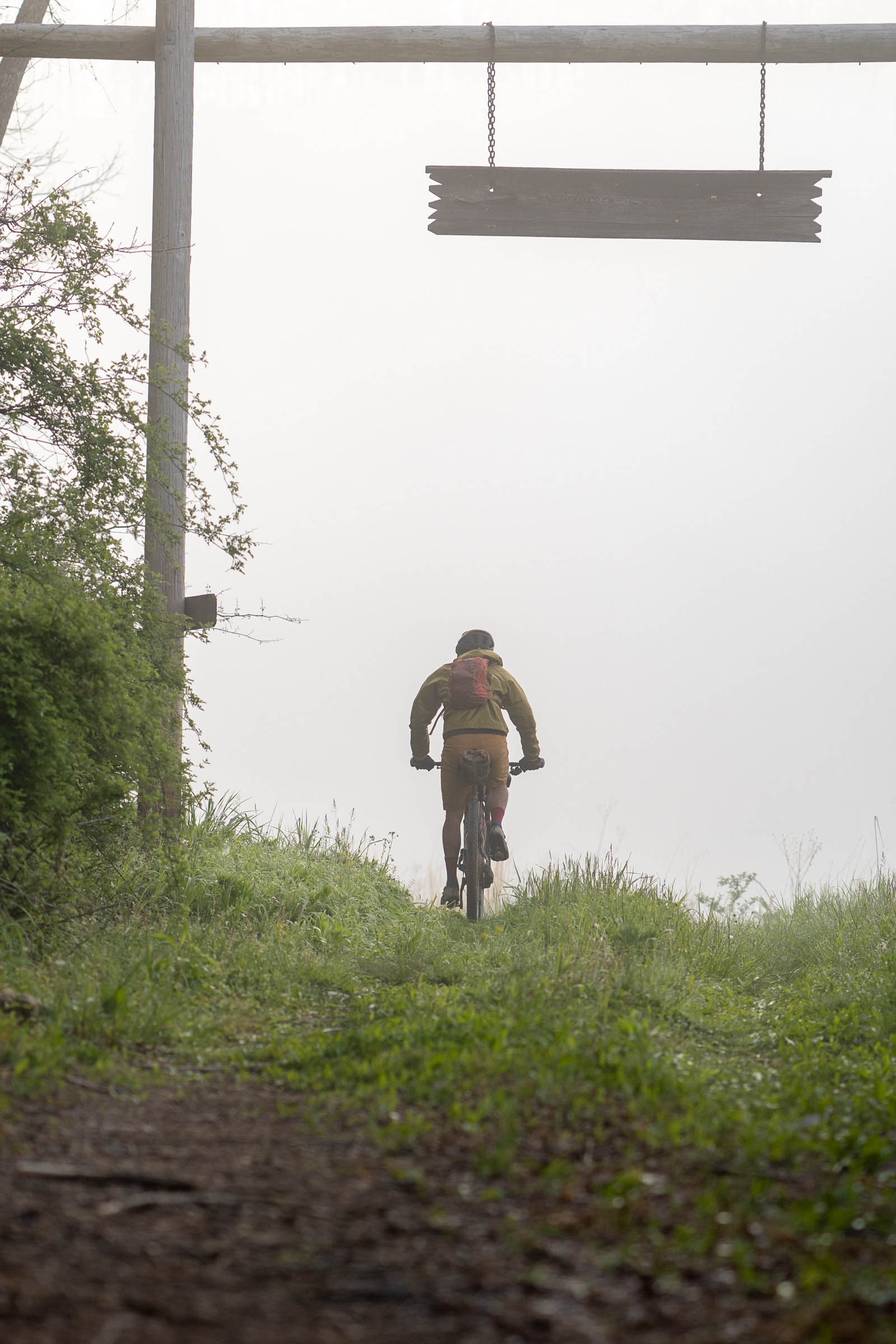
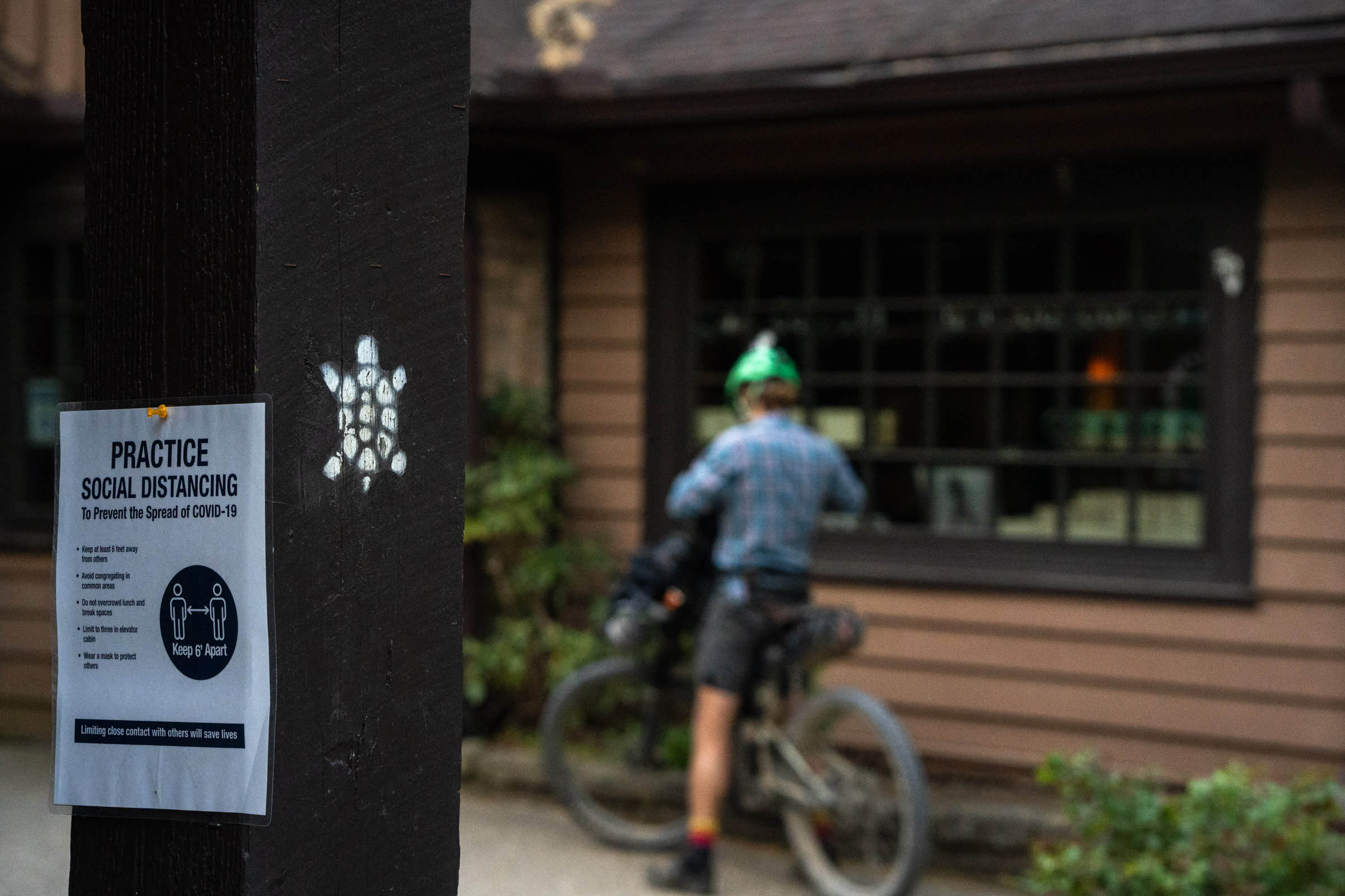
In the heart of Appalachia – spanning from the northern boundary of the Daniel Boone National Forest to the Big South Fork NRRA in the south – the Sheltowee covers some gorgeous yet rugged terrain in the Cumberland Plateau of eastern Kentucky and a sliver of northeastern Tennessee. The name pays homage to Daniel Boone, who traveled this region heavily, and was given the name Sheltowee, meaning “Big Turtle,” by Chief Blackfish of the Shawnee tribe.
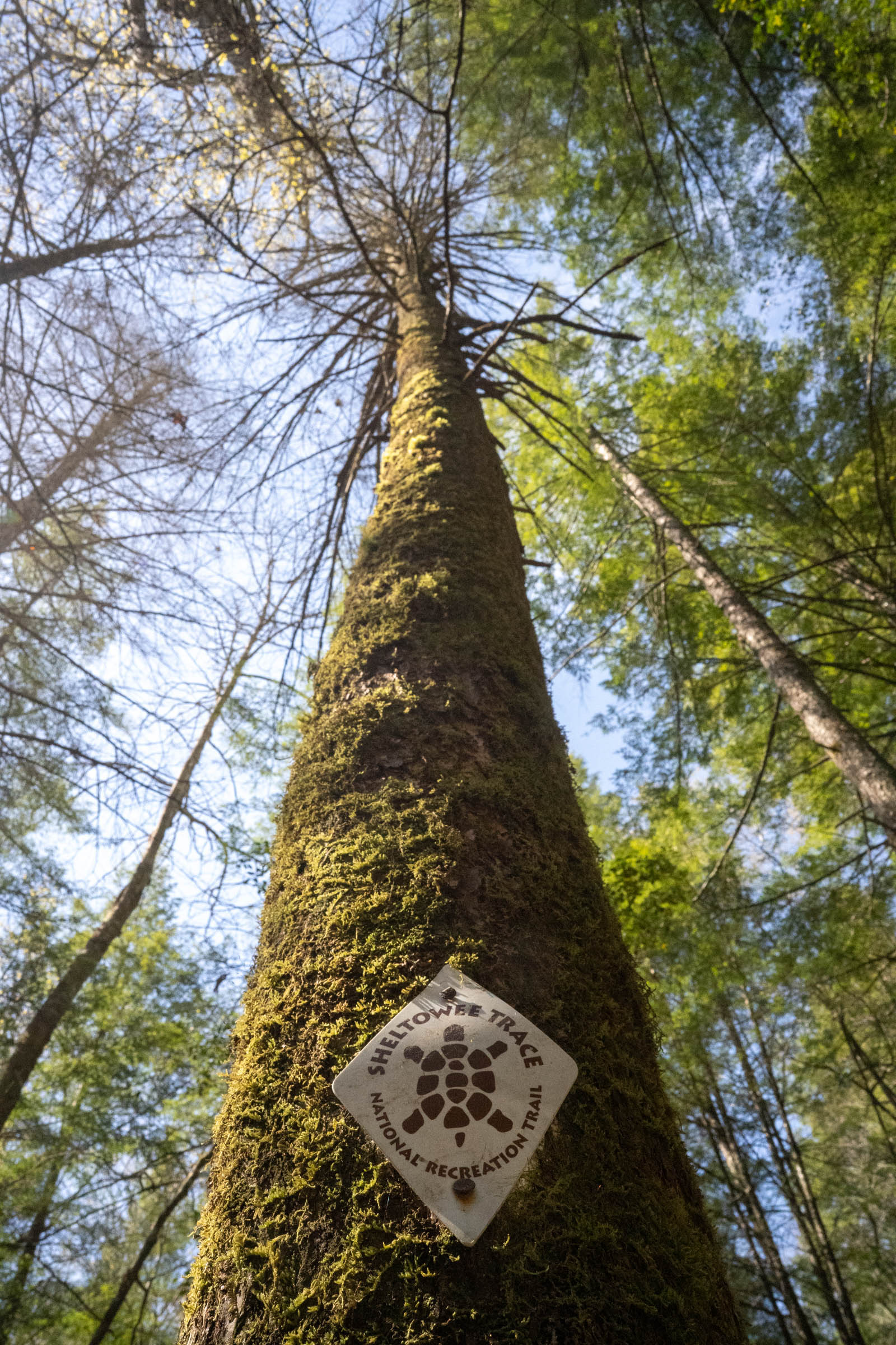
The origins of the Sheltowee Trace National Recreation Trail date back at least to the 1970s, when Verne Orndorf, a USFS landscape architect, laid out the foot-travel-only route, which has become popular among backpackers and day-hikers. Over the years, the trail has been extended, and certain sections have been opened to mountain bikes, though other sections remain closed. The Sheltowee Bikepacking Route connects the bike-friendly sections using various trails, USFS roads, and local highways via a combination of singletrack, gravel, and pavement.
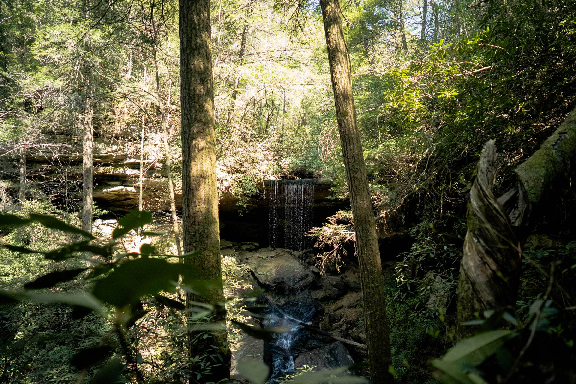
The Sheltowee travels through some incredibly scenic areas such as Cumberland Falls, Cave Run Lake, Laurel River Lake, and the Big South Fork Region – not to mention the hundreds of waterfalls, outcroppings, creek crossings, and hollers that are sure to amaze riders.
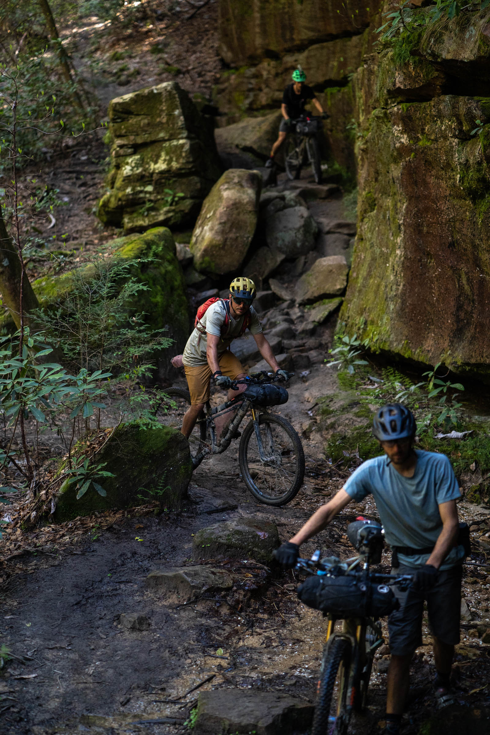
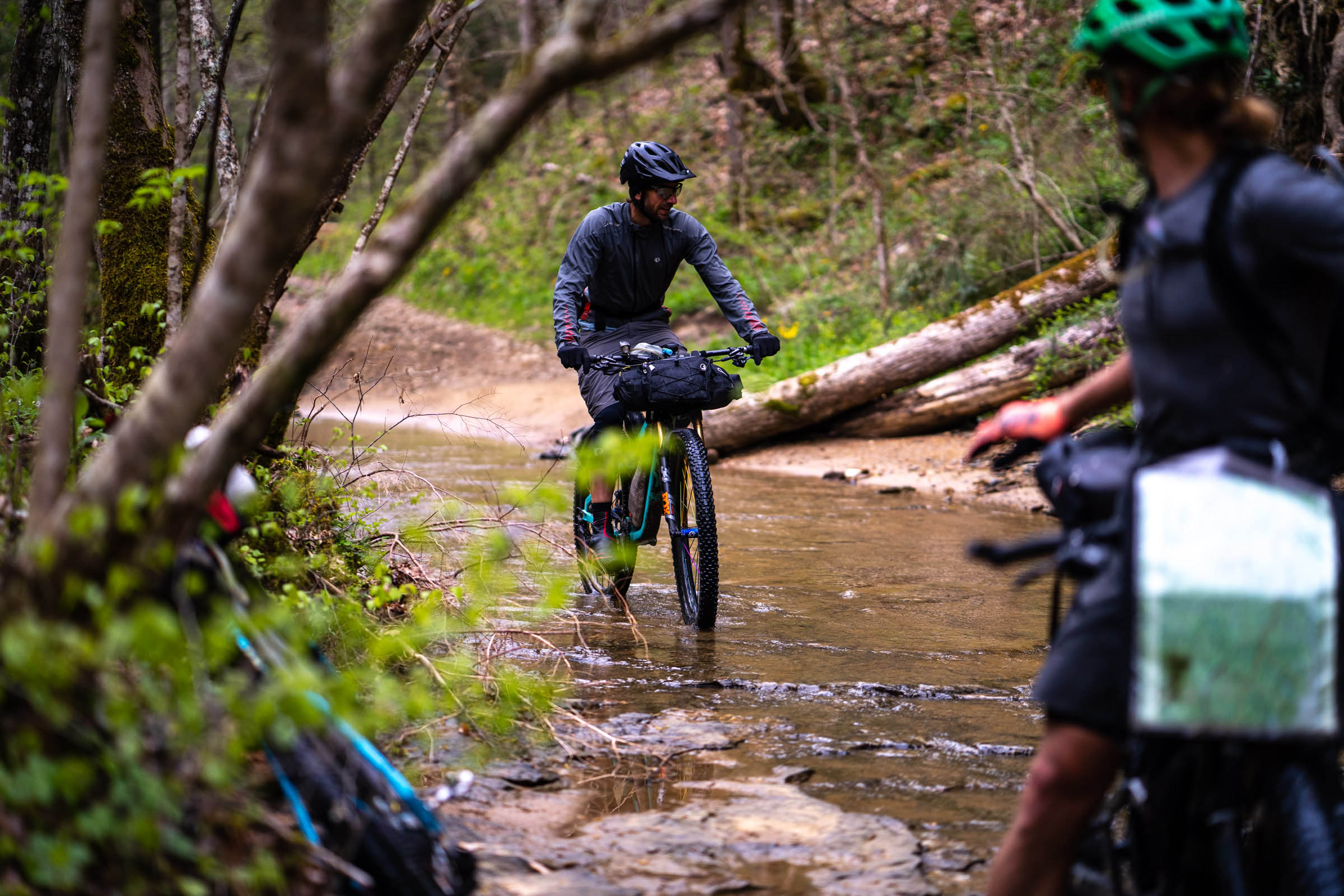
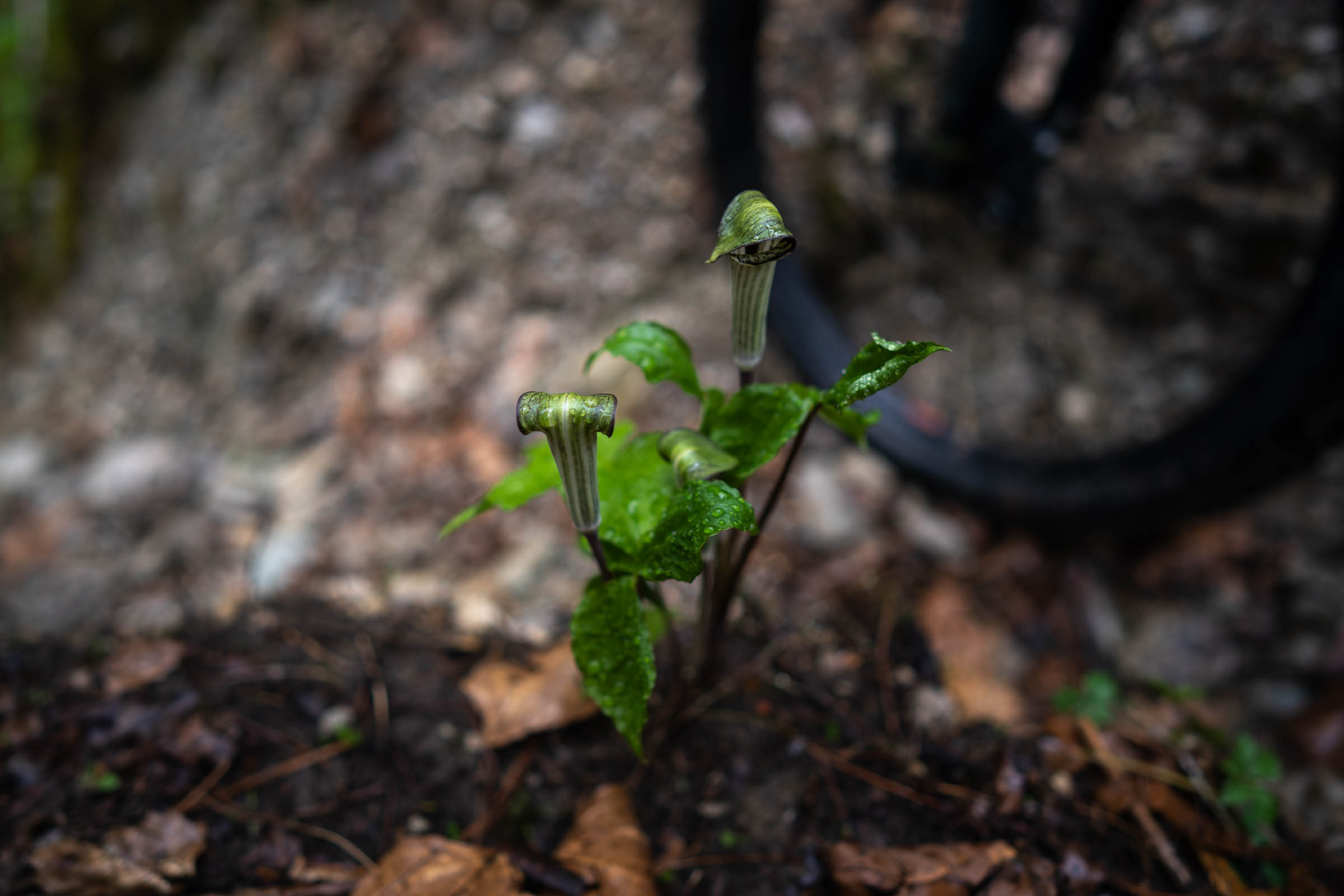
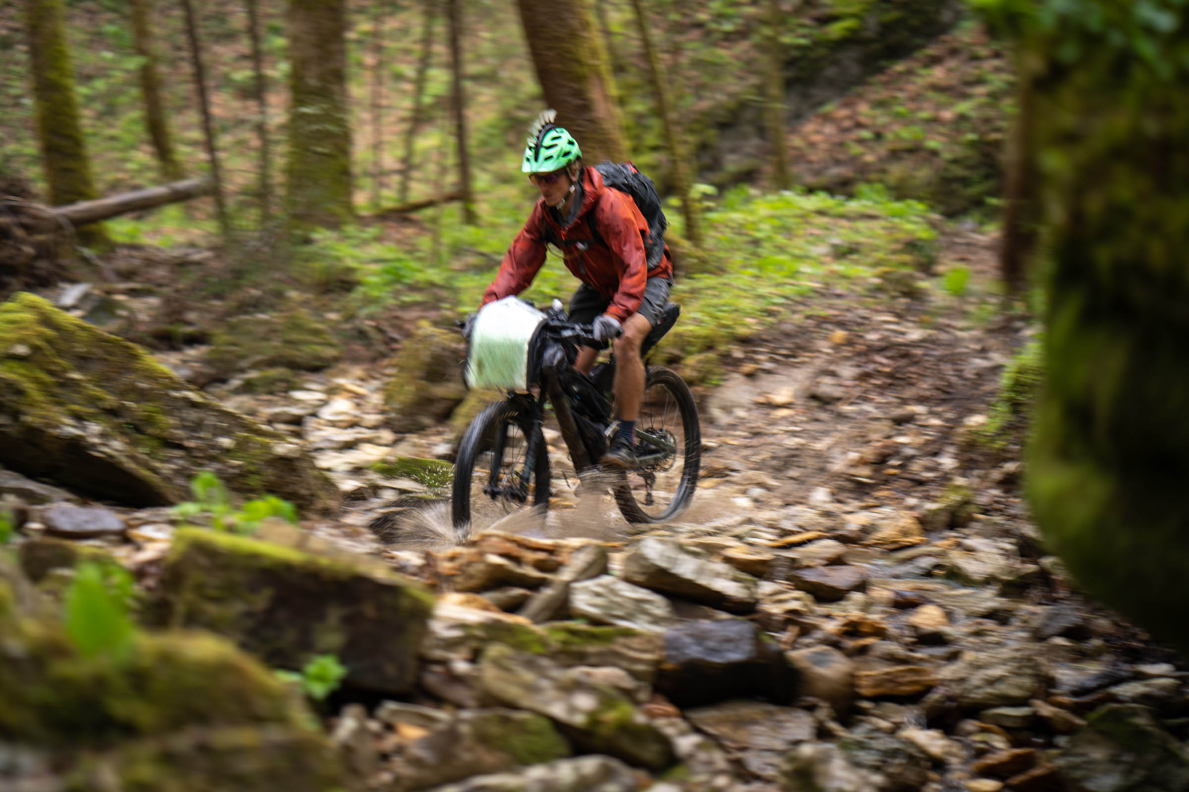
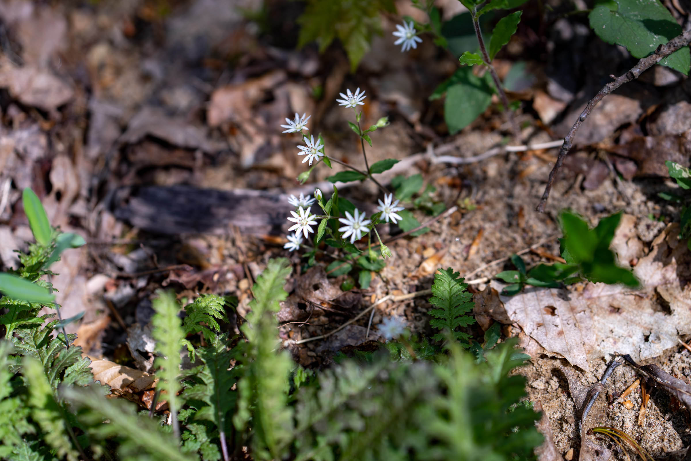
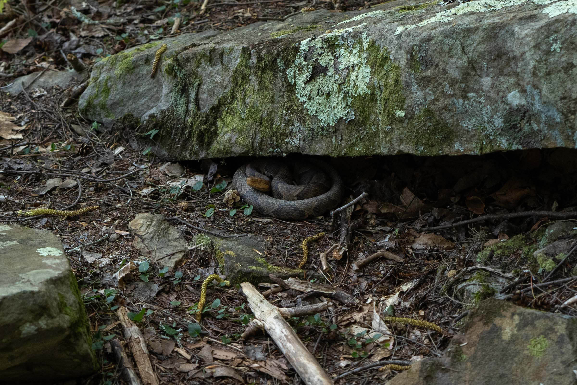
Along the way, you will encounter some rough trails and hike-a-bikes, but it usually evens out with a spectacular descent or section of fast and flowy singletrack. The flora is also abundant, with plenty of wildflowers in the spring and incredible foliage in the fall. There’s also plenty of fauna on the Sheltowee, so don’t be surprised if you see a black bear, deer, big and little birds, snakes, and small critters like scorpions, spiders, and centipedes. Not only will riders get a glimpse into the beauty, culture, and hospitality of Appalachia, but also the sometimes bleak reality that faces some of its residents.
Route Difficulty
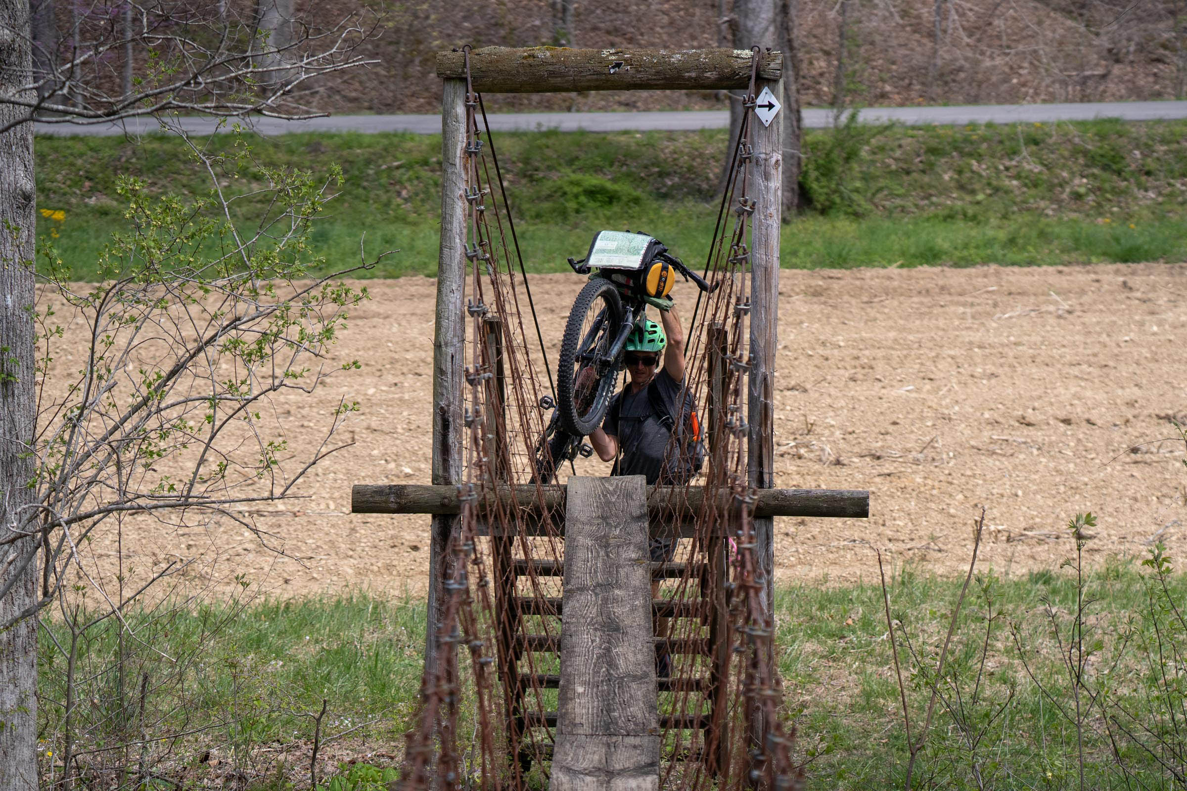
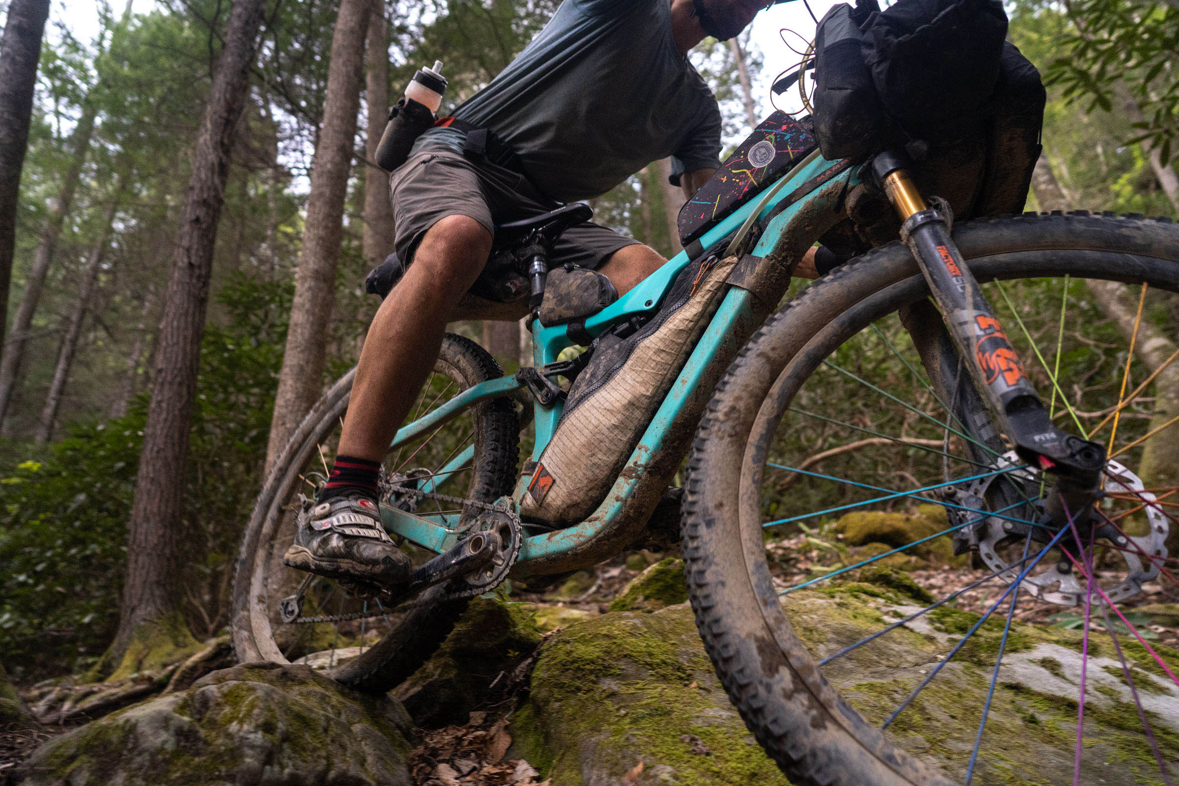
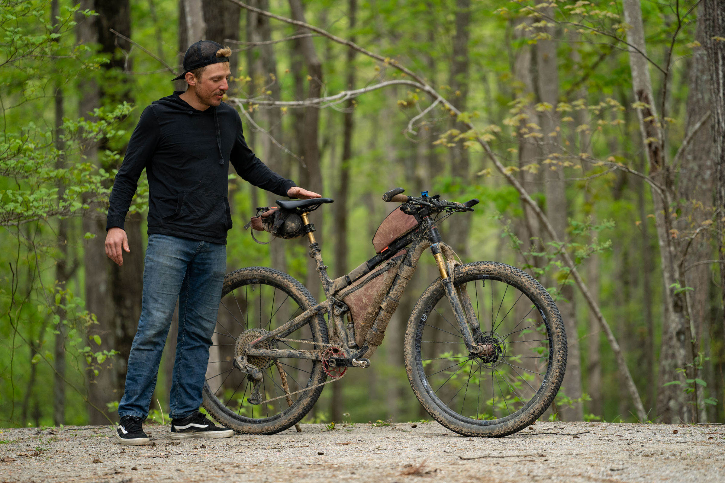
The singletrack sections of this route were built for hikers in mind, not cyclists, so the trail itself is very challenging in sections, with large rocks and boulders you will need to haul your bike up and over. Most of the bridges and staircases are also too narrow for most modern handlebars. In between singletrack, you will encounter some rough two-track, well-graded gravel, and pavement. These stretches can be as challenging as the rough and hilly landscapes. While water is not much of an issue, depending on the speed you travel and location on route, resupply can be challenging, and you might need to carry a few days’ worth of food. To top it off, this region can be hot and humid or cold and wet. If you plan on traveling on the route for a week or two, you are bound to run into some moisture, which makes much of the trail slippery, and in sections, it can be very muddy.
Route Development
The Sheltowee Trace National Recreation Trail is a 333-mile trail established by the Daniel Boone National Forest and designed by Verne Orndorff. The trail was completed and designated as a National Recreation Trail in 1979. The primary trail users currently are day hikers and backpackers, but it’s not uncommon to see equestrians or OHVs on portions of the route. The bike route follows much of the original Sheltowee Trace, but there are stretches closed to cyclists. Luckily, there are some really great alternatives in the Daniel Boone National Forest that make for very enjoyable detours. Formed 10 years ago, the Sheltowee Trace Association was established to protect, preserve, and promote the STNRT.
In 2017, Josh Patton and Scott Hess of Kentucky and Wes Murphy of Tennessee are believed to have been the first individuals to thru-bike the Sheltowee. The crew followed a similar route, riding southbound from the northern terminus to Bandy Camp, and finished in 7 days, 7 hours, and 2 minutes. They were completely self-supported, and stashed a cache box near London, KY, with resupplies. A write up of their trip can be found on Blue Ridge Outdoors.
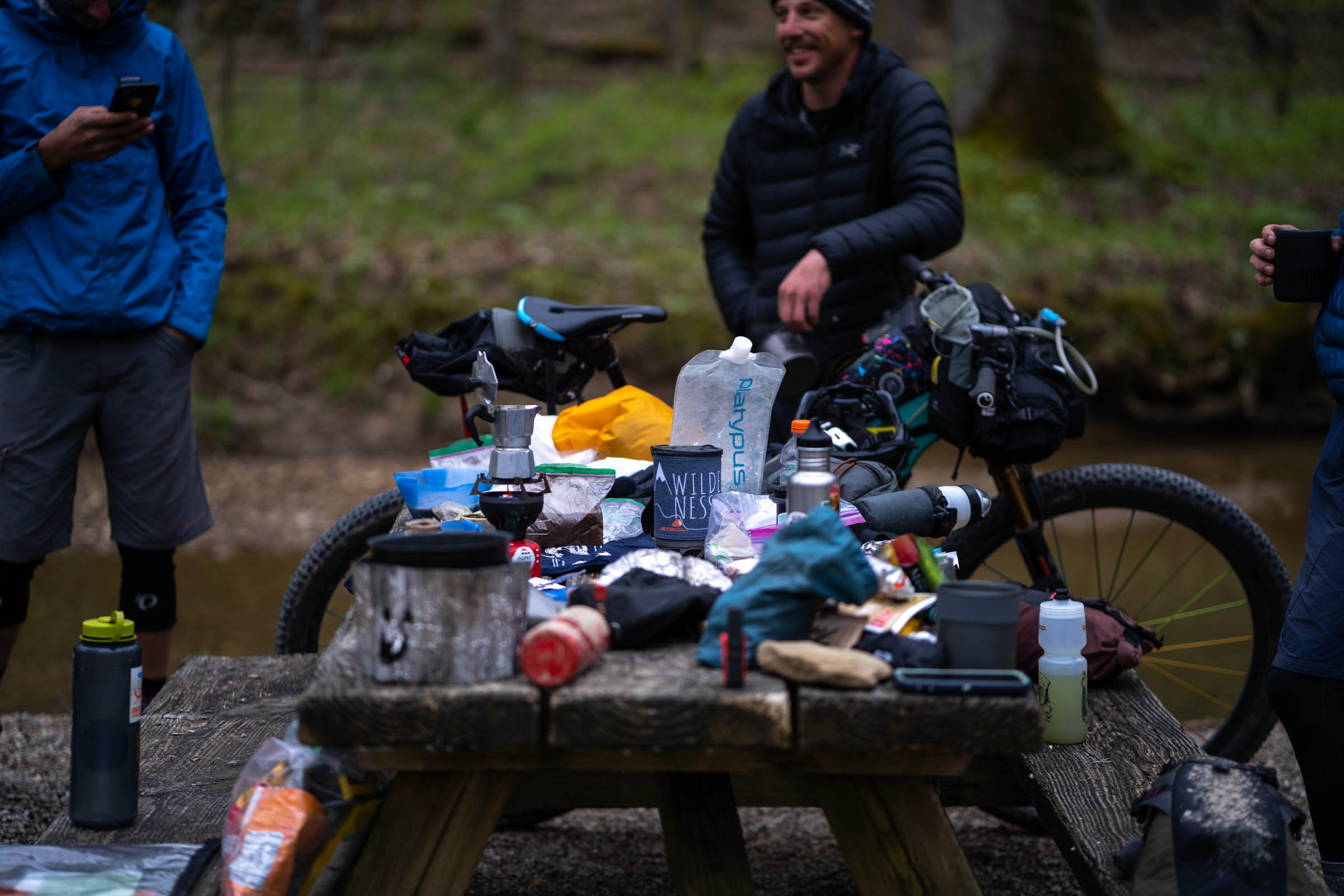
In 2021, Michael Behrendt, Max Milburn, Andrew Opila, and Neil Beltchenko set out to tackle most of the route found here. We finished the route in about 5 days, scouting some new sections and capturing the route as a whole with the collection of photos below. It was an eye-opening trip that showcased the realities and beauties of eastern Kentucky and the rugged nature of the area and trail as a whole. Over the past year or so, Austin and a few others have scouted remaining question points on the route to make what it is today, The Sheltowee Bikepacking Route.


Submit Route Alert
As the leading creator and publisher of bikepacking routes, BIKEPACKING.com endeavors to maintain, improve, and advocate for our growing network of bikepacking routes all over the world. As such, our editorial team, route creators, and Route Stewards serve as mediators for route improvements and opportunities for connectivity, conservation, and community growth around these routes. To facilitate these efforts, we rely on our Bikepacking Collective and the greater bikepacking community to call attention to critical issues and opportunities that are discovered while riding these routes. If you have a vital issue or opportunity regarding this route that pertains to one of the subjects below, please let us know:
Highlights
Must Know
Camping
Food/H2O
Trail Notes
Resources
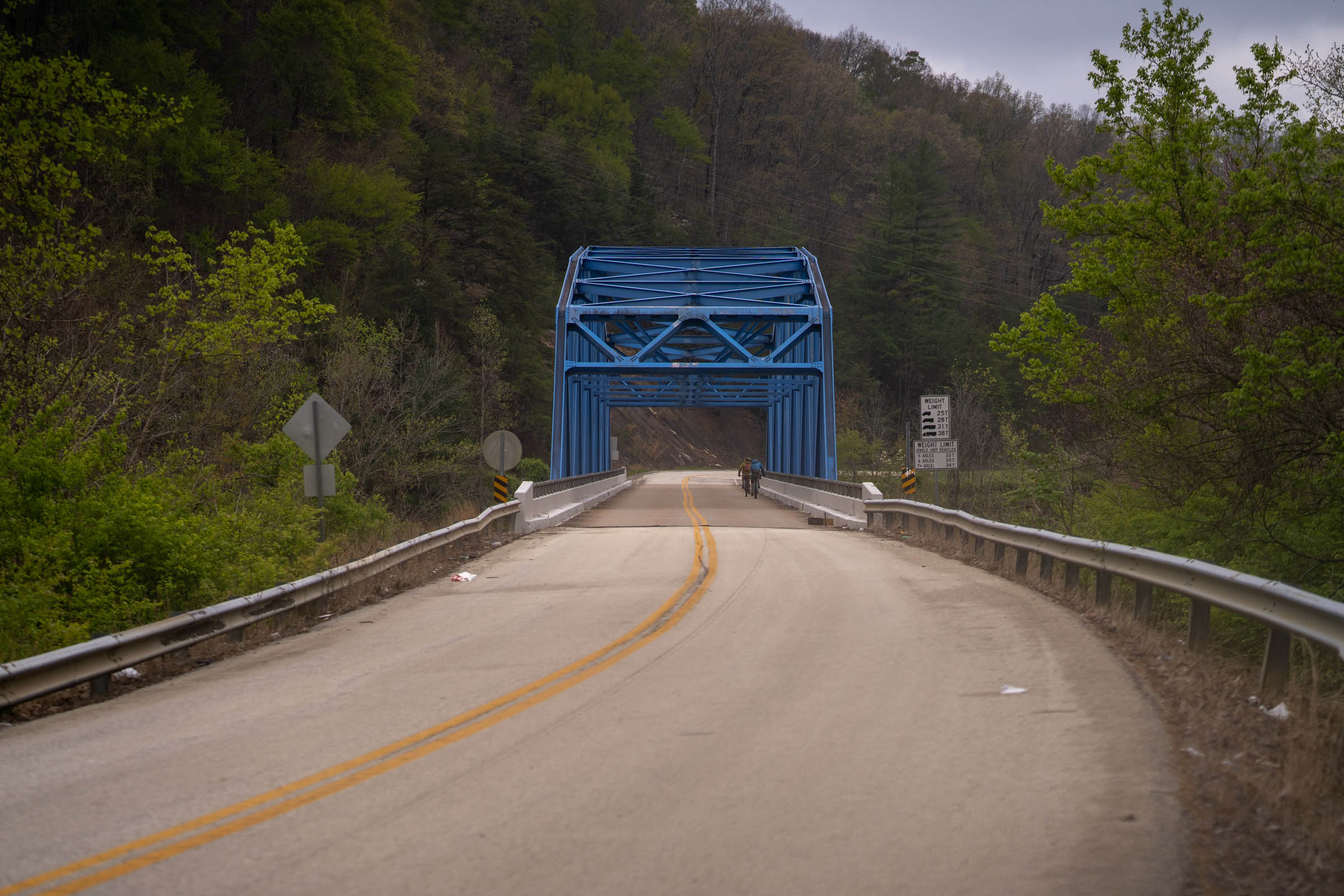
- Northern Terminus to Morehead – Kick off your ride right with 25 miles of very well maintained trails. There’s plenty of ridgeline riding, with no shortage of climbing to get there. This first section of the trail is nearly 100% unpaved.
- Cave Run Lake Singletrack – Starting 4 miles south of Morehead, this is one of the few sections that can be described as “flowy.” These purpose-built MTB trails are an opportunity to enjoy some relatively “easy” miles of singletrack before your first long stretch of pavement.
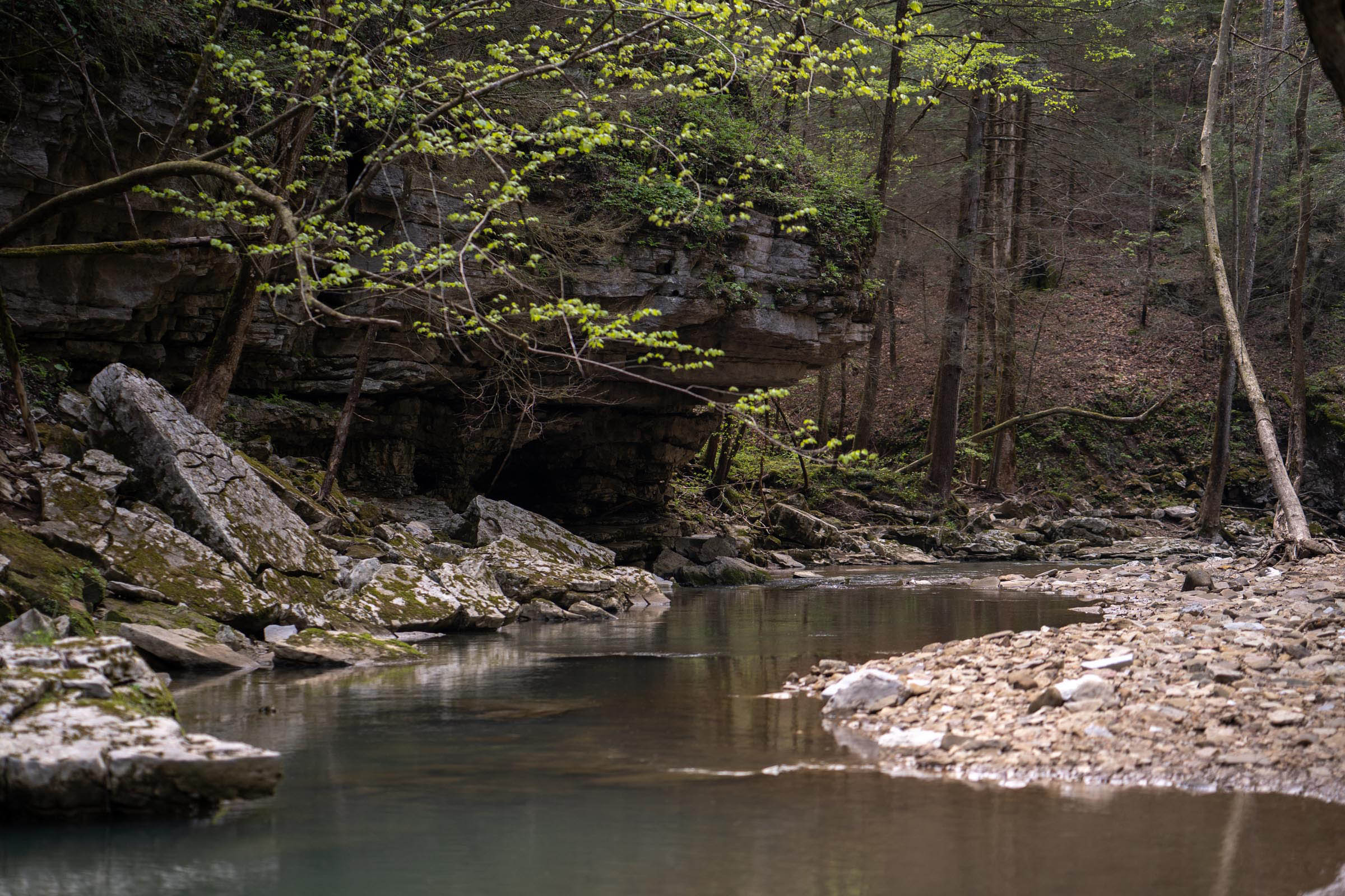
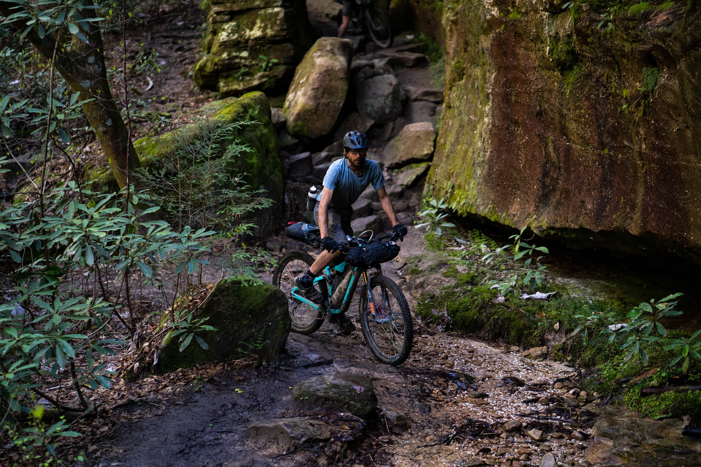
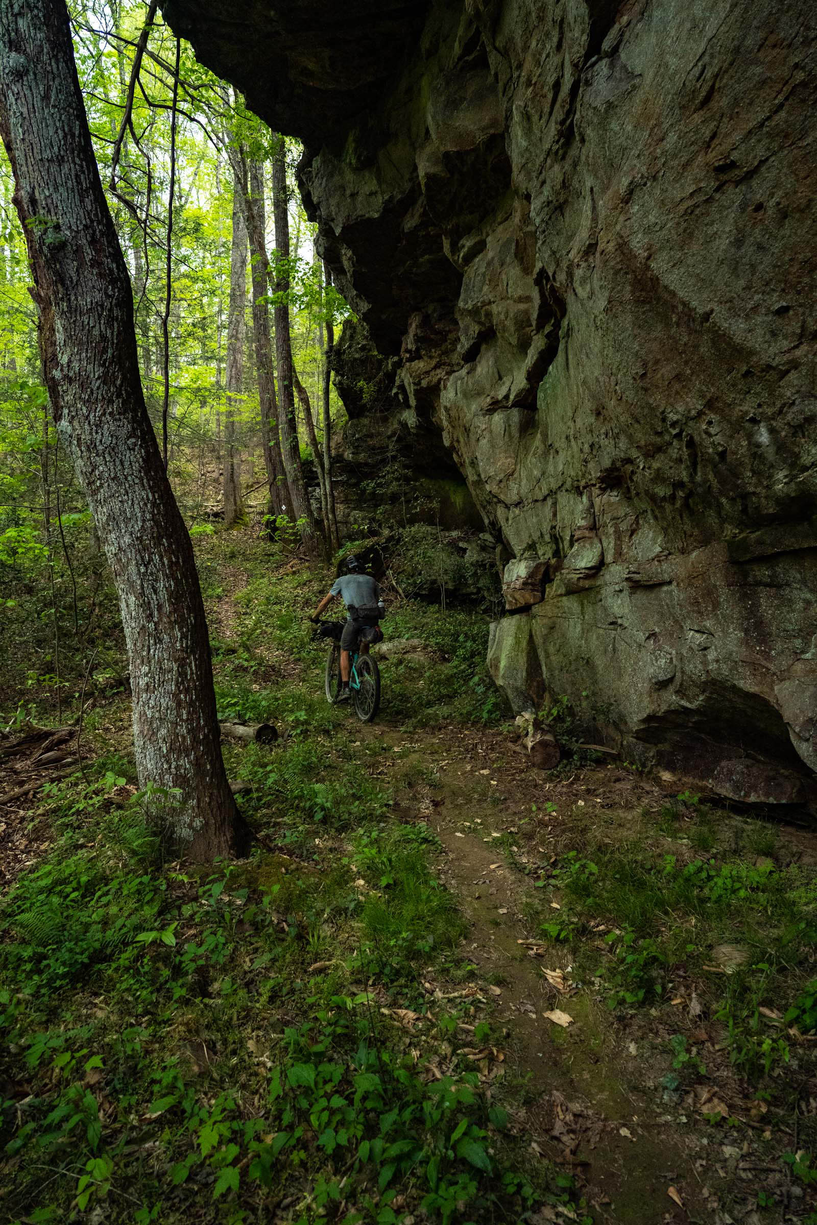
- Morgan Hollow – Accessed by a gated USFS road that descends into a cascading limestone canyon with incredible outcroppings and rock shelters along the way. For rock garden enthusiasts, this bit will be a blast, as the trail becomes the creek bed for a couple of miles before connecting to some lovely gravel. This stretch is a true eastern Kentucky “holler” – deep, steep, and narrow – with unique flora that at times seems more like a rainforest than Appalachia.
- Lago Linda Hideaway (the barns are great camping) – A cozy and relaxed developed camping option, complete with shower houses, cabins, and a restaurant.
- Wildcat Battlefield – One of the earliest battles in the Civil War, this is the site where the Union Army repelled a Confederate offensive while defending the important Wilderness Road. Portions of the route follow the existing Wilderness Road through this area.
- 49er Truck Stop – Enjoy a slice of local culture and a slice of homemade pie at the 49er truck stop. This no-frills truck stop along I-75 offers up some calorie-dense food amid a long stretch of sometimes challenging “unpavement.”
- Laurel River Lake Singletrack and Marina – One of the other few spots that can be described as flowy, the trails along the west shoreline of Laurel River Lake are a true joy. And Holly Bay Marina (open seasonally) serves pizza, ice cream and Ale8-1 (the go-to local soft drink)!
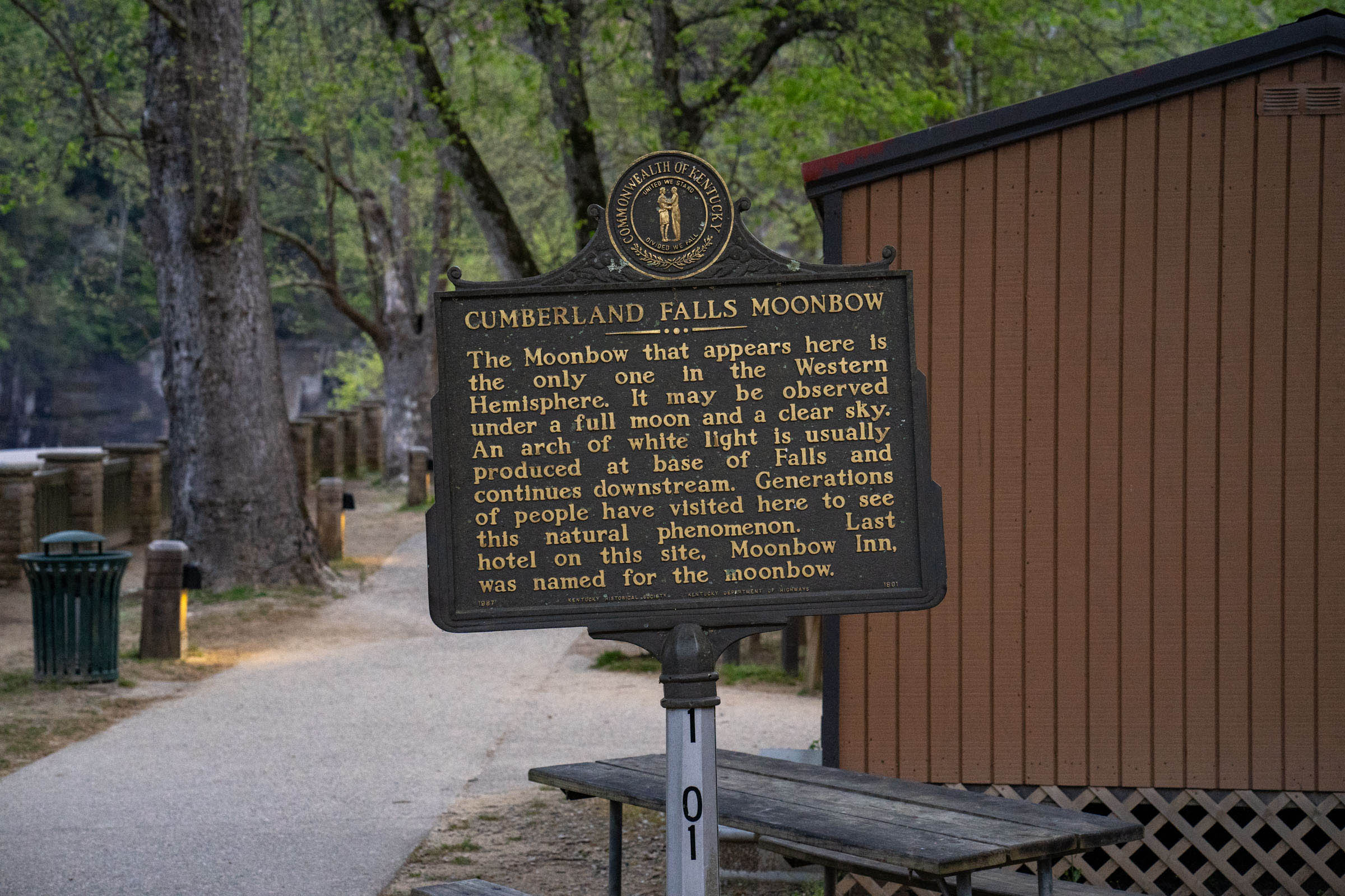
- Cumberland Falls – AKA “Niagara of the South” this is the second largest waterfall, east of the Rockies, and only one of two places in the world to view a moonbow (imagine a rainbow at night), which only occurs around the full moon.
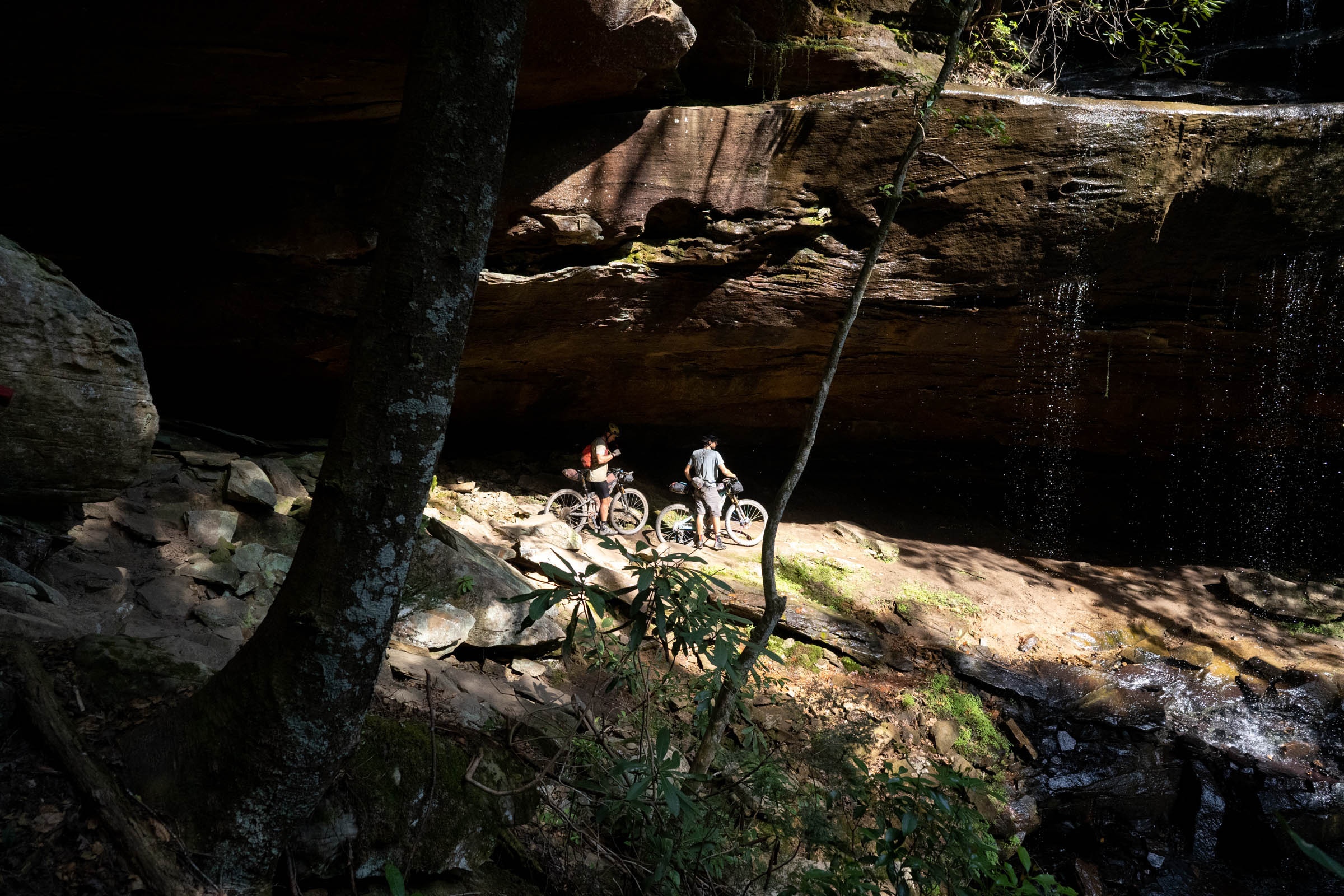
- Kentucky Trail – The Kentucky trail has recently been opened to mountain bikes. This 21-mile stretch from south of Yamacraw to No Business Trail, in Big South Fork NRRA, is very remote and beautiful and sees very little traffic. Expect to see countless outcroppings, overhangs, rock shelters, and more than a few waterfalls, as the trail roughly follows the South Fork of Cumberland River and its numerous tributaries.
- Big South Fork National River and Recreation Area – This is an often overlooked, but incredibly rugged, remote, and beautiful area with incredible vistas, numerous waterfalls, and densely vegetated hardwood forests. Follow the flow of the Cumberland and its tributaries as you ride through the final leg of the Sheltowee Trace.
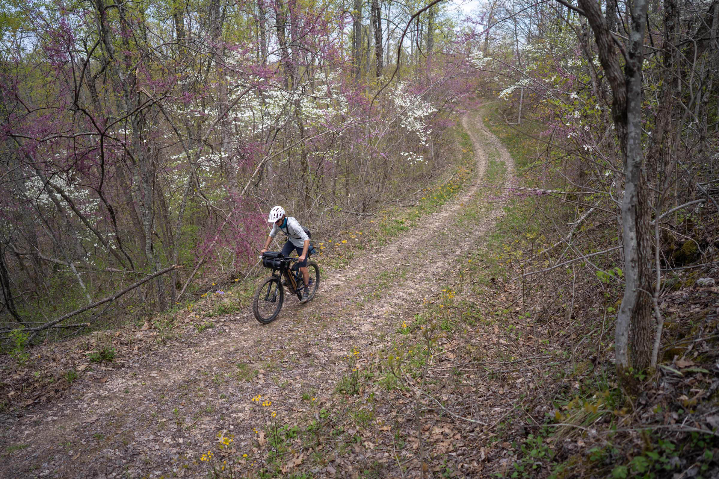
- When to go: Spring and fall are the best times; summer can be really hot, humid, and uncomfortable. Spring offers nice sightlines but expect some cold temps and storms. Fall is also a great time, with incredible fall foliage and typically comfortable temperatures.
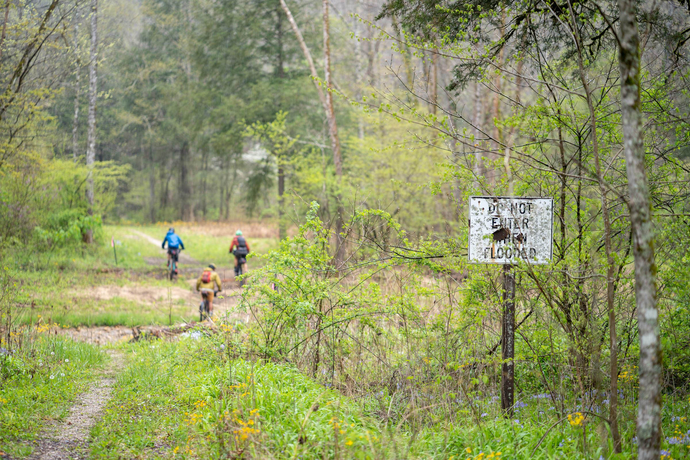
- Severe storms and flooding are common on route. March 2021 brought a historic storm that damaged some bridges and downed many trees. Keep an eye on the forecast before and during your trip.
- Morehead is a great town to start in with a gear shop, services, places to stay, and a shuttle service. However, the bike shop there is very minimal, if you need something done, Lexington is your best bet, which is just over an hour away.
- Permits: Daniel Boone NF requires a recreation permit, which can be ordered via mail or from local vendors. Big South Fork National River and Recreation Area requires a permit for backcountry camping.
- Bring a good pair of shoes with you; even the strongest of riders will be hiking.
- Be aware of wildlife and critters. Use campground bear hangs/boxes or bring a bear bag and rope. Mosquitoes, ticks, and gnats are common, so plan accordingly.
- There are sections of road where bringing a red blinkey is helpful.
- Cell service is common on route, but don’t rely on it.
- Camping is generally abundant on route, between primitive campsites, established campgrounds, and small motels and lodges.
- Some campsites may require reservations if it’s busy, such as weekends. Plan accordingly.
- Many of the established campgrounds have bathhouses, which is a nice touch. Bringing a small pack towel and soap is helpful, especially after a hot and humid day.
- Refer to your map to ensure you are on national forest land before camping, as there is some private land mixed in.
- Lago Linda Hideaway is a great little campsite with a small made-to-order restaurant, bath house, washer and dryer, and plenty of camping.
- Please follow proper backcountry camping etiquette if choosing to primitive camp on public land.
- Refer to the route map for camping options and locations.
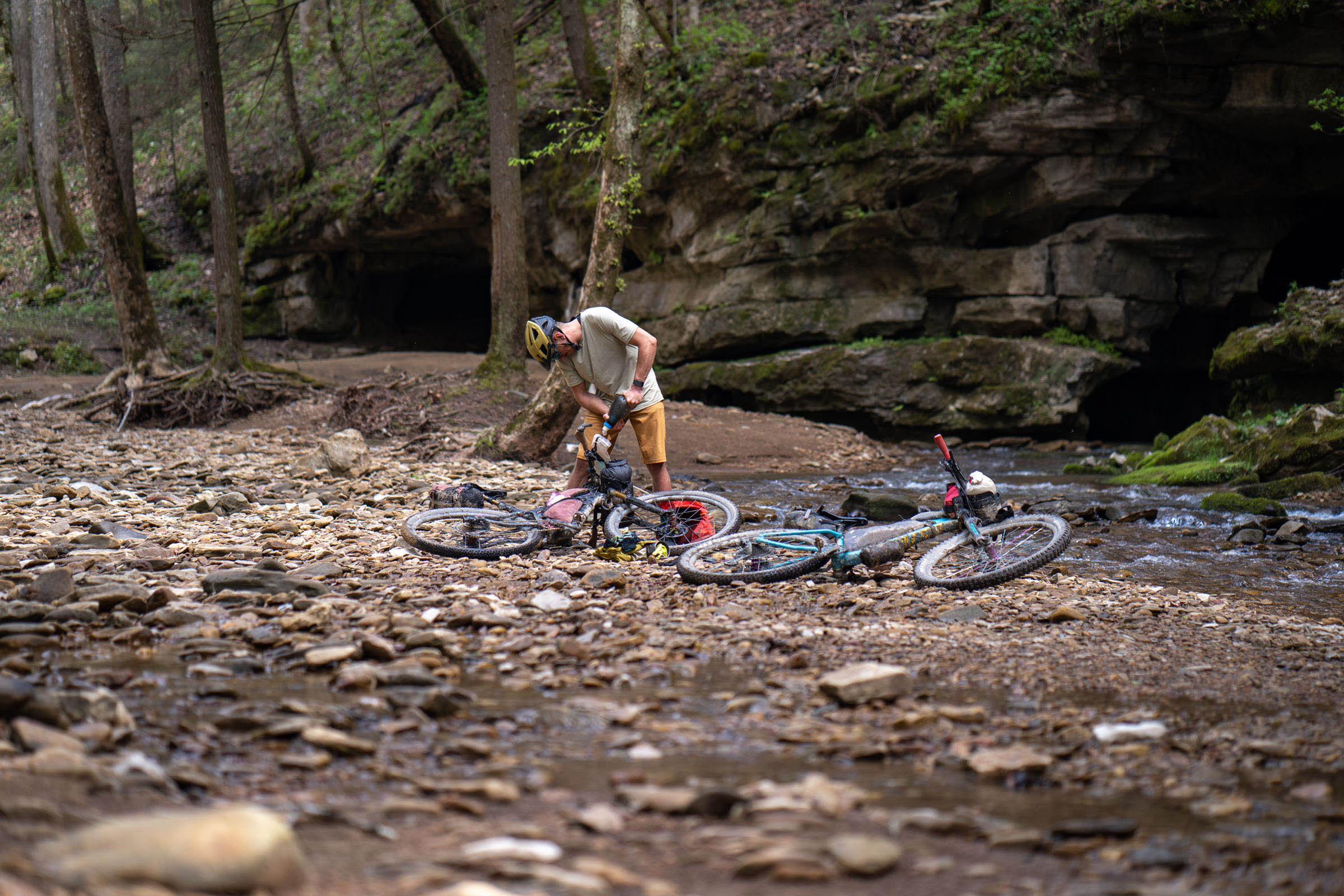
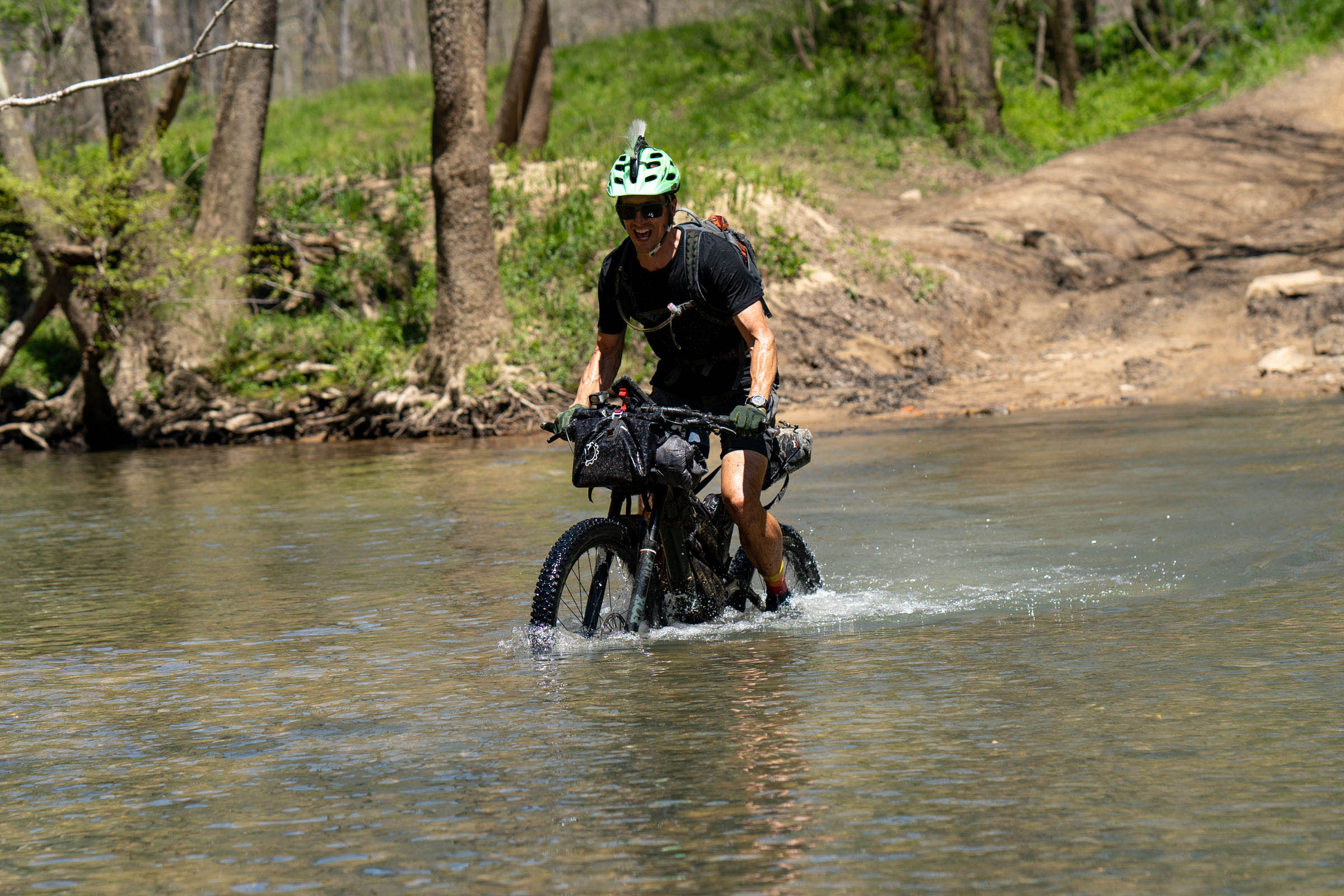
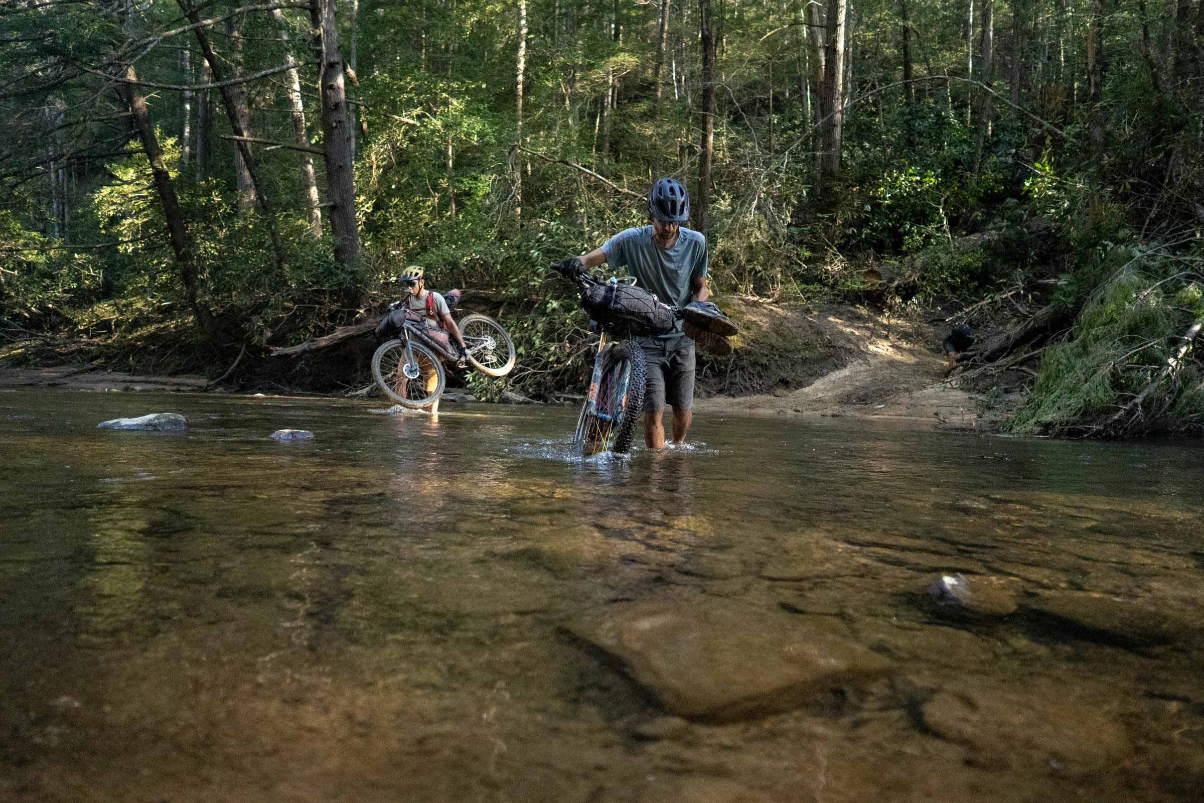
- There is plenty of water on route, between rivers, creeks, streams and a few spigots. That being said, expect to get your feet wet.
- There are many convenience stores, restaurants and small towns along the route, but some stretches between them are longer than others. Depending on your itinerary and speed, you may be traveling a few days without hitting one of those locations.
- Depending on your pace, you might consider shipping a self-addressed resupply box to a post office or state park along the way.
- Don’t expect to find any isobutane on route.
- Keep in mind that many businesses in these towns might be closed on Sundays.
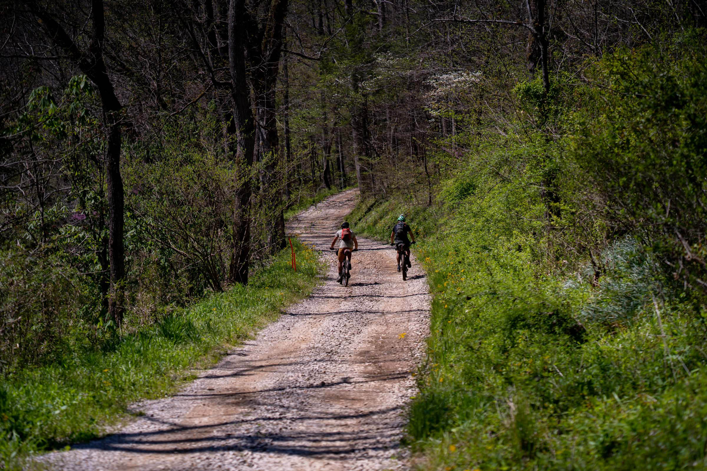
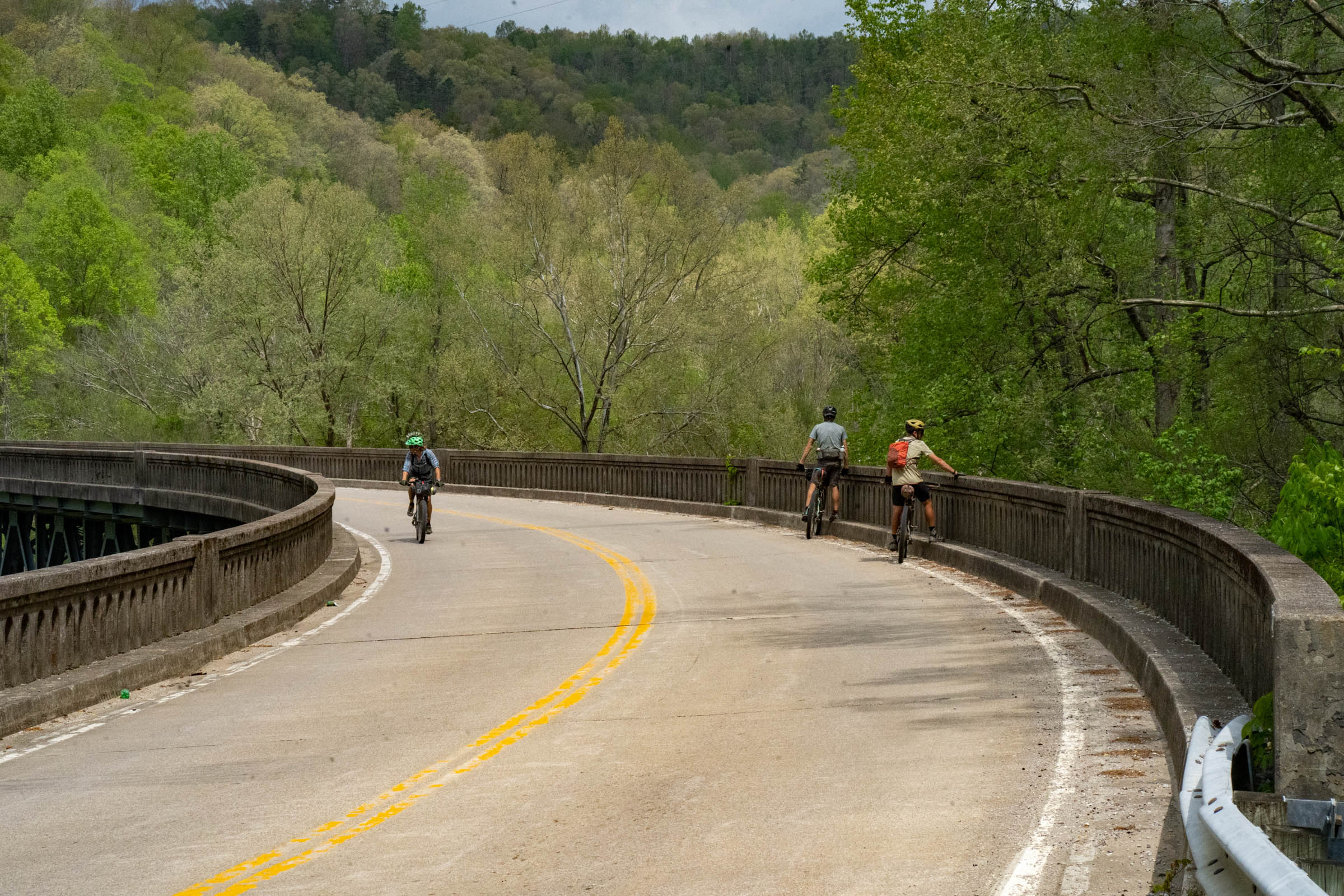
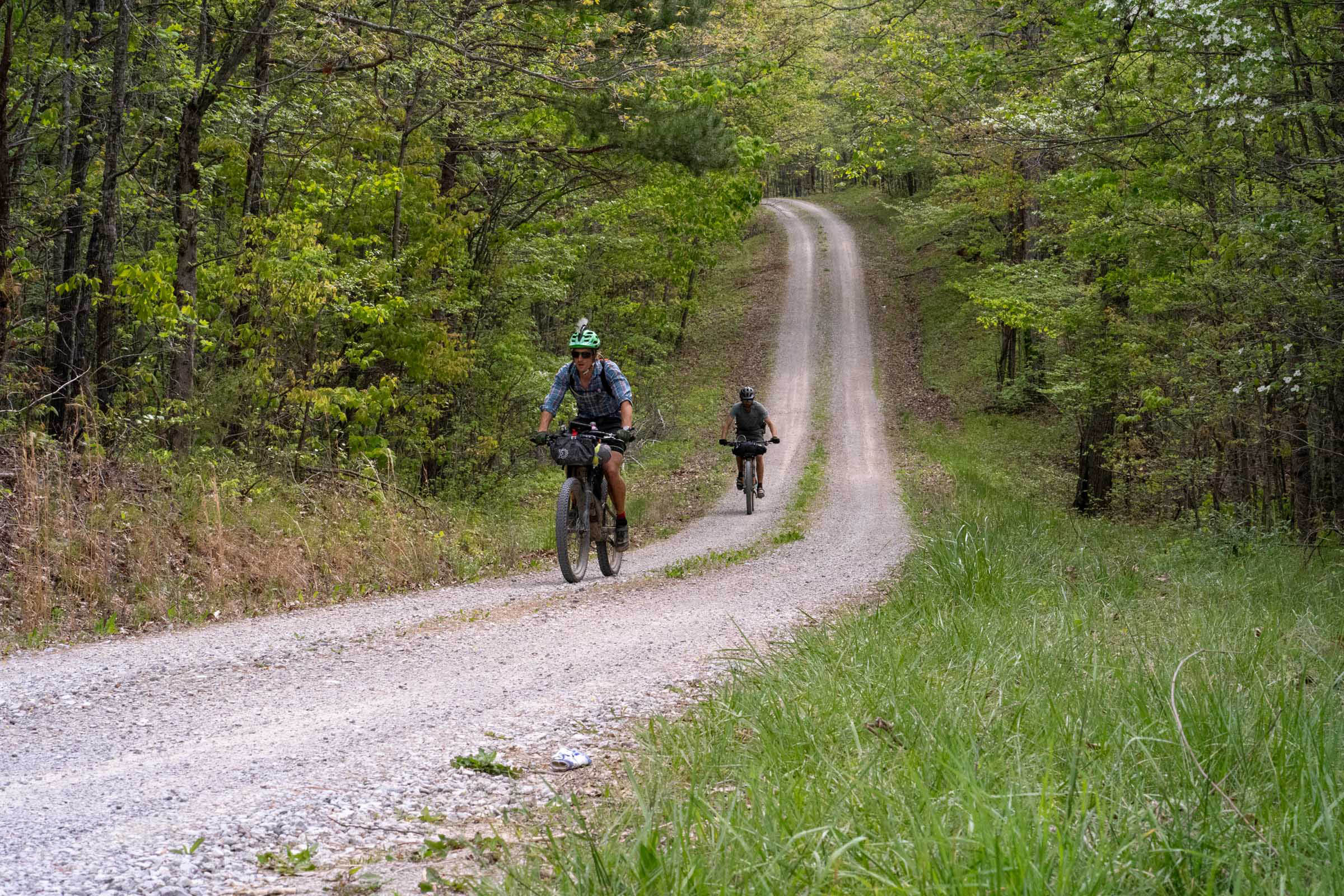
The Sheltowee Bikepacking Route is an extremely challenging 300-mile mixed bag of surfaces, with 65% (195 miles) unpaved singletrack or gravel segments, and 35% (105 miles) comprised of pavement sections. The majority of the pavement is encountered in several stretches running south from Morehead, KY, due to the restriction of bikes through portions of Cave Run Lake, Red River Gorge, and Natural Bridge State Park.
location Northern Terminus to Clear Creek Campground via Morehead, KY
Day 1 (50 miles)
The northern terminus for the Sheltowee is 25 miles north of Morehead, KY, and this first leg is predominantly well-maintained ridgetop singletrack and gravel roads in Daniel Boone National Forest before popping out onto Main Street in downtown Morehead. Treat this first leg as a shakedown.
Back in Morehead, take this opportunity to refuel at The Fuzzy Duck, and grab any last-minute necessities at New Frontier before heading out of town. Outdoor supplies are somewhat limited in town, so be sure to come well-prepared. Otherwise, it’s a one-hour drive to Lexington, KY for gear.
The next few miles out of town are on pavement, but you’ll quickly pick up six miles of some fun and flowy singletrack leading to Cave Run Lake. Opt for a few extensions on the Limestone Trail if you’re looking to maximize your singletrack intake, because once you reach the lake, you’ll encounter the first long (22-mile) stretch of pavement. Unfortunately, the trails on the south side of the lake are closed to bikes for now.
Our crew took a short deviation to Clear Creek Campground, for our first night of camping, which brought our daily total to just shy of 50 miles. This is a primitive USFS campground with potable water. It costs $15/night.
location Clear Creek Campground to Lago Linda Hideaway (near Heidelberg, KY)
Day 2 (50 miles)
Day 2 started with about 12 miles of pavement before picking up some nice crushed gravel just north of Red River Gorge. This would turn out to be another 50-mile day, mostly pavement punctuated with some lovely gravel and heavy rain.
What should’ve been a pretty easy day turned out to be a bit of a slog when the crew encountered an unexpected closed county road and a well-intentioned detour led through a section of death mud, which wreaked havoc on our brake pads and drive trains.
Upon inspection, we discovered that the mud and grit from the full day of riding in the rain had severely worn the brake pads on three out of five of our bikes, and they would need to be replaced imminently. The route now avoids this section of death mud.
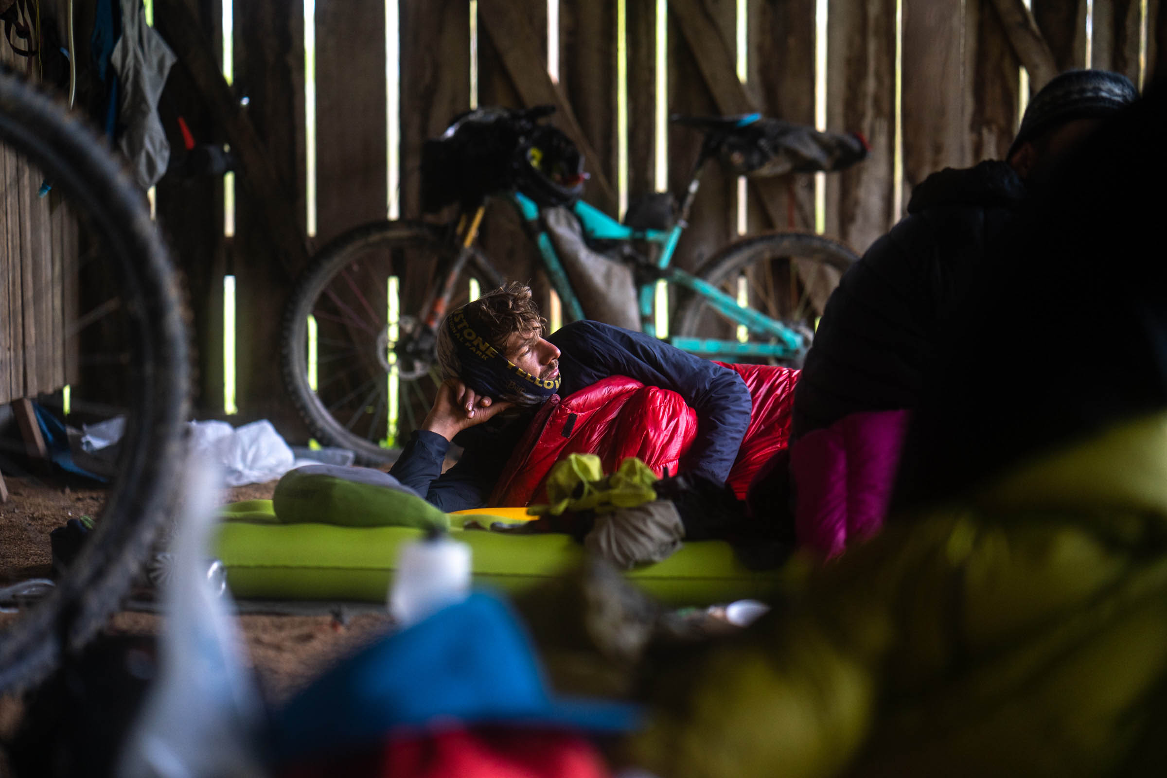
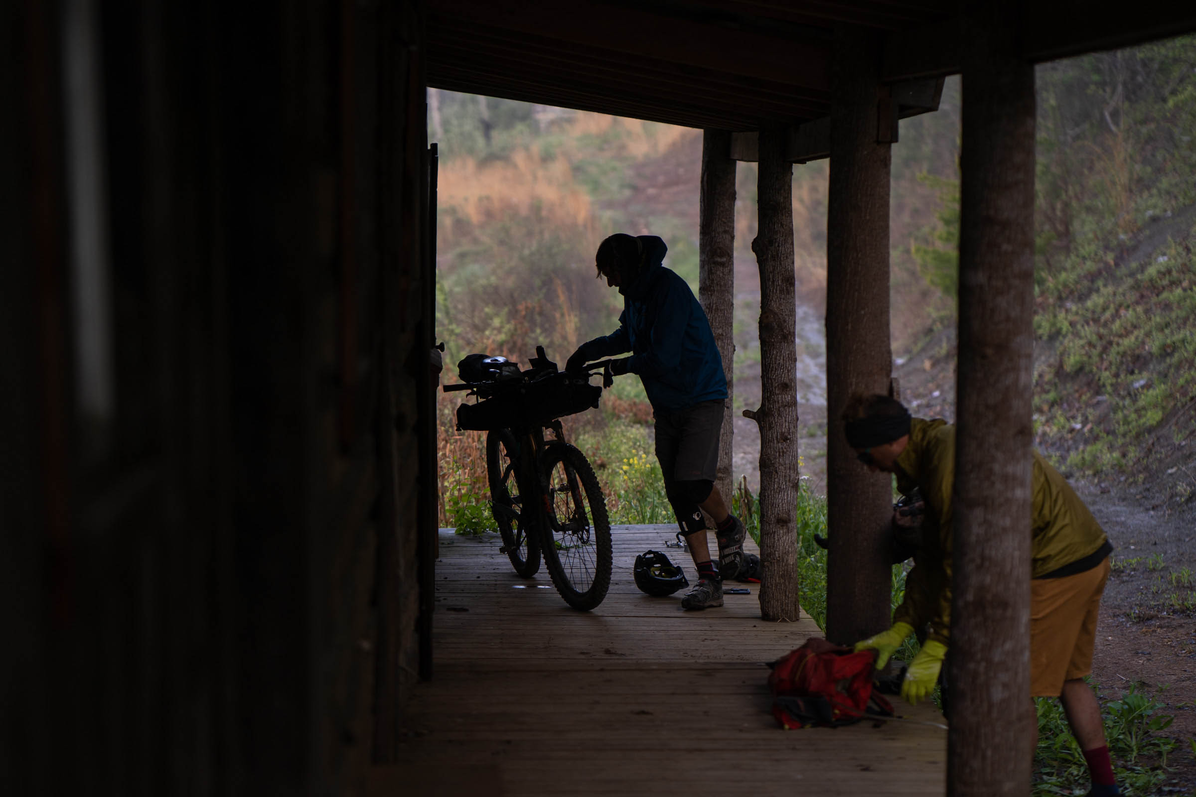
With the longest day of pavement under our belt, we rested up at Lago Linda Hideaway, near Heidelburg, KY, and dried out under the shelter of the horse stalls as we rested and waited for the rain to pass.
location Lago Linda Hideaway to McKee, KY
Day 3 (35 miles)
The third day began with a 17-mile stretch of pavement, a section that even hikers must endure, before reentering the gravel roads and singletrack of Daniel Boone National forest.
At times, the singletrack became slow going due to the number of downed trees that were obstructing the trail. This section of singletrack, north of Turkey Foot campground, was in desperate need of some trail maintenance.
South of Turkey Foot, things opened up a bit more, and we made up for lost time on some pristine gravel roads and some decently maintained single and doubletrack, although portions of this area are open to OHVs, which left plenty of ruts and mud puddles to navigate.
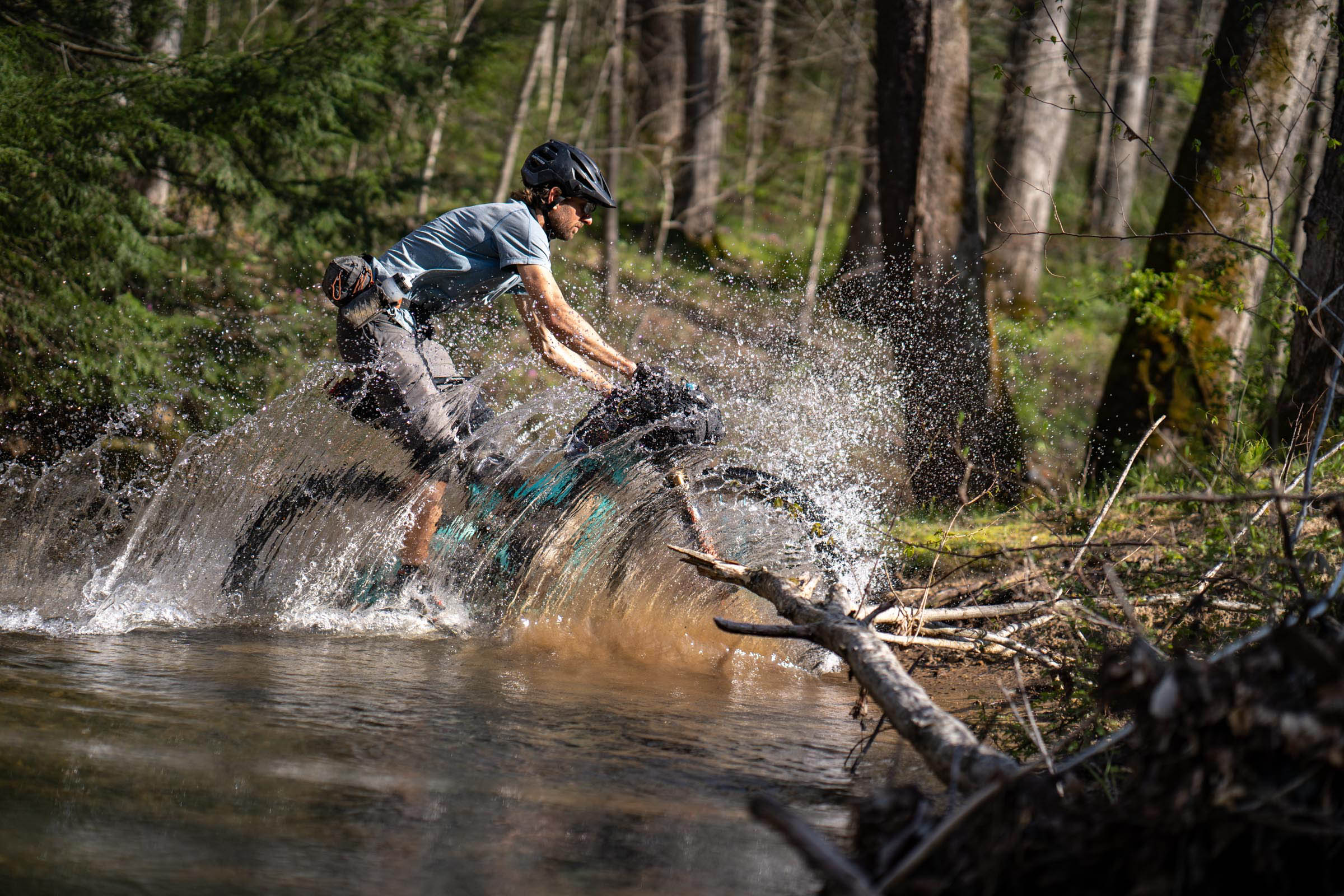
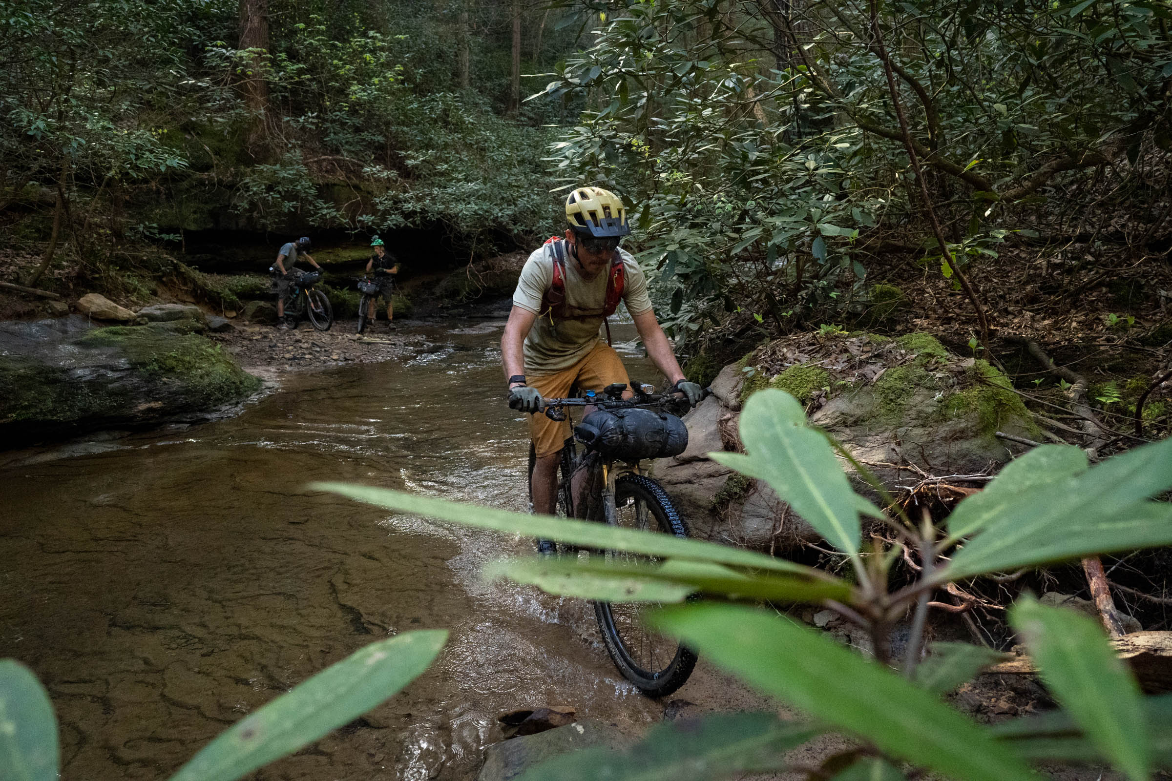
The final few miles north of McKee, KY, were the highlight for our crew, especially the final descent, which was chunky and steep, with a fast and deep creek crossing at the bottom, which made for some great photos. McKee served as our stopping point on Day 3, which was the shortest day of riding at only 35 miles.
The small town of McKee, KY, is less than 2 miles off-route, and it has several food options. The Little Turtle Lodge and Sheltowee Trace Rentals are the best bets for established camping near McKee. Otherwise, head out of town and back into DBNF for a primitive backcountry site.
location McKee, KY, to Sheltowee primitive camp site
Day 4 (44 miles)
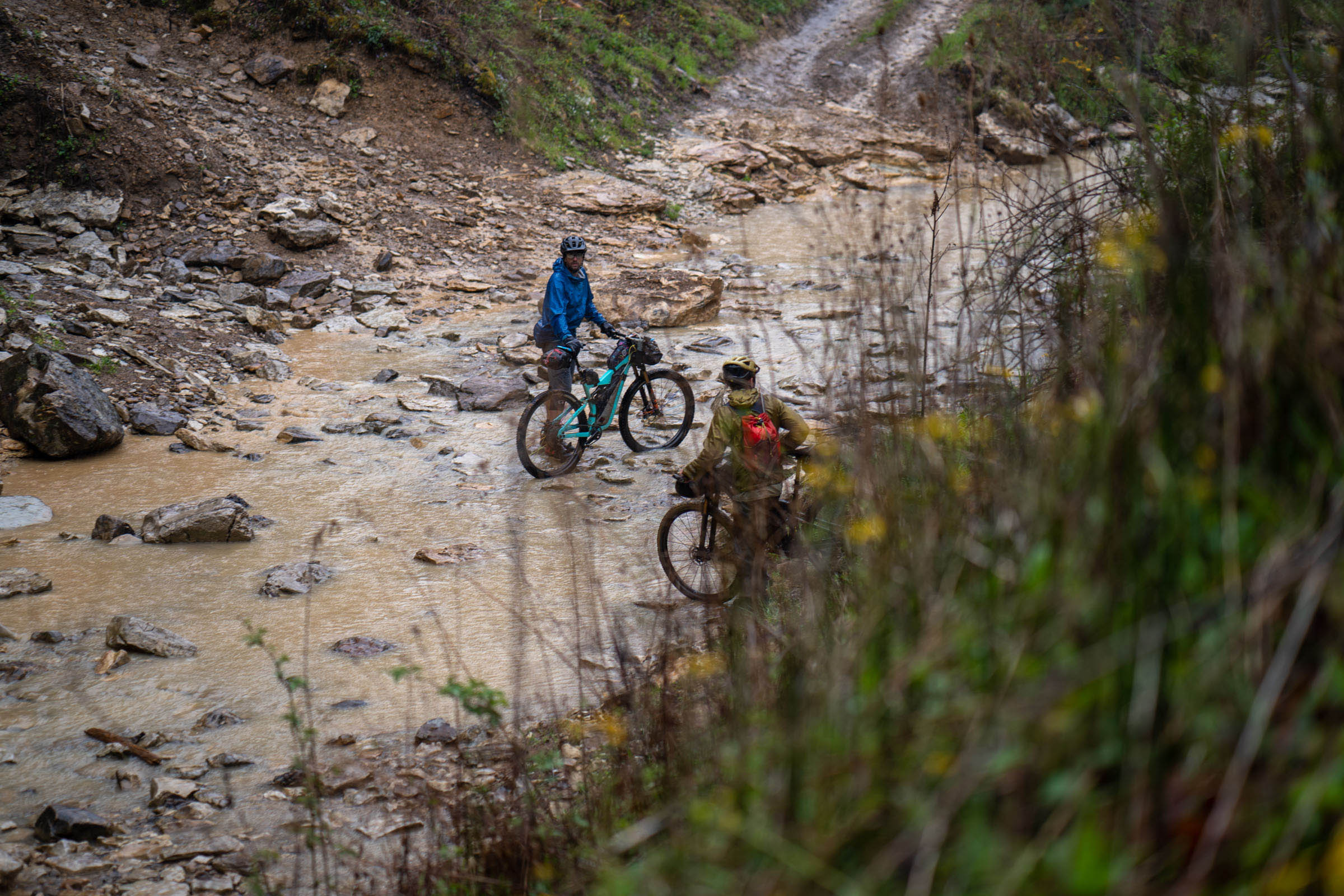
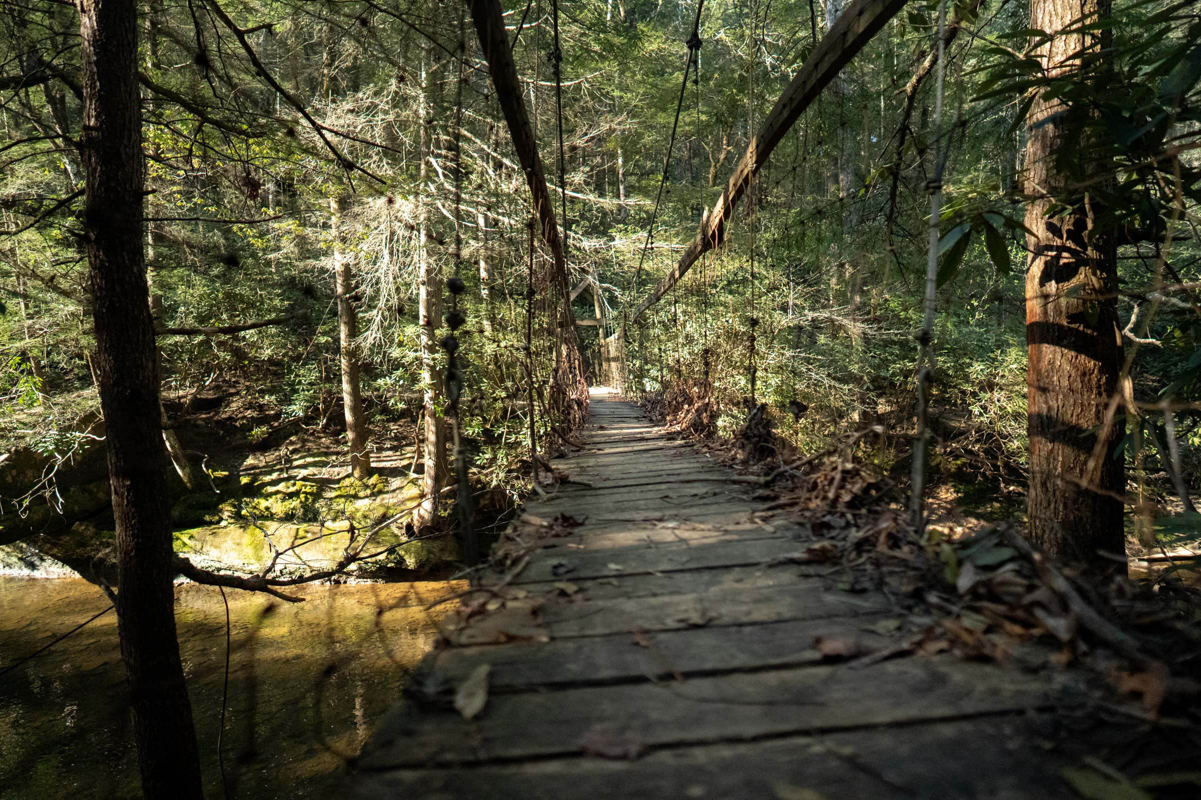
Leaving McKee, the route quickly reenters DBNF and utilizes a combination of singletrack and USFS roads for 44 miles of mostly unpaved surfaces. At times, the riding was a bit slow going due to downed limbs and mud, but at others, our crew covered ground quickly. Several suspension bridges were damaged during floods in the spring of 2021, but we were able to ford the streams with relative ease.
A highlight of this section is the warm, hearty food and homemade pies at the 49er Truck Stop, which is directly on route as it crosses I-75. Be sure to stop for a resupply of calories and culture before heading back into the woods for the day’s final 8 miles, which include a unique section of sandstone outcroppings unlike any other portion of this route.
We camped at the Sheltowee Trace Camping Area, which is a small, primitive camping area with compost toilets located just off of Forest Trail 4255.
location Sheltowee primitive camp site to Cumberland Falls State Resort Park campground
Day 5 (45 miles)
Day 5 brought lots of gravel and lots of singletrack. Some of it rideable. Some of it hike-a-bike. Very little pavement.
The first few miles of gravel allowed us to warm up our legs before dumping into the woods for some fun and beautiful singletrack and gravel riding down to Laurel River Lake’s mountain bike trail system, which had us whoopin’ and hollerin’ on the rollers and berms before enjoying a warm, sunny lunch break at Holly Bay Marina.
After leaving Laurel River Lake, the trail becomes notoriously rocky and rooty as it descends to the Cumberland River en route to Cumberland Falls State Park. Unfortunately, the park’s trails are not open to bikes, so a deviation from the Sheltowee leads to one of the most scenic spots on the trail, Bark Camp Trail.
This trail is rugged and beautiful and more of a hiking trail than a biking trail. In fact, you’ll find yourself hiking more than biking on this 2.5-mile stretch, but you’ll be rewarded with spectacular scenery and some stellar swimming holes.
After leaving the Bark Creek Trail, the next nearly 10 miles are on Forest Service gravel roads, which lead to Highway 90. The final five miles to Cumberland Falls State Park campground are paved, windy, and hilly, with the occasional panoramic views punctuating the grind. Enjoy a shower in the campground ($30/night), and opt for a meal at the lodge. This is also one of the few spots to ship a resupply box if needed.
Cumberland Falls is one of the only places in the world where you can witness a moonbow (a nighttime rainbow during the full moon), so check the dates and weather while you’re there.
location Cumberland Falls State Resort Park campground to Bandy Creek Campground
Day 6 (75 miles)
Note: This was our final day of riding, but we rode until well after dark. It is suggested that this be divided into two days of riding.
For this final and longest day of riding, we opted for a big breakfast at the lodge before setting out on our longest day of riding, but not without first stopping for a view of the “Niagara of the South.”
Since the trails in the park are not open to bikes (at the time of writing) we climbed out of the river valley on highway 90 for six miles before heading back into the woods for the next 11 miles, with a mix of well-maintained singletrack and a splash of chunky, rocky, creek bed riding.
Near mile 236, we lost the trail. This is an easy turn to miss, as you essentially turn left into a tributary stream bed while a gravel road tempts you to go straight. Don’t go straight. Take the left into the stream.
Near mile 241, the trail nears Barren Fork Road and the Barren Fork Campground, where there is primitive camping and access to potable water.
Miles 242-252 are paved as the route makes its way through the town of Whitley City to Yamacraw bridge and avoids a stretch of trail that is closed to bikes. Whitely City is the final option for food, lodging, and a post office.
From Yamacraw the route enters Big South Fork National River and Recreation Area (backcountry permit required) for the final leg of the ride, which follows portions of the Sheltowee Trace and Kentucky Trail, a rugged, beautiful, well-maintained and newly developed singletrack trail. These final 48 miles are comprised of a smattering of singletrack and gravel forest service roads, with pavement nowhere to be found.
The trail often follows the flow of the Big South Fork of the Cumberland River, with stunning vistas of imposing ridgelines and glimpses of the river below, but there is very little access to the river due to steep, rocky bluffs.
Riders can find a cozy backcountry campsite near mile 169, with views and sounds of the river below. Water access requires a steep off-trail scramble to the river below.
Approaching the southern terminus at Bandy Creek Campground, near mile 182, the route can be shortened by 15 miles of singletrack by turning right on Duncan Hollow Road and following it to the campground. Otherwise, enjoy the final miles of singletrack as you near the completion of a hard-fought, character-developing, bike-abusing route through some of the most scenic beauty of Appalachia.
Additional Resources


Terms of Use: As with each bikepacking route guide published on BIKEPACKING.com, should you choose to cycle this route, do so at your own risk. Prior to setting out check current local weather, conditions, and land/road closures. While riding, obey all public and private land use restrictions and rules, carry proper safety and navigational equipment, and of course, follow the #leavenotrace guidelines. The information found herein is simply a planning resource to be used as a point of inspiration in conjunction with your own due-diligence. In spite of the fact that this route, associated GPS track (GPX and maps), and all route guidelines were prepared under diligent research by the specified contributor and/or contributors, the accuracy of such and judgement of the author is not guaranteed. BIKEPACKING.com LLC, its partners, associates, and contributors are in no way liable for personal injury, damage to personal property, or any other such situation that might happen to individual riders cycling or following this route.
Please keep the conversation civil, constructive, and inclusive, or your comment will be removed.