


Sky Islands Odyssey (East Loop)
Distance
124 Mi.
(200 KM)Days
3-5
% Unpaved
80%
% Singletrack
1%
% Rideable (time)
97%
Total Ascent
8,839'
(2,694 M)High Point
5,594'
(1,705 M)Difficulty (1-10)
7?
- 5Climbing Scale Moderate71 FT/MI (14 M/KM)
- -Technical Difficulty
- -Physical Demand
- -Resupply & Logistics
Contributed By

Sarah Swallow
Contributing Editor
Photos by Sarah Swallow and John Watson
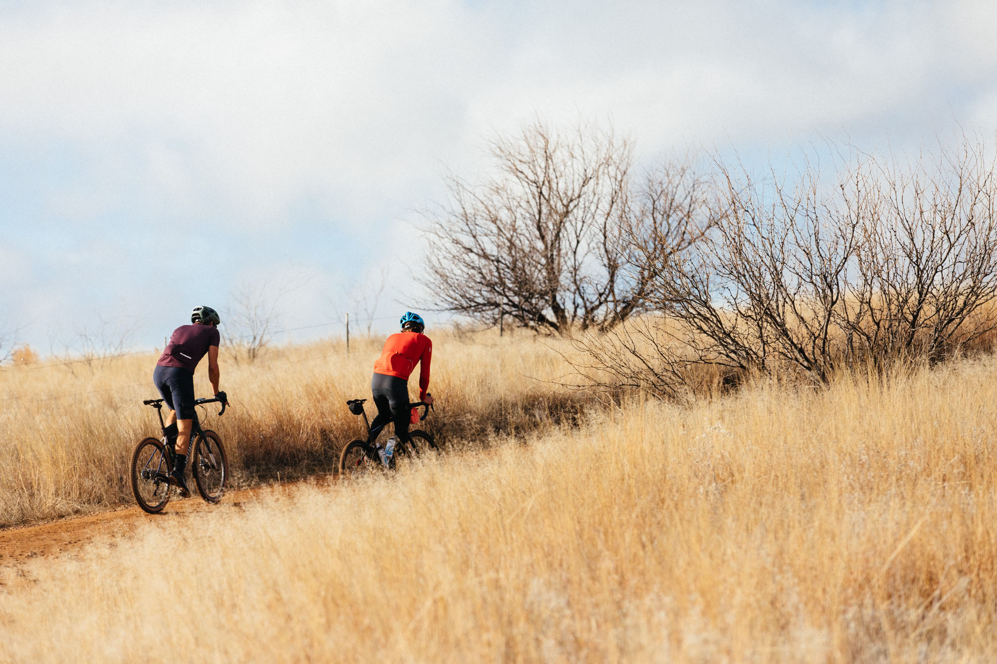
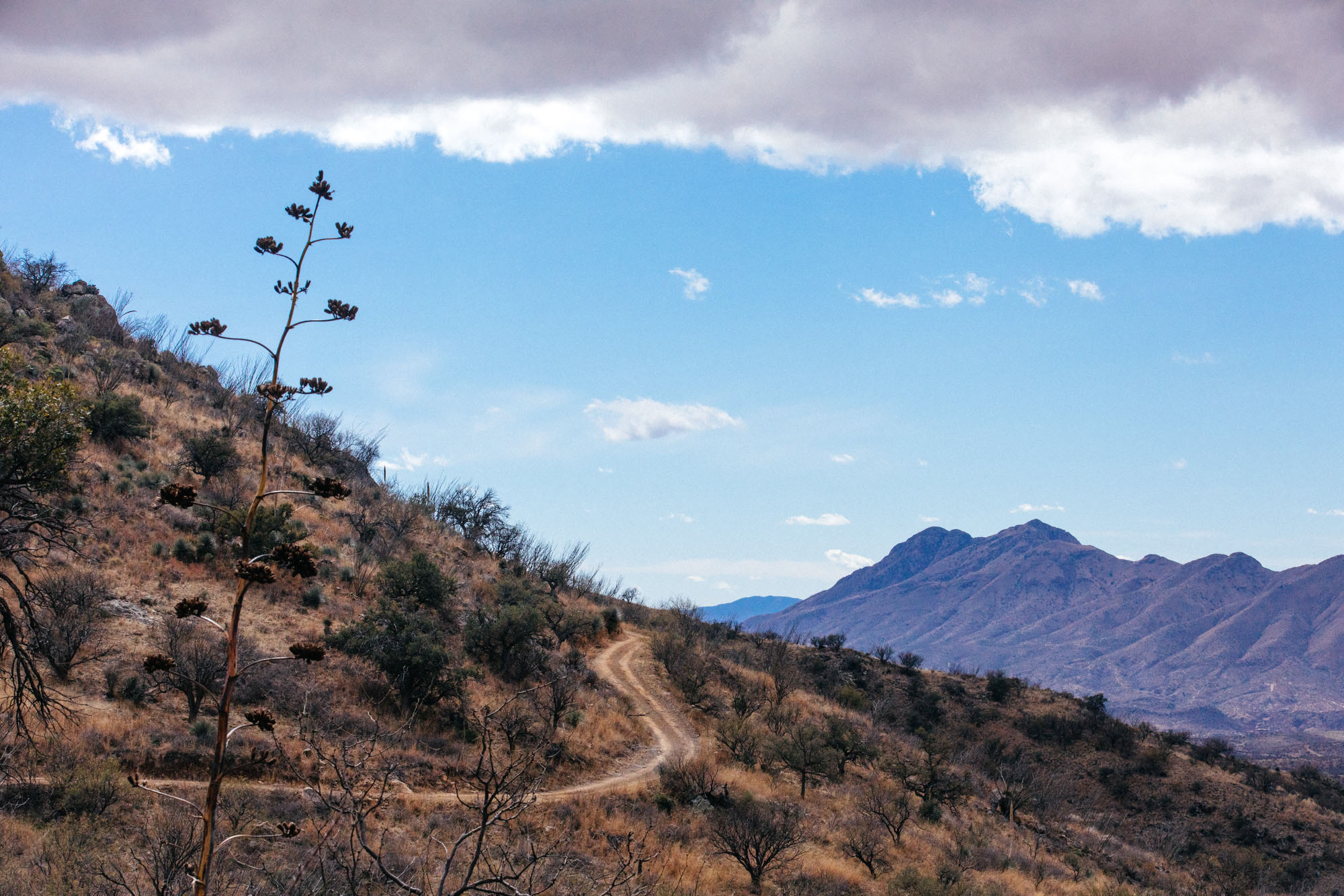
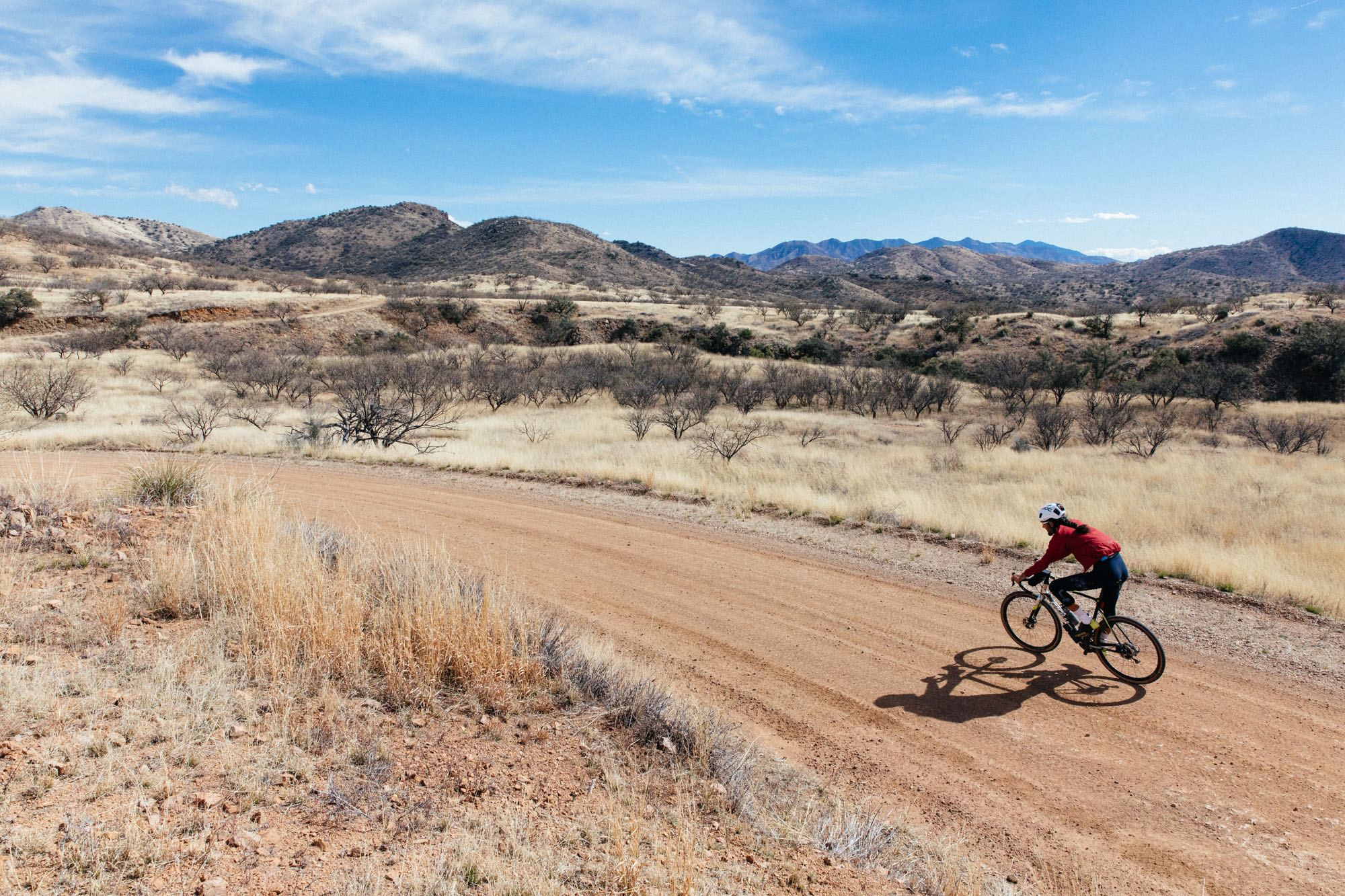
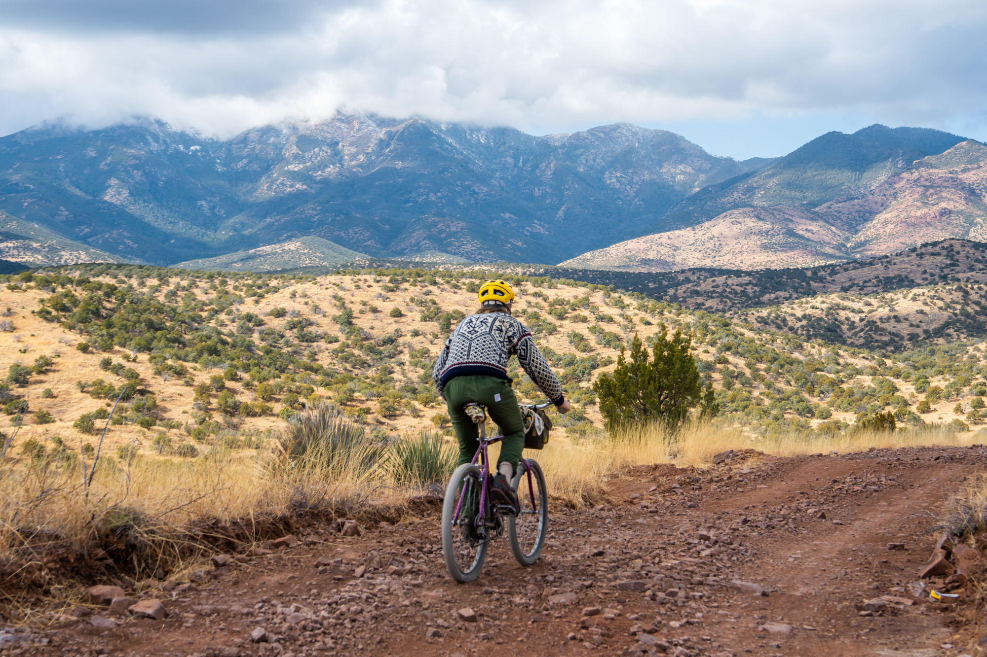
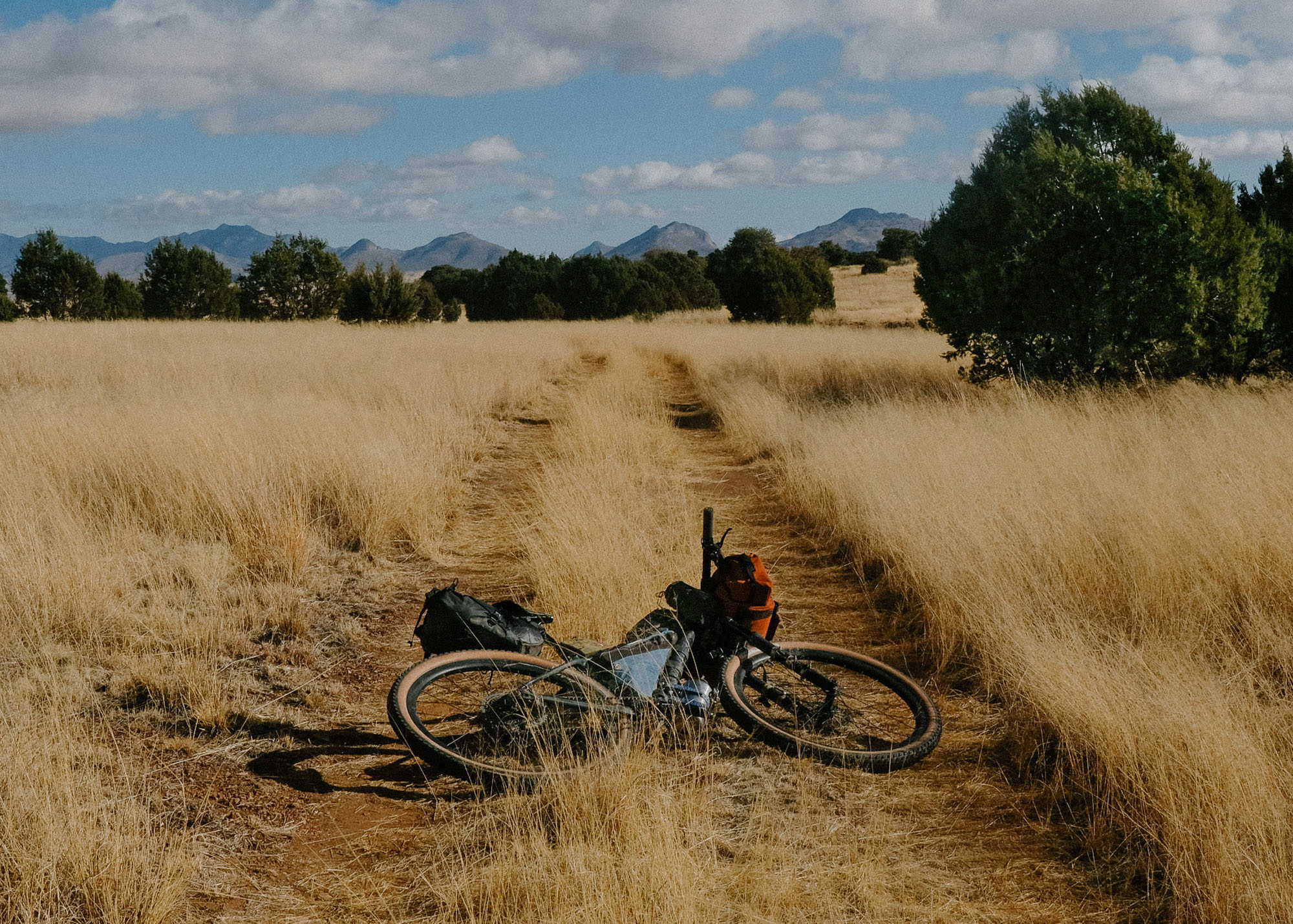
The Sky Islands East Loop starts in the eclectic small town of Patagonia, Arizona, and slowly climbs a quaint dirt road through a canyon lined with cottonwoods, sycamores, and a perennial creek up Harshaw Creek Road.
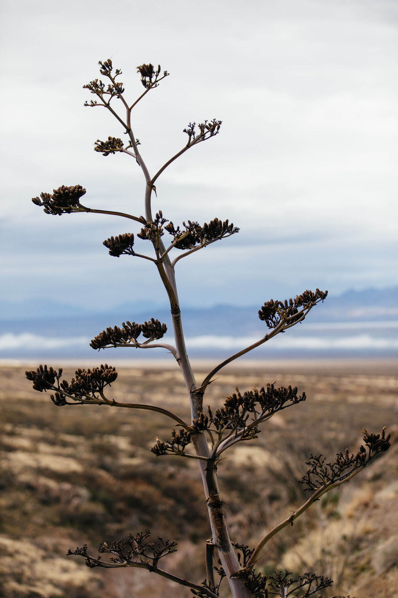
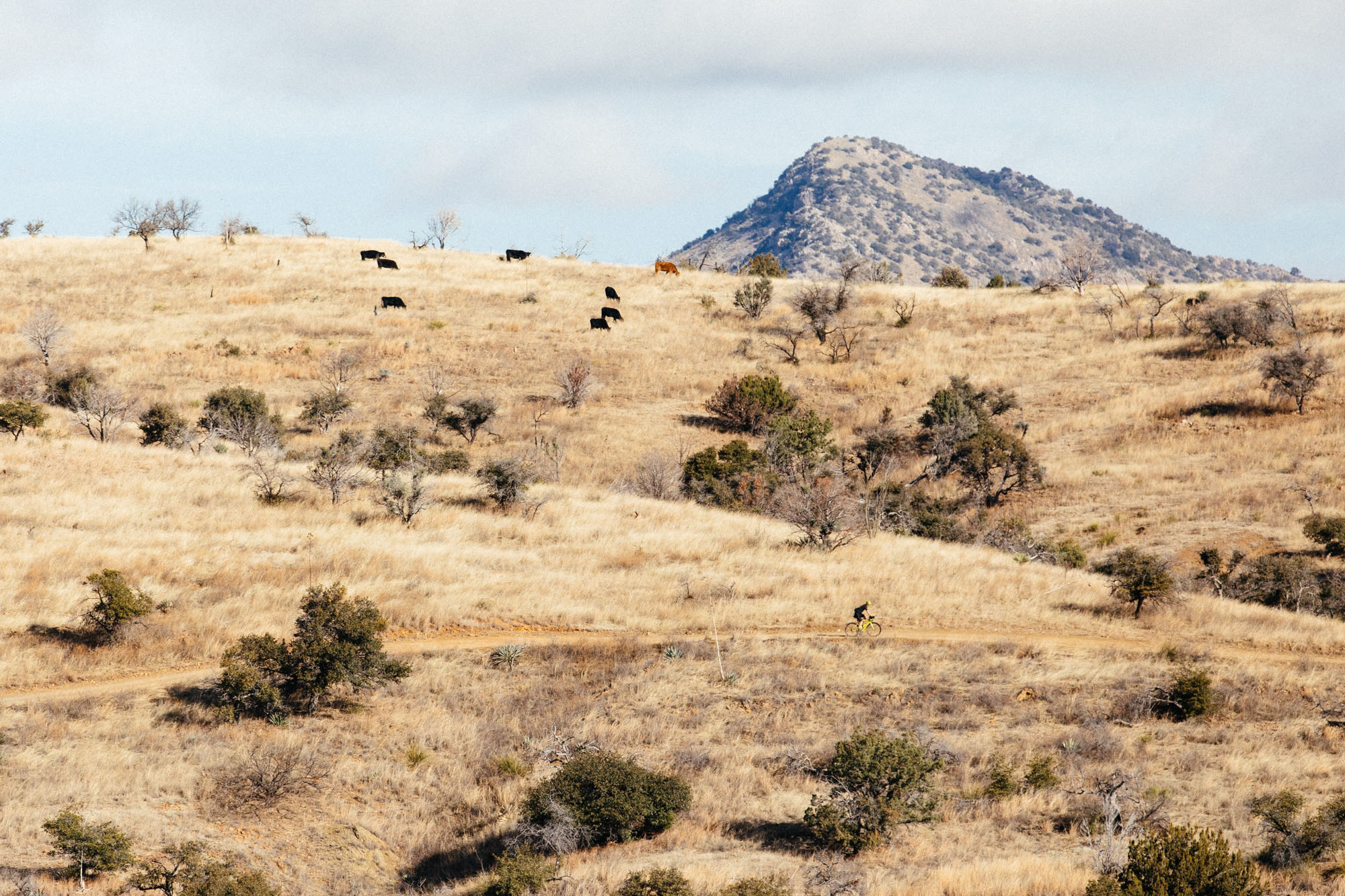
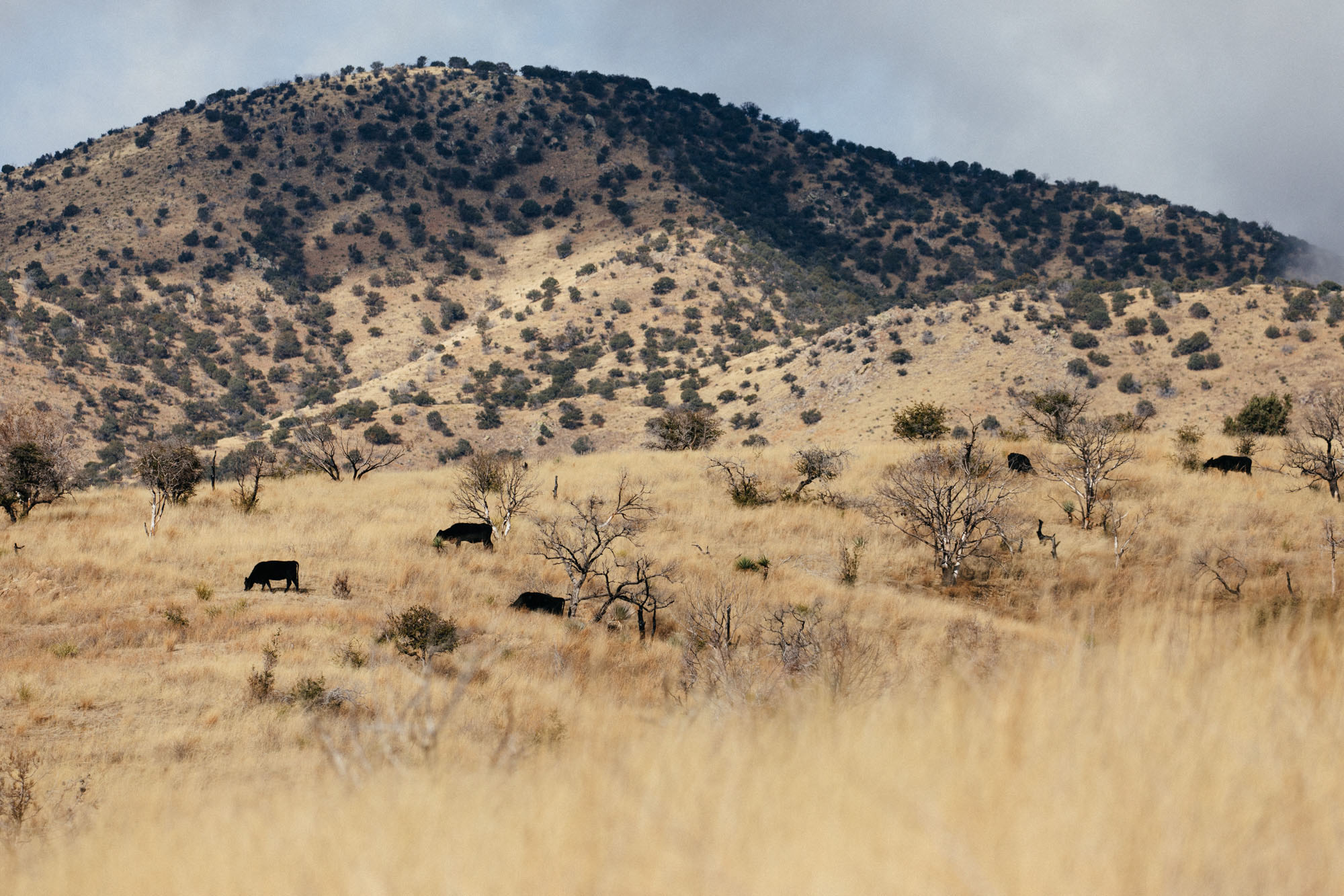
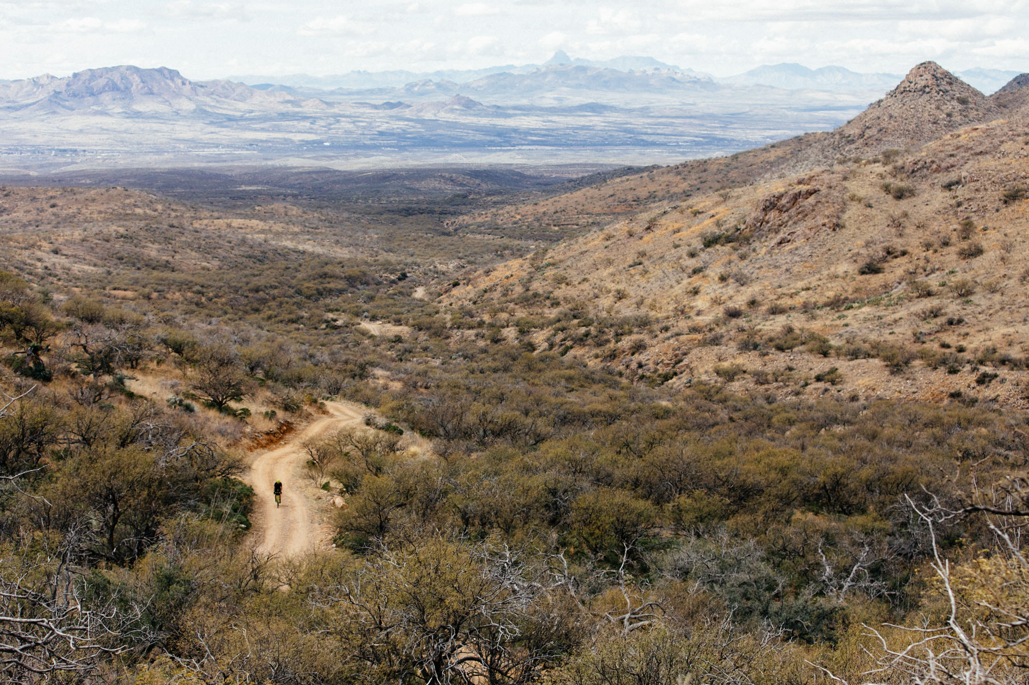
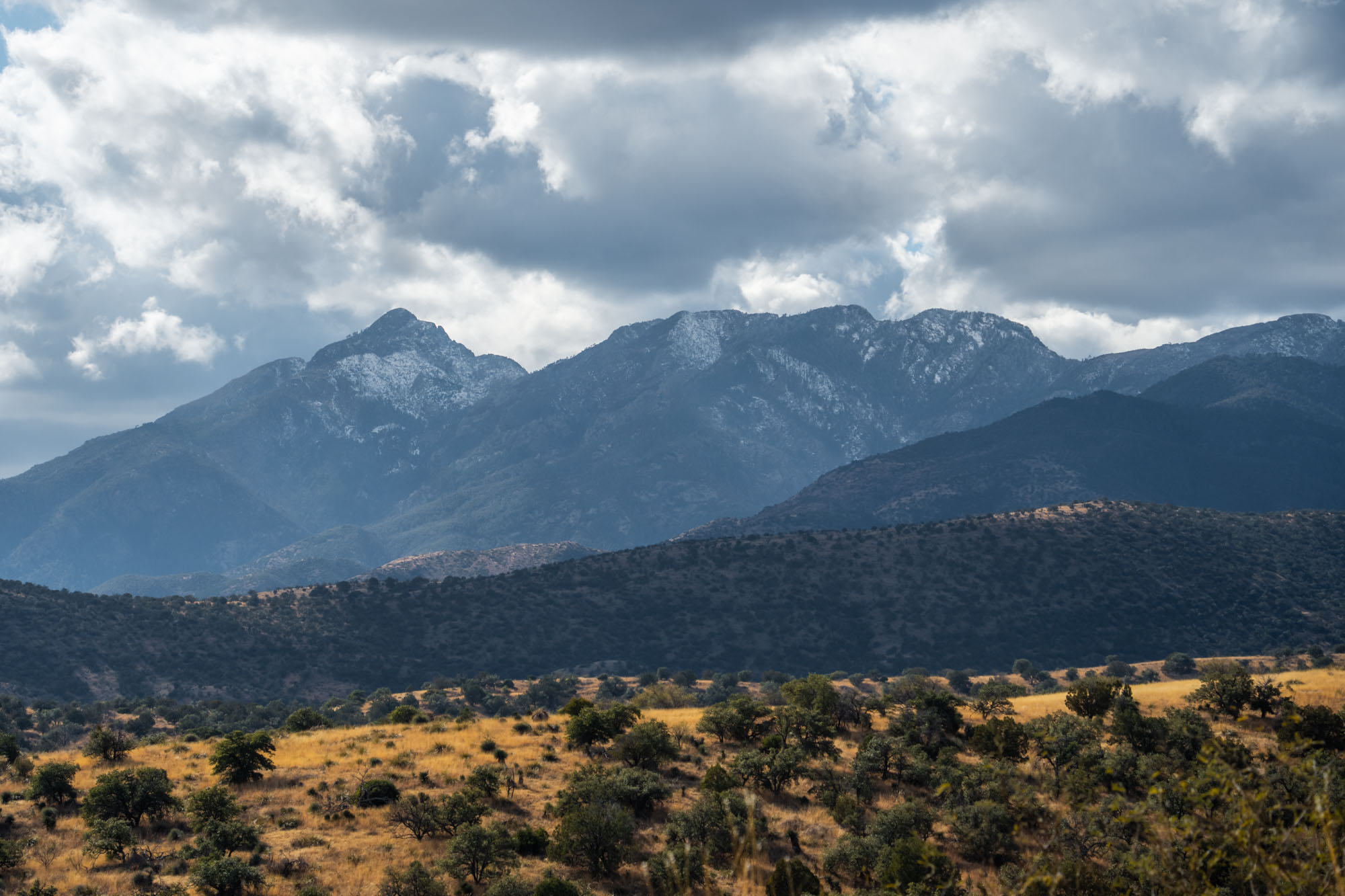
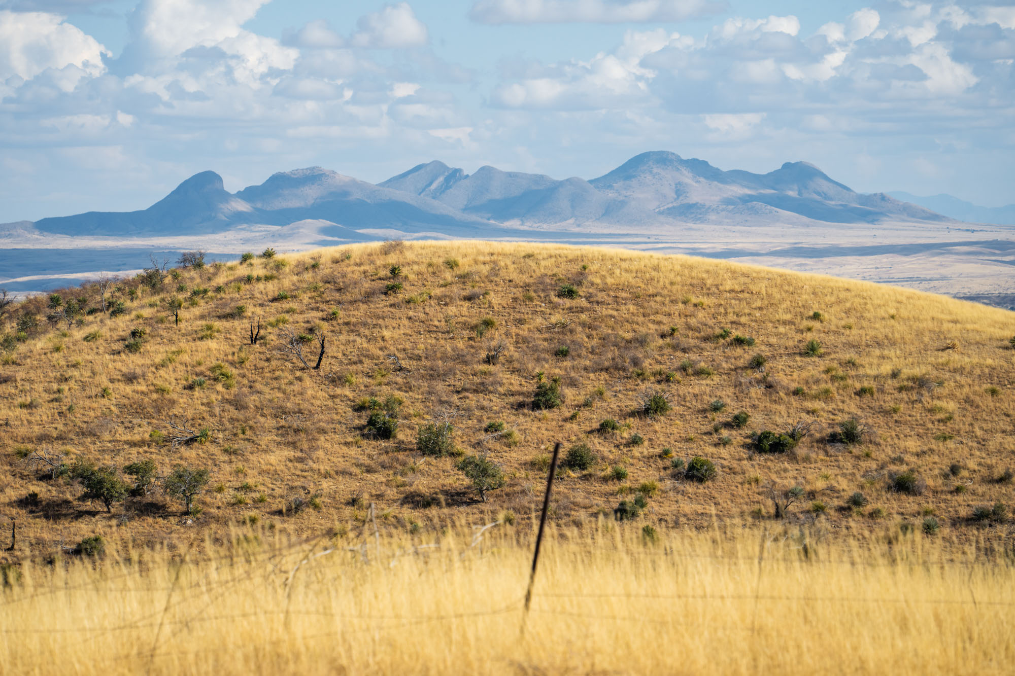
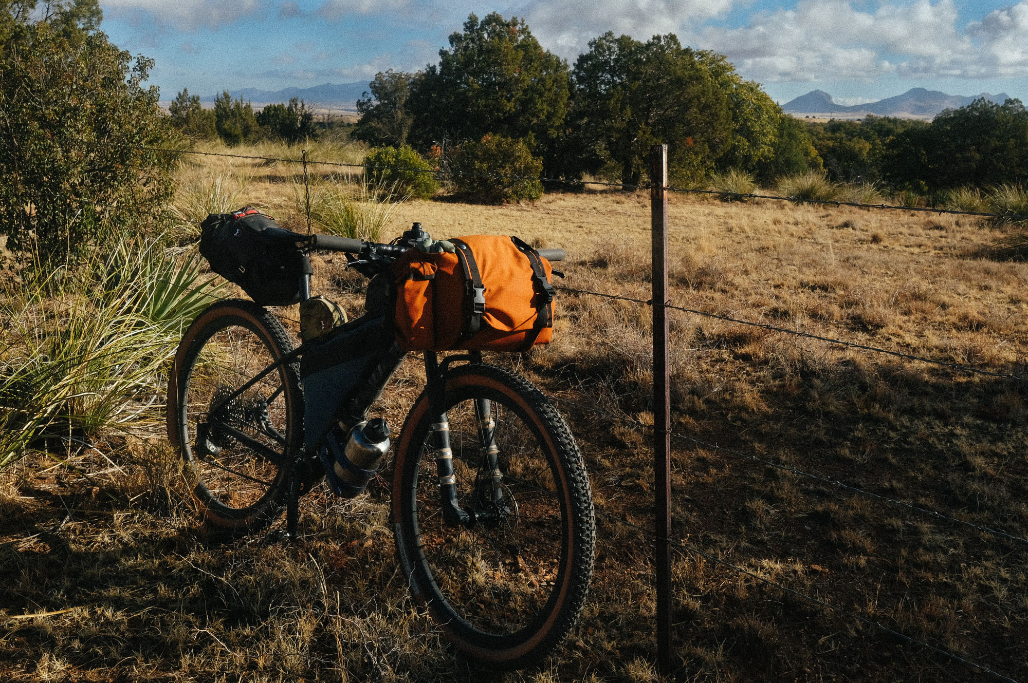
You’ll know when you’ve reached the summit as the canyon widens and delivers expansive views of the golden semi-arid grasslands of the San Rafael Valley. While this valley is mainly private land and used for cattle grazing, much of the valley is protected by conservation easements to ensure that the sustainable grazing practices that have preserved this valley continue. Keep your eyes peeled for pronghorn antelope and many grassland bird species, such as raptors, sparrows, pipits, and longspurs.
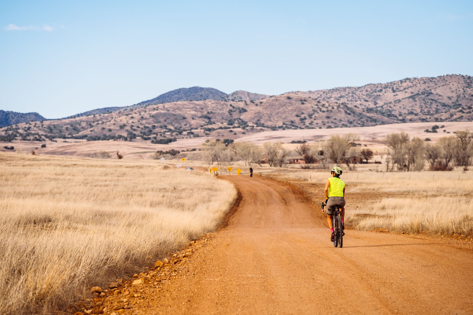
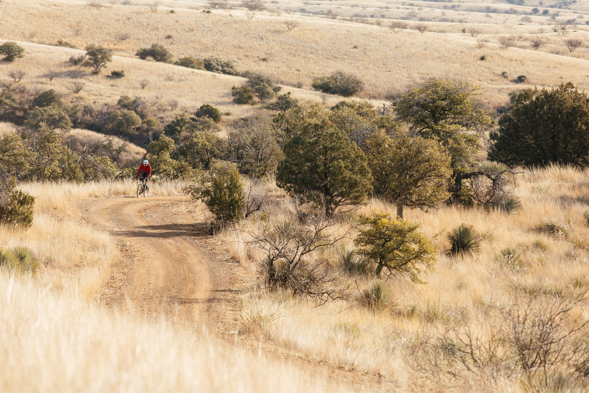
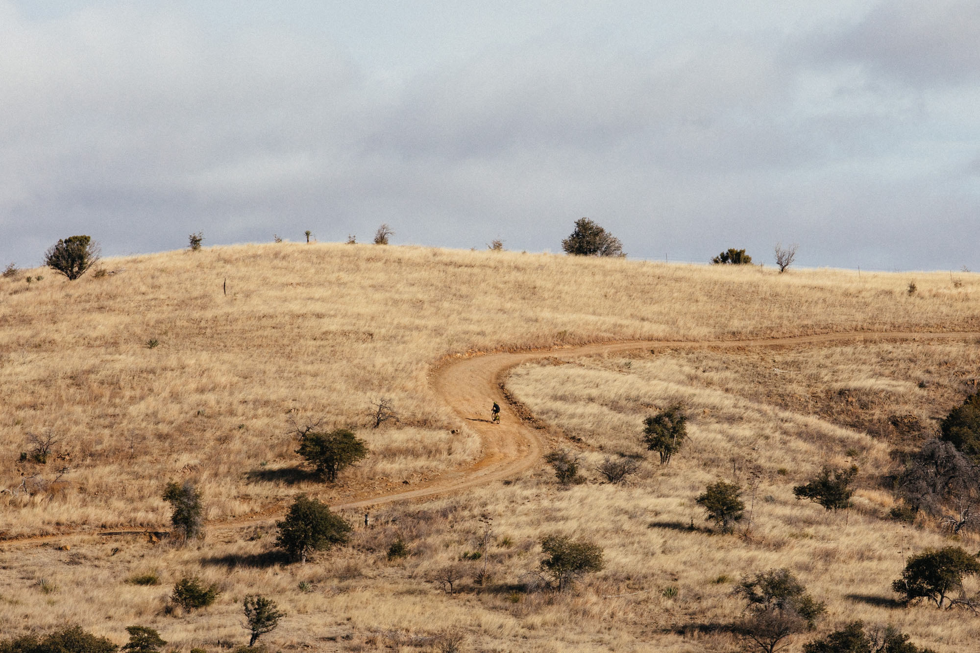
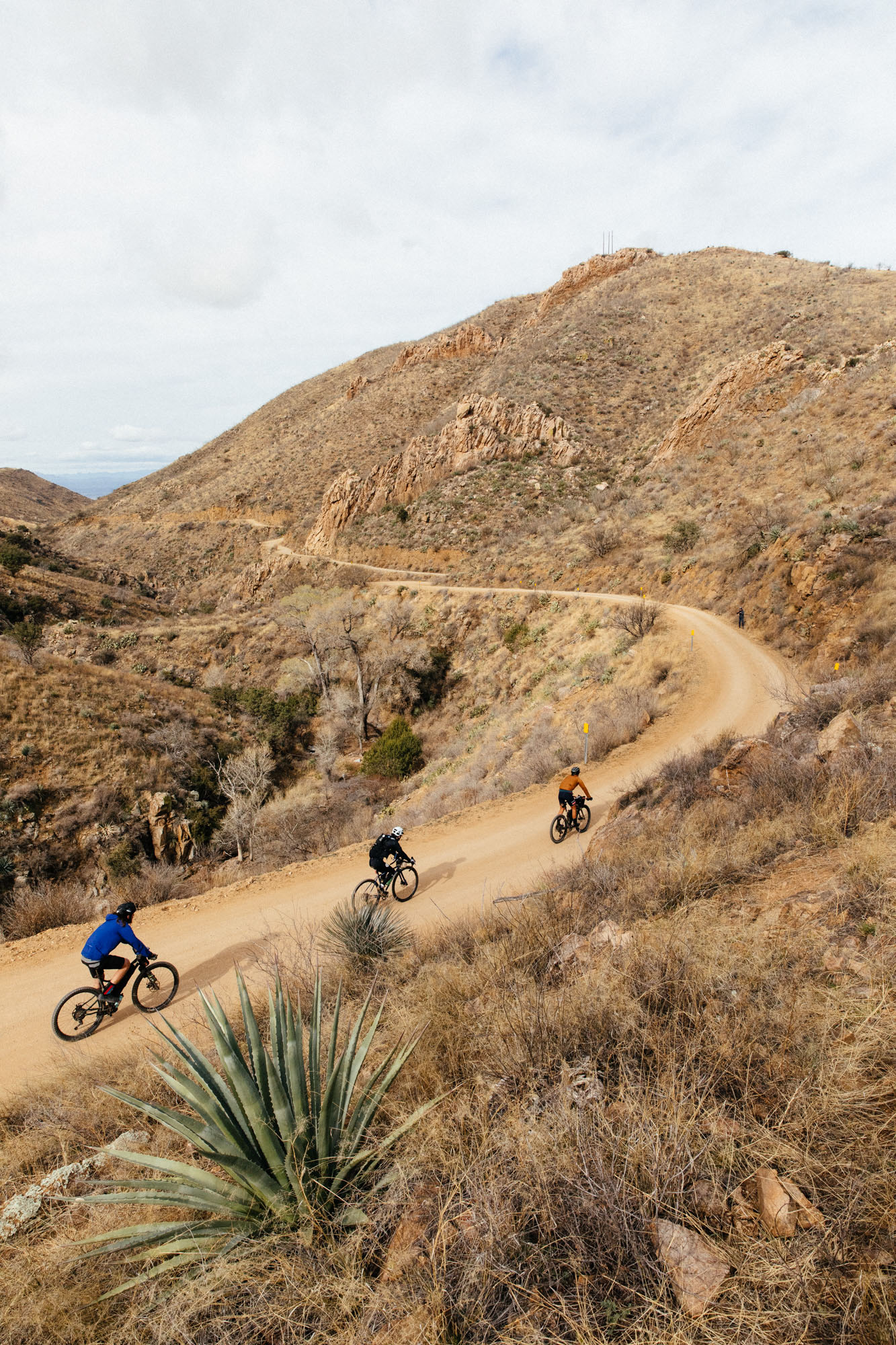
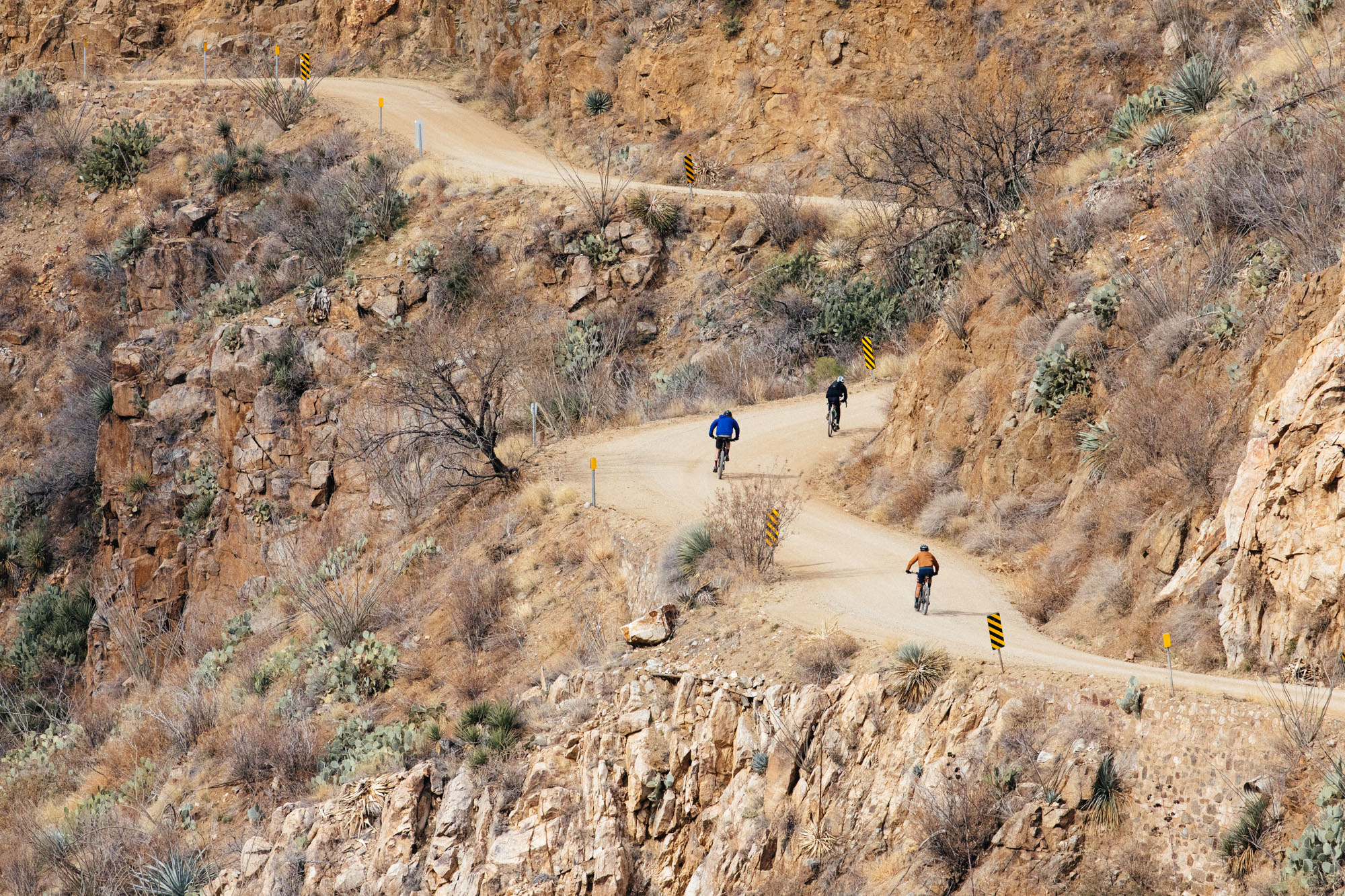
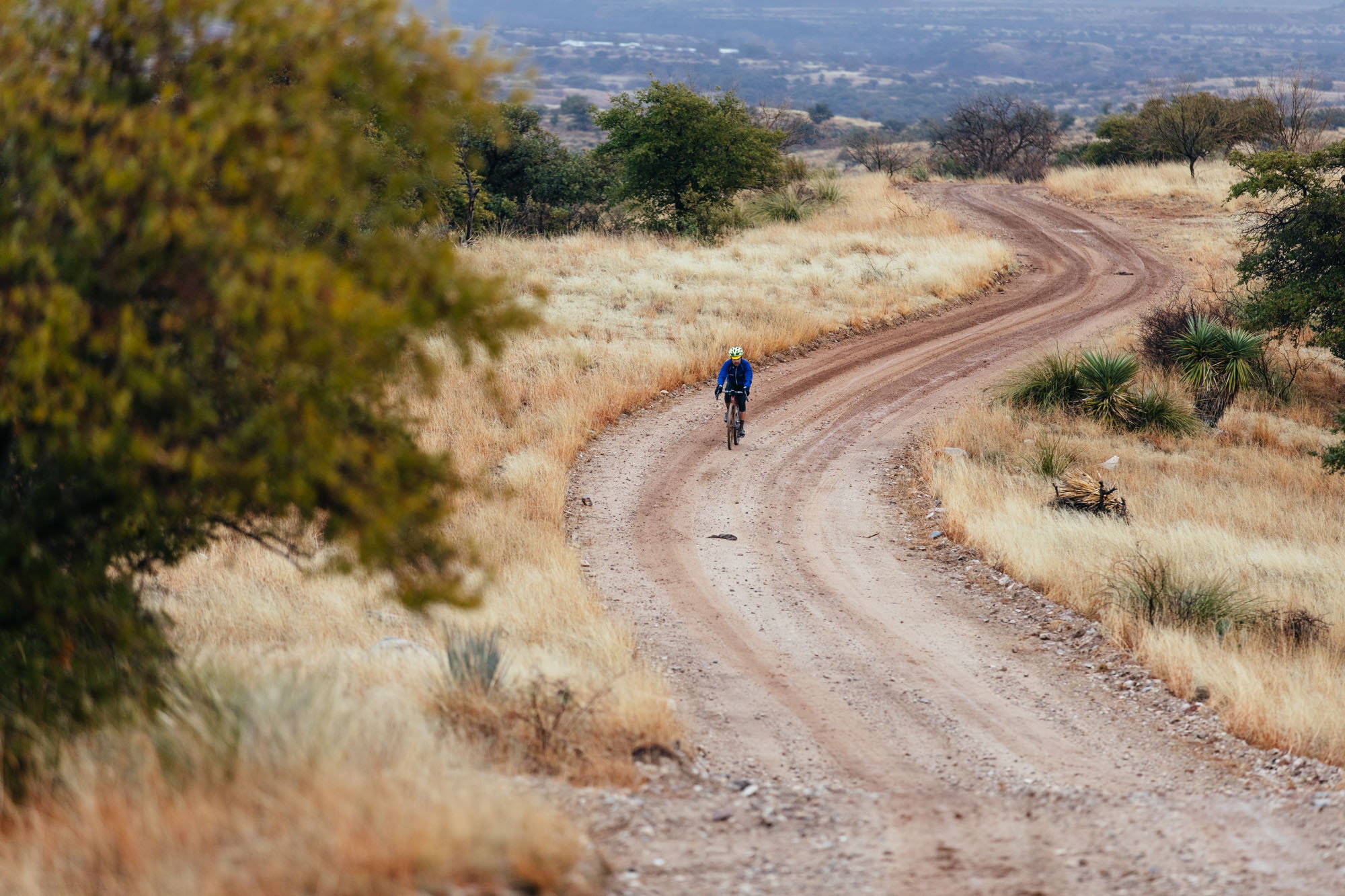
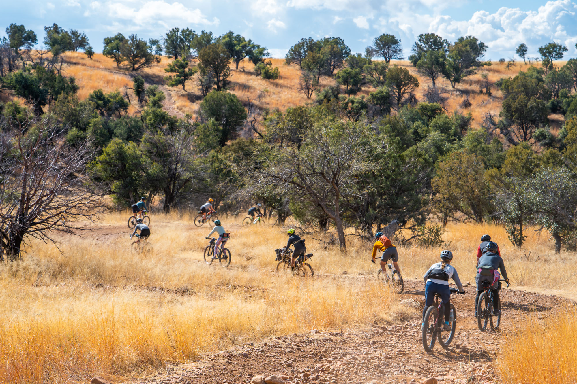
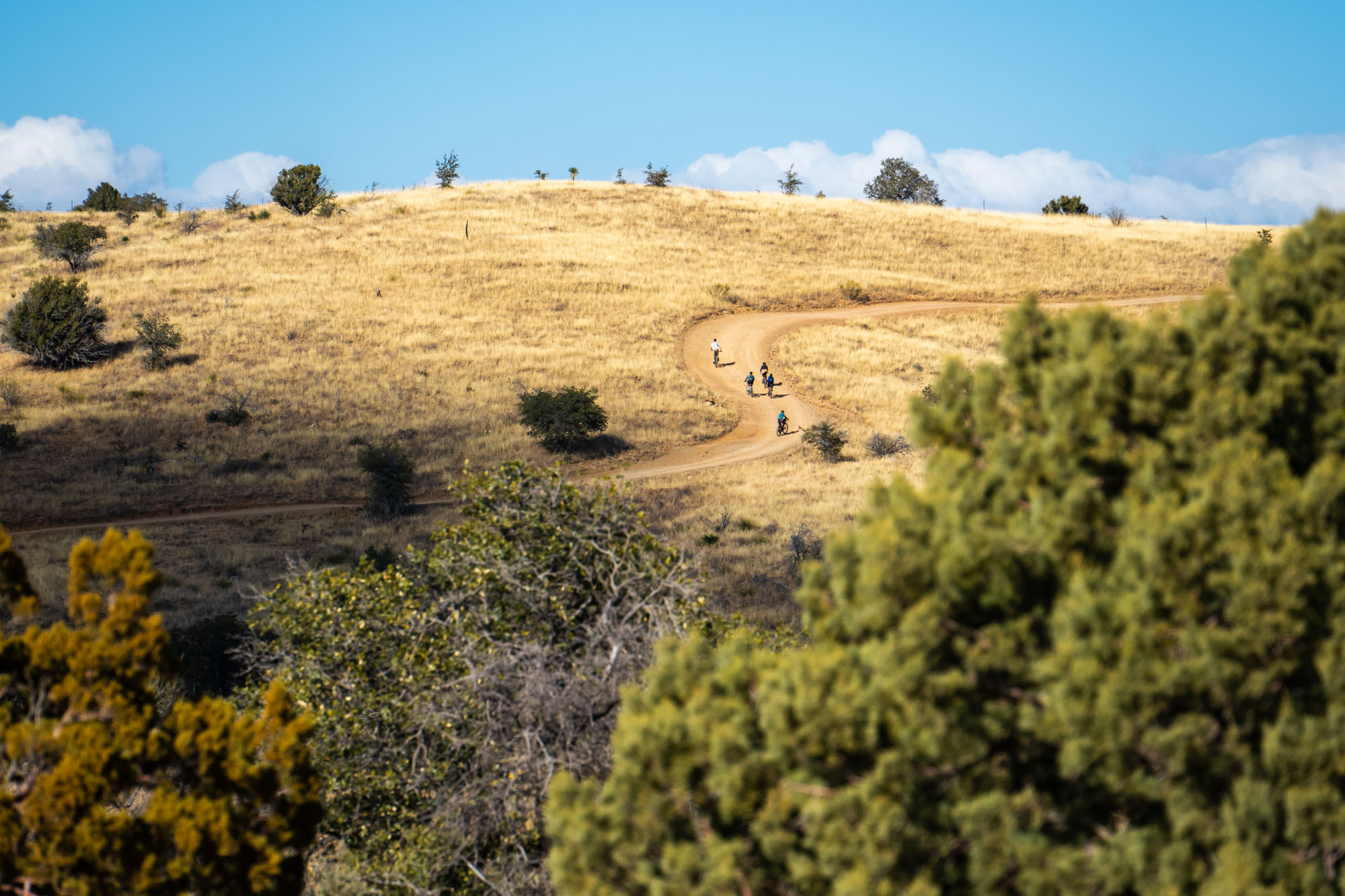
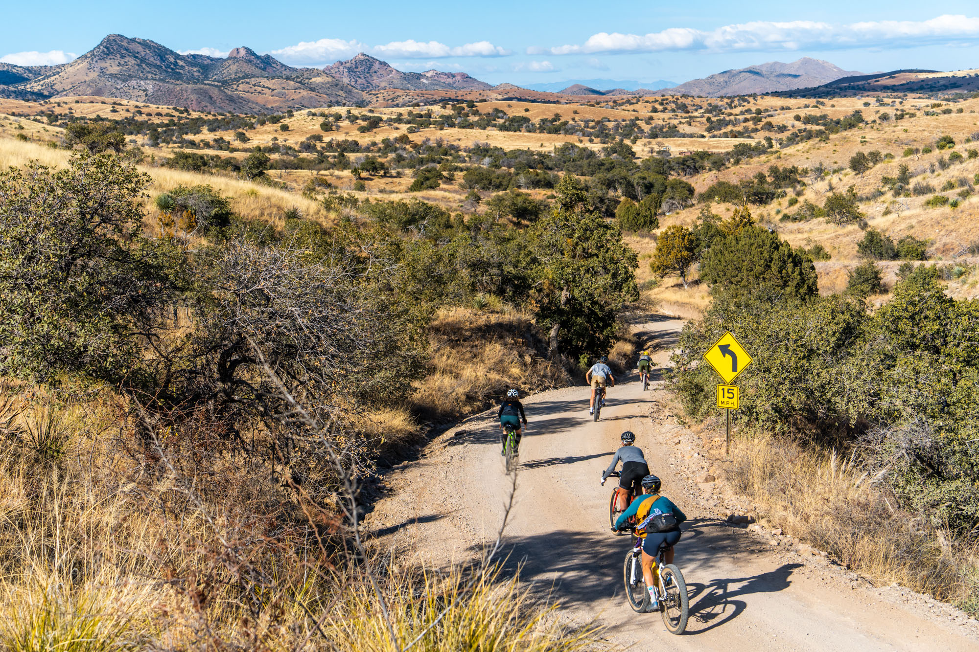
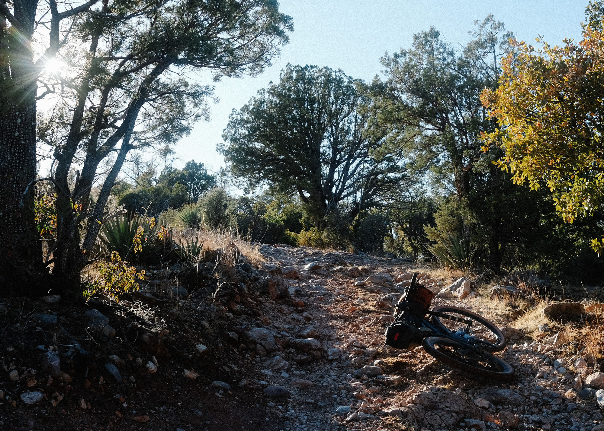
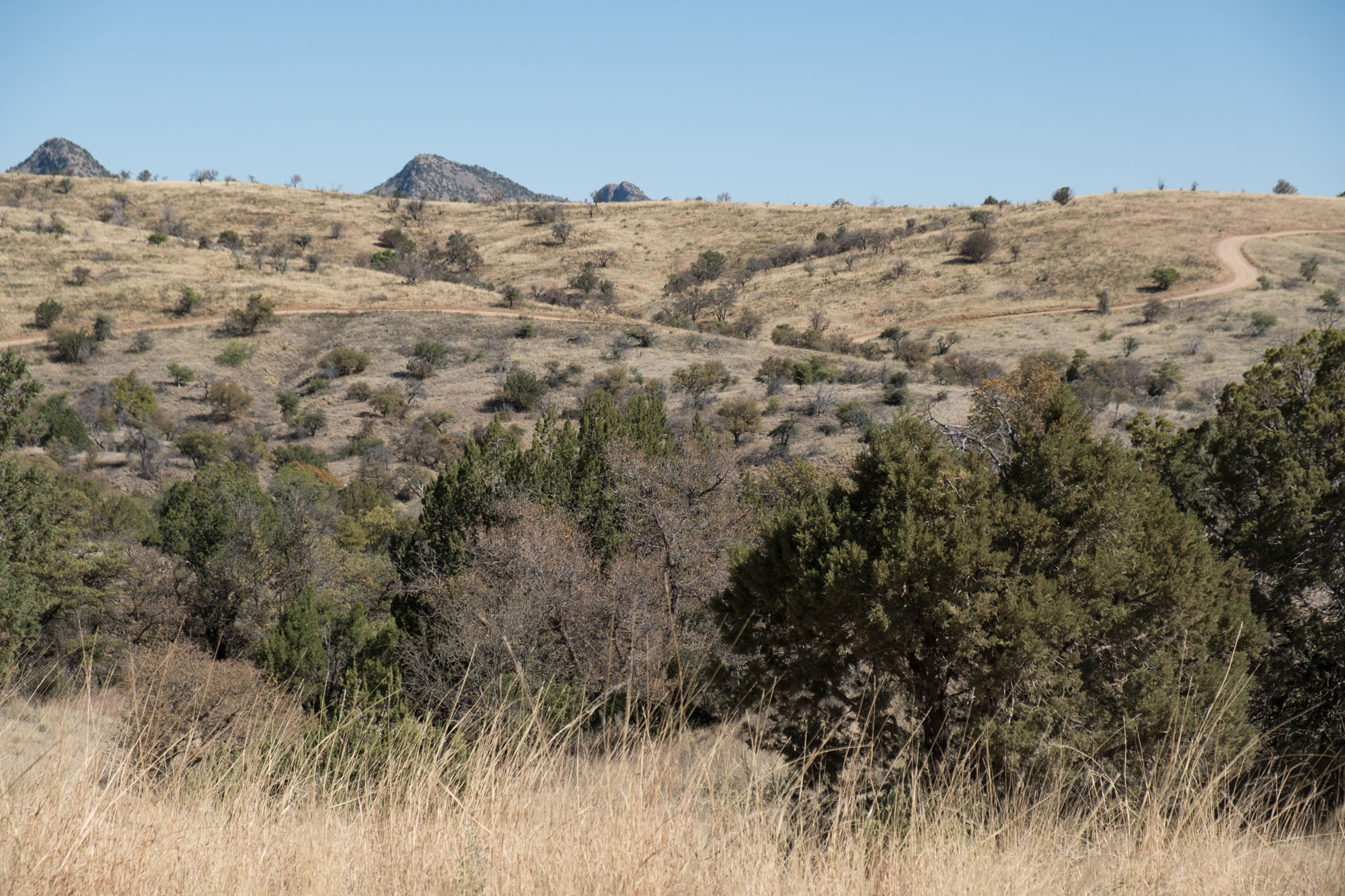
After a brief taste of the San Rafael Valley, the route climbs from the grasslands into pine-oak woodlands and over Canelo Pass to Sonoita Valley. A few miles of pavement delivers riders into Canelo National Forest and back into the Canelo Hills for their first taste of the rugged, chunky, winding doubletrack that’s a relatively common feature along the East Loop. If you’re not enjoying this terrain, consider swapping to the gravel bike-friendlier version of the East Loop.
Once out of the Canelo Hills, the crossroads of Sonoita serves as a little respite for resupply at the Sonoita Mercantile or Mini Mart, a meal at the Steak House Restaurant Saloon, a place to sleep at the Sonoita Inn, or some ice cream at the Corner Scoop. Sonoita is literally and figuratively at a crossroads; as the only place to fill up with gasoline for miles around, it’s a gathering place for ranchers, semi-truck drivers, recreationists, hunters, wine tasters, border patrol agents, and residents—enjoy the people-watching!
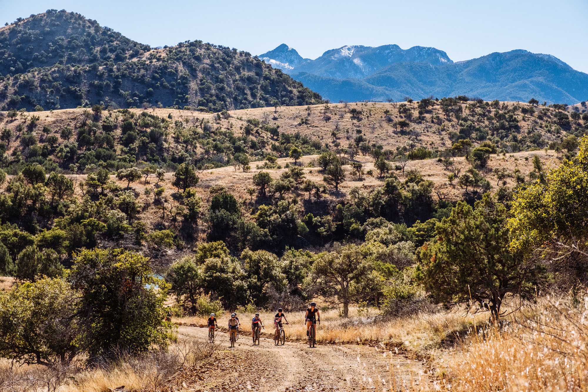
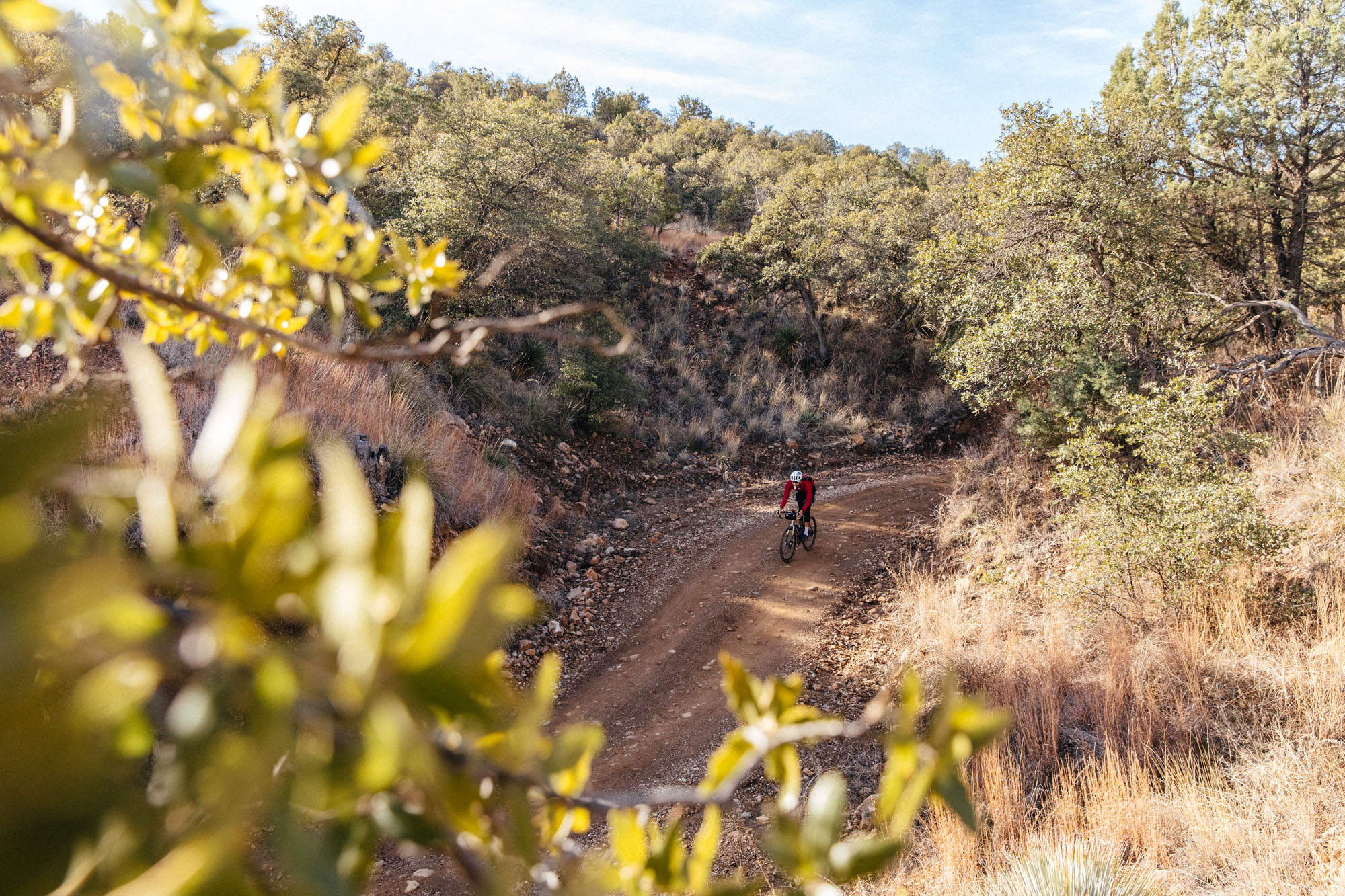
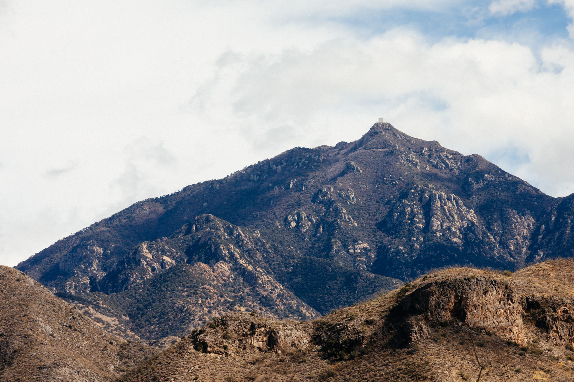
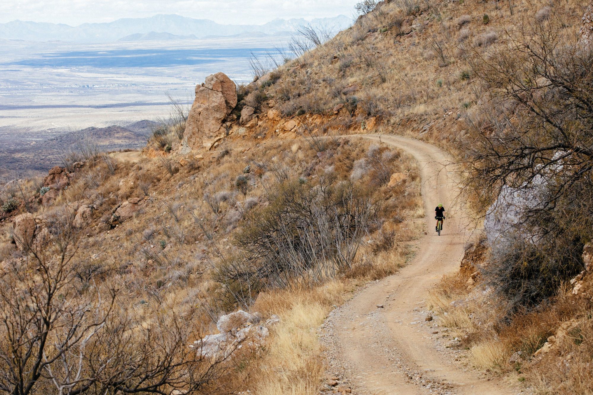
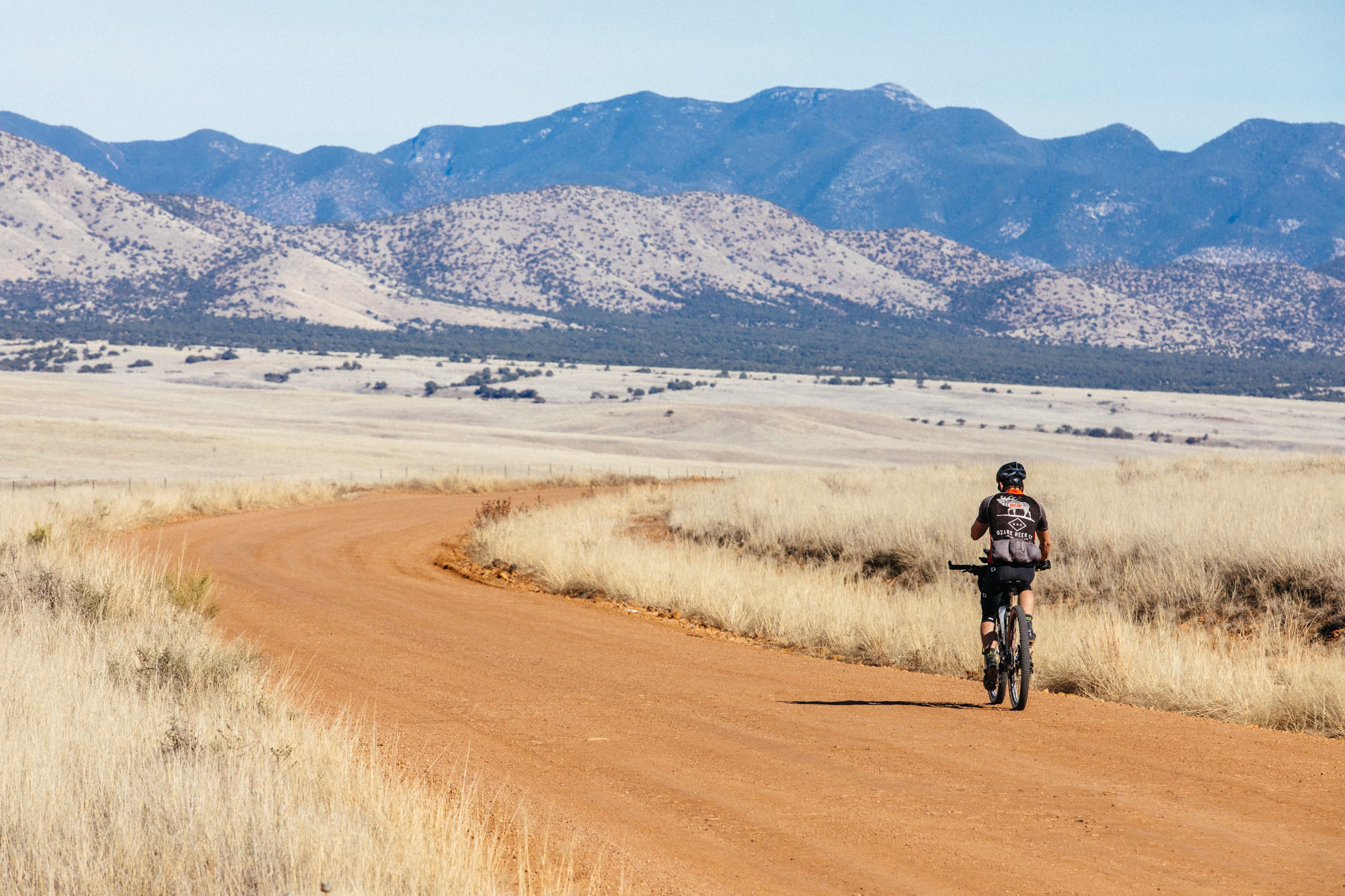
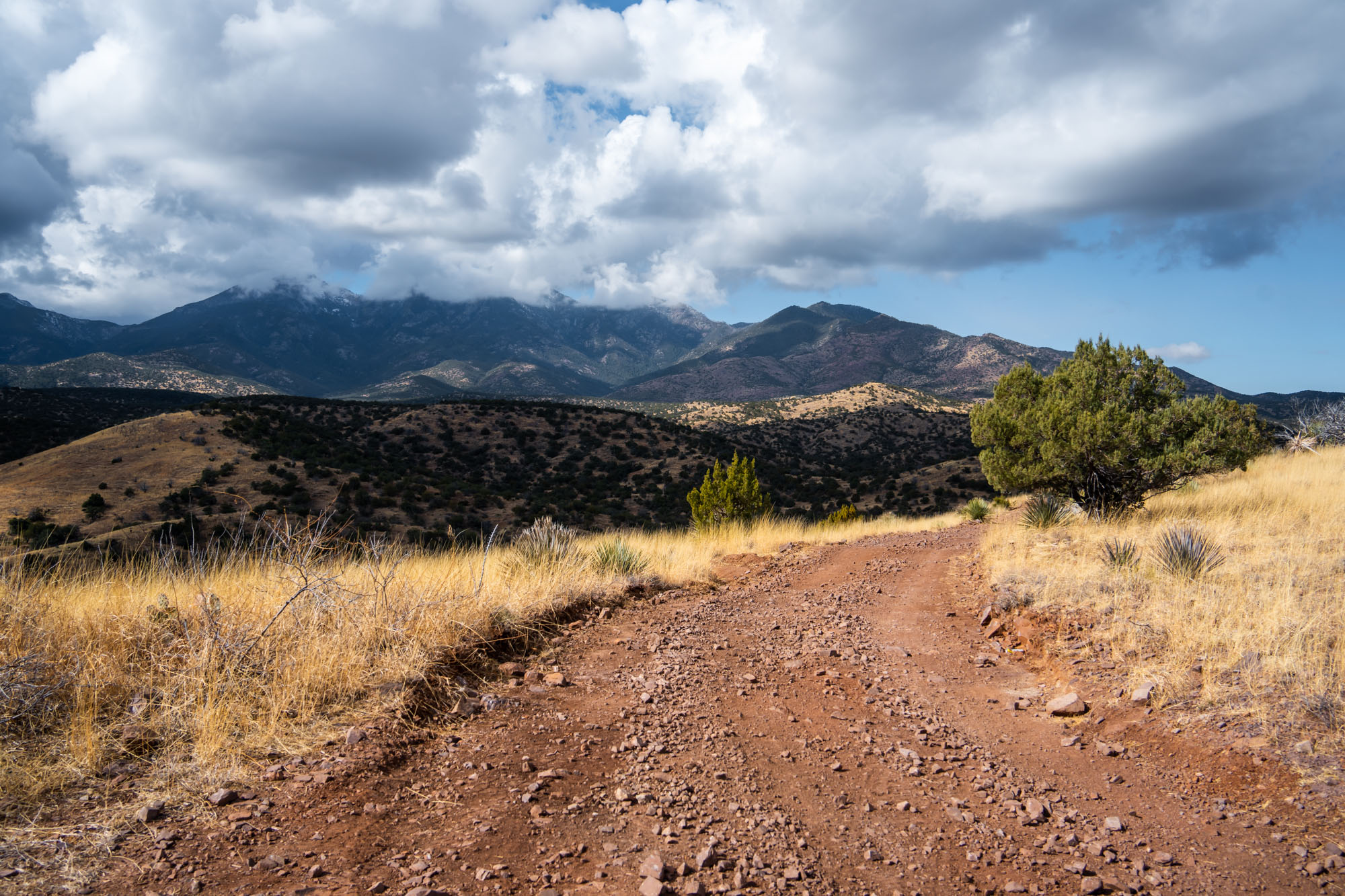
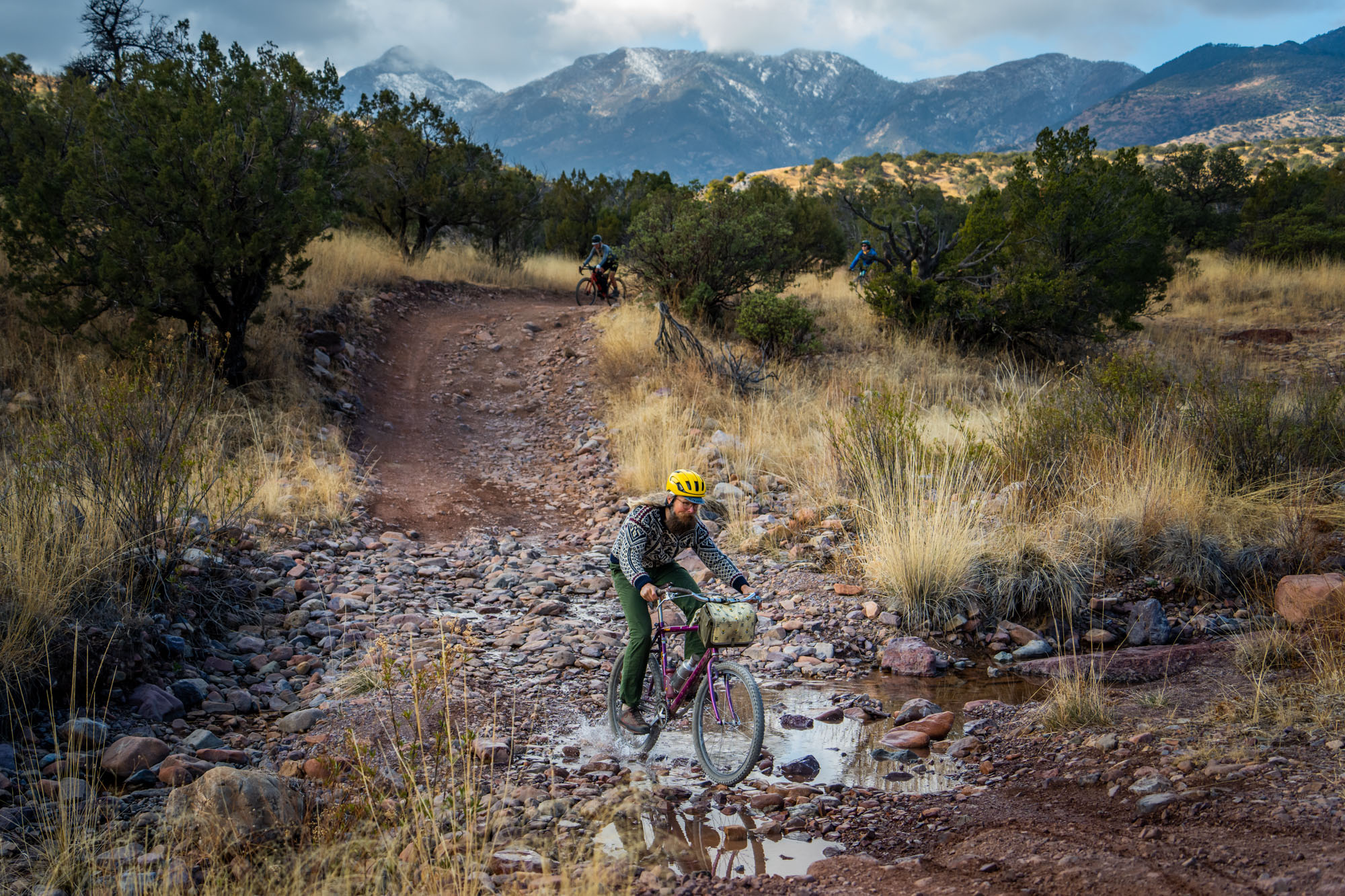
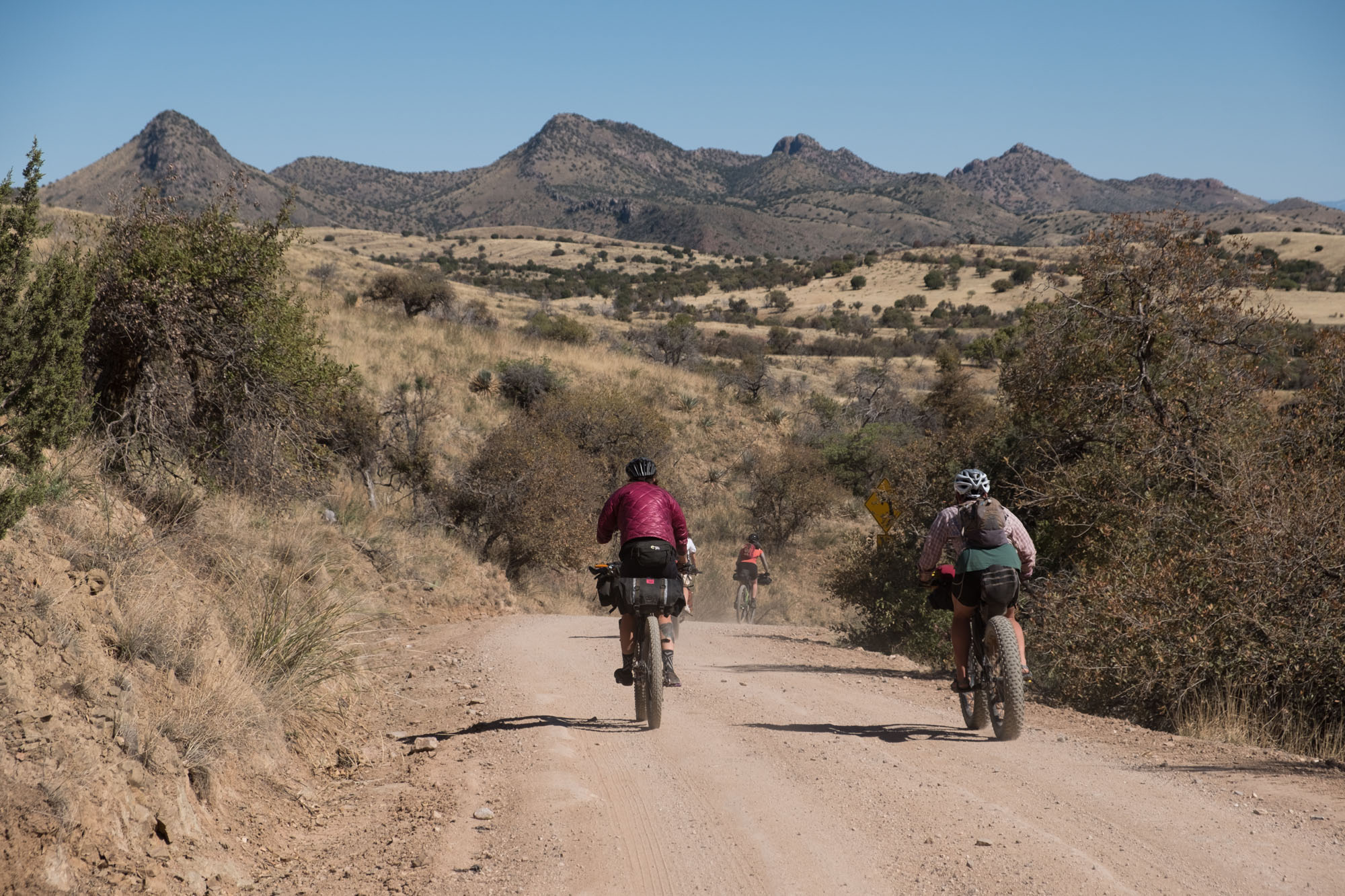
From Sonoita, the route takes you into the foothills of the Santa Rita Mountains, where steep, rugged, and rocky canyons pull riders in and spit them out. These gorgeous canyons offer beautiful views of the Santa Rita’s tallest peak, Mount Wrighton, but they are tough and may require some hike-a-biking here and there. Water can be found in these canyons for the past few years, but it changes yearly and is best not to be relied upon.
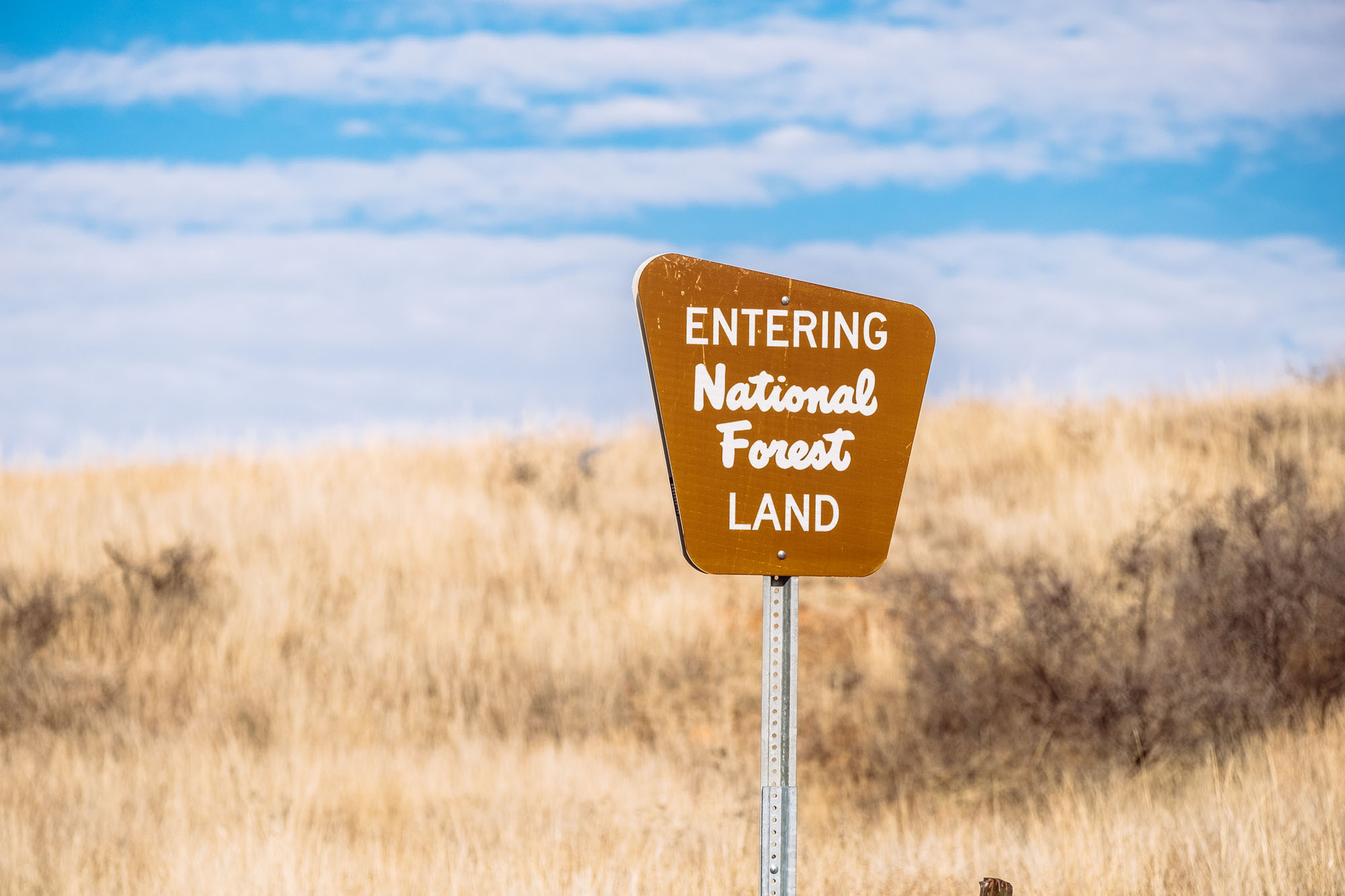
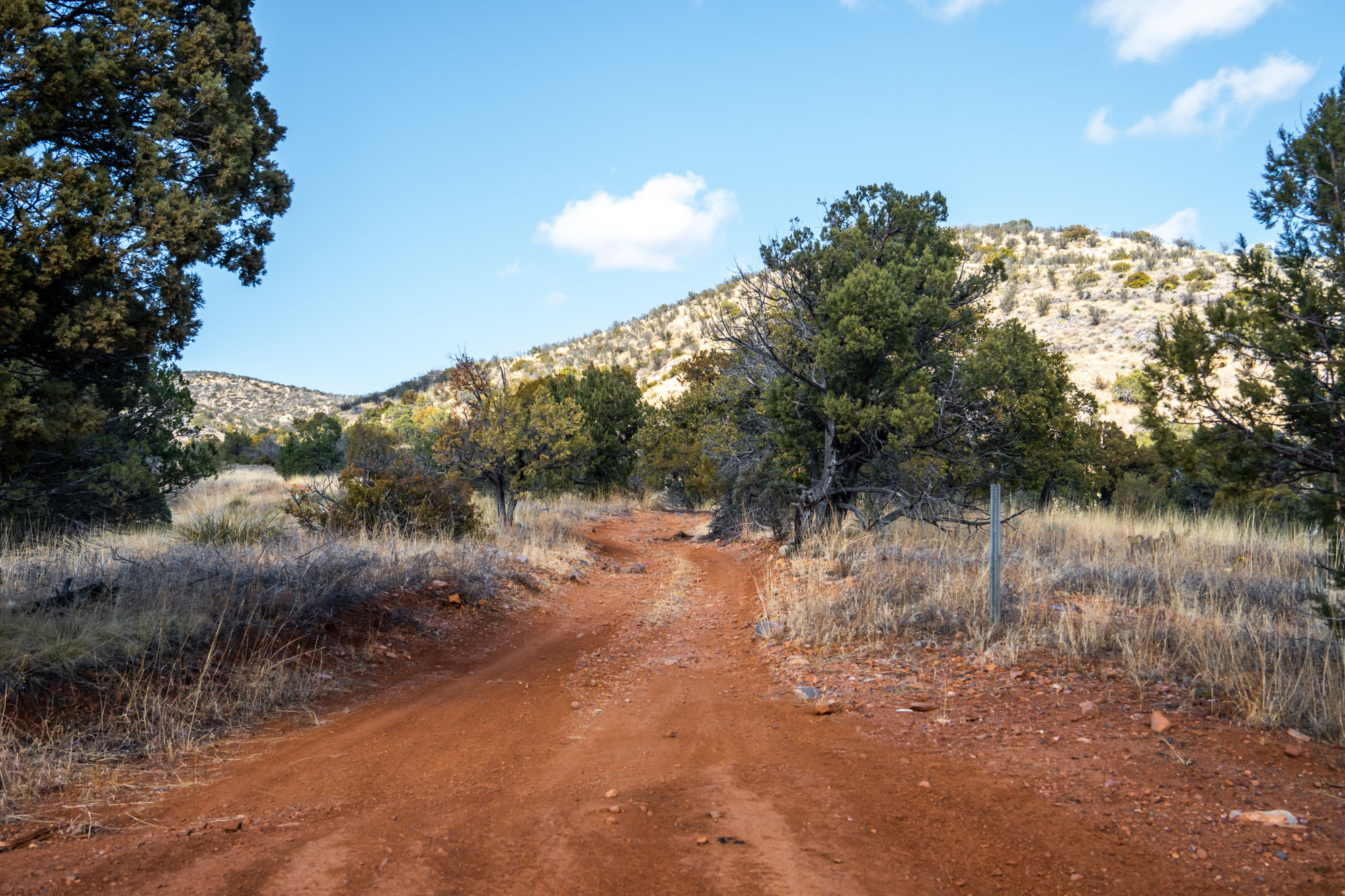
As the route heads west and climbs within the forested folds of the Santa Rita Mountains, it passes by many abandoned town sites and former mining haunts. One is the Kentucky Camp, which hosts a museum of gold mining artifacts that existed in the early 1900s. Kentucky Camp also serves as a necessary water resupply, provides adobe rooms for rent, and camping on site.
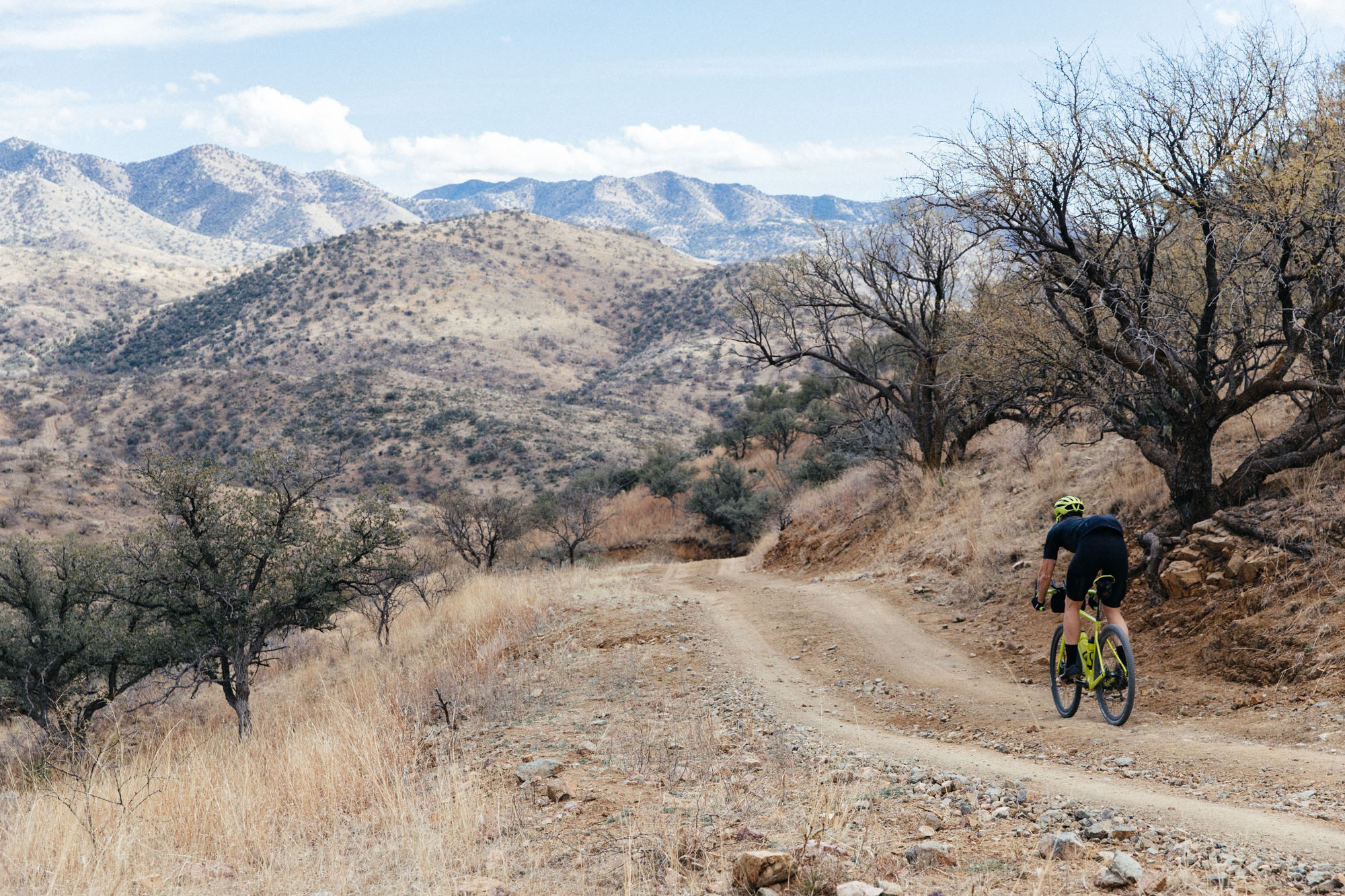
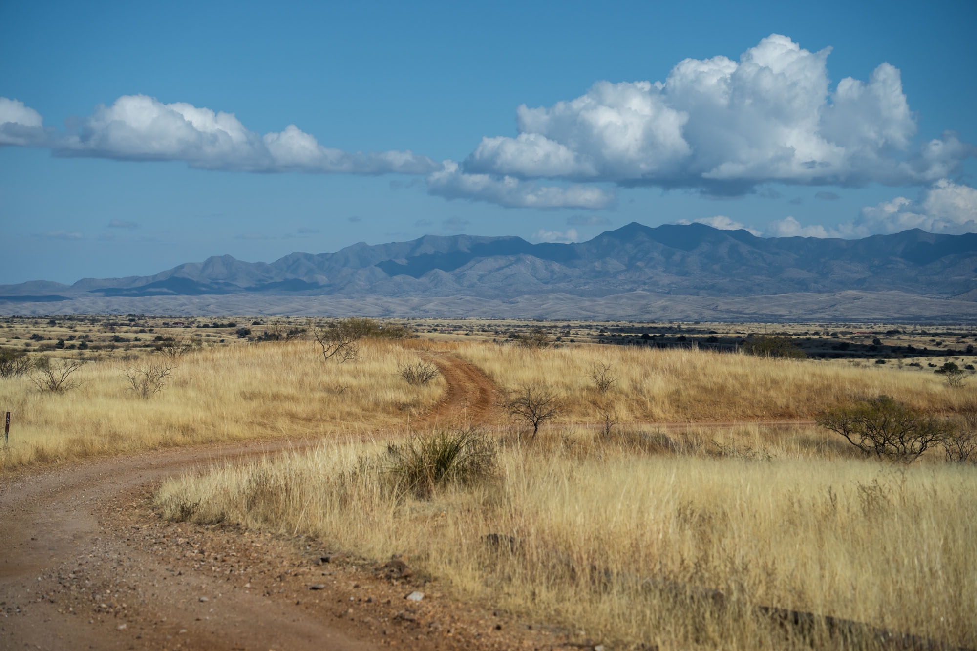
Crossing to the west side of Santa Rita Mountains via Box Canyon Pass, the route makes a dramatic transition to a low desert environment, and after a brief resupply in Green Valley, a retirement community with a Safeway grocery store follows the Juan Bautista De Anza Trail, used by a Spanish expedition to colonize San Francisco, California in the 1770s, before returning into the Santa Rita’s along the scenic roller coaster mountain road, Salero Canyon, back to the town of Patagonia.

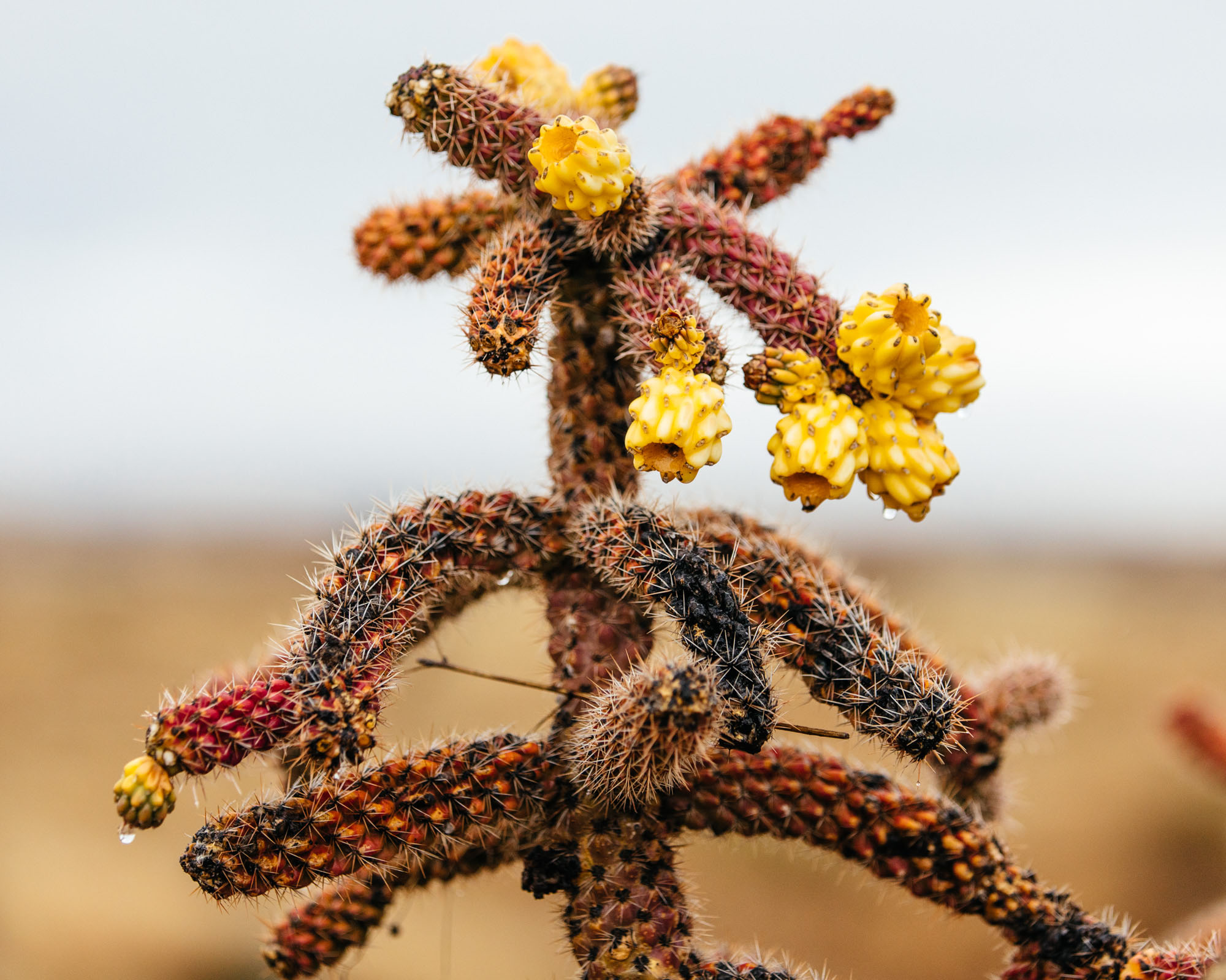
The surface and difficulty of Forest Road 143/Salero Canyon Road change year-to-year due to monsoons and the way the road is maintained. While the road offers some camping opportunities, incredible views of the Santa Cruz River Valley, and a vast diversity of fauna (a prickly pear cactus next to a cedar tree), this road has a reputation for crushing tired souls who are not mentally prepared for the persistent steep grades and loose surfaces. The rough and tough stuff lasts for approximately 12 miles. Plan accordingly!
Lay of the Land
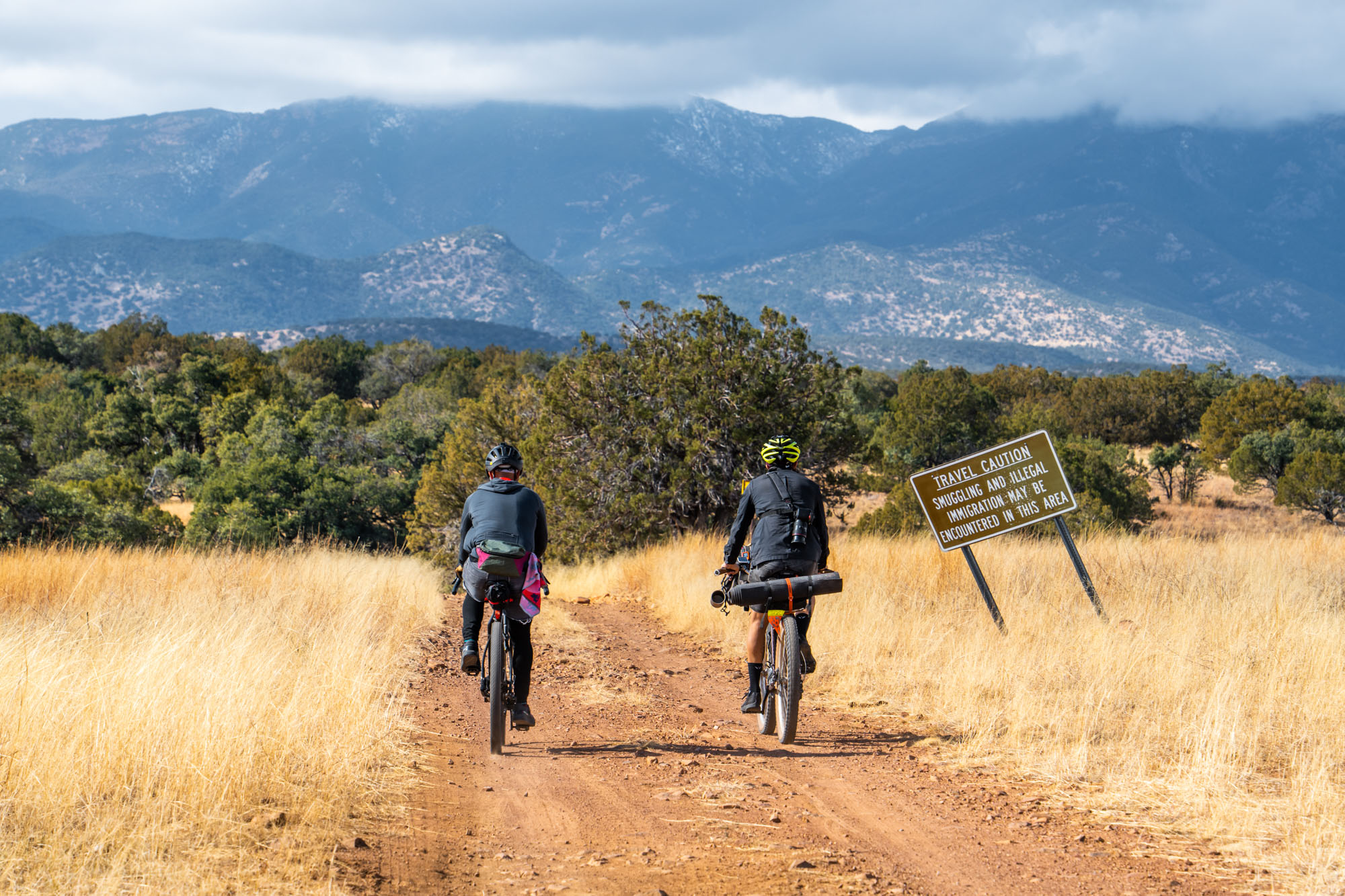
Riders of the Sky Islands Odyssey loops are encouraged to read the project overview of the route guides to better understand the borderlands region they are riding through. The East Loop travels through the ancestral lands of the Tohono O’odham (pronounced, Thaw-[haw]-naw Awe-[awe]-thumb, or Thaw-naw Awe-thumb), the Chiricahua Apache, and the Ópata peoples. While this region is today a border crossing corridor for asylum seekers and migrants traveling from Mexico, Central, and South America into the United States, the East Loop region is significantly less common for crossing and less surveilled by border patrol compared to the West Loop. While the Santa Rita Mountains provide essential habitat for threatened and endangered species, they, too are under threat by the proposed Rosemont Mine. This one-mile-wide, half-mile-deep open pit copper mine would destroy habitat, contaminate and drain the limited groundwater, and pollute the night skies with light.
If riders feel compelled to give back to this critical landscape after their ride, please contribute by donating to or volunteering for the following organizations: No More Deaths, Indivisible Tohono, Borderlands Restoration Project, Sky Islands Alliance, and Save the Scenic Santa Ritas. To learn more about some of the areas each route travels through, click here for details.
Route Development
The Sky Islands Odyssey East Loop is part of the Sky Islands Odyssey bikepaking routes network; learn more about the entire project here.
The goal for the Sky Islands Odyssey Route(s) is to make an accessible multi-day journey along dirt roads, highlighting this region’s biodiversity and history while also raising awareness of the human and wildlife consequences of U.S. immigration policies. These routes were initially developed and scouted in 2017-2018 by Sarah Swallow and friends over seven separate reconnaissance missions to route the complex network of mismapped dirt roads and tracks in this region. Find more details about the full project and how you can support it here. The photos in this route guide were taken by Sarah Swallow and John Watson from Ruta del Jefe 2019-2022.
Route Difficulty: The East Loop earns a 7 out of 10. See Trail Notes tab below for details about difficulty.


Submit Route Alert
As the leading creator and publisher of bikepacking routes, BIKEPACKING.com endeavors to maintain, improve, and advocate for our growing network of bikepacking routes all over the world. As such, our editorial team, route creators, and Route Stewards serve as mediators for route improvements and opportunities for connectivity, conservation, and community growth around these routes. To facilitate these efforts, we rely on our Bikepacking Collective and the greater bikepacking community to call attention to critical issues and opportunities that are discovered while riding these routes. If you have a vital issue or opportunity regarding this route that pertains to one of the subjects below, please let us know:
Highlights
Must Know
Camping
Food/H2O
Trail Notes
- Spectacular sunrises and sunsets
- Idyllic and easy camping throughout
- World-class stargazing
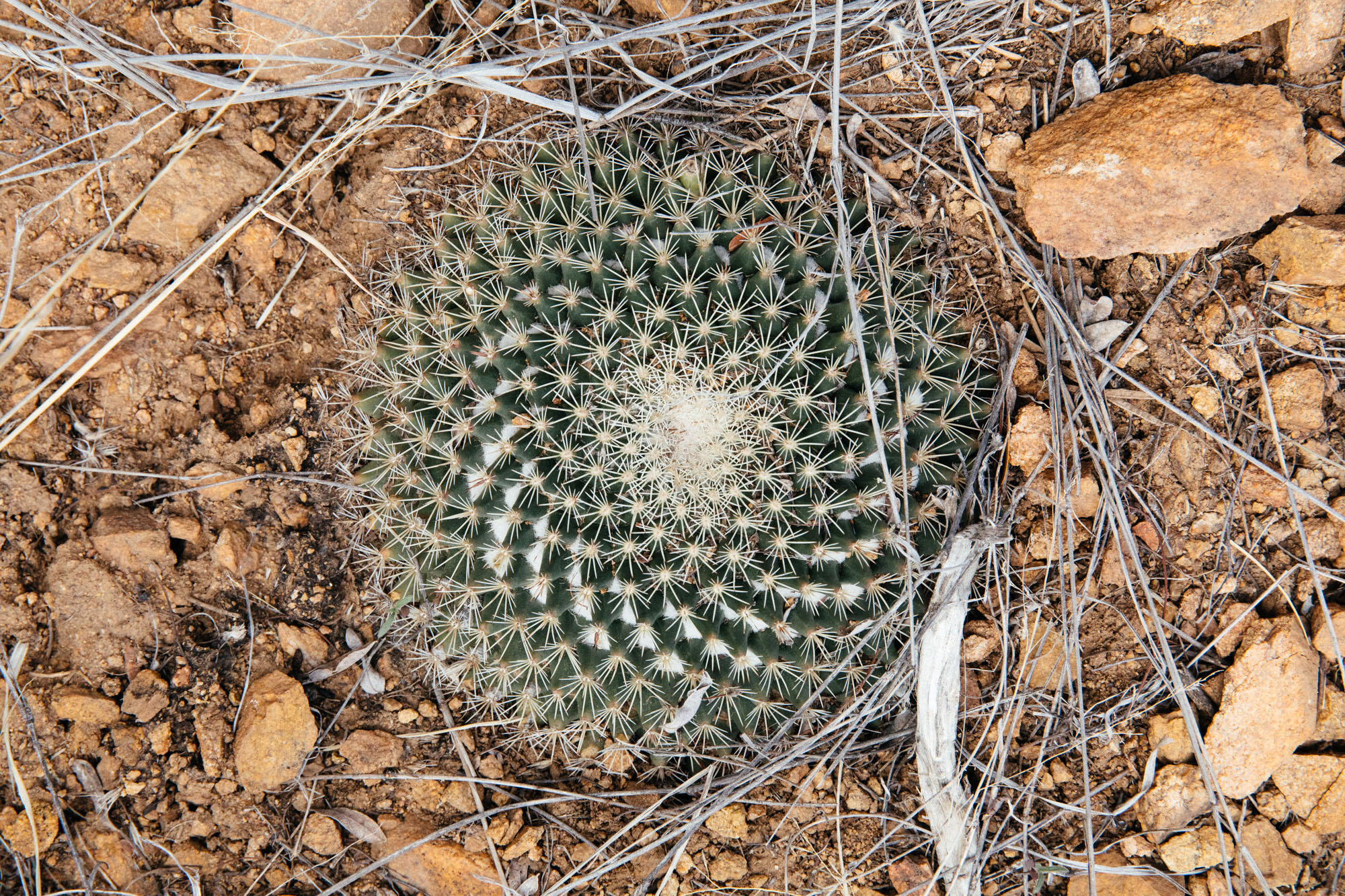
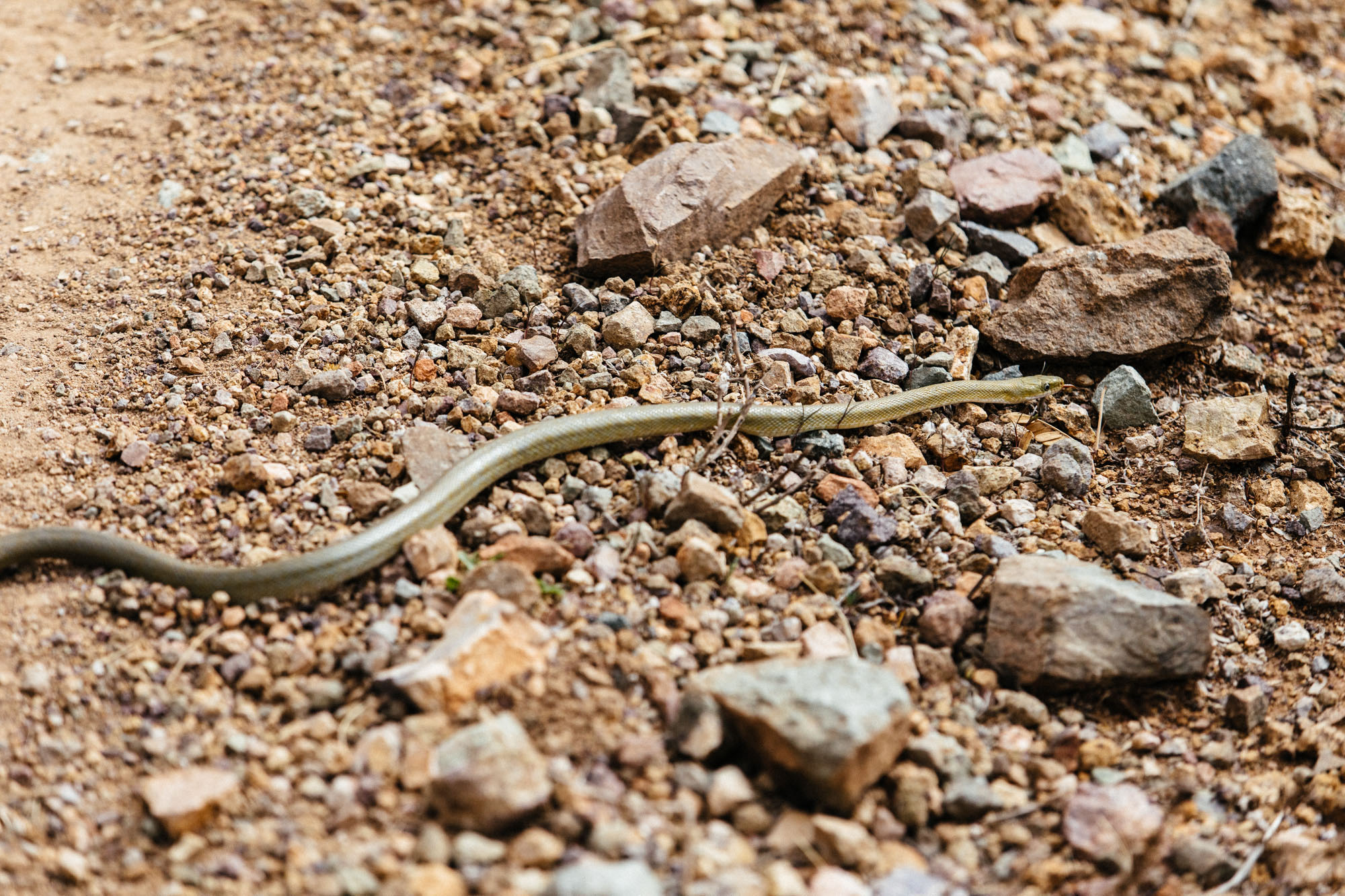
- High levels of biodiversity of flora and fauna in a short distance
- Loads of critter sightings (pronghorn antelope, hundreds of bird species, javalinas, coatimundi, reptiles, and more)!
- Engaging and ever changing terrain
- Patagonia Lumber Company as a gathering place for cyclist and locals alike
- Riding among the golden grass and vast views of the Sanfael Valley
- Kentucky Camp – A look at mining life
- The biozone transition from Box Canyon Pass down to Green Valley
- The Juan Bautista de Anza Trail as a respite from the busy retirement community of Green Valley
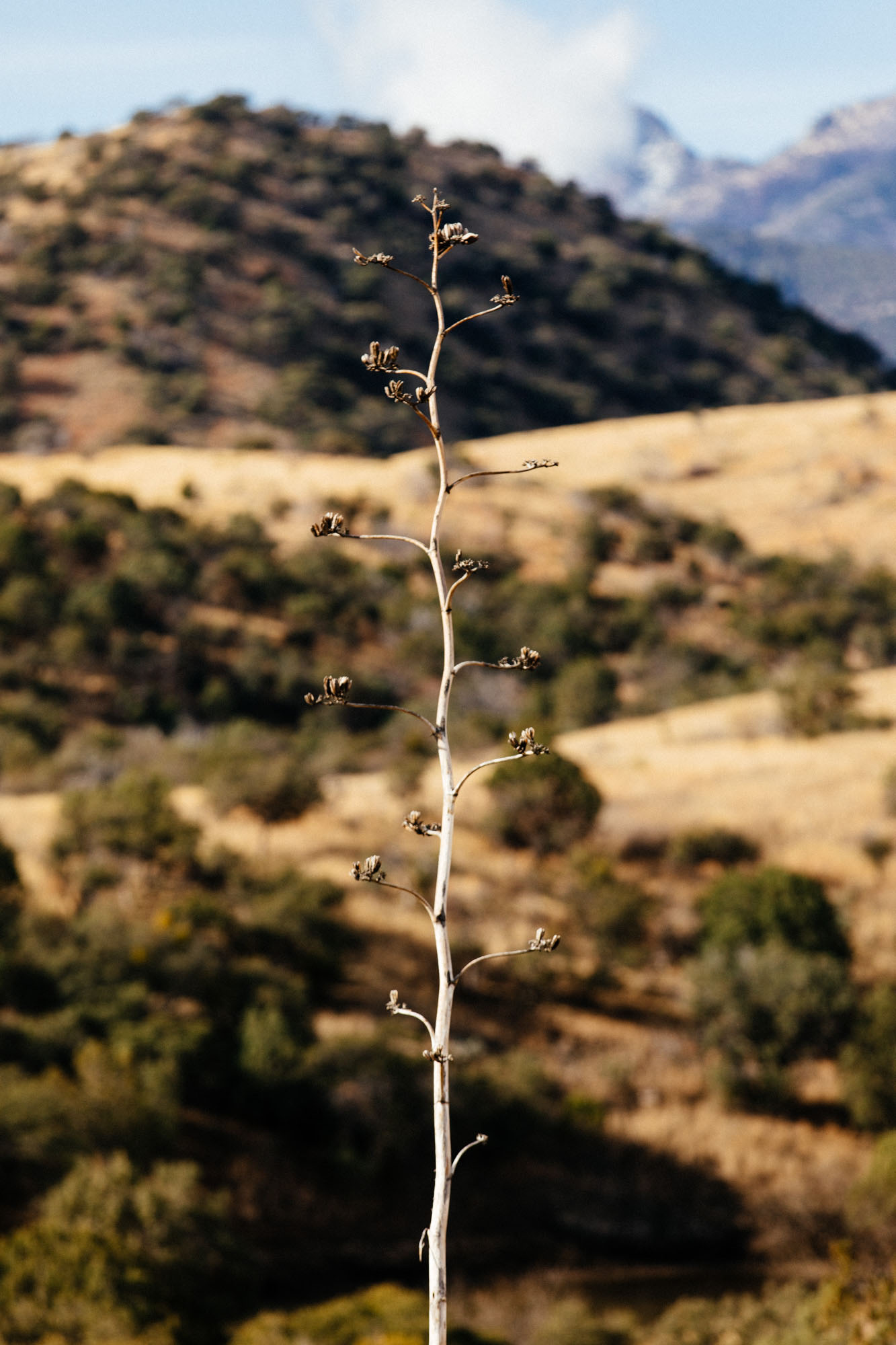
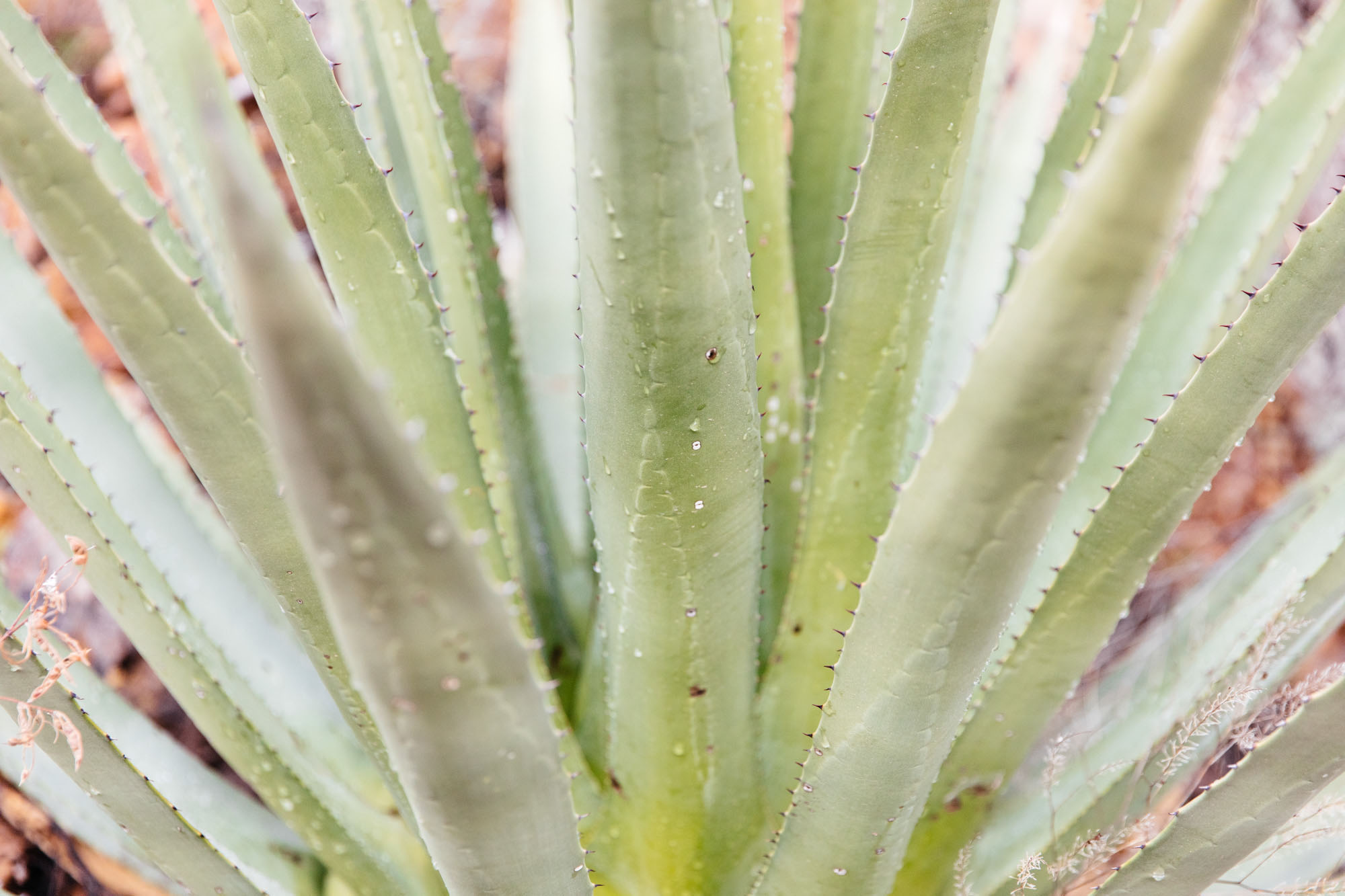
- Admiring giant barrel cactus, ocotillo, and cholla cacti from afar
- Views of the Santa Cruz River Valley from Salero Canyon Road
- The shade provided by the adobe ruins on Salero Canyon Road
- The latest route versions and route alternatives can be found in Sarah’s Sky Islands Odyssey RWGPS Collection
- There is a gravel bike friendlier version of the route.
- This route was designed to be ridden in the counterclockwise direction. There is a separate clockwise route version of the route.
- Parking your vehicle in Patagonia: park your vehicle on the Southwest side of town near the public restrooms or in the dirt lot near the caboose. Avoid parking in front of any businesses in Patagonia. Feel free to stop into Red Mountain Foods to let Mandy, the owner, know you will leave your car there. She is super sweet and will look out for you.
- While this region is a popular migration border-crossing corridor, areas included on the East Loop are less frequently traveled by migrants than the West Loop.
- When To Go – this route is best ridden between late October and mid-April, with the coldest night temperatures and higher chances for rain and snow occurring in December and January. It is possible and even likely that you will experience temperatures as low as 14 degrees and as high as 85 degrees over the course of 3-4 days.
- Sleeping bags with a 0-10 degree rating are recommended.
- Stay Hydrated – The dry desert heat can be a real hazard for people not used to hot climates. A person can lose up to 5 quarts of fluid a day, and easily become dehydrated without realizing it. Drink plenty of water and electrolytes even if you do not feel thirsty.
- Altitude– most of this route exists at altitudes between 4,000 and 6,000 ft.
- There is potential for peanut butter mud in some areas of this route after any considerable amount of precipitation.
- Bring Sun Protection – wear light, loose clothing, use sunscreen, wear a hat, and have good sunglasses.
- Ear plugs for windy days (or a good pair of headphones).
- While there can be groundwater along this loop, it should not be relied upon.
- High Fire Risk – During these months, this region is extremely dry and can be very windy, be smart and obey fire regulations.
- Go tubeless – Due to the amount of cacti along the route, tubeless tires are strongly recommended!
- Leave No Trace– pack out all of your trash. Camp in established camping areas when possible. Do not make new fire rings/avoid making fires. If you have a fire, douse it with water until it is completely out and bury it. Bury your shit in a hole 8” wide and deep far away from camp and drainages. Carry out your toilet paper. Do not camp on private property. Do not camp near water tanks.
- Make sure to read the Guidelines for Humanitarian Aid / Migrant Encounters in the project overview here
- Many dispersed and established camping opportunities are available within the public lands this route travels through. Camp only between the following miles: 7.5-11.5, 16.3 – 22.5, 32-39, 50.6-77, 97.4-110.
- Patagonia Lodging– The Gravel House Airbnbs are good for groups of 2-8 people, or the Stage Stop Inn
- Sonoita Lodging– Sonoita Inn– Off route and pricey, but a good option to escape inclement weather.
- Kentucky Camp Cabin – A popular respite for AZT through-hikers, the Kentucky Camp Cabin offers rooms for rent in a historic adobe building within the Santa Rita Mountains and Coronado National Forest.
- Green Valley Lodging – Lodging options 2 miles north of the route in Green Valley.
- Patagonia: Presta coffee, wine, beer, bike shop, and great atmosphere from Patagonia Lumber Co.; organic groceries from Red Mountain Foods (cash or check only); breakfast, lunch, and ice-cream Gathering Grounds Cafe, pizza in a pinch from Velvet Elvis; bread and pastries Ovens of Patagonia; Wednesday night karaoke at the Wagon Wheel Saloon.
- Mile 43– Sonoita: Sonoita Mercantile, Mini Mart, Corner Scoop, Steakhouse Restaurant Saloon, Dollar General, and The Cafe.
- Mile 59.3– Kentucky Camp: Water spigot
- Mile 83– Green Valley: Safeway Grocery Store.
Technical Surface Ratings (see map)
- Solid Red: Pavement
- Dashed Red: 2WD Smooth or Washboard Dirt Road
- Dashed Blue: Slightly more technical than a dashed red, there can be larger rocks, and slightly looser, but rideable.
- Dashed Black: Most technical, large and loose rocks, steep pitches, some hike-a-bike, 4wd, high clearance road or trail, slow going.
Route Difficulty
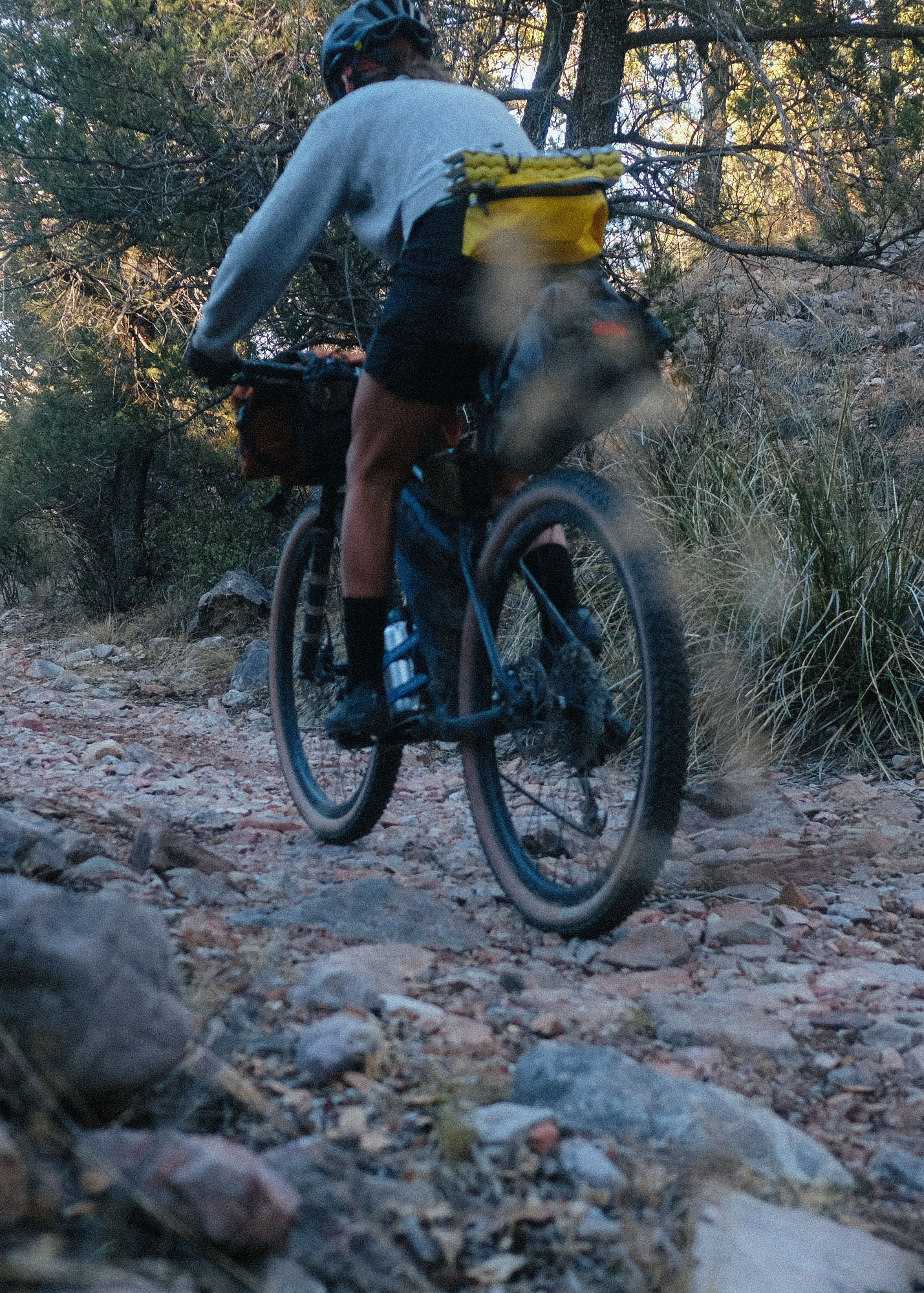
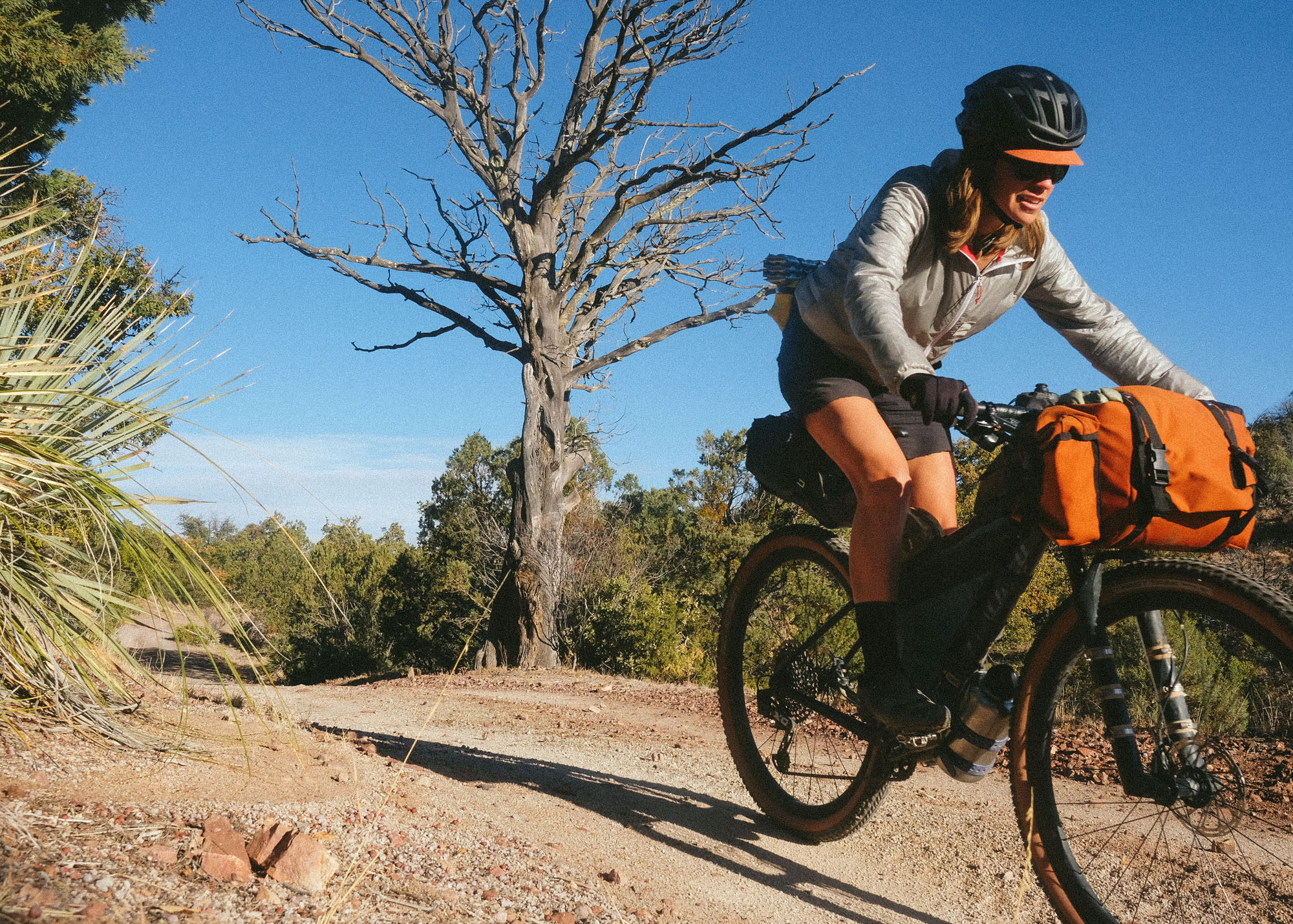
As the shortest of all the Sky Islands Odyssey routes, the technical difficulty of the East Loop and the physical demand of the high desert environment during winter should not be underestimated. This route travels along smooth, washboard dirt roads and many chunky, rocky, loose, and sandy double-track trails. Some of the more remote roads vary in condition after each monsoon season as persistent rains reshape the landscape. The whole route will be rideable for a small few and 97-98% rideable for most. There are frequent brief sections of hike-a-biking in the Canelo Hills and Santa Rita foothills (miles 32-38 and 50-59) on the east side of the loop, and potentially extended periods of hike-a-biking on Forest Service Road 143 / Salero Canyon Road, on the west side of the loop (miles 97-109). Most miles on this ride are spent at altitudes between 4,000 and 6,000 ft. Less oxygen at higher elevations can make things feel much more challenging for folks coming from sea level. In addition, at these altitudes, the temperatures and weather between October and April should be seriously considered. While it is mostly sunny and dry, cold fronts carrying strong winds, rain, hail, and even snow happen a handful of times per winter and can linger for 3-4 days. If this happens, folks with flexible plans should consider rescheduling their tour. Any amount of precipitation in some regions of the route can result in peanut butter mud. Winds of 10-20 mph are very common, with days with wind gusts up to 40-60 mph possible. The standard route is best enjoyed on a hardtail mountain bike, with low mountain bike gearing, and ideally 2.3-2.5” tires. Suspension is not required, but if you have it, you’ll appreciate it!
Easier Alternate
The gravel-bike-friendlier version of the east loop is rated 6 out of 10 and swaps out most of the rough and chunky roads for smooth and washboard dirt roads and pavement, particularly in the Canelo Hills and Santa Rita foothills. Note that this route still takes Salero Canyon road, which will make anyone riding a gravel bike want to have as wide of tires and the easiest gears that are available to them.


Terms of Use: As with each bikepacking route guide published on BIKEPACKING.com, should you choose to cycle this route, do so at your own risk. Prior to setting out check current local weather, conditions, and land/road closures. While riding, obey all public and private land use restrictions and rules, carry proper safety and navigational equipment, and of course, follow the #leavenotrace guidelines. The information found herein is simply a planning resource to be used as a point of inspiration in conjunction with your own due-diligence. In spite of the fact that this route, associated GPS track (GPX and maps), and all route guidelines were prepared under diligent research by the specified contributor and/or contributors, the accuracy of such and judgement of the author is not guaranteed. BIKEPACKING.com LLC, its partners, associates, and contributors are in no way liable for personal injury, damage to personal property, or any other such situation that might happen to individual riders cycling or following this route.
Please keep the conversation civil, constructive, and inclusive, or your comment will be removed.