


Sky Islands Odyssey (West Loop)
Distance
176 Mi.
(283 KM)Days
4-5
% Unpaved
80%
% Singletrack
0%
% Rideable (time)
97%
Total Ascent
11,653'
(3,552 M)High Point
5,866'
(1,788 M)Difficulty (1-10)
6?
- 4Climbing Scale Fair66 FT/MI (13 M/KM)
- -Technical Difficulty
- -Physical Demand
- -Resupply & Logistics
Contributed By

Sarah Swallow
Contributing Editor
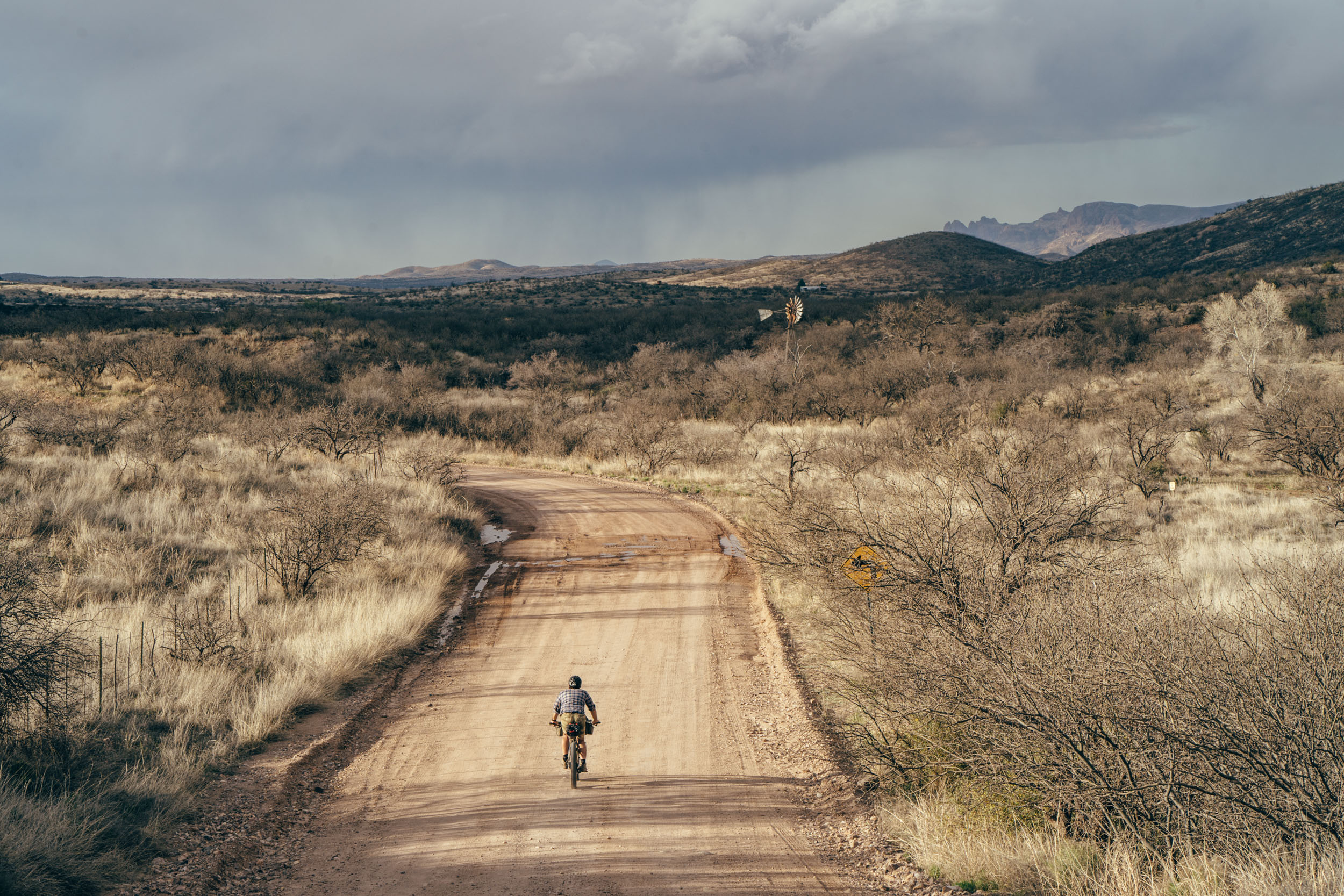
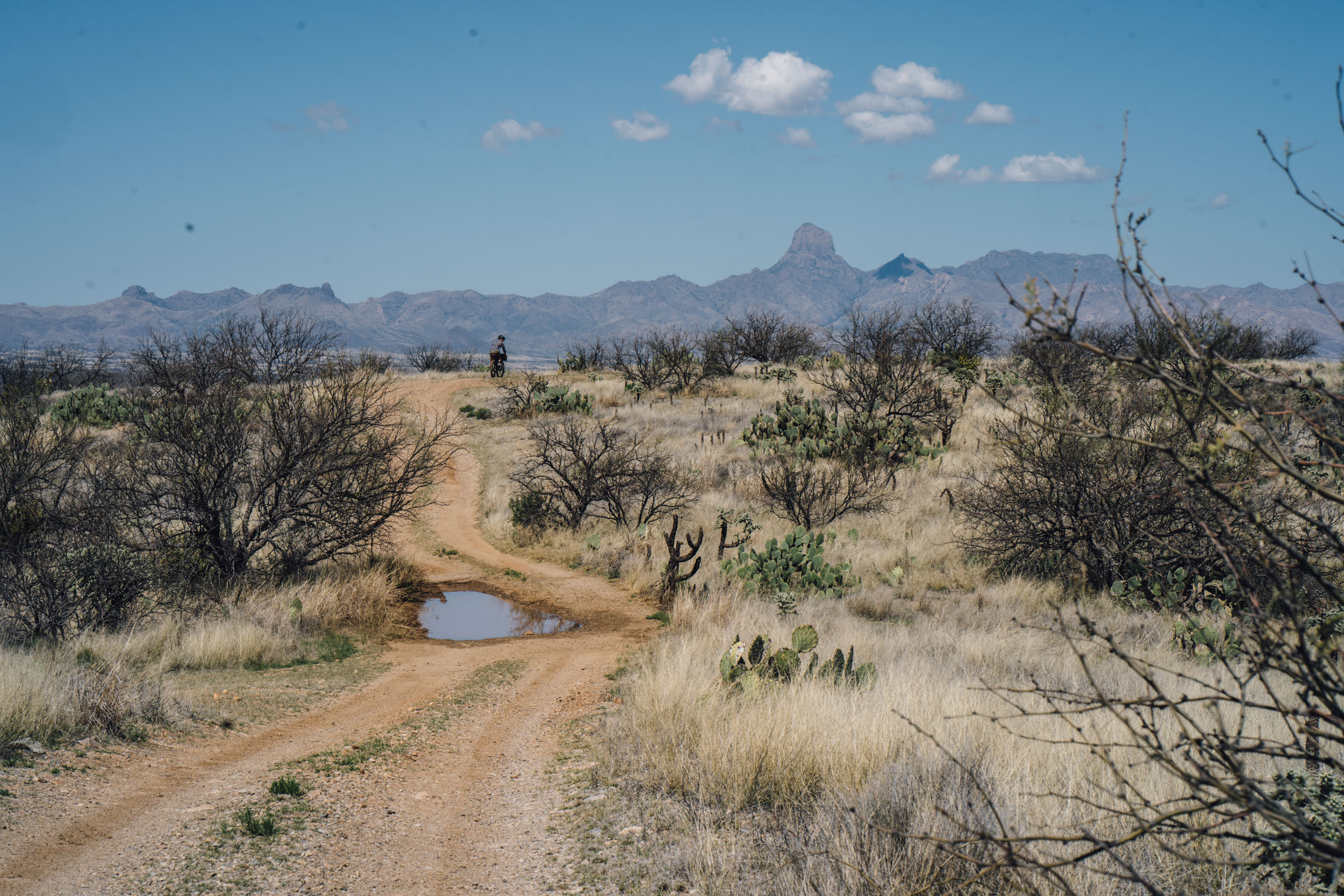
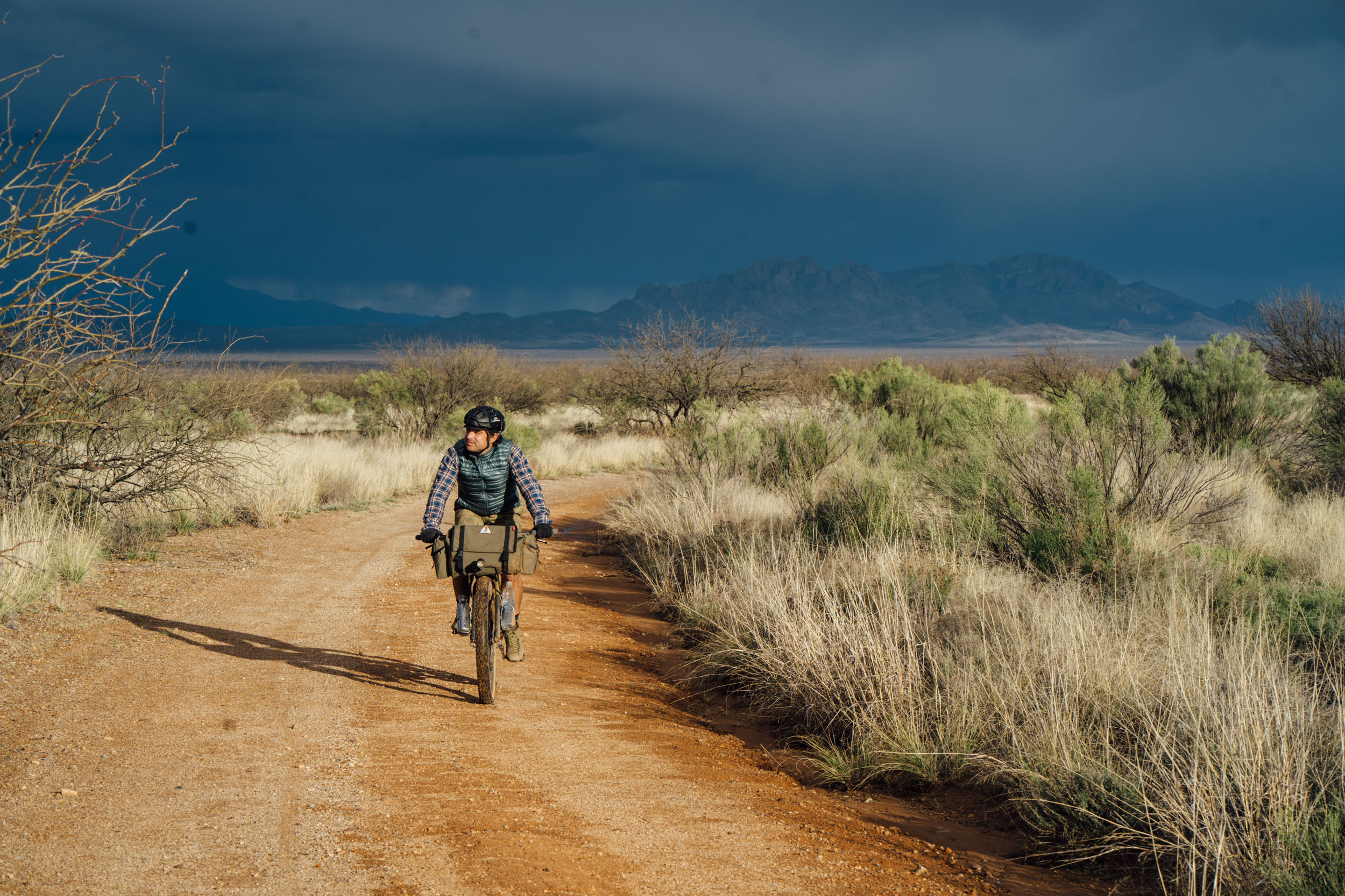
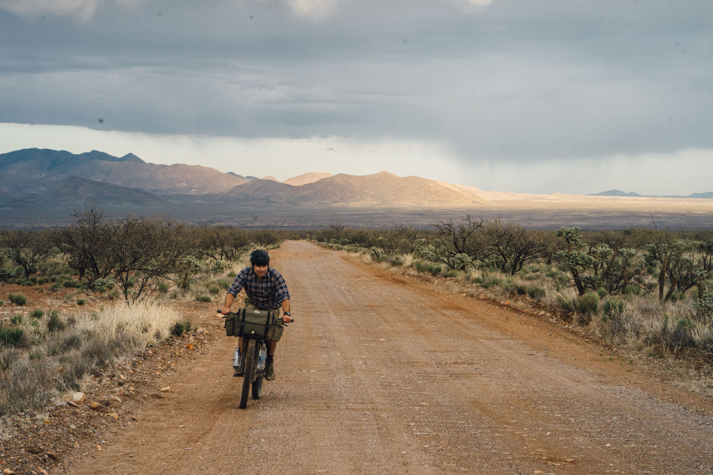
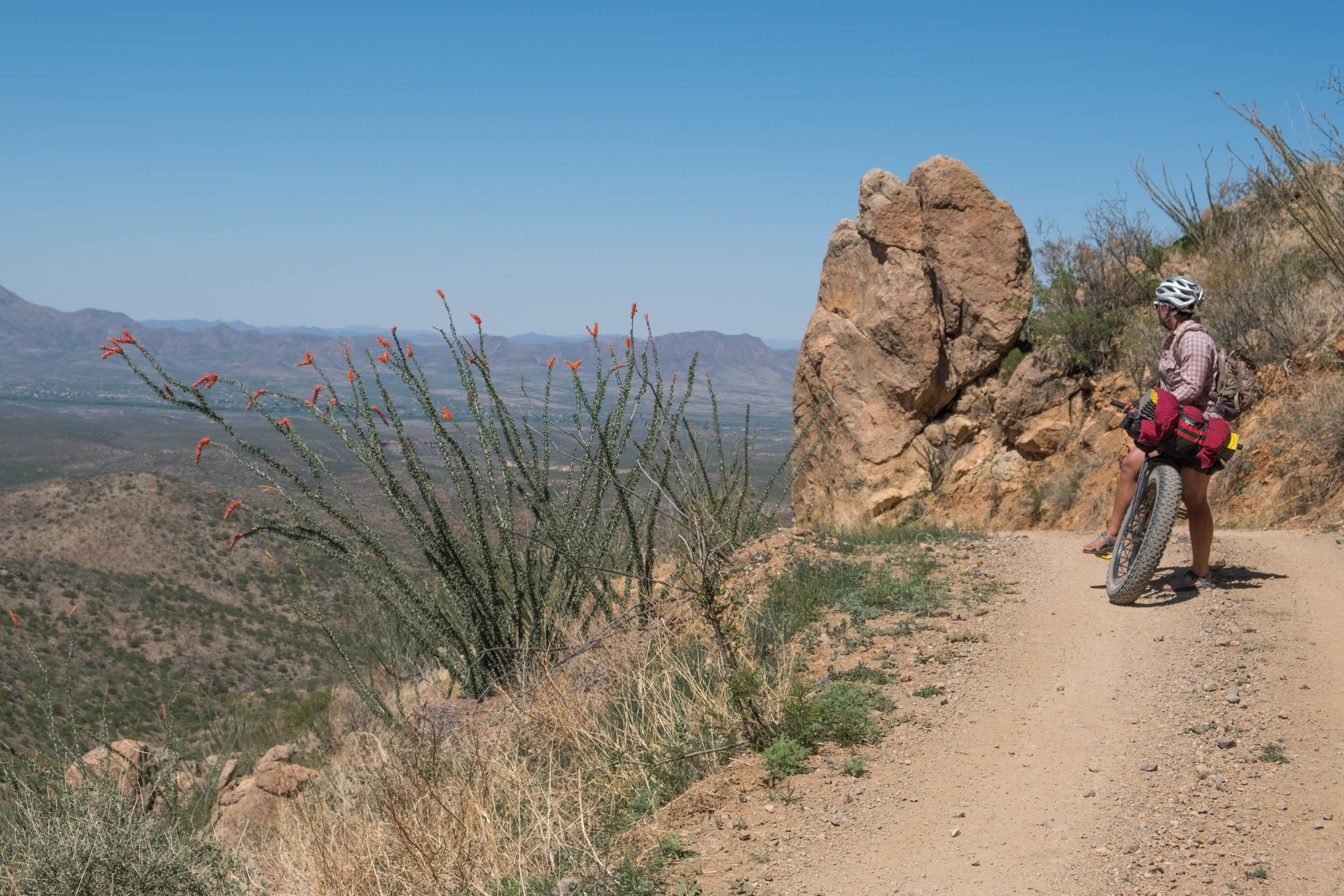
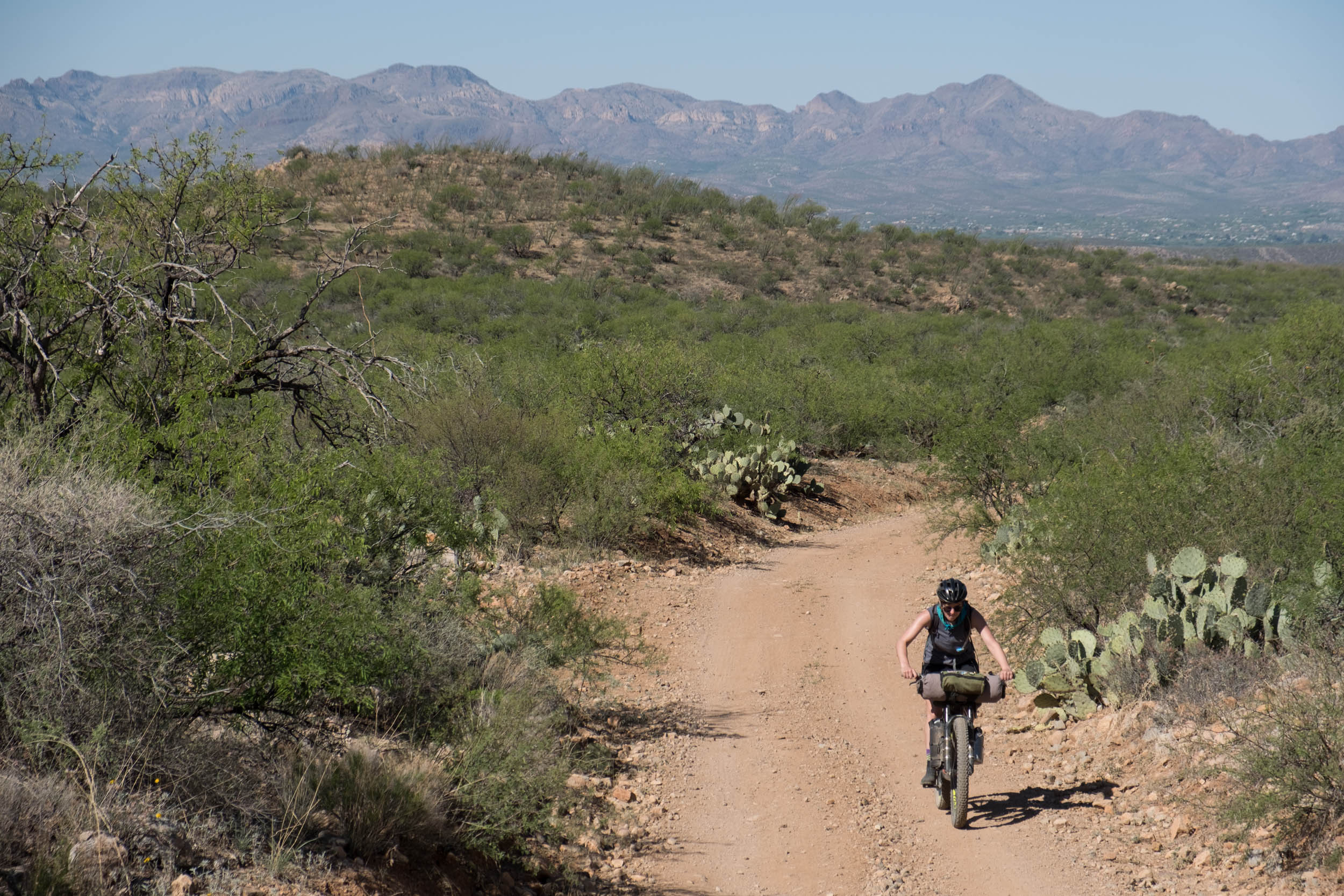
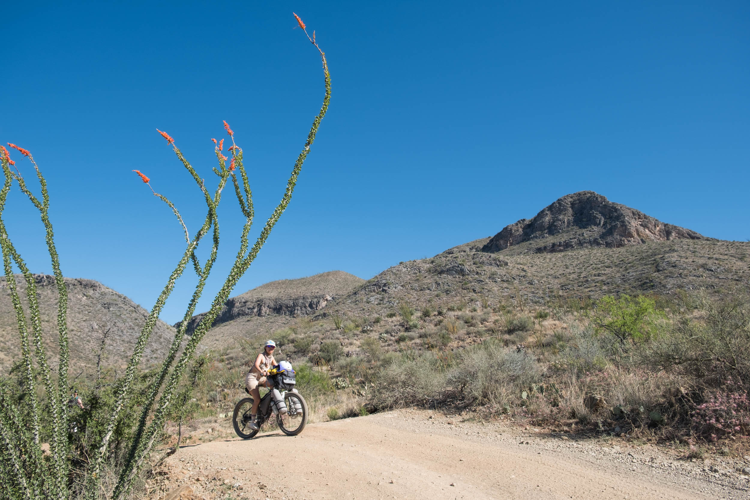
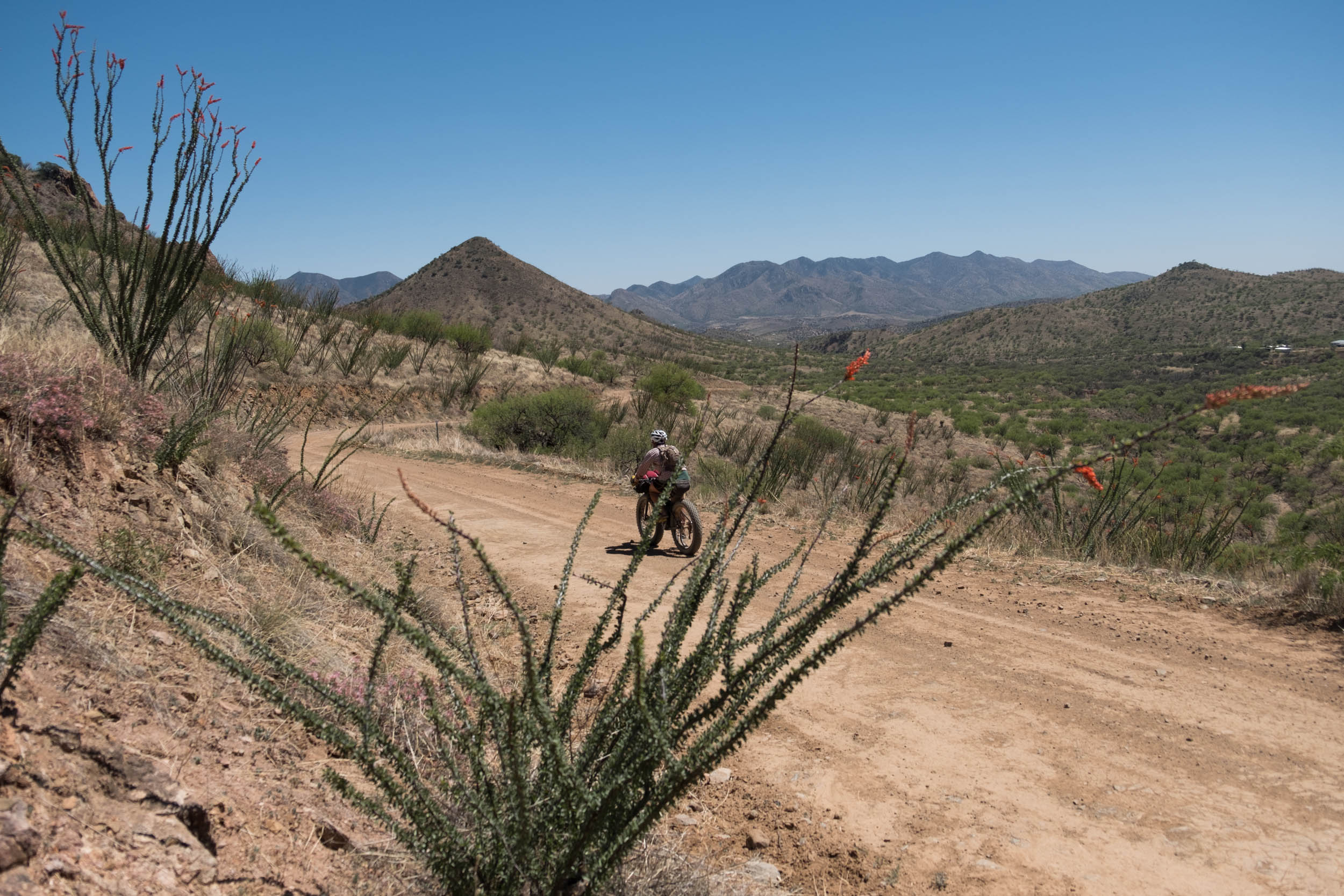
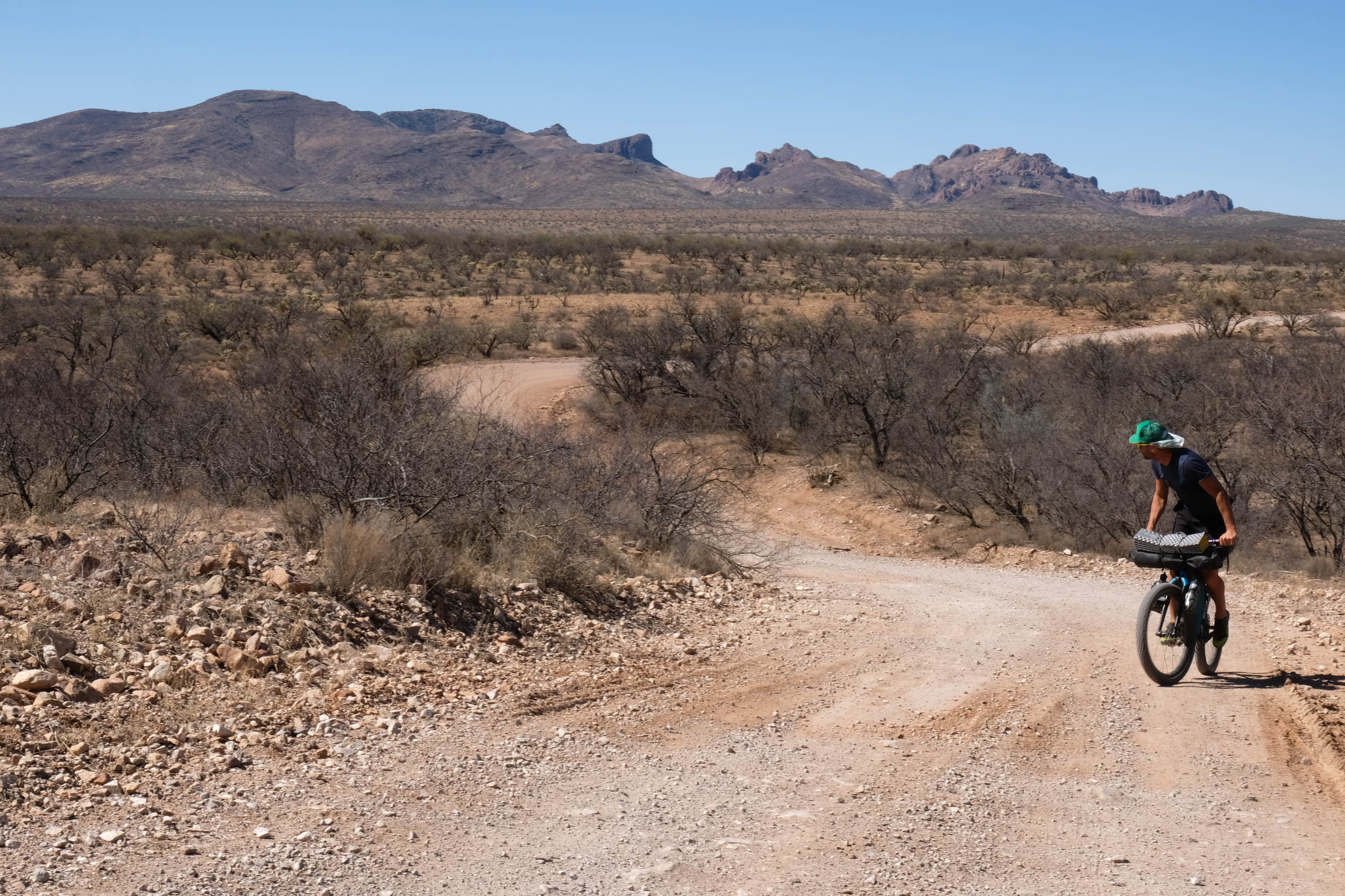
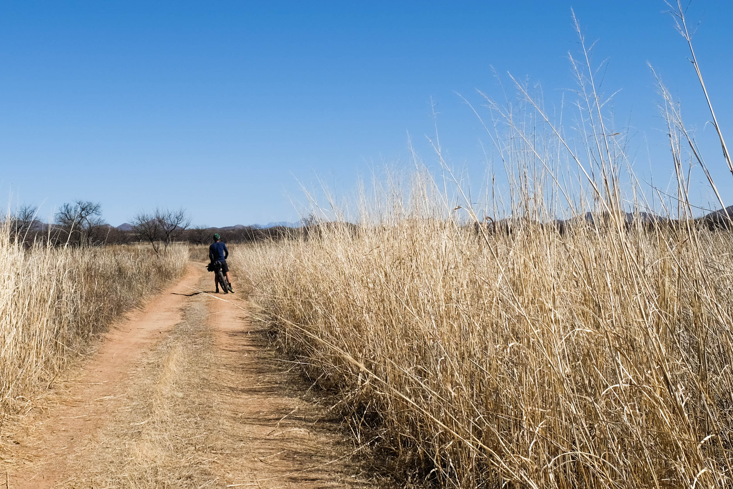
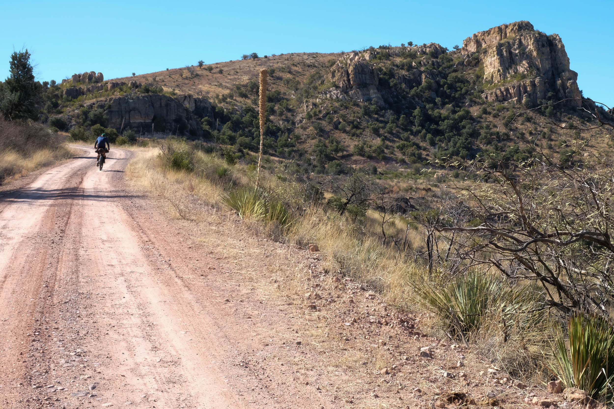
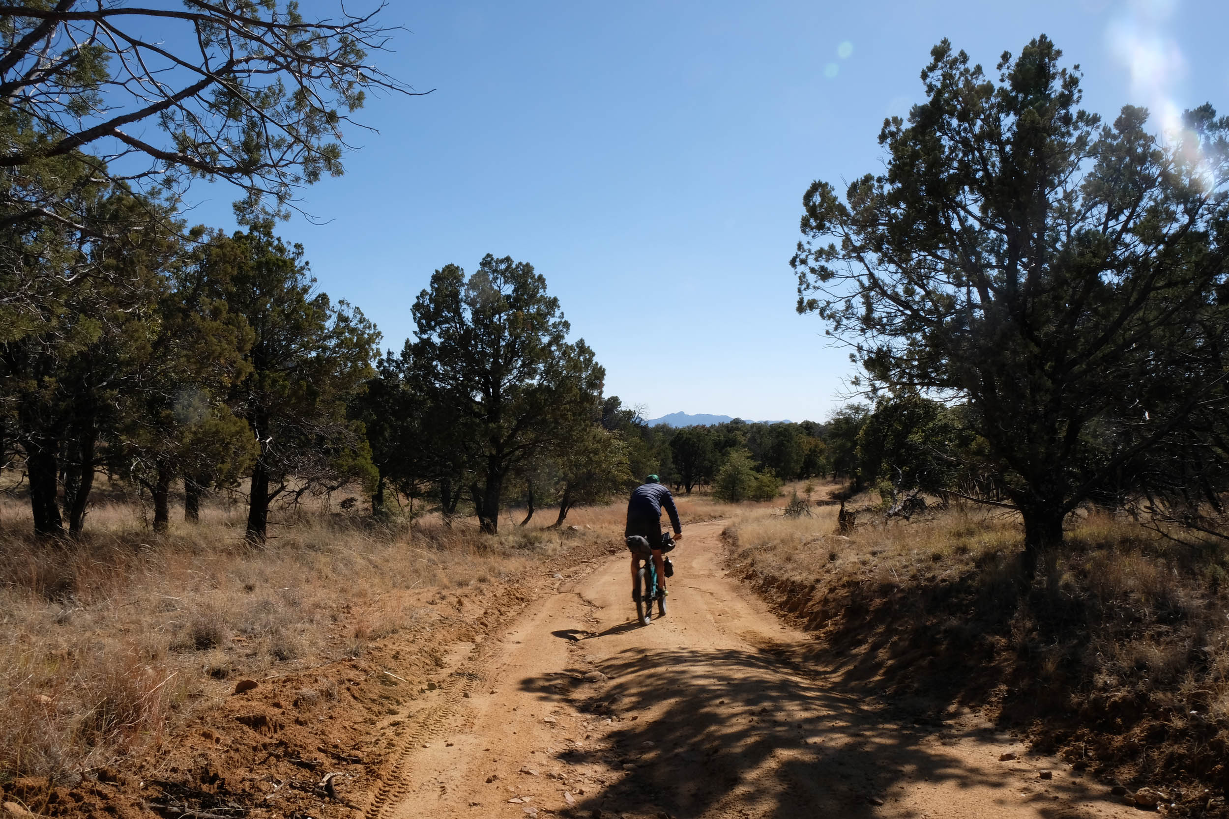
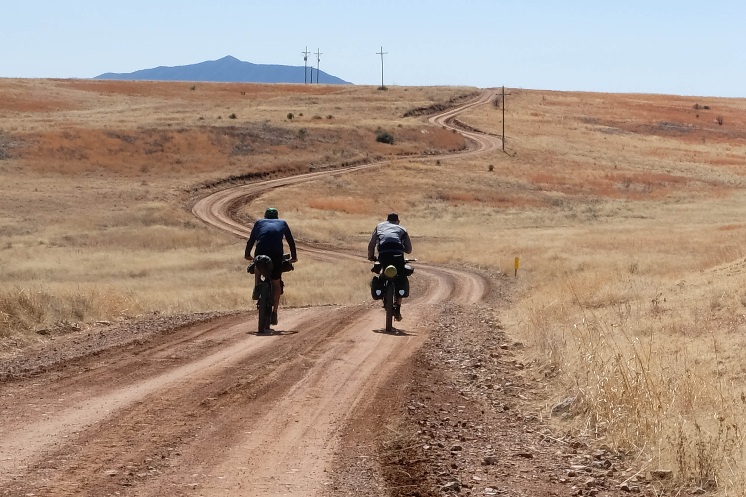
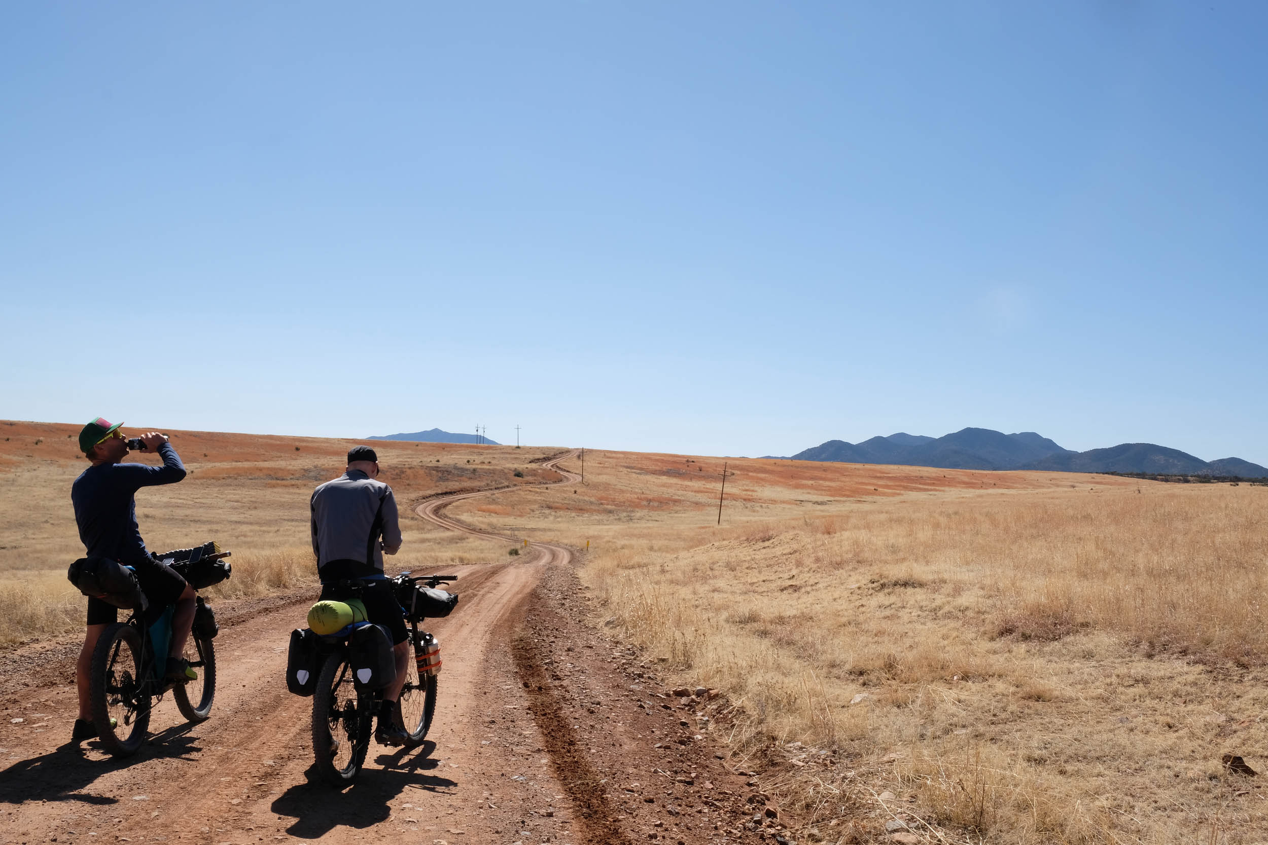
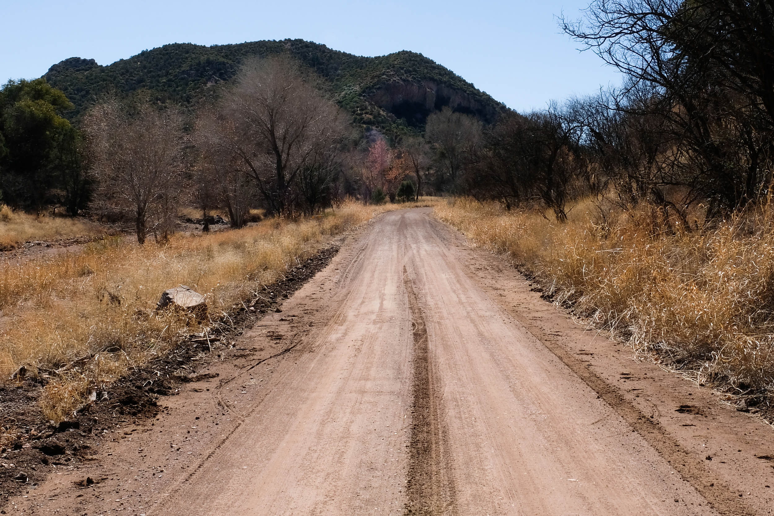
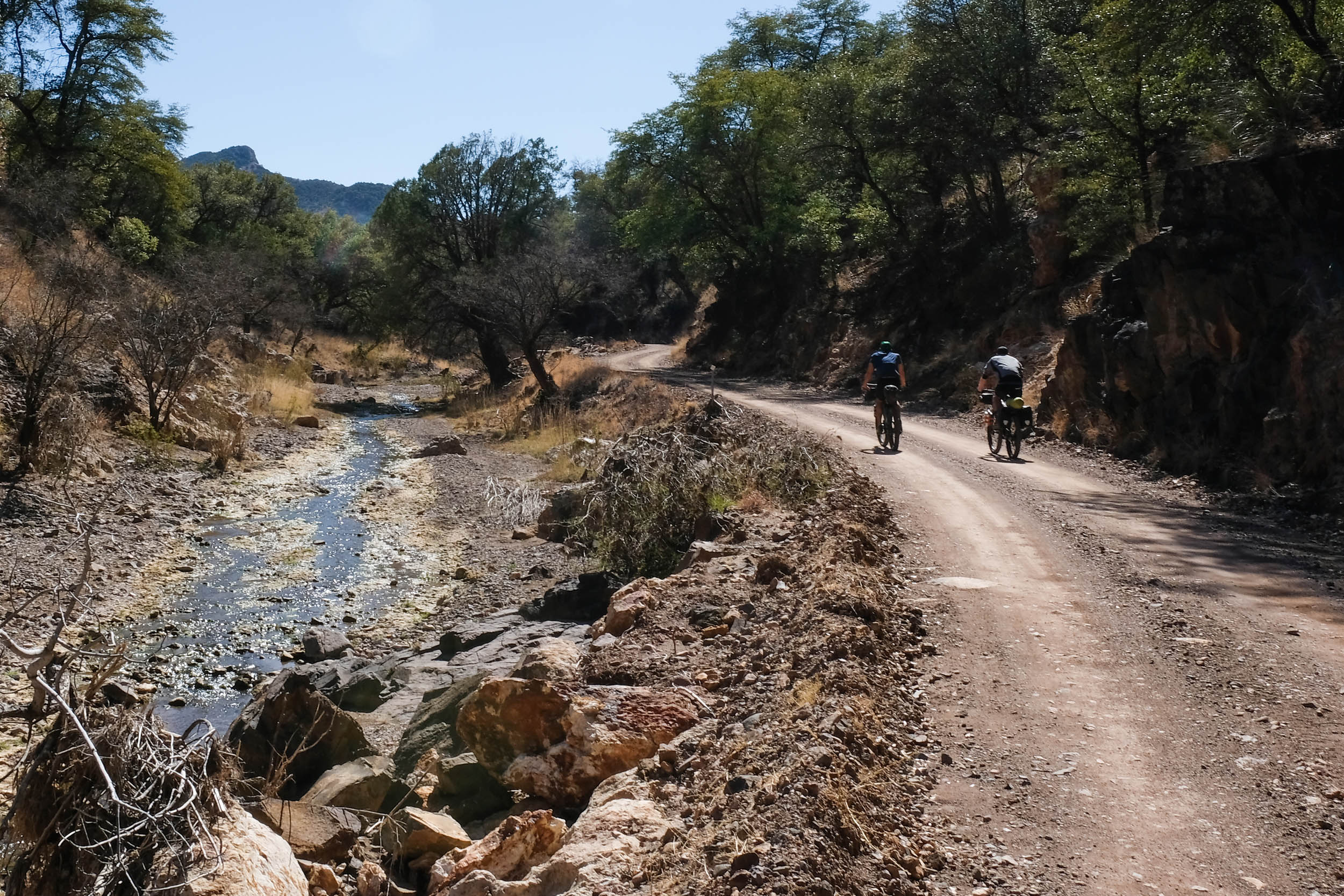
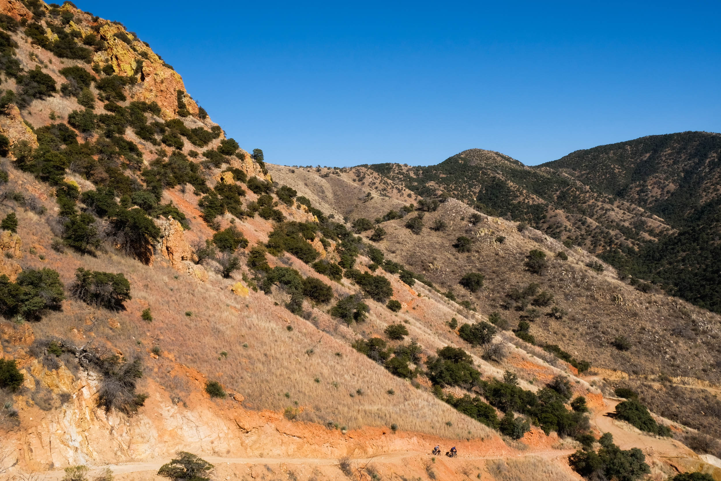
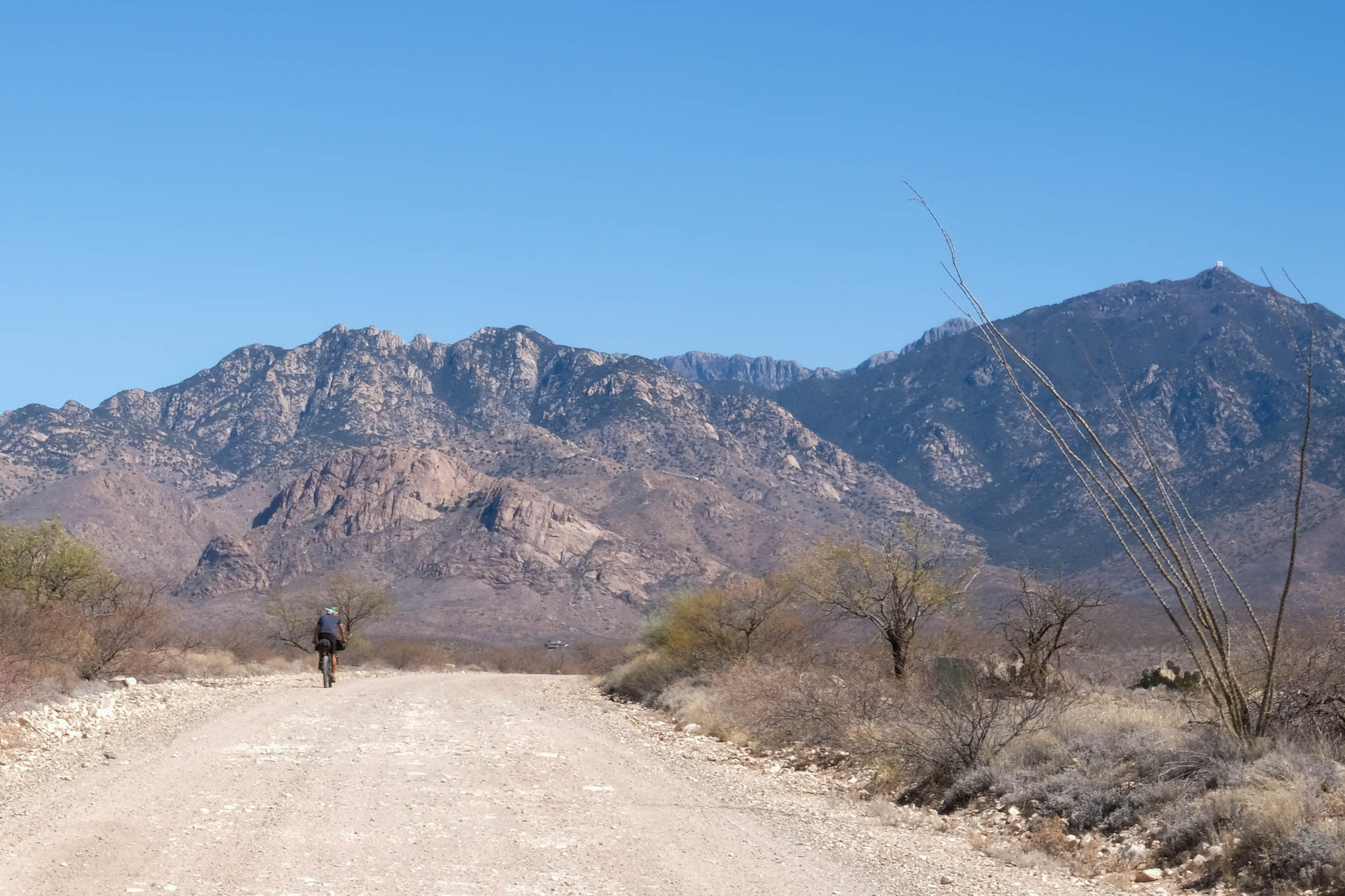
The West Loop is the more isolated and remote of the two routes in the Sky Islands Odyssey and explores its own unique flavor of transitions between biomes characteristic to the diversity of the Sky Islands region and the wildlife that relies upon it. Pine-oak forests and lichen cover the cliffs of the Patagonia Mountains. Otherworldly landscapes of boulder fields and succulents surround the Atascosa Mountains. Cottonwoods and yucca trees emerge from the wetlands and grassland savannas of the Buenos Aires National Wildlife Refuge, and large barrel, ocotillo, and cholla cactus dominate the Santa Cruz River Valley and the west side of the Santa Rita Mountain range. The West Loop guarantees a journey through ever-changing landscapes and environments and many critter sightings in one 176-mile loop.
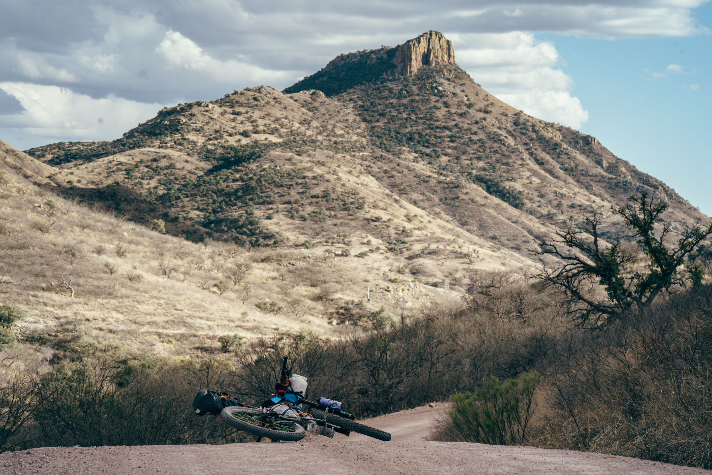
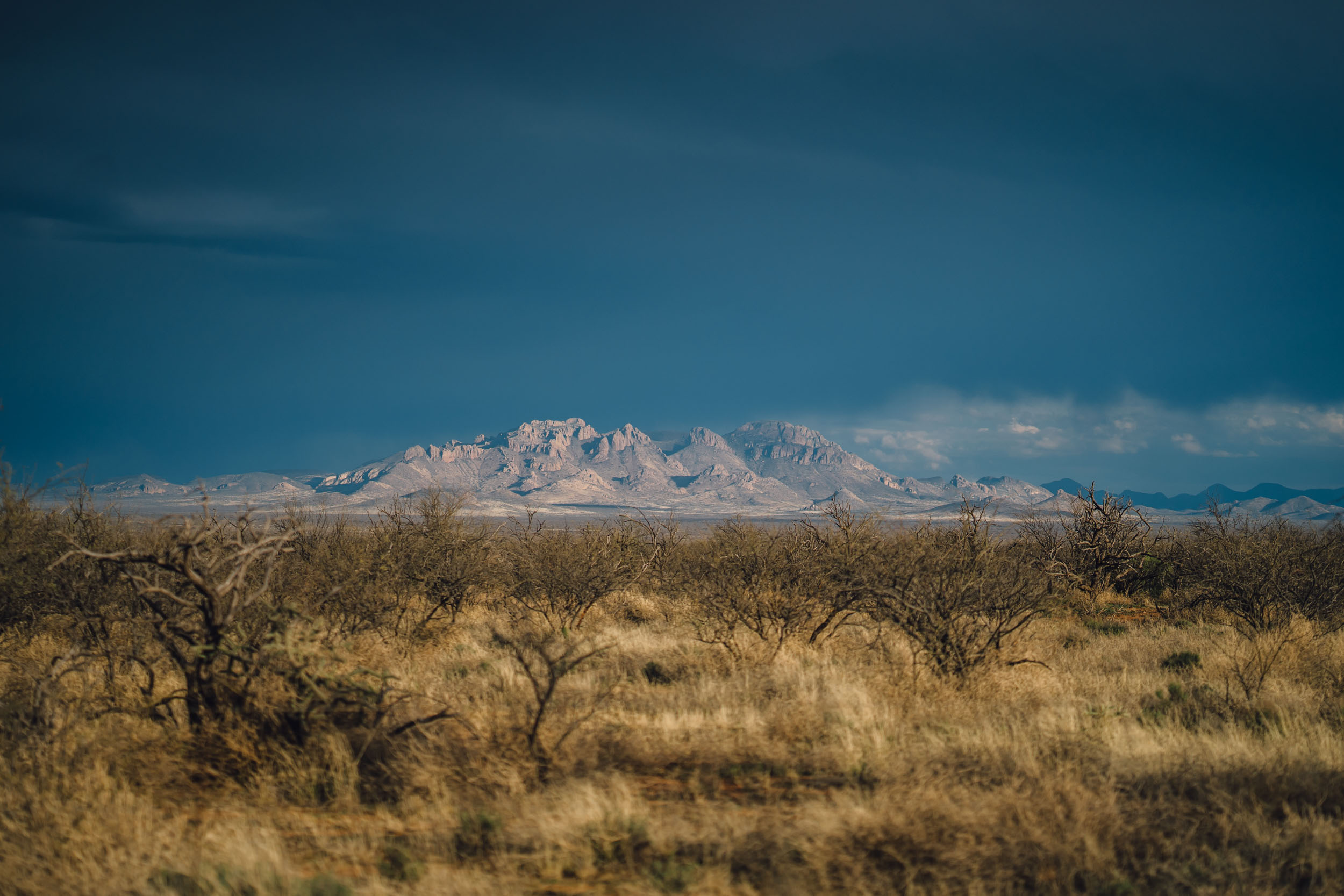
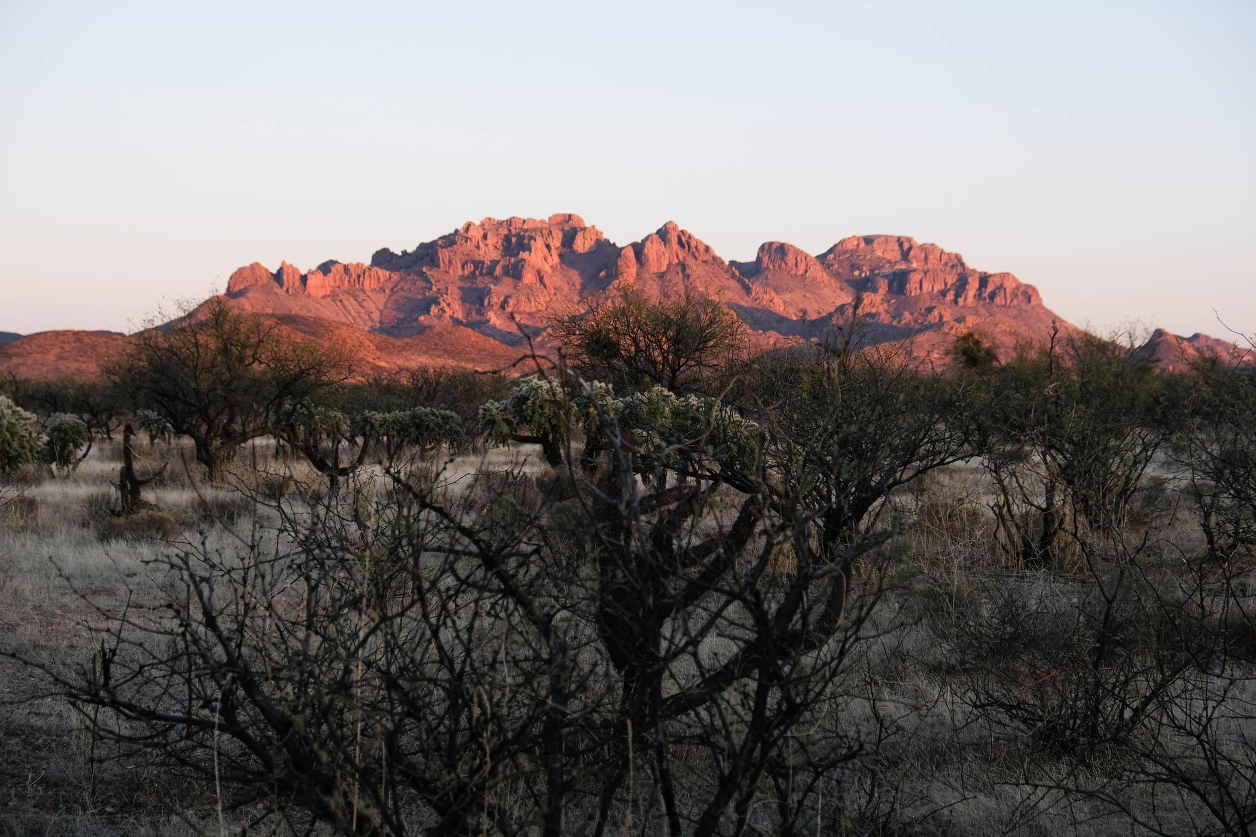
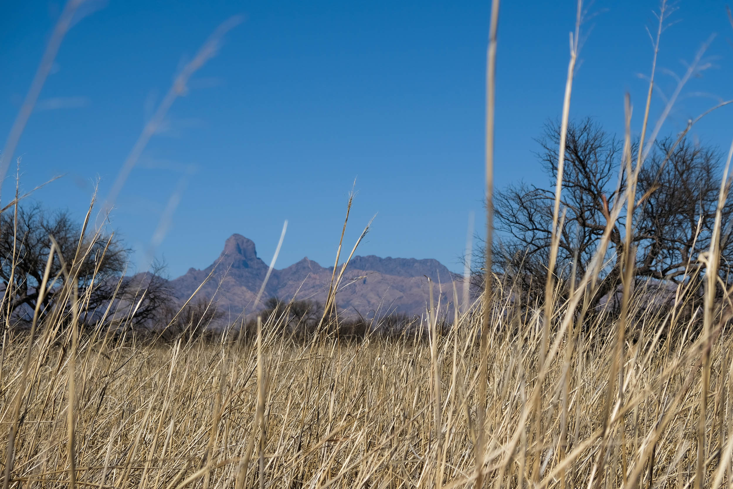
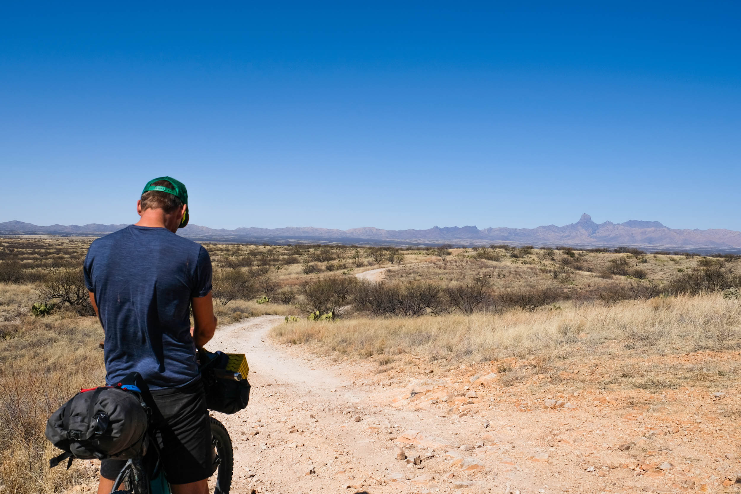
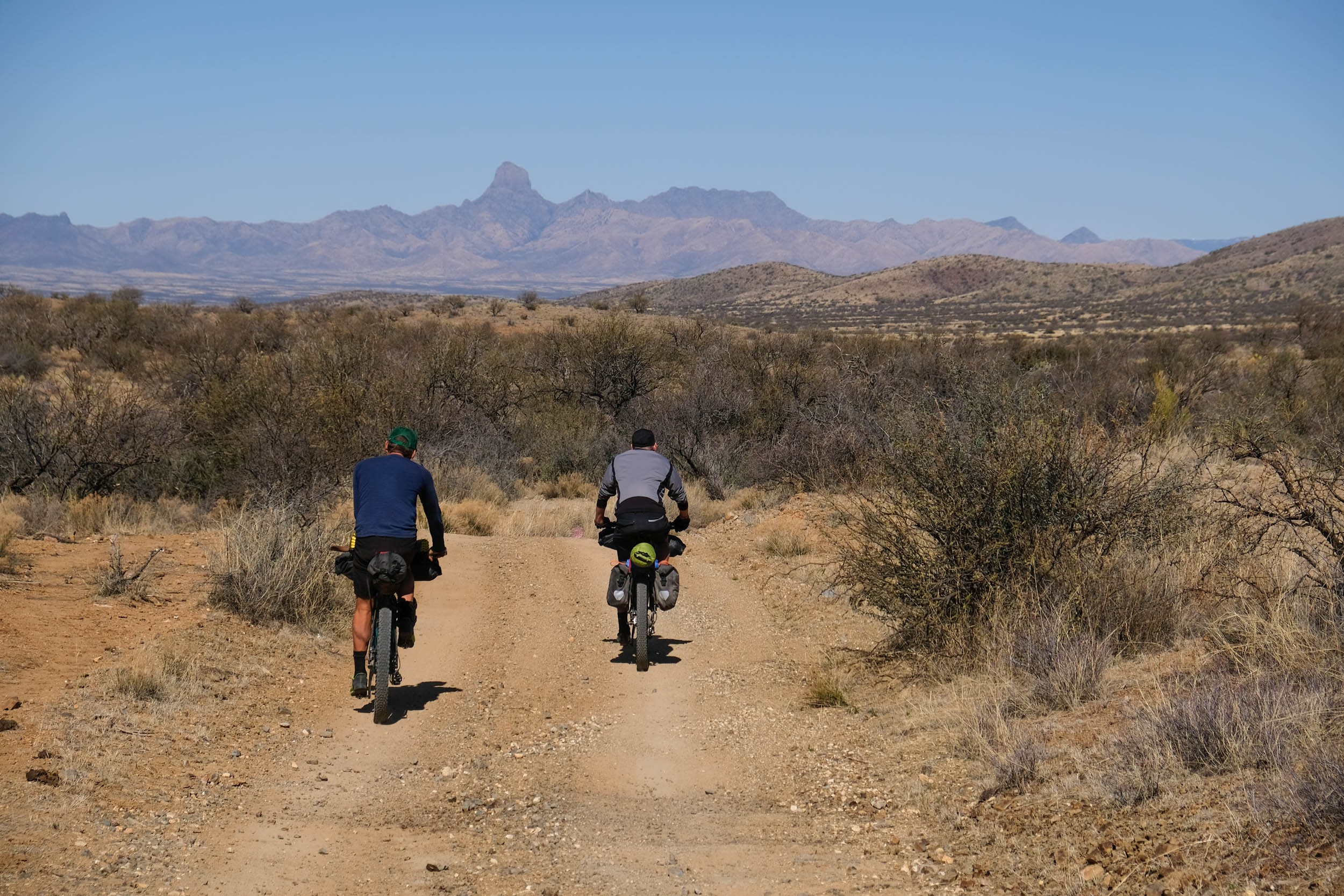
Serving as the iconic landmark of the West Loop is the 7,730 ft Baboquivari Peak. The region this route travels through is originally home to the Tohono O’odham (meaning Desert People), who regard Boboquivari as the ‘navel of the world,’ the most sacred place at the center of their cosmology. Its noteworthy rectangular peak is a memorable symbol visible throughout the loop.
The light show doesn’t end at sunrise and sunset along the West Loop. This region is an astronomer’s dream due to its clear weather, steady atmosphere, and low humidity– ideal conditions for stargazing in dark night skies. Numerous prestigious observatories call this region home. The most notable of these observatories is Kitt Peak National Observatory, visible from the Quinlan Mountains just north of the Boboquivari Mountains. Kitt Peak National Observatory is famous for its astronomical discoveries in dark matter, charting cosmic distance, far-away galaxies, and the Boötes void, a giant hole in the universe.
Birders will delight that just a small detour off route is the lush riparian habitat of Sycamore Canyon, the area’s most prominent natural feature, which also supports as many as 160 bird species. On route, you will ride 24 miles through Buenos Aires National Wildlife Refuge, which was established to reintroduce the endangered Masked Bobwhite Quail.
Lay of the Land
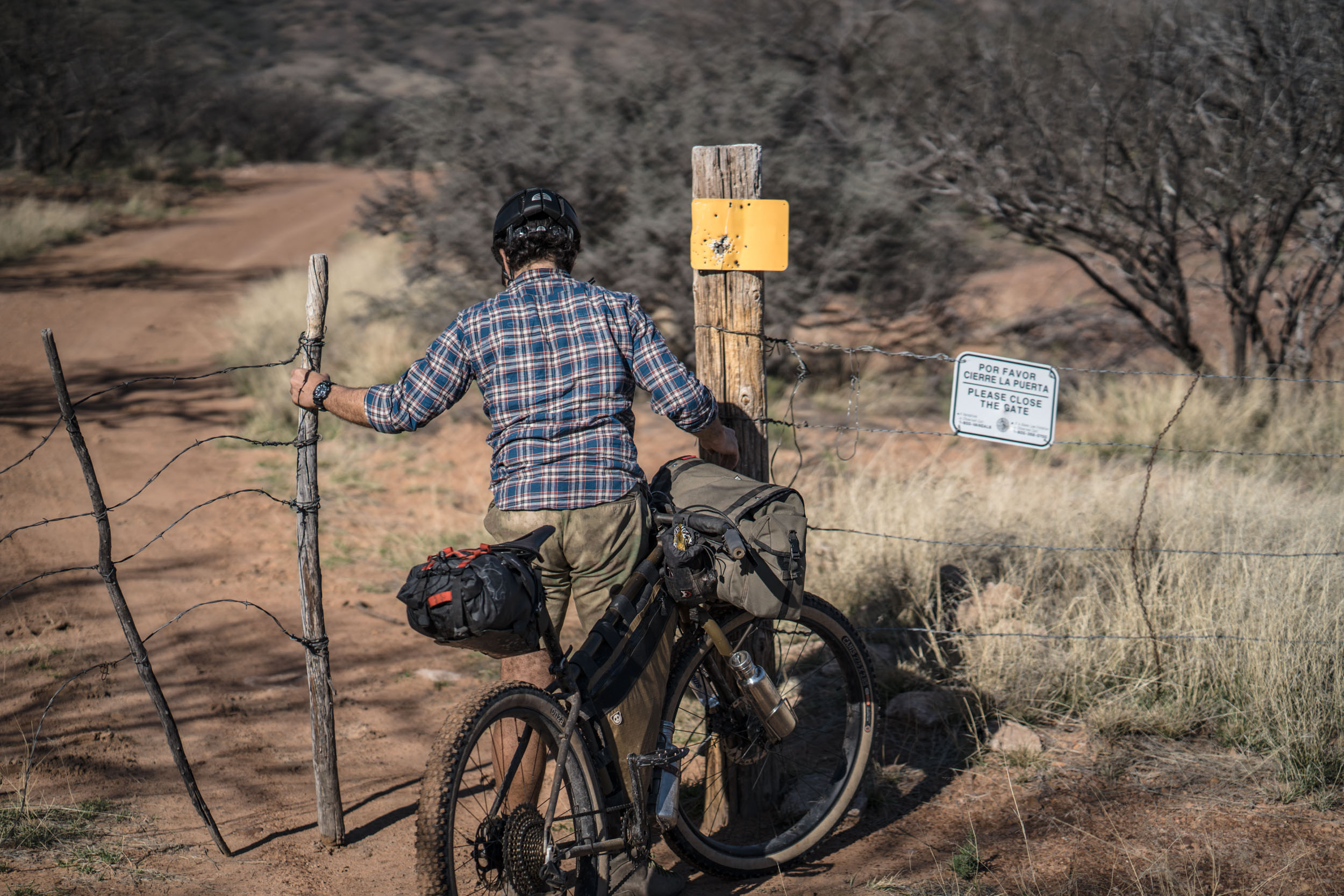
Riders of the Sky Islands Odyssey loops are encouraged to read the project overview of the route guides to better understand the borderlands region they are riding through. The East Loop travels through the ancestral lands of the Tohono O’odham (pronounced, Thaw-[haw]-naw Awe-[awe]-thumb, or Thaw-naw Awe-thumb), the Chiricahua Apache, and the Ópata peoples. While this region is today a border crossing corridor for asylum seekers and migrants traveling from Mexico, Central, and South America into the United States, the East Loop region is significantly less common for crossing and less surveilled by border patrol compared to the West Loop. While the Santa Rita Mountains provide essential habitat for threatened and endangered species, they, too are under threat by the proposed Rosemont Mine. This one-mile-wide, half-mile-deep open pit copper mine would destroy habitat, contaminate and drain the limited groundwater, and pollute the night skies with light.
If riders feel compelled to give back to this critical landscape after their ride, please contribute by donating to or volunteering for the following organizations: No More Deaths, Indivisible Tohono, Borderlands Restoration Project, Sky Islands Alliance, and Save the Scenic Santa Ritas. To learn more about some of the areas each route travels through, click here for details.
Route Development
The Sky Islands Odyssey East Loop is part of the Sky Islands Odyssey bikepaking routes network; learn more about the entire project here.
The goal for the Sky Islands Odyssey Route(s) is to make an accessible multi-day journey along dirt roads, highlighting this region’s biodiversity and history while also raising awareness of the human and wildlife consequences of U.S. immigration policies. These routes were initially developed and scouted in 2017-2018 by Sarah Swallow and friends over seven separate reconnaissance missions to route the complex network of mismapped dirt roads and tracks in this region. To do this day, Sarah Swallow maintains and updates these routes multiple times a year. Find more details about the full project and how you can support it here.
Difficulty: The West Loop earns a 6 out of 10. See Trail Notes tab below for details.


Submit Route Alert
As the leading creator and publisher of bikepacking routes, BIKEPACKING.com endeavors to maintain, improve, and advocate for our growing network of bikepacking routes all over the world. As such, our editorial team, route creators, and Route Stewards serve as mediators for route improvements and opportunities for connectivity, conservation, and community growth around these routes. To facilitate these efforts, we rely on our Bikepacking Collective and the greater bikepacking community to call attention to critical issues and opportunities that are discovered while riding these routes. If you have a vital issue or opportunity regarding this route that pertains to one of the subjects below, please let us know:
Highlights
Must Know
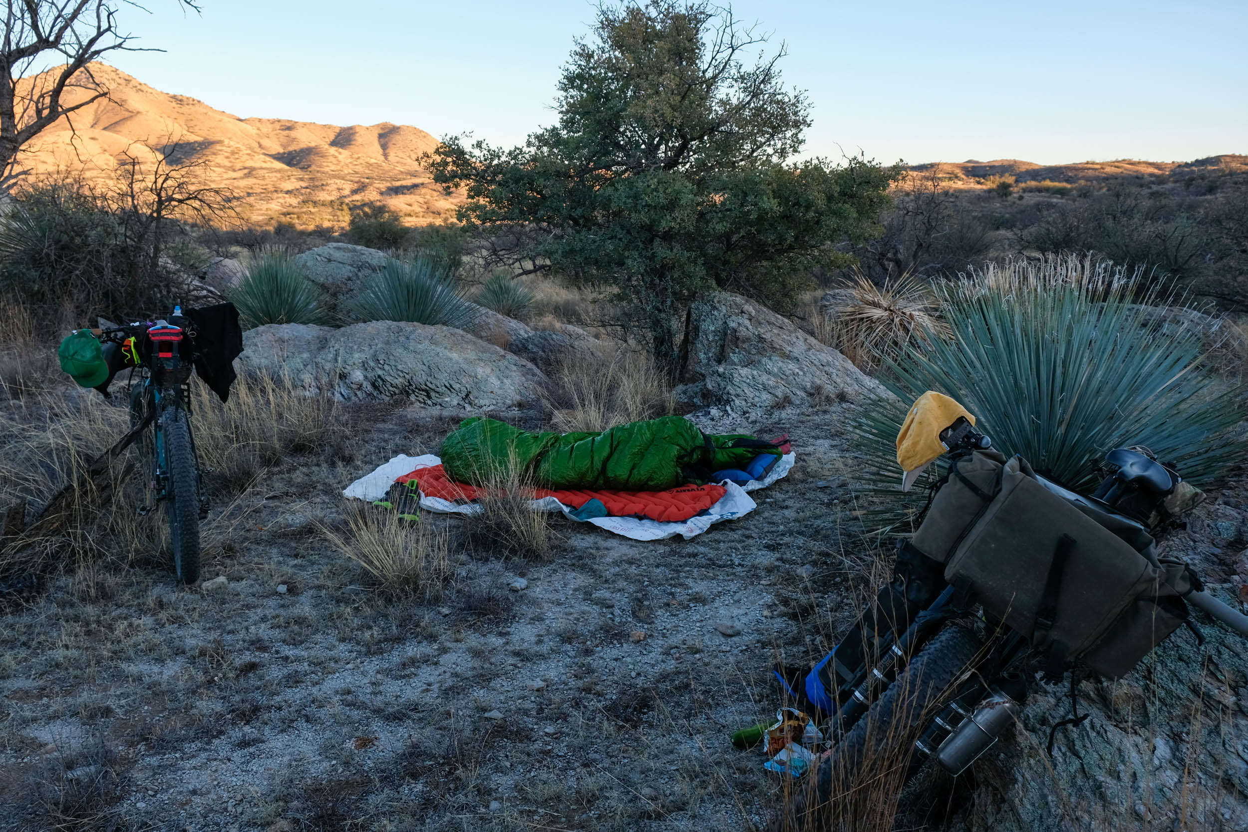
Camping
Food/H2O
Trail Notes
- Spectacular sunrises and sunsets
- Idyllic and easy camping throughout
- World-class stargazing
- Typically, sunny, dry days
- Engaging terrain and rewarding scenery
- Diversity of flora and fauna in a short distance
- The view of the San Rafael Valley
- The view of the Santa Cruz River Valley from Guajolote Flats
- The many changing views of Baboquivari Peak, a sacred mountain to the Tohono O’odham who regard it as the ‘navel of the world’
- The other-worldly terrain and succulents along Ruby Road
- Arivaca Farmers Market – Great tomales!
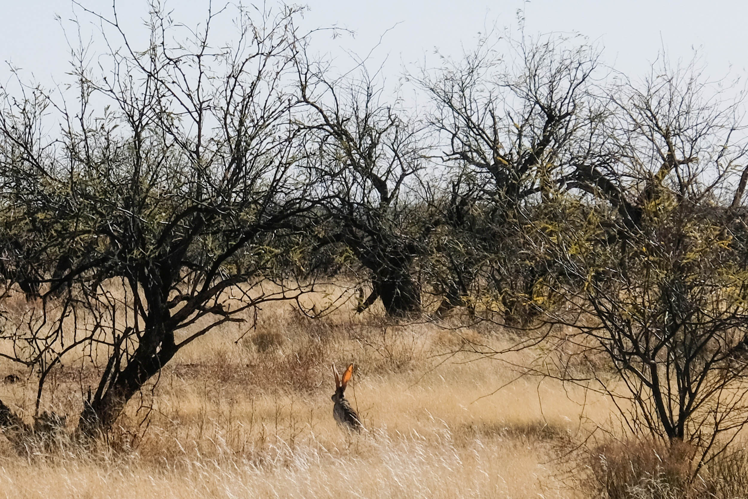
- Loads of critter sightings (pronghorn antelope, hundreds of bird species, reptiles, javelinas, coatimundi, and more)!
- Riding through tunnels of tall grass and yucca in Buenos Aires National Wildlife Refuge
- Admiring huge barrel cacti, ocotillo, and cholla cacti from afar
- The roller coaster roads and views of Forest Road 143/Salero Canyon Road
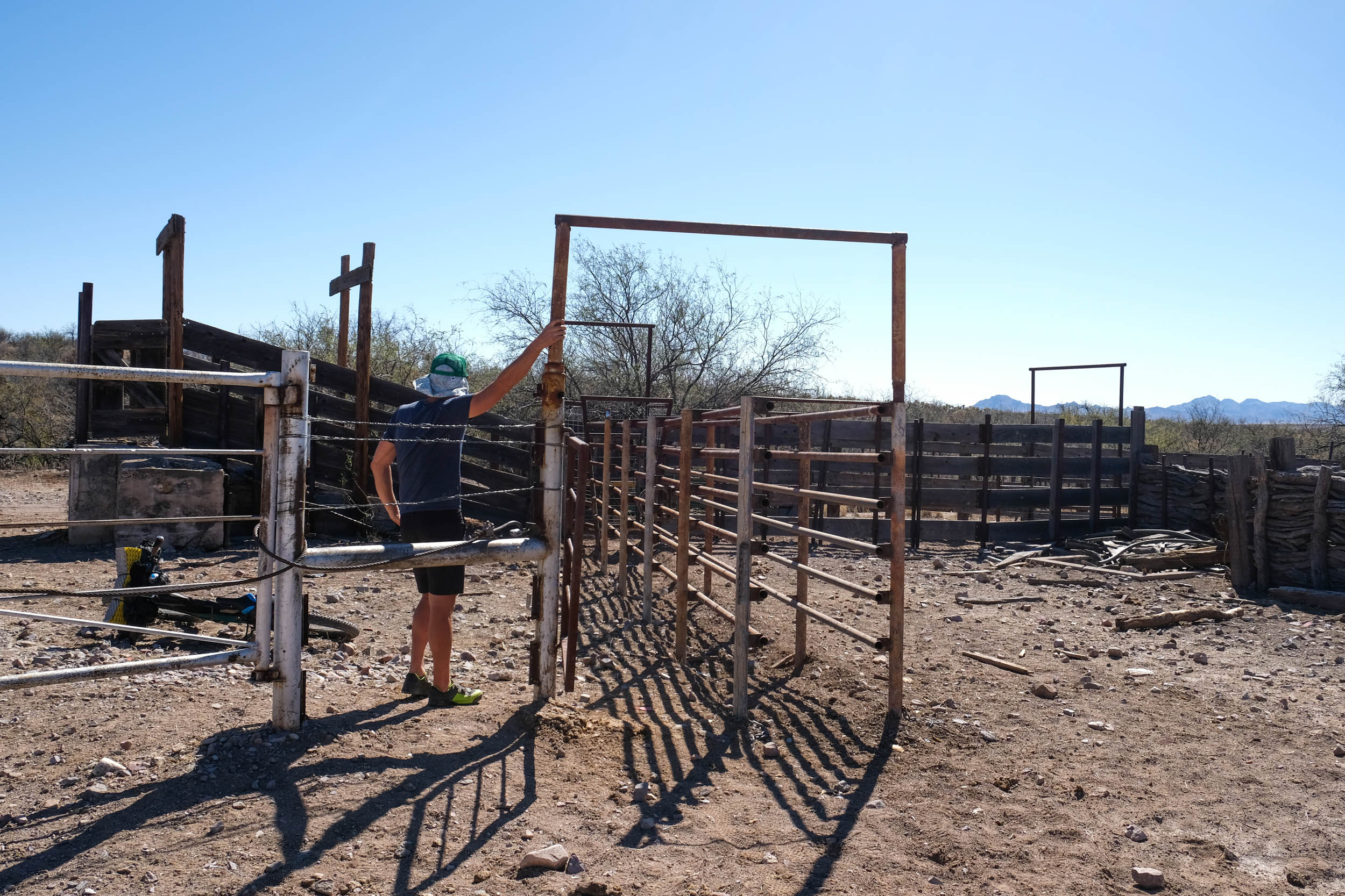
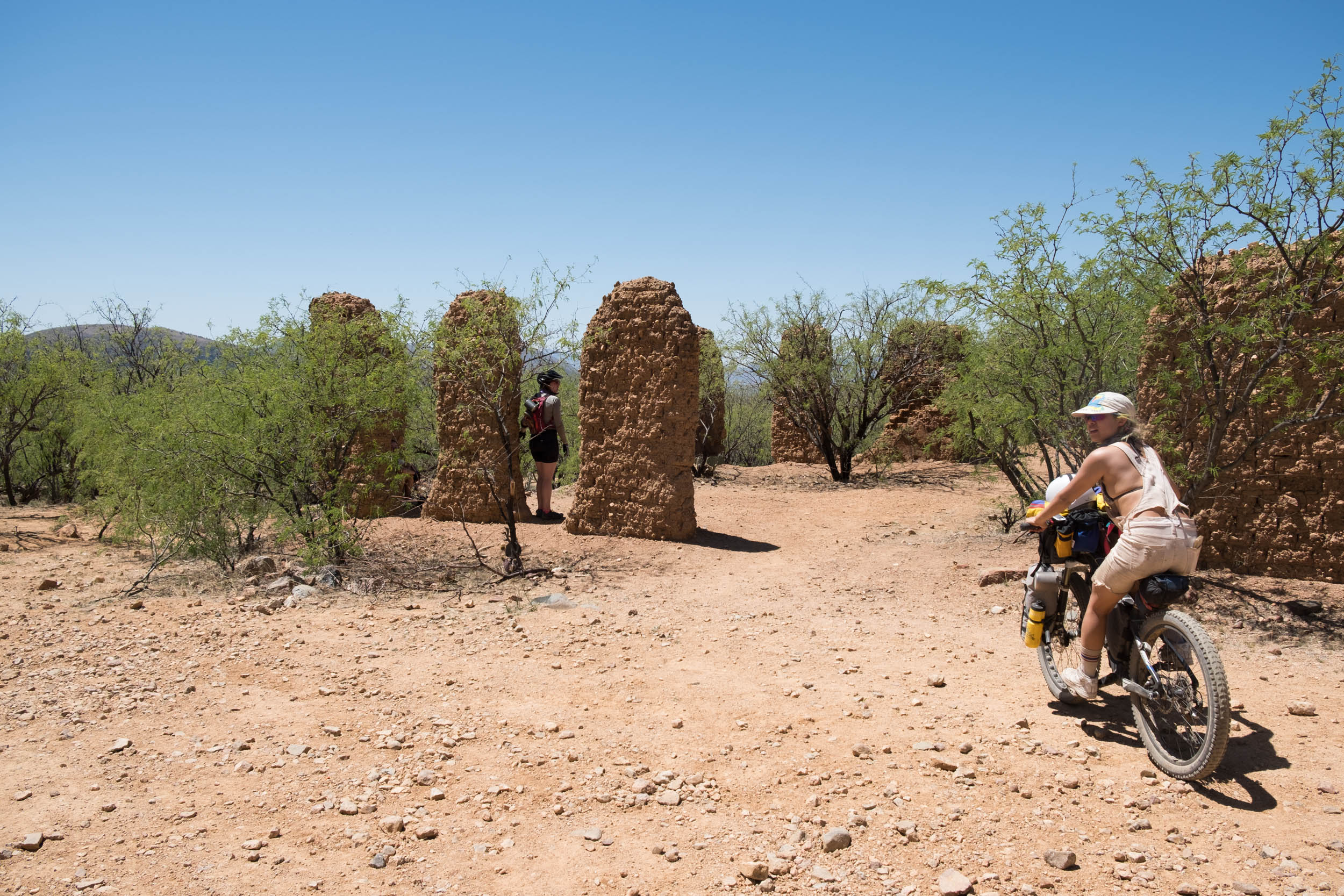
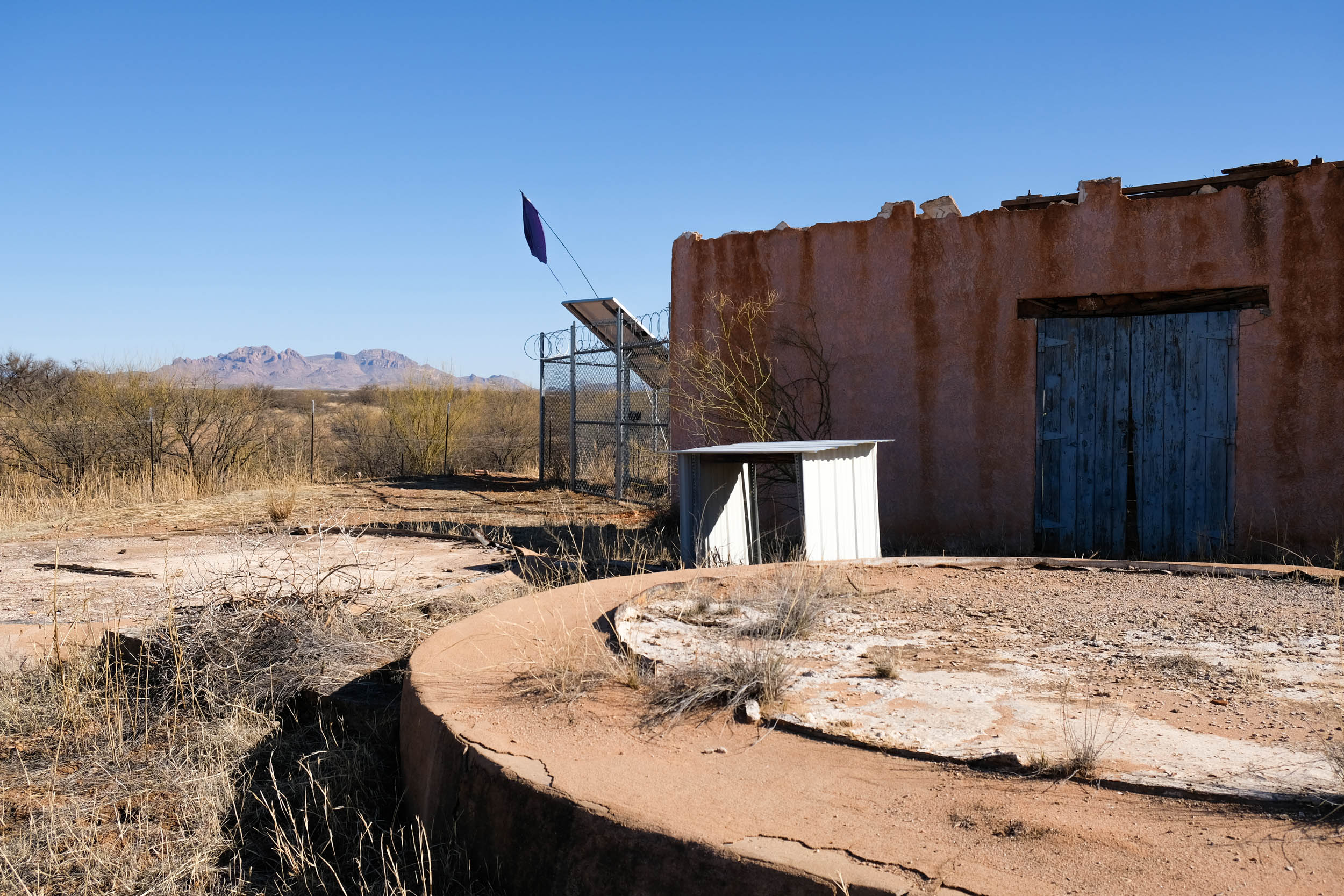
- The shade from the adobe ruins on Salero Canyon Road
- We highly recommend reading the project overview where you can find a list of reports, books, articles, documentaries, podcasts, and websites to dive into to familiarize yourself with the Sky Islands region and the Sky Islands Odyssey Project. This is not an exhaustive list of resources, so be sure to do your own research. If you find resources that you feel should be on this list, please email them to sarahjean.swallow@gmail.com.
- The latest route versions and route alternatives can be found in Sarah’s Sky Islands Odyssey RWGPS Collection
- Parking your vehicle in Patagonia: park your vehicle on the Southwest side of town near the public restrooms or in the dirt lot near the caboose. Avoid parking in front of any businesses in Patagonia. Feel free to stop into Red Mountain Foods to let Mandy, the owner, know you will leave your car there. She is super sweet and will look out for you.
- This route should only be ridden in the clockwise direction, primarily to avoid a multi-hour hike-a-bike up the 20% Guajolote Flats road.
- Riders of the Sky Islands Odyssey loops are encouraged to read the Overview of the route guides and “Trip Notes” to better understand the borderlands region they are riding through.
- When To Go – this route is best ridden between late October and mid-April, with the coldest night temperatures and higher chances for rain and snow occurring in December and January. It is possible and even likely that you will experience temperatures as low as 14 degrees and as high as 85 degrees over the course of 3-4 days.
- Sleeping bags with a 0-10 degree rating are recommended.
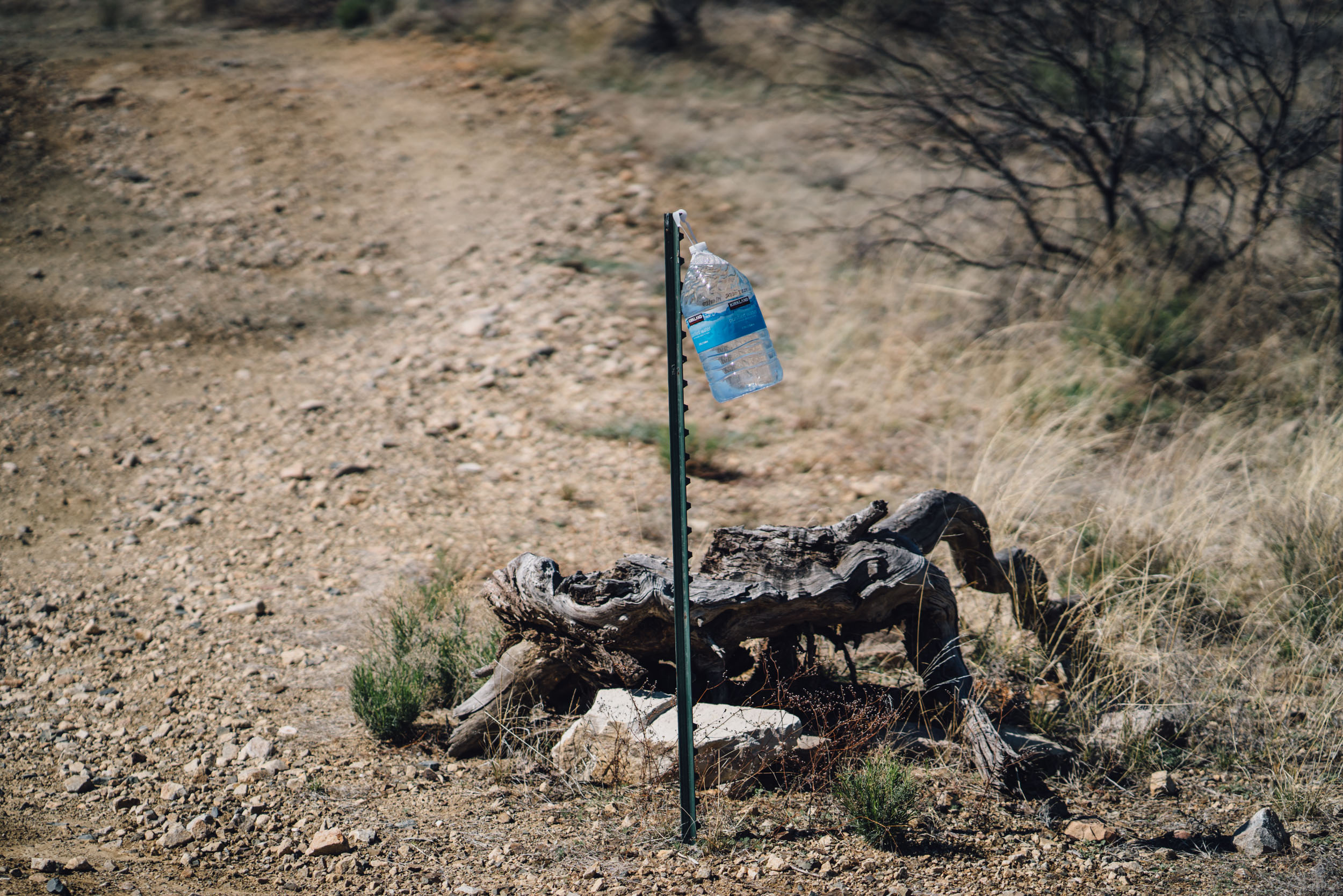
- Stay Hydrated – The dry desert heat can be a real hazard for people not used to hot climates. A person can lose up to 5 quarts of fluid a day and easily become dehydrated without realizing it. Drink plenty of water and electrolytes even if you do not feel thirsty.
- Altitude– most of this route exists at altitudes between 3,000 and 6,000 ft.
- There is potential for peanut butter mud in some areas of this route after considerable precipitation.
- Bring Sun Protection – wear light, loose clothing, use sunscreen, wear a hat, and have good sunglasses.
- Ear plugs for windy days (or a good pair of headphones).
- While there can be groundwater along this loop, it should not be relied upon.
- High Fire Risk – During these months, this region is extremely dry and can be very windy, be smart and obey fire regulations.
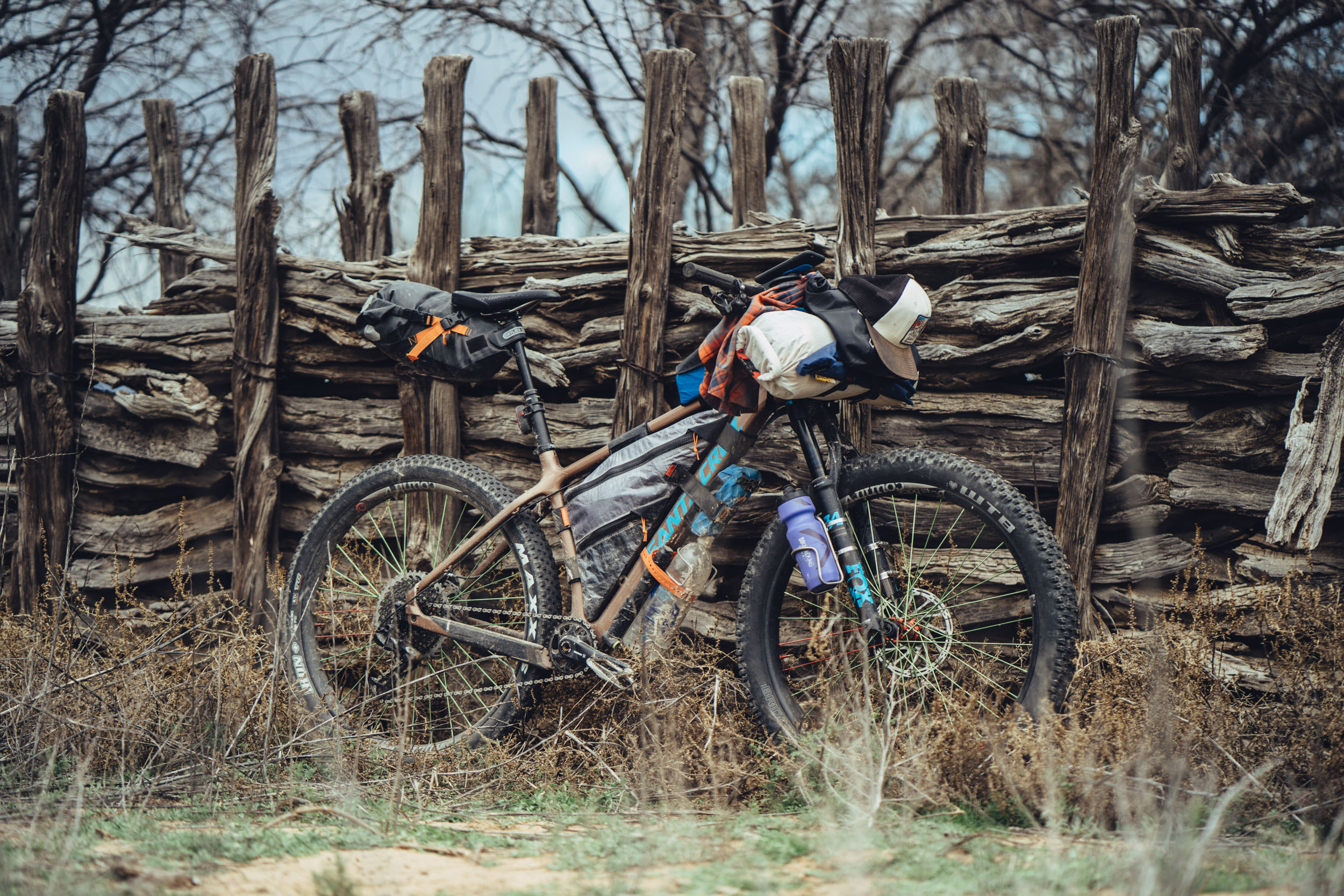
- Go tubeless – Due to the number of cacti along the route, tubeless tires are strongly recommended!
- Leave No Trace– pack out all of your trash. Camp in established camping areas when possible. Do not make new fire rings/avoid making fires. If you have a fire, douse it with water until it is completely out and bury it. Bury your shit in a hole 8” wide and deep far away from camp and drainages. Carry our your toilet paper. Do not camp on private property. Do not camp near water tanks.
- Make sure to read the Guidelines for Humanitarian Aid / Migrant Encounters in the project overview here
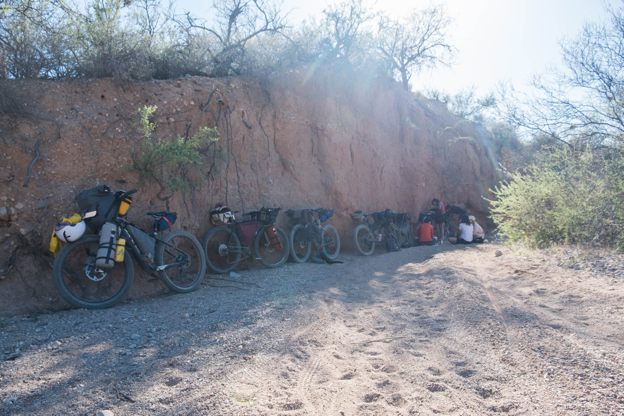
- There are many dispersed and established camping opportunities available within the public lands of this route. Camp only between the following miles: 11-27, 48-70, 79-91, 100-124, and 149-161.
- Patagonia – The Gravel House Airbnbs are good for groups of 2-8 people, or the Stage Stop Inn
- Green Valley – Lodging options 2 miles north of the route in Green Valley.
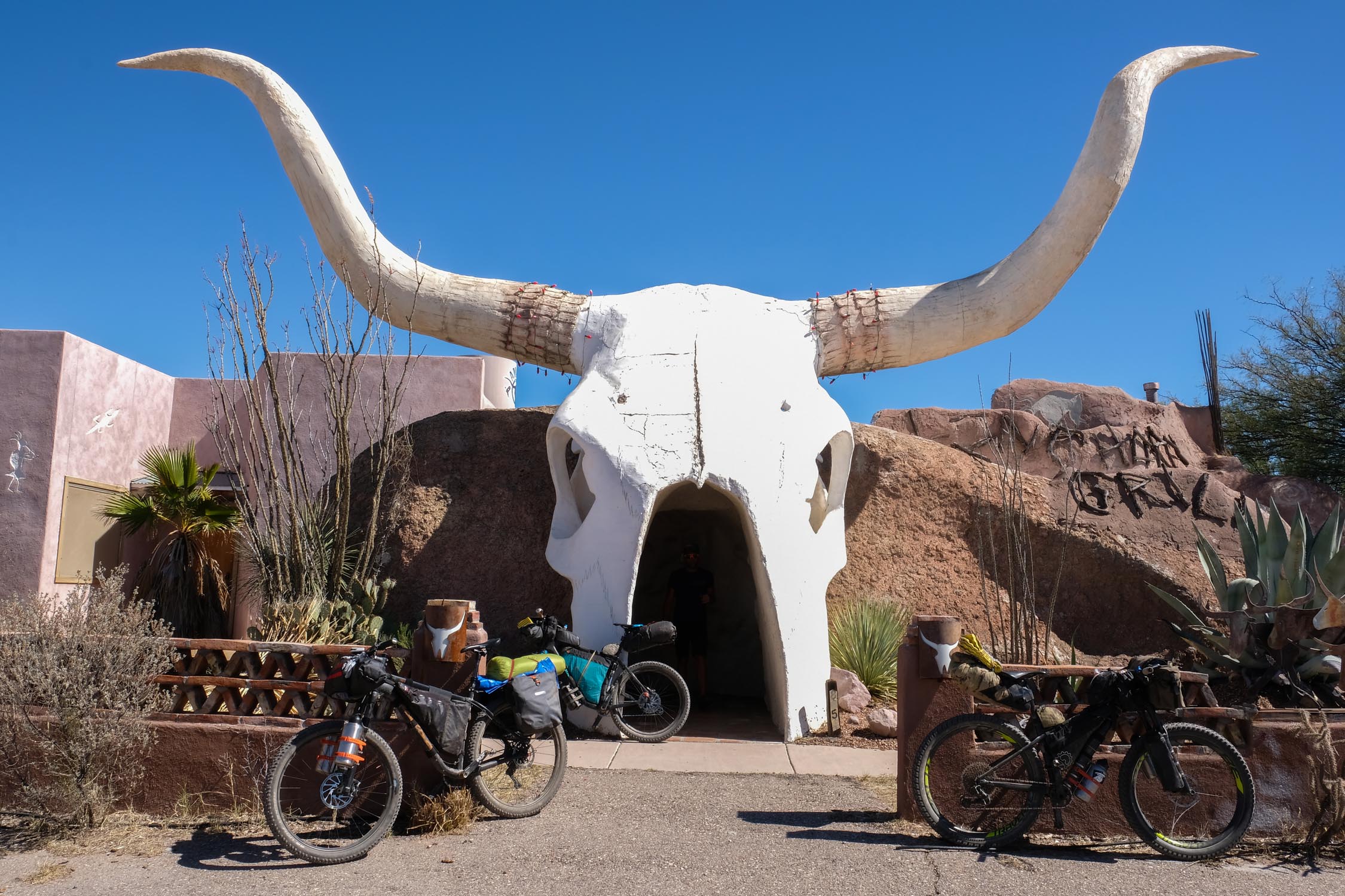
- Patagonia: Presta coffee, wine, beer, bike shop, and great atmosphere from Patagonia Lumber Co.; organic groceries from Red Mountain Foods (cash or check only); breakfast, lunch, and ice-cream Gathering Grounds Cafe, pizza in a pinch from Velvet Elvis; bread and pastries Ovens of Patagonia.
- Mile 38: Pilot Travel Center with Wendy’s
- Mile 74: Arivaca Mercantile and La Gitana Cantina Restaurant, Farmers Market Saturday mornings.
- Mile 92: Buenos Aires National Wildlife Refuge HQ water spigot
- Mile 135: The Amado Market (grocery), Longhorn Grill and Saloon (restaurant), Mia’s Mexican Food / Rio’s Tacos (food truck), Dollar General
Technical Surface Ratings (on map)
- Solid Red: Pavement
- Dashed Red: 2WD Smooth or Washboard Dirt Road
- Dashed Blue: Slightly more technical than a dashed red, there can be larger rocks, and slightly looser, but rideable.
- Dashed Black: Most technical, large and loose rocks, steep pitches, some hike-a-bike, 4wd, high clearance road or trail, slow going.
Route Difficulty
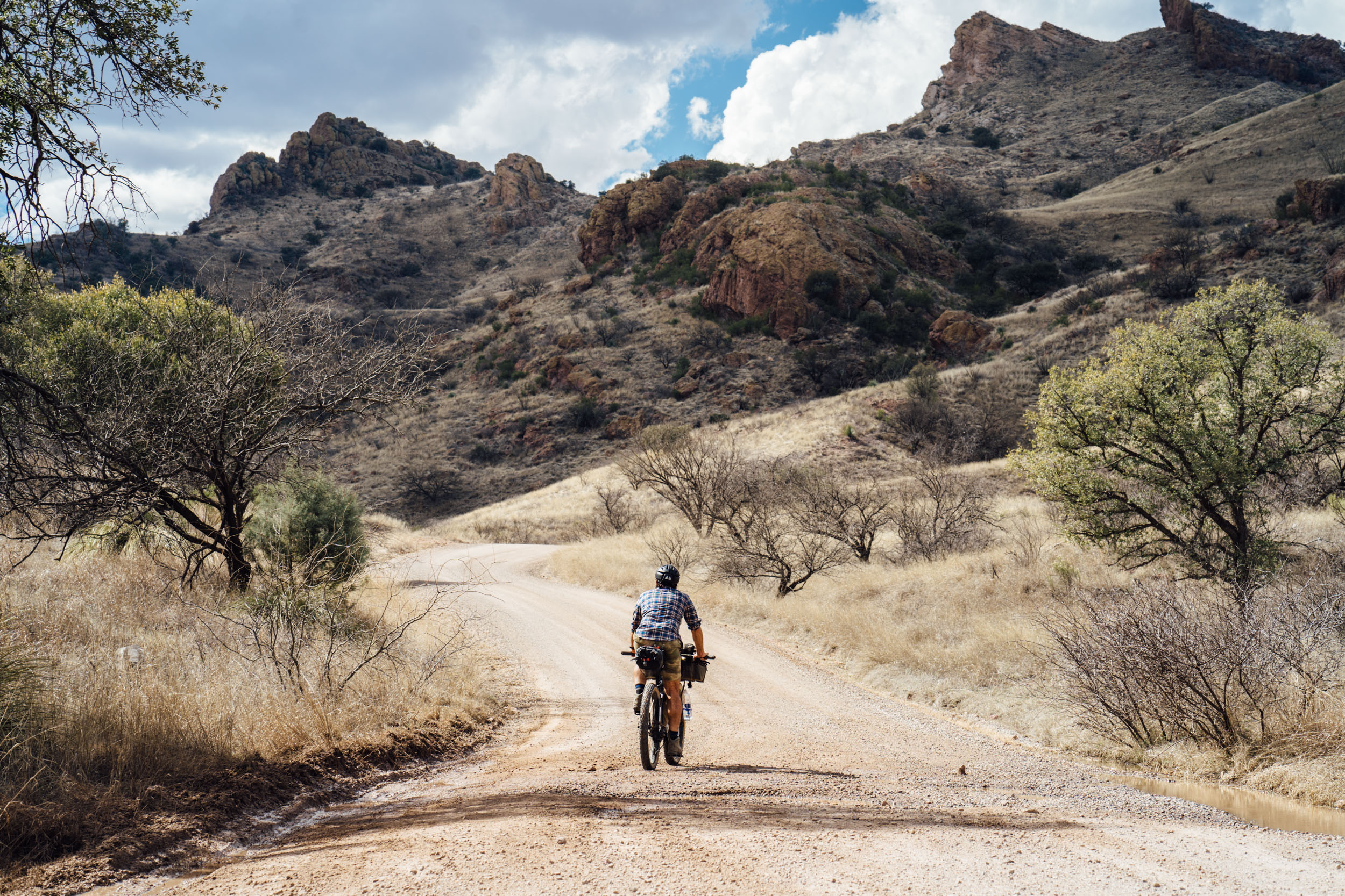
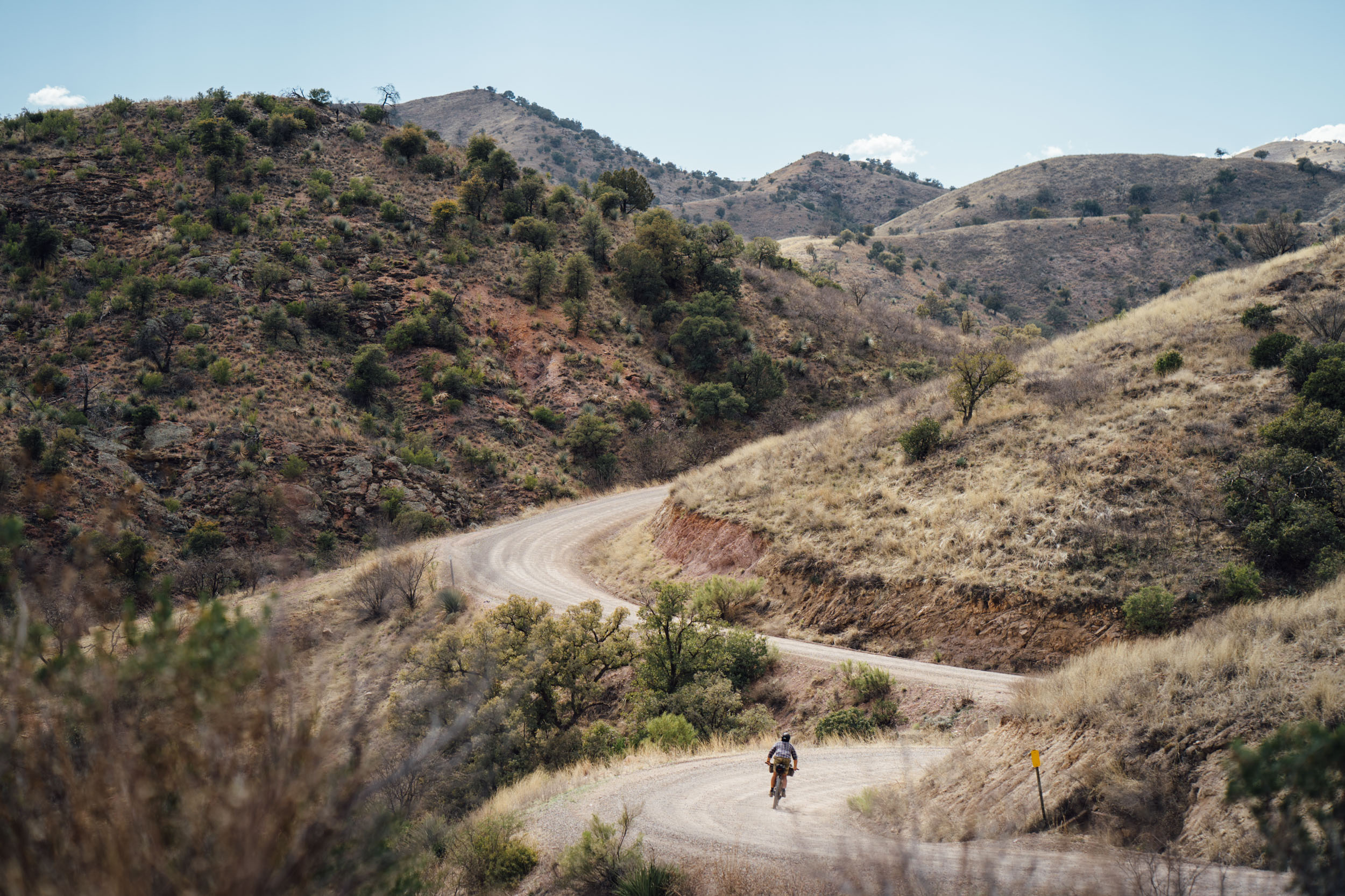
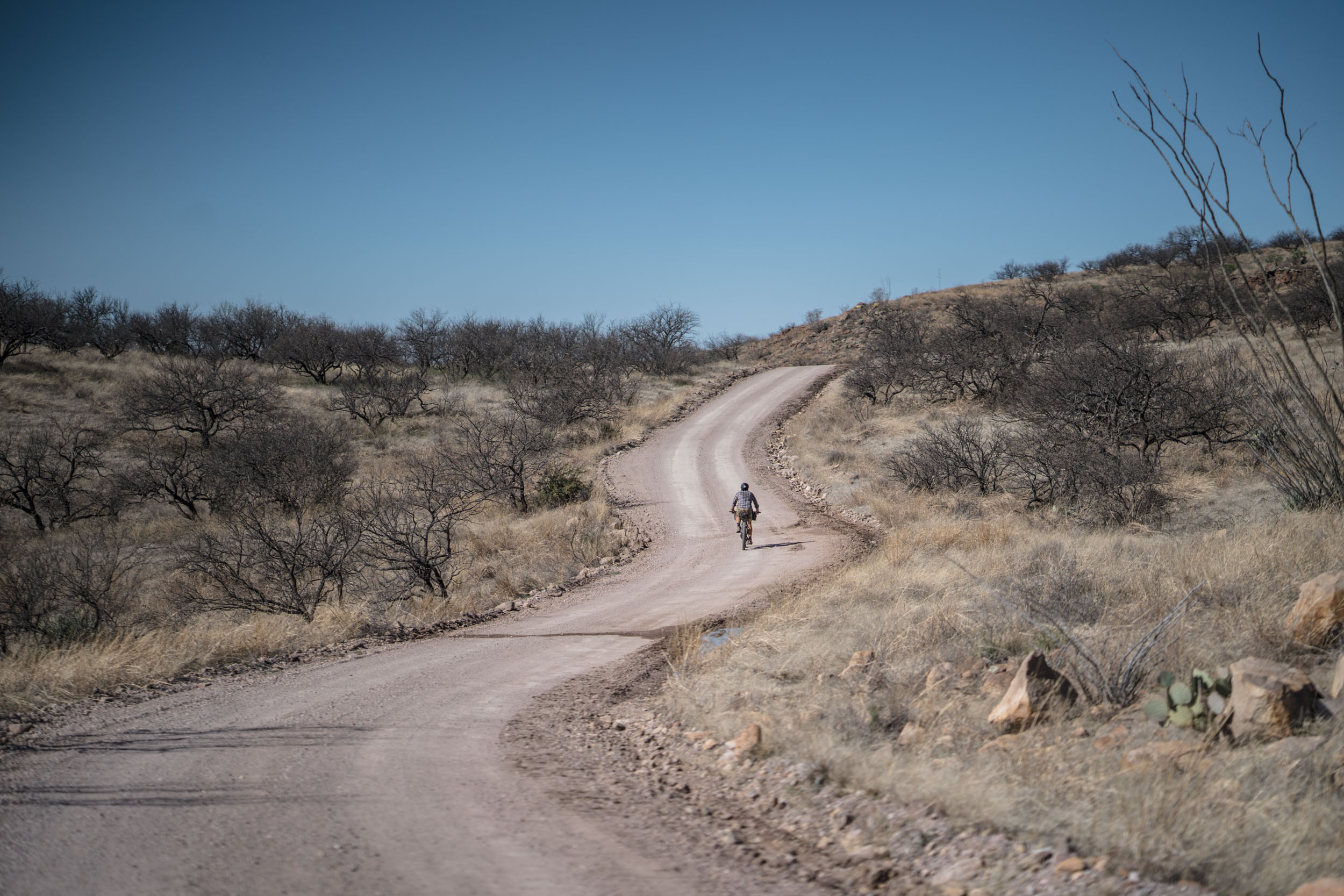
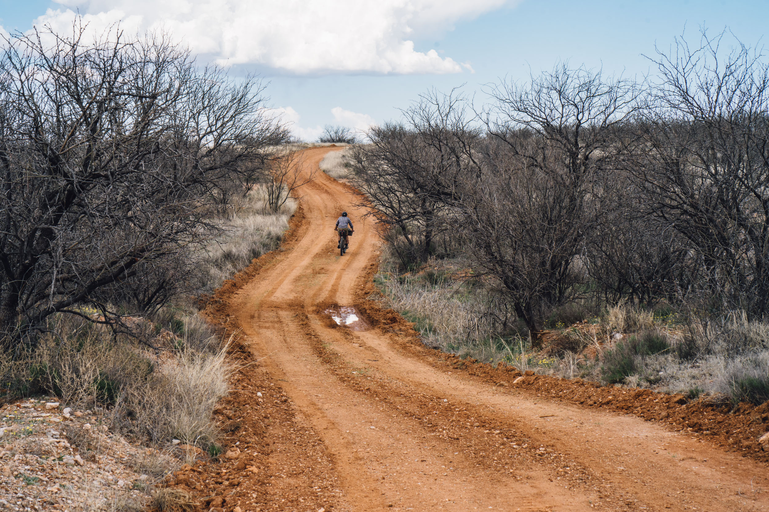
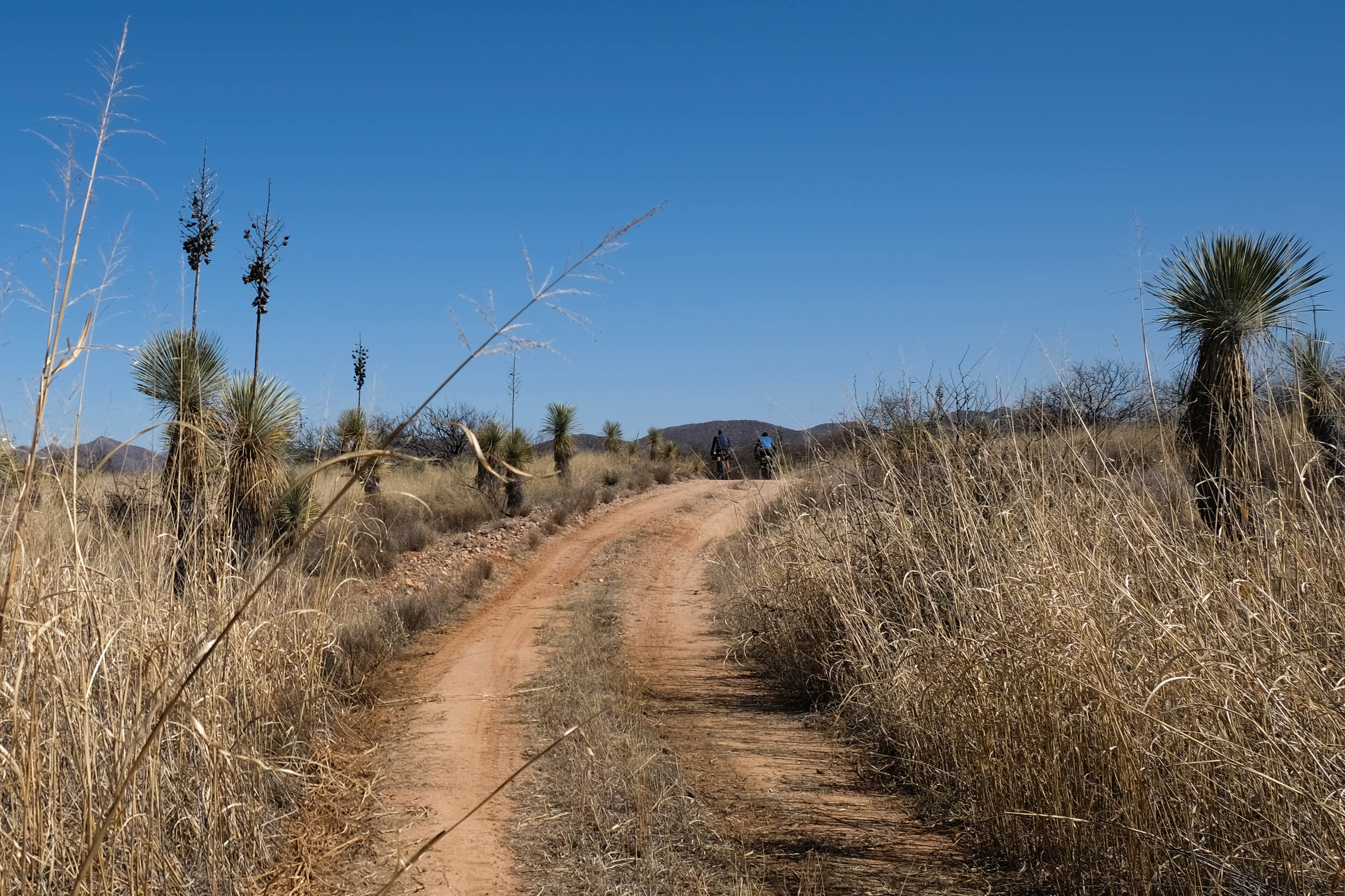
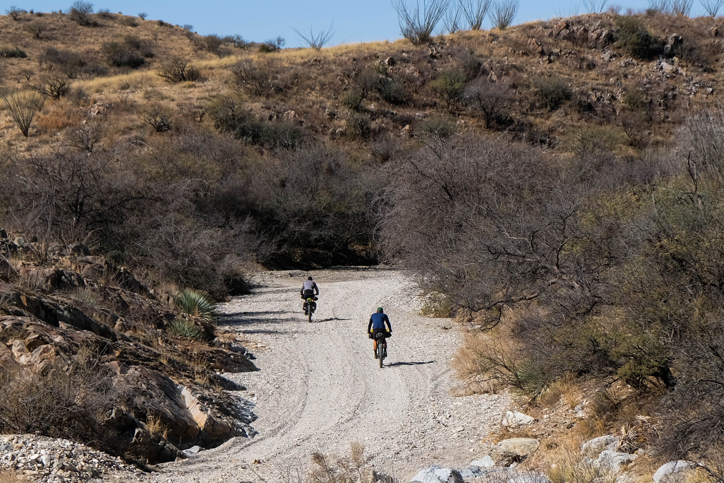
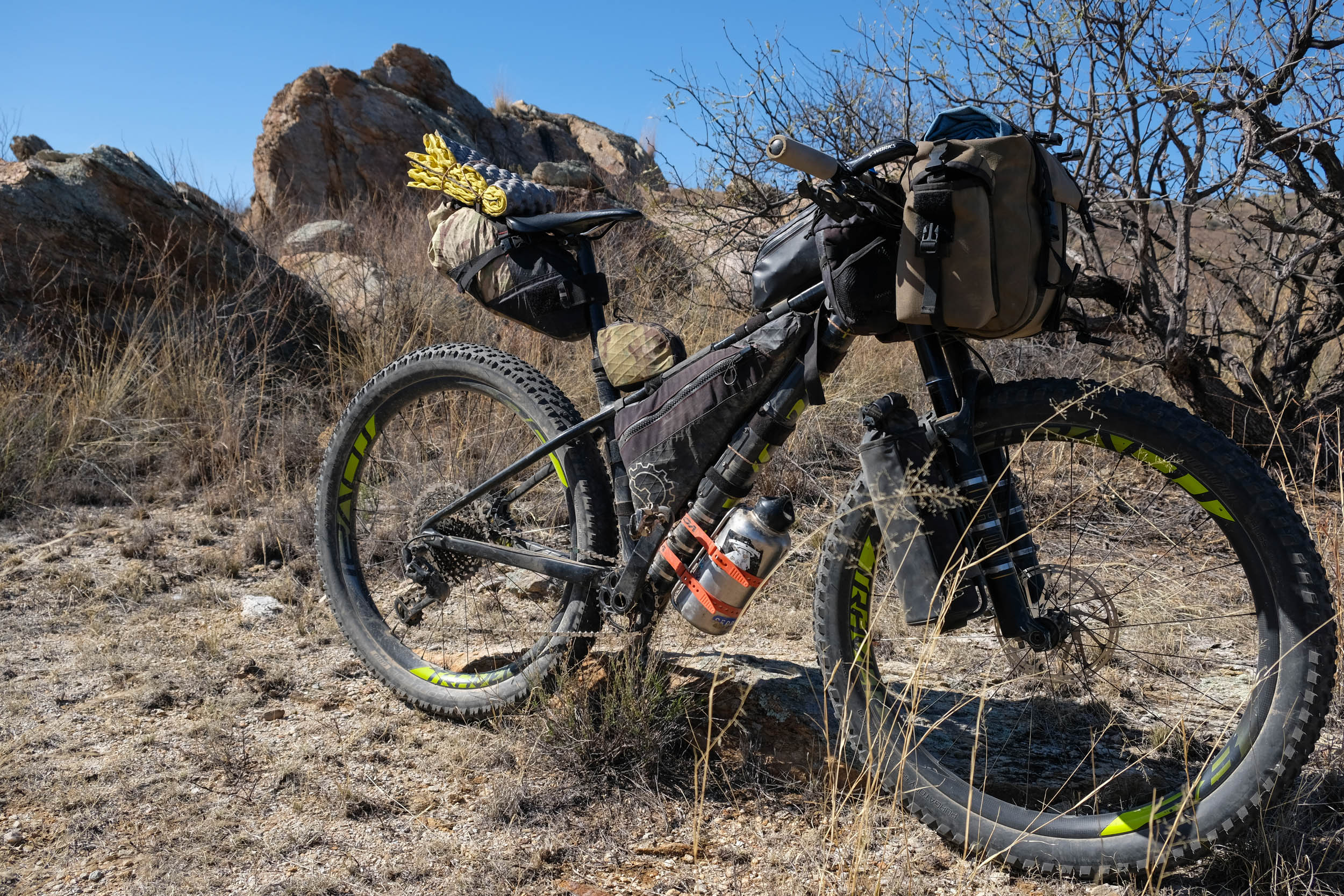
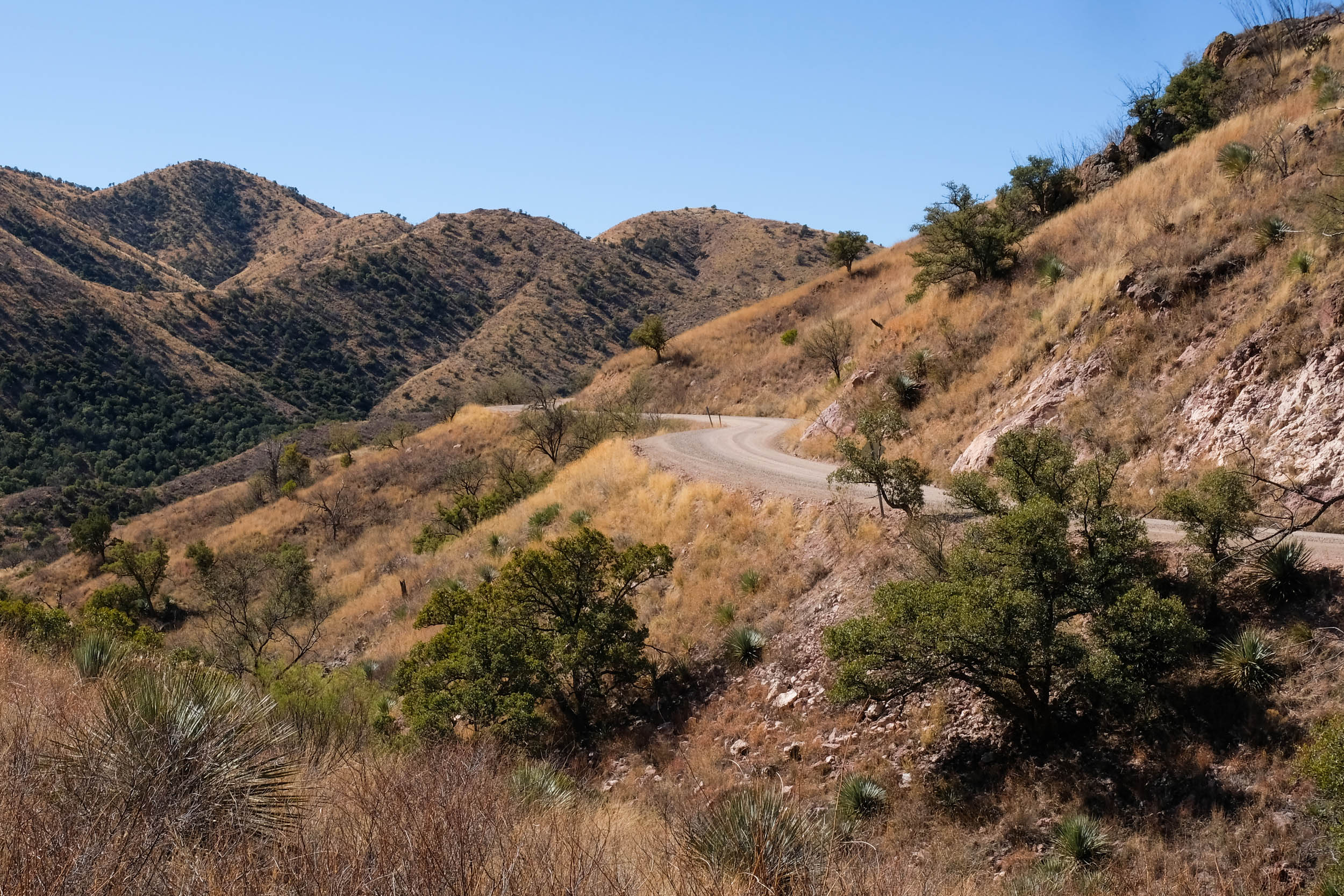
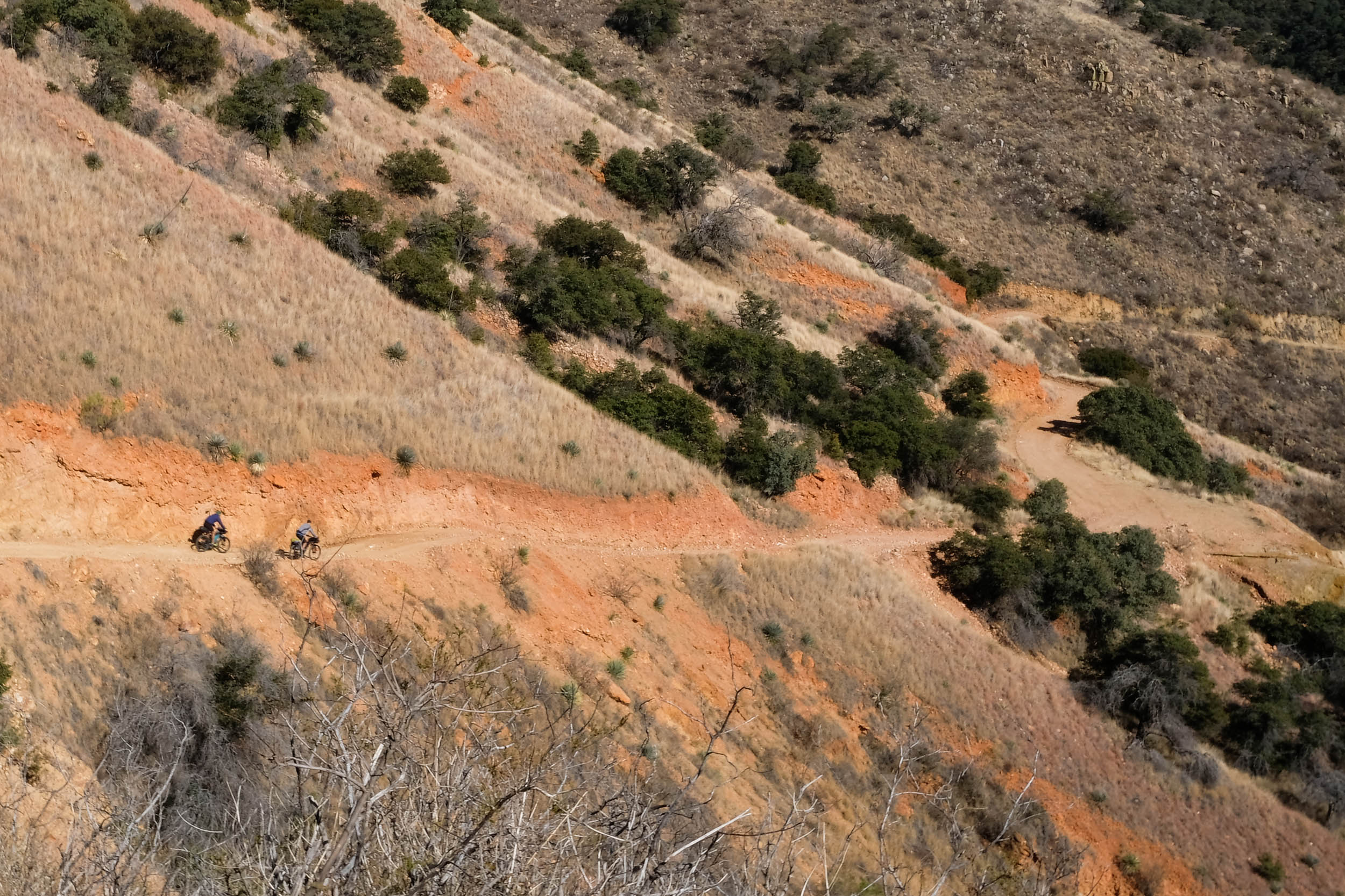
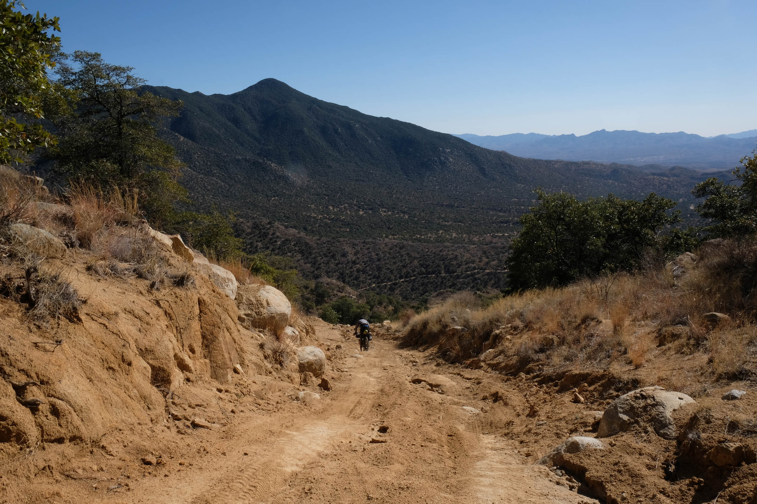
The West Loop has considerably less climbing per mile than the East Loop and more miles spent on maintained dirt roads, but the greater distance, remote nature of the route, and the physical demand of the high desert environment during winter are not to be underestimated. This route travels along smooth, washboard dirt roads and many chunky, rocky, loose, and sandy double-track trails. Some of the more remote roads vary in condition after each monsoon season as persistent rains reshape the landscape. The whole route will be rideable for a small few and 97-98% rideable for most. On and off, hike-a-biking should be expected between miles 18 and 22, with steep rocky climbs and a massive -20% descent on a loose rutted road. In addition, there are potentially extended periods of hike-a-biking on Forest Road 143 / Salero Canyon Road on the east side of the loop (miles 149-161). Most miles on this ride are spent at altitudes between 3,000 and 6,000 ft. Less oxygen at higher elevations can make things feel much more challenging for folks coming from sea level. In addition, at these altitudes, the temperatures and weather between October and April should be seriously considered. While it is mostly sunny and dry, cold fronts carrying strong winds, rain, hail, and even snow happen a handful of times per winter and can linger for 3-4 days. If this happens, folks with flexible plans should consider rescheduling their tour. Any amount of precipitation in some regions of the route can result in peanut butter mud. Winds of 10-20 mph are very common, with days with wind gusts up to 40-60 mph possible. The route is best enjoyed on a hardtail mountain bike, with low mountain bike gearing and ideally 2.3-2.5” tires. Suspension is not required, but if you have it, you’ll appreciate it!


Terms of Use: As with each bikepacking route guide published on BIKEPACKING.com, should you choose to cycle this route, do so at your own risk. Prior to setting out check current local weather, conditions, and land/road closures. While riding, obey all public and private land use restrictions and rules, carry proper safety and navigational equipment, and of course, follow the #leavenotrace guidelines. The information found herein is simply a planning resource to be used as a point of inspiration in conjunction with your own due-diligence. In spite of the fact that this route, associated GPS track (GPX and maps), and all route guidelines were prepared under diligent research by the specified contributor and/or contributors, the accuracy of such and judgement of the author is not guaranteed. BIKEPACKING.com LLC, its partners, associates, and contributors are in no way liable for personal injury, damage to personal property, or any other such situation that might happen to individual riders cycling or following this route.
Please keep the conversation civil, constructive, and inclusive, or your comment will be removed.